Narrow Results By
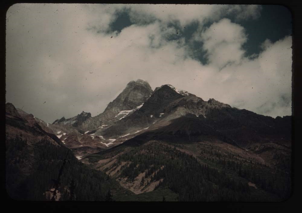
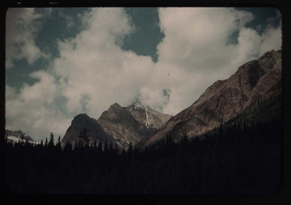
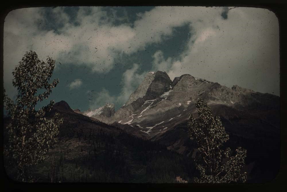
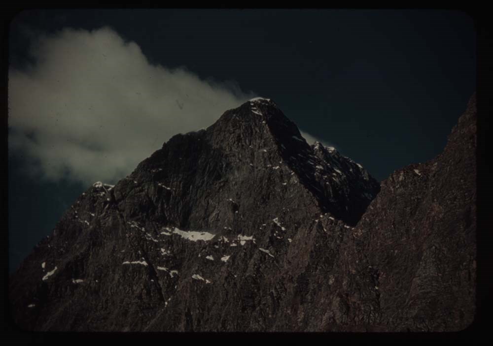
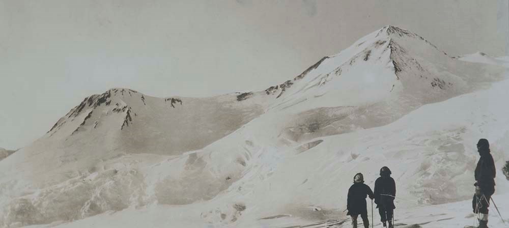
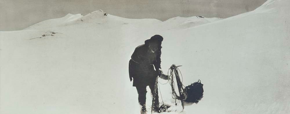
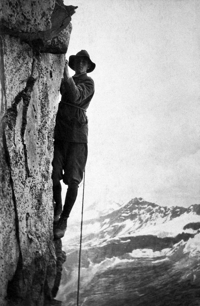
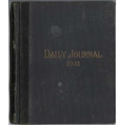
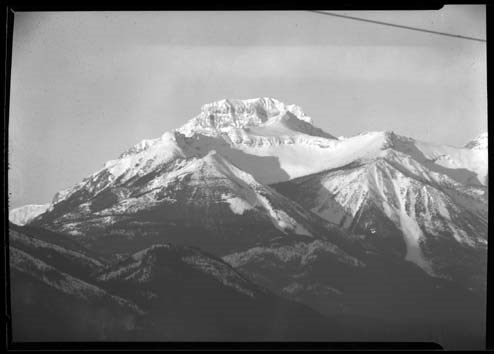
Summit Note - MT. Forbes, 1930
https://archives.whyte.org/en/permalink/descriptions57781
- Part Of
- Alpine Club of Canada fonds
- Scope & Content
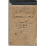
- File consists of a summit record from Mount Forbes produced by the Alpine Club of Canada in 1930. Summit note states the climbing route to the summit. File: M200 / V / A / 195: Summit Note - MT. Forbes, 1930
- Date Range
- 1930
- Reference Code
- M200 / V / A / 195
- Description Level
- 5 / File
- GMD
- Textual record
- Organization record
- Part Of
- Alpine Club of Canada fonds
- Description Level
- 5 / File
- Fonds Number
- M200
- V14
- S6
- Series
- M200 / V: Summit Records
- Sous-Fonds
- M200
- Sub-Series
- M200 / V / A: Identified Summit Records
- Accession Number
- accn. 8002
- Reference Code
- M200 / V / A / 195
- Responsibility
- Summit Registers and Notes produced by Alpine Club of Canada
- Date Range
- 1930
- Physical Description
- 0.5 cm of textual record 1 summit note
- History / Biographical
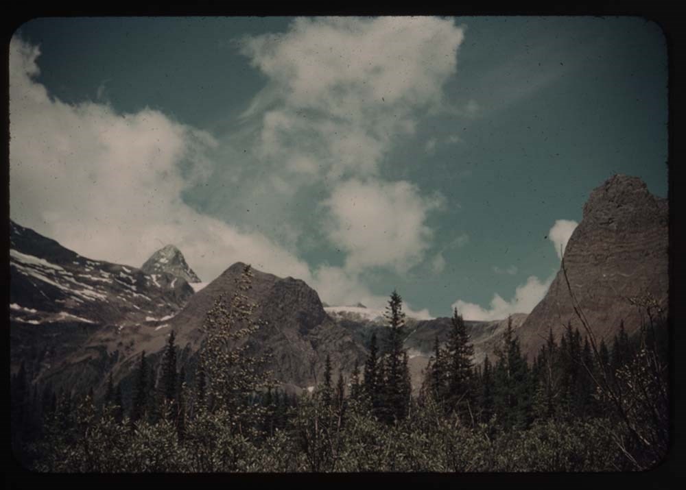
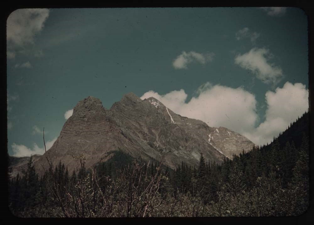
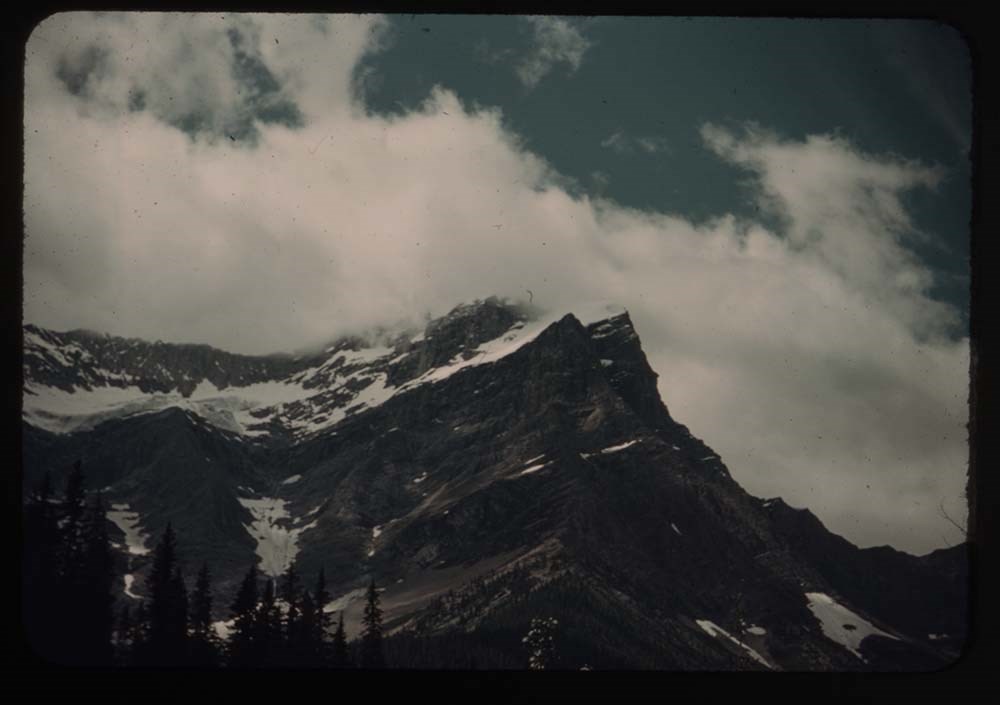
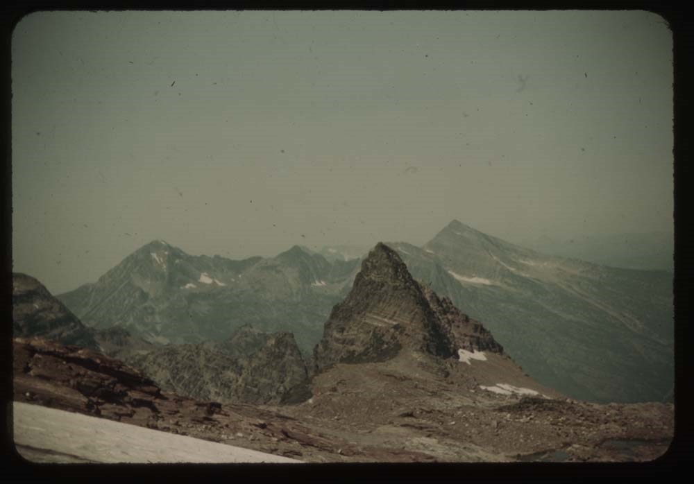
- Mount Forbes is located in Banff National Park, Alberta. Nearby is Mount Sarbach, Mount Freshfield, Mount Barnard, and the North Saskatchewan River.
- Scope & Content
- File consists of a summit record from Mount Forbes produced by the Alpine Club of Canada in 1930. Summit note states the climbing route to the summit. File: M200 / V / A / 195: Summit Note - MT. Forbes, 1930
- Name Access
- Alpine Club of Canada
- Subject Access
- Alberta
- Alpine Club of Canada
- Banff National Park
- Climbing
- Club
- Description and travel
- Environment and Nature
- Environment
- Great Divide
- Hiking
- Mountain
- Mountaineering
- Mountaineers
- Mountains
- National parks and reserves
- Record keeping
- Sports and leisure
- Sports and recreation
- Summit
- Geographic Access
- Canada
- Canadian Rocky Mountains
- Rocky Mountains
- Alberta
- Banff National Park
- Mount Sarbach
- Mount Freshfield
- North Saskatchewan River
- Mount Forbes
- Access Restrictions
- Restrictions may apply
- Language
- English
- Conservation
- Summit note is in mylar. Writing is faded due to water and rust damage to the paper.
- Related Material
- M235
- Biographical Source Notes
- Peak Finder: Mount Forbes, Canadian Rockies Database: https://cdnrockiesdatabases.ca/peaks/496
- Title Source
- Original title
- Processing Status
- Processed
This material is presented as originally created; it may contain outdated cultural descriptions and
potentially offensive content.
Read more.
[Summit note, Phyllis & Don Munday Sockeye Peak, 1931]
https://archives.whyte.org/en/permalink/descriptions57717
- Part Of
- Alpine Club of Canada fonds
- Scope & Content
- File consists of one summit note from Sockeye Peak produced by the Alpine Club of Canada in 1931. Summit note describes weather, elevation of the peak, and the visitors' hiking/climbing trip. File: M200 / V / A / 127: [Summit note, Phyllis & Don Munday Sockeye Peak, 1931]
- Date Range
- 1931
- Reference Code
- M200 / V / A / 127
- Description Level
- 5 / File
- GMD
- Textual record
- Organization record
- Part Of
- Alpine Club of Canada fonds
- Description Level
- 5 / File
- Fonds Number
- M200
- V14
- S6
- Series
- M200 / V: Summit Records
- Sous-Fonds
- M200
- Sub-Series
- M200 / V / A: Identified Summit Records
- Accession Number
- accn. 6465
- Reference Code
- M200 / V / A / 127
- Responsibility
- Summit Registers and Notes produced by Alpine Club of Canada
- Date Range
- 1931
- Physical Description
- 1 summit note 0.5 cm of textual record
- History / Biographical
- Sockeye Peak is located in British Columbia, along the Coast Mountains/Coast Range. Nearby are Mount Munday, Mount Agur, and Agur Glacier.
- Scope & Content
- File consists of one summit note from Sockeye Peak produced by the Alpine Club of Canada in 1931. Summit note describes weather, elevation of the peak, and the visitors' hiking/climbing trip. File: M200 / V / A / 127: [Summit note, Phyllis & Don Munday Sockeye Peak, 1931]
- Name Access
- Alpine Club of Canada
- Subject Access
- Alpine Club of Canada
- British Columbia
- Climbing
- Club
- Description and travel
- Environment
- Environment and Nature
- Hiking
- Mountain
- Mountaineering
- Mountaineers
- Mountains
- Record keeping
- Sports and leisure
- Sports and recreation
- Summit
- Trails
- Geographic Access
- Canada
- British Columbia
- Coast Range
- Coast Mountains
- Mount Munday
- Mount Agur
- Sockeye Peak
- Access Restrictions
- Restrictions may apply
- Language
- English
- Conservation
- Summit note placed in mylar.
- Related Material
- M235
- Title Source
- Title based on contents of file
- Processing Status
- Processed
This material is presented as originally created; it may contain outdated cultural descriptions and
potentially offensive content.
Read more.
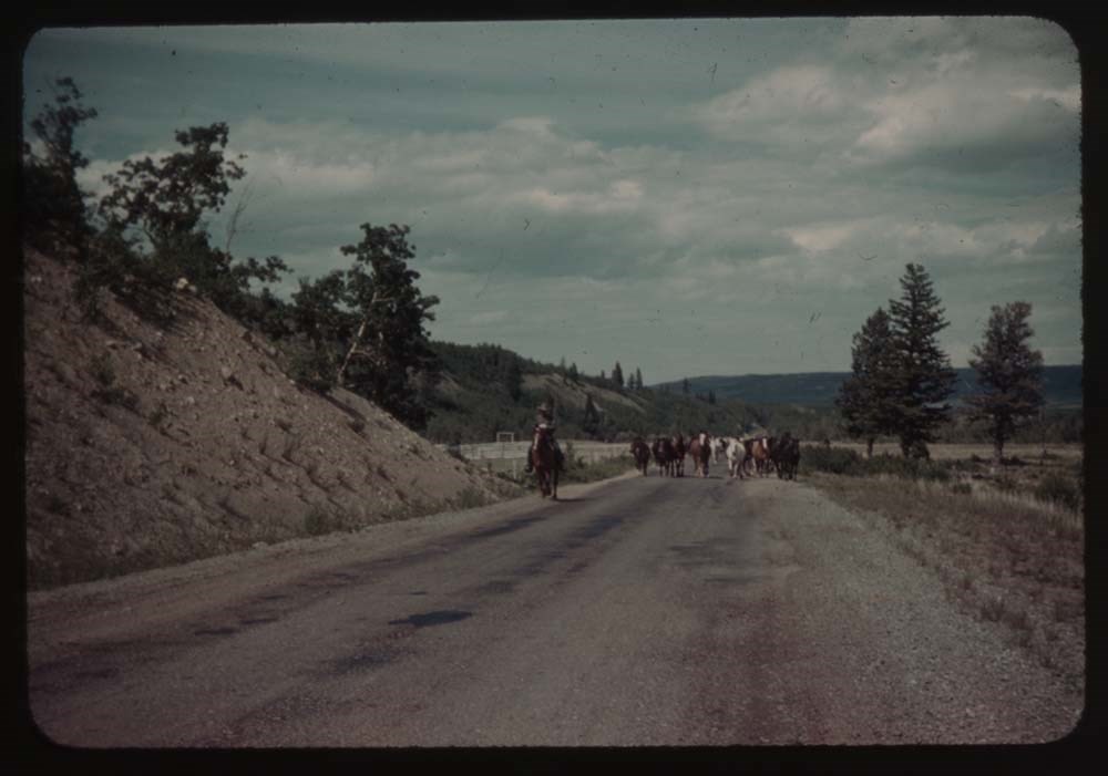
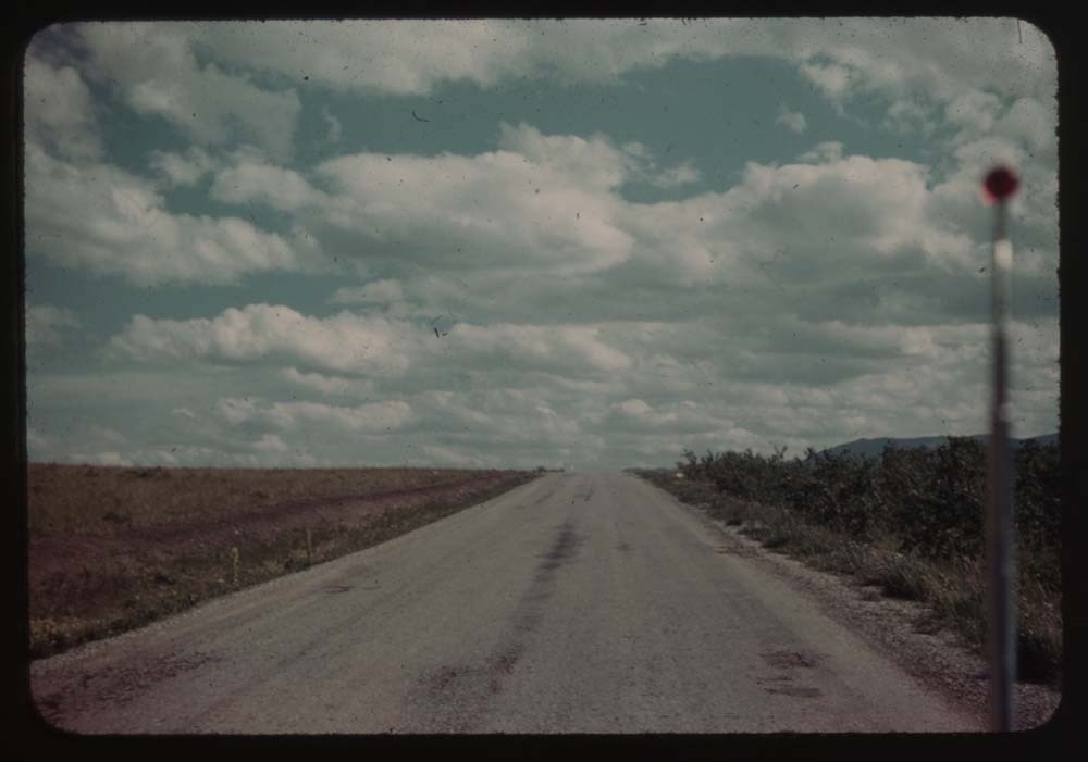
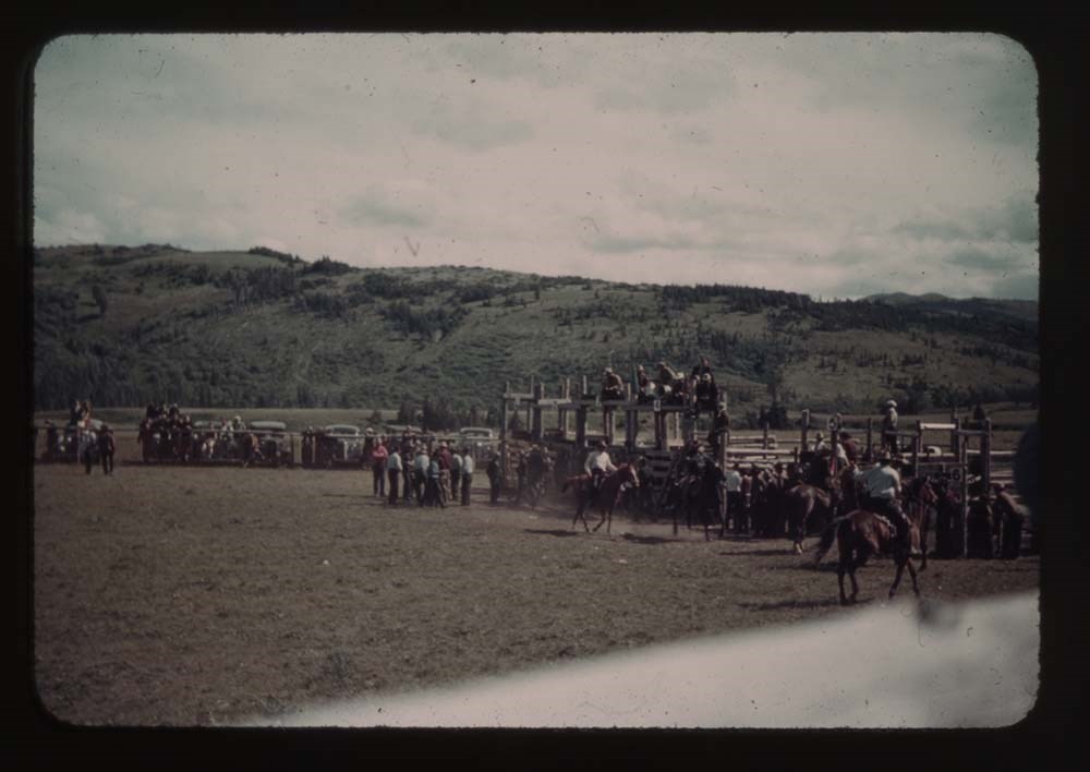
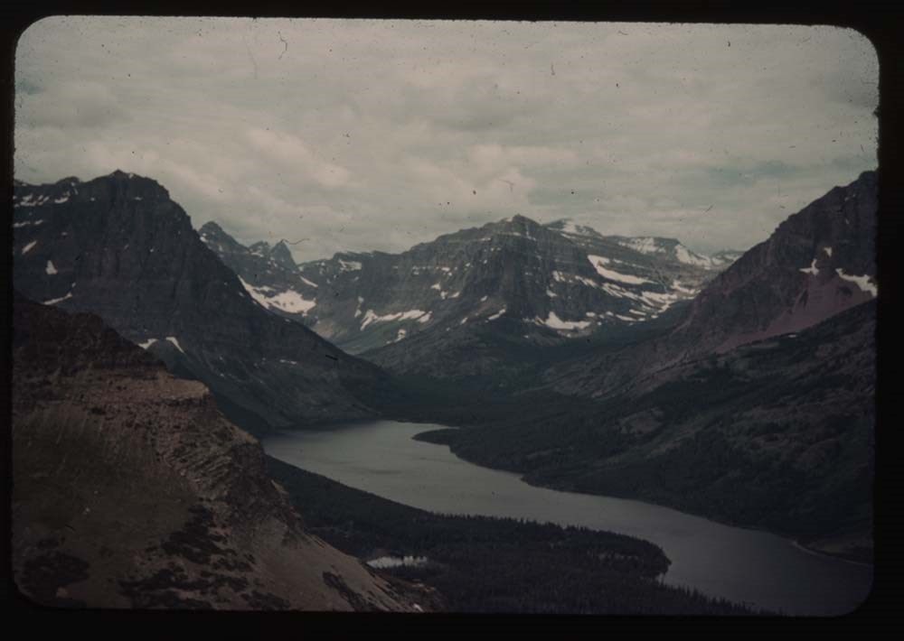
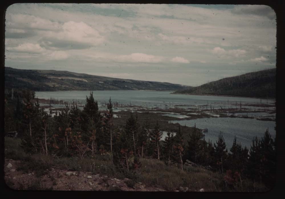
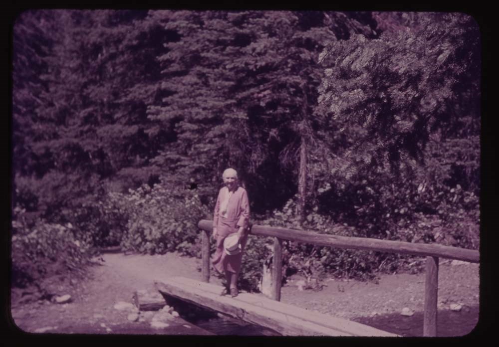
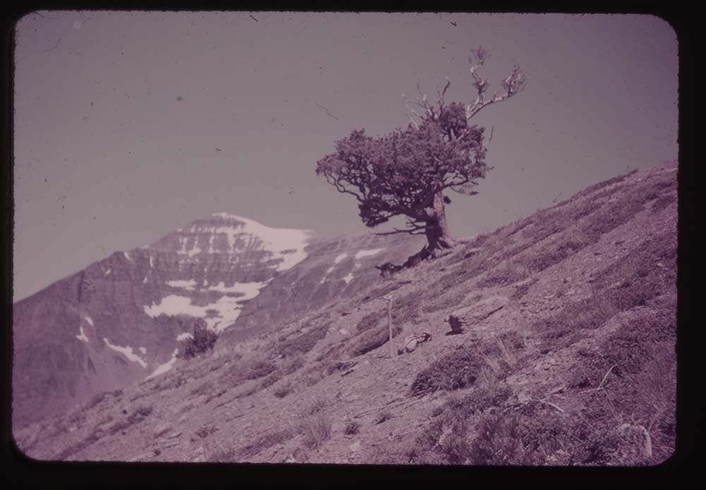
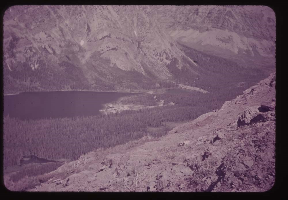
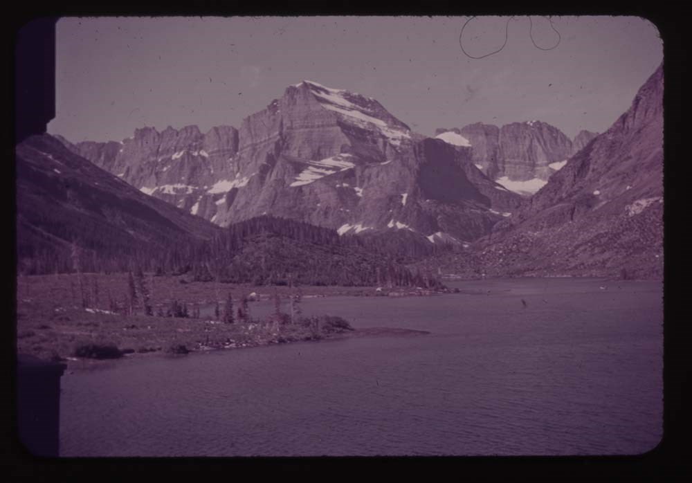
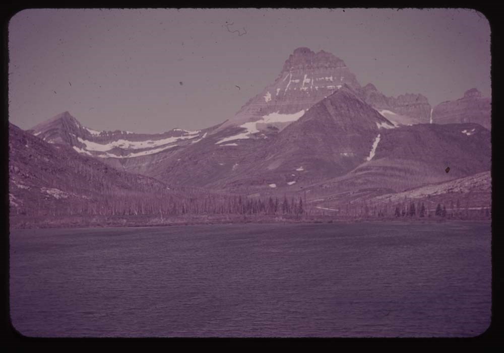
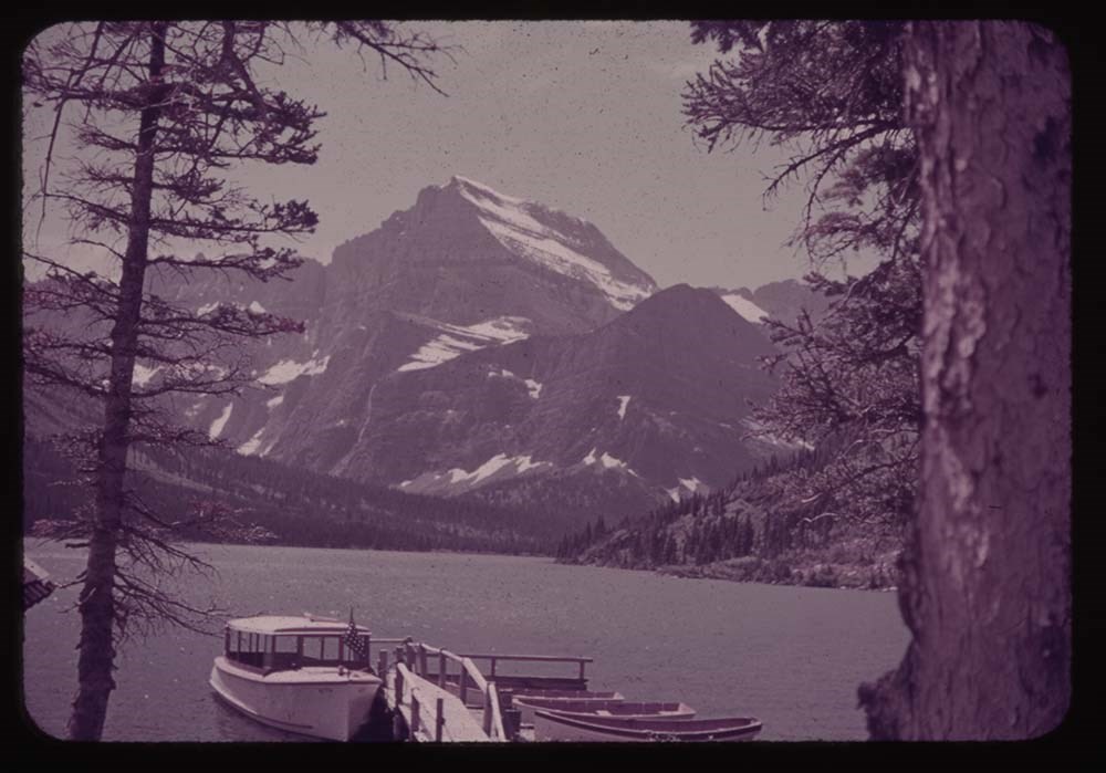
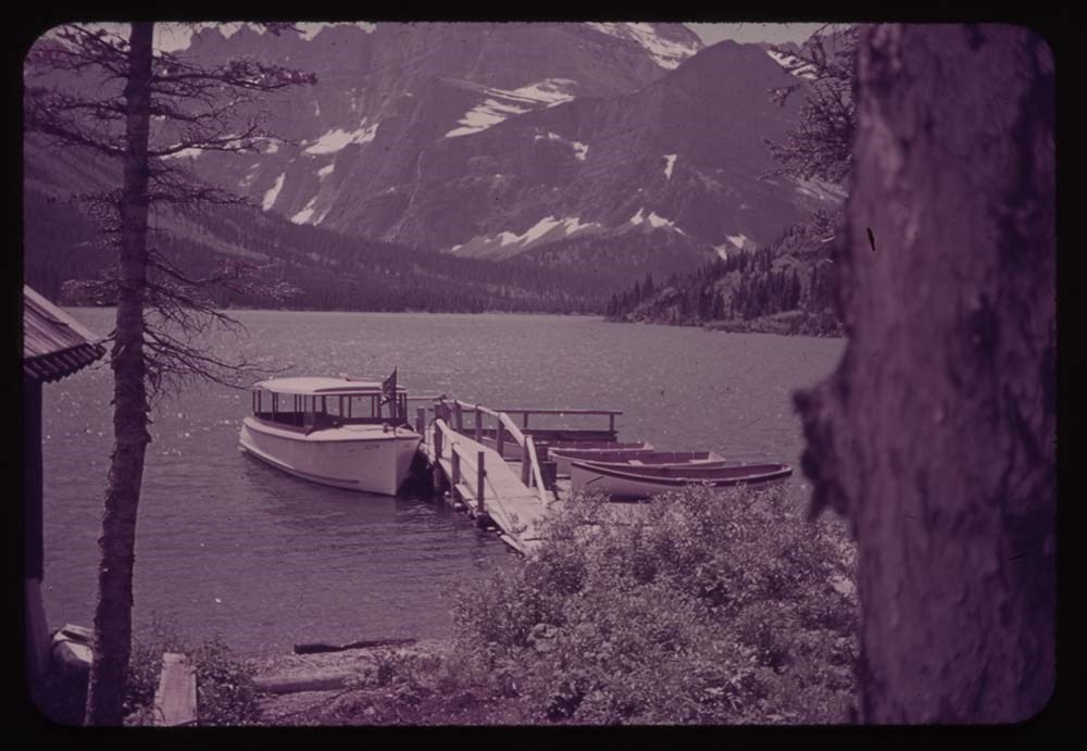
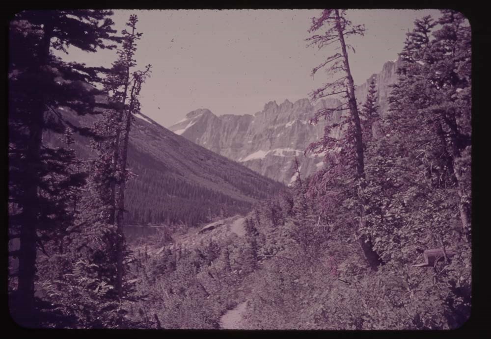
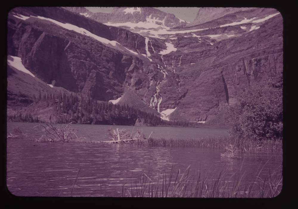
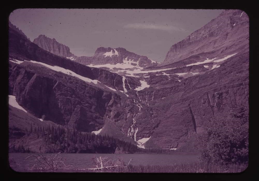
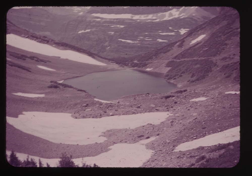
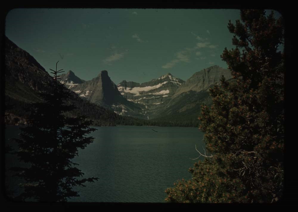
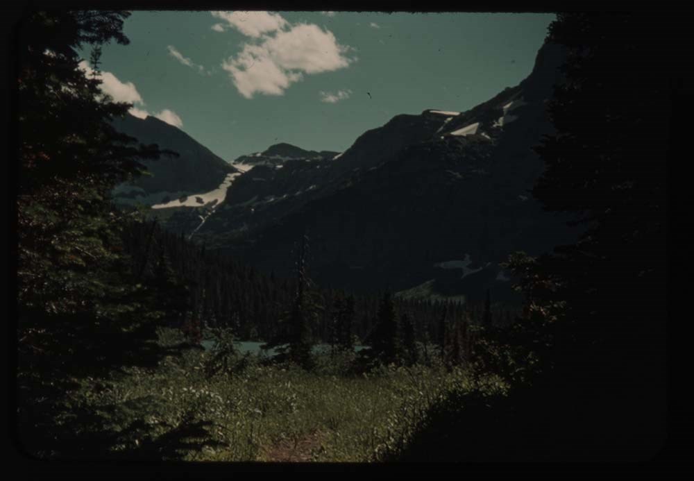
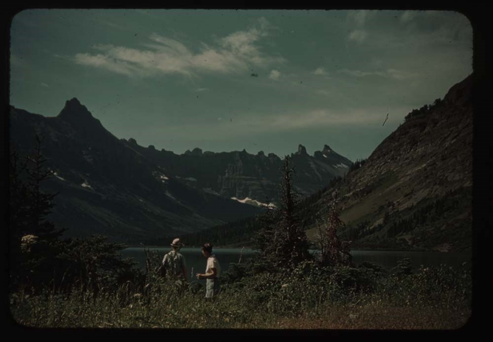
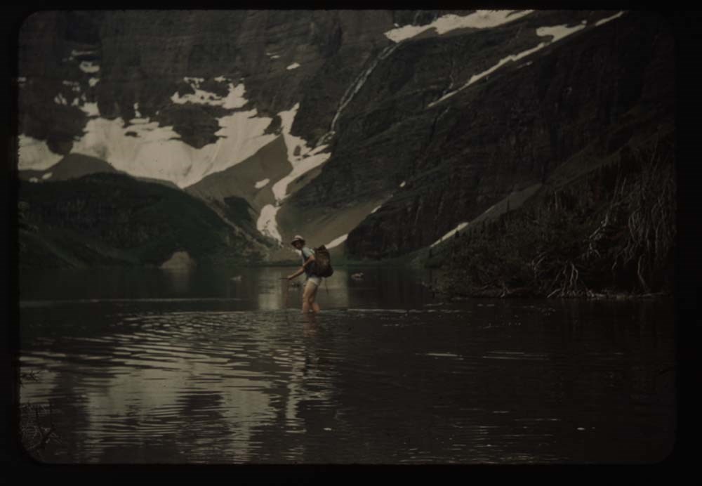
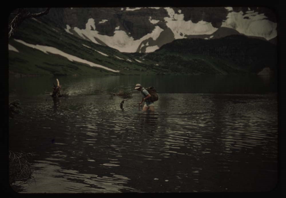
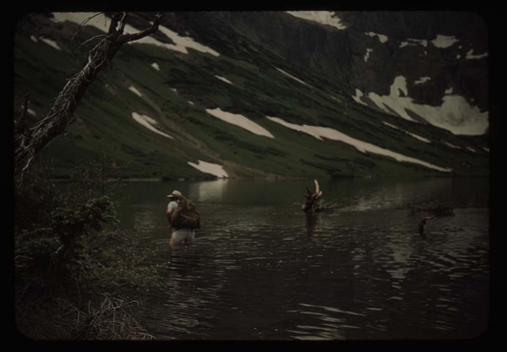
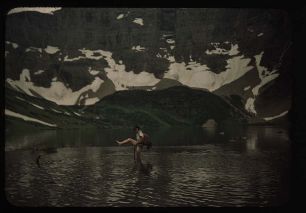
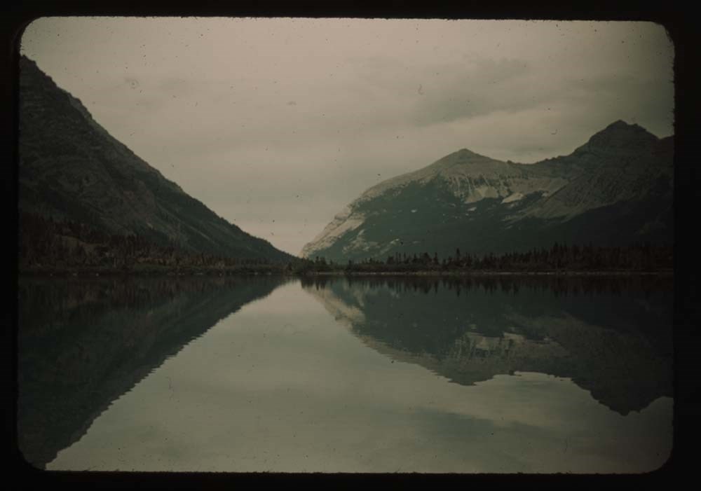
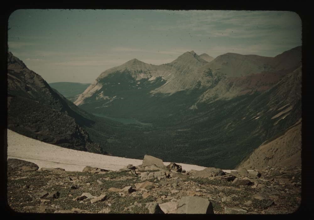
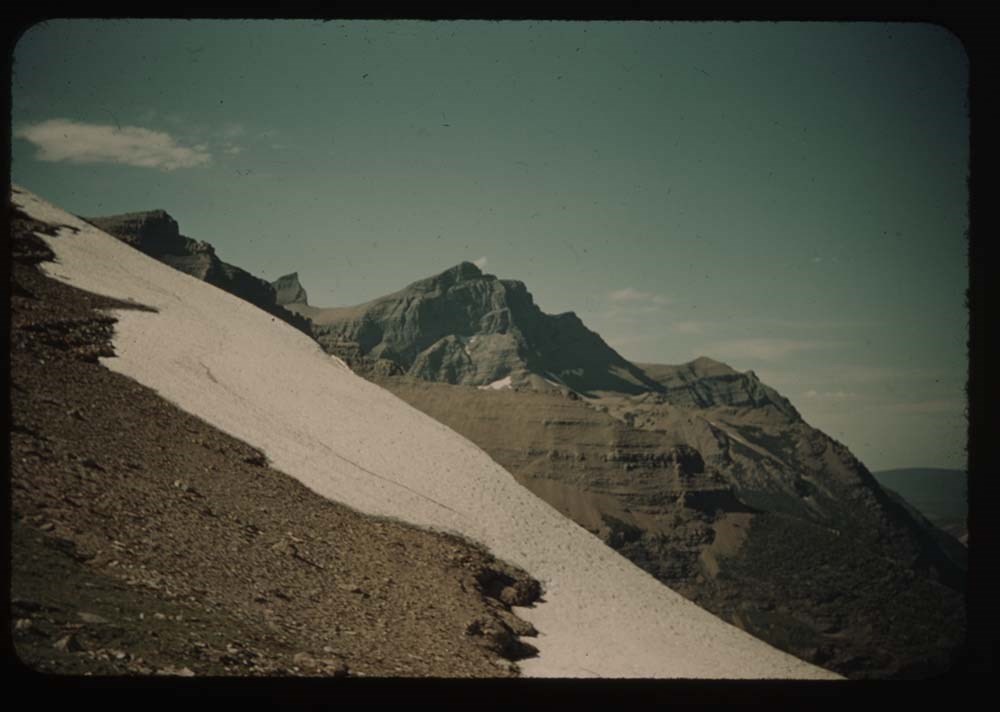
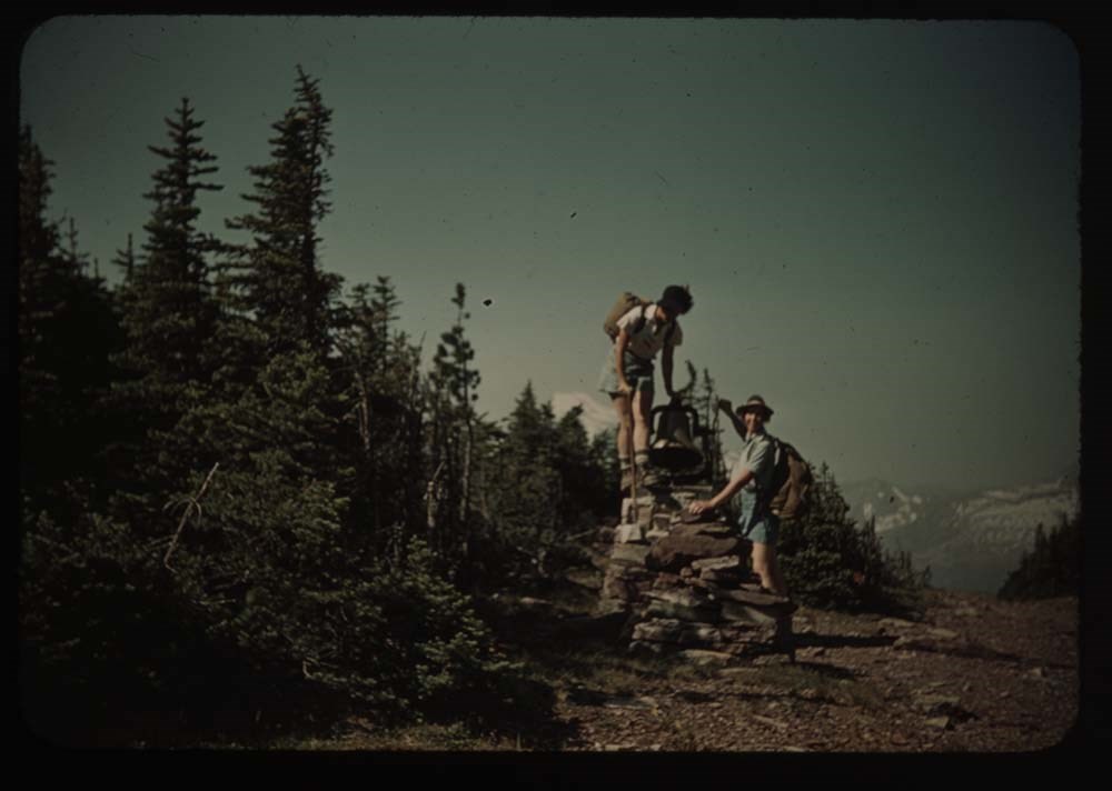
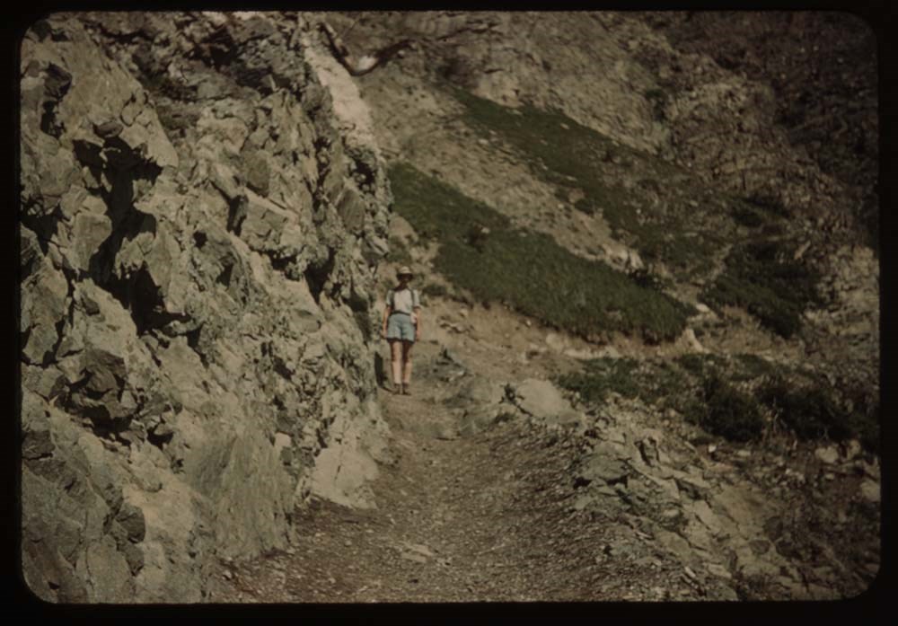
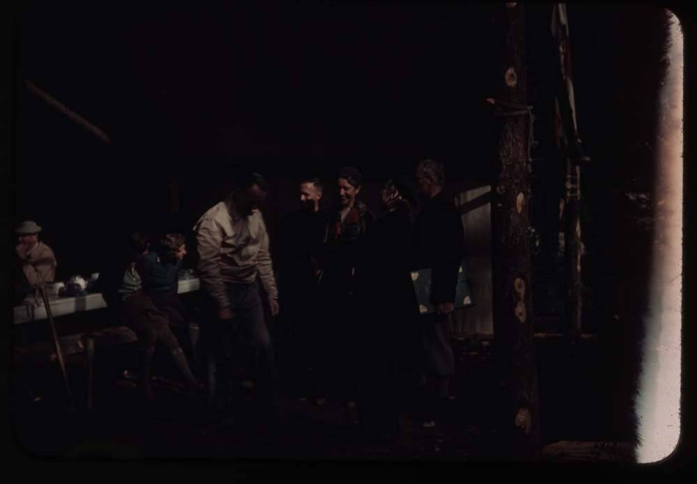
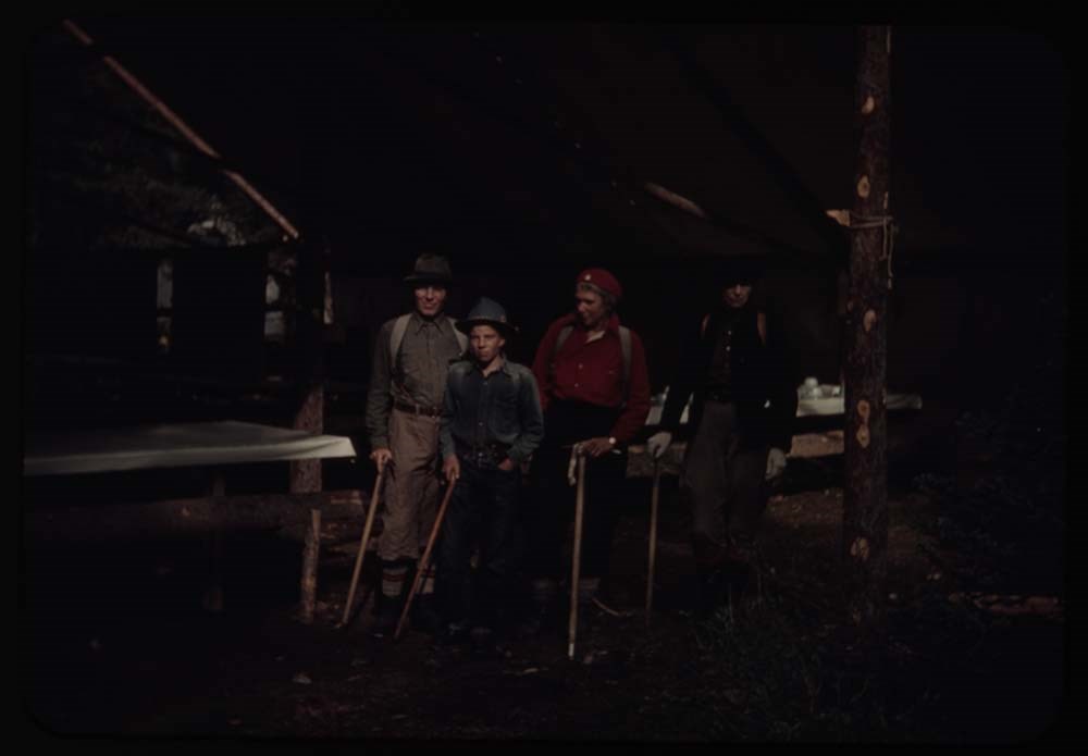
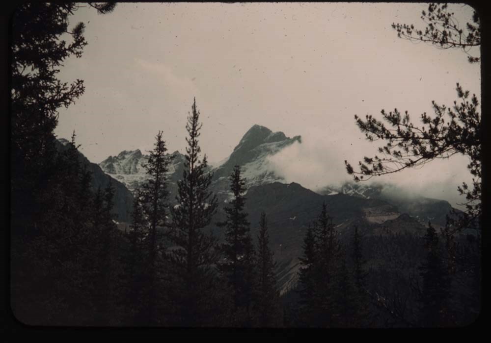
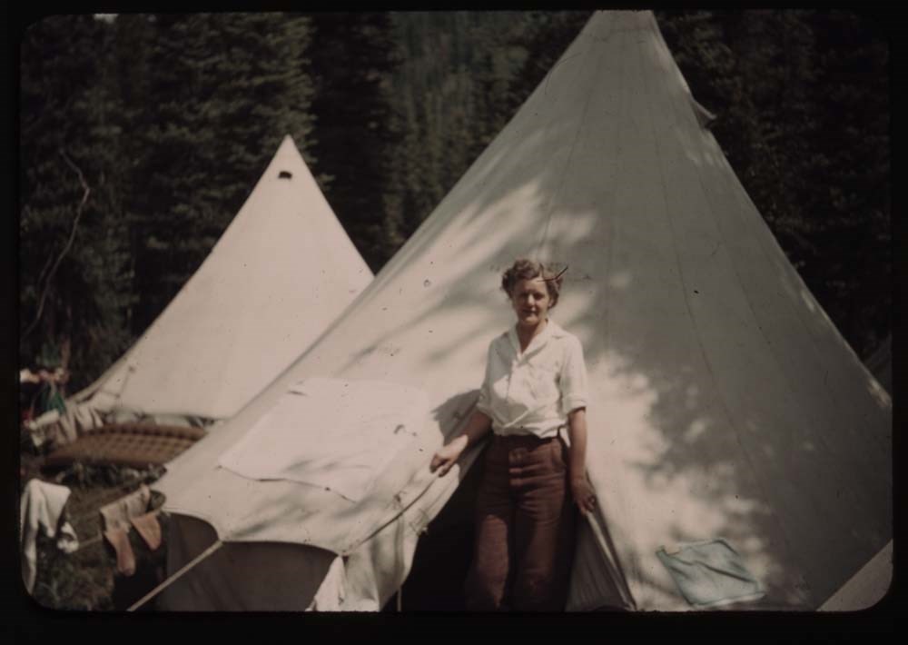
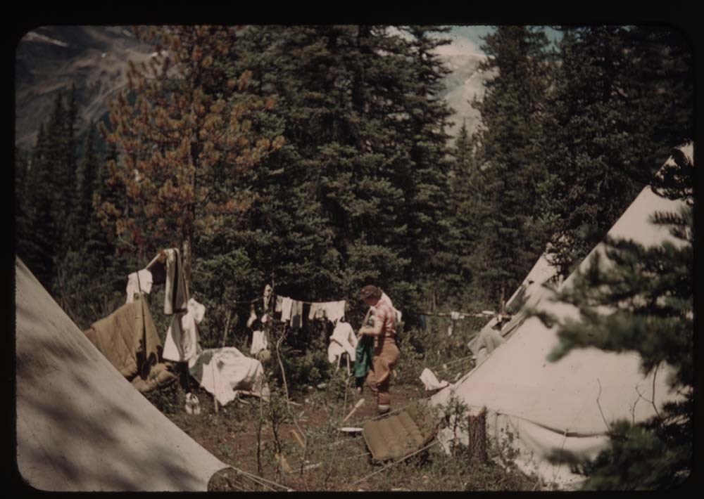
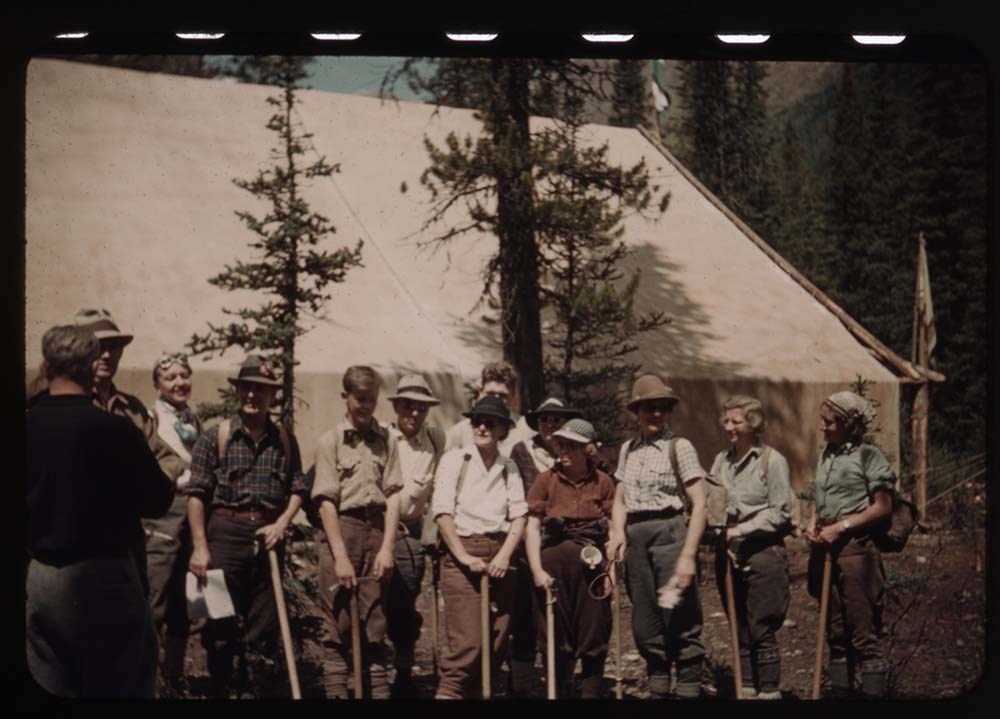
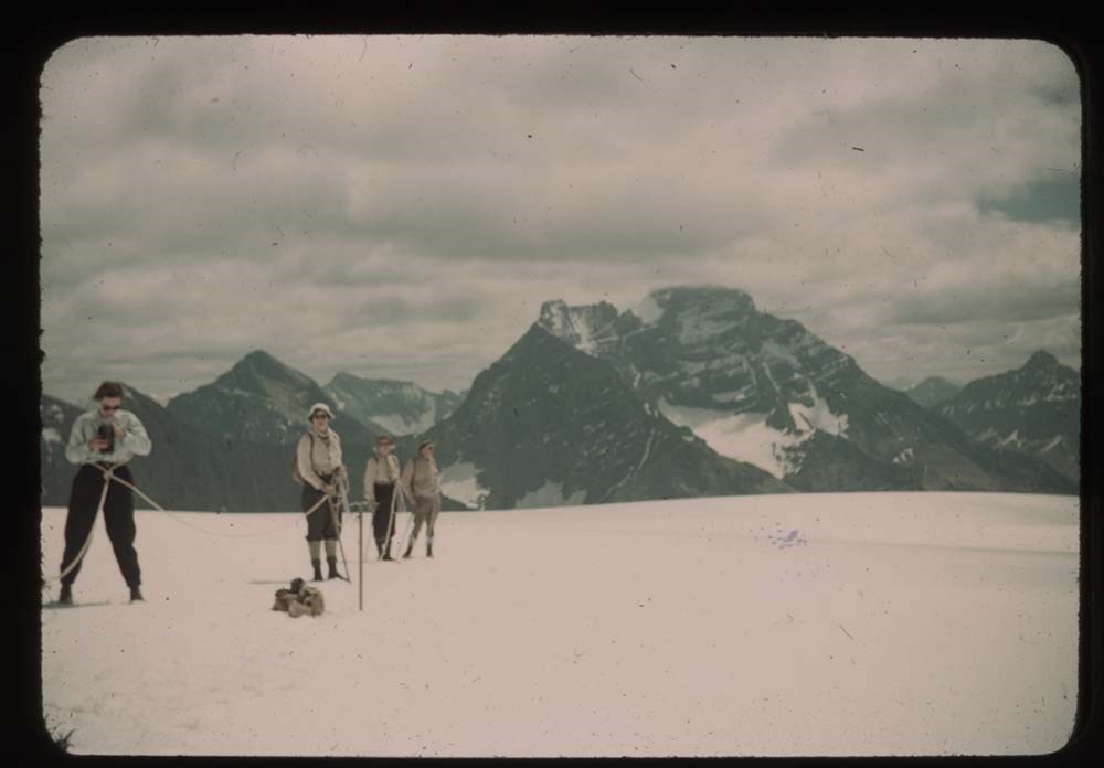
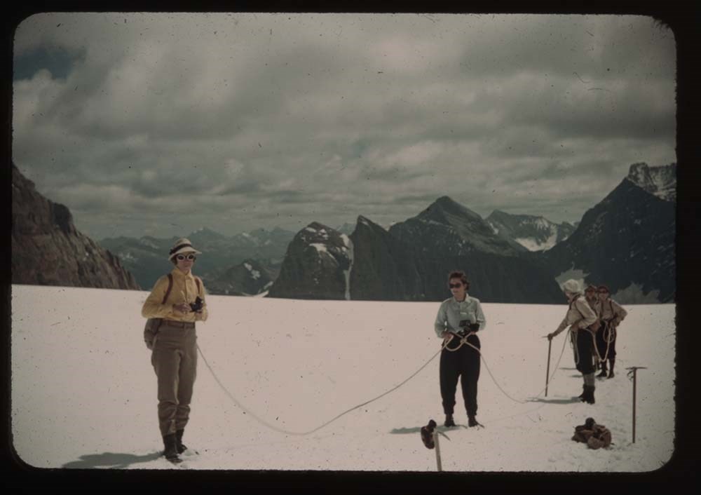
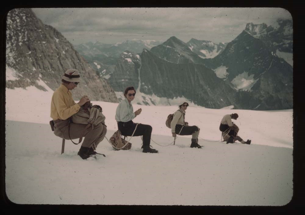
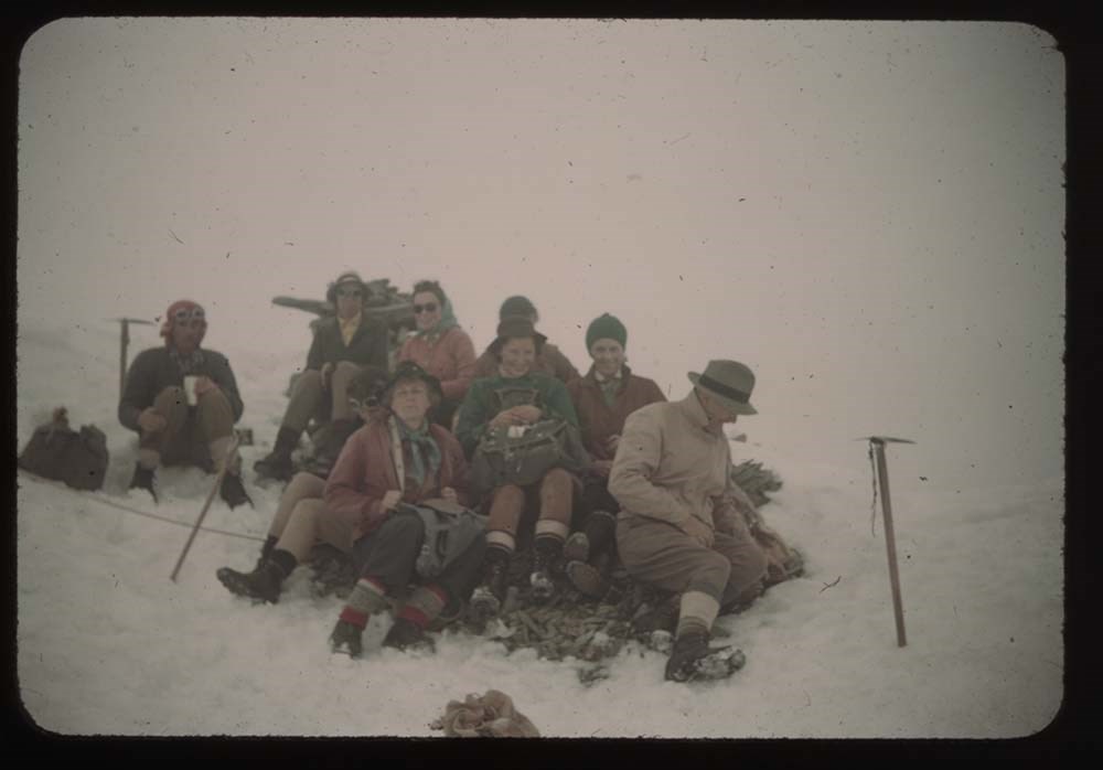
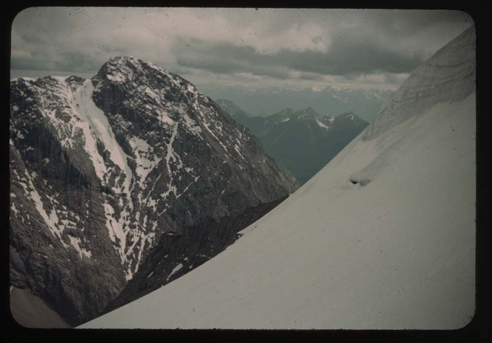
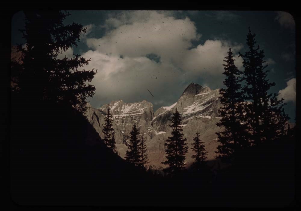
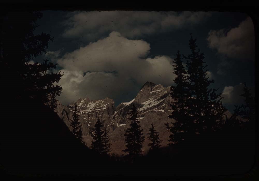
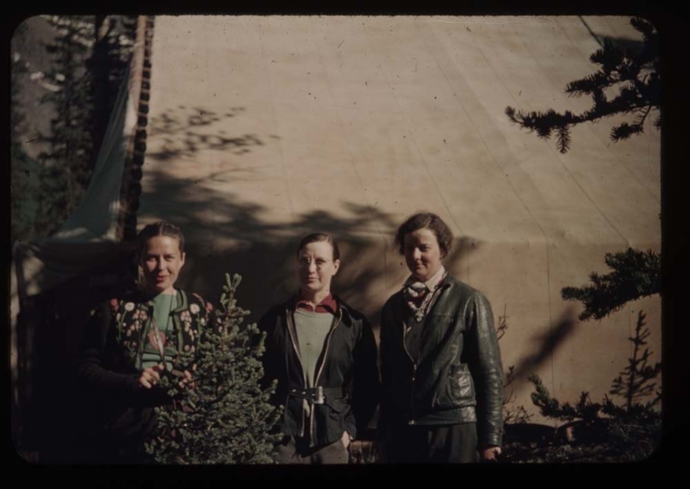
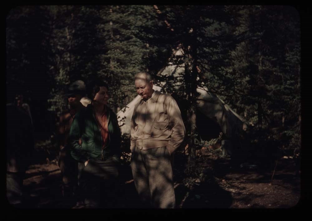
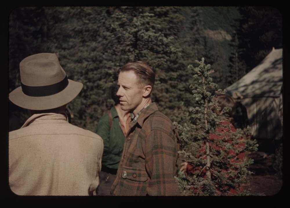
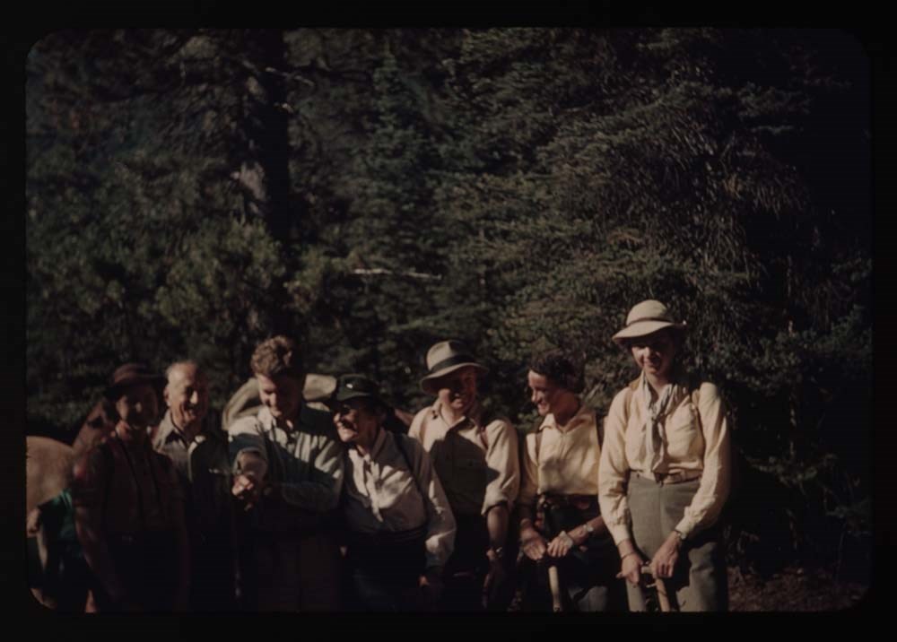
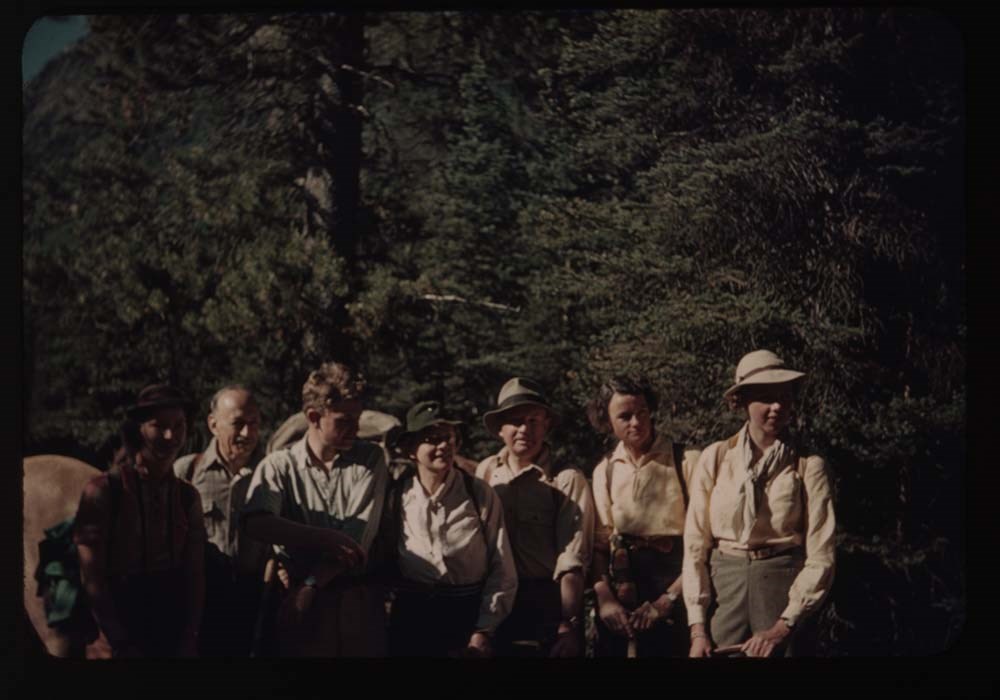
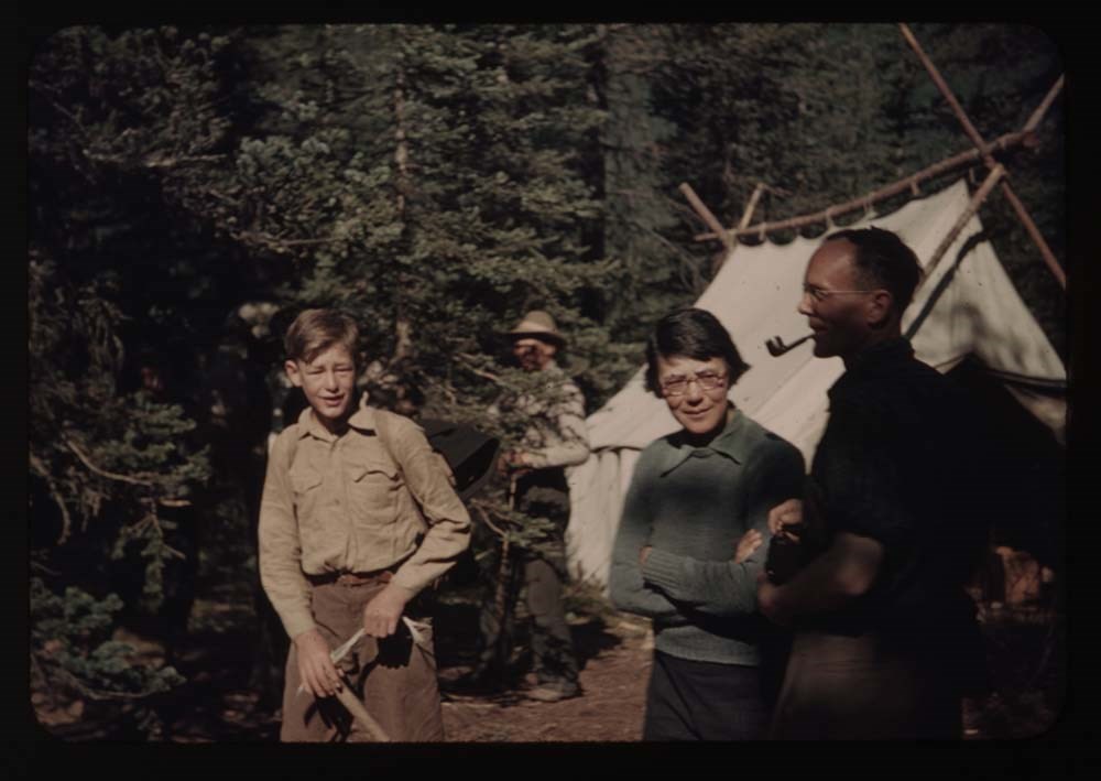
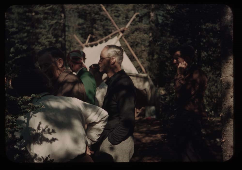
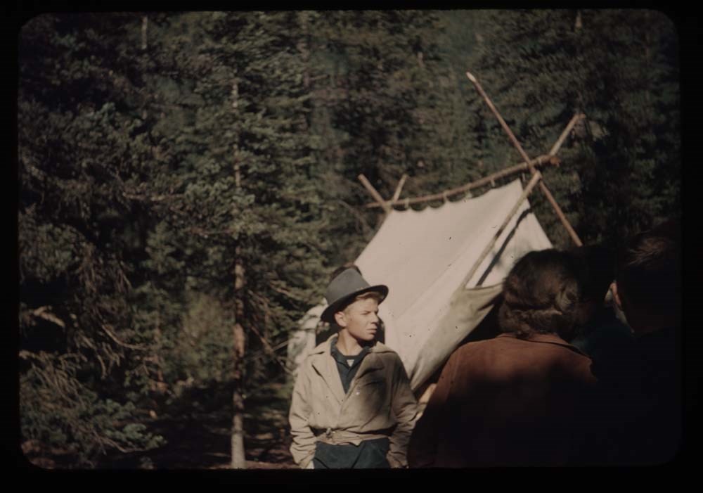
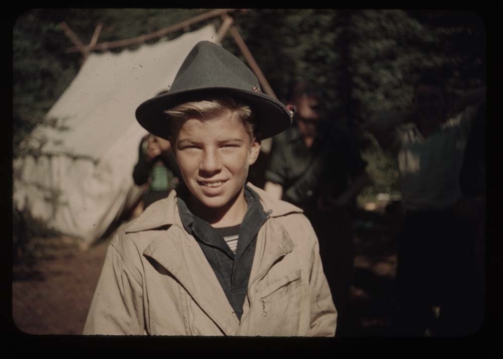
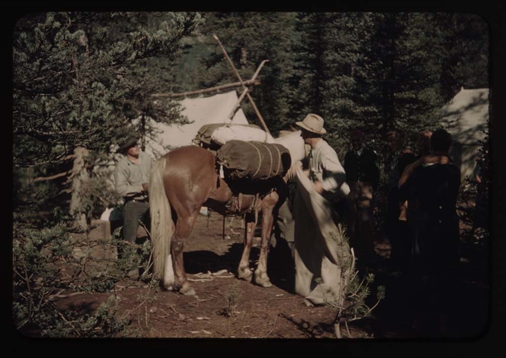
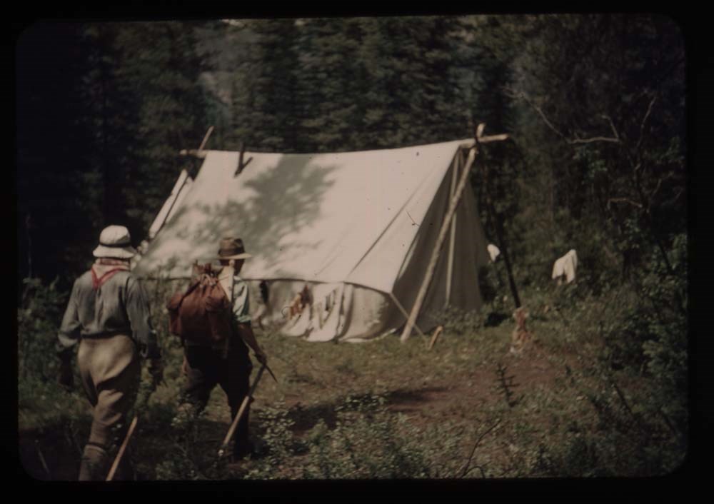
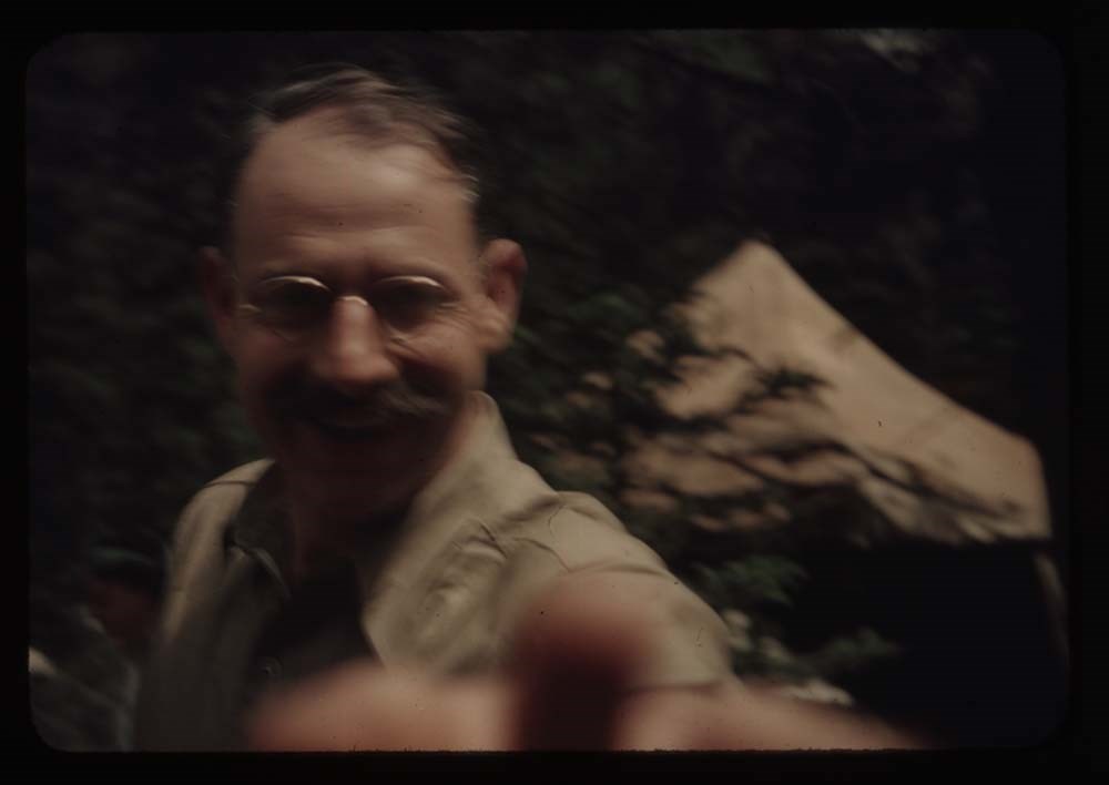
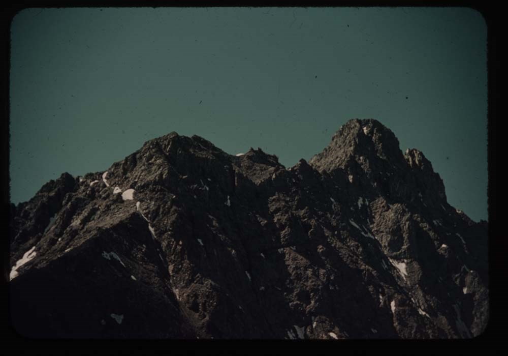
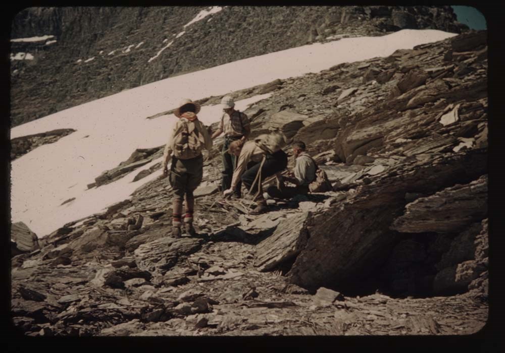
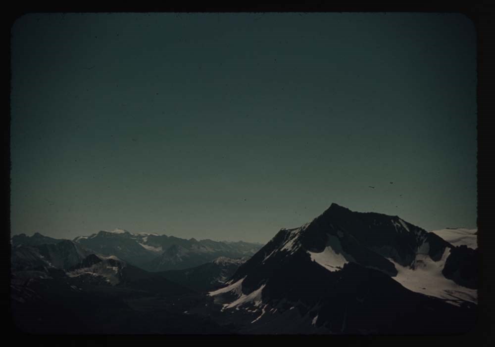
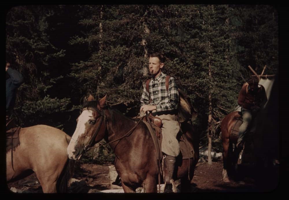
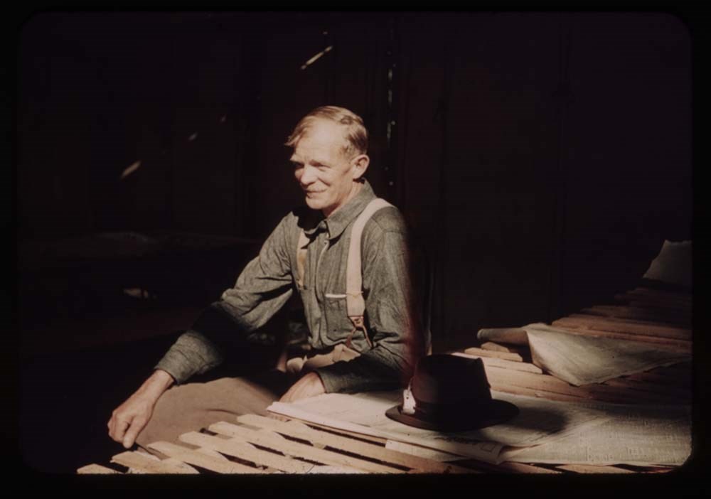
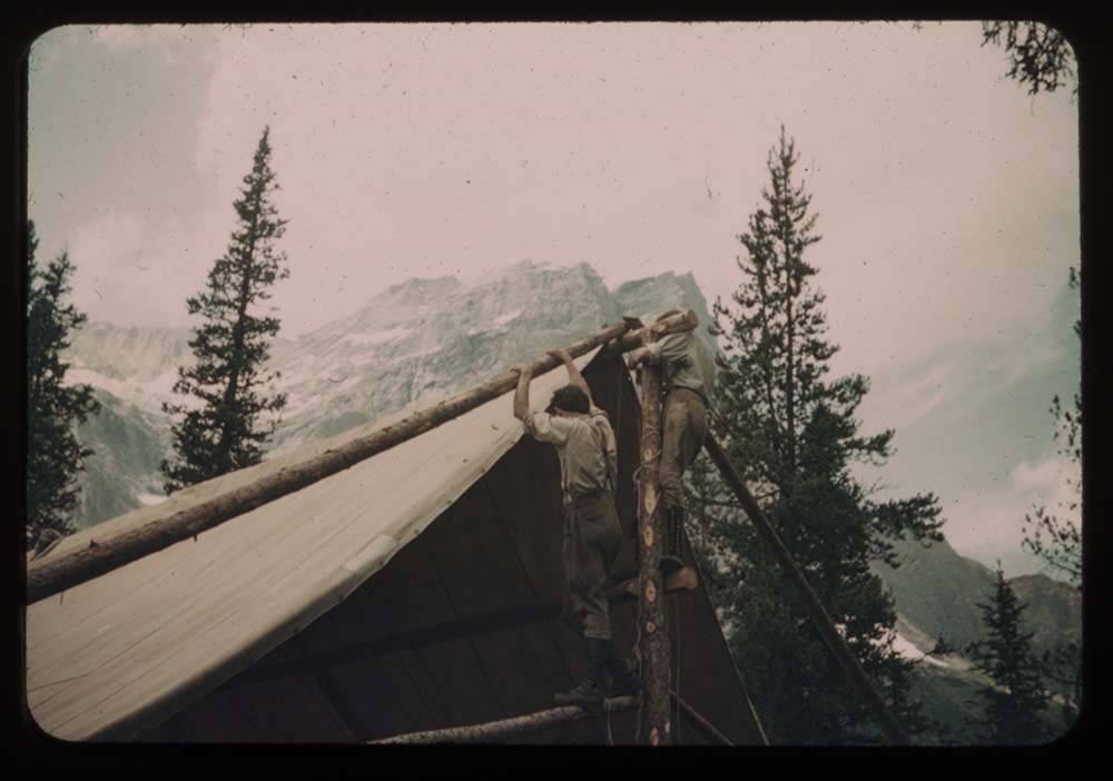
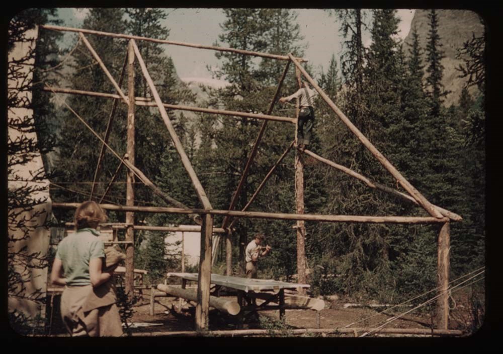
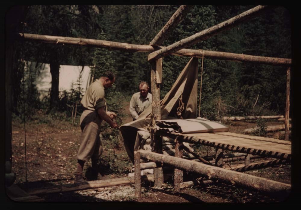
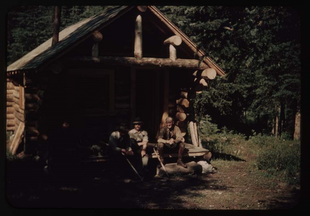
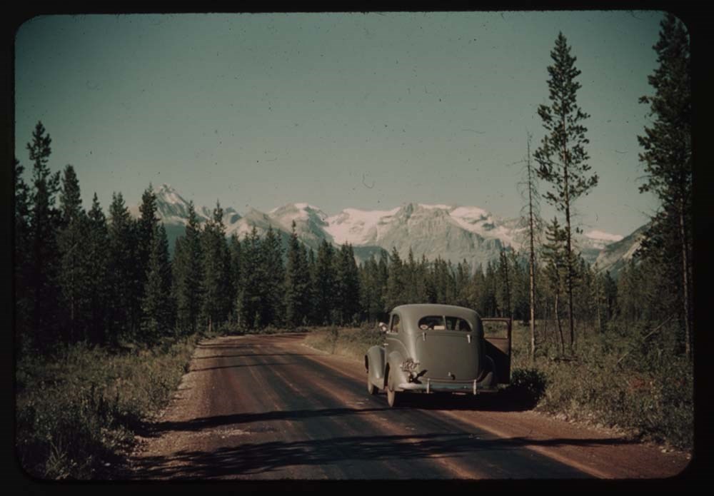
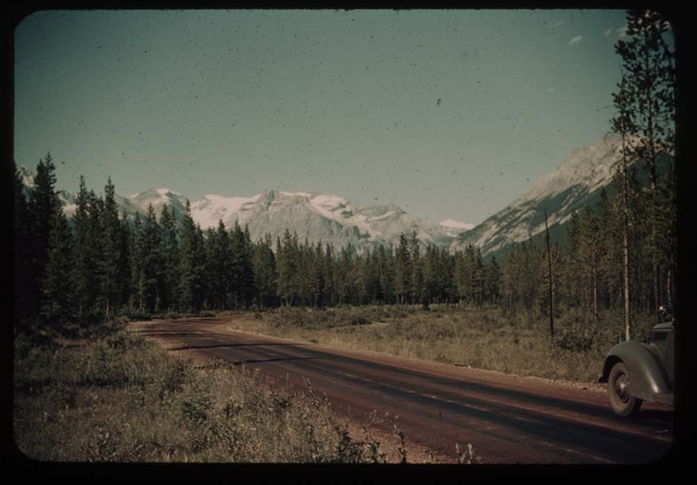
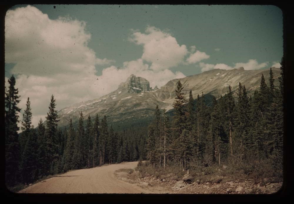
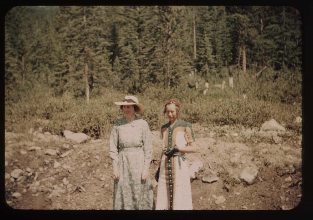
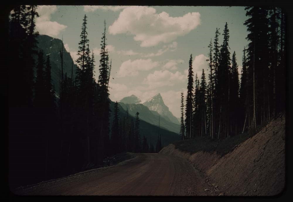
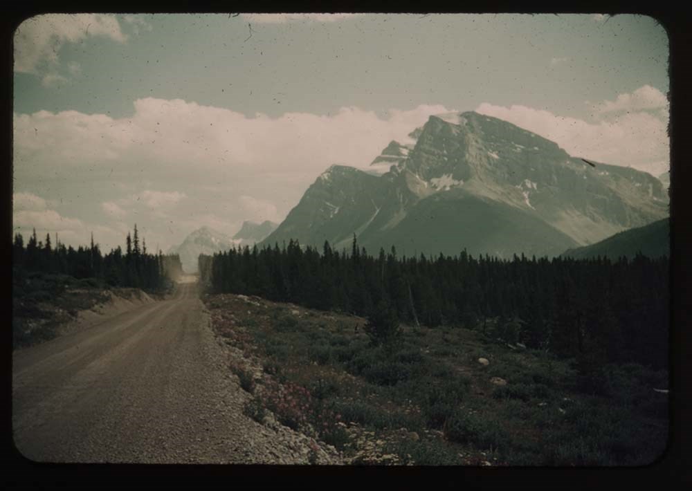
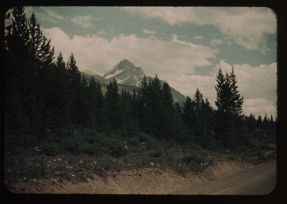
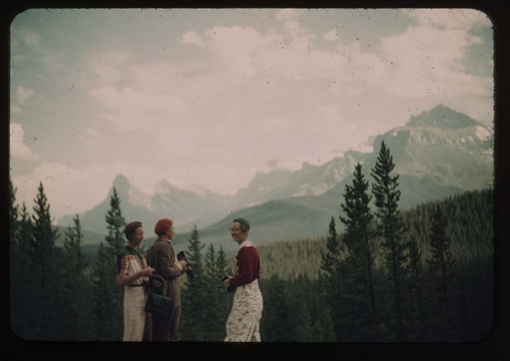
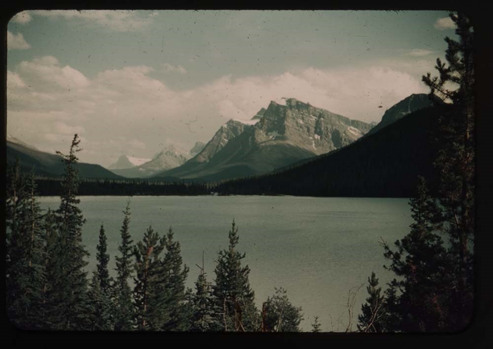
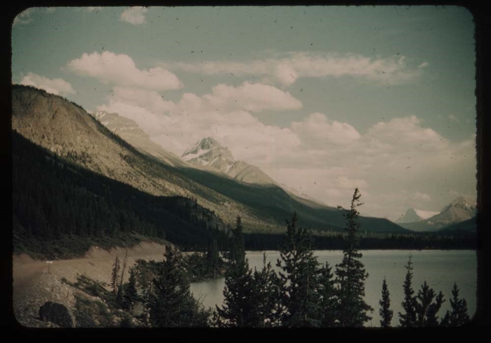
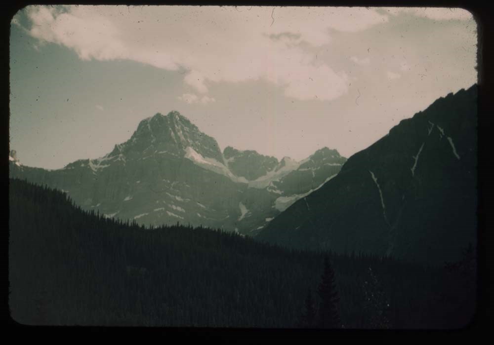
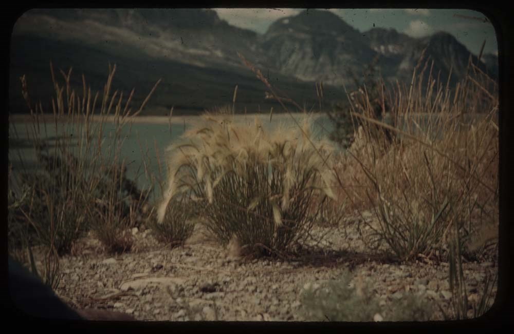
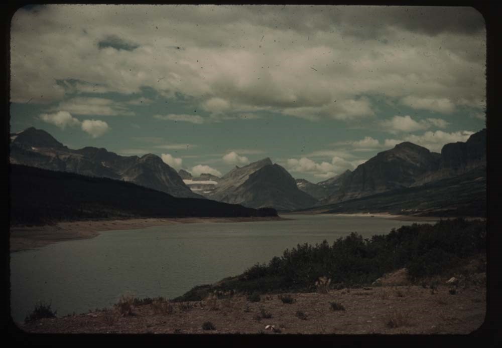
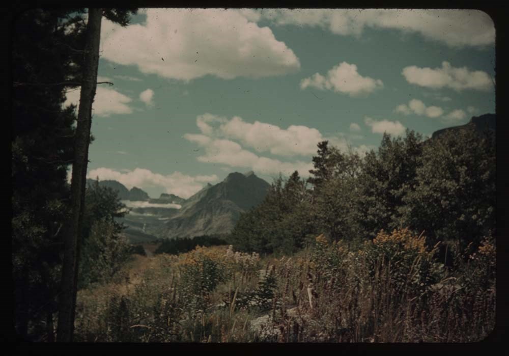
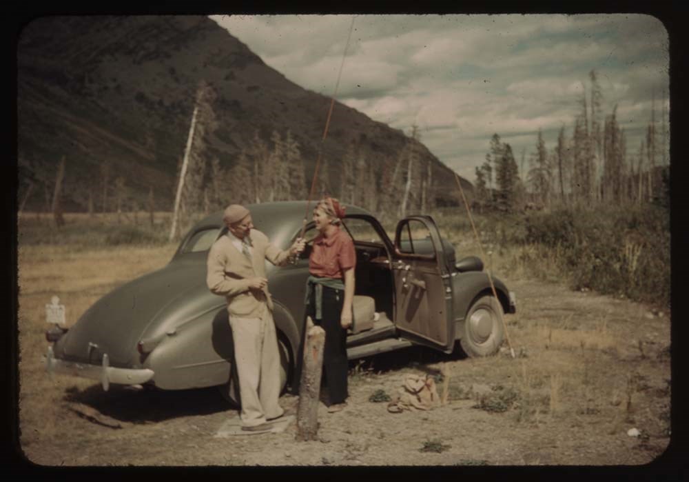
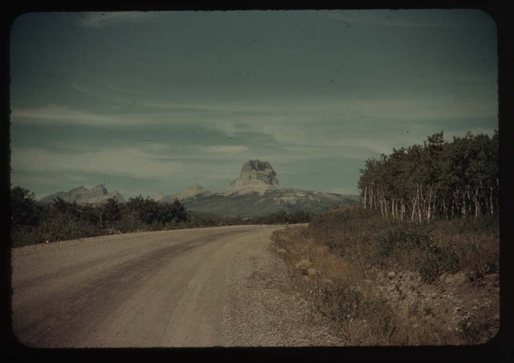
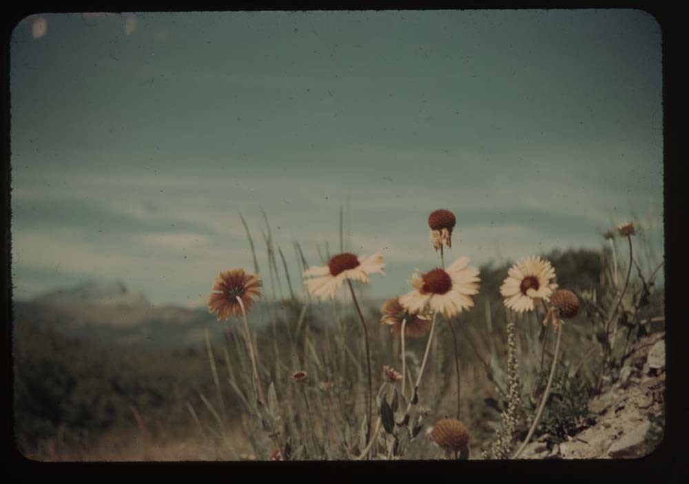
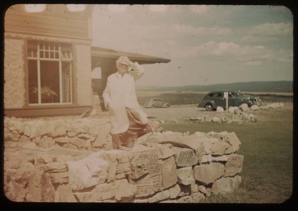
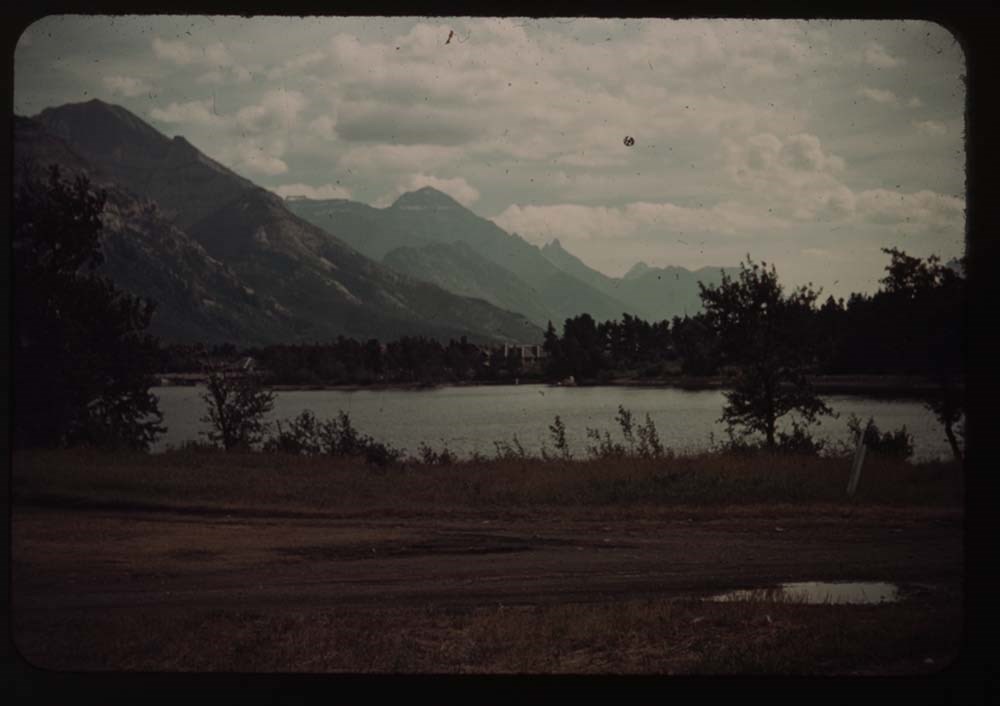
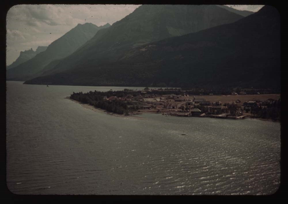
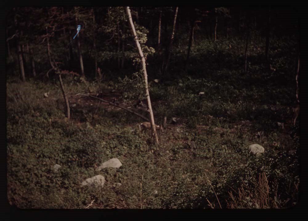
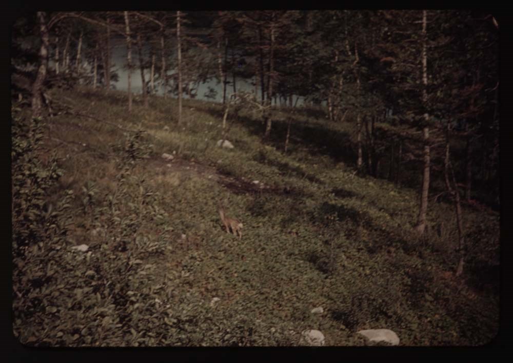
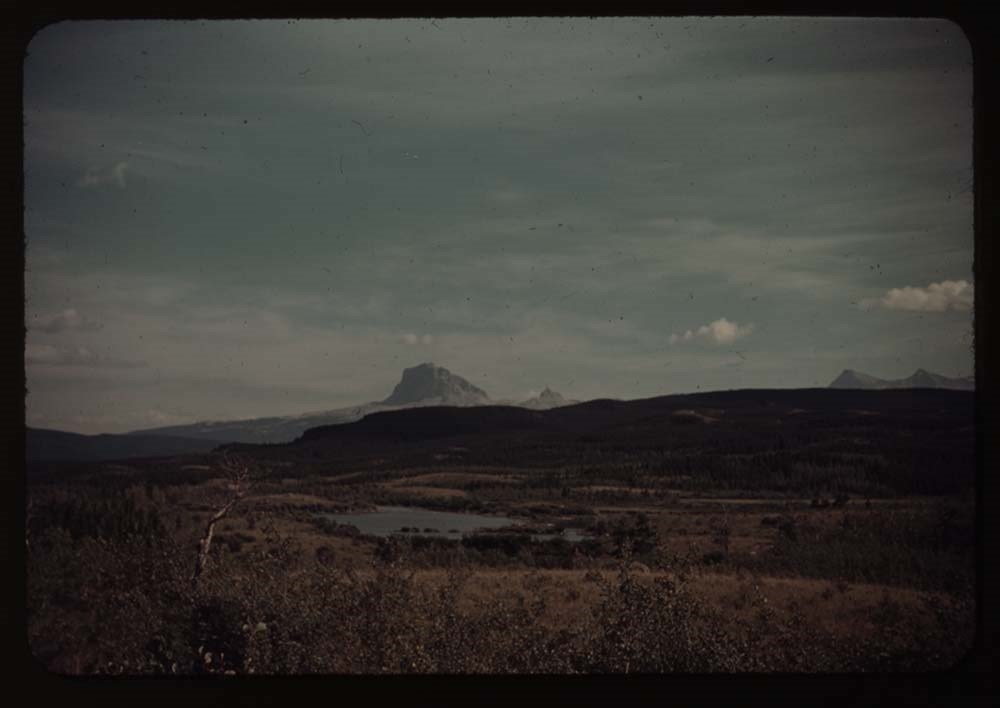
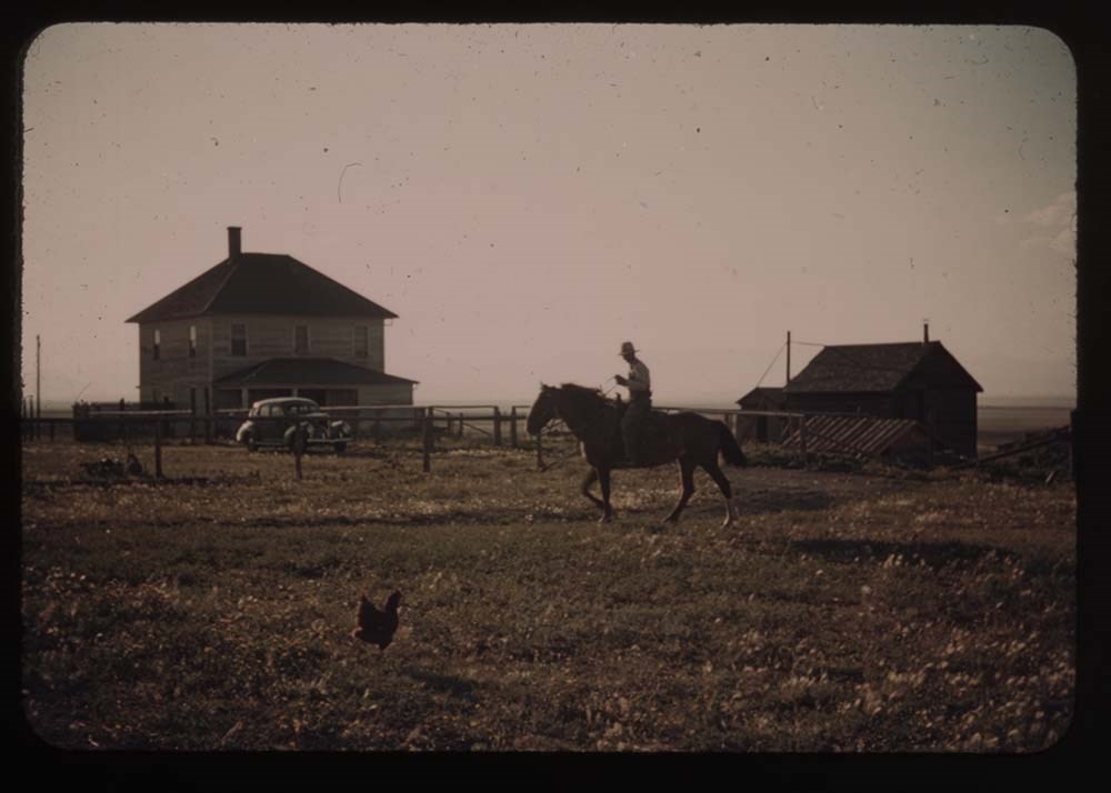
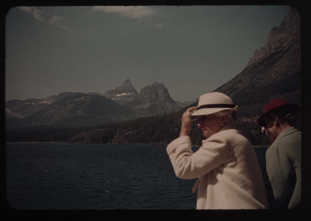
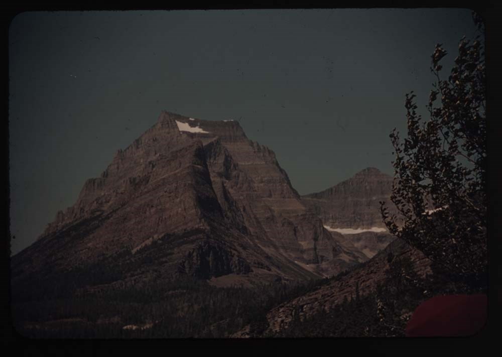
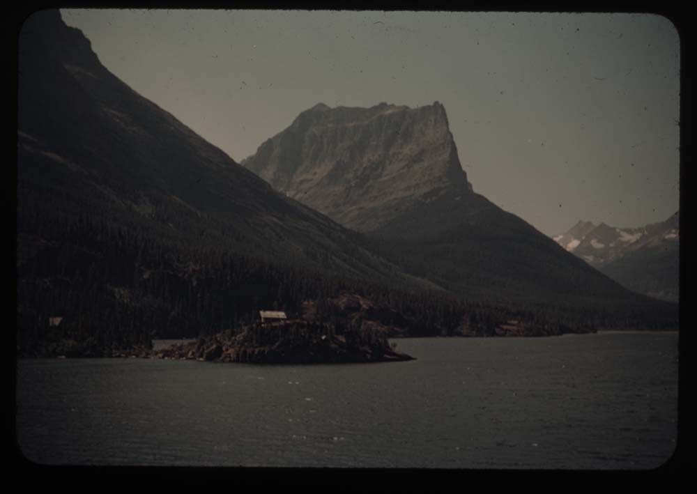
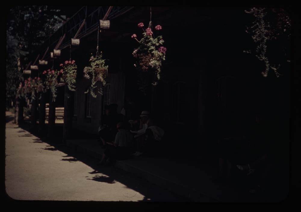
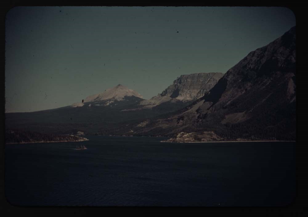
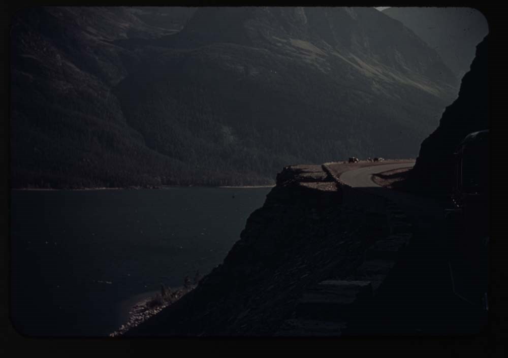
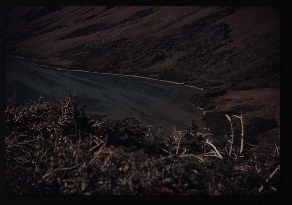
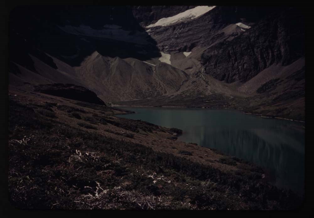
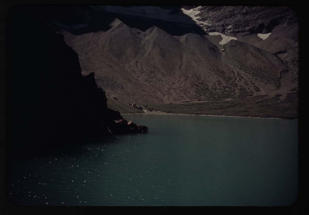
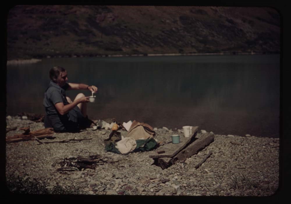
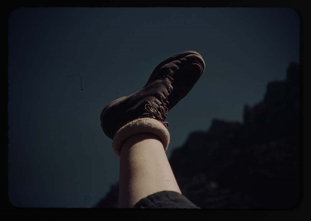
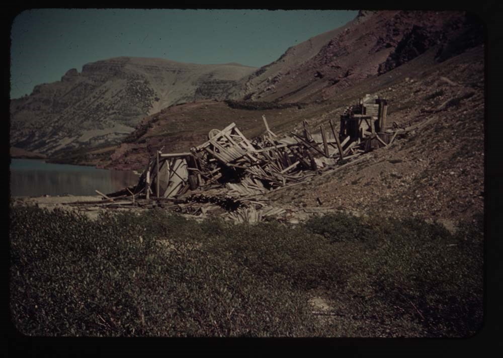
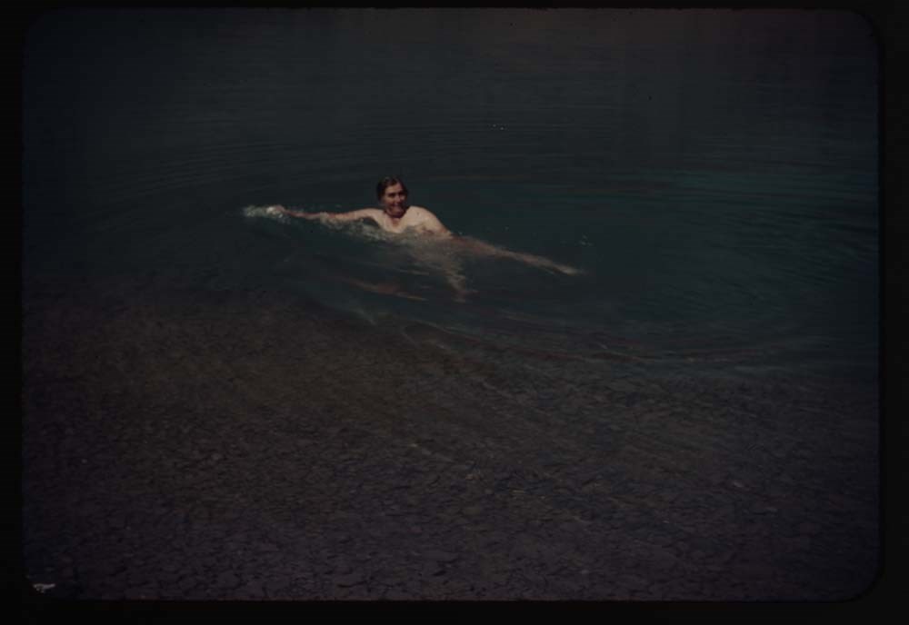
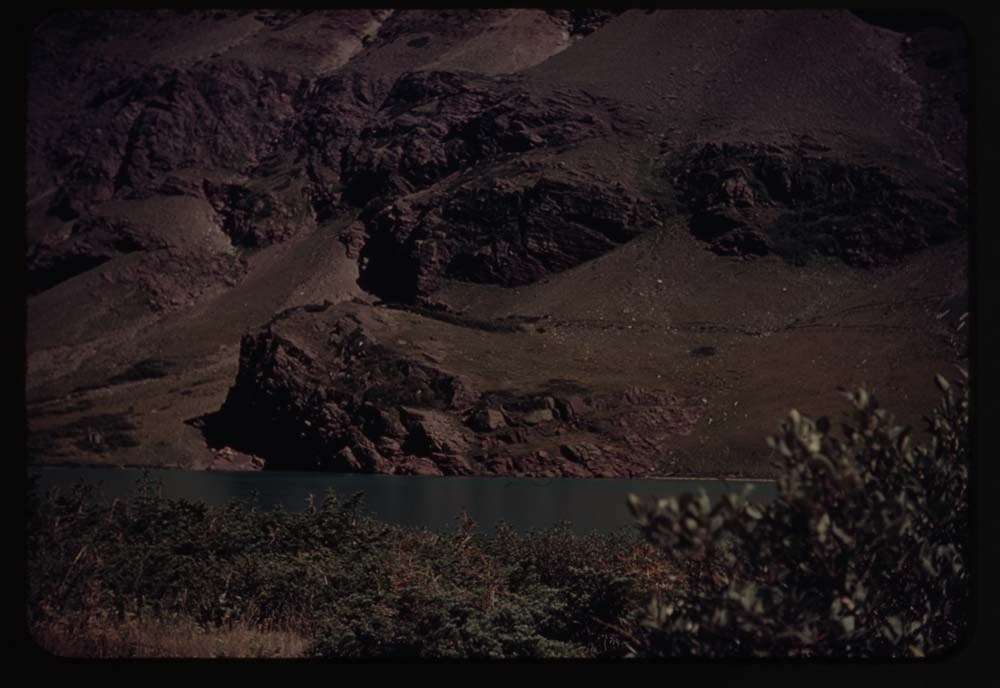
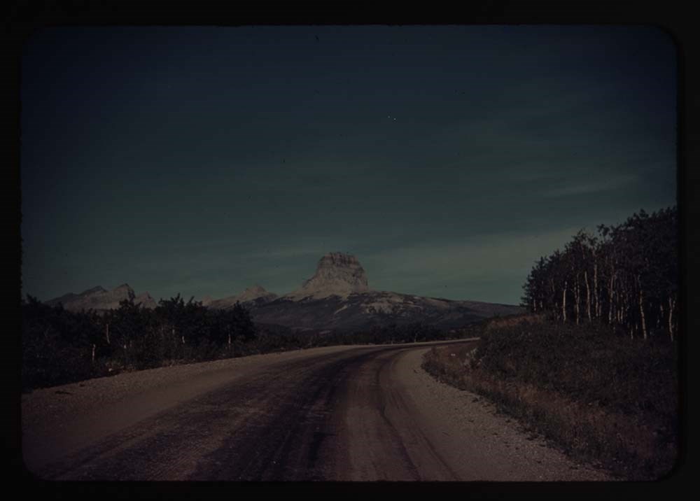
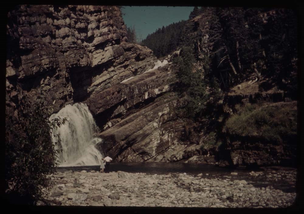
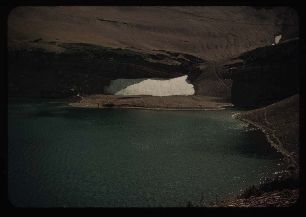
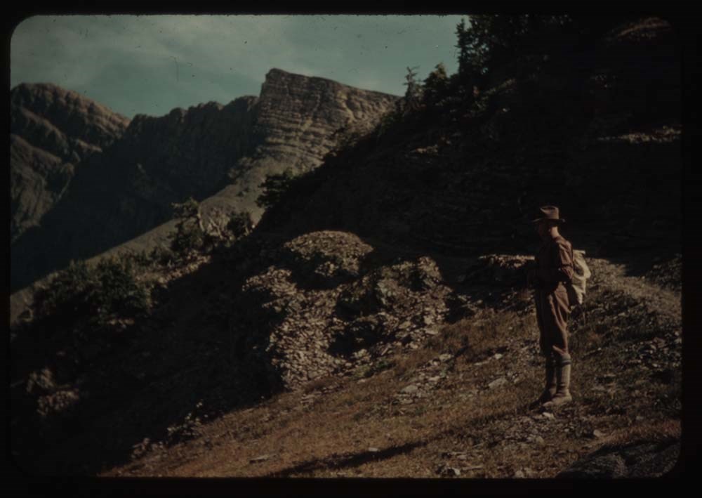
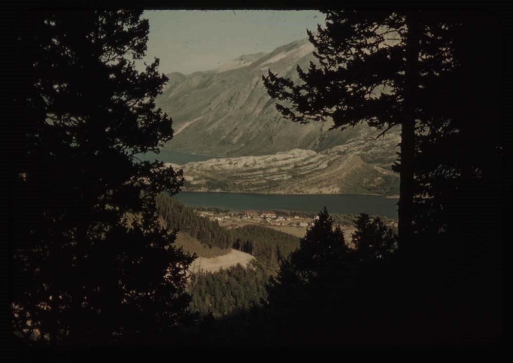
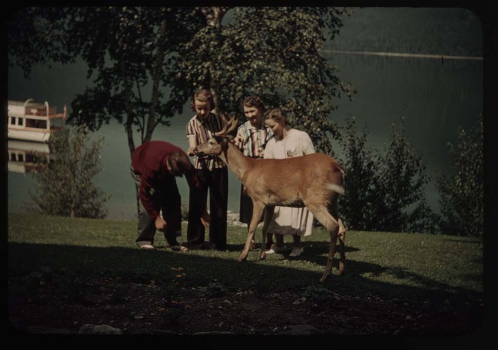
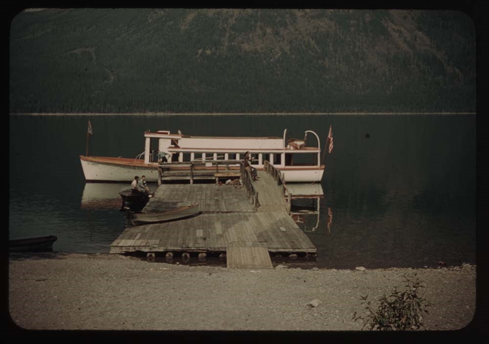
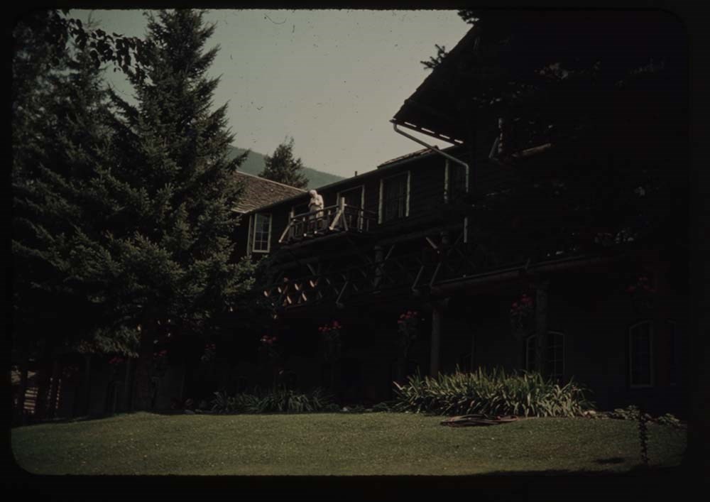
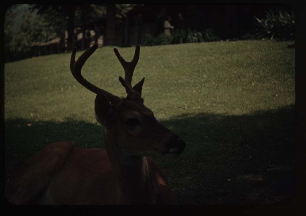
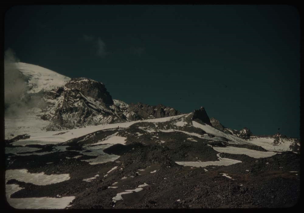
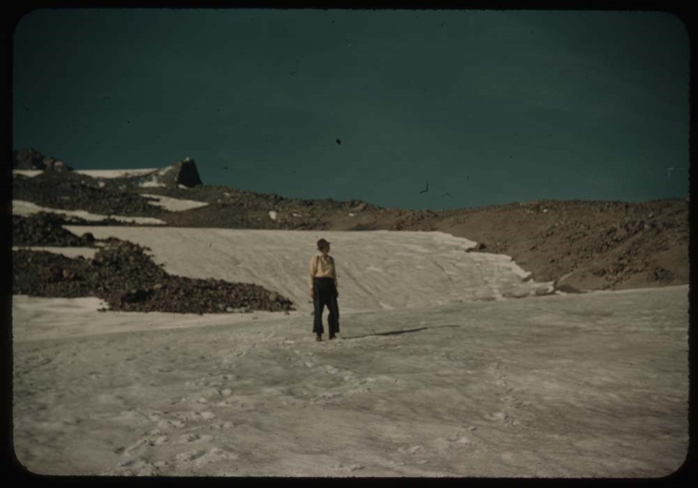
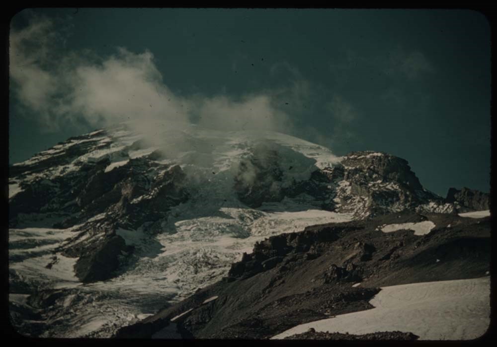
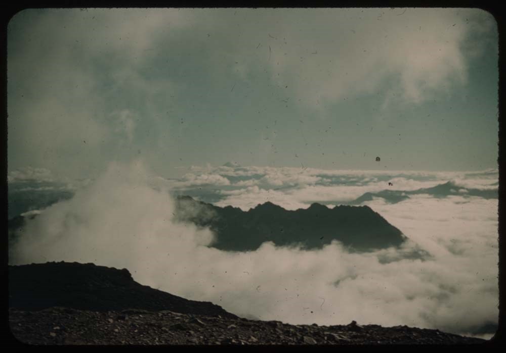
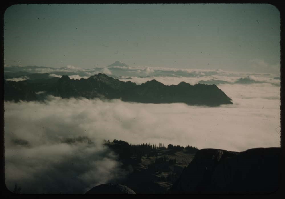
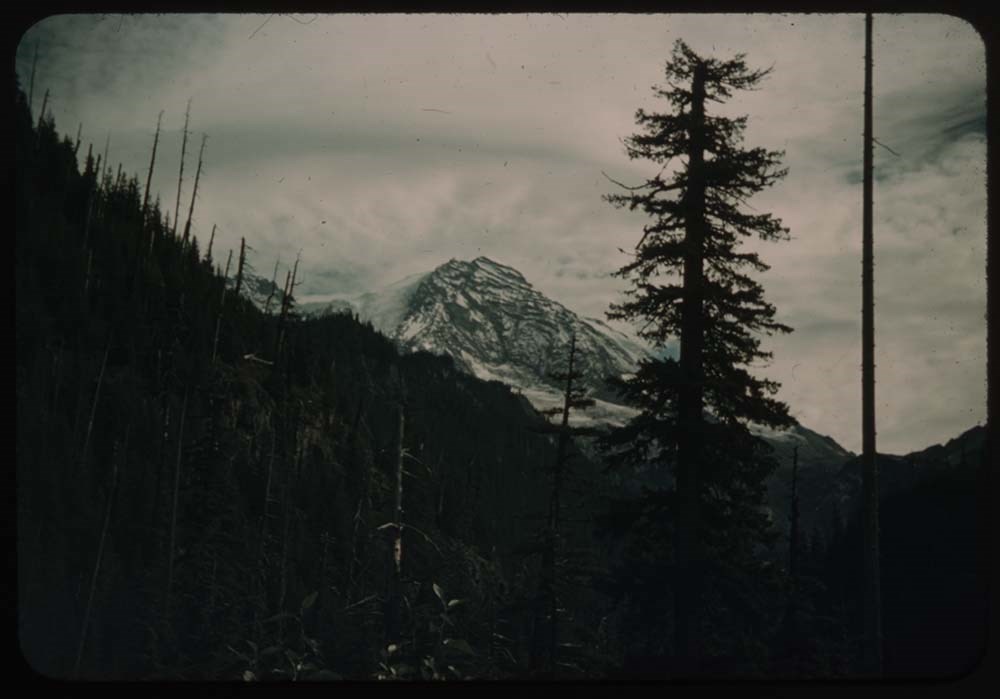
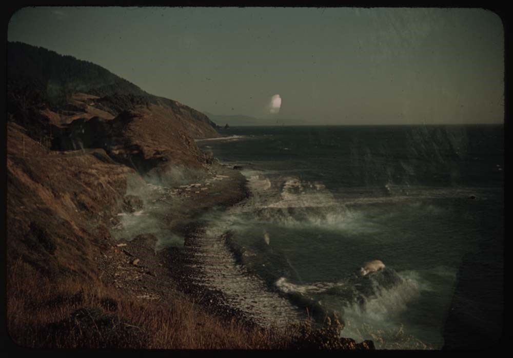
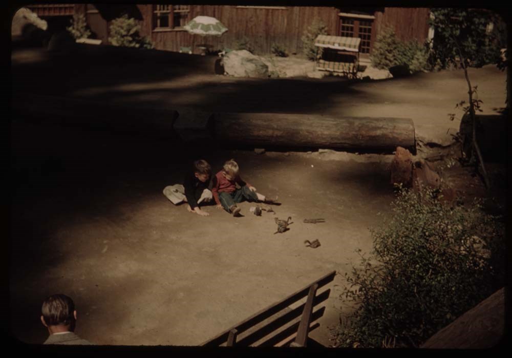
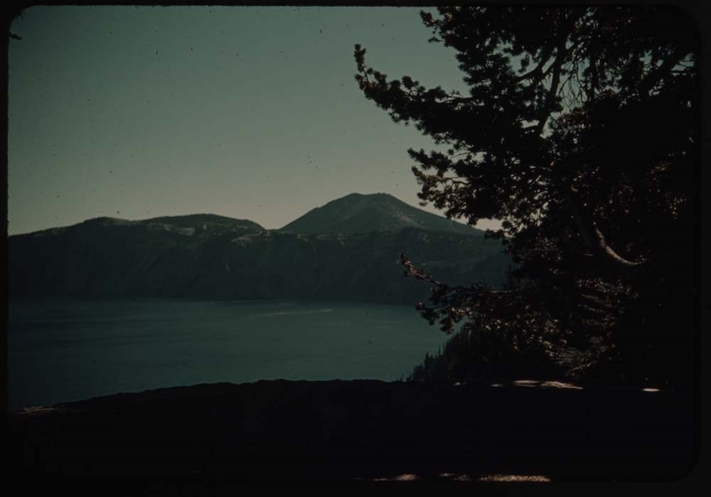
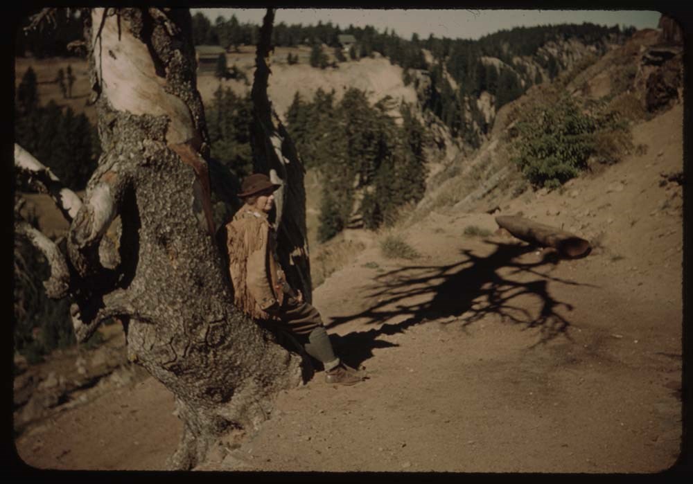
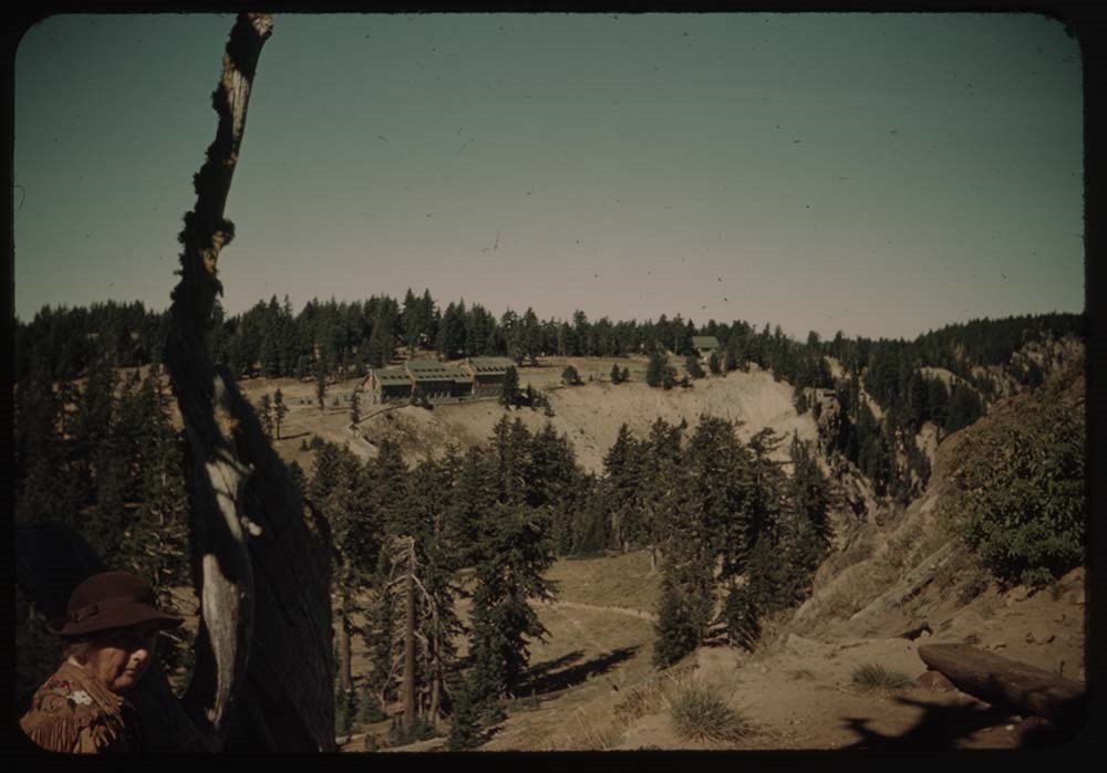
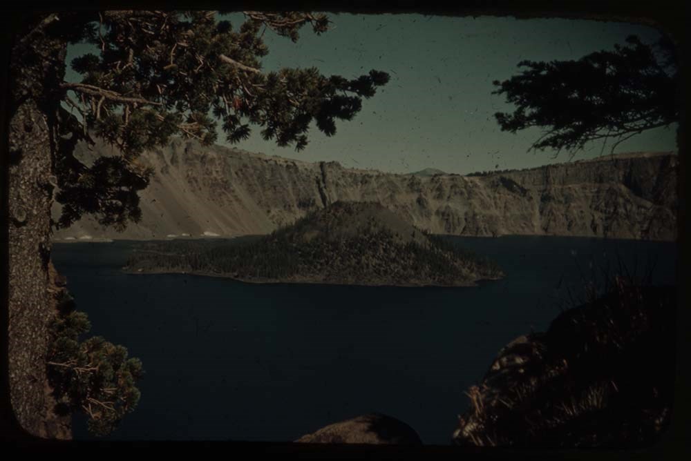
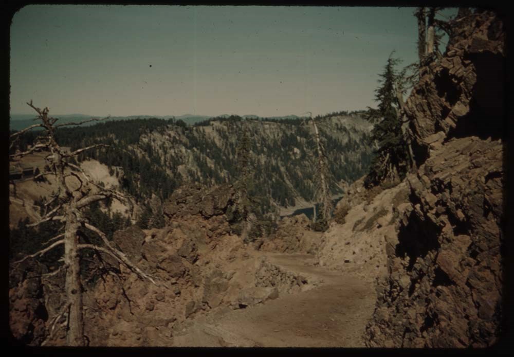
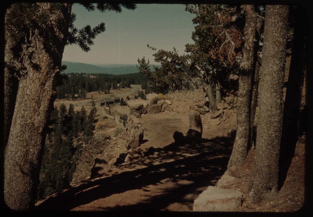
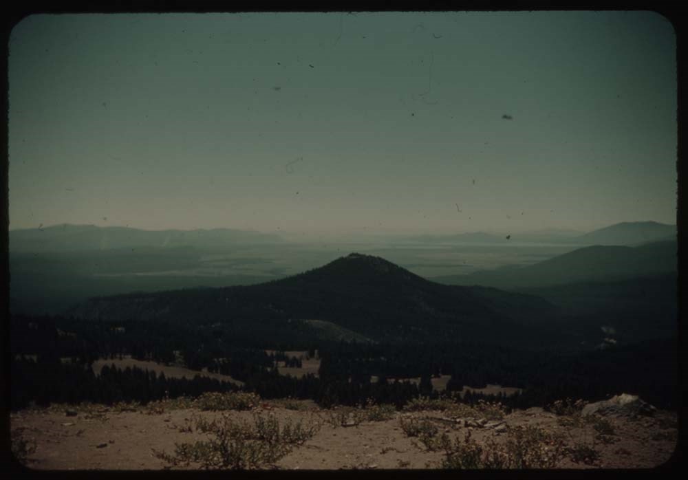
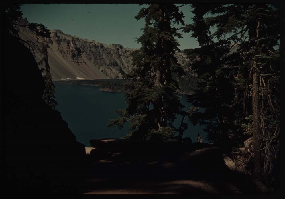
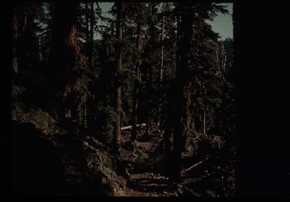
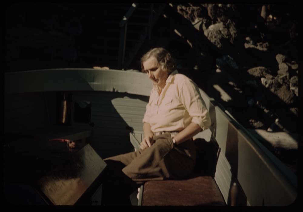
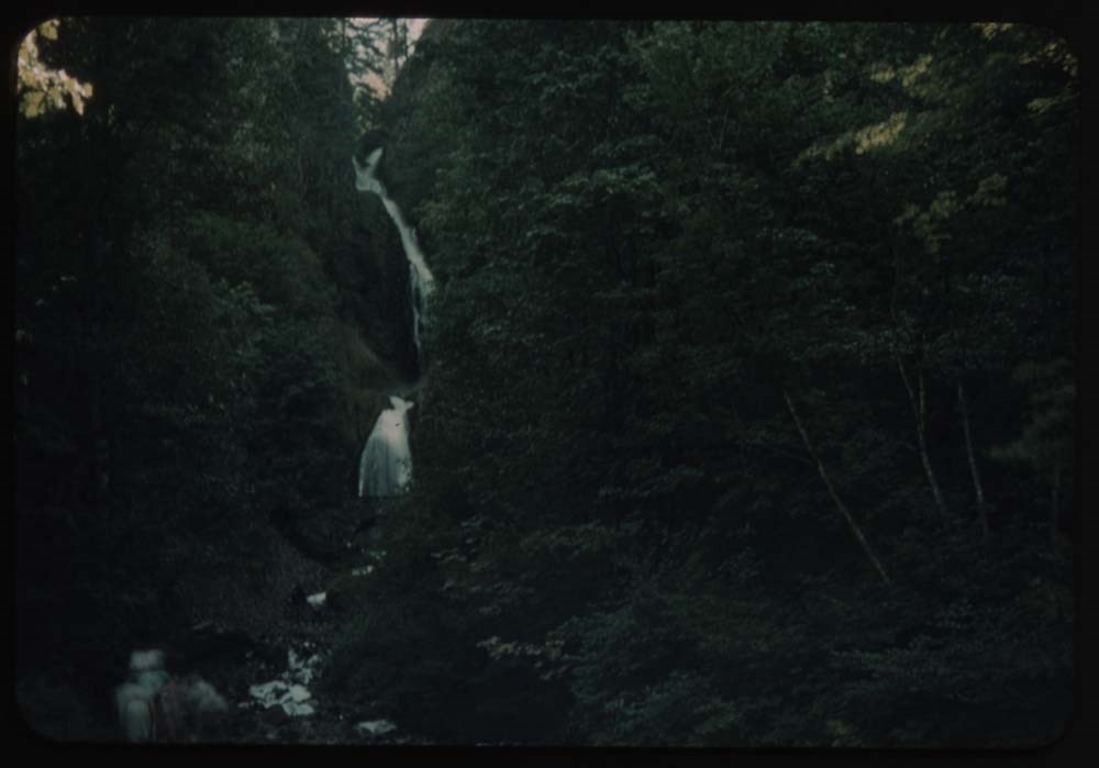
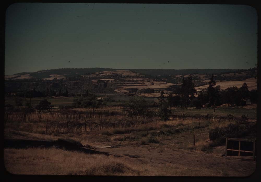
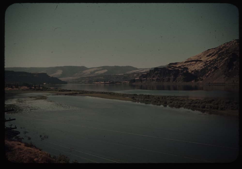
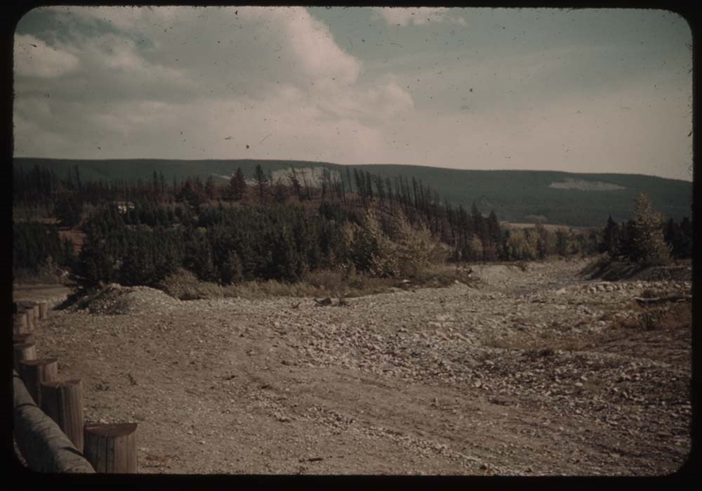
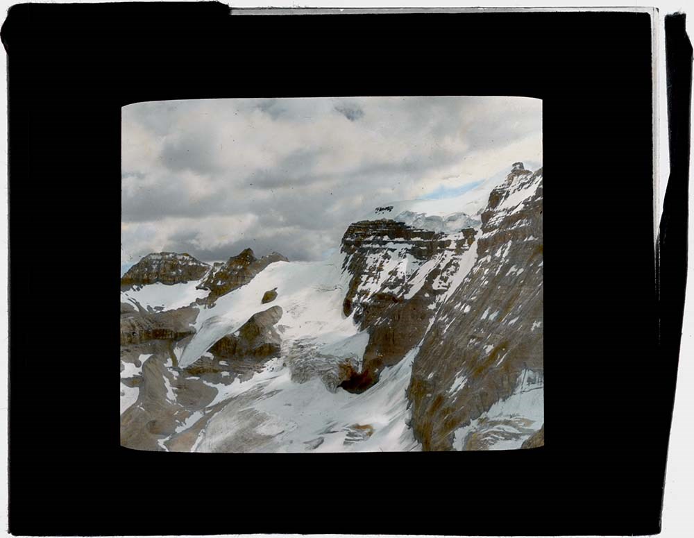
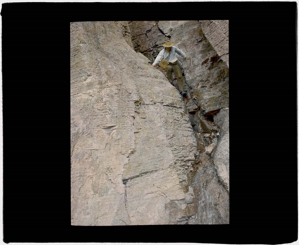
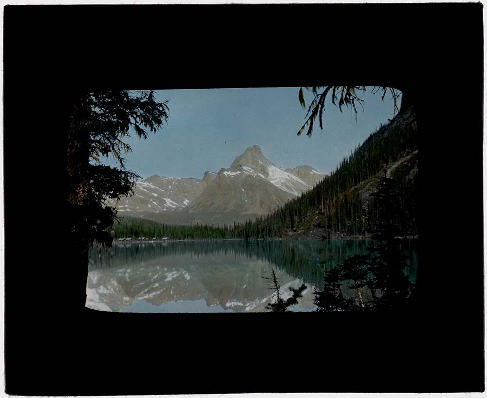
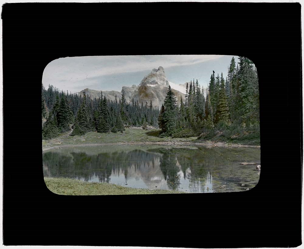
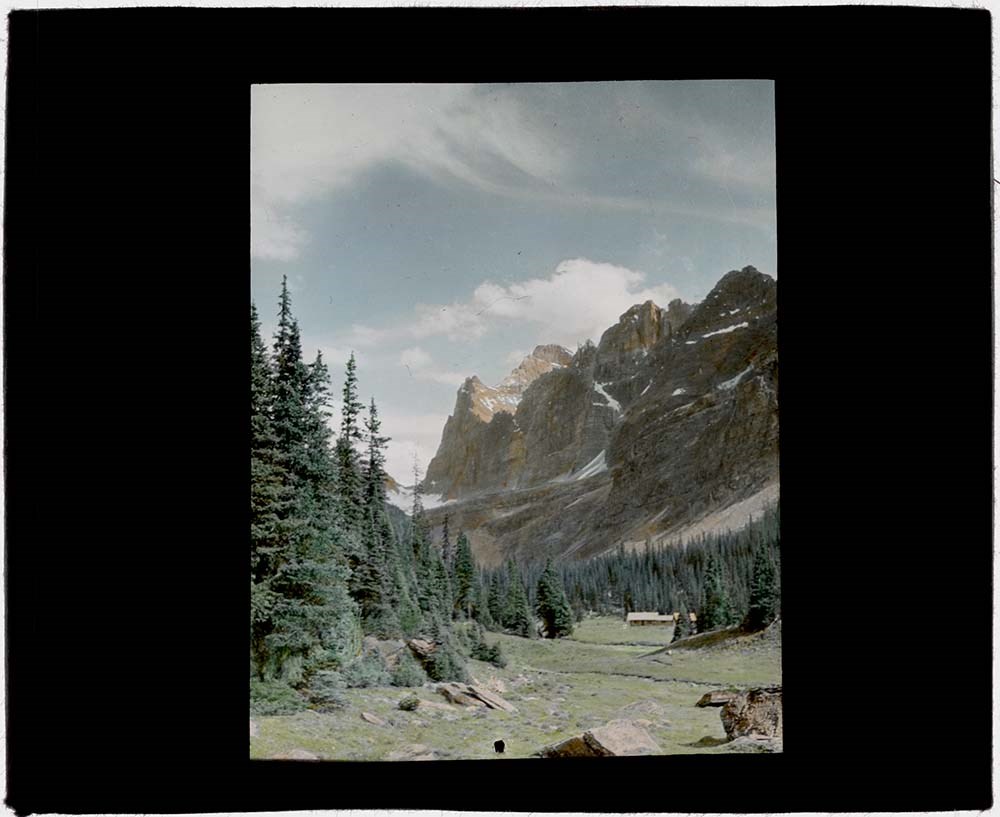
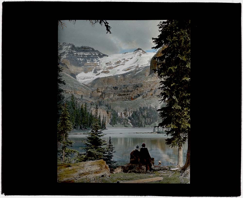
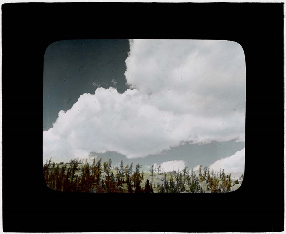
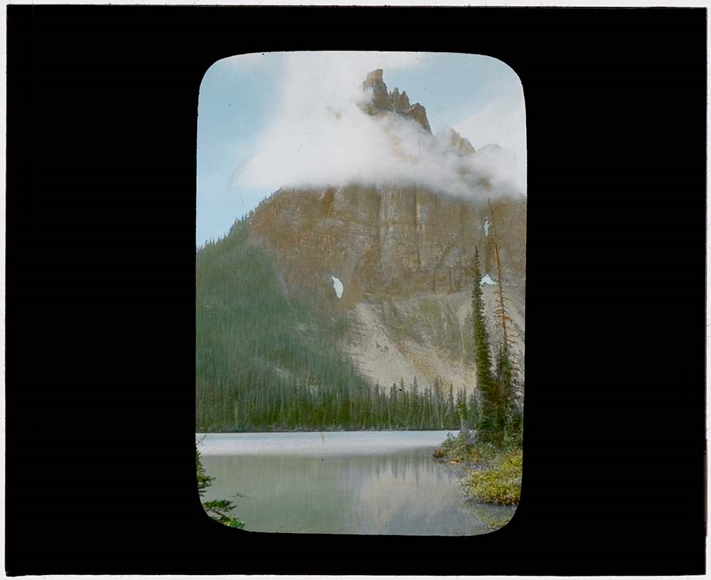
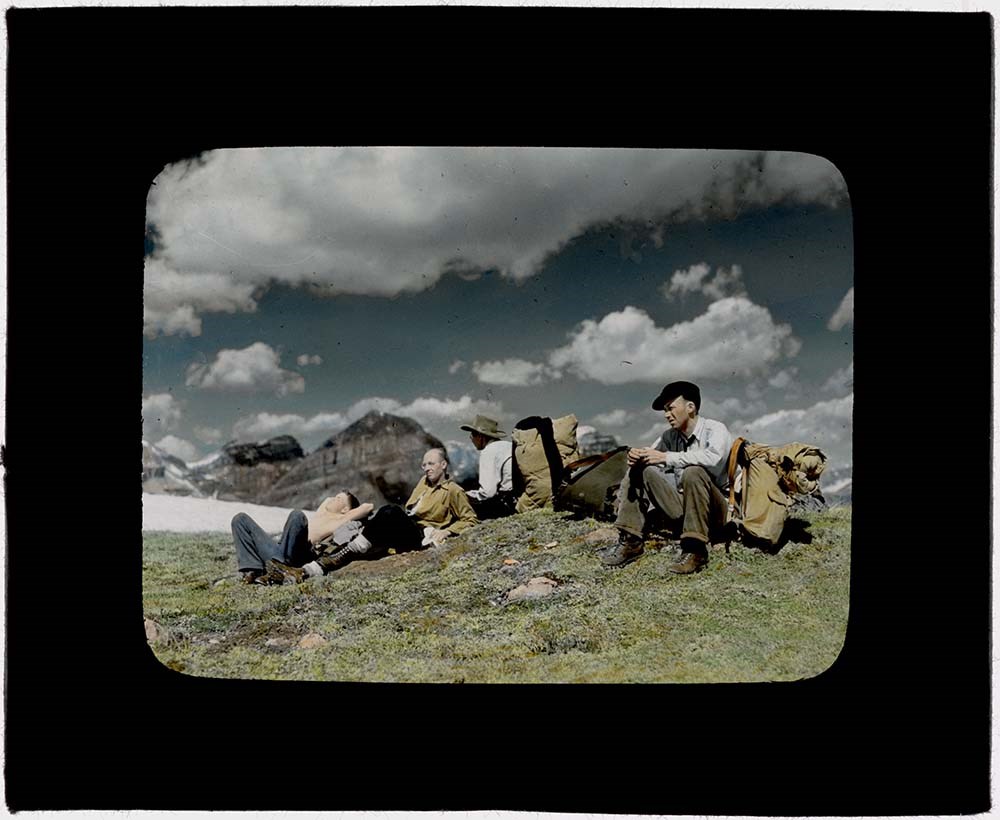
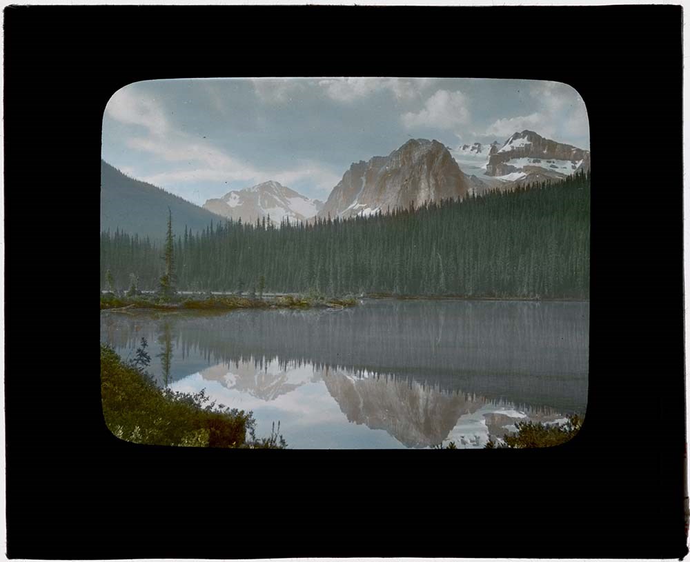
1939 Western US and Canadian Rockies Trip [1/2]
https://archives.whyte.org/en/permalink/descriptions1829
- Part Of
- Lillian Gest fonds
- Scope & Content
- File pertains to 172 35mm colour transparency slides mounted in cardboard sleeves. Pertains to rodeo events; views from around Glacier National Park, U.S.A.; A.C.C. Goodsirs summer camp, 1939; Prince of Wales Hotel; friends and associates including Polly Prescott, Kay [Prescott], Lillian Gest, Eric…
- Date Range
- 1939
- Reference Code
- V225 / II / C / ii / a / i / NS - 3 to 13
- Description Level
- 5 / File
- GMD
- Film
- Photograph
- Transparency
182 images
1 Electronic Resource
- Part Of
- Lillian Gest fonds
- Description Level
- 5 / File
- Fonds Number
- M67 / S36 / V225
- Series
- II.C. Activities / photography
- Sous-Fonds
- V225
- Sub-Series
- ii.a.i Photographic material / transparencies / boxes
- Accession Number
- 5142
- Reference Code
- V225 / II / C / ii / a / i / NS - 3 to 13
- Parallel Title
- R3 to R13, 1939 Box 1. -- 1939PHYS 172 transparencies : colour. V225 / NS - 1
- Date Range
- 1939
- Physical Description
- 172 photographs : col. slides ; 35 mm
- History / Biographical
- See fonds level description.
- Scope & Content
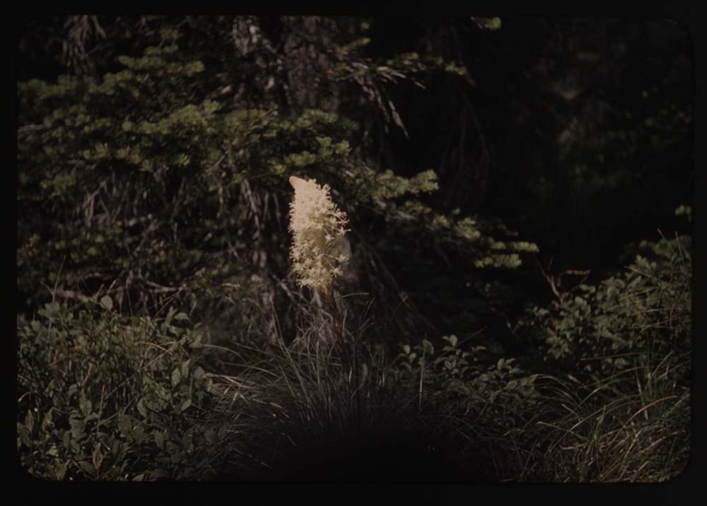
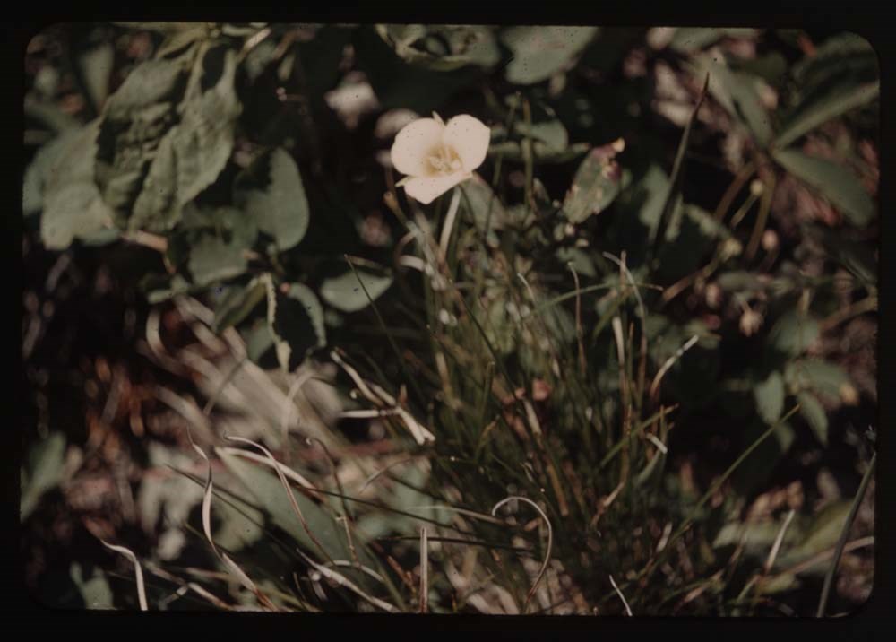
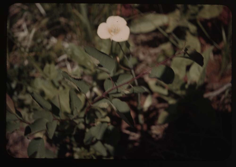
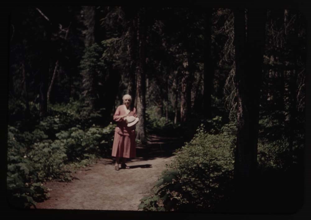
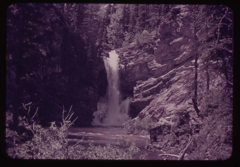
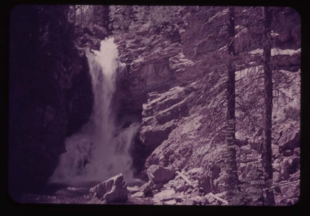
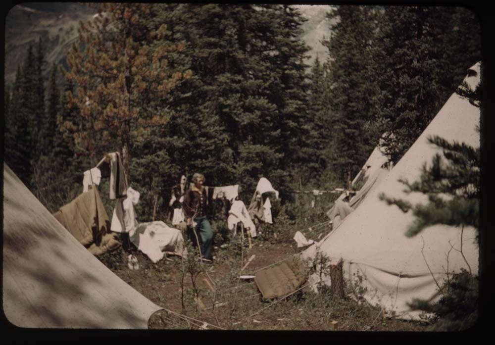
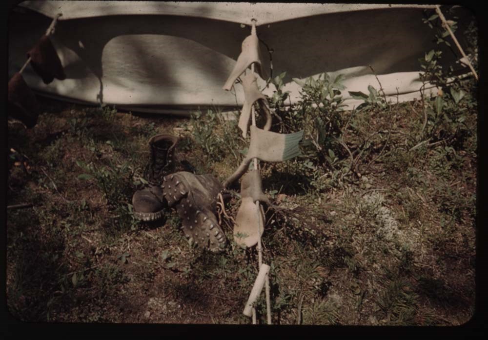
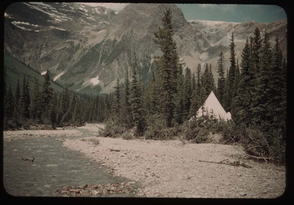
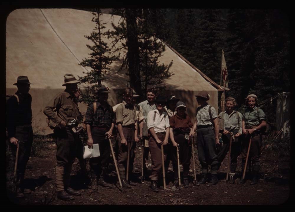
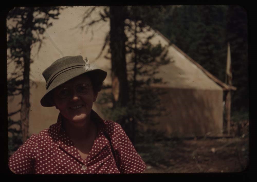
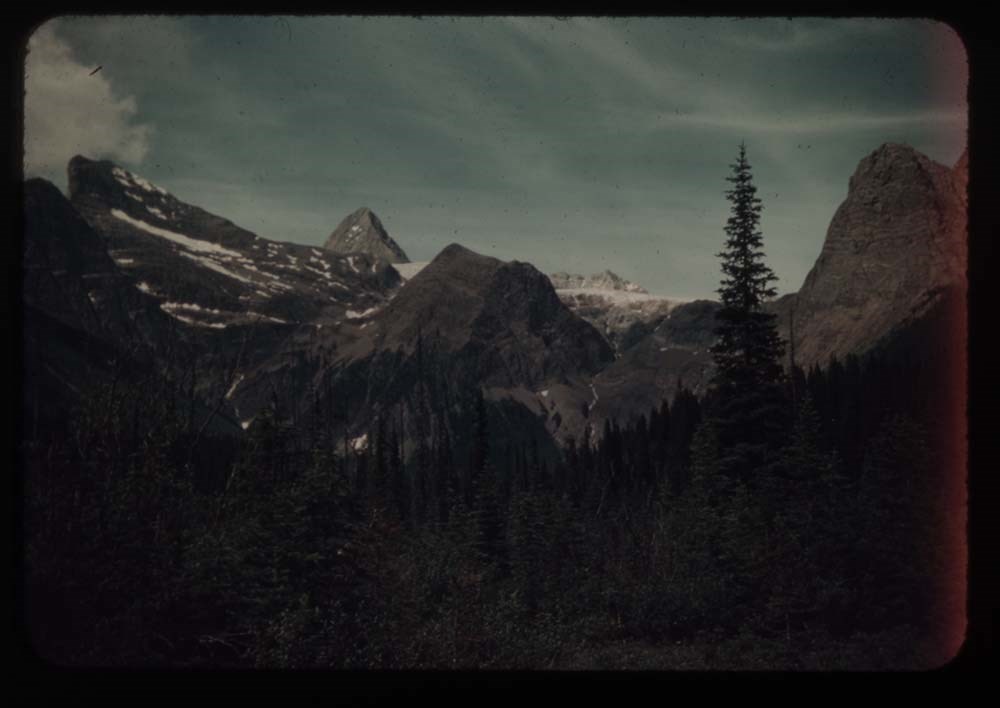
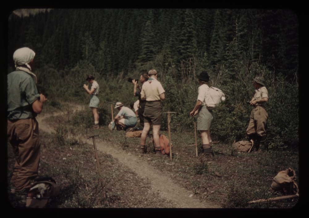
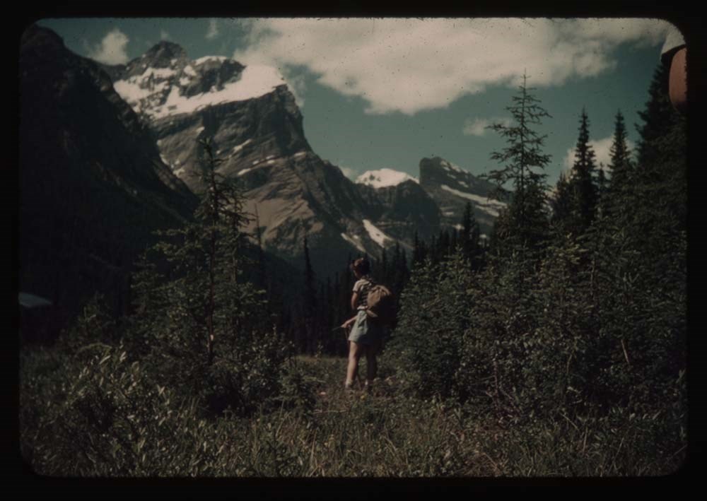
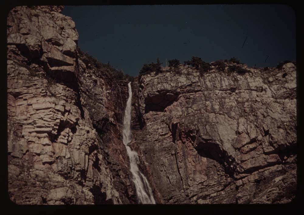
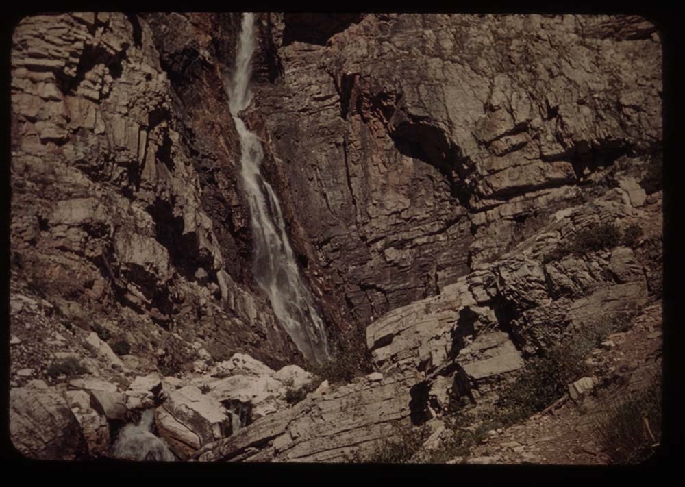
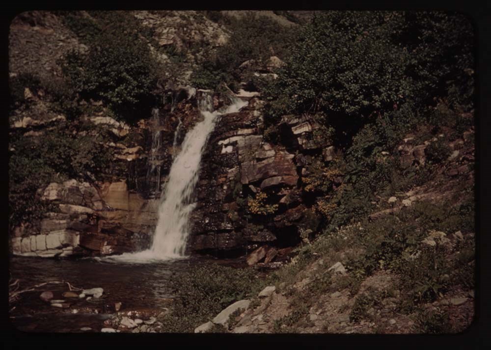
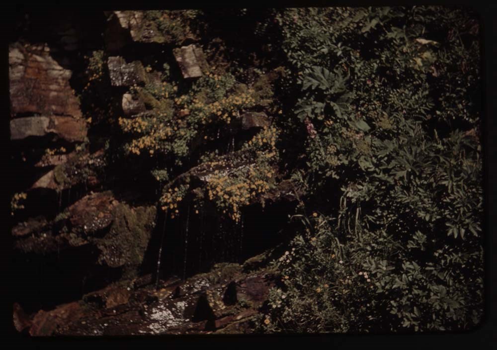
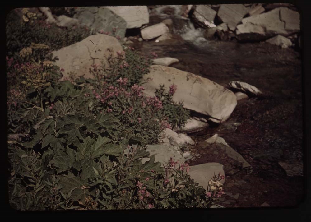
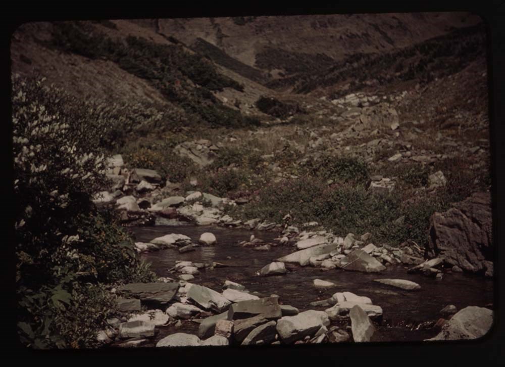
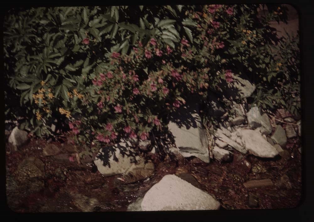
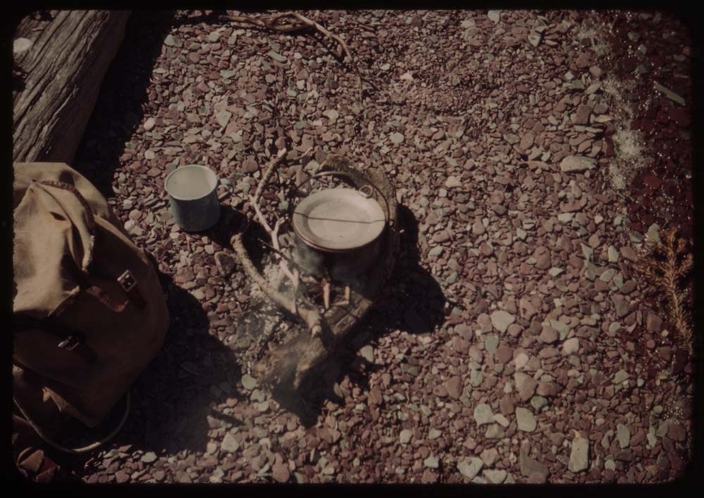
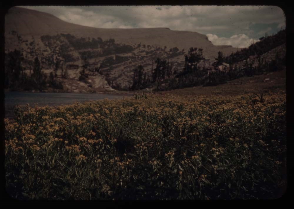
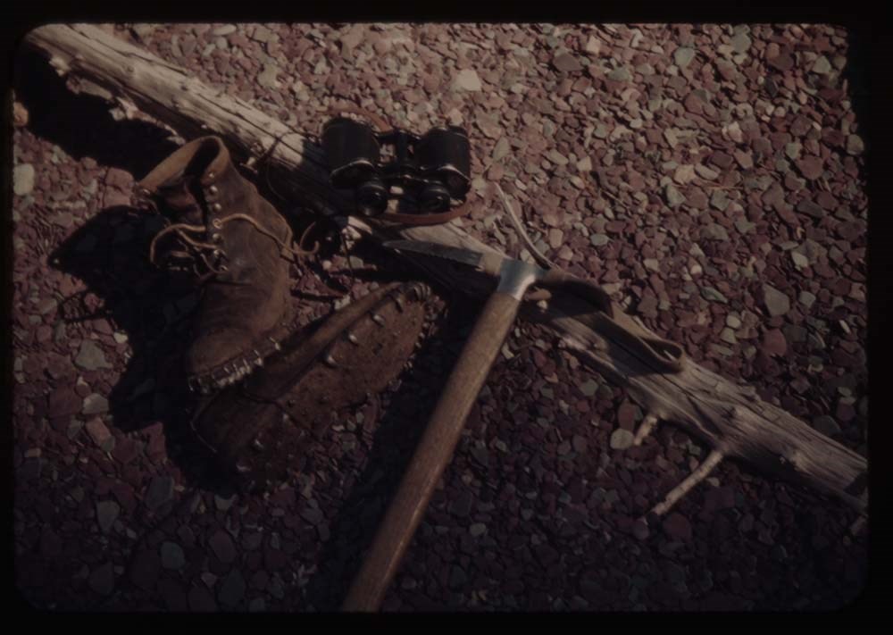
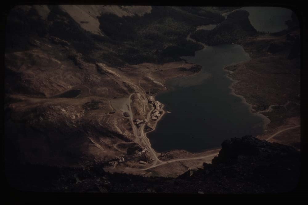
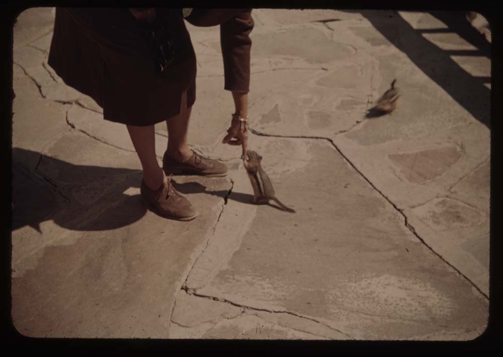
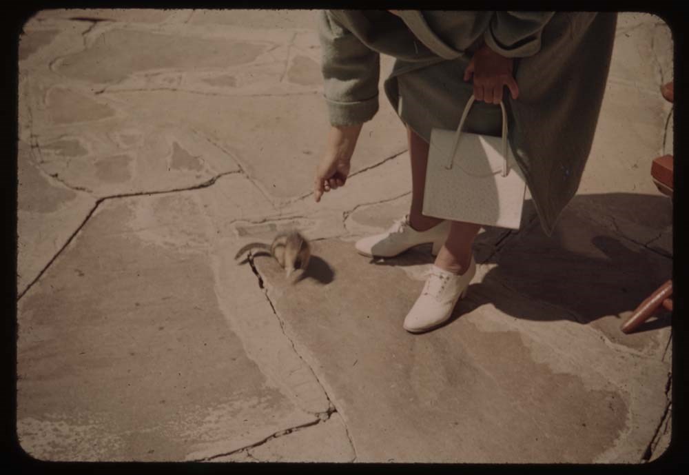
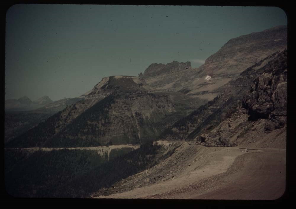
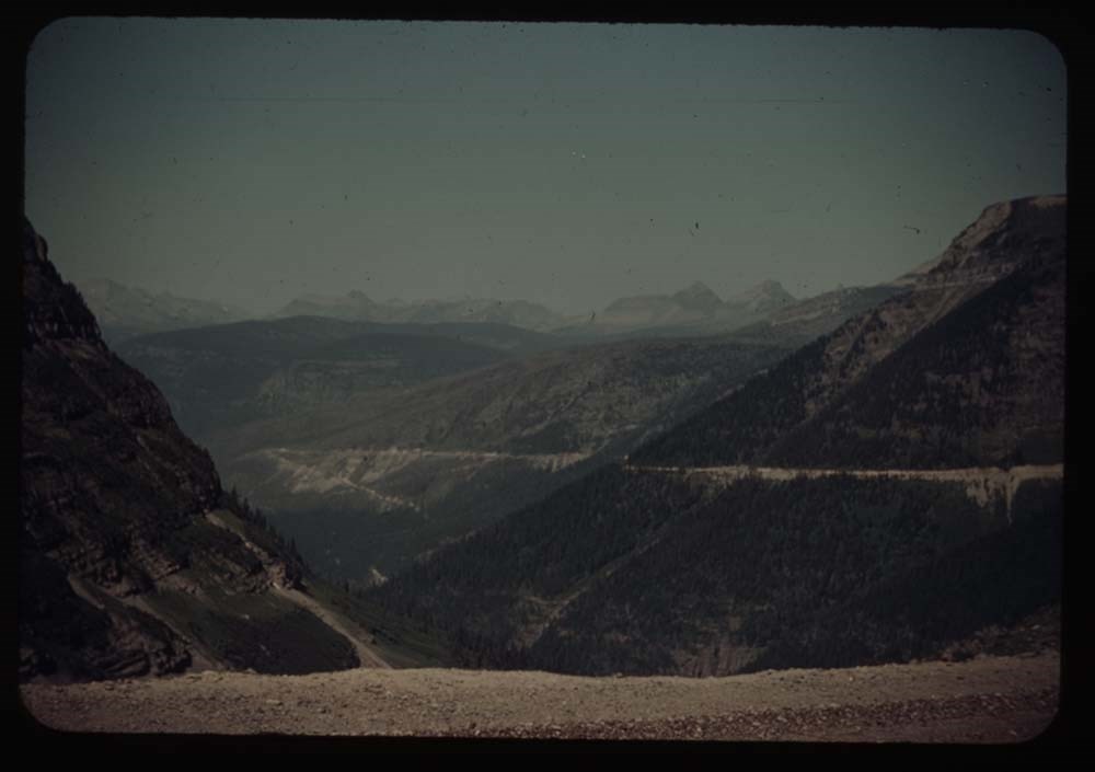
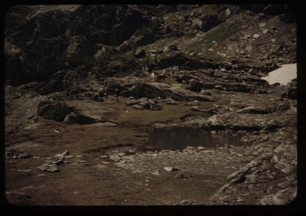
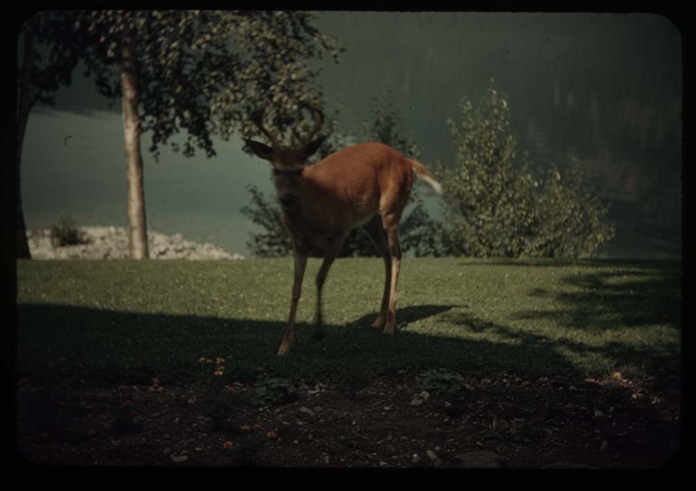
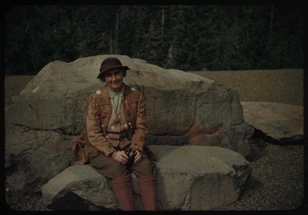
- File pertains to 172 35mm colour transparency slides mounted in cardboard sleeves. Pertains to rodeo events; views from around Glacier National Park, U.S.A.; A.C.C. Goodsirs summer camp, 1939; Prince of Wales Hotel; friends and associates including Polly Prescott, Kay [Prescott], Lillian Gest, Eric Brooks, Phyllis Munday, John Wheeler, the Kingmans, Walter and Paula Bloch-Hiller, Sig[?], B.H.G., Andrew Kramer, Ernest [Feuz], and Rudolph [Aemmer?]. Titles: Reel 3 1939? 8 - Horses on road near [illegible] 9 - Road near St. Mary's w. clouds 16 - [Rodeo bucking] 17 - [Rodeo bucking] 18 - Rodeo people on fence 19 - [Rodeo] fence and chutes 20 - [Rodeo fence and chutes] 21 - [Rodeo fence and chutes] Reel 4 2 - Calf-roping 3 - Two med. Lake fr. Mt. Henry 7 - Meadow of flowers 8 - Shooting star [flower] 9 - Rabbit 10 - Fishermen by bridge 11 - Lower Two Med. Lake 12 - Pompeely's [?] Pillar? 15 - [Beargrass] (best) 16 - Queen cup 17 - [Queen cup] 19 - BH.G. - Trick Falls trail Reel 5 1939? 1 - Trick Falls best 2 - [Trick Falls] more to left 3 - BH.G. arm on stump 4 - BH.G. on bridge - Trick Falls trail 5 - Old tree above Two Med. 7 - Two med Lake fr. Astor Creek shoulder 8 - Mary [?] glacier Lake from our balcony - South [?] 9 - Looking across lake [from our balcony] west 10 - Lake Josephine and wharf w. boats 11 - Same without Mt. [illegible] 12 - Trail to Grinnell Gl. 13 - Grinnell Lake 14 - Grinnell Lake 15 - Ptarmigan Lake - Polly and Kay 16 - [Ptarmigan Lake] fr. trail to tunnel 17 - At [Ptarmigan Lake] tunnel - Polly, Kay, L.G. [Lillian Gest] 18 - [At Ptarmigan Lake tunnel] CCC and Polly Reel 6 1. A[?] Pass and Lake Helen 2. Crossley Lake and tents 3. [Crossley Lake] no tents 4. Towards Indian Pass 6. Towards Ahew[?] Pass - Lake 7. Lake Elizabeth (?) Kay and Polly 8. Polly wading 9. [Polly wading] 10. [Polly wading] 11. Kay [wading] 12. [Kay wading] 13. [Kay wading] w. foot up 14. [Kay wading] near shore 15. Lake Helen - reflections - down valley 16. Mt. and snow bank Ahew[?] Pass 17. At hell on Swift current pass - P. and K. 18. Polly on trail to marry[?] from pass Reel 7 1939 1. People under eating fly 2. Ms. Munday and Kingmans 3. Boys pealing potatoes 4. N. Tower w. clouds 5. Aletta[?] at tent 6. Laundry at lady's quarters 7. Sauna 8. Sox and boots near tent 9. Tent and stream 10. Survey station peak - "Black and white" 11. Party leaving camp 12. Same - Ennis party before leaving 13. Head of valley fr. rocky flats 15. Hanbury fr. rocky flats 16. Chancellor in clouds 17. N. Tower and clouds 18. Mt. Hanbury[?] 19. N. Tower 20. Mt. Hanbury[?] fr. nearer camp Reel 8 1939 Camp ACC 1. Goodsir N. Tower at sunset 2. Party on alplands[?] en route to Vaux 3. Chancellor from [alplands[?] en route to Vaux] 4. N. Tower and G. from same 5. Party on rocks - Roger getting out rope 6. Chancellor - twin peaks appear 7. Up the route to High Camp 9. Party standing on Vaux Glacier 10. High Camp - Roger in distance 12. Party on glacier 13. [Party on glacier] closer - diff background 14. [Party on glacier] on ice axes 15. Lunch on top 16. Chancellor fr. Vaux 17. Church Service 18. [Church Service] sun out 19. N. Tower at sunset 20. N. Tower [at sunset] Reel 9 1. Aylards [?] and Miss Gullion 2. Mr. Laird and Miss Burns 3. Eric Brooks 4. Grahams and party 5. [Grahams and party] 6. [Grahams and party] 7. Peckham, Helen Yellmer [?] and John Wheeler 8. Packers and horse 9. Mrs. Forbes, Peckham, Kingman 10. Woodie Kingman 11. Walter Bloch-Hillen and Miss Gullion 12. Woodie Kingman - close up 13. Andrew Kiamer 14. Packer and horse 15. Group watching packing 16. ? , Ernest, Rudolph 17. Ernest and clincher on trail by tent 18. Major Tweedy - hand out 19. [Major Tweedy] close-up of same 20. Paula Bloch-Hillen Reel 10 1. Head of Ice RIver valley 2. Party on trail to zinc Creek camp 3. Mt Chancellor 4. [Mt Chancellor] with cloud 5. [Mt Chancellor] and Kay on trail 6. S. Tower Goodsir fr. zinc Creek 7. N. [Tower Goodsir fr. sinc Creek] 8. Chancellor fr. zinc Creek trail w. Polly 9. Tent and figure - Zinc Creek camp 10. S. Tower fr. Zinc Col. 11. Chancellor [fr. Zinc Col.] 12. Zinc Mt. 13. Goodsirs from Martius Ridge 14. Rex's rope on [Martius Ridge] 15. Same and Martius Peak 16. View probably towards wash[illegible] 17. Andrew on summit 18. Goodsirs again 19. Rex;s rope 20. Eric on horseback Reel 11 1. Hans Fuhrer 2. Taking down tent 4. Eating fly supports 5. Pile of duffle 6. Tweedy and one of men taking down fly 7. Rangers cabin and guides 8. Kay on bridge over Lodalite Creek 9. Car on road, Yoho in distance 10. Same further to right - less of car 11. Mt. Hector from road 12. Polly and Katie 13. Mt Chephron and road 14. Road working up Mistaya bel. Patterson[?] 15. Mt Weed from lower Mistaya valley 16. Polly Kay Phyl - up Mistaya valley to Chephron 18. Waterfowl lake and up Mistaya valley 19. Same - but more to left 20. Mt. [illegible] ? Reel 12 1. Peyto Lookout - view to north 2. Katie w. movie camera; Peyto lookout 3. Up Peyto glacier to Mt. Rhonda (?) 4. Banff and Mt. Cascade 5. Gopher and lunch box gimmell[?] gl. 7. Jim Whilt 8. Jim and party at lunch place - gimmell gl. 9. Tickle grass at Sherbourne Lake 10. [Tickle grass at Sherbourne Lake] 11. Sherbourne Lake and view up valley 12. Flowers along road to many[?] 13. Annette, Sam and rig 14. [Annette, Sam and rig] 15. Chief Mt. and road 16. Brown eyed Susan 17. Close up [Brown eyed Susan] 19. Mother at Price of Wales Reel 13 1. Prince of Wales Hotel 2. Waterton Lake, Mt. Cleveland in dist. 4. [Waterton Lake] village fr. Prince of Wales 5. [Waterton Lake village fr. Prince of Wales] 6. Fawn by tree 7. Fawn in bush 8. Chief Mt. and tiny lake 9. Appekunny Falls 10. [Appekunny Falls] lower part 11. Falls aobve Appenkunny 12. Flower decked falls ab. Appenkunny 13. Flowers by falls 14. Same - nearer 15. Fireweed by stream 16. Meadow of flowers by stream 17. Monkey flowers 19. Coffee pot, fire, cup and rucksask
- Notes
- Titles on box lid: Glacier before camp; Camp; Camp - trip back; Glacier after camp. Slide numbering kept as originally organized, see notebook SL I for more information (M67 / II / C / i / a / 51 - 1).
- Name Access
- Gest, Lillian
- Prescott, Polly
- Prescott, Kay
- Brooks, Eric
- Munday, Phyllis
- Wheeler, John Oliver
- Kingman, Henry S.
- Bloch-Hiller, Walter
- Bloch-Hiller, Paula
- Kramer, Andrew
- Feuz, Walter
- Subject Access
- Activities
- Administration
- Alpine Club of Canada
- Animals
- Automobiles
- Backpacking
- Boats
- Buildings
- Cabins
- Cabins and shelters
- Camping
- Camps
- Climbing
- Club
- Environment
- Environment and Nature
- Exploration
- Family and personal life
- Fishing
- Flowers
- Glaciers
- Guides
- Hiking
- Horse packing
- Horses
- Hotels
- Landscapes
- Mountain
- Mountains
- Mountaineering
- National parks and reserves
- Organizations
- Outfitters
- Pack trips
- Personal and Professional Life
- Photography
- Recreation
- Sports and leisure
- Sports and recreation
- Swiss Guides
- Tourism
- Trails
- Travel
- Wildlife
- Geographic Access
- Banff
- Lake Louise
- Banff National Park
- Alberta
- Canada
- Washington
- United States of America
- Language
- NA
- Conservation
- Removed from original boxes and rehoused in slide sleeves and acid-free folders.
- Related Material
- M67 / II / C / i / a / 51 - 1 to 4
- Creator
- Gest, Lillian
- Title Source
- Title based on contents of file
- Processing Status
- Processed
Electronic Resources
Images


This material is presented as originally created; it may contain outdated cultural descriptions and
potentially offensive content.
Read more.
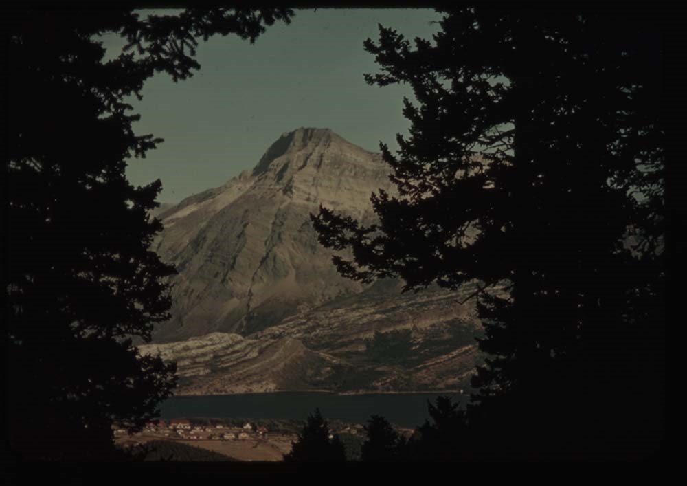
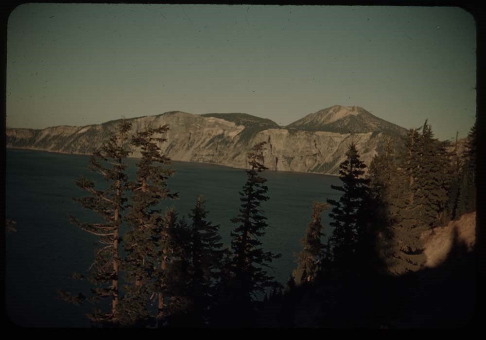
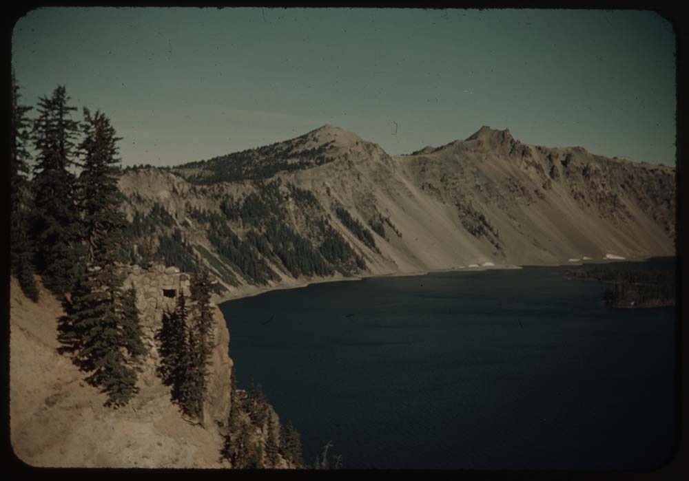
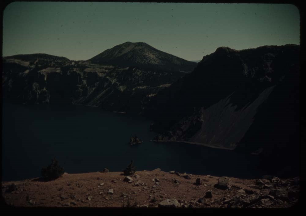
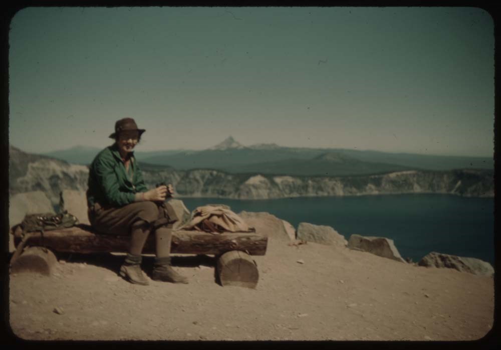
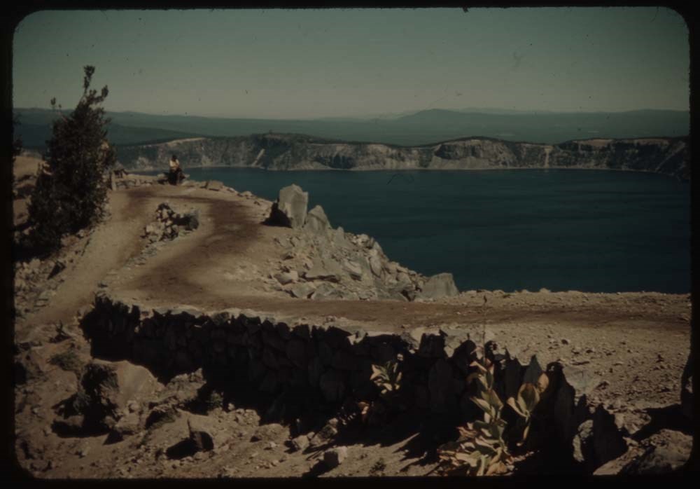
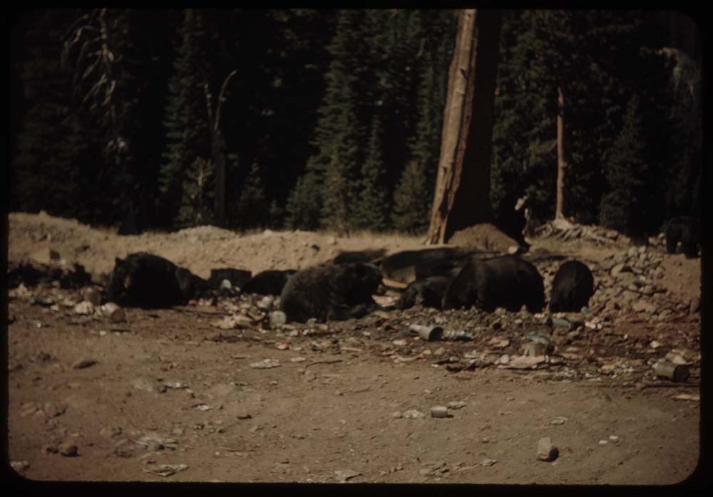
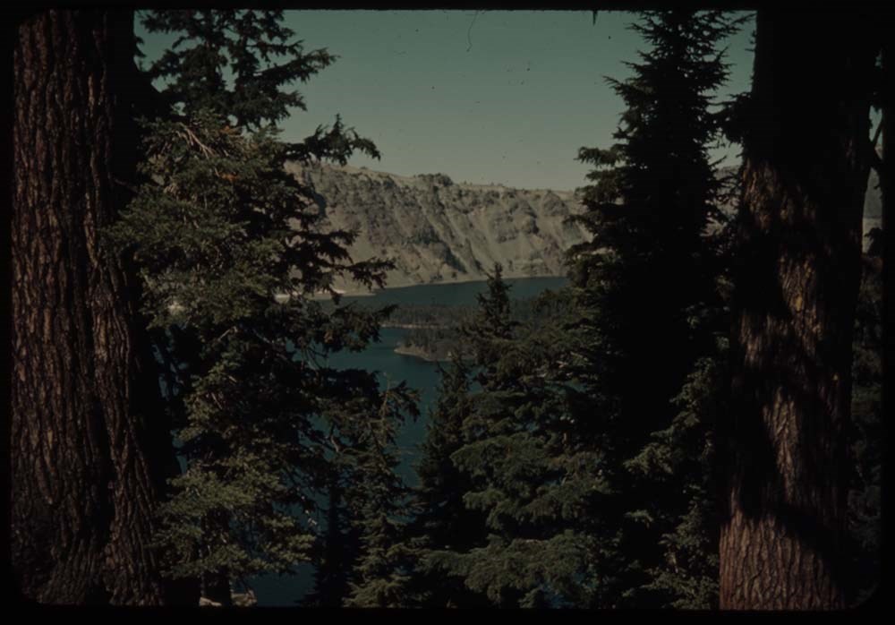
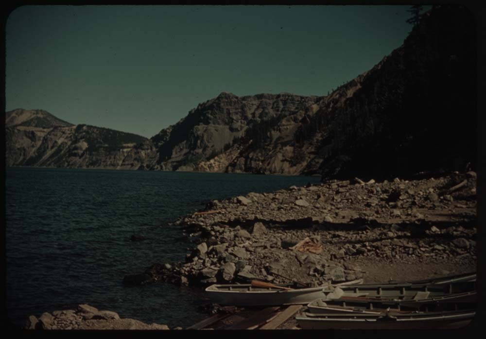
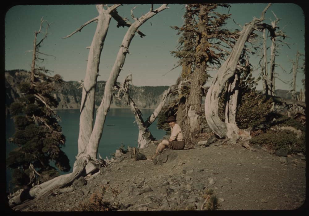
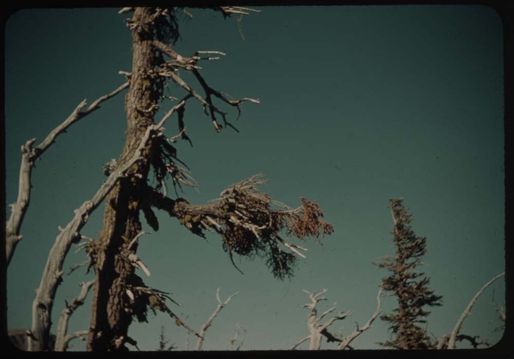
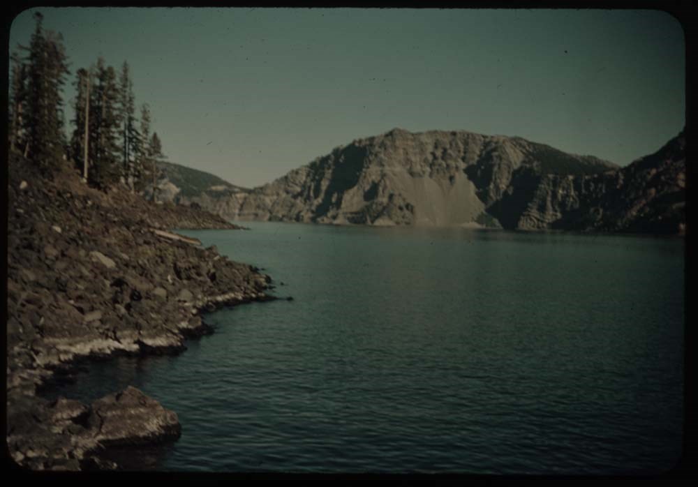
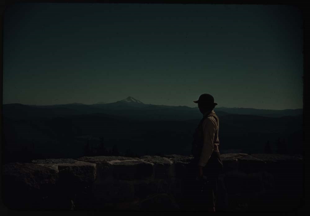
1939 Western US and Canadian Rockies Trip [2/2]
https://archives.whyte.org/en/permalink/descriptions1830
- Part Of
- Lillian Gest fonds
- Scope & Content
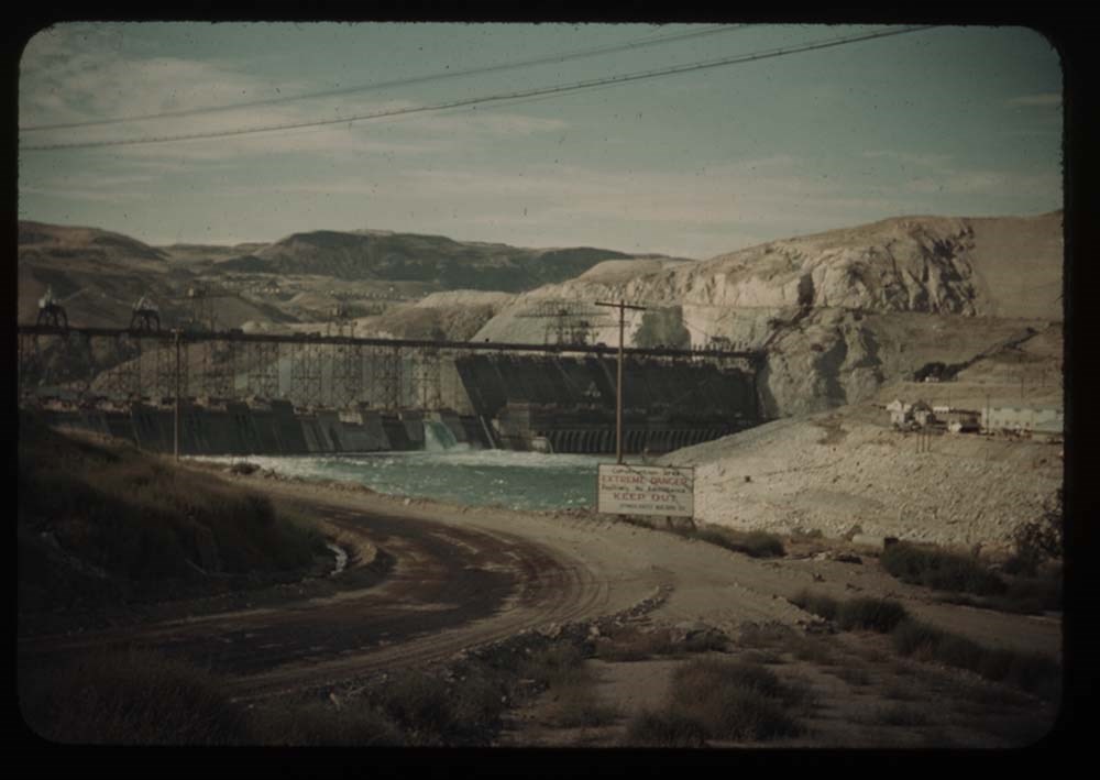
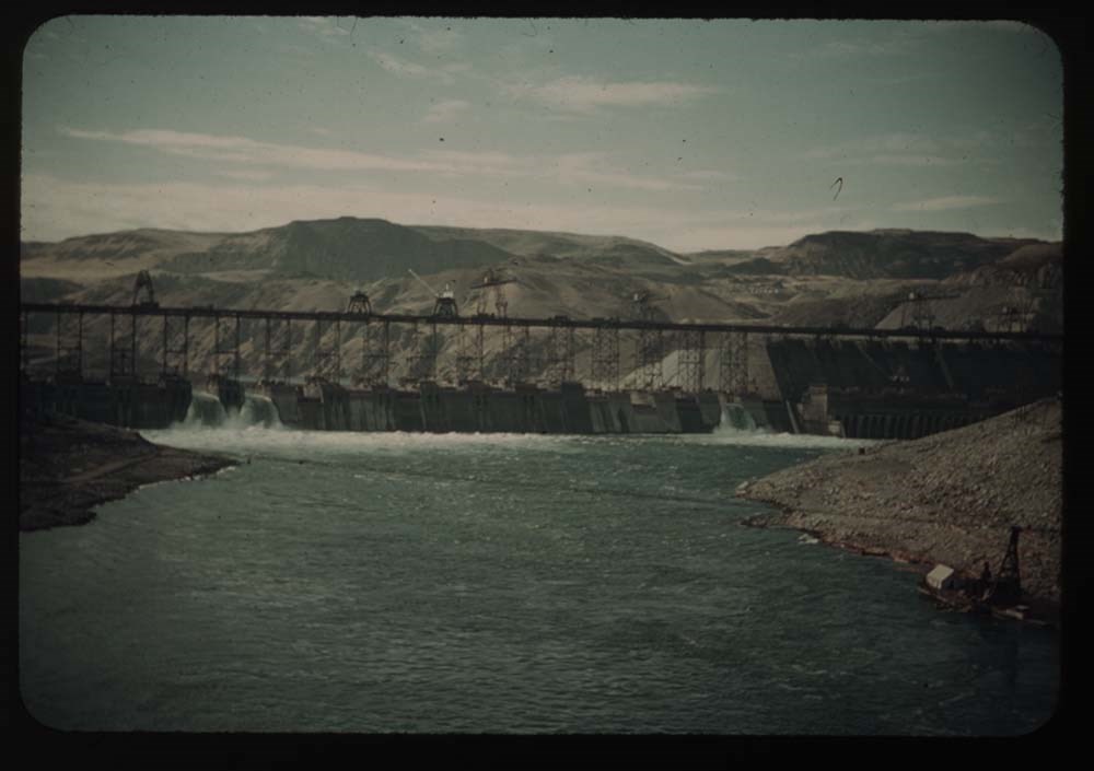
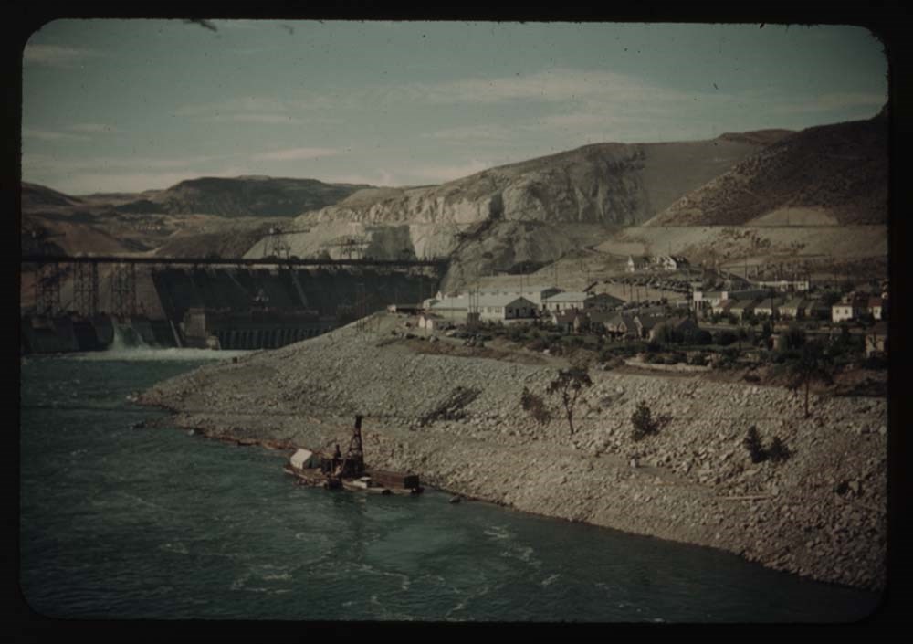
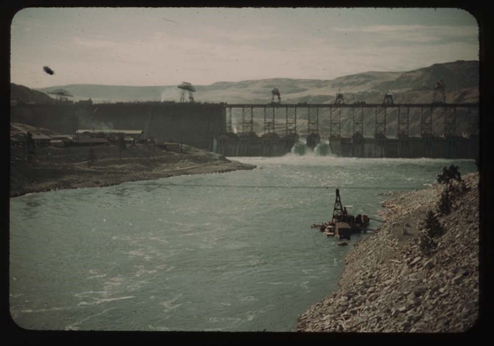
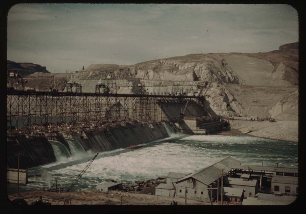
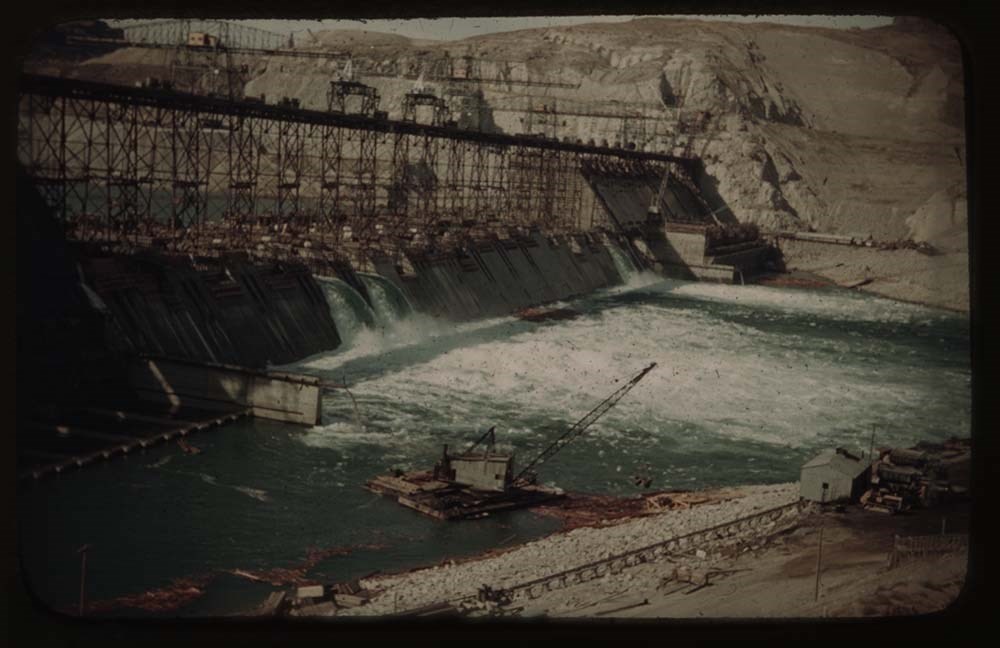
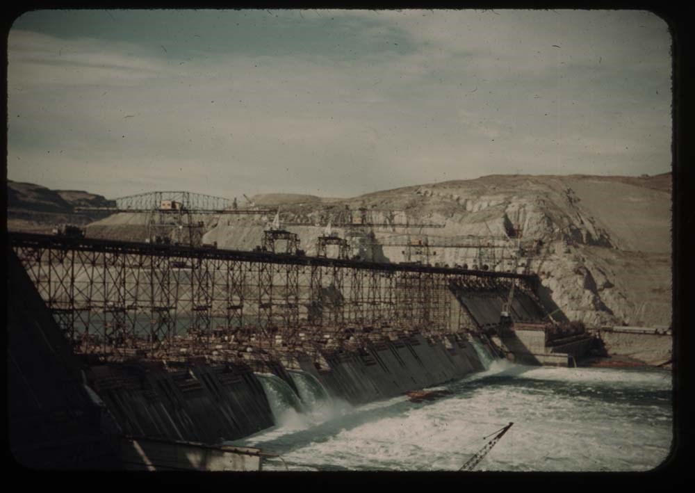
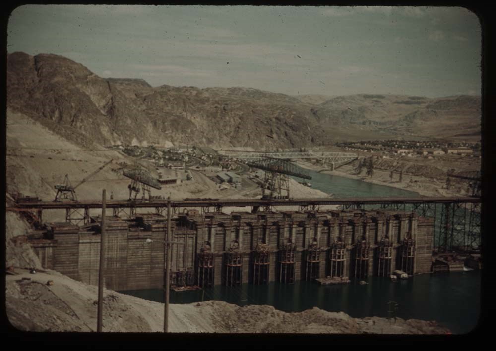
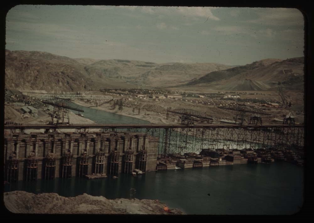
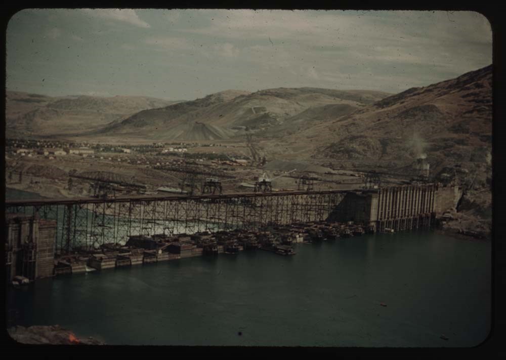
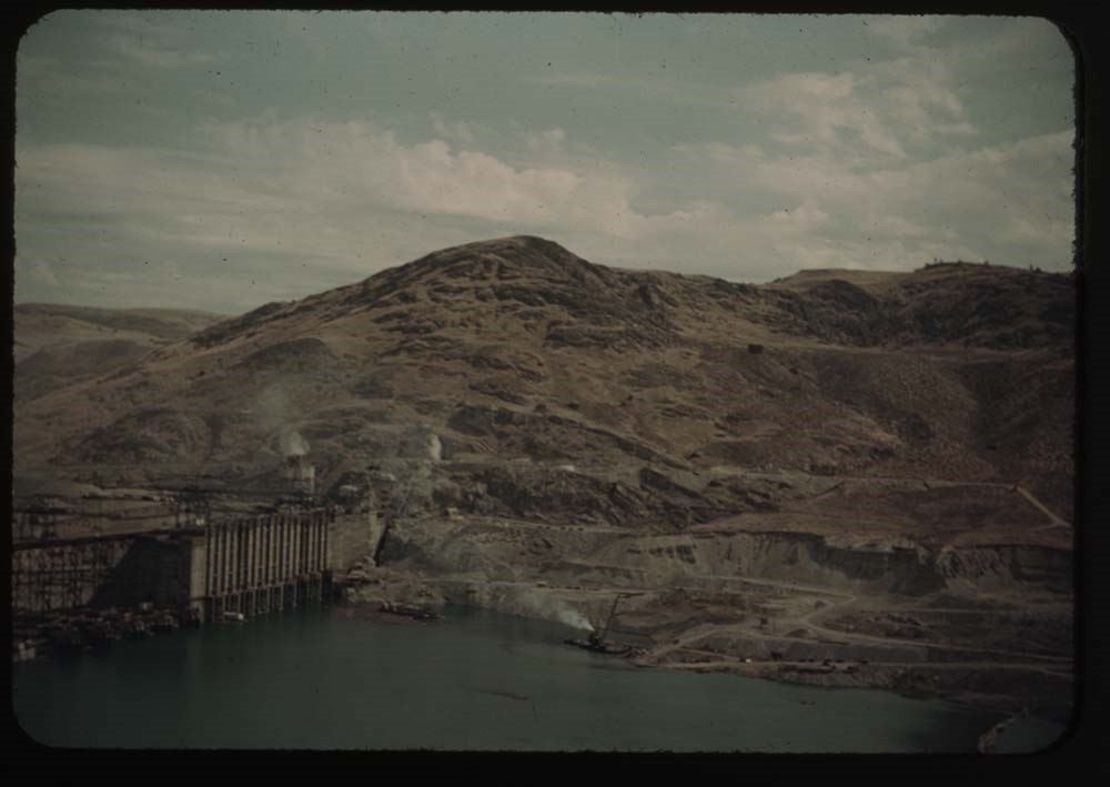
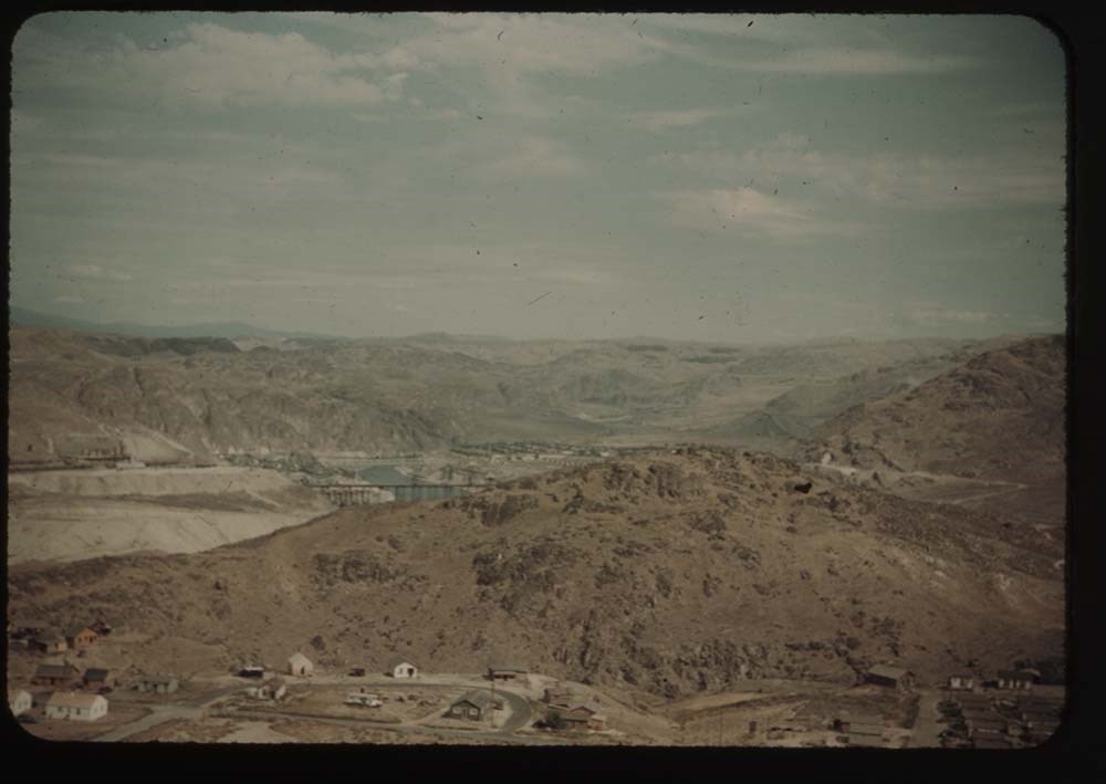
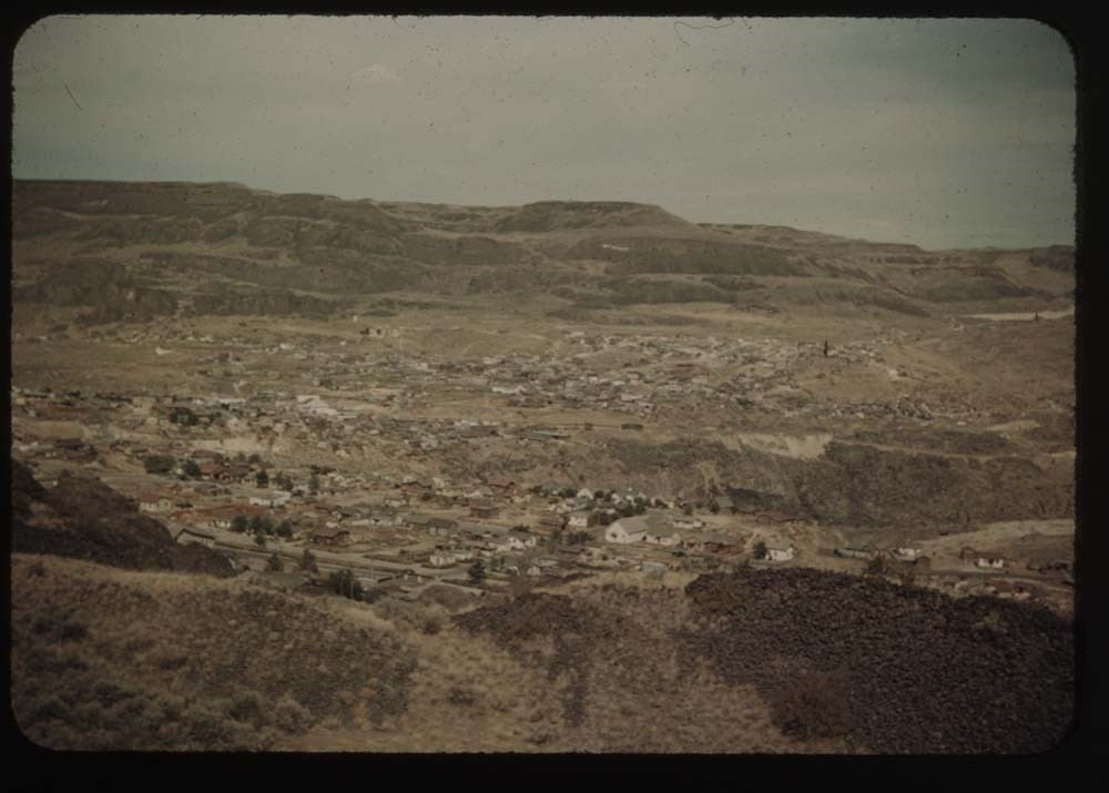
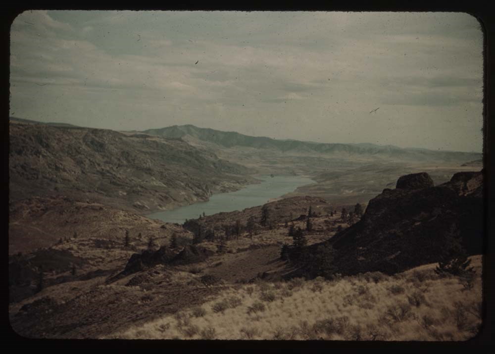
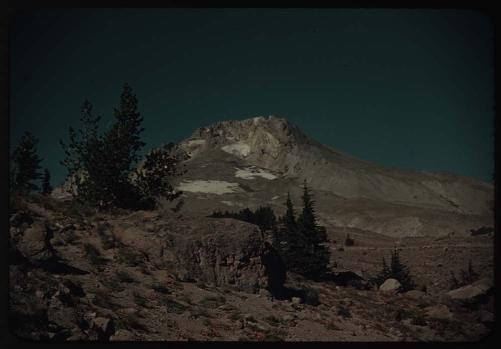
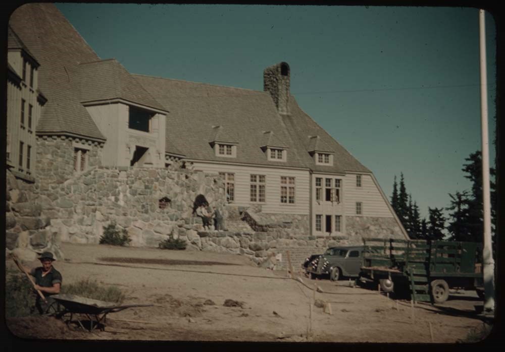
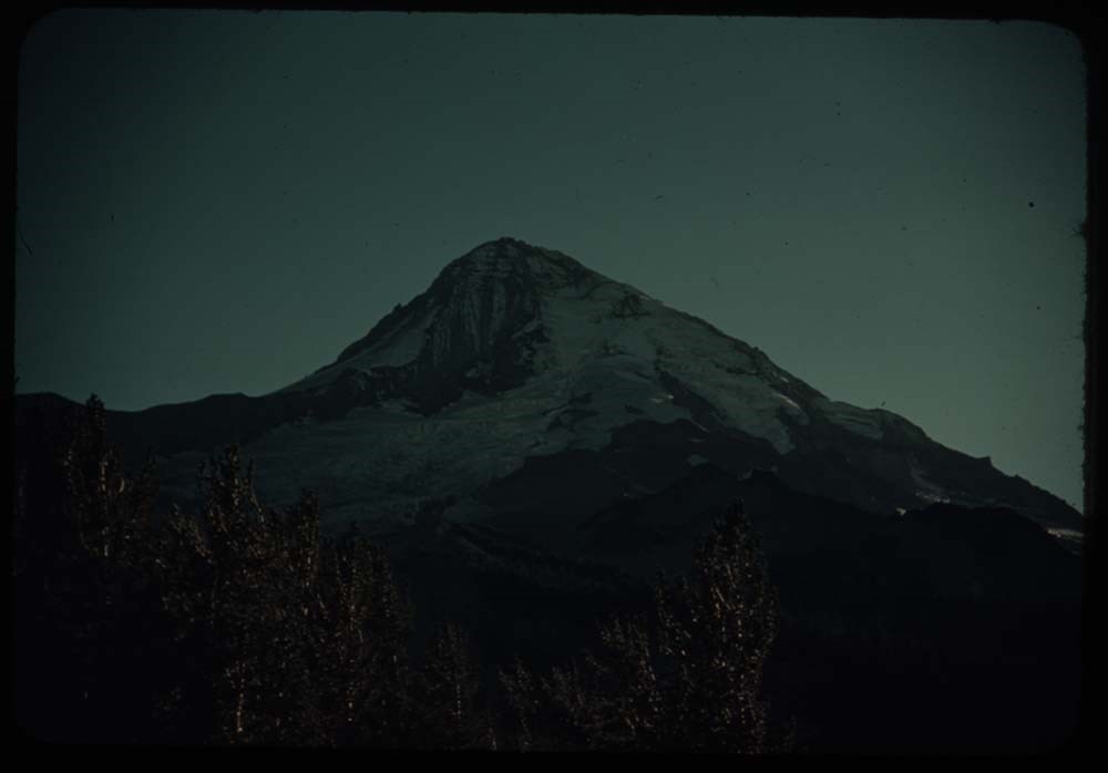
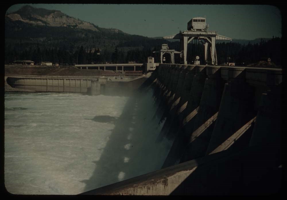
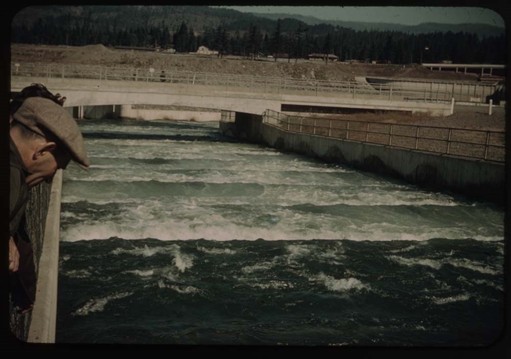
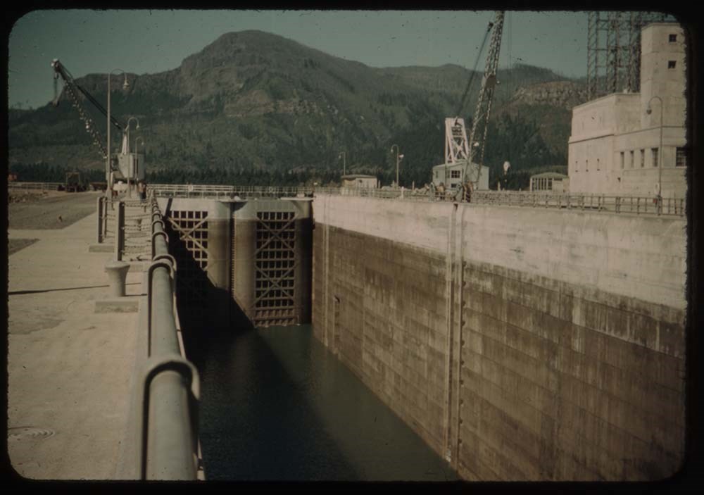
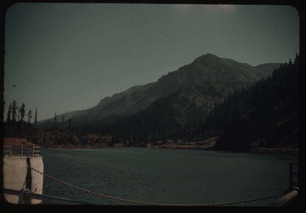
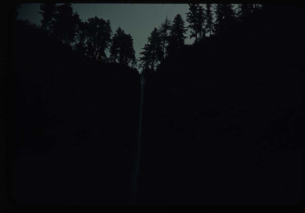
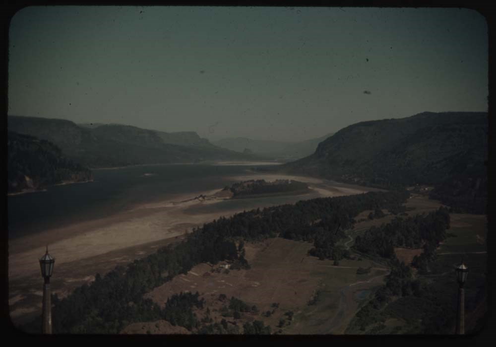
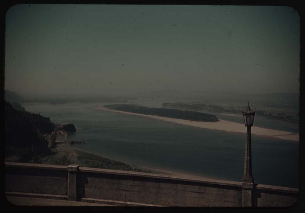
- File pertains to 173 35mm colour transparency slides mounted in carboard sleeves. Pertain to Waterton Lakes National Park region; Grandview Ranch; Frank Slide; Grand Coulee Dam; Mason City; Mount Rainer; Crater Lake; Mount Hood; fish hatchery; Columbia River area; [Bonneville?] Dam and salmon ladde…
- Date Range
- 1939
- Reference Code
- V225 / II / C / ii / a / i / NS - 14 to 22
- Description Level
- 5 / File
- GMD
- Film
- Photograph
- Transparency
163 images
1 Electronic Resource
- Part Of
- Lillian Gest fonds
- Description Level
- 5 / File
- Fonds Number
- M67 / S36 / V225
- Series
- II.C. Activities / photography
- Sous-Fonds
- V225
- Sub-Series
- ii.a.i Photographic material / transparencies / boxes
- Accession Number
- 5142
- Reference Code
- V225 / II / C / ii / a / i / NS - 14 to 22
- Parallel Title
- R13 to R22, 1939 Box II. -- 1939 V225 / NS - 2
- Date Range
- 1939
- Physical Description
- 173 photographs : col. slides ; 35 mm
- History / Biographical
- See fonds level description.
- Scope & Content
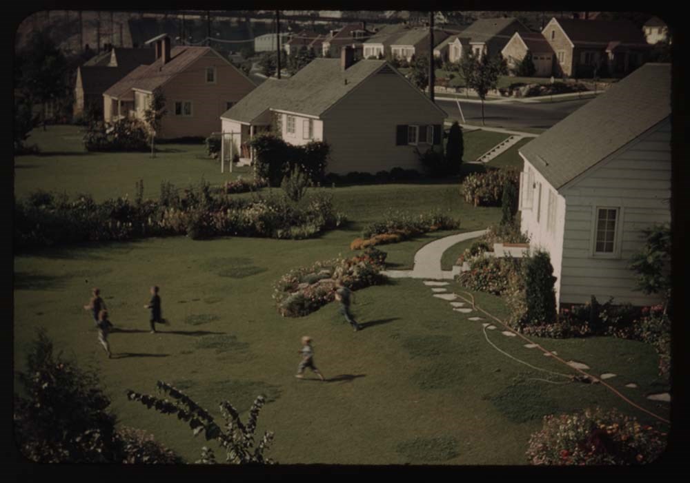
- File pertains to 173 35mm colour transparency slides mounted in carboard sleeves. Pertain to Waterton Lakes National Park region; Grandview Ranch; Frank Slide; Grand Coulee Dam; Mason City; Mount Rainer; Crater Lake; Mount Hood; fish hatchery; Columbia River area; [Bonneville?] Dam and salmon ladders; friends and associates, including B.H.G., Charlie Hunter and Caroline [Hinman?]. -- See notebook SL I for more information (M67/51).
- Notes
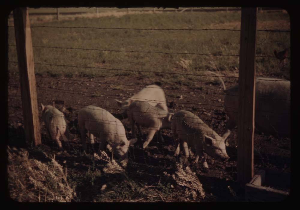
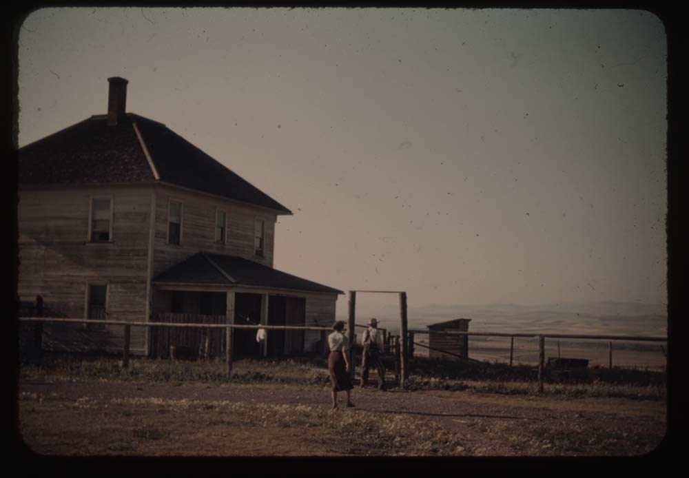
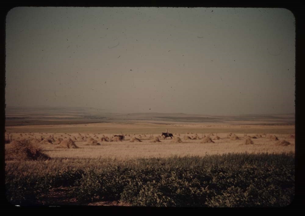
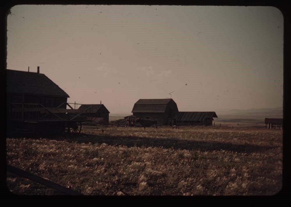
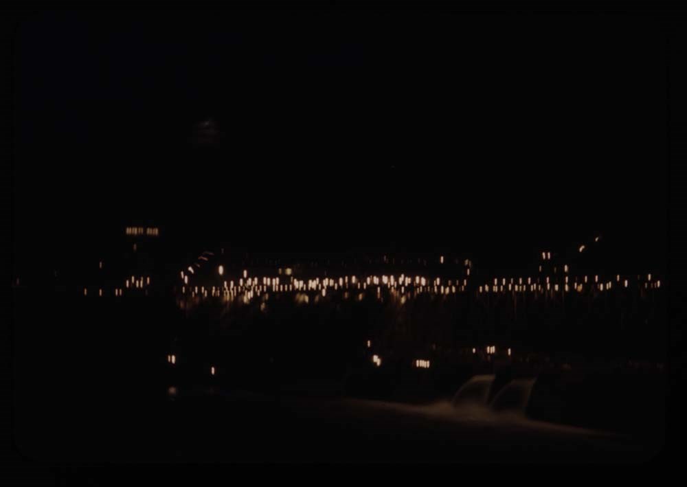
- Titles on box lid: Glacier Park; After camp; Auto trip; Auto trip. Slide numbering kept as originally organized, see notebook SL I for more information (M67 / II / C / i / a / 51 - 1). Titles: Reel 14 1. Appekunny Lake and goldenrod 2. Boots, glasses, ice ax 3. Many gl. Hotel from Mt. Altyn 4. [Many gl. Hotel from Mt. Altyn] 5. Charley's - house and chicken houses 6. The pigs - five little ones and mother 7. Charley's house - front view 8. Barn - grandview Ranch 9. Charley's house - front view 11. Wheat fields and Charley on horseback 12. Farm houses and cow 13. Charley riding in 14. Caroline weeding garden 15. St. Mary's Lake fron Sun Chalet 16. BH.G. and "Sig" - porch at Sun Chalet 17. Going-to-the-Sun Mt. 18. Hills point and cottage fr. Sun Chalet 19. Chipmunk at Caroline's feet 20. [Chipmunk at Caroline's feet] Reel 15 1. Logan Pass Highway w. of summit 2. Same - further view to left 3. Porch and flower boxes, Mac P. Hotel 4. St. Mary's lake 6. Same view fr. nearer edge of road 7. Cracker[?] Lake first view 8. [Cracker[?] Lake] fr. near end 9. Cracker Lake fr. side of Red Rock 10. Cracker Lake reflections 11. Caroline at lunch place - Cracker Lake 12. My foot 13. Cracker mine mines 14. Caroline is swimming 15. Red Rock fr. across lake 16. Down the stream fr. lake 18. Auto Road and Chief Mt. 19. Cameron Falls Reel 16 1. Down valley to [blank] Lake 2. Charley and fire in bushes 3. Upper lakes and fishermen in dist. 4. Charley on upper trail 5. Waterton and lake from trail thru trees 6. Same without mt. 7. From Spray glacier 8. Party on Spray glacier 9. Party at lunch place - Spray gl. 10. Deer on lawn 12. Deer and tourists 13. Launch at wharf - Mac D. Lake 14. Mac D. Hotel - BH.G. on balcony 15. Close-up of deer 16. Town of Frank and rockslide 17. Train at site of Frank 18. Road through boulders of slide 19. Grand Coulee Dam - first view Same as 1714 Reel 17 1. Dam at night 2. Dam fr. below - Mason City side (E) 3. Dam fr. bridge below 4. Part of Coulee Dam and dam from bridge 5. Part of east side and dam [from bridge] 6. Gov't village and children on lawn 7. Dam fr. below [?] east side fr. [illegible] 8. Dam fr. below same as 7 - [illegible] 9. Dam [fr. below] sae as 7, less foreground 10. Dam fr. above taken at w. side viewpoint 11. Same from avobe the dam, on west side 12. Same - shows full dam and east side above dam 13. From w. side viewpoint - shows east side 14. Dam and villages from hill (same as first view) 15. Villages fr. hills on west side 16. From west side looking up Col. R. 17. Road down hill into grand Coulee 18. Coulee Dam villages fr. hill 19. Road into Grand Coulee Reel 18 1. Lakes at foot of Dry Falls 2. Looking down Lower Coulee - lake[?] 3. Road - looking down lake in Lower Coulee 4. Looking up same lake of Lower Coulee 5. Mt. Rainier fr. our camp site 6. Outlying peaks - Mt Adams ? 7. [Outlying peaks] further to right 8. Slopes of Rainier - Gibralter[?] Rock 9. C.H. on glacier 10. L.S. [on glacier] 11. Mt Rainier with cloud 12. Clouds in valley - Mt. Hood ? 13. Outliers[?] and clouds in valley - further to left 14. Similar Mt. better than 12 15. Mt. Rainier fr. road around to west 16. C.H. on stone seat - fr. same place 17. Surf on rocks 18. Surf on rocks below Furistone[?] 19. [Surf on rocks below Furistone[?]] 20. Furistone[?] Cottage - C.H. Reel 19 1. Rocks and surf at Sporting rocks 2. View further to right 3. [View further to right] again 4. Seal rocks 5. Bay above seal rock and parth to cave 6. Seal cave (best) 7. Seal cave 8. Double exposure - cave 9. Chipmunks at oregon caves w. children 11. Crater Lake from Summit Memorial 12. Crater lake and Wizard Is. [from Summit Memorial] 13. Same further to left [from Summit Memorial] 14. Lake, and still further to the left [from Summit Memorial] 15. Lake fr. terrace below hotel 16. Caroline on trail by tree 17. Lodge fr. across valley on trail up Mt. 18. Lake and Wizard Island thru trees 19. Trail up Mt. 20. Trail and lodge beyond Reel 20 1. Crater Lake and phantom ship 2. Crater Lake and Wizard Is. thru trees 3. [Crater Lake and Wizard Is.] no trees 4. Caroline on seat 5. L.S. [on seat] 6. View over pummice (?) flats 7. Rim trail and lake 8. Bears at feeding grounds 9. Same nearer 10. Lake through trees - from trail detours to lake 11. [Lake through trees] C.H. on trail [detours to lake] 12. Lake [through trees] dark 13. Shore of Crater Lake - boats 15. Trees and figure walking around crate[?] 16. C.H. on crater [illegible] of Is. - trees and lake 17. Dead trees against sky 18. Trail in deep woods on Wizard Is. 19. Lake and shore of Wizard Island 20. C.H. in boat Reel 21 1. Crater Lake through dark trees 3. Road around lake, and bluff beyond 4. Lake and reflection - morning we left 5. Wheat fields and Mt. Jefferson in dist. 6. Mt. Hood and Mount Winter 7. CH. at parapet of TImberline Lodge Mt Jeff. in dist. 8. Mt. Hood from Timberline Lodge 9. Timberline Lodge 10. Mt. Hood fr. Cloud Cap Inn 11. Distant view from same towards Adams and Rainier 12. Bonneville Dam - spillways 13. Part of dam - looking straight down 14. Bonneville Dam from above 15. [Bonneville Dam from] below 16. Power plant - building in process 17. Salmon ladders 18. Salmon 19. Salmon (better) 20. Lock - highest lift in world ? Reel 22 1. View above lock - Bonneville Dam 2. Gov't town and baby Salmon waterway 5. Pool in fish hatchery and fish 6. Sturgeon in pool 9. Horsetail falls - dark 10. Down Columbia R. fr. Vista Point 11. Up [Columbia R. fr. Vista Point] 12. Falls where we lunched 13. Upper part Col. R. Highway 14. Down river at same point 15. Falls in river 16. Forest fire [illegible] at St. Mary's 17. [Forest fire [illegible] at St. Mary's] 18. Cape Myrtle at Merion 19. Merion - B.H. G. and cape Myrtle 20. Merion - B.H. G. that oh don't look
- Name Access
- Gest, Lillian
- Hinman, Caroline
- Prescott, Polly
- Prescott, Kay
- Brooks, Eric
- Munday, Phyllis
- Wheeler, John Oliver
- Kingman, Henry S.
- Bloch-Hiller, Walter
- Bloch-Hiller, Paula
- Kramer, Andrew
- Feuz, Walter
- Subject Access
- Activities
- Administration
- Alpine Club of Canada
- Animals
- Automobiles
- Backpacking
- Boats
- Buildings
- Cabins
- Cabins and shelters
- Camping
- Camps
- Climbing
- Club
- Environment
- Environment and Nature
- Exploration
- Family and personal life
- Fishing
- Flowers
- Glaciers
- Guides
- Hiking
- Horse packing
- Horses
- Hotels
- Landscapes
- Mountain
- Mountains
- Mountaineering
- National parks and reserves
- Organizations
- Outfitters
- Pack trips
- Personal and Professional Life
- Photography
- Recreation
- Sports and leisure
- Sports and recreation
- Swiss Guides
- Tourism
- Trails
- Travel
- Wildlife
- Geographic Access
- Washington
- Oregon
- United States of America
- Language
- NA
- Conservation
- Removed from original boxes and rehoused in slide sleeves and acid-free folders. R22 18-20 missing - locate if possible.
- Creator
- Gest, Lillian
- Title Source
- Title based on contents of file
- Processing Status
- Processed
Electronic Resources
Images


This material is presented as originally created; it may contain outdated cultural descriptions and
potentially offensive content.
Read more.
Display photographs
https://archives.whyte.org/en/permalink/descriptions1041
- Part Of
- Alpine Club of Canada fonds
- Scope & Content
- Display photographs consists of photographs selected and numbered by the ACC for display in clubhouses, huts and other locations. Photographic subjects include mountain peaks, landscapes and scenery, both regional and international; mountaineering and alpine recreation; camps and expeditions; flor…
- Date Range
- 1890-1958
- Reference Code
- V14 / AC 00P / 001-444
- Description Level
- 5 / File
- GMD
- Photograph
- Photograph print
16 images
- Part Of
- Alpine Club of Canada fonds
- Description Level
- 5 / File
- Fonds Number
- M200 / S6 / V14
- Series
- I.A.1 Administration: series I, predom. dates 1906-1949
- Sous-Fonds
- V14
- Sub-Series
- j.ii. Photography : Display photographs
- Accession Number
- 5200
- Reference Code
- V14 / AC 00P / 001-444
- Date Range
- 1890-1958
- Physical Description
- ca.400 photographs : prints
- History / Biographical
- See fonds level description.
- Scope & Content
- Display photographs consists of photographs selected and numbered by the ACC for display in clubhouses, huts and other locations. Photographic subjects include mountain peaks, landscapes and scenery, both regional and international; mountaineering and alpine recreation; camps and expeditions; flora and fauna; clubhouse views; and portraits of mountaineers, alpine club members, executive officers and prominent personalities. Also includes a group photograph of the 1906 founding meeting of the Alpine Club of Canada in Winnipeg (ACOOP/77)
- Included are ca.180 photographs which were submitted to the ACC though various photographic competitions (AC 00P / 11, 21, 29, 30, 32, 36, 41, 55 - 57, 63, 76, 109, 111, 202, 223, 230, 240, 244, 284 - 443).
- Notes
- LIST OF PHOTOGRAPHERS :
- George Ashley Abraham AC00P/107,209;
- Ansel Adams AC00P/119,120,254;
- M. Alford AC00P/45-54,59-60;
- L. S. Amery AC00P/229,333-337;
- Associated Screen News AC00P/206;
- Jack Atkinson AC00P/417,434;
- M. P. Bridgland AC00P/292,294;
- Clair Brown AC00P/44;
- H. E. Bulyea AC00P/41,284,291;
- Lucy Byrd AC00P/431,432;
- Carleton Studio AC00P/89;
- J. Norman Collie AC00P/151;
- B. Conrad AC00P/42;
- Florence Parker Davoll AC00P/368-370,390,391,401,408;
- Winnie Dennison AC00P/423;
- Mrs. H. B. Dixon AC00P/227;
- Mary (Winstone) Enoch AC00P/412,427;
- Mary Fallis AC00P/418;
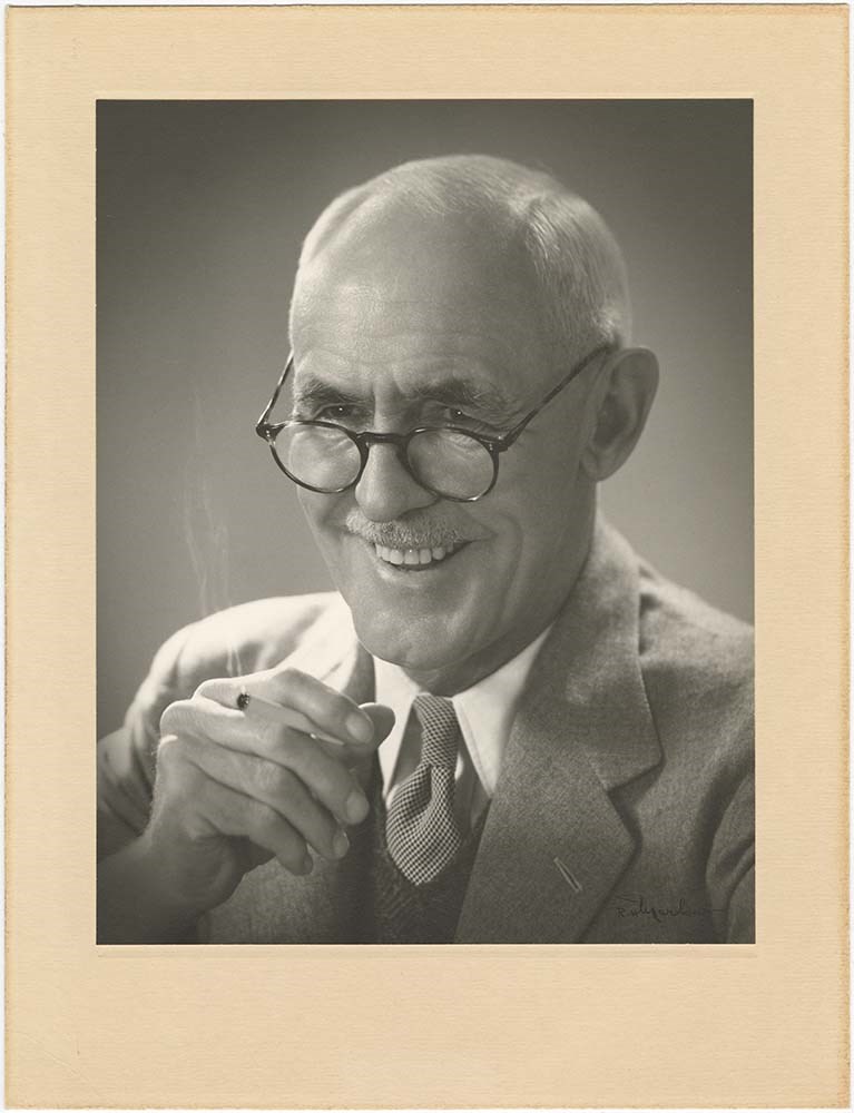
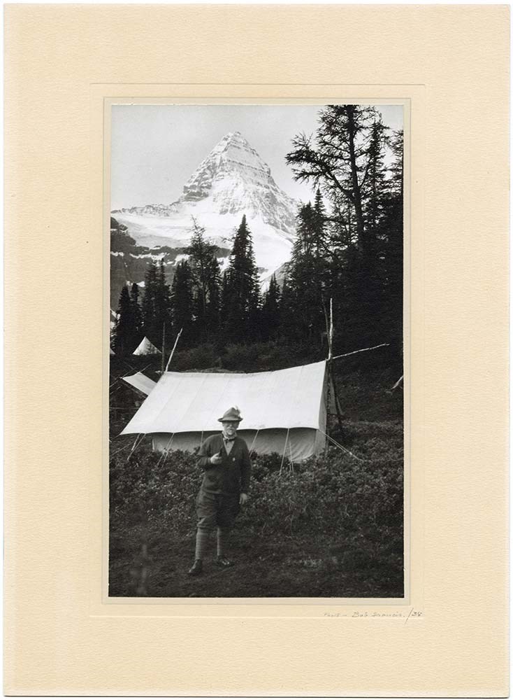
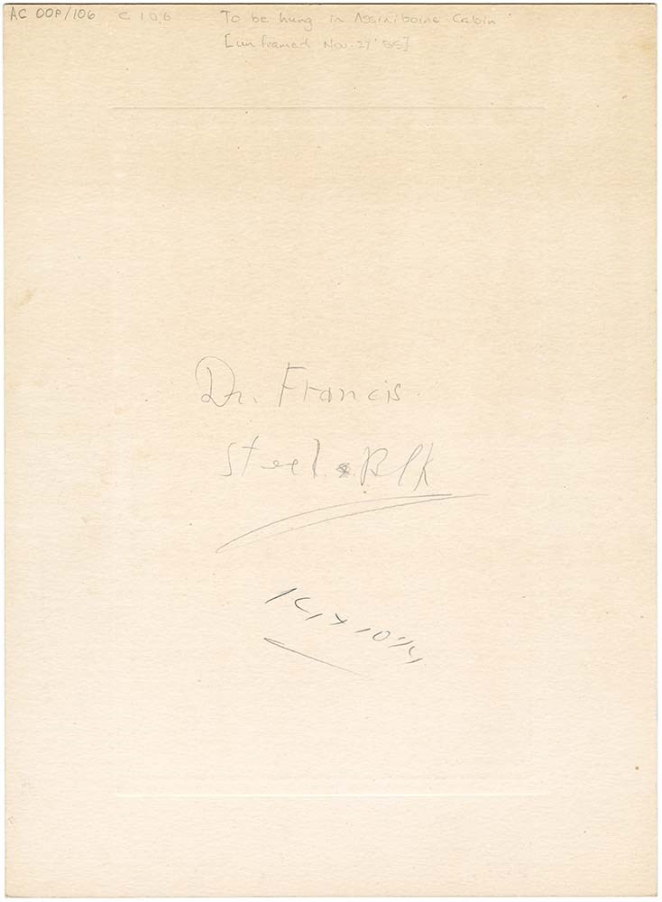
- Bob Francis AC00P/106;
- Nelly Fraser AC00P/439;
- Tom Fyles AC00P/321,322,346-348;
- J. M. Garrison AC00P/201;
- Gay-Coutlett AC00P/33;
- E. Gee AC00P/351;
- Herman Genschorek AC00P/63,410,411,413-416;
- Lillian Gest AC00P/338-345;
- E. R. (Rex) Gibson AC00P/429;
- A. Gully AC00P/238,239;
- Roy Gunn AC00P/443;
- H. S. Hall Jr. AC00P/295;
- Byron Harmon AC00P/131;
- Jimmie Hendrie AC00P/433;
- Julia W. Henshaw AC00P/26,27;
- Charles F. Hogeboom Jr. AC00P/293;
- Roy Howard AC00P/437;
- Mary L. Jobe AC00P/129;
- H. F. Lambart AC00P/218;
- Miss Lymburn AC00P/313;
- F. A. MacFadden AC00P/310-312;
- Leonard H. Marvin AC00P/110,116;
- A. A. McCoubrey AC00P/11,285-289,330,331;
- D. J. M. McGeary AC00P/57;
- ?. Mills AC00P/240;
- C. H. Mitchell AC00P/249;
- Stanley H. Mitchell AC00P/84,235;
- Don Munday AC00P/14,352,425;
- Phyl Munday AC00P/28,332,350,389,392-395,398,402,403,406,424,426,440-442;
- George Noble AC00P/236;
- Notman & Son AC00P/86;
- Edward C. Porter AC00P/266,267,268,269;
- Polly Prescott AC00P/421;
- Pringle and Booth AC00P/246;
- R.B.R. AC00P/419;
- Marguerita Schnellbachen AC00P/65;
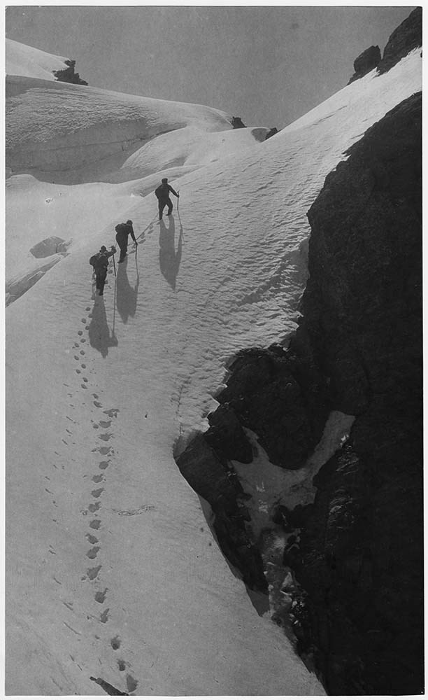
- W. E. Stone AC00P/30,290;
- G. Morris Taylor AC00P/233;
- J. Monroe Thorington AC00P/301-303;
- Vandyk, London AC00P/222;
- M. Von Zuben AC00P/76;
- W. A. Wakefield AC00P/305;
- Charles Walcott AC00P/270-274;
- A. G. Wehrli AC00P/444;
- T. O. A. West AC00P/297,304,316;
- Jack Whellams AC00P/409;
- A. T. Wiebrecht AC00P/223,353-366,373-379,382-387,397,400;
- Walter Wilcox AC00P/20,130,136,154,255-257;
- A. O. Wheeler AC00P/207,208,212,213;
- LIST OF SUBJECTS :
- Philip Stanley Abbot AC00P/245;
- L. S. Amery AC00P/206,222;
- F. C. Bell AC00P/87;
- Cora Johnstone Best AC00P/104;
- John F. Brett AC00P/96;
- A. P. Coleman AC00P/82;
- J. H. Cuntz AC00P/116;
- Edward VII AC00P/203;
- Charles E. Fay AC00P/69;
- Sandford Fleming AC00P/250;
- W. W. Foster AC00P/76,89;
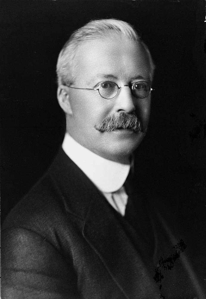
- Rex Gibson AC00P/75,90;
- H. A. V. Green AC00P/92;
- C. Hasler AC00P/134;
- James Hector AC00P/93;
- J. W. A. Hickson AC00P/86;
- John Hunter AC00P/264;
- Judas Hunter AC00P/238;
- Enos Hunter AC00P/239;
- Stanley L. Jones AC00P/242;
- Lino Lacedelli AC00P/268;
- Ben Lomond AC00P/411;
- C. H. Mitchell AC00P/79;
- John Muir AC00P/66;
- A. H. MacCarthy AC00P/70,76;
- Leonard H. Marvin;
- S. H. Mitchell AC00P/84,235;
- T. B. Moffat AC00P/83;
- Don Munday AC00P/74;
- Phyl Munday AC00P/418;
- Tenzing Norgay AC00P/72;
- James Outram AC00P/80;
- J. D. Patterson AC00P/98;
- Elfreda Pigou AC00P/418;
- H. E. Sampson AC00P/97;
- Benjamin Frank Seaver AC00P/110,115?,116,243;
- A. S. Sibbald AC00P/95;
- W. E. Stone AC00P/73;
- W. R. Tweedy AC00P/81;
- Sidney R. Vallance AC00P/91;
- Frank N. Waterman AC00P/237;
- C. G. Wates AC00P/94;
- A. O. Wheeler AC00P/206;
- E. O. Wheeler AC00P/71,85;
- Hector Wheeler AC00P/247;
- Edward Whymper AC00P/93,251;
- Walter Wilcox AC00P/264;
- Tom Wilson AC00P/236,264;
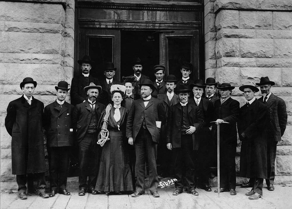
- T. Fraser, L.O. Armstrong, Tom Martin, W. H. Bedford, Alex Gordon; Jean Parker, Stanley Wills, Stanley Mitchell, L. Q. Coleman; J. W. Kelly, W. J. Taylor, A. O. Wheeler, Elizabeth Parker, E. A. Haggan, J. C. Herdman, A. P. Coleman, Dean Paget, William Brewster ACOOP/77
- Name Access
- Alpine Club of Canada
- Subject Access
- Abbot Pass Hut
- Activities
- Administration
- Advertising
- Alpine Club of Canada
- Alpine Club House
- Cabins
- Cabins and shelters
- Camps
- Club
- Competition
- Discovery and exploration
- Environment
- Environment and Nature
- Exploration
- Guide
- Guides
- Hiking
- Huts
- Mountain
- Mountain guides
- Mountaineering
- Mountaineers
- Mountains
- National parks and reserves
- Organizations
- Photography
- Scenery
- Sports and recreation
- Summit
- Geographic Access
- Banff National Park
- Jasper National Park
- Yoho National Park
- Alberta
- British Columbia
- Canada
- Language
- English
- Related Material
- Competition photographs are related to other competition photographs in the ACC fonds.
- Title Source
- Title based on original use of the material
- Processing Status
- Processed
Images


This material is presented as originally created; it may contain outdated cultural descriptions and
potentially offensive content.
Read more.
Personal Documents
https://archives.whyte.org/en/permalink/descriptions23022
- Part Of
- Hans Gmoser fonds
- Scope & Content
- One of three files pertaining to Personal Documents.
- Date Range
- 1880-2013
- Reference Code
- M224 / 30
- Description Level
- 5 / File
- Part Of
- Hans Gmoser fonds
- Description Level
- 5 / File
- Series
- IV.C. Textual records
- Accession Number
- 8111
- Reference Code
- M224 / 30
- Date Range
- 1880-2013
- Physical Description
- 2 cm of textual records.
- Scope & Content
- One of three files pertaining to Personal Documents.
- Subject Access
- Discovery and Exploration
- Environment and Nature
- Family and personal life
- Sports and Recreation
- Title Source
- Supplied title.
- Content Details
- Canadian Passport July 15, 1983-July 15, 1988 Canadian Passport June 30, 1988- June 30, 1993 Canadian Passport April 6, 1993-April 6, 1998 Canadian Passport Feb 18, 1998-Feb 18, 2003 Photocopy of Johann Wolfgang Gmoser’s Canadian Passport Jan 28, 2003-2008. Photocopy of Johann Wolfgang Gmoser’s Austrian Passport February 3, 2003-2013 Photocopy of passport? From an individual born in 1880.
- Processing Status
- Processed
This material is presented as originally created; it may contain outdated cultural descriptions and
potentially offensive content.
Read more.
Cartographic Materials
https://archives.whyte.org/en/permalink/descriptions23065
- Part Of
- Hans Gmoser fonds
- Scope & Content
- Cartographic materials in these four oversized files consist of the following:
- Date Range
- 1914-1973
- Reference Code
- M224 / O.S. Cartographic
- Description Level
- 5 / File
- Part Of
- Hans Gmoser fonds
- Description Level
- 5 / File
- Series
- IV.C. Textual records: Cartographic records
- Accession Number
- 7361, 7877, 8111
- Reference Code
- M224 / O.S. Cartographic
- Date Range
- 1914-1973
- Physical Description
- 48 cartographic records.
- Scope & Content
- Cartographic materials in these four oversized files consist of the following:
- Subject Access
- Discovery and Exploration
- Environment and Nature
- Family and personal life
- Sports and Recreation
- Title Source
- Title based on contents.
- Content Details
- Folder 1 Map on heavy paper, wrapped in plastic. “A Reconnaissance Topographic Map Suveyed and edited by Bradford Washburn” printed in Bern, Switzerland. Centred on Mt. McKinley.- From 7361. Palliser- Kananaskis Area British Columbia and Alberta- Publication No. 1962- Reprinted by the Surveys and Mapping Branch, Department of Mines and Technical Surveys, Ottawa. Mistaya British Columbia and Alberta- Compiled, drawn and printed at the office of the Surveyor General, Ottawa, 1931. Reprinted with corrections at the Surveys and Mapping Branch, Ottawa, 1950. National Topographic Series. Yoho British Columbia and Alberta- Compiled, drawn and printed at the office of the Surveyor General, Ottawa, 1932. Reprinted with corrections at the Surveys and Mapping Branch, Ottawa, 1952. National Topographic Series. Price 25 cents. Invermere British Columbia Kootenay Land District- National Topographic System- First Status Edition compiled and produced by the Geographic Division, Surveys, and Mapping Branch, Dept. of Lands, Forests and Water Resources, Victoria, BC 1964-65- annotated Beaton British Columbia Kootenay Land District- National Topographic System- First Status Edition compiled and produced by the Geographic Division, Surveys, and Mapping Branch, Dept. of Lands, Forests and Water Resources, Victoria, BC 1964-66- annotated Lardeau British Columbia Kootenay Land District- National Topographic System- First Status Edition compiled and produced by the Geographic Division, Surveys, and Mapping Branch, Dept. of Lands, Forests and Water Resources, Victoria, BC 1963- annotated Mount McKinley Alaska, Published by the Museum of Science, Boston, Mass, USA and the Swiss Foundation for Alpine Research, Zurich. 1960. Centennial Range Yukon Territory- M.C.R. 7 Edition 1- Produced and printed 1967 by the Surveys and Mapping Branch, Department of Energy, Mines and Resources- maps printed in 1961-62- annotated British Columbia Land Recording Dists.- Land Commissioner’s Offices- Department of Lands and Forests- first published 1957- Updated Nov. 1, 1960. Master Site Plan Bugaboo Creek Lodge Project number 6844- June 18, 1973- Cohos Delesalle & Evamy. Folder 2 Boundary Between Alberta and BC- Athabasca Pass- Sheet No. 27A – annotated- centered on Jasper Park Boundary Between Alberta and BC-All below Wheeler Maps (by hand) used for the Great Divide as per Chic-no topographical maps used for both Hans and similar maps were used by Chic bottom rip taped- Sheet No. 20- Drawn and printed by the Topographical Survey of Canada, Ottawa - centered on Clearwater forest and Lyell Icefield at bottom right Boundary Between Alberta and BC- Sheet No. 15- Drawn and printed at the Surveyor General’s Office, Ottawa, Canada- centered on Rocky Mountains Park Boundary Between Alberta and BC - Sheet No. 19- Drawn and printed at the Surveyor General’s Office, Ottawa, Canada- centered on centered on Clearwater Forest with Mt. Alan Campbell at bottom Boundary Between Alberta and BC- Sheet No. 25- annotated- Drawn and printed by the Topographical Survey of Canada, Ottawa - centered on Jasper Park with Chisel Peak at bottom Boundary Between Alberta and BC- Sheet No. 19- dirt and annotated- revised 1925- drawn and printed by the Topographical Survey of Canada, Ottawa- centered on Clearwater and Push Pass W. Boundary Between Alberta and BC- annotated- Sheet 16- revised 1925- drawn and printed by the Topographical Survey of Canada, Ottawa- centered on Yoho Park and Rocky Mountains Park Steele Glacier- Topographical Survey 1967 Arial Photography 1951 Mount St. Elias Canada- United State of America- Produced and Printed by the Surveys and Mapping Branch, Department of Mines and Technical Surveys 1962 from air photographs taken in 1951 and 1956- annotated Woolsey Glacier- Revelstoke National Park British Columbia – Printed by the Surveys and Mapping Branch Department of Energy, Mines and Resources- 1967 Windermere Kootenay District- Map 165A Issued 1918- Reprinted by the Surveys and Mapping Branch, Department of Mines and Technical Surveys, Ottawa. Folder 3 Boundary Between Alberta and BC- Sheet No. 20- heavily annotated- revised 1925- drawn and printed by the Topographical Survey of Canada, Ottawa- centered on Clearwater Forest, Saskatchewan Glacier at top left Boundary Between Alberta and BC- Sheet No. 18- heavily ripped- annotated - notes on back- revised 1925- drawn and printed by the Topographical Survey of Canada, Ottawa- centered on Clearwater Forest, Mt Mummery at bottom Boundary Between Alberta and BC- Sheet No. 17 (in pencil “A and B”)- annotated - heavily ripped- drawn and printed at the Surveyor Generals’ Office- centered on Clearwater Forest and Yoho Park Boundary Between Alberta and BC- Sheet No. 26- annotated- revised 1925- drawn and printed by the Topographical Survey of Canada, Ottawa- centered on Jasper Park and Icefields Boundary Between Alberta and BC- Sheet No. 17- revised 1925- drawn and printed by the Topographical Survey of Canada, Ottawa- centered on Clearwater Forest and Yoho Park Boundary Between Alberta and BC- Sheet No. 28- stained- centered on Jasper Park Boundary Between Alberta and BC- Sheet No. 24- annotated- revised edition, 1925- drawn and printed by the Topographical Survey of Canada, Ottawa- centered on Jasper Park Boundary Between Alberta and BC- Sheet No. 16- annotated- revised 1925- drawn and printed by the Topographical Survey of Canada, Ottawa- centered on Yoho and Rocky Mountains Park Interprovincial Boundary Commission Boundary Between Alberta and British Columbia. Revised edition 1925 drawn and printed by the Topographical Survey of Canada, Ottawa. Sheet No. 27. Following maps are from accession 7877. Interprovincial Boundary Commission Boundary Between Alberta and British Columbia. Surveyed 1920. Drawn and printed by the Topographical Survey of Canada, Ottawa. Sheet No. 26. Interprovincial Boundary Commission Boundary Between Alberta and British Columbia. Surveyed 1920, 1921. Drawn and printed by the Topographical Survey of Canada, Ottawa. Sheet No. 25. Interprovincial Boundary Commission Boundary Between Alberta and British Columbia. Surveyed 1919, 1921. Drawn and printed by the Topographical Survey of Canada, Ottawa. Sheet No. 24. Interprovincial Boundary Commission Boundary Between Alberta and British Columbia. Revised edition 1925 drawn and printed by the Topographical Survey of Canada, Ottawa. Sheet No. 21. Interprovincial Boundary Commission Boundary Between Alberta and British Columbia. Revised edition 1925 drawn and printed by the Topographical Survey of Canada, Ottawa. Sheet No. 18. Interprovincial Boundary Commission Boundary Between Alberta and British Columbia. Surveyed 1913. Drawn and printed by the Topographical Survey of Canada, Ottawa. Sheet No. 13 A. Interprovincial Boundary Commission Boundary Between Alberta and British Columbia. Surveyed 1916. Drawn and printed by the Topographical Survey of Canada, Ottawa. Sheet No. 12 A. Interprovincial Boundary Commission Boundary Between Alberta and British Columbia. Surveyed 1916. Drawn and printed by the Topographical Survey of Canada, Ottawa. Sheet No. 11. Interprovincial Boundary Commission Boundary Between Alberta and British Columbia. Surveyed 1916. Drawn and printed by the Topographical Survey of Canada, Ottawa. Sheet No. 10. Interprovincial Boundary Commission Boundary Between Alberta and British Columbia. Surveyed 1916. Drawn and printed by the Topographical Survey of Canada, Ottawa. Sheet No. 9. Interprovincial Boundary Commission Boundary Between Alberta and British Columbia. Surveyed 1916. Drawn and printed by the Topographical Survey of Canada, Ottawa. Sheet No. 8. Interprovincial Boundary Commission Boundary Between Alberta and British Columbia. Surveyed 1916. Drawn and printed by the Topographical Survey of Canada, Ottawa. Sheet No. 6. Interprovincial Boundary Commission Boundary Between Alberta and British Columbia. Surveyed 1915. Drawn and printed by the Topographical Survey of Canada, Ottawa. Sheet No. 5. Interprovincial Boundary Commission Boundary Between Alberta and British Columbia. Surveyed 1914. Drawn and printed by the Topographical Survey of Canada, Ottawa. Sheet No. 4. Interprovincial Boundary Commission Boundary Between Alberta and British Columbia. Surveyed 1922. Drawn and printed by the Topographical Survey of Canada, Ottawa. Sheet No. 31. Interprovincial Boundary Commission Boundary Between Alberta and British Columbia. Surveyed 1922, 1924. Drawn and printed by the Topographical Survey of Canada, Ottawa. Sheet No. 30. Interprovincial Boundary Commission Boundary Between Alberta and British Columbia. Surveyed 1917. Drawn and printed by the Topographical Survey of Canada, Ottawa. Sheet No. 29.
- Processing Status
- Processed
This material is presented as originally created; it may contain outdated cultural descriptions and
potentially offensive content.
Read more.
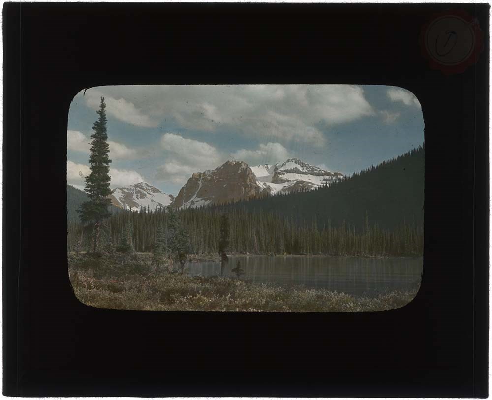
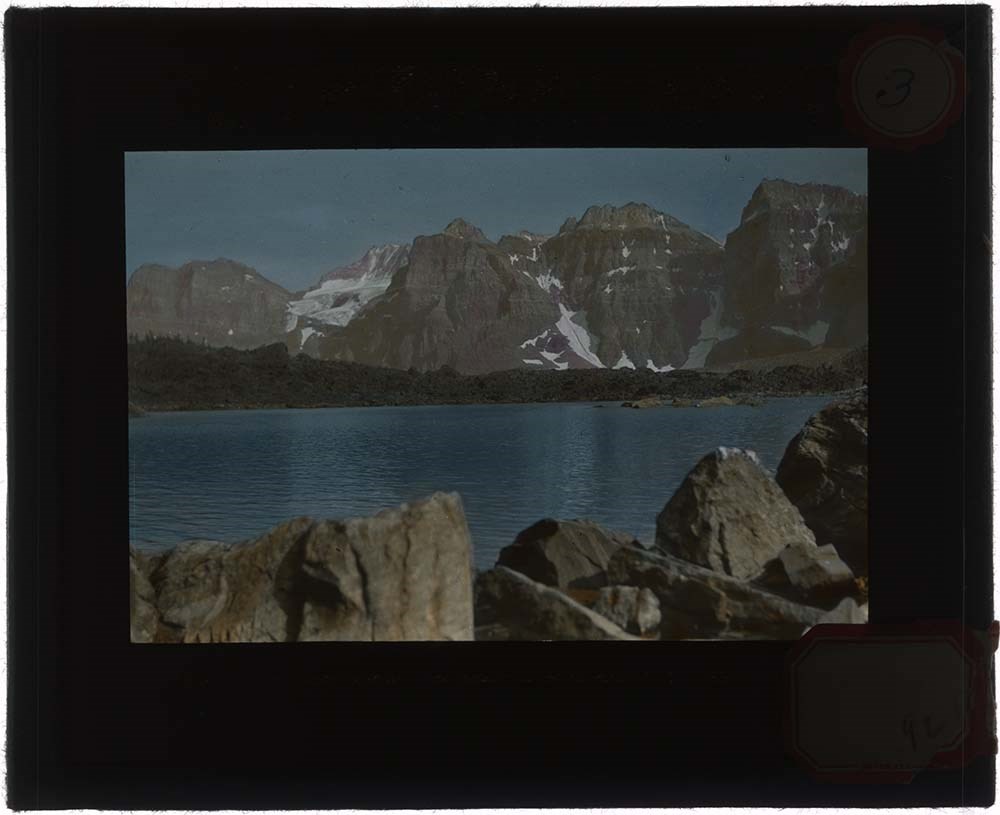
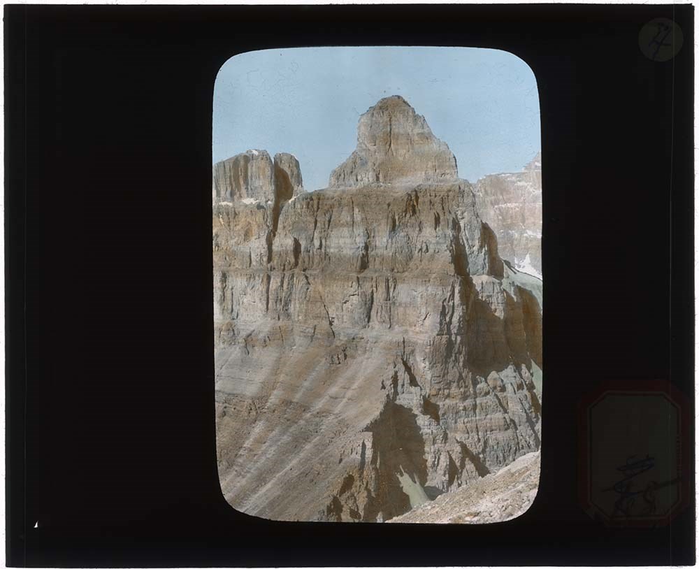
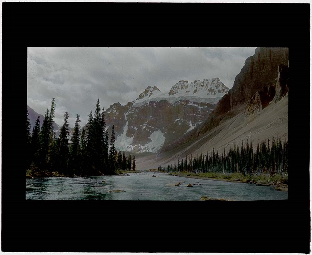
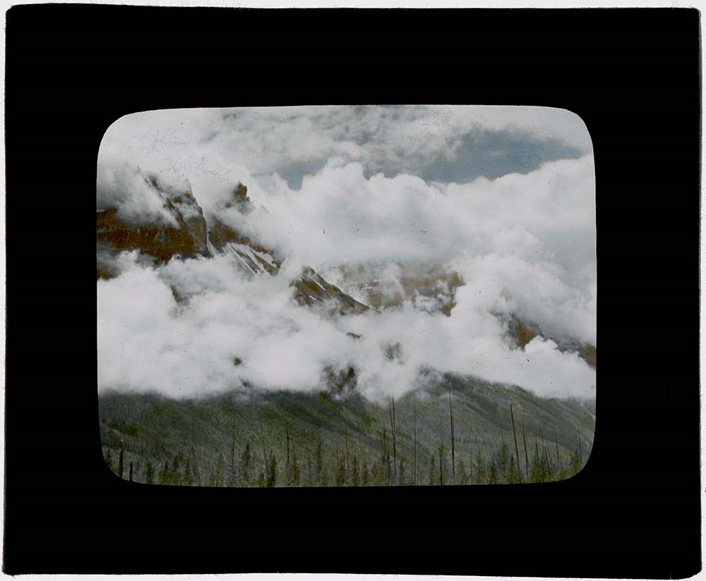
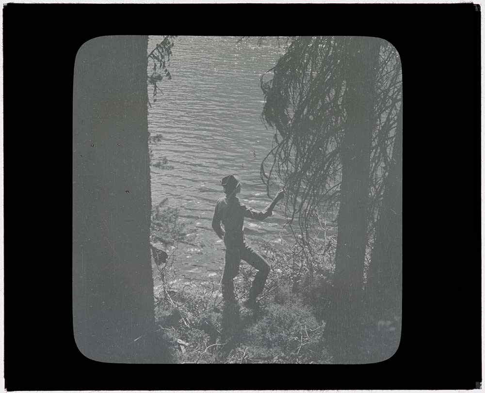
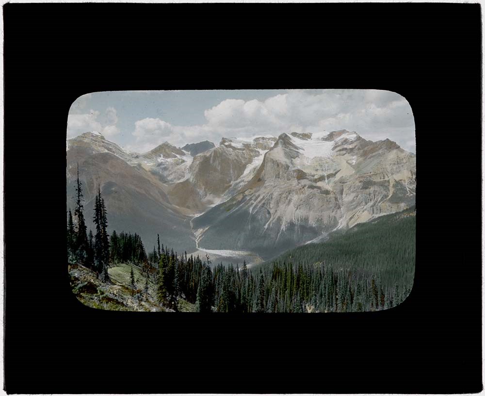
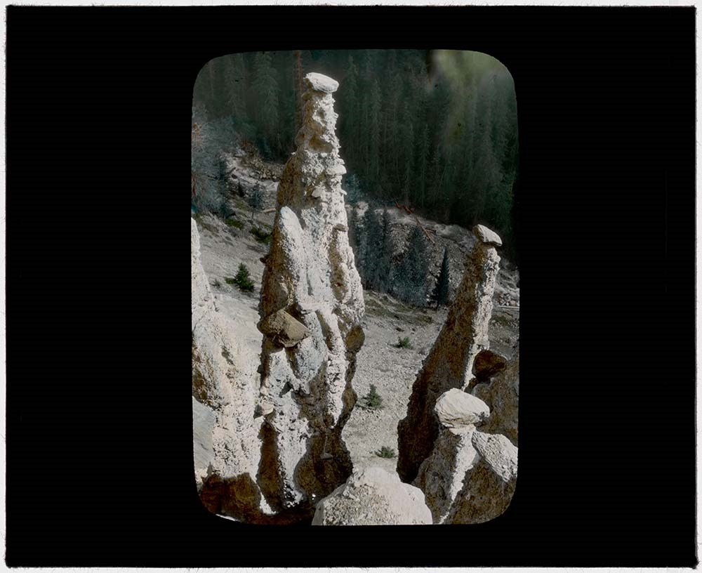
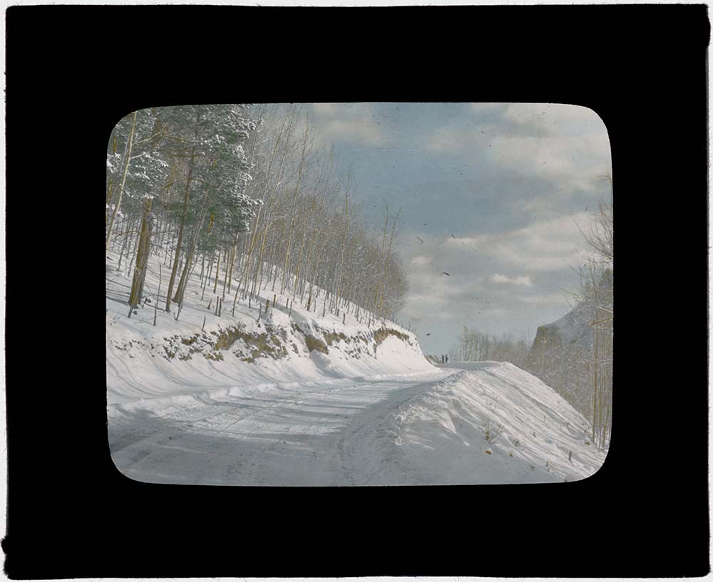
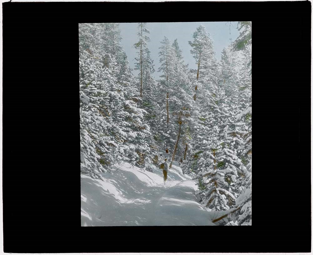
Lantern slides -- 1925-1931
https://archives.whyte.org/en/permalink/descriptions14484
- Part Of
- Leonard Leacock fonds
- Scope & Content
- File consists of lantern slides depicting Rocky Mountain scenic views, mountains, wildlife, horse rides. Includes Banff, Yoho, Lake O'Hara, Banff-Jasper Highway and surrounding areas. Slides are a mix of colour and black & white photographs; some images are printed directly onto one pane of glass …
- Date Range
- 1925-1931
- Reference Code
- V353 / I / B / PS-1 to PS-40
- Description Level
- 5 / File
- GMD
- Transparency
- Lantern slide
42 images
1 Electronic Resource
- Part Of
- Leonard Leacock fonds
- Description Level
- 5 / File
- Fonds Number
- M372 / V353 / S24
- Series
- V353 / I : Photography
- Sous-Fonds
- V353
- Sub-Series
- V353 / I / B : Photography: lantern slides
- Accession Number
- 6756
- Reference Code
- V353 / I / B / PS-1 to PS-40
- Date Range
- 1925-1931
- Physical Description
- 41 photographs : b&w and col. slides ; 10.2 x 8.2 cm
- History / Biographical
- See fonds level description.
- Scope & Content
- File consists of lantern slides depicting Rocky Mountain scenic views, mountains, wildlife, horse rides. Includes Banff, Yoho, Lake O'Hara, Banff-Jasper Highway and surrounding areas. Slides are a mix of colour and black & white photographs; some images are printed directly onto one pane of glass while others are transparencies on celullose film mounted between 2 glass panes. There is no order to the different mediums. Slides were accompanied with 7 typed text papers listing the slide numbers and details of the images. See Notes for list.
- Notes
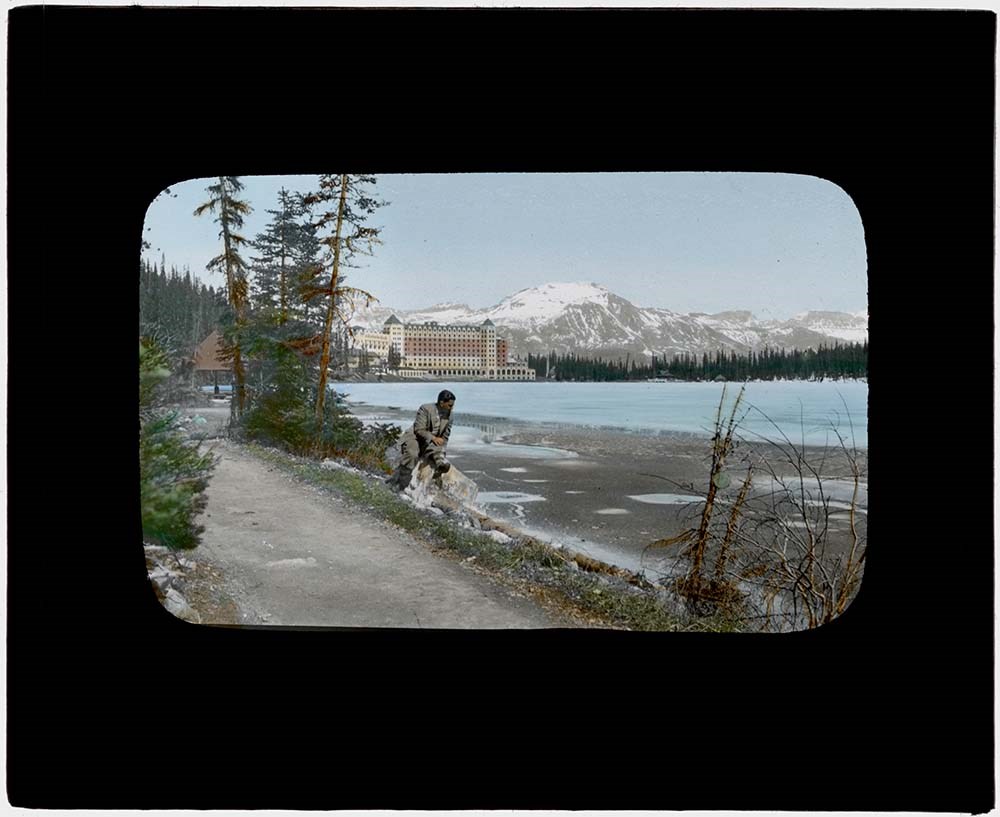
- [1] Sahdow Lake [2] Summer scene in Banff [3] Eifell Lake (some of the Ten Peaks) [4] Pinnacle Mt. from Mt. Temple [5] Consolation Mts. Biden and Quadra [6] Un-named lake between Consolation Valley and Boom Lake [7] Clouds on Mt. Cathedral [8] Mt. Cathedral [9] Glacier on east sloped of Mt. Narao, near Wapta [10] Descending Mt. Narao [11] Mt. Cathedral Lake O'Hara [12] Mt. Cathedral near Lake O'Hara [13] Alpine Club House in Lake O'Hara meadows [14] Lake O'Hara [15] On shores of Lake Margaret [16] Waterfall in Opabin Pass, Mt. Biddle [17] Chateau Lake Louise [18] Twin Falls Yoho Park [19] Below Twin Falls [19a] Below Twin Falls [20] Below Twin Falls [21] On Burgess Pass Trail [22] President group from Burgess Pass trail [23] Hoodoos up Hoodoo Creek [24] Shadow Lake [25] Road up to Mt. Norquay [26] On the trail in winter [27] Winter in Banff [28] Cloud of ridge [29] On shore of Shadow Lake [30] A short rest [31] Shadow Lake [32] Bow River near Banff -- Mt. Borgeau [33] Mt. Rundle by moonlight -- Banff [34] A promise of spring -- Forty Mile Creek [35] Winter [36] Sheep country in the foothills [37] The Golden West [38] Banff Springs Hotel [39] Amid the glaciers -- Mt. Balfour [40] Mt. Temple
- Name Access
- Leacock, Leonard
- Subject Access
- Photography
- Lantern slide
- Climbing
- Environment and Nature
- Fossils
- Glaciers
- Horses
- Horseback riding
- Hiking
- Landscapes
- National parks and reserves
- Scenery
- Wildlife
- Geographic Access
- Banff
- Lake Louise
- Lake O'Hara
- Jasper
- Banff National Park
- Yoho National Park
- Jasper National Park
- Alberta
- Canada
- Language
- N/A
- Conservation
- Slides cleaned prior to scanning. If possilbe, locate missing slide PS-104.
- Finding Aid
- List available
- Related Material
- Corresponding negatives exist for some lantern slides Accompanying lantern slide notes moved to M372 / 14-18
- Creator
- Leacock, Leonard
- Title Source
- Title based on contents of file.
- Processing Status
- Processed
Electronic Resources
Images


This material is presented as originally created; it may contain outdated cultural descriptions and
potentially offensive content.
Read more.
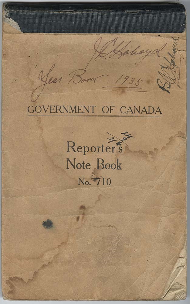
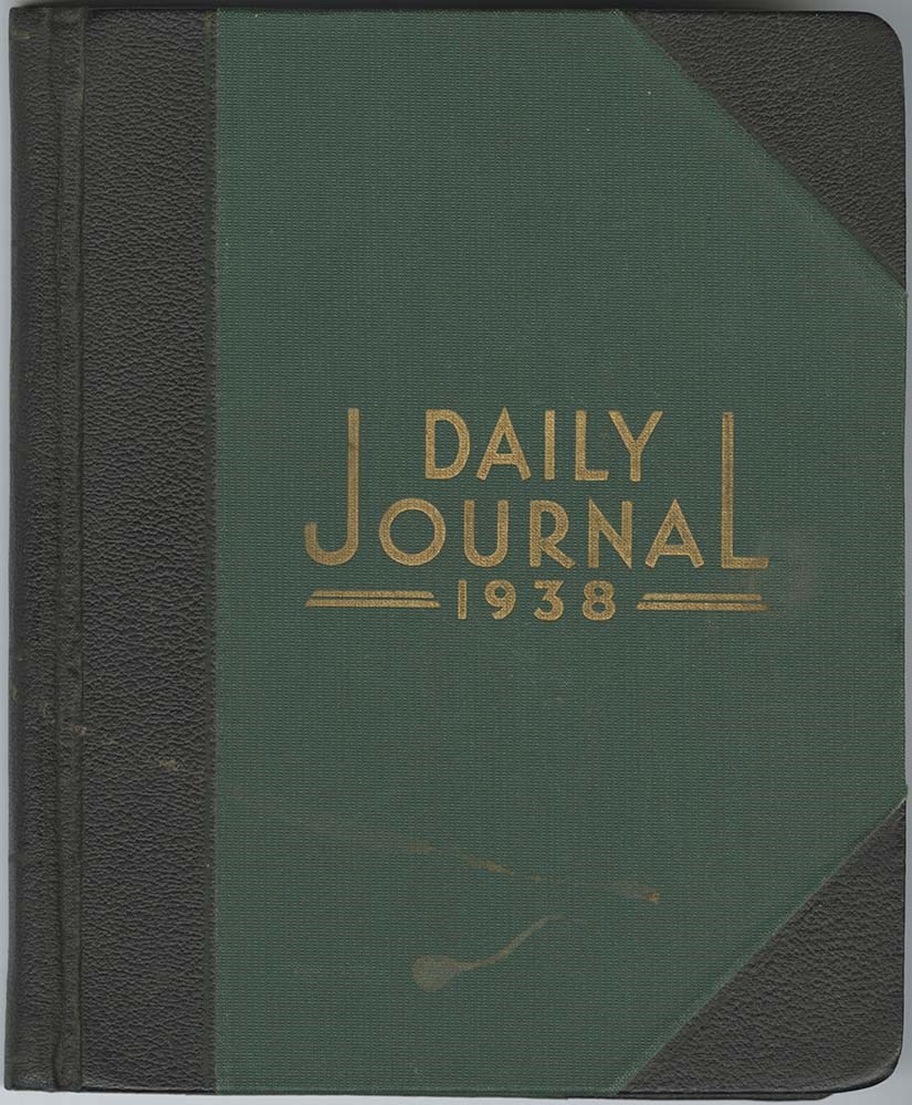
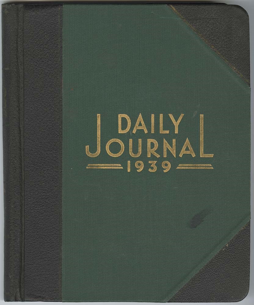
Park warden journals [2/3]
https://archives.whyte.org/en/permalink/descriptions15855
- Part Of
- Bo Holroyd fonds
- Scope & Content
- File consists of journals which present Bo Holroyd's personal record of daily work activities as park warden at Waterton Lakes National Park, 1920 to 1929. Significant observations on ungulate populations, game, wildlife management, warden service duties, and programs and human activity in the park…
- Date Range
- 1930-1939
- Reference Code
- M495 / 10 to 19
- Description Level
- 5 / File
- GMD
- Diary
- Government record
- Textual record
10 images
10 Electronic Resources
- Part Of
- Bo Holroyd fonds
- Description Level
- 5 / File
- Fonds Number
- M495
- Series
- I. Park warden series
- Sous-Fonds
- M495
- Accession Number
- 4011
- Reference Code
- M495 / 10 to 19
- Date Range
- 1930-1939
- Physical Description
- 13 cm of textual records (10 volumes ; 17 x 21 cm)
- History / Biographical
- See fonds level description.
- Scope & Content
- File consists of journals which present Bo Holroyd's personal record of daily work activities as park warden at Waterton Lakes National Park, 1920 to 1929. Significant observations on ungulate populations, game, wildlife management, warden service duties, and programs and human activity in the park are included. File is 2/3
- Notes
- Blank pages not scanned.
- Name Access
- Holroyd, Bo
- Subject Access
- Animals
- Bighorn Sheep
- Boats
- Bridges
- Buildings and facilities
- Cabins and shelters
- Camps
- Conservation
- Dairies
- Ecology
- Environment and Nature
- Forestry
- Parks
- Parks Canada
- Records
- Trail making
- Trails
- Warden cabins
- Wardens
- Wildlife
- Geographic Access
- Waterton
- Waterton National Park
- Alberta
- Canada
- Language
- English
- Conservation
- Blank pages not scanned
- Title Source
- Title based on contents of file
- Content Details
- LIST OF SUBJECTS :
- * Correspondence
- * Stores inventories
- * Fire equipment inventories
- * Report preparation
- * Horse purchases
- * Warden diary review
- * Town fire brigade instruction
- * Patrols
- * Trail and telephone line inspections
- * Timber cruising
- * Phone line repair
- * Financial estimation
- * Fire hazard inspection of townsite buildings
- * Sending water and milk samples for testing
- * Timber cutting operations review
- * Timber scaling
- * Haying supervision at Park farm
- * Phone line construction
- * Trail crew supervision
- * Inspections of trails, phone lines, cabins with Superintendent
- * Horse vaccinations
- * Measurement and photographing of cabins and outbuildings
- * Shipping hides to National Museum
- * Hiring blacksmith
- * Court duty
- * Wildlife management and control
- * Trainee supervision
- Processing Status
- Processed
Electronic Resources


Images


This material is presented as originally created; it may contain outdated cultural descriptions and
potentially offensive content.
Read more.
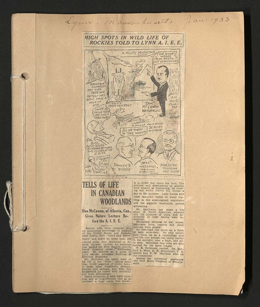
Dan McCowan Career Scrapbook
https://archives.whyte.org/en/permalink/descriptions15883
- Part Of
- Dan and Mary McCowan fonds
- Scope & Content
- File consists of a scrapbook of newspaper clippings regarding the career of Dan McCowan. Includes entirely clippings about his photographs and lectures throughout North America.
- Date Range
- 1929-1941
- Reference Code
- M55 / 16
- Description Level
- 5 / File
- GMD
- Scrapbook
1 image
1 Electronic Resource
- Part Of
- Dan and Mary McCowan fonds
- Description Level
- 5 / File
- Fonds Number
- M55 / V408
- Series
- I / D Dan McCowan : Professional activities
- Sous-Fonds
- M55
- Accession Number
- 6892
- Reference Code
- M55 / 16
- GMD
- Scrapbook
- Date Range
- 1929-1941
- Physical Description
- 3 cm of textual records (49 pages ; 23 x 28 cm)
- History / Biographical
- See fonds level description.
- Scope & Content
- File consists of a scrapbook of newspaper clippings regarding the career of Dan McCowan. Includes entirely clippings about his photographs and lectures throughout North America.
- Name Access
- McCowan, Dan
- Subject Access
- Academics
- Community events
- Description and travel
- Education
- Environment and Nature
- Events
- Lecture
- Newspaper
- Professional and Personal Life
- Public Speaking
- Geographic Access
- Banff
- Lake Louise
- Banff National Park
- Alberta
- Canada
- Language
- English
- Title Source
- Title based on contents of file
- Processing Status
- Processed
Electronic Resources
Images
This material is presented as originally created; it may contain outdated cultural descriptions and
potentially offensive content.
Read more.
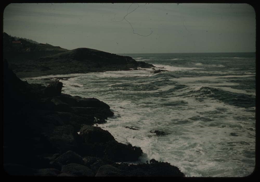
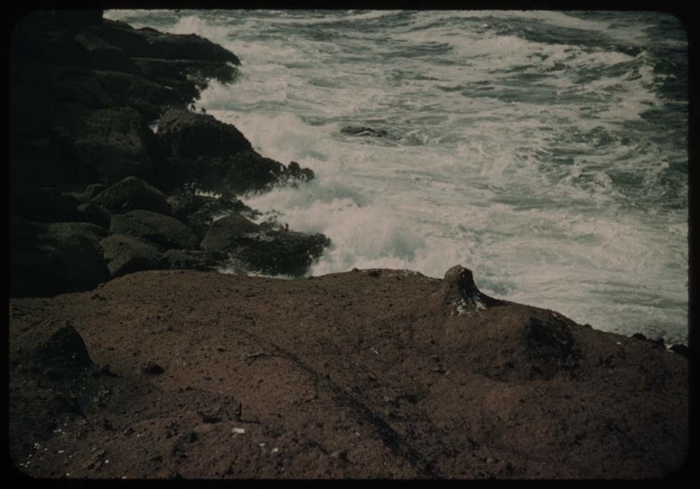
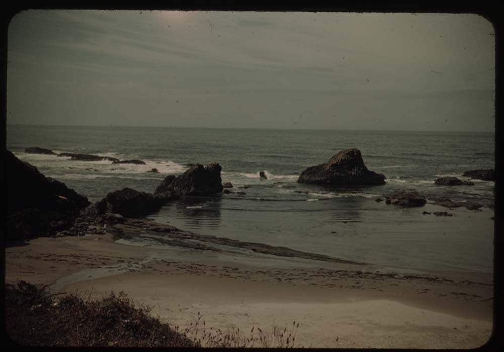
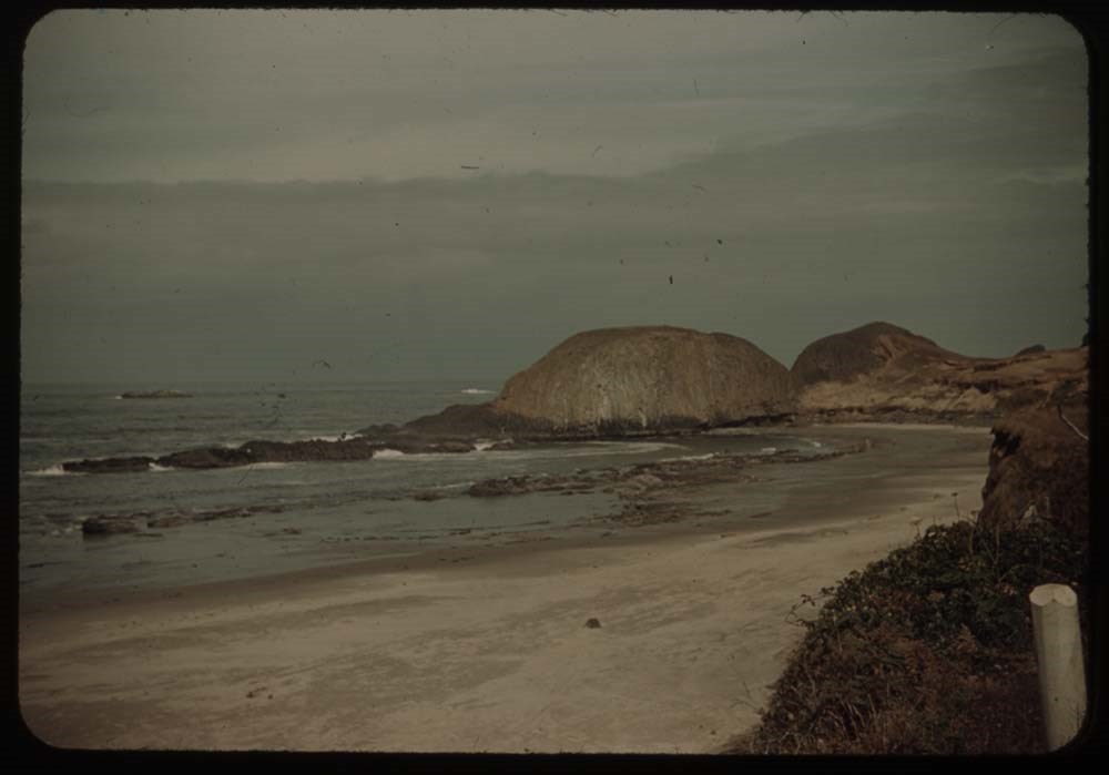
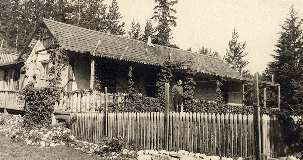
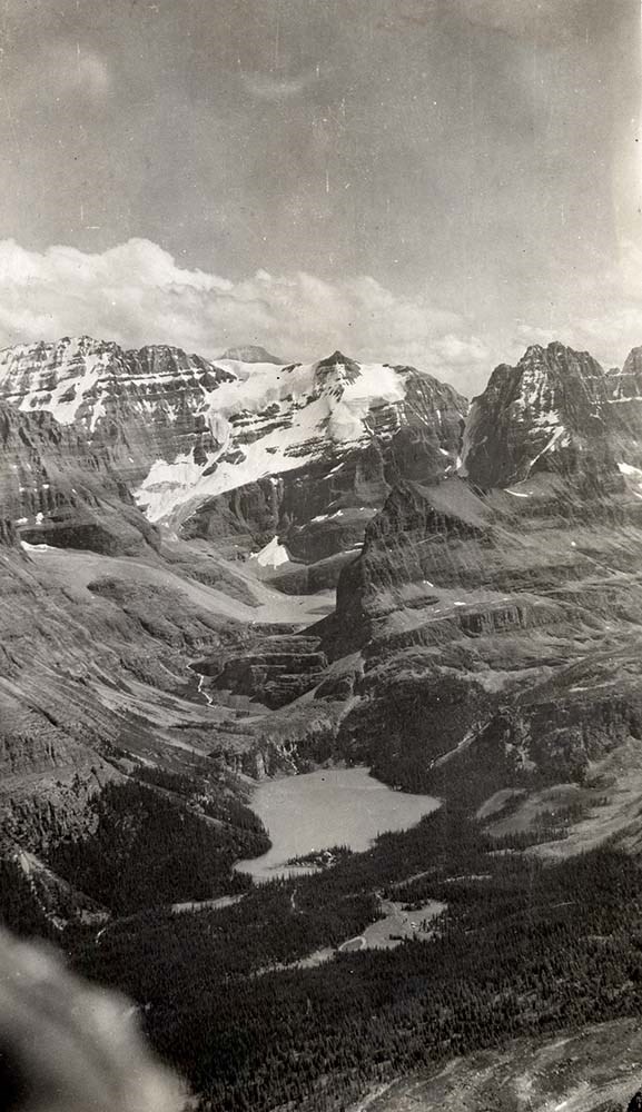
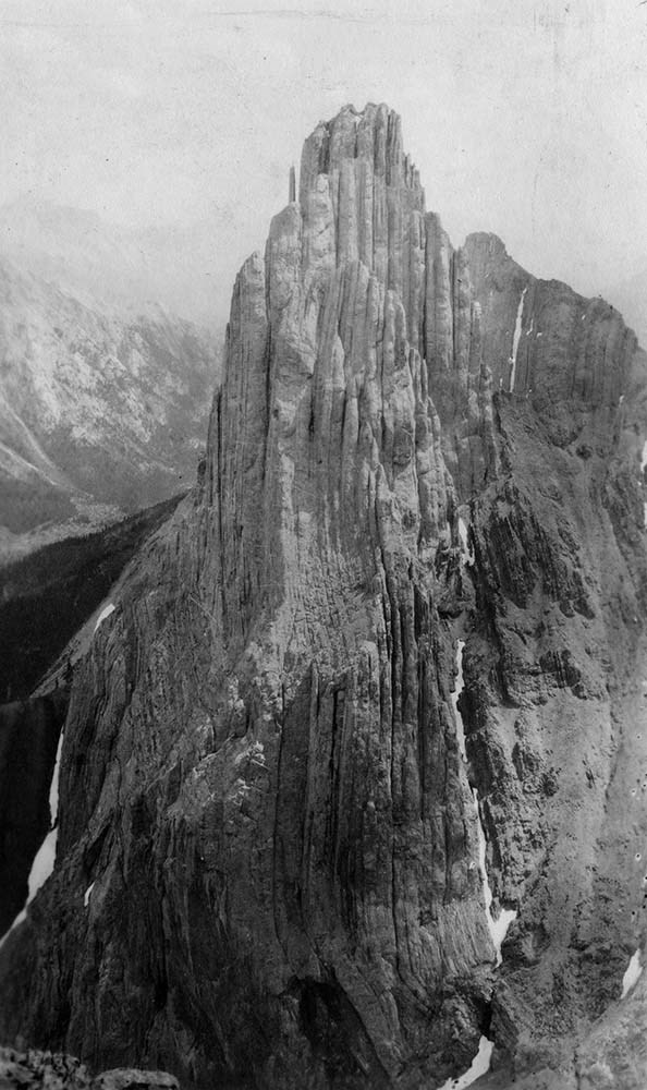
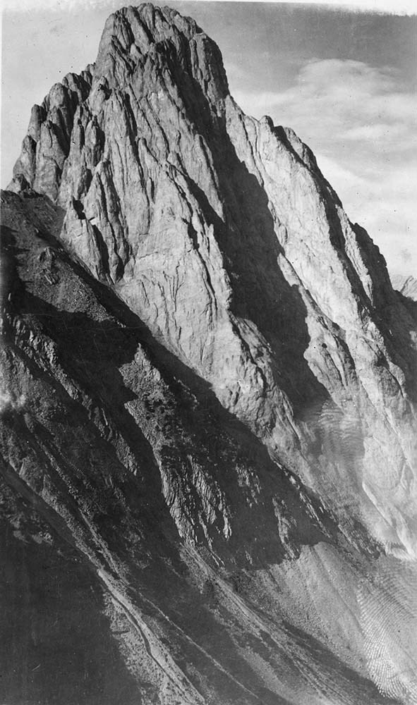
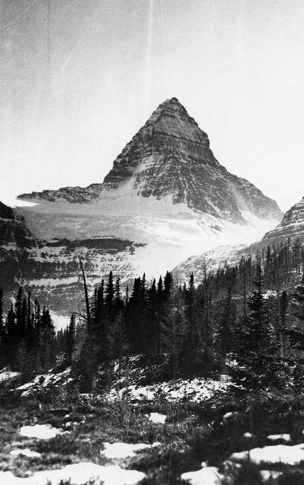
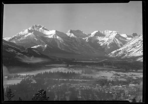
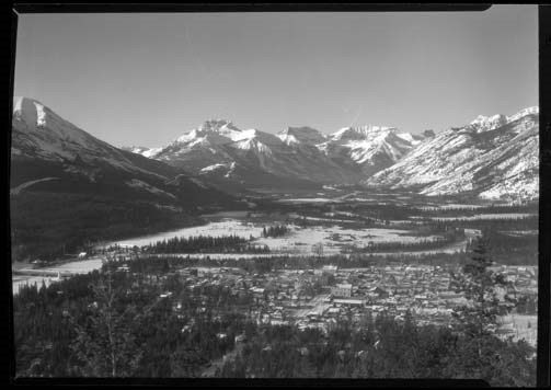
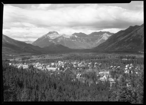
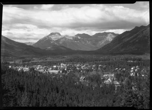
Canadian Rockies Photograph Album
https://archives.whyte.org/en/permalink/descriptions3599
- Part Of
- Lawrence Grassi fonds
- Scope & Content
- File pertains to a photo album that Includes an assortment of views of the Canadian Rockies; mainly duplicates of those images in Series I. Landscape Photographs. Item-level inventory available.
- Date Range
- [ca. 1930-1970]
- Reference Code
- V240 / II / A / PD - 624
- Description Level
- 5 / File
- GMD
- Album
- Photograph
6 images
- Part Of
- Lawrence Grassi fonds
- Description Level
- 5 / File
- Fonds Number
- M45 / V240
- Series
- II.A. Landscape photographs
- Sous-Fonds
- V240
- Accession Number
- 3159
- Reference Code
- V240 / II / A / PD - 624
- GMD
- Album
- Photograph
- Date Range
- [ca. 1930-1970]
- Physical Description
- 1 photograph album (180 prints)
- History / Biographical
- See fonds level description
- Scope & Content
- File pertains to a photo album that Includes an assortment of views of the Canadian Rockies; mainly duplicates of those images in Series I. Landscape Photographs. Item-level inventory available.
- Name Access
- Grassi, Lawrence
- Subject Access
- Activities
- Alpine Club of Canada
- Animals
- Cabins and shelters
- Camps
- Environment and Nature
- Exploration
- Family and personal life
- Grassi Lakes
- Home
- Kananaskis Country
- Lake O'Hara region
- Mountains
- Parks
- Provincial parks and reserves
- Scenery
- Trails
- Trail making
- Travel
- Geographic Access
- Canmore
- Lake Louise
- Lake O'Hara
- Banff
- Banff National Park
- Yoho National Park
- Kananaskis
- Alberta
- British Columbia
- Canada
- Language
- English
- Title Source
- Title based on contents of file
- Processing Status
- Processed
Images

This material is presented as originally created; it may contain outdated cultural descriptions and
potentially offensive content.
Read more.
Bourgeau Range from Harmon house
https://archives.whyte.org/en/permalink/descriptions30388
- Part Of
- Byron Harmon fonds
- Date Range
- [between 1903 and 1942]
- Reference Code
- V263 / NA - 4448 to 4461
- Description Level
- 5 / File
- GMD
- Negative
14 images
- Part Of
- Byron Harmon fonds
- Description Level
- 5 / File
- Fonds Number
- V263
- Series
- I. Scenic / commercial series
- Sub-Series
- A.1.a. Negatives, Main series : 13 x 18 cm and smaller
- Reference Code
- V263 / NA - 4448 to 4461
- GMD
- Negative
- Date Range
- [between 1903 and 1942]
- Physical Description
- 14 photographs : negatives, 13 x 18 cm or smaller
- Subject Access
- Environment and Nature
- Geographic Access
- Alberta
- Creator
- Byron Harmon (Banff, Alberta)
Images


This material is presented as originally created; it may contain outdated cultural descriptions and
potentially offensive content.
Read more.
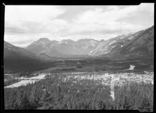
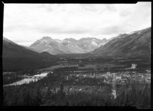
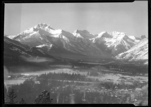
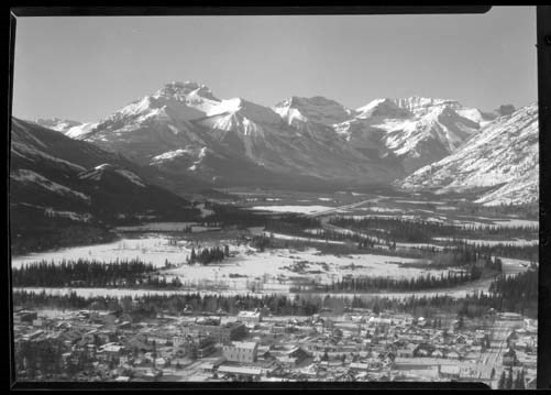
Banff views, west road
https://archives.whyte.org/en/permalink/descriptions39971
- Part Of
- George Noble fonds
- Scope & Content
- Pertains to Banff-Lake Louise Highway
- Date Range
- [ca.1930-ca.1940]
- Reference Code
- V469 / 221 - 229
- Description Level
- 5 / File
- GMD
- Photograph
1 image
- Part Of
- George Noble fonds
- Description Level
- 5 / File
- Series
- I. Scenic and documentary views
- Reference Code
- V469 / 221 - 229
- GMD
- Photograph
- Date Range
- [ca.1930-ca.1940]
- Physical Description
- 9 negatives : 9.5 x 12 cm
- Scope & Content
- Pertains to Banff-Lake Louise Highway
- Subject Access
- Environment and Nature
- Transportation
- Geographic Access
- Alberta
Images

This material is presented as originally created; it may contain outdated cultural descriptions and
potentially offensive content.
Read more.
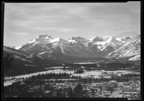
Banff views, Sawback Range
https://archives.whyte.org/en/permalink/descriptions39972
- Part Of
- George Noble fonds
- Scope & Content
- Pertains to Bourgeau, Mount; Massive Range
- Date Range
- [ca.1920-ca.1940]
- Reference Code
- V469 / 230 - 240
- Description Level
- 5 / File
- GMD
- Photograph
1 image
- Part Of
- George Noble fonds
- Description Level
- 5 / File
- Series
- I. Scenic and documentary views
- Reference Code
- V469 / 230 - 240
- GMD
- Photograph
- Date Range
- [ca.1920-ca.1940]
- Physical Description
- 11 negatives : 12 x 17 cm or smaller
- Scope & Content
- Pertains to Bourgeau, Mount; Massive Range
- Subject Access
- Environment and Nature
- Geographic Access
- Alberta
Images
This material is presented as originally created; it may contain outdated cultural descriptions and
potentially offensive content.
Read more.
- Part Of
- George Noble fonds
- Date Range
- ca.1920-ca.1940
- Reference Code
- V469 / 316 - 317
- Description Level
- 5 / File
- GMD
- Photograph
1 image
- Part Of
- George Noble fonds
- Description Level
- 5 / File
- Series
- I. Scenic and documentary views
- Reference Code
- V469 / 316 - 317
- GMD
- Photograph
- Date Range
- ca.1920-ca.1940
- Physical Description
- 2 negatives : 10 x 13 cm or smaller
- Subject Access
- Environment and Nature
- Geographic Access
- Alberta
Images
This material is presented as originally created; it may contain outdated cultural descriptions and
potentially offensive content.
Read more.
Bow Lakes area
https://archives.whyte.org/en/permalink/descriptions39976
- Part Of
- George Noble fonds
- Date Range
- [ca.1920-ca.1940]
- Reference Code
- V469 / 334 - 350
- Description Level
- 5 / File
- GMD
- Photograph
1 image
- Part Of
- George Noble fonds
- Description Level
- 5 / File
- Series
- I. Scenic and documentary views
- Reference Code
- V469 / 334 - 350
- GMD
- Photograph
- Date Range
- [ca.1920-ca.1940]
- Physical Description
- 17 negatives : 8 x 11 cm
- Subject Access
- Environment and Nature
- Geographic Access
- Alberta
Images
This material is presented as originally created; it may contain outdated cultural descriptions and
potentially offensive content.
Read more.
- Part Of
- George Noble fonds
- Date Range
- [ca.1920-ca.1940]
- Reference Code
- V469 / 361 - 363
- Description Level
- 5 / File
- GMD
- Photograph
1 image
- Part Of
- George Noble fonds
- Description Level
- 5 / File
- Series
- I. Scenic and documentary views
- Reference Code
- V469 / 361 - 363
- GMD
- Photograph
- Date Range
- [ca.1920-ca.1940]
- Physical Description
- 3 negatives : 12 x 17 cm or smaller
- Subject Access
- Environment and Nature
- Geographic Access
- Alberta
Images
This material is presented as originally created; it may contain outdated cultural descriptions and
potentially offensive content.
Read more.
- Part Of
- George Noble fonds
- Date Range
- [ca.1920-ca.1940]
- Reference Code
- V469 / 364 - 372
- Description Level
- 5 / File
- GMD
- Photograph
1 image
- Part Of
- George Noble fonds
- Description Level
- 5 / File
- Series
- I. Scenic and documentary views
- Reference Code
- V469 / 364 - 372
- GMD
- Photograph
- Date Range
- [ca.1920-ca.1940]
- Physical Description
- 9 negatives : 12 x 17 cm or smaller
- Subject Access
- Environment and Nature
- Geographic Access
- Alberta
Images
This material is presented as originally created; it may contain outdated cultural descriptions and
potentially offensive content.
Read more.
- Part Of
- George Noble fonds
- Date Range
- [ca.1920-ca.1940]
- Reference Code
- V469 / 373 - 379
- Description Level
- 5 / File
- GMD
- Photograph
1 image
- Part Of
- George Noble fonds
- Description Level
- 5 / File
- Series
- I. Scenic and documentary views
- Reference Code
- V469 / 373 - 379
- GMD
- Photograph
- Date Range
- [ca.1920-ca.1940]
- Physical Description
- 7 negatives : 9 x 12 cm
- Subject Access
- Environment and Nature
- Geographic Access
- British Columbia
Images
This material is presented as originally created; it may contain outdated cultural descriptions and
potentially offensive content.
Read more.
- Part Of
- George Noble fonds
- Date Range
- [ca.1920-ca.1940]
- Reference Code
- V469 / 380 - 385
- Description Level
- 5 / File
- GMD
- Photograph
1 image
- Part Of
- George Noble fonds
- Description Level
- 5 / File
- Series
- I. Scenic and documentary views
- Reference Code
- V469 / 380 - 385
- GMD
- Photograph
- Date Range
- [ca.1920-ca.1940]
- Physical Description
- 6 negatives : 12 x 17 cm or smaller
- Subject Access
- Environment and Nature
- Geographic Access
- British Columbia
Images
This material is presented as originally created; it may contain outdated cultural descriptions and
potentially offensive content.
Read more.