Narrow Results By
Town of Banff land use district map
https://archives.whyte.org/en/permalink/catalogue23278
- Medium
- Library - Maps and blueprints (unannotated; published)
- Map
- Published Date
- 1994
- Publisher
- Town of Banff Planning & Development Department
- Call Number
- C4-1.21
- Publisher
- Town of Banff Planning & Development Department
- Published Date
- 1994
- Physical Description
- 1 map : col
- Scale
- Scale: 1:5000
- Accession Number
- 27,500
- Call Number
- C4-1.21
- Collection
- Archives Library
This material is presented as originally created; it may contain outdated cultural descriptions and
potentially offensive content.
Read more.
Town of Banff land use district map
https://archives.whyte.org/en/permalink/catalogue23277
- Medium
- Library - Maps and blueprints (unannotated; published)
- Map
- Published Date
- 1992
- Publisher
- I.D. Enginering Company
- Call Number
- C4-1.20
- Publisher
- I.D. Enginering Company
- Published Date
- 1992
- Physical Description
- 1 map
- Scale
- Scale: 1 : 5,000
- Subjects
- Banff townsite
- Call Number
- C4-1.20
- Collection
- Archives Library
This material is presented as originally created; it may contain outdated cultural descriptions and
potentially offensive content.
Read more.
Banff land use bylaw
https://archives.whyte.org/en/permalink/catalogue23276
- Medium
- Library - Maps and blueprints (unannotated; published)
- Map
- Published Date
- November 13, 1989
- Call Number
- C4-1.19
- Responsibility
- sgd. Barlow et al.
- Published Date
- November 13, 1989
- Physical Description
- 1 map
- Scale
- Scale: 1 : 5,000
- Subjects
- Banff townsite
- Call Number
- C4-1.19
- Collection
- Archives Library
This material is presented as originally created; it may contain outdated cultural descriptions and
potentially offensive content.
Read more.
Plan of Banff, Rocky Mountains Park, Alberta
https://archives.whyte.org/en/permalink/catalogue23256
- Medium
- Library - Maps and blueprints (unannotated; published)
- Map
- Published Date
- 1981
- Publisher
- Dept. of the Interior, Canada
- Call Number
- C4-1.3a
- Responsibility
- Ottawa: Association of Canadian Map Libraries in cooperation with Iain C. Taylor
- Publisher
- Dept. of the Interior, Canada
- Published Date
- 1981
- Physical Description
- 1 map : black and white
- Scale
- Scale: 1 inch = 400 feet
- Notes
- Facsimile/Association of Canadian Map Libraries; no. 29
- Reproduced from original in National Map Collection, Public Archives Canada (ca 1917)
- 1920. Limited edition, Copy 452
- Accession Number
- 3465
- 6073
- Call Number
- C4-1.3a
- Collection
- Archives Library
This material is presented as originally created; it may contain outdated cultural descriptions and
potentially offensive content.
Read more.
Schedule: Banff Townsite zoning regulations district map
https://archives.whyte.org/en/permalink/catalogue23275
- Medium
- Library - Maps and blueprints (unannotated; published)
- Map
- Published Date
- 1980
- Publisher
- Edmonton: Alberta Appraisal Company
- Call Number
- C4-1.18
- Publisher
- Edmonton: Alberta Appraisal Company
- Published Date
- 1980
- Physical Description
- 1 map
- Scale
- Scale: 1 inch = 400 feet
- Subjects
- Banff townsite
- Notes
- Accompanies library item: An appraisal of commercial, multi-family ... sites located at Banff National Park, Alberta (13.112/B22a)
- 15 copies
- Accession Number
- 3408
- Call Number
- C4-1.18
- Collection
- Archives Library
This material is presented as originally created; it may contain outdated cultural descriptions and
potentially offensive content.
Read more.
Townsite of Banff reference plan
https://archives.whyte.org/en/permalink/catalogue23274
- Medium
- Library - Maps and blueprints (unannotated; published)
- Map
- Published Date
- 1979
- Publisher
- Ottawa? : Parks Canada?
- Call Number
- C4-1.17
- Publisher
- Ottawa? : Parks Canada?
- Published Date
- 1979
- Physical Description
- 1 map
- Scale
- Scale: 1 inch = 200 feet
- Subjects
- Banff townsite
- Accession Number
- 6741
- Call Number
- C4-1.17
- Collection
- Archives Library
This material is presented as originally created; it may contain outdated cultural descriptions and
potentially offensive content.
Read more.
Reference plan of townsite of Banff
https://archives.whyte.org/en/permalink/catalogue23268
- Medium
- Library - Maps and blueprints (unannotated; published)
- Map
- Published Date
- August 20, 1969
- Publisher
- Canada Land Survey Records
- Call Number
- C4-1.12
- Publisher
- Canada Land Survey Records
- Published Date
- August 20, 1969
- Scale
- Scale: 1":300'
- Subjects
- Banff townsite
- Notes
- Black and white
- 2 copies
- Accession Number
- 1115
- 2917
- Call Number
- C4-1.12
- Collection
- Archives Library
This material is presented as originally created; it may contain outdated cultural descriptions and
potentially offensive content.
Read more.
Reference plan of townsite of Banff
https://archives.whyte.org/en/permalink/catalogue23266
- Medium
- Library - Maps and blueprints (unannotated; published)
- Map
- Published Date
- 1966
- Publisher
- Dept. of Mines and Technical Surveys
- Call Number
- C4-1.11
- Publisher
- Dept. of Mines and Technical Surveys
- Published Date
- 1966
- Physical Description
- 1 map : black and white
- Scale
- Scale: 1"=300'
- Subjects
- Banff townsite
- Notes
- Black and white
- Accession Number
- 836
- Call Number
- C4-1.11
- Collection
- Archives Library
This material is presented as originally created; it may contain outdated cultural descriptions and
potentially offensive content.
Read more.
Reference plan of Town of Banff
https://archives.whyte.org/en/permalink/catalogue23267
- Medium
- Library - Maps and blueprints (unannotated; published)
- Map
- Published Date
- 1956
- Publisher
- Ottawa: Office of the Surveyor General
- Call Number
- C4-1.11
- Publisher
- Ottawa: Office of the Surveyor General
- Published Date
- 1956
- Physical Description
- 1 map : black and white
- Scale
- Scale: 1 inch = 250 feet
- Subjects
- Banff townsite
- Notes
- Revised to April, 1956
- Portions outlined in red
- Call Number
- C4-1.11
- Collection
- Archives Library
This material is presented as originally created; it may contain outdated cultural descriptions and
potentially offensive content.
Read more.
Insurance plan of the Town of Banff Alberta : November 1955 Population 2,850
https://archives.whyte.org/en/permalink/catalogue24233
- Medium
- Library - Maps and blueprints (unannotated; published)
- Map
- Published Date
- November, 1955
- Publisher
- Winnipeg: Western Canada Insurance Underwriters Ass'n
- Call Number
- C4-1.14(c), 1955
- Publisher
- Winnipeg: Western Canada Insurance Underwriters Ass'n
- Published Date
- November, 1955
- Scale
- Scale: 1"-800'
- Subjects
- Banff townsite
- Notes
- Maps of lots and blocks of Town of Banff non-personal buildings detailing construction materials used and other information recorded for fire insurance maps. The buildings include hotels, restaurants, garages, tour companies and other businesses, schools, churches and other non-residential lots in 1955.
- This plan consists of the following sheets: Master Title, Key of Signs and Detail Sheets 1 to 6
- See also: C4-1.14
- Fire insurance map
- Accession Number
- 7561
- Call Number
- C4-1.14(c), 1955
- Collection
- Archives Library
This material is presented as originally created; it may contain outdated cultural descriptions and
potentially offensive content.
Read more.
[Banff Townsite]
https://archives.whyte.org/en/permalink/catalogue23269
- Medium
- Library - Maps and blueprints (unannotated; published)
- Map
- Published Date
- November, 1955
- Publisher
- Winnipeg: Western Canada Insurance Underwriters Ass'n
- Call Number
- C4-1.14(a), 1955
- Publisher
- Winnipeg: Western Canada Insurance Underwriters Ass'n
- Published Date
- November, 1955
- Scale
- Scale: 1"-800'
- Subjects
- Banff townsite
- Notes
- 4 sheets of maps showing Business Lots, Recreation Areas, Population, Schools of Banff townsite in 1955.
- See also: C4-1.14
- Fire insurance map
- Accession Number
- 2678
- Call Number
- C4-1.14(a), 1955
- Collection
- Archives Library
This material is presented as originally created; it may contain outdated cultural descriptions and
potentially offensive content.
Read more.
Plan of lots 1A, 2A & 4A south of Bow River, Banff, Alberta
https://archives.whyte.org/en/permalink/catalogue23265
- Medium
- Library - Maps and blueprints (unannotated; published)
- Map
- Published Date
- 1950
- Publisher
- Banff: Resident Engineer's Office
- Call Number
- C4-1.10a
- Publisher
- Banff: Resident Engineer's Office
- Published Date
- 1950
- Physical Description
- 1 map : blueprint
- Scale
- Scale: 1 inch = 40 feet
- Subjects
- Banff townsite
- Notes
- Signed: J.R.W.
- Bearings shown refer to plan approved . . . 10th May, 1913
- Accession Number
- 3500
- Call Number
- C4-1.10a
- Collection
- Archives Library
This material is presented as originally created; it may contain outdated cultural descriptions and
potentially offensive content.
Read more.
[Banff - Sketch plan of Banff townsite]
https://archives.whyte.org/en/permalink/catalogue23259
- Medium
- Library - Maps and blueprints (unannotated; published)
- Map
- Published Date
- 1940
- Publisher
- Department of Mines and Resources
- Call Number
- C4-1.5
- Publisher
- Department of Mines and Resources
- Published Date
- 1940
- Physical Description
- 1 map : black and white
- Scale
- Scale: 400' = 1"
- Subjects
- Banff townsite
- Notes
- Duplicate - Map Room - Accn. 1038, 2933
- Accession Number
- 1161
- 1038
- 2933
- Call Number
- C4-1.5
- Collection
- Archives Library
This material is presented as originally created; it may contain outdated cultural descriptions and
potentially offensive content.
Read more.
[Banff Townsite]
https://archives.whyte.org/en/permalink/catalogue23270
- Medium
- Library - Maps and blueprints (unannotated; published)
- Map
- Published Date
- June, 1930
- Publisher
- Winnipeg: Western Canada Insurance Underwriters Ass'n
- Call Number
- C4-1.14, 1930
- Publisher
- Winnipeg: Western Canada Insurance Underwriters Ass'n
- Published Date
- June, 1930
- Scale
- Scale: 1"-400'
- Subjects
- Banff townsite
- Notes
- 10 sheets of maps showing Business Lots, Recreation Areas, Population, Schools of Banff townsite in 1930
- See also: C4-1.14(a)
- Fire insurance map
- Accession Number
- 400
- Call Number
- C4-1.14, 1930
- Collection
- Archives Library
This material is presented as originally created; it may contain outdated cultural descriptions and
potentially offensive content.
Read more.
[Banff - Townsite]
https://archives.whyte.org/en/permalink/catalogue21316
- Medium
- Library - Maps and blueprints (unannotated; published)
- Map
- Published Date
- 1912
- Call Number
- C4-1.13
- Published Date
- 1912
- Subjects
- Banff townsite
- Notes
- Black and white
- DAMAGED
- Accession Number
- 1113
- Call Number
- C4-1.13
- Collection
- Archives Library
This material is presented as originally created; it may contain outdated cultural descriptions and
potentially offensive content.
Read more.
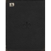
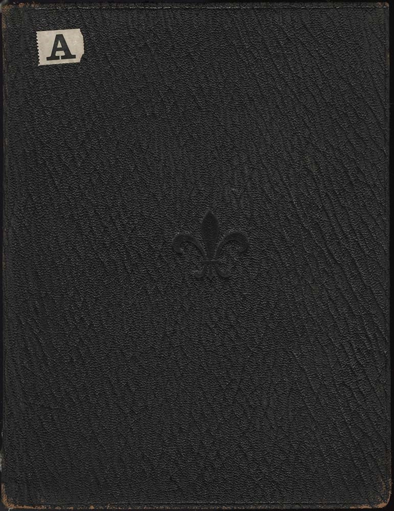
Canadian Mountains Album
https://archives.whyte.org/en/permalink/descriptions57659
- Part Of
- Alpine Club of Canada fonds
- Scope & Content
- Item consists of 1 photograph album compiled by Frank W. Freeborn of New York City for the Alpine Club of Canada. The album pertains to a 1905 ACC trip in and around the Banff & Lake Louise areas and includes black and white photographs and colourized postcards, all of which are annotated in white …
- Date Range
- 1905
- Reference Code
- V14 / AC 55P / PD - 1
- Description Level
- 6 / Item
- GMD
- Album
- Photograph
1 image
1 Electronic Resource
- Part Of
- Alpine Club of Canada fonds
- Description Level
- 6 / Item
- Fonds Number
- M200 / S6 / V14
- Series
- IV.B. Other material: photographic
- Sous-Fonds
- V14
- Accession Number
- 5200
- Reference Code
- V14 / AC 55P / PD - 1
- GMD
- Album
- Photograph
- Date Range
- 1905
- Physical Description
- 1 album (112 photographs : b&w and col. ; 25.7 x 20.3 cm)
- Scope & Content
- Item consists of 1 photograph album compiled by Frank W. Freeborn of New York City for the Alpine Club of Canada. The album pertains to a 1905 ACC trip in and around the Banff & Lake Louise areas and includes black and white photographs and colourized postcards, all of which are annotated in white ink. A fleur-de-lis is stamped into the center of the front cover, a small adhesive paper with an "A" printed on it is adhered to the top left corner, and "1905" is written in white ink on the spine.
- Name Access
- Alpine Club of Canada
- Subject Access
- Activities
- Alpine Club of Canada
- Animals
- Backpacking
- Banff townsite
- Bow Falls
- Bow River
- Bow Valley
- Buildings
- Camps
- Chateau Lake Louise
- Climbing
- Clothing and dress
- Club
- Environment and Nature
- Glaciers
- Hiking
- Horses
- Hotels
- Lake Louise
- Landscapes
- Mountaineering
- Mountaineers
- Mountains
- Period costume
- Photography
- Portrait
- Railways
- Scenery
- scenic
- Trails
- Transportation
- Geographic Access
- Banff
- Lake Louise
- Banff National Park
- Alberta
- Language
- English
- Finding Aid
- Inventory of the Alpine Club of Canada Collection, 1986, provides group or item-level description to this material
- Title Source
- Title based on item
- Processing Status
- Processed
Electronic Resources
Images
This material is presented as originally created; it may contain outdated cultural descriptions and
potentially offensive content.
Read more.
Banff Townsite base map : [south side, Bow River]
https://archives.whyte.org/en/permalink/catalogue23272
- Medium
- Library - Maps and blueprints (unannotated; published)
- Map
- Published Date
- 197?
- Author
- Webster, L.
- Publisher
- Ottawa, Dept. of Indian and Northern Affairs
- Call Number
- C4-1.15
- Author
- Webster, L.
- Publisher
- Ottawa, Dept. of Indian and Northern Affairs
- Published Date
- 197?
- Physical Description
- 1 map
- Scale
- Scale: 1 inch = 200 feet
- Subjects
- Banff townsite
- Accession Number
- 6741
- Call Number
- C4-1.15
- Collection
- Archives Library
This material is presented as originally created; it may contain outdated cultural descriptions and
potentially offensive content.
Read more.
- Medium
- Library - Maps and blueprints (unannotated; published)
- Map
- Published Date
- 197?
- Publisher
- Ottawa: Dept. of Indian Affairs and Northern Development
- Call Number
- C4-1.16
- Publisher
- Ottawa: Dept. of Indian Affairs and Northern Development
- Published Date
- 197?
- Physical Description
- 1 map
- Scale
- Scale: 1 inch = 200 feet
- Subjects
- Banff townsite
- Accession Number
- 6741
- Call Number
- C4-1.16
- Collection
- Archives Library
This material is presented as originally created; it may contain outdated cultural descriptions and
potentially offensive content.
Read more.
Park roads and trails in and around Banff Townsite
https://archives.whyte.org/en/permalink/catalogue23385
- Medium
- Library - Maps and blueprints (unannotated; published)
- Map
- Published Date
- [197-?]
- Publisher
- [Ottawa] : Parks Canada
- Call Number
- C6-4.3ea
- Publisher
- [Ottawa] : Parks Canada
- Published Date
- [197-?]
- Physical Description
- 1 map : col
- Scale
- 2 1/2 inches = 1 mile
- Subjects
- Banff townsite
- Notes
- Tourist information on reverse
- Accession Number
- 2933
- Call Number
- C6-4.3ea
- Collection
- Archives Library
This material is presented as originally created; it may contain outdated cultural descriptions and
potentially offensive content.
Read more.
Park roads and trails in and around Banff Townsite
https://archives.whyte.org/en/permalink/catalogue24318
- Medium
- Library - Maps and blueprints (unannotated; published)
- Map
- Published Date
- [197-?]
- Publisher
- [Ottawa] : Parks Canada
- Call Number
- C6-4.3ea
- Publisher
- [Ottawa] : Parks Canada
- Published Date
- [197-?]
- Physical Description
- 1 map : col
- Scale
- 2 1/2 inches = 1 mile
- Subjects
- Banff townsite
- Notes
- Tourist information on reverse
- Accession Number
- 2933
- Call Number
- C6-4.3ea
- Collection
- Archives Library
This material is presented as originally created; it may contain outdated cultural descriptions and
potentially offensive content.
Read more.