Narrow Results By
- Nicholas Morant fonds 7
- Charles Macmunn fonds 6
- Luxton family fonds 6
- Archives General File Collection 3
- Dorothy Wardle fonds 3
- Kidney family fonds 3
- Trail Riders of the Canadian Rockies fonds 3
- Alpine Club of Canada fonds 2
- Ben Gadd fonds 2
- Dorothy Cranstone fonds 2
- George K. K. (Tommy) Link fonds 2
- Jim Brewster family fonds 2
- Part Of
- Archives General File Collection
- Scope & Content
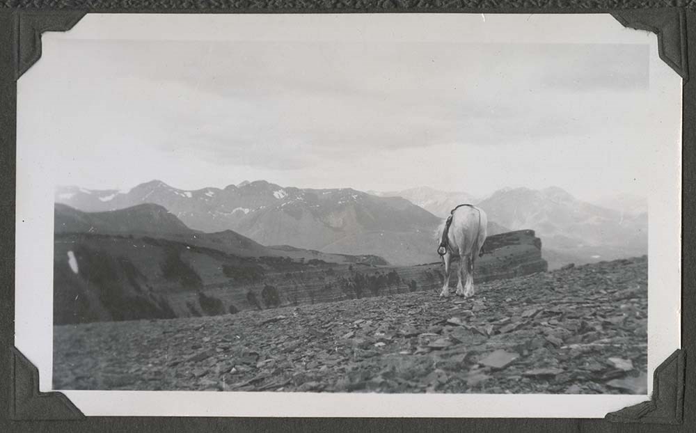
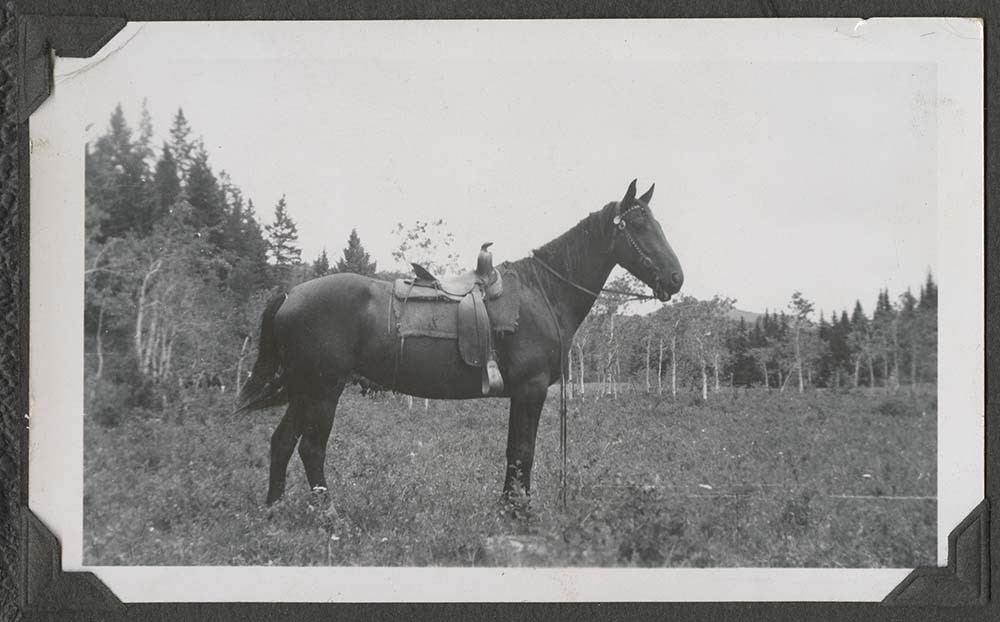
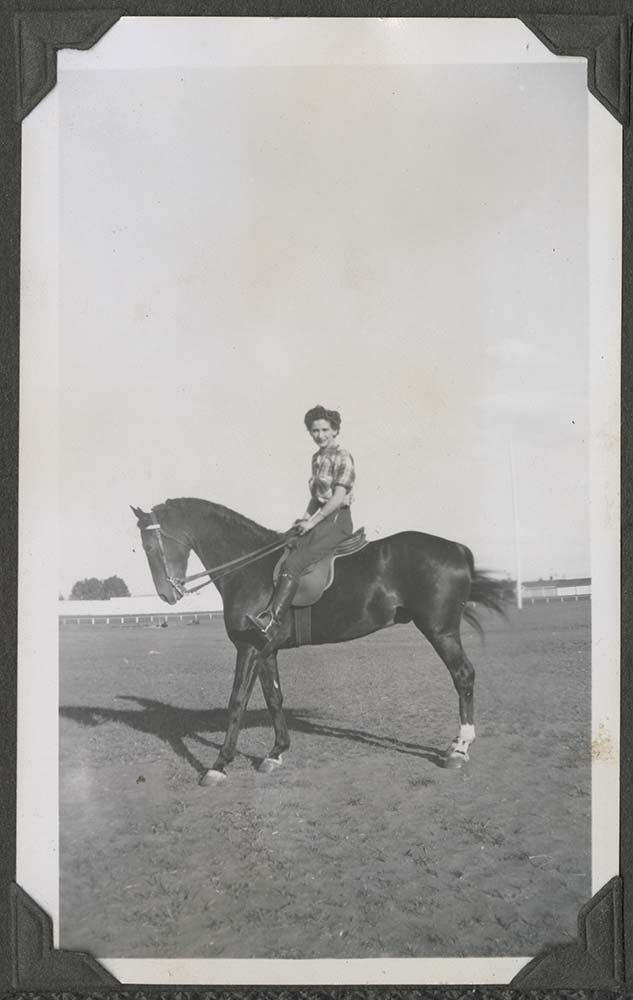
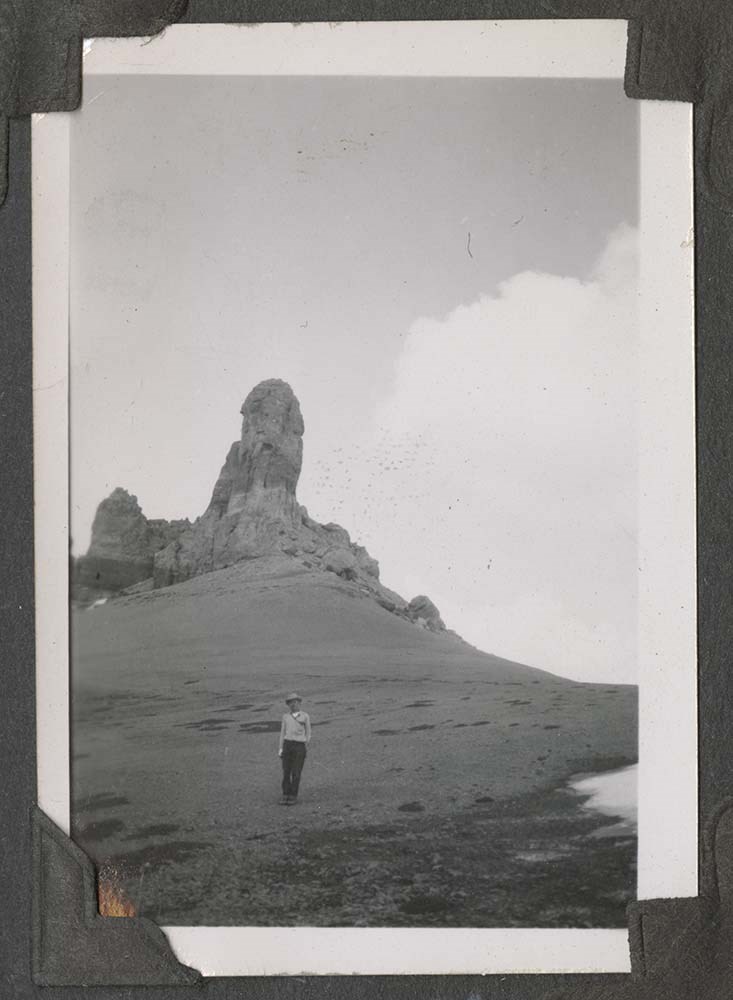
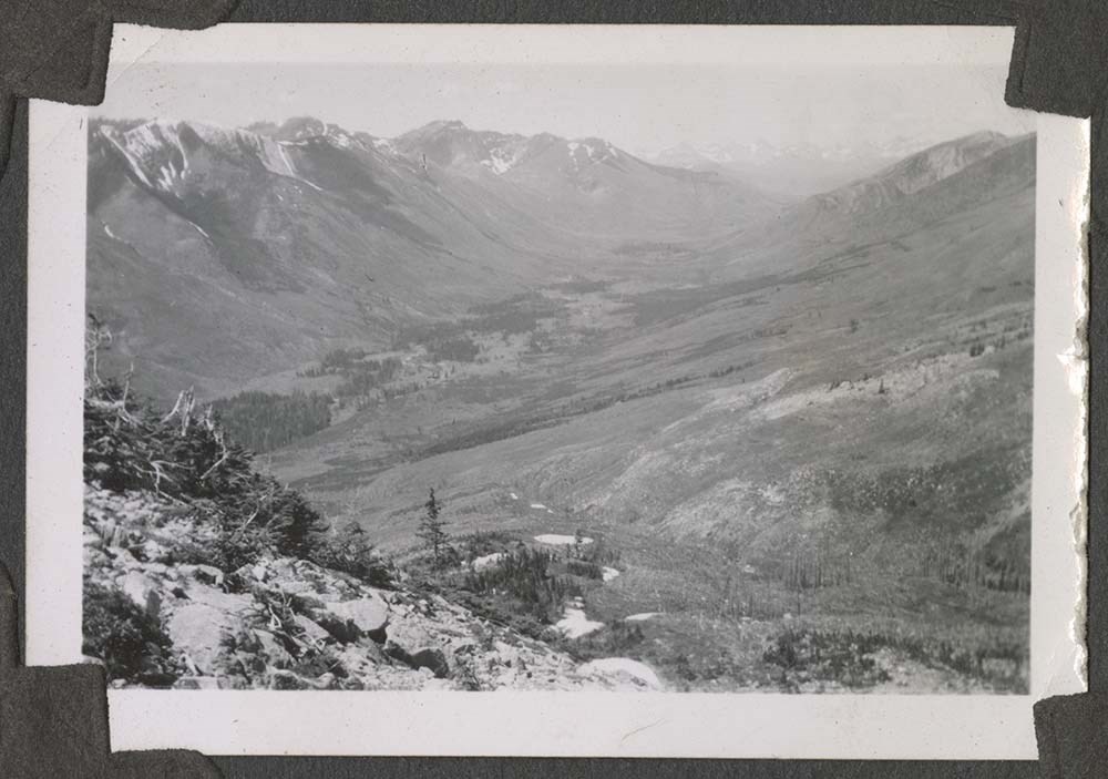
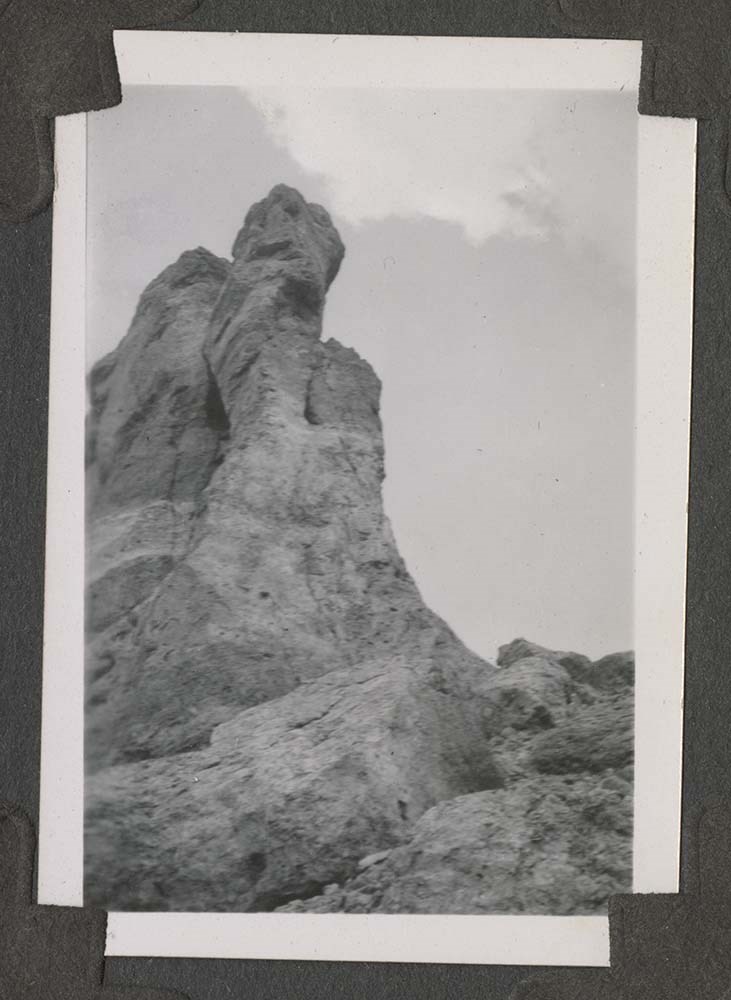
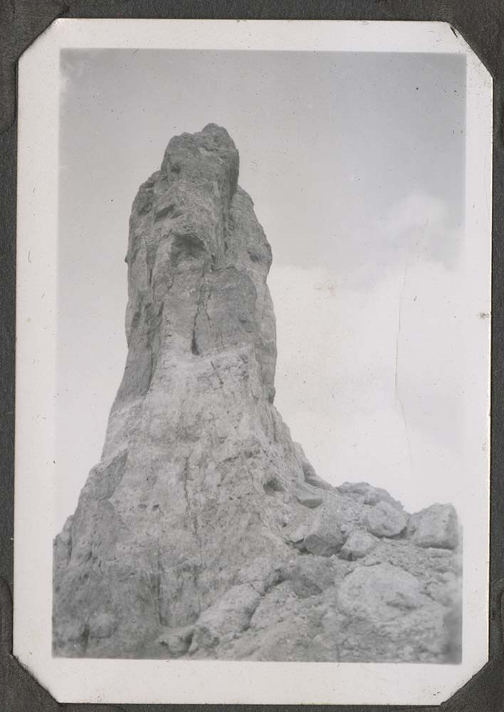
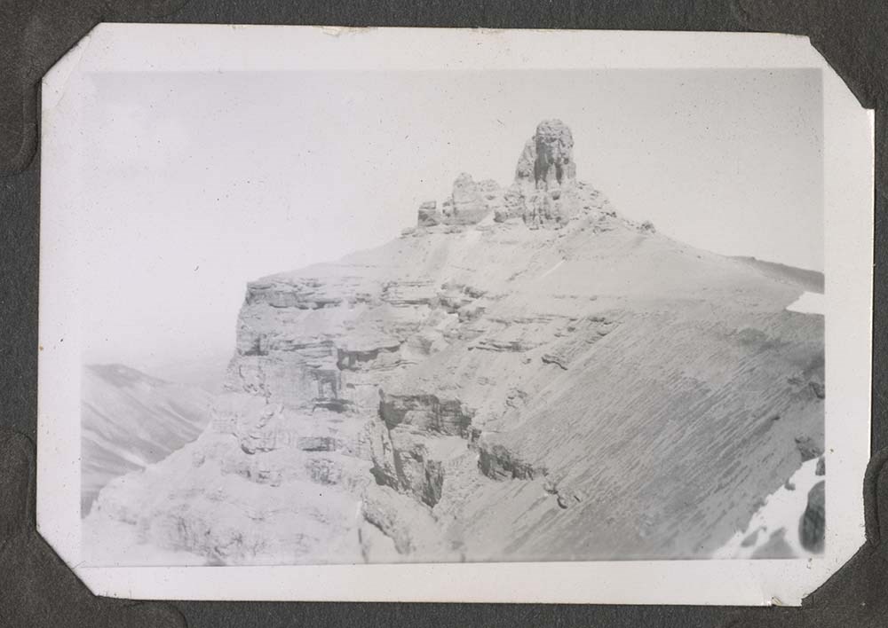
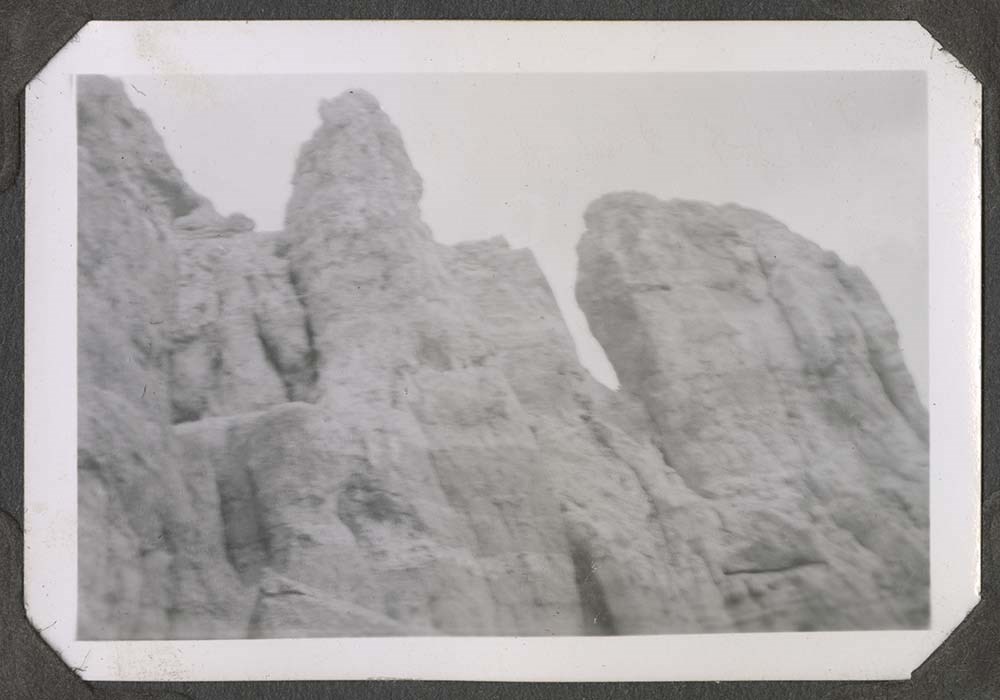
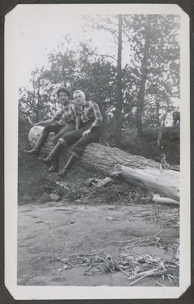
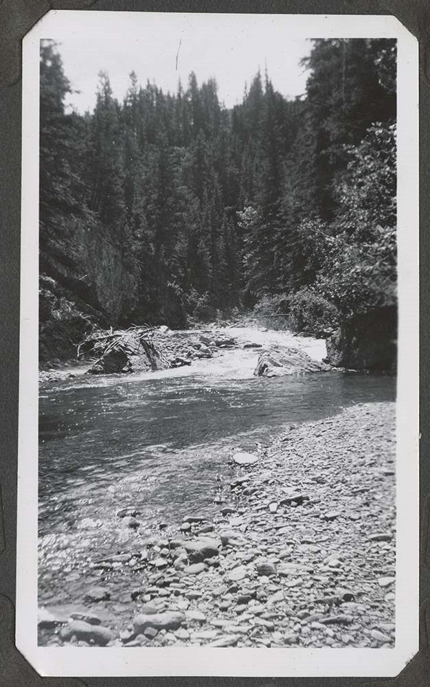
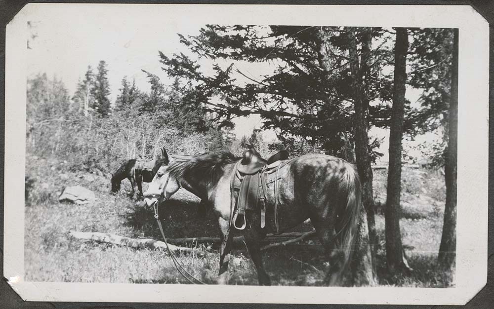
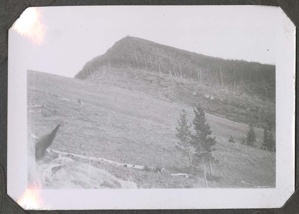
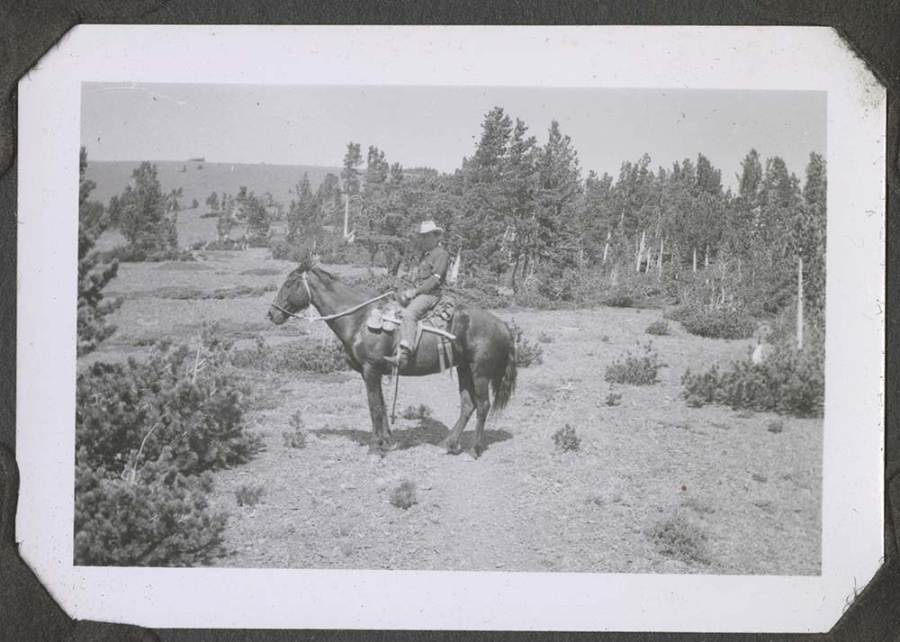
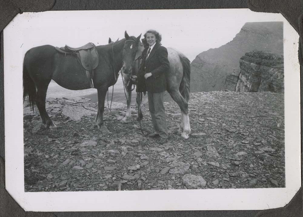
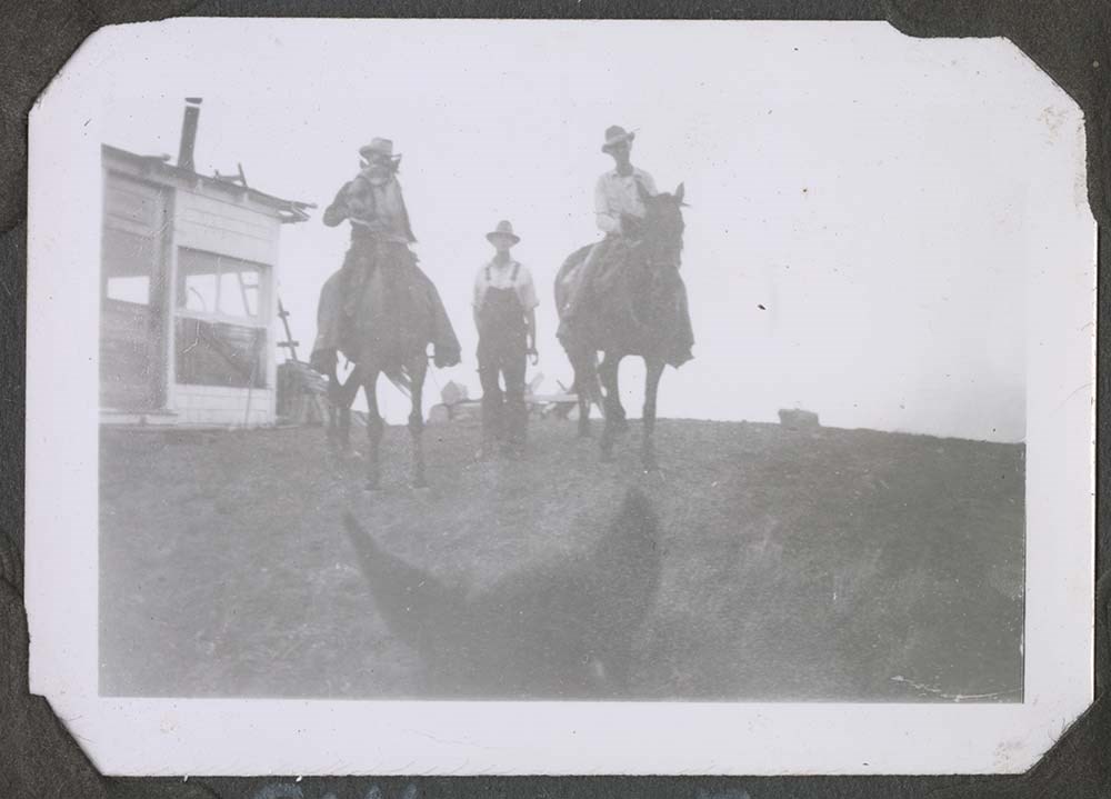
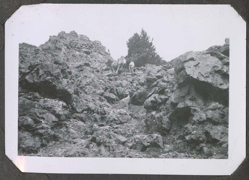
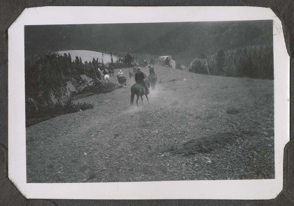
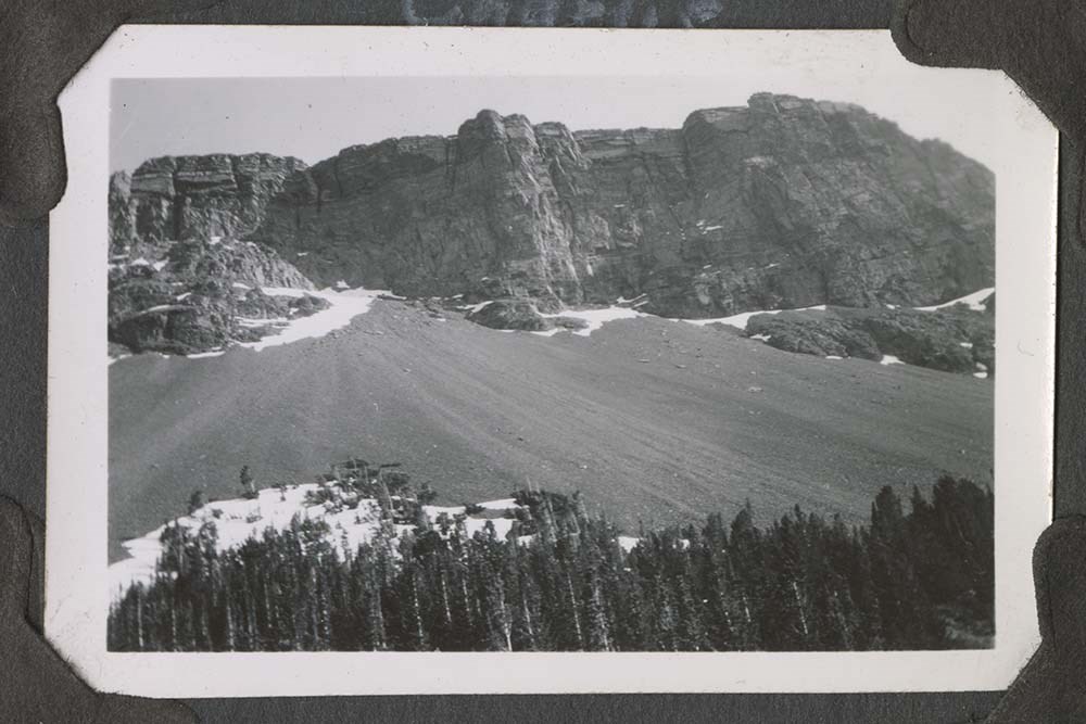
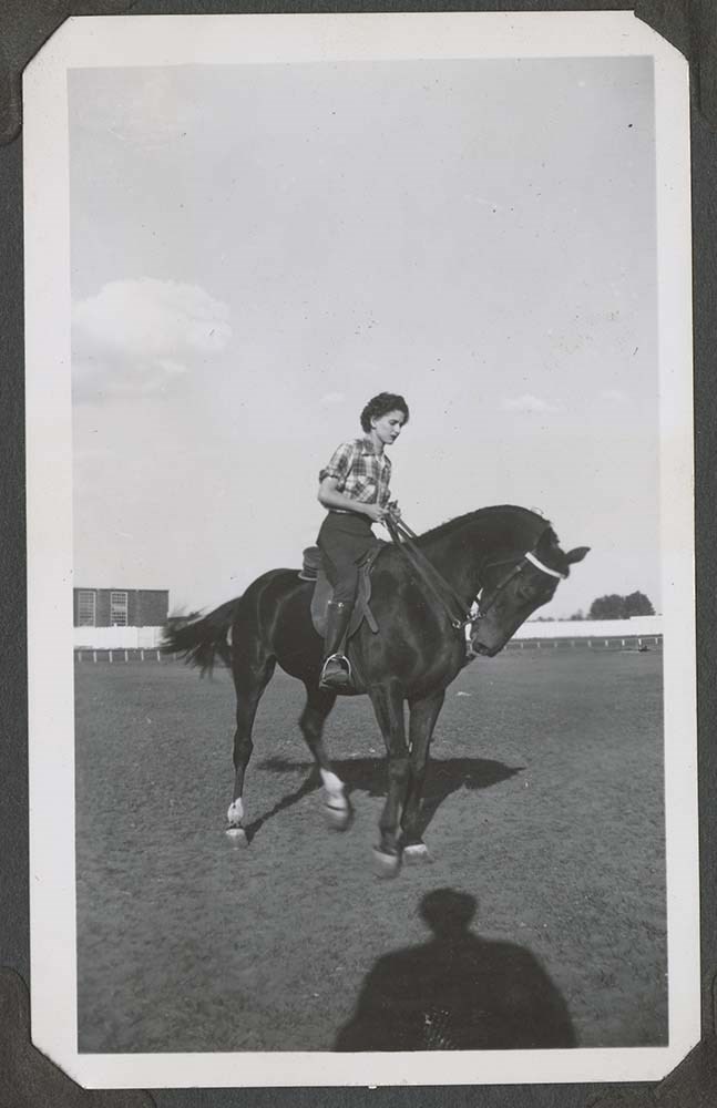
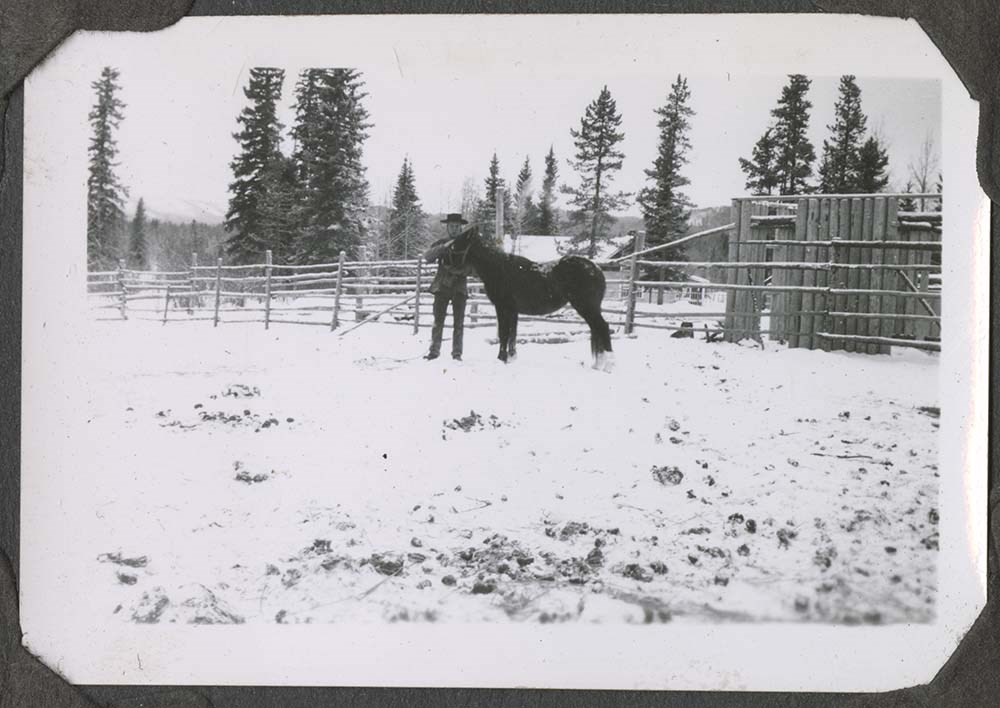
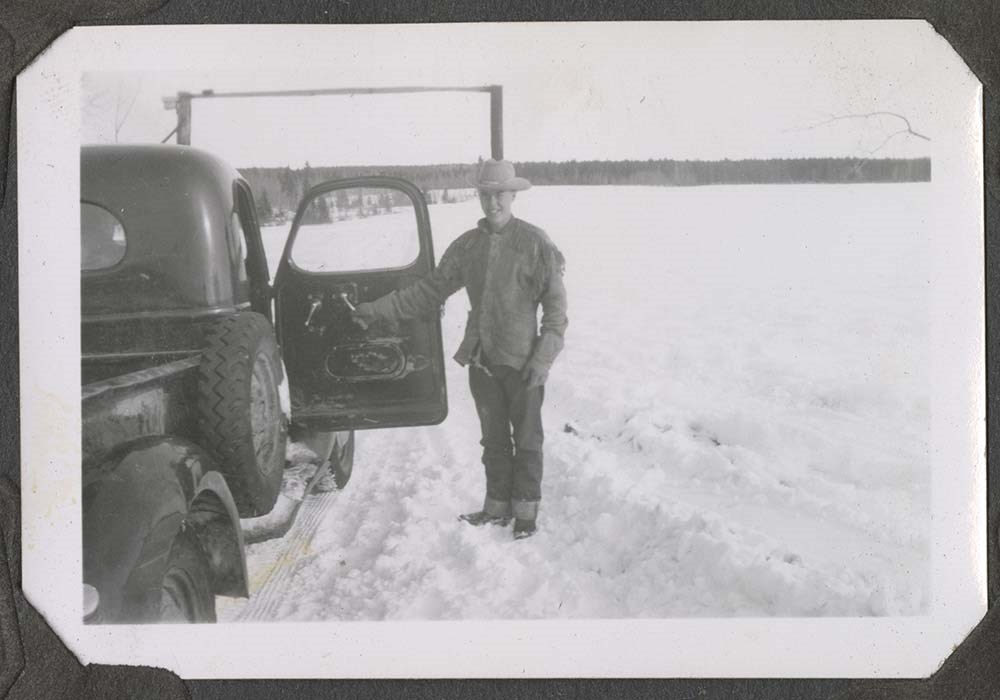
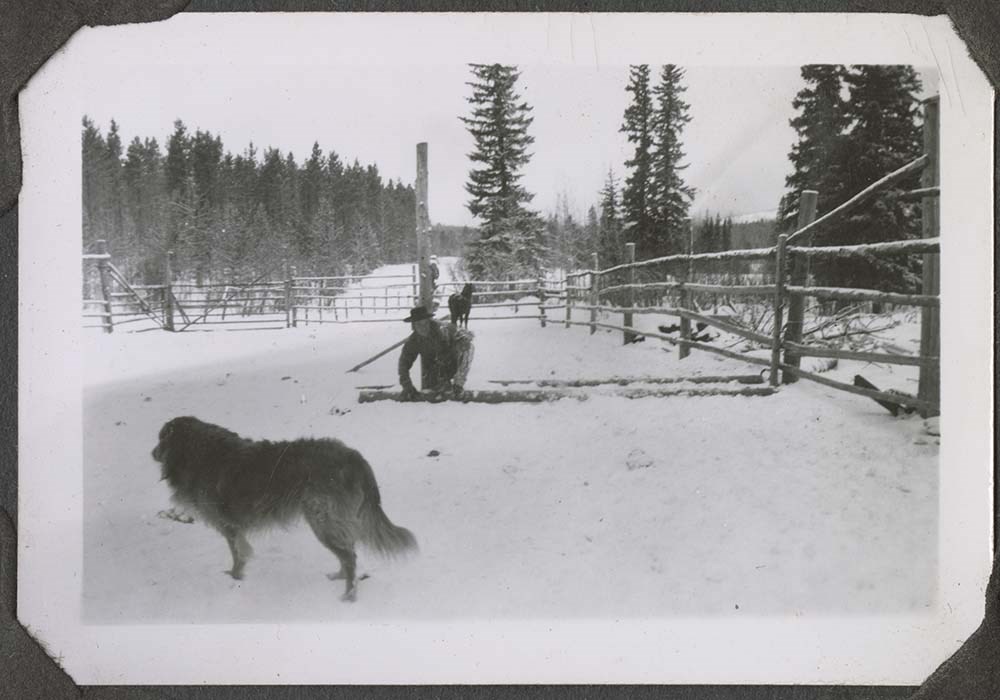
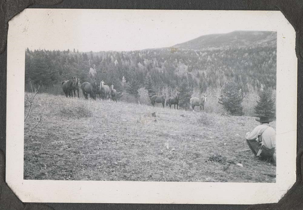
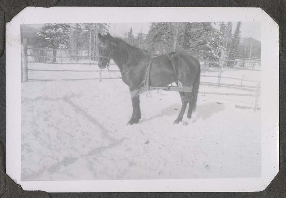
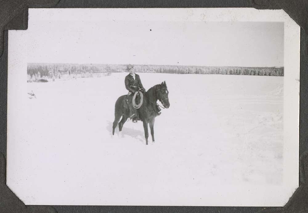
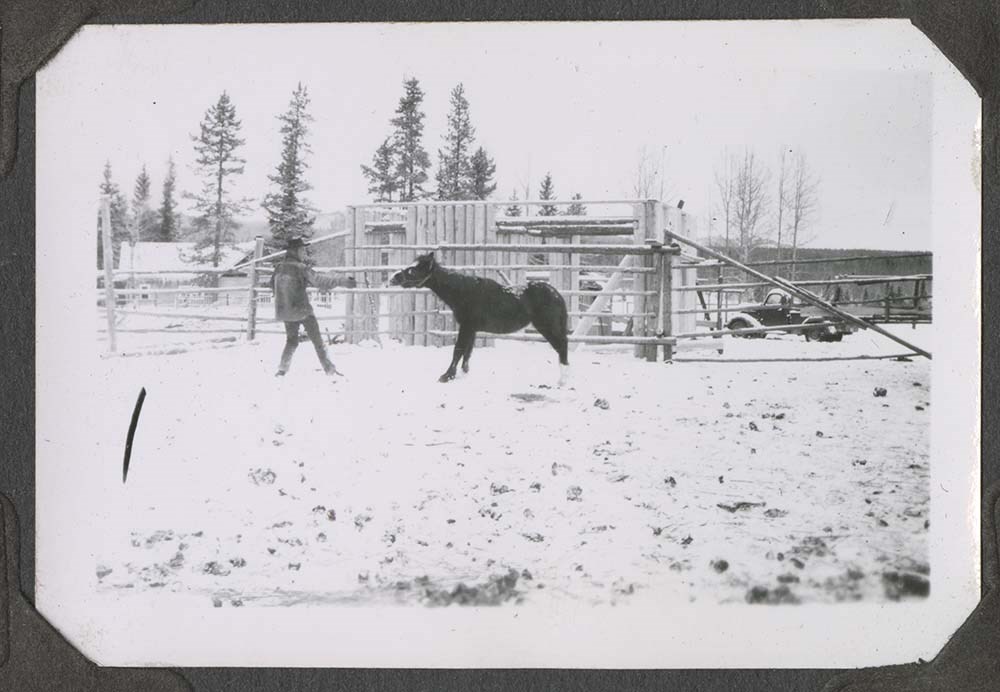
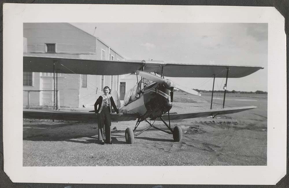
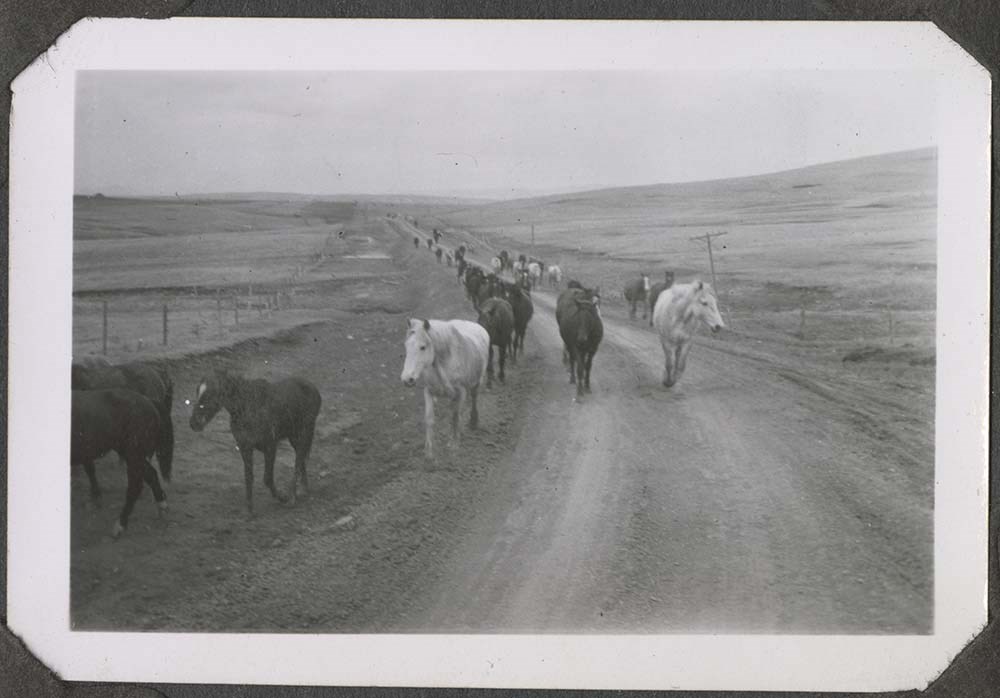
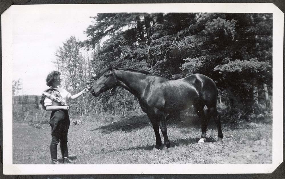
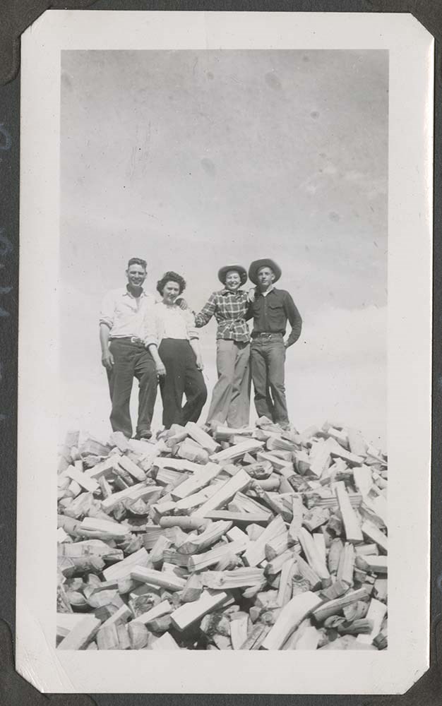
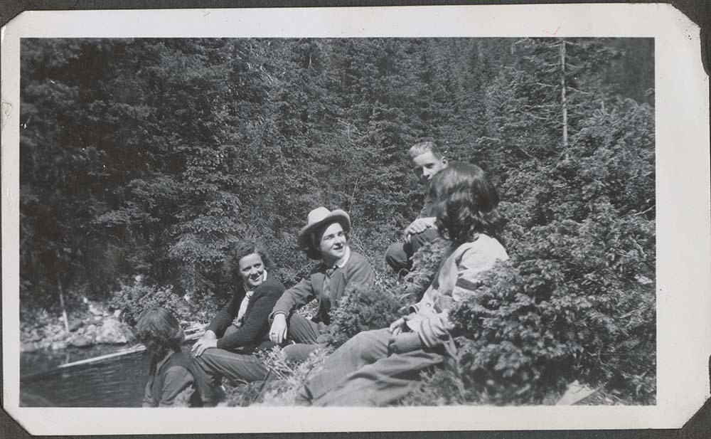
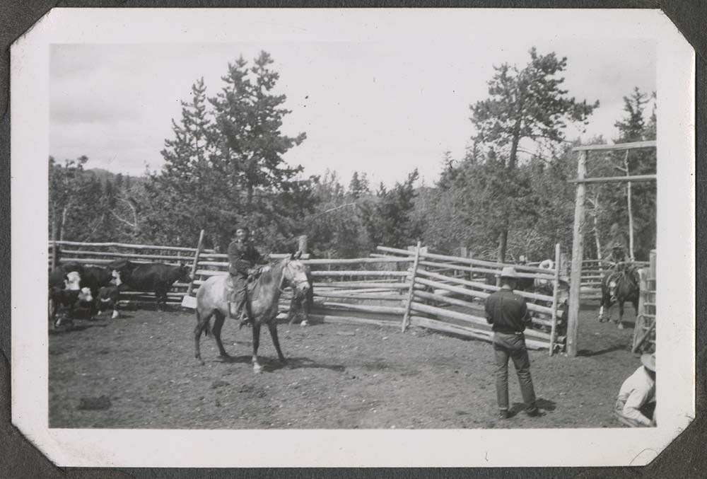
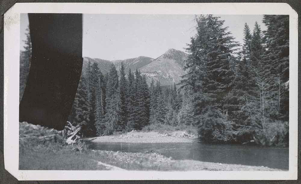
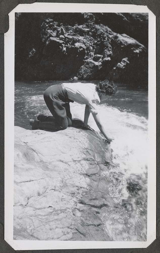
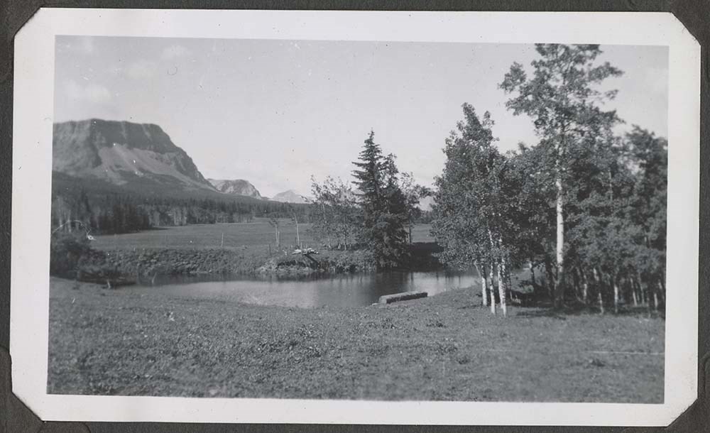
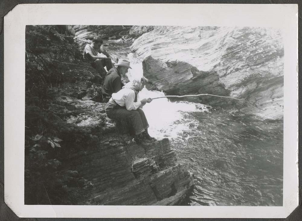
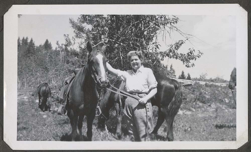
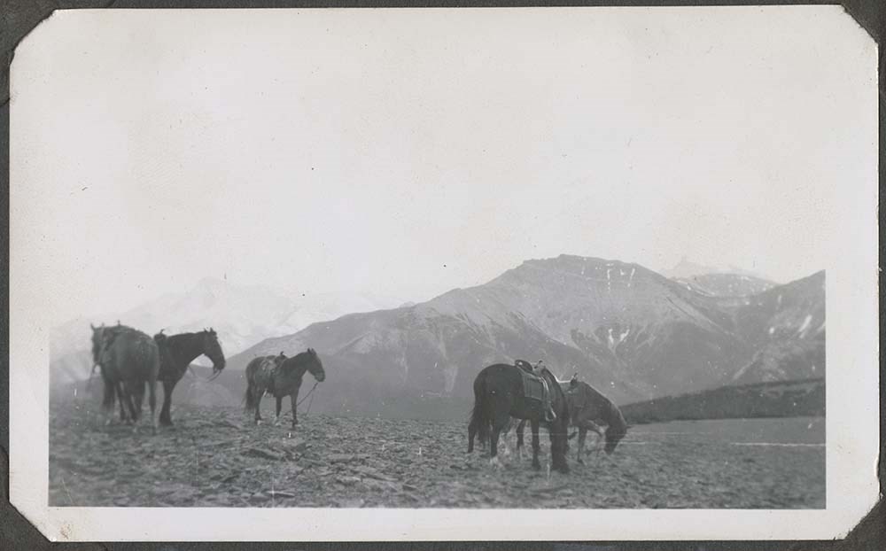
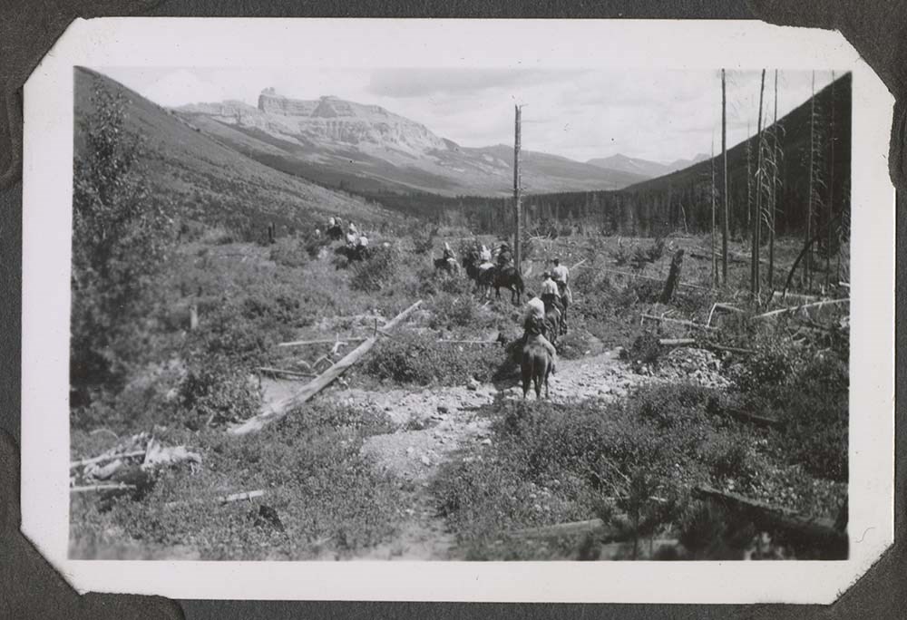
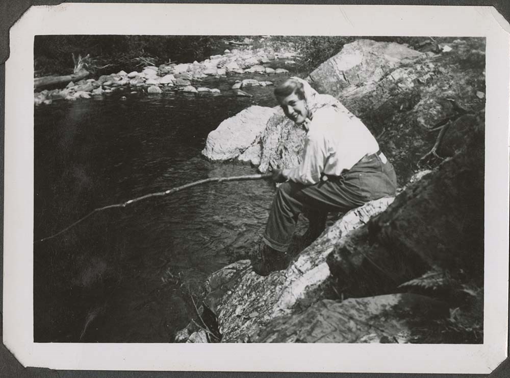
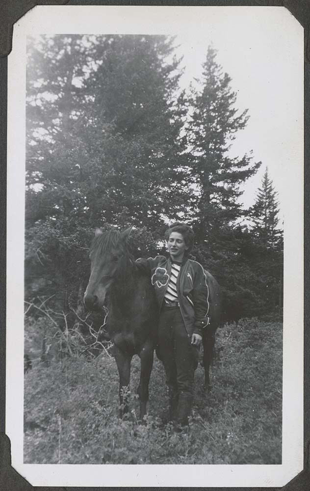
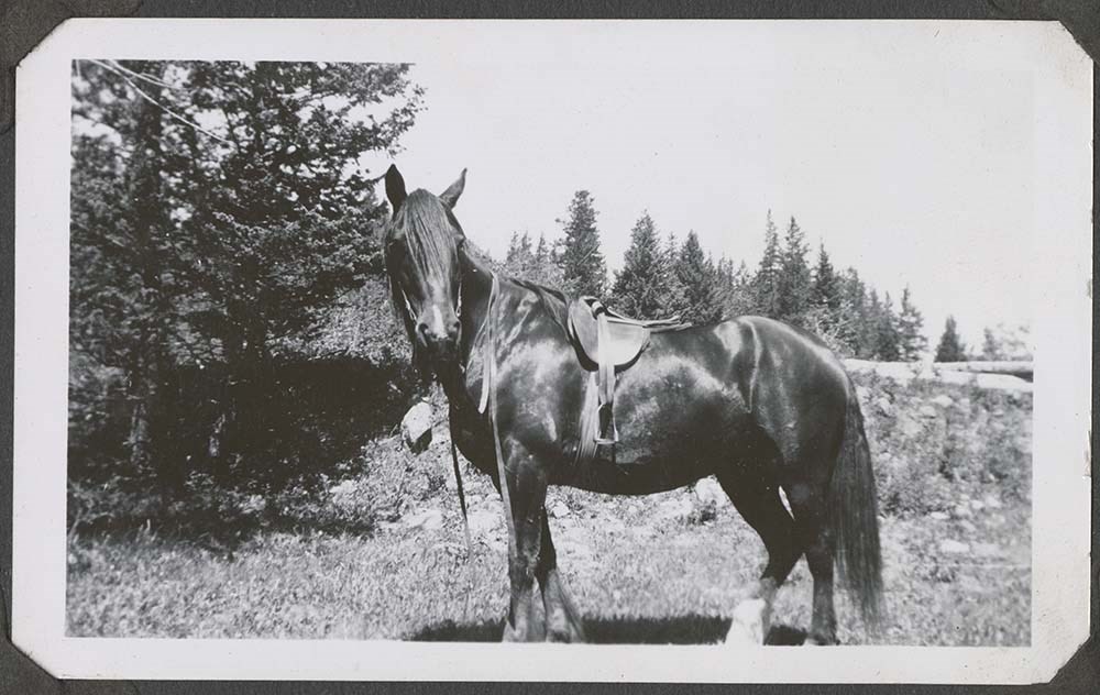
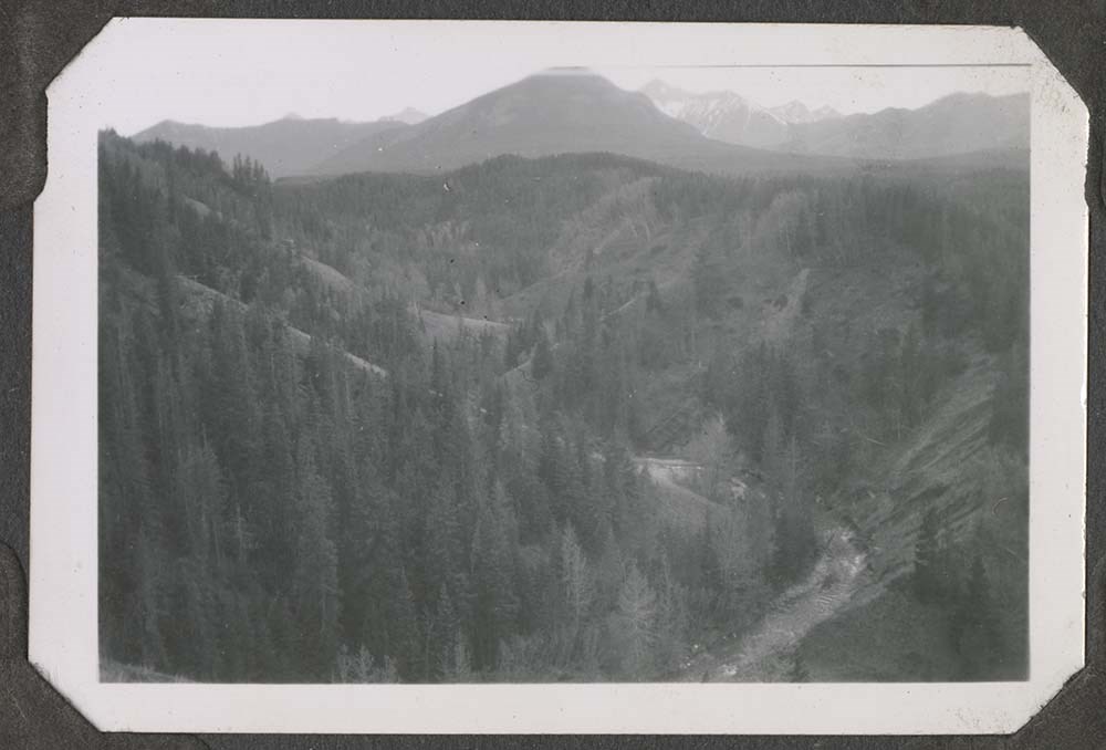
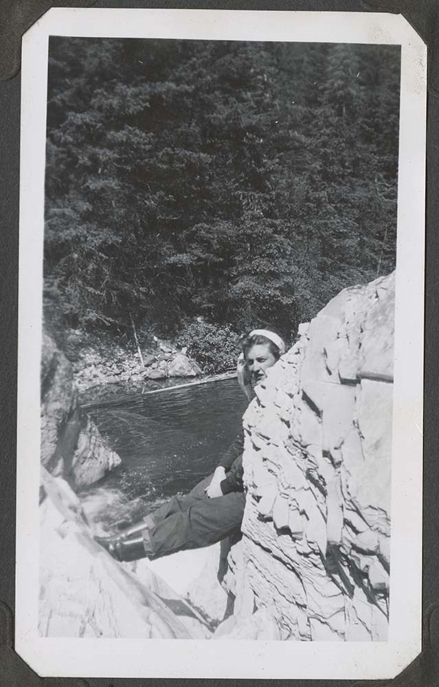
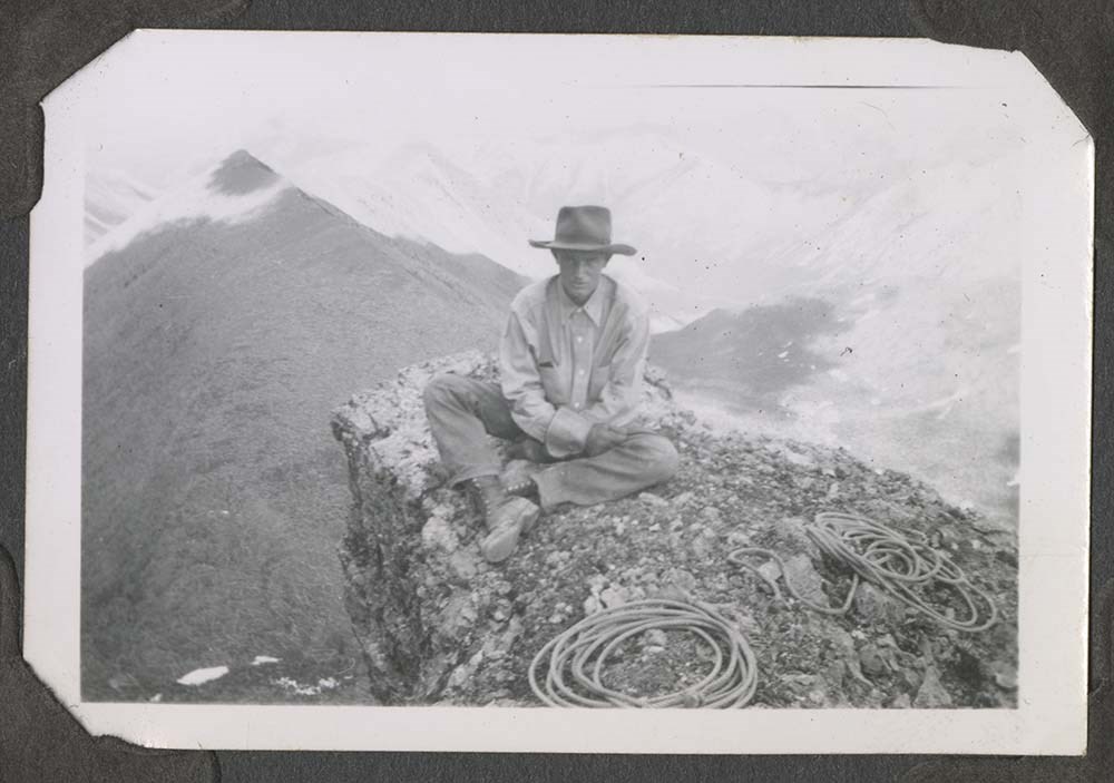
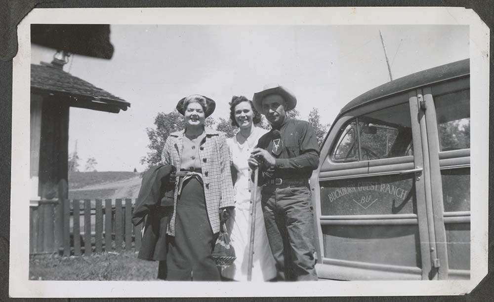
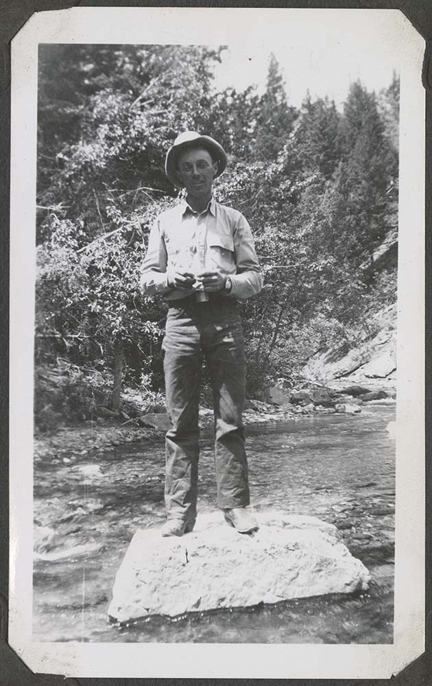
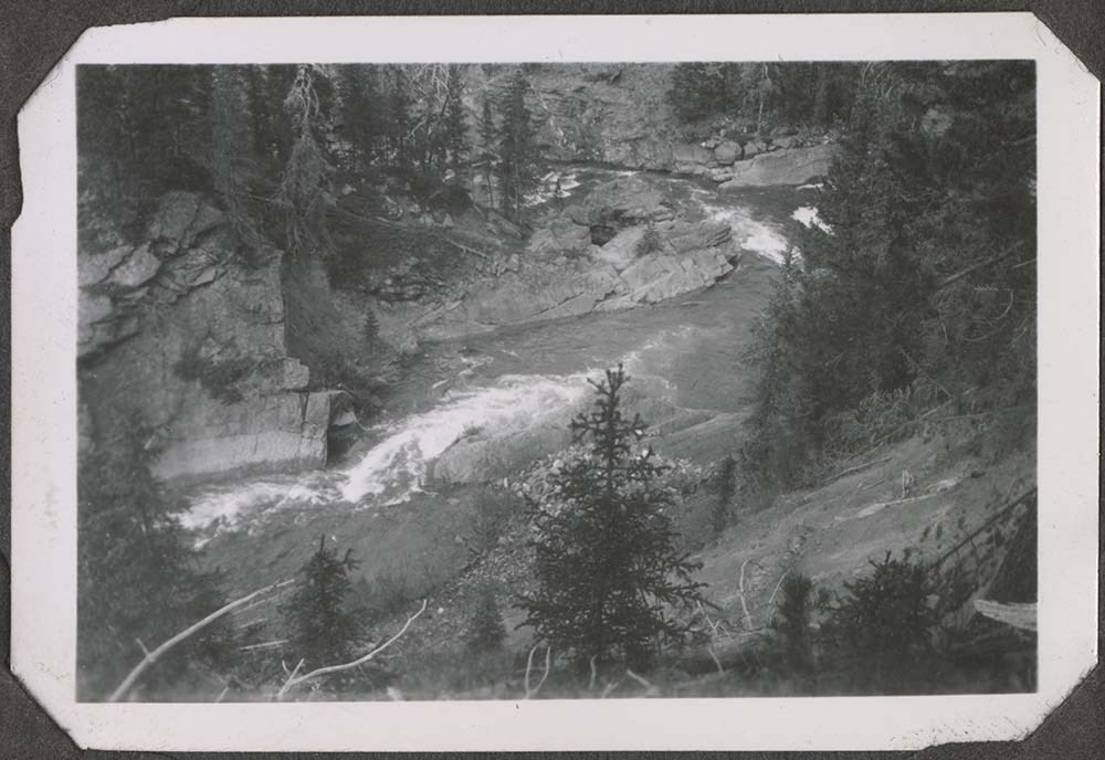
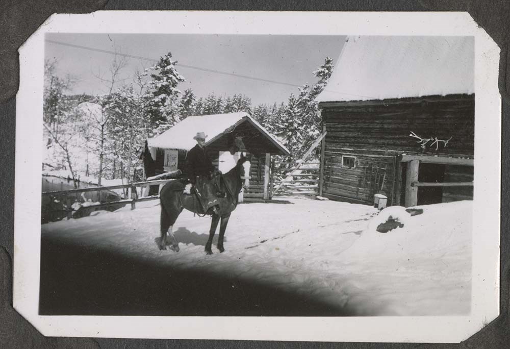
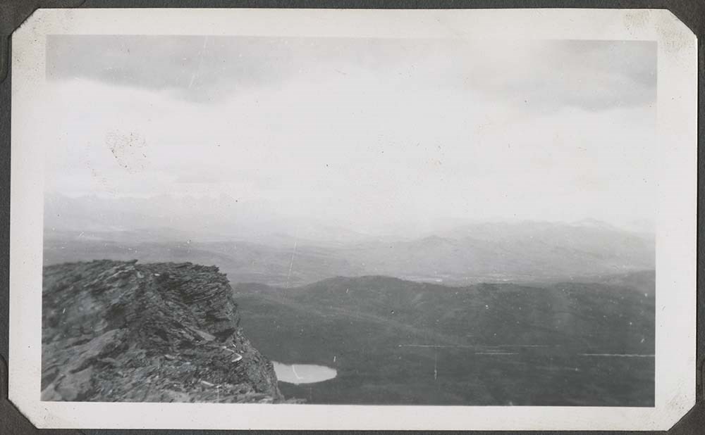
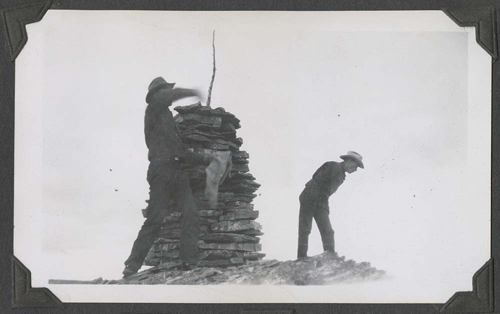
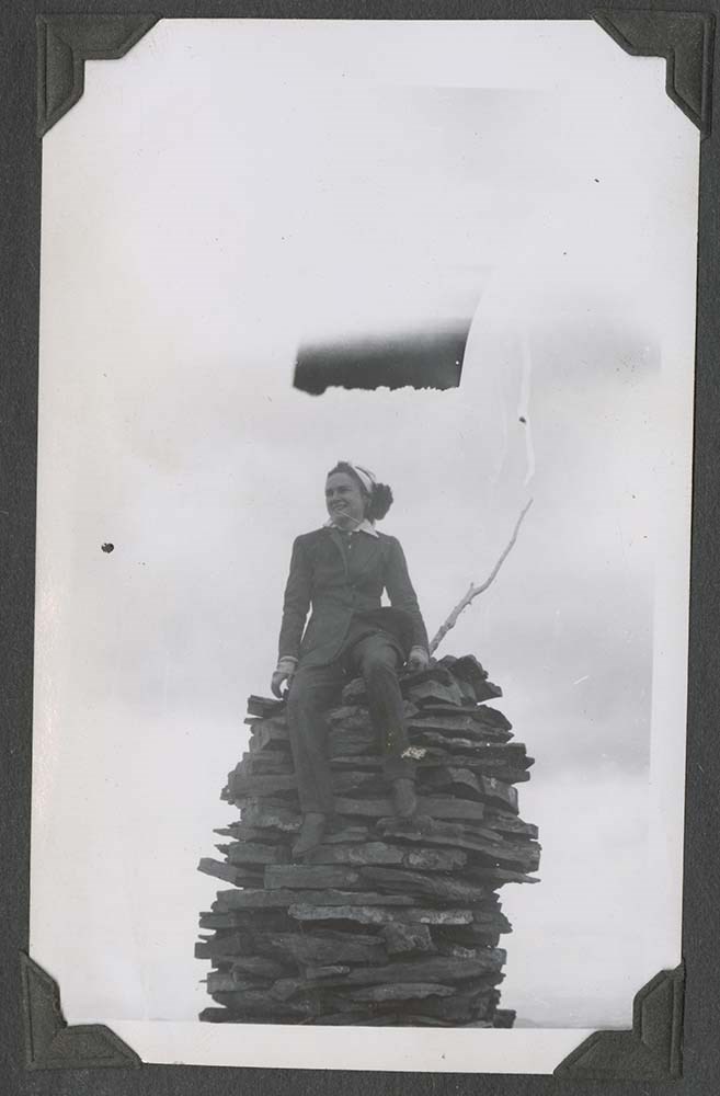
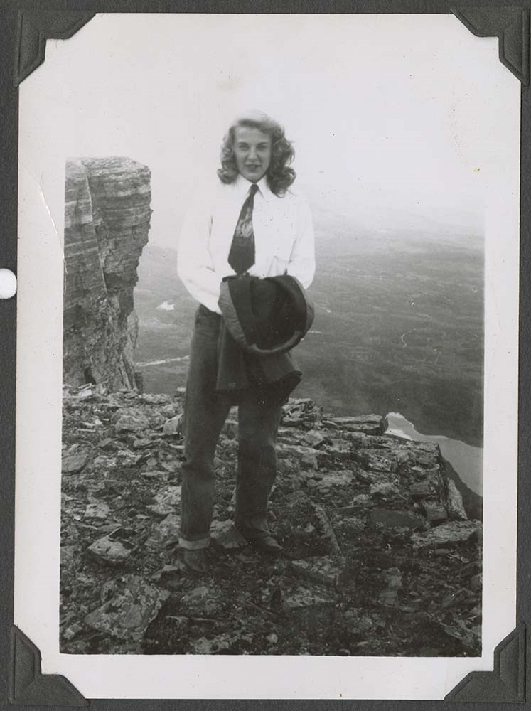
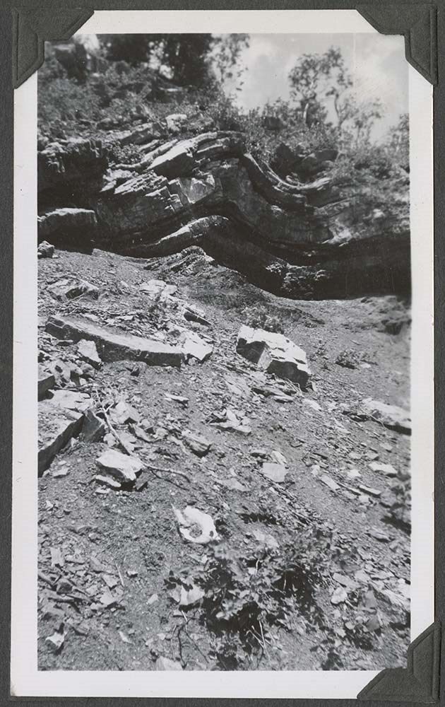
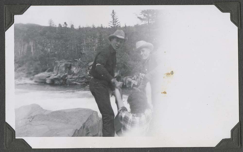
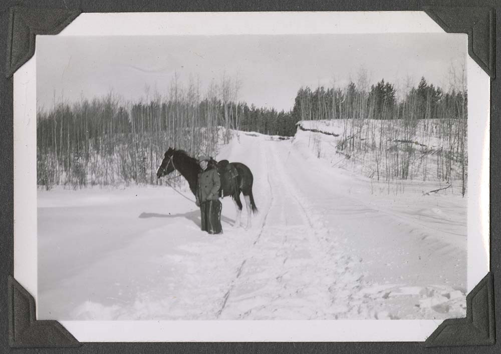
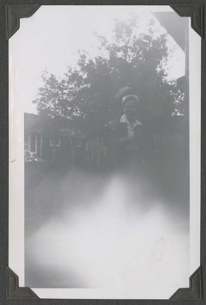
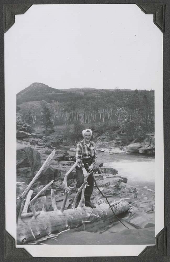
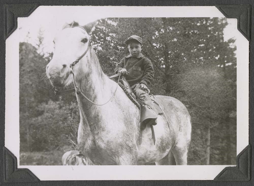
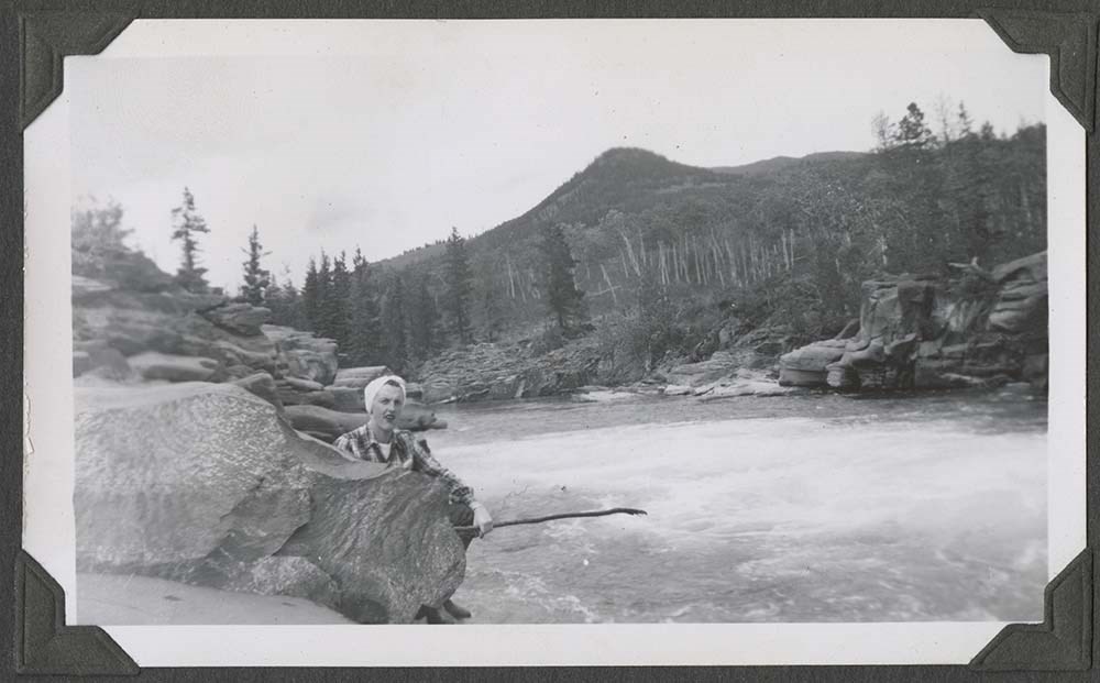
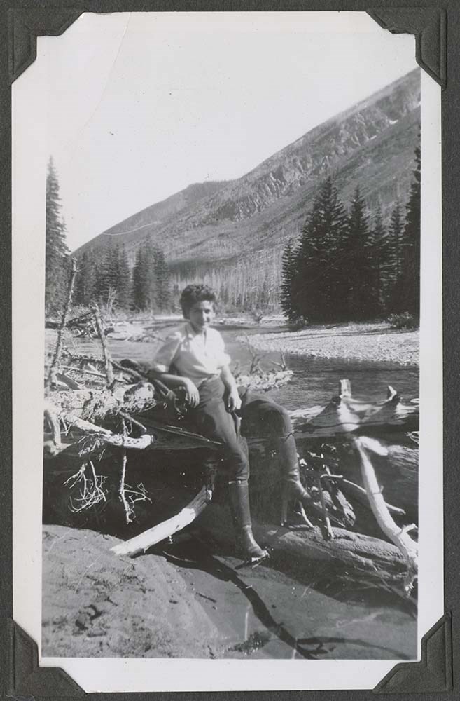
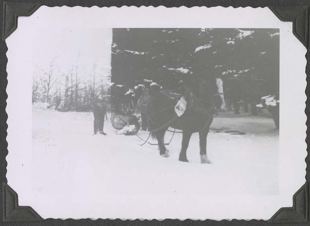
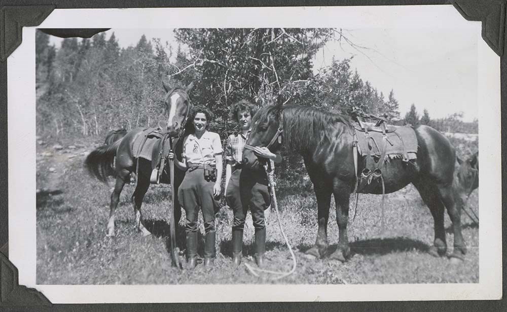
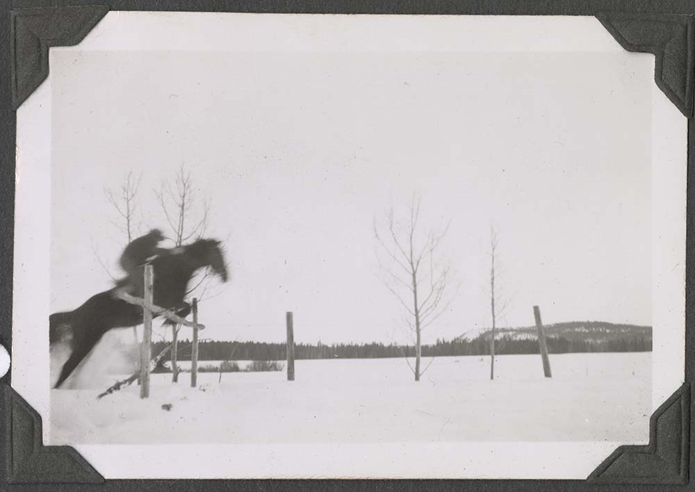
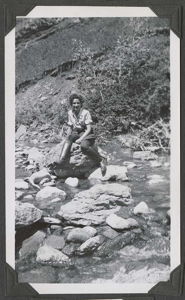
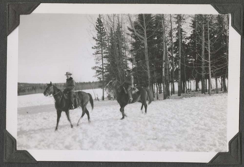
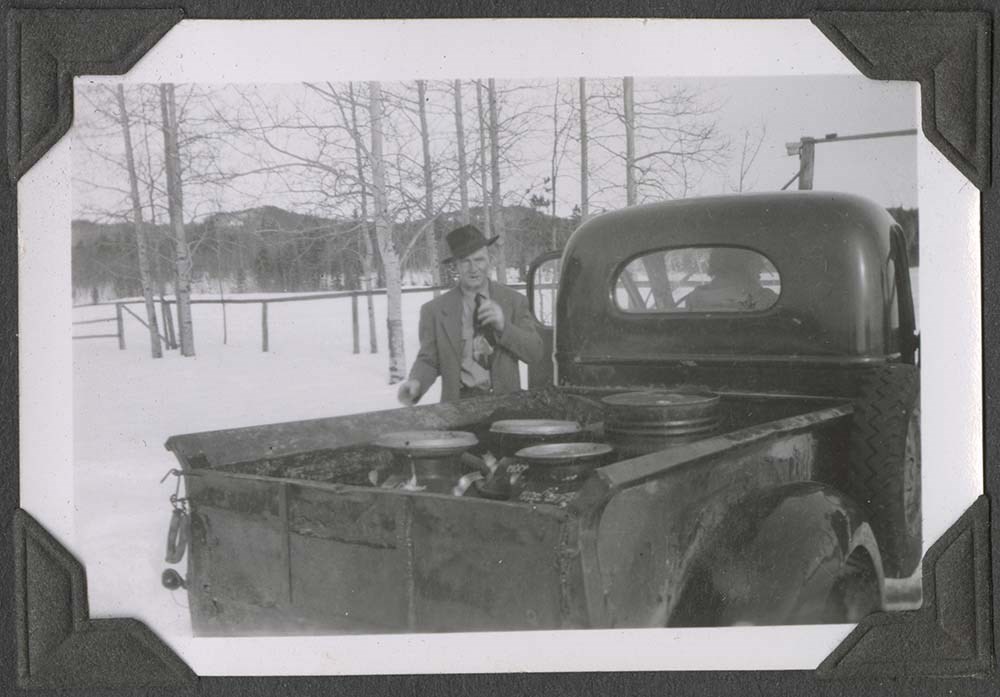
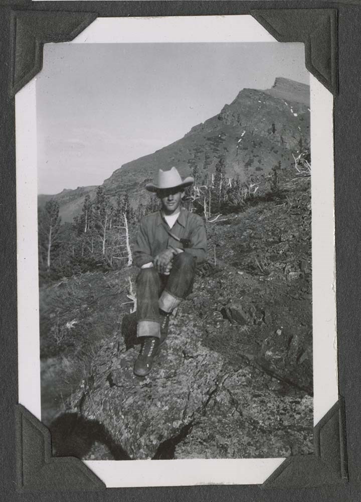
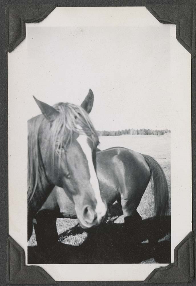
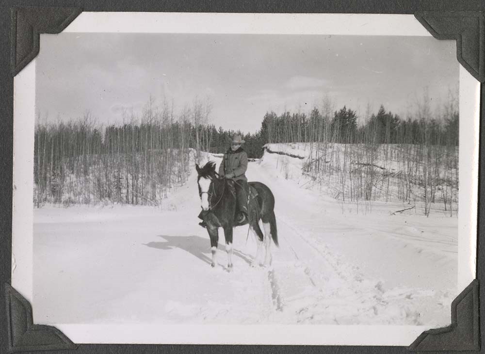
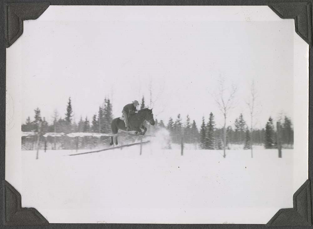
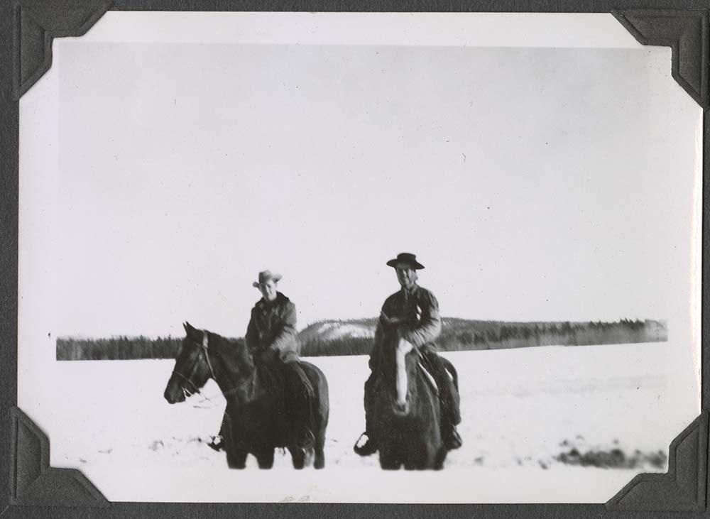
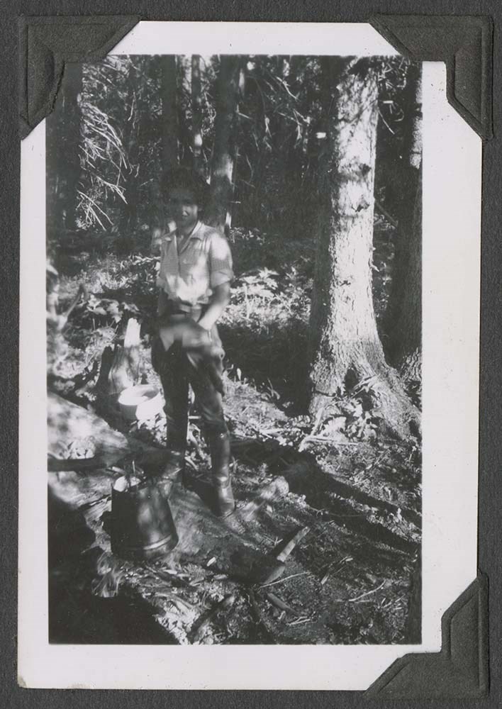
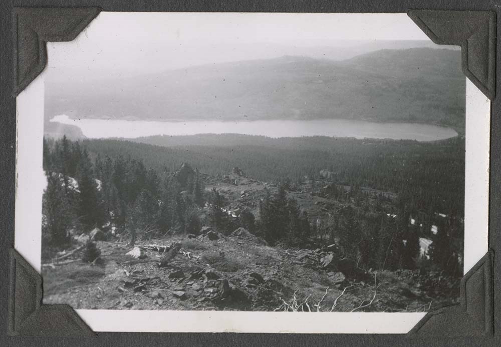
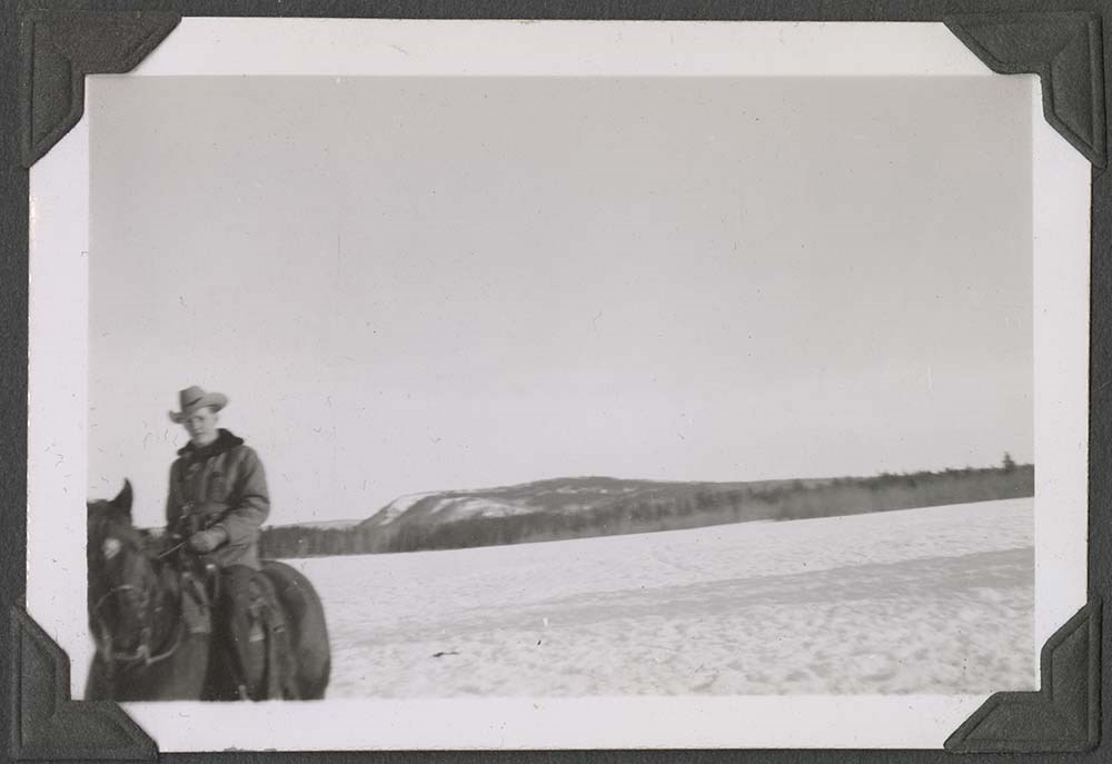
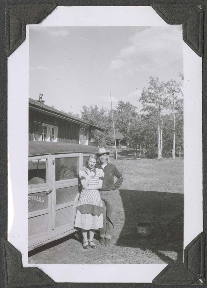
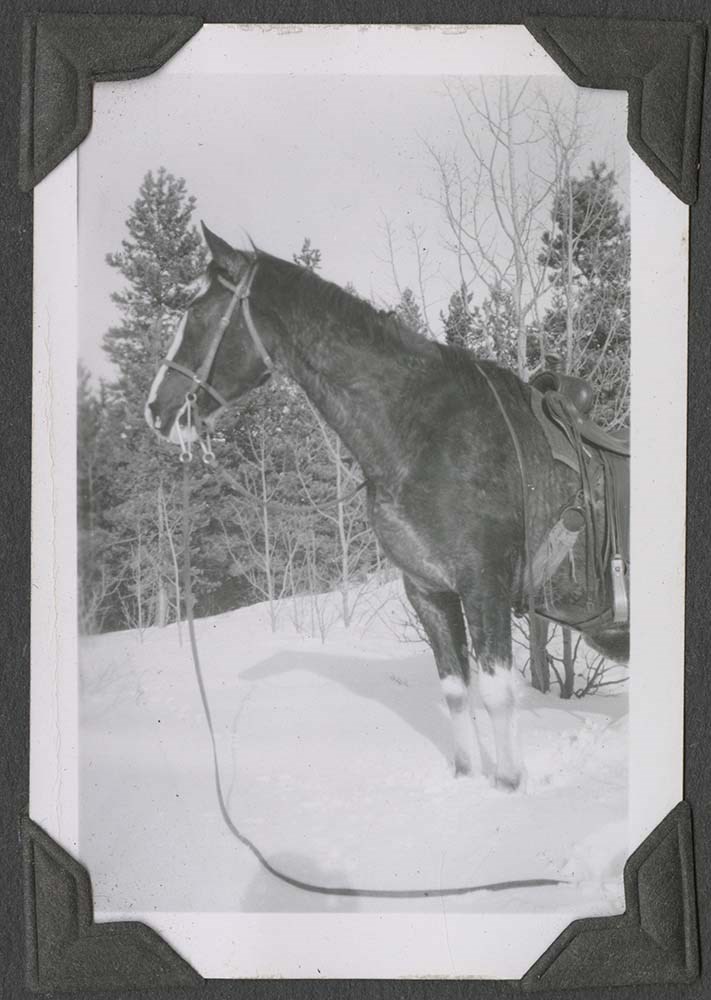
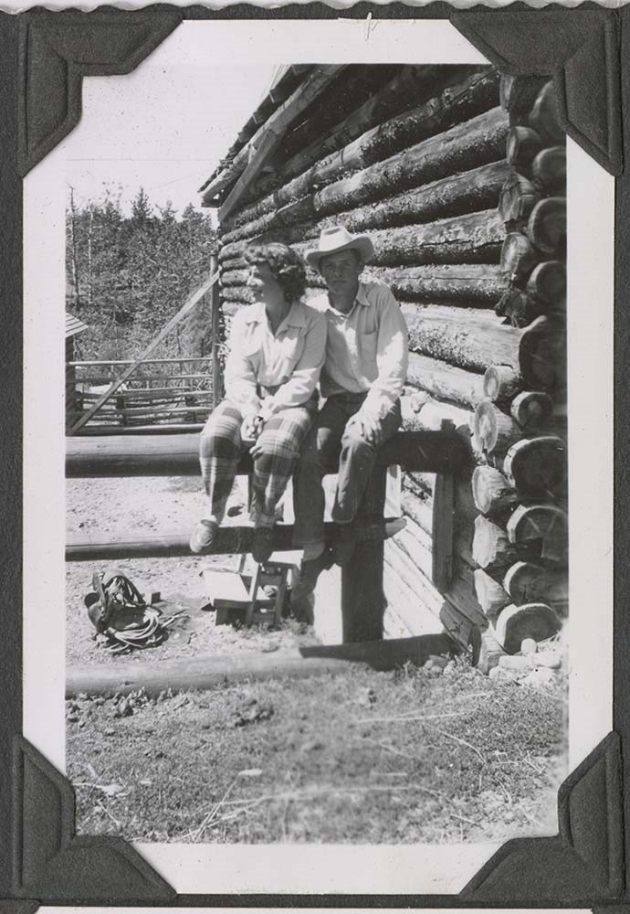
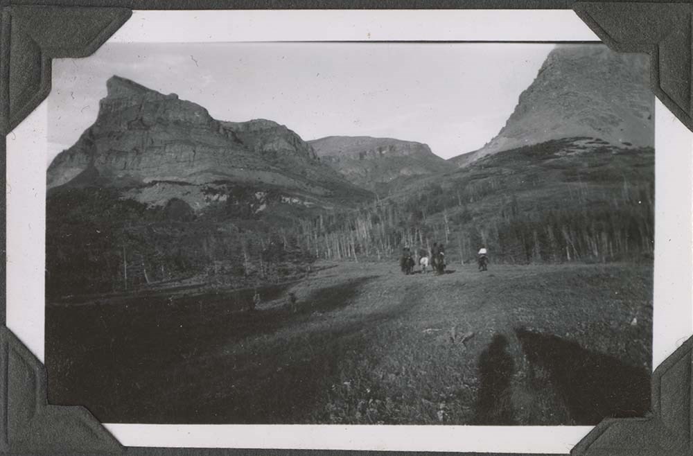
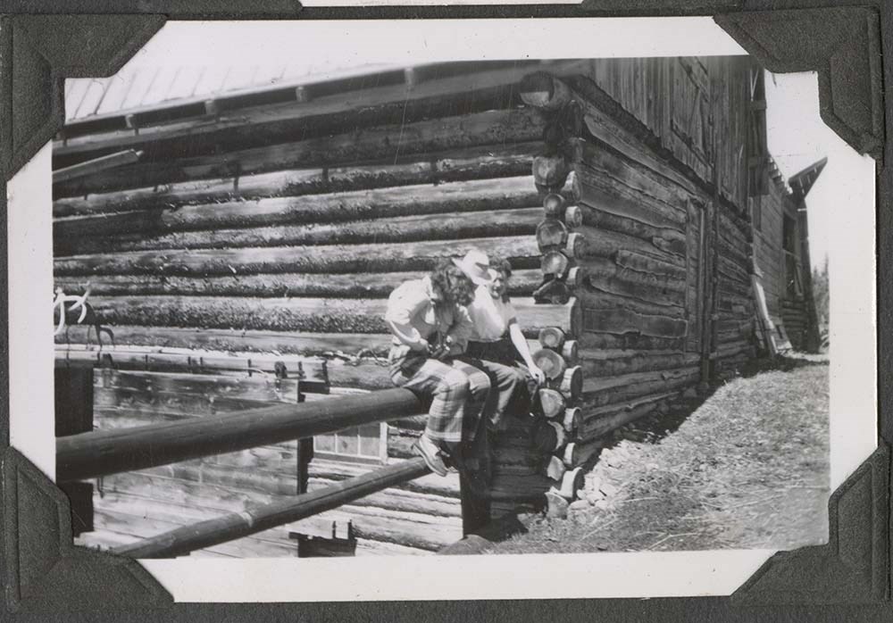
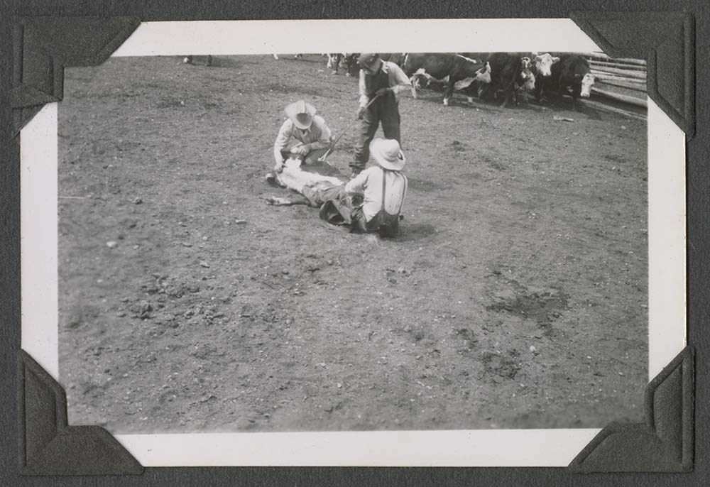
- Album contains unidentified family photographs, including pack trips and mountain travel.
- Date Range
- [1940 - 1965]
- Reference Code
- V8 / 1450 / PD - 1
- Description Level
- 5 / File
- GMD
- Album
- Photograph
- Photograph print
109 images
1 Electronic Resource
- Part Of
- Archives General File Collection
- Description Level
- 5 / File
- Fonds Number
- M8 / V8 / S8
- Series
- V8 / 1450
- Sous-Fonds
- V8
- Accession Number
- 1450
- Reference Code
- V8 / 1450 / PD - 1
- Date Range
- [1940 - 1965]
- Physical Description
- 1 photograph album (111 prints)
- Scope & Content
- Album contains unidentified family photographs, including pack trips and mountain travel.
- Language
- English
- Title Source
- Title based on contents of file
- Processing Status
- Processed
Electronic Resources
Images


This material is presented as originally created; it may contain outdated cultural descriptions and
potentially offensive content.
Read more.
Photograph album
https://archives.whyte.org/en/permalink/descriptions17558
- Part Of
- Mary Schaffer fonds
- Scope & Content
- Album pertains to travels to Lake Louise, Field, Glacier House and expeditions from 1904-1908 seasons. Includes the following locations: Lake Louise, Field BC, Glacier House, Ross Peak, Badger Pass, Pipestone, Ptarmigan and Molar Pass, Nashan Valley, Wilcox Pass, Pinto summit, Mount Columbia, Mou…
- Date Range
- 1898-[1908]
- Reference Code
- V527 / PD - 1
- Description Level
- 5 / File
- GMD
- Photograph
- Album
3 images
- Part Of
- Mary Schaffer fonds
- Description Level
- 5 / File
- Fonds Number
- V527
- Series
- II.B. Photographs: albums
- Sous-Fonds
- V527
- Accession Number
- 7731
- Reference Code
- V527 / PD - 1
- GMD
- Photograph
- Album
- Responsibility
- Photographers include Mary Schaffer, Elliott Barnes, [Henrietta] Tuzo, and possibly J. N. Collie. Album includes annotations by Mary Schaffer, as well as later annotations by unknown person
- Date Range
- 1898-[1908]
- Physical Description
- 1 photograph album (781 prints)
- Scope & Content
- Album pertains to travels to Lake Louise, Field, Glacier House and expeditions from 1904-1908 seasons. Includes the following locations: Lake Louise, Field BC, Glacier House, Ross Peak, Badger Pass, Pipestone, Ptarmigan and Molar Pass, Nashan Valley, Wilcox Pass, Pinto summit, Mount Columbia, Mount Athabasca, Nakimu Caves, Illecillewaet Glacier, Athabasca Glacier, Hornady Glacier, Peyto Glacier, Crowfoot Glacier, Elliott Barnes ranch, Jimmy Simpson cabins, Vermilion Lakes. People include: Stoney Indians, Beaver family, A. P. Coleman and party (on Wilcox Pass 1907), Jimmy Simpson, Swift family, Tom Wilson, Sid Unwin, Mollie Adams, Elliott Barnes and others. Also includes landscape views from J. N. Collie trips of 1889 and 1902; flora and fauna. It appears that several photographs were removed from the album, prior to donation.
- Related Material
- Some images related to album V527 / PD - 4
- Title Source
- Title based on item.
- Processing Status
- Processed
Images

This material is presented as originally created; it may contain outdated cultural descriptions and
potentially offensive content.
Read more.
Silverton, Alberta
https://archives.whyte.org/en/permalink/catalogue23283
- Medium
- Library - Maps and blueprints (unannotated; published)
- Map
- Published Date
- 14th January, 1893
- Publisher
- Winnipeg : [Dept. of the Interior?]
- Call Number
- C4-2.4
- Responsibility
- George A. Bayne
- Publisher
- Winnipeg : [Dept. of the Interior?]
- Published Date
- 14th January, 1893
- Physical Description
- 1 map
- Scale
- Scale: 1 inch = 200 feet
- Subjects
- Silverton
- Notes
- 5 1/2 Section 33, Township 26, Range 14 West, 5th p.m.
- Surveyor: George A. Bayne
- Copy 2
- Accession Number
- 3001
- Call Number
- C4-2.4
- Collection
- Archives Library
This material is presented as originally created; it may contain outdated cultural descriptions and
potentially offensive content.
Read more.
The Town of Canmore
https://archives.whyte.org/en/permalink/catalogue23284
- Medium
- Library - Maps and blueprints (unannotated; published)
- Map
- Published Date
- 1968
- Publisher
- Calgary Regional Planning Commission
- Call Number
- C4-2.5
- Publisher
- Calgary Regional Planning Commission
- Published Date
- 1968
- Physical Description
- 1 map
- Scale
- Scale: 1 inch = 400 feet
- Subjects
- Canmore
- Accession Number
- 5575
- Call Number
- C4-2.5
- Collection
- Archives Library
This material is presented as originally created; it may contain outdated cultural descriptions and
potentially offensive content.
Read more.
- Medium
- Library - Maps and blueprints (unannotated; published)
- Map
- Published Date
- 1967
- Publisher
- Inland Waters Branch, Dept. of Energy, Mines and Resources
- Call Number
- C5-2.1a
- Publisher
- Inland Waters Branch, Dept. of Energy, Mines and Resources
- Published Date
- 1967
- Scale
- Scale: 1:10,000
- Contour interval: 10 metres on Woolsey Glacier, 50 metres elsewhere
- Subjects
- Woolsey Glacier, B.C.
- Notes
- Two duplicates in map room
- Accession Number
- 672
- 778
- Call Number
- C5-2.1a
- Collection
- Archives Library
This material is presented as originally created; it may contain outdated cultural descriptions and
potentially offensive content.
Read more.
- Medium
- Library - Maps and blueprints (unannotated; published)
- Map
- Published Date
- 1967
- Publisher
- Dept. of Energy, Mines and Resources
- Call Number
- C5-2.1b
- Publisher
- Dept. of Energy, Mines and Resources
- Published Date
- 1967
- Scale
- Scale: 1:20,000
- Contour Interval 200 ft.
- Accession Number
- 778
- Call Number
- C5-2.1b
- Collection
- Archives Library
This material is presented as originally created; it may contain outdated cultural descriptions and
potentially offensive content.
Read more.
- Medium
- Library - Maps and blueprints (unannotated; published)
- Map
- Published Date
- 1967
- Publisher
- Dept. of Energy, Mines and Resources
- Call Number
- C5-2.2a
- Publisher
- Dept. of Energy, Mines and Resources
- Published Date
- 1967
- Physical Description
- 1 map : col
- Scale
- Scale: 1:10,000
- Contour Interval 10 metres on Place Glacier, 50 metres elsewhere
- Subjects
- Place Glacier, Birken, B.C.
- Accession Number
- 778
- Call Number
- C5-2.2a
- Collection
- Archives Library
This material is presented as originally created; it may contain outdated cultural descriptions and
potentially offensive content.
Read more.
- Medium
- Library - Maps and blueprints (unannotated; published)
- Map
- Published Date
- 1967
- Publisher
- Dept. of Energy, Mines and Resources
- Call Number
- C5-2.2b
- Publisher
- Dept. of Energy, Mines and Resources
- Published Date
- 1967
- Scale
- Scale: 1:20,000
- Contour Interval 200 ft.
- Subjects
- Place Glacier Basin, B.C.
- Accession Number
- 778
- Call Number
- C5-2.2b
- Collection
- Archives Library
This material is presented as originally created; it may contain outdated cultural descriptions and
potentially offensive content.
Read more.
- Medium
- Library - Maps and blueprints (unannotated; published)
- Map
- Published Date
- 1967
- Publisher
- Dept. of Energy, Mines and Resources
- Call Number
- C5-2.3a
- Publisher
- Dept. of Energy, Mines and Resources
- Published Date
- 1967
- Scale
- Scale: 1:10,000
- Contour Interval 10 metres on Sentinel Glacier, 50 metres elsewhere
- Notes
- Colour
- Accession Number
- 778
- Call Number
- C5-2.3a
- Collection
- Archives Library
This material is presented as originally created; it may contain outdated cultural descriptions and
potentially offensive content.
Read more.
- Medium
- Library - Maps and blueprints (unannotated; published)
- Map
- Published Date
- 1967
- Publisher
- Dept. of Energy, Mines and Resources
- Call Number
- C5-2.3b
- Publisher
- Dept. of Energy, Mines and Resources
- Published Date
- 1967
- Scale
- Scale: 1:12,500
- Contour Interval 200 ft.
- Subjects
- Sentinel Glacier Basin, B.C.
- Accession Number
- 778
- Call Number
- C5-2.3b
- Collection
- Archives Library
This material is presented as originally created; it may contain outdated cultural descriptions and
potentially offensive content.
Read more.
- Medium
- Library - Maps and blueprints (unannotated; published)
- Map
- Published Date
- 1965
- Publisher
- Dept. of Mines and Technical Surveys
- Call Number
- C5-2.4
- Publisher
- Dept. of Mines and Technical Surveys
- Published Date
- 1965
- Scale
- Scale: 1:1,000,000
- Accession Number
- 672
- Call Number
- C5-2.4
- Collection
- Archives Library
This material is presented as originally created; it may contain outdated cultural descriptions and
potentially offensive content.
Read more.
- Medium
- Library - Maps and blueprints (unannotated; published)
- Map
- Published Date
- 1967
- Publisher
- Inland Waters Branch, Dept. of Energy, Mines and Resources
- Call Number
- C5-3.1
- Publisher
- Inland Waters Branch, Dept. of Energy, Mines and Resources
- Published Date
- 1967
- Scale
- Scale: 1:1,000,000
- Accession Number
- 672
- Call Number
- C5-3.1
- Collection
- Archives Library
This material is presented as originally created; it may contain outdated cultural descriptions and
potentially offensive content.
Read more.
- Medium
- Library - Maps and blueprints (unannotated; published)
- Map
- Published Date
- 1967
- Publisher
- Inland Waters Branch, Dept. of Energy, Mines and Resources
- Call Number
- C5-3.2
- Publisher
- Inland Waters Branch, Dept. of Energy, Mines and Resources
- Published Date
- 1967
- Scale
- Scale: 1:1,000,000
- Accession Number
- 672
- Call Number
- C5-3.2
- Collection
- Archives Library
This material is presented as originally created; it may contain outdated cultural descriptions and
potentially offensive content.
Read more.
- Medium
- Library - Maps and blueprints (unannotated; published)
- Map
- Published Date
- 1967
- Publisher
- Inland Waters Branch, Dept. of Energy, Mines and Resources
- Call Number
- C5-3.2
- Publisher
- Inland Waters Branch, Dept. of Energy, Mines and Resources
- Published Date
- 1967
- Scale
- 1: 1,000,000
- Accession Number
- 672
- Call Number
- C5-3.2
- Collection
- Archives Library
This material is presented as originally created; it may contain outdated cultural descriptions and
potentially offensive content.
Read more.
- Medium
- Library - Maps and blueprints (unannotated; published)
- Map
- Published Date
- 1967
- Publisher
- Dept. of Energy, Mines and Resources
- Call Number
- C5-3.3
- Publisher
- Dept. of Energy, Mines and Resources
- Published Date
- 1967
- Physical Description
- Colour
- Scale
- Scale: 1: 125,000
- Relief: Contour Interval 500 ft
- Subjects
- Centennial Range, Yukon Territory
- Accession Number
- 778
- Call Number
- C5-3.3
- Collection
- Archives Library
This material is presented as originally created; it may contain outdated cultural descriptions and
potentially offensive content.
Read more.
Kenai Mts., Alaska
https://archives.whyte.org/en/permalink/catalogue23311
- Medium
- Library - Maps and blueprints (unannotated; published)
- Map
- Published Date
- 1964
- Call Number
- C5-3.4
- Published Date
- 1964
- Physical Description
- Black & white
- Scale
- 1 mile: 1 5/8 inches
- Subjects
- Terminus of Portage Glacier
- Accession Number
- 916
- Call Number
- C5-3.4
- Collection
- Archives Library
This material is presented as originally created; it may contain outdated cultural descriptions and
potentially offensive content.
Read more.
- Medium
- Library - Maps and blueprints (unannotated; published)
- Map
- Published Date
- 1967
- Publisher
- Glaciology Section, inland waters branch, Dept. of Energy, Mines and Resources
- Call Number
- C5-3.5
- Publisher
- Glaciology Section, inland waters branch, Dept. of Energy, Mines and Resources
- Published Date
- 1967
- Physical Description
- Black and white
- Scale
- 1:1,000,000
- Accession Number
- 7000
- Call Number
- C5-3.5
- Collection
- Archives Library
This material is presented as originally created; it may contain outdated cultural descriptions and
potentially offensive content.
Read more.
- Medium
- Library - Maps and blueprints (unannotated; published)
- Map
- Published Date
- 1968
- Publisher
- Glaciology Subdivision, Inland Waters Branch, Department of Energy, Mines and Resources, Ottawa, Canada
- Call Number
- C5-3.6
- Publisher
- Glaciology Subdivision, Inland Waters Branch, Department of Energy, Mines and Resources, Ottawa, Canada
- Published Date
- 1968
- Physical Description
- Coloured
- Scale
- 1:1,000,000
- Accession Number
- 7000
- Call Number
- C5-3.6
- Collection
- Archives Library
This material is presented as originally created; it may contain outdated cultural descriptions and
potentially offensive content.
Read more.
- Medium
- Library - Maps and blueprints (unannotated; published)
- Map
- Published Date
- 1968
- Publisher
- Glaciology Subdivision, Inland Waters Branch, Deparment of Energy, Mines and Resources
- Call Number
- C5-3.7
- Publisher
- Glaciology Subdivision, Inland Waters Branch, Deparment of Energy, Mines and Resources
- Published Date
- 1968
- Physical Description
- Coloured
- Scale
- 1:1,000,000
- Accession Number
- 7000
- Call Number
- C5-3.7
- Collection
- Archives Library
This material is presented as originally created; it may contain outdated cultural descriptions and
potentially offensive content.
Read more.
- Medium
- Library - Maps and blueprints (unannotated; published)
- Map
- Published Date
- 1968
- Publisher
- Glaciology Subdivison, Inland Waters Branch, Department of Energy, Mines and Resources
- Call Number
- C5-3.8
- Publisher
- Glaciology Subdivison, Inland Waters Branch, Department of Energy, Mines and Resources
- Published Date
- 1968
- Physical Description
- Coloured
- Scale
- 1:1,000,000
- Accession Number
- 7000
- Call Number
- C5-3.8
- Collection
- Archives Library
This material is presented as originally created; it may contain outdated cultural descriptions and
potentially offensive content.
Read more.