Narrow Results By
In the heart of the Canadian Rockies with horse and camera, part I : [lantern slide presentation]
https://archives.whyte.org/en/permalink/descriptions14036
- Part Of
- Mary Schaffer fonds
- Scope & Content
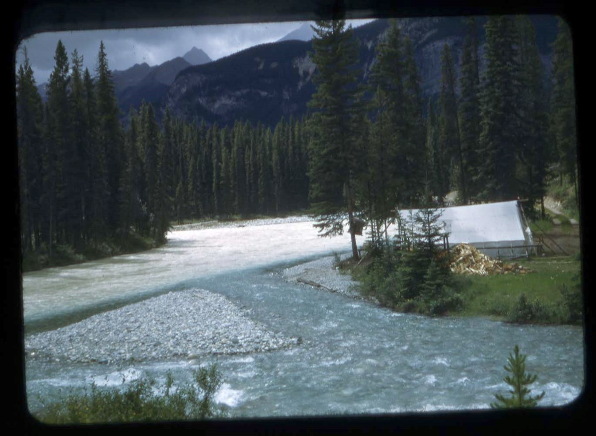
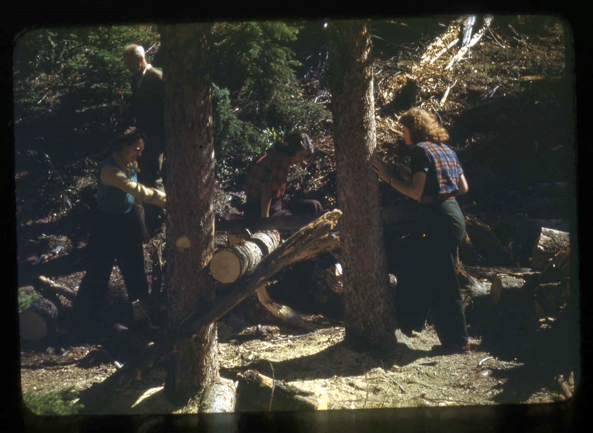
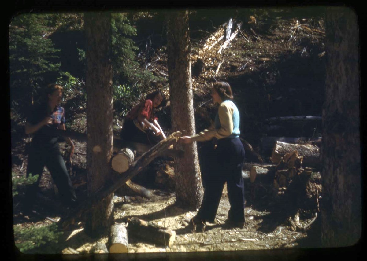
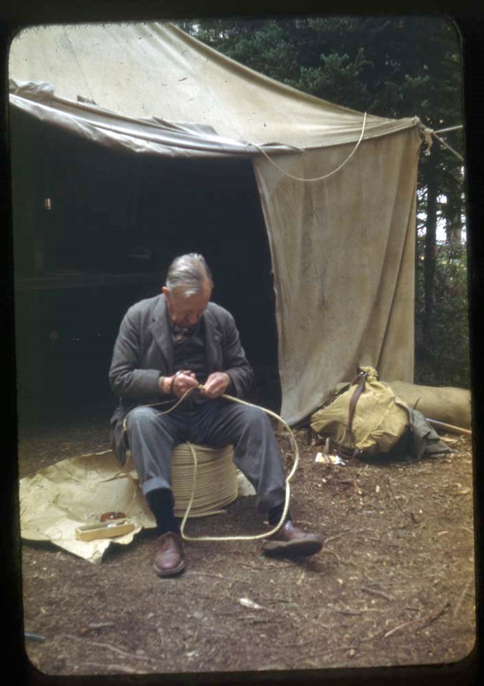
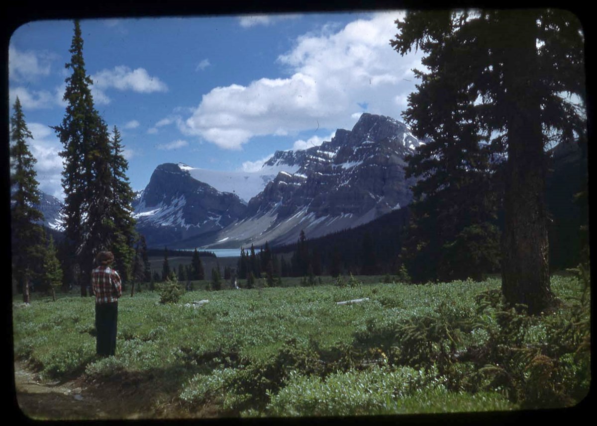
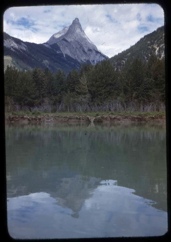
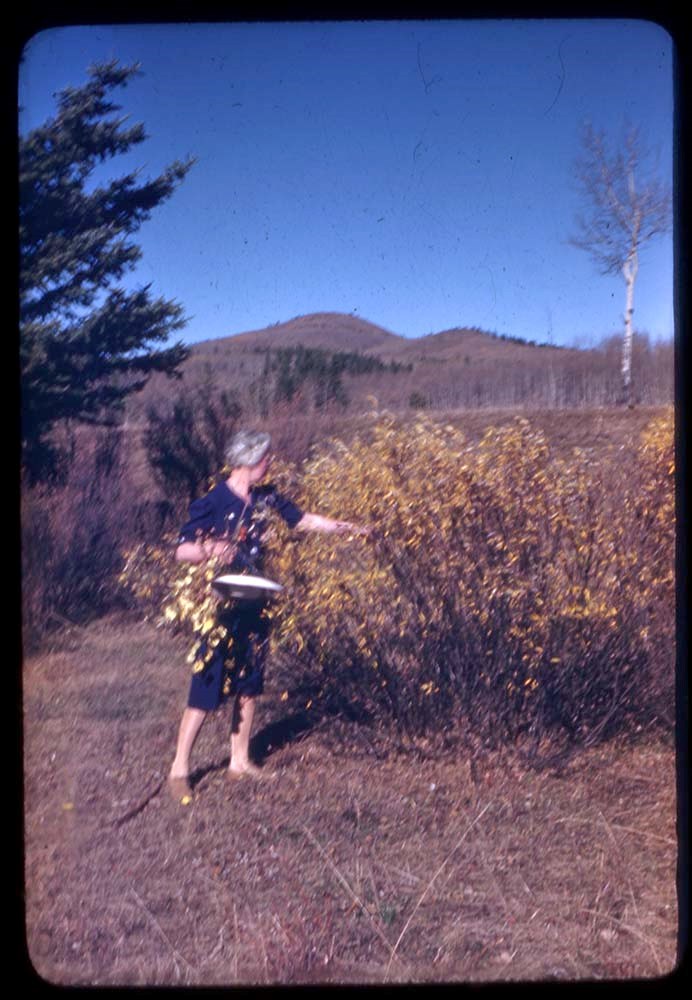
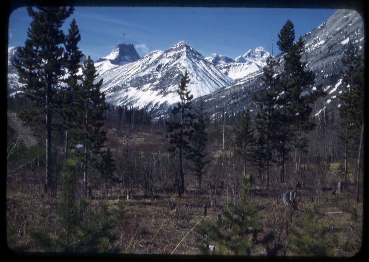
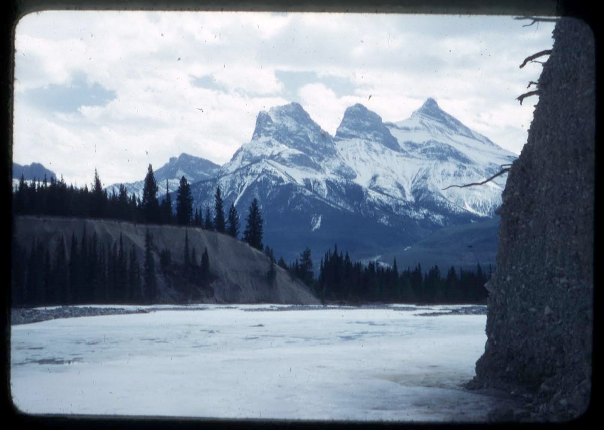
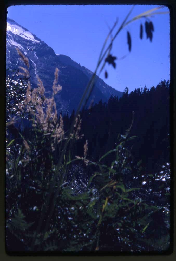
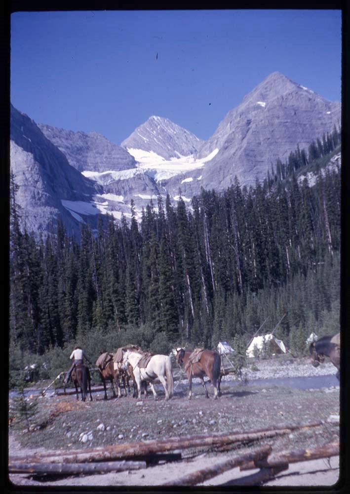
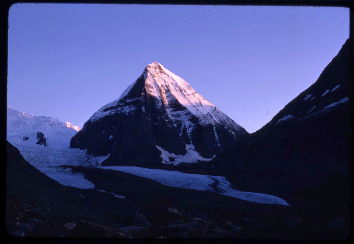
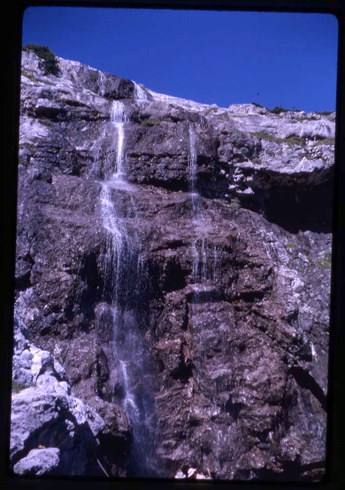
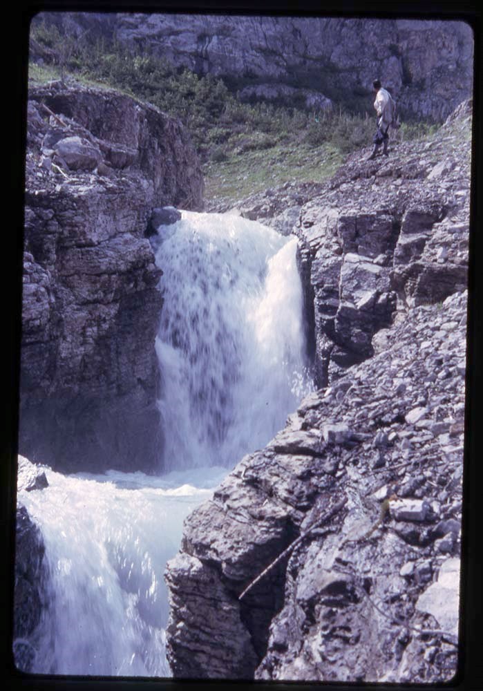
- Presentation pertains to the mountains and wildlife of the Selkirks and Canadian Rockies areas of Banff, Lake O'Hara, and Lake Louise. Originally consisted of 62 slides (missing items are numbers 3, 5-8, 13, 19, 20, 21, 26, 41, 56). Textual item is script
- Date Range
- [after 1915]
- Reference Code
- V527 / PS 2 - 1 to 61
- M79 / 16
- Description Level
- 5 / File
- GMD
- Photograph
- Lantern slide
- Transparency
- Textual record
1 Electronic Resource
- Part Of
- Mary Schaffer fonds
- Description Level
- 5 / File
- Fonds Number
- M79 / V527
- Series
- II.A. Photographs: lantern slides
- Sous-Fonds
- V527
- Accession Number
- 2685
- Reference Code
- V527 / PS 2 - 1 to 61
- M79 / 16
- Date Range
- [after 1915]
- Physical Description
- 50 photographs : transparencies; glass. -- 1 item of textual records (.5cm)
- Scope & Content
- Presentation pertains to the mountains and wildlife of the Selkirks and Canadian Rockies areas of Banff, Lake O'Hara, and Lake Louise. Originally consisted of 62 slides (missing items are numbers 3, 5-8, 13, 19, 20, 21, 26, 41, 56). Textual item is script
- Language
- English
- Title Source
- Title based on contents of file
- Processing Status
- Processed
Electronic Resources
This material is presented as originally created; it may contain outdated cultural descriptions and
potentially offensive content.
Read more.
In the heart of the Canadian Rockies at the head waters of the Saskatchewan and Athabaska, part II (sequel) : [lantern slide presentation]
https://archives.whyte.org/en/permalink/descriptions14037
- Part Of
- Mary Schaffer fonds
- Scope & Content
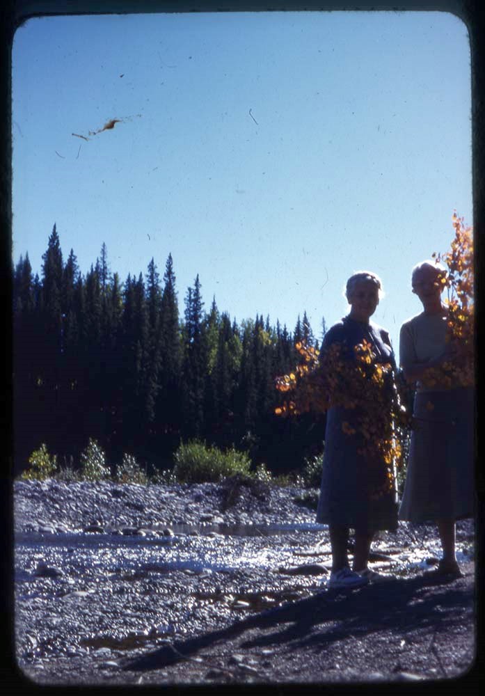
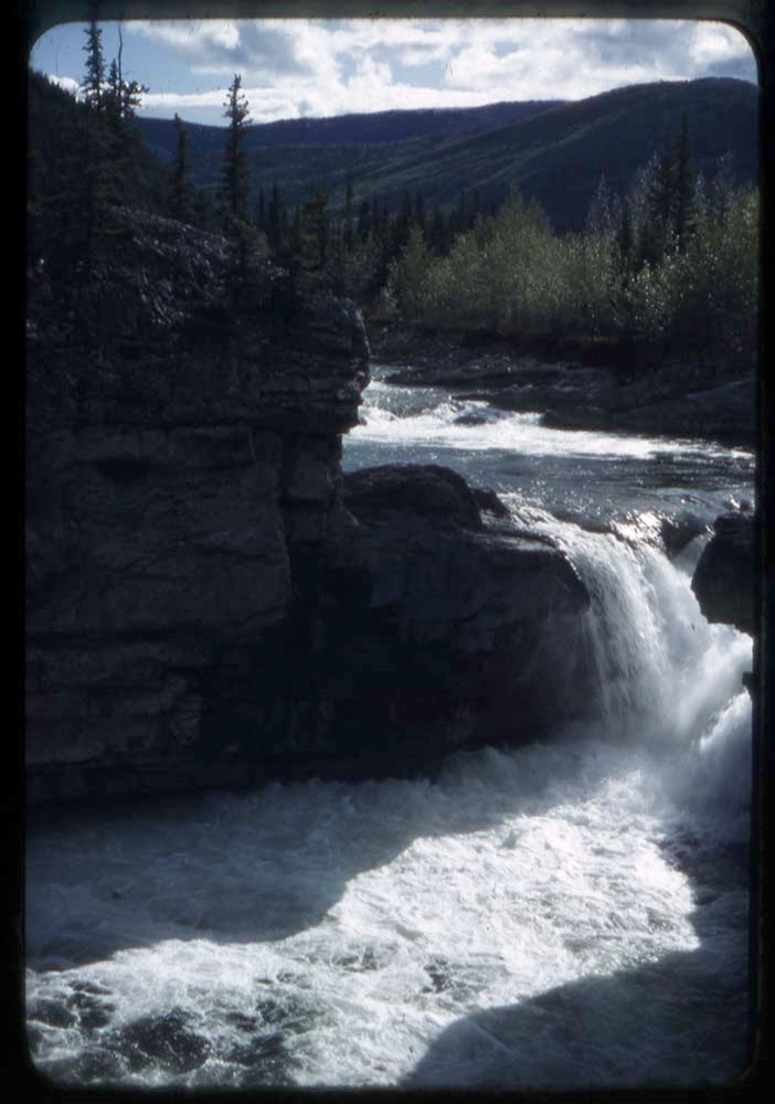
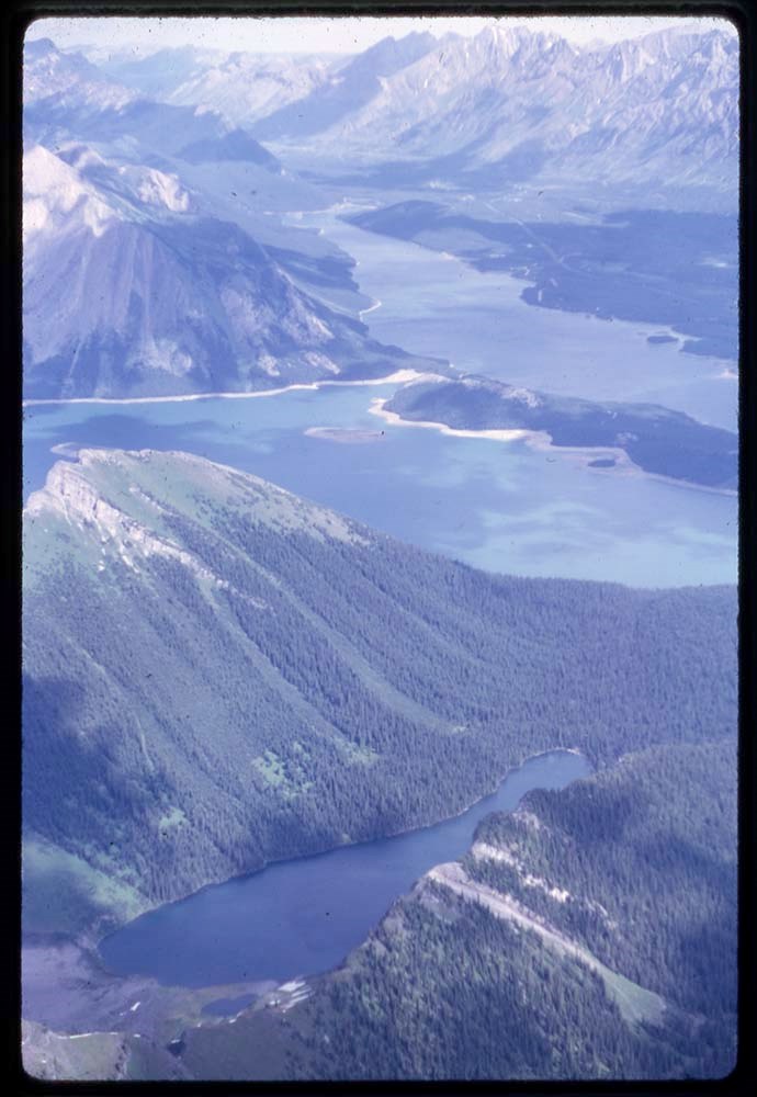
- Presentation pertains to Mary Schaffer's travels to Maligne Lake in Jasper, Alberta in 1908 and 1911. Originally consisted of 54 lantern slides (missing items are numbers: 14, 20, 28, 29, 30, 40, 41, 42, 47, 52). Textual item is script
- Date Range
- [after 1915]
- Reference Code
- V527 / PS 3 - 1 to 54
- M79 / 16
- Description Level
- 5 / File
- GMD
- Photograph
- Lantern slide
- Transparency
- Part Of
- Mary Schaffer fonds
- Description Level
- 5 / File
- Series
- II.A. Photographs: lantern slides
- Accession Number
- 2685
- Reference Code
- V527 / PS 3 - 1 to 54
- M79 / 16
- Date Range
- [after 1915]
- Physical Description
- 44 photographs : transparencies; glass. -- 1 item of textual records (.5cm)
- Scope & Content
- Presentation pertains to Mary Schaffer's travels to Maligne Lake in Jasper, Alberta in 1908 and 1911. Originally consisted of 54 lantern slides (missing items are numbers: 14, 20, 28, 29, 30, 40, 41, 42, 47, 52). Textual item is script
This material is presented as originally created; it may contain outdated cultural descriptions and
potentially offensive content.
Read more.
- Part Of
- Mary Schaffer fonds
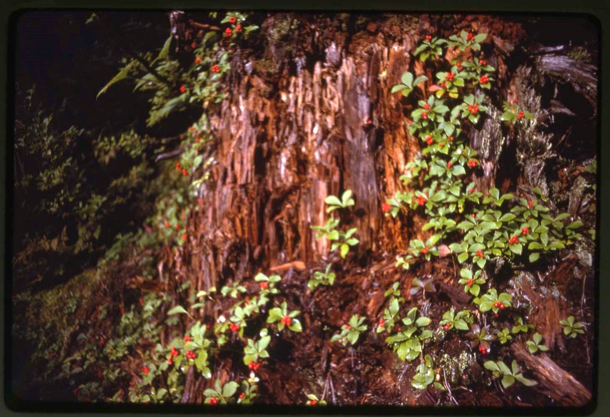
- Scope & Content
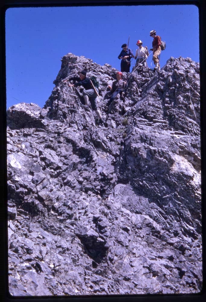
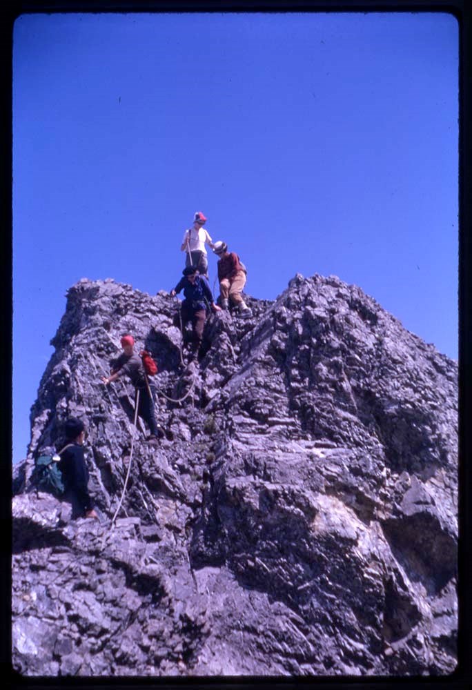
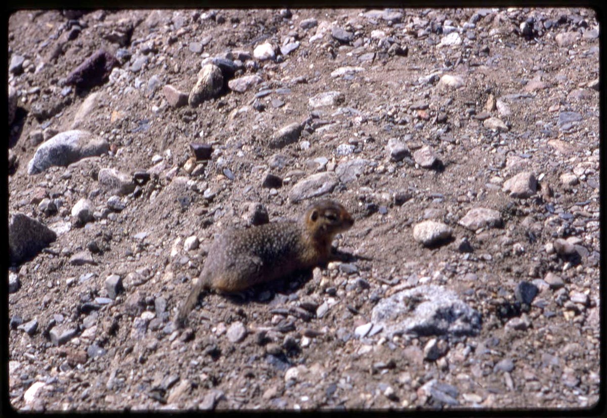
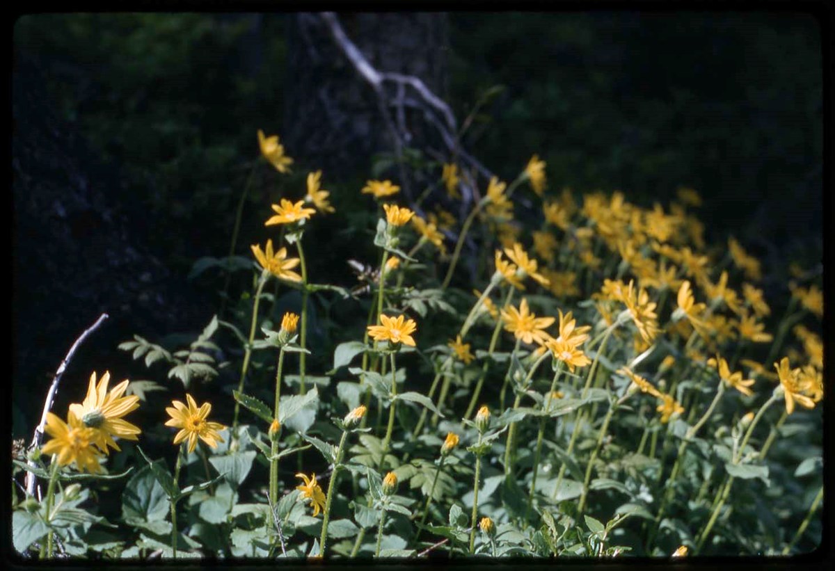
- Slides pertain to wildlife and mountains and mountaineering. Includes numbered and unnumbered slides
- Date Range
- [ca.1900-ca.1920]
- Reference Code
- V527 / PS 4 - 1 to 15
- Description Level
- 5 / File
- GMD
- Photograph
- Lantern slide
- Transparency
- Part Of
- Mary Schaffer fonds
- Description Level
- 5 / File
- Series
- II.A. Photographs: lantern slides
- Accession Number
- 2685
- Reference Code
- V527 / PS 4 - 1 to 15
- Date Range
- [ca.1900-ca.1920]
- Physical Description
- 15 photographs : transparencies; glass
- Scope & Content
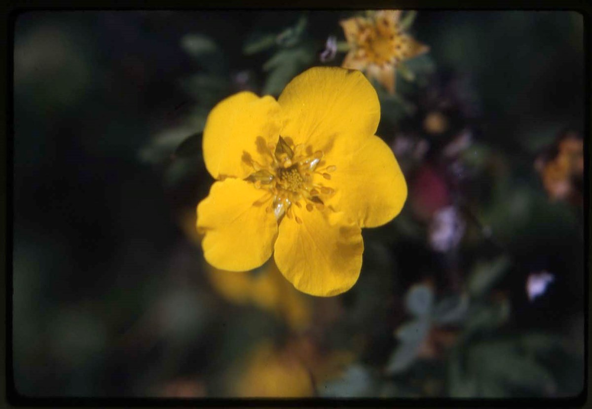
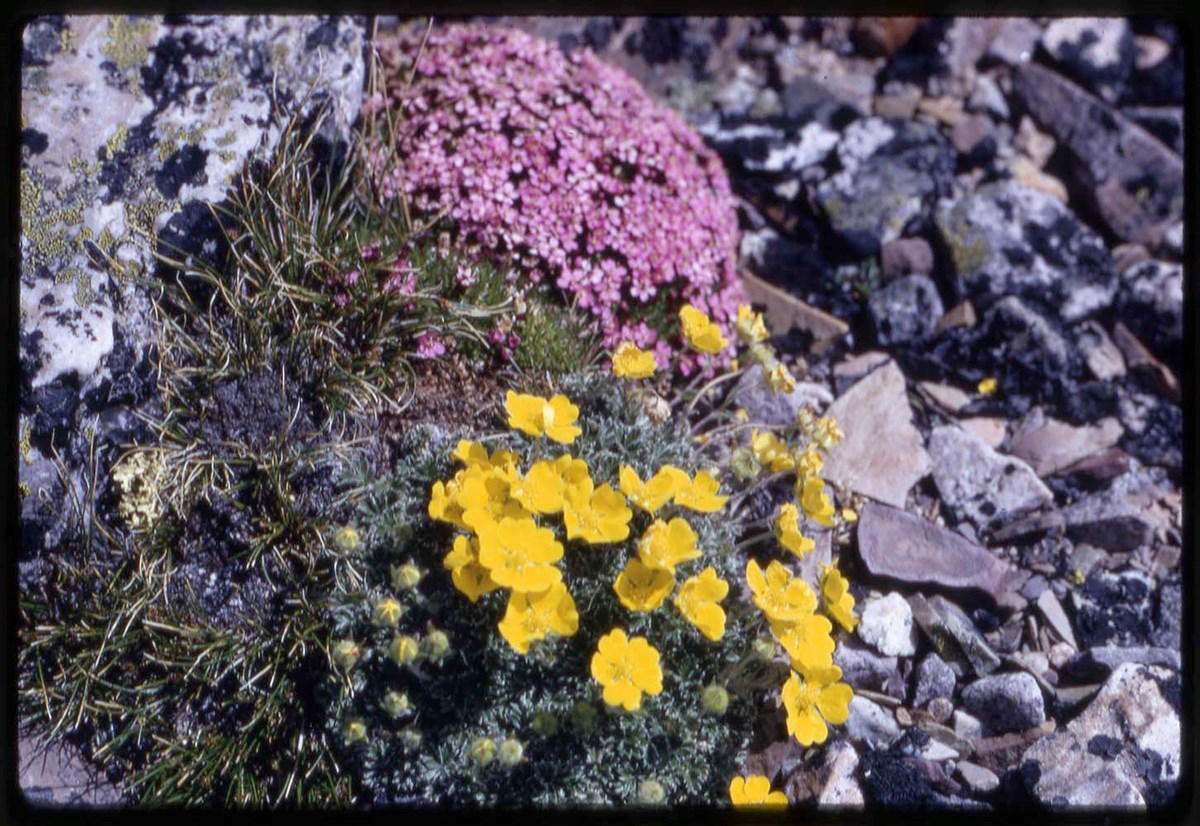
- Slides pertain to wildlife and mountains and mountaineering. Includes numbered and unnumbered slides
- Title Source
- Title based on contents of file
This material is presented as originally created; it may contain outdated cultural descriptions and
potentially offensive content.
Read more.
- Part Of
- Malcolm Geddes fonds
- Scope & Content
- File consists of two lantern slide photographs of western and eastern Canadian national parks maps.
- Date Range
- [ca.1925]
- Reference Code
- V756 / III / A / PS - 231 and 232
- Description Level
- 5 / File
- GMD
- Photograph
- Lantern slide
- Map
- Part Of
- Malcolm Geddes fonds
- Description Level
- 5 / File
- Fonds Number
- M39
- V756
- Series
- V756 / III : Personal and family records
- Sous-Fonds
- V756
- Sub-Series
- V756 / III / A : Travel and mountain expeditions
- Accession Number
- 6504
- Reference Code
- V756 / III / A / PS - 231 and 232
- Date Range
- [ca.1925]
- Physical Description
- 2 photographs : lantern slides
- Scope & Content
- File consists of two lantern slide photographs of western and eastern Canadian national parks maps.
- Material Details
- Lantern slides are hand-coloured
- Subject Access
- Map
- Geography
- National parks and reserves
- Travel
- Geographic Access
- Canada
- Access Restrictions
- Fragile - restrictions may apply
- Language
- N/A
- Category
- Exploration, discovery and travel
- Title Source
- Title based on contents of file
- Processing Status
- Processed
This material is presented as originally created; it may contain outdated cultural descriptions and
potentially offensive content.
Read more.
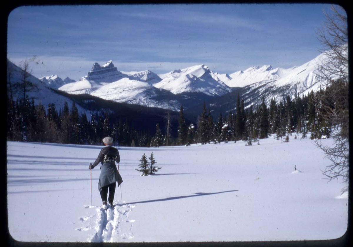
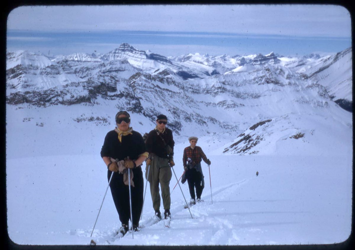
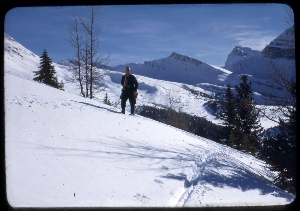
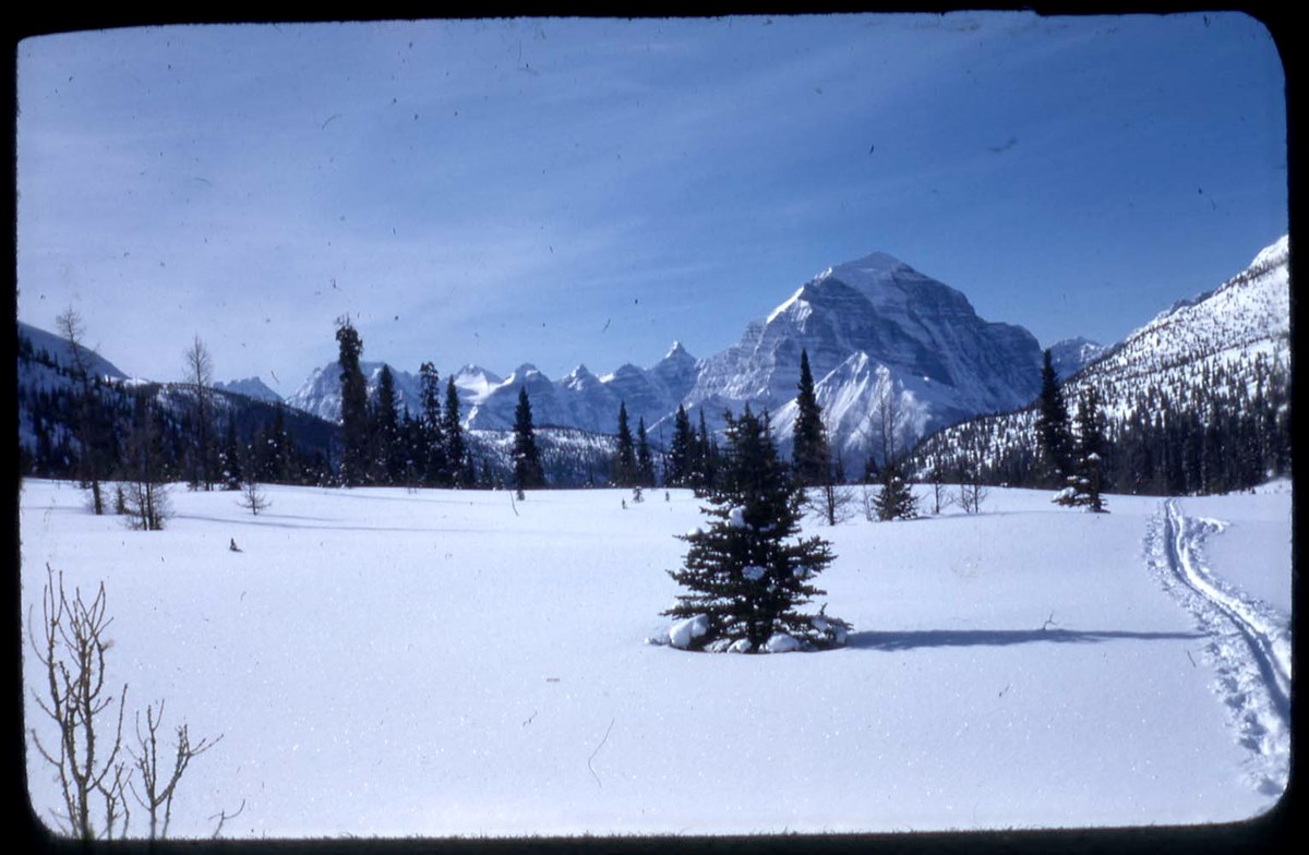
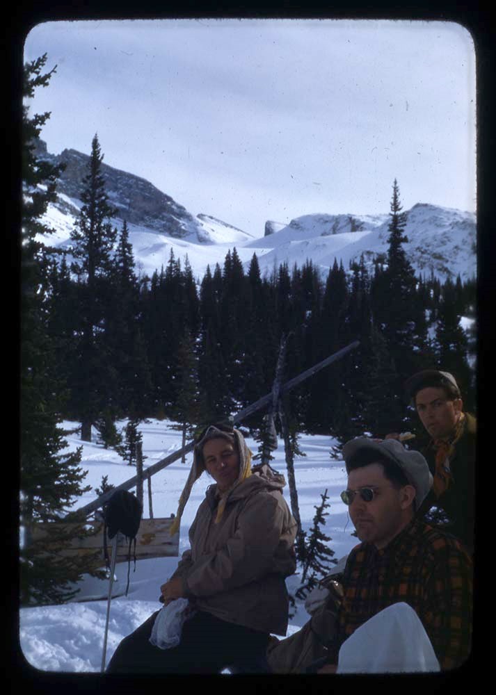
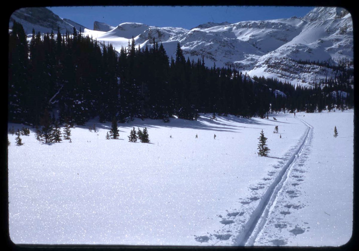
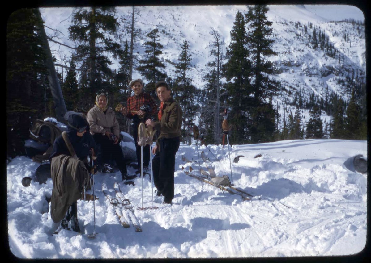
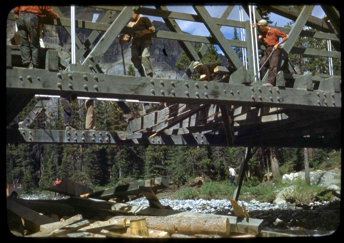
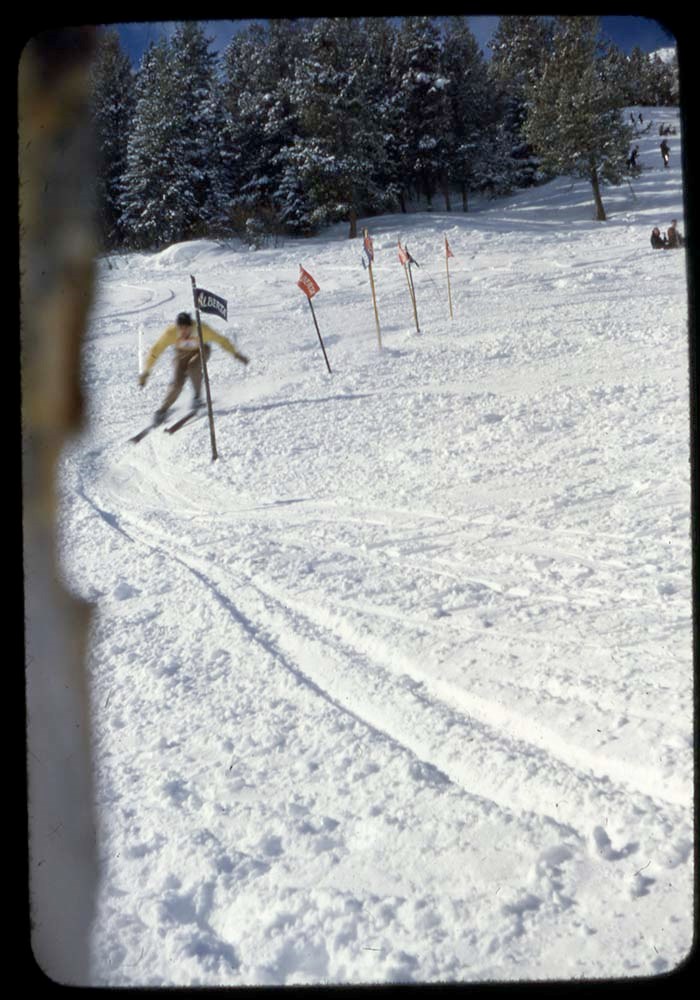
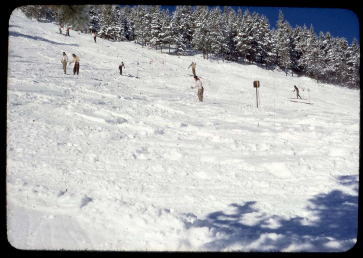
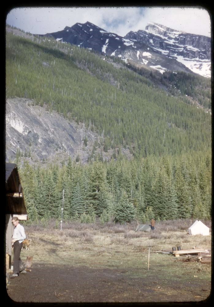
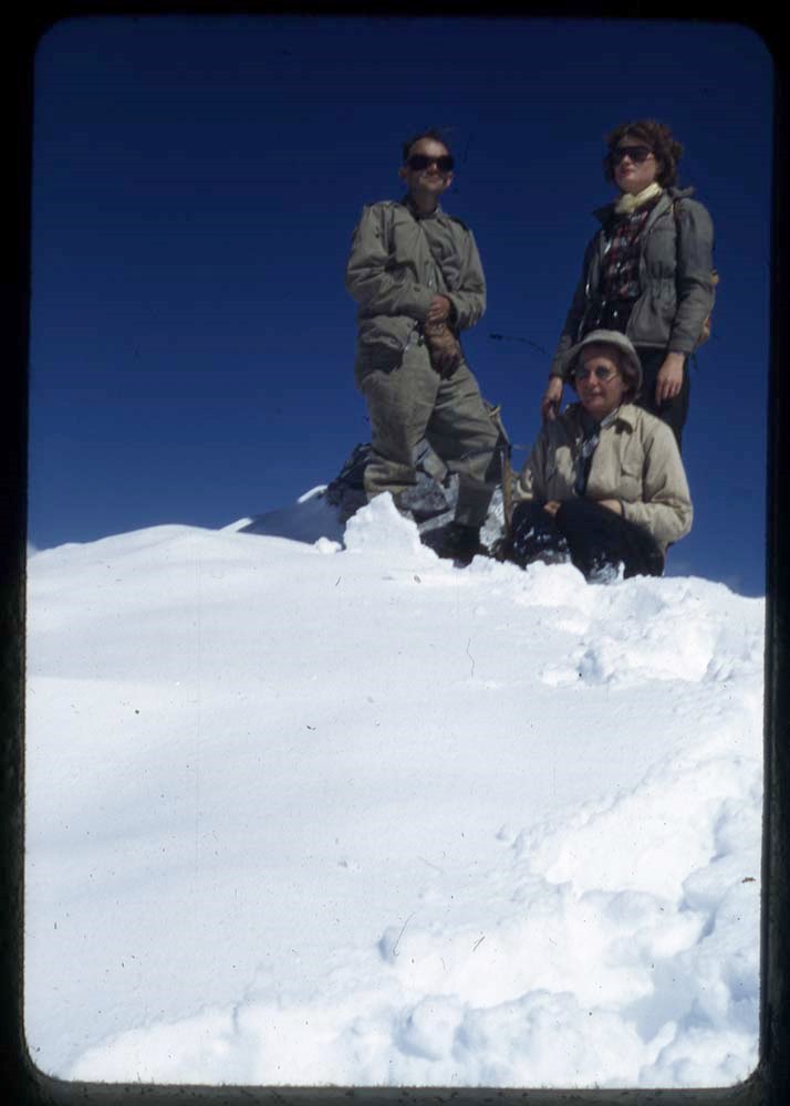
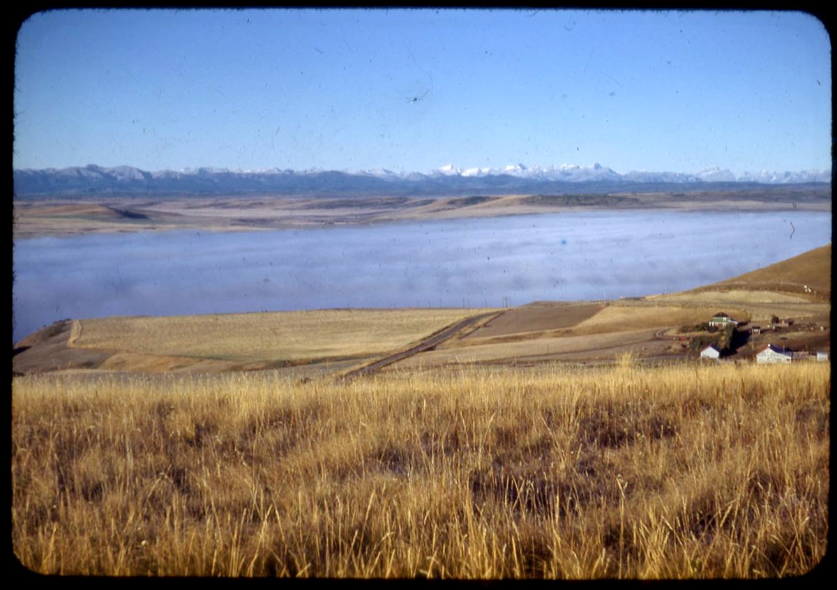
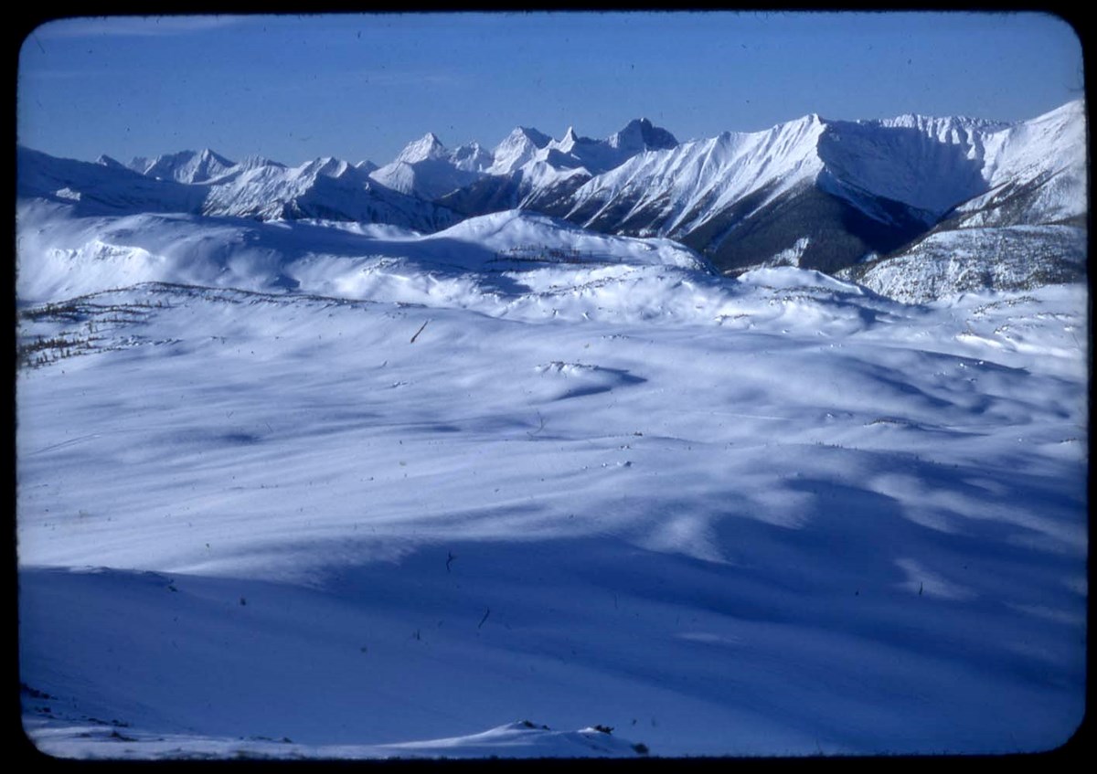
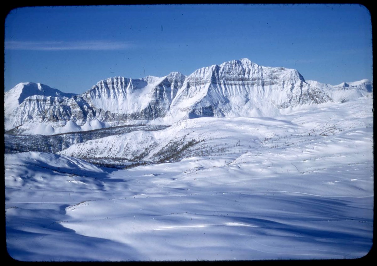
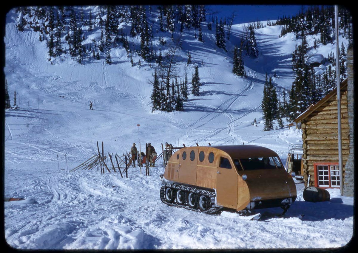
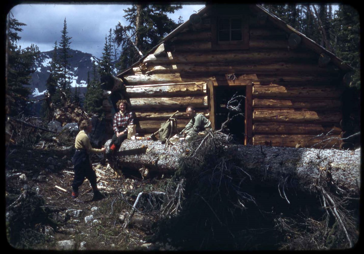
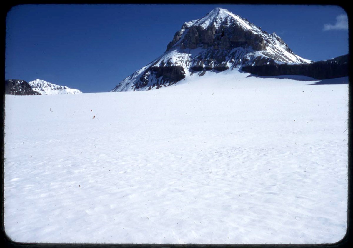
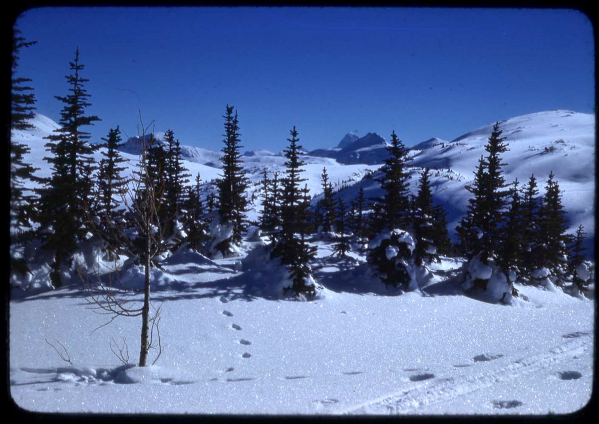
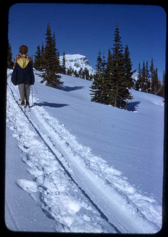
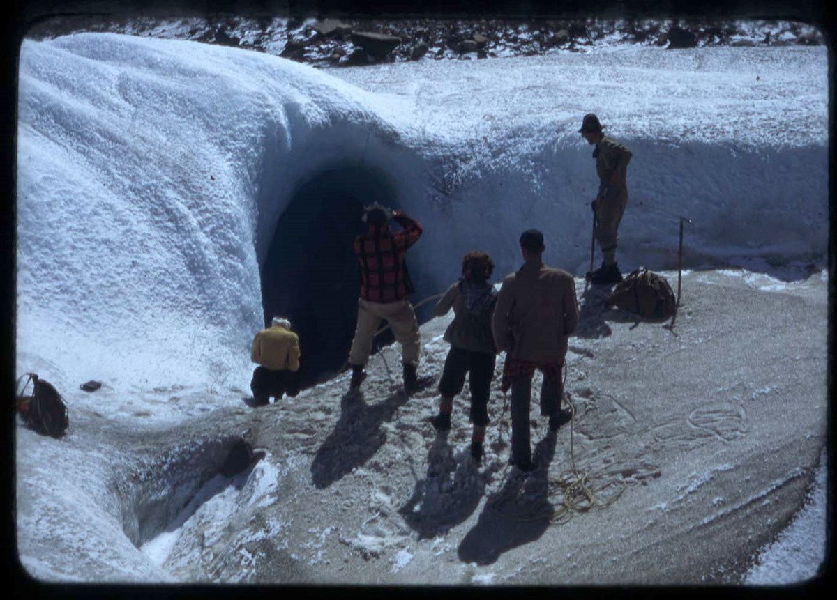
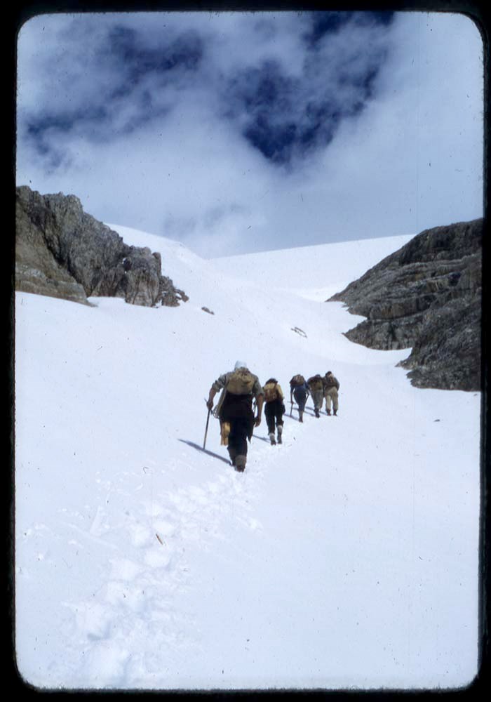
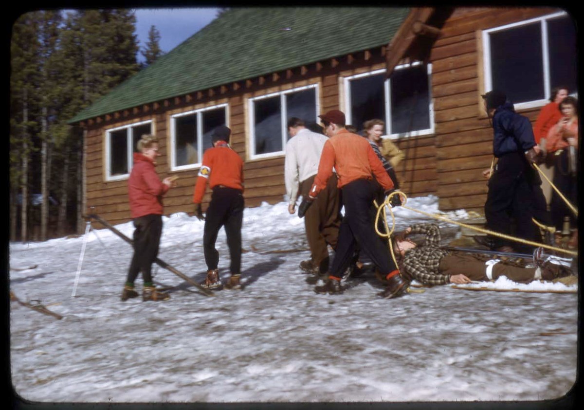
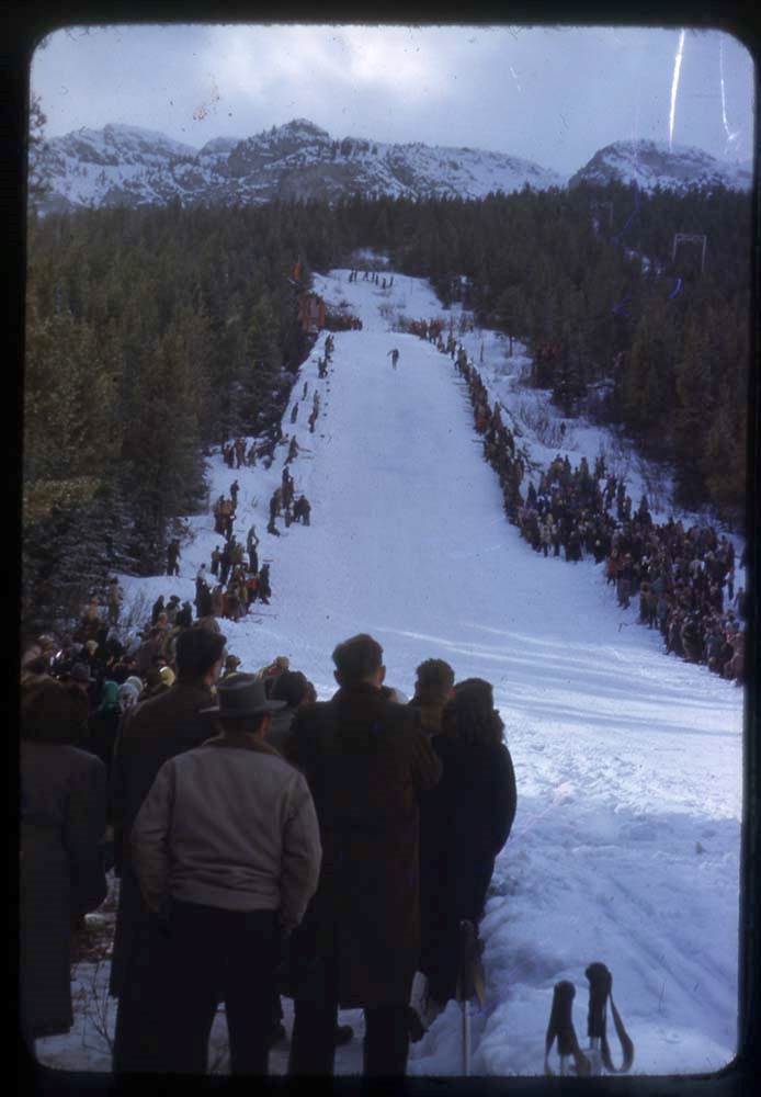
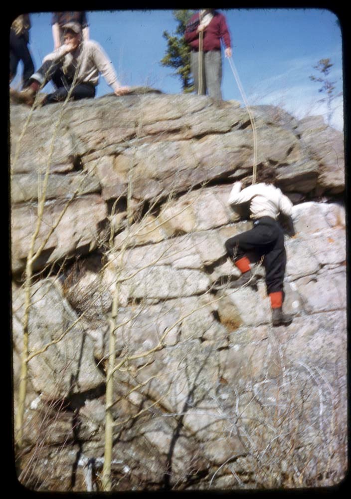
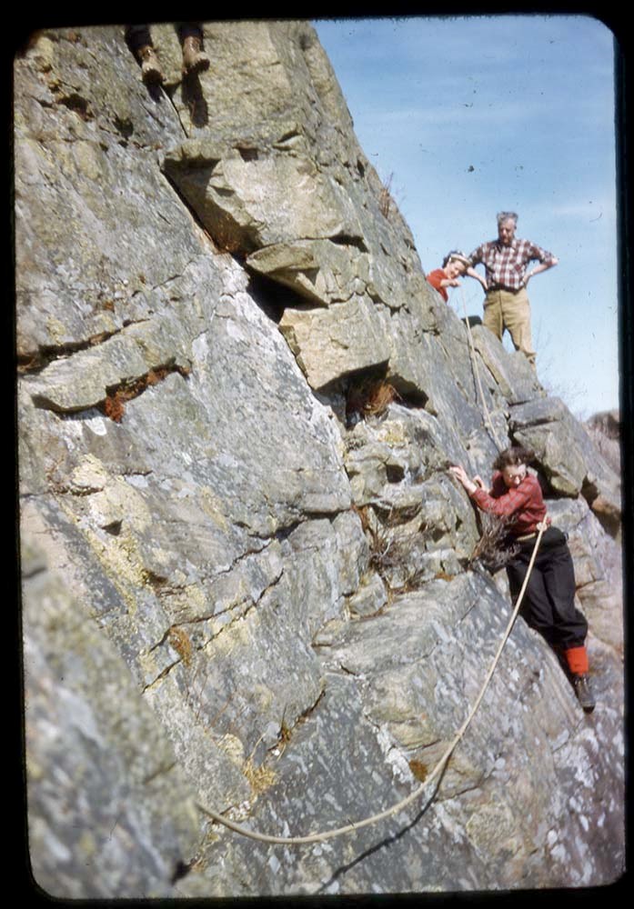
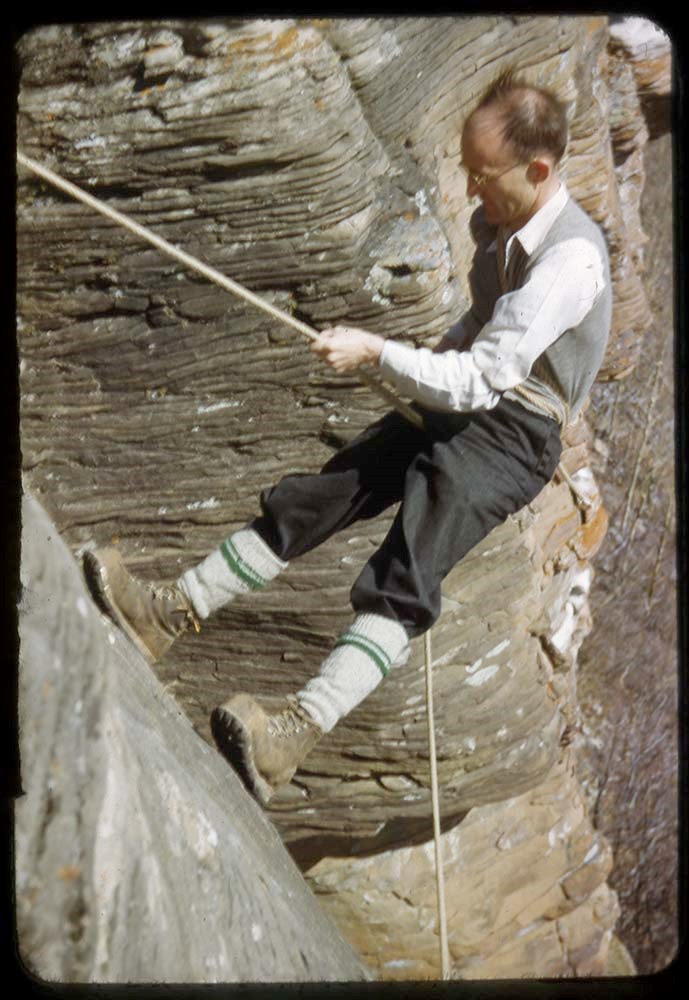
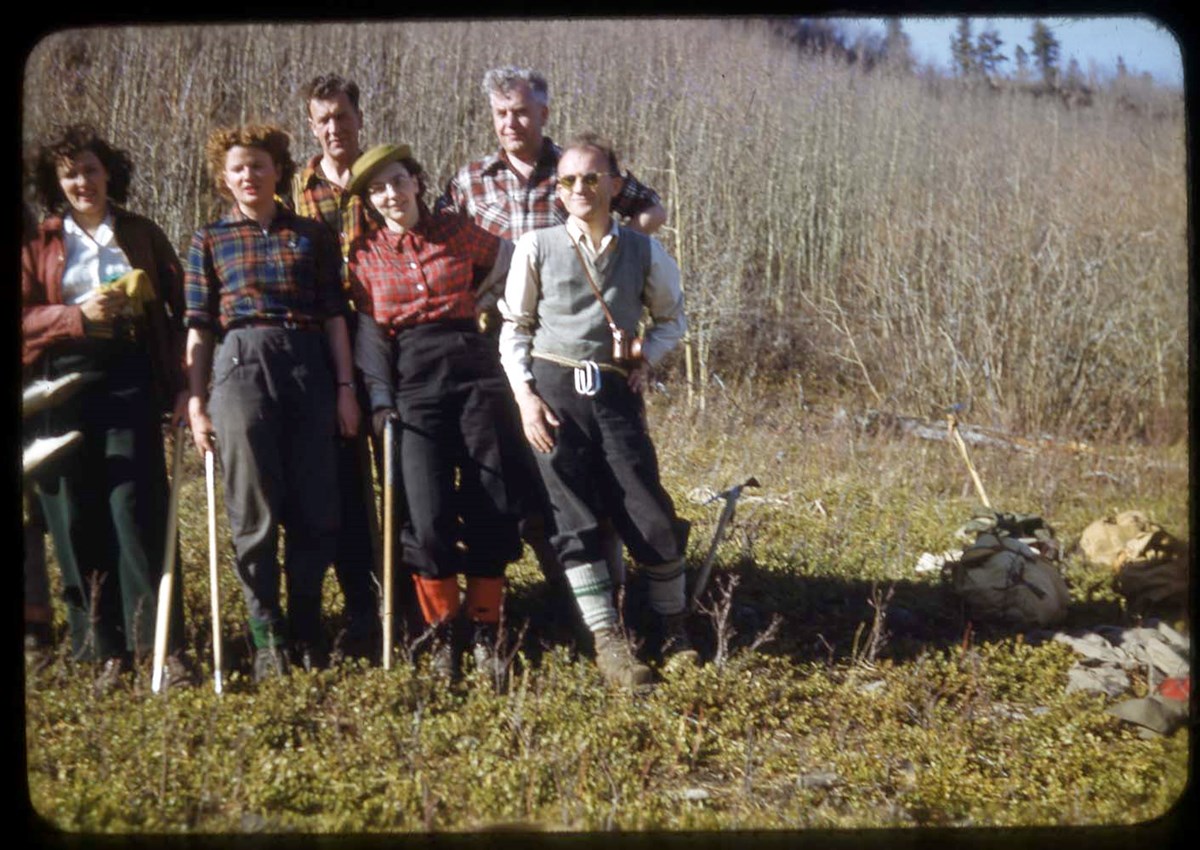
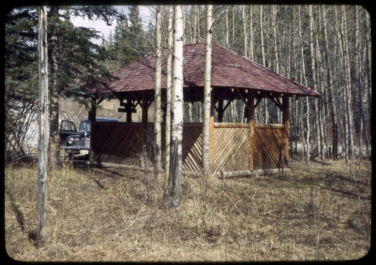
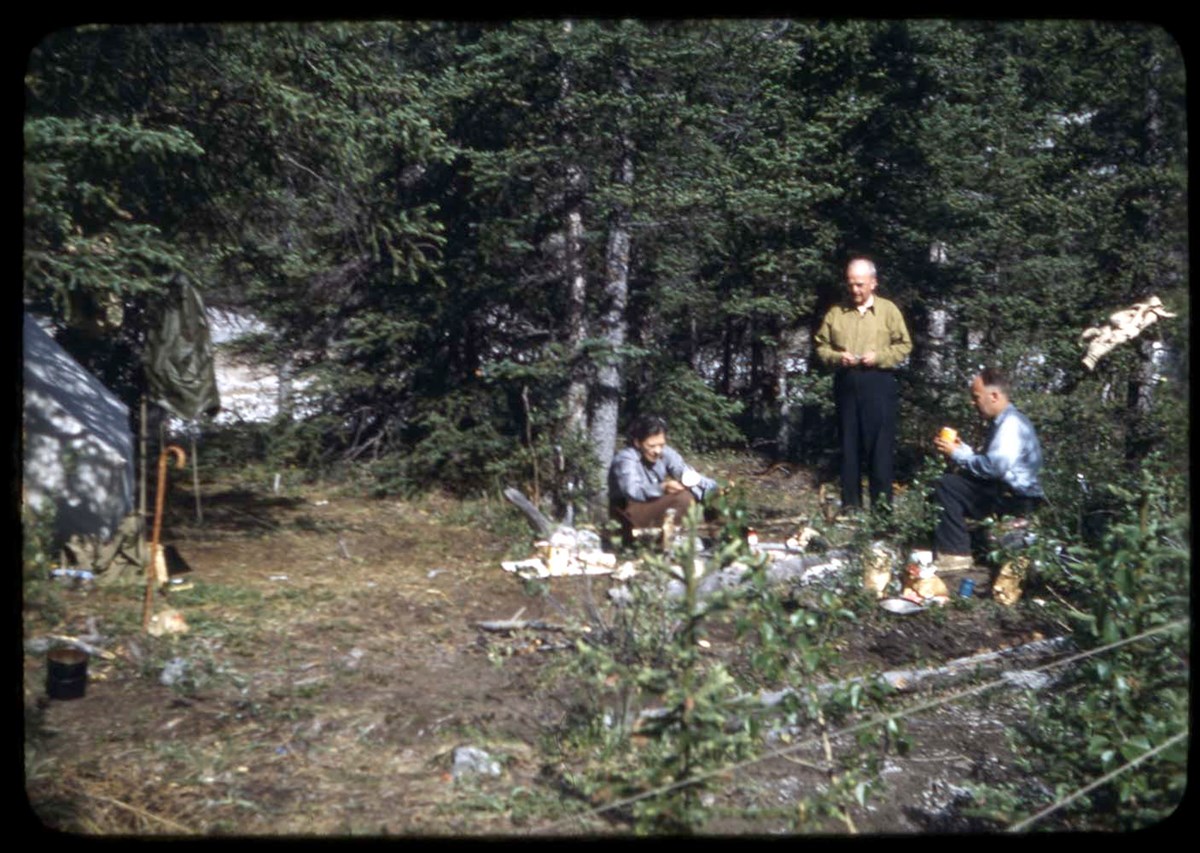
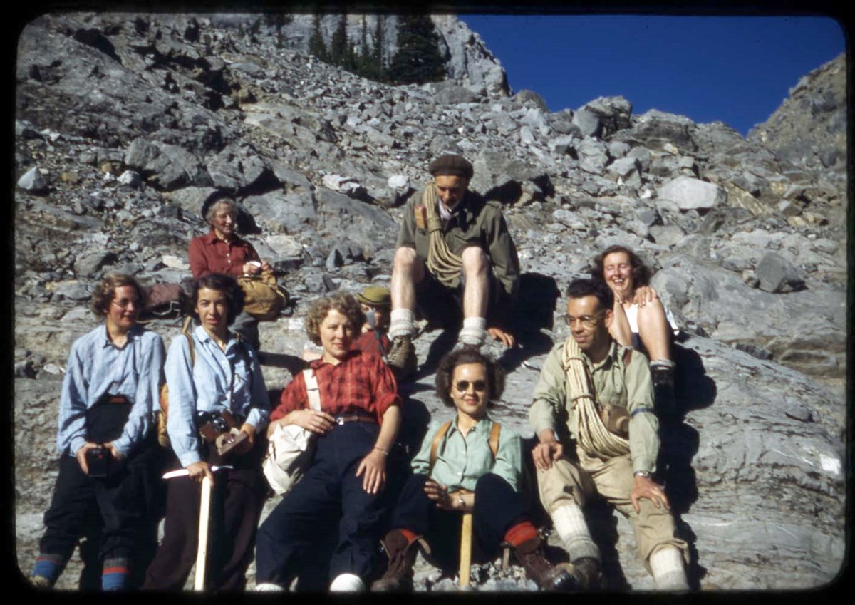
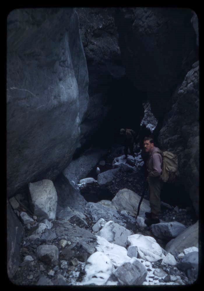
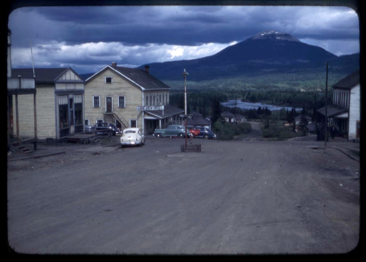
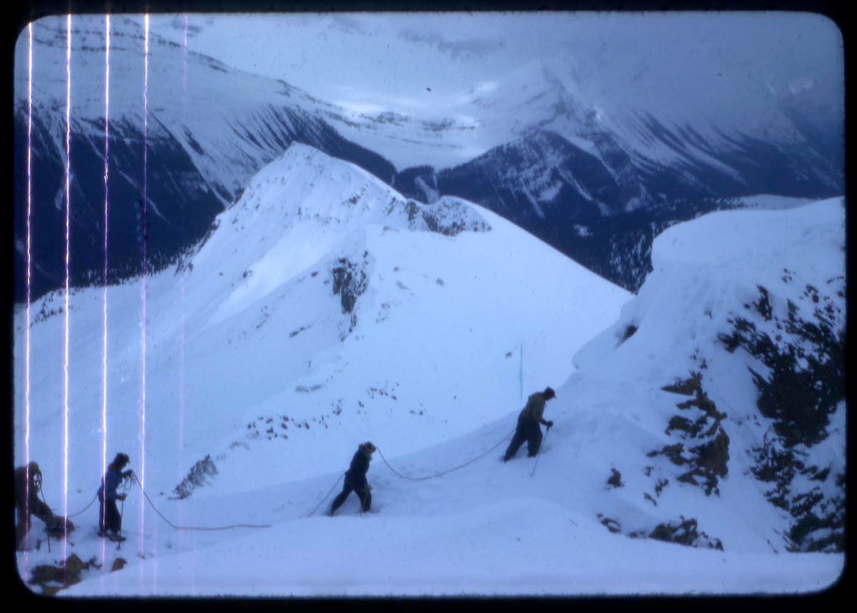
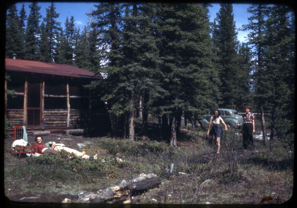
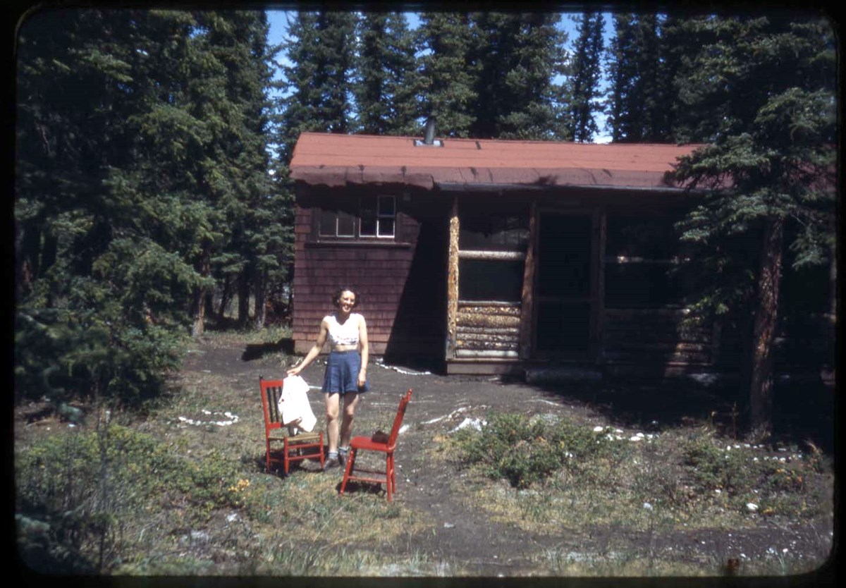
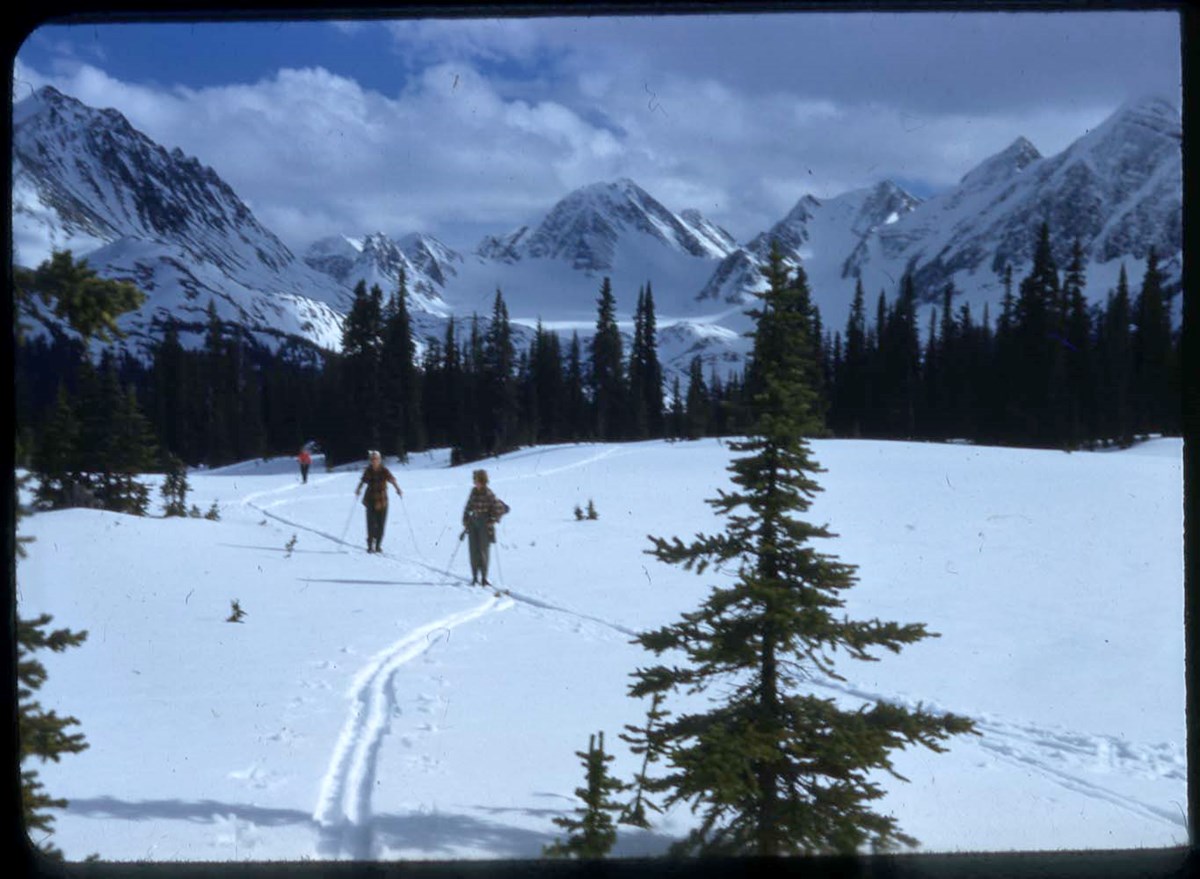
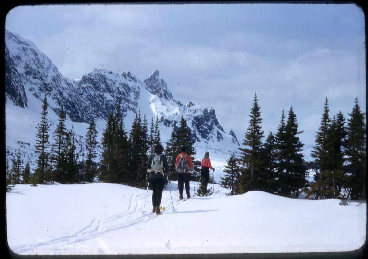
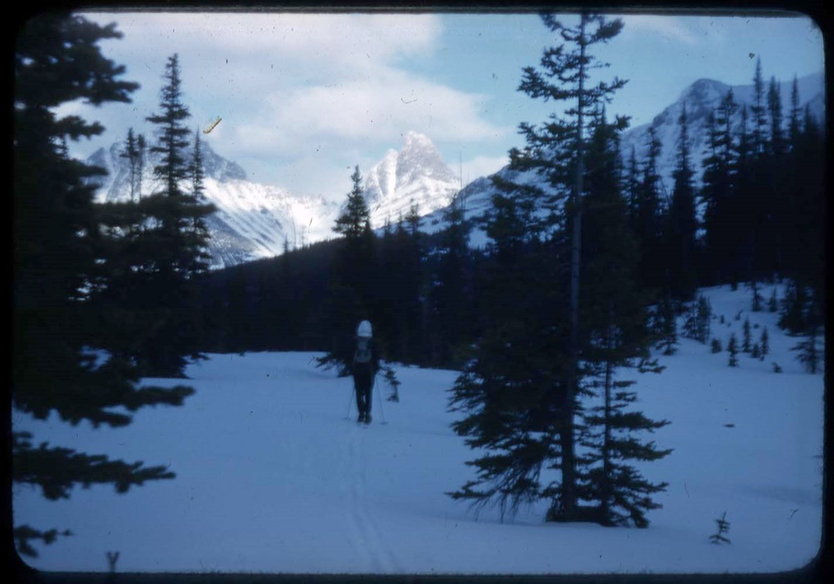
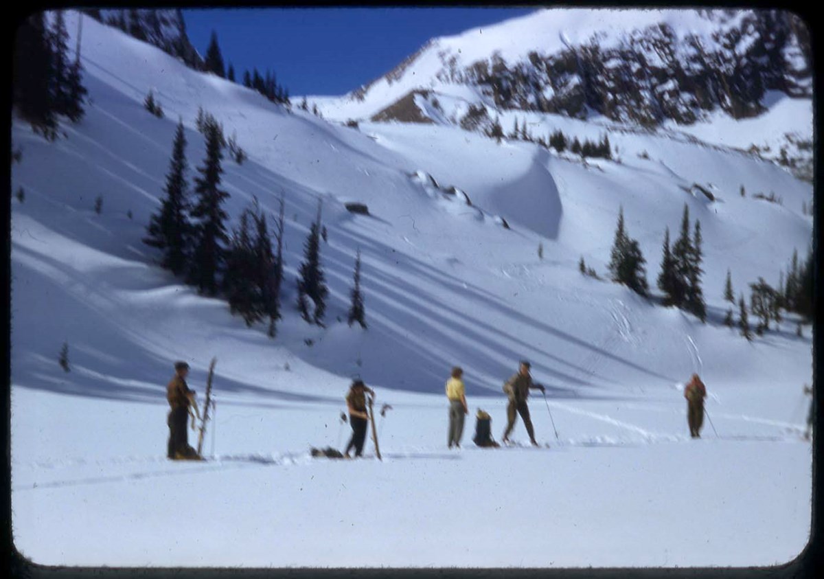
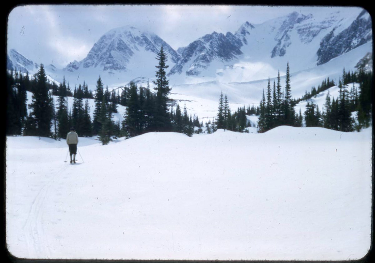
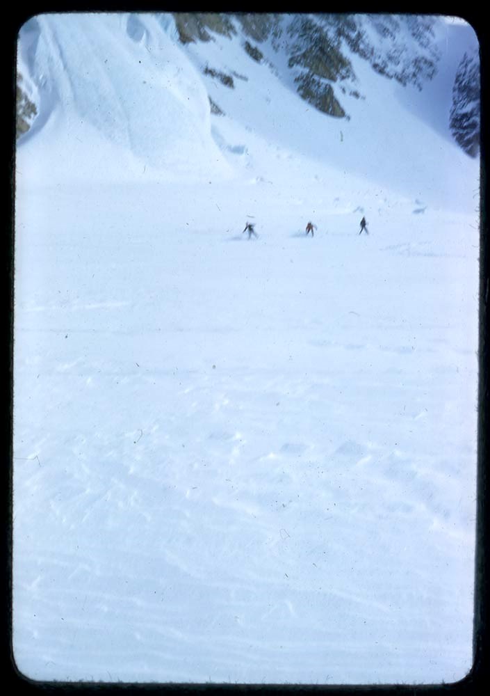
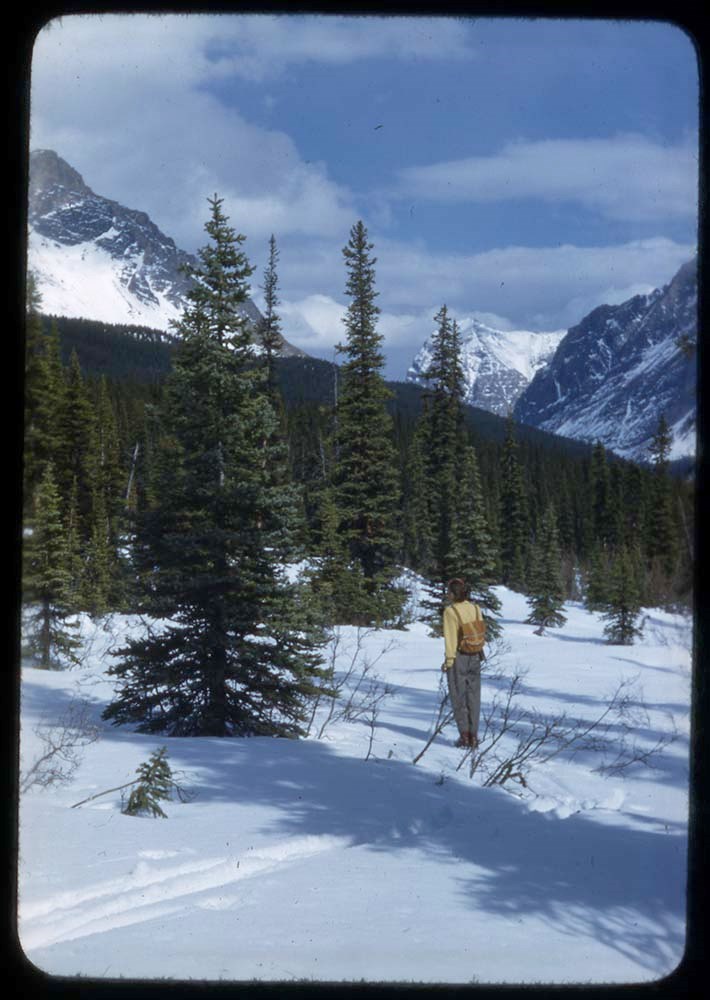
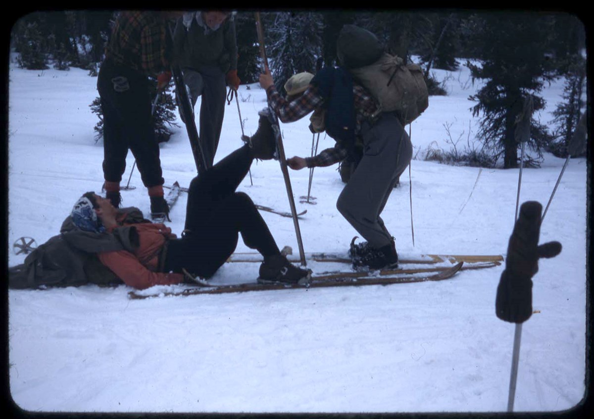
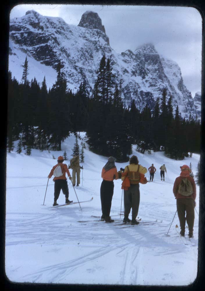
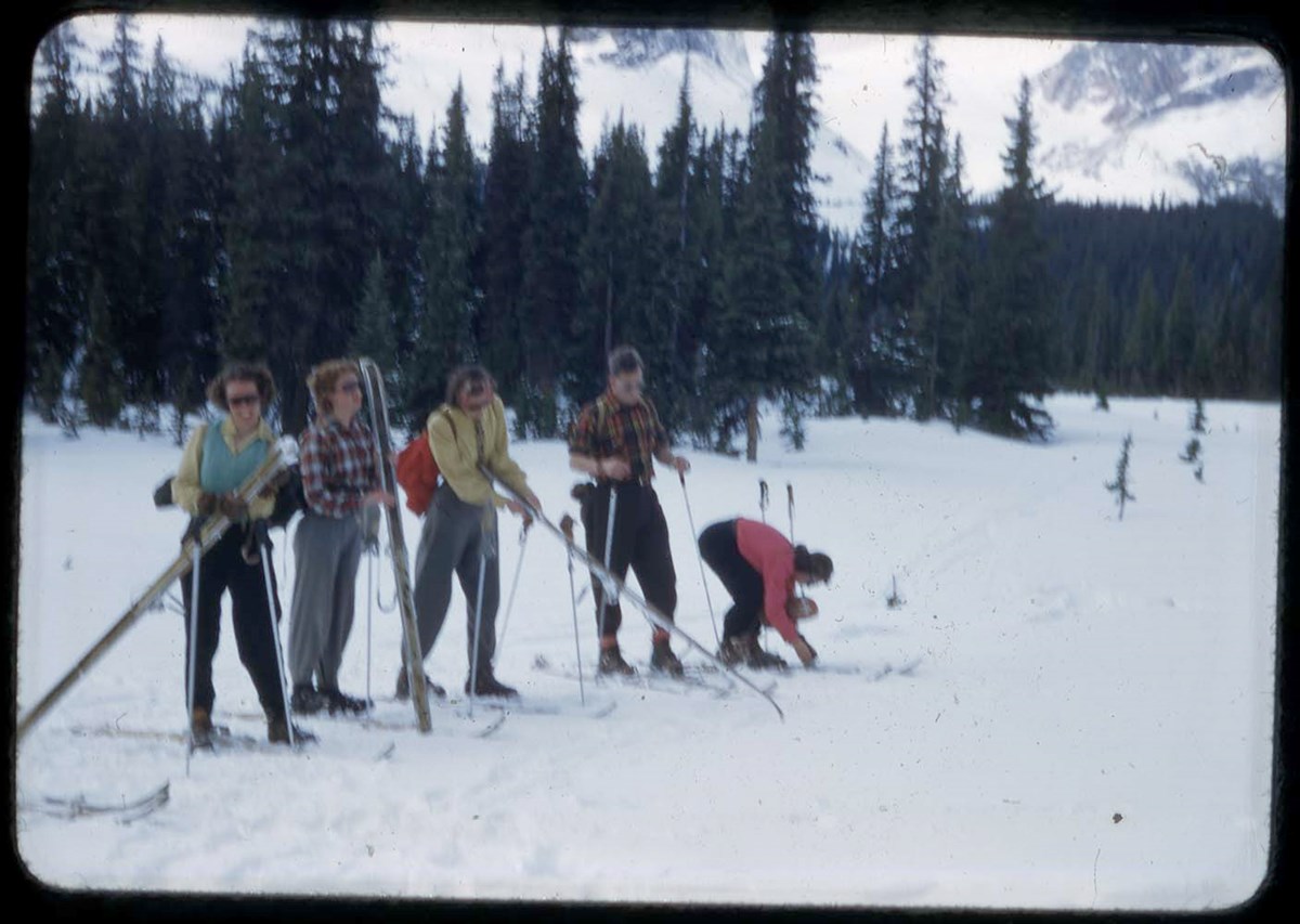
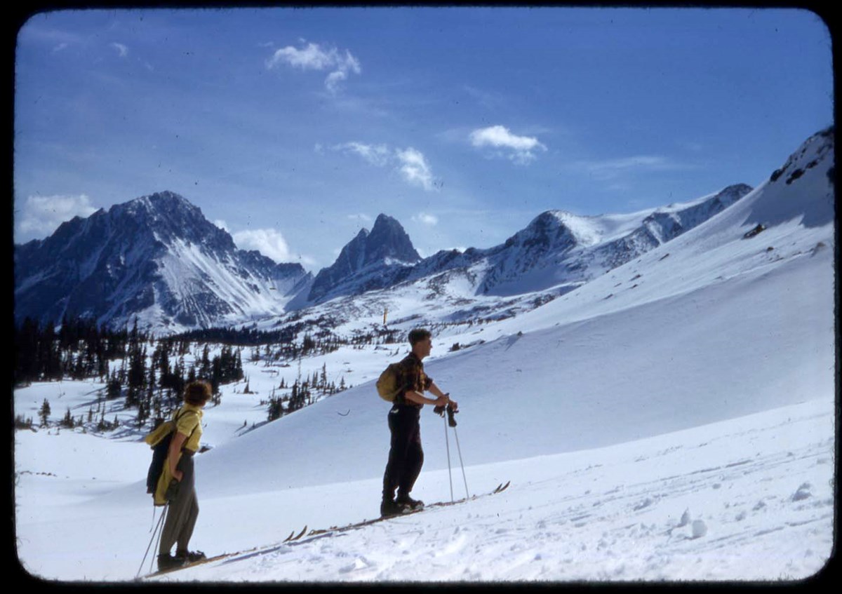
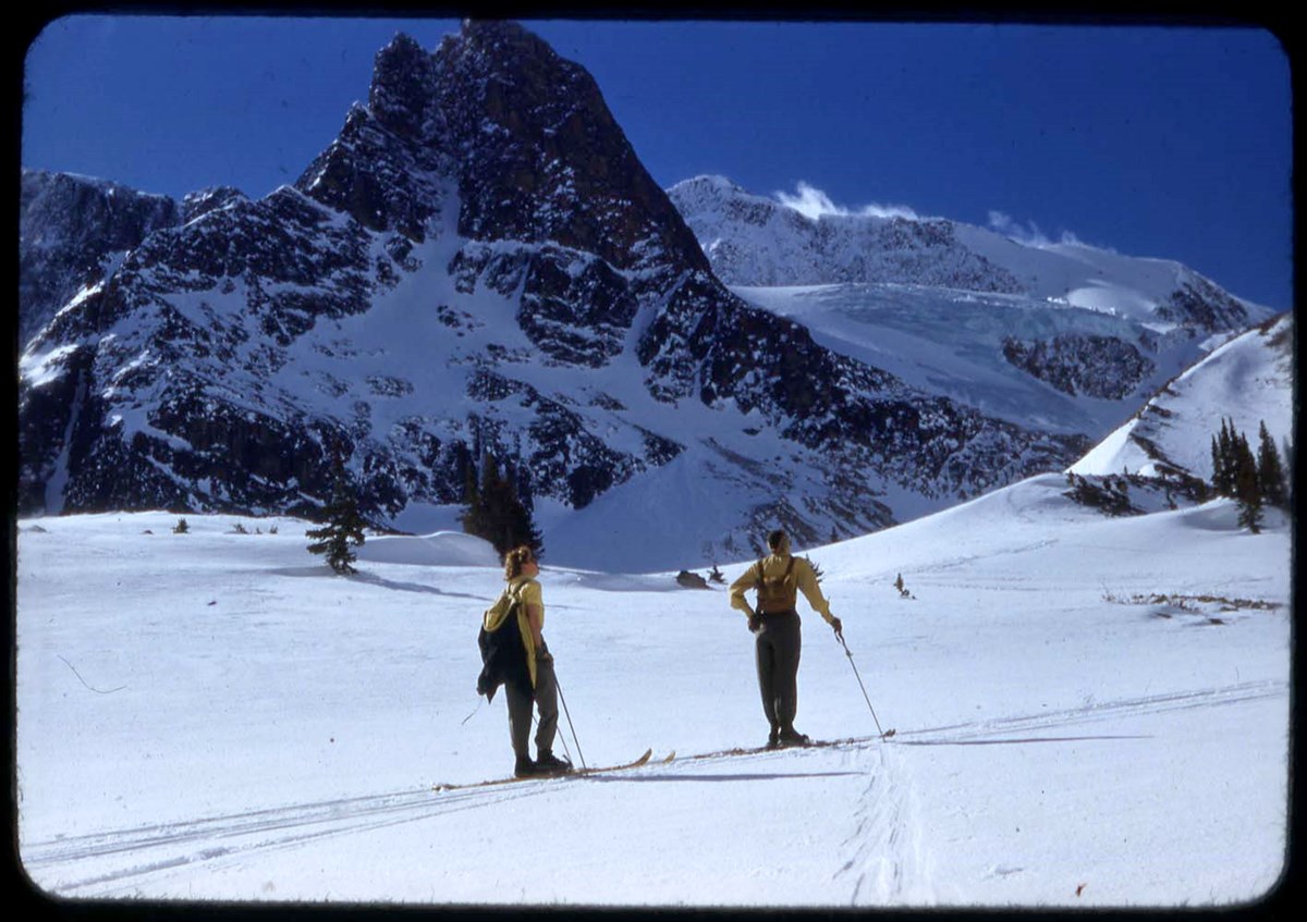
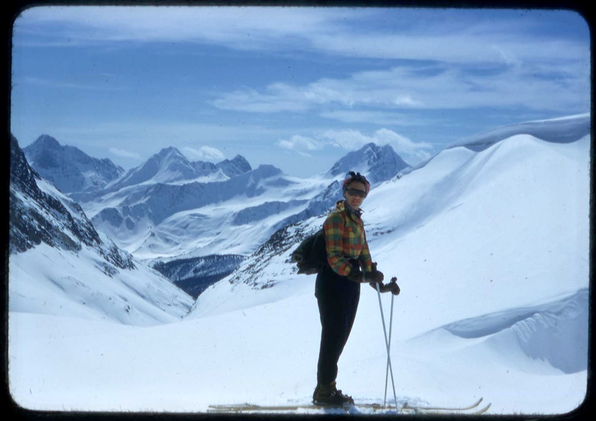
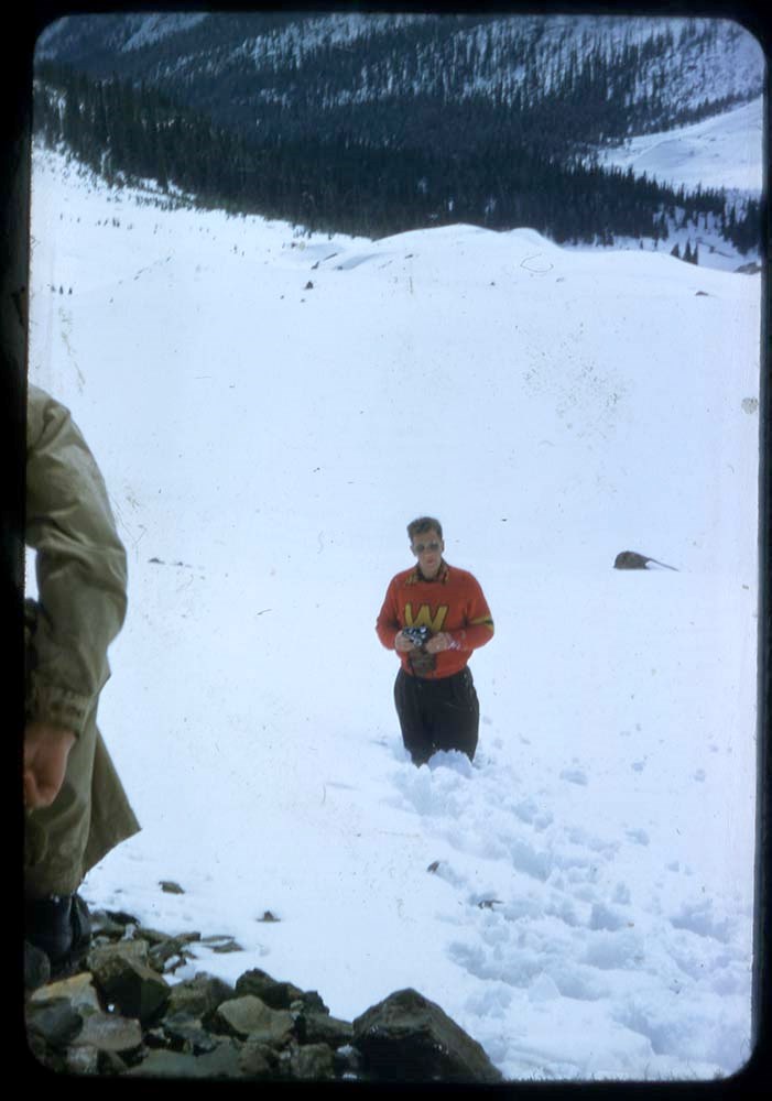
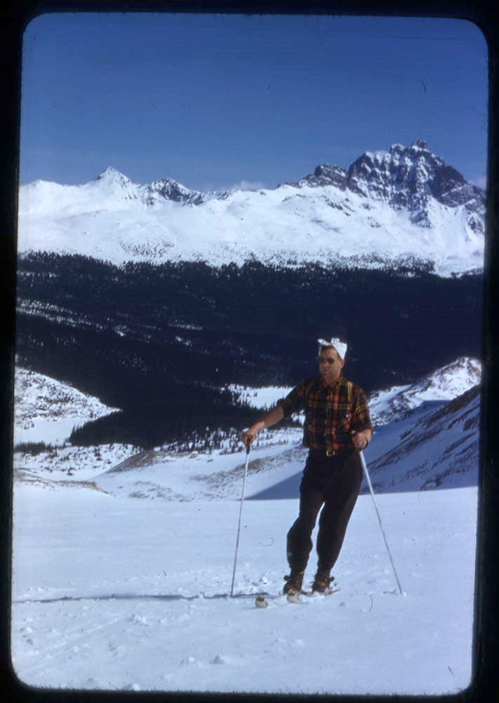
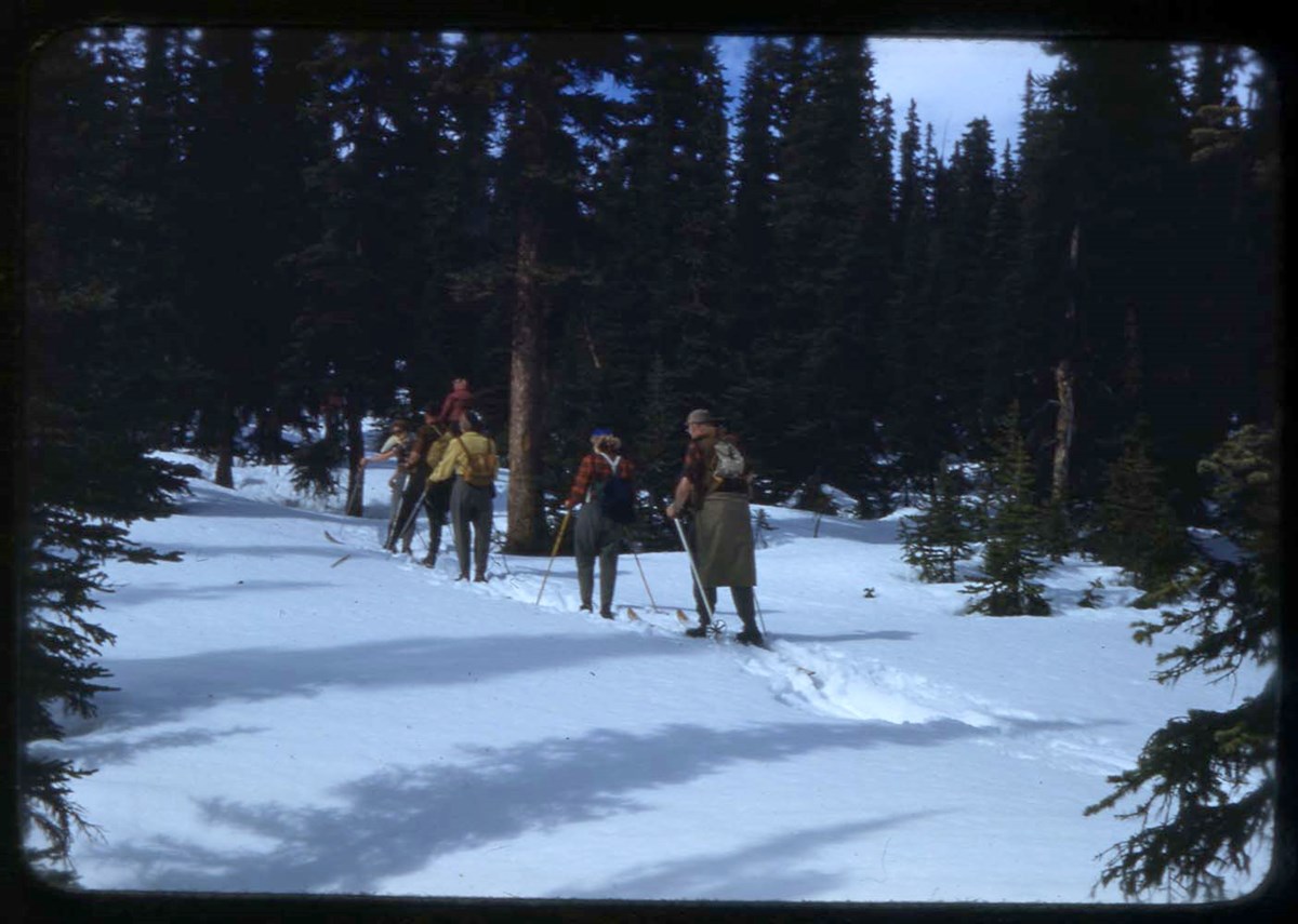
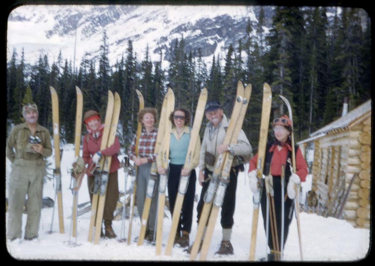
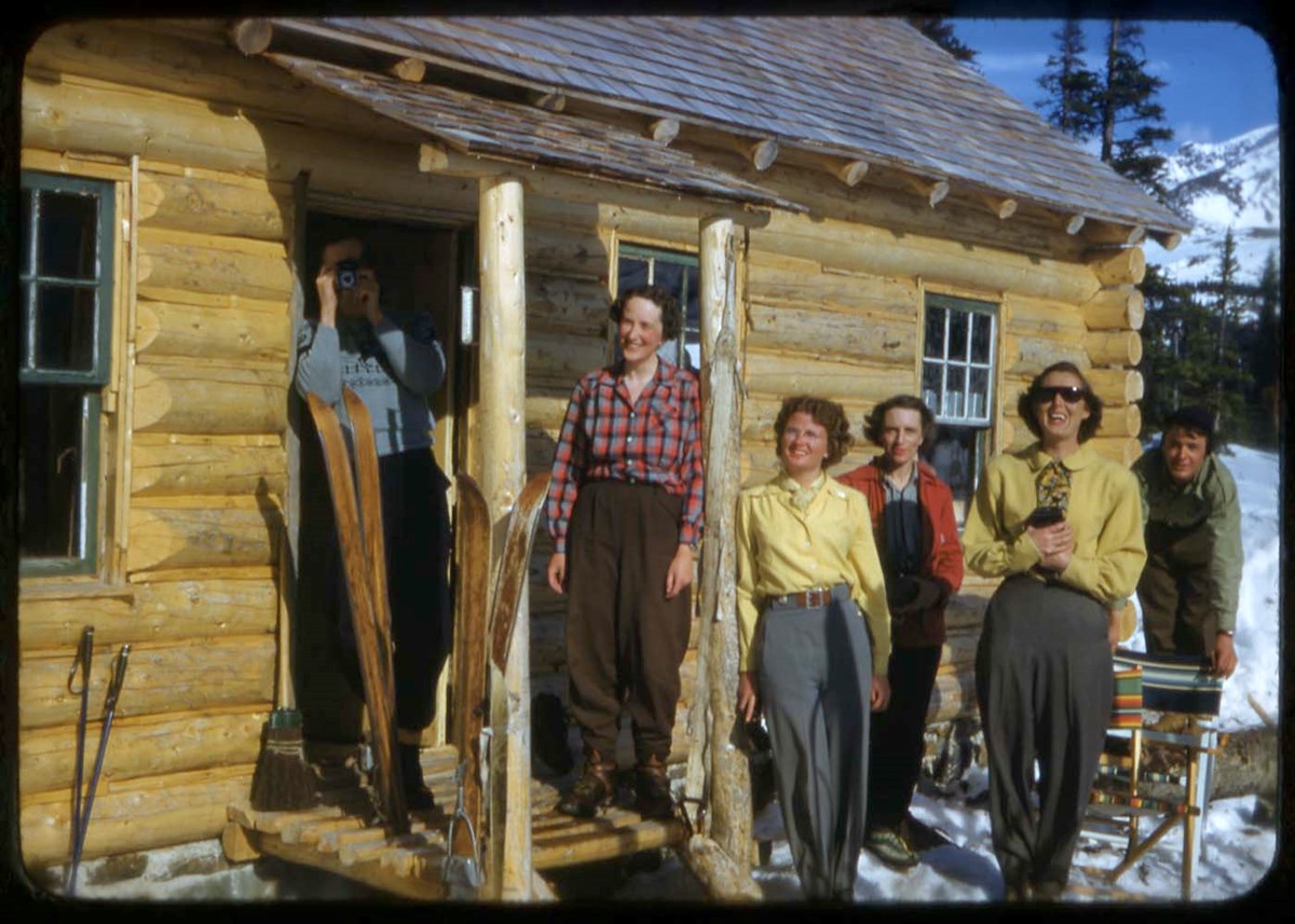
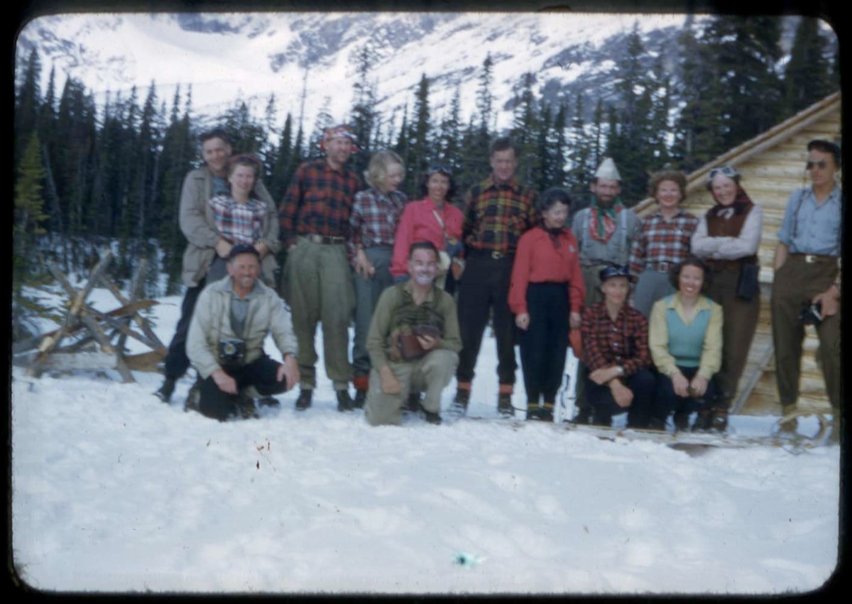
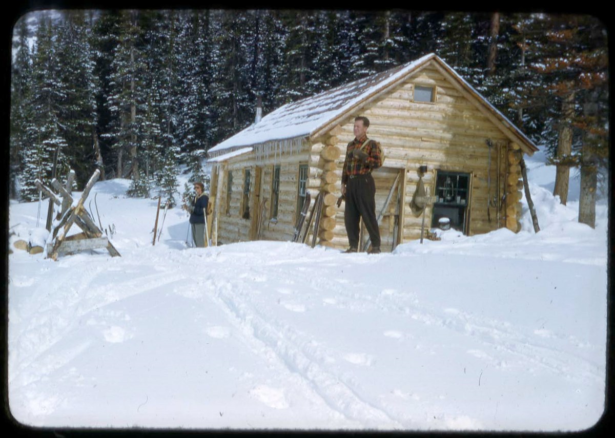
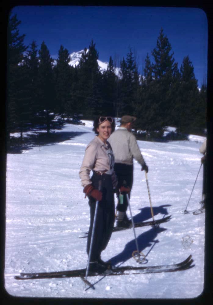
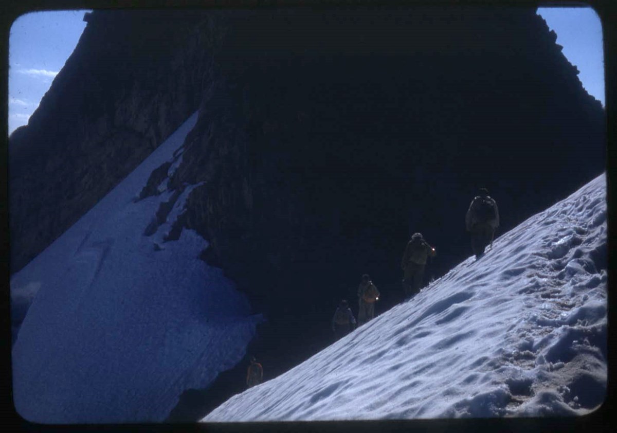
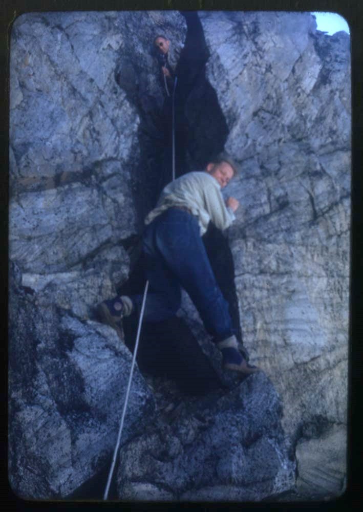
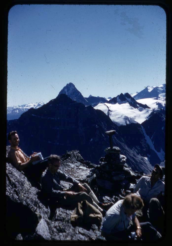
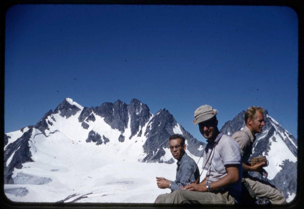
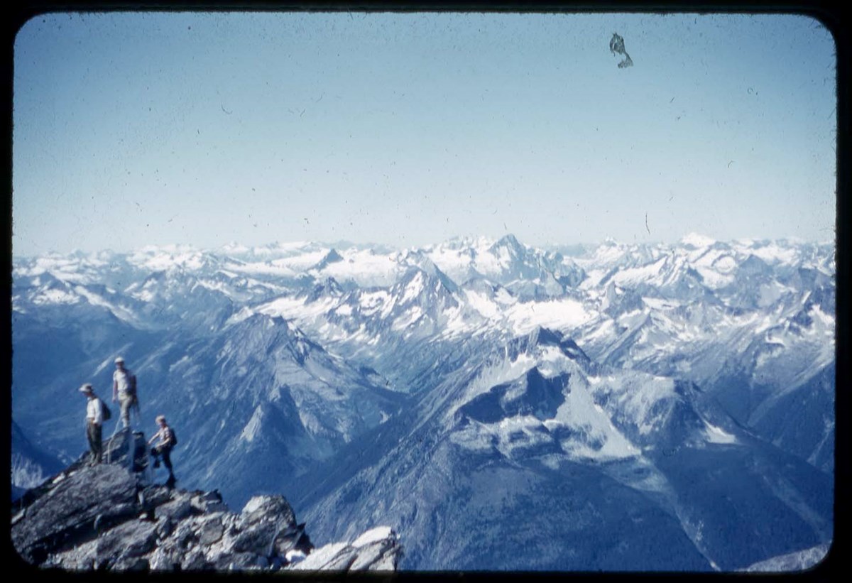
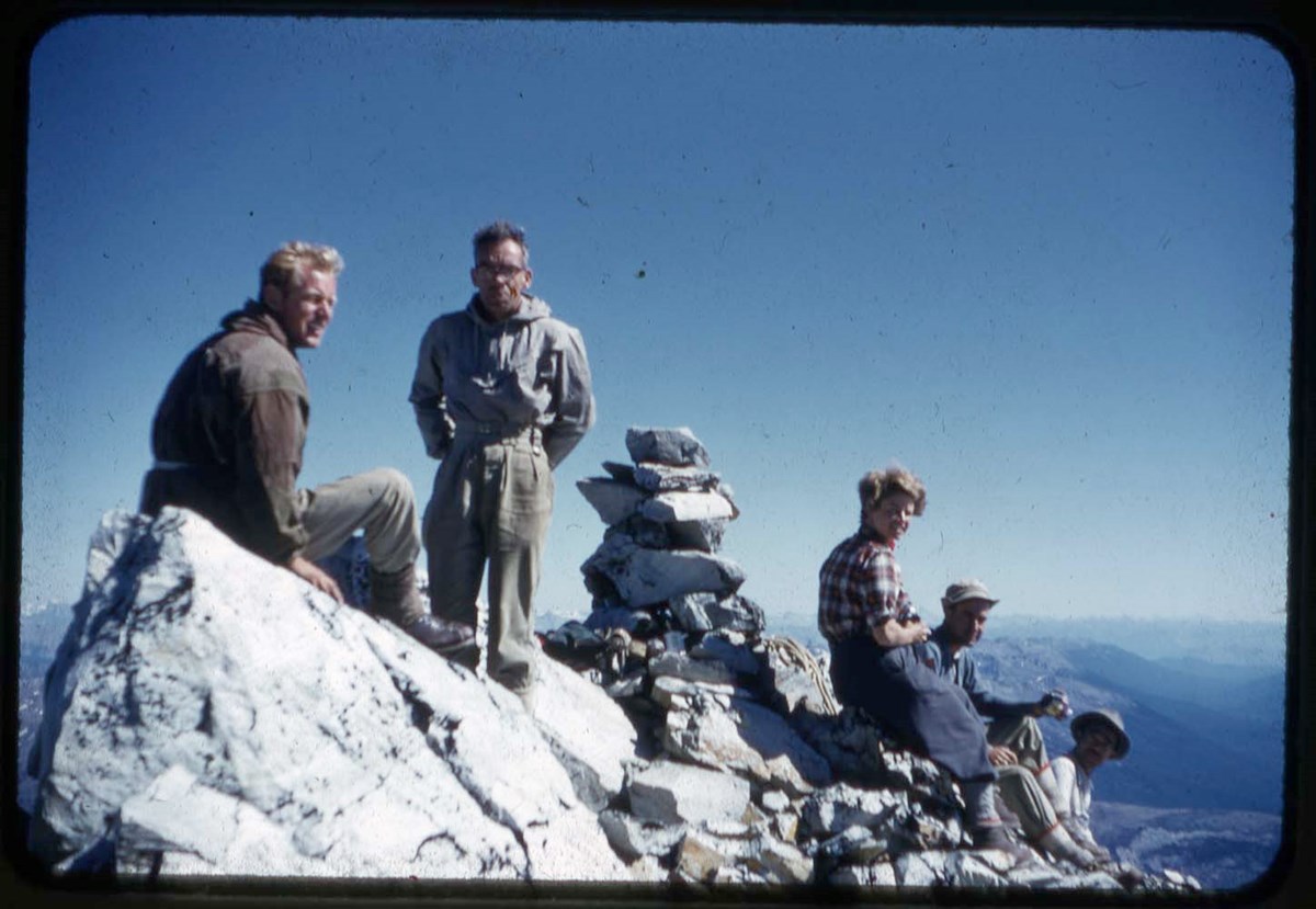
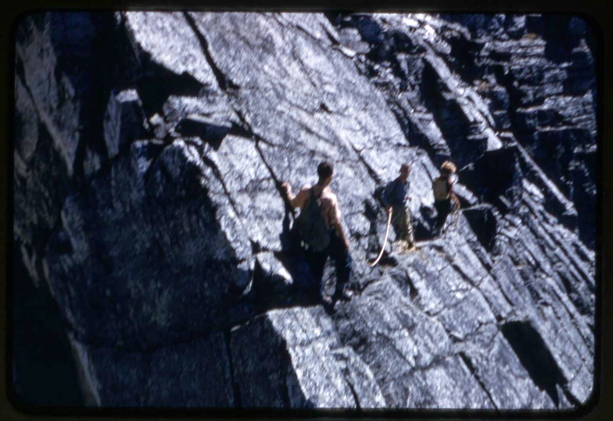
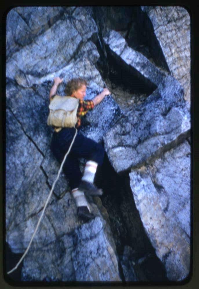
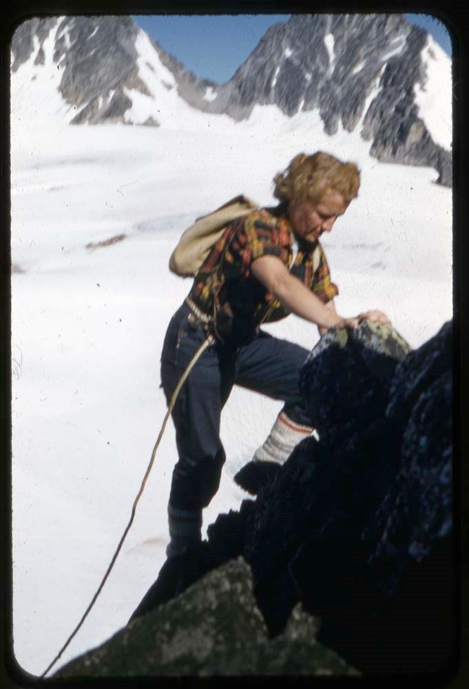
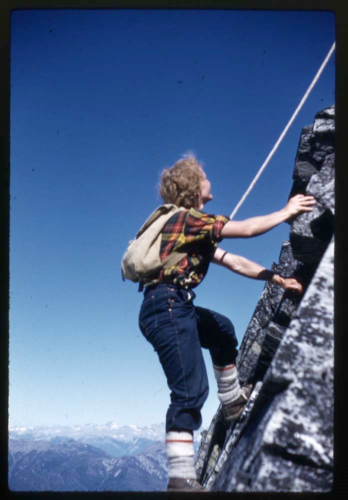
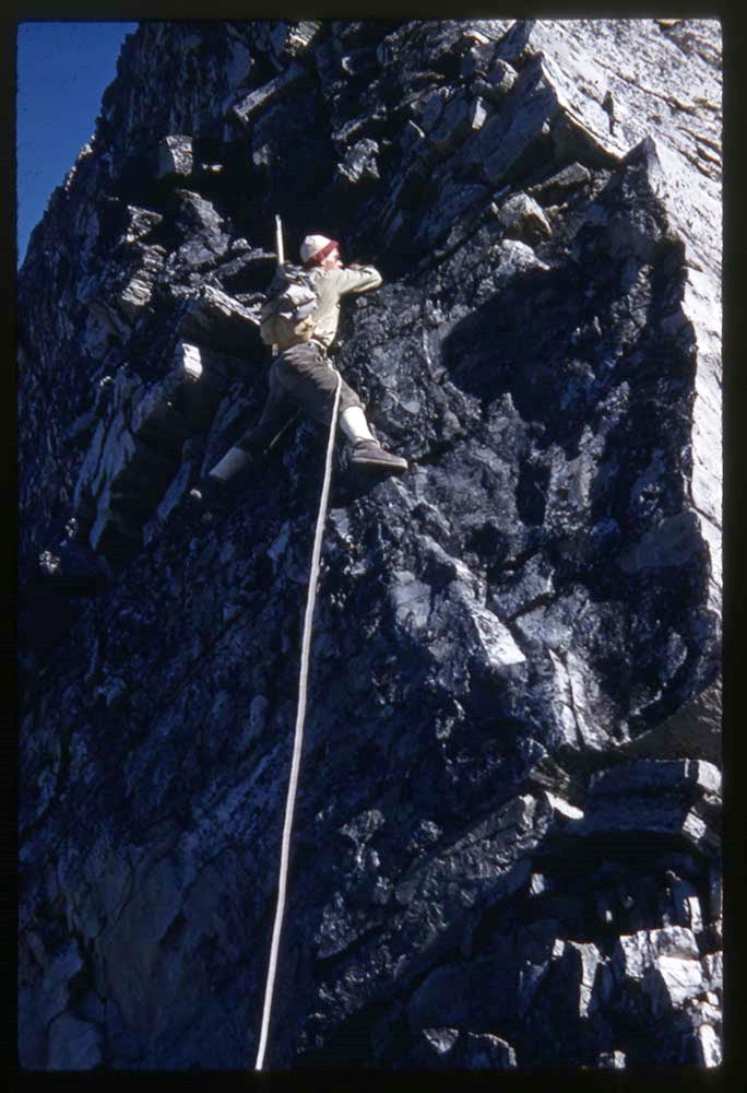
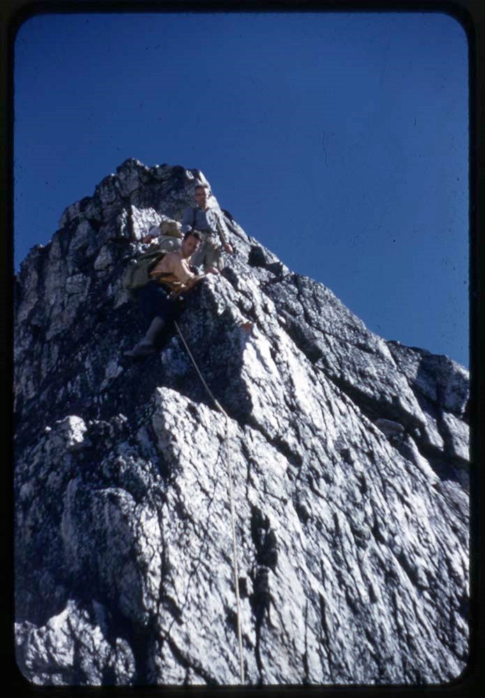
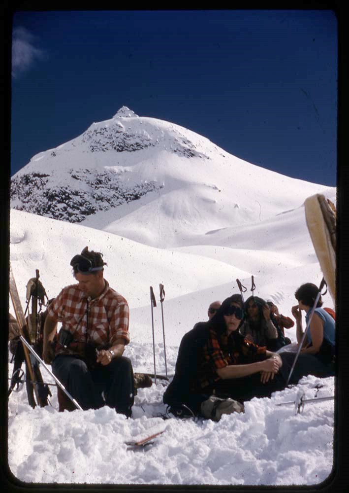
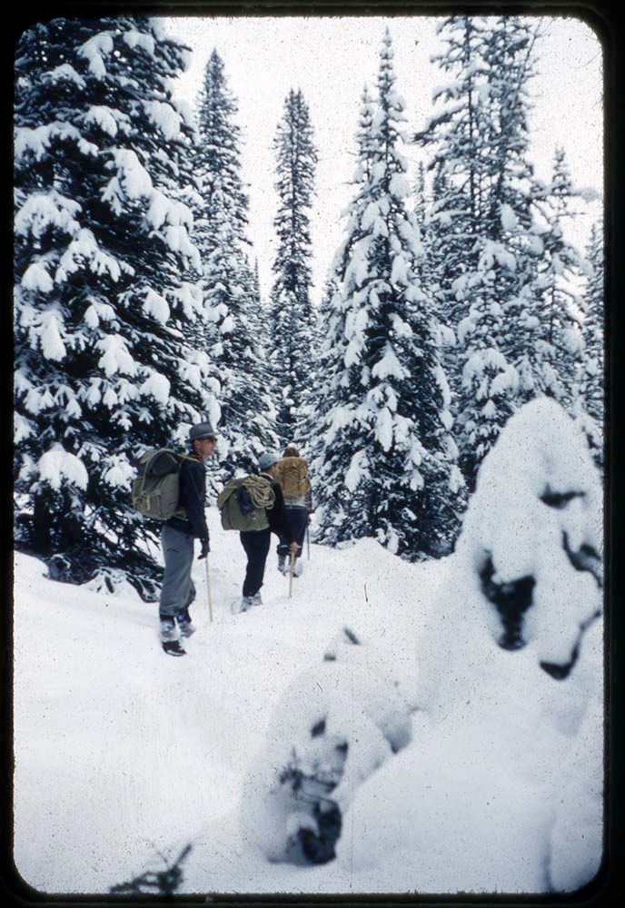
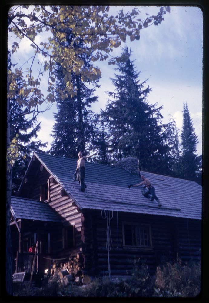
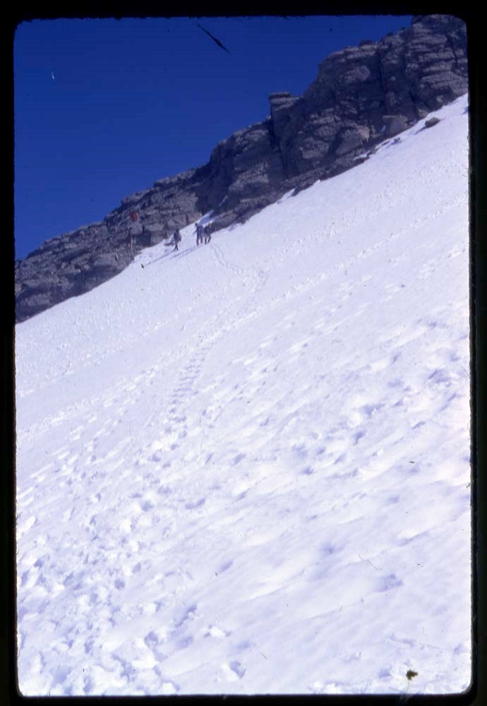
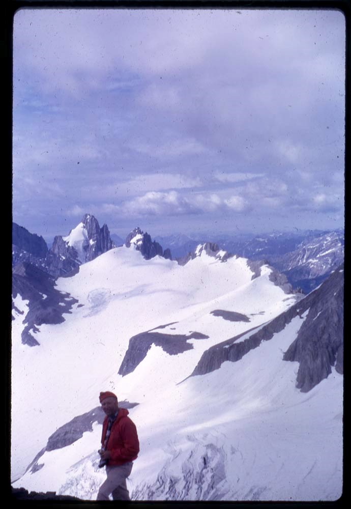
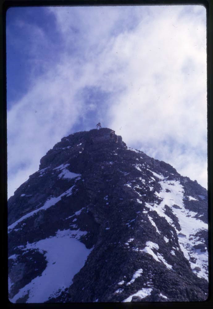
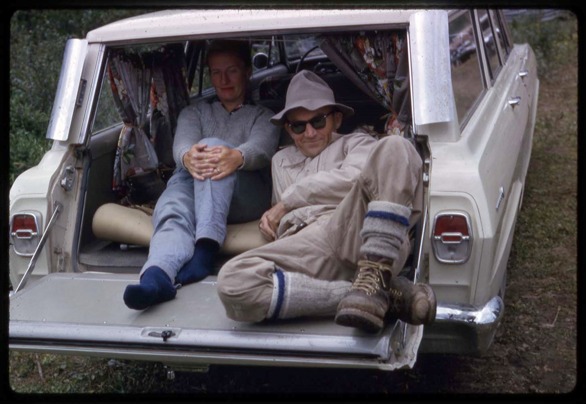
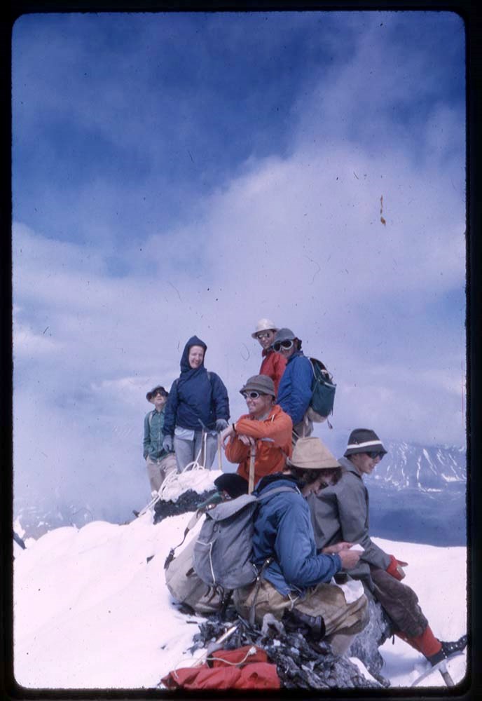
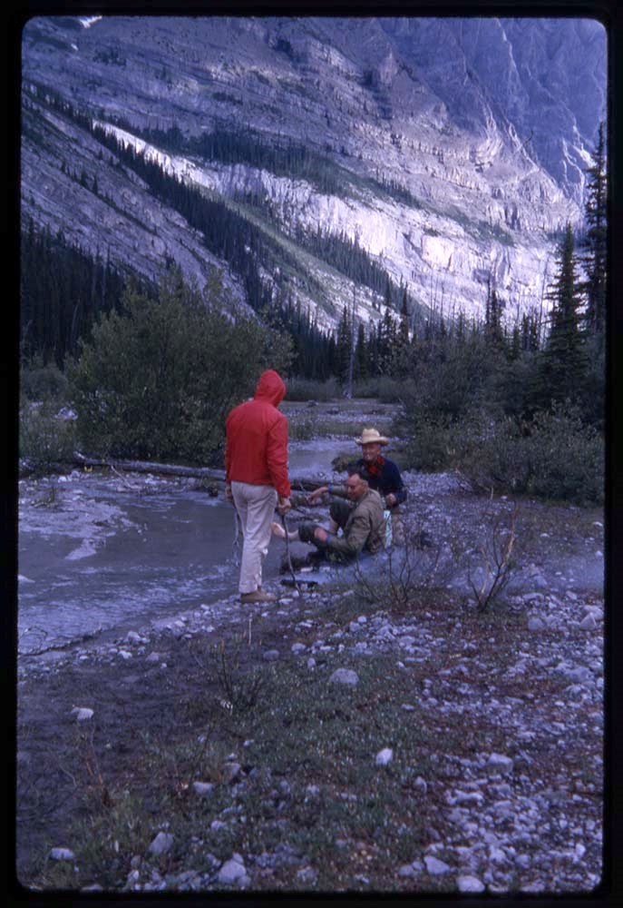
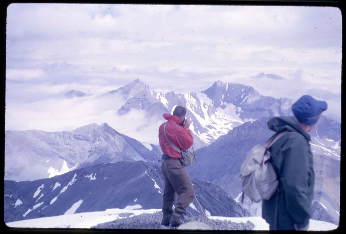
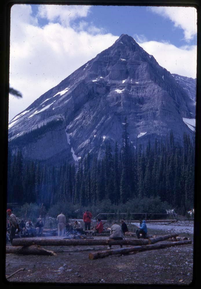
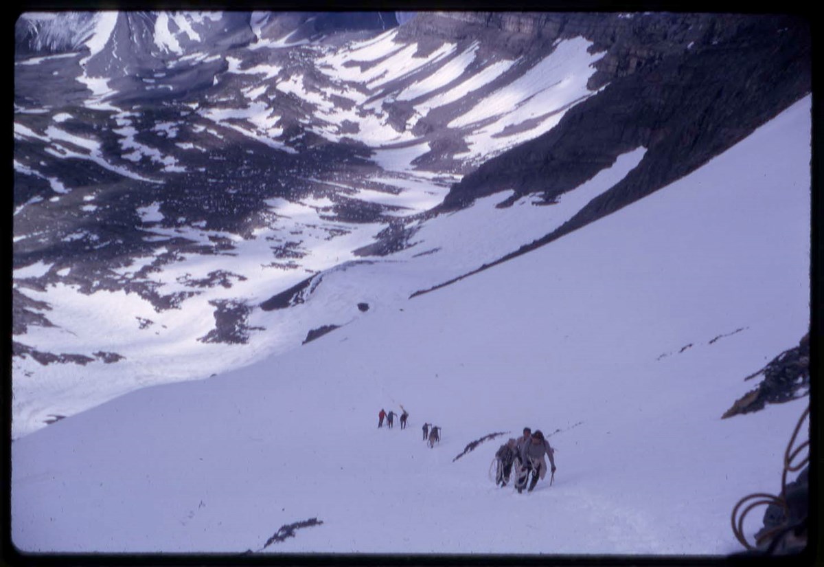
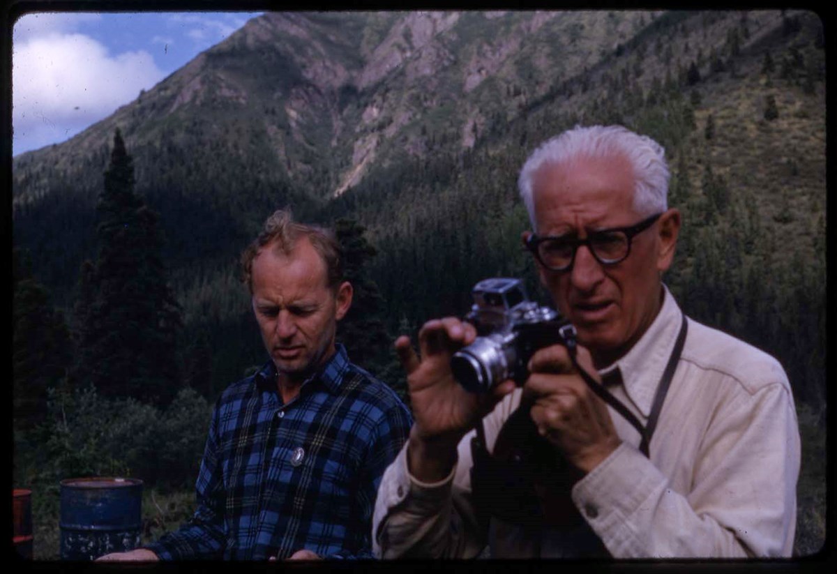
1948-49 : [mountaineering photographs]
https://archives.whyte.org/en/permalink/descriptions17522
- Part Of
- Bob Hind fonds
- Scope & Content
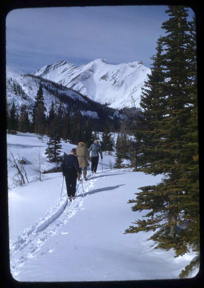
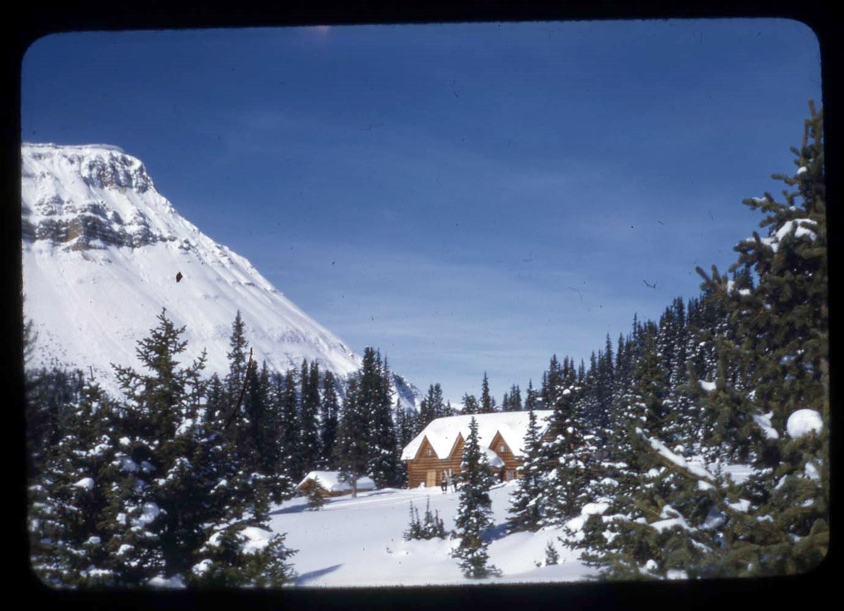
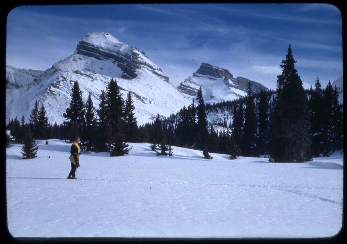
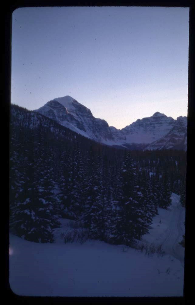
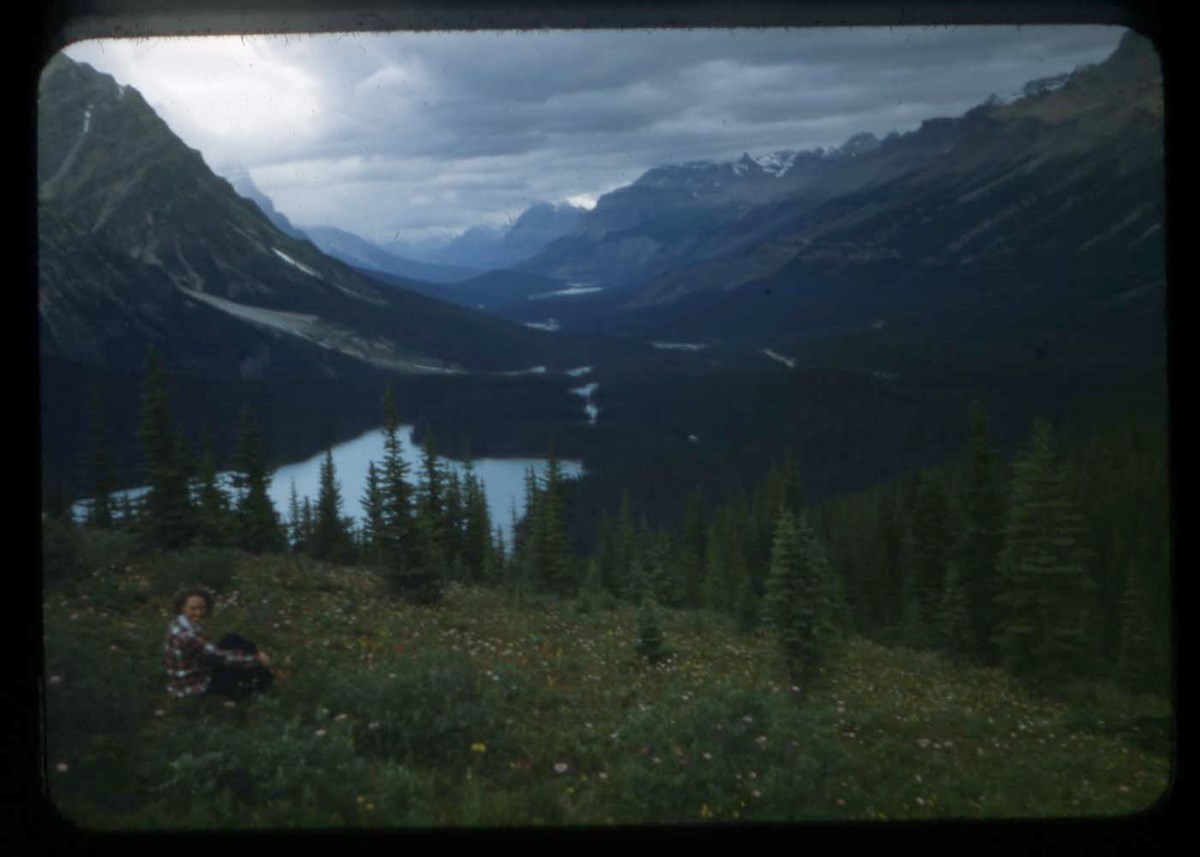
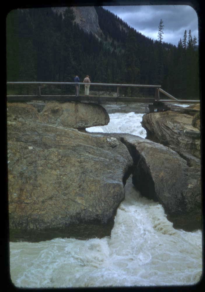
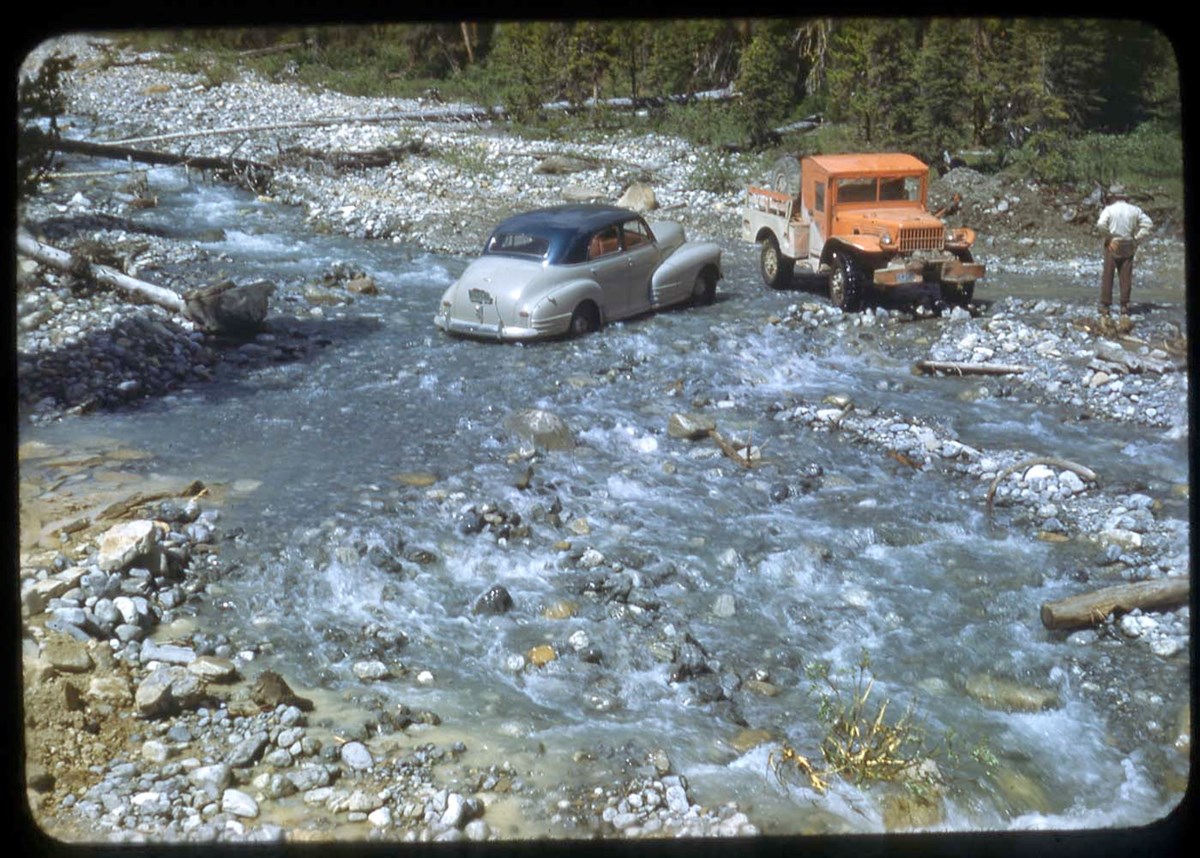
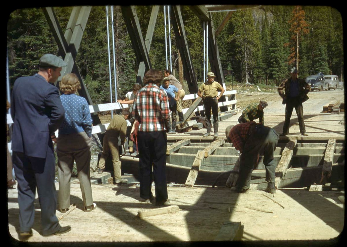
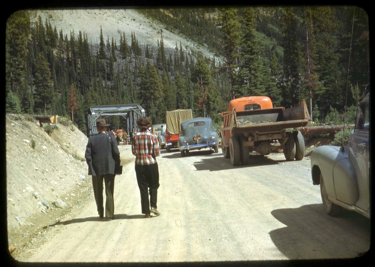
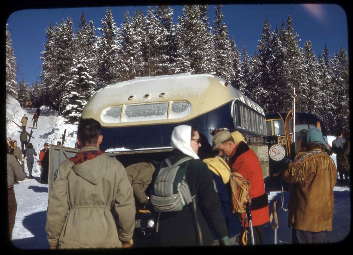
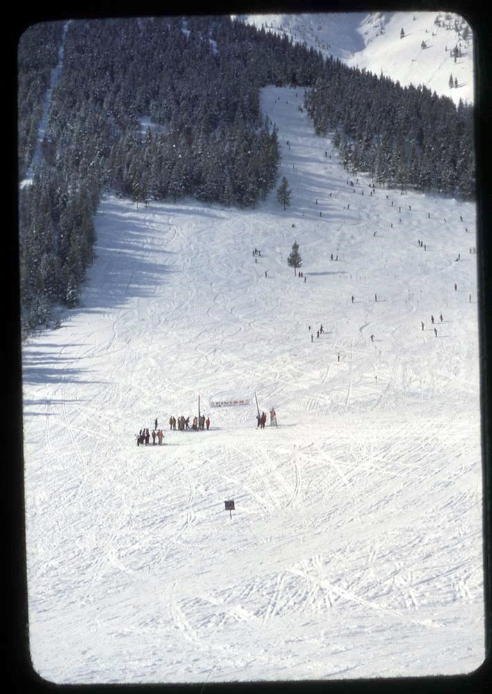
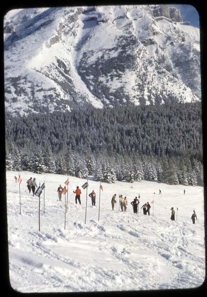
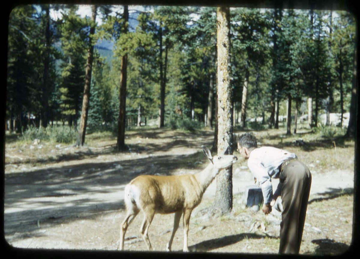
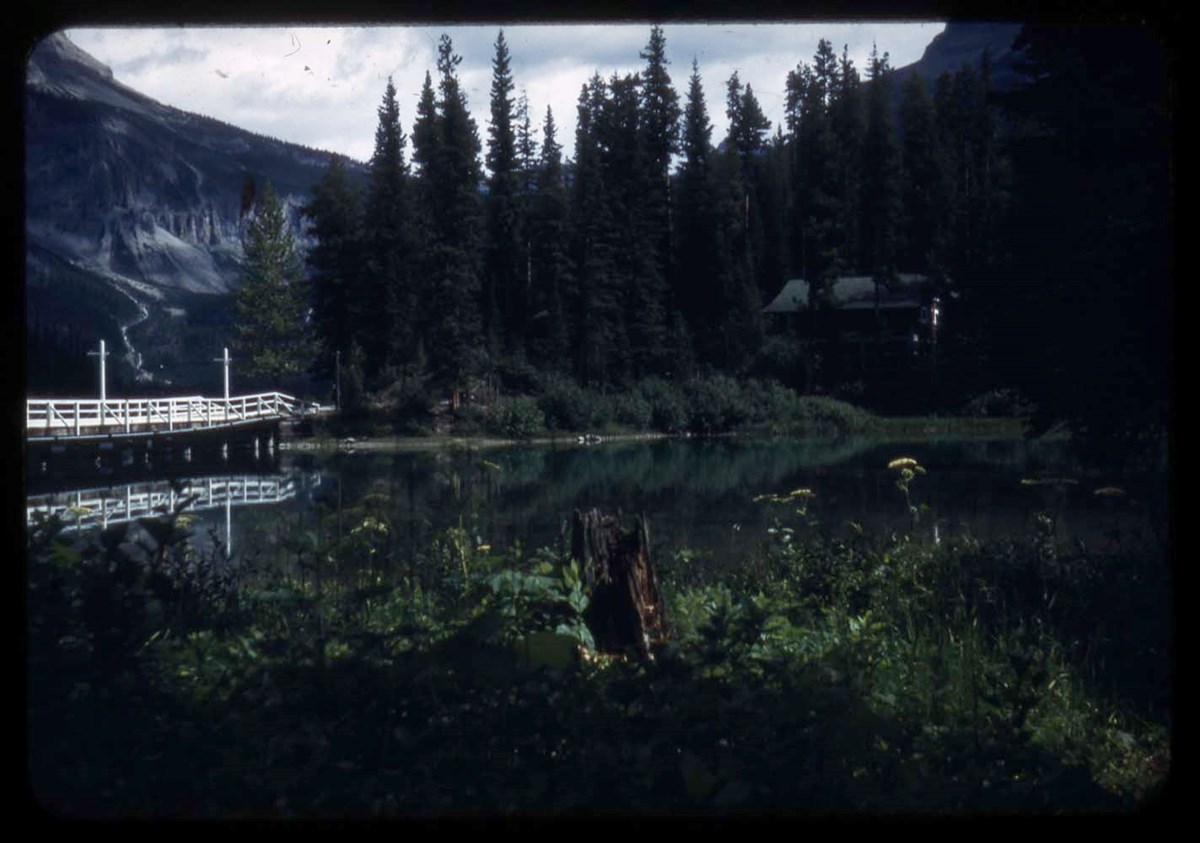
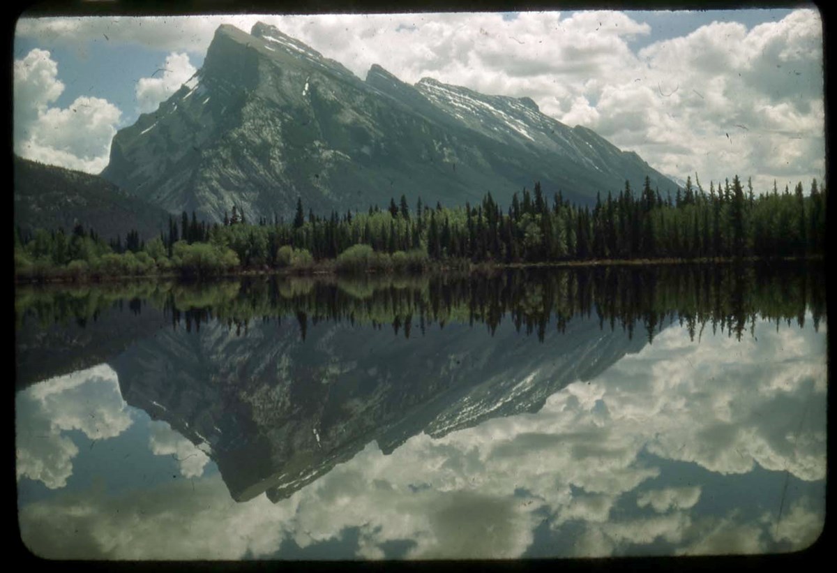
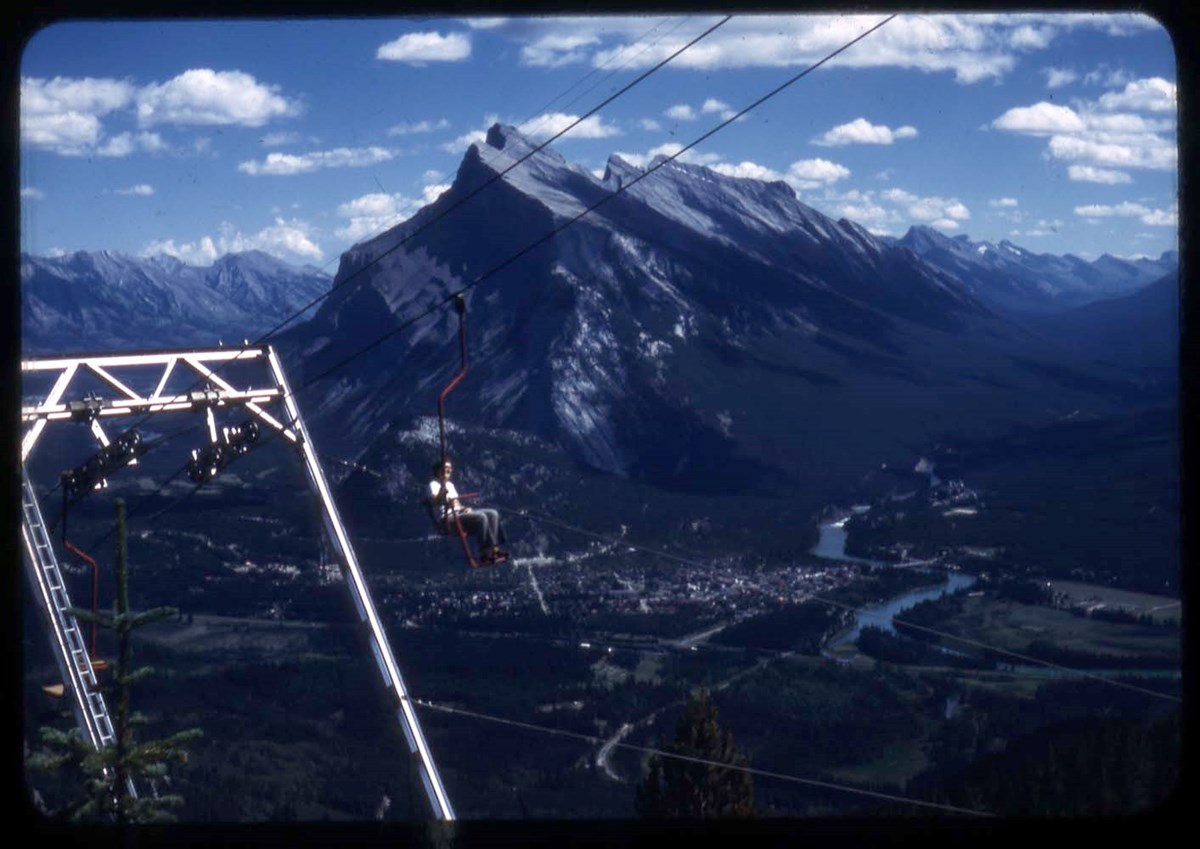
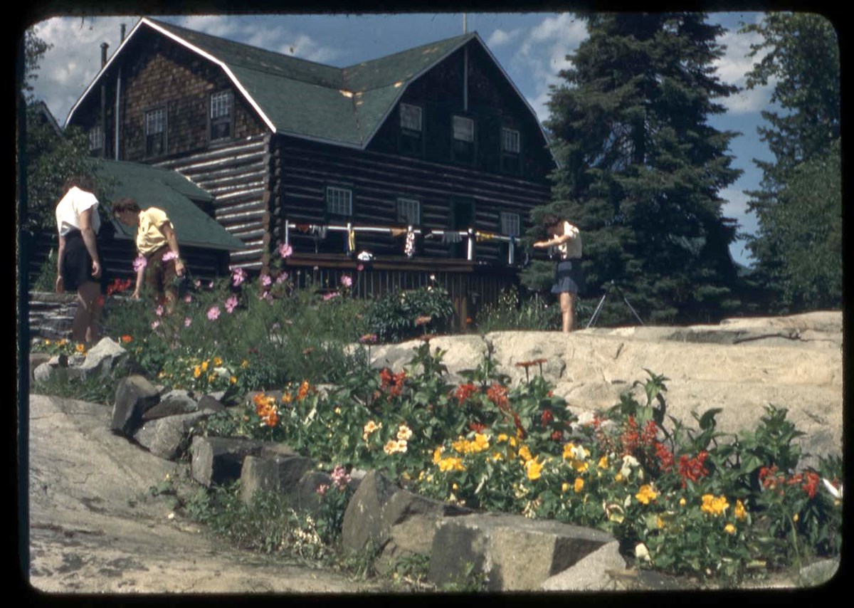
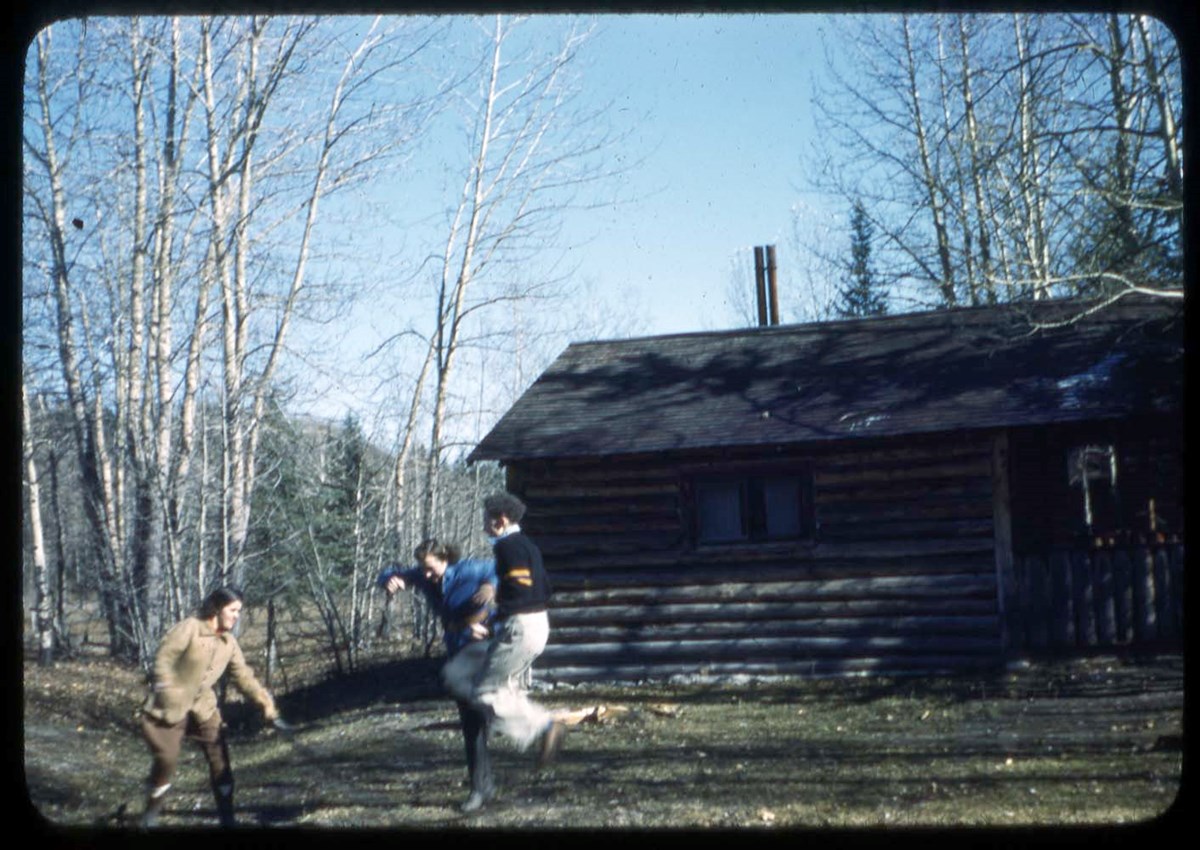
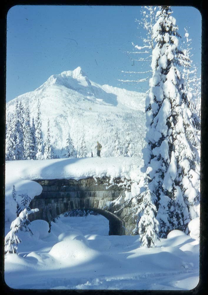
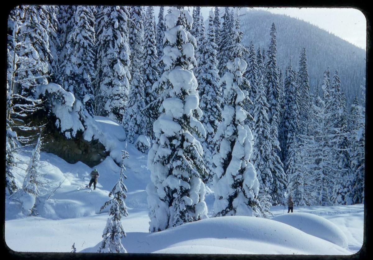
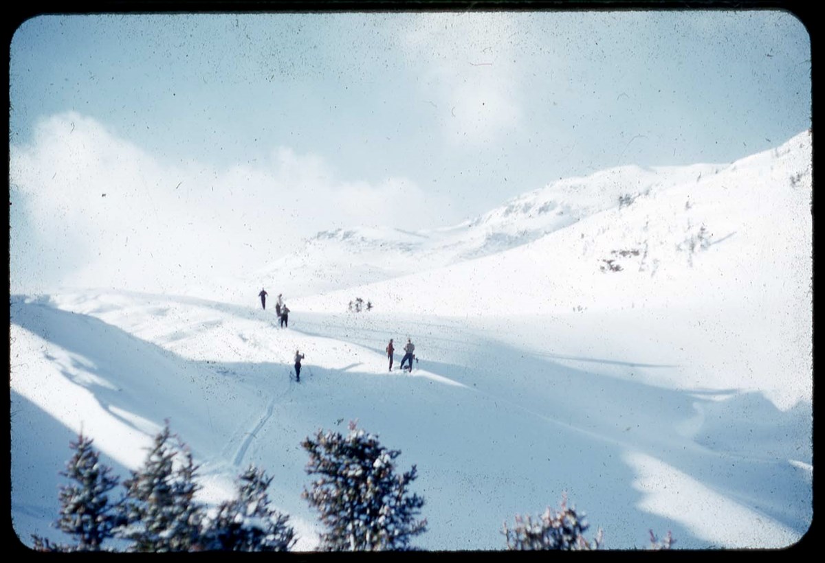
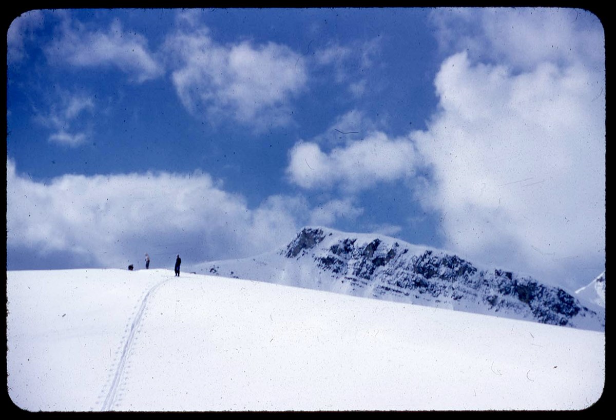
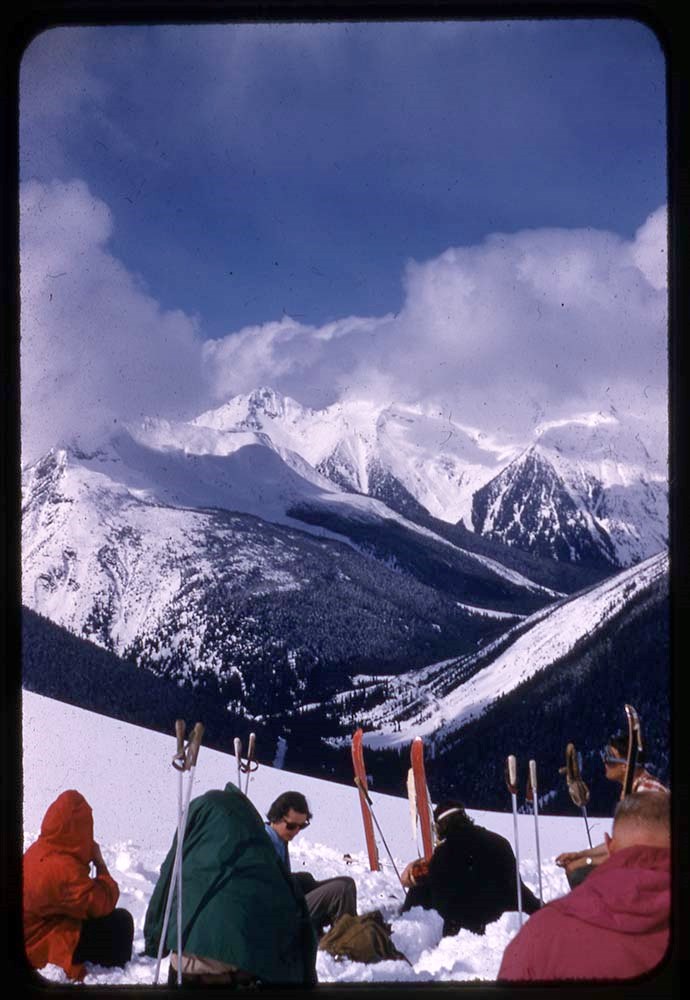
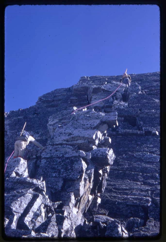
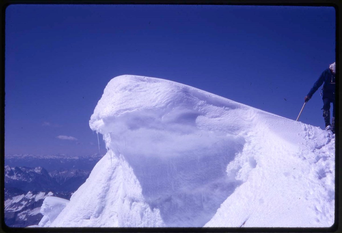
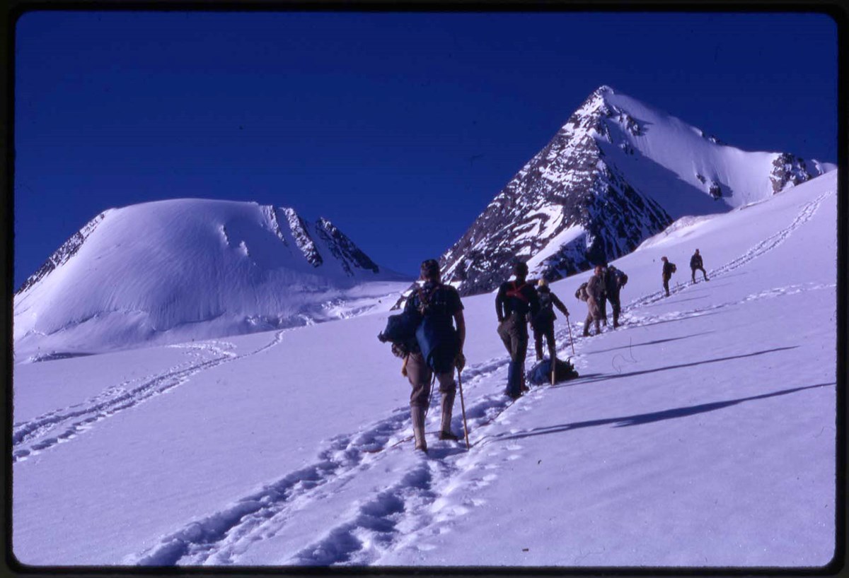
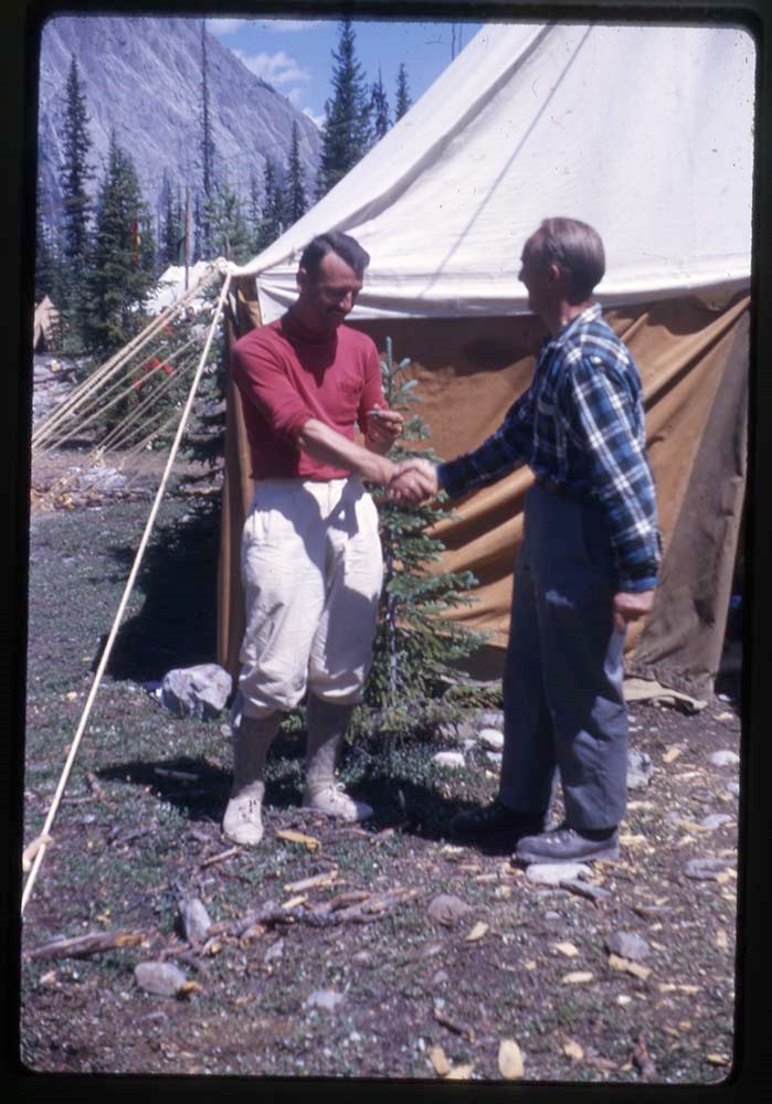
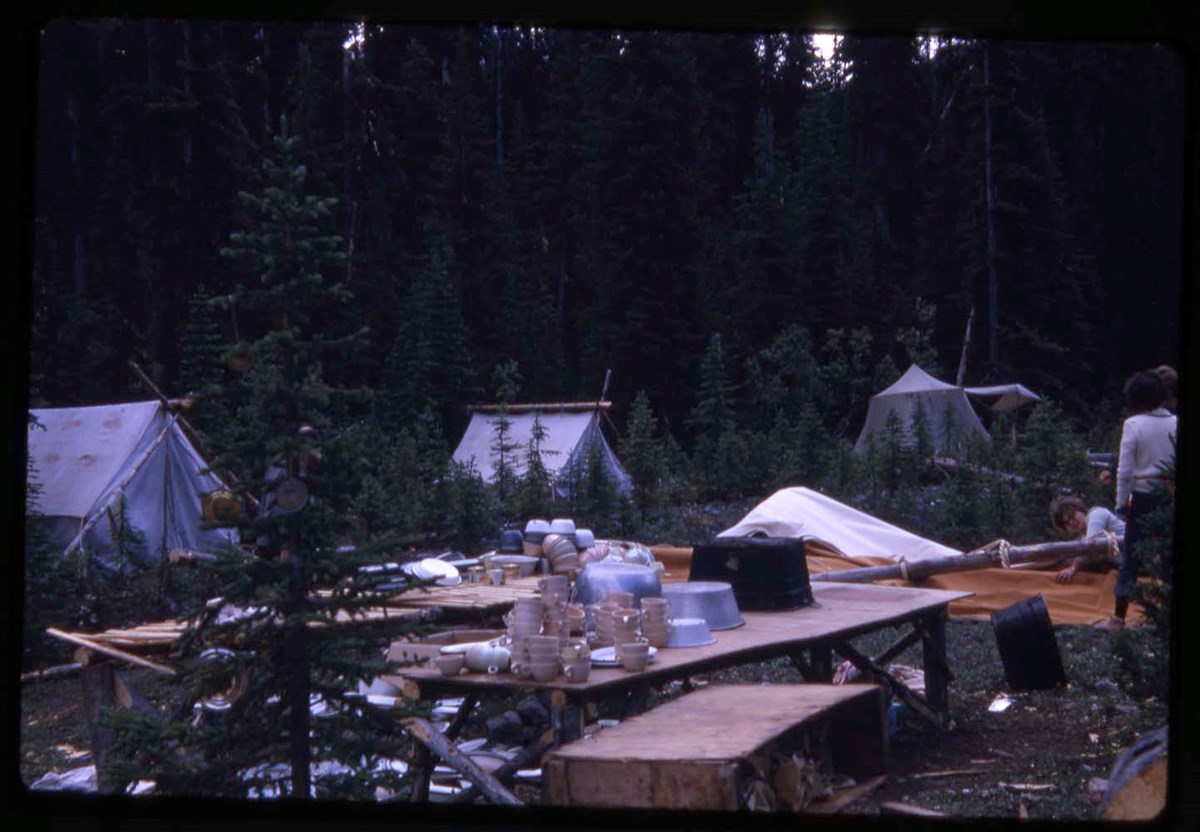
- File pertains to climbing, climbing school, ski camps, ski touring, groups, cabins in the following areas: Skoki Valley, Peyto Lake, Wapta Lake, Jasper, Saskatchewan Hut, Sunshine ski area, Big Bend Highway, Banff, Kananaskis Valley, Nordegg, Mount Yamnuska
- Date Range
- 1948-1949
- Reference Code
- V46 / I / A / 32 / NS - 1 to 205
- Description Level
- 5 / File
- GMD
- Photograph
- Transparency
205 images
1 Electronic Resource
- Part Of
- Bob Hind fonds
- Description Level
- 5 / File
- Fonds Number
- M7
- V46
- Series
- I.A. Mountain travel and recreation, western Canada : Trips and activities
- Sous-Fonds
- V46
- Accession Number
- 7181
- Reference Code
- V46 / I / A / 32 / NS - 1 to 205
- Date Range
- 1948-1949
- Physical Description
- 205 photographs : transparencies, 35mm, col
- Scope & Content
- File pertains to climbing, climbing school, ski camps, ski touring, groups, cabins in the following areas: Skoki Valley, Peyto Lake, Wapta Lake, Jasper, Saskatchewan Hut, Sunshine ski area, Big Bend Highway, Banff, Kananaskis Valley, Nordegg, Mount Yamnuska
- Geographic Access
- Alberta
- British Columbia
- Reproduction Restrictions
- Restrictions may apply
- Language
- N/A
- Title Source
- Title based on contents of file
- Processing Status
- Processed
Electronic Resources
Images


This material is presented as originally created; it may contain outdated cultural descriptions and
potentially offensive content.
Read more.
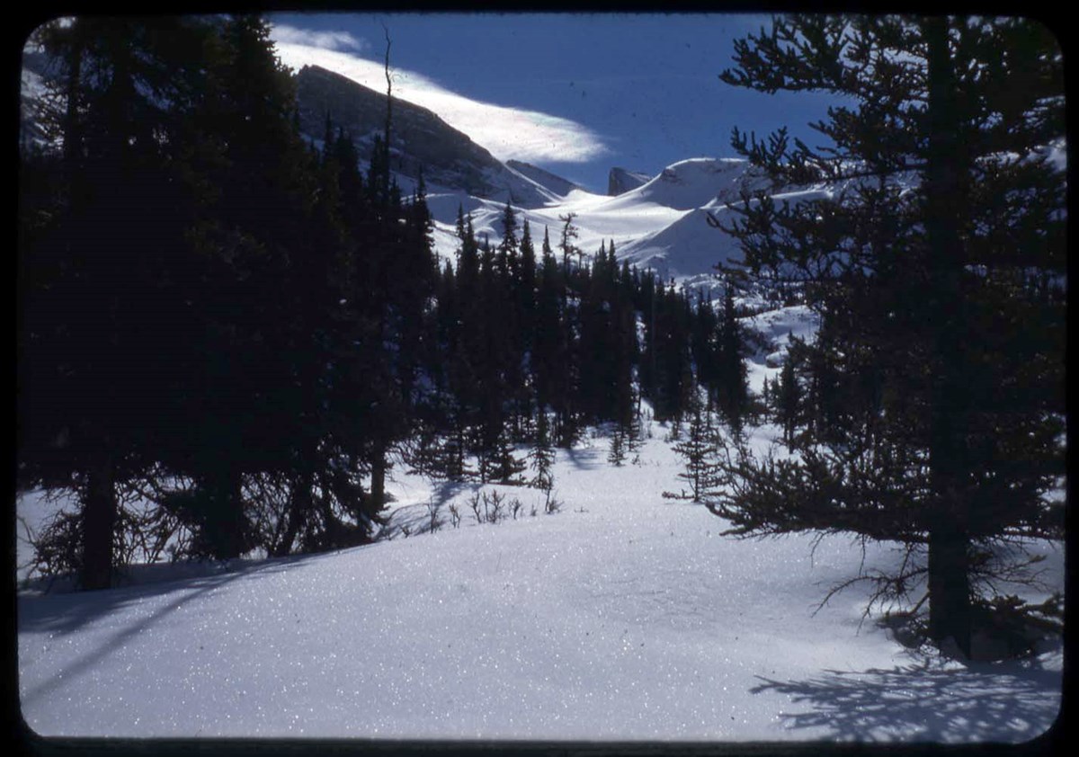
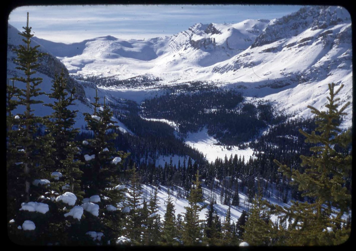
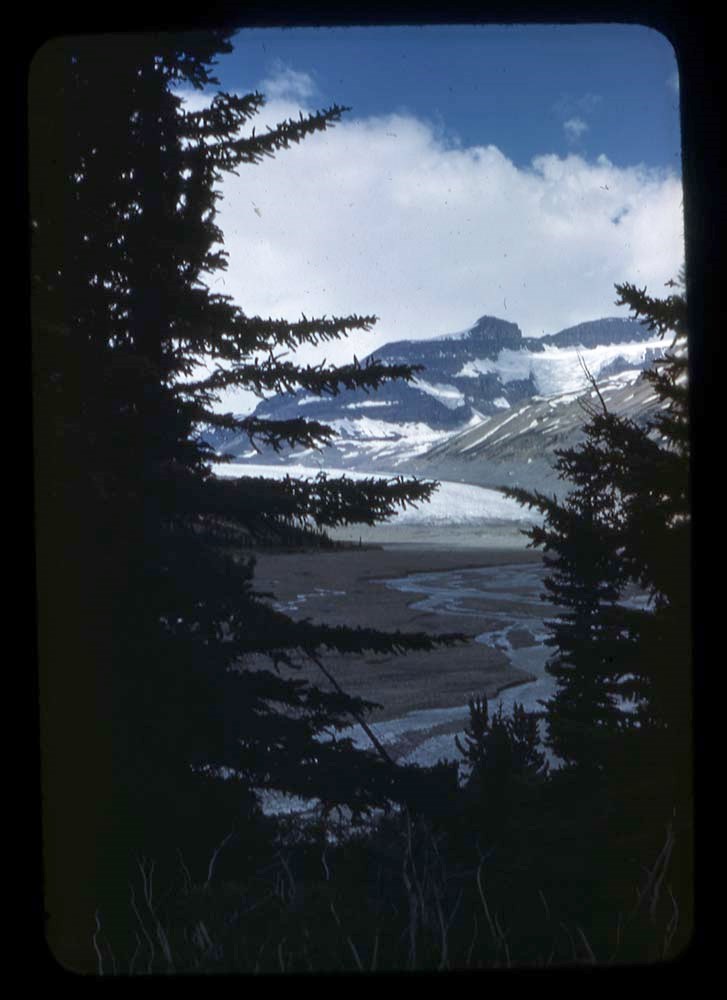
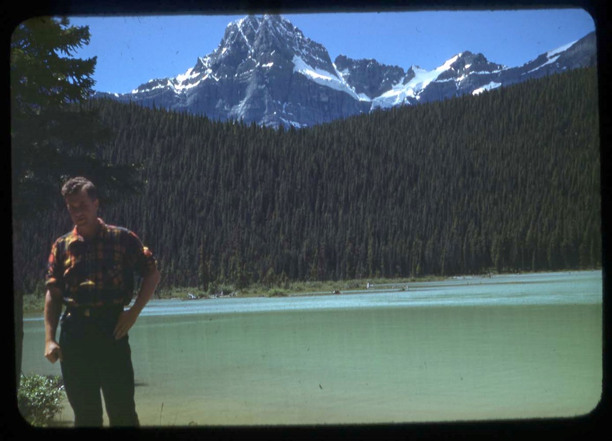
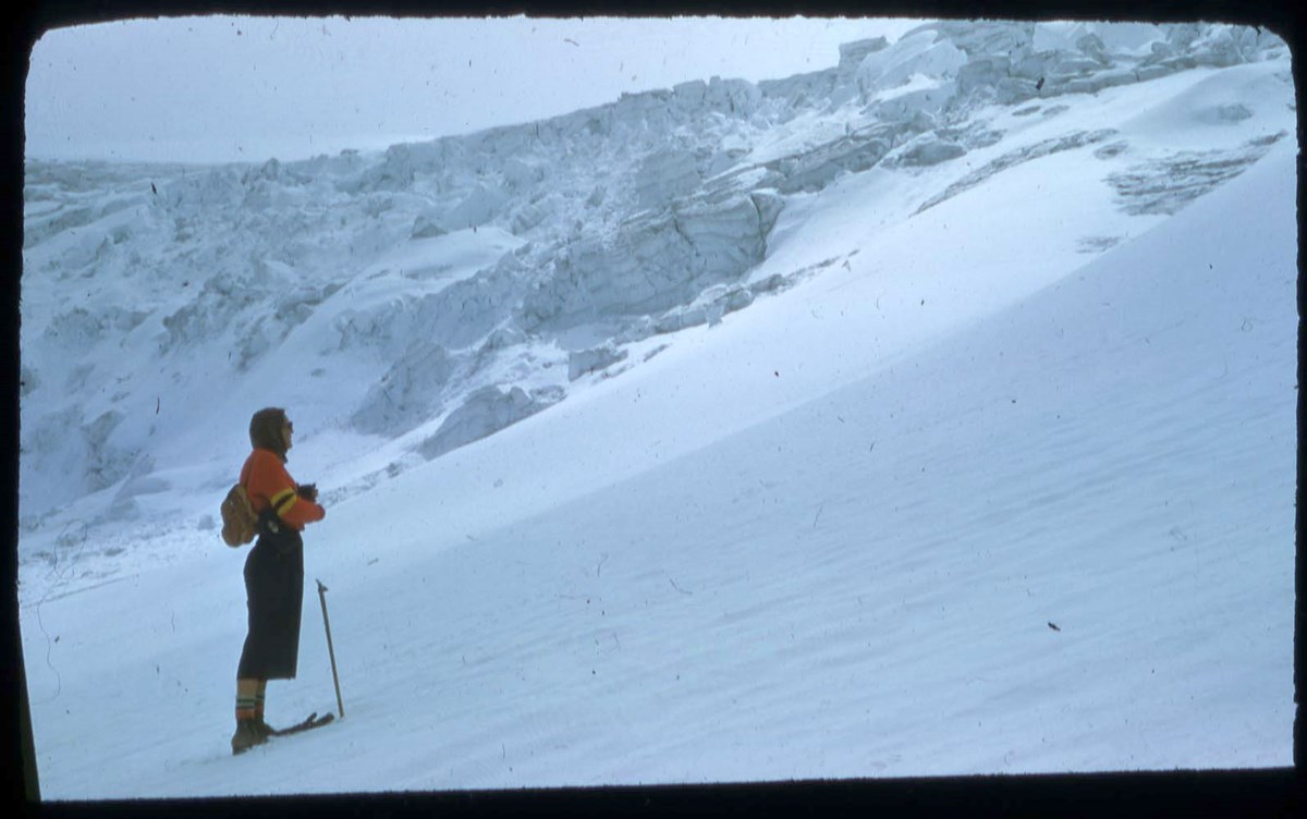
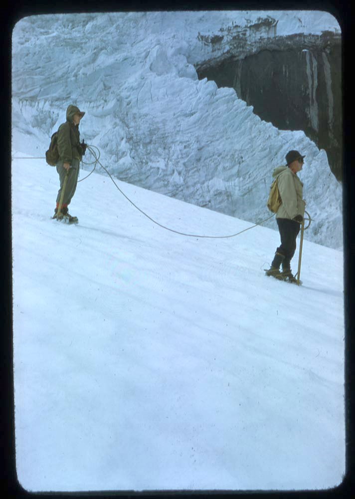
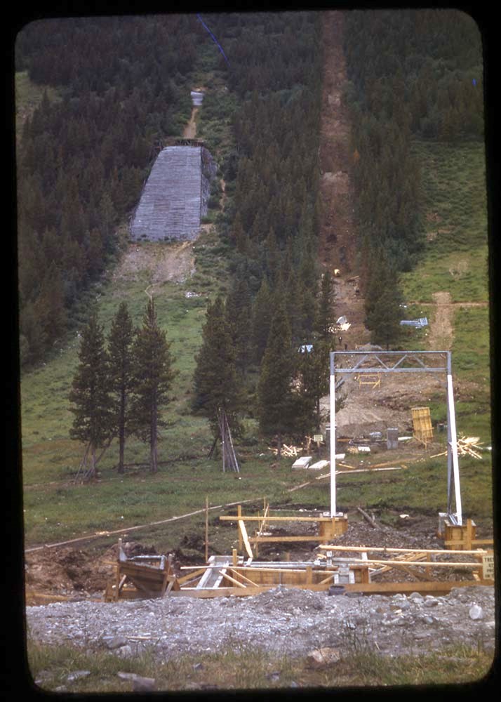
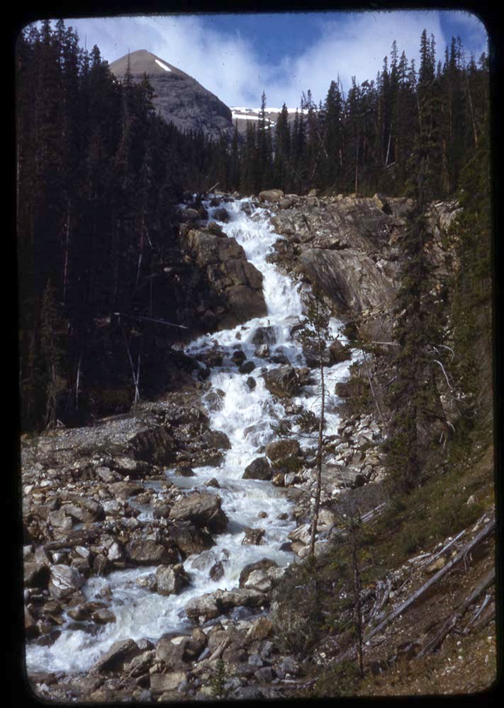
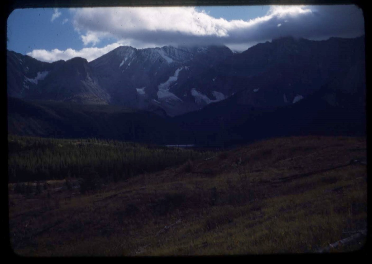
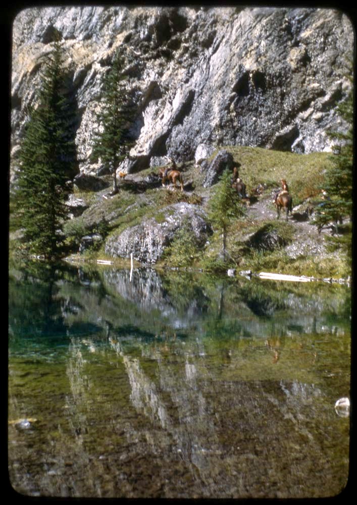
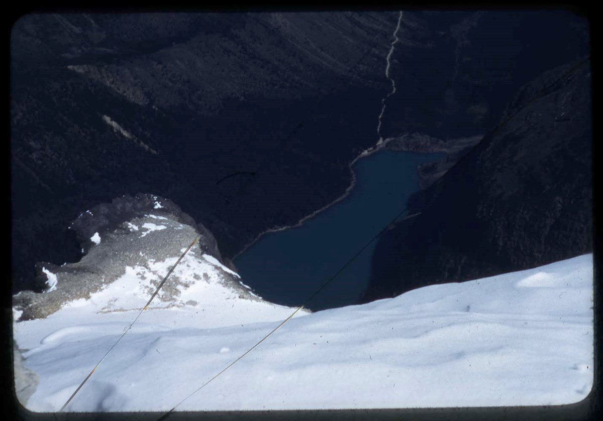
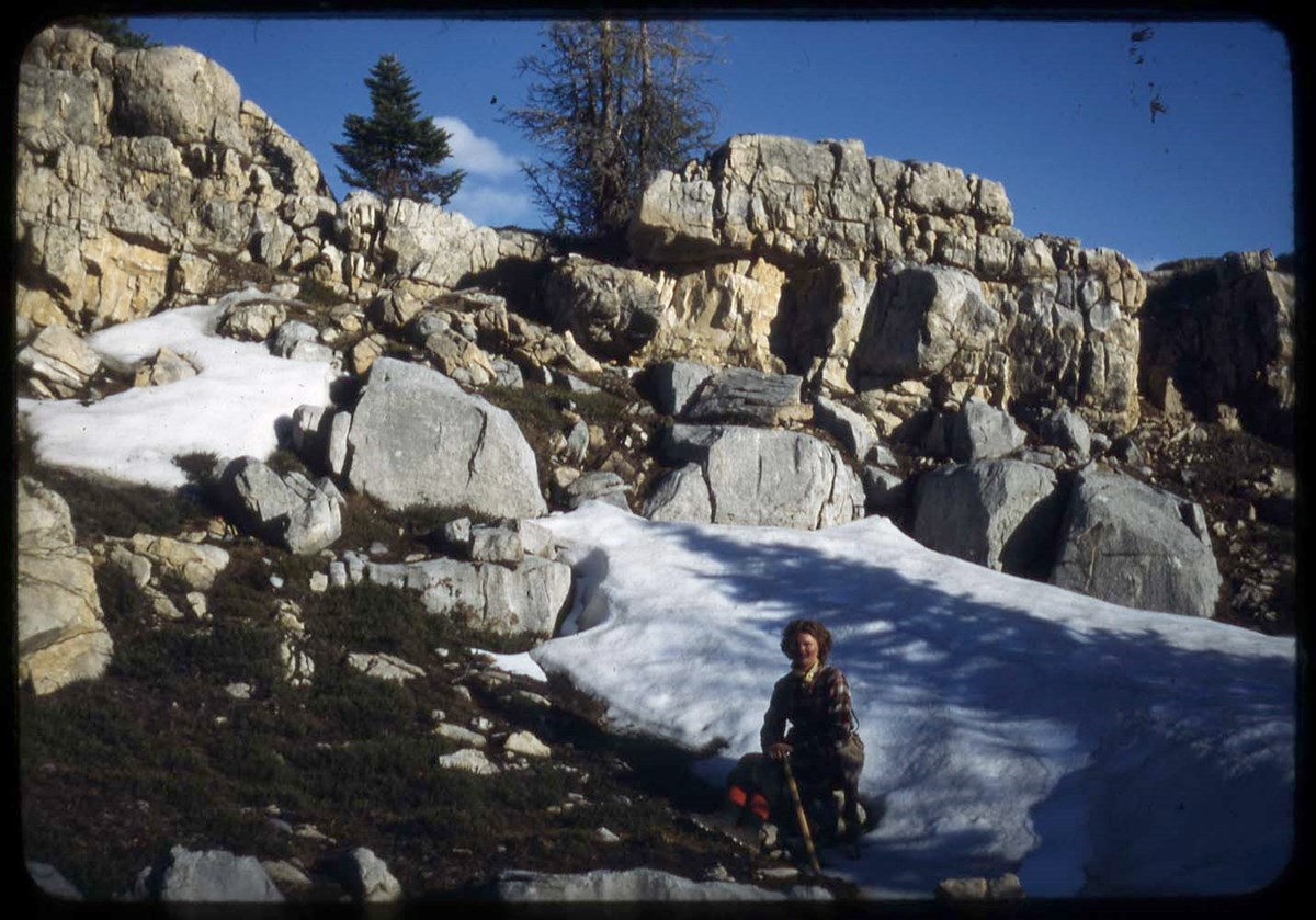
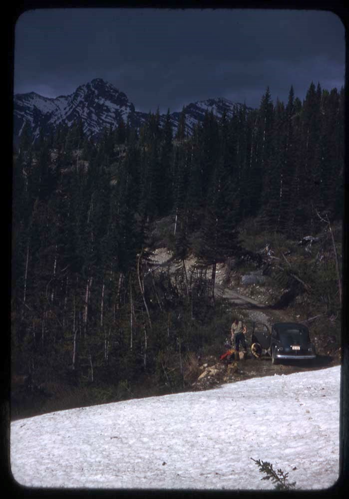
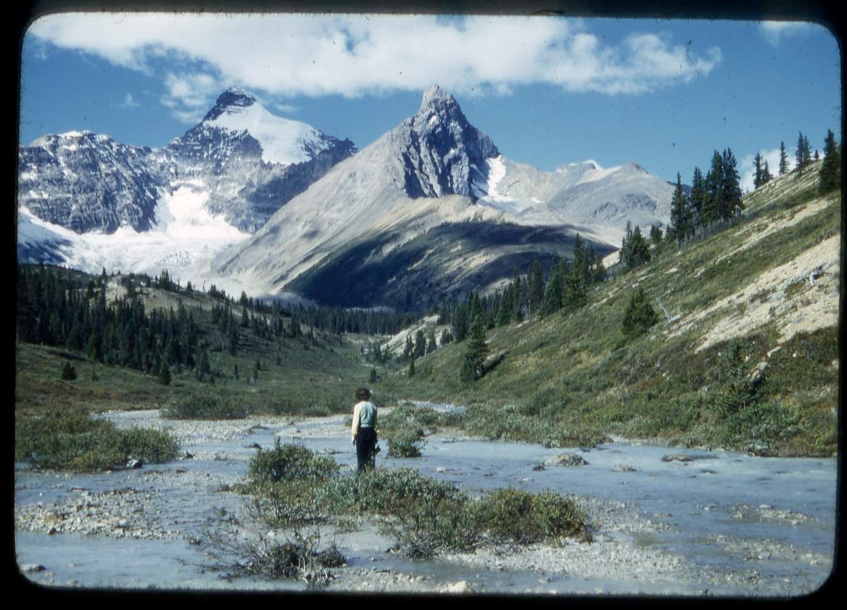
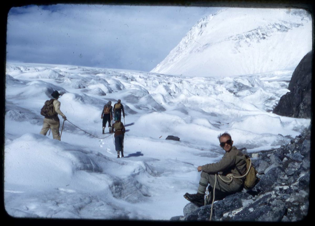
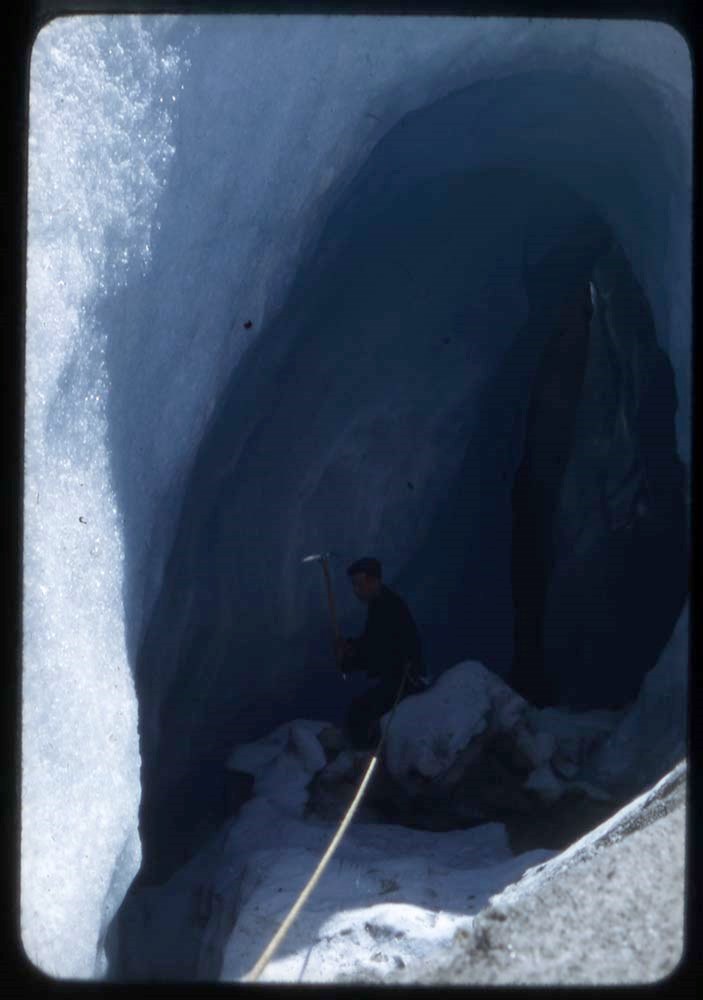
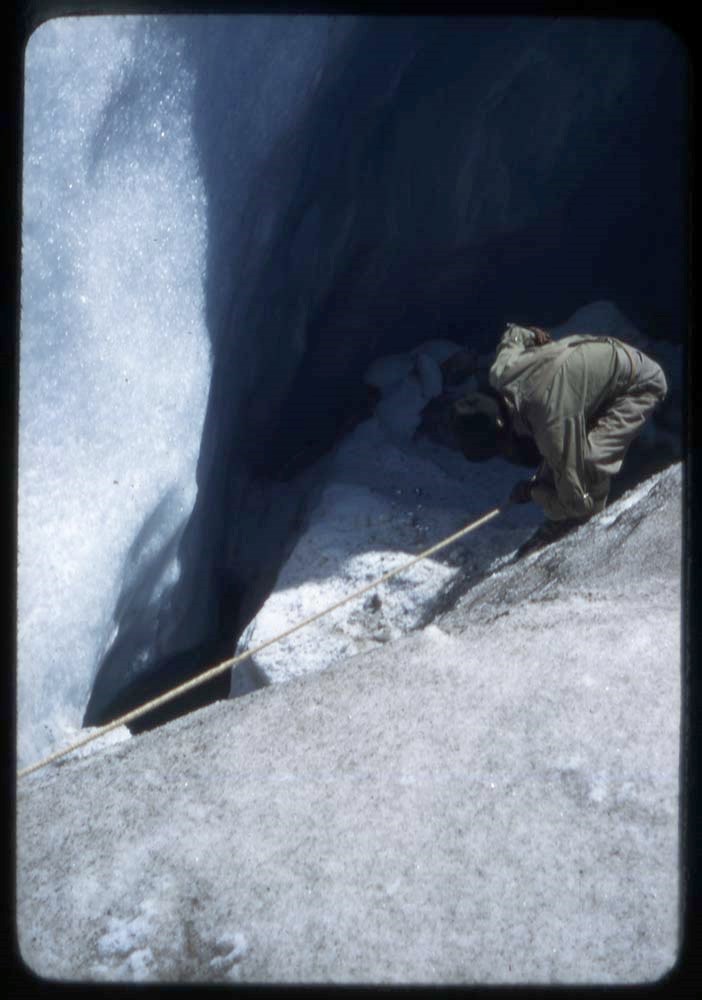
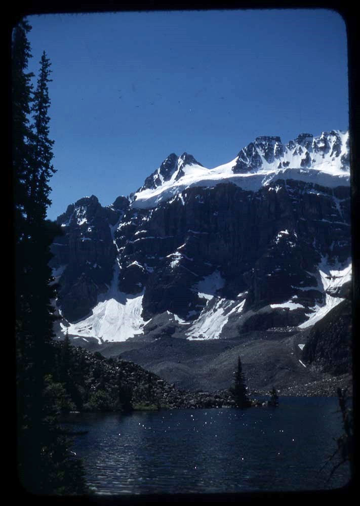
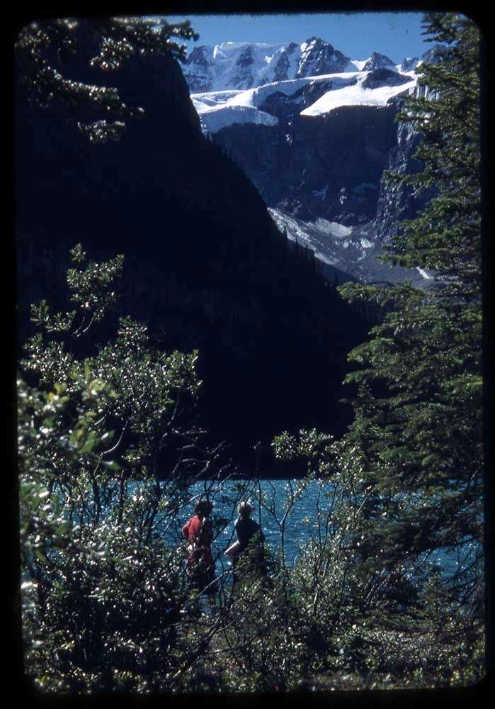
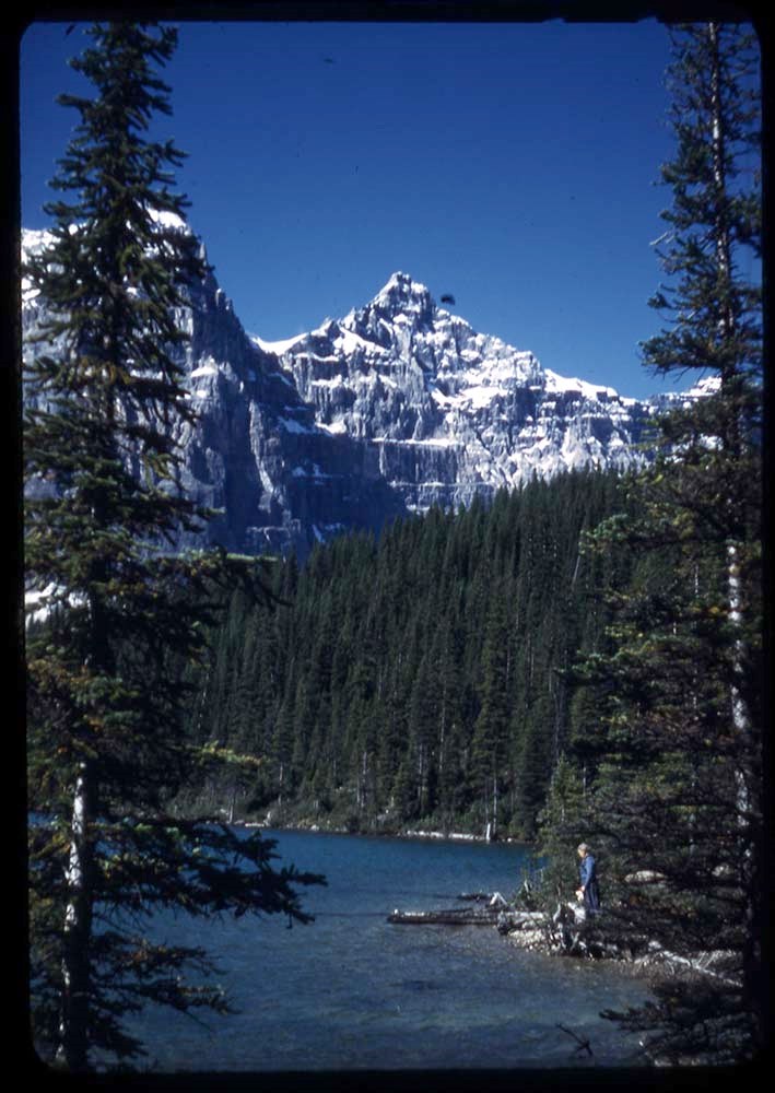
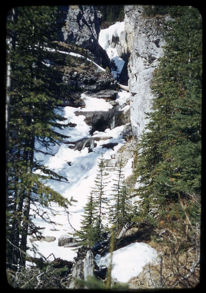
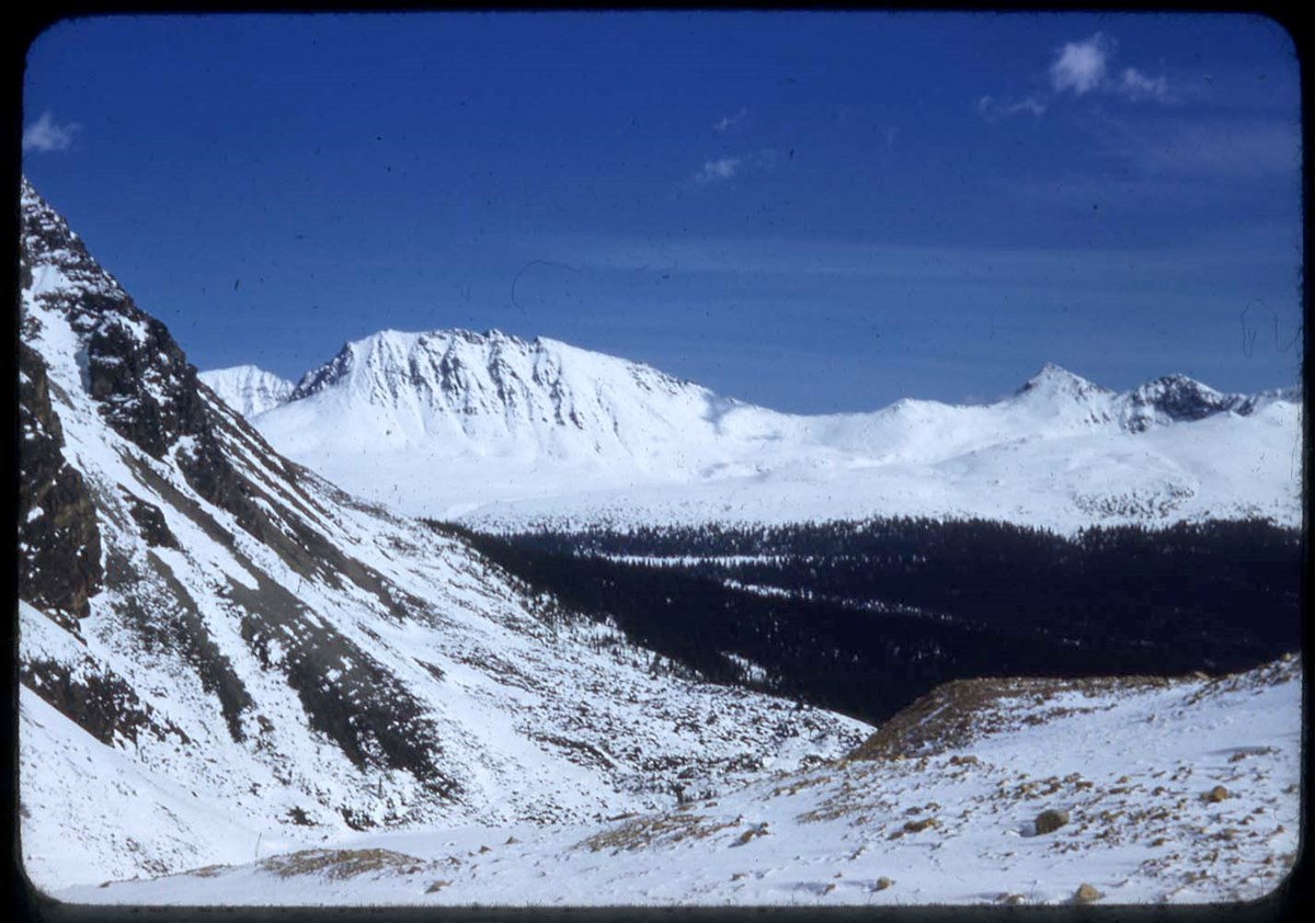
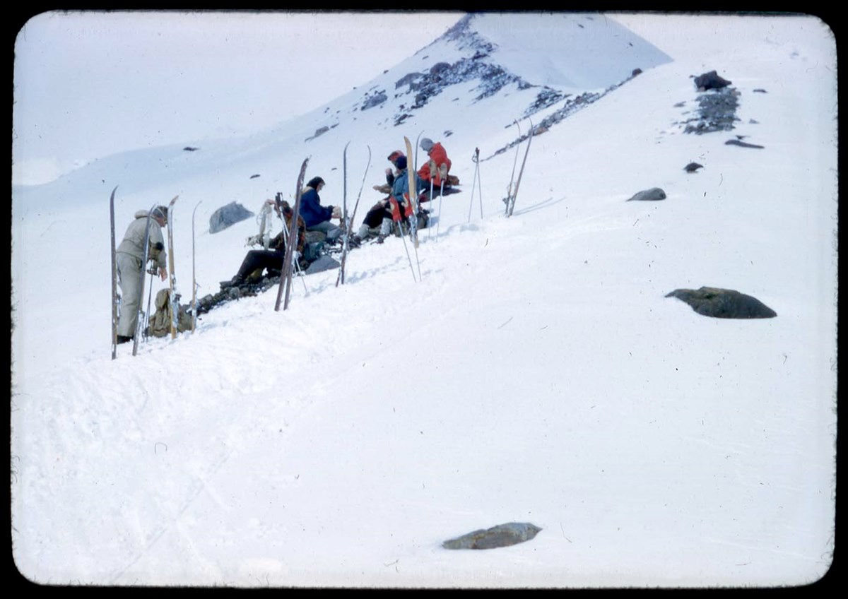
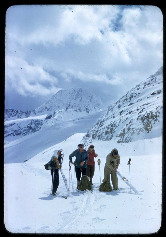
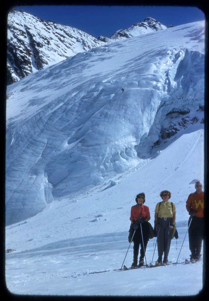
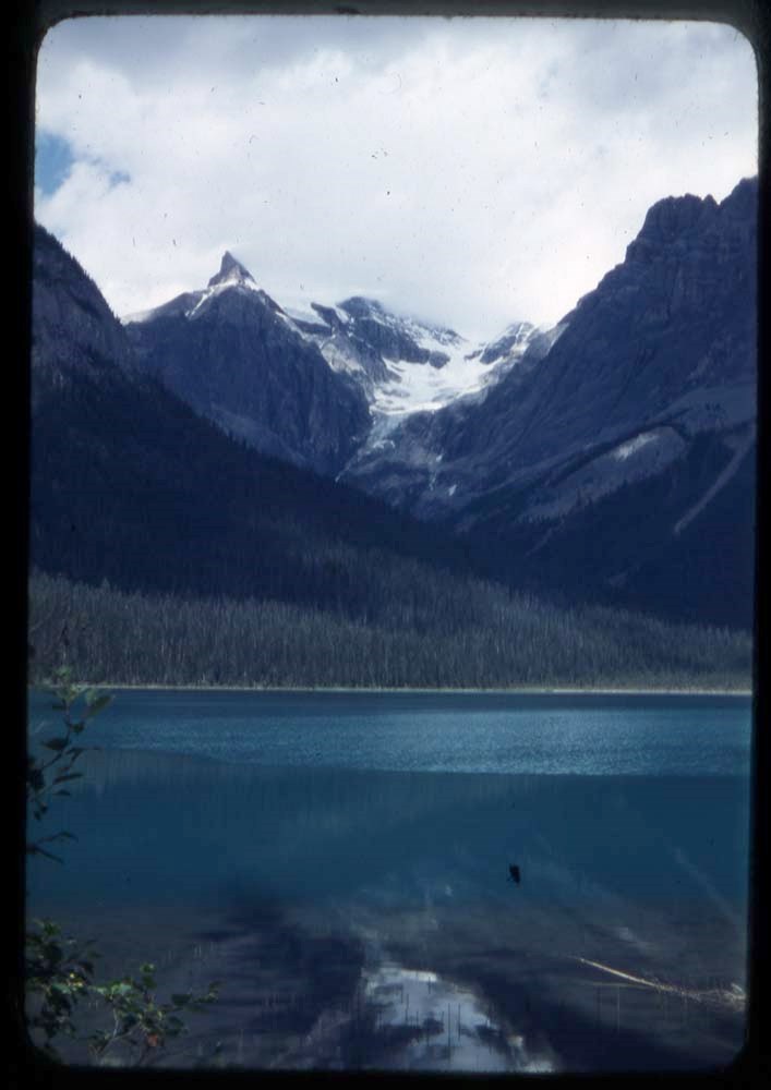
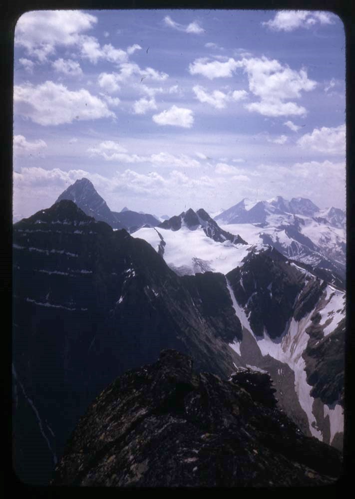
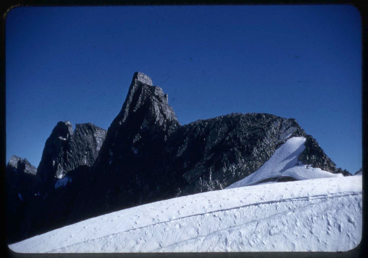
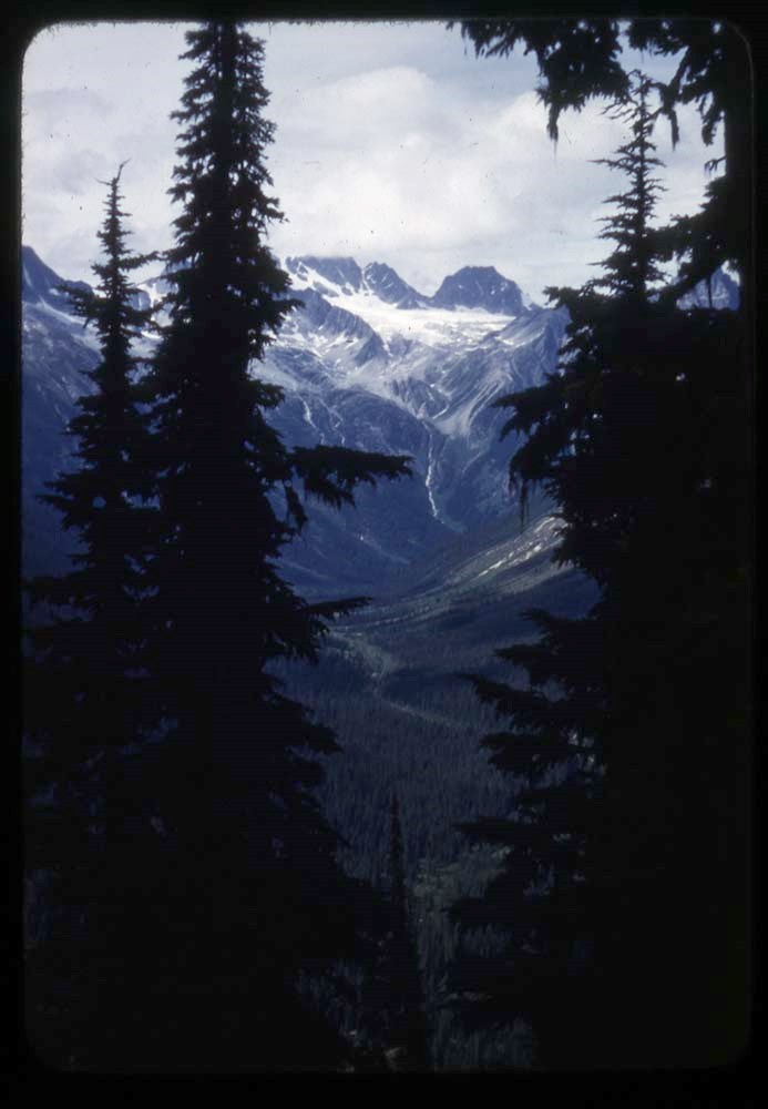
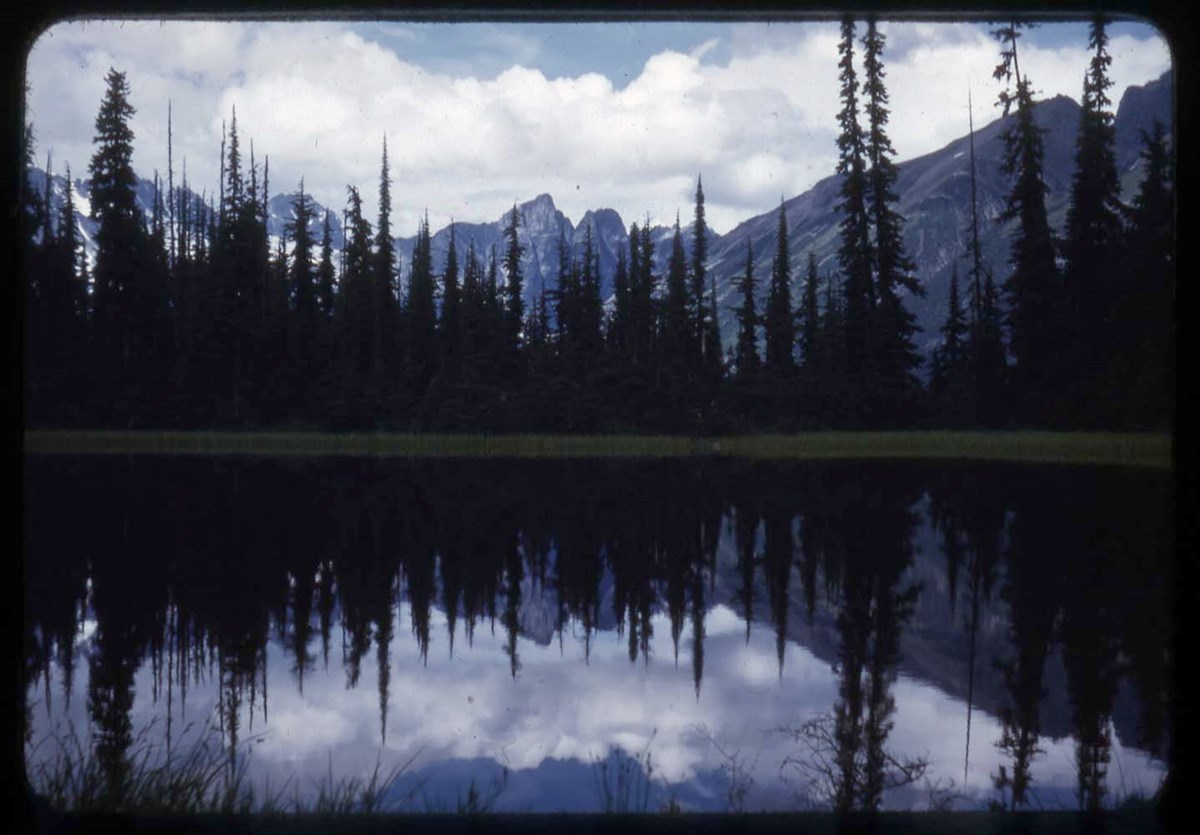
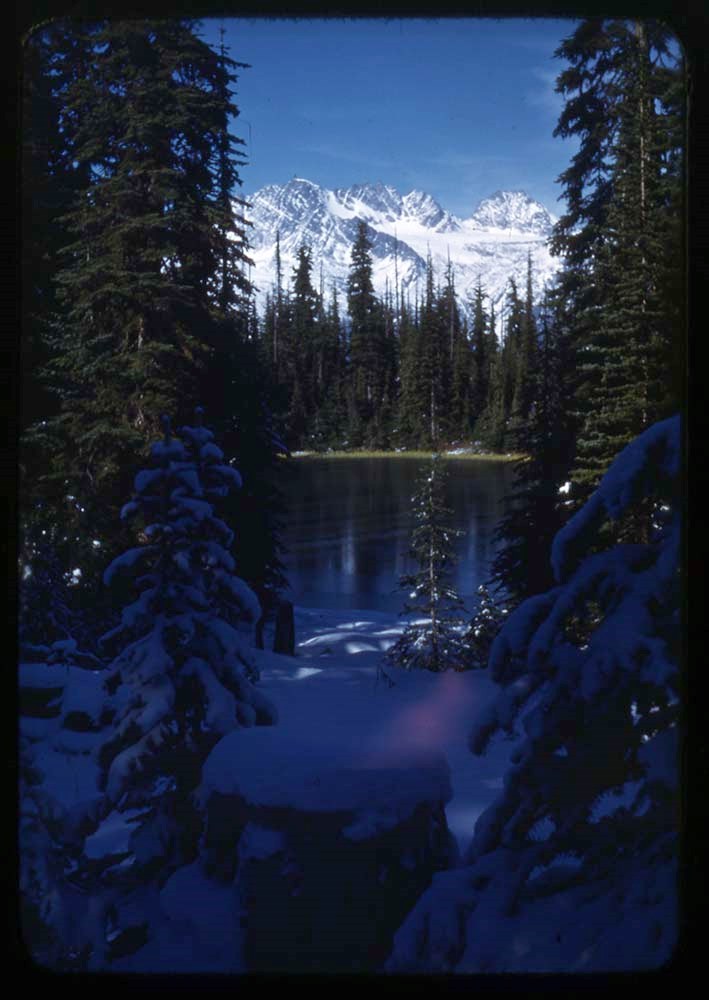
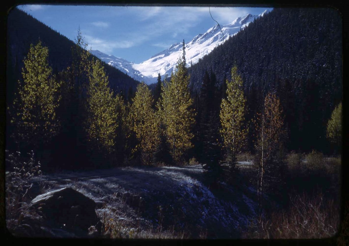
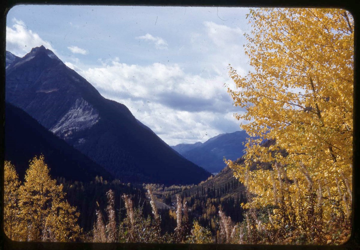
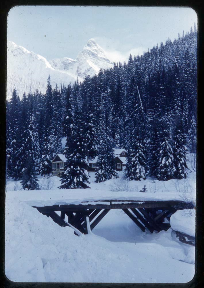
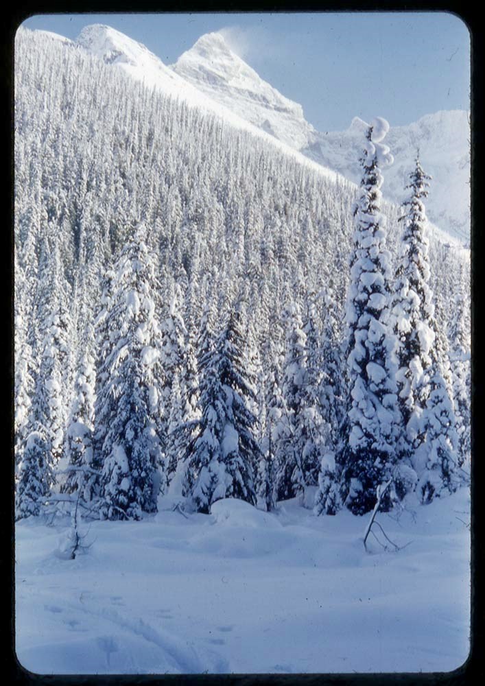
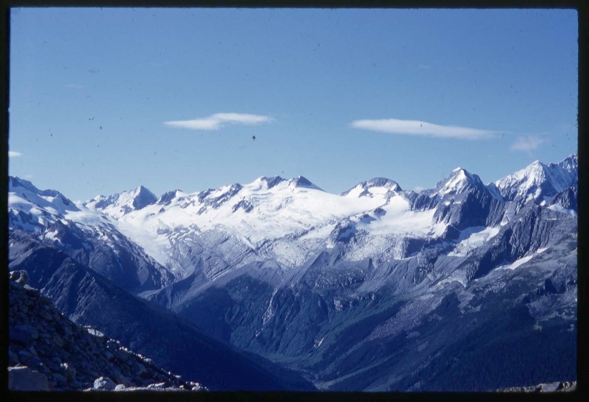
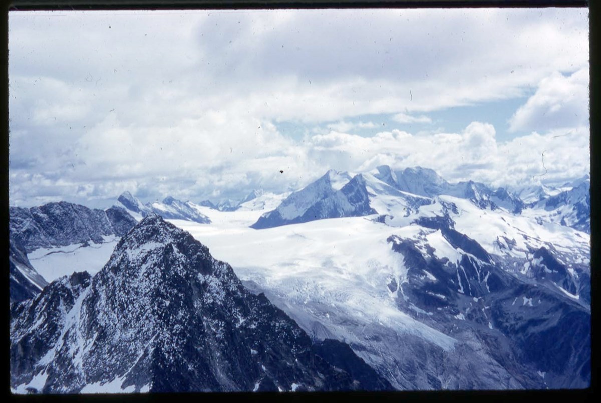
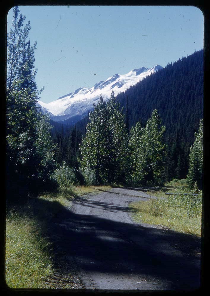
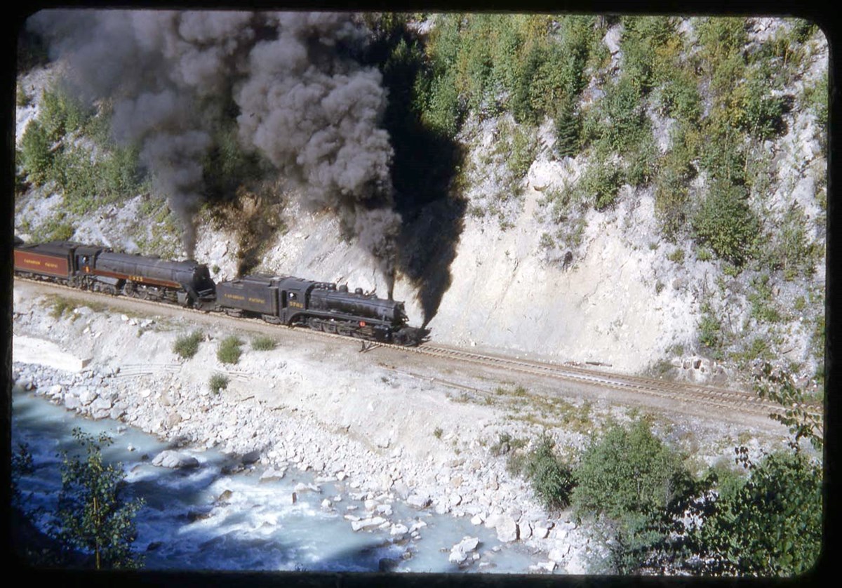
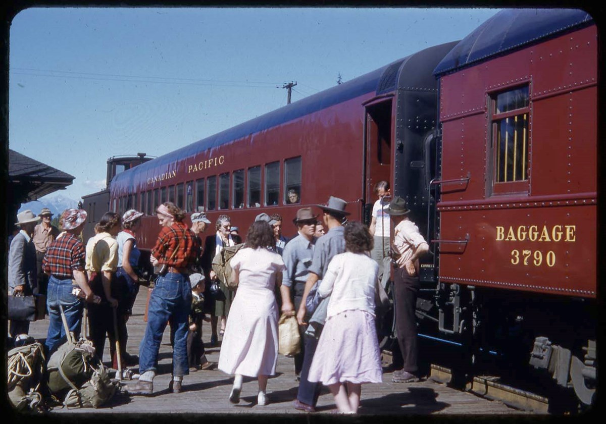
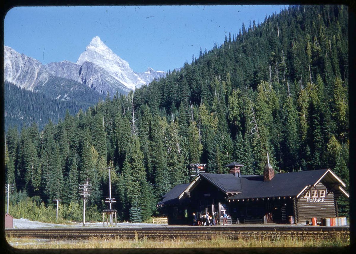
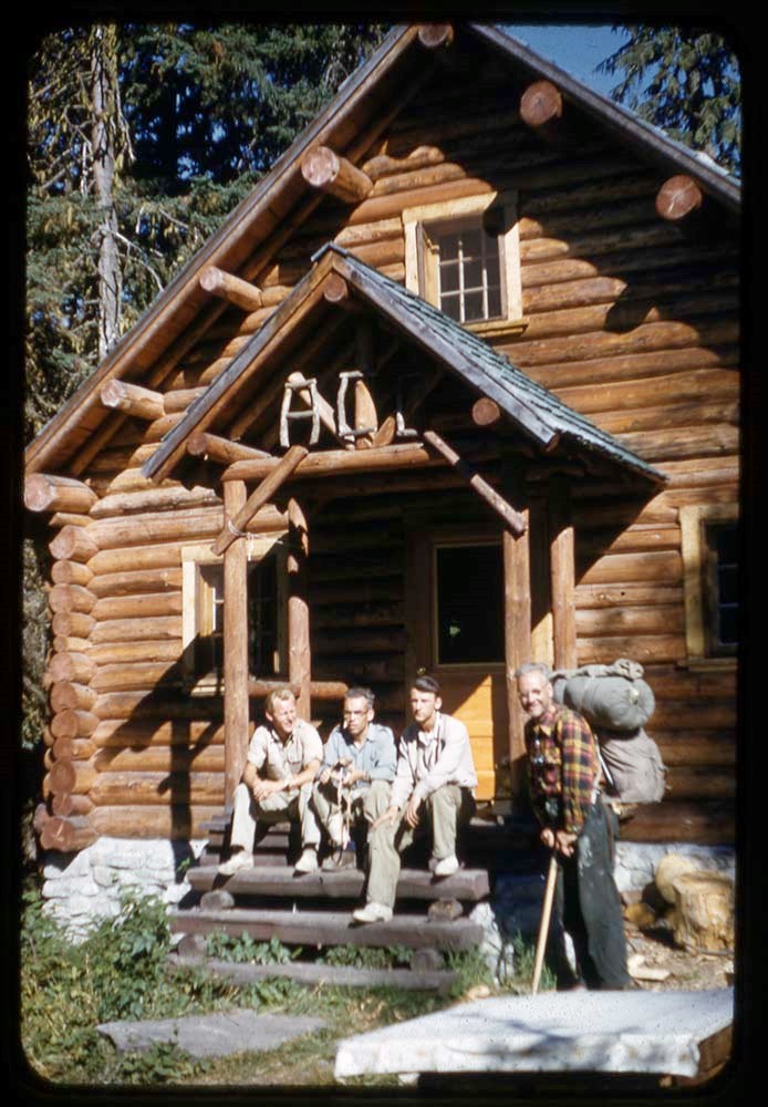
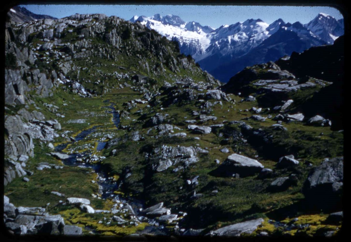
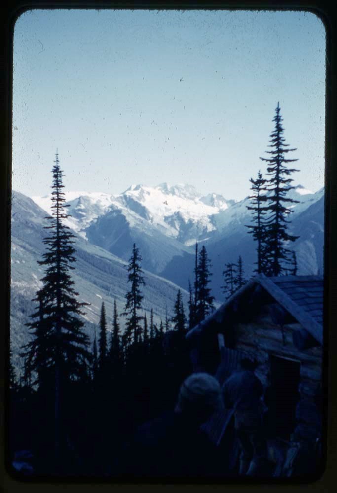
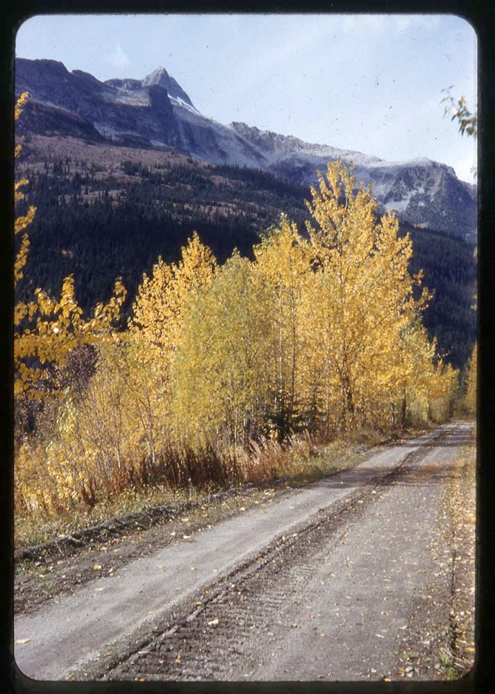
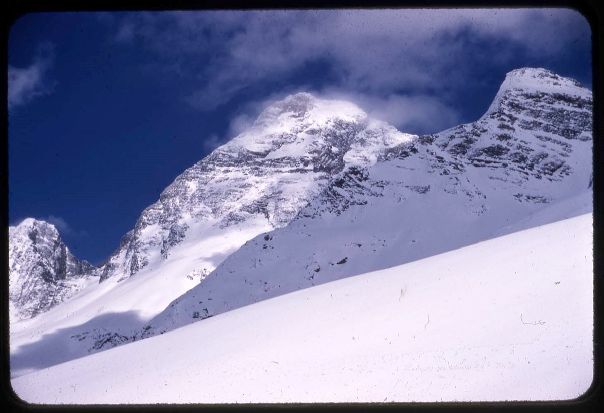
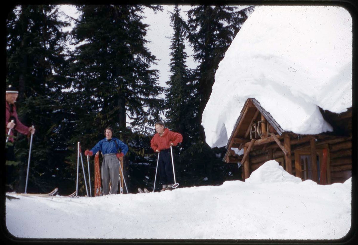
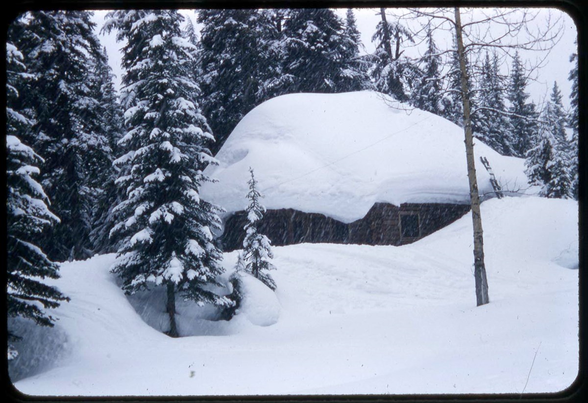
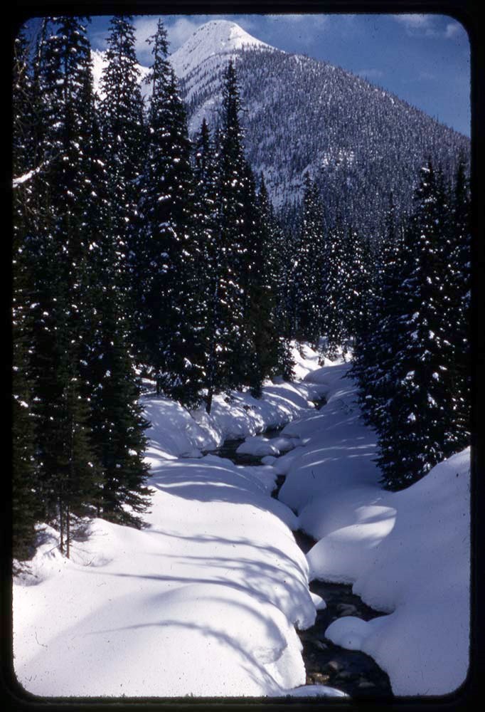
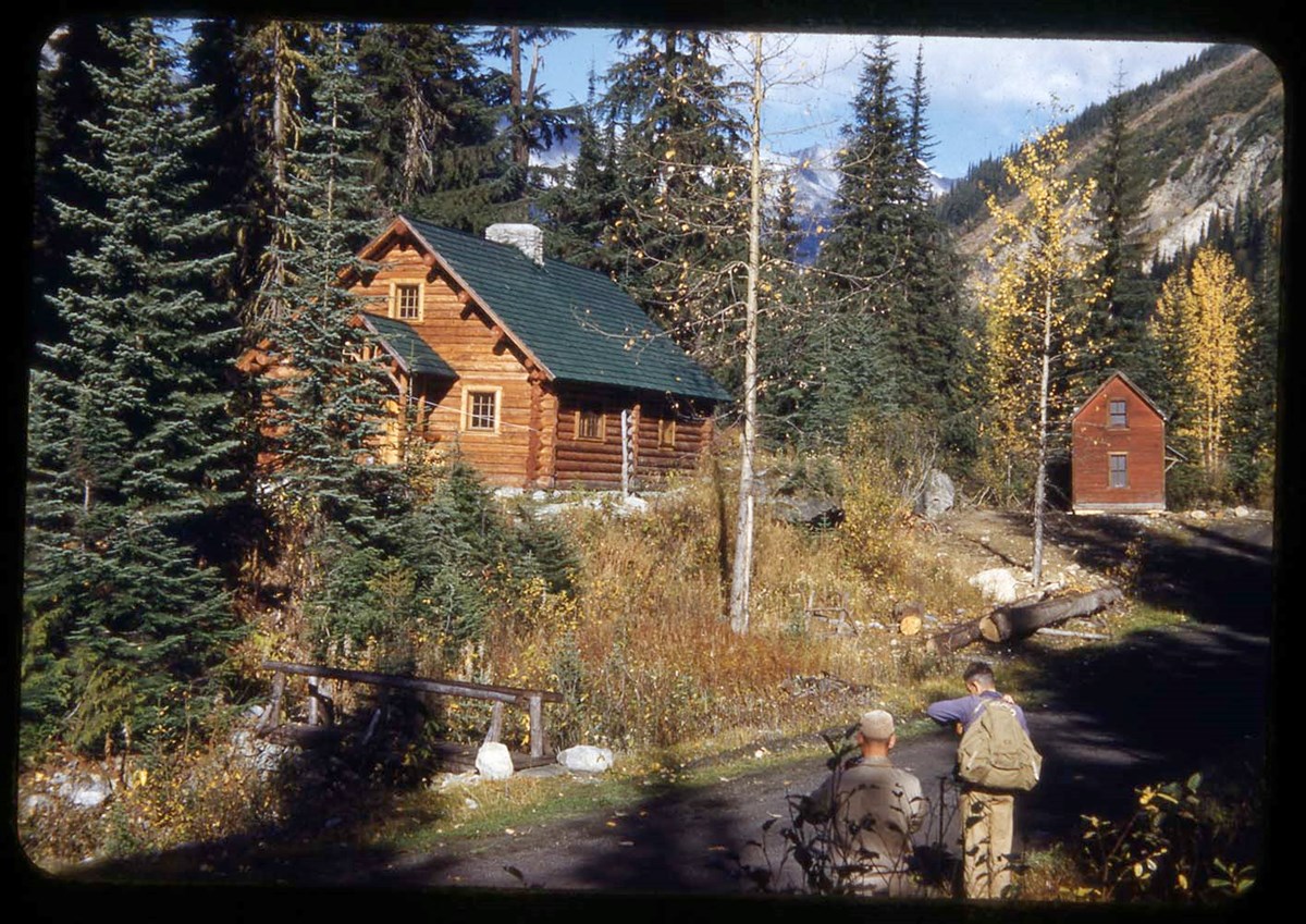
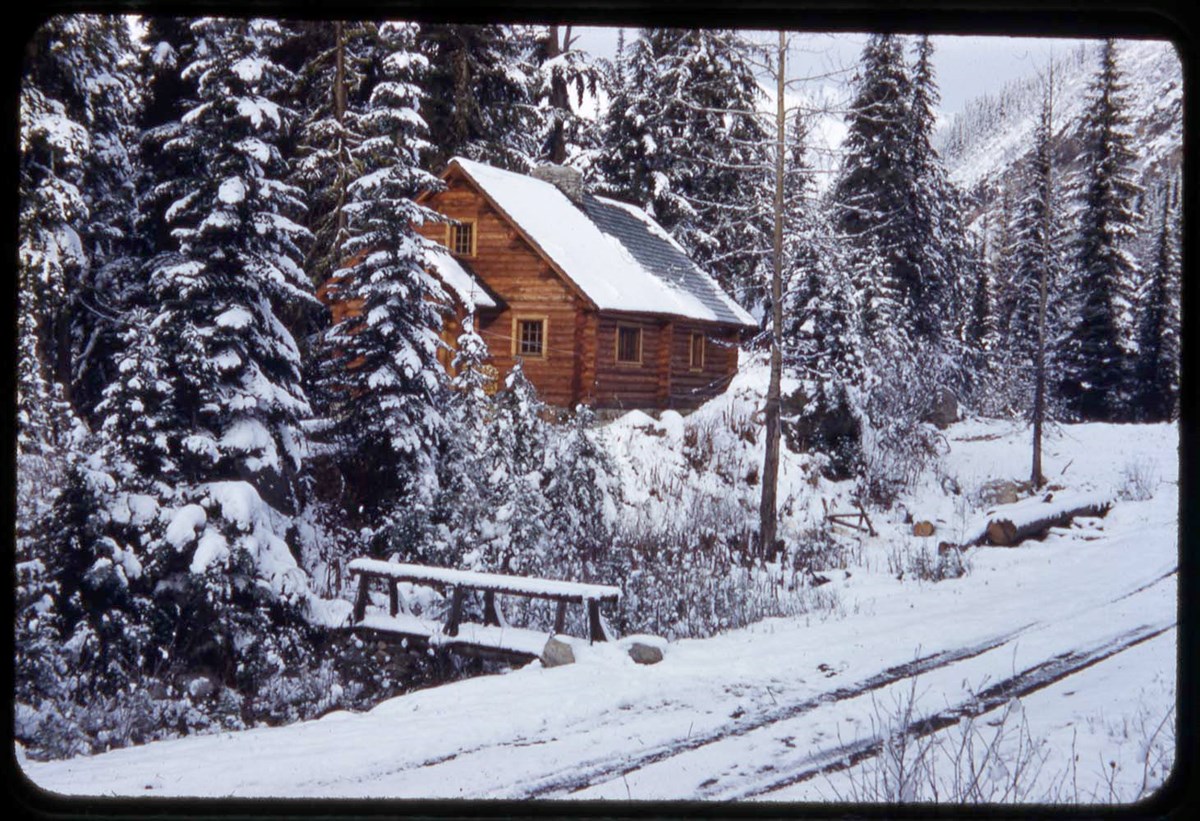
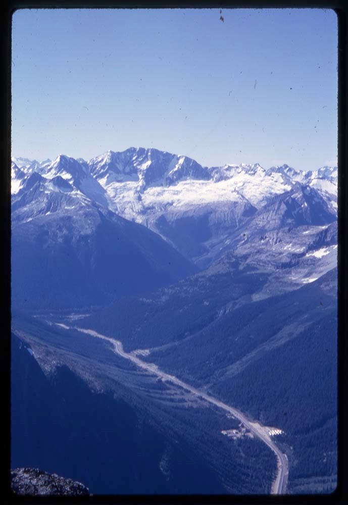
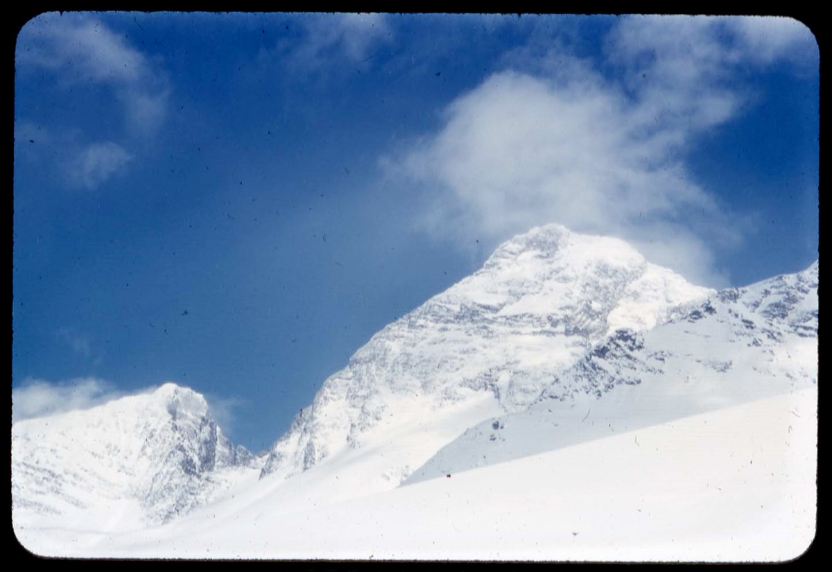
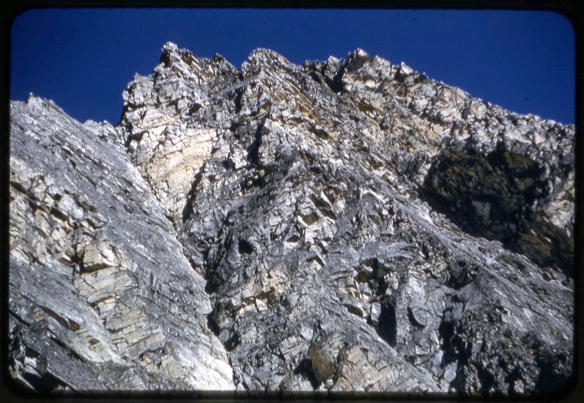
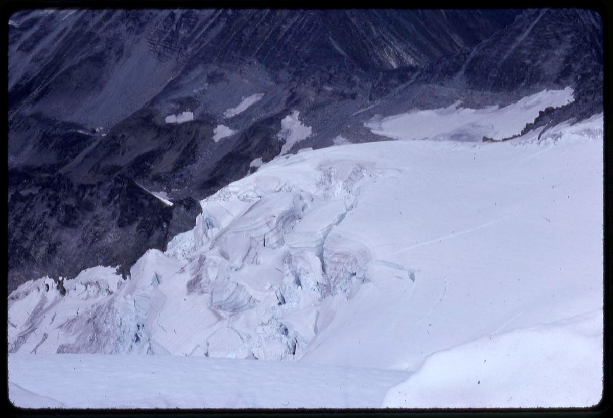
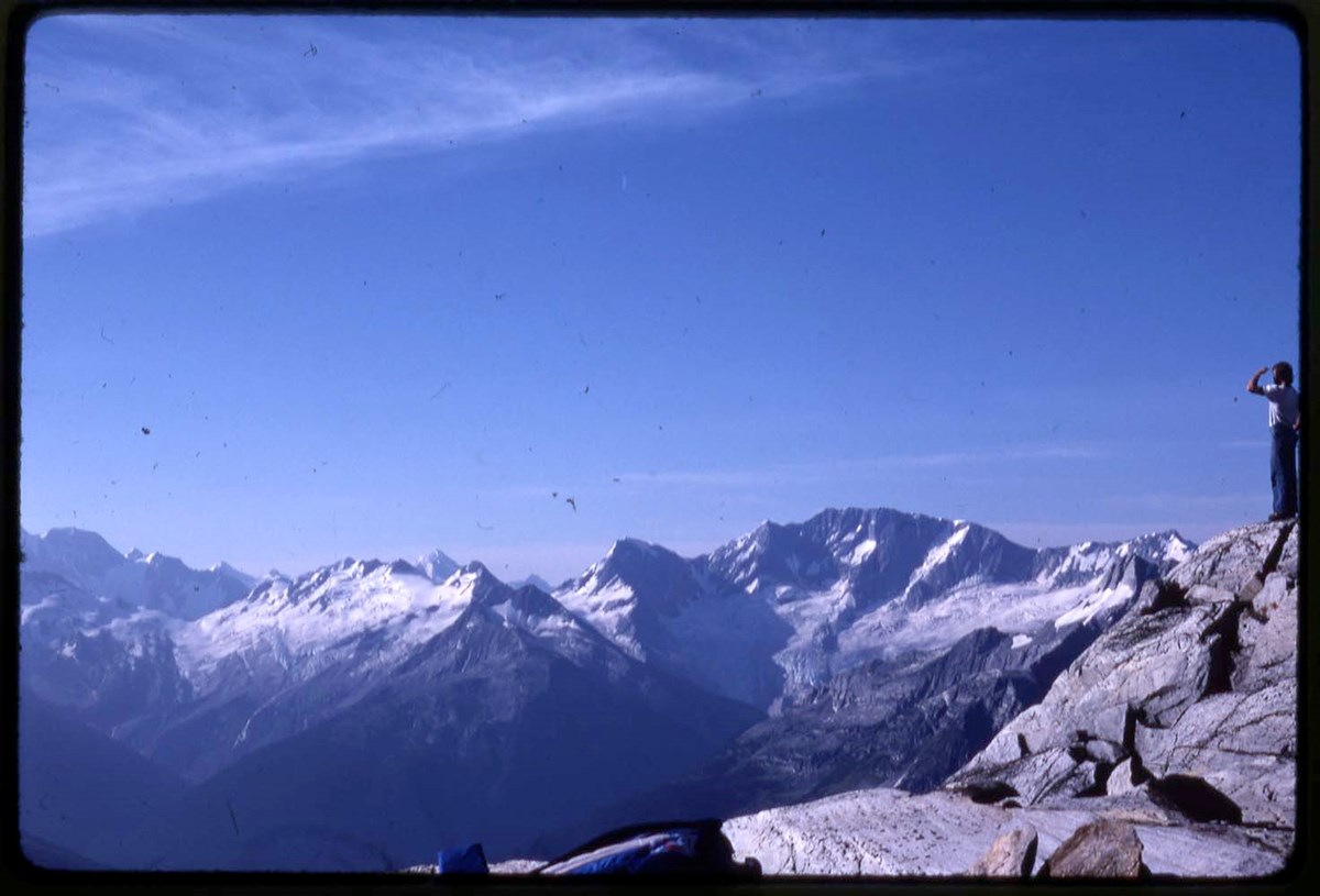
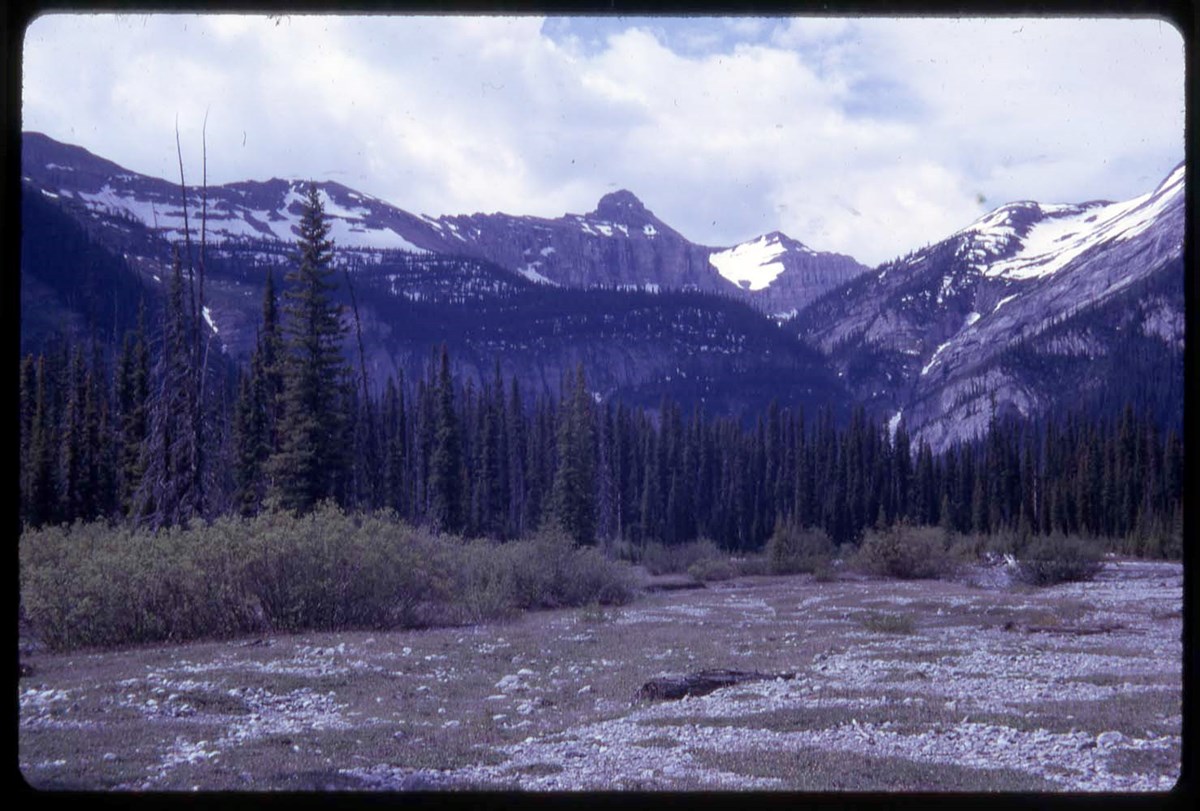
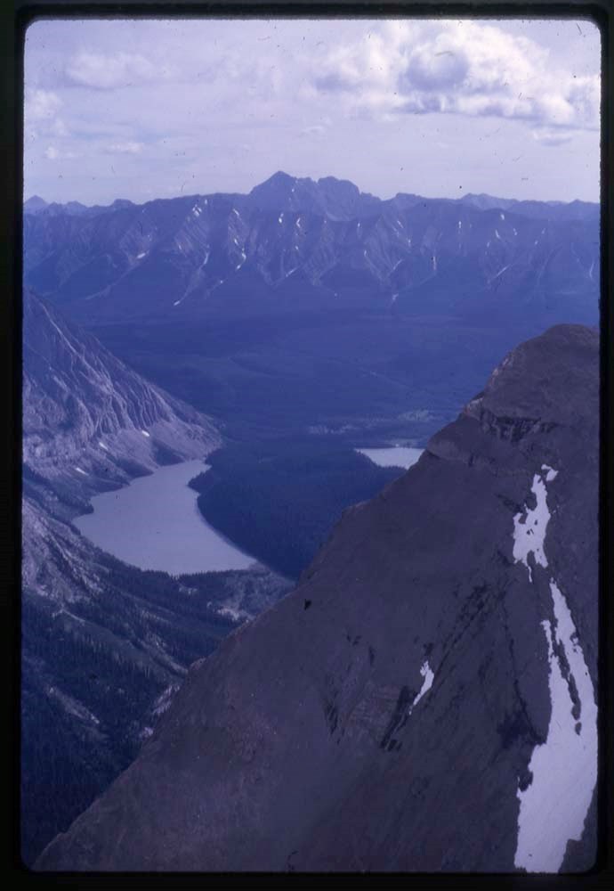
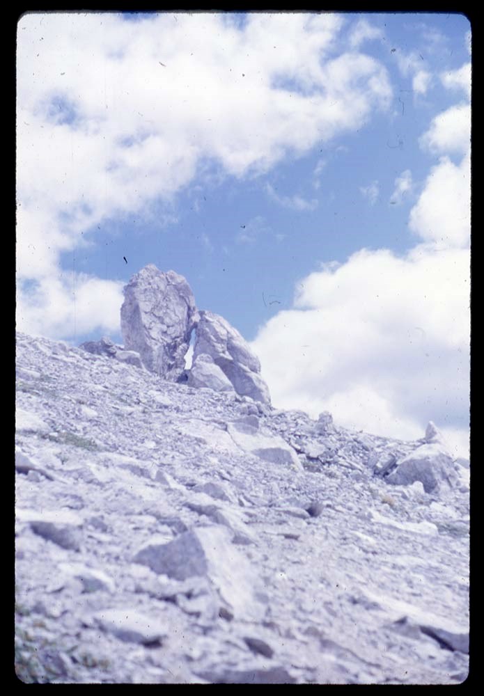
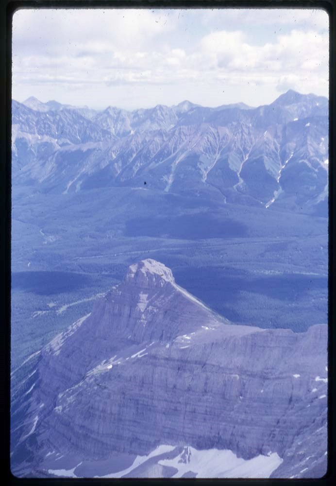
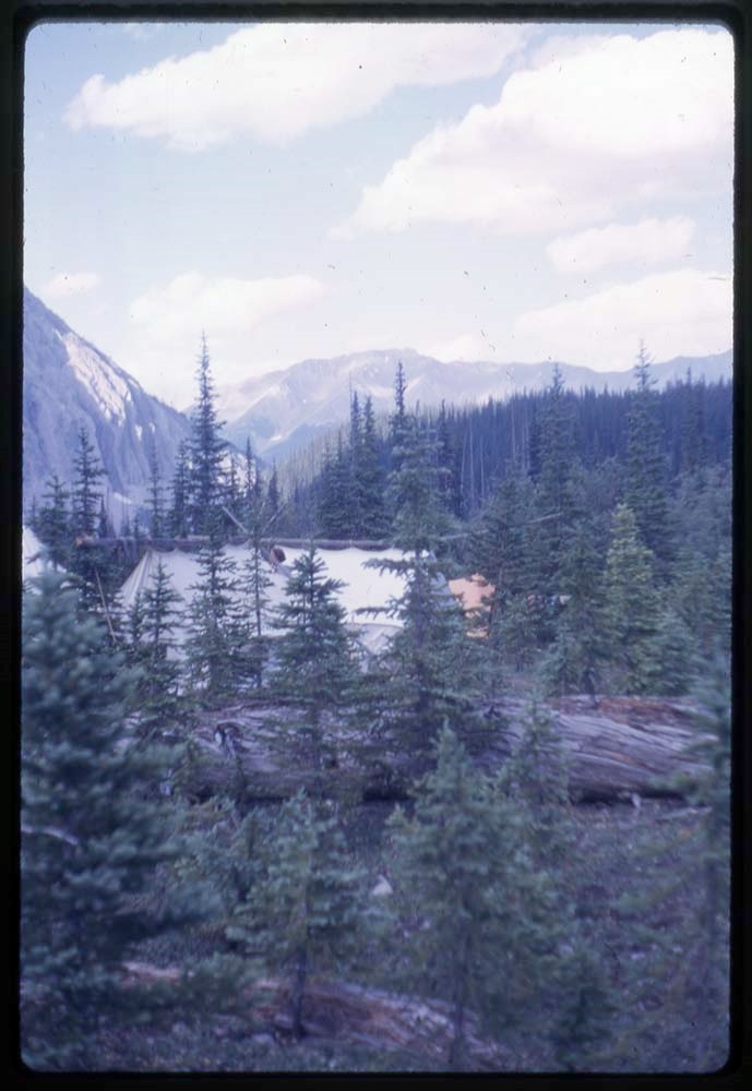
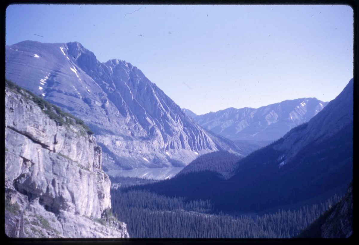
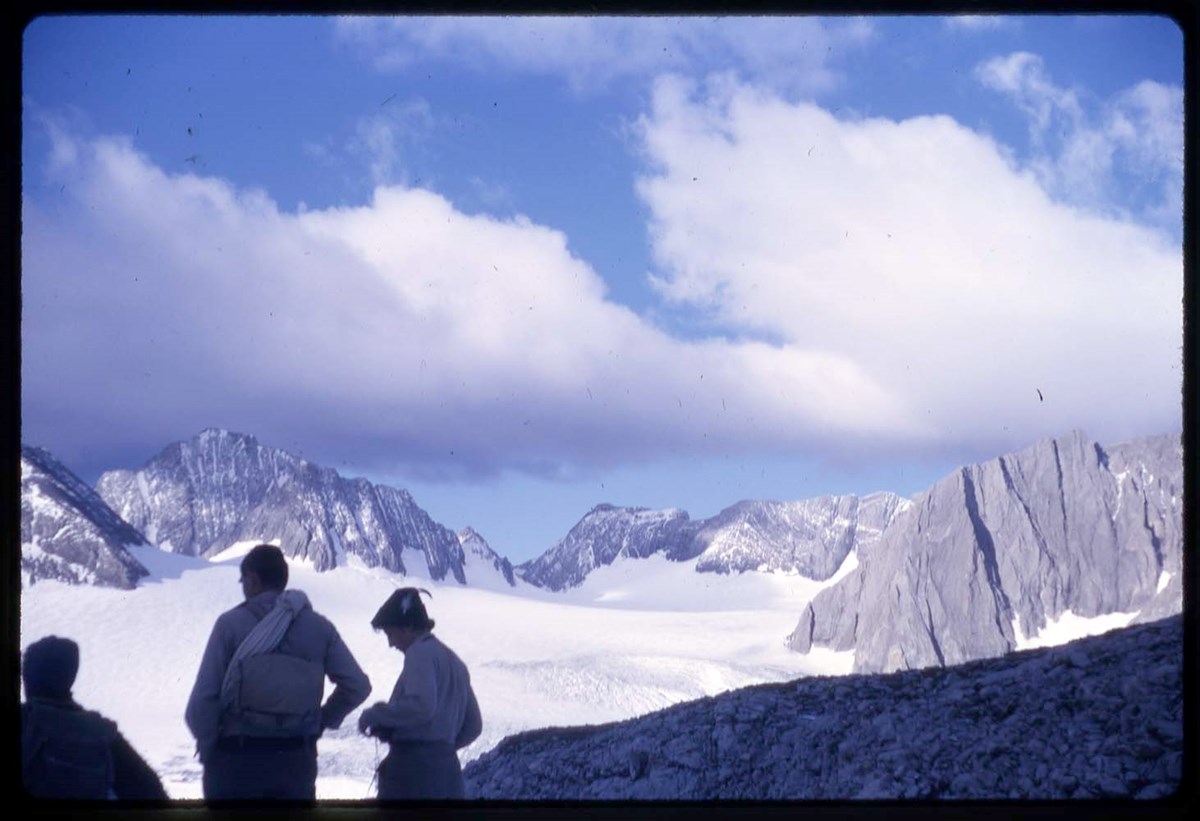
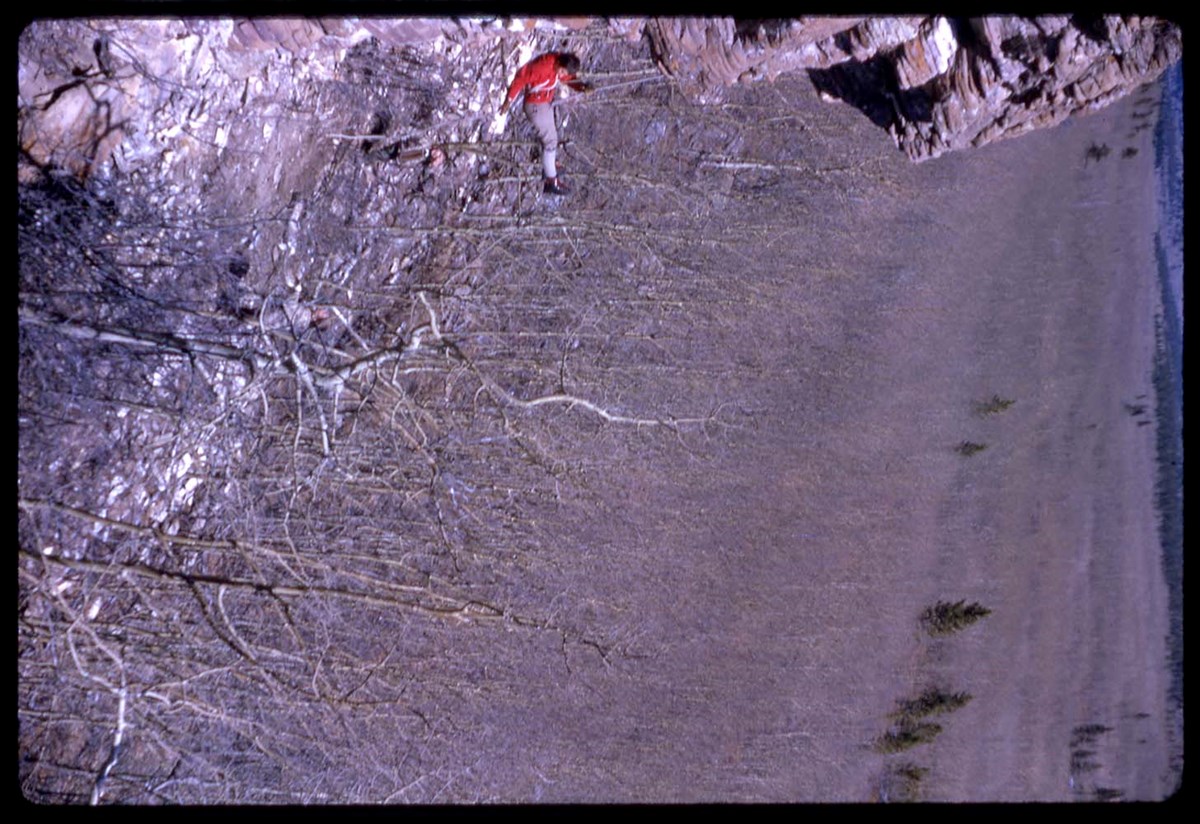
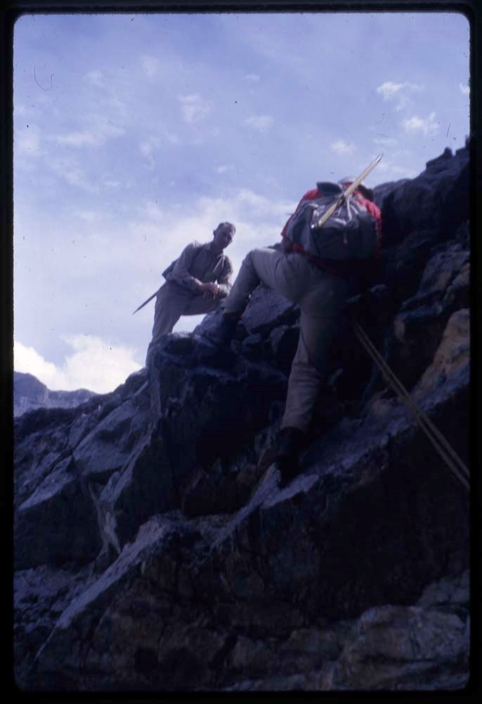
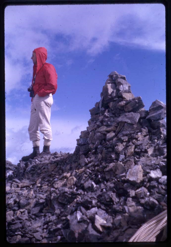
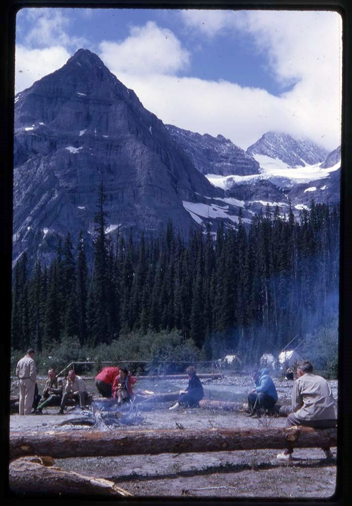
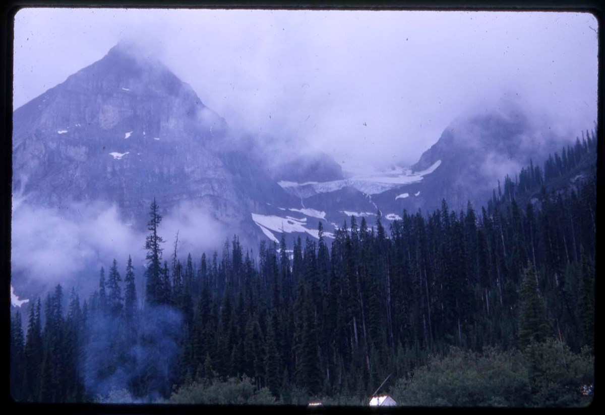
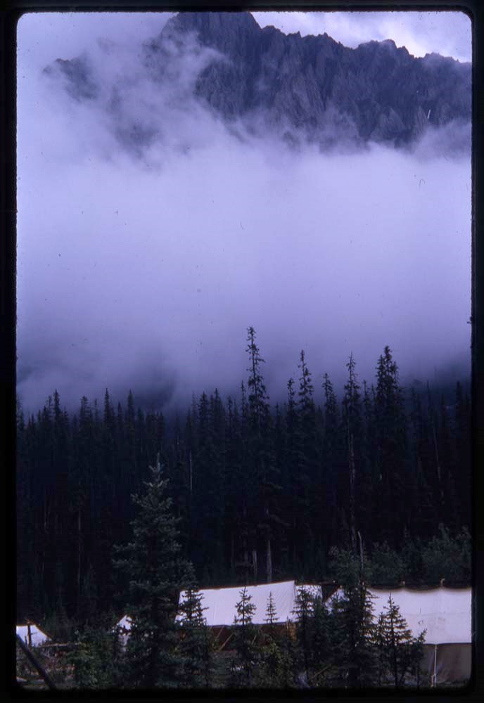
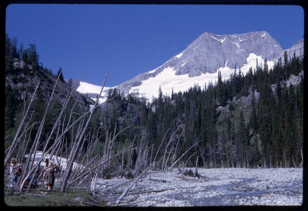
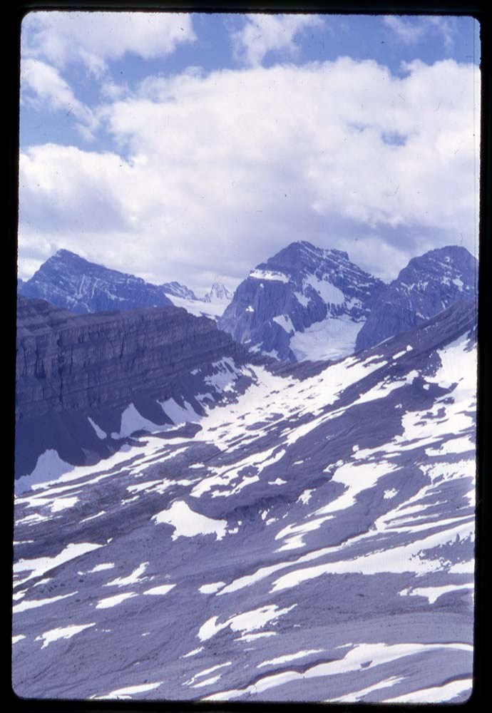
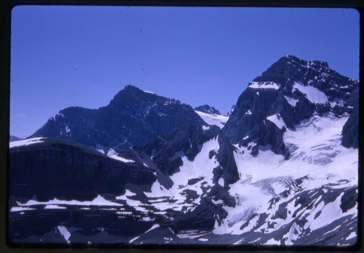
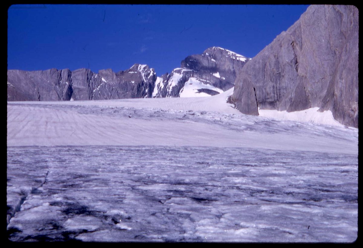
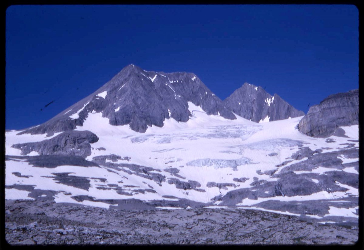
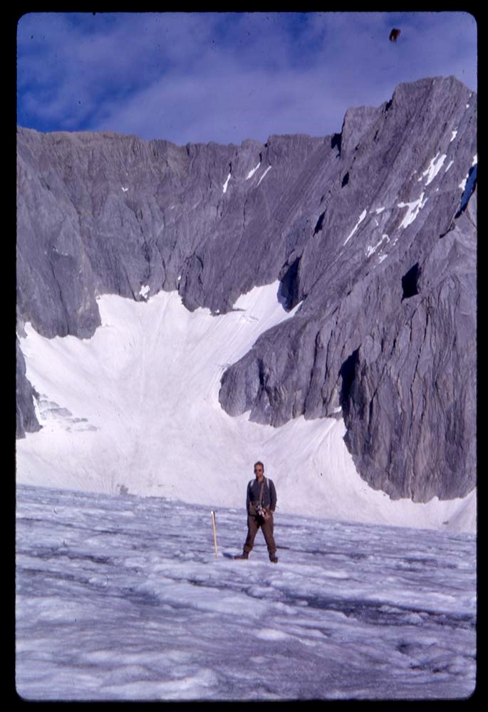
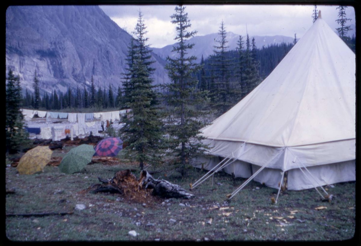
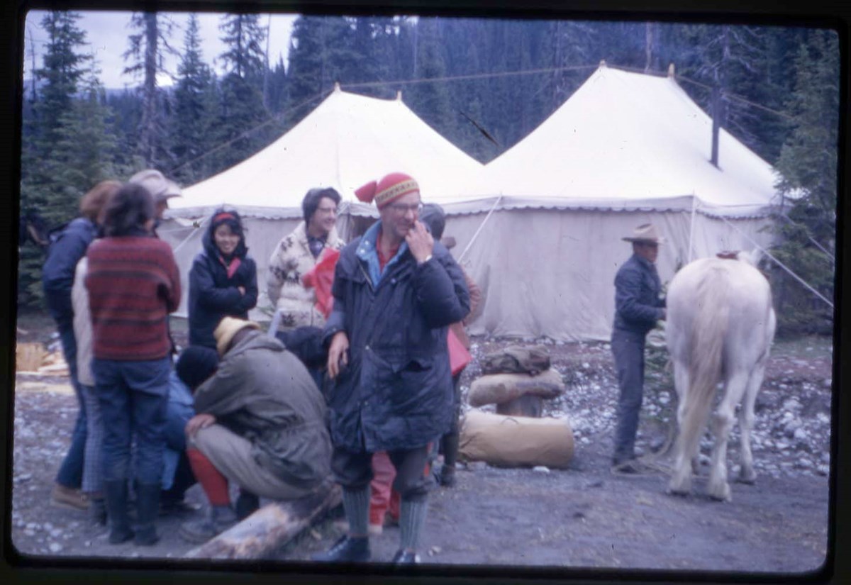
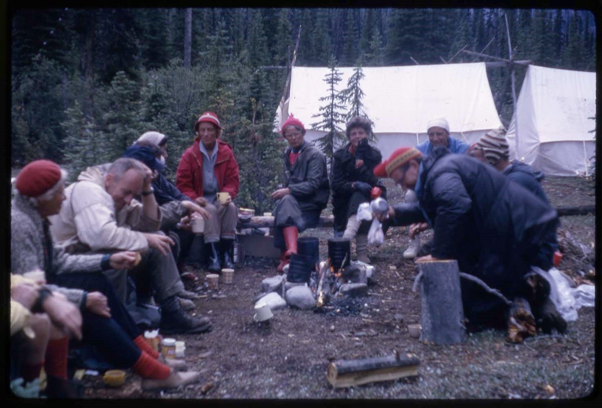
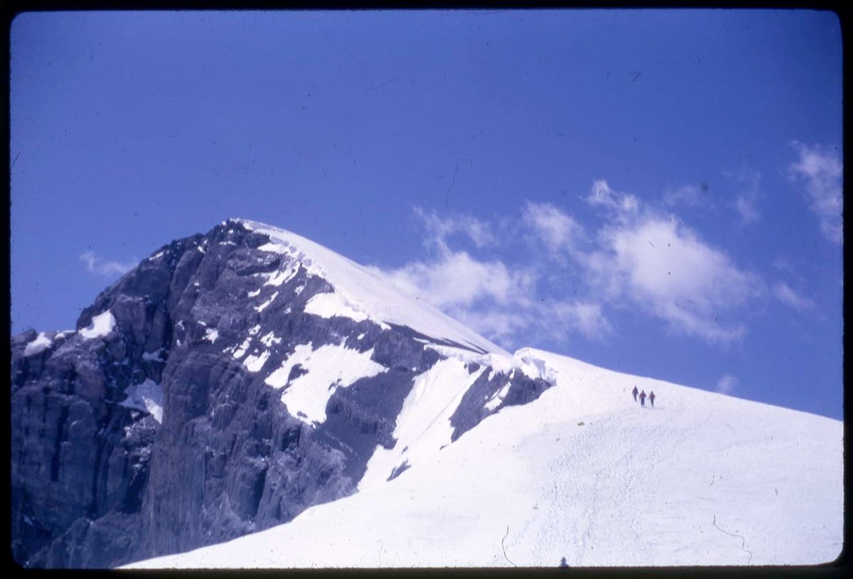
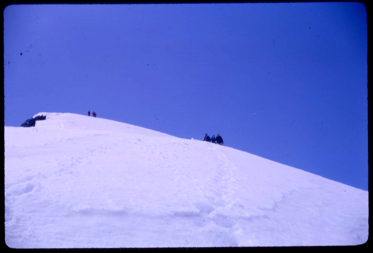
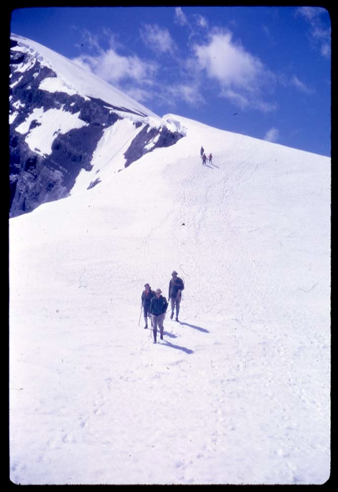
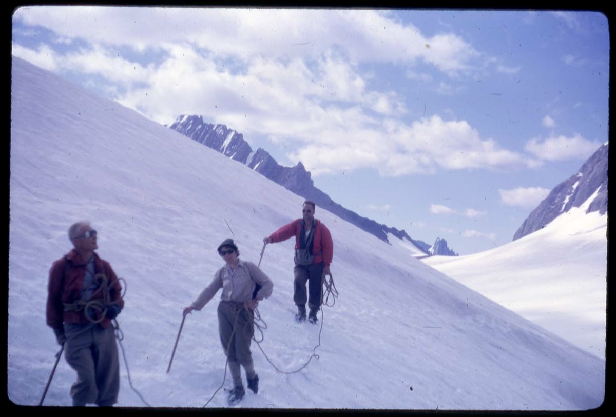
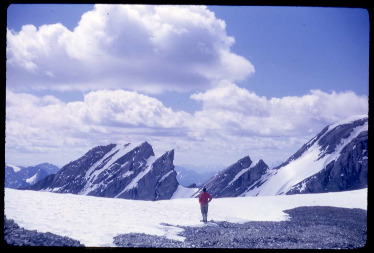
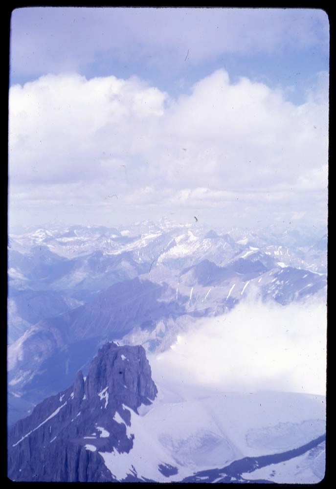
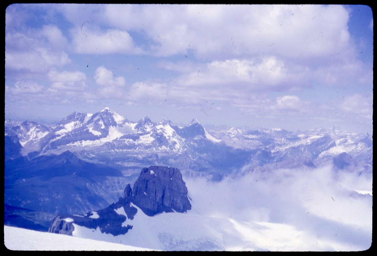
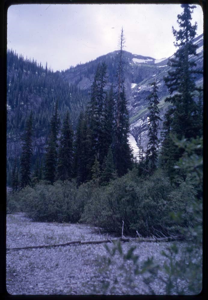
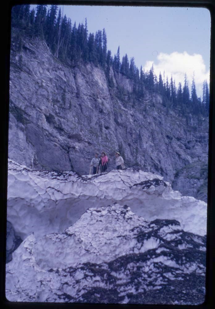
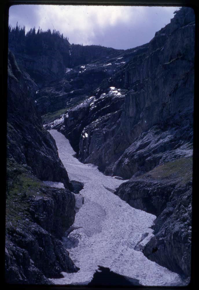
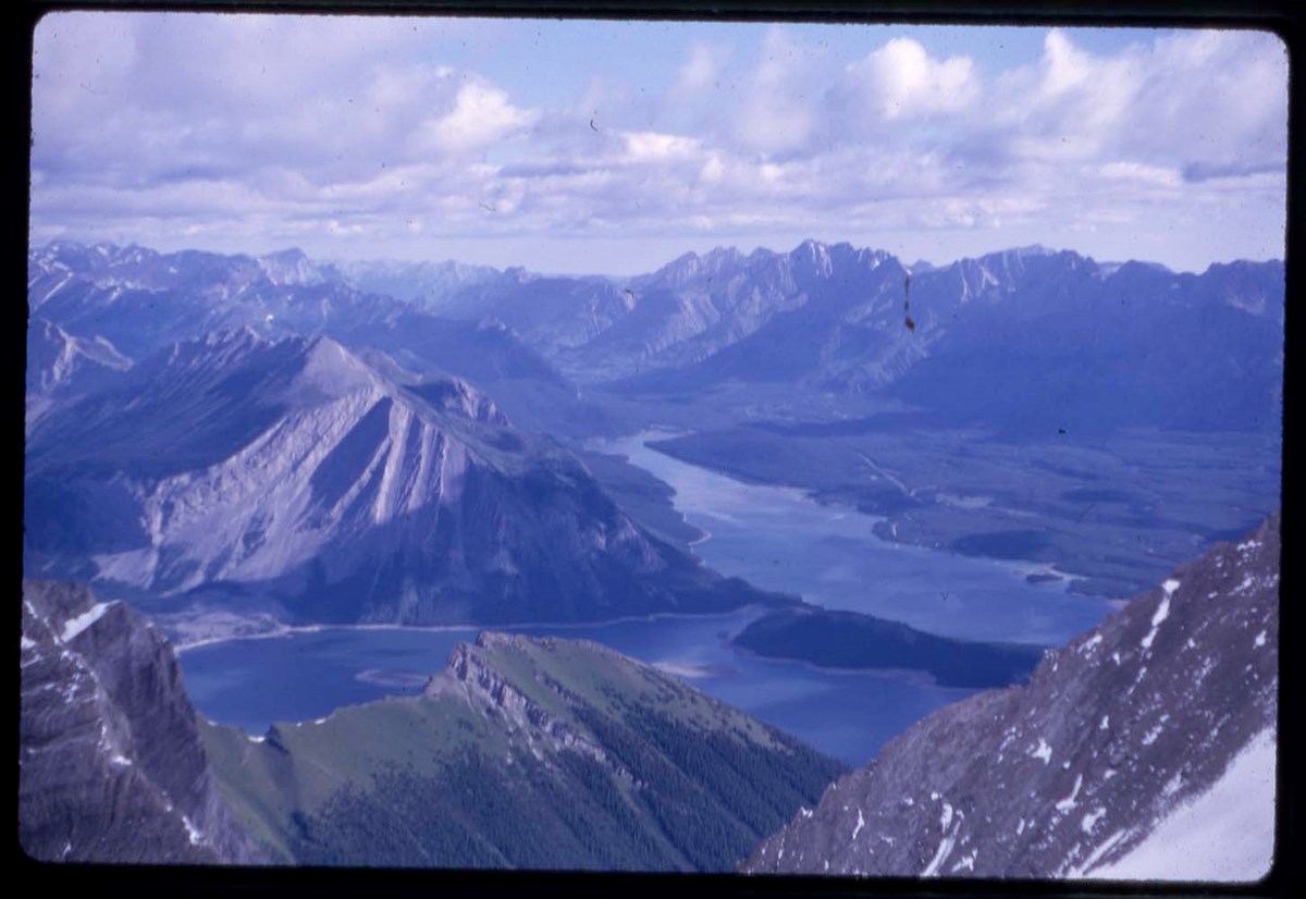
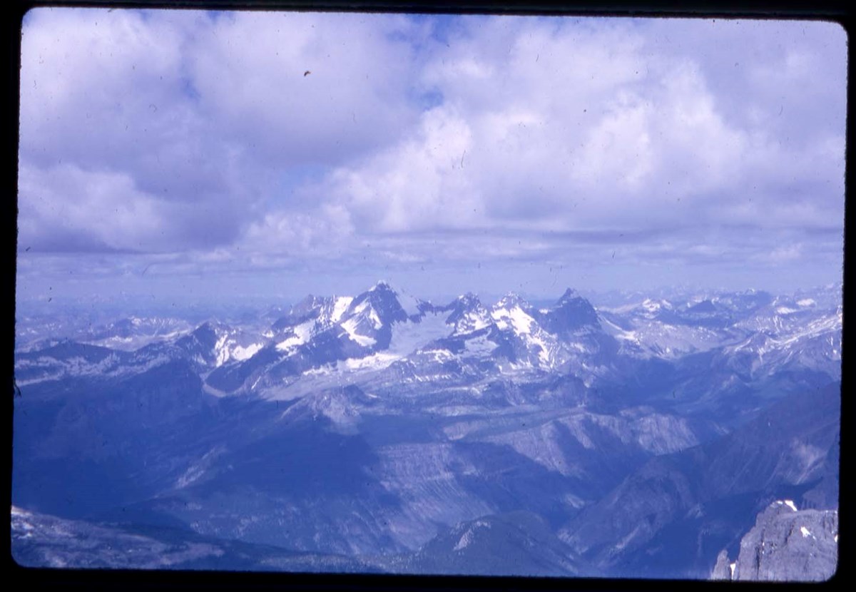
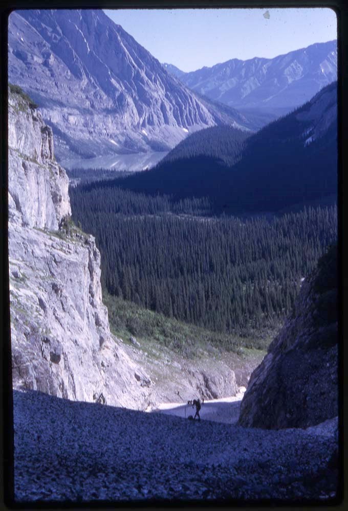
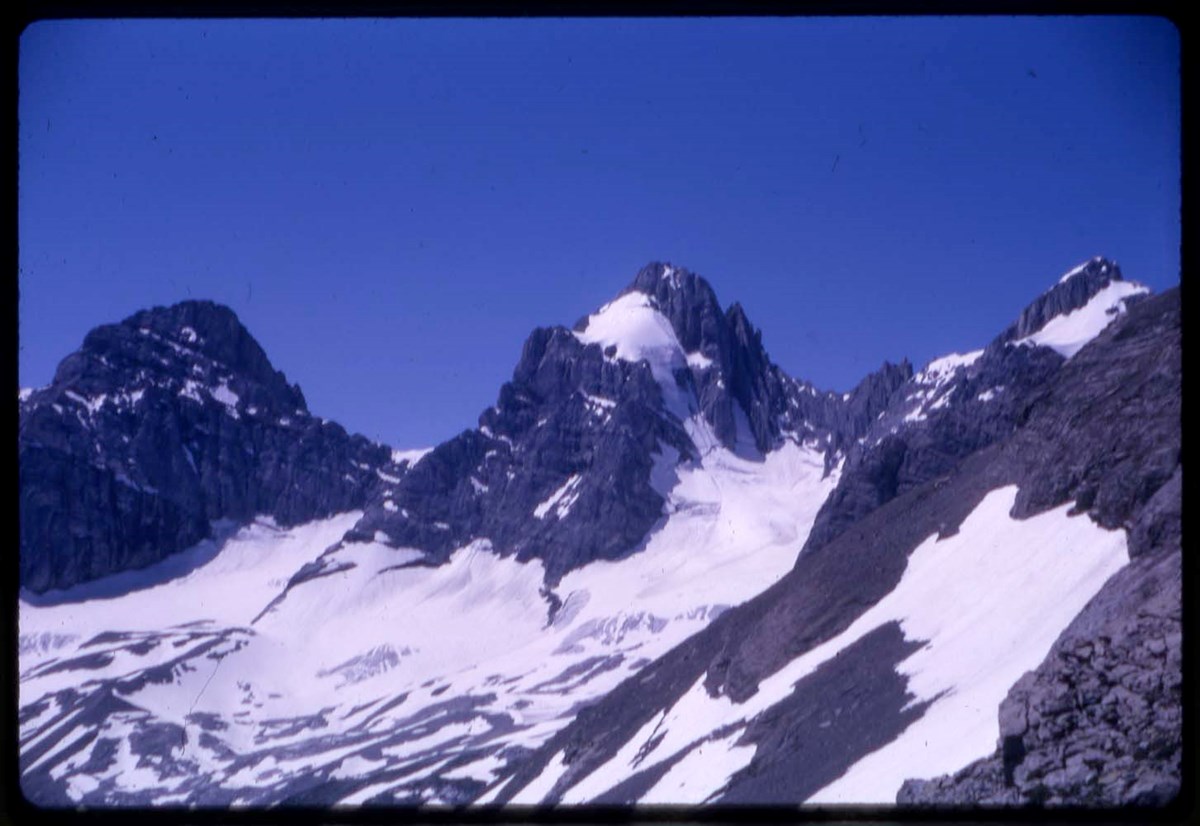
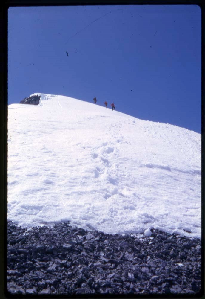
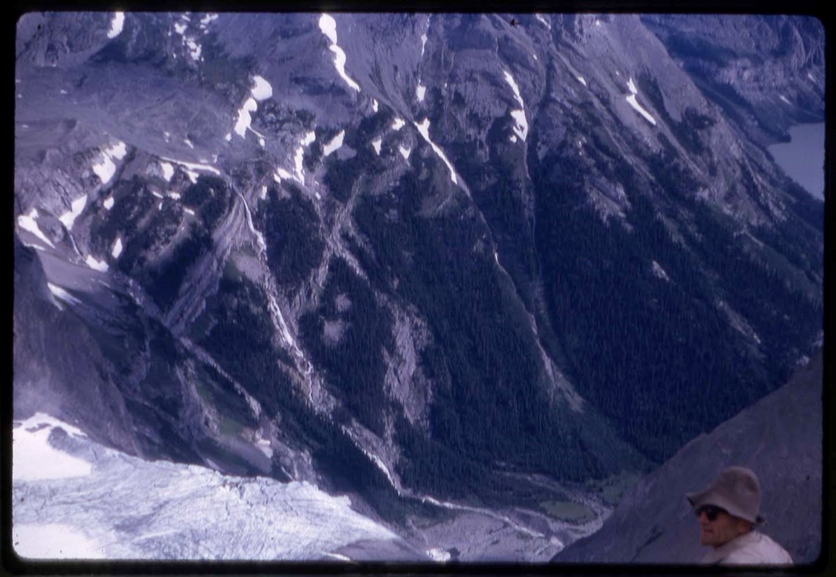
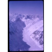
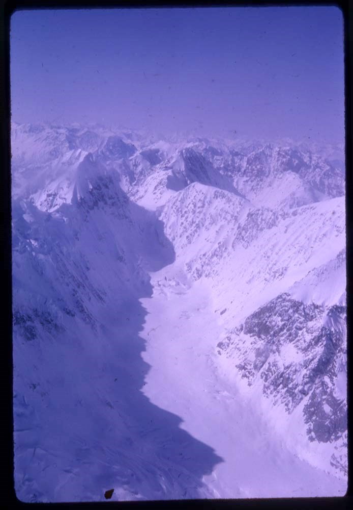
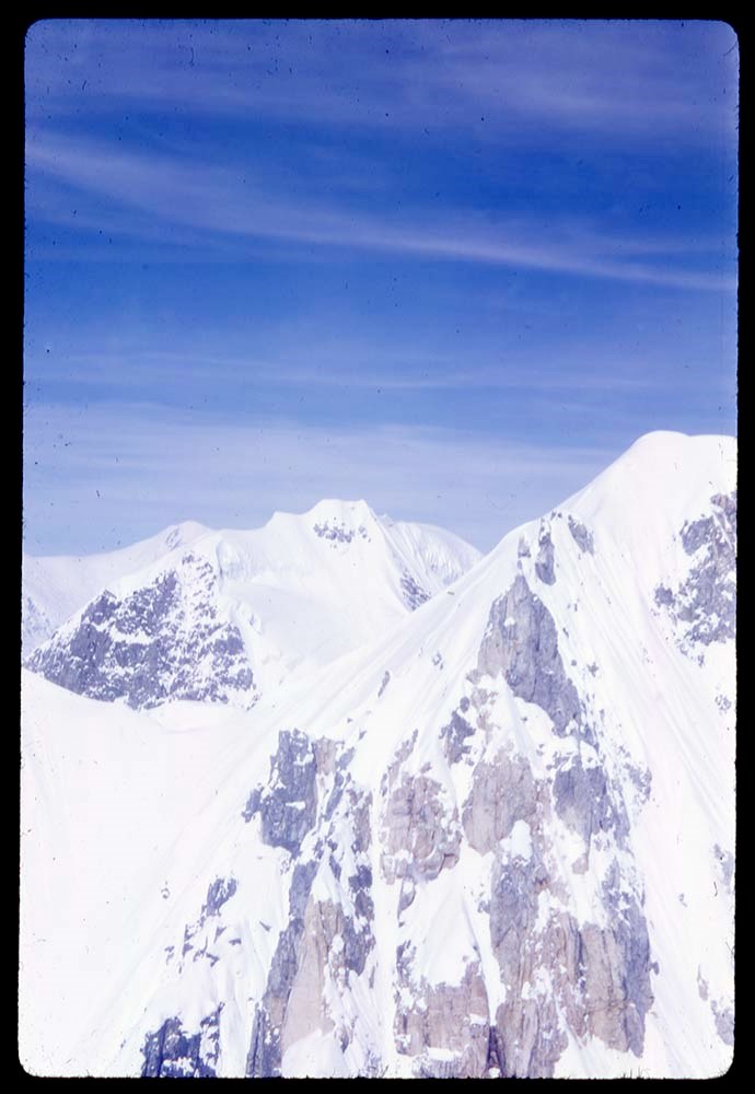
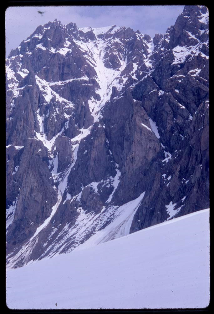
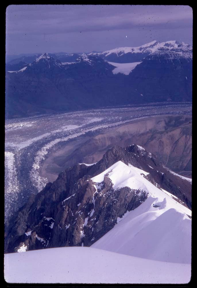
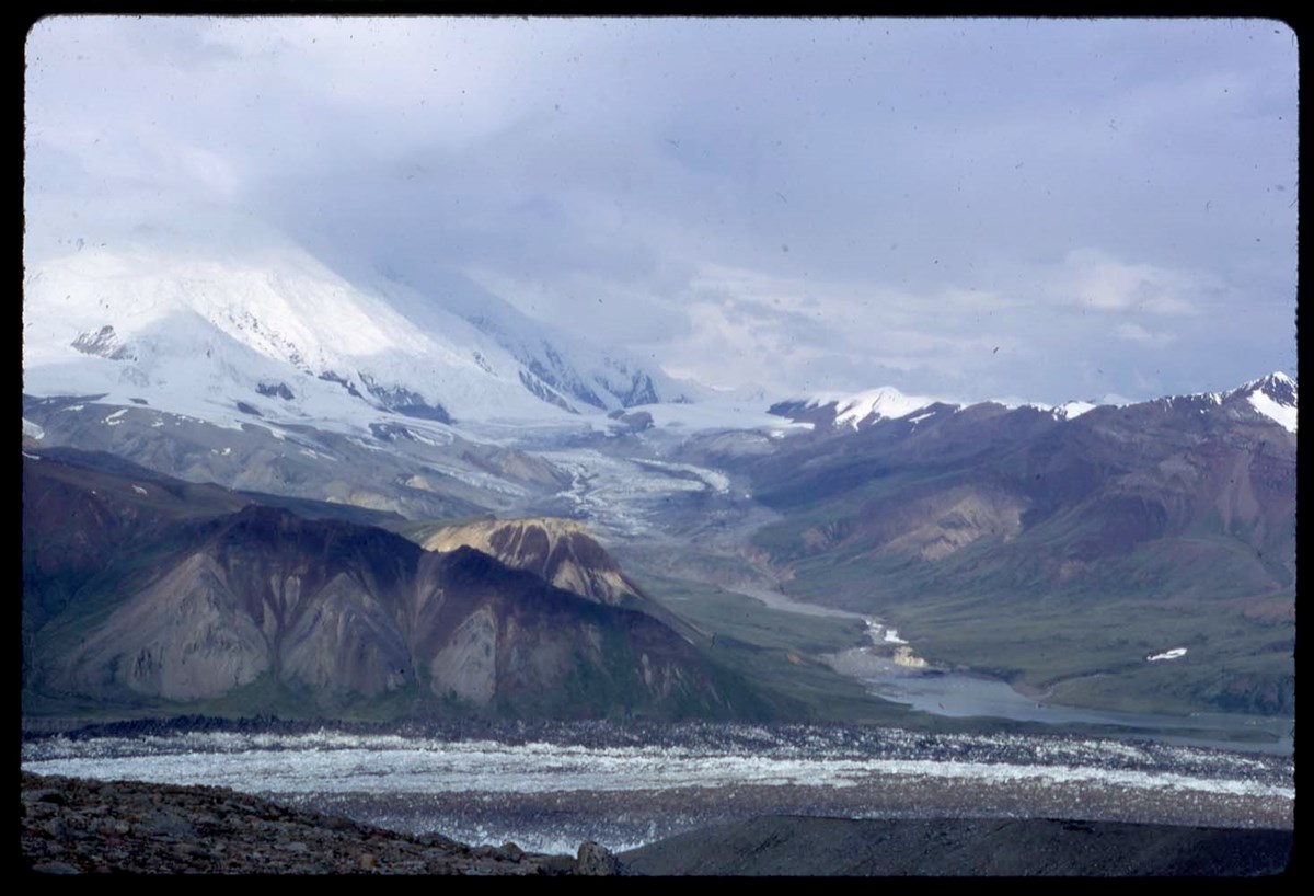
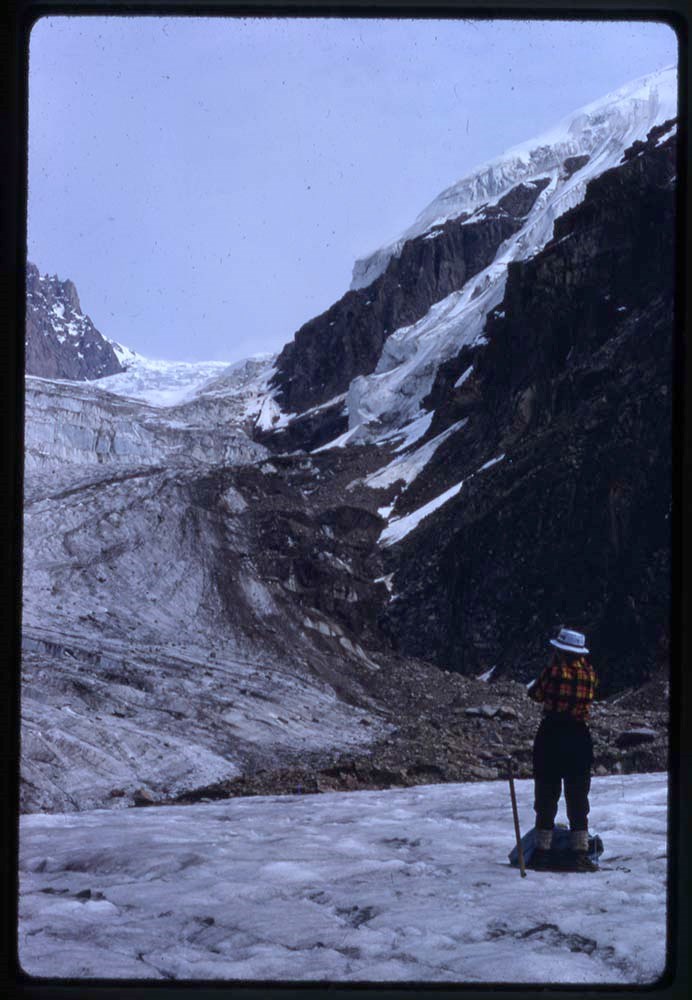
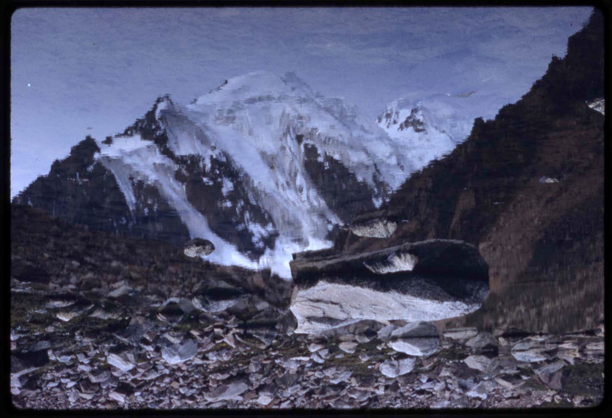
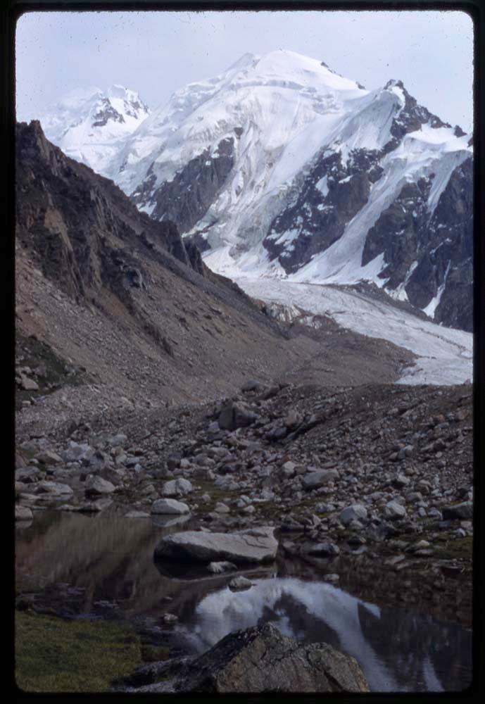
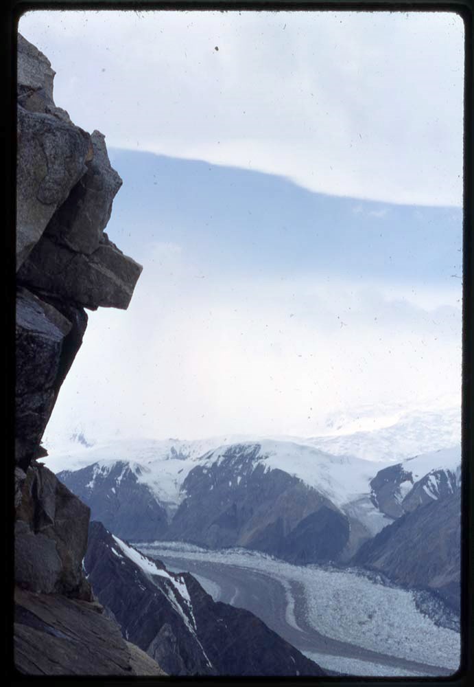
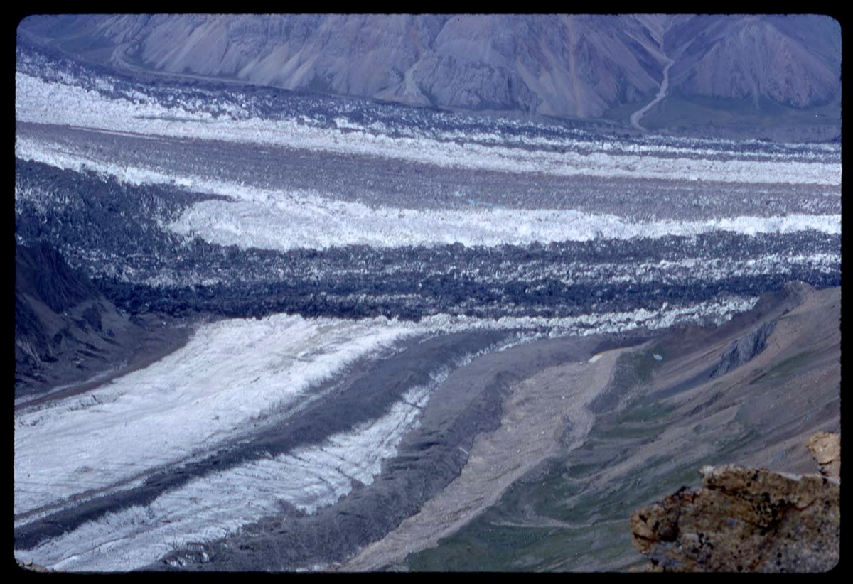
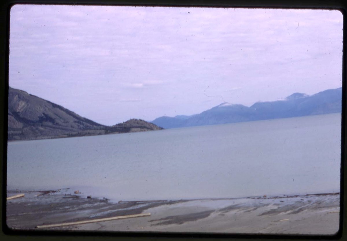
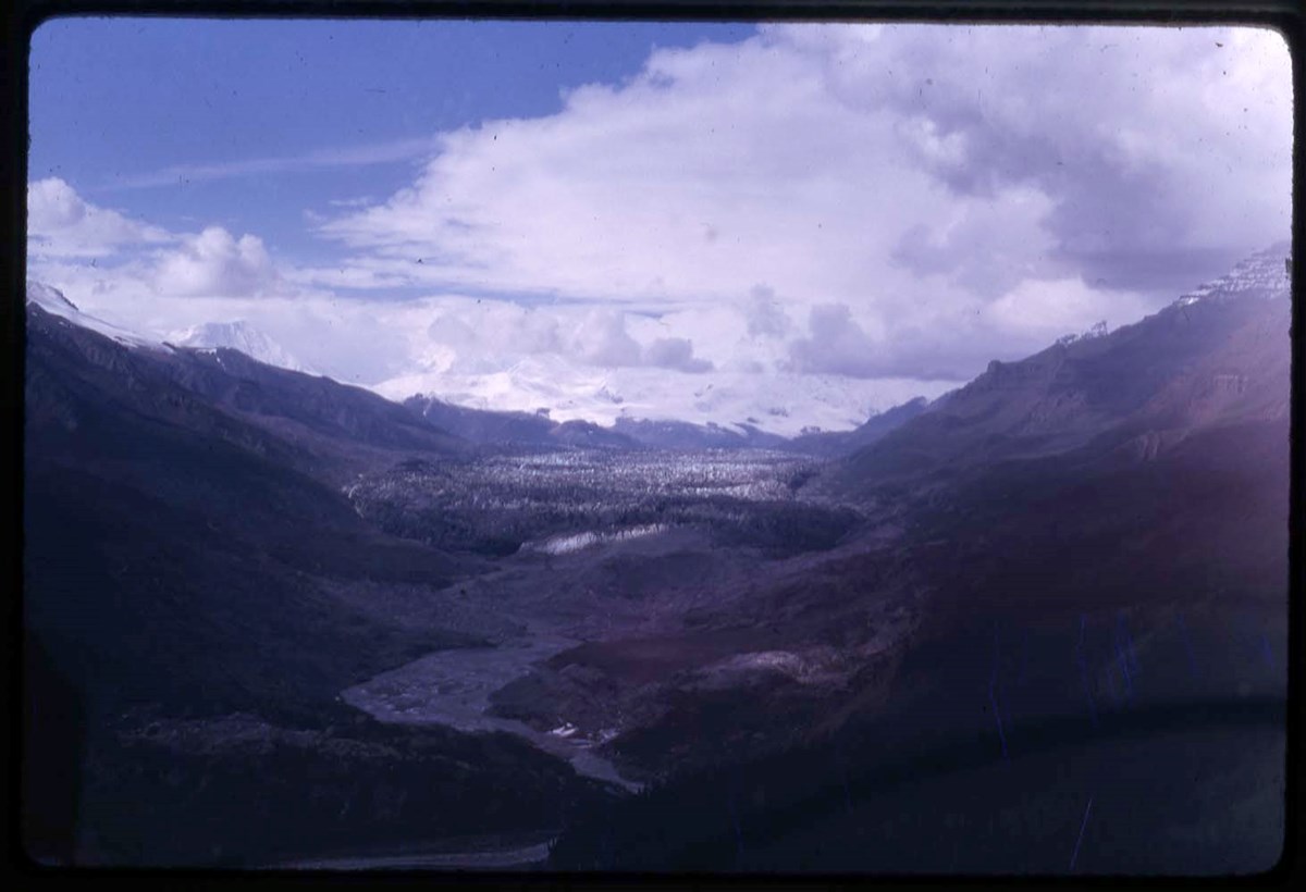
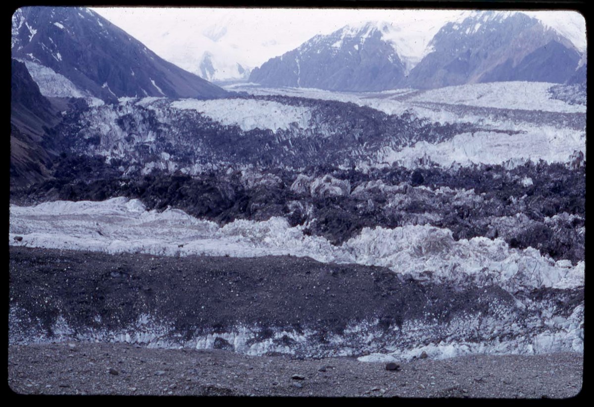
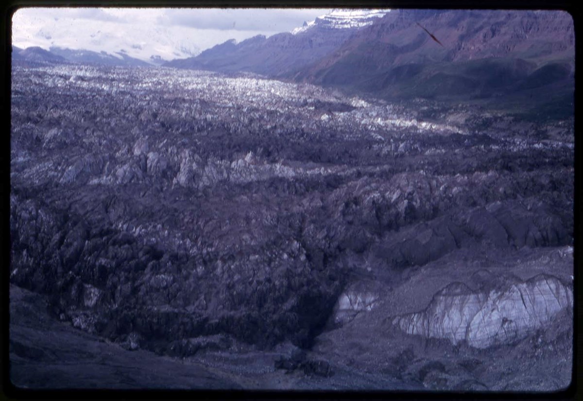
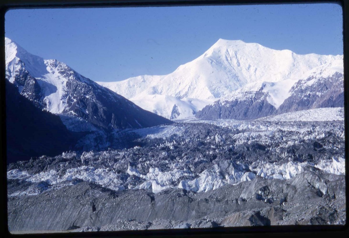
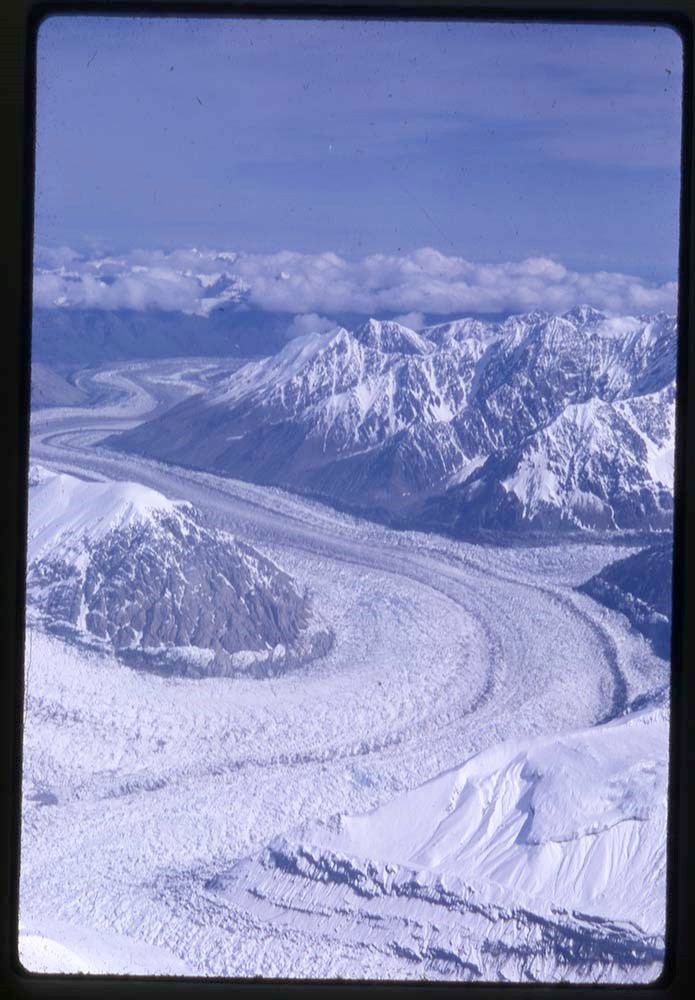
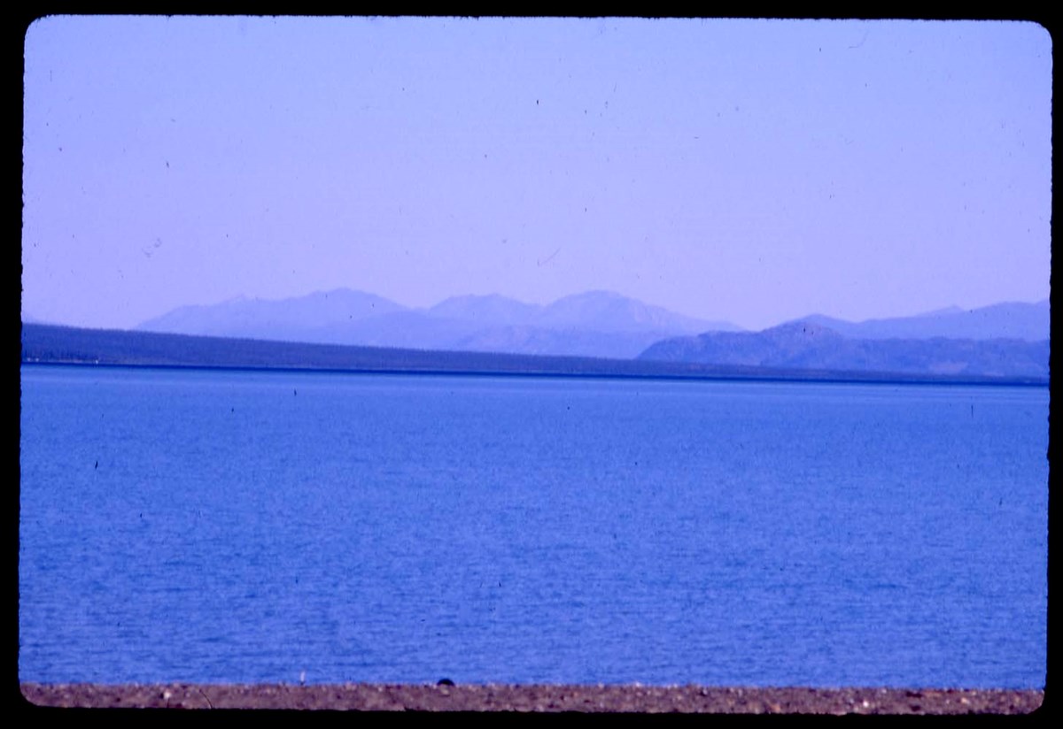
Glacier : [Glacier BC area]
https://archives.whyte.org/en/permalink/descriptions17527
- Part Of
- Bob Hind fonds
- Scope & Content
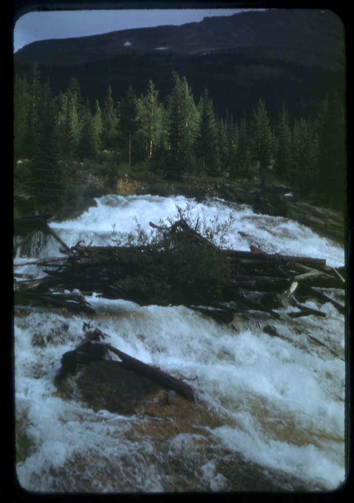
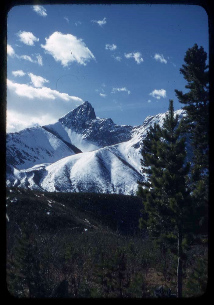
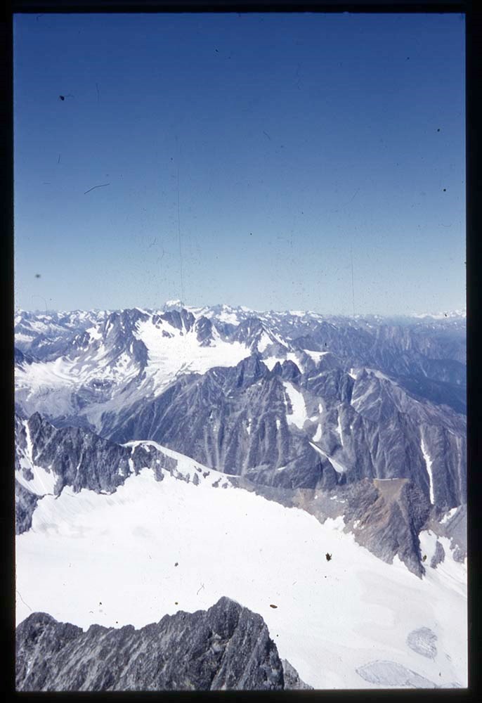
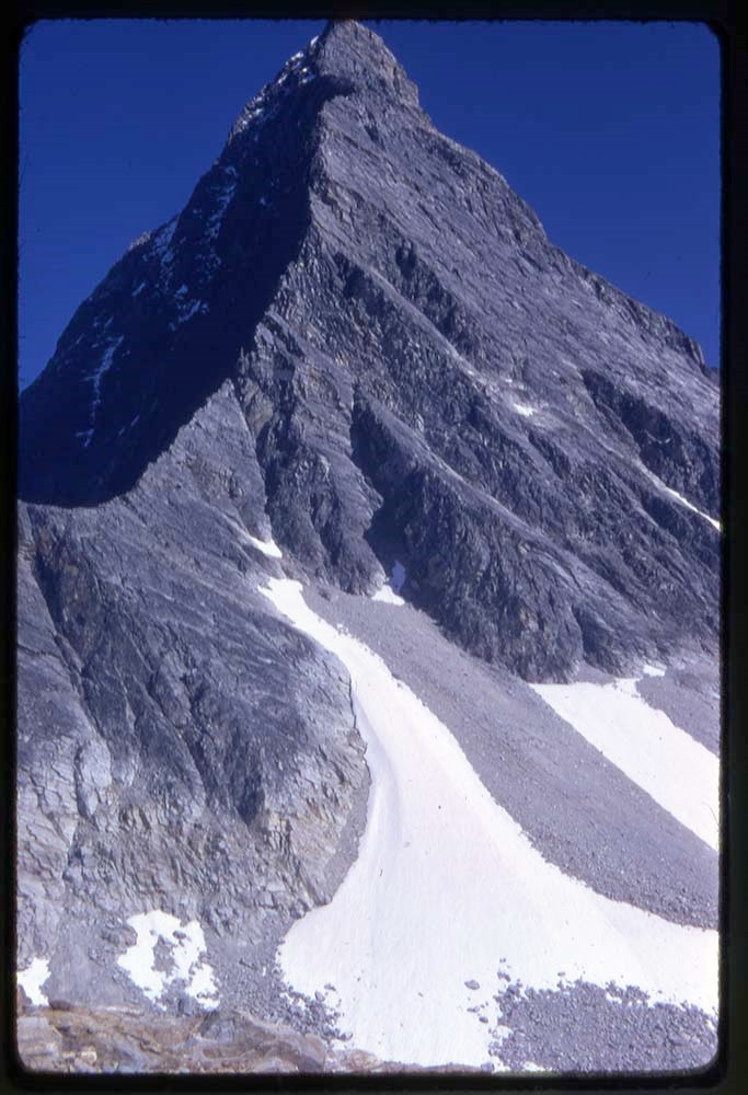
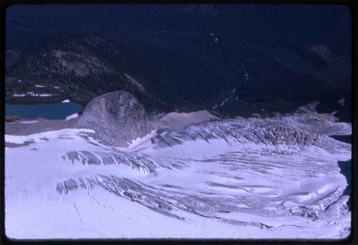
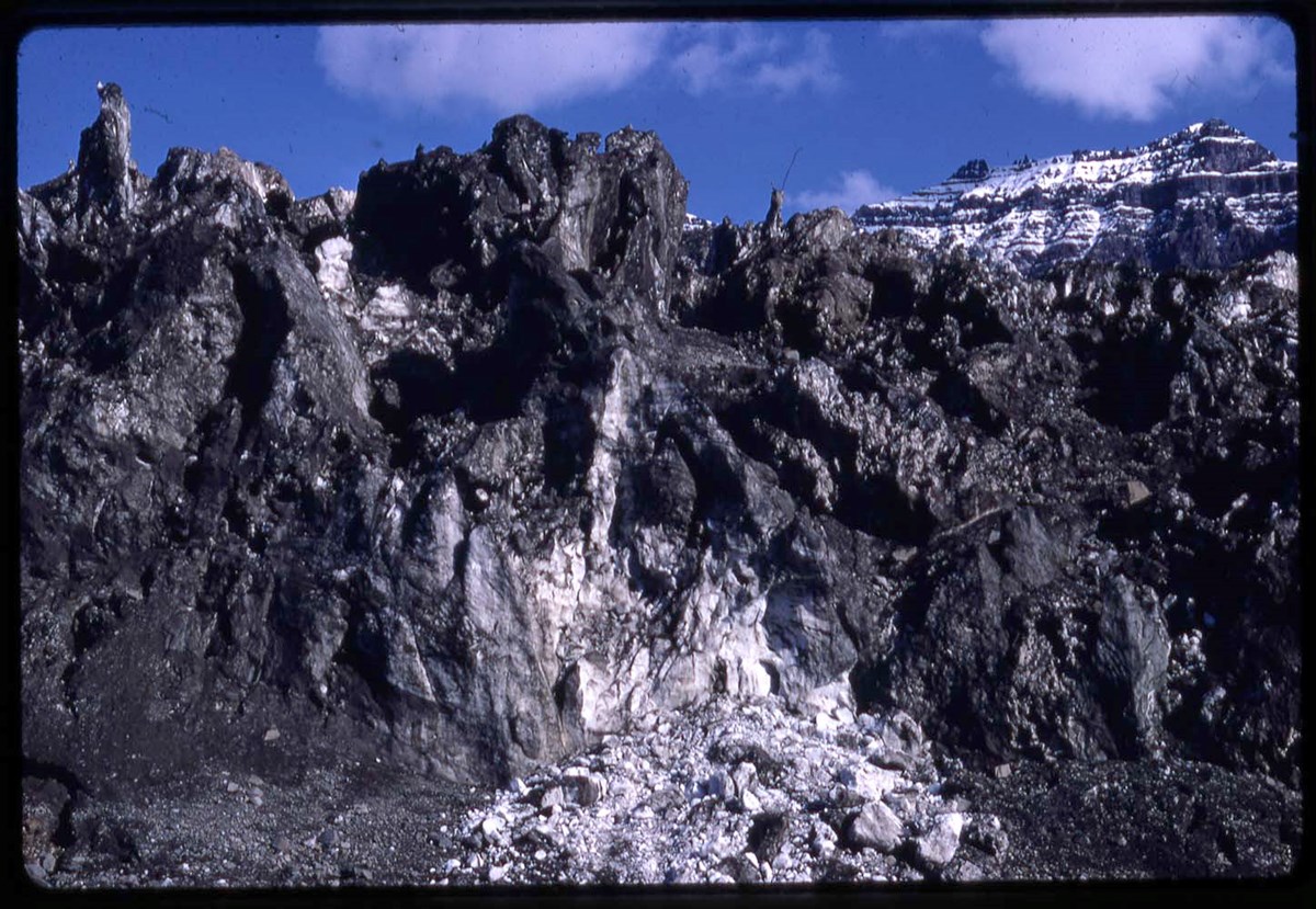
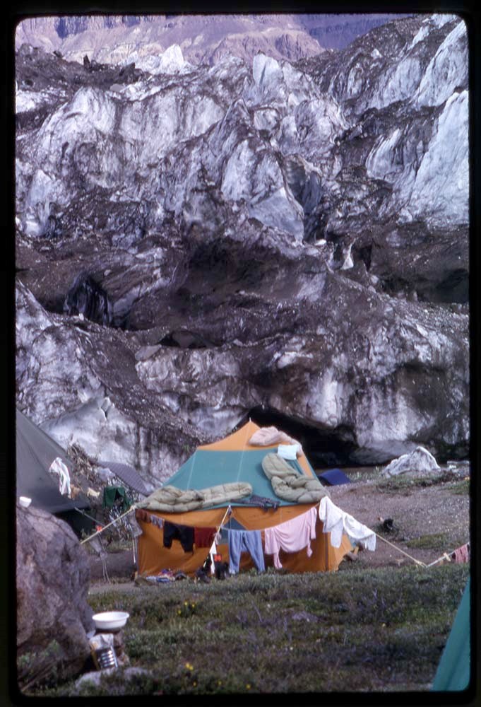
- File consists of landscape views and includes Freshfield Glacier climbing, 1969
- Date Range
- 1947-[1982]
- Reference Code
- V46 / I / A / 31 / NS - 1 to 96
- Description Level
- 5 / File
- GMD
- Photograph
- Transparency
96 images
1 Electronic Resource
- Part Of
- Bob Hind fonds
- Description Level
- 5 / File
- Fonds Number
- M7
- V46
- Series
- I.A. Mountain travel and recreation, western Canada : Trips and activities
- Sous-Fonds
- V46
- Accession Number
- 7181
- Reference Code
- V46 / I / A / 31 / NS - 1 to 96
- Other Title Info
- Alternate title: Glacier 56-62-74-77
- Date Range
- 1947-[1982]
- Physical Description
- 96 photographs : transparencies, 35mm, col
- Scope & Content
- File consists of landscape views and includes Freshfield Glacier climbing, 1969
- Geographic Access
- British Columbia
- Reproduction Restrictions
- Restrictions may apply
- Title Source
- Title based on contents of file
- Content Details
- LIST OF CONTENTS (V46 / 30 ) :
- * Climbing - 1947
- * Glacier landscape view (fall) - 1948
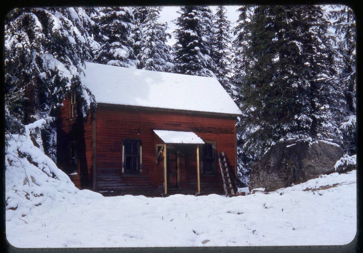
- * A. O. Wheeler Hut, Glacier area landscapes (winter and summer), Asulkan Glacier and Canadian Pacific Railway train - 1951
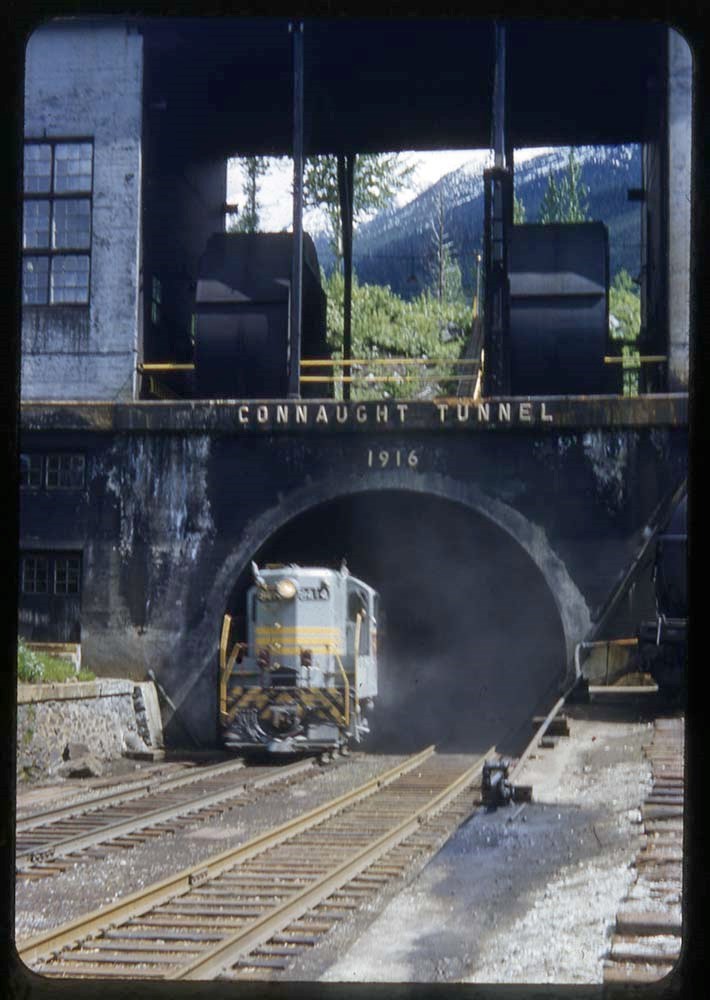
- * Connaught Tunnel, bridge, cabin behind A. O. Wheeler Hut, Mount Sir Donald - 1952
- * Climbing The Hermit, Mount Tupper and Mount Sir Donald; A. O. Wheeler Hut (winter and summer), Hermit Hut - 1955
- * Ski touring and landscape views at Glacier area, including A. O. Wheeler Hut - 1956
- * A. O. Wheeler Hut and cabin behind it - 1960
- * Glacier area landscapes, including Glacier train station, A. O. Wheeler Hut, Mount Sir Donald - 1962
- * Freshfield Glacier climbing - 1969
- * Glacier landscape views and climbing, including "The pink & purple rope" / R. Hind (Class II #2), Uto Peak - 1974
- * Glacier landscape, camp - 1977
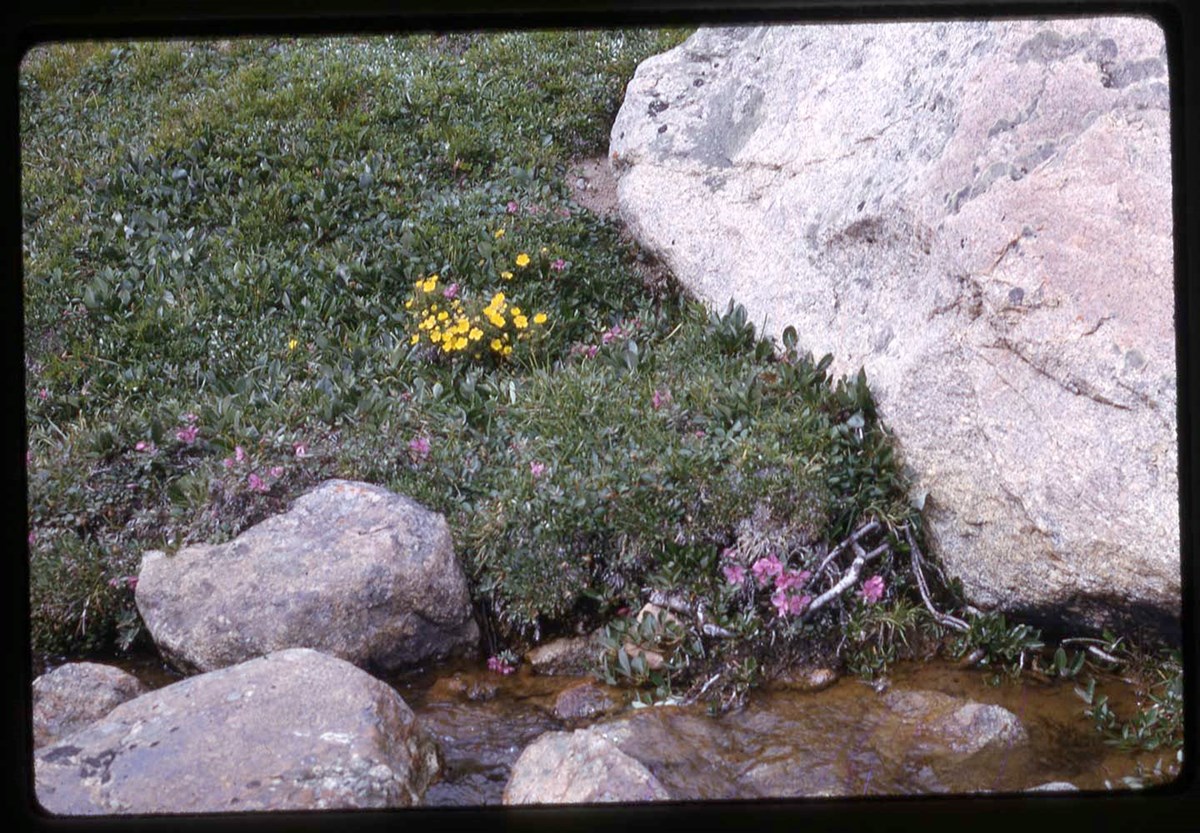
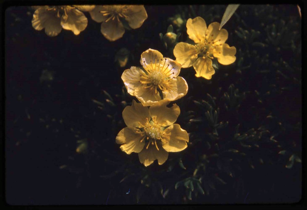
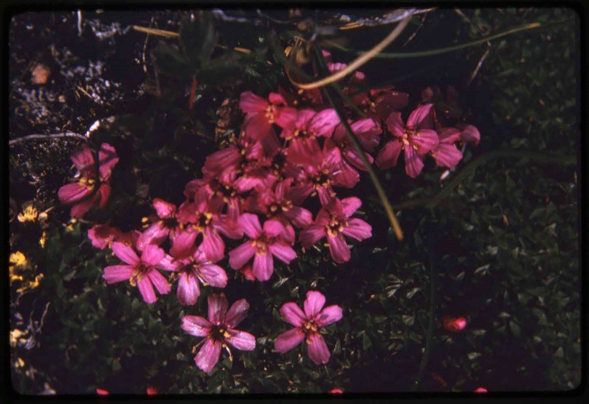
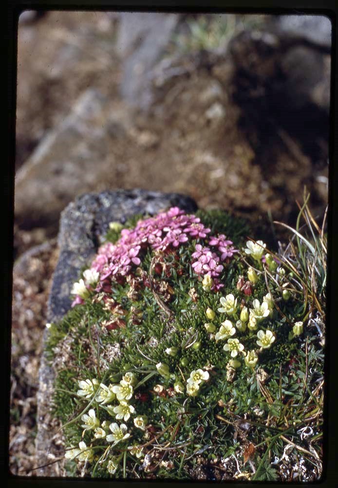
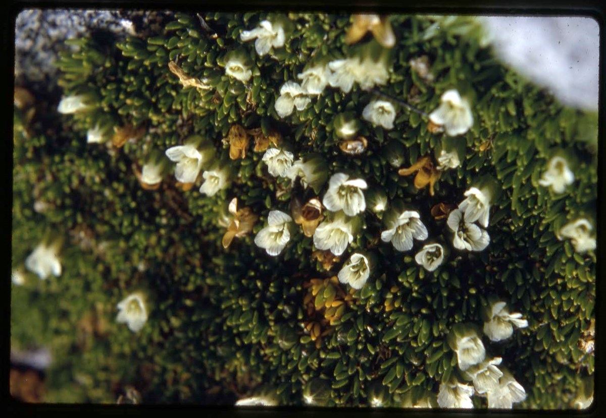
- * Botany - 1980
- * Selkirk Mountains - 1982
- * A. O. Wheeler hut (summer) - [ca.1990?]
- Processing Status
- Processed
Electronic Resources
Images


This material is presented as originally created; it may contain outdated cultural descriptions and
potentially offensive content.
Read more.
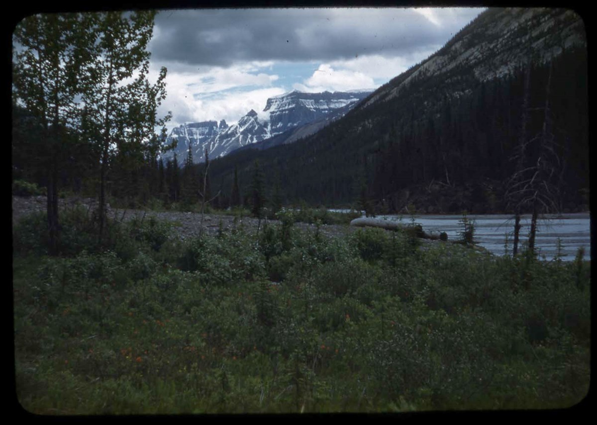
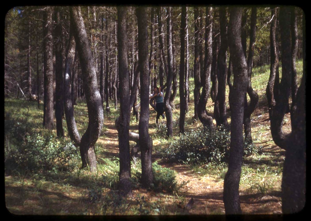
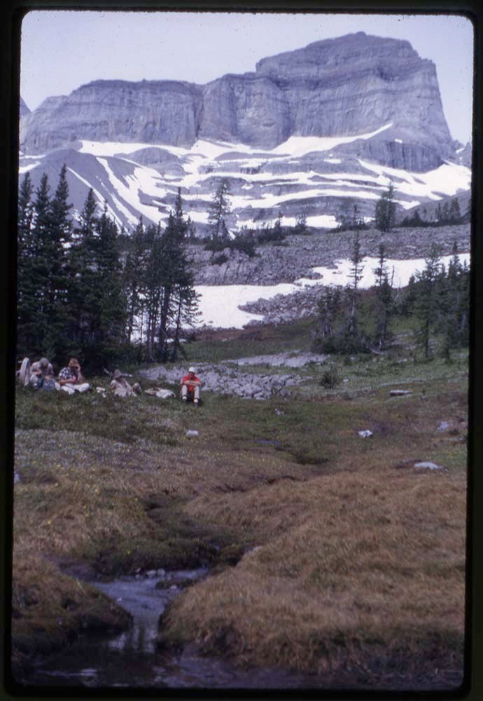
- Part Of
- Bob Hind fonds
- Scope & Content
- File pertains to Elk Lake area in Kananaskis region of Alberta and BC. Includes landscape views, and photographs of group hiking and camps
- Date Range
- 1964
- Reference Code
- V46 / I / A / 42 / NS - 1 to 73
- Description Level
- 5 / File
- GMD
- Photograph
- Transparency
73 images
1 Electronic Resource
- Part Of
- Bob Hind fonds
- Description Level
- 5 / File
- Fonds Number
- M7
- V46
- Series
- I.A. Mountain travel and recreation, western Canada : Trips and activities
- Sous-Fonds
- V46
- Accession Number
- 7181
- Reference Code
- V46 / I / A / 42 / NS - 1 to 73
- Date Range
- 1964
- Physical Description
- 73 photographs : transparencies, 35mm, col
- Scope & Content
- File pertains to Elk Lake area in Kananaskis region of Alberta and BC. Includes landscape views, and photographs of group hiking and camps
- Geographic Access
- Alberta
- British Columbia
- Title Source
- Title based on contents of file
- Processing Status
- Processed
Electronic Resources

Images


This material is presented as originally created; it may contain outdated cultural descriptions and
potentially offensive content.
Read more.
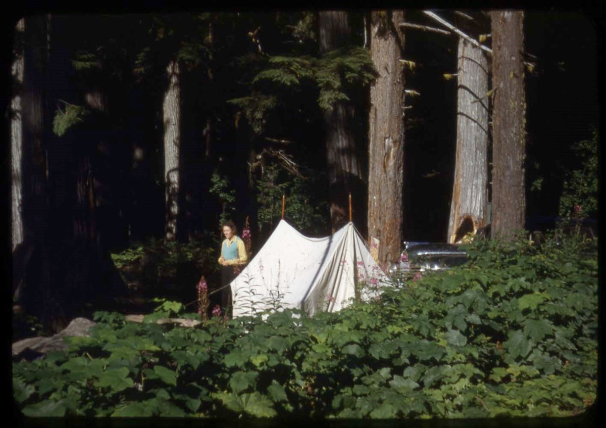
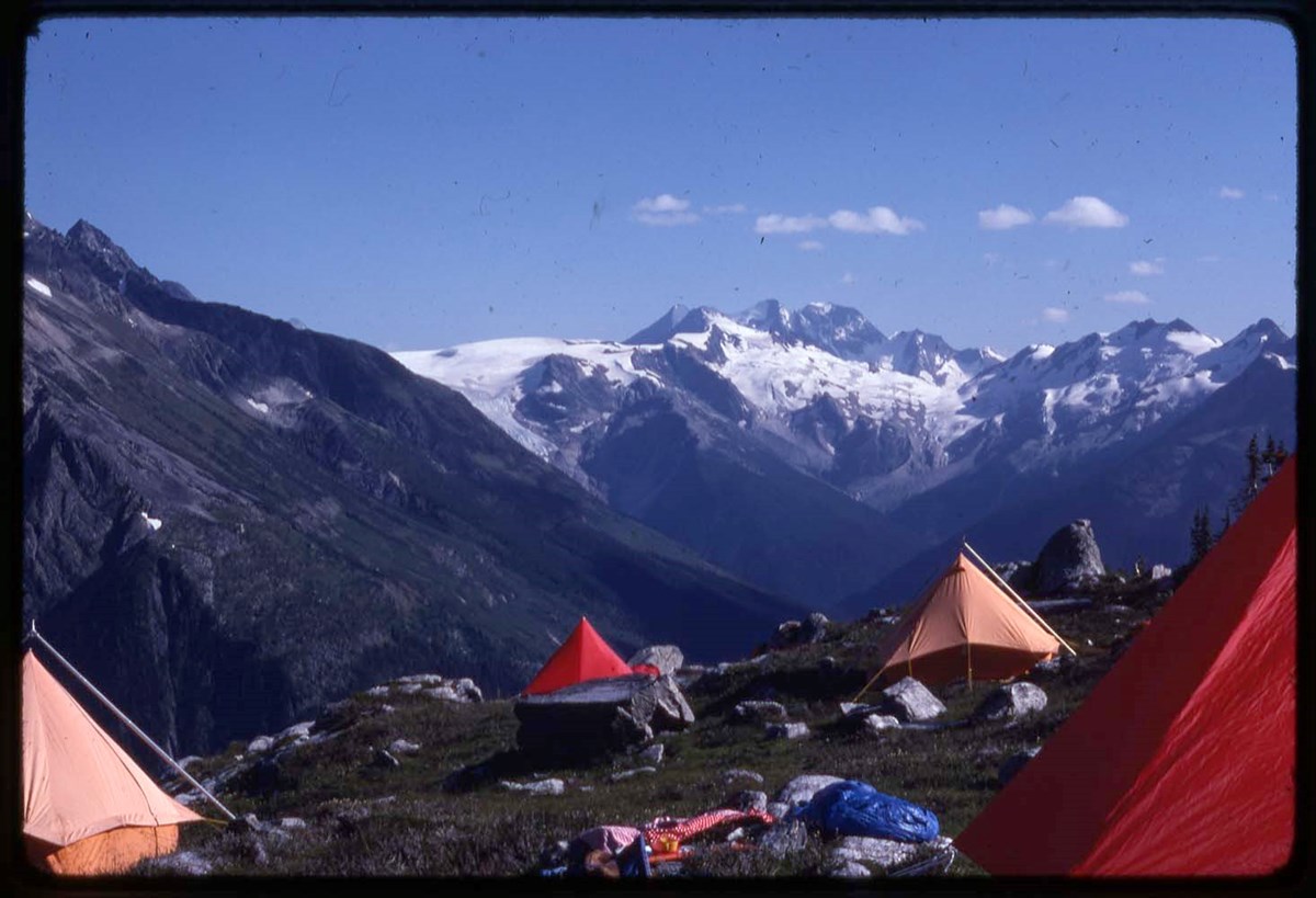
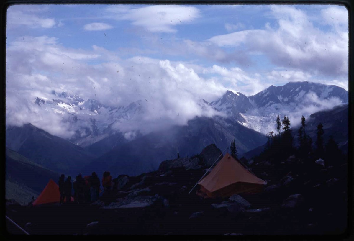
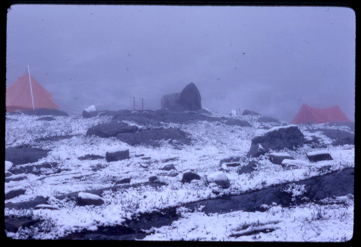
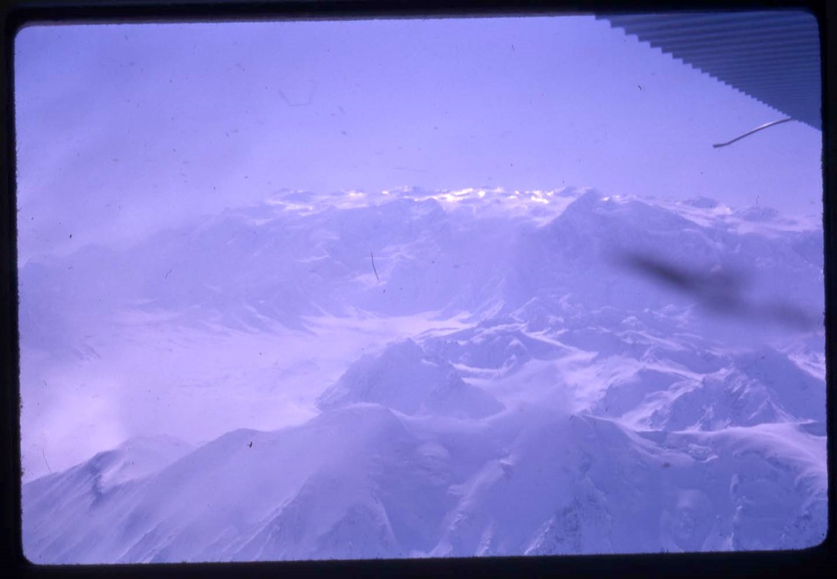
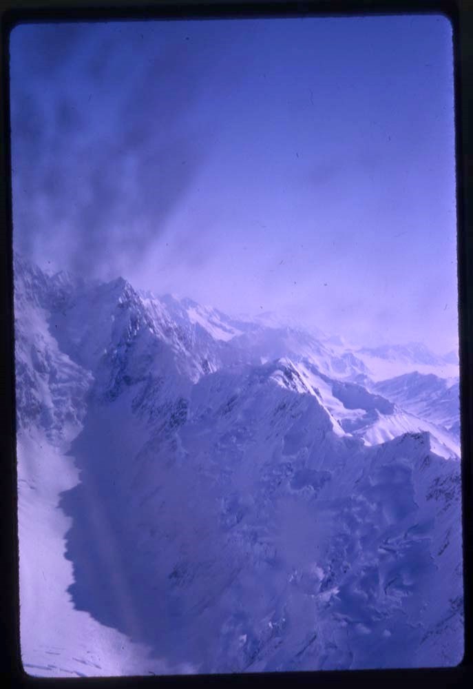
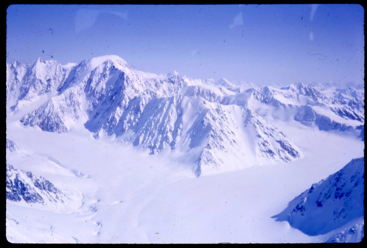
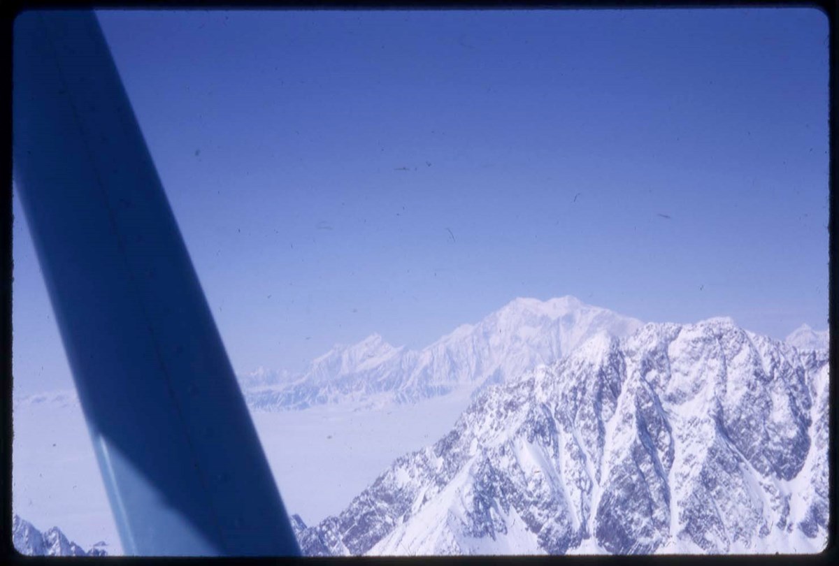
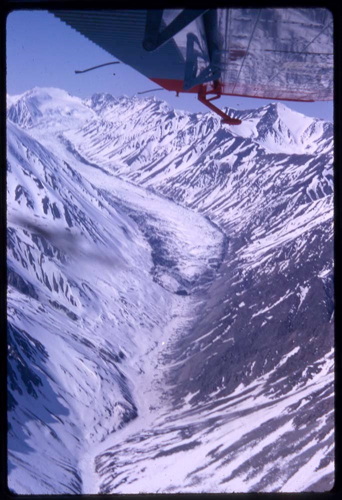
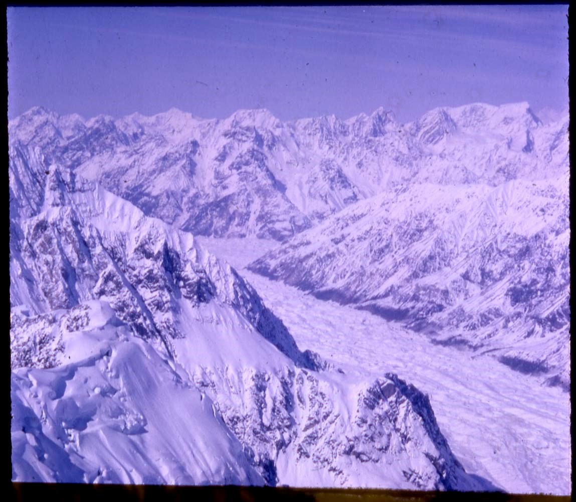
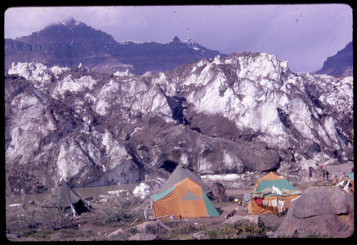
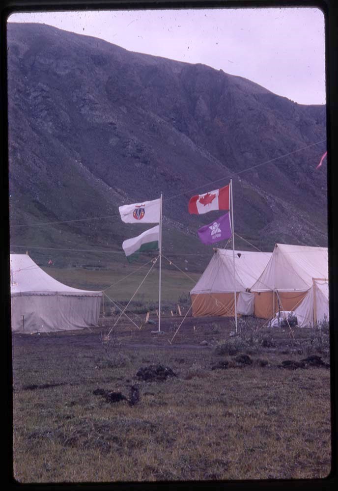
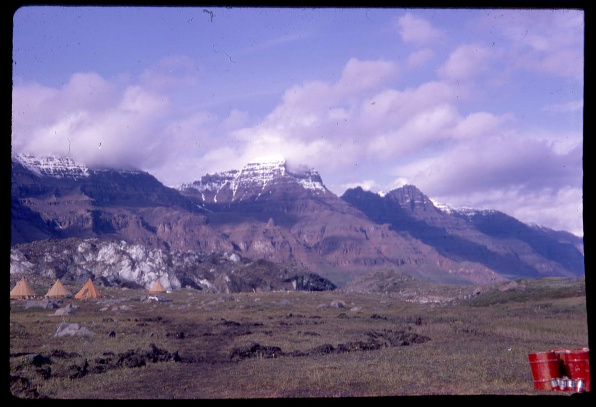
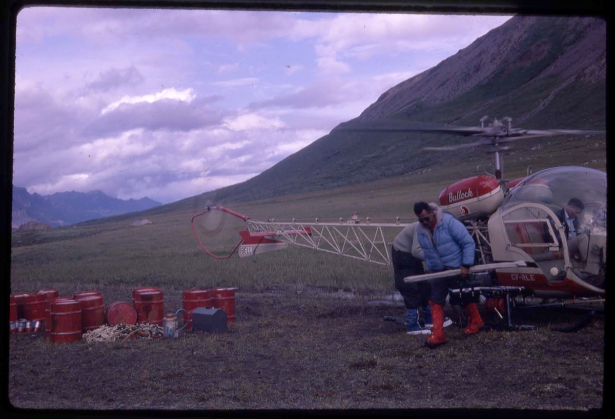
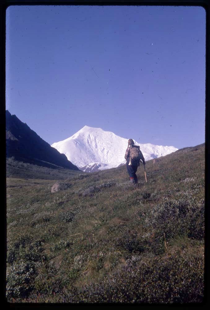
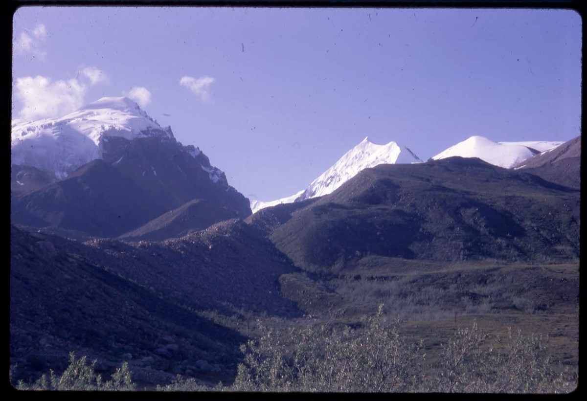
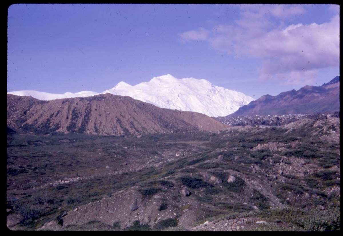
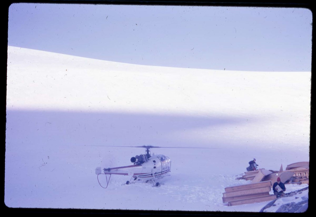
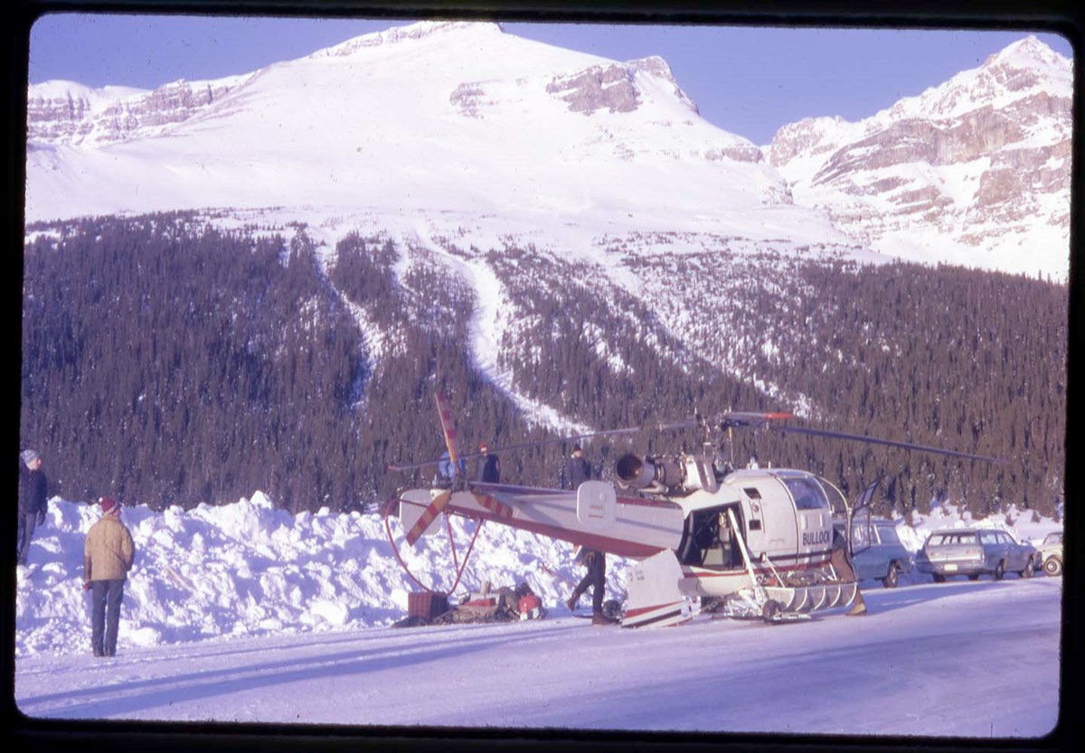
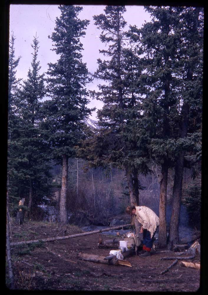
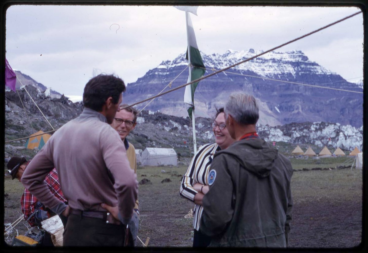
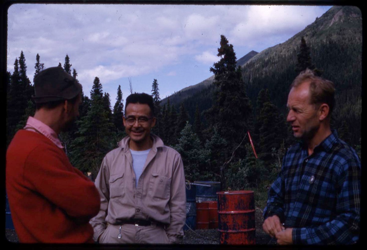
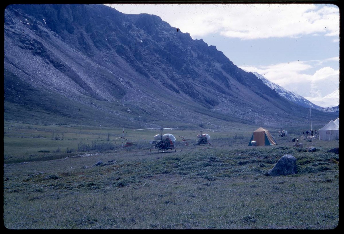
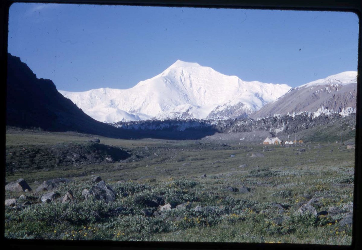
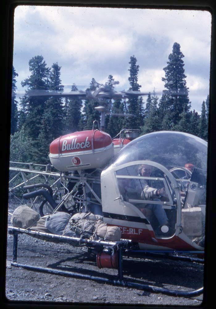
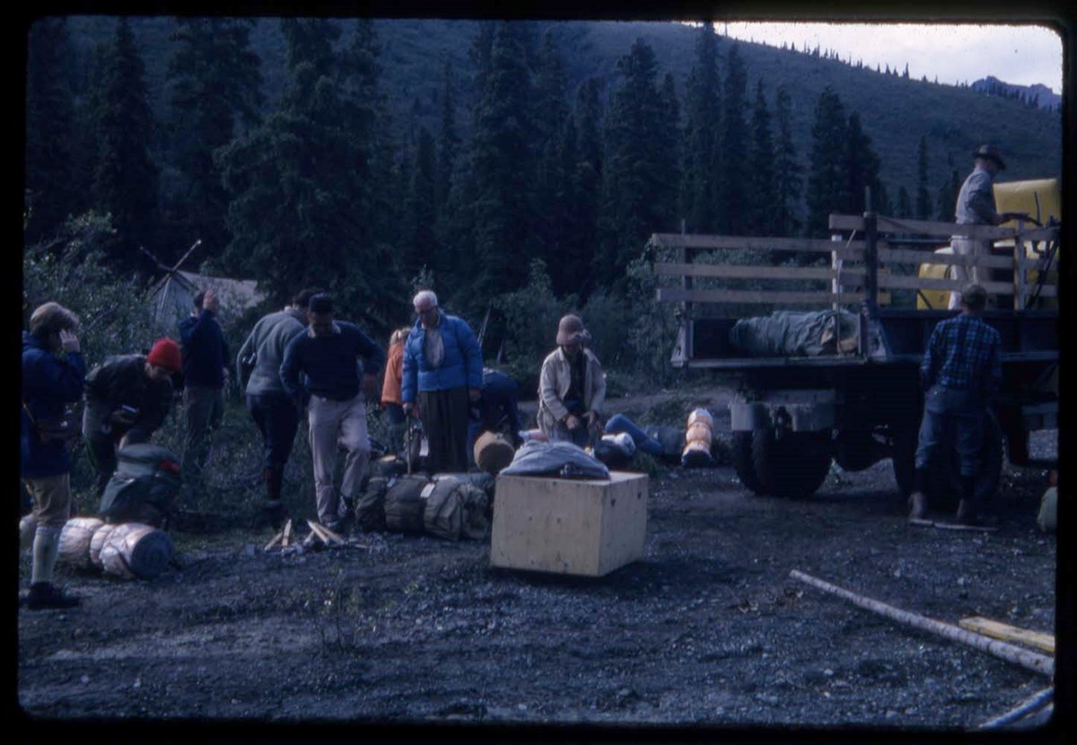
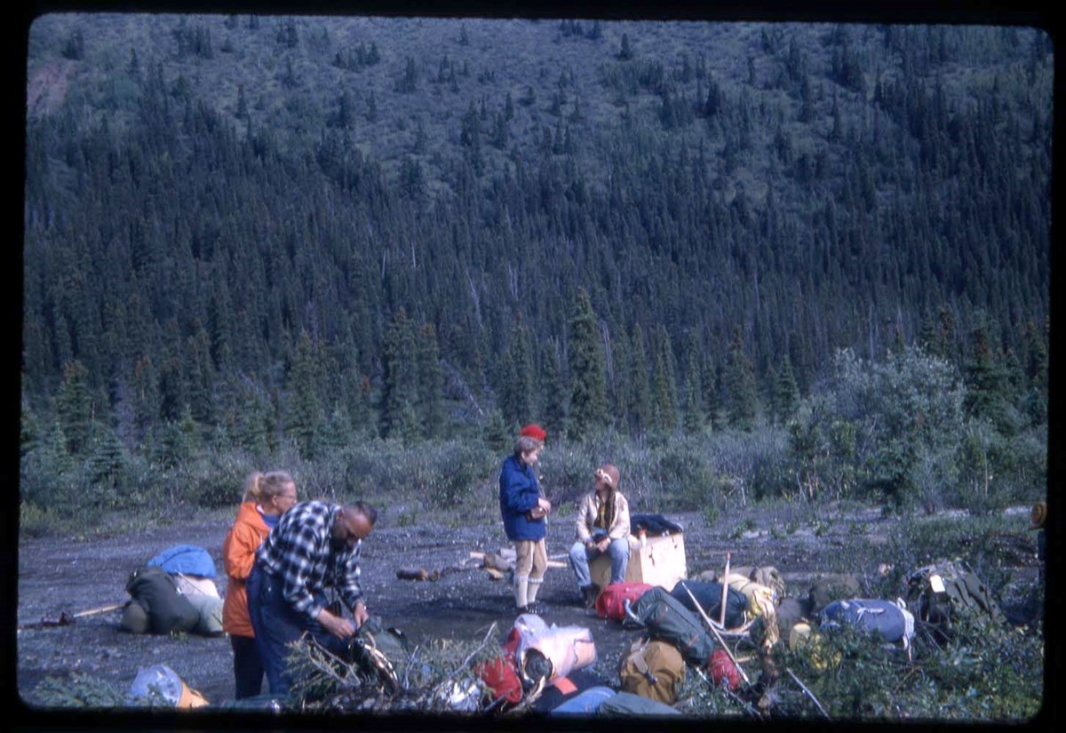
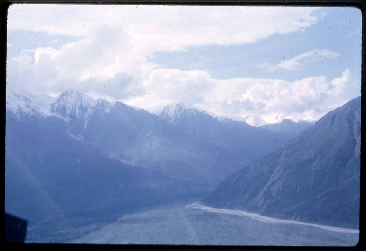
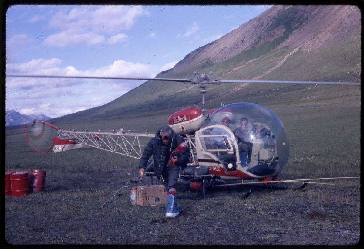
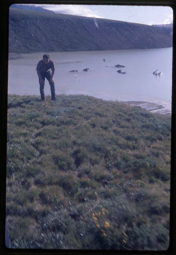
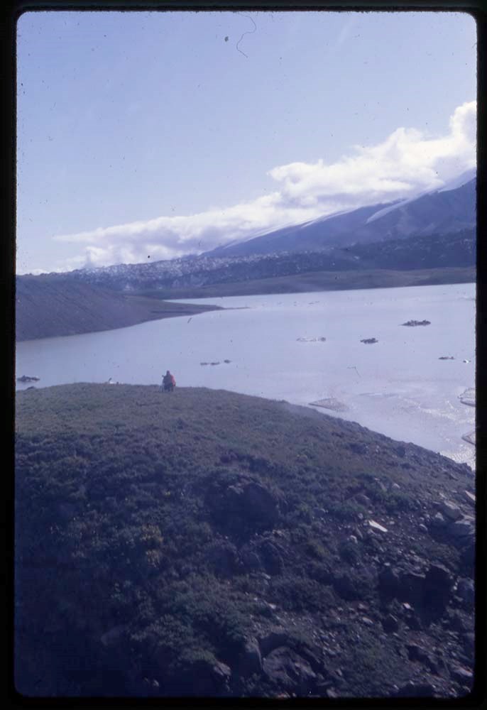
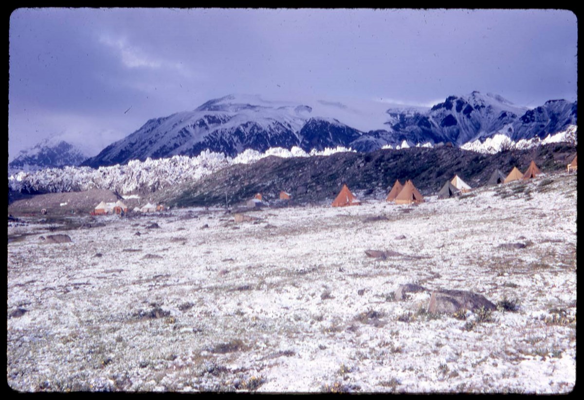
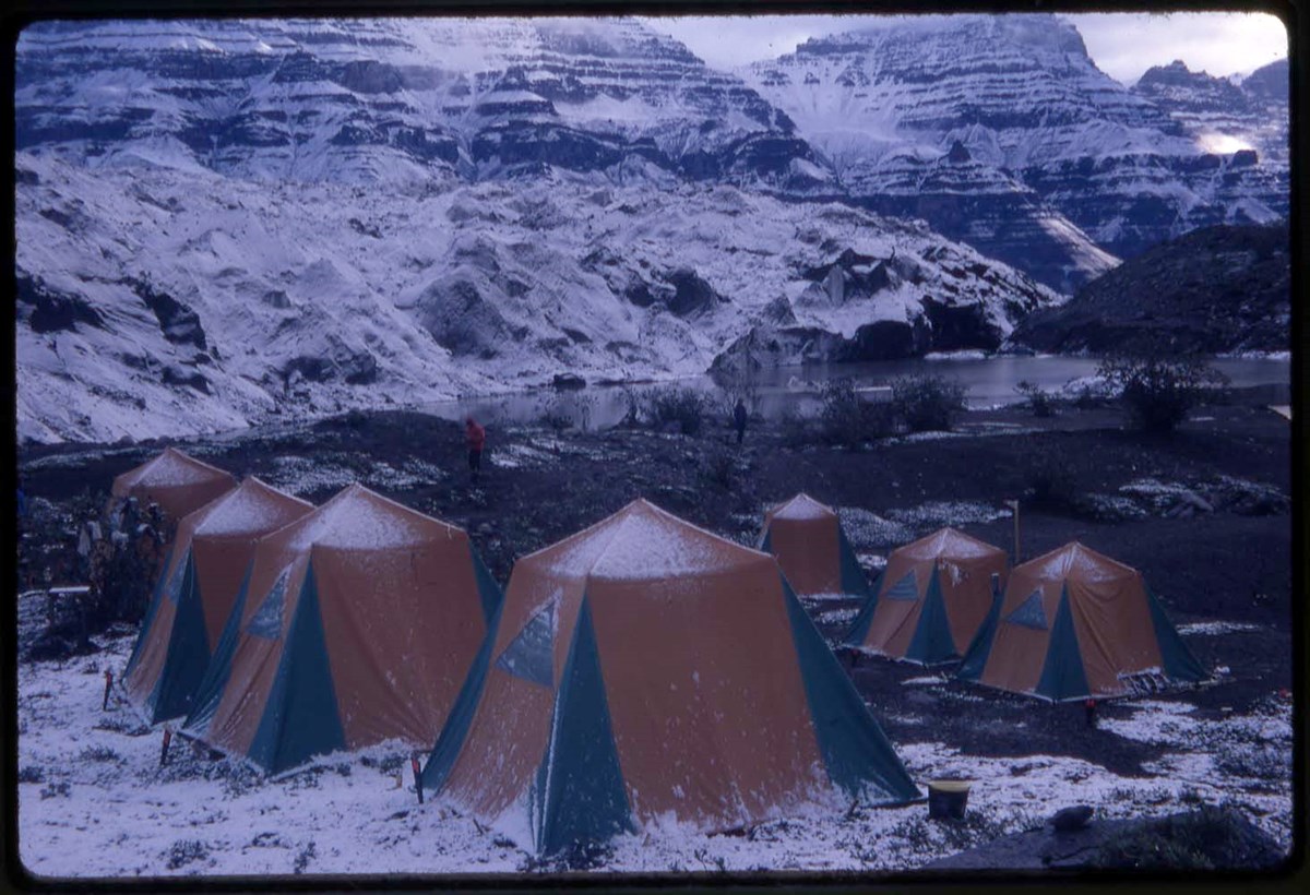
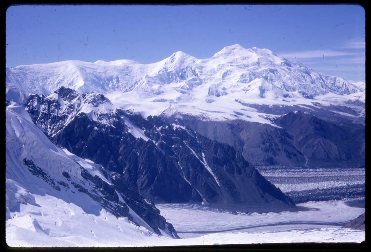
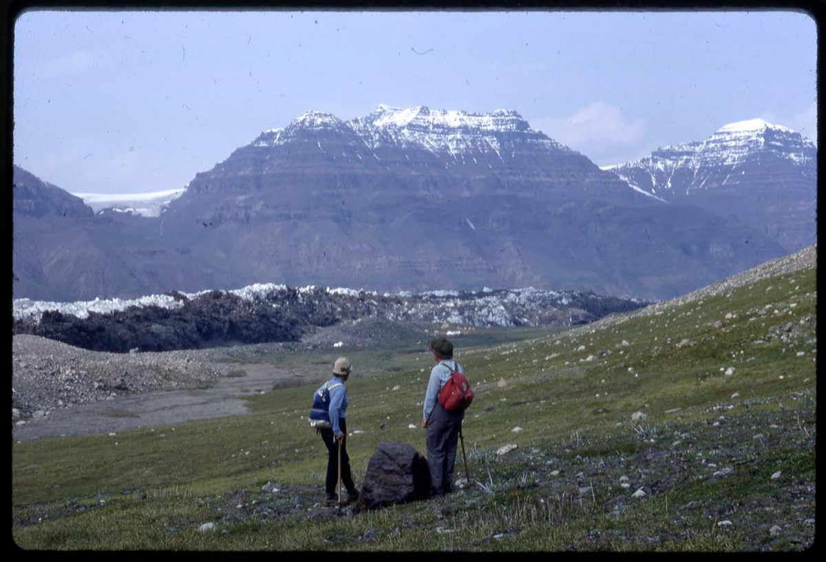
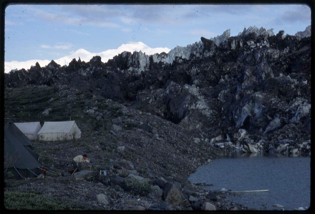
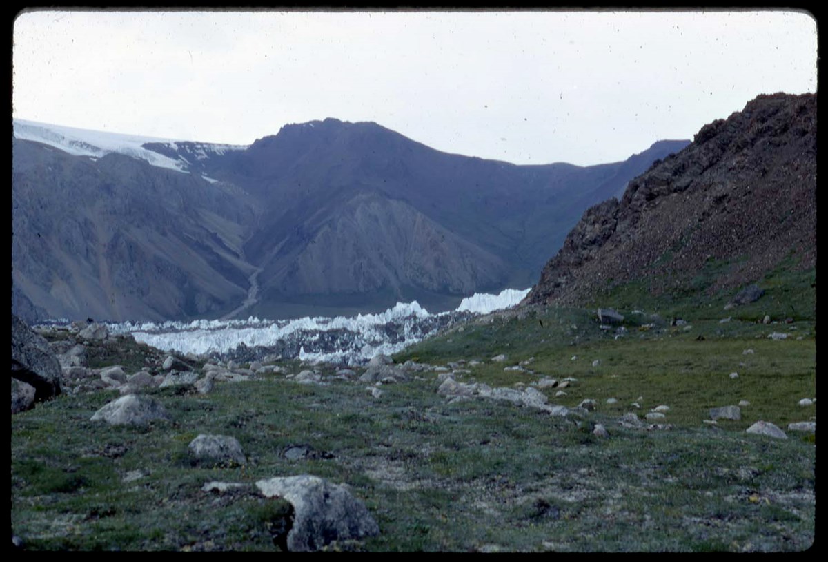
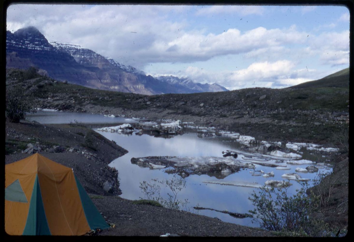
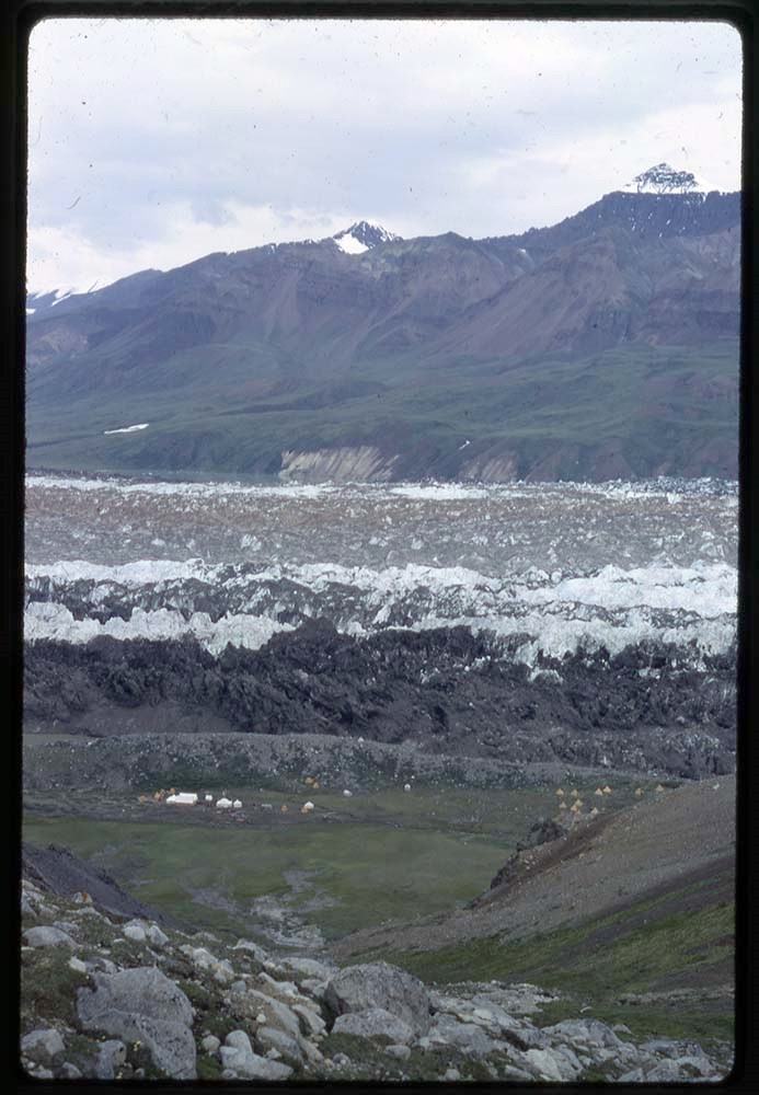
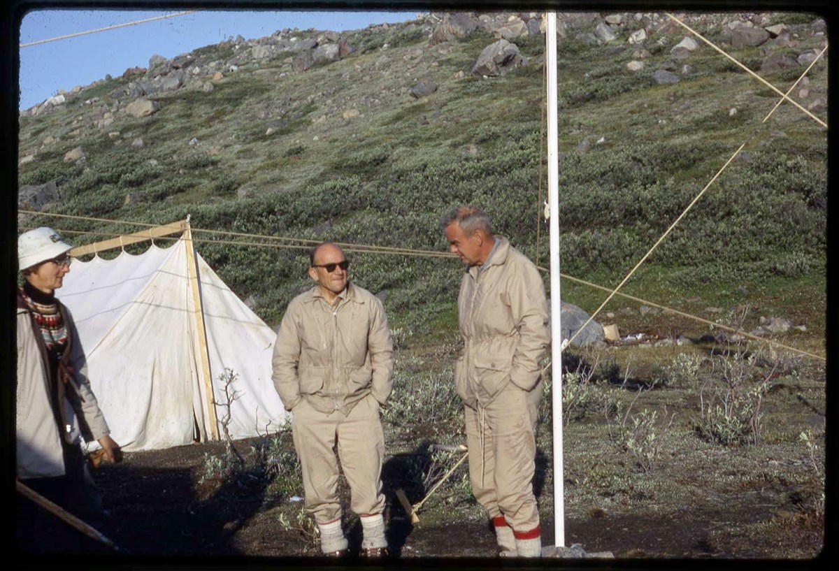
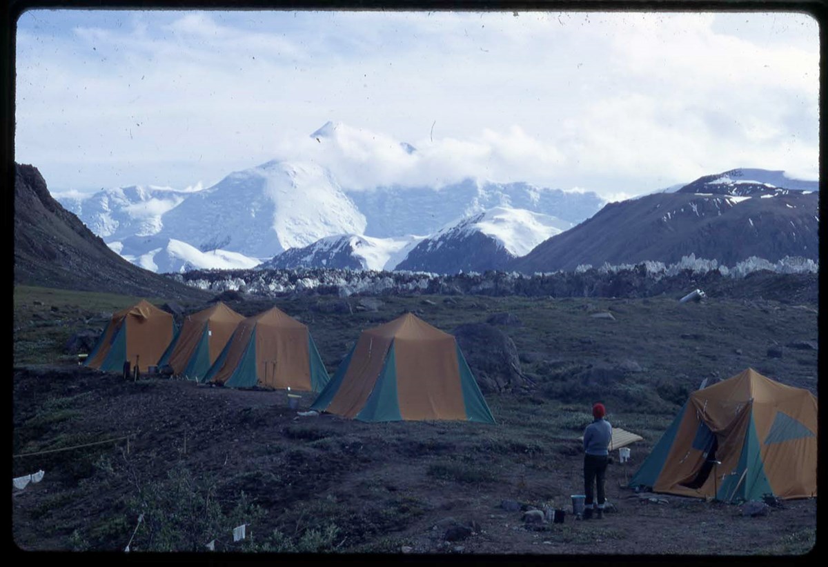
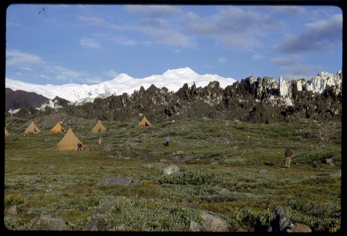
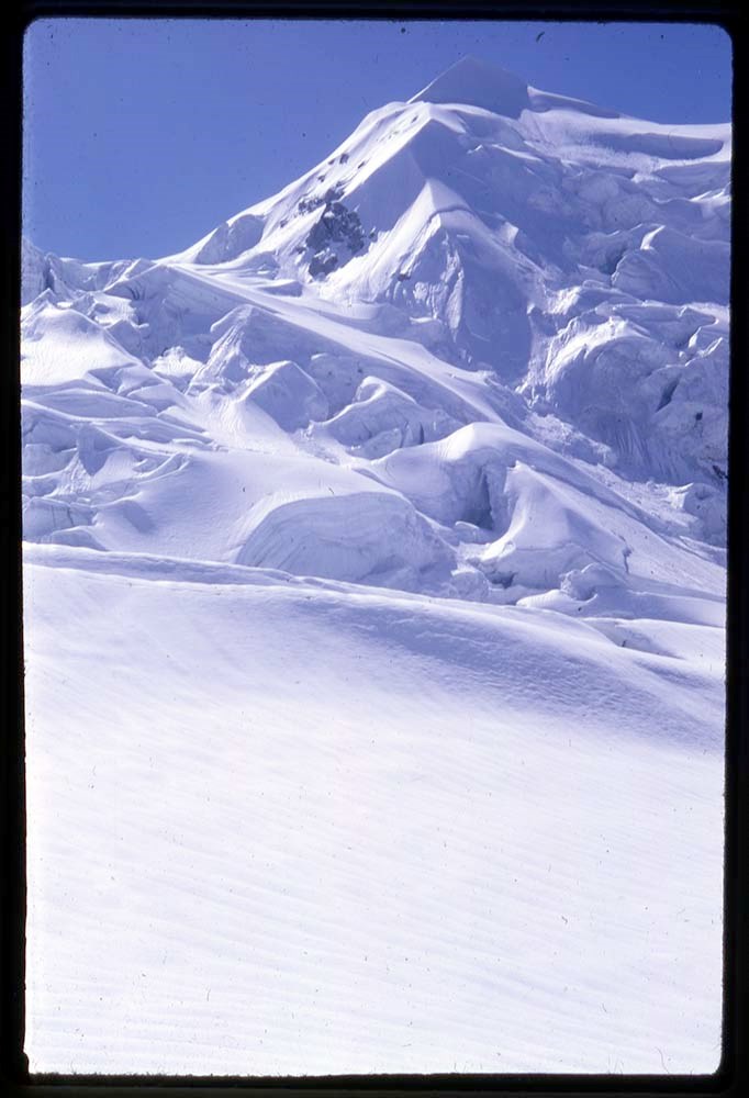
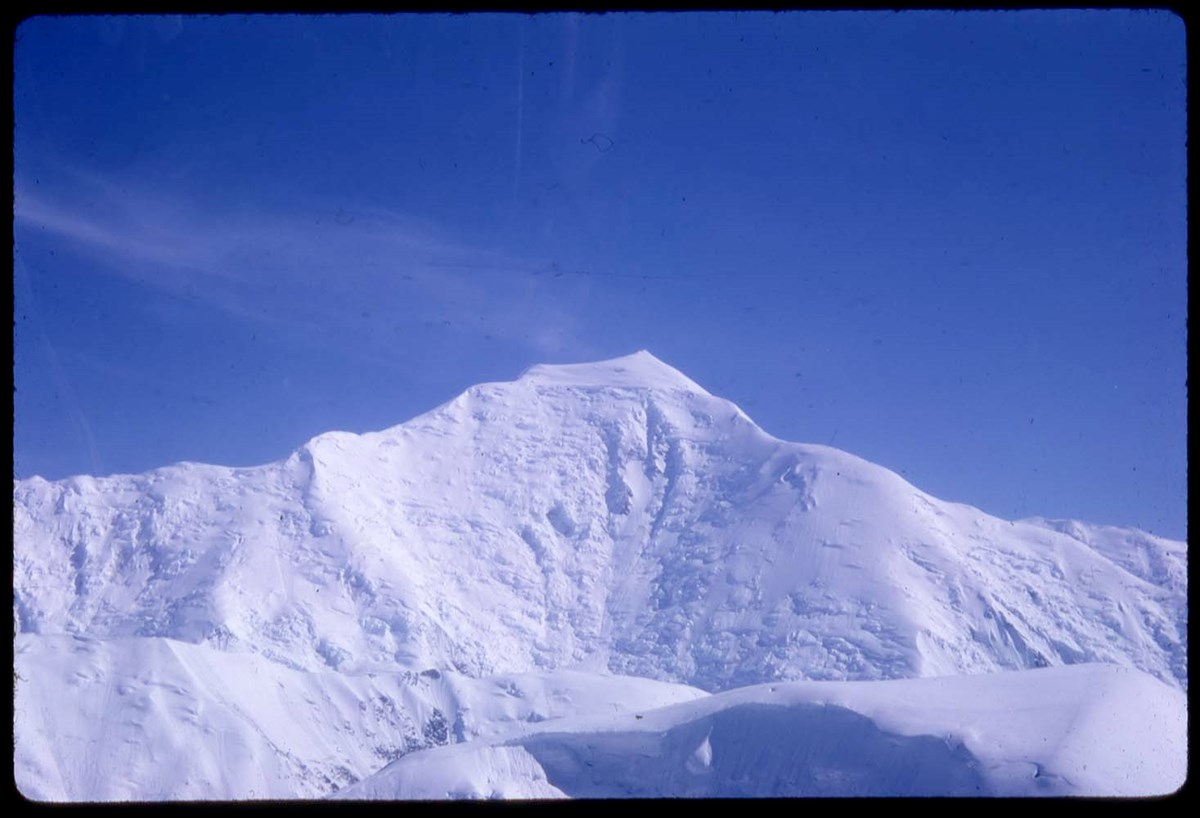
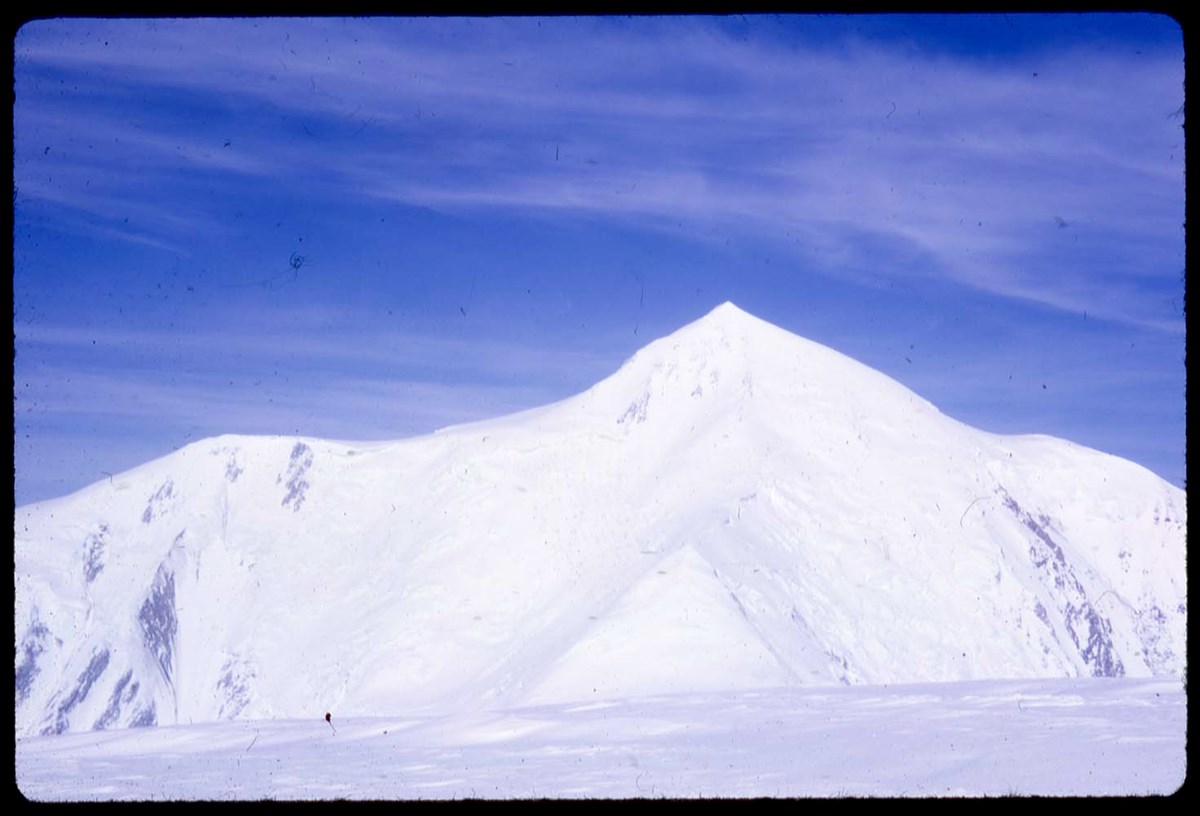
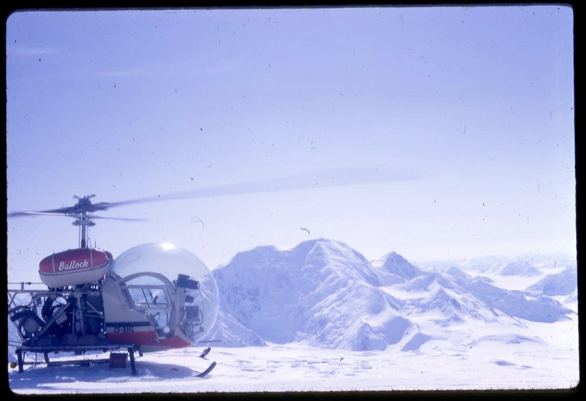
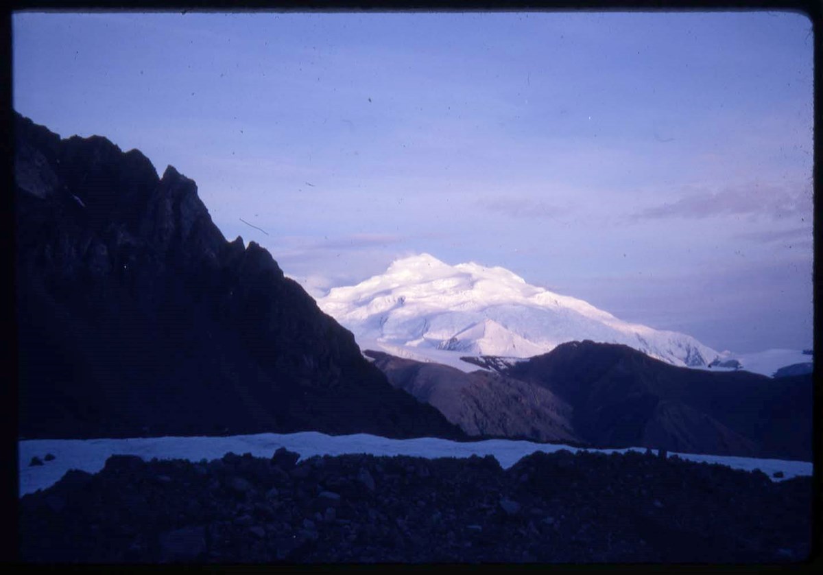
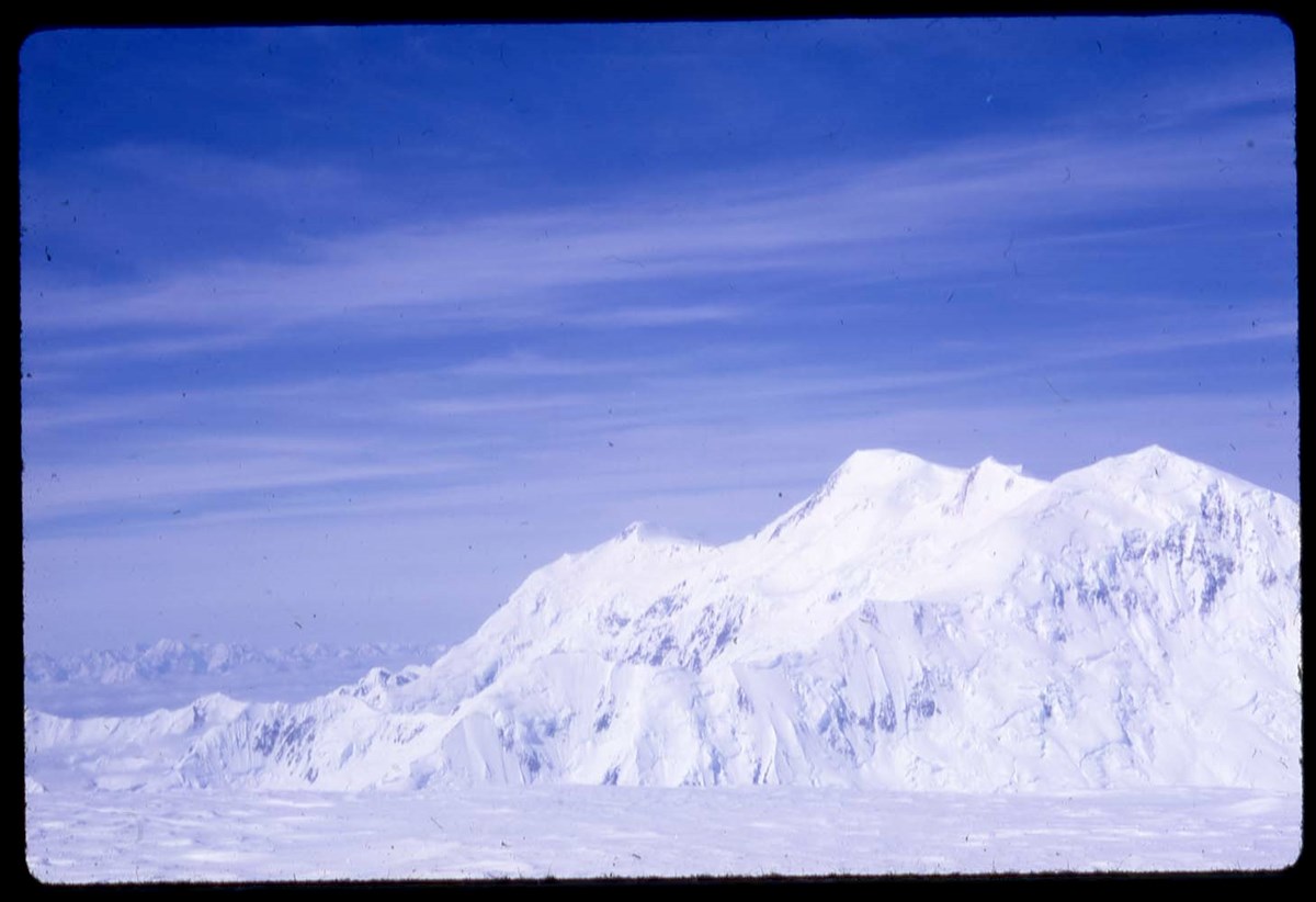
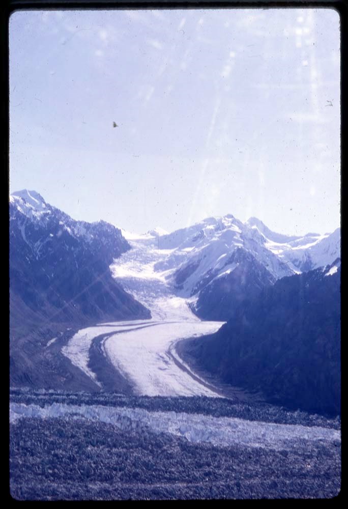
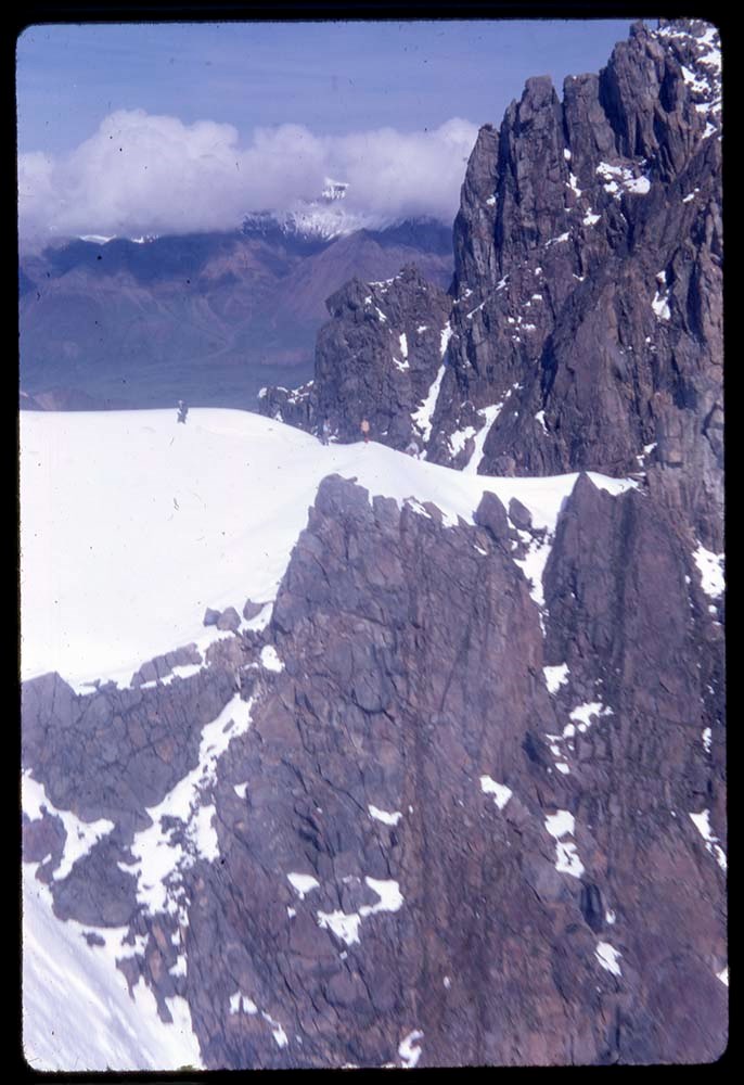
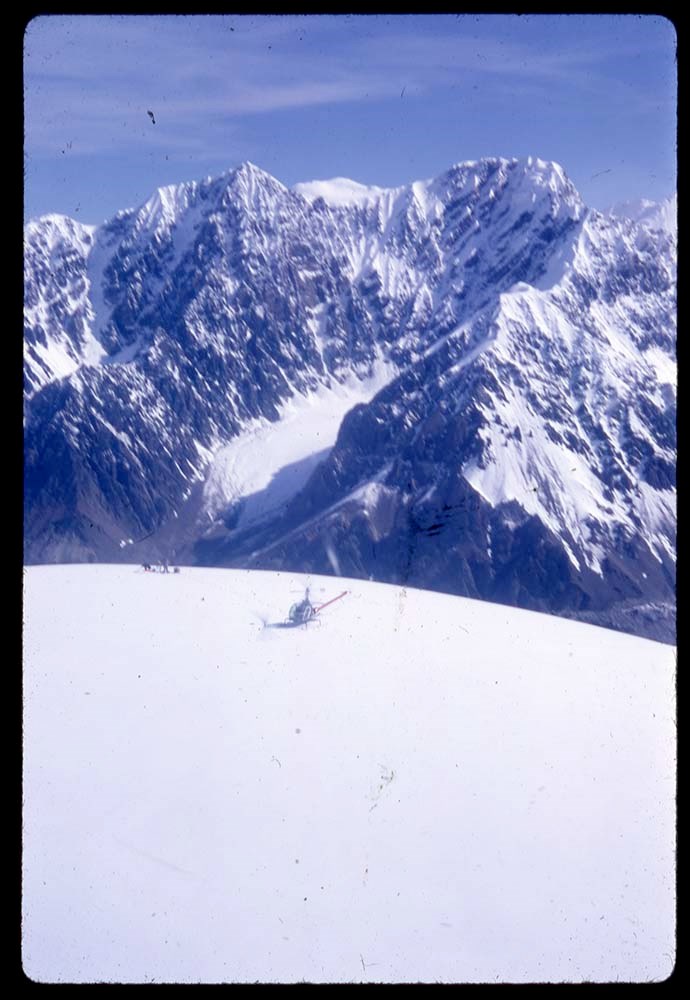
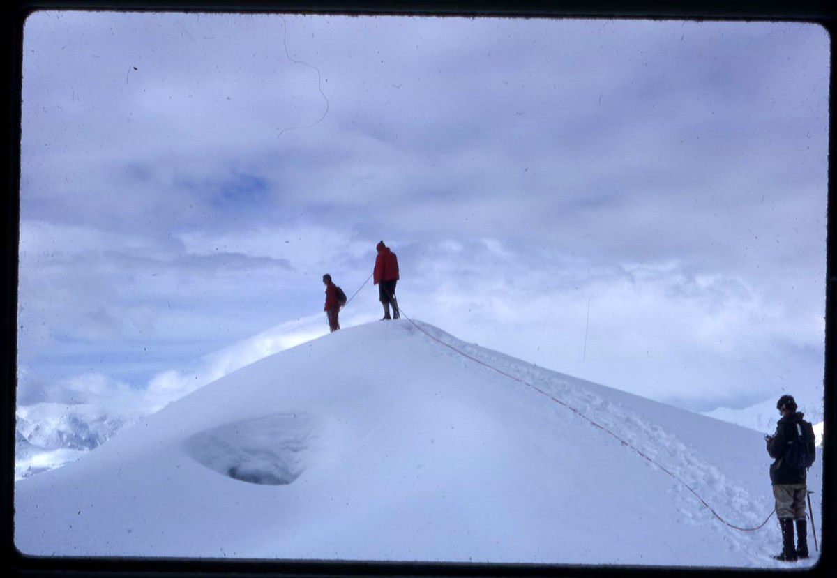
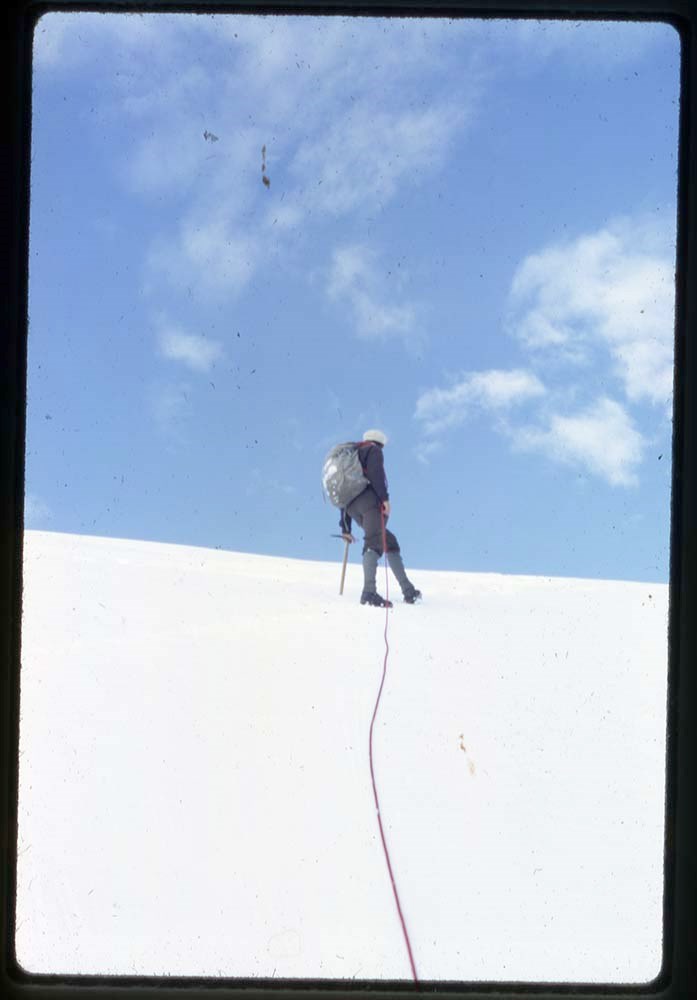
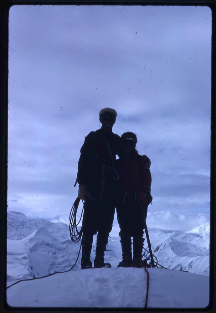
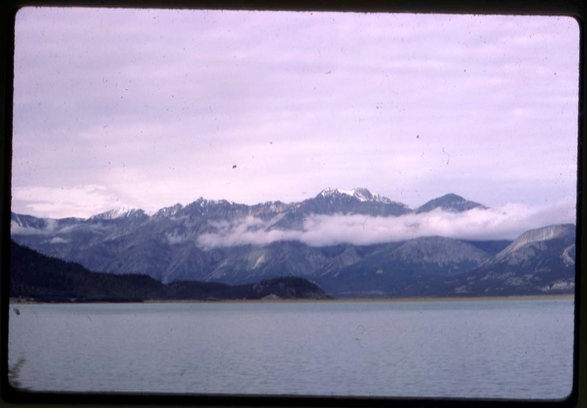
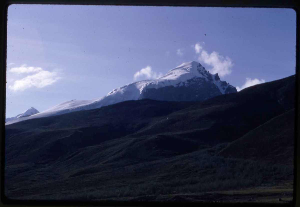
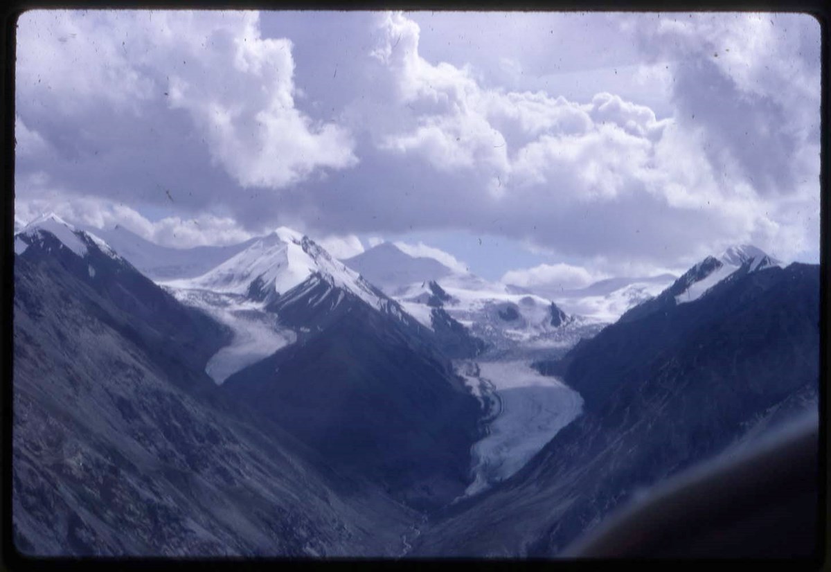
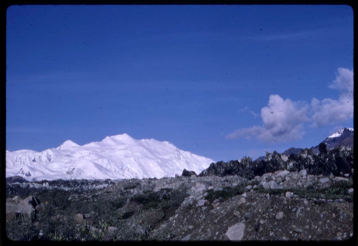
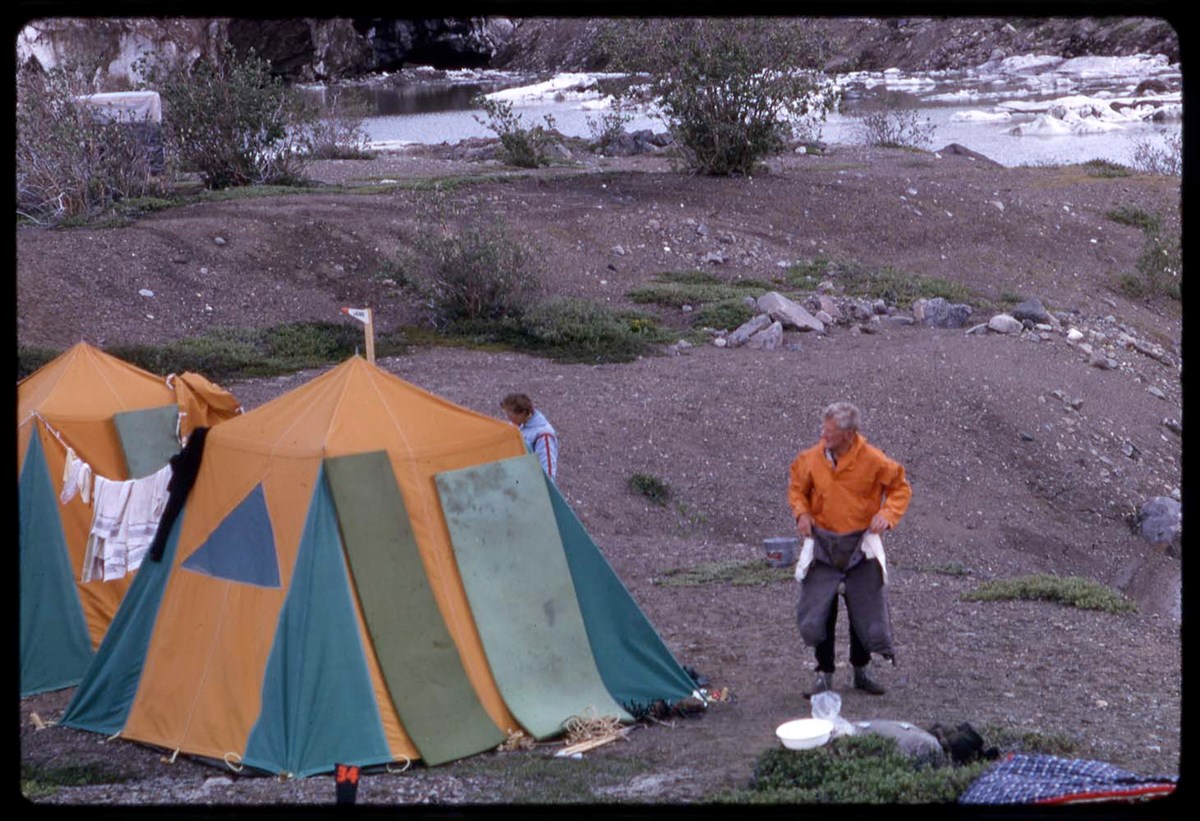
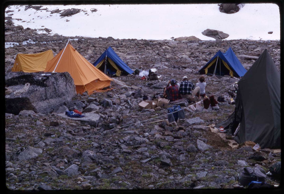
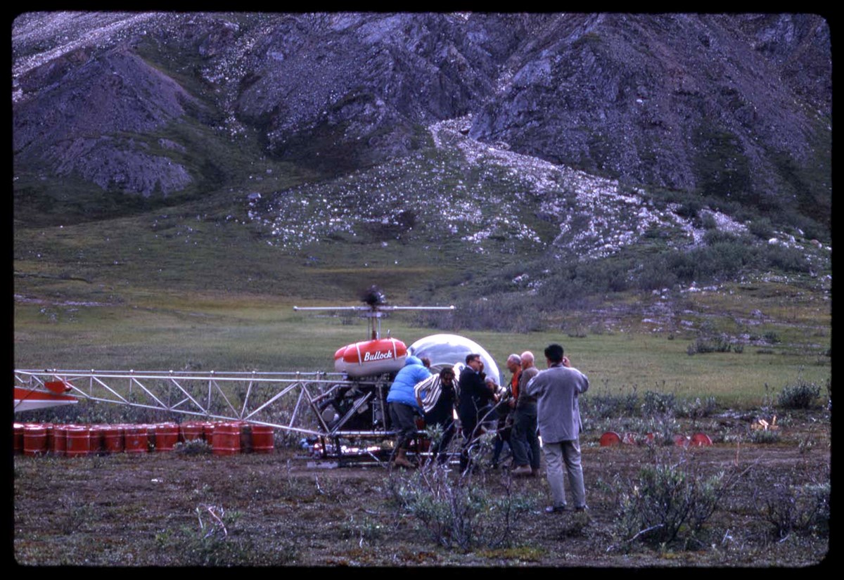
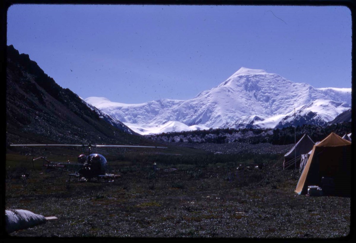
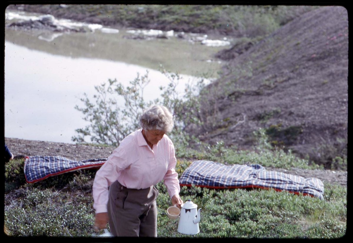
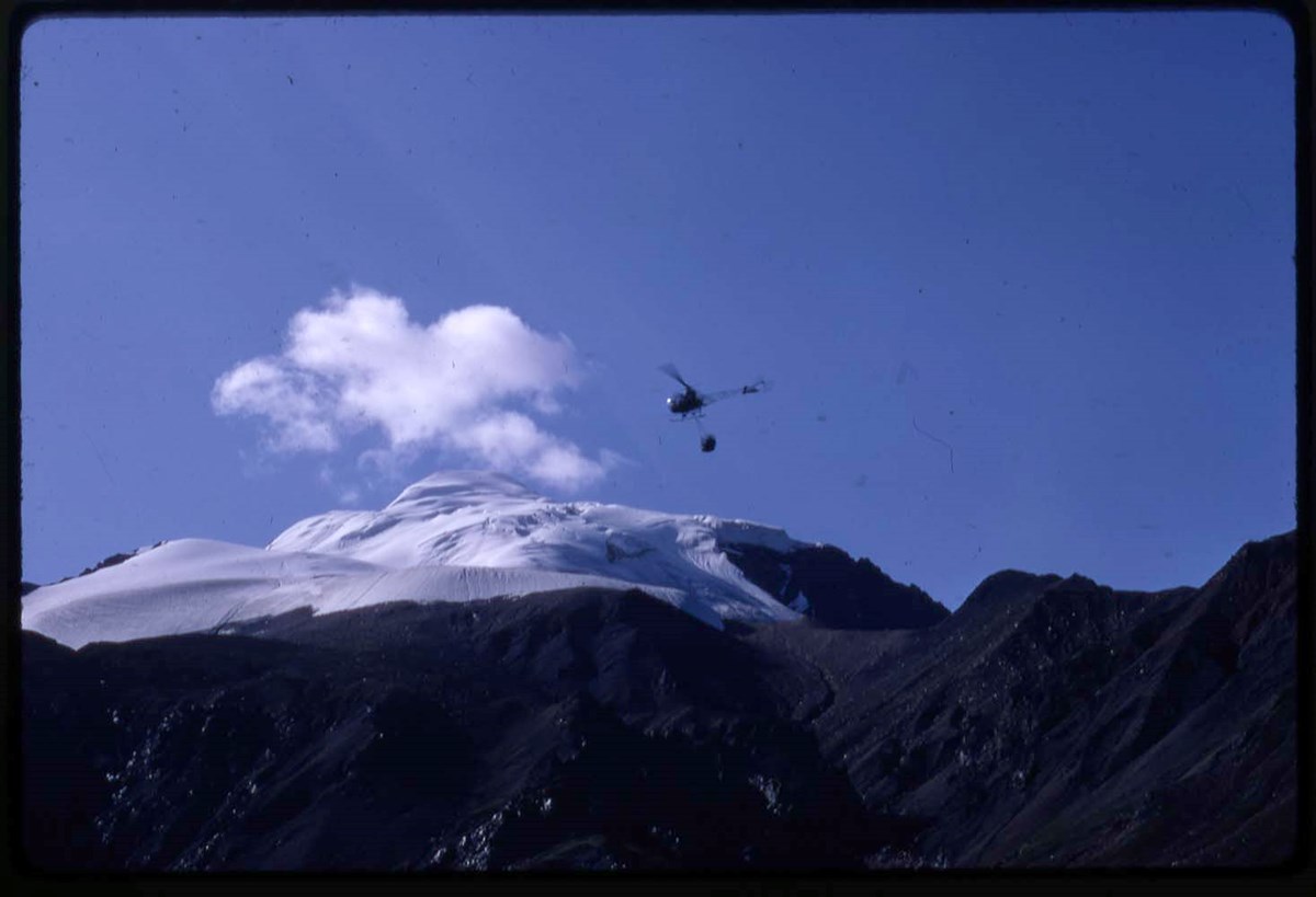
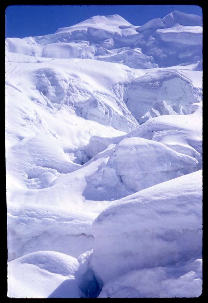
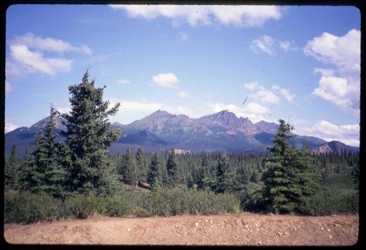
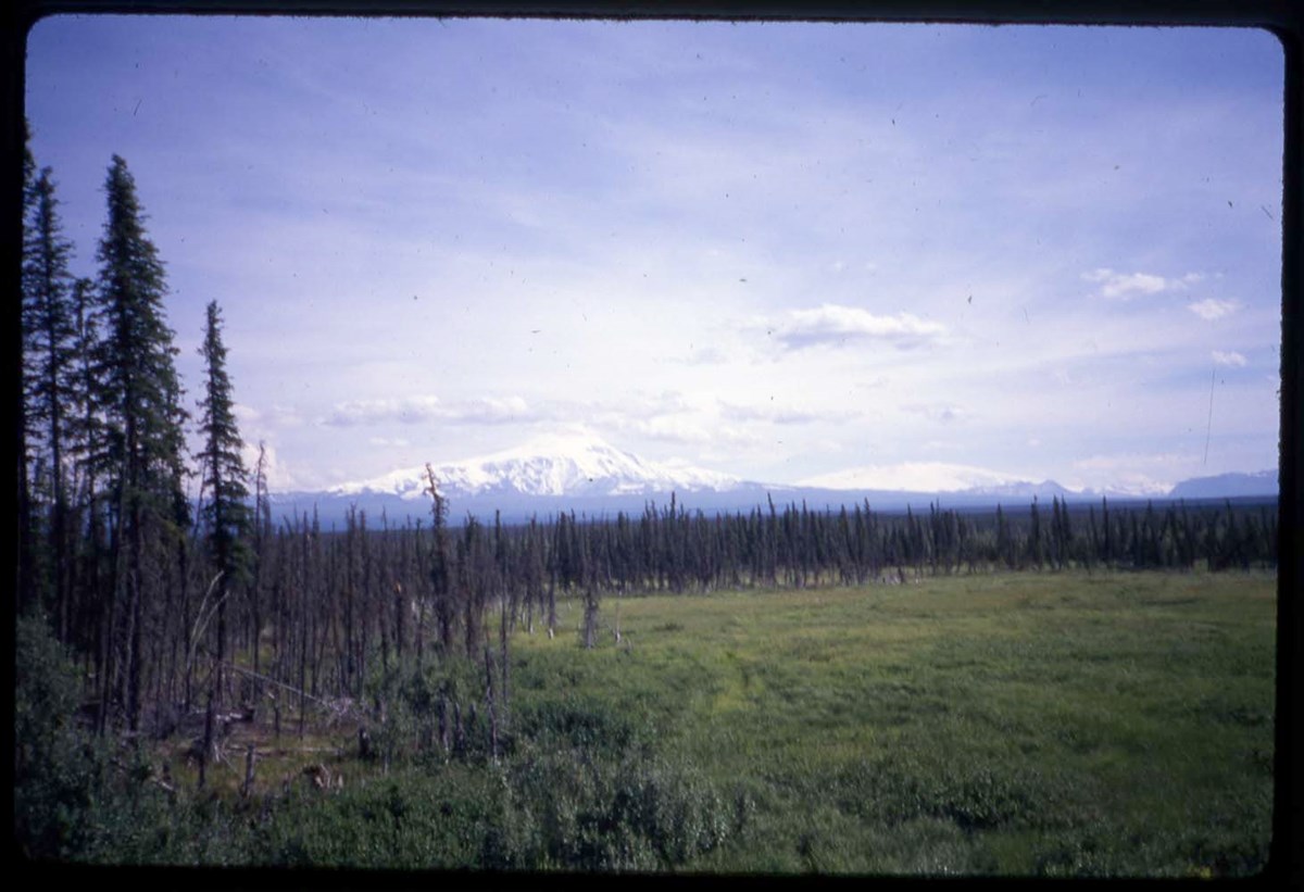
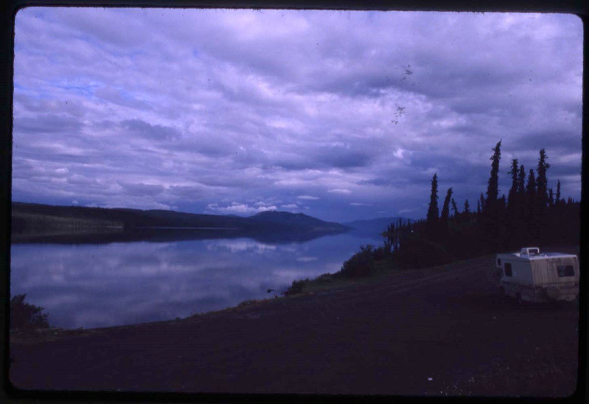
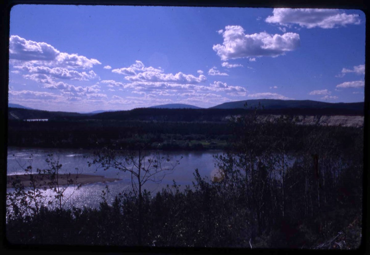
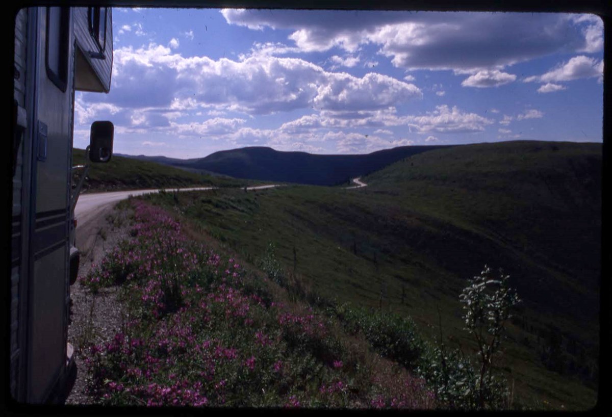
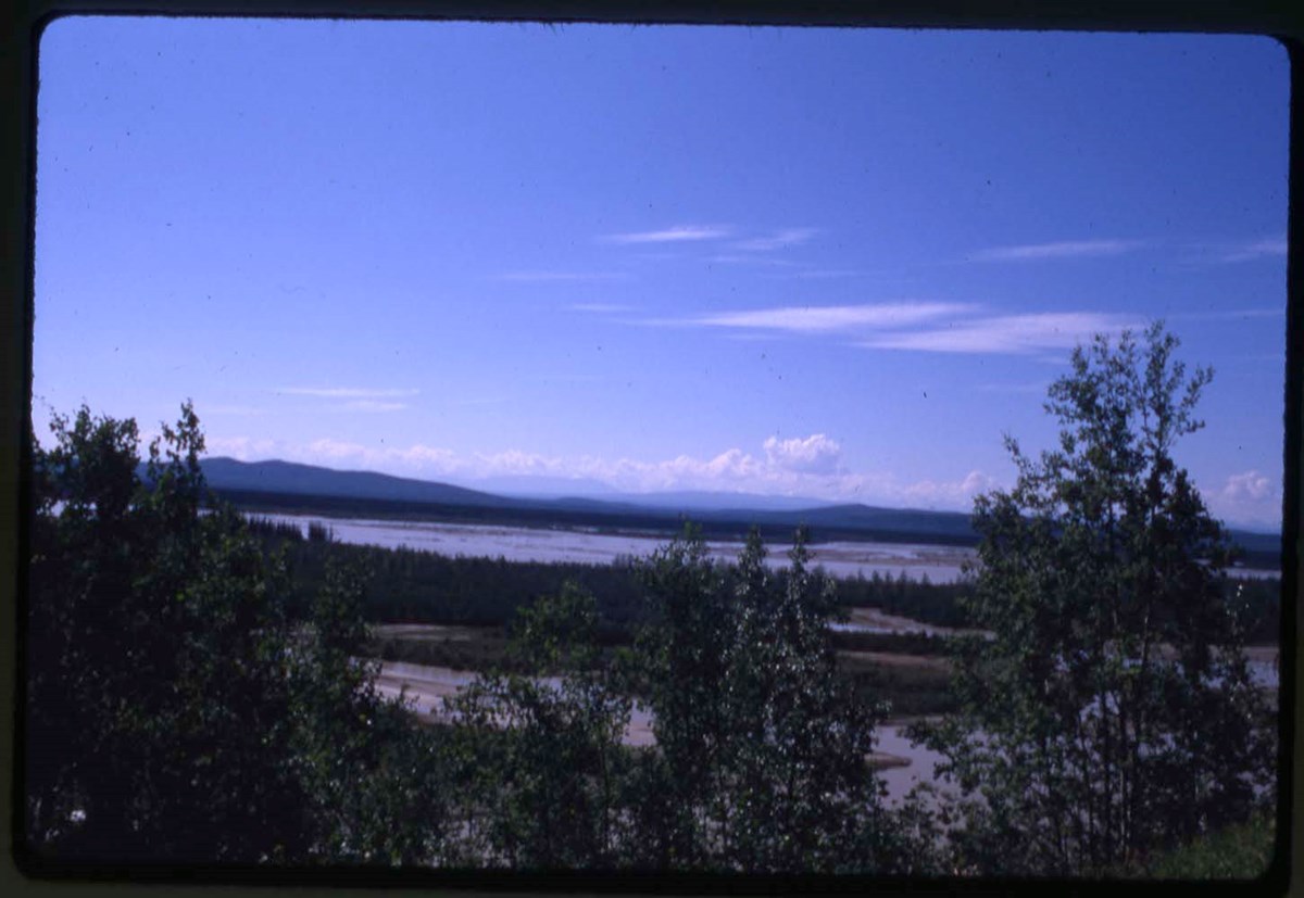
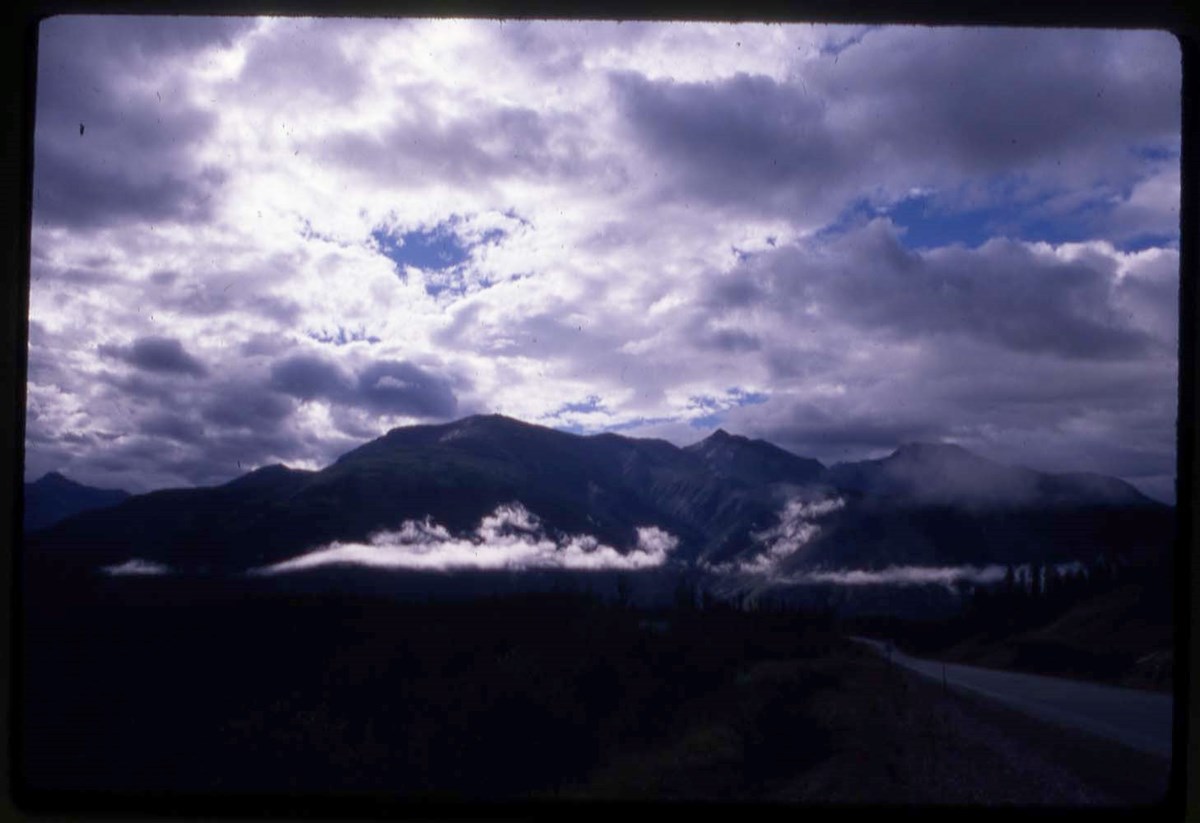
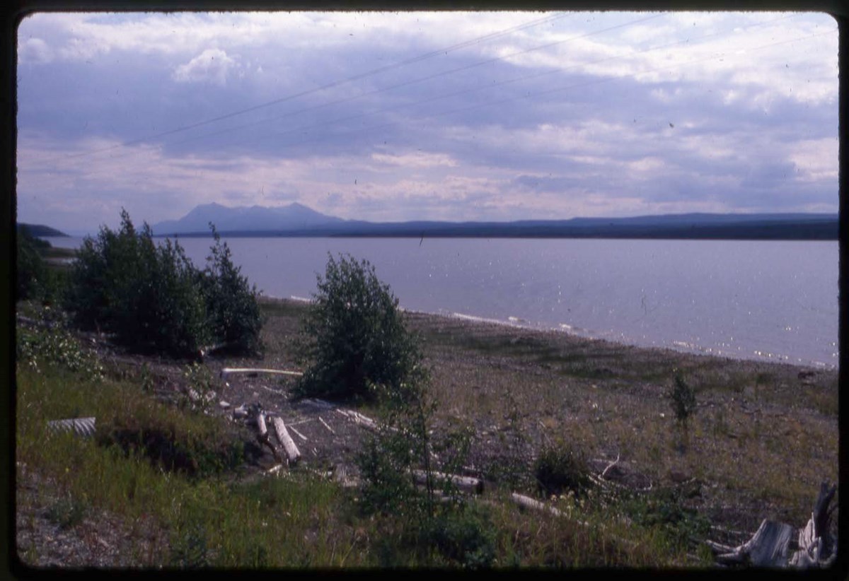
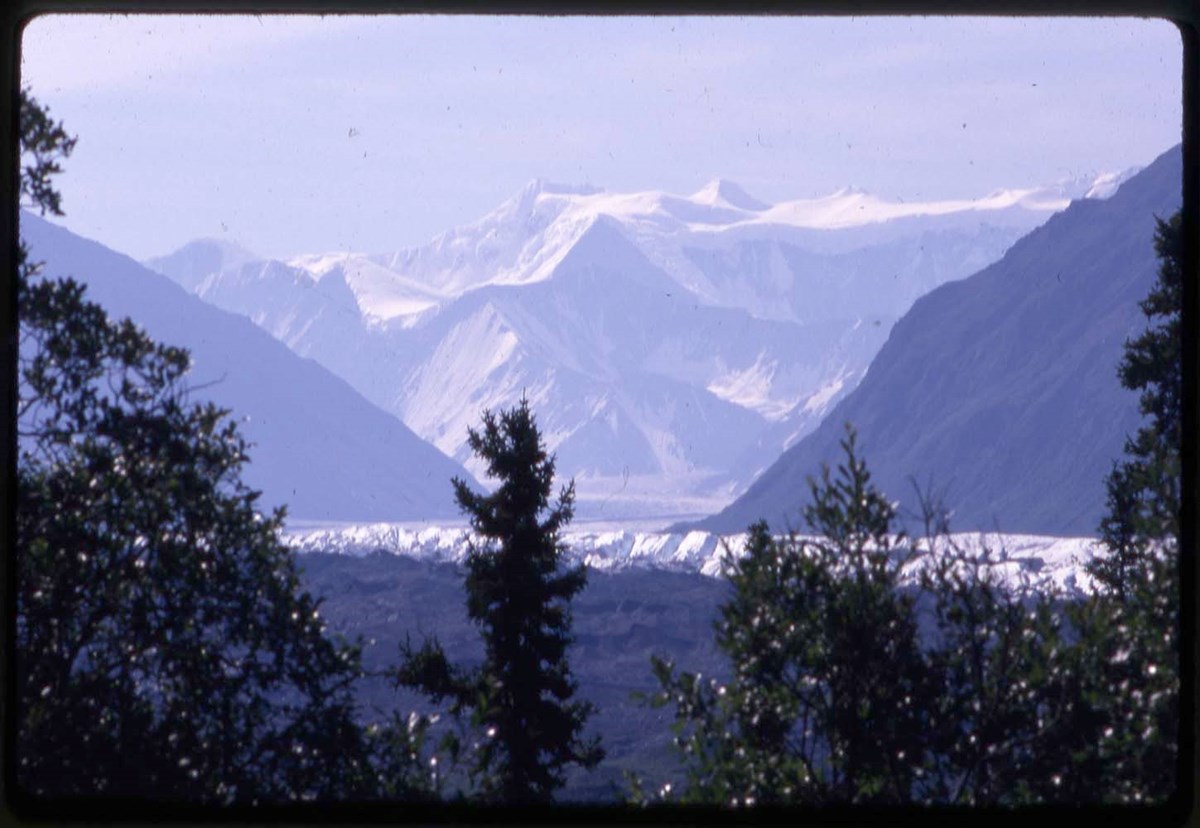
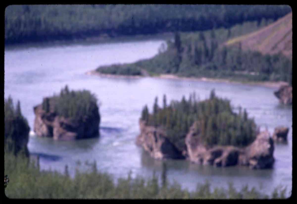
Yukon 67, 88 Yukon, recce 66 : [Yukon expeditions]
https://archives.whyte.org/en/permalink/descriptions17544
- Part Of
- Bob Hind fonds
- Scope & Content
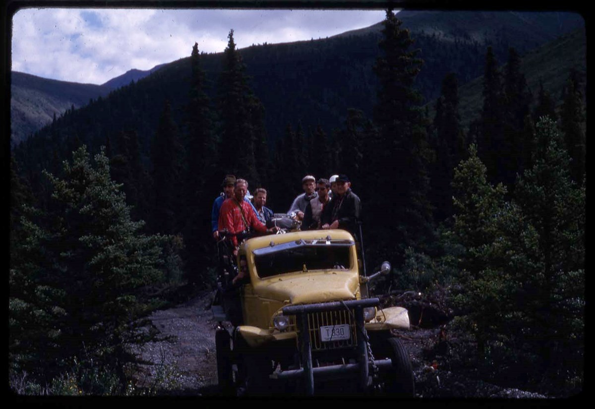
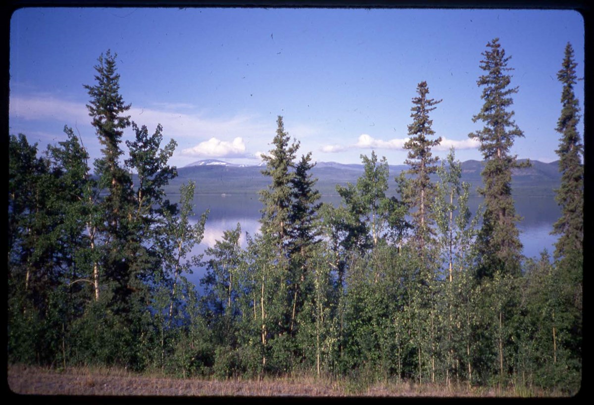
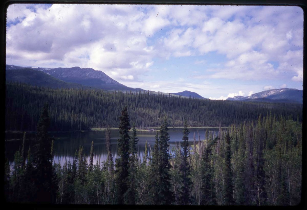
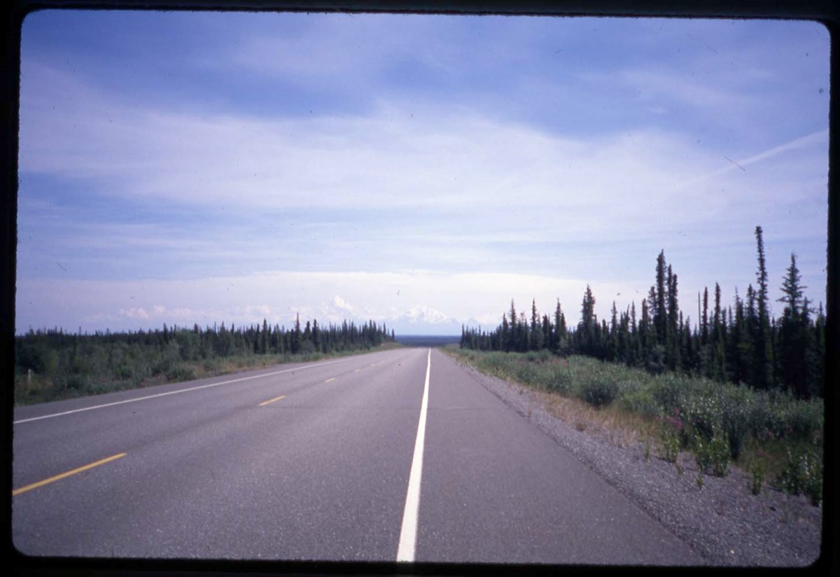
- File pertains to 1967 Yukon Alpine Centennial Expedition (YACE), including reconnaissance trip, 1966. The Alpine Club of Canada was an expedition sponsor. Also includes Yukon trip in 1988. Transparencies are annotated and are marked with an asterisk
- Date Range
- 1966-1967
- 1988
- Reference Code
- V46 / I / A / 44 / NS - 1 to 156
- Description Level
- 5 / File
- GMD
- Photograph
- Transparency
156 images
1 Electronic Resource
- Part Of
- Bob Hind fonds
- Description Level
- 5 / File
- Fonds Number
- M7
- V46
- Series
- I.A. Mountain travel and recreation, western Canada : Trips and activities
- Sous-Fonds
- V46
- Accession Number
- 7181
- Reference Code
- V46 / I / A / 44 / NS - 1 to 156
- Other Title Info
- Alternate title: Yukon 66-67-88, 1967, 88 Yukon, recce 66
- Date Range
- 1966-1967
- 1988
- Physical Description
- 162 photographs : transparencies, 35mm, col
- Scope & Content
- File pertains to 1967 Yukon Alpine Centennial Expedition (YACE), including reconnaissance trip, 1966. The Alpine Club of Canada was an expedition sponsor. Also includes Yukon trip in 1988. Transparencies are annotated and are marked with an asterisk
- Subject Access
- Camping
- Hiking
- Exploration
- Mountaineering
- Sports
- Recreation
- Geographic Access
- Yukon
- Language
- N/A
- Title Source
- Title basedon contents of file
- Content Details
- LIST OF CONTENTS (V46 / 50) - 1966, 1967 :
- * YR66: Hind, aerial view - 1966
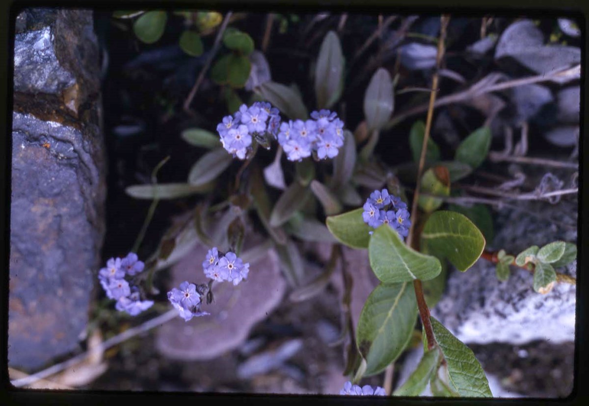
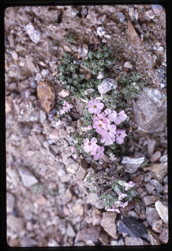
- * Y67: head shots, flora, camps and base camps, helicopter, climbing on glacier - 1967
- * Y67: flora, glacier - 1967
- * Y67: glacier, helicopter - 1967
- * Y67: flora - 1967
- * Y67, M1, T: flora, group shots, candid of Secretary of State Judy LaMarsh, camp with flags, helicopter, aerial view - 1967
- * Y67: camp, helicopter, aerial view, YACE informational sign and staging camp - 1967
- * Y67: RCH, glacier - 1967
- * Y67: camp, landscape views - 1967
- * Y67: Hind, camps, climbing on glacier, landscape views- 1967
- * Y67: helicopter, aerial view, expedition member - 1967
- * Y67: camp, helicopter, aerial view - 1967
- * Y67: Hind - 1967
- LIST OF CONTENTS (V46 / 50) - 1988 :
- Note: transparency mounts dated 1989 (printing date)
- * R1 : forest views
- * R2 : road views, Dawson City
- * M1 : river
- * M2 : Mount McKinley, road views
- * M3 : river
- * Mount Robson, Mosquito Creek campground, Maligne Lake, Banff-Jasper Highway
- Processing Status
- Processed
Electronic Resources
Images


This material is presented as originally created; it may contain outdated cultural descriptions and
potentially offensive content.
Read more.
Silverton, Alberta
https://archives.whyte.org/en/permalink/catalogue23283
- Medium
- Library - Maps and blueprints (unannotated; published)
- Map
- Published Date
- 14th January, 1893
- Publisher
- Winnipeg : [Dept. of the Interior?]
- Call Number
- C4-2.4
- Responsibility
- George A. Bayne
- Publisher
- Winnipeg : [Dept. of the Interior?]
- Published Date
- 14th January, 1893
- Physical Description
- 1 map
- Scale
- Scale: 1 inch = 200 feet
- Subjects
- Silverton
- Notes
- 5 1/2 Section 33, Township 26, Range 14 West, 5th p.m.
- Surveyor: George A. Bayne
- Copy 2
- Accession Number
- 3001
- Call Number
- C4-2.4
- Collection
- Archives Library
This material is presented as originally created; it may contain outdated cultural descriptions and
potentially offensive content.
Read more.
The Town of Canmore
https://archives.whyte.org/en/permalink/catalogue23284
- Medium
- Library - Maps and blueprints (unannotated; published)
- Map
- Published Date
- 1968
- Publisher
- Calgary Regional Planning Commission
- Call Number
- C4-2.5
- Publisher
- Calgary Regional Planning Commission
- Published Date
- 1968
- Physical Description
- 1 map
- Scale
- Scale: 1 inch = 400 feet
- Subjects
- Canmore
- Accession Number
- 5575
- Call Number
- C4-2.5
- Collection
- Archives Library
This material is presented as originally created; it may contain outdated cultural descriptions and
potentially offensive content.
Read more.
The zoning map of the Town of Canmore
https://archives.whyte.org/en/permalink/catalogue23285
- Medium
- Library - Maps and blueprints (unannotated; published)
- Map
- Published Date
- 1973
- Publisher
- Calgary Regional Planning Commission
- Call Number
- C4-2.5a
- Publisher
- Calgary Regional Planning Commission
- Published Date
- 1973
- Physical Description
- 1 map
- Scale
- Scale: 1 inch = 400 feet
- Subjects
- Canmore
- Call Number
- C4-2.5a
- Collection
- Archives Library
This material is presented as originally created; it may contain outdated cultural descriptions and
potentially offensive content.
Read more.
Town of Canmore land use map : part II, section 1 (1) of Bylaw no. 16 of 1980 adopted by Council
https://archives.whyte.org/en/permalink/catalogue23286
- Medium
- Library - Maps and blueprints (unannotated; published)
- Map
- Published Date
- 1980
- Publisher
- Calgary Regional Planning Commission
- Call Number
- C4-2.5b
- Publisher
- Calgary Regional Planning Commission
- Published Date
- 1980
- Physical Description
- 1 map
- Scale
- Scale: 1:5,000
- Notes
- In Oversize map cabinet (rolled up)
- Accession Number
- 14000
- Call Number
- C4-2.5b
- Collection
- Archives Library
This material is presented as originally created; it may contain outdated cultural descriptions and
potentially offensive content.
Read more.
[Map of Georgetown]
https://archives.whyte.org/en/permalink/catalogue23287
- Medium
- Library - Maps and blueprints (unannotated; published)
- Map
- Published Date
- 1914
- Publisher
- [Ottawa : Dept. of the Interior?]
- Call Number
- C4-2.6
- Publisher
- [Ottawa : Dept. of the Interior?]
- Published Date
- 1914
- Physical Description
- 1 map
- Scale
- Scale: 1 inch = 100 feet
- Subjects
- Georgetown
- Notes
- Photostat
- Call Number
- C4-2.6
- Collection
- Archives Library
This material is presented as originally created; it may contain outdated cultural descriptions and
potentially offensive content.
Read more.
Plan of Waterton Lakes Park Townsite
https://archives.whyte.org/en/permalink/catalogue23288
- Medium
- Library - Maps and blueprints (unannotated; published)
- Map
- Published Date
- 1926
- Publisher
- Dept. of the Interior
- Call Number
- C4-3.1
- Publisher
- Dept. of the Interior
- Published Date
- 1926
- Scale
- Scale: 1" - 200'
- Subjects
- Waterton Lakes
- Accession Number
- 718
- Call Number
- C4-3.1
- Collection
- Archives Library
This material is presented as originally created; it may contain outdated cultural descriptions and
potentially offensive content.
Read more.
Reference plan of town of Jasper
https://archives.whyte.org/en/permalink/catalogue23289
- Medium
- Library - Maps and blueprints (unannotated; published)
- Map
- Published Date
- 1956
- Publisher
- Dept. of Mines and Technical Surveys
- Call Number
- C4-3.2
- Publisher
- Dept. of Mines and Technical Surveys
- Published Date
- 1956
- Scale
- 1 inch - 200 feet
- Subjects
- Jasper National Park
- Accession Number
- 1115
- Call Number
- C4-3.2
- Collection
- Archives Library
This material is presented as originally created; it may contain outdated cultural descriptions and
potentially offensive content.
Read more.
Plan of Jasper Townsite/National Parks Branch
https://archives.whyte.org/en/permalink/catalogue23290
- Medium
- Library - Maps and blueprints (unannotated; published)
- Map
- Published Date
- between 1950 and 1965
- Publisher
- Ottawa : National Parks Branch
- Call Number
- C4-3.2b
- Responsibility
- The Surveys and Mapping Branch, Ottawa
- Publisher
- Ottawa : National Parks Branch
- Published Date
- between 1950 and 1965
- Physical Description
- 1 map
- Scale
- 1 inch - ca 800 feet
- Subjects
- Jasper National Park
- Notes
- Has index to buidling and attractions
- Accession Number
- 6596
- Call Number
- C4-3.2b
- Collection
- Archives Library
This material is presented as originally created; it may contain outdated cultural descriptions and
potentially offensive content.
Read more.
A special map showing townsite and area surrounding area of Rossland, B.C.
https://archives.whyte.org/en/permalink/catalogue23291
- Medium
- Library - Maps and blueprints (unannotated; published)
- Map
- Published Date
- 1908
- Publisher
- Dept. of the Interior
- Call Number
- C4-5.1
- Publisher
- Dept. of the Interior
- Published Date
- 1908
- Scale
- Relief: Contour interval 20'
- Subjects
- Rossland, BC
- Accession Number
- 400
- Call Number
- C4-5.1
- Collection
- Archives Library
This material is presented as originally created; it may contain outdated cultural descriptions and
potentially offensive content.
Read more.
"Skeleton plan showing location of 'Kootenae House' built by David Thompson, 1807"
https://archives.whyte.org/en/permalink/catalogue23292
- Medium
- Library - Maps and blueprints (unannotated; published)
- Map
- Published Date
- 1807
- Publisher
- J.B. Tyrrell papers
- Call Number
- C4-5.3
- Responsibility
- Basil G. Hamilton, Invermere, B.C.
- Publisher
- J.B. Tyrrell papers
- Published Date
- 1807
- Scale
- 606' - 1"
- Subjects
- Kootenae
- Notes
- Photostatistic copy from Public Archives From J.B. Tyrrell papers, transfered from the manuscript division Nov. 6, 1962
- Accession Number
- 675
- Call Number
- C4-5.3
- Collection
- Archives Library
This material is presented as originally created; it may contain outdated cultural descriptions and
potentially offensive content.
Read more.
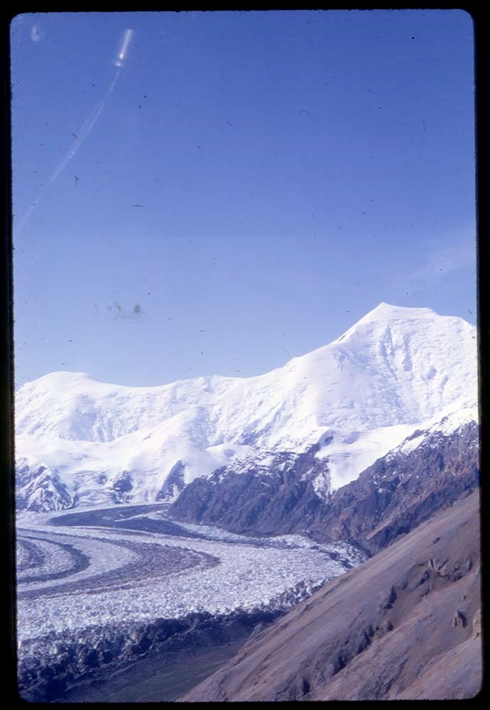
Map accompanying Glacier and Landform Features In The Columbia Icefield Area, Banff and Jasper National Parks, Alberta Canada
https://archives.whyte.org/en/permalink/catalogue23293
- Physical Description
- Side 1 and Side 2
- Scale
- Scale: 1:12,500
- Subjects
- Glacier Map Sunwapta Pass
- Notes
- 03.4/K95/p.4
- Map A south Sheet Side 1, Map A north Sheet Side 2
- See legend on north half sheet C5-1.8
- Accession Number
- 11000
- Call Number
- C5-1.8
- Collection
- Archives Library
This material is presented as originally created; it may contain outdated cultural descriptions and
potentially offensive content.
Read more.
Map acompanying Glacier and Landform Features In The Columbia Icefield Area, Banff and Jasper National Parks, Alberta Canada
https://archives.whyte.org/en/permalink/catalogue23294
- Physical Description
- Side 1 and Side 2
- Scale
- Scale: 1:25,000
- Subjects
- Glacier Map Columbia Icefield
- Notes
- 03.4/K95/p.3
- Map B south west sheet, Map B south east sheet
- Accession Number
- 11000
- Call Number
- C5-1.8(a)
- Collection
- Archives Library
This material is presented as originally created; it may contain outdated cultural descriptions and
potentially offensive content.
Read more.