Narrow Results By
- Peter and Catharine Whyte fonds 599
- Vaux family fonds 163
- Luxton family fonds 121
- Nicholas Morant fonds 92
- Bruno Engler fonds 68
- George McLean fonds 37
- Moore family fonds 28
- Kidney family fonds 27
- Trail Riders of the Canadian Rockies fonds 16
- Archives General File Collection 14
- George Paris fonds 12
- Jim Brewster family fonds 10
504. Cathedral Crag, Field Hill
https://archives.whyte.org/en/permalink/descriptions20346
- Part Of
- Nicholas Morant fonds
- Scope & Content
- File consists of 3 colour transparency photographs. Content pertains to Cathedral Crag, Field Hill in Yoho National Park, BC
- Date Range
- [between 1930 and 1980]
- Reference Code
- V500 / A4 / 504
- Description Level
- 5 / File
- GMD
- Photograph
- Transparency
- Part Of
- Nicholas Morant fonds
- Description Level
- 5 / File
- Fonds Number
- M300 / S20 / V500
- Sous-Fonds
- V500
- Sub-Series
- I.A. Photography : negatives and transparencies / 1.c. Darkroom files : colour I
- Accession Number
- 7438
- Reference Code
- V500 / A4 / 504
- Responsibility
- Produced by Nicholas Morant
- Date Range
- [between 1930 and 1980]
- Physical Description
- 3 photographs : transparencies, col, 6x6 cm
- Scope & Content
- File consists of 3 colour transparency photographs. Content pertains to Cathedral Crag, Field Hill in Yoho National Park, BC
- Subject Access
- Yoho National Park
- Geographic Access
- Canada
- British Columbia
- Canadian Rocky Mountains
- Language
- N/A
- Creator
- Nicholas Morant
- Title Source
- Title based on contents of file
- Processing Status
- Processed
This material is presented as originally created; it may contain outdated cultural descriptions and
potentially offensive content.
Read more.
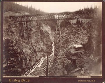
639. Stoney Creek Bridge, C.P.R., Selkirks, height 296 ft.
https://archives.whyte.org/en/permalink/descriptions32392
- Date Range
- [1890 or 1891]
- Reference Code
- V650 / 6603 - PA - 4
- Description Level
- 6 / Item
- GMD
- Photograph
1 image
- Description Level
- 6 / Item
- Fonds Number
- V650
- Reference Code
- V650 / 6603 - PA - 4
- GMD
- Photograph
- Date Range
- [1890 or 1891]
- Physical Description
- 1 photograph : print, 18 x 24 cm, mounted
- Subject Access
- Discovery and Exploration
- Geographic Access
- British Columbia
Images
This material is presented as originally created; it may contain outdated cultural descriptions and
potentially offensive content.
Read more.
1952, 1967 - 1990 race photographs
https://archives.whyte.org/en/permalink/descriptions54386
- Scope & Content
- File consists of 41 photographs pertaining to Bruno Engler's Veteran's Race ski events held between 1967 and 1990, as well as a separate ski event in 1952. Photographs depict Fred Wonnacot, Evelynne Crosbi [sic], Mike and Bonnie Wiegele, Catharine Whyte [in 1967 ski race], Karl and Kathy Jost, Rob …
- Date Range
- 1952
- 1967
- 1971 - 1975
- 1979
- 1982
- 1985
- 1986
- 1990
- Reference Code
- V783 / I / PA - 1 to 41
- Description Level
- 5 / File
- GMD
- Photograph
- Photograph print
- Description Level
- 5 / File
- Fonds Number
- M559 / V783
- Series
- V783 / I : 1952 - 1990
- Sous-Fonds
- V783
- Accession Number
- 2018.8688
- Reference Code
- V783 / I / PA - 1 to 41
- Responsibility
- Produced by Bruno Engler
- Date Range
- 1952
- 1967
- 1971 - 1975
- 1979
- 1982
- 1985
- 1986
- 1990
- Physical Description
- 41 photographs : b&w and col. prints ; 25 x 20 cm or smaller
- Scope & Content
- File consists of 41 photographs pertaining to Bruno Engler's Veteran's Race ski events held between 1967 and 1990, as well as a separate ski event in 1952. Photographs depict Fred Wonnacot, Evelynne Crosbi [sic], Mike and Bonnie Wiegele, Catharine Whyte [in 1967 ski race], Karl and Kathy Jost, Rob Crosby, Klara Hueser, Eddie Hunter, Mr. & Mrs. Joe Hanley, Roy Andersen and others. Photograph V783/I/PA-33 was published in the Crag and Canyon, 1990.
- Notes
- Some items stamped on reverse giving photo credit to Bruno Engler.
- Most photographs annotated
- Photographs were separated from textual content in folders from corresponding years, stored under M559.
- Name Access
- Hunter, Eddie
- Whyte, Catharine
- Wonnacot, Fred
- Crosby, Evelynne
- Wiegele, Mike
- Mann, Jack
- Jost, Karl
- Cullen, Malcolm
- Jost, Kathy
- Crosby, Rob
- Pristov, John
- Hueser, Klara
- House, Eleanore
- Kunelius, Eleanor
- Hanley, Joe
- McGavin, Flo
- Wilson, Priscilla
- Fruchtman, Eva
- Andersen, Roy
- Godwin, Nell
- Kent, Betty
- Wiegele, Bonnie
- Subject Access
- Race
- Skiing
- Memorial
- Sports
- Winter sports
- Geographic Access
- Canada
- Alberta
- Banff
- Access Restrictions
- Copyright restrictions apply
- Reproduction Restrictions
- Copyright restrictions apply
- Language
- English
- Category
- Sports, recreation and leisure
- Title Source
- Title based on contents of file
- Processing Status
- Processed
This material is presented as originally created; it may contain outdated cultural descriptions and
potentially offensive content.
Read more.
2500 Year Old Douglas Fir (Sooke, B.C.)
https://archives.whyte.org/en/permalink/descriptions54290
- Part Of
- Nicholas Morant fonds
- Scope & Content
- File consists of 66 b&w negative photographs (55 mm). Content pertains to the felling and transportation of a 2500 year old fir tree near Sooke, B.C. which was used for an exhibition in London. Images depict felled fir tree, logging machinery and employees, etc.
- Date Range
- [ca. 1960 - ca. 1975]
- Reference Code
- V500 / I / A7 / 6
- Description Level
- 4.2 / Sub-sub-sub series
- GMD
- Photograph
- Negative
- Part Of
- Nicholas Morant fonds
- Description Level
- 4.2 / Sub-sub-sub series
- Fonds Number
- M300 / S20 / V500
- Sous-Fonds
- V500
- Sub-Series
- V500 / I / A : Photography : Negatives and Transparencies
- Accession Number
- 7438
- Reference Code
- V500 / I / A7 / 6
- GMD
- Photograph
- Negative
- Responsibility
- Produced by Nicholas Morant
- Date Range
- [ca. 1960 - ca. 1975]
- Physical Description
- 66 Photographs: negatives, b&w
- Scope & Content
- File consists of 66 b&w negative photographs (55 mm). Content pertains to the felling and transportation of a 2500 year old fir tree near Sooke, B.C. which was used for an exhibition in London. Images depict felled fir tree, logging machinery and employees, etc.
- Notes
- Contains numerous duplicates of several original images.
- Subject Access
- Transportation
- Forestry
- Geographic Access
- Canada
- British Columbia
- Access Restrictions
- Items in this file are not to be accessed or distributed without the explicit permission of their identified copyright owners.
- Reproduction Restrictions
- Reference use only; no reproduction
- Language
- English
- Creator
- Nicholas Morant
- Title Source
- Title based on contents of file
- Processing Status
- Processed
This material is presented as originally created; it may contain outdated cultural descriptions and
potentially offensive content.
Read more.
10771 (Trip?) Mary Vaux, positive for reproduction
https://archives.whyte.org/en/permalink/descriptions35369
- Part Of
- Vaux family fonds
- Date Range
- [between 1894 and 1912]
- Reference Code
- V653 / NG - 958
- Description Level
- 6 / Item
- GMD
- Photograph
- Negative
1 image
- Part Of
- Vaux family fonds
- Description Level
- 6 / Item
- Fonds Number
- M107 / V653
- Series
- I. Photography
- Sub-Series
- T. Travel 1894-1912
- Reference Code
- V653 / NG - 958
- GMD
- Photograph
- Negative
- Date Range
- [between 1894 and 1912]
- Physical Description
- 1 negative : glass
- Subject Access
- Discovery and Exploration
- Creator
- Vaux family (Philadelphia USA)
Images

This material is presented as originally created; it may contain outdated cultural descriptions and
potentially offensive content.
Read more.
[Abruzzi, Mount 82J/6 East, B.C.]
https://archives.whyte.org/en/permalink/catalogue23438
- Medium
- Library - Maps and blueprints (unannotated; published)
- Map
- Published Date
- 1966
- Publisher
- Dept. of Mines and Technical Surveys
- Call Number
- NTS
- 82J/6E
- Publisher
- Dept. of Mines and Technical Surveys
- Published Date
- 1966
- Physical Description
- 1 map : col
- Scale
- Scale: 1:50,000
- Relief: Contour interval 100'
- Subjects
- Mount Abruzzi
- British Columbia
- Notes
- National Topographic System
- Accession Number
- 718
- Call Number
- NTS
- 82J/6E
- Collection
- Archives Library
This material is presented as originally created; it may contain outdated cultural descriptions and
potentially offensive content.
Read more.
[Abruzzi, Mount 82J/6 West, B.C.]
https://archives.whyte.org/en/permalink/catalogue23437
- Medium
- Library - Maps and blueprints (unannotated; published)
- Map
- Published Date
- 1966
- Publisher
- Dept. of Mines and Technical Surveys
- Call Number
- NTS
- 82J/6W
- Publisher
- Dept. of Mines and Technical Surveys
- Published Date
- 1966
- Physical Description
- 1 map : col
- Scale
- Scale: 1:50,000
- Relief: Contour interval 100'
- Subjects
- Mount Abruzzi
- British Columbia
- Notes
- National Topographic System
- Accession Number
- 718
- Call Number
- NTS
- 82J/6W
- Collection
- Archives Library
This material is presented as originally created; it may contain outdated cultural descriptions and
potentially offensive content.
Read more.
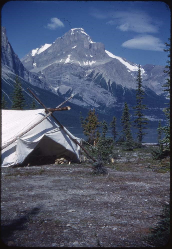
ACC Camps [1/3]
https://archives.whyte.org/en/permalink/descriptions57601
- Part Of
- Bill Goodrich fonds
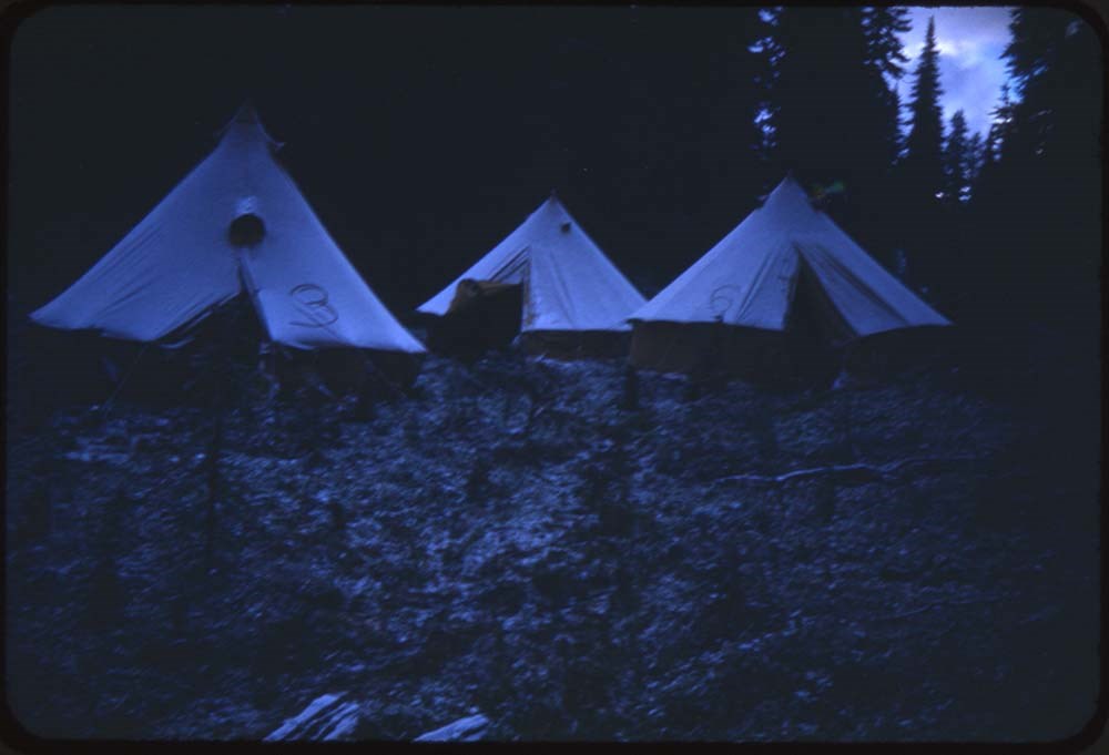
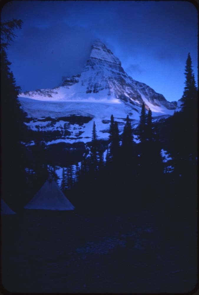
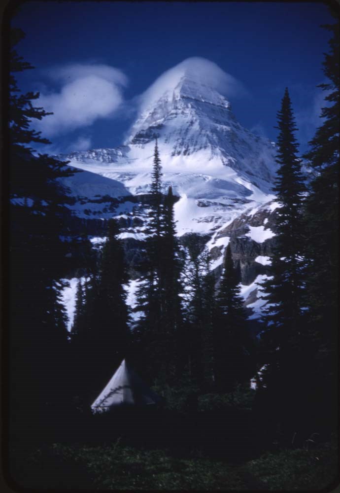
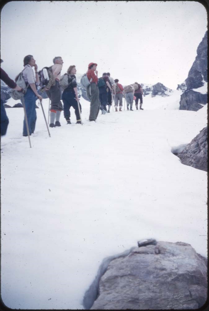
- Scope & Content
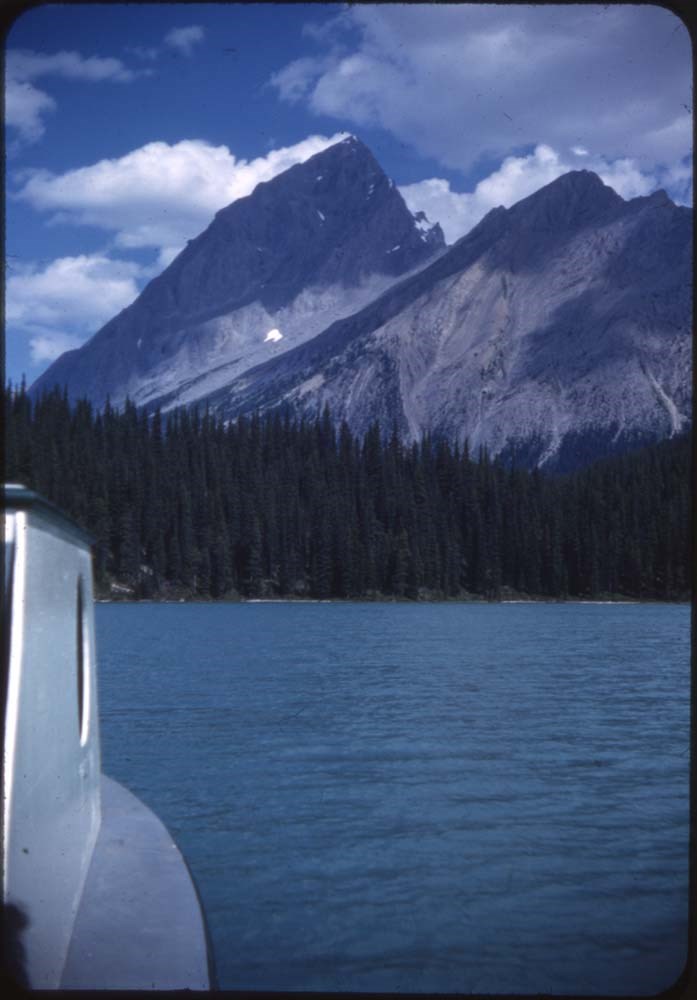
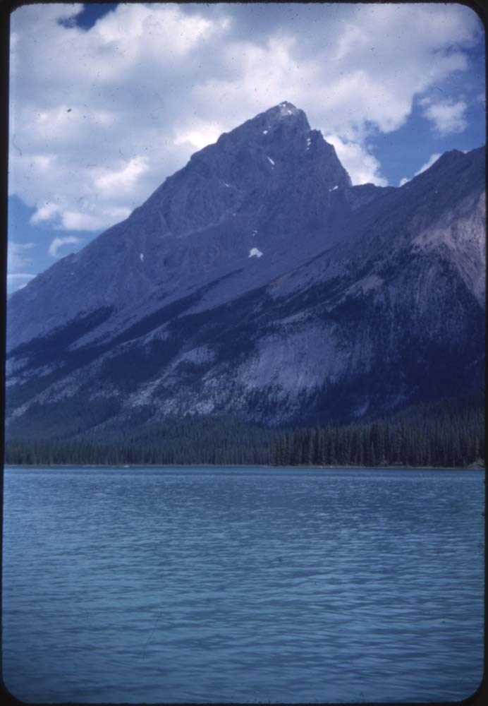
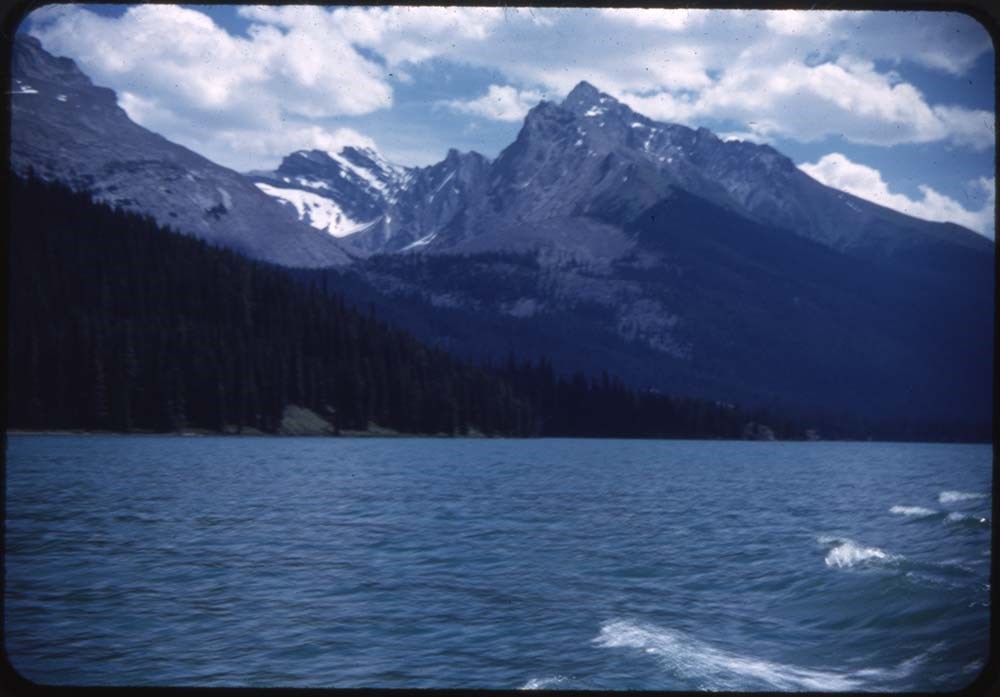
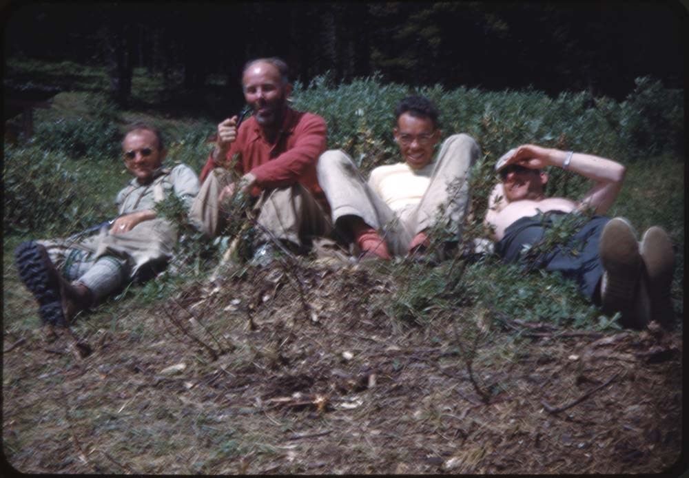
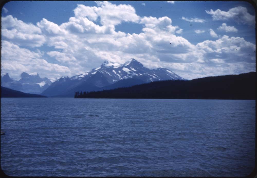
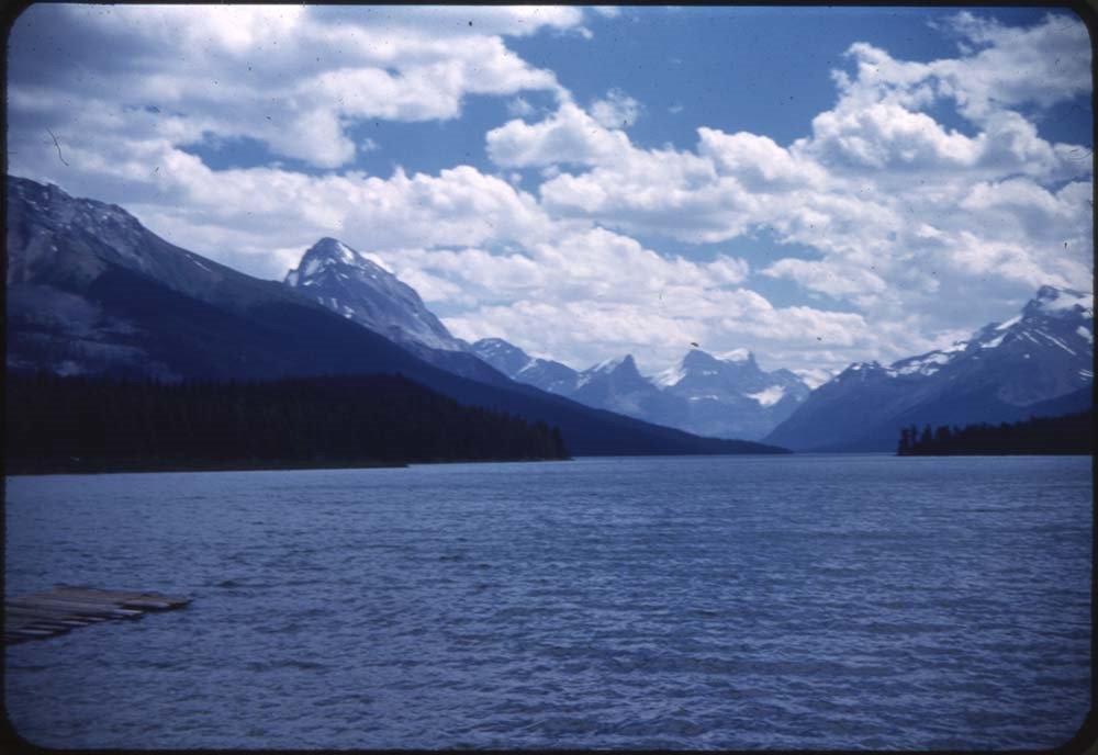
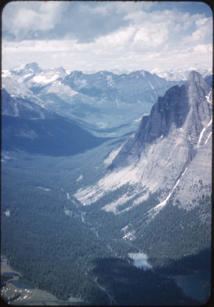
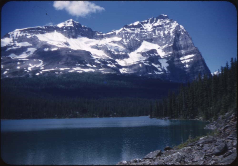
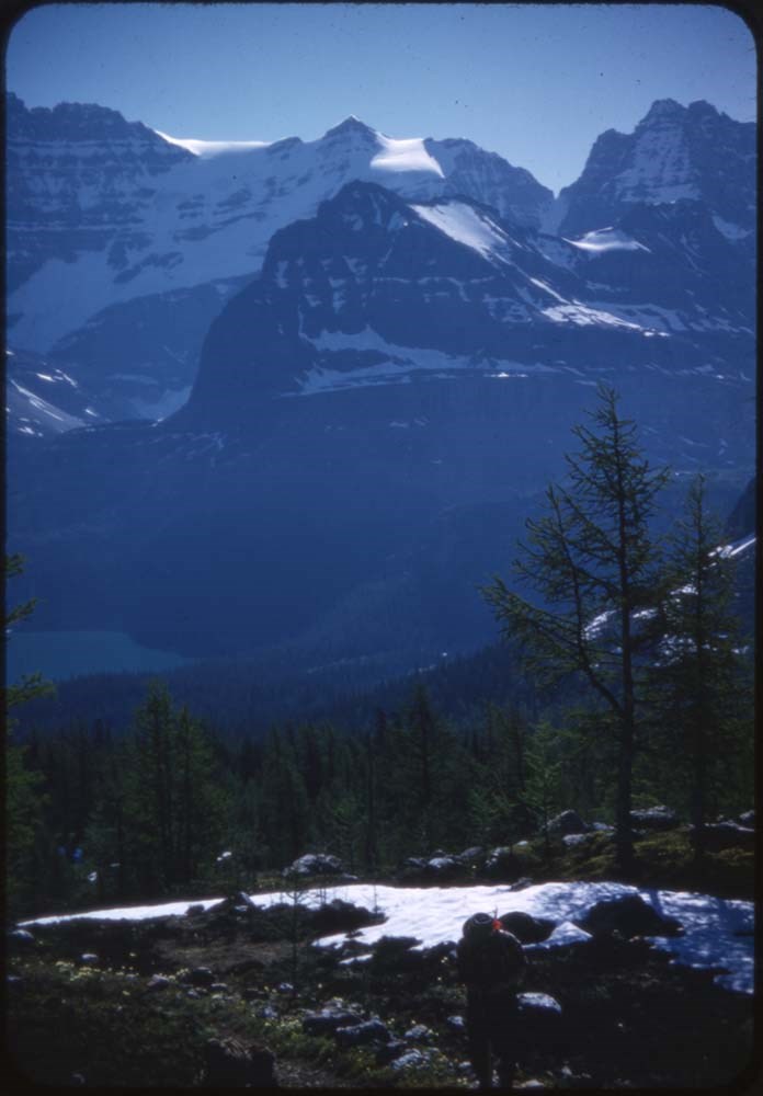
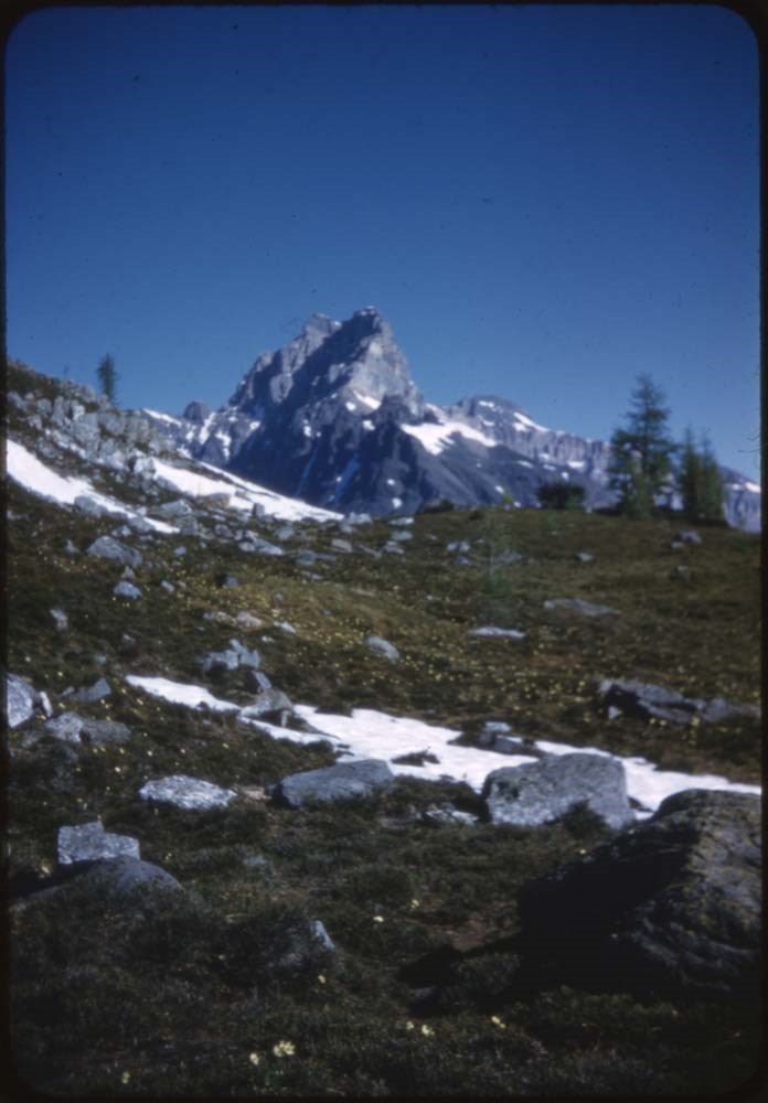
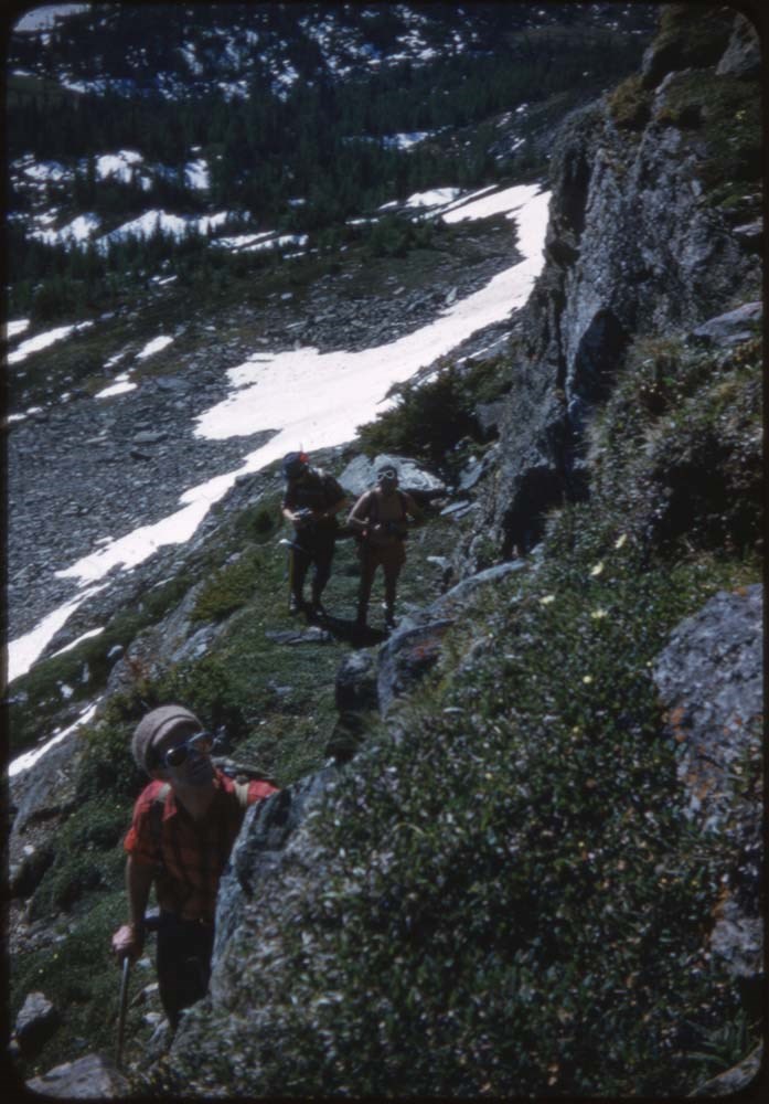
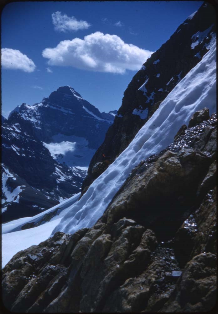
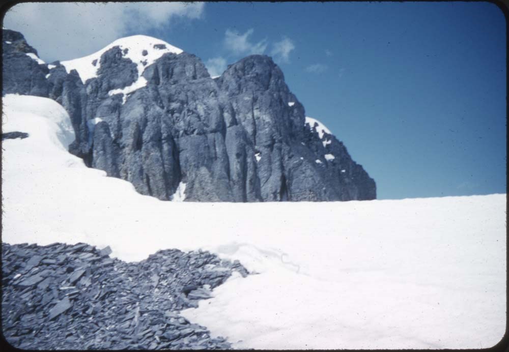
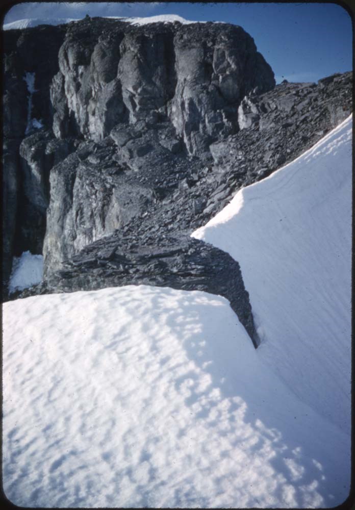
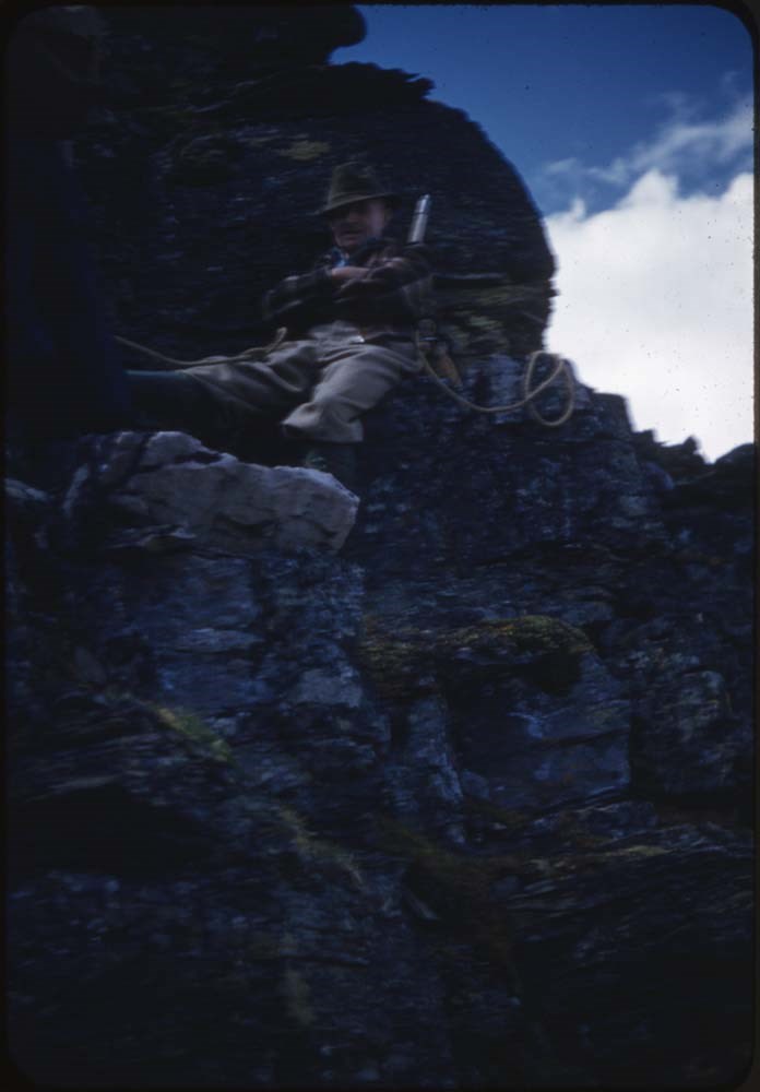
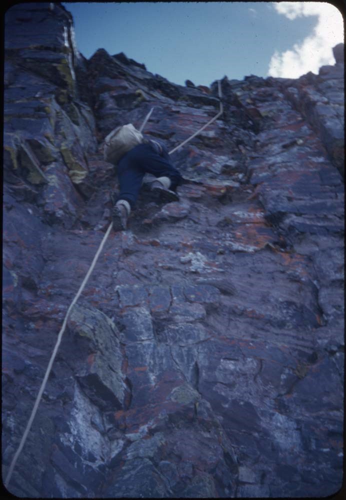
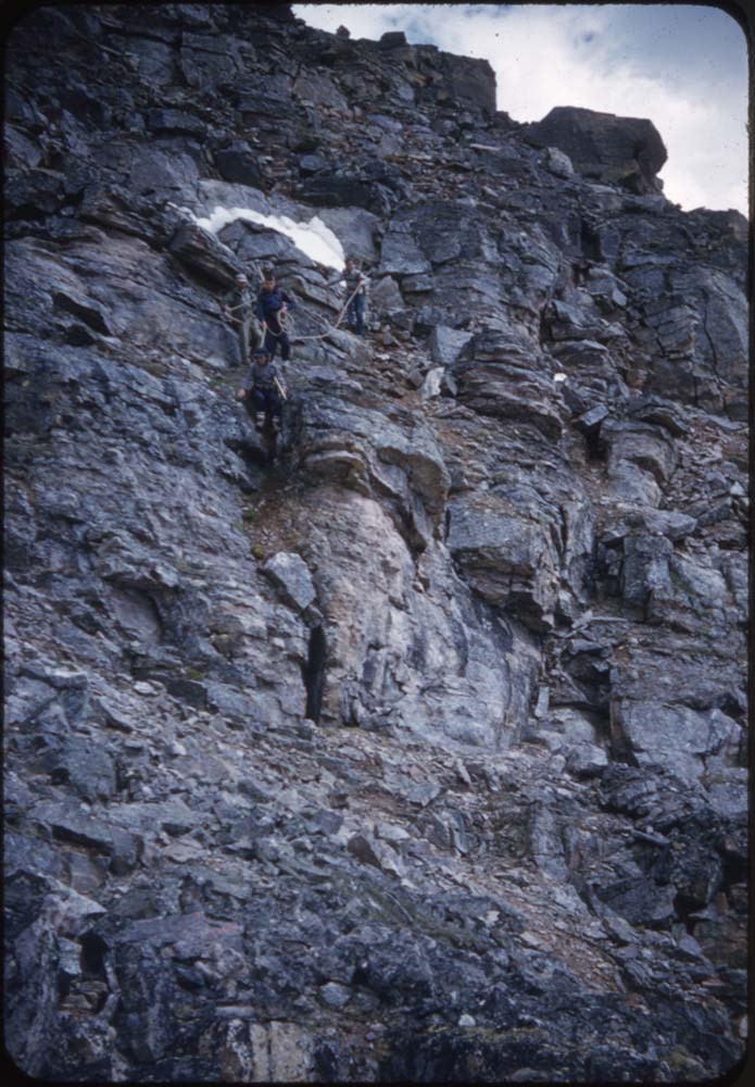
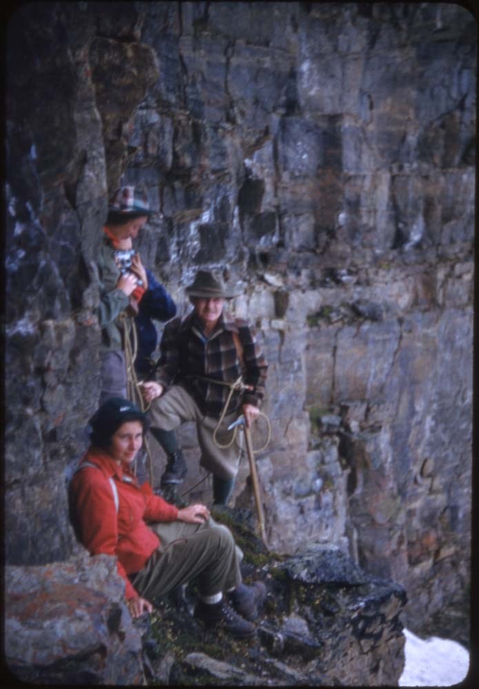
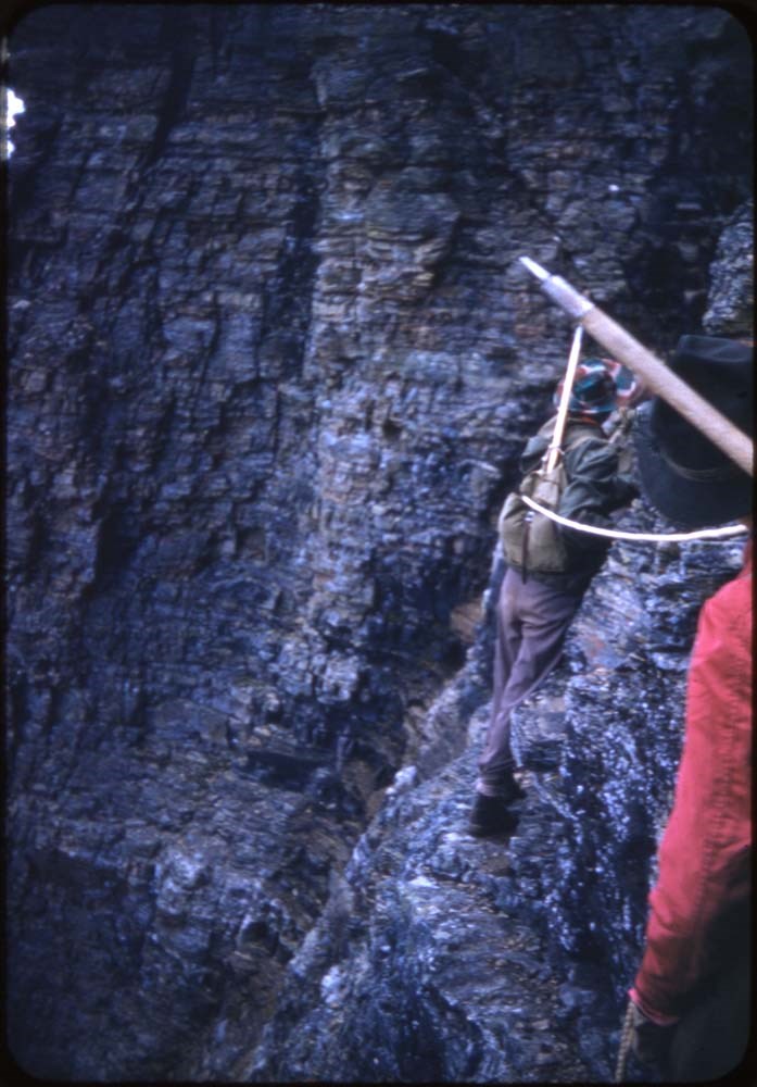
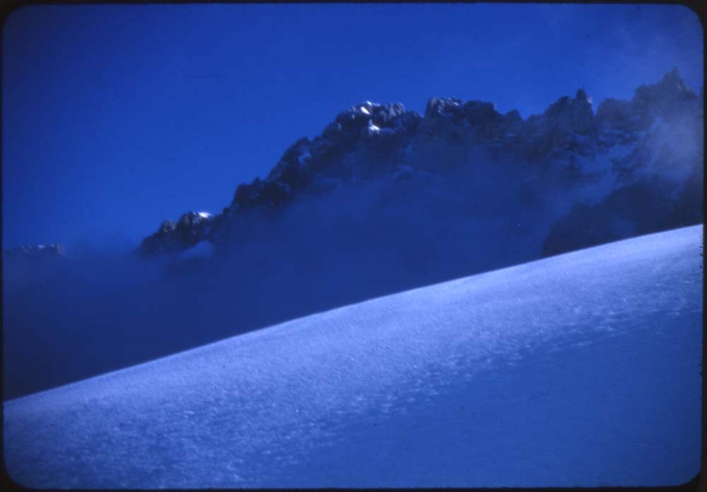
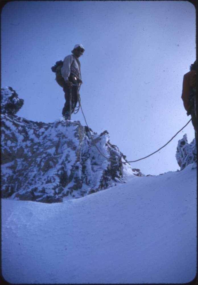
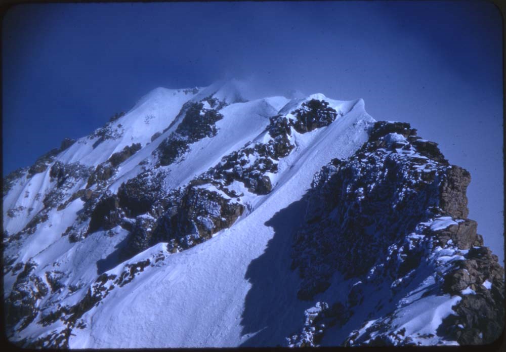
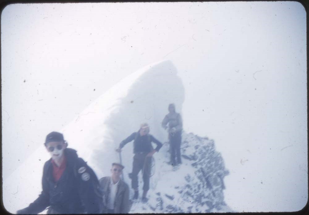
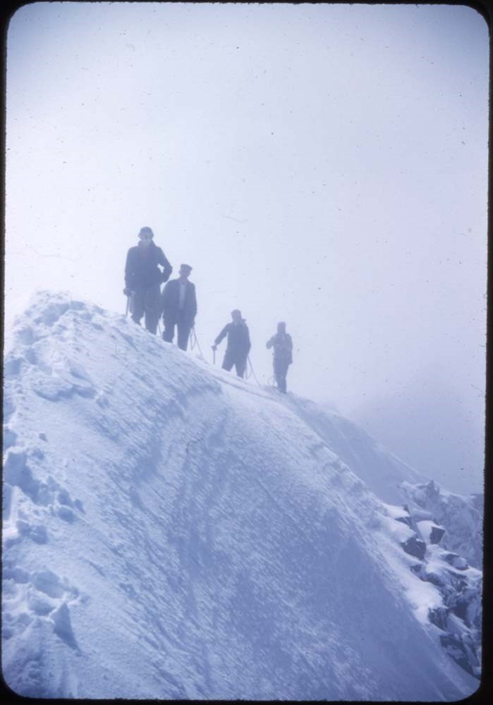
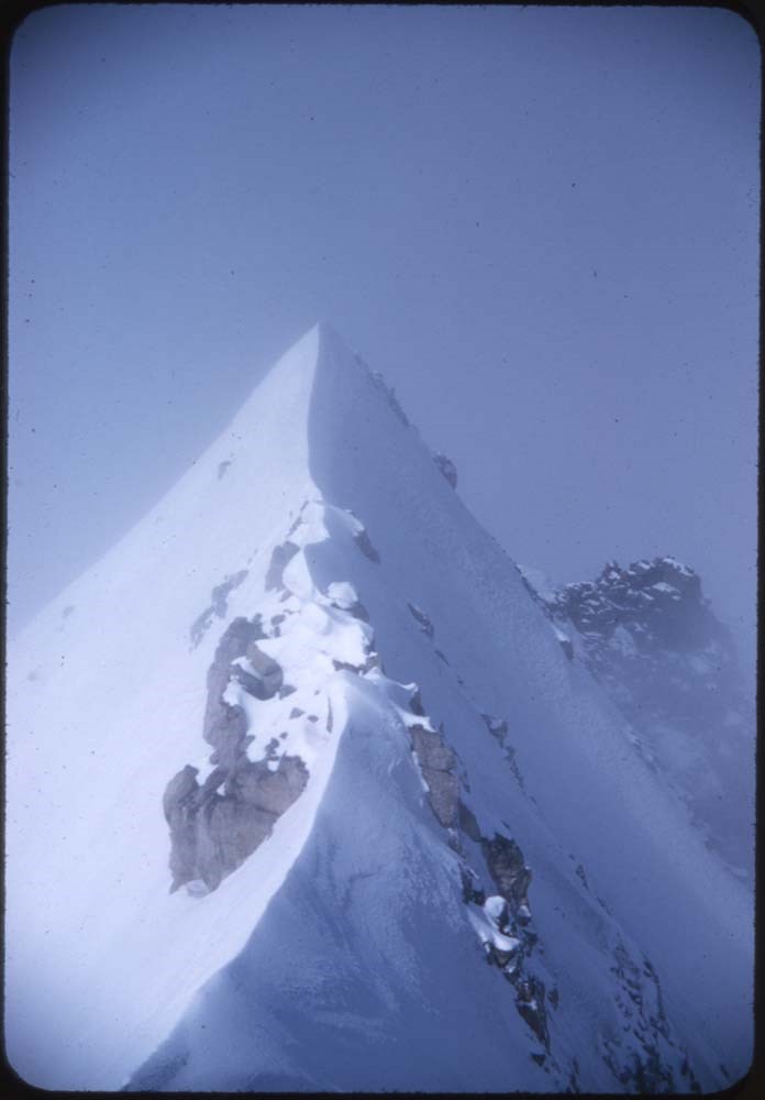
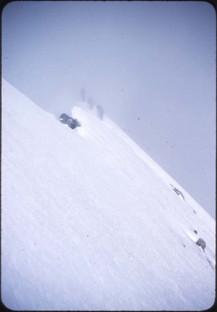
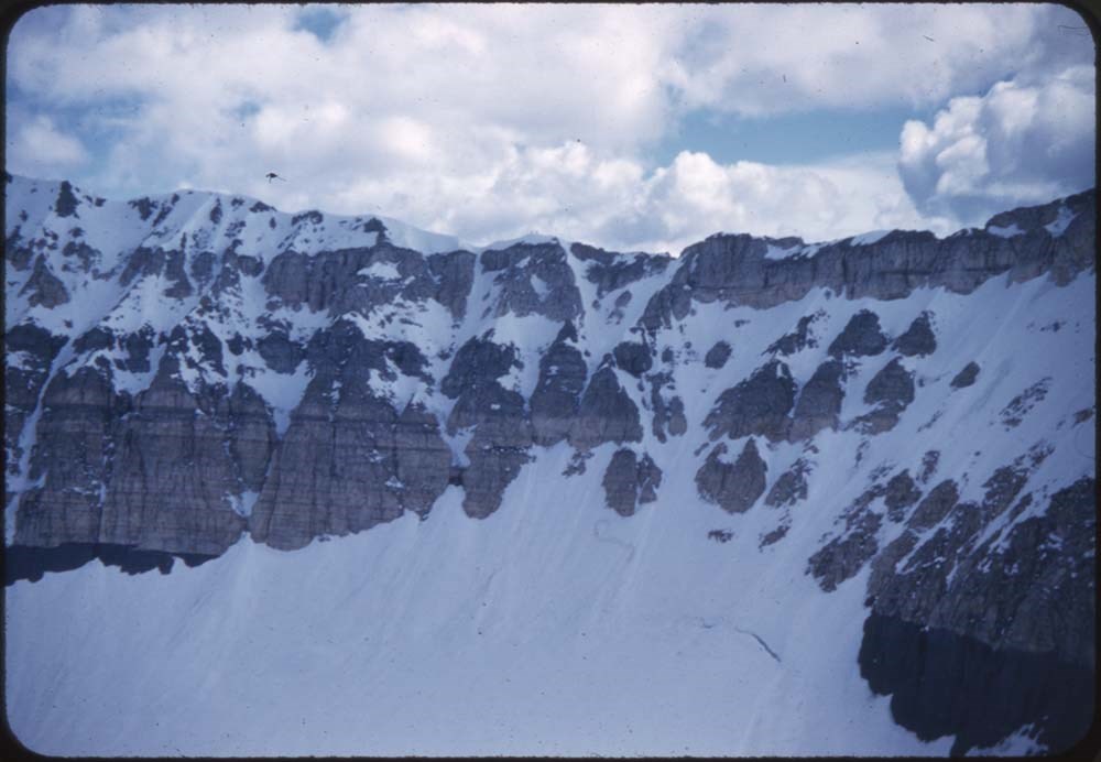
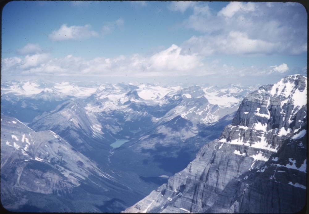
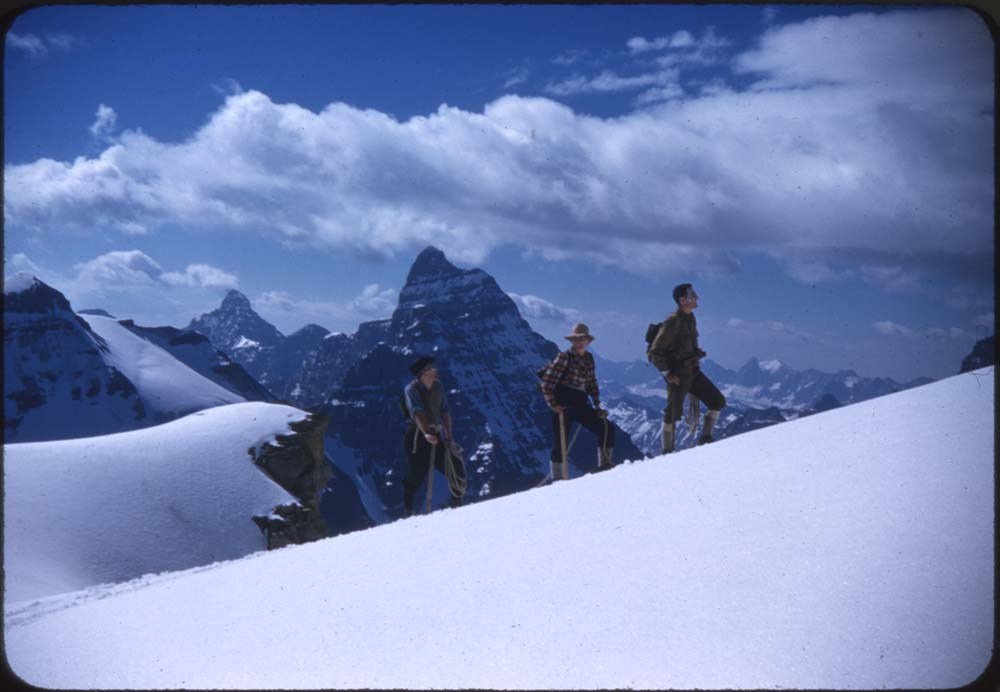
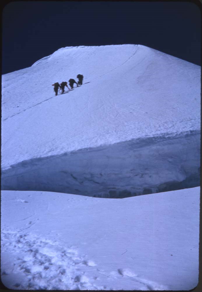
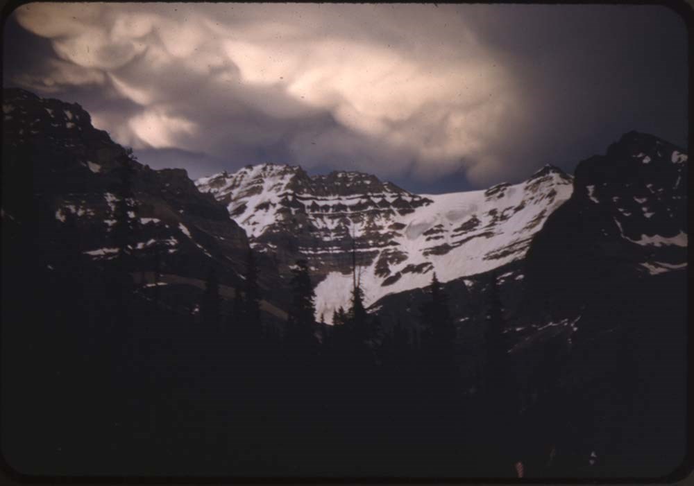
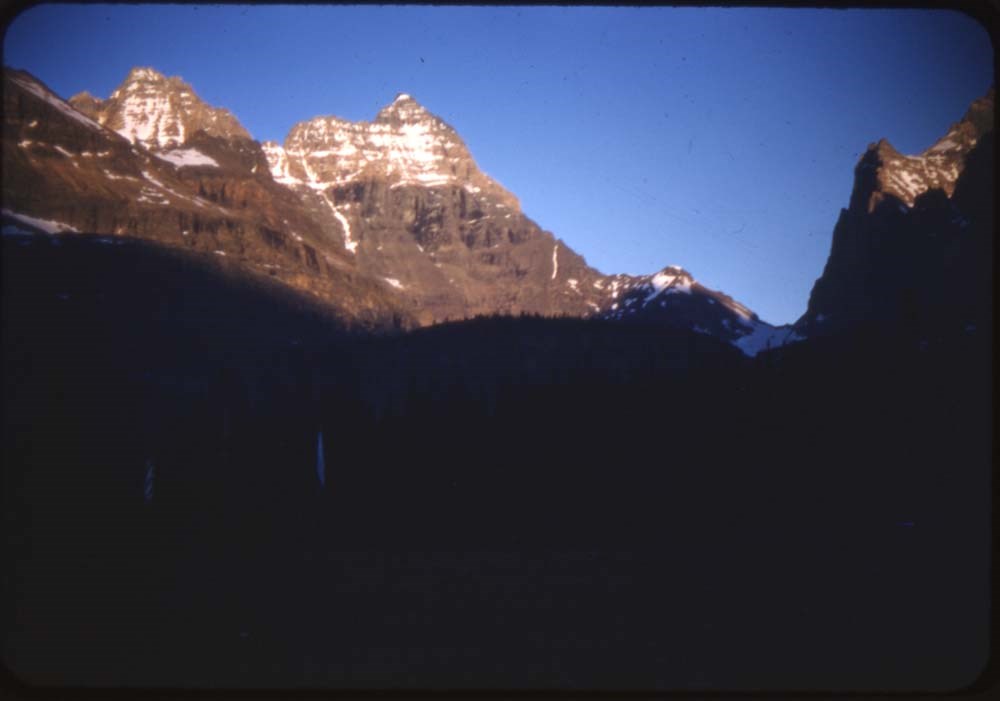
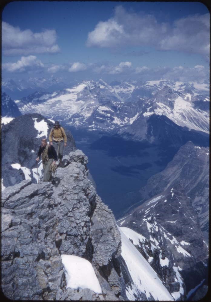
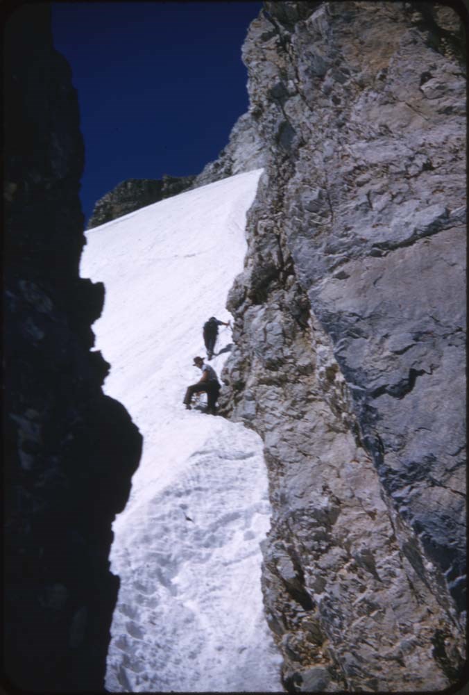
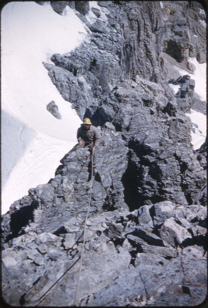
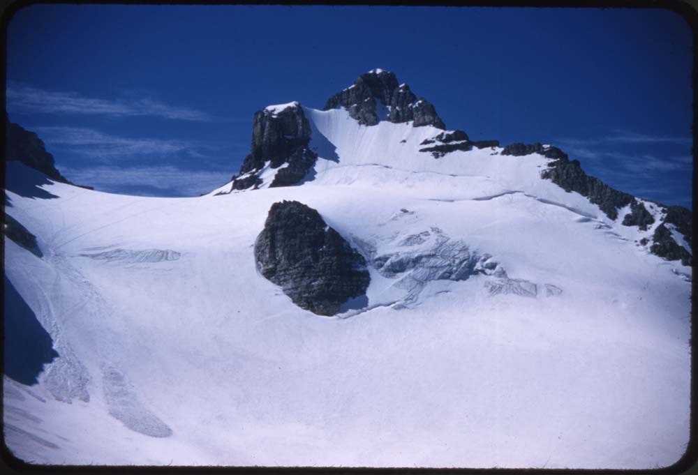
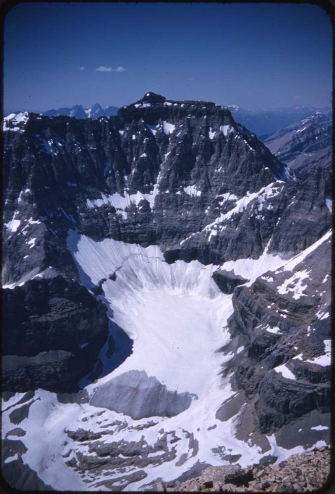
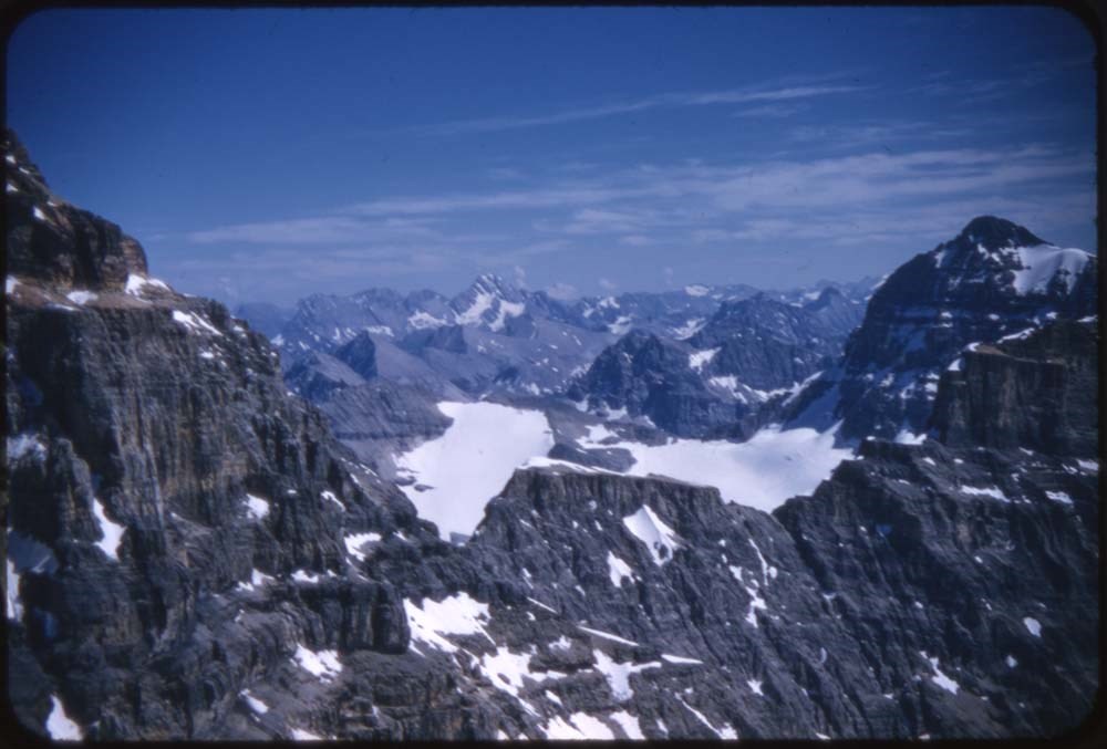
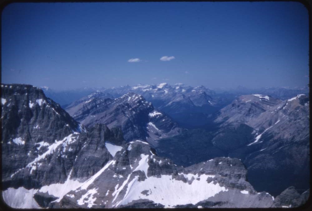
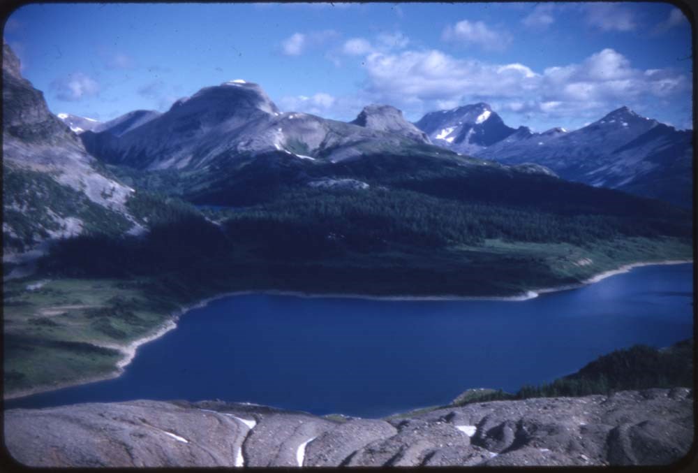
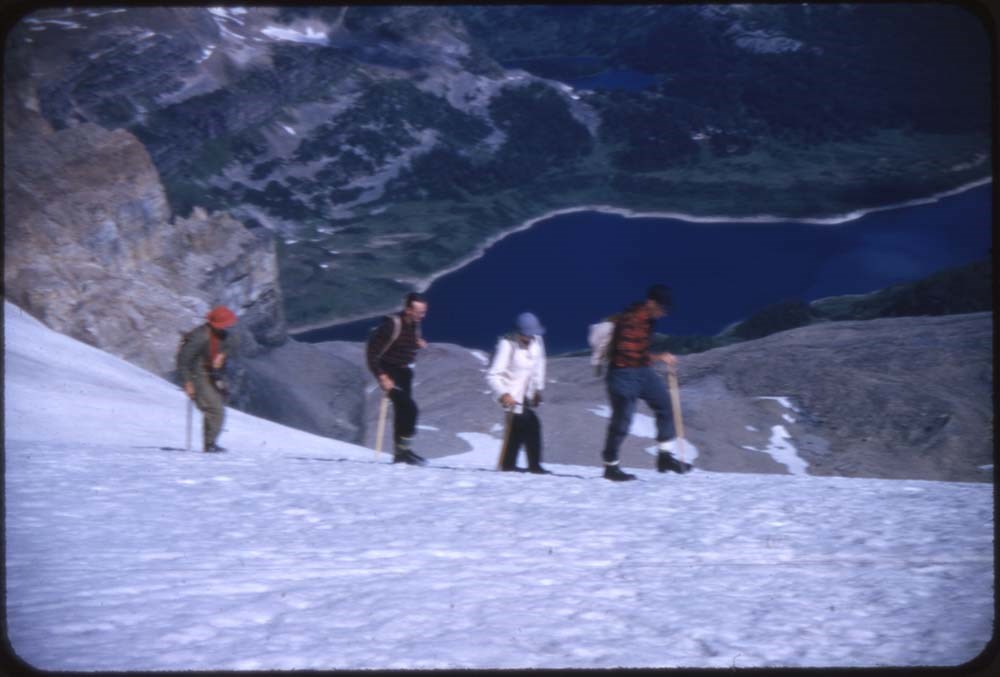
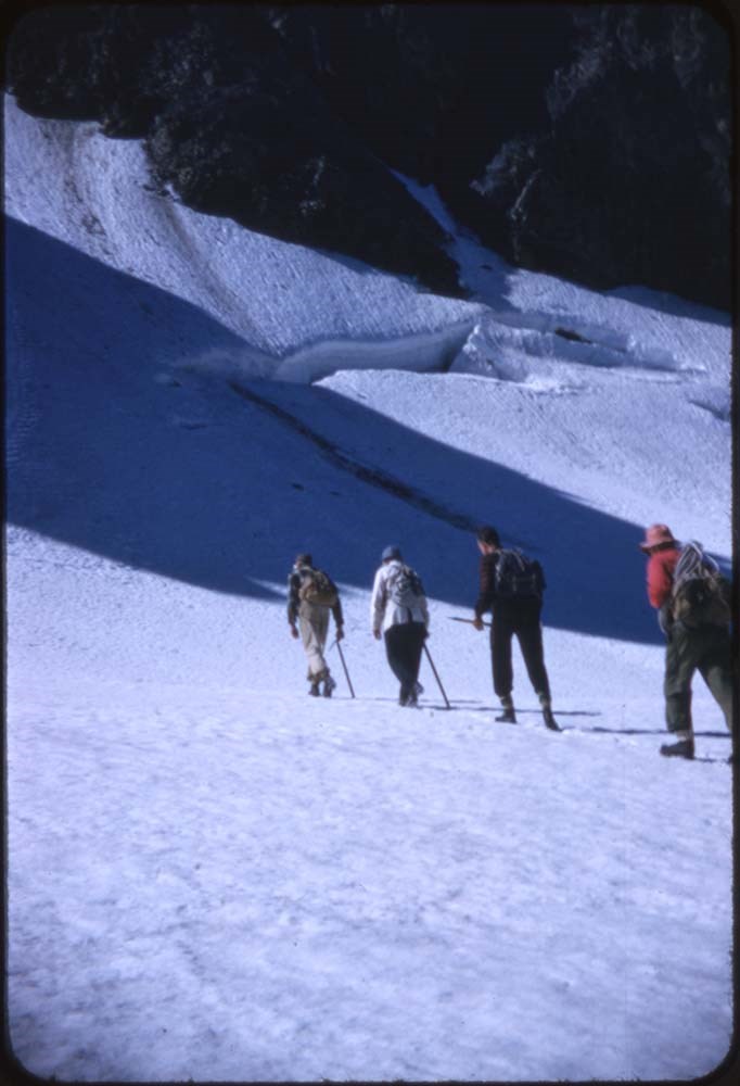
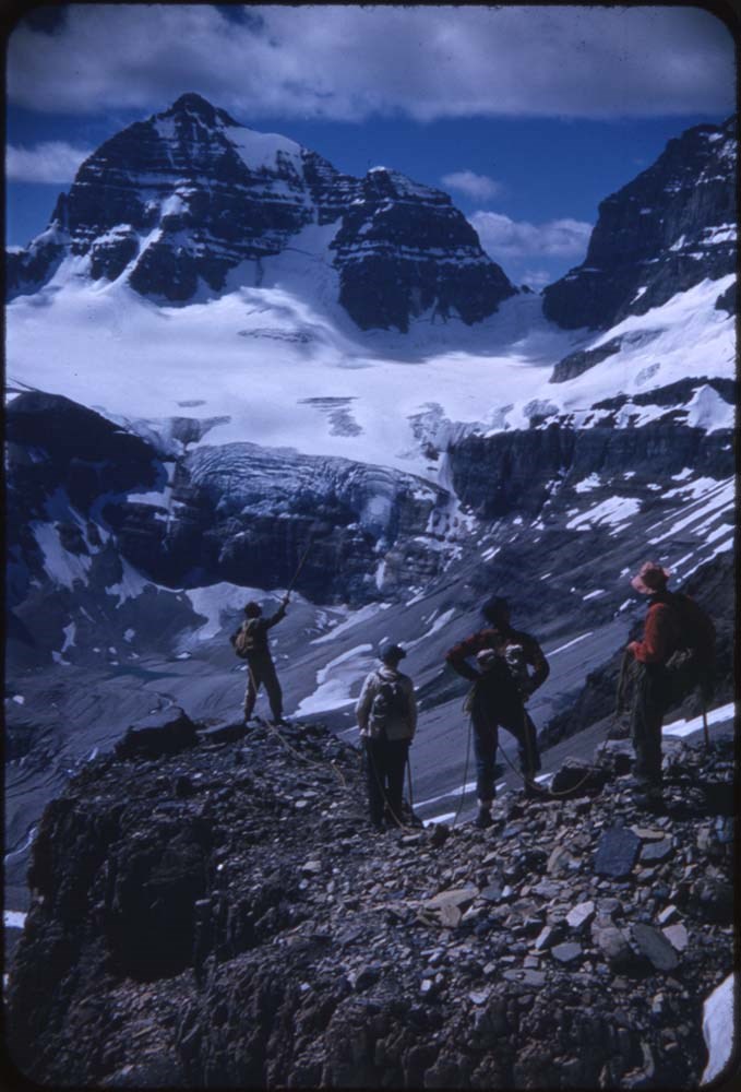
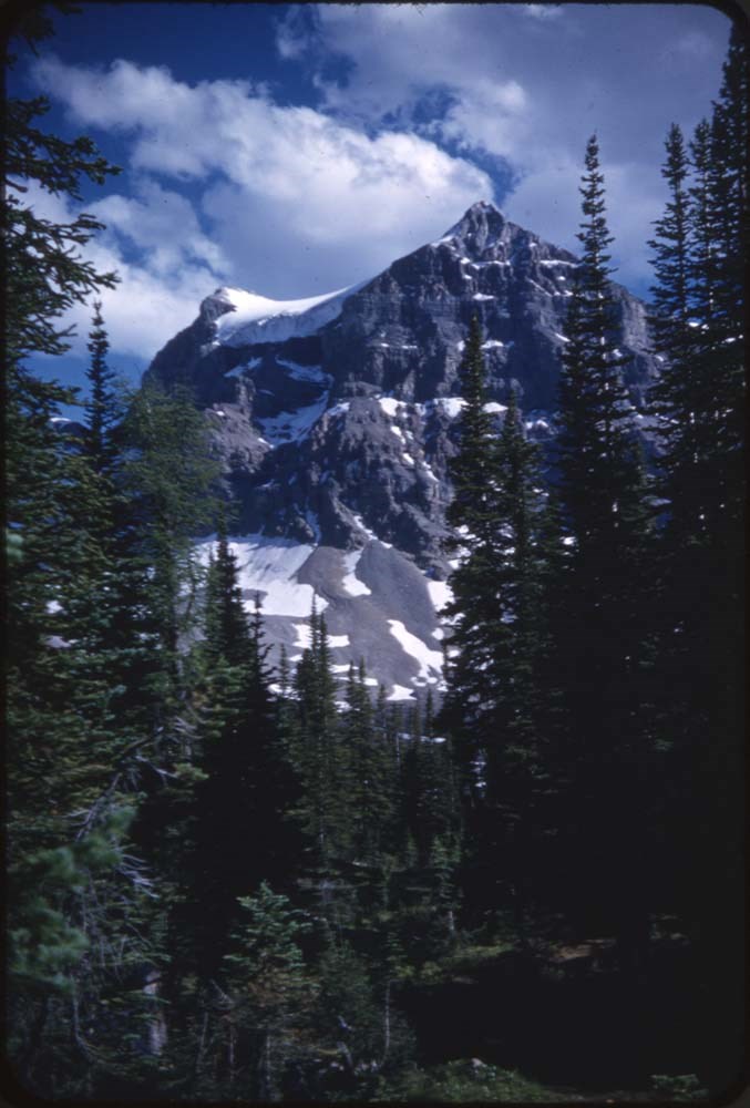
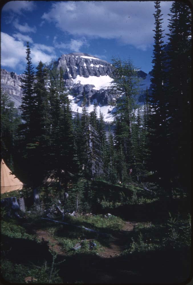
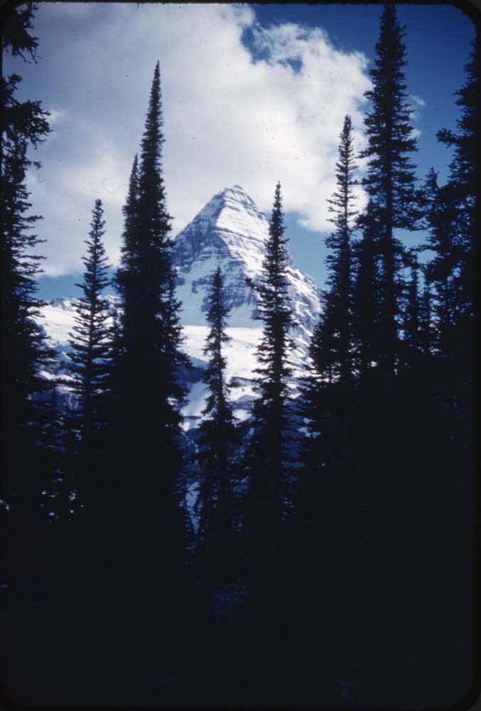
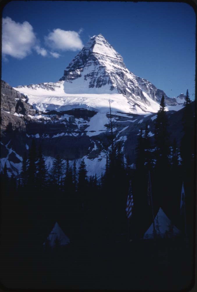
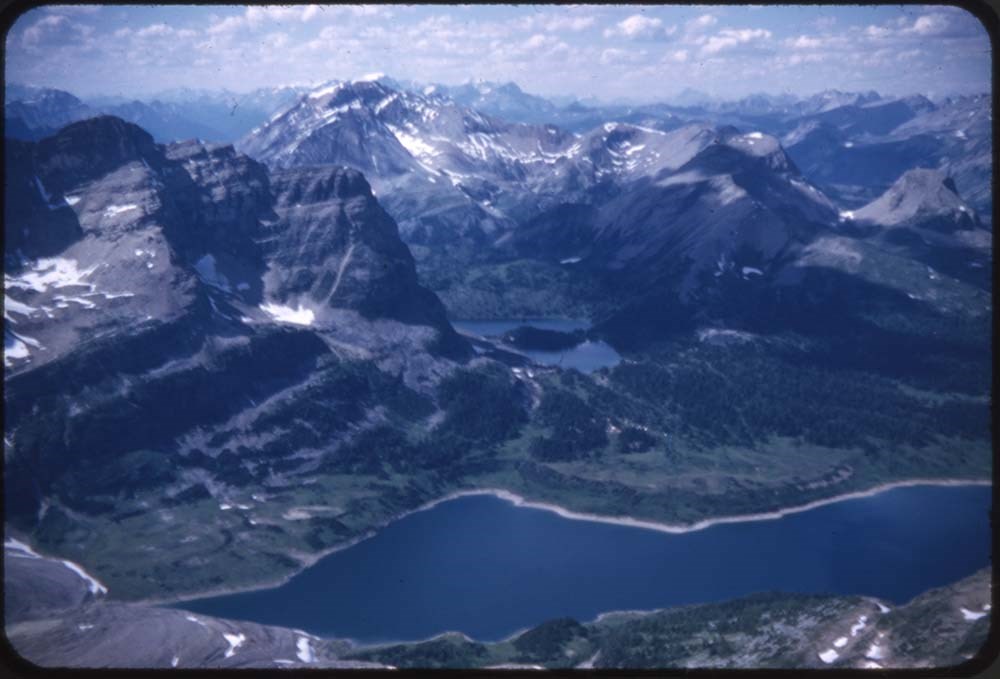
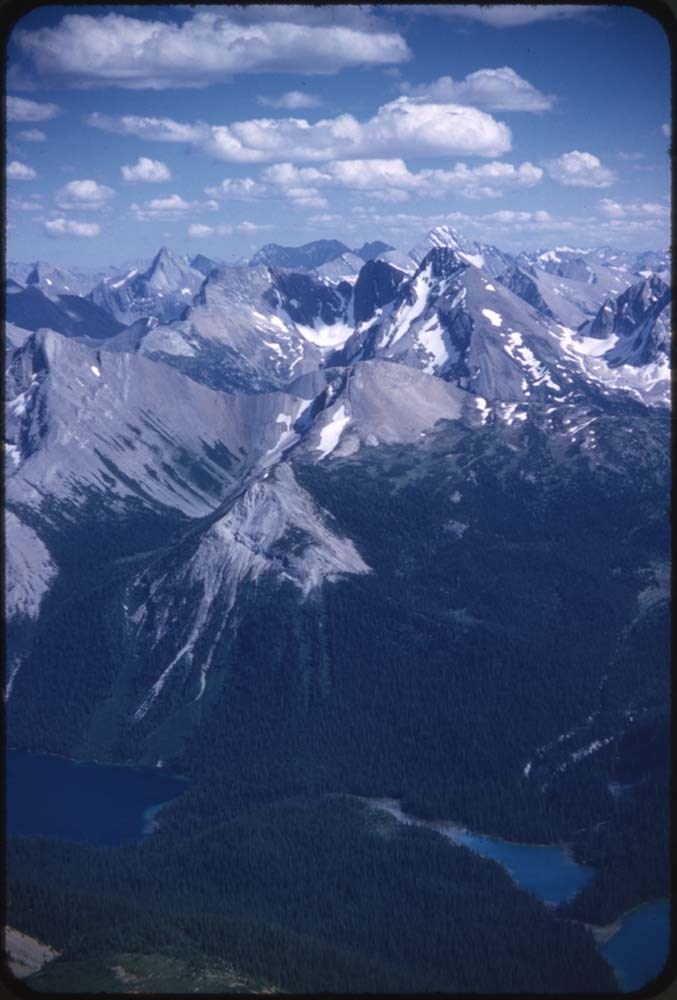
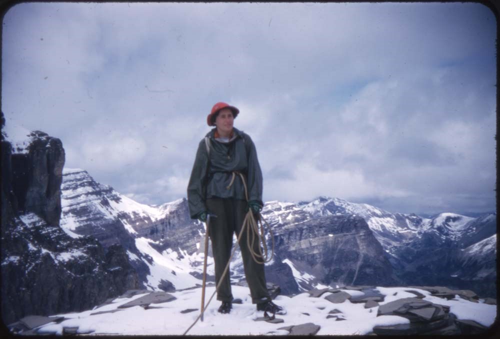
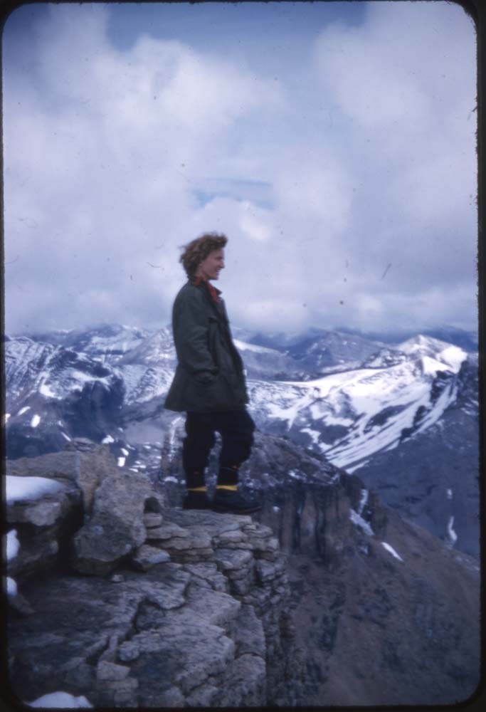
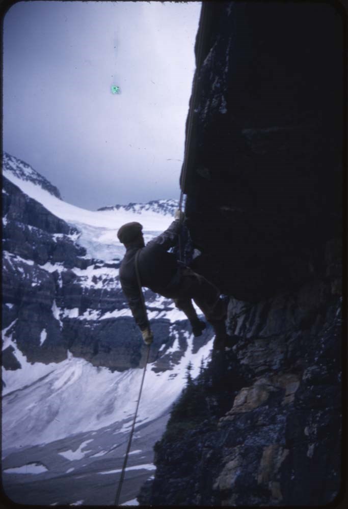
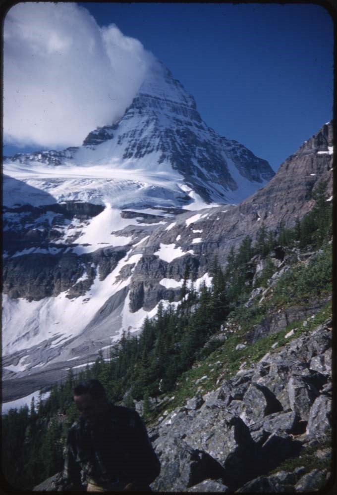
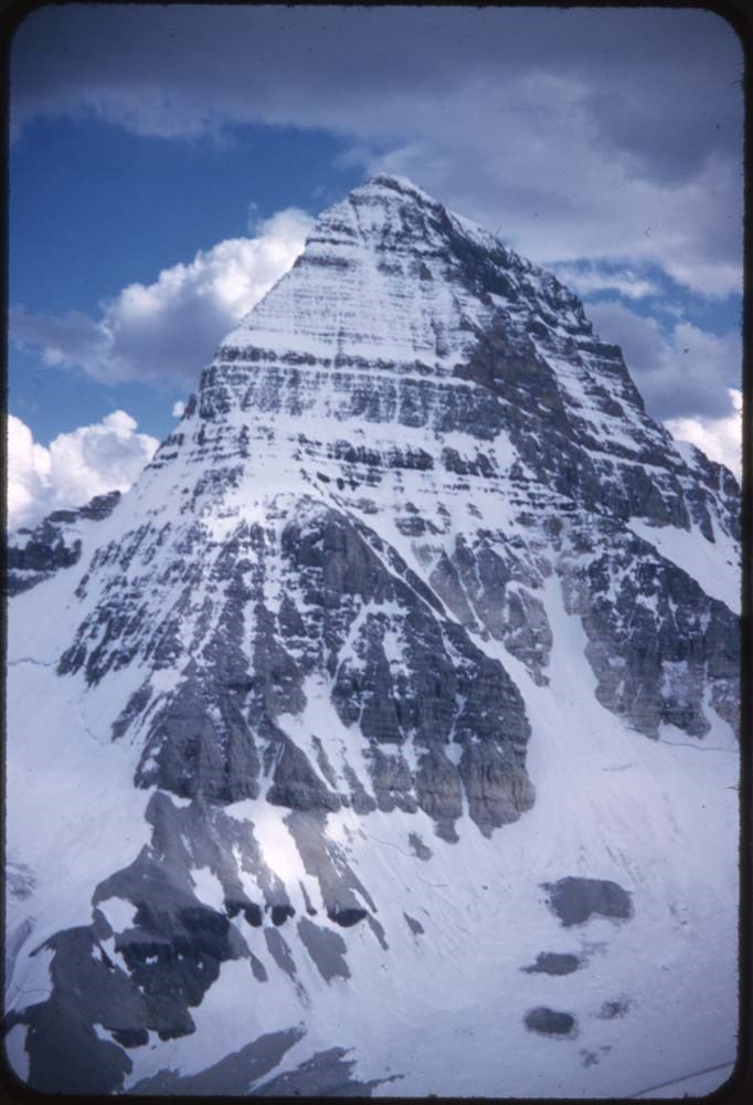
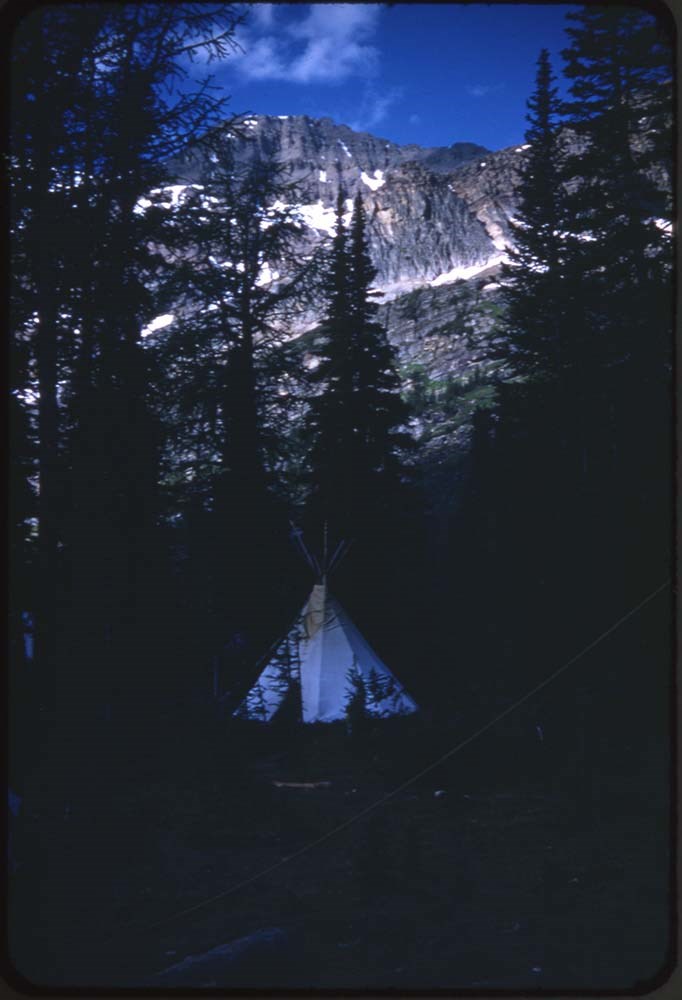
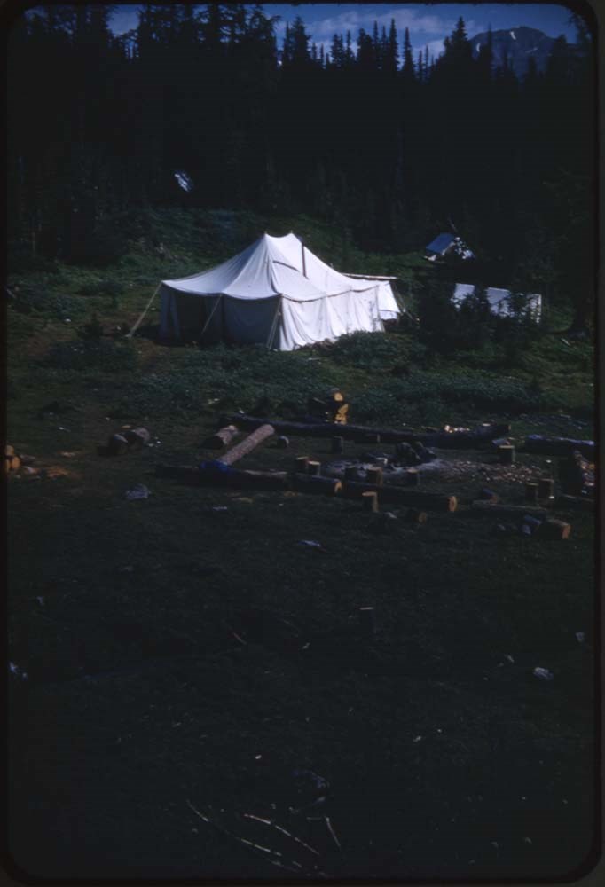
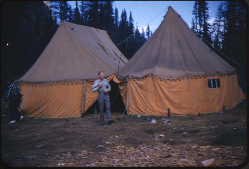
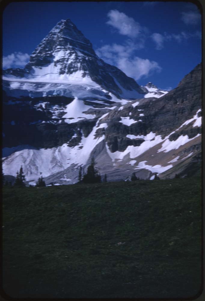
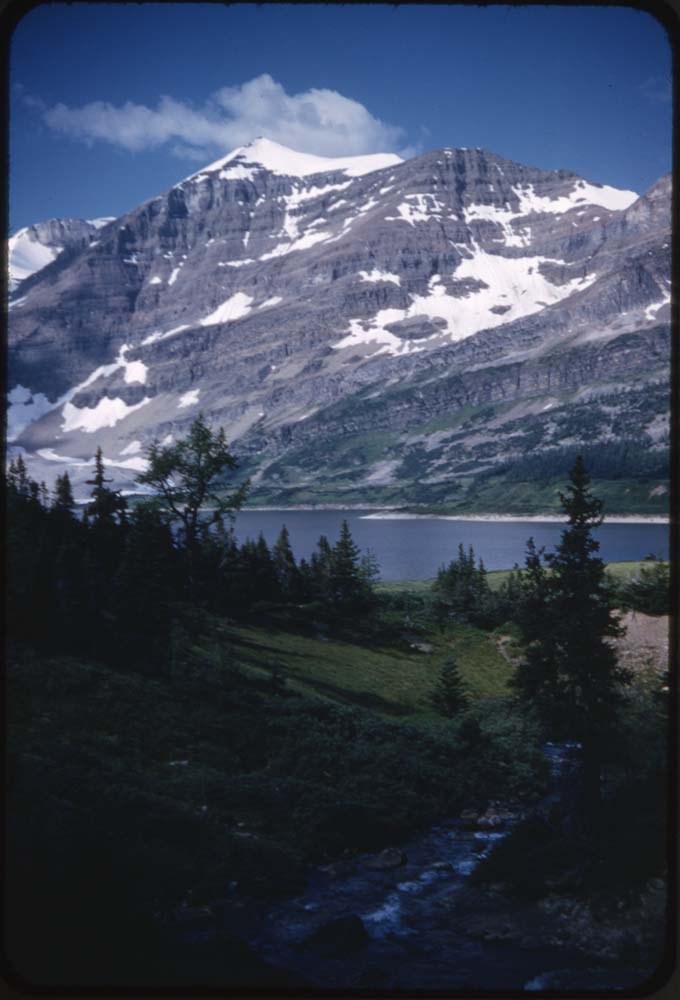
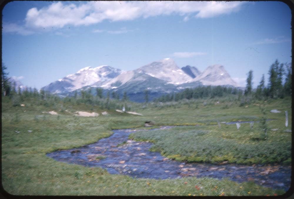
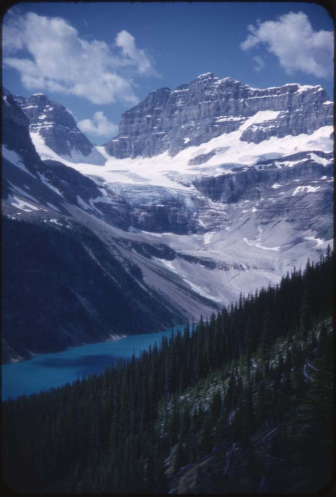
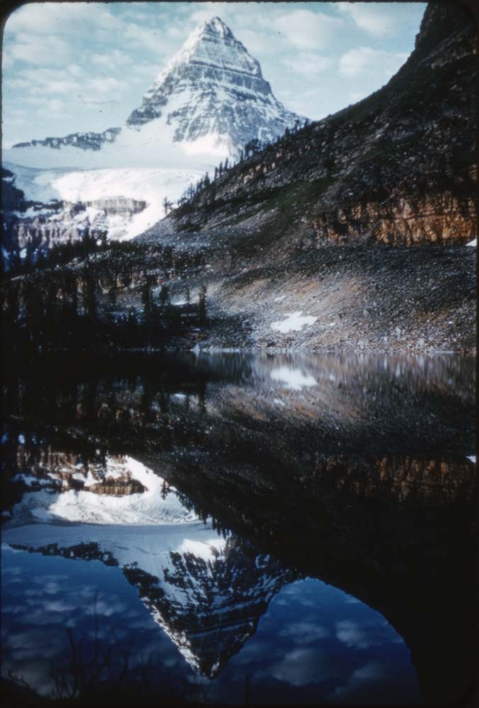
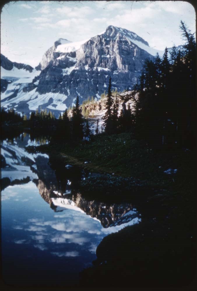
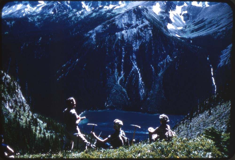
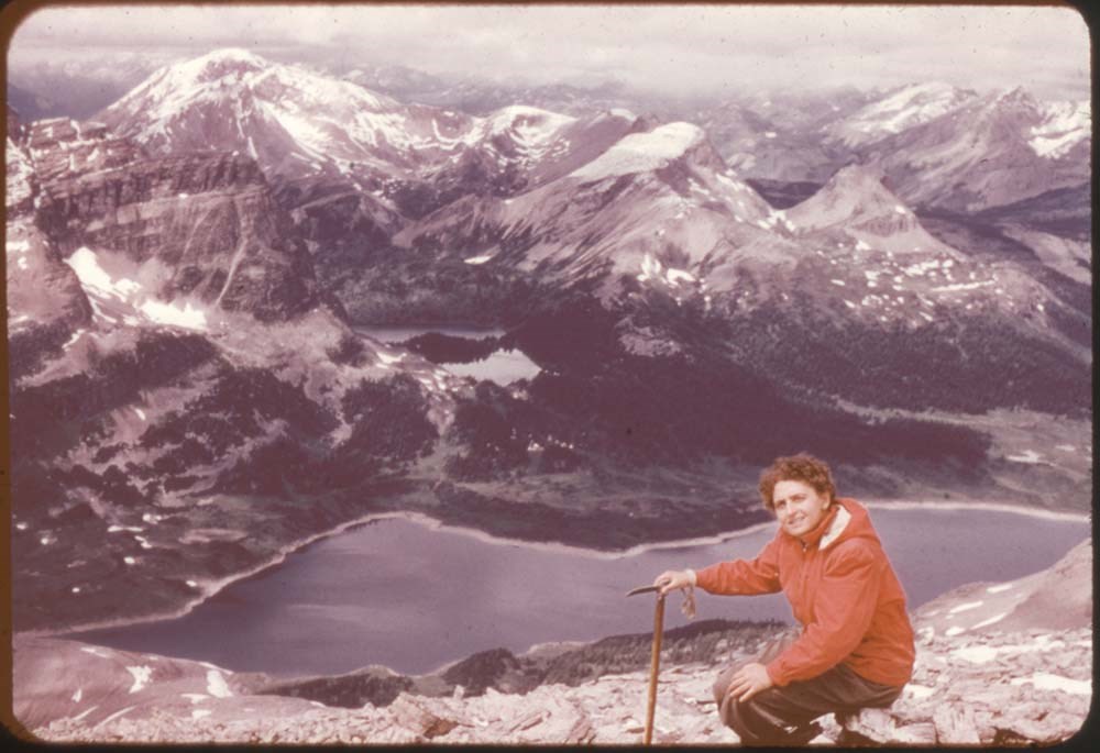
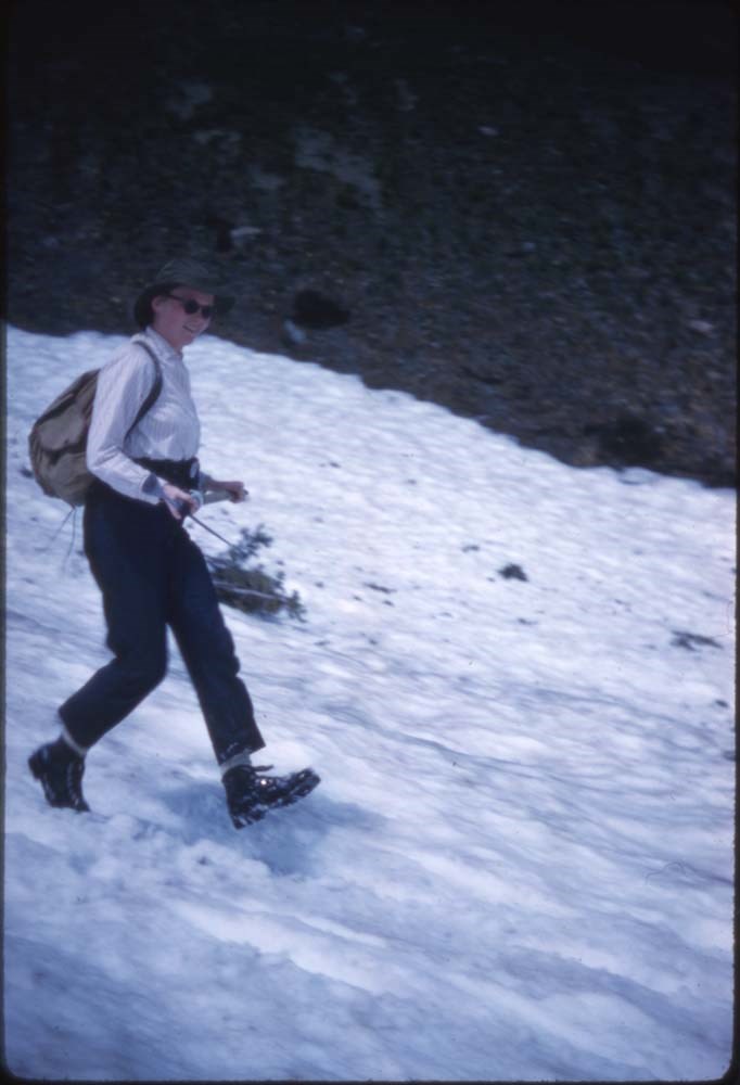
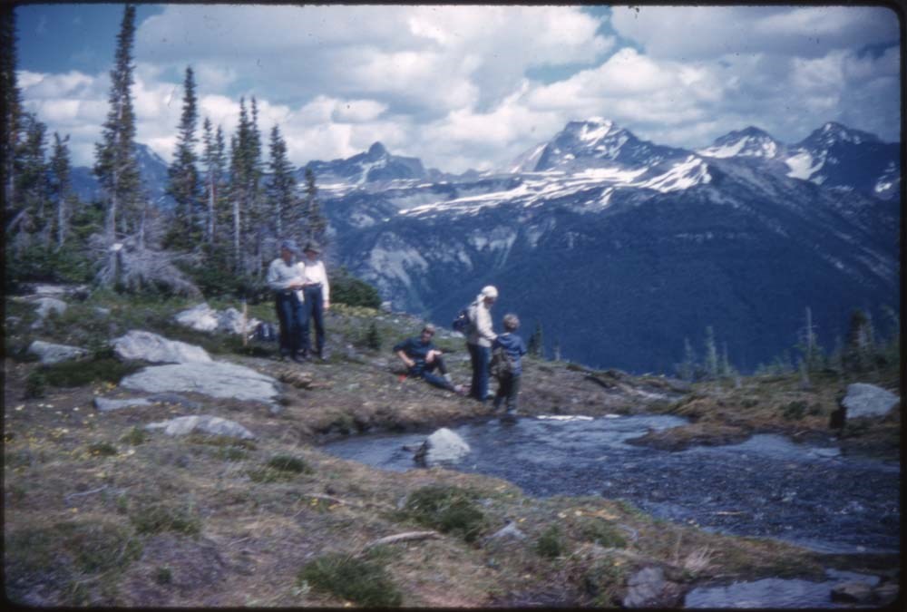
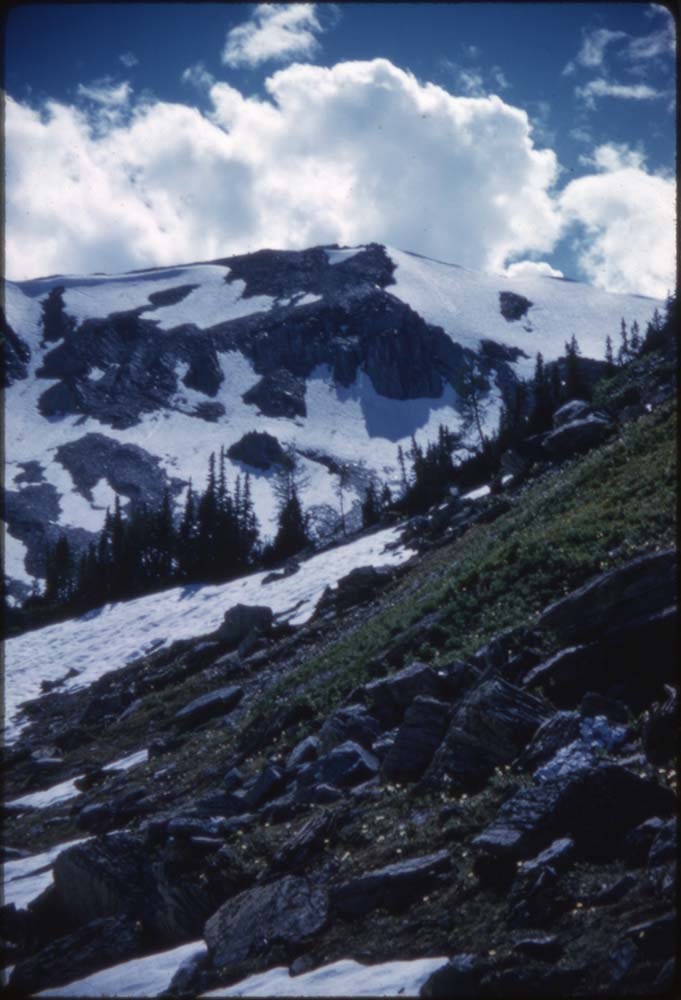
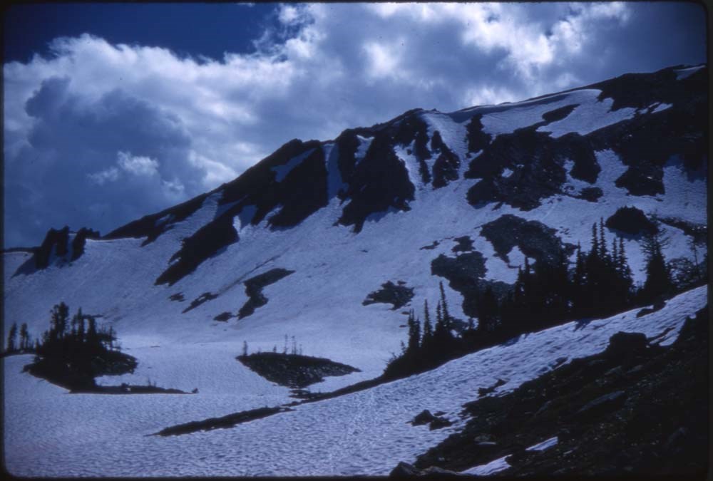
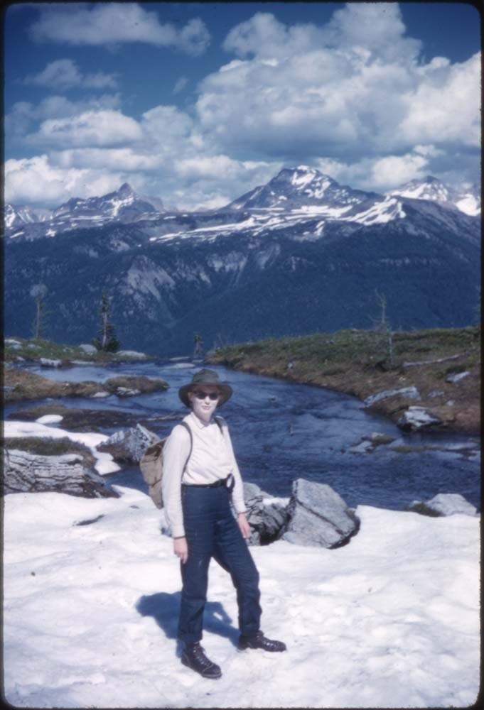
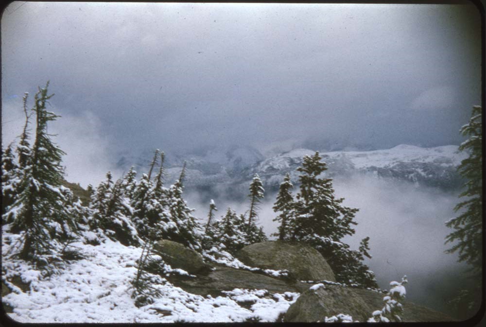
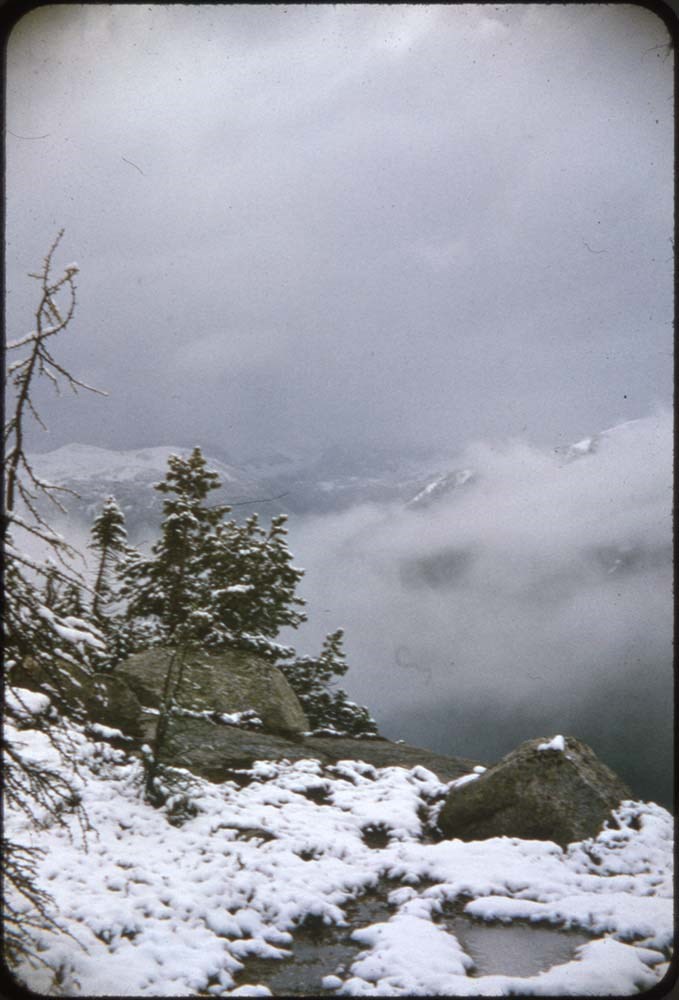
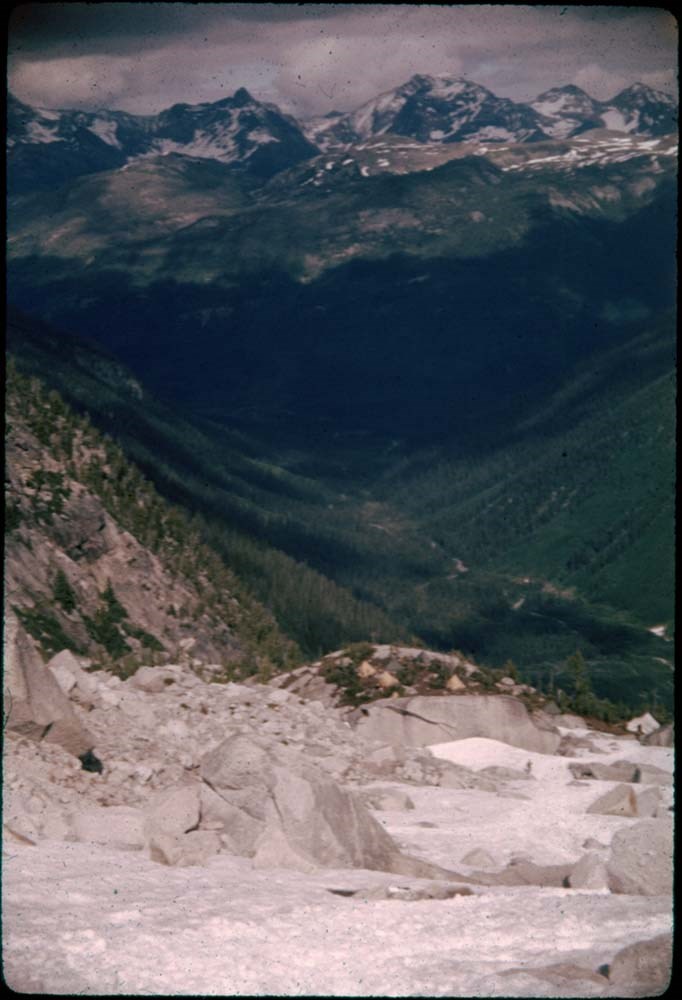
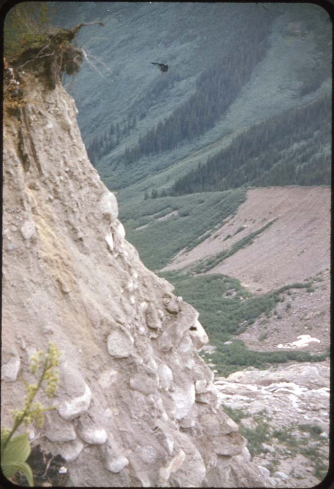
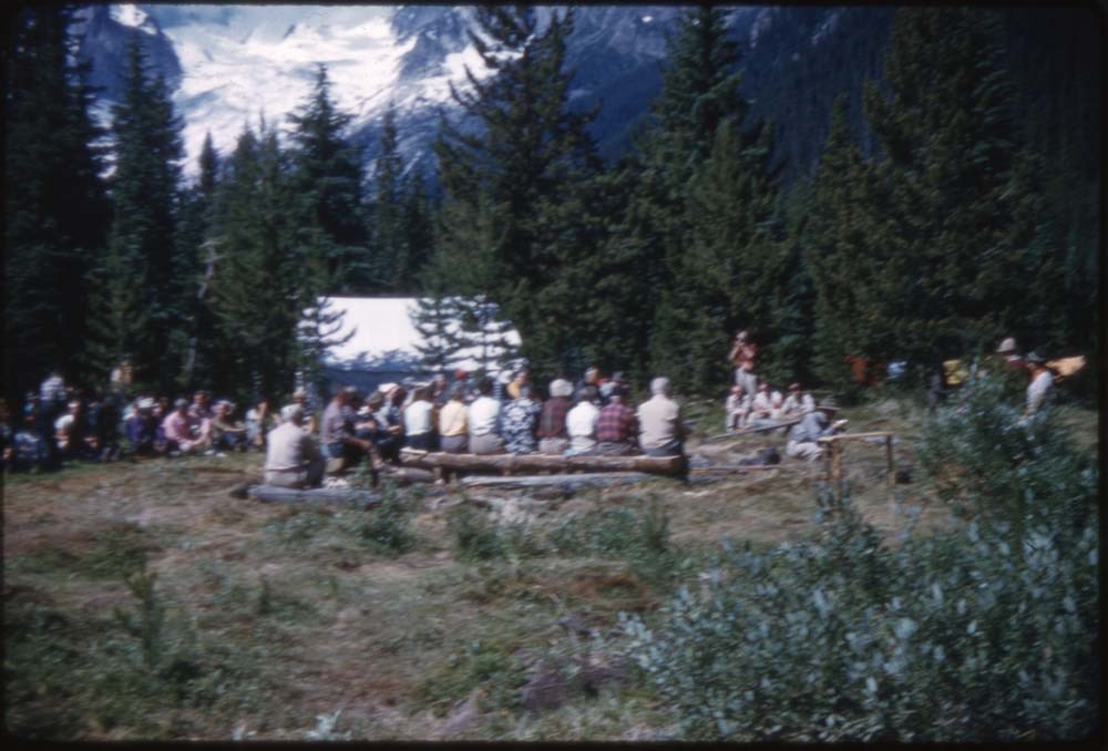
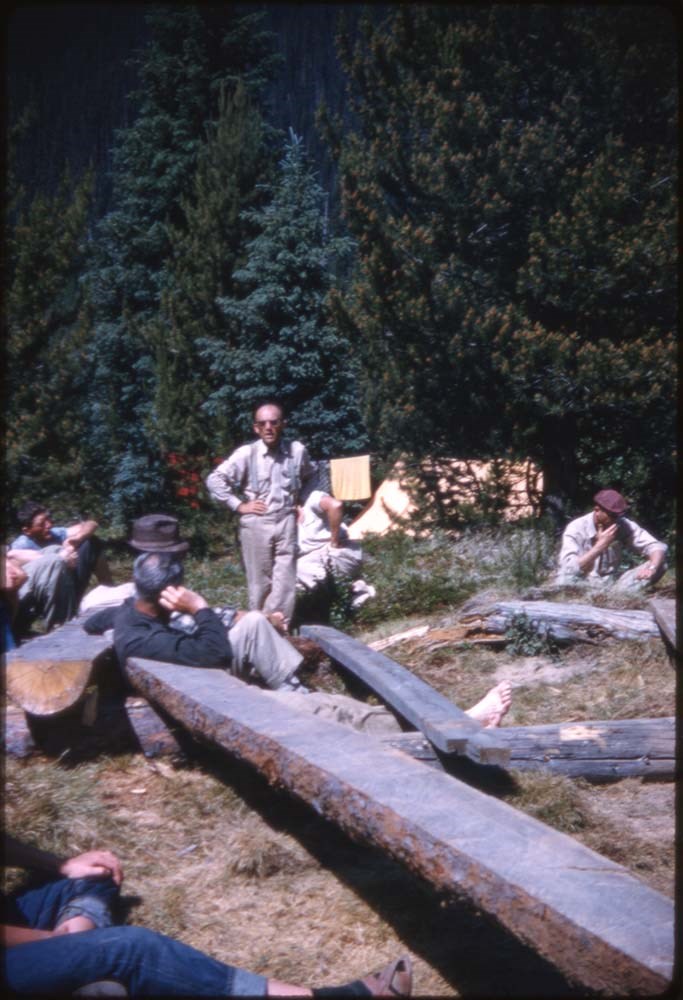
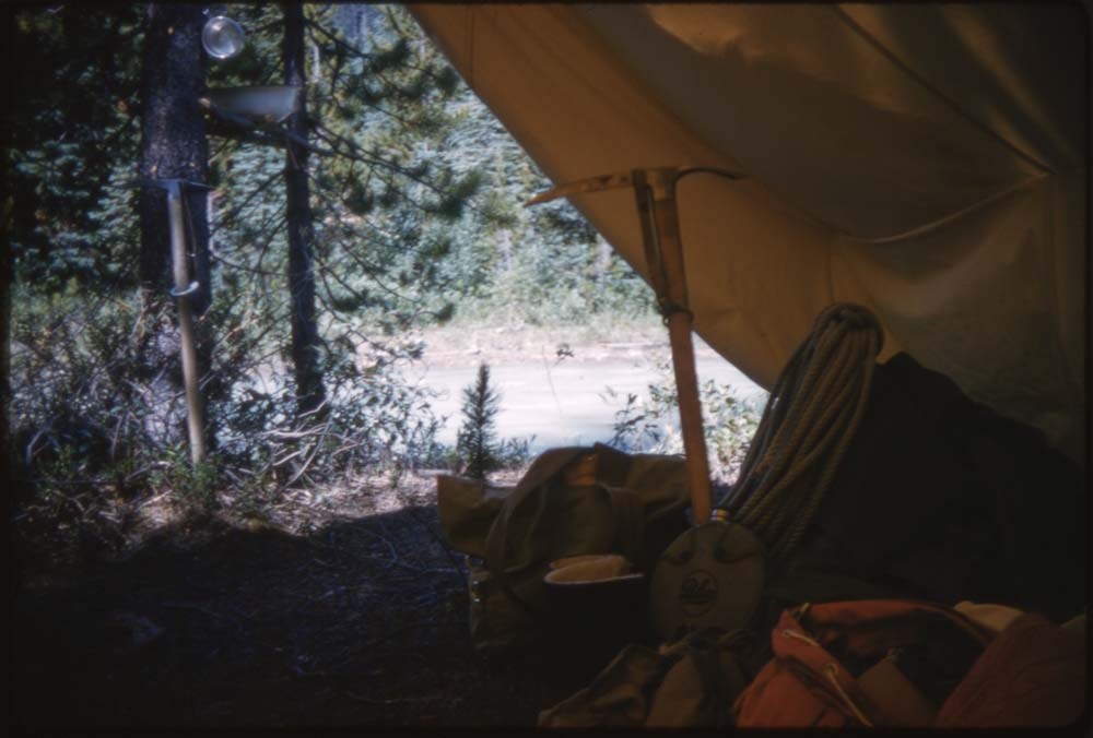
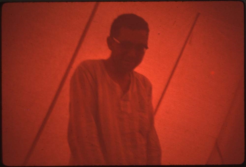
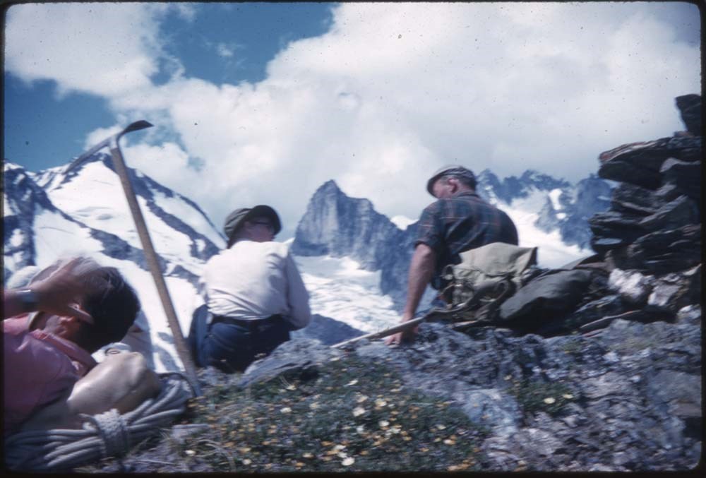
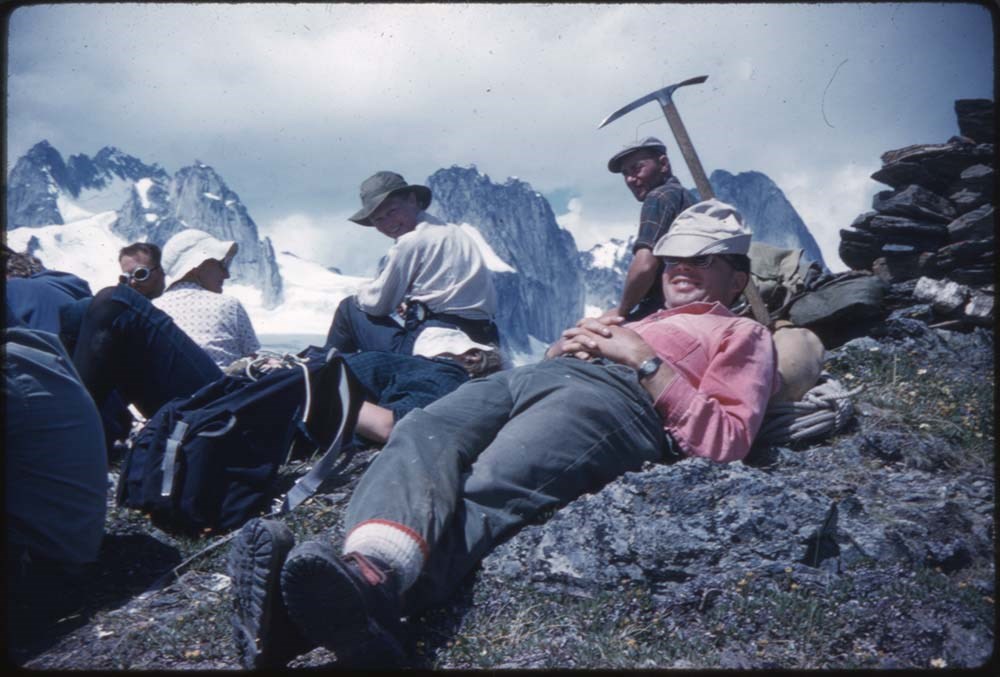
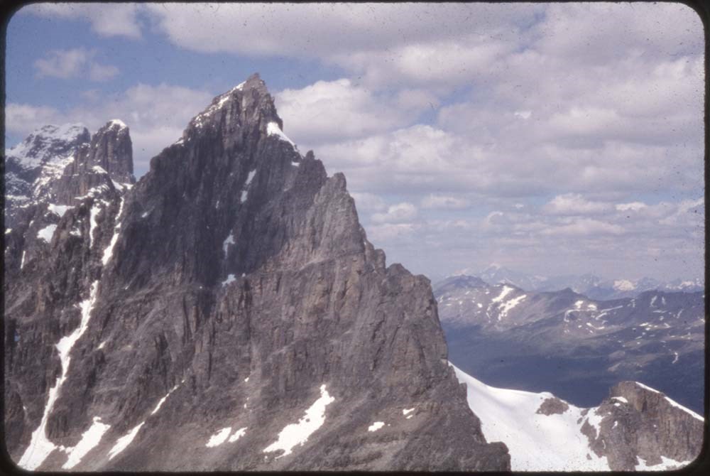
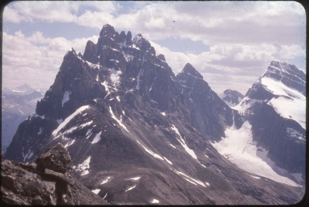
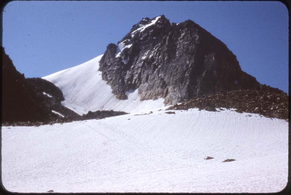
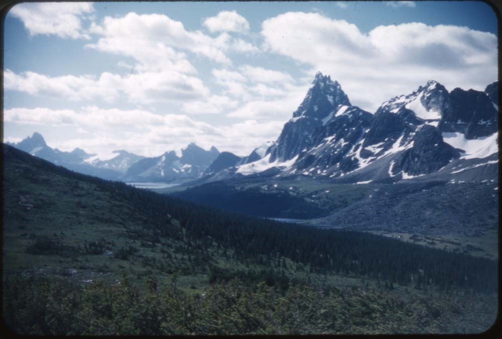
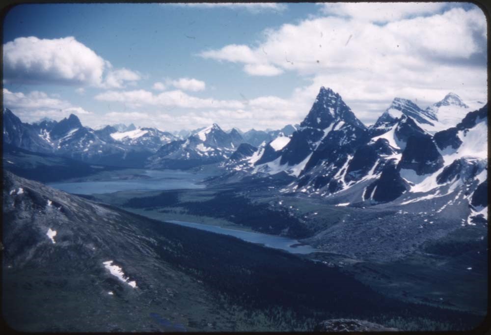
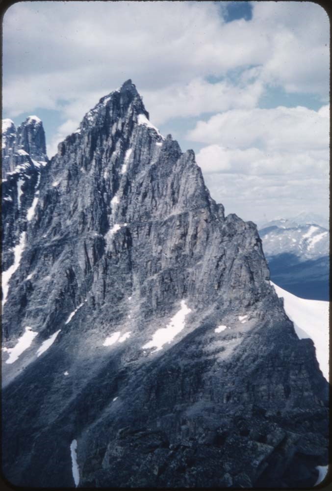
- File pertains to 132 35 mm slides depictiong Alpine Club of Canada Camps from 1950, 1951, 1952, and 1960, consisting mostly of shots of people hiking, climbing, and mountaineering in and around the Lake O'Hara and Mt. Assiniboine areas. Contents include: 1950 - Maligne (1-19) 1951 - Lake O'Hara (21…
- Date Range
- 1950-1960
- Reference Code
- V106 / NS - 01 to NS - 132
- Description Level
- 5 / File
- GMD
- Photograph
- Transparency
132 images
- Part Of
- Bill Goodrich fonds
- Description Level
- 5 / File
- Fonds Number
- V106
- Sous-Fonds
- V106
- Accession Number
- 7765
- Reference Code
- V106 / NS - 01 to NS - 132
- Date Range
- 1950-1960
- Physical Description
- 132 photographs : col. slides ; 35 mm
- History / Biographical
- See fonds level description.
- Scope & Content
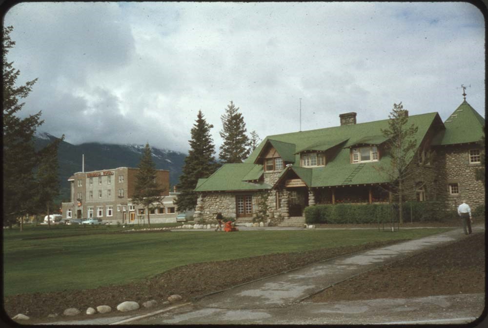
- File pertains to 132 35 mm slides depictiong Alpine Club of Canada Camps from 1950, 1951, 1952, and 1960, consisting mostly of shots of people hiking, climbing, and mountaineering in and around the Lake O'Hara and Mt. Assiniboine areas. Contents include: 1950 - Maligne (1-19) 1951 - Lake O'Hara (21-69) 1952 - Mt. Assiniboine (71-124) 1952 - Mt. Assiniboine from Monica & Dudley (126-129) 1950 - Sent to [Bill Goodrich] from '50 Maligne Camp, [Bill Goodrich] on trail to glacier (131) 1960 - B-J HWY (Sent to [Bill Goodrich]) Mt. Saskatchewan (133) Mt. Chephren (134) Athabaska River (135) Pyramid Mt. (136) Athabaska Hotel (137)
- Name Access
- Alpine Club of Canada
- Goodrich, Bill
- Subject Access
- Activities
- Alpine Club of Canada
- Buildings
- Camping
- Camps
- Climbing
- Glaciers
- Hiking
- Lake O'hara
- Mountaineering
- Mountaineers
- Mountains
- Parks Canada
- Photography
- Portrait
- Scenery
- scenic
- Geographic Access
- Jasper
- Jasper National Park
- Alberta
- Lake O'Hara
- Yoho National Park
- Assiniboine
- Assiniboine Provincial Park
- British Columbia
- Language
- English
- Finding Aid
- No finding aid
- Creator
- Goodrich, Bill
- Title Source
- Title based on contents of fonds
- Processing Status
- Processed
Images


This material is presented as originally created; it may contain outdated cultural descriptions and
potentially offensive content.
Read more.
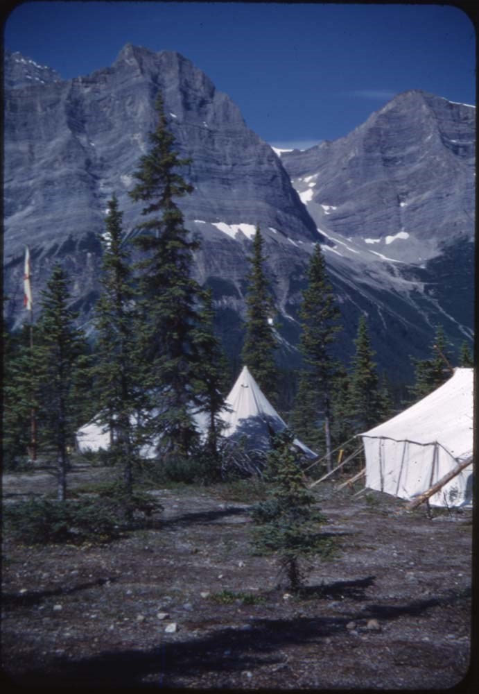
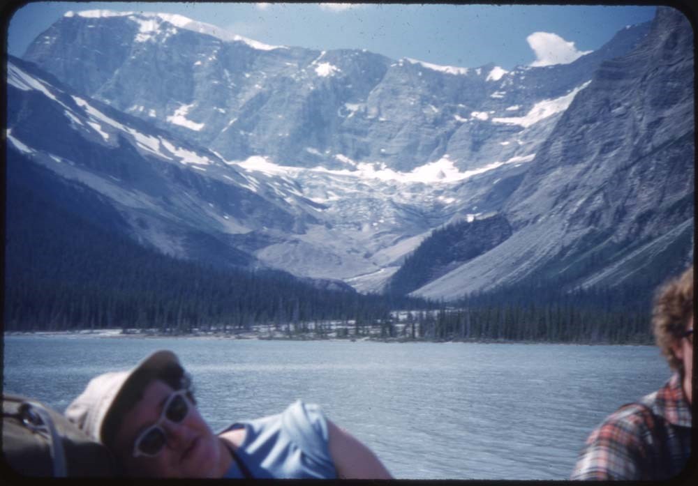
ACC Camps [3/3]
https://archives.whyte.org/en/permalink/descriptions57614
- Part Of
- Bill Goodrich fonds
- Scope & Content
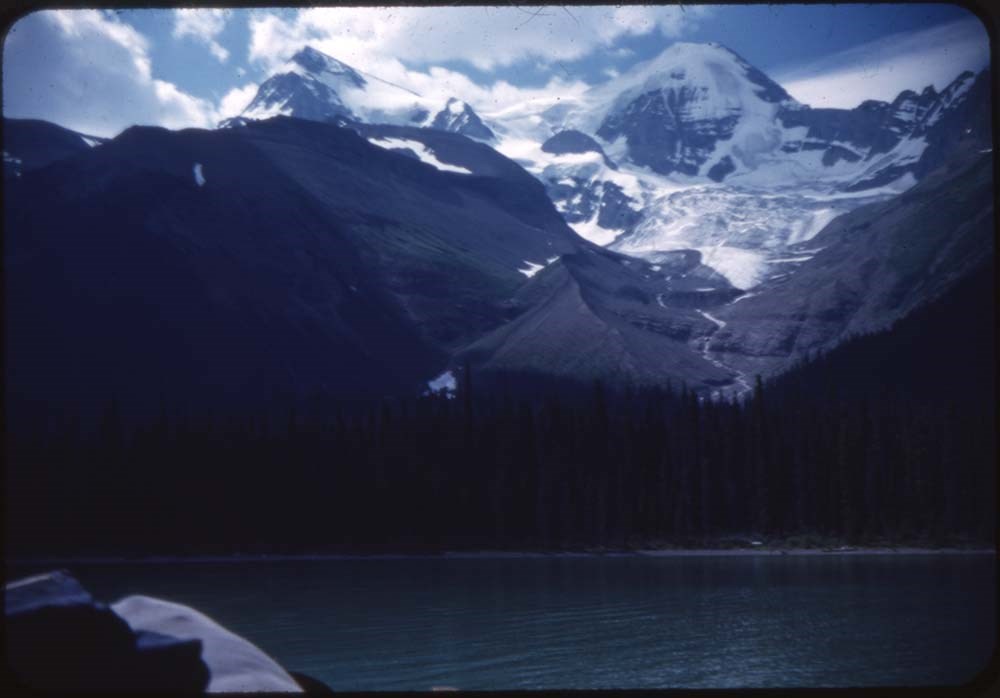
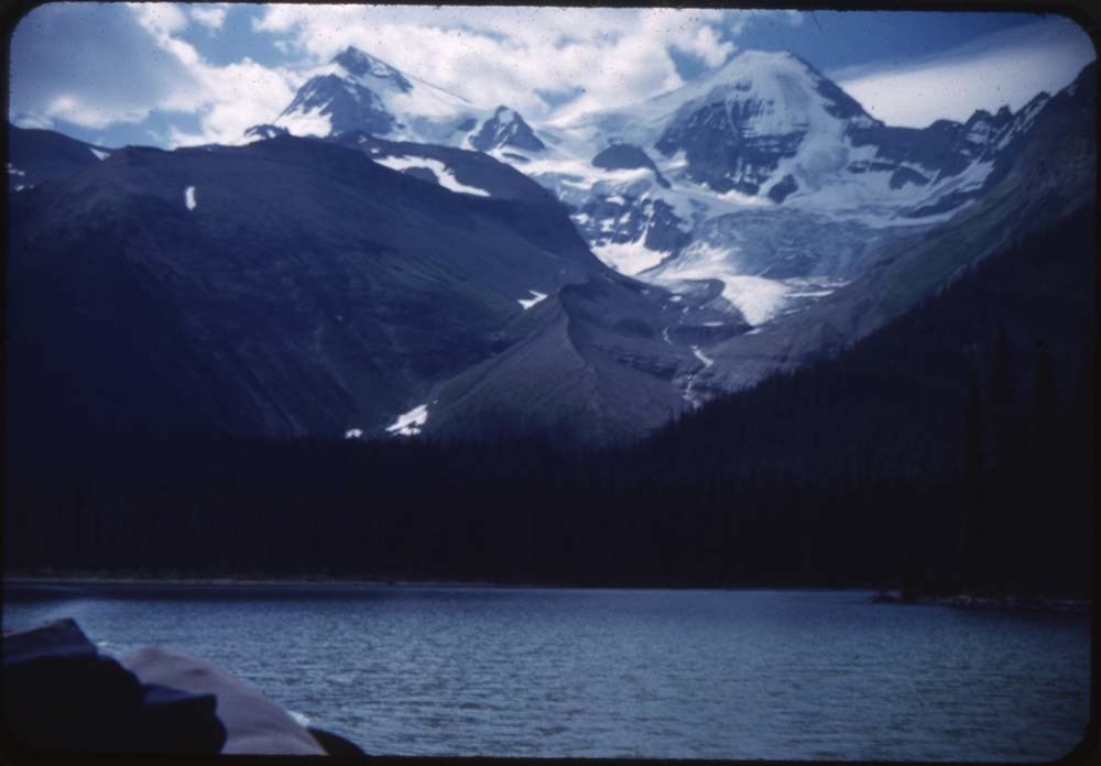
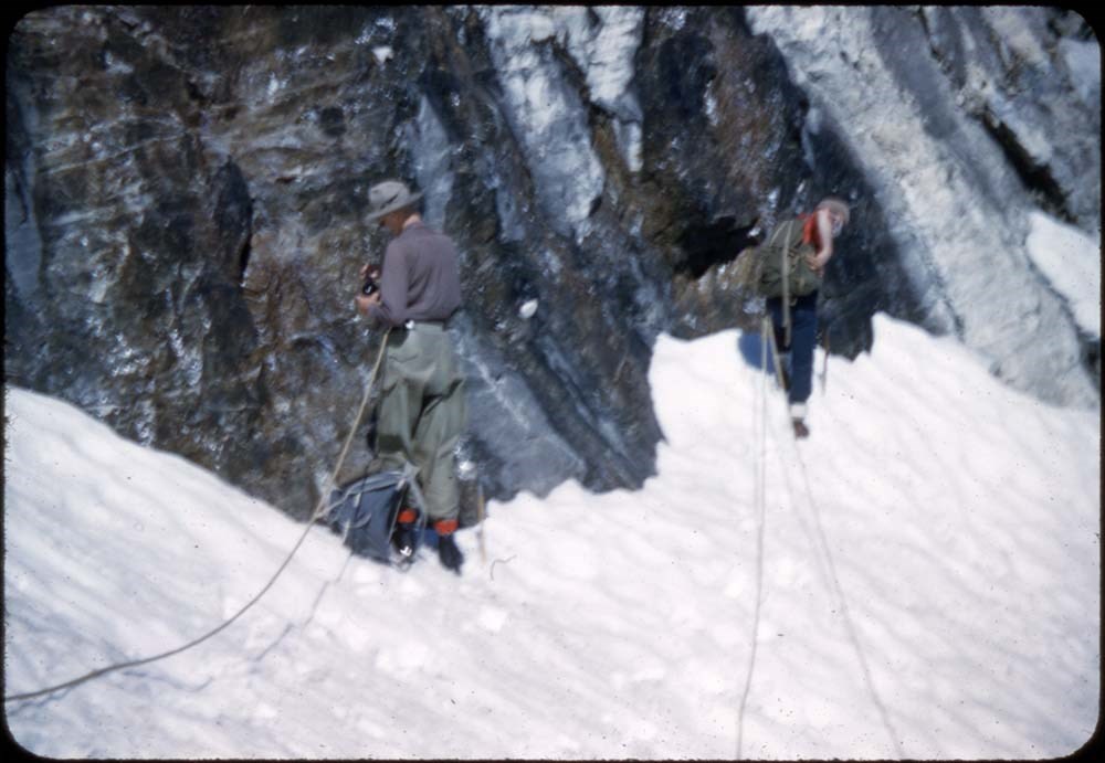
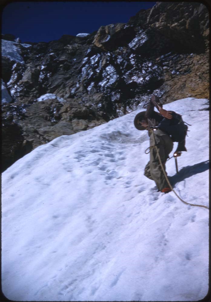
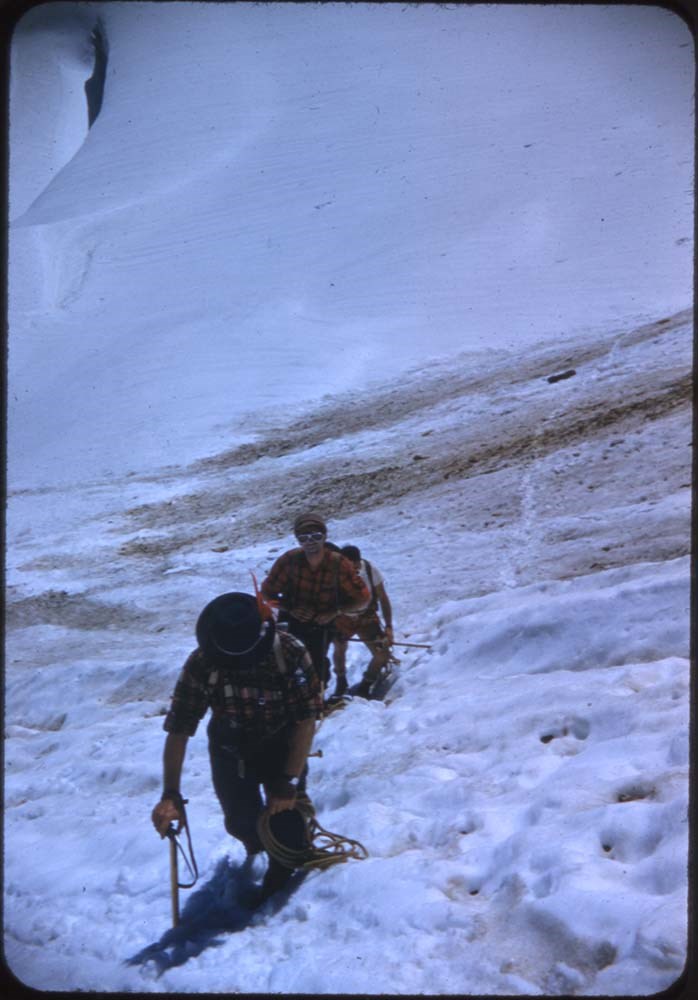
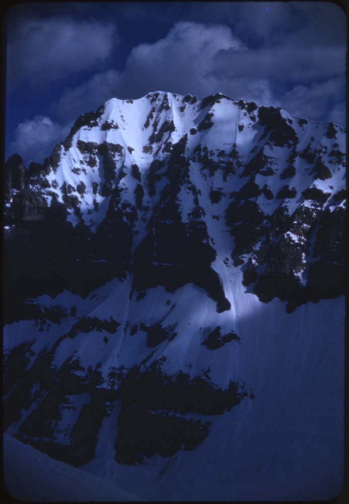
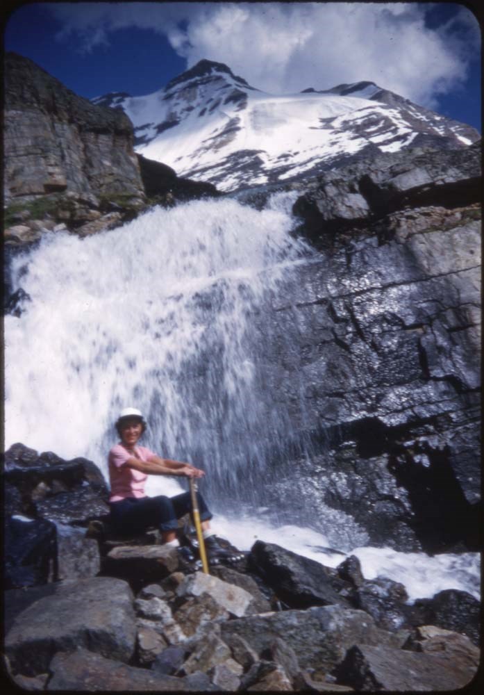
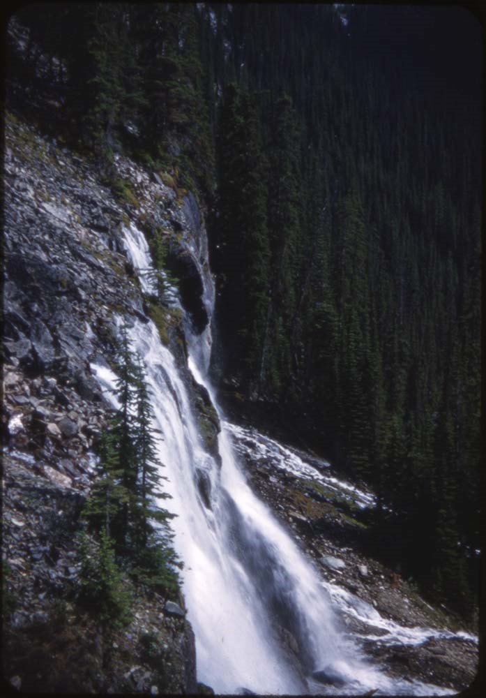
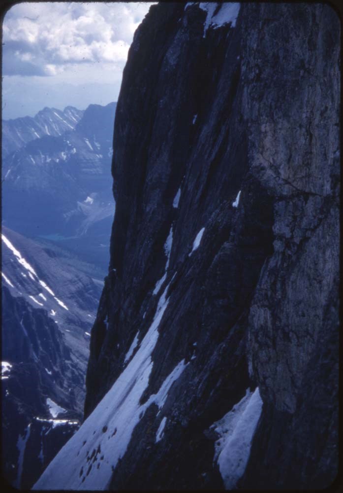
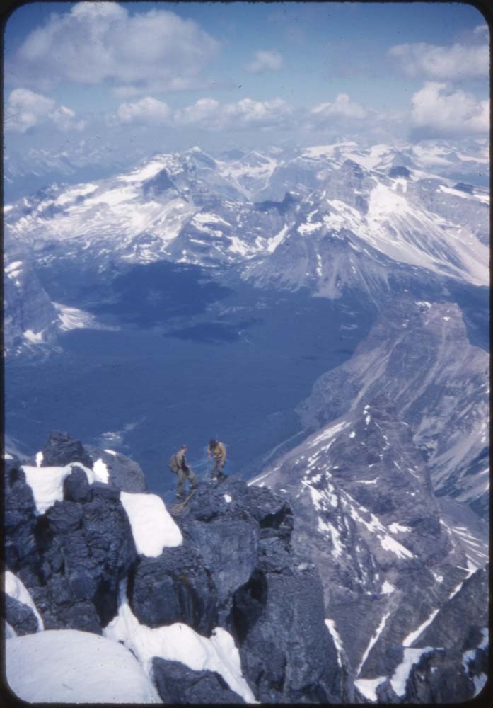
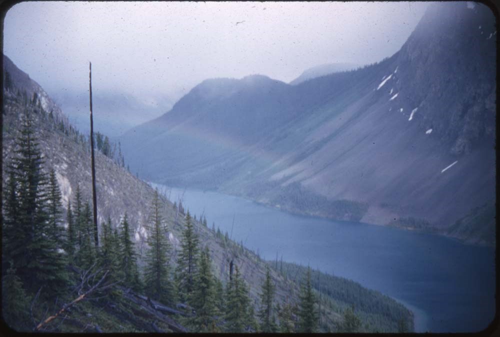
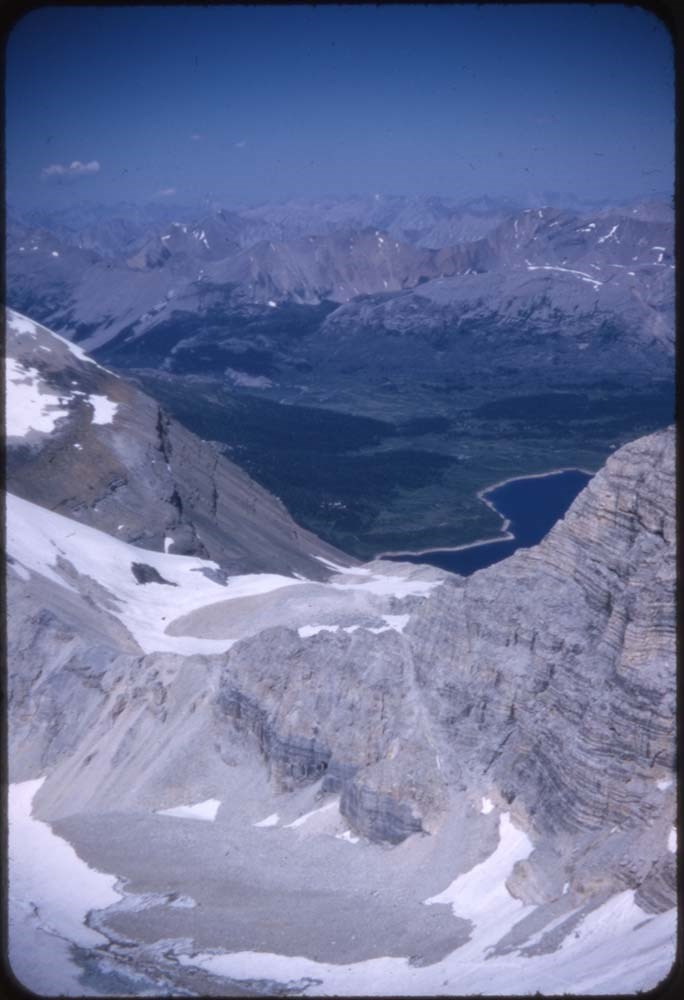
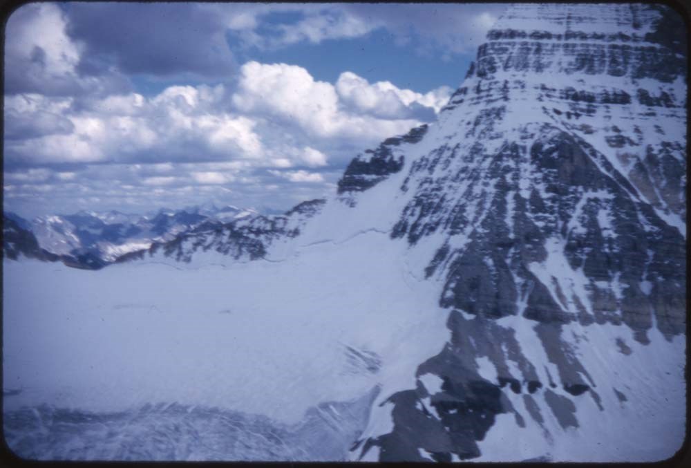
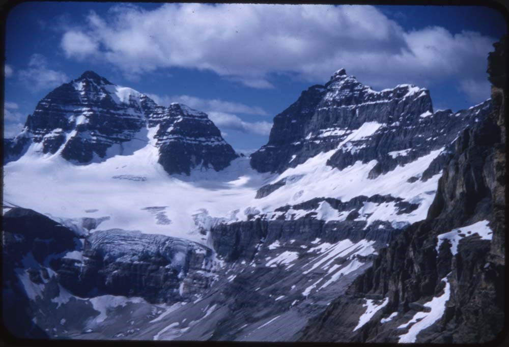
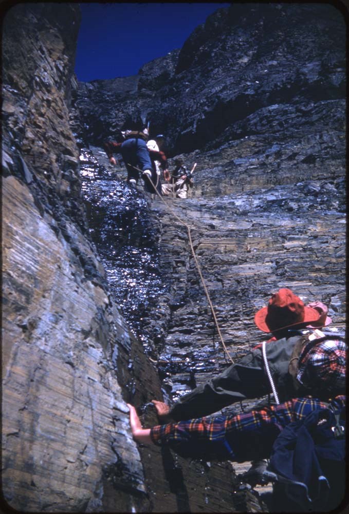
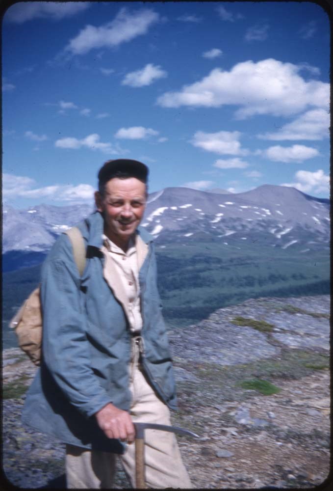
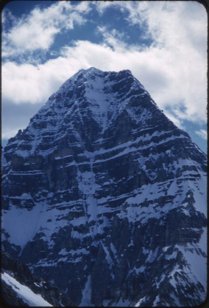
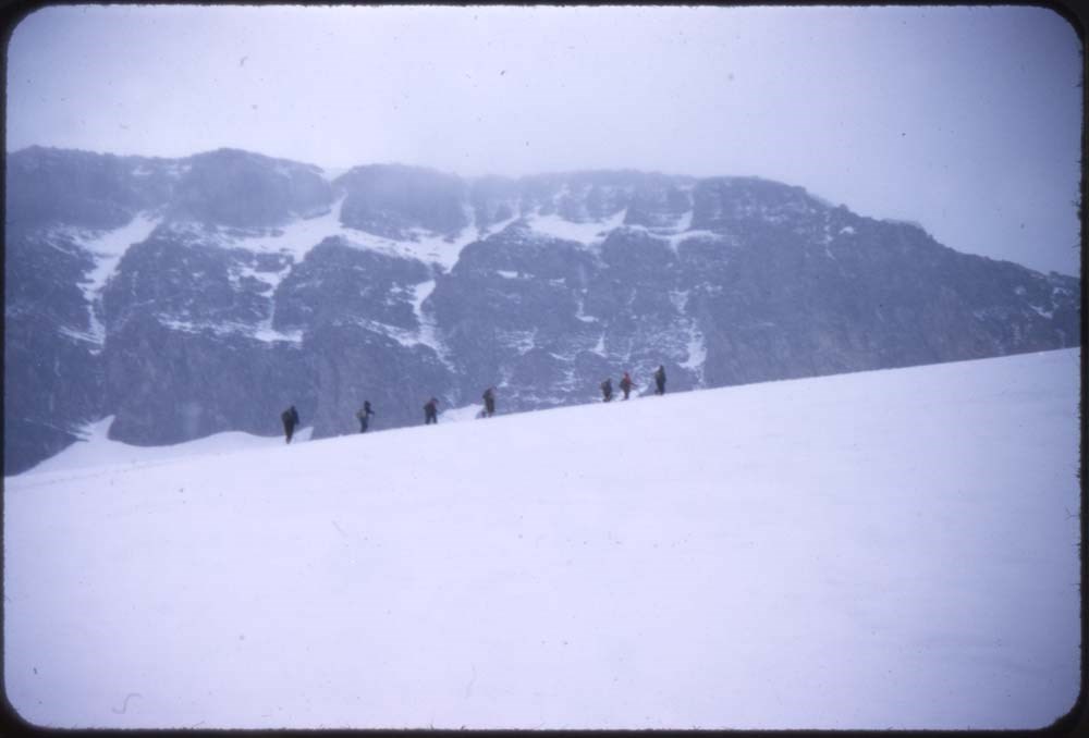
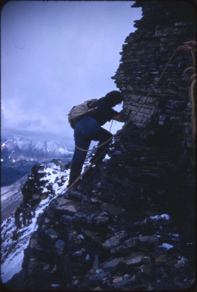
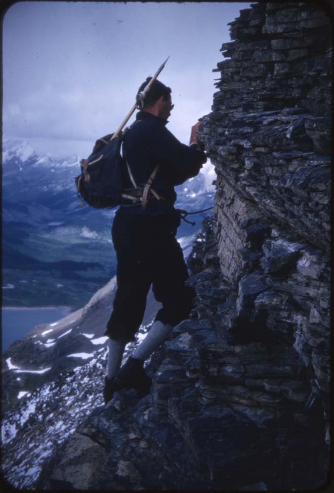
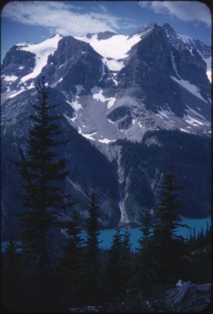
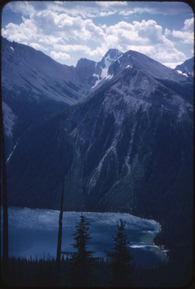
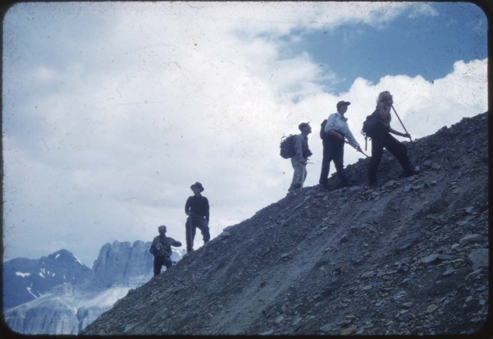
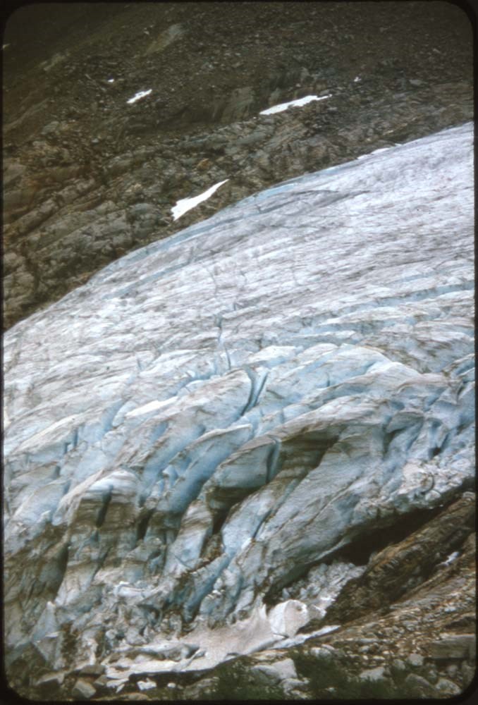
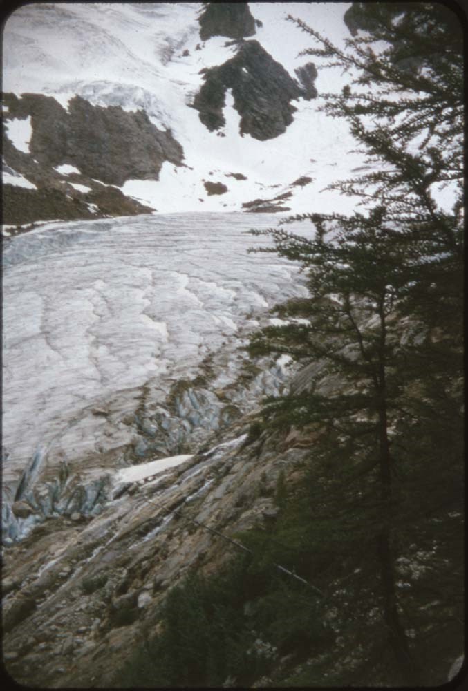
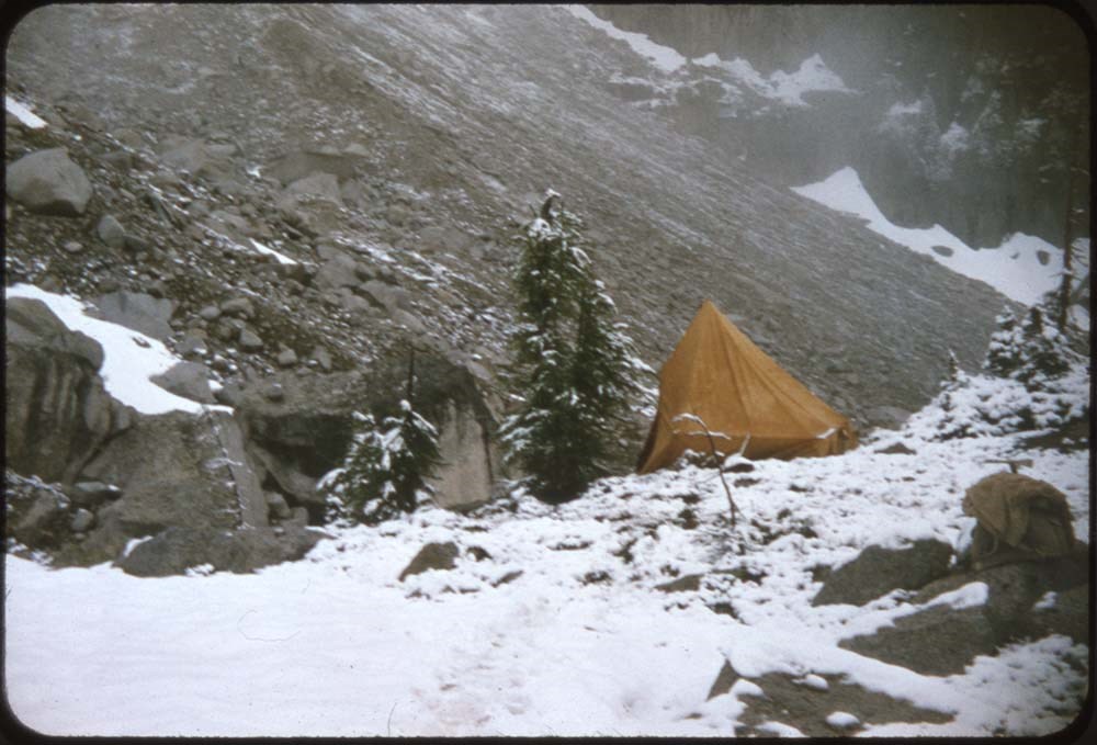
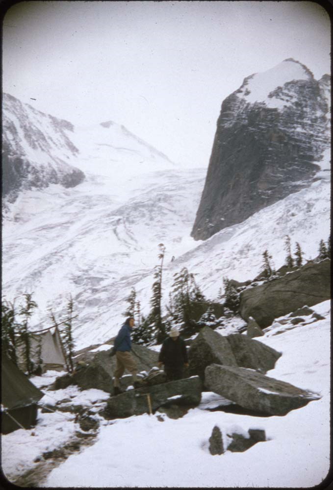
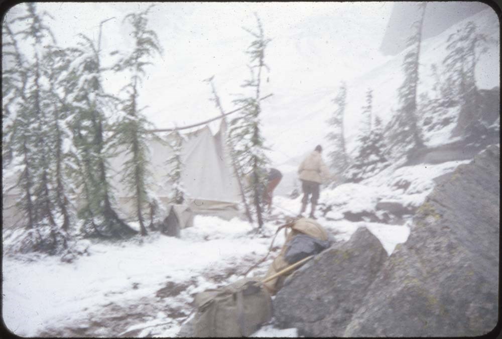
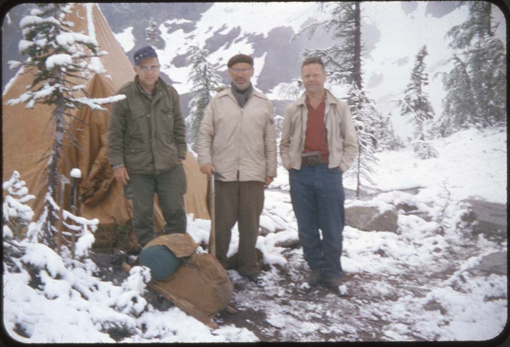
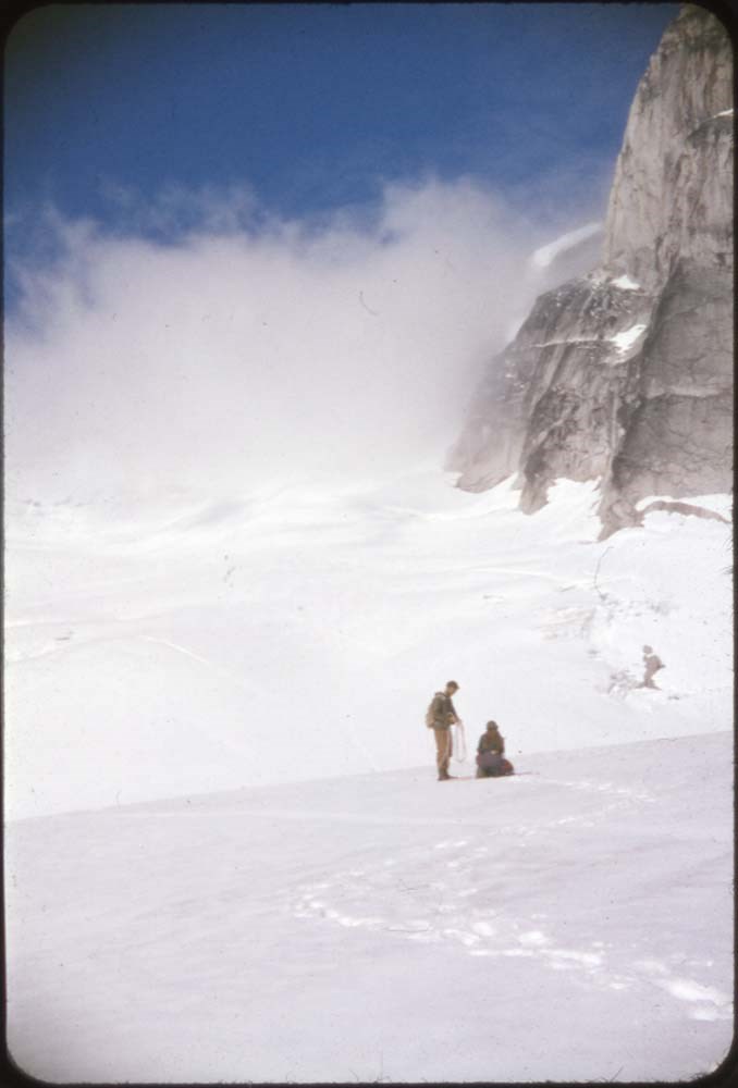
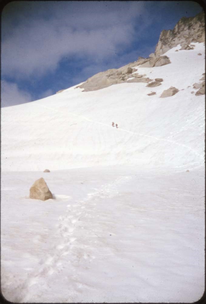
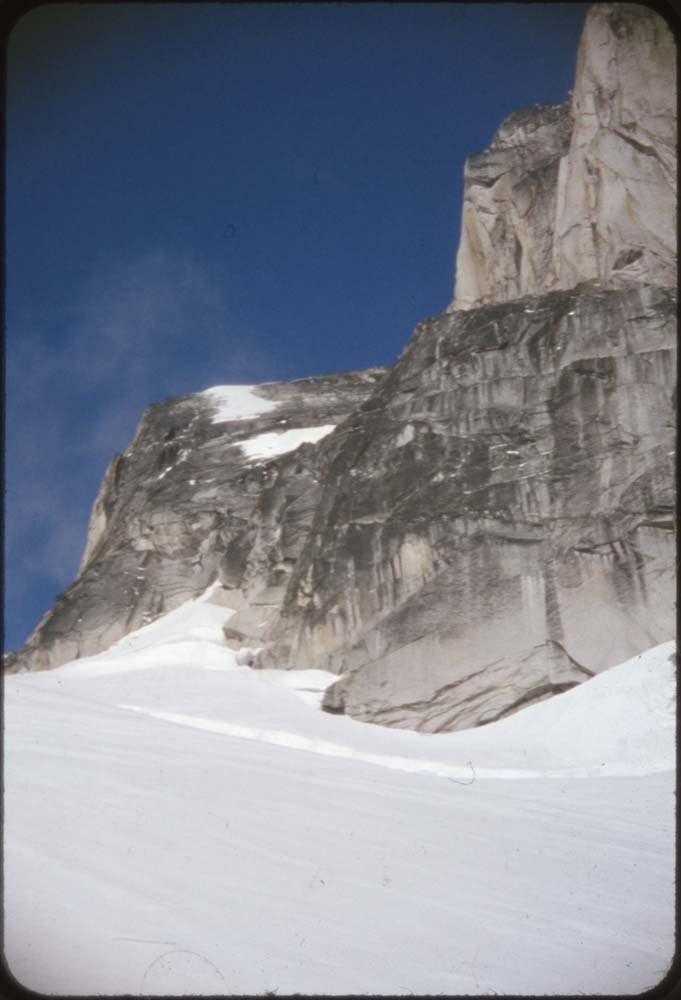
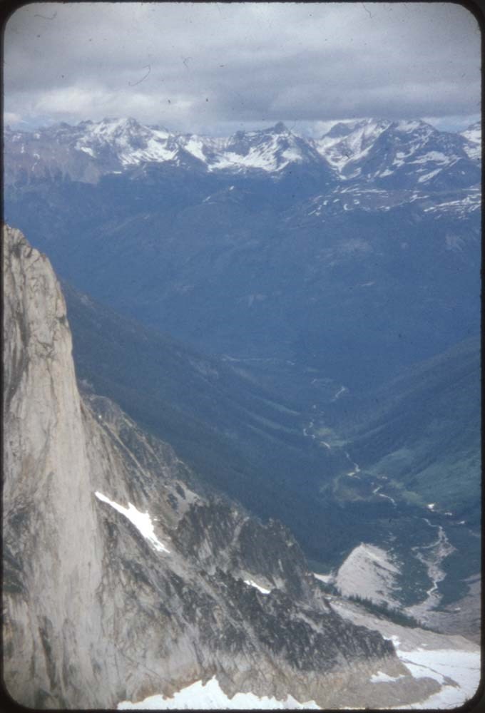
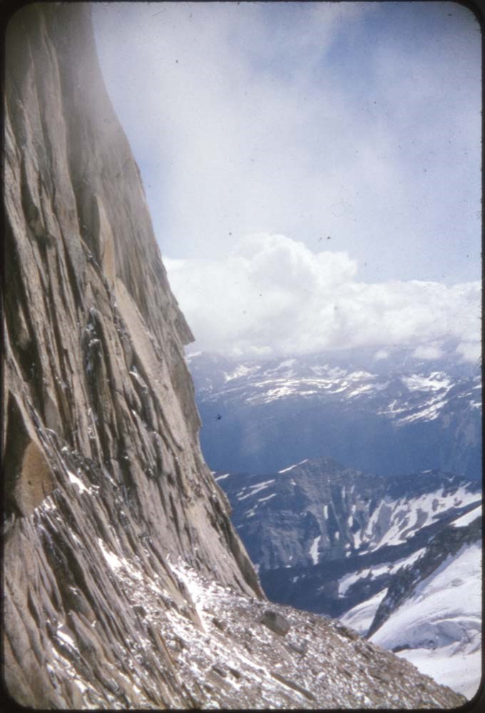
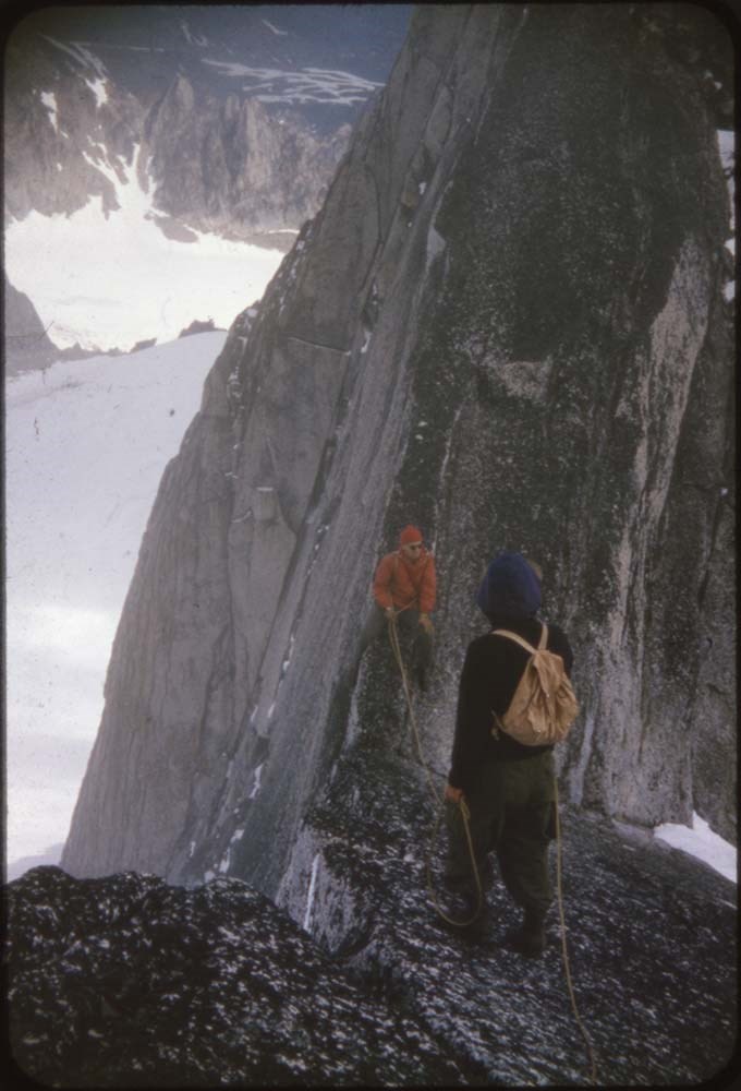
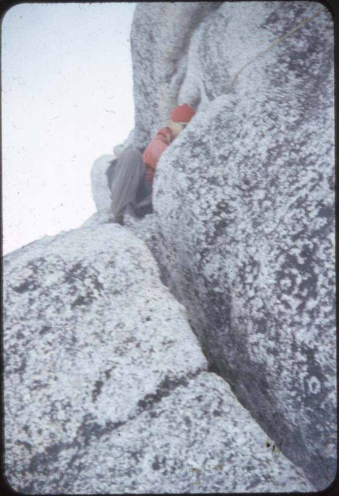
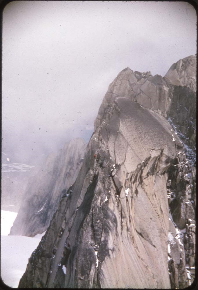
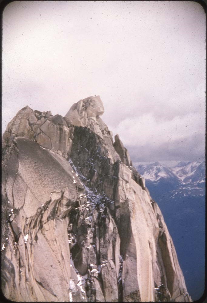
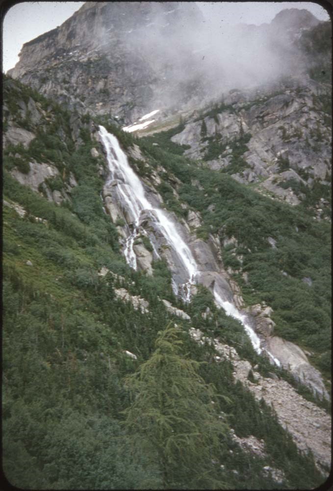
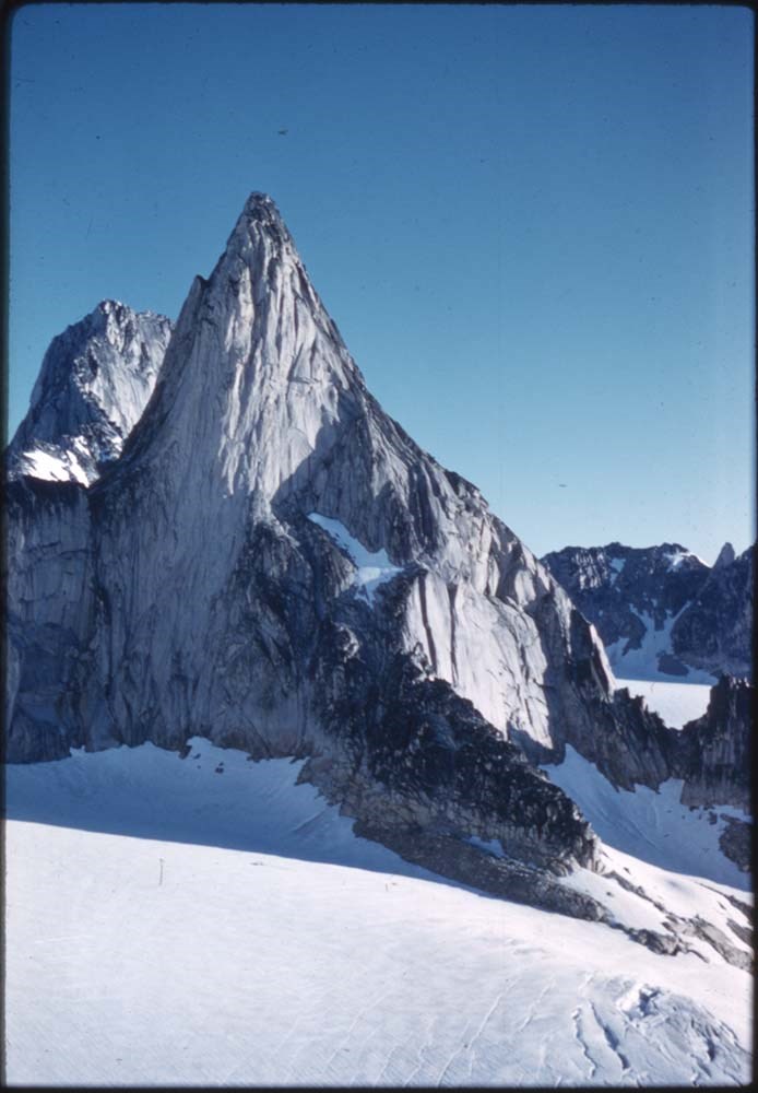
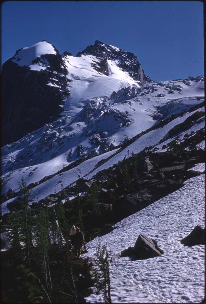
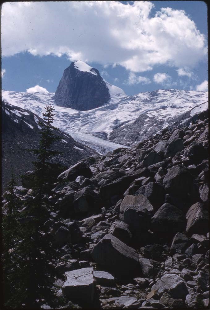
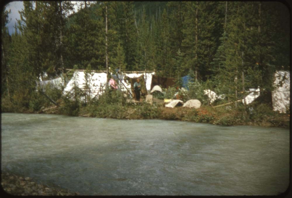
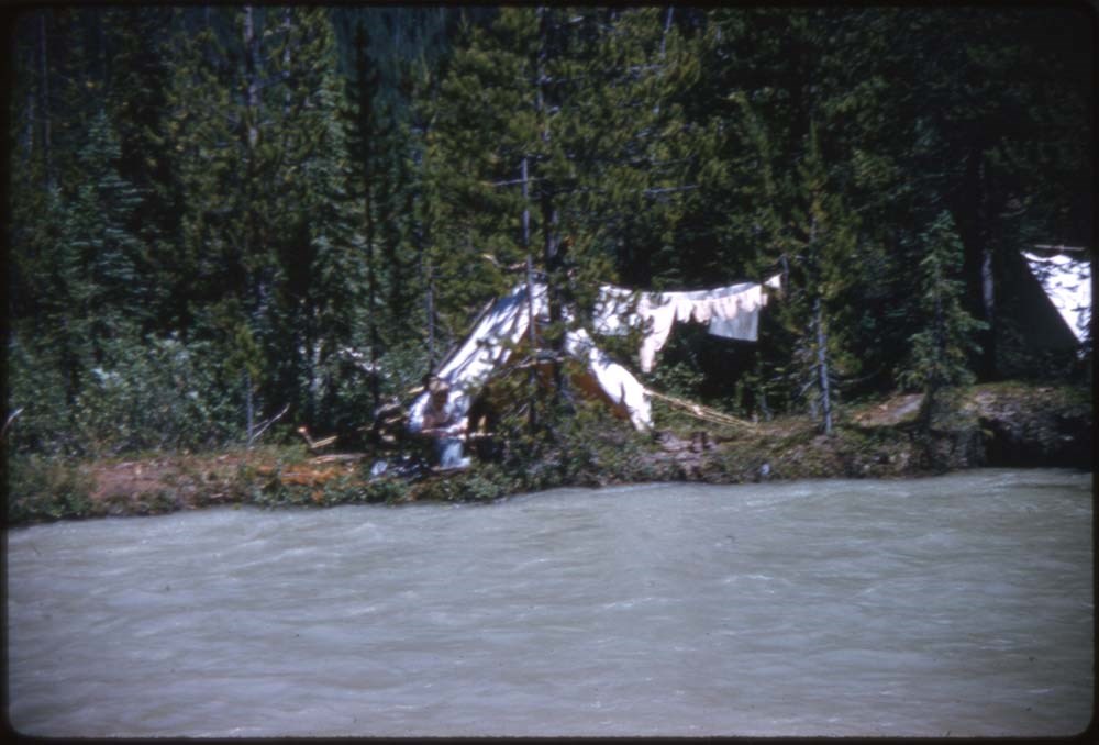
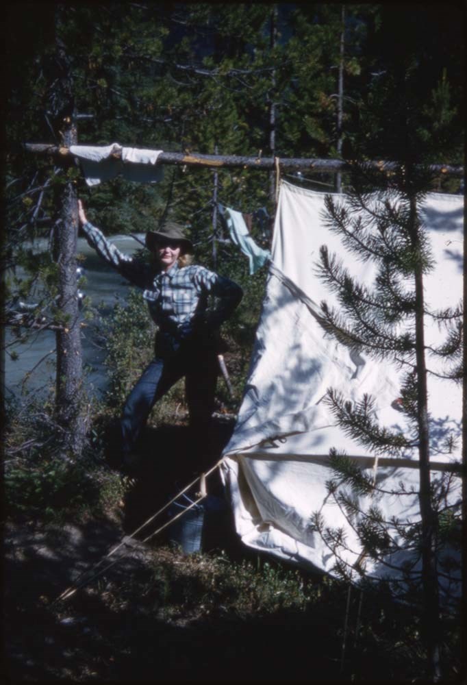
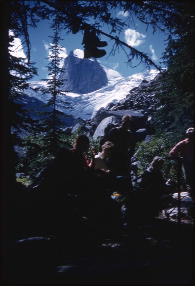
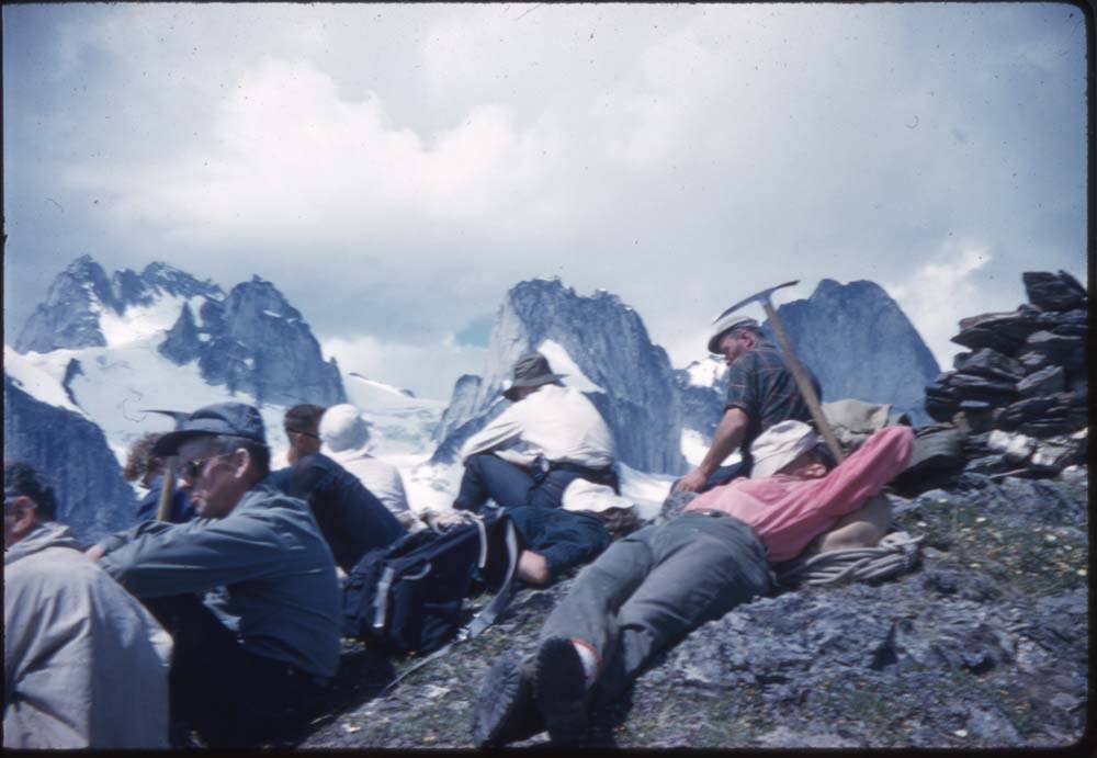
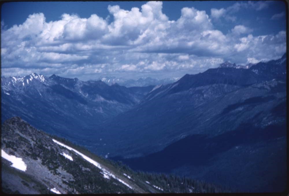
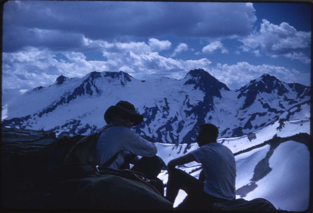
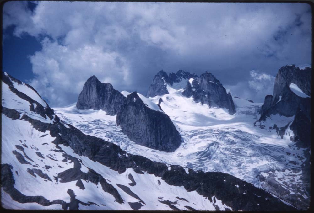
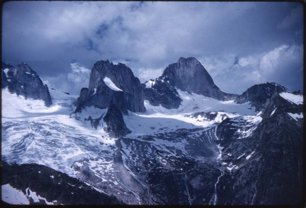
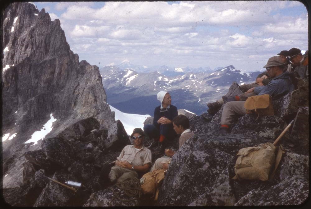
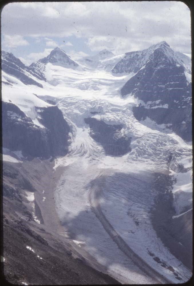
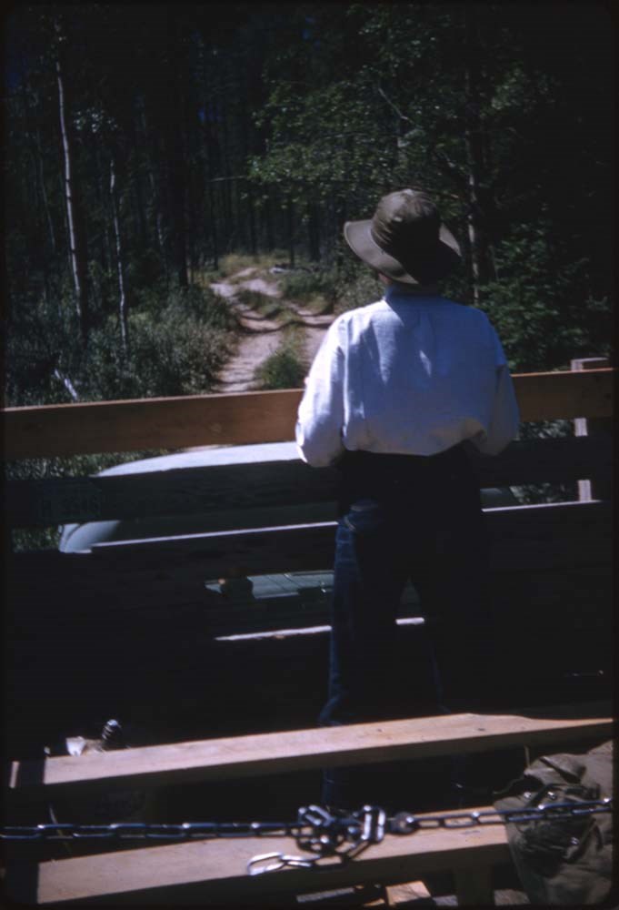
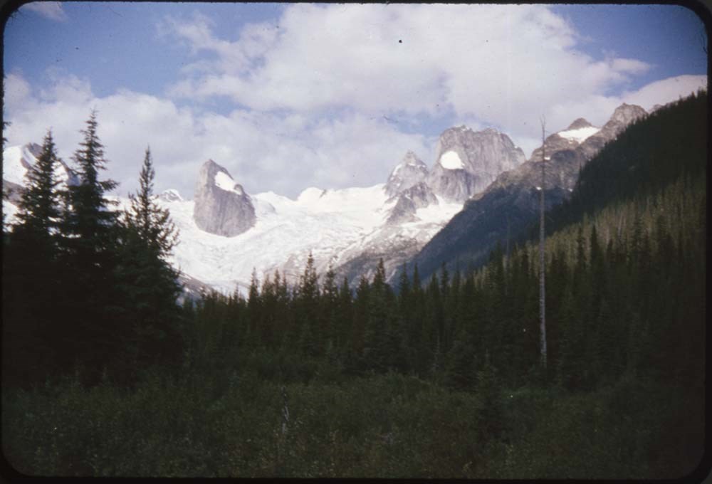
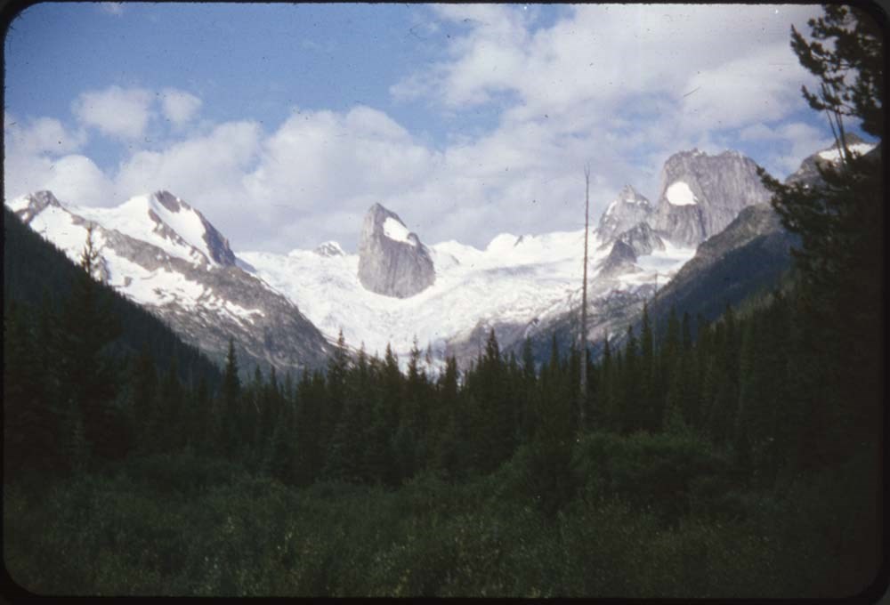
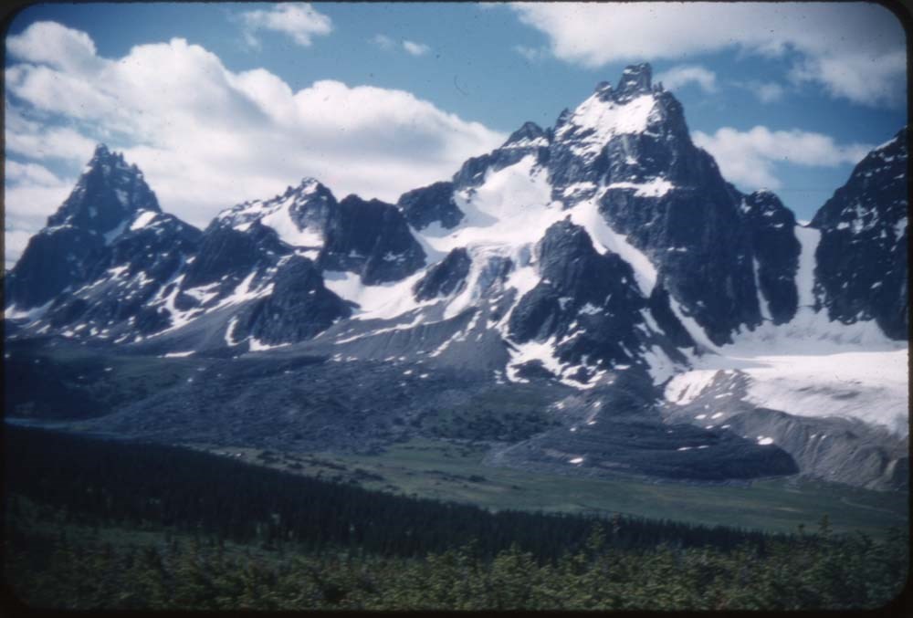
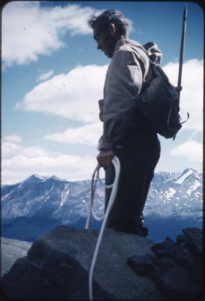
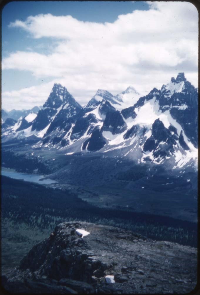
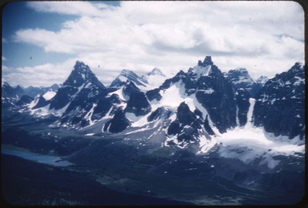
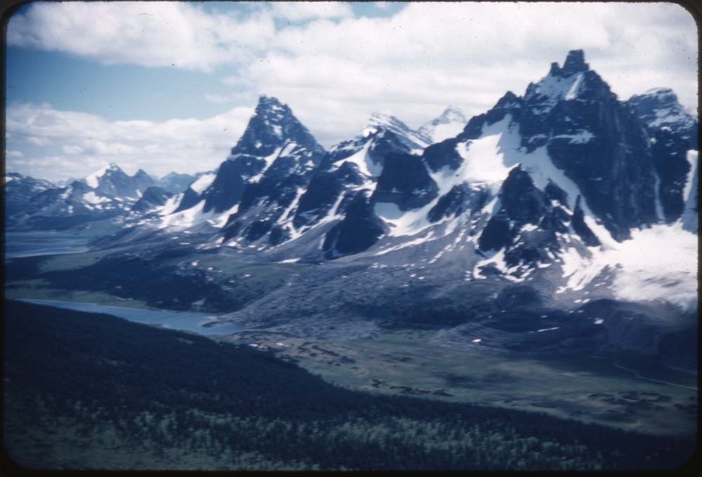
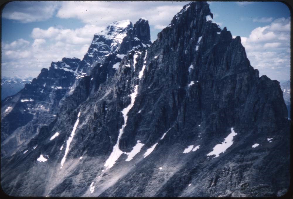
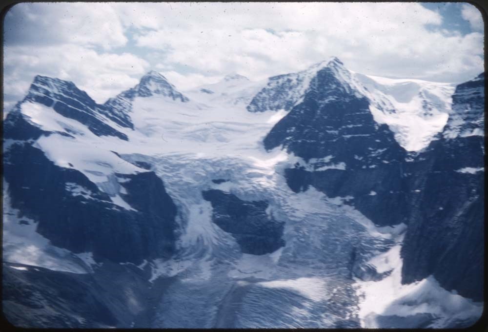
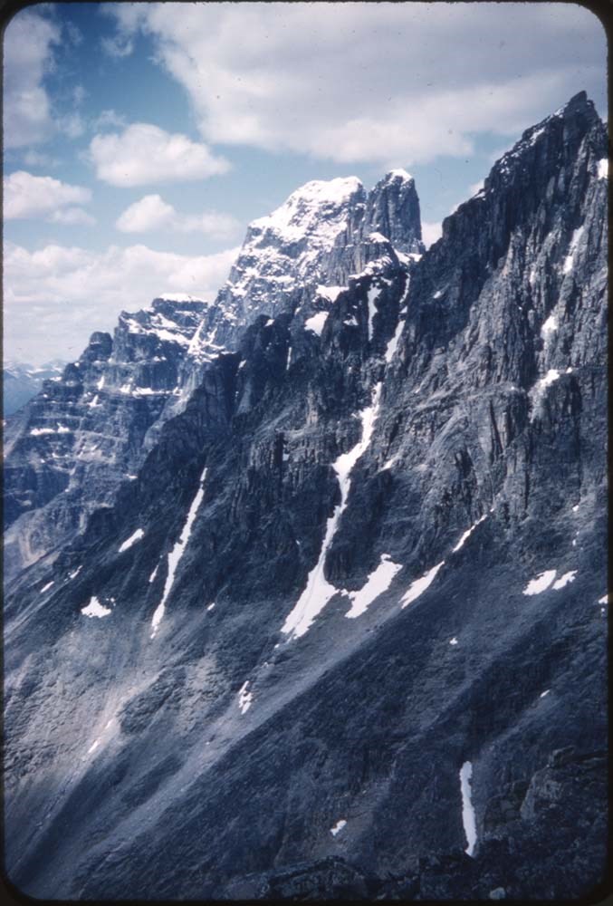
- File pertains to 96 35 mm slides depictiong Alpine Club of Canada Camps from 1957, 1959, & 1962, consisting of Contents include: 1957 - Ramparts: 1-21 [Ramparts] (from Monica & Dudley): 22-28 1959 - Bugaboos (from L.F. Mondolfo: 135-140 Edith Cavell: 30-34 The ride in:…
- Date Range
- 1957-1962
- Reference Code
- V106 / NS - 255 to NS - 350
- Description Level
- 5 / File
- GMD
- Photograph
- Transparency
96 images
- Part Of
- Bill Goodrich fonds
- Description Level
- 5 / File
- Fonds Number
- V106
- Sous-Fonds
- V106
- Accession Number
- 7765
- Reference Code
- V106 / NS - 255 to NS - 350
- Date Range
- 1957-1962
- Physical Description
- 96 photographs : col. slides ; 35 mm
- History / Biographical
- See fonds level description.
- Scope & Content
- File pertains to 96 35 mm slides depictiong Alpine Club of Canada Camps from 1957, 1959, & 1962, consisting of Contents include: 1957 - Ramparts: 1-21 [Ramparts] (from Monica & Dudley): 22-28 1959 - Bugaboos (from L.F. Mondolfo: 135-140 Edith Cavell: 30-34 The ride in: 35-37 First view: 38-39 Camp: 40-42 Our tent: 43-49 Frenchman's Pk & views: 50-67 High camp in Storm: 68-75 Climb of Pigeon: 76-90 Waterfall (?): 91 1962 - Maligne Lake (part 1) Preparations: 93-98 On the road; Badlands & mud: 99-110 Barb & Walt: 111-116 Banff-Jasper HWY: 177-133
- Name Access
- Alpine Club of Canada
- Goodrich, Bill
- Subject Access
- Activities
- Alpine Club of Canada
- Buildings
- Camping
- Camps
- Climbing
- Glaciers
- Hiking
- Lake O'hara
- Mountaineering
- Mountaineers
- Mountains
- Parks Canada
- Photography
- Portrait
- Scenery
- scenic
- Waterfalls
- Women
- Geographic Access
- Jasper
- Jasper National Park
- Alberta
- Bugaboos
- British Columbia
- Language
- English
- Finding Aid
- No finding aid
- Creator
- Goodrich, Bill
- Title Source
- Title based on contents of fonds
- Processing Status
- Processed
Images


This material is presented as originally created; it may contain outdated cultural descriptions and
potentially offensive content.
Read more.
- Part Of
- Ron Duke fonds
- Scope & Content
- Sub-series pertains to 84 b&w and colour prints depicting assorted activities and events around Banff National Park. Includes pack trips, skiing, backcountry huts [Abbot Pass Hut and Bow Hut], community events, shops, a Canada Day Parade, the Canadian Centennial in 1967, a Royal visit in 1959, chur…
- Date Range
- [ca. 1959-1967]
- Reference Code
- V180 / V / B / i / PA - 01 to PA - 84
- Description Level
- 4 / Sub-series
- GMD
- Photograph
- Photograph print
- Part Of
- Ron Duke fonds
- Description Level
- 4 / Sub-series
- Fonds Number
- M175 / V180
- Series
- V.B. Later material / prints
- Sous-Fonds
- V180
- Accession Number
- .
- Reference Code
- V180 / V / B / i / PA - 01 to PA - 84
- Date Range
- [ca. 1959-1967]
- Physical Description
- 84 photographs : b&w and col. ; 25.1 x 20.1 cm or smaller
- History / Biographical
- See fonds level description
- Scope & Content
- Sub-series pertains to 84 b&w and colour prints depicting assorted activities and events around Banff National Park. Includes pack trips, skiing, backcountry huts [Abbot Pass Hut and Bow Hut], community events, shops, a Canada Day Parade, the Canadian Centennial in 1967, a Royal visit in 1959, churches, school programs, the 1967 Mount Royal Hotel fire, Banff Indian Days, high altitude mountaineering, conferences, boating on the Bow River, and rodeos.
- Subject Access
- Abbot Pass Hut
- Automobiles
- Banff Indian Days
- Boats
- Boy Scouts of Canada
- Buildings
- Children
- Churches
- Community events
- Construction
- Fire
- Girl Guides of Canada
- Helicopters
- Hiking
- Horses
- Horse packing
- Huts
- Mines and mineral resources
- Mining
- Mount Royal Hotel
- Pack trains
- Parade
- Portrait
- Rodeo
- Royal tours
- Royal Visit
- Rundle Mountain
- School
- Skiing
- Skoki Lodge
- Geographic Access
- Banff
- Lake Louise
- Banff National Park
- Assiniboine
- British Columbia
- Language
- NA
- Creator
- Duke, Ron
- Title Source
- Title based on contents of sub-series
- Processing Status
- Processed
This material is presented as originally created; it may contain outdated cultural descriptions and
potentially offensive content.
Read more.
Adam B. Thom fonds
https://archives.whyte.org/en/permalink/descriptions452
- Part Of
- Adam B. Thom fonds
- Scope & Content
- Fonds consists of photographic views primarily of the Cave and Basin, Banff Springs Hotel and Banff area, ca.1890. Three views are copies of stereo photographs by Bingham and Thom made in the Castle Mountain and Field, B.C. areas, probably during railway construction.
- Date Range
- [ca.1885-ca.1890]
- Reference Code
- V13
- Description Level
- 1 / Fonds
- GMD
- Photograph
- Photograph print
- Part Of
- Adam B. Thom fonds
- Description Level
- 1 / Fonds
- Fonds Number
- V 13
- Sous-Fonds
- V13
- Accession Number
- 1372, 5277, 6119
- Reference Code
- V13
- Date Range
- [ca.1885-ca.1890]
- Physical Description
- 9 photographs : prints.
- History / Biographical
- A. (Adam) B. Thom was a professional photographer, based in Winnipeg, Manitoba, who worked along the line of the Canadian Pacific Railway in western Canada, first in partnership with F. (Fred) V. Bingham, 1884-1886, and later on his own. Thom relocated to Brandon, Manitoba in 1897.
- Scope & Content
- Fonds consists of photographic views primarily of the Cave and Basin, Banff Springs Hotel and Banff area, ca.1890. Three views are copies of stereo photographs by Bingham and Thom made in the Castle Mountain and Field, B.C. areas, probably during railway construction.
- Name Access
- Thom, Adam B.
- Subject Access
- Arts
- Environment
- Access Restrictions
- No restrictions on access
- Public domain (other restrictions may apply)
- Language
- Language is English
- Creator
- Thom, Adam B.
- Category
- Arts
- Environment
- Biographical Source Notes
- MH private research notes
- Title Source
- Title based on contents of fonds
- Processing Status
- Processed
This material is presented as originally created; it may contain outdated cultural descriptions and
potentially offensive content.
Read more.
[Adams Lookout, Alberta]
https://archives.whyte.org/en/permalink/catalogue23439
- Medium
- Library - Maps and blueprints (unannotated; published)
- Map
- Published Date
- 1962
- Publisher
- Dept. of Mines & Technical Surveys
- Call Number
- NTS
- 83E/10E
- Publisher
- Dept. of Mines & Technical Surveys
- Published Date
- 1962
- Scale
- Scale: 1:50,000
- Subjects
- Adams Lookout
- Alberta
- Notes
- National Topographic System
- Accession Number
- 12000
- Call Number
- NTS
- 83E/10E
- Collection
- Archives Library
This material is presented as originally created; it may contain outdated cultural descriptions and
potentially offensive content.
Read more.
[Adams Lookout, Alberta]
https://archives.whyte.org/en/permalink/catalogue23440
- Medium
- Library - Maps and blueprints (unannotated; published)
- Map
- Published Date
- 1962
- Publisher
- Dept. of Mines and Technical Surveys
- Call Number
- NTS
- 83W/10W
- Publisher
- Dept. of Mines and Technical Surveys
- Published Date
- 1962
- Scale
- Scale: 1:50,000
- Subjects
- Adams Lookout
- Alberta
- Notes
- National Topographic System
- Accession Number
- 12000
- Call Number
- NTS
- 83W/10W
- Collection
- Archives Library
This material is presented as originally created; it may contain outdated cultural descriptions and
potentially offensive content.
Read more.
[Adams Plateau 82M/4 East, B.C.]
https://archives.whyte.org/en/permalink/catalogue23441
- Medium
- Library - Maps and blueprints (unannotated; published)
- Map
- Published Date
- 1961
- Publisher
- Department of Mines and Technical Surveys
- Call Number
- NTS
- 82M/4E
- Publisher
- Department of Mines and Technical Surveys
- Published Date
- 1961
- Physical Description
- 1 map : col
- Scale
- Scale: 1:50,000
- Relief: Contour interval 100 ft.
- Subjects
- Adams Plateau
- British Columbia
- Notes
- National Topographic System
- Accession Number
- 7000
- Call Number
- NTS
- 82M/4E
- Collection
- Archives Library
This material is presented as originally created; it may contain outdated cultural descriptions and
potentially offensive content.
Read more.
[Adams Plateau 82M/4 West, B.C.]
https://archives.whyte.org/en/permalink/catalogue23442
- Medium
- Library - Maps and blueprints (unannotated; published)
- Map
- Published Date
- 1961
- Publisher
- Department of Mines and Technical Surveys
- Call Number
- NTS
- 82M/4W
- Publisher
- Department of Mines and Technical Surveys
- Published Date
- 1961
- Physical Description
- 1 map : col
- Scale
- Scale: 1:50,000
- Relief: Contour interval 100 ft.
- Subjects
- Adams Plateau
- British Columbia
- Notes
- National Topographic System
- Accession Number
- 7000
- Call Number
- NTS
- 82M/4W
- Collection
- Archives Library
This material is presented as originally created; it may contain outdated cultural descriptions and
potentially offensive content.
Read more.
[Adams River 82M/11 East, B.C.]
https://archives.whyte.org/en/permalink/catalogue23443
- Medium
- Library - Maps and blueprints (unannotated; published)
- Map
- Published Date
- 1961
- Publisher
- Dept. of Mines and Technical Surveys
- Call Number
- NTS
- 82M/11E
- Publisher
- Dept. of Mines and Technical Surveys
- Published Date
- 1961
- Physical Description
- 1 map : col
- Scale
- Scale: 1:50,000
- Relief: Contour interval 100 ft.
- Subjects
- Adams River
- British Columbia
- Notes
- National Topographic System
- Accession Number
- 3000
- Call Number
- NTS
- 82M/11E
- Collection
- Archives Library
This material is presented as originally created; it may contain outdated cultural descriptions and
potentially offensive content.
Read more.
[Adams River 82M/11 West, B.C.]
https://archives.whyte.org/en/permalink/catalogue23444
- Medium
- Library - Maps and blueprints (unannotated; published)
- Map
- Published Date
- 1961
- Publisher
- Dept. of Mines and Technical Surveys
- Call Number
- NTS
- 82M/11W
- Publisher
- Dept. of Mines and Technical Surveys
- Published Date
- 1961
- Physical Description
- 1 map : col
- Scale
- Scale: 1:50,000
- Relief: Contour interval 100 ft.
- Subjects
- Adams River
- British Columbia
- Notes
- National Topographic System
- Accession Number
- 3000
- Call Number
- NTS
- 82M/11W
- Collection
- Archives Library
This material is presented as originally created; it may contain outdated cultural descriptions and
potentially offensive content.
Read more.
Adding wing to cabin [poor quality]
https://archives.whyte.org/en/permalink/descriptions51959
- Part Of
- Peter and Catharine Whyte fonds
- Scope & Content
- Image of construction on a log structure - possibly the Whyte log home - person climbing up ladder onto roof
- Date Range
- [ca. 1950-1965]
- Reference Code
- V683 / III / A / 3 / PA - 178
- Description Level
- 6 / Item
- GMD
- Photograph
2 images
- Part Of
- Peter and Catharine Whyte fonds
- Description Level
- 6 / Item
- Fonds Number
- M36 / V683 / S37
- Series
- V683 / III / A / 3 : Peter and Catharine Whyte: Various Views of Banff and Area
- Sous-Fonds
- V683
- Accession Number
- .
- Reference Code
- V683 / III / A / 3 / PA - 178
- GMD
- Photograph
- Date Range
- [ca. 1950-1965]
- Physical Description
- Photograph: 1 print (front and back) ; b&w.
- Scope & Content
- Image of construction on a log structure - possibly the Whyte log home - person climbing up ladder onto roof
- Subject Access
- Buildings
- Construction
- Whyte Home
- Geographic Access
- Banff
- Language
- English
- Title Source
- Title based on item
- Processing Status
- Processed
Images


This material is presented as originally created; it may contain outdated cultural descriptions and
potentially offensive content.
Read more.
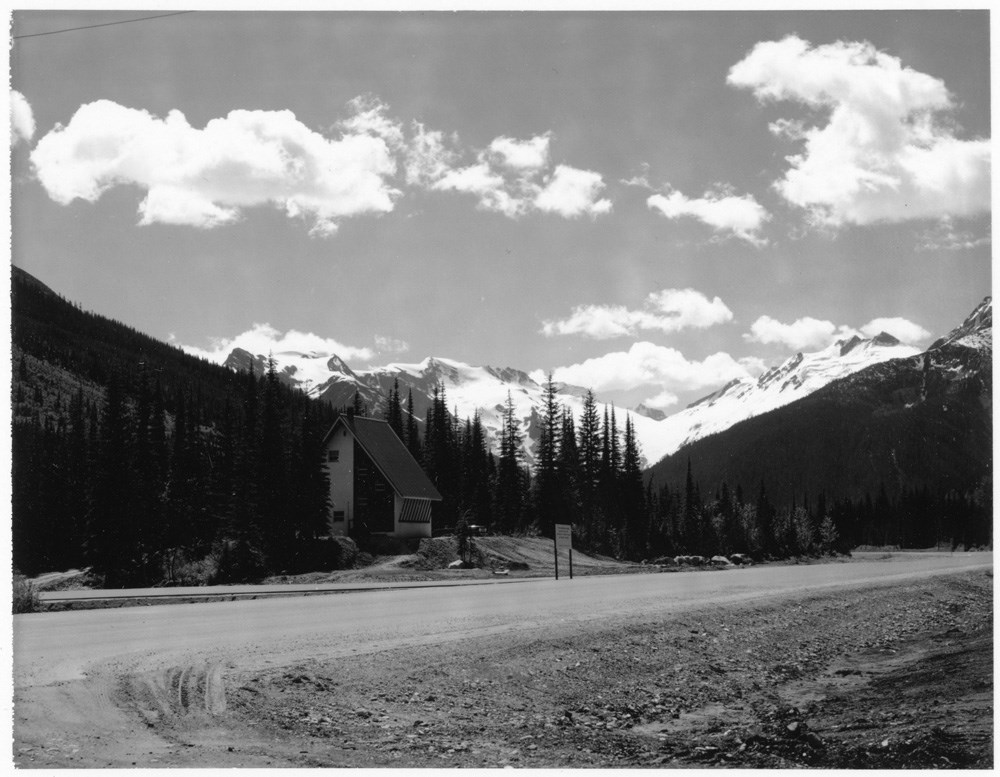
[A-frame building alongside highway]
https://archives.whyte.org/en/permalink/descriptions51966
- Part Of
- Peter and Catharine Whyte fonds
- Scope & Content
- Image of an A-frame structure along the side of the new Trans-Canada Highway - illegible sign at right - mountains in background
- Date Range
- [ca. 1950-1962]
- Reference Code
- V683 / III / A / 3 / PA - 185
- Description Level
- 6 / Item
- GMD
- Photograph
1 image
- Part Of
- Peter and Catharine Whyte fonds
- Description Level
- 6 / Item
- Fonds Number
- M36 / V683 / S37
- Series
- V683 / III / A / 3 : Peter and Catharine Whyte: Various Views of Banff and Area
- Sous-Fonds
- V683
- Accession Number
- .
- Reference Code
- V683 / III / A / 3 / PA - 185
- GMD
- Photograph
- Date Range
- [ca. 1950-1962]
- Physical Description
- Photograph: 1 print ; b&w.
- Scope & Content
- Image of an A-frame structure along the side of the new Trans-Canada Highway - illegible sign at right - mountains in background
- Subject Access
- Buildings
- Mountains
- Trans-Canada Highway
- Geographic Access
- Banff National Park
- Language
- English
- Title Source
- Title based on item
- Processing Status
- Processed
Images
This material is presented as originally created; it may contain outdated cultural descriptions and
potentially offensive content.
Read more.
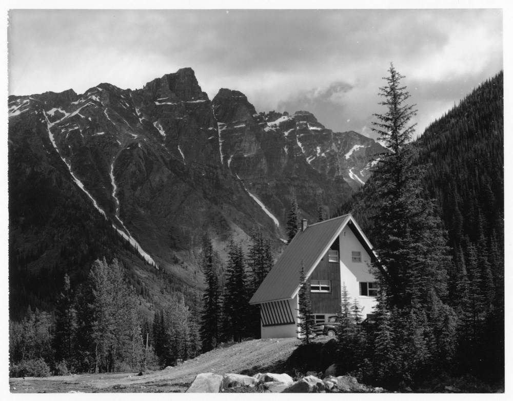
[A-frame buildingon side of highway]
https://archives.whyte.org/en/permalink/descriptions51973
- Part Of
- Peter and Catharine Whyte fonds
- Scope & Content
- Image of A-frame structure next to gravel road - truck parked in front - mountains in background
- Date Range
- [ca. 1950-1962]
- Reference Code
- V683 / III / A / 3 / PA - 192
- Description Level
- 6 / Item
- GMD
- Photograph
1 image
- Part Of
- Peter and Catharine Whyte fonds
- Description Level
- 6 / Item
- Fonds Number
- M36 / V683 / S37
- Series
- V683 / III / A / 3 : Peter and Catharine Whyte: Various Views of Banff and Area
- Sous-Fonds
- V683
- Accession Number
- .
- Reference Code
- V683 / III / A / 3 / PA - 192
- GMD
- Photograph
- Date Range
- [ca. 1950-1962]
- Physical Description
- Photograph: 1 print ; b&w.
- Scope & Content
- Image of A-frame structure next to gravel road - truck parked in front - mountains in background
- Subject Access
- Buildings
- Construction
- Trans-Canada Highway
- Language
- English
- Title Source
- Title based on item
- Processing Status
- Processed
Images
This material is presented as originally created; it may contain outdated cultural descriptions and
potentially offensive content.
Read more.