Narrow Results By
472. VIA Canadian, M-113, Lake Louise
https://archives.whyte.org/en/permalink/descriptions20315
- Part Of
- Nicholas Morant fonds
- Scope & Content
- "The Canadian" passenger train, Canadian Pacific Railway, at "Morant's Curve" near Lake Louise, Banff National Park AB
- Date Range
- [c. 1930 - 1980]
- Reference Code
- V500 / I / A / 1 / b / A4 / NA - 472
- Description Level
- 5 / File
- GMD
- Film
- Negative
- Transparency
- Part Of
- Nicholas Morant fonds
- Description Level
- 5 / File
- Fonds Number
- M300 / S20 / V500
- Series
- I.A. Photography : negatives and transparencies
- Sous-Fonds
- V500
- Sub-Series
- 1.c. Darkroom files : colour I
- Accession Number
- 7438
- Reference Code
- V500 / I / A / 1 / b / A4 / NA - 472
- GMD
- Film
- Negative
- Transparency
- Date Range
- [c. 1930 - 1980]
- Physical Description
- 1 photograph : col. negative ; 5.71 x 5.71 cm
- Scope & Content
- "The Canadian" passenger train, Canadian Pacific Railway, at "Morant's Curve" near Lake Louise, Banff National Park AB
- Name Access
- Morant, Nicholas (Nick)
- Subject Access
- Advertising
- Canadian Pacific Railway
- Train
- Trains
- Photography
- Scenery
- Geographic Access
- Banff
- Lake Louise
- Morant's Curve
- Banff National Park
- Alberta
- Canada
- Language
- NA
- Finding Aid
- yes
- Title Source
- Title based on contents of file
- Content Details
- The A4 denotes part I (one) of the colour series ; A5 deontes part II (two)
- Processing Status
- Processed
This material is presented as originally created; it may contain outdated cultural descriptions and
potentially offensive content.
Read more.
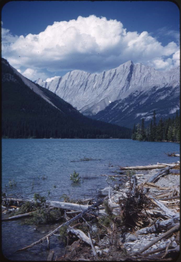
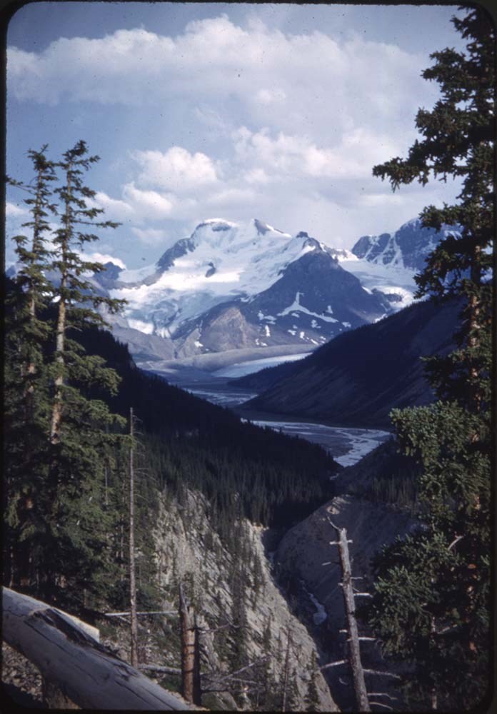
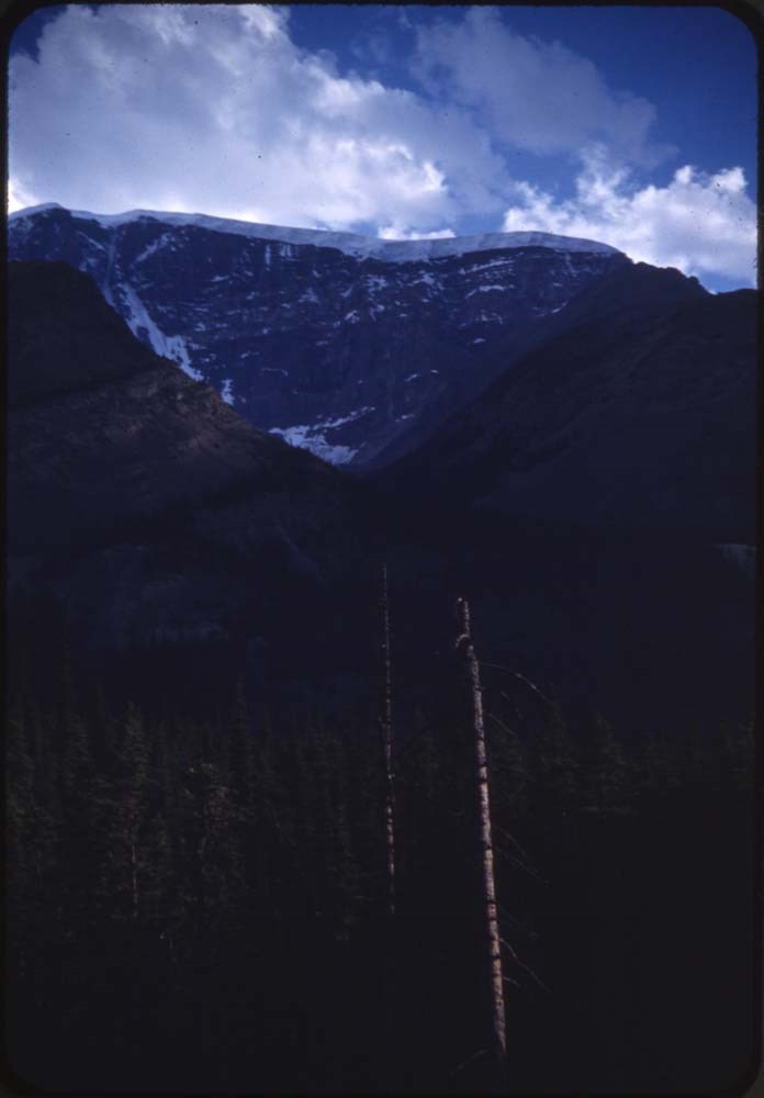
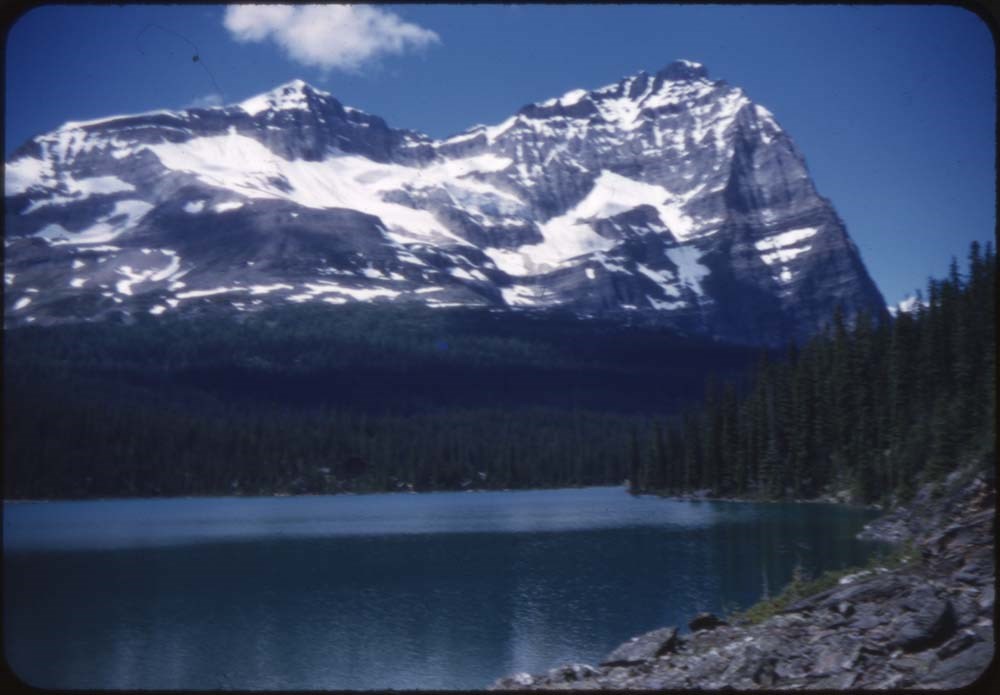
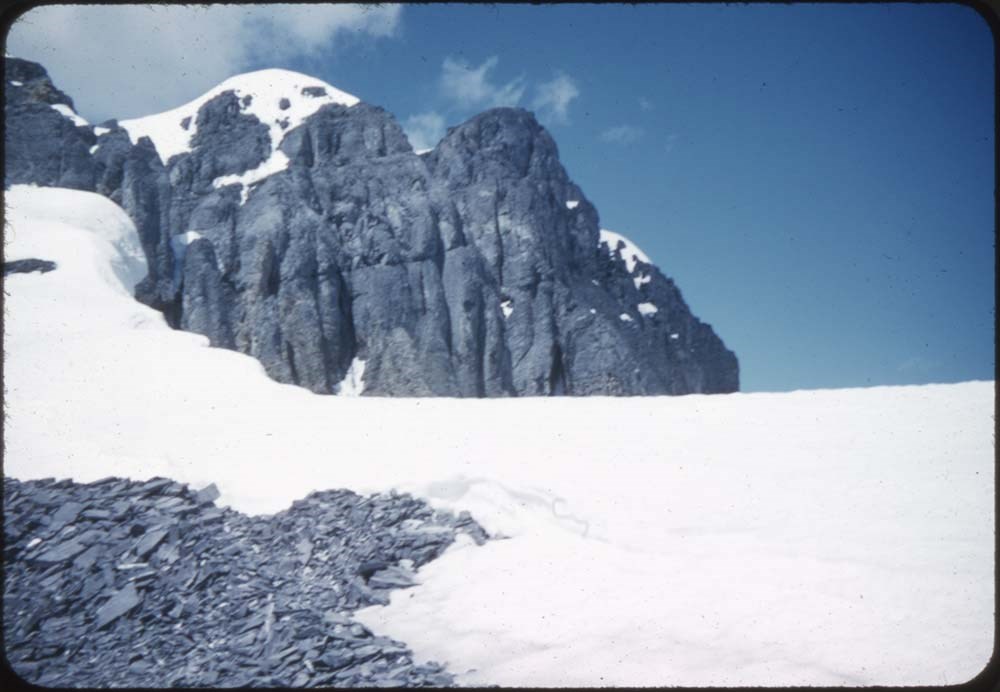
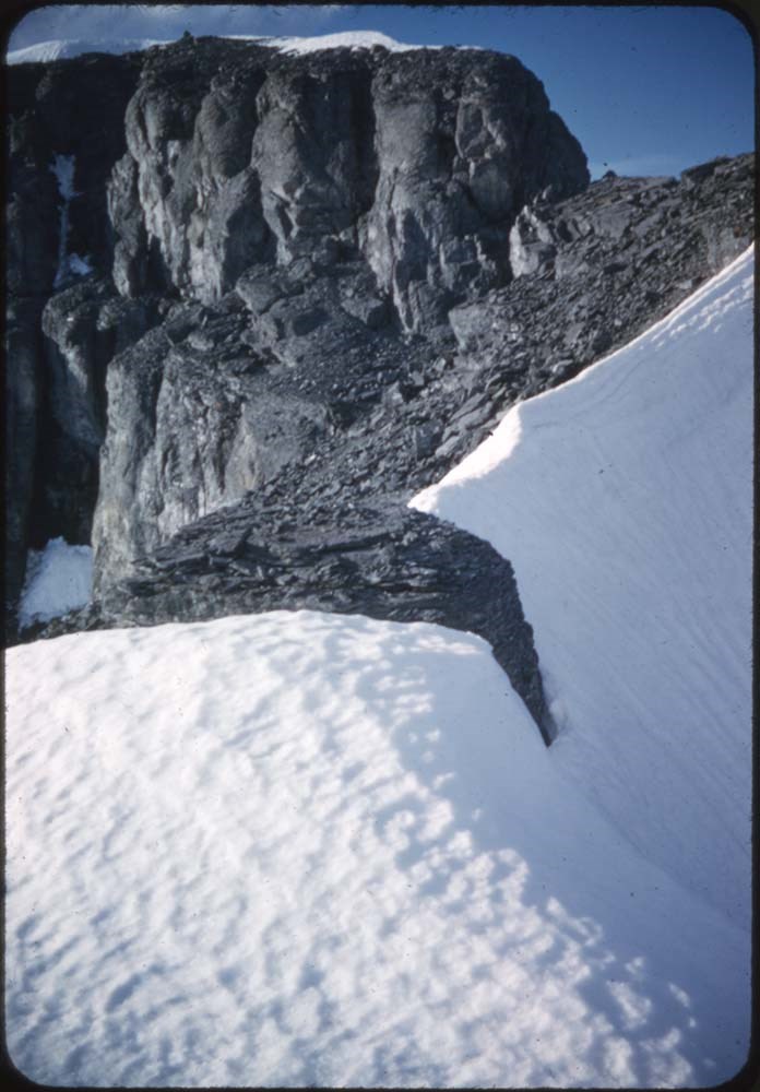
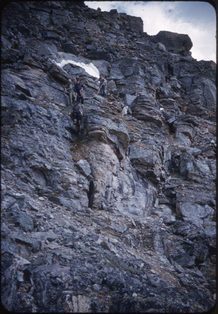
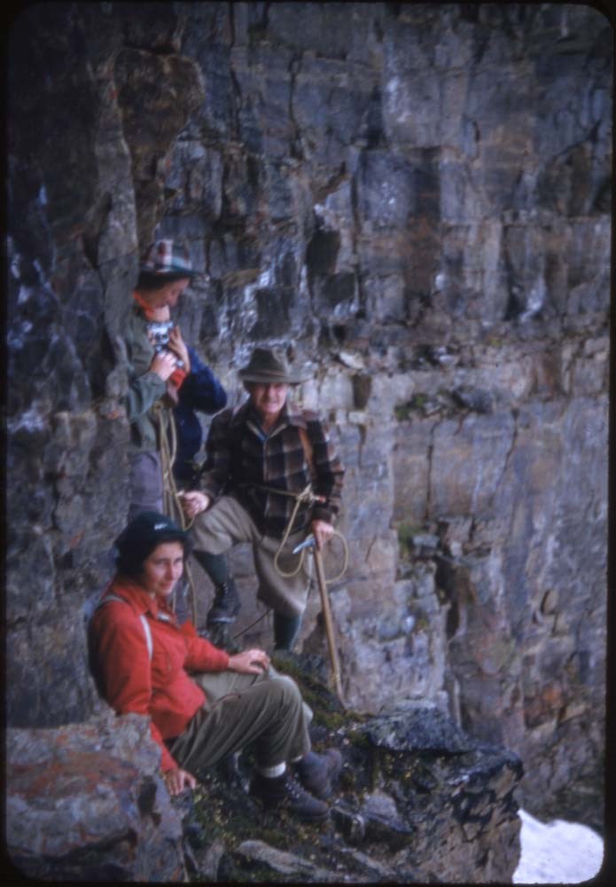
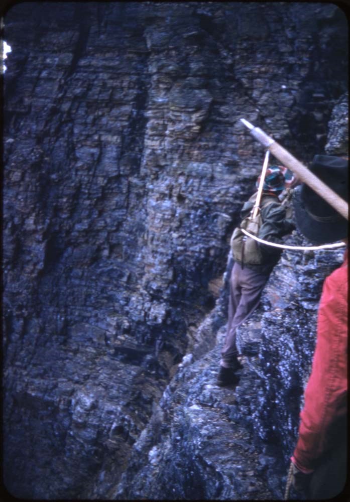
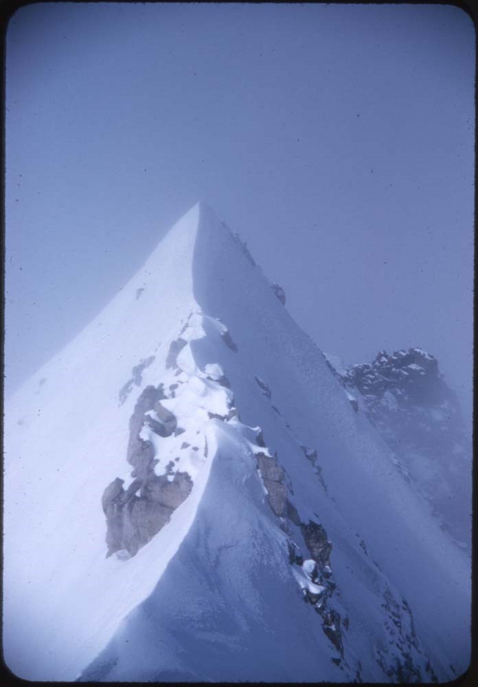
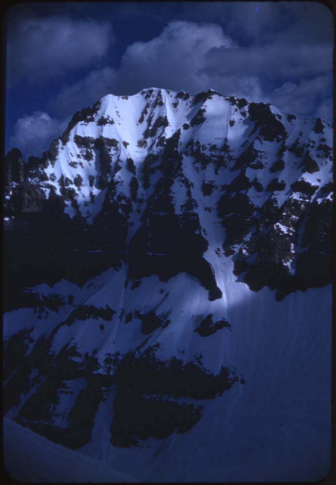
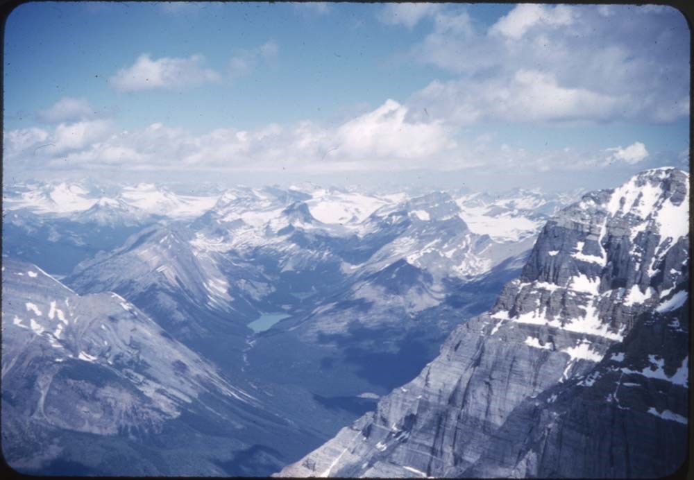
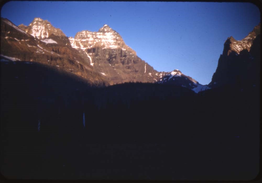
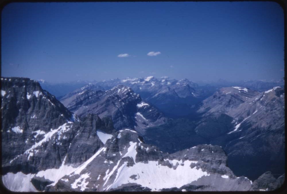
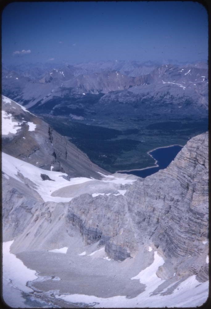
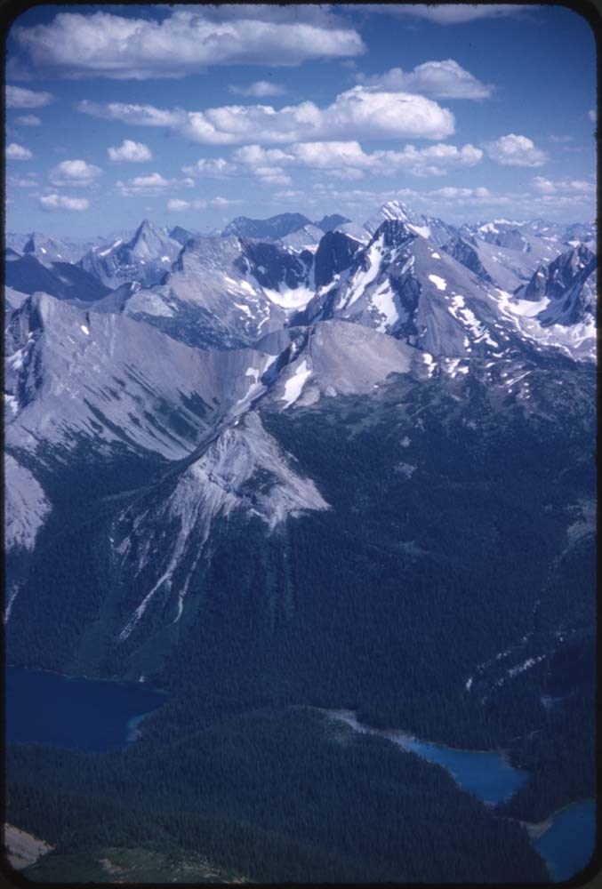
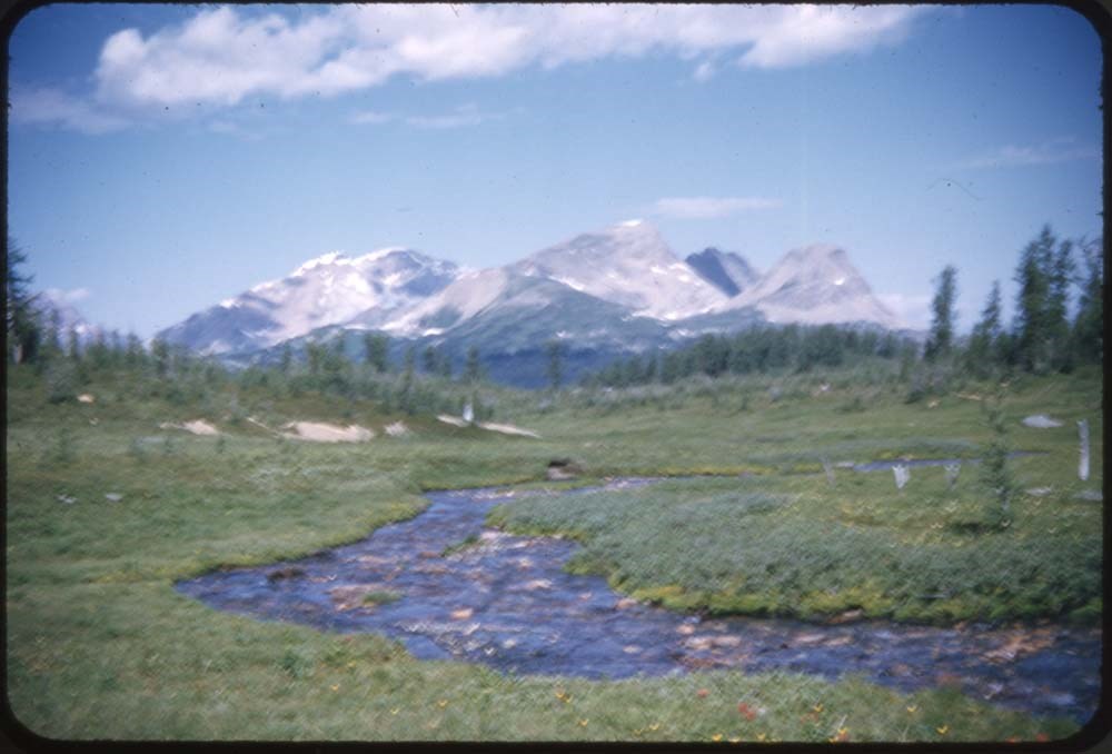
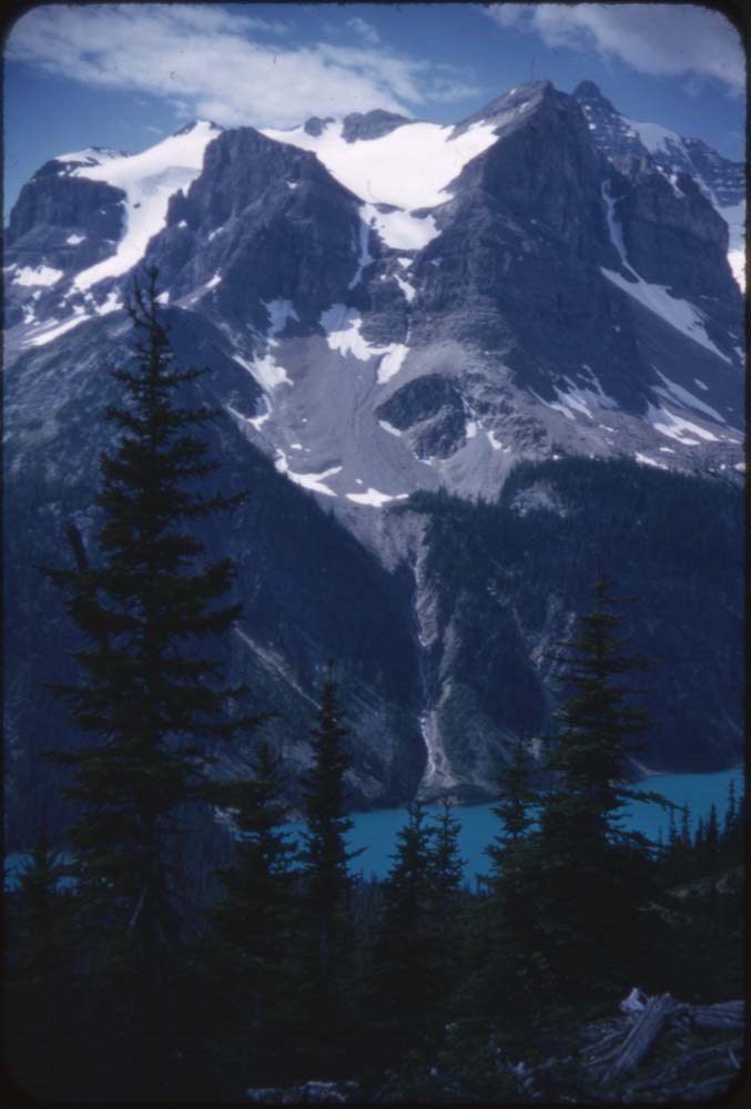
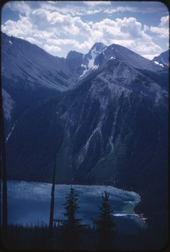
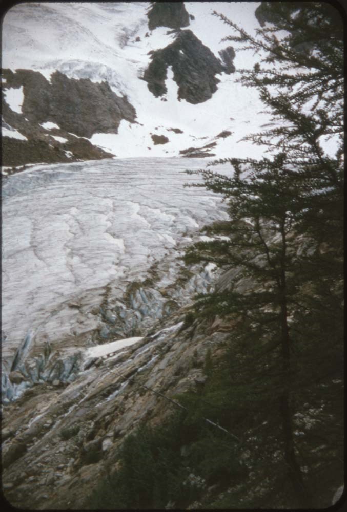
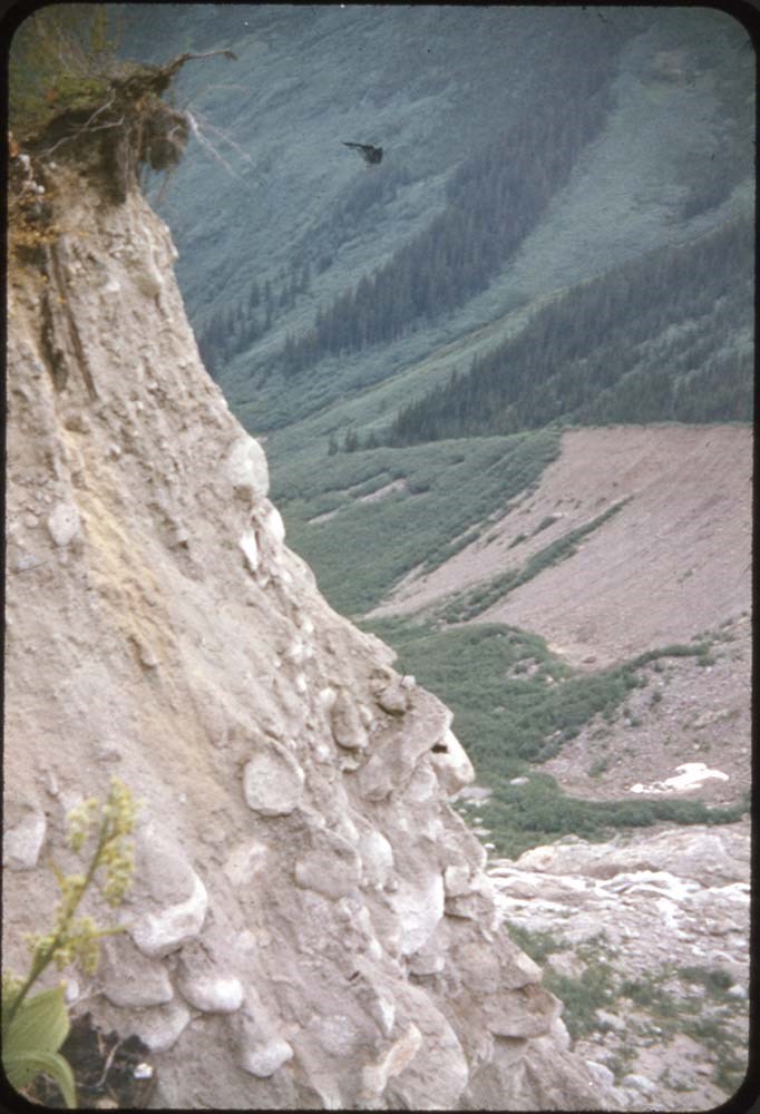
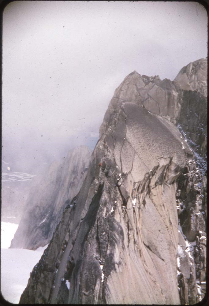
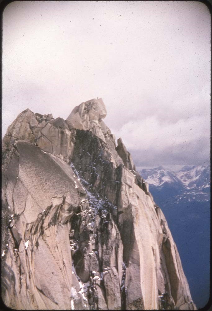
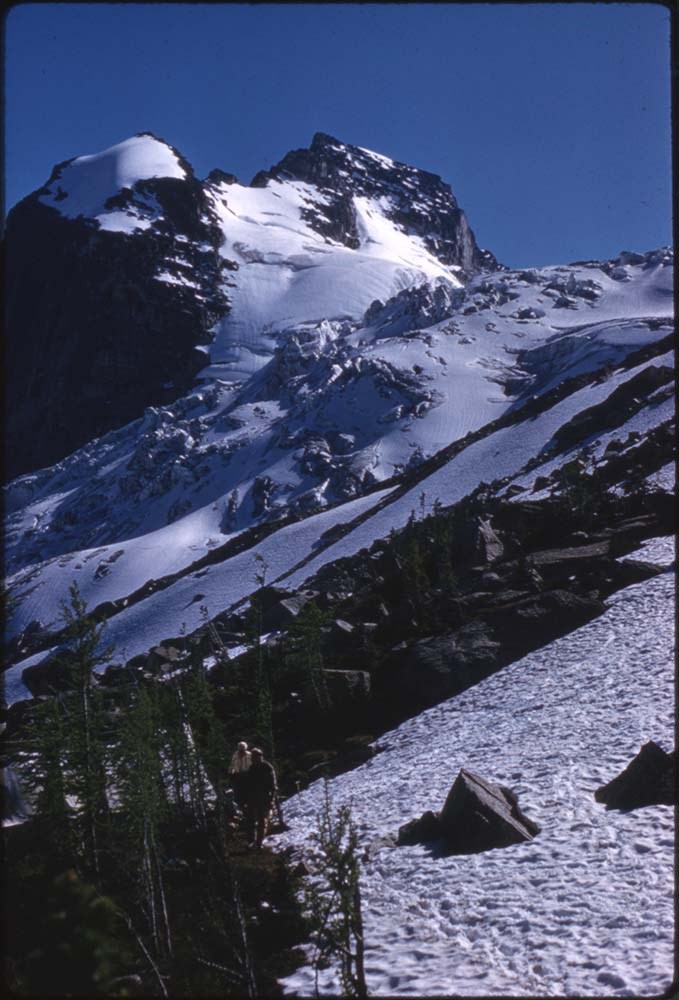
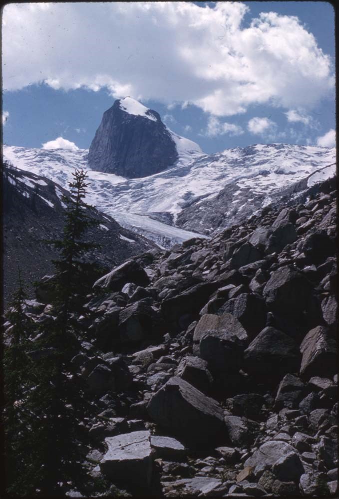
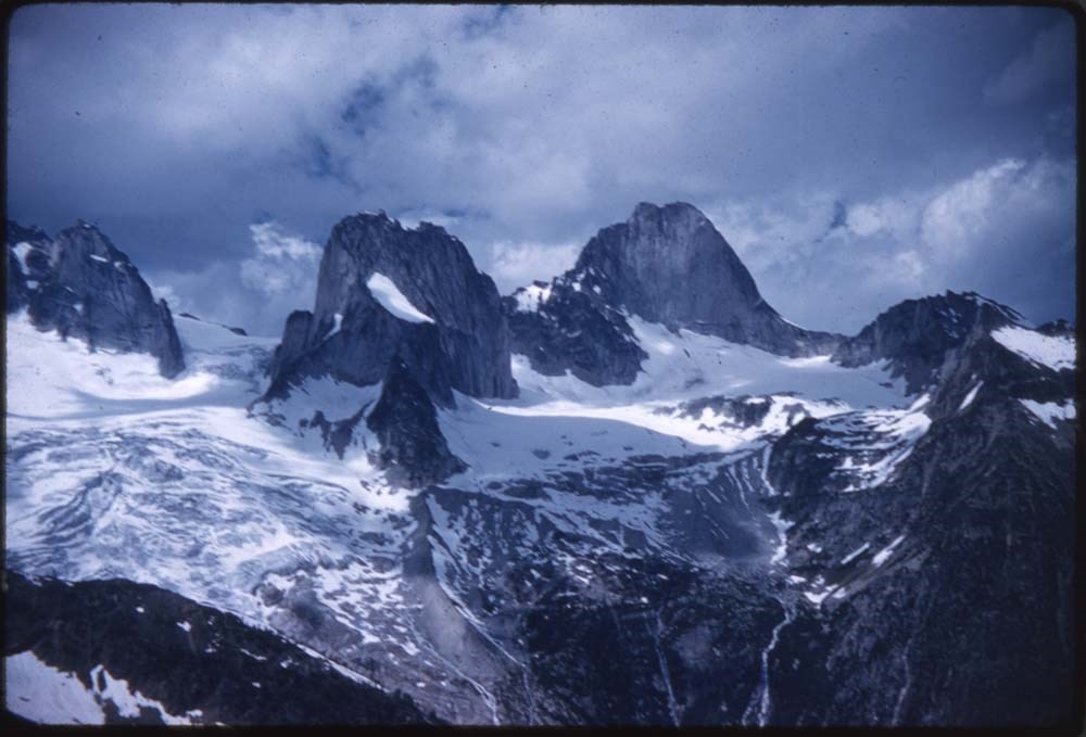
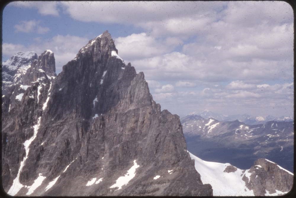
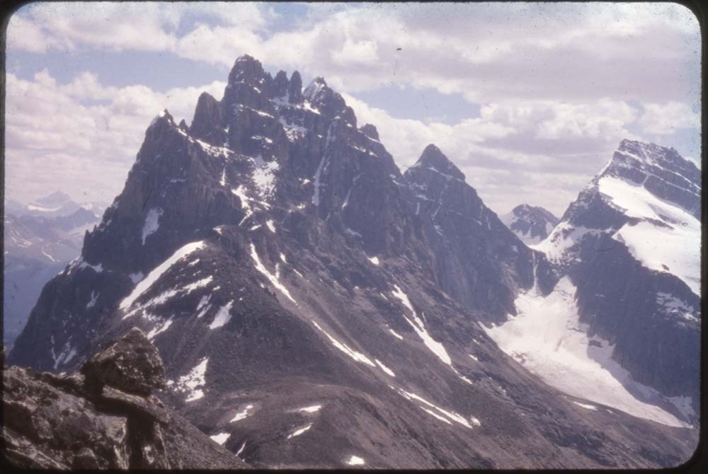
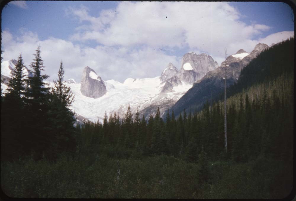
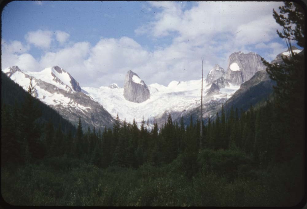
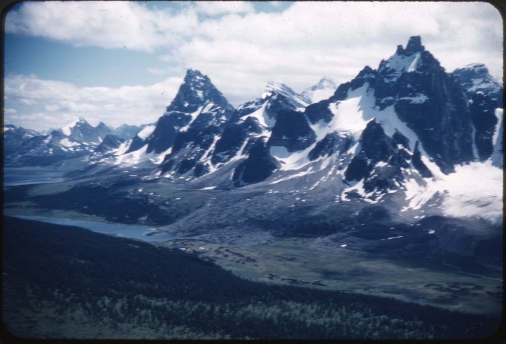
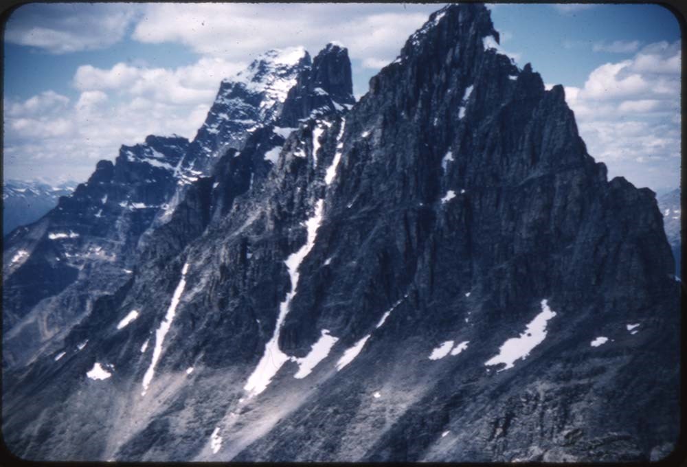
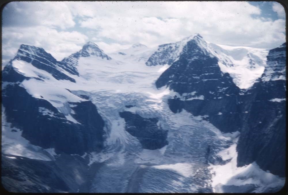
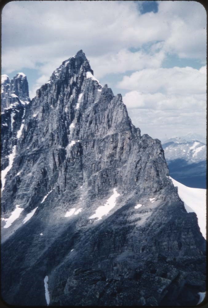
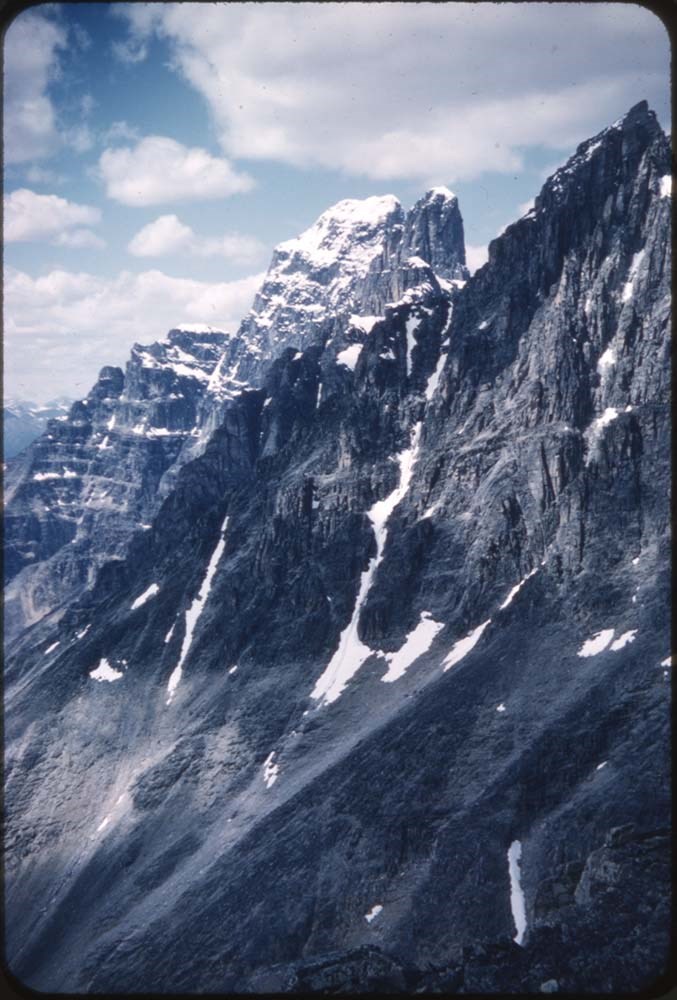
504. Cathedral Crag, Field Hill
https://archives.whyte.org/en/permalink/descriptions20346
- Part Of
- Nicholas Morant fonds
- Scope & Content
- File consists of 3 colour transparency photographs. Content pertains to Cathedral Crag, Field Hill in Yoho National Park, BC
- Date Range
- [between 1930 and 1980]
- Reference Code
- V500 / A4 / 504
- Description Level
- 5 / File
- GMD
- Photograph
- Transparency
- Part Of
- Nicholas Morant fonds
- Description Level
- 5 / File
- Fonds Number
- M300 / S20 / V500
- Sous-Fonds
- V500
- Sub-Series
- I.A. Photography : negatives and transparencies / 1.c. Darkroom files : colour I
- Accession Number
- 7438
- Reference Code
- V500 / A4 / 504
- Responsibility
- Produced by Nicholas Morant
- Date Range
- [between 1930 and 1980]
- Physical Description
- 3 photographs : transparencies, col, 6x6 cm
- Scope & Content
- File consists of 3 colour transparency photographs. Content pertains to Cathedral Crag, Field Hill in Yoho National Park, BC
- Subject Access
- Yoho National Park
- Geographic Access
- Canada
- British Columbia
- Canadian Rocky Mountains
- Language
- N/A
- Creator
- Nicholas Morant
- Title Source
- Title based on contents of file
- Processing Status
- Processed
This material is presented as originally created; it may contain outdated cultural descriptions and
potentially offensive content.
Read more.
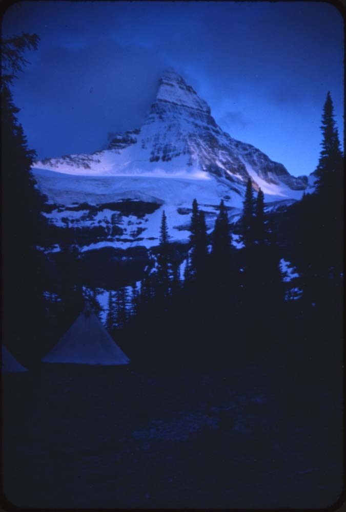
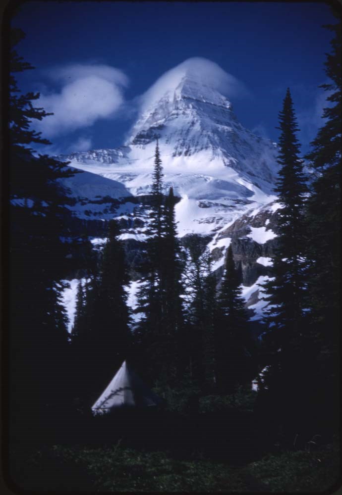
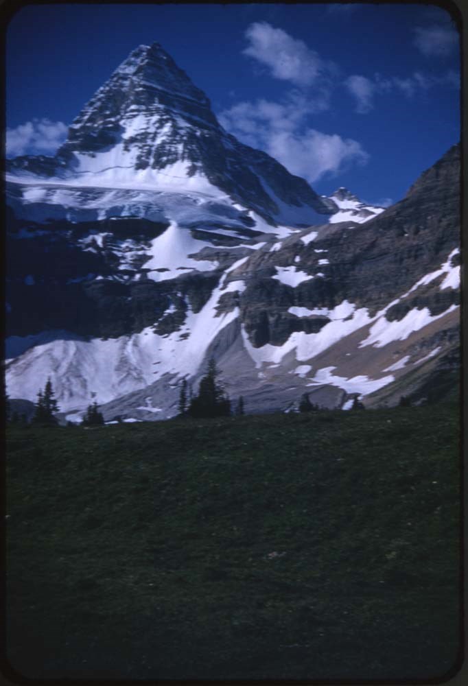
1978 map of Mount Assiniboine Provincial Park
https://archives.whyte.org/en/permalink/catalogue21315
- Medium
- Library - Maps and blueprints (unannotated; published)
- Map
- Published Date
- 1978 (transfered to manuscrpits Oct. 1994)
- Publisher
- Ministry of Recreation and Conservation
- Call Number
- C2-10.1 (e)
- Publisher
- Ministry of Recreation and Conservation
- Published Date
- 1978 (transfered to manuscrpits Oct. 1994)
- Subjects
- Mount Assiniboine Provincial Park
- Notes
- Descriptive Legend on back of map re: History Winter Activity, Access, Avalanche Safety, Equipment, Trail and Camping Information etc.
- Accession Number
- 11000
- Call Number
- C2-10.1 (e)
- Collection
- Archives Library
This material is presented as originally created; it may contain outdated cultural descriptions and
potentially offensive content.
Read more.
Abruzzi, Mount
https://archives.whyte.org/en/permalink/catalogue23436
- Medium
- Library - Maps and blueprints (unannotated; published)
- Map
- Published Date
- Updated from aerial photographs, taken in 1972. Culture check, 1975. Info current as of 1975.
- Publisher
- Surveys and Mapping Branch, Dept. of Energy, Mines and Resources
- Edition
- Edition 2
- Call Number
- NTS
- 82J/6
- Edition
- Edition 2
- Publisher
- Surveys and Mapping Branch, Dept. of Energy, Mines and Resources
- Published Date
- Updated from aerial photographs, taken in 1972. Culture check, 1975. Info current as of 1975.
- Scale
- Scale: 1:50,000
- Subjects
- Mount Abruzzi
- Notes
- National Topographic System
- Complete reference/reverse side of map
- Accession Number
- 9500
- Call Number
- NTS
- 82J/6
- Collection
- Archives Library
This material is presented as originally created; it may contain outdated cultural descriptions and
potentially offensive content.
Read more.
[Abruzzi, Mount 82J/6 East, B.C.]
https://archives.whyte.org/en/permalink/catalogue23438
- Medium
- Library - Maps and blueprints (unannotated; published)
- Map
- Published Date
- 1966
- Publisher
- Dept. of Mines and Technical Surveys
- Call Number
- NTS
- 82J/6E
- Publisher
- Dept. of Mines and Technical Surveys
- Published Date
- 1966
- Physical Description
- 1 map : col
- Scale
- Scale: 1:50,000
- Relief: Contour interval 100'
- Subjects
- Mount Abruzzi
- British Columbia
- Notes
- National Topographic System
- Accession Number
- 718
- Call Number
- NTS
- 82J/6E
- Collection
- Archives Library
This material is presented as originally created; it may contain outdated cultural descriptions and
potentially offensive content.
Read more.
[Abruzzi, Mount 82J/6 West, B.C.]
https://archives.whyte.org/en/permalink/catalogue23437
- Medium
- Library - Maps and blueprints (unannotated; published)
- Map
- Published Date
- 1966
- Publisher
- Dept. of Mines and Technical Surveys
- Call Number
- NTS
- 82J/6W
- Publisher
- Dept. of Mines and Technical Surveys
- Published Date
- 1966
- Physical Description
- 1 map : col
- Scale
- Scale: 1:50,000
- Relief: Contour interval 100'
- Subjects
- Mount Abruzzi
- British Columbia
- Notes
- National Topographic System
- Accession Number
- 718
- Call Number
- NTS
- 82J/6W
- Collection
- Archives Library
This material is presented as originally created; it may contain outdated cultural descriptions and
potentially offensive content.
Read more.
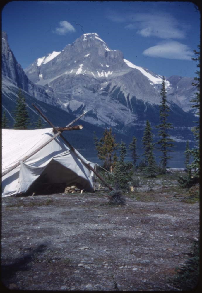
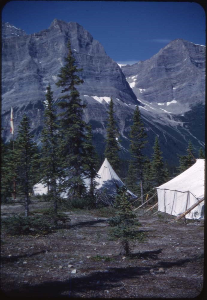
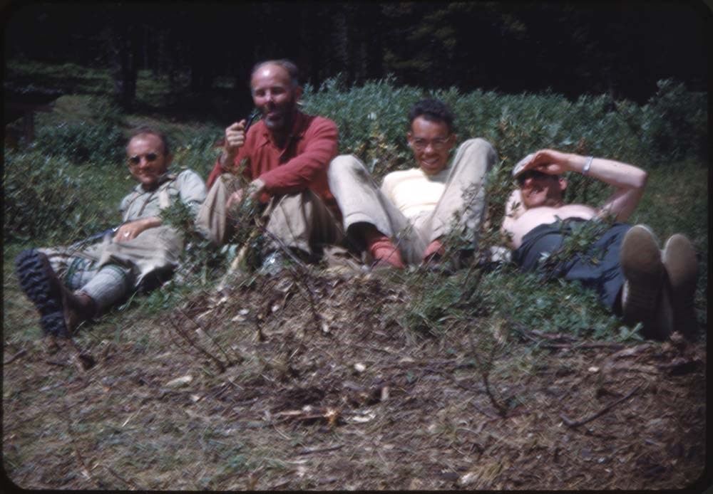
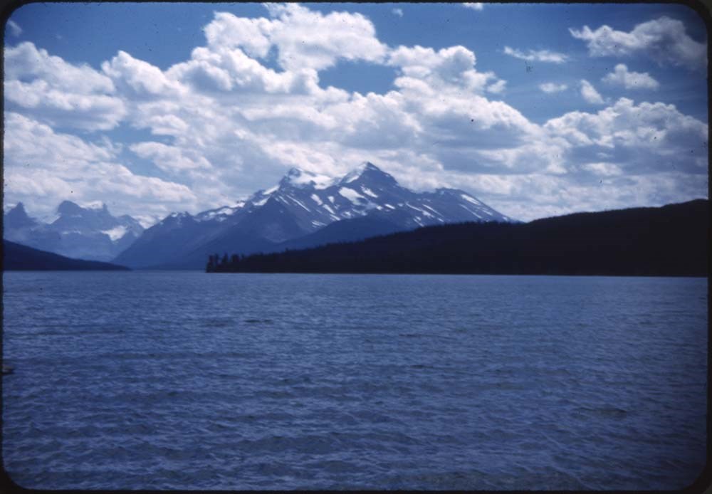
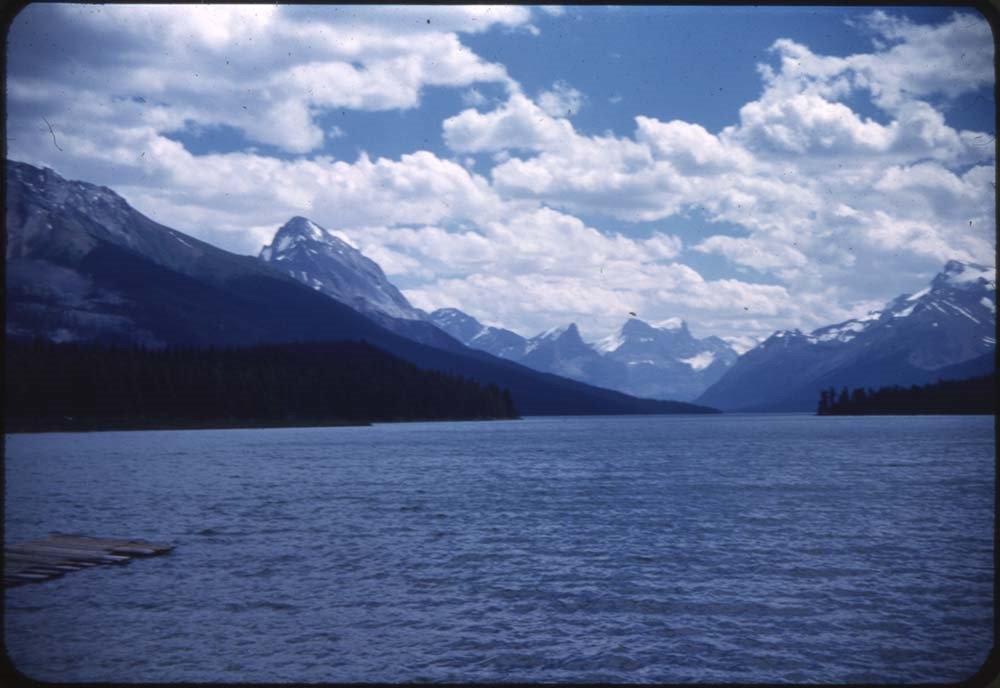
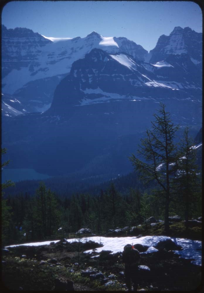
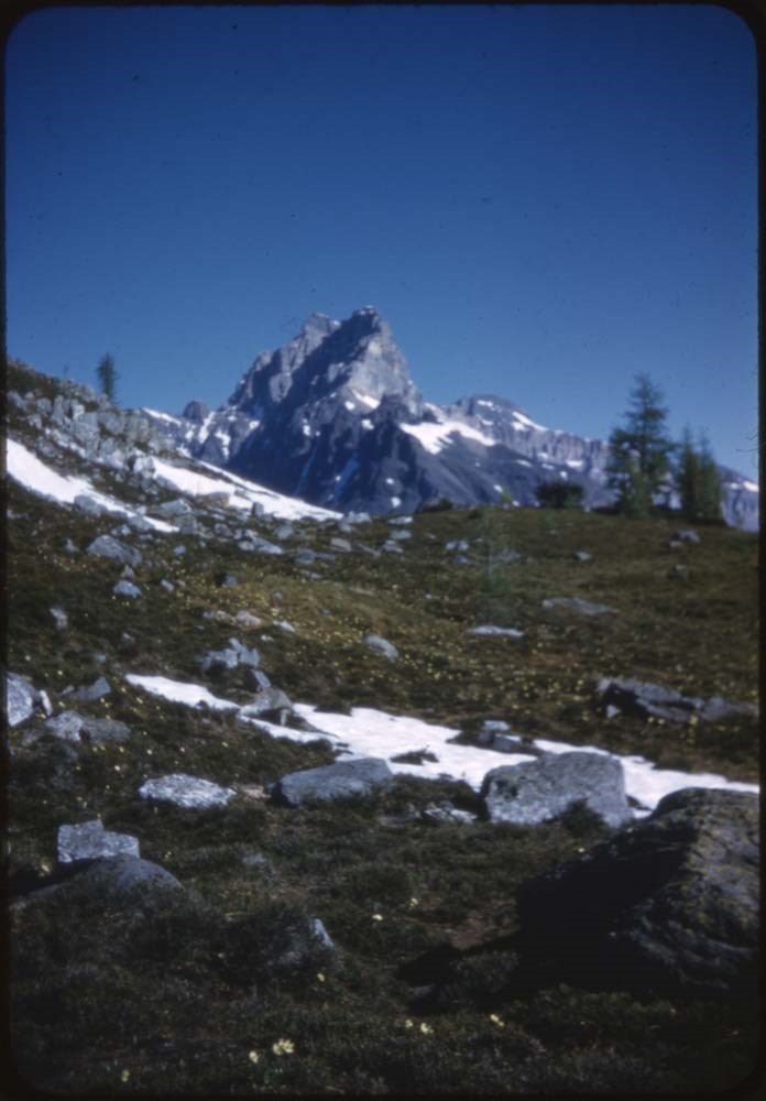
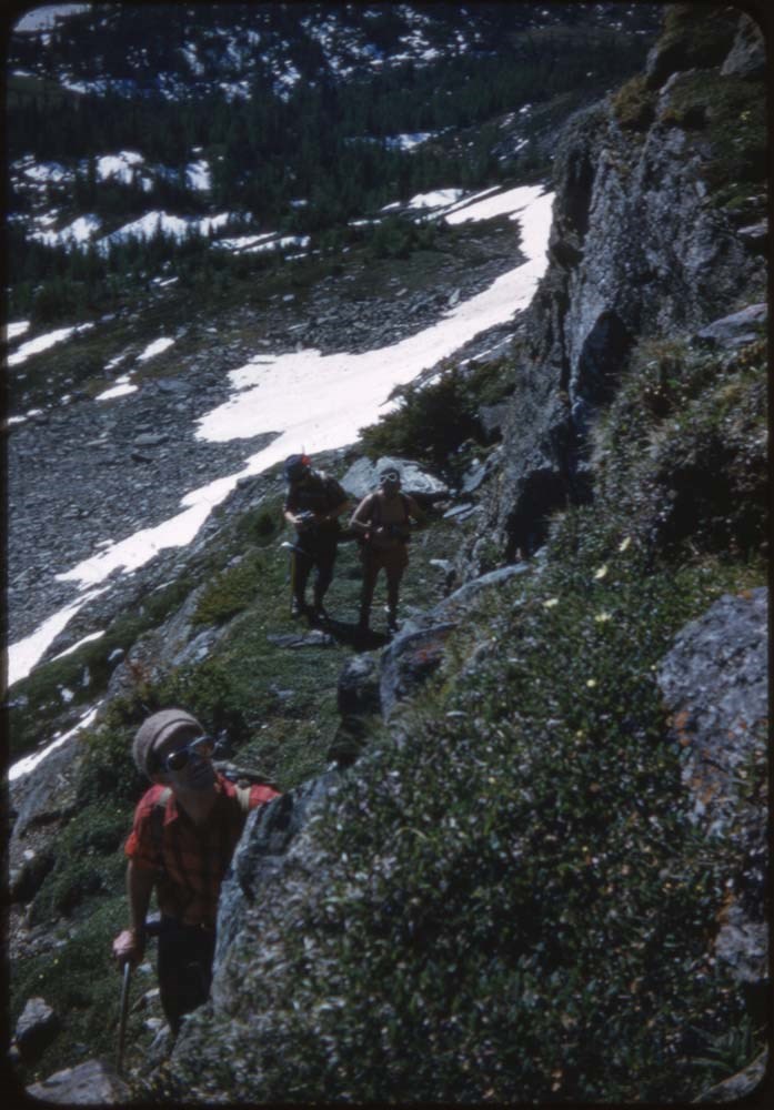
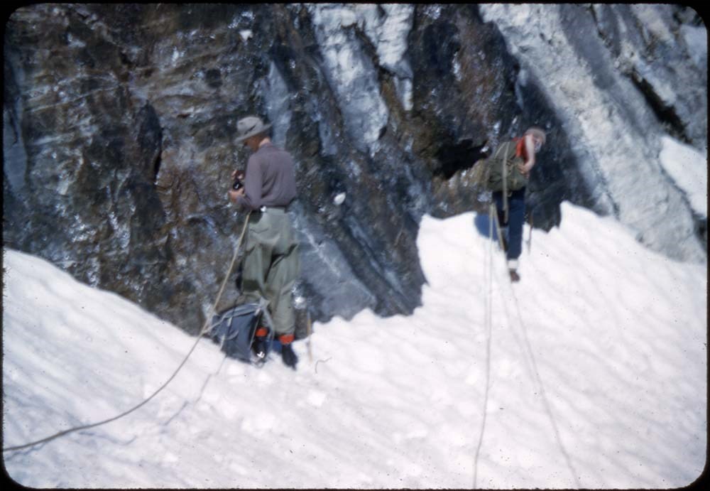
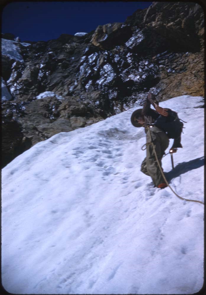
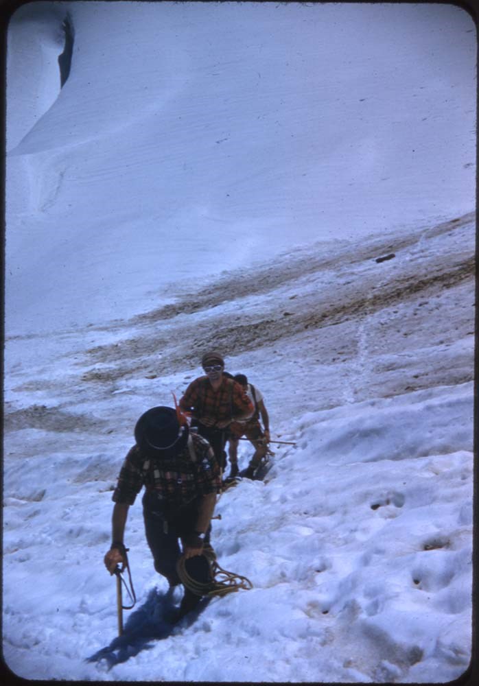
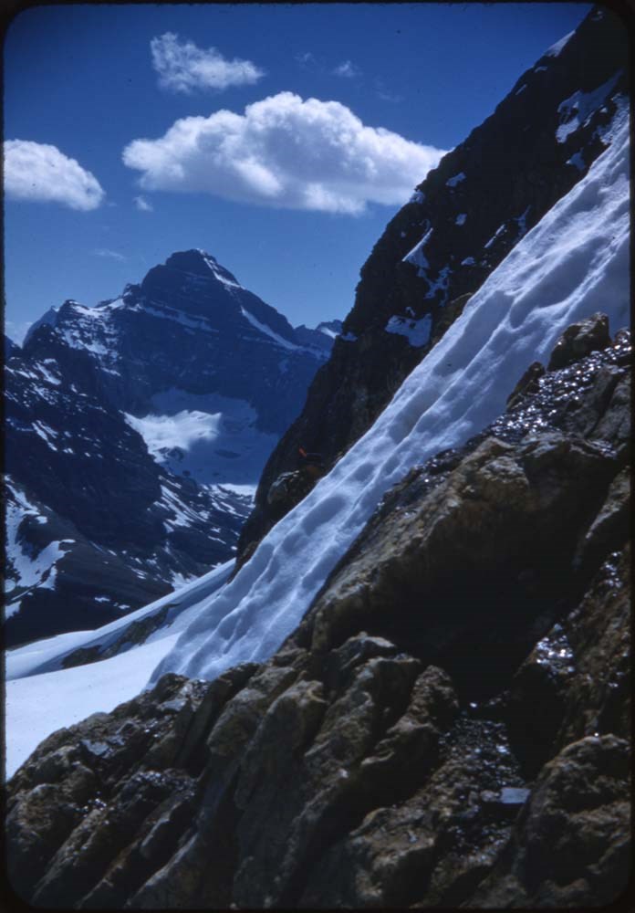
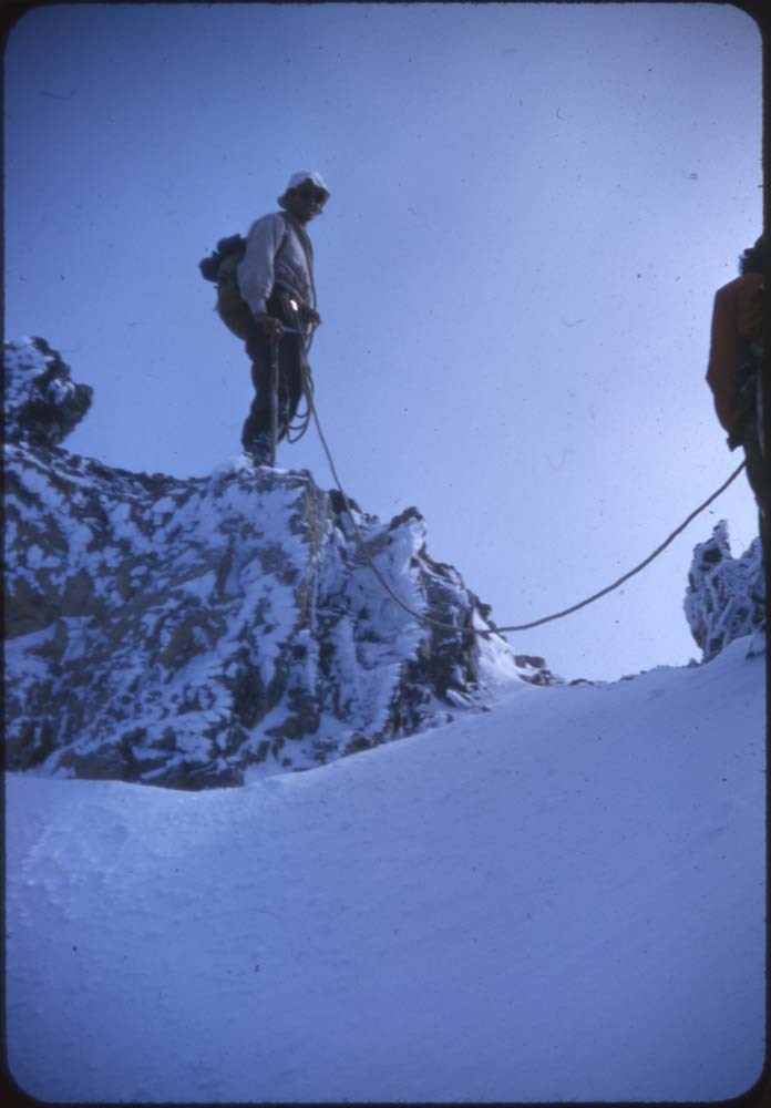
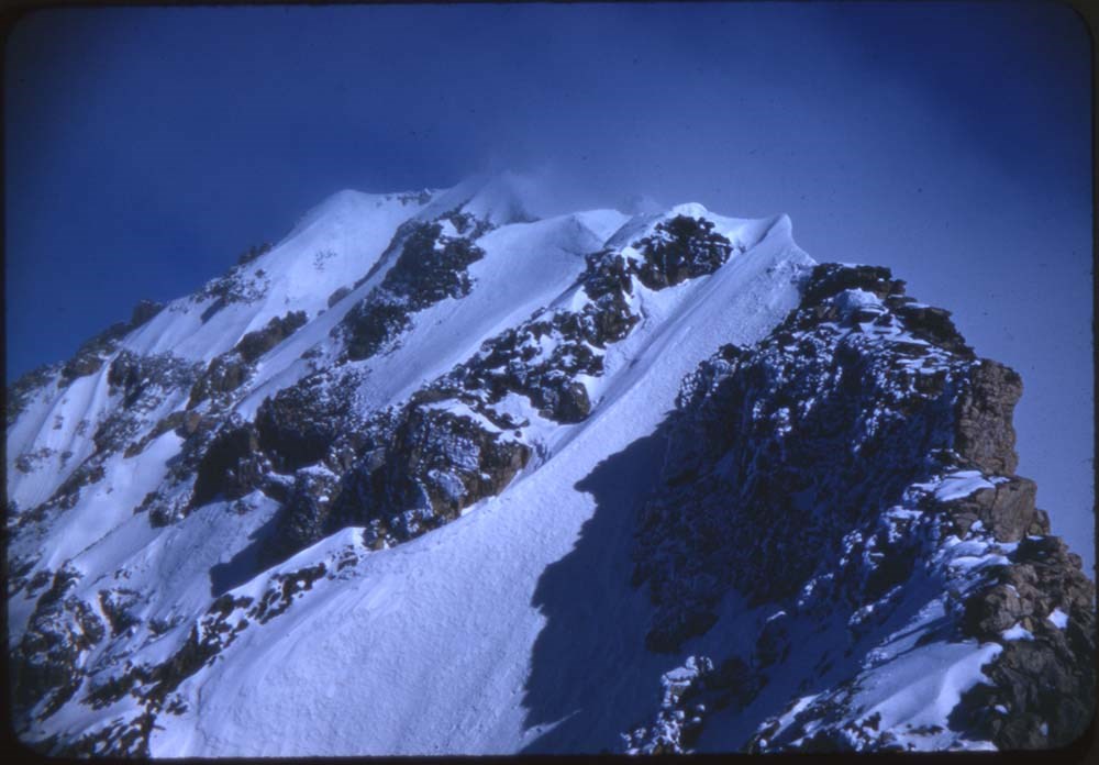
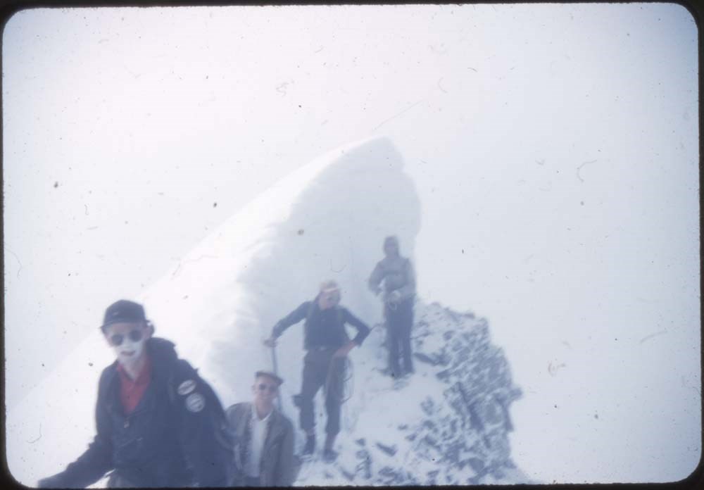
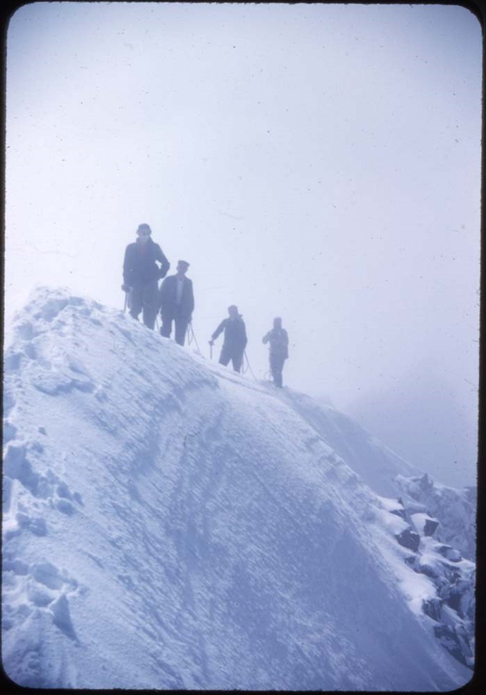
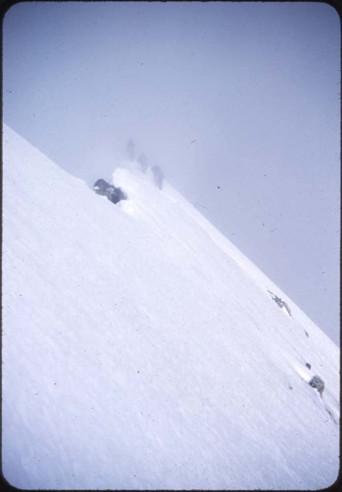
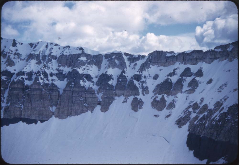
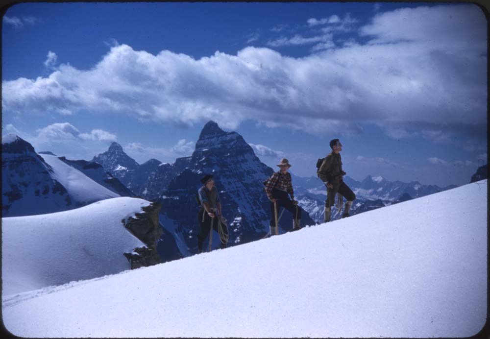
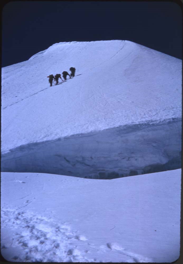
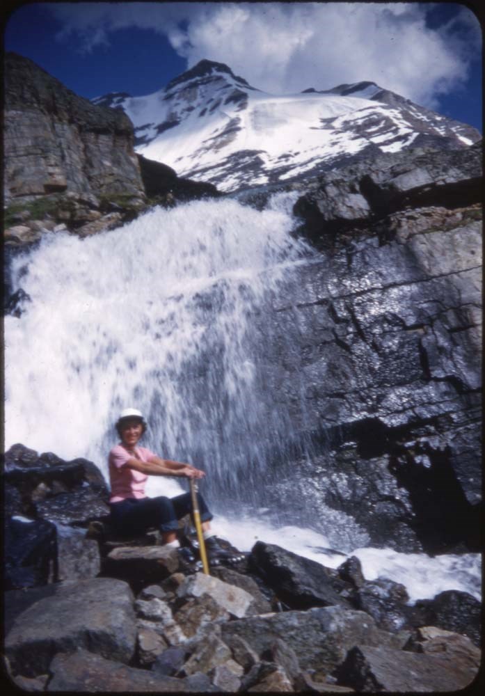
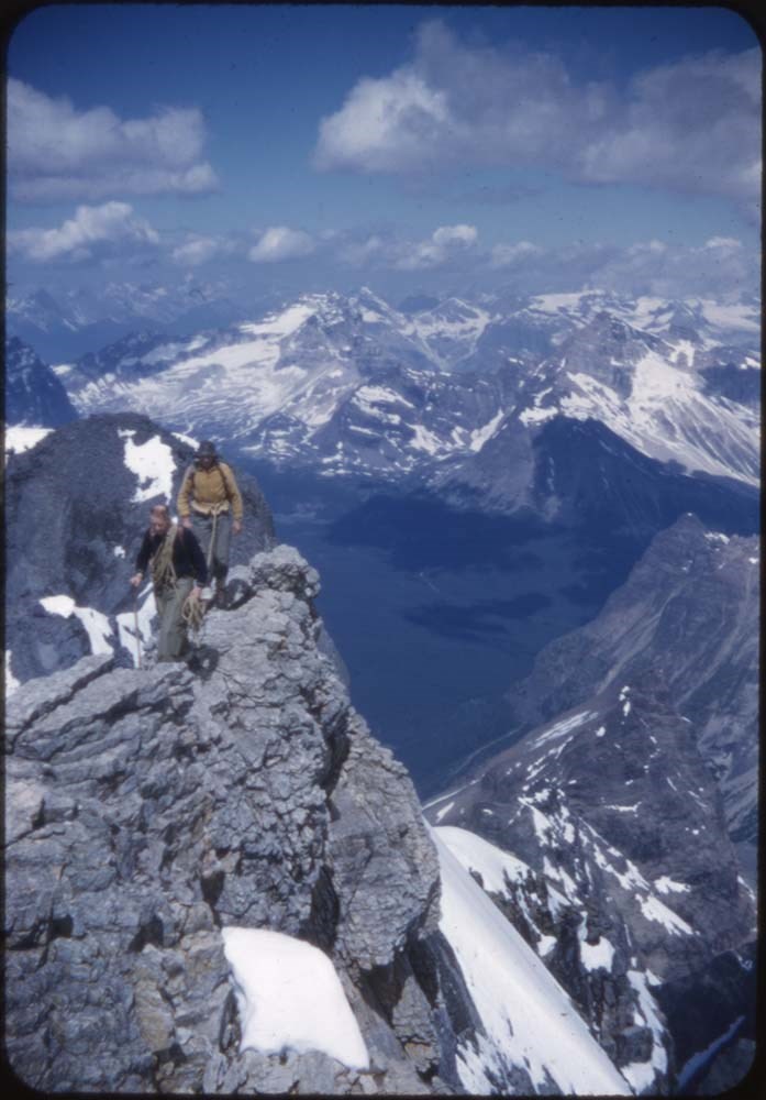
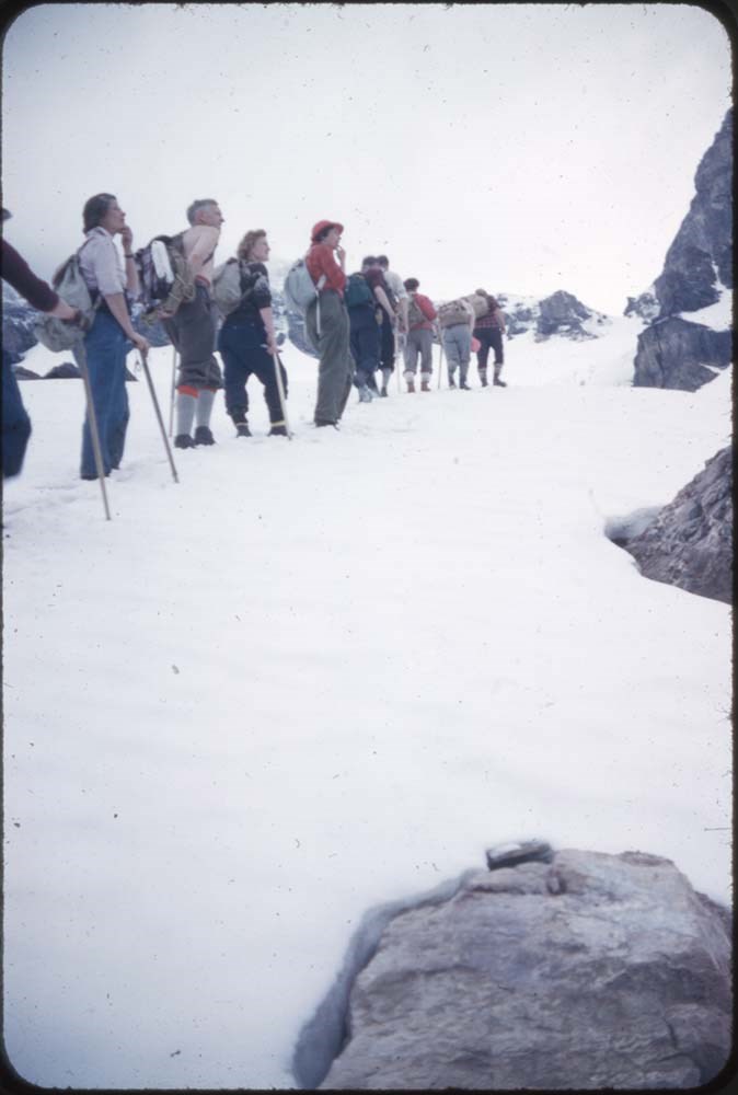
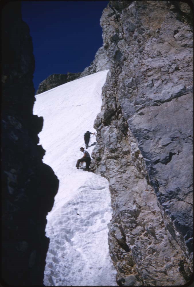
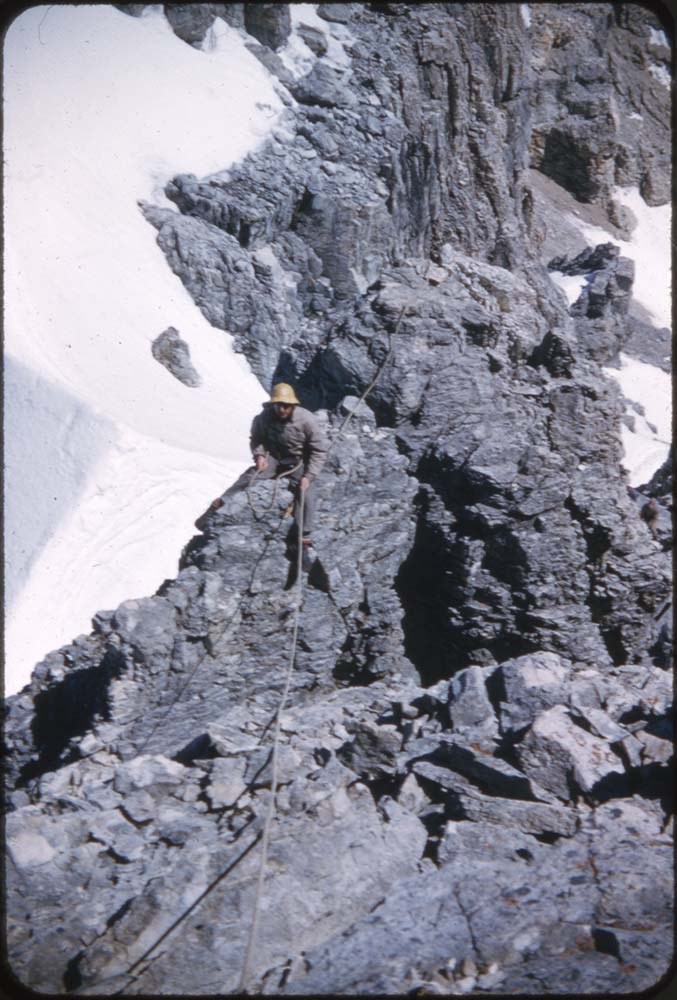
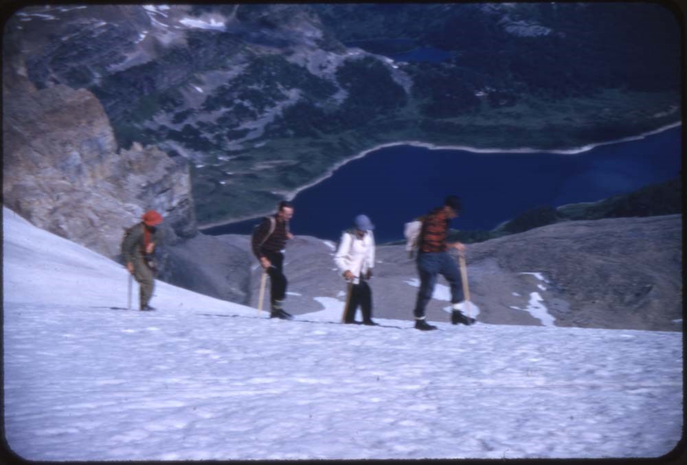
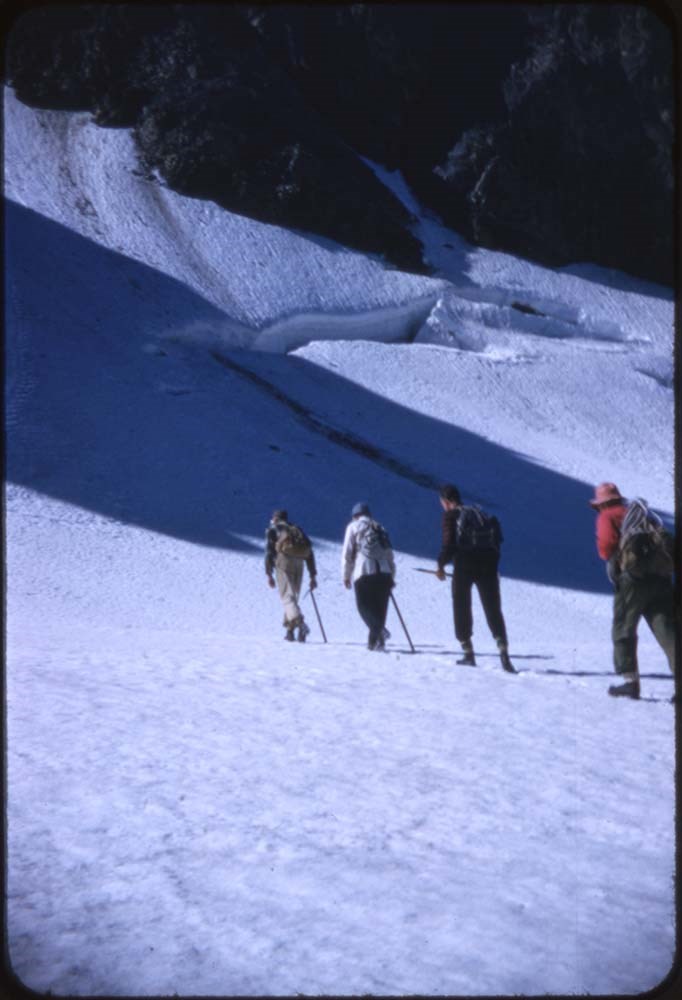
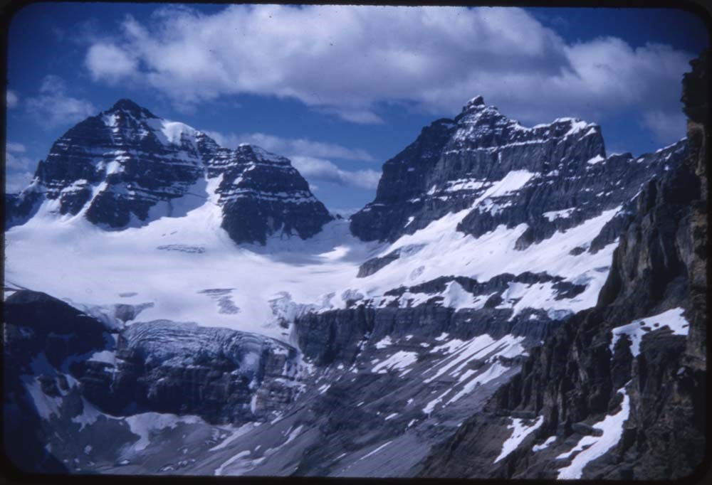
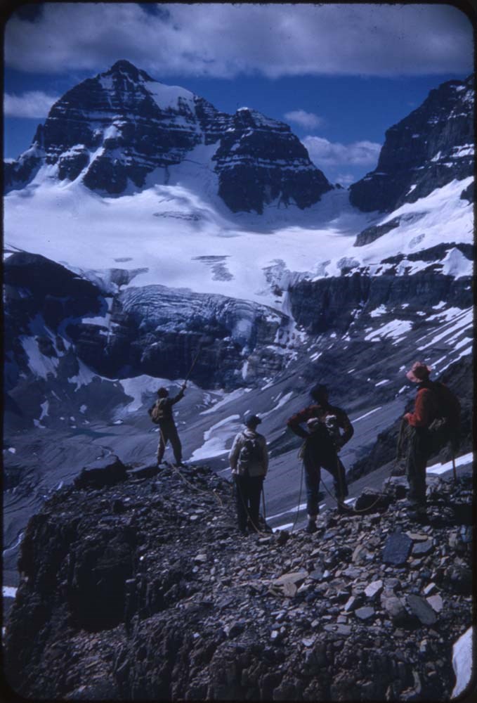
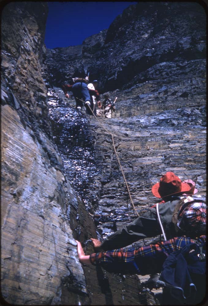
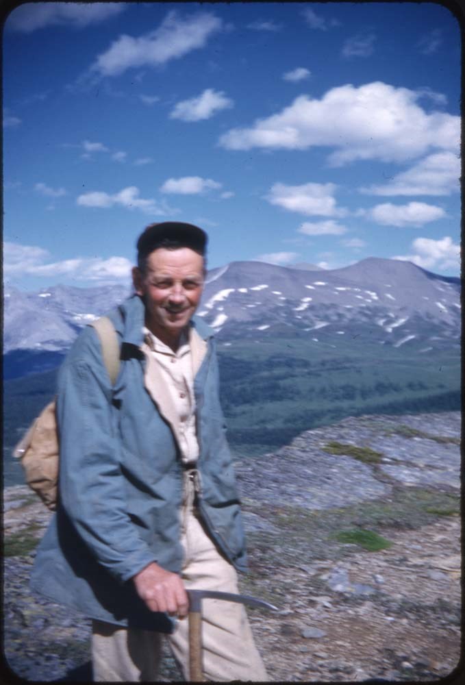
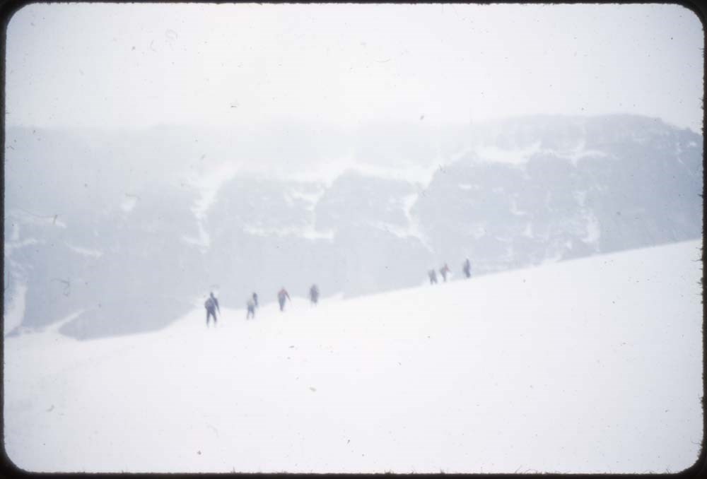
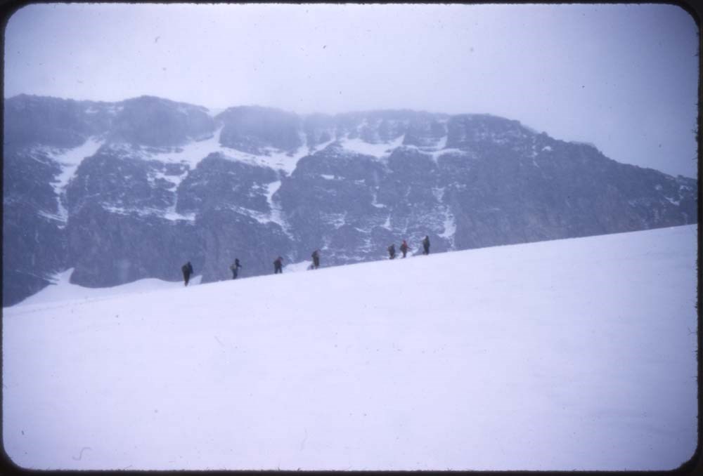
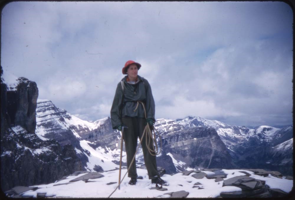
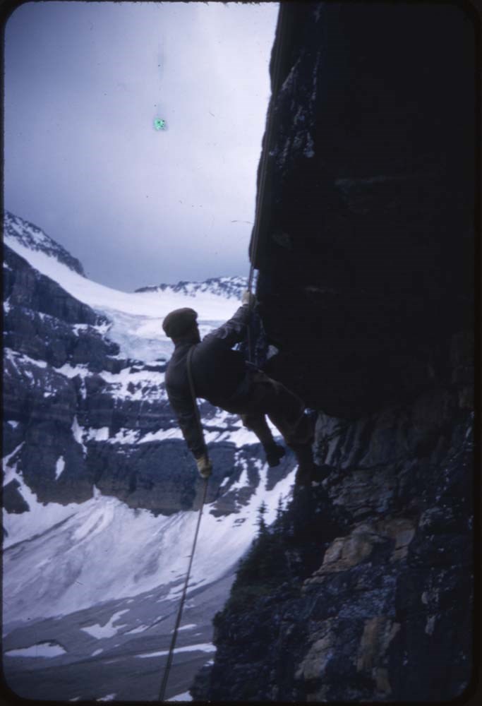
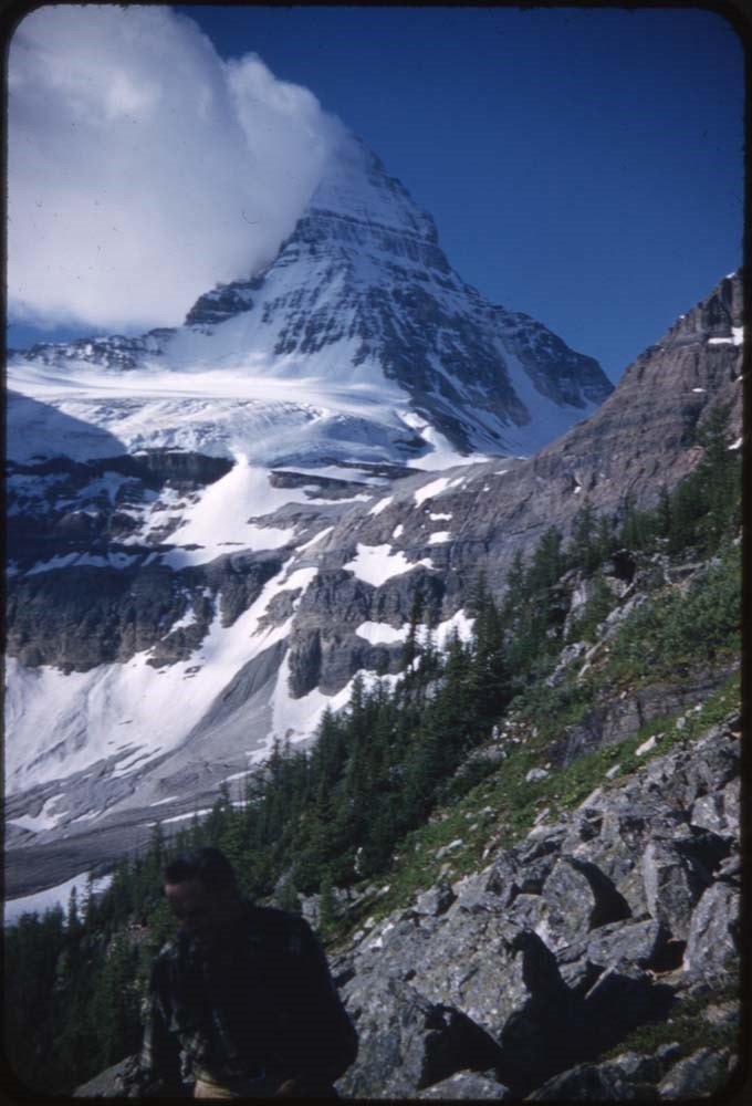
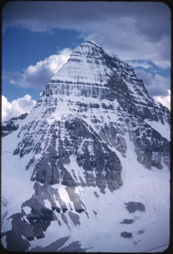
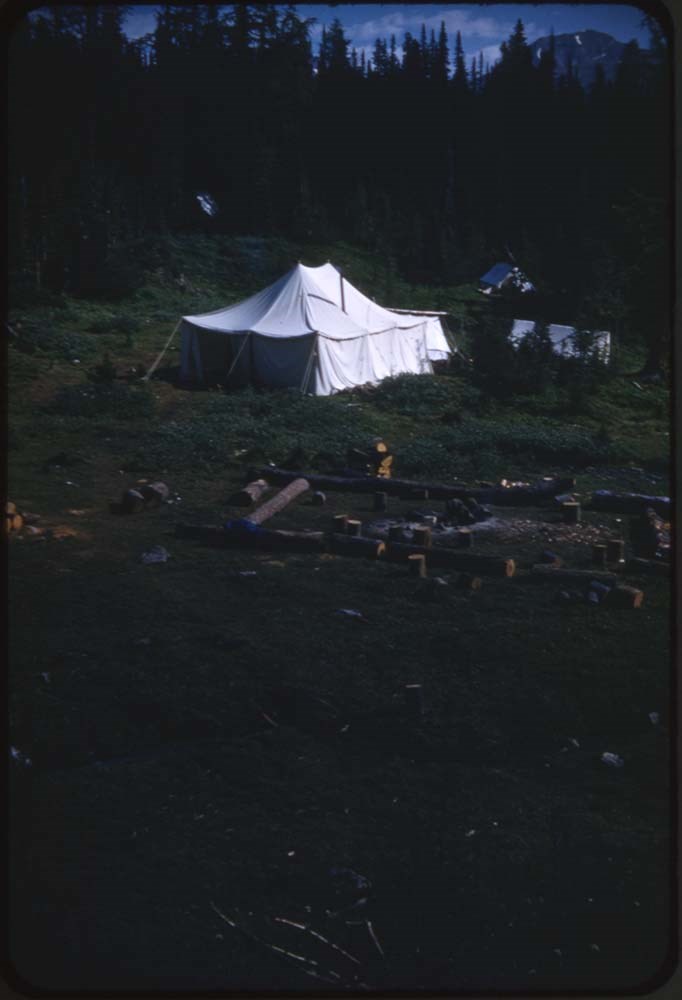
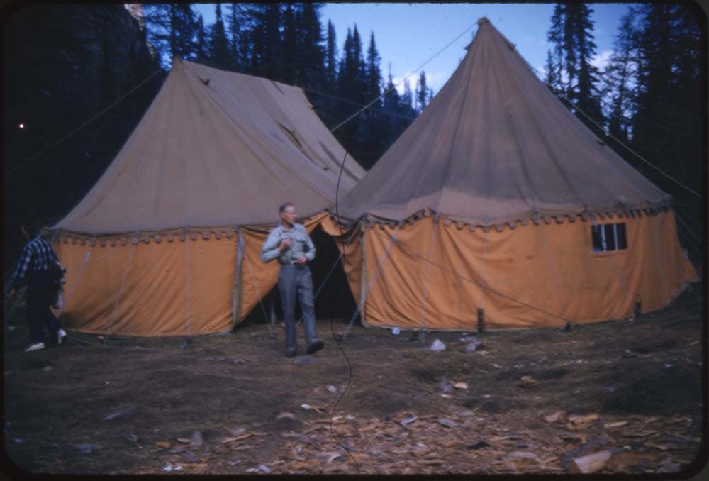
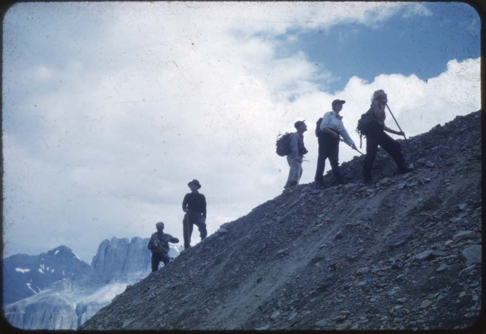
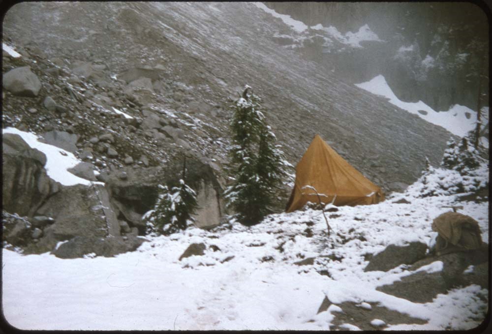
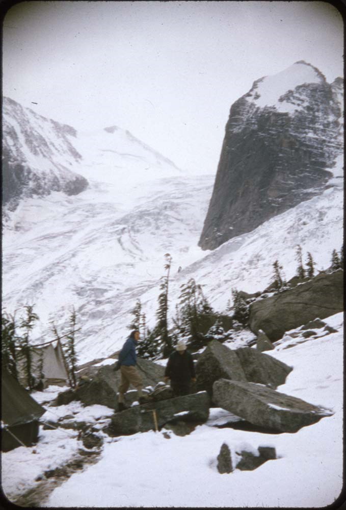
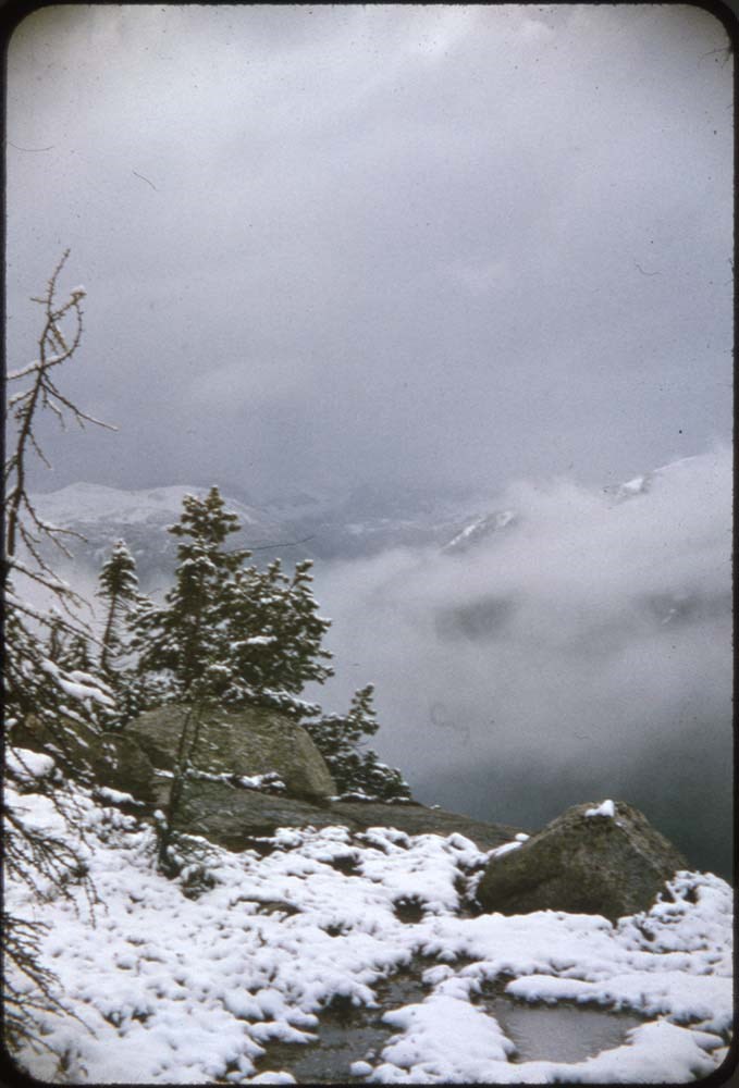
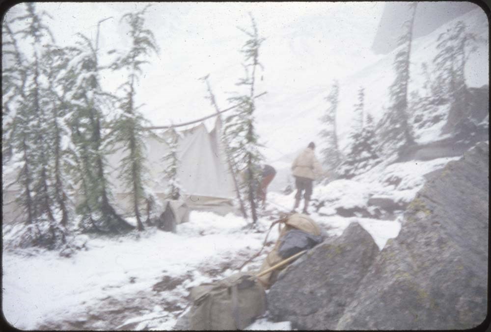
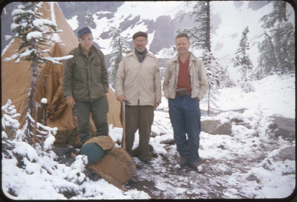
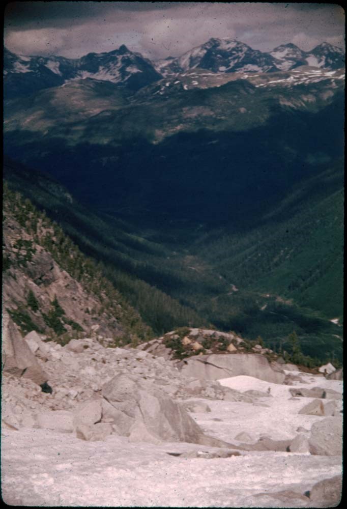
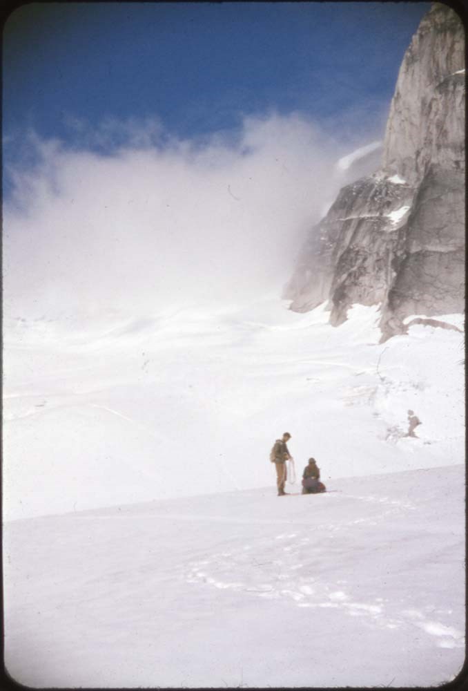
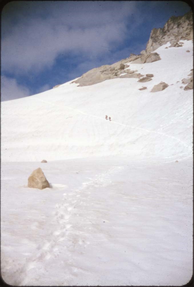
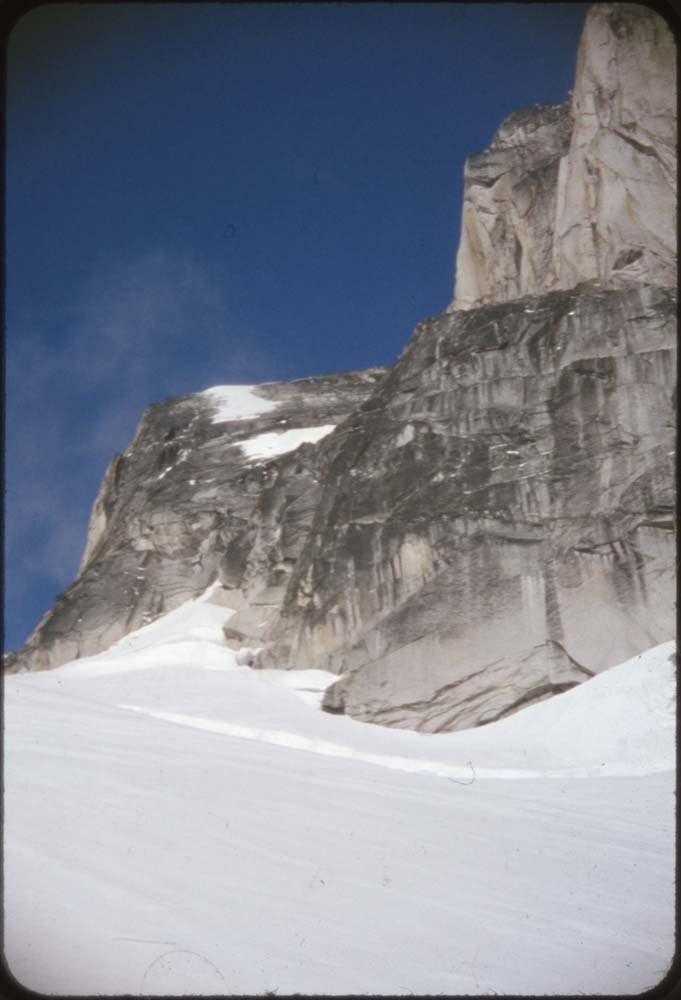
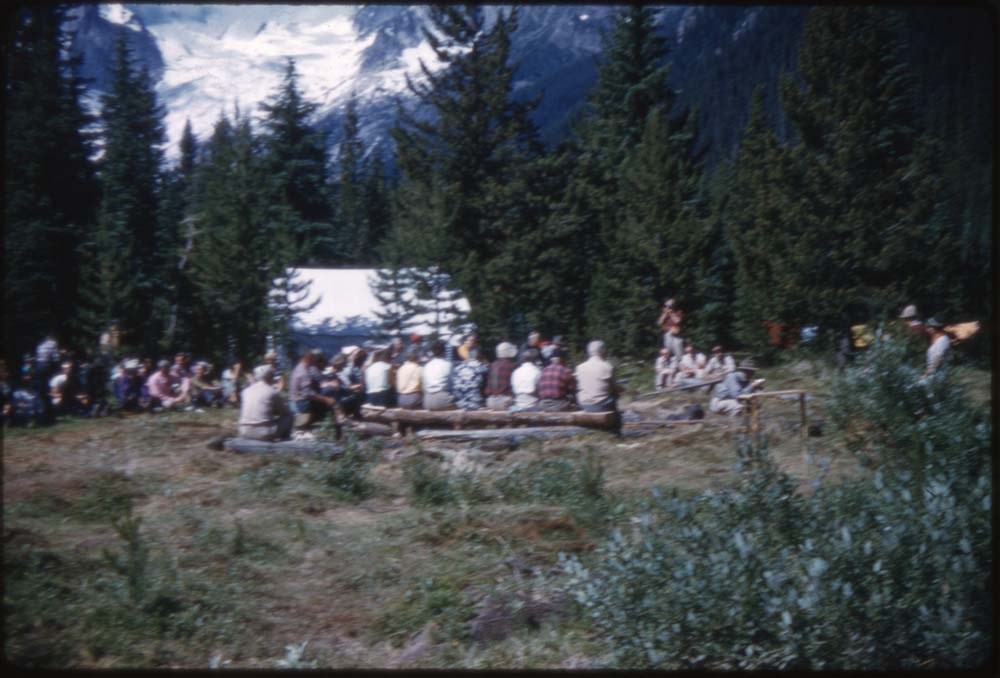
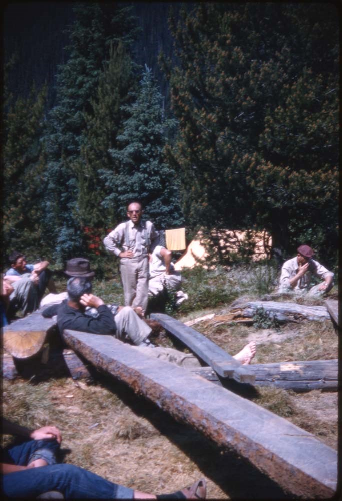
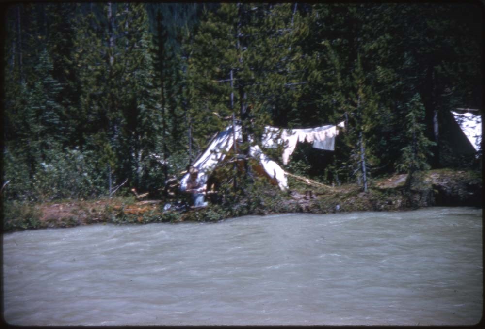
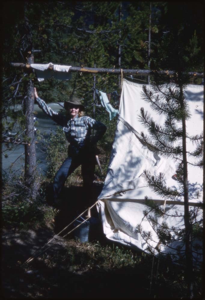
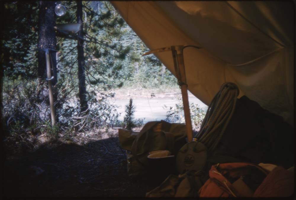
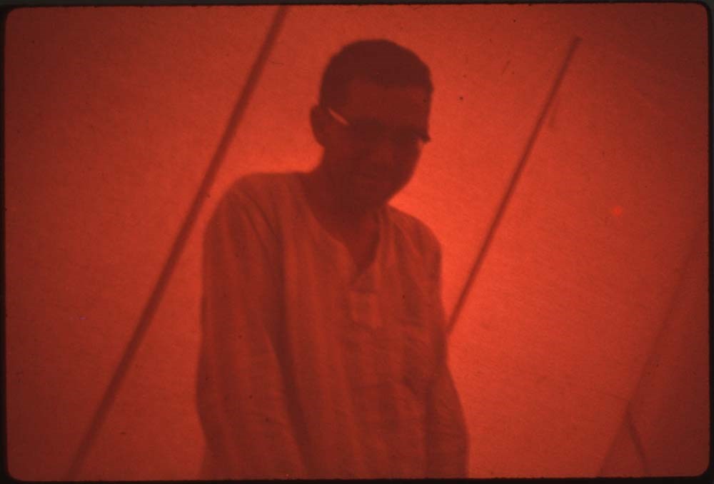
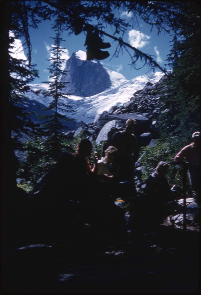
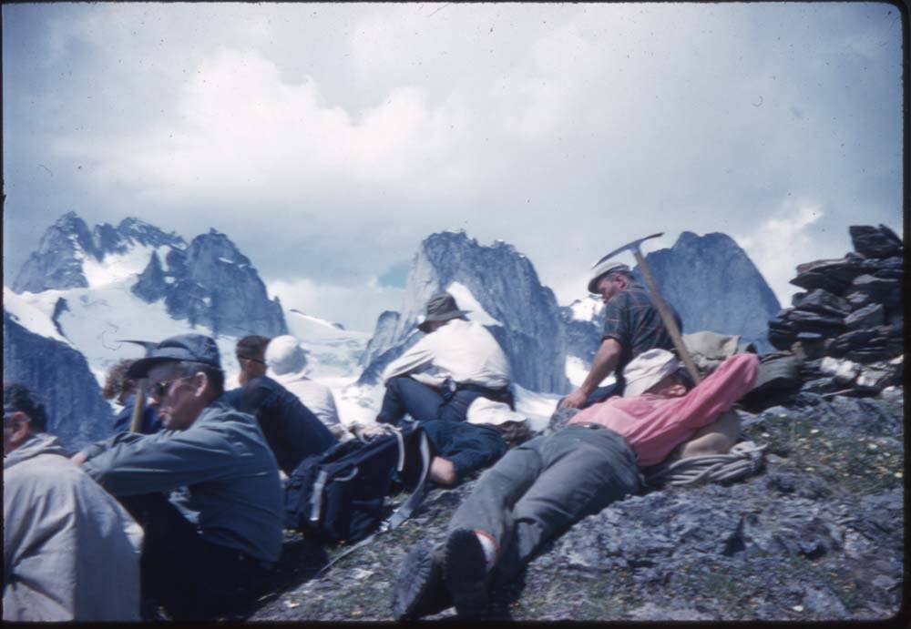
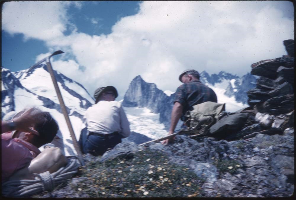
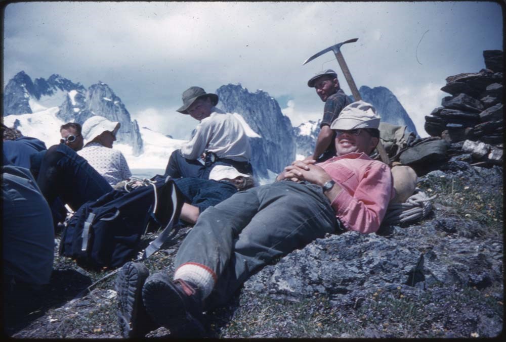
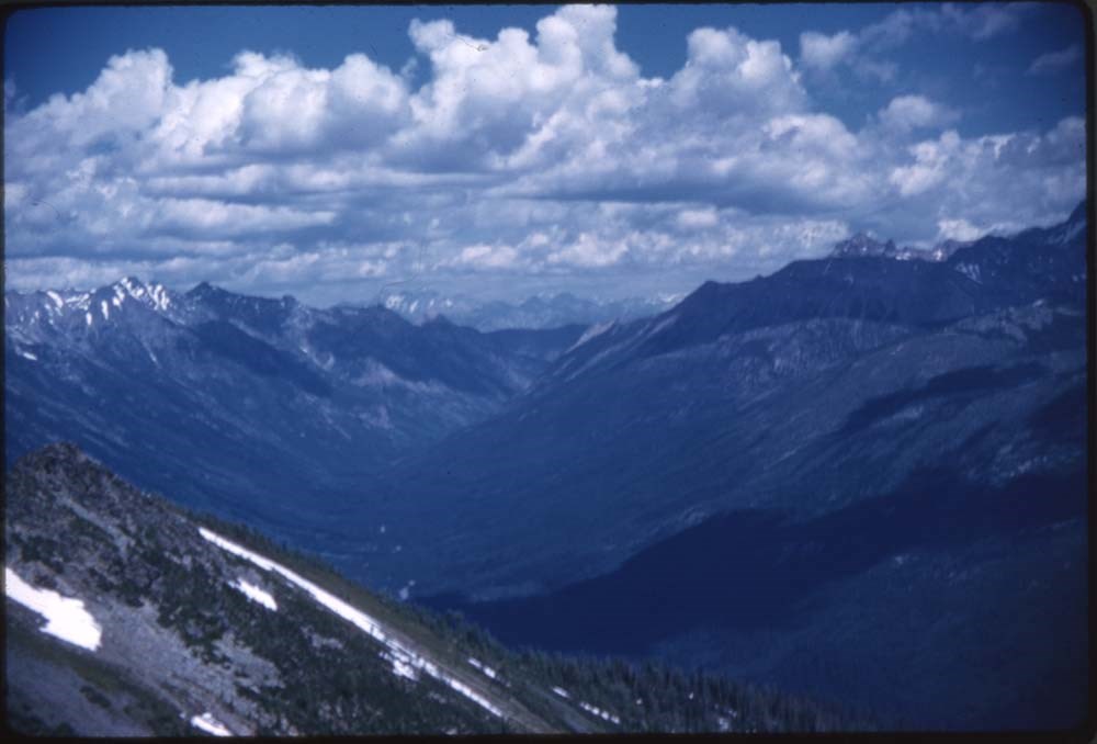
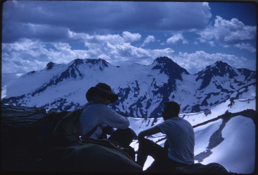
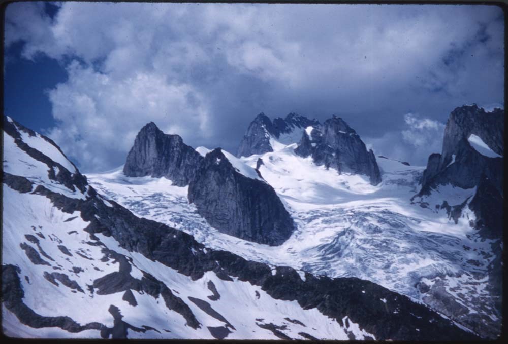
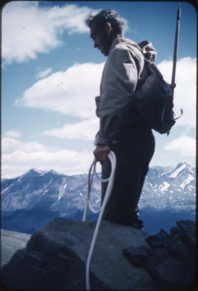
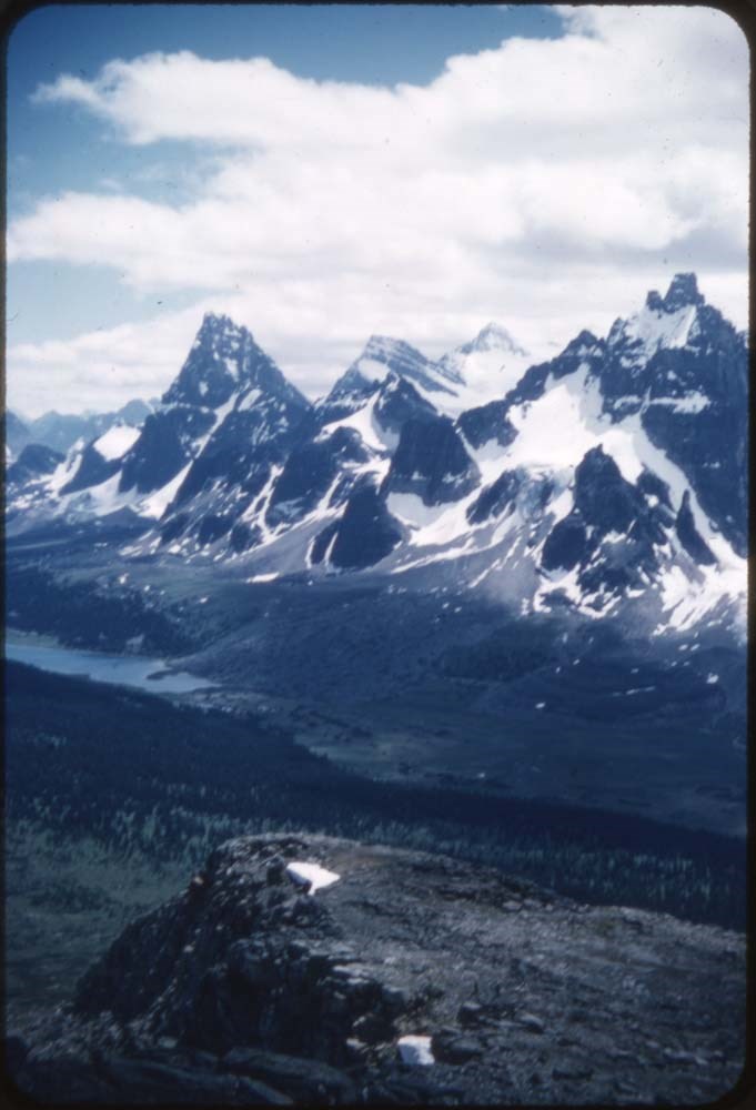
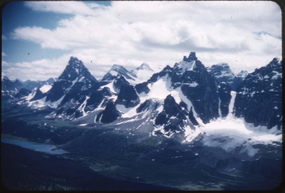
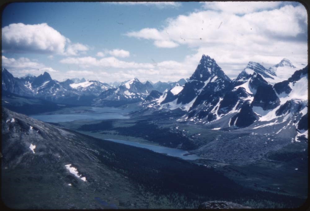
ACC Camps [1/3]
https://archives.whyte.org/en/permalink/descriptions57601
- Part Of
- Bill Goodrich fonds
- Scope & Content
- File pertains to 132 35 mm slides depictiong Alpine Club of Canada Camps from 1950, 1951, 1952, and 1960, consisting mostly of shots of people hiking, climbing, and mountaineering in and around the Lake O'Hara and Mt. Assiniboine areas. Contents include: 1950 - Maligne (1-19) 1951 - Lake O'Hara (21…
- Date Range
- 1950-1960
- Reference Code
- V106 / NS - 01 to NS - 132
- Description Level
- 5 / File
- GMD
- Photograph
- Transparency
132 images
- Part Of
- Bill Goodrich fonds
- Description Level
- 5 / File
- Fonds Number
- V106
- Sous-Fonds
- V106
- Accession Number
- 7765
- Reference Code
- V106 / NS - 01 to NS - 132
- Date Range
- 1950-1960
- Physical Description
- 132 photographs : col. slides ; 35 mm
- History / Biographical
- See fonds level description.
- Scope & Content
- File pertains to 132 35 mm slides depictiong Alpine Club of Canada Camps from 1950, 1951, 1952, and 1960, consisting mostly of shots of people hiking, climbing, and mountaineering in and around the Lake O'Hara and Mt. Assiniboine areas. Contents include: 1950 - Maligne (1-19) 1951 - Lake O'Hara (21-69) 1952 - Mt. Assiniboine (71-124) 1952 - Mt. Assiniboine from Monica & Dudley (126-129) 1950 - Sent to [Bill Goodrich] from '50 Maligne Camp, [Bill Goodrich] on trail to glacier (131) 1960 - B-J HWY (Sent to [Bill Goodrich]) Mt. Saskatchewan (133) Mt. Chephren (134) Athabaska River (135) Pyramid Mt. (136) Athabaska Hotel (137)
- Name Access
- Alpine Club of Canada
- Goodrich, Bill
- Subject Access
- Activities
- Alpine Club of Canada
- Buildings
- Camping
- Camps
- Climbing
- Glaciers
- Hiking
- Lake O'hara
- Mountaineering
- Mountaineers
- Mountains
- Parks Canada
- Photography
- Portrait
- Scenery
- scenic
- Geographic Access
- Jasper
- Jasper National Park
- Alberta
- Lake O'Hara
- Yoho National Park
- Assiniboine
- Assiniboine Provincial Park
- British Columbia
- Language
- English
- Finding Aid
- No finding aid
- Creator
- Goodrich, Bill
- Title Source
- Title based on contents of fonds
- Processing Status
- Processed
Images


This material is presented as originally created; it may contain outdated cultural descriptions and
potentially offensive content.
Read more.
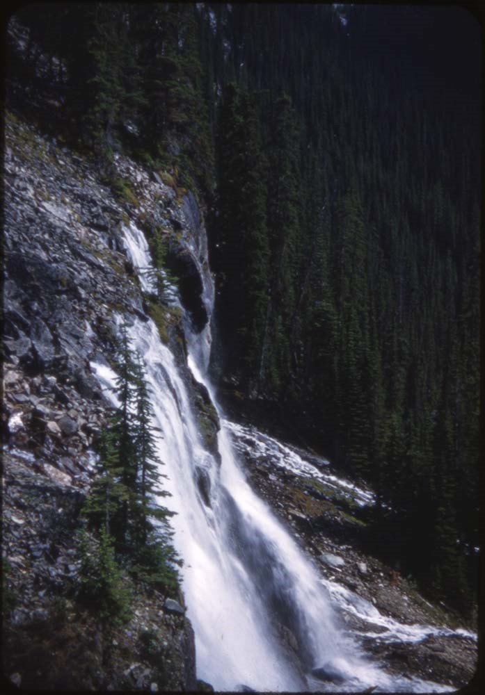
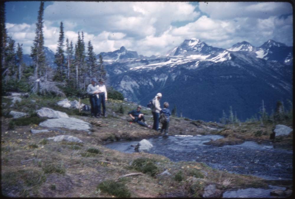
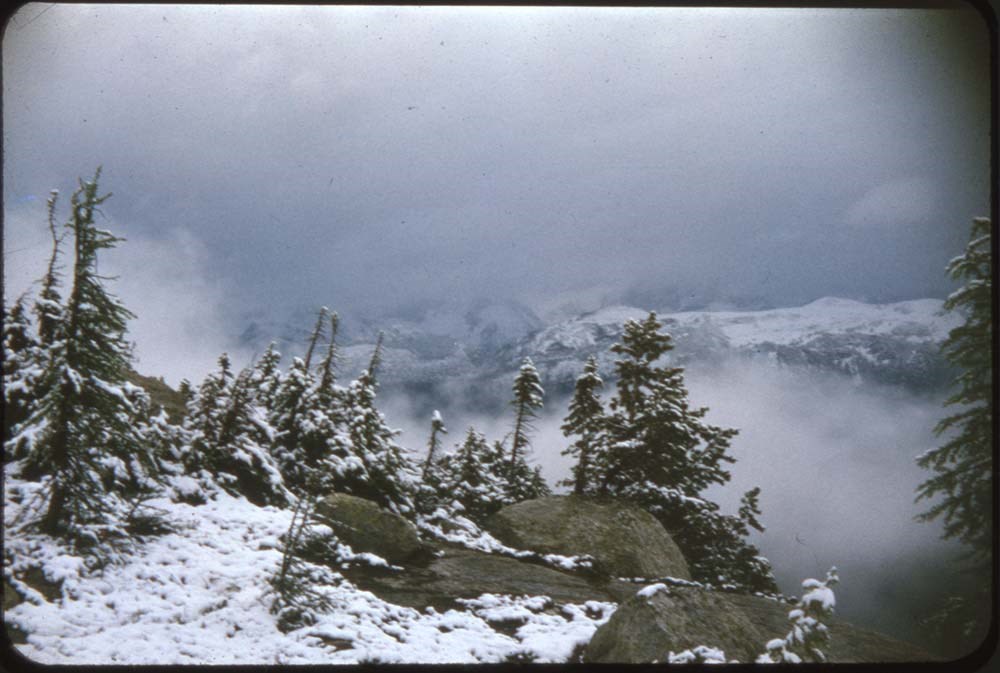
ACC Camps [3/3]
https://archives.whyte.org/en/permalink/descriptions57614
- Part Of
- Bill Goodrich fonds
- Scope & Content
- File pertains to 96 35 mm slides depictiong Alpine Club of Canada Camps from 1957, 1959, & 1962, consisting of Contents include: 1957 - Ramparts: 1-21 [Ramparts] (from Monica & Dudley): 22-28 1959 - Bugaboos (from L.F. Mondolfo: 135-140 Edith Cavell: 30-34 The ride in:…
- Date Range
- 1957-1962
- Reference Code
- V106 / NS - 255 to NS - 350
- Description Level
- 5 / File
- GMD
- Photograph
- Transparency
96 images
- Part Of
- Bill Goodrich fonds
- Description Level
- 5 / File
- Fonds Number
- V106
- Sous-Fonds
- V106
- Accession Number
- 7765
- Reference Code
- V106 / NS - 255 to NS - 350
- Date Range
- 1957-1962
- Physical Description
- 96 photographs : col. slides ; 35 mm
- History / Biographical
- See fonds level description.
- Scope & Content
- File pertains to 96 35 mm slides depictiong Alpine Club of Canada Camps from 1957, 1959, & 1962, consisting of Contents include: 1957 - Ramparts: 1-21 [Ramparts] (from Monica & Dudley): 22-28 1959 - Bugaboos (from L.F. Mondolfo: 135-140 Edith Cavell: 30-34 The ride in: 35-37 First view: 38-39 Camp: 40-42 Our tent: 43-49 Frenchman's Pk & views: 50-67 High camp in Storm: 68-75 Climb of Pigeon: 76-90 Waterfall (?): 91 1962 - Maligne Lake (part 1) Preparations: 93-98 On the road; Badlands & mud: 99-110 Barb & Walt: 111-116 Banff-Jasper HWY: 177-133
- Name Access
- Alpine Club of Canada
- Goodrich, Bill
- Subject Access
- Activities
- Alpine Club of Canada
- Buildings
- Camping
- Camps
- Climbing
- Glaciers
- Hiking
- Lake O'hara
- Mountaineering
- Mountaineers
- Mountains
- Parks Canada
- Photography
- Portrait
- Scenery
- scenic
- Waterfalls
- Women
- Geographic Access
- Jasper
- Jasper National Park
- Alberta
- Bugaboos
- British Columbia
- Language
- English
- Finding Aid
- No finding aid
- Creator
- Goodrich, Bill
- Title Source
- Title based on contents of fonds
- Processing Status
- Processed
Images


This material is presented as originally created; it may contain outdated cultural descriptions and
potentially offensive content.
Read more.
[Adams Lookout, Alberta]
https://archives.whyte.org/en/permalink/catalogue23439
- Medium
- Library - Maps and blueprints (unannotated; published)
- Map
- Published Date
- 1962
- Publisher
- Dept. of Mines & Technical Surveys
- Call Number
- NTS
- 83E/10E
- Publisher
- Dept. of Mines & Technical Surveys
- Published Date
- 1962
- Scale
- Scale: 1:50,000
- Subjects
- Adams Lookout
- Alberta
- Notes
- National Topographic System
- Accession Number
- 12000
- Call Number
- NTS
- 83E/10E
- Collection
- Archives Library
This material is presented as originally created; it may contain outdated cultural descriptions and
potentially offensive content.
Read more.
[Adams Lookout, Alberta]
https://archives.whyte.org/en/permalink/catalogue23440
- Medium
- Library - Maps and blueprints (unannotated; published)
- Map
- Published Date
- 1962
- Publisher
- Dept. of Mines and Technical Surveys
- Call Number
- NTS
- 83W/10W
- Publisher
- Dept. of Mines and Technical Surveys
- Published Date
- 1962
- Scale
- Scale: 1:50,000
- Subjects
- Adams Lookout
- Alberta
- Notes
- National Topographic System
- Accession Number
- 12000
- Call Number
- NTS
- 83W/10W
- Collection
- Archives Library
This material is presented as originally created; it may contain outdated cultural descriptions and
potentially offensive content.
Read more.
[Adams Plateau 82M/4 East, B.C.]
https://archives.whyte.org/en/permalink/catalogue23441
- Medium
- Library - Maps and blueprints (unannotated; published)
- Map
- Published Date
- 1961
- Publisher
- Department of Mines and Technical Surveys
- Call Number
- NTS
- 82M/4E
- Publisher
- Department of Mines and Technical Surveys
- Published Date
- 1961
- Physical Description
- 1 map : col
- Scale
- Scale: 1:50,000
- Relief: Contour interval 100 ft.
- Subjects
- Adams Plateau
- British Columbia
- Notes
- National Topographic System
- Accession Number
- 7000
- Call Number
- NTS
- 82M/4E
- Collection
- Archives Library
This material is presented as originally created; it may contain outdated cultural descriptions and
potentially offensive content.
Read more.
[Adams Plateau 82M/4 West, B.C.]
https://archives.whyte.org/en/permalink/catalogue23442
- Medium
- Library - Maps and blueprints (unannotated; published)
- Map
- Published Date
- 1961
- Publisher
- Department of Mines and Technical Surveys
- Call Number
- NTS
- 82M/4W
- Publisher
- Department of Mines and Technical Surveys
- Published Date
- 1961
- Physical Description
- 1 map : col
- Scale
- Scale: 1:50,000
- Relief: Contour interval 100 ft.
- Subjects
- Adams Plateau
- British Columbia
- Notes
- National Topographic System
- Accession Number
- 7000
- Call Number
- NTS
- 82M/4W
- Collection
- Archives Library
This material is presented as originally created; it may contain outdated cultural descriptions and
potentially offensive content.
Read more.
[Adams River 82M/11 East, B.C.]
https://archives.whyte.org/en/permalink/catalogue23443
- Medium
- Library - Maps and blueprints (unannotated; published)
- Map
- Published Date
- 1961
- Publisher
- Dept. of Mines and Technical Surveys
- Call Number
- NTS
- 82M/11E
- Publisher
- Dept. of Mines and Technical Surveys
- Published Date
- 1961
- Physical Description
- 1 map : col
- Scale
- Scale: 1:50,000
- Relief: Contour interval 100 ft.
- Subjects
- Adams River
- British Columbia
- Notes
- National Topographic System
- Accession Number
- 3000
- Call Number
- NTS
- 82M/11E
- Collection
- Archives Library
This material is presented as originally created; it may contain outdated cultural descriptions and
potentially offensive content.
Read more.
[Adams River 82M/11 West, B.C.]
https://archives.whyte.org/en/permalink/catalogue23444
- Medium
- Library - Maps and blueprints (unannotated; published)
- Map
- Published Date
- 1961
- Publisher
- Dept. of Mines and Technical Surveys
- Call Number
- NTS
- 82M/11W
- Publisher
- Dept. of Mines and Technical Surveys
- Published Date
- 1961
- Physical Description
- 1 map : col
- Scale
- Scale: 1:50,000
- Relief: Contour interval 100 ft.
- Subjects
- Adams River
- British Columbia
- Notes
- National Topographic System
- Accession Number
- 3000
- Call Number
- NTS
- 82M/11W
- Collection
- Archives Library
This material is presented as originally created; it may contain outdated cultural descriptions and
potentially offensive content.
Read more.
Aerochrome Infrared photograph of Banff and surrounding area
https://archives.whyte.org/en/permalink/catalogue24805
- Medium
- Library - Maps and blueprints (unannotated; published)
- Map
- Published Date
- August 1972
- Call Number
- C12-4.22
- Published Date
- August 1972
- Scale
- 1:17,000
- Subjects
- Banff - Aerial Photo
- Notes
- Legend: 12 designated townsite areas
- See: Fig. 1, 2, 3 on reverse side of map
- Call Number
- C12-4.22
- Collection
- Archives Library
This material is presented as originally created; it may contain outdated cultural descriptions and
potentially offensive content.
Read more.
[Africa, Northwestern]
https://archives.whyte.org/en/permalink/catalogue24841
- Medium
- Library - Maps and blueprints (unannotated; published)
- Map
- Published Date
- 1966
- Publisher
- National Geographic Society
- Call Number
- C13-7.3
- Publisher
- National Geographic Society
- Published Date
- 1966
- Scale
- Scale: 125 miles to 1 inch
- Relief: Bench marks
- Subjects
- Northwestern Africa
- Call Number
- C13-7.3
- Collection
- Archives Library
This material is presented as originally created; it may contain outdated cultural descriptions and
potentially offensive content.
Read more.
[Africa, Southern]
https://archives.whyte.org/en/permalink/catalogue24840
- Medium
- Library - Maps and blueprints (unannotated; published)
- Map
- Published Date
- 1962
- Publisher
- National Geographic Society
- Call Number
- C13-7.2
- Publisher
- National Geographic Society
- Published Date
- 1962
- Scale
- Scale: 125 miles to 1 inch
- Relief: bench marks
- Subjects
- Southern Africa
- Accession Number
- 495
- Call Number
- C13-7.2
- Collection
- Archives Library
This material is presented as originally created; it may contain outdated cultural descriptions and
potentially offensive content.
Read more.
Aileen Harmon fonds
https://archives.whyte.org/en/permalink/descriptions206
- Part Of
- Aileen Harmon fonds
- Scope & Content
- Fonds consists of textual records and photographs by and about Aileen Harmon, as well as collected items. Textual records include: letter from Harmon to the Director of Alberta's provincial parks re addition of Yamnuska area to Bow Valley Provincial Park, 1973; brief, from Harvie Heights and Bow Va…
- Date Range
- [ca. 1924] - 2015
- Reference Code
- M287 / V262
- Description Level
- 1 / Fonds
- GMD
- Photograph
- Negative
- Photograph print
- Textual record
- Private record
- Transparency
- Part Of
- Aileen Harmon fonds
- Description Level
- 1 / Fonds
- Fonds Number
- M287 / V262
- Sous-Fonds
- M287
- V262
- Accession Number
- 1876
- 1915
- 1916
- 2302
- 2932
- 3082
- 3380
- 3383
- 3411
- 7753
- 2016.8596
- Reference Code
- M287 / V262
- Date Range
- [ca. 1924] - 2015
- Physical Description
- 26.5 cm of textual records. -- 33 photographs (26 prints : b&w and col. ; 20.5 x 30 cm or smaller -- 6 negatives : b&w nitrate negatives ; 12.5 x 10 cm -- 1 transparency : col. slide ; 35 mm)
- History / Biographical
- Aileen Harmon (1912 - 2015), daughter of Byron Harmon, worked as a government naturalist at Banff, Alberta, Canada and was involved in local natural history groups and activities. Aileen was a founding member, alongside Bruce Gordon, of the Bow Valley Naturalists, and was also on the Board of The Canadian Wildlife Federation and The Society of Alberta Naturalists. Aileen moved to Mill Bay on Vancouver Island, B.C. in 1981 following the end of a lengthy career with Parks Canada. During her retirement years, Aileen travelled extensively, reaching all seven continents. She also authored an autobiographical book, titled "Tales of My Mountain Life", in 2004. Aileen passed away on January 9, 2015 at the age of 102.
- Scope & Content
- Fonds consists of textual records and photographs by and about Aileen Harmon, as well as collected items. Textual records include: letter from Harmon to the Director of Alberta's provincial parks re addition of Yamnuska area to Bow Valley Provincial Park, 1973; brief, from Harvie Heights and Bow Valley subdivision residents to public hearings on land use and resource development in the eastern slopes, 1973; letter re James Hector, 1979; notes on career, 2003; notes on Catharine Whyte for CBC recording, 2004; Christmas cards and collected articles, ca.1960. Photographs, made by and collected by Aileen Harmon, pertain to Aileen Harmon and friends, skiing, Skoki area, Mount Yamnuska, Banff Indian Days. Includes photographs by Byron Harmon. Added content from accession 2016.8596 : ca. 25 cm of textual records including personal correspondence, guest book, original writing and notes by Aileen Harmon, personal travel journals from a 1931 packing trip and 1933 ski trip to Skoki, drafts of autobiographical book "Tales of My Mountain Life", articles pertaining to or written by Aileen Harmon, Christmas cards, and letters of condolence to Carole Harmon following Aileen's passing. Also 26 print photographs, 6 negative photographs from a 1937 hiking trip, and one transparency. Fonds consists of one series : Series I - Personal records
- Name Access
- Harmon, Aileen
- Harmon, Carole
- Subject Access
- Environment
- Family and personal life
- Memorial
- Parks Canada
- Hiking
- Mountains
- Travel
- Geographic Access
- Canada
- Alberta
- British Columbia
- Access Restrictions
- Copyright, privacy, commercial use and other restrictions may apply
- Reproduction Restrictions
- Restrictions may apply
- Language
- English
- Finding Aid
- Basic description only
- Category
- Environment
- Family and personal life
- Title Source
- Title based on contents of fonds
- Processing Status
- Processed
This material is presented as originally created; it may contain outdated cultural descriptions and
potentially offensive content.
Read more.
[Aishihik Lake 115H, Yukon]
https://archives.whyte.org/en/permalink/catalogue24002
- Medium
- Library - Maps and blueprints (unannotated; published)
- Map
- Published Date
- 1971
- Publisher
- Dept. of Energy, Mines and Resources
- Call Number
- NTS
- 115H
- Publisher
- Dept. of Energy, Mines and Resources
- Published Date
- 1971
- Physical Description
- 1 map : col
- Scale
- Scale: 1:250,000
- Relief: Contour interval 500 ft.
- Subjects
- Aishihik Lake
- Yukon Territory
- Notes
- National Topographic System
- Accession Number
- 3000
- Call Number
- NTS
- 115H
- Collection
- Archives Library
This material is presented as originally created; it may contain outdated cultural descriptions and
potentially offensive content.
Read more.
Alaska Cruises
https://archives.whyte.org/en/permalink/descriptions54309
- Part Of
- Nicholas Morant fonds
- Scope & Content
- File consists of 168 negative photographs (colour, b&w) and 54 colour transparencies. Content pertains to cruise ships, glaciers and scenery, travellers, activities in British Columbia and Alaska. Includes ships: Princess Kathleen (betw.1948 and 1952), Princess Marguerite II and Princess Patricia.
- Date Range
- [ca. 1950 - ca. 1965]
- Reference Code
- V500 / I / A7 / 41
- Description Level
- 4.2 / Sub-sub-sub series
- GMD
- Photograph
- Negative
- Transparency
- Part Of
- Nicholas Morant fonds
- Description Level
- 4.2 / Sub-sub-sub series
- Fonds Number
- M300/ S20 / V500
- Sous-Fonds
- V500
- Sub-Series
- V500 / I / A : Photography : Negatives and Transparencies
- Accession Number
- 7438
- Reference Code
- V500 / I / A7 / 41
- Responsibility
- Nicholas Morant
- Date Range
- [ca. 1950 - ca. 1965]
- Physical Description
- 222 Photographs: negatives and transparencies; b&w, colour
- Scope & Content
- File consists of 168 negative photographs (colour, b&w) and 54 colour transparencies. Content pertains to cruise ships, glaciers and scenery, travellers, activities in British Columbia and Alaska. Includes ships: Princess Kathleen (betw.1948 and 1952), Princess Marguerite II and Princess Patricia.
- Notes
- Contains duplicates. Negatives and transparencies are stored in separate file boxes.
- Subject Access
- Travel
- Transportation
- Ship
- Cruise ships
- Geographic Access
- Canada
- British Columbia
- United States of America
- Alaska
- Reproduction Restrictions
- Reference use only; no reproduction
- Language
- English
- Creator
- Nicholas Morant
- Title Source
- Title based on contents of file
- Processing Status
- Processed
This material is presented as originally created; it may contain outdated cultural descriptions and
potentially offensive content.
Read more.