Narrow Results By
- Nicholas Morant fonds 66
- Douglas Leighton fonds 40
- Luxton family fonds 30
- Dorothy Wardle fonds 20
- Kidney family fonds 14
- Murray Hay fonds 14
- Lillian Gest fonds 10
- Bob Hind fonds 8
- Trail Riders of the Canadian Rockies fonds 7
- Bruno Engler fonds 6
- Peter and Catharine Whyte fonds 6
- Aileen Harmon fonds 5
472. VIA Canadian, M-113, Lake Louise
https://archives.whyte.org/en/permalink/descriptions20315
- Part Of
- Nicholas Morant fonds
- Scope & Content
- "The Canadian" passenger train, Canadian Pacific Railway, at "Morant's Curve" near Lake Louise, Banff National Park AB
- Date Range
- [c. 1930 - 1980]
- Reference Code
- V500 / I / A / 1 / b / A4 / NA - 472
- Description Level
- 5 / File
- GMD
- Film
- Negative
- Transparency
- Part Of
- Nicholas Morant fonds
- Description Level
- 5 / File
- Fonds Number
- M300 / S20 / V500
- Series
- I.A. Photography : negatives and transparencies
- Sous-Fonds
- V500
- Sub-Series
- 1.c. Darkroom files : colour I
- Accession Number
- 7438
- Reference Code
- V500 / I / A / 1 / b / A4 / NA - 472
- GMD
- Film
- Negative
- Transparency
- Date Range
- [c. 1930 - 1980]
- Physical Description
- 1 photograph : col. negative ; 5.71 x 5.71 cm
- Scope & Content
- "The Canadian" passenger train, Canadian Pacific Railway, at "Morant's Curve" near Lake Louise, Banff National Park AB
- Name Access
- Morant, Nicholas (Nick)
- Subject Access
- Advertising
- Canadian Pacific Railway
- Train
- Trains
- Photography
- Scenery
- Geographic Access
- Banff
- Lake Louise
- Morant's Curve
- Banff National Park
- Alberta
- Canada
- Language
- NA
- Finding Aid
- yes
- Title Source
- Title based on contents of file
- Content Details
- The A4 denotes part I (one) of the colour series ; A5 deontes part II (two)
- Processing Status
- Processed
This material is presented as originally created; it may contain outdated cultural descriptions and
potentially offensive content.
Read more.
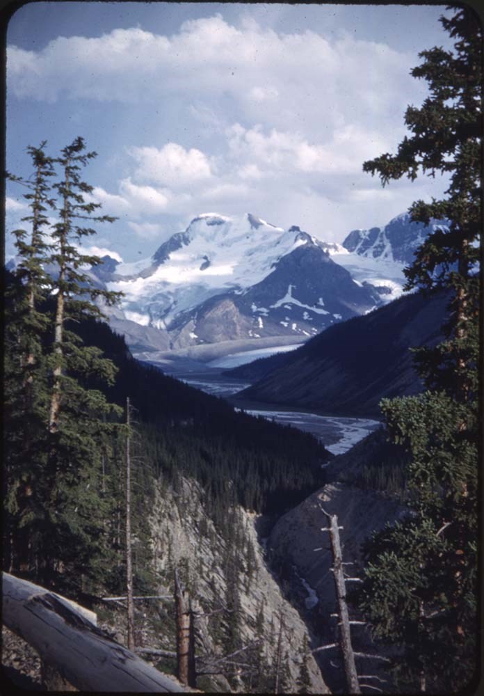
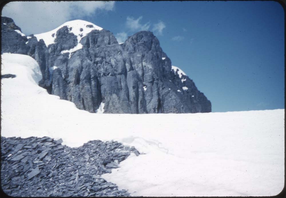
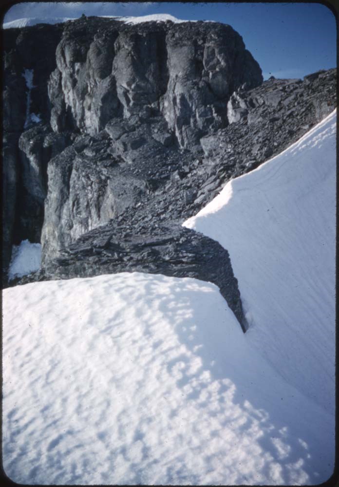
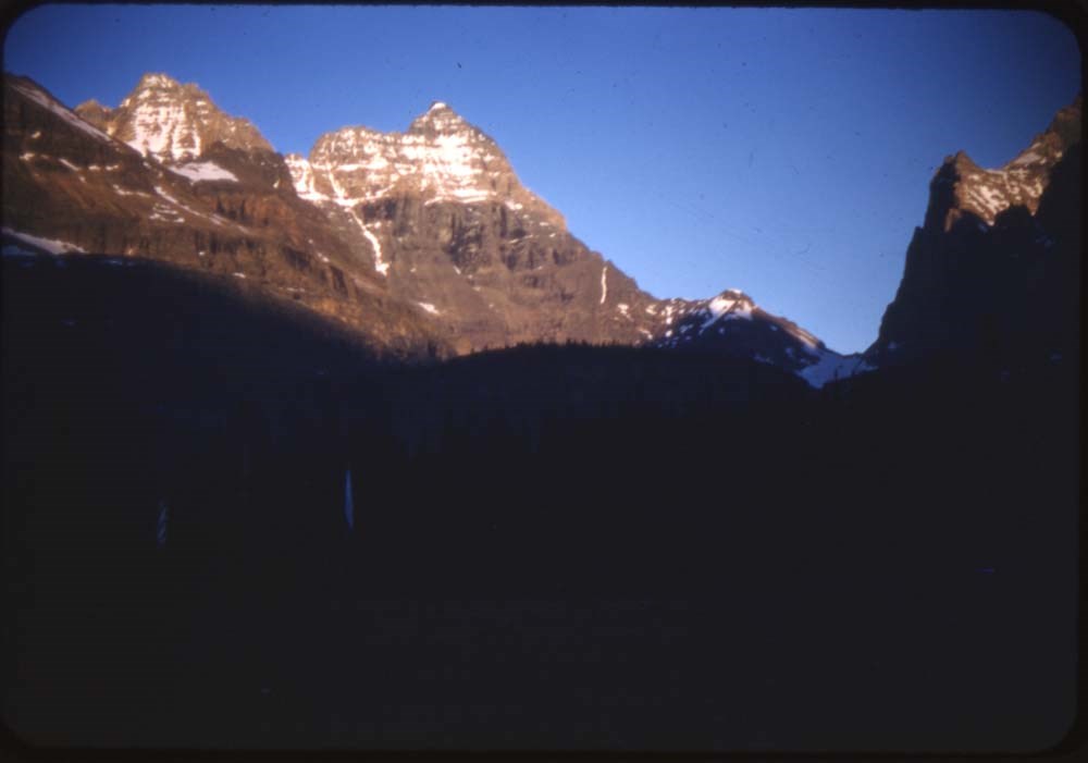
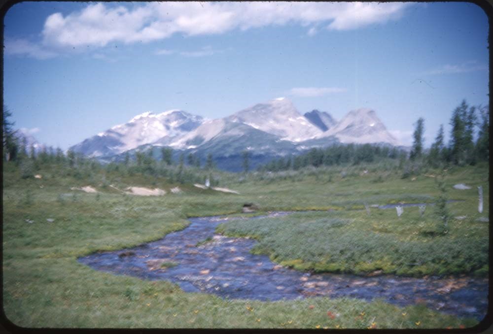
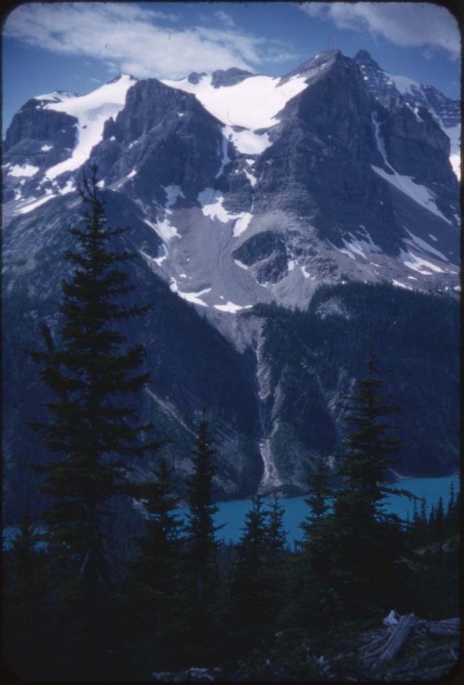
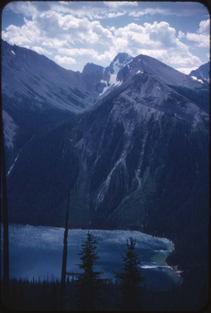
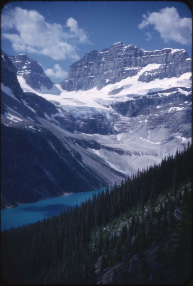
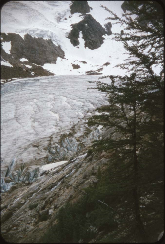
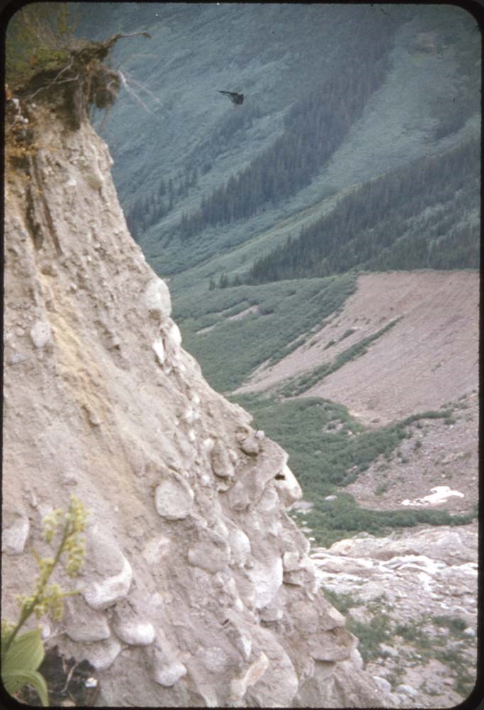
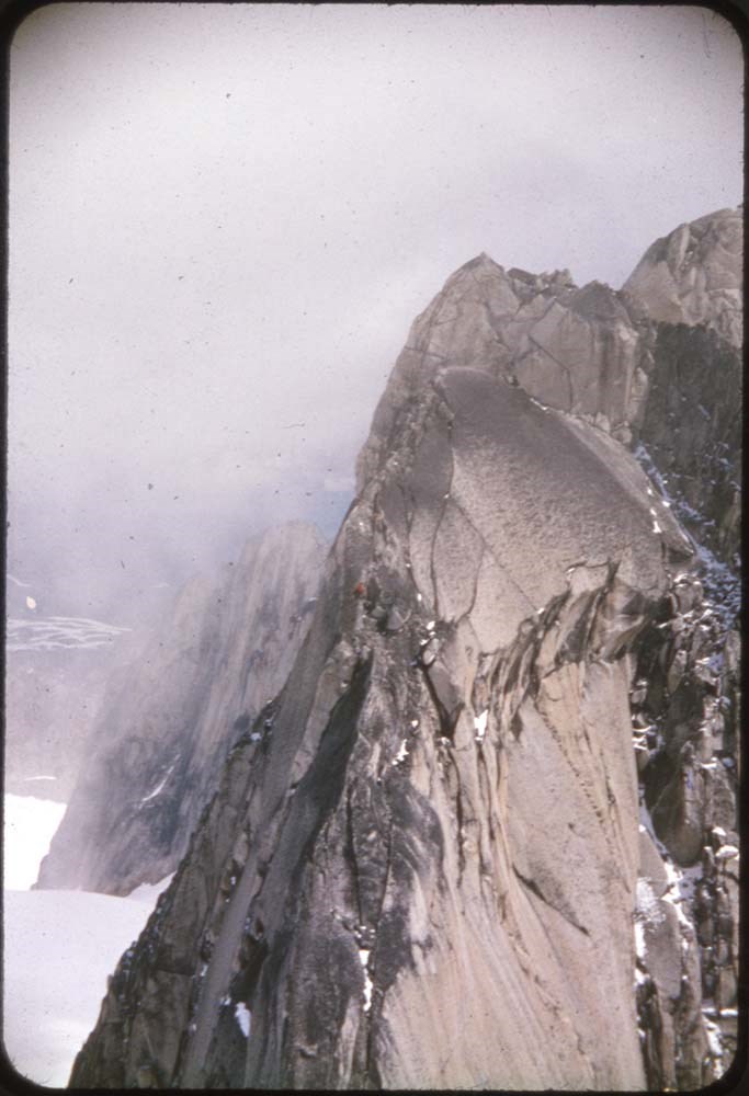
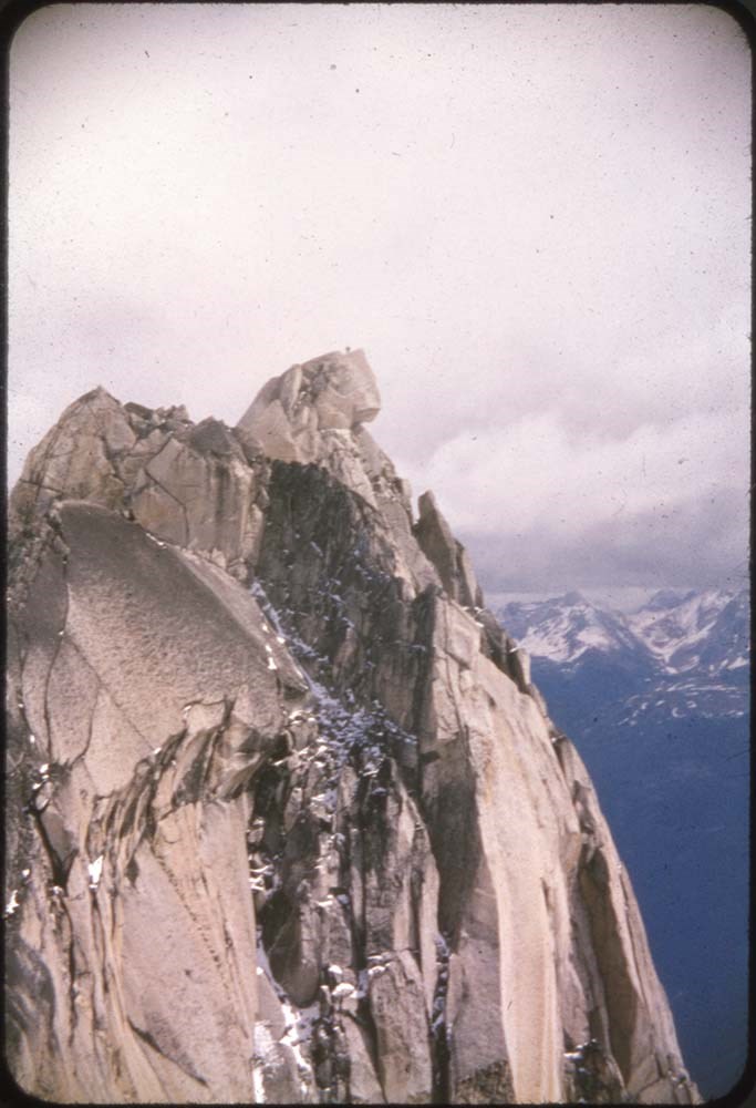
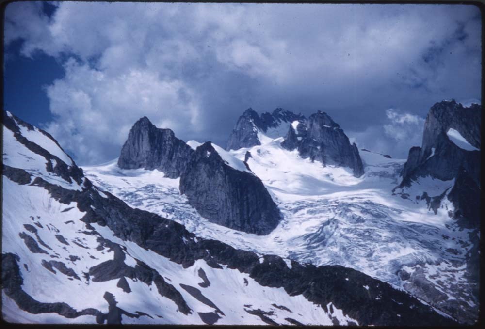
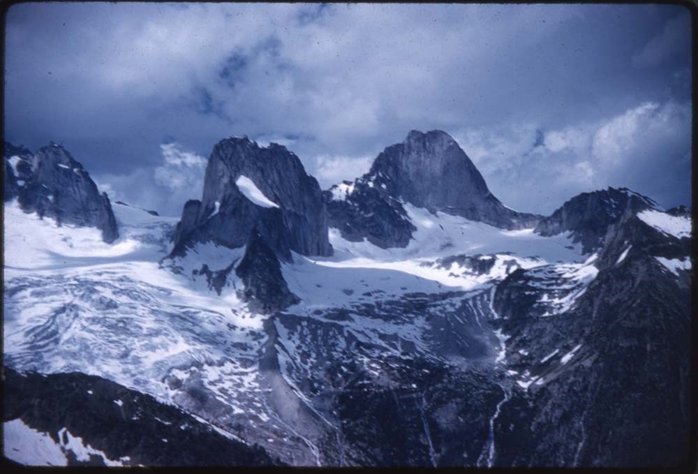
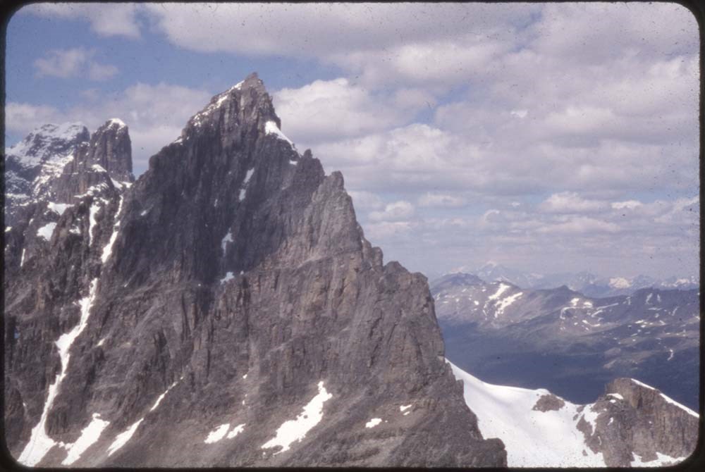
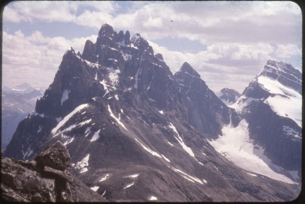
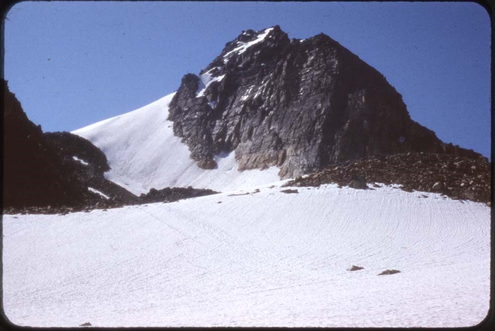
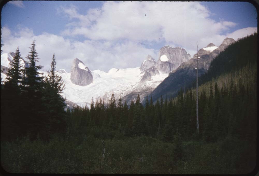
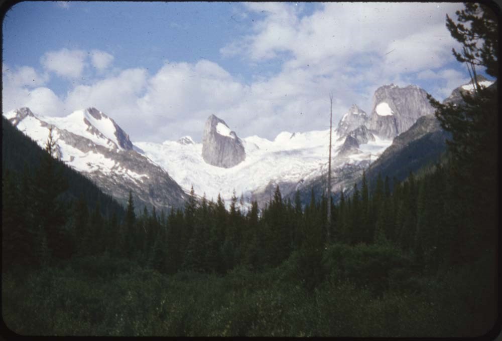
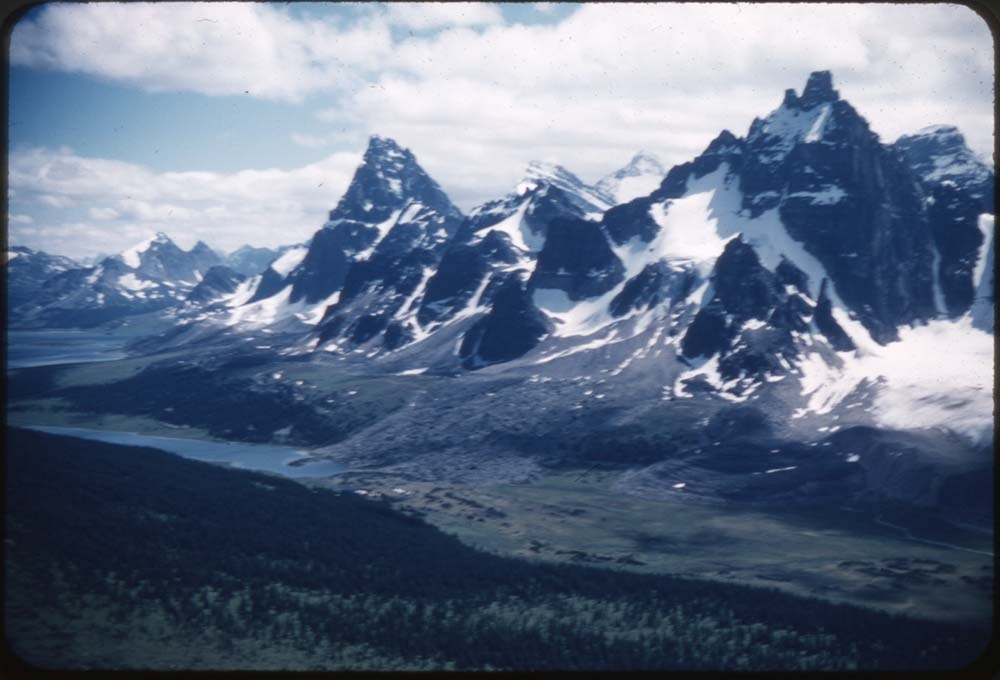
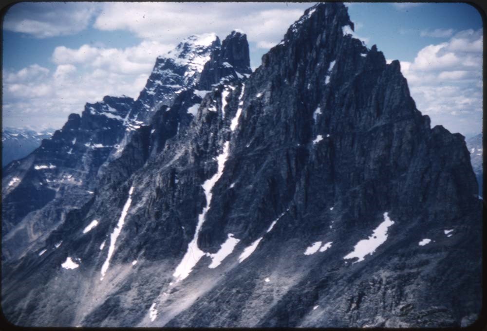
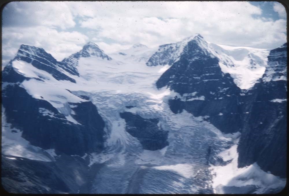
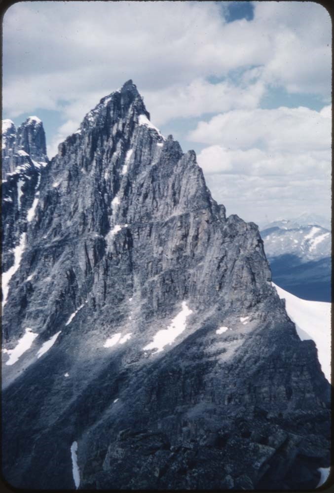
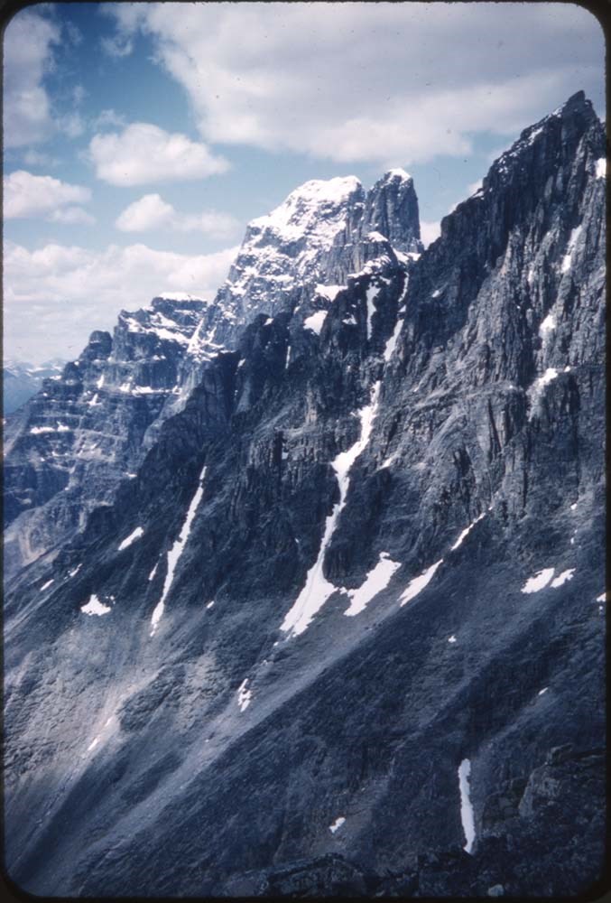
504. Cathedral Crag, Field Hill
https://archives.whyte.org/en/permalink/descriptions20346
- Part Of
- Nicholas Morant fonds
- Scope & Content
- File consists of 3 colour transparency photographs. Content pertains to Cathedral Crag, Field Hill in Yoho National Park, BC
- Date Range
- [between 1930 and 1980]
- Reference Code
- V500 / A4 / 504
- Description Level
- 5 / File
- GMD
- Photograph
- Transparency
- Part Of
- Nicholas Morant fonds
- Description Level
- 5 / File
- Fonds Number
- M300 / S20 / V500
- Sous-Fonds
- V500
- Sub-Series
- I.A. Photography : negatives and transparencies / 1.c. Darkroom files : colour I
- Accession Number
- 7438
- Reference Code
- V500 / A4 / 504
- Responsibility
- Produced by Nicholas Morant
- Date Range
- [between 1930 and 1980]
- Physical Description
- 3 photographs : transparencies, col, 6x6 cm
- Scope & Content
- File consists of 3 colour transparency photographs. Content pertains to Cathedral Crag, Field Hill in Yoho National Park, BC
- Subject Access
- Yoho National Park
- Geographic Access
- Canada
- British Columbia
- Canadian Rocky Mountains
- Language
- N/A
- Creator
- Nicholas Morant
- Title Source
- Title based on contents of file
- Processing Status
- Processed
This material is presented as originally created; it may contain outdated cultural descriptions and
potentially offensive content.
Read more.
1723 Copy of ‘A Life of Mahomet’ Possibly Morant’s (?) and Japanese Stamp Collection
https://archives.whyte.org/en/permalink/descriptions54220
- Part Of
- Nicholas Morant fonds
- Scope & Content
- File consists of 2 books; one 18th century, one 20th century stamp book. Includes 1723 copy of ‘A Life of Mahomet’ by Humphrey Prideaux; missing front/back covers, replaced with plain brown paper covers. Handwritten title ‘Mahomet’ written on front cover and side binding in different handwritings; …
- Date Range
- 1723
- [ca. 1900 - ca. 1920]
- [ca. 1920 - ca. 1940]
- [ca. 1940 - ca. 1960]
- Reference Code
- M300 / III / D / 5 / 91 and 95
- Description Level
- 5 / File
- GMD
- Textual record
- Private record
- Published record
- Part Of
- Nicholas Morant fonds
- Description Level
- 5 / File
- Fonds Number
- M300 / V500 / S20
- Sous-Fonds
- M300
- Sub-Series
- M300 / III / D / 5 : Personal Interest and Gifts
- Accession Number
- Unknown
- Reference Code
- M300 / III / D / 5 / 91 and 95
- Responsibility
- Nicholas Morant (?), Nicholas Morant
- Date Range
- 1723
- [ca. 1900 - ca. 1920]
- [ca. 1920 - ca. 1940]
- [ca. 1940 - ca. 1960]
- Physical Description
- 2 books (1 published, 1 stamp book)
- History / Biographical
- Humphrey Prideaux (1648-1724) was born in Cornwall and eventually became a Doctor of Divinity. Prideaux was an author of multiple textual works pertaining to faith and particularly Christianity. He was the Dean of Norwich from 1702 until his death in 1724.
- Scope & Content
- File consists of 2 books; one 18th century, one 20th century stamp book. Includes 1723 copy of ‘A Life of Mahomet’ by Humphrey Prideaux; missing front/back covers, replaced with plain brown paper covers. Handwritten title ‘Mahomet’ written on front cover and side binding in different handwritings; front believed to be by Nicholas Morant (?), side unknown. Also includes book of Japanese stamps collected by Nicholas Morant; many not dated, various designs and sizes, annotated on covers with Nicholas Morant's personal ink stamp.
- Storage Range
- In file box M300 / III / D / 5 / 75 to M300 / III / D / 5 / 91
- Geographic Access
- England
- Japan
- Canada
- Access Restrictions
- Items in this file are not to be accessed or distributed without the explicit permission of their identified owner(s).
- Reproduction Restrictions
- Items in this file are not to be reproduced without the explicit permission of their identified owner(s).
- Language
- English
- Conservation
- 'Mahomet' book must be stored with protective barrier to prevent further damage (i.e. acid-free paper).
- Biographical Source Notes
- https://www.ccel.org/ccel/prideaux
- Title Source
- Title based on contents of file
- Processing Status
- Processed
This material is presented as originally created; it may contain outdated cultural descriptions and
potentially offensive content.
Read more.
1933 Skoki ski trip
https://archives.whyte.org/en/permalink/descriptions54398
- Part Of
- Aileen Harmon fonds
- Scope & Content
- File consists of an original travel journal/diary annotated by Aileen Harmon pertaining to a 1933 ski trip to Skoki Lodge. File also includes two complete, typed copies of text from original 1933 account [one accompanied by typed letter to "Kathryn", likely Catharine Robb Whyte], and one incomplete…
- Date Range
- 1933
- [ca. 1981 - ca. 1990]
- Reference Code
- M287 / I / 8
- Description Level
- 5 / File
- GMD
- Textual record
- Private record
- Diary
- Part Of
- Aileen Harmon fonds
- Description Level
- 5 / File
- Fonds Number
- M287 / V262
- Series
- M287 / I : Personal records
- Sous-Fonds
- M287
- Accession Number
- 2016.8596
- Reference Code
- M287 / I / 8
- Responsibility
- Produced by Aileen Harmon
- Date Range
- 1933
- [ca. 1981 - ca. 1990]
- Physical Description
- 1 cm of textual records
- Scope & Content
- File consists of an original travel journal/diary annotated by Aileen Harmon pertaining to a 1933 ski trip to Skoki Lodge. File also includes two complete, typed copies of text from original 1933 account [one accompanied by typed letter to "Kathryn", likely Catharine Robb Whyte], and one incomplete typed copy.
- Notes
- One copy of journal contents annotated
- Name Access
- Whyte, Catharine
- Harmon, Aileen
- Subject Access
- Skiing
- Travel
- Mountains
- Skoki Lodge
- Geographic Access
- Canada
- Alberta
- Lake Louise
- Language
- English
- Creator
- Aileen Harmon
- Category
- Family and personal life
- Title Source
- Title provided prior to processing
- Processing Status
- Processed
This material is presented as originally created; it may contain outdated cultural descriptions and
potentially offensive content.
Read more.
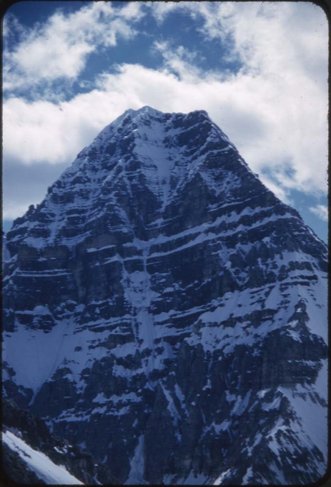
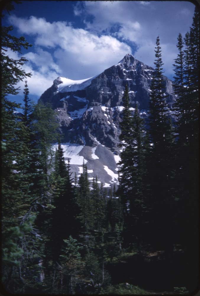
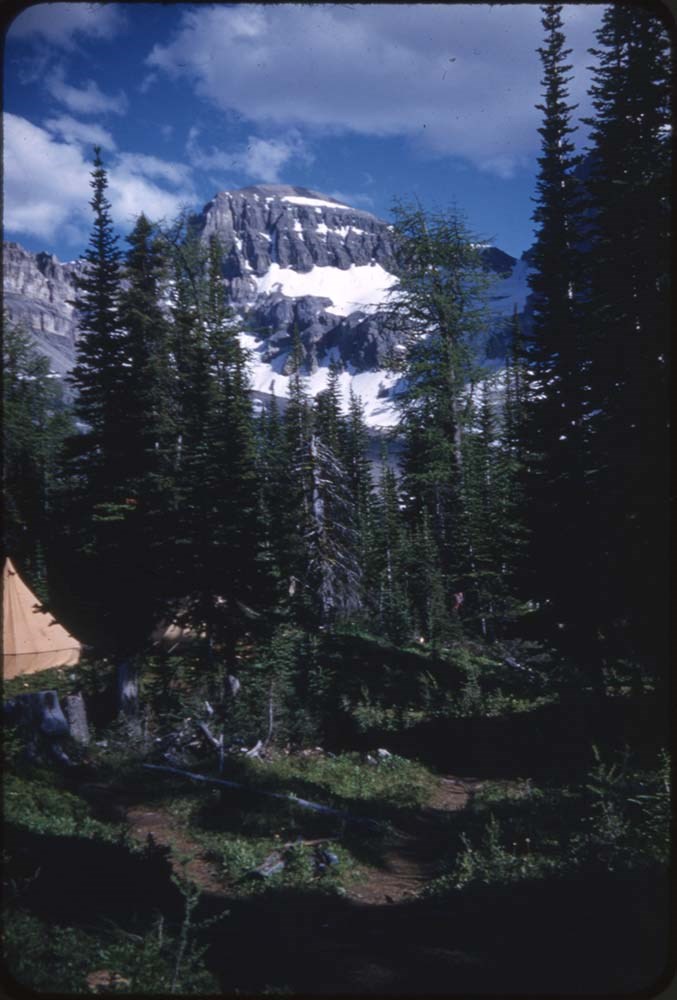
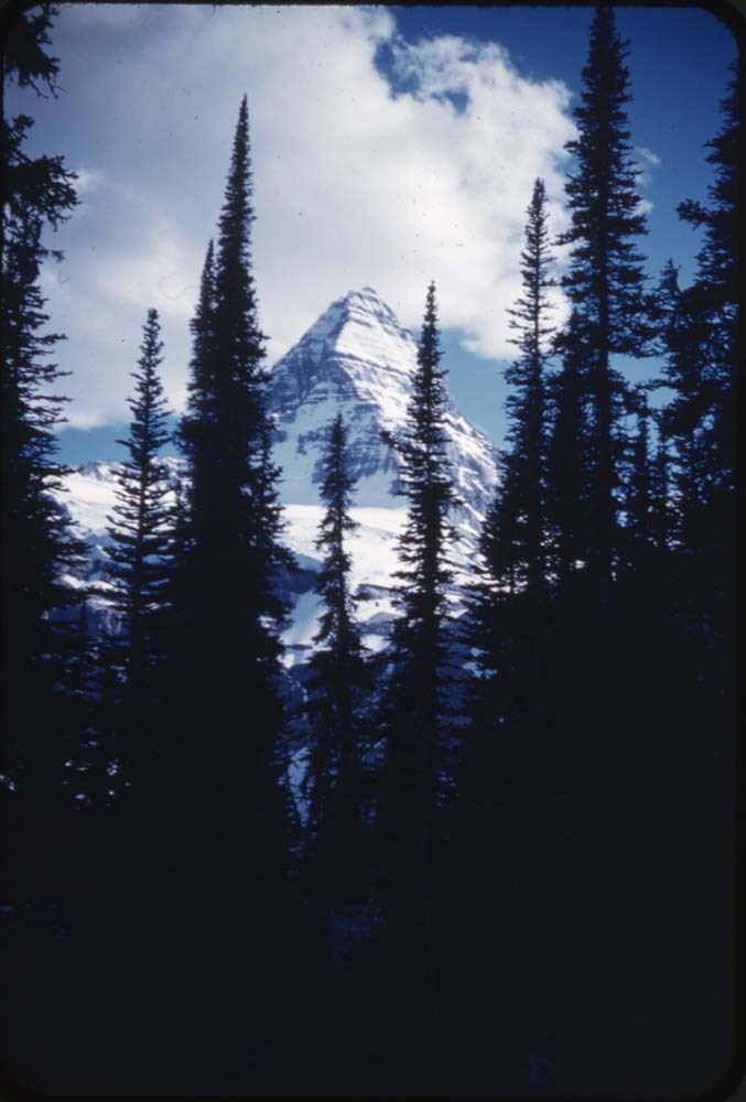
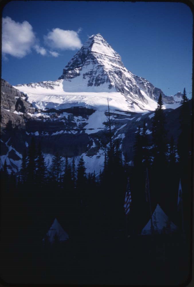
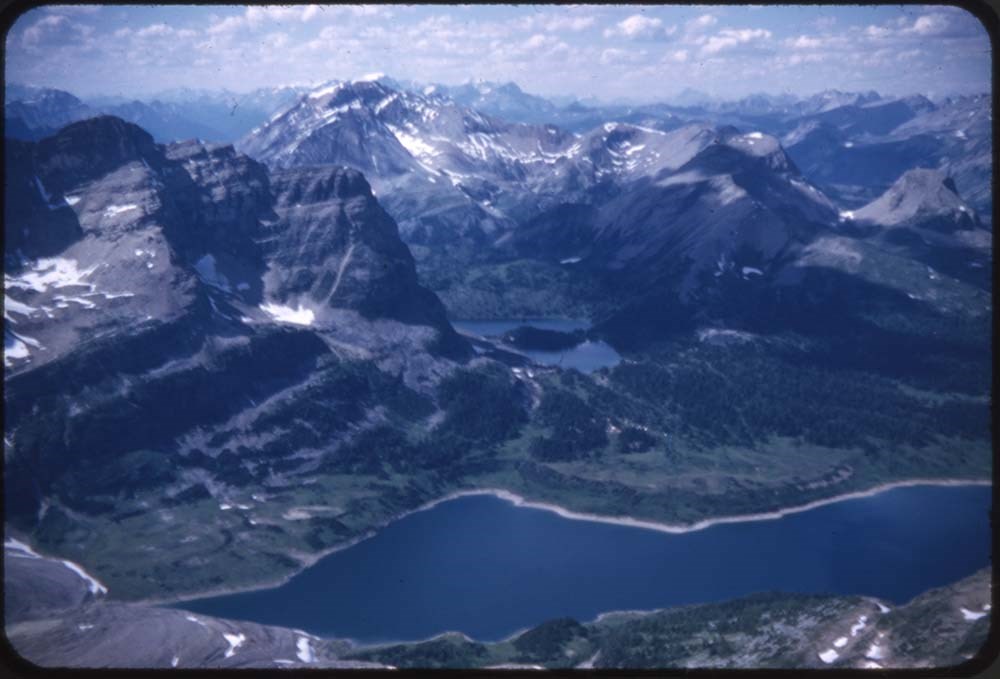
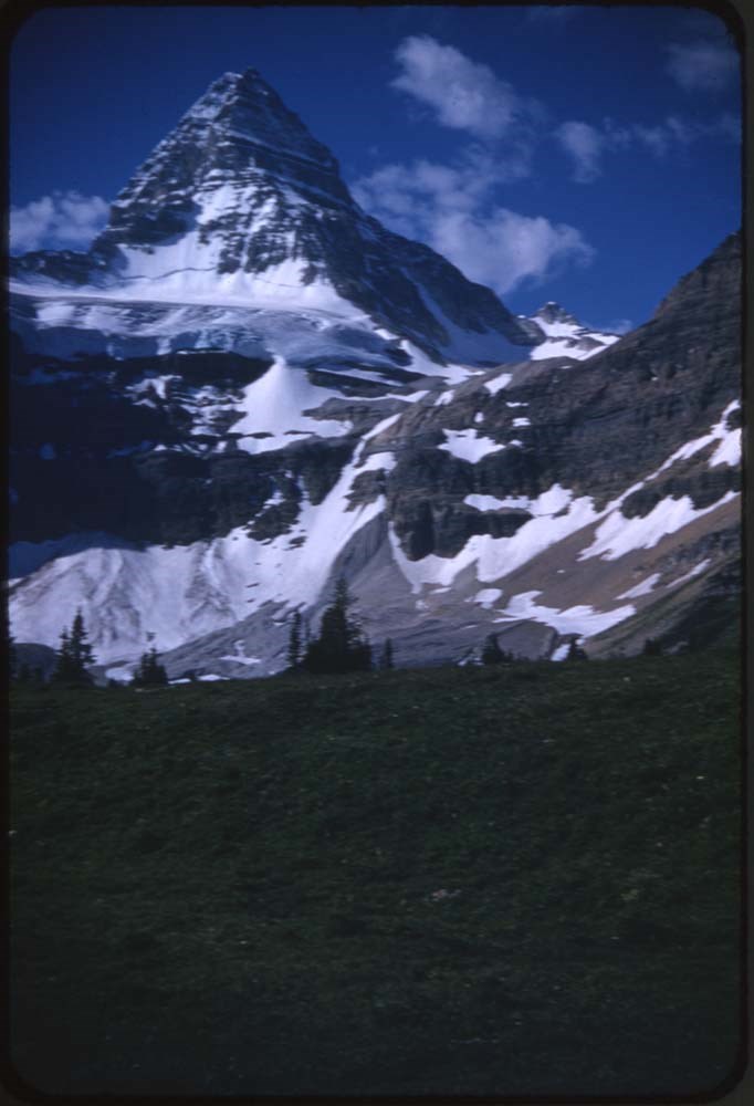
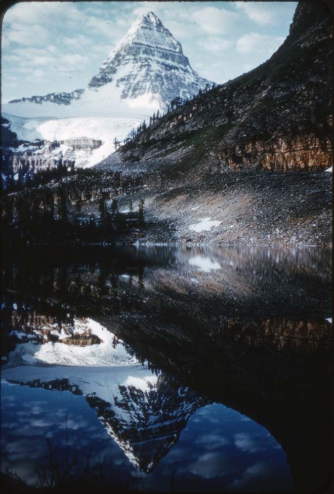
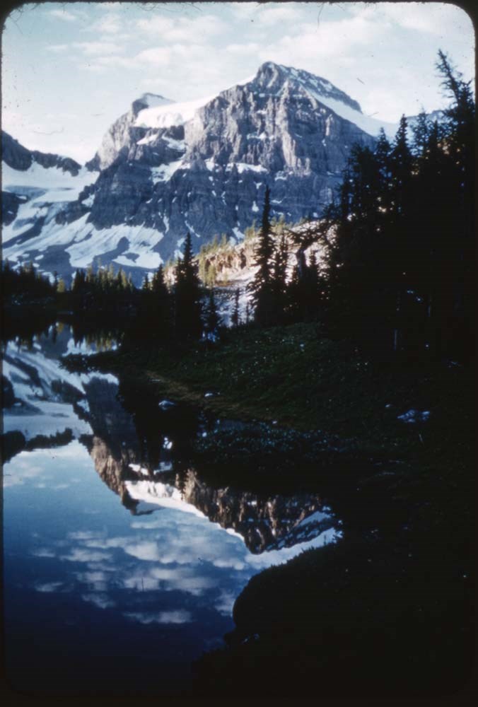
1978 map of Mount Assiniboine Provincial Park
https://archives.whyte.org/en/permalink/catalogue21315
- Medium
- Library - Maps and blueprints (unannotated; published)
- Map
- Published Date
- 1978 (transfered to manuscrpits Oct. 1994)
- Publisher
- Ministry of Recreation and Conservation
- Call Number
- C2-10.1 (e)
- Publisher
- Ministry of Recreation and Conservation
- Published Date
- 1978 (transfered to manuscrpits Oct. 1994)
- Subjects
- Mount Assiniboine Provincial Park
- Notes
- Descriptive Legend on back of map re: History Winter Activity, Access, Avalanche Safety, Equipment, Trail and Camping Information etc.
- Accession Number
- 11000
- Call Number
- C2-10.1 (e)
- Collection
- Archives Library
This material is presented as originally created; it may contain outdated cultural descriptions and
potentially offensive content.
Read more.
Abruzzi, Mount
https://archives.whyte.org/en/permalink/catalogue23436
- Medium
- Library - Maps and blueprints (unannotated; published)
- Map
- Published Date
- Updated from aerial photographs, taken in 1972. Culture check, 1975. Info current as of 1975.
- Publisher
- Surveys and Mapping Branch, Dept. of Energy, Mines and Resources
- Edition
- Edition 2
- Call Number
- NTS
- 82J/6
- Edition
- Edition 2
- Publisher
- Surveys and Mapping Branch, Dept. of Energy, Mines and Resources
- Published Date
- Updated from aerial photographs, taken in 1972. Culture check, 1975. Info current as of 1975.
- Scale
- Scale: 1:50,000
- Subjects
- Mount Abruzzi
- Notes
- National Topographic System
- Complete reference/reverse side of map
- Accession Number
- 9500
- Call Number
- NTS
- 82J/6
- Collection
- Archives Library
This material is presented as originally created; it may contain outdated cultural descriptions and
potentially offensive content.
Read more.
[Abruzzi, Mount 82J/6 East, B.C.]
https://archives.whyte.org/en/permalink/catalogue23438
- Medium
- Library - Maps and blueprints (unannotated; published)
- Map
- Published Date
- 1966
- Publisher
- Dept. of Mines and Technical Surveys
- Call Number
- NTS
- 82J/6E
- Publisher
- Dept. of Mines and Technical Surveys
- Published Date
- 1966
- Physical Description
- 1 map : col
- Scale
- Scale: 1:50,000
- Relief: Contour interval 100'
- Subjects
- Mount Abruzzi
- British Columbia
- Notes
- National Topographic System
- Accession Number
- 718
- Call Number
- NTS
- 82J/6E
- Collection
- Archives Library
This material is presented as originally created; it may contain outdated cultural descriptions and
potentially offensive content.
Read more.
[Abruzzi, Mount 82J/6 West, B.C.]
https://archives.whyte.org/en/permalink/catalogue23437
- Medium
- Library - Maps and blueprints (unannotated; published)
- Map
- Published Date
- 1966
- Publisher
- Dept. of Mines and Technical Surveys
- Call Number
- NTS
- 82J/6W
- Publisher
- Dept. of Mines and Technical Surveys
- Published Date
- 1966
- Physical Description
- 1 map : col
- Scale
- Scale: 1:50,000
- Relief: Contour interval 100'
- Subjects
- Mount Abruzzi
- British Columbia
- Notes
- National Topographic System
- Accession Number
- 718
- Call Number
- NTS
- 82J/6W
- Collection
- Archives Library
This material is presented as originally created; it may contain outdated cultural descriptions and
potentially offensive content.
Read more.
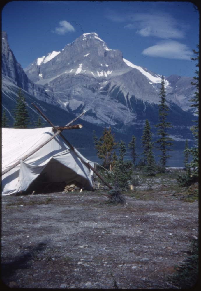
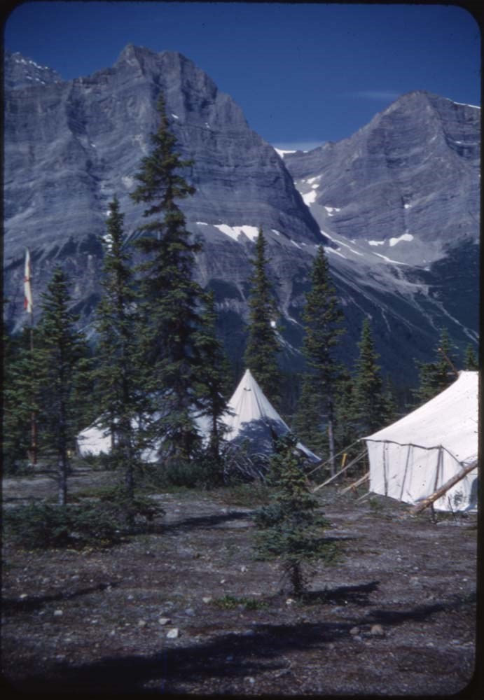
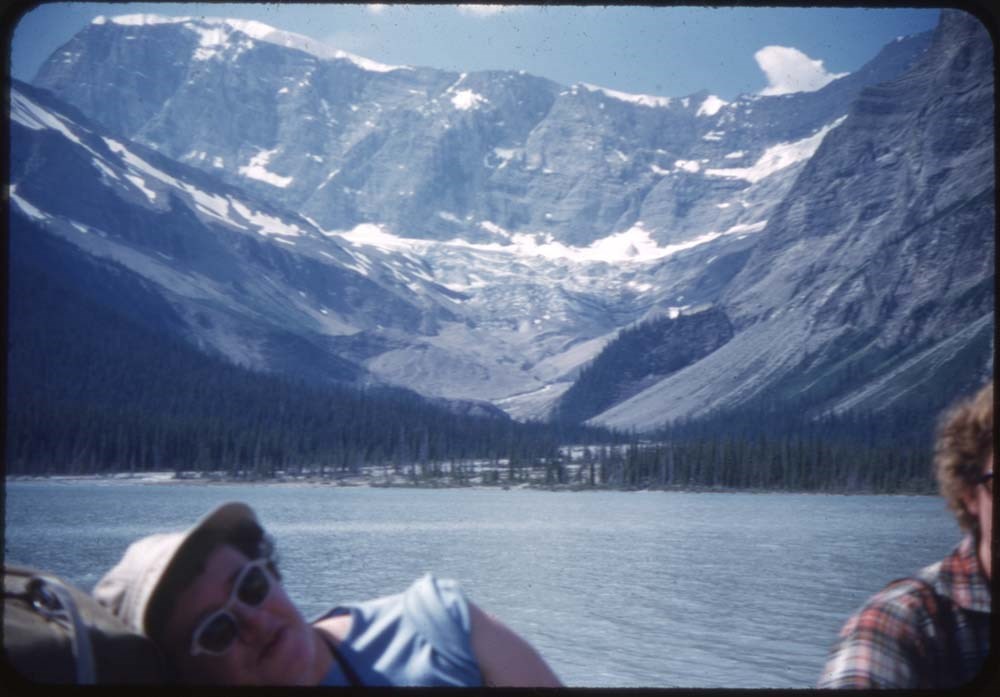
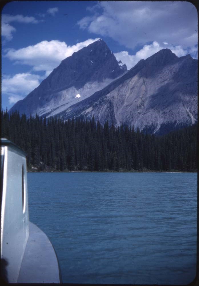
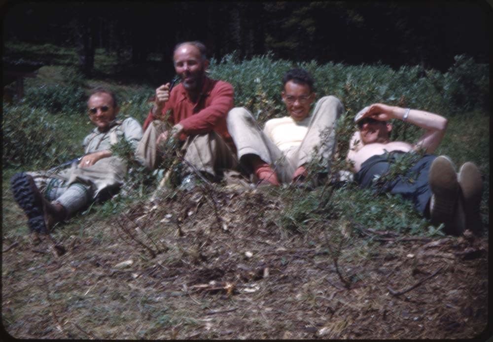
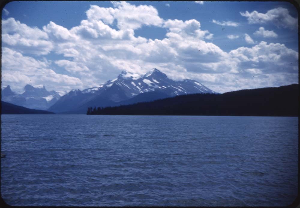
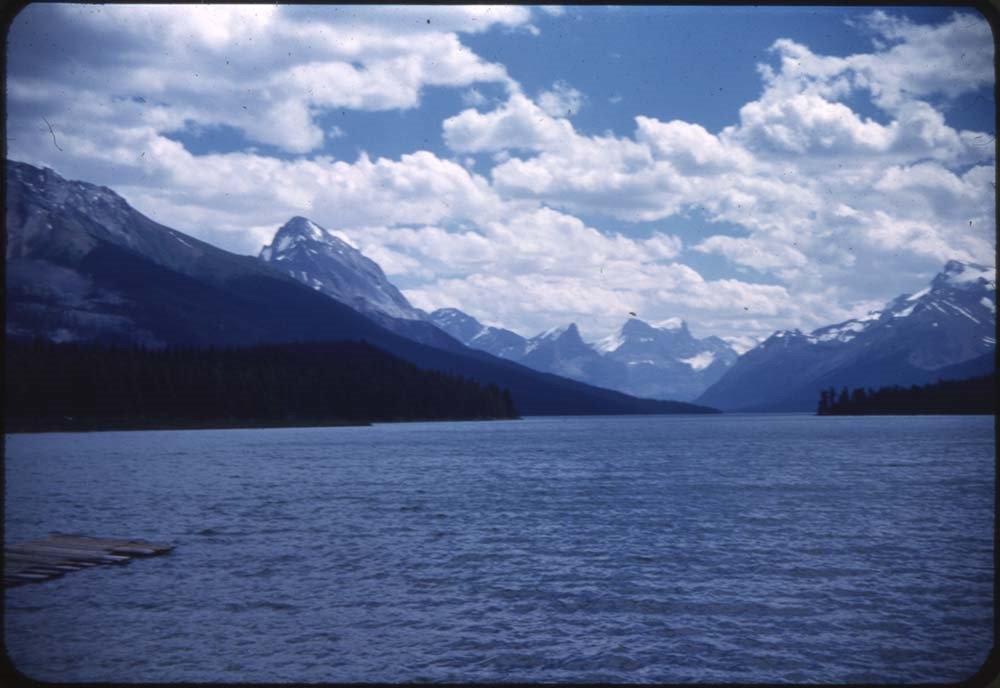
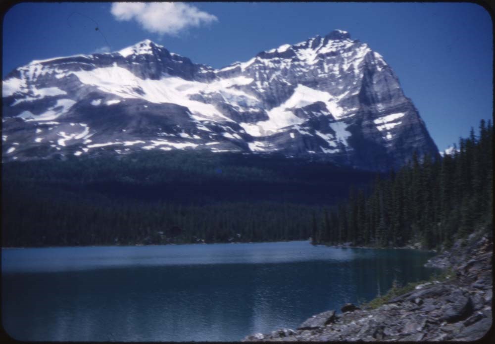
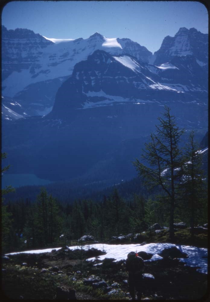
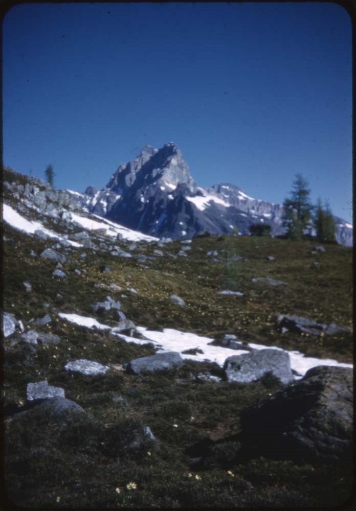
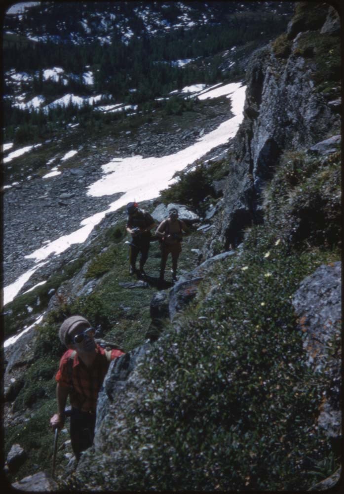
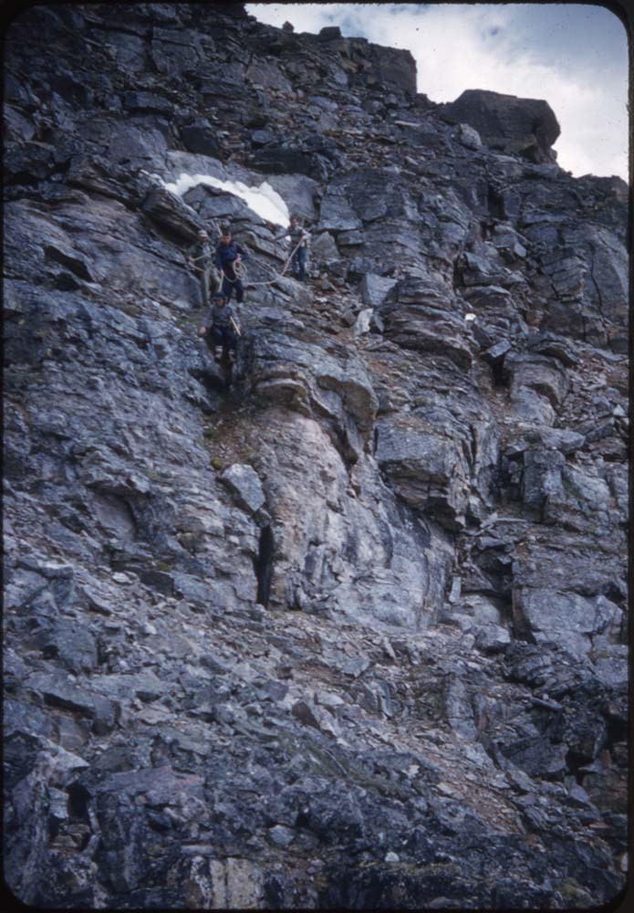
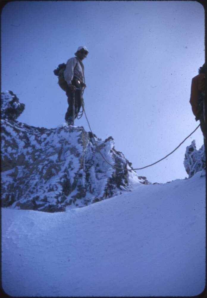
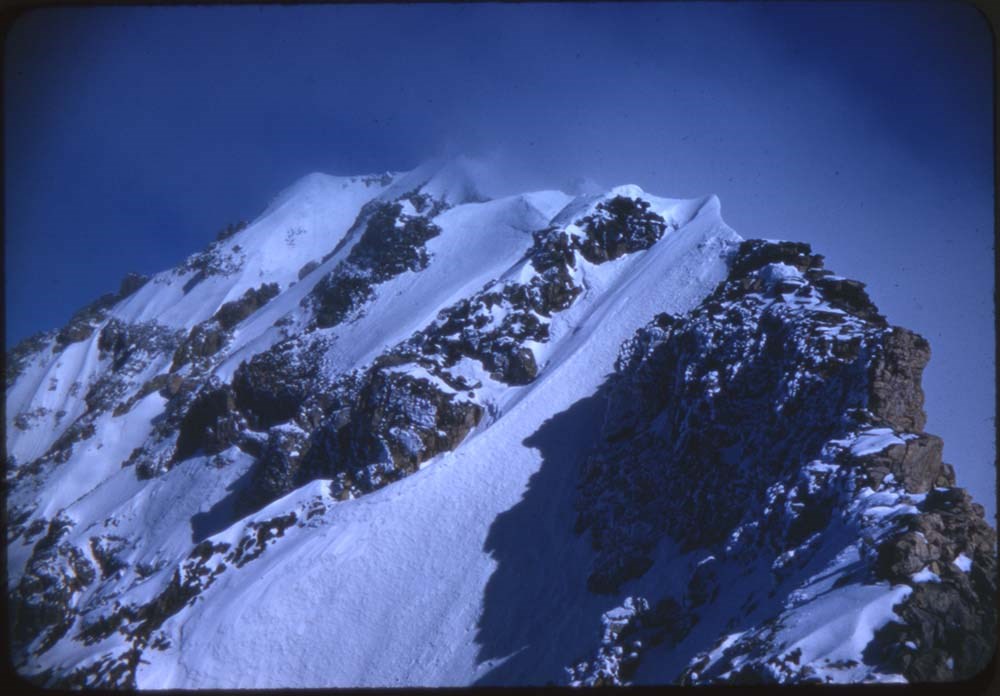
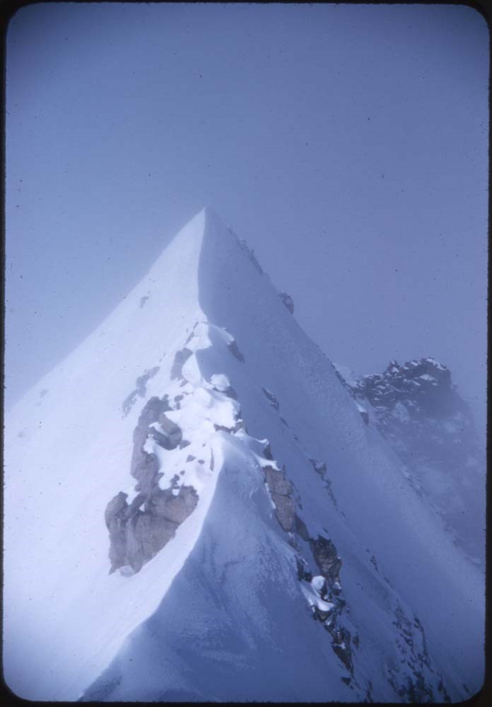
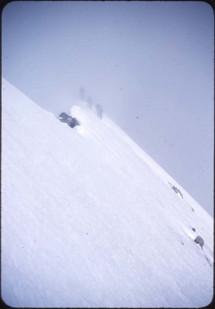
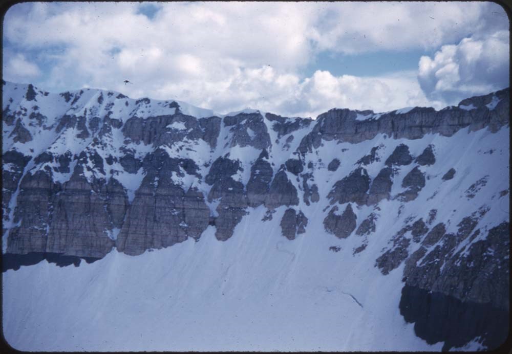
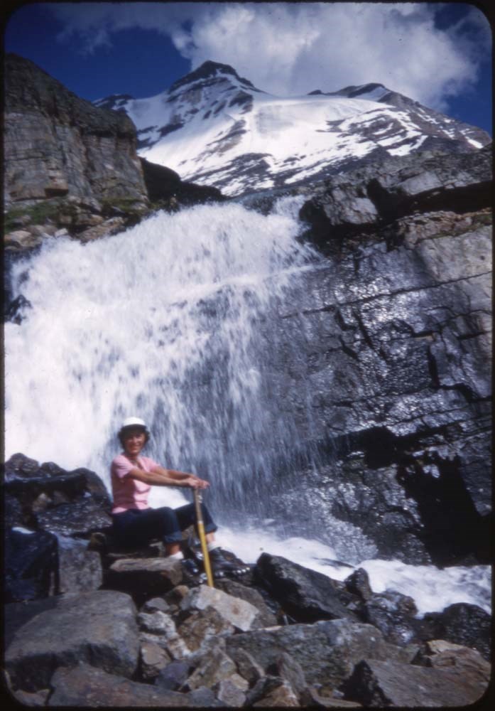
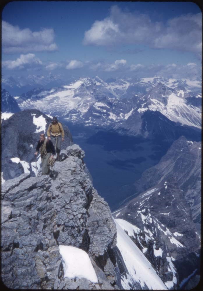
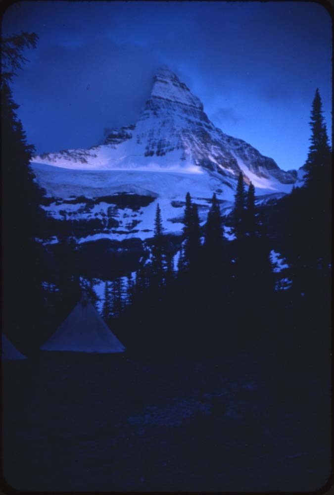
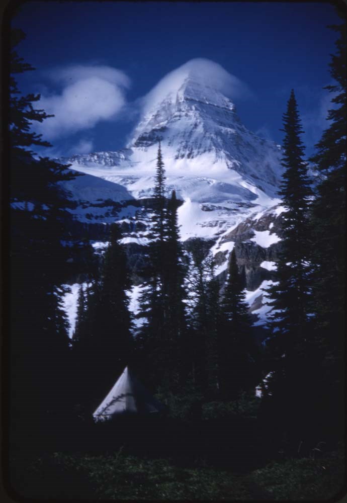
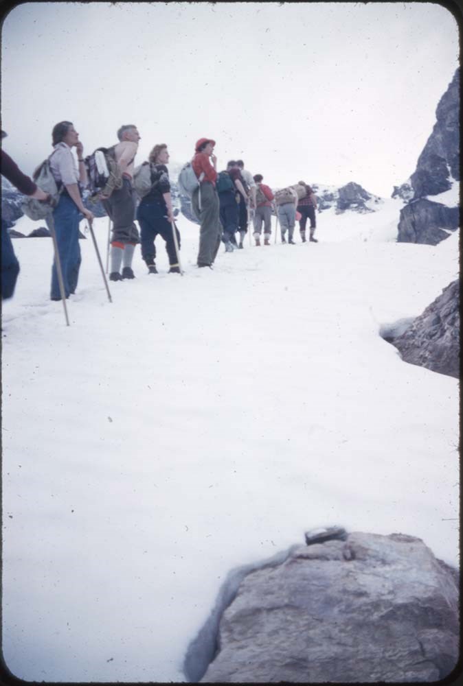
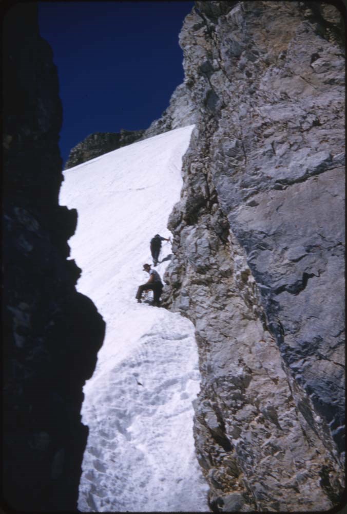
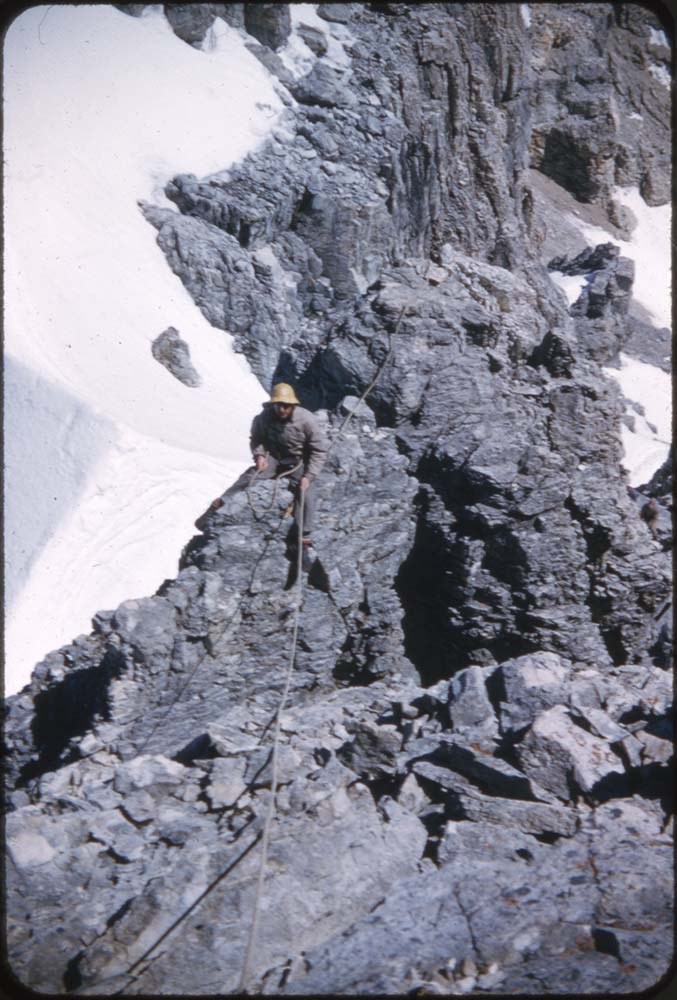
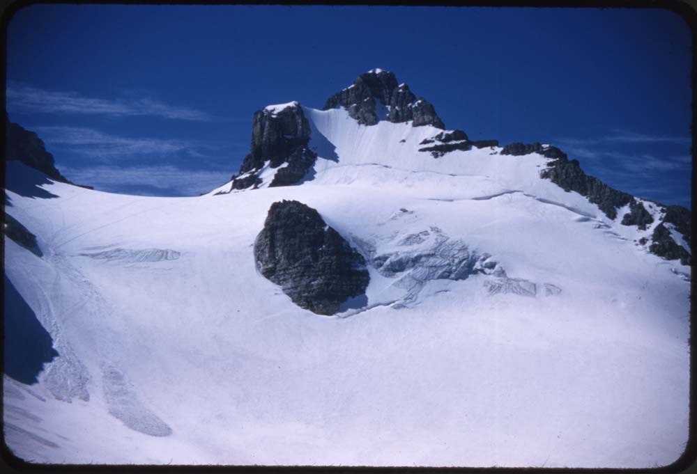
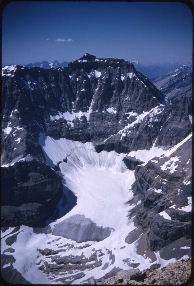
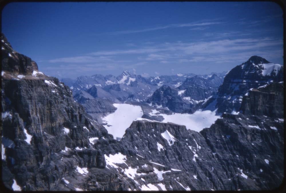
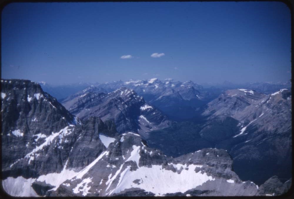
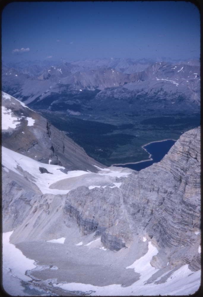
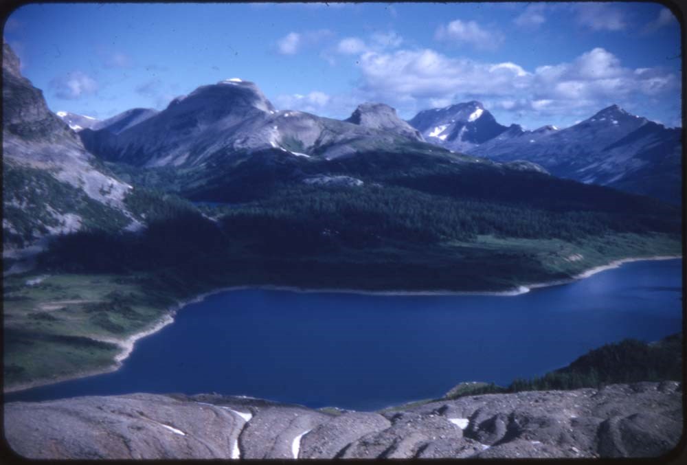
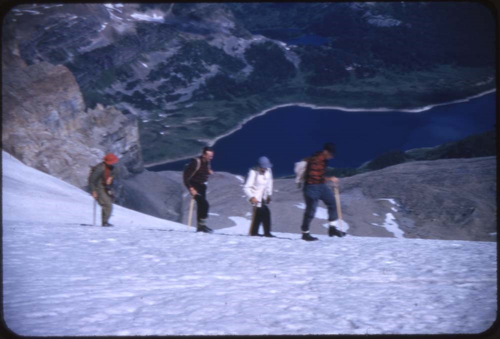
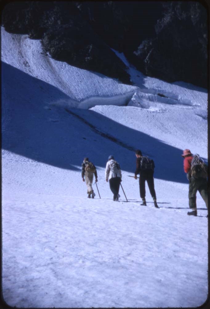
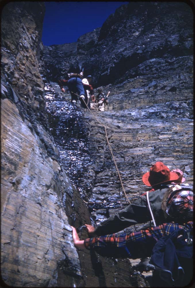
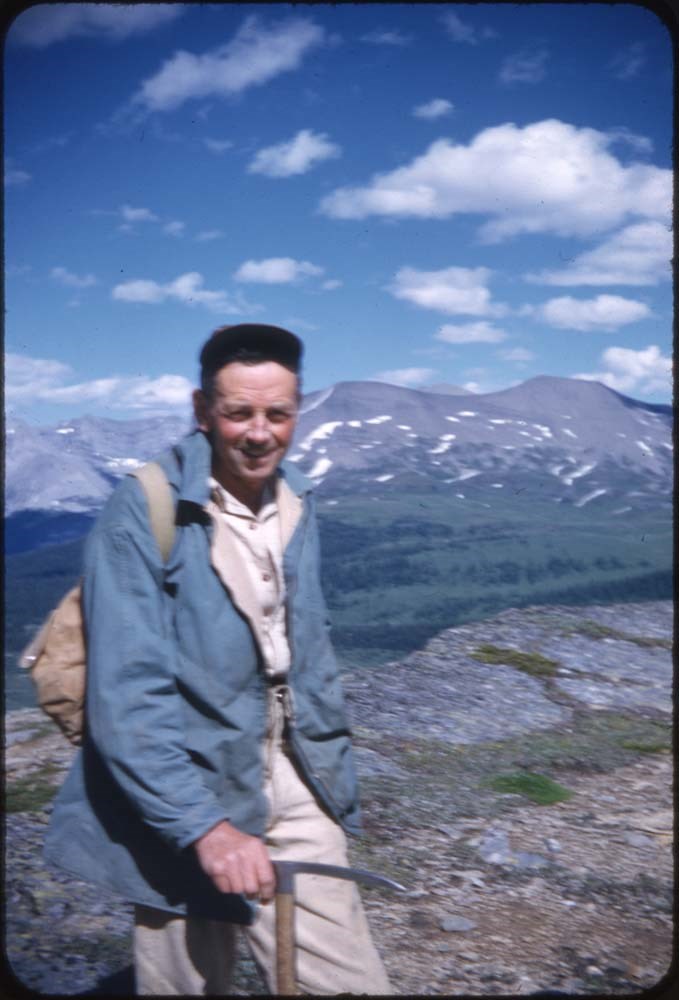
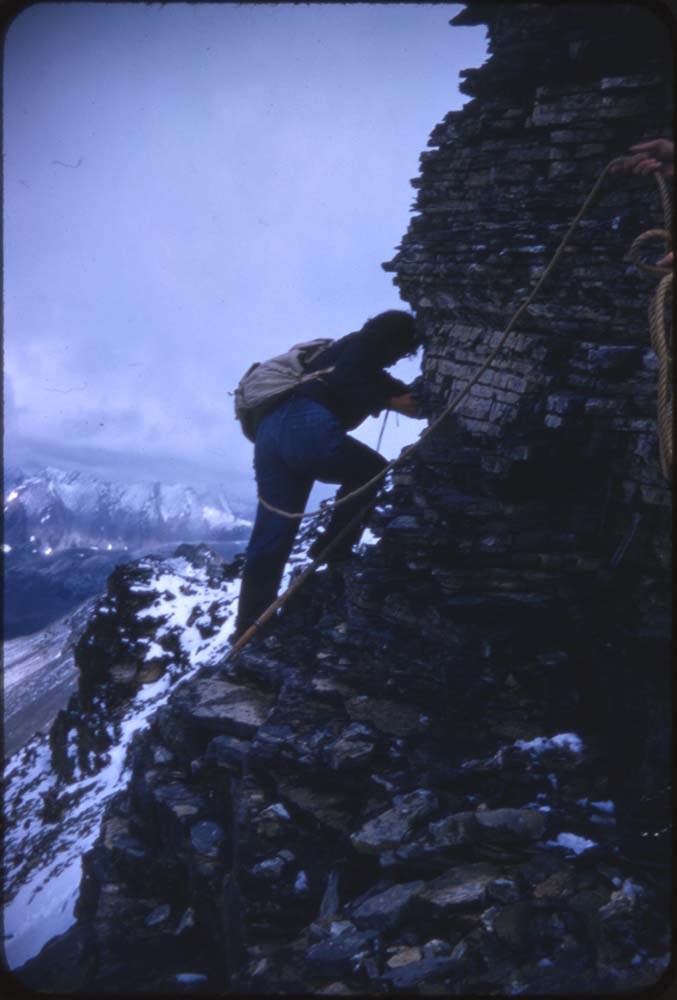
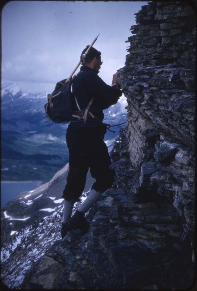
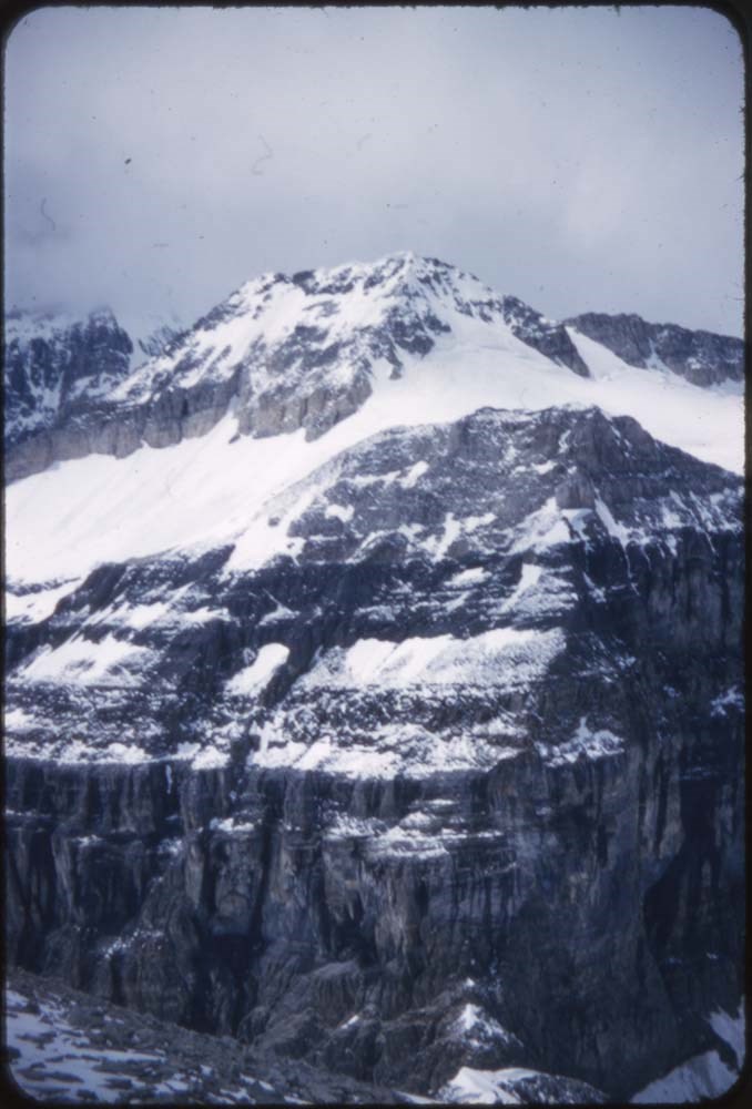
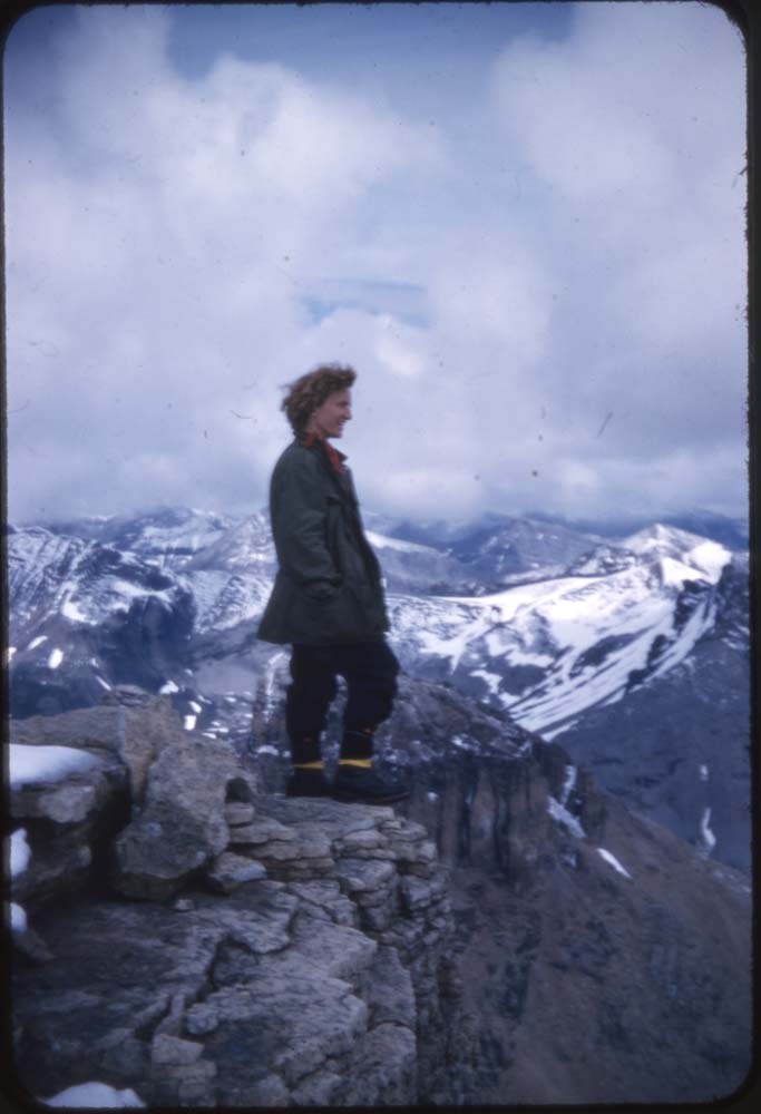
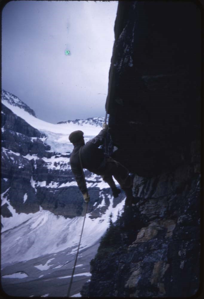
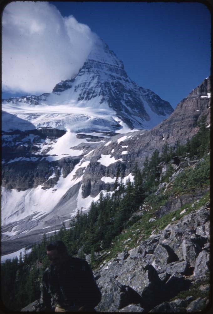
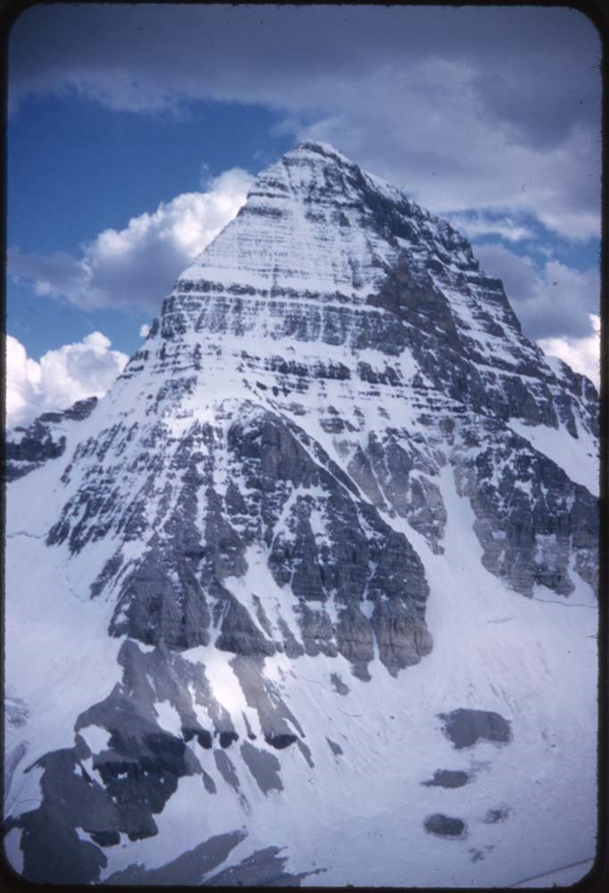
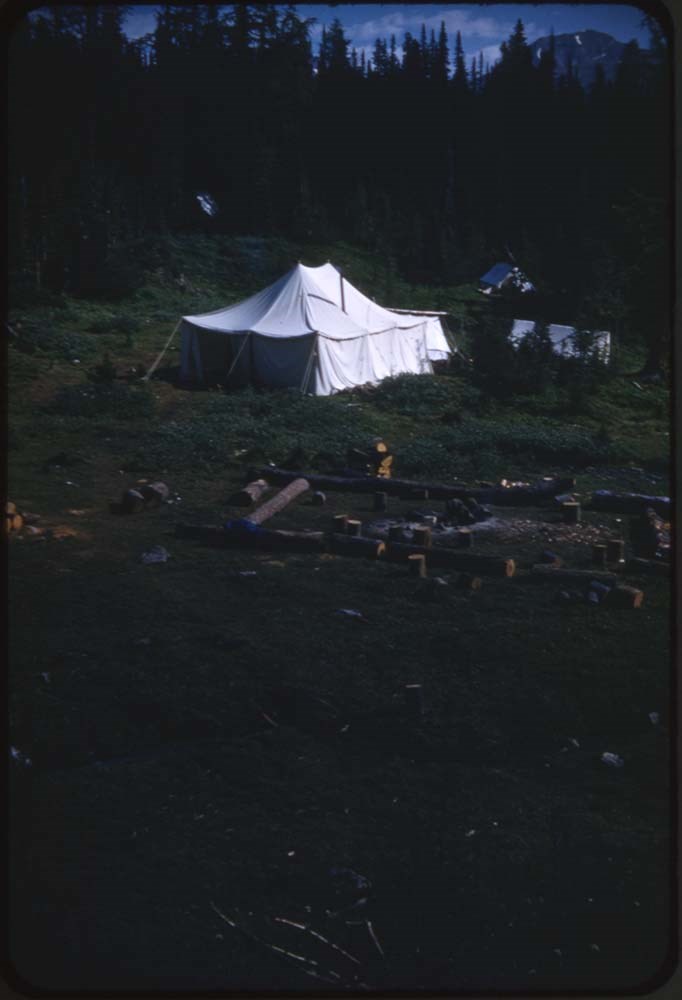
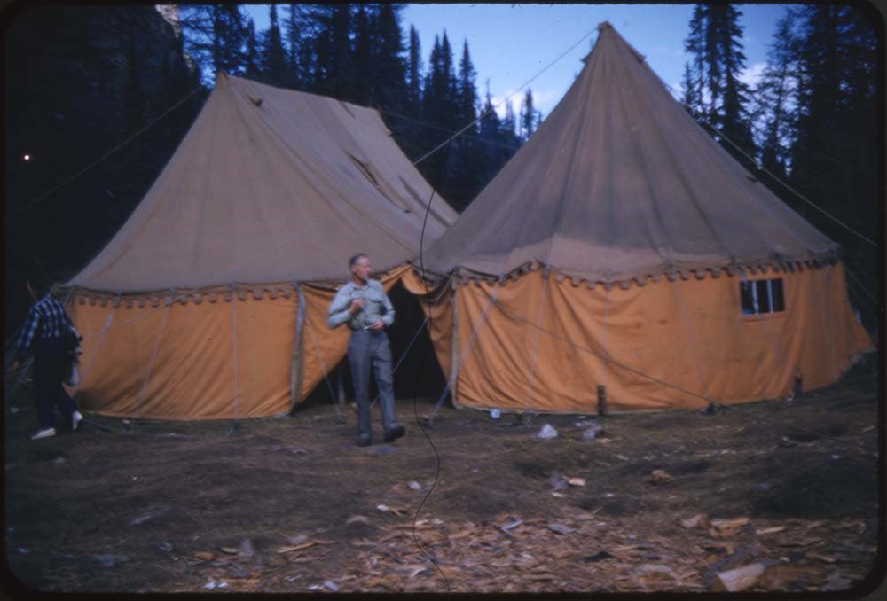
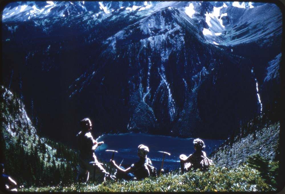
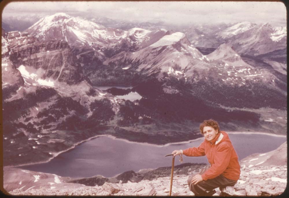
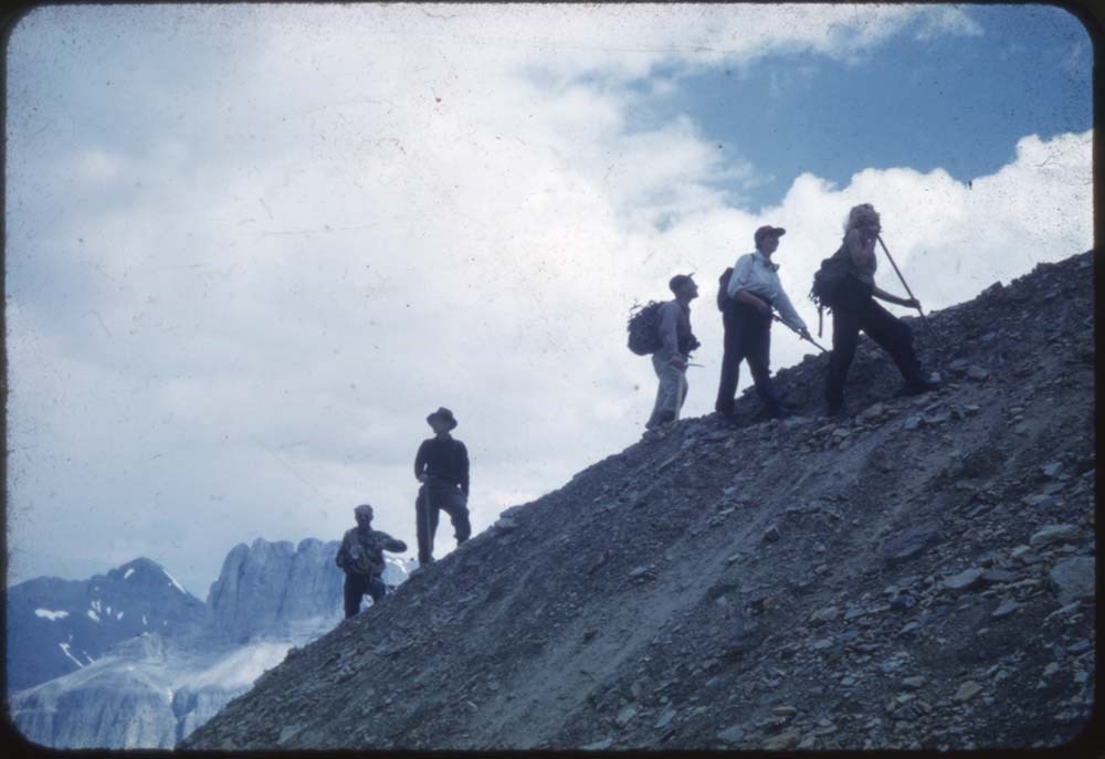
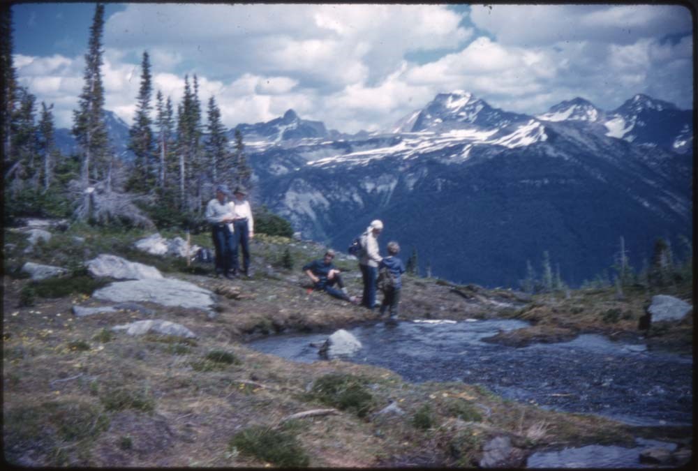
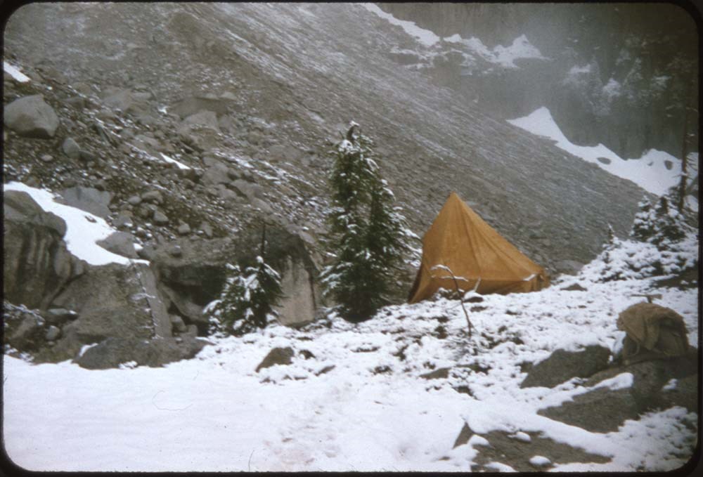
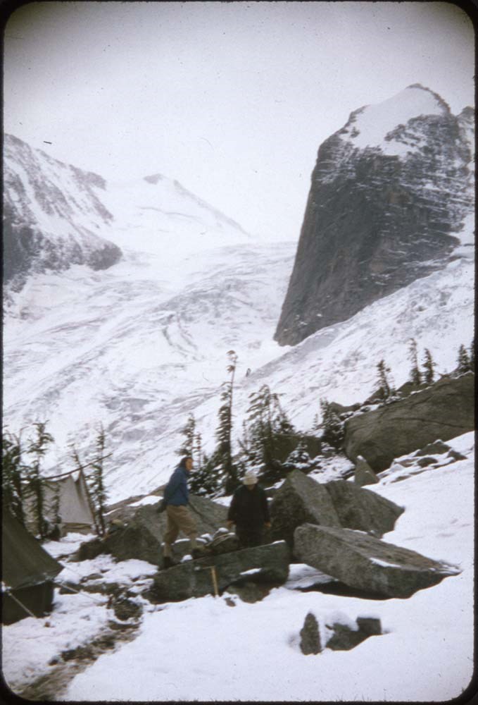
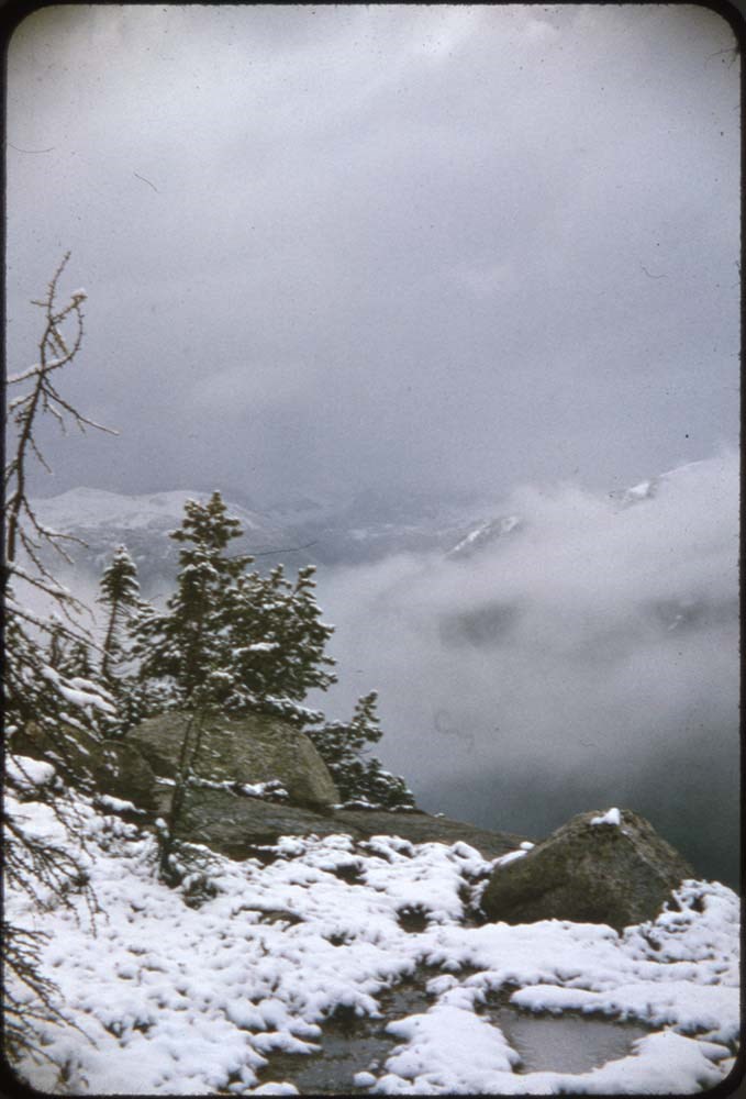
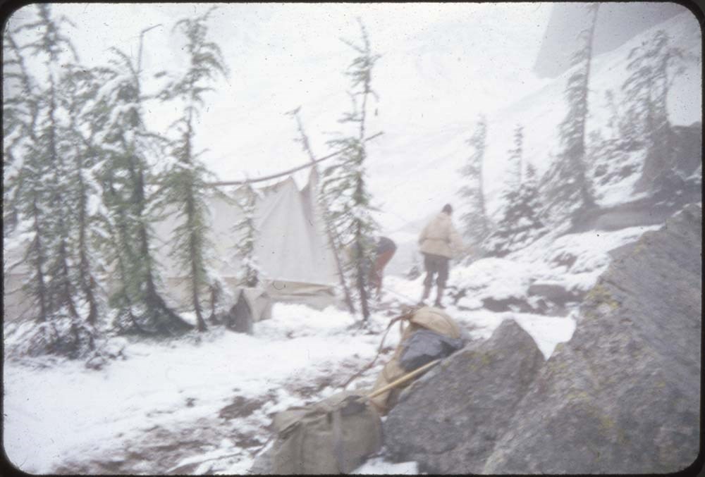
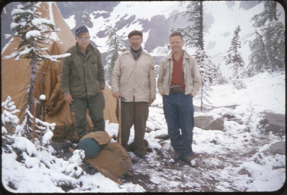
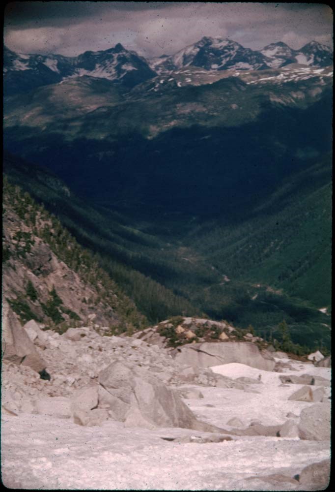
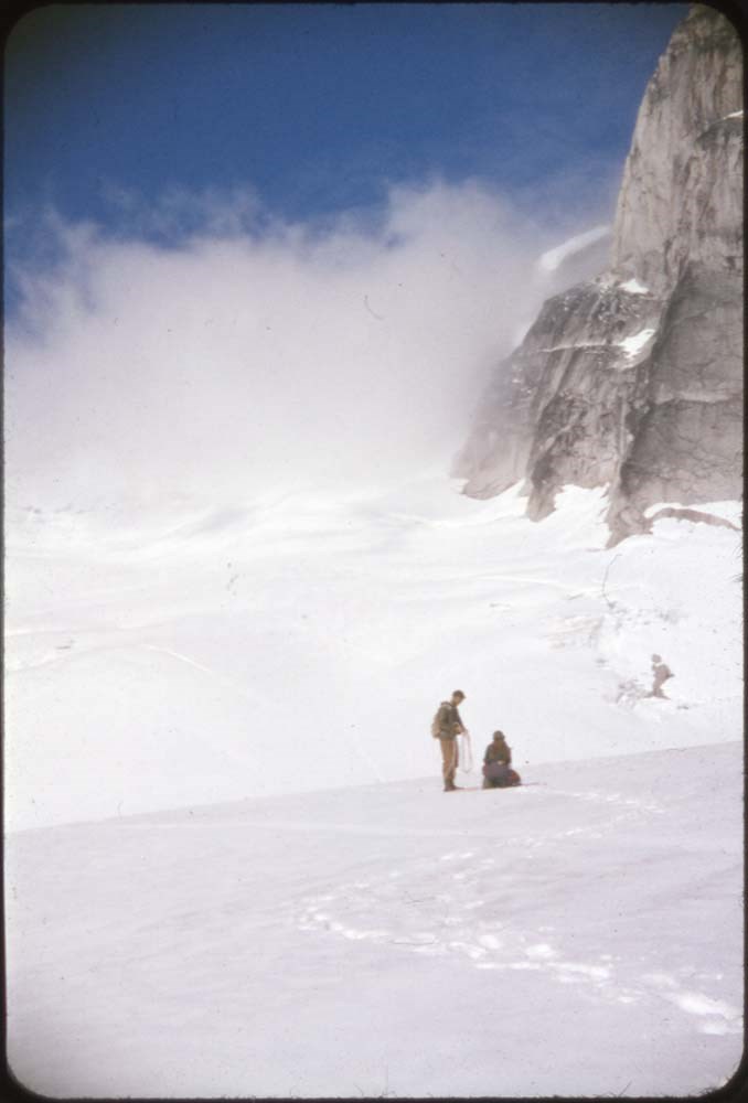
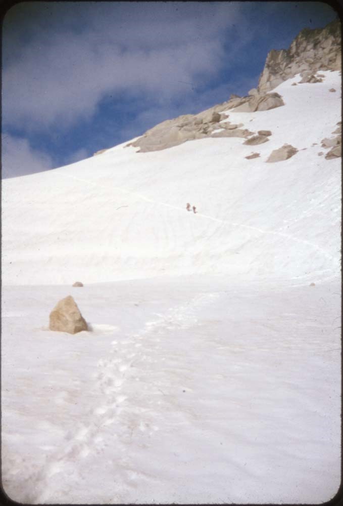
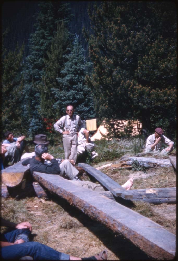
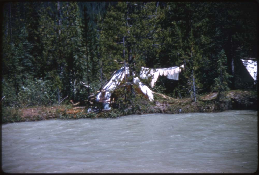
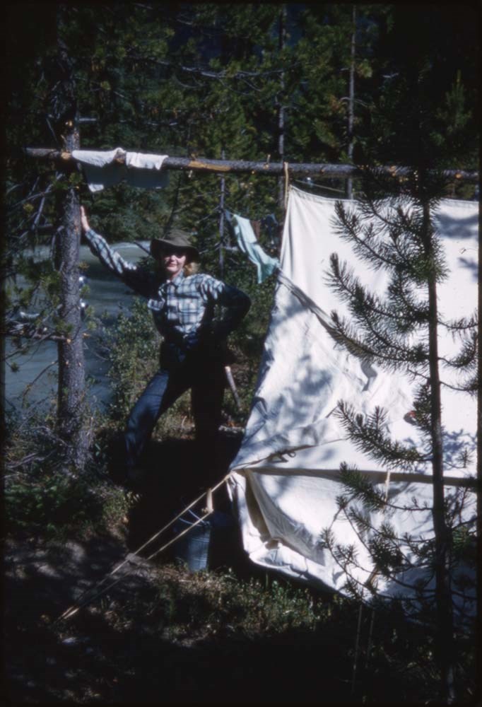
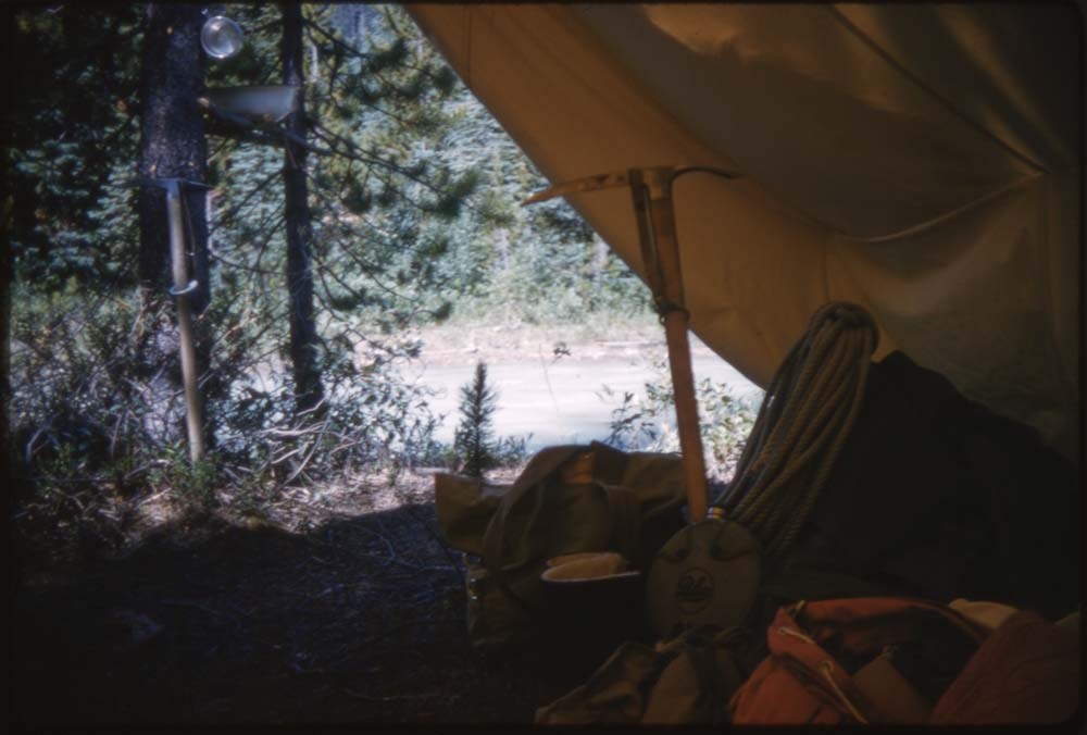
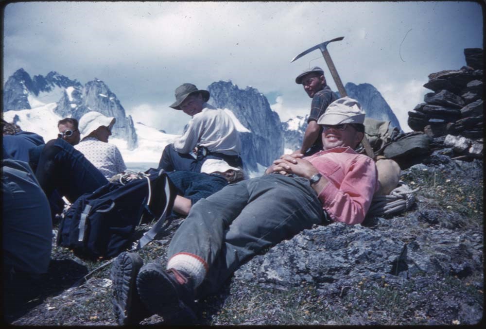
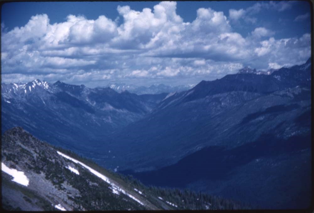
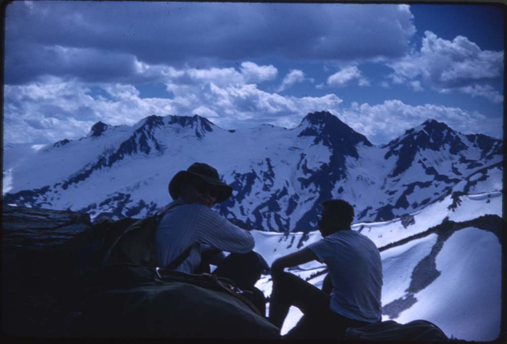
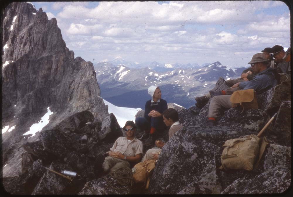
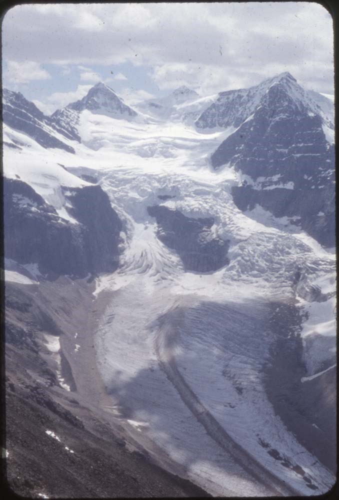
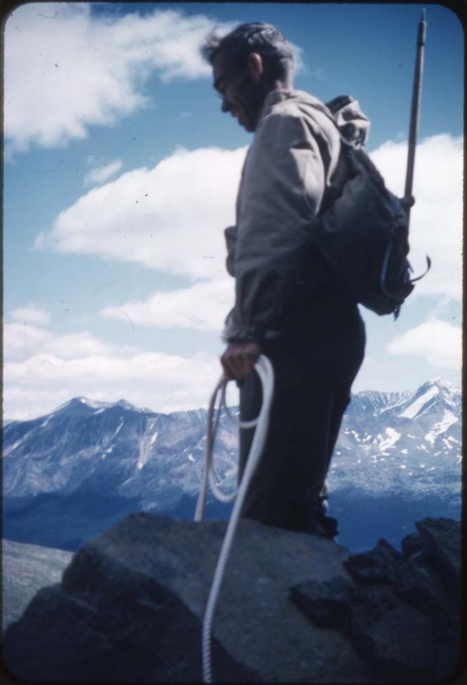
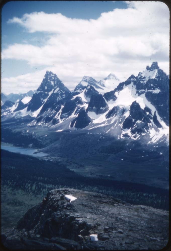
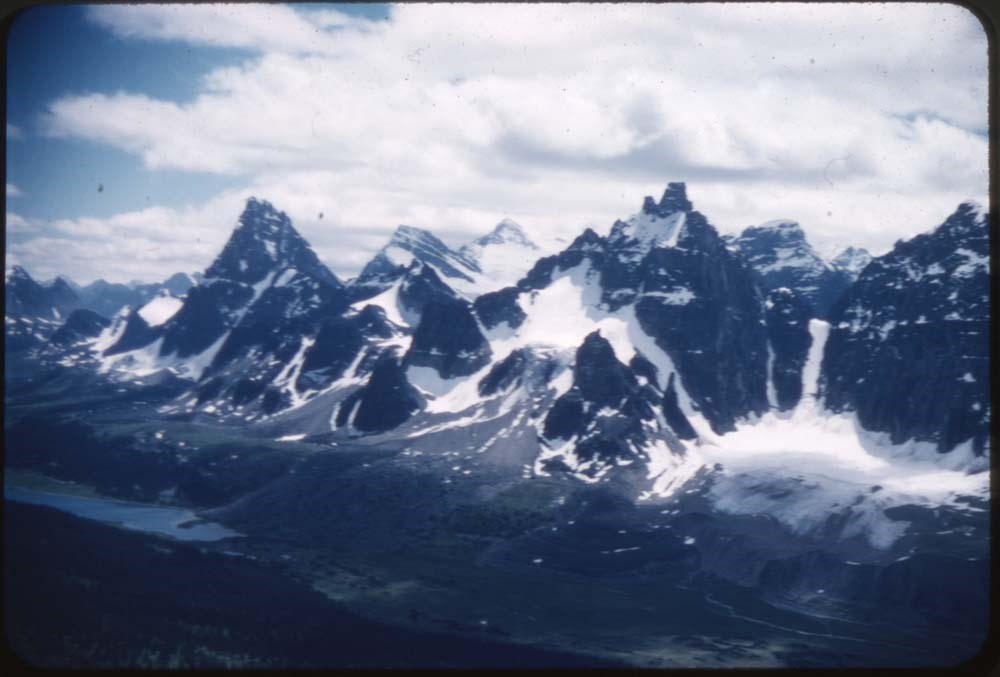
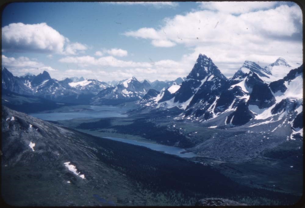
ACC Camps [1/3]
https://archives.whyte.org/en/permalink/descriptions57601
- Part Of
- Bill Goodrich fonds
- Scope & Content
- File pertains to 132 35 mm slides depictiong Alpine Club of Canada Camps from 1950, 1951, 1952, and 1960, consisting mostly of shots of people hiking, climbing, and mountaineering in and around the Lake O'Hara and Mt. Assiniboine areas. Contents include: 1950 - Maligne (1-19) 1951 - Lake O'Hara (21…
- Date Range
- 1950-1960
- Reference Code
- V106 / NS - 01 to NS - 132
- Description Level
- 5 / File
- GMD
- Photograph
- Transparency
132 images
- Part Of
- Bill Goodrich fonds
- Description Level
- 5 / File
- Fonds Number
- V106
- Sous-Fonds
- V106
- Accession Number
- 7765
- Reference Code
- V106 / NS - 01 to NS - 132
- Date Range
- 1950-1960
- Physical Description
- 132 photographs : col. slides ; 35 mm
- History / Biographical
- See fonds level description.
- Scope & Content
- File pertains to 132 35 mm slides depictiong Alpine Club of Canada Camps from 1950, 1951, 1952, and 1960, consisting mostly of shots of people hiking, climbing, and mountaineering in and around the Lake O'Hara and Mt. Assiniboine areas. Contents include: 1950 - Maligne (1-19) 1951 - Lake O'Hara (21-69) 1952 - Mt. Assiniboine (71-124) 1952 - Mt. Assiniboine from Monica & Dudley (126-129) 1950 - Sent to [Bill Goodrich] from '50 Maligne Camp, [Bill Goodrich] on trail to glacier (131) 1960 - B-J HWY (Sent to [Bill Goodrich]) Mt. Saskatchewan (133) Mt. Chephren (134) Athabaska River (135) Pyramid Mt. (136) Athabaska Hotel (137)
- Name Access
- Alpine Club of Canada
- Goodrich, Bill
- Subject Access
- Activities
- Alpine Club of Canada
- Buildings
- Camping
- Camps
- Climbing
- Glaciers
- Hiking
- Lake O'hara
- Mountaineering
- Mountaineers
- Mountains
- Parks Canada
- Photography
- Portrait
- Scenery
- scenic
- Geographic Access
- Jasper
- Jasper National Park
- Alberta
- Lake O'Hara
- Yoho National Park
- Assiniboine
- Assiniboine Provincial Park
- British Columbia
- Language
- English
- Finding Aid
- No finding aid
- Creator
- Goodrich, Bill
- Title Source
- Title based on contents of fonds
- Processing Status
- Processed
Images


This material is presented as originally created; it may contain outdated cultural descriptions and
potentially offensive content.
Read more.
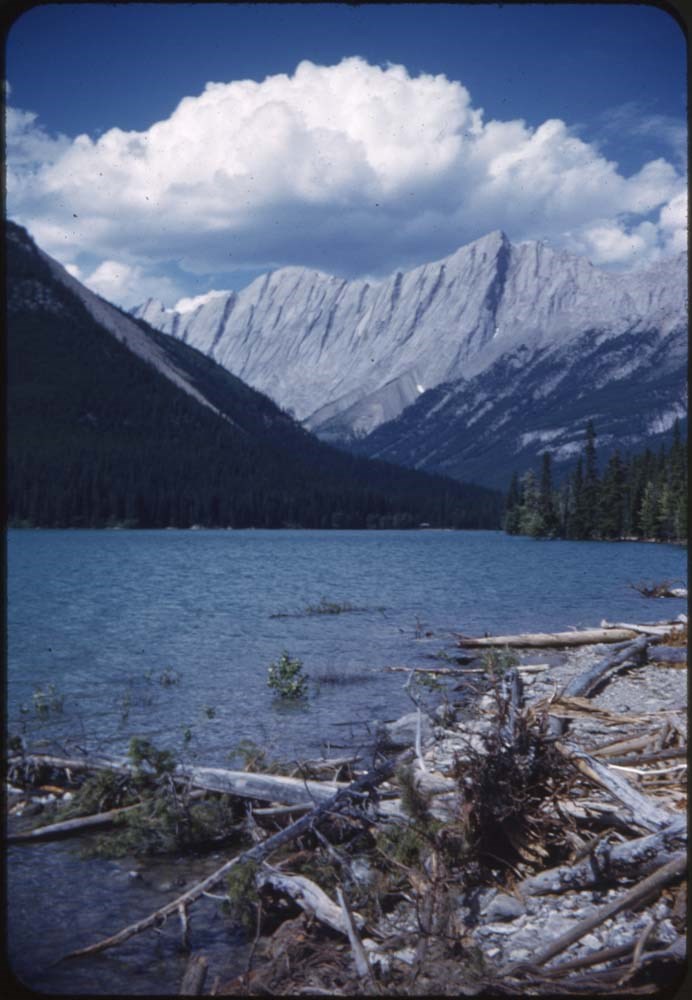
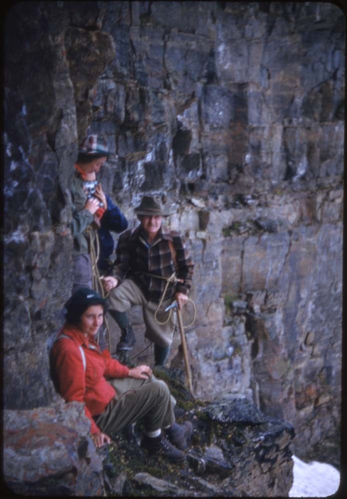
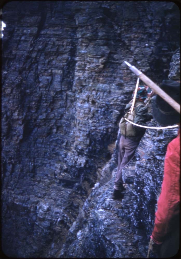
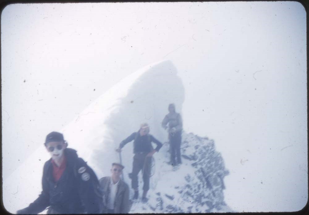
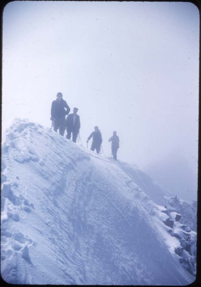
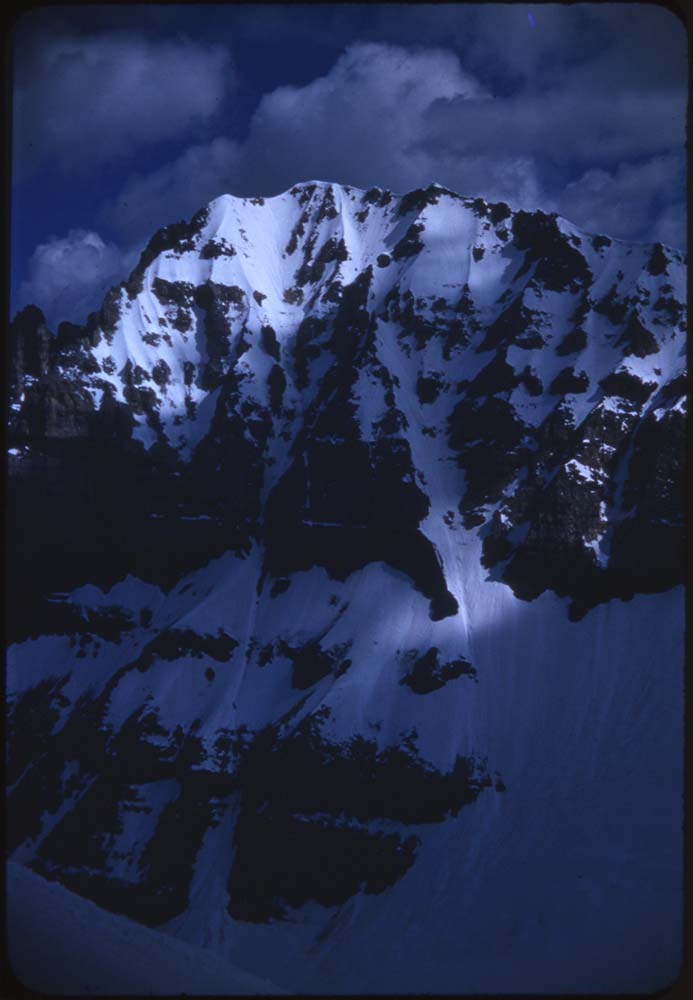
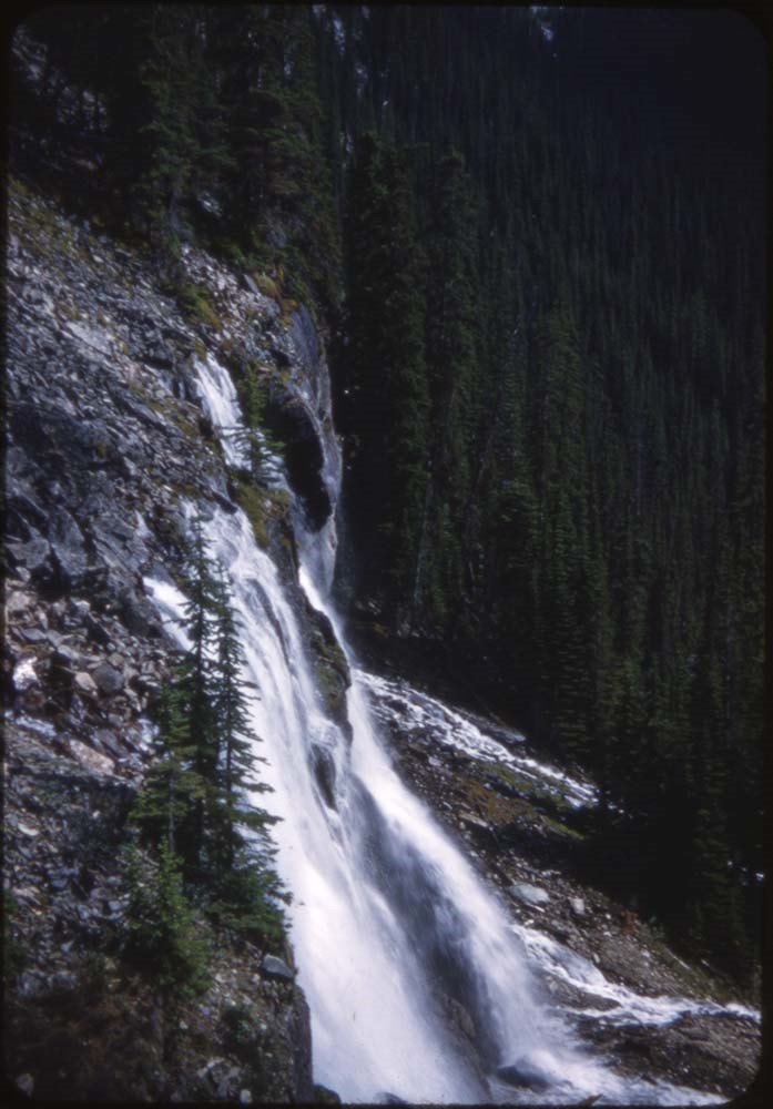
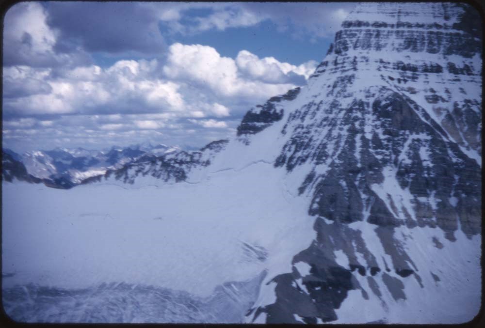
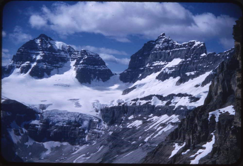
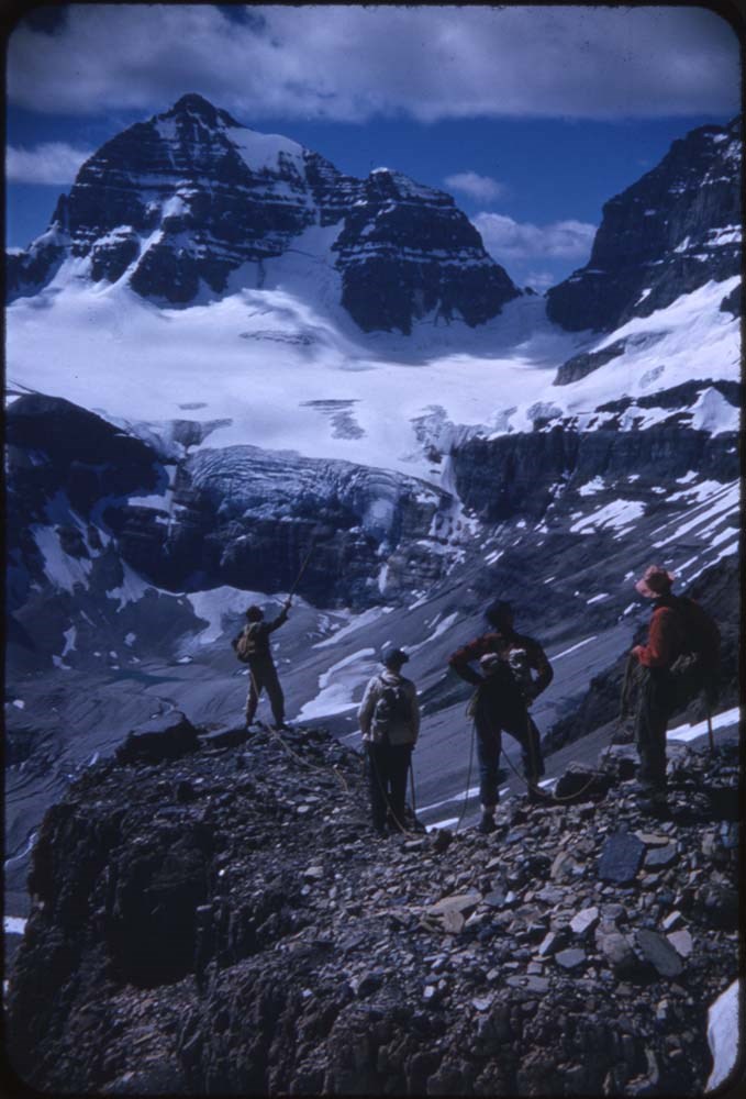
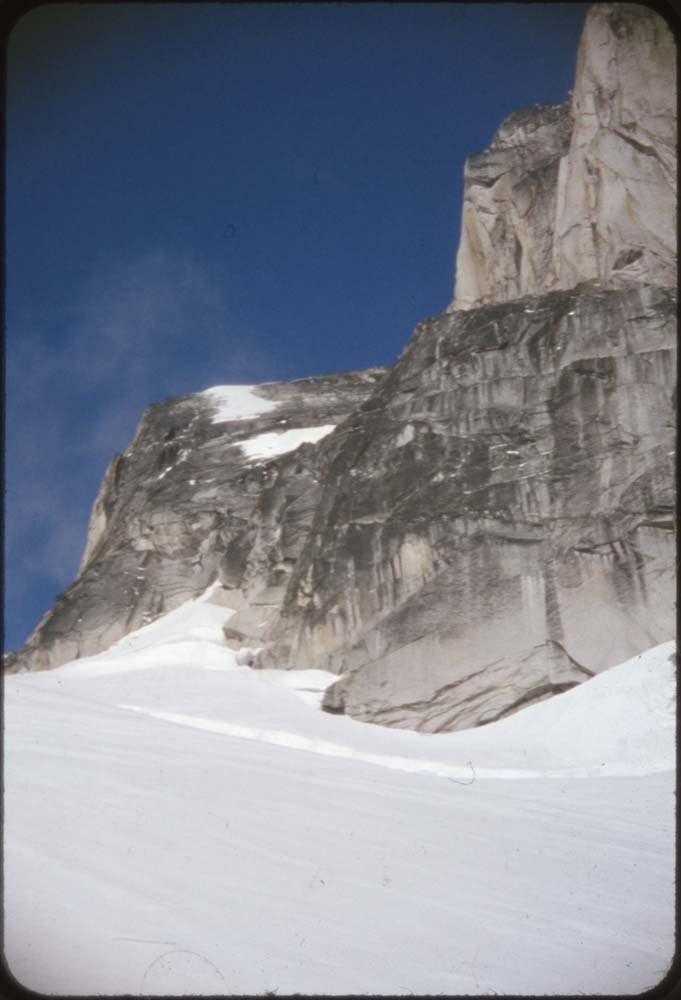
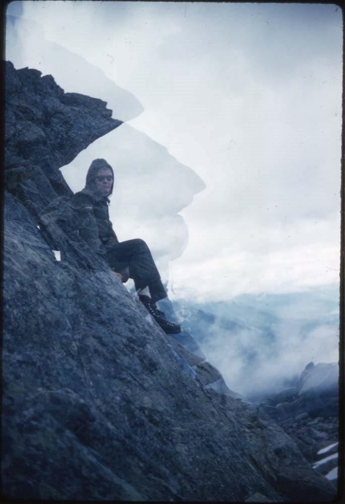
ACC Camps [3/3]
https://archives.whyte.org/en/permalink/descriptions57614
- Part Of
- Bill Goodrich fonds
- Scope & Content
- File pertains to 96 35 mm slides depictiong Alpine Club of Canada Camps from 1957, 1959, & 1962, consisting of Contents include: 1957 - Ramparts: 1-21 [Ramparts] (from Monica & Dudley): 22-28 1959 - Bugaboos (from L.F. Mondolfo: 135-140 Edith Cavell: 30-34 The ride in:…
- Date Range
- 1957-1962
- Reference Code
- V106 / NS - 255 to NS - 350
- Description Level
- 5 / File
- GMD
- Photograph
- Transparency
96 images
- Part Of
- Bill Goodrich fonds
- Description Level
- 5 / File
- Fonds Number
- V106
- Sous-Fonds
- V106
- Accession Number
- 7765
- Reference Code
- V106 / NS - 255 to NS - 350
- Date Range
- 1957-1962
- Physical Description
- 96 photographs : col. slides ; 35 mm
- History / Biographical
- See fonds level description.
- Scope & Content
- File pertains to 96 35 mm slides depictiong Alpine Club of Canada Camps from 1957, 1959, & 1962, consisting of Contents include: 1957 - Ramparts: 1-21 [Ramparts] (from Monica & Dudley): 22-28 1959 - Bugaboos (from L.F. Mondolfo: 135-140 Edith Cavell: 30-34 The ride in: 35-37 First view: 38-39 Camp: 40-42 Our tent: 43-49 Frenchman's Pk & views: 50-67 High camp in Storm: 68-75 Climb of Pigeon: 76-90 Waterfall (?): 91 1962 - Maligne Lake (part 1) Preparations: 93-98 On the road; Badlands & mud: 99-110 Barb & Walt: 111-116 Banff-Jasper HWY: 177-133
- Name Access
- Alpine Club of Canada
- Goodrich, Bill
- Subject Access
- Activities
- Alpine Club of Canada
- Buildings
- Camping
- Camps
- Climbing
- Glaciers
- Hiking
- Lake O'hara
- Mountaineering
- Mountaineers
- Mountains
- Parks Canada
- Photography
- Portrait
- Scenery
- scenic
- Waterfalls
- Women
- Geographic Access
- Jasper
- Jasper National Park
- Alberta
- Bugaboos
- British Columbia
- Language
- English
- Finding Aid
- No finding aid
- Creator
- Goodrich, Bill
- Title Source
- Title based on contents of fonds
- Processing Status
- Processed
Images


This material is presented as originally created; it may contain outdated cultural descriptions and
potentially offensive content.
Read more.
Accountant documents and correspondence
https://archives.whyte.org/en/permalink/descriptions55164
- Part Of
- Luxton family fonds
- Scope & Content
- File consists of correspondence and other documents sent to Eleanor Luxton from her personal accountants, Smith Matthews Shannon Chartered Accountants and Touche Ross & Co. Chartered Accountants. Contents pertain to income taxes, accounting service invoices, and other financial topics.
- Date Range
- 1975
- 1977
- 1980-1982
- 1986-1987
- Reference Code
- LUX / II / D / 193 to 194
- Description Level
- 5 / File
- GMD
- Private record
- Textual record
- Part Of
- Luxton family fonds
- Description Level
- 5 / File
- Fonds Number
- LUX
- Series
- LUX / II / D : Business, Legal and Financial
- Sous-Fonds
- LUX / II : Eleanor Luxton sous-fonds
- Accession Number
- LUX
- Reference Code
- LUX / II / D / 193 to 194
- Date Range
- 1975
- 1977
- 1980-1982
- 1986-1987
- Physical Description
- 2.5 cm of textual records
- Scope & Content
- File consists of correspondence and other documents sent to Eleanor Luxton from her personal accountants, Smith Matthews Shannon Chartered Accountants and Touche Ross & Co. Chartered Accountants. Contents pertain to income taxes, accounting service invoices, and other financial topics.
- Name Access
- Luxton, Eleanor
- Subject Access
- Personal and Professional Life
- Finances
- Communications
- Government
- Commerce
- Geographic Access
- Canada
- Alberta
- Banff
- Calgary
- Language
- English
- Title Source
- Title based on contents of file
- Processing Status
- Processed
This material is presented as originally created; it may contain outdated cultural descriptions and
potentially offensive content.
Read more.
[Adams Lookout, Alberta]
https://archives.whyte.org/en/permalink/catalogue23439
- Medium
- Library - Maps and blueprints (unannotated; published)
- Map
- Published Date
- 1962
- Publisher
- Dept. of Mines & Technical Surveys
- Call Number
- NTS
- 83E/10E
- Publisher
- Dept. of Mines & Technical Surveys
- Published Date
- 1962
- Scale
- Scale: 1:50,000
- Subjects
- Adams Lookout
- Alberta
- Notes
- National Topographic System
- Accession Number
- 12000
- Call Number
- NTS
- 83E/10E
- Collection
- Archives Library
This material is presented as originally created; it may contain outdated cultural descriptions and
potentially offensive content.
Read more.
[Adams Lookout, Alberta]
https://archives.whyte.org/en/permalink/catalogue23440
- Medium
- Library - Maps and blueprints (unannotated; published)
- Map
- Published Date
- 1962
- Publisher
- Dept. of Mines and Technical Surveys
- Call Number
- NTS
- 83W/10W
- Publisher
- Dept. of Mines and Technical Surveys
- Published Date
- 1962
- Scale
- Scale: 1:50,000
- Subjects
- Adams Lookout
- Alberta
- Notes
- National Topographic System
- Accession Number
- 12000
- Call Number
- NTS
- 83W/10W
- Collection
- Archives Library
This material is presented as originally created; it may contain outdated cultural descriptions and
potentially offensive content.
Read more.
[Adams Plateau 82M/4 East, B.C.]
https://archives.whyte.org/en/permalink/catalogue23441
- Medium
- Library - Maps and blueprints (unannotated; published)
- Map
- Published Date
- 1961
- Publisher
- Department of Mines and Technical Surveys
- Call Number
- NTS
- 82M/4E
- Publisher
- Department of Mines and Technical Surveys
- Published Date
- 1961
- Physical Description
- 1 map : col
- Scale
- Scale: 1:50,000
- Relief: Contour interval 100 ft.
- Subjects
- Adams Plateau
- British Columbia
- Notes
- National Topographic System
- Accession Number
- 7000
- Call Number
- NTS
- 82M/4E
- Collection
- Archives Library
This material is presented as originally created; it may contain outdated cultural descriptions and
potentially offensive content.
Read more.
[Adams Plateau 82M/4 West, B.C.]
https://archives.whyte.org/en/permalink/catalogue23442
- Medium
- Library - Maps and blueprints (unannotated; published)
- Map
- Published Date
- 1961
- Publisher
- Department of Mines and Technical Surveys
- Call Number
- NTS
- 82M/4W
- Publisher
- Department of Mines and Technical Surveys
- Published Date
- 1961
- Physical Description
- 1 map : col
- Scale
- Scale: 1:50,000
- Relief: Contour interval 100 ft.
- Subjects
- Adams Plateau
- British Columbia
- Notes
- National Topographic System
- Accession Number
- 7000
- Call Number
- NTS
- 82M/4W
- Collection
- Archives Library
This material is presented as originally created; it may contain outdated cultural descriptions and
potentially offensive content.
Read more.
[Adams River 82M/11 East, B.C.]
https://archives.whyte.org/en/permalink/catalogue23443
- Medium
- Library - Maps and blueprints (unannotated; published)
- Map
- Published Date
- 1961
- Publisher
- Dept. of Mines and Technical Surveys
- Call Number
- NTS
- 82M/11E
- Publisher
- Dept. of Mines and Technical Surveys
- Published Date
- 1961
- Physical Description
- 1 map : col
- Scale
- Scale: 1:50,000
- Relief: Contour interval 100 ft.
- Subjects
- Adams River
- British Columbia
- Notes
- National Topographic System
- Accession Number
- 3000
- Call Number
- NTS
- 82M/11E
- Collection
- Archives Library
This material is presented as originally created; it may contain outdated cultural descriptions and
potentially offensive content.
Read more.
[Adams River 82M/11 West, B.C.]
https://archives.whyte.org/en/permalink/catalogue23444
- Medium
- Library - Maps and blueprints (unannotated; published)
- Map
- Published Date
- 1961
- Publisher
- Dept. of Mines and Technical Surveys
- Call Number
- NTS
- 82M/11W
- Publisher
- Dept. of Mines and Technical Surveys
- Published Date
- 1961
- Physical Description
- 1 map : col
- Scale
- Scale: 1:50,000
- Relief: Contour interval 100 ft.
- Subjects
- Adams River
- British Columbia
- Notes
- National Topographic System
- Accession Number
- 3000
- Call Number
- NTS
- 82M/11W
- Collection
- Archives Library
This material is presented as originally created; it may contain outdated cultural descriptions and
potentially offensive content.
Read more.
Aerochrome Infrared photograph of Banff and surrounding area
https://archives.whyte.org/en/permalink/catalogue24805
- Medium
- Library - Maps and blueprints (unannotated; published)
- Map
- Published Date
- August 1972
- Call Number
- C12-4.22
- Published Date
- August 1972
- Scale
- 1:17,000
- Subjects
- Banff - Aerial Photo
- Notes
- Legend: 12 designated townsite areas
- See: Fig. 1, 2, 3 on reverse side of map
- Call Number
- C12-4.22
- Collection
- Archives Library
This material is presented as originally created; it may contain outdated cultural descriptions and
potentially offensive content.
Read more.
[Africa, Northwestern]
https://archives.whyte.org/en/permalink/catalogue24841
- Medium
- Library - Maps and blueprints (unannotated; published)
- Map
- Published Date
- 1966
- Publisher
- National Geographic Society
- Call Number
- C13-7.3
- Publisher
- National Geographic Society
- Published Date
- 1966
- Scale
- Scale: 125 miles to 1 inch
- Relief: Bench marks
- Subjects
- Northwestern Africa
- Call Number
- C13-7.3
- Collection
- Archives Library
This material is presented as originally created; it may contain outdated cultural descriptions and
potentially offensive content.
Read more.
[Africa, Southern]
https://archives.whyte.org/en/permalink/catalogue24840
- Medium
- Library - Maps and blueprints (unannotated; published)
- Map
- Published Date
- 1962
- Publisher
- National Geographic Society
- Call Number
- C13-7.2
- Publisher
- National Geographic Society
- Published Date
- 1962
- Scale
- Scale: 125 miles to 1 inch
- Relief: bench marks
- Subjects
- Southern Africa
- Accession Number
- 495
- Call Number
- C13-7.2
- Collection
- Archives Library
This material is presented as originally created; it may contain outdated cultural descriptions and
potentially offensive content.
Read more.