11 records – page 1 of 1.
Canadian Pacific Railway chart of Nepigon Bay Lake Superior
Canadian Pacific Railway chart of the Thunder Bay-Lake Superior
Canadian Pacific Railway sketch plan of the mouth of the ...
Chart of the Coast of British Columbia North of Latitude, ...
Map from the Pacific Ocean across the Rocky Mountain Zone
Map of the country between the provinces of Ontario, Quebec ...
Maple Creek, Border of Alberta
Old Town
Plans of the Rivers Kamanistiquia and Nepigon
Sketchbook
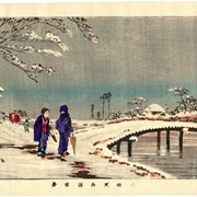
Snow Scene in Oume, Hunabiki-Doli