5261 records – page 1 of 264.
Map showing the northern paortion of Vancouver Island
Races of Europe
Mt. Louis
Porteous family fonds
[Wildermere, Southern B.C.]
Map of Waterton Lakes National Park, Alberta/from photographic surveys by ...
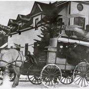
Horse-drawn carriage
Group of children
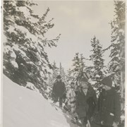
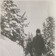
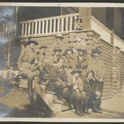
Group of snowshoers
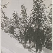
Norman Sanson and snowshoers
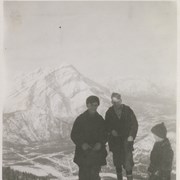
Young George, Cyril Paris, Peter Whyte
Phoebe Campbell fonds
Summer camping 1917. -- 1917.
Map of central part of Jasper from surveys by M.P. ...
[Northern Alberta]
Map of the Ominecca and Finlay River Basins
[British Columbia Forestry] Map showing forest stand types
[Boundary Between Alberta and B.C.]
[Boundary Between Alta. and B.C.]