85 records – page 1 of 5.
Map from the Pacific Ocean across the Rocky Mountain Zone
Canadian Pacific Railway chart of the Thunder Bay-Lake Superior
Plans of the Rivers Kamanistiquia and Nepigon
Topographical Survey
Drawing of Rocky Mountain by J.L.*
Map of British Columbia to the 56th parallel. North Latitude.
French map of Canada and New France
Map of the country between the provinces of Ontario, Quebec ...
Canadian Pacific Railway sketch plan of the mouth of the ...
Canadian Pacific Railway chart of Nepigon Bay Lake Superior
Chart of the Coast of British Columbia North of Latitude, ...
Types of soil|Travelled routes
An approximate classification of the lands
North West Frontiers of India
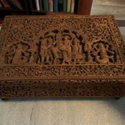
Trinket Box
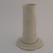
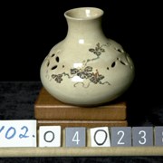
Vase