51 records – page 1 of 3.
An approximate classification of the lands
Antique Maps of India and Germany, Walter Wilcox Mounts
Bert Riggall fonds
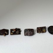
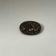
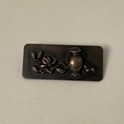
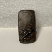
Brooch Pin
Canadian Pacific Railway chart of Nepigon Bay Lake Superior
Canadian Pacific Railway chart of the Thunder Bay-Lake Superior
Canadian Pacific Railway sketch plan of the mouth of the ...
Chart of the Coast of British Columbia North of Latitude, ...
Danubian Principalities
Drawing of Rocky Mountain by J.L.*
French map of Canada and New France
Jim Brewster family fonds
Map from the Pacific Ocean across the Rocky Mountain Zone
Map of British Columbia to the 56th parallel. North Latitude.
Map of North America engraved to illustrate Mitchell's school and ...
Map of the country between the provinces of Ontario, Quebec ...
Norman Sanson fonds