981 records – page 2 of 50.
Morleyville Traill; Calgary-Edmonton Rwy.
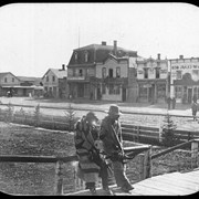
Unidentified Indigenous people in Medicine Hat
Sketch showing the proposed method of diverting water from the ...
Canadian Irrigation Surveys; A preliminary map of a portion of ...
Reservoir Sites A and B Canadian Irrigation Surveyrs Jumpingpound Creek ...
Map to illustrate system of Canadian Irrigation Surveys.
Western Canada and the North Western United States
Range 1, West of Fifth Meridian, Trail from Calgary to ...
(Lake Louise Forest Park)
Trail from Calgary to Edmonton and Railway
Map of the Kootenay District - A mining recording divisions ...
General map
Dominion of Canada and Newfoundland
Road map
[United States]
Banff National Park, Yoho Park and Kootenay Park
Yoho Park
[Fitzgerald, Alberta] Topographical sruvey
[Canada Railway map] Southeastern Canada
Map of the Canadian Pacific Railway