131 records – page 1 of 7.
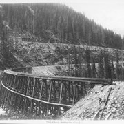
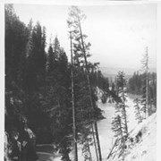
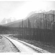
View at Loop, showing rise of track. 155.
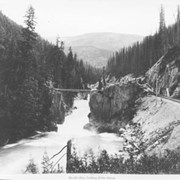
Devil's Gap, looking down stream. 180.
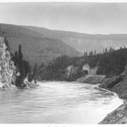
Tunnel, West of Donald. 195.
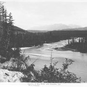
Junction of Blue Water with Columbia, just West of Donald. ...
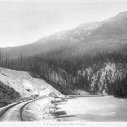
Columbia River Canyon, 2 1/2 miles below Donald. 152.
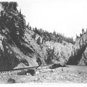
Entrance to Lower Kicking Horse Canyon, near Golden. 300.
7th crossing, Lower Kicking Horse Canyon. 308.
Kicking Horse Canyon, three miles East of Golden. 233.
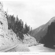
View below Black Cut, Lower Kicking Horse Canyon. 270.
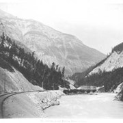
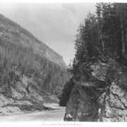
View in Lower Kicking Horse Canyon. 310.
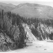
Lower Kicking Horse Canyon, six miles West of Palliser. 221.
Looking East near Mud Tunnel, Lower Kicking Horse Canyon. 295.
Mud Tunnel and curve, West of Palliser. 296.
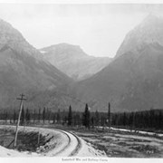
Leanchoil Mts. and railway curve. 145.
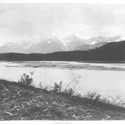
View on Ottertail River. 301.
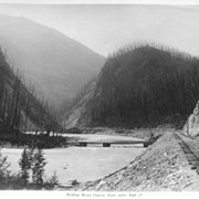
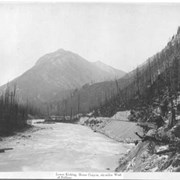
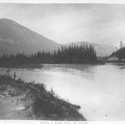
Junction of Kicking Horse and Ottertail Rivers. 293.
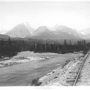
Ottertail River, seven miles West of Field. 29.
View four miles West of Field. 231.
Van Horne Range. 224.
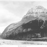
Mt. Stephen and hotel. 225