Narrow Results By
Dr. Gerald Wright fonds
https://archives.whyte.org/en/permalink/descriptions55580
- Part Of
- Dr. Gerald Wright fonds
- Scope & Content
- Fonds pertains to 3 photograph prints of members of the St. Elias expedition in the Yukon, a large-format black and white print of a mountain range [possibly including St. Elias], 11 typed letters to Wright from W.E. (Smoke) Blanchard dated January-May 1965 discussing the expedition, 2 typed one-pa…
- Date Range
- 1965-1967
- Reference Code
- M585 / V805
- Description Level
- 1 / Fonds
- GMD
- Organization record
- Photograph print
- Textual record
- Part Of
- Dr. Gerald Wright fonds
- Description Level
- 1 / Fonds
- Fonds Number
- M585 / V805
- Sous-Fonds
- M585
- Accession Number
- 2021.19
- Reference Code
- M585 / V805
- Date Range
- 1965-1967
- Physical Description
- 1 cm of textual records (18 pages ; 21.6 x 27.9 cm) ; 4 photographs : b&w and col. ; 29.2 x 21.8 cm or smaller
- History / Biographical
- Dr. Gerald Wright (1917-2007) grew up in Brecon, South Wales, and studied medicine in Wales and London, England, throughout the 1940s. He served in the British Army in the Royal Army Medical Corps from 1942-1946 in North Africa and Italy. In 1951 Wright moved to Lethbridge, Alberta, due to its close proximity to the Canadian Rockies, where he maintained a general practice as a member of the Hunt Clinic. He went on to serve as Chief of Medicine at St. Michael's Hospital and the Lethbridge Municipal Hospital until his retirement in 1988. Shortly after arriving in Canada he became a member of the Alpine Club of Canada and attended many annual camps, often as camp doctor. He also participated in ACC expeditions to Mount St. Elias (1967, unsuccessful), Mount Alberta (1967, successful as part of the Alberta Team), and Mt. Waddington (1969). He also successfully summited Mt. Robson on his third attempt at the mountain. Wright hiked extensively throughout Nepal, Switzerland, South America, and New Zealand in addtion to the Rockies. He was also a member of the Skyline Trail Hikers of the Canadian Rockies and was a founding member of the Castle-Crown Wilderness Coalition, where he served on the Board of Directors, helping to plan and lead many annual hiking trips.
- Scope & Content
- Fonds pertains to 3 photograph prints of members of the St. Elias expedition in the Yukon, a large-format black and white print of a mountain range [possibly including St. Elias], 11 typed letters to Wright from W.E. (Smoke) Blanchard dated January-May 1965 discussing the expedition, 2 typed one-page summaries of the attempt on the mountain [one written by Blanchard and includes a hand-drawn map of the area around the mountain], a Xerox copy of a letter written on University of Oregon Medical School letterhead listing the members of the St. Elias party and recommended medical tests to have completed prior to the expedition, a two-page typed list of gear & equipment, and a hand-written list of expedition members and the University of Oregon Medical School doctor and their contact information.
- Name Access
- Alpine Club of Canada
- Wright, Gerald
- Blanchard, W.E. (Smoke)
- Johnson, Roy
- Mock, R.G. (Tex)
- Sharp, Dave
- Swift, Bob
- Subject Access
- Activities
- Alpine Club of Canada
- Camps
- Centennial
- Climbing
- Club
- Discovery and exploration
- Glaciers
- Hiking
- Map
- Medicine
- Membership
- Mount St. Elias
- Mountain
- Mountaineering
- Mountaineers
- Mountains
- Photography
- Records
- Record keeping
- Scenery
- Sports and recreation
- Travel and Exploration
- Geographic Access
- Yukon
- Canada
- Language
- English
- Conservation
- Staples removed from letters and equipment lists
- Biographical Source Notes
- Memorial card
- Title Source
- Title based on contents of fonds
- Processing Status
- Processed
This material is presented as originally created; it may contain outdated cultural descriptions and
potentially offensive content.
Read more.
Banff National Park and Lake Louise maps
https://archives.whyte.org/en/permalink/descriptions54945
- Scope & Content
- File consists of two folded maps and a small clipping [possibly top or bottom portion from a different map or one of maps in file]. One map is of Banff National Park and one is of Lake Louise [1959]. Banff National Park map has black pencil tracings over trail section near the bottom of the map and…
- Date Range
- 1959
- [1960-1970]
- Reference Code
- M545 / V / 53
- Description Level
- 5 / File
- GMD
- Textual record
- Published record
- Map
- Description Level
- 5 / File
- Fonds Number
- M545 / V635
- Series
- M545 / V : Administrative records
- Sous-Fonds
- M545
- Accession Number
- 8235
- Reference Code
- M545 / V / 53
- Date Range
- 1959
- [1960-1970]
- Physical Description
- 0.5 cm of textual records (2 maps ; 60.5 x 57.5 and 60 x 56.5 cm)
- Scope & Content
- File consists of two folded maps and a small clipping [possibly top or bottom portion from a different map or one of maps in file]. One map is of Banff National Park and one is of Lake Louise [1959]. Banff National Park map has black pencil tracings over trail section near the bottom of the map and annotation in bottom right corner which reads "Natural Bridge". Lake Louise map produced by the Government of Canada.
- Subject Access
- Banff National Park
- Environment
- Geography
- Map
- Lake Louise
- Travel
- Government
- National parks and reserves
- Trails
- Geographic Access
- Canada
- Alberta
- Banff National Park
- Lake Louise
- Language
- English
- Conservation
- Clipping stored in mylar due to significant staining and residue from tape
- Items kept folded [not placed in mylar] due to mass production of content and minimal/no annotations
- Title Source
- Title based on contents of file
- Processing Status
- Processed
This material is presented as originally created; it may contain outdated cultural descriptions and
potentially offensive content.
Read more.
[Canada Glacial Map]
https://archives.whyte.org/en/permalink/catalogue23317
- Medium
- Library - Maps and blueprints (unannotated; published)
- Map
- Published Date
- 1968
- Publisher
- Geological Survey of Canada, Dept. of Energy, Mines and Resources, Ottawa
- Call Number
- C5-3.10
- Publisher
- Geological Survey of Canada, Dept. of Energy, Mines and Resources, Ottawa
- Published Date
- 1968
- Physical Description
- Colour
- Scale
- 1:5,000,000
- Subjects
- Canada Glacial Map
- Accession Number
- 718
- Call Number
- C5-3.10
- Collection
- Archives Library
This material is presented as originally created; it may contain outdated cultural descriptions and
potentially offensive content.
Read more.
Fluvial processes in geomorphology
https://archives.whyte.org/en/permalink/catalogue26443
- Medium
- Library - Book (including soft-cover and pamphlets)
- Published Date
- 1964
- Author
- Leopold, Luna B. and Wolman, M. Gordon and Miller, John P.
- Publisher
- San Francisco, W.H. Freeman
- Call Number
- 04 L55f
- Publisher
- San Francisco, W.H. Freeman
- Published Date
- 1964
- Physical Description
- xiii, 522 pages illustrations, maps 24 cm
- Contents
- THE EVOLVING LANDSCAPE: The changing scene -- Geomorphology and the field problem -- PROCESS AND FORM: Climate and denudational processes -- Weathering -- The drainage basin as a geomorphic unit -- Water and sediment in channels -- Channel form and process -- Hillslope characteristics and processes -- THE EFFECTS OF TIME: Geochronology -- Drainage pattern evolution -- Channel changes with time -- Evolution of hillslopes.
- Notes
- Ben Gadd Personal Library
- Accession Number
- 2021.20
- Call Number
- 04 L55f
- Collection
- Archives Library
This material is presented as originally created; it may contain outdated cultural descriptions and
potentially offensive content.
Read more.
Geological history of Western Canada
https://archives.whyte.org/en/permalink/catalogue9340
- Medium
- Library - Book (including soft-cover and pamphlets)
- Published Date
- 1966
- Author
- Canadian Sedimentary Basins Symposium : 1961 : Calgary
- Publisher
- Calgary : Alberta Society of Petroleum Geologists
- Edition
- [2d ed.]
- Call Number
- 03.2 C16 A Atlas oversize
- 03.2 C16 A Atlas oversize Reference Copy
- Responsibility
- edited by R.G. McCrossan and R.P. Glaister
- assisted by Grey H. Austin, S.J. Nelson
- Edition
- [2d ed.]
- Publisher
- Calgary : Alberta Society of Petroleum Geologists
- Published Date
- 1966
- Physical Description
- x, 232p. : ill., maps
- Subjects
- Atlases
- Geology
- Geography
- Geological Map
- Notes
- Ben Gadd Personal Library
- Accession Number
- 414
- 2021.20
- Call Number
- 03.2 C16 A Atlas oversize
- 03.2 C16 A Atlas oversize Reference Copy
- Collection
- Archives Library
This material is presented as originally created; it may contain outdated cultural descriptions and
potentially offensive content.
Read more.
- Medium
- Library - Maps and blueprints (unannotated; published)
- Map
- Published Date
- 1967
- Publisher
- Glaciology Section, inland waters branch, Dept. of Energy, Mines and Resources
- Call Number
- C5-3.5
- Publisher
- Glaciology Section, inland waters branch, Dept. of Energy, Mines and Resources
- Published Date
- 1967
- Physical Description
- Black and white
- Scale
- 1:1,000,000
- Accession Number
- 7000
- Call Number
- C5-3.5
- Collection
- Archives Library
This material is presented as originally created; it may contain outdated cultural descriptions and
potentially offensive content.
Read more.
- Medium
- Library - Maps and blueprints (unannotated; published)
- Map
- Published Date
- 1968
- Publisher
- Glaciology Subdivision, Inland Waters Branch, Department of Energy, Mines and Resources, Ottawa, Canada
- Call Number
- C5-3.6
- Publisher
- Glaciology Subdivision, Inland Waters Branch, Department of Energy, Mines and Resources, Ottawa, Canada
- Published Date
- 1968
- Physical Description
- Coloured
- Scale
- 1:1,000,000
- Accession Number
- 7000
- Call Number
- C5-3.6
- Collection
- Archives Library
This material is presented as originally created; it may contain outdated cultural descriptions and
potentially offensive content.
Read more.
- Medium
- Library - Maps and blueprints (unannotated; published)
- Map
- Published Date
- 1968
- Publisher
- Glaciology Subdivision, Inland Waters Branch, Deparment of Energy, Mines and Resources
- Call Number
- C5-3.7
- Publisher
- Glaciology Subdivision, Inland Waters Branch, Deparment of Energy, Mines and Resources
- Published Date
- 1968
- Physical Description
- Coloured
- Scale
- 1:1,000,000
- Accession Number
- 7000
- Call Number
- C5-3.7
- Collection
- Archives Library
This material is presented as originally created; it may contain outdated cultural descriptions and
potentially offensive content.
Read more.
- Medium
- Library - Maps and blueprints (unannotated; published)
- Map
- Published Date
- 1968
- Publisher
- Glaciology Subdivison, Inland Waters Branch, Department of Energy, Mines and Resources
- Call Number
- C5-3.8
- Publisher
- Glaciology Subdivison, Inland Waters Branch, Department of Energy, Mines and Resources
- Published Date
- 1968
- Physical Description
- Coloured
- Scale
- 1:1,000,000
- Accession Number
- 7000
- Call Number
- C5-3.8
- Collection
- Archives Library
This material is presented as originally created; it may contain outdated cultural descriptions and
potentially offensive content.
Read more.
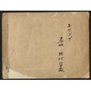
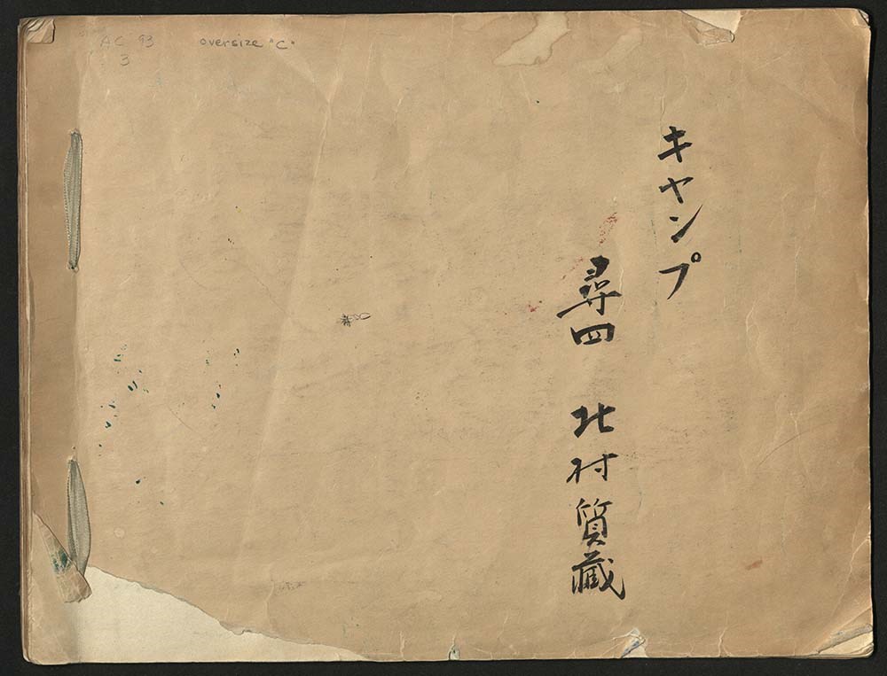
Japanese Sketchbook
https://archives.whyte.org/en/permalink/descriptions54789
- Part Of
- Alpine Club of Canada fonds
- Scope & Content
- File consists of a sketchbook containing Japanese writing, hand-drawn maps, and illustrations. Many of the illustrations are done in either watercolour paint or crayon.
- Date Range
- [ca. 1950-1960]
- Reference Code
- M200 / AC 093M / 2
- Description Level
- 5 / File
- GMD
- Scrapbook
- Painting
1 image
1 Electronic Resource
- Part Of
- Alpine Club of Canada fonds
- Description Level
- 5 / File
- Fonds Number
- M200 / S6 / V14
- Series
- I.A.1.b. Administration: general
- Sous-Fonds
- AC 093M
- Accession Number
- .
- Reference Code
- M200 / AC 093M / 2
- Date Range
- [ca. 1950-1960]
- Physical Description
- 0.5 cm of textual records (30 pages ; 37.5 x 28.5 cm)
- History / Biographical
- See fonds level description.
- Scope & Content
- File consists of a sketchbook containing Japanese writing, hand-drawn maps, and illustrations. Many of the illustrations are done in either watercolour paint or crayon.
- Name Access
- Alpine Club of Canada
- Subject Access
- Art
- Arts and crafts
- Backpacking
- Calligraphy
- Climbing
- Club
- Environment and Nature
- Painting
- Map
- Mountaineering
- Mountaineers
- Language
- Japanese
- Title Source
- Title based on material
- Processing Status
- Processed
Electronic Resources
Images
This material is presented as originally created; it may contain outdated cultural descriptions and
potentially offensive content.
Read more.