Narrow Results By
- Part Of
- Bert Riggall fonds
- Scope & Content
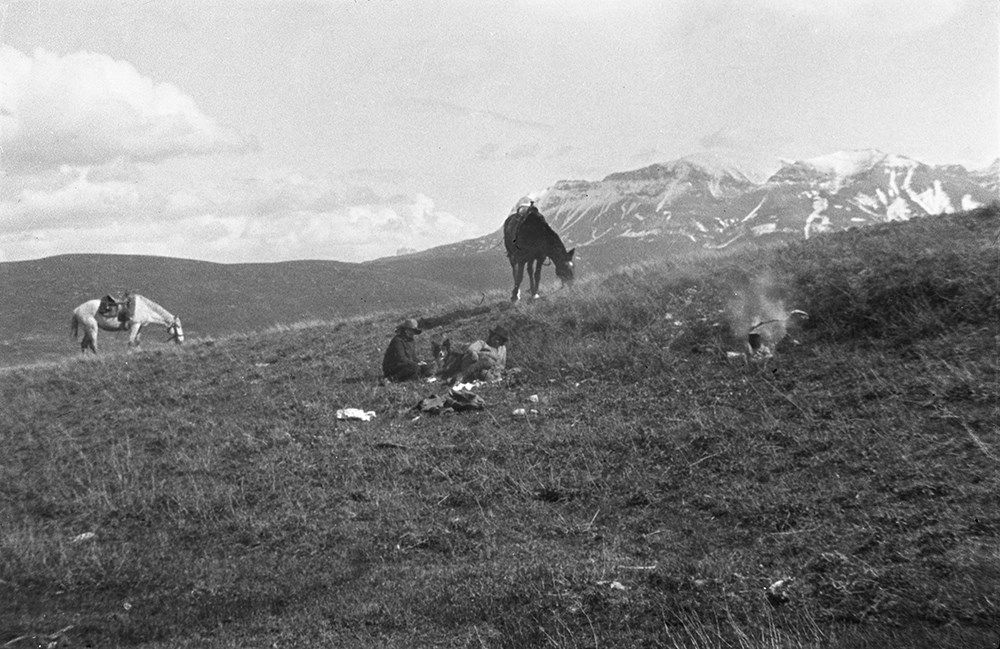
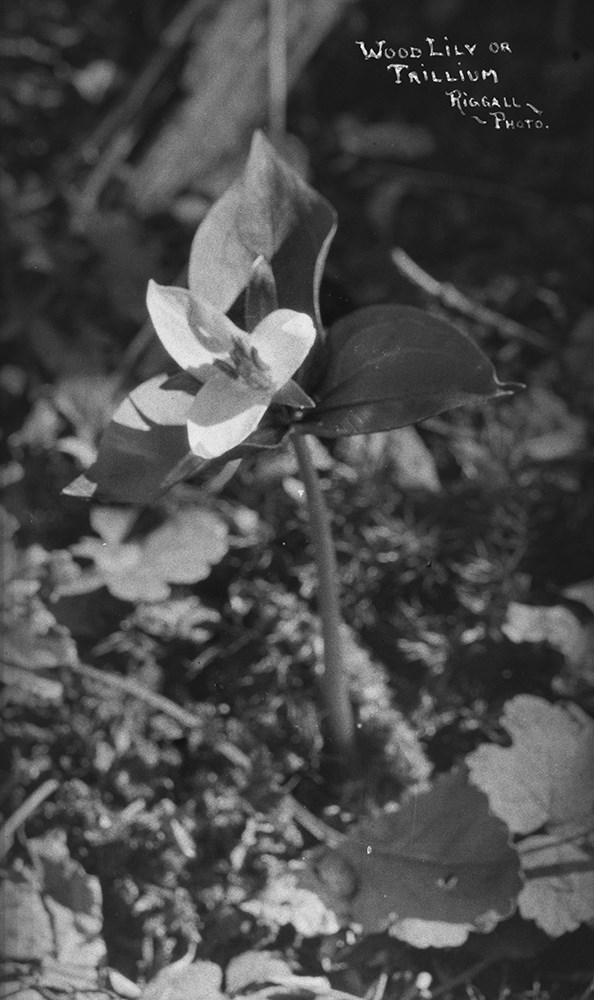
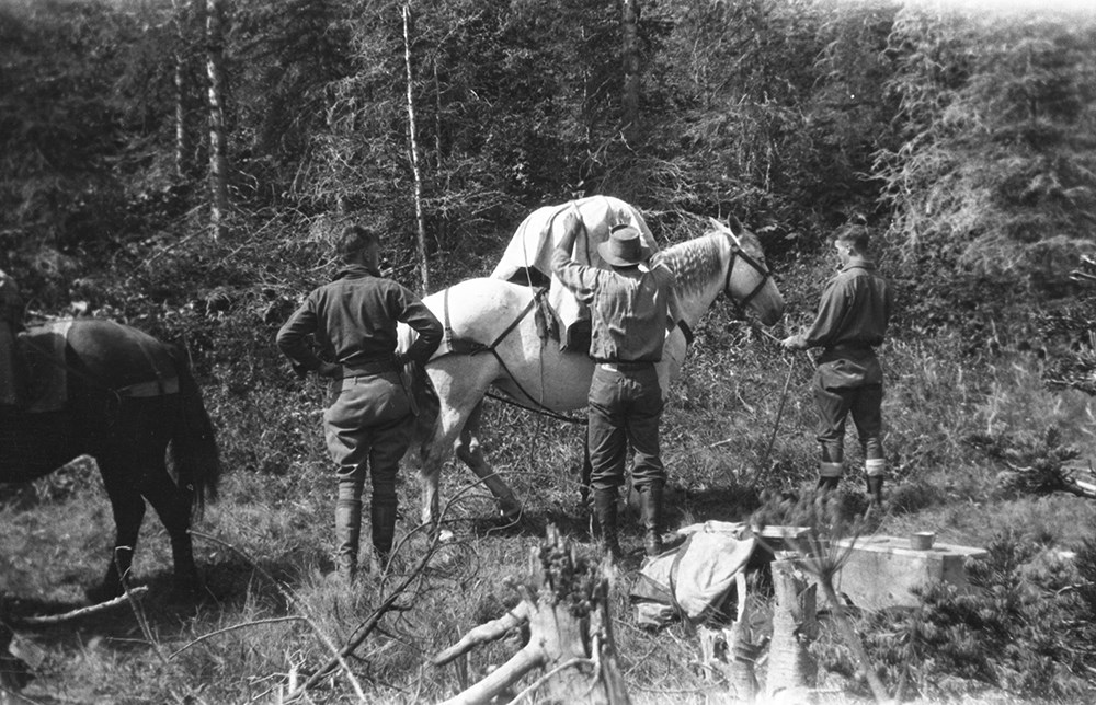
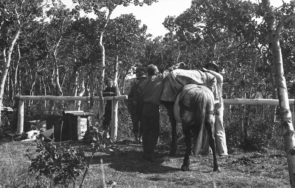
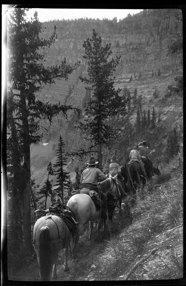
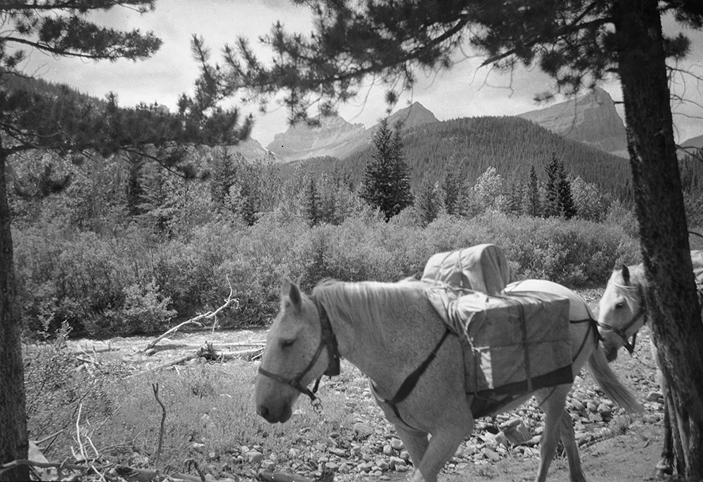
- File consists of 437 b&w negative photographs pertaining to Riggall pack trains and camps, and day trips in the Beehive, Kintla Creek, Mount Lyall, Yarrow Creek, Cache Creek and other areas.
- Date Range
- [ca.1904 to ca.1959]
- Reference Code
- V26 / IX / C / NA (C1 to C16)
- Description Level
- 5 / File
- GMD
- Photograph
- Negative
6 images
- Part Of
- Bert Riggall fonds
- Description Level
- 5 / File
- Fonds Number
- M376 / V26
- Series
- IX. Riggall Negatives Scanned and Described
- Sous-Fonds
- V26
- Accession Number
- 7102
- Reference Code
- V26 / IX / C / NA (C1 to C16)
- GMD
- Photograph
- Negative
- Date Range
- [ca.1904 to ca.1959]
- Physical Description
- 437 photographs : b&w negatives
- Scope & Content
- File consists of 437 b&w negative photographs pertaining to Riggall pack trains and camps, and day trips in the Beehive, Kintla Creek, Mount Lyall, Yarrow Creek, Cache Creek and other areas.
- Subject Access
- Packing
- Pack trips
- Exploration
- Travel
- Camping
- Recreation
- Leisure
- Landscapes
- Geographic Access
- Canada
- British Columbia
- Glacier National Park
- Mount Lyall
- United States of America
- Kintla Creek
- Language
- N/A
- Title Source
- Title based on contents of file
- Content Details
- Reference scans available: V26 / IX / C / PA (C1 to C16)
- Processing Status
- Processed
Images
This material is presented as originally created; it may contain outdated cultural descriptions and
potentially offensive content.
Read more.
Travel guides and maps
https://archives.whyte.org/en/permalink/descriptions56361
- Part Of
- Ben Gadd fonds
- Scope & Content
- Sub-series consists of travel brochures and maps which were collected and used by Ben Gadd. Sub-series contains five sub-sub series: M590 / I / A / i : Travel guides and pocket maps M590 / I / A / ii : Topographical maps M590 / I / A / iii : Geological maps M590 / I / A / iv : Highway maps M590 / …
- Date Range
- [ca.1920-2010]
- Reference Code
- M590 / I / A
- Description Level
- 4 / Sub-series
- GMD
- Map
- Textual record
- Part Of
- Ben Gadd fonds
- Description Level
- 4 / Sub-series
- Fonds Number
- M590
- V810
- S61
- Series
- M590 / I : Personal records
- Sous-Fonds
- M590
- Sub-Series
- M590 / I / A : Travel guides and maps
- Accession Number
- 2021.20
- Reference Code
- M590 / I / A
- GMD
- Map
- Textual record
- Date Range
- [ca.1920-2010]
- Physical Description
- ca. 274 maps -- ca. 61 travel guides, brochures
- Scope & Content
- Sub-series consists of travel brochures and maps which were collected and used by Ben Gadd. Sub-series contains five sub-sub series: M590 / I / A / i : Travel guides and pocket maps M590 / I / A / ii : Topographical maps M590 / I / A / iii : Geological maps M590 / I / A / iv : Highway maps M590 / I / A / v : Index maps, other
- Notes
- Some materials in sub-series are annotated with notes by Ben Gadd
- Name Access
- Gadd, Ben
- Subject Access
- Geography
- Geology
- Environment
- Map
- Tourism
- Tourist information
- Travel
- Trails
- Roads
- Transportation
- Natural history
- National parks and reserves
- Provincial parks and reserves
- Government
- Sports
- Recreation
- Hiking
- Geographic Access
- Canada
- Alberta
- British Columbia
- Banff National Park
- Jasper National Park
- Kootenay National Park
- Yoho National Park
- Waterton Lakes National Park
- Columbia Icefields
- United States of America
- Colorado
- Montana
- Yellowstone National Park
- Access Restrictions
- Restrictions may apply - some materials are fragile
- Reproduction Restrictions
- Restrictions may apply
- Language
- English
- Conservation
- Some fragile/torn materials stored in mylar
- Category
- Environment
- Exploration, discovery and travel
- Government
- Sports, recreation and leisure
- Transportation
- Tourism
- Title Source
- Title based on contents of sub-series
- Processing Status
- Processed
This material is presented as originally created; it may contain outdated cultural descriptions and
potentially offensive content.
Read more.