Narrow Results By
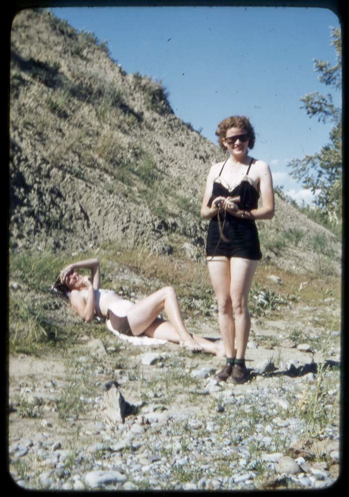
1938-47 : [travel photographs]
https://archives.whyte.org/en/permalink/descriptions17491
- Part Of
- Bob Hind fonds
- Scope & Content
- File pertains to travel, climbing, skiing, landscapes, rural and urban views, buildings, huts, and military views in Canada, United States, Great Britain and Europe
- Date Range
- 1938-1947
- Reference Code
- V46 / 64 (NS)
- Description Level
- 5 / File
- Part Of
- Bob Hind fonds
- Description Level
- 5 / File
- Series
- II. Personal photographs and records
- Accession Number
- 7181
- Reference Code
- V46 / 64 (NS)
- Date Range
- 1938-1947
- Physical Description
- 223 photographs : transparencies, 35mm, col
- Scope & Content
- File pertains to travel, climbing, skiing, landscapes, rural and urban views, buildings, huts, and military views in Canada, United States, Great Britain and Europe
- Geographic Access
- Alberta
- British Columbia
- Ontario
- Quebec
- Europe
- United States of America
- Content Details
- LIST OF CONTENTS (V46 / 64) :
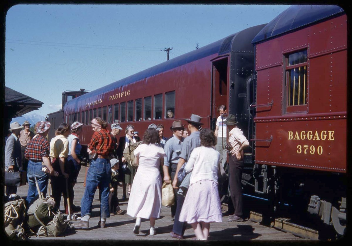
- * Glaciers, mountain scenes, train, Quebec - 1938
- * Rural and urban views and buildings of England and Europe, including Austria, Belgium, France, Germany, Switzerland - 1939
- * England - 1940
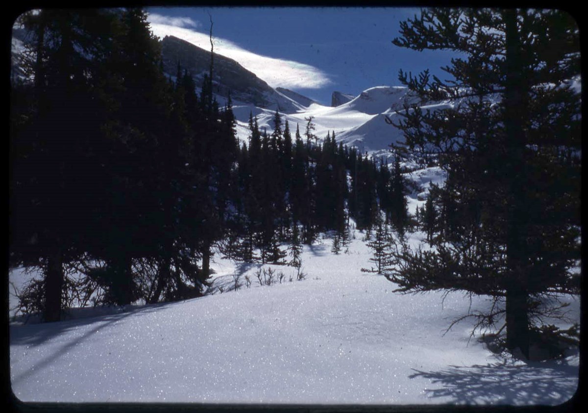
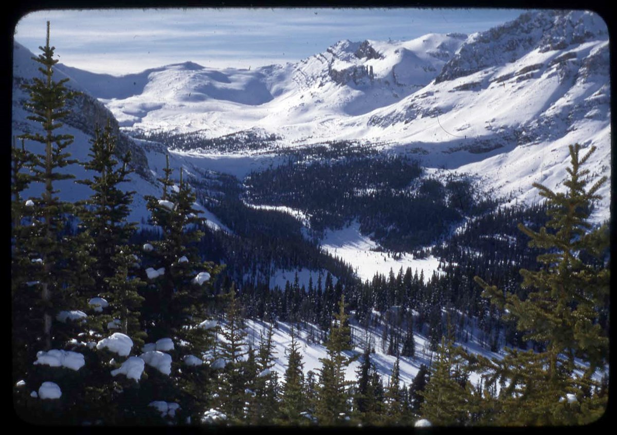
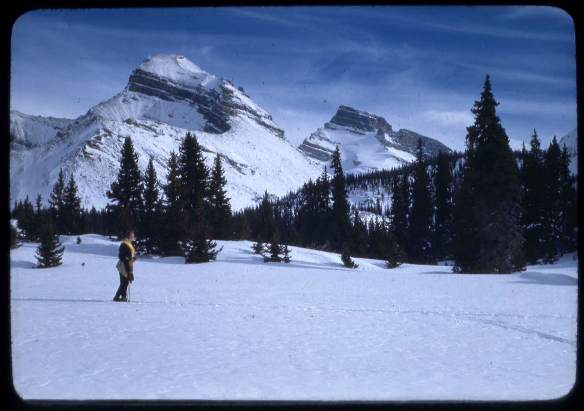
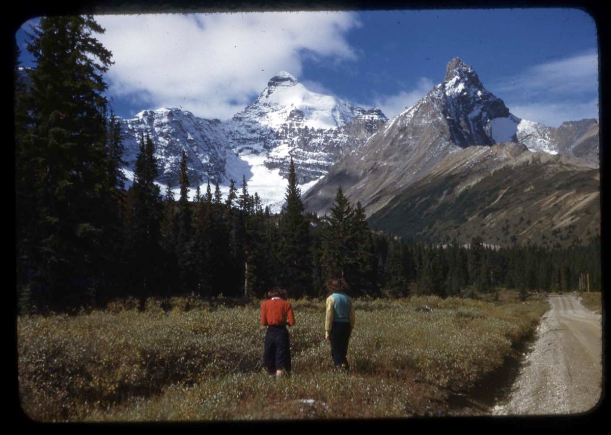
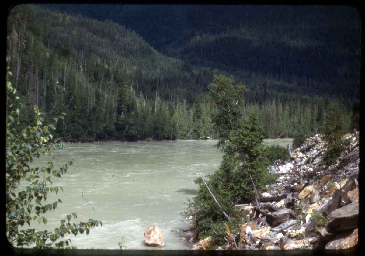
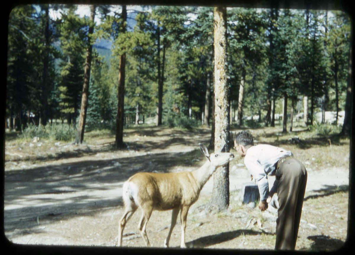
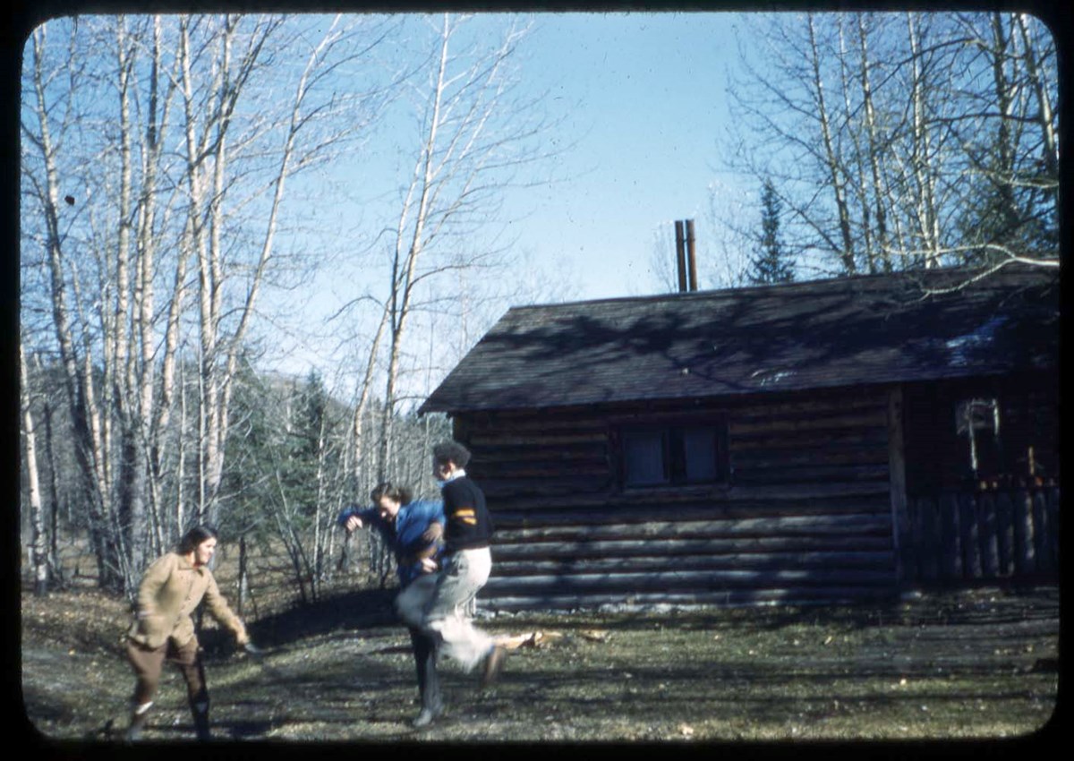
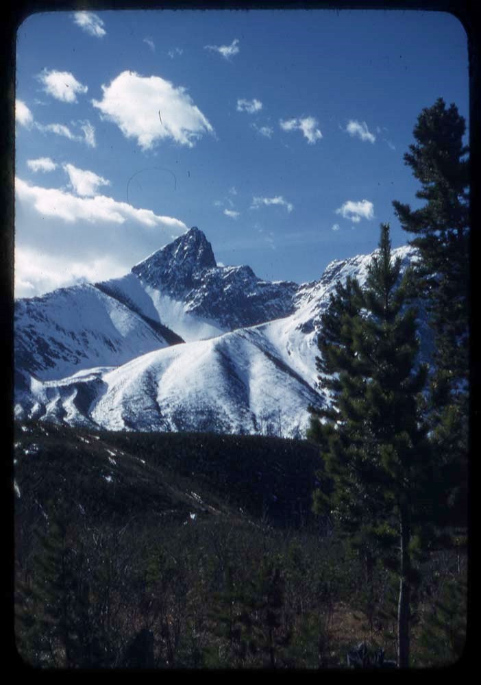
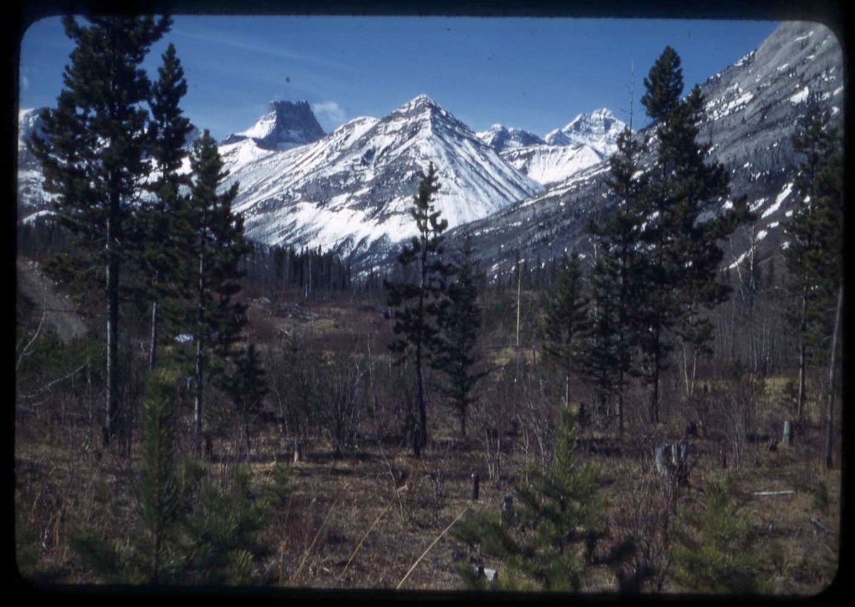
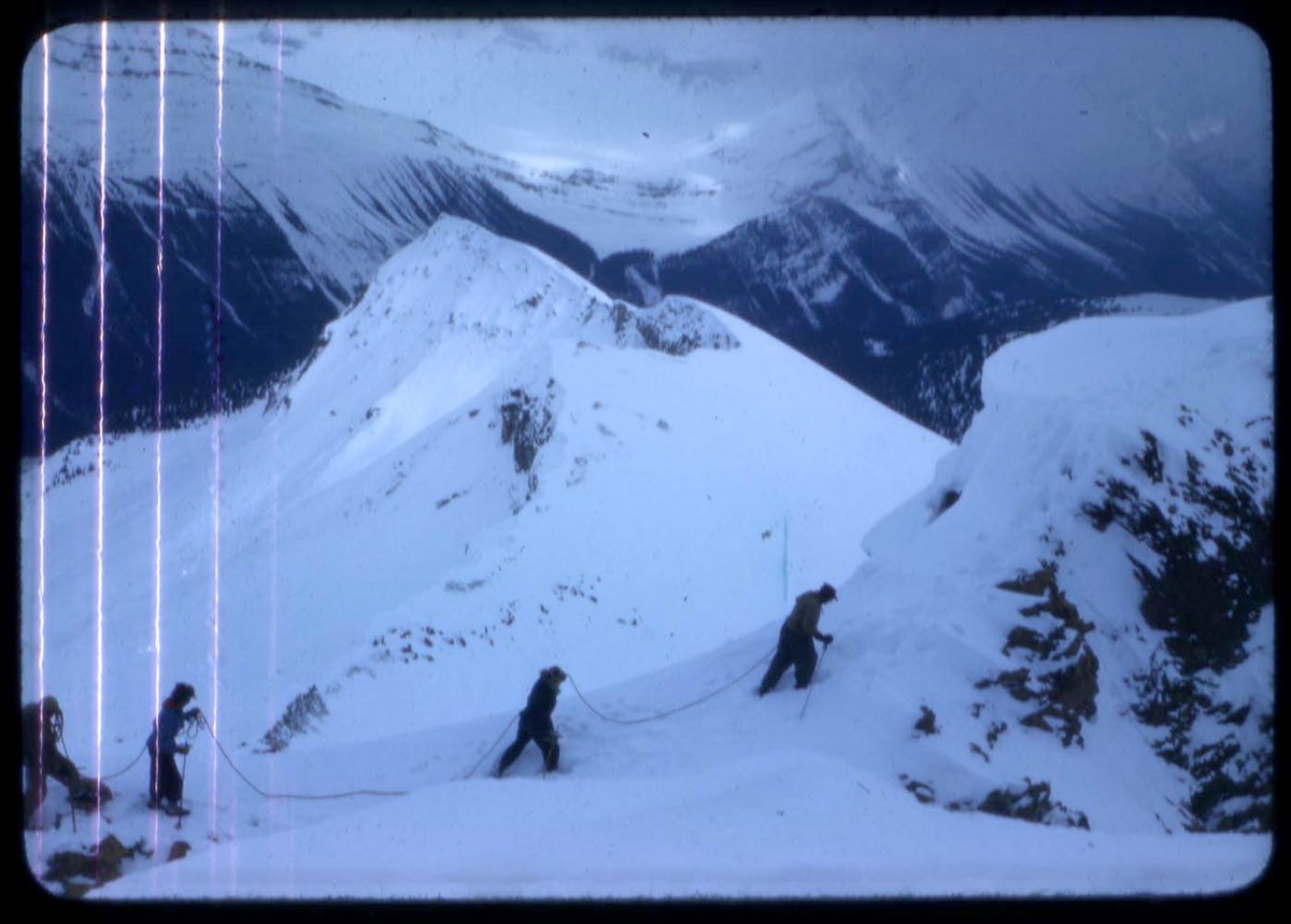
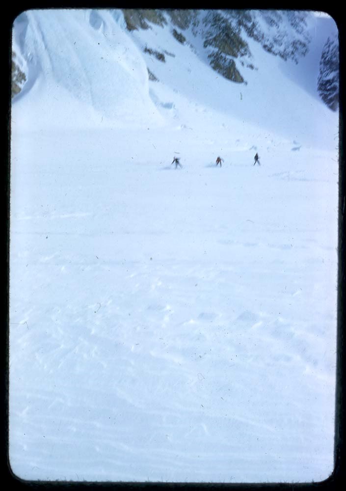
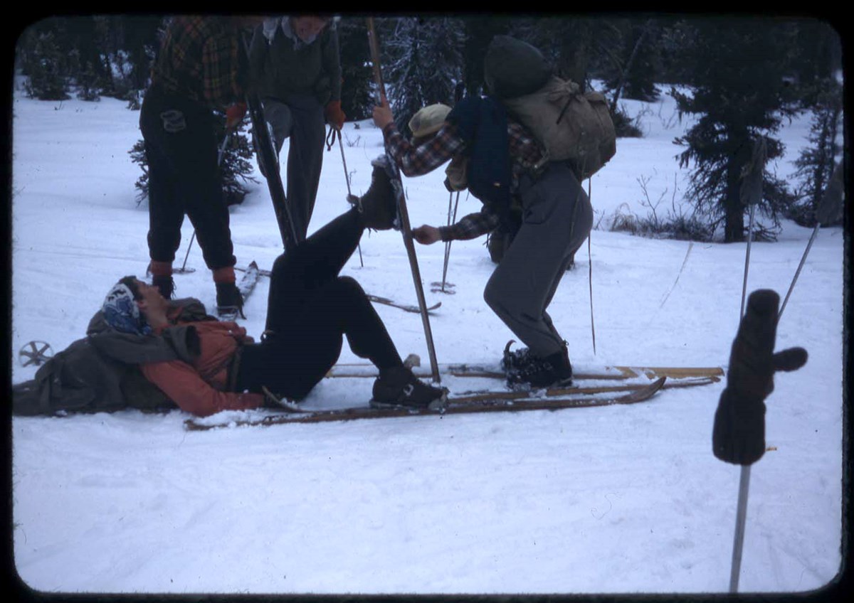
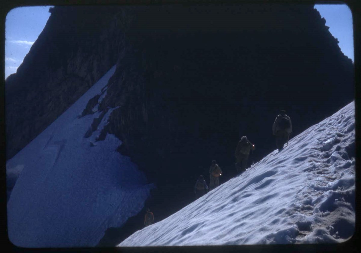
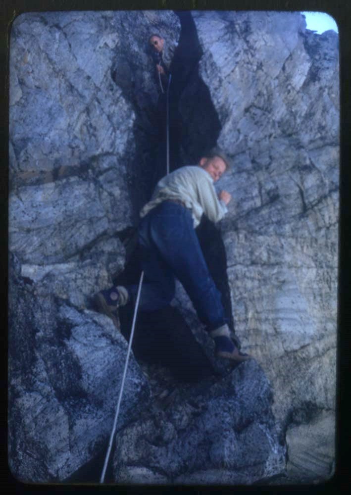
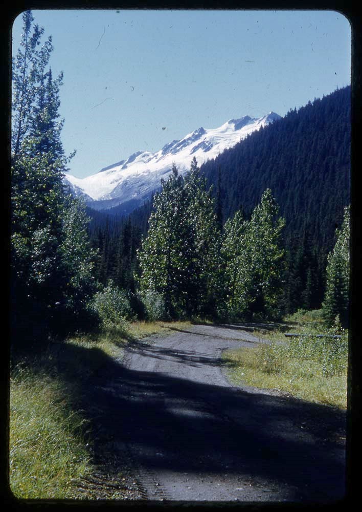
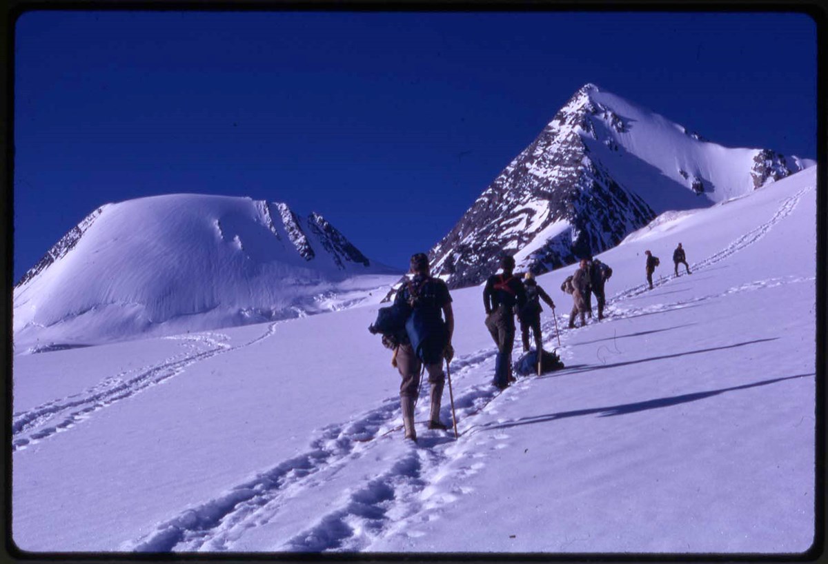
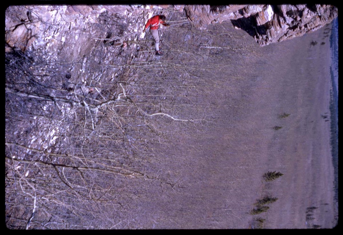
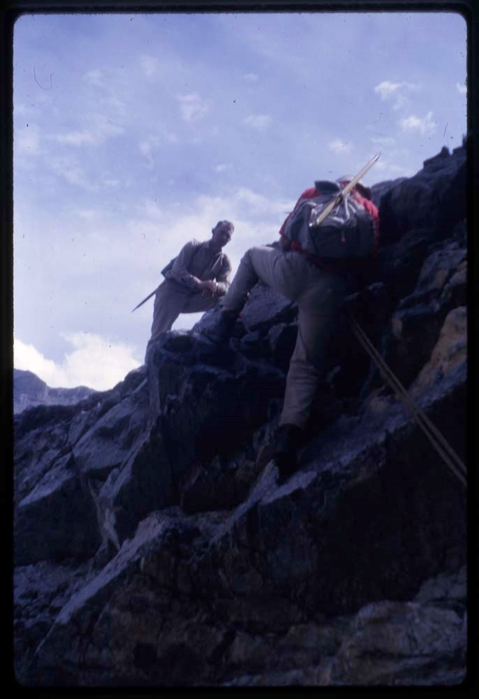
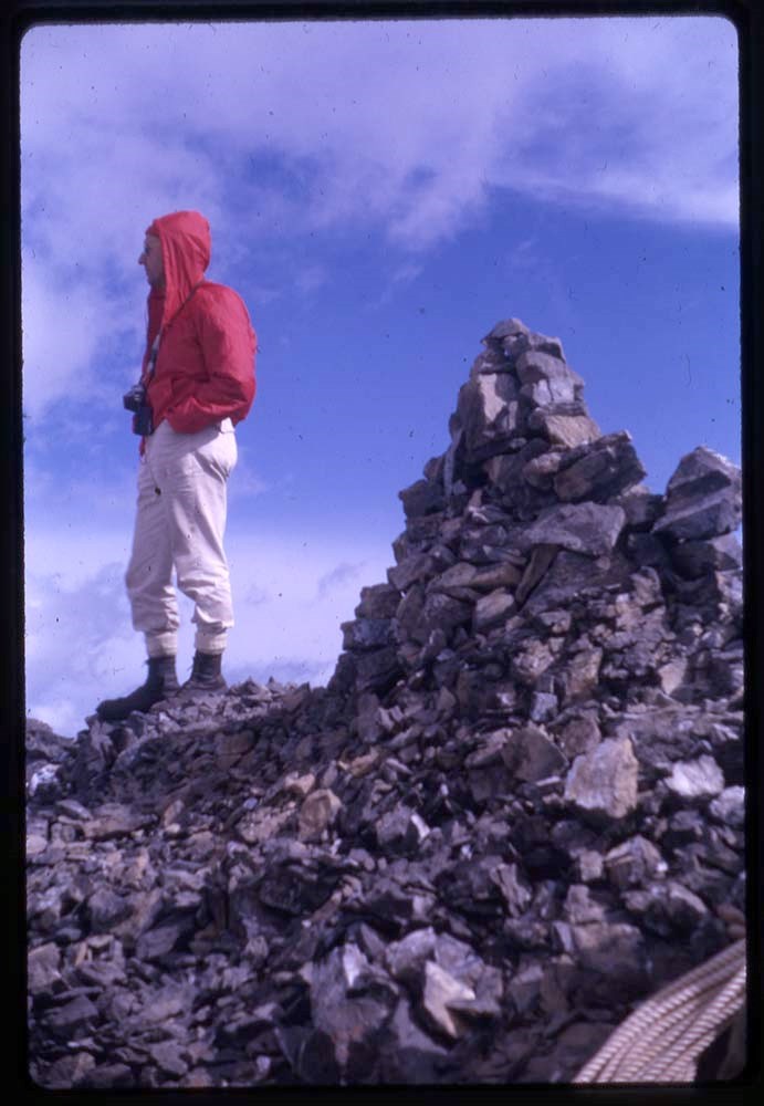
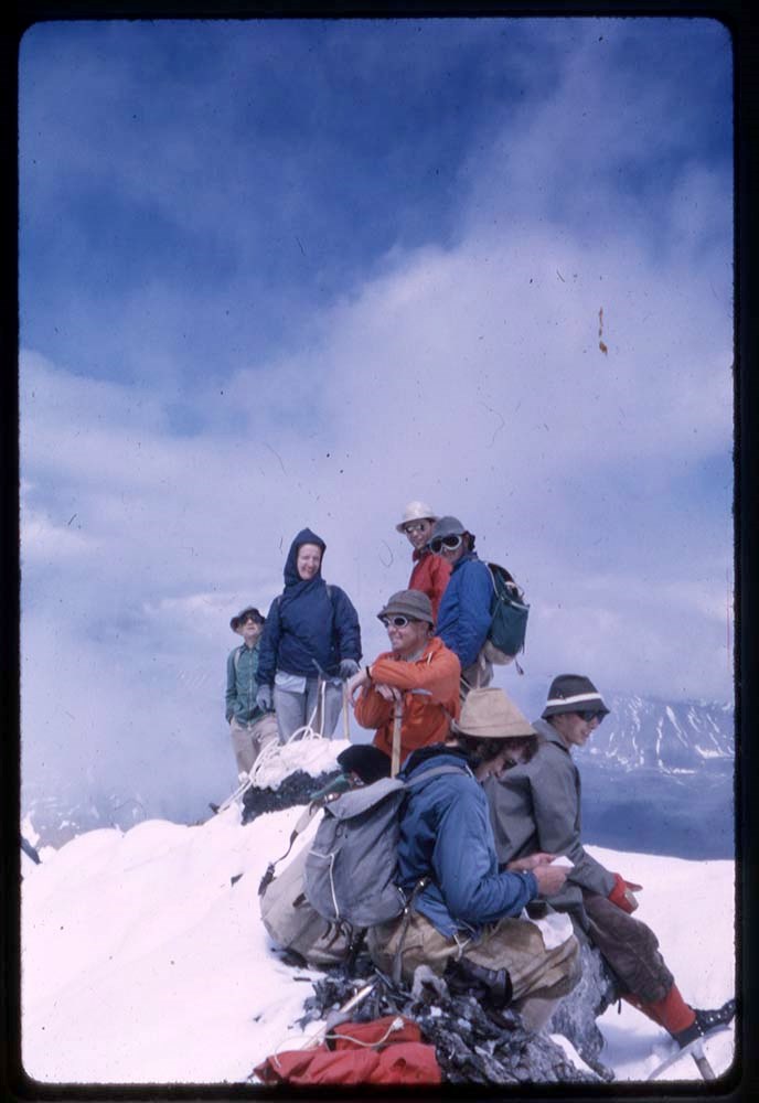
- * Climbing and mountain landscapes of western Canada; scenes from central and eastern Canada - 1942
- * Montreal buildings and views; Ottawa and area views and climbing - 1943
- * Mountain views of western Canada; Ottawa, Quebec (skiing), eastern Canada; Washington, New York; men in military - 1944
- * Buildings in Wales, England and Ottawa - 1945
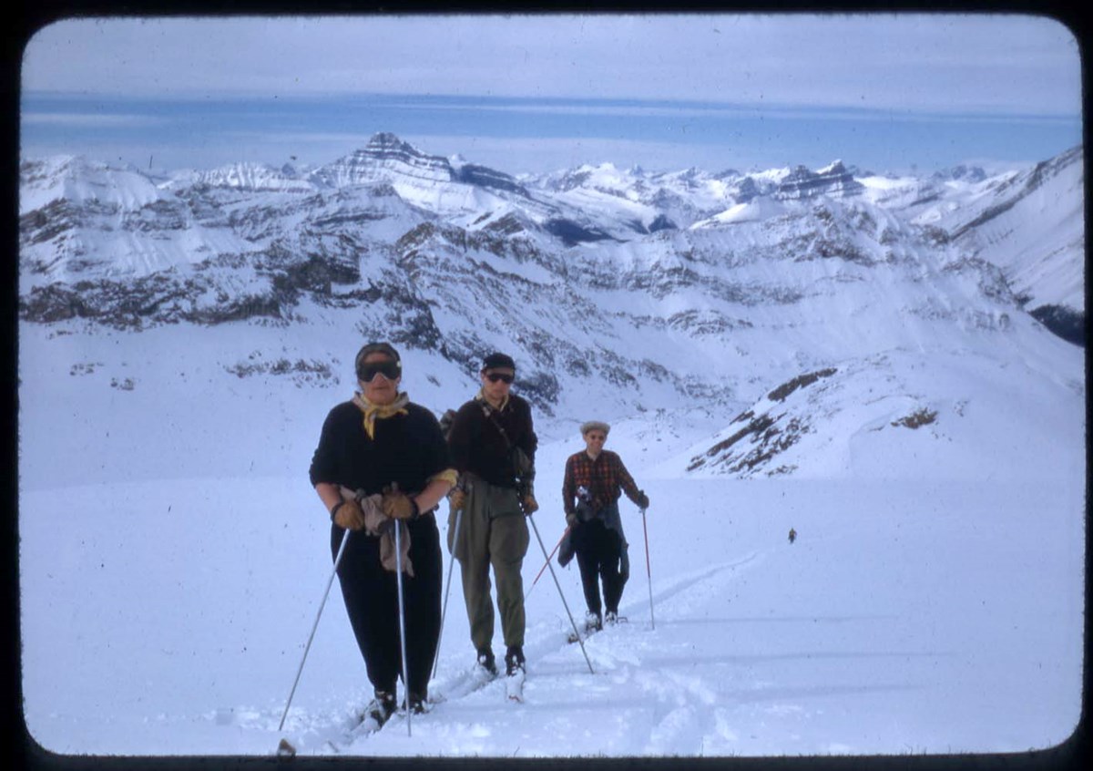
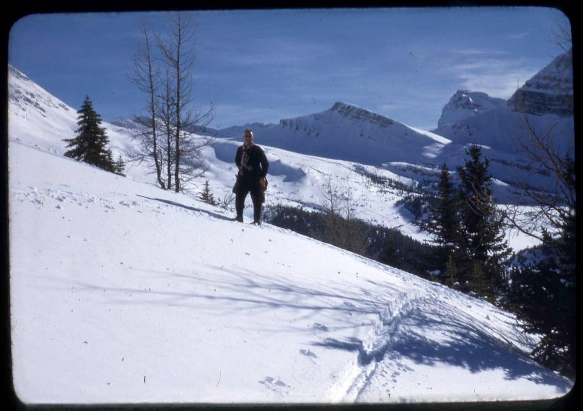
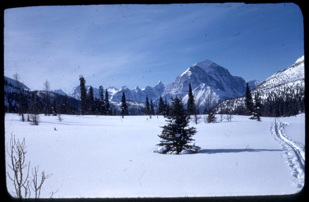
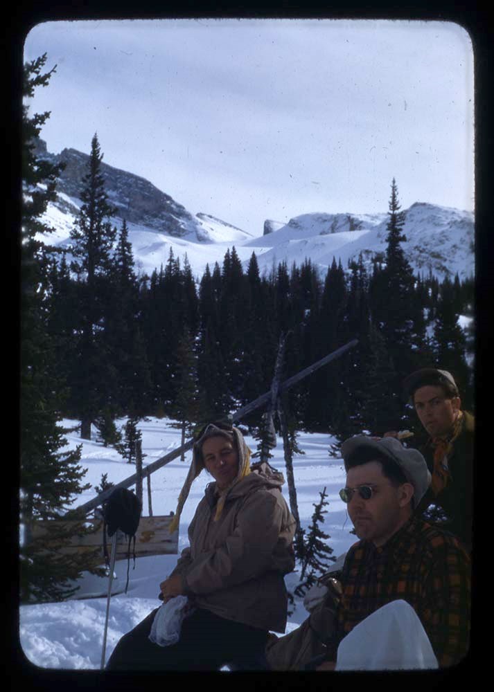
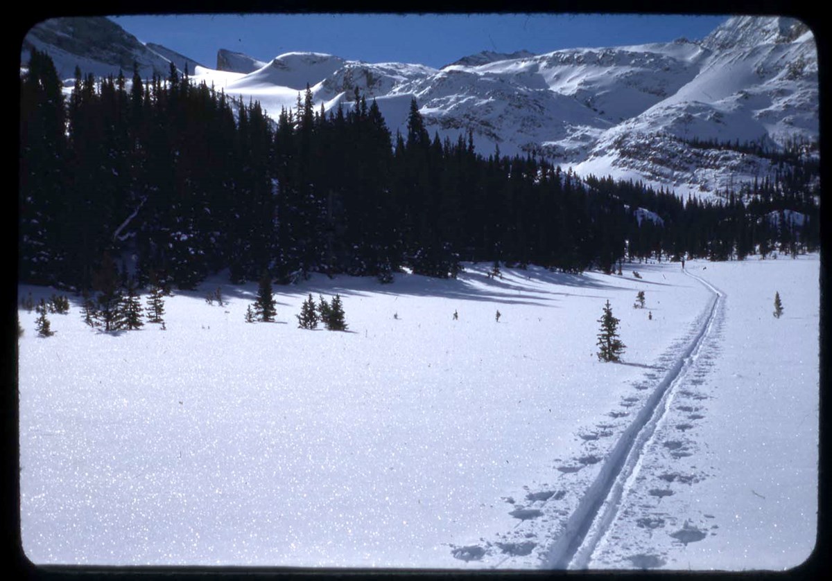
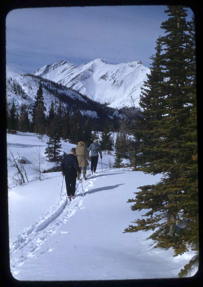
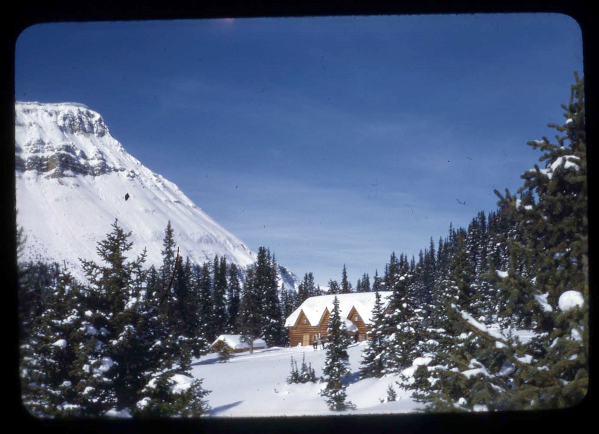
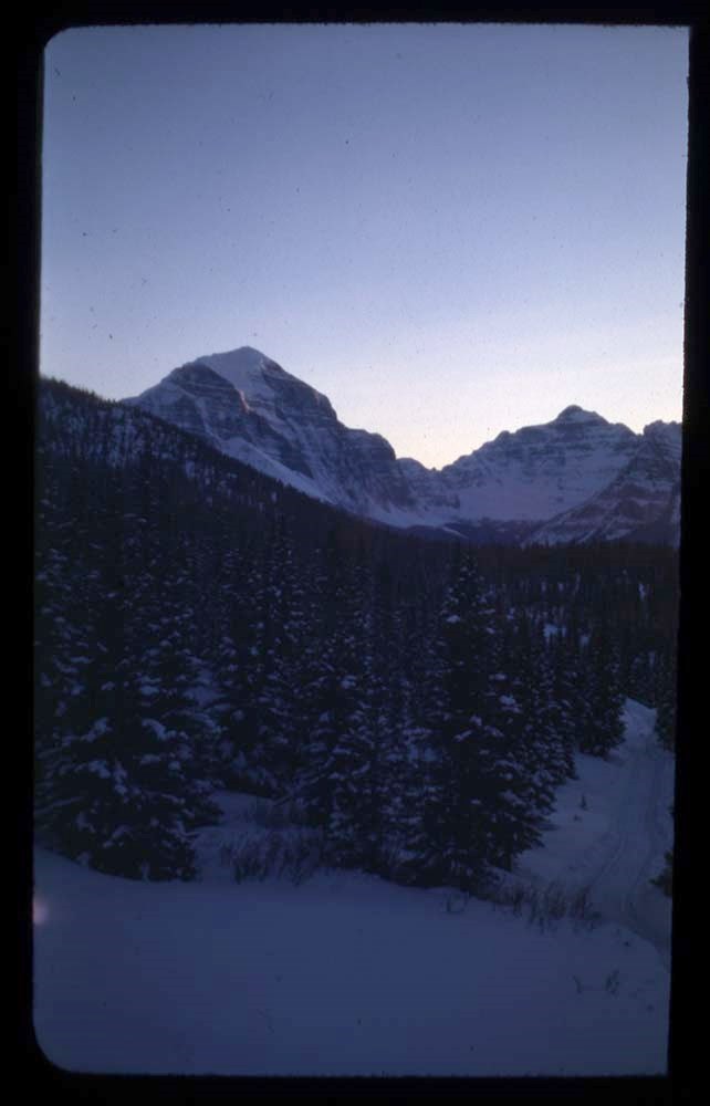
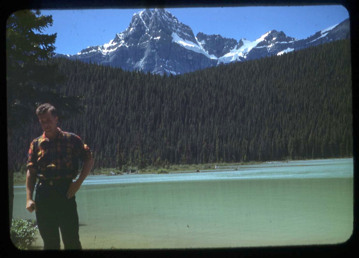
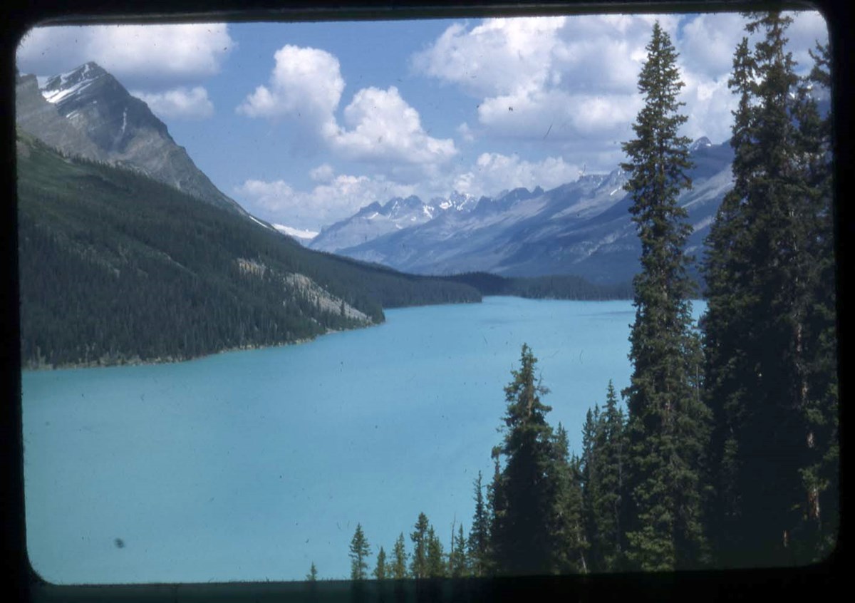
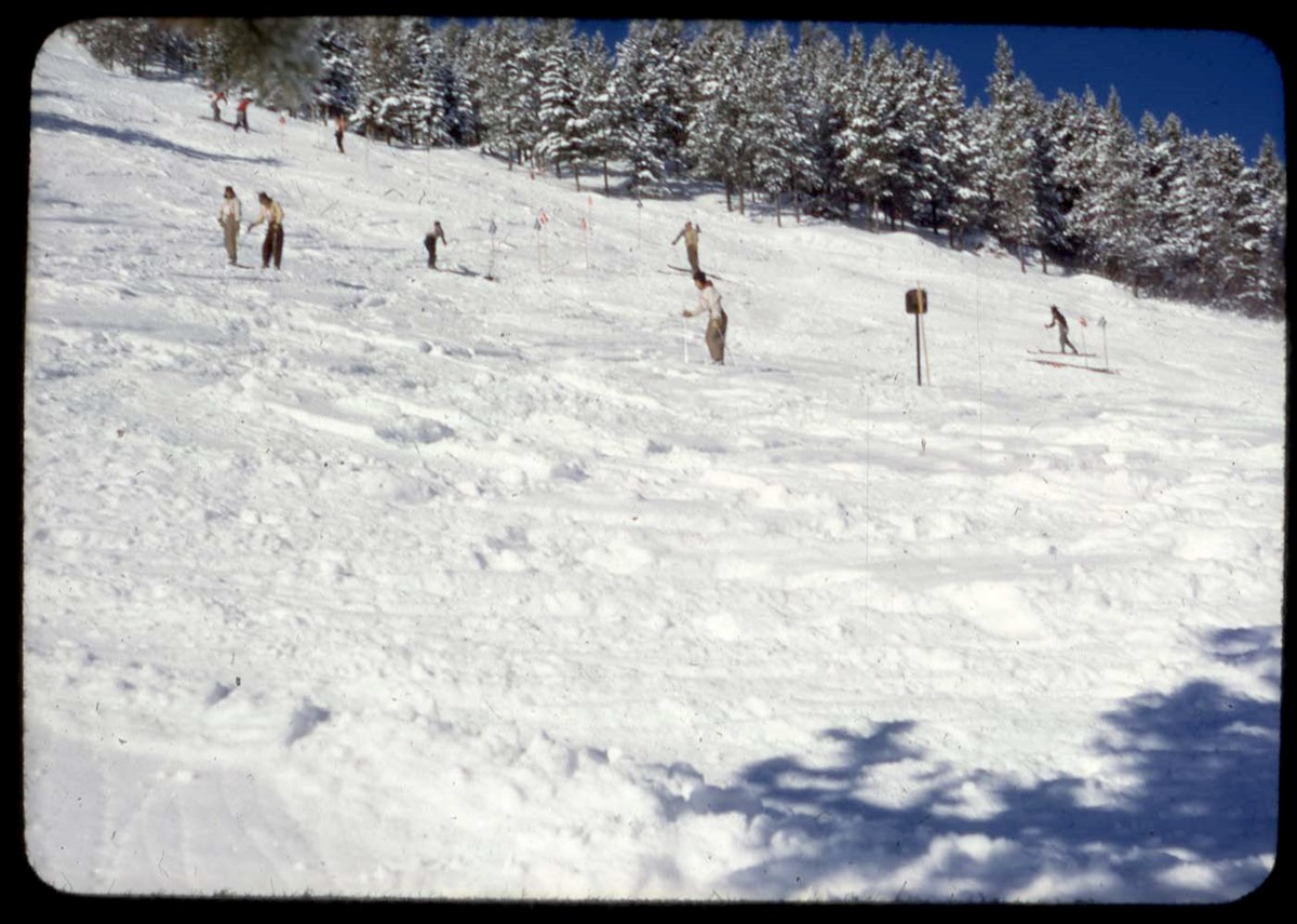
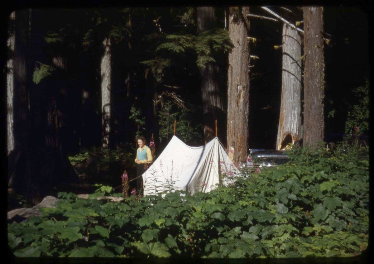
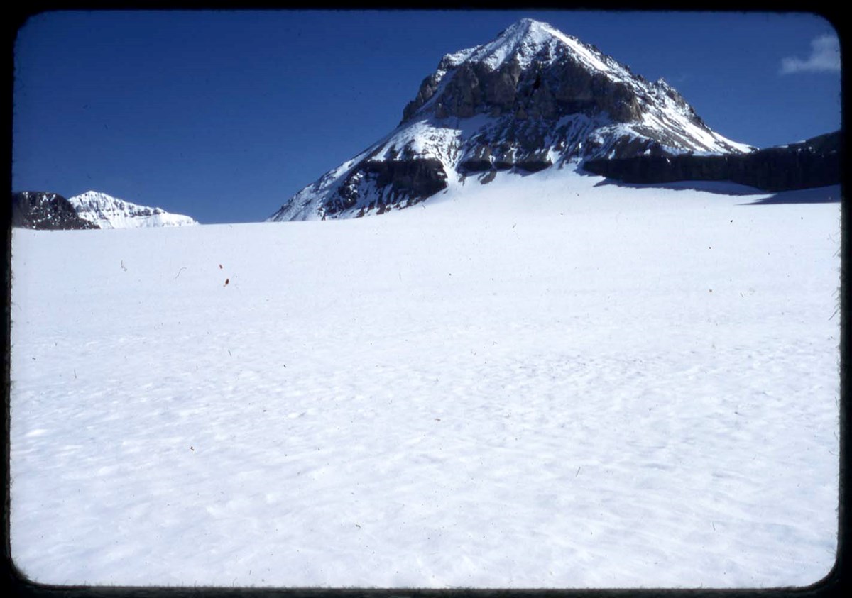
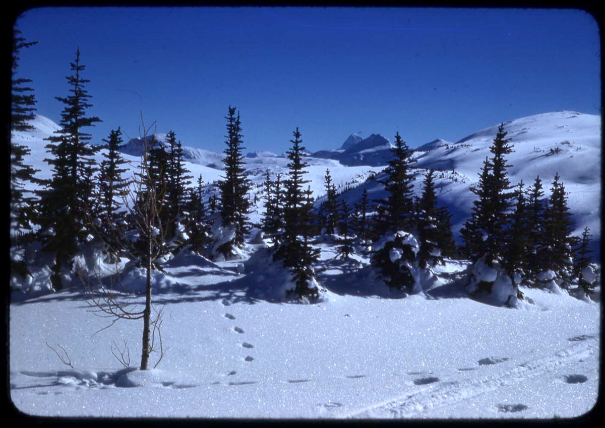
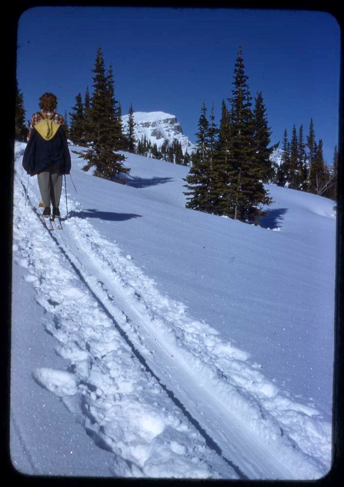
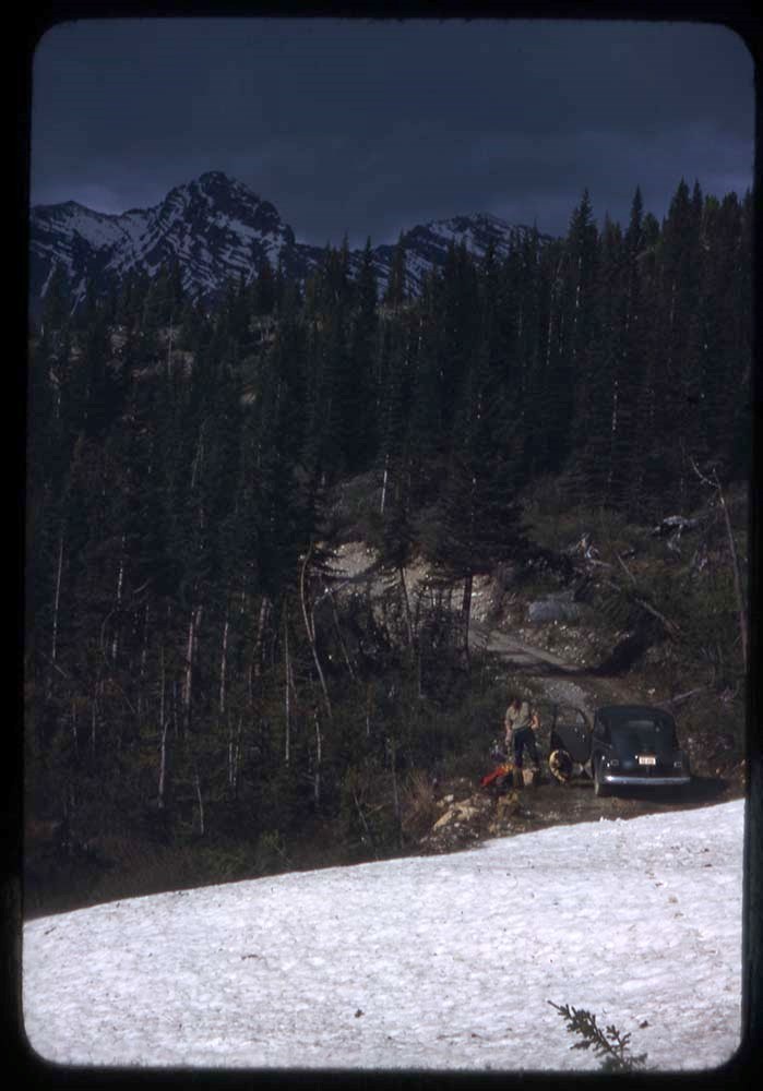
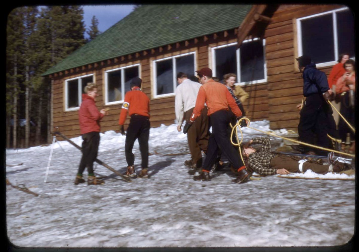
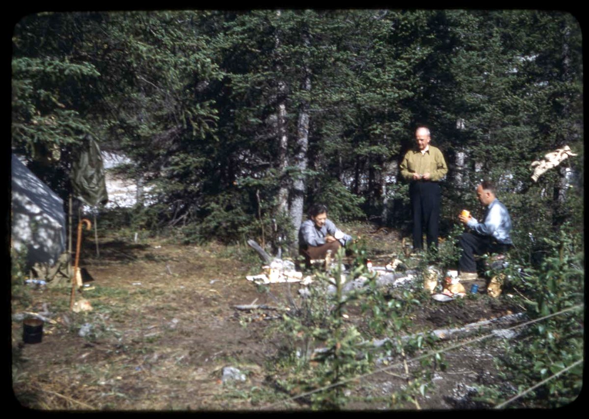
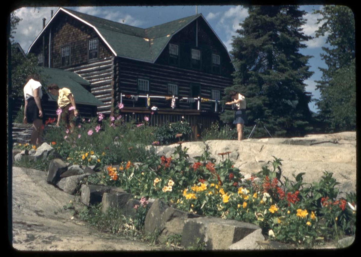
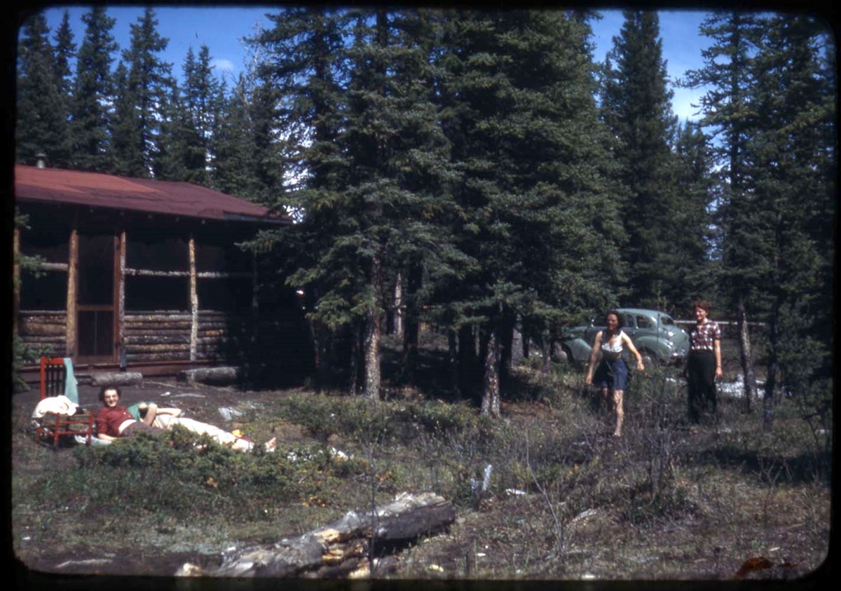
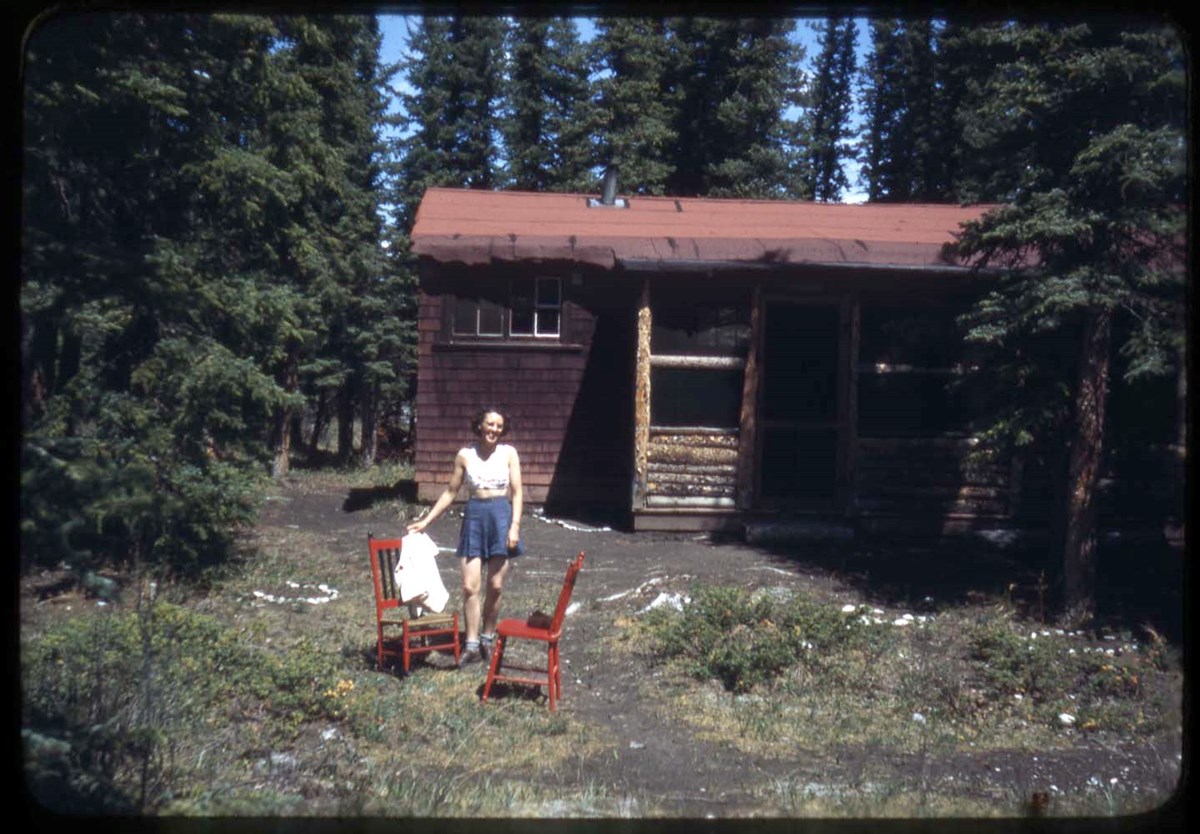
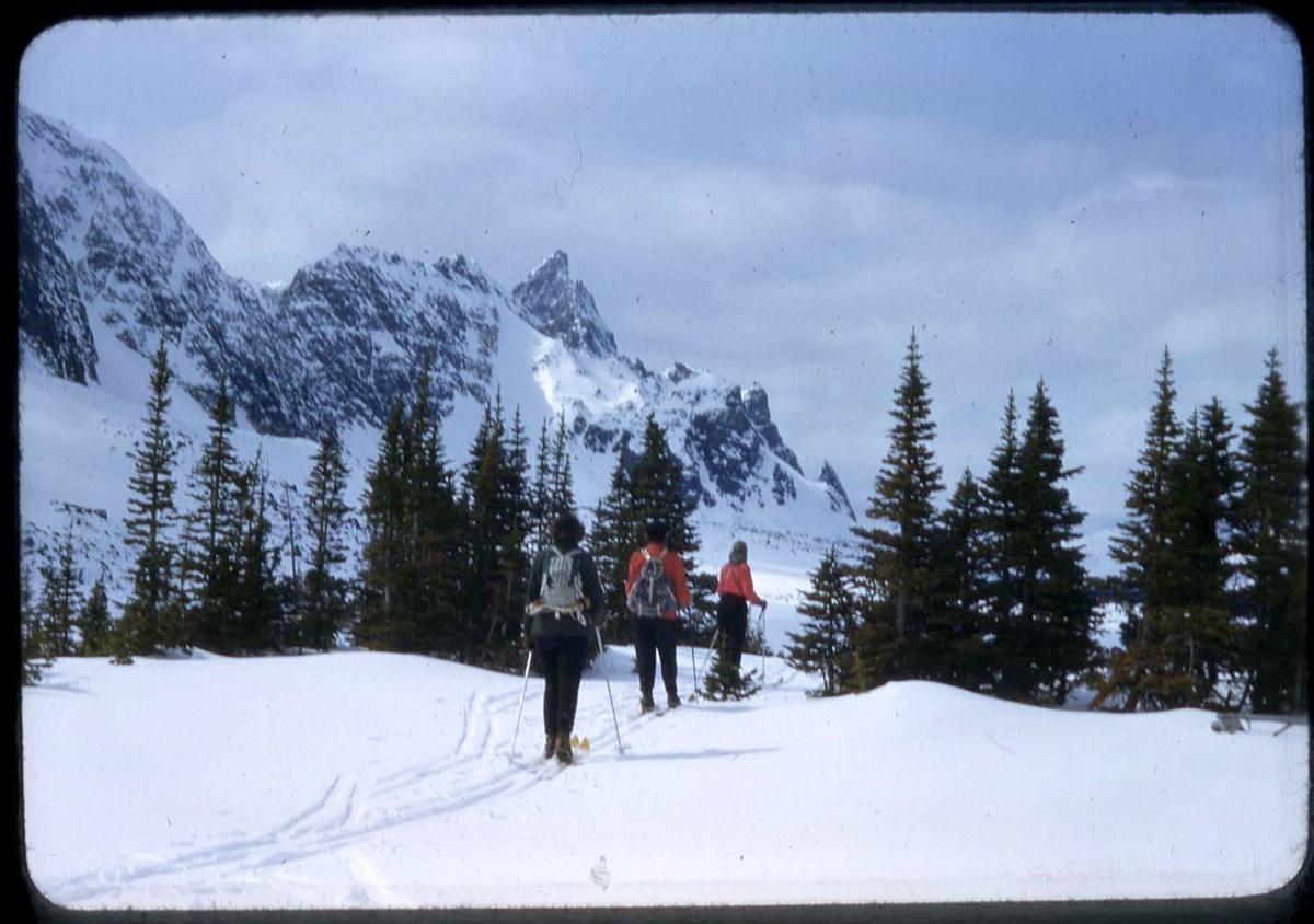
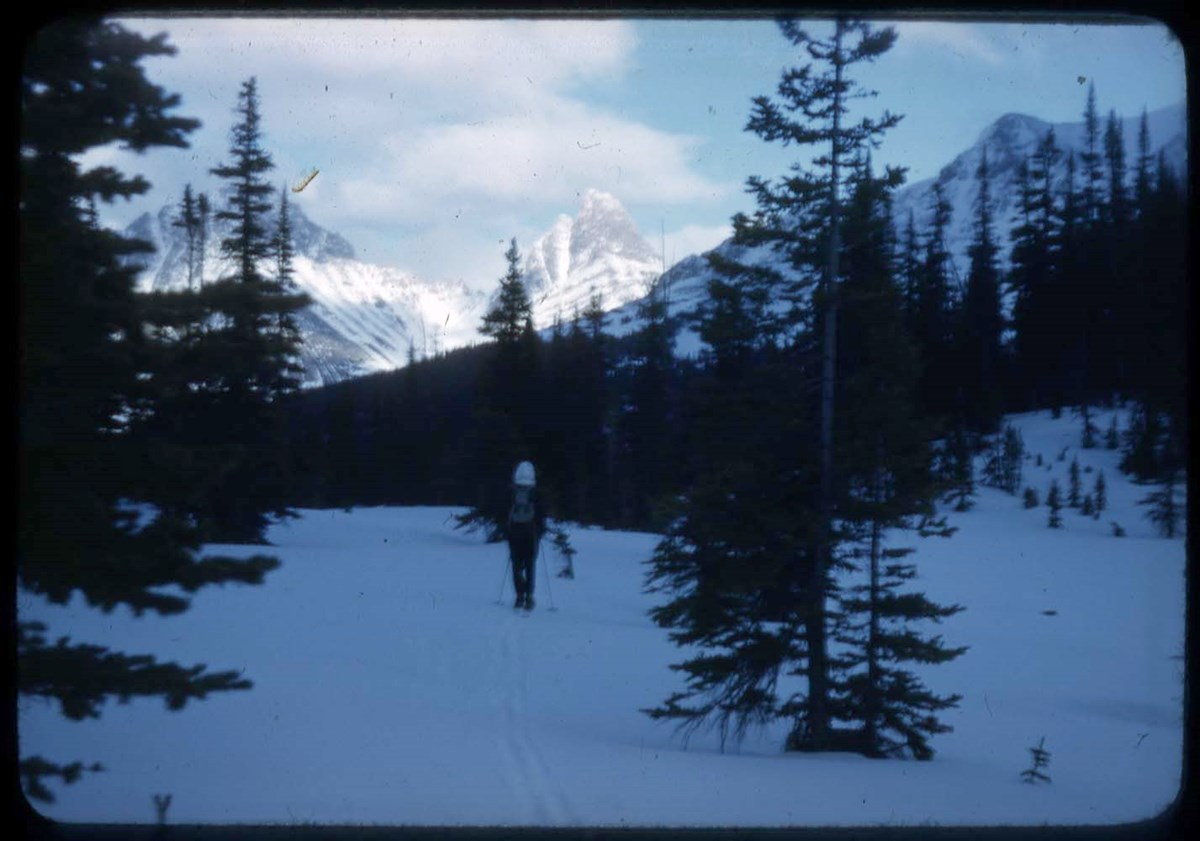
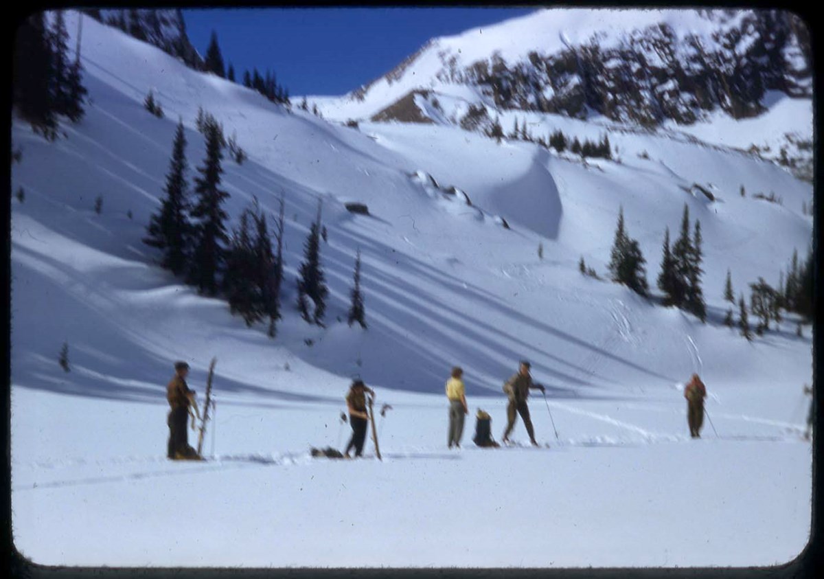
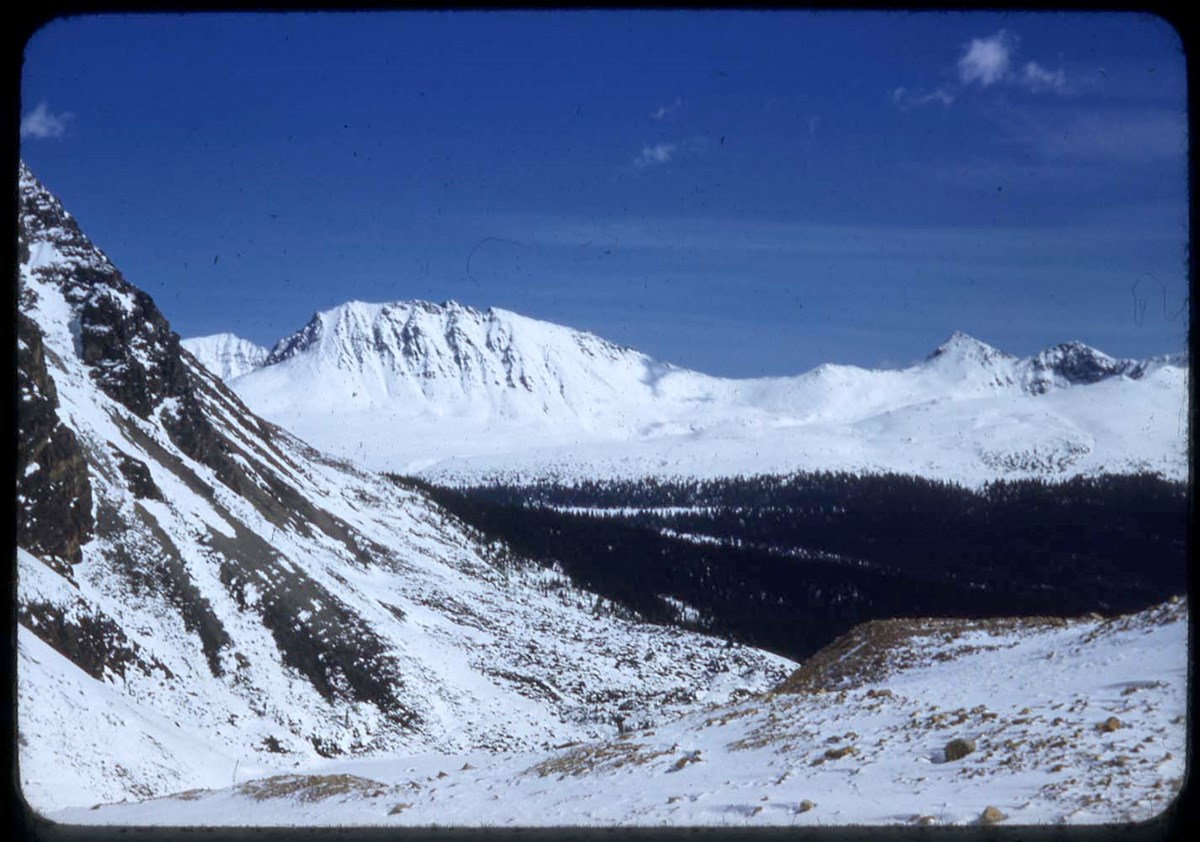
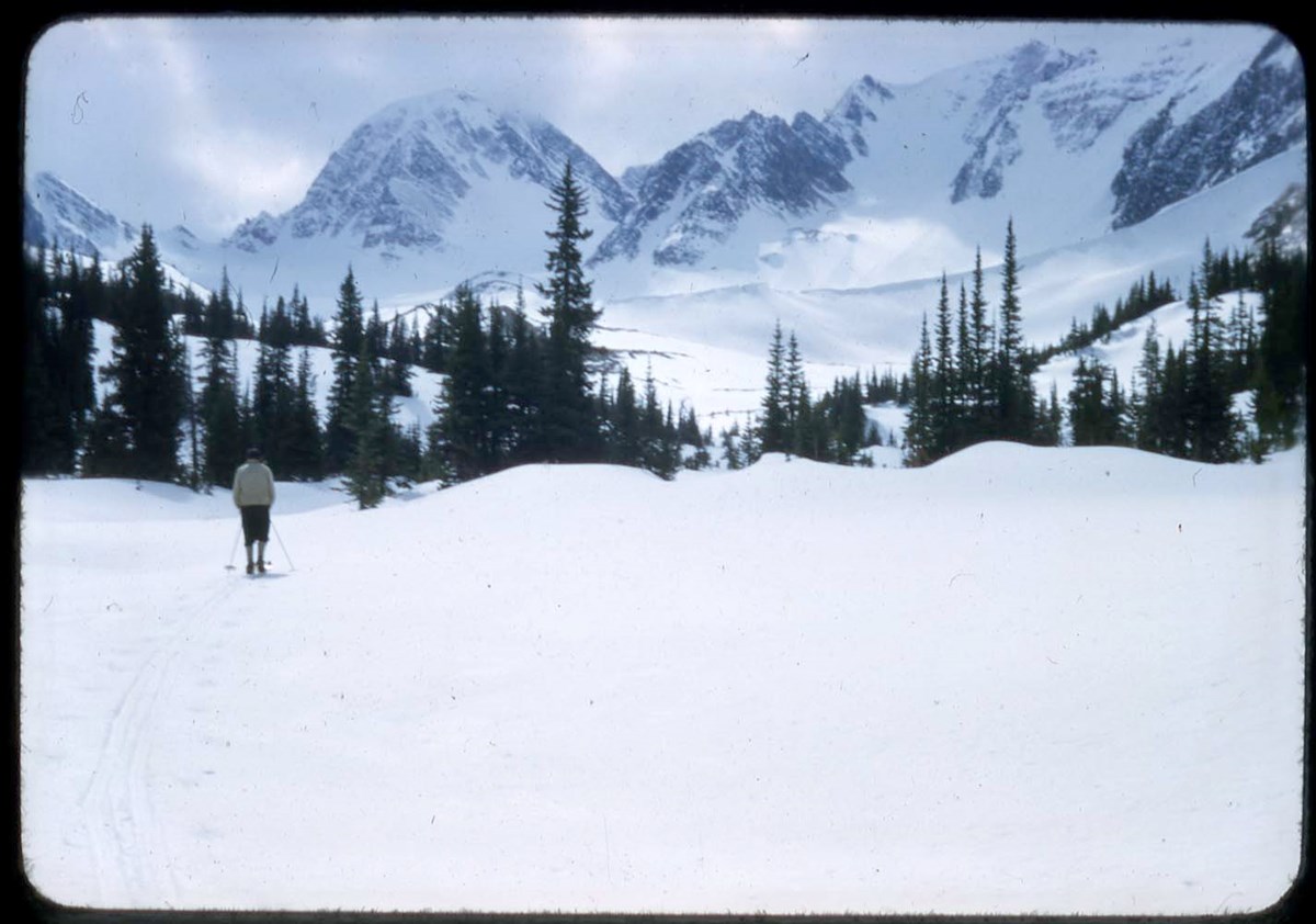
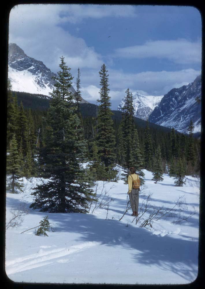
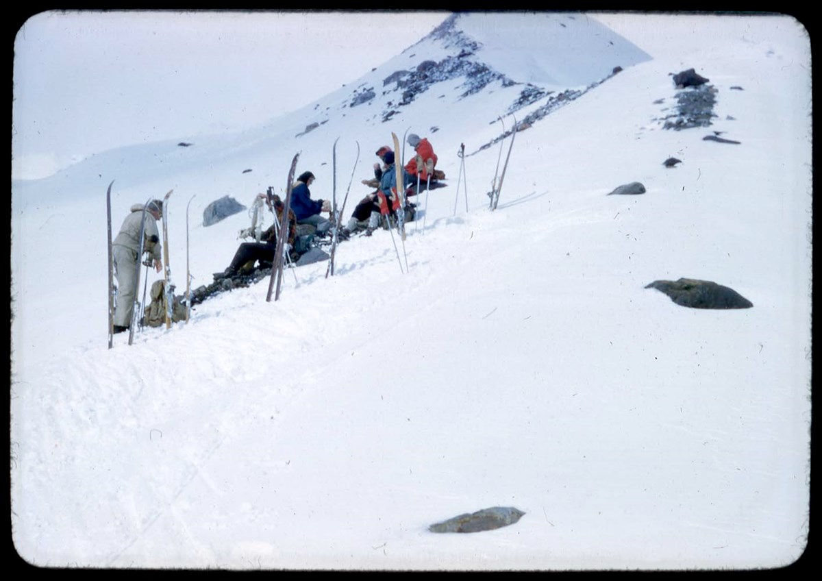
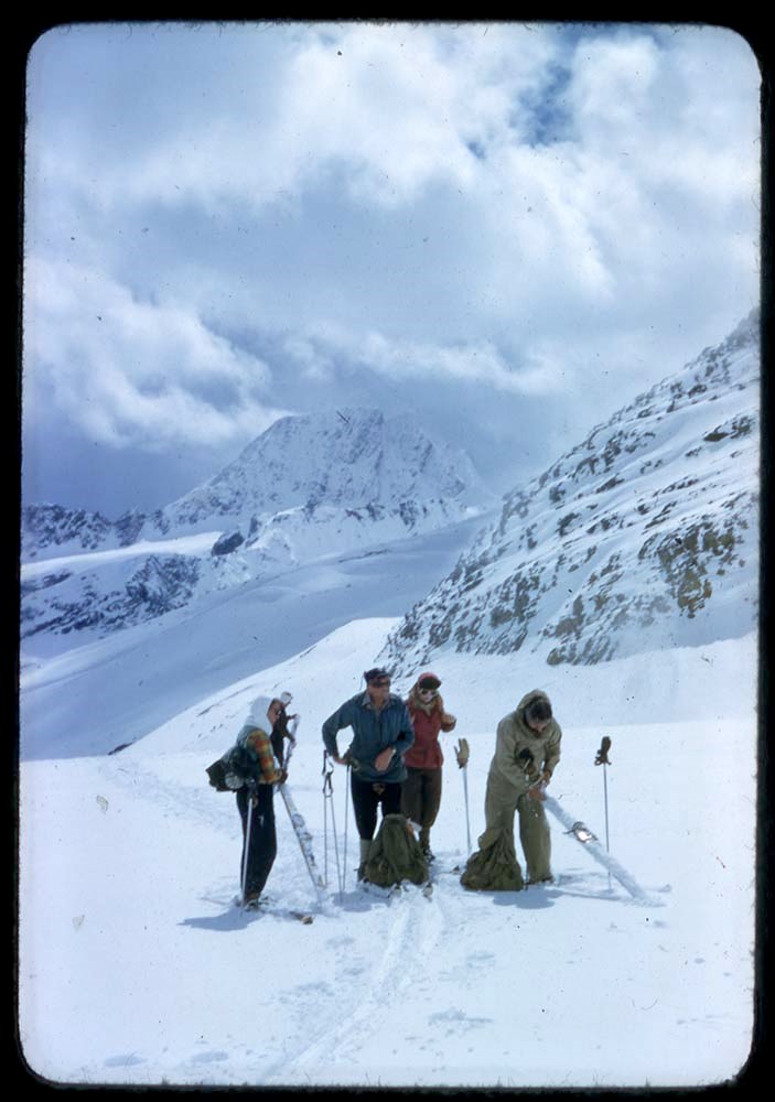
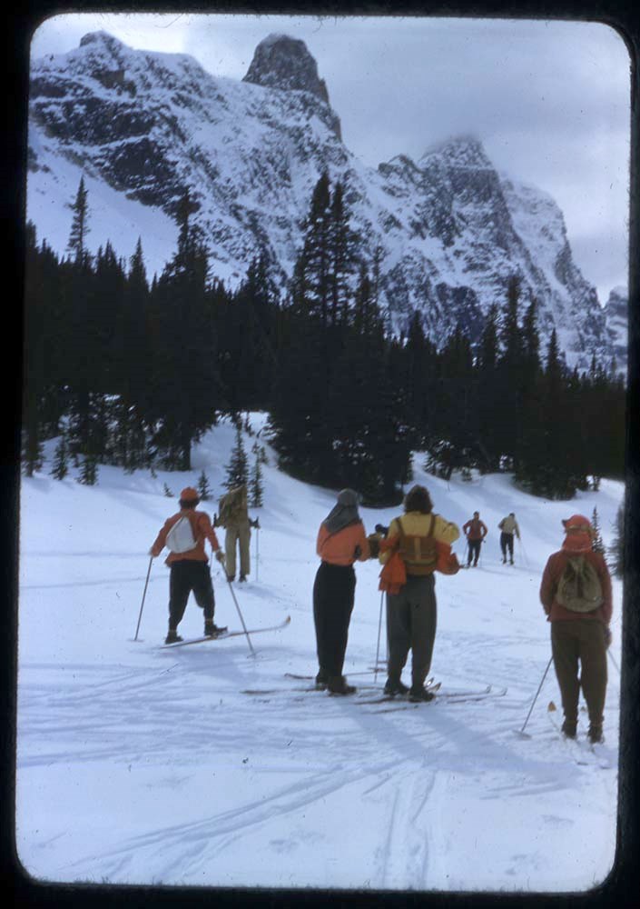
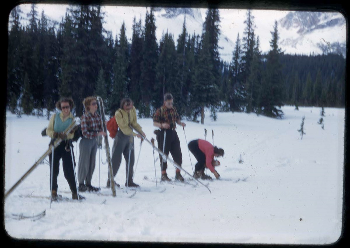
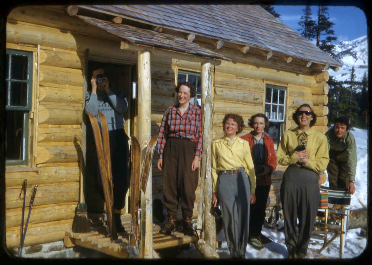
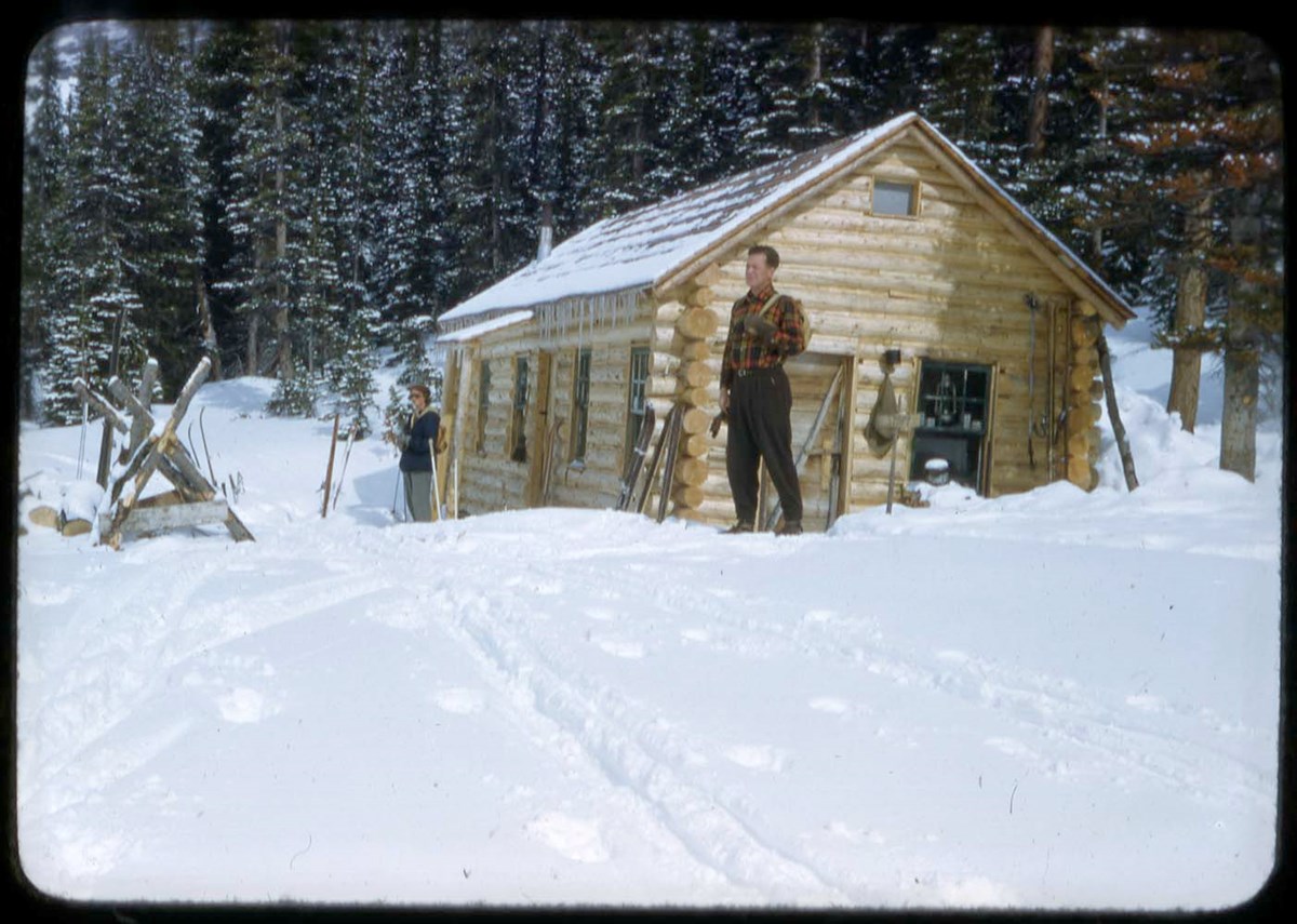
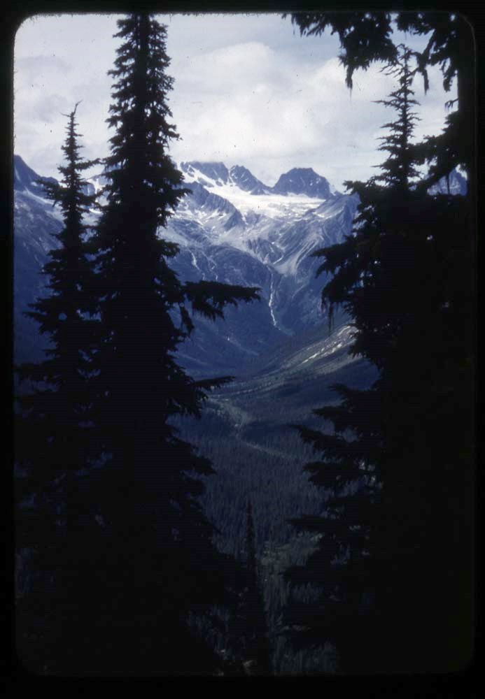
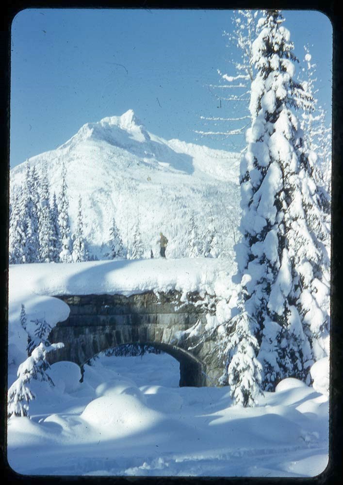
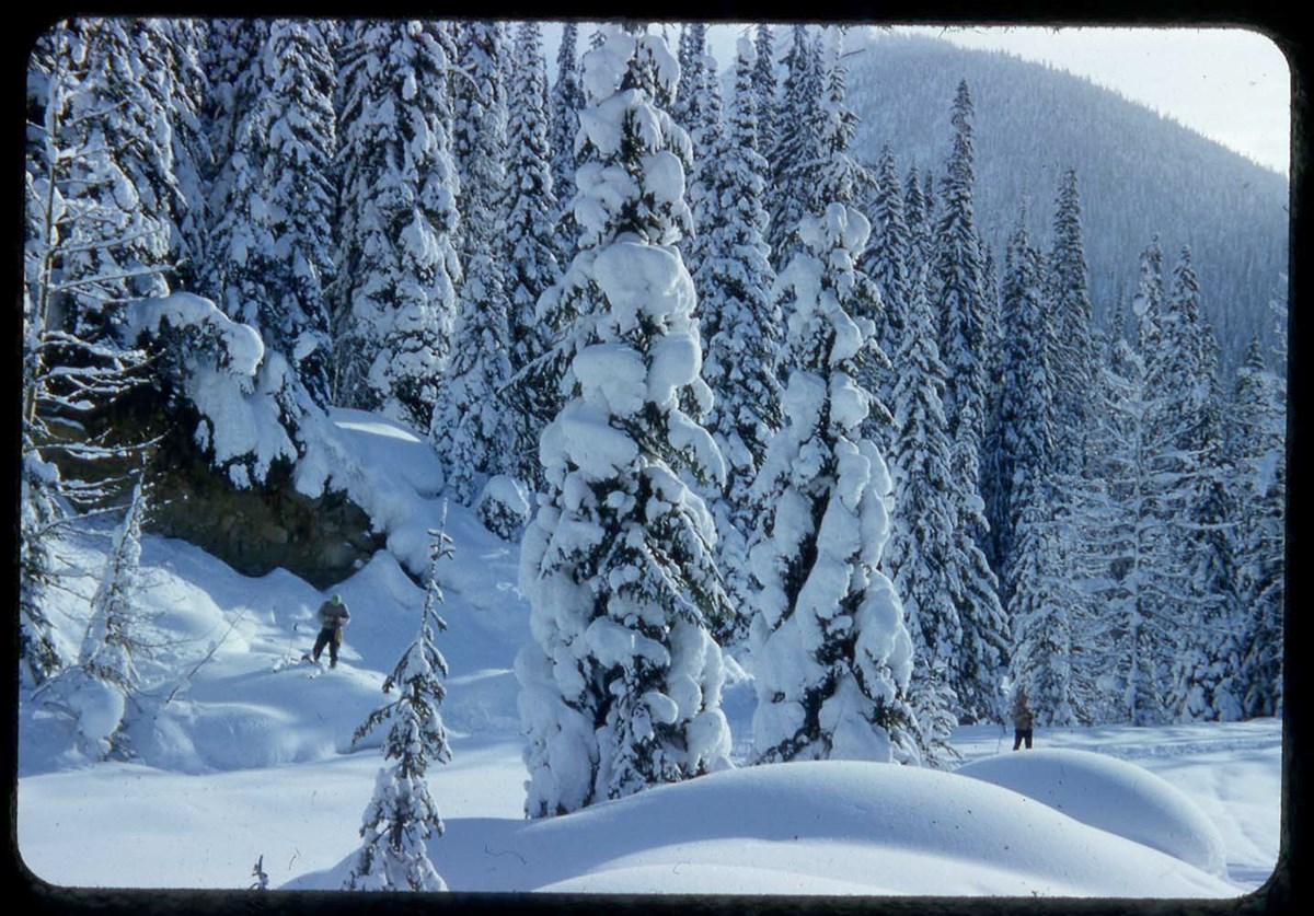
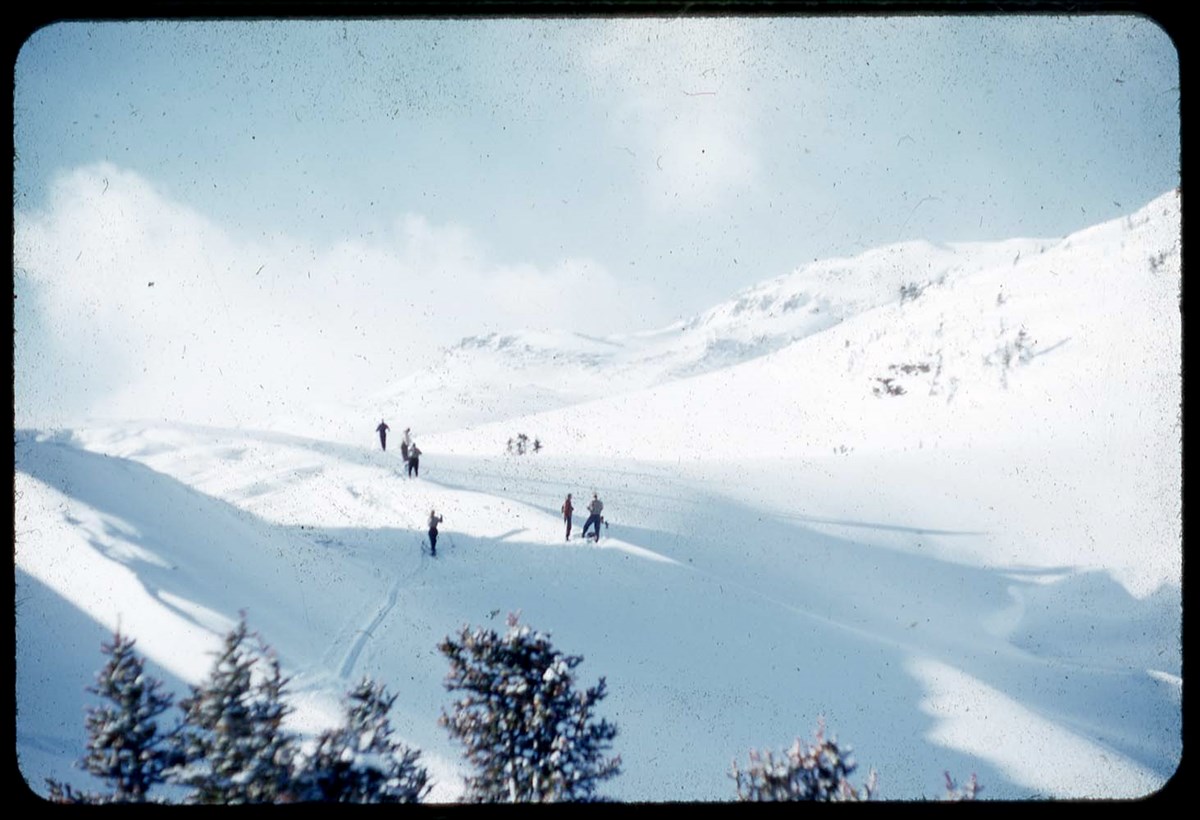
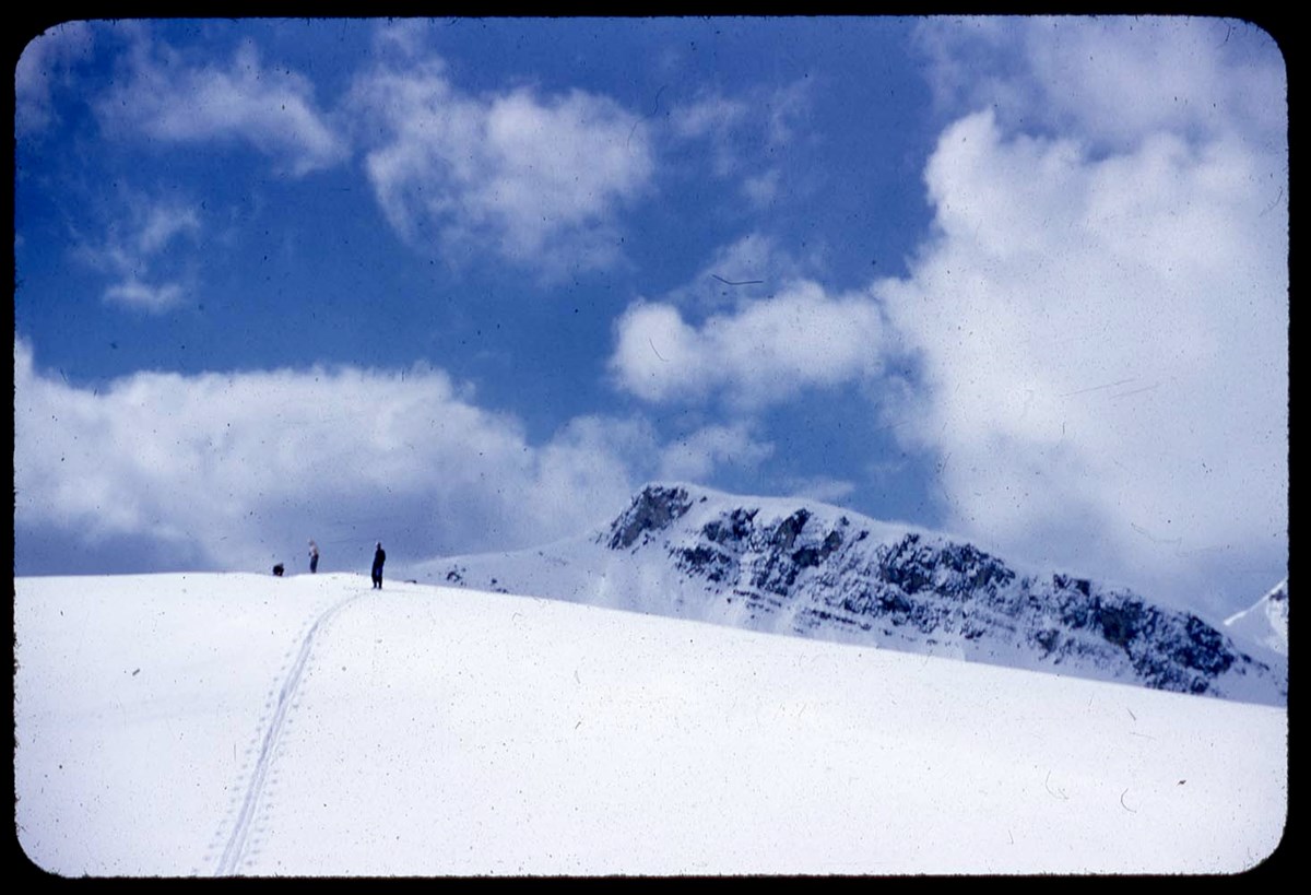
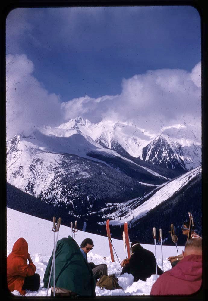
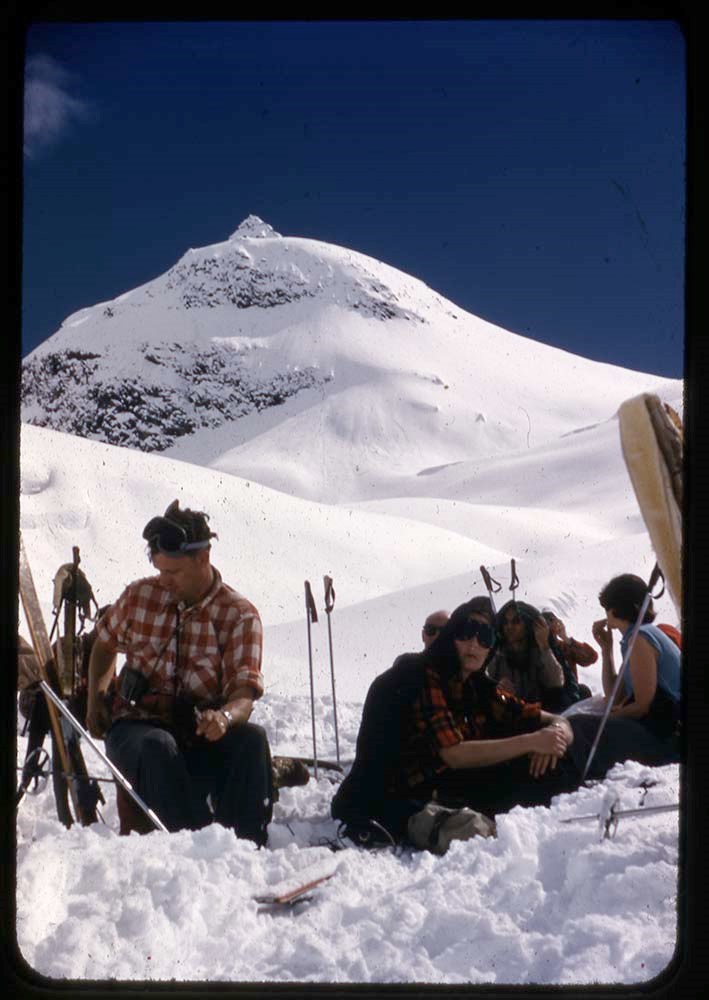
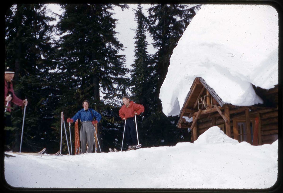
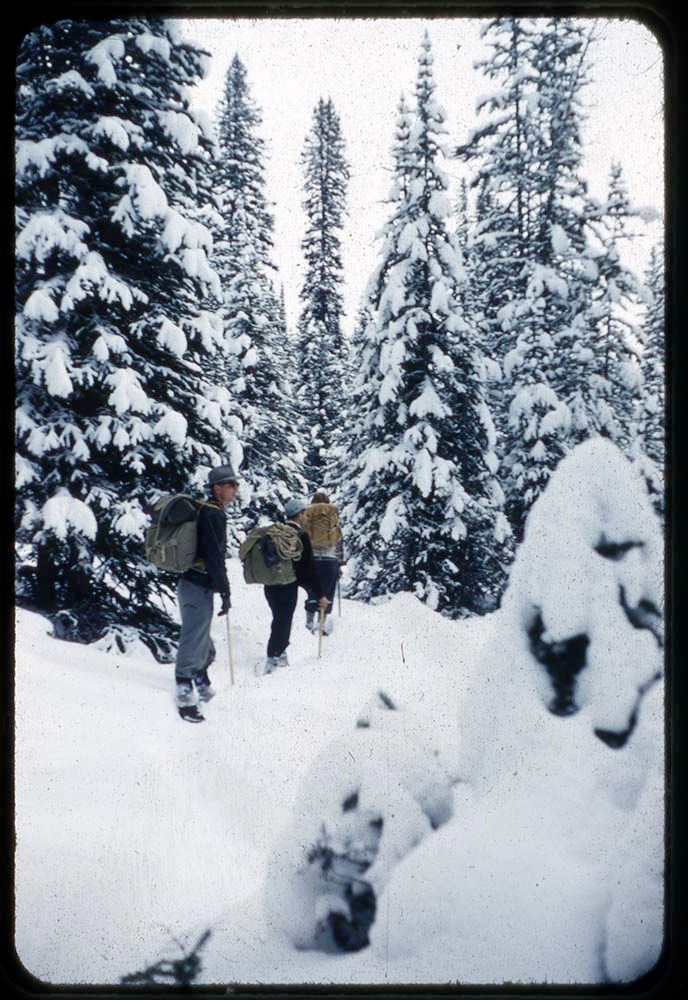
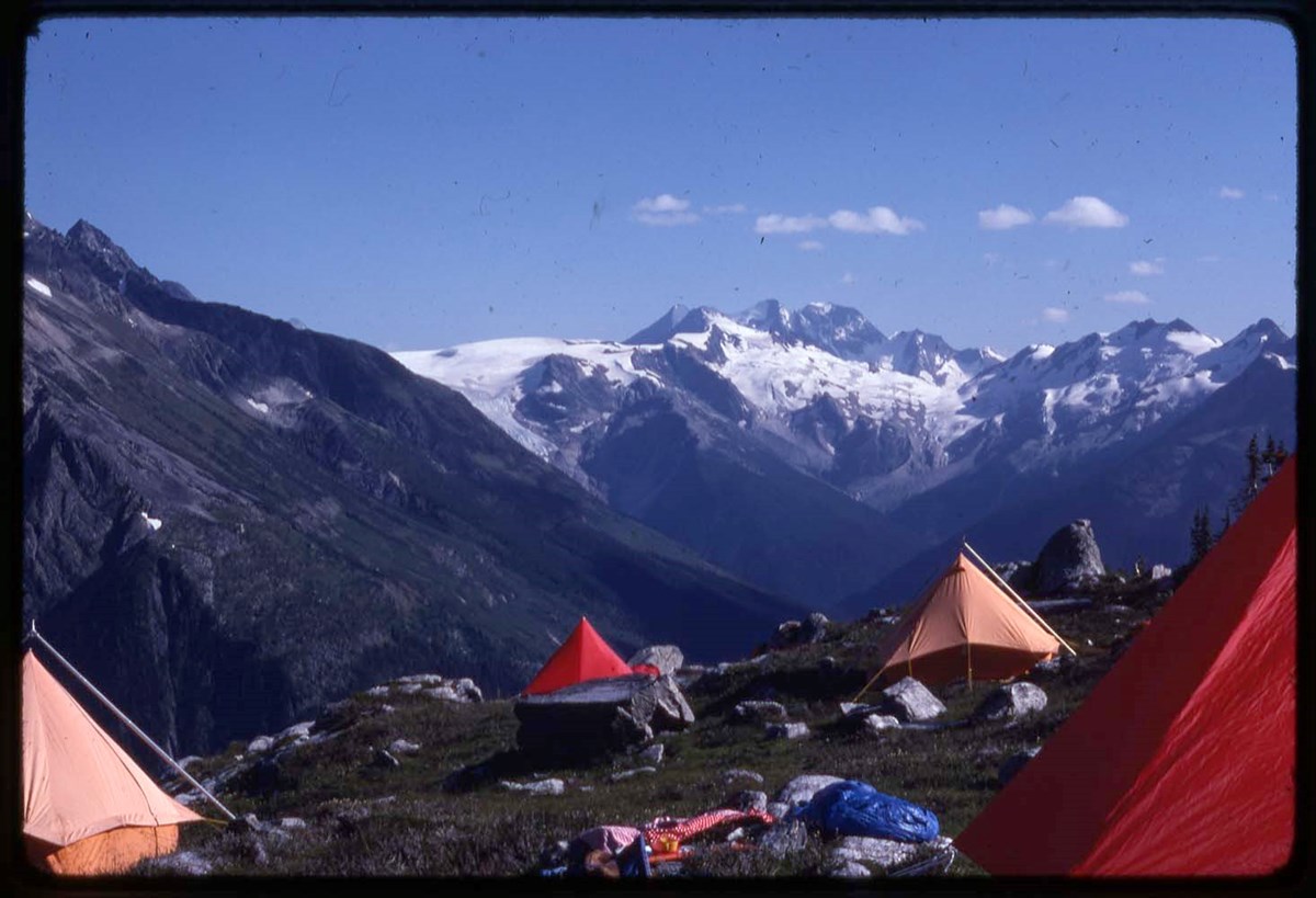
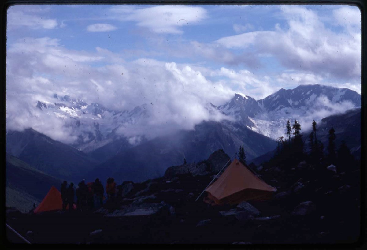
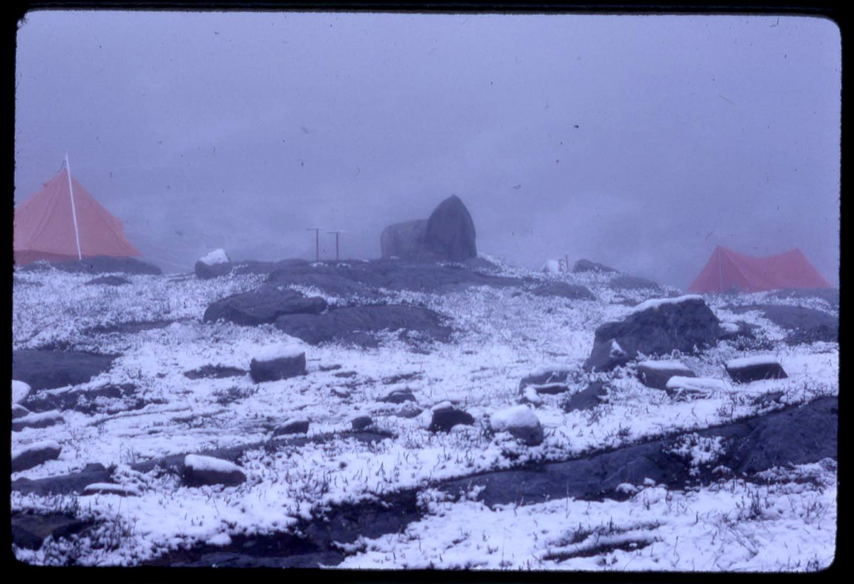
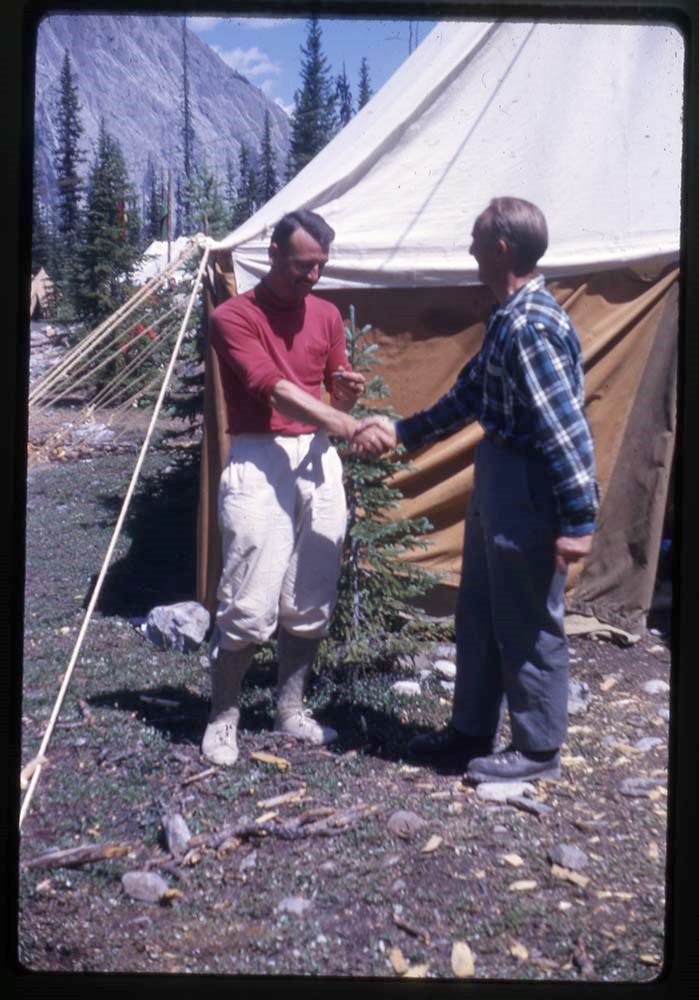
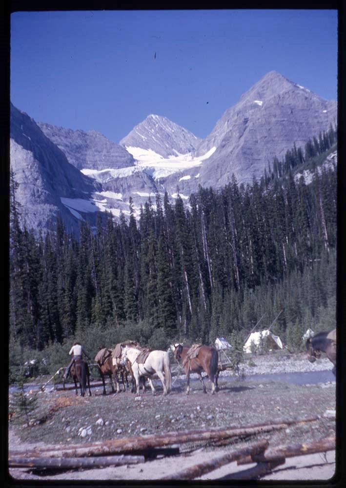
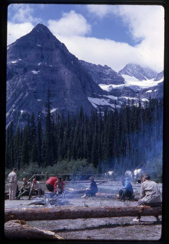
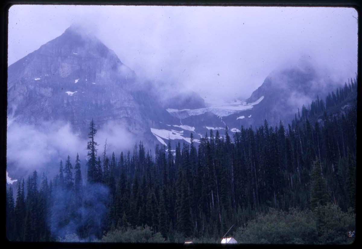
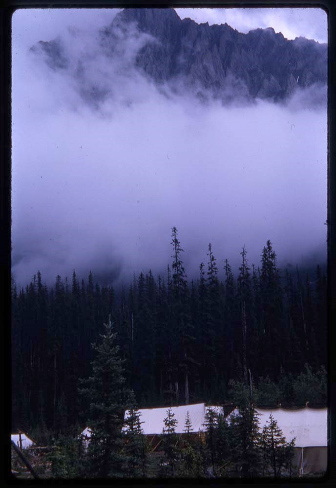
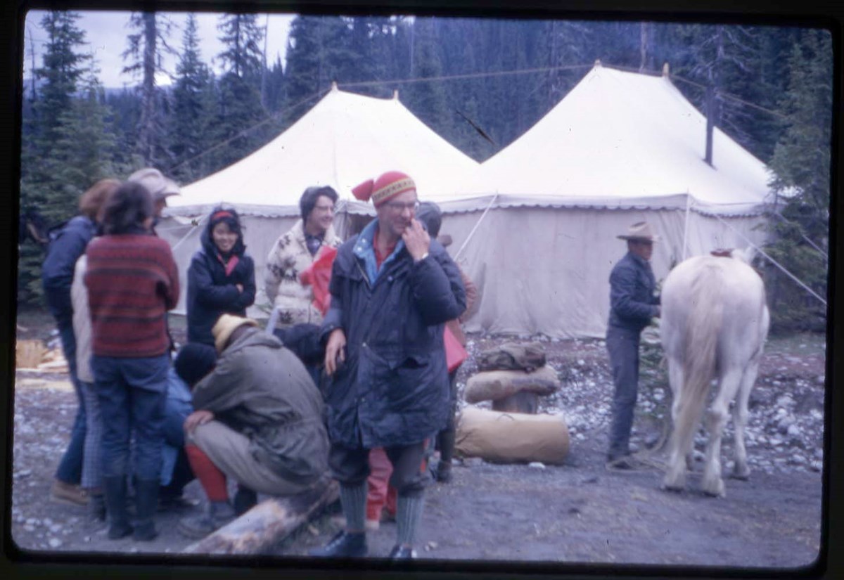
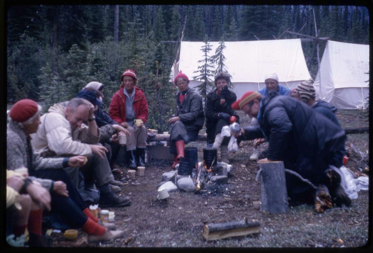
- * Bragg Creek, Alberta; mountain views of western Canada; skiing and hut - 1946
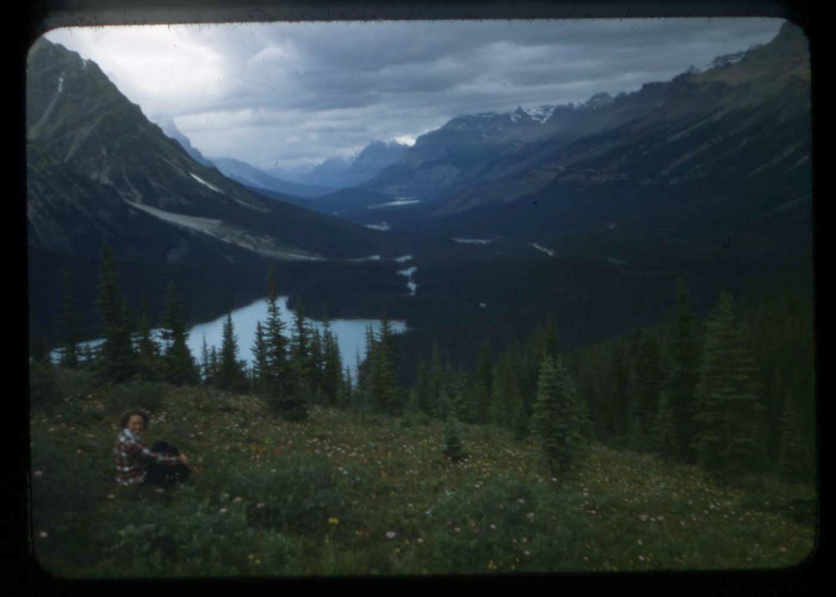
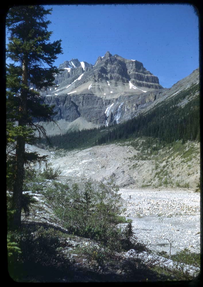
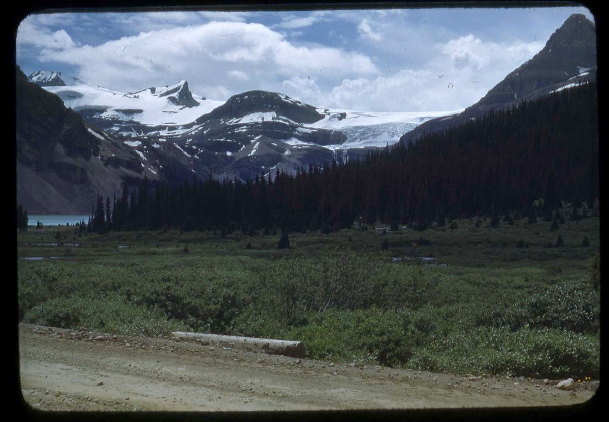
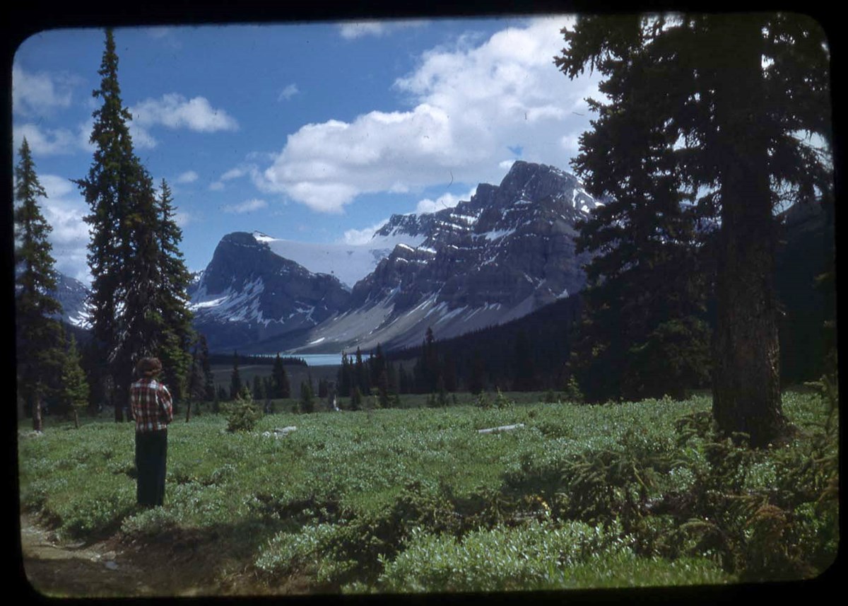
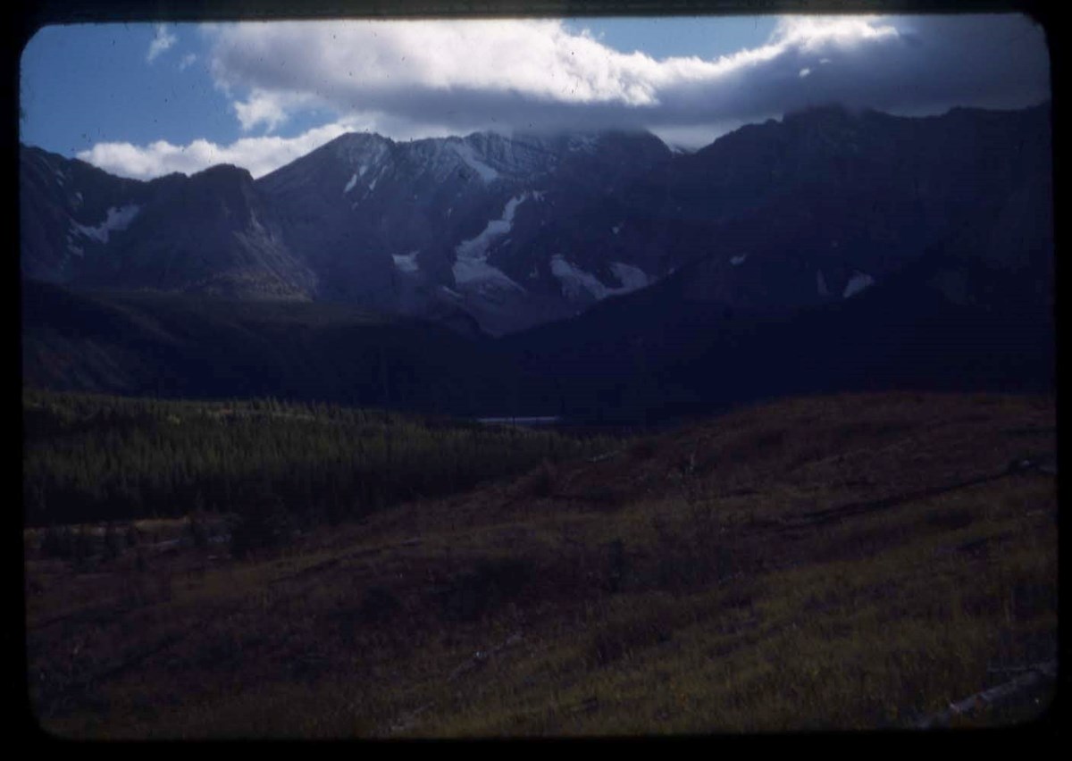
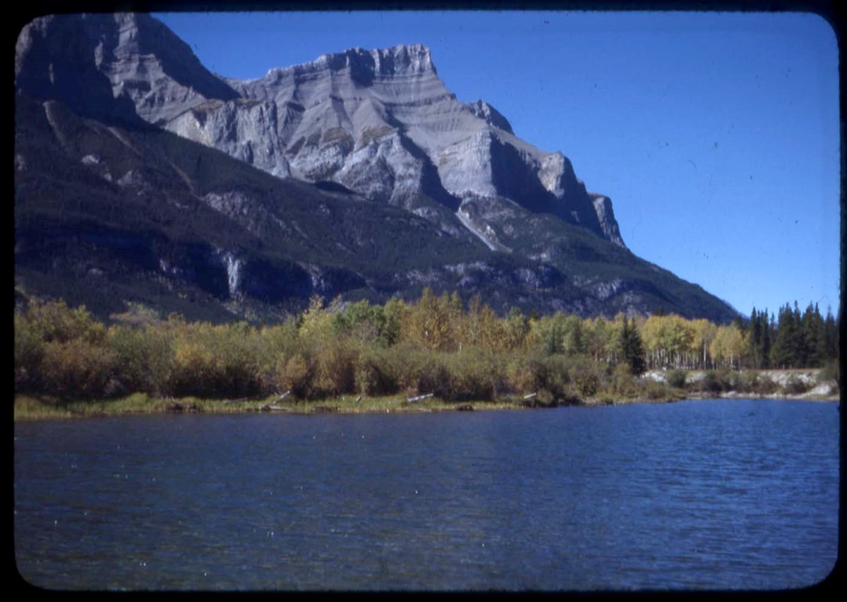
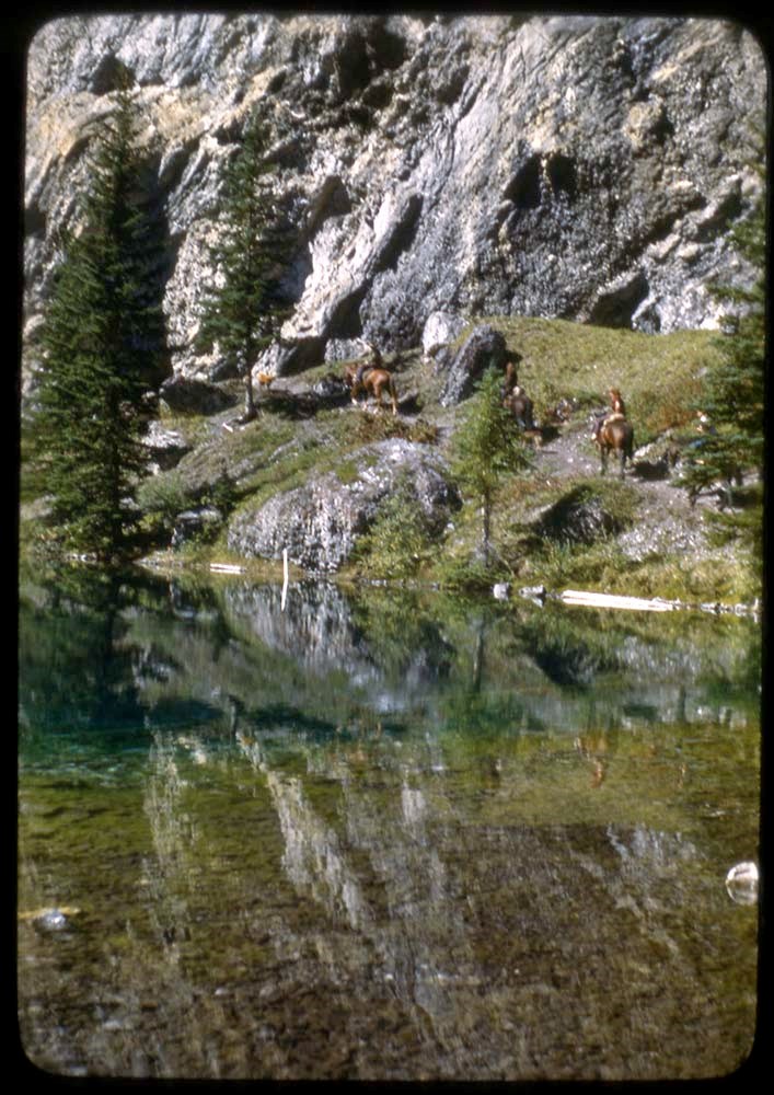
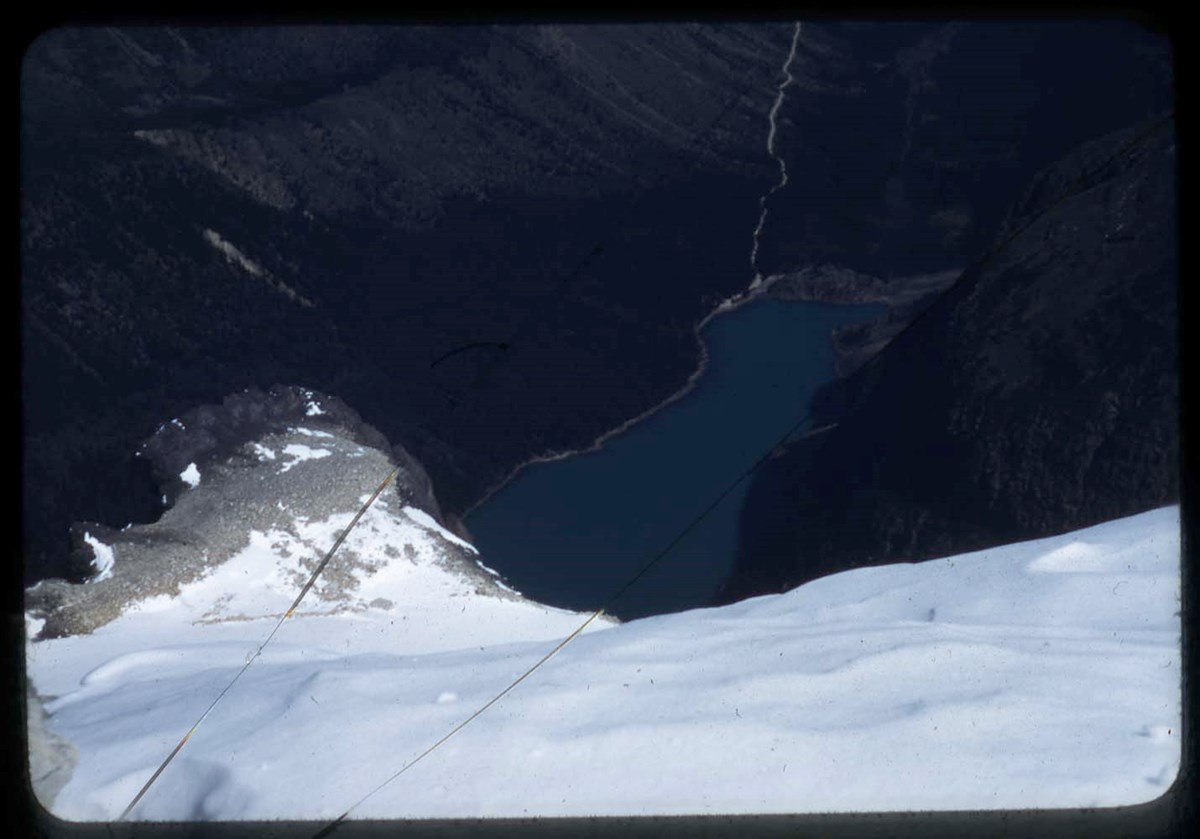
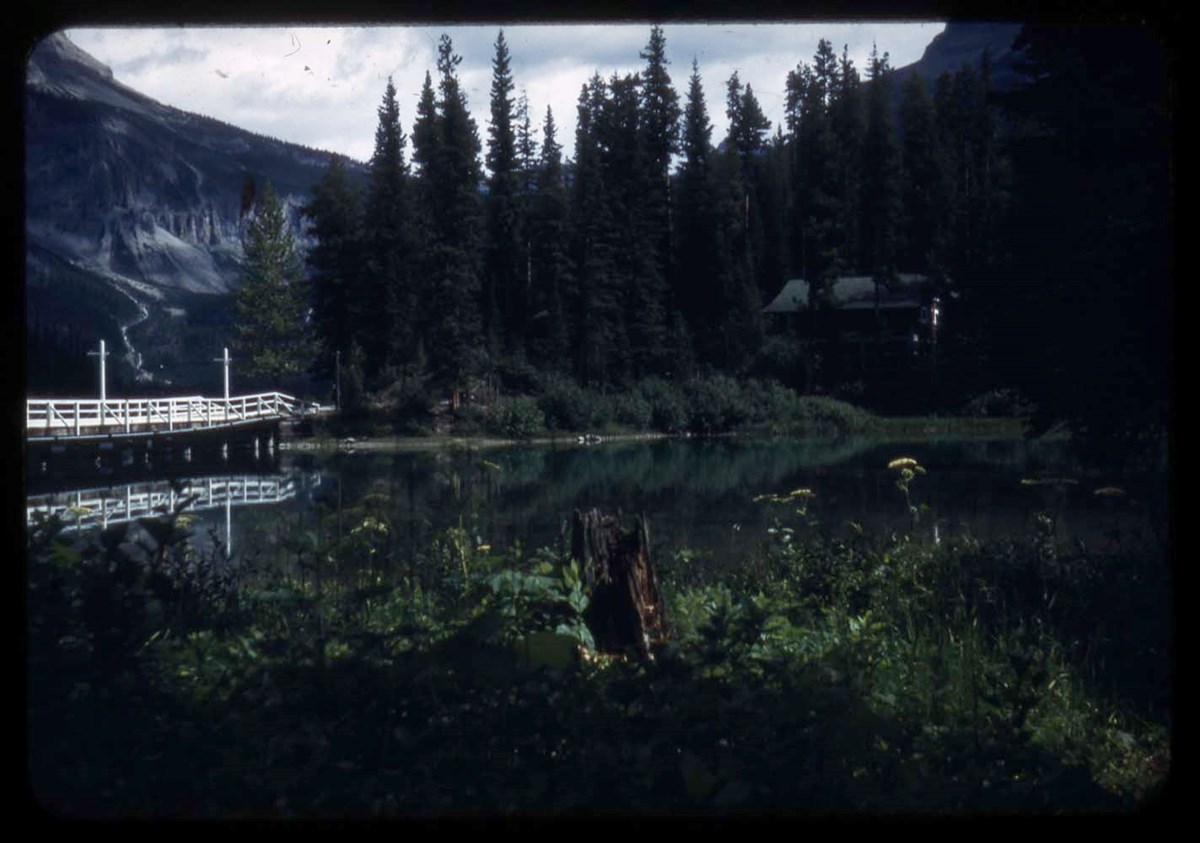
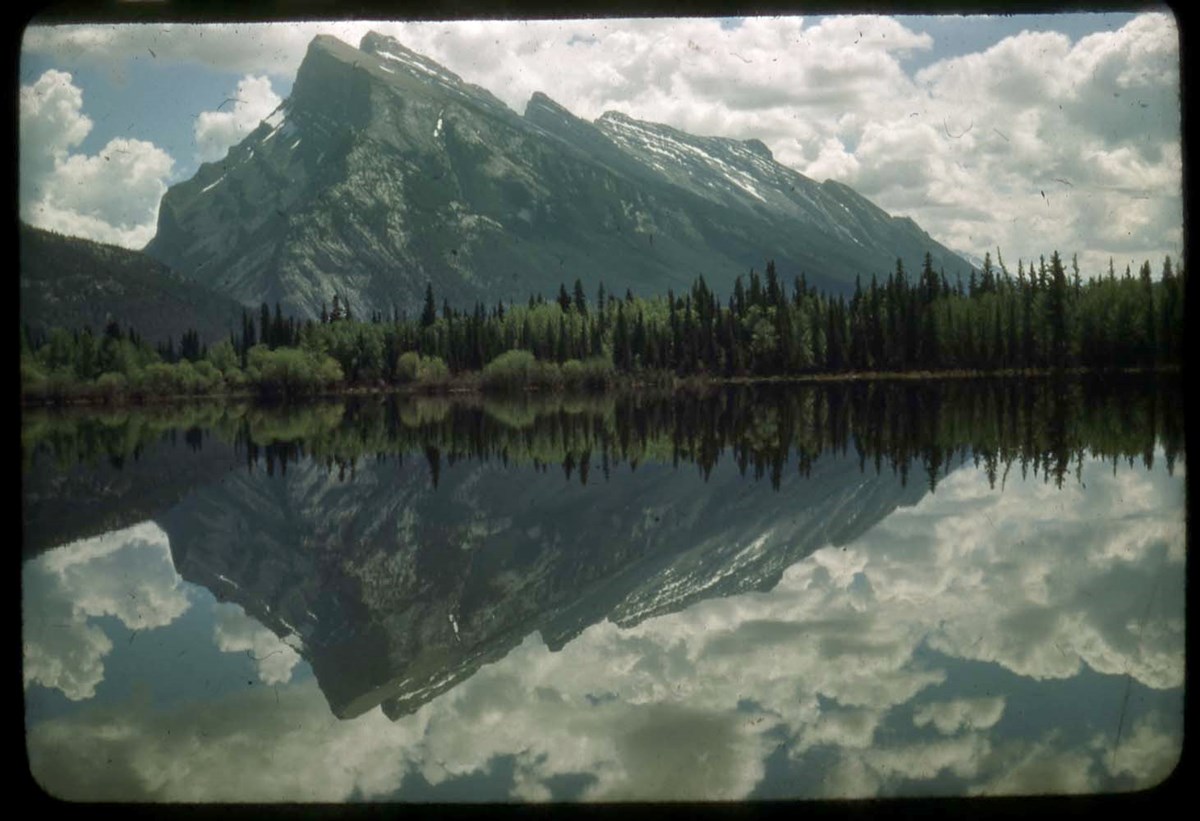
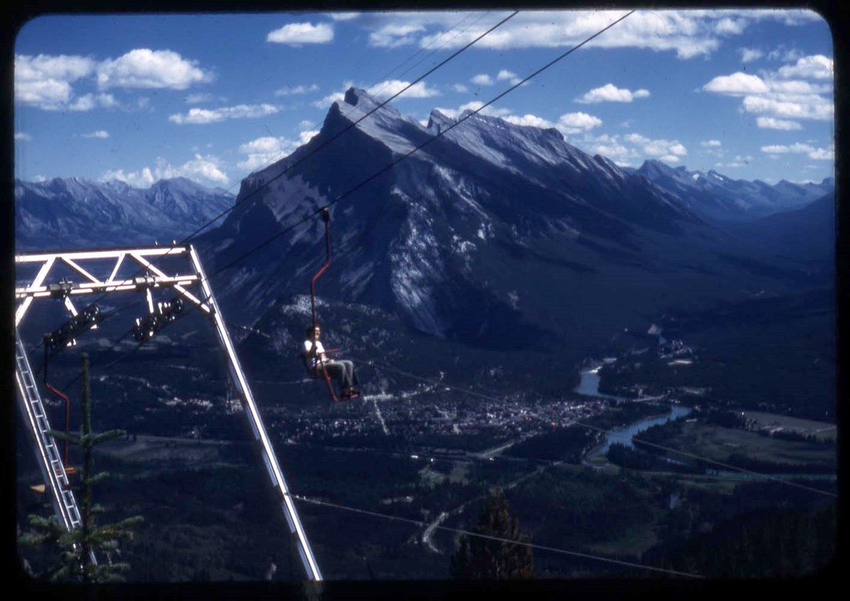
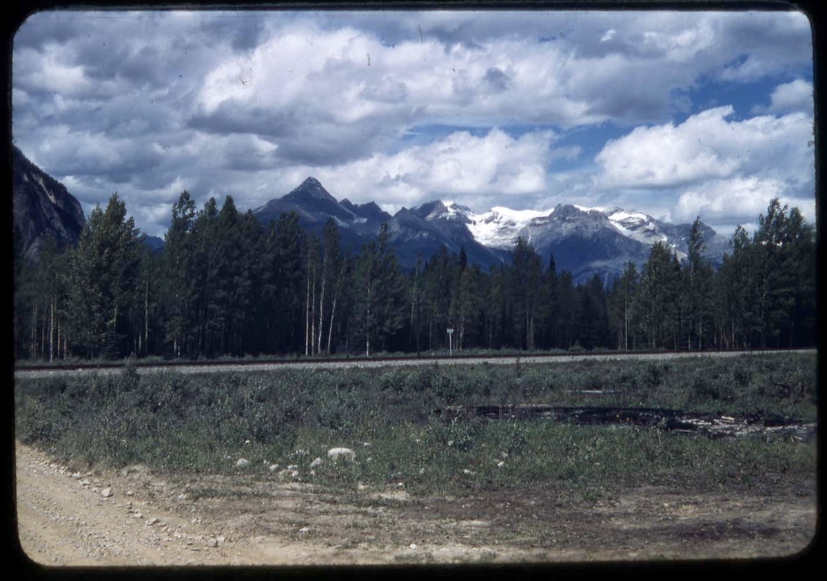
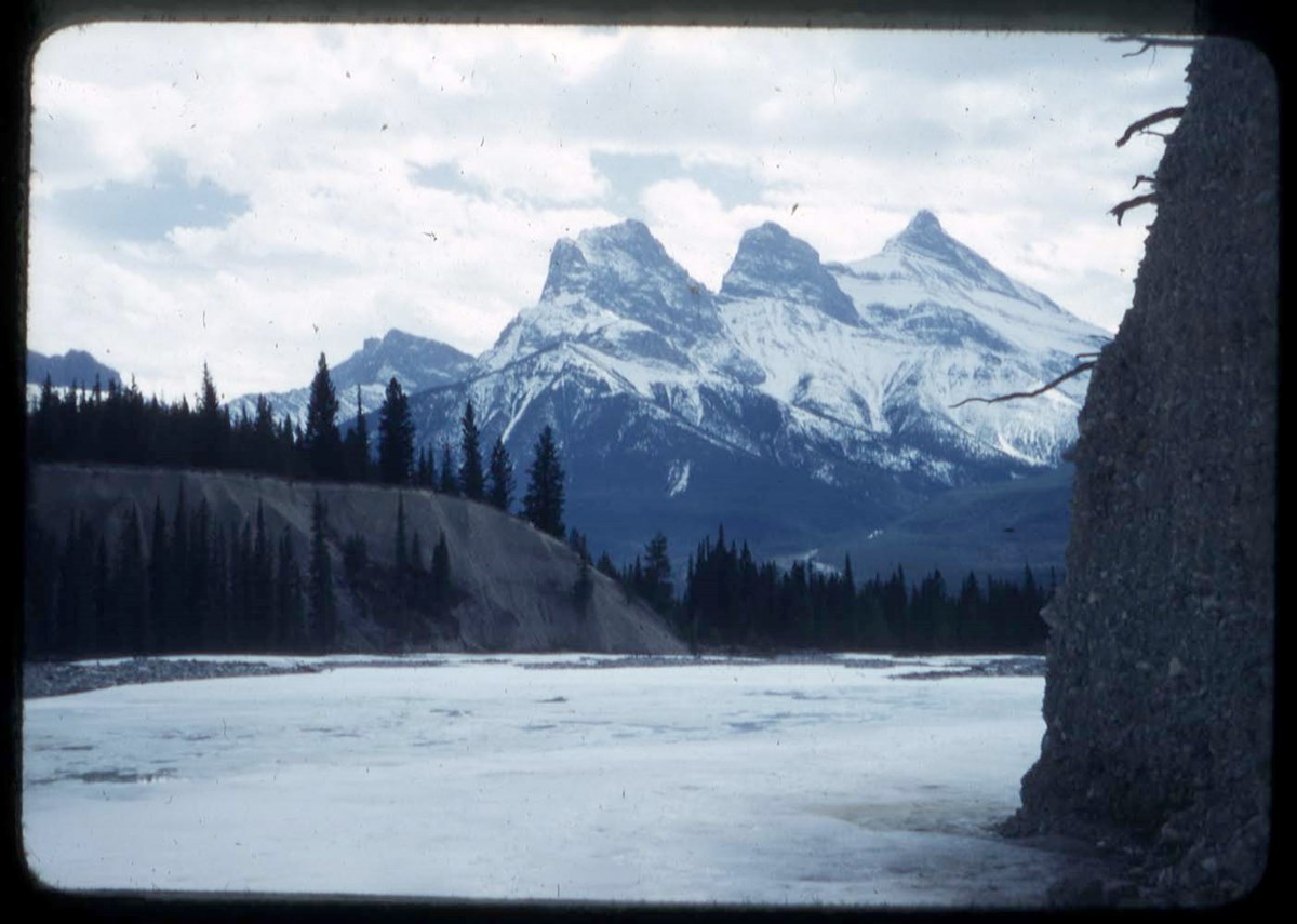
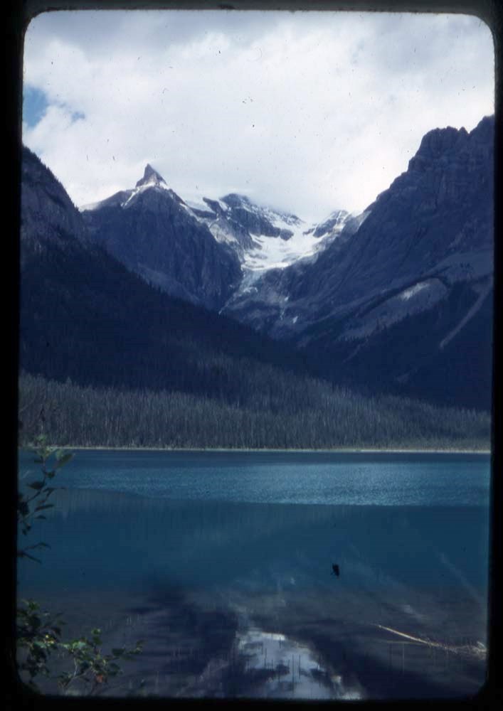
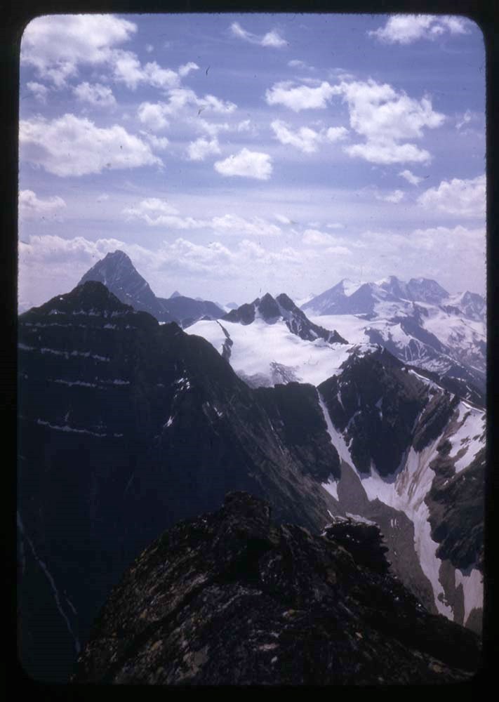
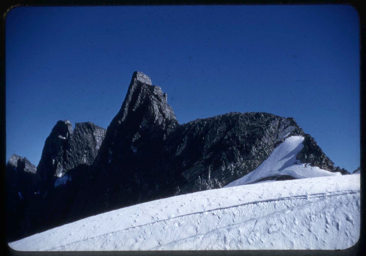
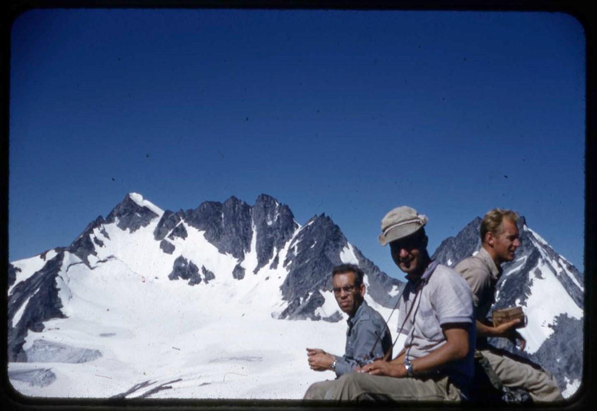
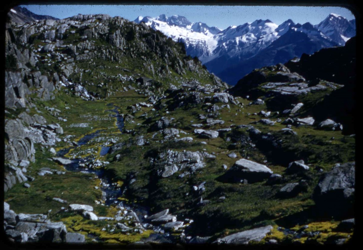
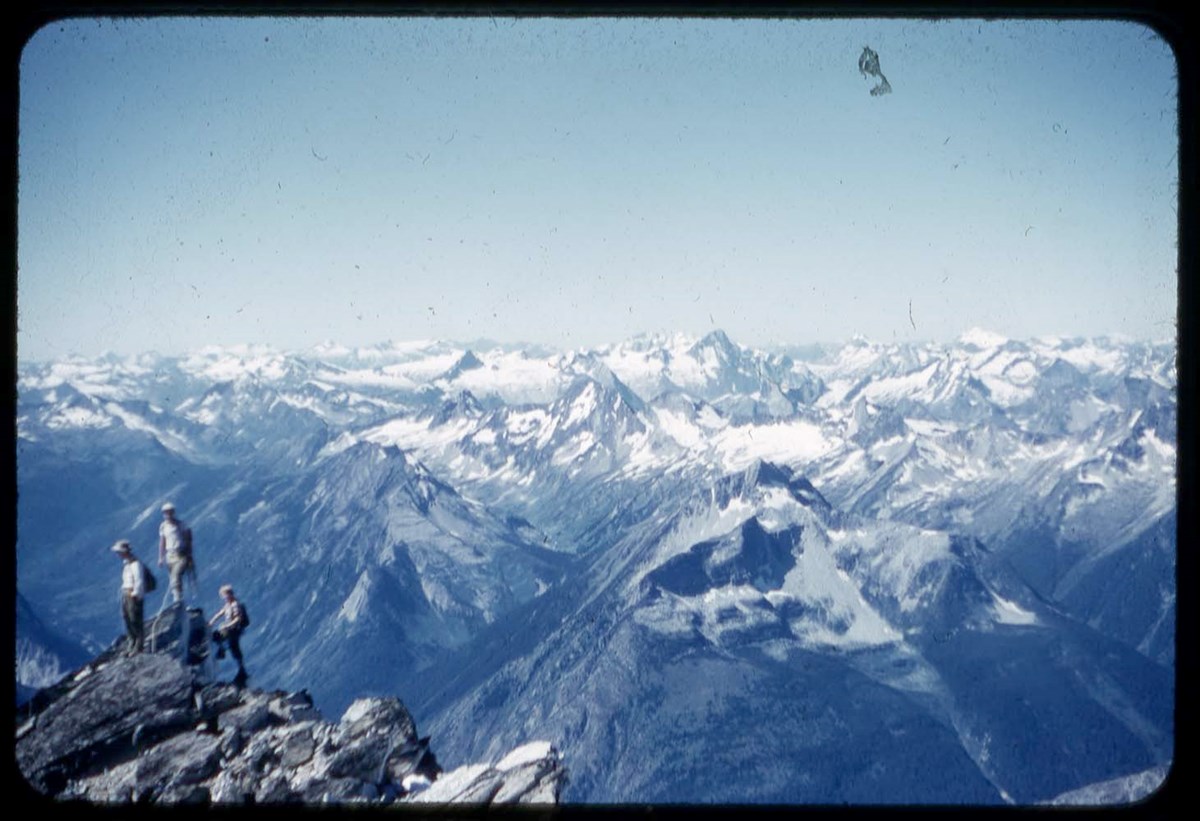
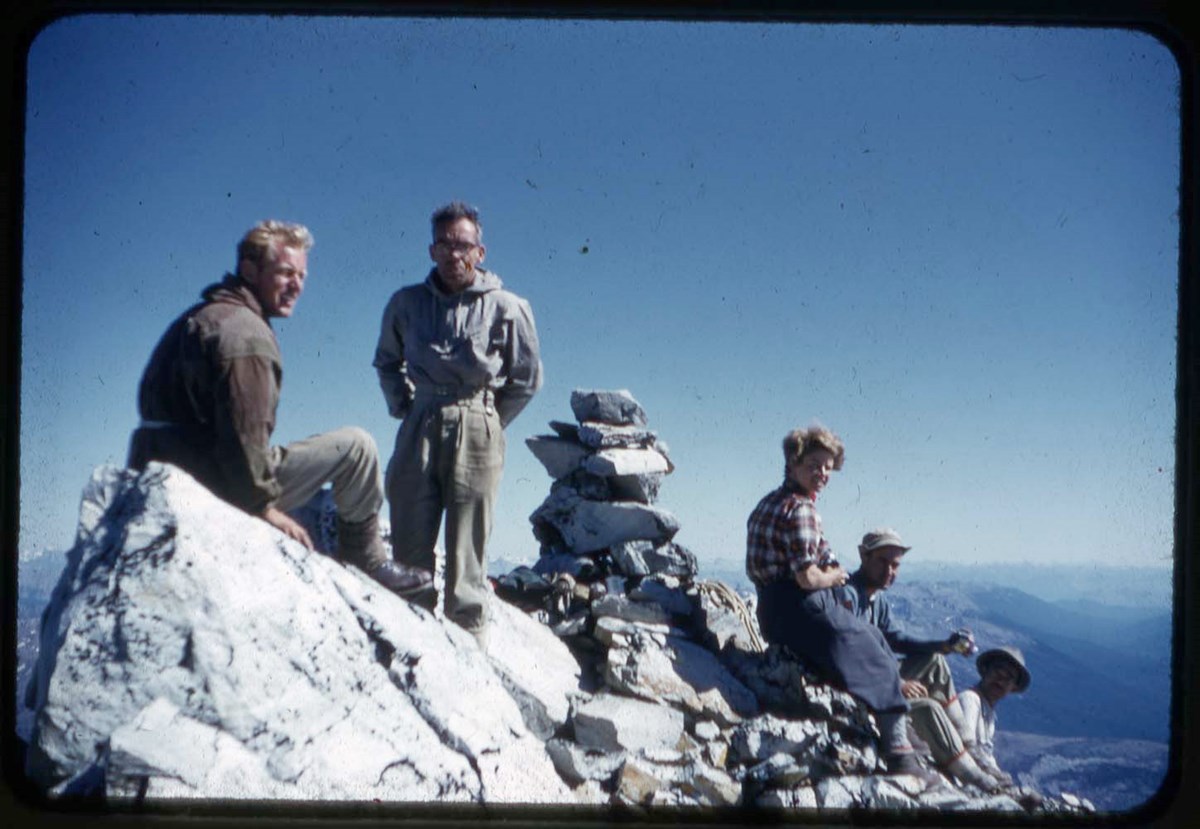
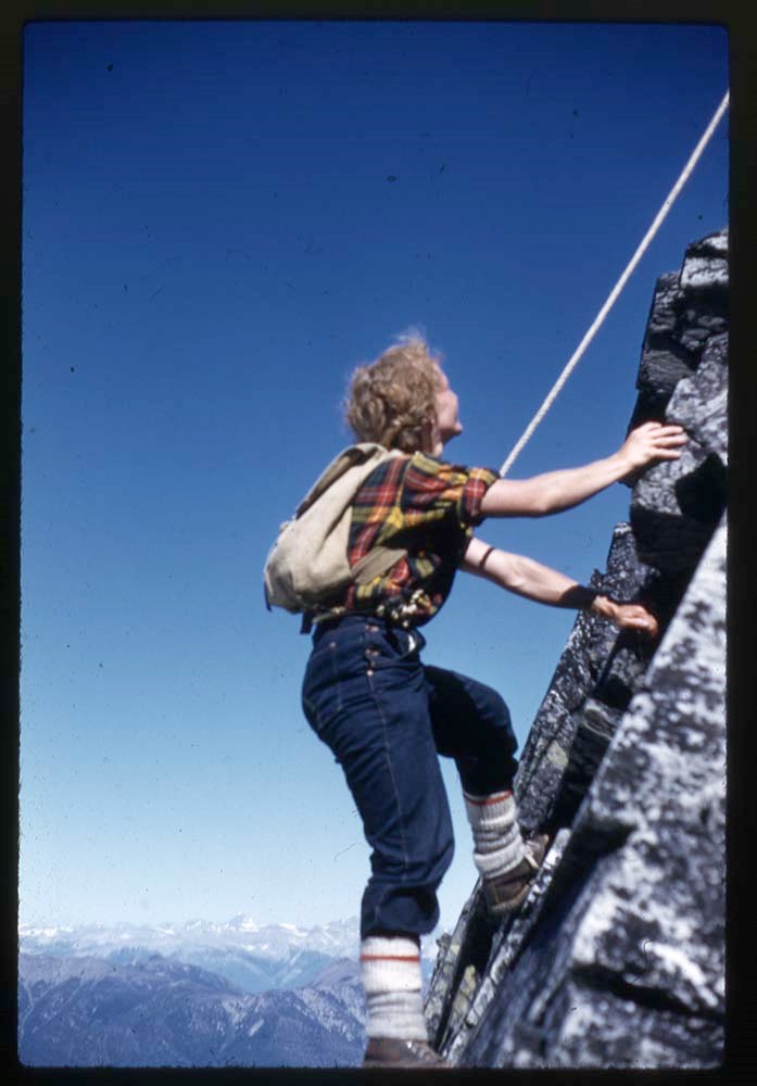
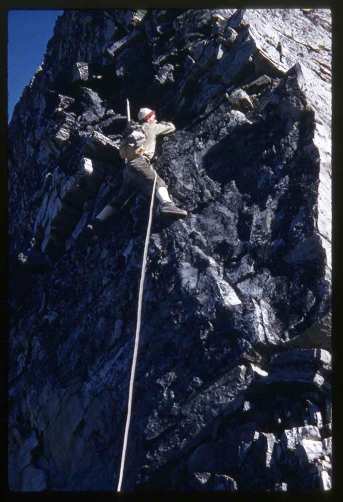
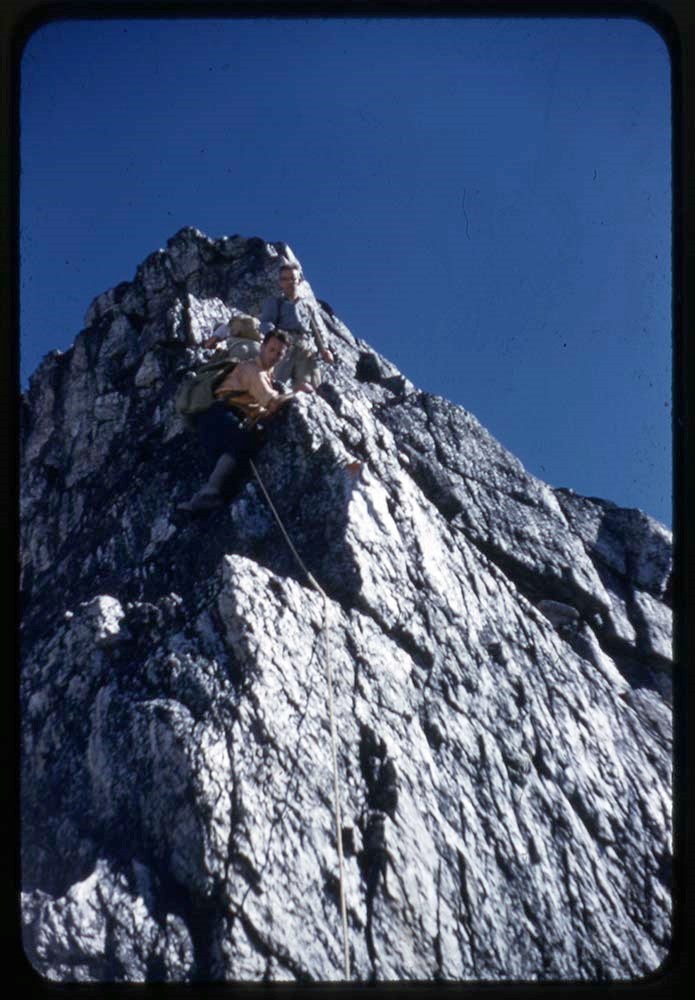
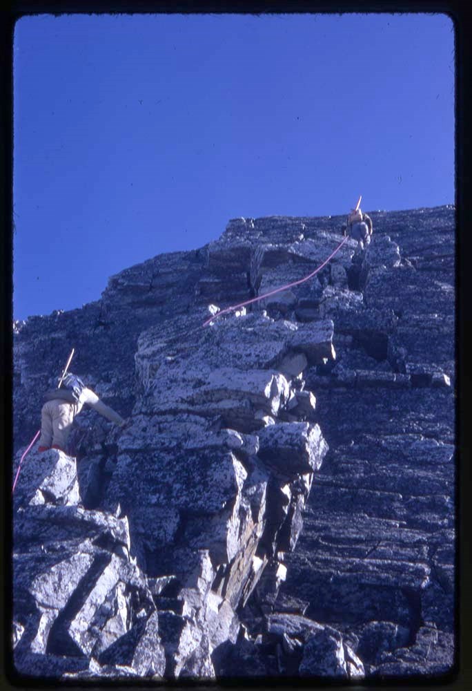
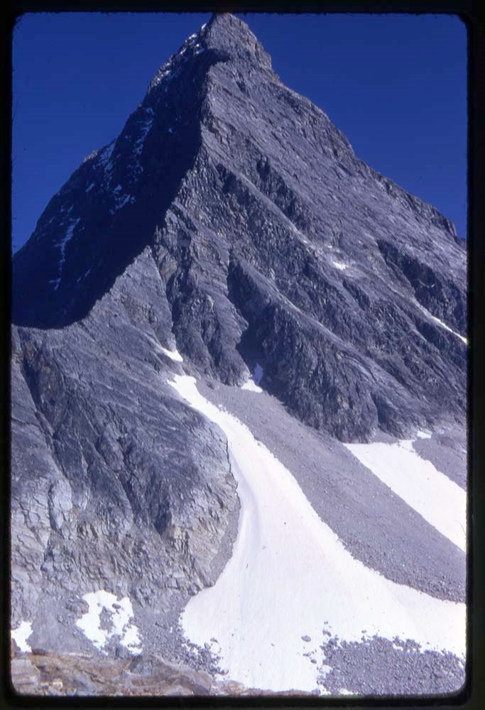
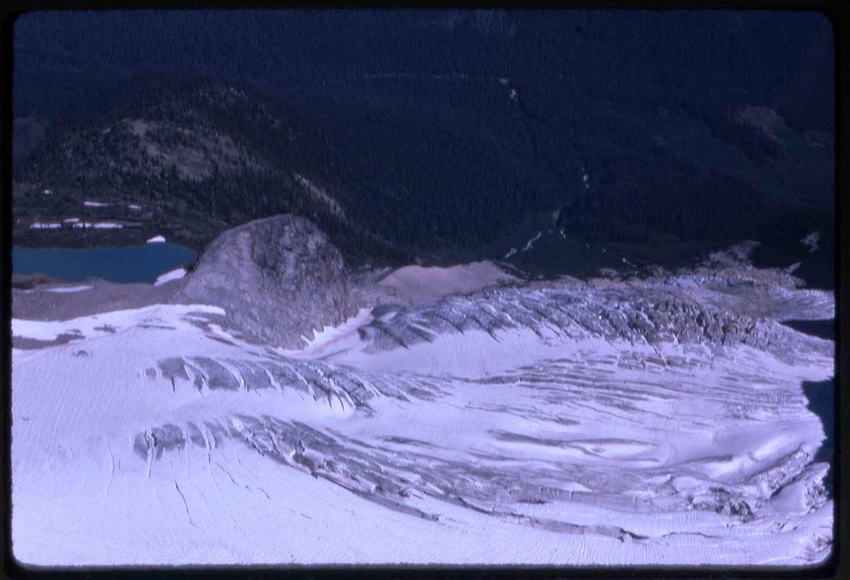
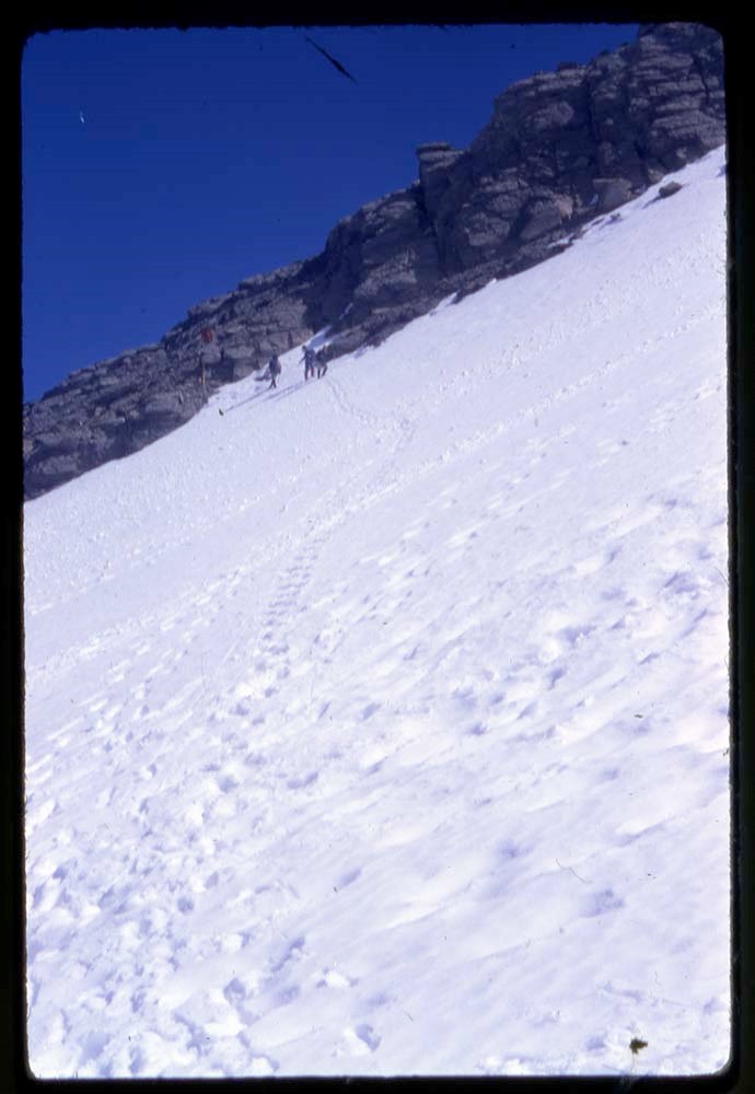
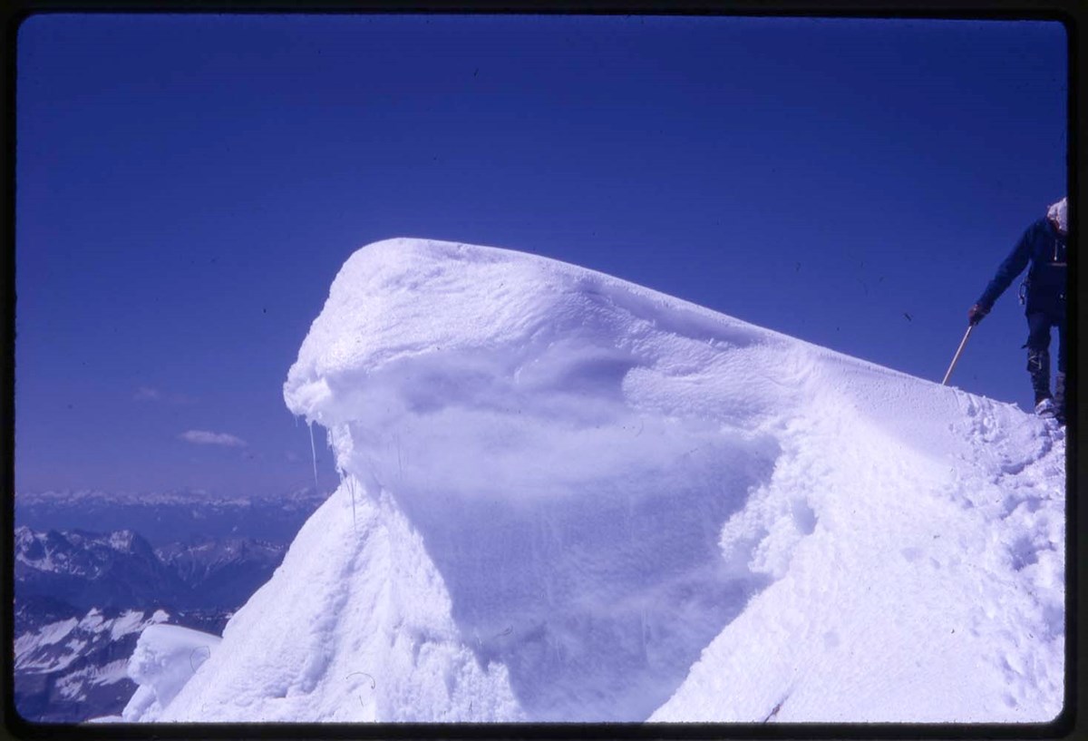
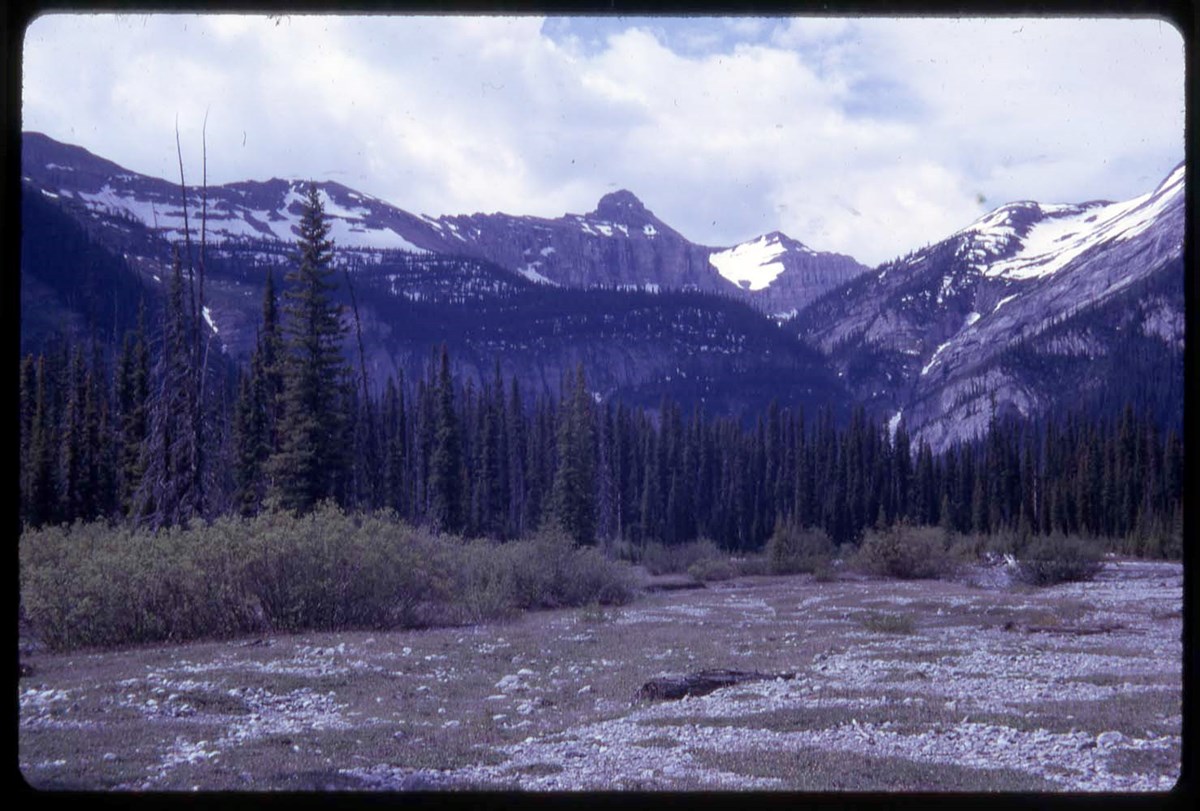
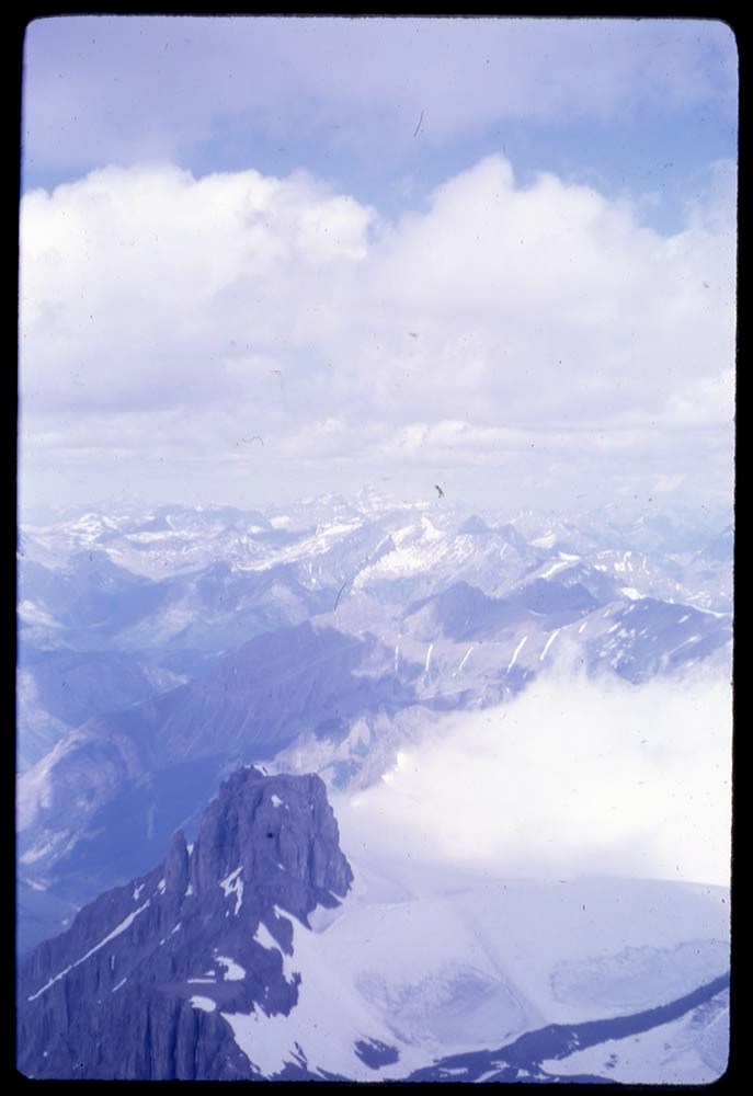
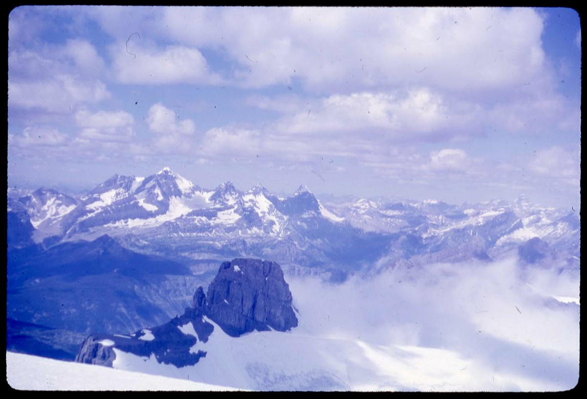
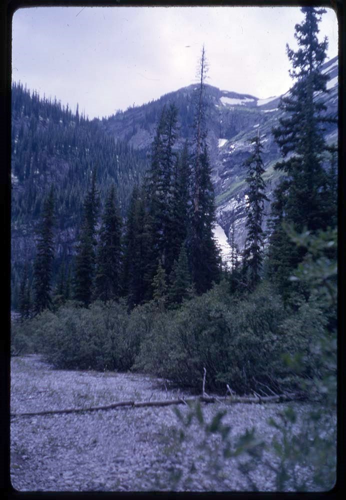
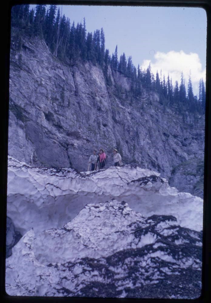
- * Climbers and mountain landscapes in the Rocky and Selkirk Mountains. Pertains to the areas of Banff, Canmore, Jasper, Yoho and Glacier. Includes views of Mount Alberta, Takakkaw Falls. Dawson Range, Mount Sifton, Three Sisters, Mount Sparrowhawk, Fairholme Range, Mount Rundle and others - 1947
This material is presented as originally created; it may contain outdated cultural descriptions and
potentially offensive content.
Read more.
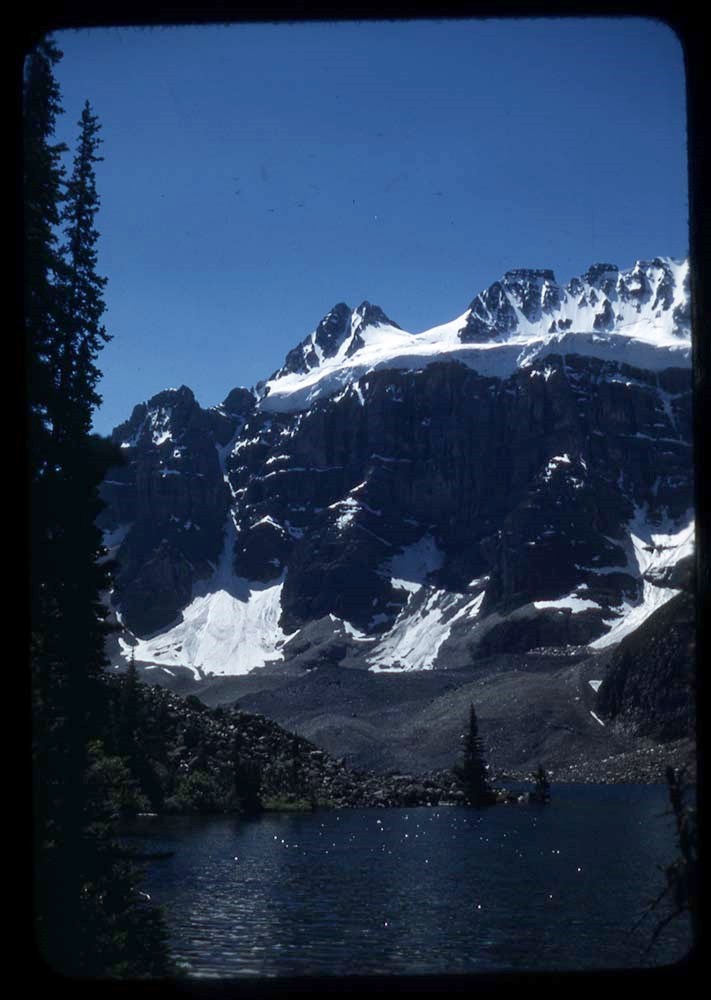
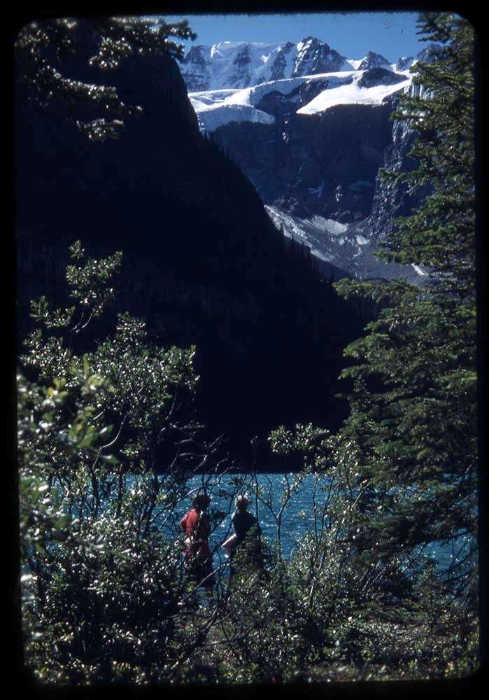
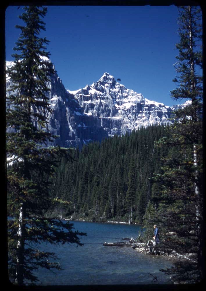
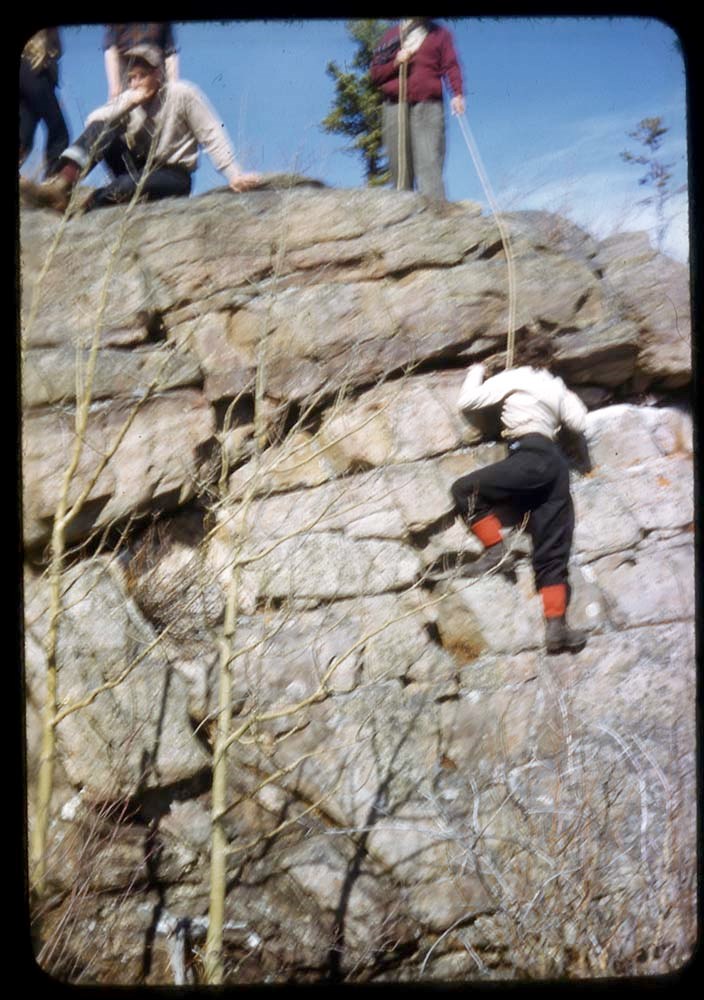
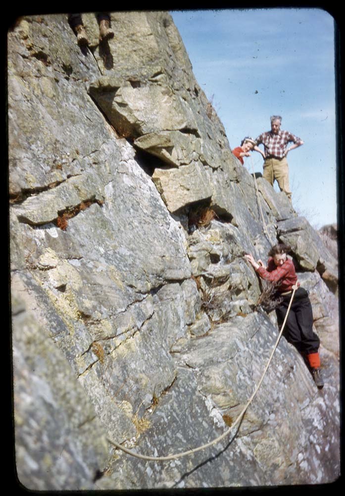
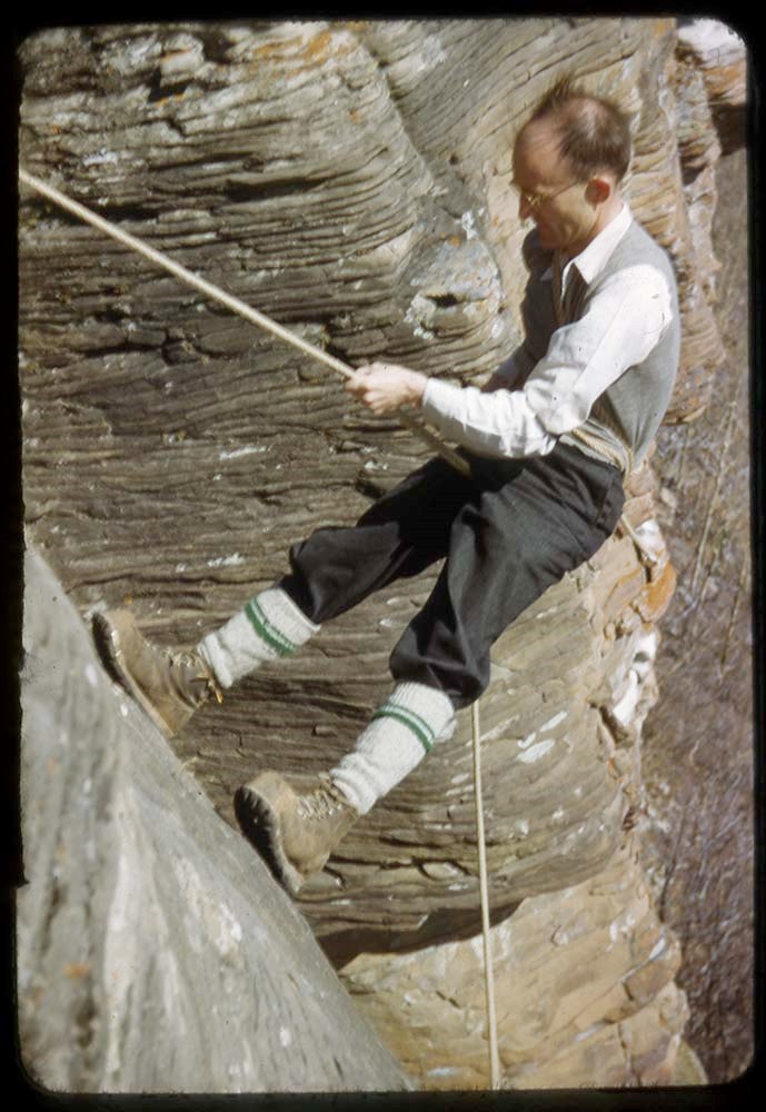
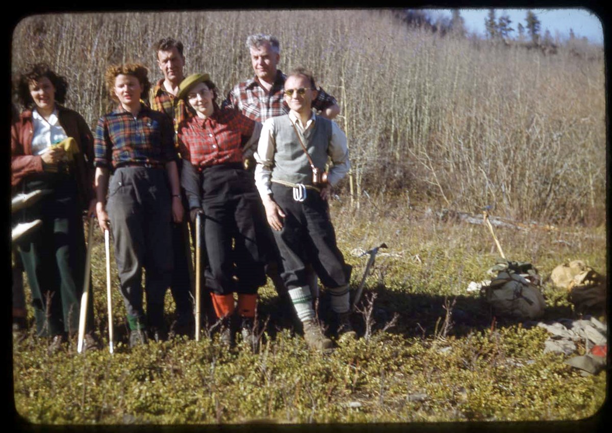
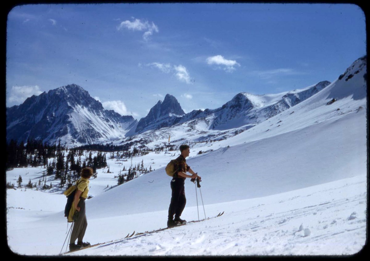
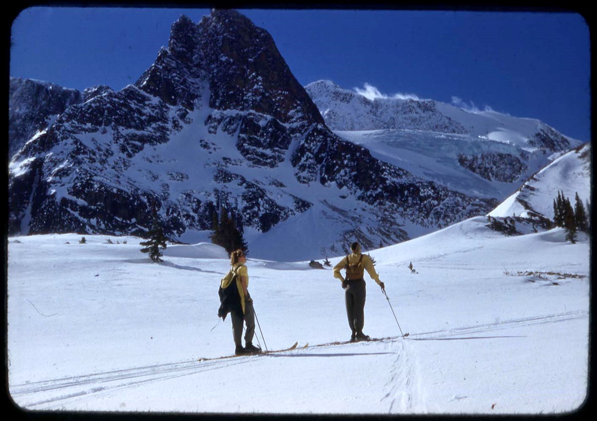
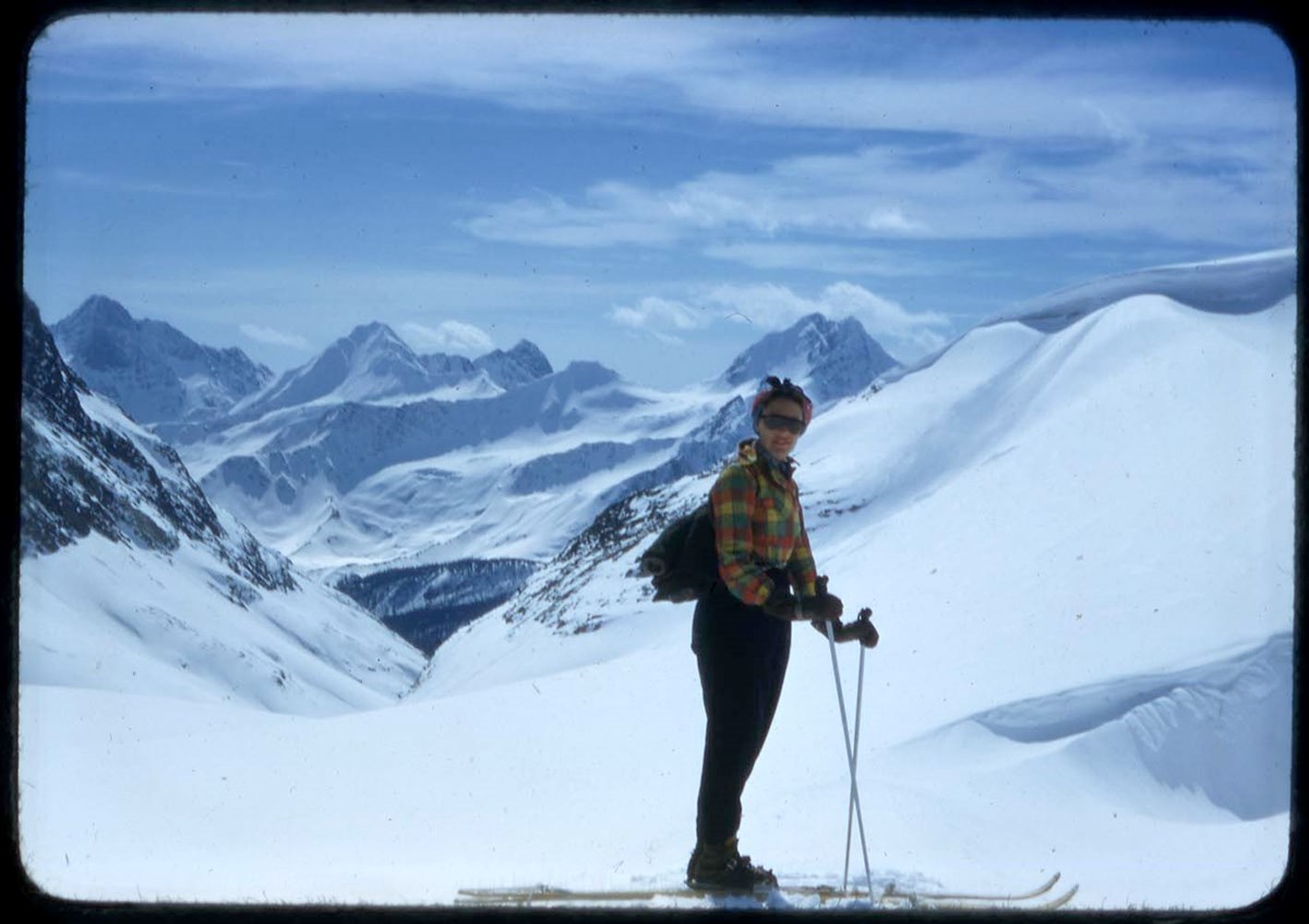
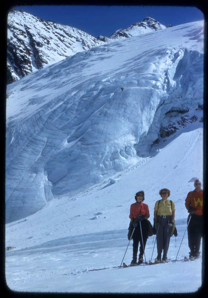
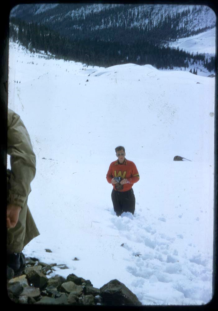
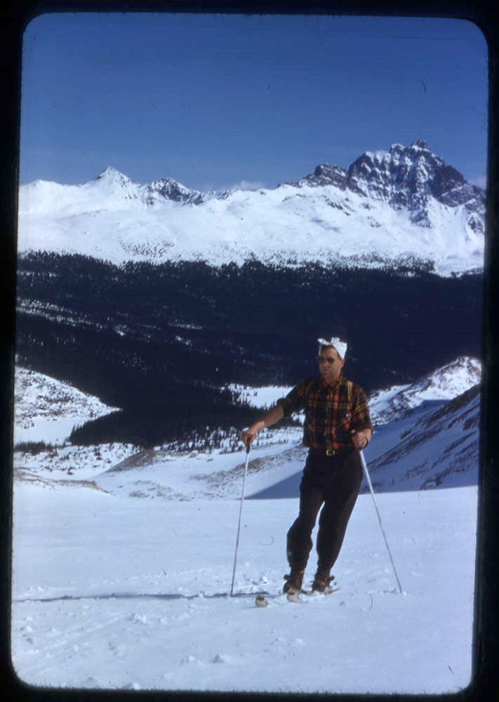
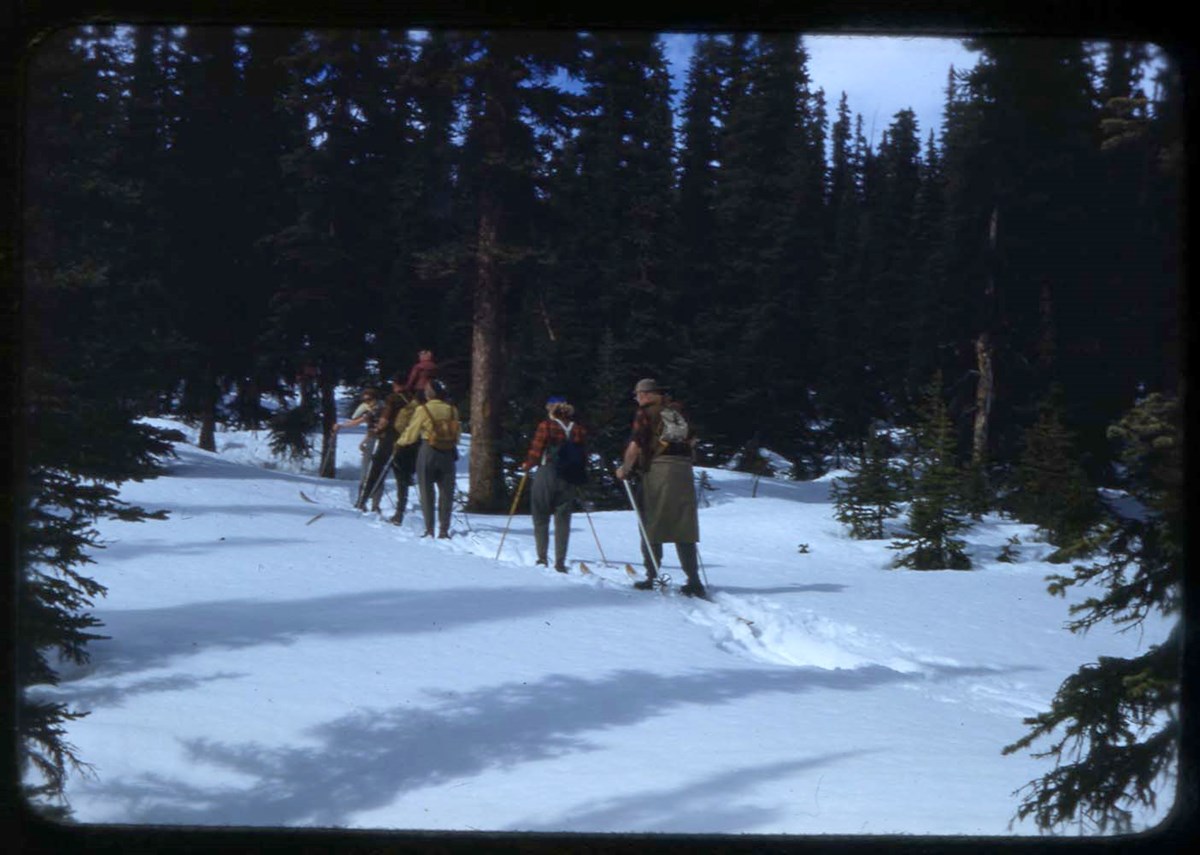
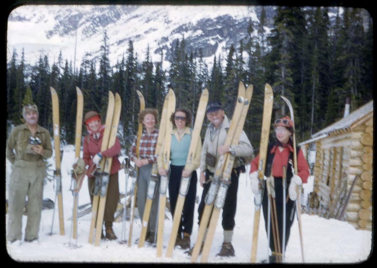
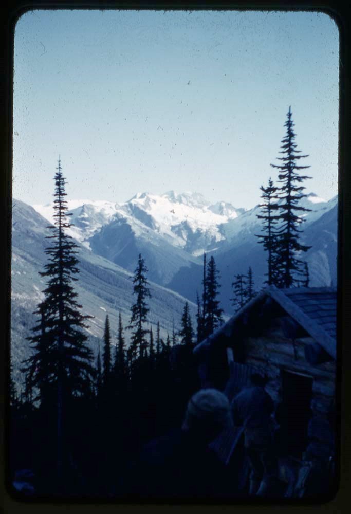
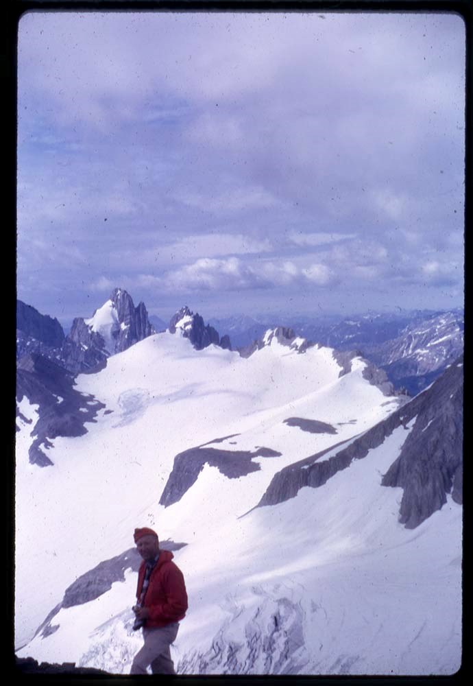
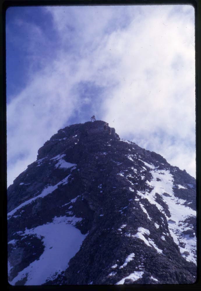
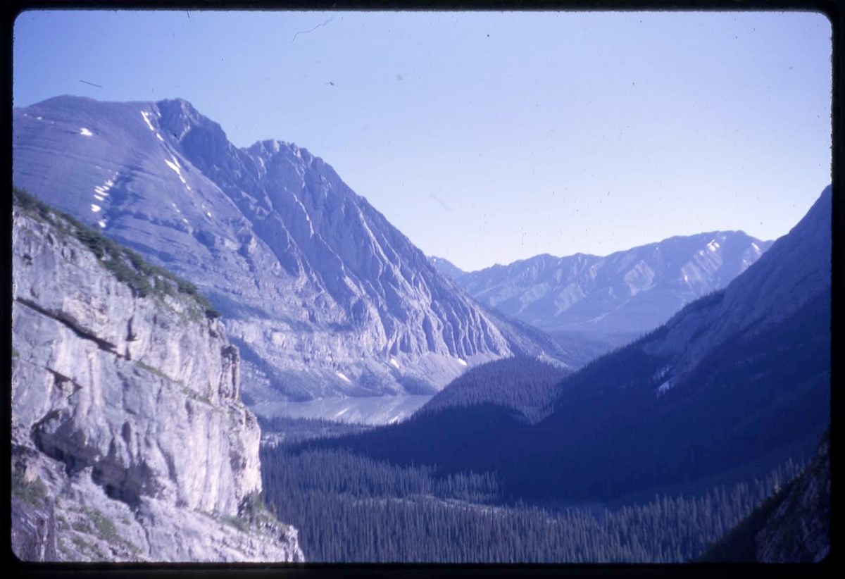
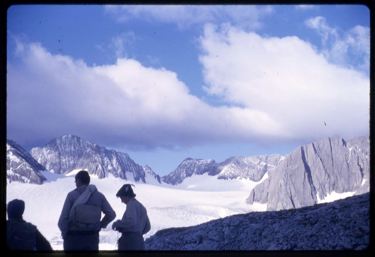
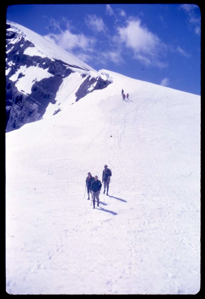
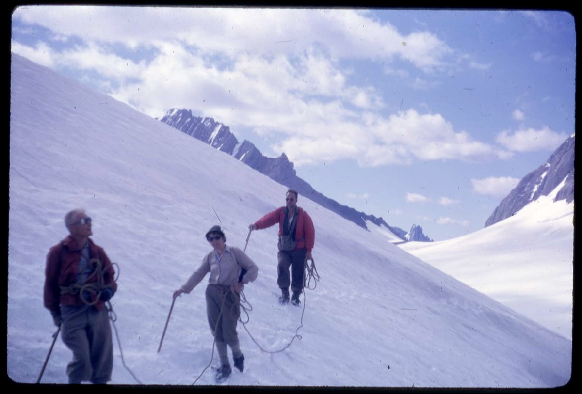
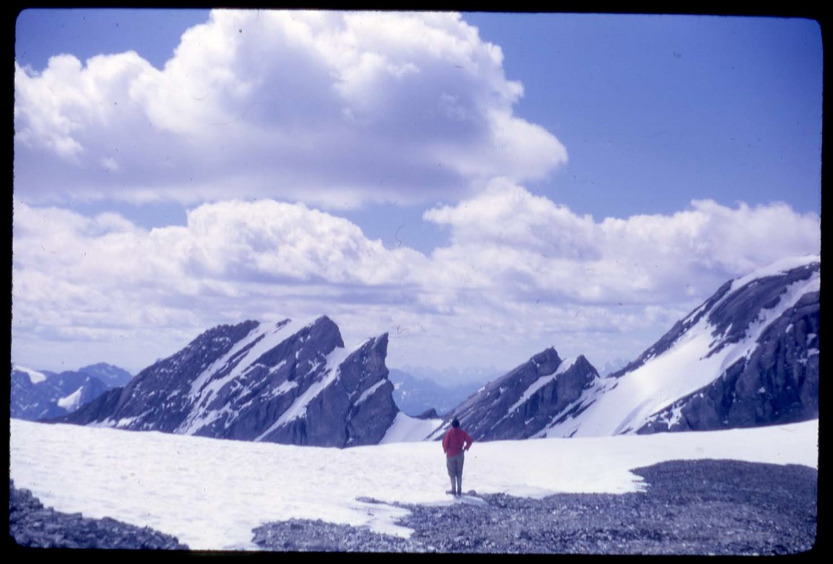
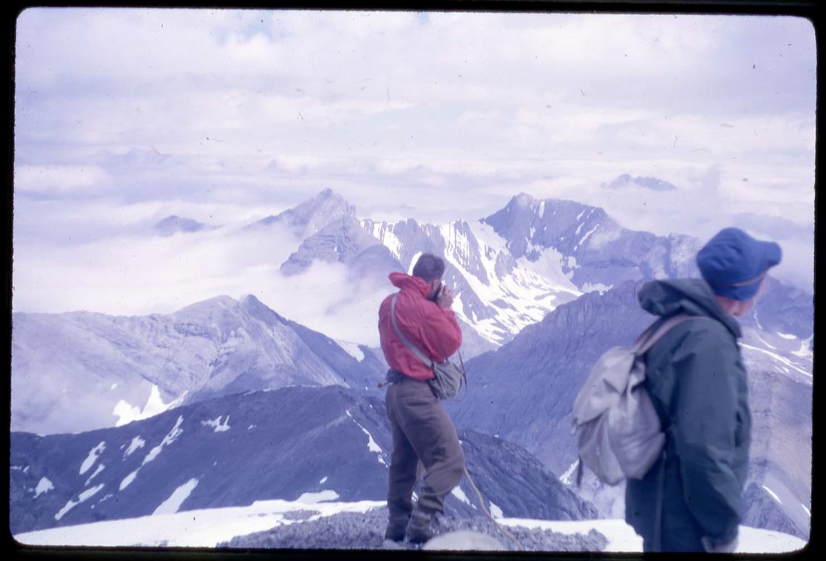
Mountaineering and landscape views
https://archives.whyte.org/en/permalink/descriptions17492
- Part Of
- Bob Hind fonds
- Scope & Content
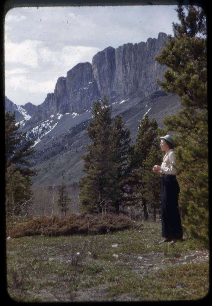
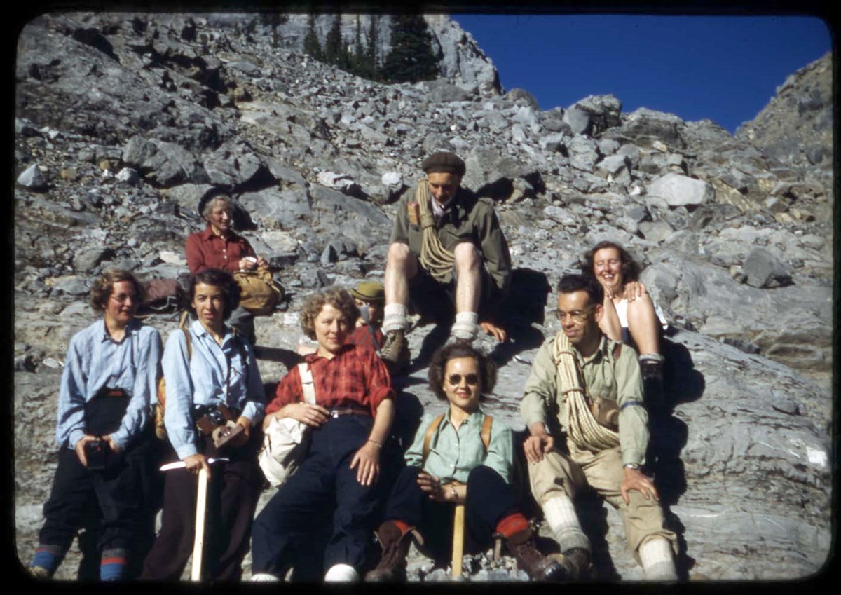
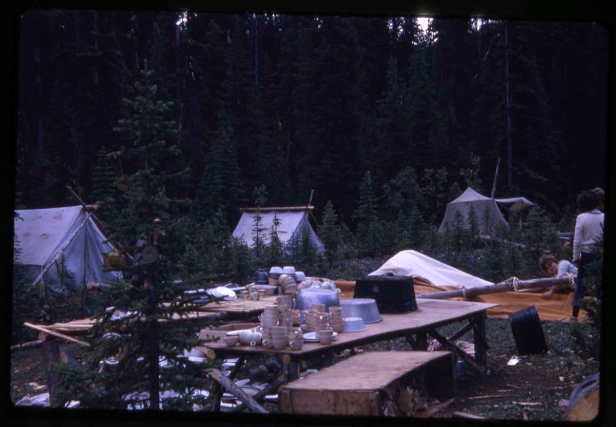
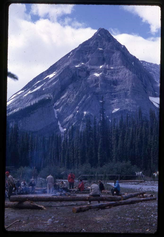
- File pertains to landscape, climbing, Alpine Club of Canada camp/s, hiking and groups in the Rocky and Selkirk Mountains Items are identified with alphanumeric code for locale and year
- Date Range
- 1932-1938
- Reference Code
- V46 / 53 (PS)
- Description Level
- 5 / File
- Part Of
- Bob Hind fonds
- Description Level
- 5 / File
- Series
- I.B. Mountain travel and recreation, western Canada : general
- Accession Number
- 7181
- Reference Code
- V46 / 53 (PS)
- Date Range
- 1932-1938
- Physical Description
- 97 photographs : transparencies, lantern slides
- Scope & Content
- File pertains to landscape, climbing, Alpine Club of Canada camp/s, hiking and groups in the Rocky and Selkirk Mountains
- Items are identified with alphanumeric code for locale and year
- Geographic Access
- Alberta
- British Columbia
- Title Source
- Title based on contents of file
- Content Details
- LIST OF GROUPS (V46 / 53 - 1 to 97) :
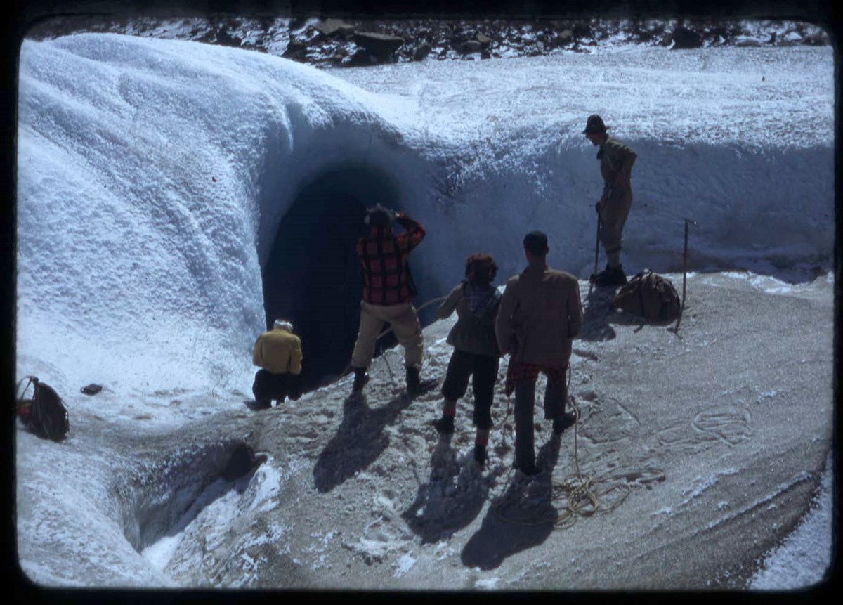
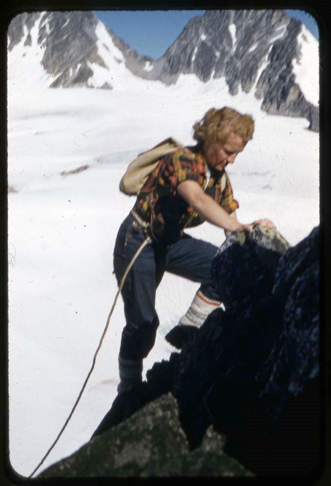
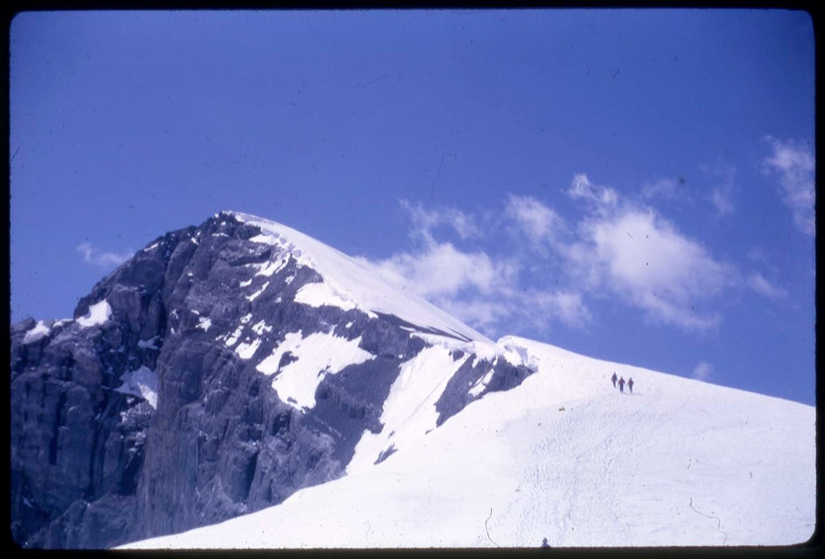
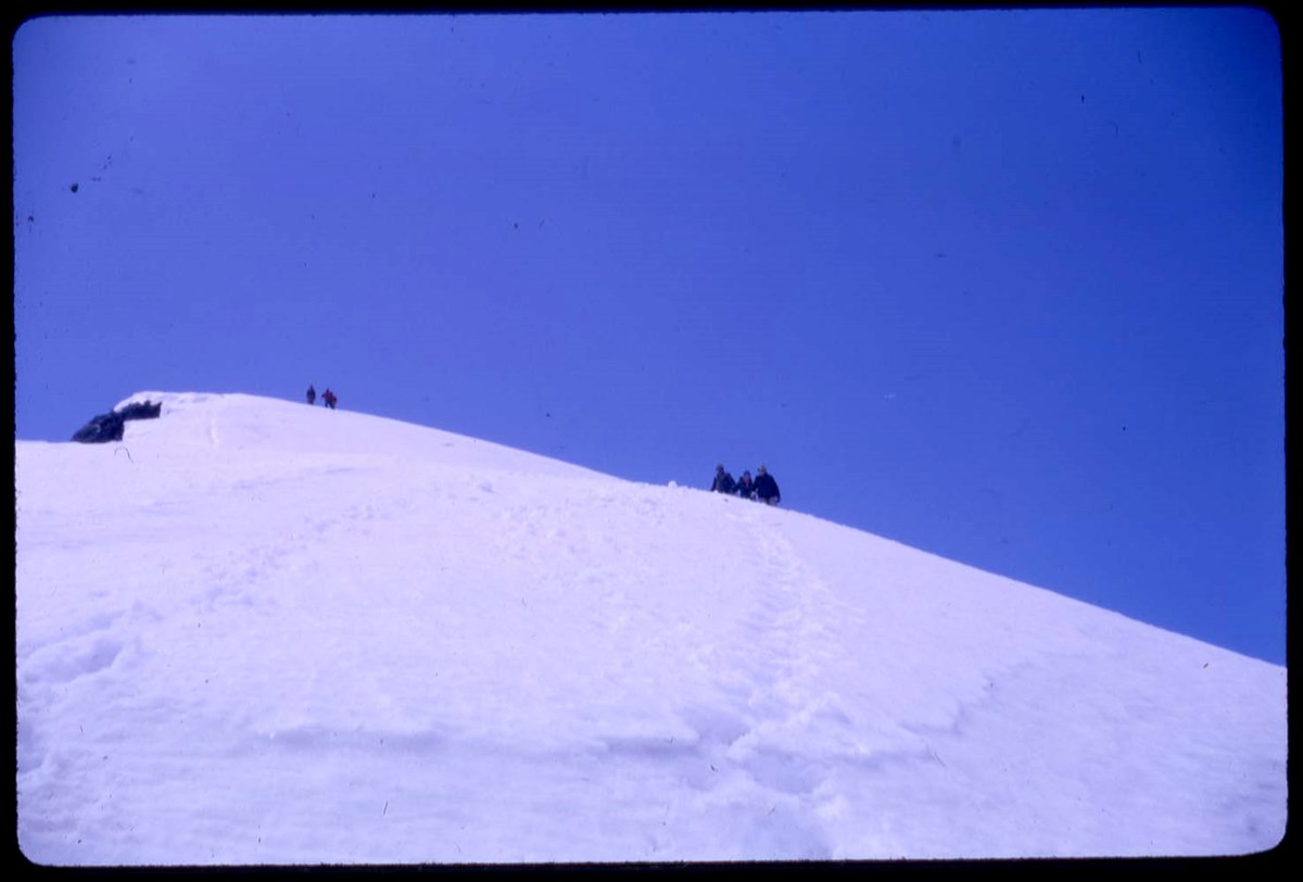
- A35 : Mount Assiniboine area - landscape and glacier travel (V46 / 53 - 1 to 5)
- B37 : Banff area - glacier travel, ice axes, climbers (V46 / 53 - 6, 7)
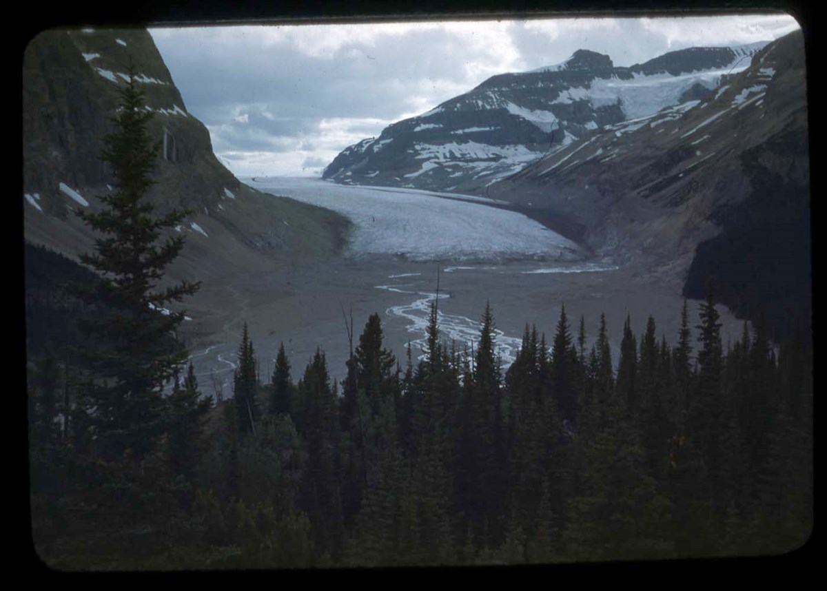
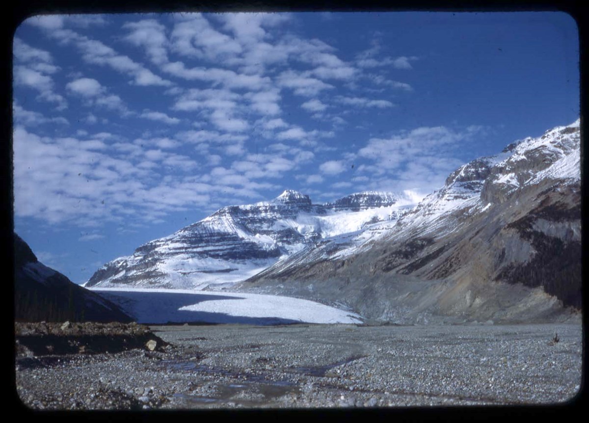
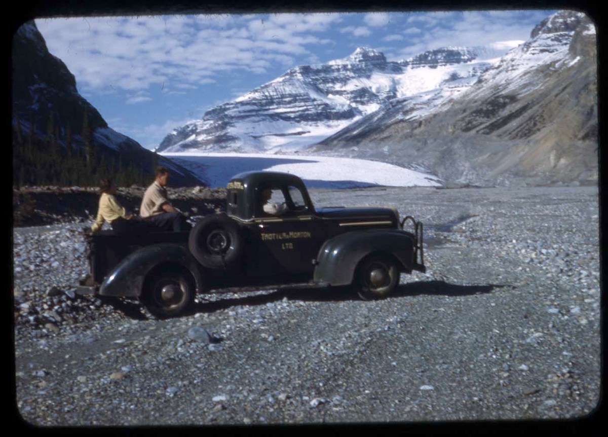
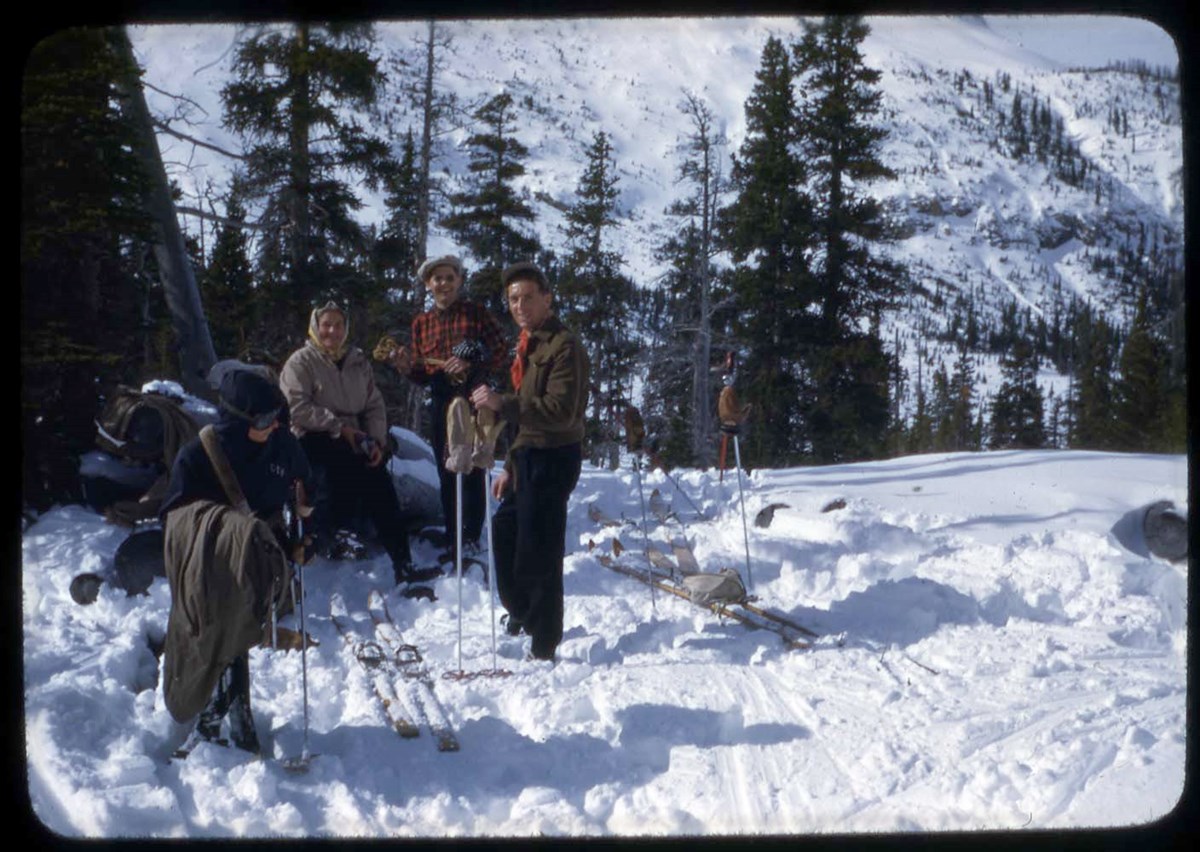
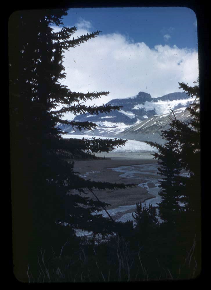
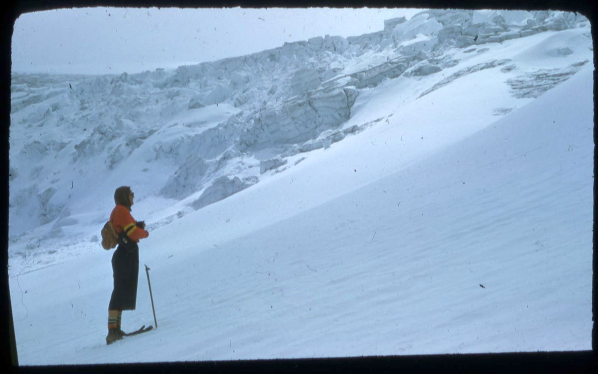
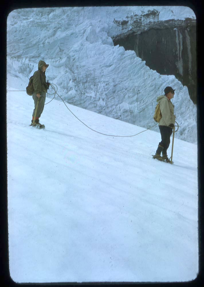
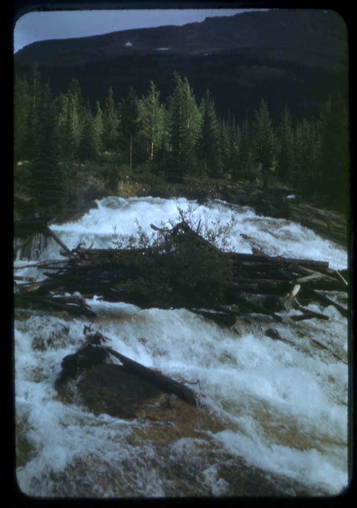
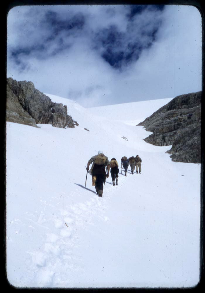
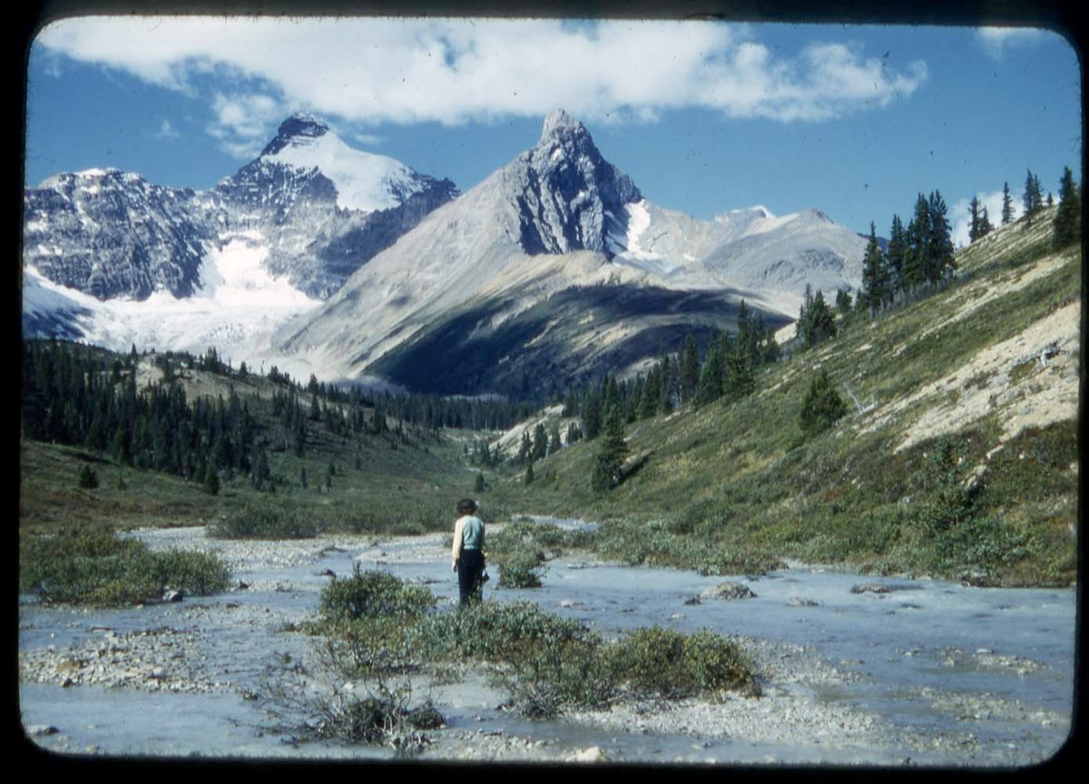
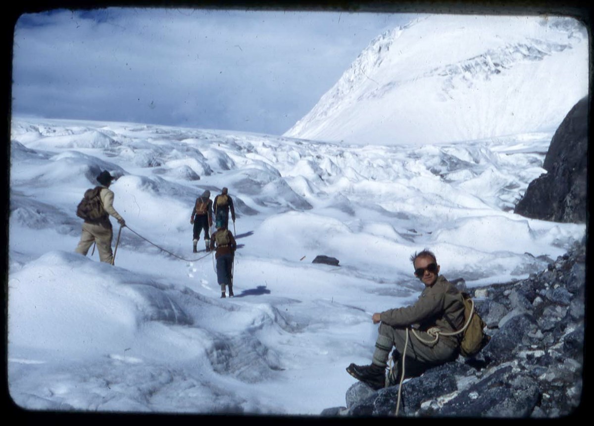
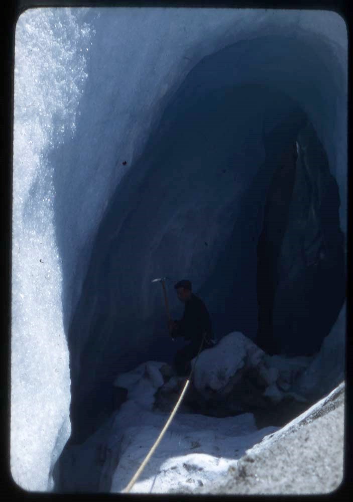
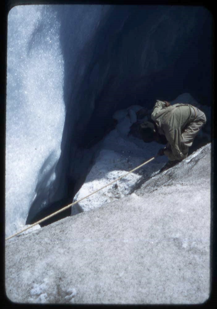
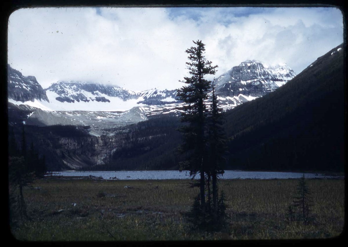
- C36, C38 : Columbia Icefield area - glacier view, ice climbers, camp, landscape, hikers, skiing (V46 / 53 - 8 to 31)
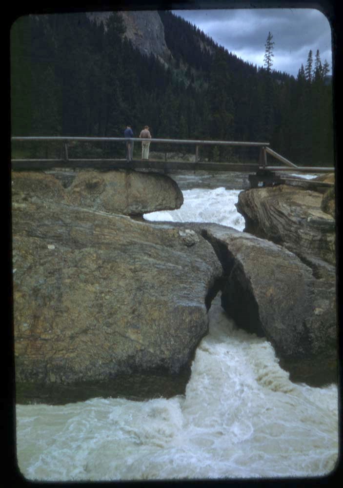
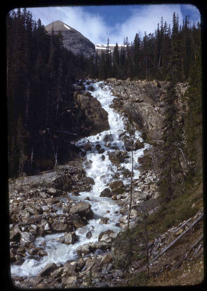
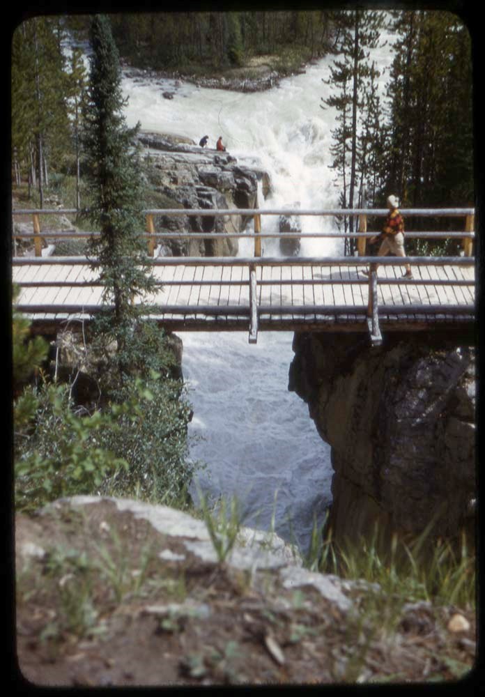
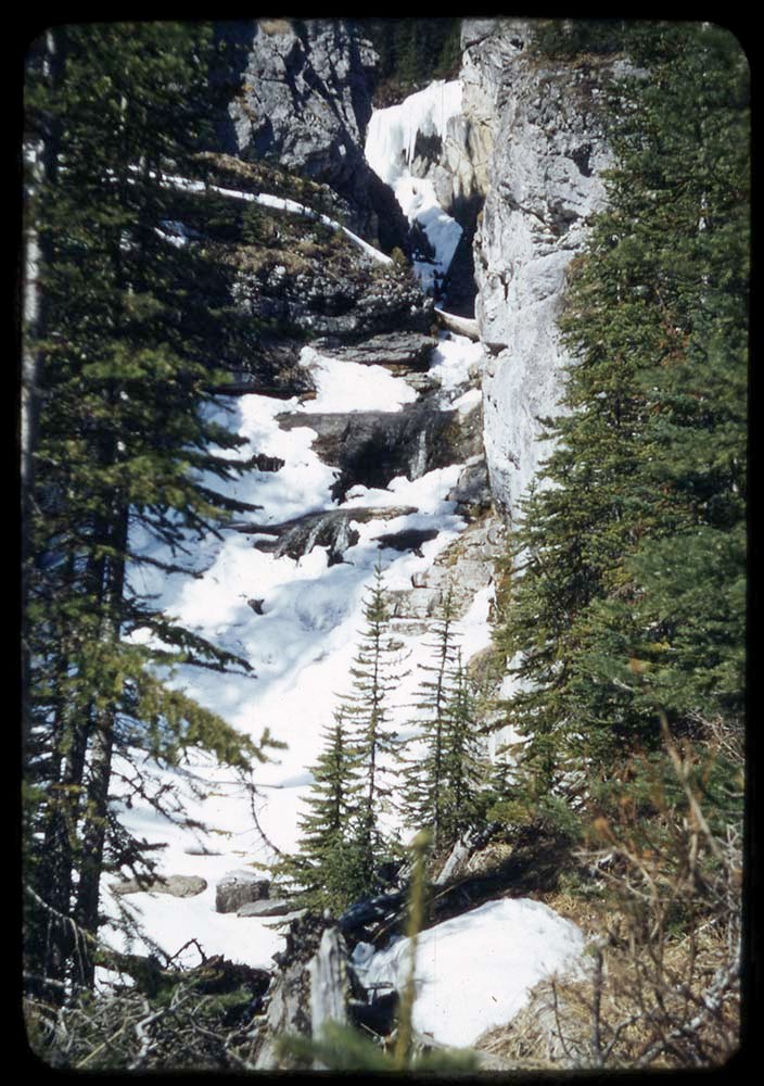
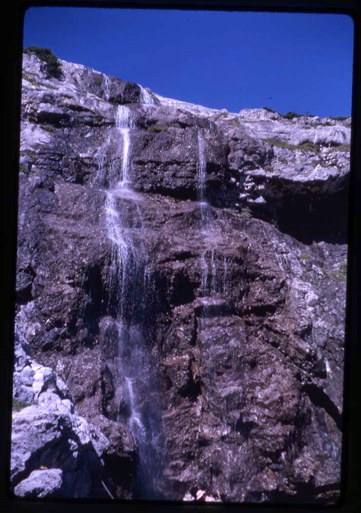
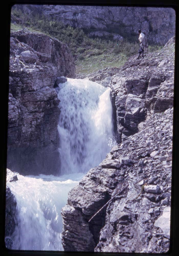
- E37 : waterfall (V46 / 53 - 32)
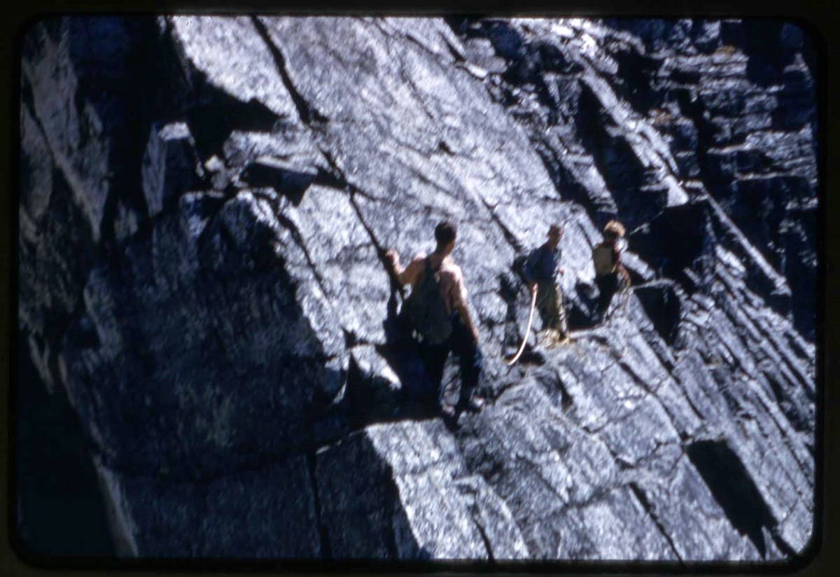
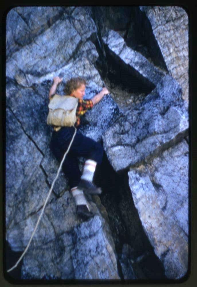
- Edith 36 : climbers on cliff (V46 / 53 - 33)
- G32, G36 : Glacier area - Uto Peak, Mount Sir Donald, Mt. Sir Donald camp, climbing, glaciers and glacier travel, hut (V46 / 53 - 34 to 49)
- J33 : Jasper area - Jasper-Wates outpost, hut, climbing, glacier travel, landscapes in Jasper National Park, incl. Chrome Lake and Outpost Lake areas (V46 / 53 - 50 to 68)
- J34, J35, J36, J38 : Jasper area - Chrome Lake ACC camp, Jasper National Park, skis in snow, landscape, stone hut, possibly Memorial Hut (Eremite Valley)? or Disaster Point Hut (Pocahontas)? (V46 / 53 - 69 to 78)
- OH34, OH 35, OH 36, OH37, OH38 : Lake O'Hara area - landscape, campers, climber/s on glacier (V46 / 53 - 79 to 86)
- P33, P34, P37 : Paradise Valley area - climbing, landscape and climbing, hiker on bridge (V46 / 53 - 87 to 95)
- R36A : Mount Robson (V46 / 53 - 96)
- Cal : Calgary area? - prairie and mountain landscapes (V46 / 53 - 97)
This material is presented as originally created; it may contain outdated cultural descriptions and
potentially offensive content.
Read more.
C36 : [Mount Clemenceau area]
https://archives.whyte.org/en/permalink/descriptions17511
- Part Of
- Bob Hind fonds
- Scope & Content
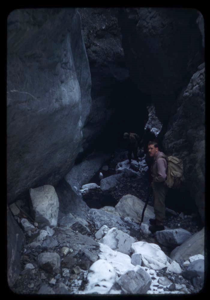
- File pertains to Mount Clemenceau, Mount Chettan, Chaba Glacier, Athabasca Falls, Athabasca Glacier, Maligne Lake, climbers, camps and landscape views
- Date Range
- 1936
- Reference Code
- V46 / 10 (NA)
- Description Level
- 5 / File
- Part Of
- Bob Hind fonds
- Description Level
- 5 / File
- Series
- I.A. Mountain travel and recreation, western Canada : Trips and activities
- Accession Number
- 7181
- Reference Code
- V46 / 10 (NA)
- Date Range
- 1936
- Physical Description
- 29 photographs : negatives
- Scope & Content
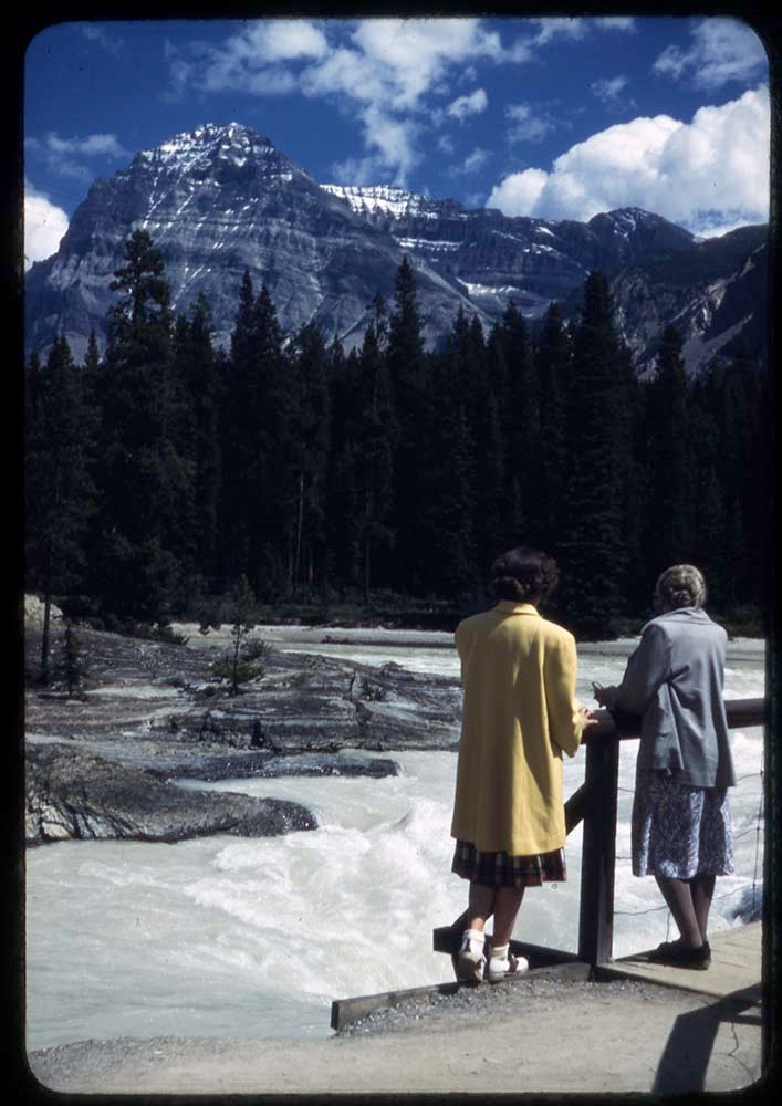
- File pertains to Mount Clemenceau, Mount Chettan, Chaba Glacier, Athabasca Falls, Athabasca Glacier, Maligne Lake, climbers, camps and landscape views
- Geographic Access
- Alberta
- British Columbia
- Related Material
- Related to prints in V46 / 28 (PA) - 6
- Content Details
- C36 IMAGES (V46 / 10 - 1 to 36) :
- 1. Snow bridge
- 2. Peary Glacier
- 3. Descending pass
- 4. Last of raft T.C.S.
- 5. Descent of Chettan
- 6. Clem. from base Dup
- 7. Summit Pass
- 8. Up west Chaba
- 9. In shrund on Clem.
- 10. Clem. from pass
- 11. Camp #3
- 12. Sir Ernest
- 13. Bras Croche
- 14. Clem from base Chettan
- 15. Cache on Chaba Glacier
- -
- 16. Camp 4
- 17. Hendricks cutting on Clem.
- 18. Czar
- 19. Summit Clemenceau
- 20. Tusk
- 21. Clem. from pass
- 22. Summit ridge Clem
- 23. Clem. from Chettan
- 24. Cutting wood for raft P
- 25. Lining raft up Athabasca
- 26. Athabasca Falls
- 27. Maligne Canyon (2)
- 28. Raft
- 29. Camp NG-P
This material is presented as originally created; it may contain outdated cultural descriptions and
potentially offensive content.
Read more.
O'H37 : [Lake O'Hara area]
https://archives.whyte.org/en/permalink/descriptions17514
- Part Of
- Bob Hind fonds
- Scope & Content
- File pertains to landscape and ski touring. Views are titled: 1. Around cabin 2. To Fay Hut 3. Climbing Fay 4. The avalanche
- Date Range
- 1937
- Reference Code
- V46 / 15 (NA)
- Description Level
- 5 / File
- Part Of
- Bob Hind fonds
- Description Level
- 5 / File
- Series
- I.A. Mountain travel and recreation, western Canada : Trips and activities
- Accession Number
- 7181
- Reference Code
- V46 / 15 (NA)
- Date Range
- 1937
- Physical Description
- 4 photographs : negatives
- Scope & Content
- File pertains to landscape and ski touring. Views are titled:
- 1. Around cabin
- 2. To Fay Hut
- 3. Climbing Fay
- 4. The avalanche
- Geographic Access
- British Columbia
- Related Material
- Related to prints in V46 / 28 (PA) - 1
This material is presented as originally created; it may contain outdated cultural descriptions and
potentially offensive content.
Read more.
O'H38 : [Lake O'Hara area]
https://archives.whyte.org/en/permalink/descriptions17516
- Part Of
- Bob Hind fonds
- Scope & Content
- File consists of views titled: 1. Around cabin 2. Search party 3. Mt. Odaray
- Date Range
- 1938
- Reference Code
- V46 / 22 (NA)
- Description Level
- 5 / File
- Part Of
- Bob Hind fonds
- Description Level
- 5 / File
- Series
- I.A. Mountain travel and recreation, western Canada : Trips and activities
- Accession Number
- 7181
- Reference Code
- V46 / 22 (NA)
- Date Range
- 1938
- Physical Description
- 3 photographs : negatives
- Scope & Content
- File consists of views titled:
- 1. Around cabin
- 2. Search party
- 3. Mt. Odaray
- Geographic Access
- British Columbia
- Related Material
- Related to prints in V46 / 28 (PA) - 1
This material is presented as originally created; it may contain outdated cultural descriptions and
potentially offensive content.
Read more.
- Part Of
- Bob Hind fonds
- Scope & Content
- File pertains to trips to areas in the Rocky Mountains, including Kananaskis Valley area, Mount Rundle, Mount Lefroy, North Twin, Mount Alberta, Saskatchewan Glacier, Panther Falls, Valley of the Crooked Trees (Jasper area); as well as trips to the Selkirk Mountains, British Columbia, including Mou…
- Date Range
- 1947
- Reference Code
- V46 / 27 (NA)
- Description Level
- 5 / File
- Part Of
- Bob Hind fonds
- Description Level
- 5 / File
- Series
- I.A. Mountain travel and recreation, western Canada : Trips and activities
- Accession Number
- 7181
- Reference Code
- V46 / 27 (NA)
- Date Range
- 1947
- Physical Description
- 44 photographs : negatives
- Scope & Content
- File pertains to trips to areas in the Rocky Mountains, including Kananaskis Valley area, Mount Rundle, Mount Lefroy, North Twin, Mount Alberta, Saskatchewan Glacier, Panther Falls, Valley of the Crooked Trees (Jasper area); as well as trips to the Selkirk Mountains, British Columbia, including Mount Vaux, Mount Tupper and Mount Sir Donald
- Geographic Access
- Alberta
- British Columbia
- Related Material
- Related to prints in V46 / 28 (PA) - 11
- Title Source
- Title based on contents of file
This material is presented as originally created; it may contain outdated cultural descriptions and
potentially offensive content.
Read more.
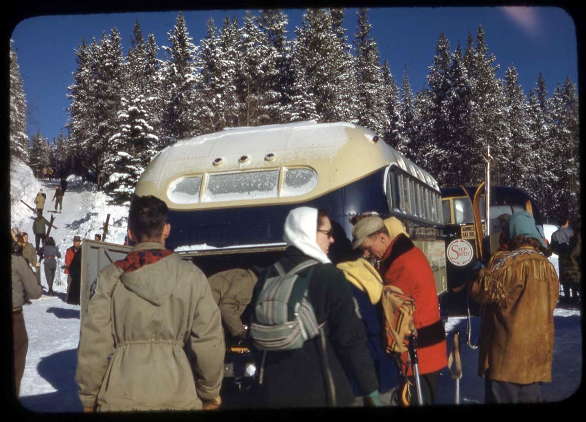
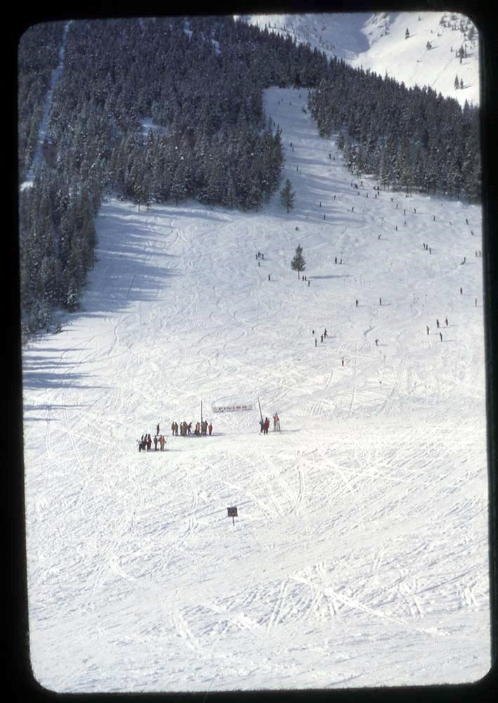
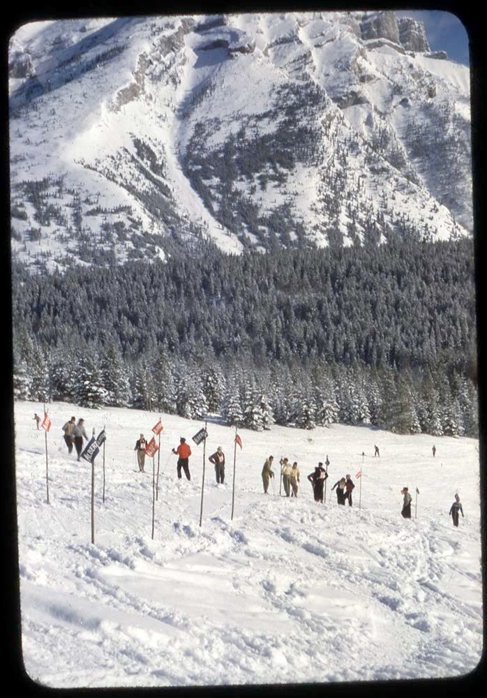
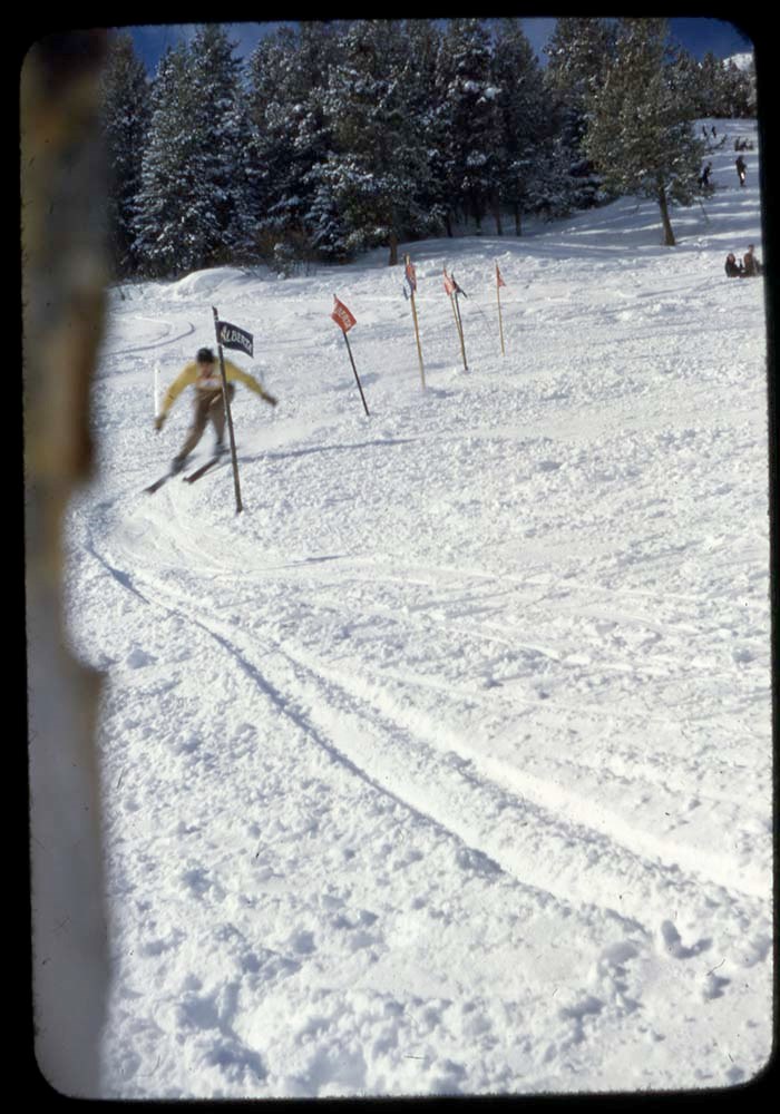
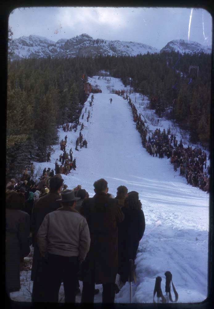
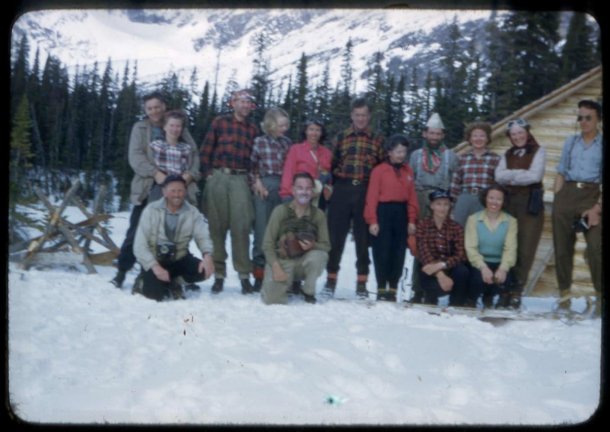
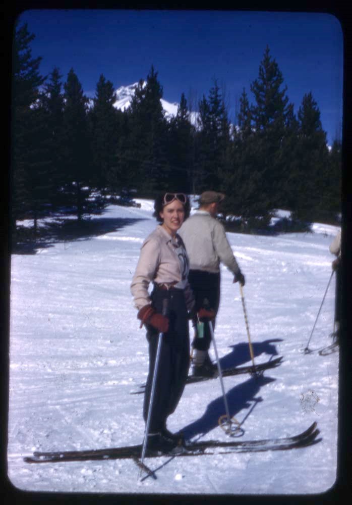
1948-49 : [mountaineering photographs]
https://archives.whyte.org/en/permalink/descriptions17522
- Part Of
- Bob Hind fonds
- Scope & Content
- File pertains to climbing, climbing school, ski camps, ski touring, groups, cabins in the following areas: Skoki Valley, Peyto Lake, Wapta Lake, Jasper, Saskatchewan Hut, Sunshine ski area, Big Bend Highway, Banff, Kananaskis Valley, Nordegg, Mount Yamnuska
- Date Range
- 1948-1949
- Reference Code
- V46 / I / A / 32 / NS - 1 to 205
- Description Level
- 5 / File
- GMD
- Photograph
- Transparency
205 images
1 Electronic Resource
- Part Of
- Bob Hind fonds
- Description Level
- 5 / File
- Fonds Number
- M7
- V46
- Series
- I.A. Mountain travel and recreation, western Canada : Trips and activities
- Sous-Fonds
- V46
- Accession Number
- 7181
- Reference Code
- V46 / I / A / 32 / NS - 1 to 205
- Date Range
- 1948-1949
- Physical Description
- 205 photographs : transparencies, 35mm, col
- Scope & Content
- File pertains to climbing, climbing school, ski camps, ski touring, groups, cabins in the following areas: Skoki Valley, Peyto Lake, Wapta Lake, Jasper, Saskatchewan Hut, Sunshine ski area, Big Bend Highway, Banff, Kananaskis Valley, Nordegg, Mount Yamnuska
- Geographic Access
- Alberta
- British Columbia
- Reproduction Restrictions
- Restrictions may apply
- Language
- N/A
- Title Source
- Title based on contents of file
- Processing Status
- Processed
Electronic Resources
Images


This material is presented as originally created; it may contain outdated cultural descriptions and
potentially offensive content.
Read more.
Calgary, Bragg Ck, Kananas, Canmore etc
https://archives.whyte.org/en/permalink/descriptions17523
- Part Of
- Bob Hind fonds
- Scope & Content
- File pertains to Bob and Marj Hind, family and friends, climbing, hiking and views in and around Calgary, Bragg Creek, Kananaskis Valley, Mount Yamnuska, Banff National Park, Jasper National Park and southern Alberta, including Waterton, Lethbridge and Fort Macleod
- Date Range
- 1948-1992, predominant 1951-1978
- Reference Code
- V46 / 33 (NS)
- Description Level
- 5 / File
- Part Of
- Bob Hind fonds
- Description Level
- 5 / File
- Series
- I.A. Mountain travel and recreation, western Canada : Trips and activities
- Accession Number
- 7181
- Reference Code
- V46 / 33 (NS)
- Other Title Info
- Alternate title: Calgary 1951, Bragg Ck, Kananas, Canmore etc.
- Date Range
- 1948-1992, predominant 1951-1978
- Physical Description
- 272 photographs : transparencies, 35mm, col
- Scope & Content
- File pertains to Bob and Marj Hind, family and friends, climbing, hiking and views in and around Calgary, Bragg Creek, Kananaskis Valley, Mount Yamnuska, Banff National Park, Jasper National Park and southern Alberta, including Waterton, Lethbridge and Fort Macleod
- Geographic Access
- Alberta
- British Columbia
- Content Details
- LIST OF CONTENTS (V46 / 32) :
- * Calgary Stampede parade, wedding? couple - 1948
- * Calgary - 1959
- * Kananaskis Valley, Ribbon Creek - 1951
- * Fort Macleod stampede - 1953
- * Kananaskis Valley - 1954
- * Climbing at Mount Yamnuska; mountain landscapes, BC - 1955
- * Nordegg; classmate group; G. H. Farm - 1956
- * Mount Freshfield area - 1957
- * Climbing [at Big Rock near Bragg Creek?] - 1958
- * Canmore area, Bragg Creek, climbing - 1960
- * Calgary - 1961
- * Climbing, Elk Lake (near Banff), Kananaskis Valley - 1962
- * Eremite Valley area; Kananaskis Valley - 1963
- * Climbing [at Big Rock near Bragg Creek?] - 1964
- * Hiking in Canmore area - 1967
- * Lethbridge - 1969
- * Calgary, game farm (zoo) - 1970
- * Ten : [group shots] - 1971
- * Waterton Lakes area - 1973
- * Quilt - 1974
- * Trees - 1976
- * Kananaskis-Canmore area, landscapes, glaciers, Calgary skyline, prairie, foothills - 1977
- * Flowers, waterfalls, hikers, landscapes, Canmore - 1978
- * Calgary, Kananaskis Valley, Bragg Creek - 1991
- * Calgary - 1992
- * Calgary, Calgary Stampede and parade, Mount Yamnuska, Morley, Lethbridge, wedding shower? - ca.1960-ca.1985
- * Calgary, rock climbing school, Kananaskis Valley, Mount Hector - n.d.
This material is presented as originally created; it may contain outdated cultural descriptions and
potentially offensive content.
Read more.
Farnham Ck, Hanging Gl, BC interior
https://archives.whyte.org/en/permalink/descriptions17524
- Part Of
- Bob Hind fonds
- Scope & Content
- File pertains to Farnham Creek and Lake of the Hanging Glacier area; Columbia Valley; British Columbia interior, including Shushwap, Cariboo and Chilcoten areas; hiking, climbing, family and friends, mountain landscapes
- Date Range
- 1952-1991
- Reference Code
- V46 / 36 (NS)
- Description Level
- 5 / File
- Part Of
- Bob Hind fonds
- Description Level
- 5 / File
- Series
- I.A. Mountain travel and recreation, western Canada : Trips and activities
- Accession Number
- 7181
- Reference Code
- V46 / 36 (NS)
- Date Range
- 1952-1991
- Physical Description
- 265 photographs : transparencies, 35mm, col
- Scope & Content
- File pertains to Farnham Creek and Lake of the Hanging Glacier area; Columbia Valley; British Columbia interior, including Shushwap, Cariboo and Chilcoten areas; hiking, climbing, family and friends, mountain landscapes
- Geographic Access
- British Columbia
- Content Details
- LIST OF CONTENTS (V46 / 35) :
- * Mountain landscapes and house - 1952
- * Mountain landscapes - 1959
- * Shushwap Lake area - 1961
- * Lake Windermere - 1963
- * Lake Windermere - 1964
- * Recc : mountain landscapes [reconnaissance shots?] - 1965
- * Lake and cottage - 1967
- * Fort Steele - 1969
- * Cariboo-Chilcoten area, Lake of Hanging Glaciers, Farnham Creek, landscape views, climbing, hiking, Alpine Club of Canada group camp, flowers, Silver Rope award - 1971
- * Salmon run - 1978
- * Landscape views, hiking of Lake of Hanging Glacier and Farnham Tower areas - 1982
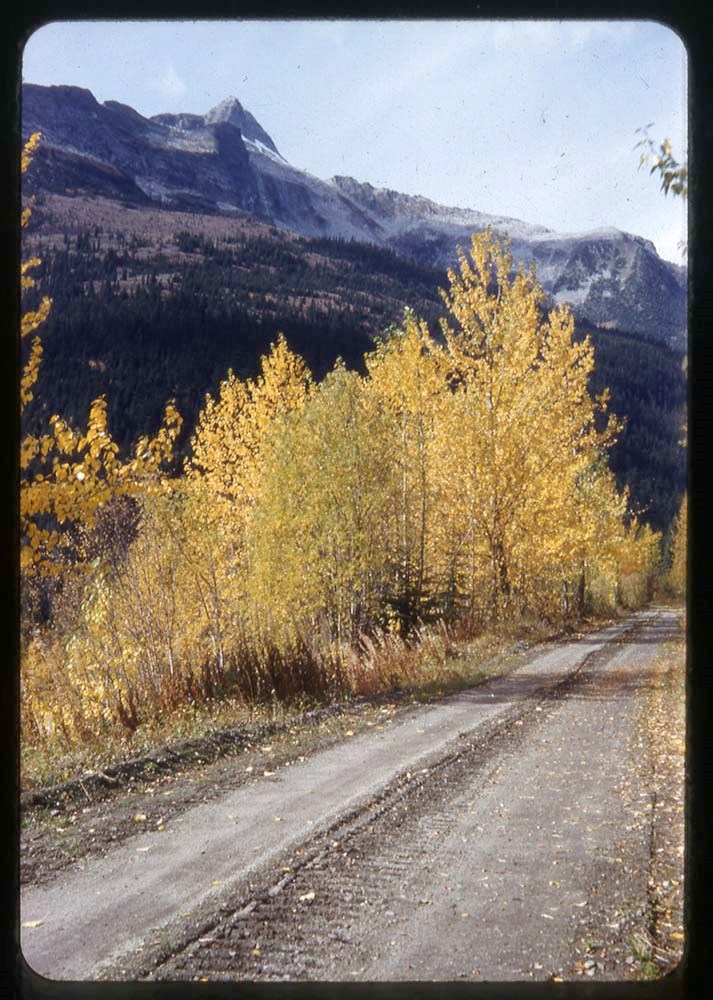
- * Highway in autumn - 198-
- * Family and friends, home interior with group, Mill's wedding, lake scenes - 1990
- * Big White ski area, Barkerville, Chilcoten, ranch, Patterson's place, Fraser's - 1991
This material is presented as originally created; it may contain outdated cultural descriptions and
potentially offensive content.
Read more.
Bugaboos, Bobby B
https://archives.whyte.org/en/permalink/descriptions17525
- Part Of
- Bob Hind fonds
- Scope & Content
- File pertains to landscapes, climbing, hiking and group camps in areas of British Columbia, including the Columbia Valley, Bugaboo mountains, Bobby Burns area, Lake of the Hanging Glacier and Selkirk Mountains
- Date Range
- 1954-1989
- Reference Code
- V46 / 39 (NS)
- Description Level
- 5 / File
- Part Of
- Bob Hind fonds
- Description Level
- 5 / File
- Series
- I.A. Mountain travel and recreation, western Canada : Trips and activities
- Accession Number
- 7181
- Reference Code
- V46 / 39 (NS)
- Date Range
- 1954-1989
- Physical Description
- 170 photographs : transparencies, 35mm, col
- Scope & Content
- File pertains to landscapes, climbing, hiking and group camps in areas of British Columbia, including the Columbia Valley, Bugaboo mountains, Bobby Burns area, Lake of the Hanging Glacier and Selkirk Mountains
- Geographic Access
- British Columbia
- Content Details
- LIST OF CONTENTS (V46 / 38) :
- * B : hiking, climbing, mountains and glaciers in the Bugaboos and Columbia Valley - 1954
- * Bugaboo Mountains area, including Bugaboo Spire and Marmolata Mountain, mountains and glaciers, climbing and group camp - 1959
- * Group camp - 1961
- * Mount Farnham and Lake of the Hanging Glacier, camp and hiking - 1971
- * Group hiking and landscape views - 1982
- * Group hiking and landscape views - 1987
- * Battle Abbey hut area, Selkirk Mountains; Mount Butters hiking group. Includes Hans Gmoser and Battle Abbey hut - 1988
- * Battle Abbey hut area, Selkirk Mountains landscapes and hiking group. Includes Hans Gmoser and interior of Battle Abbey Hut - 1989
This material is presented as originally created; it may contain outdated cultural descriptions and
potentially offensive content.
Read more.
Glacier : [Glacier BC area]
https://archives.whyte.org/en/permalink/descriptions17527
- Part Of
- Bob Hind fonds
- Scope & Content
- File consists of landscape views and includes Freshfield Glacier climbing, 1969
- Date Range
- 1947-[1982]
- Reference Code
- V46 / I / A / 31 / NS - 1 to 96
- Description Level
- 5 / File
- GMD
- Photograph
- Transparency
96 images
1 Electronic Resource
- Part Of
- Bob Hind fonds
- Description Level
- 5 / File
- Fonds Number
- M7
- V46
- Series
- I.A. Mountain travel and recreation, western Canada : Trips and activities
- Sous-Fonds
- V46
- Accession Number
- 7181
- Reference Code
- V46 / I / A / 31 / NS - 1 to 96
- Other Title Info
- Alternate title: Glacier 56-62-74-77
- Date Range
- 1947-[1982]
- Physical Description
- 96 photographs : transparencies, 35mm, col
- Scope & Content
- File consists of landscape views and includes Freshfield Glacier climbing, 1969
- Geographic Access
- British Columbia
- Reproduction Restrictions
- Restrictions may apply
- Title Source
- Title based on contents of file
- Content Details
- LIST OF CONTENTS (V46 / 30 ) :
- * Climbing - 1947
- * Glacier landscape view (fall) - 1948
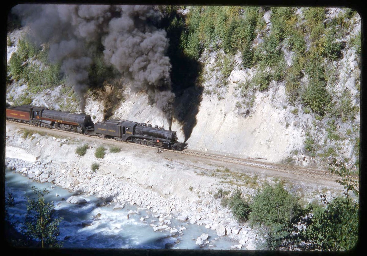
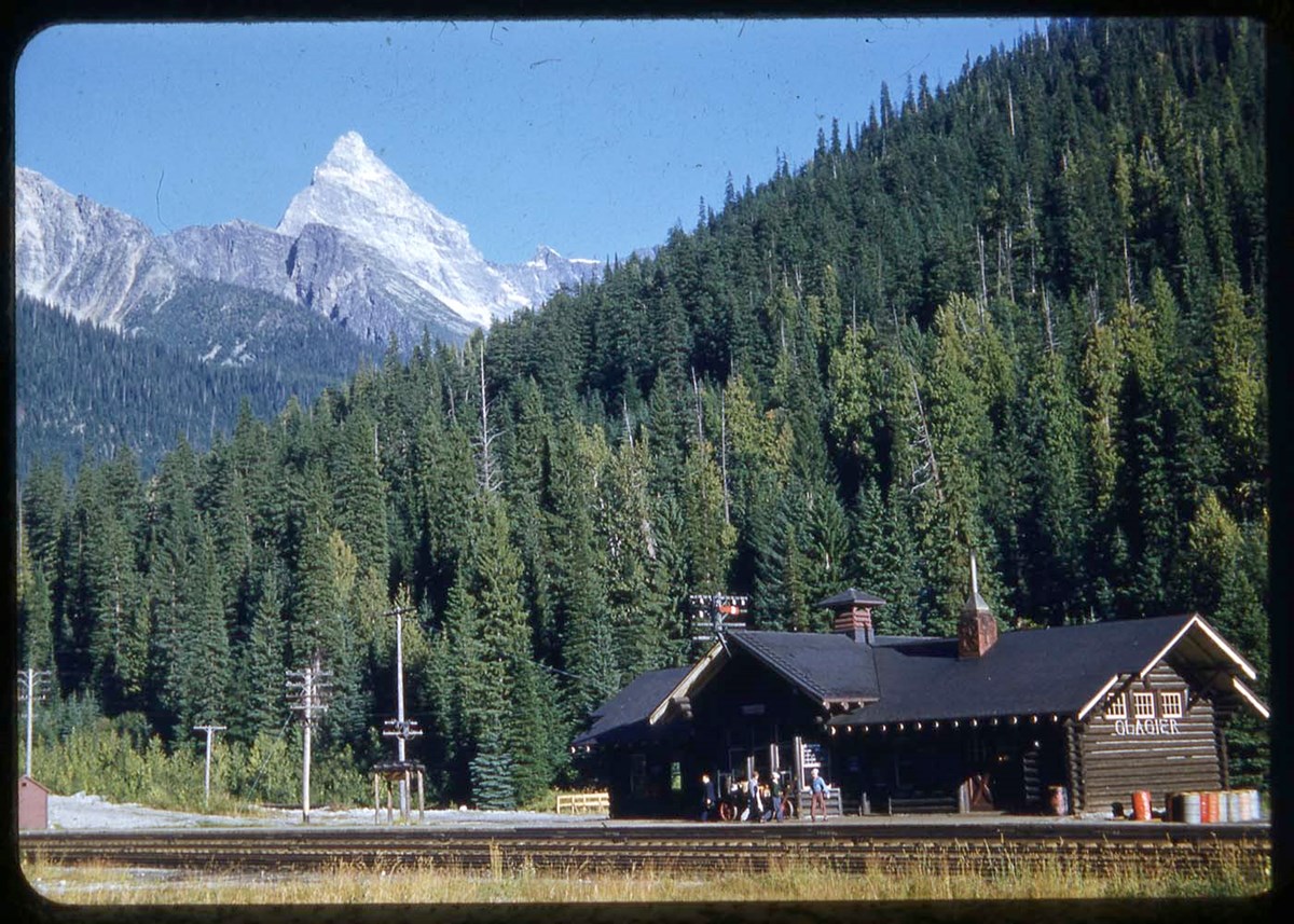
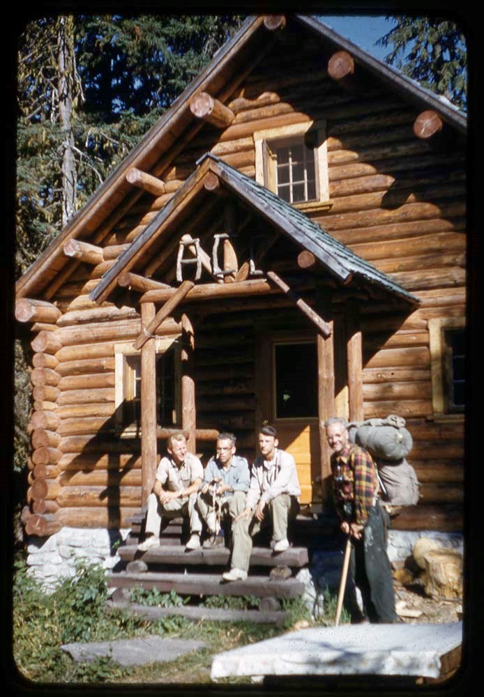
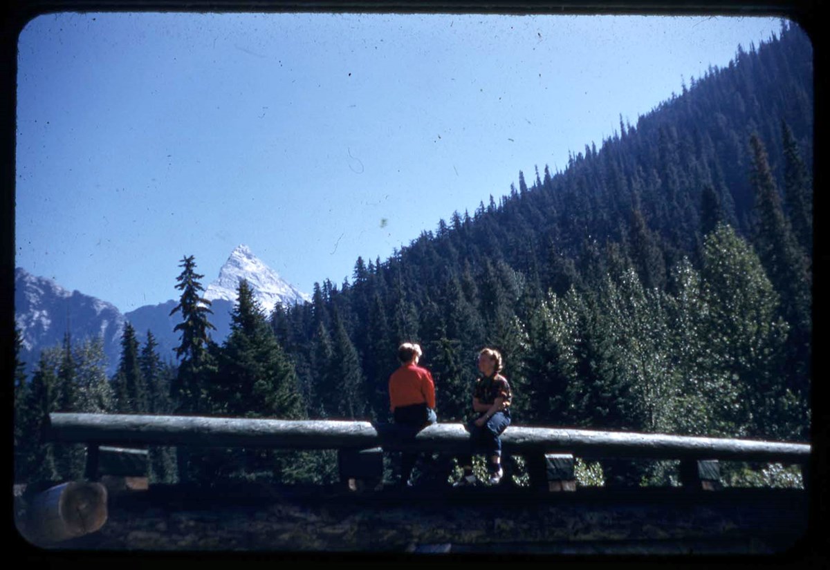
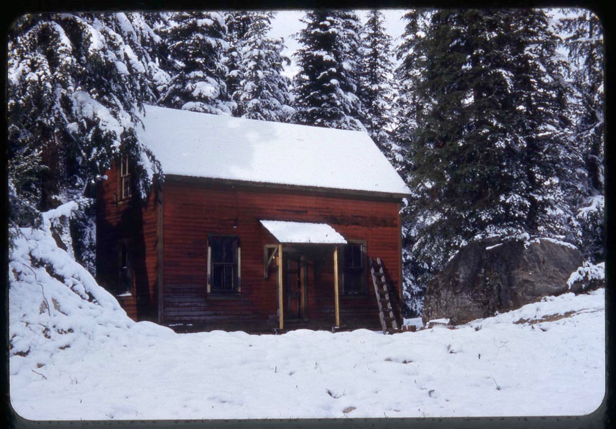
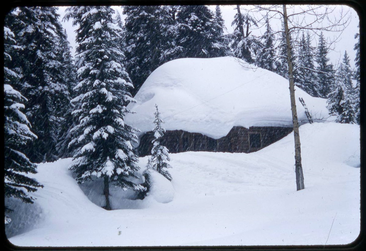
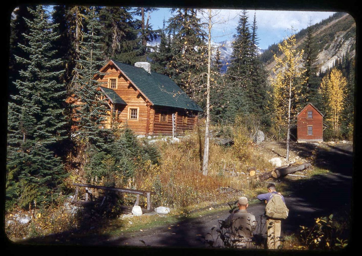
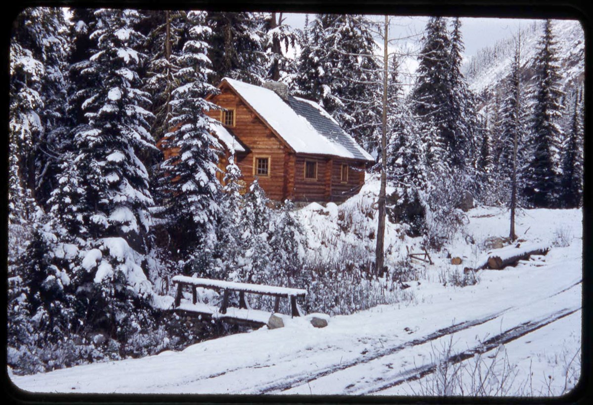
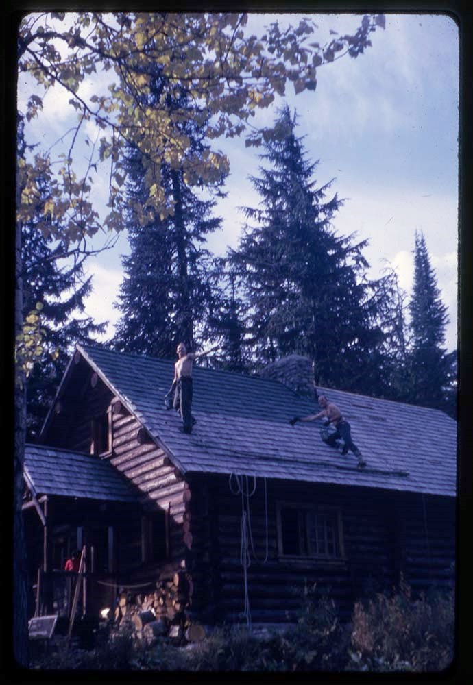
- * A. O. Wheeler Hut, Glacier area landscapes (winter and summer), Asulkan Glacier and Canadian Pacific Railway train - 1951
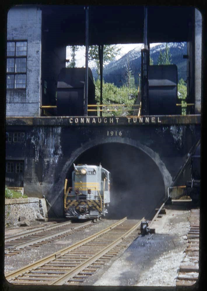
- * Connaught Tunnel, bridge, cabin behind A. O. Wheeler Hut, Mount Sir Donald - 1952
- * Climbing The Hermit, Mount Tupper and Mount Sir Donald; A. O. Wheeler Hut (winter and summer), Hermit Hut - 1955
- * Ski touring and landscape views at Glacier area, including A. O. Wheeler Hut - 1956
- * A. O. Wheeler Hut and cabin behind it - 1960
- * Glacier area landscapes, including Glacier train station, A. O. Wheeler Hut, Mount Sir Donald - 1962
- * Freshfield Glacier climbing - 1969
- * Glacier landscape views and climbing, including "The pink & purple rope" / R. Hind (Class II #2), Uto Peak - 1974
- * Glacier landscape, camp - 1977
- * Botany - 1980
- * Selkirk Mountains - 1982
- * A. O. Wheeler hut (summer) - [ca.1990?]
- Processing Status
- Processed
Electronic Resources
Images


This material is presented as originally created; it may contain outdated cultural descriptions and
potentially offensive content.
Read more.
- Part Of
- Bob Hind fonds
- Scope & Content
- File pertains to Elk Lake area in Kananaskis region of Alberta and BC. Includes landscape views, and photographs of group hiking and camps
- Date Range
- 1964
- Reference Code
- V46 / I / A / 42 / NS - 1 to 73
- Description Level
- 5 / File
- GMD
- Photograph
- Transparency
73 images
1 Electronic Resource
- Part Of
- Bob Hind fonds
- Description Level
- 5 / File
- Fonds Number
- M7
- V46
- Series
- I.A. Mountain travel and recreation, western Canada : Trips and activities
- Sous-Fonds
- V46
- Accession Number
- 7181
- Reference Code
- V46 / I / A / 42 / NS - 1 to 73
- Date Range
- 1964
- Physical Description
- 73 photographs : transparencies, 35mm, col
- Scope & Content
- File pertains to Elk Lake area in Kananaskis region of Alberta and BC. Includes landscape views, and photographs of group hiking and camps
- Geographic Access
- Alberta
- British Columbia
- Title Source
- Title based on contents of file
- Processing Status
- Processed
Electronic Resources

Images


This material is presented as originally created; it may contain outdated cultural descriptions and
potentially offensive content.
Read more.
Scott Hooker : [Mounts Scott and Hooker area]
https://archives.whyte.org/en/permalink/descriptions17532
- Part Of
- Bob Hind fonds
- Scope & Content
- File pertains to landscapes, group climbing and group camp
- Date Range
- 1953
- Reference Code
- V46 / 37 (NS)
- Description Level
- 5 / File
- Part Of
- Bob Hind fonds
- Description Level
- 5 / File
- Series
- I.A. Mountain travel and recreation, western Canada : Trips and activities
- Accession Number
- 7181
- Reference Code
- V46 / 37 (NS)
- Date Range
- 1953
- Physical Description
- 16 photographs : transparencies, 35mm, col
- Scope & Content
- File pertains to landscapes, group climbing and group camp
- Geographic Access
- Alberta
- British Columbia
This material is presented as originally created; it may contain outdated cultural descriptions and
potentially offensive content.
Read more.
Jasper, Scott, Maligne
https://archives.whyte.org/en/permalink/descriptions17545
- Part Of
- Bob Hind fonds
- Scope & Content
- File pertains to Jasper area, Maligne Lake, Mount Scott-Mount Hooker, Mount Fryatt area, Tonquin Valley area
- Date Range
- 1947-1976
- Reference Code
- V46 / 30 (NS)
- Description Level
- 5 / File
- Part Of
- Bob Hind fonds
- Description Level
- 5 / File
- Series
- I.A. Mountain travel and recreation, western Canada : Trips and activities
- Accession Number
- 7181
- Reference Code
- V46 / 30 (NS)
- Other Title Info
- Original title incorrect: Jasper 1950-1962, Scott, Maligne, Tonquin, Fryatt
- Date Range
- 1947-1976
- Physical Description
- 209 photographs : transparencies, 35mm, col
- Scope & Content
- File pertains to Jasper area, Maligne Lake, Mount Scott-Mount Hooker, Mount Fryatt area, Tonquin Valley area
- Geographic Access
- Alberta
- British Columbia
- Title Source
- Title based on container and content
- Content Details
- LIST OF CONTENTS (V46 / 29 ) :
- * Alta 47, Atha 47 - 1947
- * Landscape/s and hut - 1948
- * M50 : Maligne Lake and camp - 1950
- * SG 51 : glacier, climbing - 1951
- * Mount Hooker area, camps, landscape view/s (S53), climbing - 1953
- * EC55 : Mount Edith Cavell - 1955
- * Moat Lake 57, Athz 57, T57, Eremite 57: landscape view/s, camp, hut - 1957
- * Landscape view/s - 1958
- * Mal62, Maligne 62, Col 62, Colum 62 : landscape view/s, horse trail - 1962
- * Landscape view/s - 1968
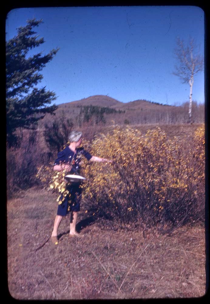
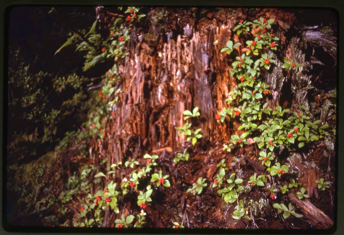
- * F76 : flora - 1976
- * Winter landscape view/s and hut - 1978
This material is presented as originally created; it may contain outdated cultural descriptions and
potentially offensive content.
Read more.
O'H 34-35-36 : [Lake O'Hara area]
https://archives.whyte.org/en/permalink/descriptions17547
- Part Of
- Bob Hind fonds
- Scope & Content
- File pertains to climbing and landscape
- Date Range
- 1934-1936
- Reference Code
- V46 / 7 (NA)
- Description Level
- 5 / File
- Part Of
- Bob Hind fonds
- Description Level
- 5 / File
- Series
- I.A. Mountain travel and recreation, western Canada : Trips and activities
- Accession Number
- 7181
- Reference Code
- V46 / 7 (NA)
- Date Range
- 1934-1936
- Physical Description
- 25 photographs : negatives
- Scope & Content
- File pertains to climbing and landscape
- Geographic Access
- British Columbia
- Related Material
- Related to prints in V46 / 28 (PA) - 1
- Content Details
- O'H34 IMAGES (V46 / 7 - 1 to 4) :
- 1. Lake Oesa
- 2. Lake Oesa
- 3. O'H reflection
- 4. In Abbot Hut
- -
- O'H35 IMAGES (V46 / 7 - 5 to 22) :
- 5. Summit unnamed
- 6. View from Fay
- 7. In Fay Hut
- 8. Temple
- 9. Temple
- 10. Fay Hut
- 11 O'H Hut.
- 12. Summit Blacktooth
- 13. Hung. from O'H
- 14. Impedimente
- 15. W. from Biddle (2)
- 16. Unnamed
- 17. K on Hungabee
- 18. Summit Biddle
- 19. Summit Biddle
- 20. Moose at O'H
- 21. Hung. from Biddle
- 22. Ken on #6
- O'H36 IMAGES (V46 / 7 - 23 to 25 :
- 23. Dad on Opabin
- 24. Self on Biddle (2)
- 25. Clouds in Kicking Horse Pass from Odaray
This material is presented as originally created; it may contain outdated cultural descriptions and
potentially offensive content.
Read more.
A35 : [Mount Assiniboine area]
https://archives.whyte.org/en/permalink/descriptions17548
- Part Of
- Bob Hind fonds
- Scope & Content
- File pertains mainly to Mount Assiniboine and surrounding area
- Date Range
- 1935
- Reference Code
- V46 / 8 (NA)
- Description Level
- 5 / File
- Part Of
- Bob Hind fonds
- Description Level
- 5 / File
- Series
- I.A. Mountain travel and recreation, western Canada : Trips and activities
- Accession Number
- 7181
- Reference Code
- V46 / 8 (NA)
- Date Range
- 1935
- Physical Description
- 15 photographs : negatives
- Scope & Content
- File pertains mainly to Mount Assiniboine and surrounding area
- Geographic Access
- British Columbia
- Related Material
- Related to prints in V46 / 28 (PA) - 5
- Content Details
- A35 IMAGES (V46 / 8 - 1 to 15) :
- 1. Assiniboine
- 2. Assiniboine
- 3. Assiniboine from Og
- 4. Assiniboine
- 5. Assiniboine
- 6. Assiniboine (O.K.)
- 7. Assiniboine from S.
- 8. Assiniboine summit
- -
- 9. Assiniboine E. face
- 10. Lakes from Assn.
- 11. Eon
- 12. Assn - Wedgwood Col
- 13. Climbing on _____
- 14. Climbing on _____
- 15. Big Fly
This material is presented as originally created; it may contain outdated cultural descriptions and
potentially offensive content.
Read more.
R36 : [Mount Robson area]
https://archives.whyte.org/en/permalink/descriptions17550
- Part Of
- Bob Hind fonds
- Scope & Content
- File pertains to climbing and landscape views
- Date Range
- 1936
- Reference Code
- V46 / 13 (NA)
- Description Level
- 5 / File
- Part Of
- Bob Hind fonds
- Description Level
- 5 / File
- Series
- I.A. Mountain travel and recreation, western Canada : Trips and activities
- Accession Number
- 7181
- Reference Code
- V46 / 13 (NA)
- Date Range
- 1936
- Physical Description
- 26 photographs : negatives
- Scope & Content
- File pertains to climbing and landscape views
- Geographic Access
- British Columbia
- Related Material
- Related to prints in V46 / 28 (PA) - 7
- Content Details
- R32 IMAGES (V46 / 13 - 1 to 26) :
- 1. Little Whitehorn
- 2. Robson from trail (Res)
- 3. Cabin at Berg
- 4. Robson from Hargreaves
- 5. Flying trestle
- 6. Whitehorn from Kinney
- 7. Robson summit
- 8. Robson from trail
- 9. Gengenlicht
- 10. Robson from Berg
- 11. Robson from N
- 12. Bloody but unbowed
- 13. Whitehorn from Timber
- -
- 14. Cap & H. the Icicles
- 15. Timberline biv site
- 16. High biv down
- 17. Robson from H
- 18. Cap & H. Summit Robson
- 19. Summit 2000'
- 20. High biv up
- 21. Couloir down
- 22. Upper ice cliff
- 23. Self & H summit
- 24. H. cutting in couloir
- 25. Cariboo range from Timber
- 26. H. & self below accident pt
This material is presented as originally created; it may contain outdated cultural descriptions and
potentially offensive content.
Read more.
B46 : [Bugaboos area]
https://archives.whyte.org/en/permalink/descriptions17554
- Part Of
- Bob Hind fonds
- Scope & Content
- File pertains to Bugaboos mountains area, Howser Spire, Snowpatch Spire, Marmolata Spire, Crescent Glacier, landscape, camps and ski touring
- Date Range
- 1946
- Reference Code
- V46 / 24 (NA)
- Description Level
- 5 / File
- Part Of
- Bob Hind fonds
- Description Level
- 5 / File
- Series
- I.A. Mountain travel and recreation, western Canada : Trips and activities
- Accession Number
- 7181
- Reference Code
- V46 / 24 (NA)
- Date Range
- 1946
- Physical Description
- 18 photographs : negatives
- Scope & Content
- File pertains to Bugaboos mountains area, Howser Spire, Snowpatch Spire, Marmolata Spire, Crescent Glacier, landscape, camps and ski touring
- Geographic Access
- British Columbia
- Related Material
- Related to prints in V46 / 28 (PA) - 10
- Content Details
- B46 IMAGES (V46 / 24 - 1 to 18) :
- 1. Bugaboo Ridge (2)
- 2. Pigeon Spire
- 3. Snowpatch from B
- 4. B. Burns group
- 5. Snowpatch from P
- 6. Waterfall - Marmolata
- 7. Camp scenes (5)
- 8. Camp scenes (5)
- 9. The spires from creek 2
- 10. Snowpatch & Pig from C
- -
- 11. Cres from Bug
- 12. Crescent
- 13. Marmolata
- 14. Howser Spire
- 15. From campfire circle (4)
- 16. Approaching crescent
- 17. Bugaboo from Crescent
- 18. Summit Bugaboo
This material is presented as originally created; it may contain outdated cultural descriptions and
potentially offensive content.
Read more.
57-11. Friendly Cove, Vancouver Island
https://archives.whyte.org/en/permalink/descriptions17837
- Part Of
- Nicholas Morant fonds
- Date Range
- [between 1930 and ca.1960]
- Reference Code
- V500 / A3 / 57-11
- Description Level
- 5 / File
- Part Of
- Nicholas Morant fonds
- Description Level
- 5 / File
- Series
- I.A. Photography : negatives and transparencies / 1.b. Darkroom files : black/white II
- Reference Code
- V500 / A3 / 57-11
- Date Range
- [between 1930 and ca.1960]
- Physical Description
- 2 photographs (1 negative, 1 print) : b/w
- Geographic Access
- British Columbia
This material is presented as originally created; it may contain outdated cultural descriptions and
potentially offensive content.
Read more.
57-18. Portrait, Yale oldtimer (1938)
https://archives.whyte.org/en/permalink/descriptions17844
- Part Of
- Nicholas Morant fonds
- Date Range
- 1938
- Reference Code
- V500 / A3 / 57-18
- Description Level
- 5 / File
- Part Of
- Nicholas Morant fonds
- Description Level
- 5 / File
- Series
- I.A. Photography : negatives and transparencies / 1.b. Darkroom files : black/white II
- Reference Code
- V500 / A3 / 57-18
- Date Range
- 1938
- Physical Description
- 1 photograph : negative, film, b/w
- Geographic Access
- British Columbia
This material is presented as originally created; it may contain outdated cultural descriptions and
potentially offensive content.
Read more.