Narrow Results By
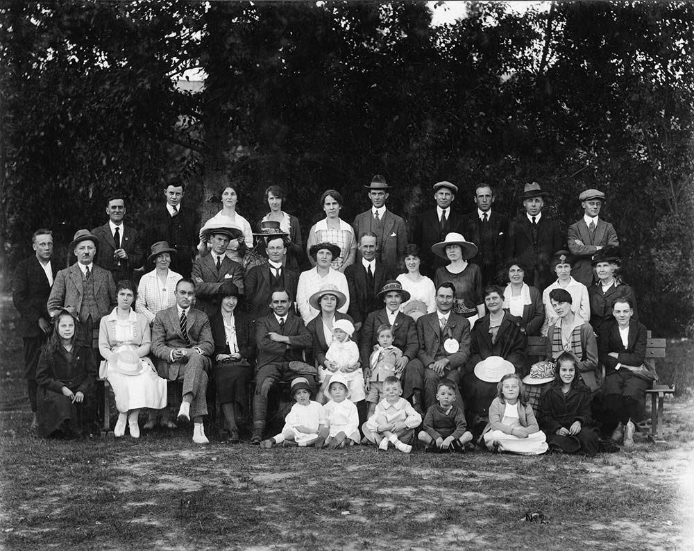
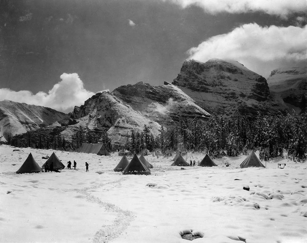
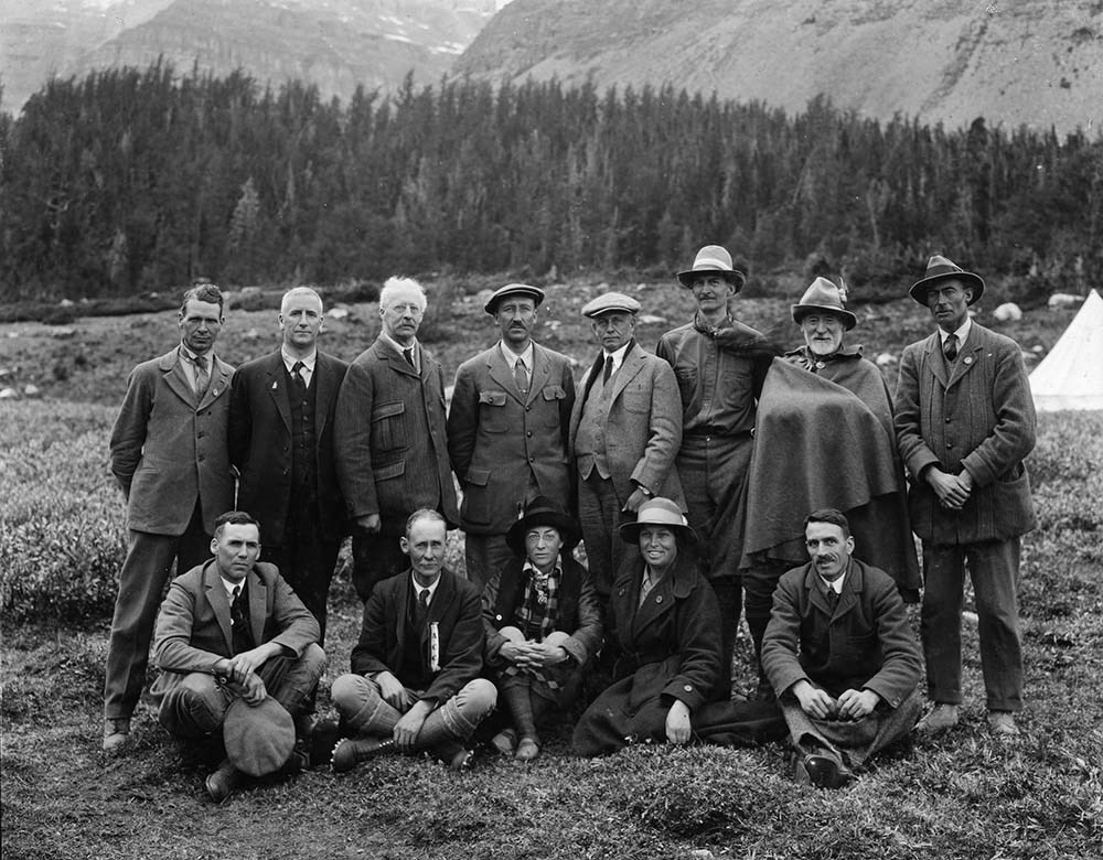
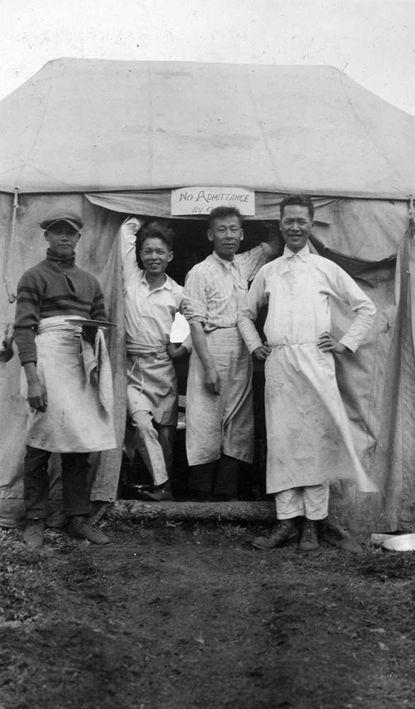
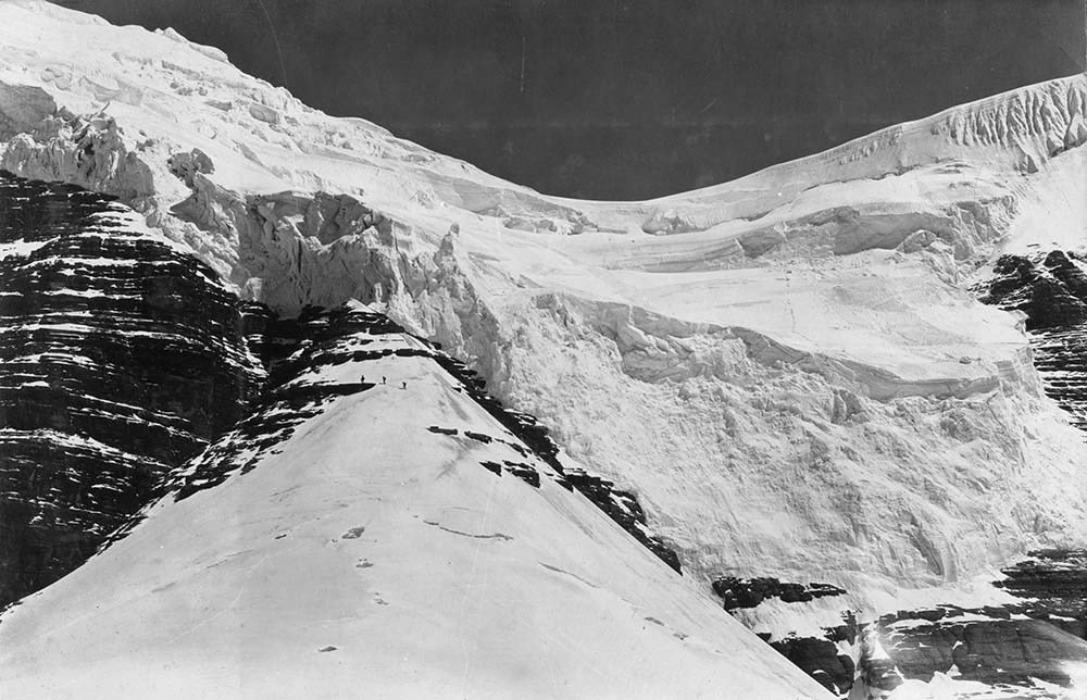
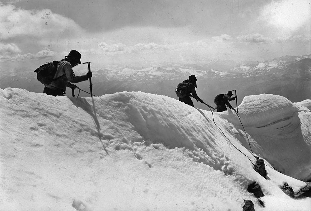
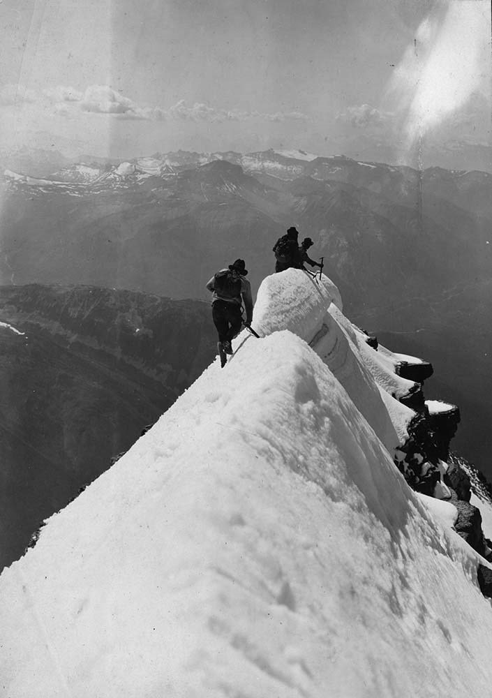
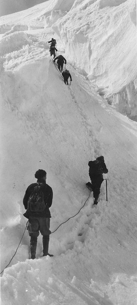
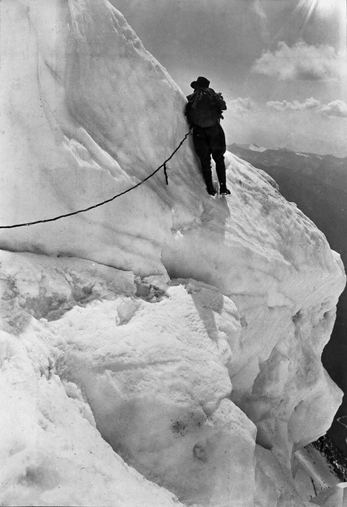
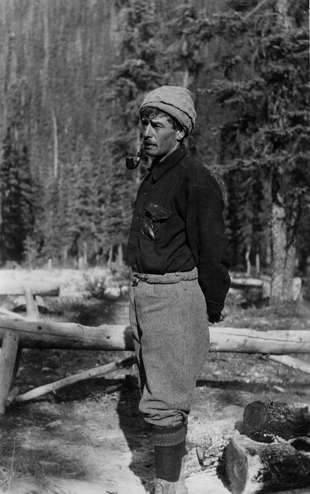
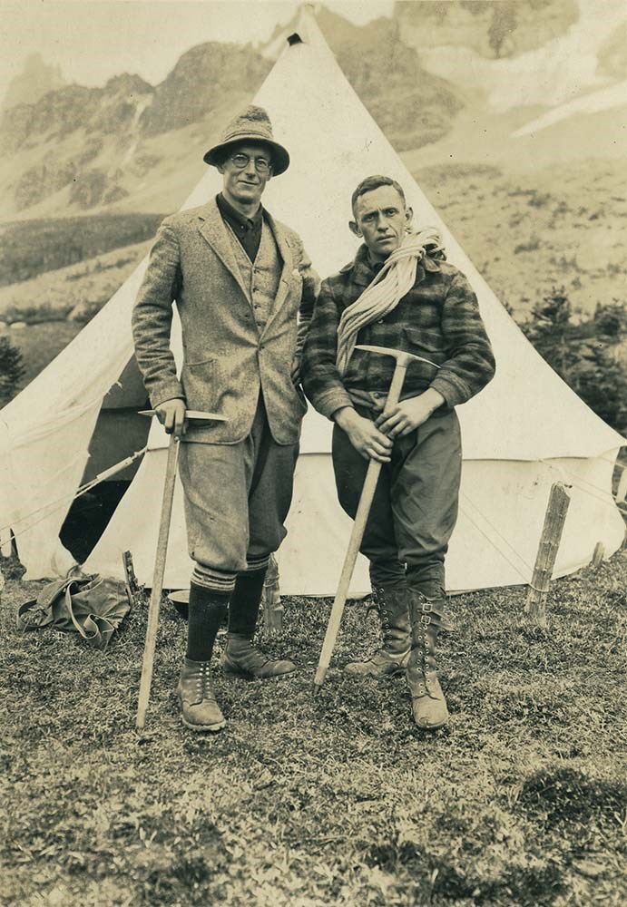
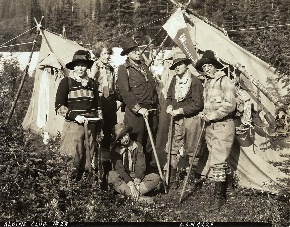
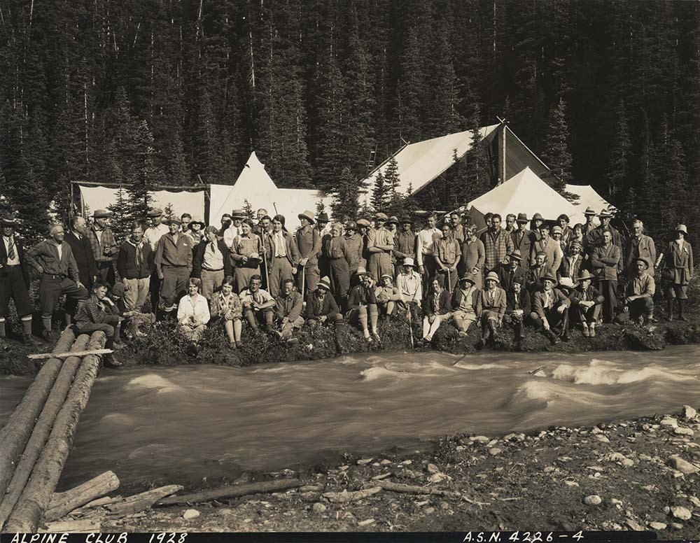
A. W. Drinnan photographs
https://archives.whyte.org/en/permalink/descriptions7237
- Part Of
- Alpine Club of Canada fonds
- Scope & Content
- Album and loose accompanying prints pertain to alpine club camps and activities.
- Date Range
- [ca. 1917-1928]
- Reference Code
- V14 / AC 192P / 01-10
- Description Level
- 5 / File
- GMD
- Photograph
- Photograph print
21 images
- Part Of
- Alpine Club of Canada fonds
- Description Level
- 5 / File
- Fonds Number
- M200 / S6 / V14
- Series
- III. Personal papers and photographs
- Sous-Fonds
- V14
- Accession Number
- 5200
- Reference Code
- V14 / AC 192P / 01-10
- Responsibility
- Album was assembled by A.W. Drinnan; includes many views by H. Pollard.
- Date Range
- [ca. 1917-1928]
- Physical Description
- 1 photograph album (ca.180 prints). -- 9 photographs : prints
- Scope & Content
- Album and loose accompanying prints pertain to alpine club camps and activities.
- Name Access
- Alpine Club of Canada
- Drinnan, A. W.
- Subject Access
- Abbot Pass Hut
- Activities
- Administration
- Advertising
- Alpine Club of Canada
- Alpine Club House
- Cabins
- Cabins and shelters
- Camps
- Club
- Competition
- Discovery and exploration
- Environment
- Environment and Nature
- Exploration
- Guide
- Guides
- Hiking
- Huts
- Mountain
- Mountain guides
- Mountaineering
- Mountaineers
- Mountains
- National parks and reserves
- Organizations
- Photography
- Scenery
- Sports and recreation
- Summit
- Geographic Access
- Banff National Park
- Jasper National Park
- Yoho National Park
- Alberta
- British Columbia
- Canada
- Language
- English
- Title Source
- Title based on album
- Processing Status
- Processed
Images


This material is presented as originally created; it may contain outdated cultural descriptions and
potentially offensive content.
Read more.
A.L. Harkness photograph album
https://archives.whyte.org/en/permalink/descriptions7229
- Part Of
- Alpine Club of Canada fonds
- Scope & Content
- Album contains miscellaneous views.
- Date Range
- 1917
- Reference Code
- V14 / AC 055P / 30
- Description Level
- 5 / File
- GMD
- Photograph
- Photograph print
1 image
- Part Of
- Alpine Club of Canada fonds
- Description Level
- 5 / File
- Fonds Number
- M200 / S6 / V14
- Series
- III. Personal papers and photographs
- Sous-Fonds
- V14
- Accession Number
- 5200
- Reference Code
- V14 / AC 055P / 30
- Date Range
- 1917
- Physical Description
- 1 photograph album (27 prints)
- Scope & Content
- Album contains miscellaneous views.
- Name Access
- Alpine Club of Canada
- Harkness, A.L.
- Subject Access
- Abbot Pass Hut
- Activities
- Administration
- Advertising
- Alpine Club of Canada
- Alpine Club House
- Cabins
- Cabins and shelters
- Camps
- Club
- Competition
- Discovery and exploration
- Environment
- Environment and Nature
- Exploration
- Guide
- Guides
- Hiking
- Huts
- Mountain
- Mountain guides
- Mountaineering
- Mountaineers
- Mountains
- National parks and reserves
- Organizations
- Photography
- Scenery
- Sports and recreation
- Summit
- Geographic Access
- Banff National Park
- Jasper National Park
- Yoho National Park
- Alberta
- British Columbia
- Canada
- Language
- English
- Title Source
- Title based on preliminary inventory
- Processing Status
- Processed
Images

This material is presented as originally created; it may contain outdated cultural descriptions and
potentially offensive content.
Read more.
Alberta, Saskatchewan
https://archives.whyte.org/en/permalink/catalogue24580
- Medium
- Library - Maps and blueprints (unannotated; published)
- Map
- Published Date
- 1964
- Publisher
- Royal Canadian Geographical Society
- Call Number
- C11-6.2
- Publisher
- Royal Canadian Geographical Society
- Published Date
- 1964
- Scale
- 32 miles (approx) to 1 inch
- Subjects
- Canada - Prairie Region
- Accession Number
- 495
- Call Number
- C11-6.2
- Collection
- Archives Library
This material is presented as originally created; it may contain outdated cultural descriptions and
potentially offensive content.
Read more.
Alberta, Saskatchewan, Manitoba
https://archives.whyte.org/en/permalink/catalogue24575
- Medium
- Library - Maps and blueprints (unannotated; published)
- Map
- Published Date
- 1973
- Publisher
- Dept. of Energy, Mines and Resources
- Call Number
- C11-6.1
- Publisher
- Dept. of Energy, Mines and Resources
- Published Date
- 1973
- Scale
- 2 inch - 32 miles
- Subjects
- Canada - Prairie Region
- Accession Number
- 700
- Call Number
- C11-6.1
- Collection
- Archives Library
This material is presented as originally created; it may contain outdated cultural descriptions and
potentially offensive content.
Read more.
Alpine Club of Canada Clubhouse area
https://archives.whyte.org/en/permalink/catalogue21325
- Subjects
- Alpine Club of Canada Banff, Alberta
- Notes
- Sketch map showing clubhouse and cabins: Mt. Minnehaha, Mt. Aylmer, Mt. Assiniboine, Mt. Louis, Mt. Edith, Crowsnest, Geikie, Rundle, Seaver, Vermilion, Inglismaldie, Mt. Logan, Staff quarters, water tank
- Accession Number
- 2609
- Call Number
- C4-6.15
- Collection
- Archives Library
This material is presented as originally created; it may contain outdated cultural descriptions and
potentially offensive content.
Read more.
An Environmental Impact Study re: Trans Canada Highway
https://archives.whyte.org/en/permalink/catalogue21366
- Medium
- Library - Maps and blueprints (unannotated; published)
- Map
- Published Date
- 1972
- Publisher
- Dept. of PW, Lombard North Planning Ltd.
- Call Number
- C6-11.1(a)
- Publisher
- Dept. of PW, Lombard North Planning Ltd.
- Published Date
- 1972
- Physical Description
- 12 sheets
- Subjects
- Trans Canada Highway
- BNP
- Notes
- Accompanies: Environmental Impact Study (ACR Library)
- Miles 0.7.8.
- Accession Number
- 3042
- Call Number
- C6-11.1(a)
- Collection
- Archives Library
This material is presented as originally created; it may contain outdated cultural descriptions and
potentially offensive content.
Read more.
An Environmental Impact Study re: Trans Canada Highway
https://archives.whyte.org/en/permalink/catalogue21396
- Medium
- Library - Maps and blueprints (unannotated; published)
- Map
- Published Date
- 1972
- Publisher
- Dept. of PW, Lombard North Planning Ltd.
- Call Number
- C6-11.1(a)
- Publisher
- Dept. of PW, Lombard North Planning Ltd.
- Published Date
- 1972
- Physical Description
- 12 sheets
- Subjects
- Trans Canada Highway
- BNP
- Notes
- Accompanies: Environmental Impact Study (ACR Library)
- Miles 0.7.8.
- Accession Number
- 3042
- Call Number
- C6-11.1(a)
- Collection
- Archives Library
This material is presented as originally created; it may contain outdated cultural descriptions and
potentially offensive content.
Read more.
An illustrated plan of the city of Halifax
https://archives.whyte.org/en/permalink/catalogue21442
- Medium
- Library - Maps and blueprints (unannotated; published)
- Map
- Published Date
- 1983
- Author
- Wallace, A.W.
- Call Number
- C11-8.2
- Author
- Wallace, A.W.
- Responsibility
- Map drawn by A.W. Wallace/1935
- Published Date
- 1983
- Subjects
- Canada - Maritime Region
- Halifax
- Notes
- Representative of the social, commercial and industrial life of the city of Halifax
- With harbour facilities and street index. With places of historical interest noted
- Accession Number
- 400
- Call Number
- C11-8.2
- Collection
- Archives Library
This material is presented as originally created; it may contain outdated cultural descriptions and
potentially offensive content.
Read more.
An official highway and tourist guide for the province of Nova Scotia
https://archives.whyte.org/en/permalink/catalogue24608
- Medium
- Library - Maps and blueprints (unannotated; published)
- Map
- Published Date
- n.d.
- Publisher
- Nova Scotia Travel Bureau
- Call Number
- C11-8.3
- Publisher
- Nova Scotia Travel Bureau
- Published Date
- n.d.
- Scale
- 8 miles - 1 inch
- Subjects
- Canada - Maritime Region
- Nova Scotia
- Accession Number
- 3000
- Call Number
- C11-8.3
- Collection
- Archives Library
This material is presented as originally created; it may contain outdated cultural descriptions and
potentially offensive content.
Read more.
An Outline Map of the Canadian Pacific Railway and Connecting Lines
https://archives.whyte.org/en/permalink/catalogue21429
- Medium
- Library - Maps and blueprints (unannotated; published)
- Map
- Published Date
- Checked to March 1925
- Call Number
- C11-3.2
- Published Date
- Checked to March 1925
- Subjects
- Canada
- Railway routes
- Notes
- World Cruises described on the reverse side of the map
- Accession Number
- 400
- Call Number
- C11-3.2
- Collection
- Archives Library
This material is presented as originally created; it may contain outdated cultural descriptions and
potentially offensive content.
Read more.