Narrow Results By
Baja California Sur, Mexico
https://archives.whyte.org/en/permalink/descriptions54835
- Part Of
- Murray Hay fonds
- Scope & Content
- File consists of 1 cm of textual records, 21.5 x 36 cm or smaller. File pertains to a project Murray Hay worked on for Glacier Bay Tours and Cruises (based out of Alaska). File is comprised of handwritten and faxed correspondence between Hay and Steve Cowart, Manager, Creative Services. Corresponde…
- Date Range
- ca.1998
- Reference Code
- M570 / IV / A / 1
- Description Level
- 5 / File
- GMD
- Textual record
- Private record
- Map
- Part Of
- Murray Hay fonds
- Description Level
- 5 / File
- Fonds Number
- M570 / V795
- Series
- M570 / IV : Murray Hay Personal Papers
- Sous-Fonds
- M570
- Sub-Series
- M570 / IV / A : Correspondence
- Accession Number
- 2019.41
- Reference Code
- M570 / IV / A / 1
- Date Range
- ca.1998
- Physical Description
- 1 cm of textual records (21.5 x 36 cm or smaller)
- Scope & Content
- File consists of 1 cm of textual records, 21.5 x 36 cm or smaller. File pertains to a project Murray Hay worked on for Glacier Bay Tours and Cruises (based out of Alaska). File is comprised of handwritten and faxed correspondence between Hay and Steve Cowart, Manager, Creative Services. Correspondence is in regards to the map of Baja California Sur, Mexico Hay was to create for the company's promotion of their cruise to the area.
- Notes
- Originally filed with draft material related to this project [see related material].
- Name Access
- Hay, Murray
- Cowart, Steve
- Subject Access
- Advertising
- Artist
- Cartography
- Map
- Tourism
- Travel
- Tourist information
- Geographic Access
- Mexico
- Baja California Sur
- Language
- English
- Related Material
- V795 / II / D / ii / 2-3
- Title Source
- Title based on contents of file
- Processing Status
- Processed
This material is presented as originally created; it may contain outdated cultural descriptions and
potentially offensive content.
Read more.
Baja California Sur, Mexico
https://archives.whyte.org/en/permalink/descriptions54974
- Part Of
- Murray Hay fonds
- Scope & Content
- File consists of 11 maps : mss. and reproductions, some col., annotations ; 43 x 94 cm or smaller. File pertains to a project Murray Hay worked on for Glacier Bay Tours and Cruises (based out of Alaska). File includes 11 original hand-drawn and reproduced drafts, including annotations, of a map dep…
- Date Range
- ca.1990-ca.1999
- ca. 1998
- Reference Code
- V795 / II / D / ii / 2-3
- Description Level
- 5 / File
- GMD
- Drawing
- Map
- Private record
- Part Of
- Murray Hay fonds
- Description Level
- 5 / File
- Fonds Number
- M570 / V795
- Series
- V795 / II : Unpublished Material
- Sous-Fonds
- V795
- Sub-Series
- V795 / II / D : International / ii : Miscellaneous
- Accession Number
- 2019.41
- Reference Code
- V795 / II / D / ii / 2-3
- GMD
- Drawing
- Map
- Private record
- Date Range
- ca.1990-ca.1999
- ca. 1998
- Physical Description
- 11 maps : mss. and reproductions, some col., annotations ; 43 x 94 cm or smaller
- Scope & Content
- File consists of 11 maps : mss. and reproductions, some col., annotations ; 43 x 94 cm or smaller. File pertains to a project Murray Hay worked on for Glacier Bay Tours and Cruises (based out of Alaska). File includes 11 original hand-drawn and reproduced drafts, including annotations, of a map depicting the Baja California Sur region and the cruise's route in this area.
- Notes
- Originally filed with correspondence related to this project [see related material]. "For Steve Cowart" is also written on at least one map (who Murray Hay is corresponding with in M570 / IV / A / 1). Items not in oversize stored in downstairs vault.
- Name Access
- Hay, Murray
- Cowart, Steve
- Subject Access
- Advertising
- Artist
- Cartography
- Map
- Tourism
- Tourist information
- Travel
- Geography
- Geographic Access
- Mexico
- Baja California Sur
- Language
- English
- Related Material
- M570 / IV / A /1
- Creator
- Hay, Murray
- Title Source
- Title based on contents of file
- Processing Status
- Processed
This material is presented as originally created; it may contain outdated cultural descriptions and
potentially offensive content.
Read more.
- Date
- n.d.
- Medium
- graphite; ink on paper
- Catalogue Number
- WyP.03.549
- Description
- An ink and pencil drawing of Quebec, New Brunswick, Ontario and Manitoba, from a cartographical perspective.
1 image
- Title
- Map of Quebec
- Date
- n.d.
- Medium
- graphite; ink on paper
- Dimensions
- 22.5 x 15.1 cm
- Description
- An ink and pencil drawing of Quebec, New Brunswick, Ontario and Manitoba, from a cartographical perspective.
- Subject
- map
- cartography
- Ontario
- Manitoba
- New Brunswick
- Quebec
- Credit
- Gift of Catharine Robb Whyte, O. C., Banff, 1979
- Catalogue Number
- WyP.03.549
Images

This material is presented as originally created; it may contain outdated cultural descriptions and
potentially offensive content.
Read more.
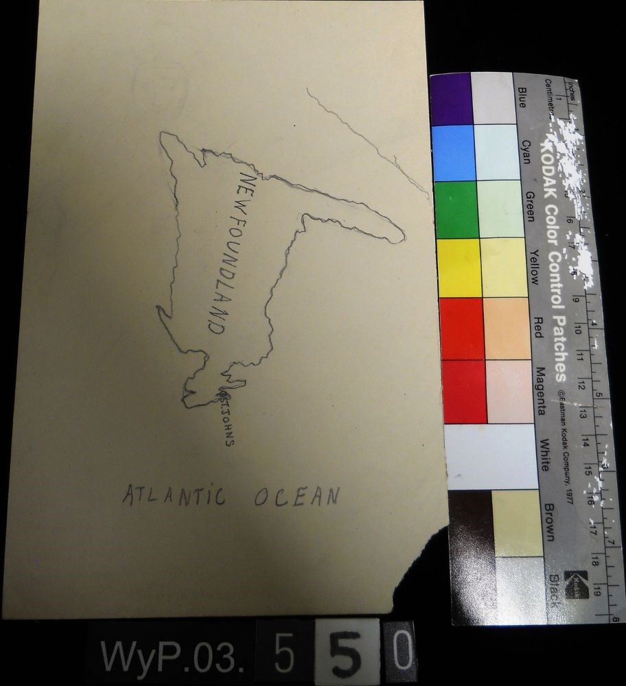
Map of Newfoundland
https://archives.whyte.org/en/permalink/artifactwyp.03.550
- Date
- n.d.
- Medium
- graphite on paper
- Catalogue Number
- WyP.03.550
- Description
- A pencil drawn map of Newfoundland, including the Atlantic Ocean.
1 image
- Title
- Map of Newfoundland
- Date
- n.d.
- Medium
- graphite on paper
- Dimensions
- 22.5 x 15.1 cm
- Description
- A pencil drawn map of Newfoundland, including the Atlantic Ocean.
- Subject
- map
- cartography
- Newfoundland
- Atlantic Ocean
- Credit
- Gift of Catharine Robb Whyte, O. C., Banff, 1979
- Catalogue Number
- WyP.03.550
Images
This material is presented as originally created; it may contain outdated cultural descriptions and
potentially offensive content.
Read more.
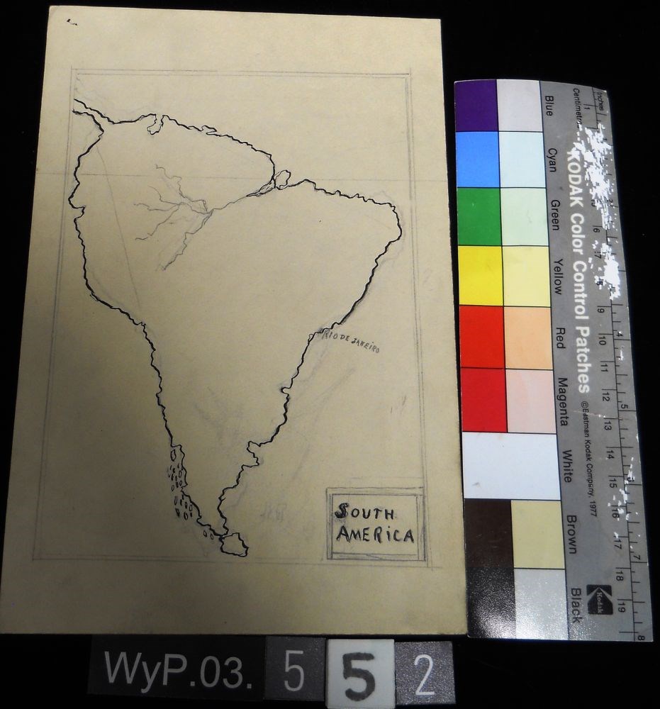
- Date
- n.d.
- Medium
- graphite; ink on paper
- Catalogue Number
- WyP.03.552
- Description
- A pencil and ink drawing of a map of South America. Rio de Janeiro is labeled on right edge of the continent.
1 image
- Title
- Untitled
- Date
- n.d.
- Medium
- graphite; ink on paper
- Dimensions
- 22.5 x 15.1 cm
- Description
- A pencil and ink drawing of a map of South America. Rio de Janeiro is labeled on right edge of the continent.
- Subject
- South America
- Rio de Janeiro
- map
- cartography
- Credit
- Gift of Catharine Robb Whyte, O. C., Banff, 1979
- Catalogue Number
- WyP.03.552
Images
This material is presented as originally created; it may contain outdated cultural descriptions and
potentially offensive content.
Read more.
- Date
- 1917 – 1929
- Medium
- graphite on paper
- Catalogue Number
- WyP.03.583
- Description
- A pencil drawing of the outline of the South American continent. Drawing occupies entire paper.
1 image
- Title
- Untitled
- Date
- 1917 – 1929
- Medium
- graphite on paper
- Dimensions
- 22.5 x 15.1 cm
- Description
- A pencil drawing of the outline of the South American continent. Drawing occupies entire paper.
- Subject
- South America
- map
- geography
- cartography
- Credit
- Gift of Catharine Robb Whyte, O. C., Banff, 1979
- Catalogue Number
- WyP.03.583
Images

This material is presented as originally created; it may contain outdated cultural descriptions and
potentially offensive content.
Read more.
Map Drawing Book For Use in Public Schools
https://archives.whyte.org/en/permalink/artifactwyp.03.584
- Date
- c. 1914
- Medium
- graphite on paper
- Catalogue Number
- WyP.03.584
- Description
- Peter Whyte’s Map Drawing sketchbook, likely an exercise book for school, with a printed cover page and map drawings inside. Cover page reads: MAP DRAWING BOOK [across top]; FOR USE IN THE PUBLIC SCHOOLS/ THE COPP, CLARK CO., LIMITED, TORONTO [across bottom] Inside, pencil drawings include: the Gul…
1 image
- Title
- Map Drawing Book For Use in Public Schools
- Date
- c. 1914
- Medium
- graphite on paper
- Dimensions
- 24.9 x 31.0 cm
- Description
- Peter Whyte’s Map Drawing sketchbook, likely an exercise book for school, with a printed cover page and map drawings inside. Cover page reads: MAP DRAWING BOOK [across top]; FOR USE IN THE PUBLIC SCHOOLS/ THE COPP, CLARK CO., LIMITED, TORONTO [across bottom] Inside, pencil drawings include: the Gulf of St. Lawrence, the Philippine Islands, Asia and the Middle East, and Africa.
- Subject
- world
- map
- globe
- geography
- cartography
- Asia
- Middle East
- Africa
- Philippine Islands
- Gulf of St. Lawrence
- Credit
- Gift of Catharine Robb Whyte, O. C., Banff, 1975
- Catalogue Number
- WyP.03.584
Images

This material is presented as originally created; it may contain outdated cultural descriptions and
potentially offensive content.
Read more.
- Date
- 1914 – 1925
- Medium
- graphite on paper
- Catalogue Number
- WyP.03.658
- Description
- Unfinished pencil drawing of what appears to be a jagged coastline. Drawing appears in tlc of paper. Straight lines run parallel to all edges and intersect at corners to form a frame.
1 image
- Title
- Untitled
- Date
- 1914 – 1925
- Medium
- graphite on paper
- Dimensions
- 22.5 x 15.0 cm
- Description
- Unfinished pencil drawing of what appears to be a jagged coastline. Drawing appears in tlc of paper. Straight lines run parallel to all edges and intersect at corners to form a frame.
- Subject
- map
- cartography
- Credit
- Gift of Catharine Robb Whyte, O. C., Banff, 1979
- Catalogue Number
- WyP.03.658
Images

This material is presented as originally created; it may contain outdated cultural descriptions and
potentially offensive content.
Read more.