Narrow Results By
Early exploration in the neglected mountains
https://archives.whyte.org/en/permalink/catalogue12574
- Responsibility
- Charles Helm and Mike Murtha
- Physical Description
- p.61-65 : ill., map
- Medium
- Library - Periodical
- Subjects
- Cartography
- Fay, Samuel Prescott
- Gray, Prentiss
- Jasper
- Peace River
- Sheep, Mountain
- Yellowhead Pass
- Notes
- In Canadian Alpine Journal, vol.87, 2004
- Call Number
- P
- Collection
- Archives Library
This material is presented as originally created; it may contain outdated cultural descriptions and
potentially offensive content.
Read more.
The great map
https://archives.whyte.org/en/permalink/catalogue12296
- Author
- Jenish, D'Arcy
- Physical Description
- p.36-39 : map
- Medium
- Library - Periodical
- Subjects
- Cartography
- Thompson, David
- Notes
- In Beaver, vol. 84, no. 1 (February / March 2004)
- Call Number
- P
- Collection
- Archives Library
This material is presented as originally created; it may contain outdated cultural descriptions and
potentially offensive content.
Read more.
- Date
- n.d.
- Medium
- graphite; ink on paper
- Catalogue Number
- WyP.03.549
- Description
- An ink and pencil drawing of Quebec, New Brunswick, Ontario and Manitoba, from a cartographical perspective.
1 image
- Title
- Map of Quebec
- Date
- n.d.
- Medium
- graphite; ink on paper
- Dimensions
- 22.5 x 15.1 cm
- Description
- An ink and pencil drawing of Quebec, New Brunswick, Ontario and Manitoba, from a cartographical perspective.
- Subject
- map
- cartography
- Ontario
- Manitoba
- New Brunswick
- Quebec
- Credit
- Gift of Catharine Robb Whyte, O. C., Banff, 1979
- Catalogue Number
- WyP.03.549
Images

This material is presented as originally created; it may contain outdated cultural descriptions and
potentially offensive content.
Read more.
The mountains by the stars
https://archives.whyte.org/en/permalink/catalogue12572
- Responsibility
- Pole, Graeme
- Physical Description
- p.54-55
- Medium
- Library - Periodical
- Subjects
- Cartography
- Thompson, David
- Notes
- In Canadian Alpine Journal, vol.87, 2004
- Call Number
- P
- Collection
- Archives Library
This material is presented as originally created; it may contain outdated cultural descriptions and
potentially offensive content.
Read more.
Peter Fidler and Calgary
https://archives.whyte.org/en/permalink/catalogue13765
- Author
- Ronaghan, Allen
- Physical Description
- p.23-24 : map
- Medium
- Library - Periodical
- Subjects
- Bow River
- Cartography
- Notes
- In Alberta History, vol. 57, no. 4 (Autumn 2009)
- Call Number
- P
- Collection
- Archives Library
This material is presented as originally created; it may contain outdated cultural descriptions and
potentially offensive content.
Read more.
Shadowing the mapmakers
https://archives.whyte.org/en/permalink/catalogue11772
- Author
- Morantz, Alan
- Physical Description
- p. 84-90 : ill., maps
- Medium
- Library - Periodical
- Subjects
- Artists
- Cartography
- Mackenzie, Landon
- Notes
- In Canadian Geographic, vol. 122, no. 6 (Nov/Dec 2002)
- Call Number
- P
- Collection
- Archives Library
This material is presented as originally created; it may contain outdated cultural descriptions and
potentially offensive content.
Read more.
The Ultimate Canadian Geography Quiz: Map Edition!
https://archives.whyte.org/en/permalink/catalogue25288
- Medium
- Library - Periodical
- Published Date
- September/October 2021
- Author
- Hayward, Abi, Brackley, Chris, and Westphal, Austin
- Publisher
- Aaron Kylie
- Edition
- Vol. 141
- Call Number
- P
- Edition
- Vol. 141
- Publisher
- Aaron Kylie
- Published Date
- September/October 2021
- Physical Description
- p.46-54
- Medium
- Library - Periodical
- Subjects
- Alberta
- Canada
- Maps
- Cartography
- Abstract
- Annual cartography quiz that illustrates Canadian islands, cities, rivers, lakes, and mountain ranges including the Canadian Rockies.
- Notes
- "In Canadian Geographic, volume 141, issue 5, September/October, 2021"
- Call Number
- P
- Collection
- Archives Library
This material is presented as originally created; it may contain outdated cultural descriptions and
potentially offensive content.
Read more.
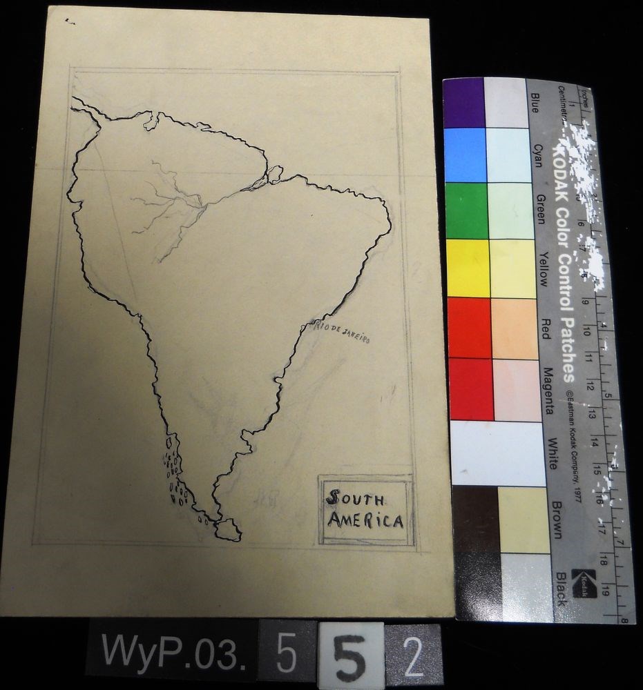
- Date
- n.d.
- Medium
- graphite; ink on paper
- Catalogue Number
- WyP.03.552
- Description
- A pencil and ink drawing of a map of South America. Rio de Janeiro is labeled on right edge of the continent.
1 image
- Title
- Untitled
- Date
- n.d.
- Medium
- graphite; ink on paper
- Dimensions
- 22.5 x 15.1 cm
- Description
- A pencil and ink drawing of a map of South America. Rio de Janeiro is labeled on right edge of the continent.
- Subject
- South America
- Rio de Janeiro
- map
- cartography
- Credit
- Gift of Catharine Robb Whyte, O. C., Banff, 1979
- Catalogue Number
- WyP.03.552
Images
This material is presented as originally created; it may contain outdated cultural descriptions and
potentially offensive content.
Read more.
Using archival maps in a high-tech world
https://archives.whyte.org/en/permalink/catalogue12267
- Author
- Perry, Bill
- Physical Description
- p.17-19 : ill., maps
- Medium
- Library - Periodical
- Subjects
- Archaeology
- Cartography
- Siding 29
- Notes
- In Research Links, vol.11, no.3, Winter 2003
- Call Number
- P
- Collection
- Archives Library
This material is presented as originally created; it may contain outdated cultural descriptions and
potentially offensive content.
Read more.