Narrow Results By
Maps of exploration survey of divide between Great Slave Lake and Hudson Bay
https://archives.whyte.org/en/permalink/catalogue21400
- Medium
- Library - Maps and blueprints (unannotated; published)
- Map
- Published Date
- 1900
- Publisher
- Districts of MacKenzie and Keewatin, Dominion of Canada
- Call Number
- C8-3.3(a-v)
- Publisher
- Districts of MacKenzie and Keewatin, Dominion of Canada
- Published Date
- 1900
- Notes
- See: Sheets 1-22 (no. 11 missing)
- Accession Number
- 1248
- Call Number
- C8-3.3(a-v)
- Collection
- Archives Library
This material is presented as originally created; it may contain outdated cultural descriptions and
potentially offensive content.
Read more.
- Date
- 1917 – 1929
- Medium
- graphite; ink on paper
- Catalogue Number
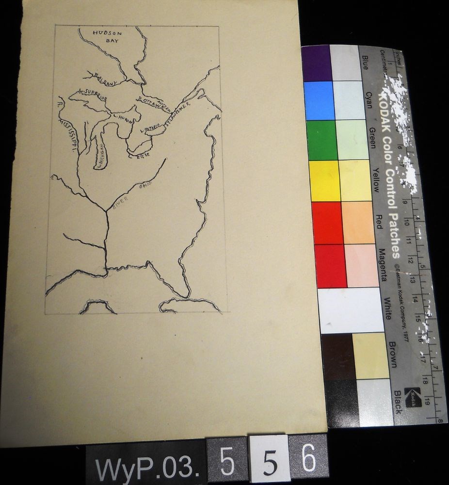
- WyP.03.556
- Description
- A pencil and ink drawing of a map of Hudson Bay and the river system in eastern Canada and United States. Includes Great Lakes as well. Bodies of water are labeled.
1 image
- Title
- Untitled
- Date
- 1917 – 1929
- Medium
- graphite; ink on paper
- Dimensions
- 22.5 x 15.1 cm
- Description
- A pencil and ink drawing of a map of Hudson Bay and the river system in eastern Canada and United States. Includes Great Lakes as well. Bodies of water are labeled.
- Subject
- Canada
- Hudson Bay
- rivers
- United States
- U.S.A.
- map
- Credit
- Gift of Catharine Robb Whyte, O. C., Banff, 1979
- Catalogue Number
- WyP.03.556
Images
This material is presented as originally created; it may contain outdated cultural descriptions and
potentially offensive content.
Read more.