- Date
- 1917 – 1929
- Medium
- graphite; ink on paper
- Catalogue Number
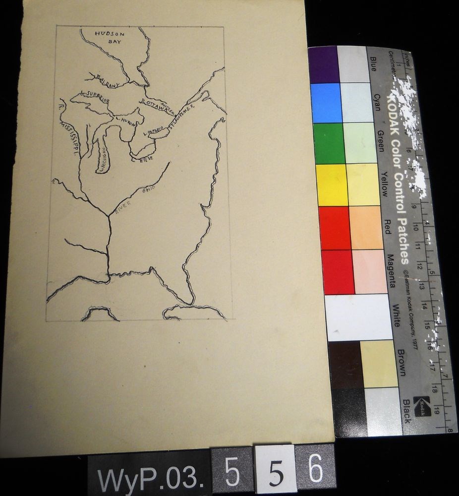
- WyP.03.556
- Description
- A pencil and ink drawing of a map of Hudson Bay and the river system in eastern Canada and United States. Includes Great Lakes as well. Bodies of water are labeled.
1 image
- Title
- Untitled
- Date
- 1917 – 1929
- Medium
- graphite; ink on paper
- Dimensions
- 22.5 x 15.1 cm
- Description
- A pencil and ink drawing of a map of Hudson Bay and the river system in eastern Canada and United States. Includes Great Lakes as well. Bodies of water are labeled.
- Subject
- Canada
- Hudson Bay
- rivers
- United States
- U.S.A.
- map
- Credit
- Gift of Catharine Robb Whyte, O. C., Banff, 1979
- Catalogue Number
- WyP.03.556
Images
This material is presented as originally created; it may contain outdated cultural descriptions and
potentially offensive content.
Read more.
- Date
- 1917 – 1929
- Medium
- graphite; ink on paper
- Catalogue Number
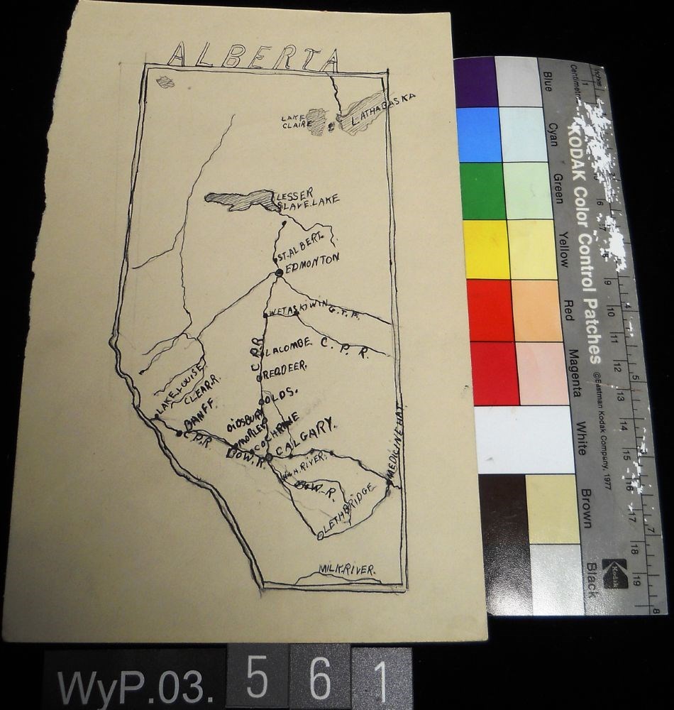
- WyP.03.561
- Description
- Ink and pencil drawing of a map of Alberta with lakes, rivers, CPR lines and urban centres labeled. the border is delineated by a double line. ALBERTA is written above the northern border in narrow block letters.
1 image
- Title
- Untitled
- Date
- 1917 – 1929
- Medium
- graphite; ink on paper
- Dimensions
- 22.5 x 15.1 cm
- Description
- Ink and pencil drawing of a map of Alberta with lakes, rivers, CPR lines and urban centres labeled. the border is delineated by a double line. ALBERTA is written above the northern border in narrow block letters.
- Credit
- Gift of Catharine Robb Whyte, O. C., Banff, 1979
- Catalogue Number
- WyP.03.561
Images
This material is presented as originally created; it may contain outdated cultural descriptions and
potentially offensive content.
Read more.