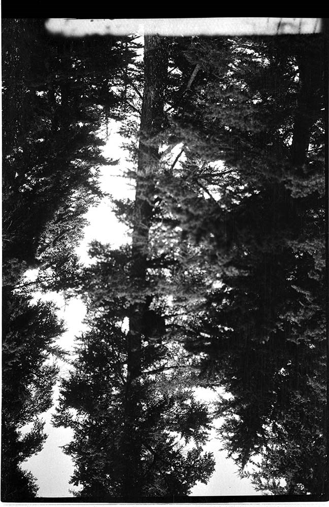
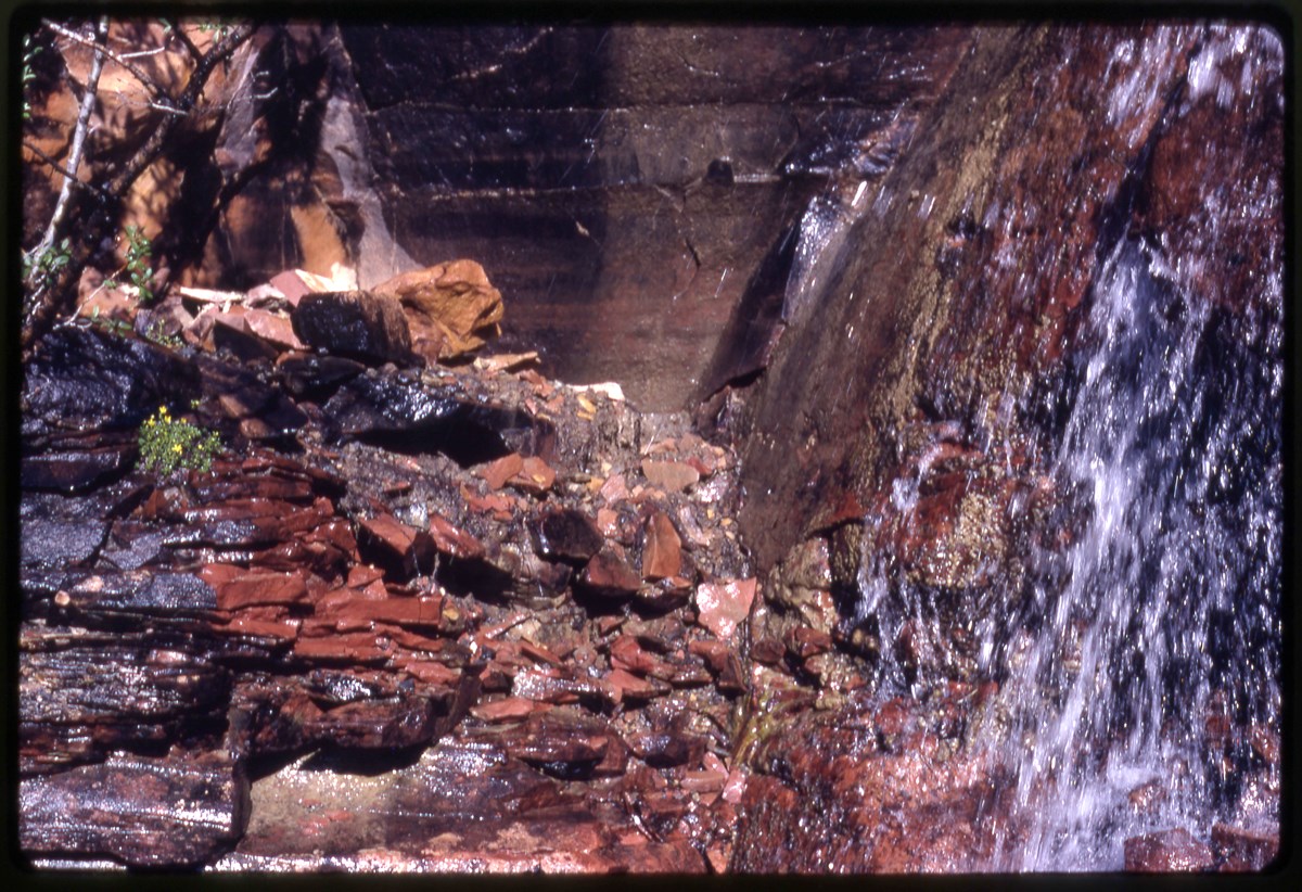
Narrow Results By
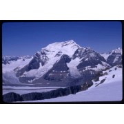
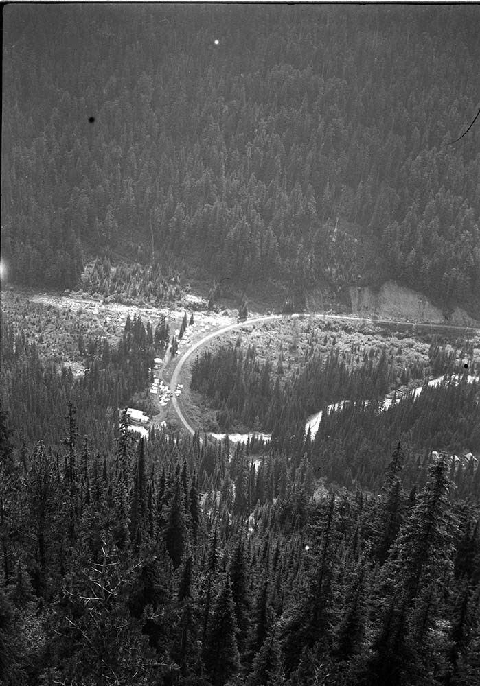
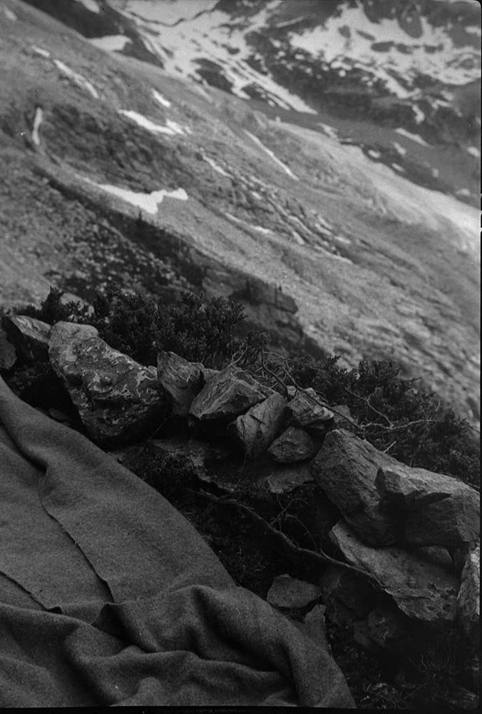
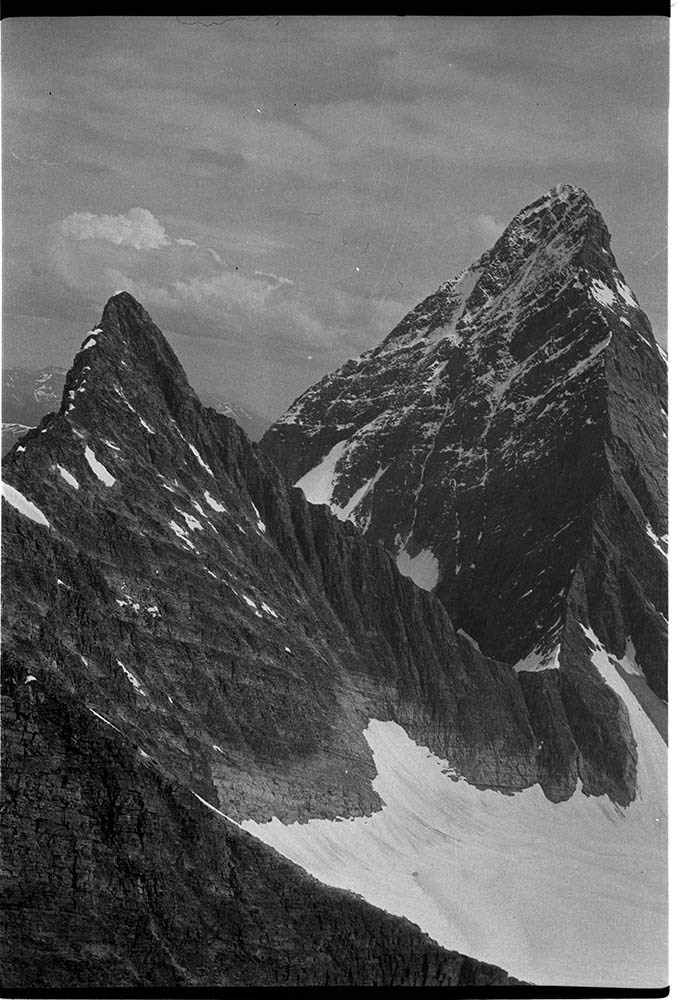
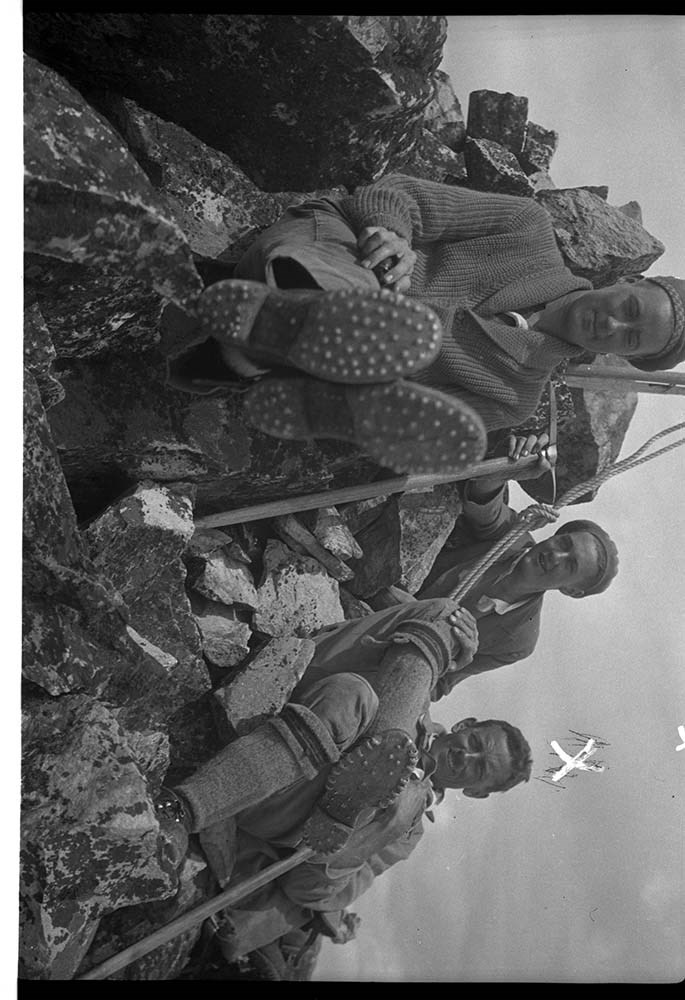
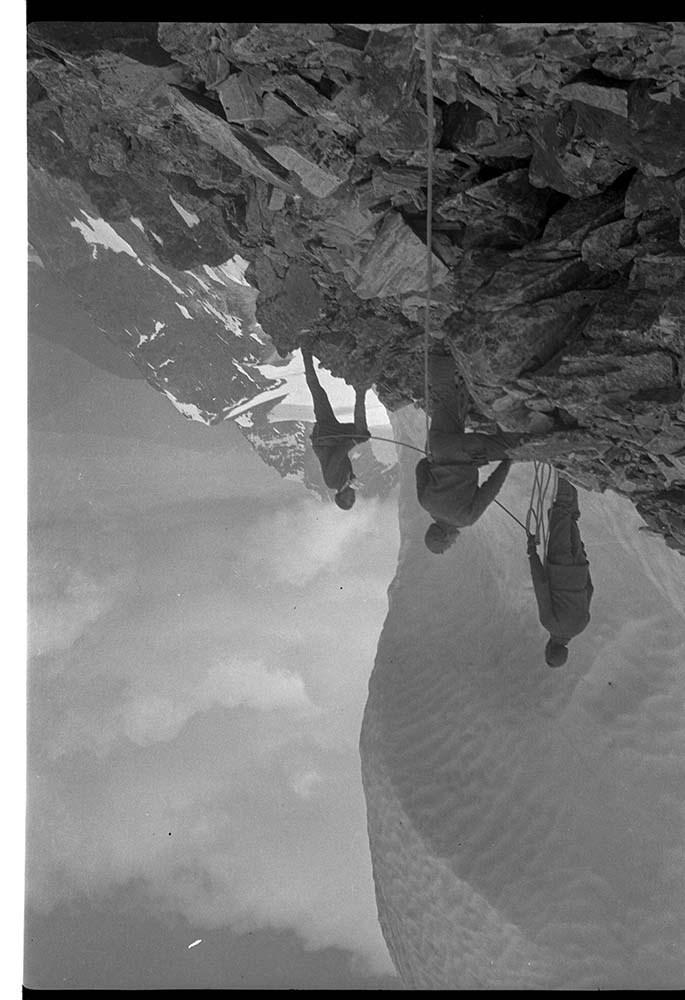
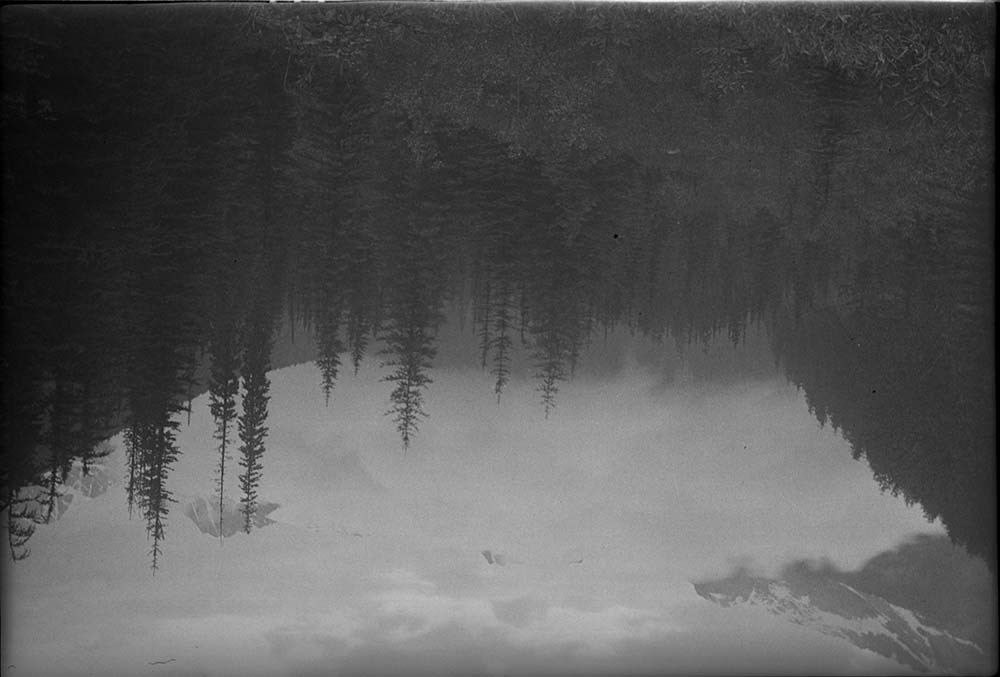
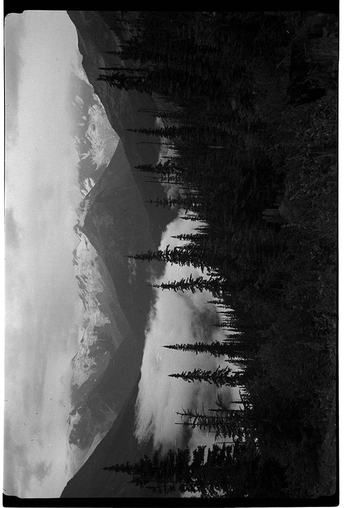
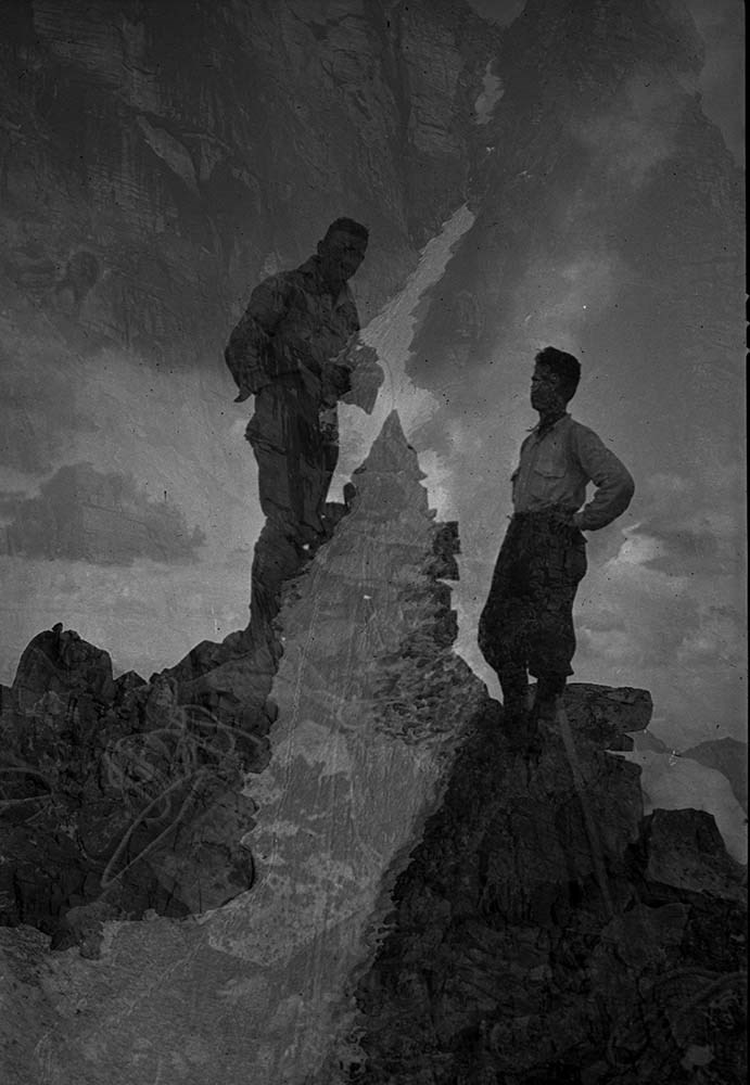
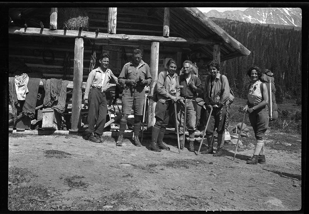
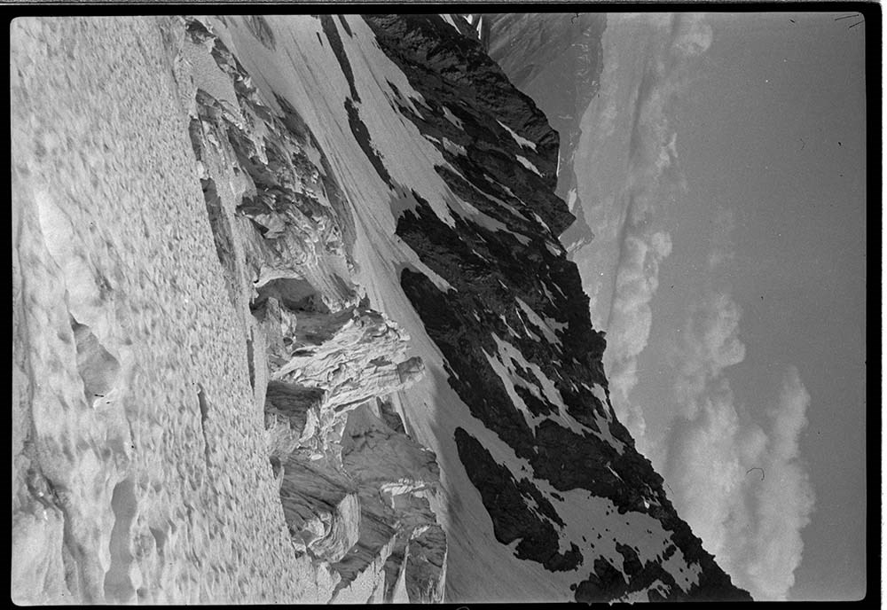
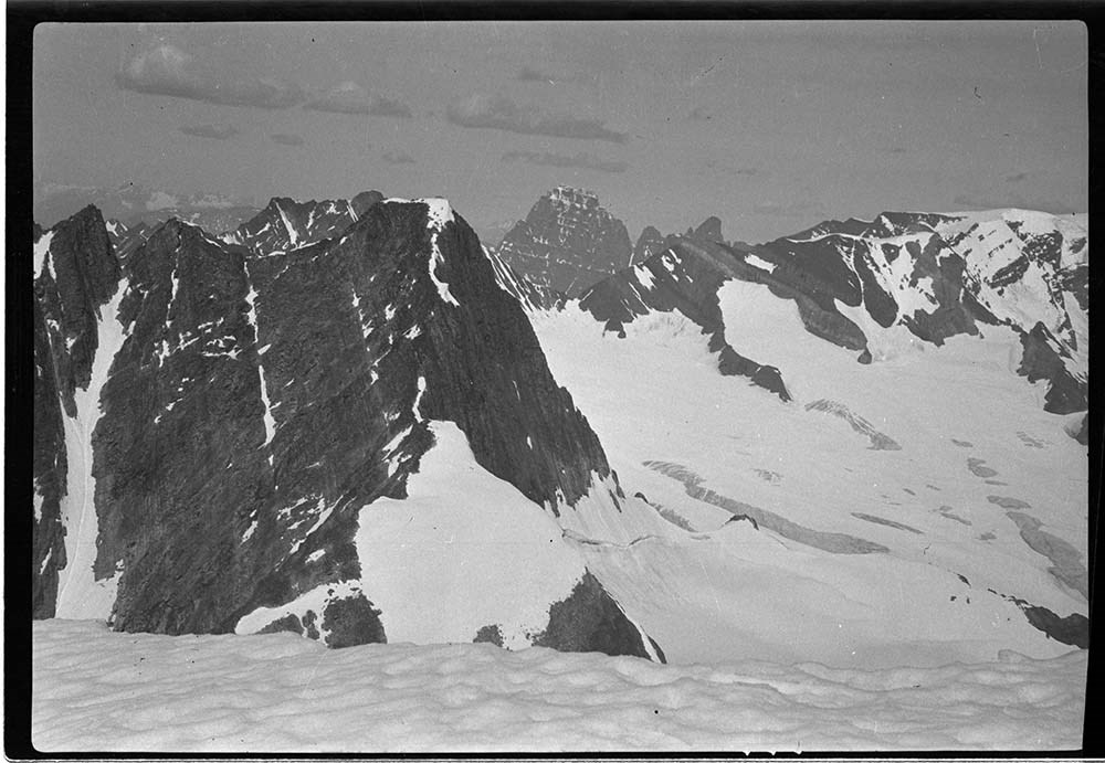
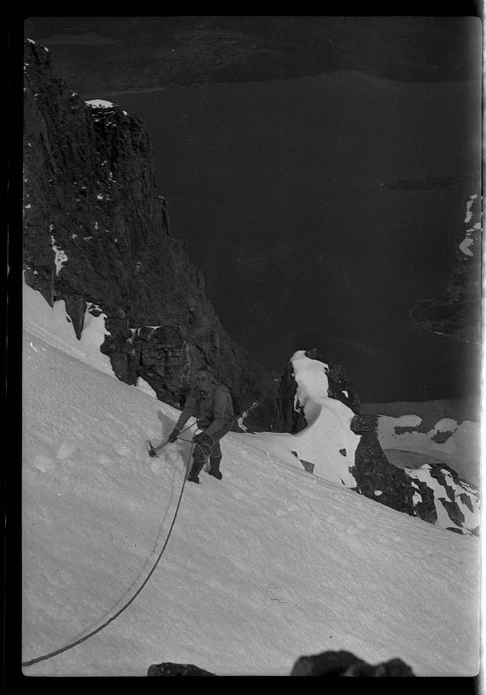
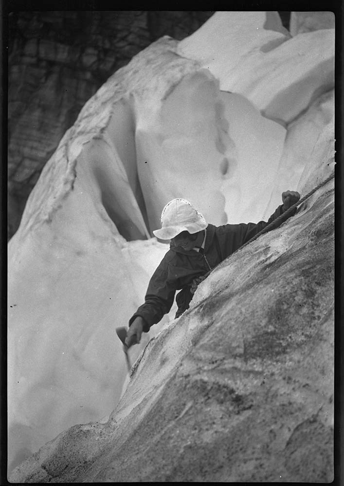
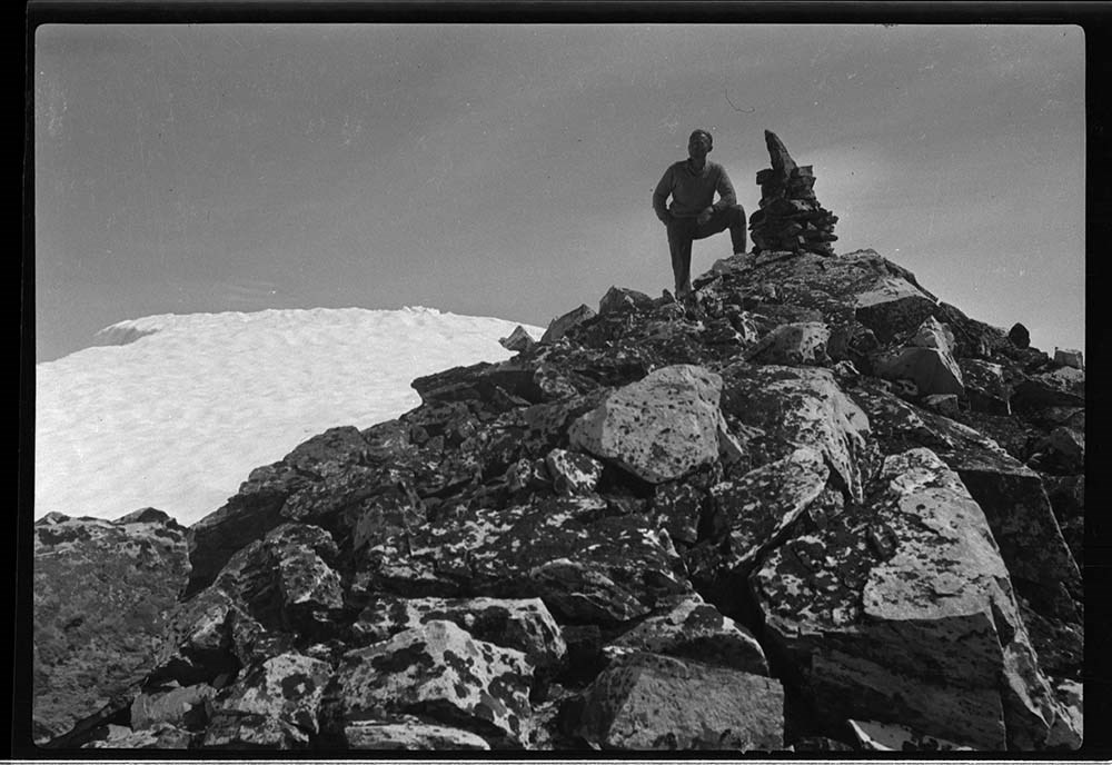
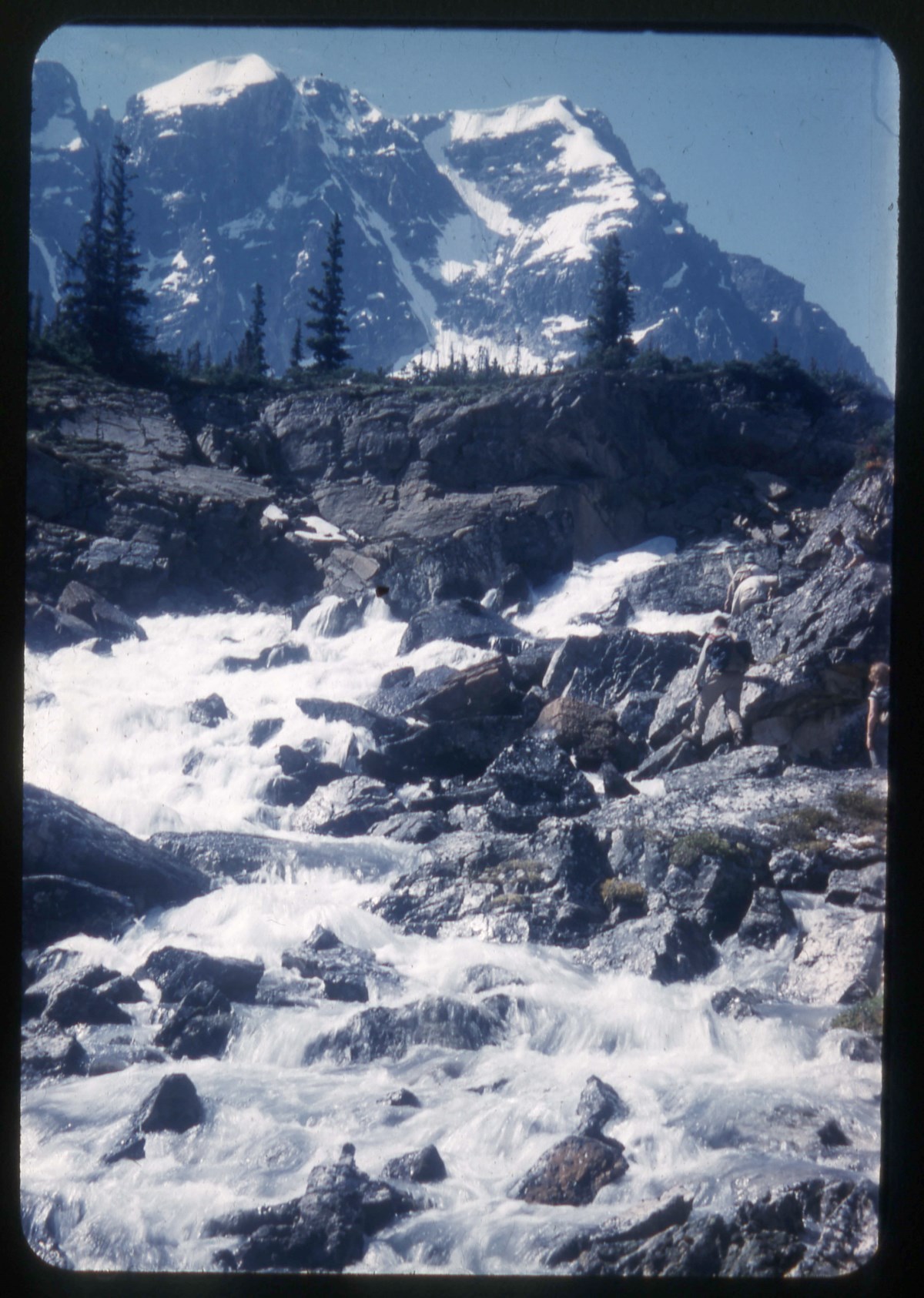
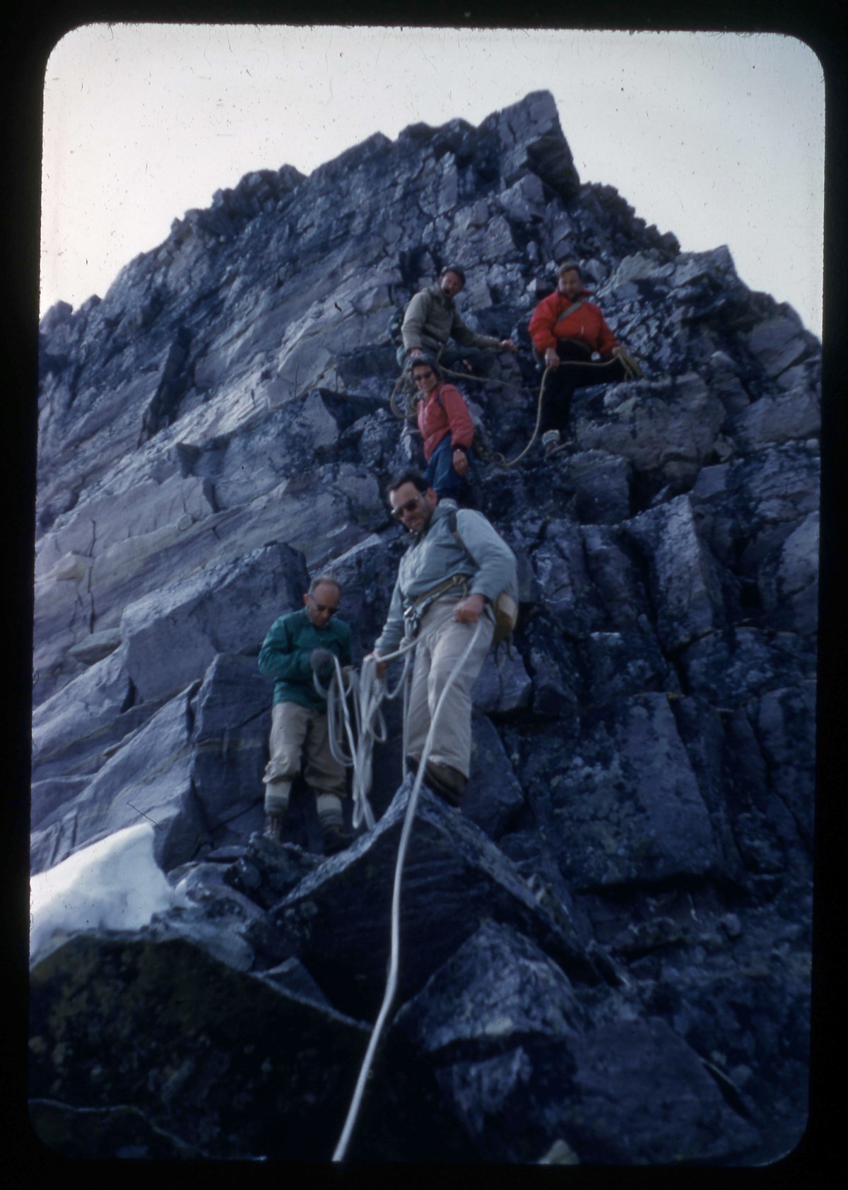
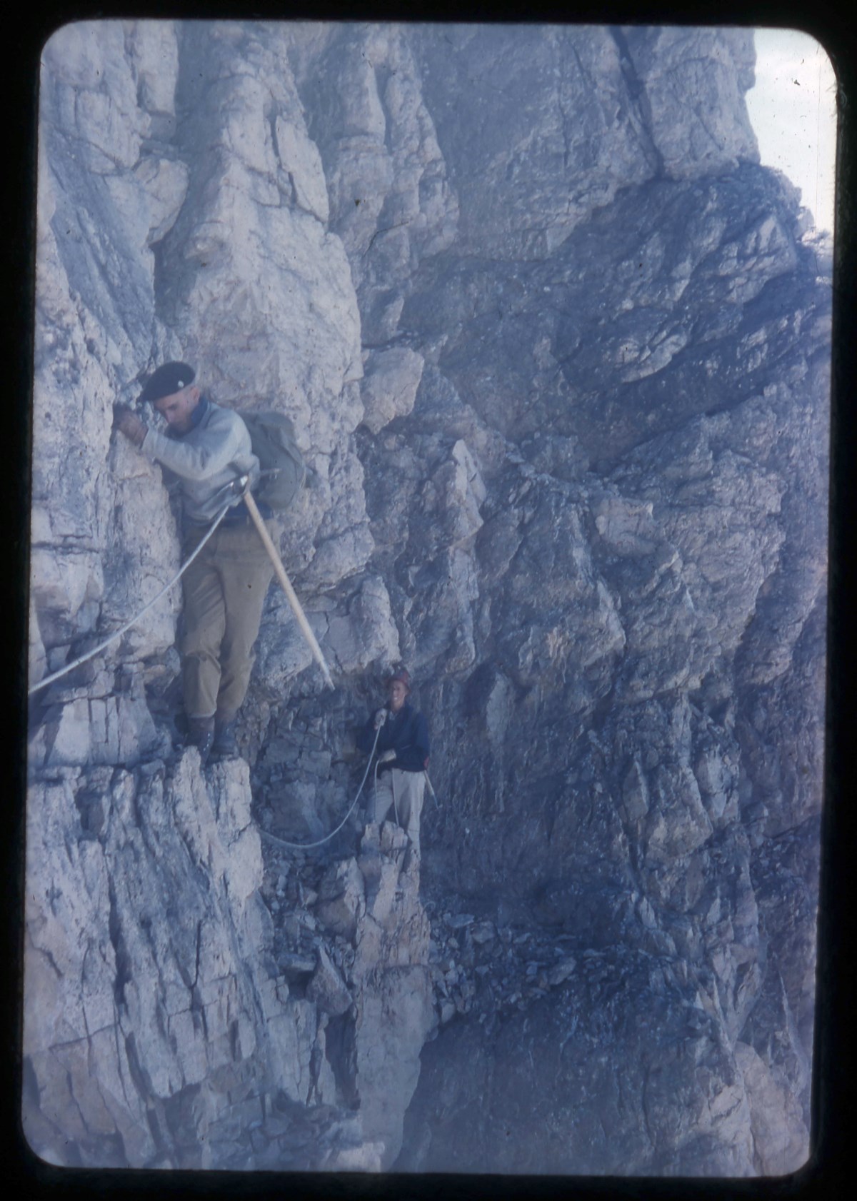
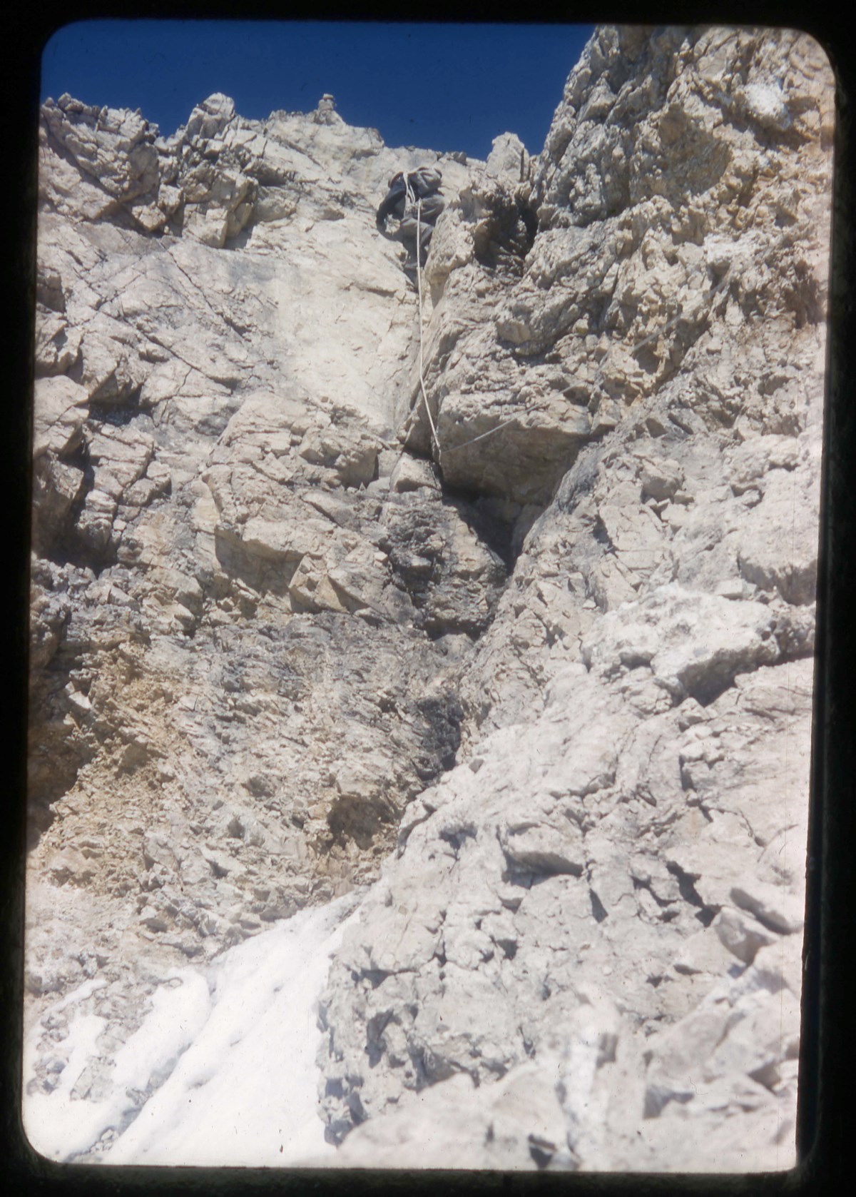
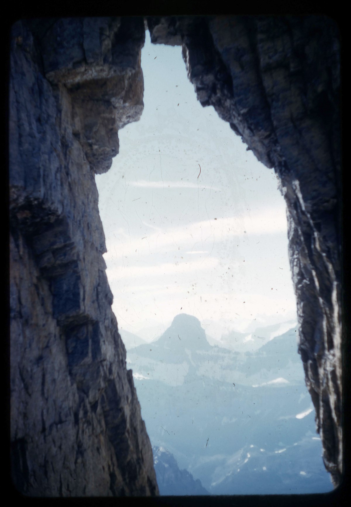
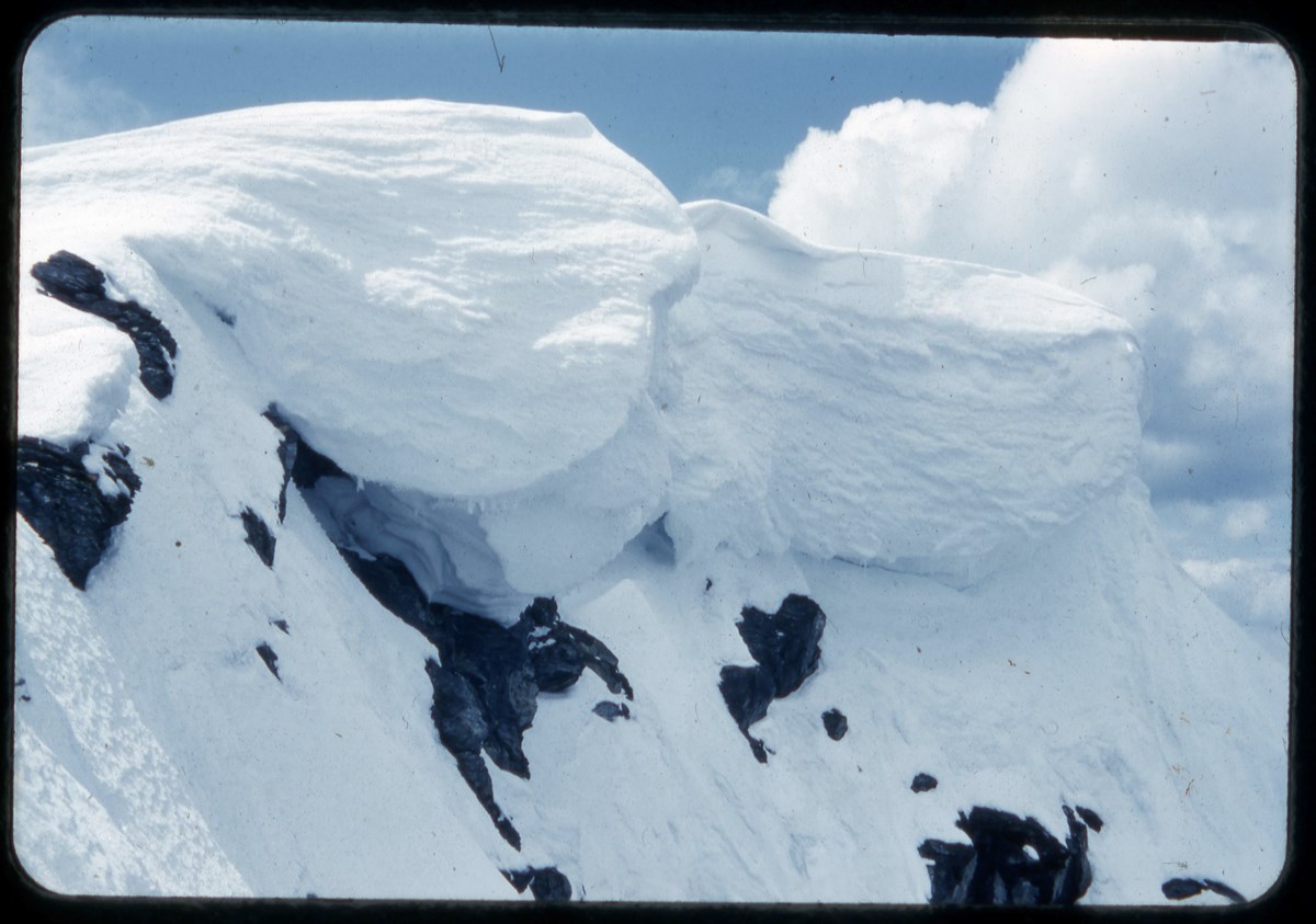
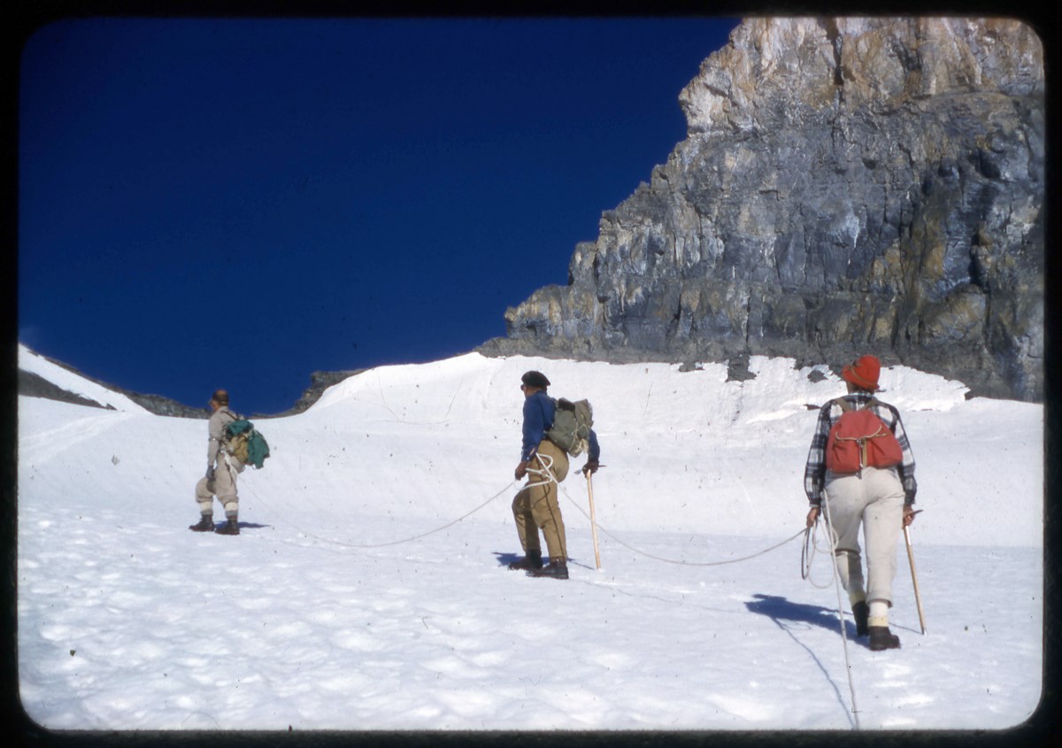
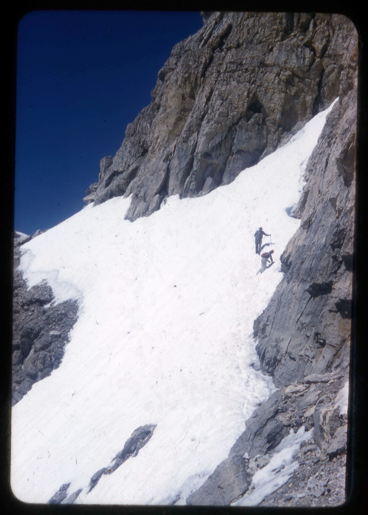
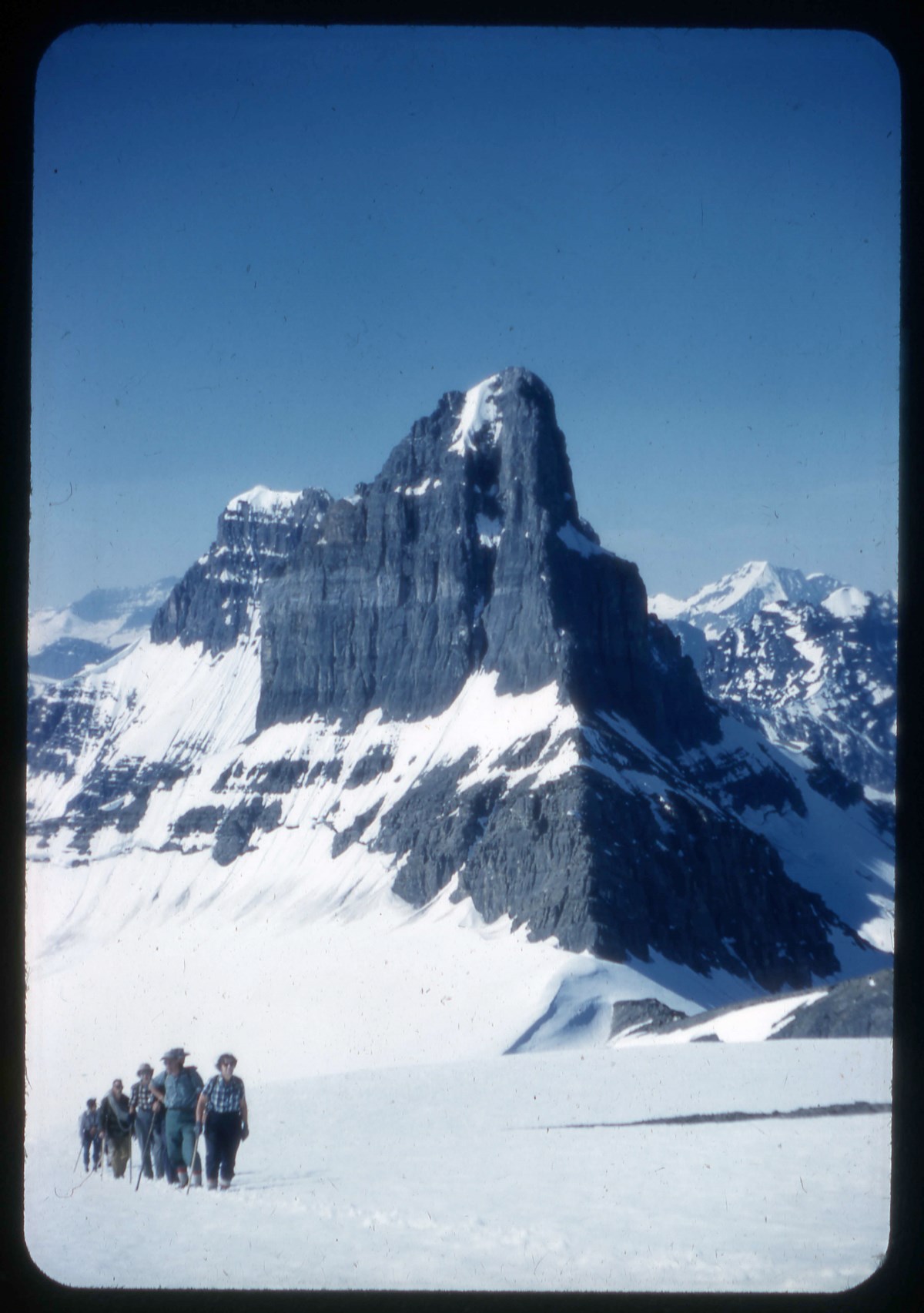
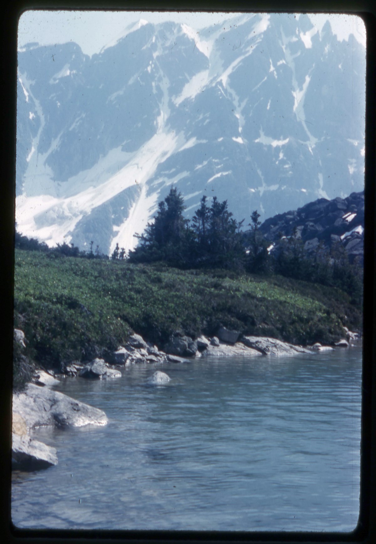
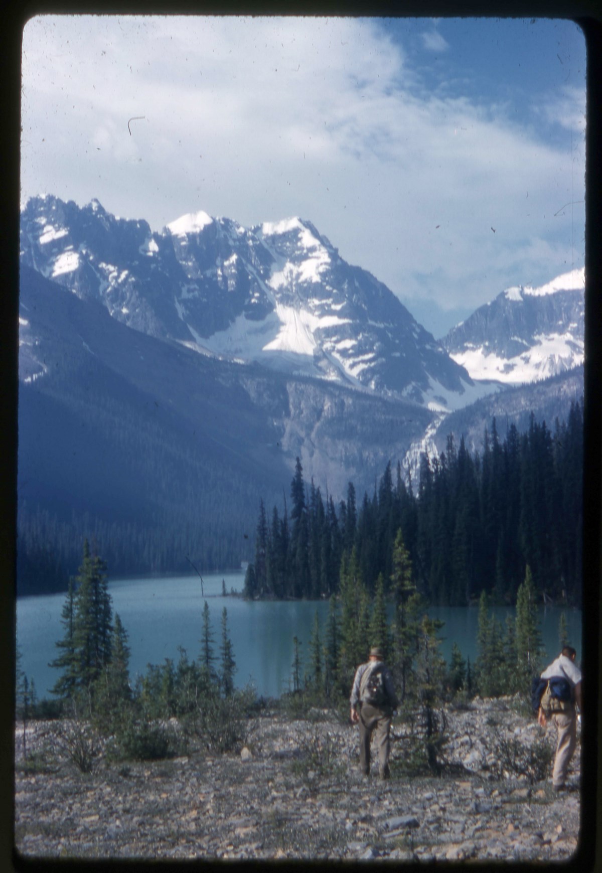
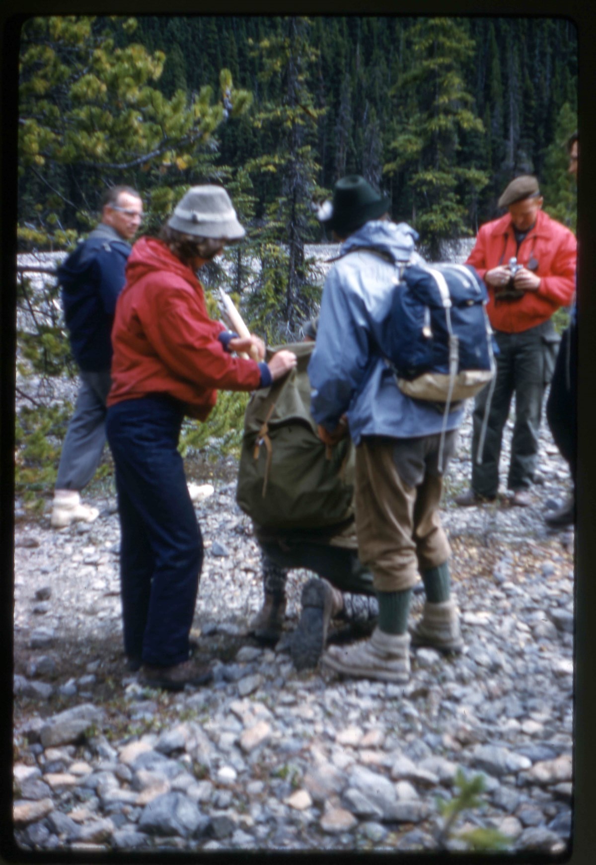
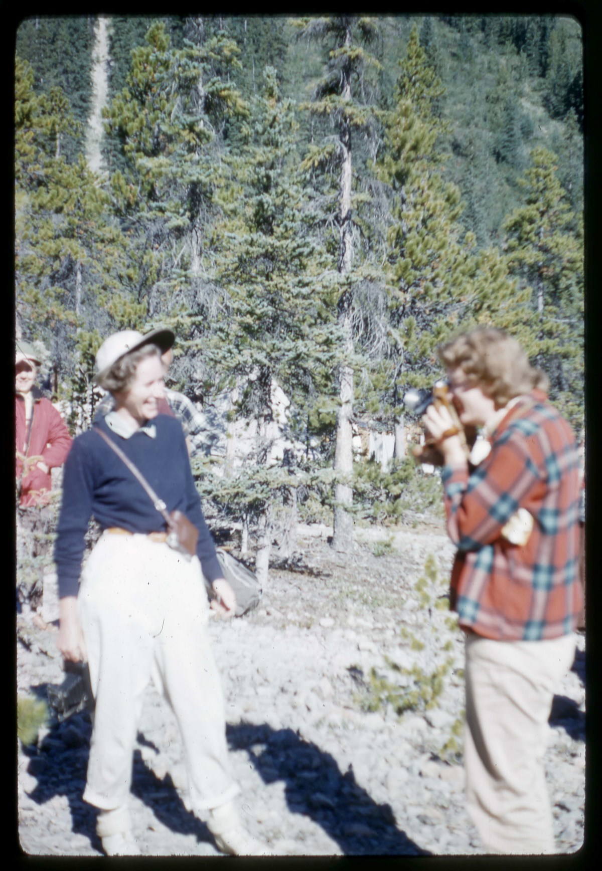
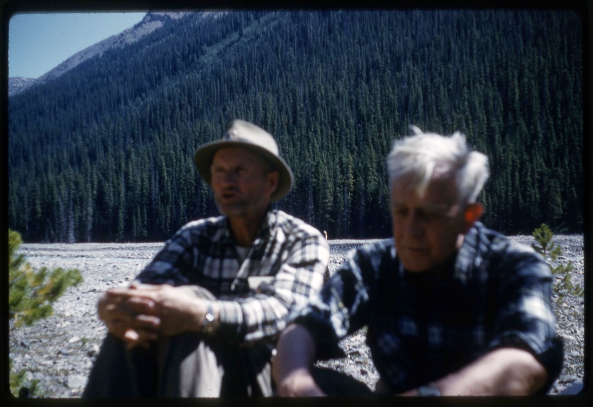
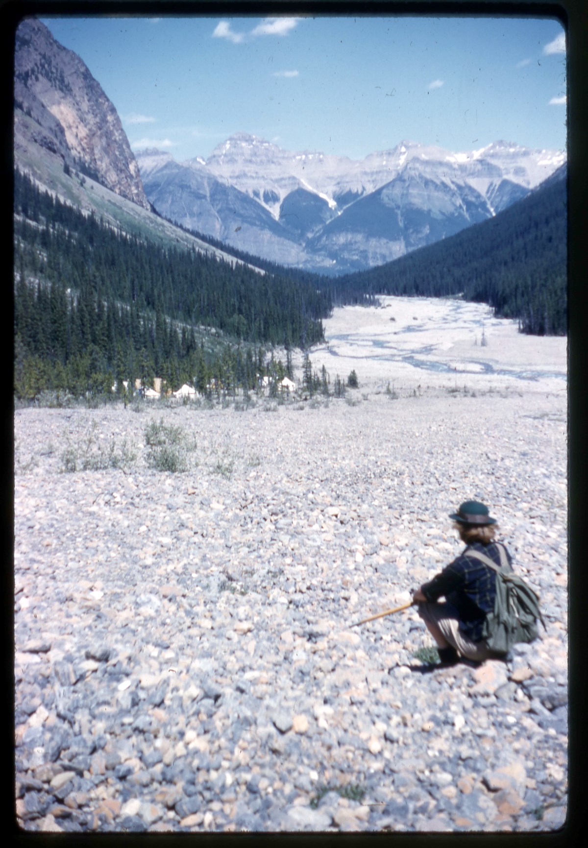
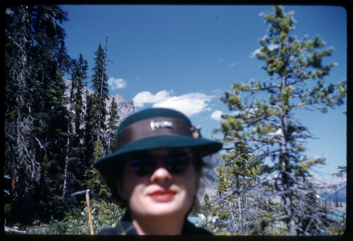
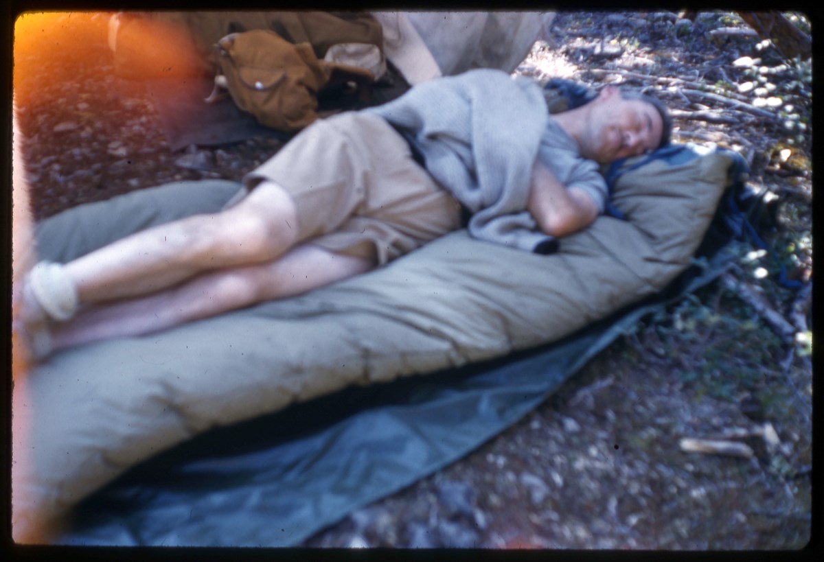
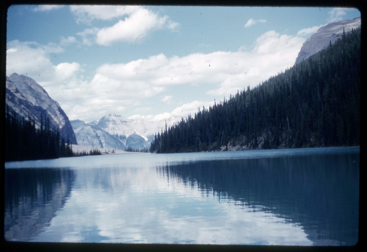
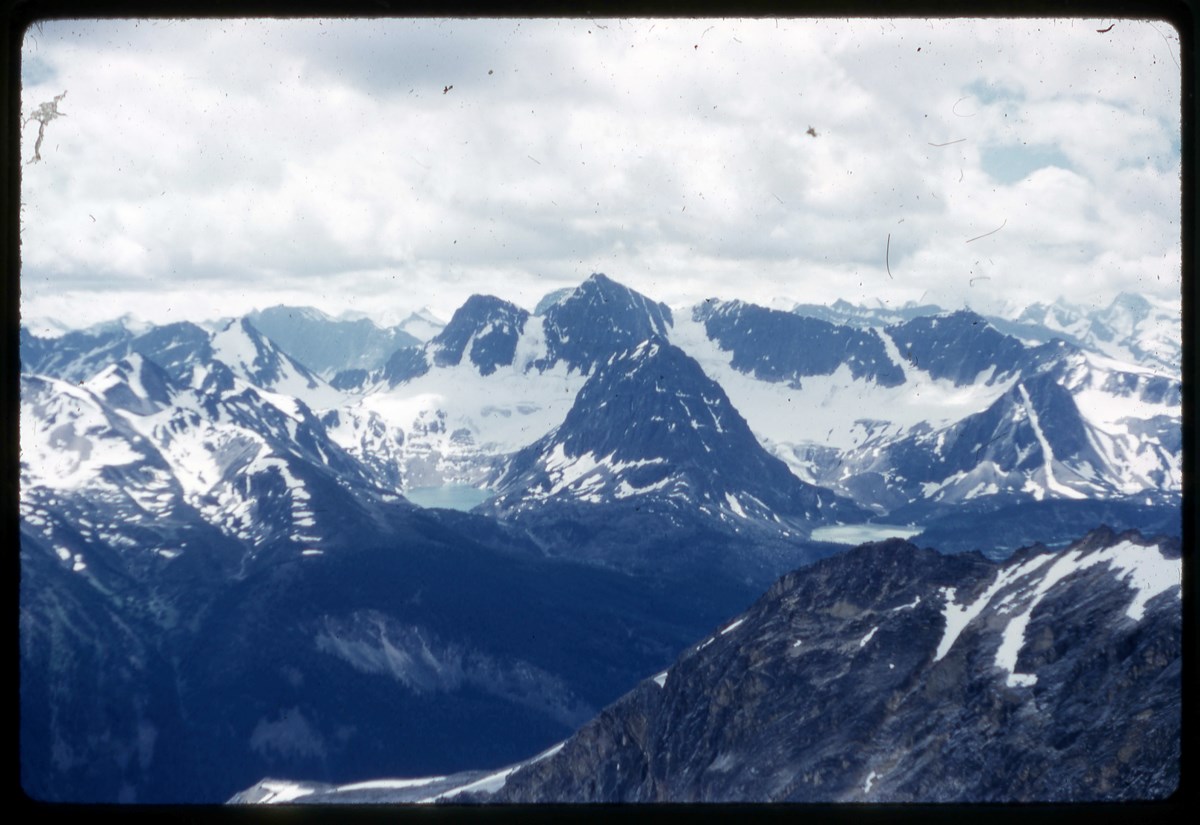
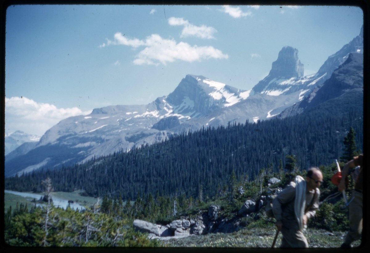
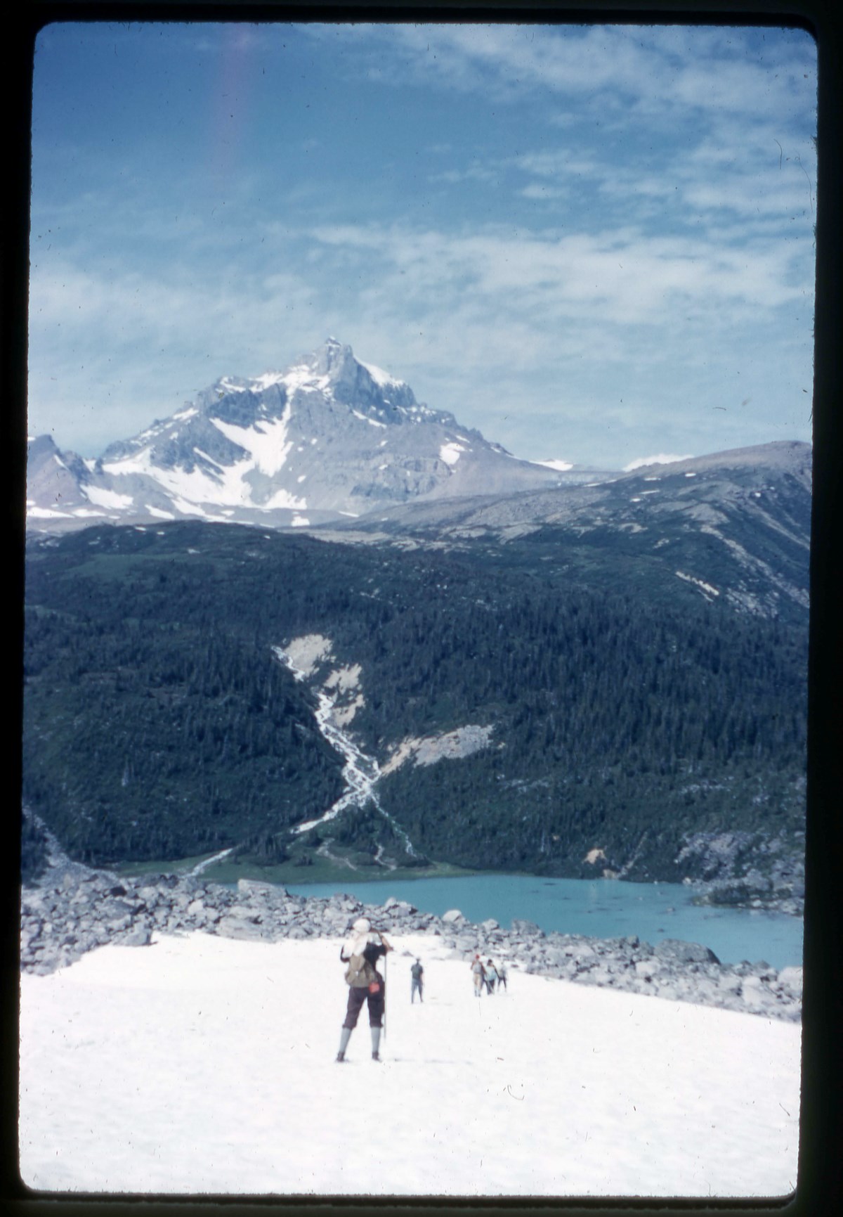
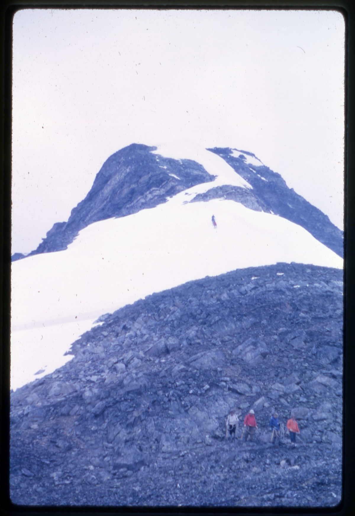
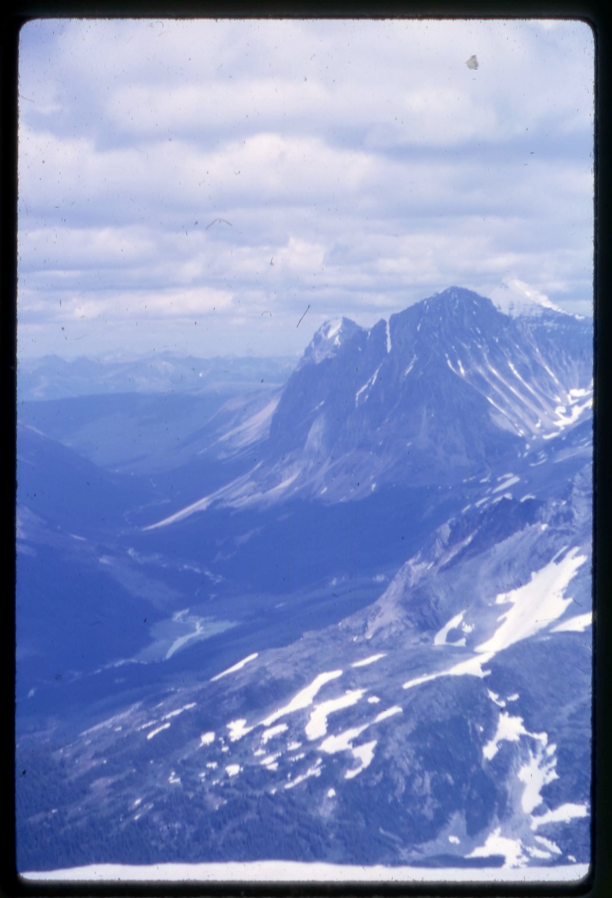
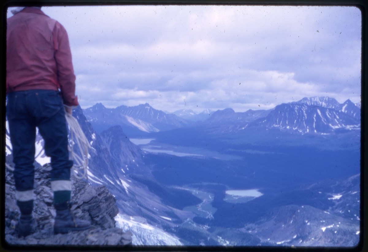
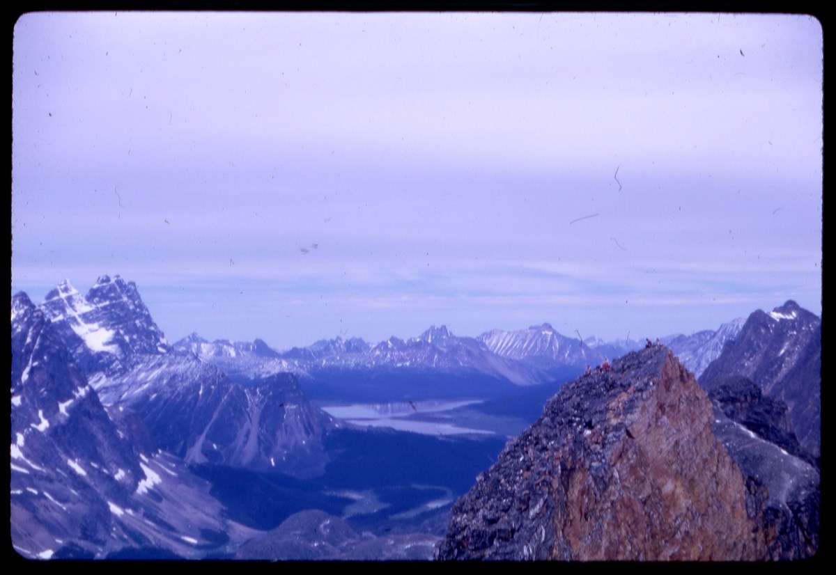
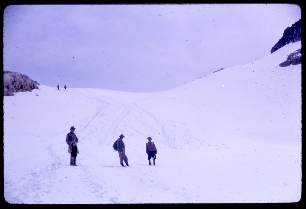
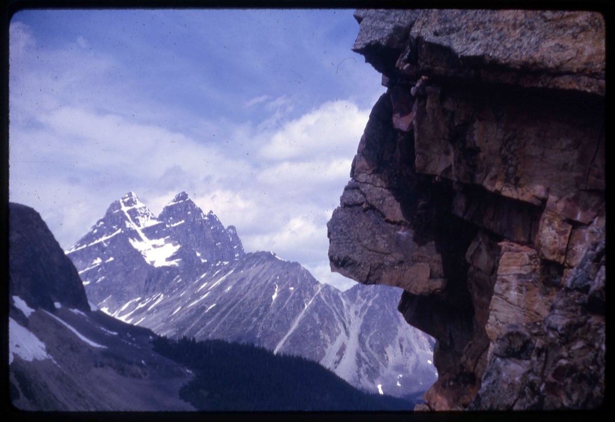
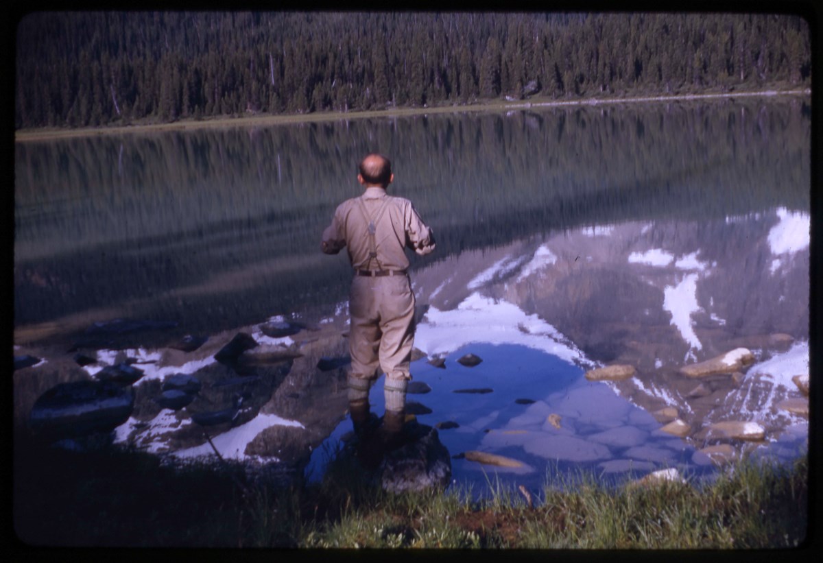
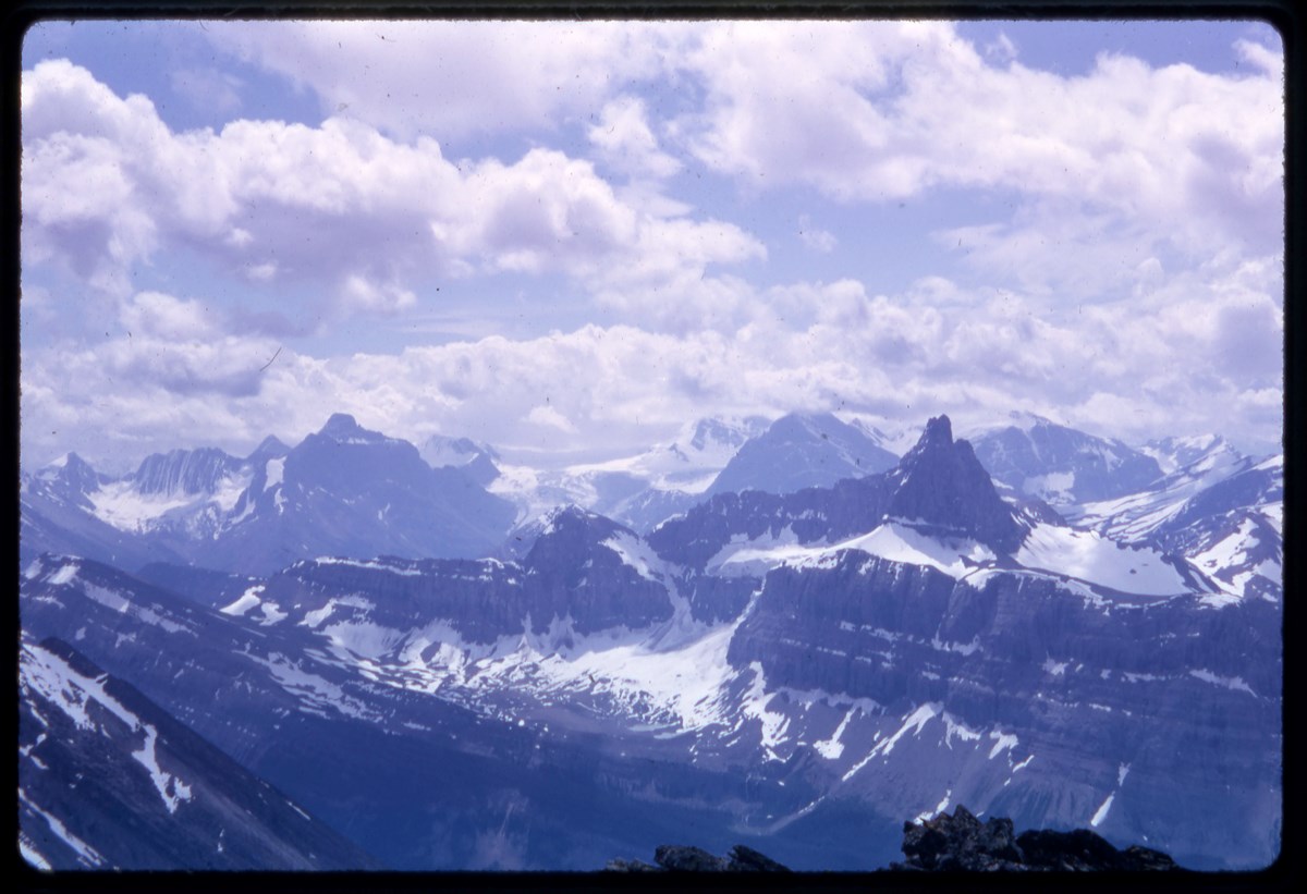
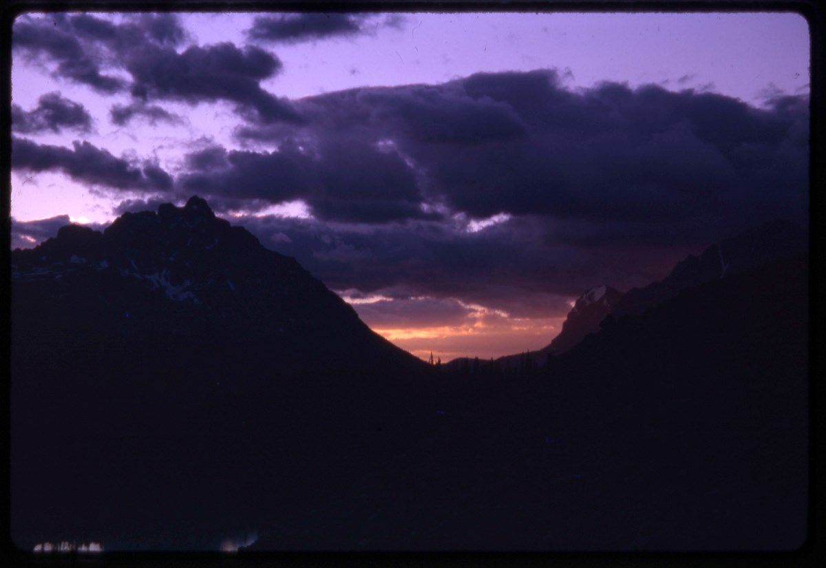
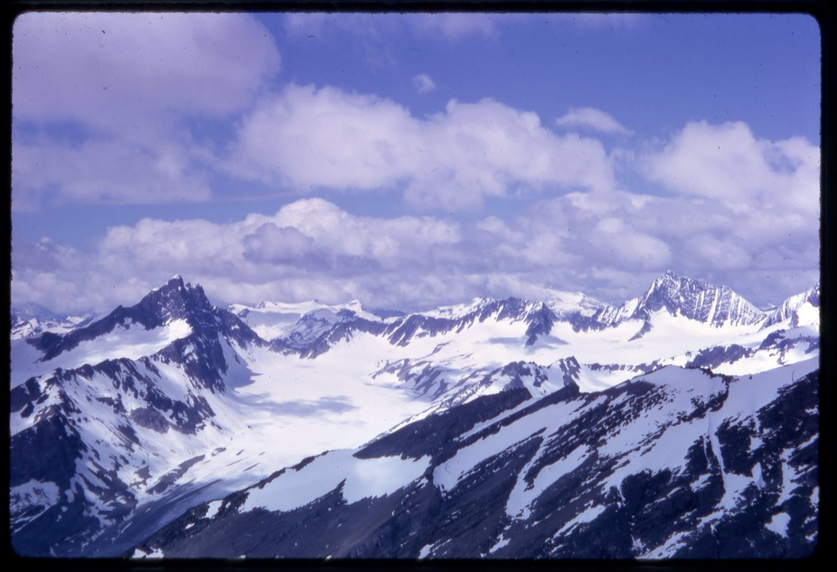
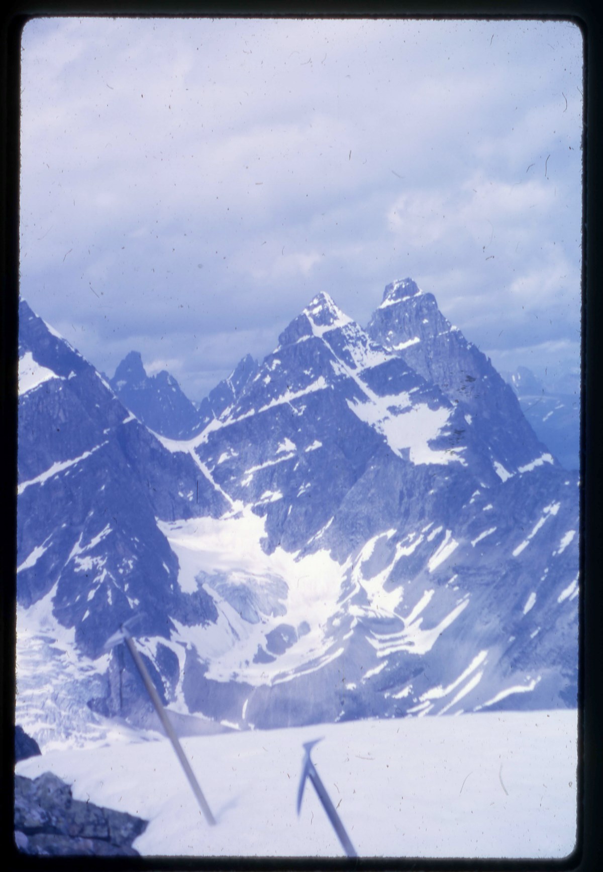
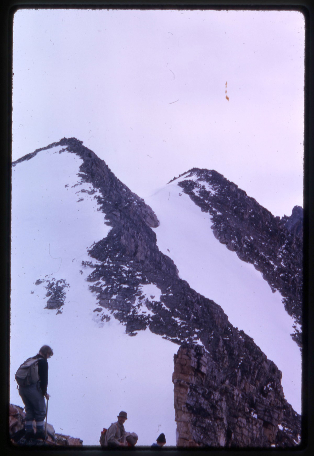
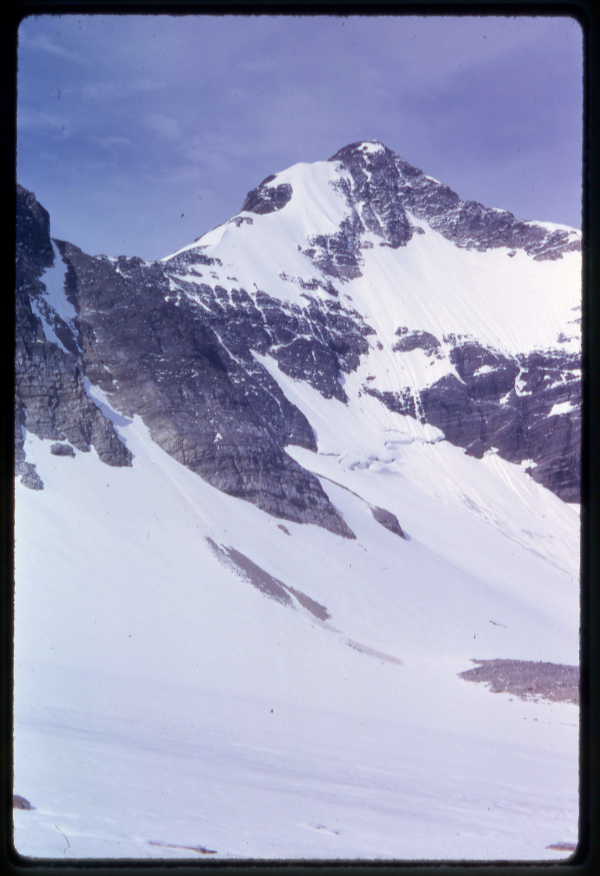
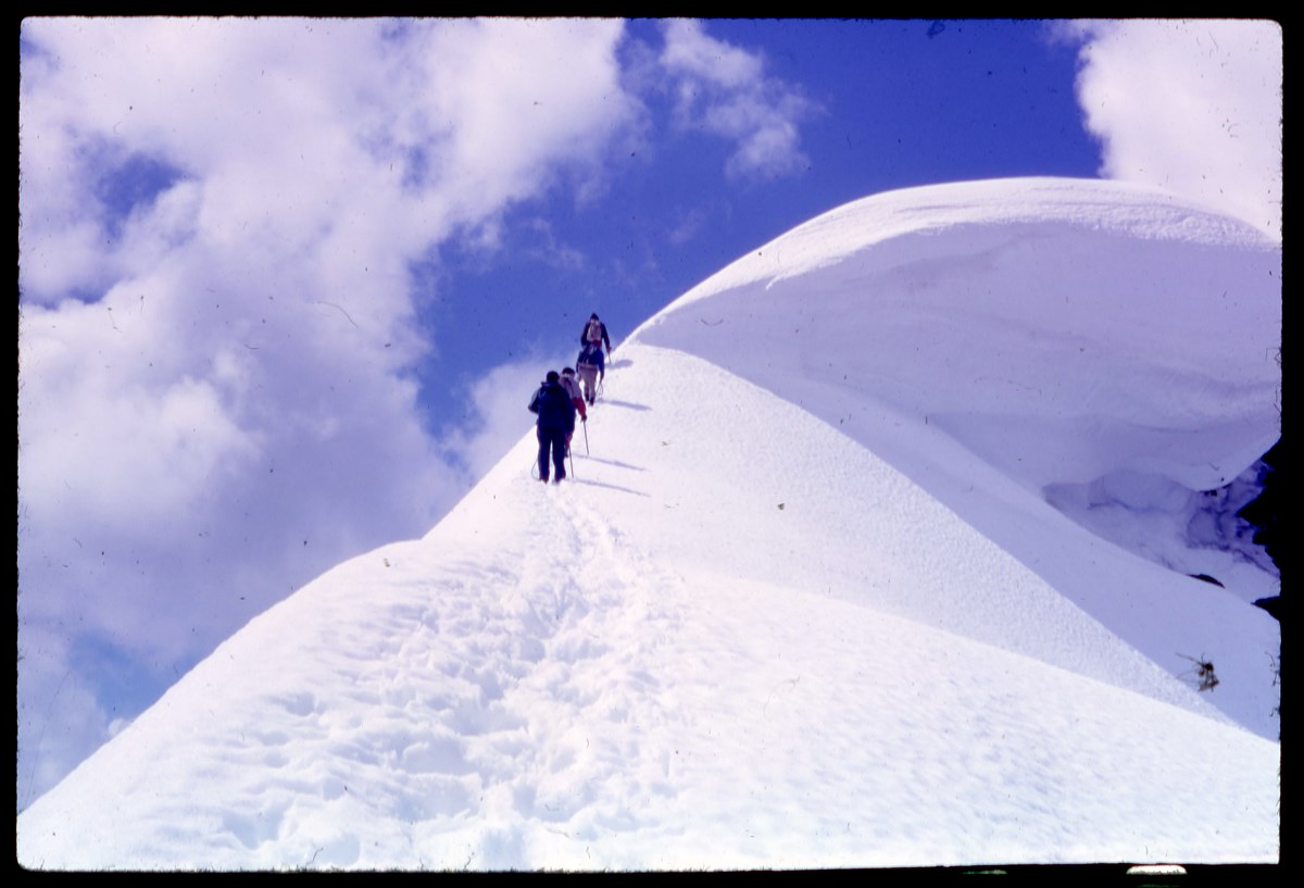
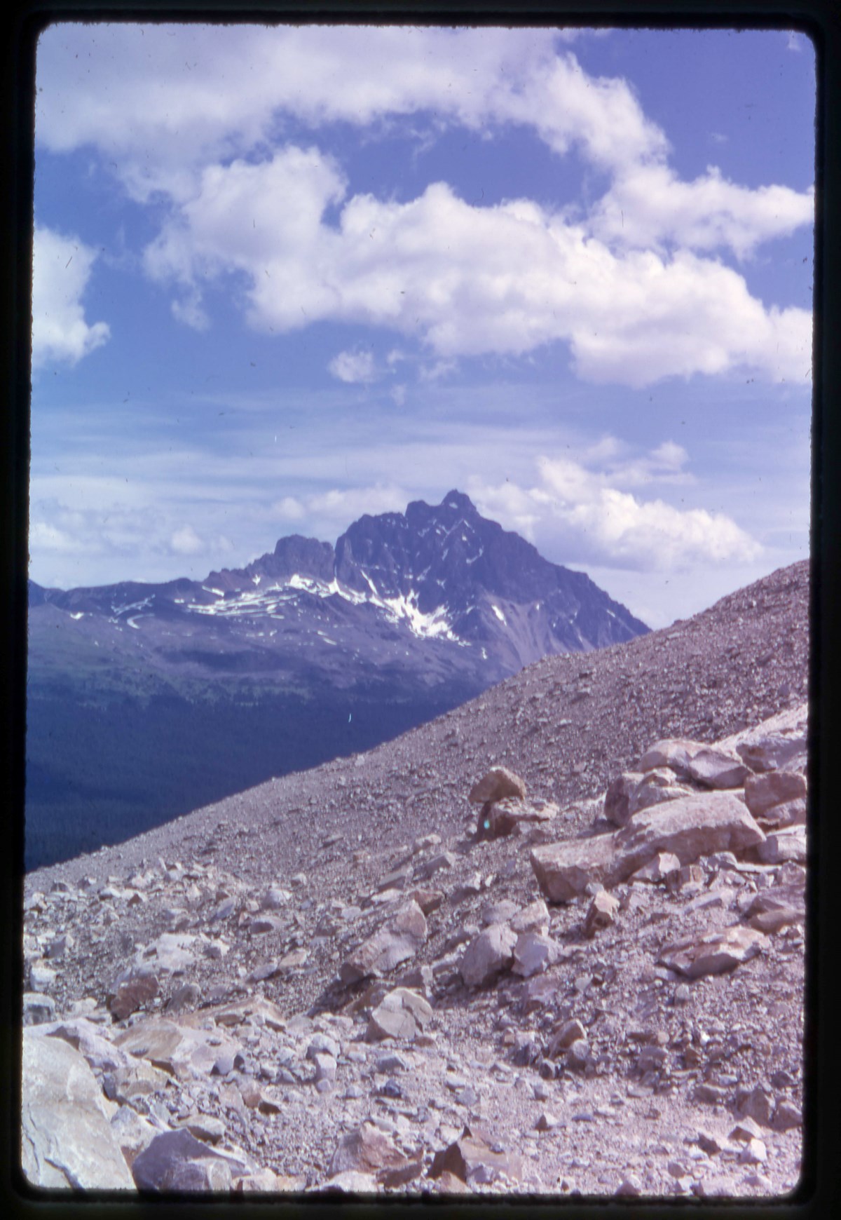
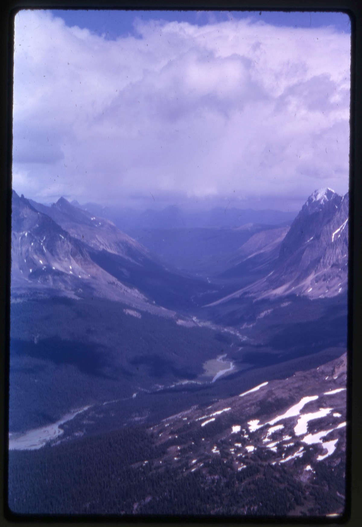
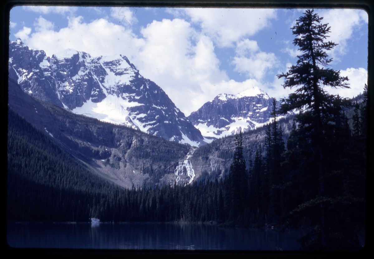
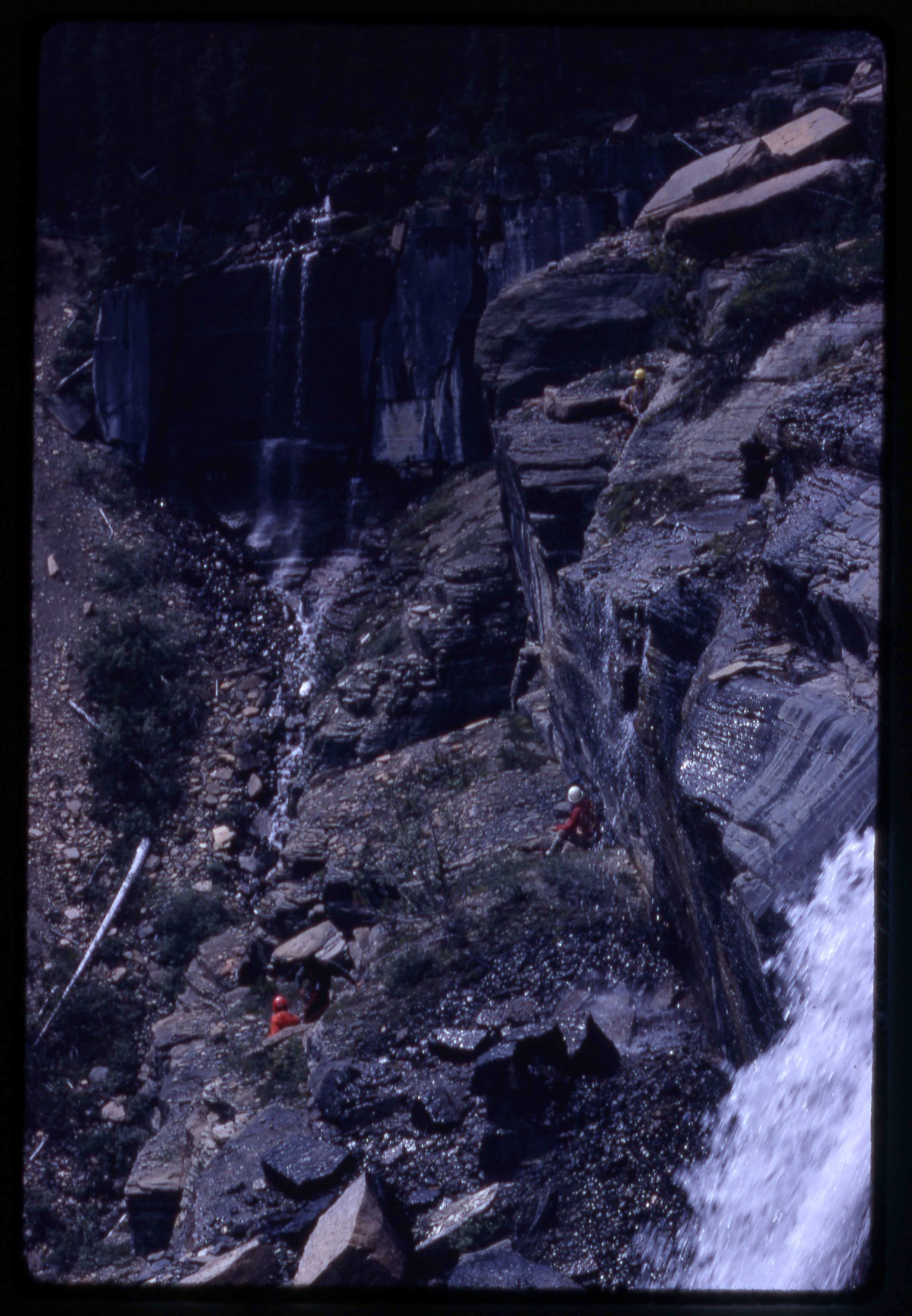
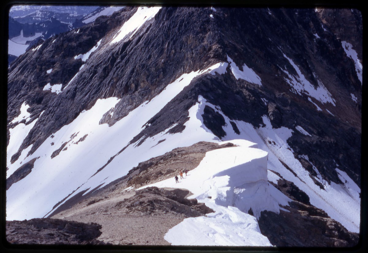
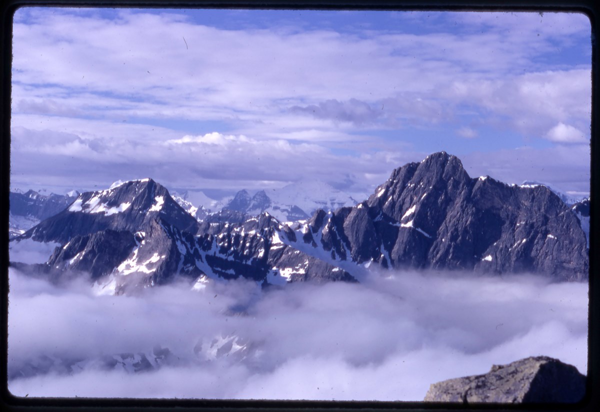
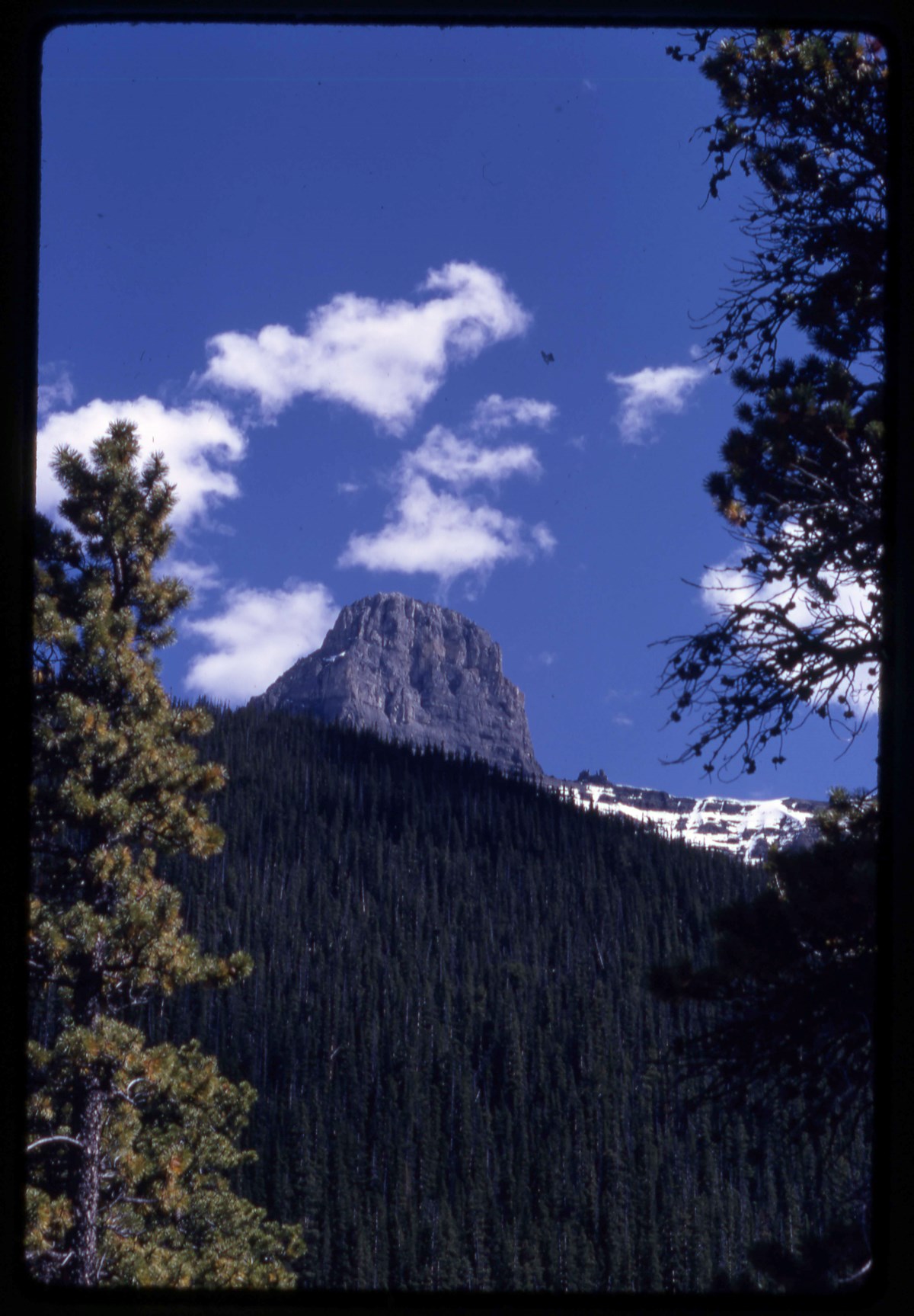
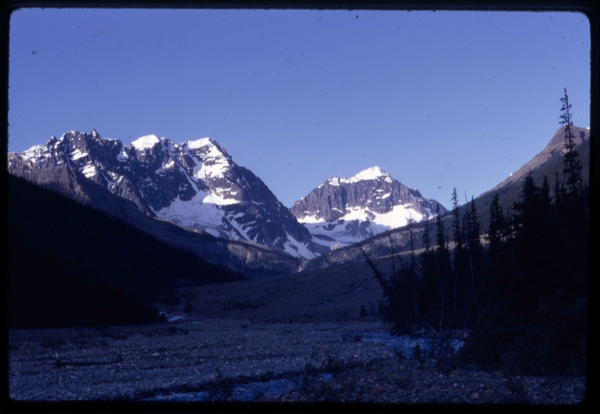
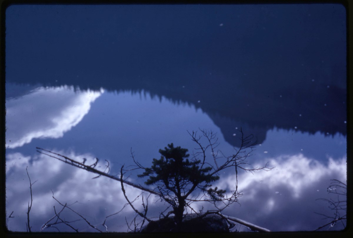
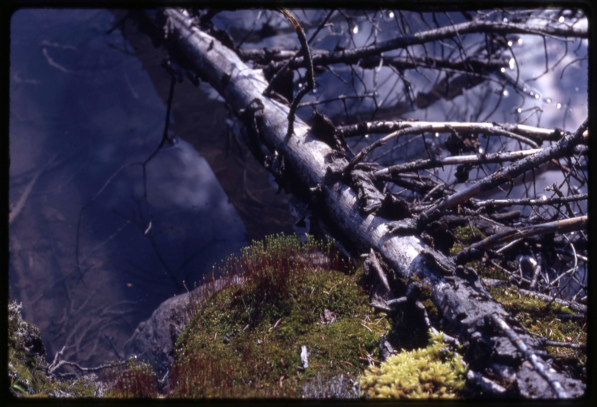
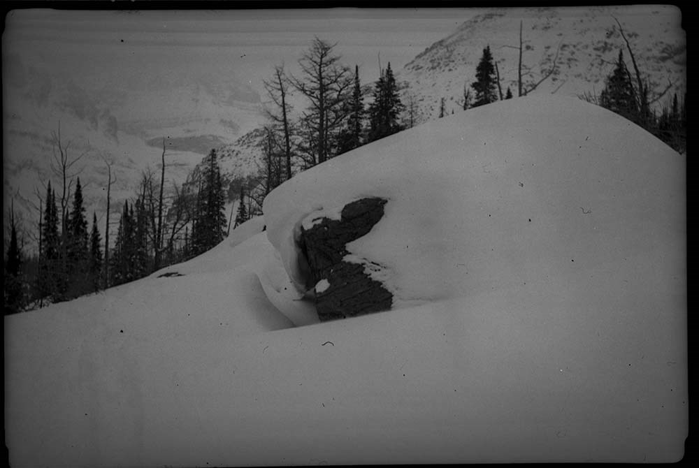
Assiniboine Area
https://archives.whyte.org/en/permalink/descriptions17526
- Part Of
- Bob Hind fonds
- Scope & Content
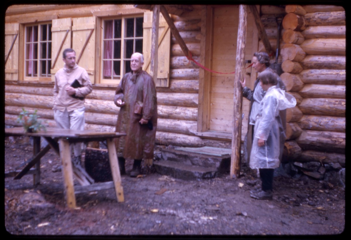
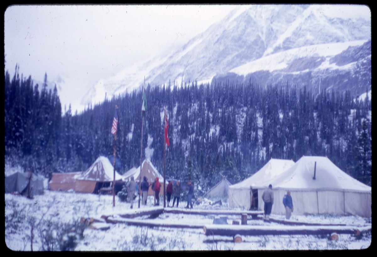
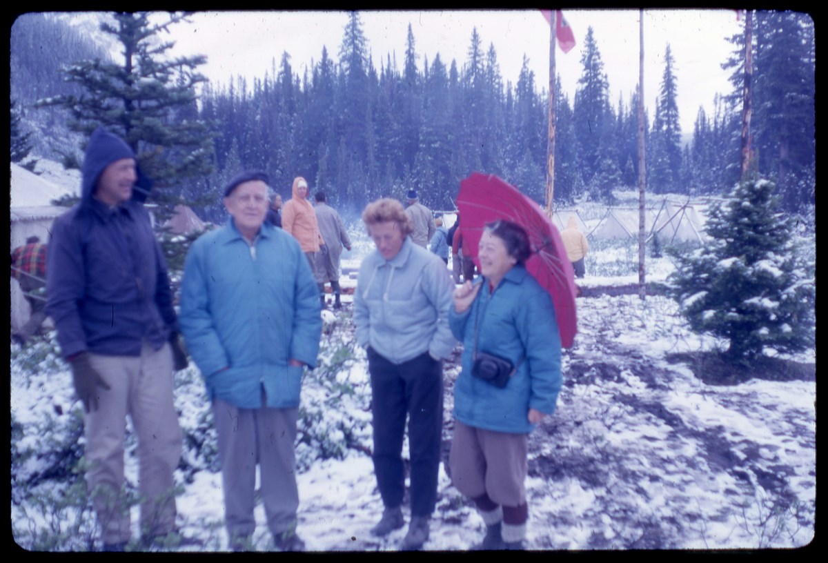
- File pertains to Mount Assiniboine area, landscapes, cars and camp 1950, climbing 1952, Mount Assiniboine Lodge 1985.
- Date Range
- 1950-1991
- Reference Code
- V46 / I / A / 35 / NS - 1 to 61
- Description Level
- 5 / File
- GMD
- Negative
- Transparency
1 image
- Part Of
- Bob Hind fonds
- Description Level
- 5 / File
- Fonds Number
- M7 / V46
- Series
- I.A. Mountain travel and recreation, western Canada : Trips and activities
- Sous-Fonds
- V46
- Accession Number
- 7181
- Reference Code
- V46 / I / A / 35 / NS - 1 to 61
- GMD
- Negative
- Transparency
- Date Range
- 1950-1991
- Physical Description
- 61 photographs : transparencies, 35mm, col
- History / Biographical
- See fonds level description.
- Scope & Content
- File pertains to Mount Assiniboine area, landscapes, cars and camp 1950, climbing 1952, Mount Assiniboine Lodge 1985.
- Name Access
- Hind, Bob
- Subject Access
- Activities
- Backpacking
- Cabins and shelters
- Environment
- Guide
- Guiding
- Mountaineering
- Mountains
- Professional and Personal Life
- Transportation
- Geographic Access
- Mount Assiniboine
- Assiniboine Provincial Park
- British Columbia
- Canada
- Language
- NA
- Title Source
- Title based on contents of file
- Processing Status
- Processed
Images

This material is presented as originally created; it may contain outdated cultural descriptions and
potentially offensive content.
Read more.
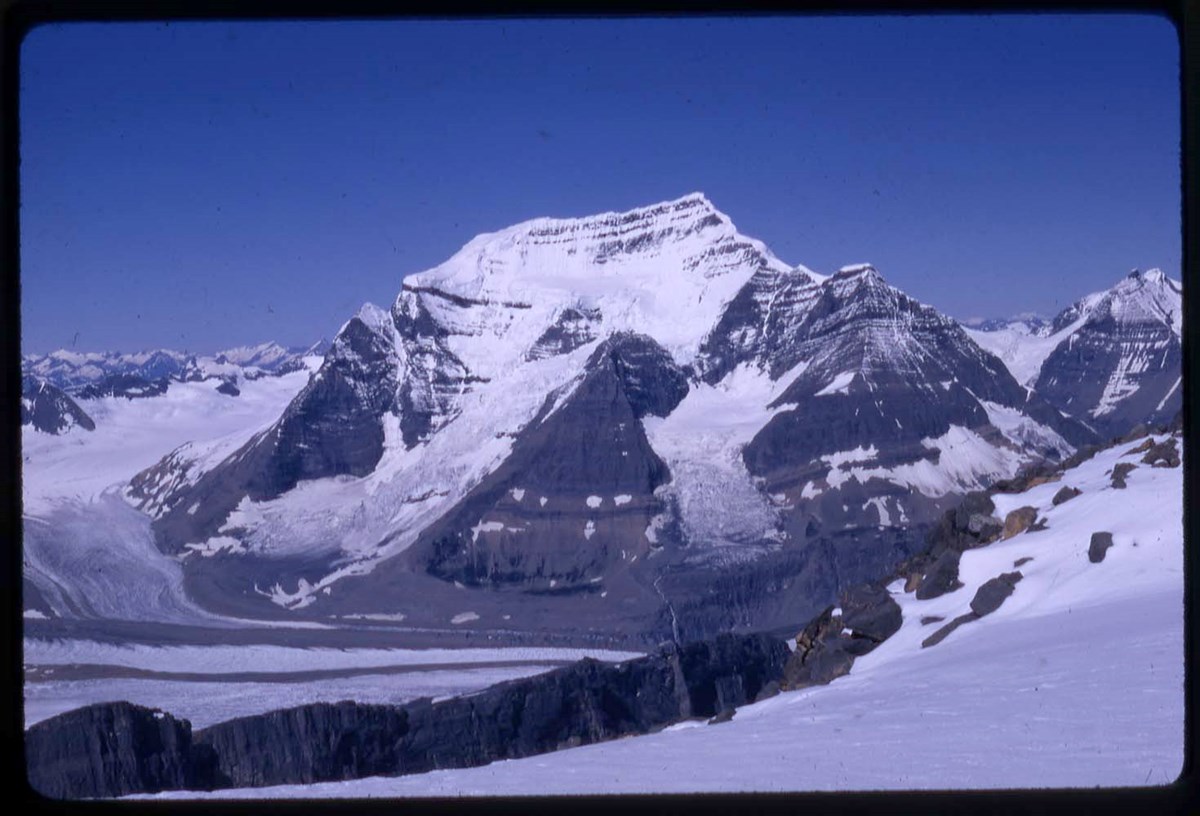
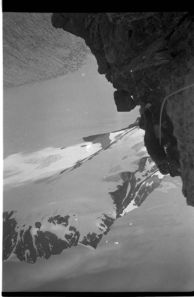
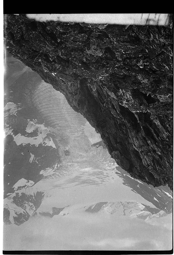
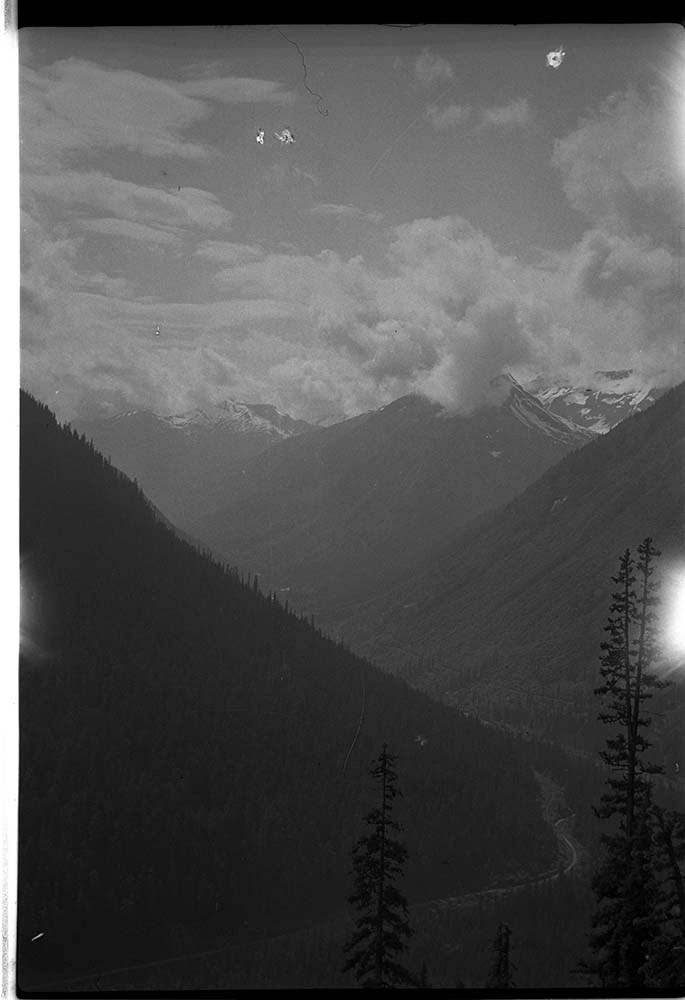
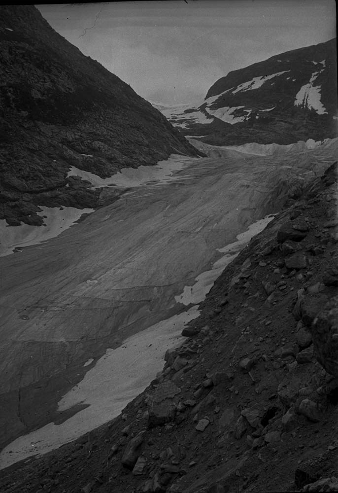
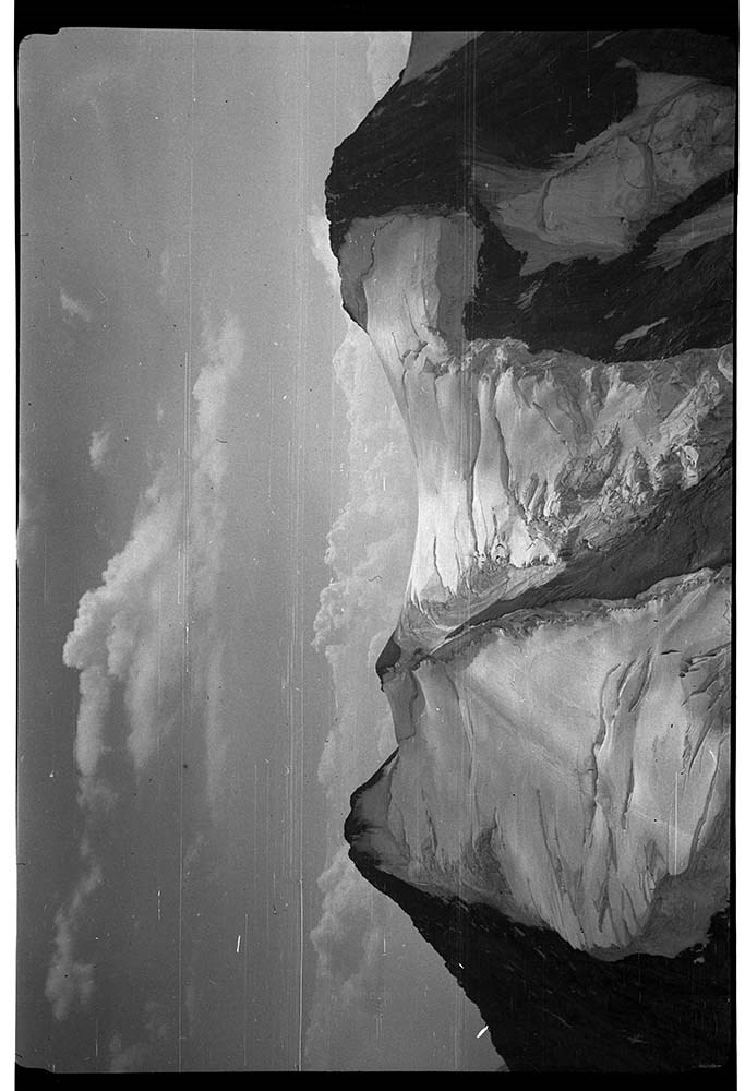
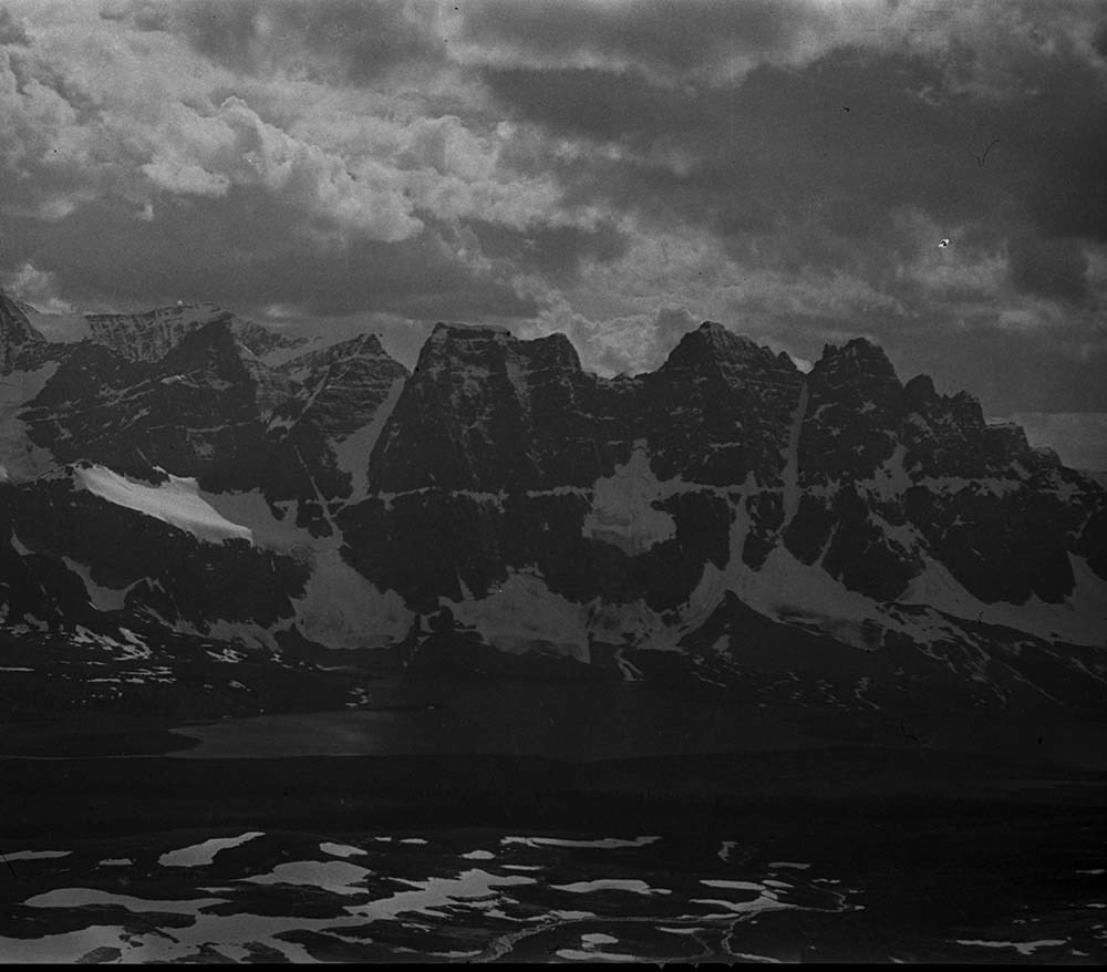
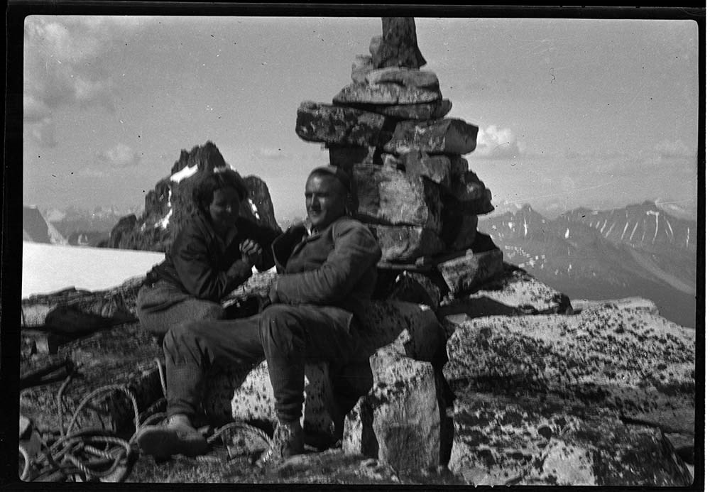
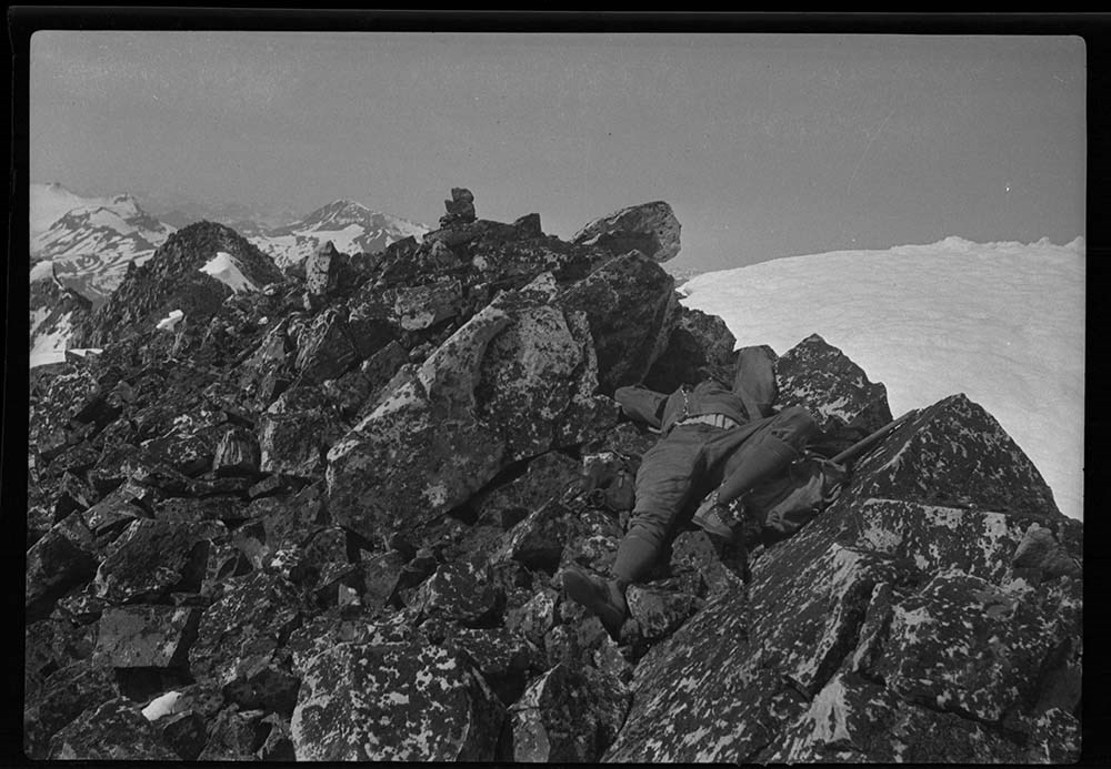
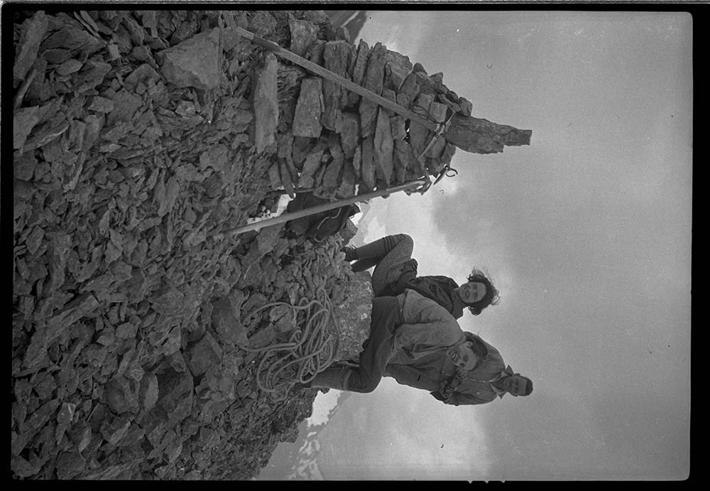
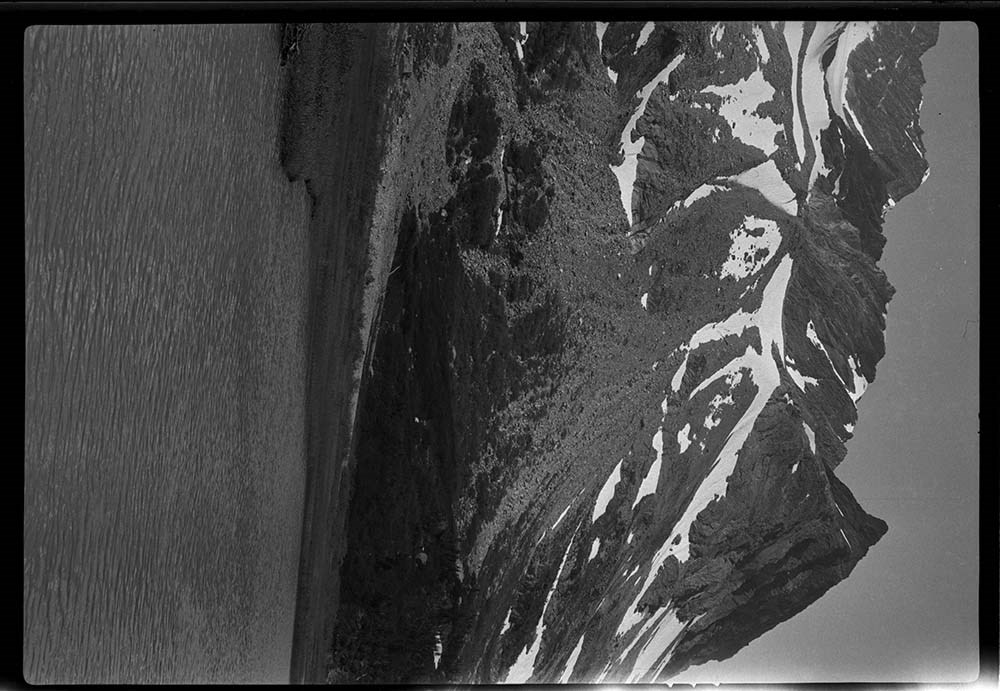
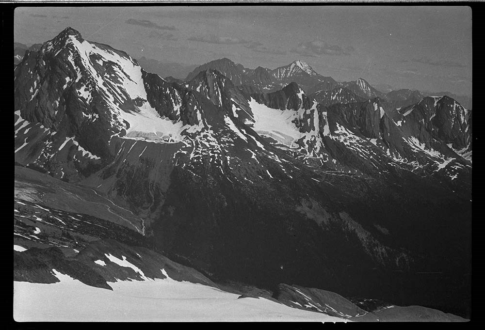
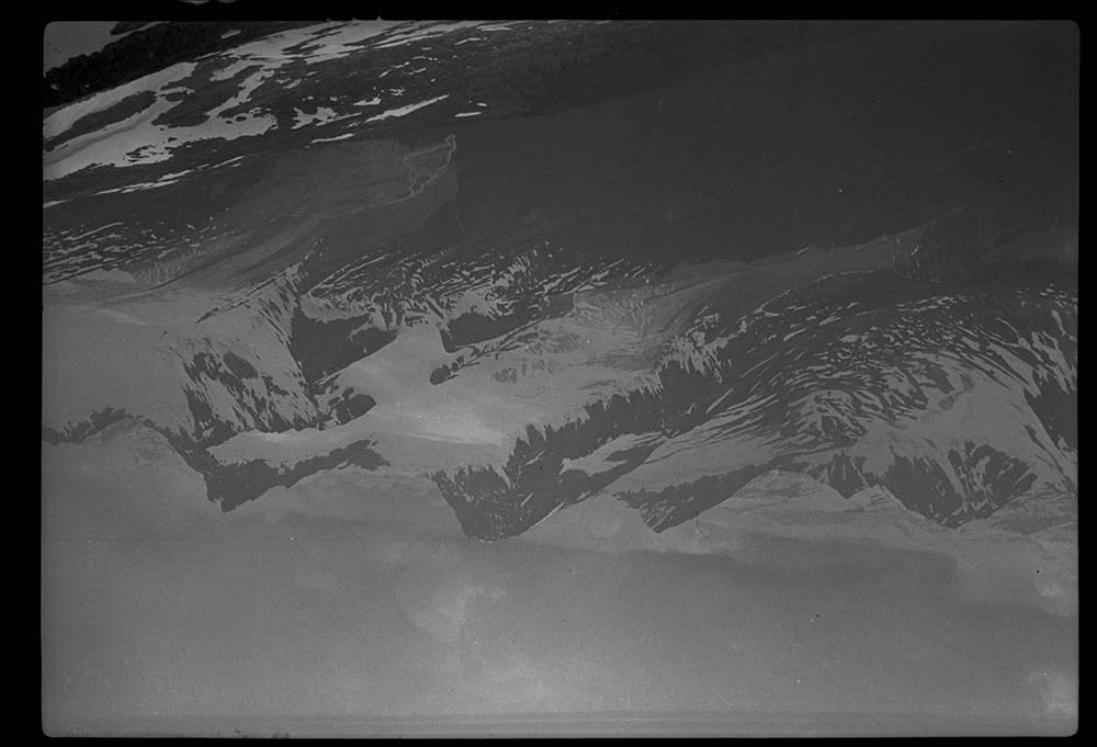
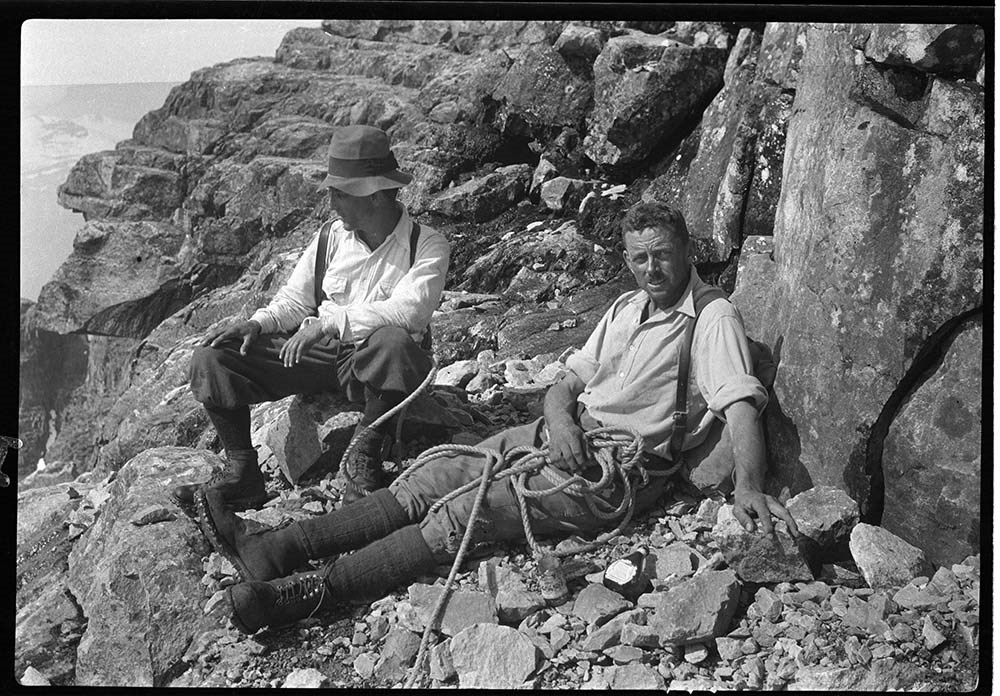
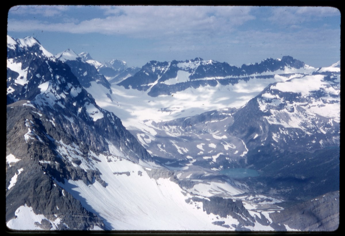
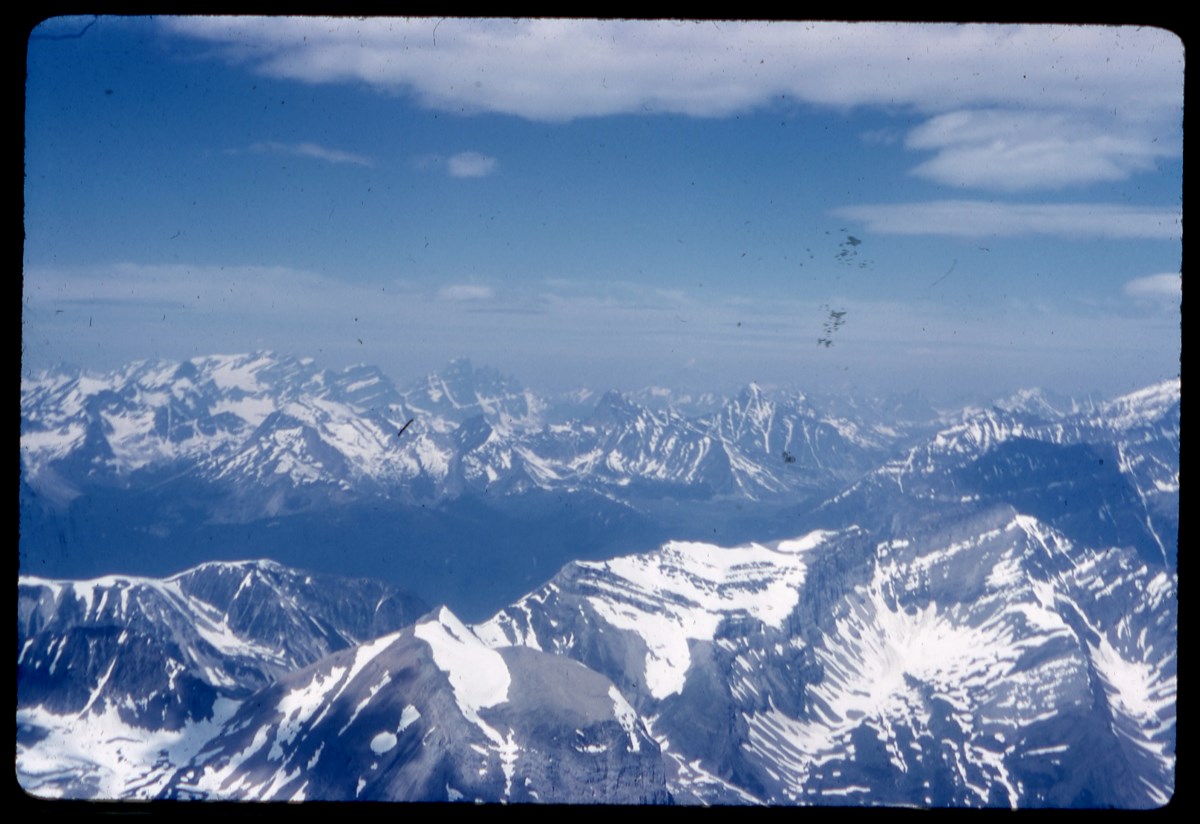
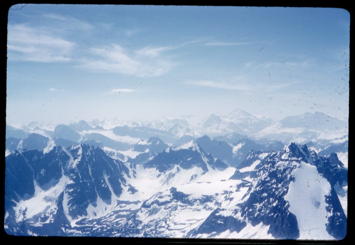
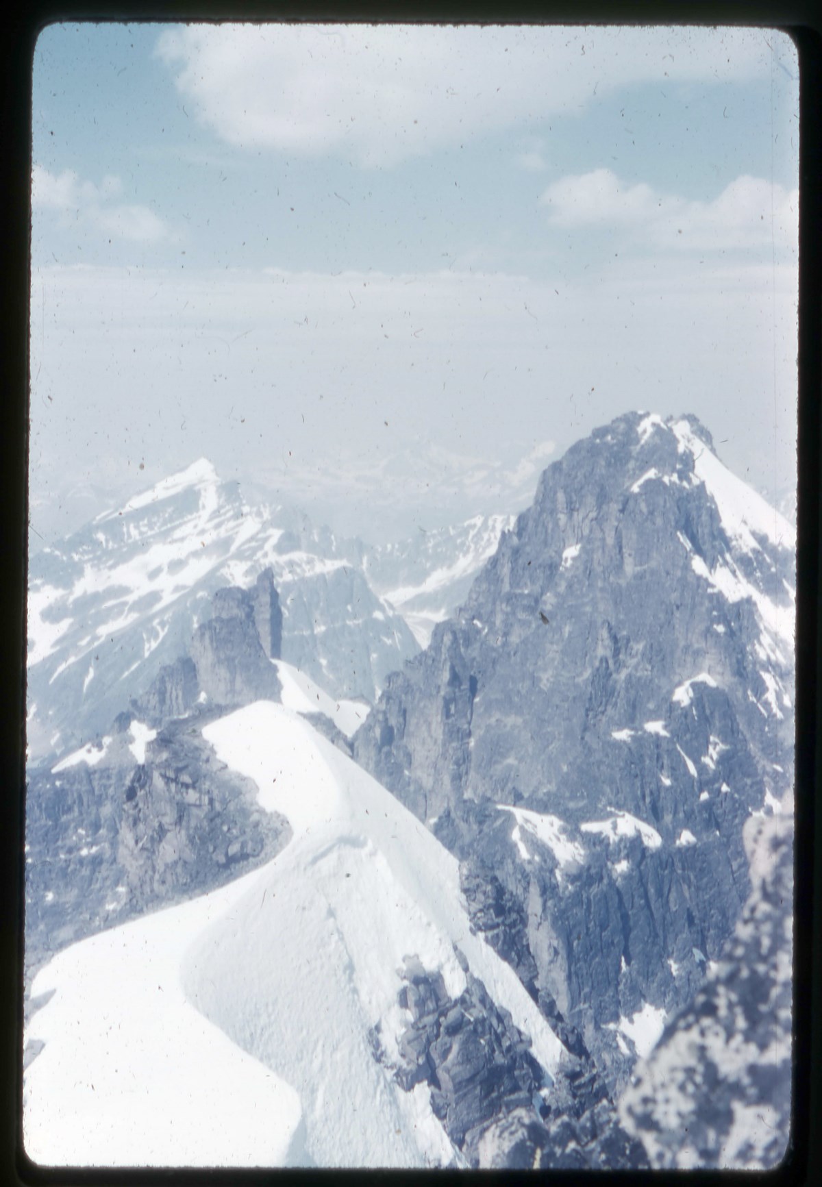
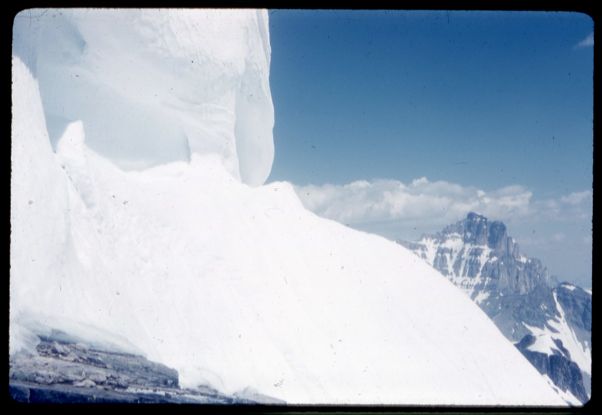
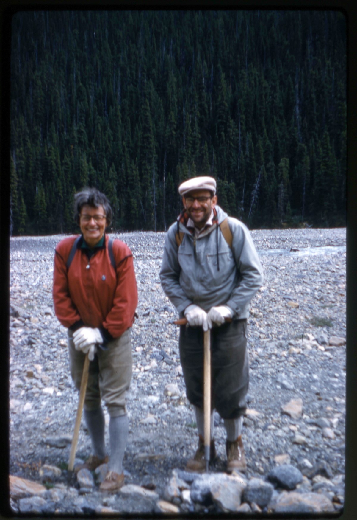
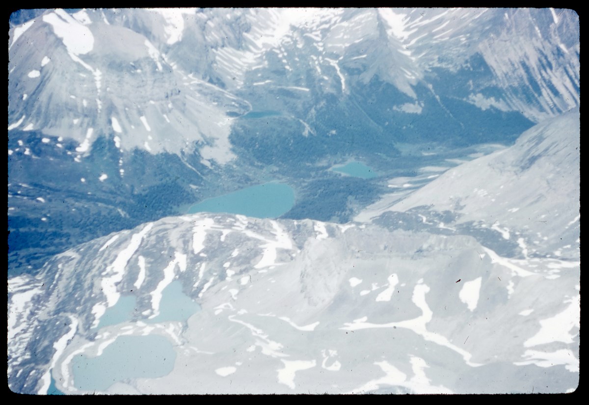
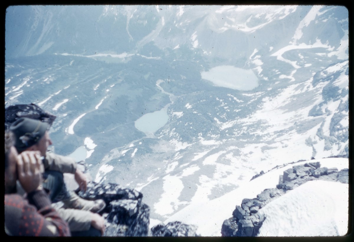
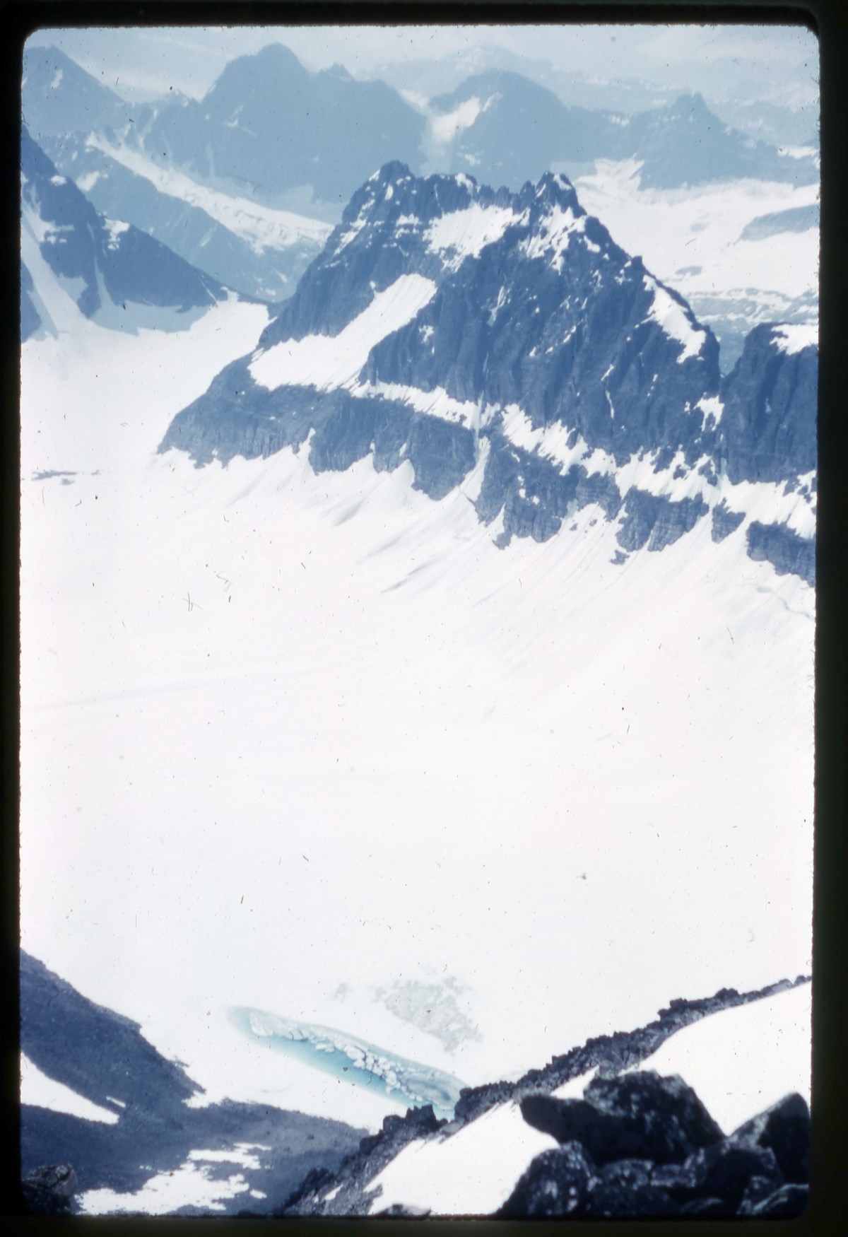
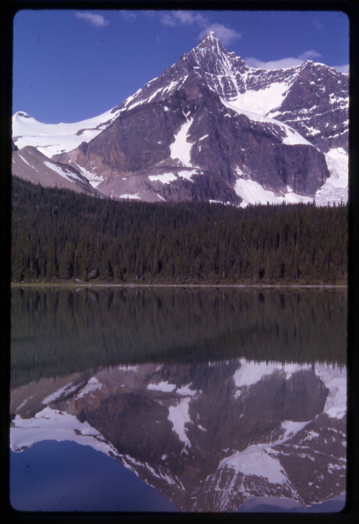
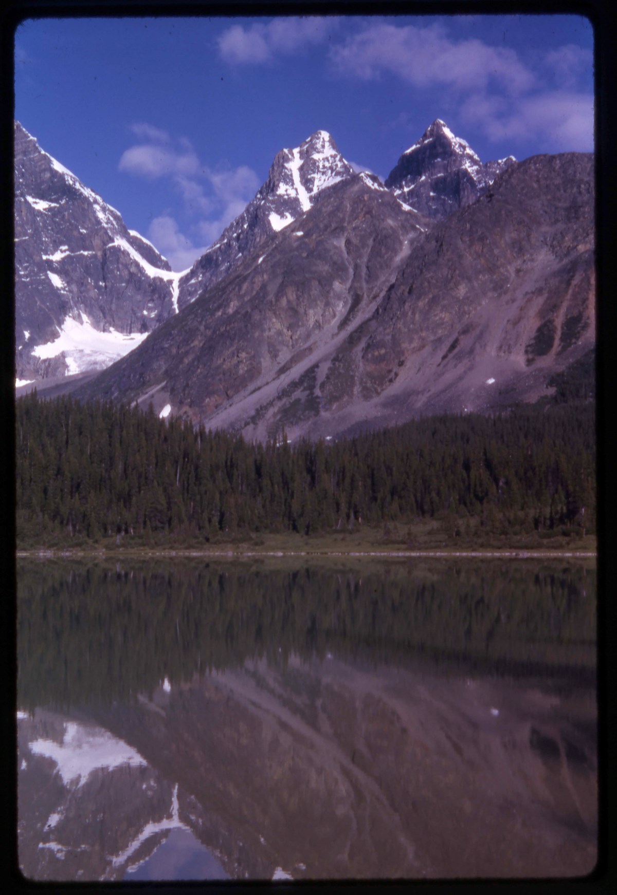
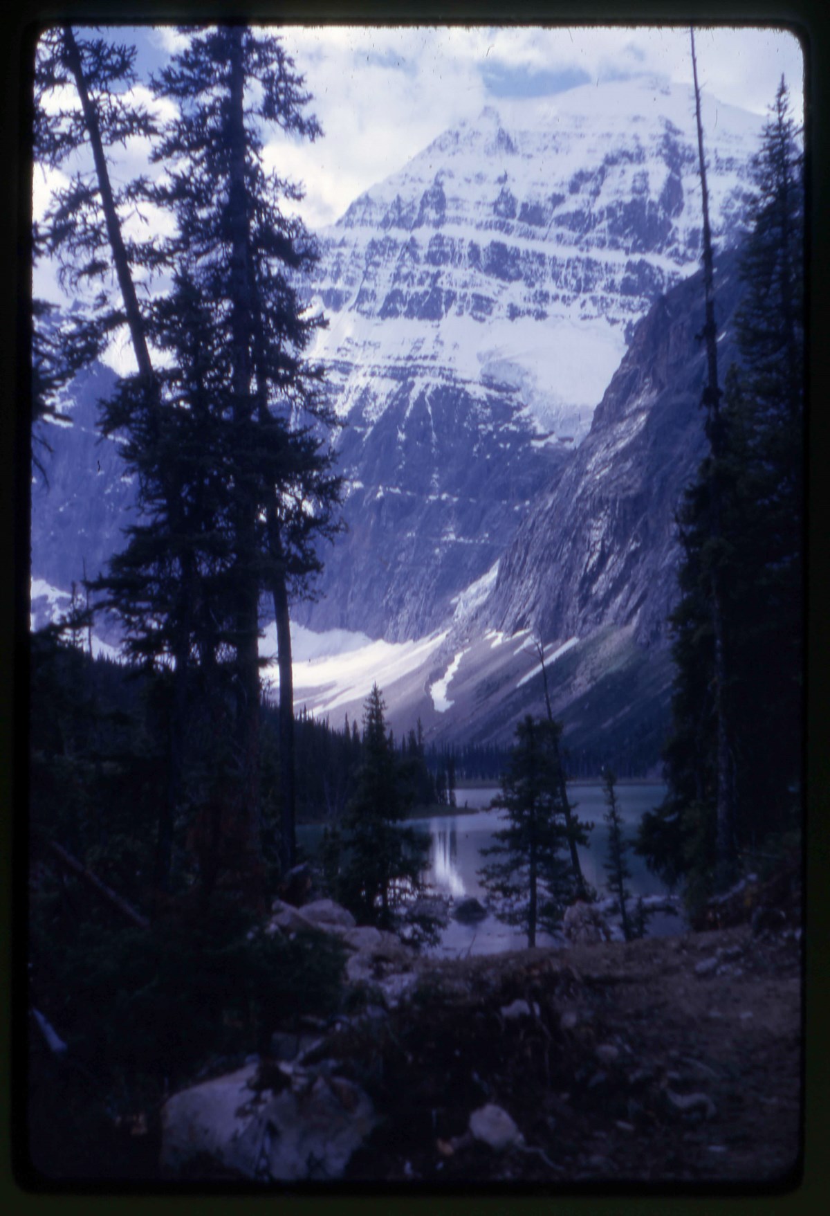
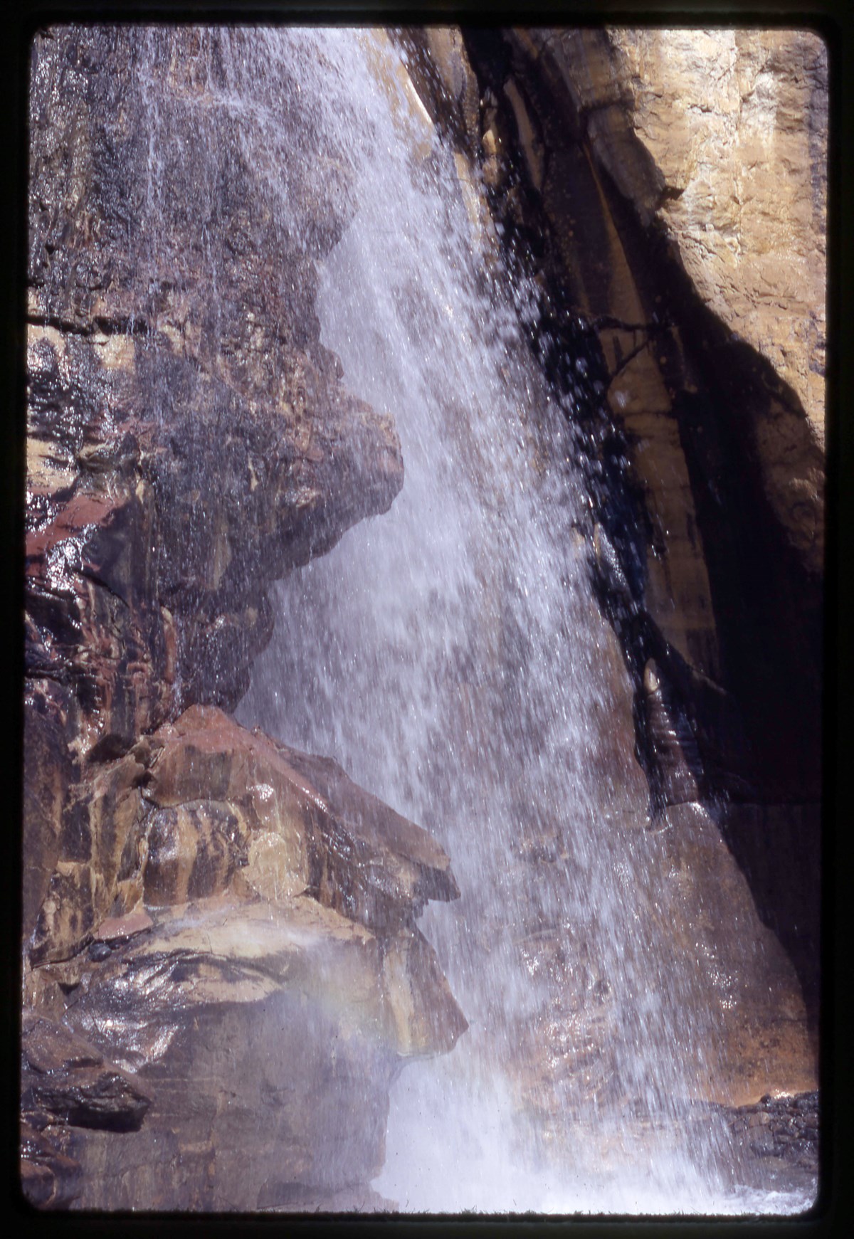
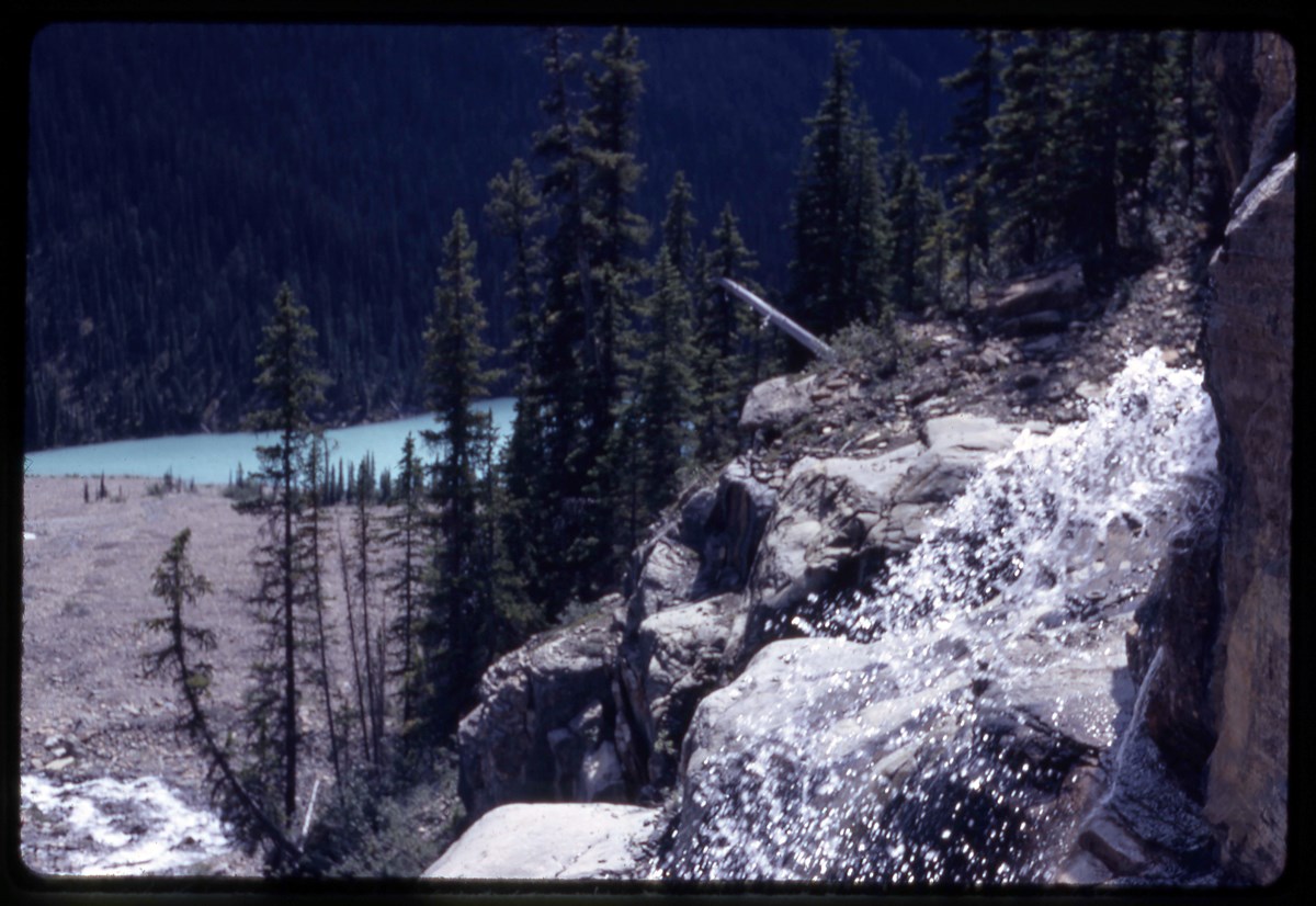
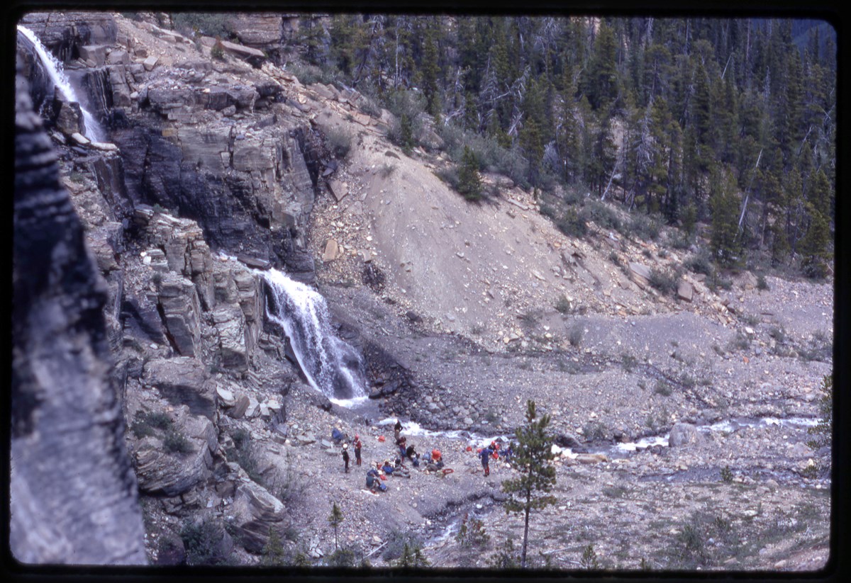
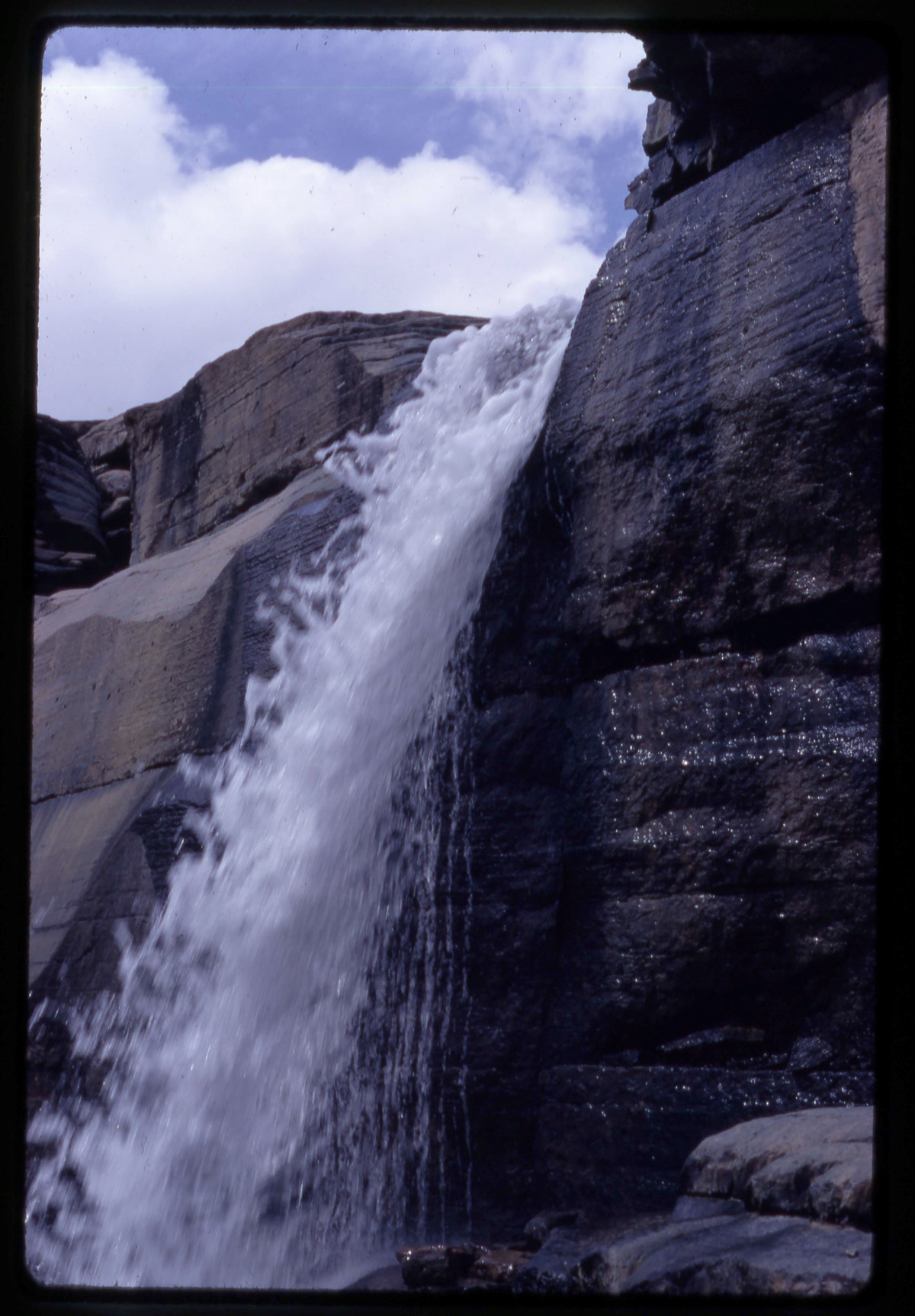
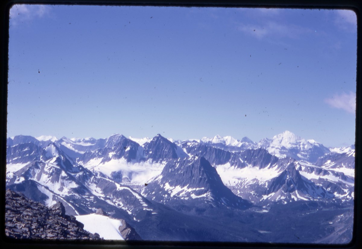
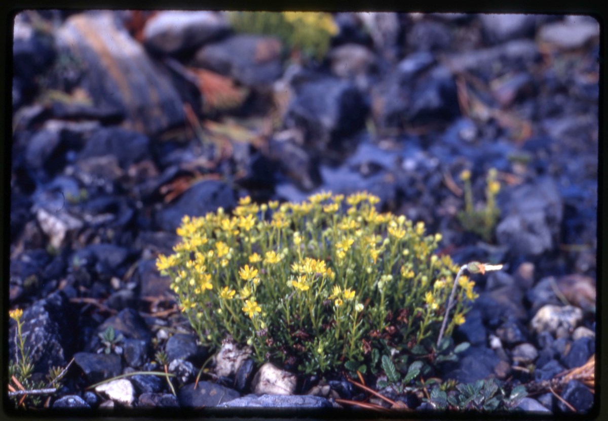
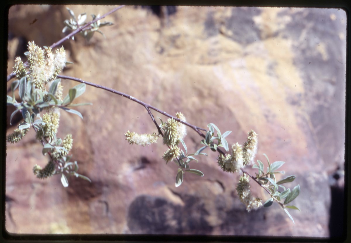
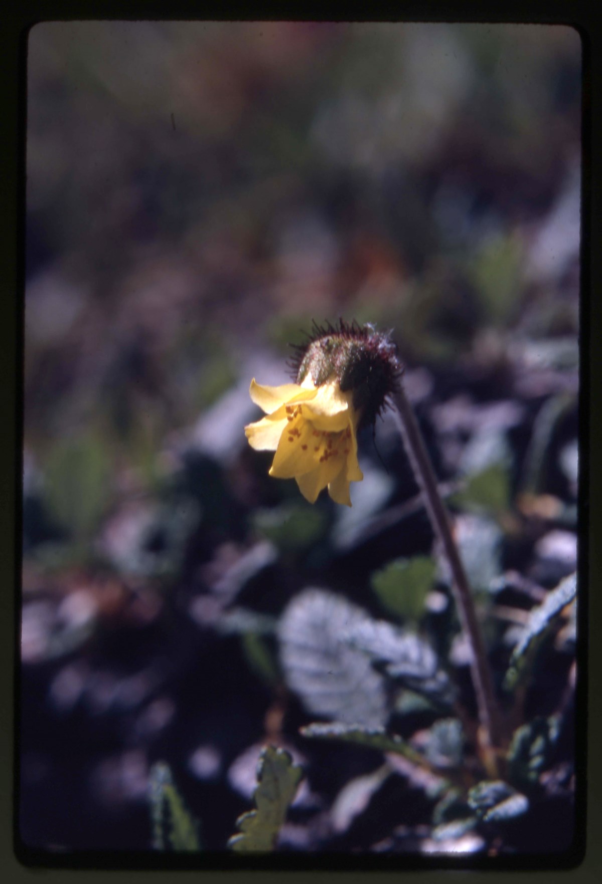
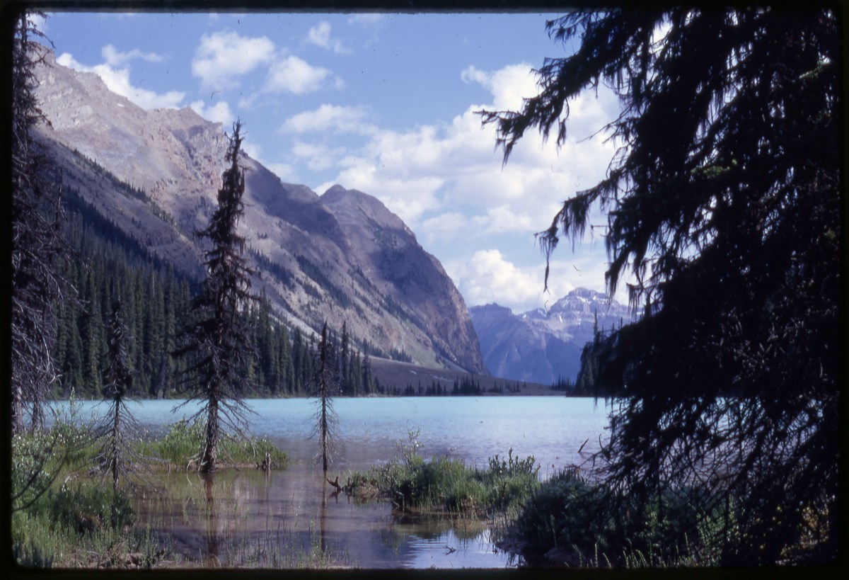
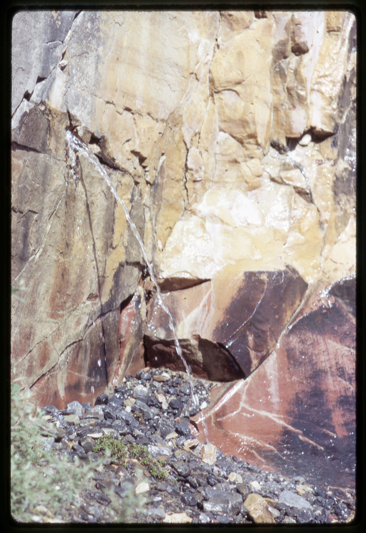
Clemenceau Glacier area
https://archives.whyte.org/en/permalink/descriptions17533
- Part Of
- Bob Hind fonds
- Scope & Content
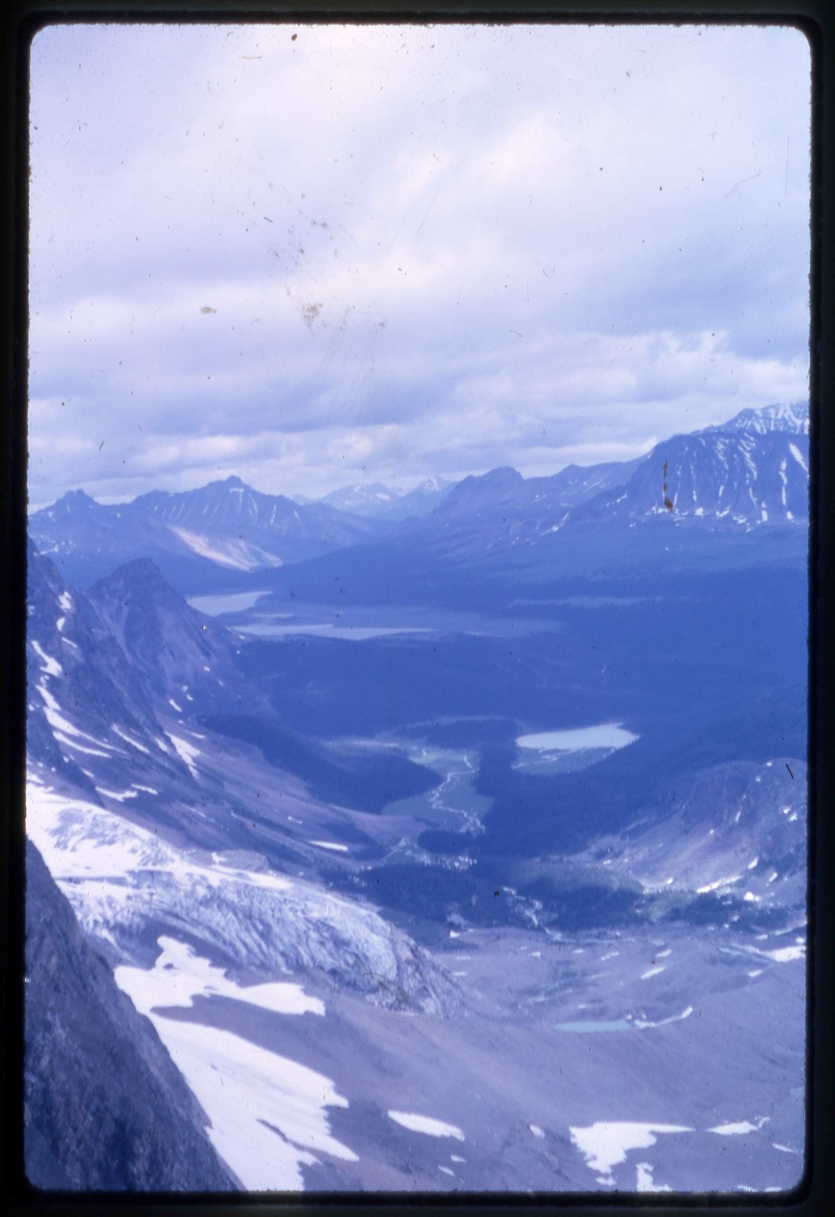
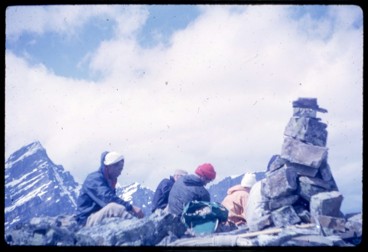
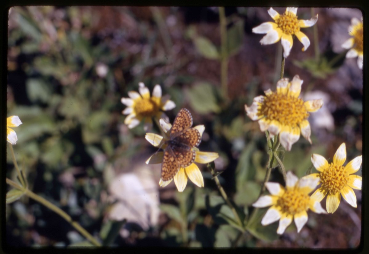
- File pertains to trips to Clemenceau Glacier area. Includes Mount Shackleton and Shackleton Glacier (1963), and Mount Rhodes, Mount Cummins area landscape views. flora, group camp and hiking (1920) File includes good close-ups of Bob Hind and dog Chance, and annotated slides by both Bob Hind and M…
- Date Range
- 1964-1980
- Reference Code
- V46 / I / A / 43 / NS - 1 to 52
- Description Level
- 5 / File
- GMD
- Transparency
1 image
1 Electronic Resource
- Part Of
- Bob Hind fonds
- Description Level
- 5 / File
- Fonds Number
- M7 / V46
- Series
- I.A. Mountain travel and recreation, western Canada : Trips and activities
- Sous-Fonds
- V46
- Accession Number
- 7181
- Reference Code
- V46 / I / A / 43 / NS - 1 to 52
- GMD
- Transparency
- Date Range
- 1964-1980
- Physical Description
- 52 photographs : transparencies, 35mm, col
- History / Biographical
- See fonds level description
- Scope & Content
- File pertains to trips to Clemenceau Glacier area. Includes Mount Shackleton and Shackleton Glacier (1963), and Mount Rhodes, Mount Cummins area landscape views. flora, group camp and hiking (1920)
- File includes good close-ups of Bob Hind and dog Chance, and annotated slides by both Bob Hind and M. G. Hind
- Name Access
- Hind, Bob
- Subject Access
- Activities
- Backpacking
- Cabins and shelters
- Environment
- Guide
- Guiding
- Hiking
- Mountaineering
- Mountains
- Professional and Personal Life
- Geographic Access
- British Columbia
- Canada
- Language
- NA
- Title Source
- Title based on contents of file
- Processing Status
- Processed
Electronic Resources
Images
This material is presented as originally created; it may contain outdated cultural descriptions and
potentially offensive content.
Read more.
Dufay Transparencies
https://archives.whyte.org/en/permalink/descriptions23746
- Part Of
- Bert Riggall fonds
- Scope & Content
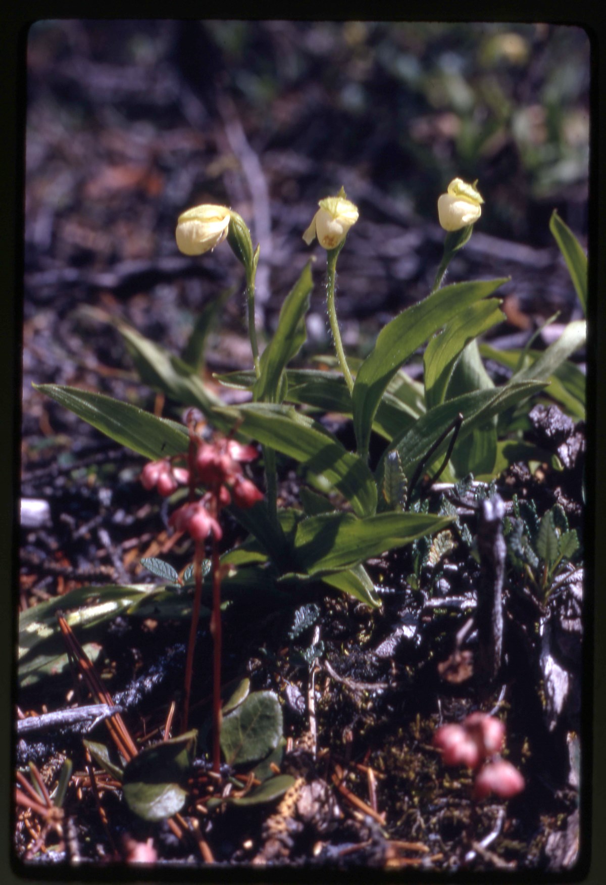
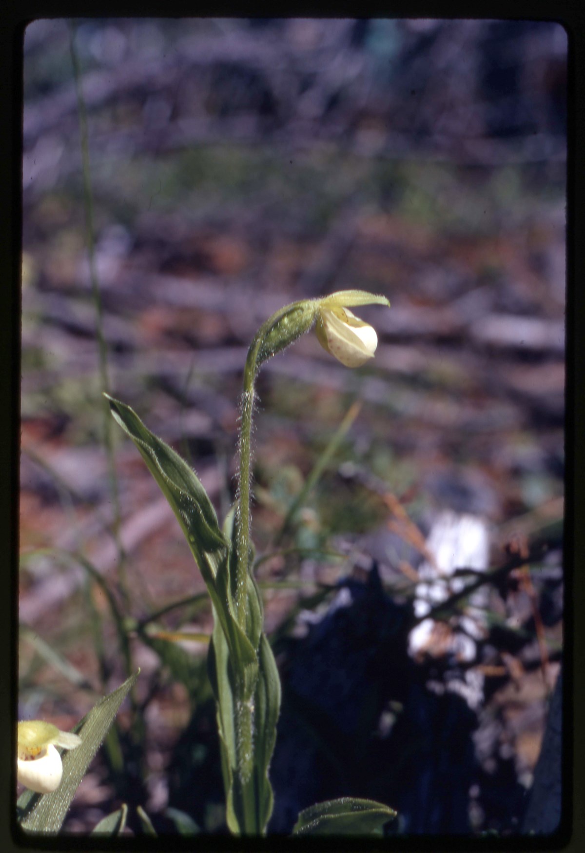
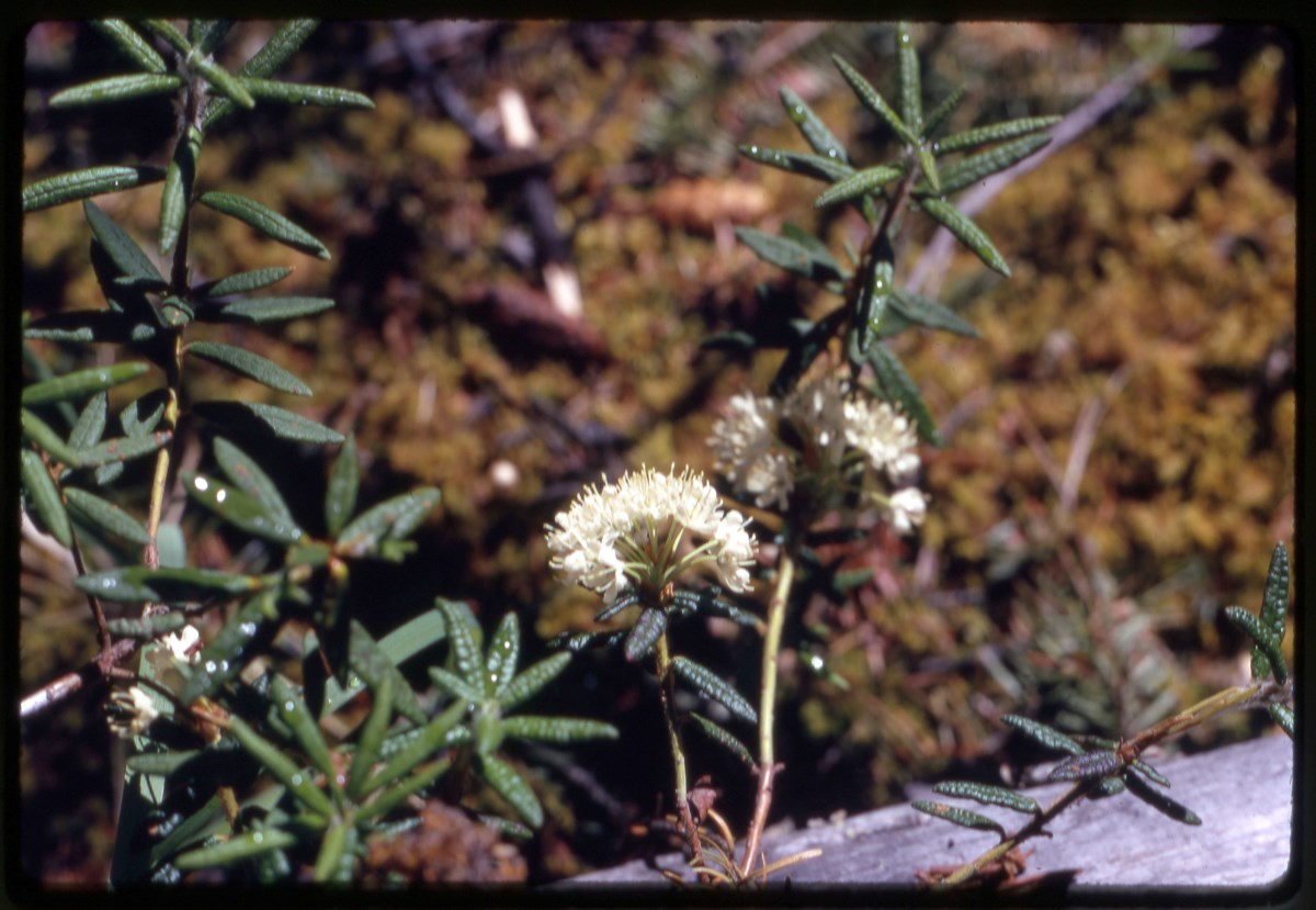
- File consists of 327 Dufaycolor transparencies, some captioned. Transparencies in this file pertain to views of bighorn sheep, Waterton, Riggall's car, sunsets and sunrises, camps, camplife, wildflowers (shooting stars, bluebeard tongue, alpine blue gentium), NW branch of the Oldman River valley, T…
- Date Range
- [ca.1939, 1940, 1941]
- Reference Code
- V26 / III / D1 / NS - 1 to 327
- Description Level
- 5 / File
- Part Of
- Bert Riggall fonds
- Description Level
- 5 / File
- Series
- III. Professional Photography: Transparencies
- Reference Code
- V26 / III / D1 / NS - 1 to 327
- Date Range
- [ca.1939, 1940, 1941]
- Physical Description
- Transparencies: 327 Dufaycolor transparencies, colour
- History / Biographical
- Dufay Historical Significance: Dufaycolor is an additive colour photographic film process invented by Louis Dufay and introduced for still photography in 1935. Popular with amateurs and professional photographers, it was used for photojournalism and advertising purposes. Dufaycolor was used only into the 1950s when it was superseded by superior colour processes like Technicolour and Kodachrome. Dufaycolor transparencies are viewed either by projection or transmitted light. The photographer could use Dufaycolor roll film (35mm) or ‘flat film’ in preloaded ‘film packs’ for larger sizes. Dufaycolor transparencies are often mounted in a Dufaycolor slide mount, a black paper mount embossed with “Dufaycolor” on the top right hand corner. Riggall’s use of Dufaycolor is significant because of the limited commercial production (1935 - 1950), the economic implications of using Dufaycolor (Dufaycolor film could be nearly three times the price of other commercially available film stock), and Riggall’s own limited use of this format (ca. 1939 to 1941). The 486 Dufaycolor transparencies contained within the Bert Riggall fonds are important records of early color photography and Riggall’s experimentation with the process. Riggall ordered his Dufaycolor supplies from “Dufaycolor Service” and the W.E. Booth Company Limited in Toronto. Also in the Bert Riggall fonds, is “The Dufaycolor Book” published by Dufay-Chromex Limited found at: M376 / 126, 127
- Scope & Content
- File consists of 327 Dufaycolor transparencies, some captioned. Transparencies in this file pertain to views of bighorn sheep, Waterton, Riggall's car, sunsets and sunrises, camps, camplife, wildflowers (shooting stars, bluebeard tongue, alpine blue gentium), NW branch of the Oldman River valley, Twin Lakes, Cheif Mountain, Beehive mountain and area, Bighorn sheep trophies, hunting, mountain views, and hiking.
- Subject Access
- Dufay, Wildflowers, Pack trains, Mountains, hiking
- Title Source
- Title based on contents of file
- Content Details
- Some of the transparencies have maintained their original dufaycolor mounts. Some mounts are also captioned with exposure and focus information.
- ***Dufaycolor printing/developing filters are in manuscript box in lower storage - Riggall Processed Bay***
- Processing Status
- Processed
This material is presented as originally created; it may contain outdated cultural descriptions and
potentially offensive content.
Read more.
Dufay Transparencies
https://archives.whyte.org/en/permalink/descriptions23747
- Part Of
- Bert Riggall fonds
- Scope & Content
- File consists of 178 Dufaycolor colour transparencies, some captioned. Transparencies in this file pertain to views of Beehive Mountain and the Great Divide, wildflowers (shooting stars or dodecatheon conjugens, alpine delphinium, thermopsis rhombifilia, harebell, campanula or bell flower, delphini…
- Date Range
- [ca.1939, 1940, 1941]
- Reference Code
- V26 / III / D1 / NS - 328 to 485
- Description Level
- 5 / File
- Part Of
- Bert Riggall fonds
- Description Level
- 5 / File
- Series
- III. Professional Photography: Transparencies
- Reference Code
- V26 / III / D1 / NS - 328 to 485
- Date Range
- [ca.1939, 1940, 1941]
- Physical Description
- Transparencies: 178 Dufaycolor transparencies, colour
- History / Biographical
- Dufay Historical Significance: Dufaycolor is an additive colour photographic film process invented by Louis Dufay and introduced for still photography in 1935. Popular with amateurs and professional photographers, it was used for photojournalism and advertising purposes. Dufaycolor was used only into the 1950s when it was superseded by superior colour processes like Technicolour and Kodachrome. Dufaycolor transparencies are viewed either by projection or transmitted light. The photographer could use Dufaycolor roll film (35mm) or ‘flat film’ in preloaded ‘film packs’ for larger sizes. Dufaycolor transparencies are often mounted in a Dufaycolor slide mount, a black paper mount embossed with “Dufaycolor” on the top right hand corner. Riggall’s use of Dufaycolor is significant because of the limited commercial production (1935 - 1950), the economic implications of using Dufaycolor (Dufaycolor film could be nearly three times the price of other commercially available film stock), and Riggall’s own limited use of this format (ca. 1939 to 1941). The 486 Dufaycolor transparencies contained within the Bert Riggall fonds are important records of early color photography and Riggall’s experimentation with the process. Riggall ordered his Dufaycolor supplies from “Dufaycolor Service” and the W.E. Booth Company Limited in Toronto. Also in the Bert Riggall fonds, is “The Dufaycolor Book” published by Dufay-Chromex Limited found at: M376 / 126, 127
- Scope & Content
- File consists of 178 Dufaycolor colour transparencies, some captioned. Transparencies in this file pertain to views of Beehive Mountain and the Great Divide, wildflowers (shooting stars or dodecatheon conjugens, alpine delphinium, thermopsis rhombifilia, harebell, campanula or bell flower, delphinium brownii, alpine aster, willow herb, erythronium, trollius, alpine saxifrage), trail rides, mountain views, Red Rock Canyon warden cabin, Bert Riggall's car, bighorn sheep, pack trains, Riggall's Cottonwood Canyon home, and various unidentified views, camps and camp life, a sunset by a river, trail rides, pack trains, hiking, horses grazing, riders on a mountain ridge, three transparencies of Riggall's brother Jabez Allan Riggall, and an interior view of the Riggall home.
- Subject Access
- Dufay, Wildflowers, Pack trains, Mountains, hiking
- Title Source
- Title based on contents of file
- Content Details
- Some of the transparencies have maintained their original dufaycolor mounts. Some mounts are also captioned with exposure and focus information.
- ***Dufaycolor printing/developing filters are in manuscript box in lower storage - Riggall Processed Bay***
- Processing Status
- Processed
This material is presented as originally created; it may contain outdated cultural descriptions and
potentially offensive content.
Read more.
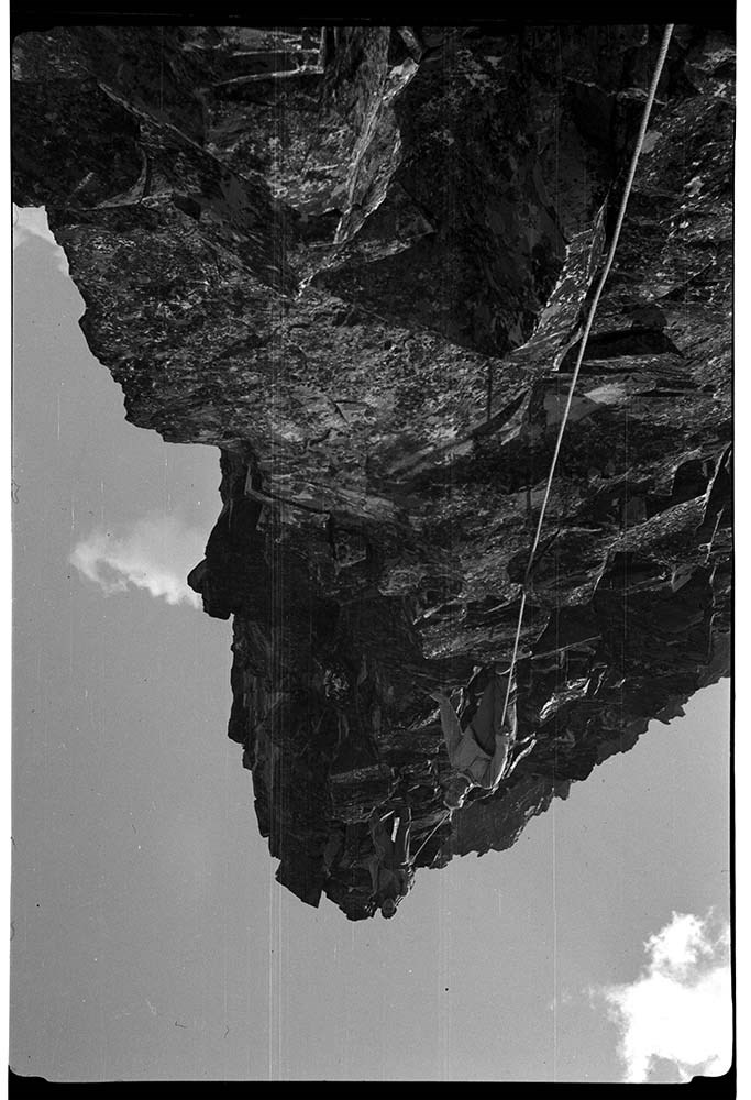
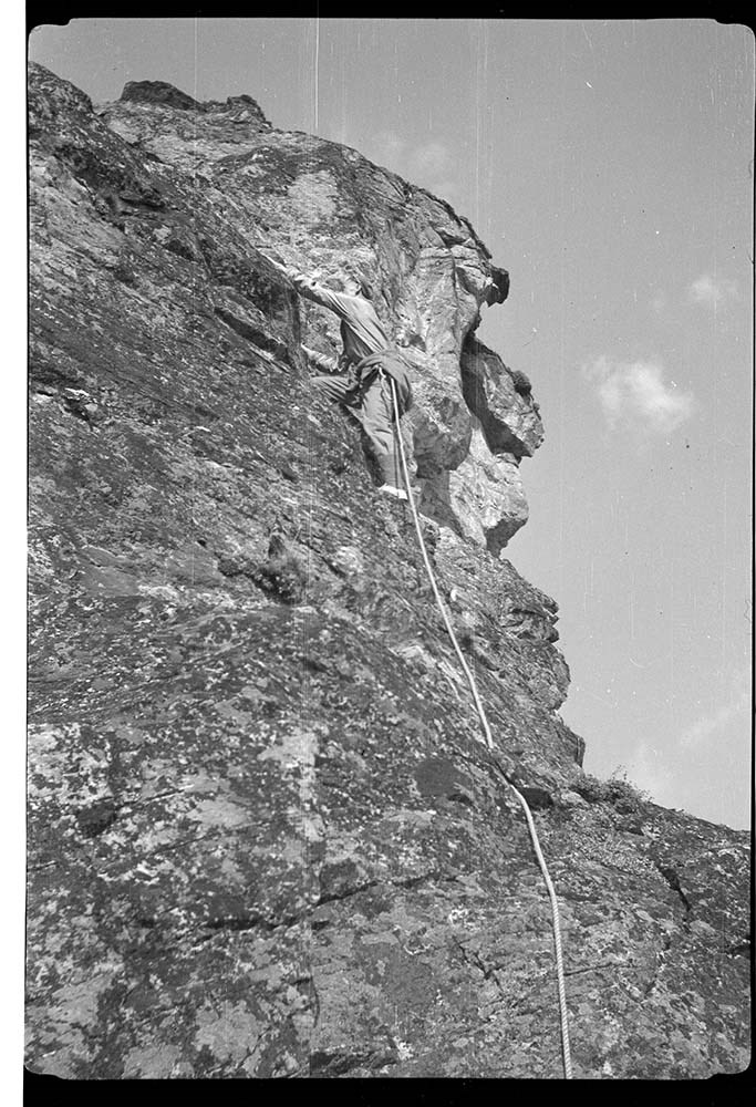
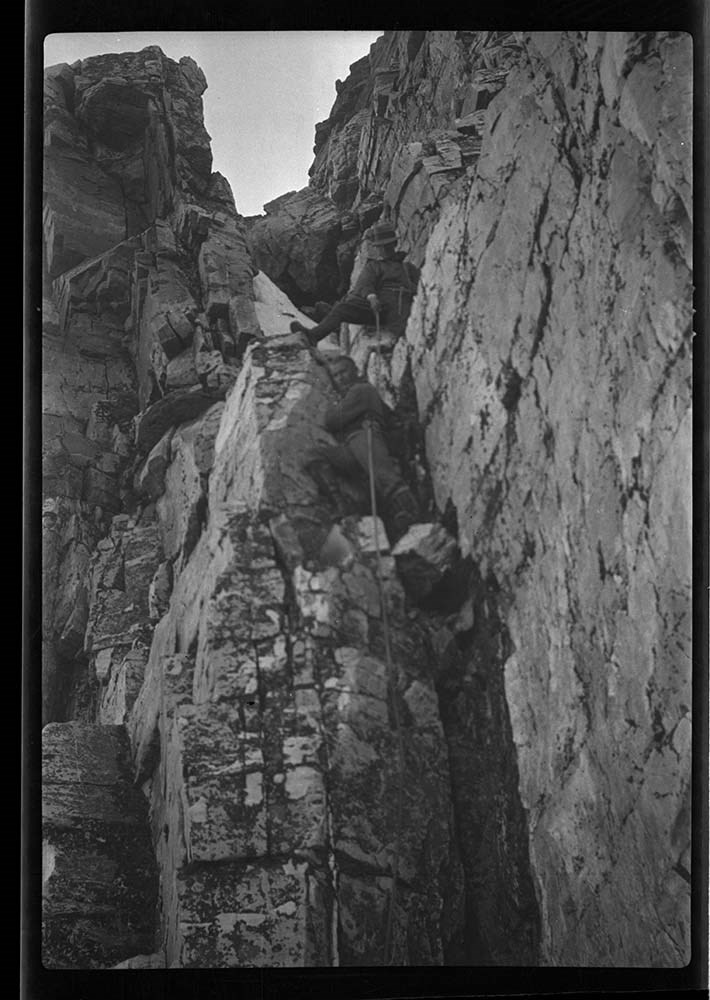
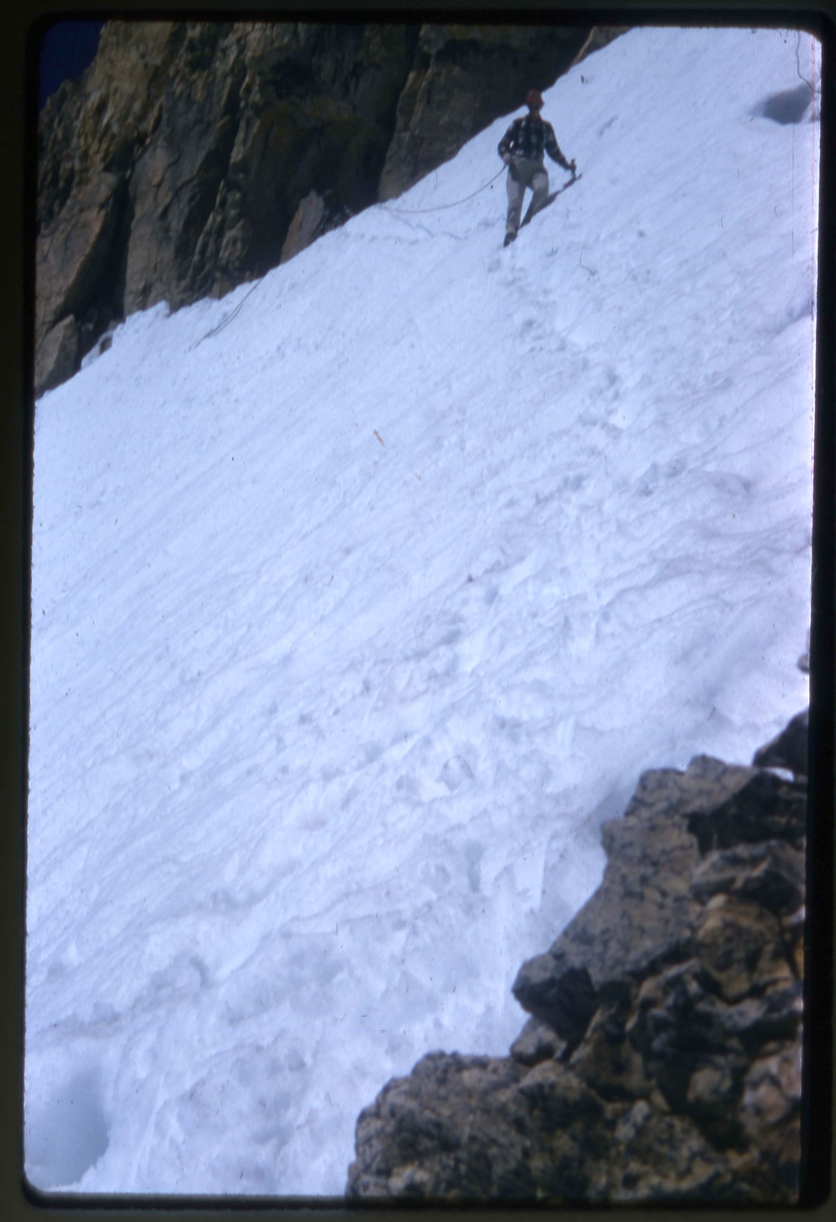
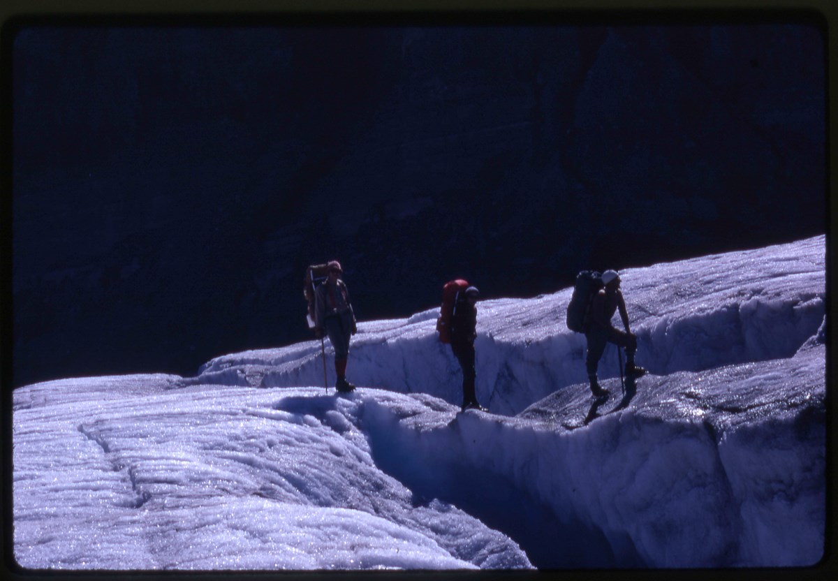
- Part Of
- Bob Hind fonds
- Scope & Content
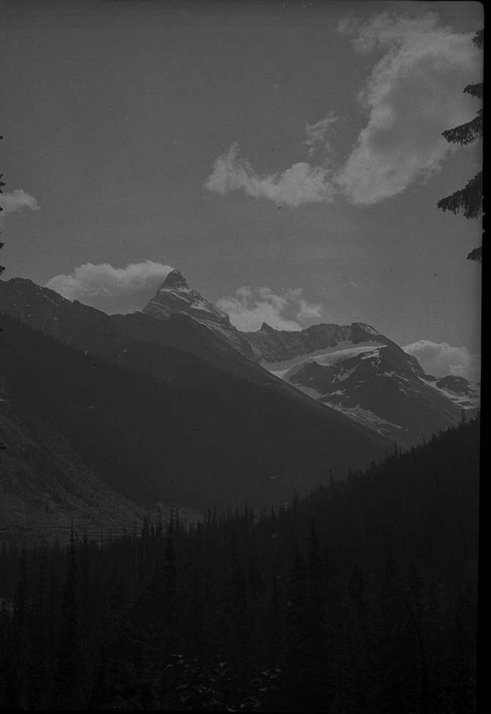
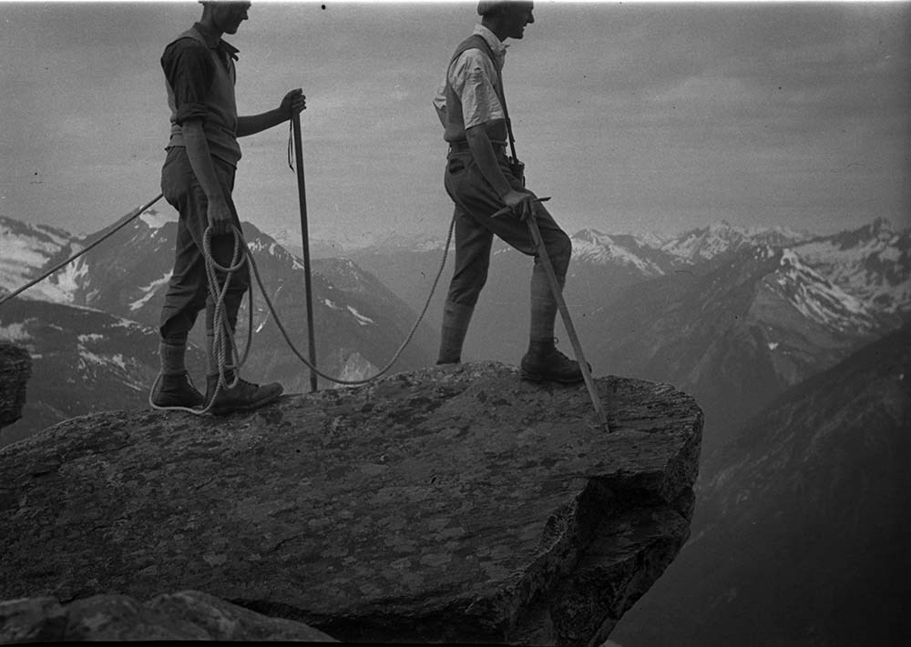
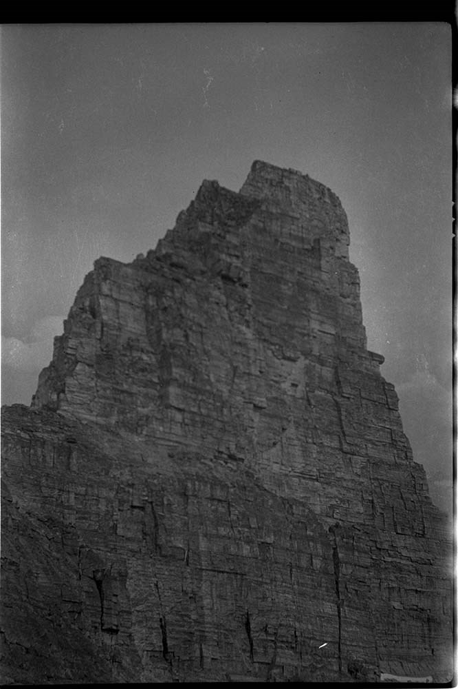
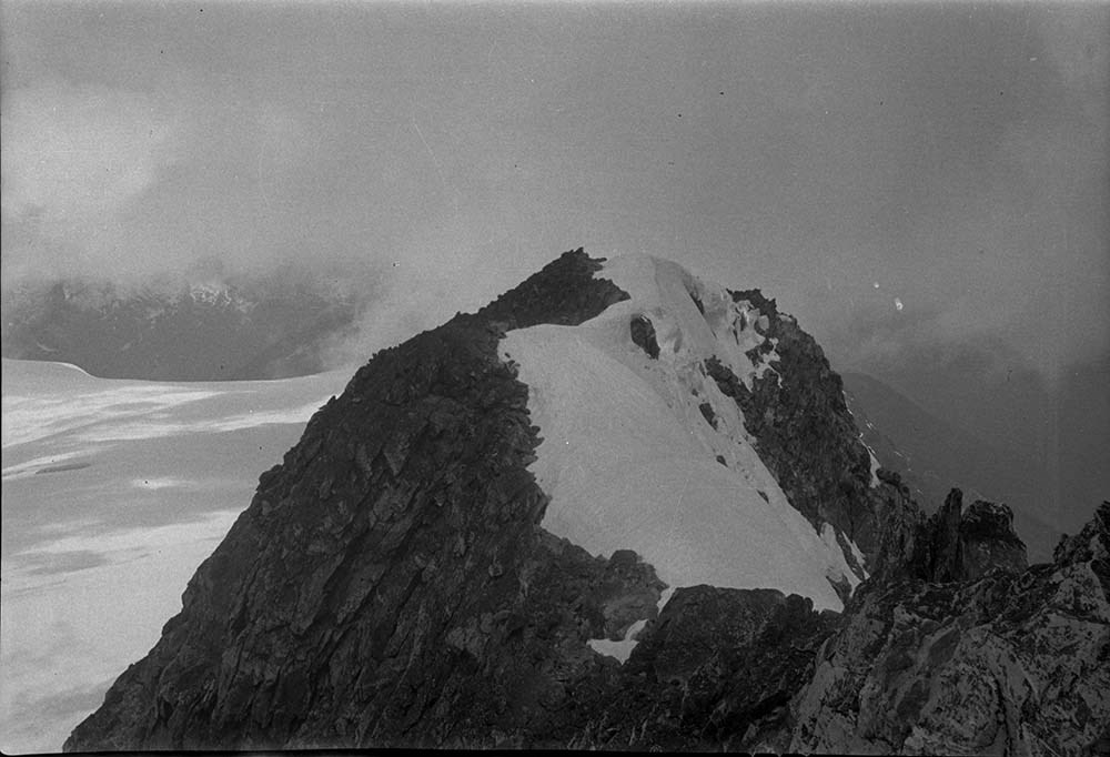
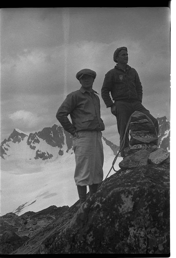
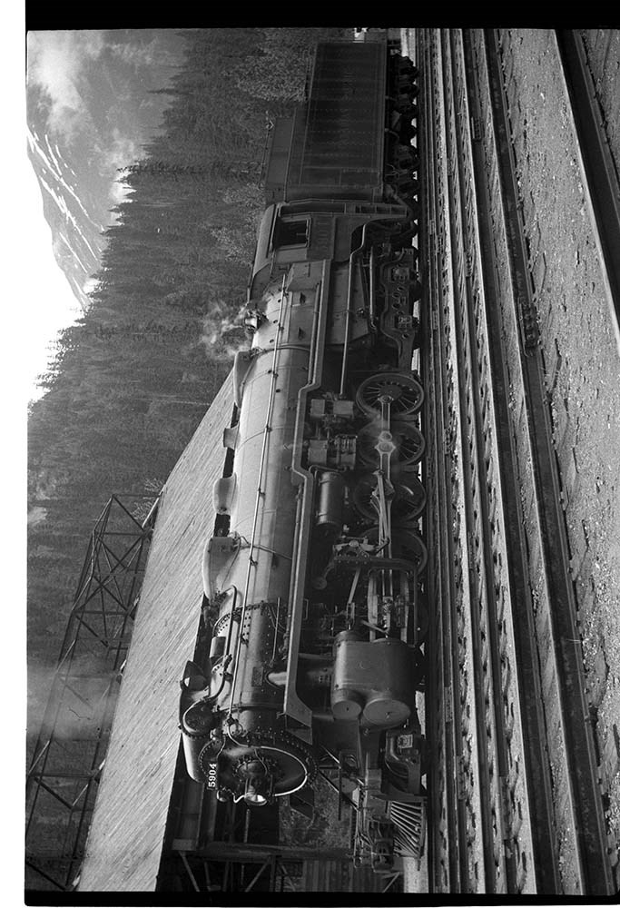
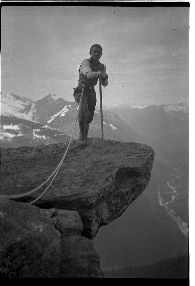
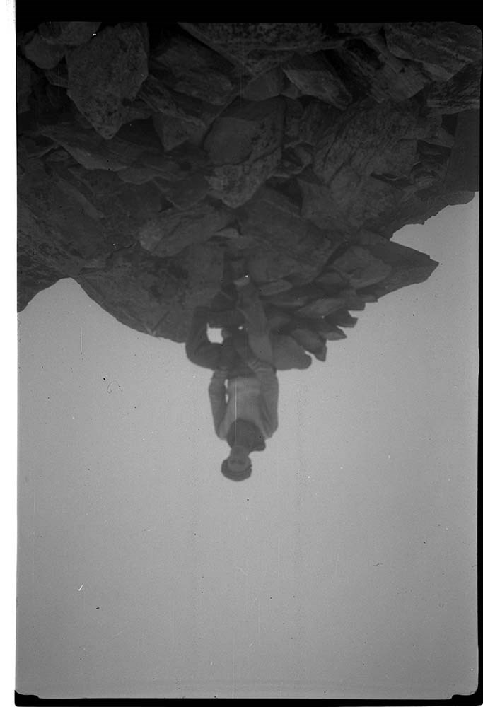
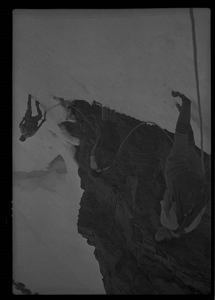
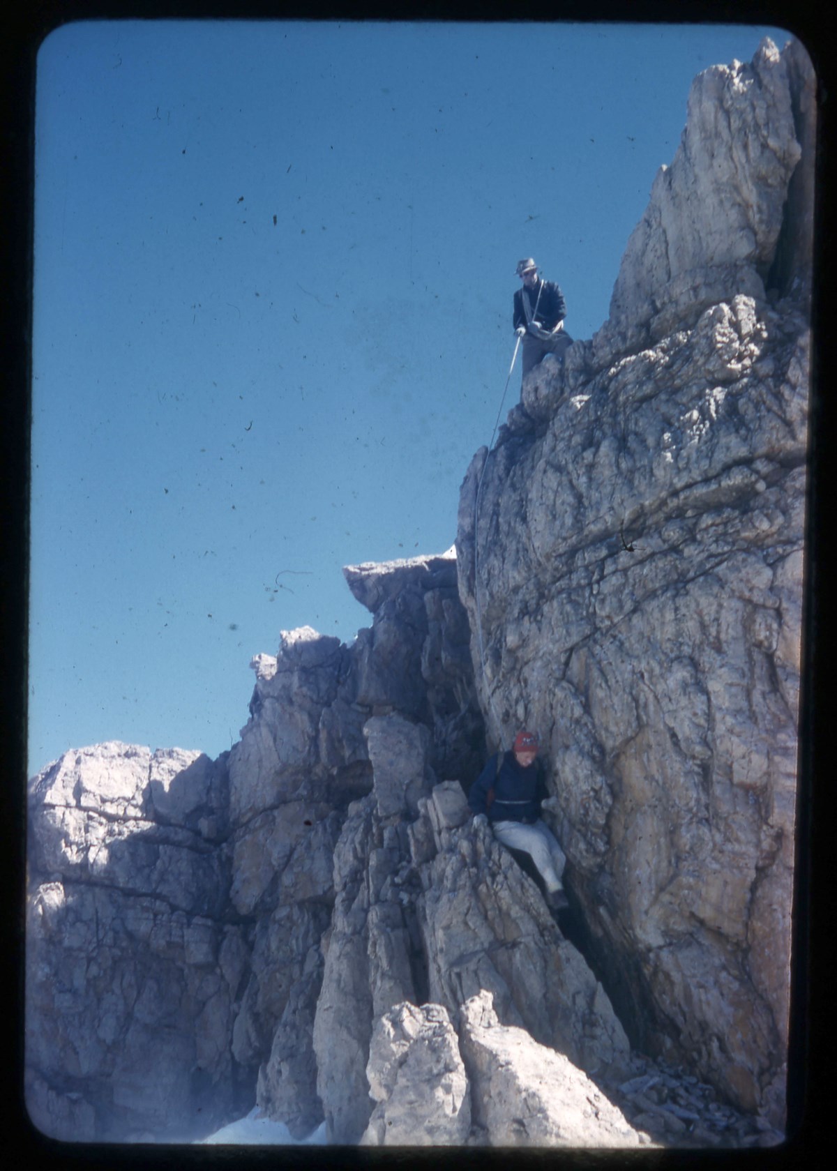
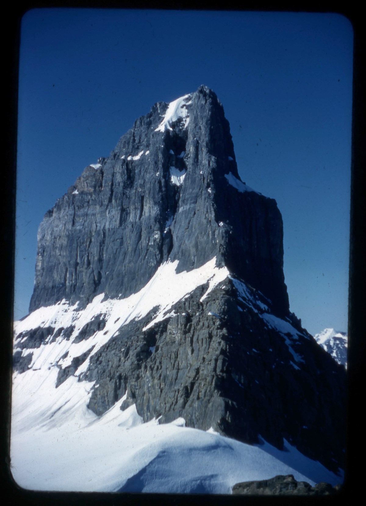
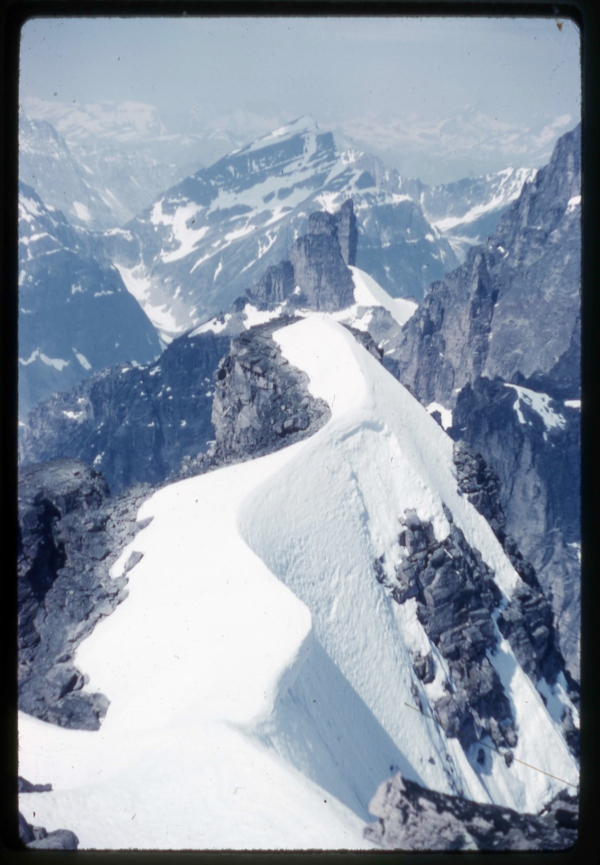
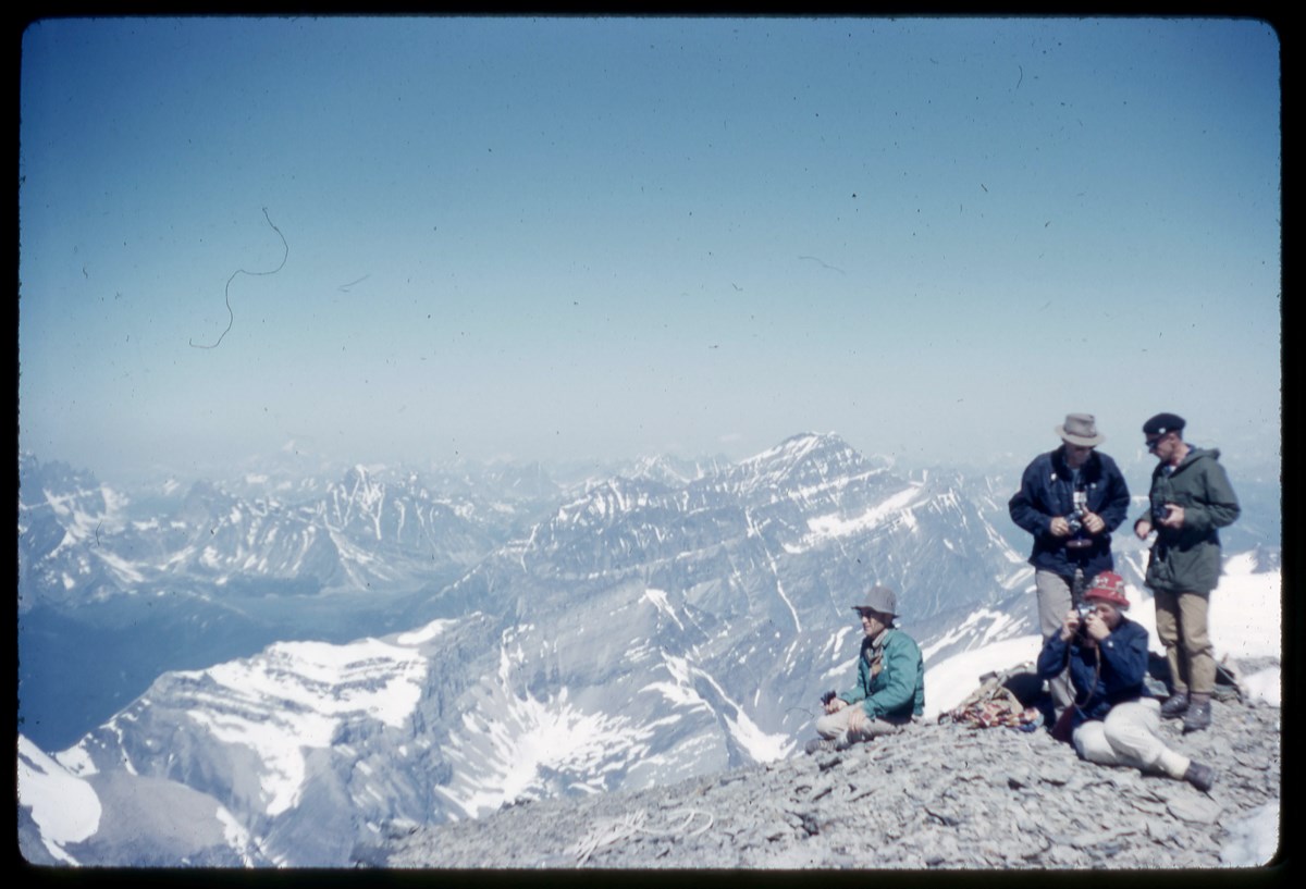
- File pertains to Glacier area, including: camp and landscape views, Mount Sir Donald, Mount Abbot, Mount Tupper, Mount Macoun, climbers (Hind, Hugh, Les, Ken).
- Date Range
- 1932-1936
- Reference Code
- V46 / I / A / 4 / NA - 1 to 46
- Description Level
- 5 / File
- GMD
- Negative
- Transparency
46 images
- Part Of
- Bob Hind fonds
- Description Level
- 5 / File
- Fonds Number
- M7 / V46
- Series
- I.A. Mountain travel and recreation, western Canada : Trips and activities
- Sous-Fonds
- V46
- Accession Number
- 7181
- Reference Code
- V46 / I / A / 4 / NA - 1 to 46
- GMD
- Negative
- Transparency
- Date Range
- 1932-1936
- Physical Description
- 46 photographs : negatives
- History / Biographical
- See fonds level description
- Scope & Content
- File pertains to Glacier area, including: camp and landscape views, Mount Sir Donald, Mount Abbot, Mount Tupper, Mount Macoun, climbers (Hind, Hugh, Les, Ken).
- Notes
- Images :
- 1. Sir Donald
- 2. Summit Macoun
- 3. Camp
- 4. Packed for Asulkan trip
- 5. Rogers Valley from pass
- 6. Pass from S.
- 7. View from station
- 8. Cloud in valley
- 9. Macoun
- 10. Biv. at Perley Rock
- 11. H & K on Eagles Beak
- 12. Les glissading
- 13. Les on Abbot
- 14. Bear in tree
- 15. Self on Tupper
- 16. Tupper
- 17. Ken on Abbot
- 18. Sir D. & Uto from Eagle
- 19. Deville Glac.
- 20. Ill. Valley
- 21. Summit Eagle
- 22. Camp on Fox
- 23. Snowball on Macoun
- 24. Geikie Glacier
- 25. Tupper Chimney
- 26. Clouds in valley
- 27. Down Geikie from Macoun
- 28. S. from Tupper
- 29. Truck
- 30. K & L by train
- 31. Clouds in valley
- 32. Fox & Dawson Range
- 33. Summit mass Macoun
- 34. On Tupper
- 35. Gopher
- 36. Train
- 37. Self on Eagle
- 38. Circle Hut [Glacier Circle Hut]
- 39. The Circle
- 40. On Deville Glacier
- 41. Ken on Selwyn
- 42. Dawson
- 43. Clouds from Hermit
- 44. Hermit Hut
- 45. Ken & Hugh of Fox
- 46. Ken on Fox
- Name Access
- Hind, Bob
- Subject Access
- Backpacking
- Cabins and shelters
- Climbing
- Glaciers
- Exploration
- Landscapes
- Mountaineers
- Mountaineering
- Mountains
- Transportation
- Trains
- Geographic Access
- Glacier
- Glacier National Park
- British Columbia
- Canada
- Language
- NA
- Related Material
- Related to prints in V46 / 28 (PA) - 2
- Title Source
- Title based on contents of file
- Processing Status
- Processed
Images


This material is presented as originally created; it may contain outdated cultural descriptions and
potentially offensive content.
Read more.
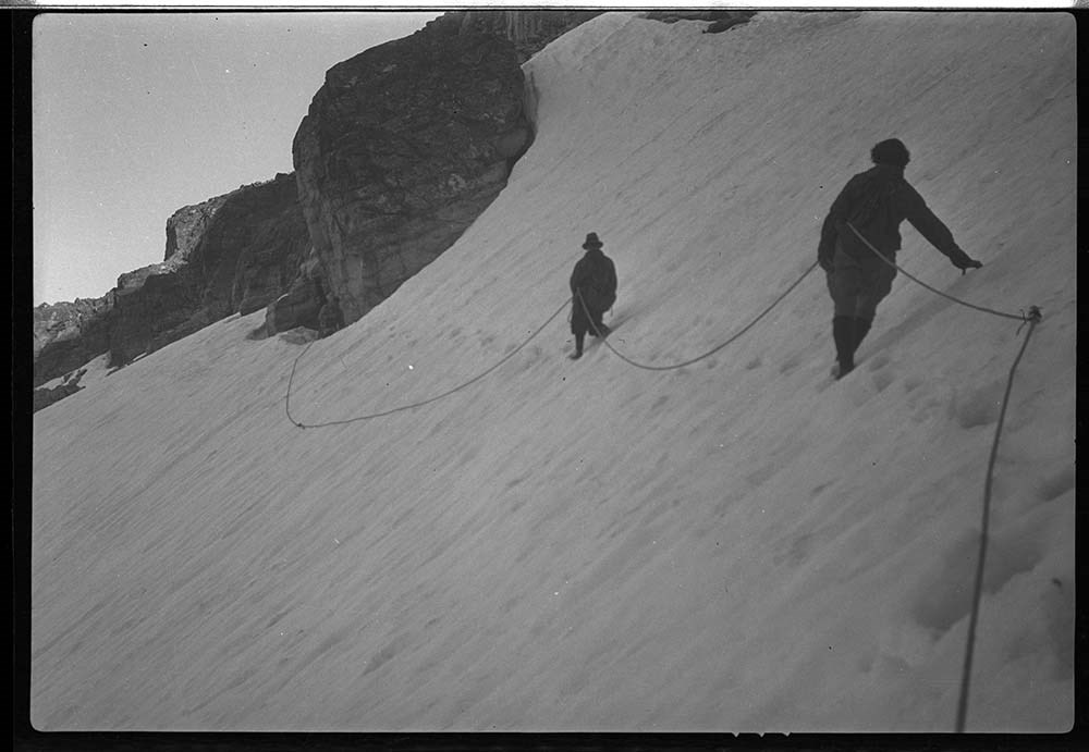
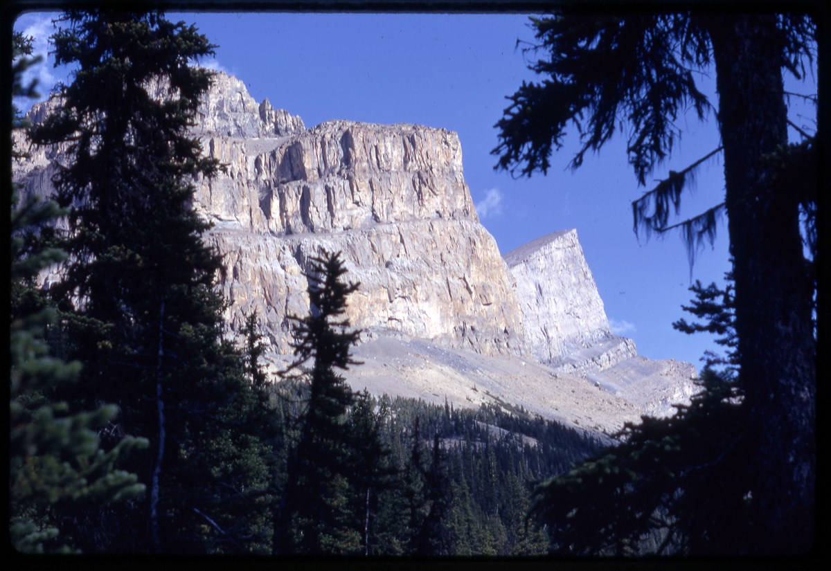
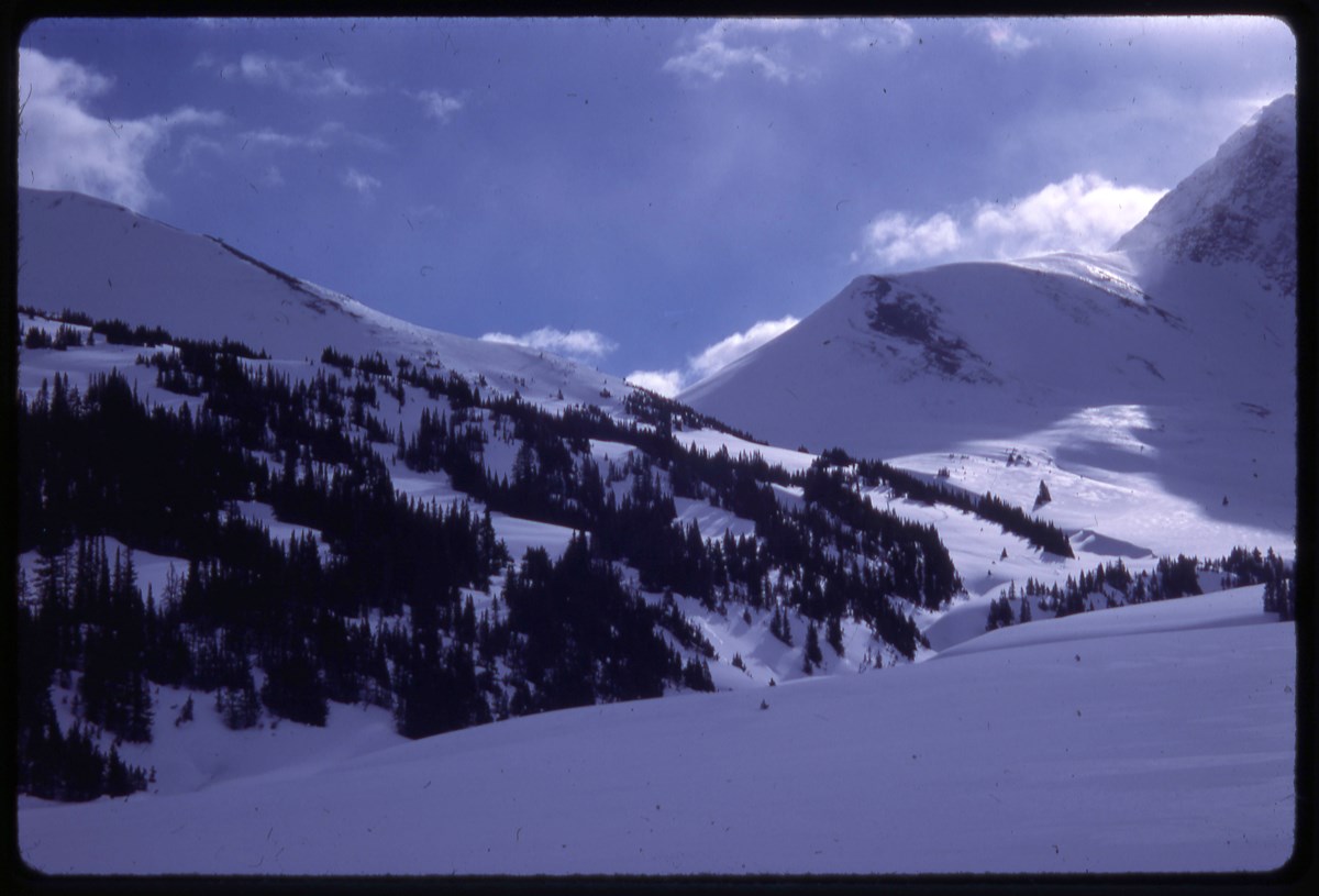
- Part Of
- Bob Hind fonds
- Scope & Content
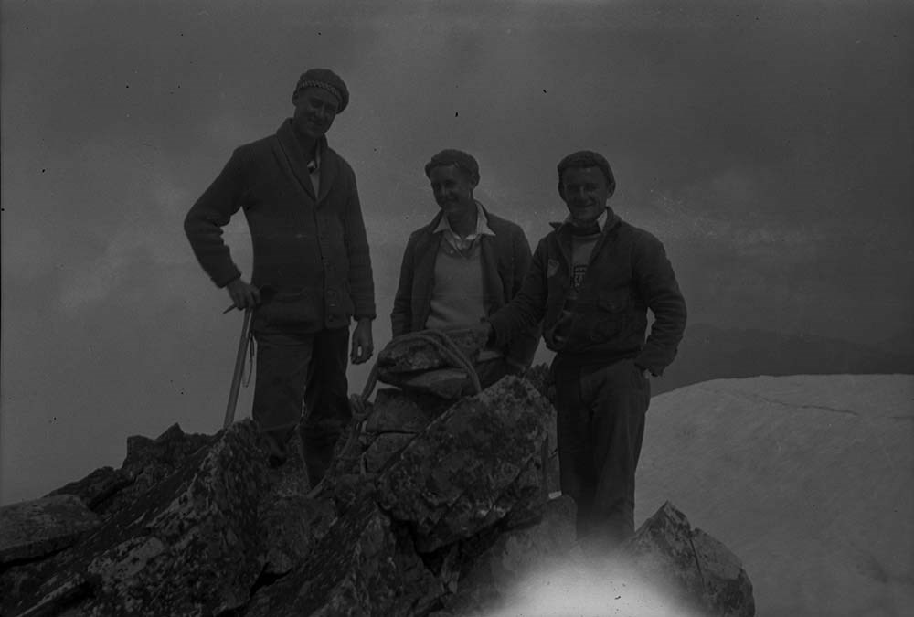
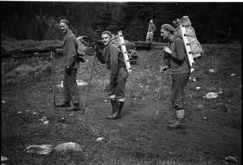
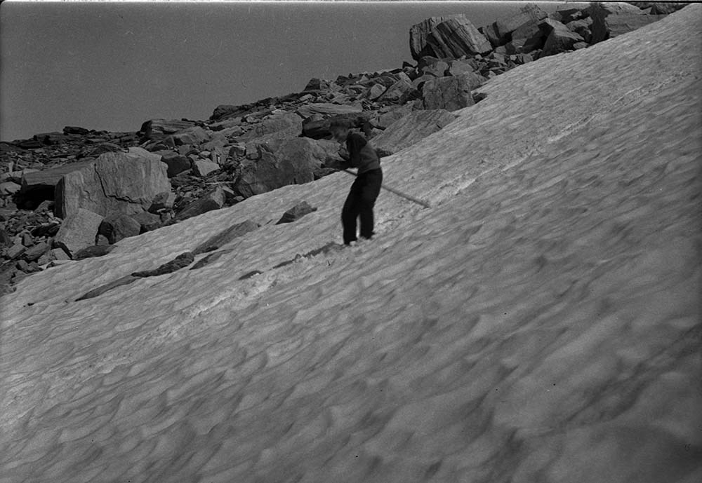
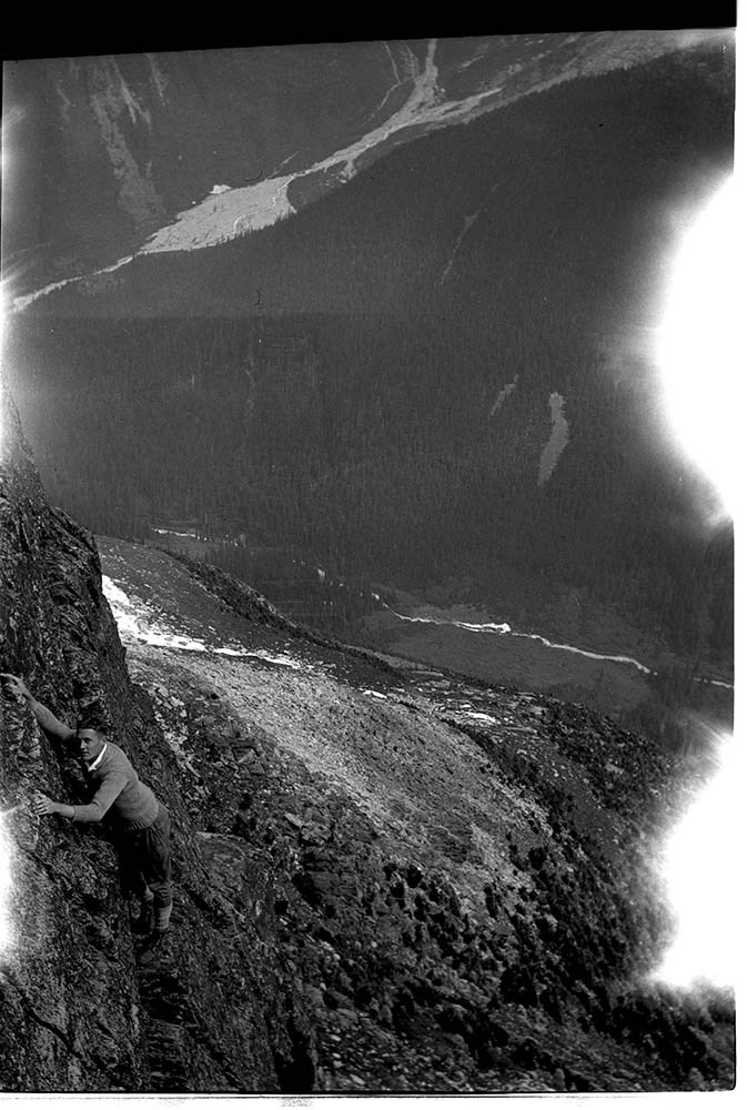
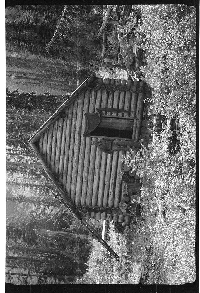
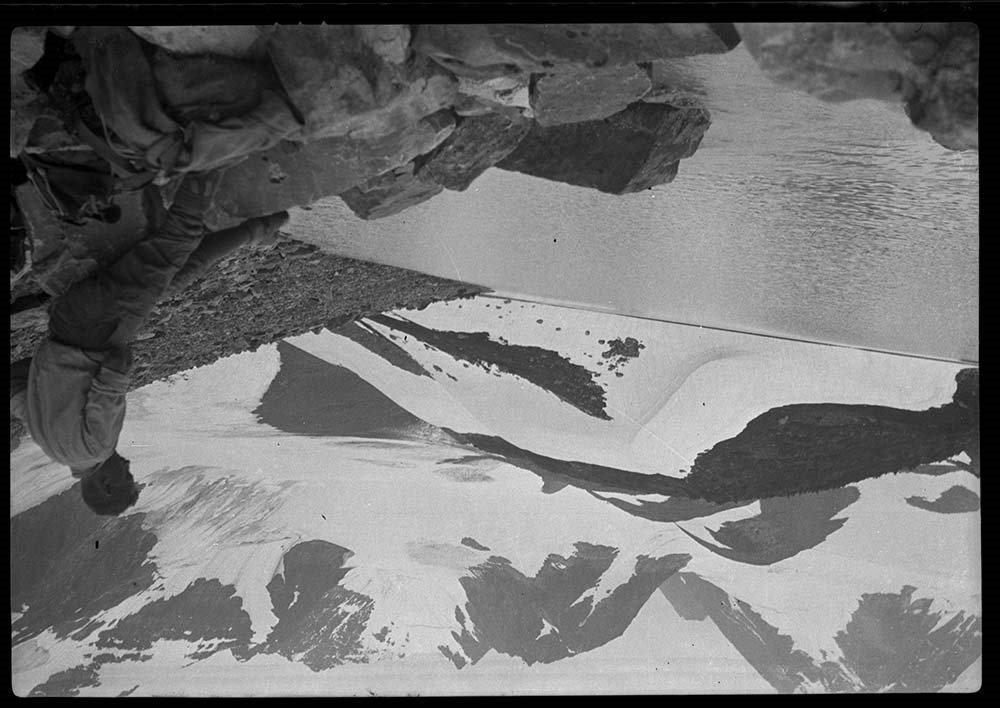
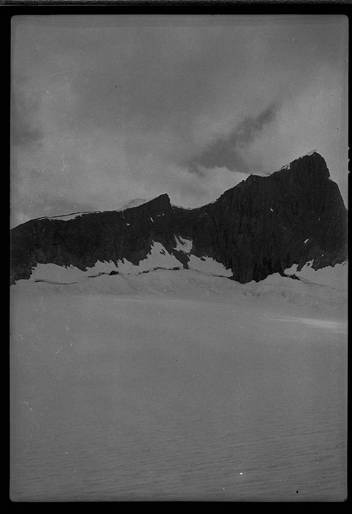
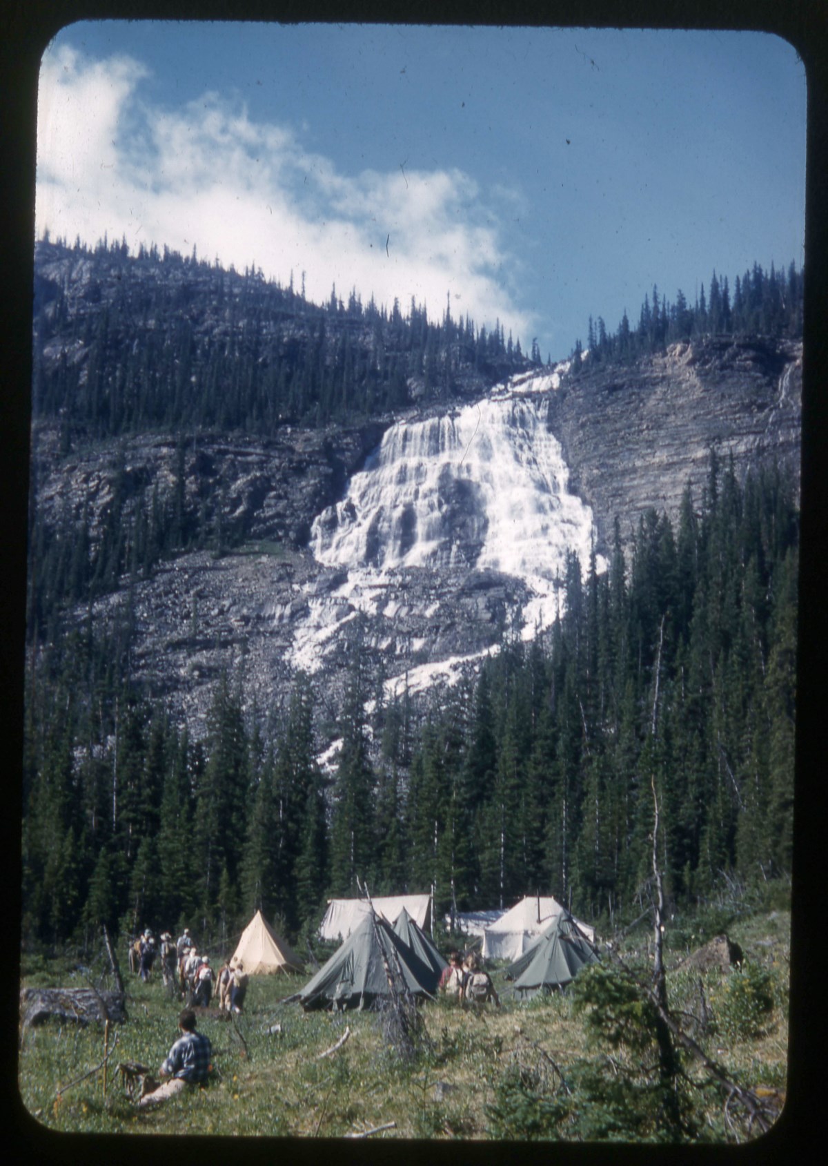
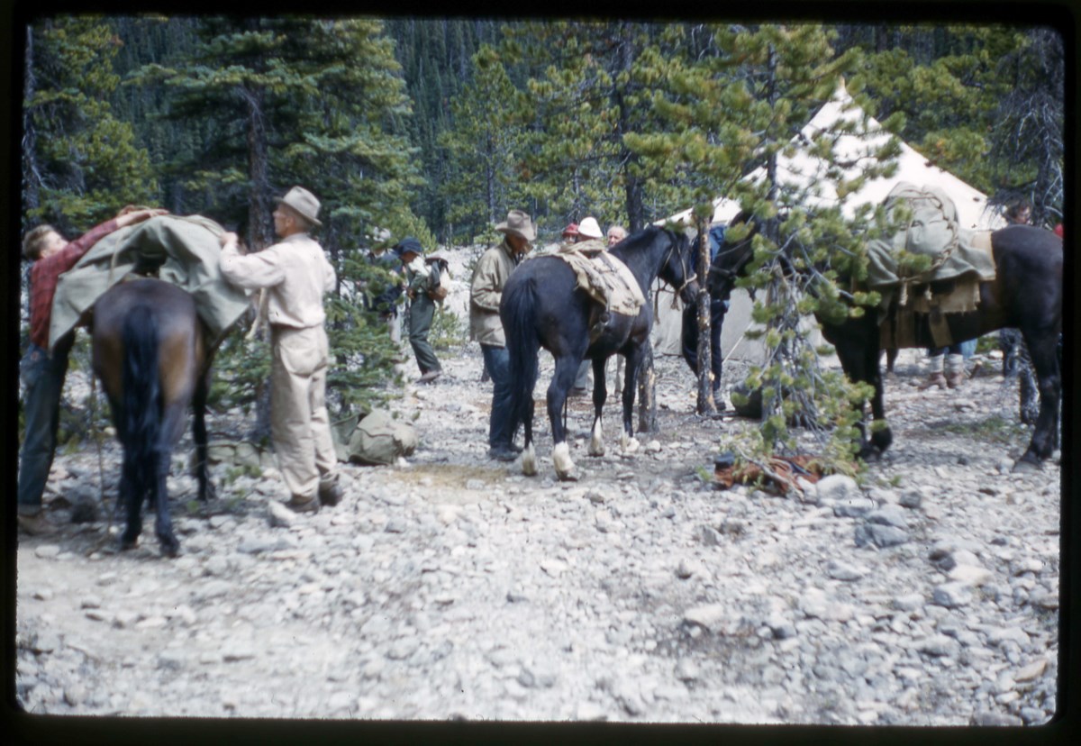
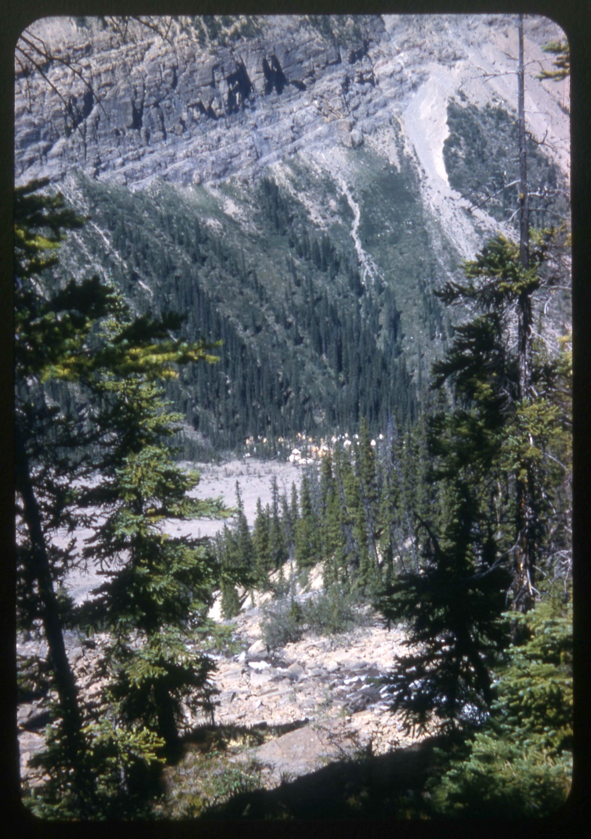
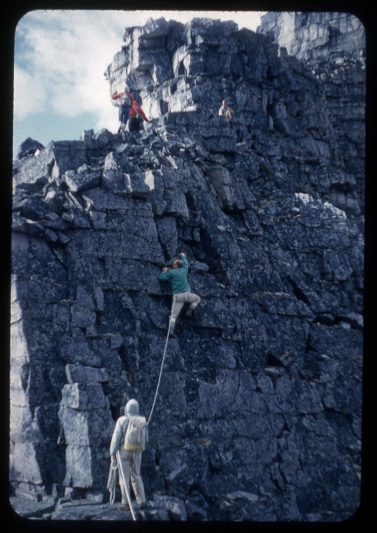
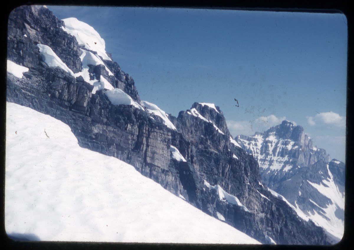
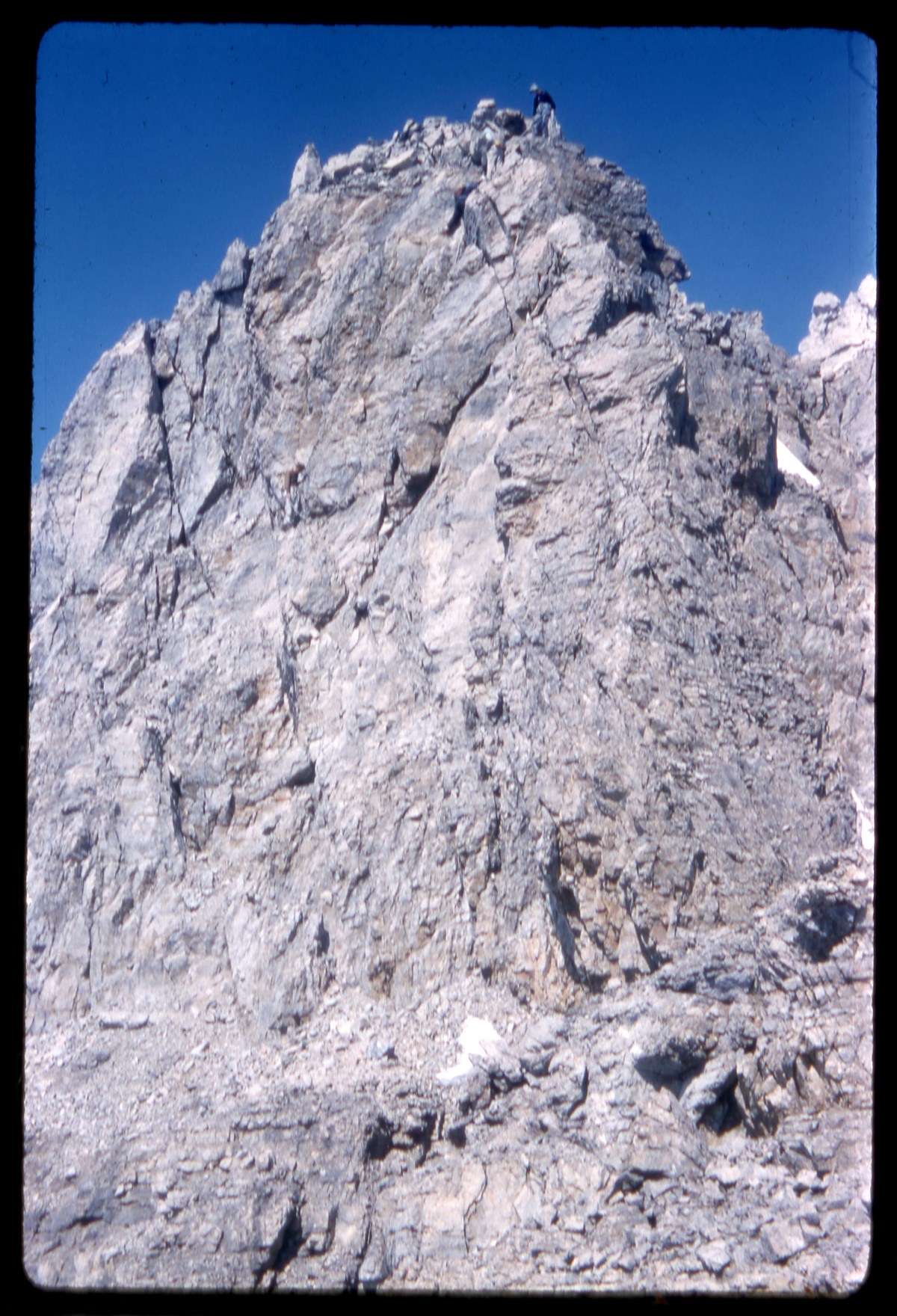
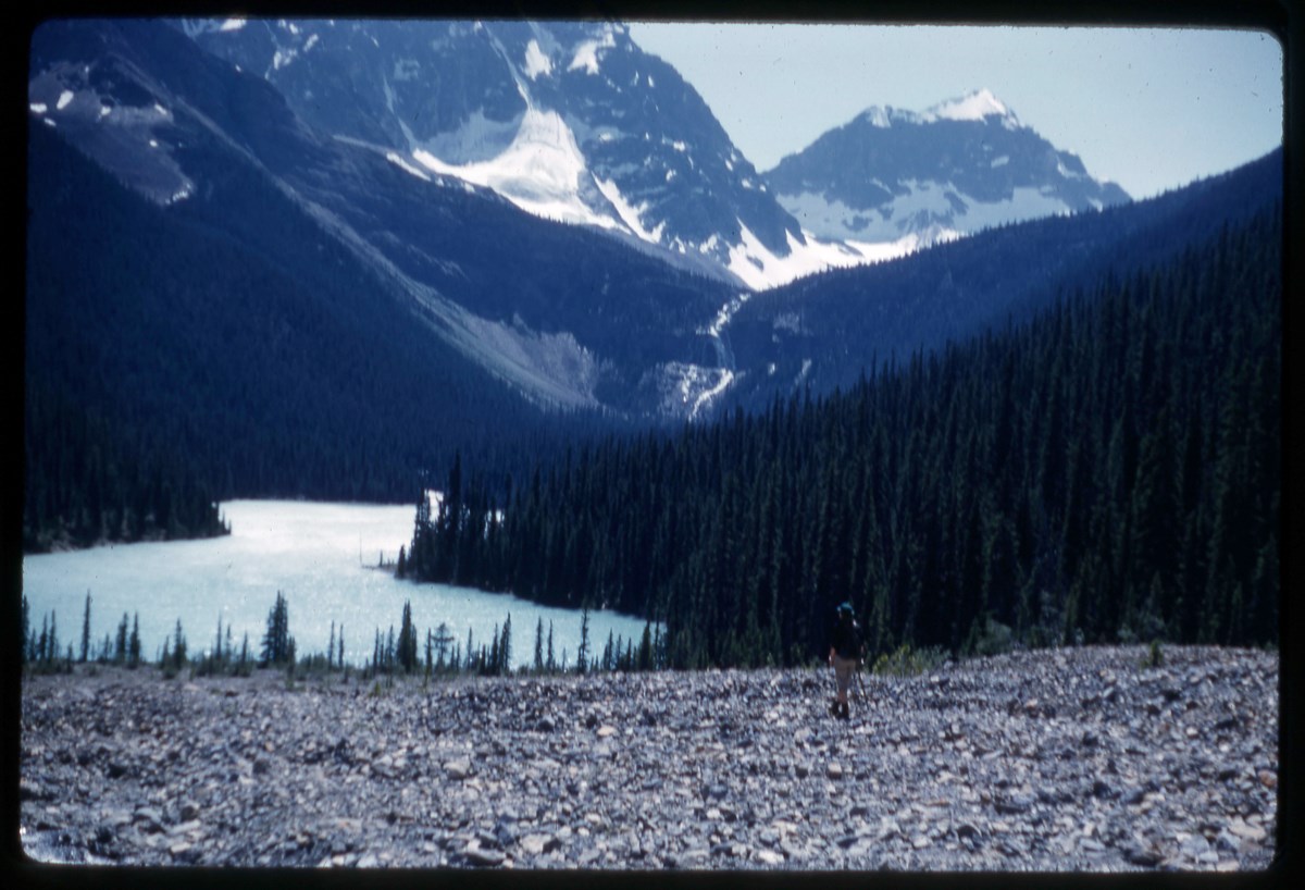
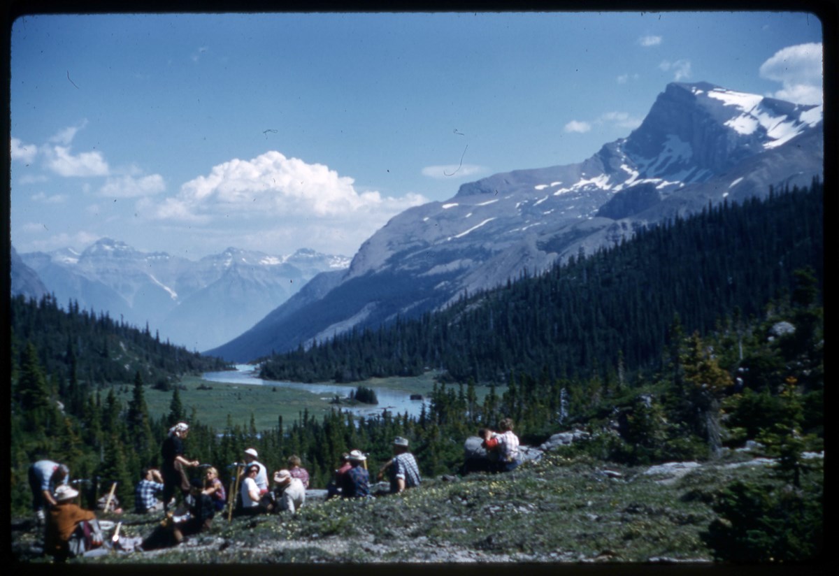
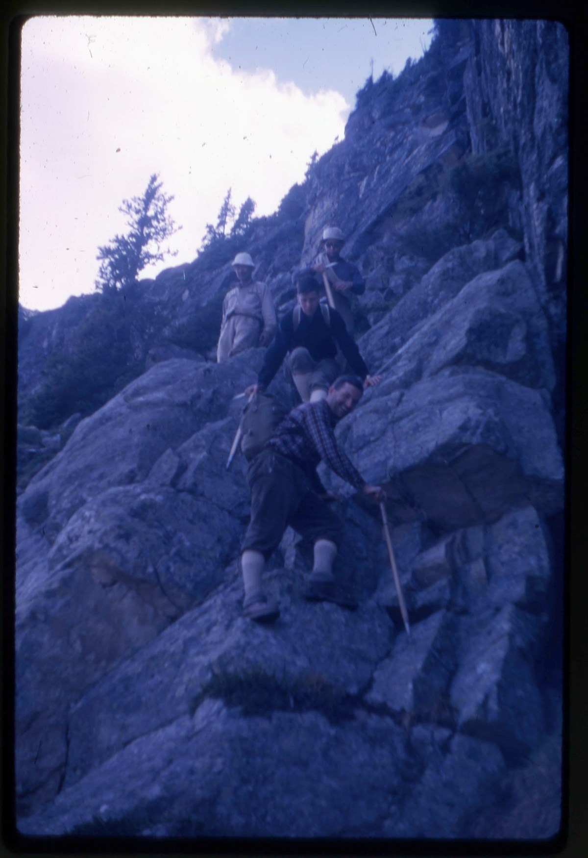
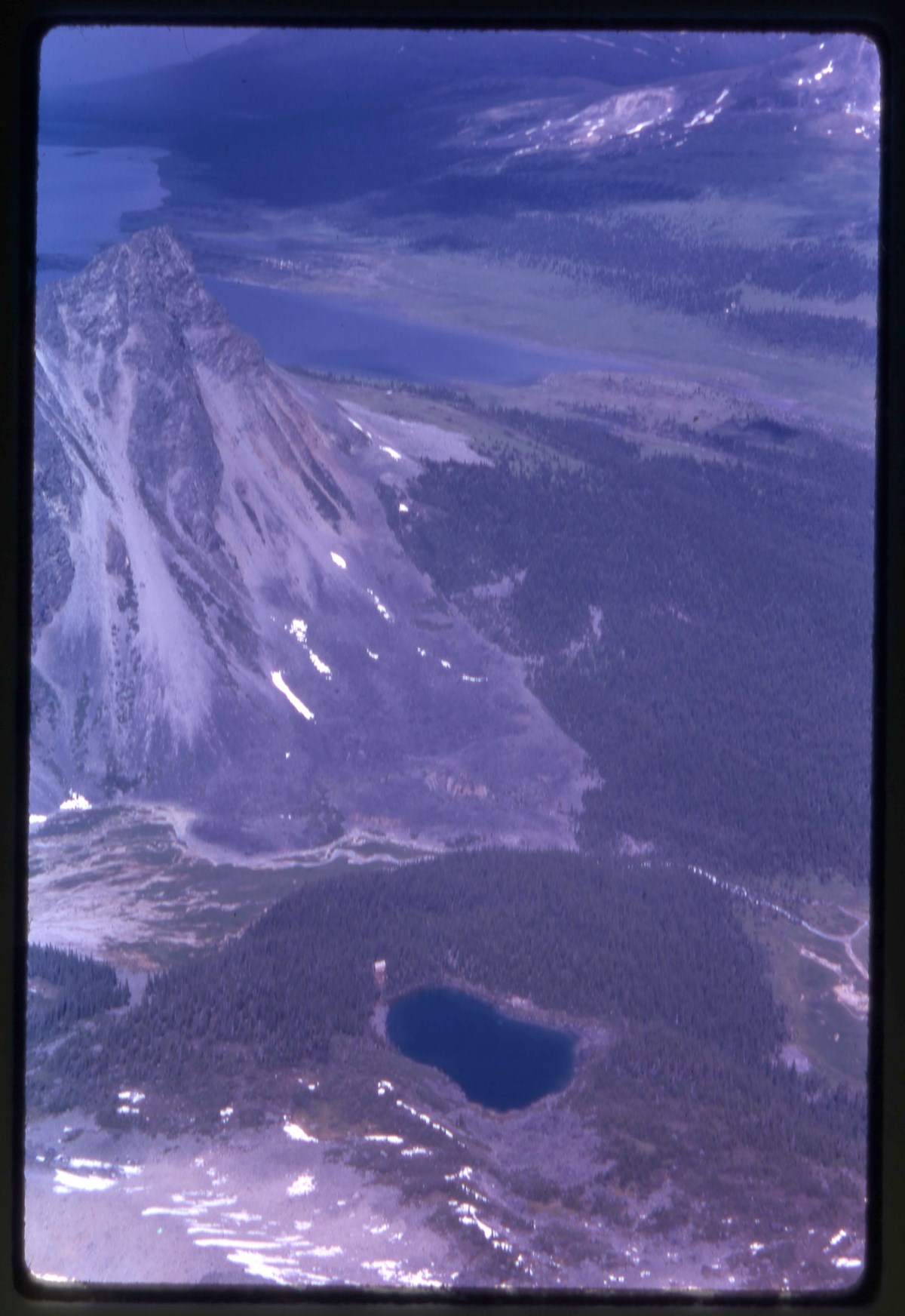
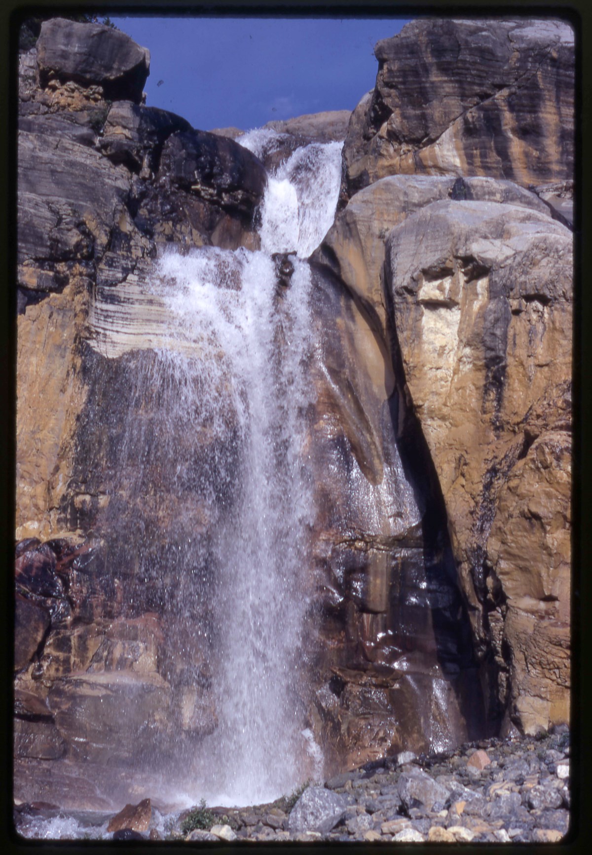
- File pertains to area of Mount Elephas, Blackrock Lake, Eremite Valley, Mount Mastodon in Jasper National Park. Includes: ski touring, huts, Alpine Club of Canada camp, landscape views and climbers (Hind, gang, Bill Watson, Frank).
- Date Range
- 1933-1935
- Reference Code
- V46 / I / A / 6 / NA - 1 to 60
- Description Level
- 5 / File
- GMD
- Negative
- Transparency
37 images
- Part Of
- Bob Hind fonds
- Description Level
- 5 / File
- Fonds Number
- M7 / V46
- Series
- I.A. Mountain travel and recreation, western Canada : Trips and activities
- Sous-Fonds
- V46
- Accession Number
- 7181
- Reference Code
- V46 / I / A / 6 / NA - 1 to 60
- GMD
- Negative
- Transparency
- Date Range
- 1933-1935
- Physical Description
- 60 photographs : negatives
- History / Biographical
- See fonds level description
- Scope & Content
- File pertains to area of Mount Elephas, Blackrock Lake, Eremite Valley, Mount Mastodon in Jasper National Park. Includes: ski touring, huts, Alpine Club of Canada camp, landscape views and climbers (Hind, gang, Bill Watson, Frank).
- Notes
- Images :
- 1. Cap on Dungeon - double exp
- 2. Rampart panoram (2)
- 3. From Jasper west
- 4. Inkwell
- 5. Blackrock Lake
- 6. Bennington Glacier
- 7. Warden's cabin
- 8. Needle Pk.
- 9. Cap. at Mem. hut
- 10. Summit Oubliette
- 11. Summit Elephas
- 12. On Mastodon
- 13. Summit Alcove
- 14. Summit Geikie
- 15. Cap. climbs the cliff
- 16. Seracs
- 17. Bennington chimney
- 18. Blackrock Lake & west
- 19. On the ledge
- 20. Mastodon from Elephas
- 21. Bear at dump
- 22. Shrund on Alcove
- 23. Arrowhead Lake
- 24. S. Ramparts
- 25. Above lake on Paragon
- 26. Geikie gallery
- 27. Icework on Para Glac.
- 28. Summit mass McDonell
- 29. Eremite Range from W.
- 30. Mas. Eleph. Black etc from Alc. [Mastodon, Elephas, Blackrock etc. from Alcove]
- 37. On Maccarib Pass
- 31. Sunset at Jasper
- 32. Steep snow on Paragon
- 33. Swimming hole
- 34. Olive on Para Glacier
- 35. Blackrock Lake & Elephas
- 36. Burns-Bulyea Lodge
- 38. Mastodon from glacier
- 39. Summit Elephas (self)
- 40. Cap "back" to nature
- 41. King of the Castle
- 42. Dungeon etc. from Paragon
- 43. Eremite Valley
- 44. Jasper station
- 45. Oldhorn
- 46. Oldhorn roping down
- 47. A. C. camp
- 48. Summit Outpost
- 49. Memorial
- 50. Below Erebus
- 51. Summit Oldhorn
- 52. Cap on Angle Glac.
- 53. Self on Angle Glac.
- 54. Gang on Fraser
- 55. Bill Watson
- 56. On McDonell
- 57. Summit McDonell
- 58. Mastodon & west
- 59. Frank on Angle Gla.
- 60. Ski-Heil
- Name Access
- Hind, Bob
- Subject Access
- Backpacking
- Cabins and shelters
- Climbing
- Glaciers
- Exploration
- Landscapes
- Mountaineers
- Mountaineering
- Mountains
- Transportation
- Trains
- Geographic Access
- Jasper
- Jasper National Park
- Alberta
- Canada
- Language
- NA
- Related Material
- Related to prints in V46 / 28 (PA) - 3
- Title Source
- Title based on contents of file
- Processing Status
- Processed
Images


This material is presented as originally created; it may contain outdated cultural descriptions and
potentially offensive content.
Read more.
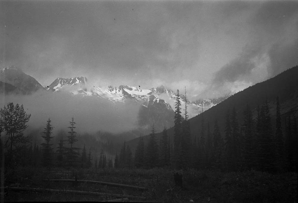
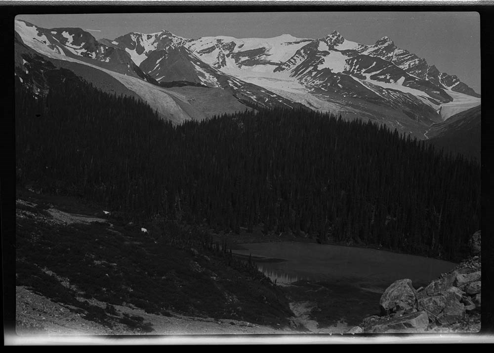
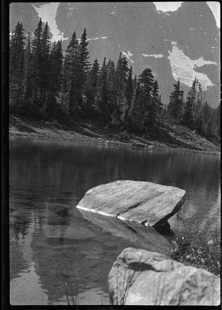
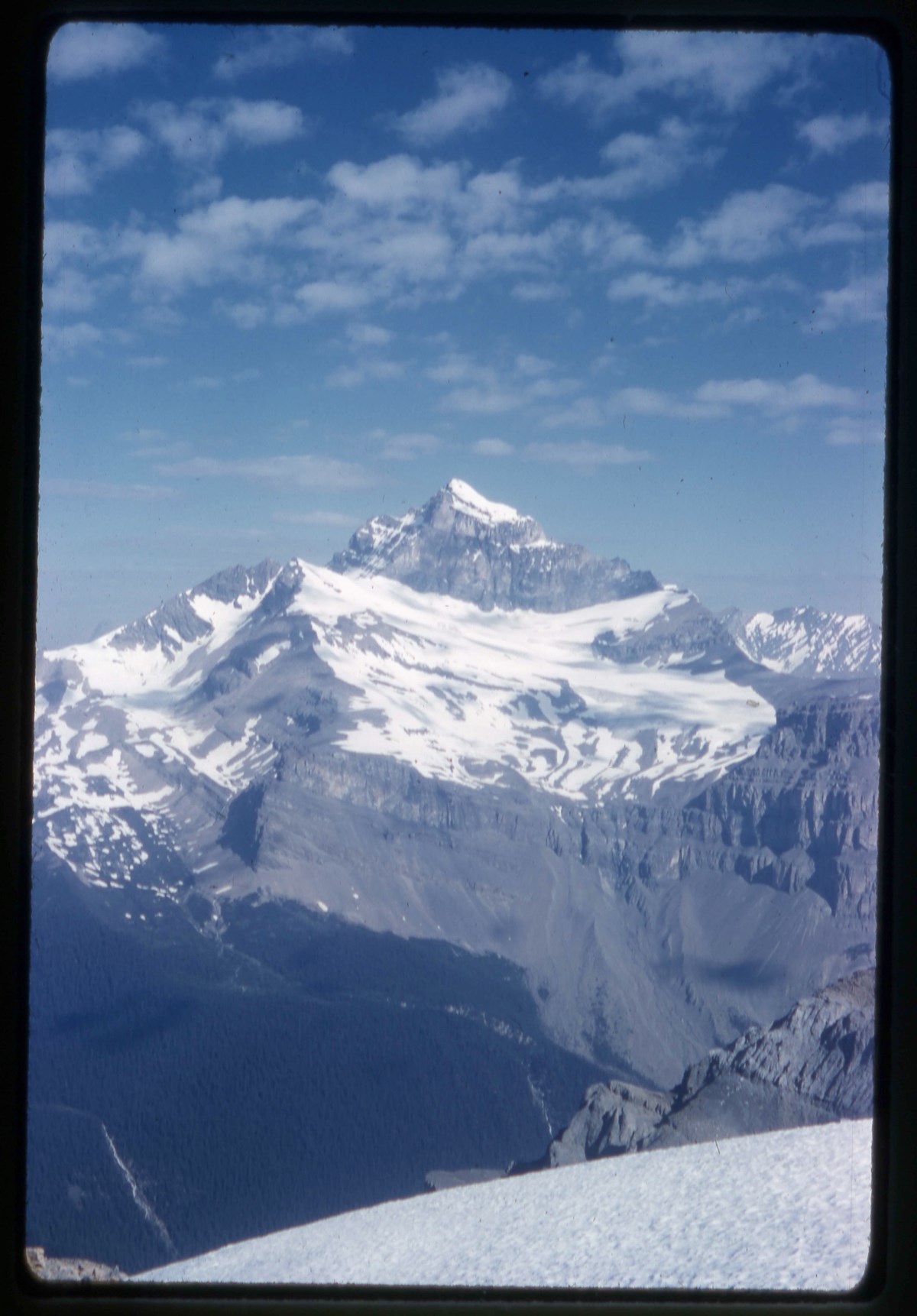
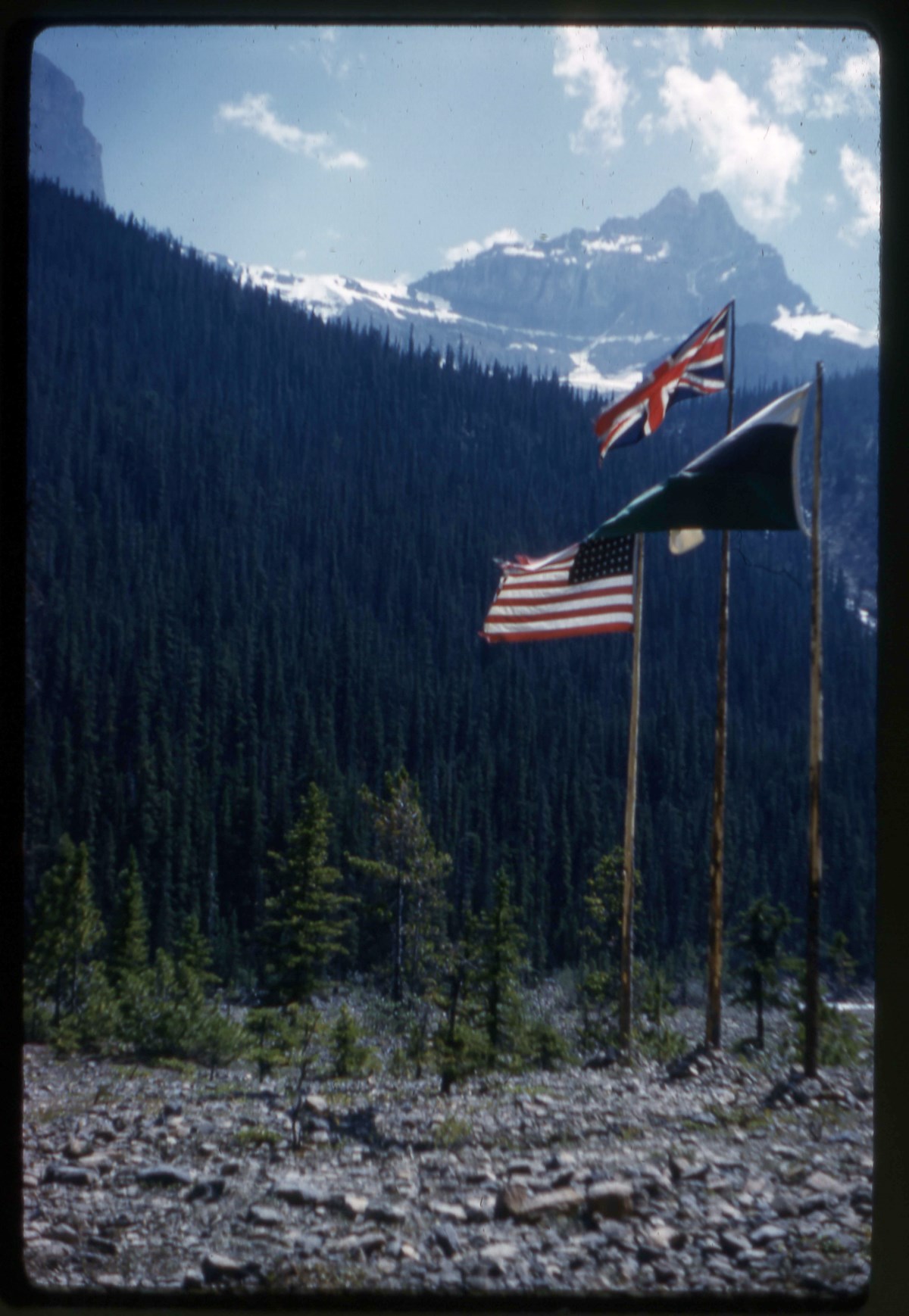
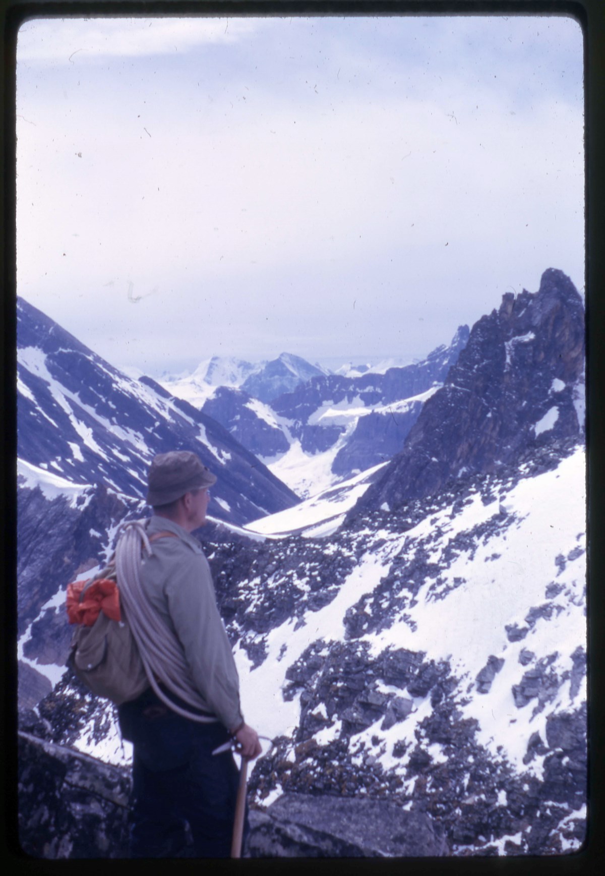
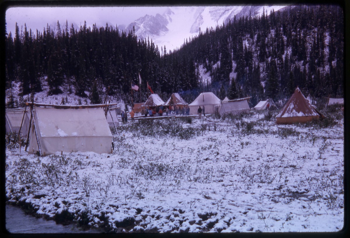
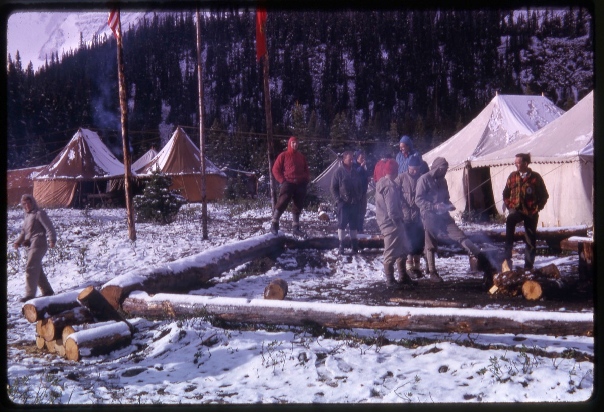
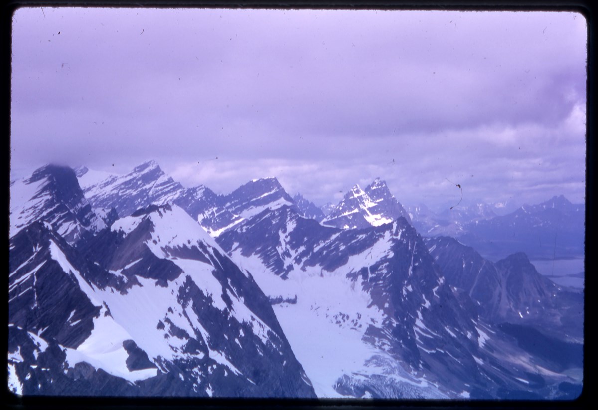
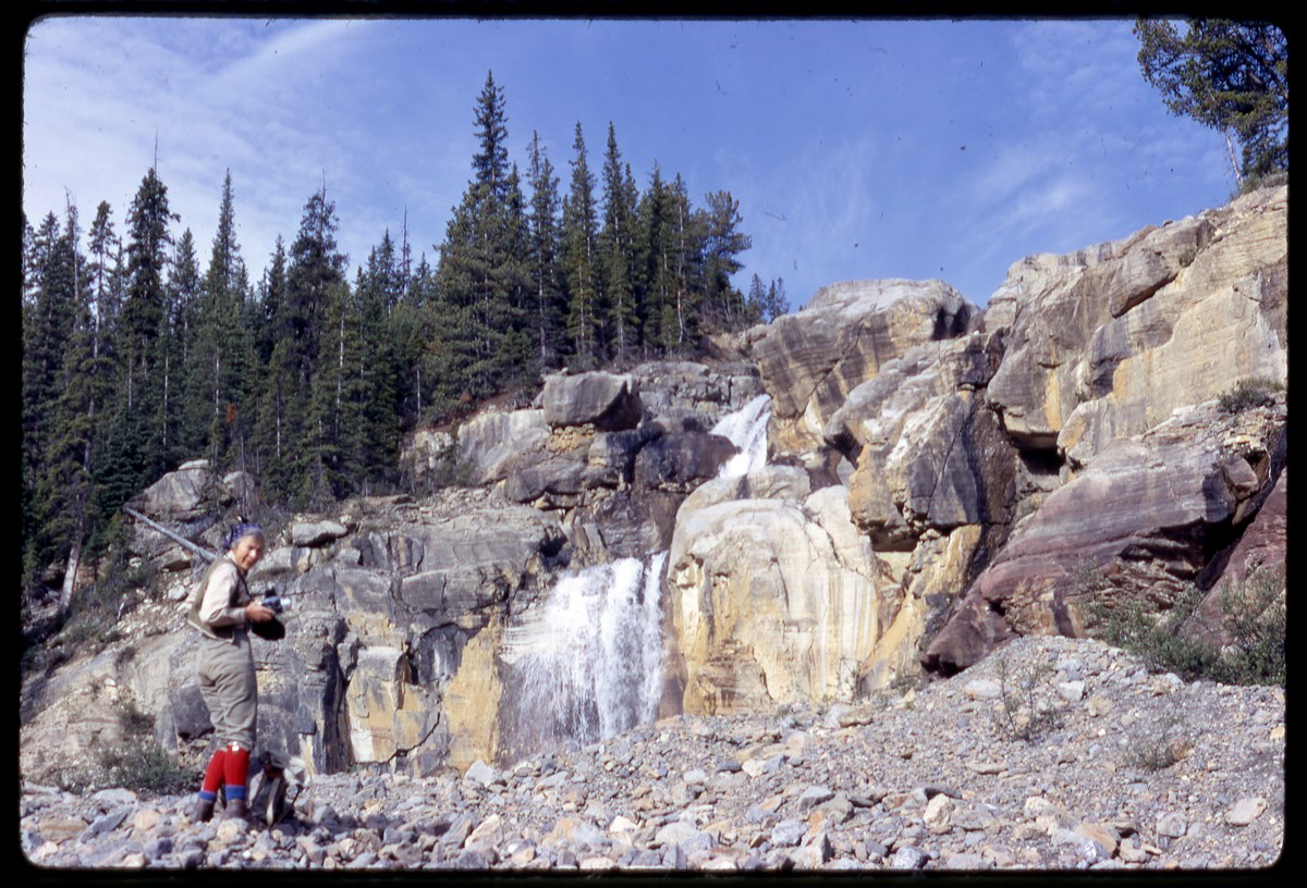
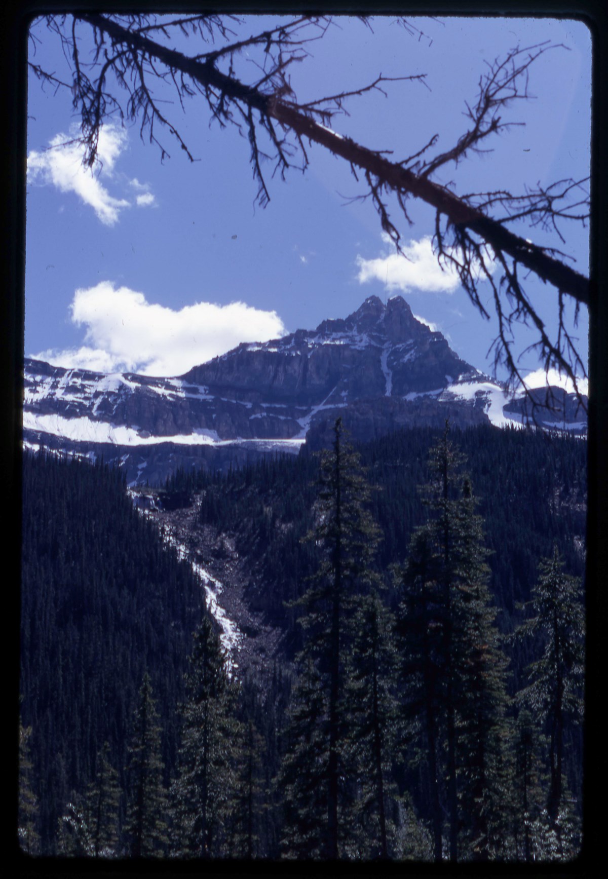
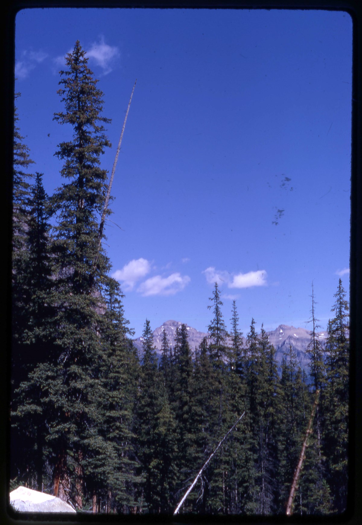
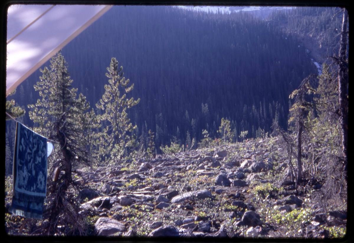
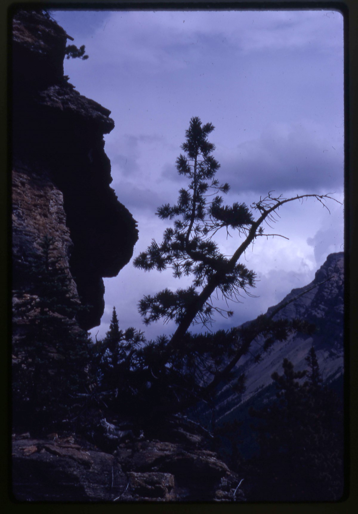
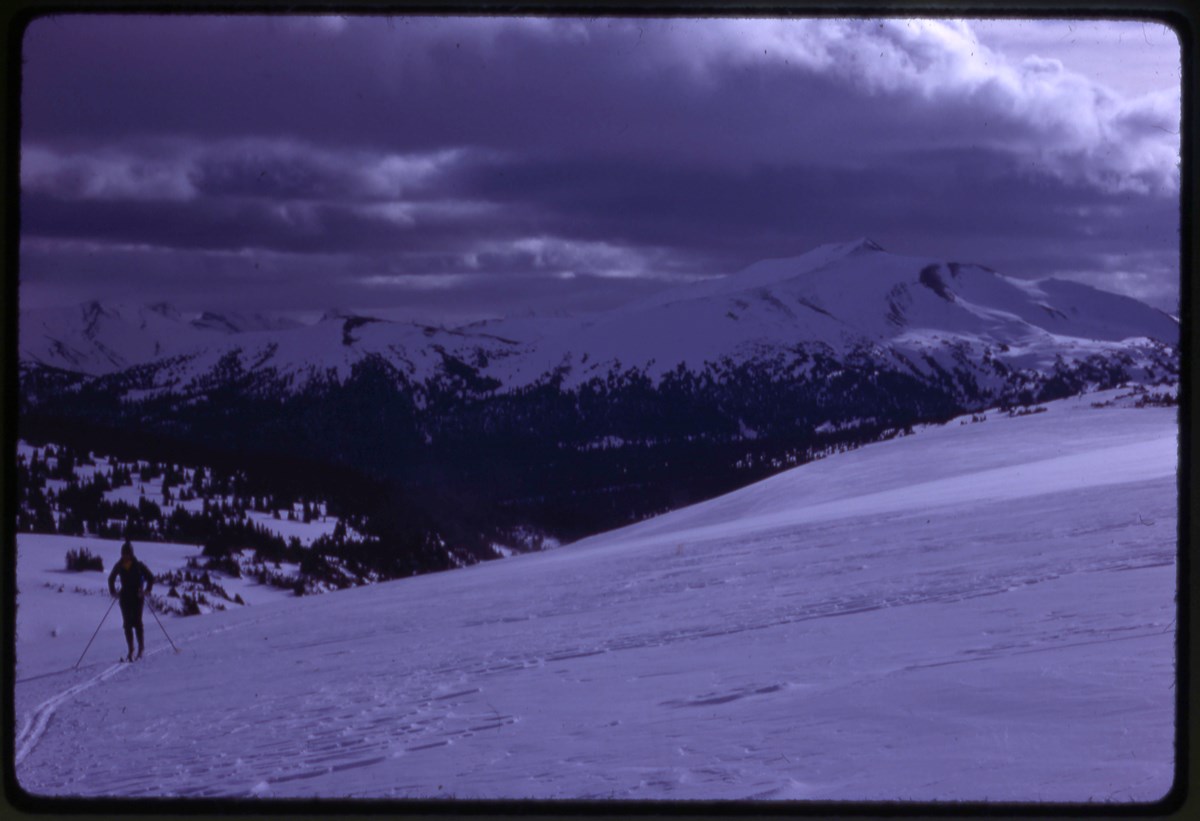
- Part Of
- Bob Hind fonds
- Scope & Content
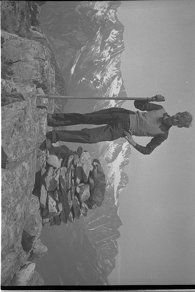
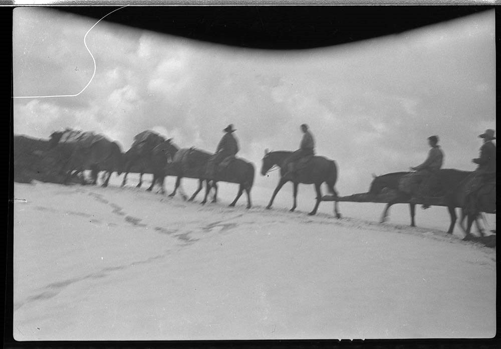
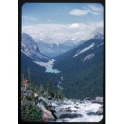
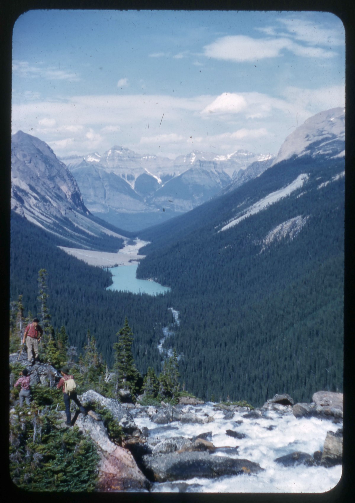
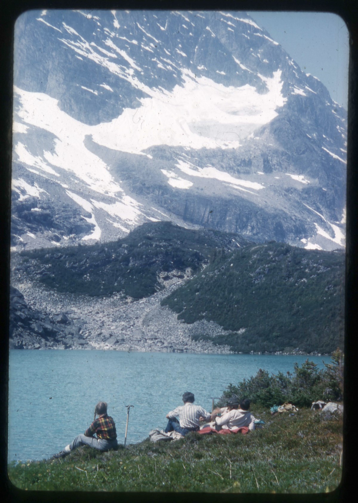
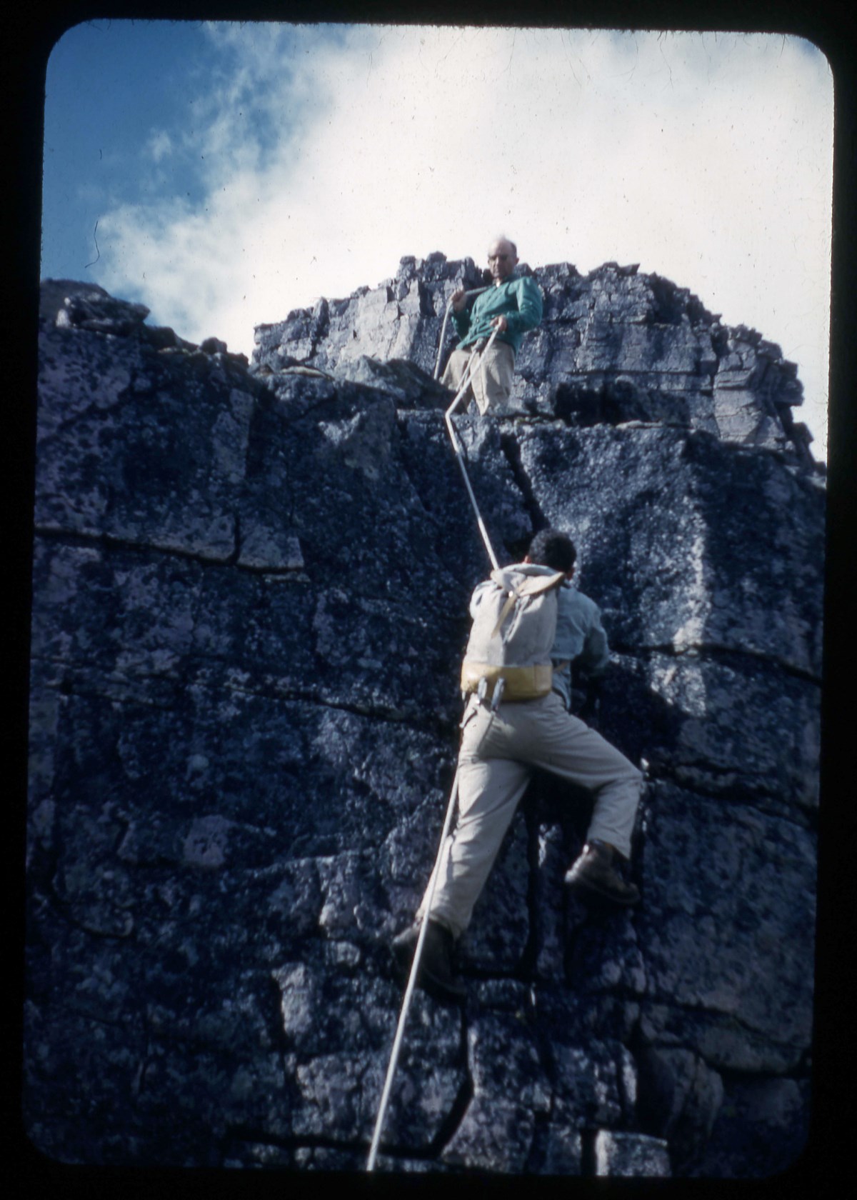
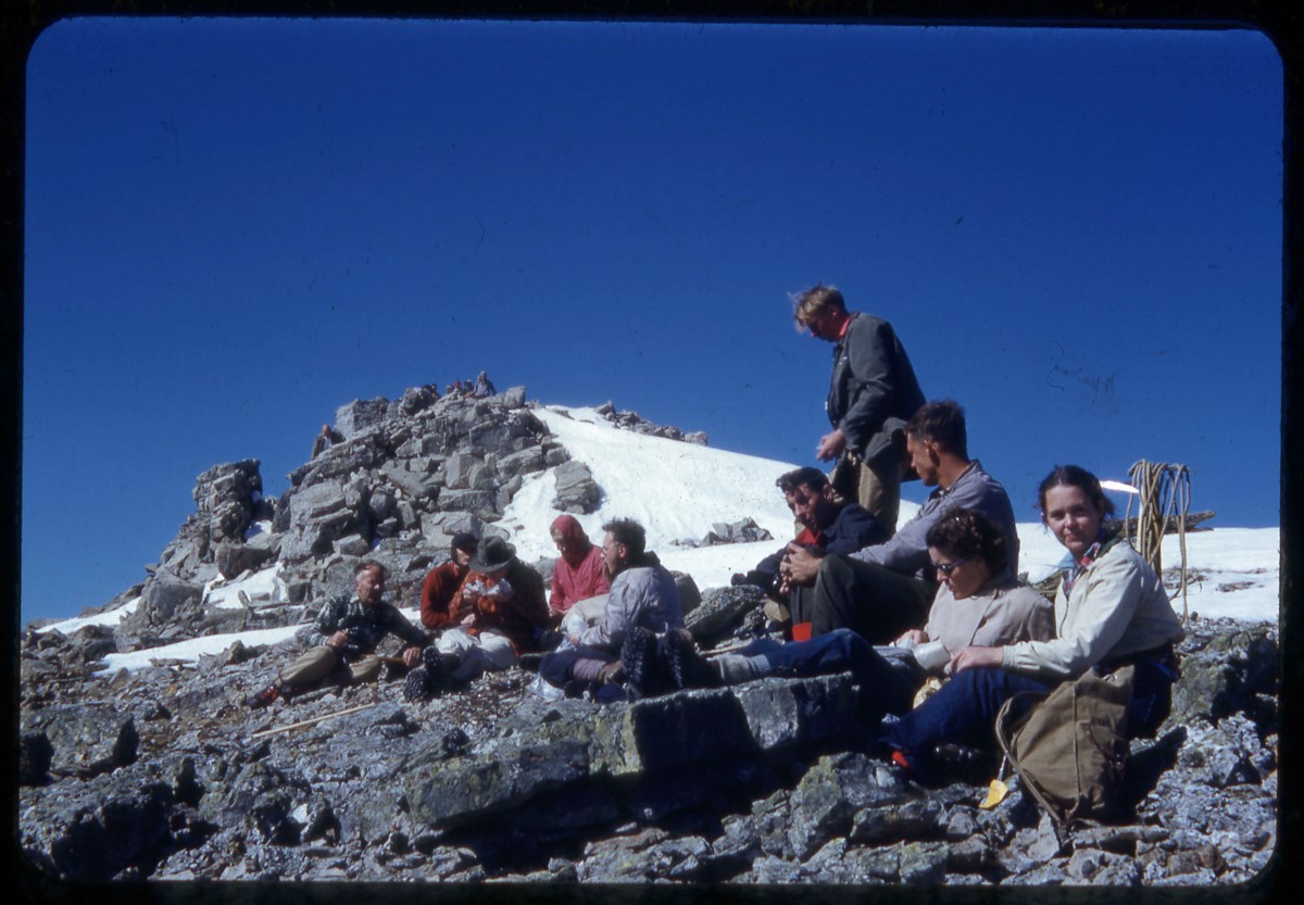
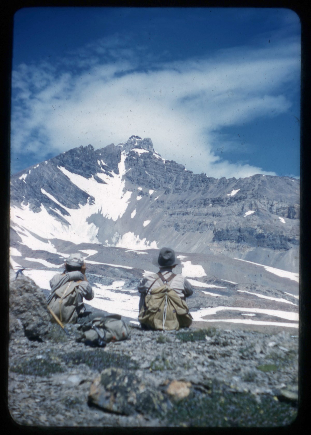
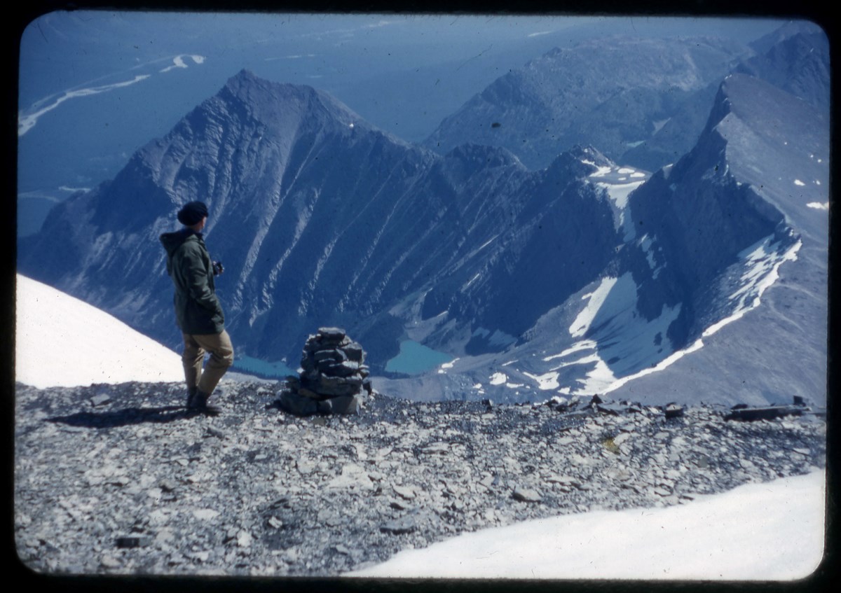
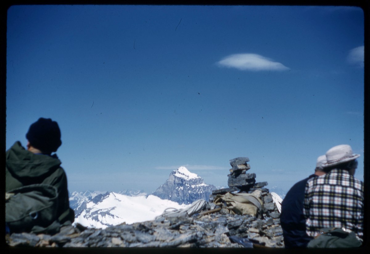
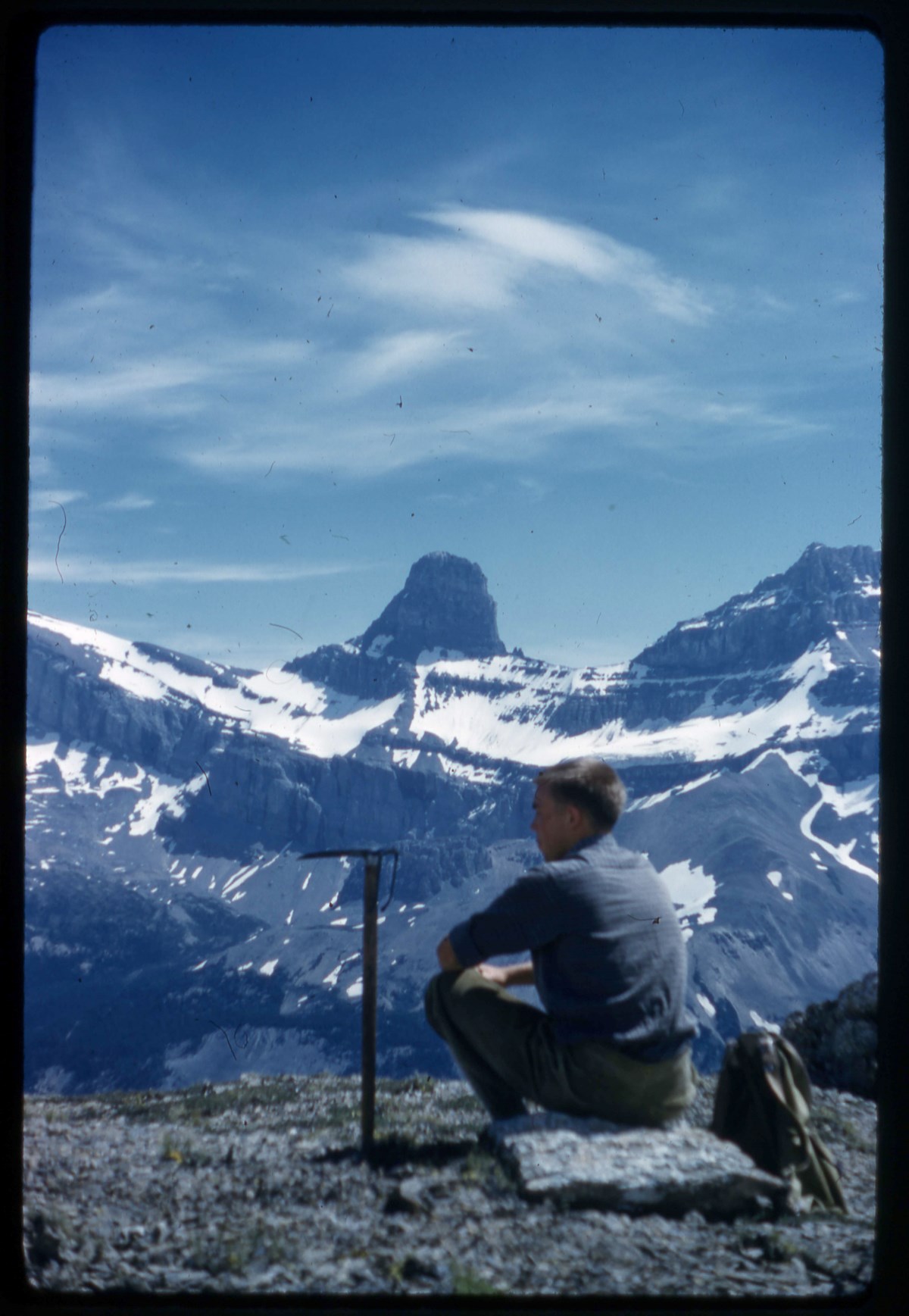
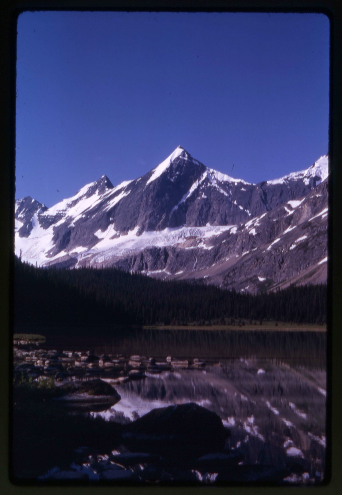
- File pertains to Tonquin Valley area, 1963, and Mount Fryatt area, 1960, 1972, in Jasper National Park. Includes Eremite Mountain, Eremite Glacier, Mount Fryatt, landscape views and flora, group hiking and climbing, group camp and Wates-Gibson Memorial Hut, including ceremony. Includes annotated …
- Date Range
- 1960-1972
- Reference Code
- V46 / I / A / 41 / NS - 1 to 175
- Description Level
- 5 / File
- GMD
- Lantern slide
- Transparency
175 images
1 Electronic Resource
- Part Of
- Bob Hind fonds
- Description Level
- 5 / File
- Fonds Number
- M7 / V46
- Series
- I.A. Mountain travel and recreation, western Canada : Trips and activities
- Sous-Fonds
- V46
- Accession Number
- 7181
- Reference Code
- V46 / I / A / 41 / NS - 1 to 175
- Other Title Info
- Alternate title: Jasper 1963
- Date Range
- 1960-1972
- Physical Description
- 175 photographs : transparencies, 35mm, col
- History / Biographical
- See fonds level description
- Scope & Content
- File pertains to Tonquin Valley area, 1963, and Mount Fryatt area, 1960, 1972, in Jasper National Park. Includes Eremite Mountain, Eremite Glacier, Mount Fryatt, landscape views and flora, group hiking and climbing, group camp and Wates-Gibson Memorial Hut, including ceremony. Includes annotated slides by M. G. Hind, 1972, possibly competition entries
- Name Access
- Hind, Bob
- Subject Access
- Activities
- Backpacking
- Cabins and shelters
- Environment
- Glaciers
- Guide
- Guiding
- Horses
- Horse packing
- Mountaineering
- Mountains
- Professional and Personal Life
- Geographic Access
- Tonquin Valley
- Jasper
- Jasper National Park
- Alberta
- Canada
- Language
- NA
- Title Source
- Title based on contents of file
- Processing Status
- Processed
Electronic Resources
Images


This material is presented as originally created; it may contain outdated cultural descriptions and
potentially offensive content.
Read more.
Lake O'Hara Area
https://archives.whyte.org/en/permalink/descriptions17506
- Part Of
- Bob Hind fonds
- Scope & Content
- File pertains to negatives of winter scenes taken around the Lake O'Hara area.
- Date Range
- [ca. 1931-1939]
- Reference Code
- V46 / I / A / 2 / NA - 1 to 2
- Description Level
- 5 / File
- GMD
- Negative
- Transparency
2 images
- Part Of
- Bob Hind fonds
- Description Level
- 5 / File
- Fonds Number
- M7 / V46
- Series
- I.A. Mountain travel and recreation, western Canada : Trips and activities
- Sous-Fonds
- V46
- Accession Number
- 7181
- Reference Code
- V46 / I / A / 2 / NA - 1 to 2
- GMD
- Negative
- Transparency
- Date Range
- [ca. 1931-1939]
- Physical Description
- 2 photographs : negatives
- History / Biographical
- See fonds level description
- Scope & Content
- File pertains to negatives of winter scenes taken around the Lake O'Hara area.
- Name Access
- Hind, Bob
- Geographic Access
- Lake O'Hara
- Yoho National Park
- British Columbia
- Canada
- Language
- NA
- Related Material
- Related to prints in V46 / 28 (PA) - 1
- Title Source
- Title based on contents of file
- Processing Status
- Processed
Images
This material is presented as originally created; it may contain outdated cultural descriptions and
potentially offensive content.
Read more.
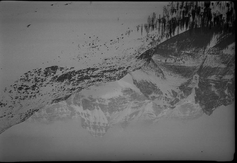
Large Panorama Negatives
https://archives.whyte.org/en/permalink/descriptions25092
- Part Of
- Bert Riggall fonds
- Scope & Content
- File consists of 14 b&w negatives, some captioned. The negatives pertain to various panoramic views of the foothills and Southern Rockies. Subjects include Cloudy Ridge Ranch, sheep on the prairie, Waterton townsite from Bearshump, Harwood Wedding, Steve and Margie Harwood, the Sun Road in Glacier …
- Date Range
- [ca.1904 to ca.1959]
- Reference Code
- V26 / III / C / NA - LP1-1 to LP3-7
- Description Level
- 5 / File
- Part Of
- Bert Riggall fonds
- Description Level
- 5 / File
- Series
- V26 / III / C : Panorama Photographs
- Accession Number
- 7200
- Reference Code
- V26 / III / C / NA - LP1-1 to LP3-7
- Date Range
- [ca.1904 to ca.1959]
- Physical Description
- Negatives: 14 b&w
- Scope & Content
- File consists of 14 b&w negatives, some captioned. The negatives pertain to various panoramic views of the foothills and Southern Rockies. Subjects include Cloudy Ridge Ranch, sheep on the prairie, Waterton townsite from Bearshump, Harwood Wedding, Steve and Margie Harwood, the Sun Road in Glacier Park Montana, Middle Waterton Lake, Prince of Wales from above government compound, Waterton Townsite and lake, head of Waterton Lake from boat, Boundary Creek valley, and early Waterton Townsite.
- Subject Access
- Landscapes
- Hunting
- Guiding
- Mountains
- Title Source
- Title based on contents of file
- Content Details
- Reference scans available: V26 / III / C / PA (LP1-1 to LP14-50) Bert Riggall's grandson, John Russell provided identifications.
- Processing Status
- Processed
This material is presented as originally created; it may contain outdated cultural descriptions and
potentially offensive content.
Read more.
Large Panorama Negatives
https://archives.whyte.org/en/permalink/descriptions25093
- Part Of
- Bert Riggall fonds
- Scope & Content
- File consists of 18 b&w negatives, some captioned. The negatives pertain to various panoramic views of the foothills and Southern Rockies. Subjects include Prince of Wales including resisdences and Waterton Valley, Waterton townsite from lower Bears Hump, Red Rock Canyon in Winter, saddle horse and…
- Date Range
- [ca.1904 to ca.1959]
- Reference Code
- V26 / III / C / NA - LP3-8 to LP4-1
- Description Level
- 5 / File
- Part Of
- Bert Riggall fonds
- Description Level
- 5 / File
- Series
- V26 / III / C : Panorama Photographs
- Accession Number
- 7200
- Reference Code
- V26 / III / C / NA - LP3-8 to LP4-1
- Date Range
- [ca.1904 to ca.1959]
- Physical Description
- Negatives: 18 b&w
- Scope & Content
- File consists of 18 b&w negatives, some captioned. The negatives pertain to various panoramic views of the foothills and Southern Rockies. Subjects include Prince of Wales including resisdences and Waterton Valley, Waterton townsite from lower Bears Hump, Red Rock Canyon in Winter, saddle horse and packhorse on Blackiston fan, earky Waterton townsite, Bears Hump cliff and townsite in Waterton Park, Goathaunt in Montana, head of Upper Waterton Lake in Montana, Crandell Mountain and Mount Blackiston from Vimy Mountain, view to the Southwest from Vimy Peak, Waterton Valley through crack in Crandell Mountain, Waterton fish hachery, Upper Kintla Lake from cliff and Forum Peak, Upper Kintla Lake and Mount Kinnerly, and two horse near where Cheif Mountain highway was later built.
- Subject Access
- Landscapes
- Guiding
- Mountains
- Title Source
- Title based on contents of file
- Content Details
- Reference scans available: V26 / III / C / PA (LP1-1 to LP14-50) Bert Riggall's grandson, John Russell provided identifications.
- Processing Status
- Processed
This material is presented as originally created; it may contain outdated cultural descriptions and
potentially offensive content.
Read more.