Narrow Results By
Banff Area Views
https://archives.whyte.org/en/permalink/descriptions15018
- Part Of
- Elliott Barnes fonds
- Scope & Content
- File consists mainly of winter views of the downtown Banff area, the Hot Springs, and other scenic views around the town of Banff.
- Date Range
- [ca. 1906]
- Reference Code
- V48 / I / A / NA - 135 to 159
- Description Level
- 5 / File
- GMD
- Film
- Negative
- Transparency
25 images
- Part Of
- Elliott Barnes fonds
- Description Level
- 5 / File
- Fonds Number
- V48
- Series
- I.A. Negatives : Film
- Sous-Fonds
- V48
- Accession Number
- .
- Reference Code
- V48 / I / A / NA - 135 to 159
- GMD
- Film
- Negative
- Transparency
- Date Range
- [ca. 1906]
- Physical Description
- 25 photographs : negatives, film
- History / Biographical
- See fonds level description
- Scope & Content
- File consists mainly of winter views of the downtown Banff area, the Hot Springs, and other scenic views around the town of Banff.
- Notes
- Identifications provided by Archives LIST OF NEGATIVES :
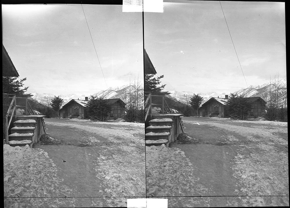
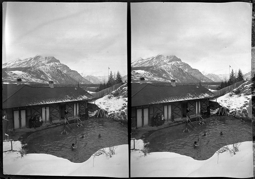
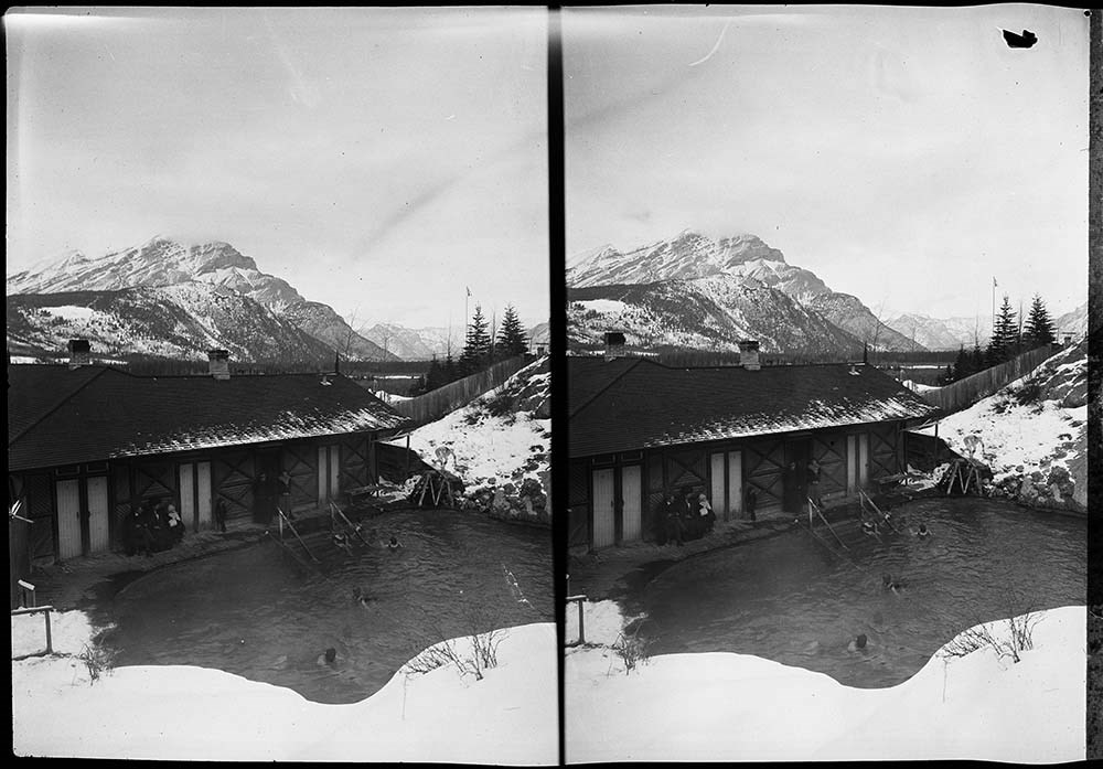
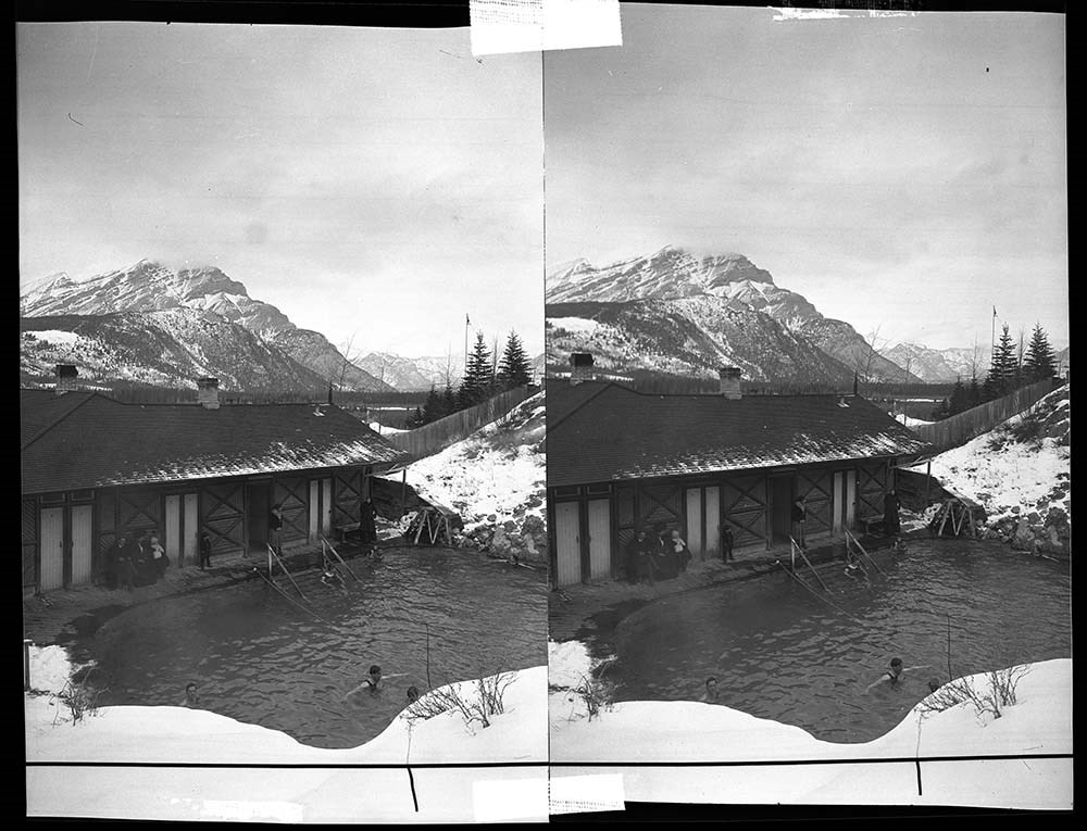
- 135 Cave and Basin bathhouse
- 136 to 139 Cave and Basin pool and bathhouse
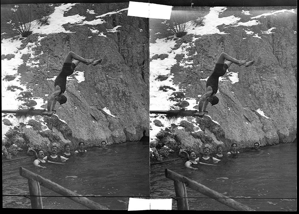
- 140 Man doing handstand on diving board at Cave and Basin pool
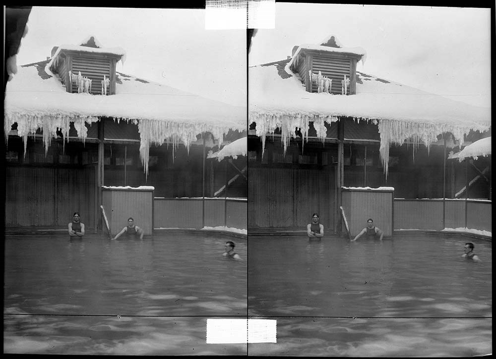
- 141, 142 Upper Hot Springs pool and bathhouse
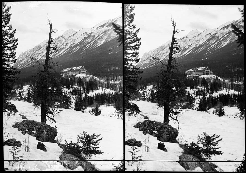
- 143 The Sanitarium from across the Bow River
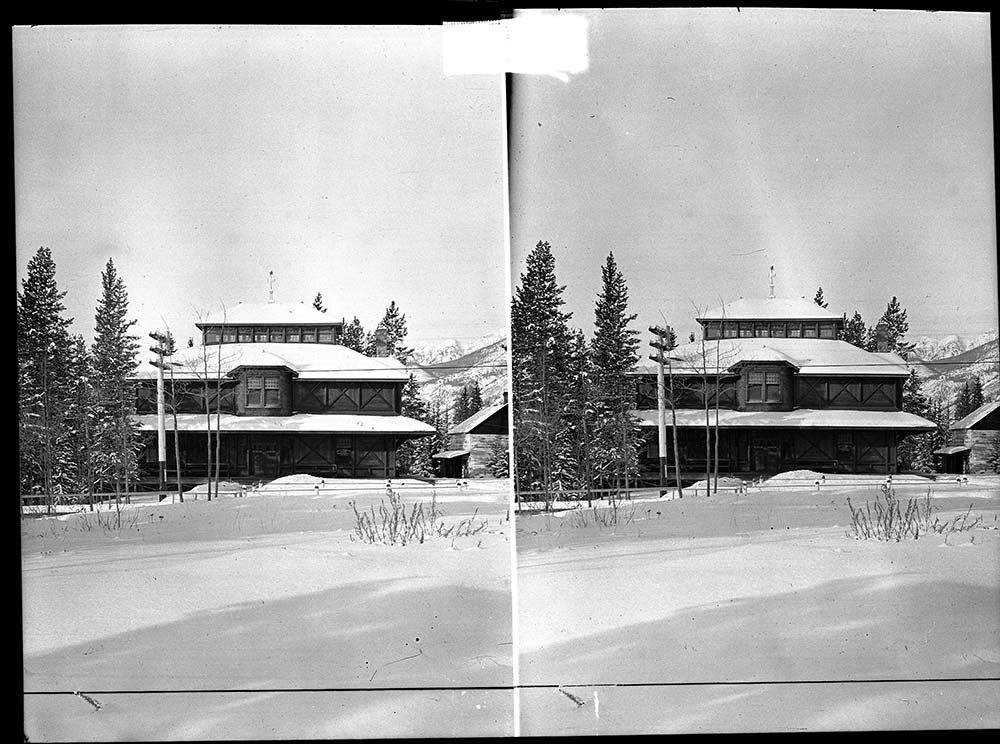
- 144 Government Museum
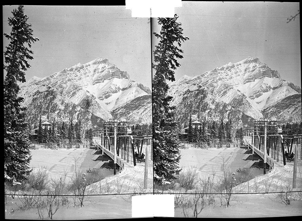
- 145 Sleigh on bridge over Bow River
- 146 Bow River Bridge and Government Museum
- 147 Mount Rundle and Bow River Bridge
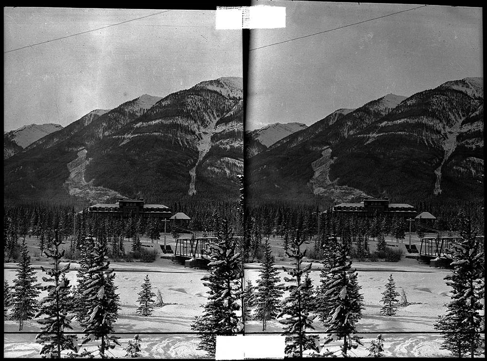
- 148 Bow River and Banff Springs Hotel
- 149 Banff Springs Hotel
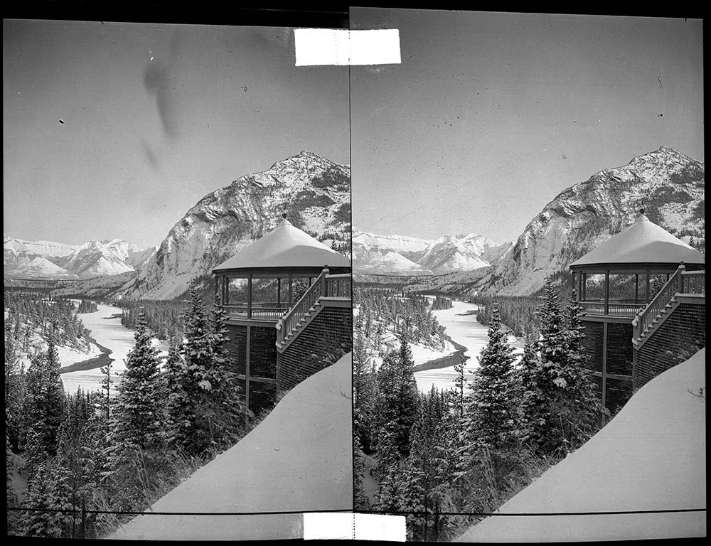
- 150 View from Banff Springs Hotel down the Bow Valley
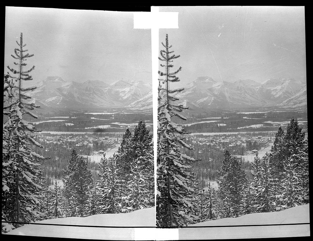
- 151 Banff townsite from Sulphur Mountain
- 152 Banff from Tunnel Mountain
- 153 Banff from Mount Norquay
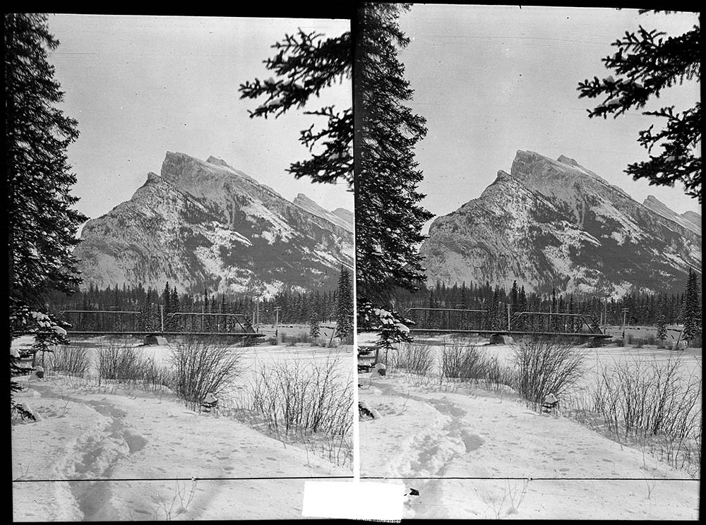
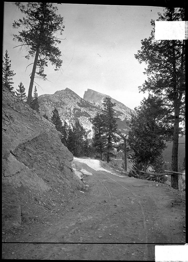
- 154 Mount Rundle from [Upper Hot Springs?]
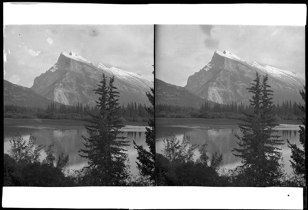
- 155 Mount Rundle from the Bow River
- 156 Mount Rundle from Upper Hot Springs Road
- 157 Banff Indian Days parade on Banff Avenue
- 158 Mount Rundle from First Vermilion Lake
- 159 Cascade and Stoney Mountains
- Name Access
- Barnes, Elliott
- Subject Access
- Activities
- Cave and Basin
- Bridges
- Banff Springs Hotel
- Scenery
- Mountains
- Cascade Mountain
- Rundle Mountain
- Bow River
- Winter
- Geographic Access
- Banff
- Banff National Park
- Alberta
- Canada
- Access Restrictions
- Access by appointment only
- Language
- NA
- Title Source
- Title based on contents of file
- Processing Status
- Processed
Images


This material is presented as originally created; it may contain outdated cultural descriptions and
potentially offensive content.
Read more.
- Part Of
- Bruno Engler fonds
- Scope & Content
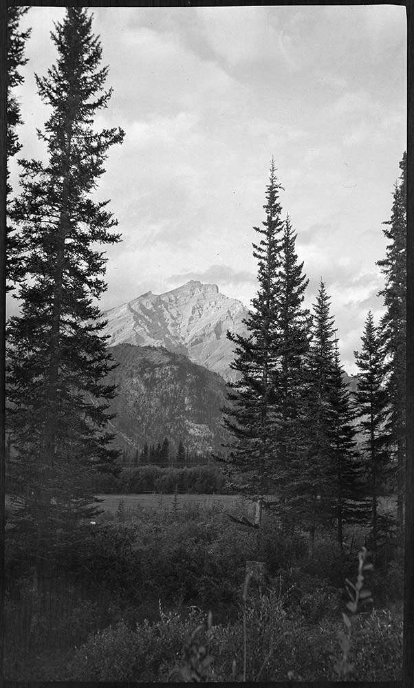
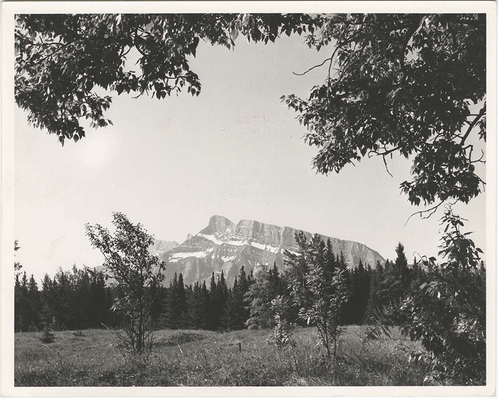
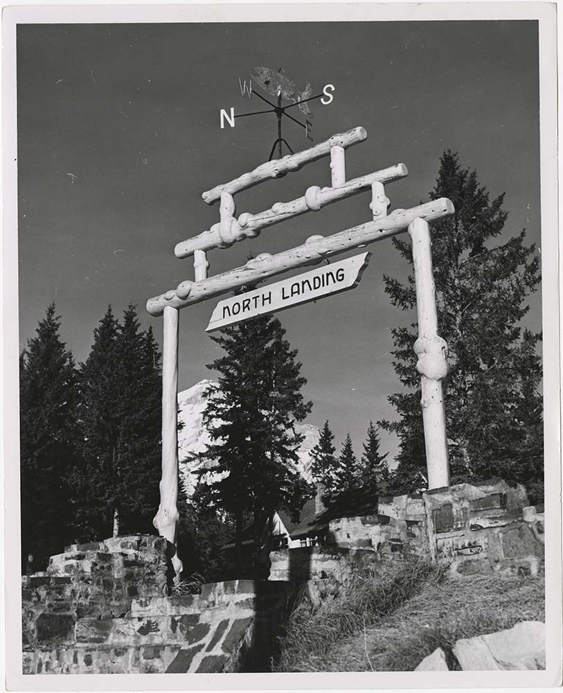
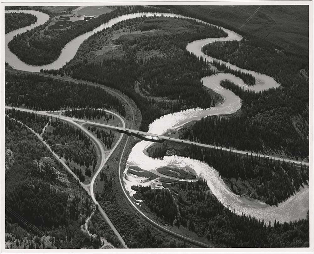
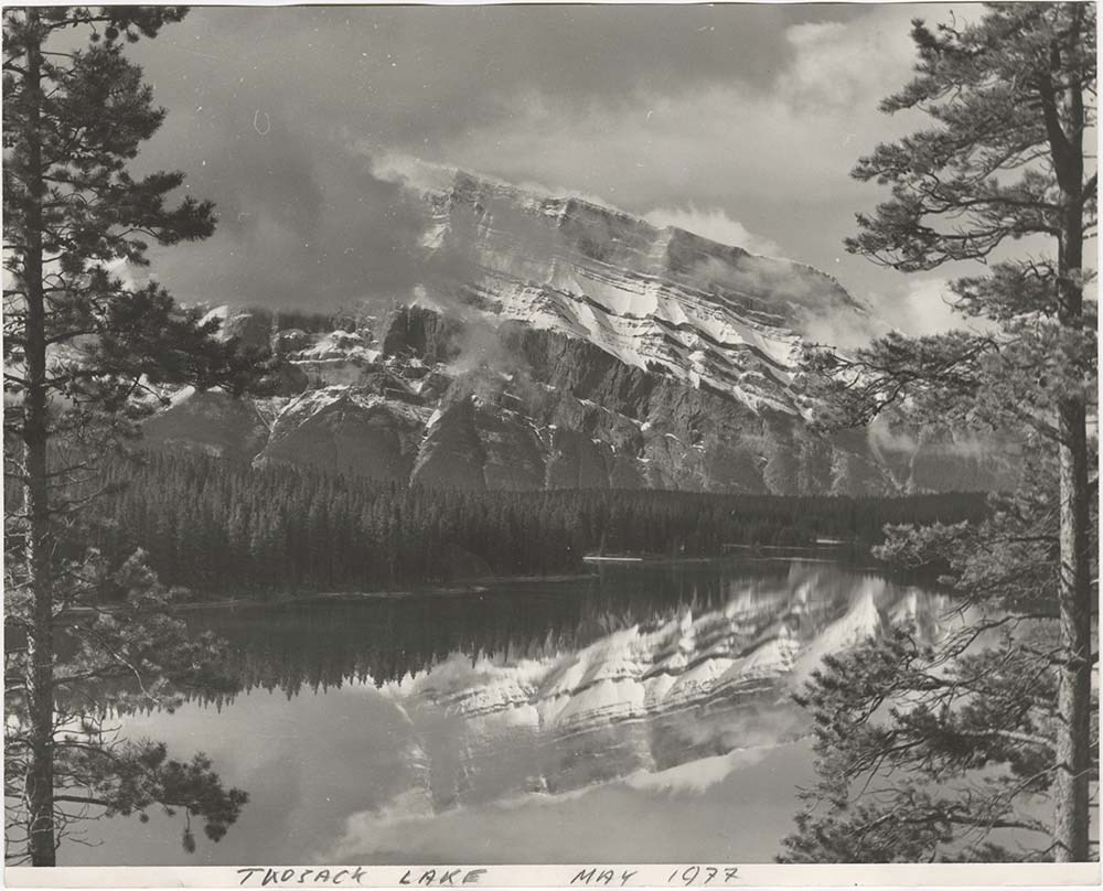
- File pertains to 40 b&w prints of various scenic views from throught the Canadian Rockies. Includes several mountains [including Rundle, Cascade, Mount Lougheed, Ha Ling, Sulphur ], lakes [including Two Jack, Vermillion, Bow, Peyto, and Waterton], and various other views like highways, rivers, hood…
- Date Range
- [ca. 1950-1988]
- Reference Code
- V190 / VI / S / i / PA - 01 to PA - 40
- Description Level
- 5 / File
- GMD
- Photograph
10 images
- Part Of
- Bruno Engler fonds
- Description Level
- 5 / File
- Fonds Number
- M323 / S40 / V190
- Series
- VI : Retained file, S : Alphabetical order
- Sous-Fonds
- V190
- Sub-Series
- i : Scenic Park
- Accession Number
- 7436
- Reference Code
- V190 / VI / S / i / PA - 01 to PA - 40
- GMD
- Photograph
- Date Range
- [ca. 1950-1988]
- Physical Description
- 40 photographs : b&w ; 25.2 x 20.2 cm or smaller
- History / Biographical
- See fonds level description
- Scope & Content
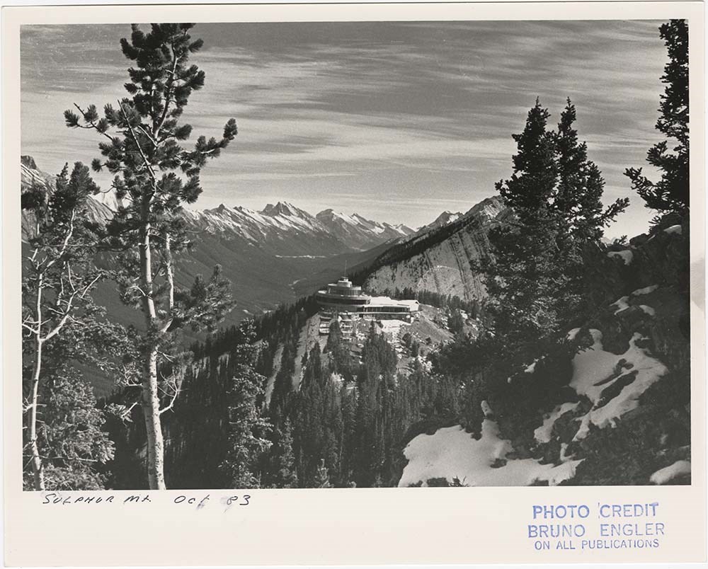
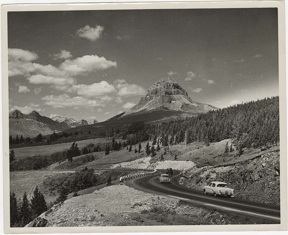
- File pertains to 40 b&w prints of various scenic views from throught the Canadian Rockies. Includes several mountains [including Rundle, Cascade, Mount Lougheed, Ha Ling, Sulphur ], lakes [including Two Jack, Vermillion, Bow, Peyto, and Waterton], and various other views like highways, rivers, hoodoos, tunnels, and valleys.
- Subject Access
- Automobiles
- Banff townsite
- Banff-Jasper Highway
- Bow River
- Bow Valley
- Cascade Mountain
- Cascades of Time Garden
- Fishing
- Glaciers
- Hoodoos
- Icefield Parkway
- Mountains
- North Saskatchewan River
- Rivers
- Roads
- Rundle Mountain
- scenic
- Sulphur Mountain
- Sulphur Mountain Gondola
- Trans-Canada Highway
- Two Jack Lake
- Geographic Access
- Banff
- Bow Lake
- Peyto Lake
- Banff National Park
- Jasper National Park
- Waterton
- Alberta
- Bugaboos
- British Columbia
- Language
- English
- Creator
- Engler, Bruno
- Title Source
- Original title kept
- Processing Status
- Processed
Images


This material is presented as originally created; it may contain outdated cultural descriptions and
potentially offensive content.
Read more.