Narrow Results By
- Medium
- Library - Maps and blueprints (unannotated; published)
- Map
- Published Date
- 1970
- Publisher
- Inland Waters Branch, Dept. of Energy, Mines and Resources
- Call Number
- C5-1.7a
- Publisher
- Inland Waters Branch, Dept. of Energy, Mines and Resources
- Published Date
- 1970
- Physical Description
- 1 map : col
- Scale
- Scale: 1:500,000
- Subjects
- North Saskatchewan River
- Notes
- Glacier inventory
- Accession Number
- 1691
- Call Number
- C5-1.7a
- Collection
- Archives Library
This material is presented as originally created; it may contain outdated cultural descriptions and
potentially offensive content.
Read more.
Land use and resource development in the Eastern Slopes : North Saskatchewan and Red Deer river basins : information bulletin no.7
https://archives.whyte.org/en/permalink/catalogue14719
- Medium
- Library - Book (including soft-cover and pamphlets)
- Published Date
- May 1973
- Author
- Alberta. Environment Conservation Authority
- Publisher
- Alberta : Environment Conservation Authority
- Call Number
- 04 Al1 no.7
- Responsibility
- report by Red Deer Regional Planning Commission
- Publisher
- Alberta : Environment Conservation Authority
- Published Date
- May 1973
- Physical Description
- 25 pages : illustrations, maps ; 28 cm
- Accession Number
- 1922
- tbd
- Call Number
- 04 Al1 no.7
- Collection
- Archives Library
This material is presented as originally created; it may contain outdated cultural descriptions and
potentially offensive content.
Read more.
- Part Of
- Bruno Engler fonds
- Scope & Content
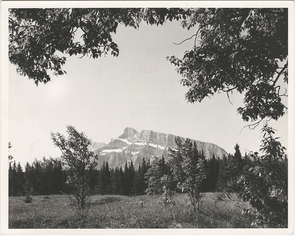
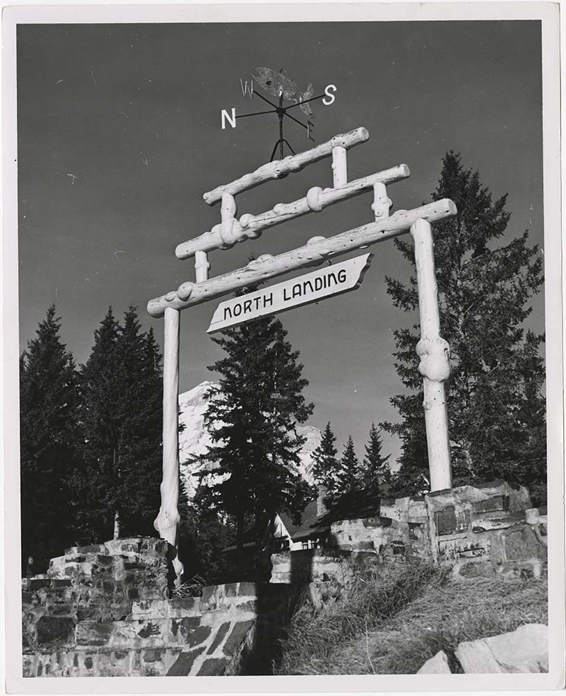
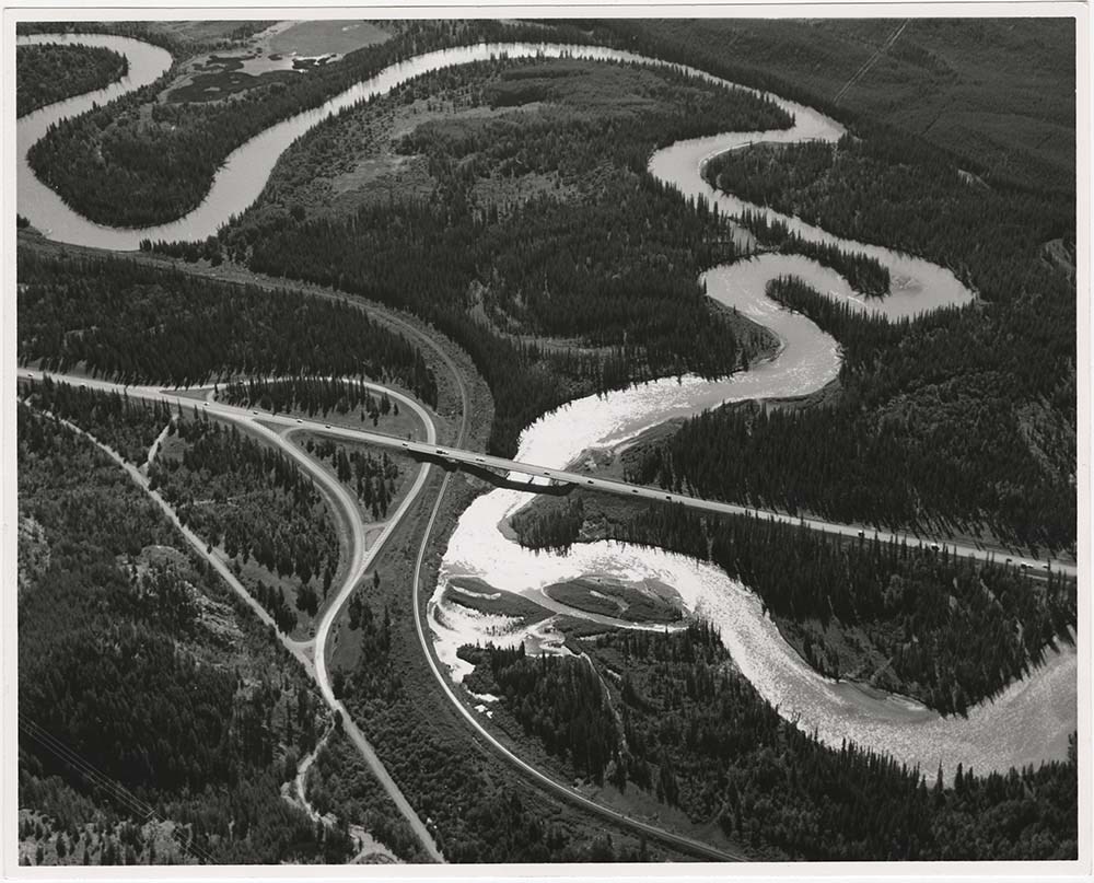
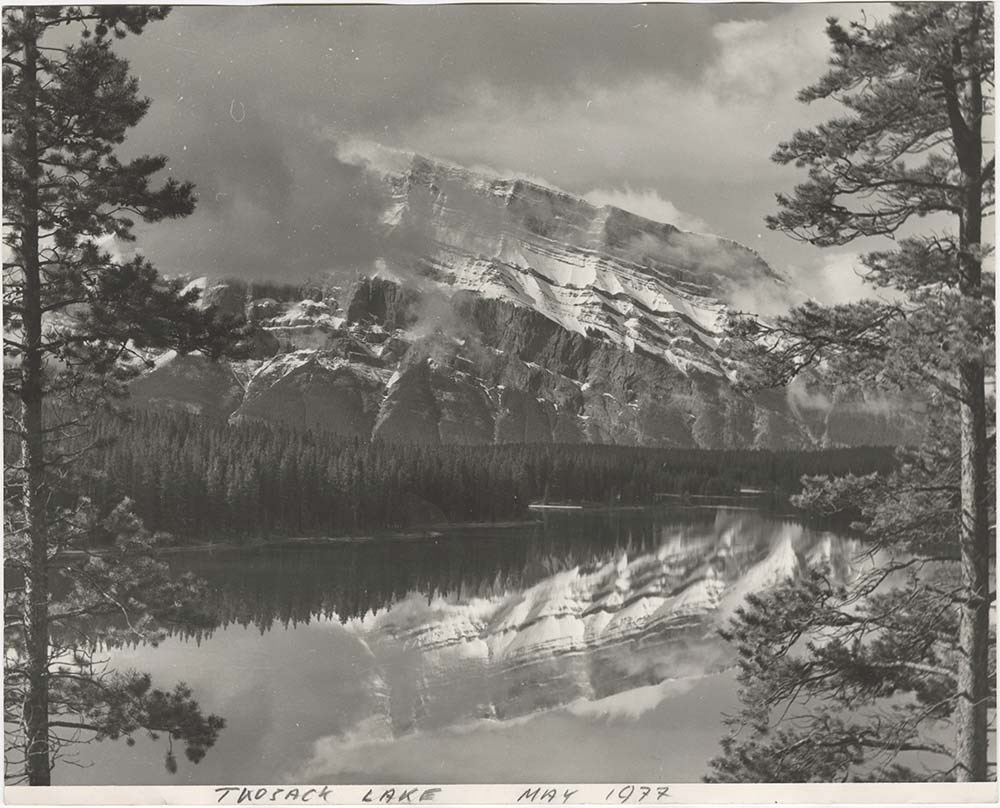
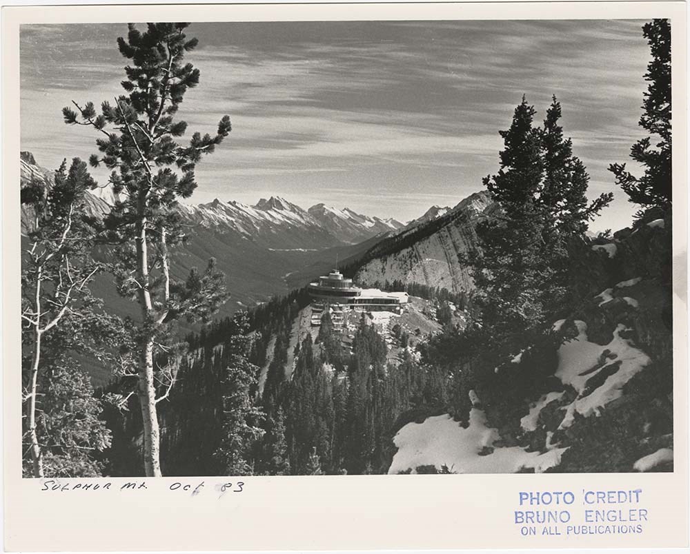
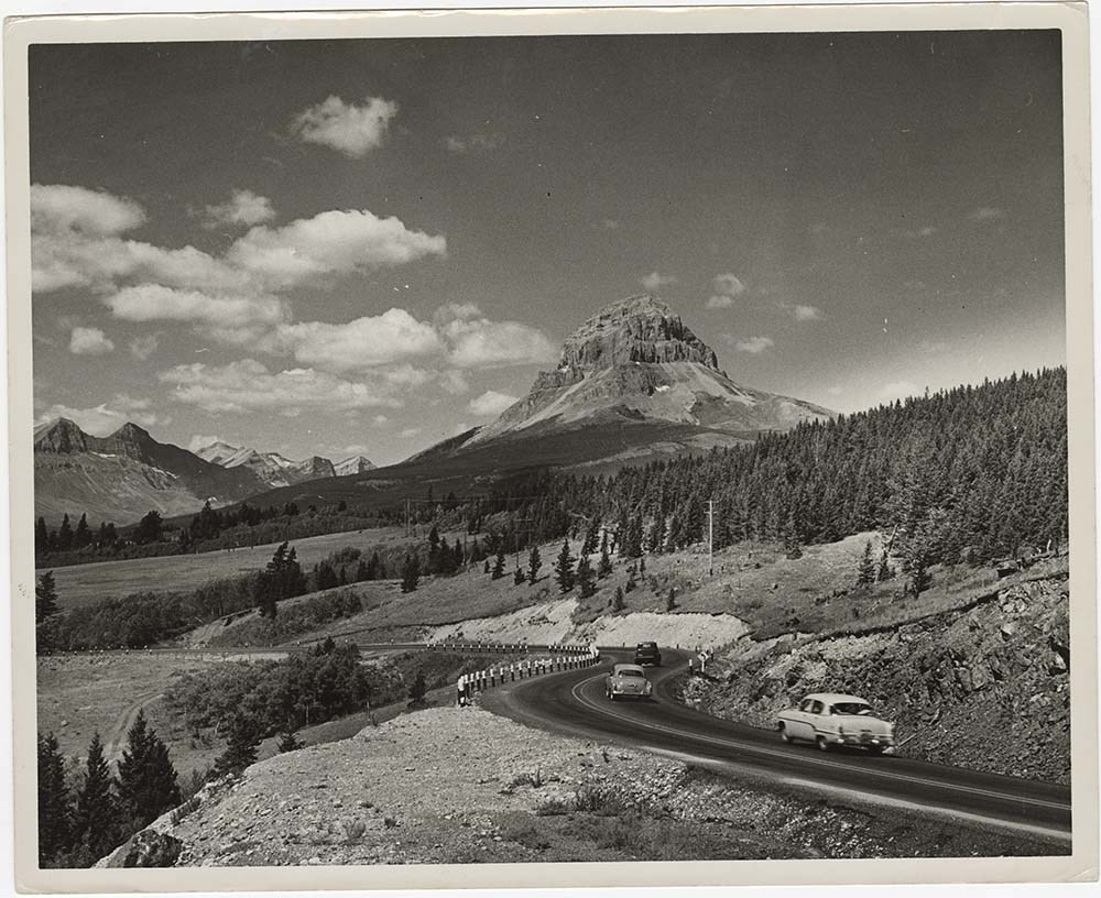
- File pertains to 40 b&w prints of various scenic views from throught the Canadian Rockies. Includes several mountains [including Rundle, Cascade, Mount Lougheed, Ha Ling, Sulphur ], lakes [including Two Jack, Vermillion, Bow, Peyto, and Waterton], and various other views like highways, rivers, hood…
- Date Range
- [ca. 1950-1988]
- Reference Code
- V190 / VI / S / i / PA - 01 to PA - 40
- Description Level
- 5 / File
- GMD
- Photograph
10 images
- Part Of
- Bruno Engler fonds
- Description Level
- 5 / File
- Fonds Number
- M323 / S40 / V190
- Series
- VI : Retained file, S : Alphabetical order
- Sous-Fonds
- V190
- Sub-Series
- i : Scenic Park
- Accession Number
- 7436
- Reference Code
- V190 / VI / S / i / PA - 01 to PA - 40
- GMD
- Photograph
- Date Range
- [ca. 1950-1988]
- Physical Description
- 40 photographs : b&w ; 25.2 x 20.2 cm or smaller
- History / Biographical
- See fonds level description
- Scope & Content
- File pertains to 40 b&w prints of various scenic views from throught the Canadian Rockies. Includes several mountains [including Rundle, Cascade, Mount Lougheed, Ha Ling, Sulphur ], lakes [including Two Jack, Vermillion, Bow, Peyto, and Waterton], and various other views like highways, rivers, hoodoos, tunnels, and valleys.
- Subject Access
- Automobiles
- Banff townsite
- Banff-Jasper Highway
- Bow River
- Bow Valley
- Cascade Mountain
- Cascades of Time Garden
- Fishing
- Glaciers
- Hoodoos
- Icefield Parkway
- Mountains
- North Saskatchewan River
- Rivers
- Roads
- Rundle Mountain
- scenic
- Sulphur Mountain
- Sulphur Mountain Gondola
- Trans-Canada Highway
- Two Jack Lake
- Geographic Access
- Banff
- Bow Lake
- Peyto Lake
- Banff National Park
- Jasper National Park
- Waterton
- Alberta
- Bugaboos
- British Columbia
- Language
- English
- Creator
- Engler, Bruno
- Title Source
- Original title kept
- Processing Status
- Processed
Images


This material is presented as originally created; it may contain outdated cultural descriptions and
potentially offensive content.
Read more.