Narrow Results By
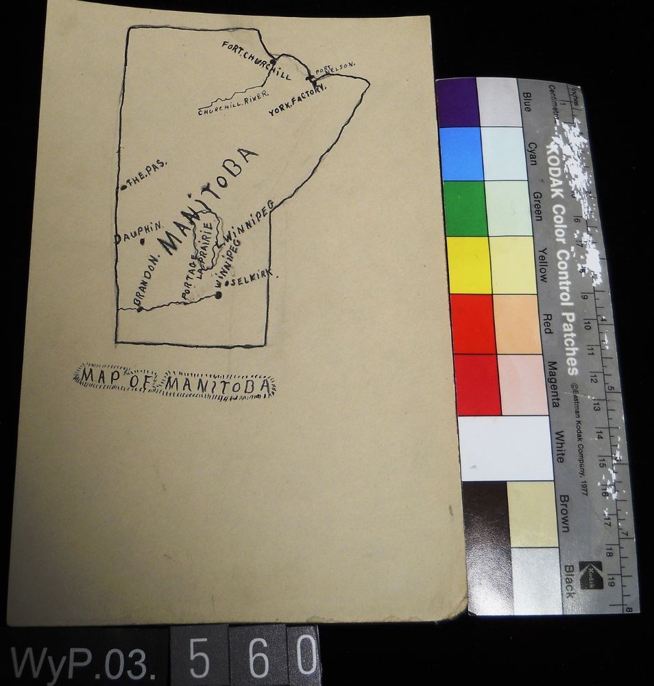
Map of Manitoba
https://archives.whyte.org/en/permalink/artifactwyp.03.560
- Date
- 1917 – 1929
- Medium
- ink; graphite on paper
- Catalogue Number
- WyP.03.560
- Description
- Pencil and ink drawing of a map of Manitoba with rivers, lakes and urban centres labeled. [Below drawing, surrounded by circle of short marks] MAP of MANITOBA
1 image
- Title
- Map of Manitoba
- Date
- 1917 – 1929
- Medium
- ink; graphite on paper
- Dimensions
- 22.5 x 15.1 cm
- Description
- Pencil and ink drawing of a map of Manitoba with rivers, lakes and urban centres labeled. [Below drawing, surrounded by circle of short marks] MAP of MANITOBA
- Credit
- Gift of Catharine Robb Whyte, O. C., Banff, 1979
- Catalogue Number
- WyP.03.560
Images
This material is presented as originally created; it may contain outdated cultural descriptions and
potentially offensive content.
Read more.
- Date
- 1914 – 1966
- Medium
- graphite on paper
- Catalogue Number
- WyP.03.672
- Description
- drawn map on thin paper showing mountains, rivers in green and trails in red from Lake Louise Station to Ptarmigan Lake. Includes temple chalet, Eagle Mtn, Hidden Lake, Silvertip run, Hermans run, lookout.
1 image
- Title
- Untitled
- Date
- 1914 – 1966
- Medium
- graphite on paper
- Dimensions
- 20.5 x 26.0 cm
- Description
- drawn map on thin paper showing mountains, rivers in green and trails in red from Lake Louise Station to Ptarmigan Lake. Includes temple chalet, Eagle Mtn, Hidden Lake, Silvertip run, Hermans run, lookout.
- Subject
- map
- Lake Louise
- Skoki
- Ptarmigan Lake
- Credit
- Gift of Catharine Robb Whyte, O. C., Banff, 1979
- Catalogue Number
- WyP.03.672
Images

This material is presented as originally created; it may contain outdated cultural descriptions and
potentially offensive content.
Read more.