Narrow Results By
- Peter and Catharine Whyte fonds 32
- Bruno Engler fonds 29
- Nicholas Morant fonds 8
- Alpine Club of Canada fonds 7
- Luxton family fonds 6
- Bob Smith fonds 5
- Trail Riders of the Canadian Rockies fonds 5
- Murray Hay fonds 4
- Bill Goodrich fonds 3
- George Paris fonds 3
- Lawrence Grassi fonds 3
- Oscar Roe McComb fonds 3
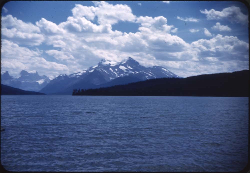
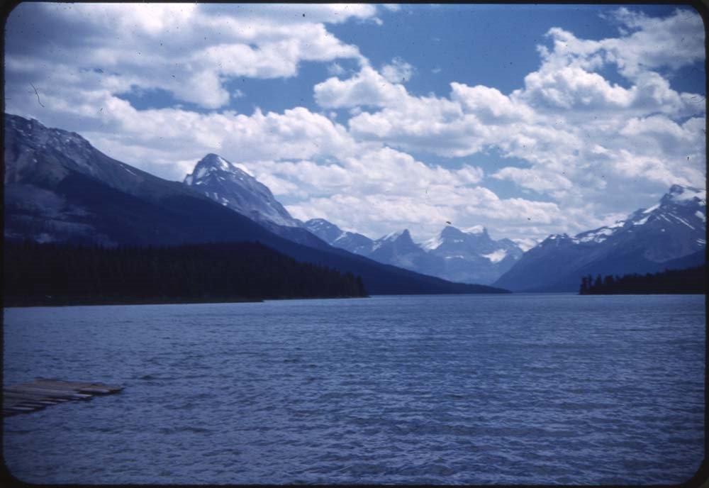
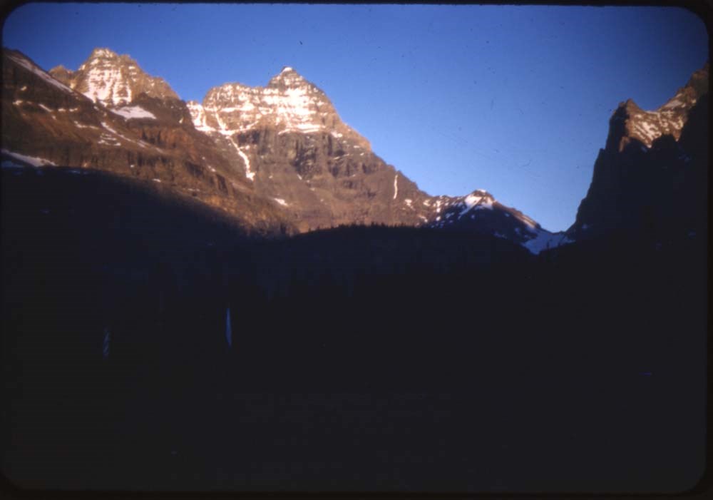
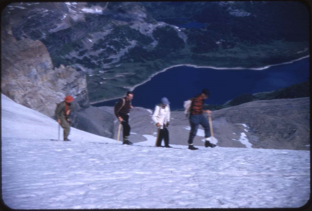
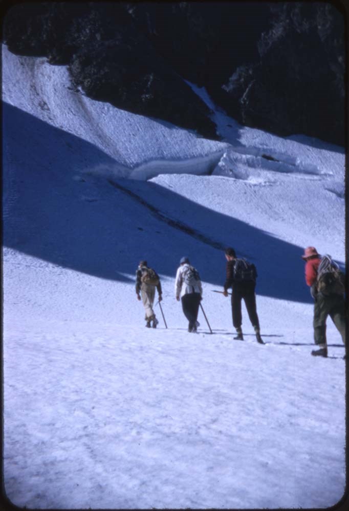
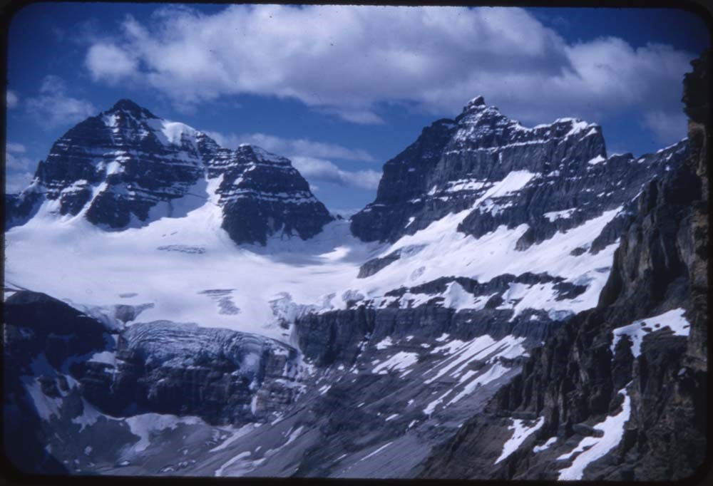
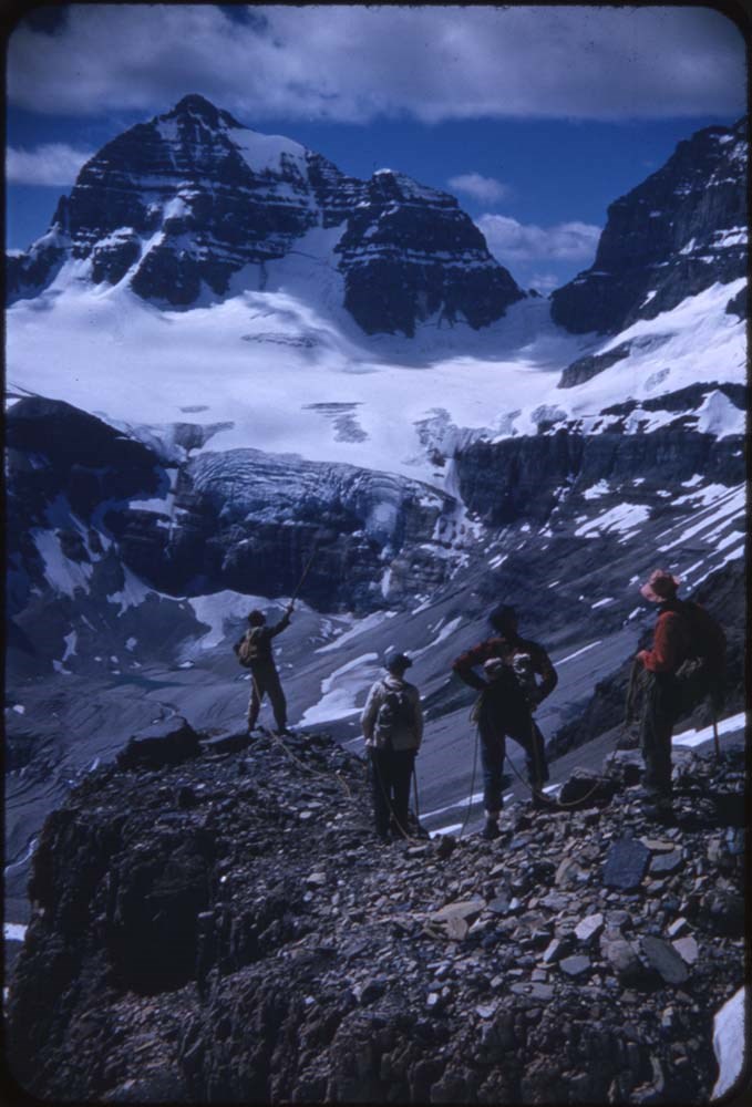
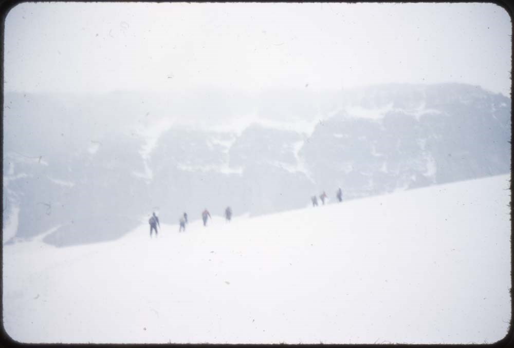
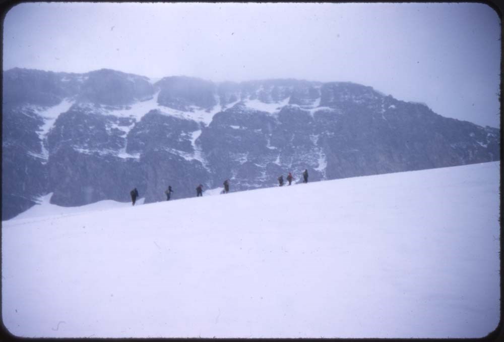
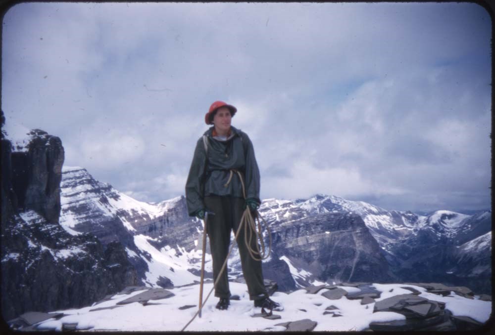
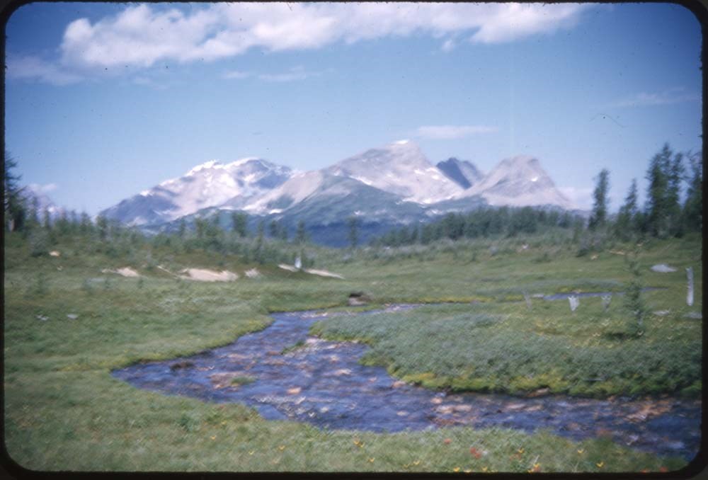
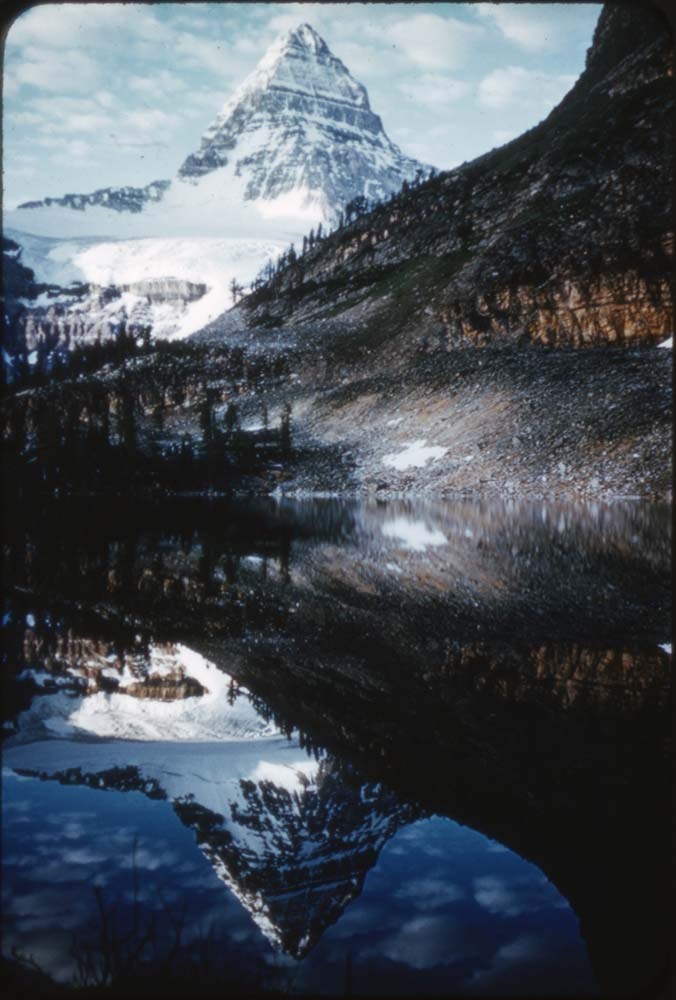
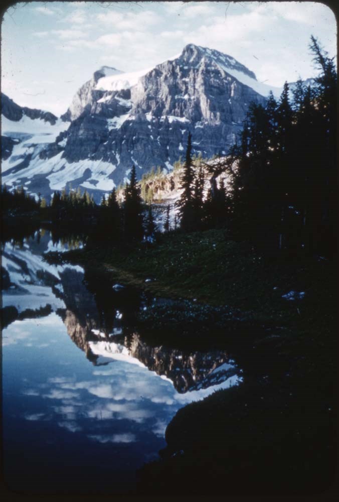
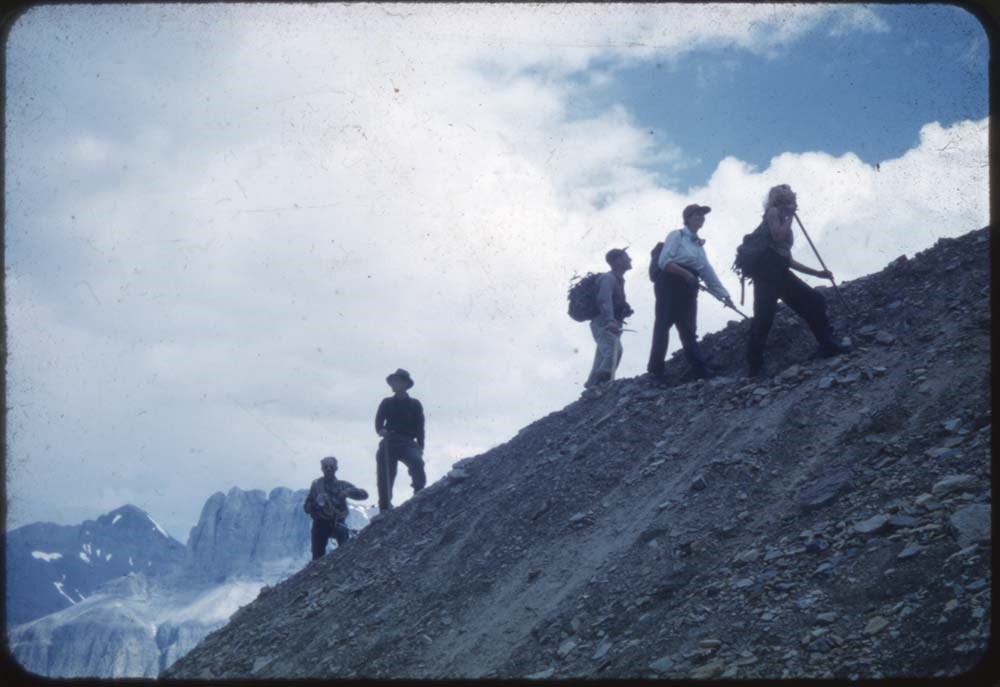
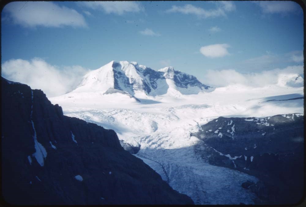
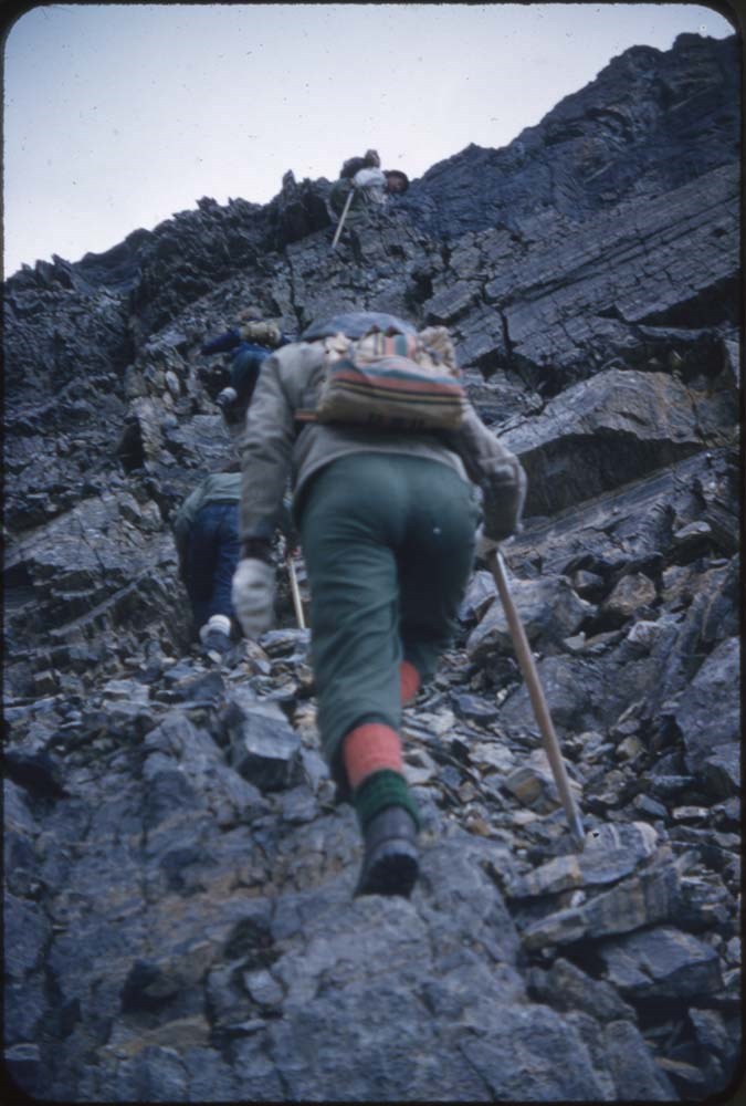
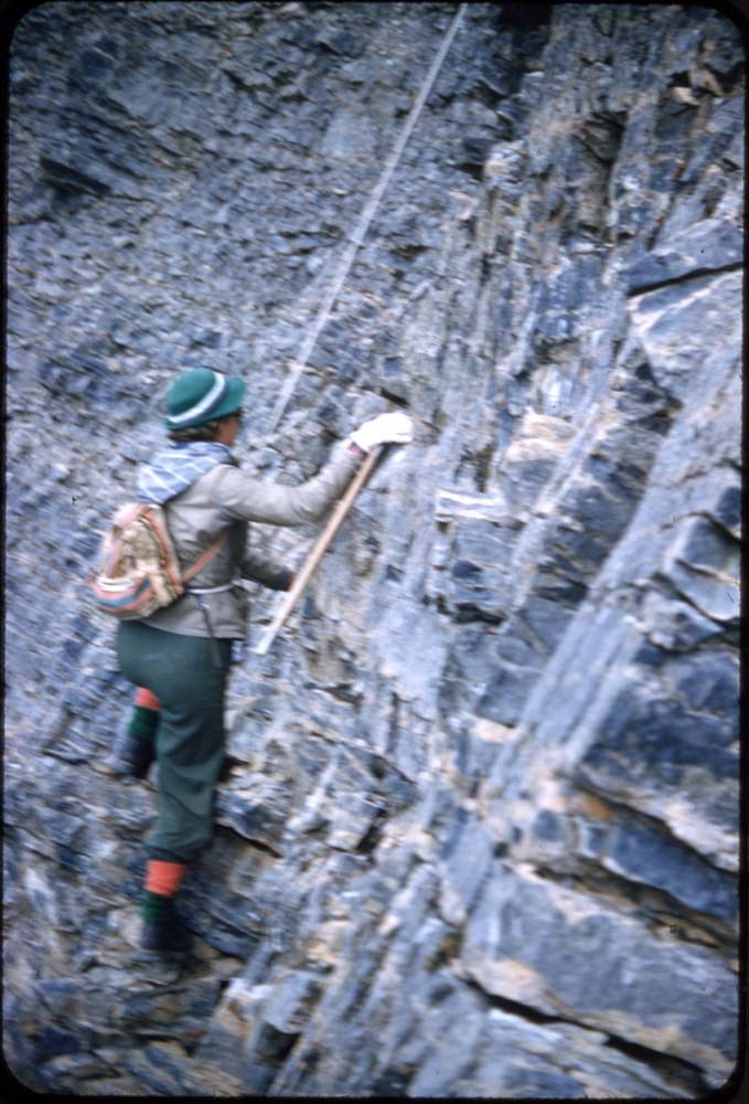
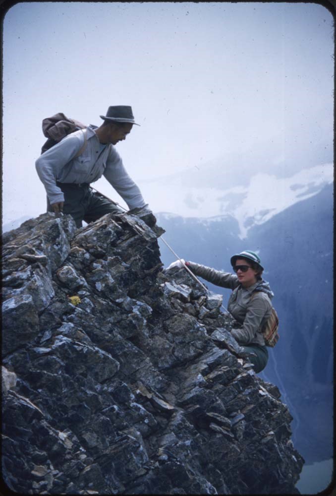
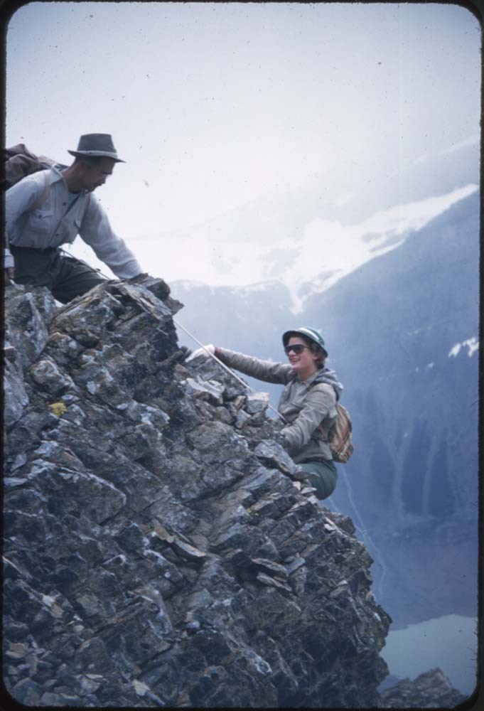
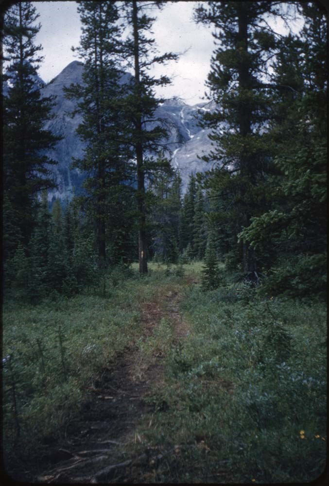
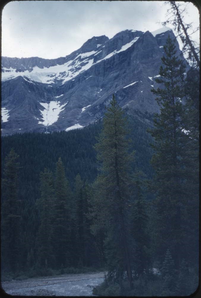
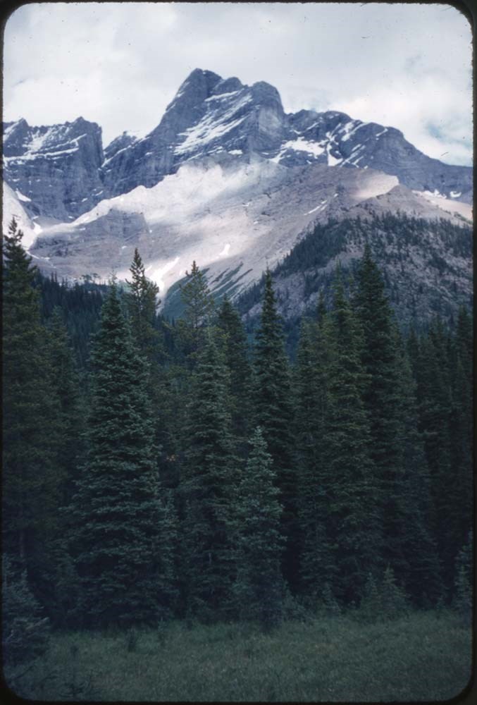
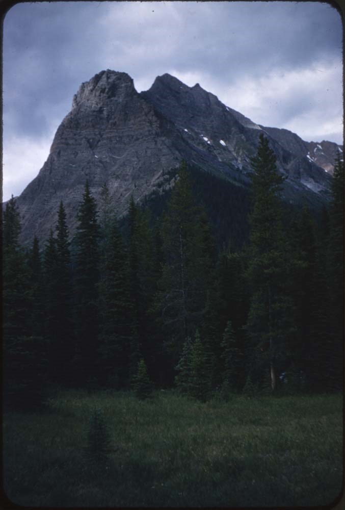
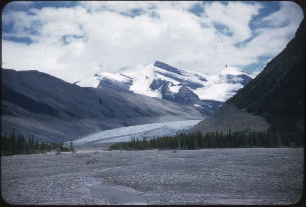
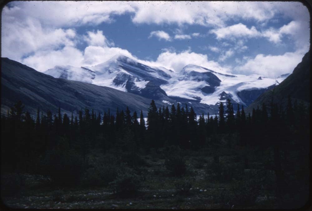
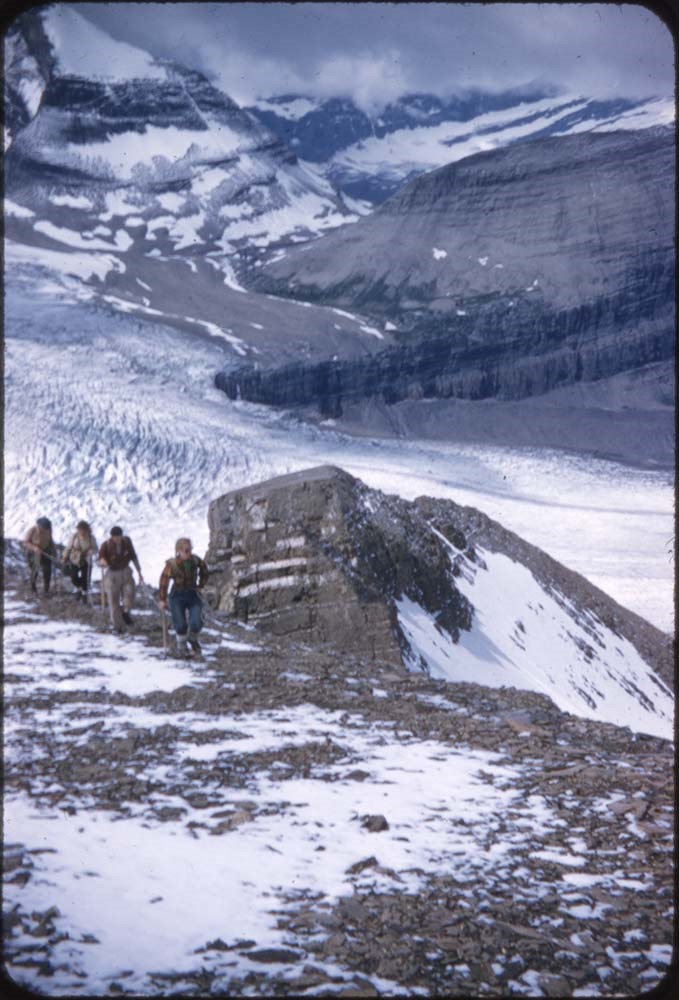
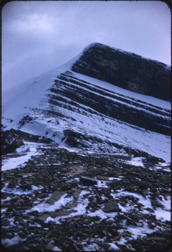
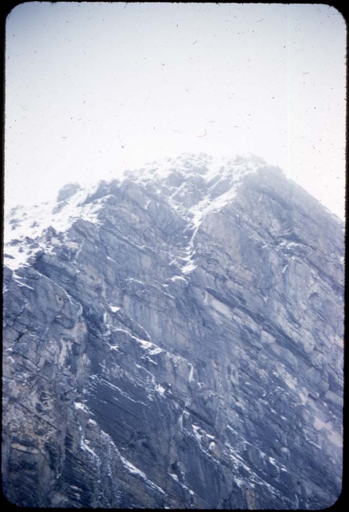
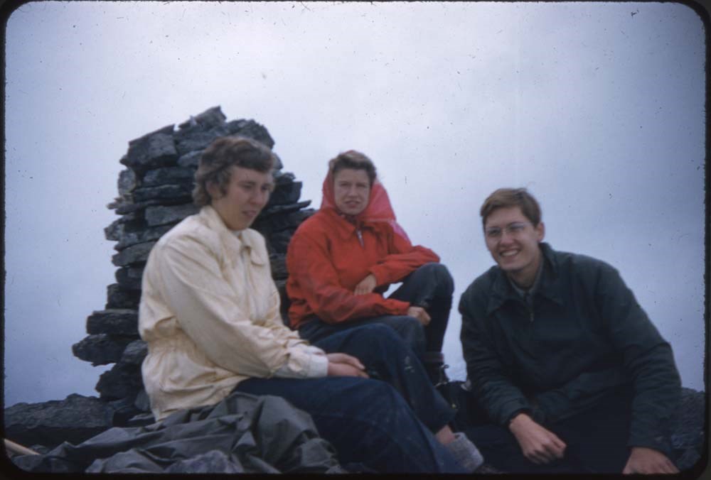
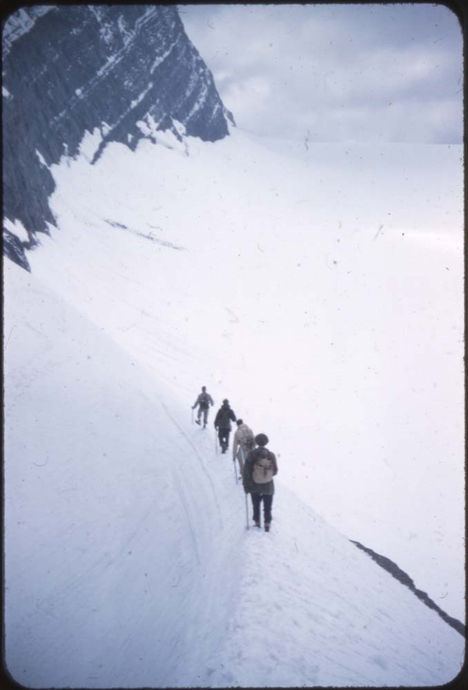
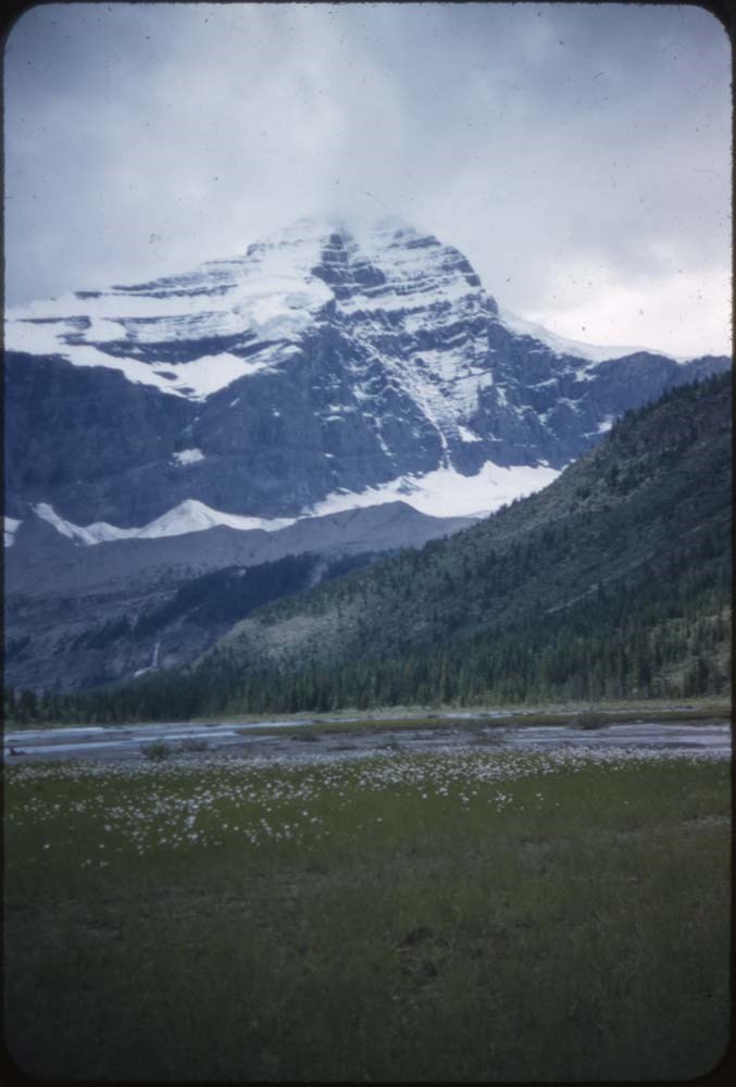
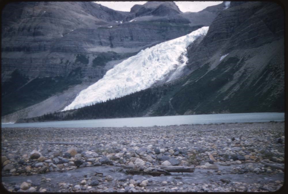
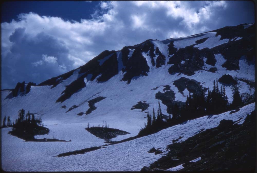
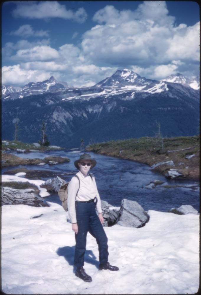
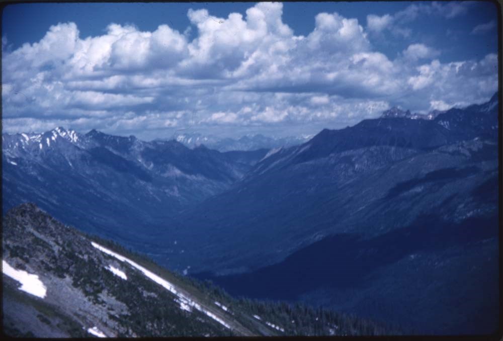
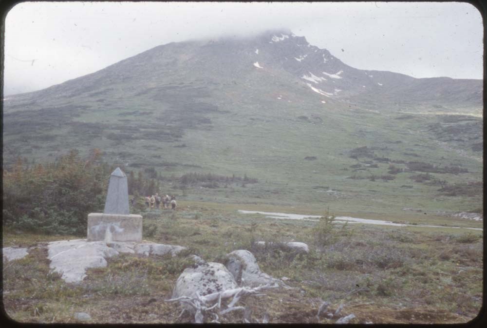
1937 Larch Valley negatives
https://archives.whyte.org/en/permalink/descriptions54407
- Part Of
- Aileen Harmon fonds
- Scope & Content
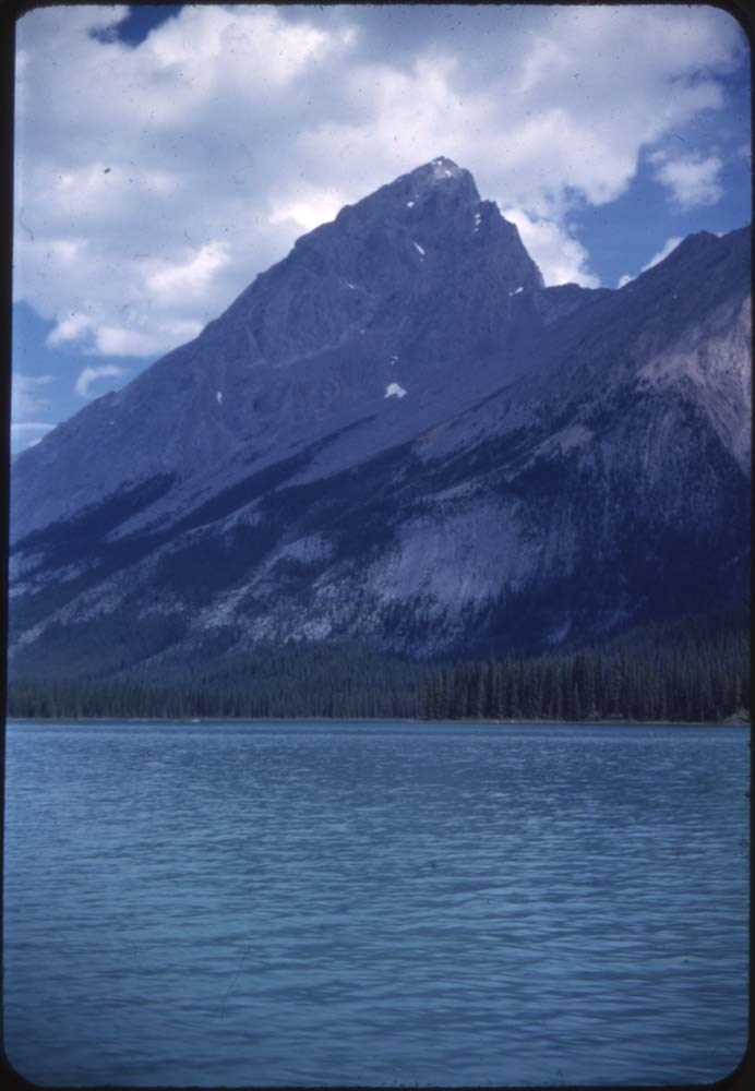
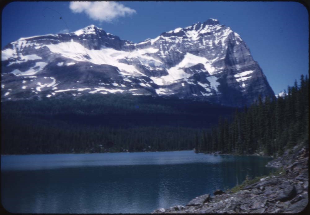
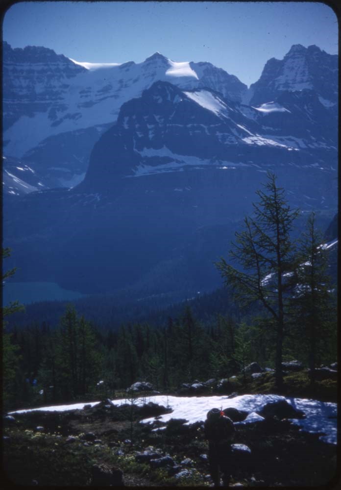
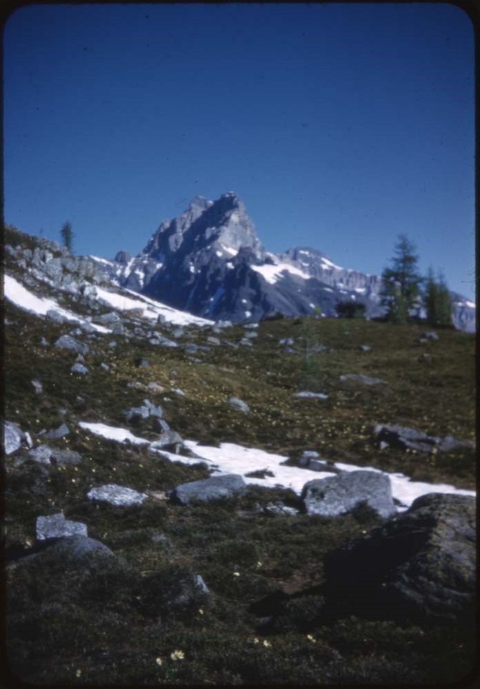
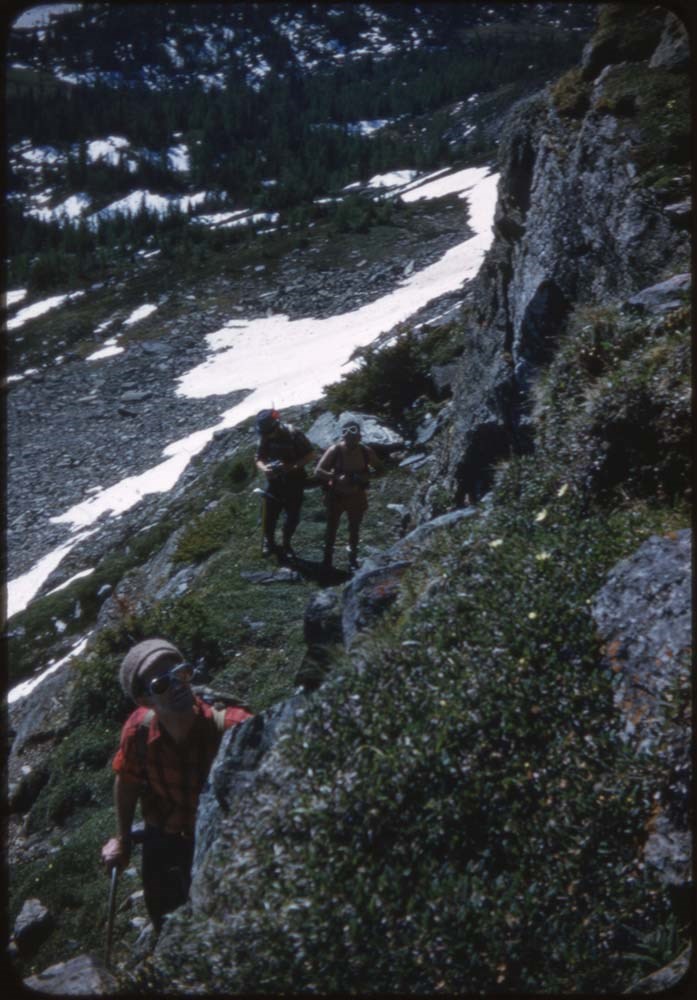
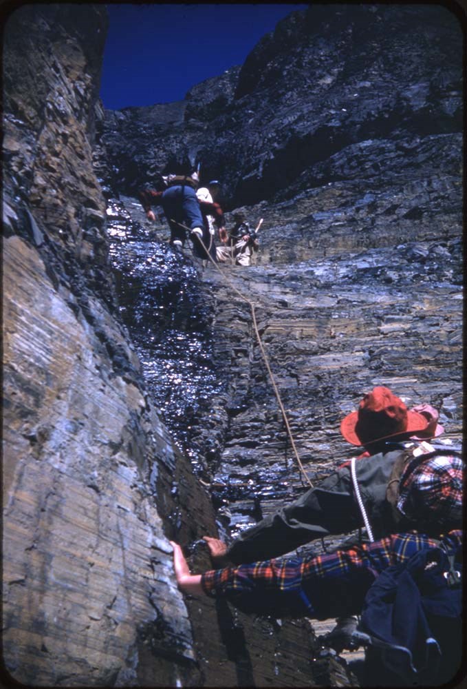
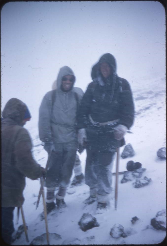
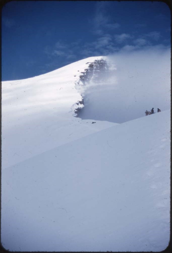
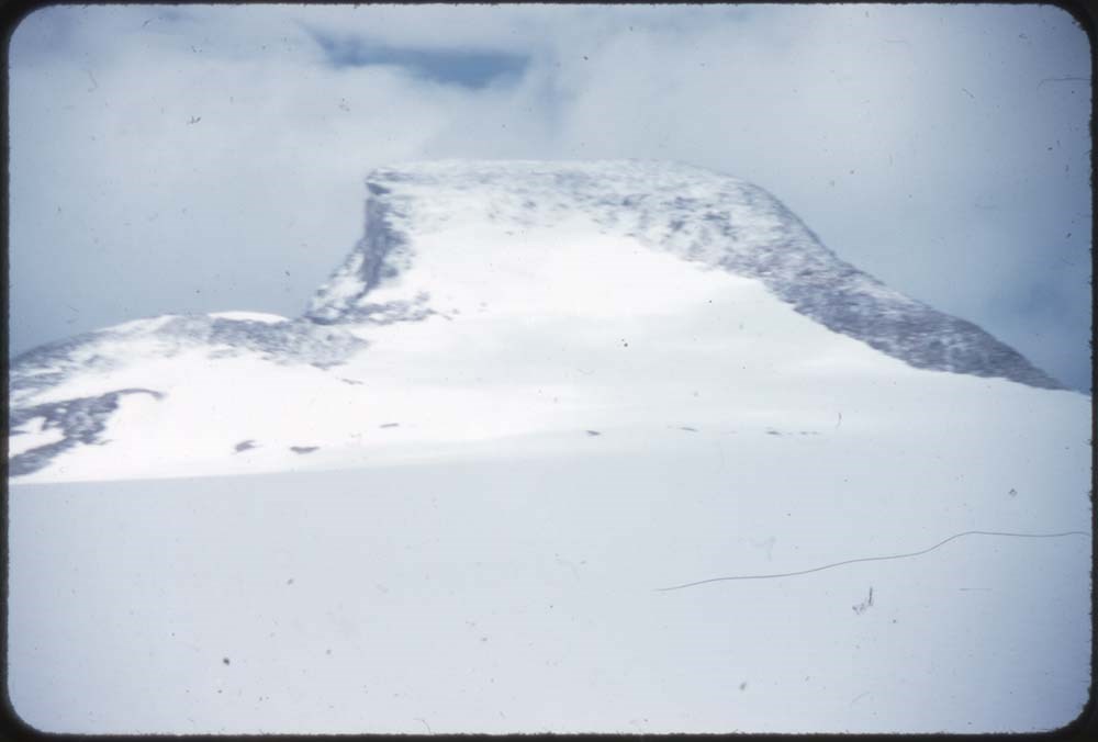
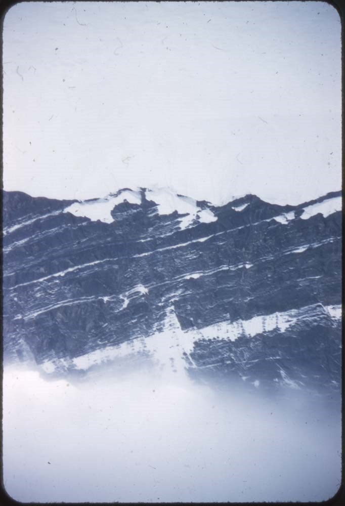
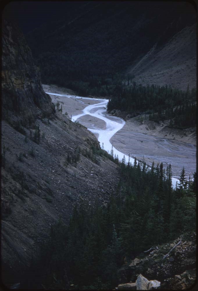
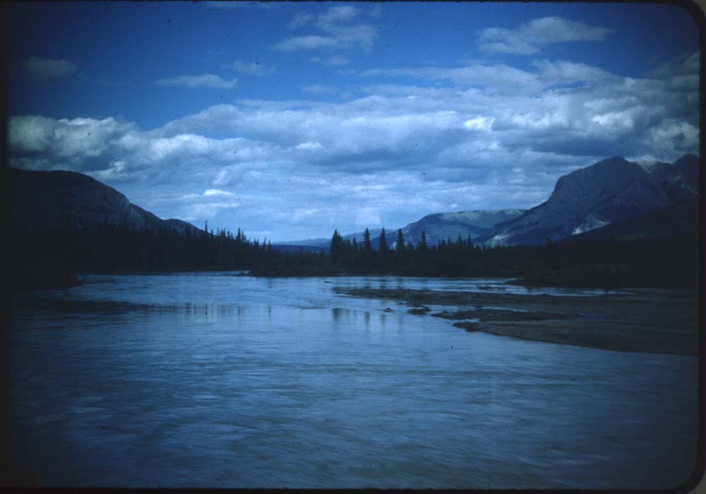
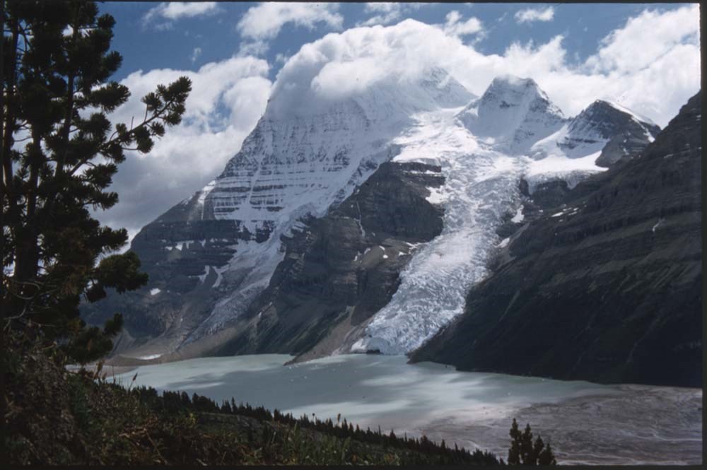
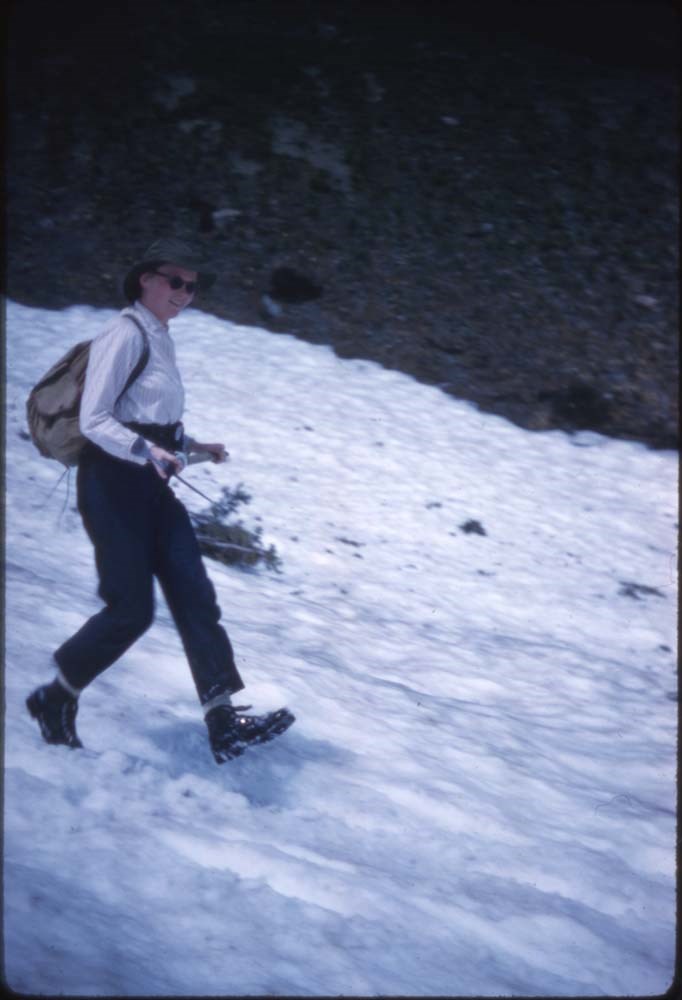
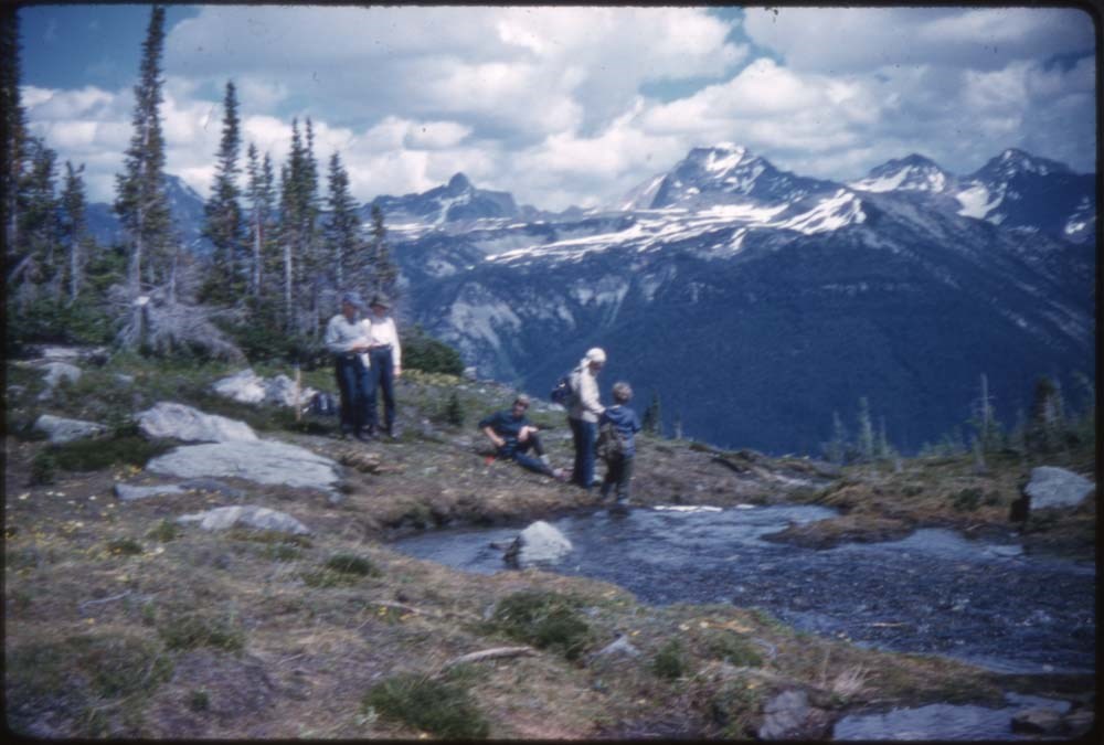
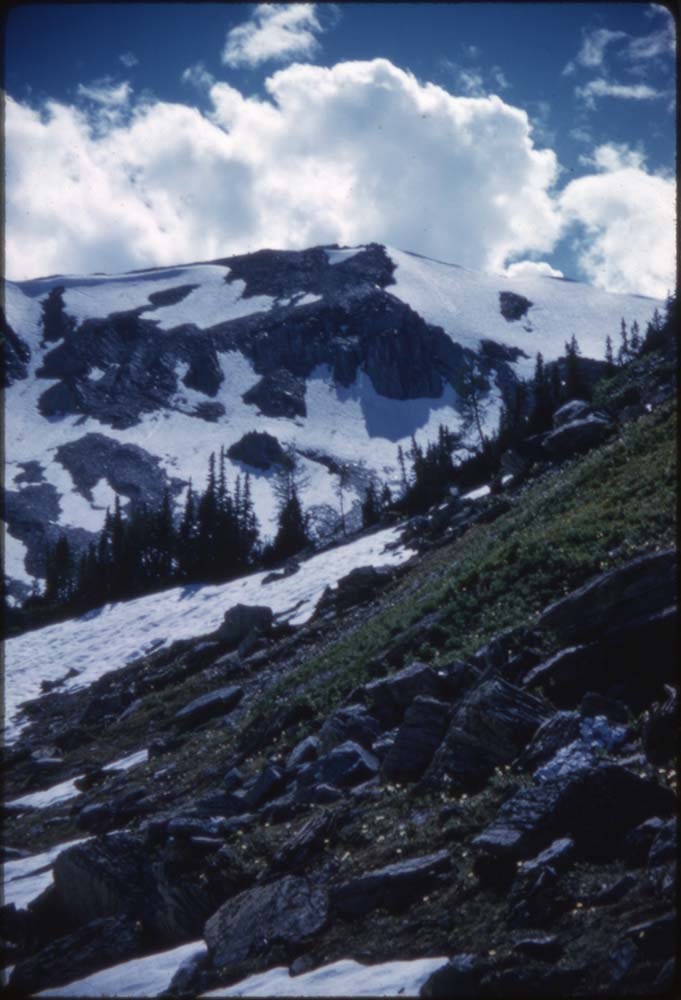
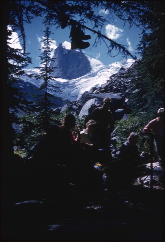
- File consists of 6 negative photographs pertaining to a 1937 trip to Larch Valley near Moraine Lake, Alberta. Includes images of hikers posing by mountain and lake views.
- Date Range
- 1937
- Reference Code
- V262 / I / NA - 1 to 6
- Description Level
- 5 / File
- GMD
- Photograph
- Negative
- Part Of
- Aileen Harmon fonds
- Description Level
- 5 / File
- Fonds Number
- M287 / V262
- Series
- V262 / I : Personal records
- Sous-Fonds
- V262
- Accession Number
- 2016.8596
- Reference Code
- V262 / I / NA - 1 to 6
- GMD
- Photograph
- Negative
- Date Range
- 1937
- Physical Description
- 6 photographs : b&w negatives ; 12.5 x 10 cm
- Scope & Content
- File consists of 6 negative photographs pertaining to a 1937 trip to Larch Valley near Moraine Lake, Alberta. Includes images of hikers posing by mountain and lake views.
- Notes
- Accompanied by original envelope from "Harmony Drug Store, Banff Alberta" which also provides location and date of photographs
- Individuals in photographs unidentified
- Subject Access
- Hiking
- Travel
- Mountain
- Lake
- Landscapes
- Geographic Access
- Canada
- Alberta
- Larch Valley
- Banff
- Access Restrictions
- Restrictions may apply
- Reproduction Restrictions
- Reference use only, no reproductions
- Language
- English
- Category
- Family and personal life
- Title Source
- Title based on contents of file
- Processing Status
- Processed
This material is presented as originally created; it may contain outdated cultural descriptions and
potentially offensive content.
Read more.
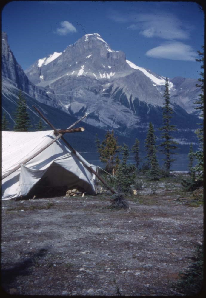
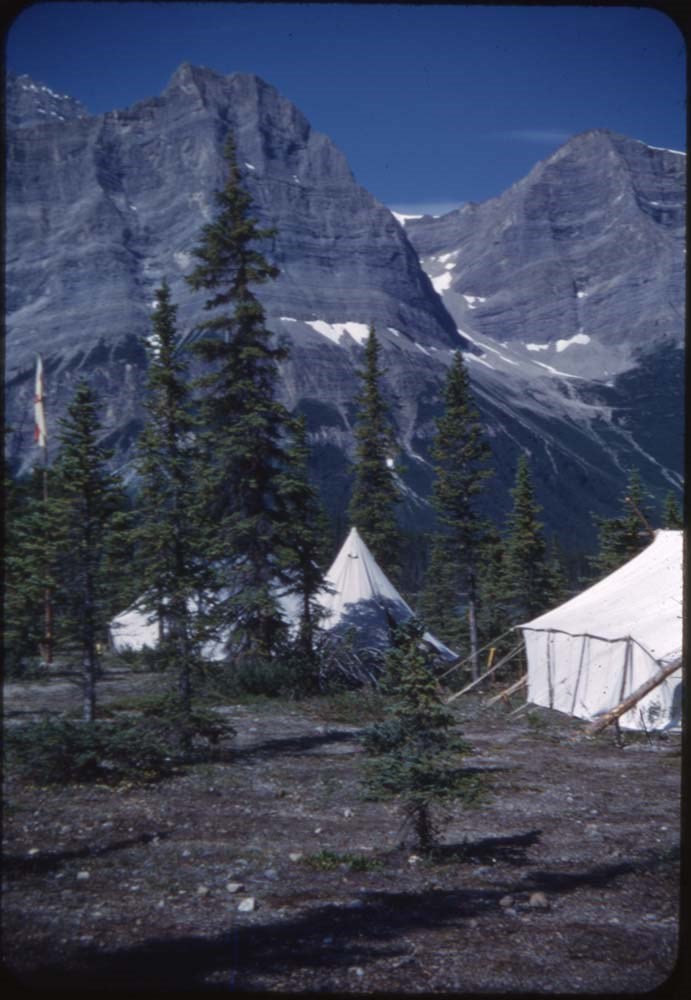
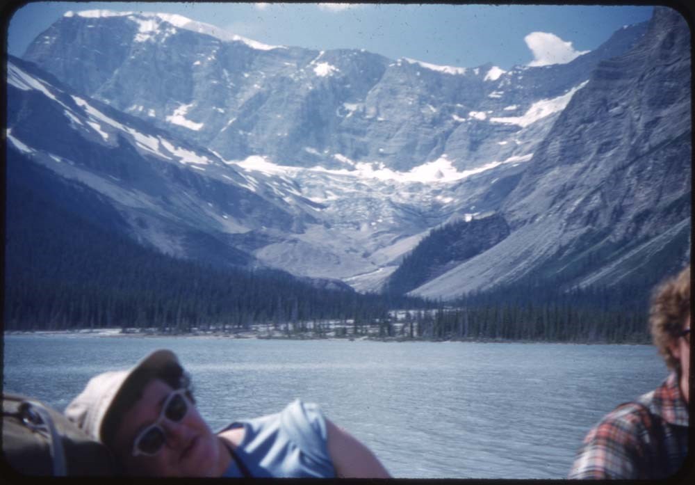
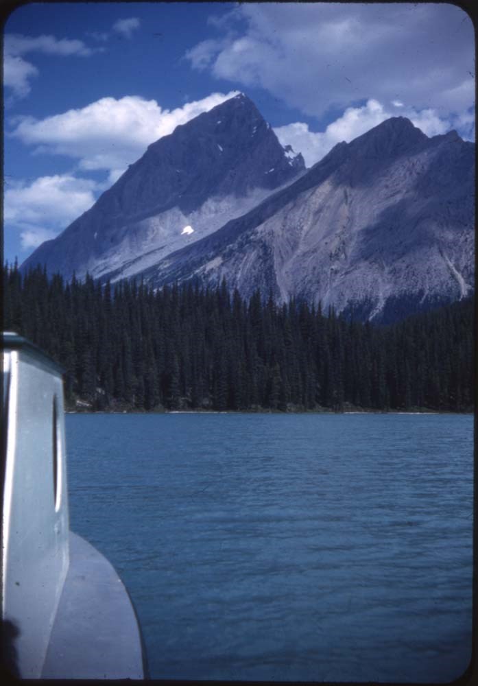
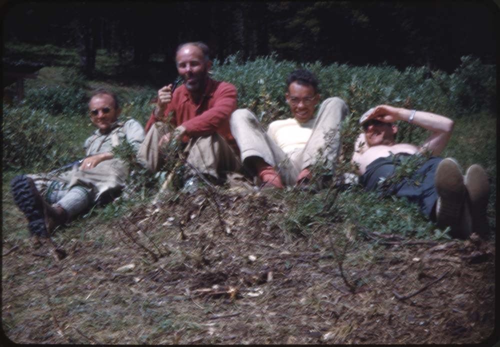
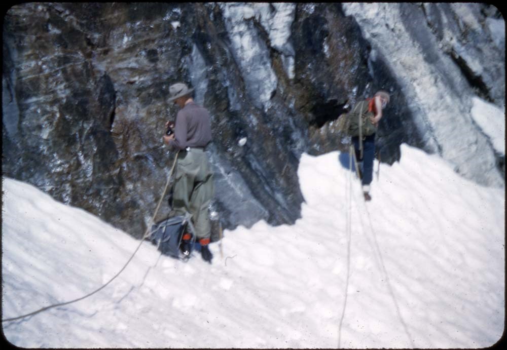
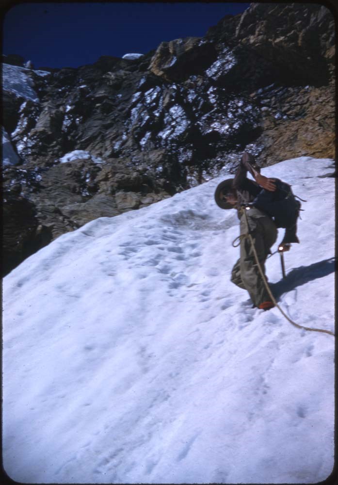
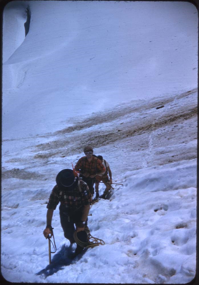
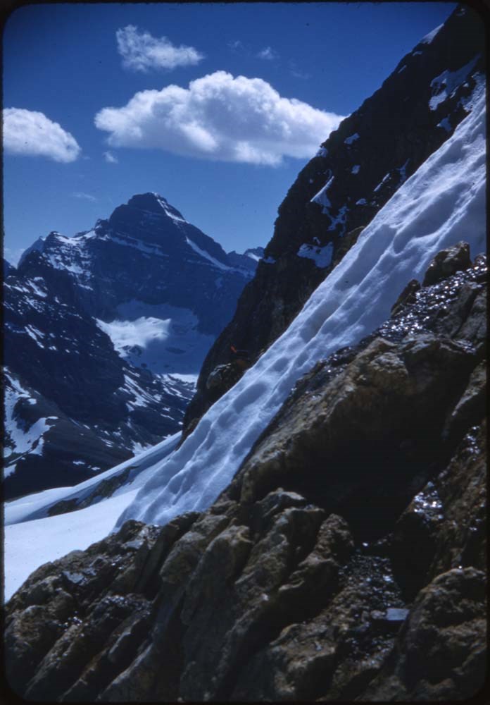
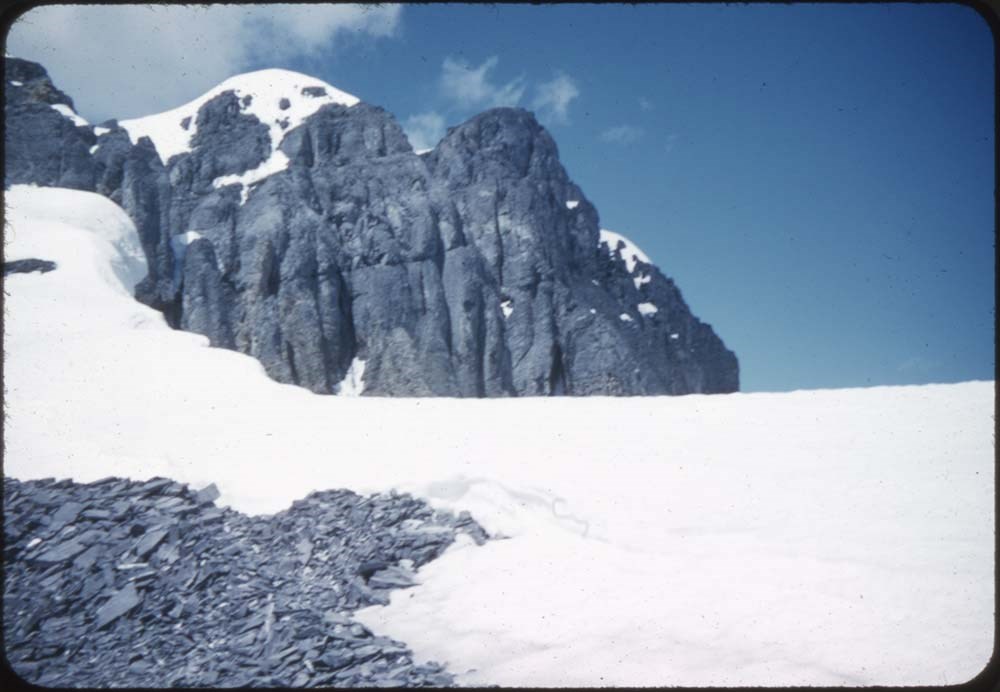
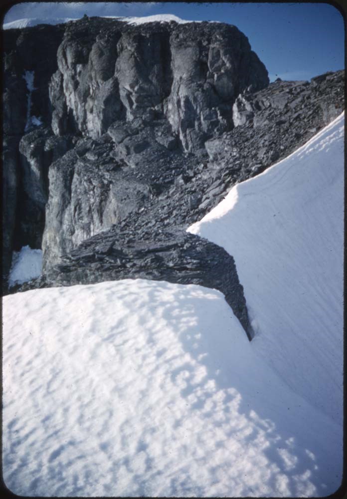
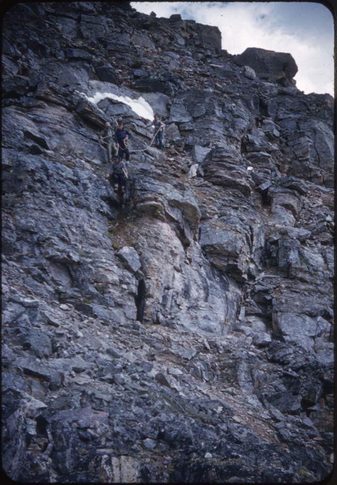
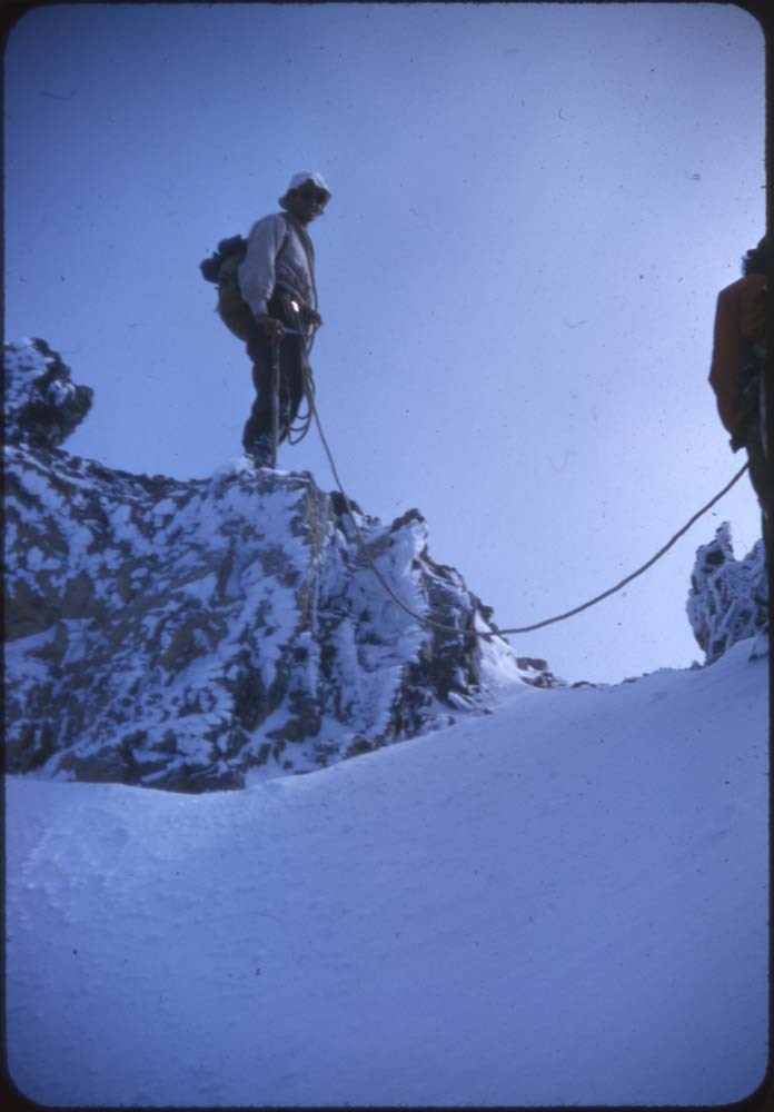
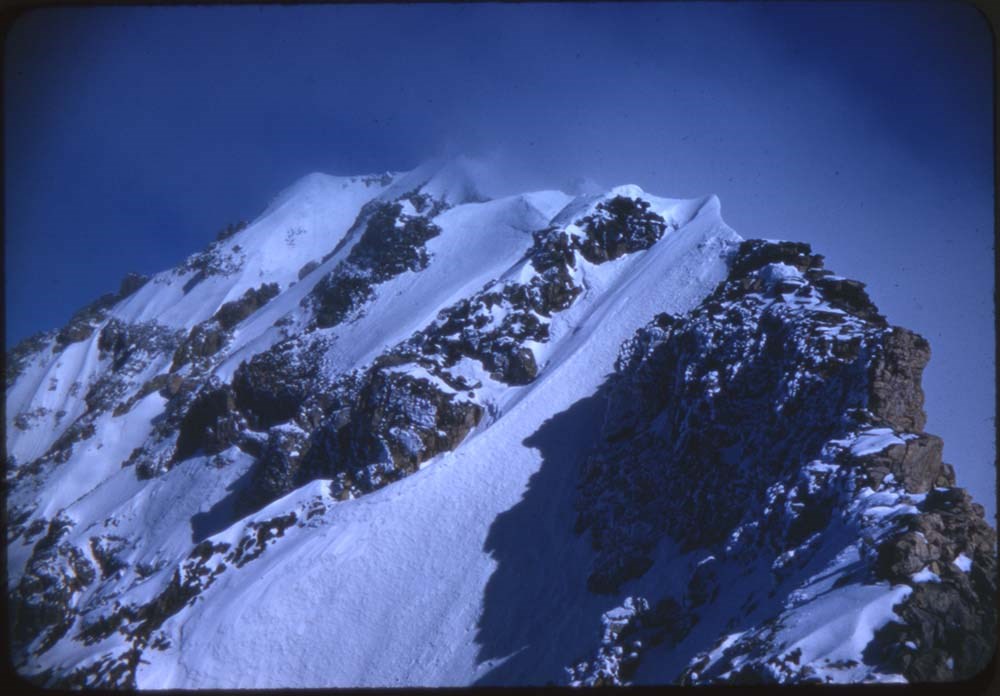
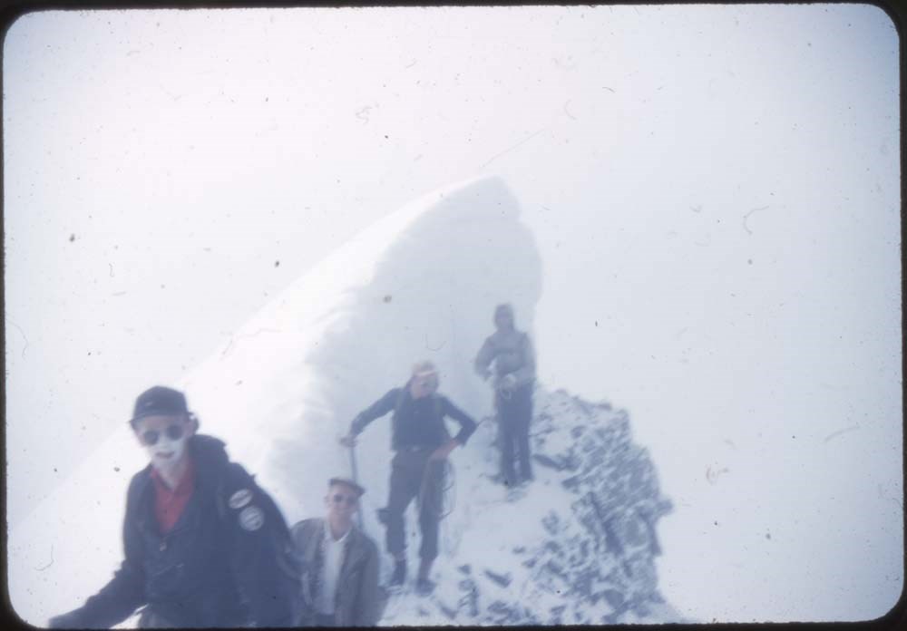
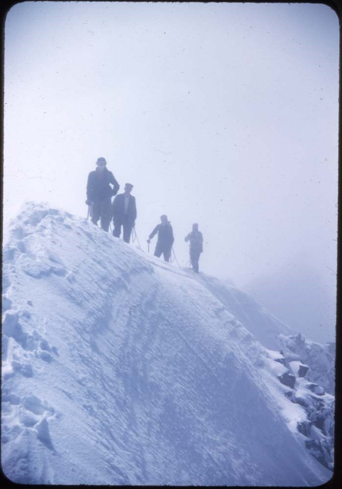
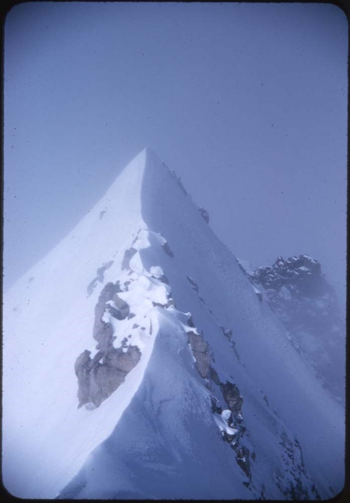
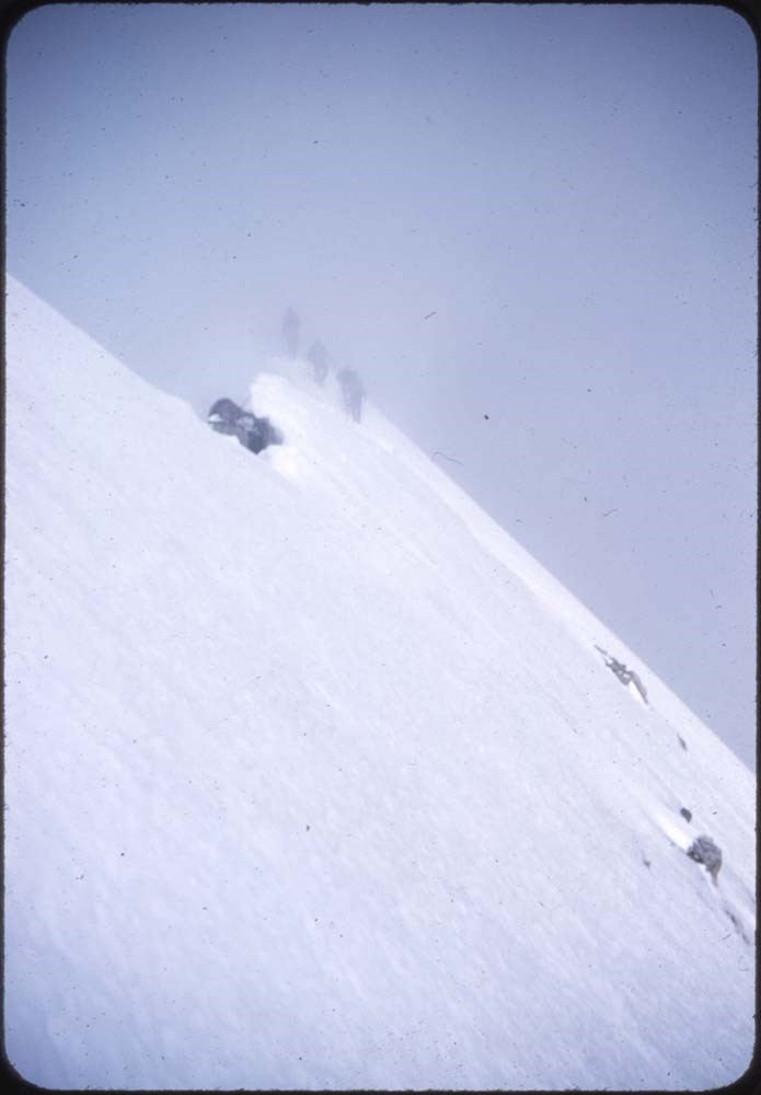
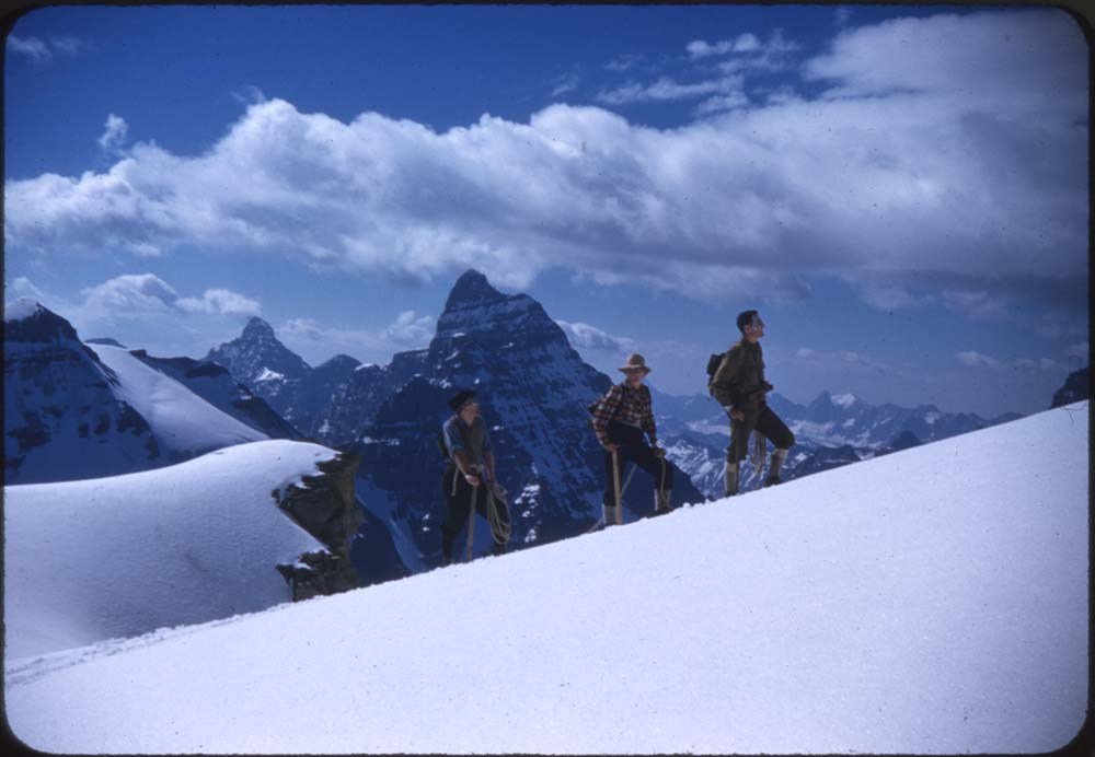
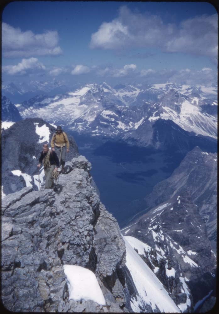
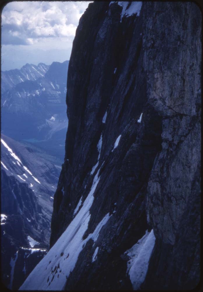
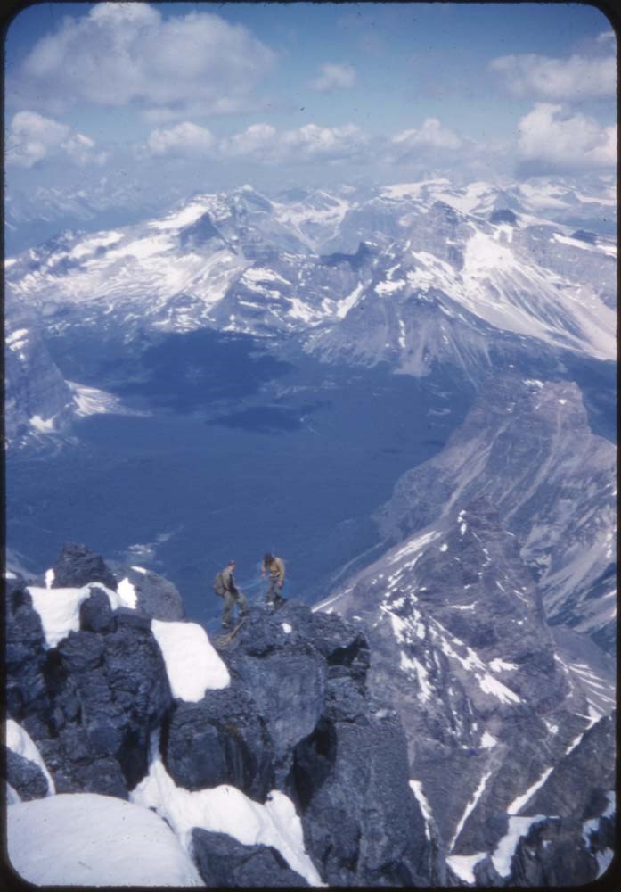
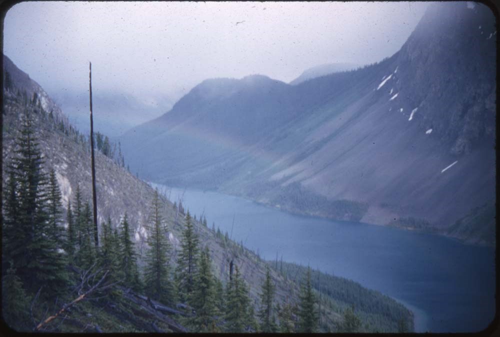
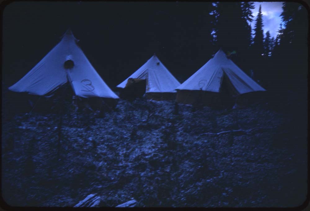
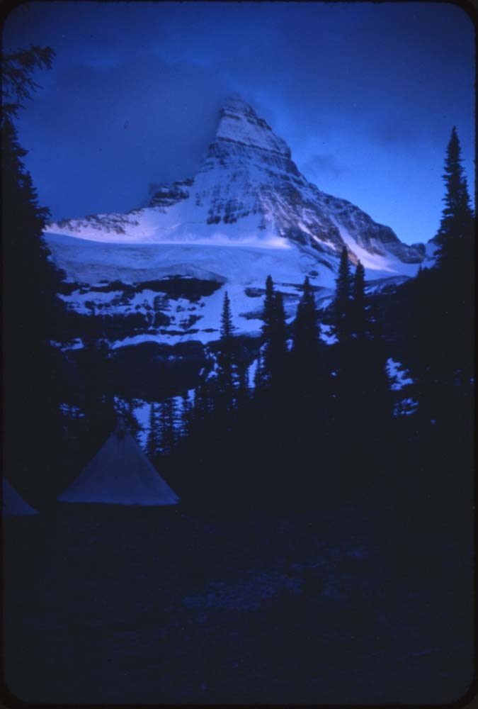
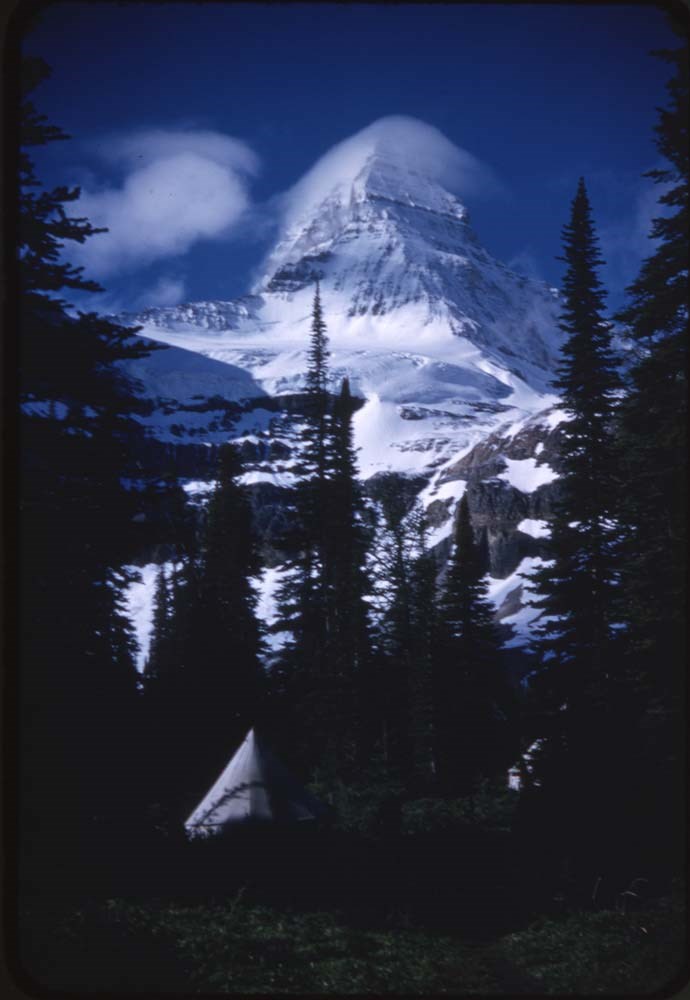
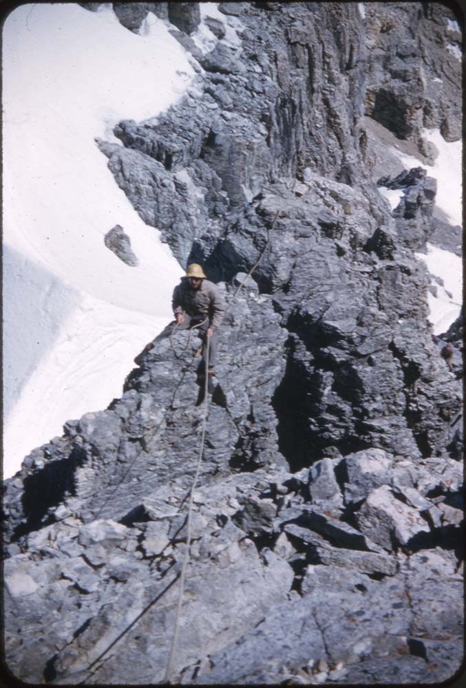
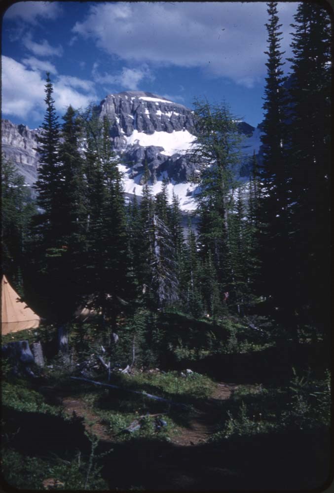
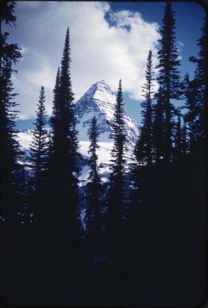
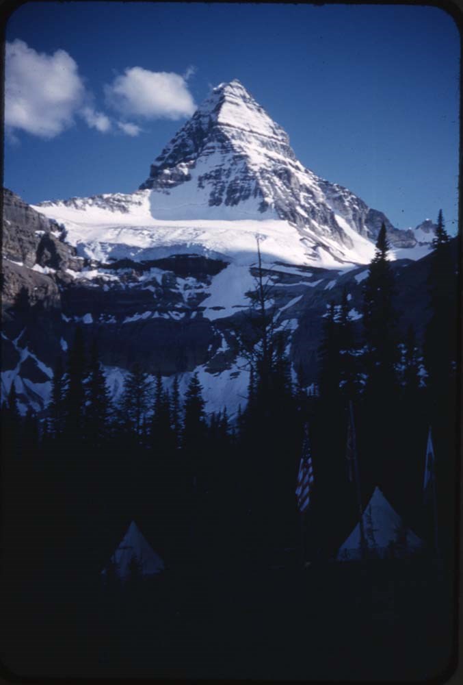
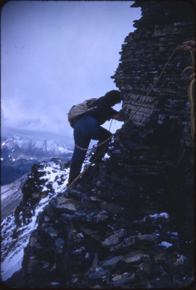
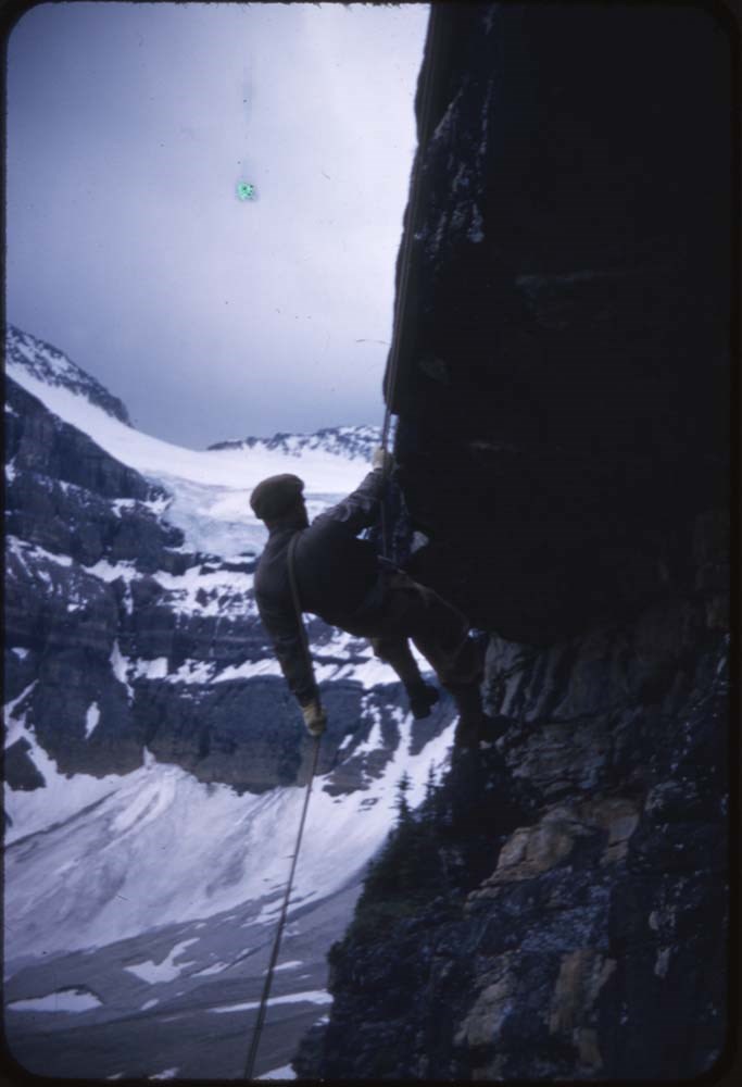
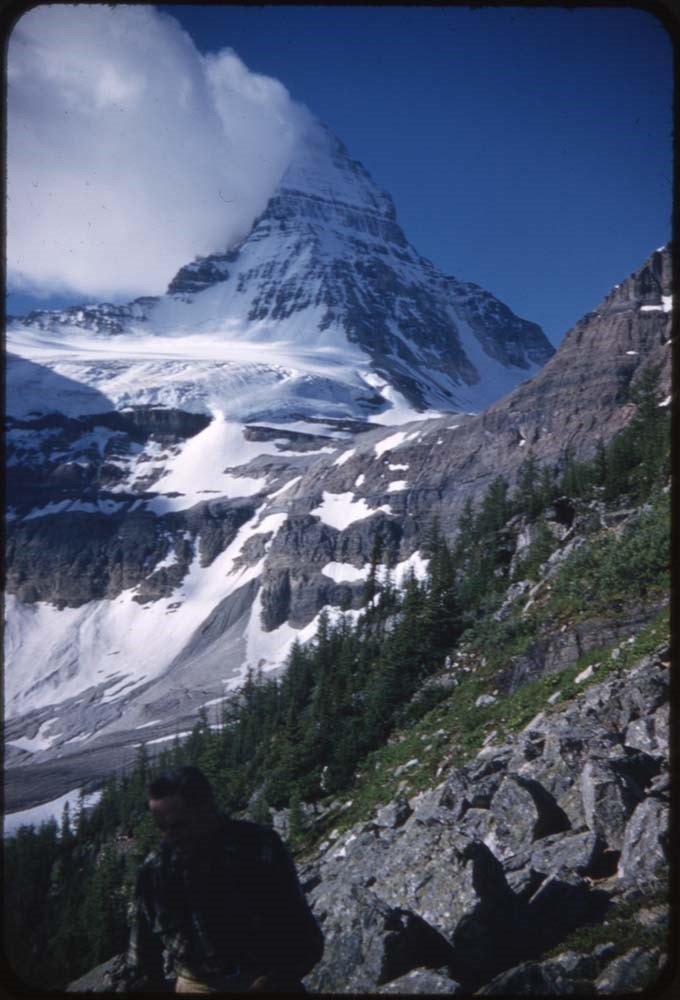
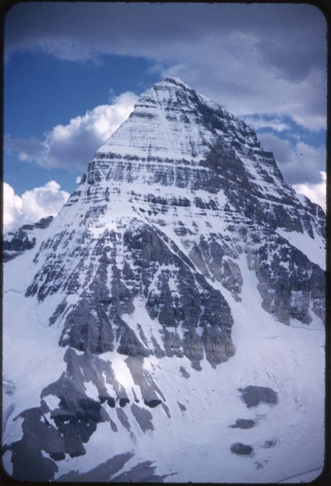
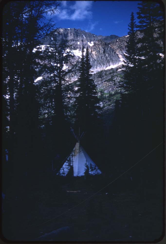
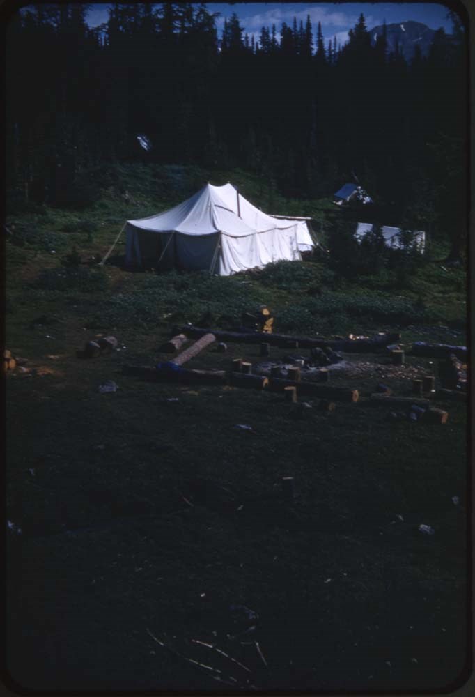
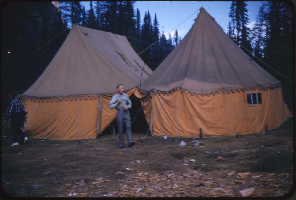
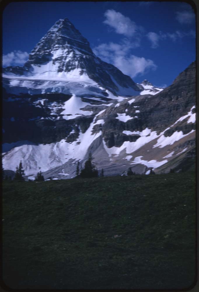
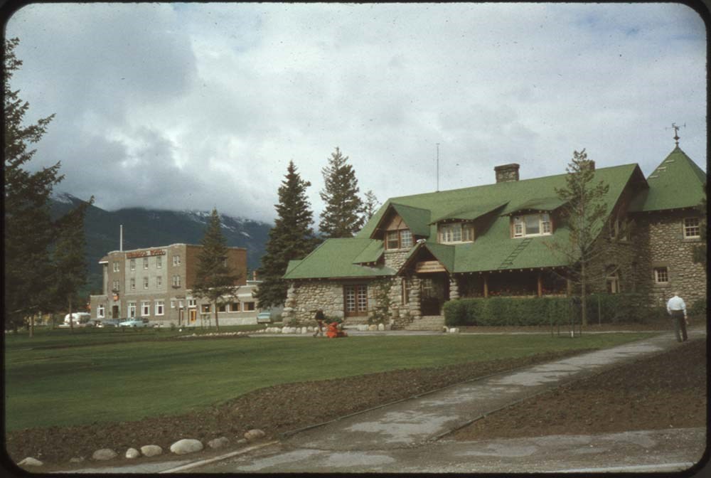
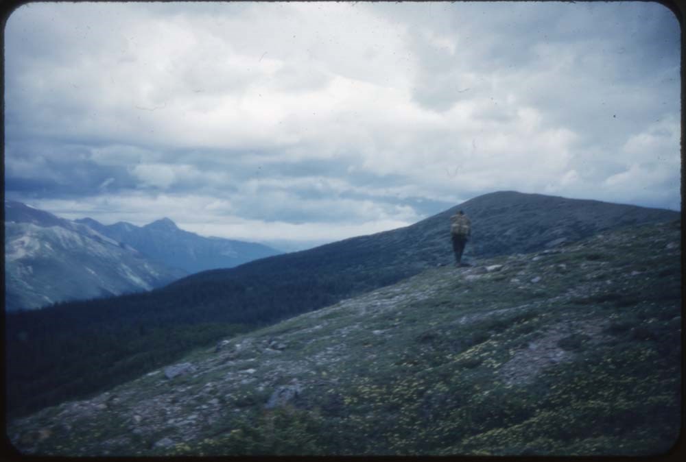
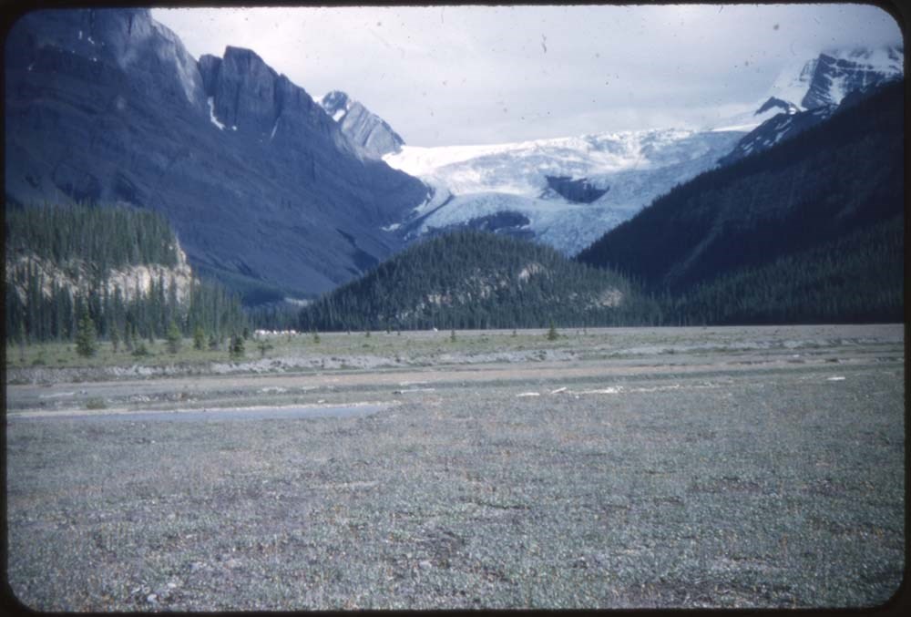
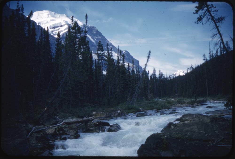
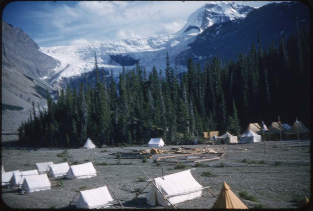
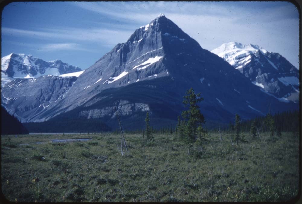
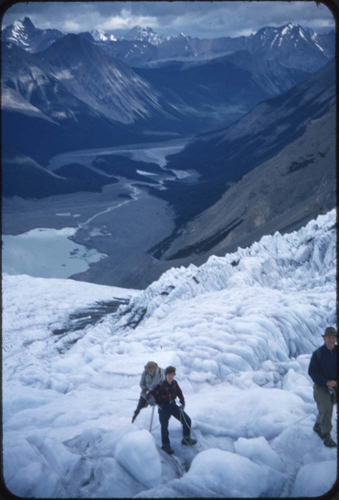
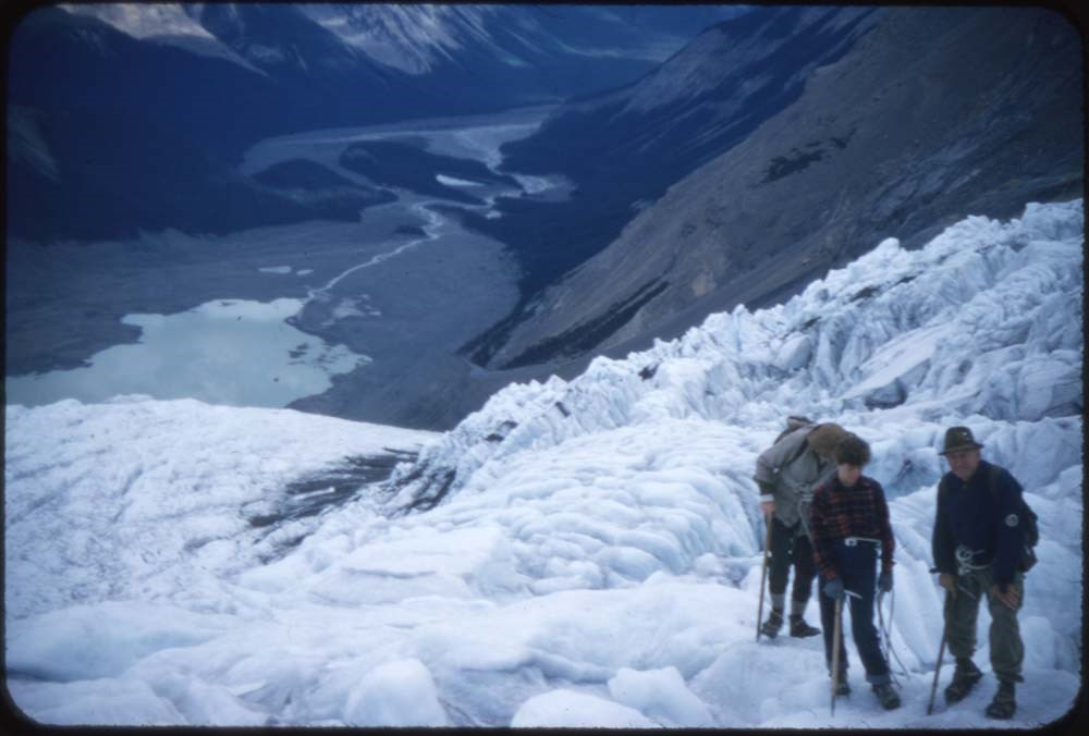
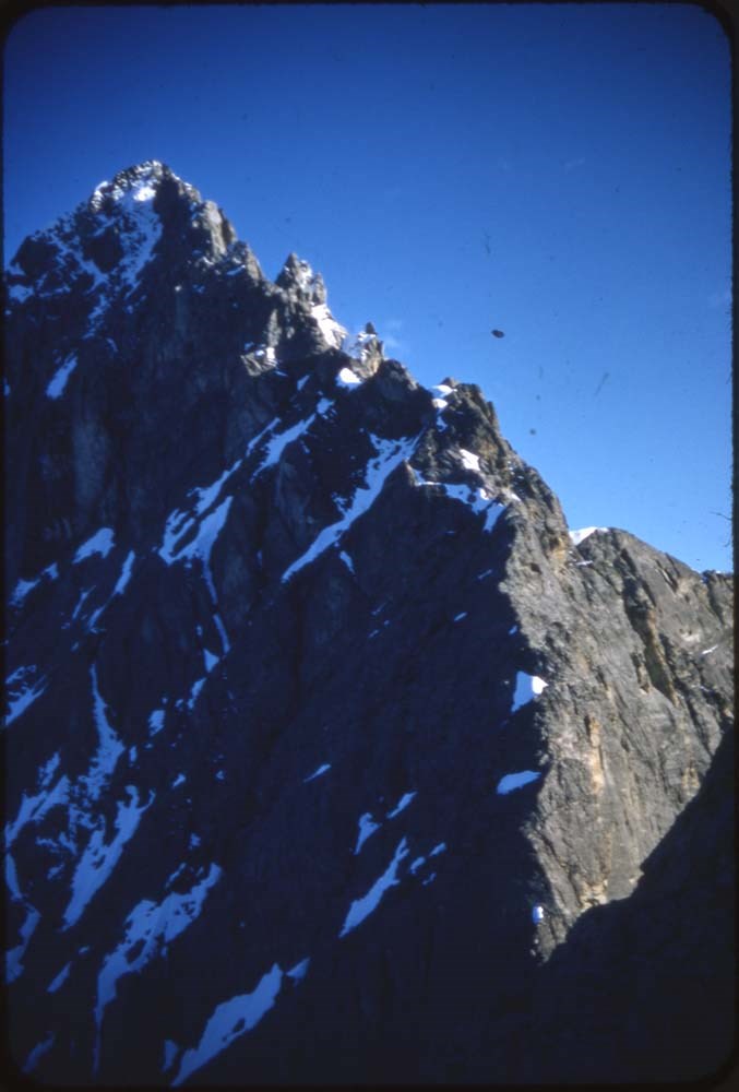
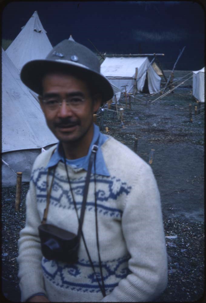
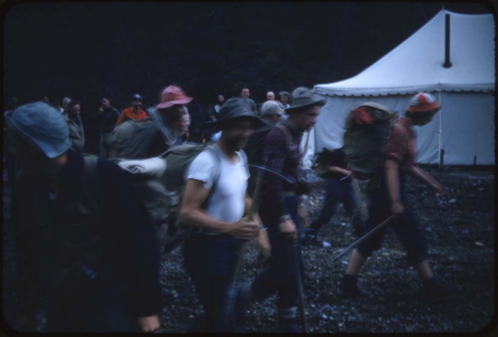
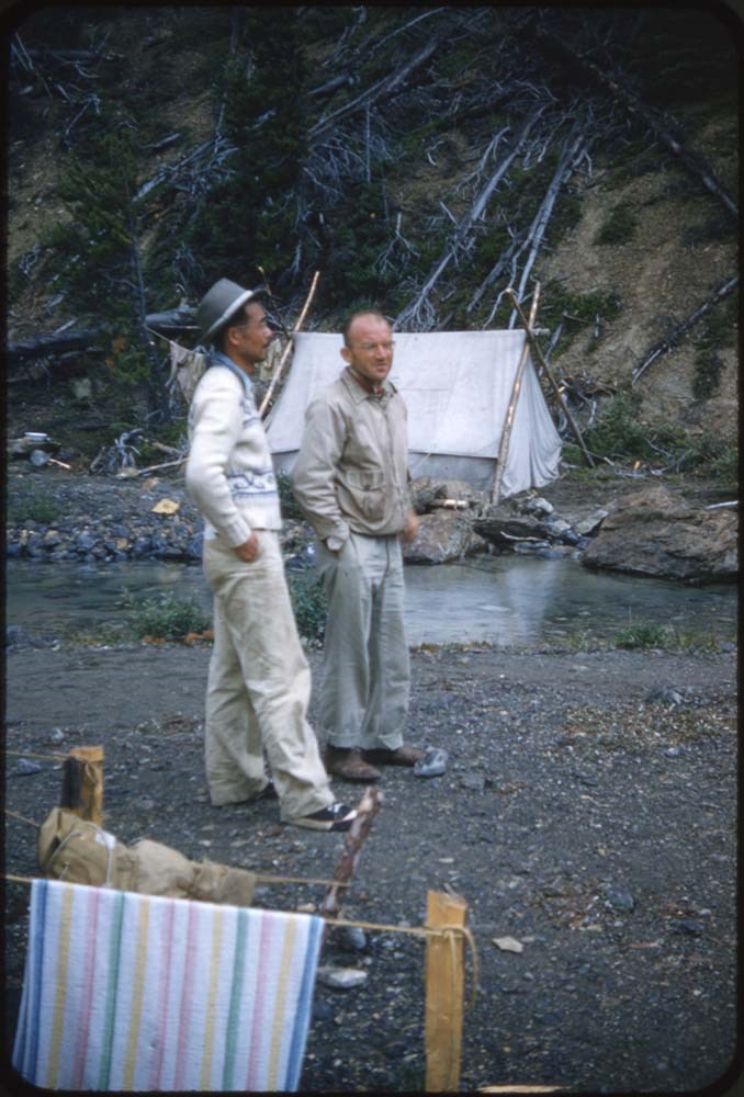
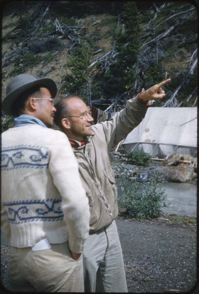
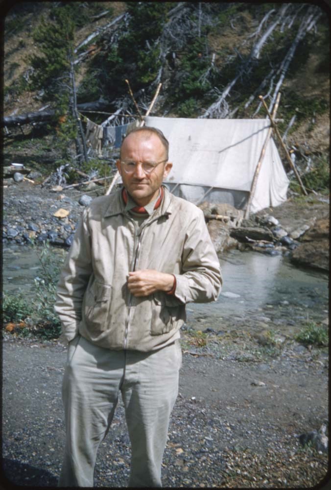
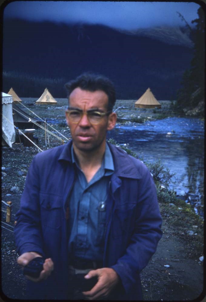
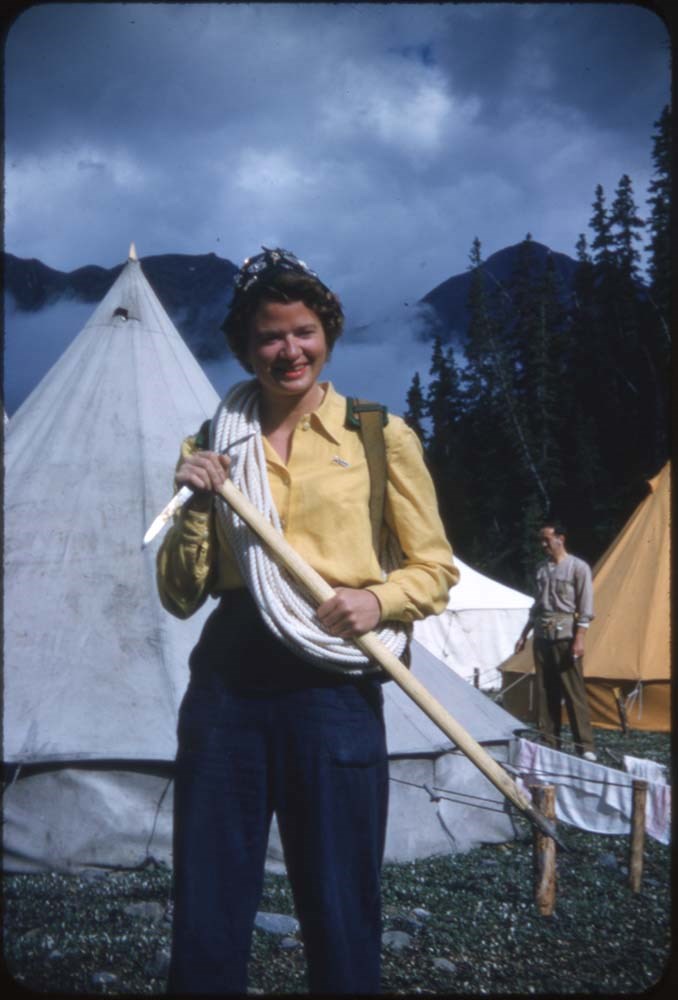
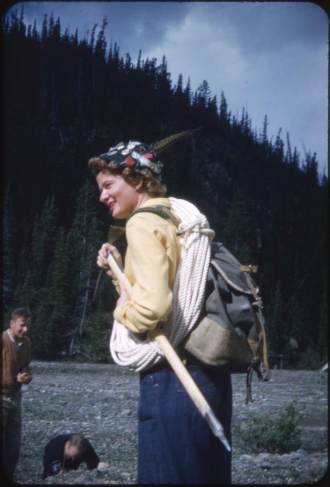
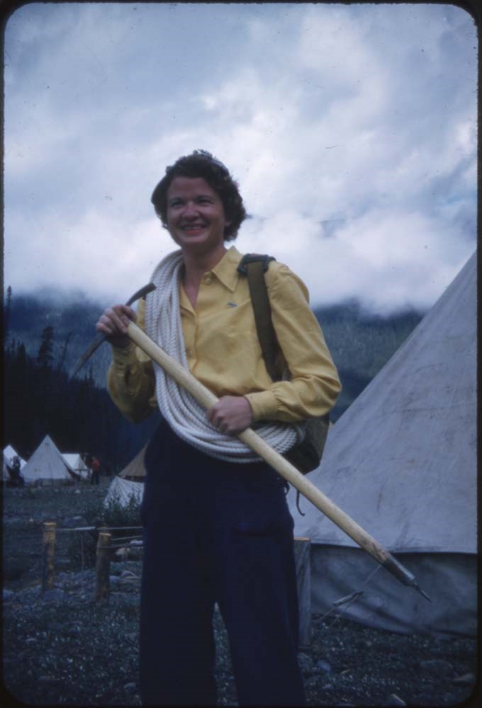
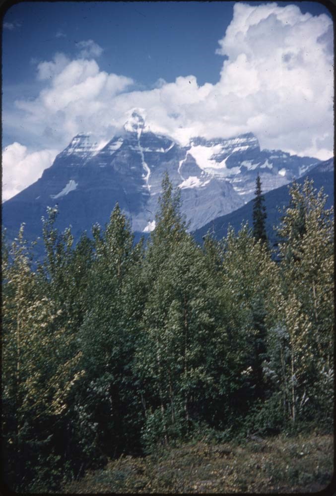
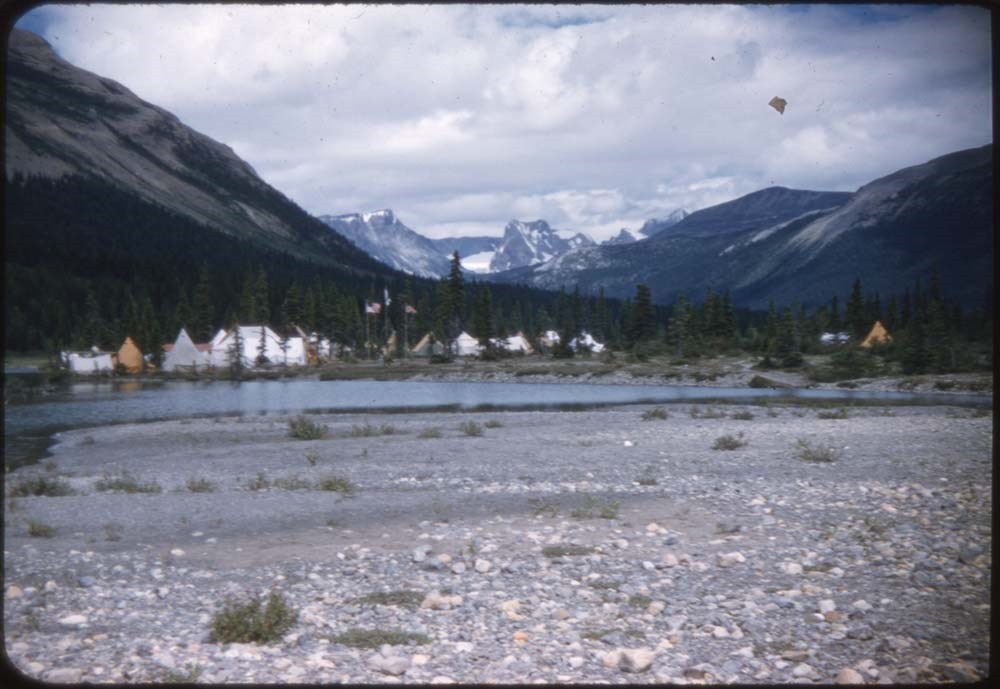
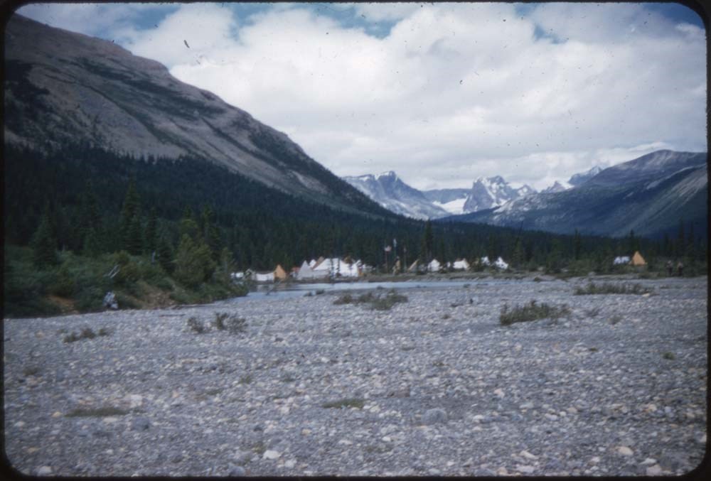
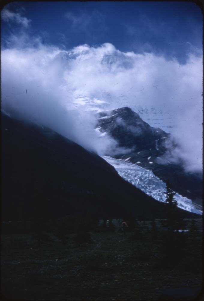
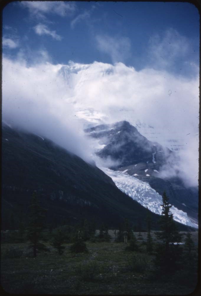
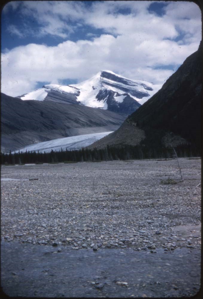
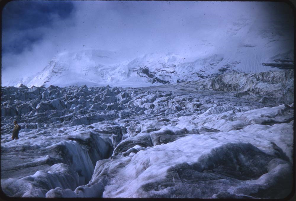
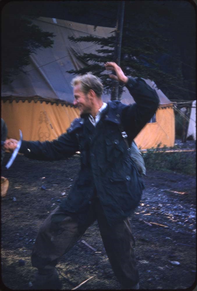
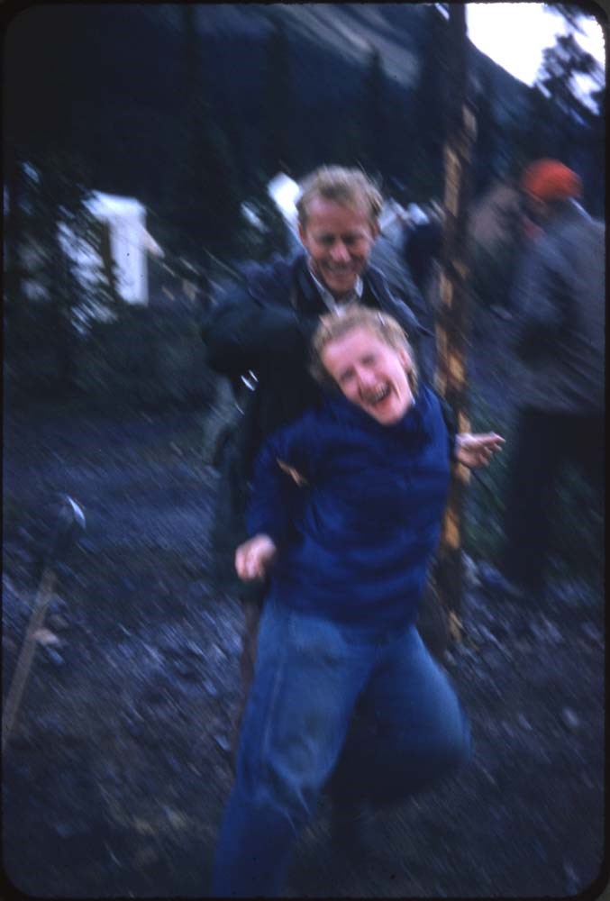
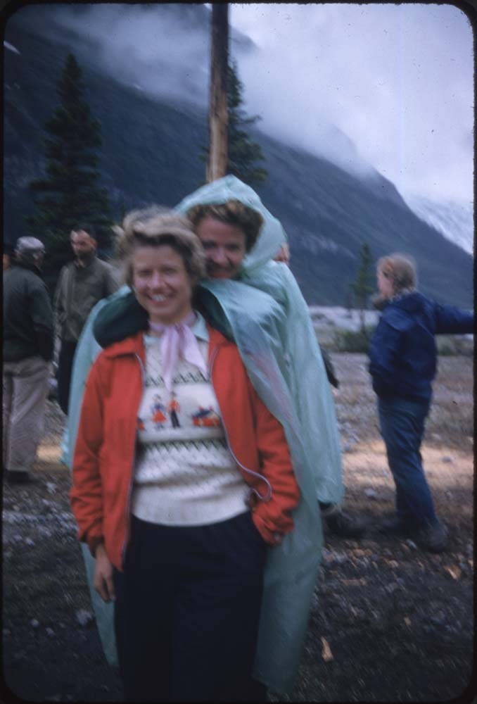
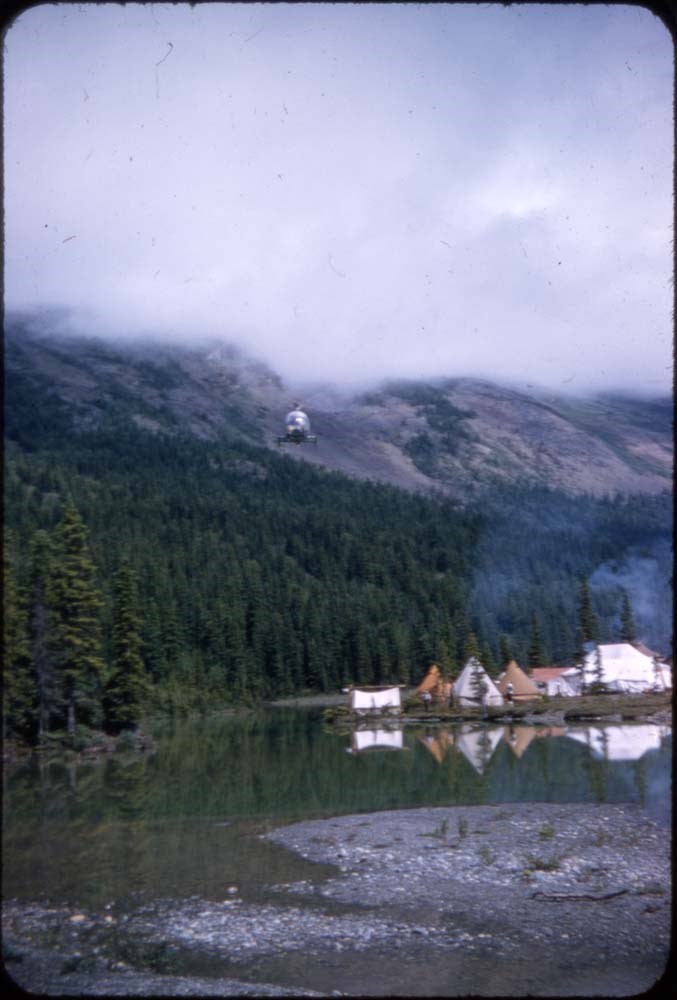
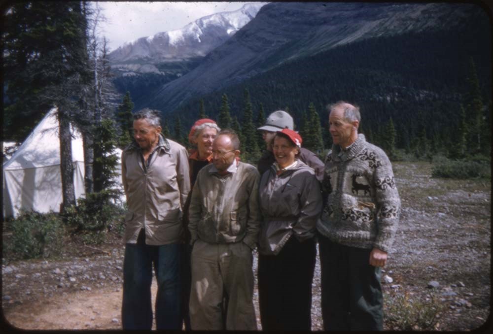
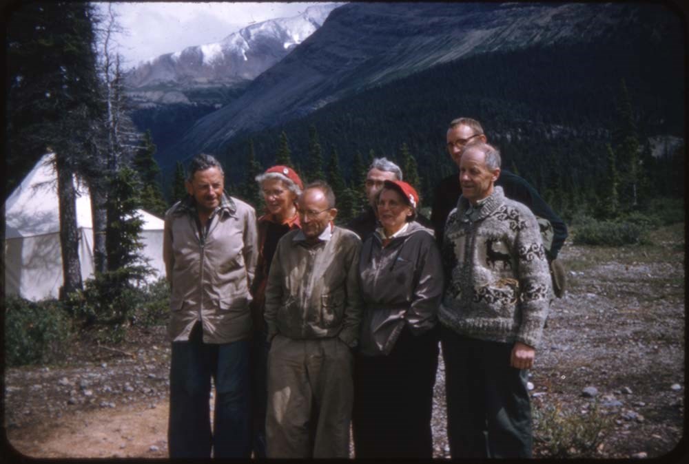
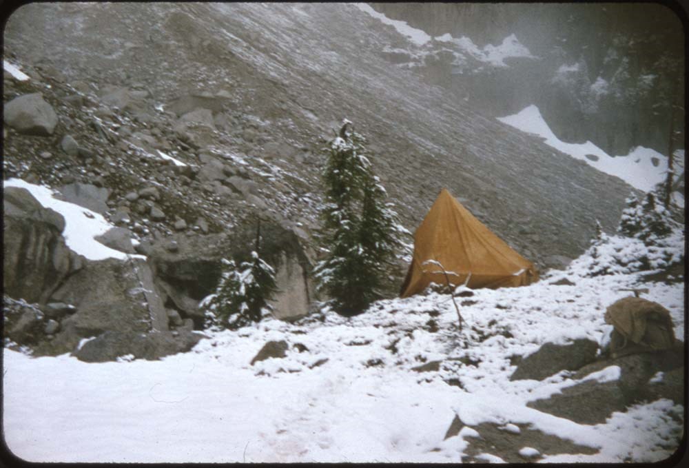
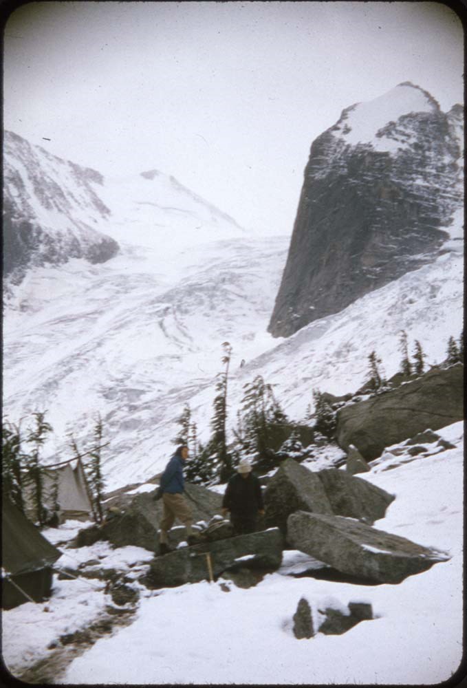
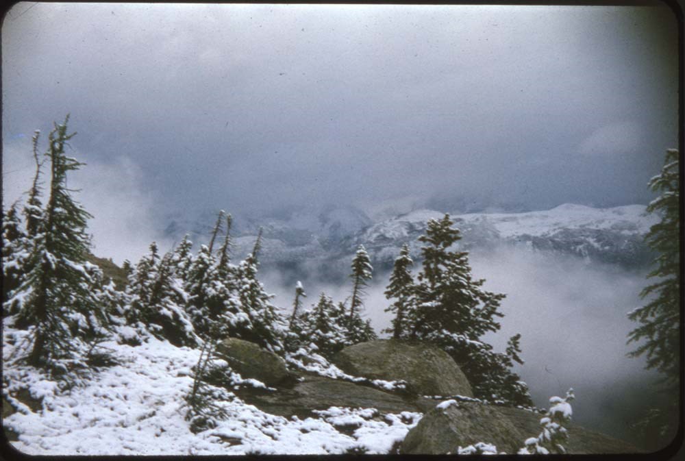
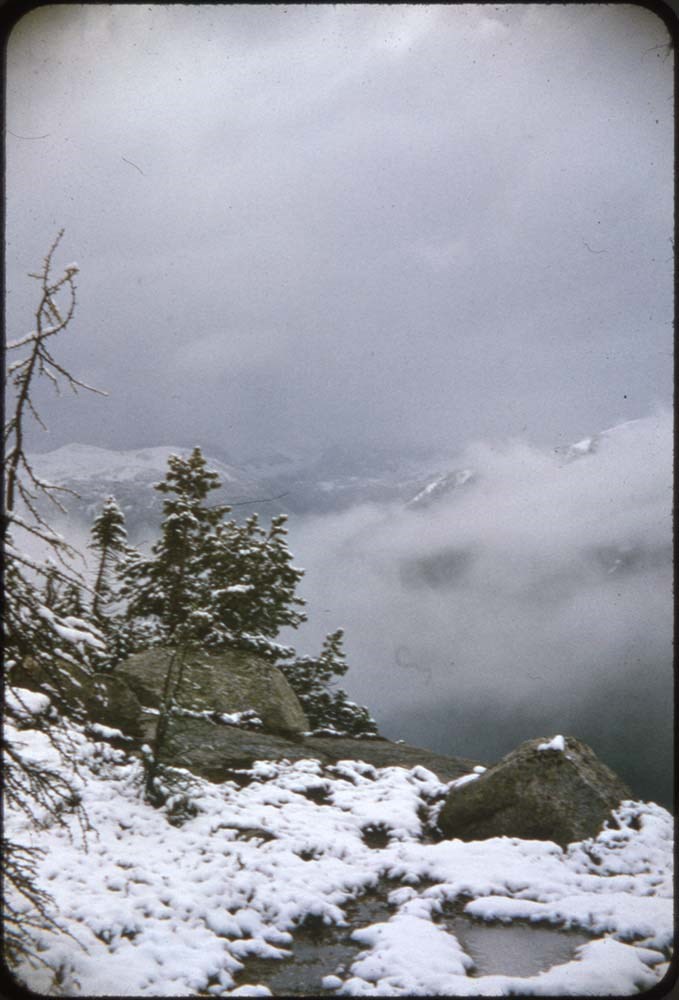
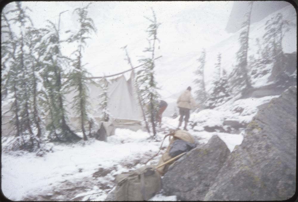
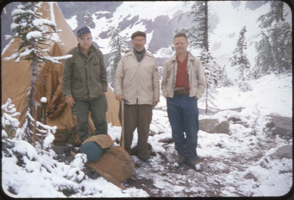
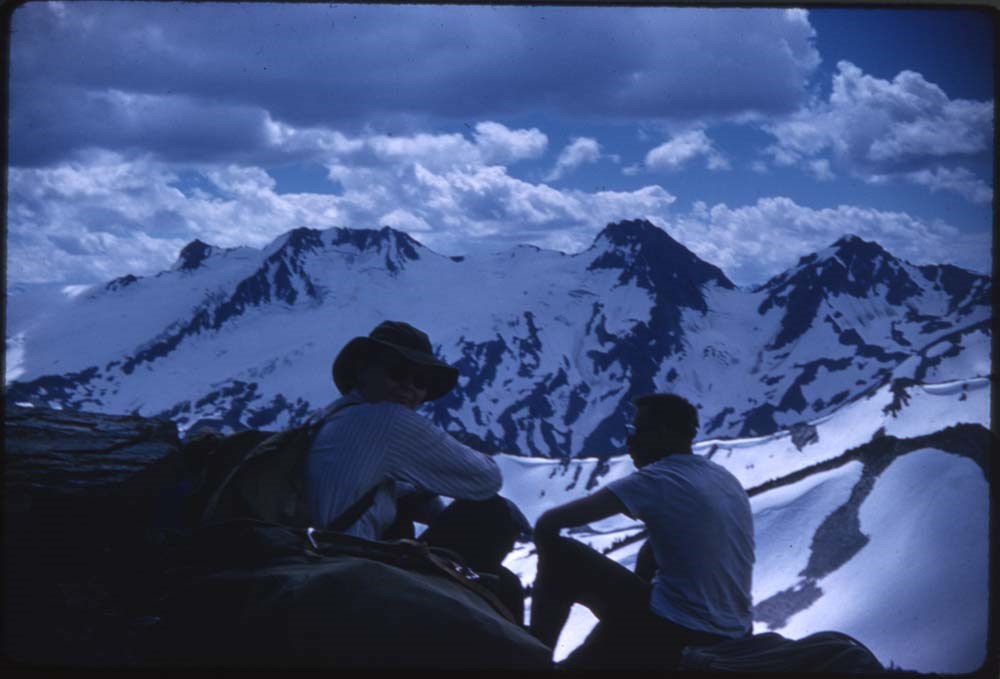
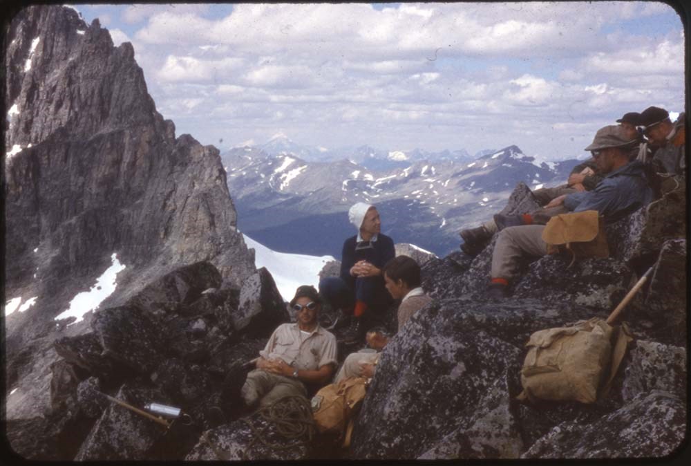
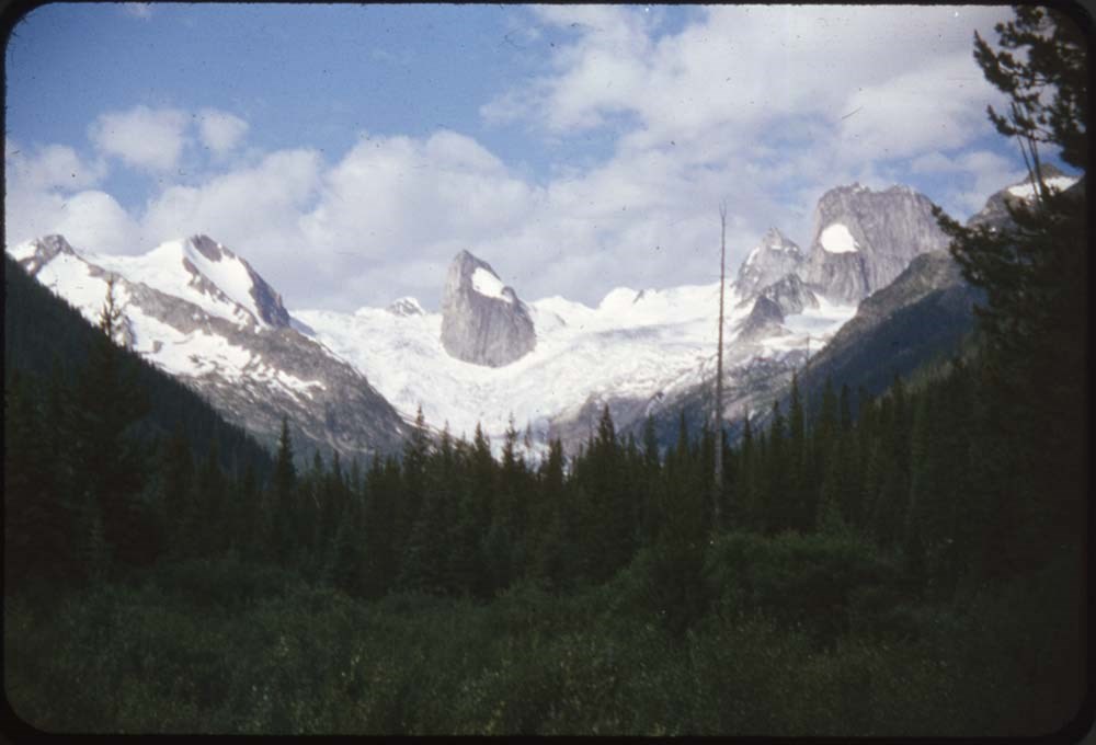
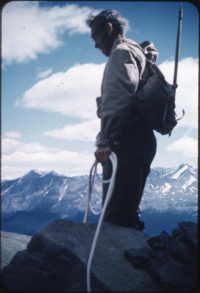
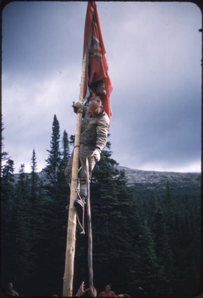
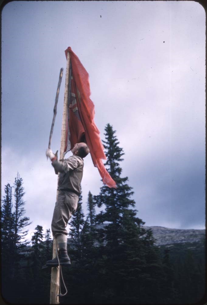
ACC Camps [1/3]
https://archives.whyte.org/en/permalink/descriptions57601
- Part Of
- Bill Goodrich fonds
- Scope & Content
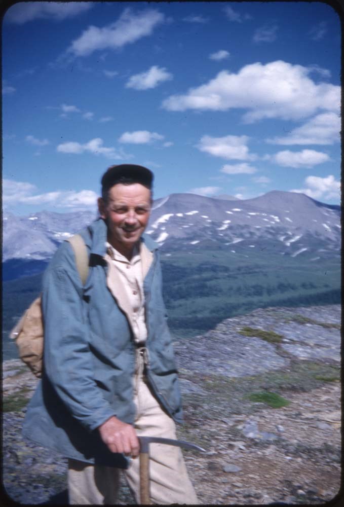
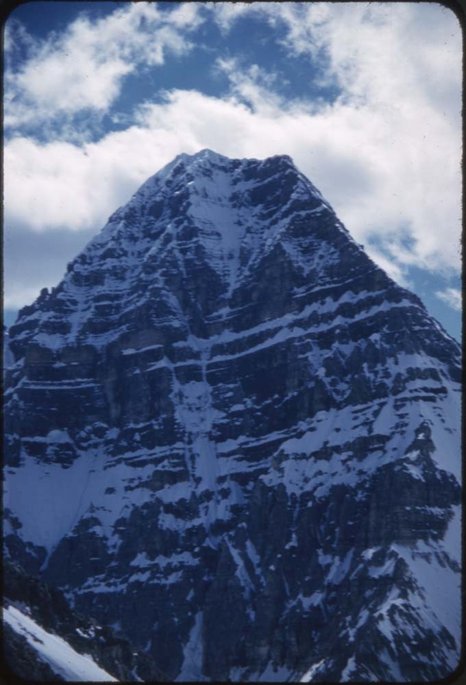
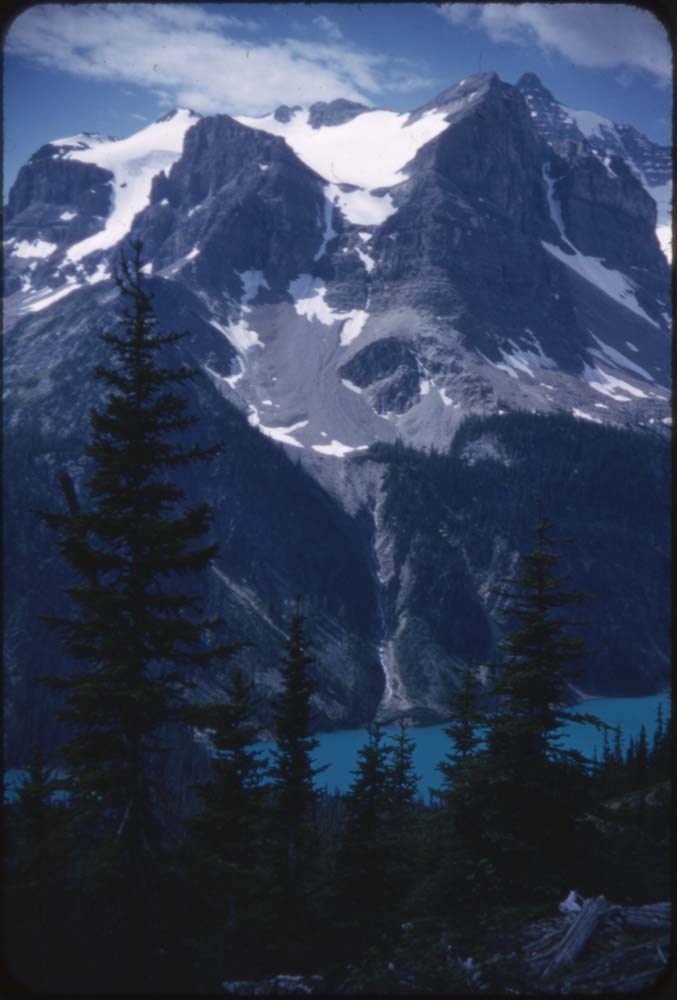
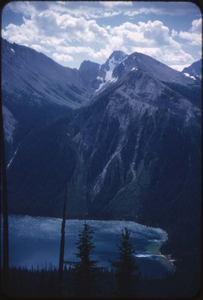
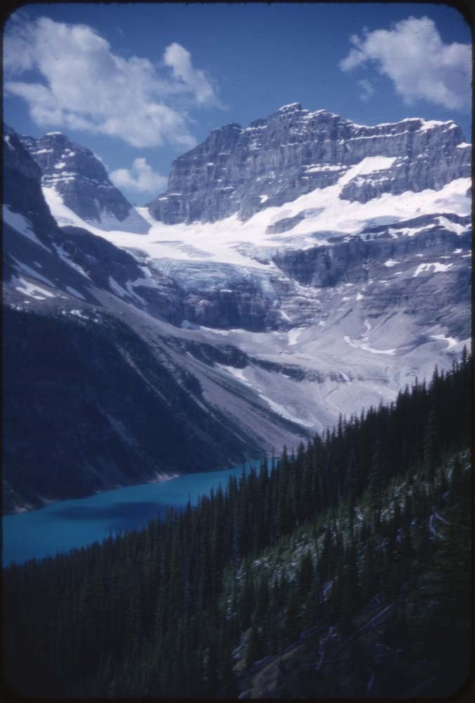
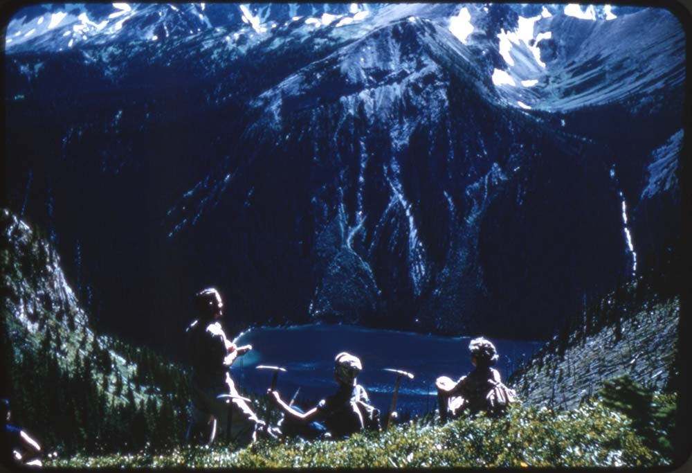
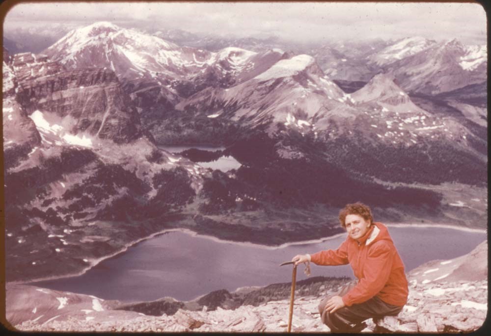
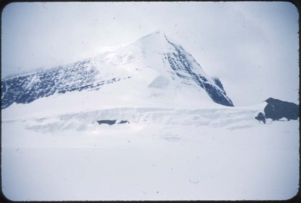
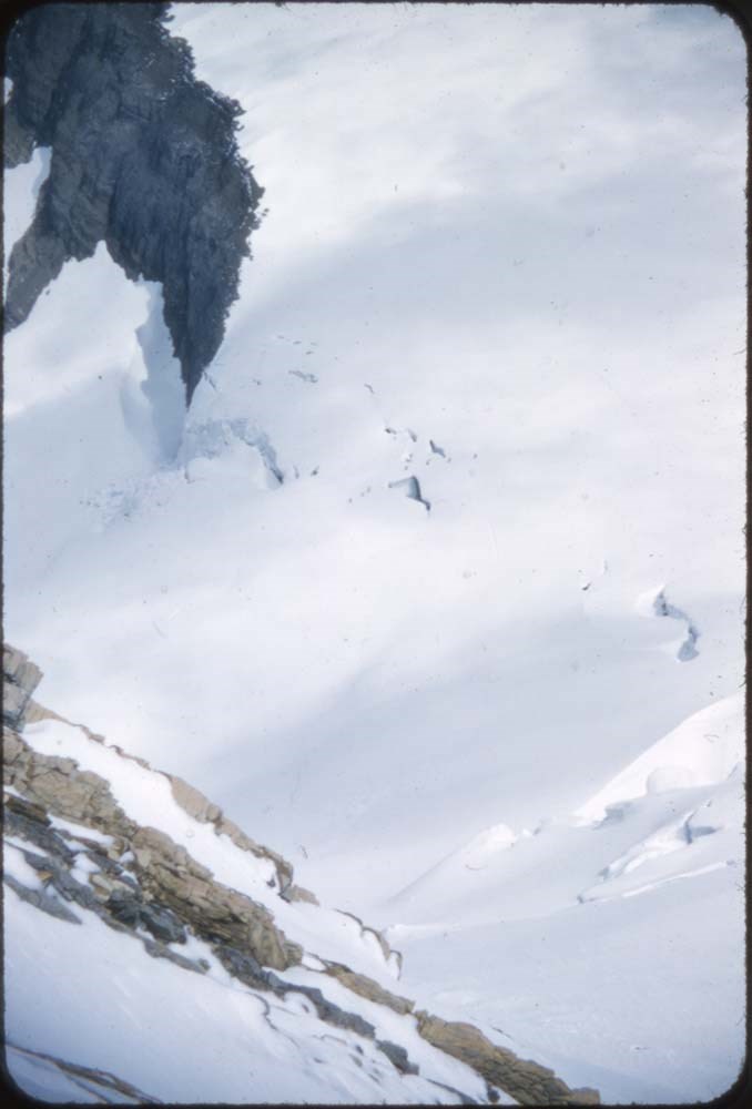
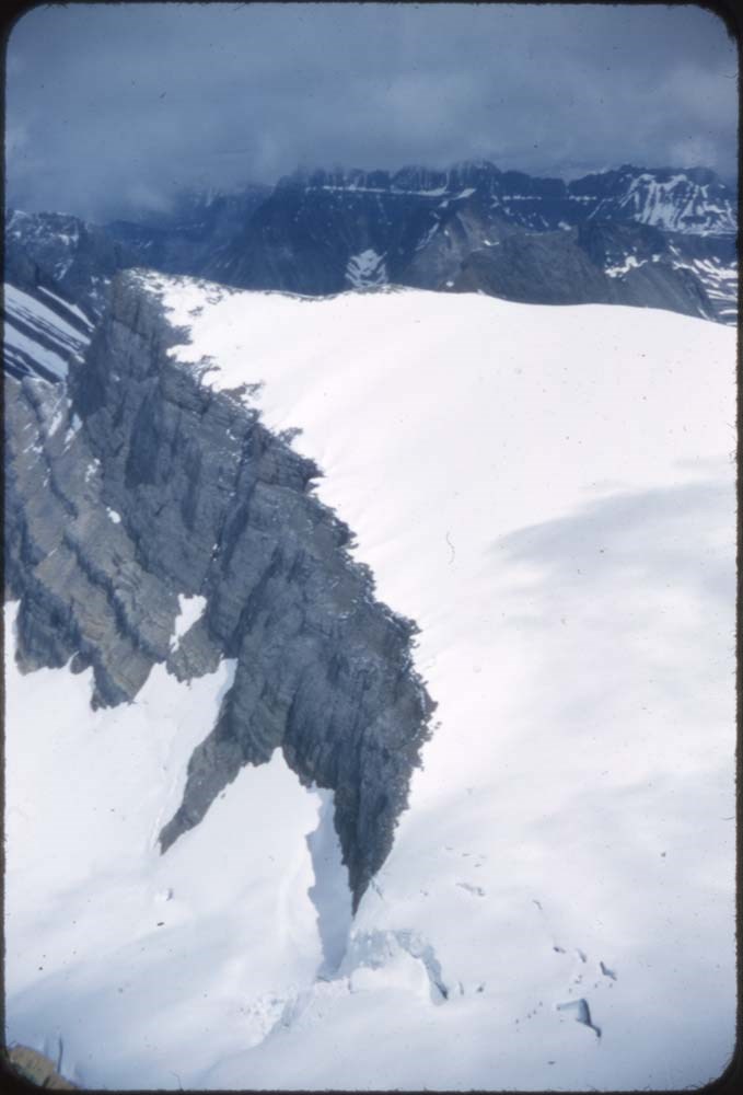
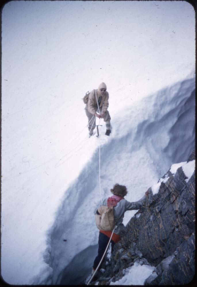
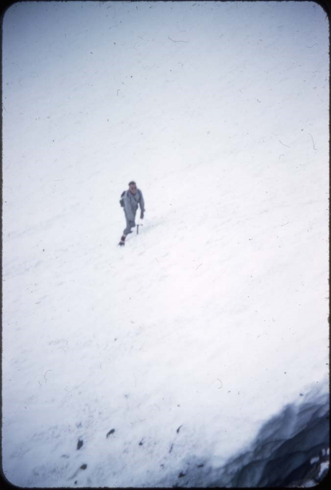
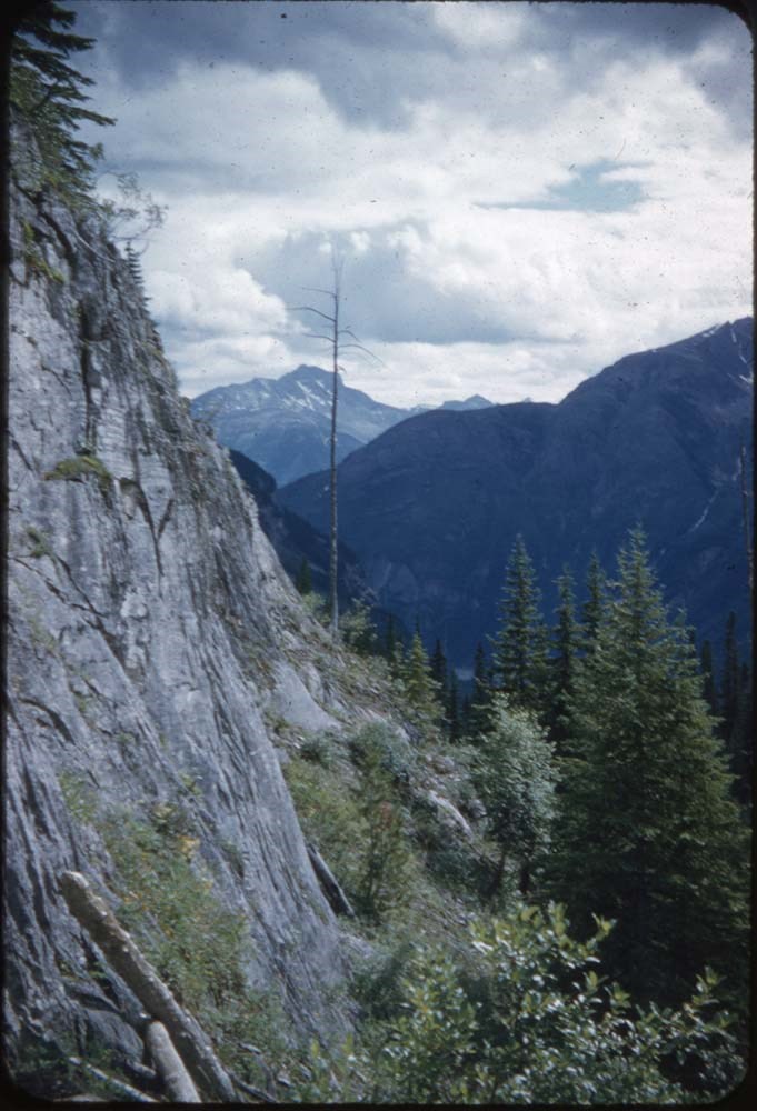
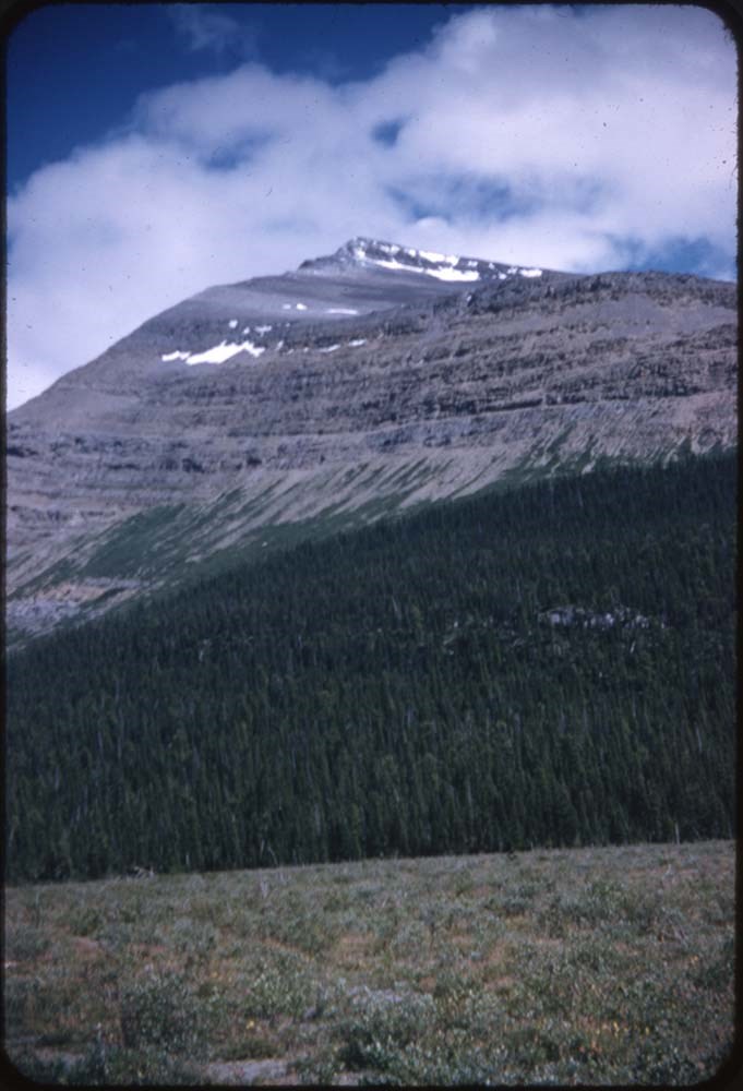
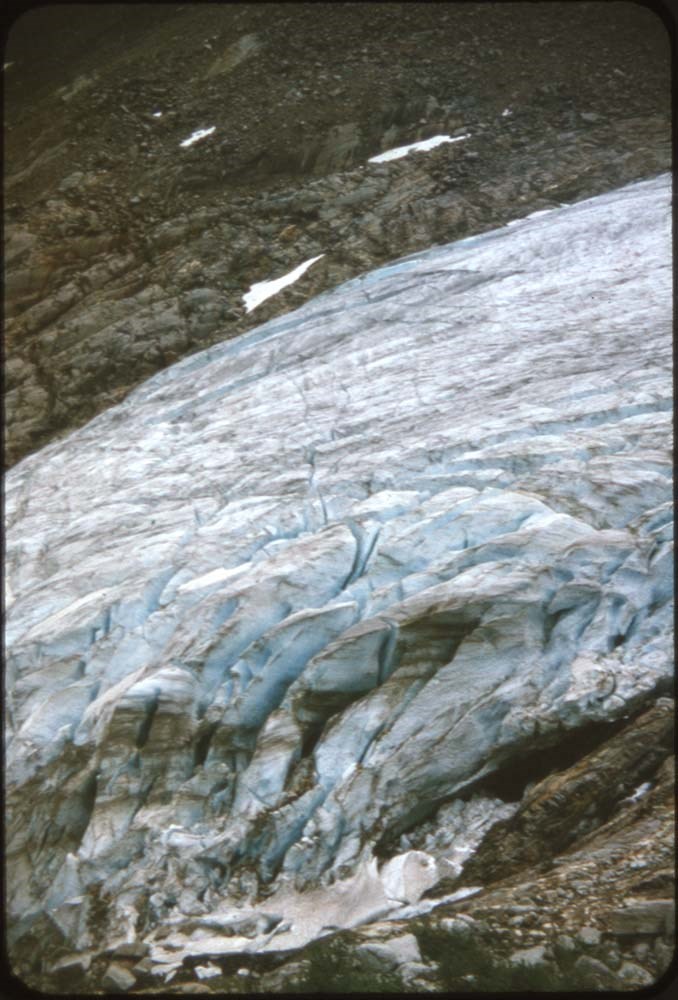
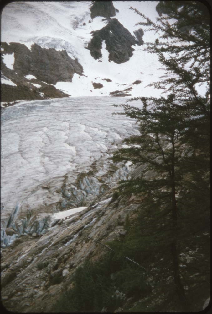
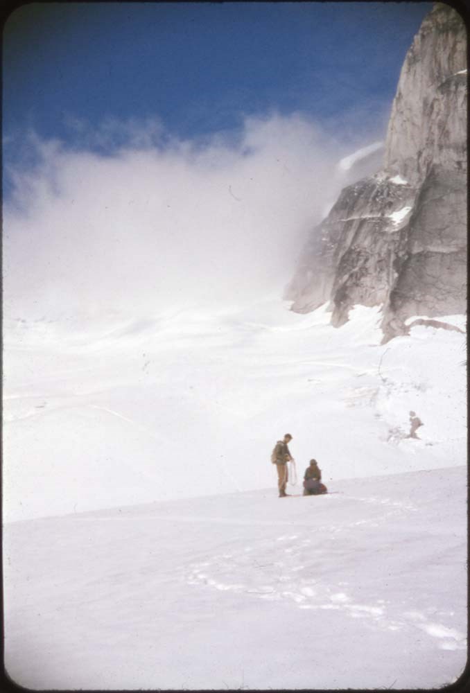
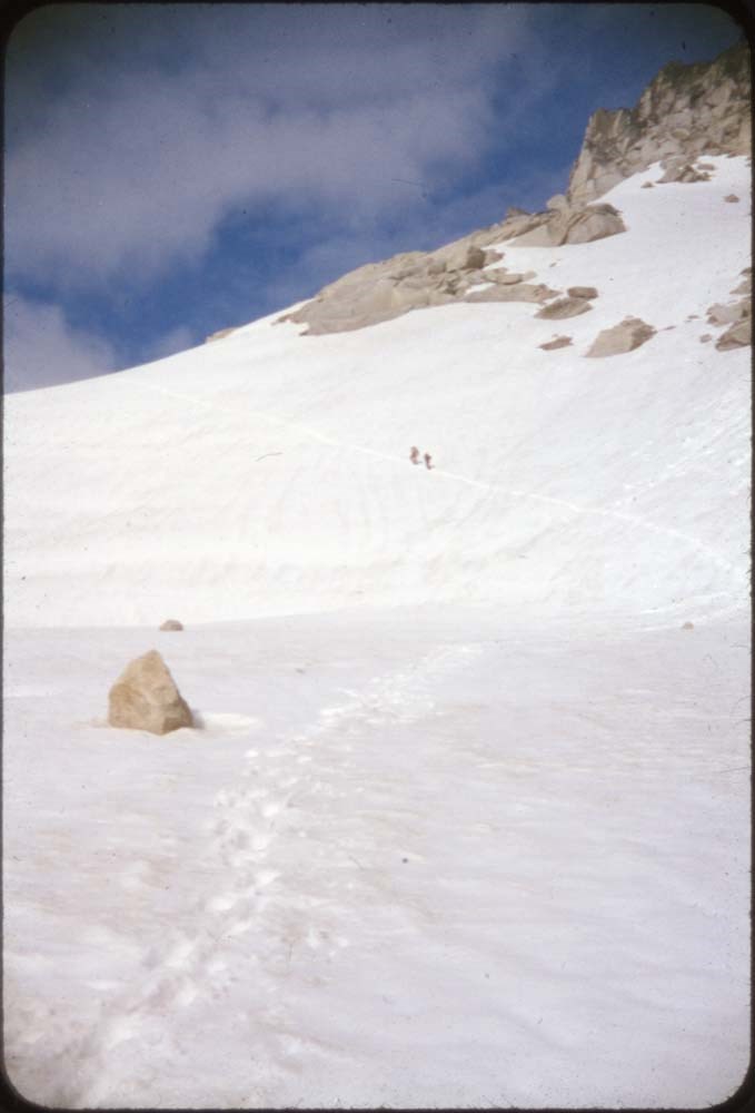
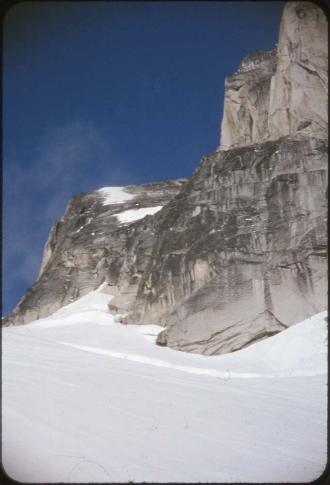
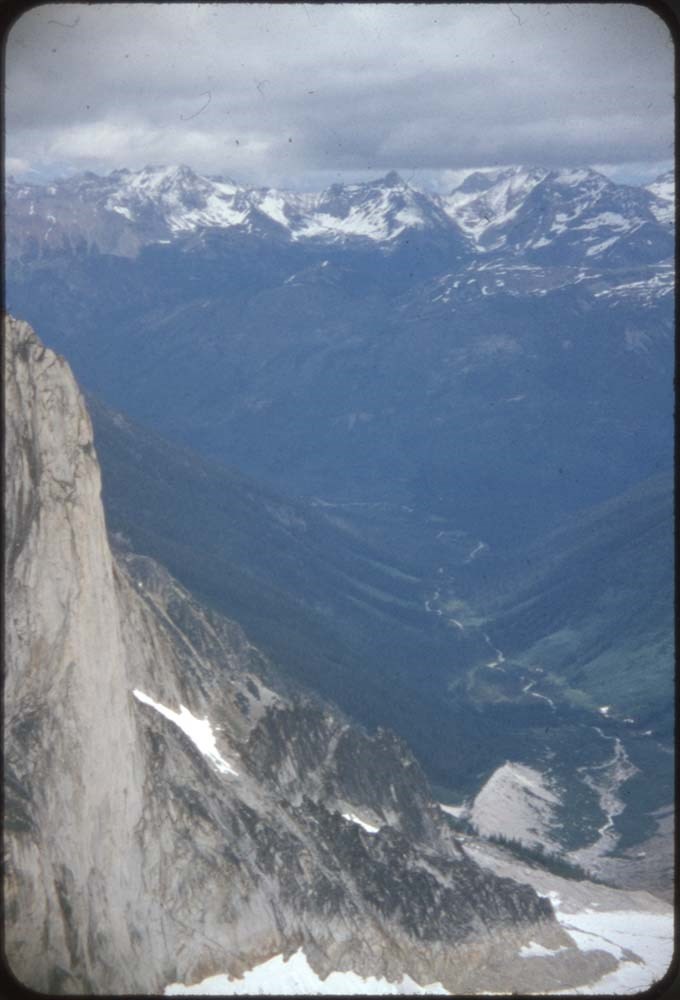
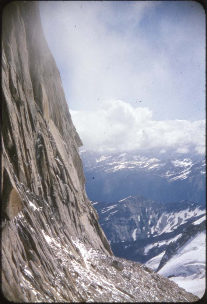
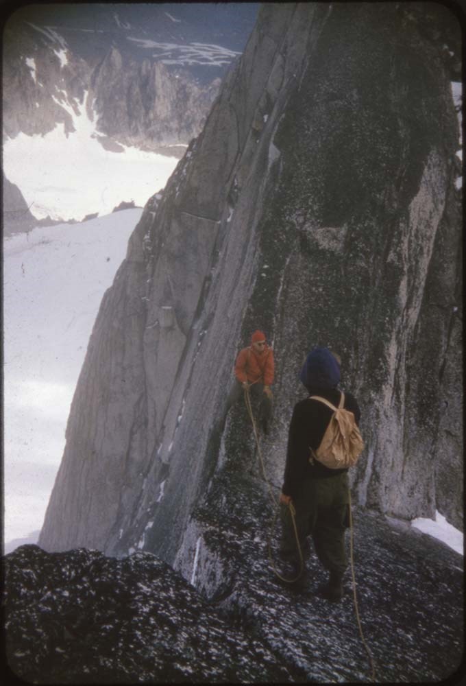
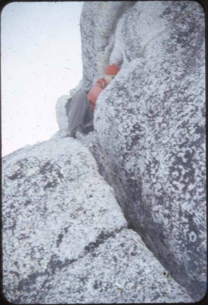
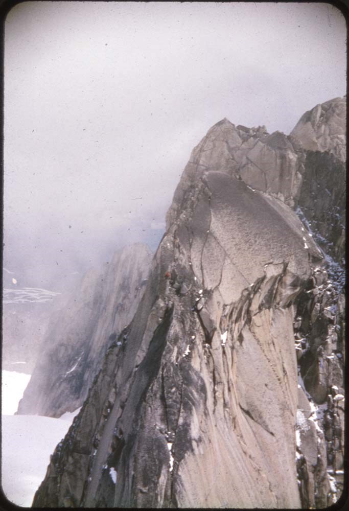
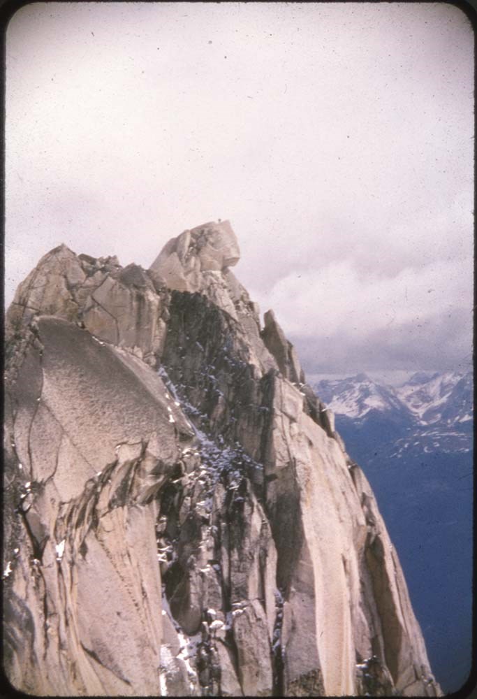
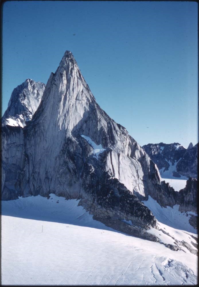
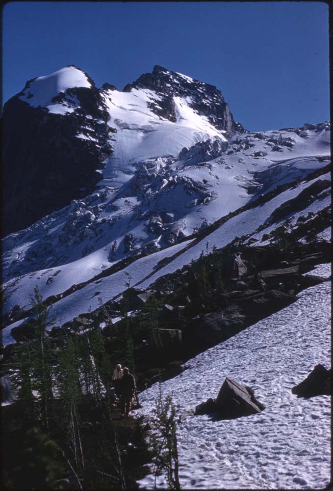
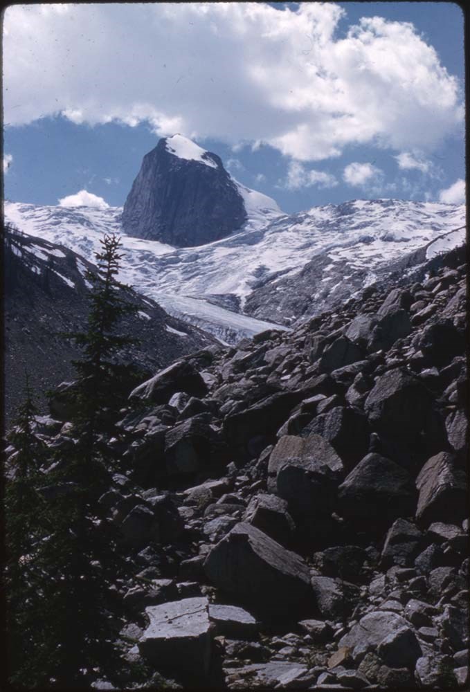
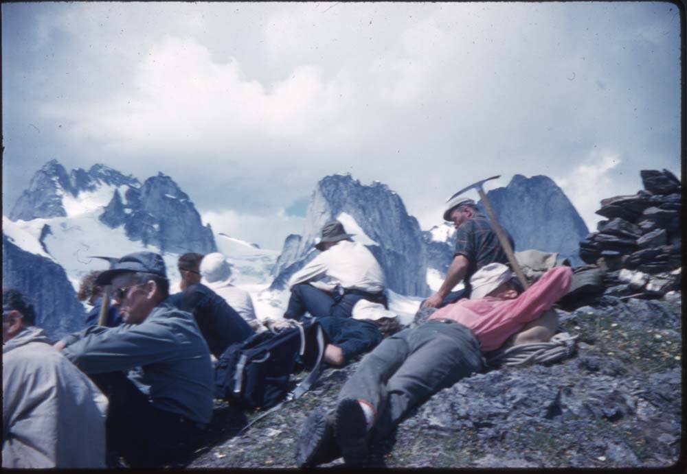
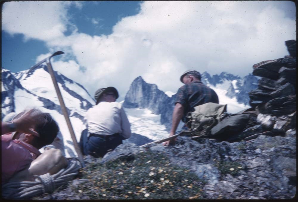
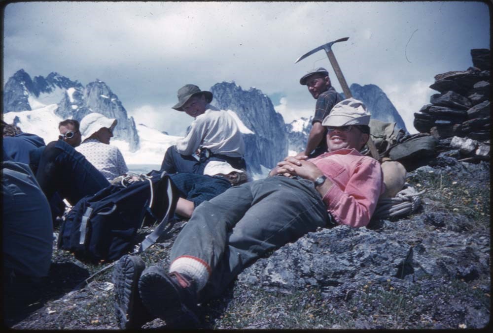
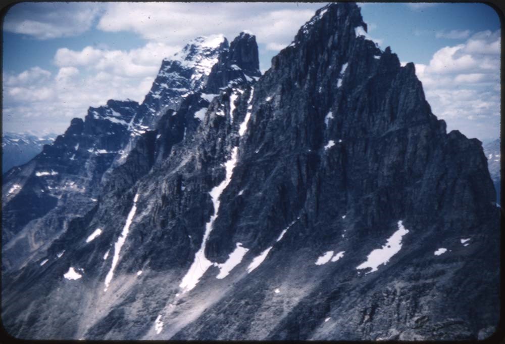
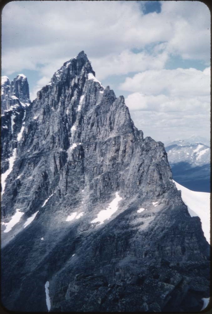
- File pertains to 132 35 mm slides depictiong Alpine Club of Canada Camps from 1950, 1951, 1952, and 1960, consisting mostly of shots of people hiking, climbing, and mountaineering in and around the Lake O'Hara and Mt. Assiniboine areas. Contents include: 1950 - Maligne (1-19) 1951 - Lake O'Hara (21…
- Date Range
- 1950-1960
- Reference Code
- V106 / NS - 01 to NS - 132
- Description Level
- 5 / File
- GMD
- Photograph
- Transparency
132 images
- Part Of
- Bill Goodrich fonds
- Description Level
- 5 / File
- Fonds Number
- V106
- Sous-Fonds
- V106
- Accession Number
- 7765
- Reference Code
- V106 / NS - 01 to NS - 132
- Date Range
- 1950-1960
- Physical Description
- 132 photographs : col. slides ; 35 mm
- History / Biographical
- See fonds level description.
- Scope & Content
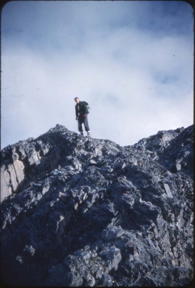
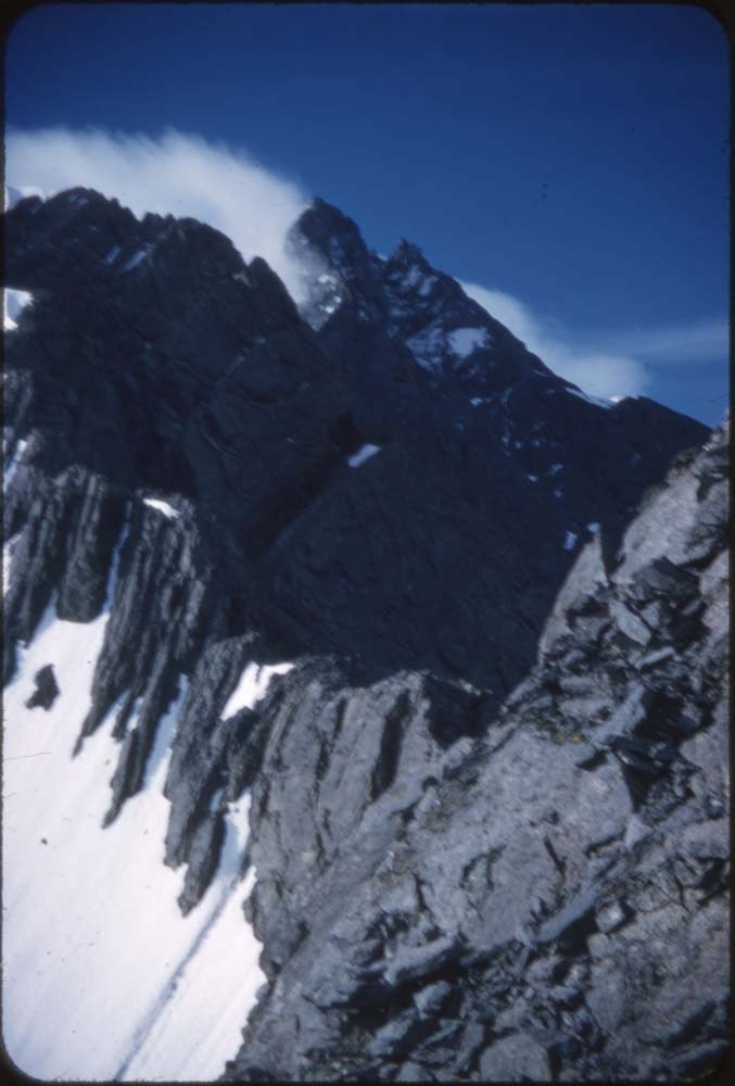
- File pertains to 132 35 mm slides depictiong Alpine Club of Canada Camps from 1950, 1951, 1952, and 1960, consisting mostly of shots of people hiking, climbing, and mountaineering in and around the Lake O'Hara and Mt. Assiniboine areas. Contents include: 1950 - Maligne (1-19) 1951 - Lake O'Hara (21-69) 1952 - Mt. Assiniboine (71-124) 1952 - Mt. Assiniboine from Monica & Dudley (126-129) 1950 - Sent to [Bill Goodrich] from '50 Maligne Camp, [Bill Goodrich] on trail to glacier (131) 1960 - B-J HWY (Sent to [Bill Goodrich]) Mt. Saskatchewan (133) Mt. Chephren (134) Athabaska River (135) Pyramid Mt. (136) Athabaska Hotel (137)
- Name Access
- Alpine Club of Canada
- Goodrich, Bill
- Subject Access
- Activities
- Alpine Club of Canada
- Buildings
- Camping
- Camps
- Climbing
- Glaciers
- Hiking
- Lake O'hara
- Mountaineering
- Mountaineers
- Mountains
- Parks Canada
- Photography
- Portrait
- Scenery
- scenic
- Geographic Access
- Jasper
- Jasper National Park
- Alberta
- Lake O'Hara
- Yoho National Park
- Assiniboine
- Assiniboine Provincial Park
- British Columbia
- Language
- English
- Finding Aid
- No finding aid
- Creator
- Goodrich, Bill
- Title Source
- Title based on contents of fonds
- Processing Status
- Processed
Images


This material is presented as originally created; it may contain outdated cultural descriptions and
potentially offensive content.
Read more.
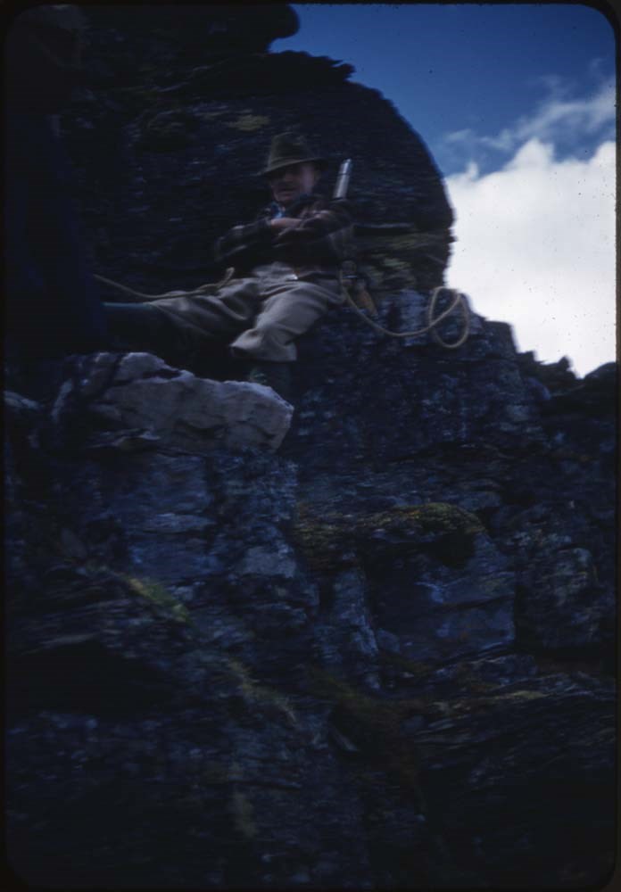
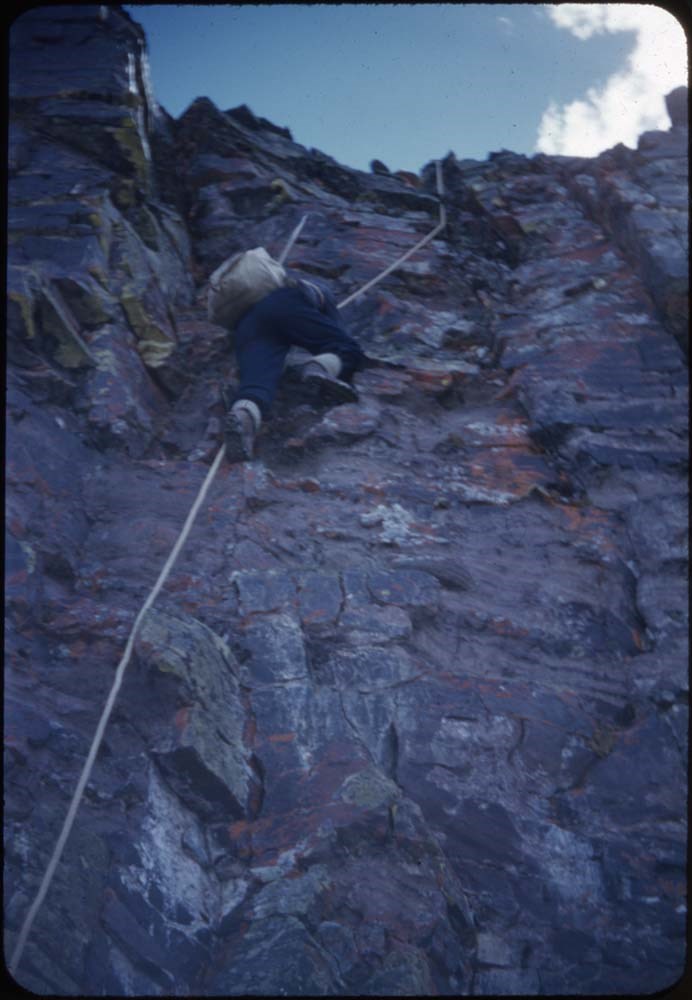
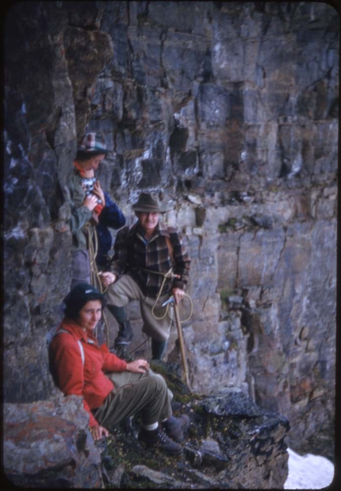
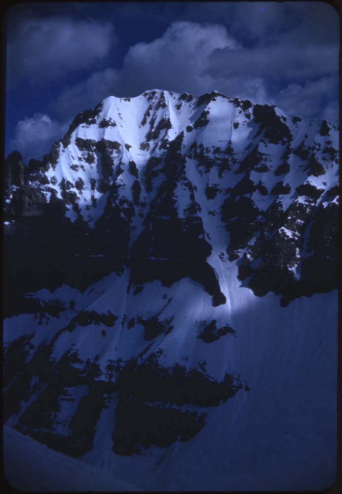
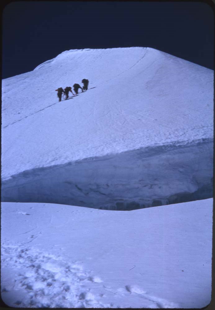
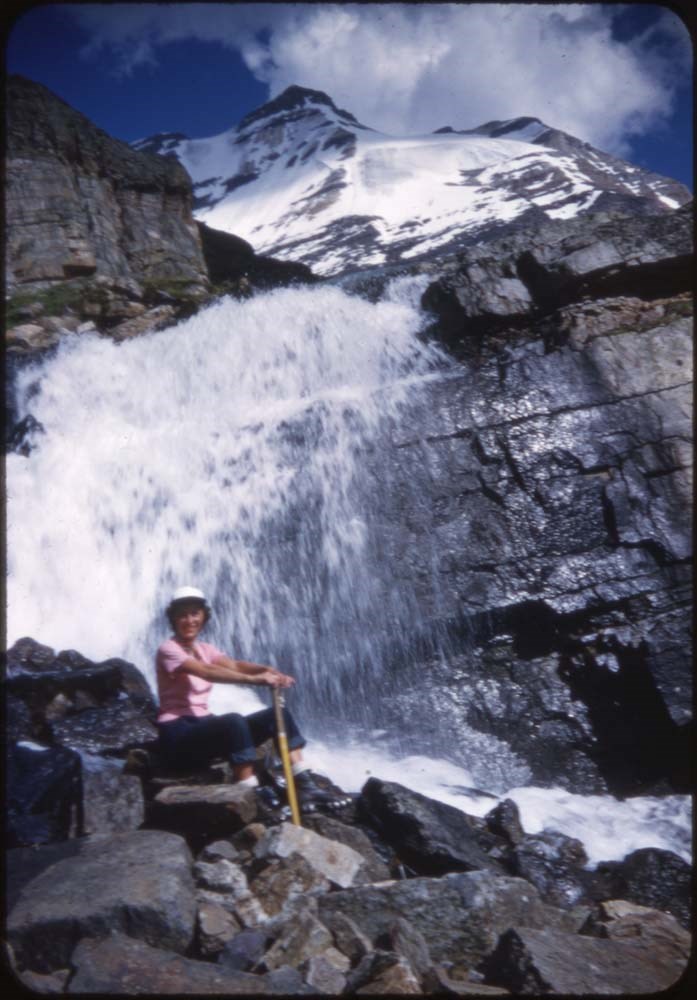
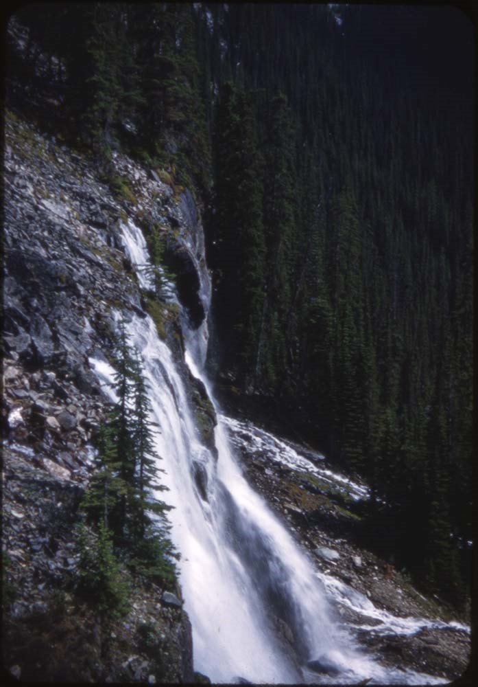
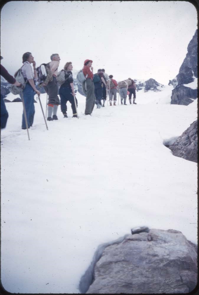
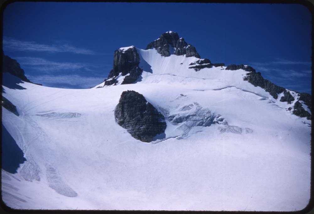
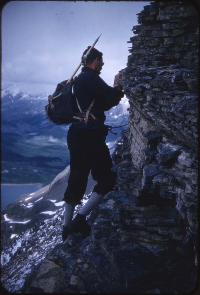
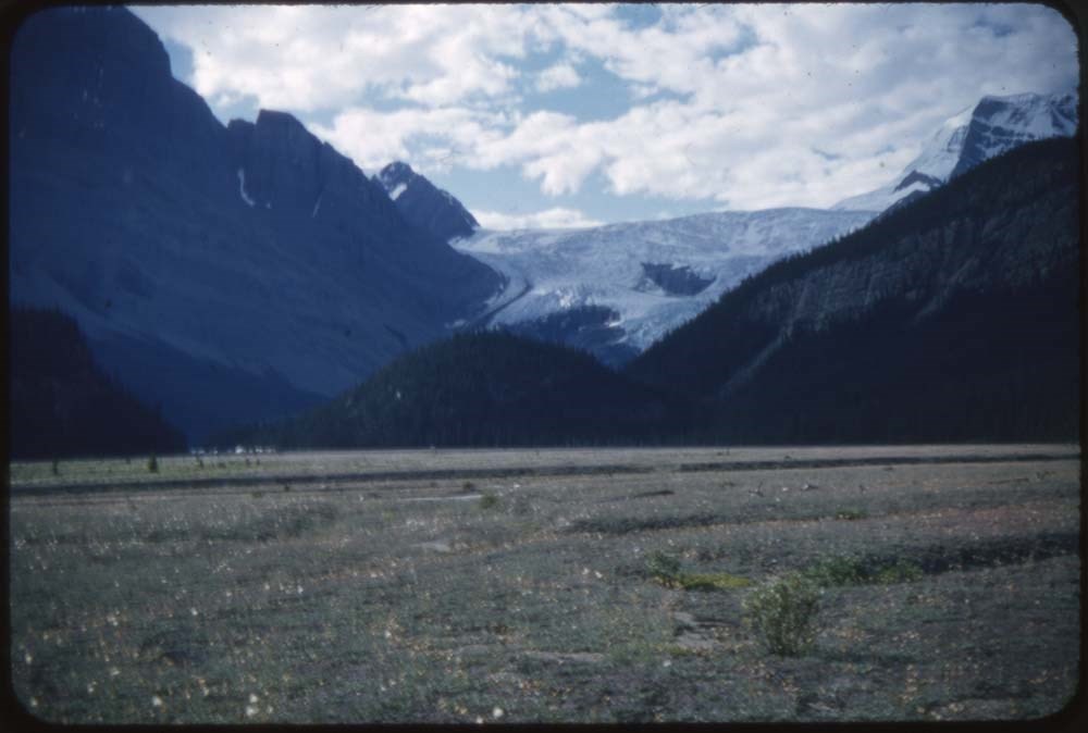
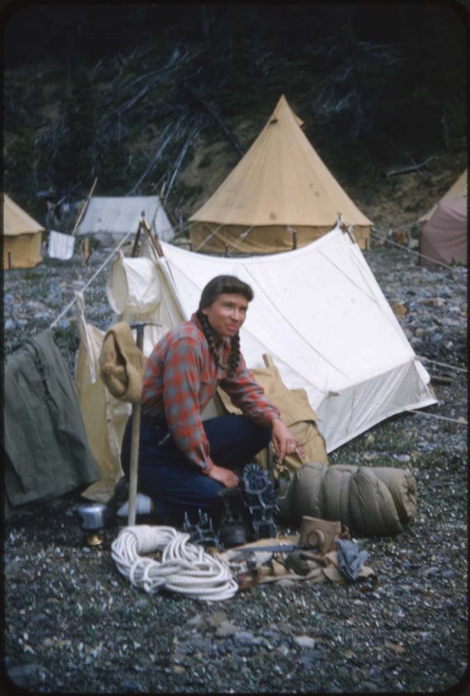
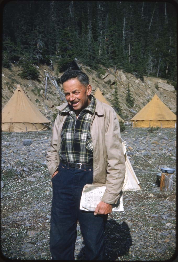
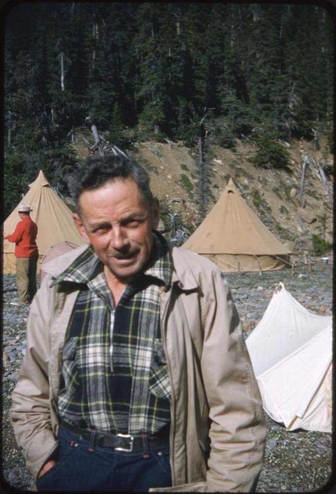
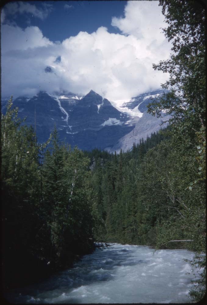
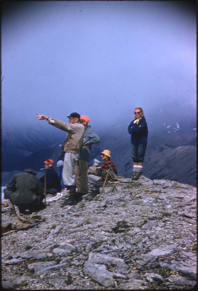
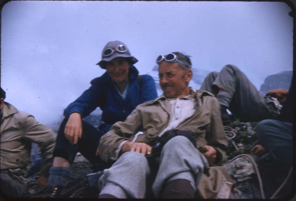
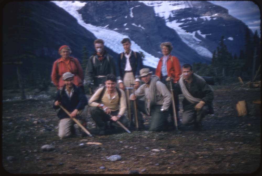
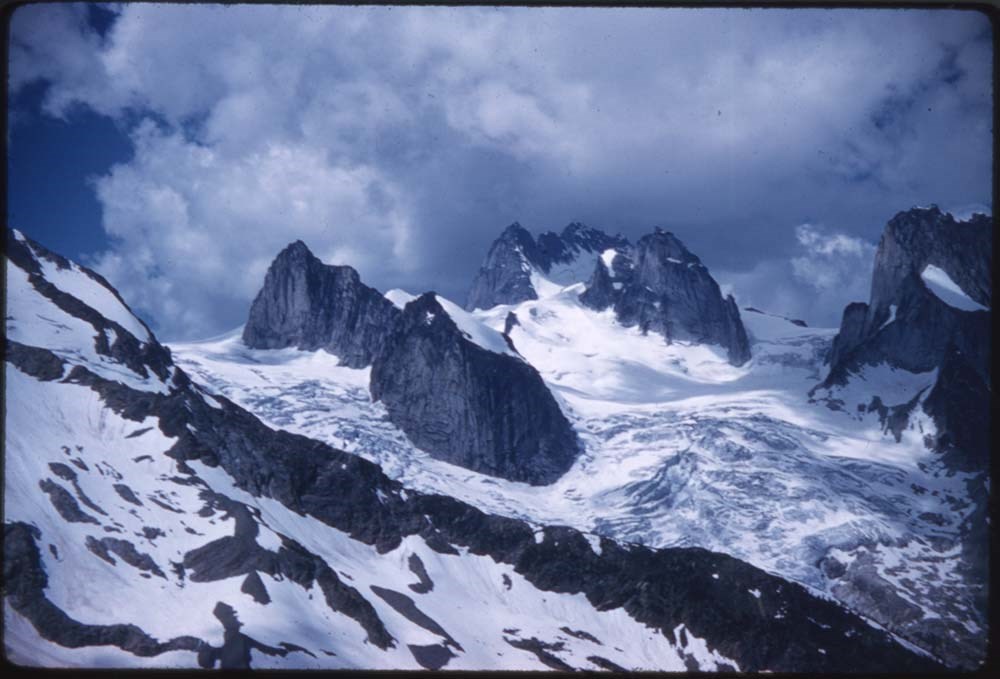
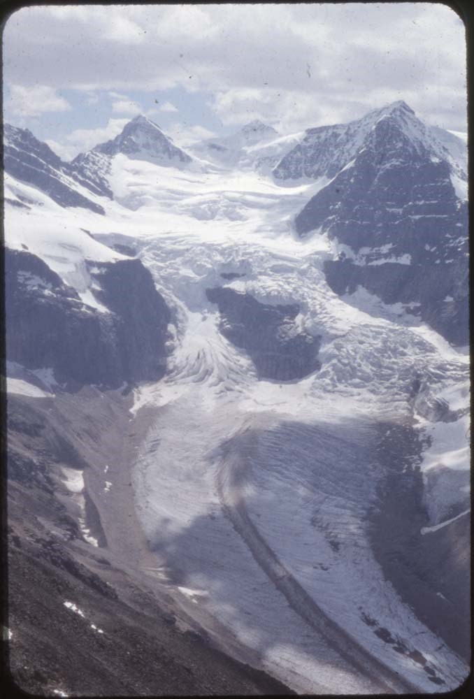
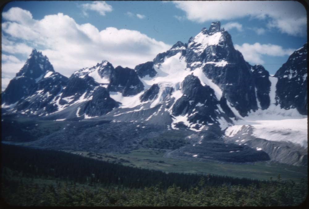
ACC Camps [2/3]
https://archives.whyte.org/en/permalink/descriptions57611
- Part Of
- Bill Goodrich fonds
- Scope & Content
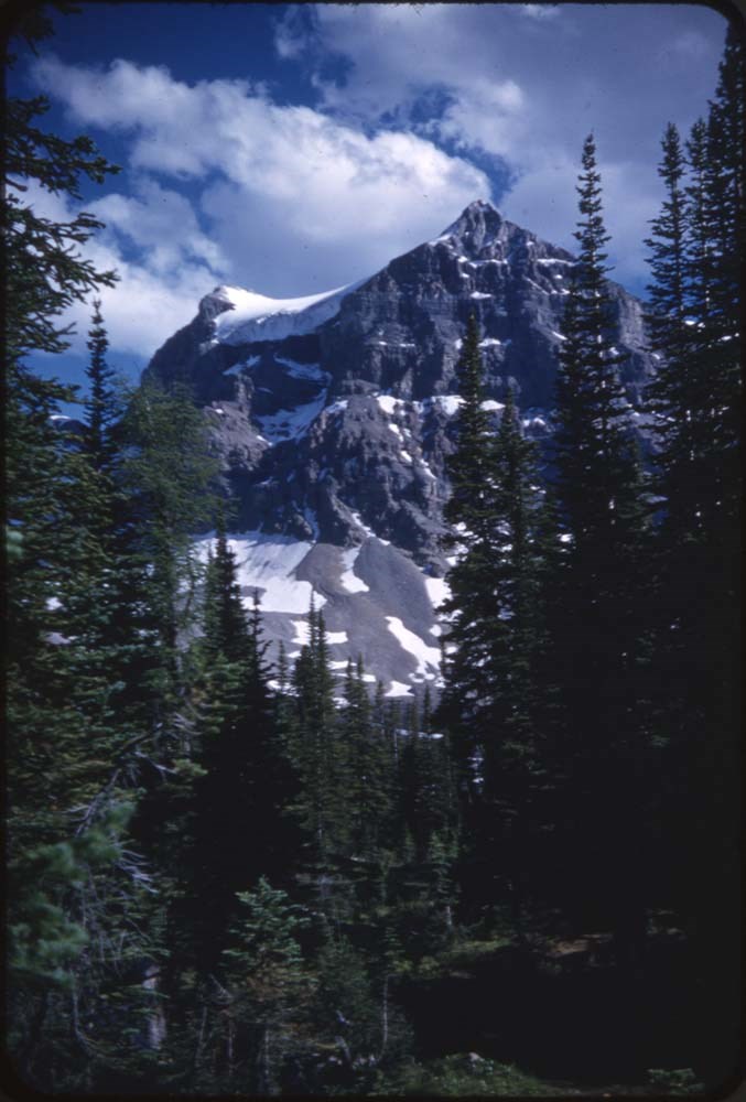
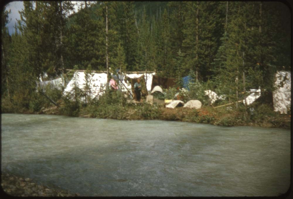
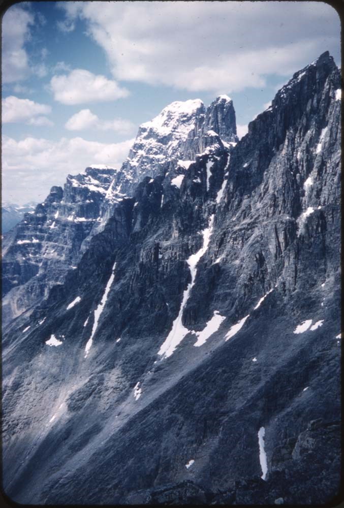
- File pertains to 121 35 mm slides depictiong Alpine Club of Canada Camps from 1953-1955 & 1957, consisting of scenic shots of mountain scenes and people climbing, portraits of various camp members, group portraits, waterfalls, glaciers, summit poses, and more. Contents include: 1953 - Mt. Hooker (&…
- Date Range
- 1953-1957
- Reference Code
- V106 / NS - 133 to NS - 254
- Description Level
- 5 / File
- GMD
- Photograph
- Transparency
121 images
- Part Of
- Bill Goodrich fonds
- Description Level
- 5 / File
- Fonds Number
- V106
- Sous-Fonds
- V106
- Accession Number
- 7765
- Reference Code
- V106 / NS - 133 to NS - 254
- Date Range
- 1953-1957
- Physical Description
- 121 photographs : col. slides ; 35 mm
- History / Biographical
- See fonds level description.
- Scope & Content
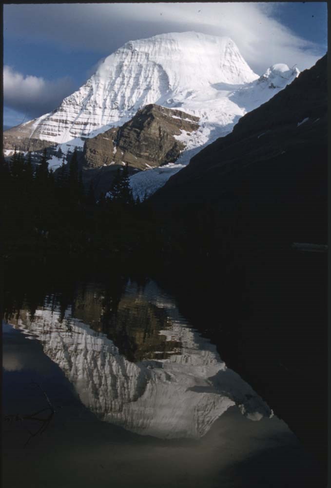
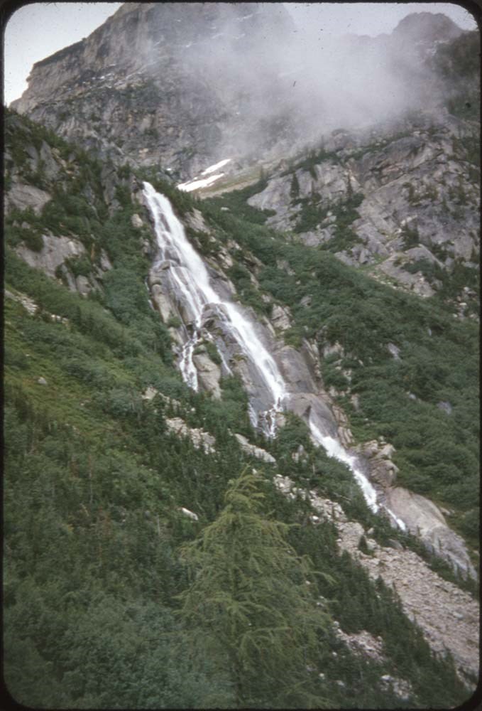
- File pertains to 121 35 mm slides depictiong Alpine Club of Canada Camps from 1953-1955 & 1957, consisting of scenic shots of mountain scenes and people climbing, portraits of various camp members, group portraits, waterfalls, glaciers, summit poses, and more. Contents include: 1953 - Mt. Hooker (& Edith Cavell): 1-47 1954 - The Goodsirs: 49-58 1955 - Mt. Robson: 60-120 1957 - Robson from JEAN: 121-123 Robson Glacier: 124
- Name Access
- Alpine Club of Canada
- Goodrich, Bill
- Subject Access
- Activities
- Alpine Club of Canada
- Buildings
- Camping
- Camps
- Climbing
- Glaciers
- Hiking
- Lake O'hara
- Mountaineering
- Mountaineers
- Mountains
- Parks Canada
- Photography
- Portrait
- Scenery
- scenic
- Waterfalls
- Women
- Geographic Access
- Jasper
- Jasper National Park
- Alberta
- Lake O'Hara
- Yoho National Park
- Assiniboine
- Assiniboine Provincial Park
- British Columbia
- Language
- English
- Finding Aid
- No finding aid
- Creator
- Goodrich, Bill
- Title Source
- Title based on contents of fonds
- Processing Status
- Processed
Images


This material is presented as originally created; it may contain outdated cultural descriptions and
potentially offensive content.
Read more.
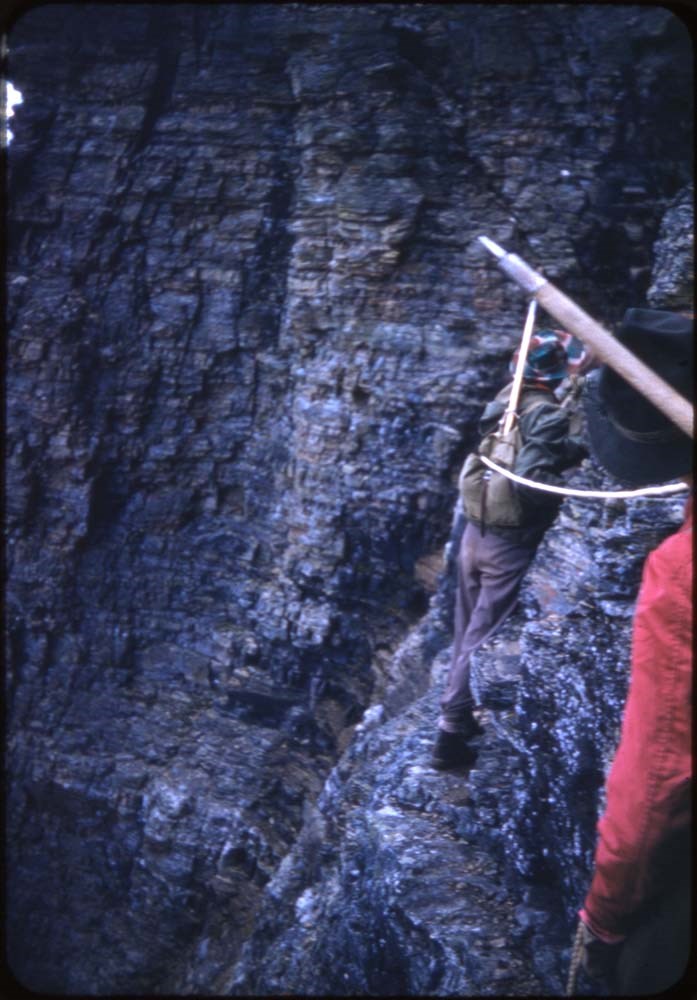
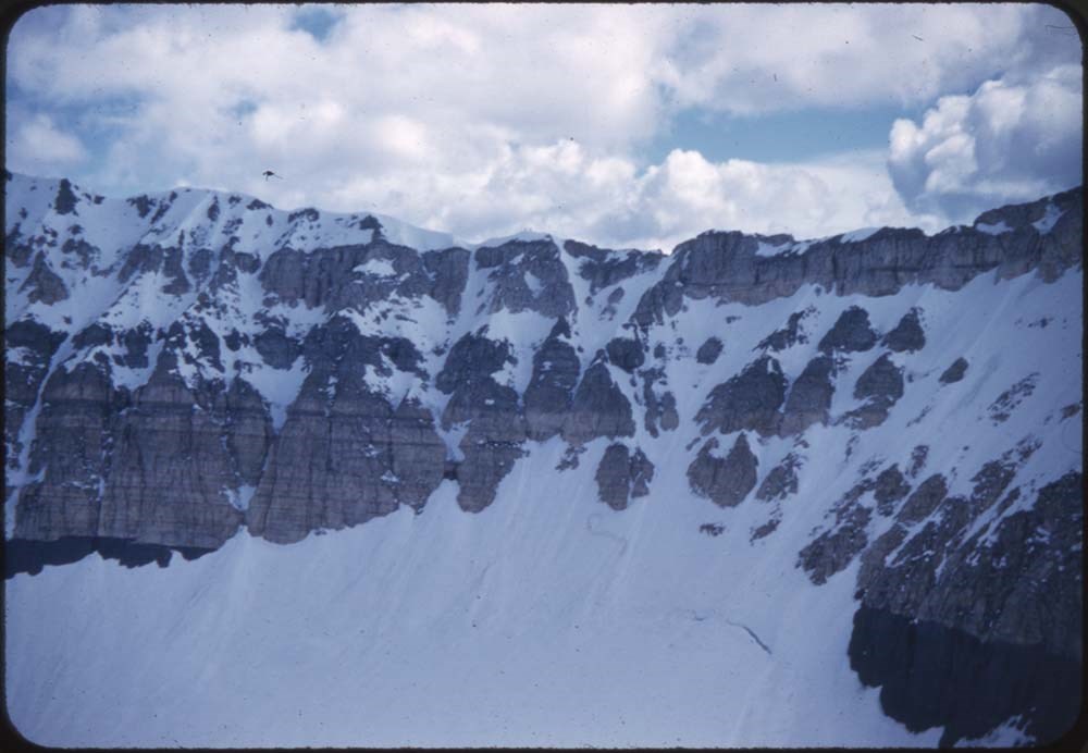
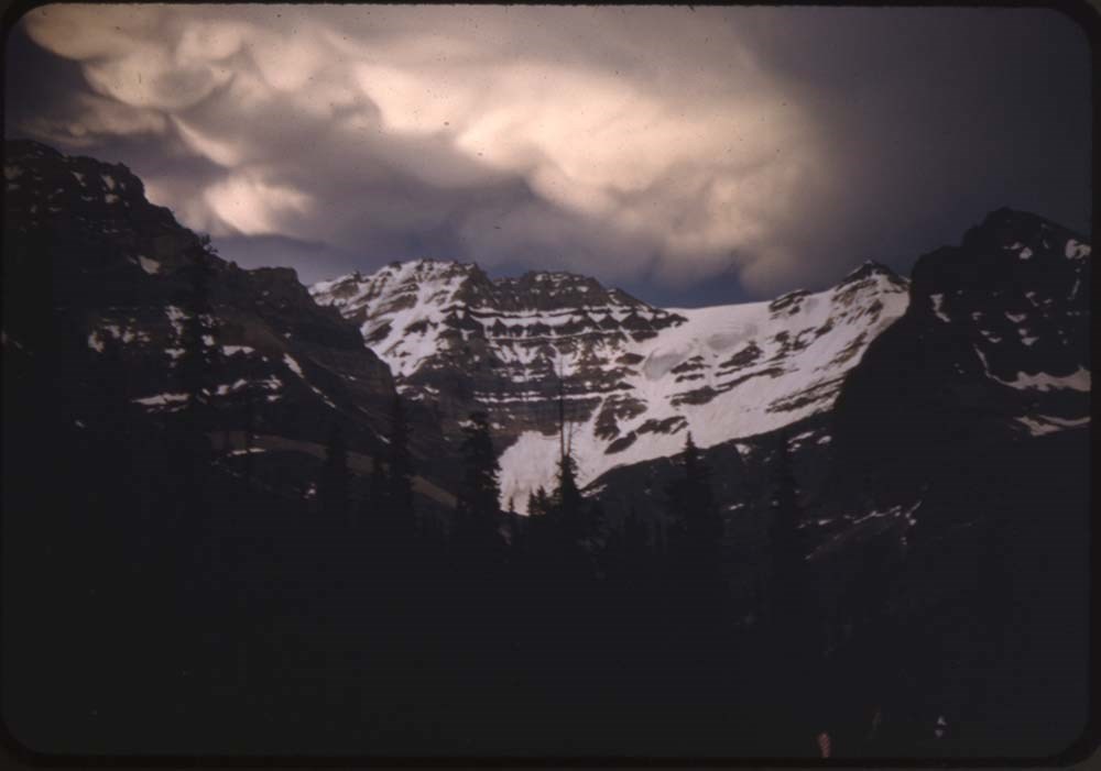
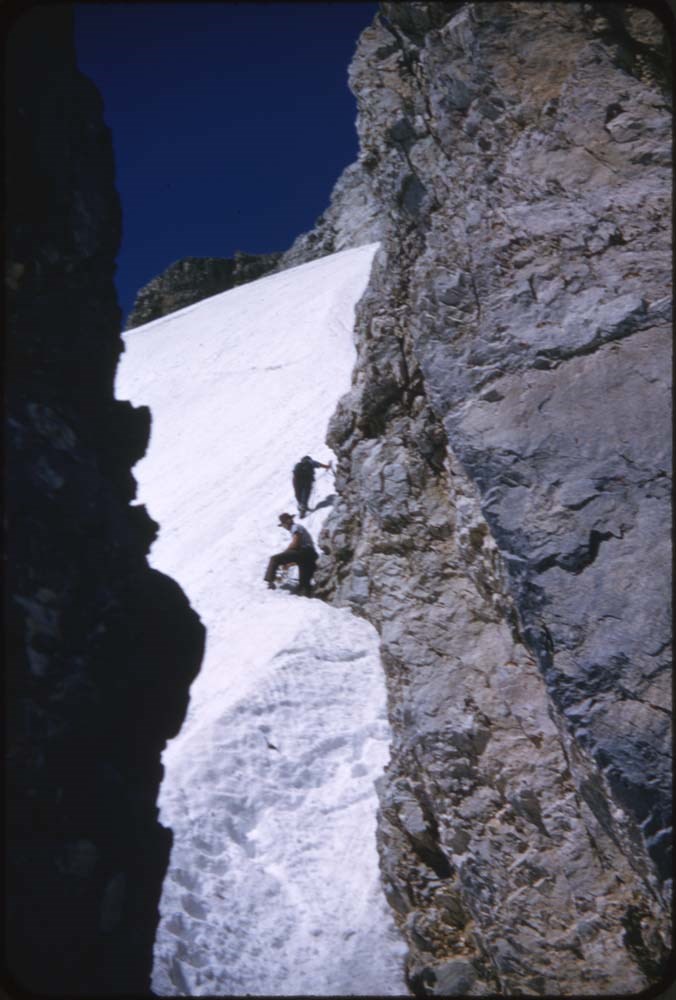
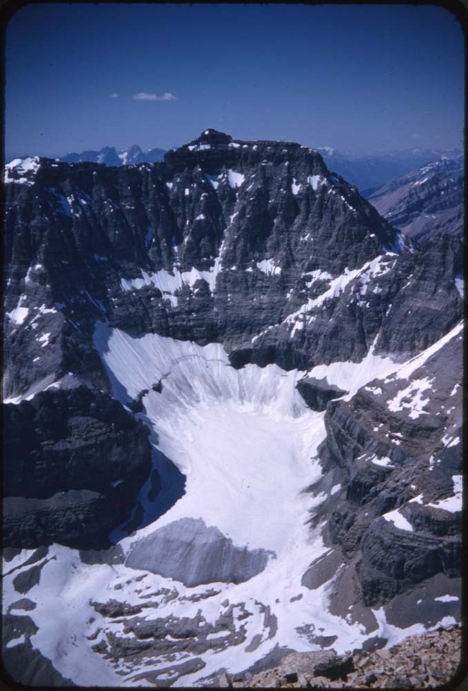
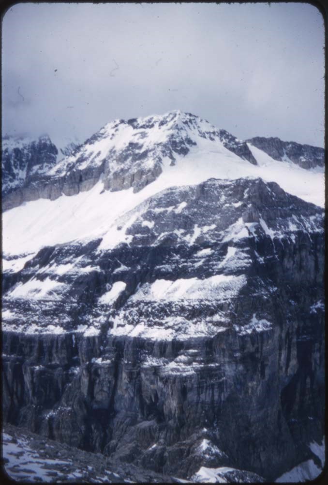
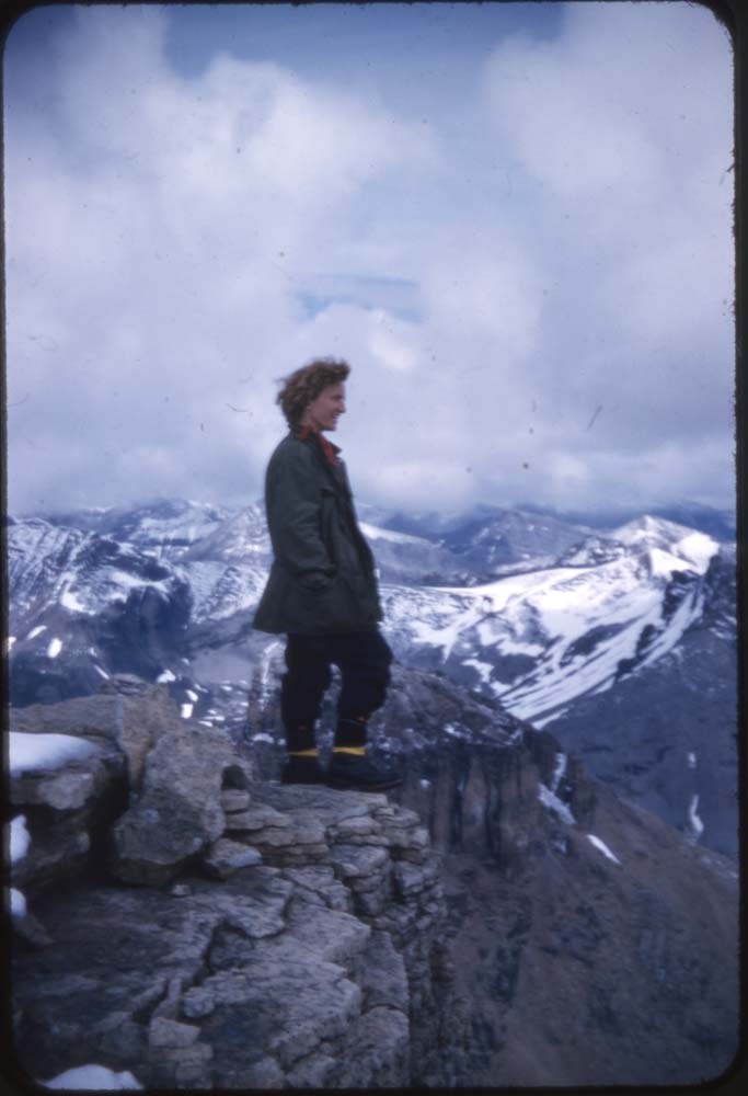
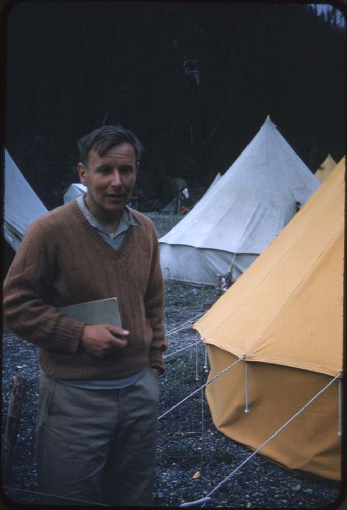
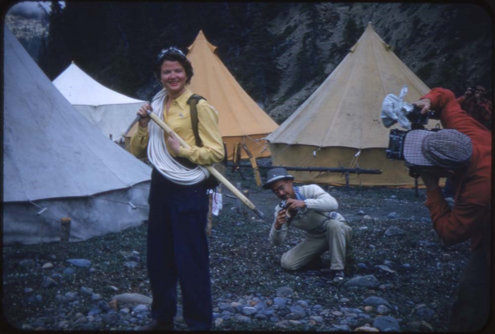
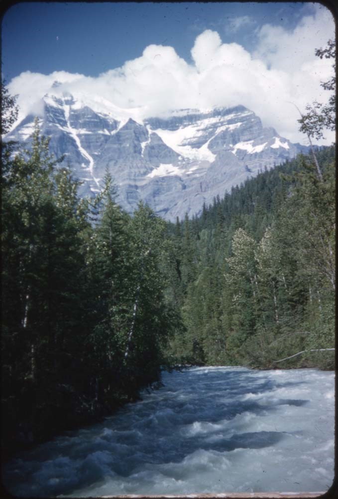
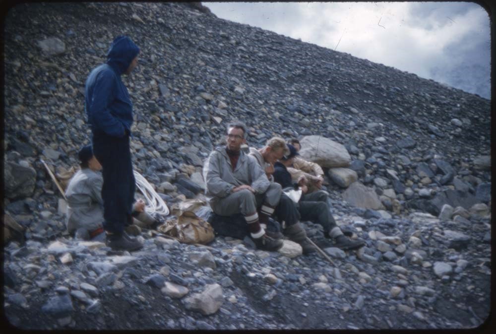
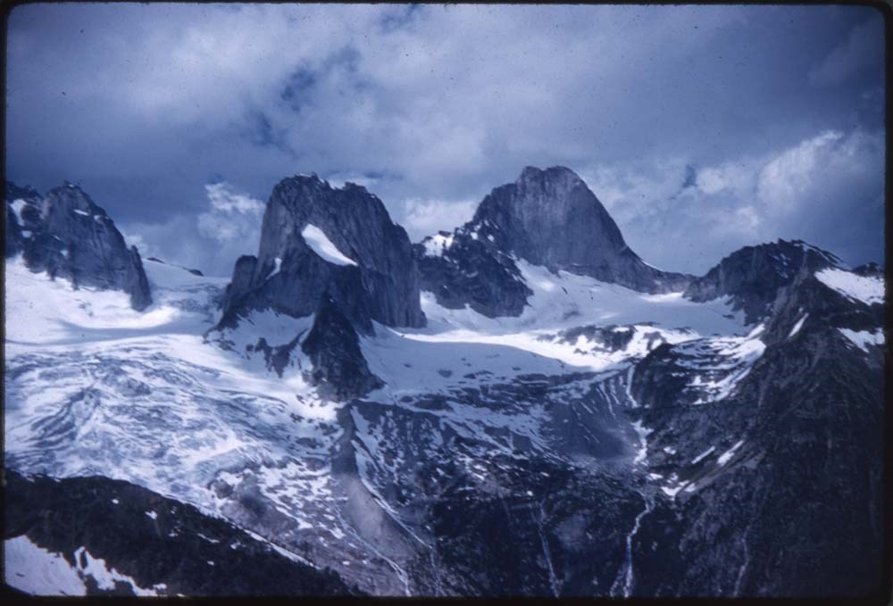
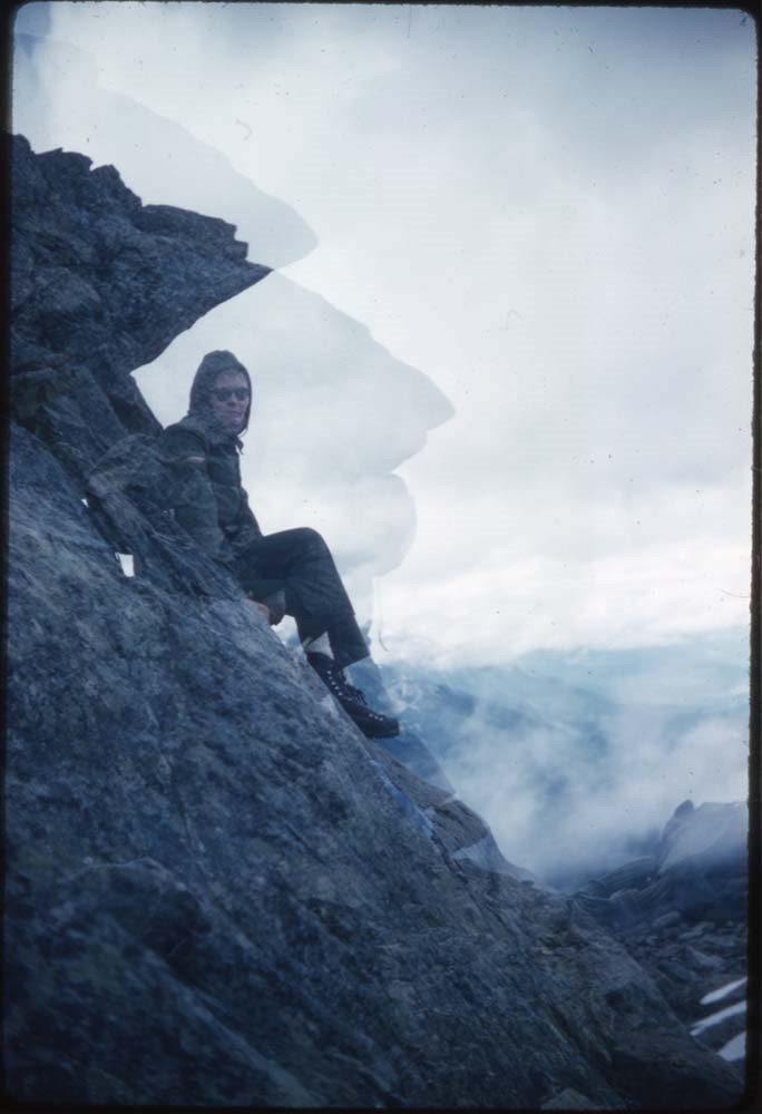
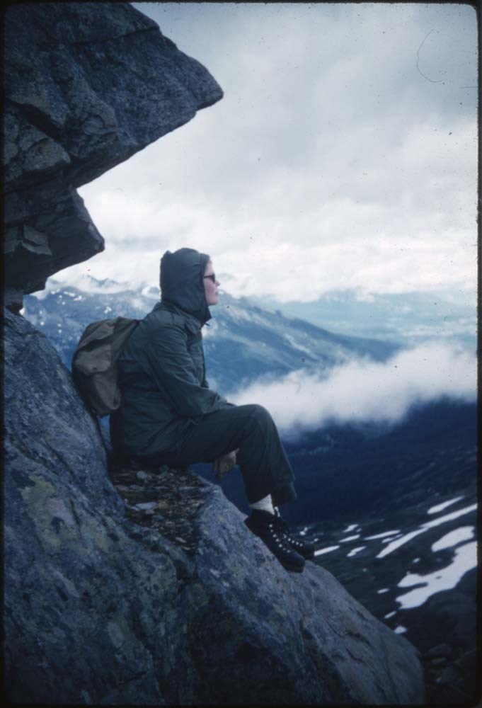
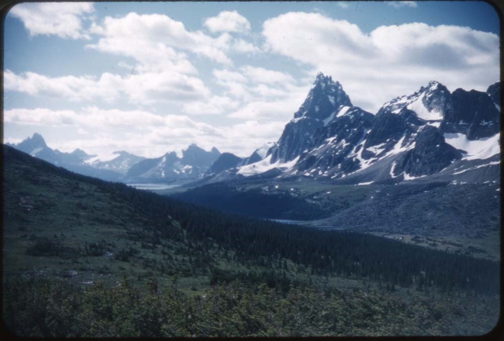
ACC Camps [3/3]
https://archives.whyte.org/en/permalink/descriptions57614
- Part Of
- Bill Goodrich fonds
- Scope & Content
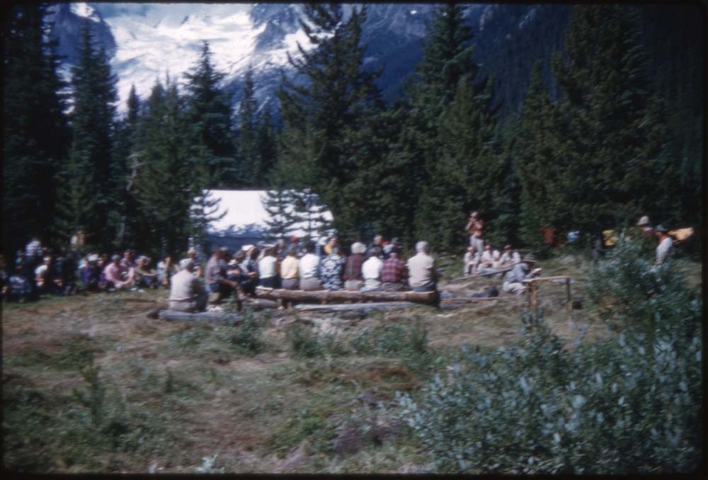
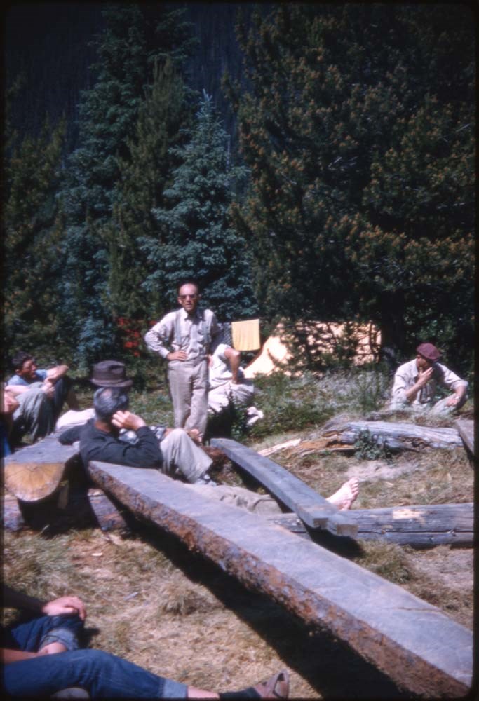
- File pertains to 96 35 mm slides depictiong Alpine Club of Canada Camps from 1957, 1959, & 1962, consisting of Contents include: 1957 - Ramparts: 1-21 [Ramparts] (from Monica & Dudley): 22-28 1959 - Bugaboos (from L.F. Mondolfo: 135-140 Edith Cavell: 30-34 The ride in:…
- Date Range
- 1957-1962
- Reference Code
- V106 / NS - 255 to NS - 350
- Description Level
- 5 / File
- GMD
- Photograph
- Transparency
96 images
- Part Of
- Bill Goodrich fonds
- Description Level
- 5 / File
- Fonds Number
- V106
- Sous-Fonds
- V106
- Accession Number
- 7765
- Reference Code
- V106 / NS - 255 to NS - 350
- Date Range
- 1957-1962
- Physical Description
- 96 photographs : col. slides ; 35 mm
- History / Biographical
- See fonds level description.
- Scope & Content
- File pertains to 96 35 mm slides depictiong Alpine Club of Canada Camps from 1957, 1959, & 1962, consisting of Contents include: 1957 - Ramparts: 1-21 [Ramparts] (from Monica & Dudley): 22-28 1959 - Bugaboos (from L.F. Mondolfo: 135-140 Edith Cavell: 30-34 The ride in: 35-37 First view: 38-39 Camp: 40-42 Our tent: 43-49 Frenchman's Pk & views: 50-67 High camp in Storm: 68-75 Climb of Pigeon: 76-90 Waterfall (?): 91 1962 - Maligne Lake (part 1) Preparations: 93-98 On the road; Badlands & mud: 99-110 Barb & Walt: 111-116 Banff-Jasper HWY: 177-133
- Name Access
- Alpine Club of Canada
- Goodrich, Bill
- Subject Access
- Activities
- Alpine Club of Canada
- Buildings
- Camping
- Camps
- Climbing
- Glaciers
- Hiking
- Lake O'hara
- Mountaineering
- Mountaineers
- Mountains
- Parks Canada
- Photography
- Portrait
- Scenery
- scenic
- Waterfalls
- Women
- Geographic Access
- Jasper
- Jasper National Park
- Alberta
- Bugaboos
- British Columbia
- Language
- English
- Finding Aid
- No finding aid
- Creator
- Goodrich, Bill
- Title Source
- Title based on contents of fonds
- Processing Status
- Processed
Images


This material is presented as originally created; it may contain outdated cultural descriptions and
potentially offensive content.
Read more.
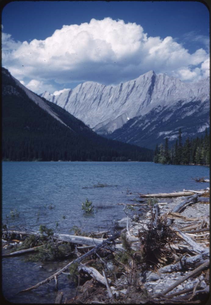
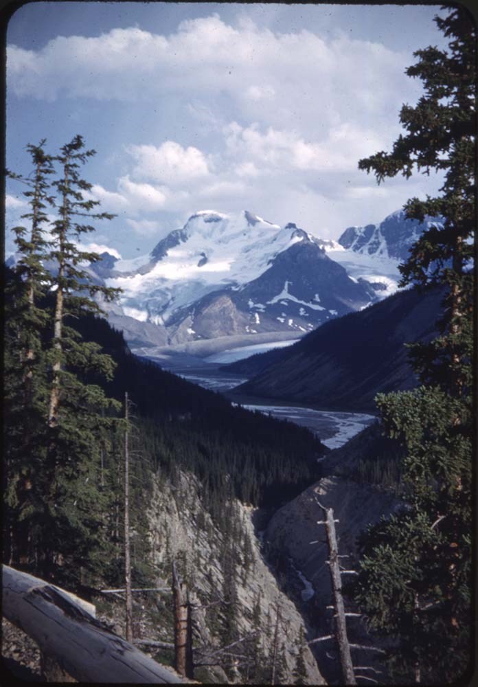
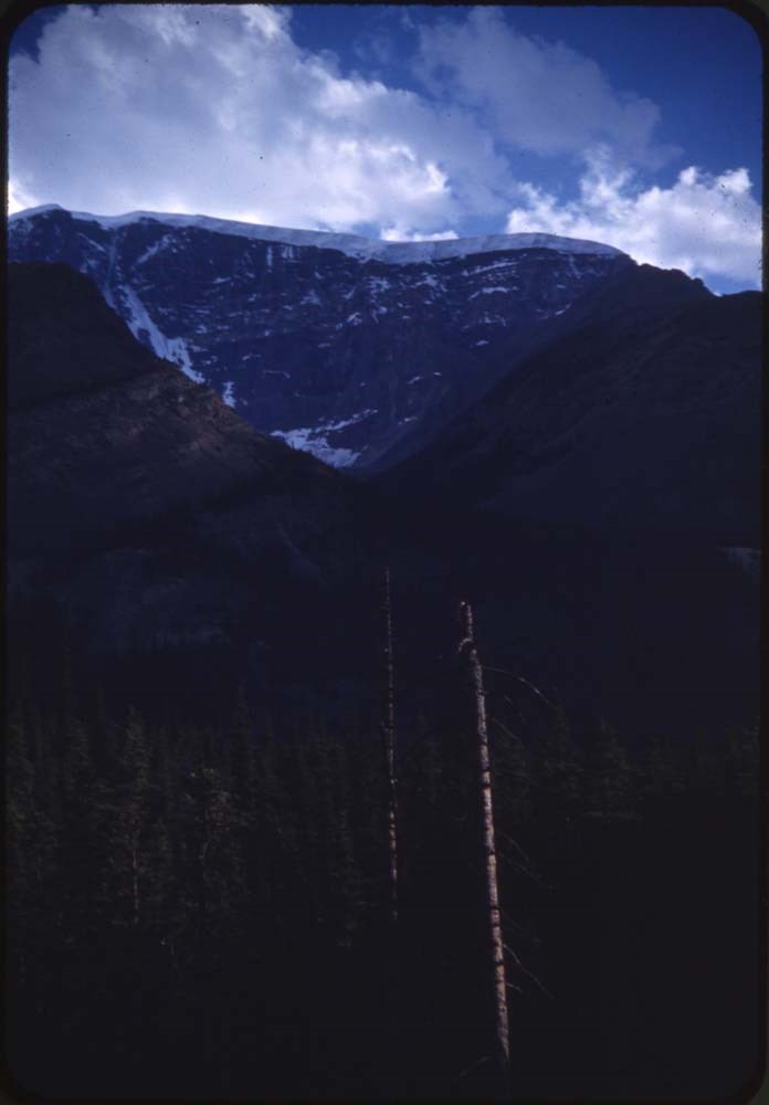
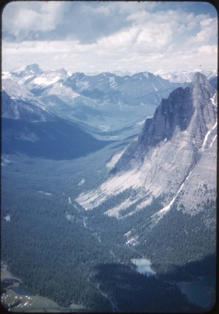
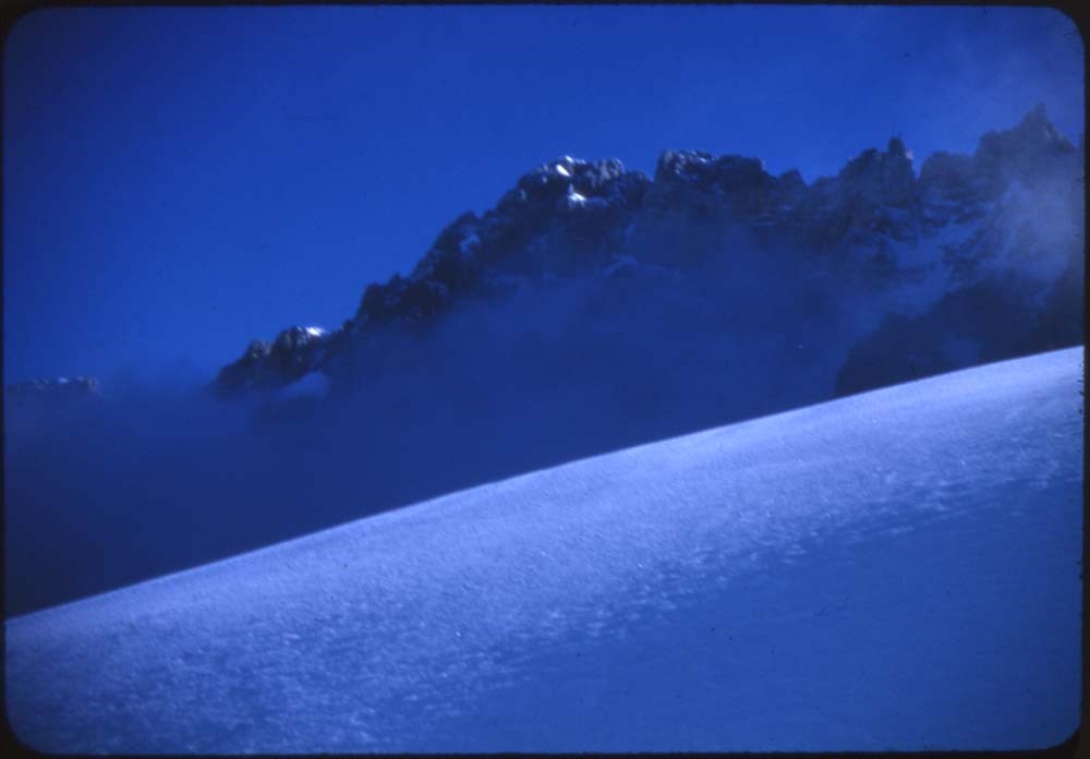
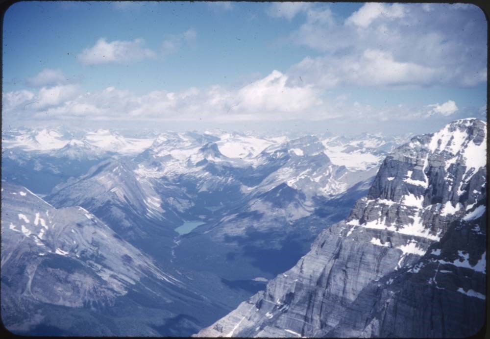
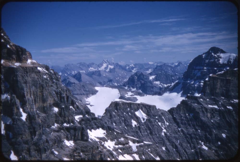
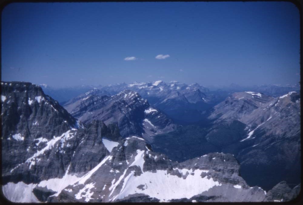
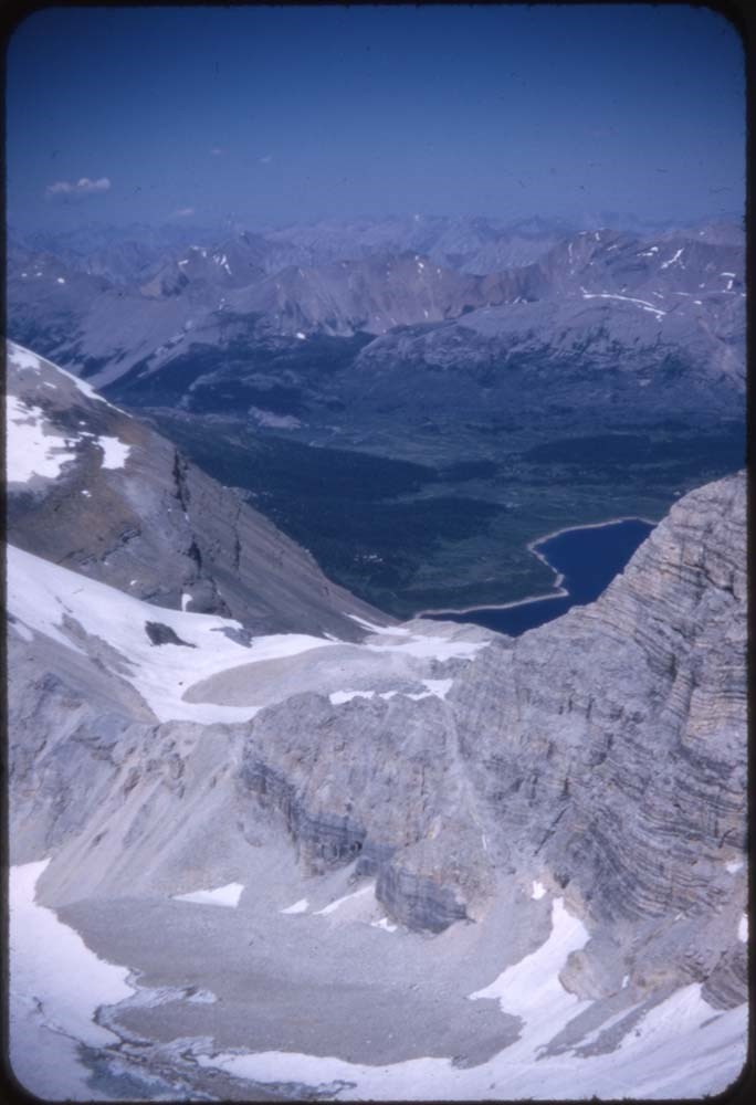
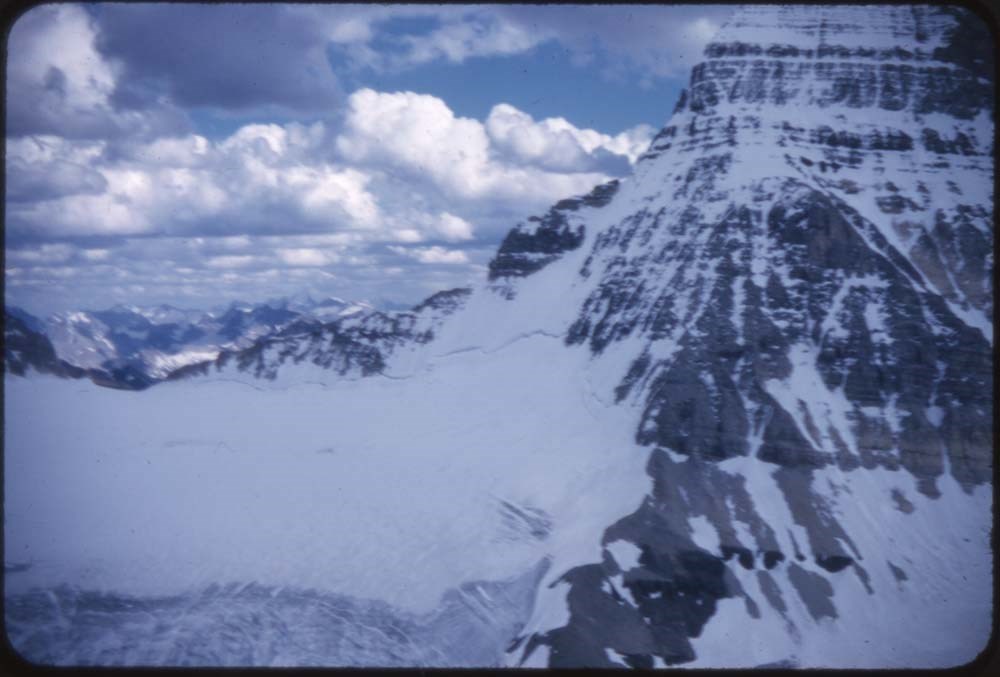
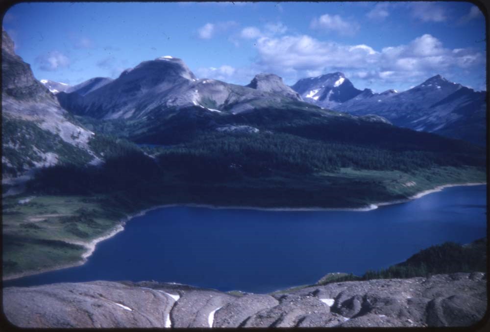
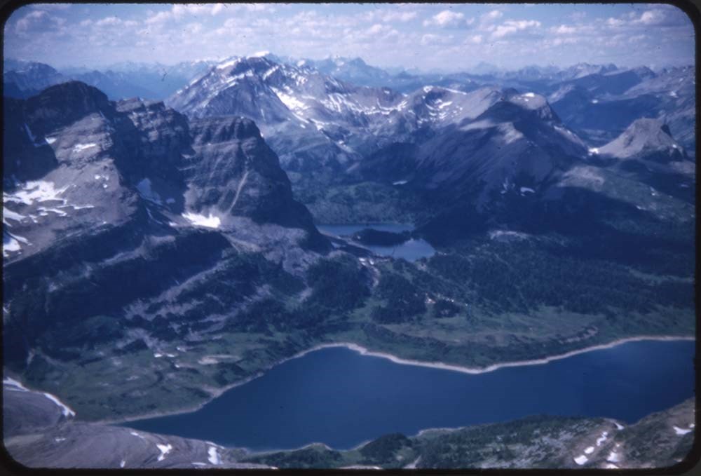
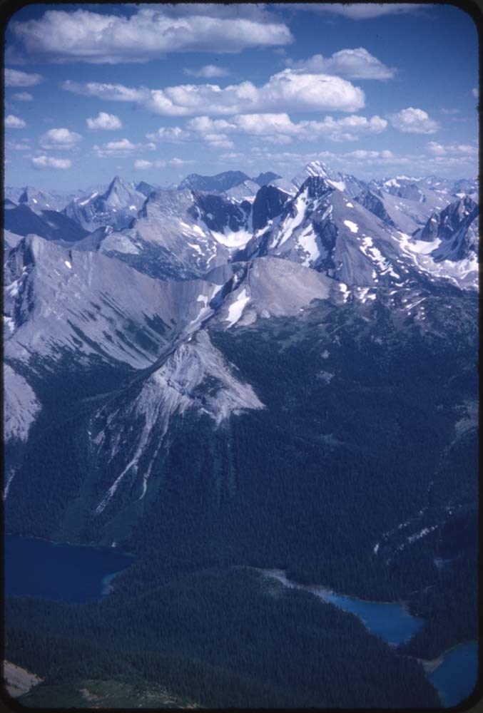
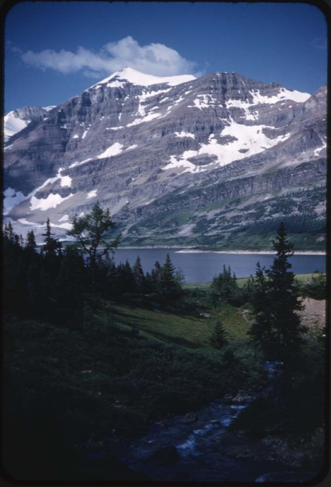
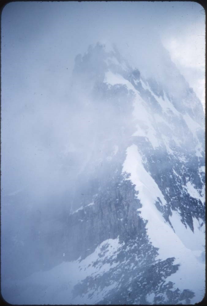
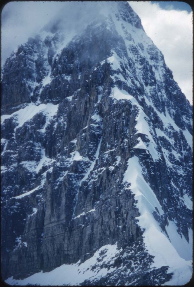
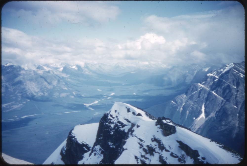
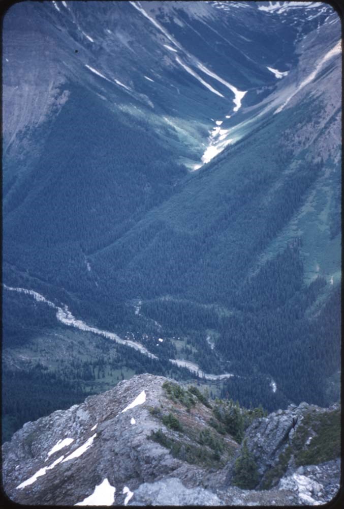
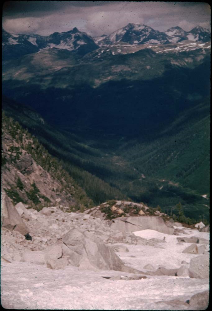
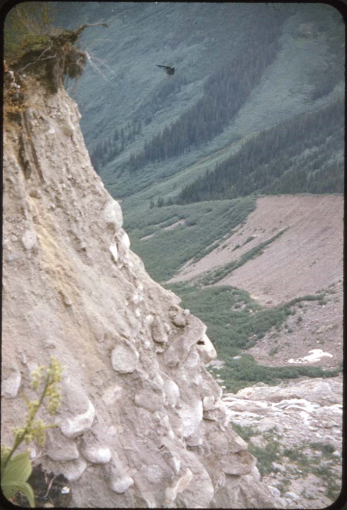
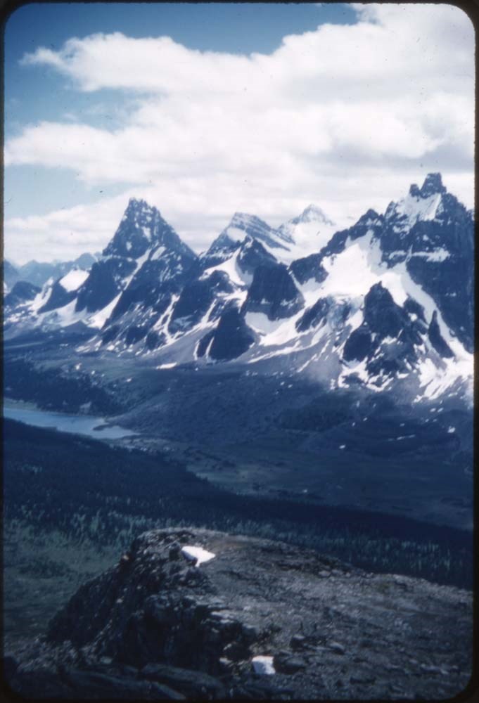
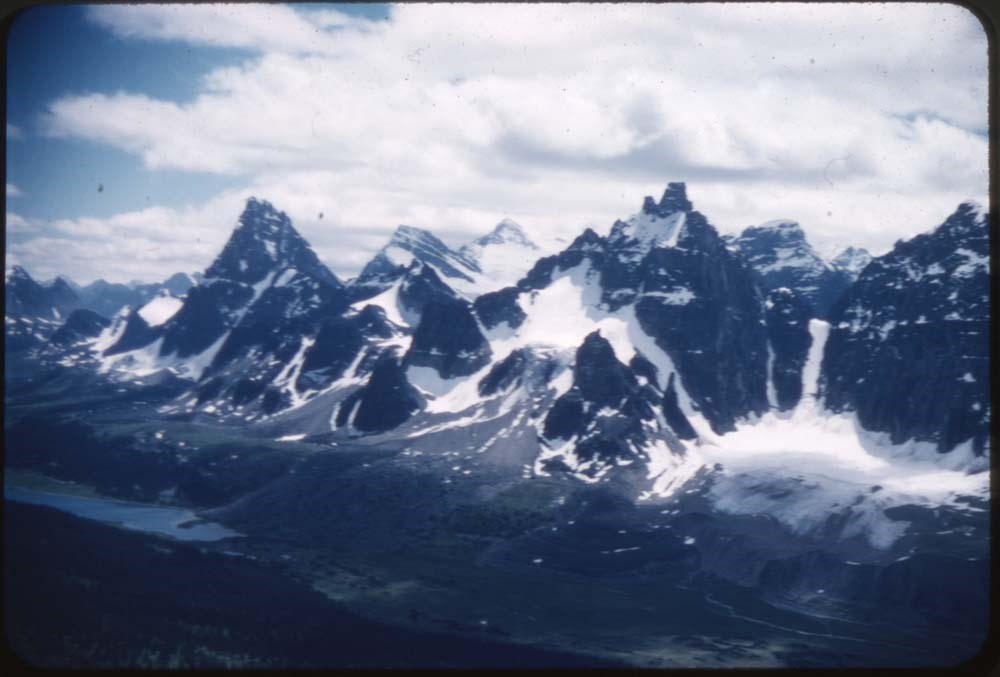
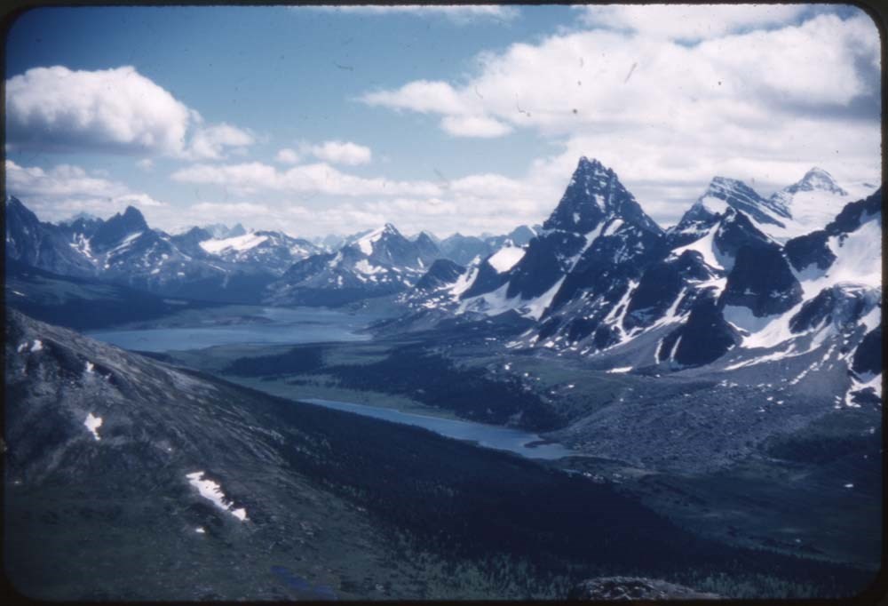
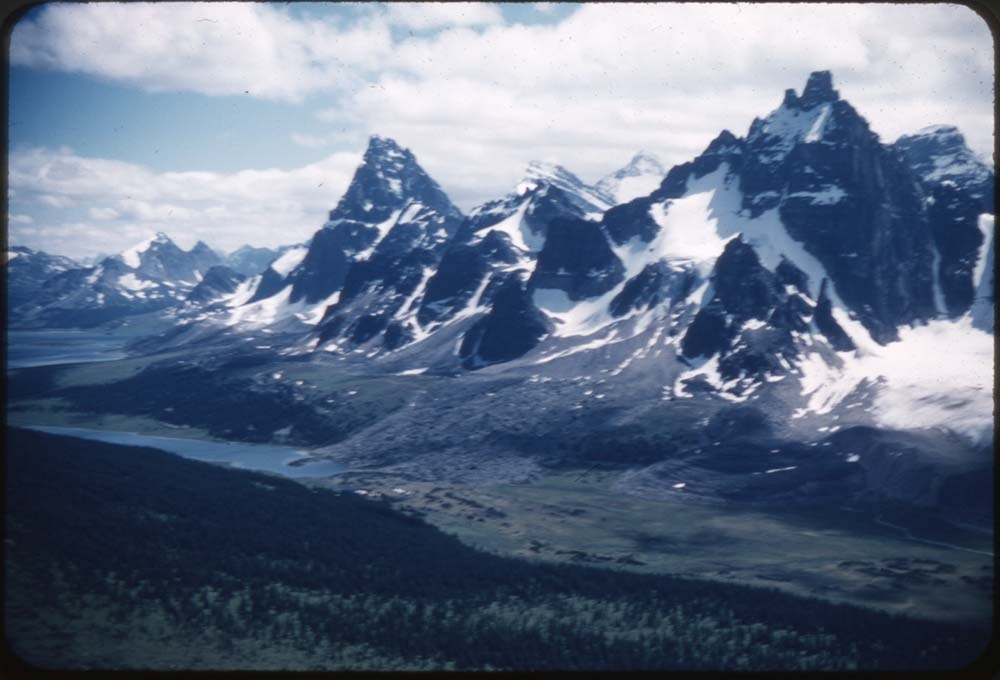
Aerial photographs
https://archives.whyte.org/en/permalink/descriptions56180
- Part Of
- Douglas Leighton fonds
- Scope & Content
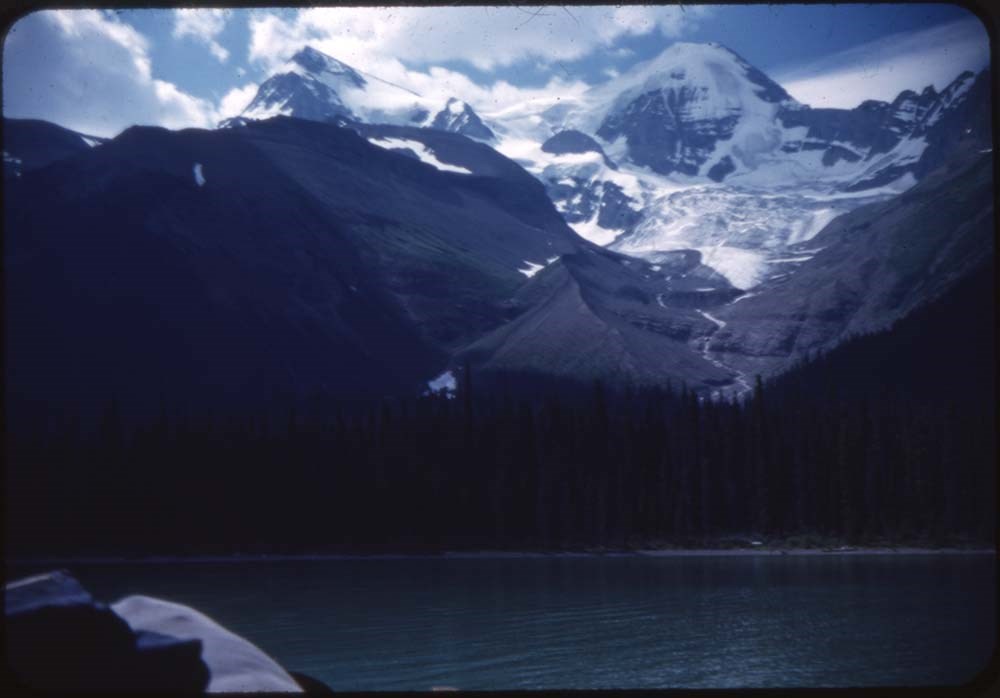
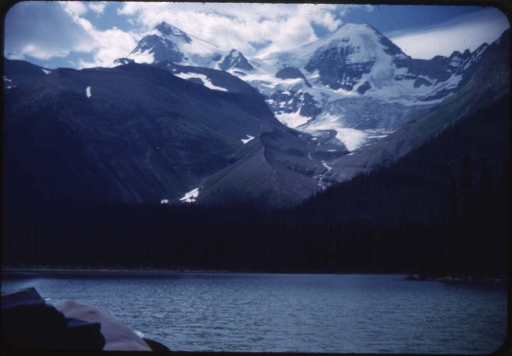
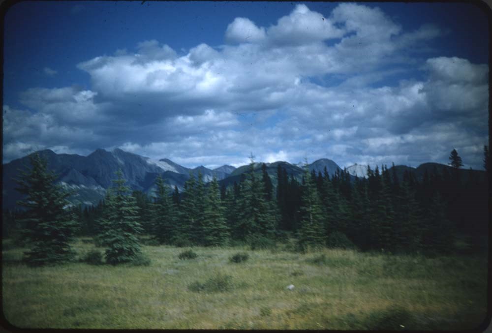
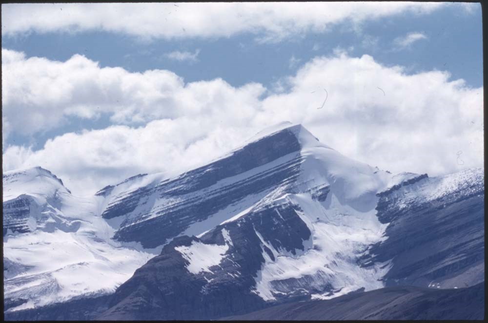
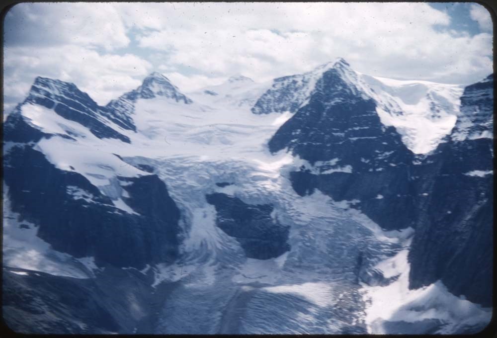
- File consists of aerial photographs of terrain in British Columbia and Alberta. Includes locations such as Banff National Park and Yoho National Park with images of Glaciers, Lakes, Mountain ranges and tree lines.
- Date Range
- 1995
- Reference Code
- V222 / IV / A / 1 / NS - 1 to 166
- Description Level
- 5 / File
- GMD
- Photograph
- Transparency
- Part Of
- Douglas Leighton fonds
- Description Level
- 5 / File
- Fonds Number
- M133
- V222
- Series
- V222 / IV : Scenic Views
- Sous-Fonds
- V222
- Sub-Series
- V222 / IV / A: Aerial Photographs
- Accession Number
- 2020.24
- Reference Code
- V222 / IV / A / 1 / NS - 1 to 166
- Date Range
- 1995
- Physical Description
- 166 photographs : col. slides ; 35 mm
- Scope & Content
- File consists of aerial photographs of terrain in British Columbia and Alberta. Includes locations such as Banff National Park and Yoho National Park with images of Glaciers, Lakes, Mountain ranges and tree lines.
- Name Access
- Leighton, Douglas
- Subject Access
- Photo Survey
- Photography
- Mountain
- Lake O'hara
- Geographic Access
- Banff National Park
- Yoho National Park
- Lake O'Hara
- Lake Louise
- Canadian Rockies
- Kootenay National Park
- Assiniboine Provincial Park
- Language
- English
- Creator
- Douglas Leighton
- Title Source
- Title based on contents of file
- Processing Status
- Processed
This material is presented as originally created; it may contain outdated cultural descriptions and
potentially offensive content.
Read more.
[Aishihik Lake 115H, Yukon]
https://archives.whyte.org/en/permalink/catalogue24002
- Medium
- Library - Maps and blueprints (unannotated; published)
- Map
- Published Date
- 1971
- Publisher
- Dept. of Energy, Mines and Resources
- Call Number
- NTS
- 115H
- Publisher
- Dept. of Energy, Mines and Resources
- Published Date
- 1971
- Physical Description
- 1 map : col
- Scale
- Scale: 1:250,000
- Relief: Contour interval 500 ft.
- Subjects
- Aishihik Lake
- Yukon Territory
- Notes
- National Topographic System
- Accession Number
- 3000
- Call Number
- NTS
- 115H
- Collection
- Archives Library
This material is presented as originally created; it may contain outdated cultural descriptions and
potentially offensive content.
Read more.
Alan E. Crawford transparencies
https://archives.whyte.org/en/permalink/descriptions54561
- Part Of
- Allan E. Crawford fonds
- Scope & Content
- File consists of 15 colour transparencies, 35 mm. Content pertains to the Skyline Hikers camp at Egypt Lake, Lake Louise, Pharoah Peak, Castle Mountain, Scarab Lake in 1940.
- Date Range
- 1930-1943
- Reference Code
- V131 / III / NS - 1 to NS - 15
- Description Level
- 5 / File
- GMD
- Photograph
- Transparency
- Part Of
- Allan E. Crawford fonds
- Description Level
- 5 / File
- Fonds Number
- V131
- Series
- V131 / III : Transparencies
- Sous-Fonds
- V131
- Accession Number
- 7686
- Reference Code
- V131 / III / NS - 1 to NS - 15
- Date Range
- 1930-1943
- Physical Description
- 15 photographs : col. slides ; 35 mm
- Scope & Content
- File consists of 15 colour transparencies, 35 mm. Content pertains to the Skyline Hikers camp at Egypt Lake, Lake Louise, Pharoah Peak, Castle Mountain, Scarab Lake in 1940.
- Storage Range
- Transparencies - range box V1 to V450
- Name Access
- Crawford, Allan E.
- Subject Access
- Commerce and industry
- Sports, recreation and leisure
- Skyline Hikers of the Canadian Rockies
- Trail Riders of the Canadian Rockies
- Horses
- Hotels
- Chateau Lake Louise
- Hiking
- Camps
- Music
- Musicians
- Mountains
- National parks and reserves
- Geographic Access
- Lake Louise
- Castle Mountain
- Language
- English
- Creator
- Crawford, Allan E.
- Title Source
- Title based on contents of fonds
- Processing Status
- Processed
This material is presented as originally created; it may contain outdated cultural descriptions and
potentially offensive content.
Read more.
[Anahim Lake 93C, B.C.]
https://archives.whyte.org/en/permalink/catalogue24005
- Medium
- Library - Maps and blueprints (unannotated; published)
- Map
- Published Date
- 1955
- Publisher
- Dept. of Mines and Technical Surveys
- Call Number
- NTS
- 93C
- Publisher
- Dept. of Mines and Technical Surveys
- Published Date
- 1955
- Physical Description
- 1 map : col
- Scale
- Scale: 1:250,000
- Relief: Contour interval 500 ft.
- Subjects
- Anahim Lake
- British Columbia
- Accession Number
- 3000
- Call Number
- NTS
- 93C
- Collection
- Archives Library
This material is presented as originally created; it may contain outdated cultural descriptions and
potentially offensive content.
Read more.
[Anahim Lake, B.C.] Canada Land Inventory Map, Land capability for wildlife-ungulates
https://archives.whyte.org/en/permalink/catalogue24004
- Medium
- Library - Maps and blueprints (unannotated; published)
- Map
- Published Date
- 1971
- Publisher
- Dept. of Energy, Mines and Resources
- Call Number
- NTS
- 93C
- Publisher
- Dept. of Energy, Mines and Resources
- Published Date
- 1971
- Physical Description
- 1 map : col
- Scale
- Scale: 1:250,000
- Subjects
- Anahim Lake
- British Columbia
- Accession Number
- 4000
- Call Number
- NTS
- 93C
- Collection
- Archives Library
This material is presented as originally created; it may contain outdated cultural descriptions and
potentially offensive content.
Read more.
[Angus Horne Lake 83D/5 B.C.]
https://archives.whyte.org/en/permalink/catalogue23450
- Medium
- Library - Maps and blueprints (unannotated; published)
- Map
- Published Date
- 1972
- Publisher
- Department of Energy, Mines and Resources
- Call Number
- NTS
- 83D/5
- Publisher
- Department of Energy, Mines and Resources
- Published Date
- 1972
- Physical Description
- 1 map : col
- Scale
- Scale: 1:50,000
- Relief: Contour interval 100 ft.
- Subjects
- Angus Horne Lake
- British Columbia
- Notes
- National Topographic System
- Accession Number
- 7000
- Call Number
- NTS
- 83D/5
- Collection
- Archives Library
This material is presented as originally created; it may contain outdated cultural descriptions and
potentially offensive content.
Read more.