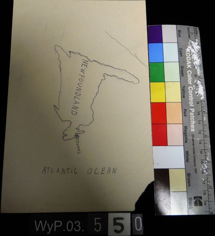
Map of Newfoundland
https://archives.whyte.org/en/permalink/artifactwyp.03.550
- Date
- n.d.
- Medium
- graphite on paper
- Catalogue Number
- WyP.03.550
- Description
- A pencil drawn map of Newfoundland, including the Atlantic Ocean.
1 image
- Title
- Map of Newfoundland
- Date
- n.d.
- Medium
- graphite on paper
- Dimensions
- 22.5 x 15.1 cm
- Description
- A pencil drawn map of Newfoundland, including the Atlantic Ocean.
- Subject
- map
- cartography
- Newfoundland
- Atlantic Ocean
- Credit
- Gift of Catharine Robb Whyte, O. C., Banff, 1979
- Catalogue Number
- WyP.03.550
Images
This material is presented as originally created; it may contain outdated cultural descriptions and
potentially offensive content.
Read more.