Fonds consists mainly of diary excerpts and transcripts, 1912-1913, 1921-1954; also includes a guest book, 1924-1956, posters, ca.1942, publications relating the story of Belmore Browne Peak, 1992-1993, and photographs, ca.1930, ca.1955, 1991-1992. Diaries are mainly trip diaries pertaining to summ…
24 cm of textual records. -- 108 photographs : prints, copy negatives, transparencies
History / Biographical
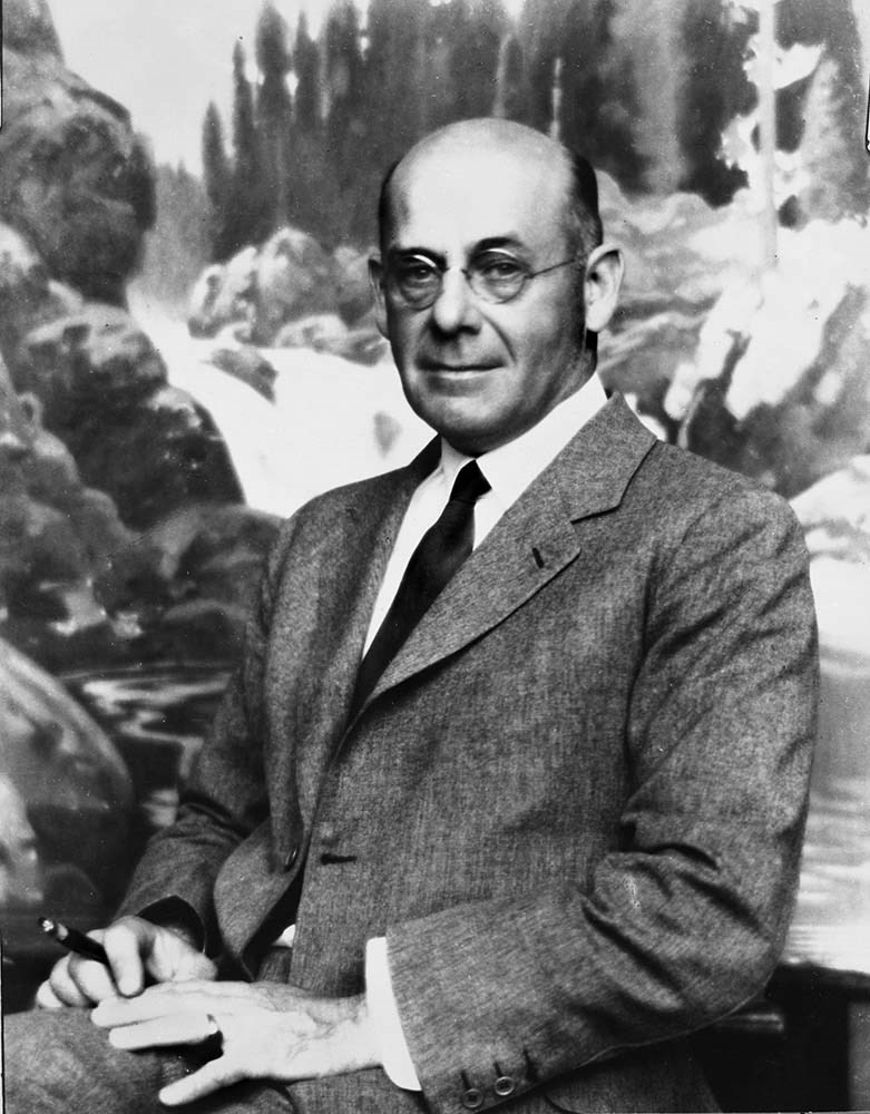
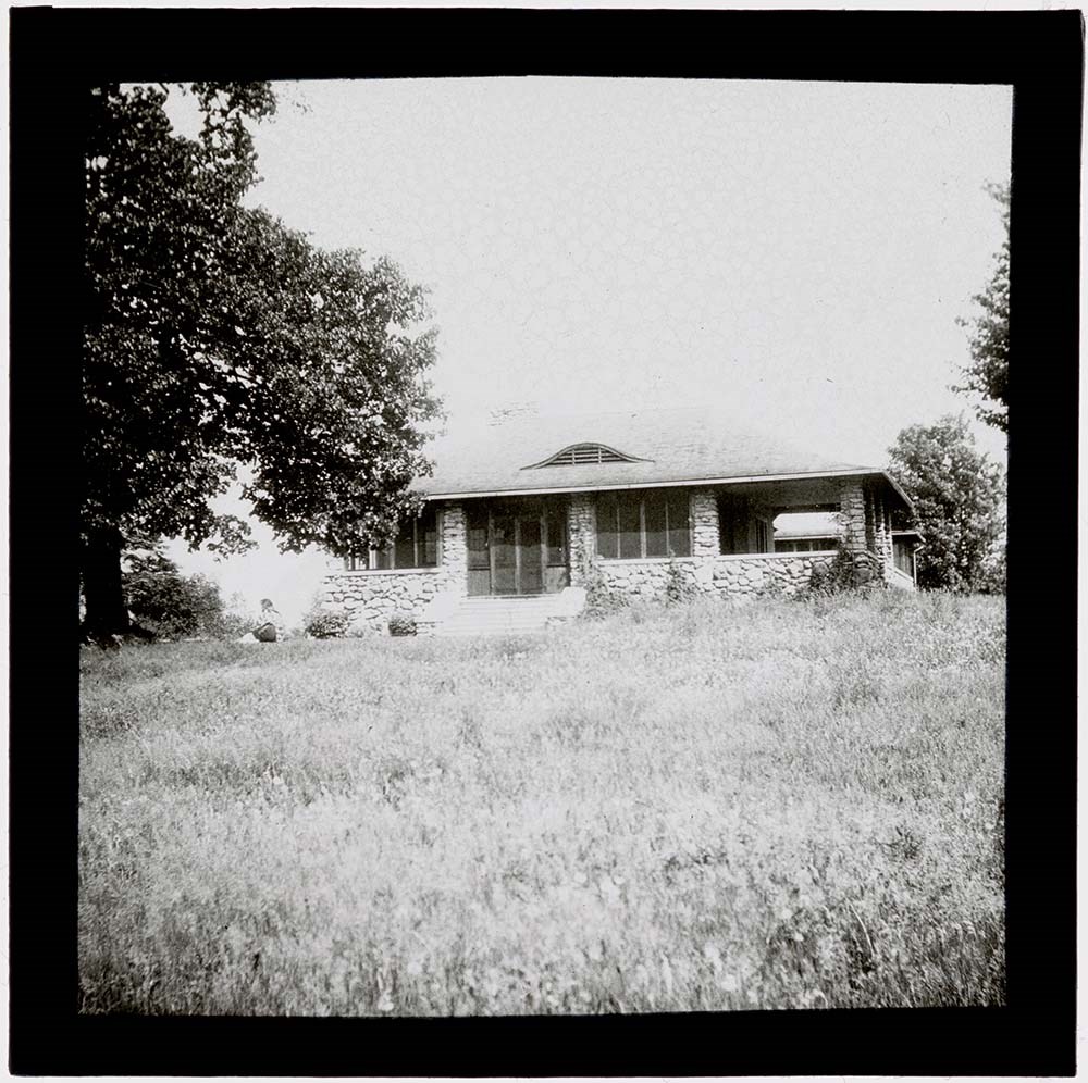
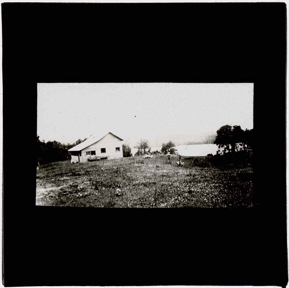
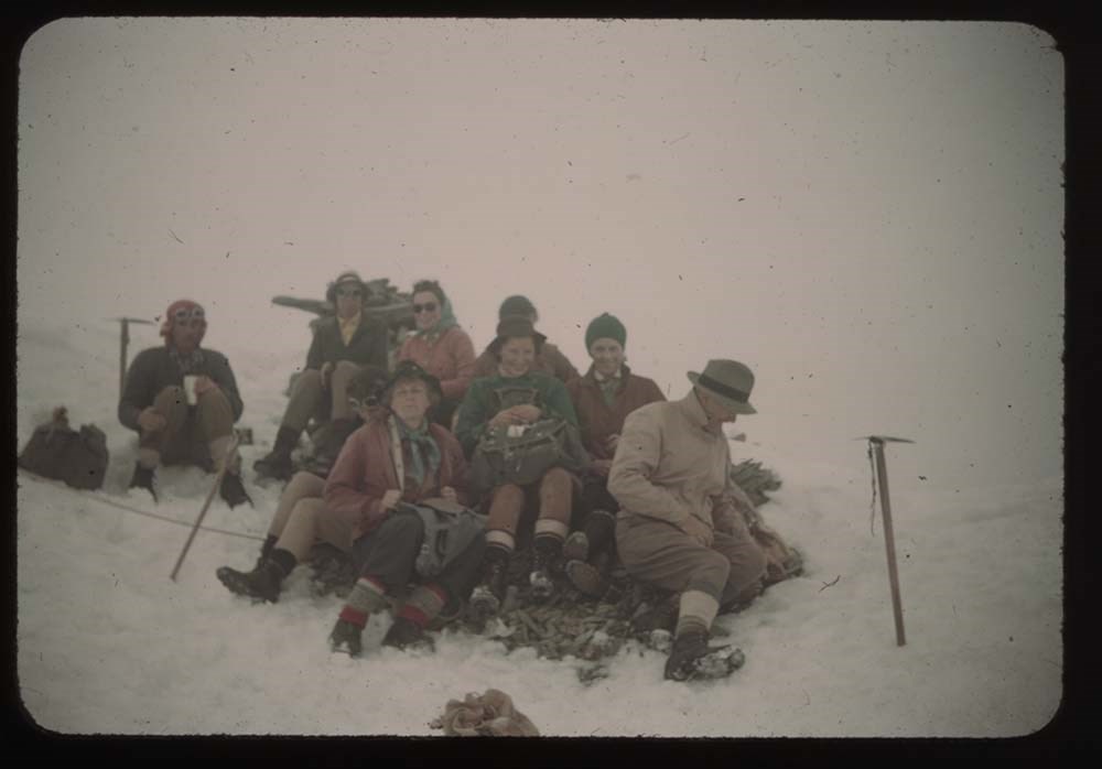
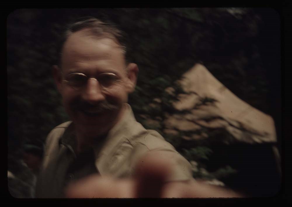
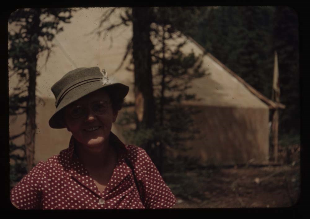
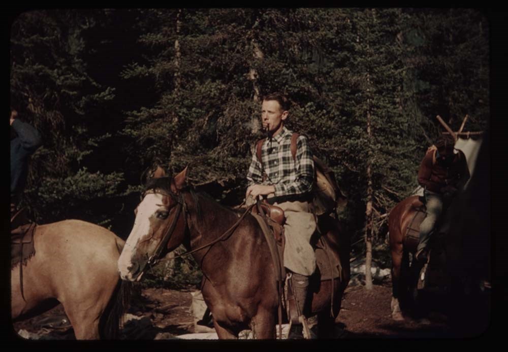
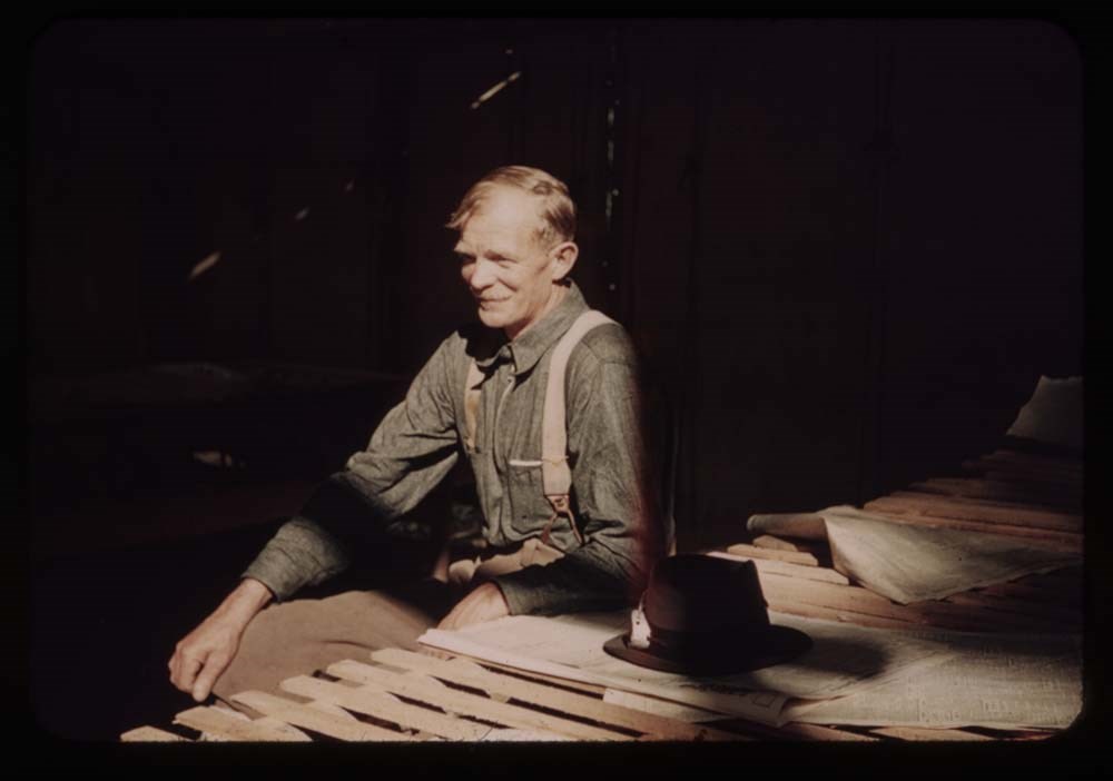
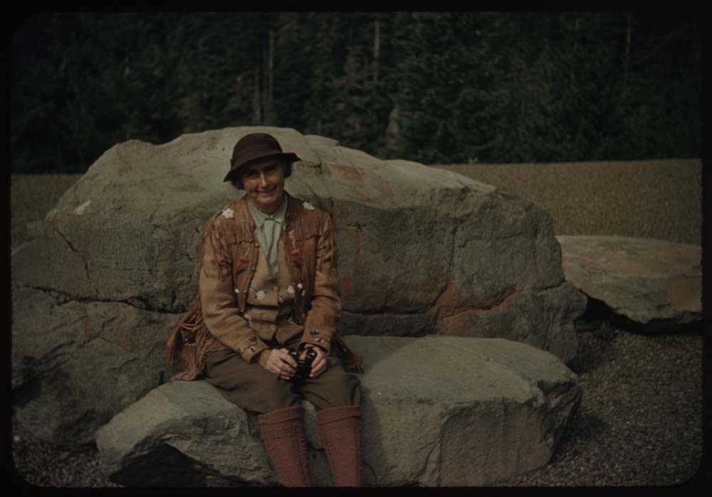
Belmore Browne, d.1954, was a well-known artist who lived and worked at Banff and Seebe, Alberta, Canada and in the United States. Browne and Agnes Evelyn Sibley, 1882-1976, were married in 1913. In 1921, they bought property in Banff for a summer home and with their children, George, 1918-1958, and Evelyn, 1915-1994, travelled extensively throughout the 1920s and 1930s in pursuit of subjects for Belmore Browne's paintings. In 1946, the Brownes built a home near Seebe. Agnes Browne was a diarist for the family and much of her extensive writing centres around the career of Belmore Browne. Her daughter Evelyn consolidated the diaries in the 1980s. George Browne was also an artist.
Scope & Content
Fonds consists mainly of diary excerpts and transcripts, 1912-1913, 1921-1954; also includes a guest book, 1924-1956, posters, ca.1942, publications relating the story of Belmore Browne Peak, 1992-1993, and photographs, ca.1930, ca.1955, 1991-1992.
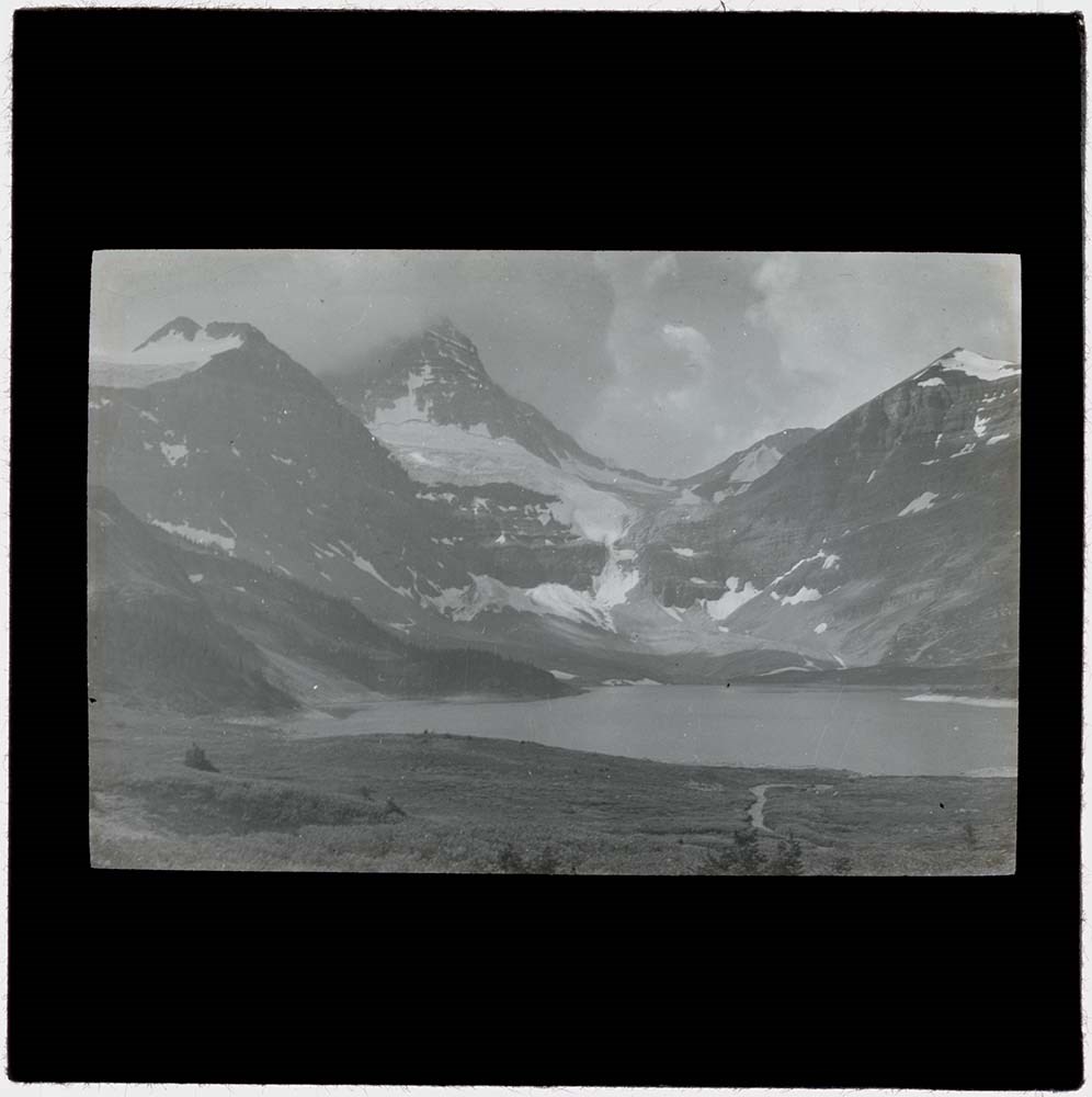
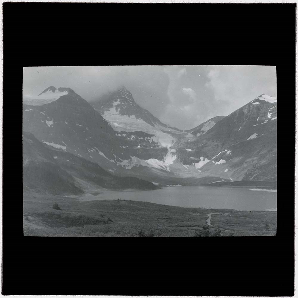
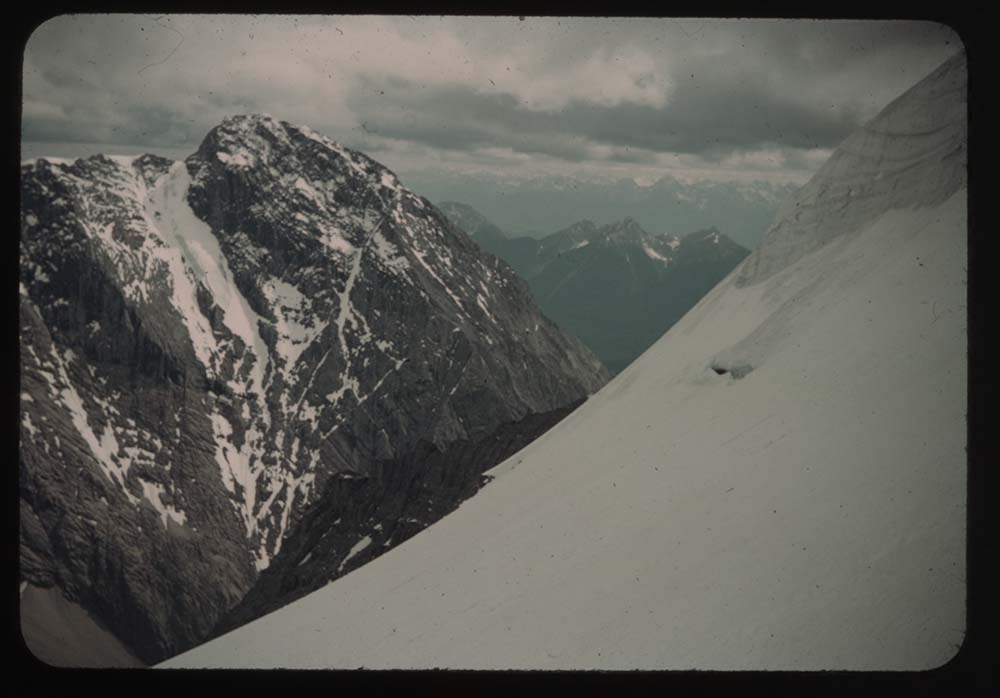
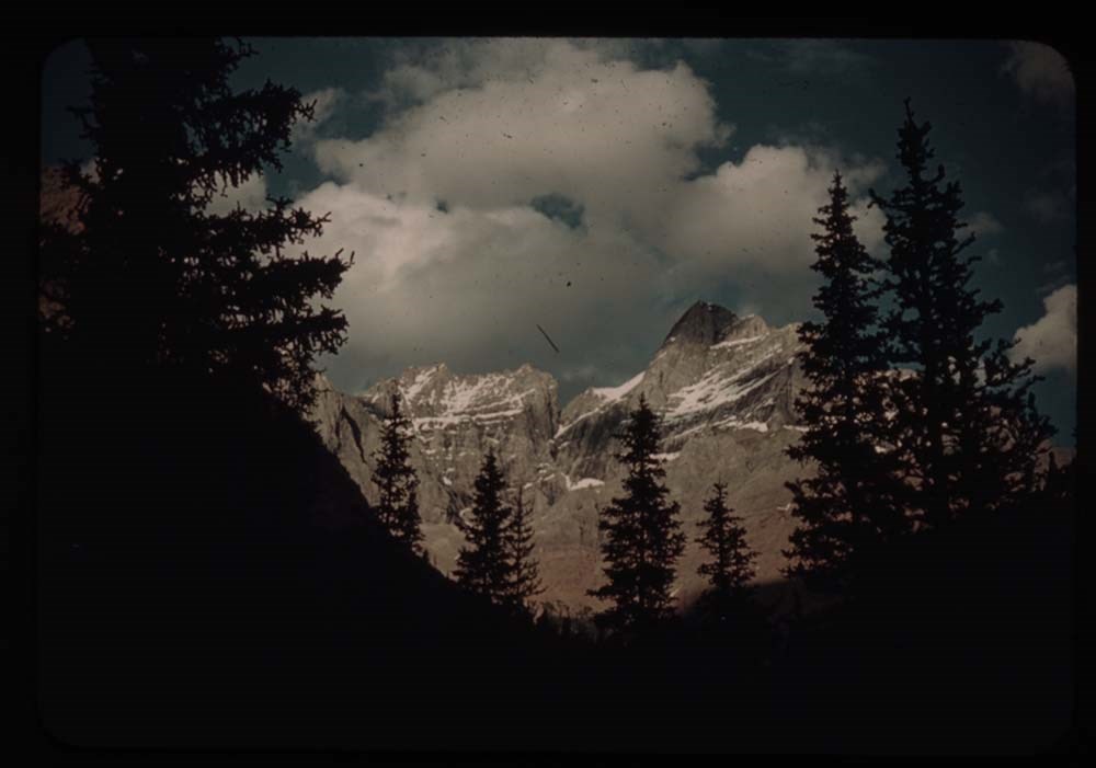
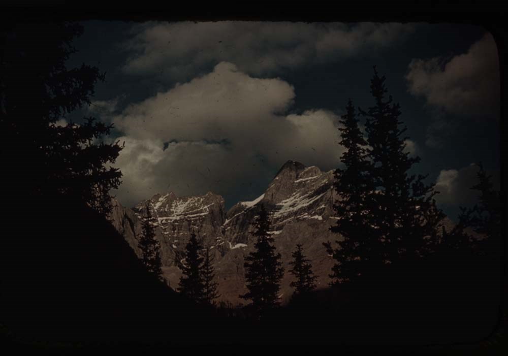
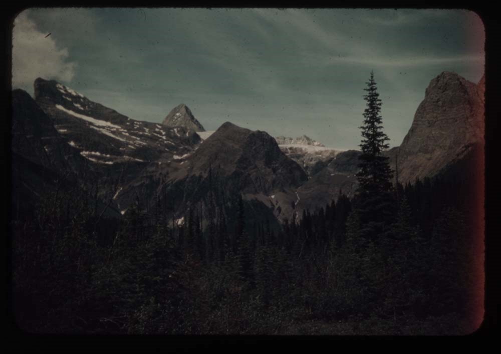
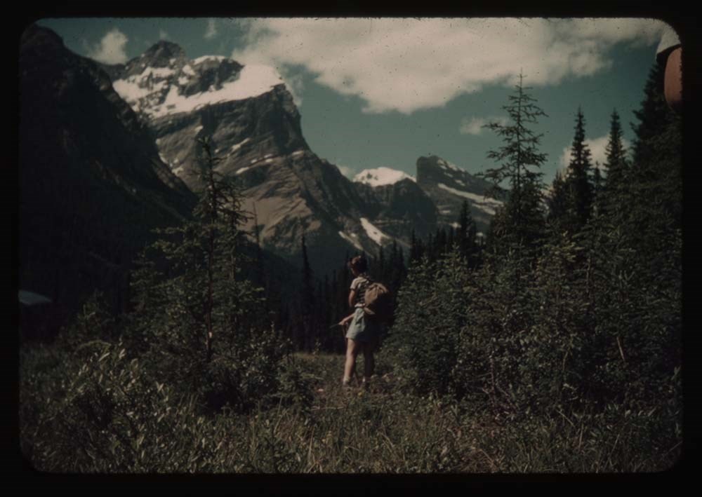
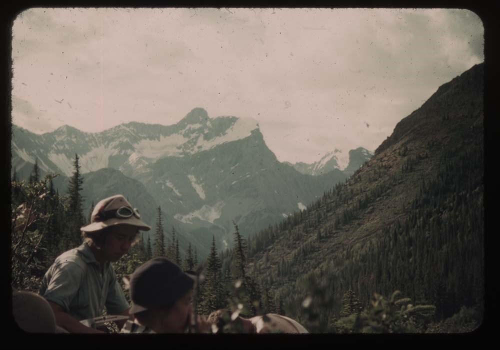
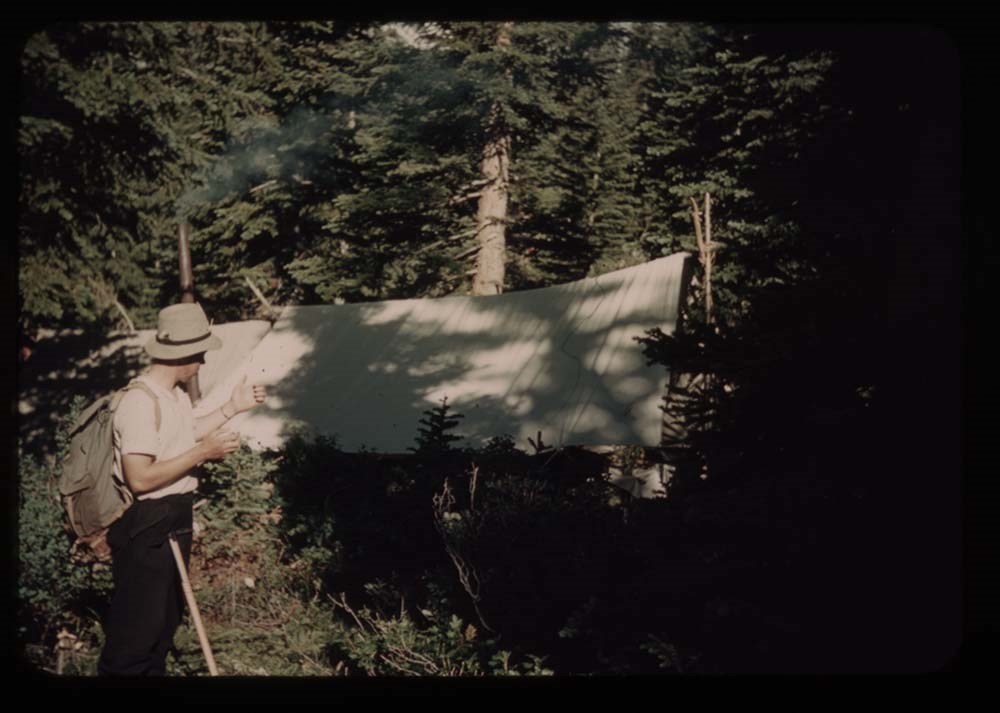
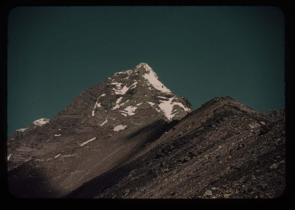
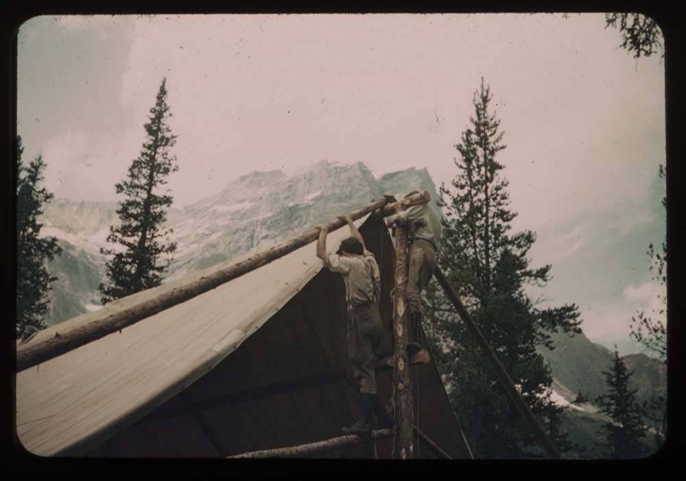
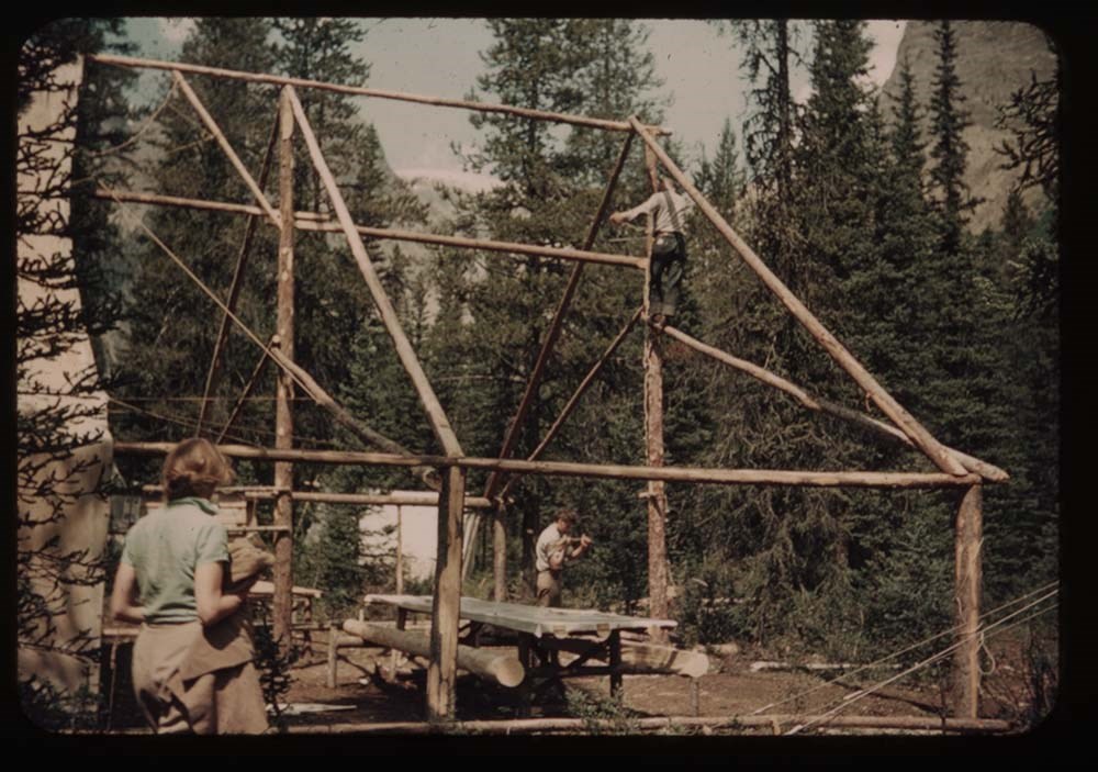
Diaries are mainly trip diaries pertaining to summer travels and family life in the Canadian Rockies, 1921-1933. Included are trips to Red Earth Creek, Skoki, Mystic Lake, Sawback Lake, Red Deer Valley, Hector Lake, Bow Lake, Kananaskis Valley, Cascade and Panther rivers, Elbow Pass, and other locations. Other diaries cover the years 1943 to 1954, years partly spent at Seebe until Belmore Browne's death. Diary copies and typescripts have been annotated by Evelyn Browne.
Posters on alpine and wilderness survival, ca.1942, were done by Belmore Browne for the American military's Arctic Training Program.
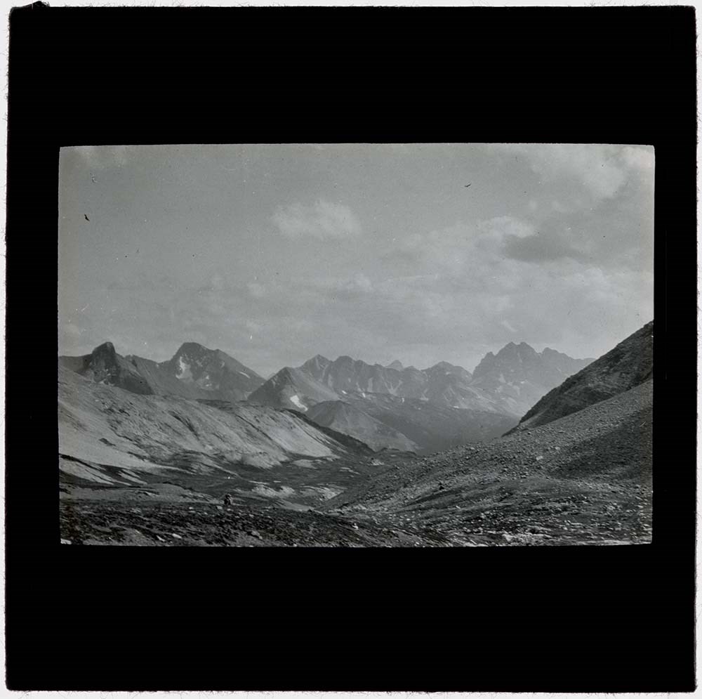
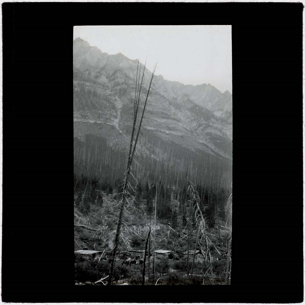
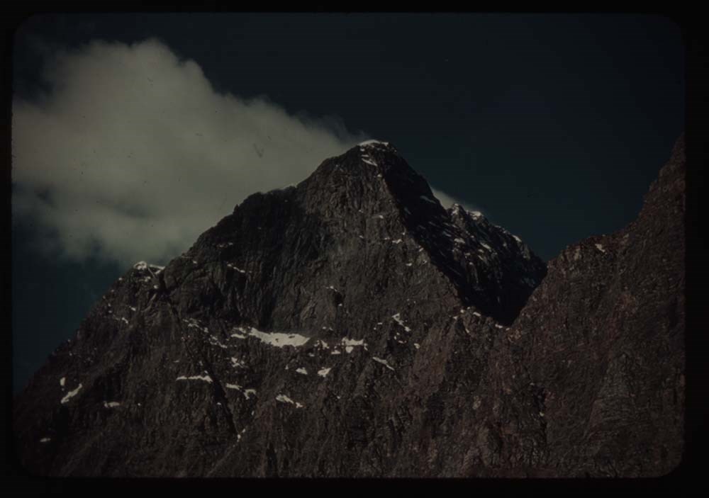
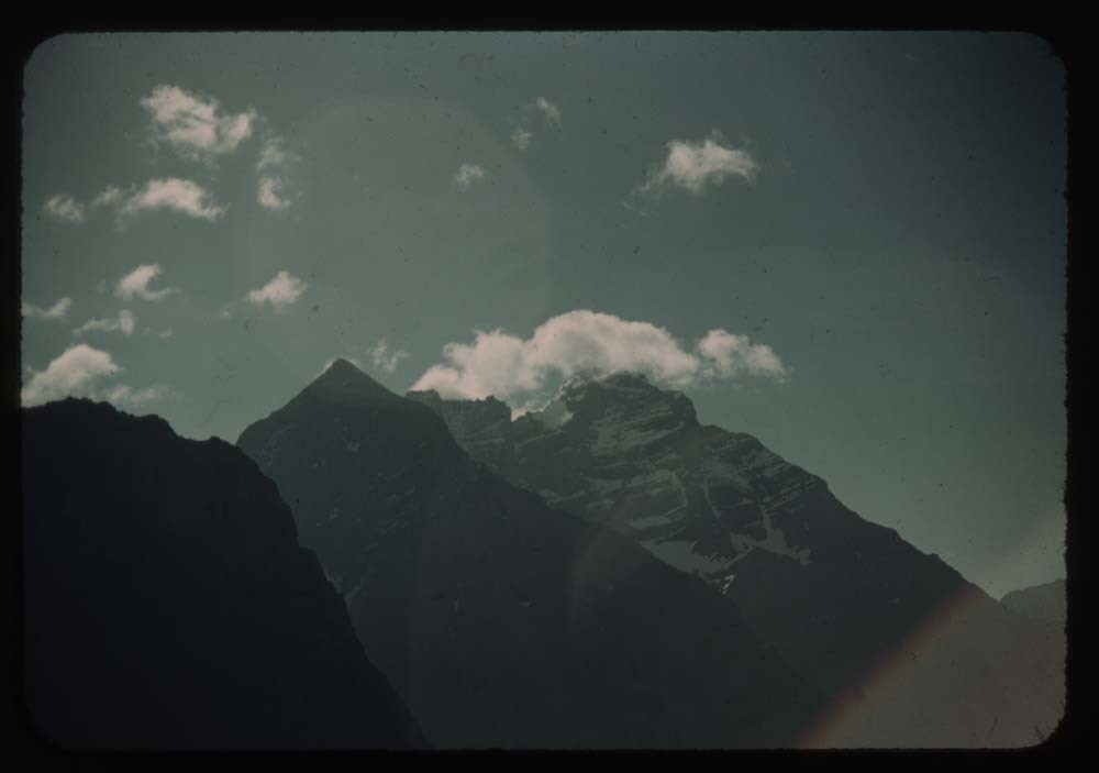
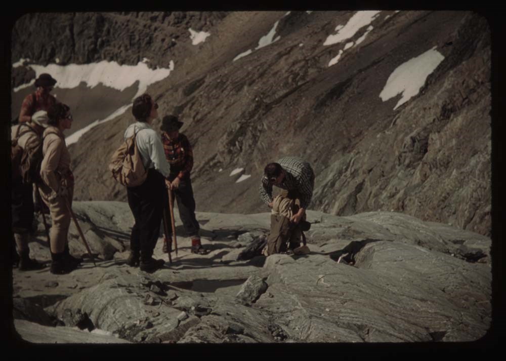
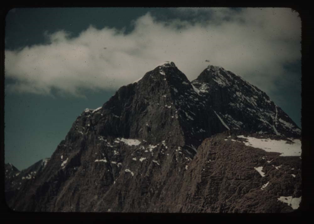
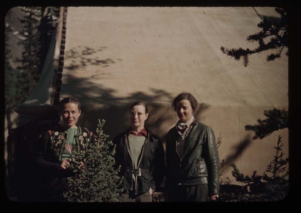
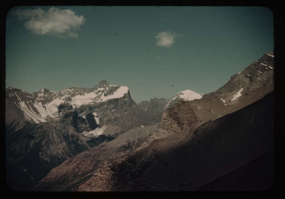
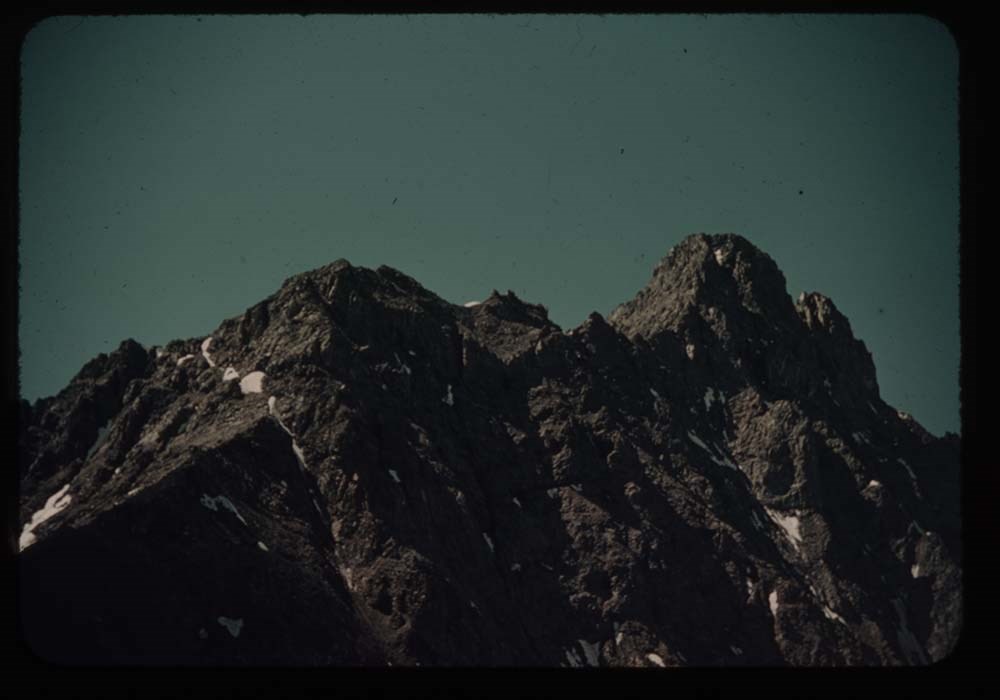
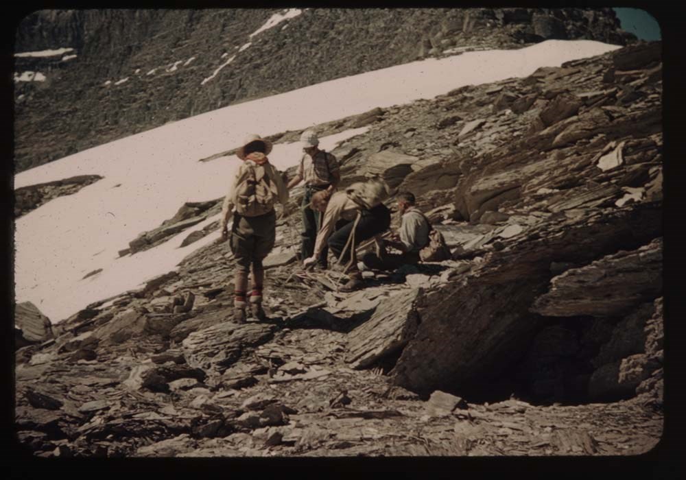
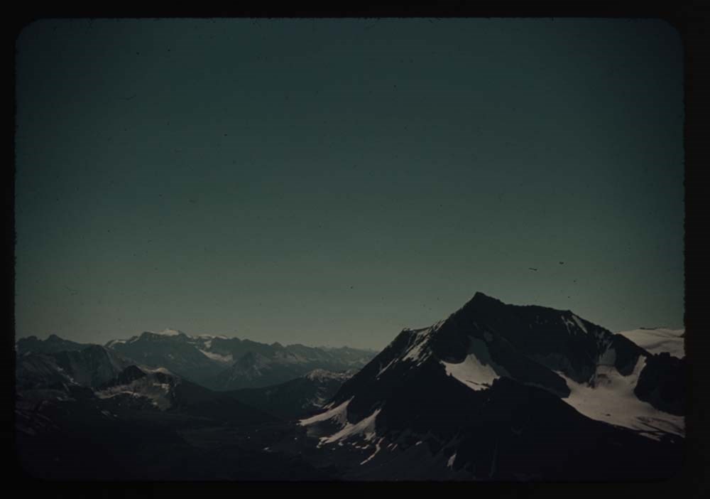
Photographs are mainly photographic copies of paintings by Belmore and George Browne produced by Peter A. Juley & Son, Photographers of Fine Arts, New York, ca.1955, 79 items. Other photographs pertain to Belmore Browne and the Browne family, their Banff home and painting activities, ca.1930; the site of Belmore Browne plaque on Browne Peak, rediscovered and photographed by Tony and Gillean Daffern in September 1991, and dedication of the Belmore Browne plaque, 1992.
Official correspondence pertaining to the naming of Belmore Browne Peak, 1989-1993, is available in document file.
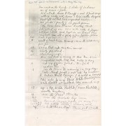
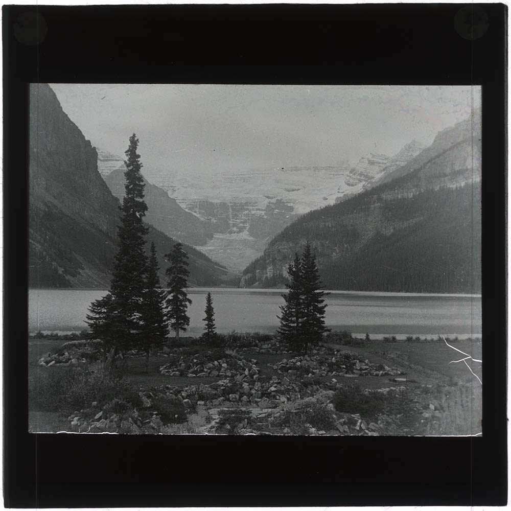
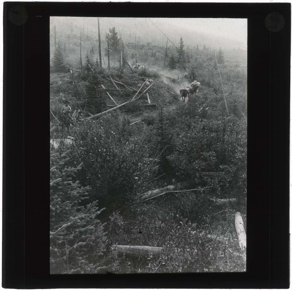
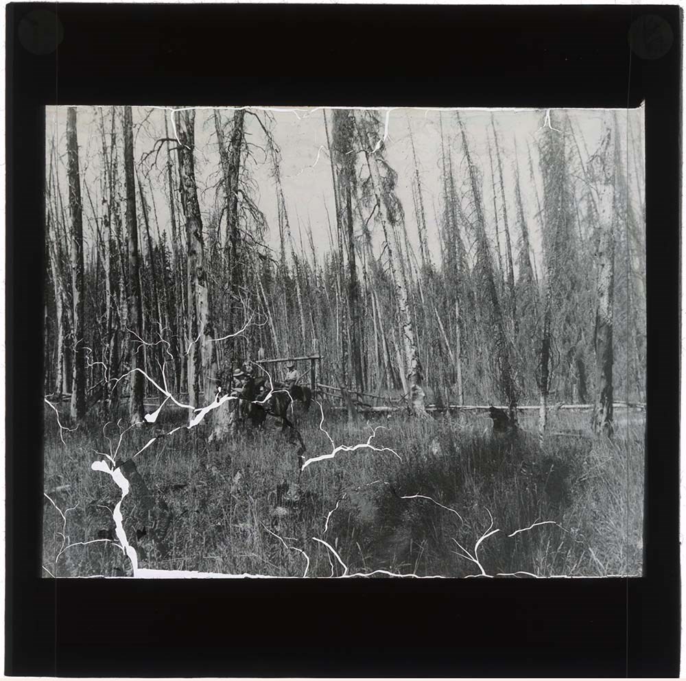
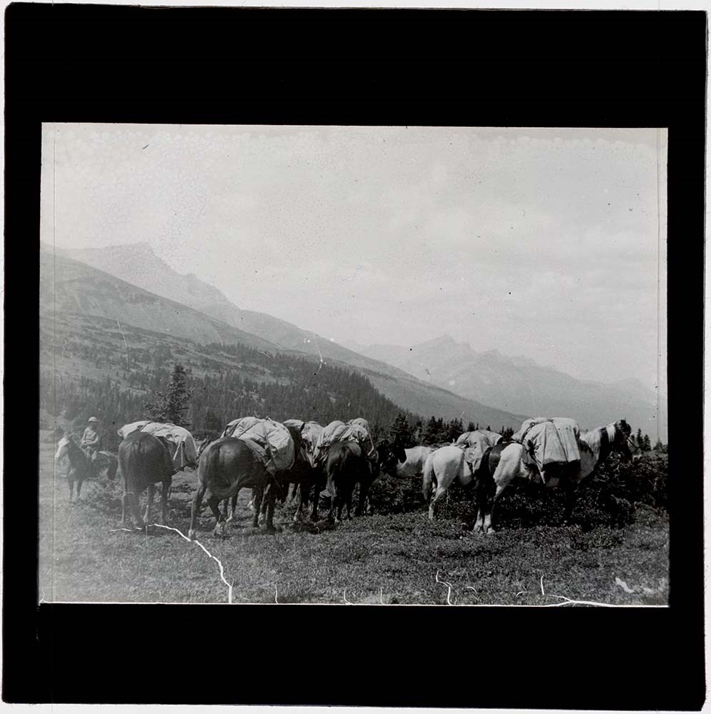
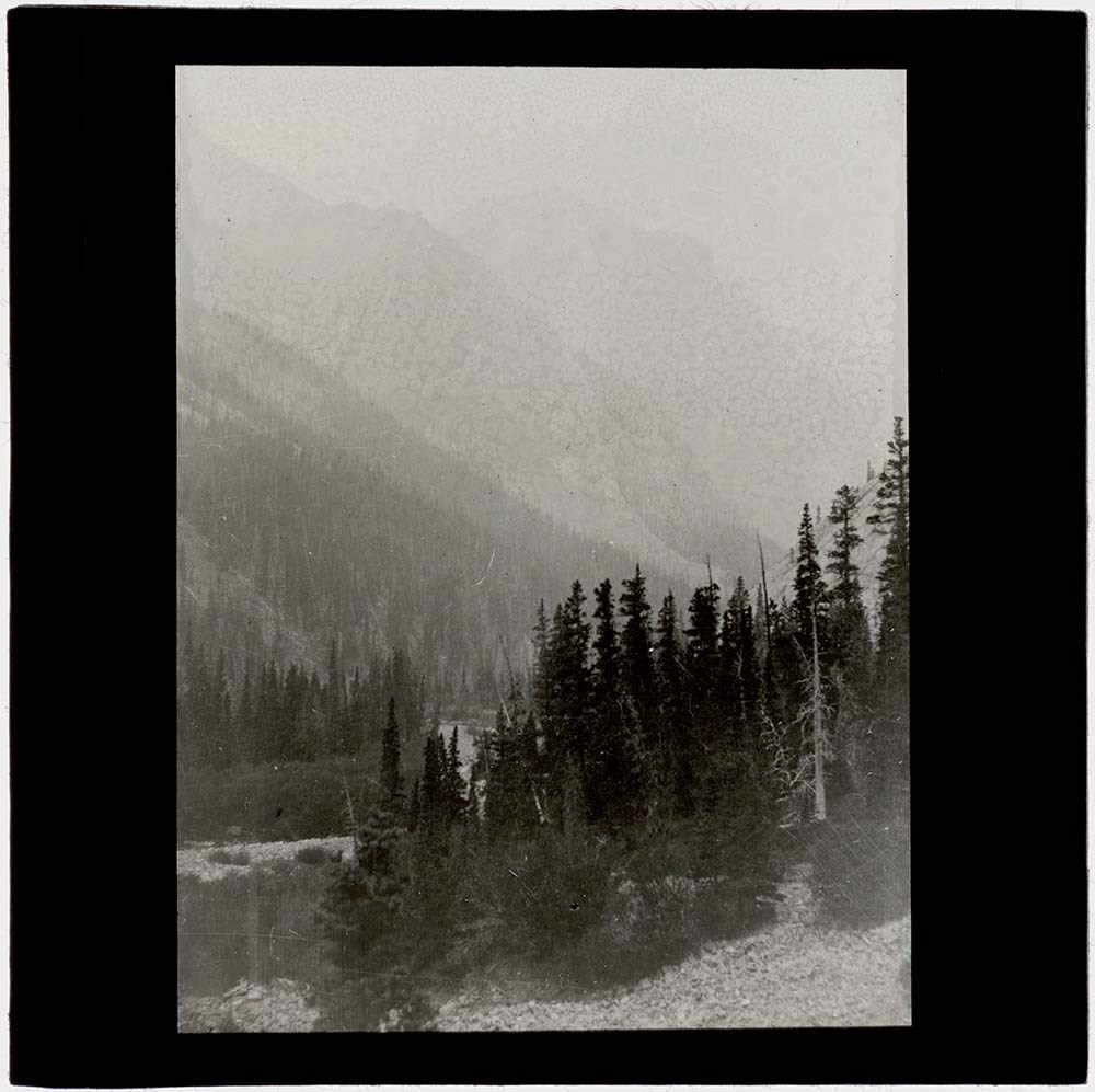
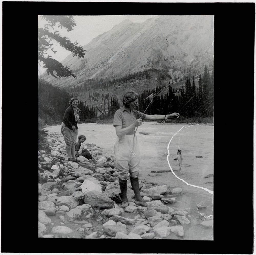
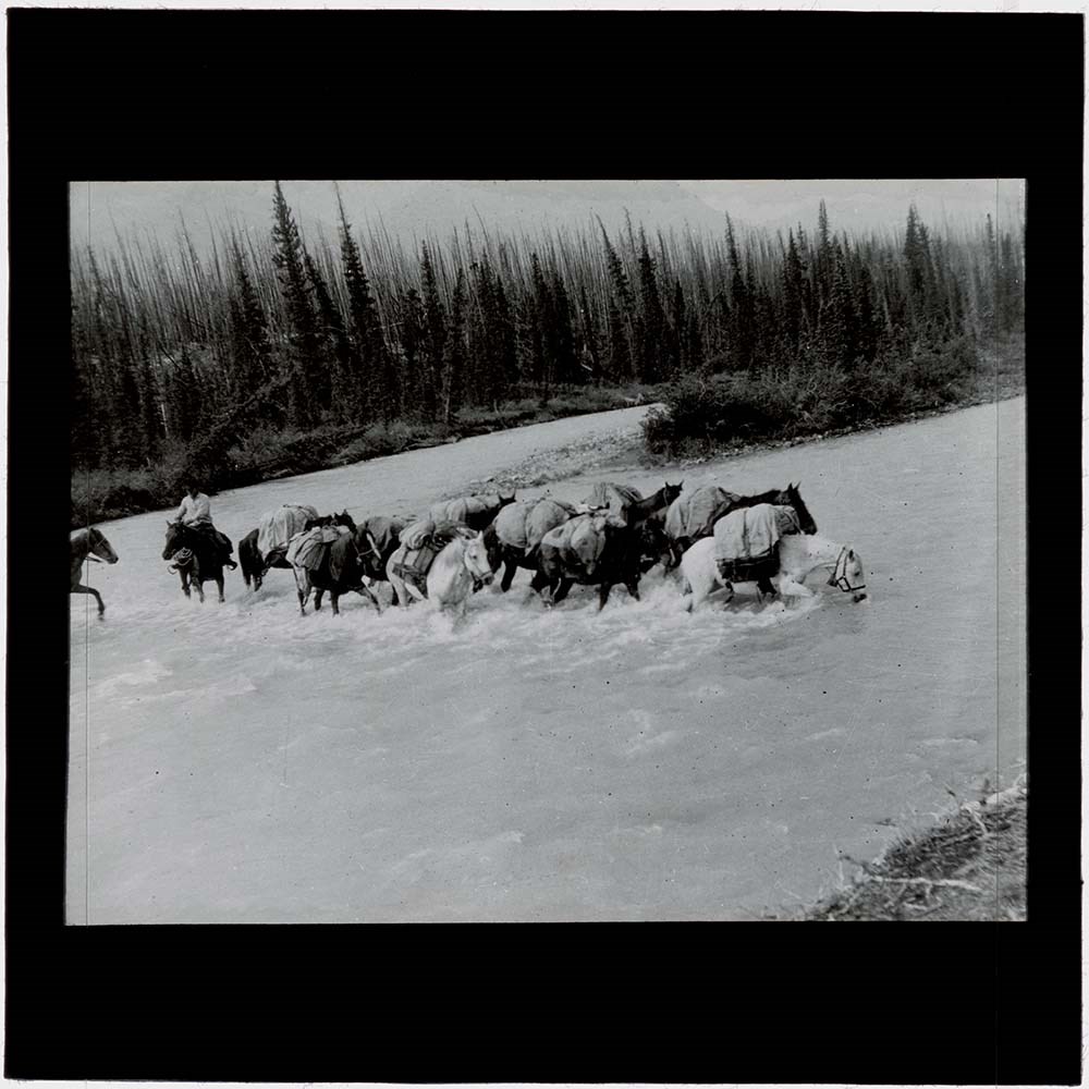
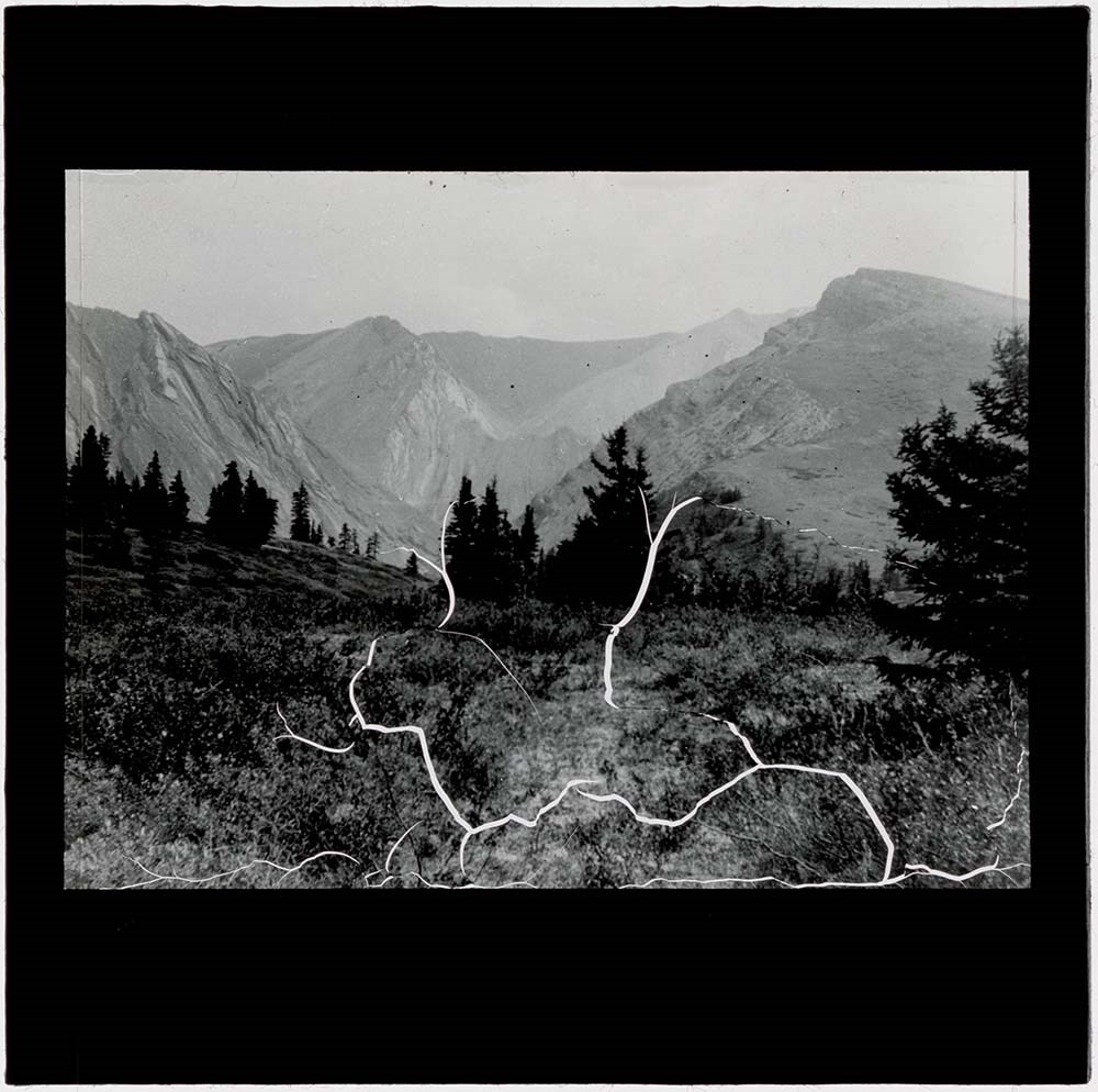
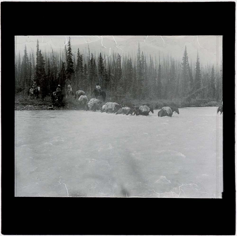
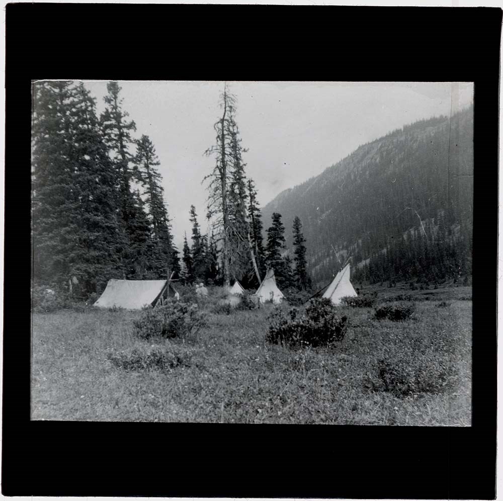
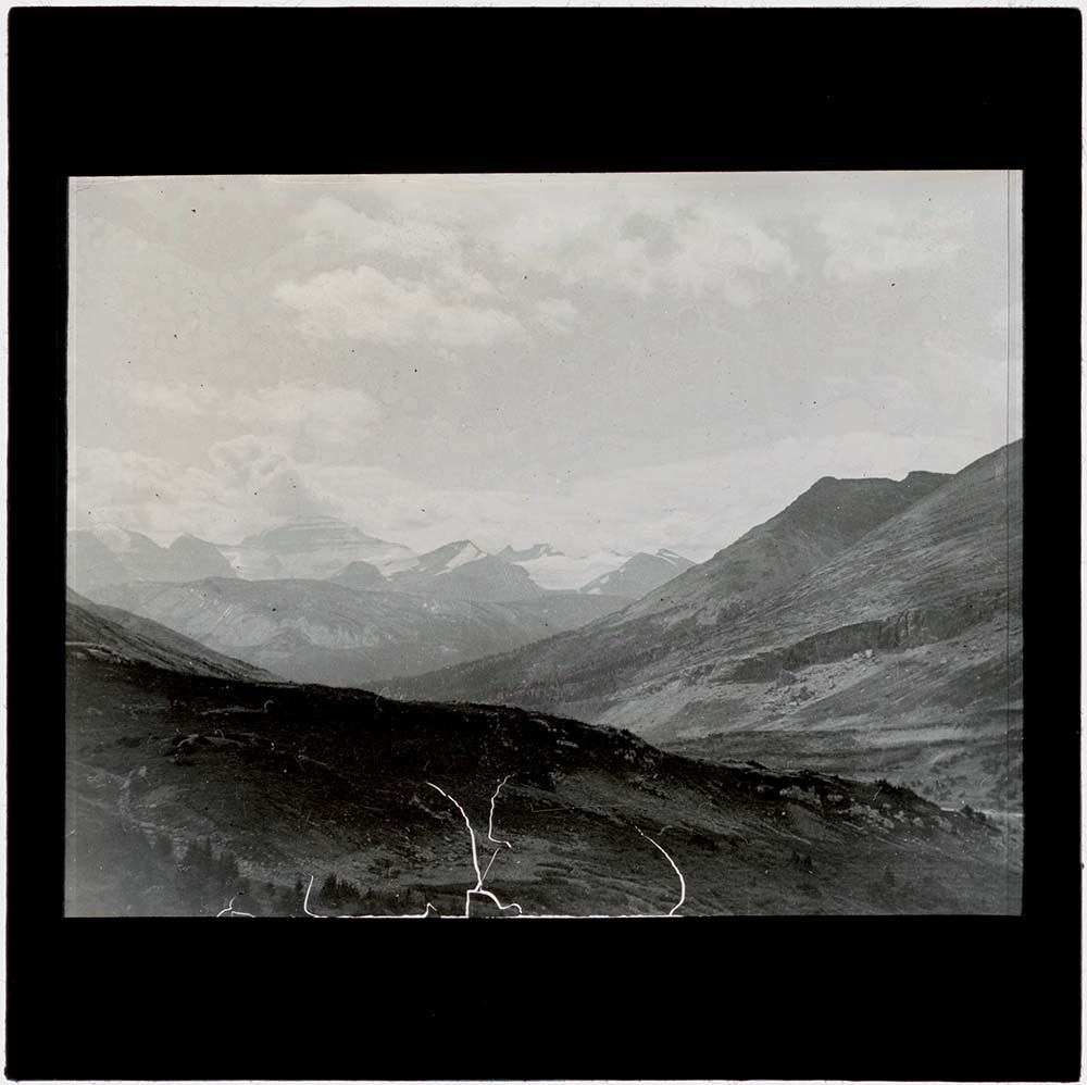
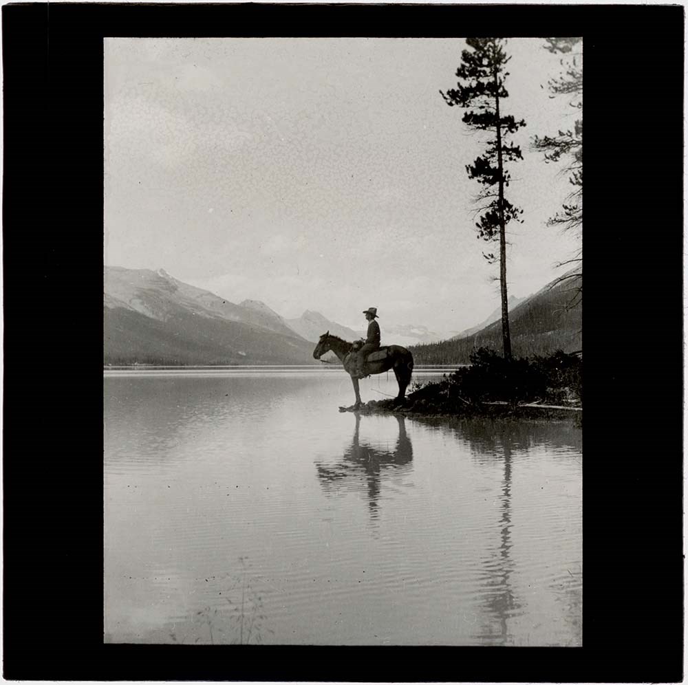
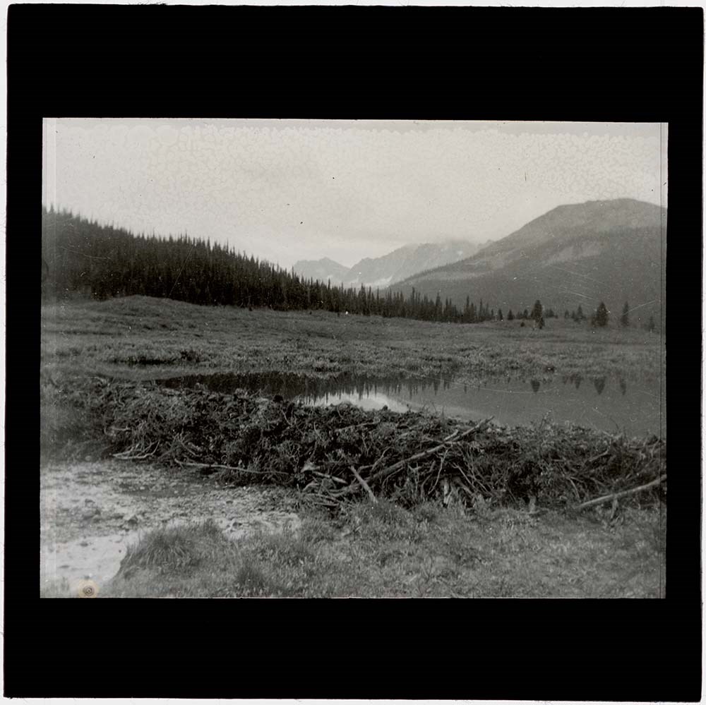
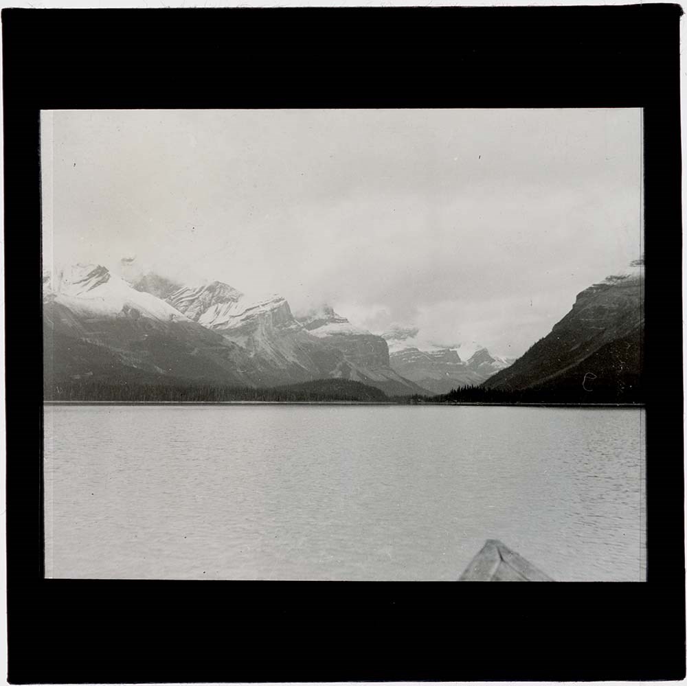
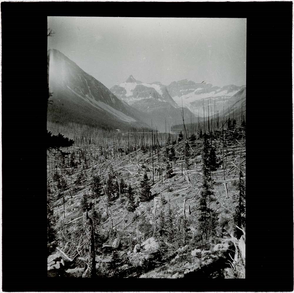
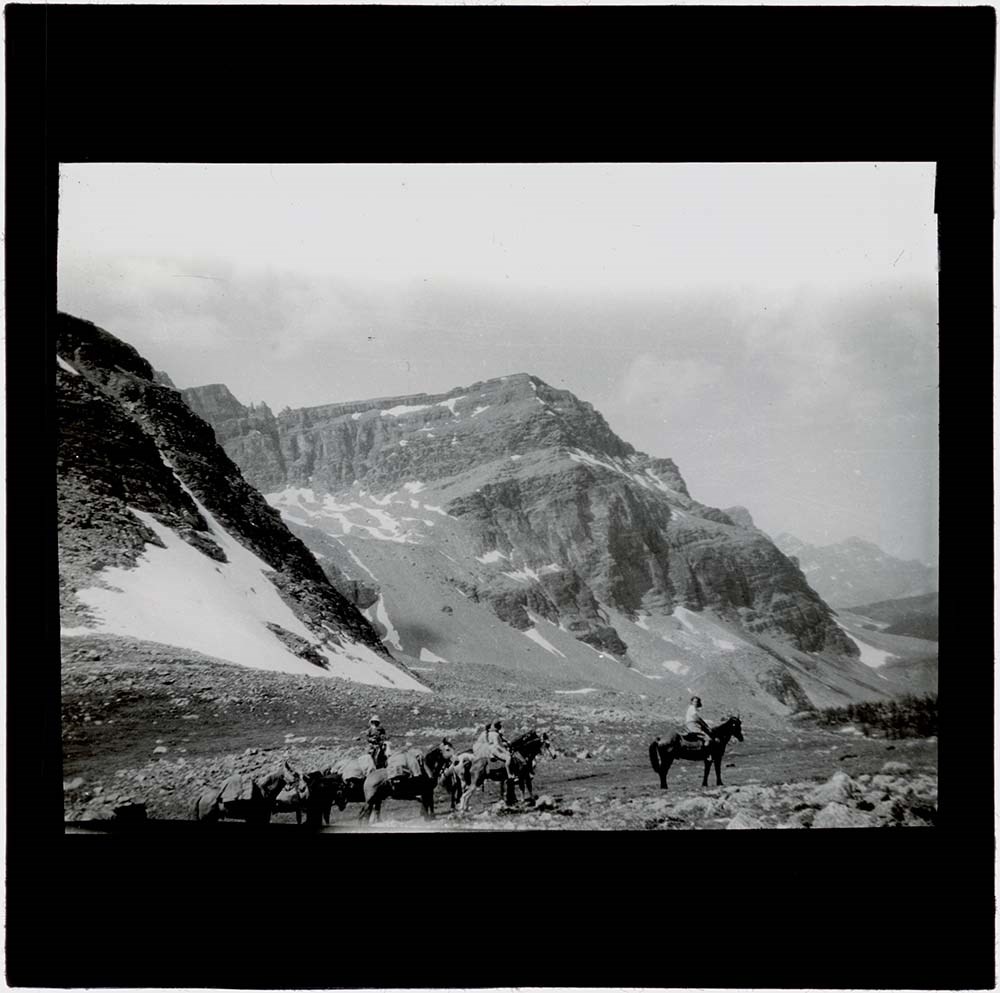
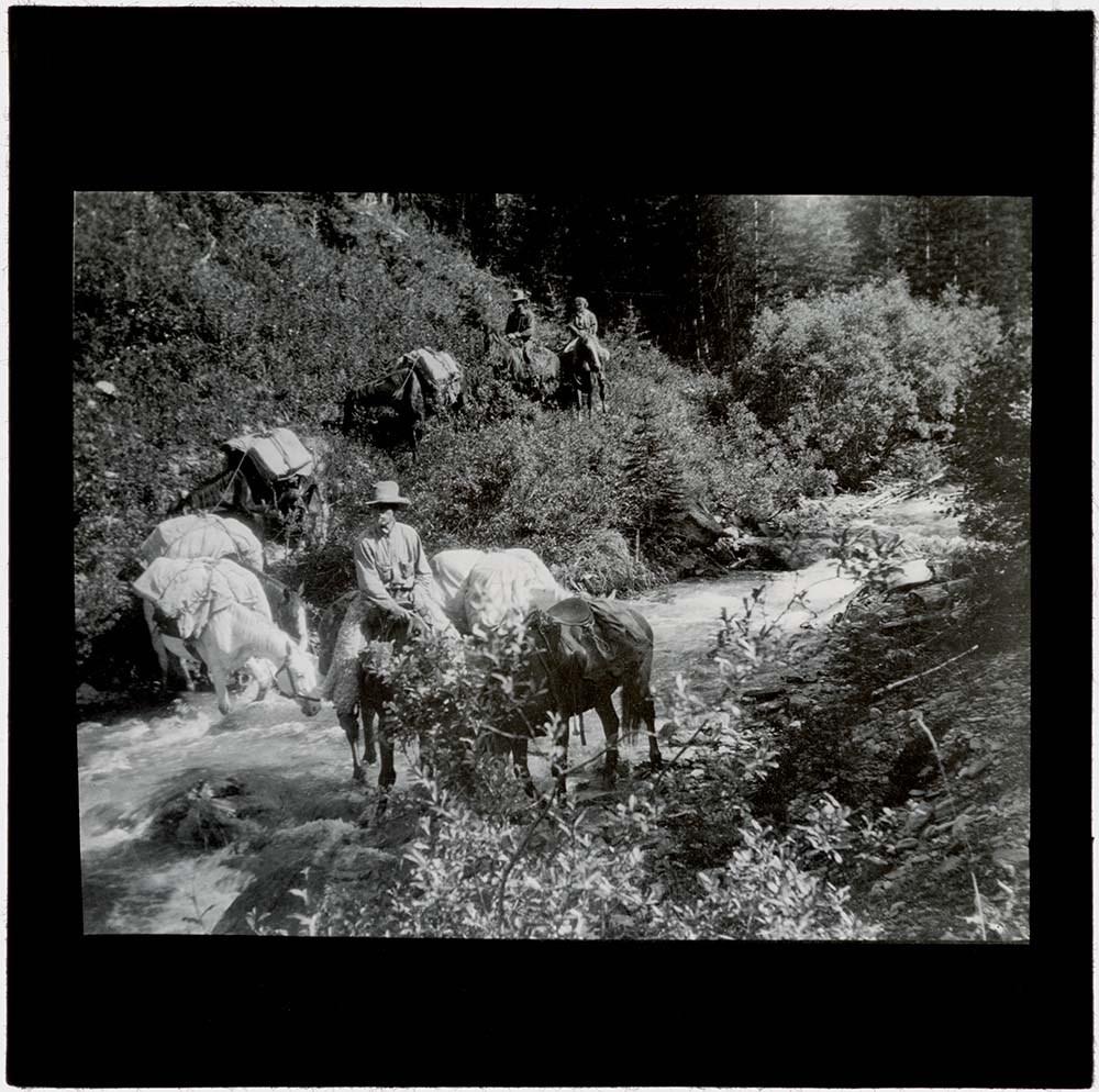
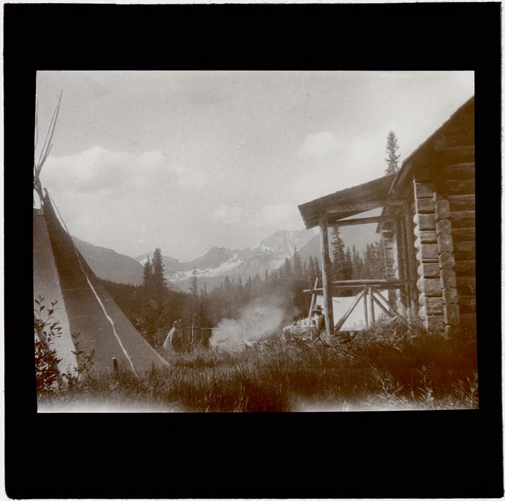
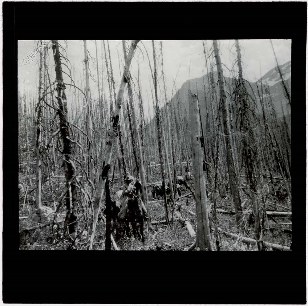
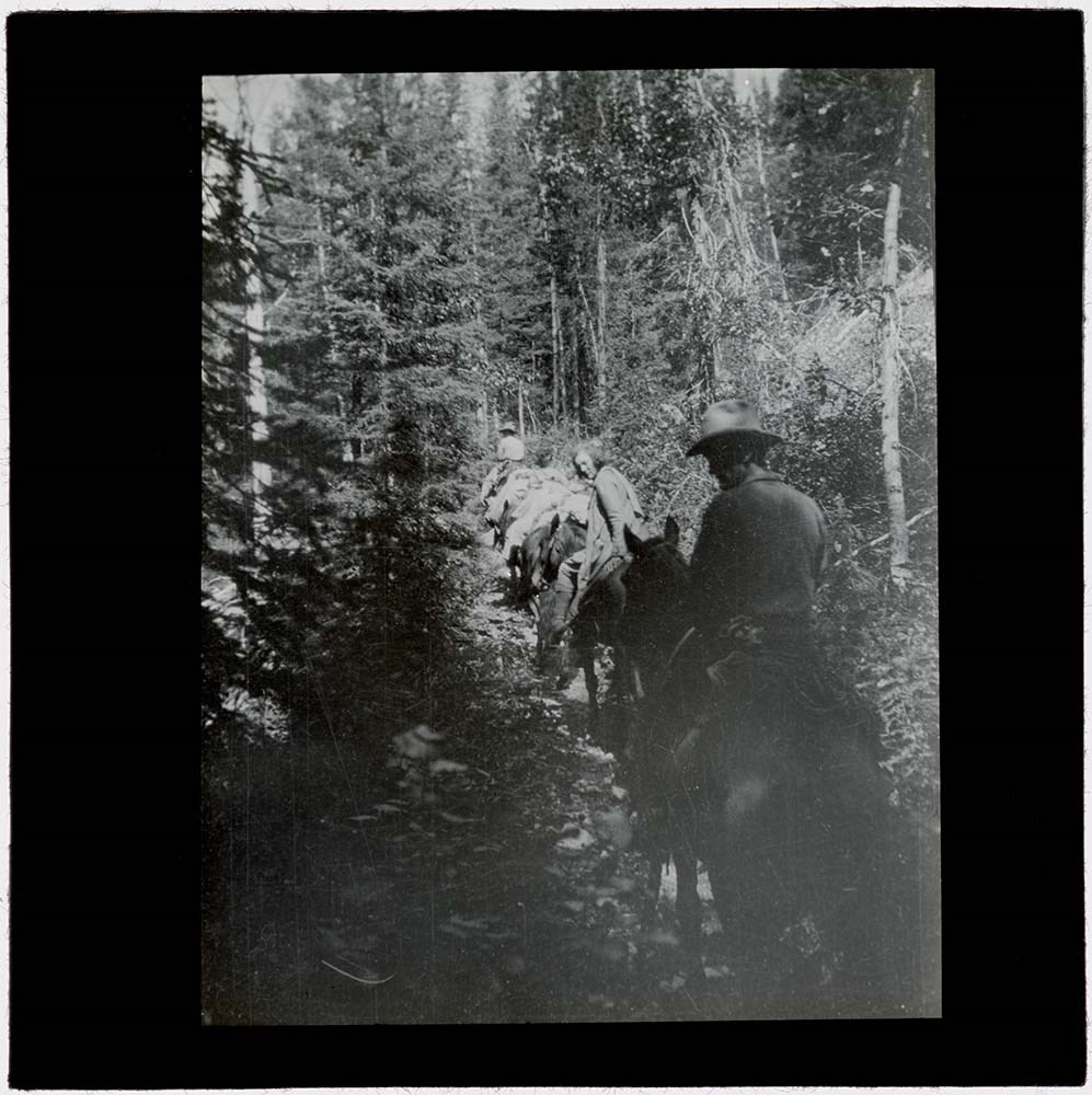
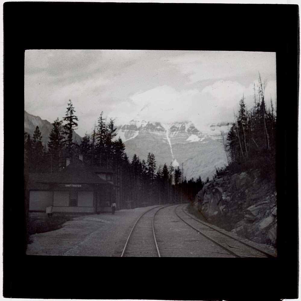
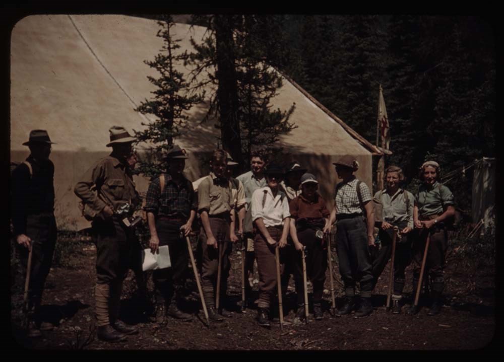
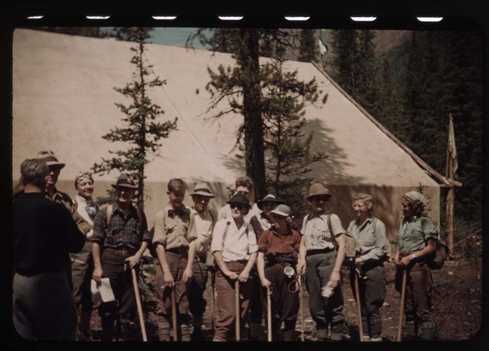
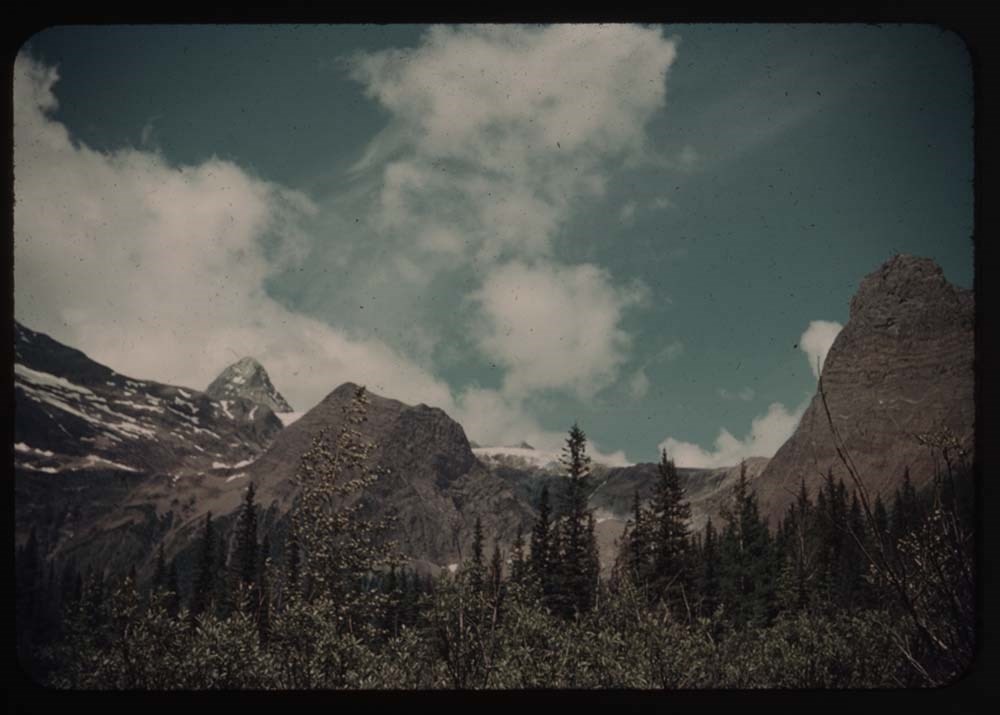
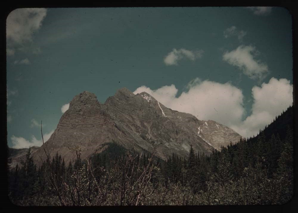
Fonds consists of 83 lantern slides and accompanying lecture notes. Topics include pack trains, camps, activities and scenic views, Banff and Jasper National Parks and areas. Documents include a handwritten script made by Maud Grice-Hutchinson to accompany the slides and a photocopied copy of the B…
Maud Grice-Hutchinson, of Cheltenham, England, and her husband, Reverend Canon Rowan E. Grice-Hutchinson, lived in Sorrento, BC, from 1913-1916 and again from 1919-1923. During World War I the couple returned to England where Maud served as Commandant for the veteran's hospital on her father's estate, Boddington Manor (Gloucester, UK), and Rowan as a Military Chaplain. Maud and Rowan moved back to Boddington permanently in 1962 when she inherited the estate. A mountain at the north-west end of Shuswap Lake (between the Anstey and Seymour Arms) was named Mount Grice-Hutchinson in 1978 after the Reverend.
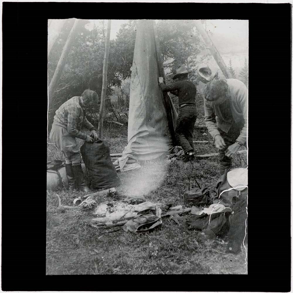
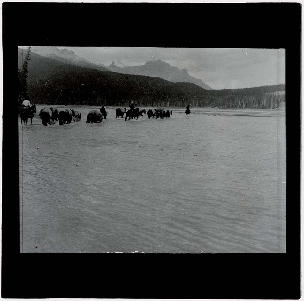
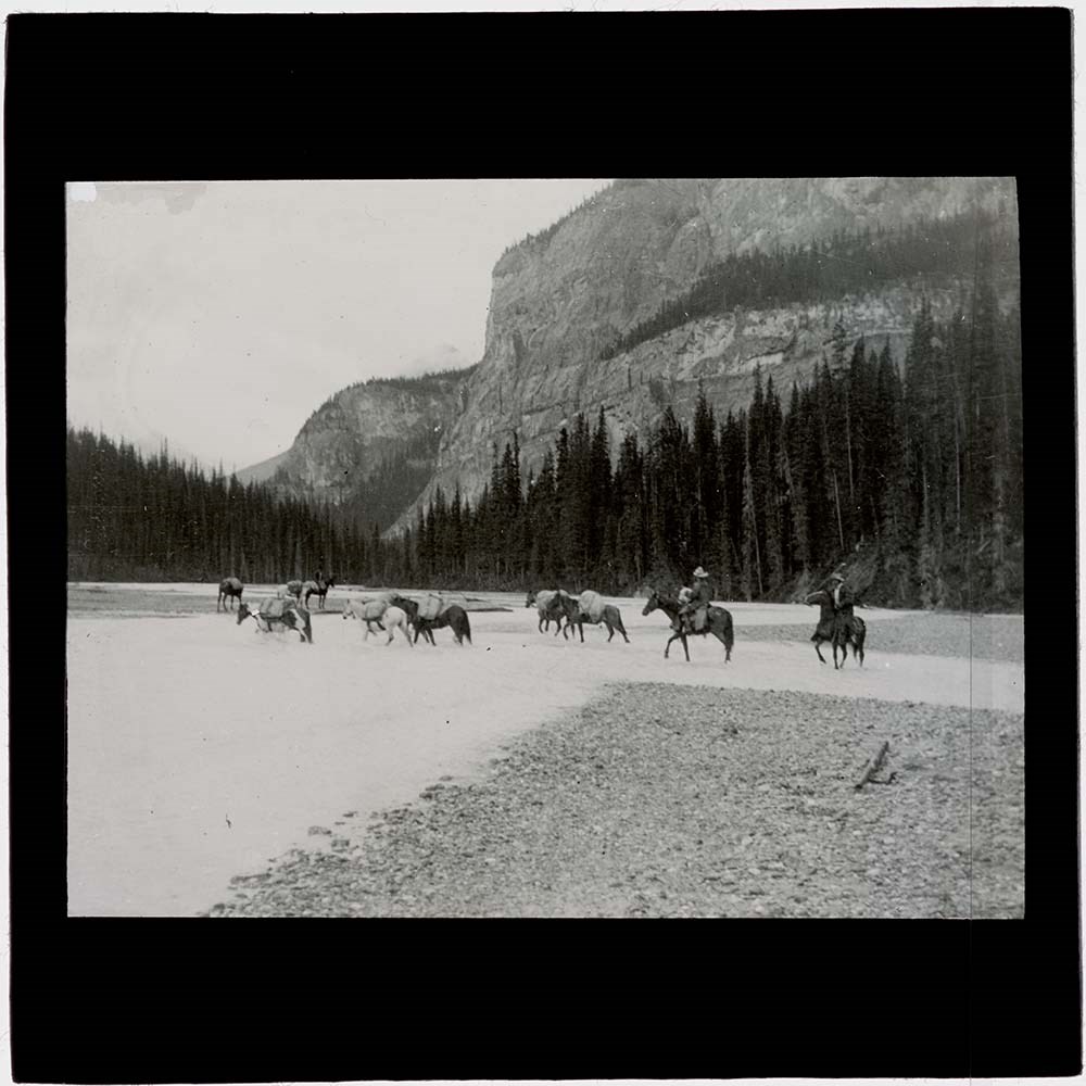
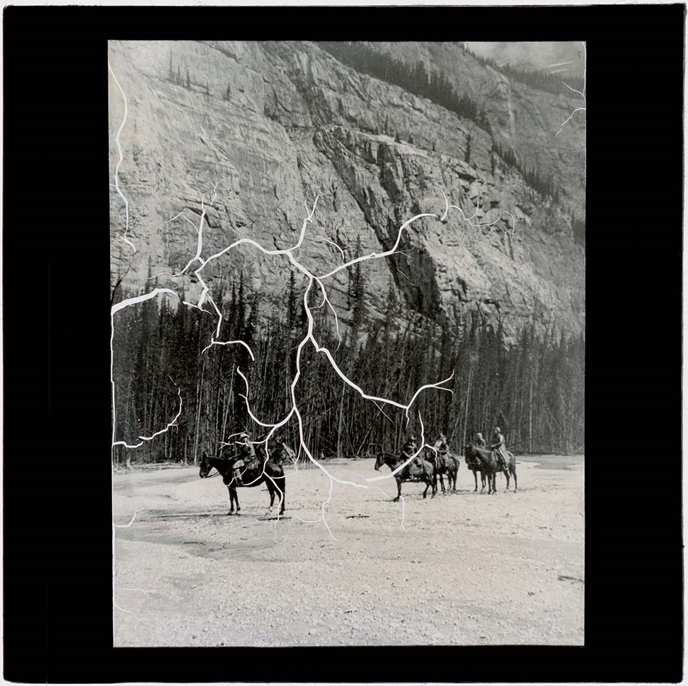
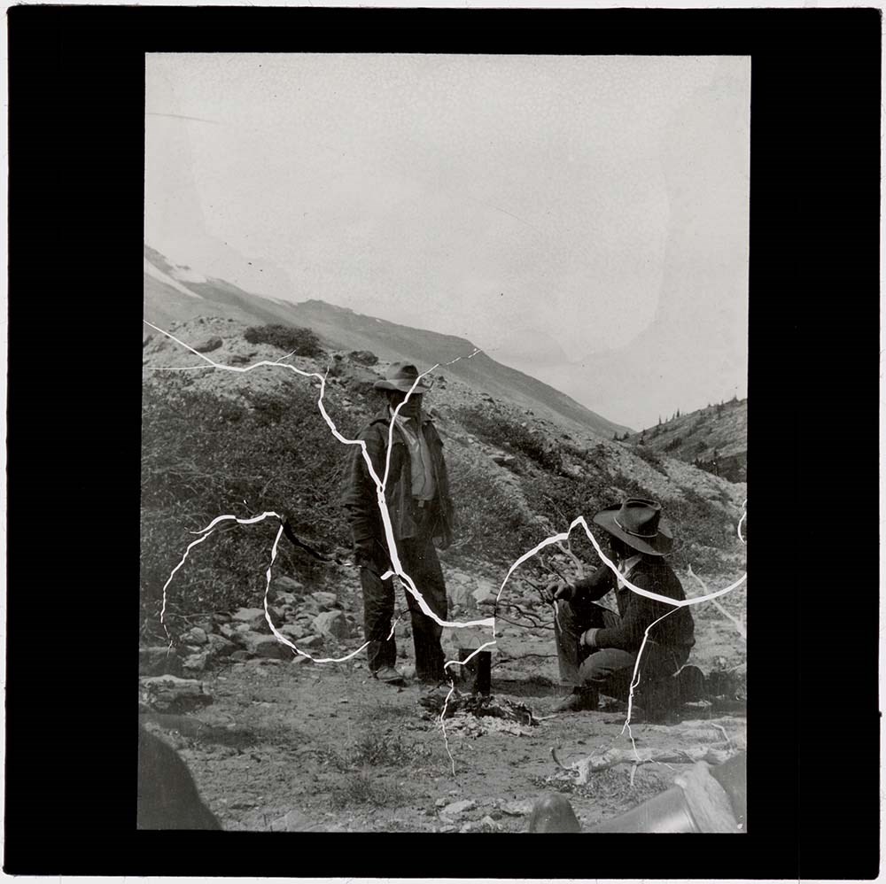
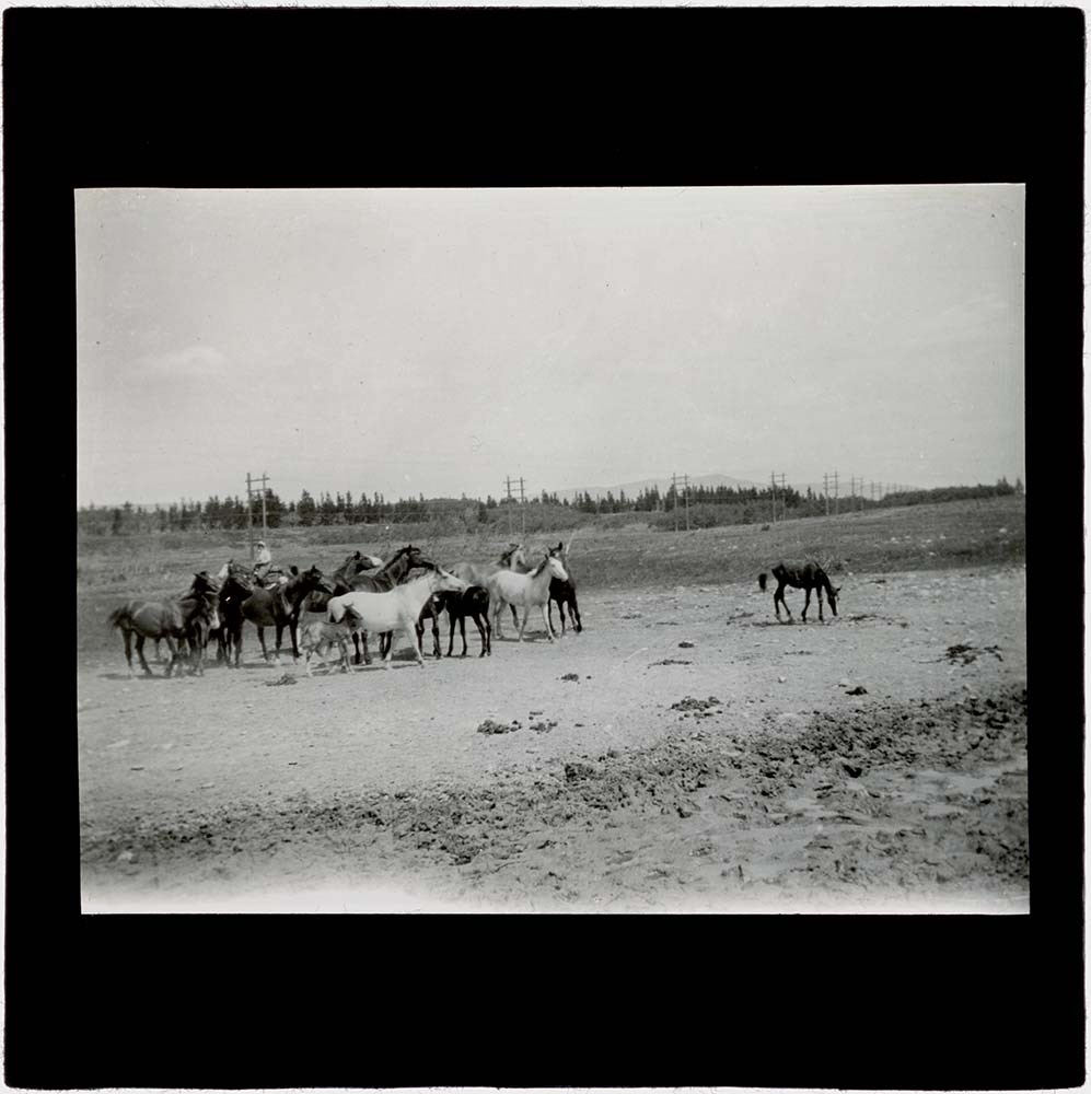
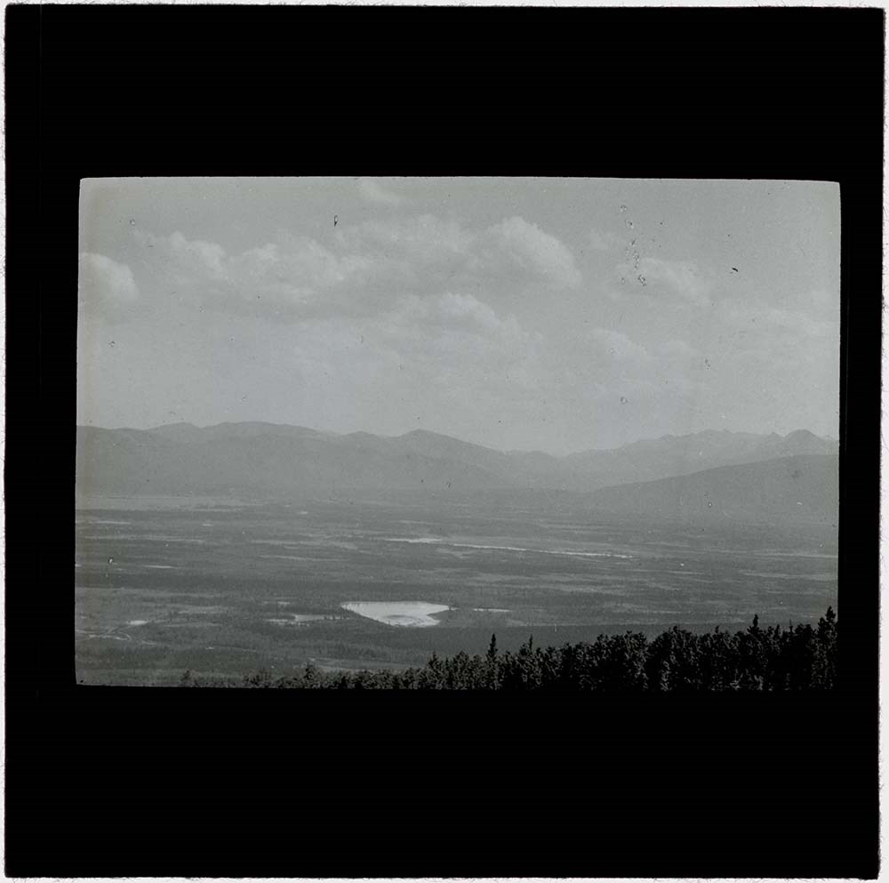
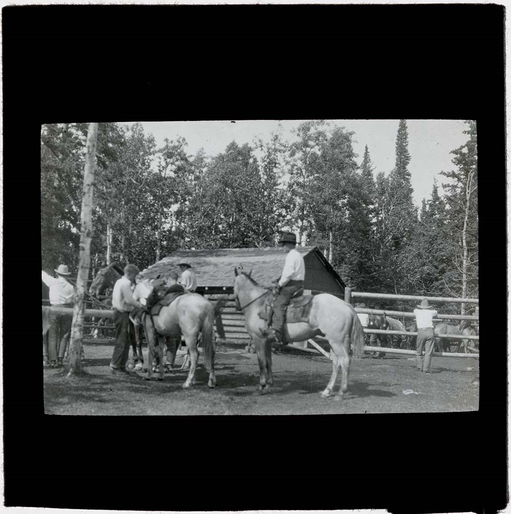
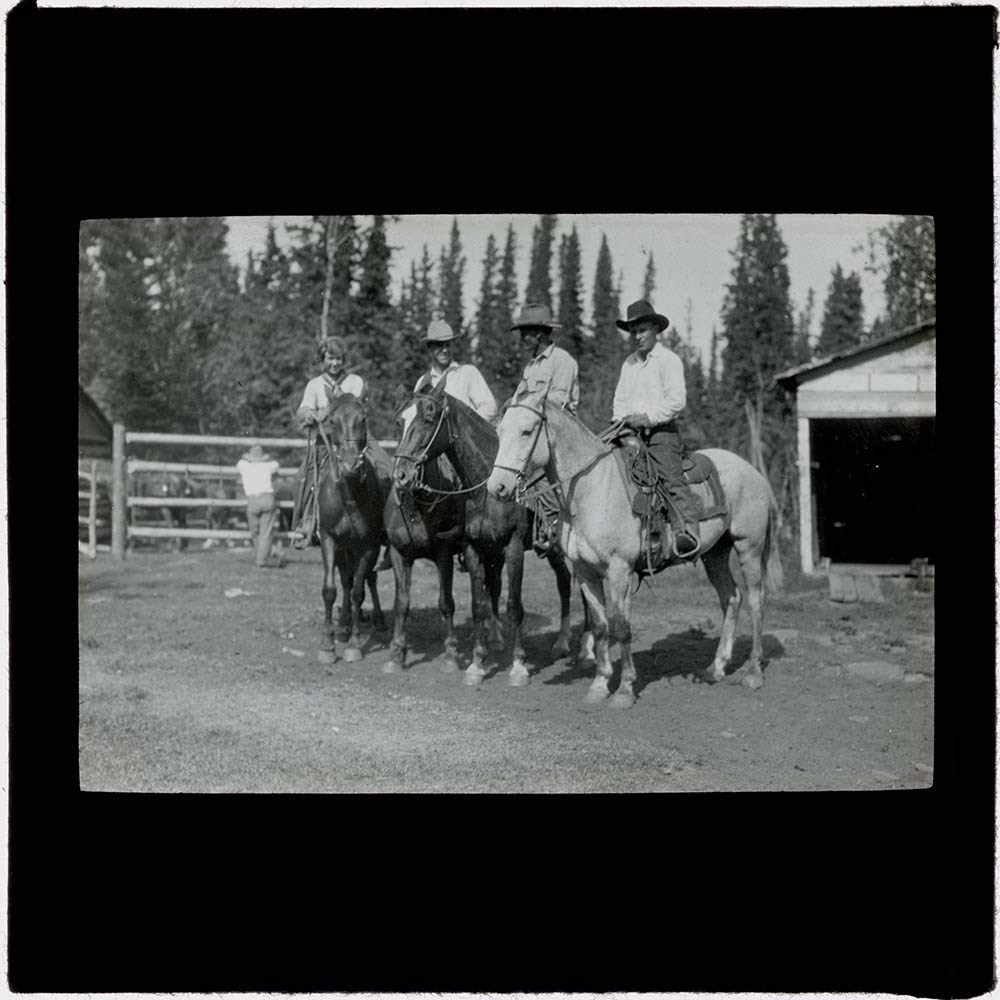
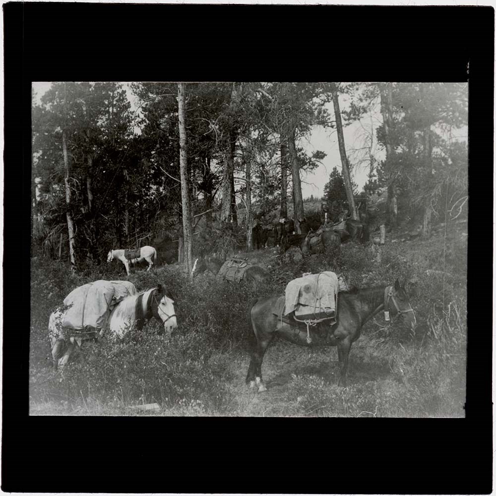
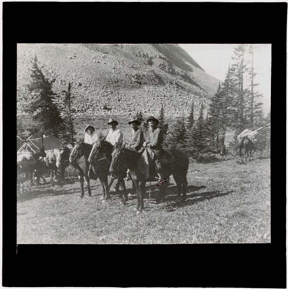
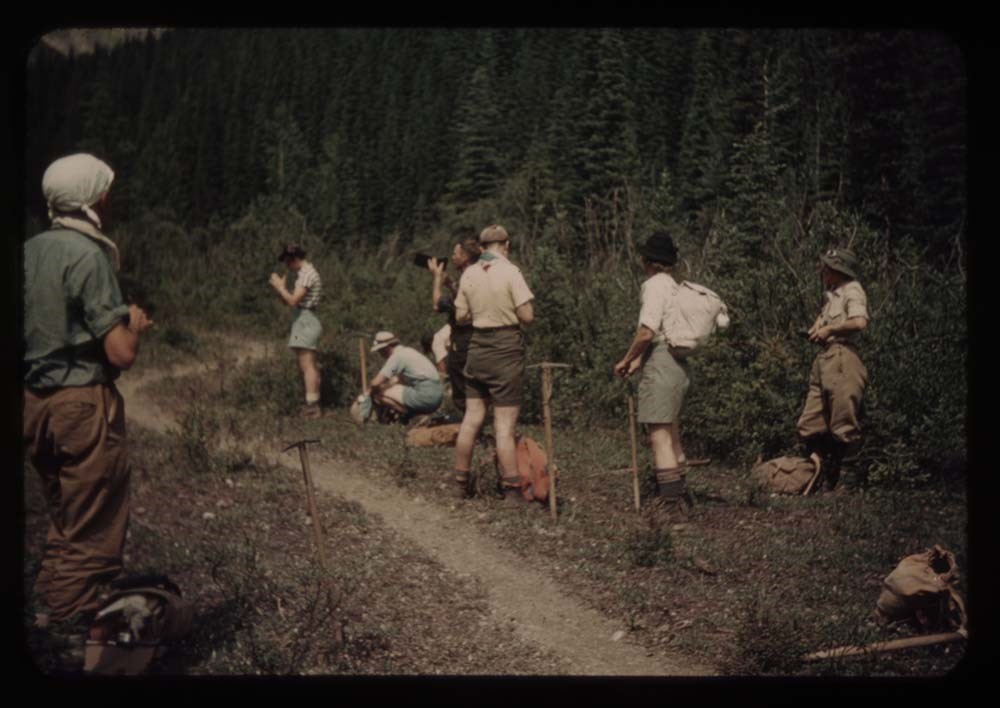
On July 9, 1936, Maud, her sister Violet Seeley, and Mary Diana Buckle arrived in Canada after having taken a ship over from Liverpool. They stayed at the Kananaskis Ranch from 4-7 August before starting on their trip. They had four guides and twelve pack horses to make the 300 mile (483 kilometer) trip to Jasper.
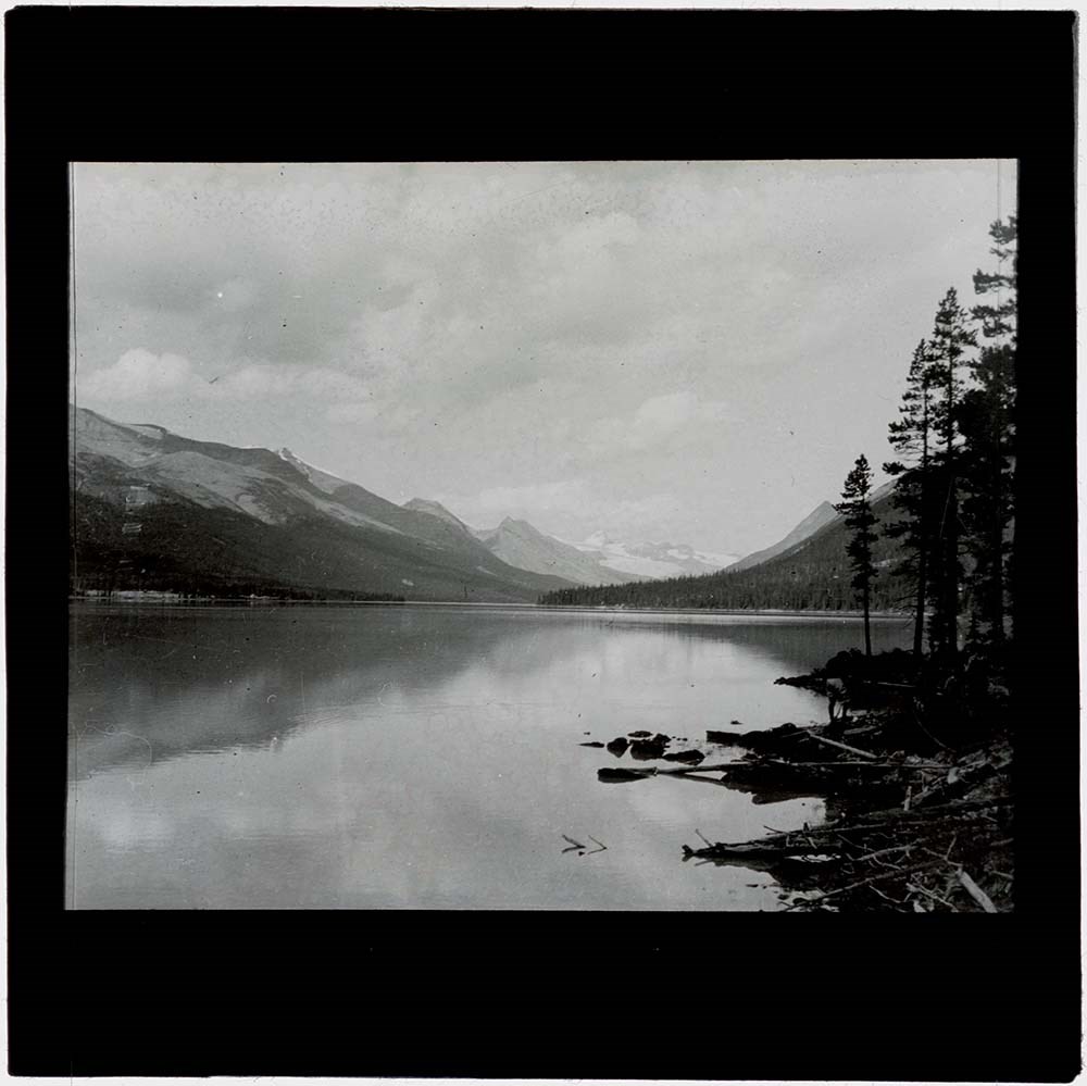
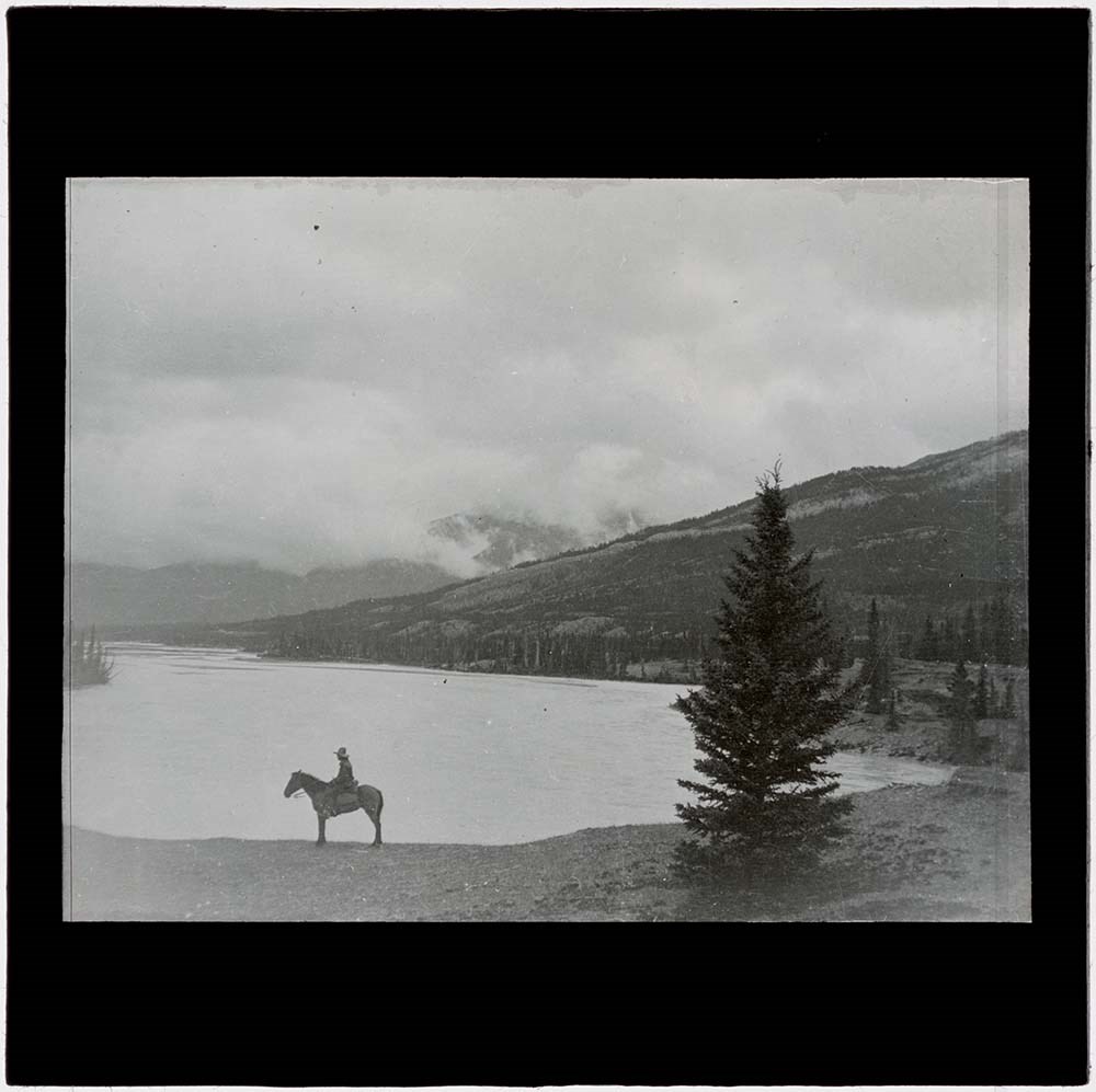
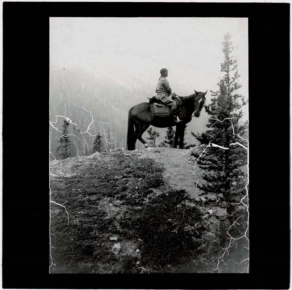
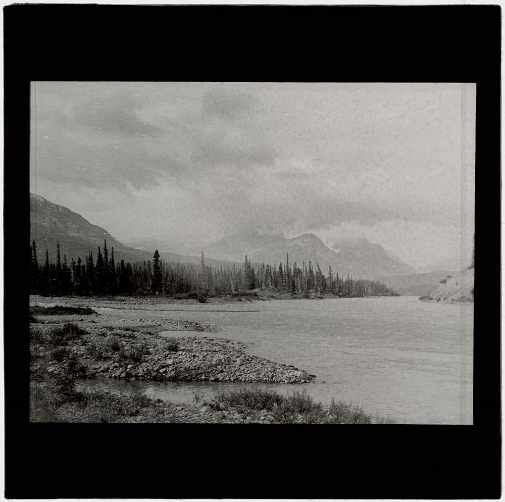
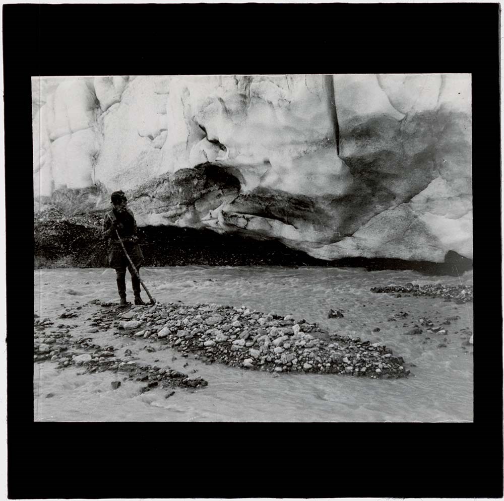
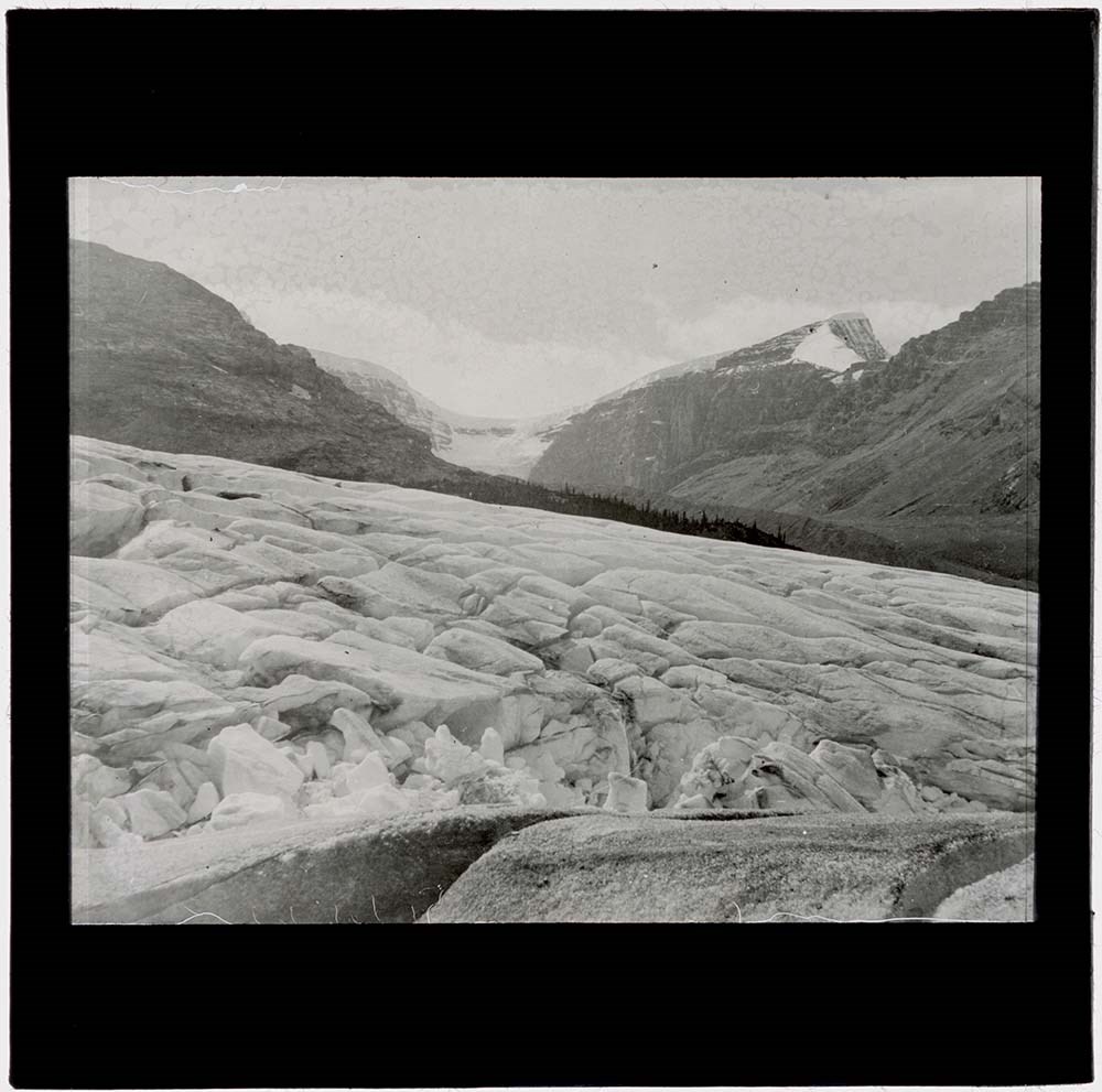
Notes about the trip written by Maud later mention locations like the Red Deer River and White Rabbit Pass before arriving at the Saskatechewan River. After that, she names the Snow Dome Glacier, the Columbia Icefield, and Nigel Pass before arriving in Jasper. The four guides in her notes are named Edie Rowe, Edie Fraser, Smoky, and Chet [possibly Chet Ogan, a guide who worked for the Brewster family out of the Kananaskis Ranch in the 1930's].
Scope & Content
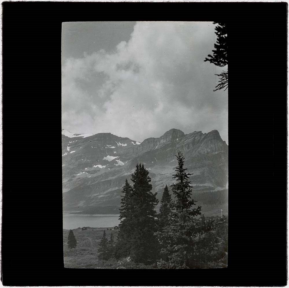
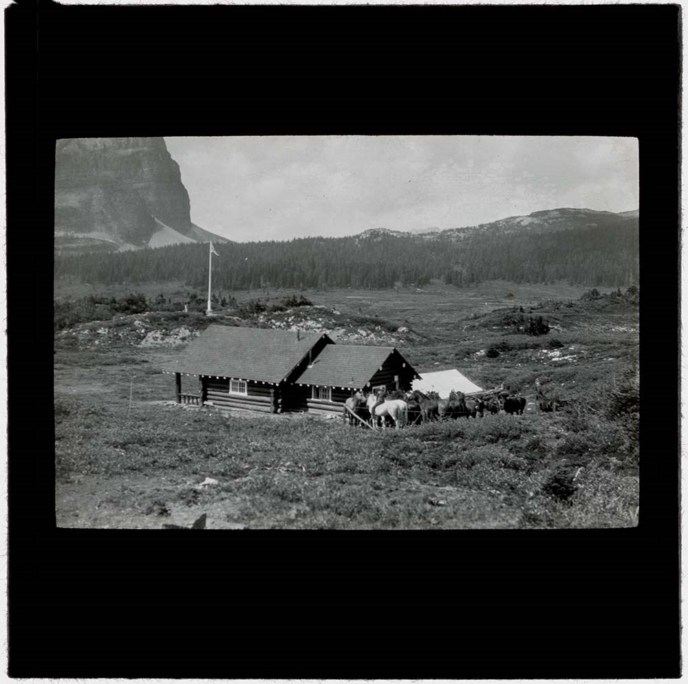
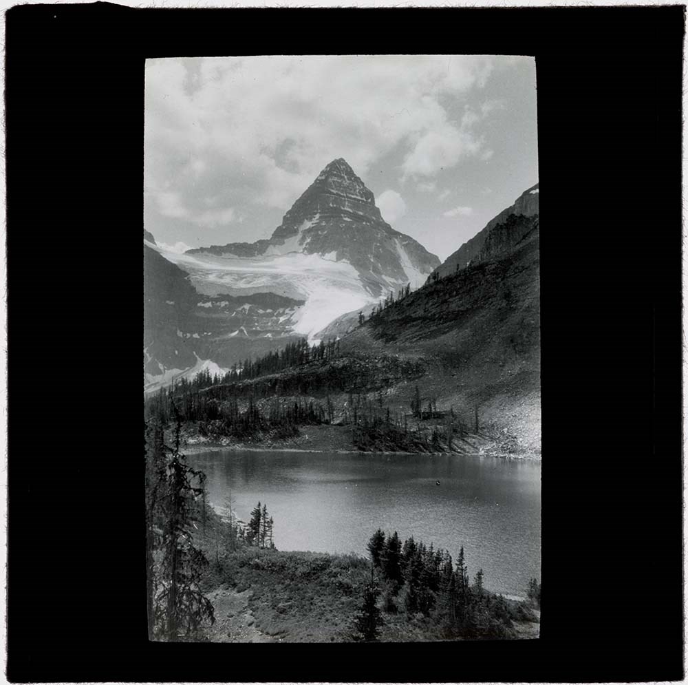
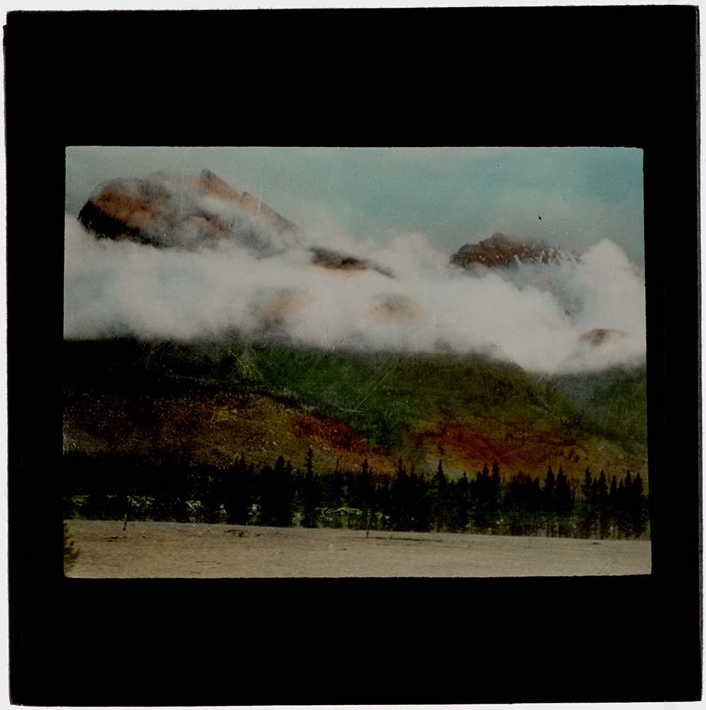
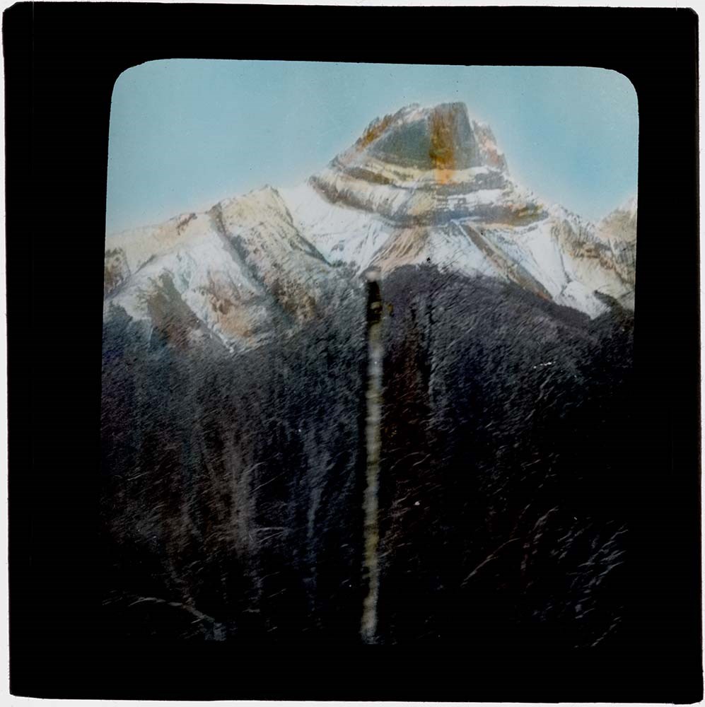
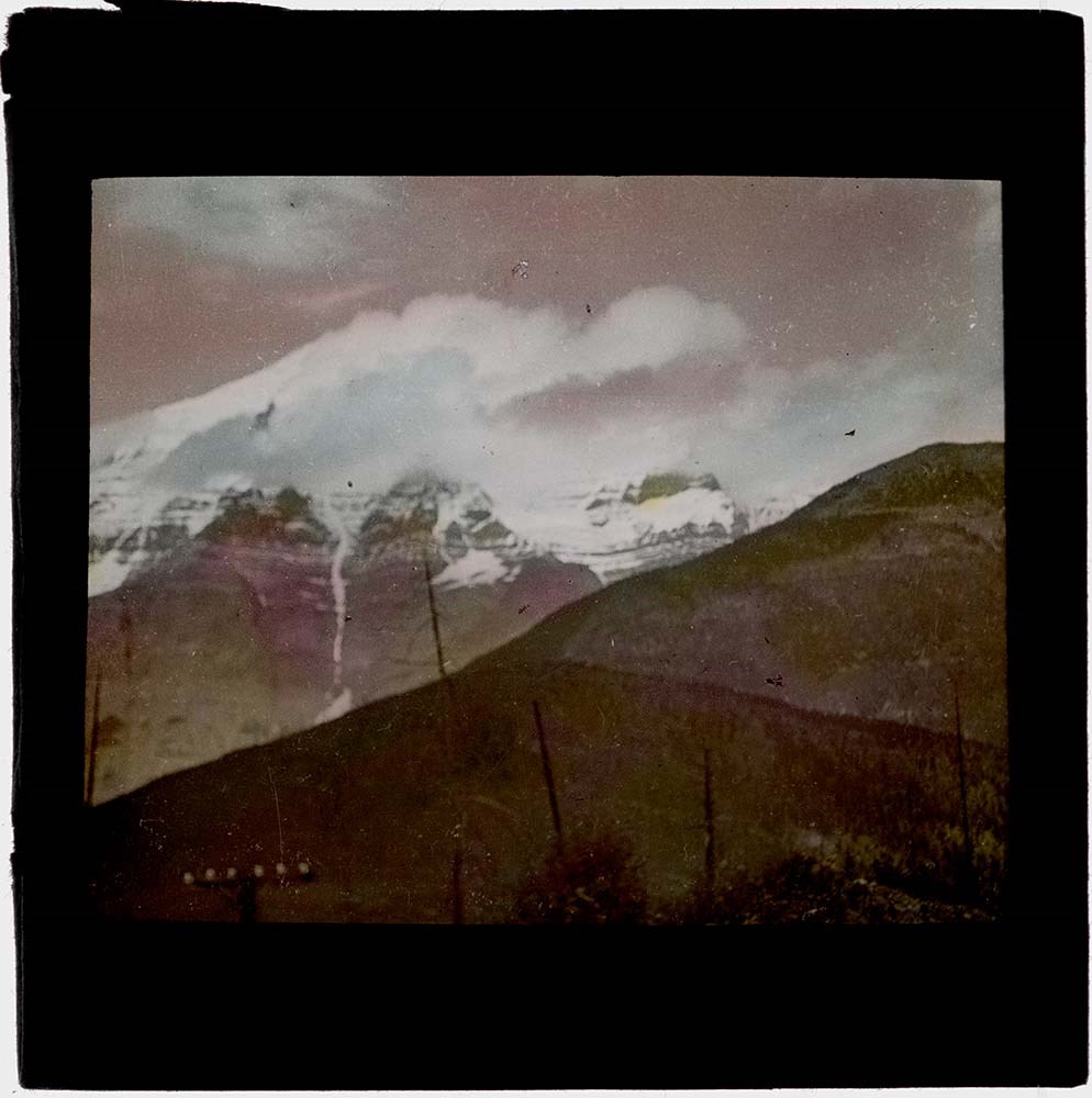
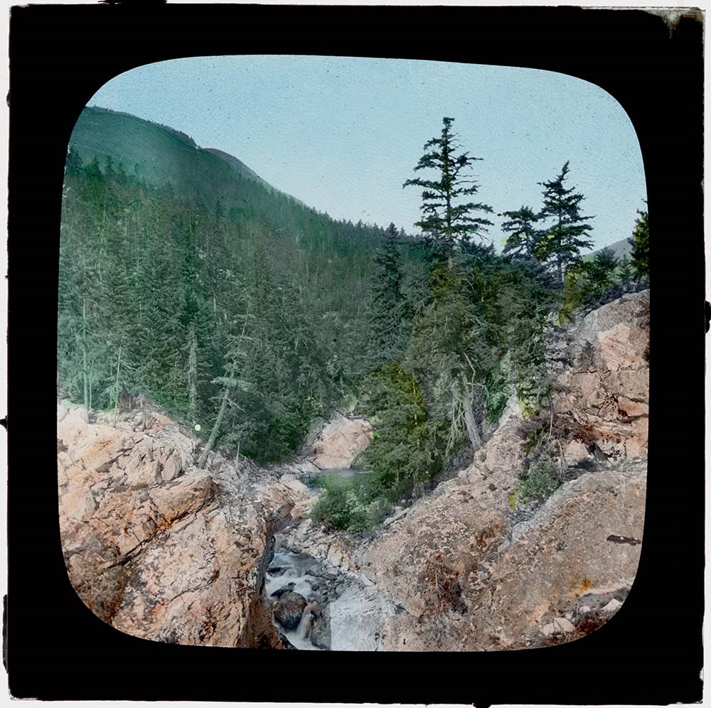
Fonds consists of 83 lantern slides and accompanying lecture notes. Topics include pack trains, camps, activities and scenic views, Banff and Jasper National Parks and areas. Documents include a handwritten script made by Maud Grice-Hutchinson to accompany the slides and a photocopied copy of the Brewster family's Kananaskis Ranch guestbook page 63, dated August 1936.
Notes
Not all images were taken by Grice-Hutchinson - some bear manufacturers' labels and were most likely purchased after the pack trip.
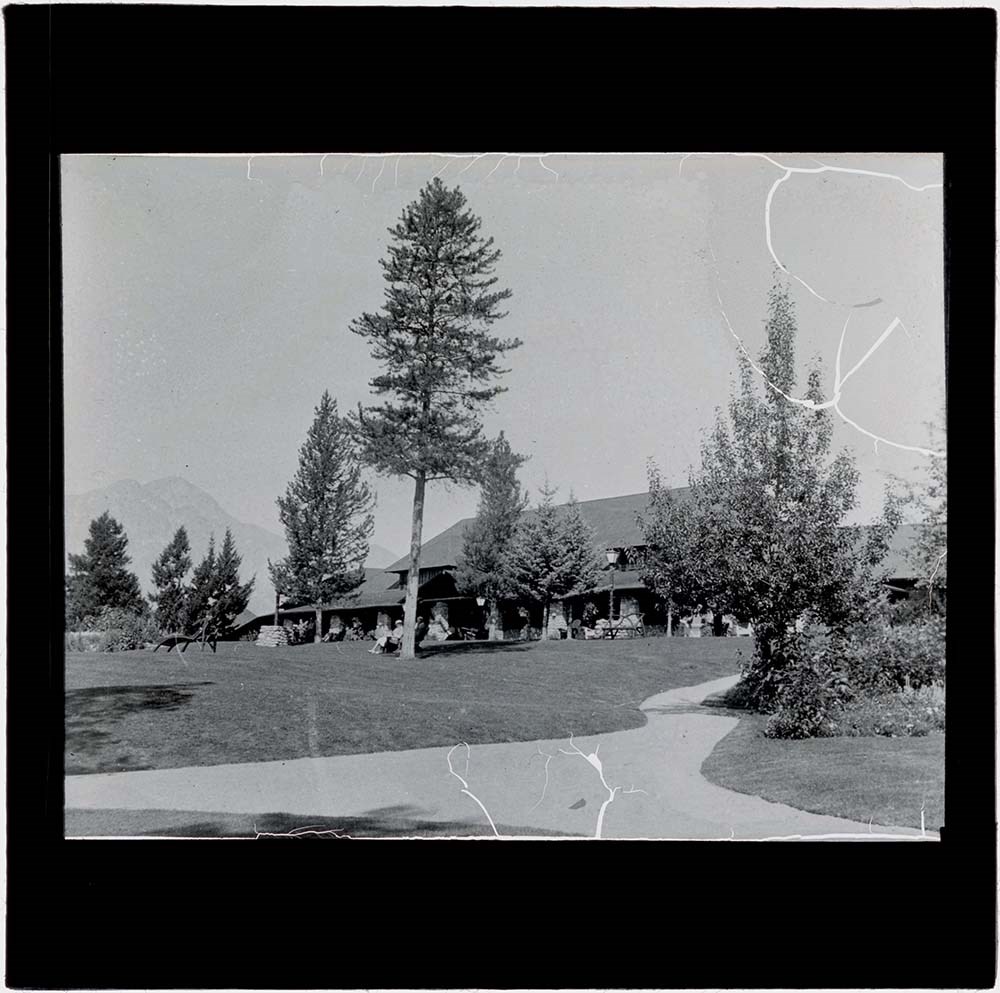
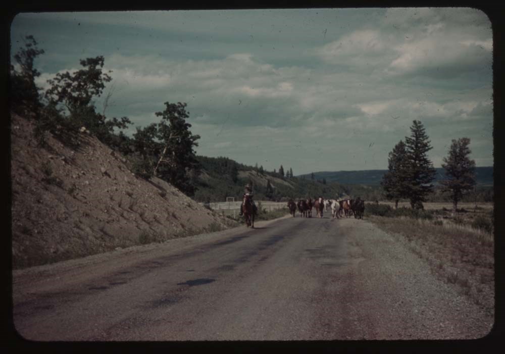
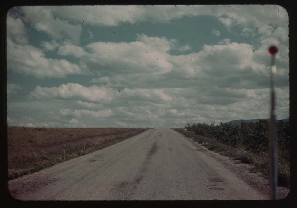
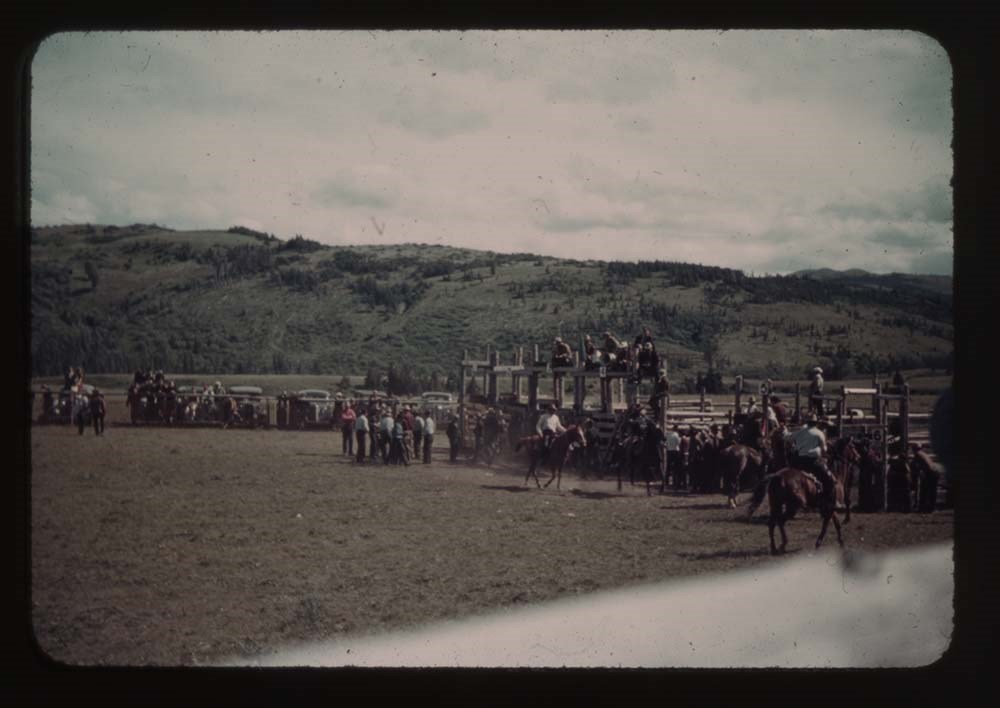
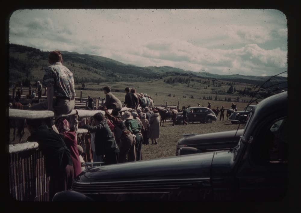
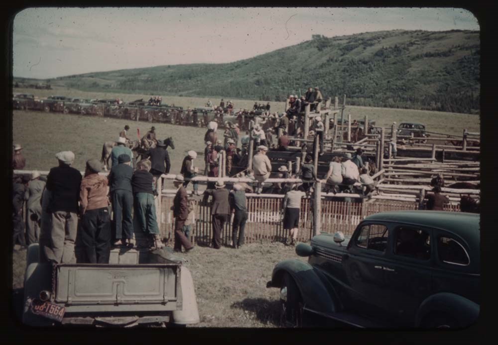
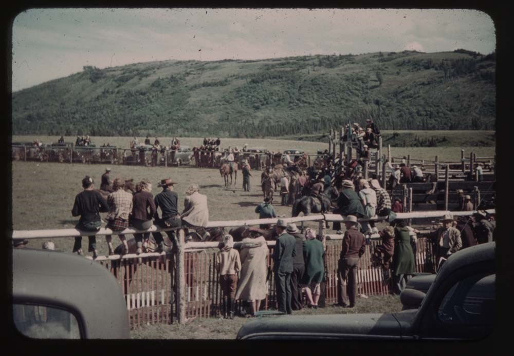
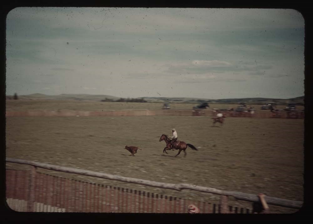
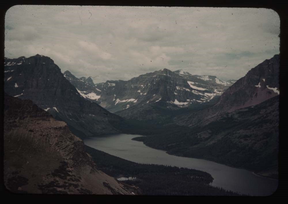
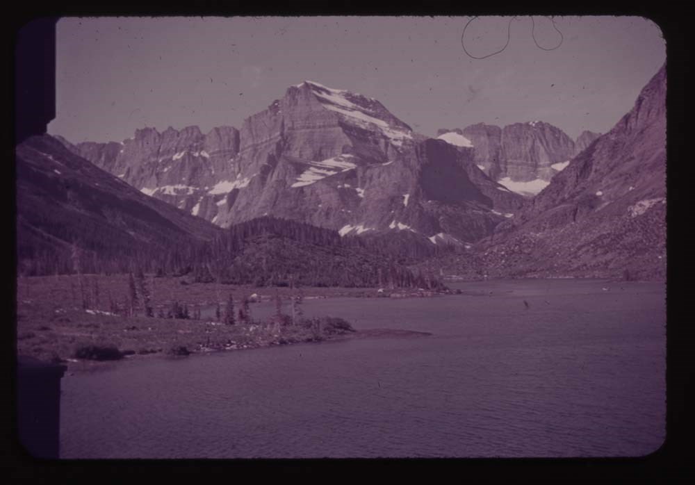
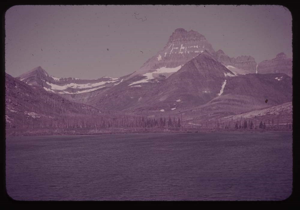
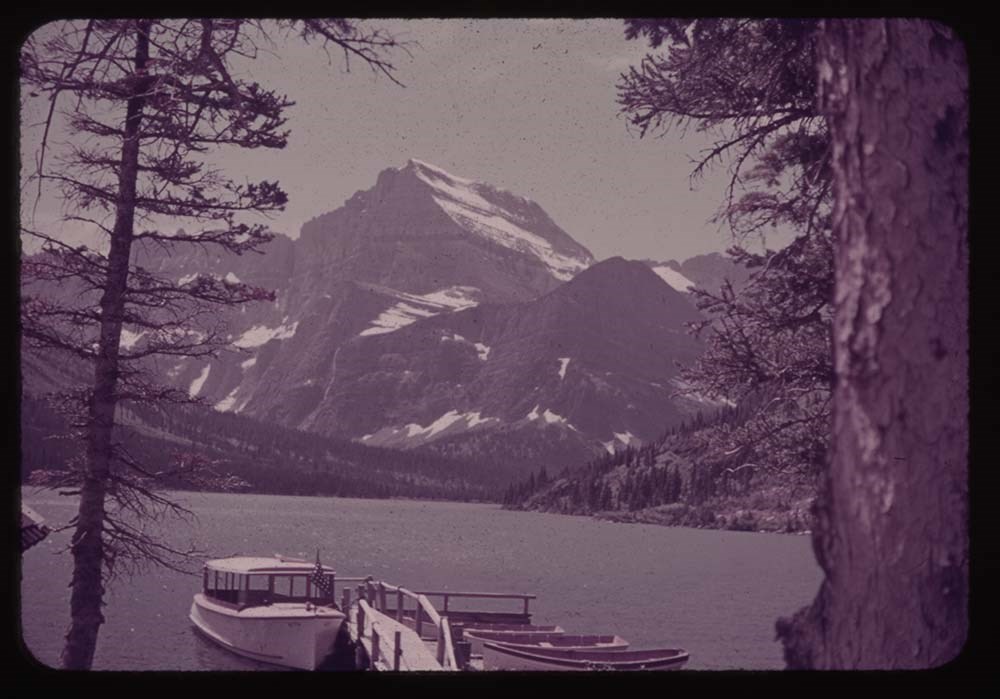
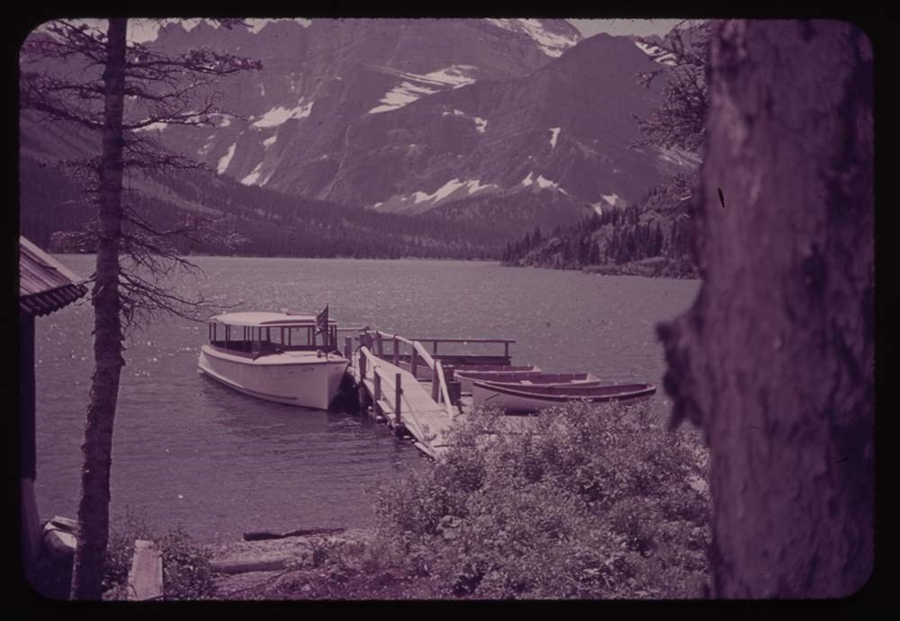
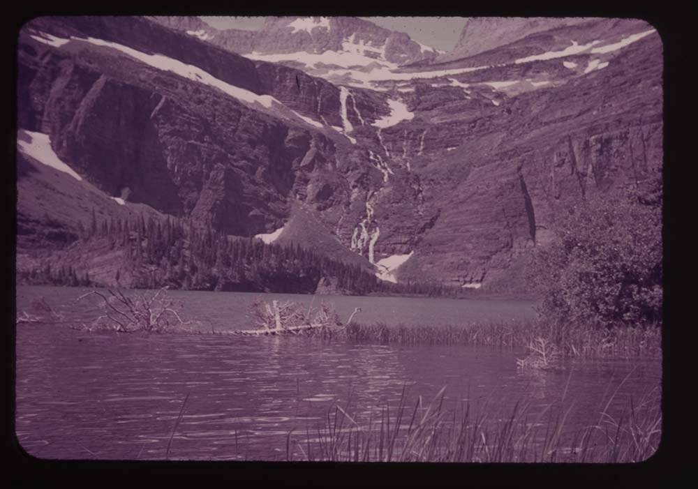
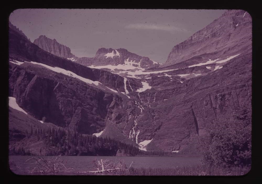
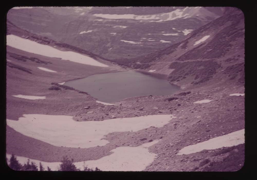
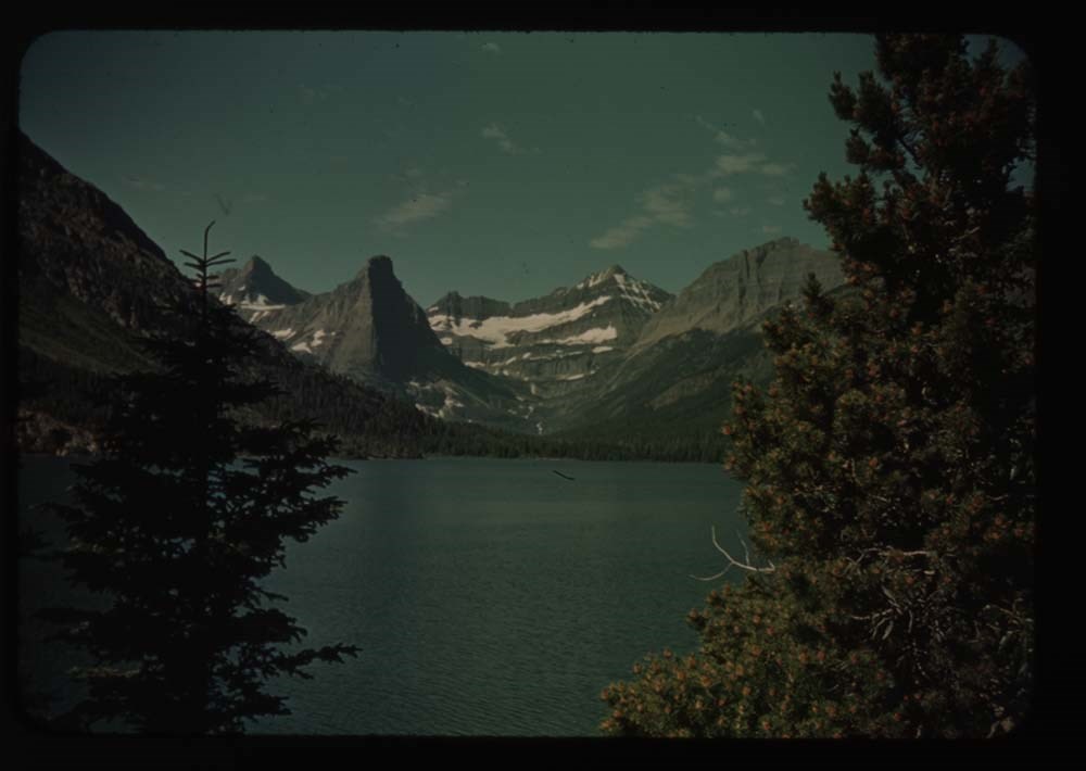
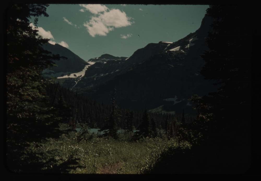
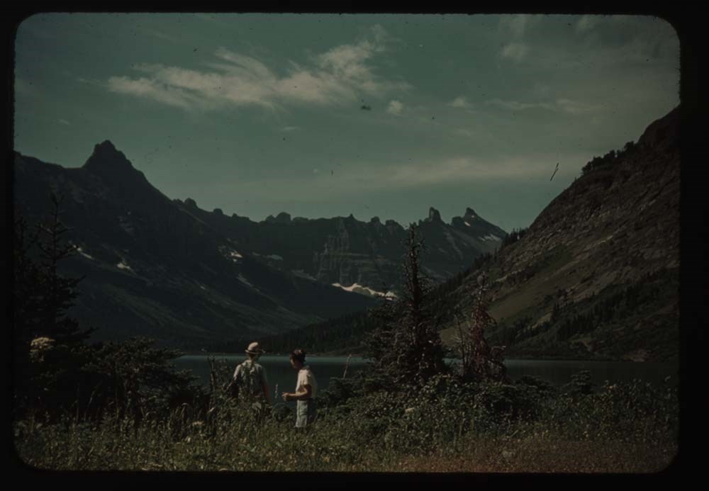
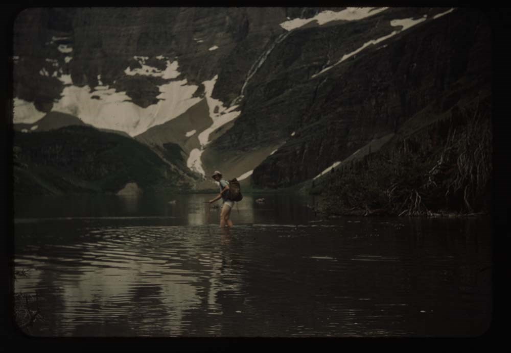
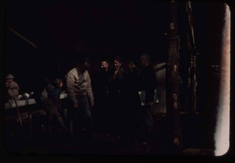
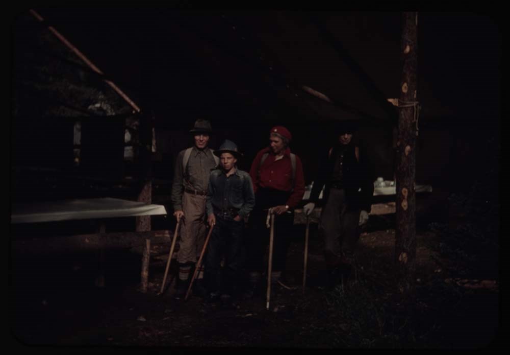
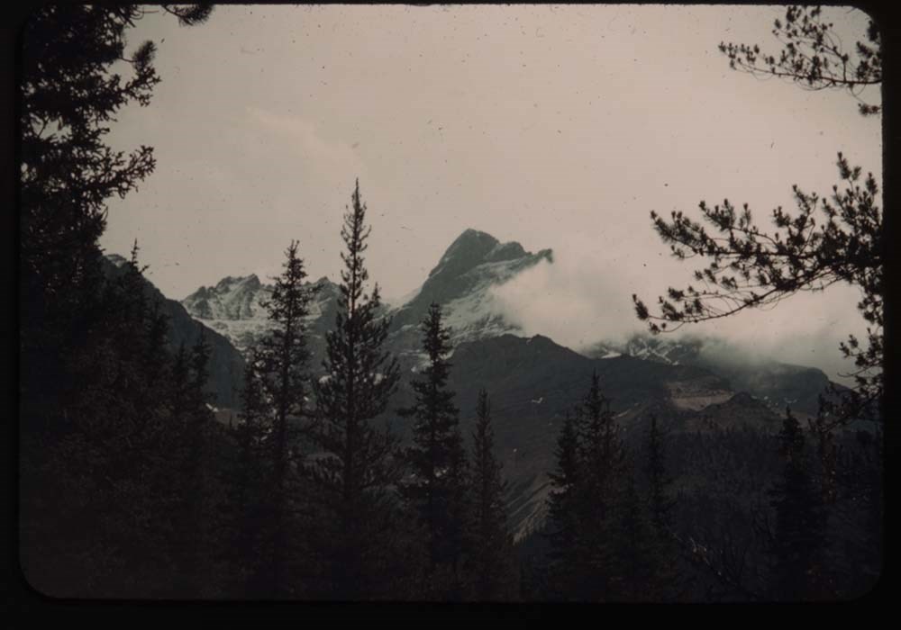
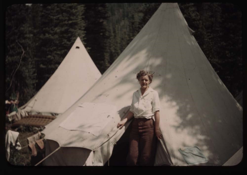
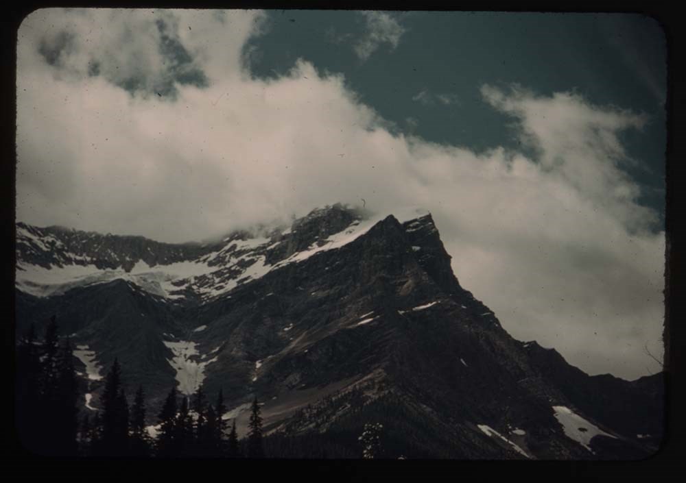
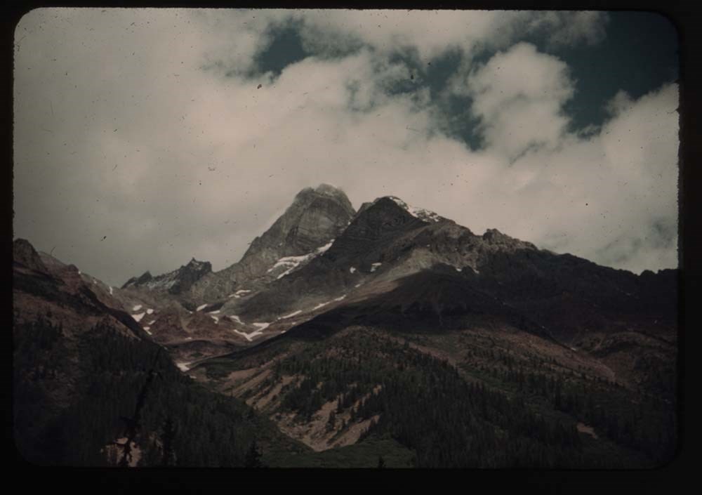
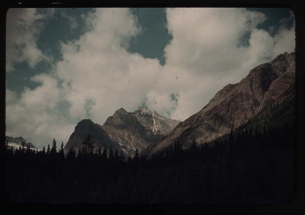
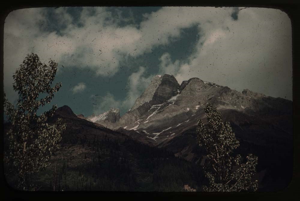
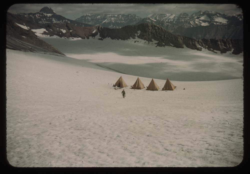
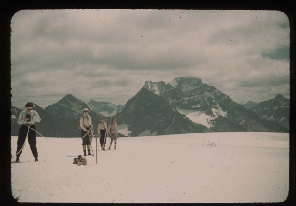
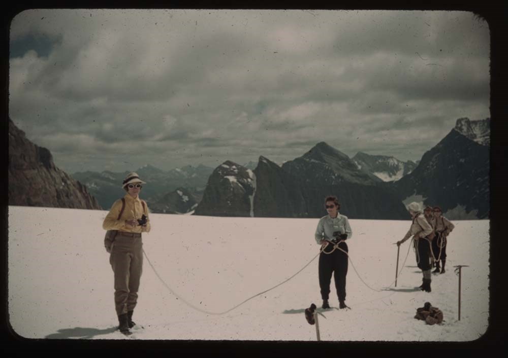
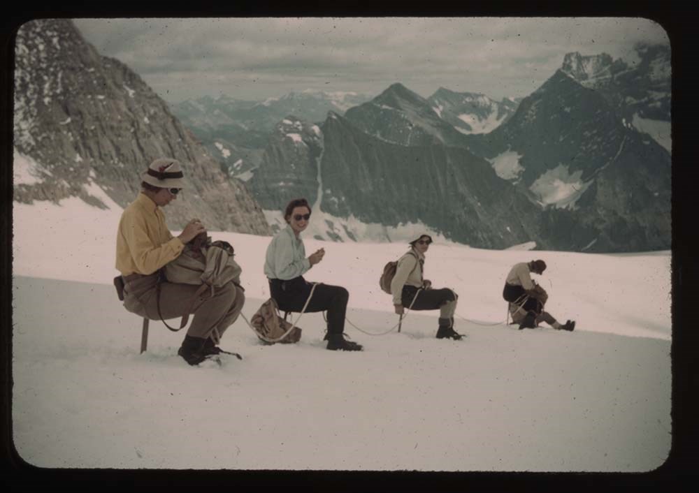
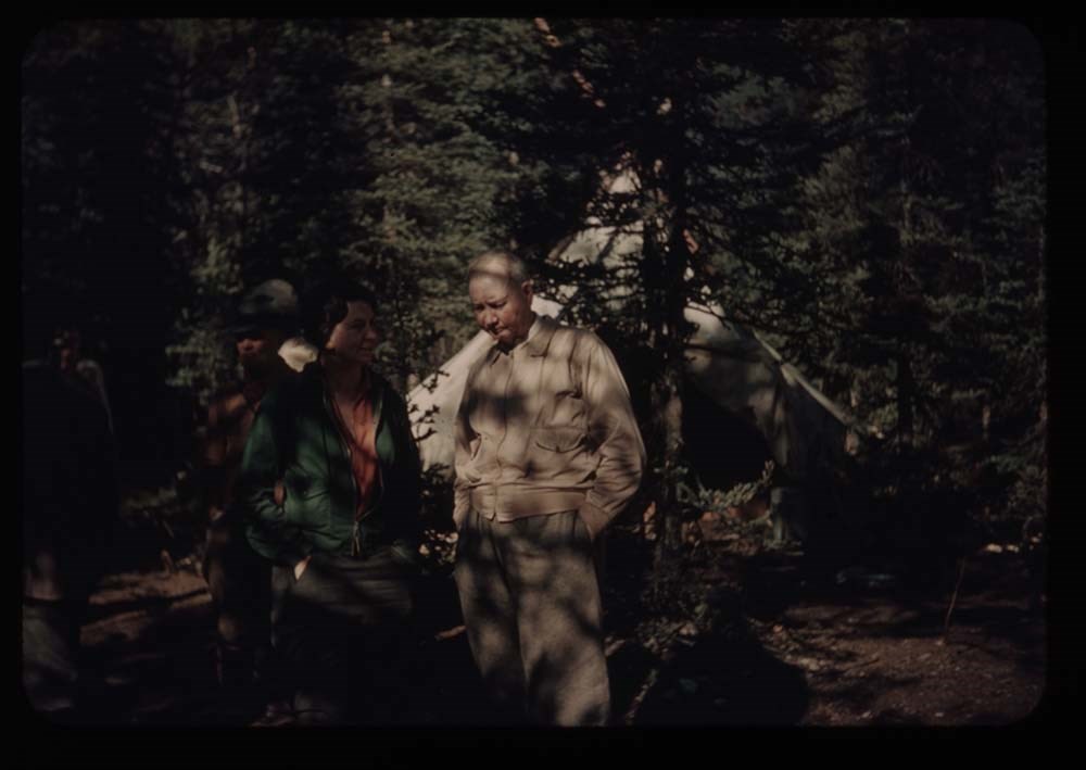
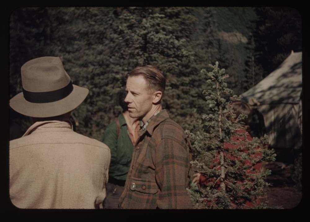
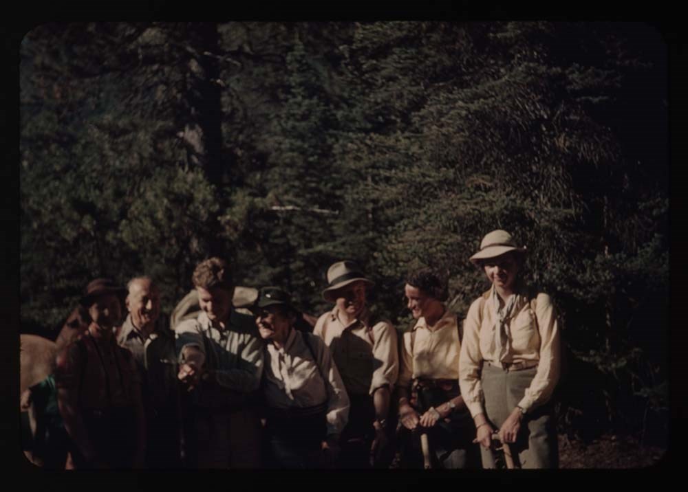
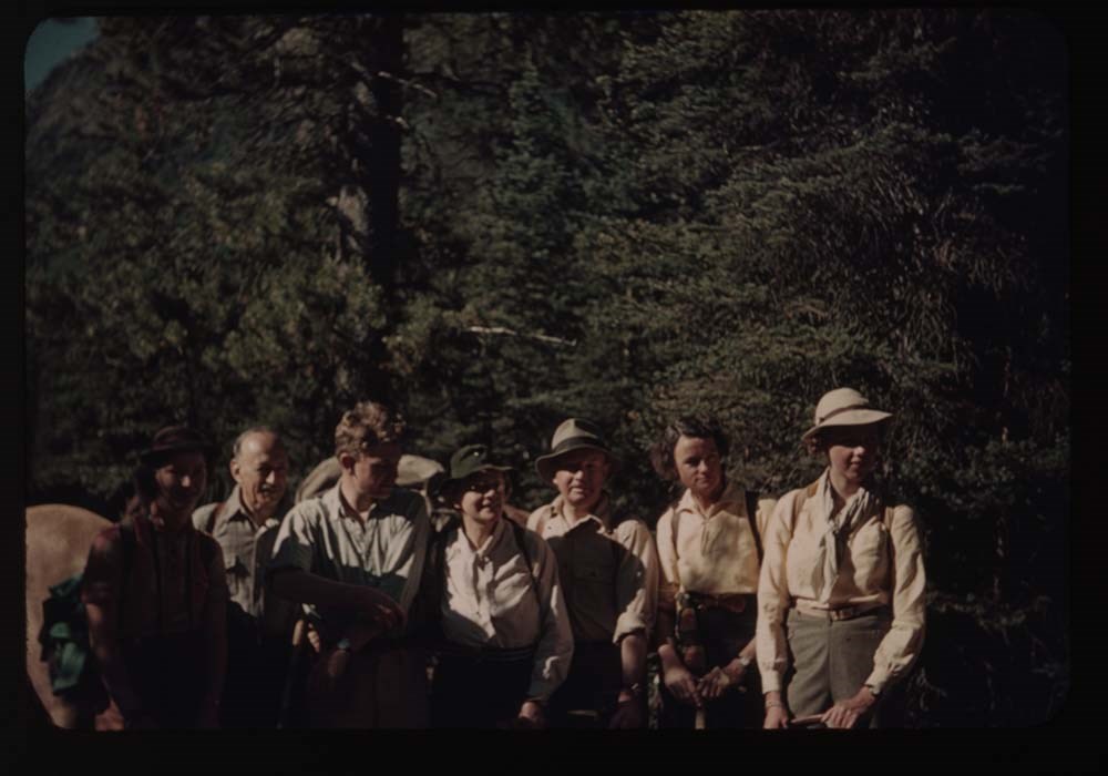
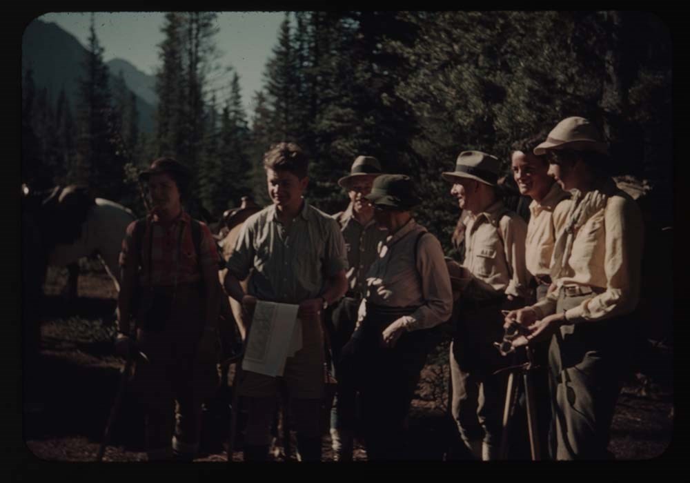
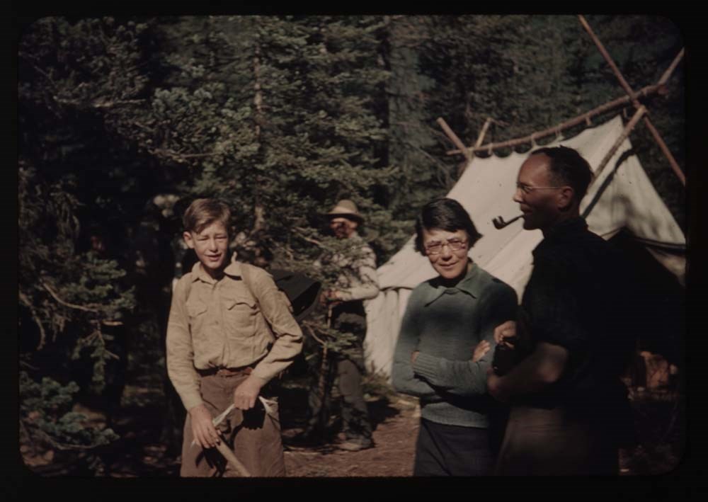
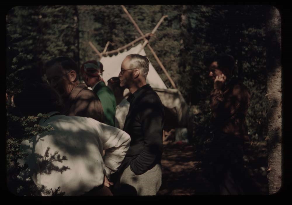
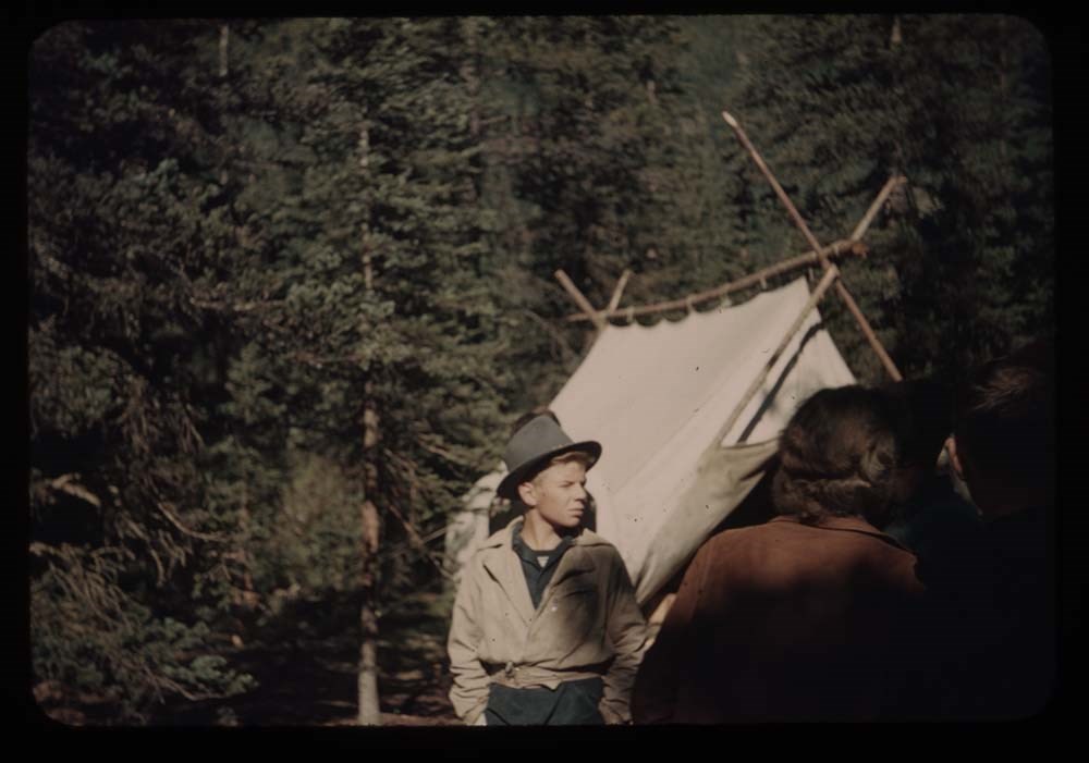
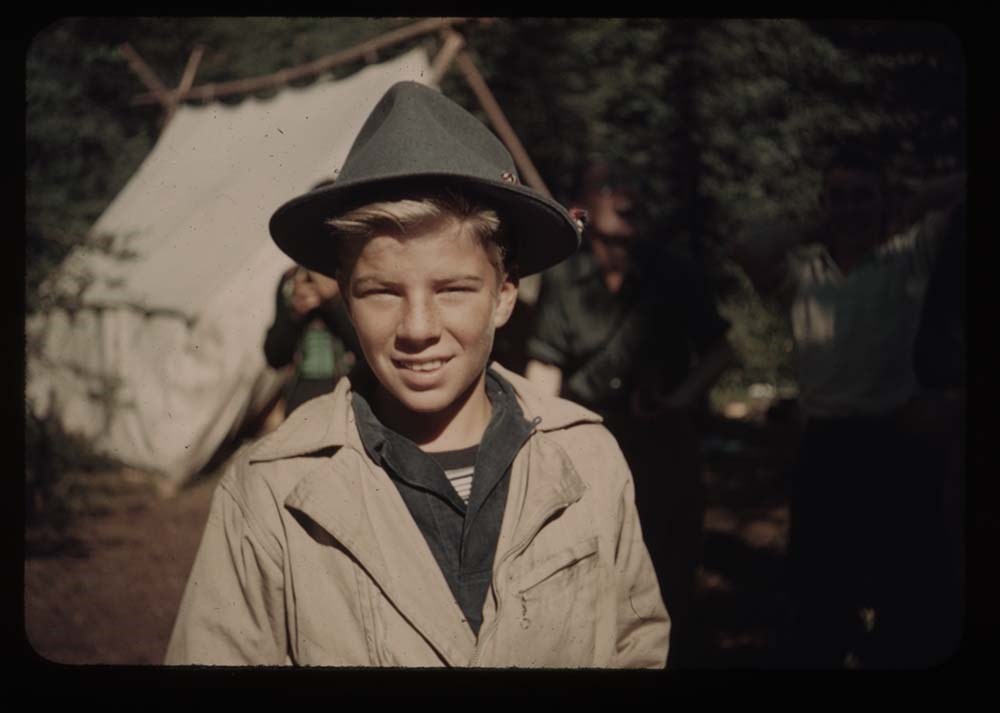
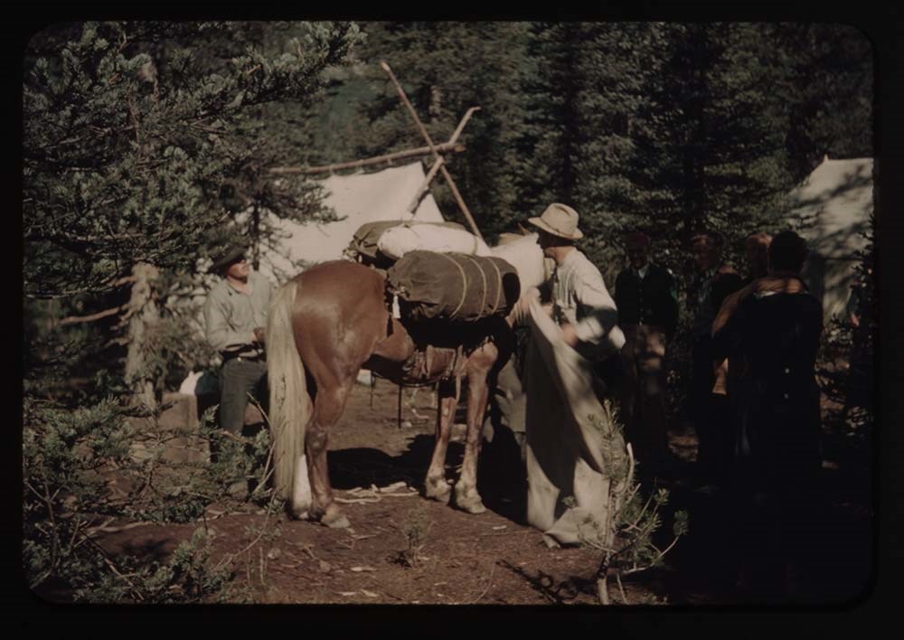
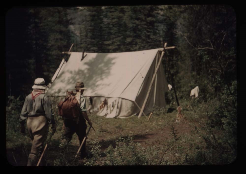
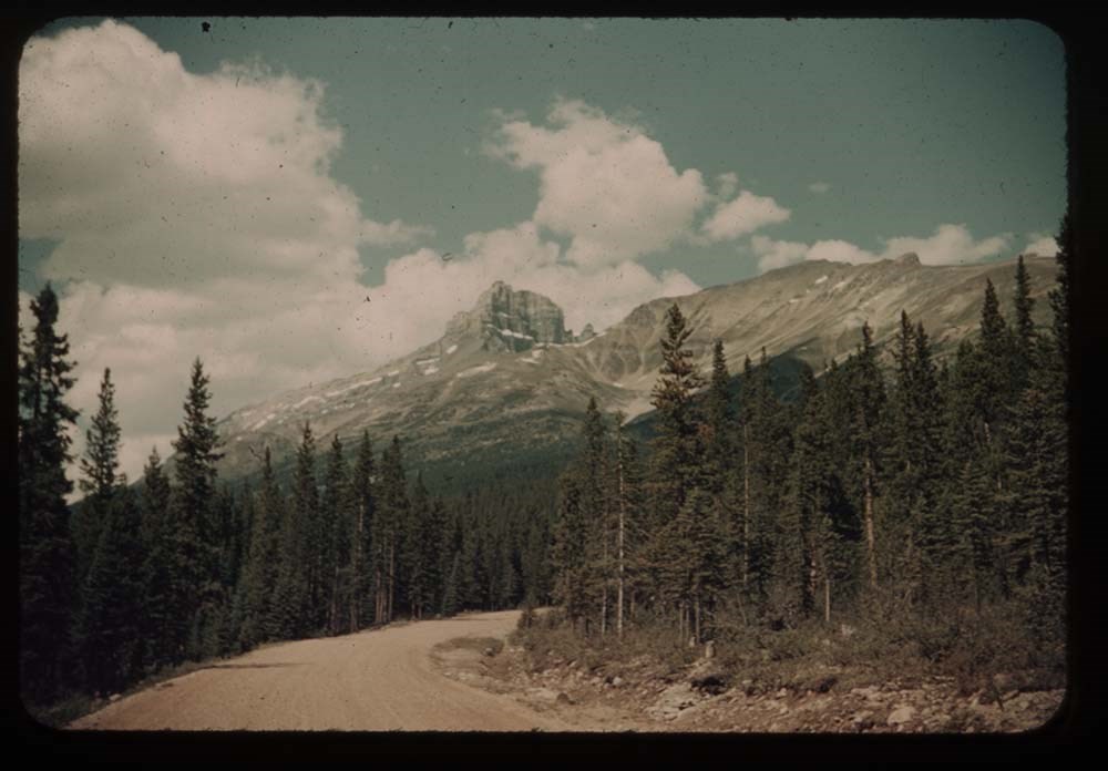
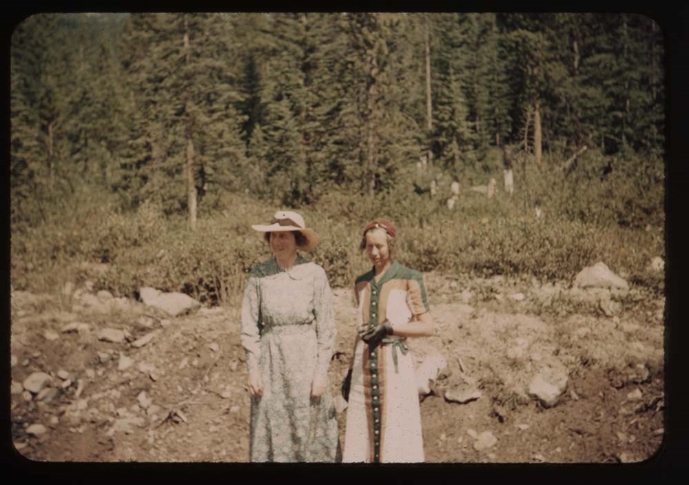
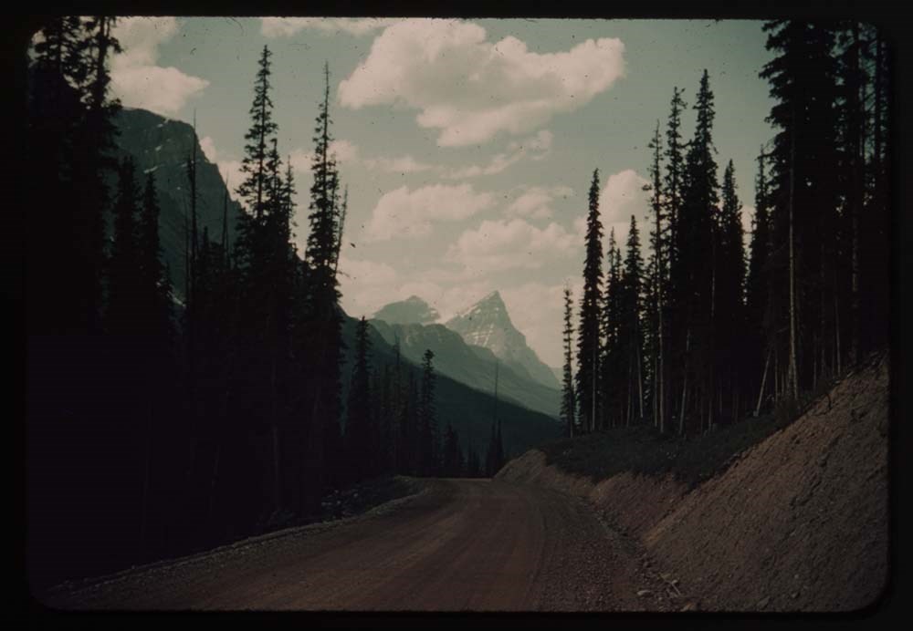
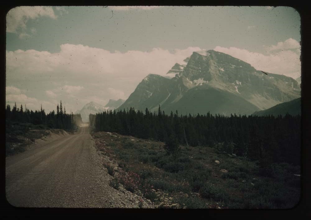
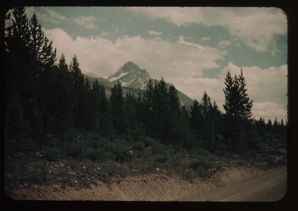
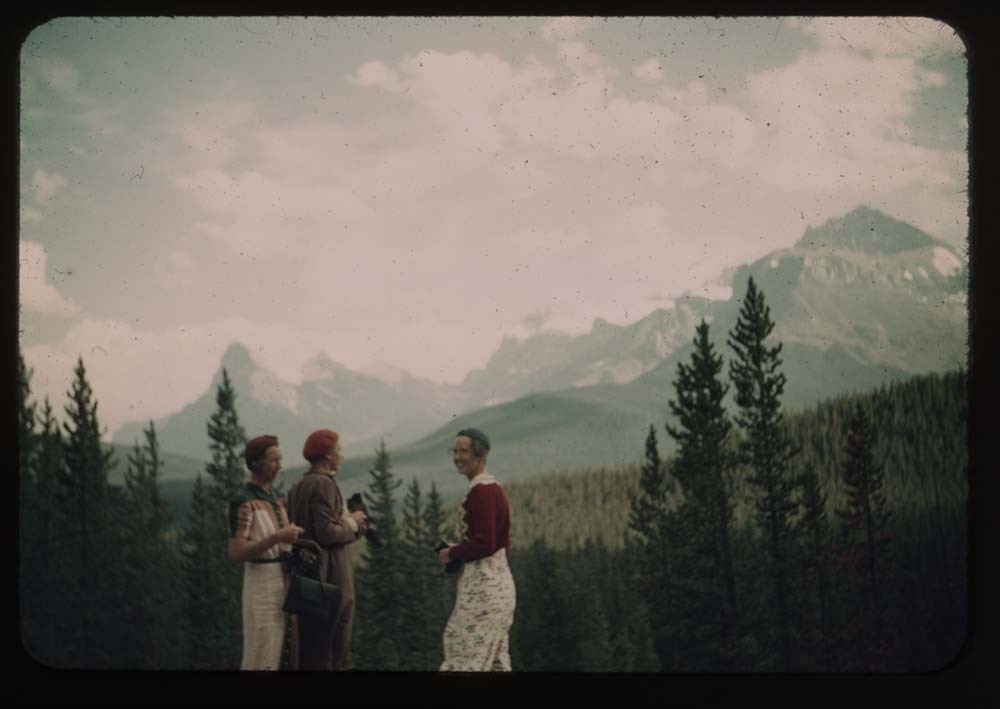
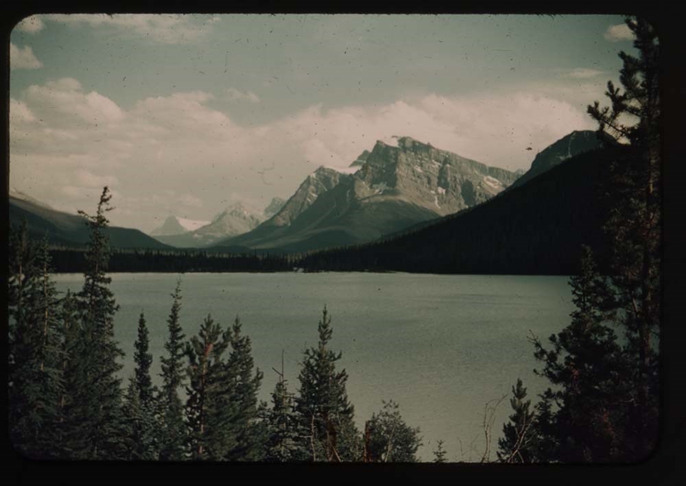
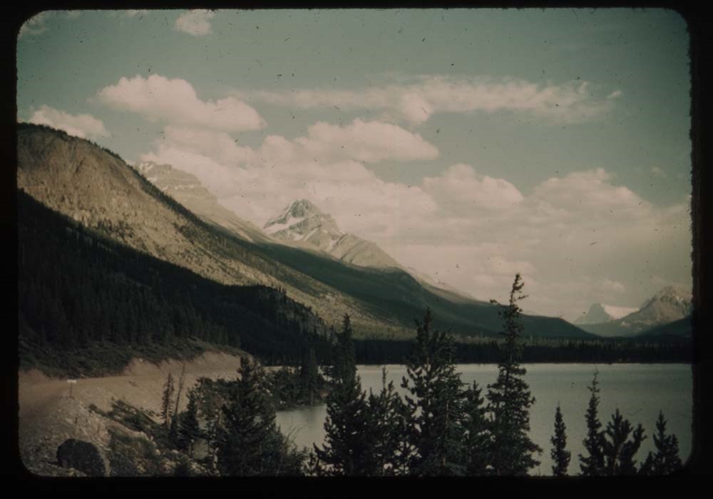
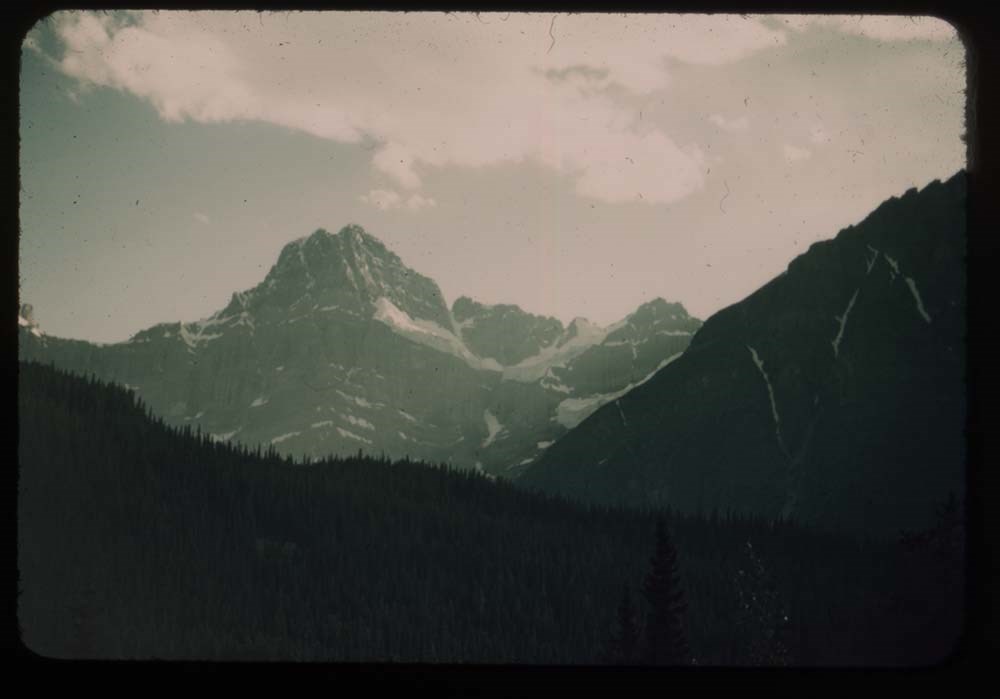
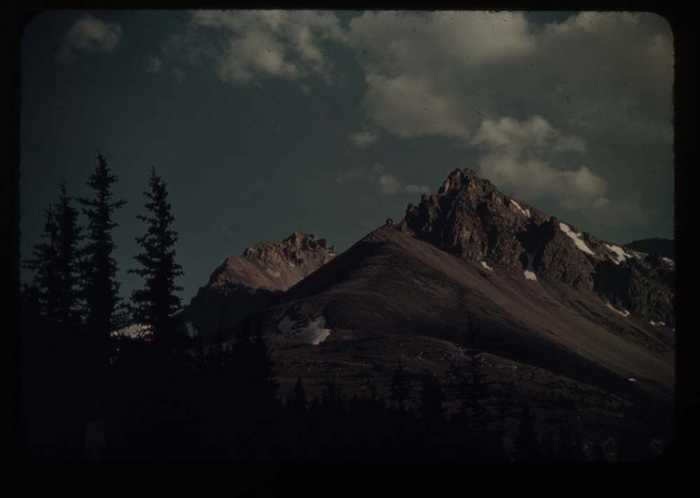
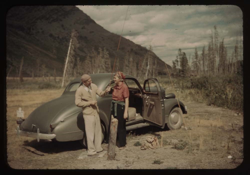
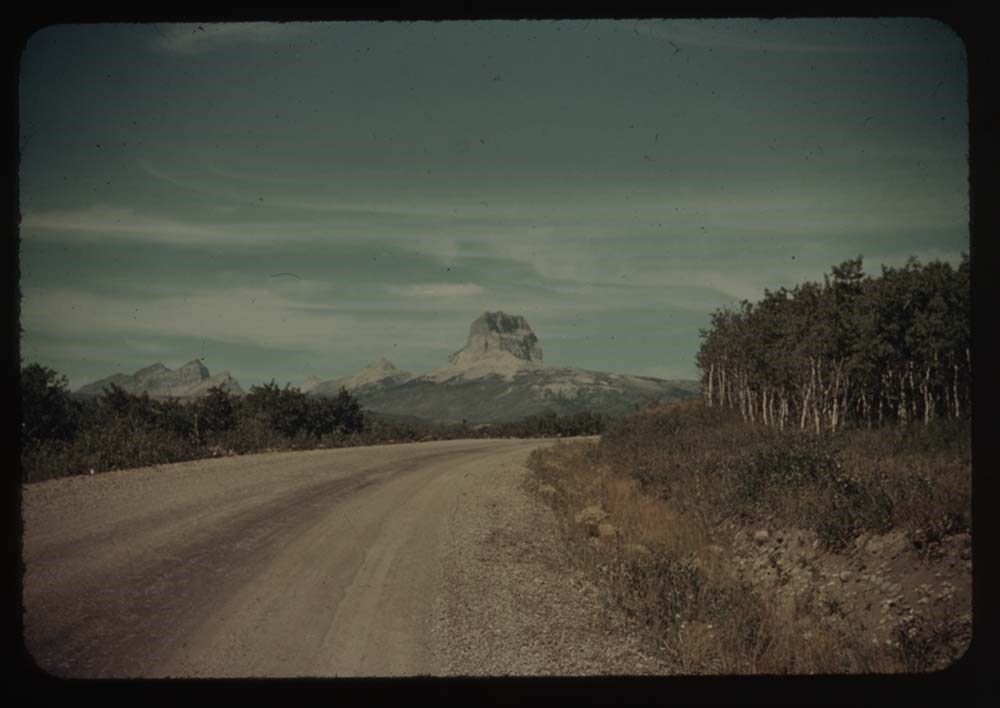
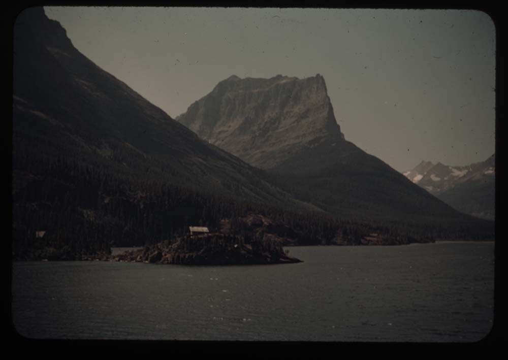
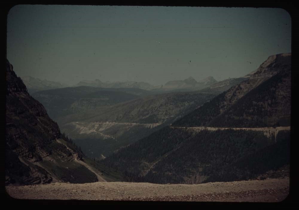
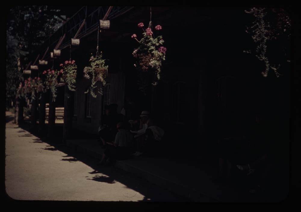
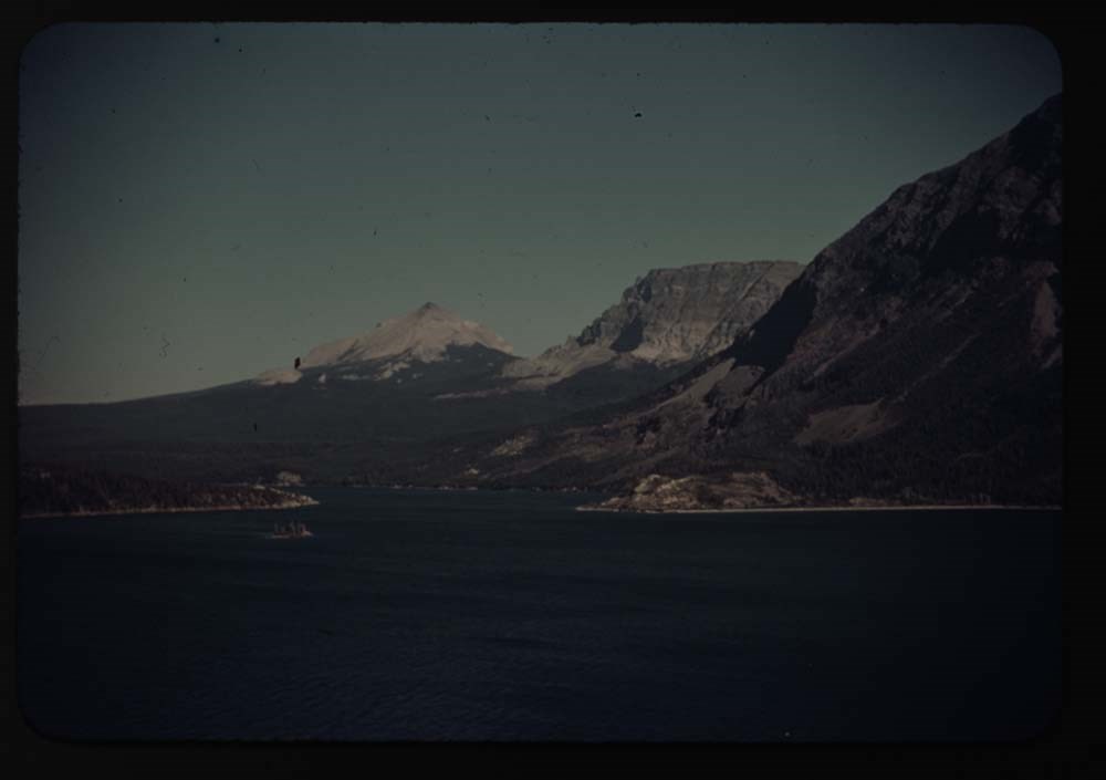
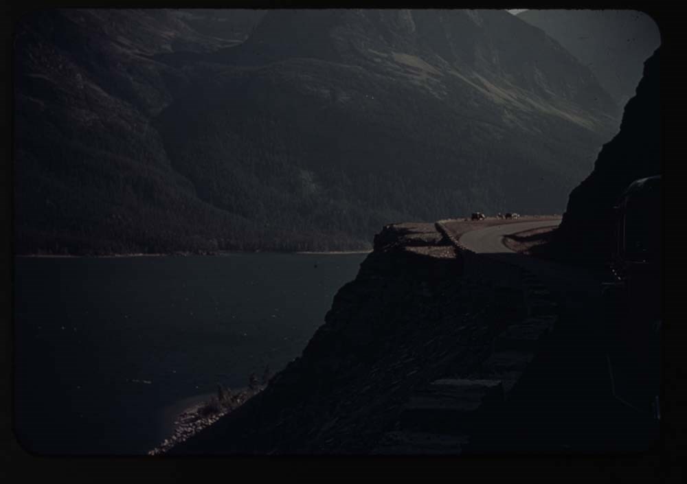
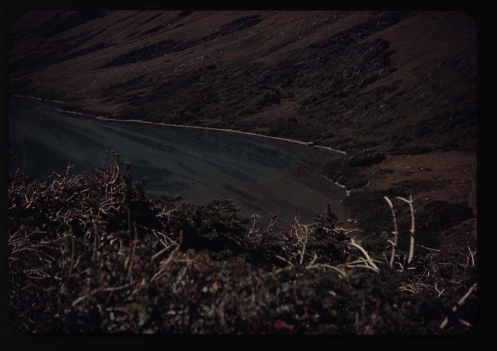
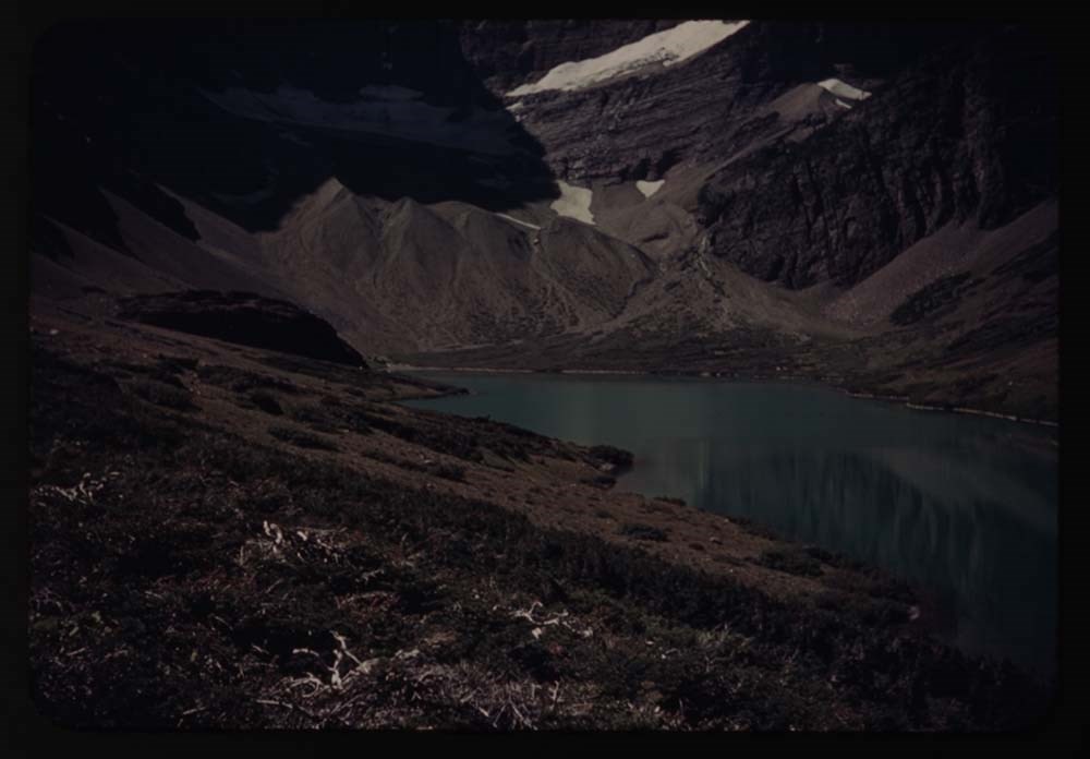
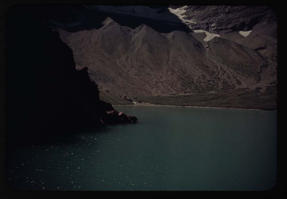
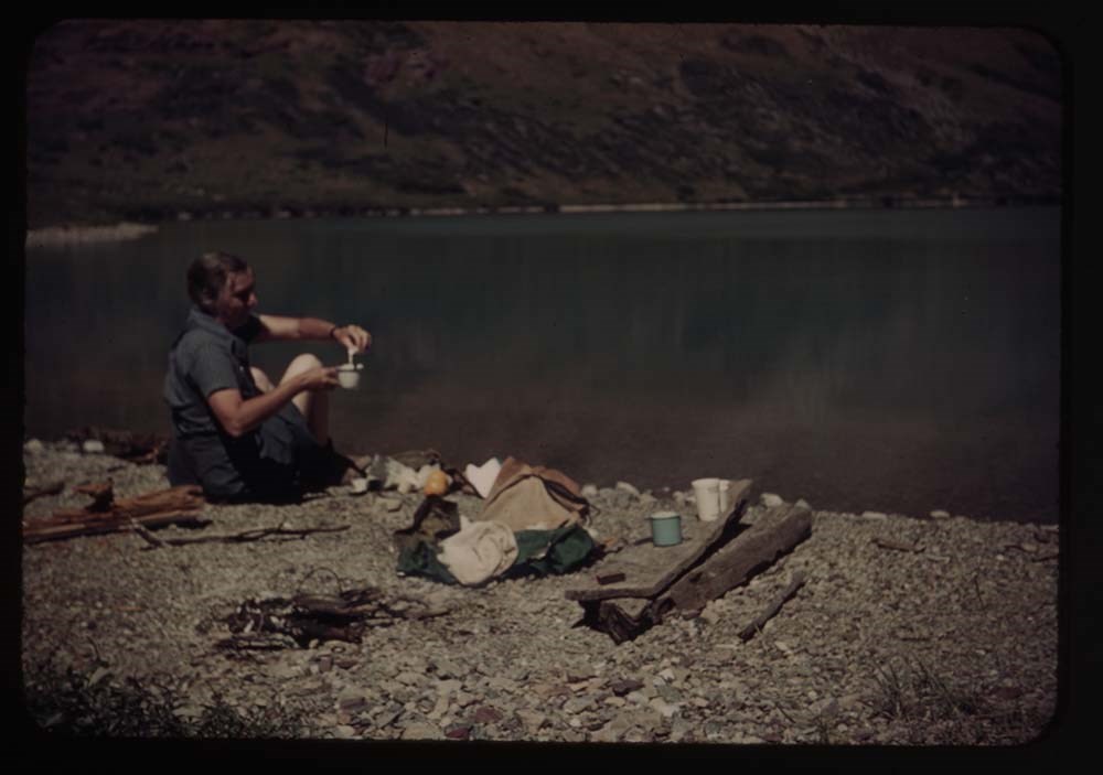
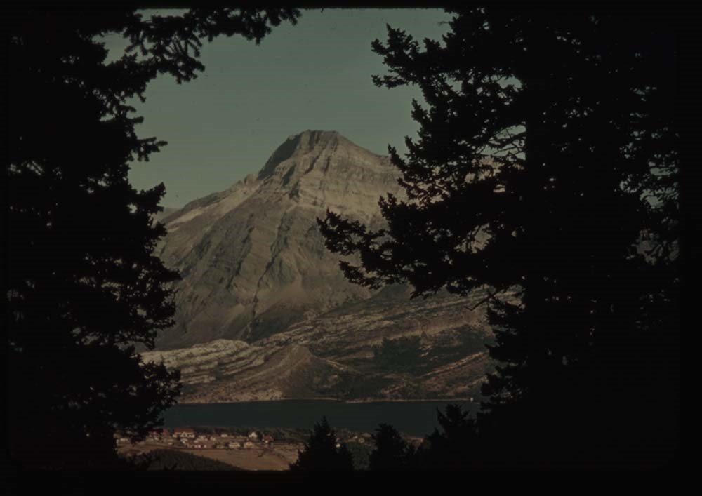
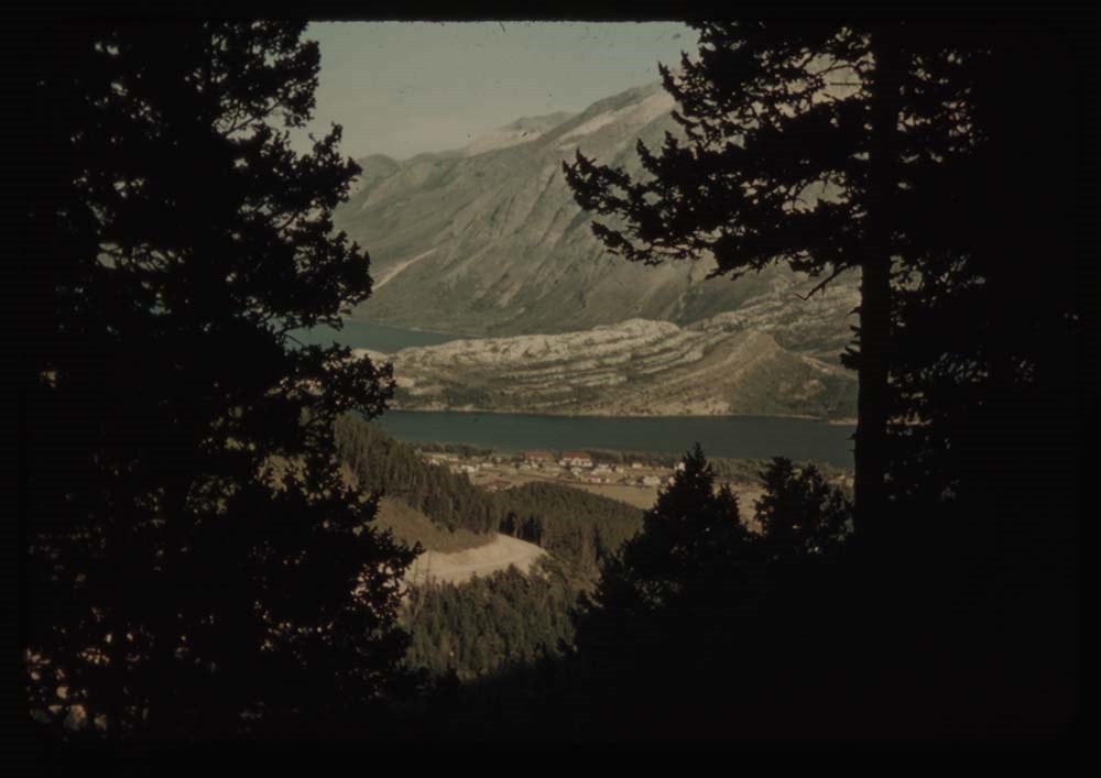
File pertains to 172 35mm colour transparency slides mounted in cardboard sleeves. Pertains to rodeo events; views from around Glacier National Park, U.S.A.; A.C.C. Goodsirs summer camp, 1939; Prince of Wales Hotel; friends and associates including Polly Prescott, Kay [Prescott], Lillian Gest, Eric…
File pertains to 172 35mm colour transparency slides mounted in cardboard sleeves. Pertains to rodeo events; views from around Glacier National Park, U.S.A.; A.C.C. Goodsirs summer camp, 1939; Prince of Wales Hotel; friends and associates including Polly Prescott, Kay [Prescott], Lillian Gest, Eric Brooks, Phyllis Munday, John Wheeler, the Kingmans, Walter and Paula Bloch-Hiller, Sig[?], B.H.G., Andrew Kramer, Ernest [Feuz], and Rudolph [Aemmer?].
Titles:
Reel 3 1939?
8 - Horses on road near [illegible]
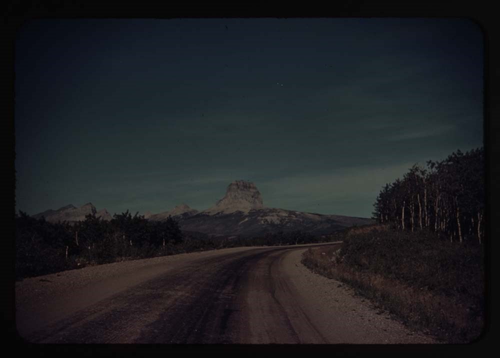
9 - Road near St. Mary's w. clouds
16 - [Rodeo bucking]
17 - [Rodeo bucking]
18 - Rodeo people on fence
19 - [Rodeo] fence and chutes
20 - [Rodeo fence and chutes]
21 - [Rodeo fence and chutes]
Reel 4
2 - Calf-roping
3 - Two med. Lake fr. Mt. Henry
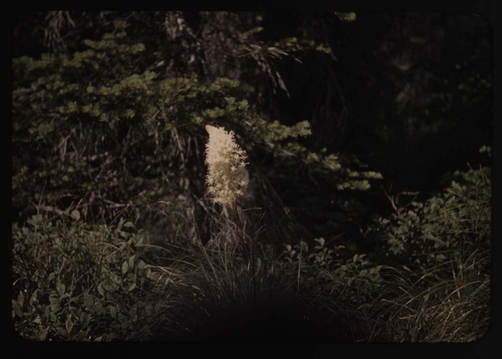
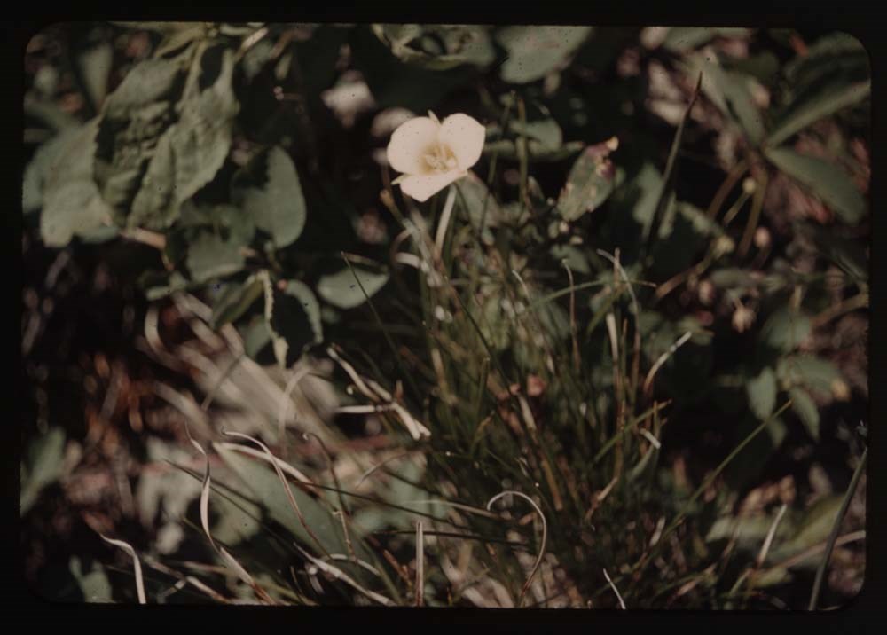
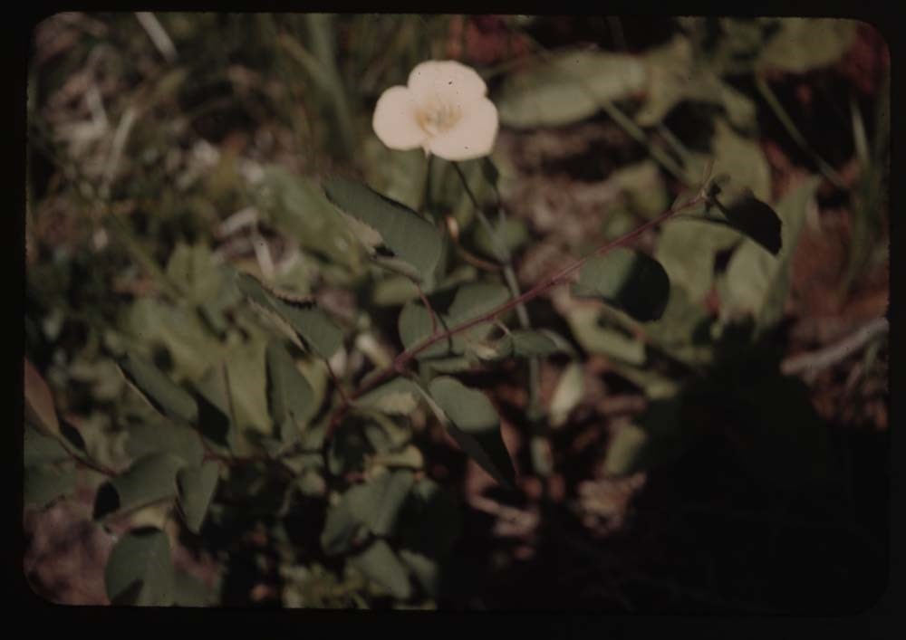
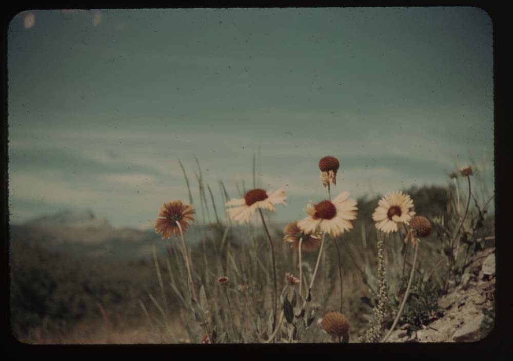
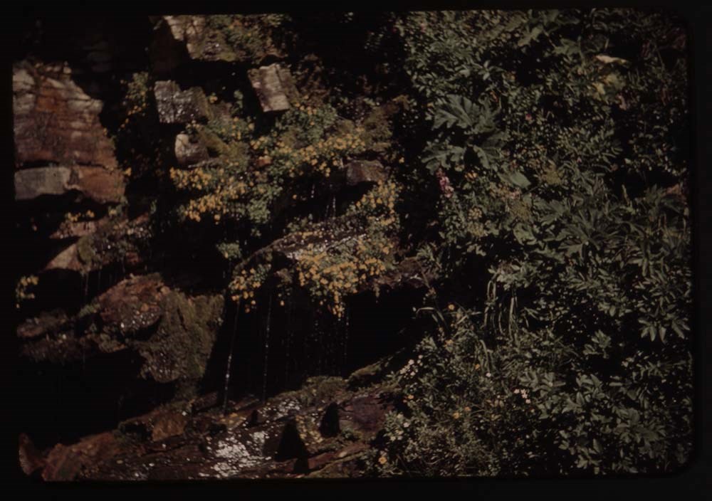
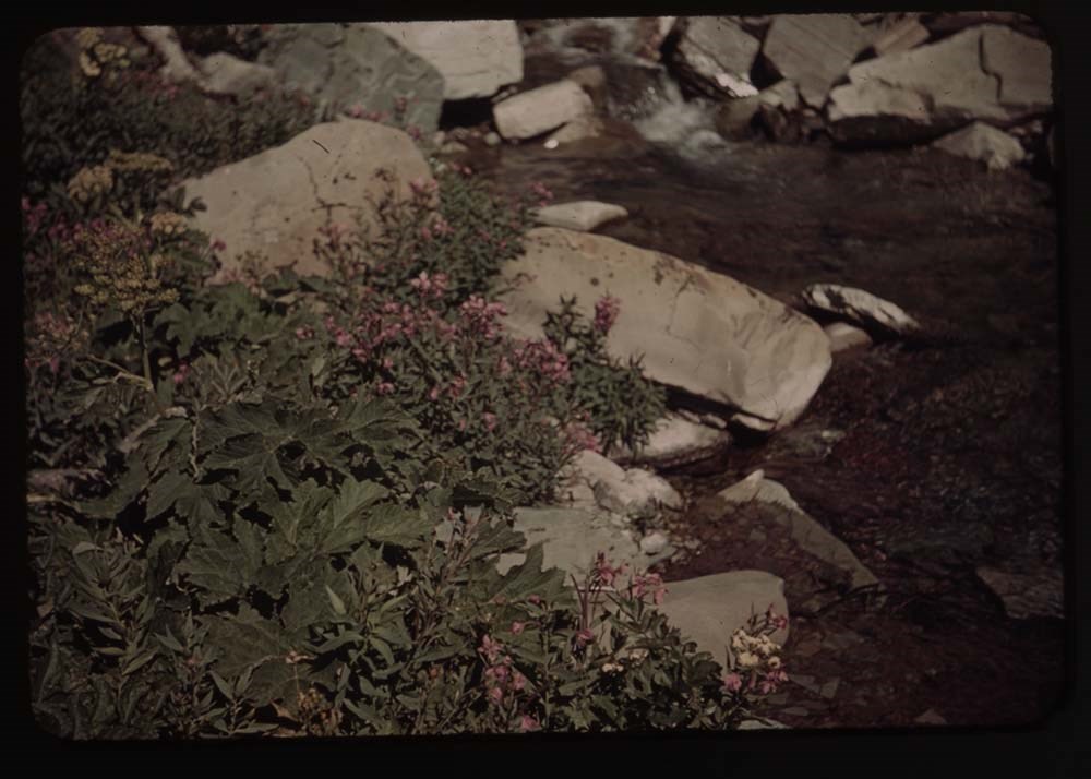
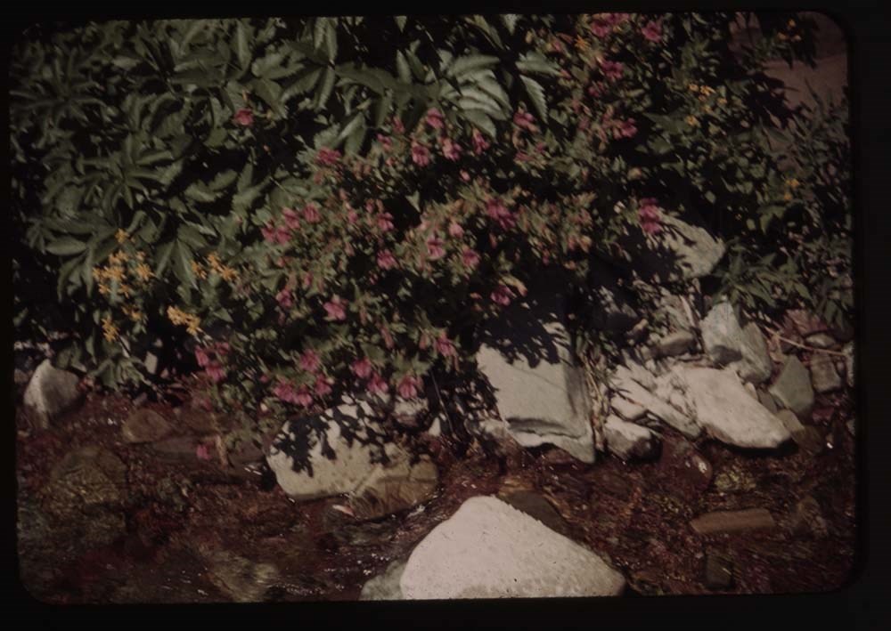
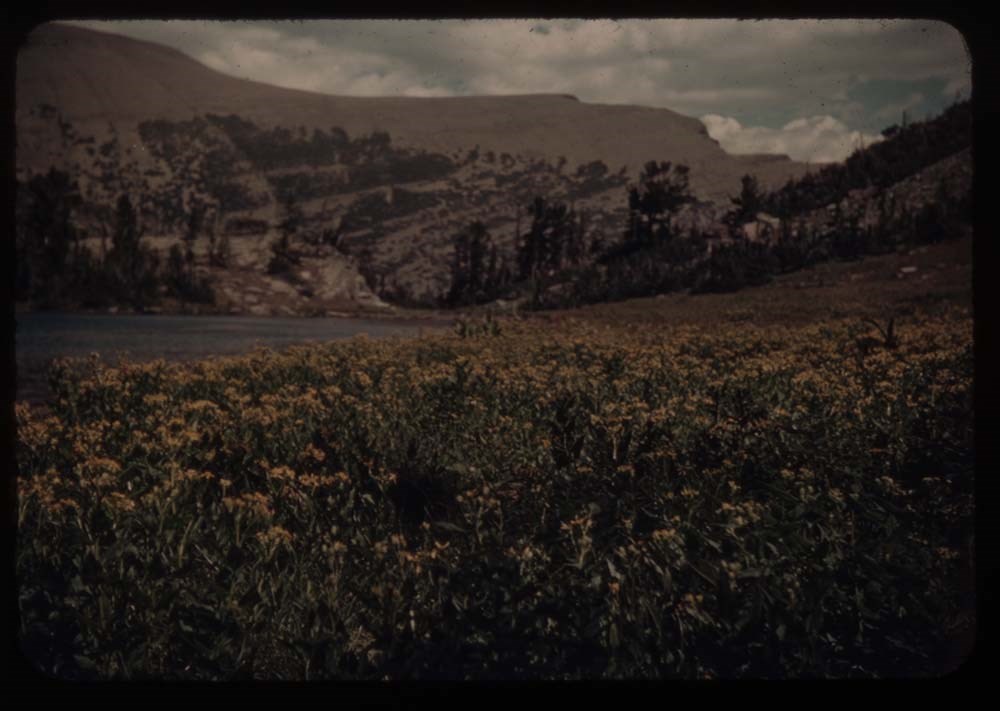
7 - Meadow of flowers
8 - Shooting star [flower]
9 - Rabbit
10 - Fishermen by bridge
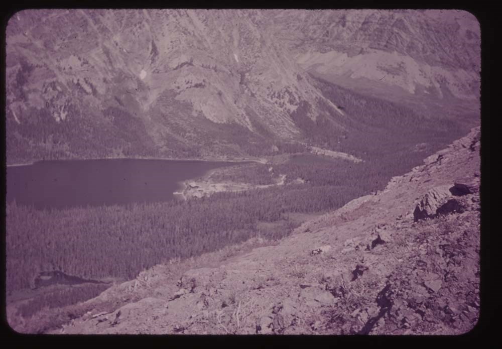
11 - Lower Two Med. Lake
12 - Pompeely's [?] Pillar?
15 - [Beargrass] (best)
16 - Queen cup
17 - [Queen cup]
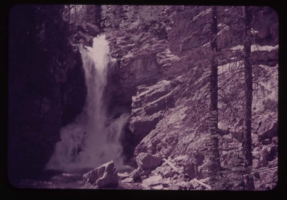
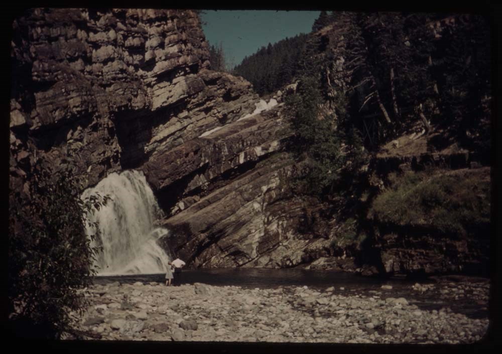
19 - BH.G. - Trick Falls trail
Reel 5 1939?
1 - Trick Falls best
2 - [Trick Falls] more to left
3 - BH.G. arm on stump
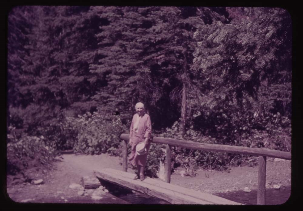
4 - BH.G. on bridge - Trick Falls trail
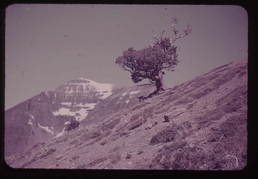
5 - Old tree above Two Med.
7 - Two med Lake fr. Astor Creek shoulder
8 - Mary [?] glacier Lake from our balcony - South [?]
9 - Looking across lake [from our balcony] west
10 - Lake Josephine and wharf w. boats
11 - Same without Mt. [illegible]
12 - Trail to Grinnell Gl.
13 - Grinnell Lake
14 - Grinnell Lake
15 - Ptarmigan Lake - Polly and Kay
16 - [Ptarmigan Lake] fr. trail to tunnel
17 - At [Ptarmigan Lake] tunnel - Polly, Kay, L.G. [Lillian Gest]
18 - [At Ptarmigan Lake tunnel] CCC and Polly
Reel 6
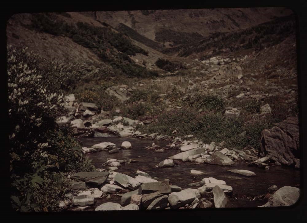
1. A[?] Pass and Lake Helen
2. Crossley Lake and tents
3. [Crossley Lake] no tents
4. Towards Indian Pass
6. Towards Ahew[?] Pass - Lake
7. Lake Elizabeth (?) Kay and Polly
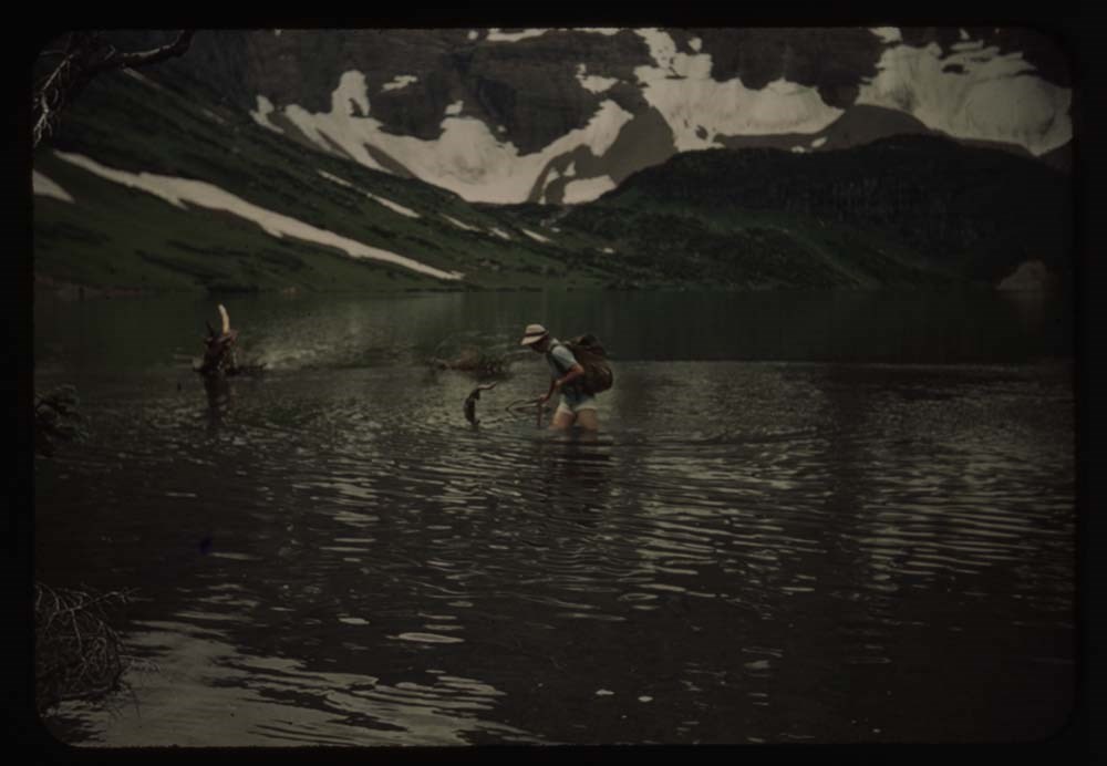
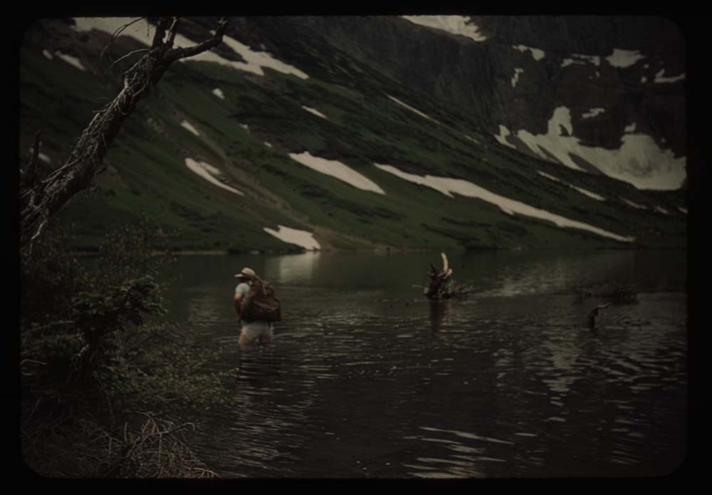
8. Polly wading
9. [Polly wading]
10. [Polly wading]
11. Kay [wading]
12. [Kay wading]
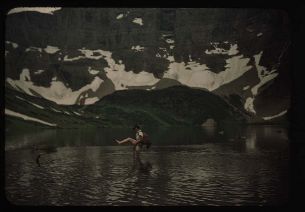
13. [Kay wading] w. foot up
14. [Kay wading] near shore
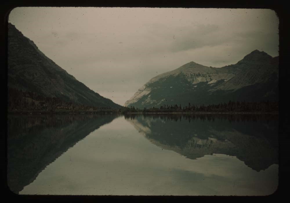
15. Lake Helen - reflections - down valley
16. Mt. and snow bank Ahew[?] Pass
17. At hell on Swift current pass - P. and K.
18. Polly on trail to marry[?] from pass
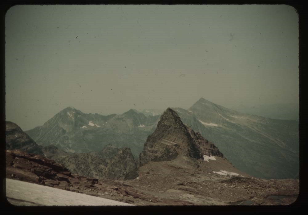
Reel 7 1939
1. People under eating fly
2. Ms. Munday and Kingmans
3. Boys pealing potatoes
4. N. Tower w. clouds
5. Aletta[?] at tent
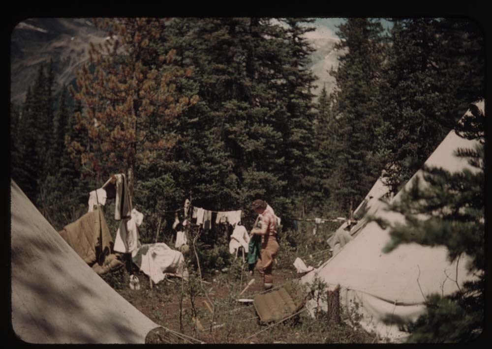
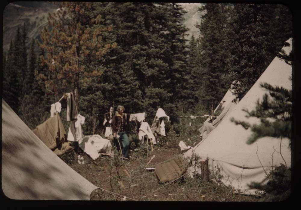
6. Laundry at lady's quarters
7. Sauna
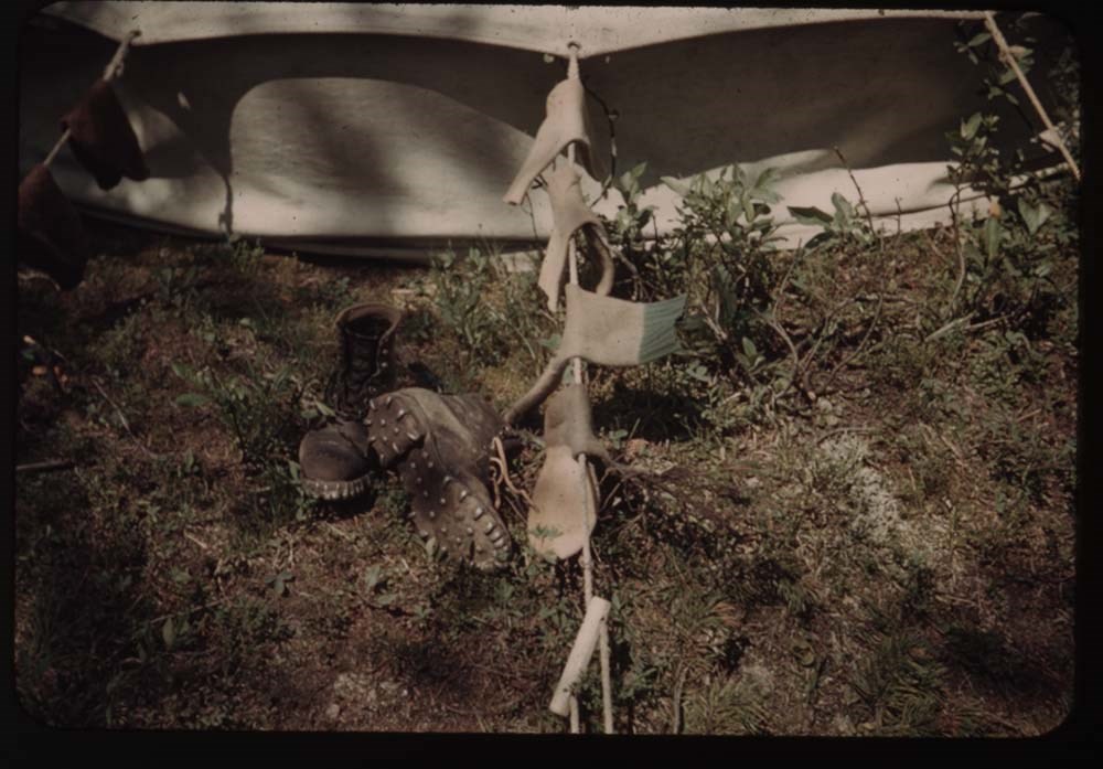
8. Sox and boots near tent
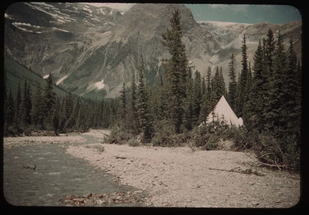
9. Tent and stream
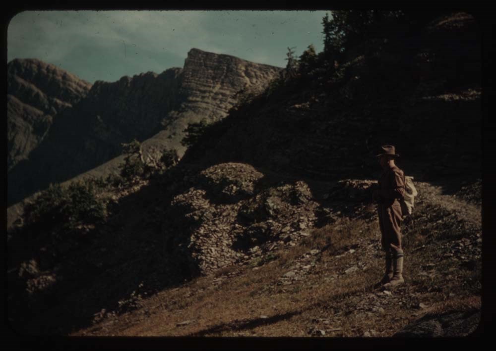
10. Survey station peak - "Black and white"
11. Party leaving camp
12. Same - Ennis party before leaving
13. Head of valley fr. rocky flats
15. Hanbury fr. rocky flats
16. Chancellor in clouds
17. N. Tower and clouds
18. Mt. Hanbury[?]
19. N. Tower
20. Mt. Hanbury[?] fr. nearer camp
Reel 8 1939 Camp ACC
1. Goodsir N. Tower at sunset
2. Party on alplands[?] en route to Vaux
3. Chancellor from [alplands[?] en route to Vaux]
4. N. Tower and G. from same
5. Party on rocks - Roger getting out rope
6. Chancellor - twin peaks appear
7. Up the route to High Camp
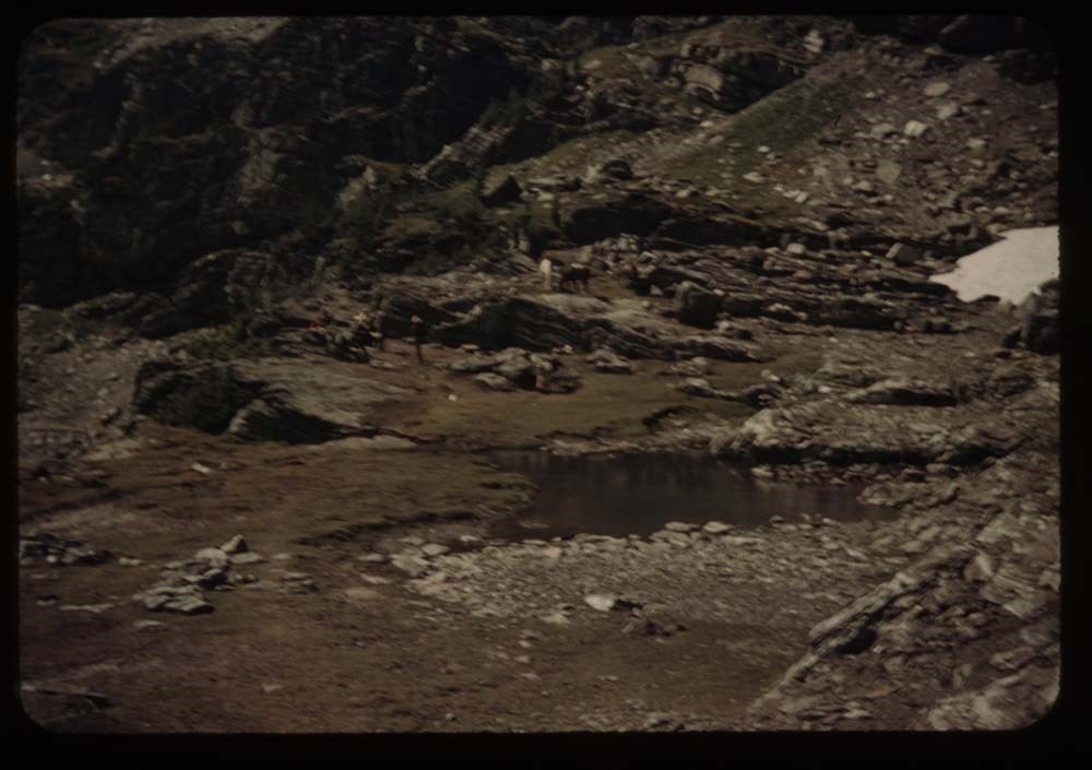
9. Party standing on Vaux Glacier
10. High Camp - Roger in distance
12. Party on glacier
13. [Party on glacier] closer - diff background
14. [Party on glacier] on ice axes
15. Lunch on top
16. Chancellor fr. Vaux
17. Church Service
18. [Church Service] sun out
19. N. Tower at sunset
20. N. Tower [at sunset]
Reel 9
1. Aylards [?] and Miss Gullion
2. Mr. Laird and Miss Burns
3. Eric Brooks
4. Grahams and party
5. [Grahams and party]
6. [Grahams and party]
7. Peckham, Helen Yellmer [?] and John Wheeler
8. Packers and horse
9. Mrs. Forbes, Peckham, Kingman
10. Woodie Kingman
11. Walter Bloch-Hillen and Miss Gullion
12. Woodie Kingman - close up
13. Andrew Kiamer
14. Packer and horse
15. Group watching packing
16. ? , Ernest, Rudolph
17. Ernest and clincher on trail by tent
18. Major Tweedy - hand out
19. [Major Tweedy] close-up of same
20. Paula Bloch-Hillen
Reel 10
1. Head of Ice RIver valley
2. Party on trail to zinc Creek camp
3. Mt Chancellor
4. [Mt Chancellor] with cloud
5. [Mt Chancellor] and Kay on trail
6. S. Tower Goodsir fr. zinc Creek
7. N. [Tower Goodsir fr. sinc Creek]
8. Chancellor fr. zinc Creek trail w. Polly
9. Tent and figure - Zinc Creek camp
10. S. Tower fr. Zinc Col.
11. Chancellor [fr. Zinc Col.]
12. Zinc Mt.
13. Goodsirs from Martius Ridge
14. Rex's rope on [Martius Ridge]
15. Same and Martius Peak
16. View probably towards wash[illegible]
17. Andrew on summit
18. Goodsirs again
19. Rex;s rope
20. Eric on horseback
Reel 11
1. Hans Fuhrer
2. Taking down tent
4. Eating fly supports
5. Pile of duffle
6. Tweedy and one of men taking down fly
7. Rangers cabin and guides
8. Kay on bridge over Lodalite Creek
9. Car on road, Yoho in distance
10. Same further to right - less of car
11. Mt. Hector from road
12. Polly and Katie
13. Mt Chephron and road
14. Road working up Mistaya bel. Patterson[?]
15. Mt Weed from lower Mistaya valley
16. Polly Kay Phyl - up Mistaya valley to Chephron
18. Waterfowl lake and up Mistaya valley
19. Same - but more to left
20. Mt. [illegible] ?
Reel 12
1. Peyto Lookout - view to north
2. Katie w. movie camera; Peyto lookout
3. Up Peyto glacier to Mt. Rhonda (?)
4. Banff and Mt. Cascade
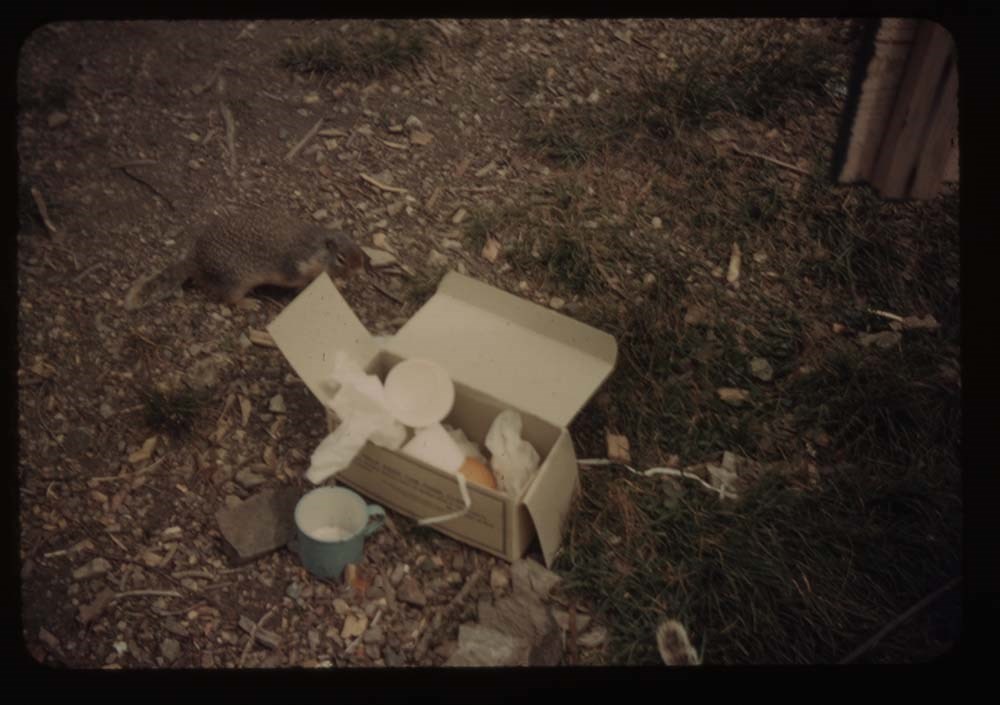
5. Gopher and lunch box gimmell[?] gl.
7. Jim Whilt
8. Jim and party at lunch place - gimmell gl.
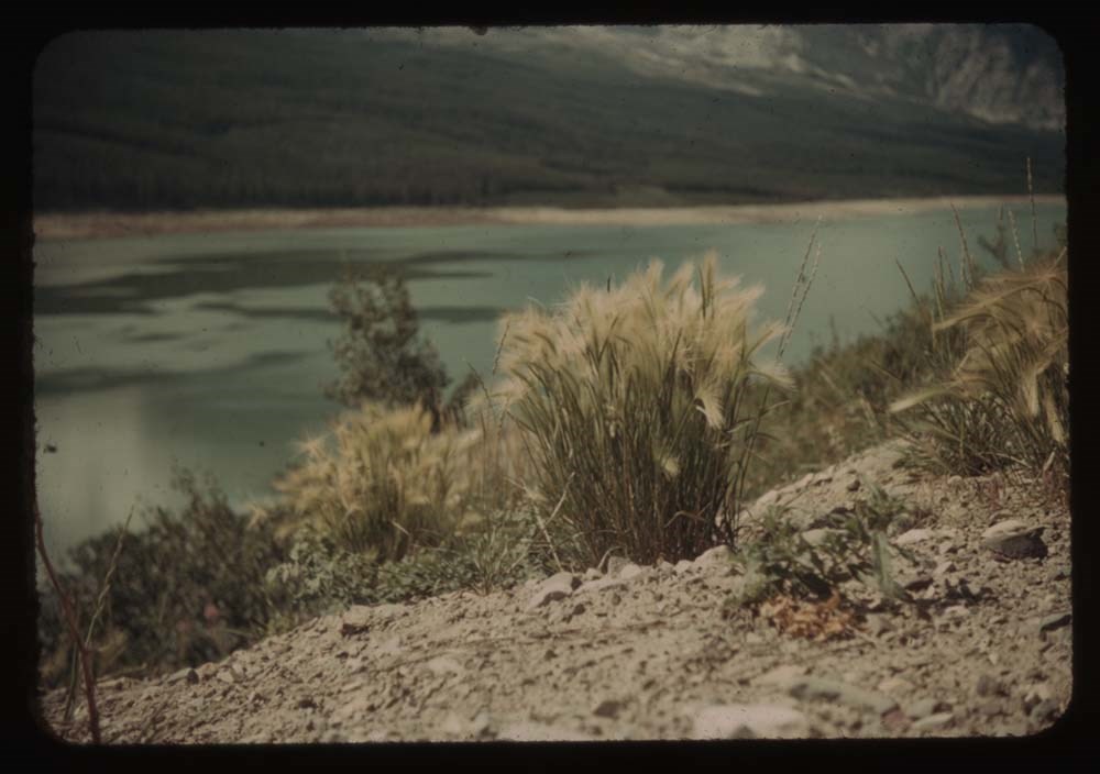
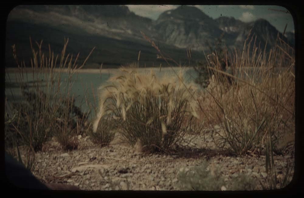
9. Tickle grass at Sherbourne Lake
10. [Tickle grass at Sherbourne Lake]
11. Sherbourne Lake and view up valley
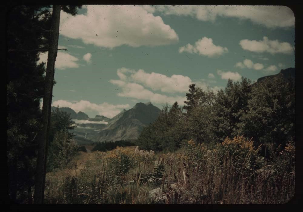
12. Flowers along road to many[?]
13. Annette, Sam and rig
14. [Annette, Sam and rig]
15. Chief Mt. and road
16. Brown eyed Susan
17. Close up [Brown eyed Susan]
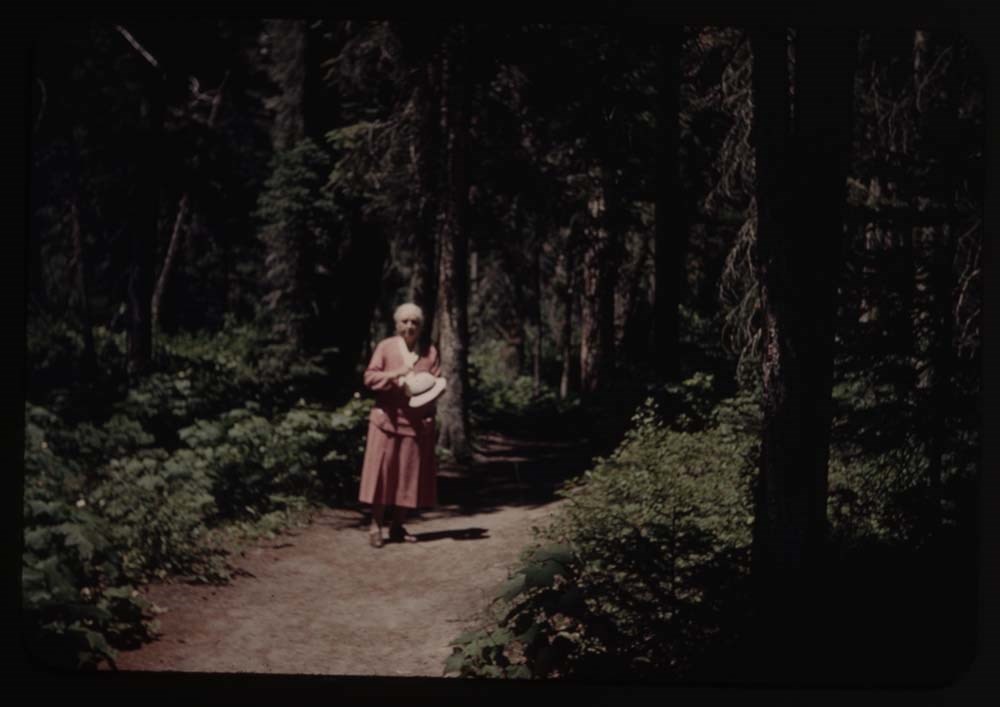
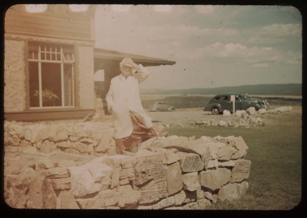
19. Mother at Price of Wales
Reel 13
1. Prince of Wales Hotel
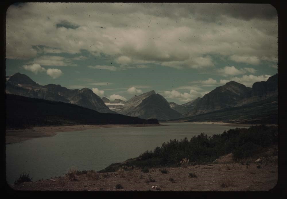
2. Waterton Lake, Mt. Cleveland in dist.
4. [Waterton Lake] village fr. Prince of Wales
5. [Waterton Lake village fr. Prince of Wales]
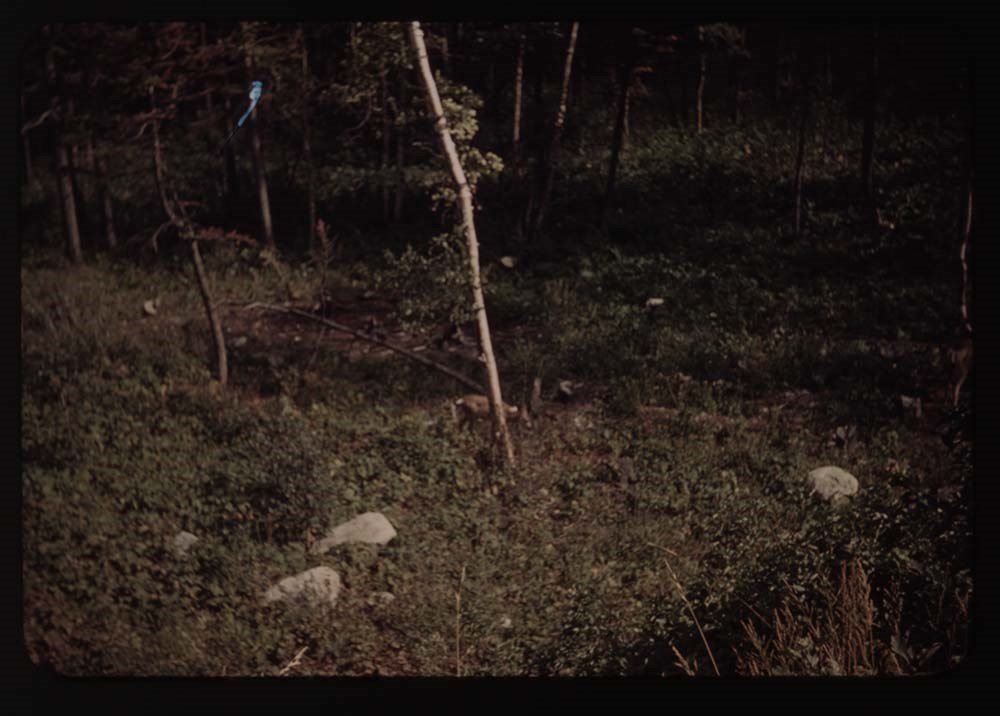
6. Fawn by tree
7. Fawn in bush
8. Chief Mt. and tiny lake
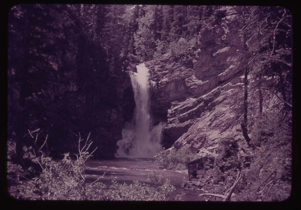
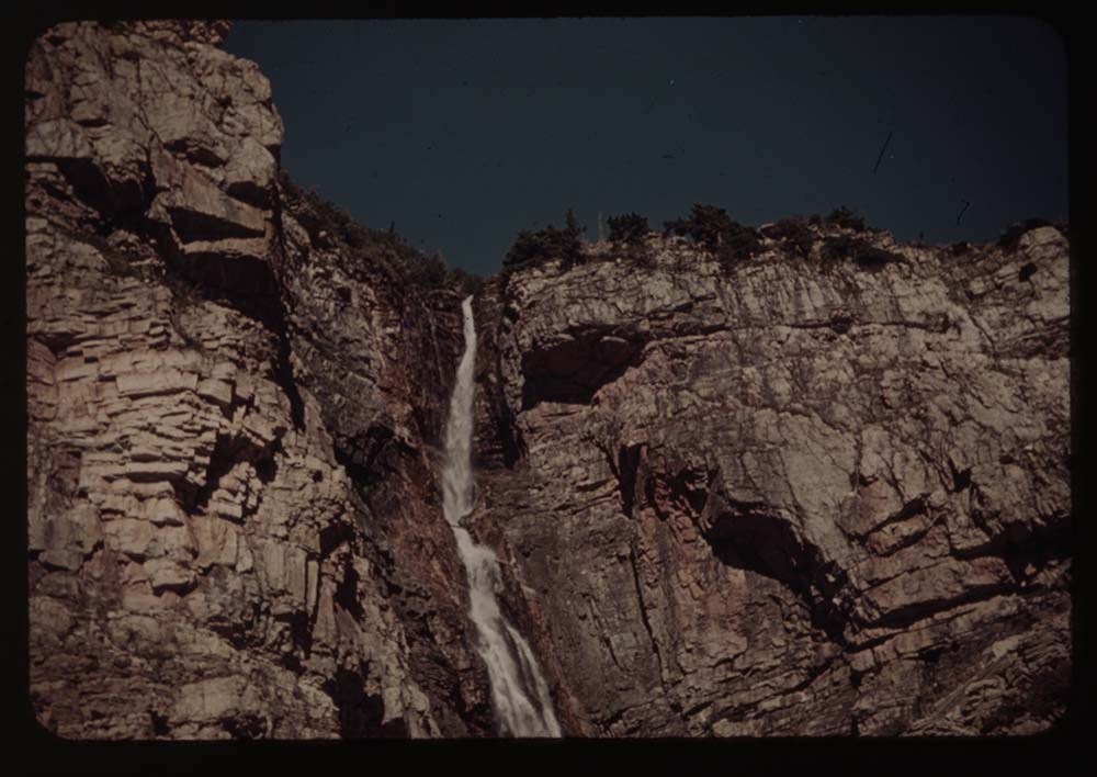
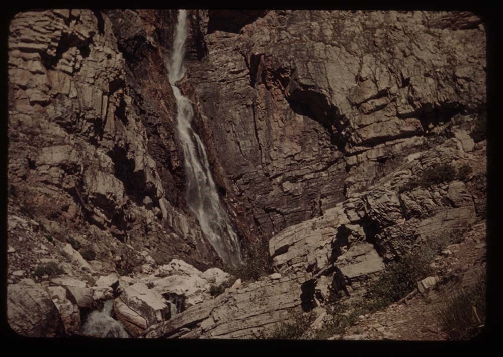
9. Appekunny Falls
10. [Appekunny Falls] lower part
11. Falls aobve Appenkunny
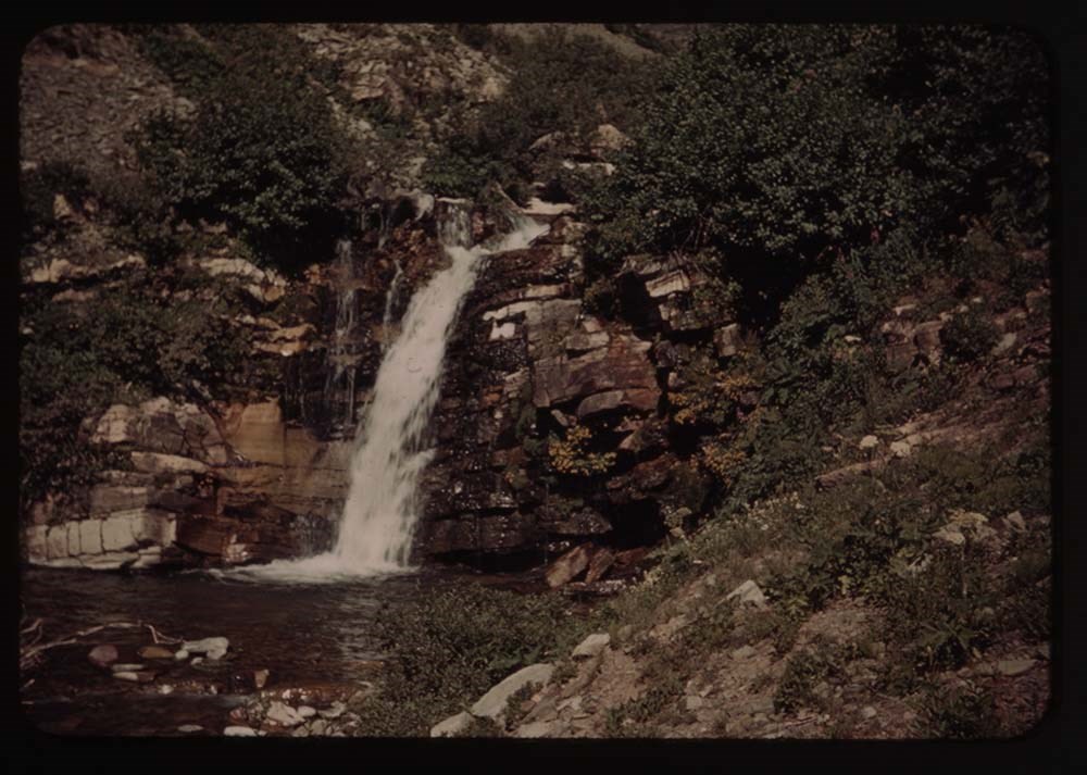
12. Flower decked falls ab. Appenkunny
13. Flowers by falls
14. Same - nearer
15. Fireweed by stream
16. Meadow of flowers by stream
17. Monkey flowers
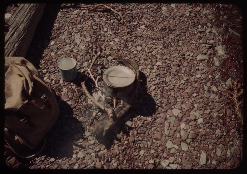
19. Coffee pot, fire, cup and rucksask
Notes
Titles on box lid: Glacier before camp; Camp; Camp - trip back; Glacier after camp.
Slide numbering kept as originally organized, see notebook SL I for more information (M67 / II / C / i / a / 51 - 1).
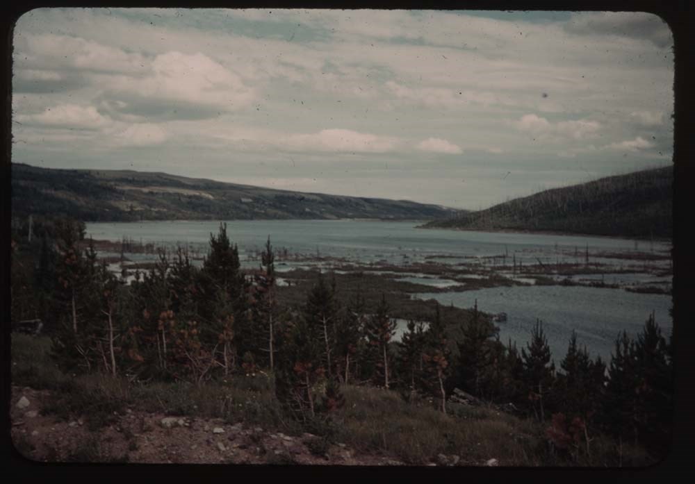
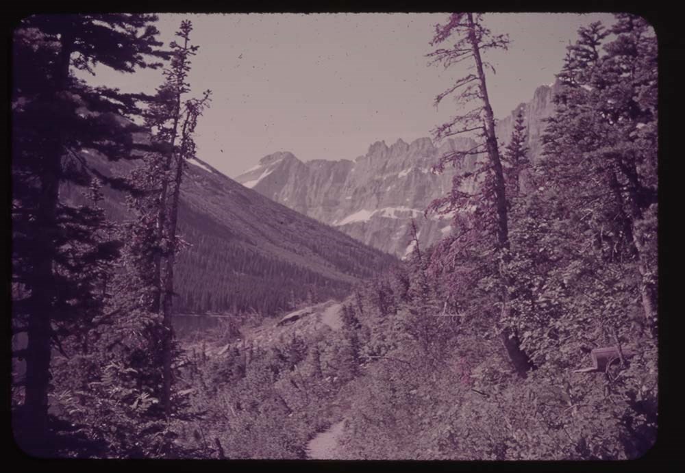
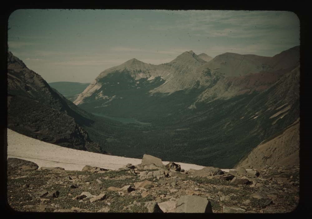
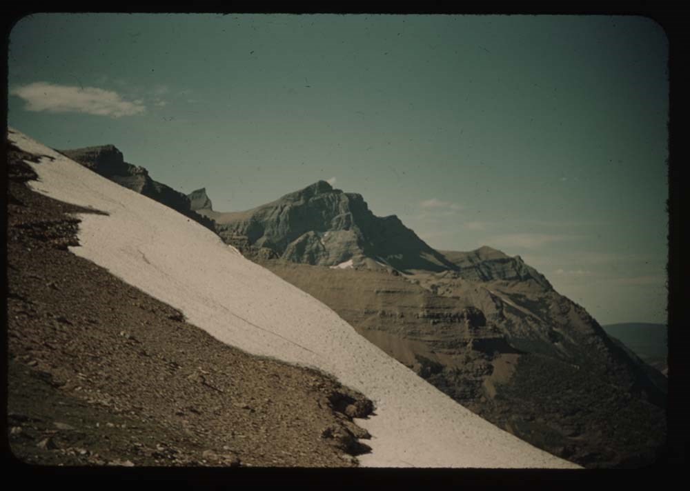
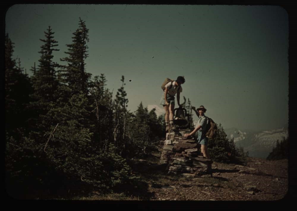
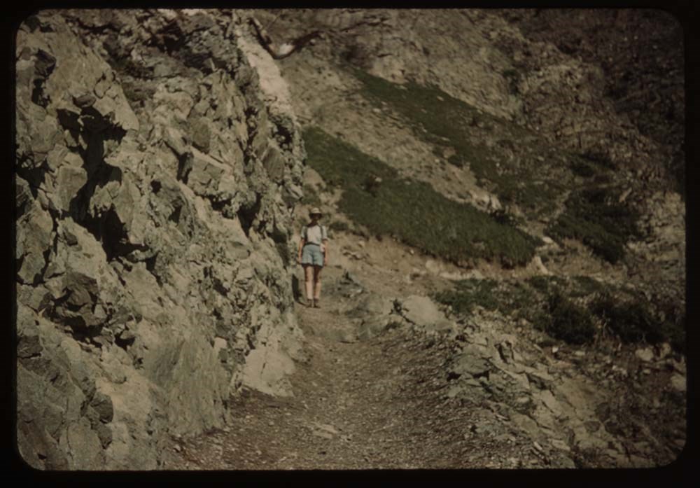
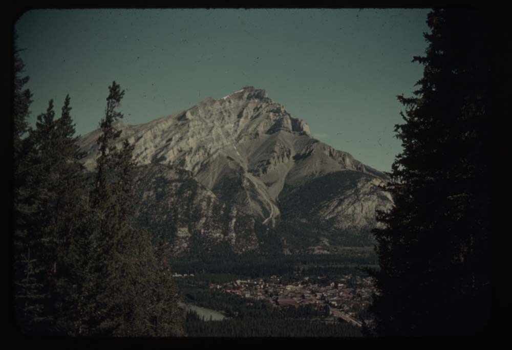
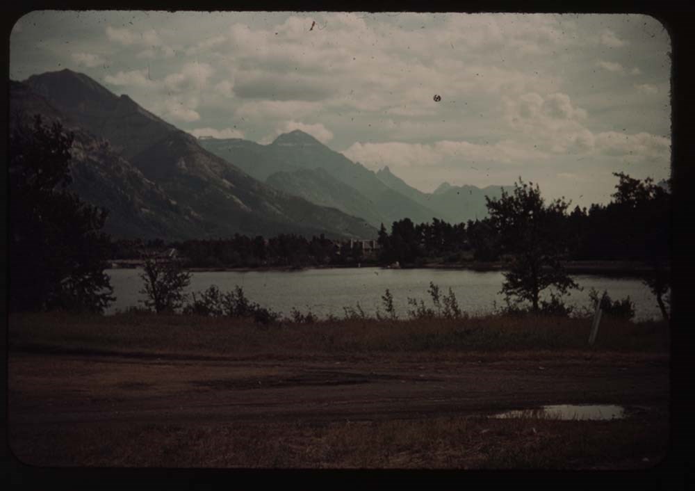
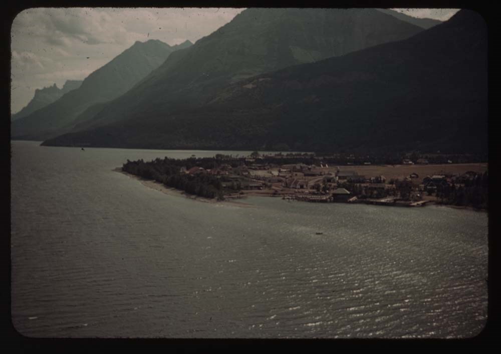
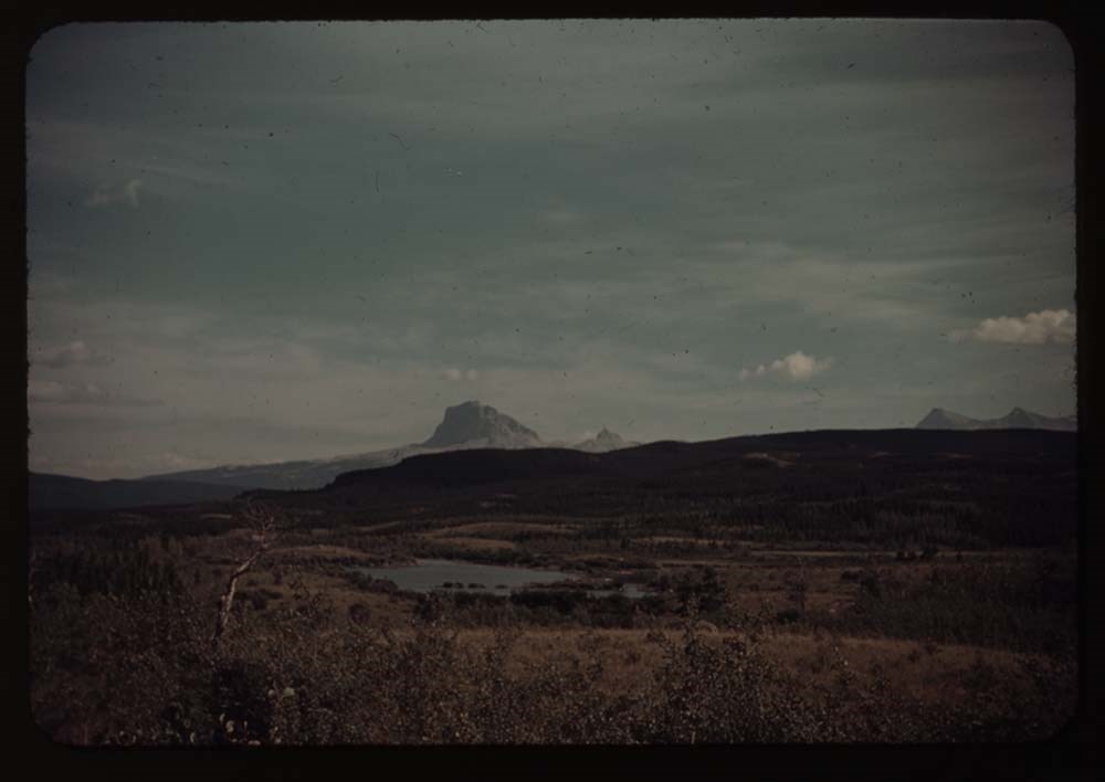
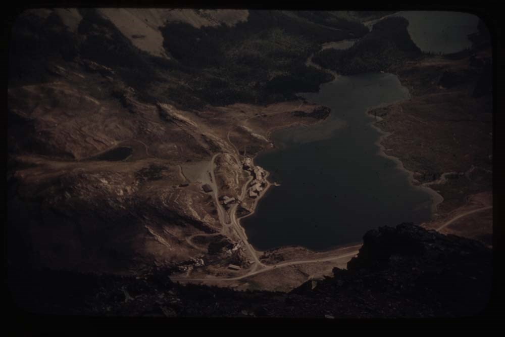
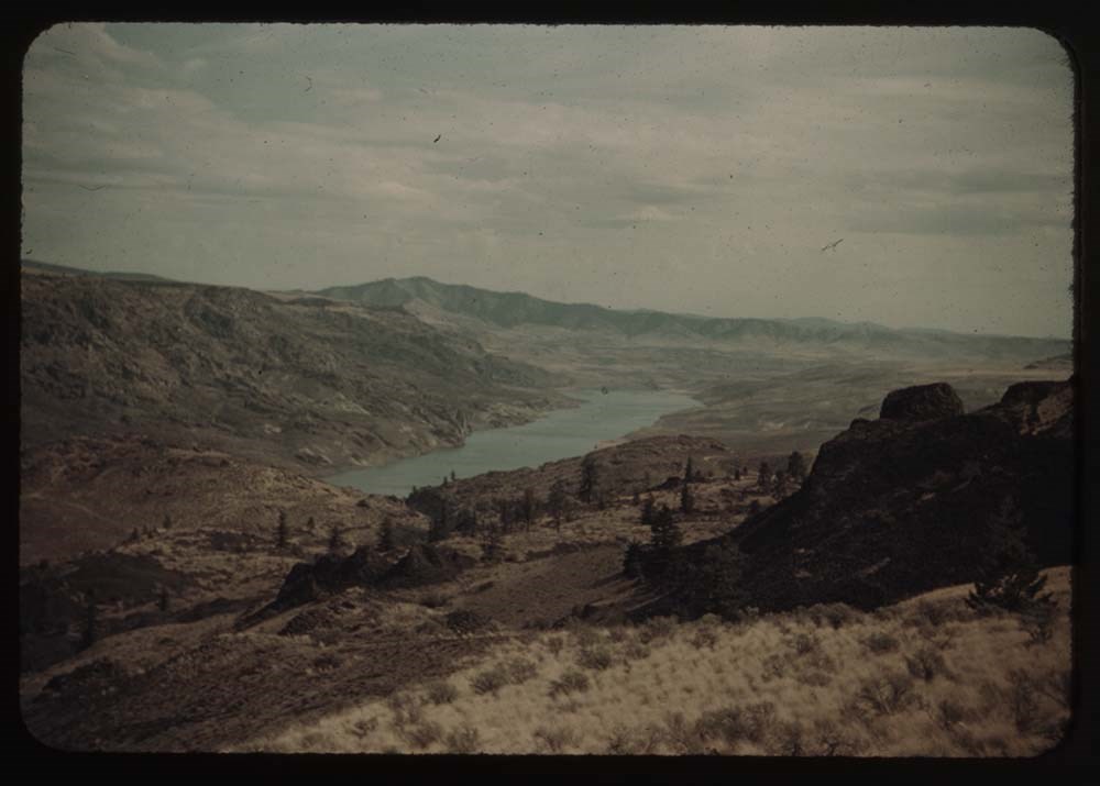
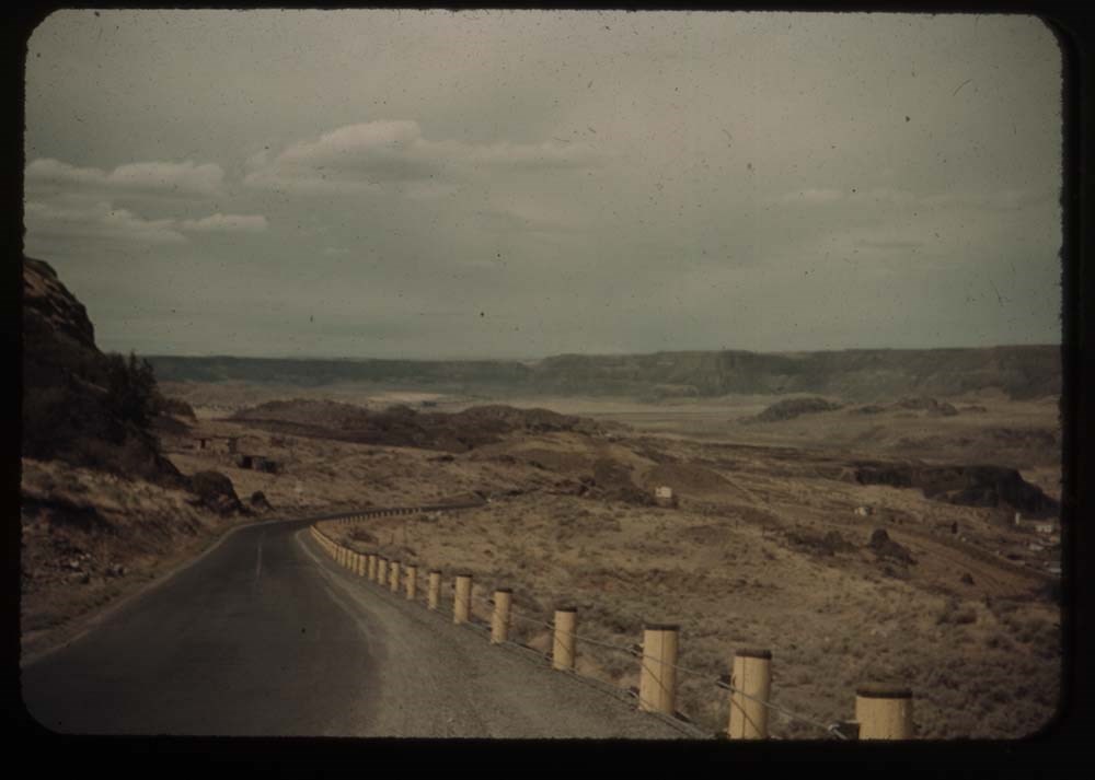
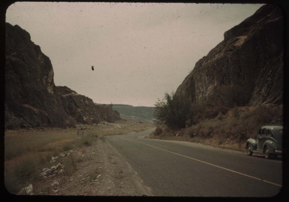
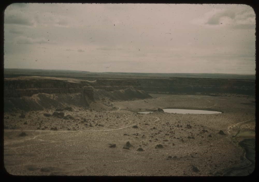
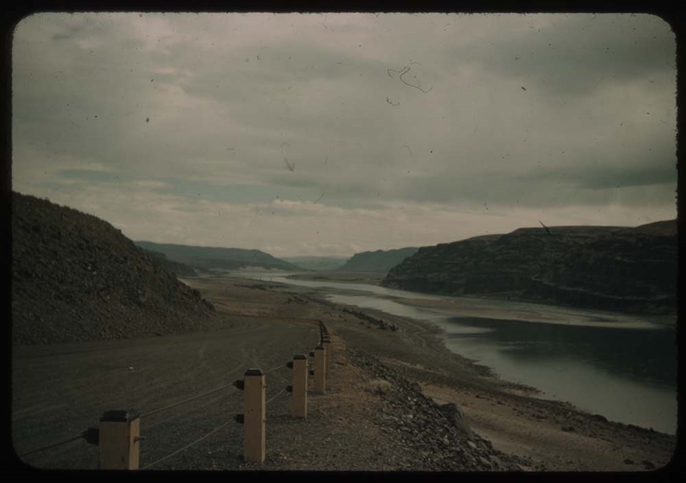
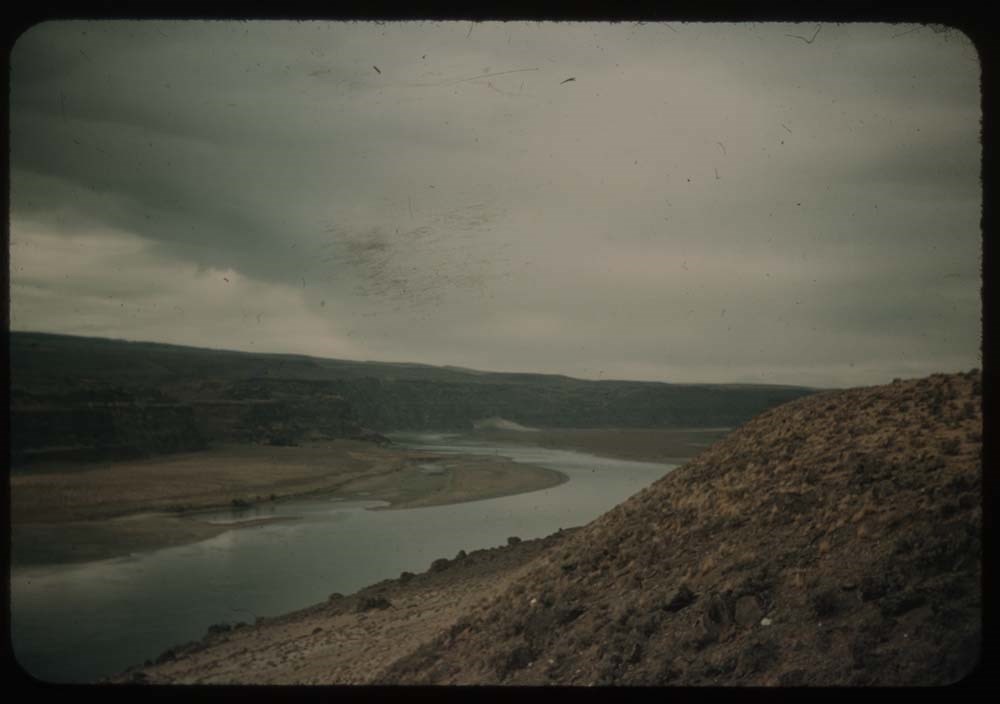
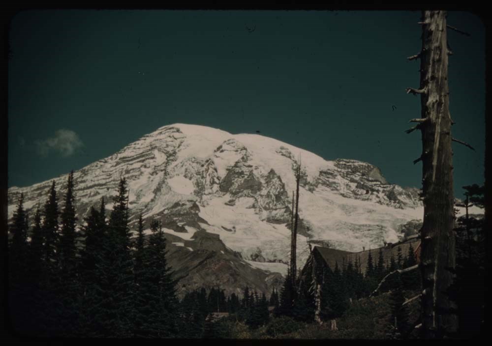
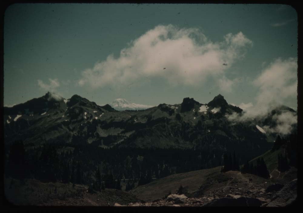
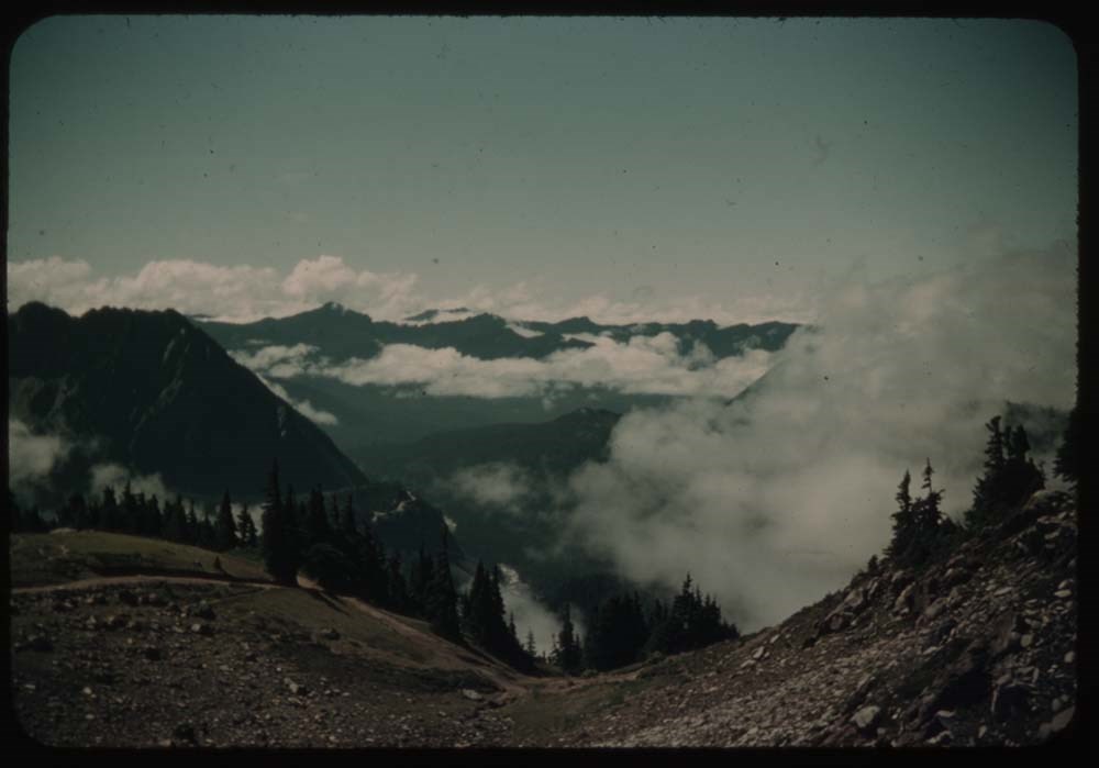
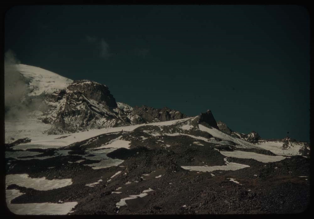
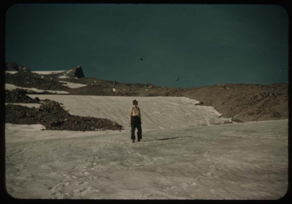
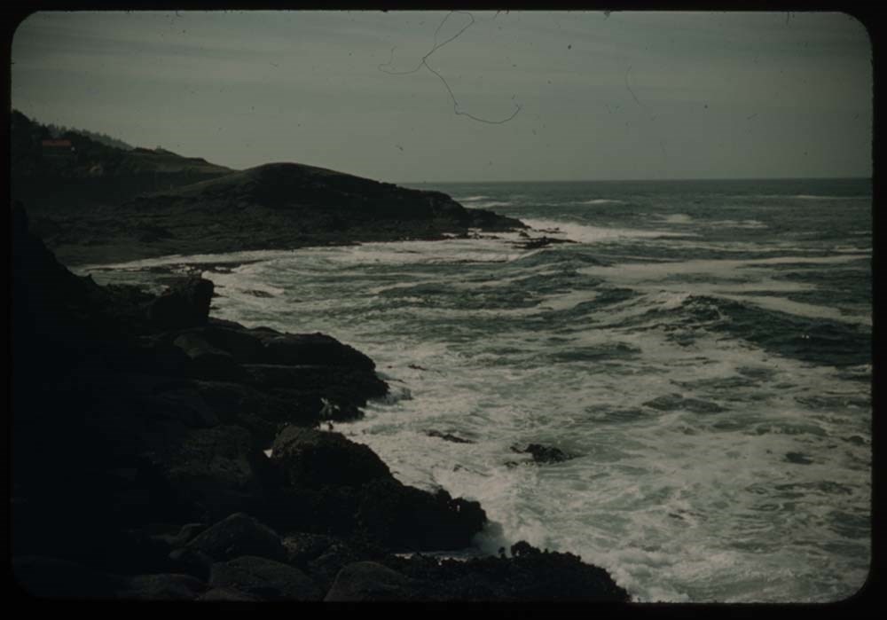
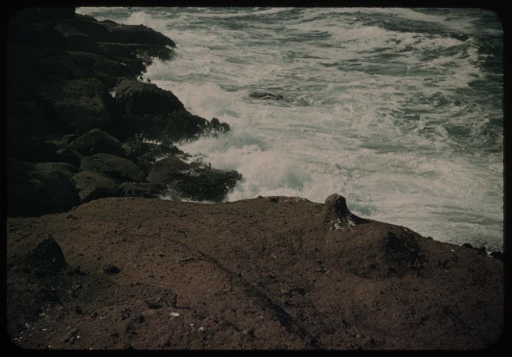
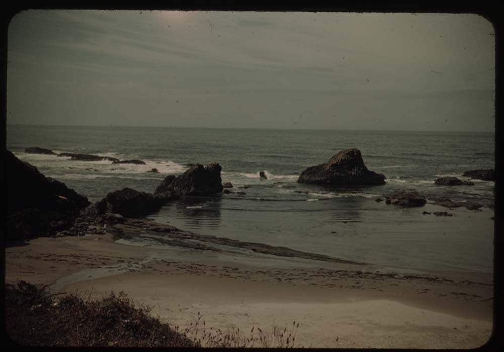
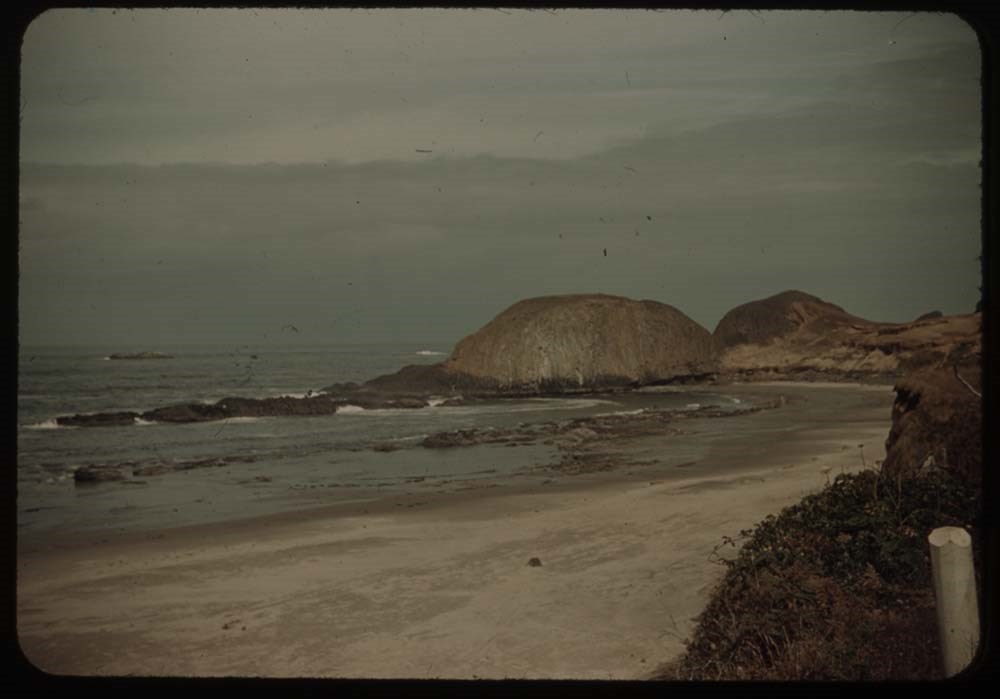
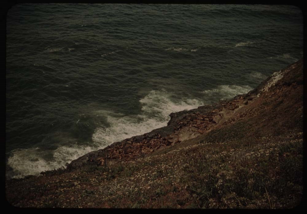
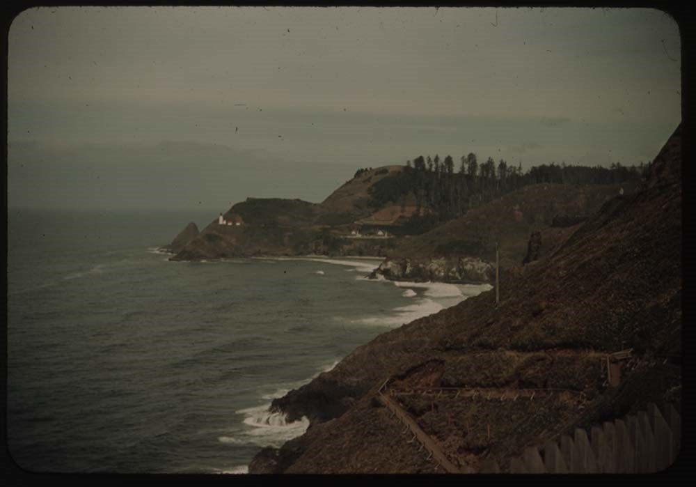
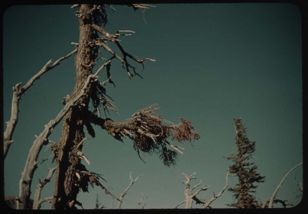
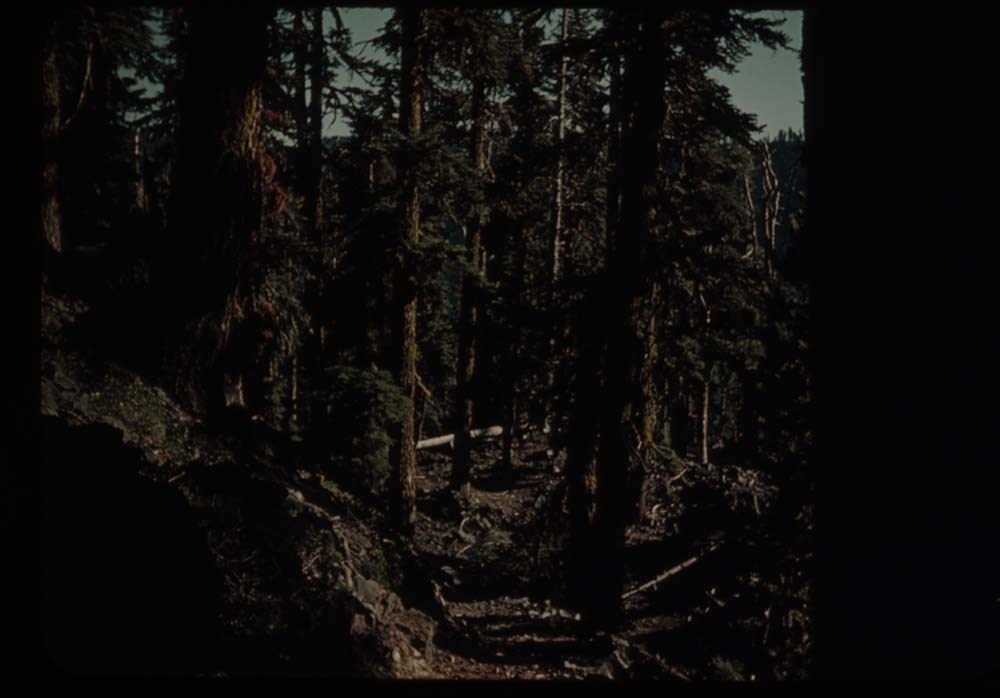
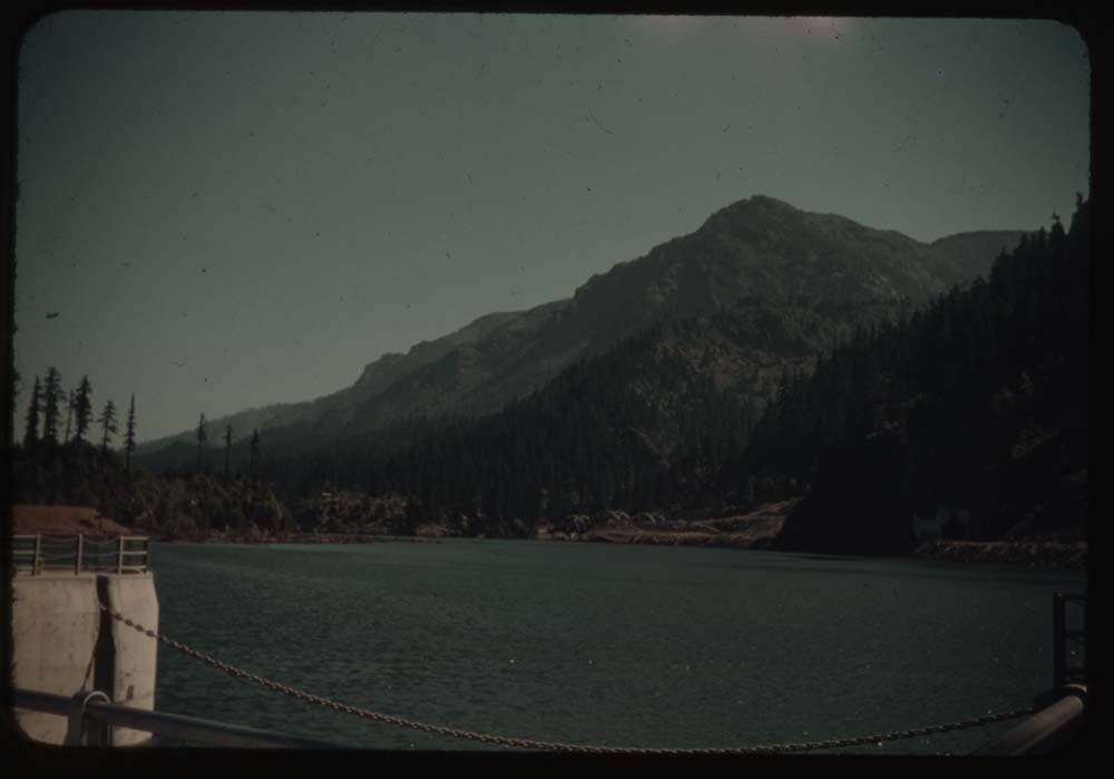
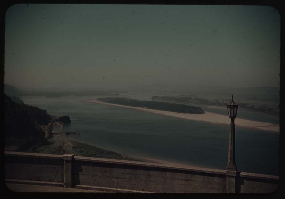
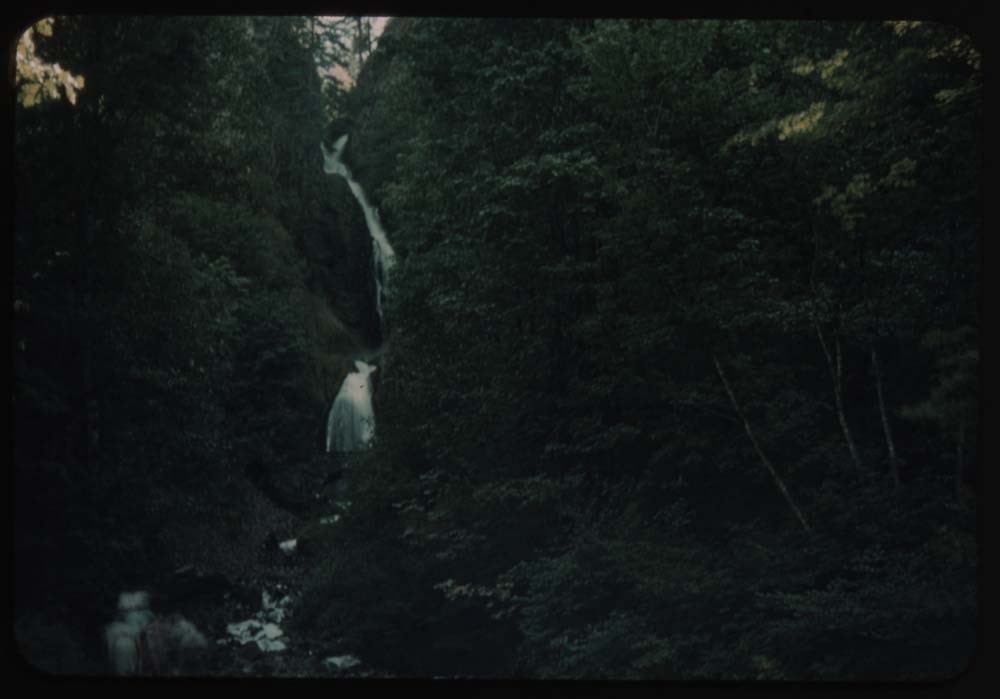
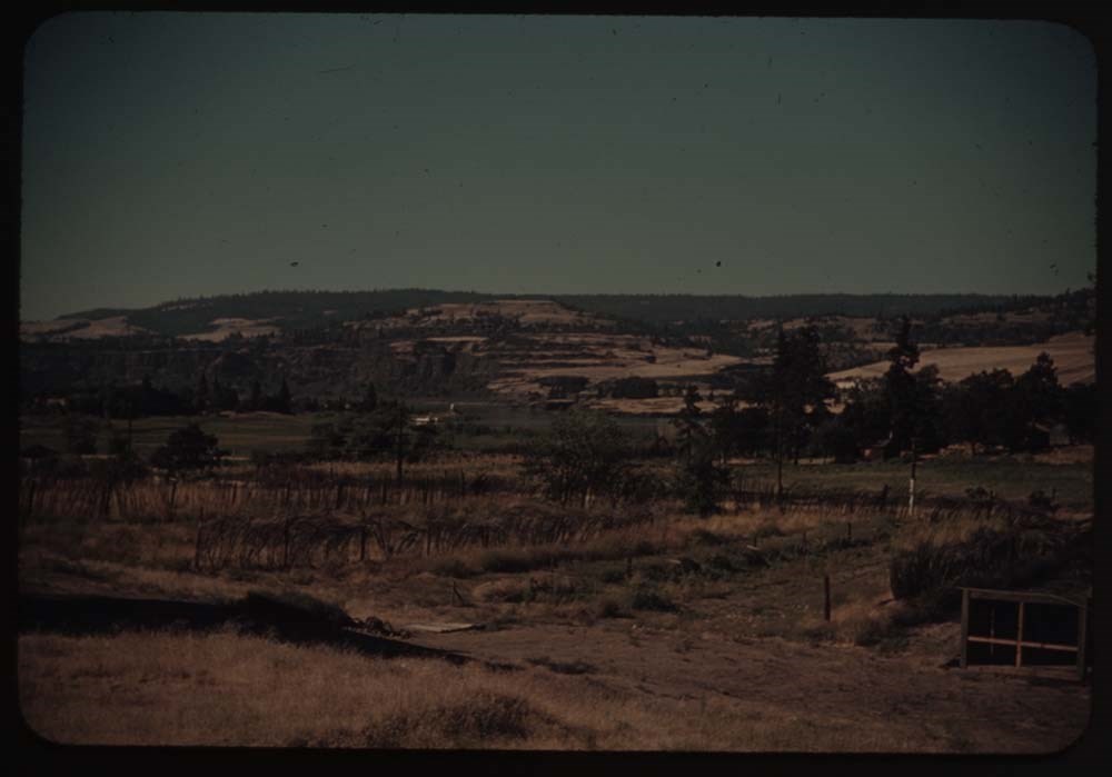
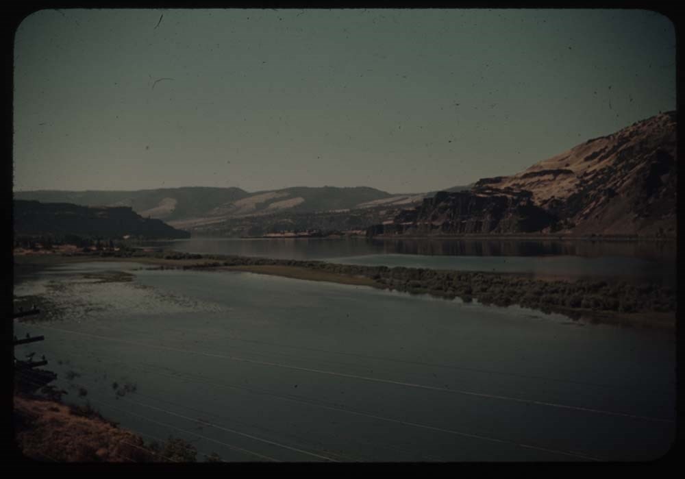
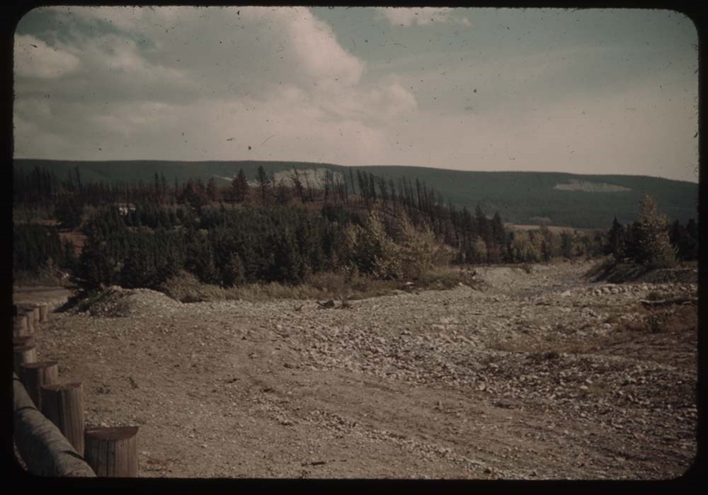
File pertains to 173 35mm colour transparency slides mounted in carboard sleeves. Pertain to Waterton Lakes National Park region; Grandview Ranch; Frank Slide; Grand Coulee Dam; Mason City; Mount Rainer; Crater Lake; Mount Hood; fish hatchery; Columbia River area; [Bonneville?] Dam and salmon ladde…
File pertains to 173 35mm colour transparency slides mounted in carboard sleeves. Pertain to Waterton Lakes National Park region; Grandview Ranch; Frank Slide; Grand Coulee Dam; Mason City; Mount Rainer; Crater Lake; Mount Hood; fish hatchery; Columbia River area; [Bonneville?] Dam and salmon ladders; friends and associates, including B.H.G., Charlie Hunter and Caroline [Hinman?]. -- See notebook SL I for more information (M67/51).
Notes
Titles on box lid: Glacier Park; After camp; Auto trip; Auto trip.
Slide numbering kept as originally organized, see notebook SL I for more information (M67 / II / C / i / a / 51 - 1).
Titles:
Reel 14
1. Appekunny Lake and goldenrod
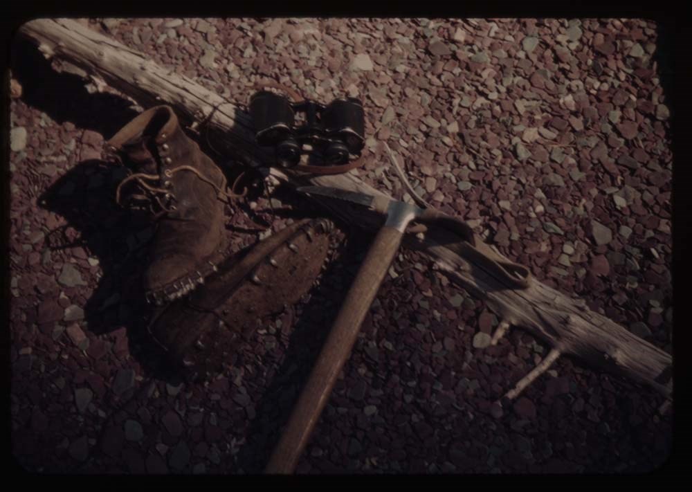
2. Boots, glasses, ice ax
3. Many gl. Hotel from Mt. Altyn
4. [Many gl. Hotel from Mt. Altyn]
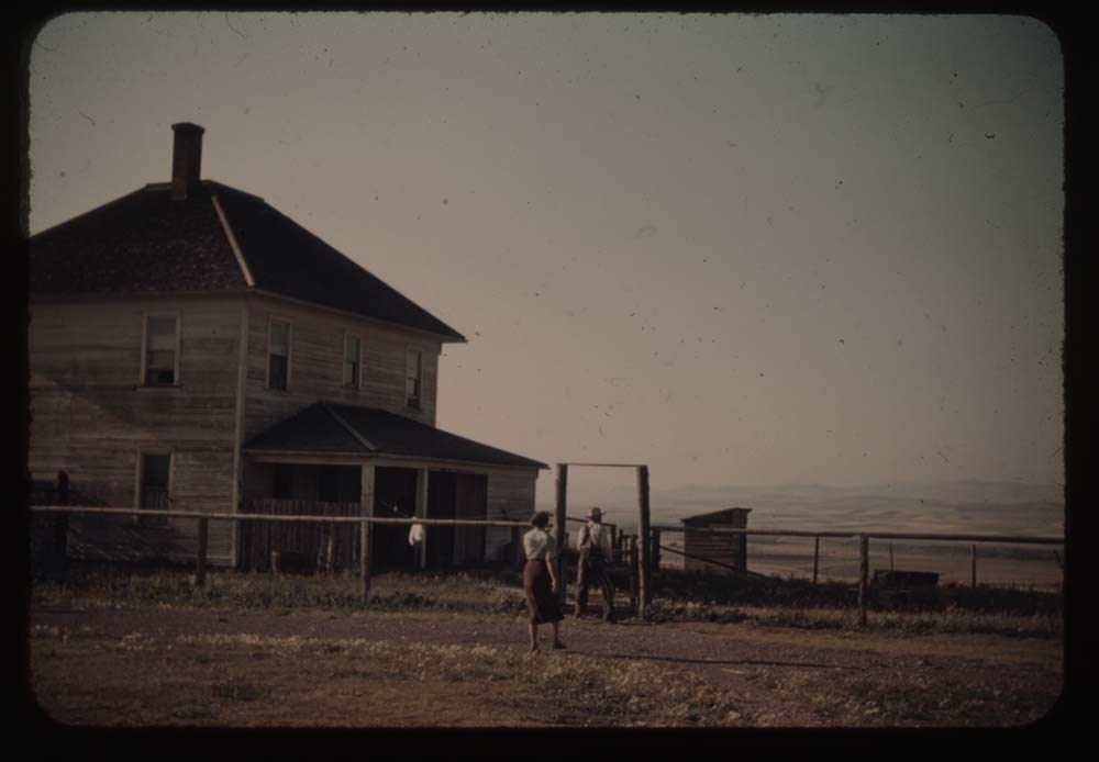
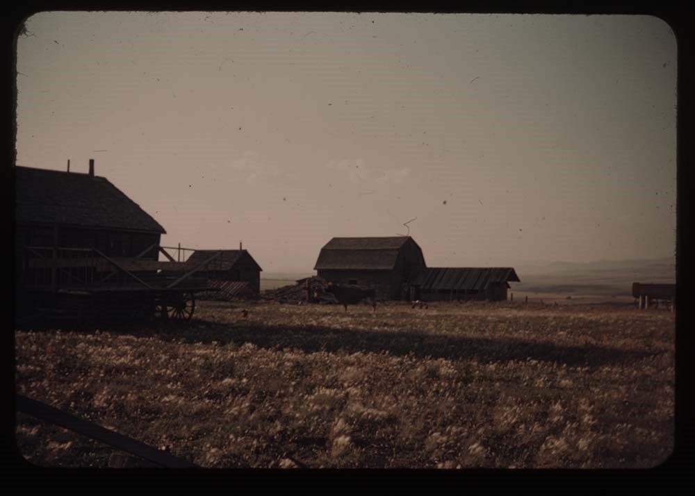
5. Charley's - house and chicken houses
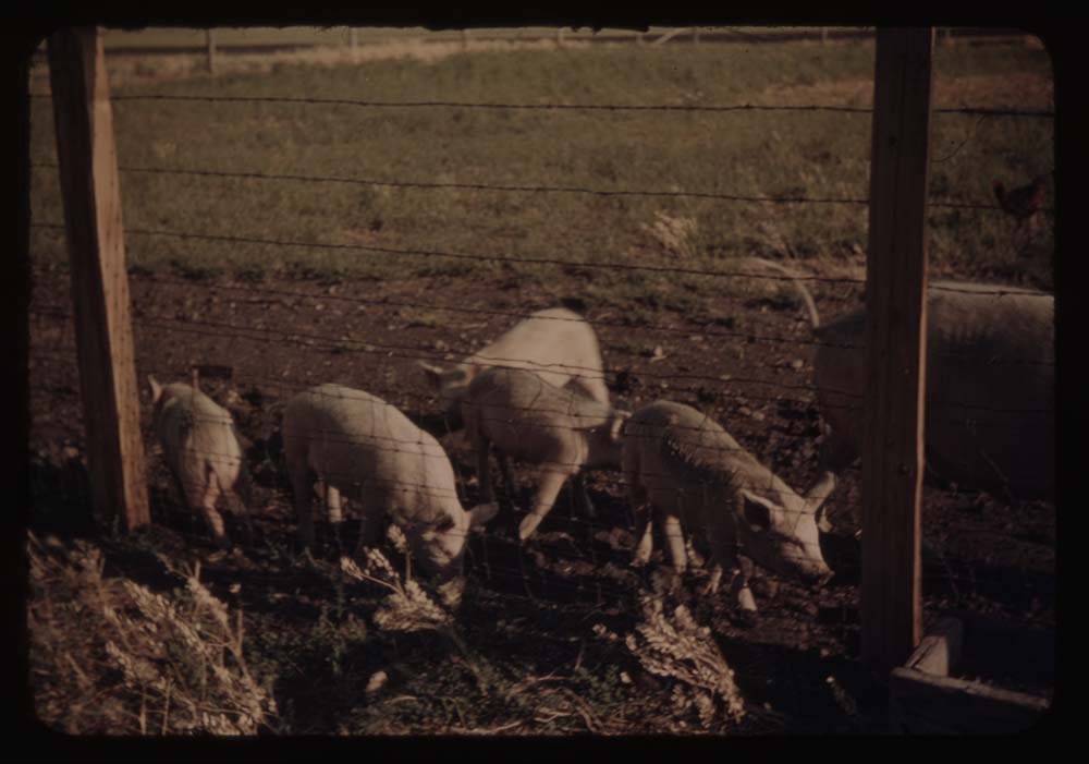
6. The pigs - five little ones and mother
7. Charley's house - front view
8. Barn - grandview Ranch
9. Charley's house - front view
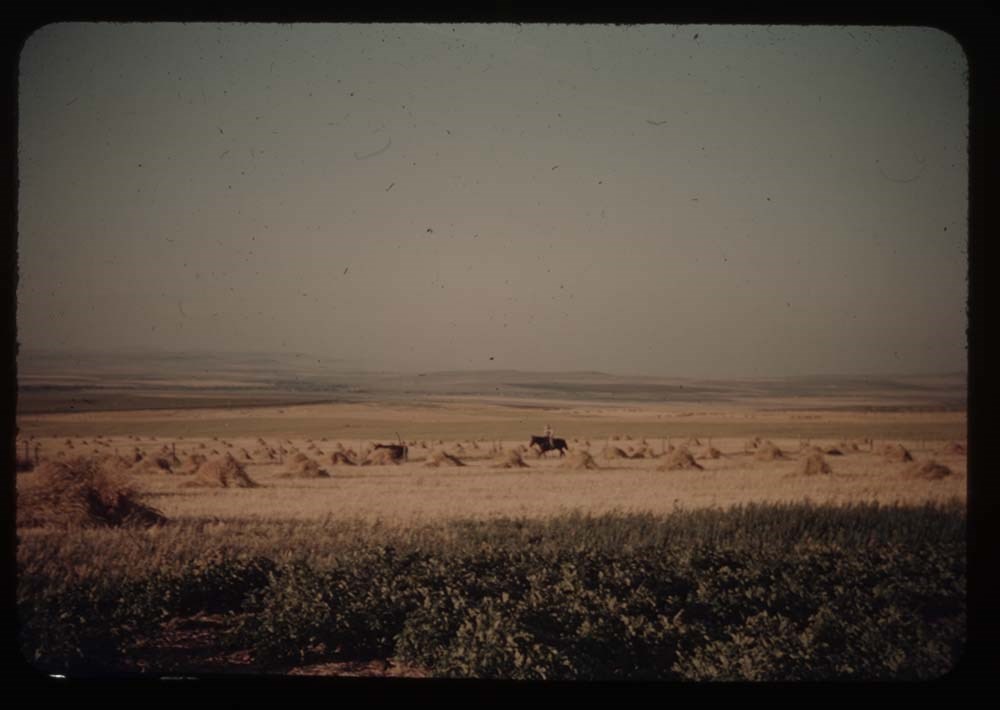
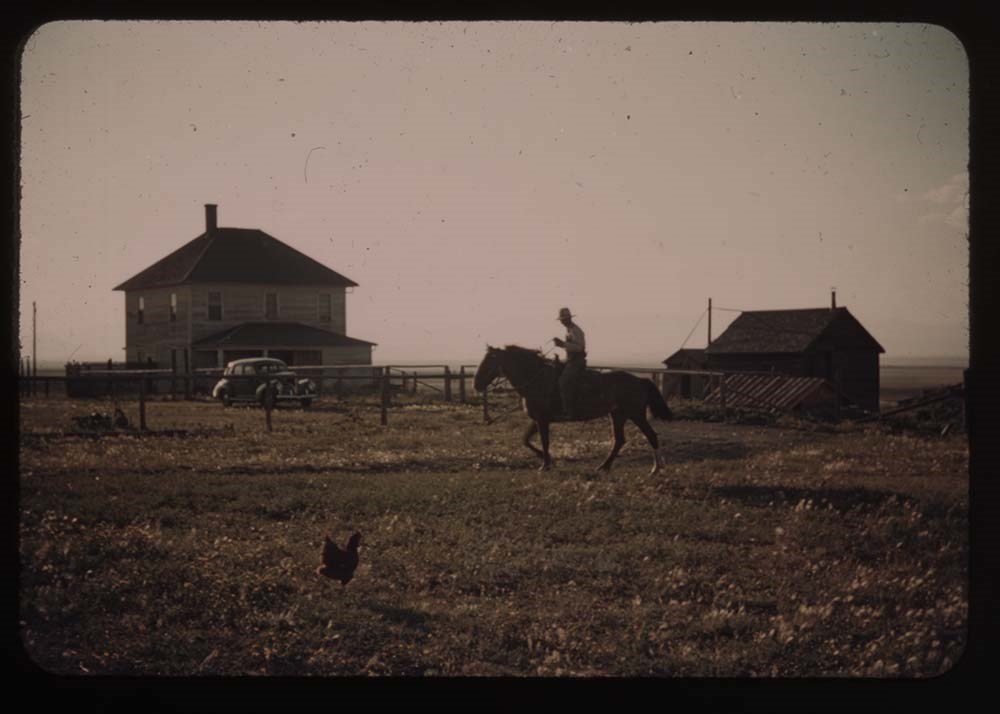
11. Wheat fields and Charley on horseback
12. Farm houses and cow
13. Charley riding in
14. Caroline weeding garden
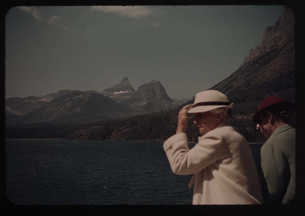
15. St. Mary's Lake fron Sun Chalet
16. BH.G. and "Sig" - porch at Sun Chalet
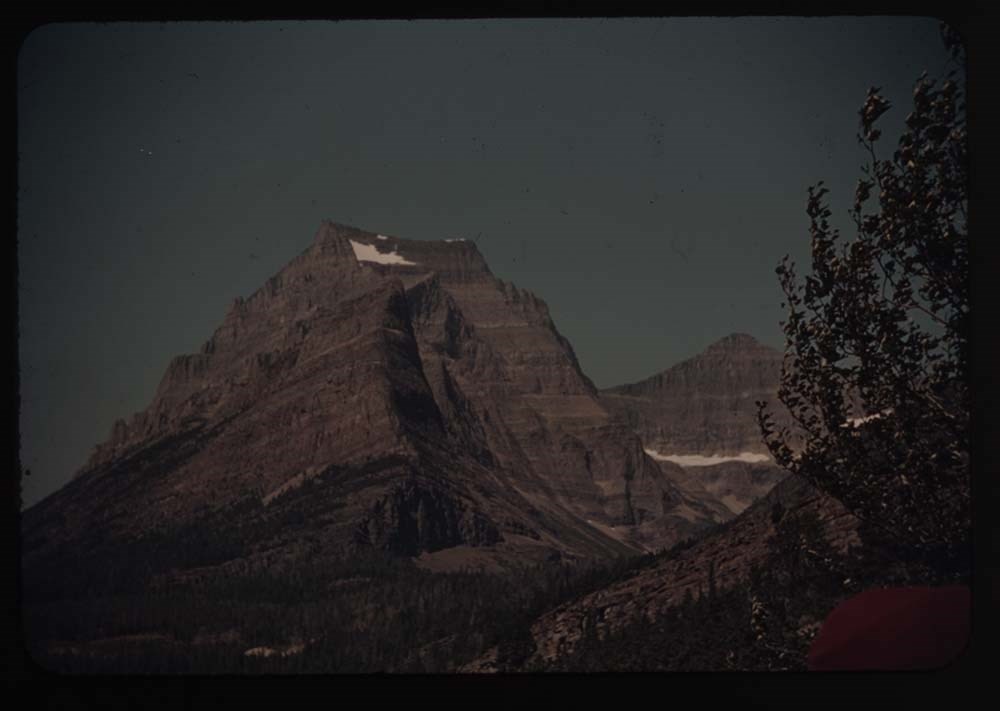
17. Going-to-the-Sun Mt.
18. Hills point and cottage fr. Sun Chalet
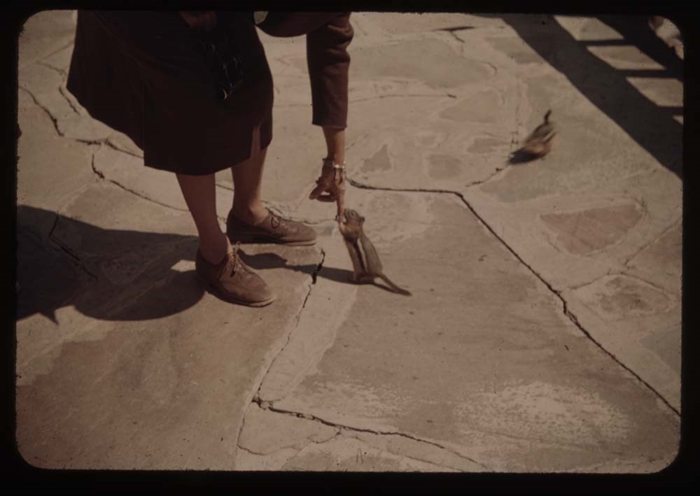
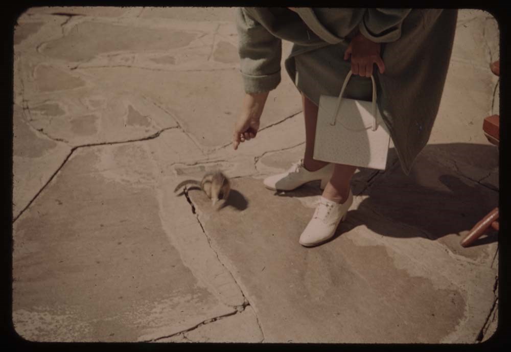
19. Chipmunk at Caroline's feet
20. [Chipmunk at Caroline's feet]
Reel 15
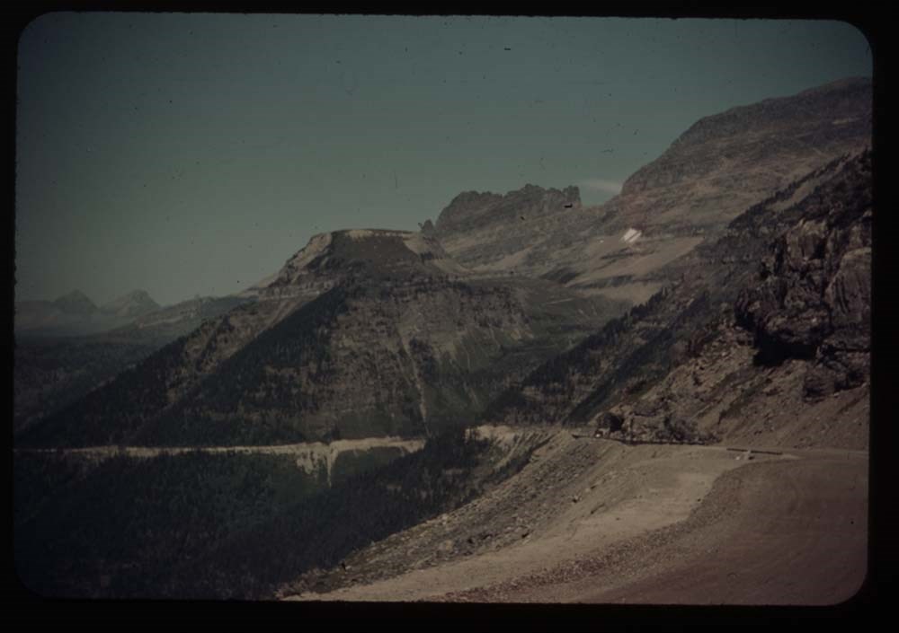
1. Logan Pass Highway w. of summit
2. Same - further view to left
3. Porch and flower boxes, Mac P. Hotel
4. St. Mary's lake
6. Same view fr. nearer edge of road
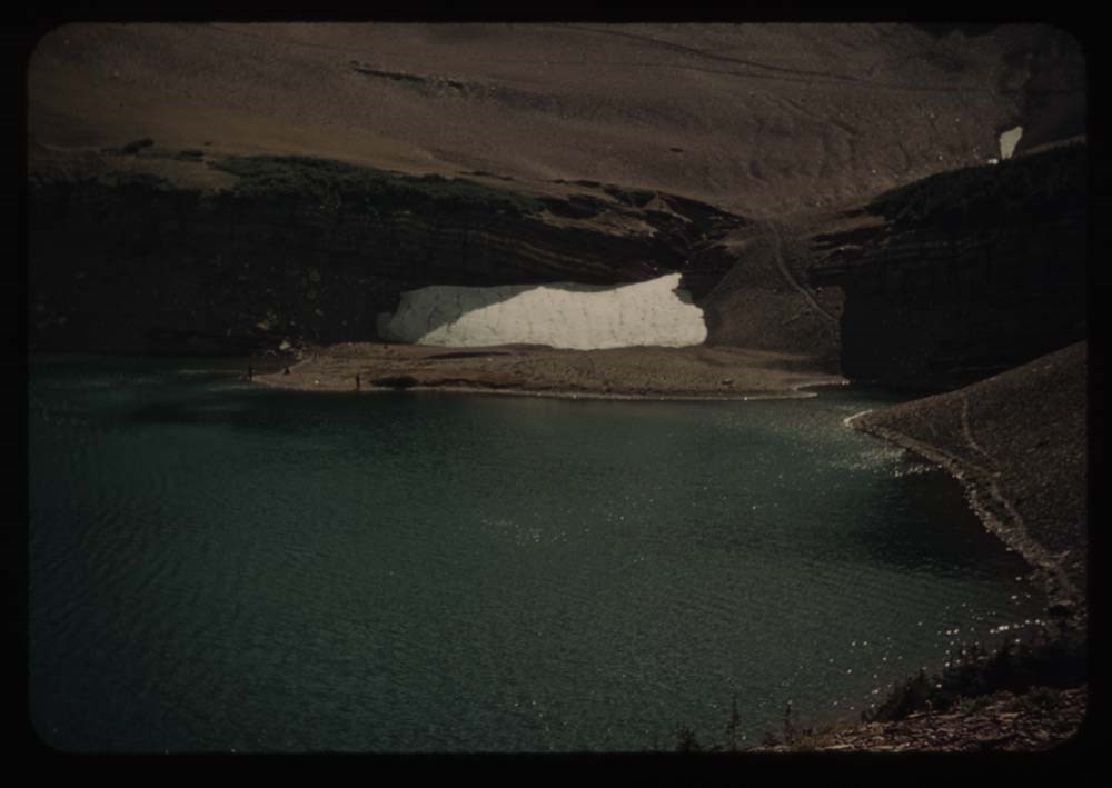
7. Cracker[?] Lake first view
8. [Cracker[?] Lake] fr. near end
9. Cracker Lake fr. side of Red Rock
10. Cracker Lake reflections
11. Caroline at lunch place - Cracker Lake
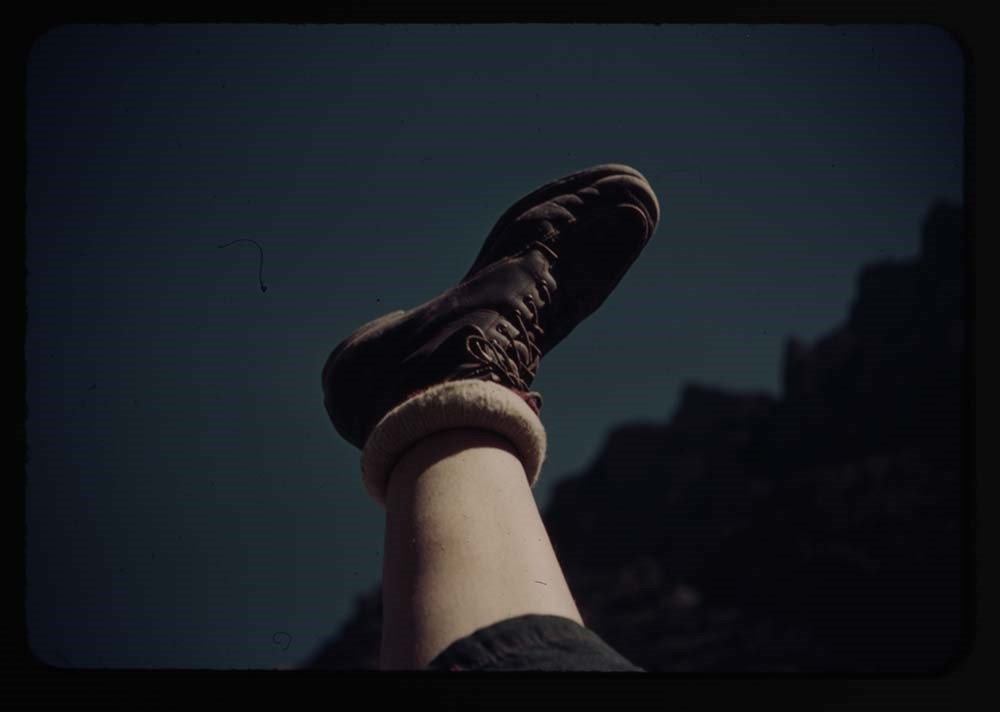
12. My foot
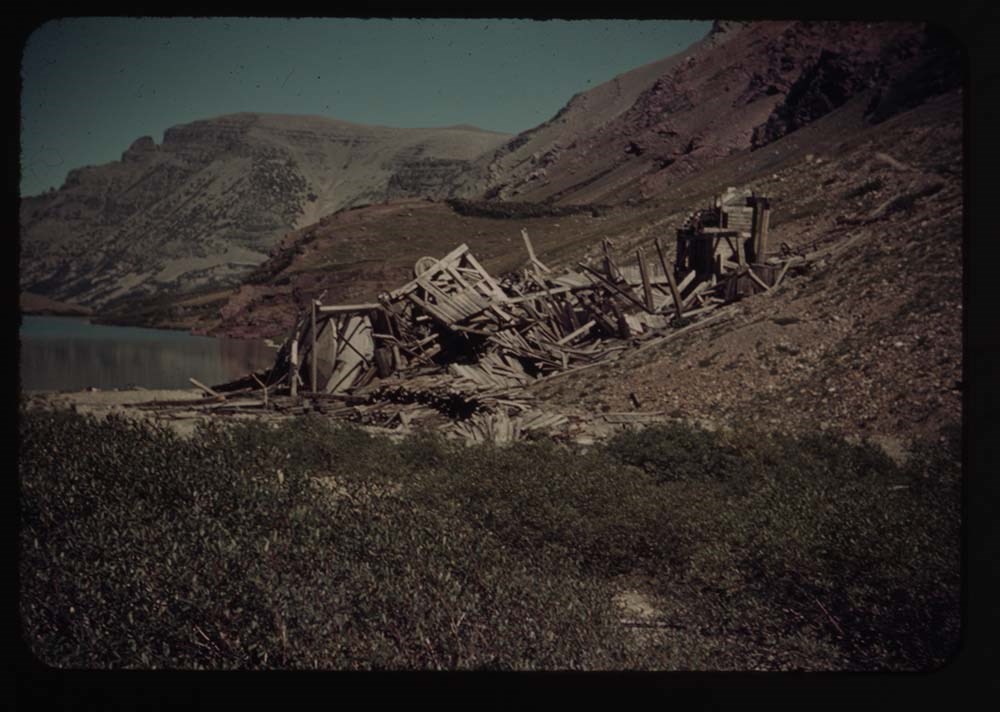
13. Cracker mine mines
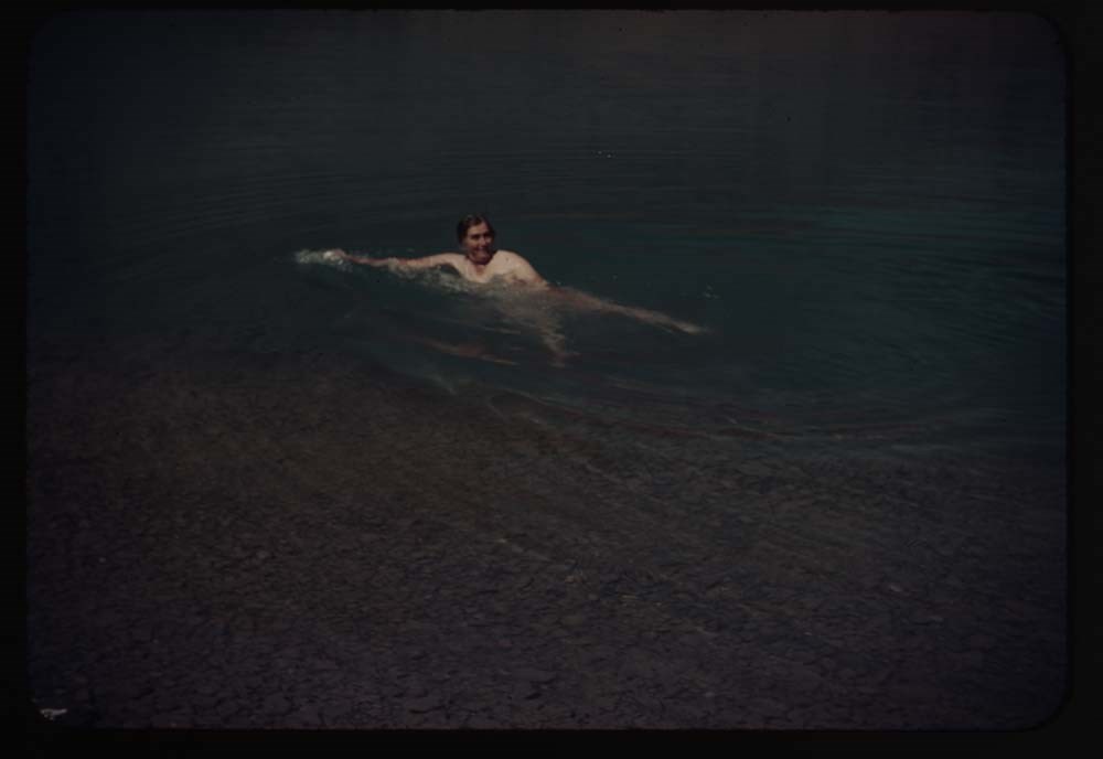
14. Caroline is swimming
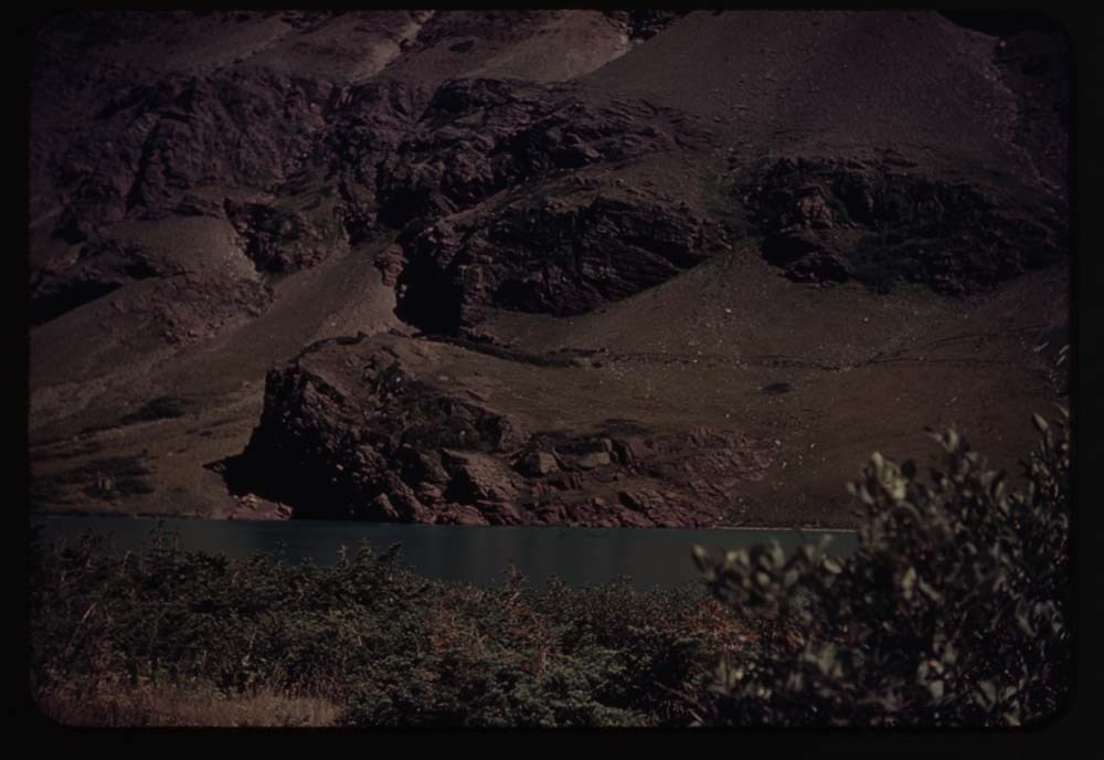
15. Red Rock fr. across lake
16. Down the stream fr. lake
18. Auto Road and Chief Mt.
19. Cameron Falls
Reel 16
1. Down valley to [blank] Lake
2. Charley and fire in bushes
3. Upper lakes and fishermen in dist.
4. Charley on upper trail
5. Waterton and lake from trail thru trees
6. Same without mt.
7. From Spray glacier
8. Party on Spray glacier
9. Party at lunch place - Spray gl.
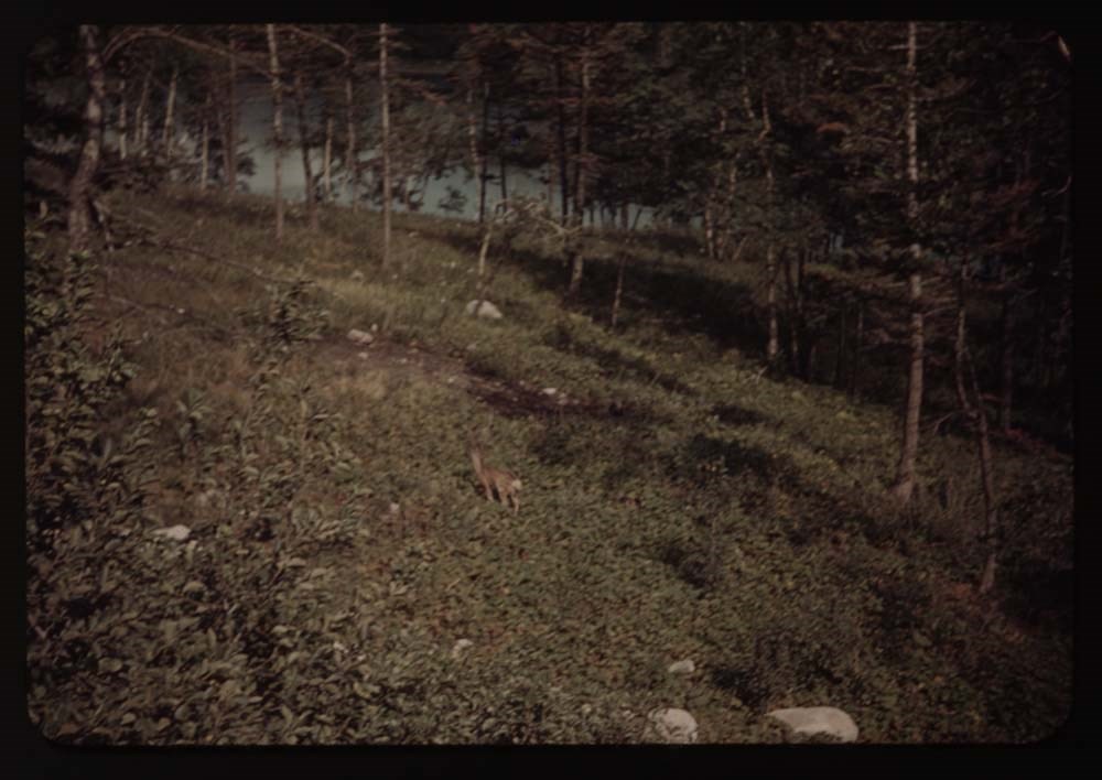
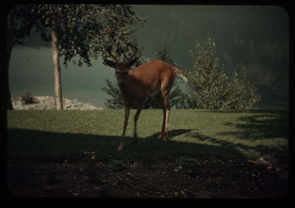
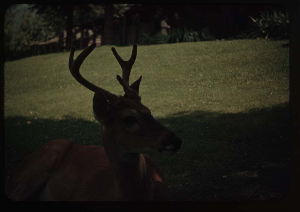
10. Deer on lawn
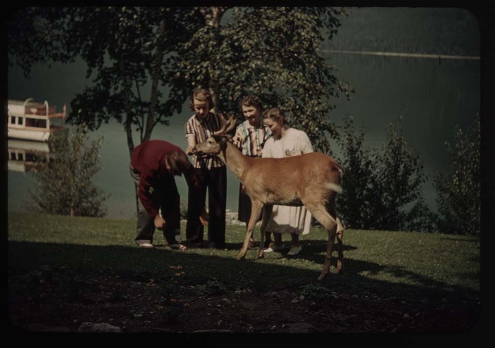
12. Deer and tourists
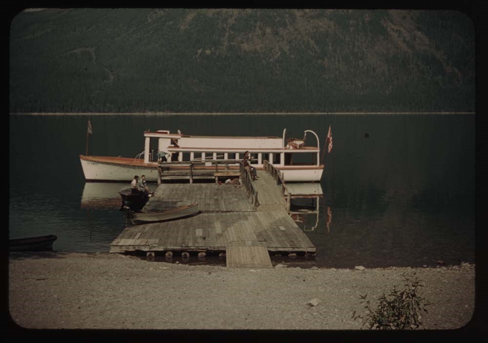
13. Launch at wharf - Mac D. Lake
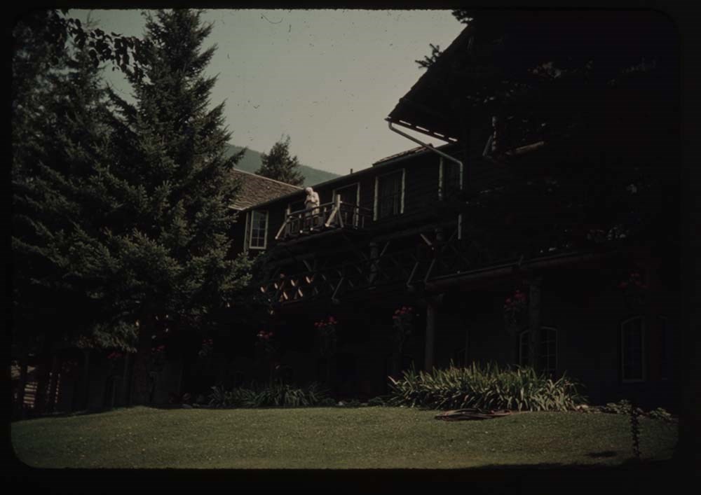
14. Mac D. Hotel - BH.G. on balcony
15. Close-up of deer
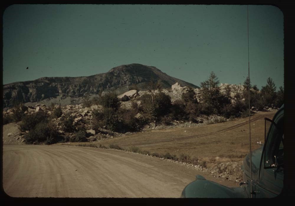
16. Town of Frank and rockslide
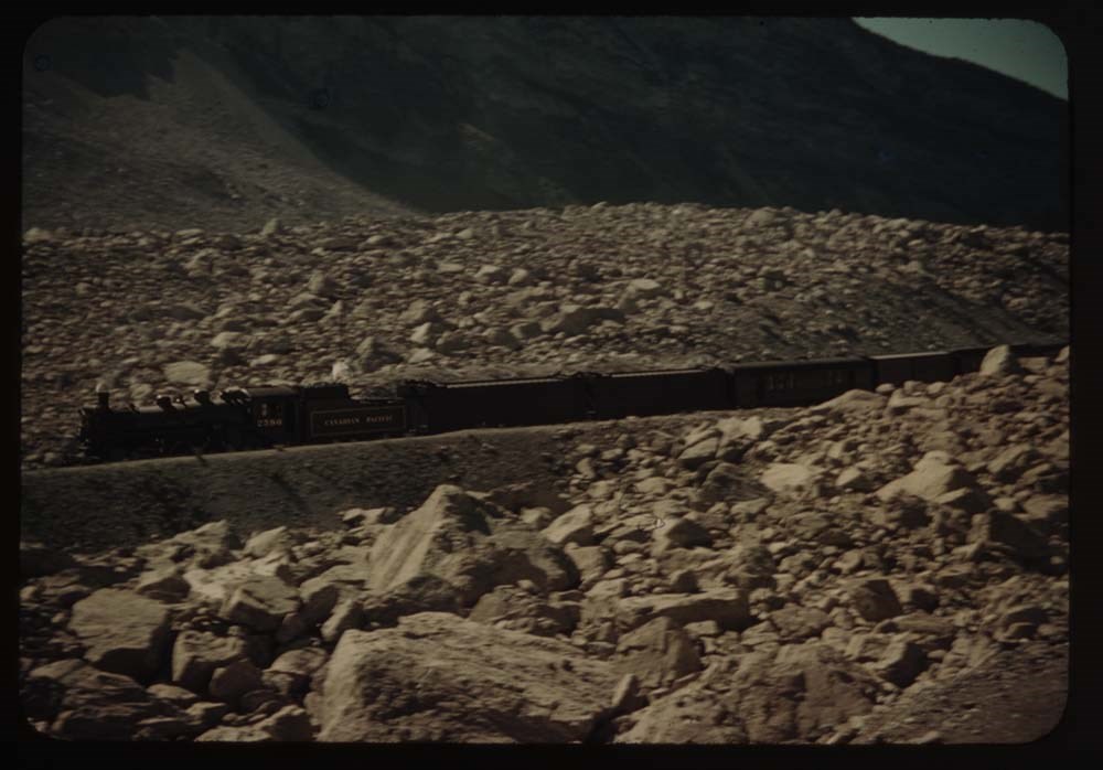
17. Train at site of Frank
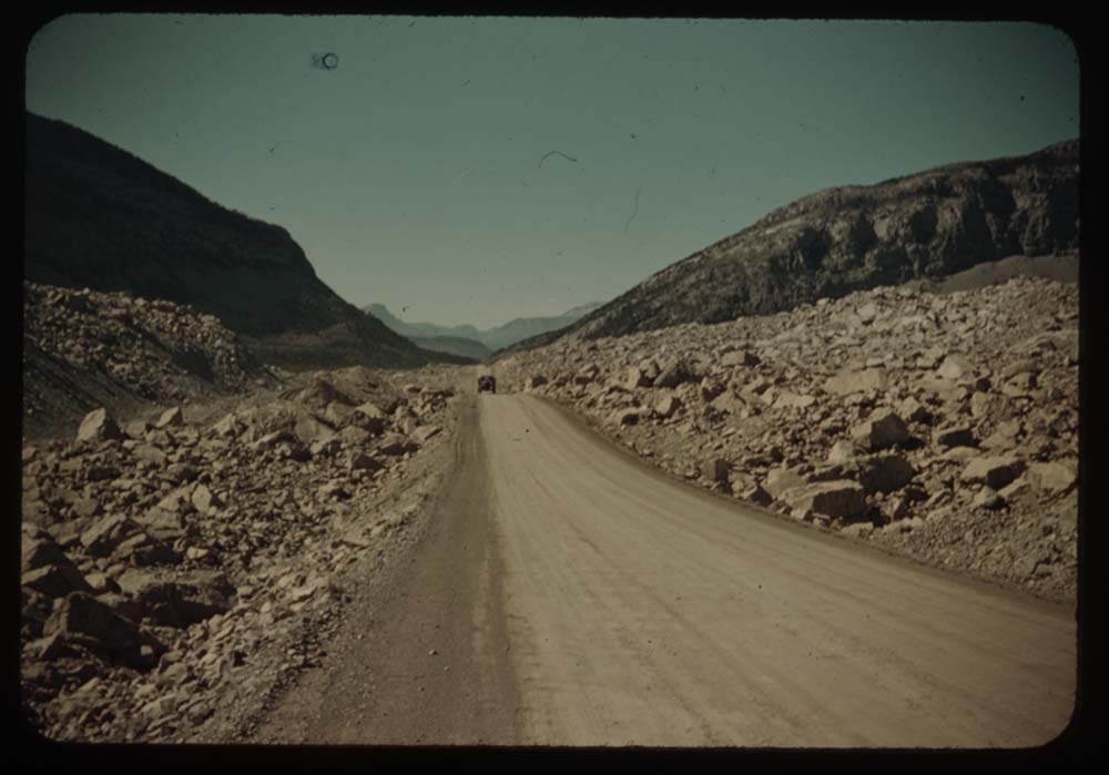
18. Road through boulders of slide
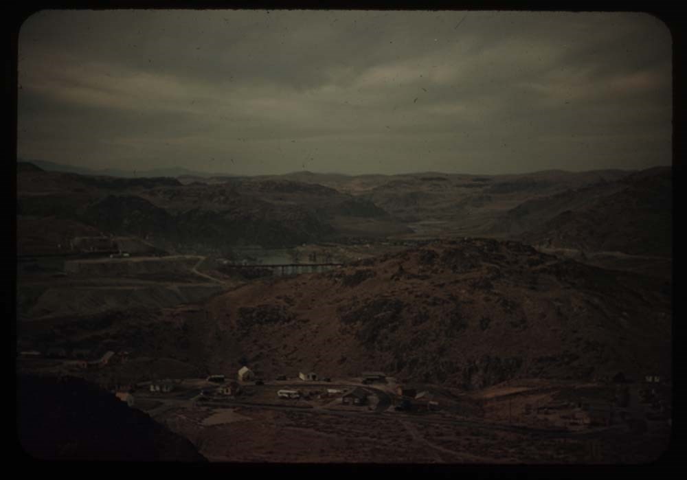
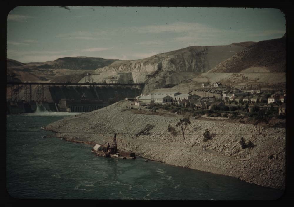
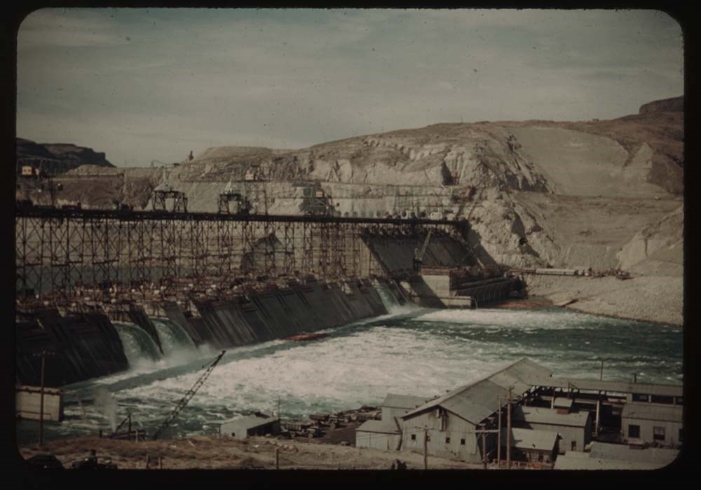
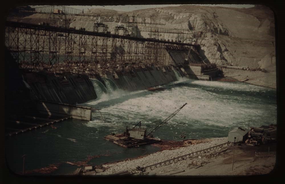
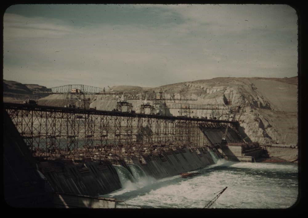
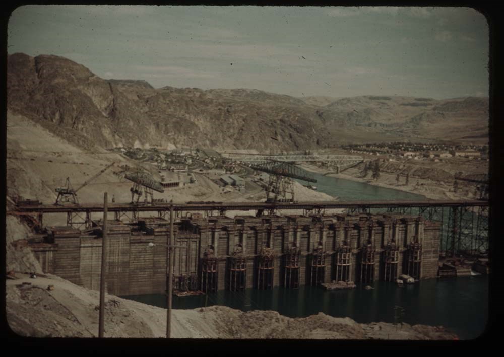
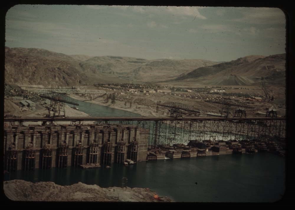
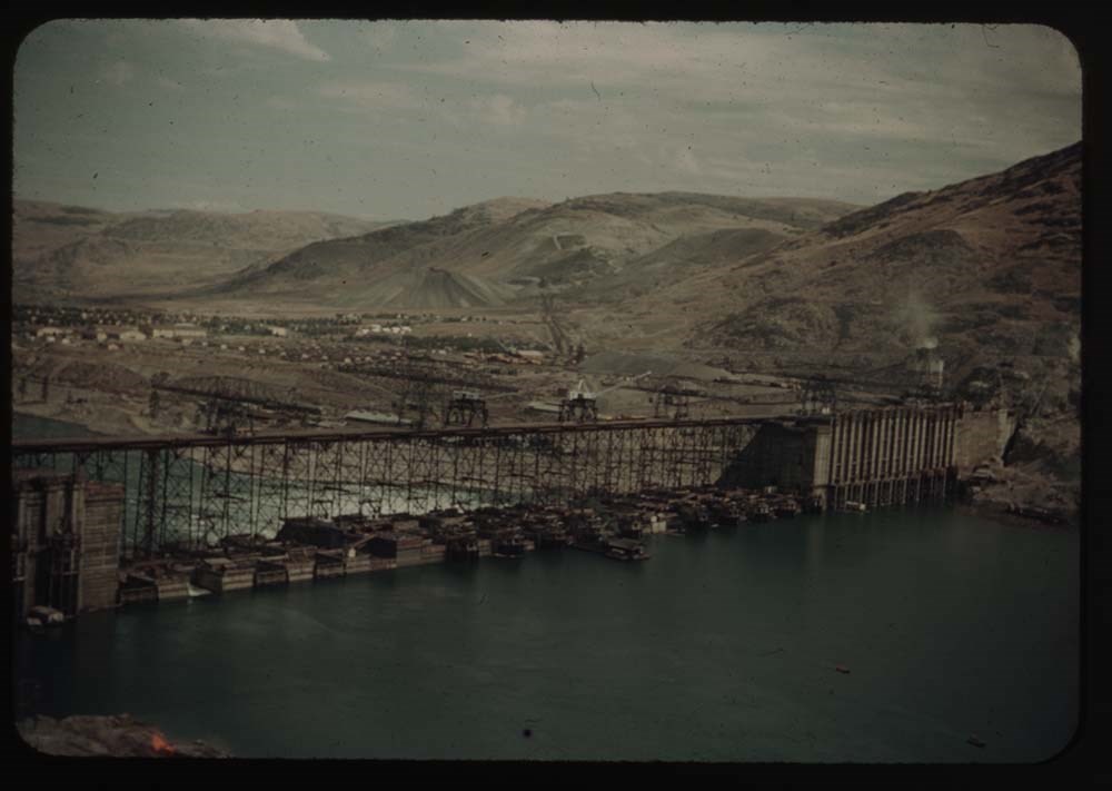
19. Grand Coulee Dam - first view Same as 1714
Reel 17
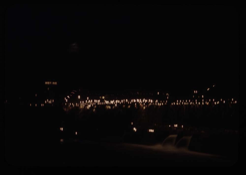
1. Dam at night
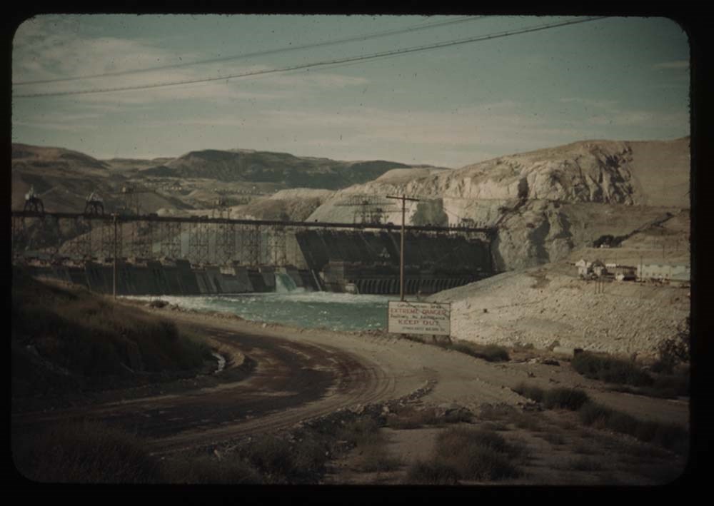
2. Dam fr. below - Mason City side (E)
3. Dam fr. bridge below
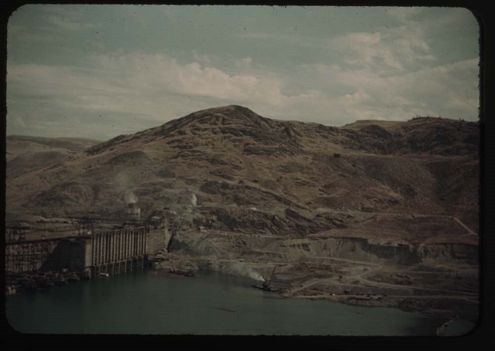
4. Part of Coulee Dam and dam from bridge
5. Part of east side and dam [from bridge]
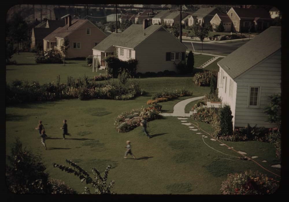
6. Gov't village and children on lawn
7. Dam fr. below [?] east side fr. [illegible]
8. Dam fr. below same as 7 - [illegible]
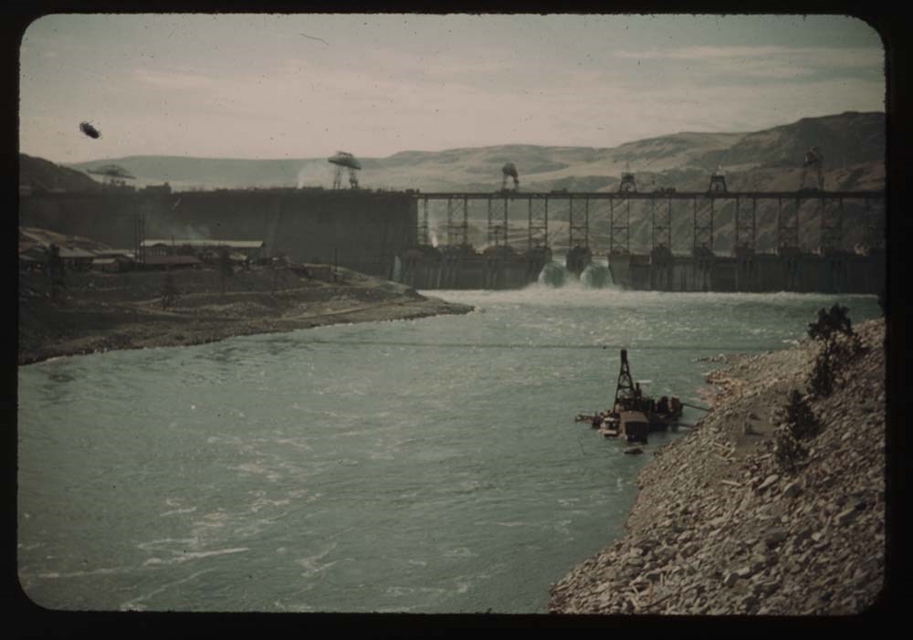
9. Dam [fr. below] sae as 7, less foreground
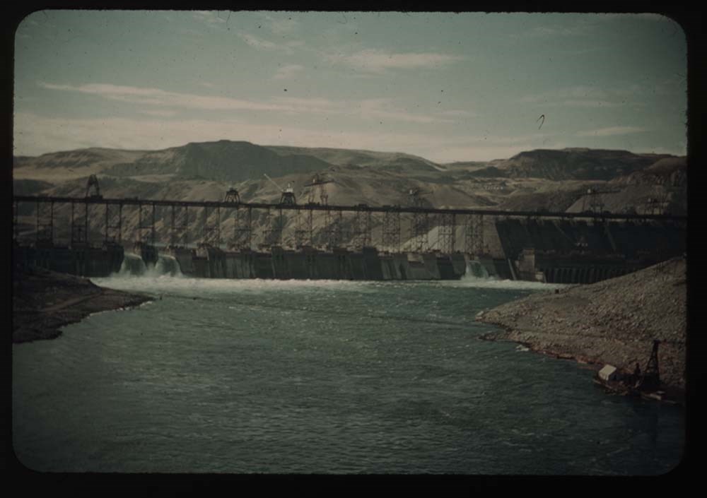
10. Dam fr. above taken at w. side viewpoint
11. Same from avobe the dam, on west side
12. Same - shows full dam and east side above dam
13. From w. side viewpoint - shows east side
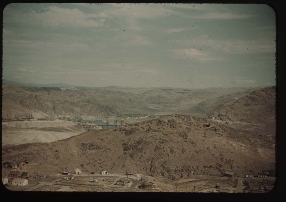
14. Dam and villages from hill (same as first view)
15. Villages fr. hills on west side
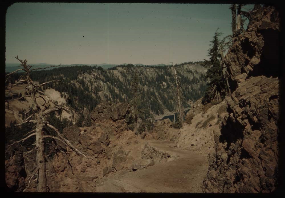
16. From west side looking up Col. R.
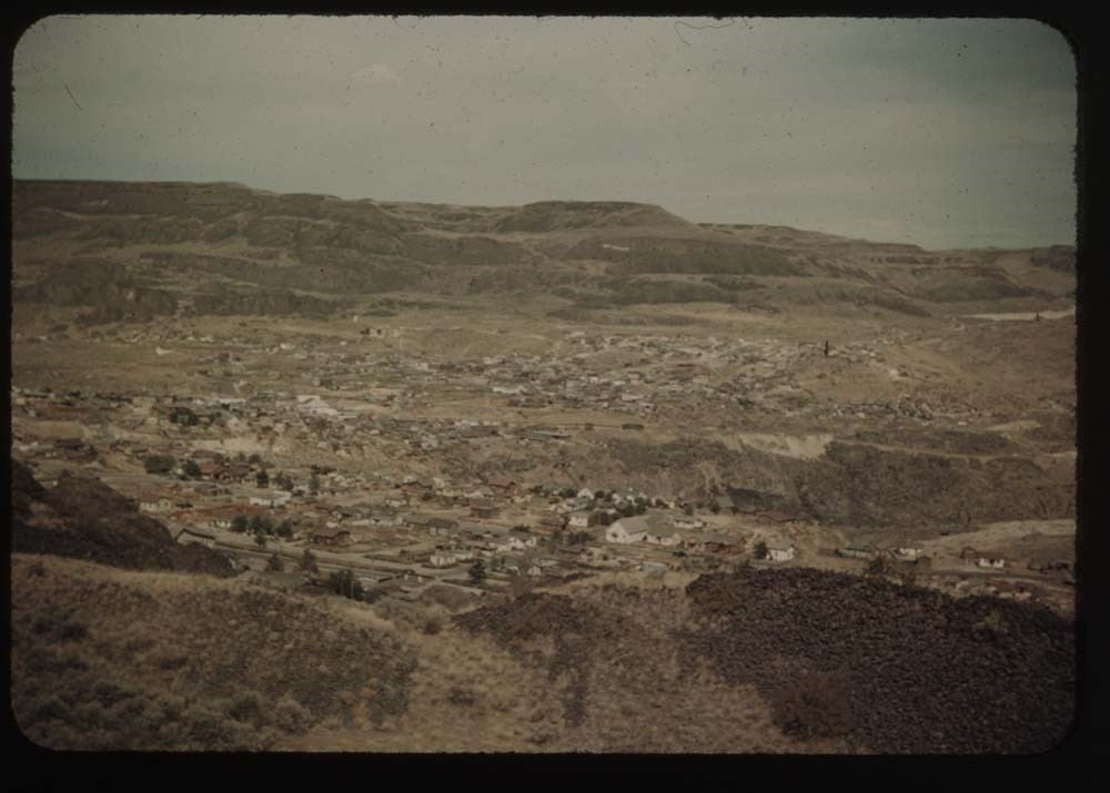
17. Road down hill into grand Coulee
18. Coulee Dam villages fr. hill
19. Road into Grand Coulee
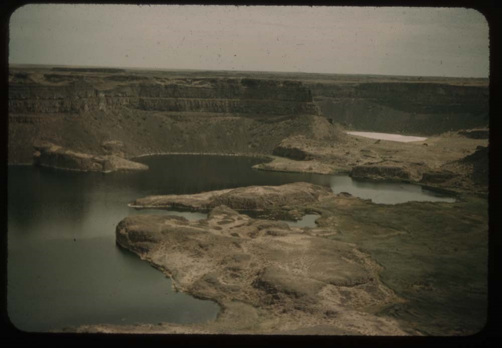
Reel 18
1. Lakes at foot of Dry Falls
2. Looking down Lower Coulee - lake[?]
3. Road - looking down lake in Lower Coulee
4. Looking up same lake of Lower Coulee
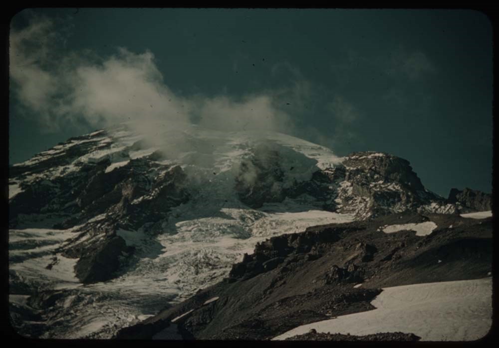
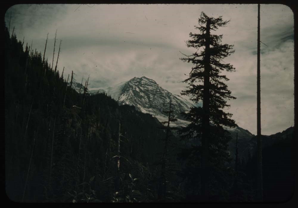
5. Mt. Rainier fr. our camp site
6. Outlying peaks - Mt Adams ?
7. [Outlying peaks] further to right
8. Slopes of Rainier - Gibralter[?] Rock
9. C.H. on glacier
10. L.S. [on glacier]
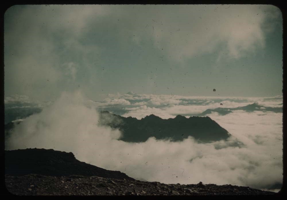
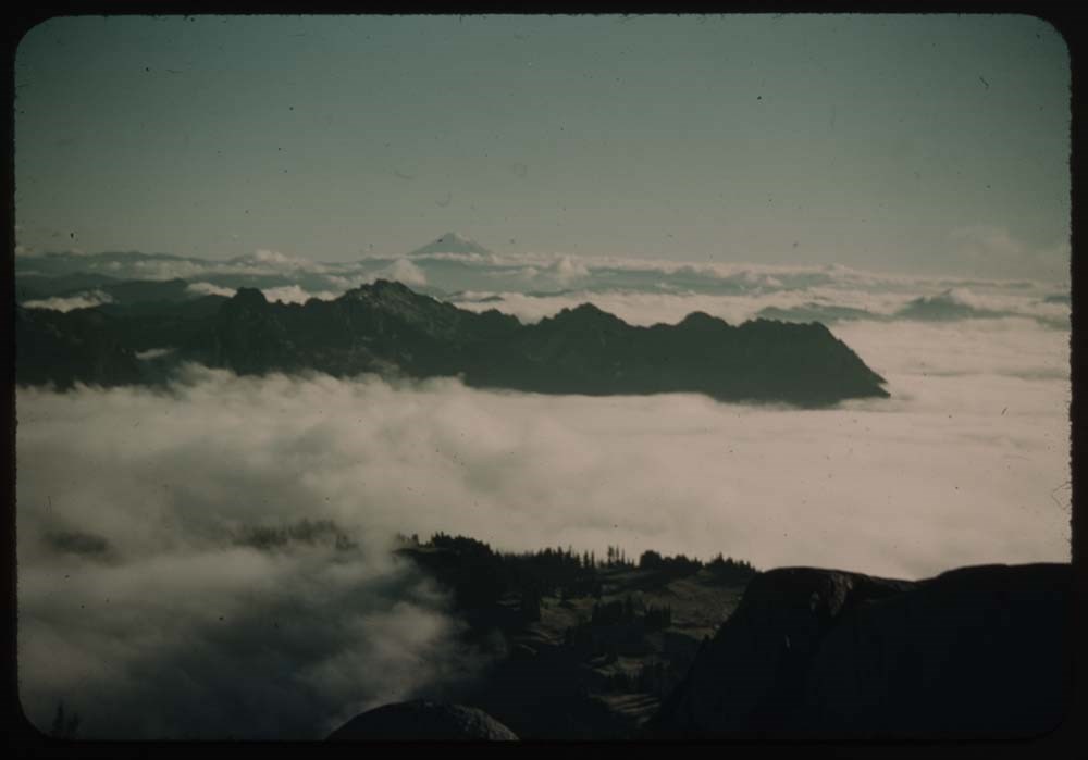
11. Mt Rainier with cloud
12. Clouds in valley - Mt. Hood ?
13. Outliers[?] and clouds in valley - further to left
14. Similar Mt. better than 12
15. Mt. Rainier fr. road around to west
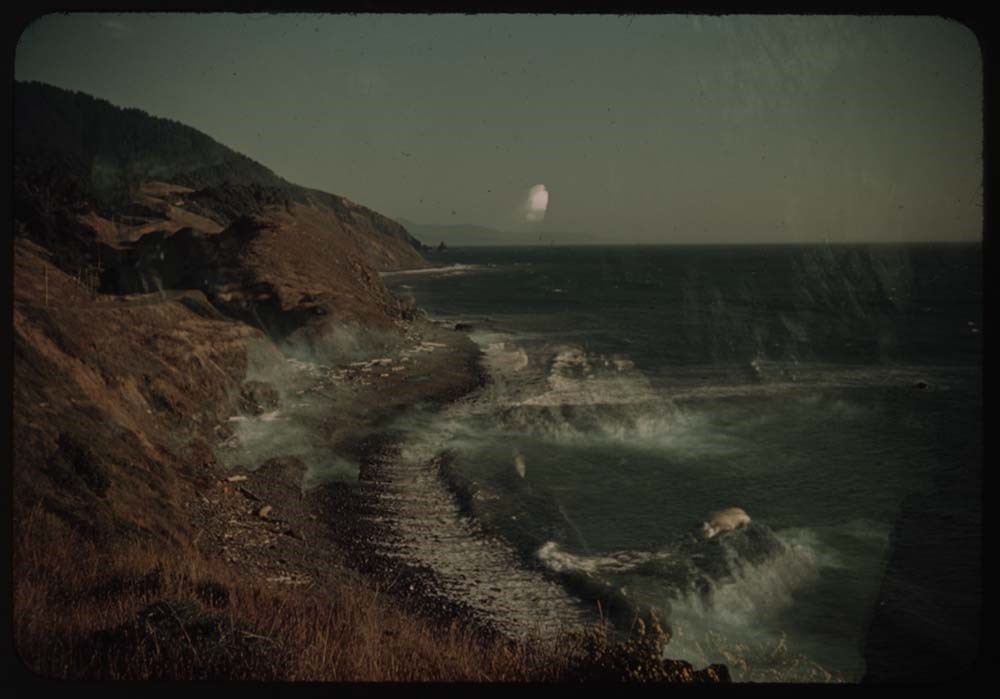
16. C.H. on stone seat - fr. same place
17. Surf on rocks
18. Surf on rocks below Furistone[?]
19. [Surf on rocks below Furistone[?]]
20. Furistone[?] Cottage - C.H.
Reel 19
1. Rocks and surf at Sporting rocks
2. View further to right
3. [View further to right] again
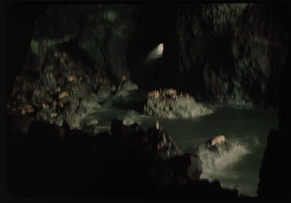
4. Seal rocks
5. Bay above seal rock and parth to cave
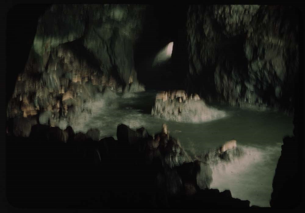
6. Seal cave (best)
7. Seal cave
8. Double exposure - cave
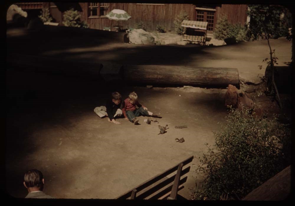
9. Chipmunks at oregon caves w. children
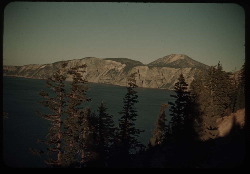
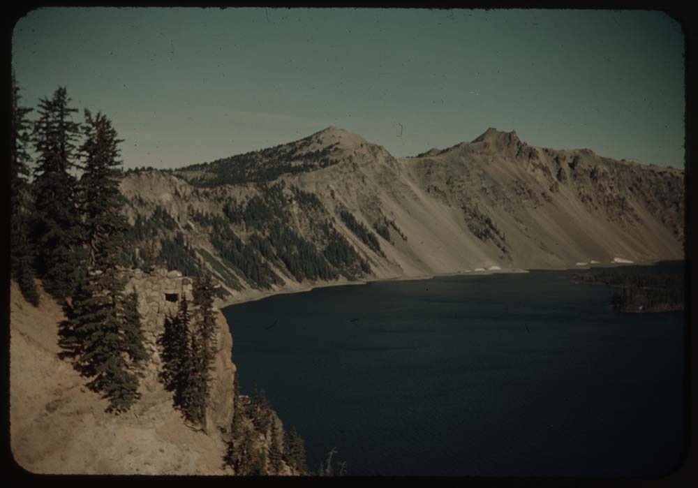
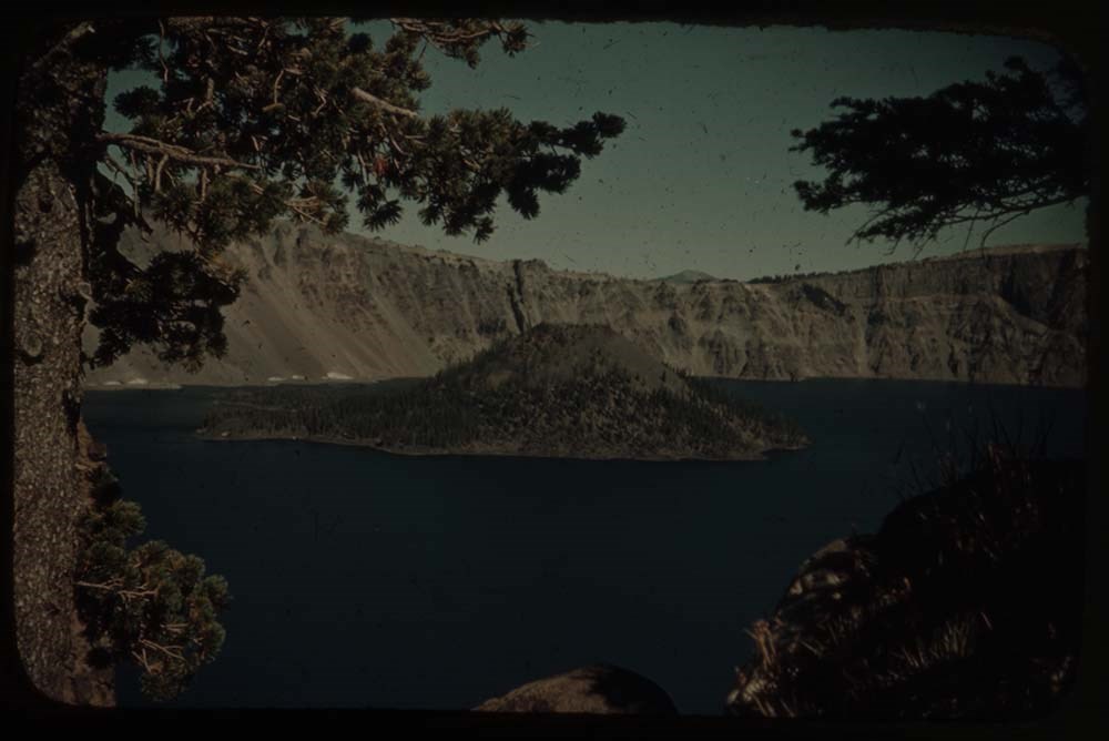
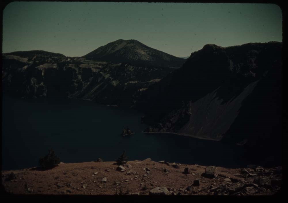
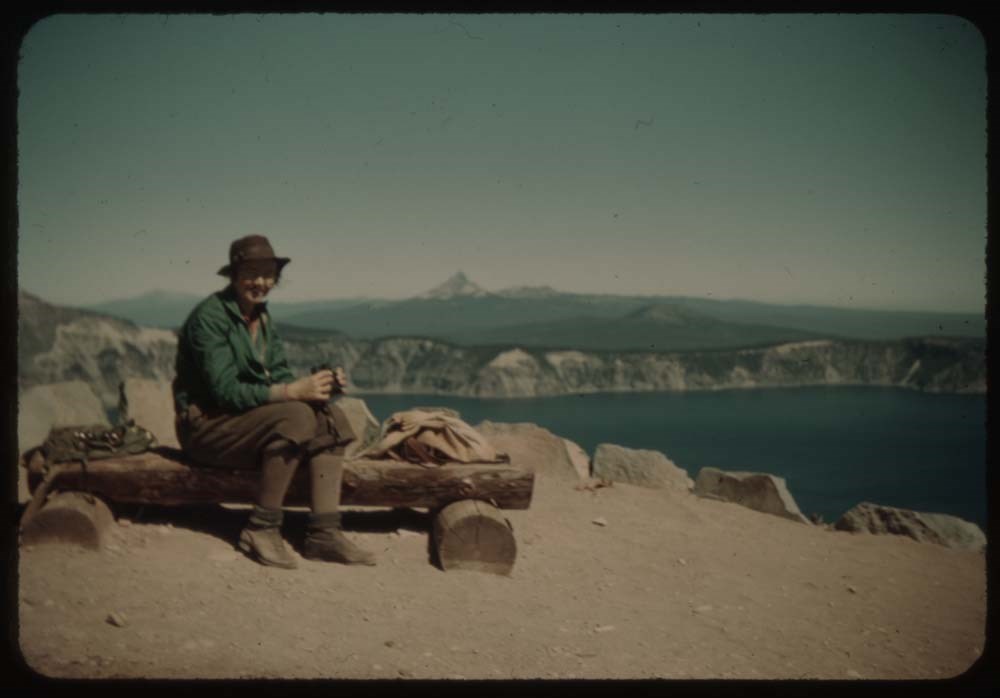
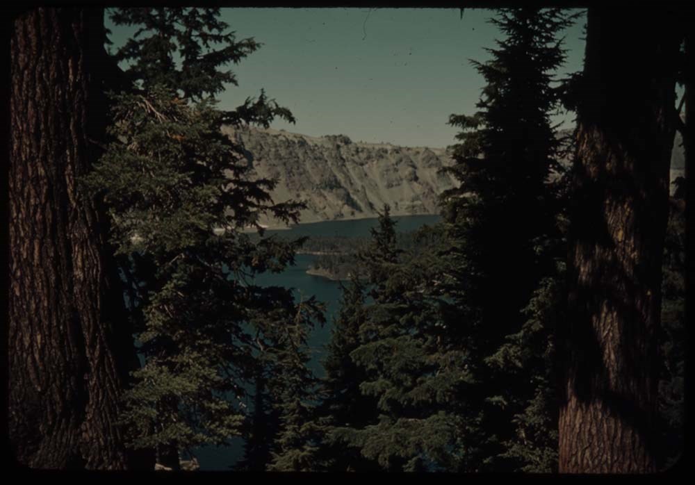
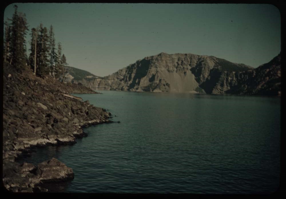
11. Crater Lake from Summit Memorial
12. Crater lake and Wizard Is. [from Summit Memorial]
13. Same further to left [from Summit Memorial]
14. Lake, and still further to the left [from Summit Memorial]
15. Lake fr. terrace below hotel
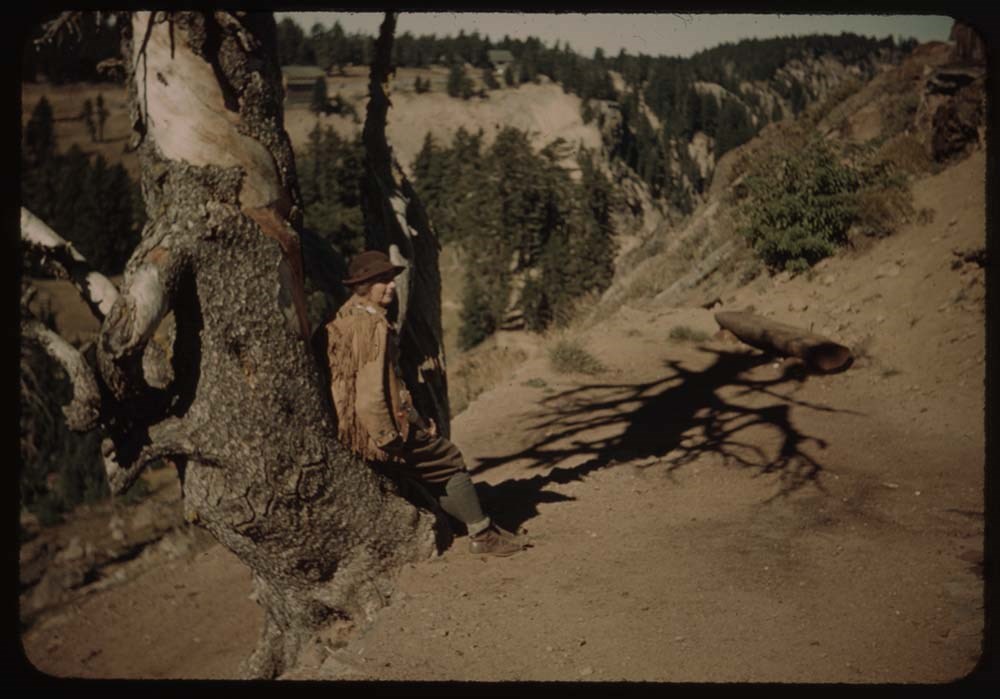
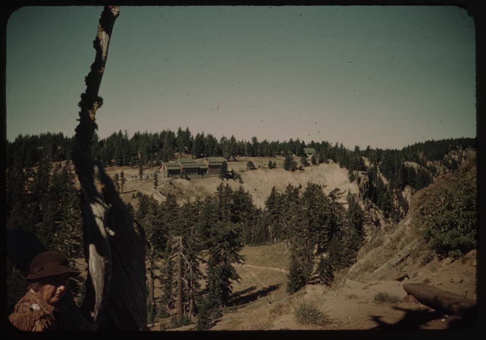
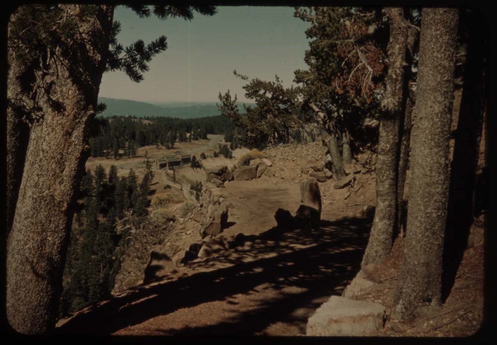
16. Caroline on trail by tree
17. Lodge fr. across valley on trail up Mt.
18. Lake and Wizard Island thru trees
19. Trail up Mt.
20. Trail and lodge beyond
Reel 20
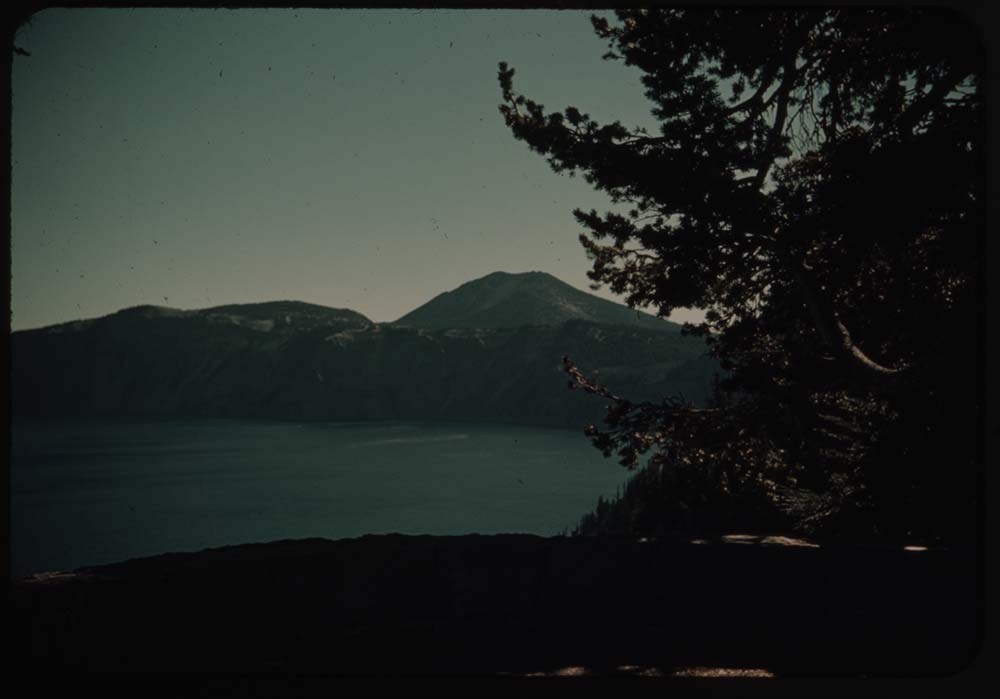
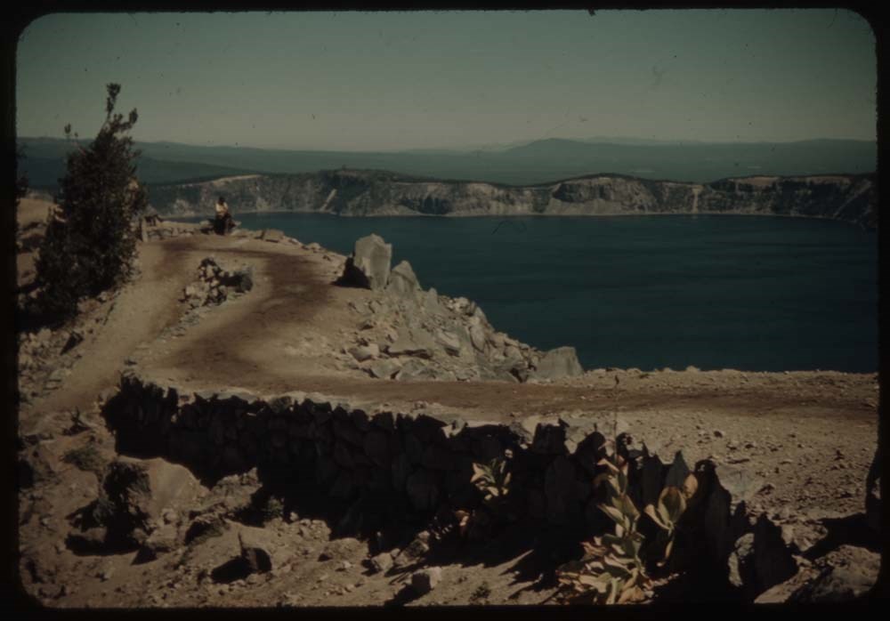
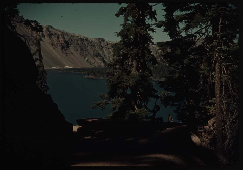
1. Crater Lake and phantom ship
2. Crater Lake and Wizard Is. thru trees
3. [Crater Lake and Wizard Is.] no trees
4. Caroline on seat
5. L.S. [on seat]
6. View over pummice (?) flats
7. Rim trail and lake
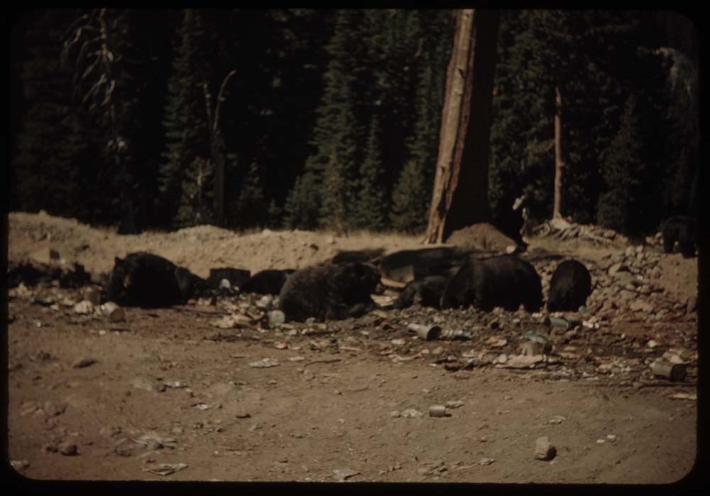
8. Bears at feeding grounds
9. Same nearer
10. Lake through trees - from trail detours to lake
11. [Lake through trees] C.H. on trail [detours to lake]
12. Lake [through trees] dark
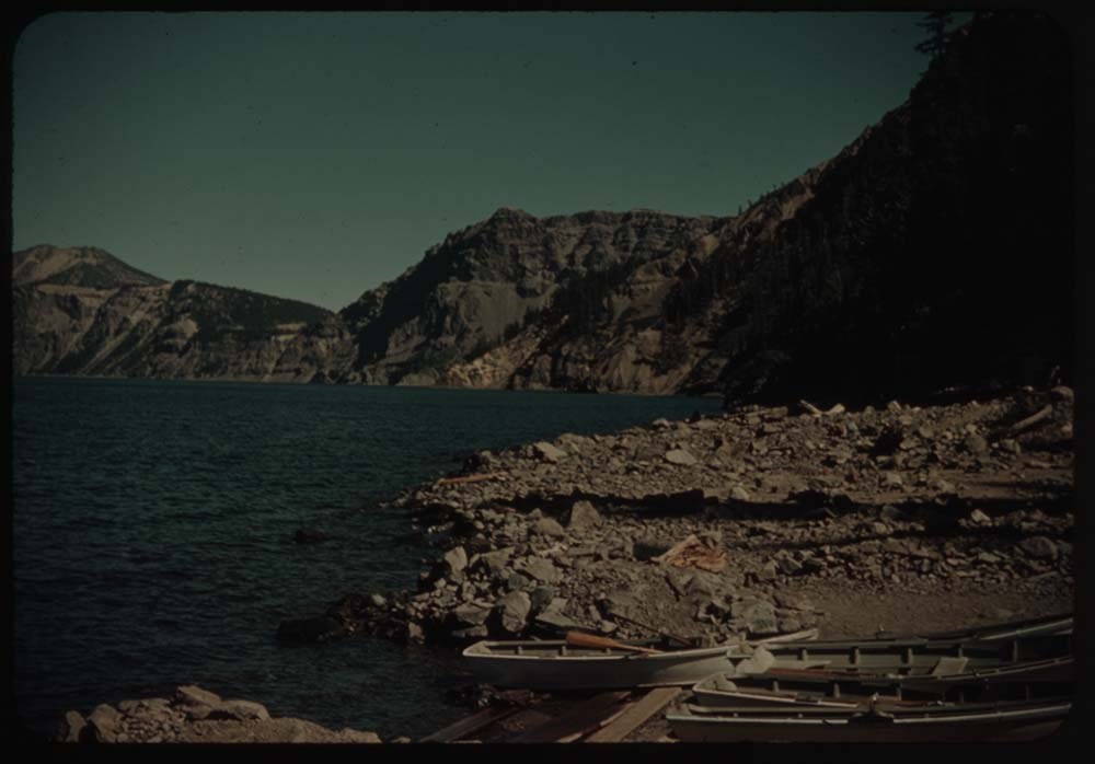
13. Shore of Crater Lake - boats
15. Trees and figure walking around crate[?]
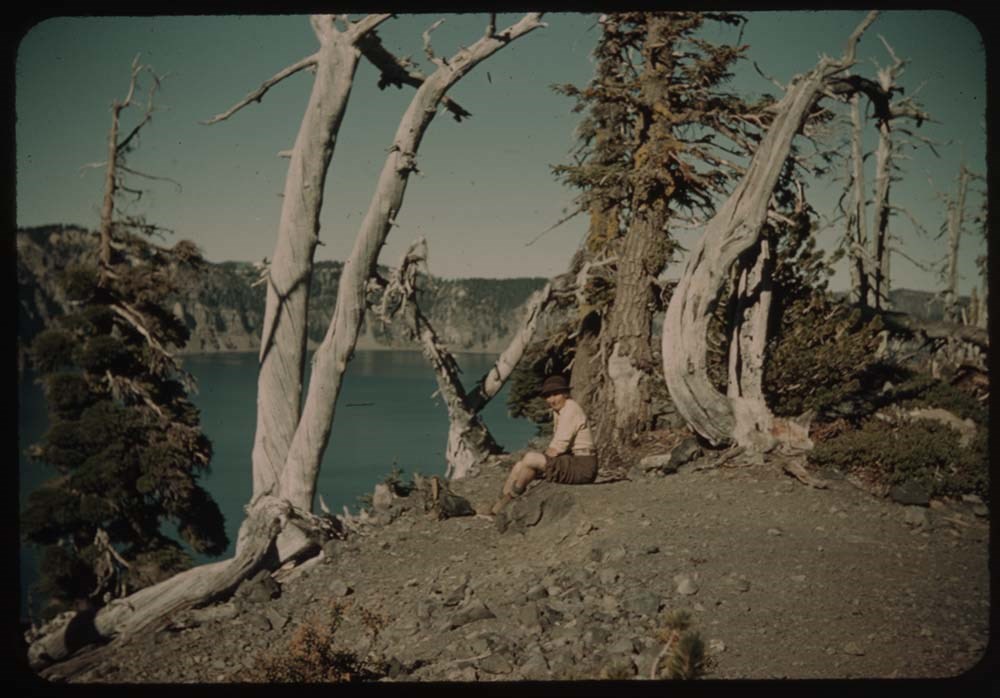
16. C.H. on crater [illegible] of Is. - trees and lake
17. Dead trees against sky
18. Trail in deep woods on Wizard Is.
19. Lake and shore of Wizard Island
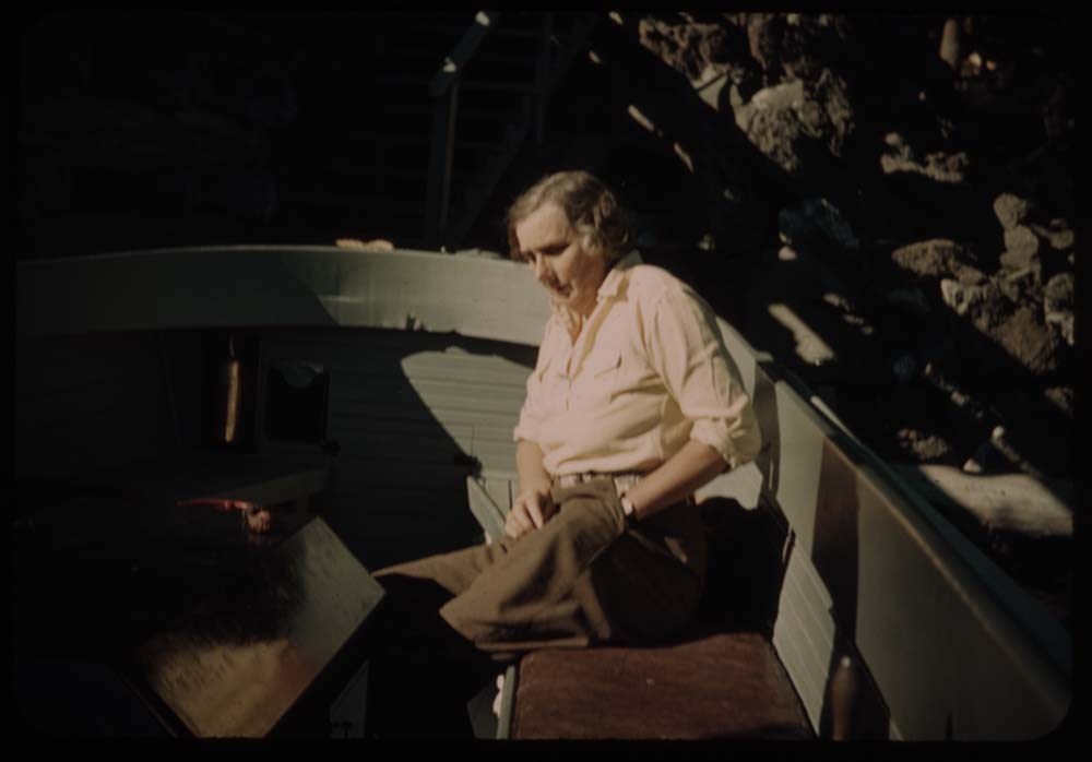
20. C.H. in boat
Reel 21
1. Crater Lake through dark trees
3. Road around lake, and bluff beyond
4. Lake and reflection - morning we left
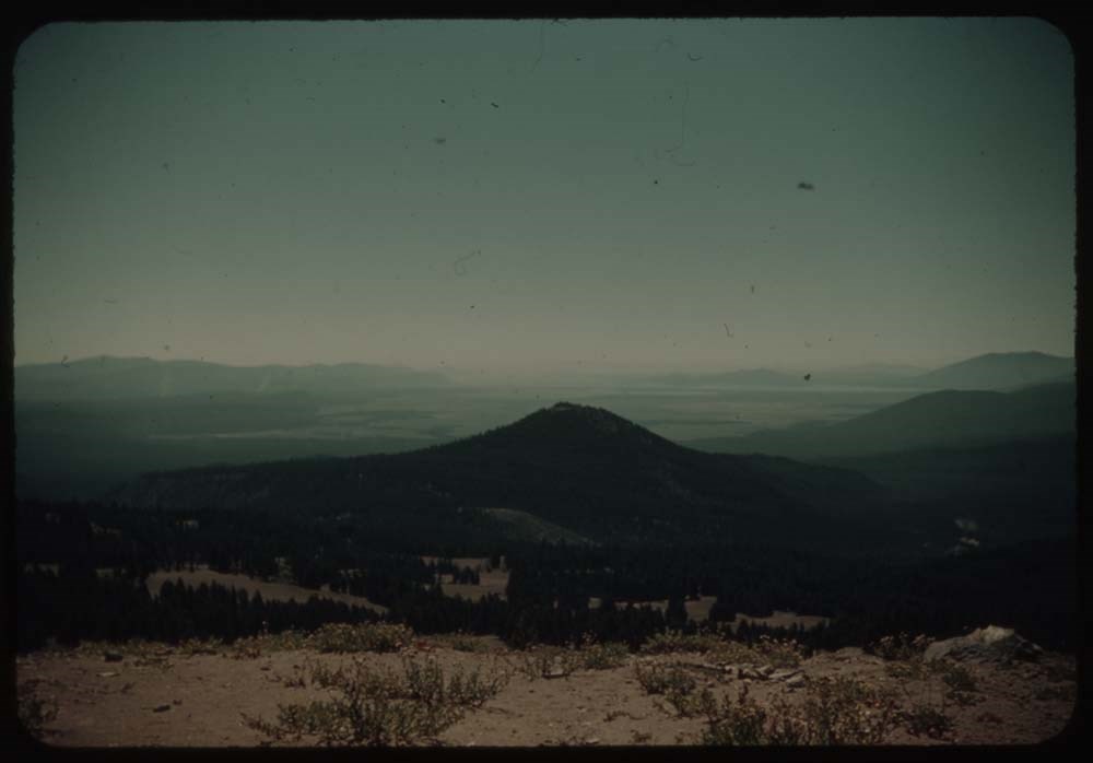
5. Wheat fields and Mt. Jefferson in dist.
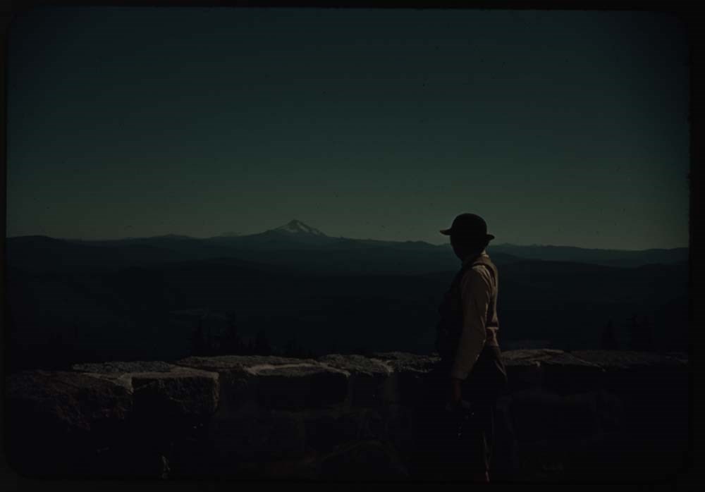
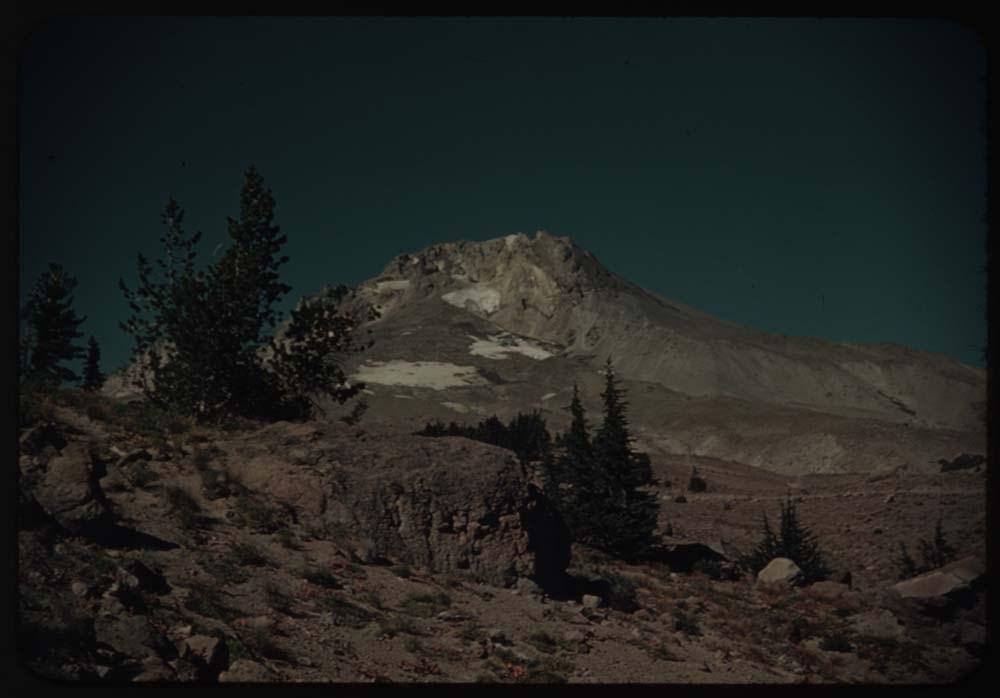
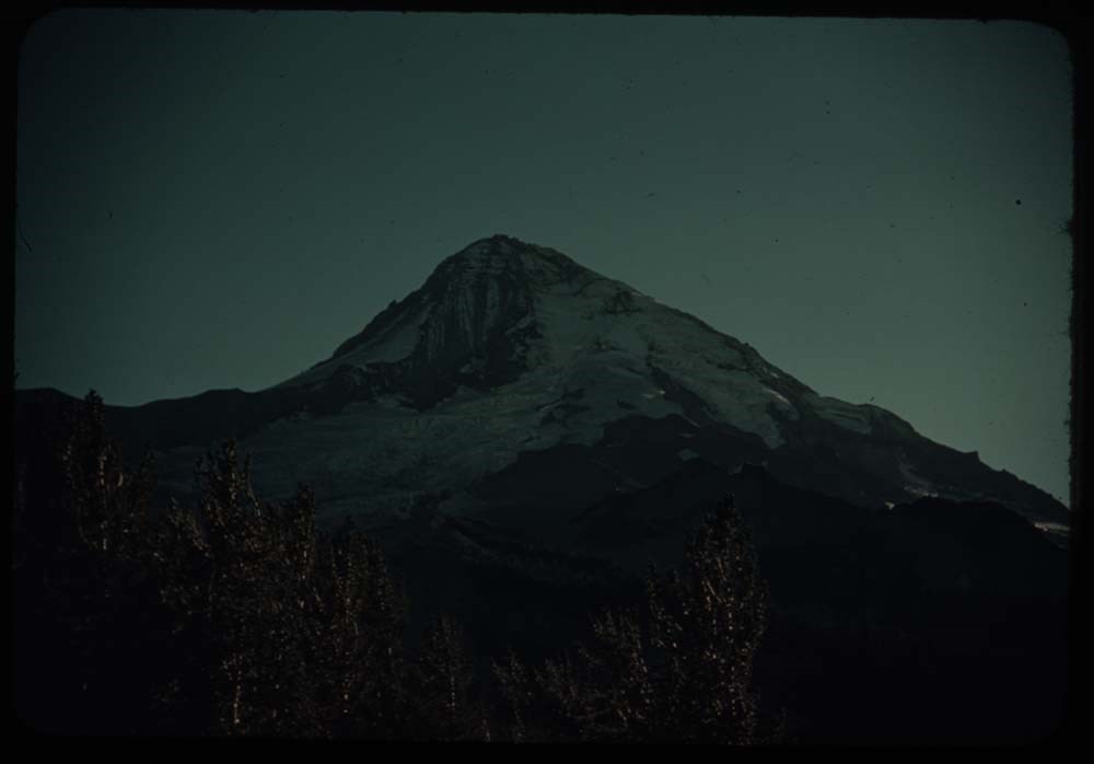
6. Mt. Hood and Mount Winter
7. CH. at parapet of TImberline Lodge Mt Jeff. in dist.
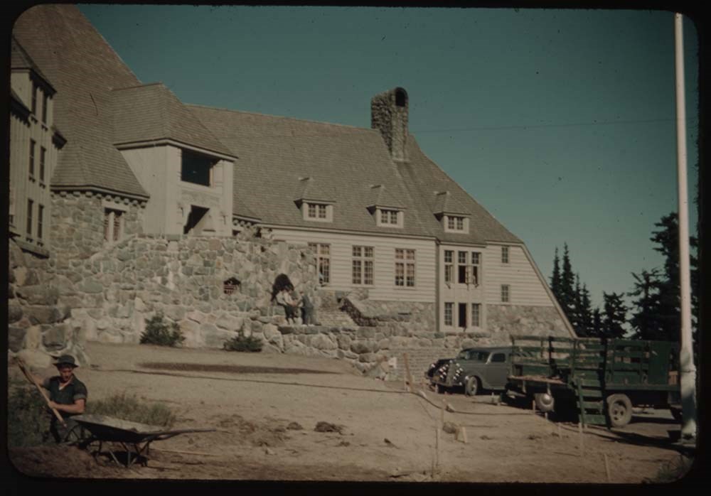
8. Mt. Hood from Timberline Lodge
9. Timberline Lodge
10. Mt. Hood fr. Cloud Cap Inn
11. Distant view from same towards Adams and Rainier
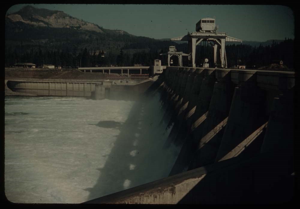
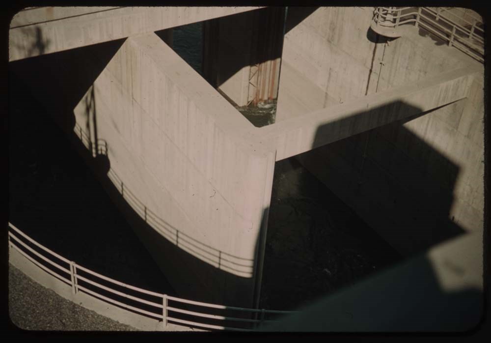
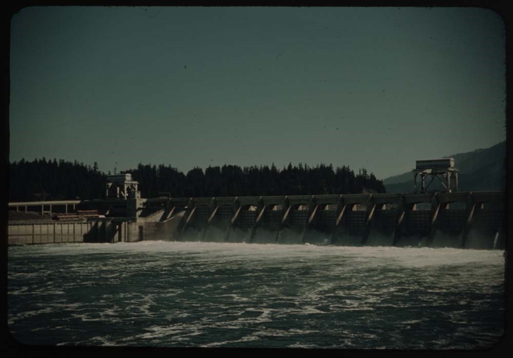
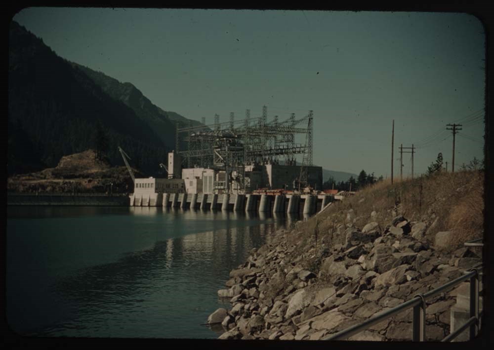
12. Bonneville Dam - spillways
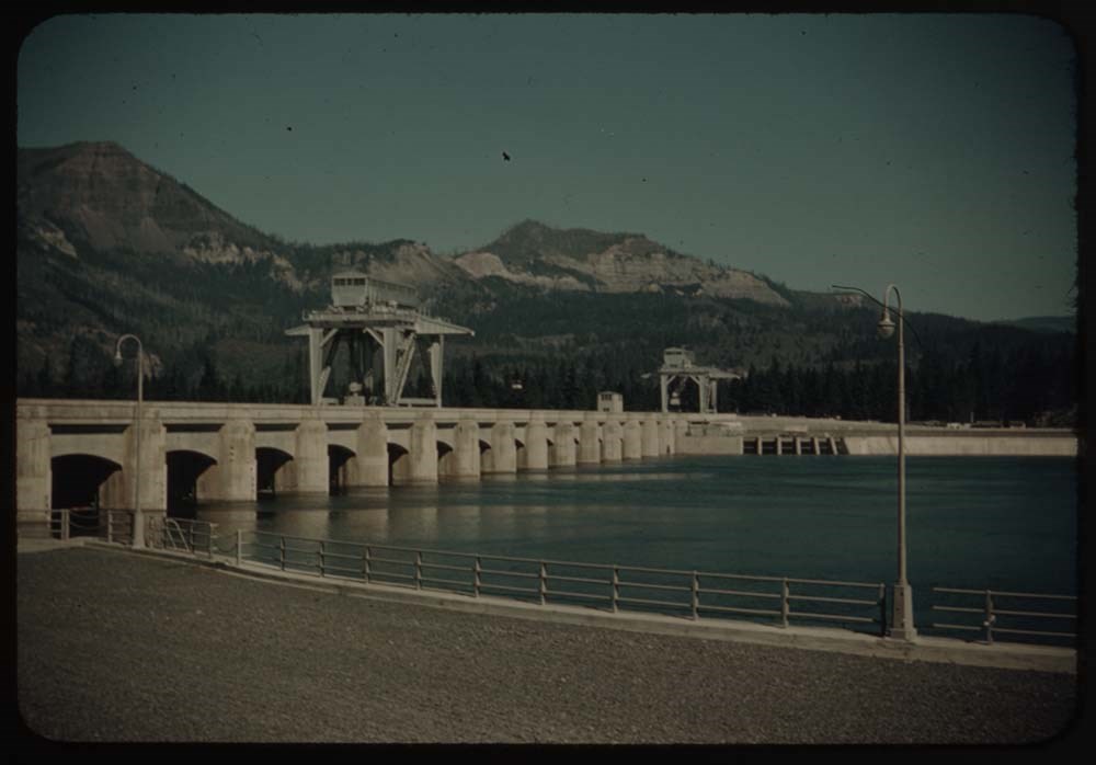
13. Part of dam - looking straight down
14. Bonneville Dam from above
15. [Bonneville Dam from] below
16. Power plant - building in process
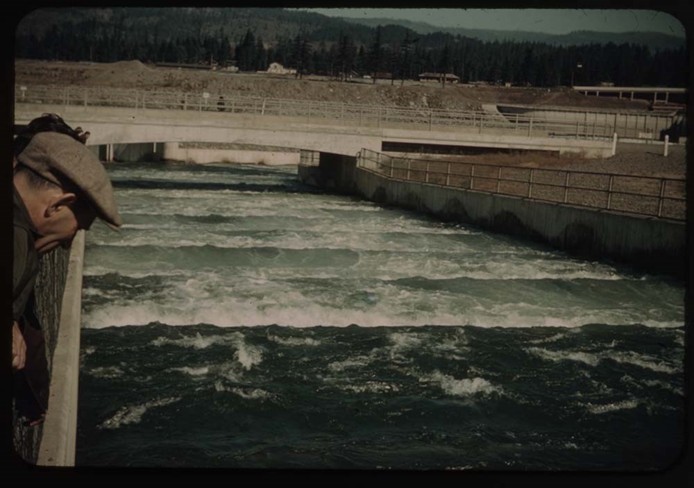
17. Salmon ladders
18. Salmon
19. Salmon (better)
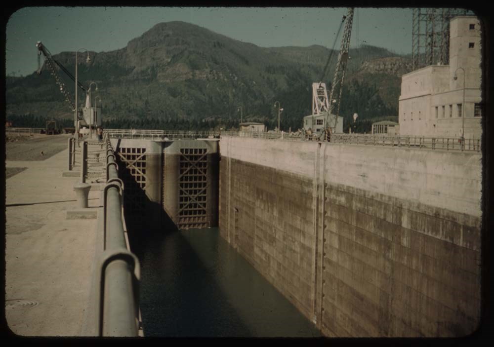
20. Lock - highest lift in world ?
Reel 22
1. View above lock - Bonneville Dam
2. Gov't town and baby Salmon waterway
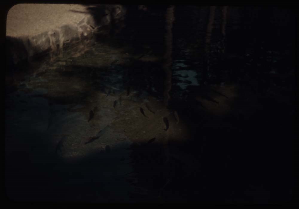
5. Pool in fish hatchery and fish
6. Sturgeon in pool
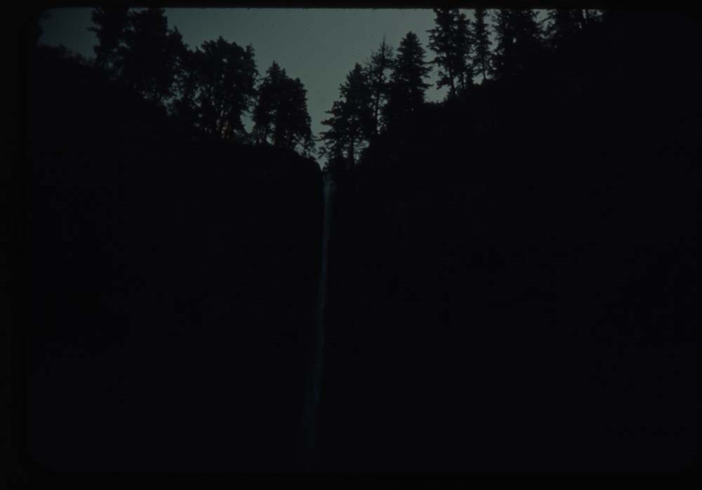
9. Horsetail falls - dark
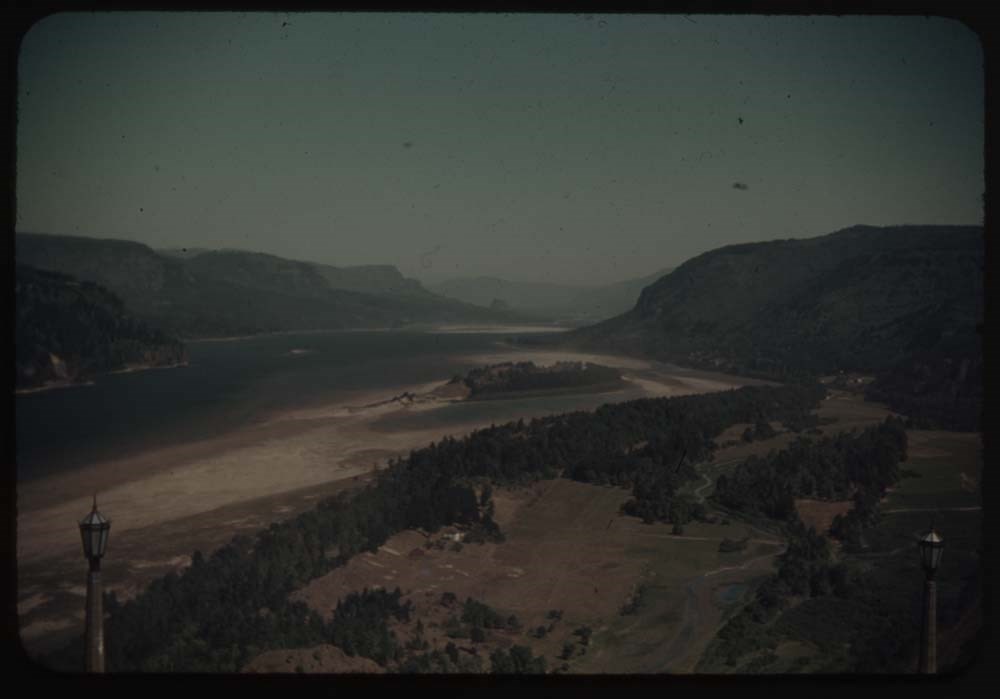
10. Down Columbia R. fr. Vista Point
11. Up [Columbia R. fr. Vista Point]
12. Falls where we lunched
13. Upper part Col. R. Highway
14. Down river at same point
15. Falls in river
16. Forest fire [illegible] at St. Mary's
17. [Forest fire [illegible] at St. Mary's]
18. Cape Myrtle at Merion
19. Merion - B.H. G. and cape Myrtle
20. Merion - B.H. G. that oh don't look
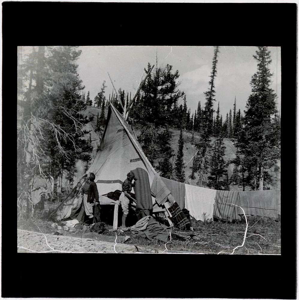
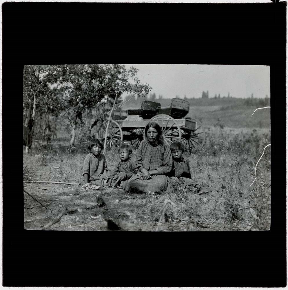
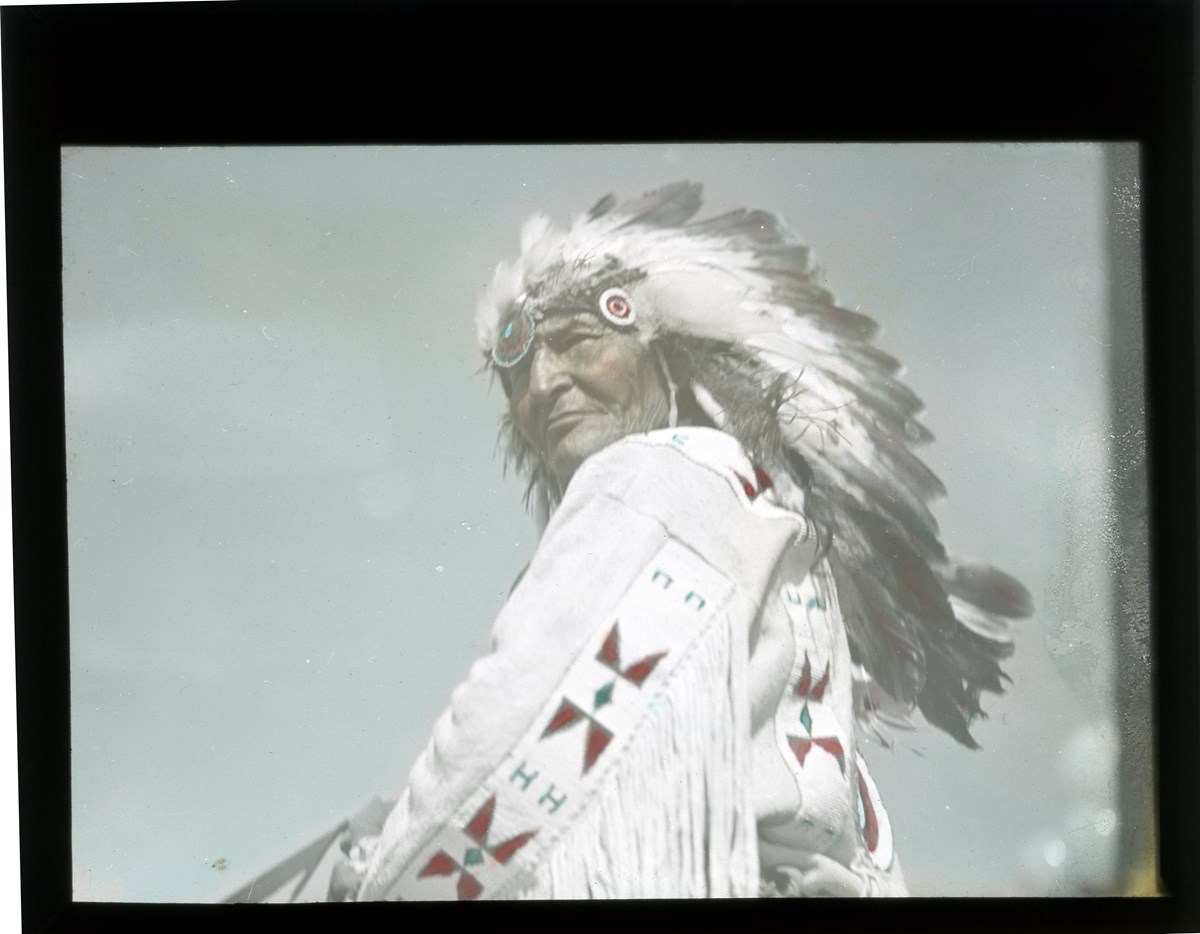
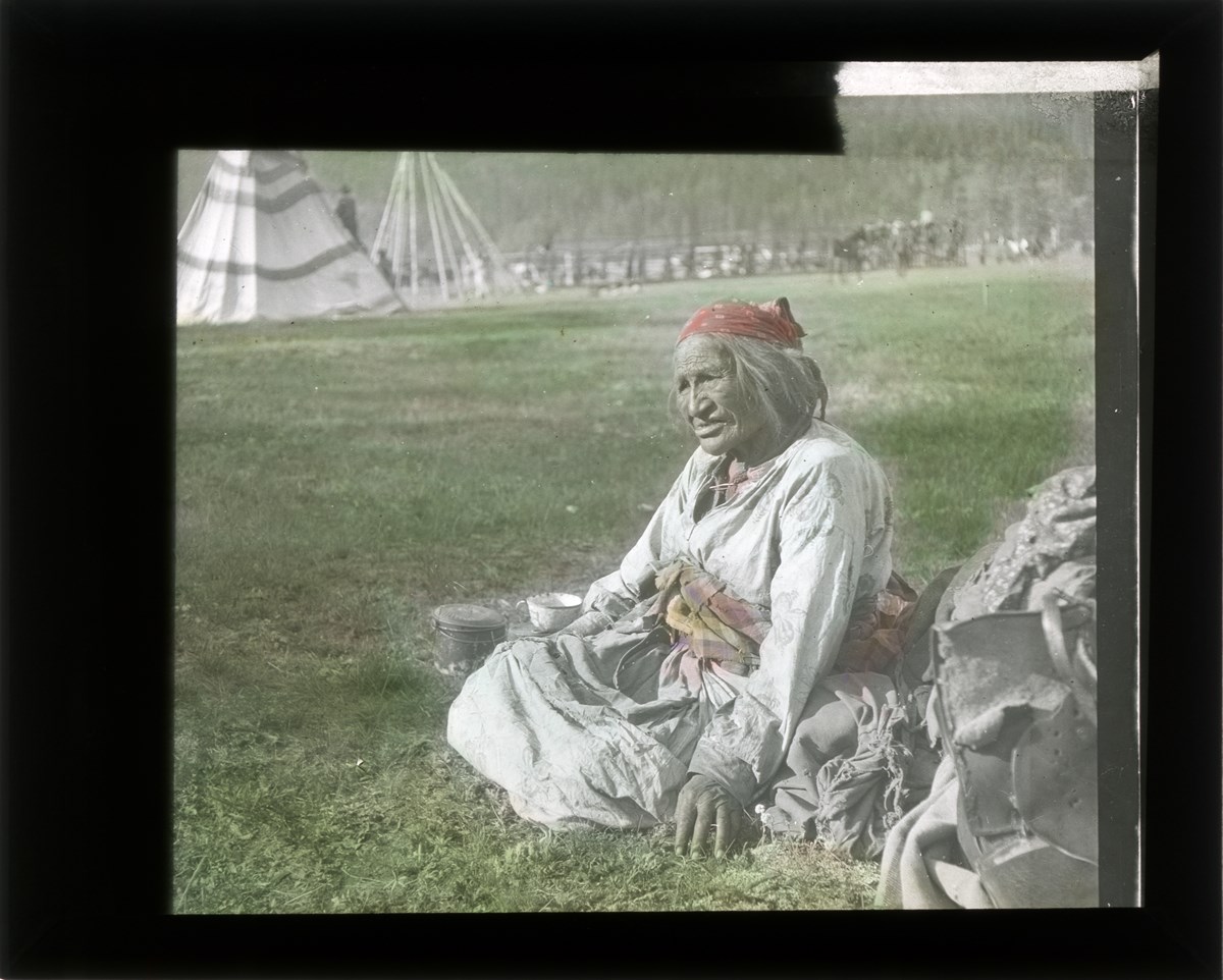
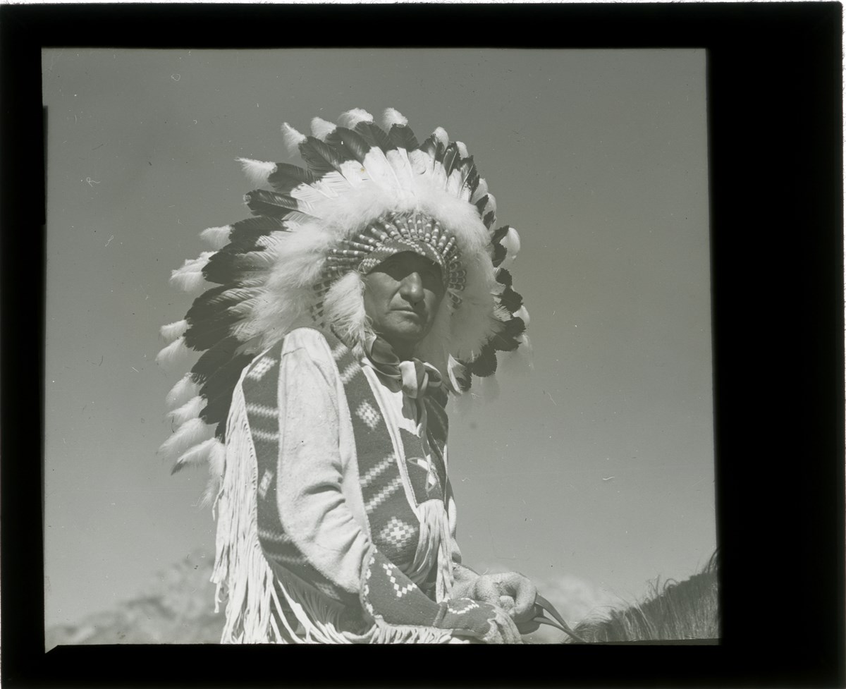
Stoney Nakoda Elders provided naming and other culturally relevant information during interviews held for Recognizing Relations, an archives initiative active from 2014-2023. The goal of this initiative was to name local Indigenous peoples in photographs held in the WMCR archives as well as encouraging access for Indigenous communities to these images.
Identification made through cross referencing with materials from Glenbow Archives and other fondsin photographs held in the WMCR archives
Stoney Nakoda Elders provided naming and other culturally relevant information during interviews held for Recognizing Relations, an archives initiative active from 2014-2023.
The goal of this initiative was to name local Indigenous peoples in photographs held in the WMCR archives as well as encouraging access for Indigenous communities to these images.
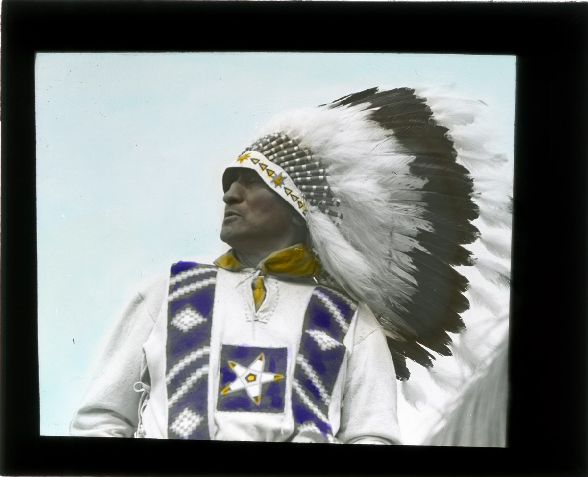
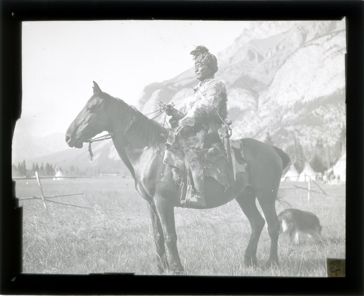
.cross referenced with Glenbow materials
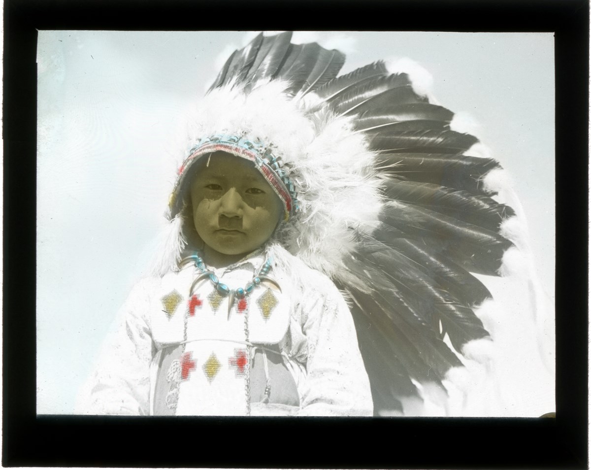
Content Details
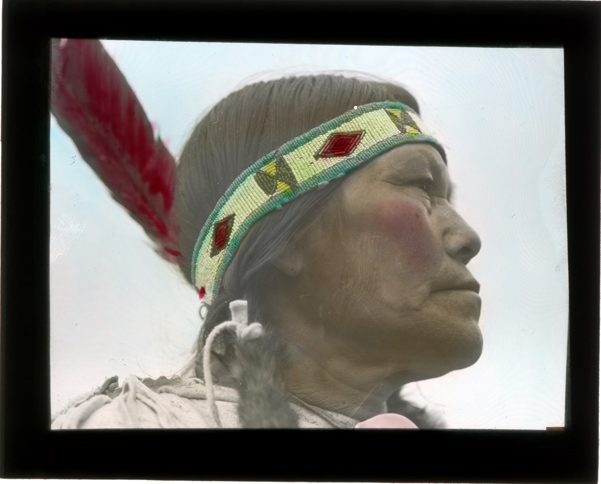
[Betsey was married to Paul Twoyoungmen, her maiden name is unknown]
.
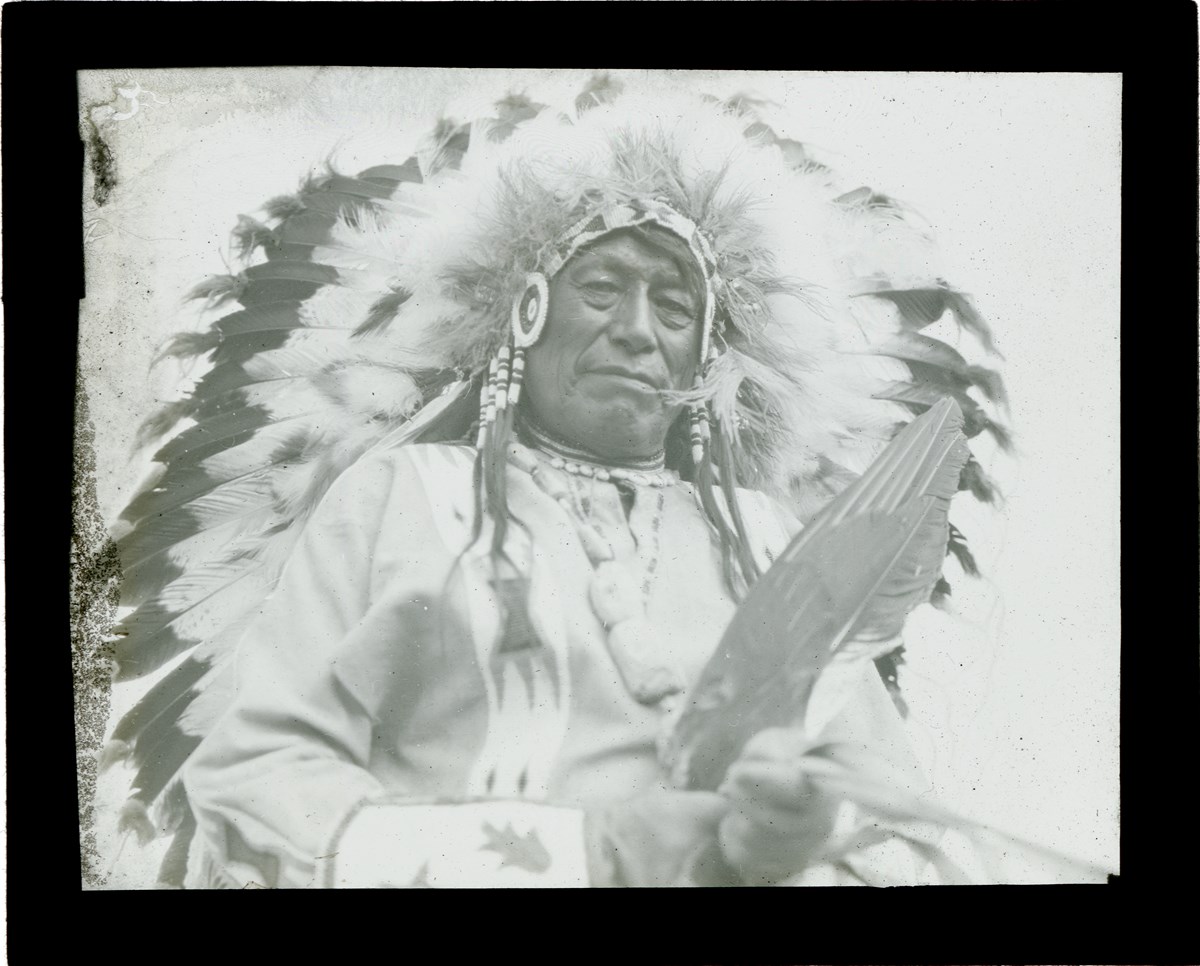
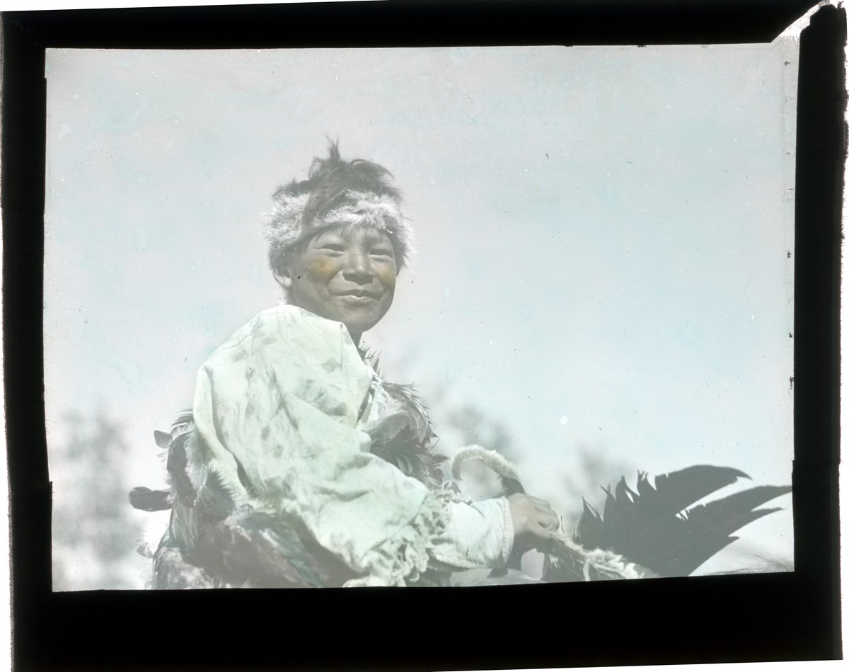
This image was part of the Recognizing Relations project, an archives initiative undertaken from 2014-2023 to name Indigenous people in photographs held by the Whyte Museum Archives. Identifications were not possible.
Stoney Nakoda Elders provided naming and other culturally relevant information during interviews held for Recognizing Relations, an archives initiative active from 2014-2023.
The goal of this initiative was to name local Indigenous peoples in photographs held in the WMCR archives as well as encouraging access for Indigenous communities to these images.
This image was part of the Recognizing Relations project, an archives initiative undertaken from 2014-2023 to name Indigenous people in photographs held by the Whyte Museum Archives. Identifications were not possible.
This image was part of the Recognizing Relations project, an archives initiative undertaken from 2014-2023 to name Indigenous people in photographs held by the Whyte Museum Archives. Identifications were not possible.
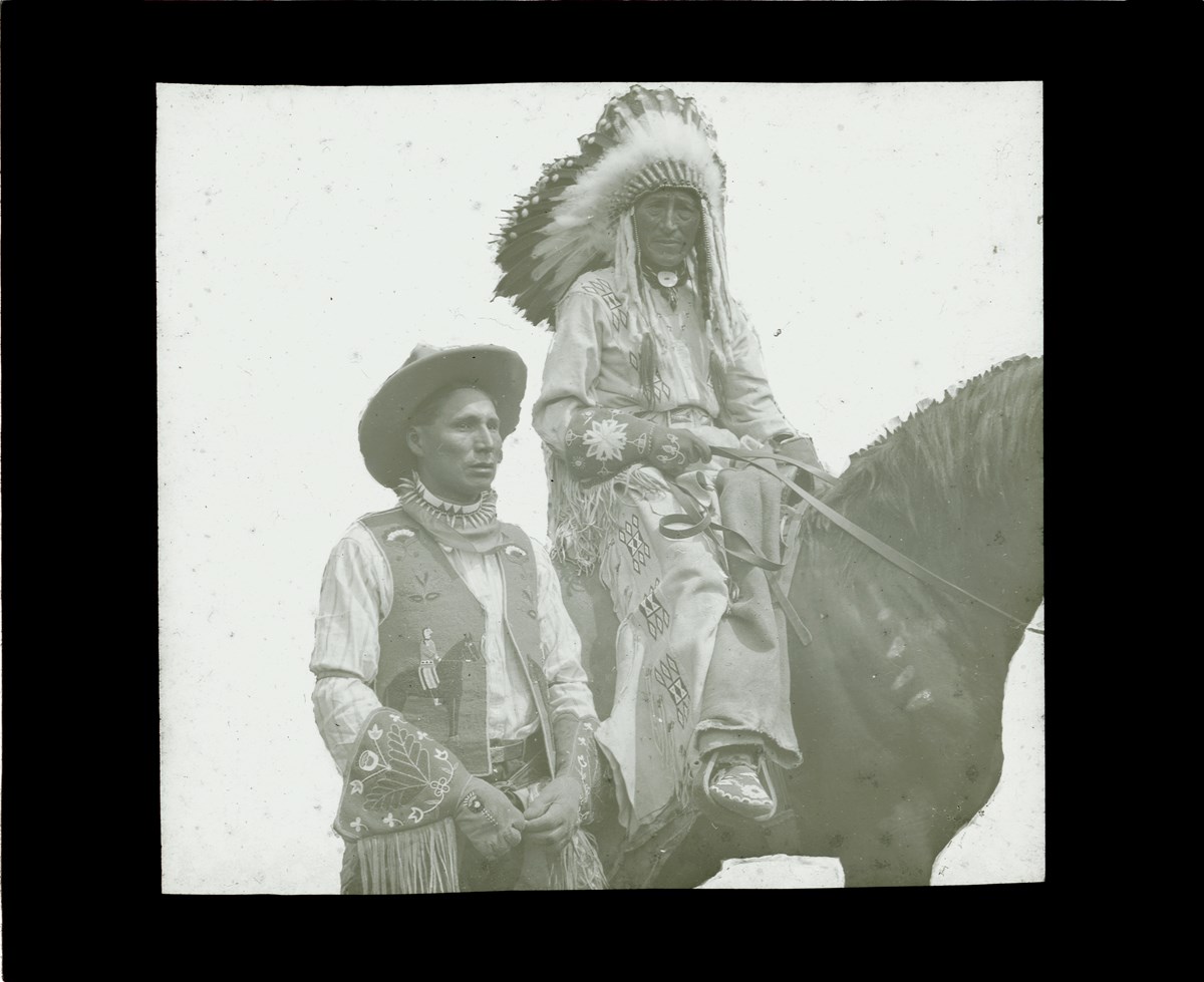
Content Details
*This image was part of the Recognizing Relations project, an archives initiative undertaken in 2014 to identify First Nations people in photographs held in the Whyte Museum Archives. No clear identification made by Stoney Elders.
Stoney Nakoda Elders provided naming and other culturally relevant information during interviews held for Recognizing Relations, an archives initiative active from 2014-2023.
The goal of this initiative was to name local Indigenous peoples in photographs held in the WMCR archives as well as encouraging access for Indigenous communities to these images.