A map showing the communication of the lakes and rivers ...
Map showing the communication of the Lakes and Rivers between ...
Travels through Western Canada from April, 1773 to March, 1790
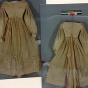
Wedding Ensemble
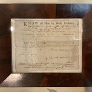
Bill-Of-Sale
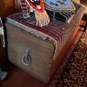
Blanket Chest
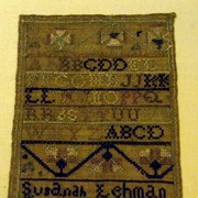
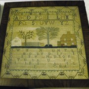
Sampler
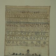
Embroidery Sampler
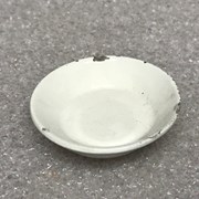
Serving Dish
Camera Tripod
A map of America ... exhibiting Mackenzie's track from Montreal ...
The Columbia River highway : America's greatest scenic drive
Area of the Upper Missouri and Rocky Mts.
New discoveries in the Interior
"Skeleton plan showing location of 'Kootenae House' built by David ...
[Mistaya 82N/NE, Alta.-B.C.]
[McDame 104 P - B.C.]
Northwestern United States and Neighbouring Canadian Provinces
Let the chaps fall where they may