A map of America ... exhibiting Mackenzie's track from Montreal to Fort Chipewyan and from thence to the North Sea in 1789 & to the West Pacific Ocean in 1793
Pertains to a collection of hand colored images showcasing the beauty of Oregon in the United States of America. The publication follows the Columbia River highway, a stretch of road reaching west from Portland to the Pacific, and east to Central Oregon. The publication showcases various tourist locations in addition to other breathtaking hand-colored images.
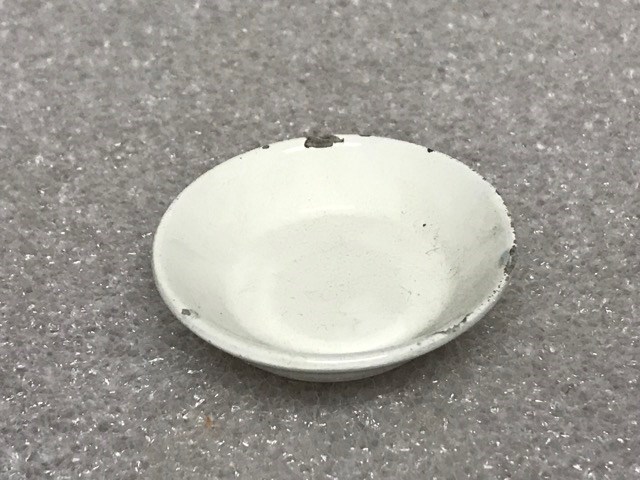
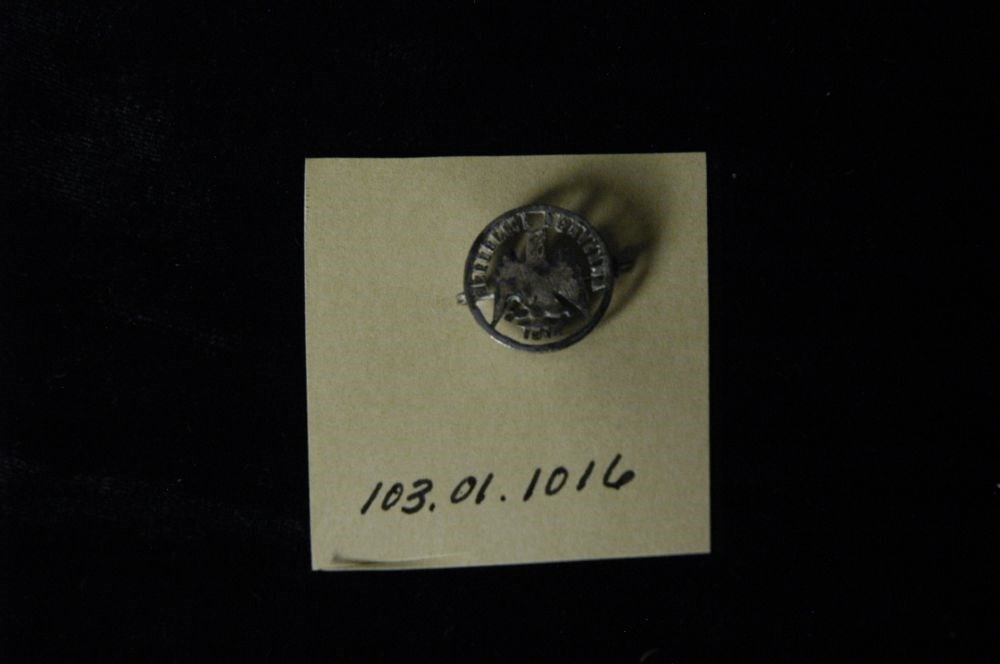
made of cutout Mexican peso, with eagle at middle, silver coin has been cut out around the figure of an eagle, its wings outspread, also around each letter of the words "Republica Mexicana" above, and the date below (1816?), on the back of the eagle is a "10" [the other side of the coin] simple saf…
made of cutout Mexican peso, with eagle at middle, silver coin has been cut out around the figure of an eagle, its wings outspread, also around each letter of the words "Republica Mexicana" above, and the date below (1816?), on the back of the eagle is a "10" [the other side of the coin] simple safety pin type clasp soldered horizontally across back.