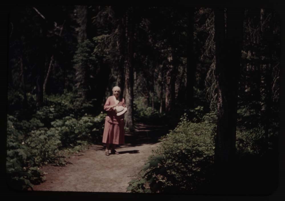
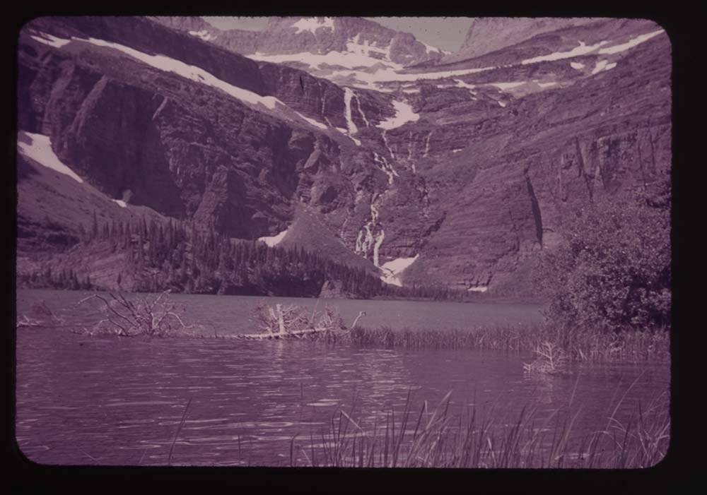
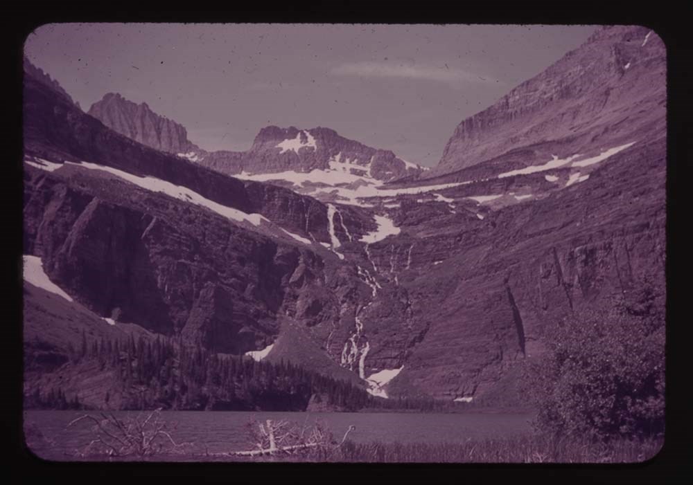
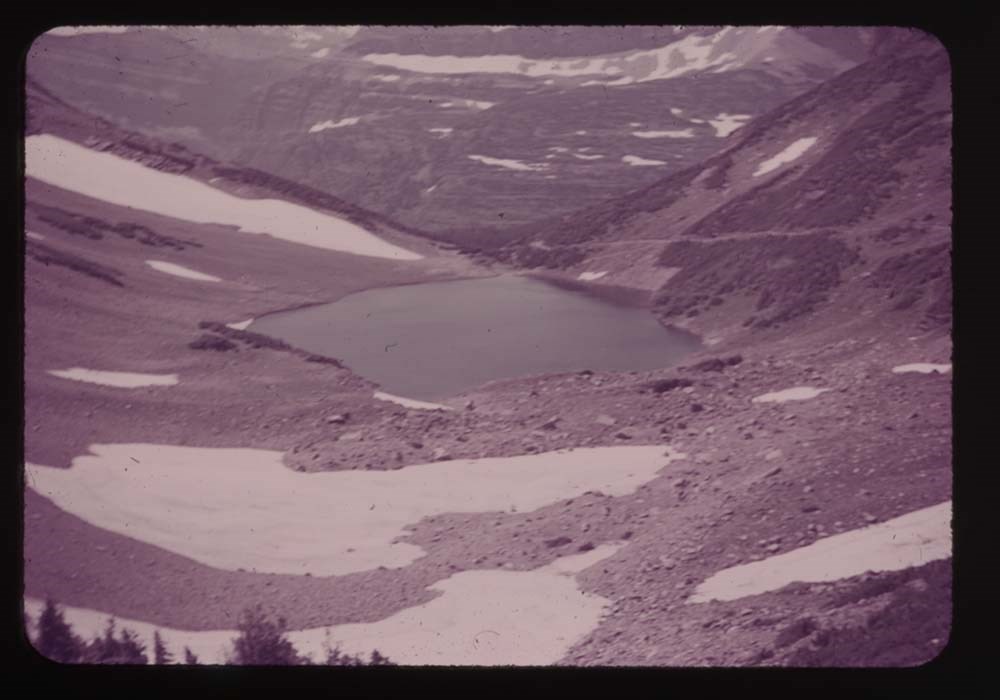
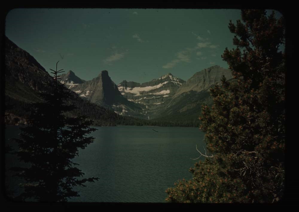
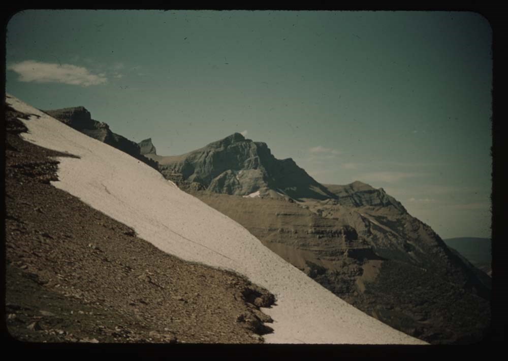
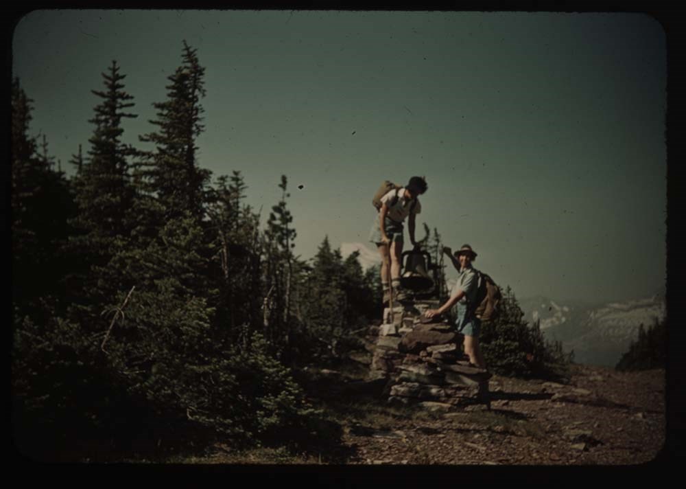
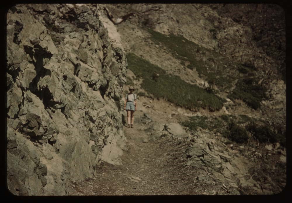
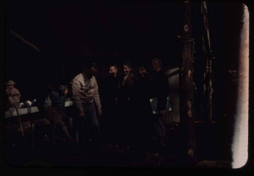
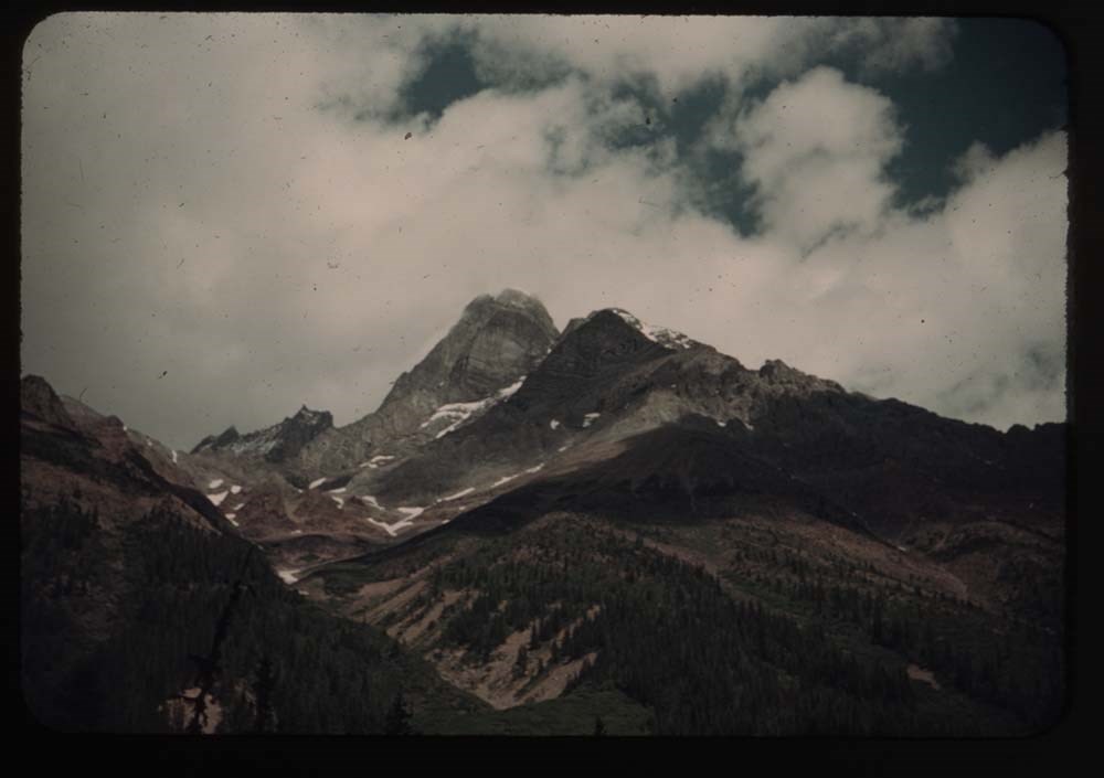
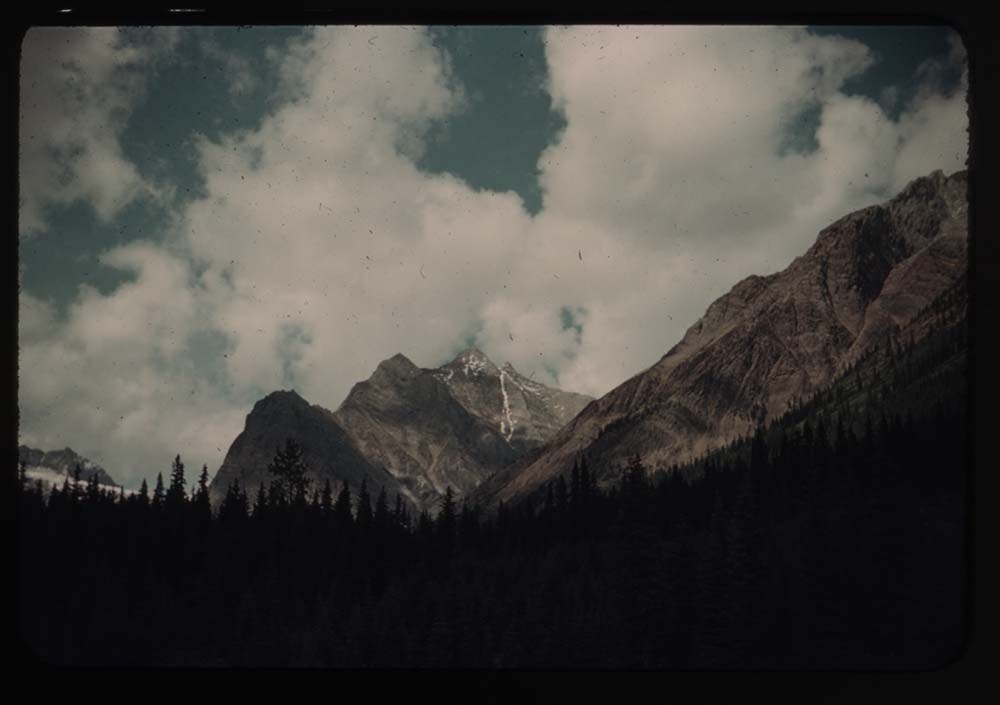
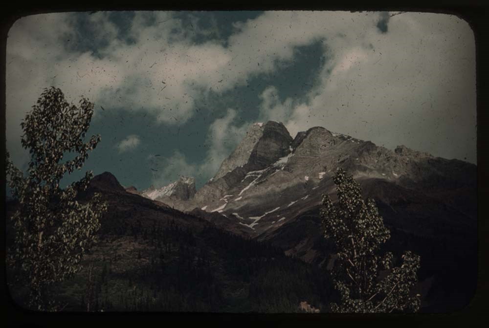
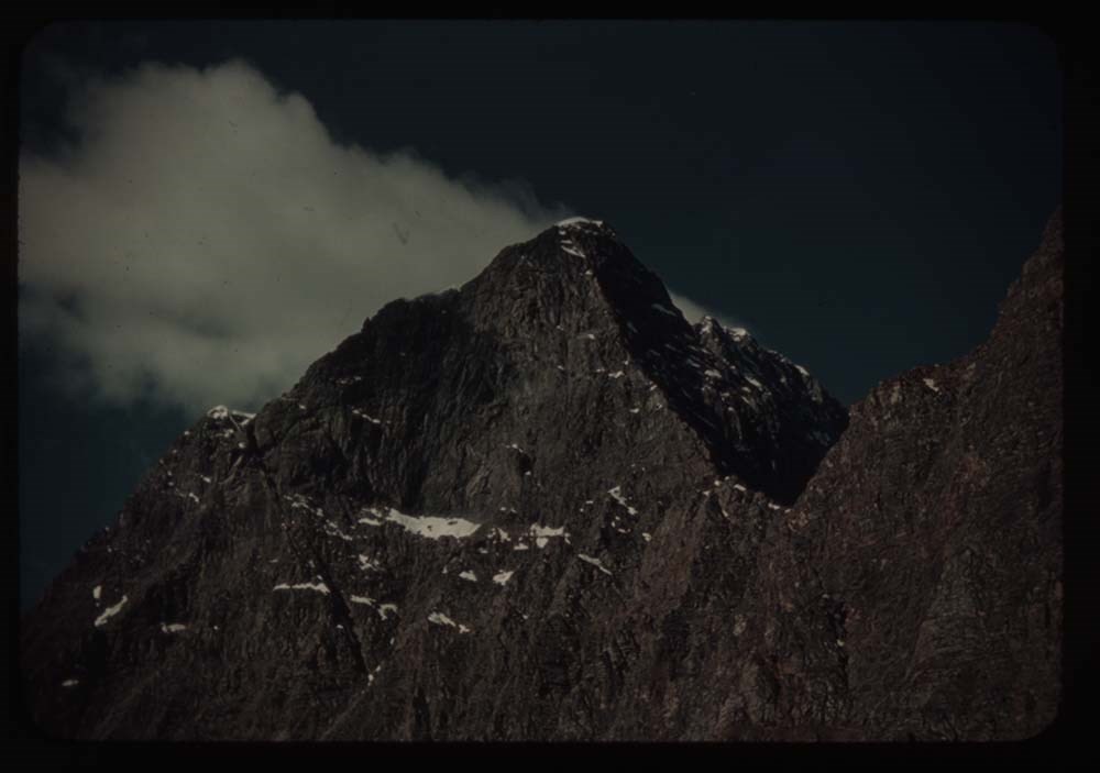
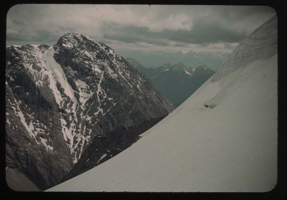
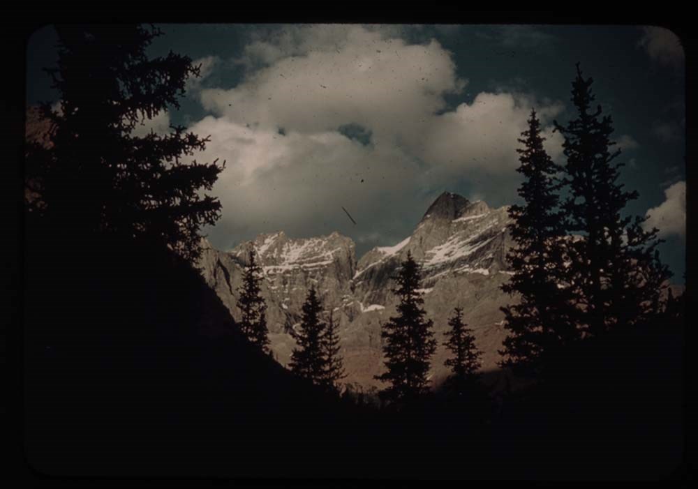
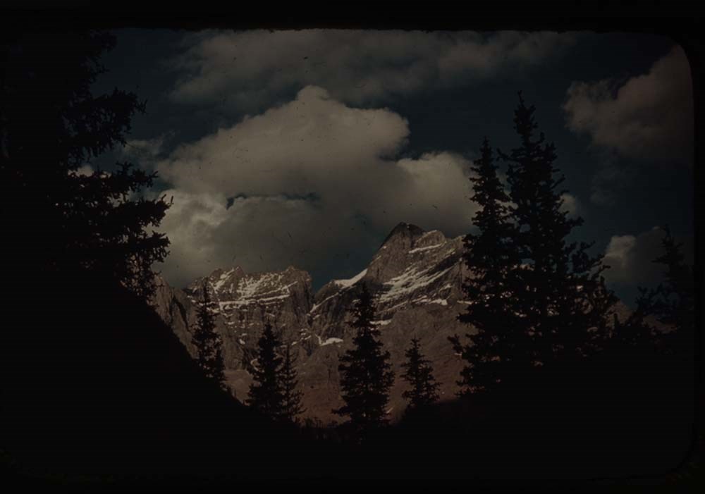
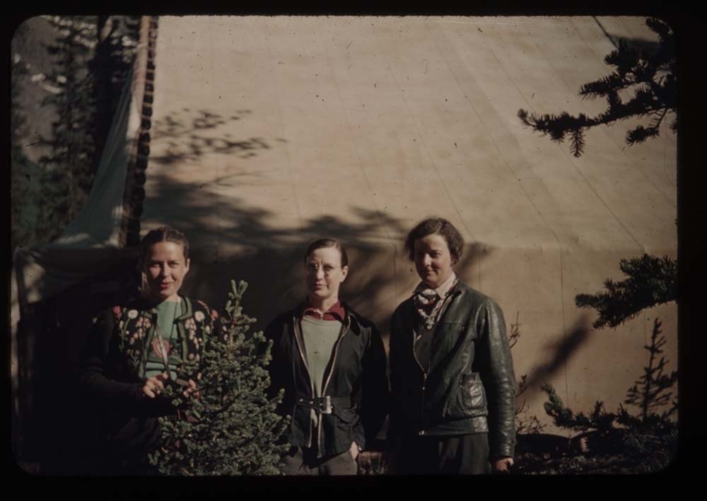
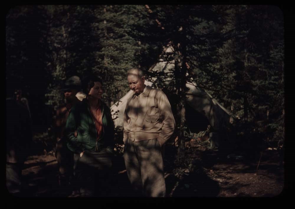
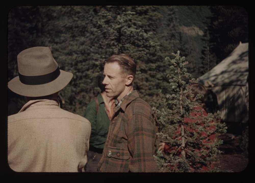
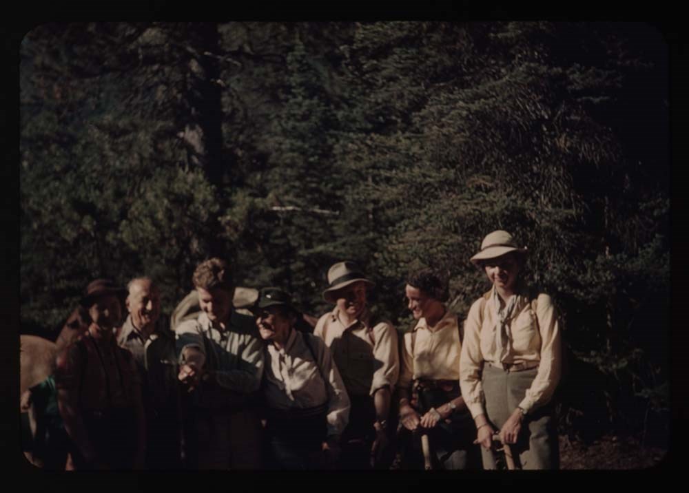
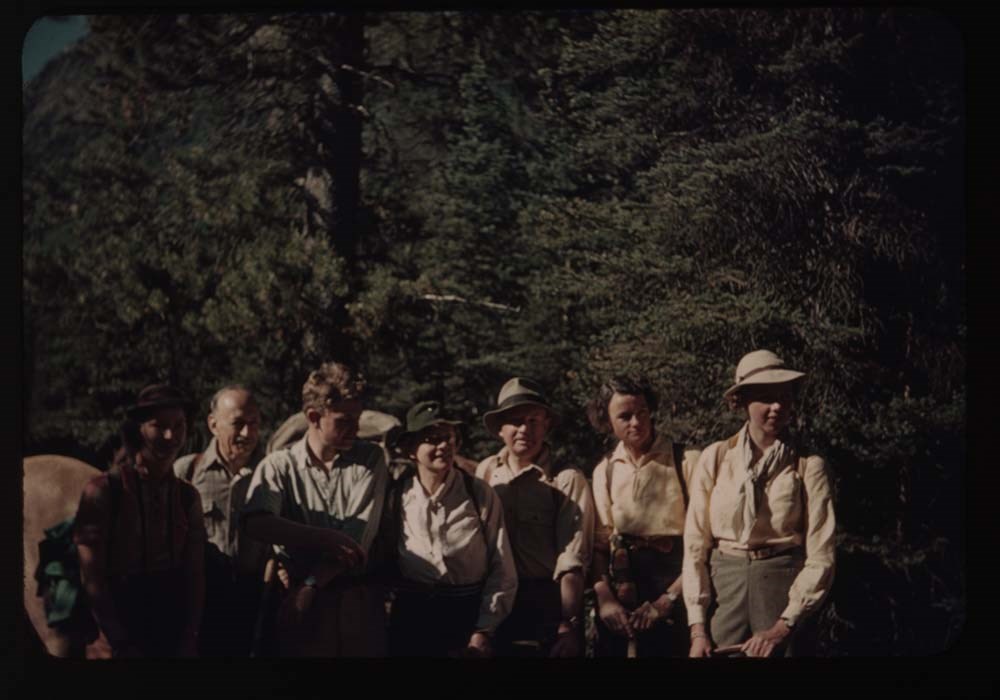
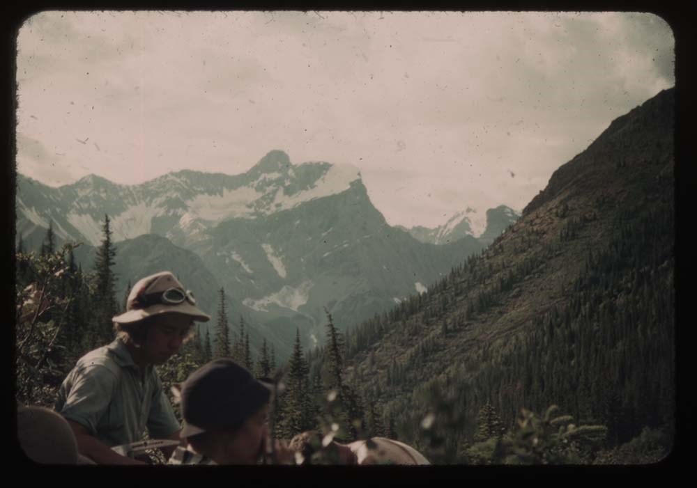
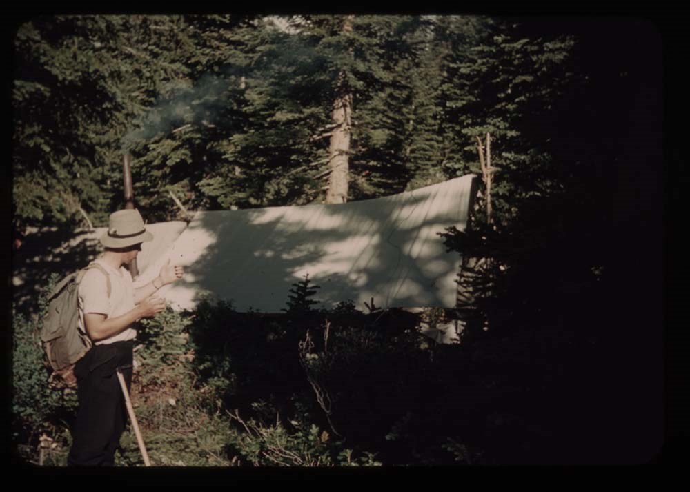
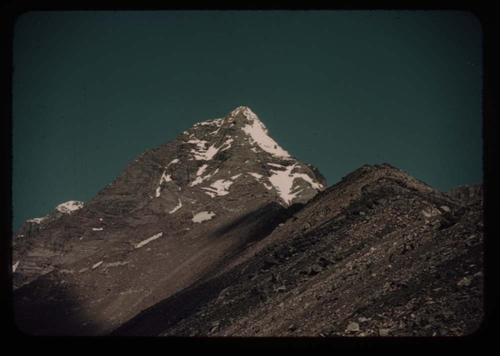
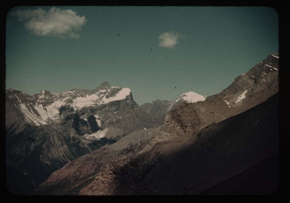
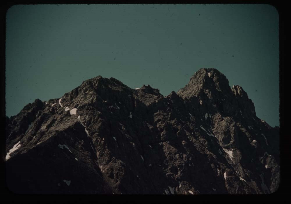
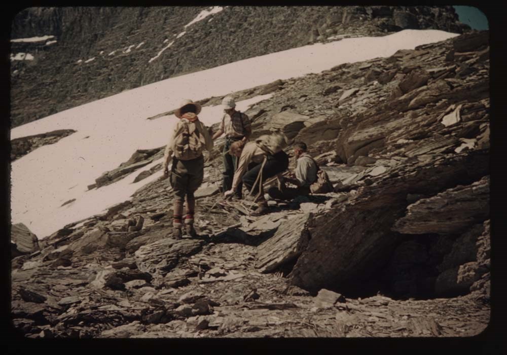
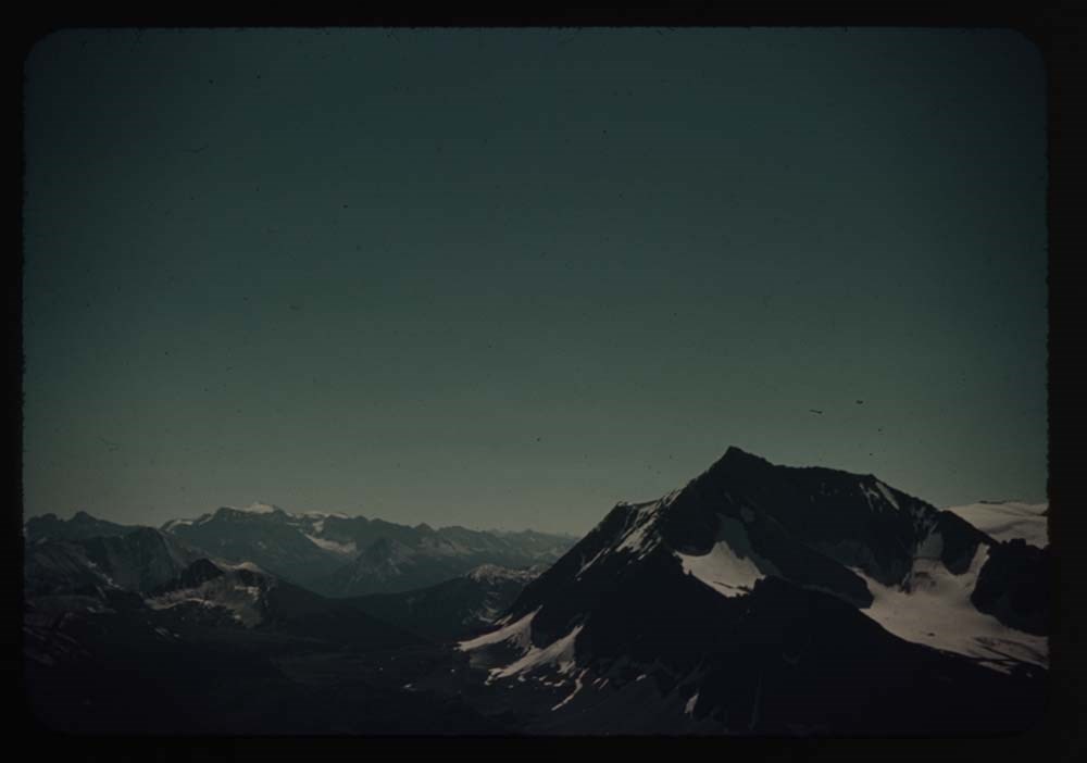
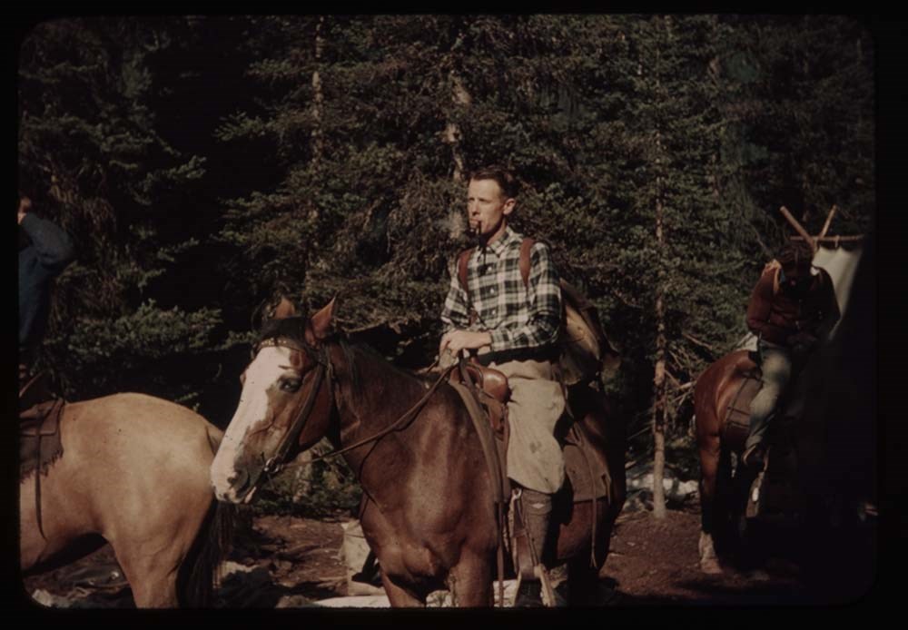
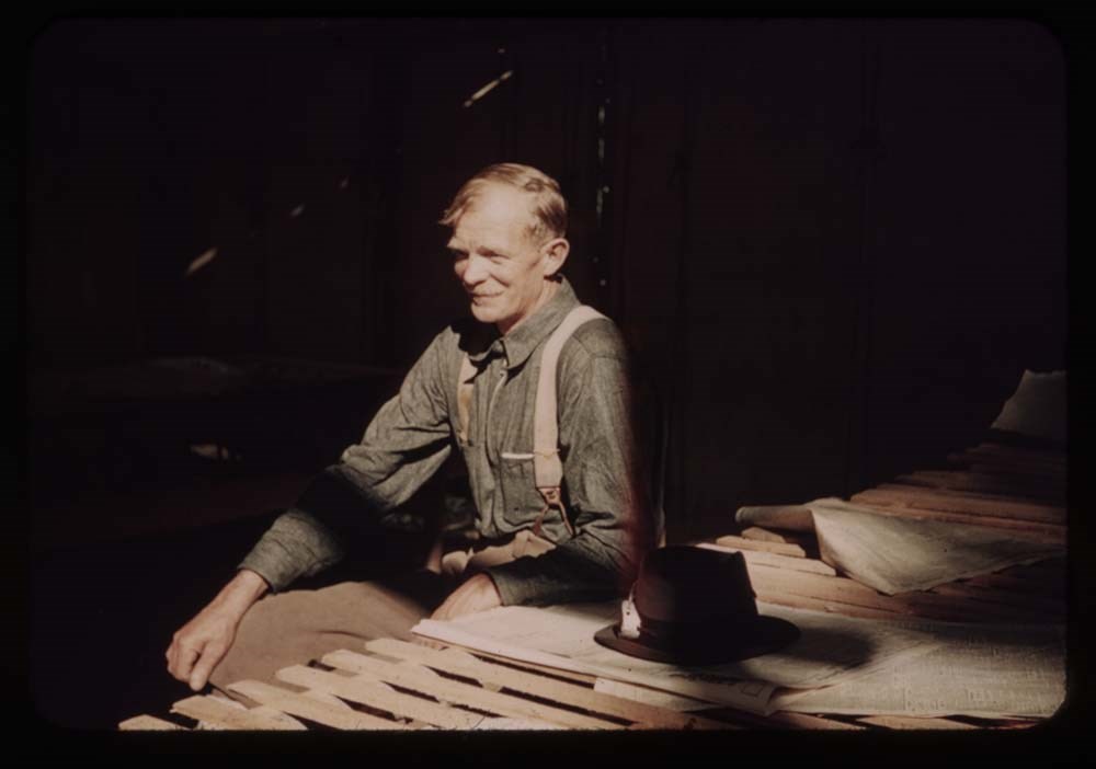
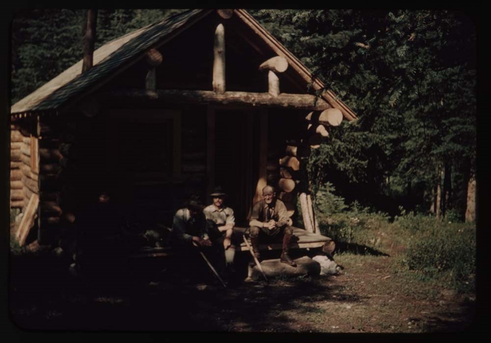
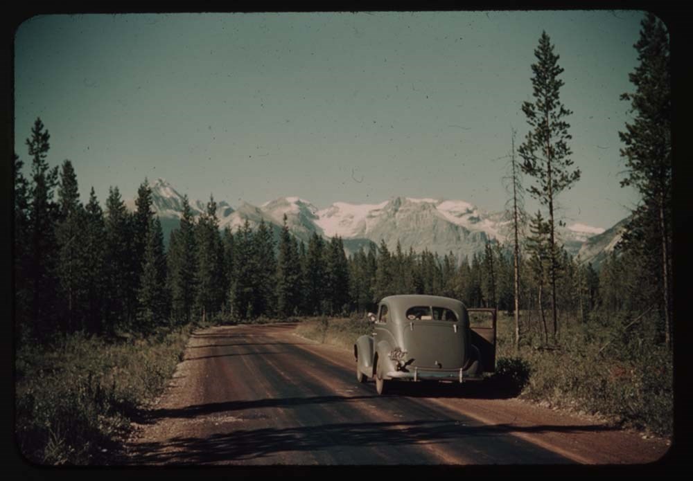
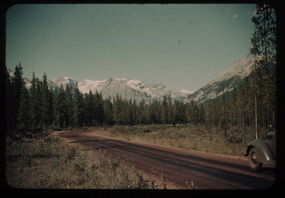
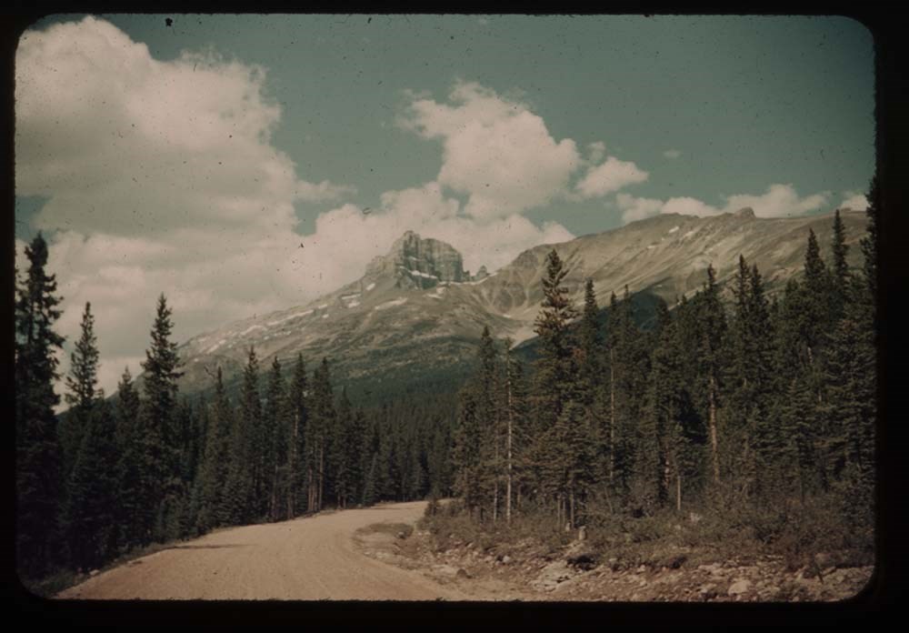
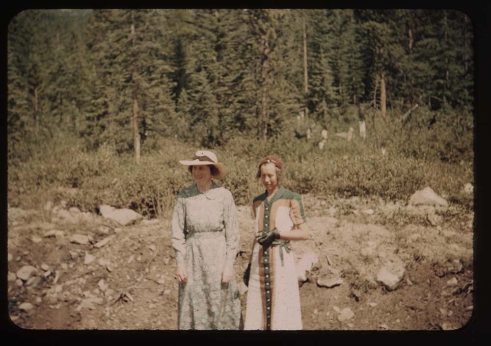
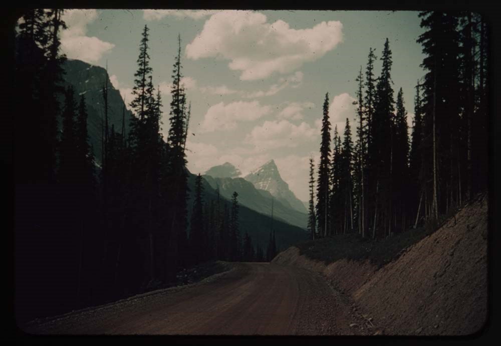
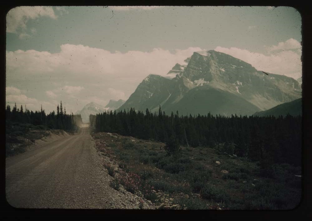
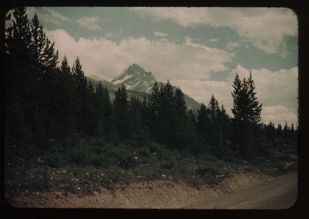
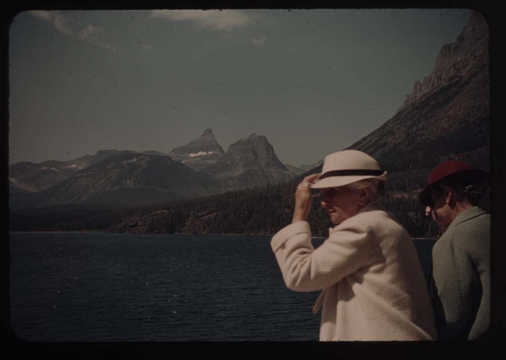
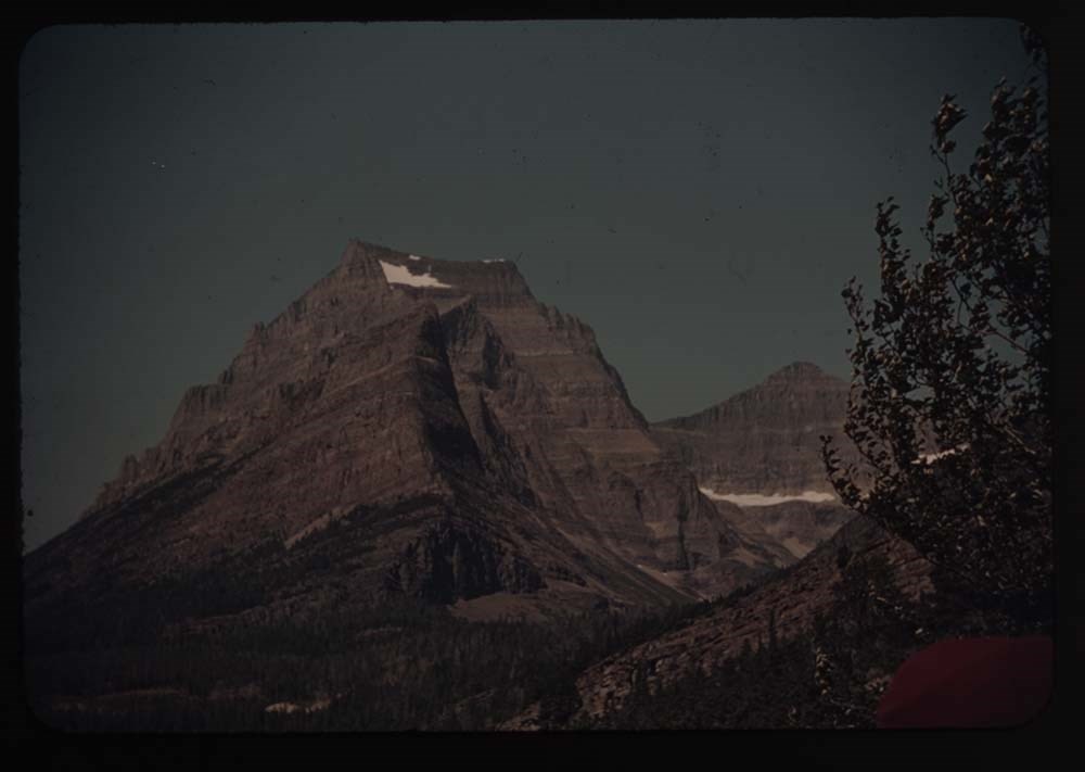
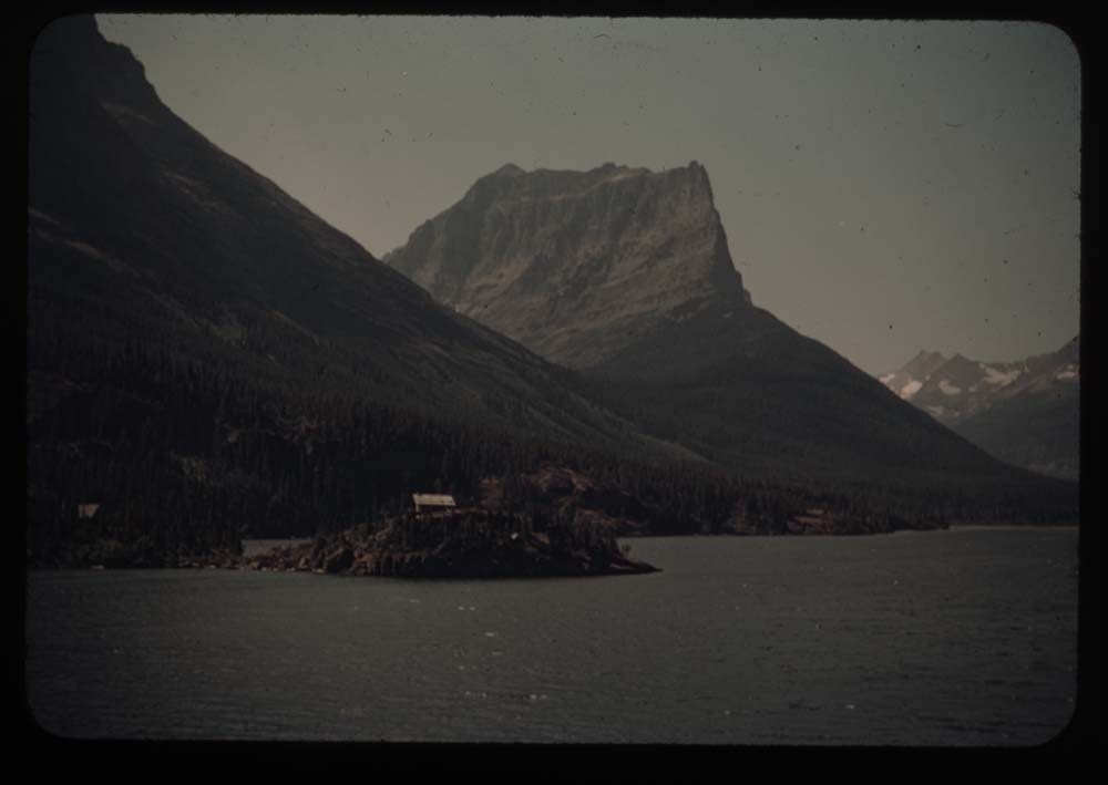
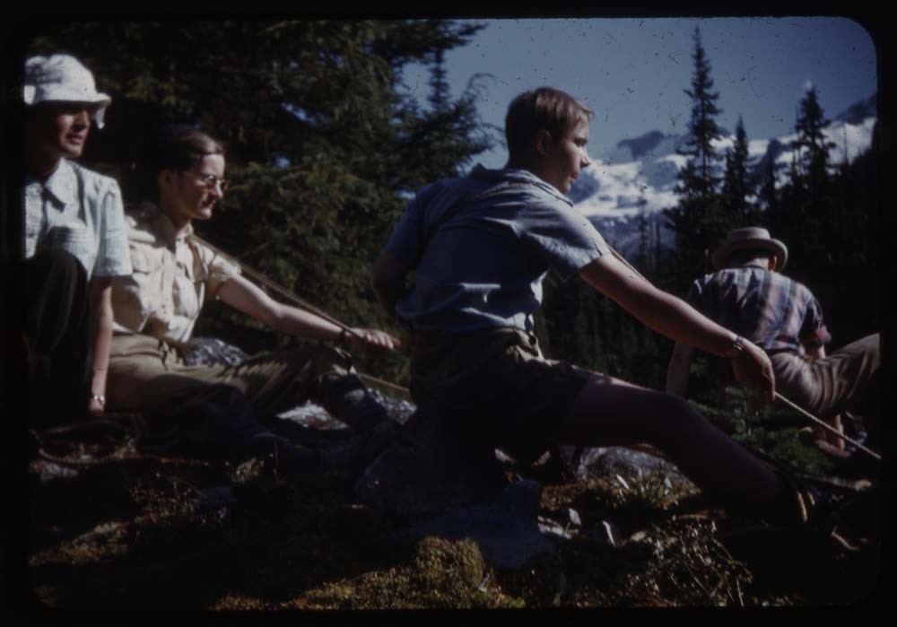
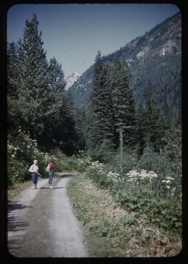
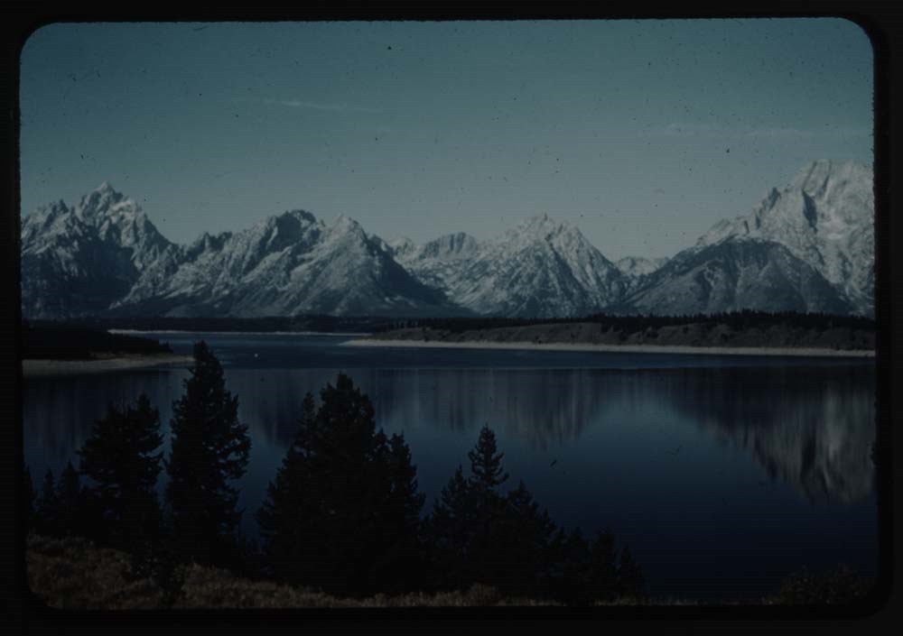
File pertains to 172 35mm colour transparency slides mounted in cardboard sleeves. Pertains to rodeo events; views from around Glacier National Park, U.S.A.; A.C.C. Goodsirs summer camp, 1939; Prince of Wales Hotel; friends and associates including Polly Prescott, Kay [Prescott], Lillian Gest, Eric…
File pertains to 172 35mm colour transparency slides mounted in cardboard sleeves. Pertains to rodeo events; views from around Glacier National Park, U.S.A.; A.C.C. Goodsirs summer camp, 1939; Prince of Wales Hotel; friends and associates including Polly Prescott, Kay [Prescott], Lillian Gest, Eric Brooks, Phyllis Munday, John Wheeler, the Kingmans, Walter and Paula Bloch-Hiller, Sig[?], B.H.G., Andrew Kramer, Ernest [Feuz], and Rudolph [Aemmer?].
Titles:
Reel 3 1939?
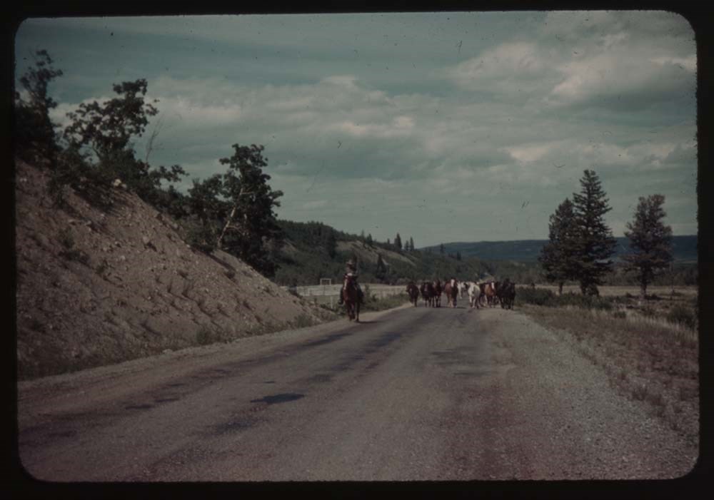
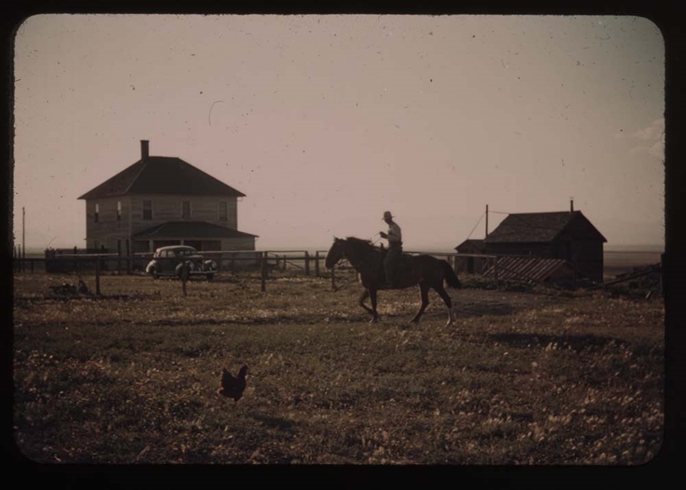
8 - Horses on road near [illegible]
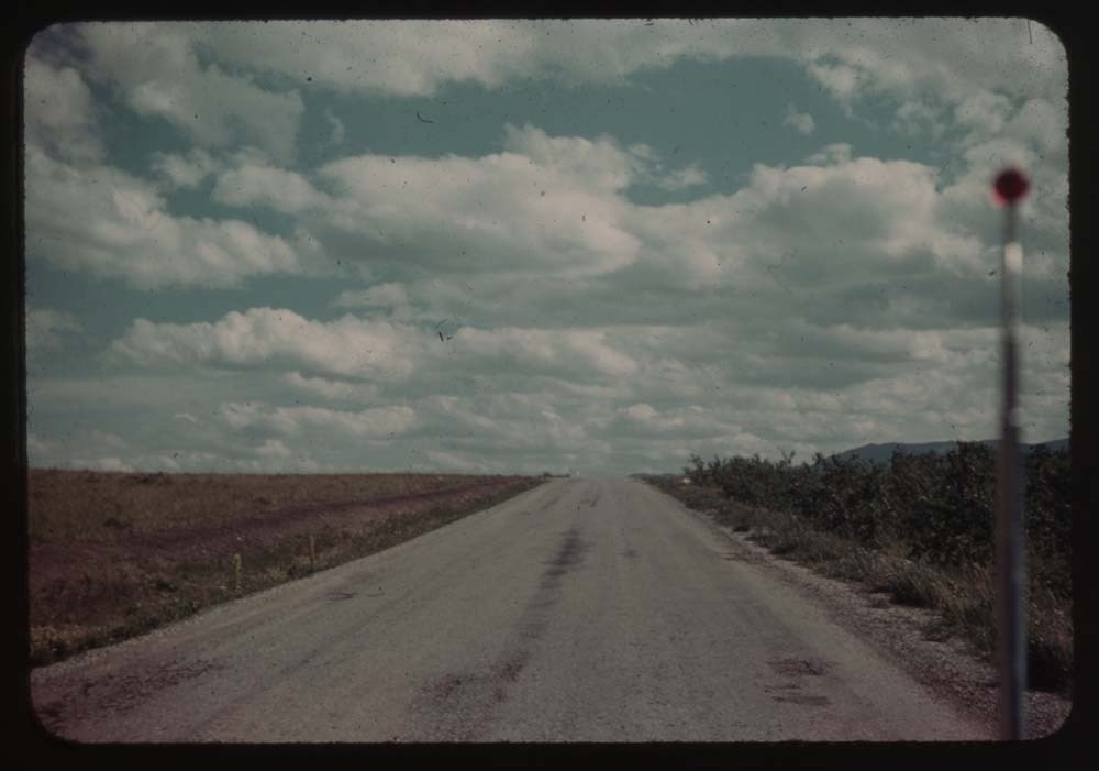
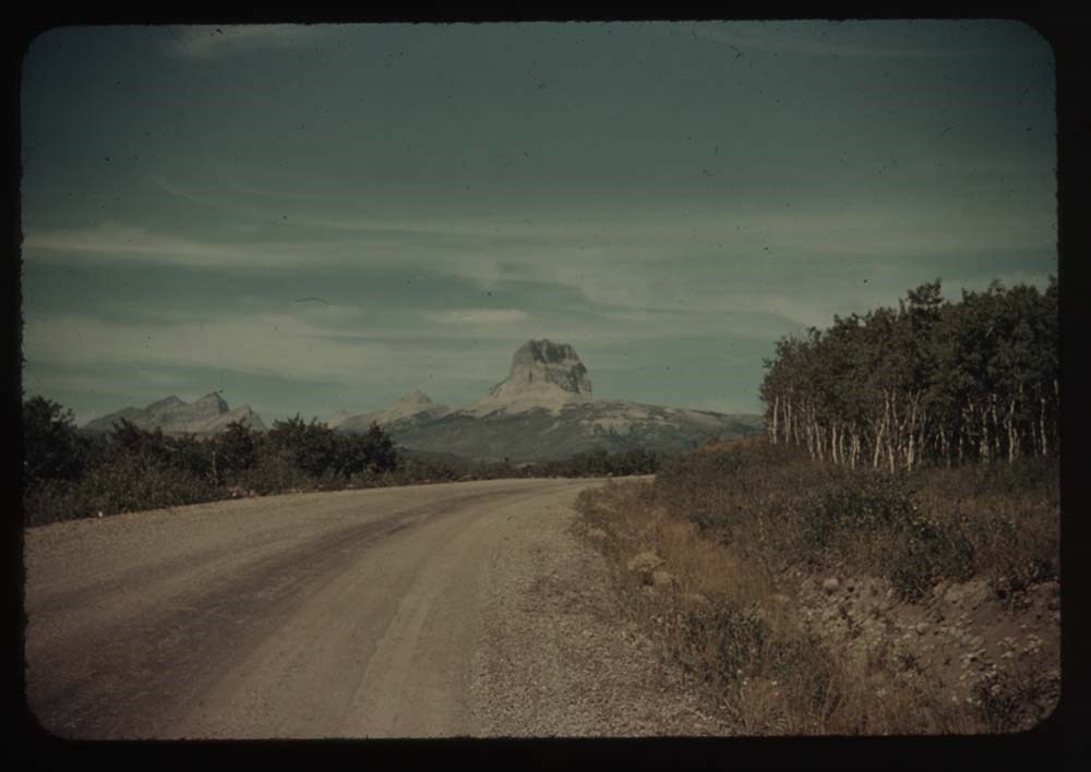
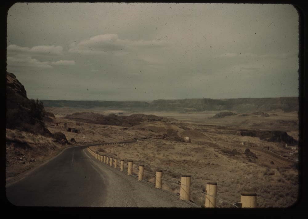
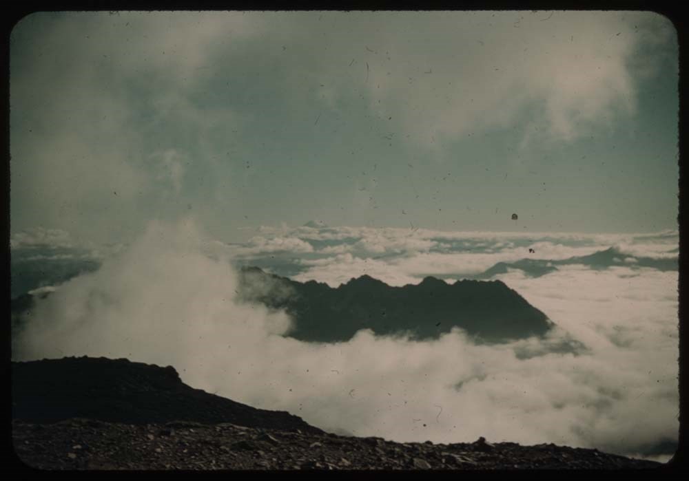
9 - Road near St. Mary's w. clouds
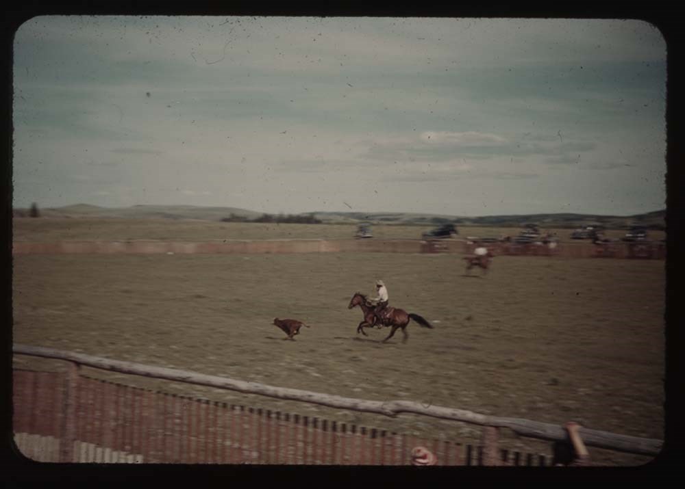
16 - [Rodeo bucking]
17 - [Rodeo bucking]
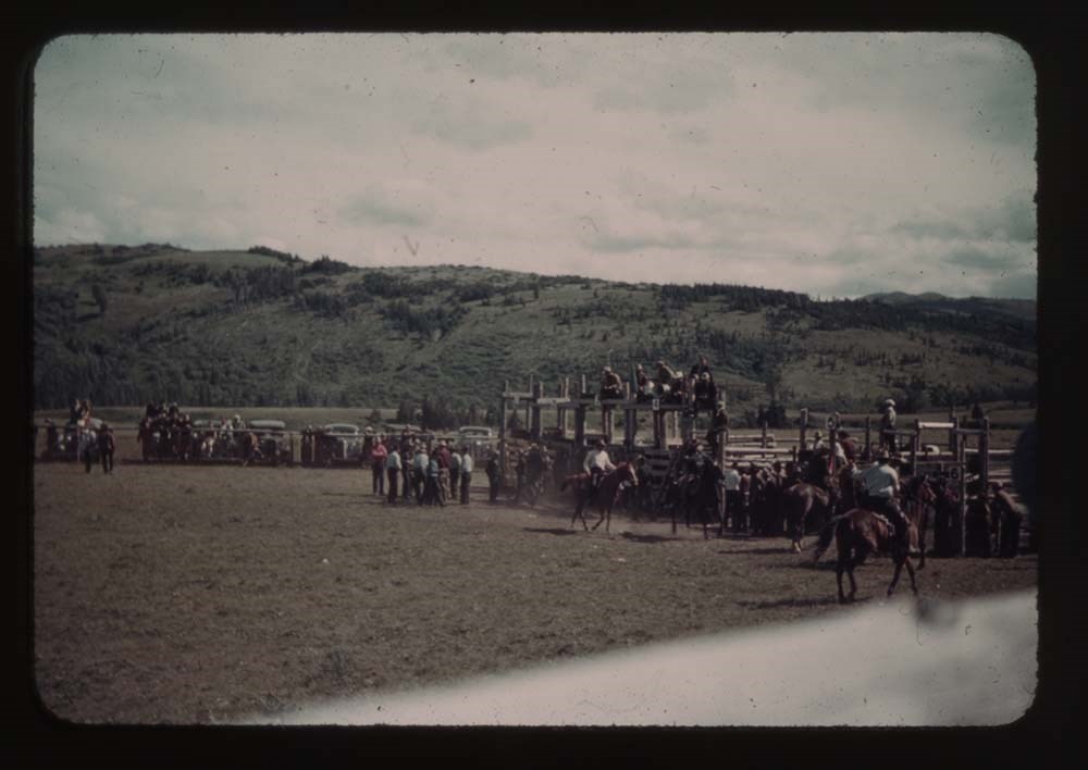
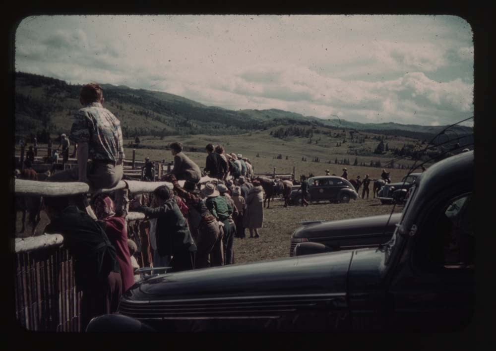
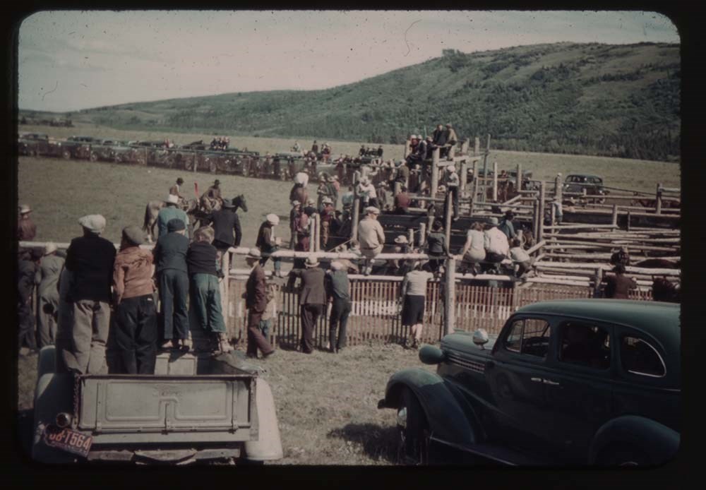
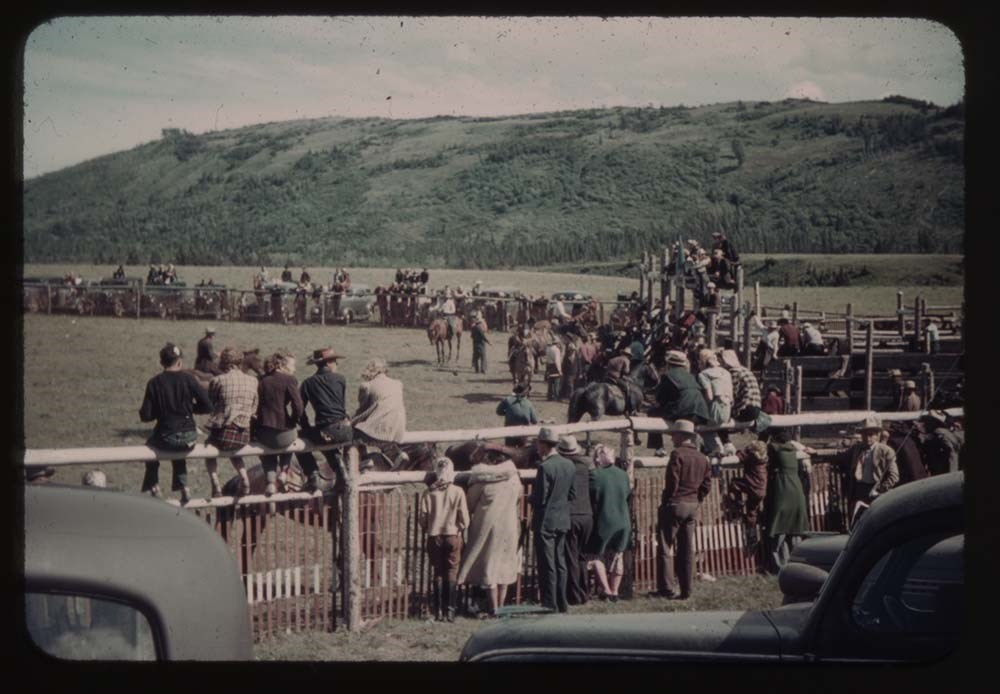
18 - Rodeo people on fence
19 - [Rodeo] fence and chutes
20 - [Rodeo fence and chutes]
21 - [Rodeo fence and chutes]
Reel 4
2 - Calf-roping
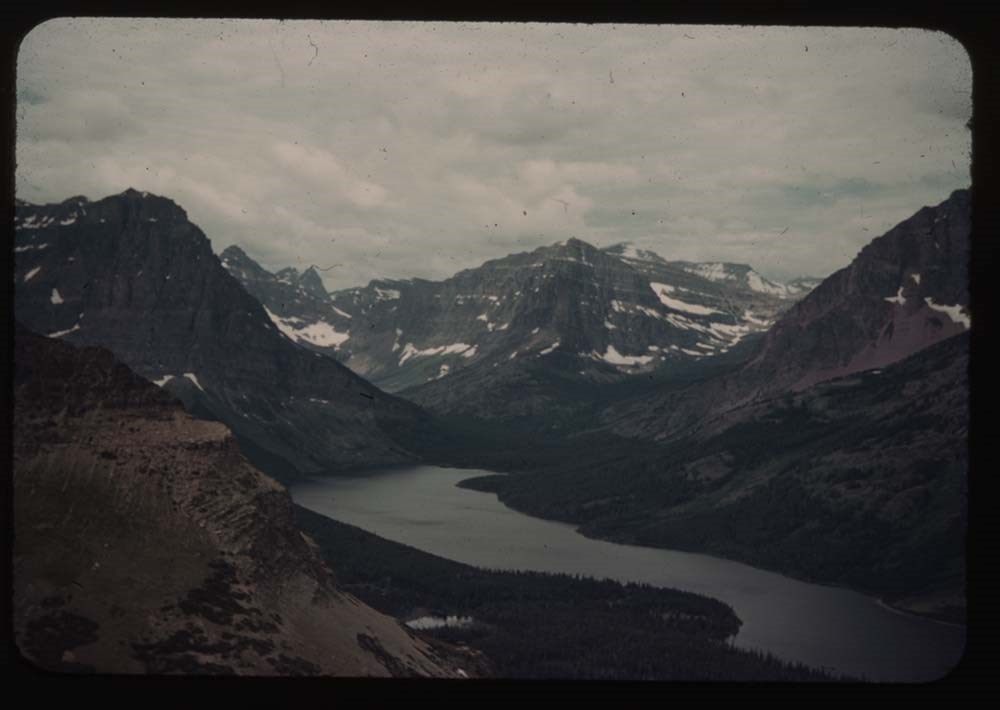
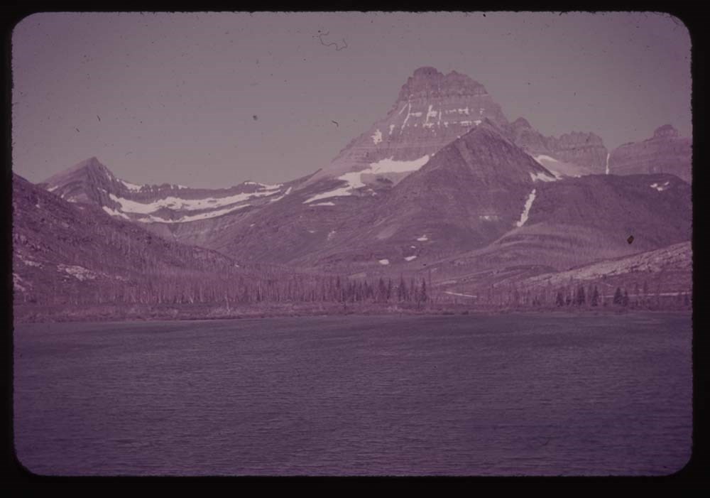
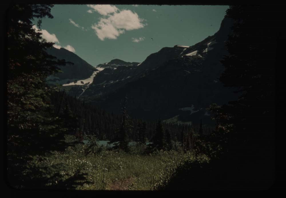
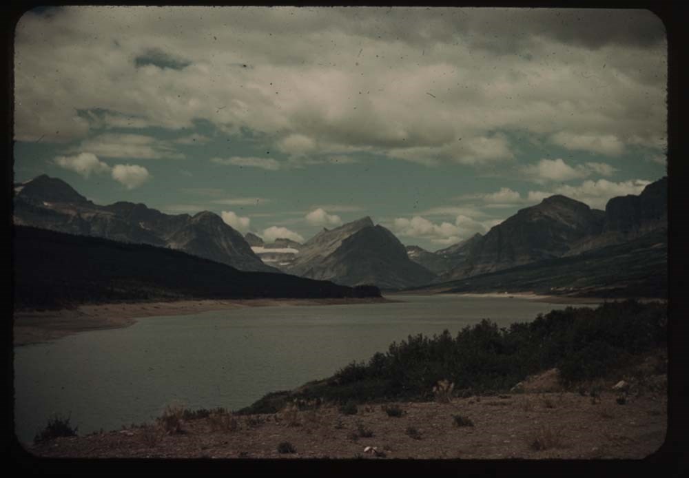
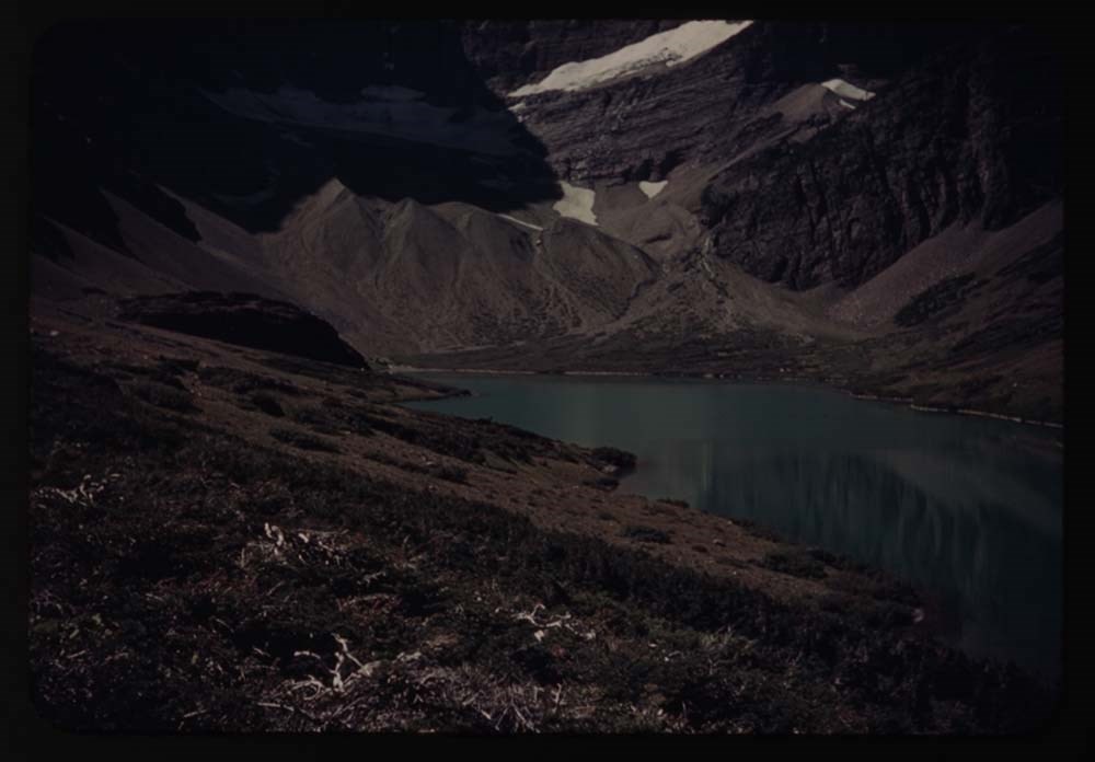
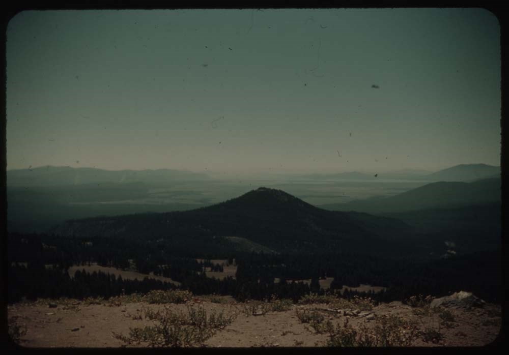
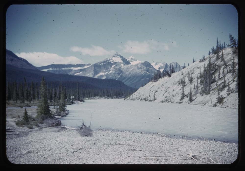
3 - Two med. Lake fr. Mt. Henry
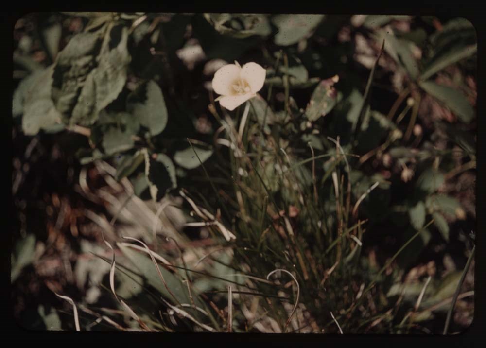
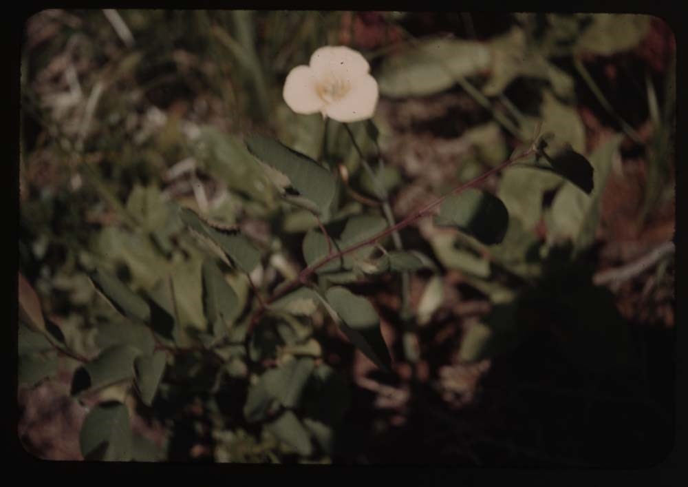
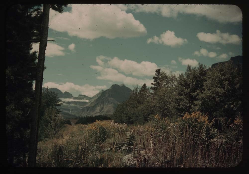
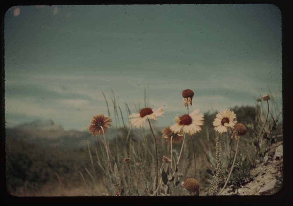
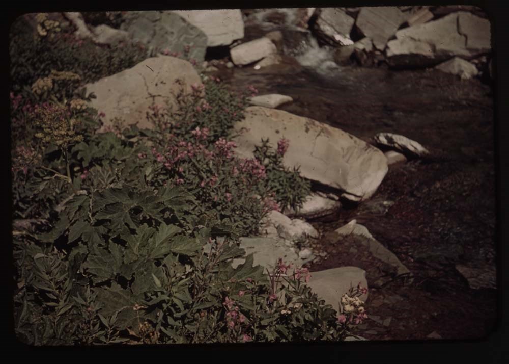
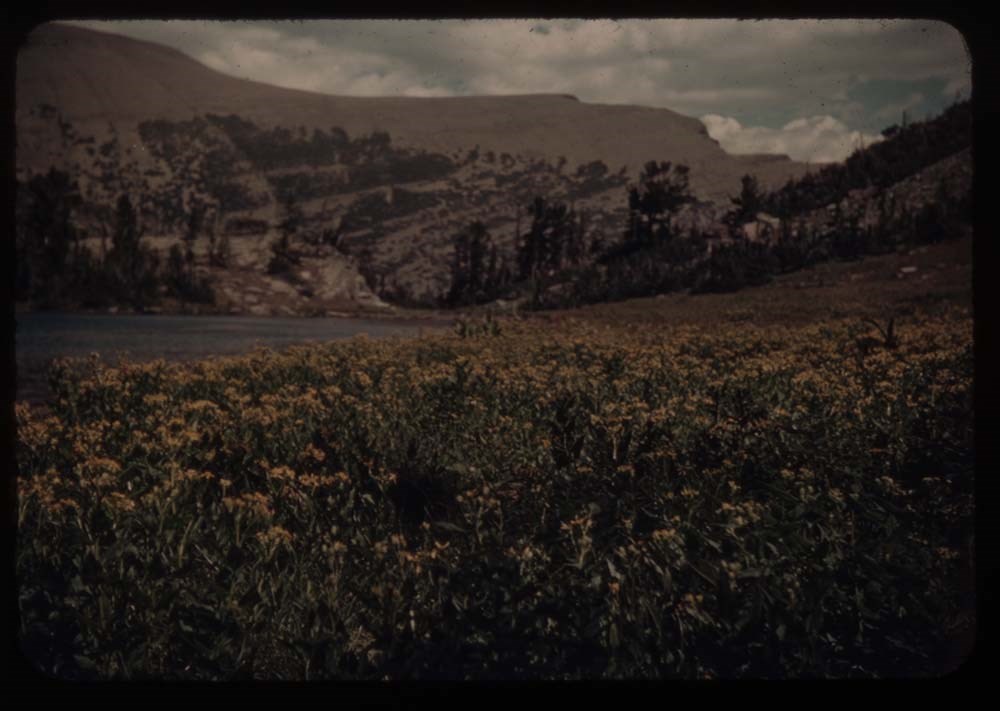
7 - Meadow of flowers
8 - Shooting star [flower]
9 - Rabbit
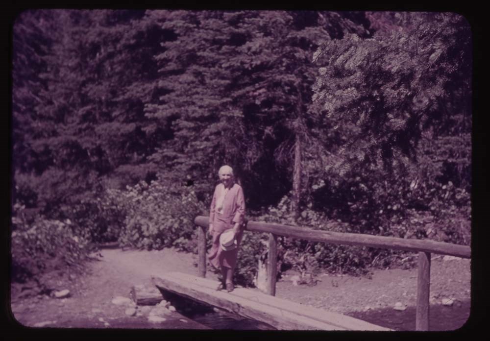
10 - Fishermen by bridge
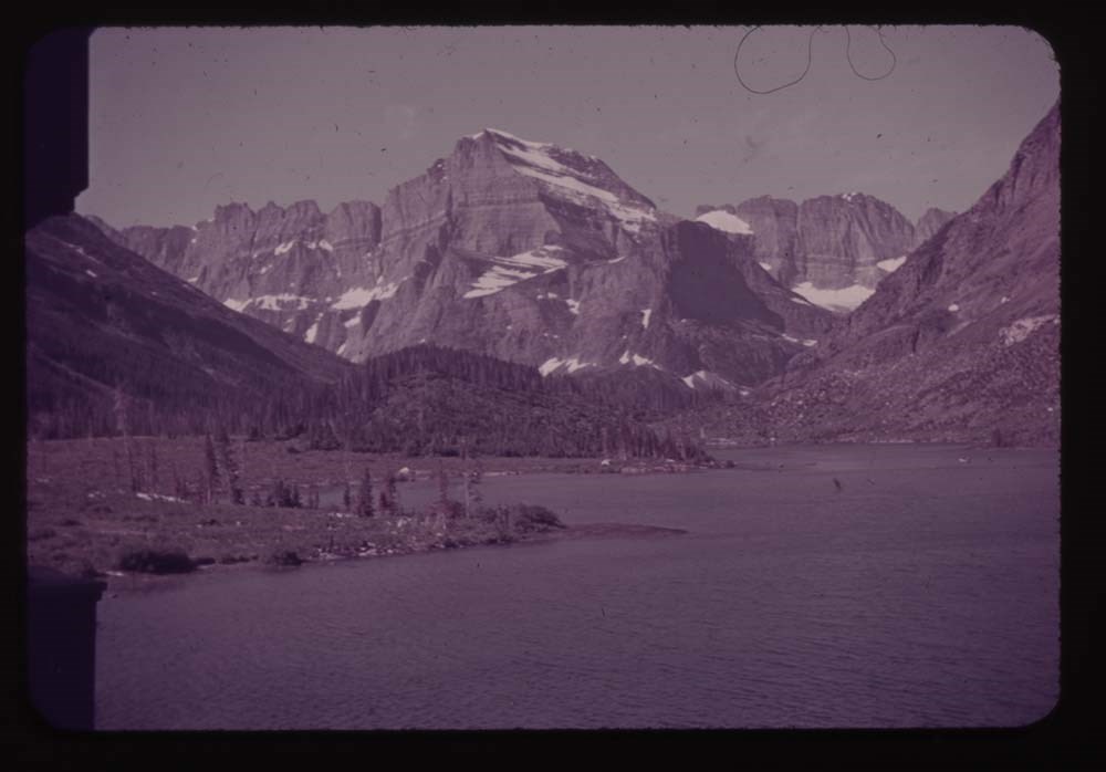
11 - Lower Two Med. Lake
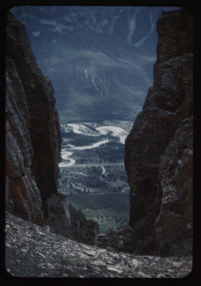
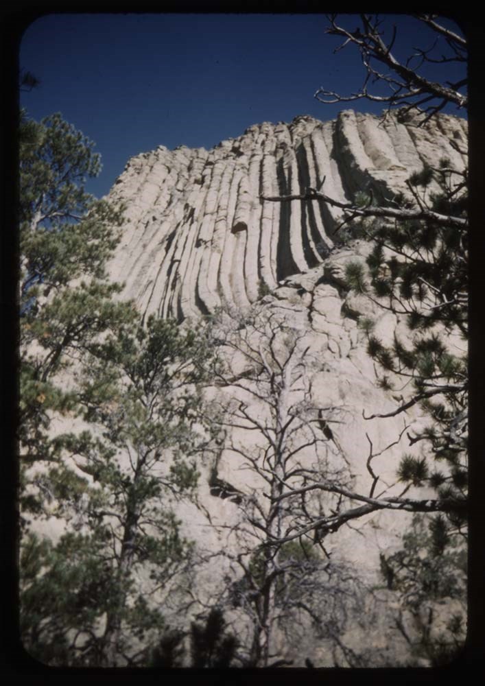
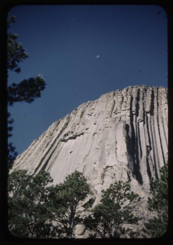
12 - Pompeely's [?] Pillar?
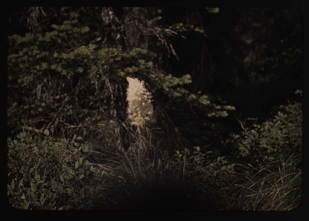
15 - [Beargrass] (best)
16 - Queen cup
17 - [Queen cup]
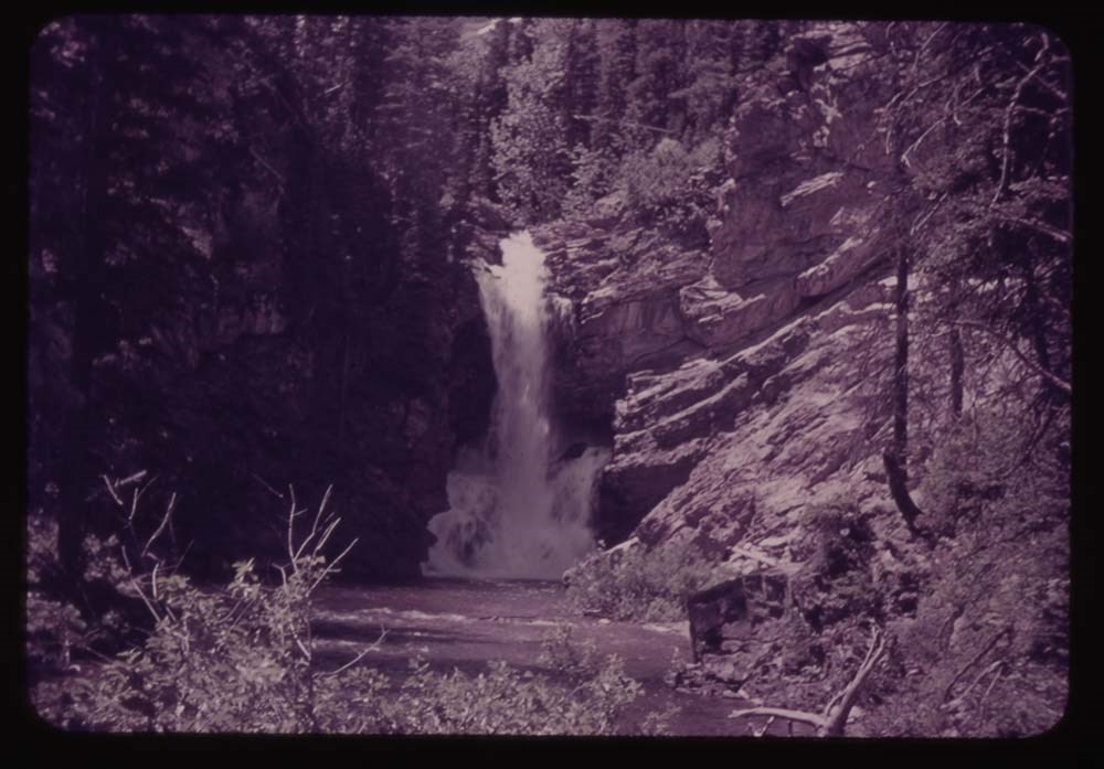
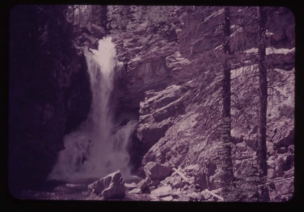
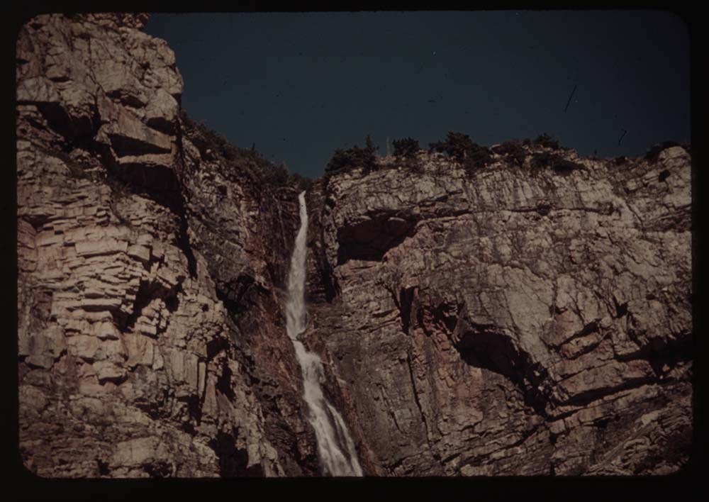
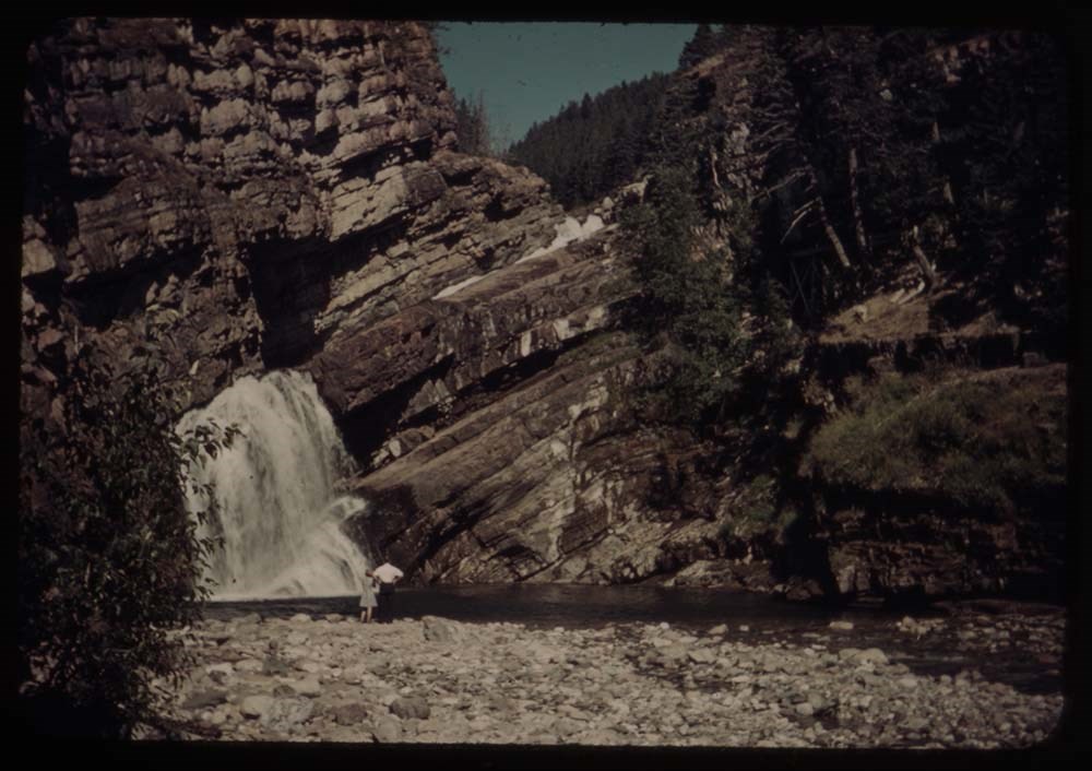
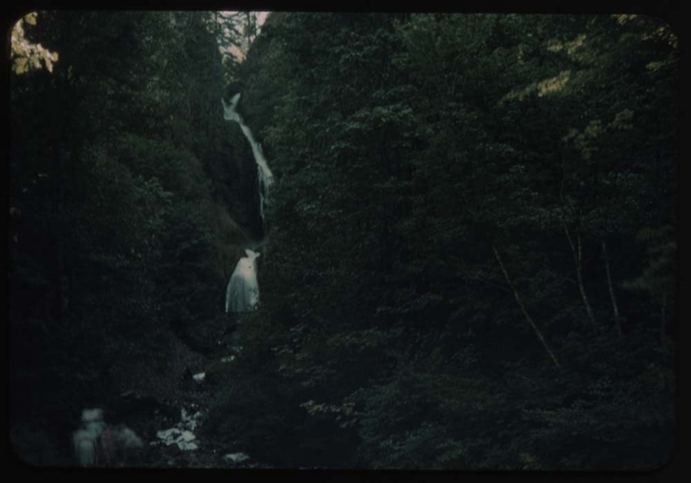
19 - BH.G. - Trick Falls trail
Reel 5 1939?
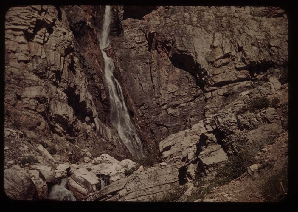
1 - Trick Falls best
2 - [Trick Falls] more to left
3 - BH.G. arm on stump
4 - BH.G. on bridge - Trick Falls trail
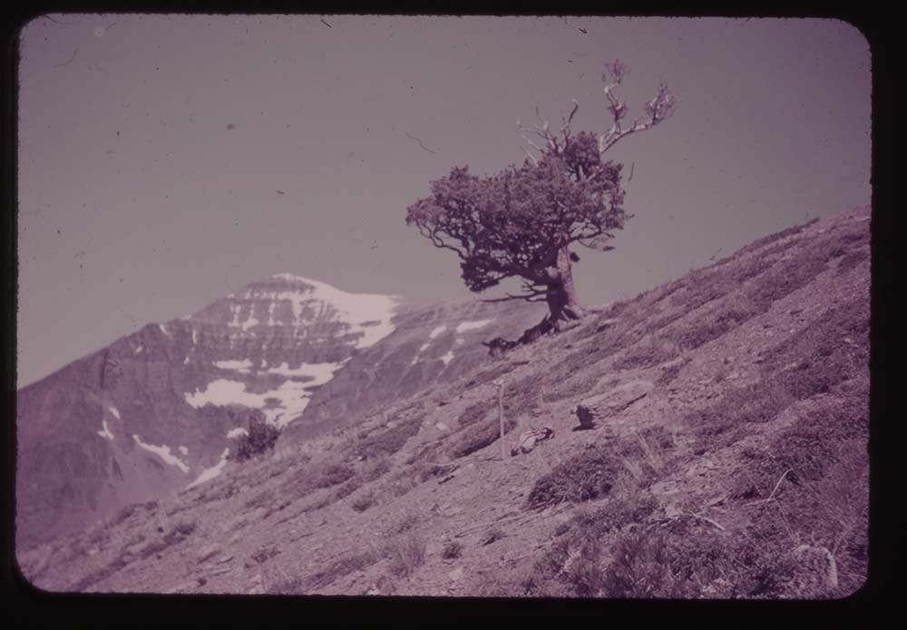
5 - Old tree above Two Med.
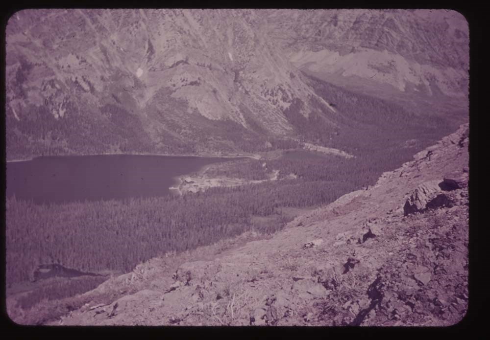
7 - Two med Lake fr. Astor Creek shoulder
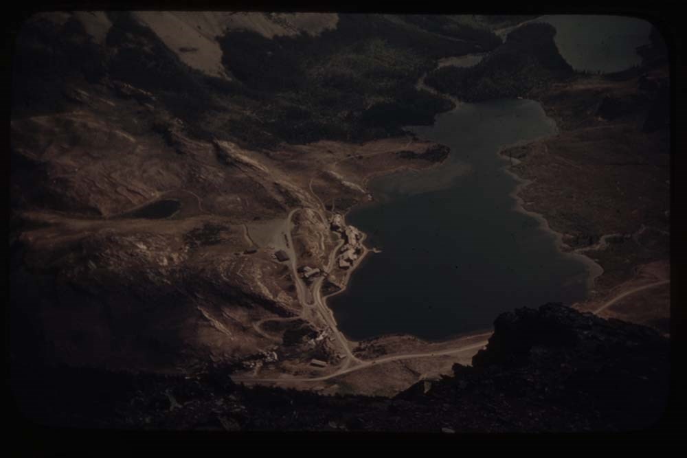
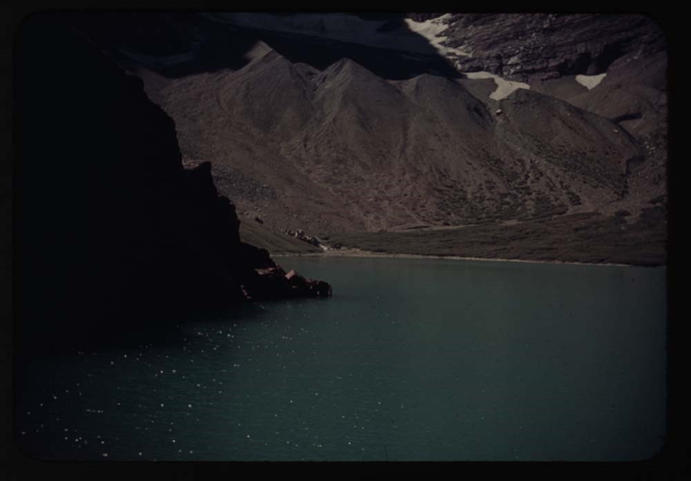
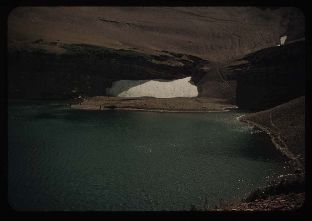
8 - Mary [?] glacier Lake from our balcony - South [?]
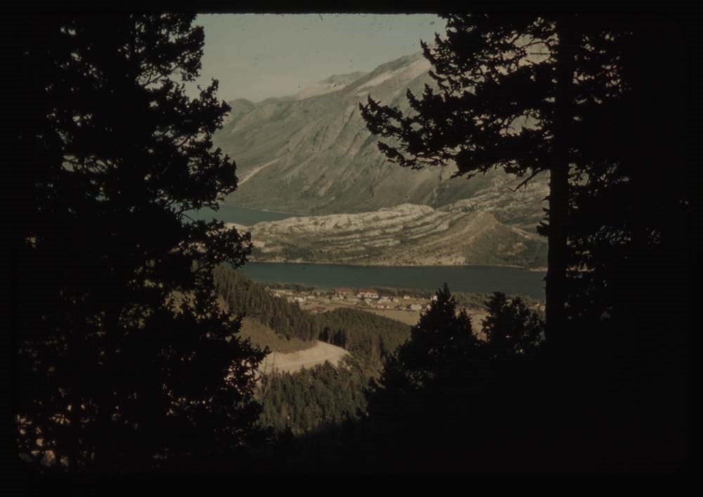
9 - Looking across lake [from our balcony] west
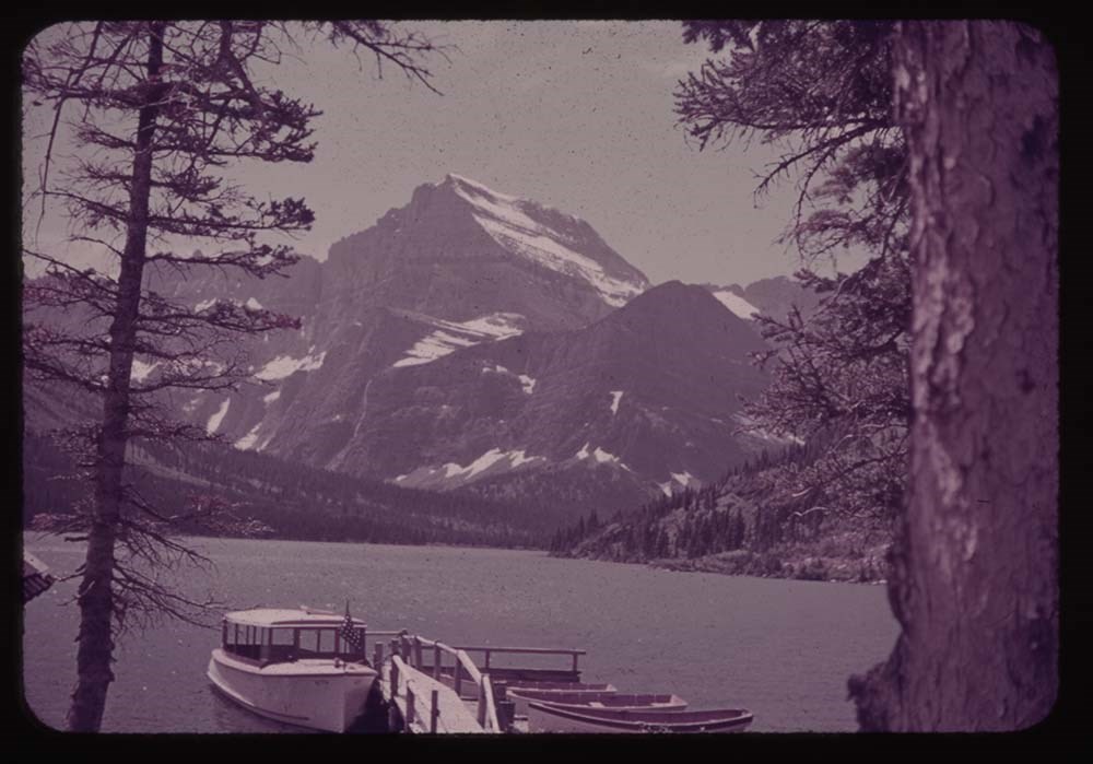
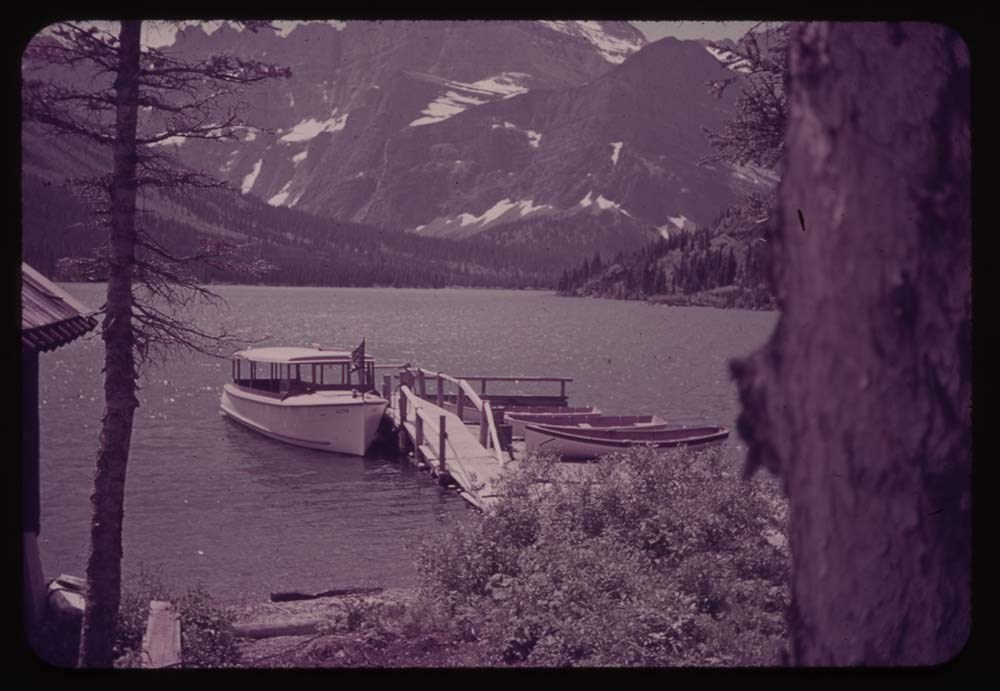
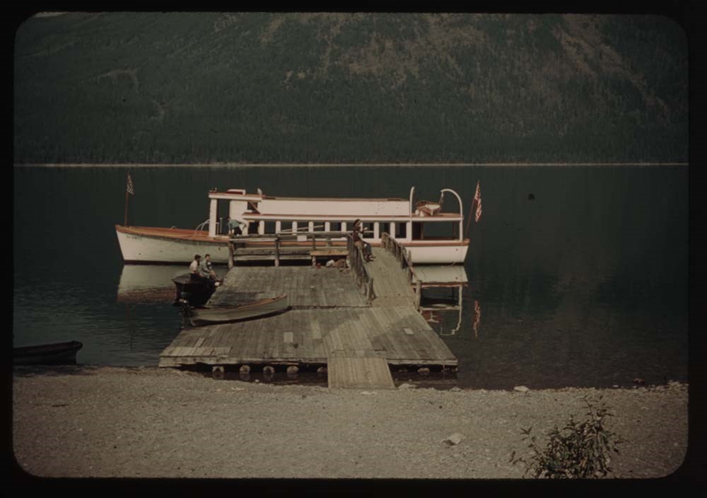
10 - Lake Josephine and wharf w. boats
11 - Same without Mt. [illegible]
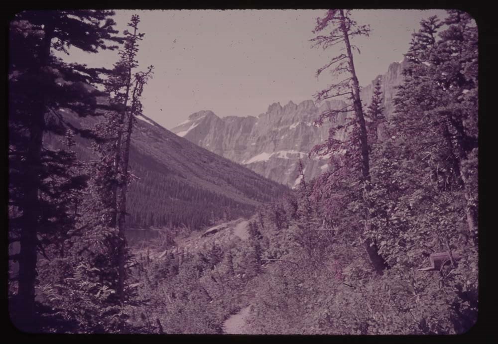
12 - Trail to Grinnell Gl.
13 - Grinnell Lake
14 - Grinnell Lake
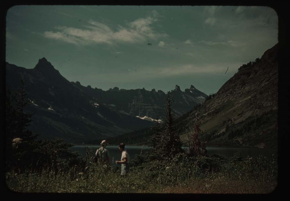
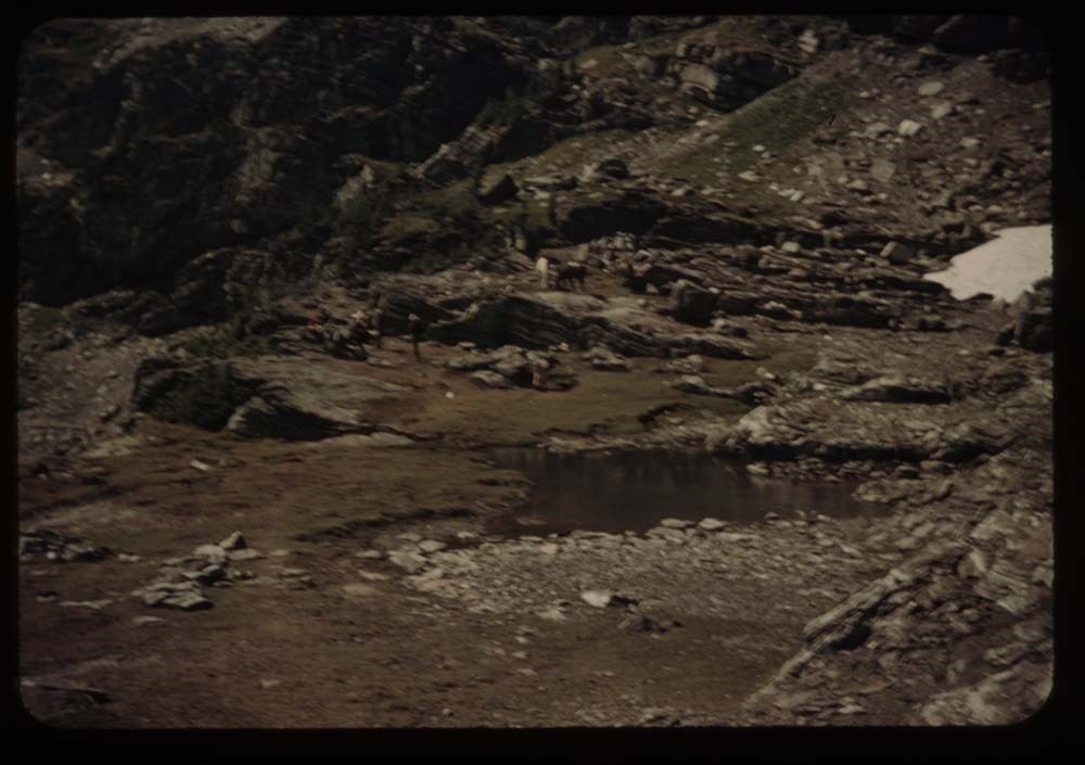
15 - Ptarmigan Lake - Polly and Kay
16 - [Ptarmigan Lake] fr. trail to tunnel
17 - At [Ptarmigan Lake] tunnel - Polly, Kay, L.G. [Lillian Gest]
18 - [At Ptarmigan Lake tunnel] CCC and Polly
Reel 6
1. A[?] Pass and Lake Helen
2. Crossley Lake and tents
3. [Crossley Lake] no tents
4. Towards Indian Pass
6. Towards Ahew[?] Pass - Lake
7. Lake Elizabeth (?) Kay and Polly
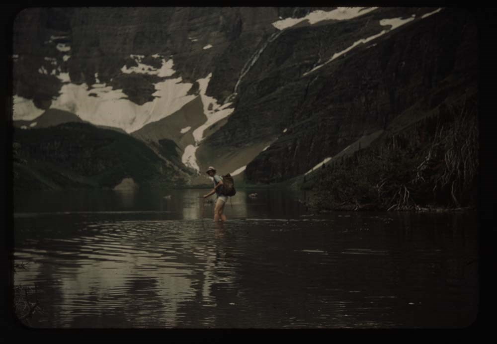
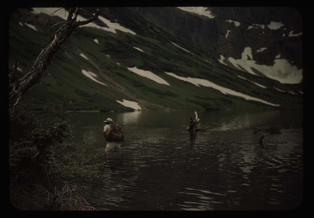
8. Polly wading
9. [Polly wading]
10. [Polly wading]
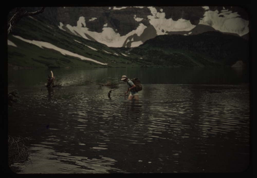
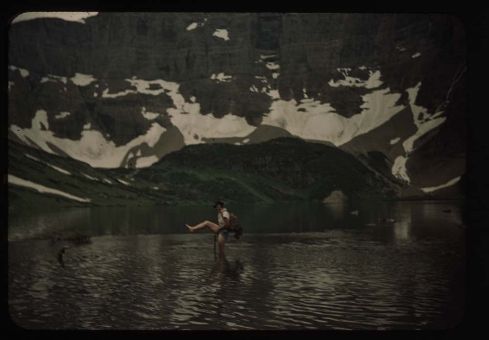
11. Kay [wading]
12. [Kay wading]
13. [Kay wading] w. foot up
14. [Kay wading] near shore
15. Lake Helen - reflections - down valley
16. Mt. and snow bank Ahew[?] Pass
17. At hell on Swift current pass - P. and K.
18. Polly on trail to marry[?] from pass
Reel 7 1939
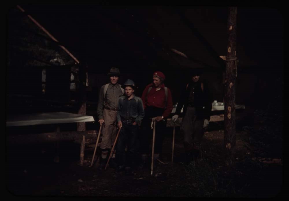
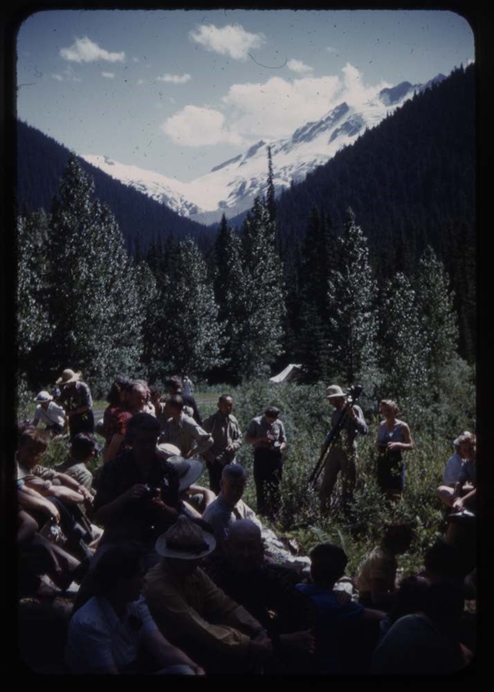
1. People under eating fly
2. Ms. Munday and Kingmans
3. Boys pealing potatoes
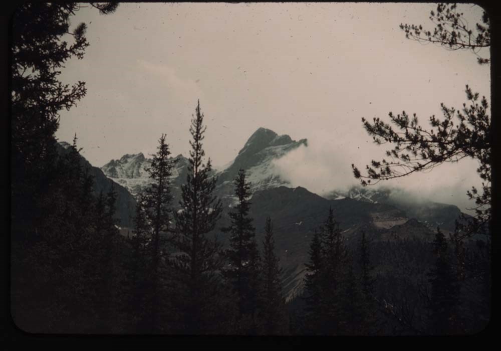
4. N. Tower w. clouds
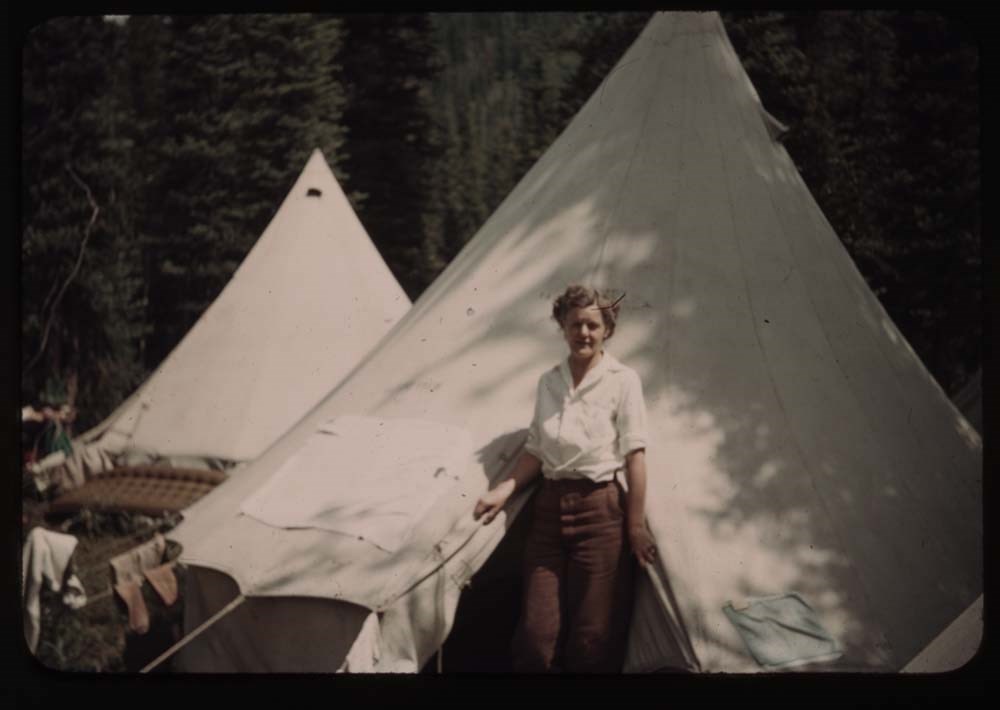
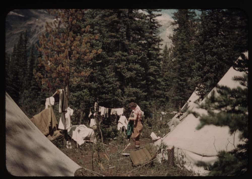
5. Aletta[?] at tent
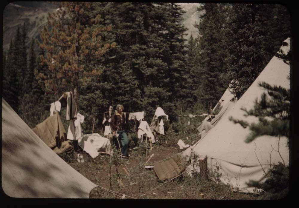
6. Laundry at lady's quarters
7. Sauna
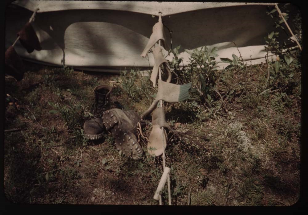
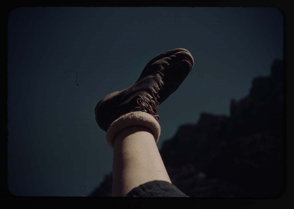
8. Sox and boots near tent
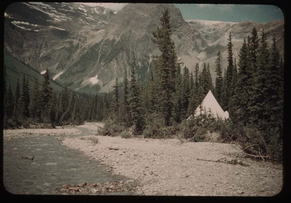
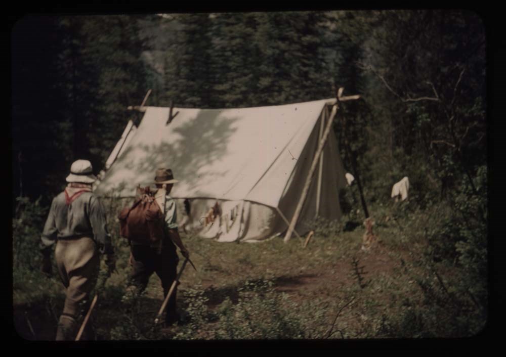
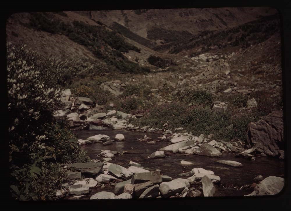
9. Tent and stream
10. Survey station peak - "Black and white"
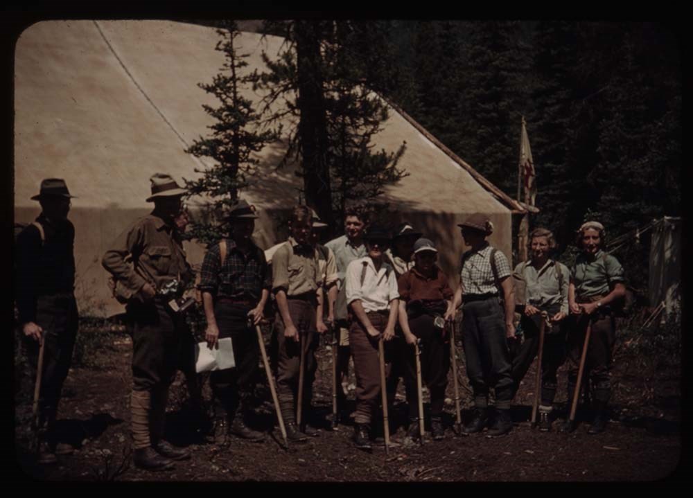
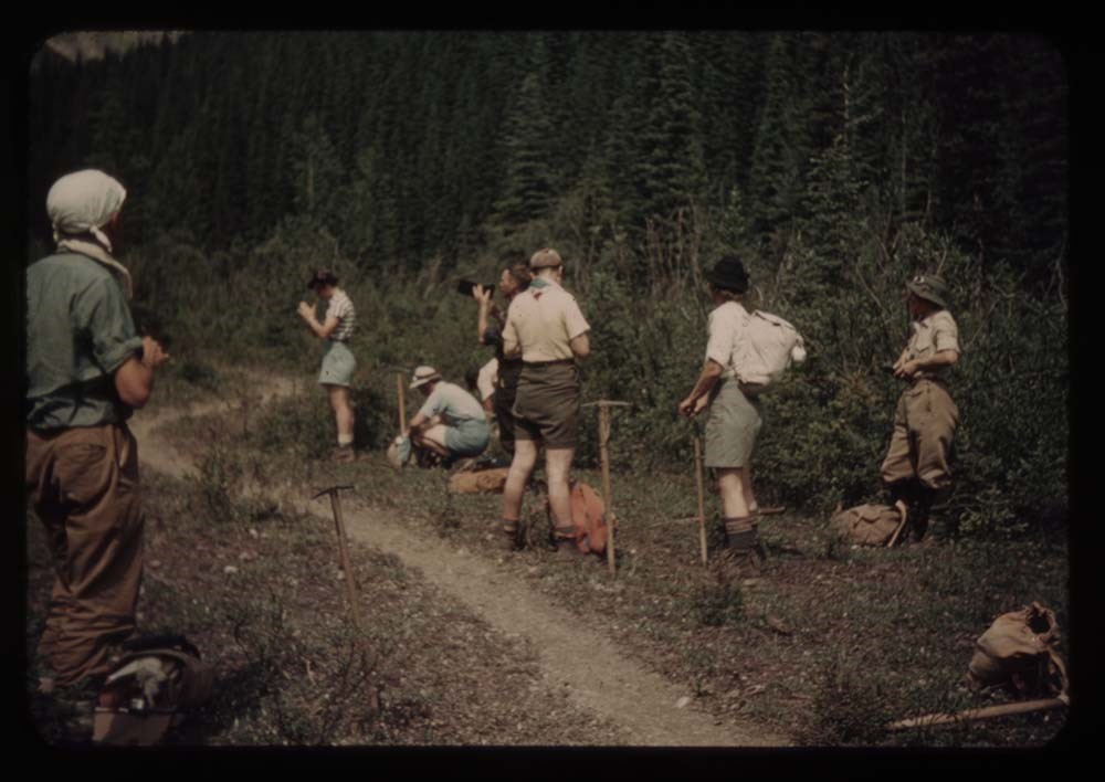
11. Party leaving camp
12. Same - Ennis party before leaving
13. Head of valley fr. rocky flats
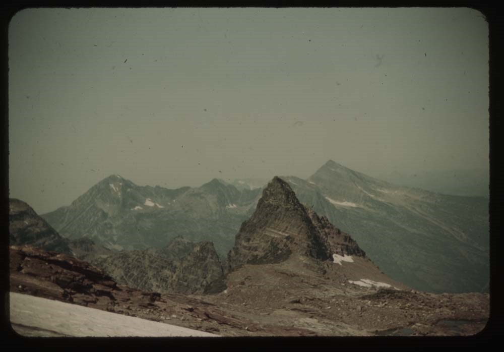
15. Hanbury fr. rocky flats
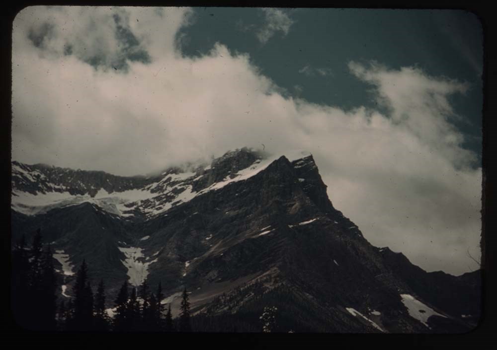
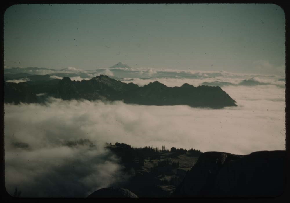
16. Chancellor in clouds
17. N. Tower and clouds
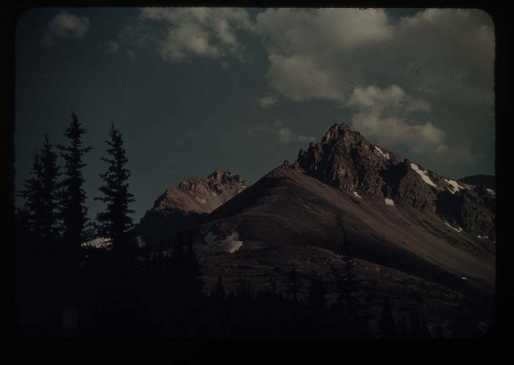
18. Mt. Hanbury[?]
19. N. Tower
20. Mt. Hanbury[?] fr. nearer camp
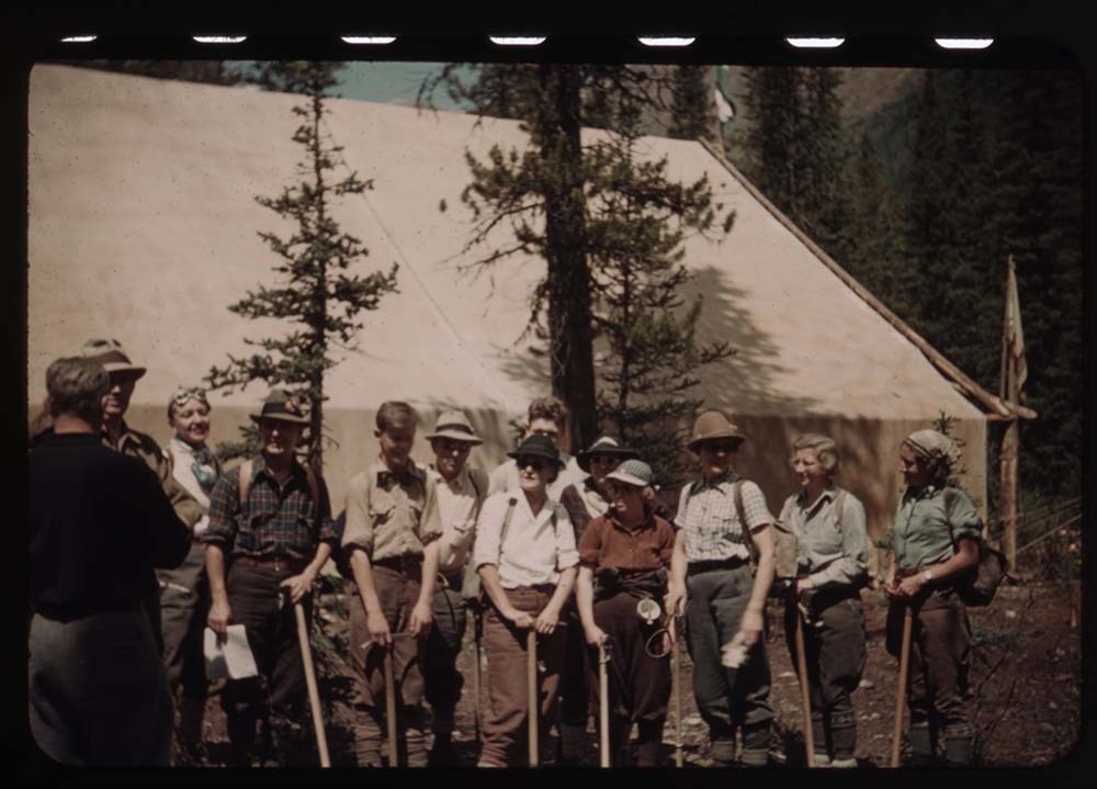
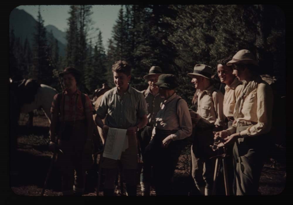
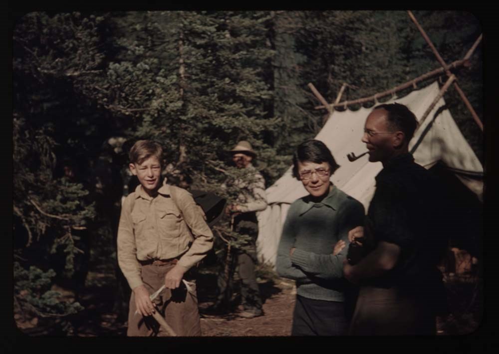
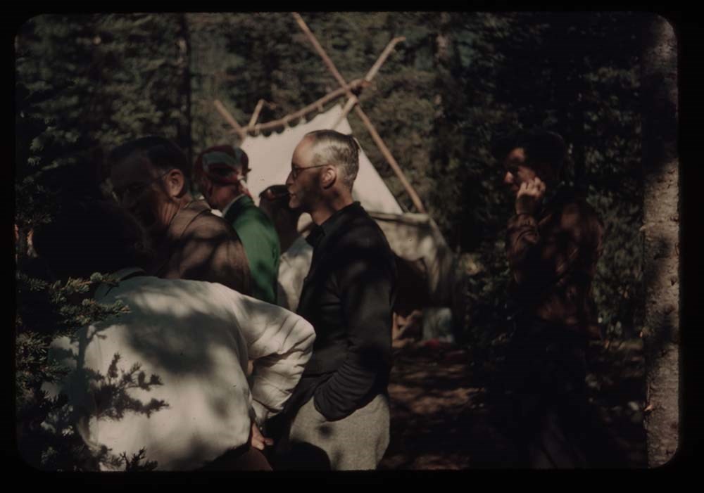
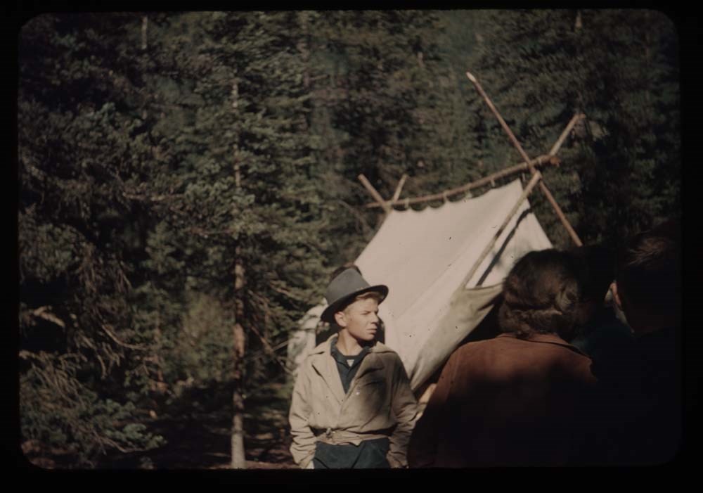
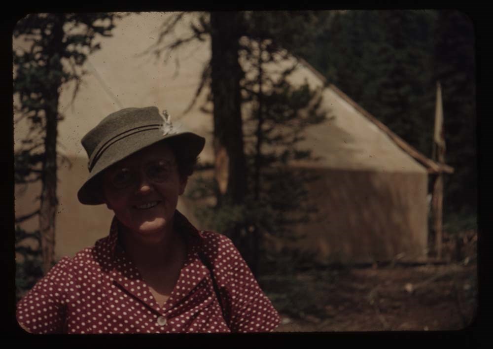
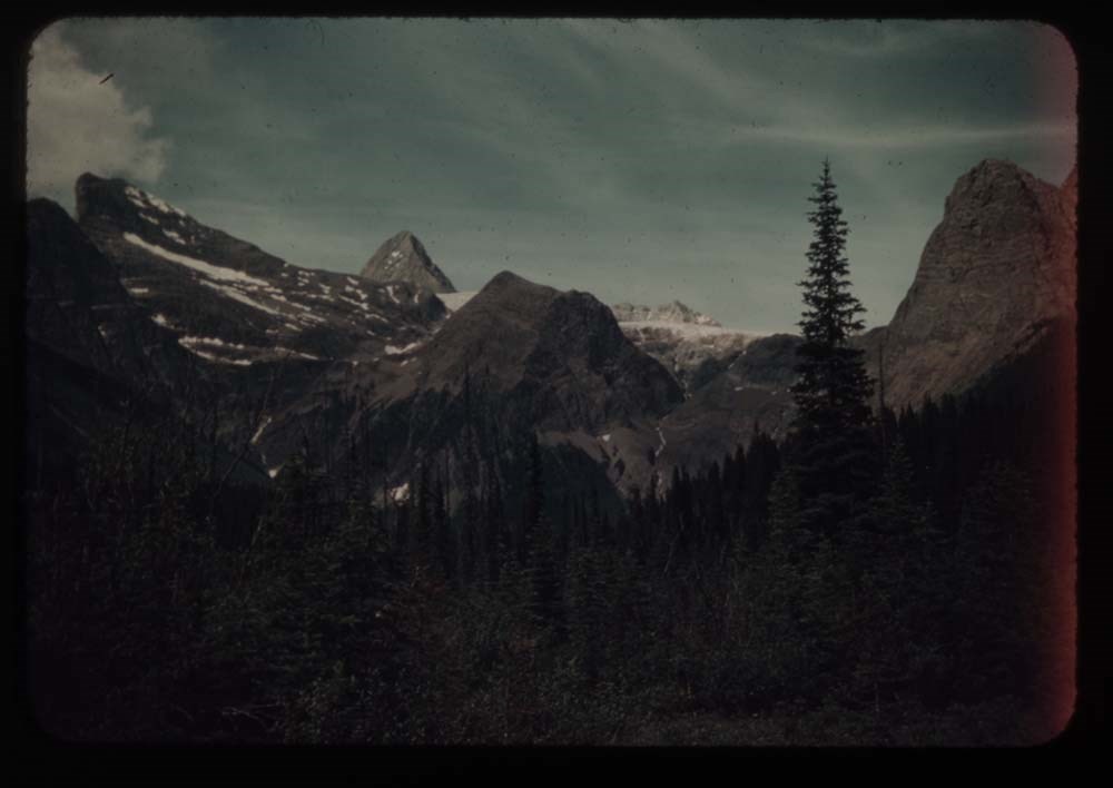
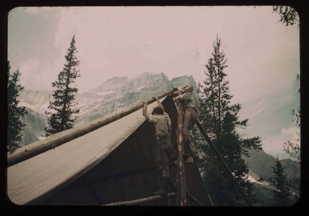
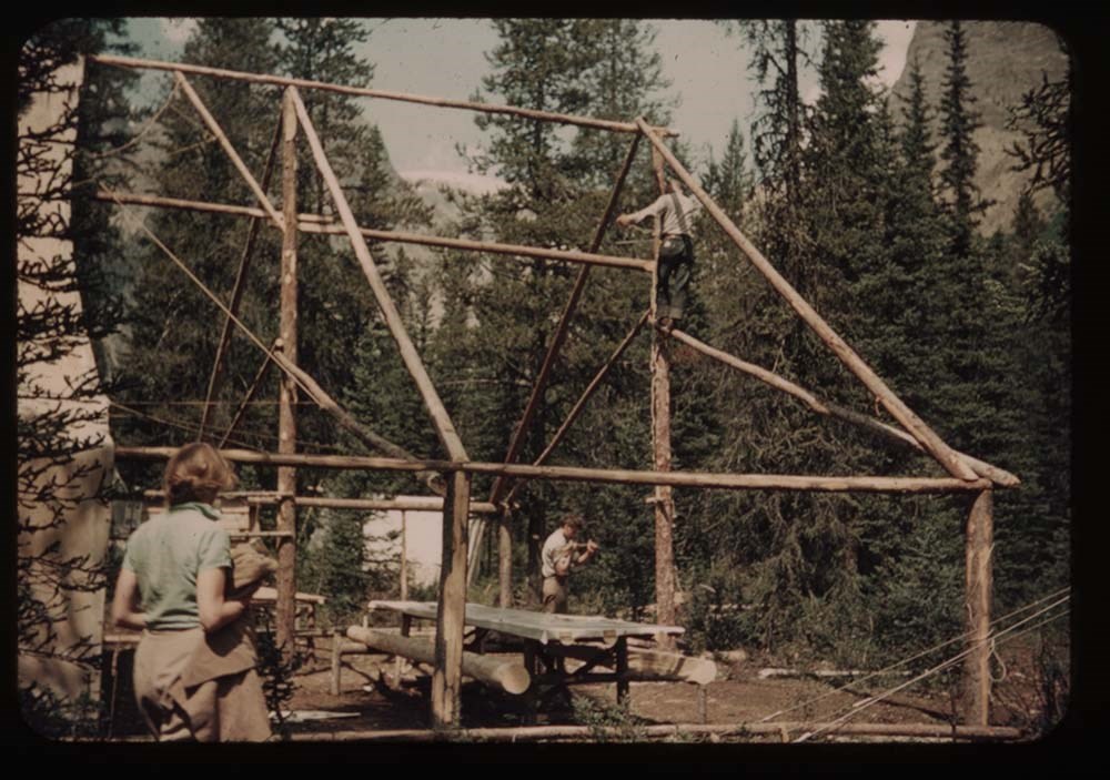
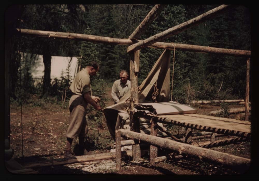
Reel 8 1939 Camp ACC
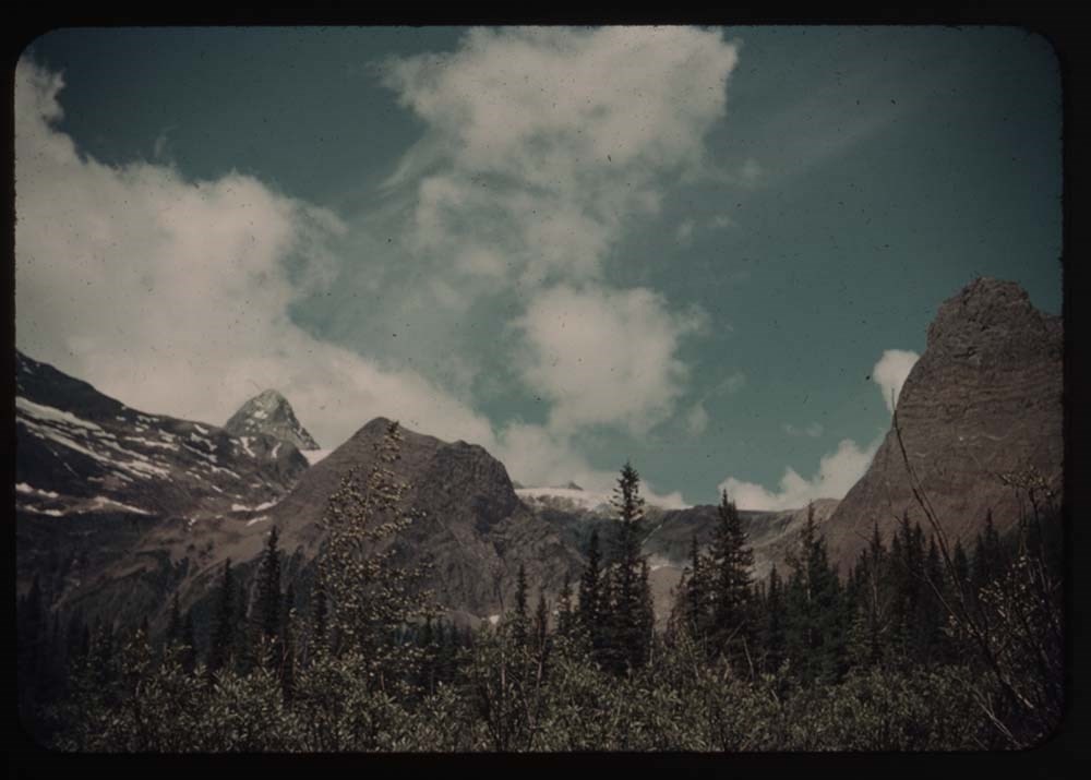
1. Goodsir N. Tower at sunset
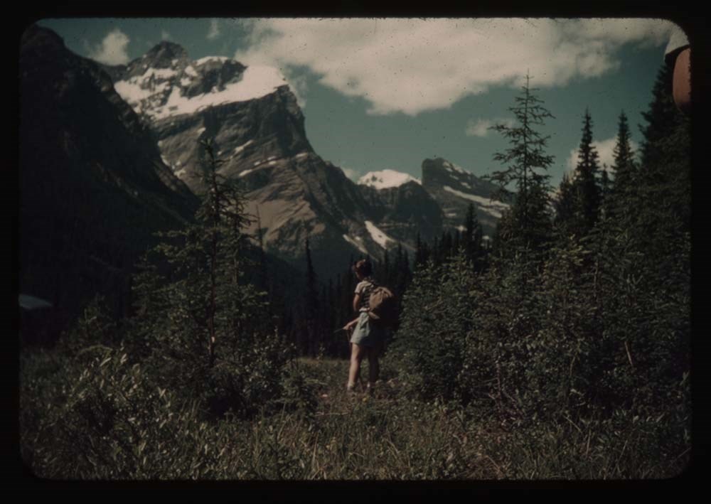
2. Party on alplands[?] en route to Vaux
3. Chancellor from [alplands[?] en route to Vaux]
4. N. Tower and G. from same
5. Party on rocks - Roger getting out rope
6. Chancellor - twin peaks appear
7. Up the route to High Camp
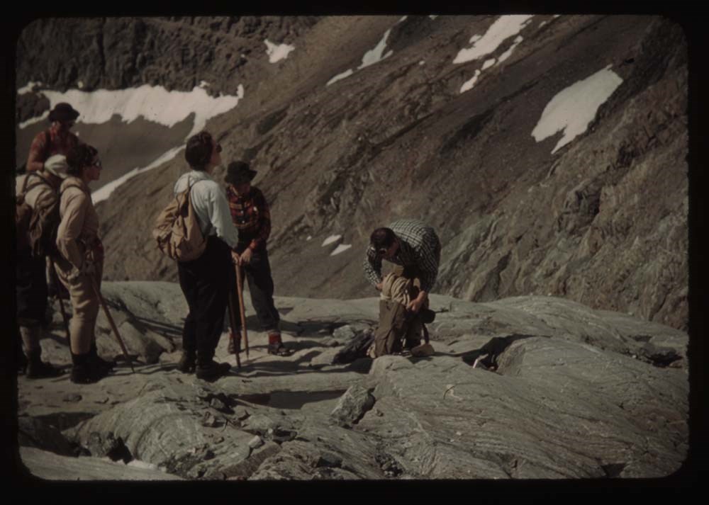
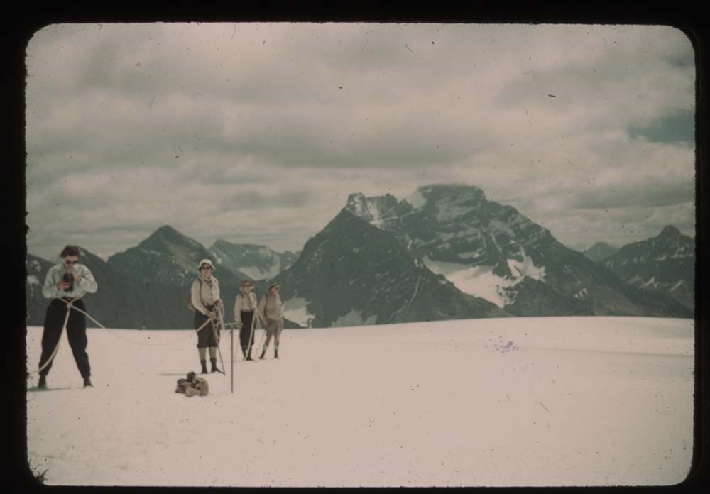
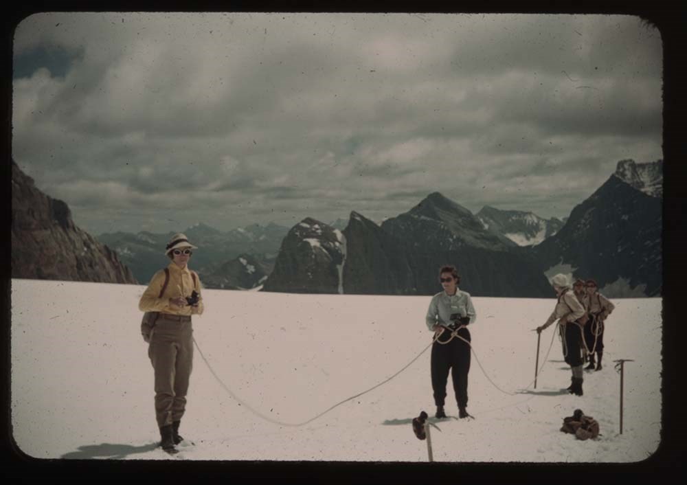
9. Party standing on Vaux Glacier
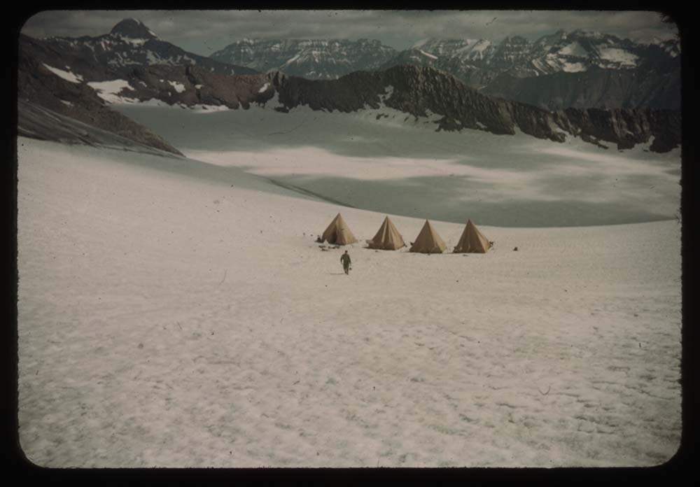
10. High Camp - Roger in distance
12. Party on glacier
13. [Party on glacier] closer - diff background
14. [Party on glacier] on ice axes
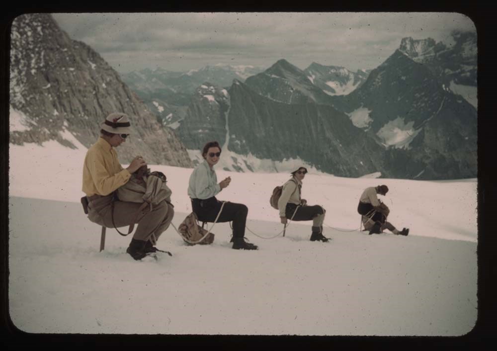
15. Lunch on top
16. Chancellor fr. Vaux
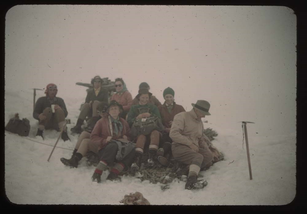
17. Church Service
18. [Church Service] sun out
19. N. Tower at sunset
20. N. Tower [at sunset]
Reel 9
1. Aylards [?] and Miss Gullion
2. Mr. Laird and Miss Burns
3. Eric Brooks
4. Grahams and party
5. [Grahams and party]
6. [Grahams and party]
7. Peckham, Helen Yellmer [?] and John Wheeler
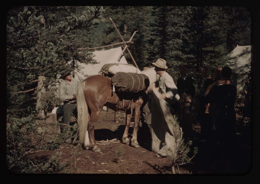
8. Packers and horse
9. Mrs. Forbes, Peckham, Kingman
10. Woodie Kingman
11. Walter Bloch-Hillen and Miss Gullion
12. Woodie Kingman - close up
13. Andrew Kiamer
14. Packer and horse
15. Group watching packing
16. ? , Ernest, Rudolph
17. Ernest and clincher on trail by tent
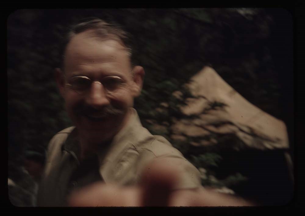
18. Major Tweedy - hand out
19. [Major Tweedy] close-up of same
20. Paula Bloch-Hillen
Reel 10
1. Head of Ice RIver valley
2. Party on trail to zinc Creek camp
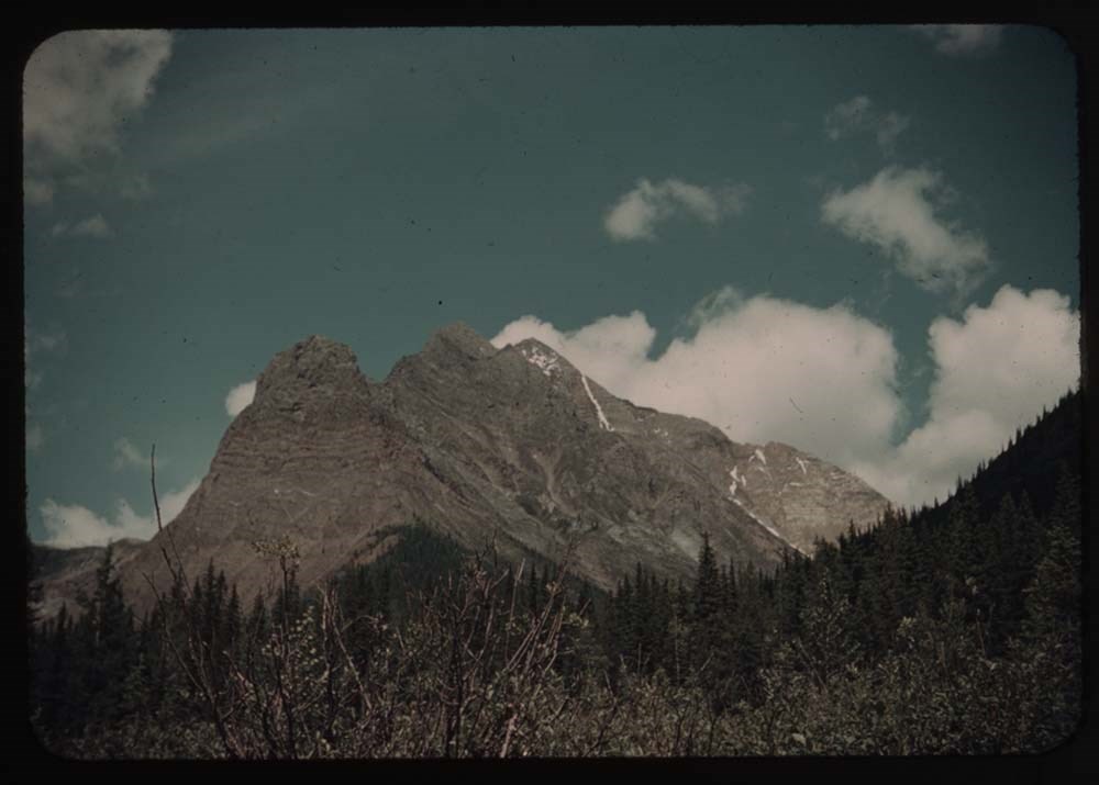
3. Mt Chancellor
4. [Mt Chancellor] with cloud
5. [Mt Chancellor] and Kay on trail
6. S. Tower Goodsir fr. zinc Creek
7. N. [Tower Goodsir fr. sinc Creek]
8. Chancellor fr. zinc Creek trail w. Polly
9. Tent and figure - Zinc Creek camp
10. S. Tower fr. Zinc Col.
11. Chancellor [fr. Zinc Col.]
12. Zinc Mt.
13. Goodsirs from Martius Ridge
14. Rex's rope on [Martius Ridge]
15. Same and Martius Peak
16. View probably towards wash[illegible]
17. Andrew on summit
18. Goodsirs again
19. Rex;s rope
20. Eric on horseback
Reel 11
1. Hans Fuhrer
2. Taking down tent
4. Eating fly supports
5. Pile of duffle
6. Tweedy and one of men taking down fly
7. Rangers cabin and guides
8. Kay on bridge over Lodalite Creek
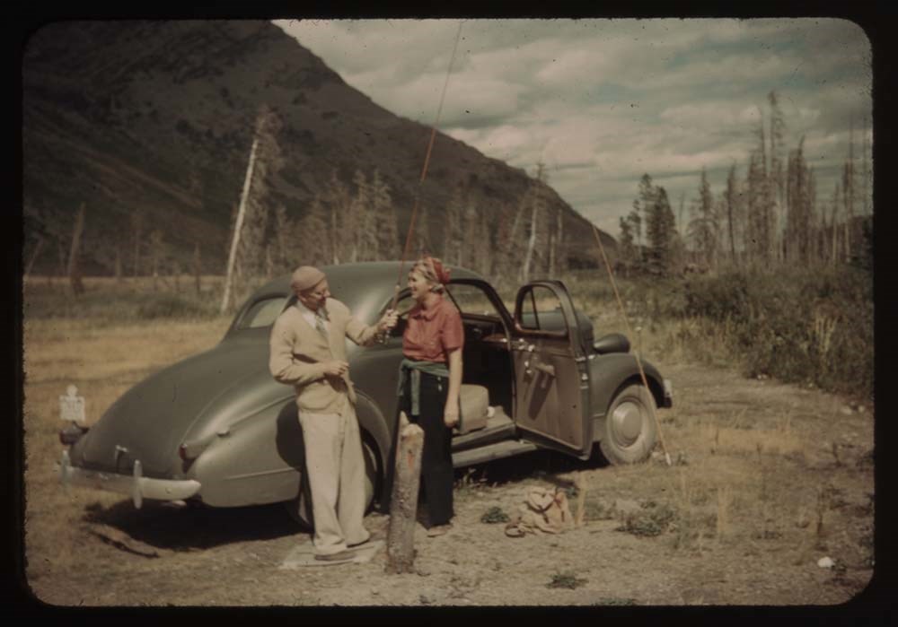
9. Car on road, Yoho in distance
10. Same further to right - less of car
11. Mt. Hector from road
12. Polly and Katie
13. Mt Chephron and road
14. Road working up Mistaya bel. Patterson[?]
15. Mt Weed from lower Mistaya valley
16. Polly Kay Phyl - up Mistaya valley to Chephron
18. Waterfowl lake and up Mistaya valley
19. Same - but more to left
20. Mt. [illegible] ?
Reel 12
1. Peyto Lookout - view to north
2. Katie w. movie camera; Peyto lookout
3. Up Peyto glacier to Mt. Rhonda (?)
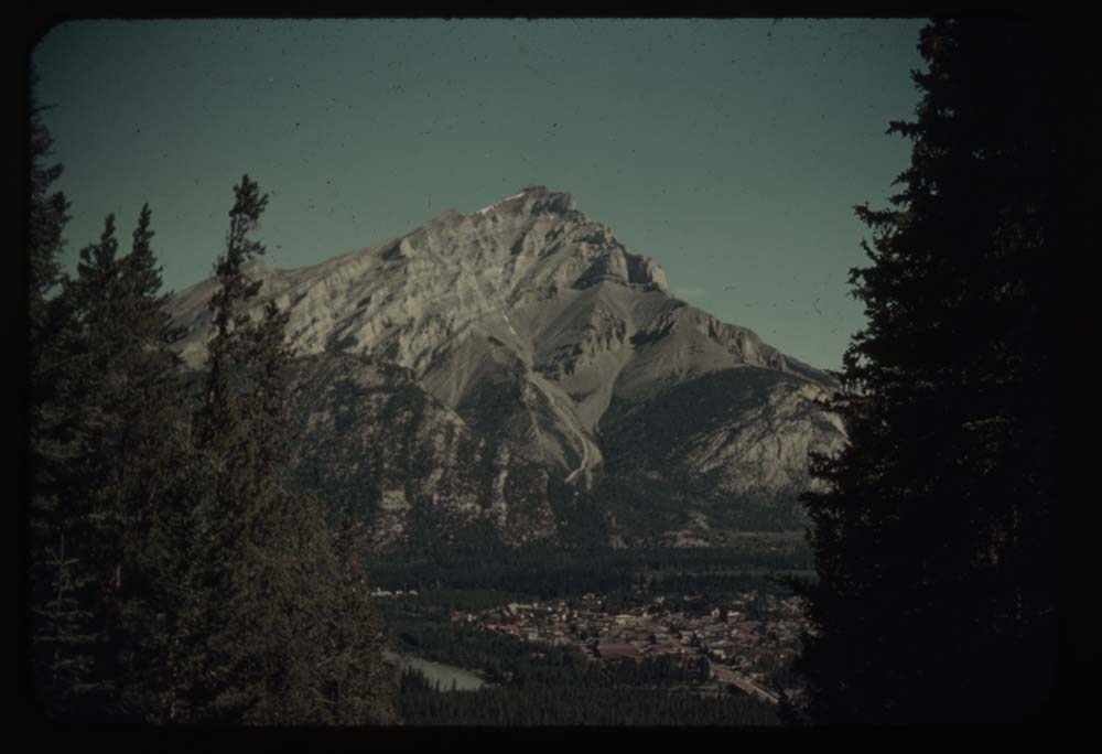
4. Banff and Mt. Cascade
5. Gopher and lunch box gimmell[?] gl.
7. Jim Whilt
8. Jim and party at lunch place - gimmell gl.
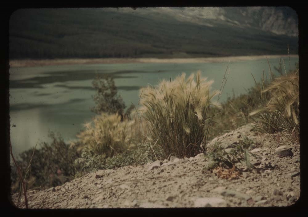
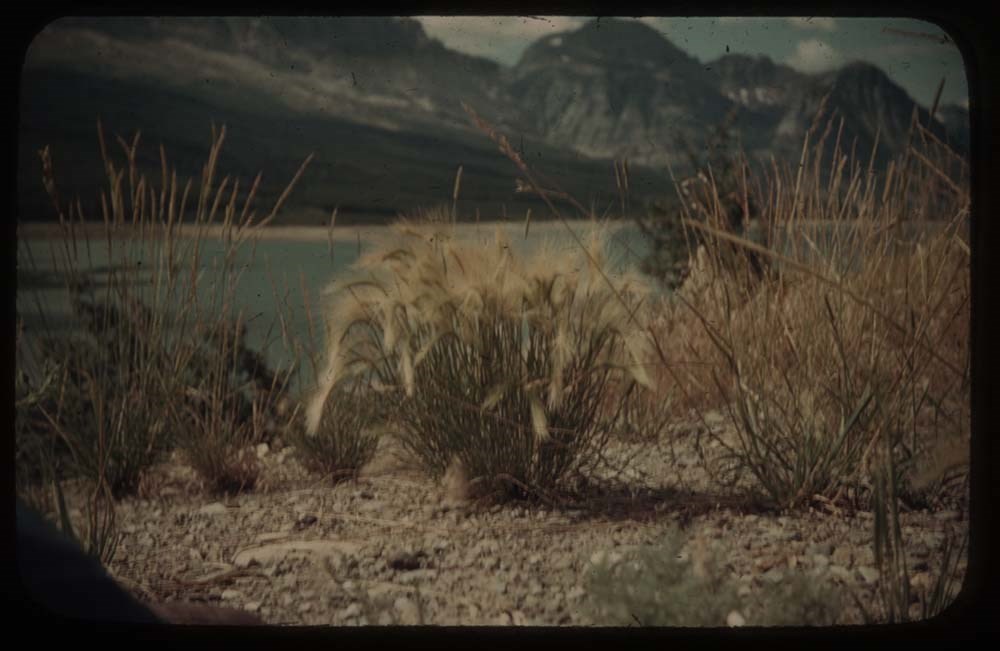
9. Tickle grass at Sherbourne Lake
10. [Tickle grass at Sherbourne Lake]
11. Sherbourne Lake and view up valley
12. Flowers along road to many[?]
13. Annette, Sam and rig
14. [Annette, Sam and rig]
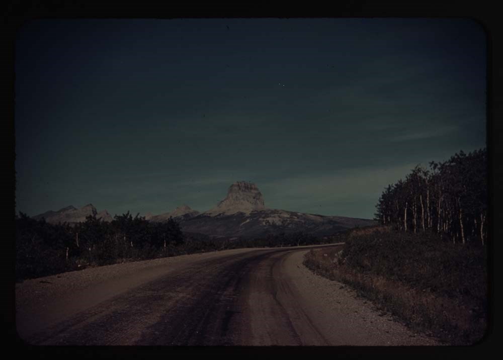
15. Chief Mt. and road
16. Brown eyed Susan
17. Close up [Brown eyed Susan]
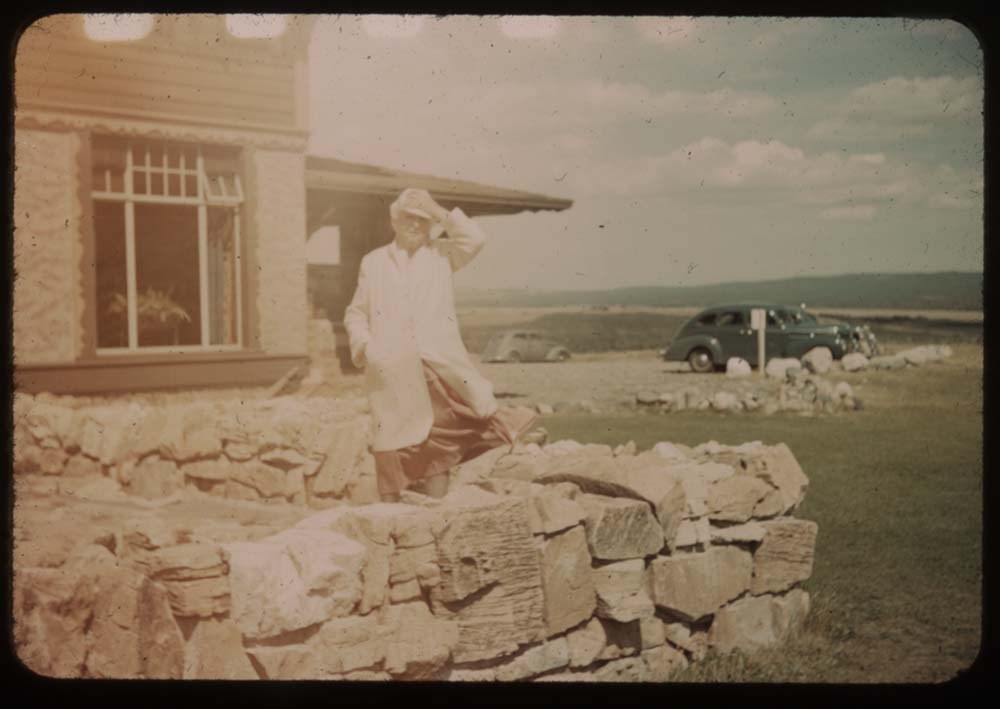
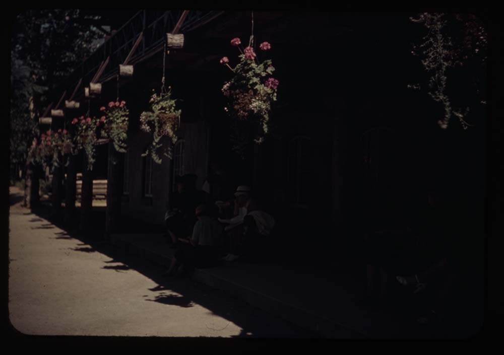
19. Mother at Price of Wales
Reel 13
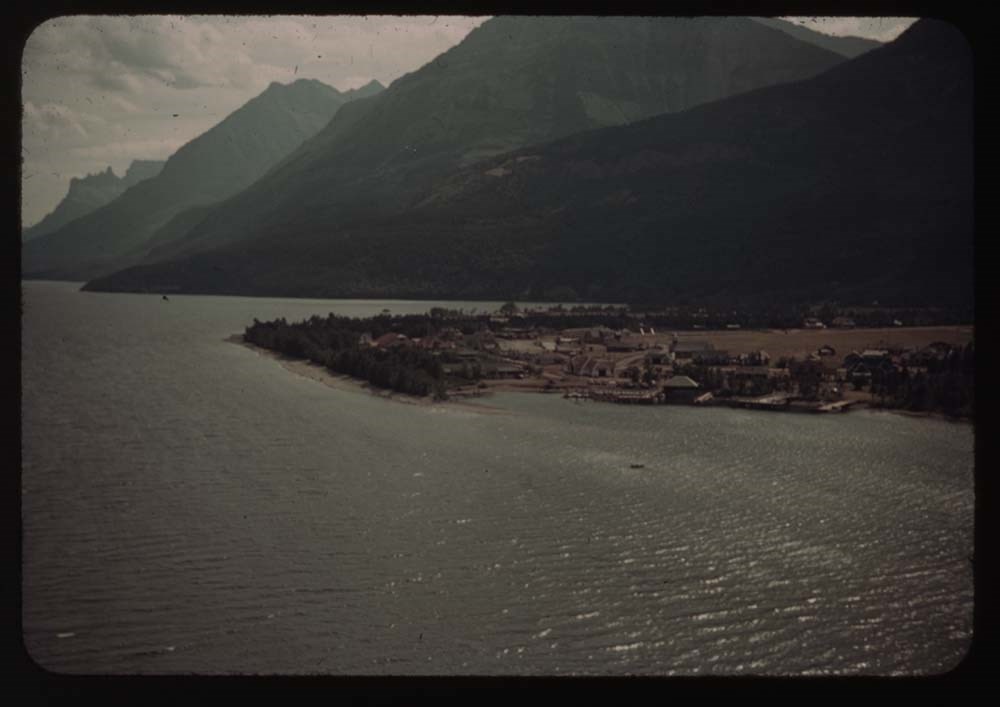
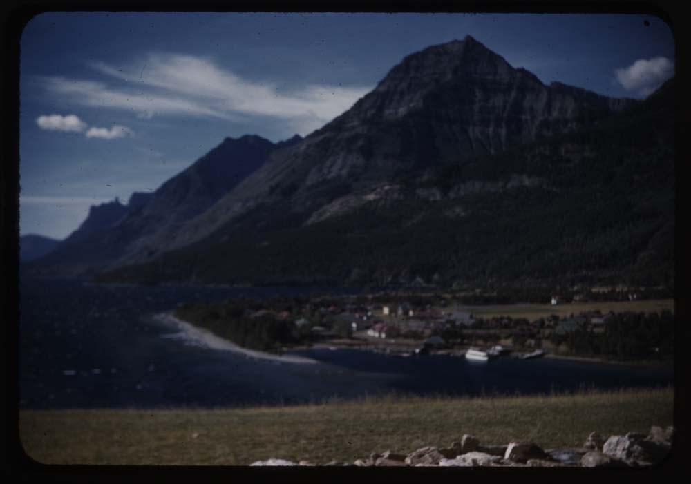
1. Prince of Wales Hotel
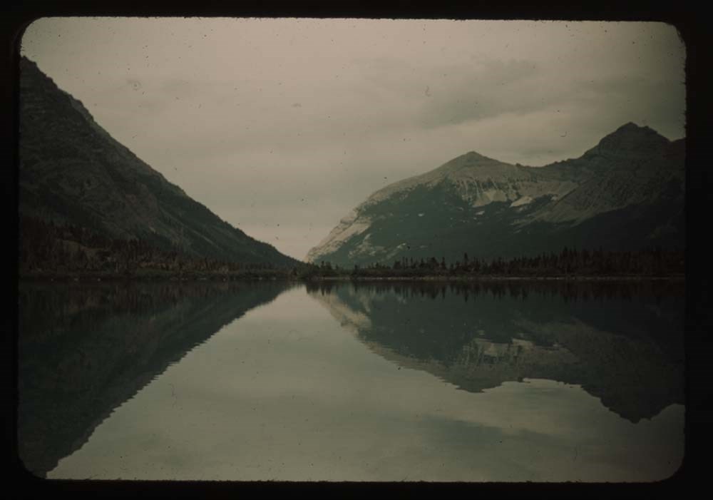
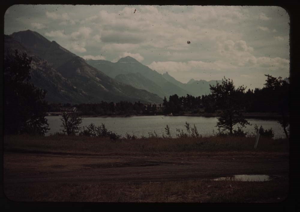
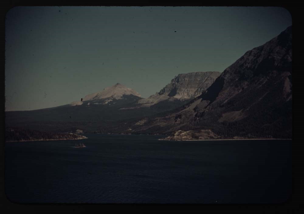
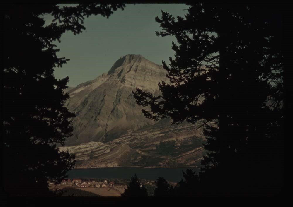
2. Waterton Lake, Mt. Cleveland in dist.
4. [Waterton Lake] village fr. Prince of Wales
5. [Waterton Lake village fr. Prince of Wales]
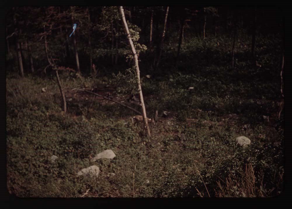
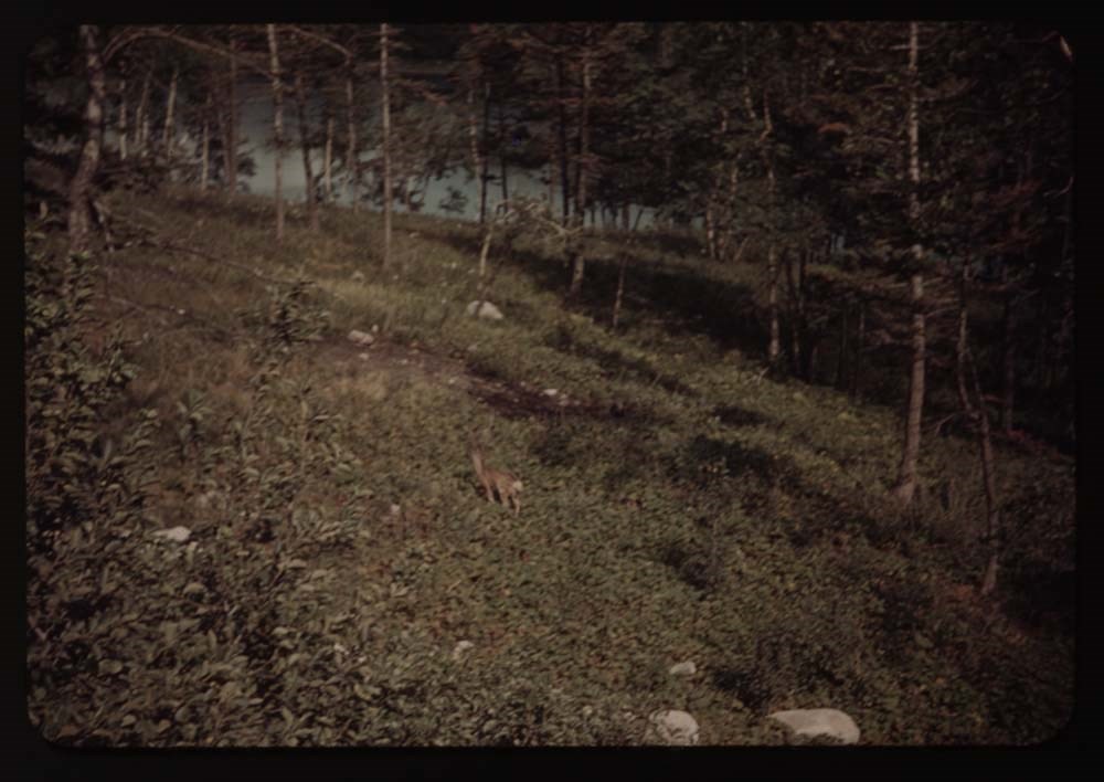
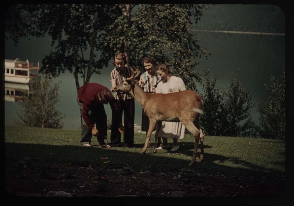
6. Fawn by tree
7. Fawn in bush
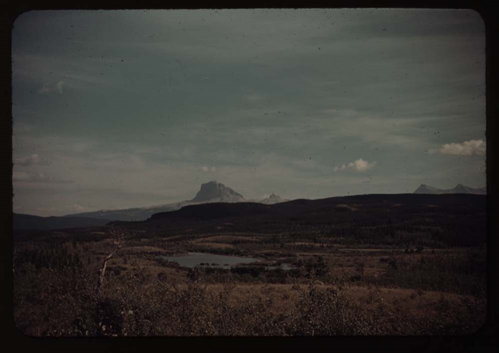
8. Chief Mt. and tiny lake
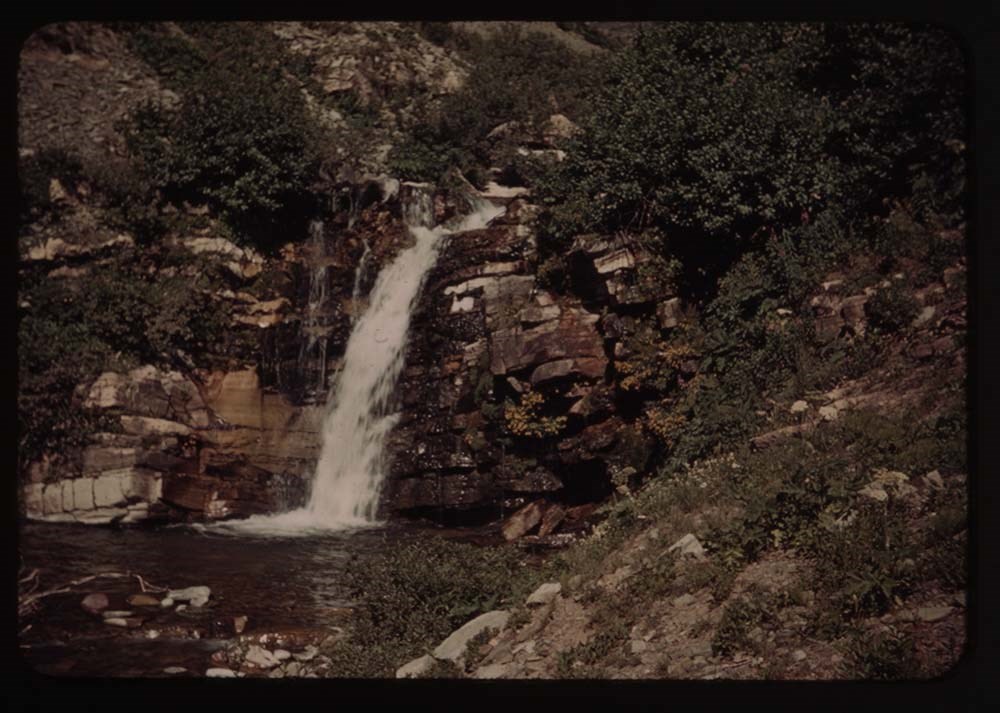
9. Appekunny Falls
10. [Appekunny Falls] lower part
11. Falls aobve Appenkunny
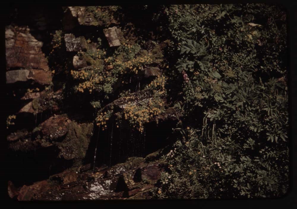
12. Flower decked falls ab. Appenkunny
13. Flowers by falls
14. Same - nearer
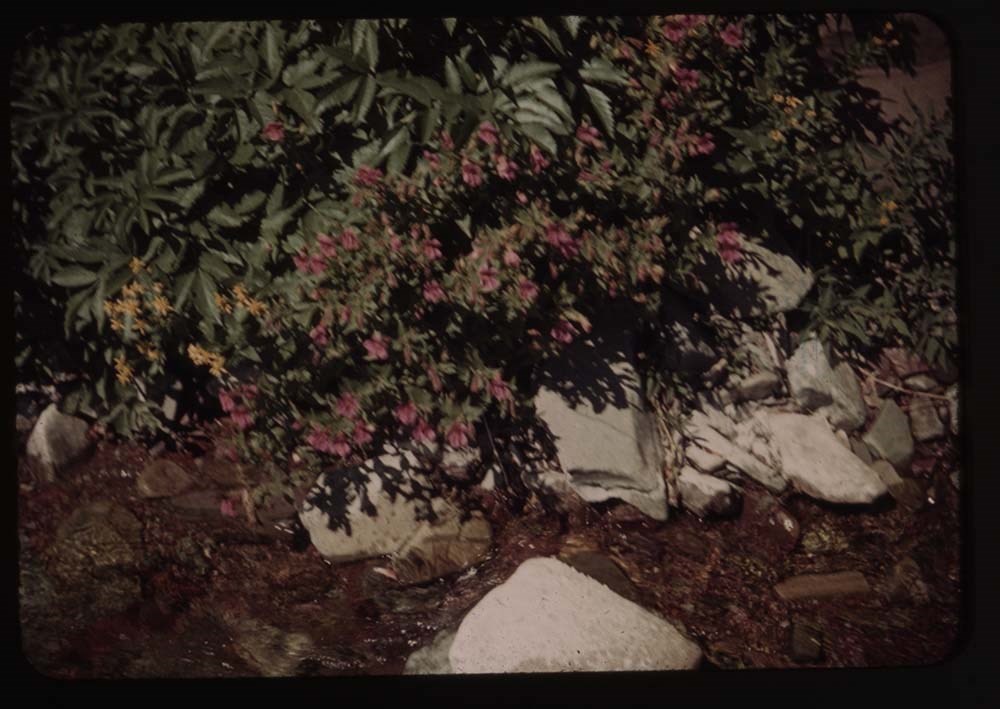
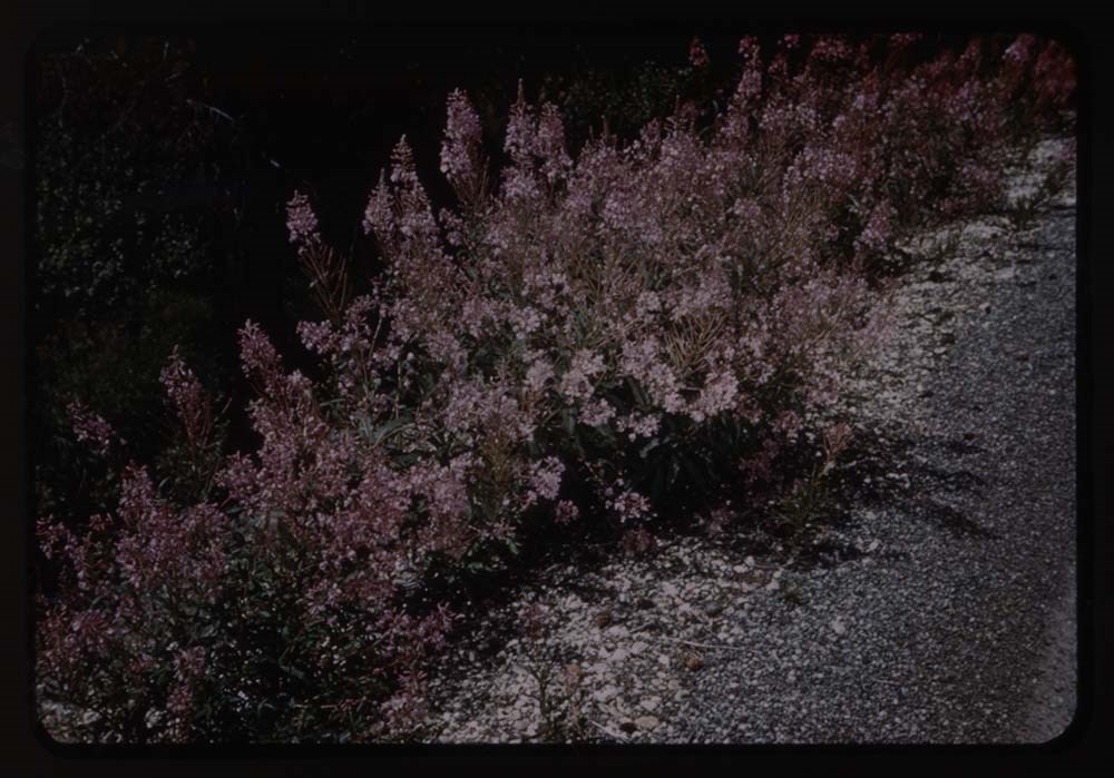
15. Fireweed by stream
16. Meadow of flowers by stream
17. Monkey flowers
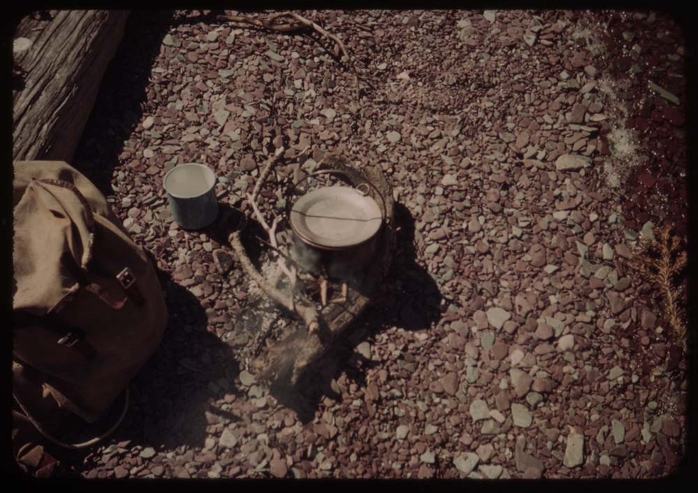
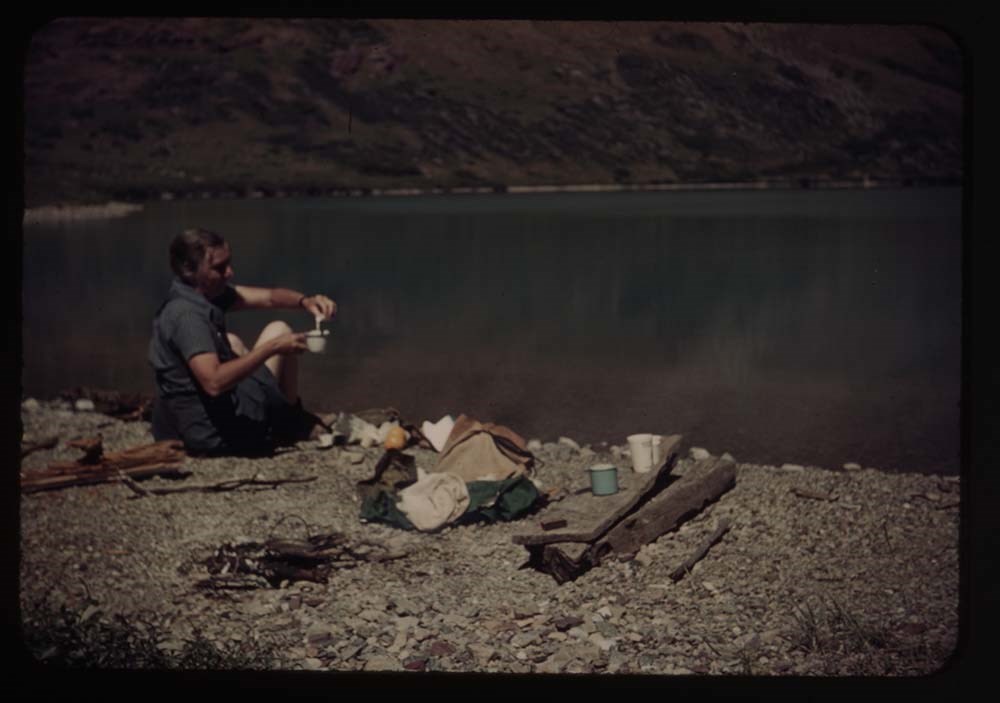
19. Coffee pot, fire, cup and rucksask
Notes
Titles on box lid: Glacier before camp; Camp; Camp - trip back; Glacier after camp.
Slide numbering kept as originally organized, see notebook SL I for more information (M67 / II / C / i / a / 51 - 1).
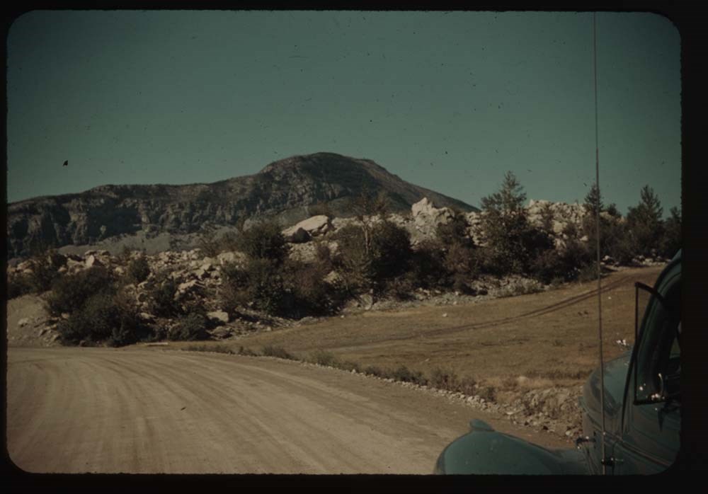
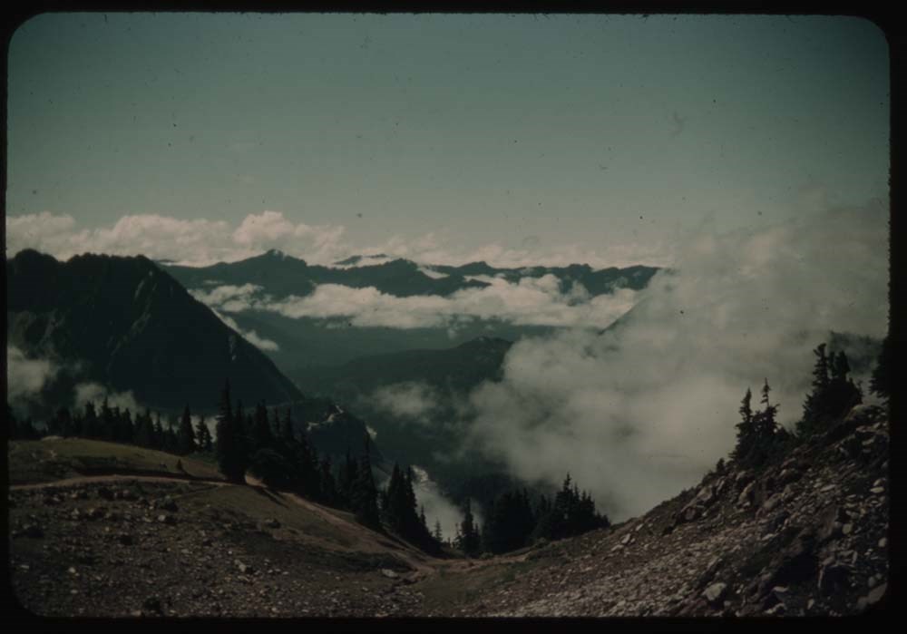
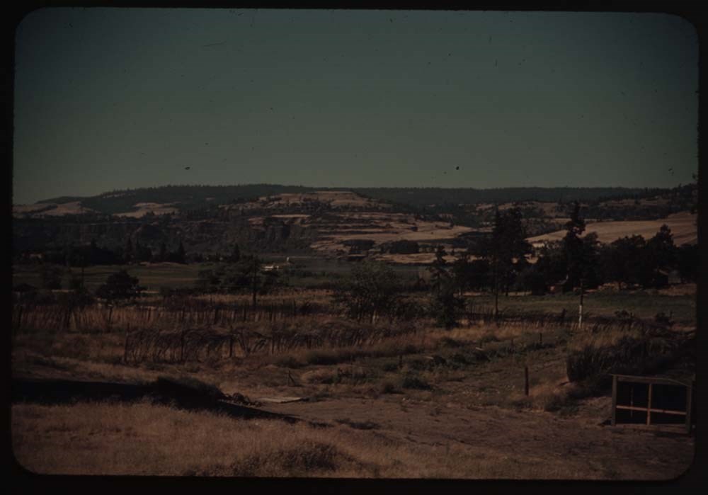
File pertains to 173 35mm colour transparency slides mounted in carboard sleeves. Pertain to Waterton Lakes National Park region; Grandview Ranch; Frank Slide; Grand Coulee Dam; Mason City; Mount Rainer; Crater Lake; Mount Hood; fish hatchery; Columbia River area; [Bonneville?] Dam and salmon ladde…
File pertains to 173 35mm colour transparency slides mounted in carboard sleeves. Pertain to Waterton Lakes National Park region; Grandview Ranch; Frank Slide; Grand Coulee Dam; Mason City; Mount Rainer; Crater Lake; Mount Hood; fish hatchery; Columbia River area; [Bonneville?] Dam and salmon ladders; friends and associates, including B.H.G., Charlie Hunter and Caroline [Hinman?]. -- See notebook SL I for more information (M67/51).
Notes
Titles on box lid: Glacier Park; After camp; Auto trip; Auto trip.
Slide numbering kept as originally organized, see notebook SL I for more information (M67 / II / C / i / a / 51 - 1).
Titles:
Reel 14
1. Appekunny Lake and goldenrod
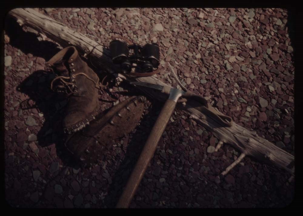
2. Boots, glasses, ice ax
3. Many gl. Hotel from Mt. Altyn
4. [Many gl. Hotel from Mt. Altyn]
5. Charley's - house and chicken houses
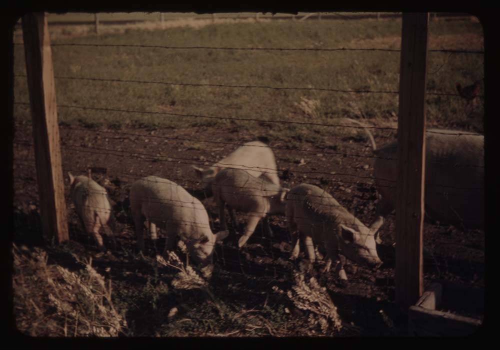
6. The pigs - five little ones and mother
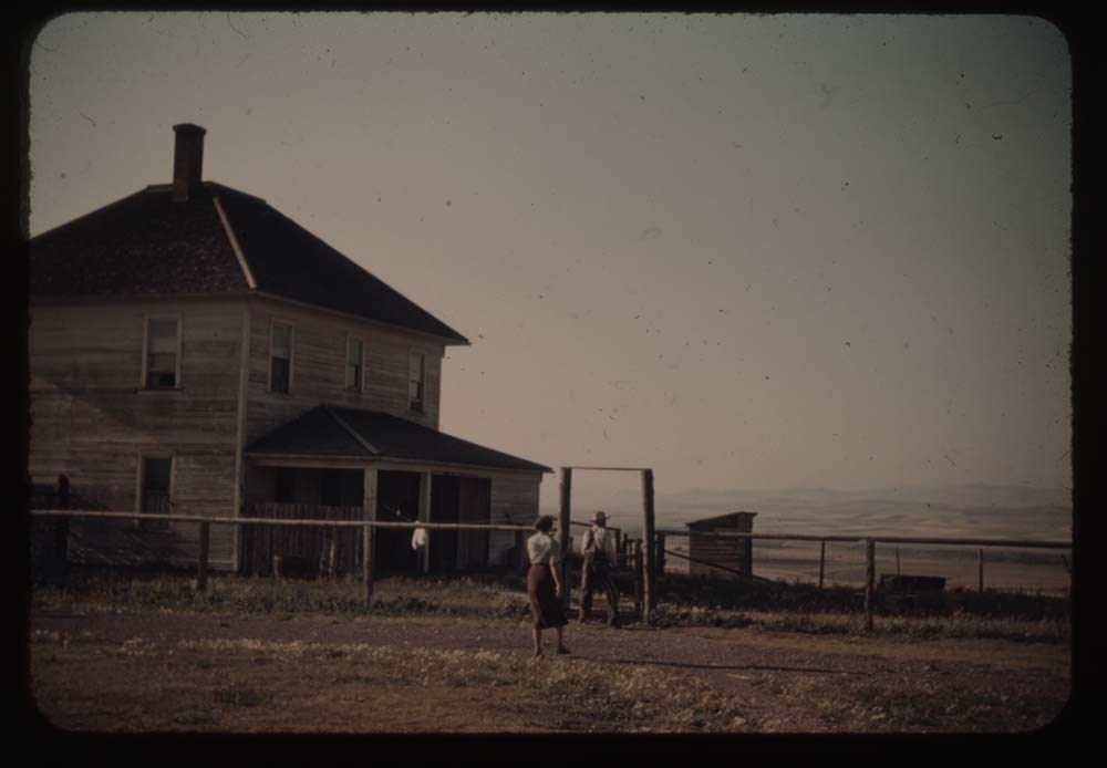
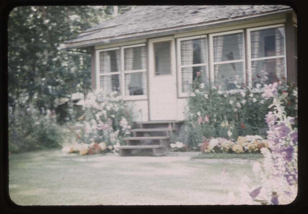
7. Charley's house - front view
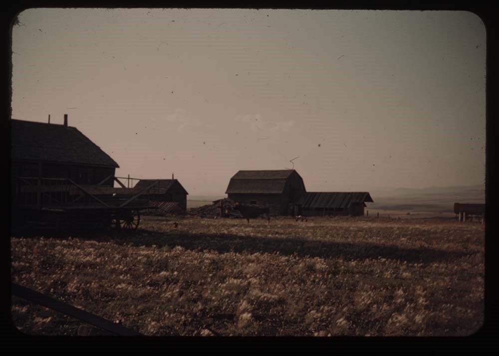
8. Barn - grandview Ranch
9. Charley's house - front view
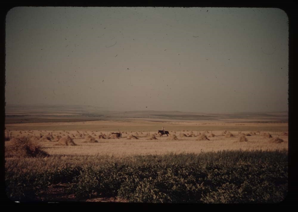
11. Wheat fields and Charley on horseback
12. Farm houses and cow
13. Charley riding in
14. Caroline weeding garden
15. St. Mary's Lake fron Sun Chalet
16. BH.G. and "Sig" - porch at Sun Chalet
17. Going-to-the-Sun Mt.
18. Hills point and cottage fr. Sun Chalet
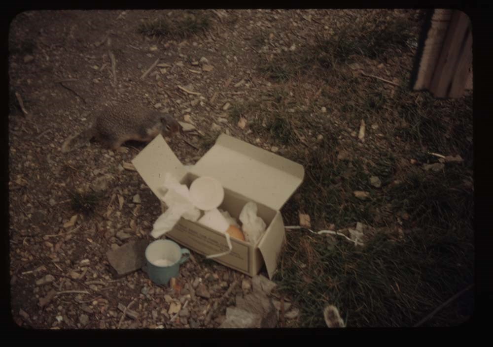
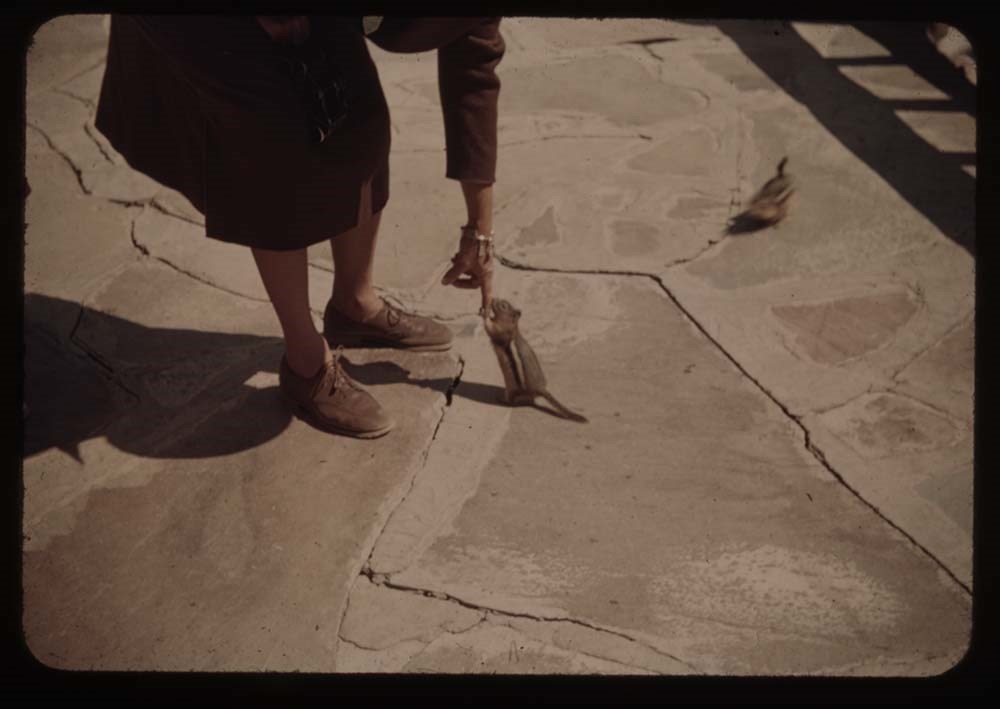
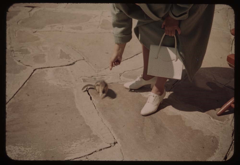
19. Chipmunk at Caroline's feet
20. [Chipmunk at Caroline's feet]
Reel 15
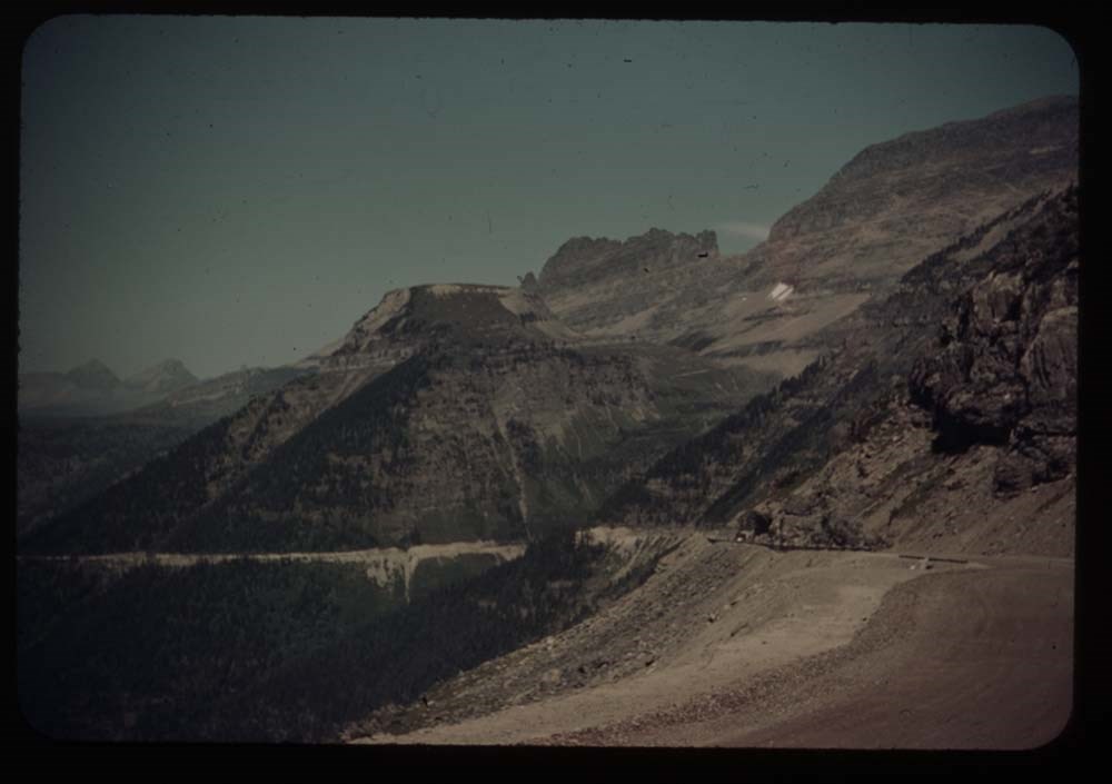
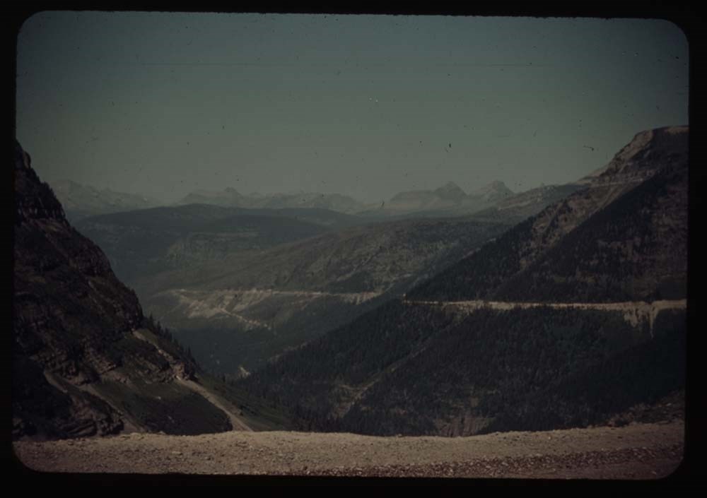
1. Logan Pass Highway w. of summit
2. Same - further view to left
3. Porch and flower boxes, Mac P. Hotel
4. St. Mary's lake
6. Same view fr. nearer edge of road
7. Cracker[?] Lake first view
8. [Cracker[?] Lake] fr. near end
9. Cracker Lake fr. side of Red Rock
10. Cracker Lake reflections
11. Caroline at lunch place - Cracker Lake
12. My foot
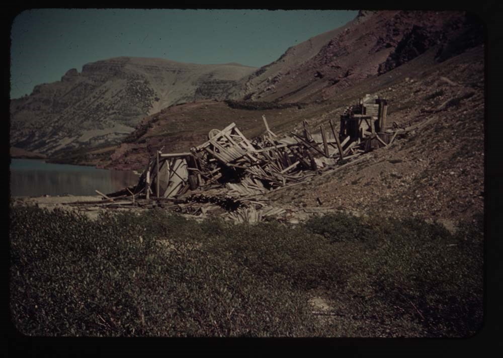
13. Cracker mine mines
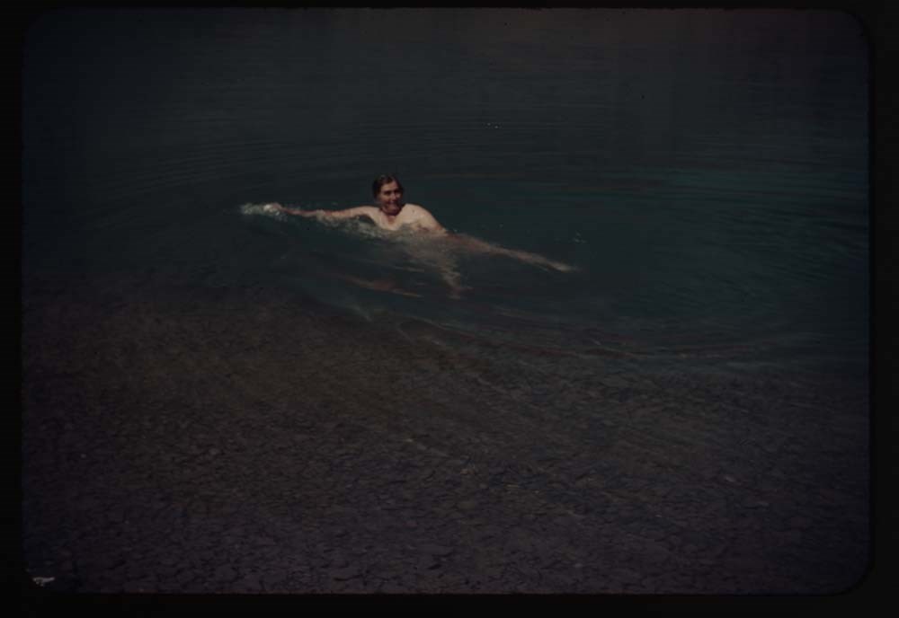
14. Caroline is swimming
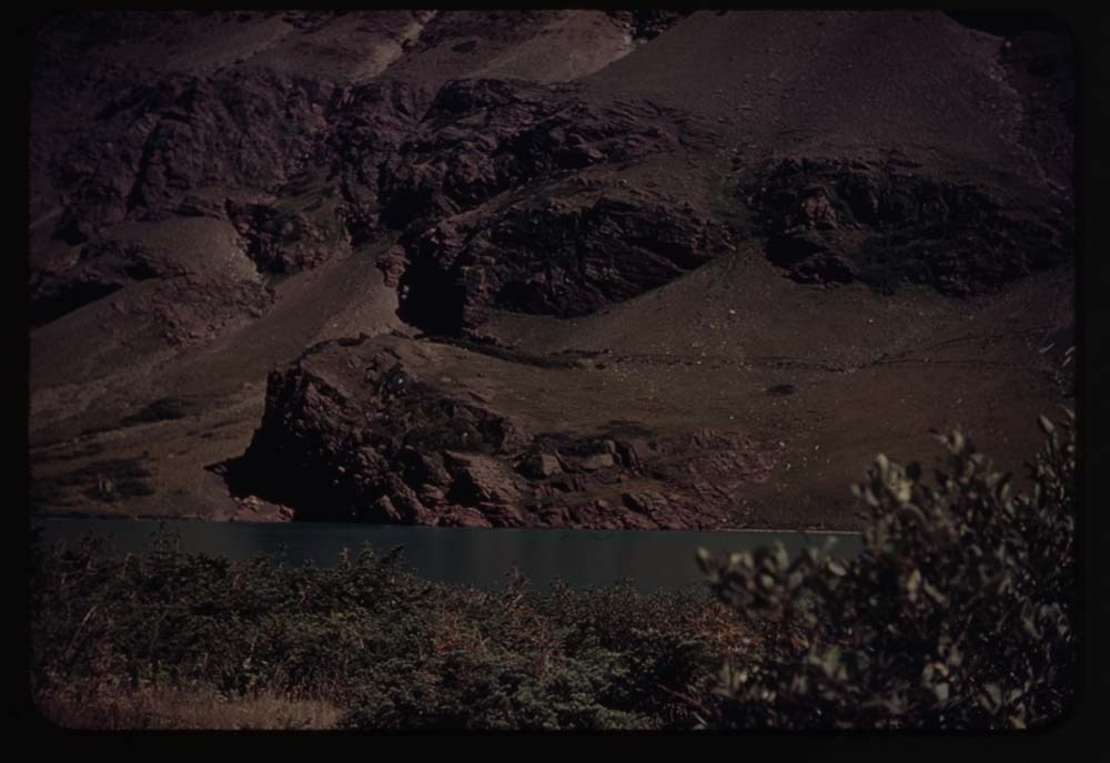
15. Red Rock fr. across lake
16. Down the stream fr. lake
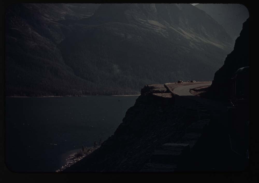
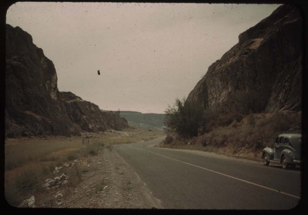
18. Auto Road and Chief Mt.
19. Cameron Falls
Reel 16
1. Down valley to [blank] Lake
2. Charley and fire in bushes
3. Upper lakes and fishermen in dist.
4. Charley on upper trail
5. Waterton and lake from trail thru trees
6. Same without mt.
7. From Spray glacier
8. Party on Spray glacier
9. Party at lunch place - Spray gl.
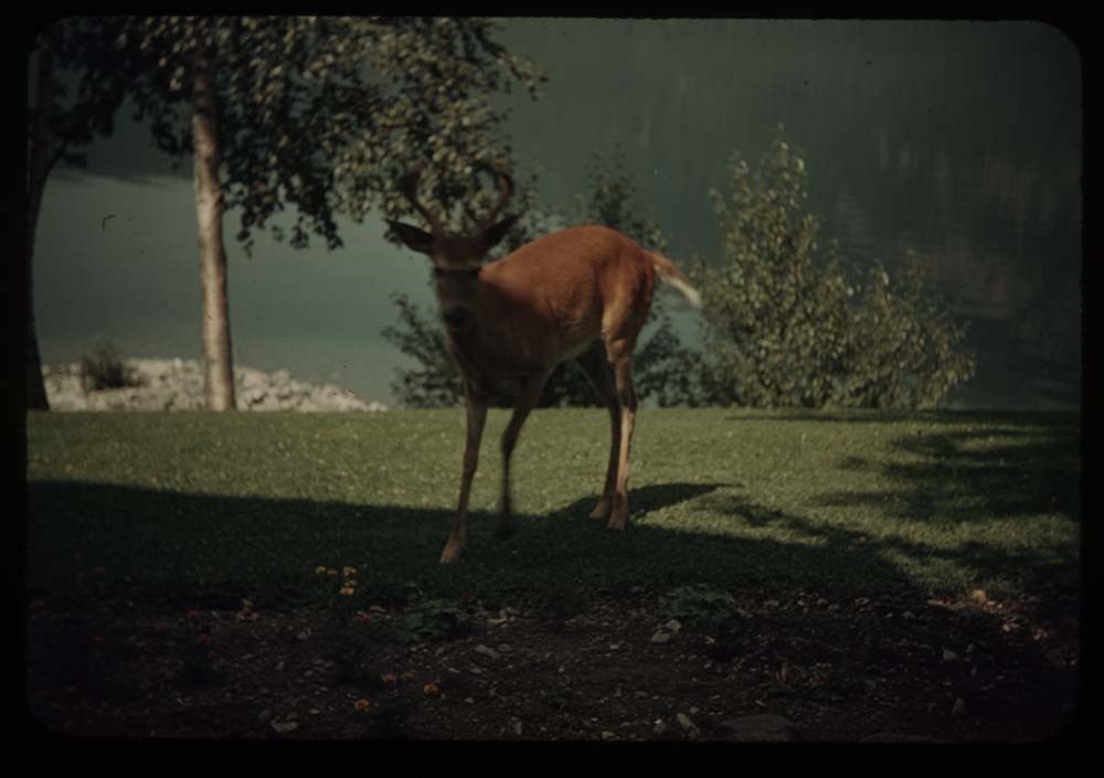
10. Deer on lawn
12. Deer and tourists
13. Launch at wharf - Mac D. Lake
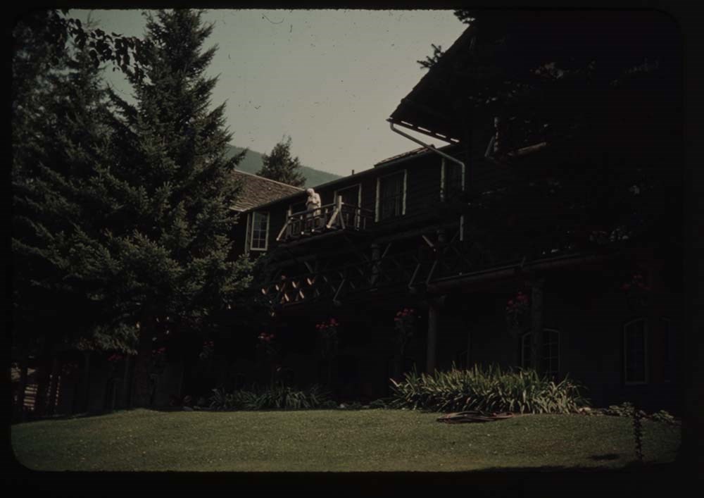
14. Mac D. Hotel - BH.G. on balcony
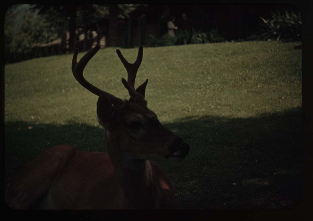
15. Close-up of deer
16. Town of Frank and rockslide
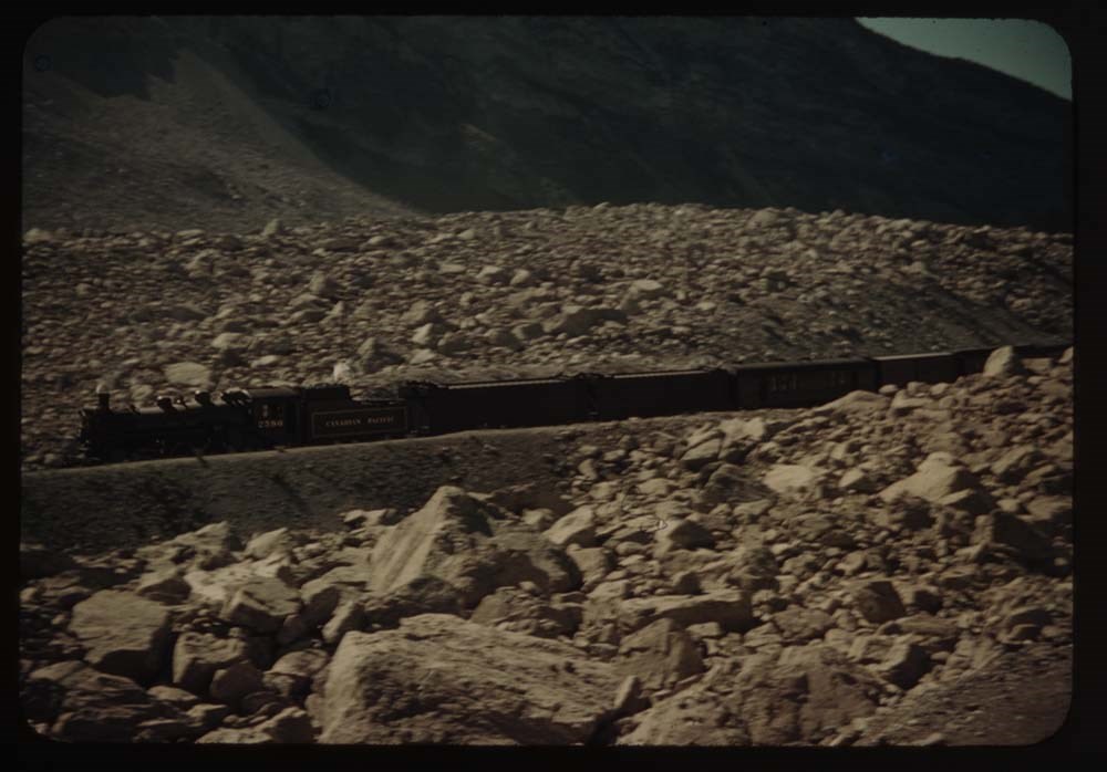
17. Train at site of Frank
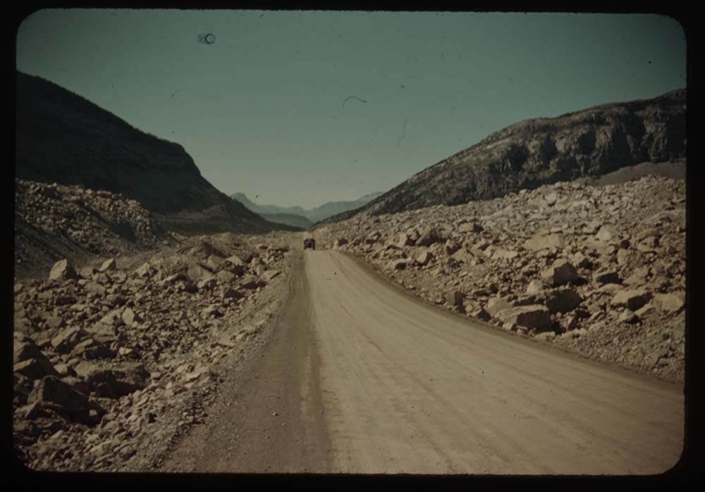
18. Road through boulders of slide
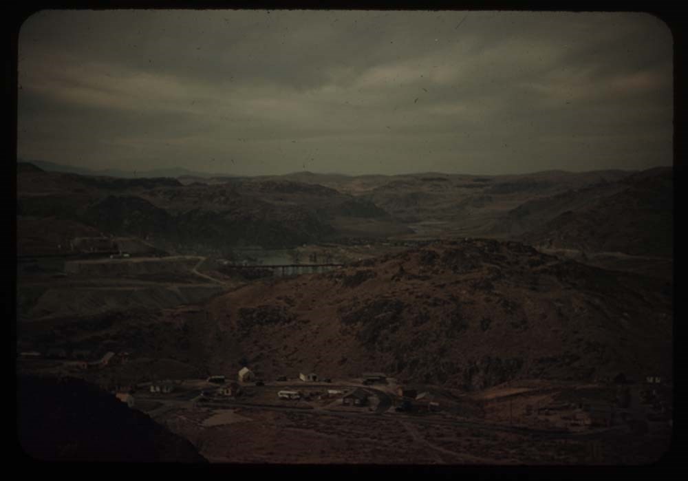
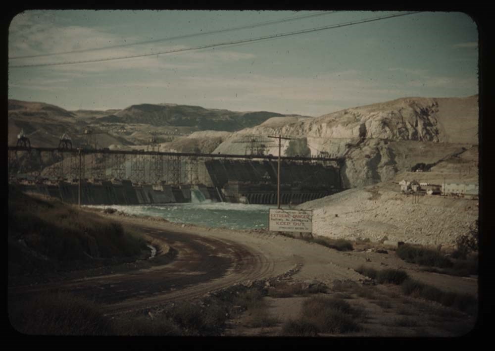
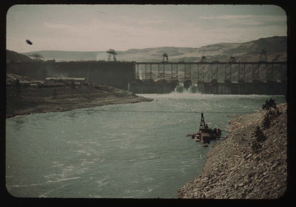
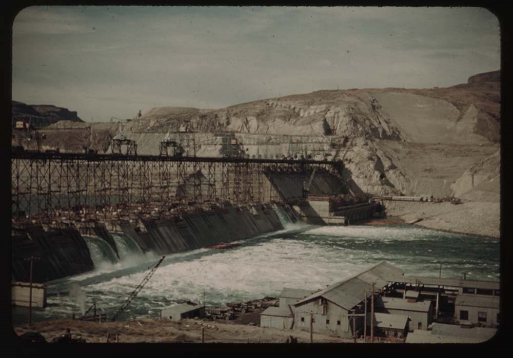
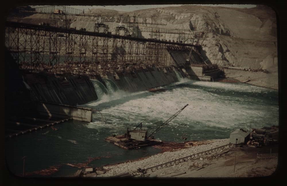
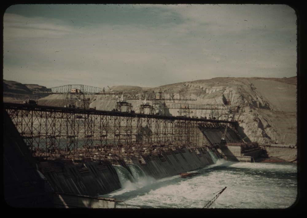
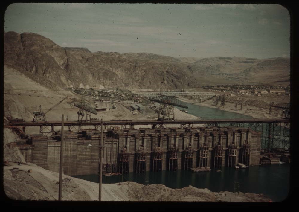
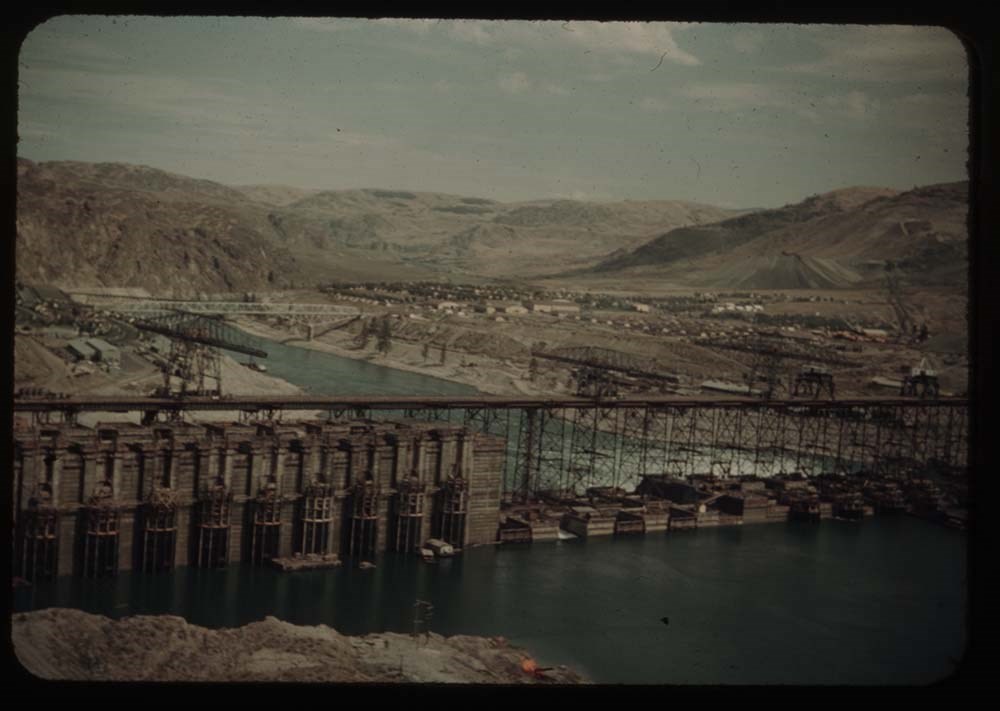
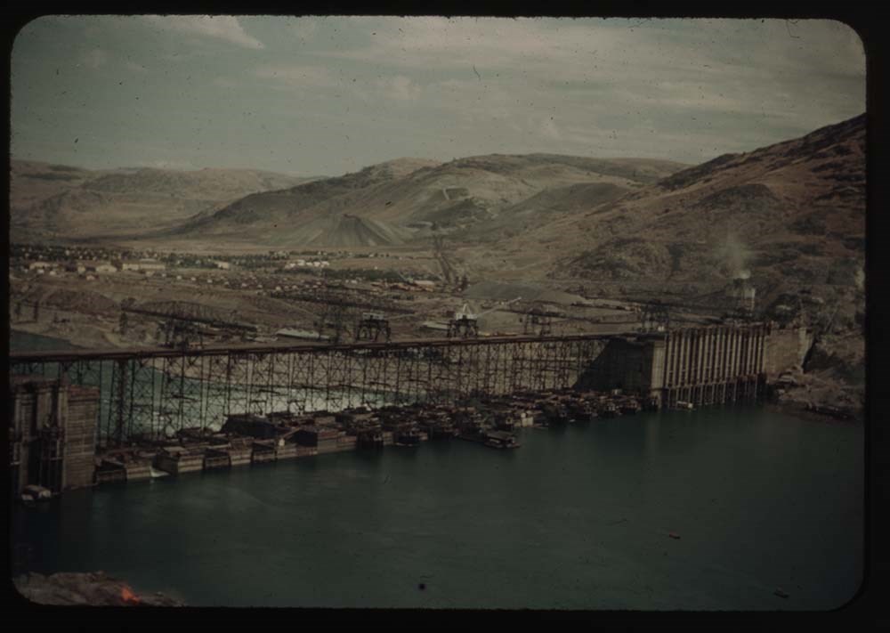
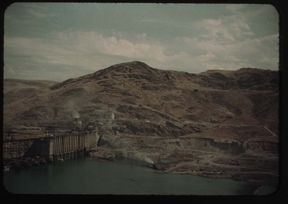
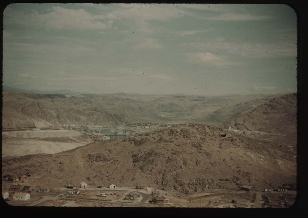
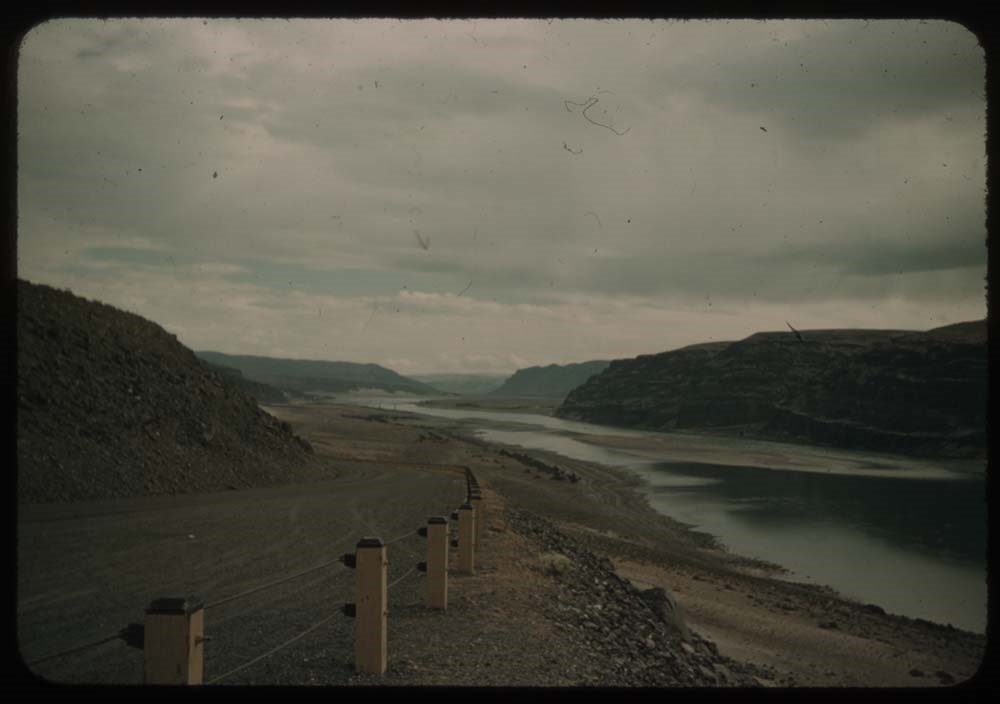
19. Grand Coulee Dam - first view Same as 1714
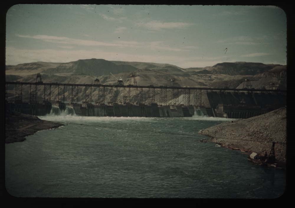
Reel 17
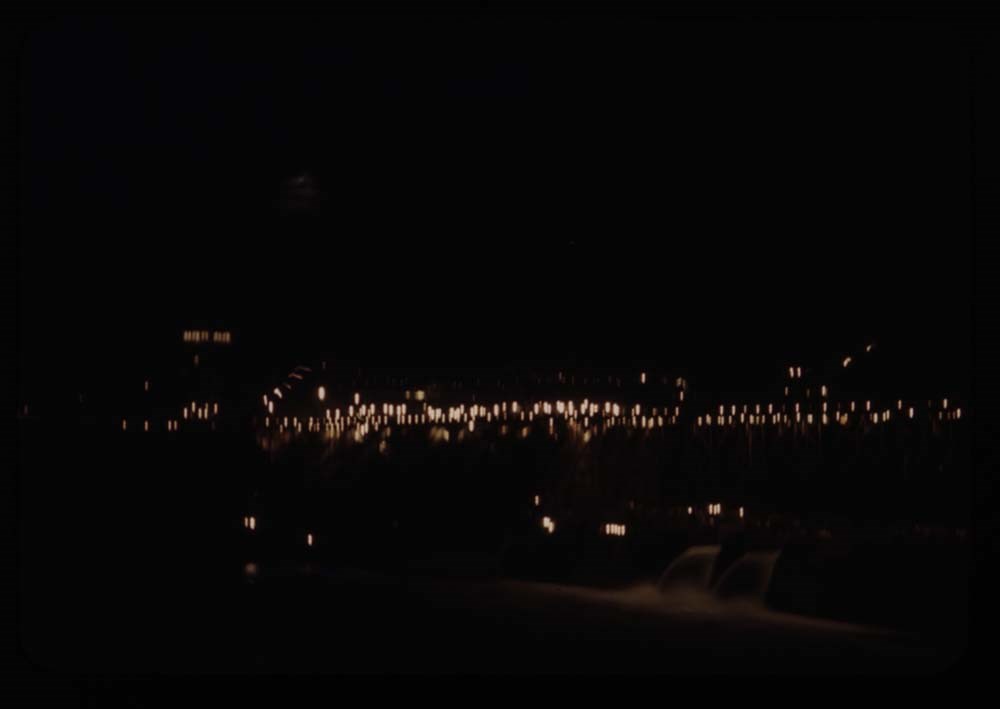
1. Dam at night
2. Dam fr. below - Mason City side (E)
3. Dam fr. bridge below
4. Part of Coulee Dam and dam from bridge
5. Part of east side and dam [from bridge]
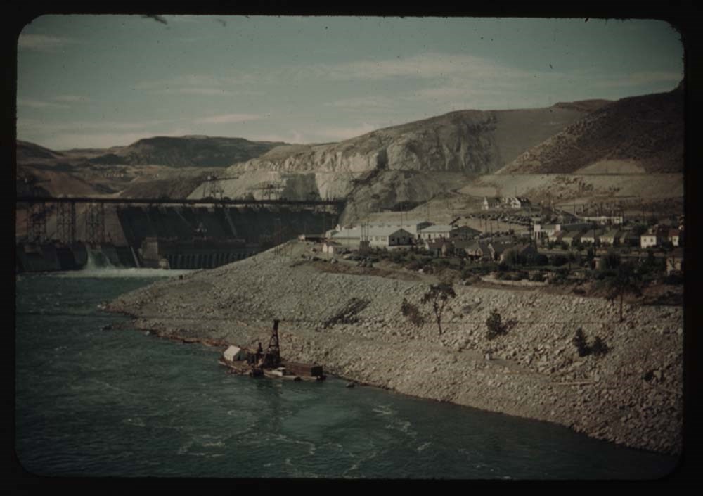
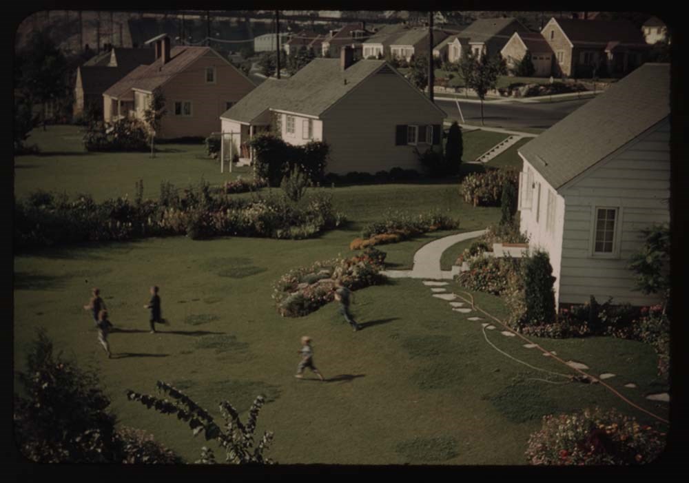
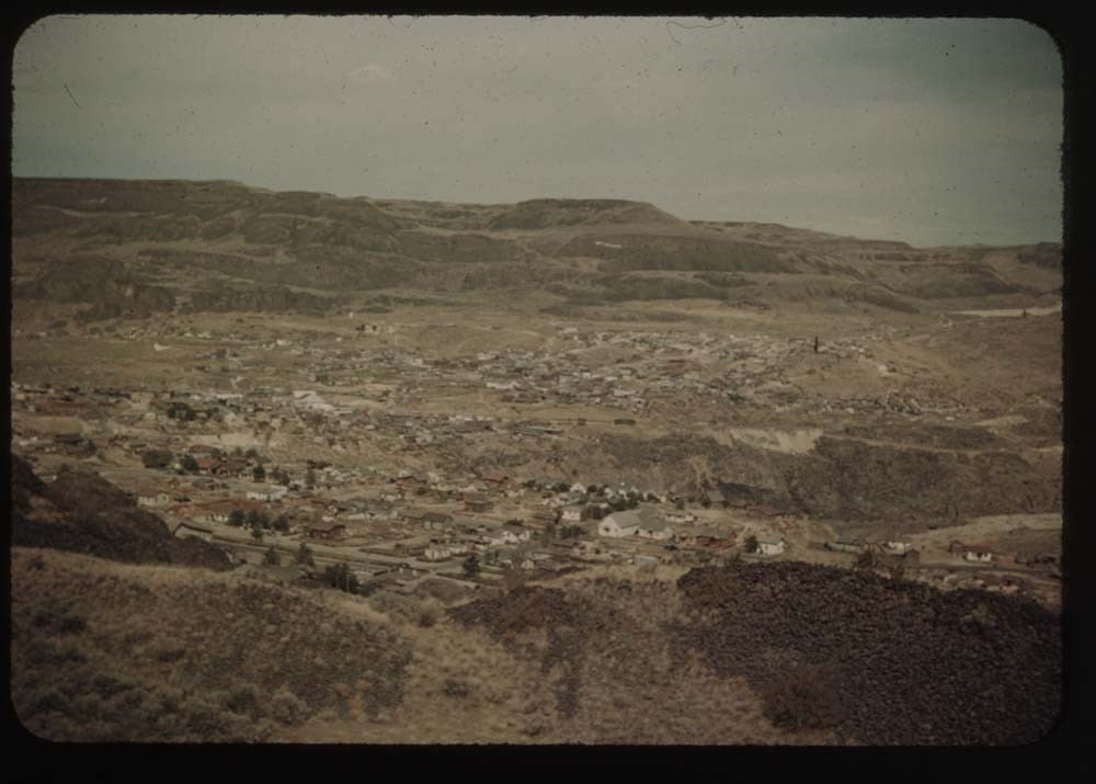
6. Gov't village and children on lawn
7. Dam fr. below [?] east side fr. [illegible]
8. Dam fr. below same as 7 - [illegible]
9. Dam [fr. below] sae as 7, less foreground
10. Dam fr. above taken at w. side viewpoint
11. Same from avobe the dam, on west side
12. Same - shows full dam and east side above dam
13. From w. side viewpoint - shows east side
14. Dam and villages from hill (same as first view)
15. Villages fr. hills on west side
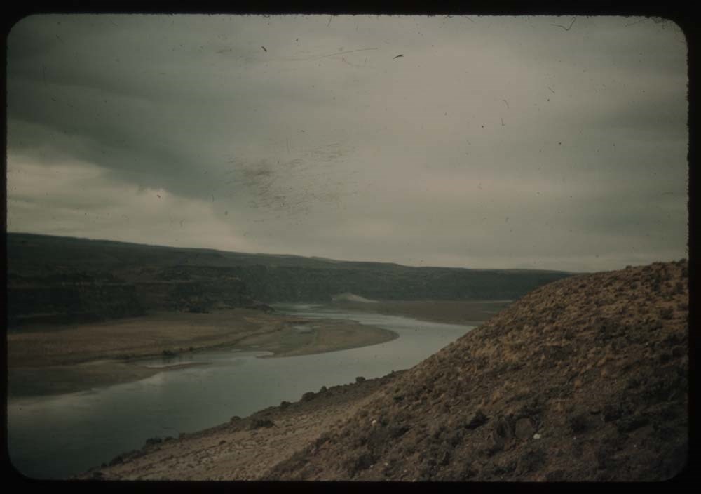
16. From west side looking up Col. R.
17. Road down hill into grand Coulee
18. Coulee Dam villages fr. hill
19. Road into Grand Coulee
Reel 18
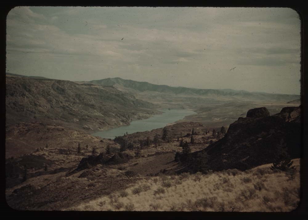
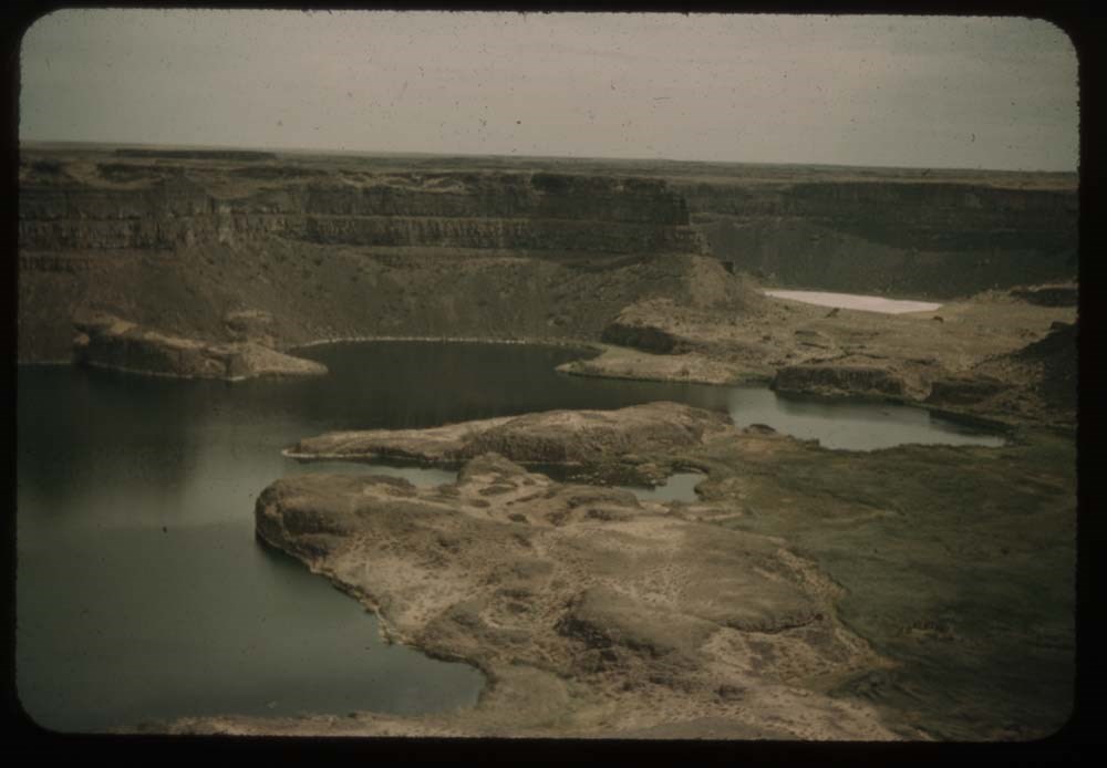
1. Lakes at foot of Dry Falls
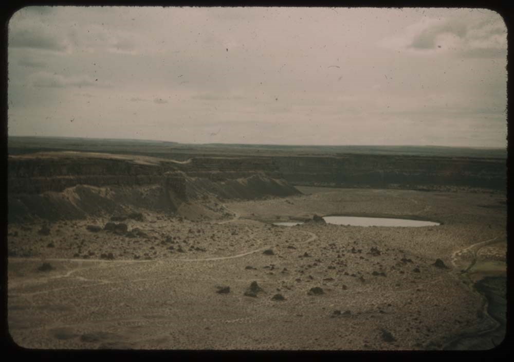
2. Looking down Lower Coulee - lake[?]
3. Road - looking down lake in Lower Coulee
4. Looking up same lake of Lower Coulee
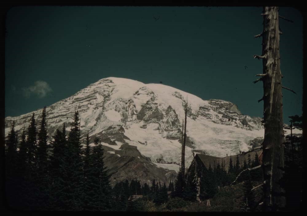
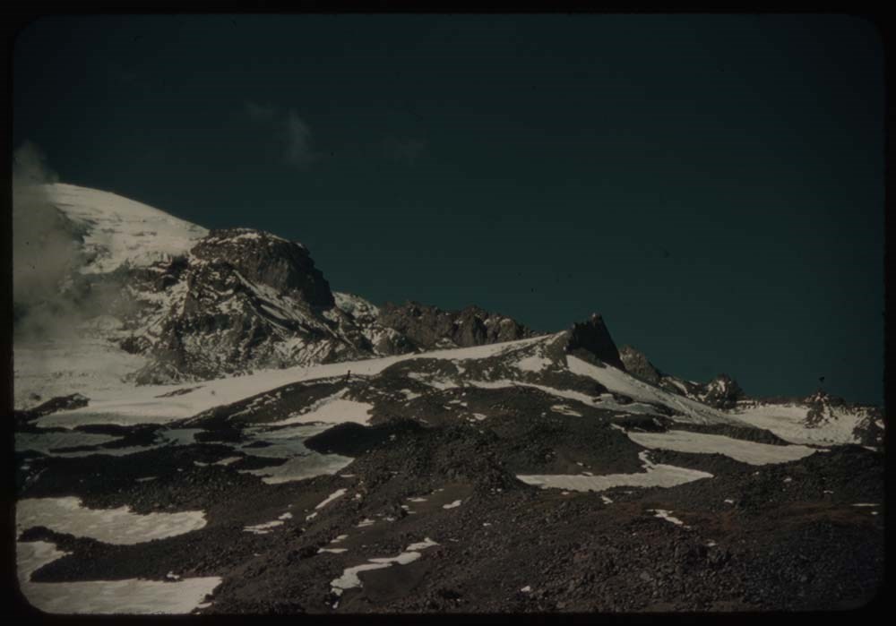
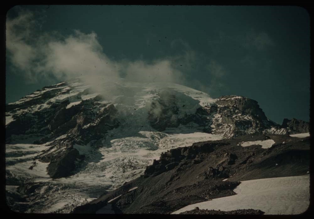
5. Mt. Rainier fr. our camp site
6. Outlying peaks - Mt Adams ?
7. [Outlying peaks] further to right
8. Slopes of Rainier - Gibralter[?] Rock
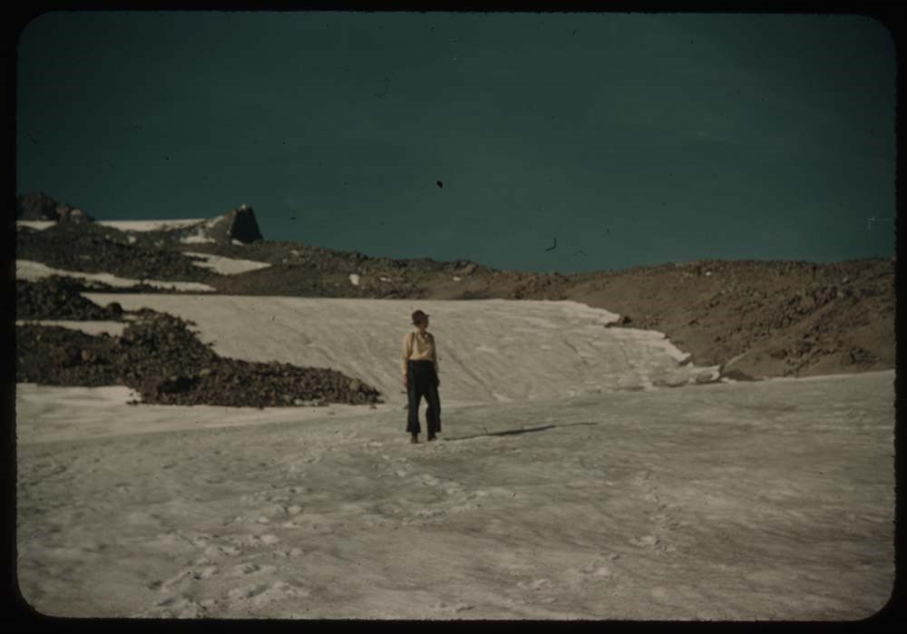
9. C.H. on glacier
10. L.S. [on glacier]
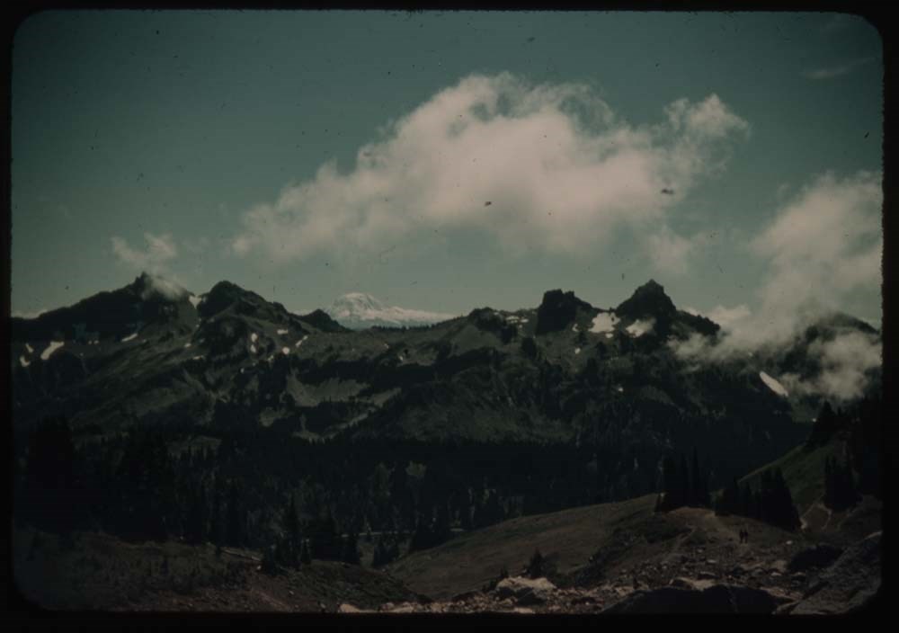
11. Mt Rainier with cloud
12. Clouds in valley - Mt. Hood ?
13. Outliers[?] and clouds in valley - further to left
14. Similar Mt. better than 12
15. Mt. Rainier fr. road around to west
16. C.H. on stone seat - fr. same place
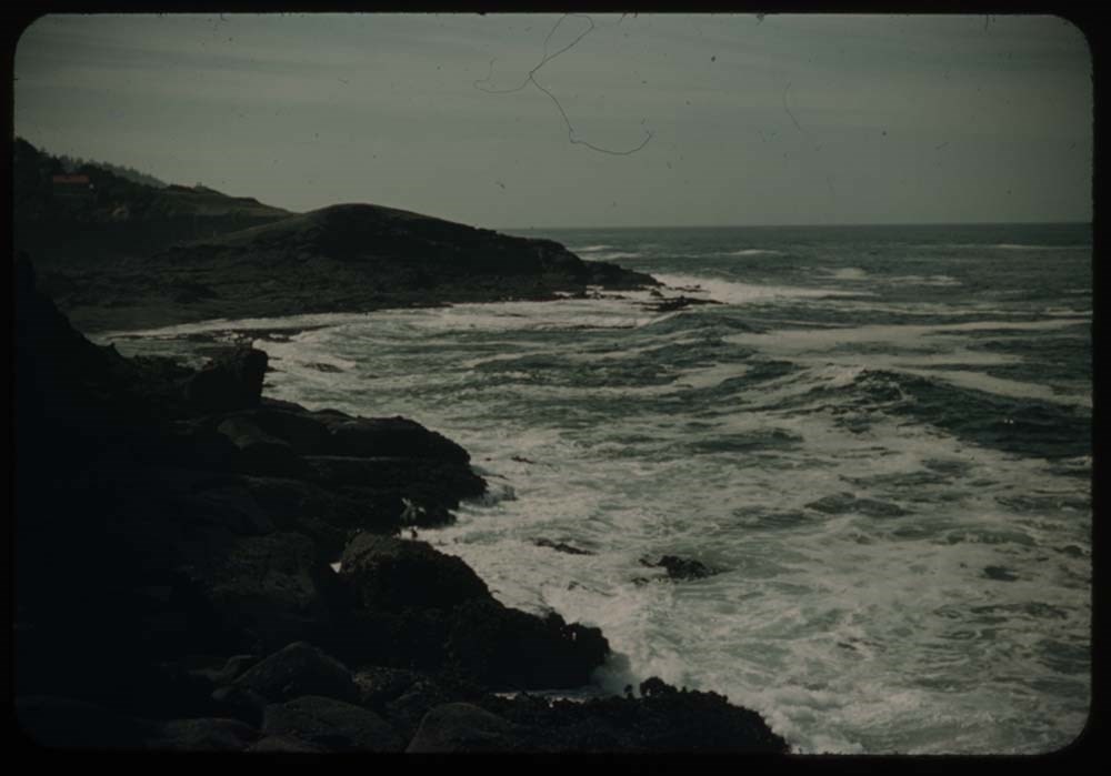
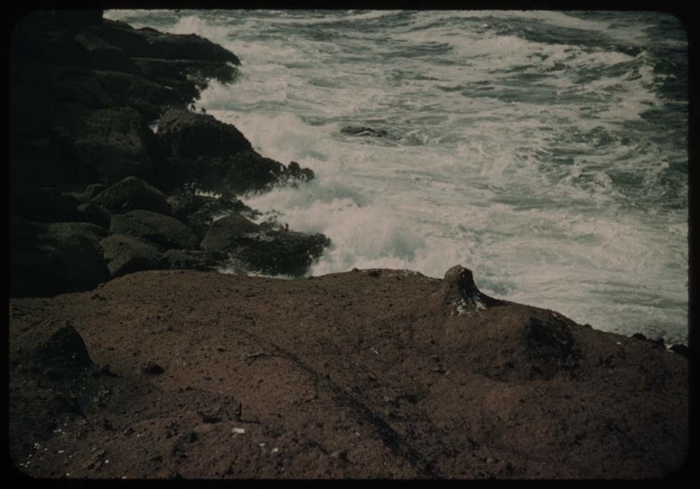
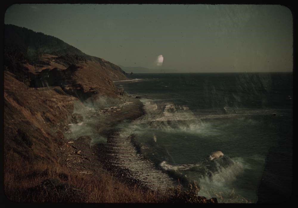
17. Surf on rocks
18. Surf on rocks below Furistone[?]
19. [Surf on rocks below Furistone[?]]
20. Furistone[?] Cottage - C.H.
Reel 19
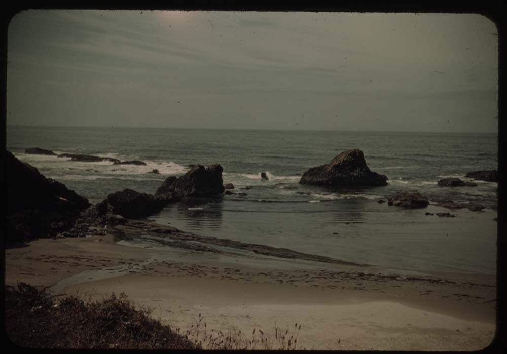
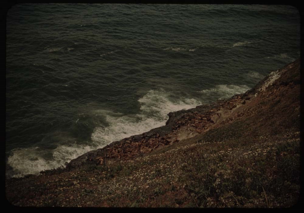
1. Rocks and surf at Sporting rocks
2. View further to right
3. [View further to right] again
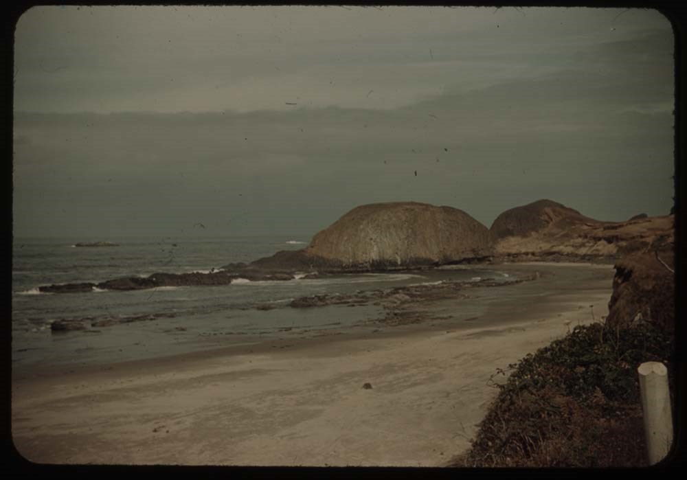
4. Seal rocks
5. Bay above seal rock and parth to cave
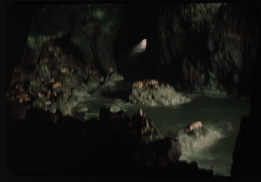
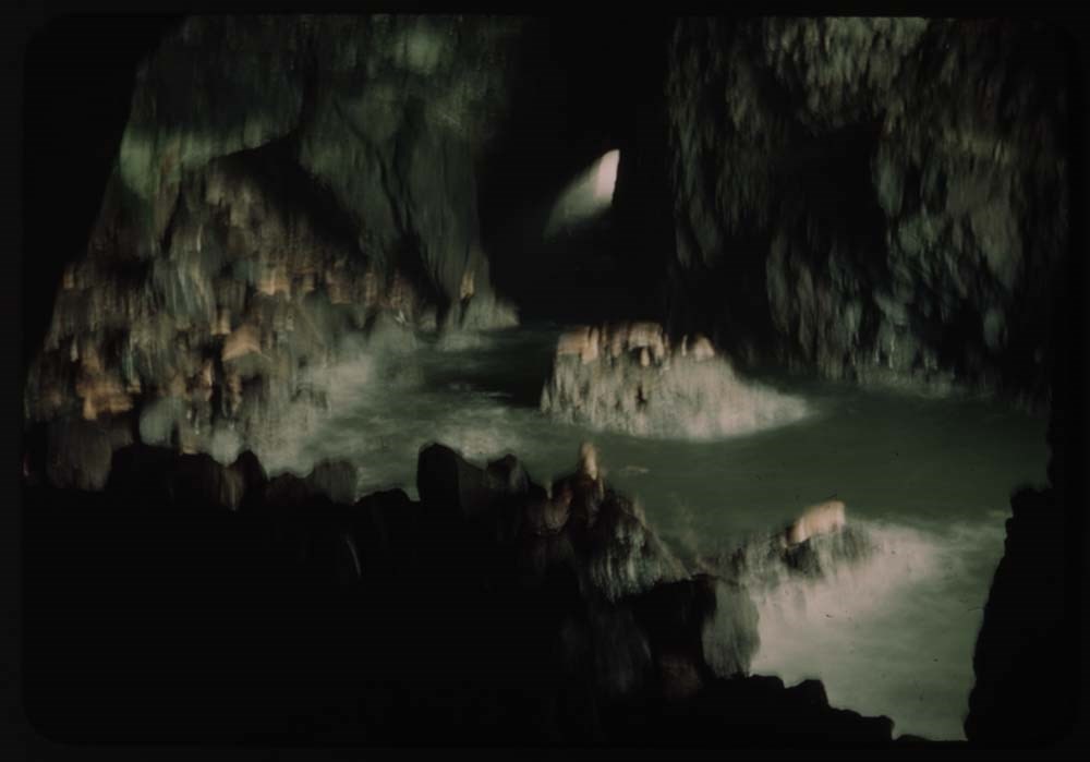
6. Seal cave (best)
7. Seal cave
8. Double exposure - cave
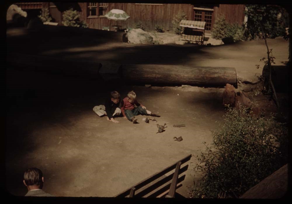
9. Chipmunks at oregon caves w. children
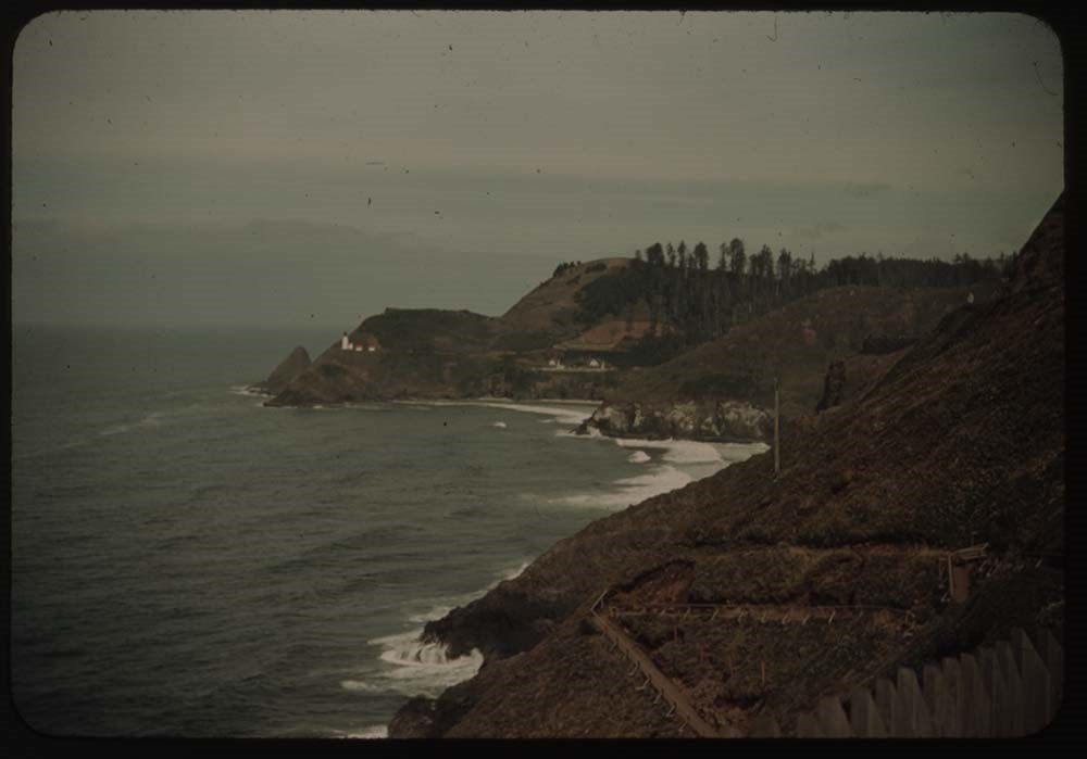
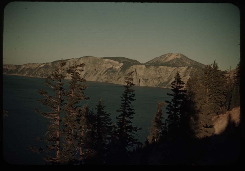
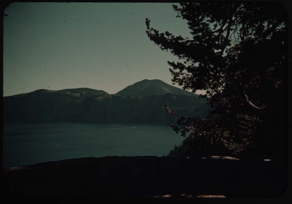
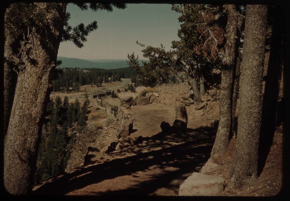
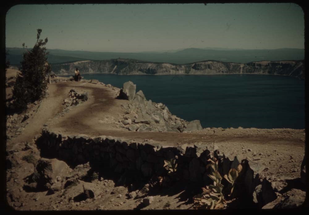
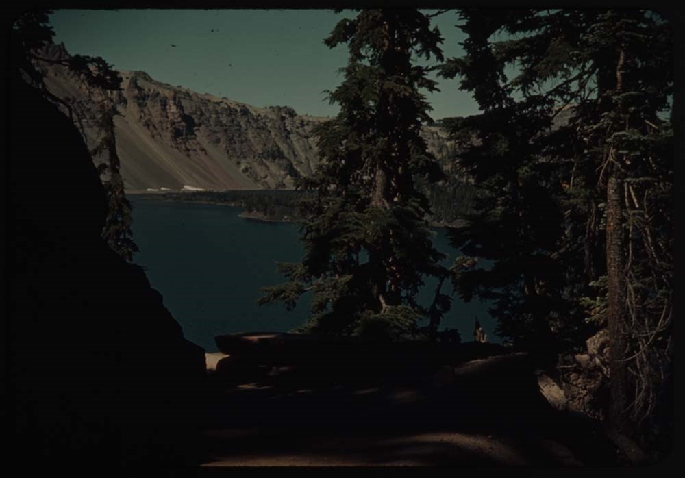
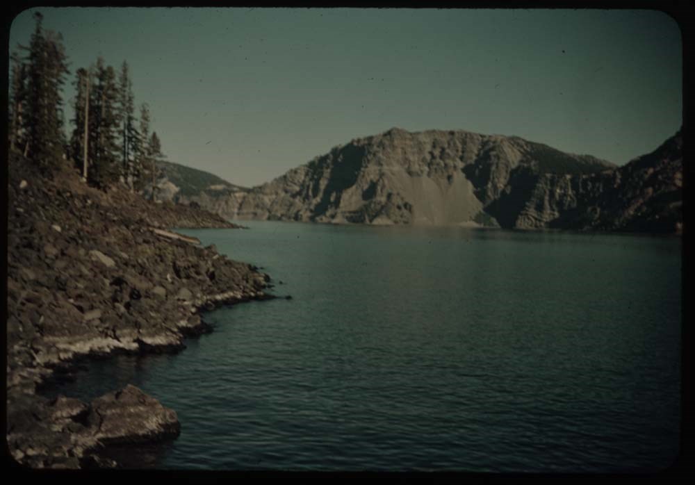
11. Crater Lake from Summit Memorial
12. Crater lake and Wizard Is. [from Summit Memorial]
13. Same further to left [from Summit Memorial]
14. Lake, and still further to the left [from Summit Memorial]
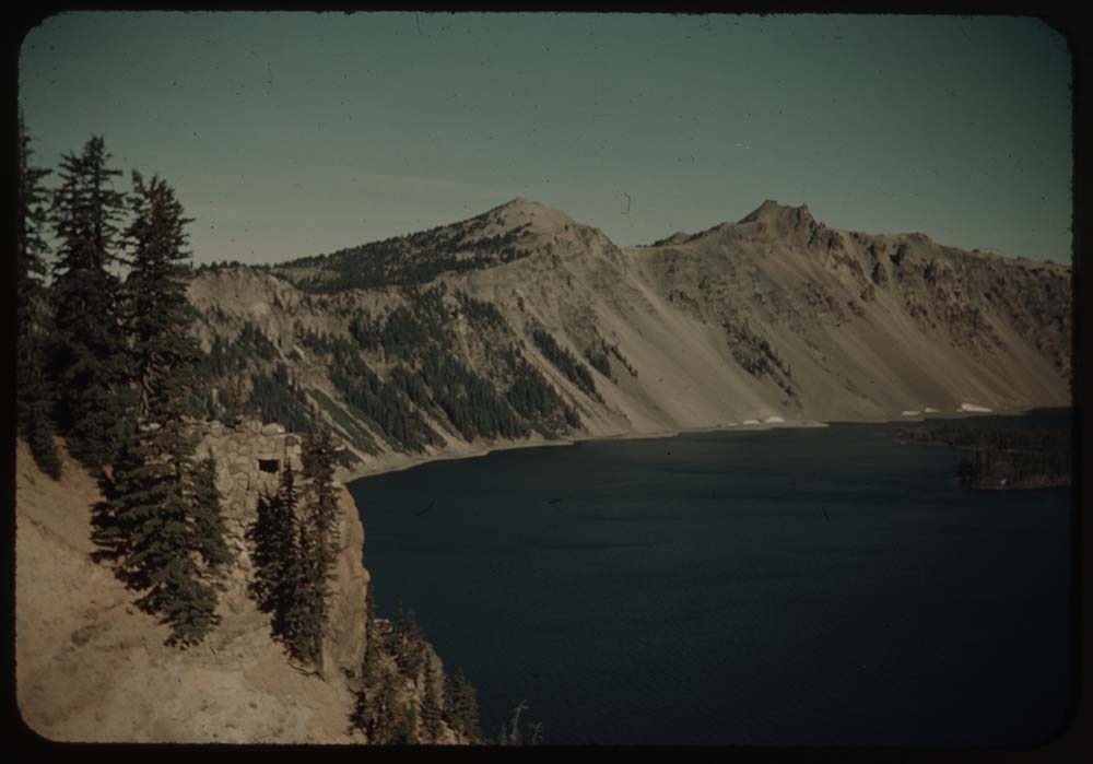
15. Lake fr. terrace below hotel
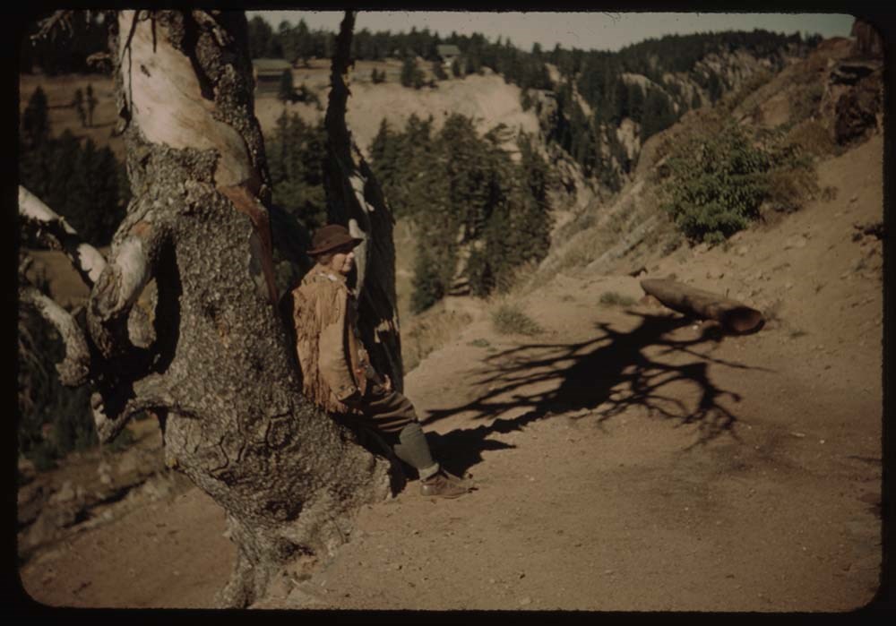
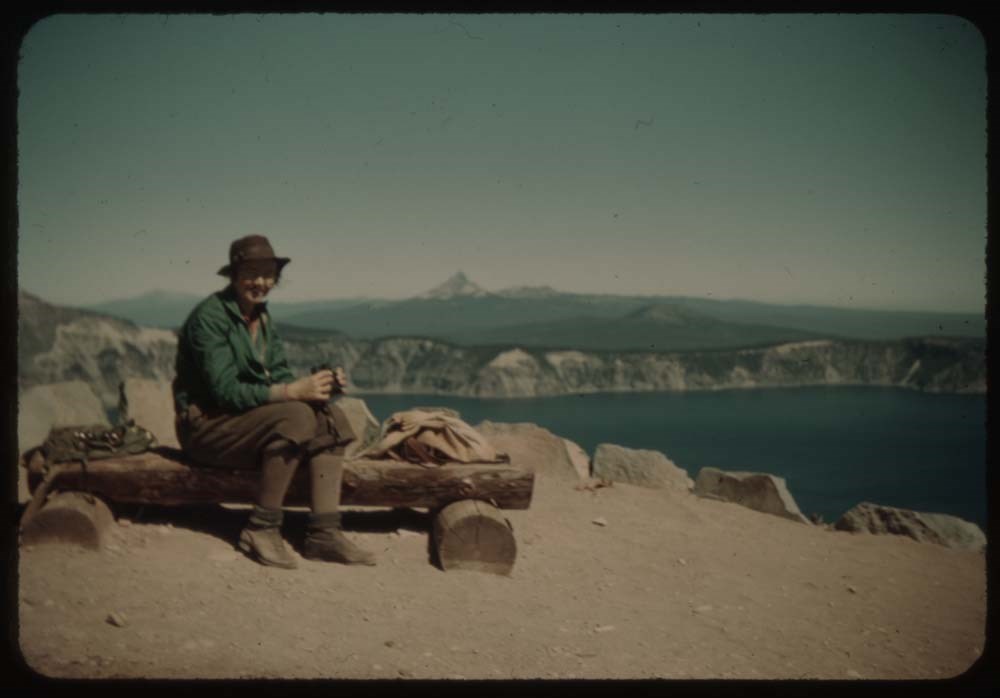
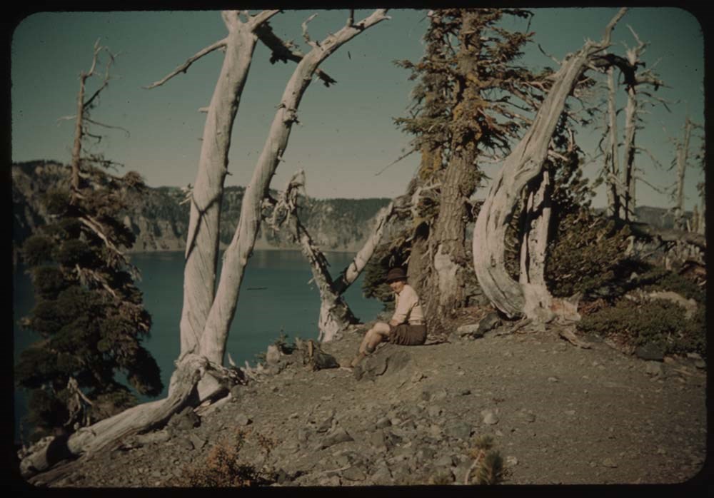
16. Caroline on trail by tree
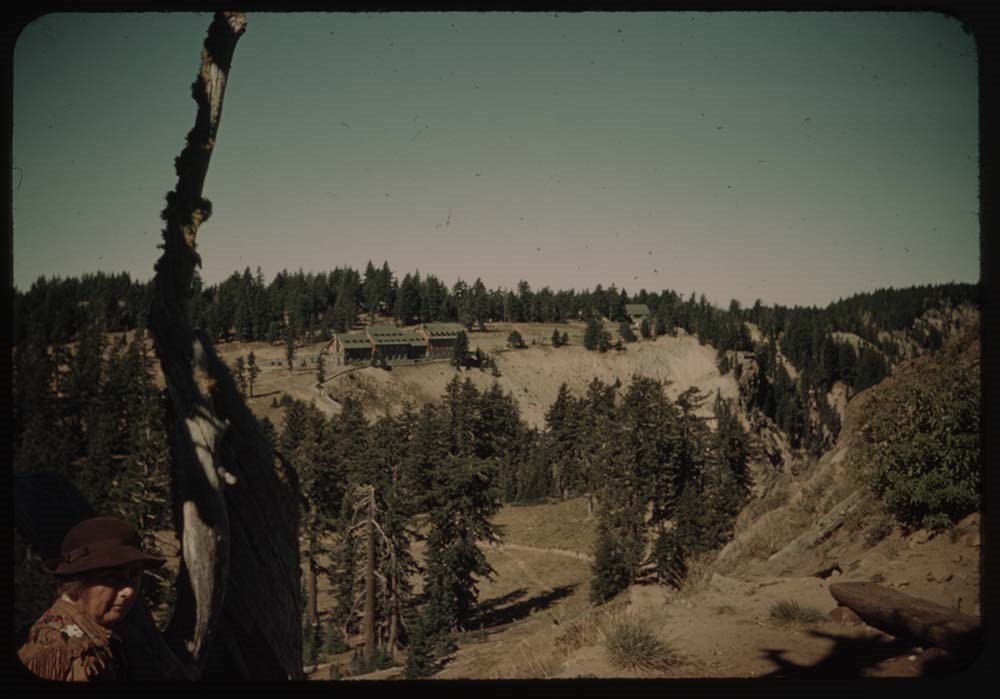
17. Lodge fr. across valley on trail up Mt.
18. Lake and Wizard Island thru trees
19. Trail up Mt.
20. Trail and lodge beyond
Reel 20
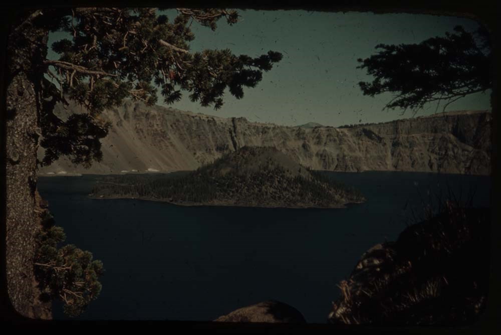
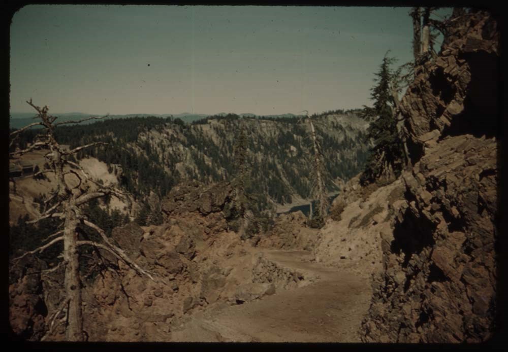
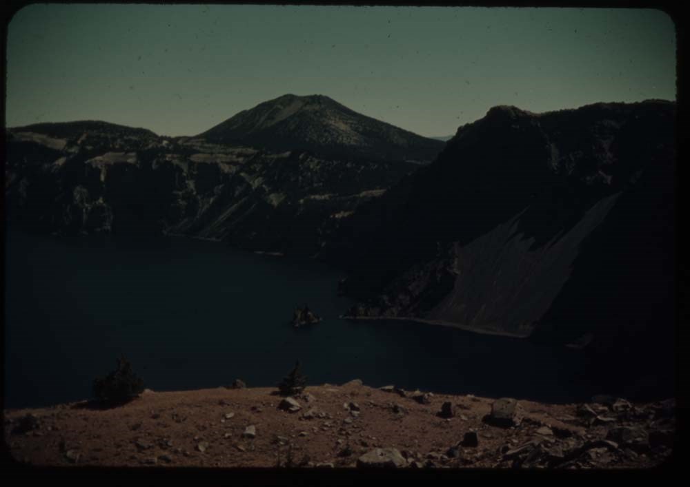
1. Crater Lake and phantom ship
2. Crater Lake and Wizard Is. thru trees
3. [Crater Lake and Wizard Is.] no trees
4. Caroline on seat
5. L.S. [on seat]
6. View over pummice (?) flats
7. Rim trail and lake
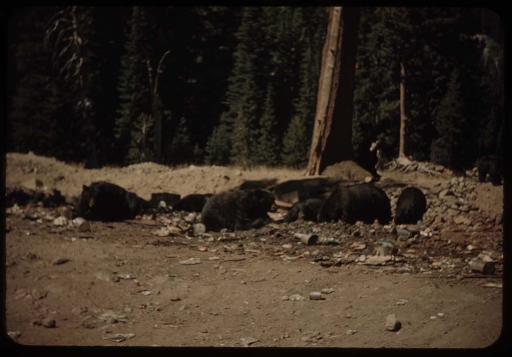
8. Bears at feeding grounds
9. Same nearer
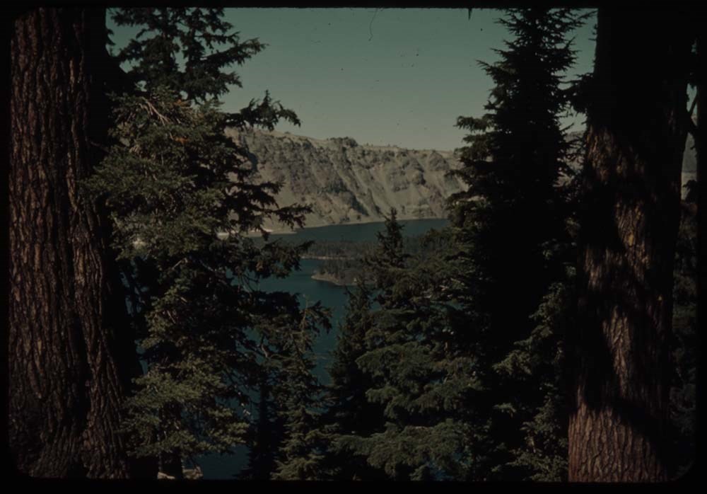
10. Lake through trees - from trail detours to lake
11. [Lake through trees] C.H. on trail [detours to lake]
12. Lake [through trees] dark
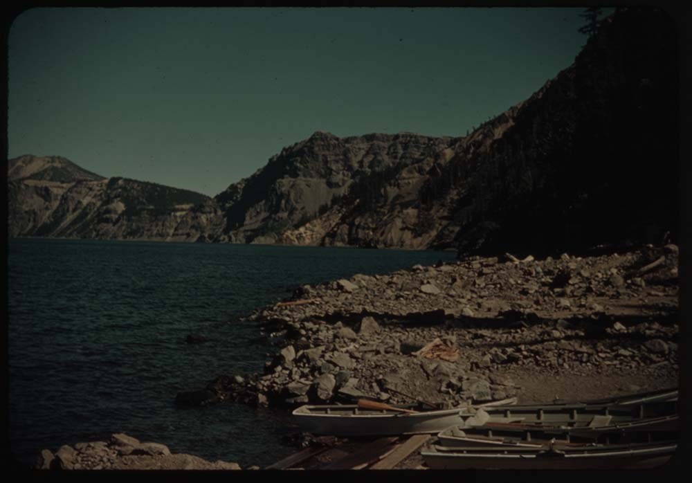
13. Shore of Crater Lake - boats
15. Trees and figure walking around crate[?]
16. C.H. on crater [illegible] of Is. - trees and lake
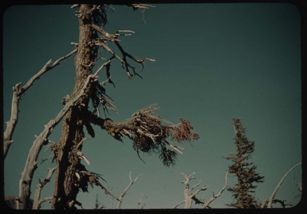
17. Dead trees against sky
18. Trail in deep woods on Wizard Is.
19. Lake and shore of Wizard Island
20. C.H. in boat
Reel 21
1. Crater Lake through dark trees
3. Road around lake, and bluff beyond
4. Lake and reflection - morning we left
5. Wheat fields and Mt. Jefferson in dist.
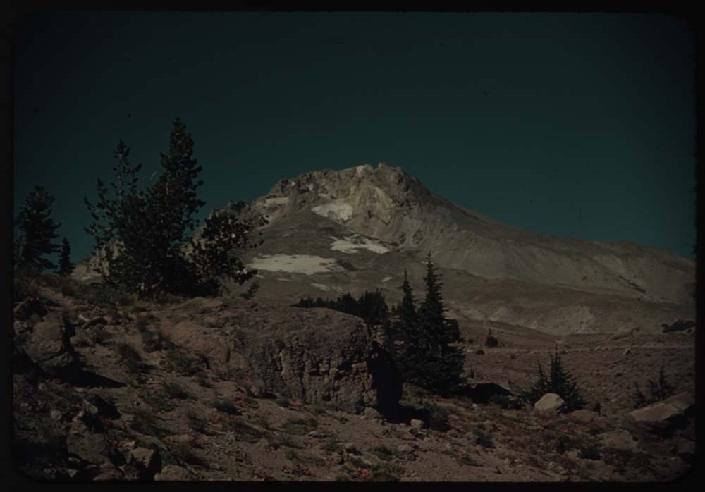
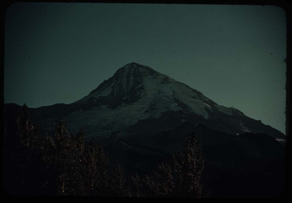
6. Mt. Hood and Mount Winter
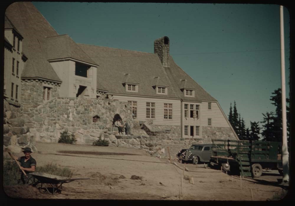
7. CH. at parapet of TImberline Lodge Mt Jeff. in dist.
8. Mt. Hood from Timberline Lodge
9. Timberline Lodge
10. Mt. Hood fr. Cloud Cap Inn
11. Distant view from same towards Adams and Rainier
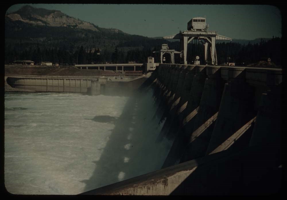
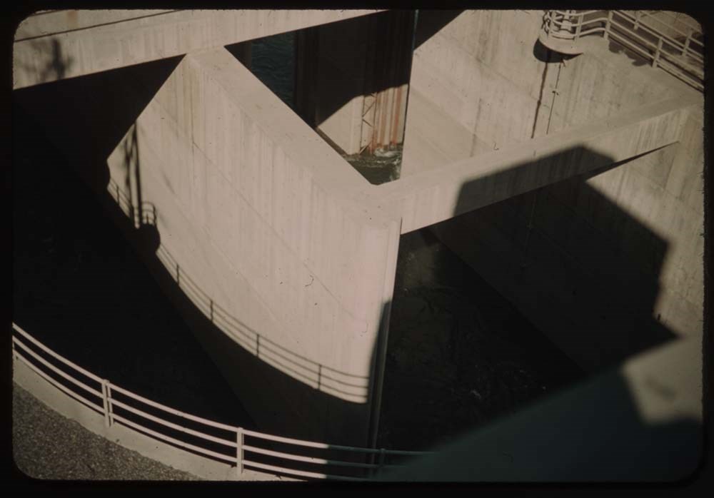
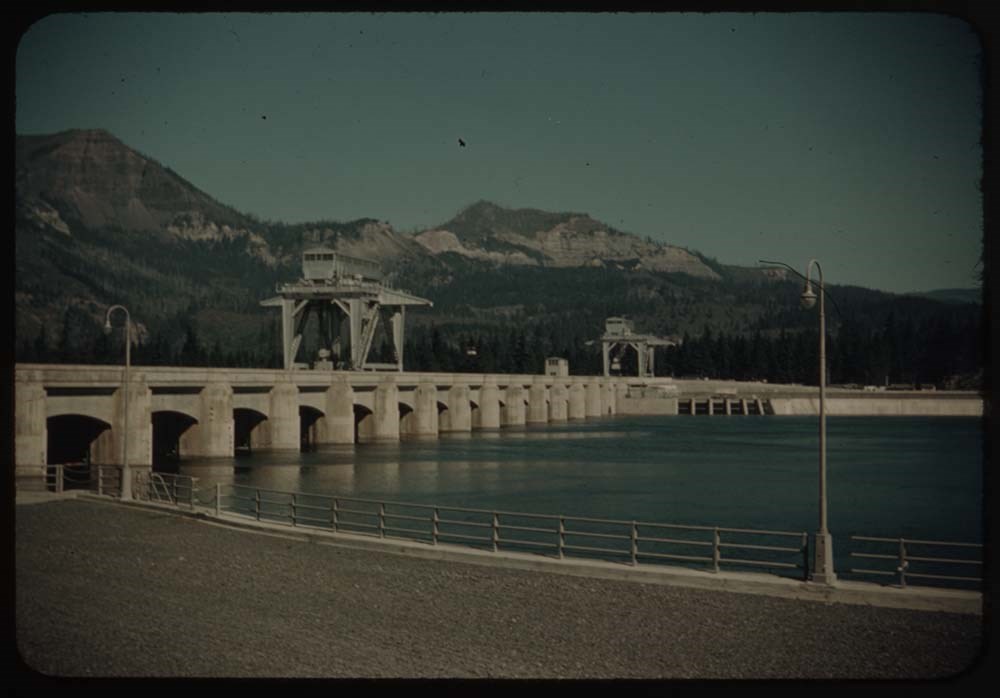
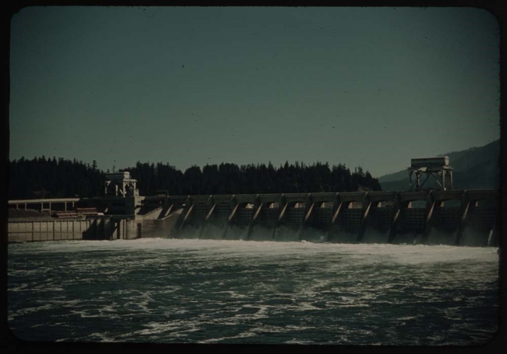
12. Bonneville Dam - spillways
13. Part of dam - looking straight down
14. Bonneville Dam from above
15. [Bonneville Dam from] below
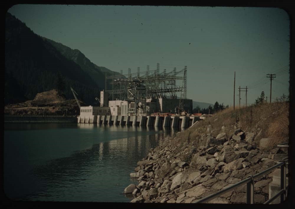
16. Power plant - building in process
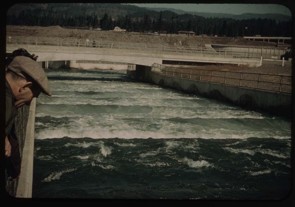
17. Salmon ladders
18. Salmon
19. Salmon (better)
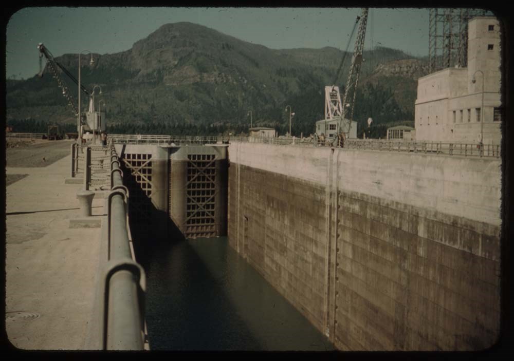
20. Lock - highest lift in world ?
Reel 22
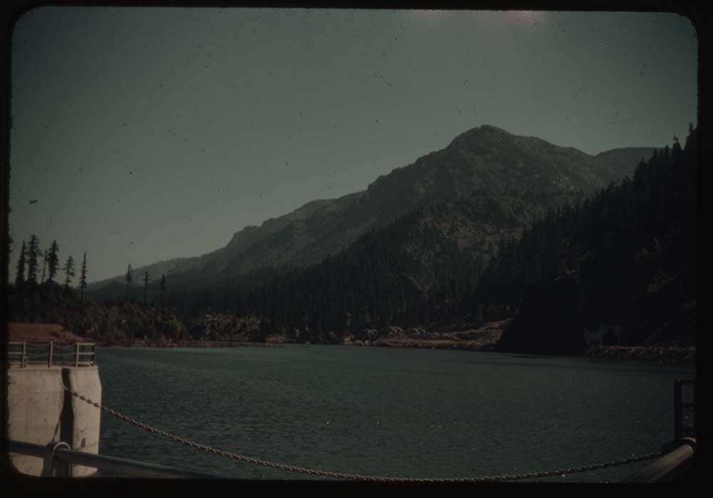
1. View above lock - Bonneville Dam
2. Gov't town and baby Salmon waterway
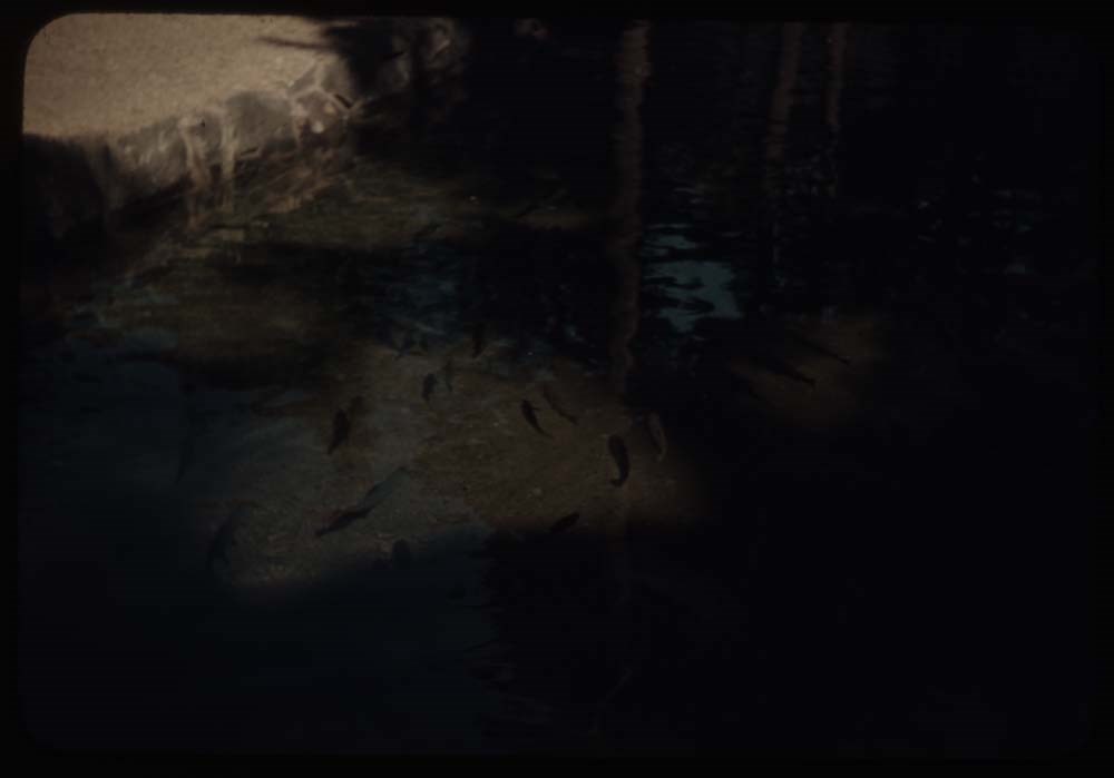
5. Pool in fish hatchery and fish
6. Sturgeon in pool
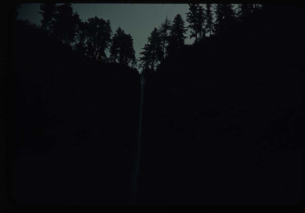
9. Horsetail falls - dark
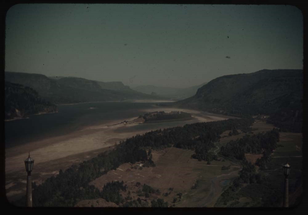
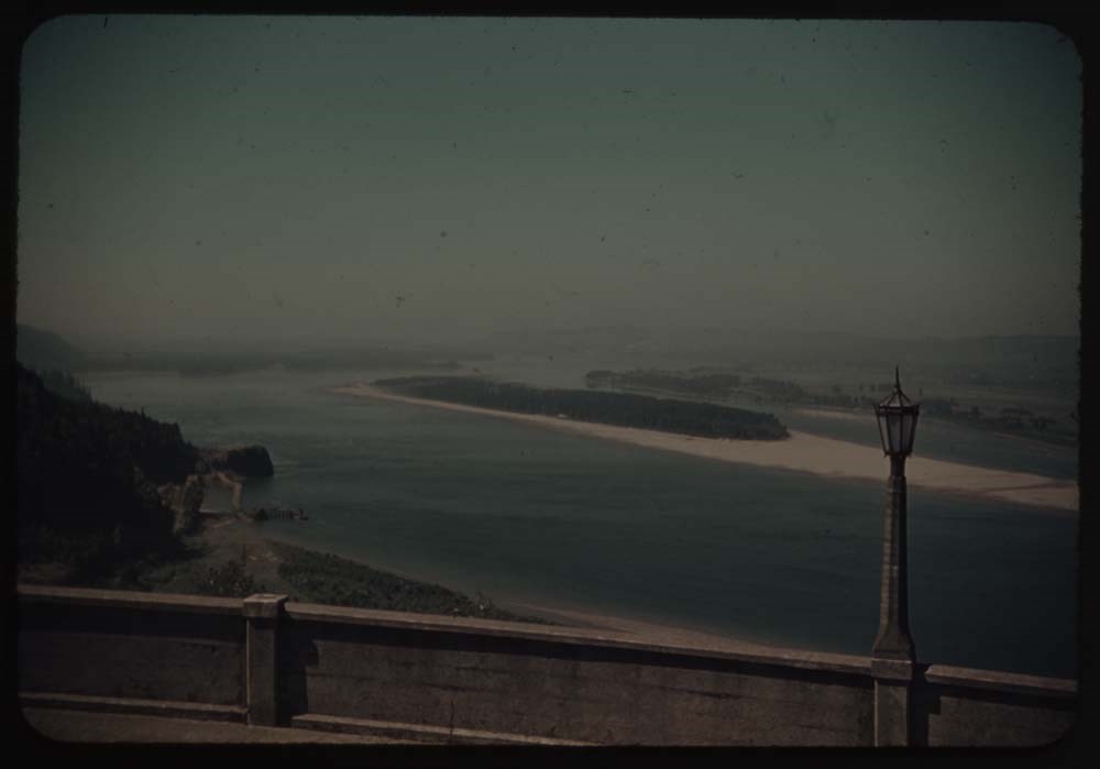
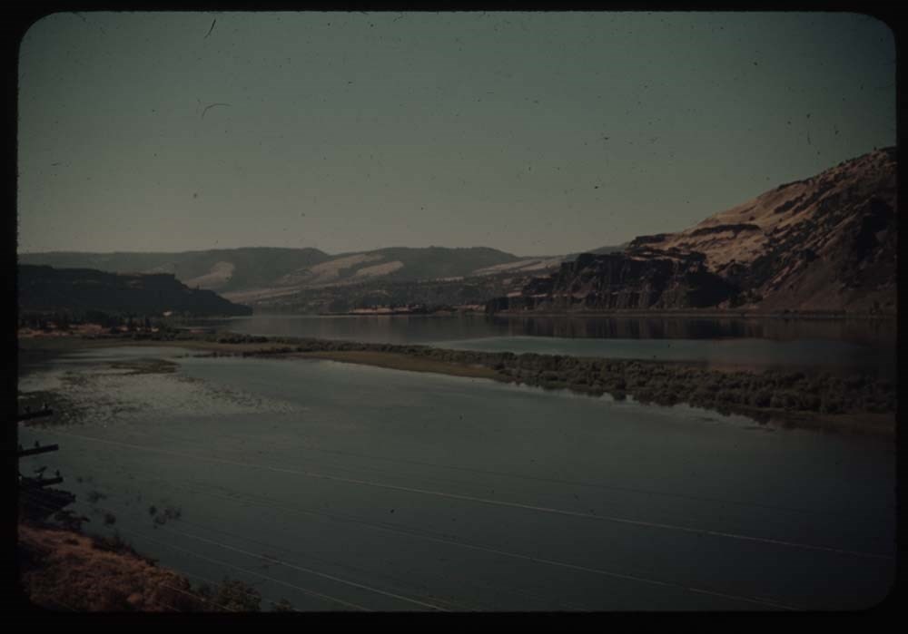
10. Down Columbia R. fr. Vista Point
11. Up [Columbia R. fr. Vista Point]
12. Falls where we lunched
13. Upper part Col. R. Highway
14. Down river at same point
15. Falls in river
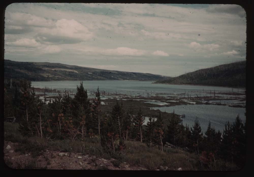
16. Forest fire [illegible] at St. Mary's
17. [Forest fire [illegible] at St. Mary's]
18. Cape Myrtle at Merion
19. Merion - B.H. G. and cape Myrtle
20. Merion - B.H. G. that oh don't look
File pertains to 100 35mm colour transparency slides mounted in cardboard sleeves. Includes photographs taken during the summer and autumn of 1947 in and around the Banff townsite, Lake O'Hara, and the Yoho Valley. Subjects include mountains, landscapes, the Bow River, lakes, people, horses, variou…
File pertains to 100 35mm colour transparency slides mounted in cardboard sleeves. Includes photographs taken during the summer and autumn of 1947 in and around the Banff townsite, Lake O'Hara, and the Yoho Valley. Subjects include mountains, landscapes, the Bow River, lakes, people, horses, various camps [mostly Alpine Club of Canada camps], hiking, wildlife, the opening dedication of the A.O. Wheeler Hut, and the drive back home. Some slides missing; most explained in notebook.
Titles:
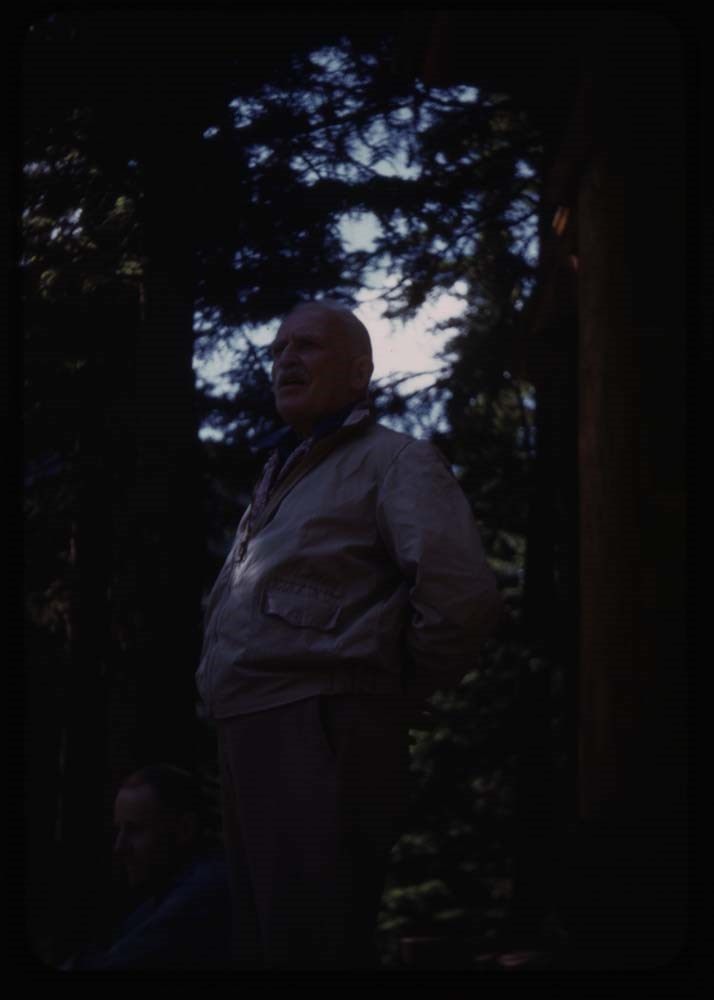
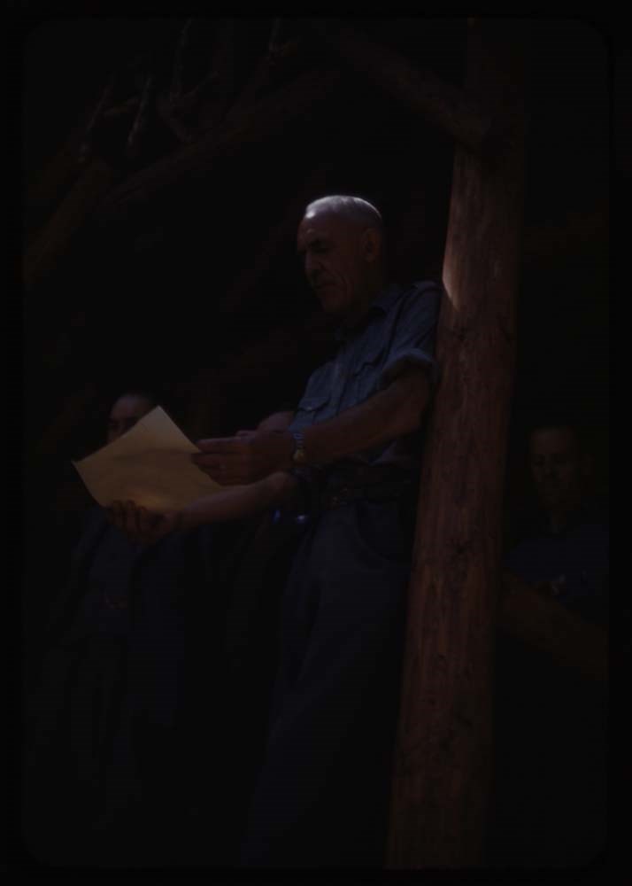
Reel 117 Sept 1947
2. [Wheeler Hugh Dedication]
3. group at [Dedication]
4. H.E. Sampson speaking
5. Sir Oliver Wheeler
6. Bonldew Prastice
7. [Bonldew Prastice]
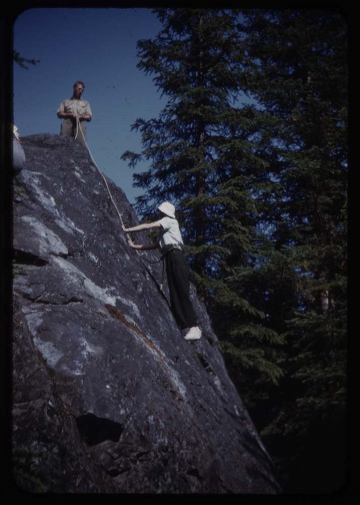
8. Belaying from above
9. Roping down
11. Sid and Eric
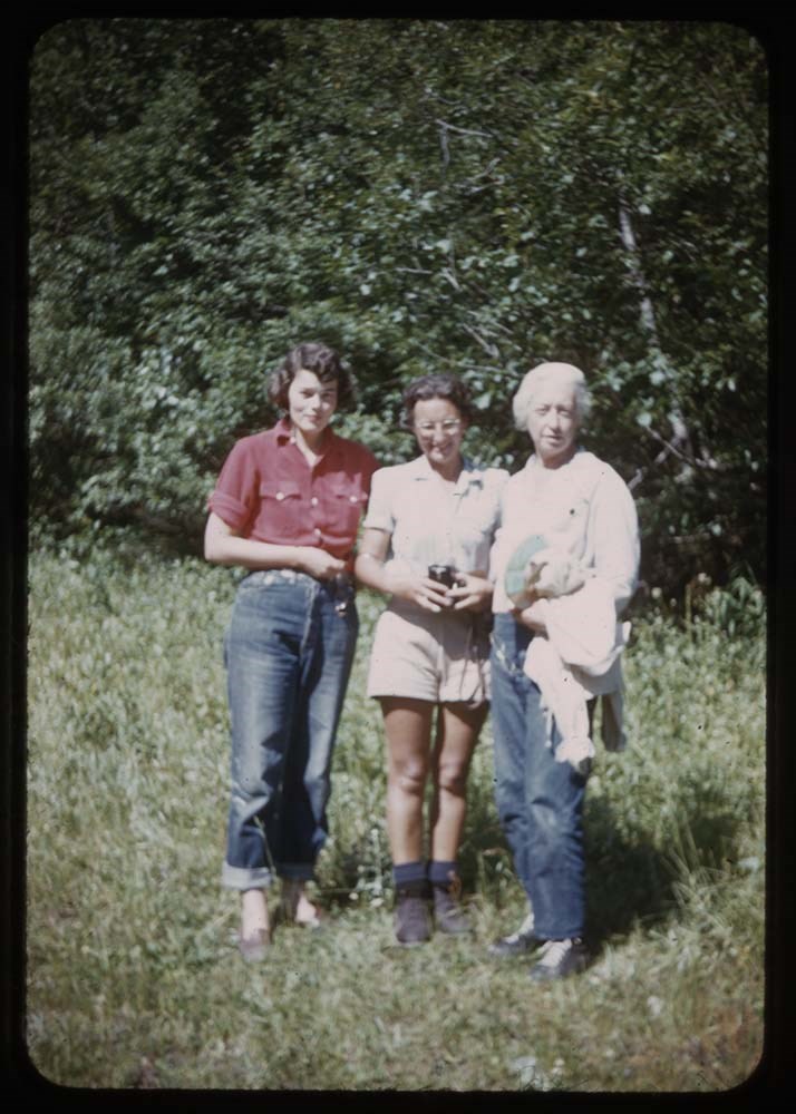
12. Phebe and Polly on road
13. My tentmates
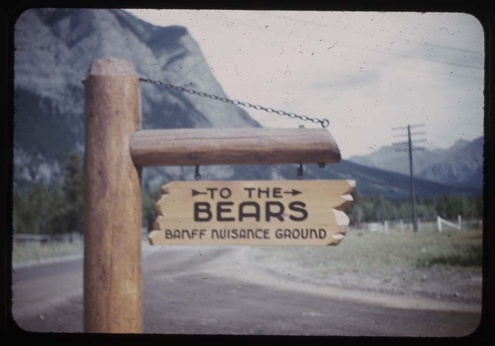
14. Banff Musance[?] Park sign
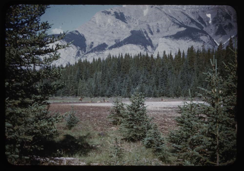
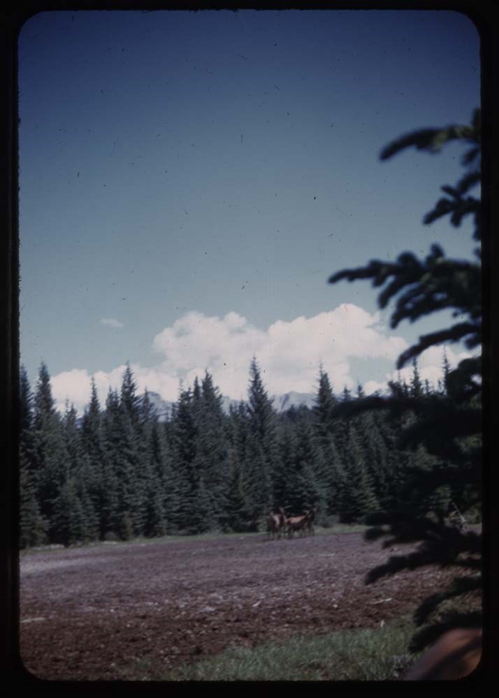
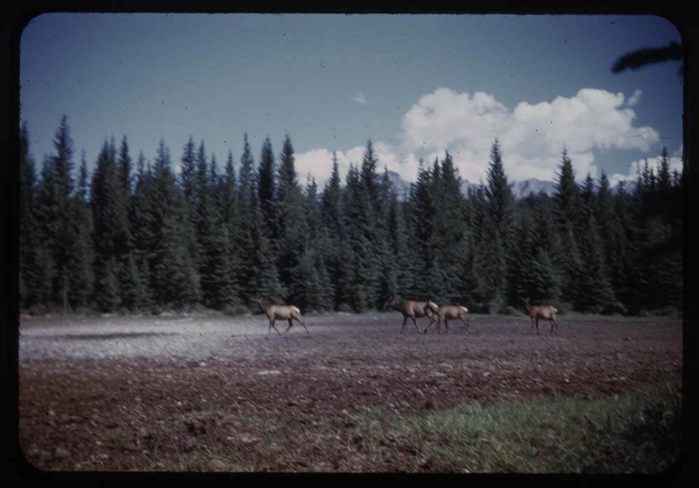
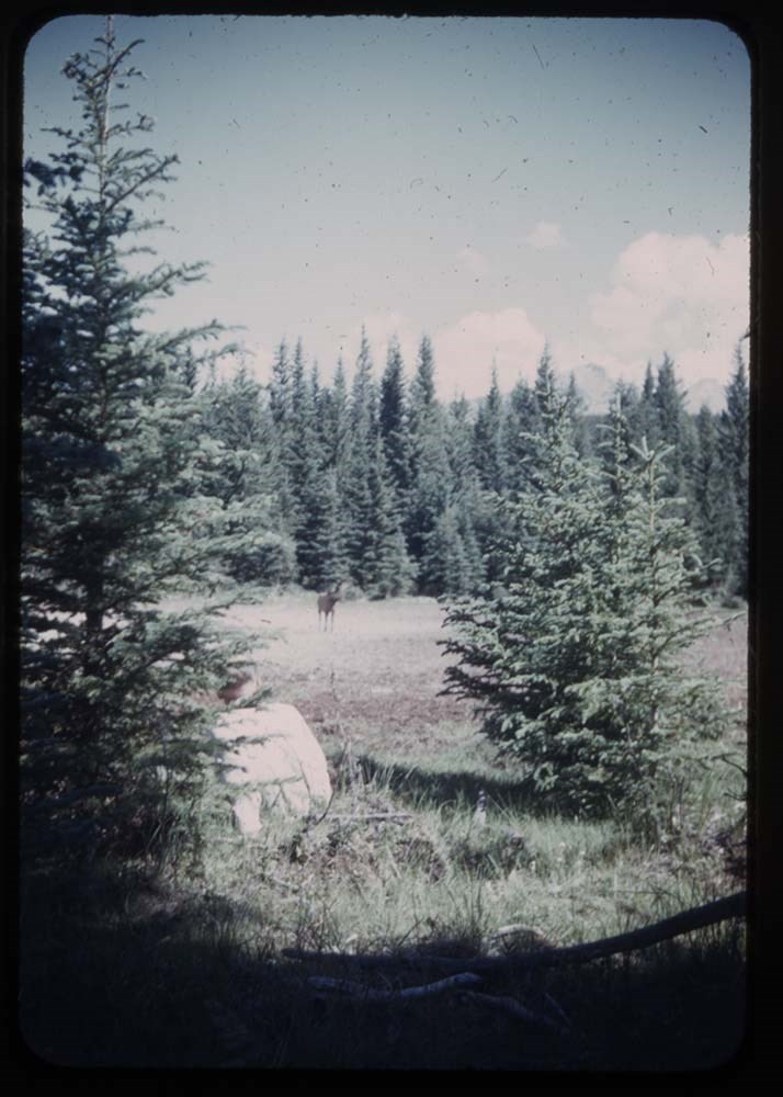
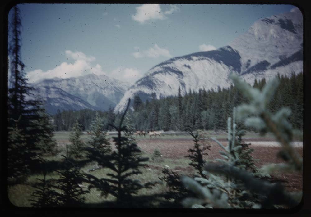
16. Elk on mud flats
17. [Elk on mud flats]
18. [Elk] morning
19. Elk and Roy T.
20. [Elk] overexp.
21. Elk
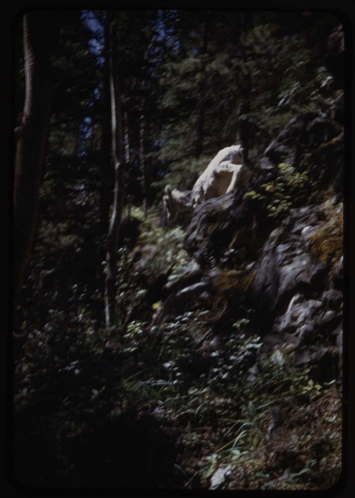
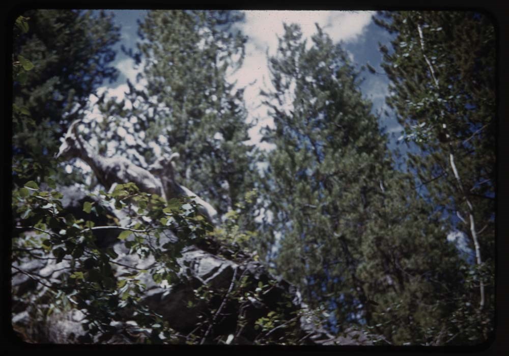
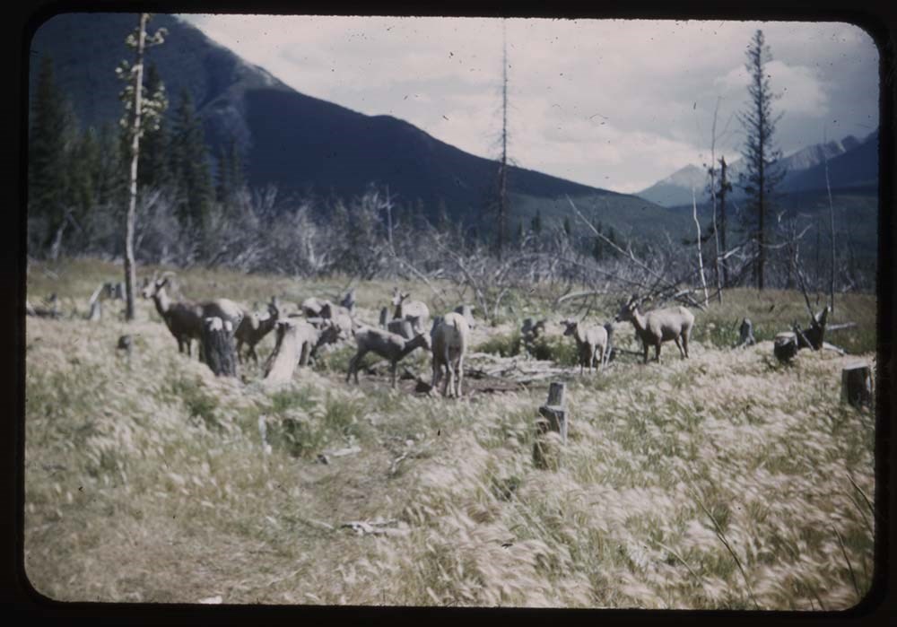
26. Lamb descending rocks
27. Ewe and lamb
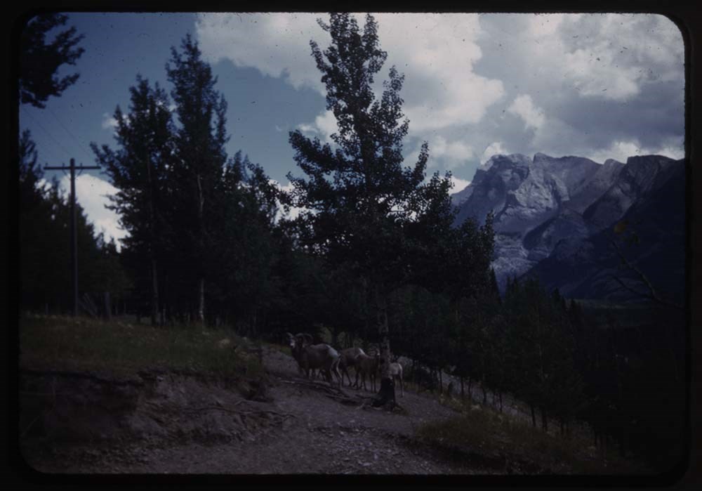
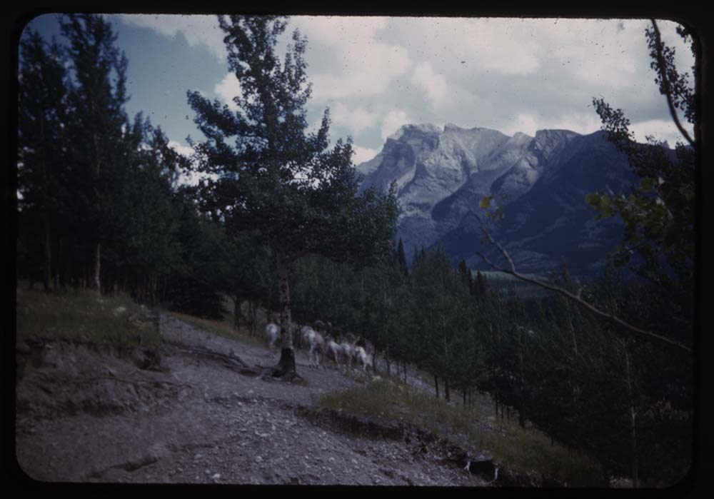
29. Rams at Bankhead - nearer
30. [Rams at Bankhead] further
31. [Rams at Bankhead] moving off
Reel 118 Sept 1947
8 pictures
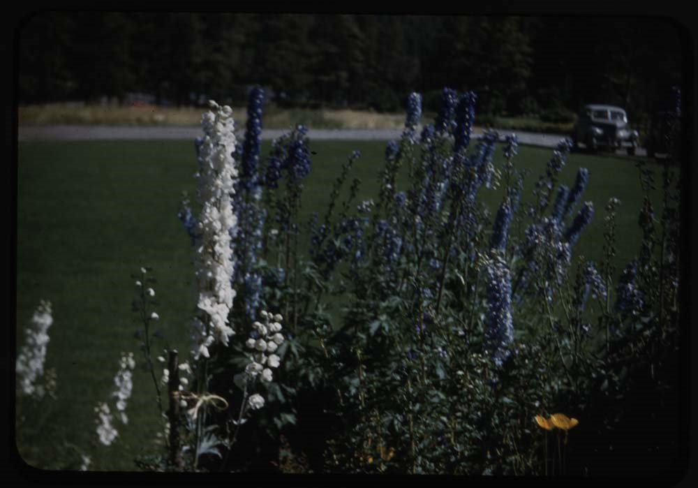
6. Delphiniums good
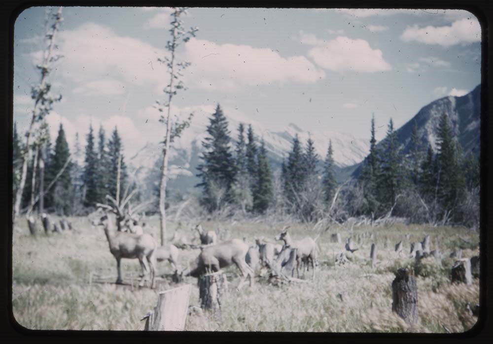
10. Sheep in swamp fair
12. [Sheep in swamp] overexp.
20. Mt. Eisenhower good 8/2
Reel 119- Sept 1947
13. View down river
15. Dam at Seebe 8/10
18. Aileen and Mrs B. at Seebe
19. [Aileen and Mrs B.] and house at Seebe
Reel 120 Sept 1947
1. Down Couloir fr. Sawback Pinnacle
7. Bear on road overexp.
8. [Bear on road overexp.]
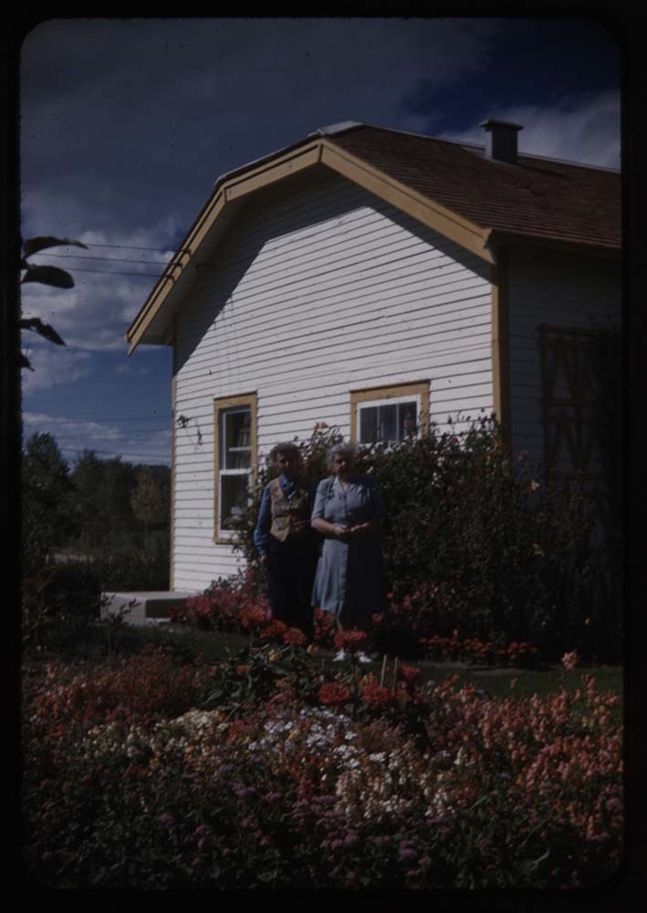
17. House and garden near Grassi's
21. Buffalo
Reel 121 Sept 1947
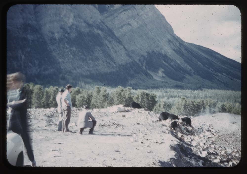
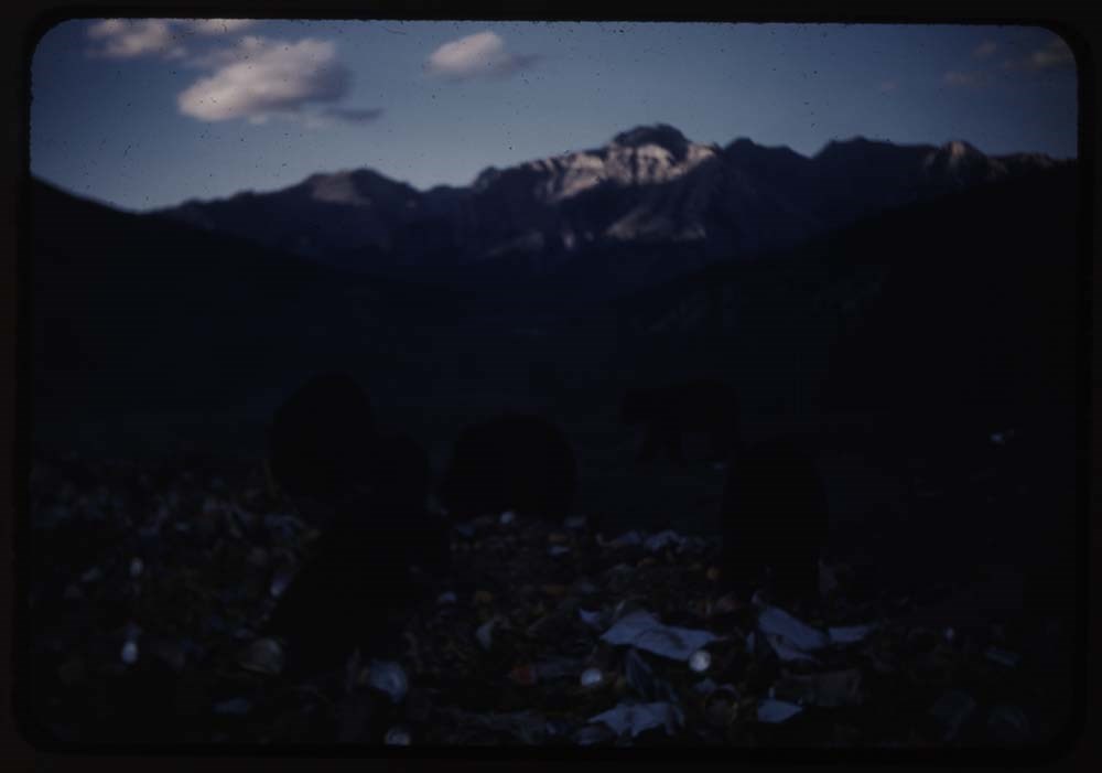
6. Bears at dump
13. The Bear Show
15. Goose flats - Bow R.
17. BHG. at window A-ha-hi-na
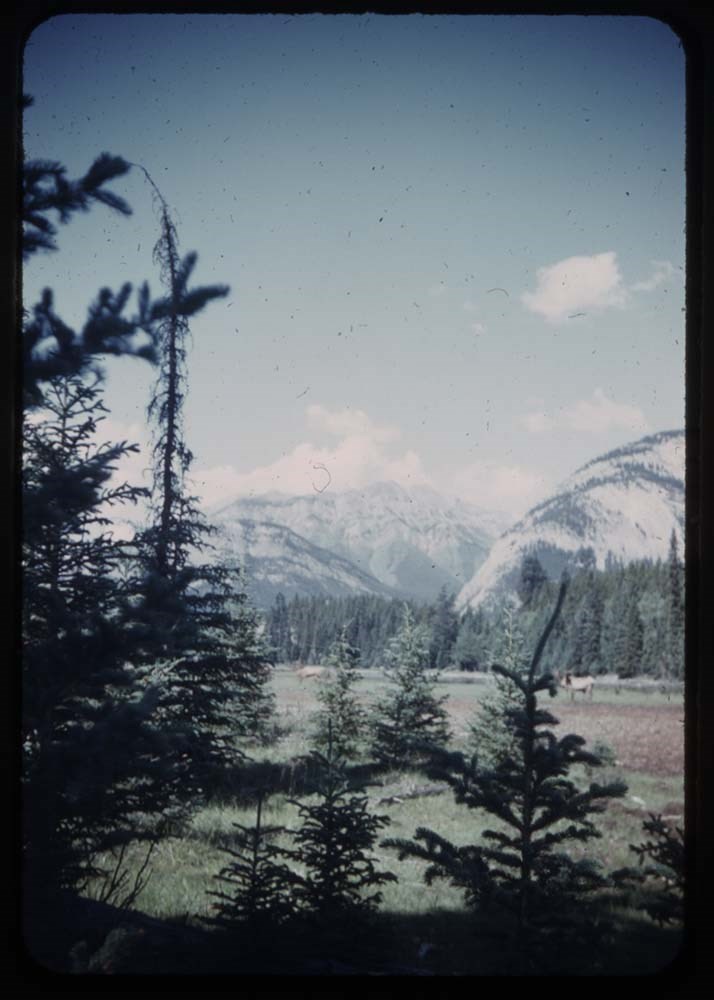
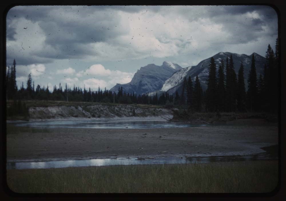
19. Mt Rundle and reflections
Reel 122 Sept 22. 47
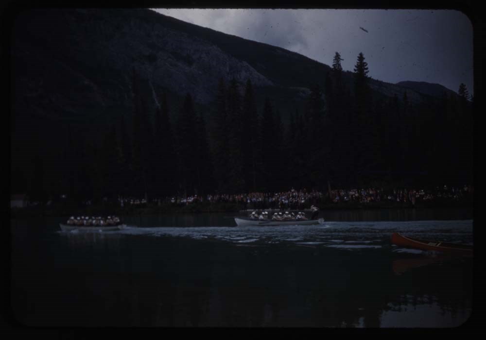
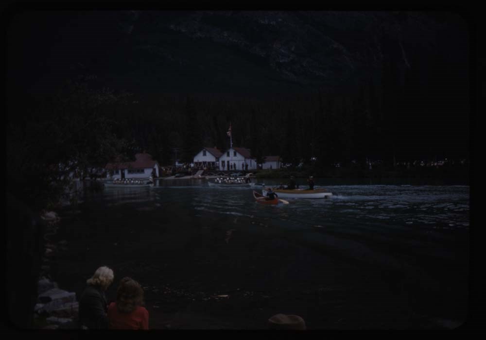
1. The Sea Cadet Races
2. [The Sea Cadet Races] Boathouses in b.g.
3. [The Sea Cadet Races] Mt. Cascade
4. Sunset on Fairholme Range
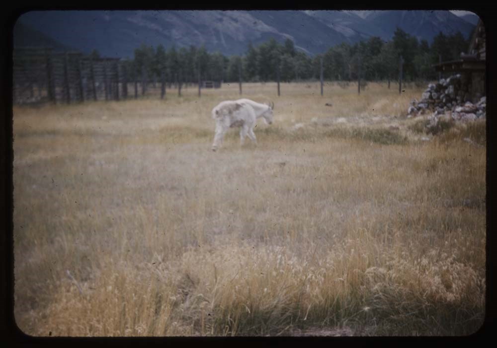
5. Goat at paddock
6. [Goat at paddock]
12. Rundle fr. Vermilion Lakes
13. Mt. Rundle and Reflections
15. Fr Bridge - moon over Bourgeau
16. At Mrs. Lyalls - C.H. and Mrs L.
18. The Wee Hoose
19. Mrs. Lyalls garden
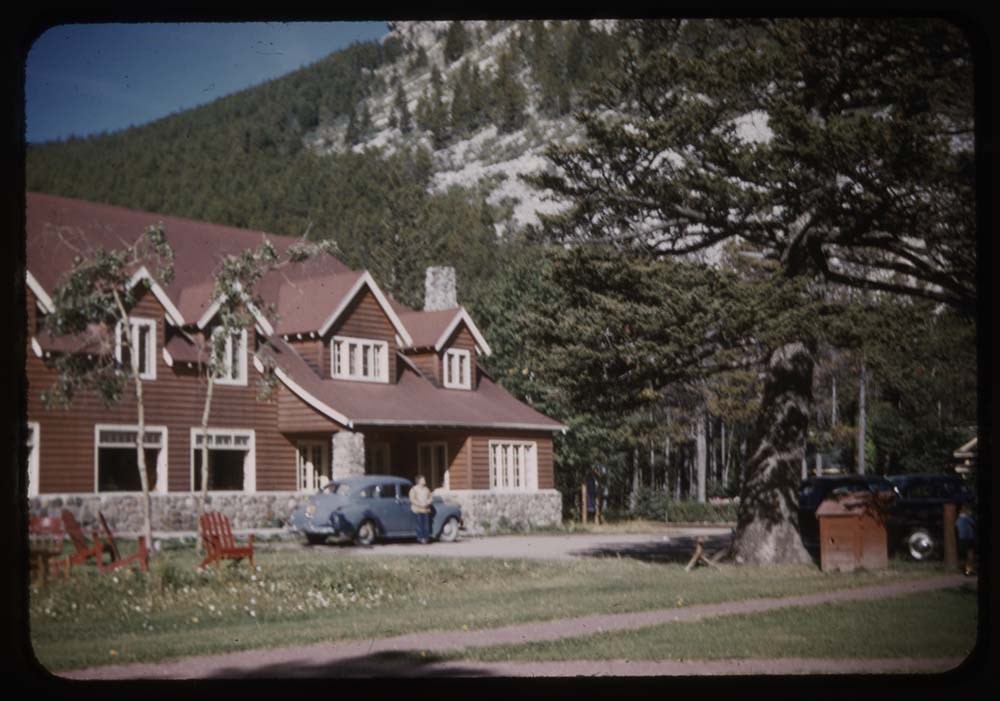
20. Kilmorey Lodge - Dodge and C.H.
21. Waterton from P of W. Hotel
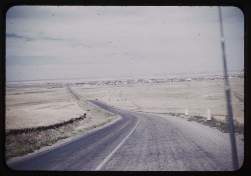
Reel 123 Oct 1947
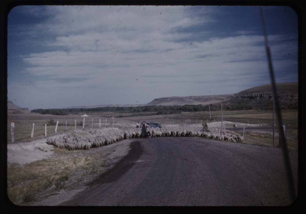
1. The road home
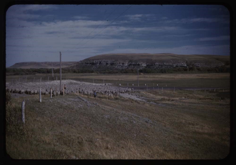
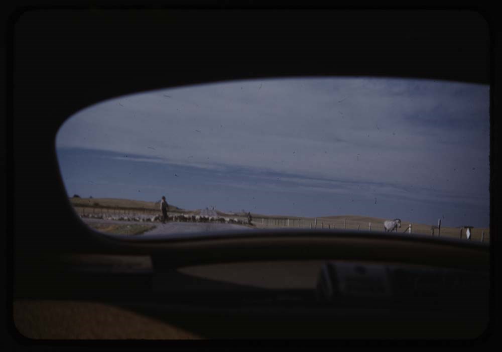
2. Sheep on road
3. Sheep moving off road
5. View out back of car - sheep
6. Giant Springs of great Falls, Mont.
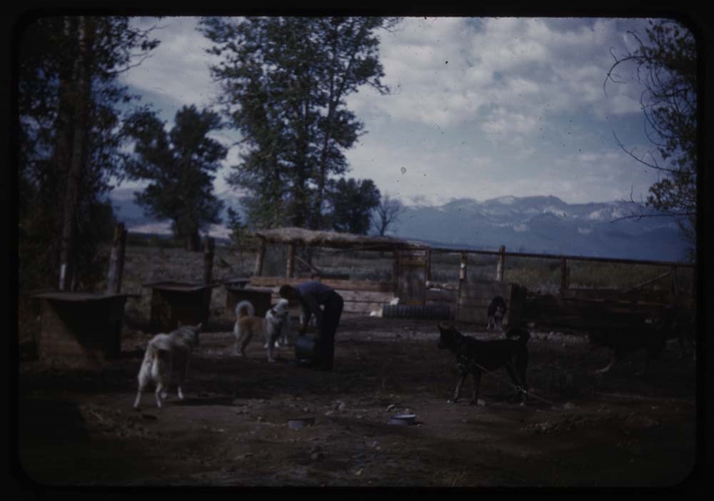
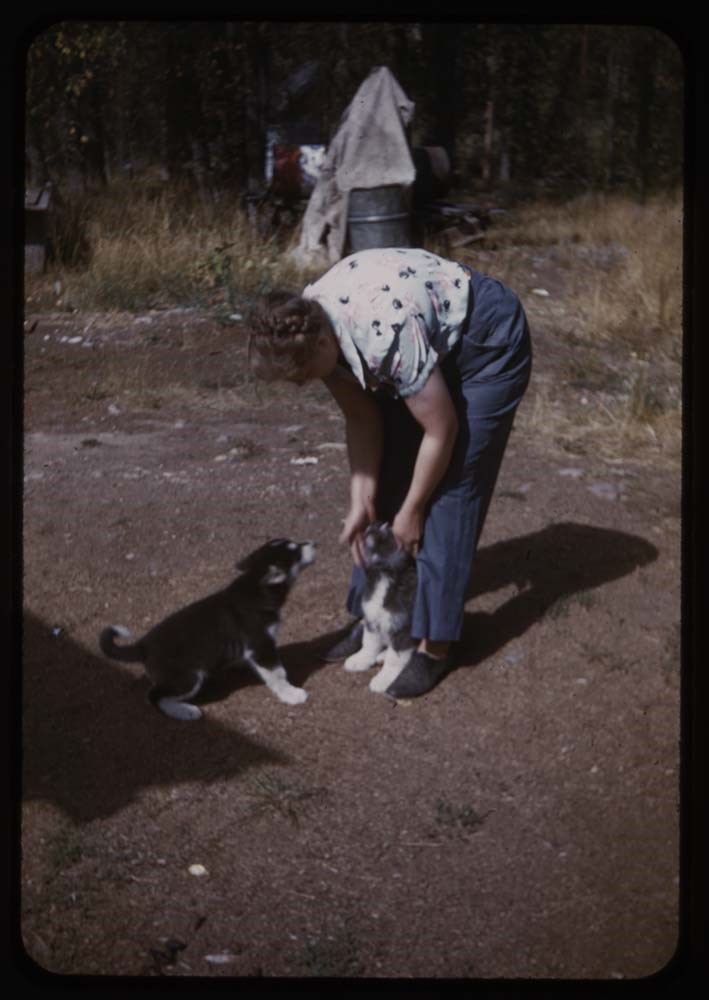
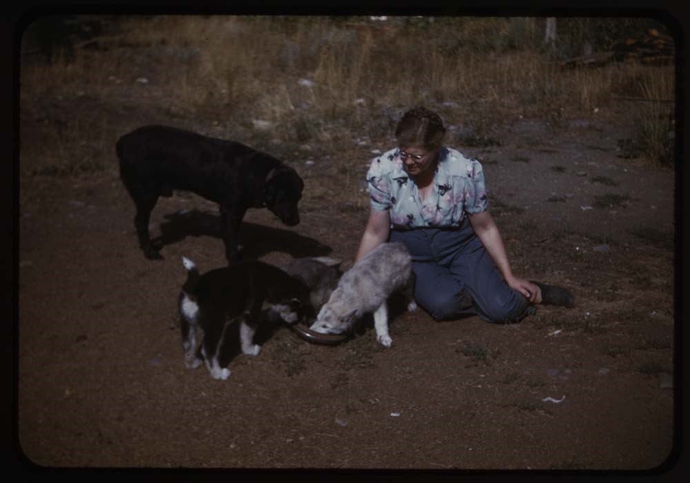
7. Feeding dogs at Rodman Ranch
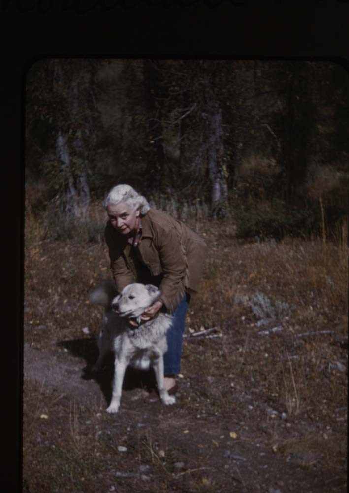
9. Mrs. Rodman and dog
10. Hayel and 2 pups - standing
11. Hayel sitting down and pups
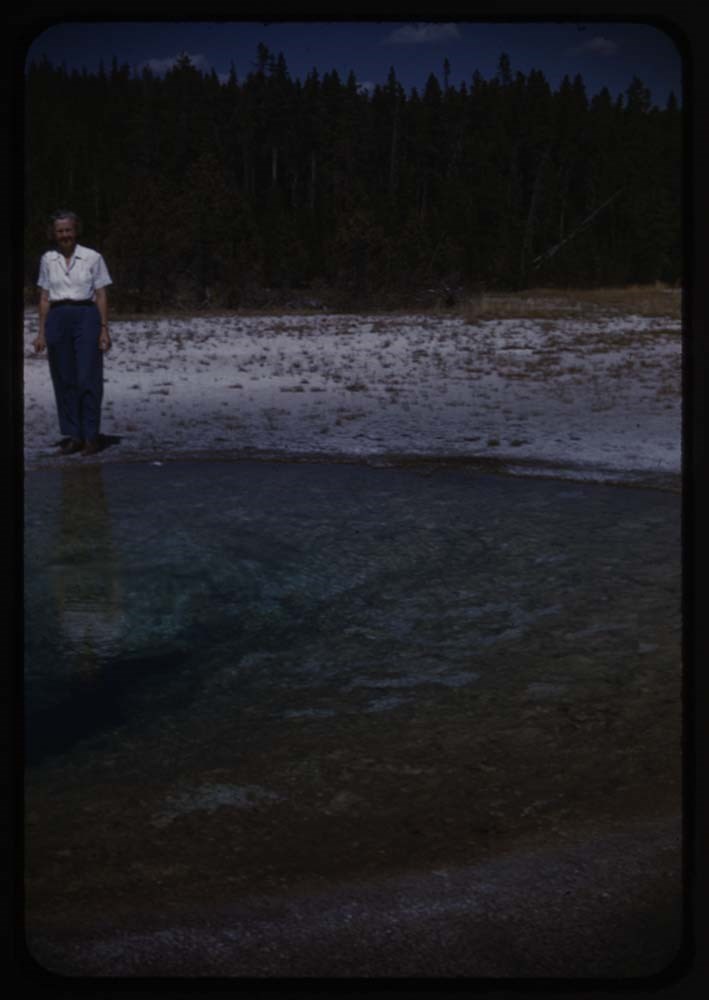
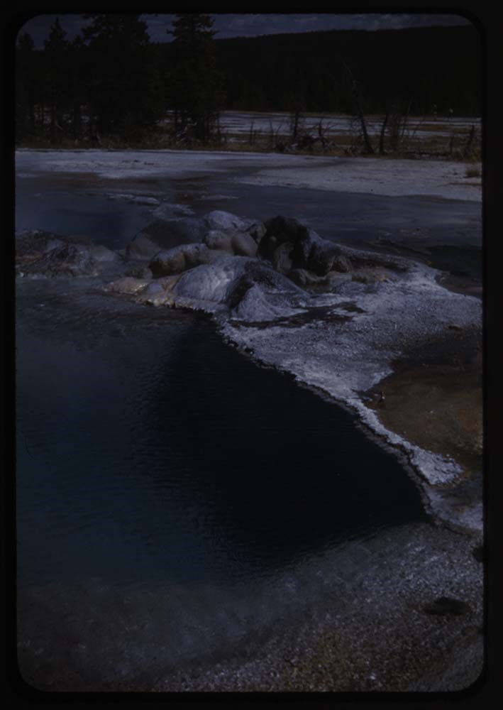
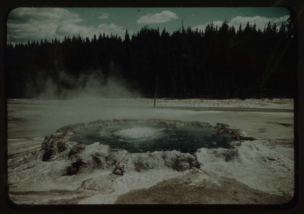
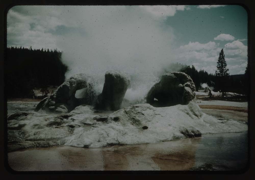
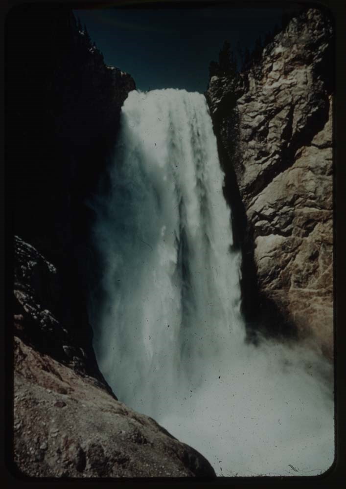
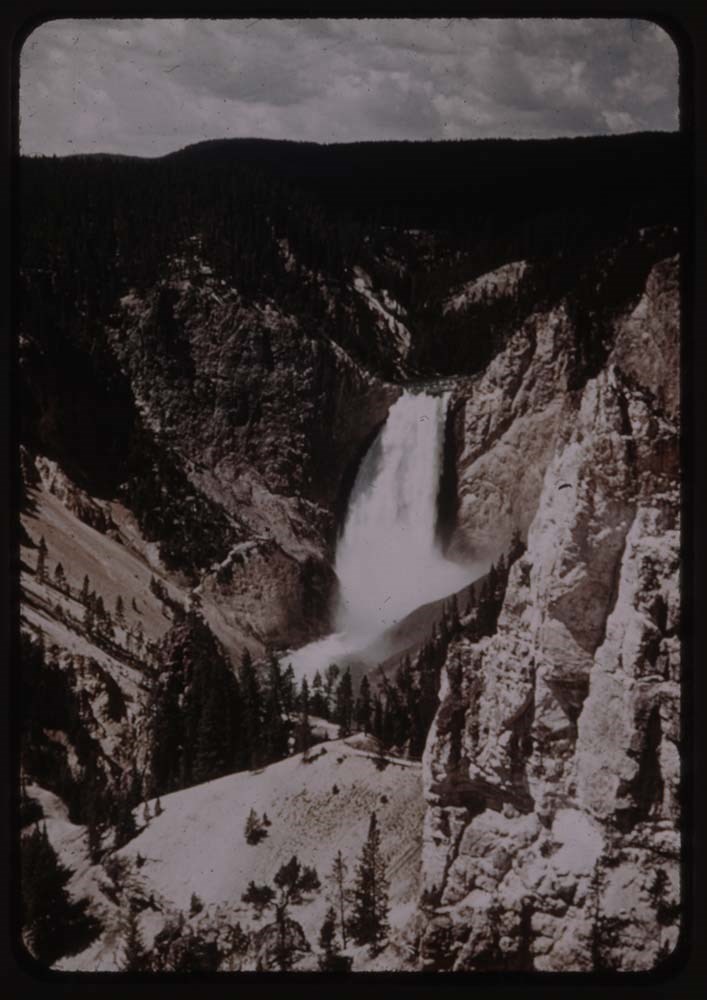
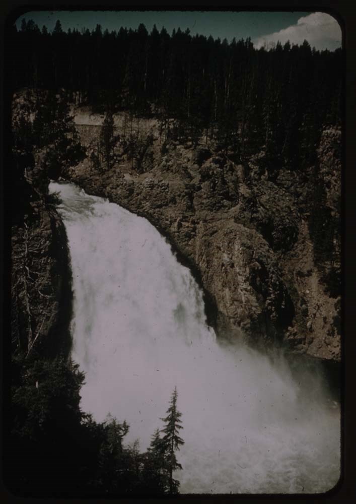
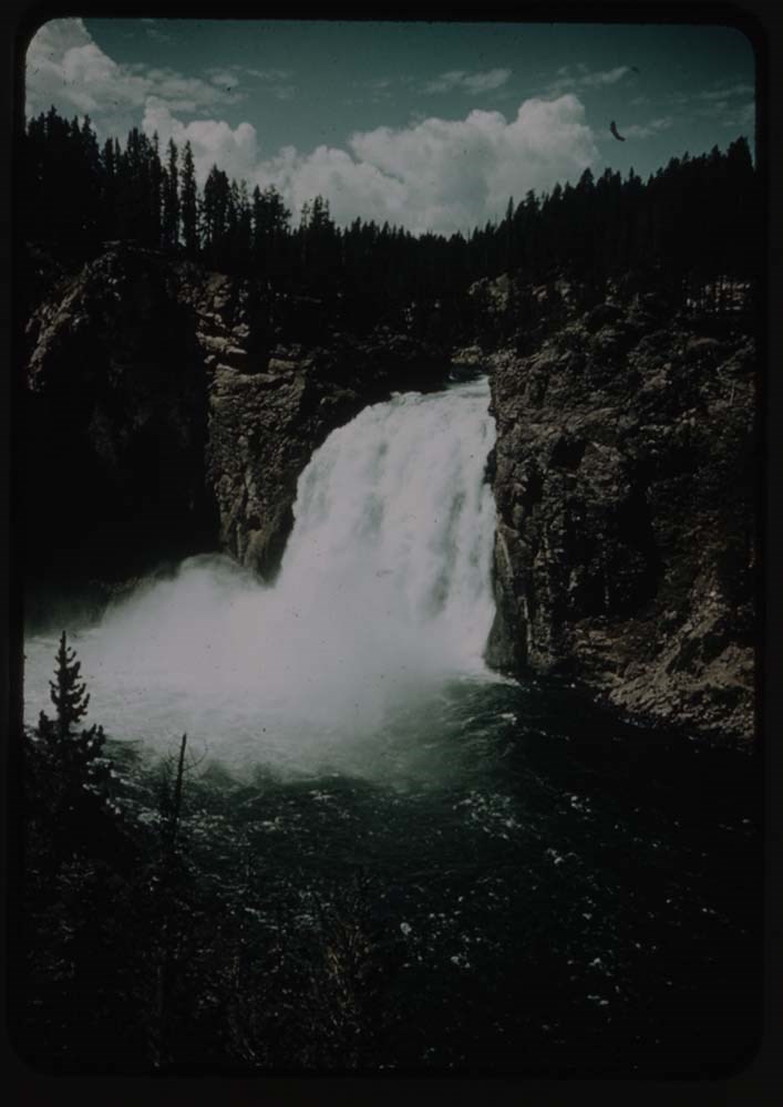
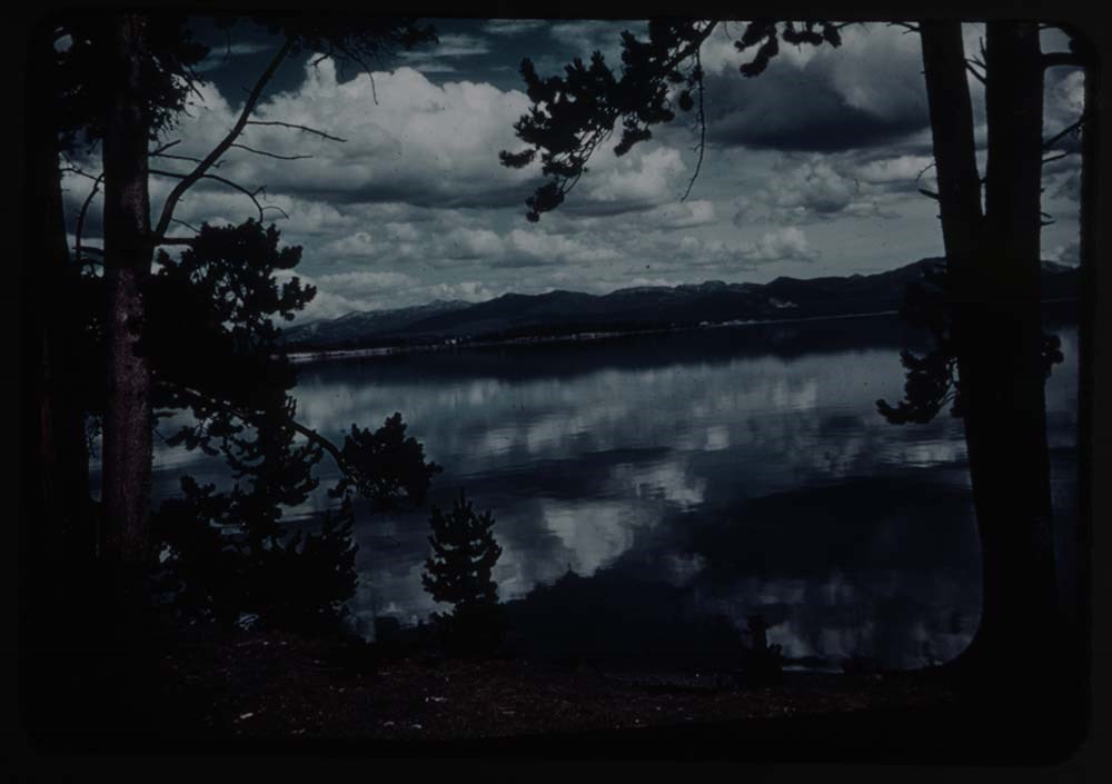
12. Yellowstone
13. Caroline near pool - Yellowstone
14. L.G. by pool
15. Yellowstone -
16. Old Faithful and circle of people
19. [Old Faithful] no people
21. [Old Faithful] and trees and road
Reel 124 Oct. 10 - 47
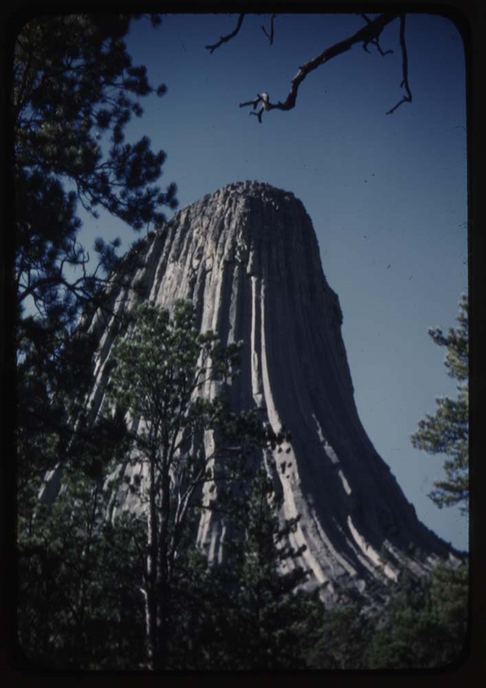
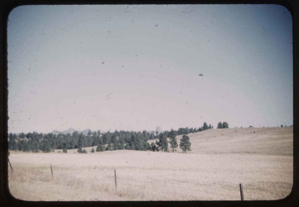
1. Durls Tower from foot on trail
2. [Durls Tower from foot on trail]
4. Blank
5. Durls Tower whole with trees
6. [Durls Tower] solid mass
7. [Durls Tower] fr. auto road
11. Grain fields and trees
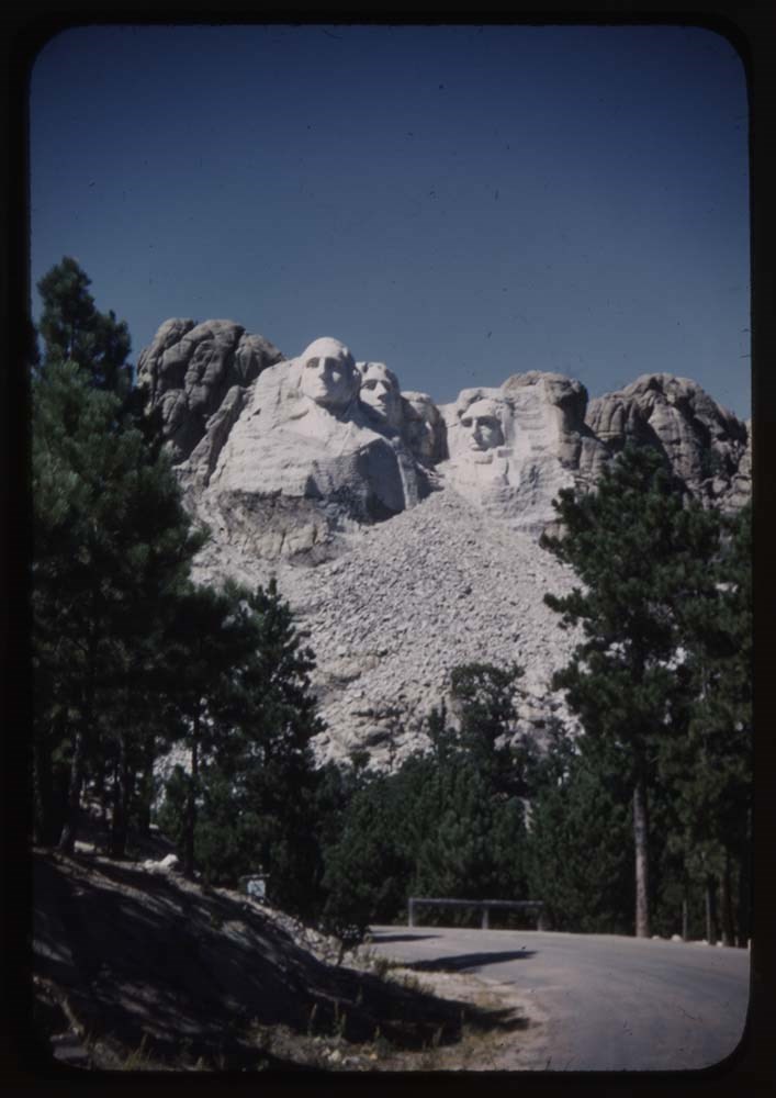
13. [Rushmore memorial]
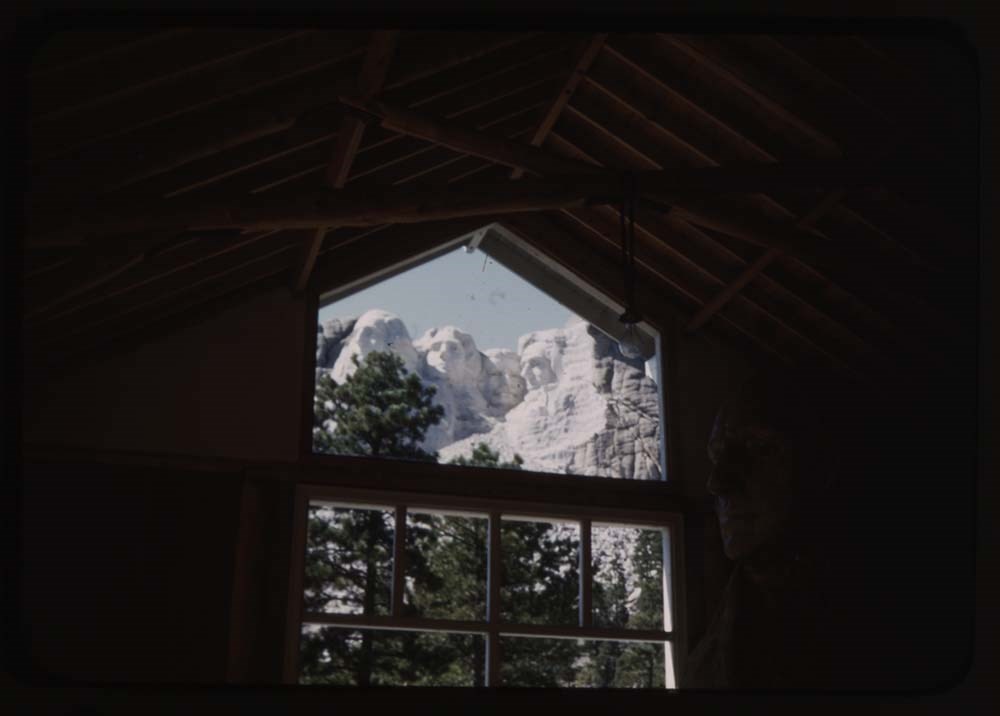
14. [Rushmore memorial] thru window
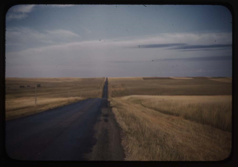
15. The road home - drive [illegible]
16. Wheat fields
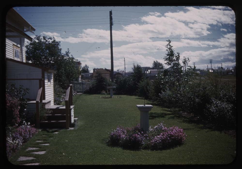
18. BHG. on enclosed porch
19. Enclosed porch BHG.
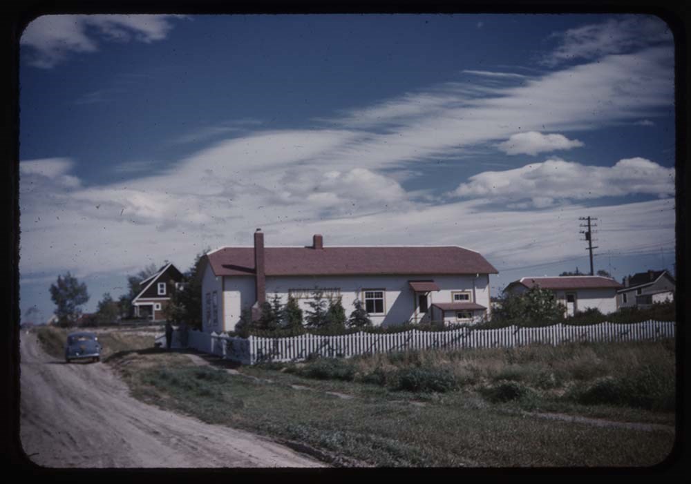
20. 650 Hayle[illegible] ave - good of house
21. Peace Rose
The last 10 slides [named 124a] depict sites around Yellowstone National Park and were most likely purchased by Lillian Gest while visiting the park. The slides' matting paper states they were manufactured by the park and all are wrapped in a thin plastic sleeve.
Notes
Slide numbering kept as originally organized, see SL I for more information (M67 / II / C / i / a / 51 - 1).
Please note: titles listed below are only those located in this box. Some others have been romved from their original order for use in slide shows made by Lillian Gest prior to accession. Please see related material notebook SL I for full title lists.
R112 - not numbered slides ; 12 omitted
R113 - not numbered slides
R114 - not numbered slides
Stereographs are photographs of the same subject taken from slightly different angles. These photos, displayed side by side in a stereoscope, would be viewed at close range, forcing the eye to overlay the two photos to create a 3D effect.
Stereoscopes could be hand held or mounted to a table or other surface. Stereographs could be made with a single camera, moved slightly from the first image taken; specialized dual-lens cameras streamlined the process.
Stereographs can be made with precious metals, glass, paper, and celluloid bases with any kind of photographic process.
Scope & Content
File consists of glass stereo transparencies depicting Grand Canyon scenic views, mountains, wildlife, and horse rides.
Notes
Box 2/3
[199 - 291] Grand Canyon trip [McAleeman photographer?]
Slides scanned prior to cleaning
Replace/repair binding tape where needed.
Finding Aid
Inventory available for V577/PS - 1 to 197
Biographical Source Notes
Mark Osterman, "Introduction to Photographic Equipment, Processes, and Definitions of the 19th Century," Focal Encyclopedia of Photography 4th edition, pg. 116.
File consists of glass stereo transparencies depicting Rocky Mountain and Grand Canyon scenic views, mountains, wildlife, and horse rides. Includes Bow Valley, Banff, Assiniboine, Bow Lake, and surrounding areas ; Grand Canyon and surrounding areas.
Slides are a mix of colour and black & white phot…
141 photographs : b&w and col. slides ; 17.7 cm x 12.6 m
History / Biographical
Stereographs are photographs of the same subject taken from slightly different angles. These photos, displayed side by side in a stereoscope, would be viewed at close range, forcing the eye to overlay the two photos to create a 3D effect.
Stereoscopes could be hand held or mounted to a table or other surface. Stereographs could be made with a single camera, moved slightly from the first image taken; specialized dual-lens cameras streamlined the process.
Stereographs can be made with precious metals, glass, paper, and celluloid bases with any kind of photographic process.
Scope & Content
File consists of glass stereo transparencies depicting Rocky Mountain and Grand Canyon scenic views, mountains, wildlife, and horse rides. Includes Bow Valley, Banff, Assiniboine, Bow Lake, and surrounding areas ; Grand Canyon and surrounding areas.
Slides are a mix of colour and black & white photographs; all colour photographs are Autochrome slides.
Notes
Box 2/3
[151] Mt. Rundle from Bow River
[152] Brazeau Lake
[153] Group of riders resing near Upper Waterfowl Lake and Mount Chephren
[154] Auto on [Banff - Castle road]
[155] Man packing horse
[156] Camp site with flytent
[157] Man on horse
[158] Group standing around fire
[159] Men and packhorses on snow covered slope
[160] Men and packhorses
[161] Packtrain at Nigel Pass
[162] Packhorses fording the North Saskatchewan River
[163] Packhorses in burn area at Lake Louise
[164] Packtrain along stream
[165] Packtrain in Jonas Pass area
[166] Mount Murchison
[167] Unidentified man on horse
[168] Bow Valley - east of Banff, Tunnel Mountain
[169] Nigel Pass from the east
[170] Locomotive in shops
[171] Mule deer along railroad tracks west of Banff
[172] Bow River below Bow Falls
[173] Pack train at Bow Summit
[174] Unidentified dam under construction
[175] Unidentified dam under construction
[176] Unidentified dam under construction
[177] Unidentified dam under construction
[178] Unidentified mountain taken during trip to Red Earth Creek with Joe Woodworth [Mt. Ball?]
[179] Unditentified mountain
[180] Unidentified mountain
[181] Brazeau Glacier area
[182] Bow Glacier
[183] Bow Lake
[184] Unidentified mountain scene
[185] [Mount Assiniboine from the south?]
[186] Mount Assiniboine with tipi in the foreground
[187] Mount Assiniboine
[188] Mount Assiniboine from Og Lake
[189] Wonder Peak - Mount Assiniboine area
[190] Mount Assiniboine area
[191] Mount Assiniboine area
[192] Jimmy Simpson and horse in Mount Assiniboine area
[193] Mount Assiniboine area
[194] Mount Assiniboine area
[195] Mount Assiniboine area
[196] Mount Assiniboine area
[197] Mount Assiniboine area
[198] Mount Assiniboine
Slides scanned prior to cleaning
Replace/repair binding tape where needed.
Finding Aid
Inventory available for V577/PS - 1 to 197
Biographical Source Notes
Mark Osterman, "Introduction to Photographic Equipment, Processes, and Definitions of the 19th Century," Focal Encyclopedia of Photography 4th edition, pg. 116.
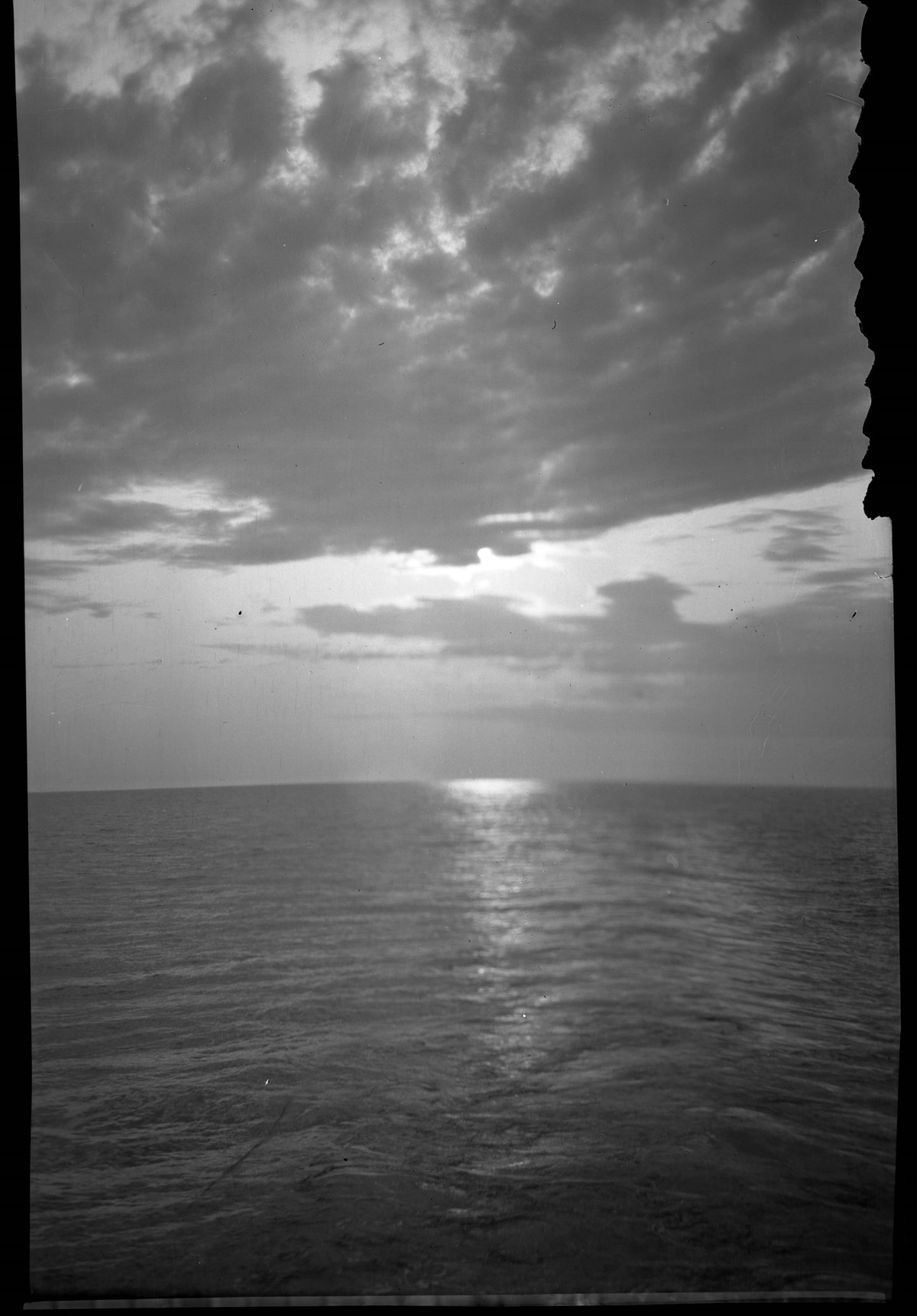
File consists of glass stereo transparencies depicting Grand Canyon scenic views, camping, horse riding. Also includes scenes of fishing at sea, boats, coastlines, and various fishing boats.
Stereographs are photographs of the same subject taken from slightly different angles. These photos, displayed side by side in a stereoscope, would be viewed at close range, forcing the eye to overlay the two photos to create a 3D effect.
Stereoscopes could be hand held or mounted to a table or other surface. Stereographs could be made with a single camera, moved slightly from the first image taken; specialized dual-lens cameras streamlined the process.
Stereographs can be made with precious metals, glass, paper, and celluloid bases with any kind of photographic process.
Scope & Content
File consists of glass stereo transparencies depicting Grand Canyon scenic views, camping, horse riding. Also includes scenes of fishing at sea, boats, coastlines, and various fishing boats.
Notes
Box 3/3
[292 - 305] Grand Canyon Trip
[306 - 366] At Sea [McAleenan photographer?]
Mark Osterman, "Introduction to Photographic Equipment, Processes, and Definitions of the 19th Century," Focal Encyclopedia of Photography 4th edition, pg. 116.
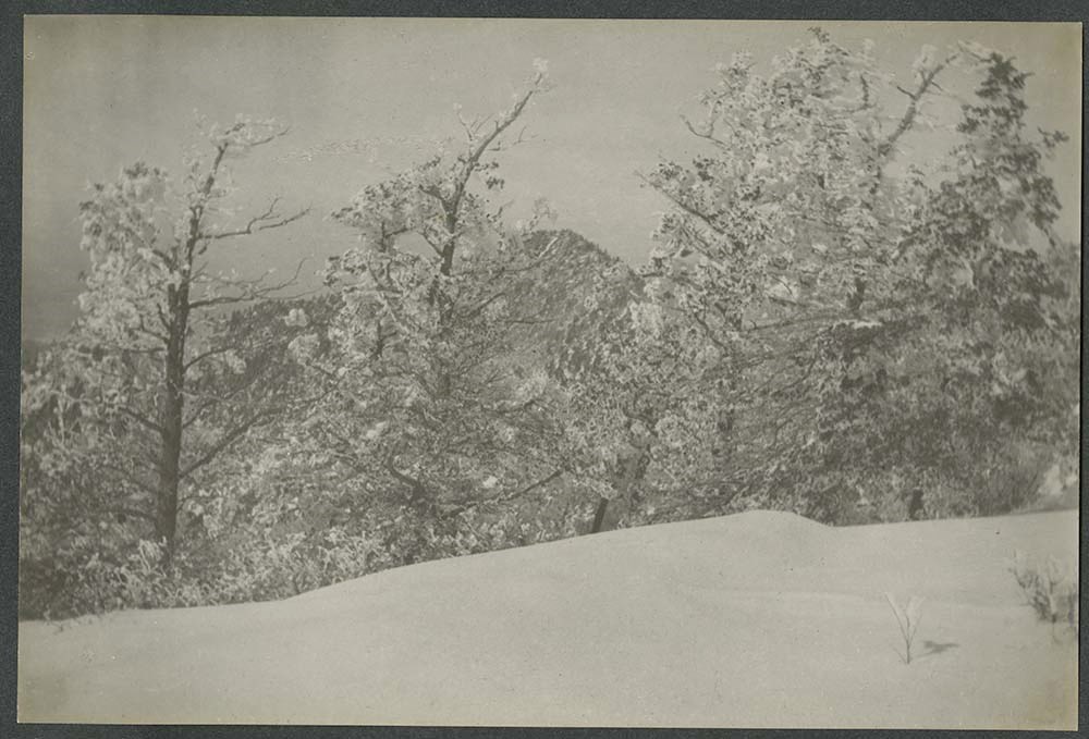
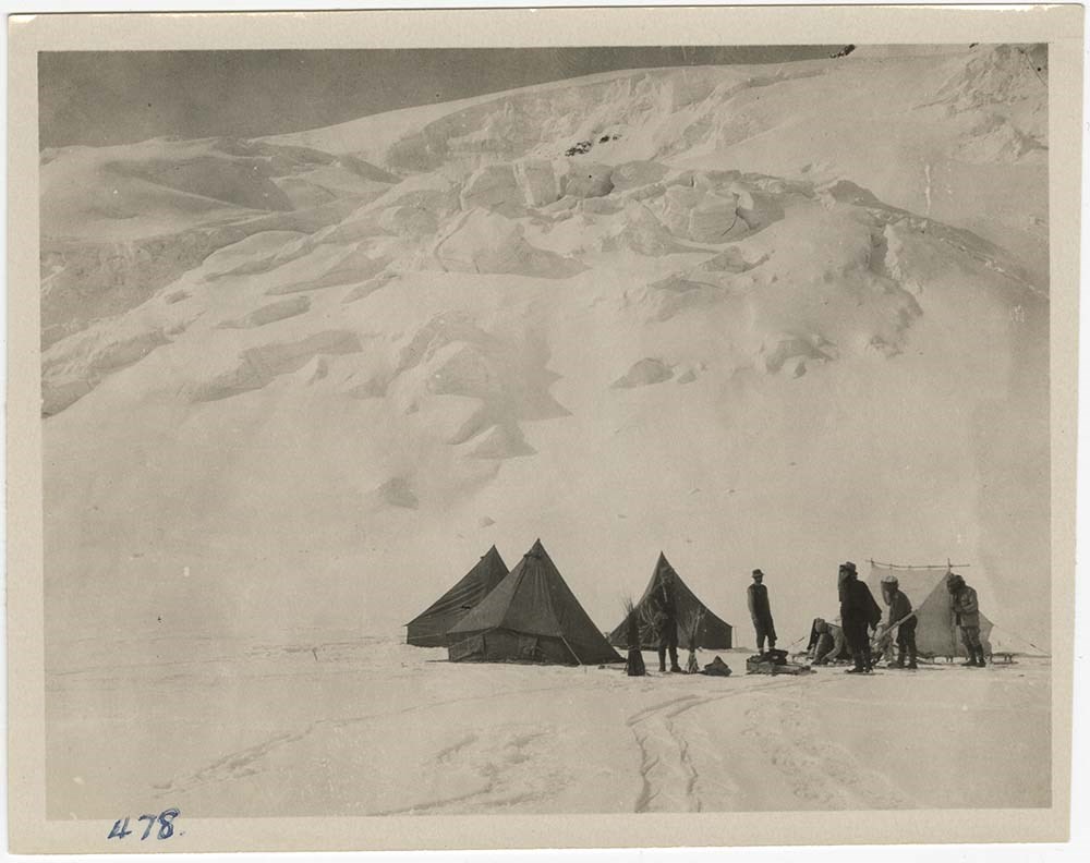
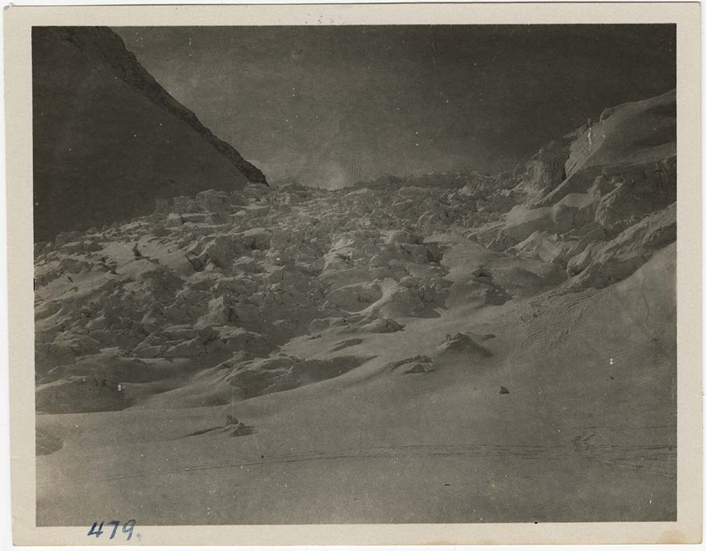
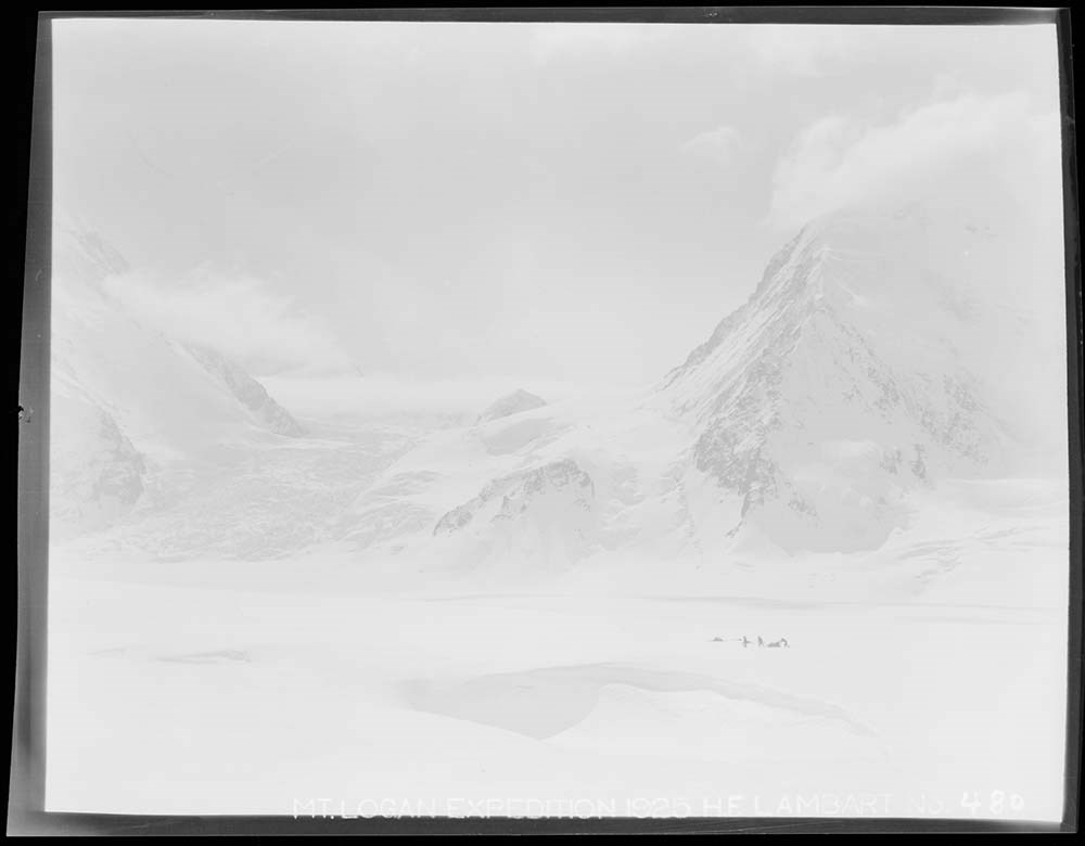
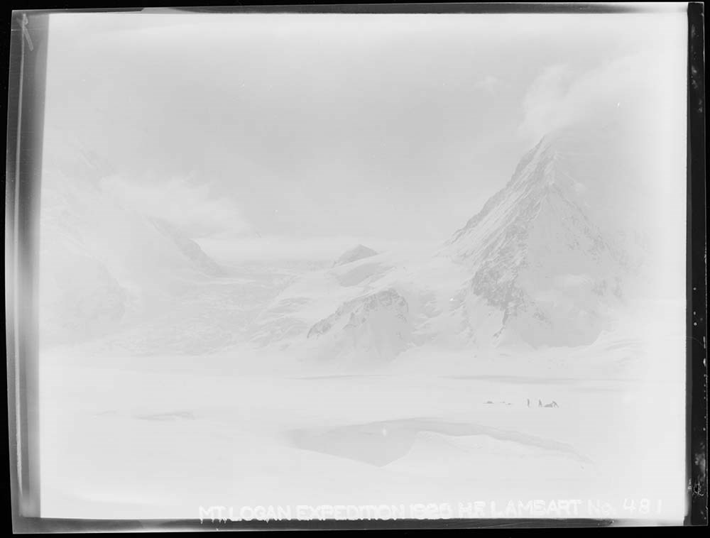
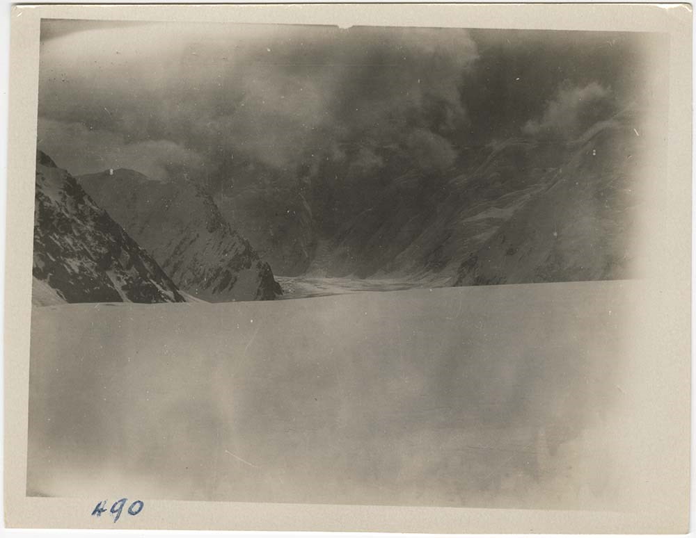
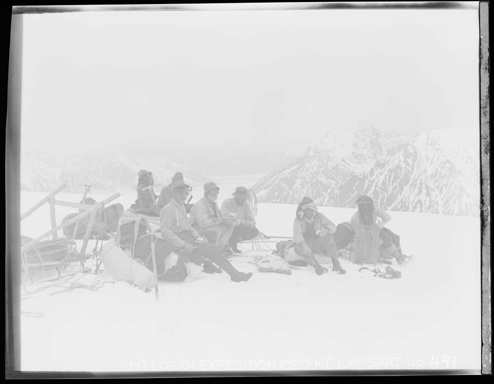
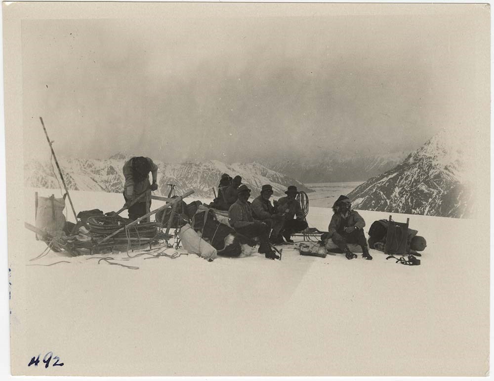
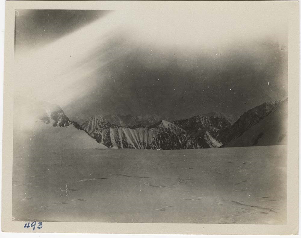
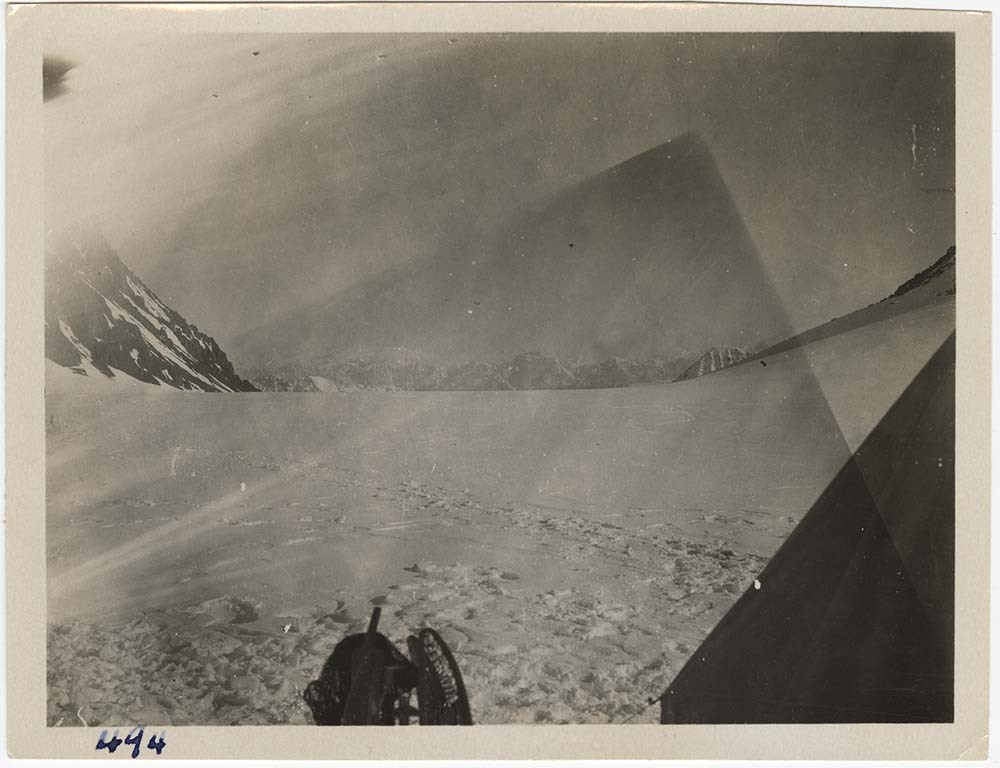
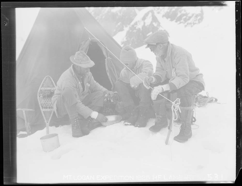
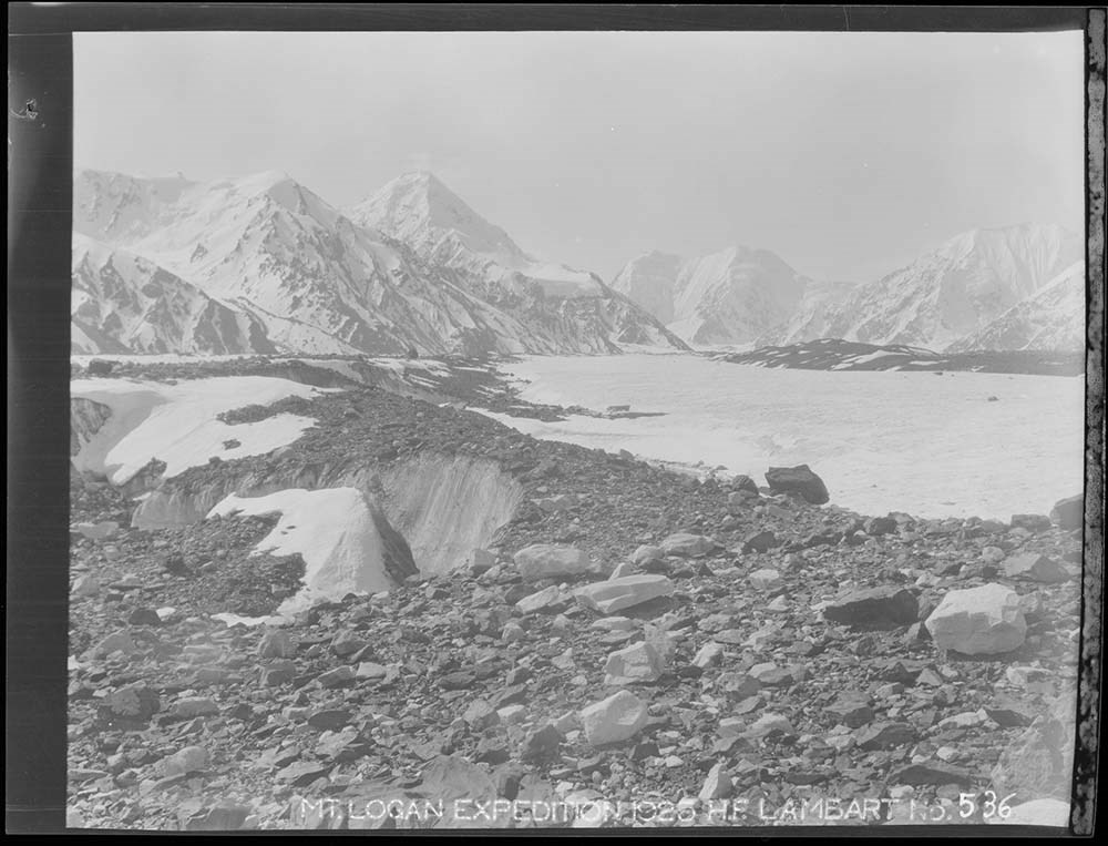
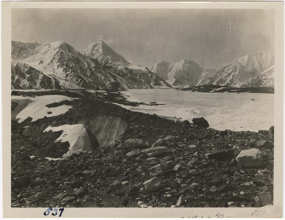
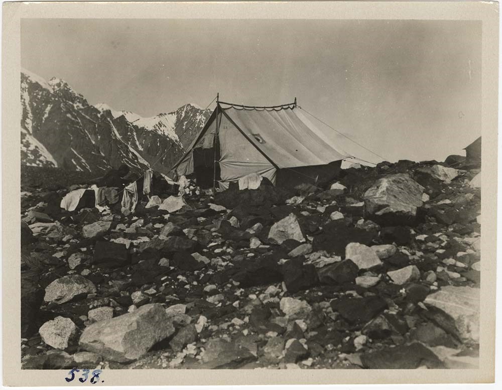
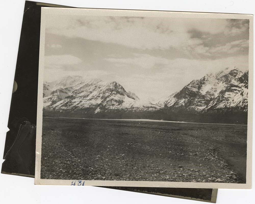
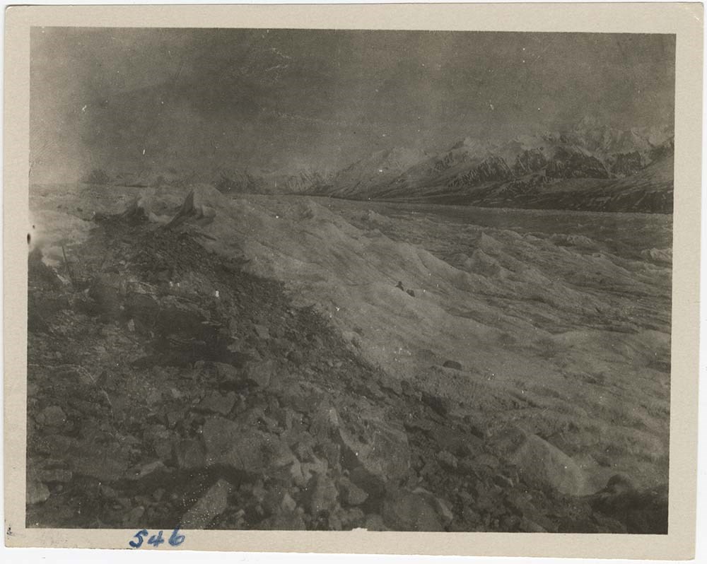
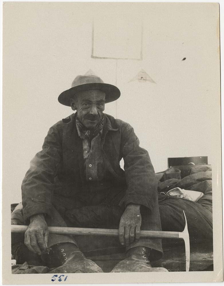
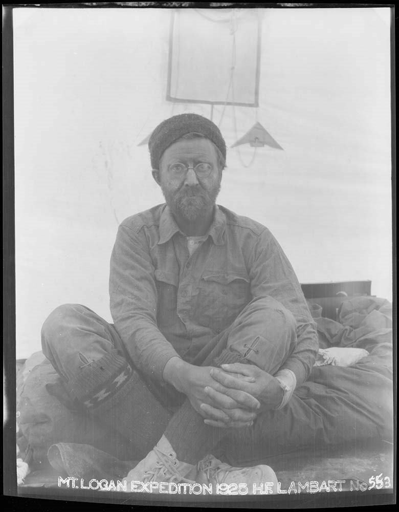
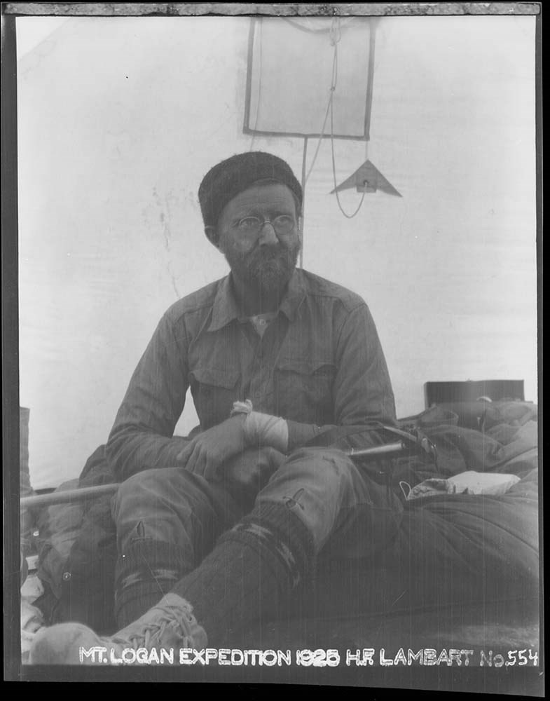
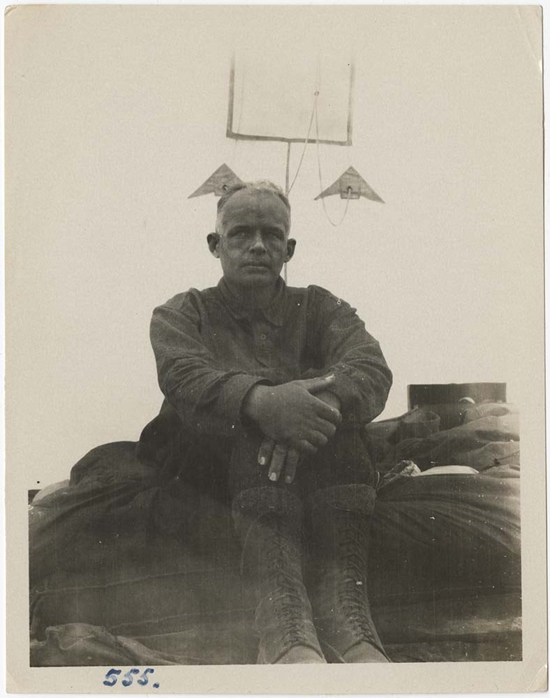
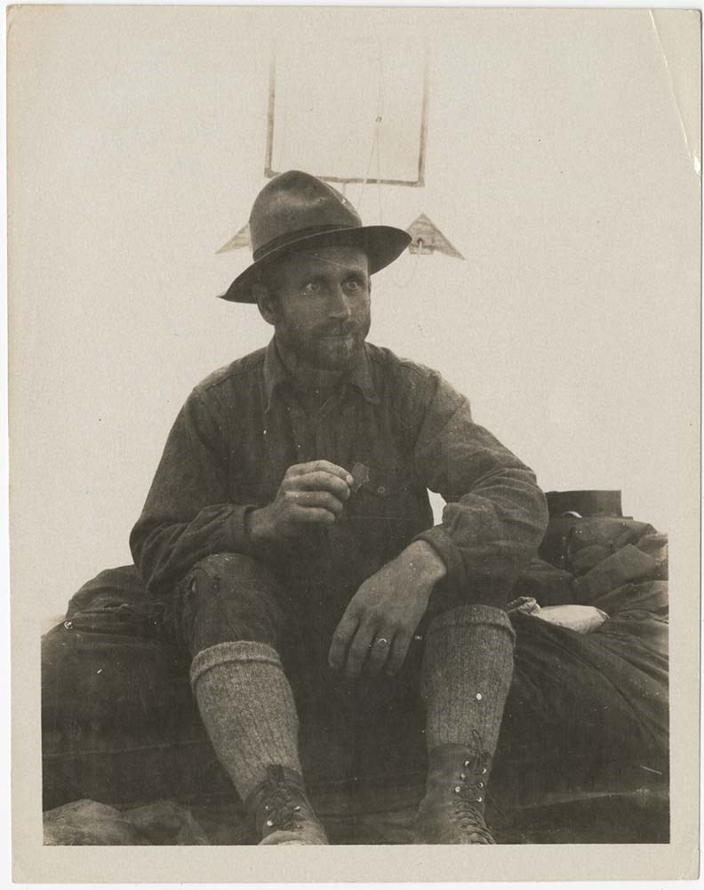
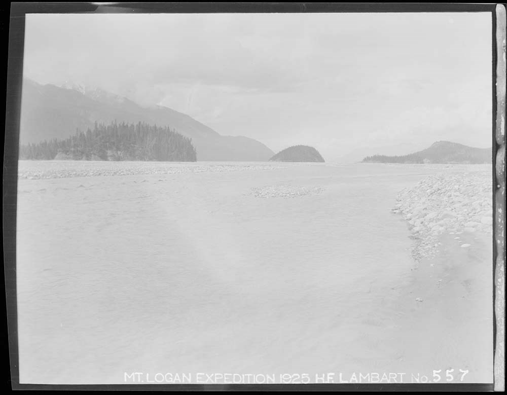
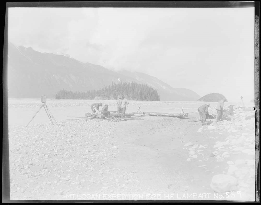
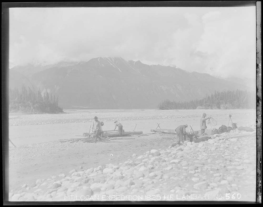
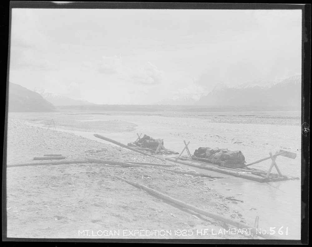
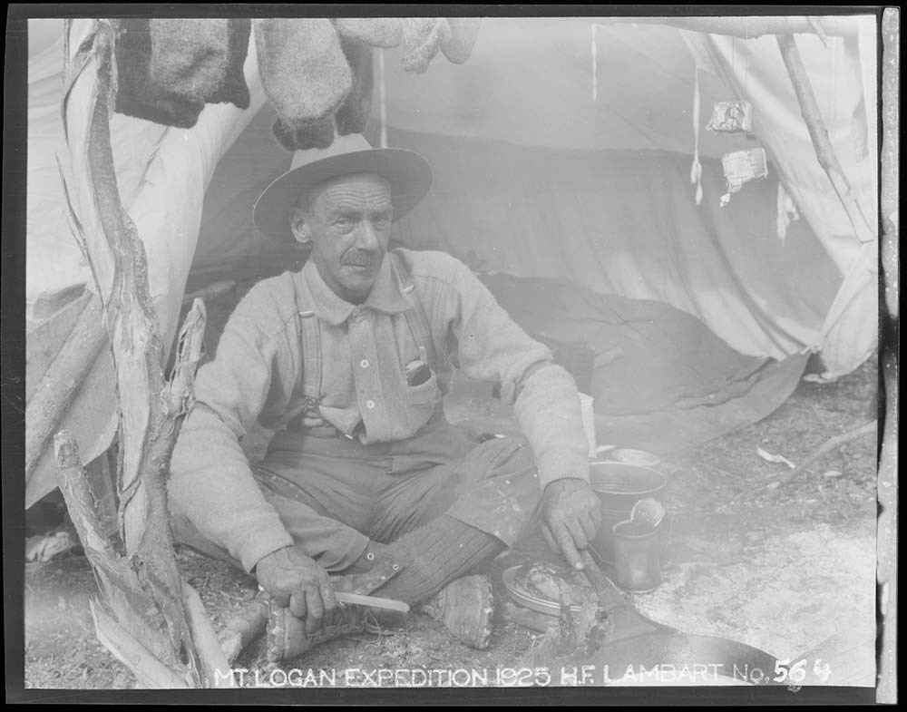
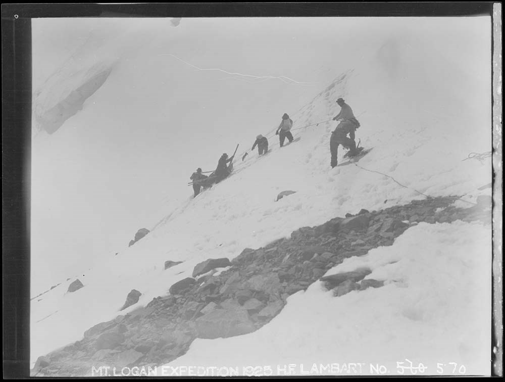
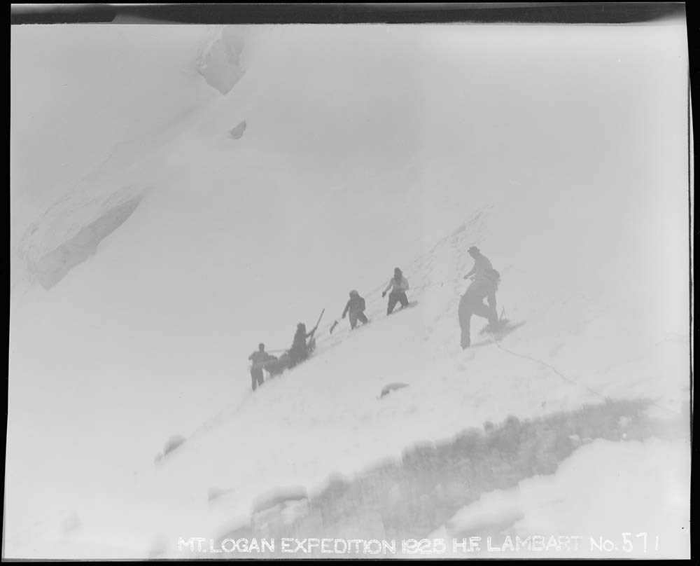
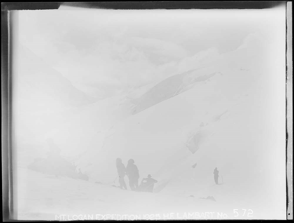
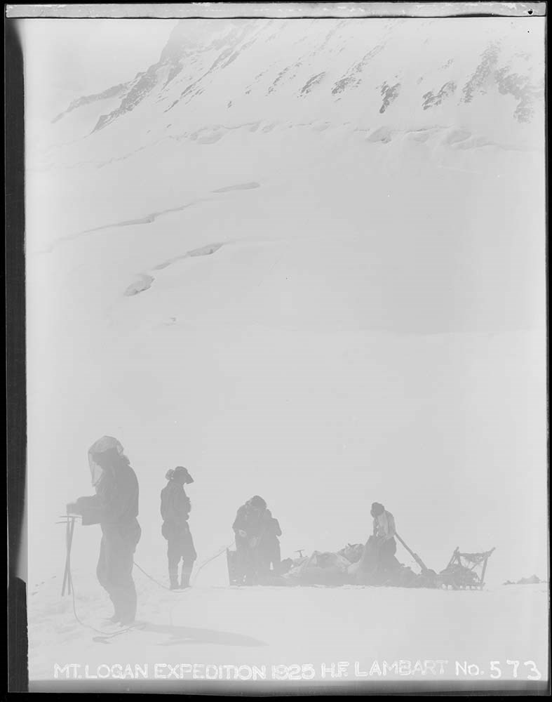
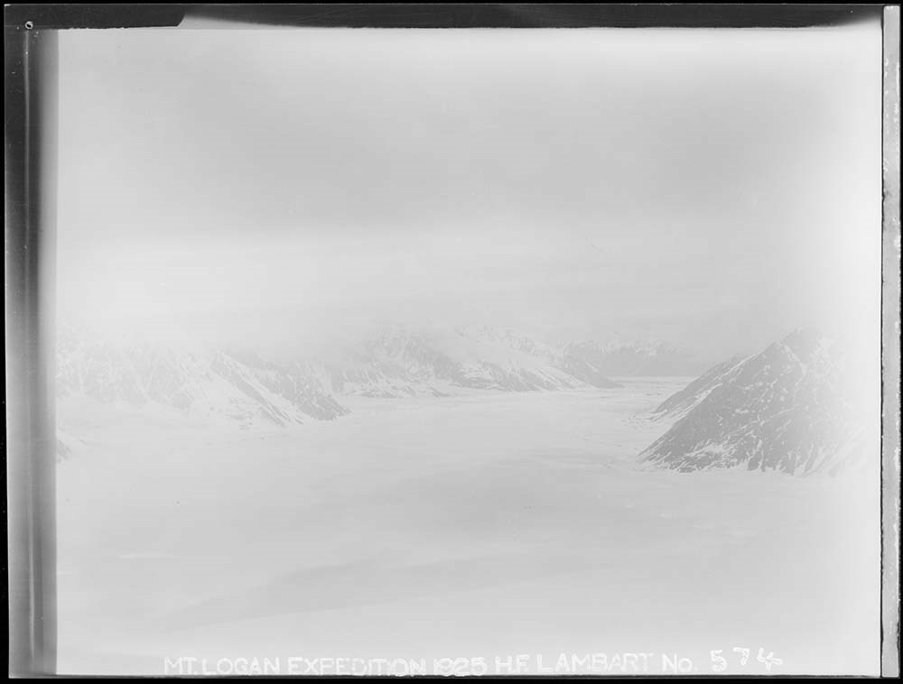
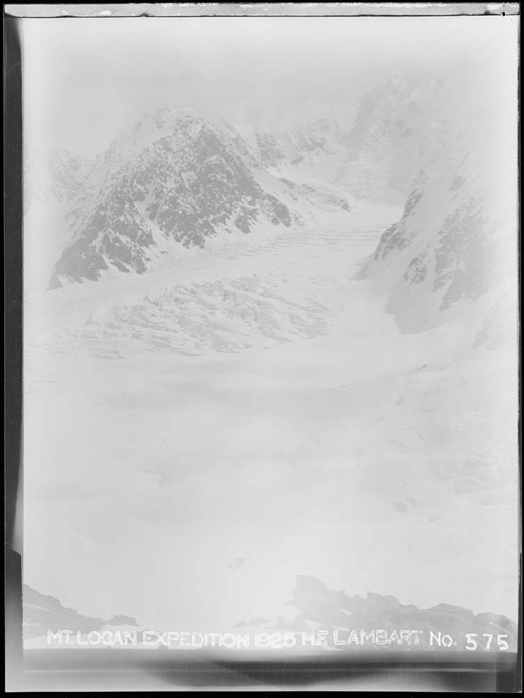
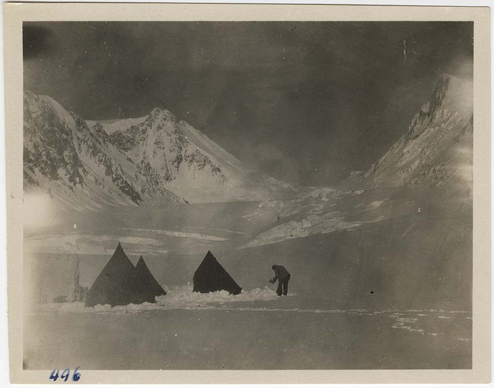
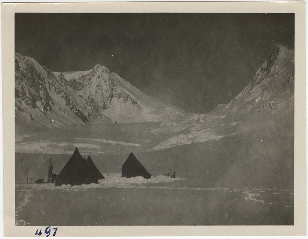
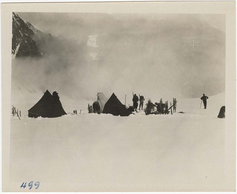
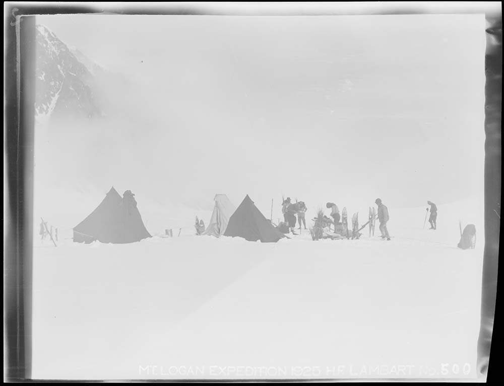
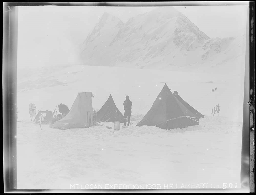
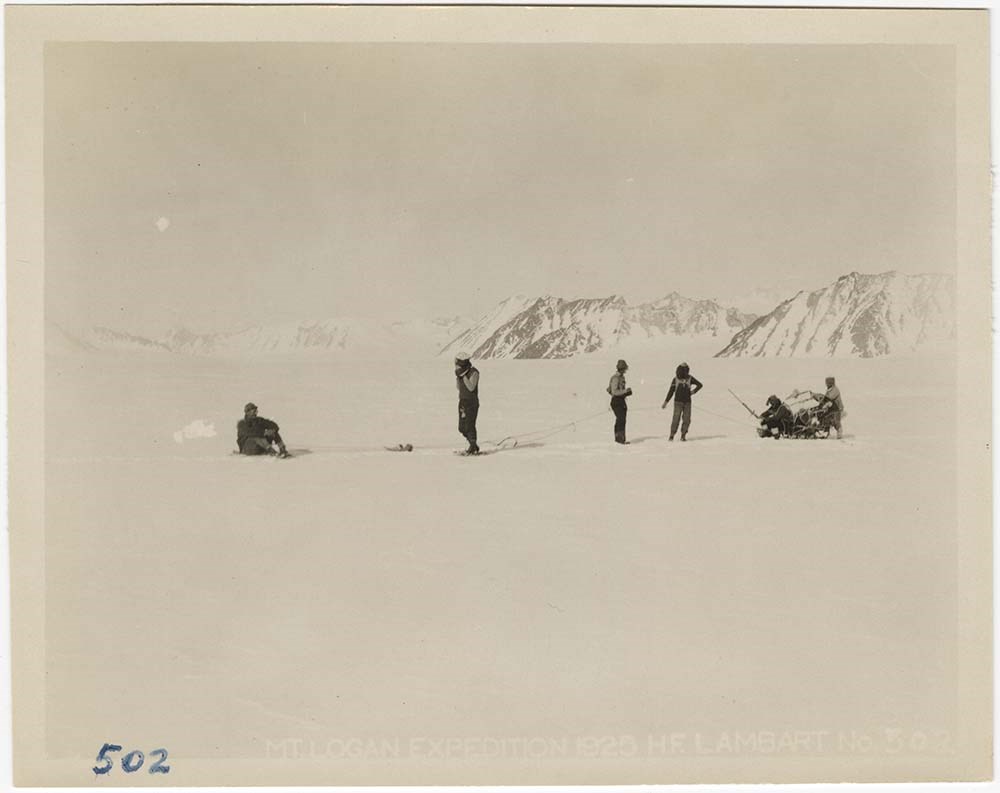
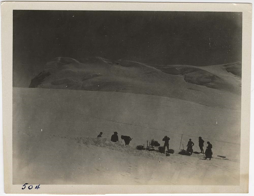
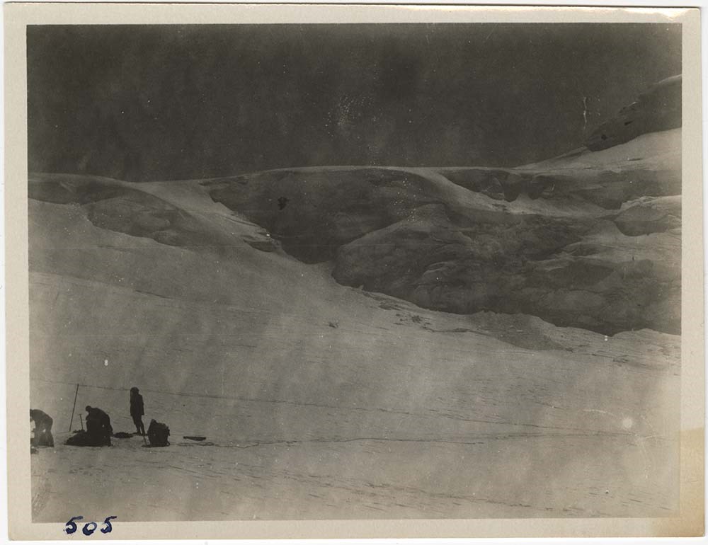
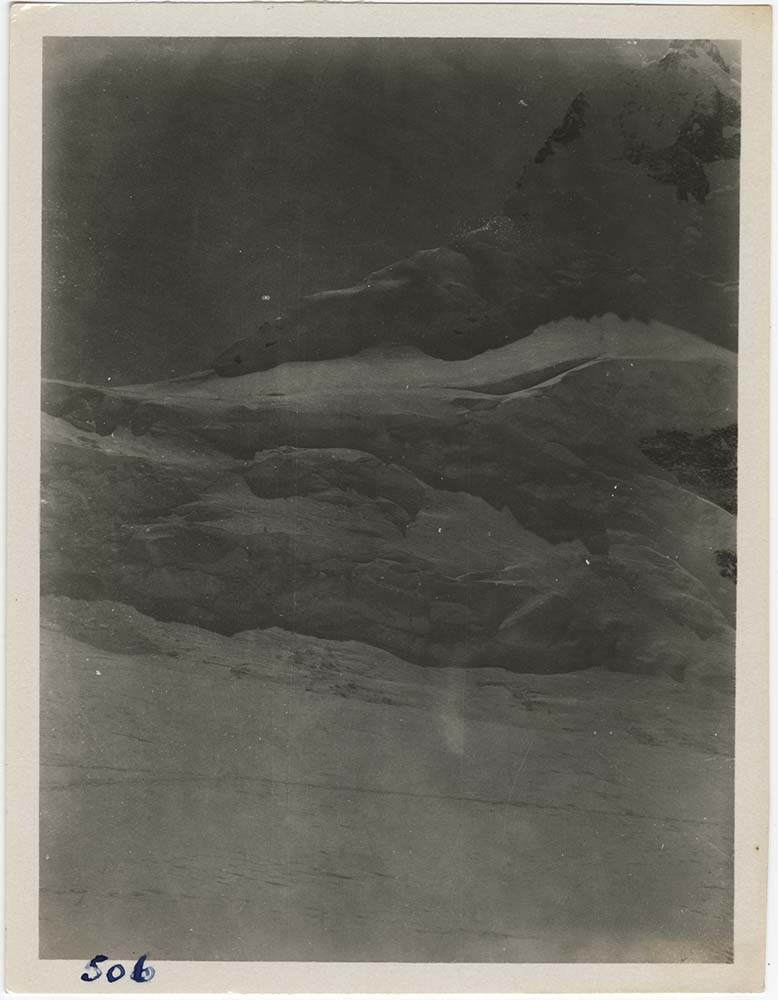
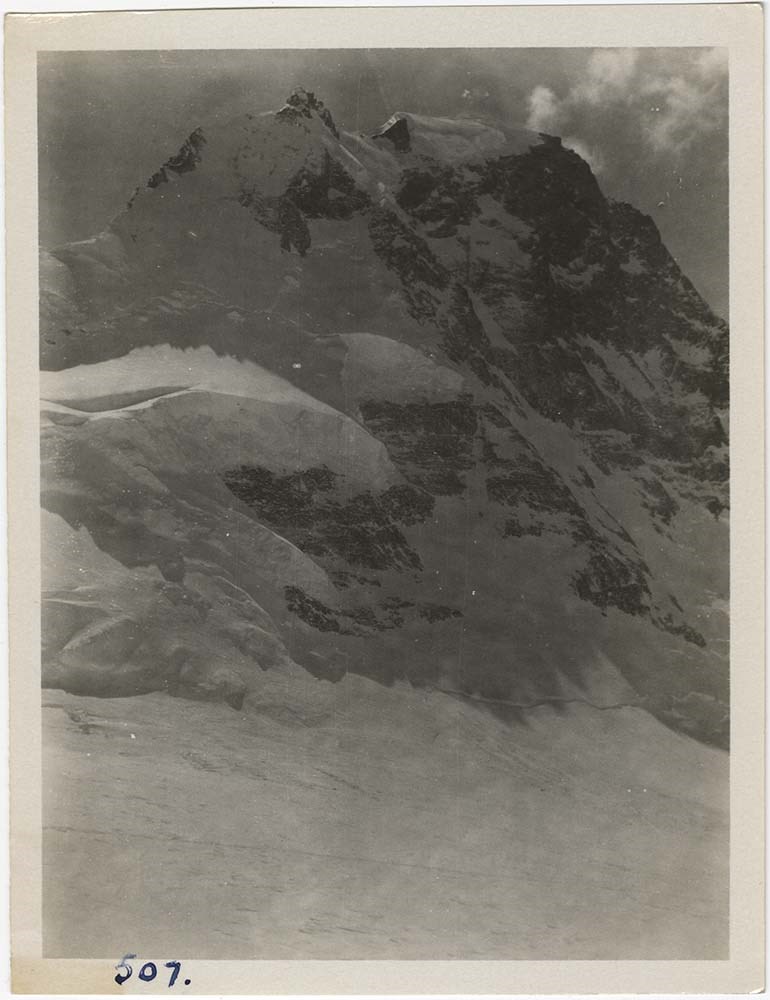
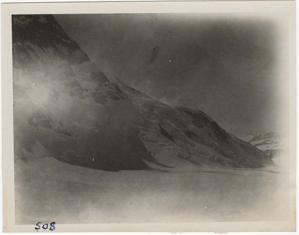
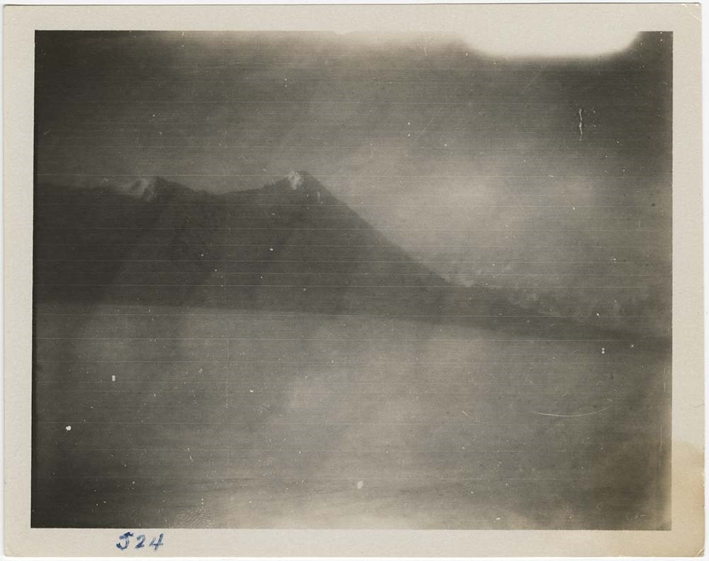
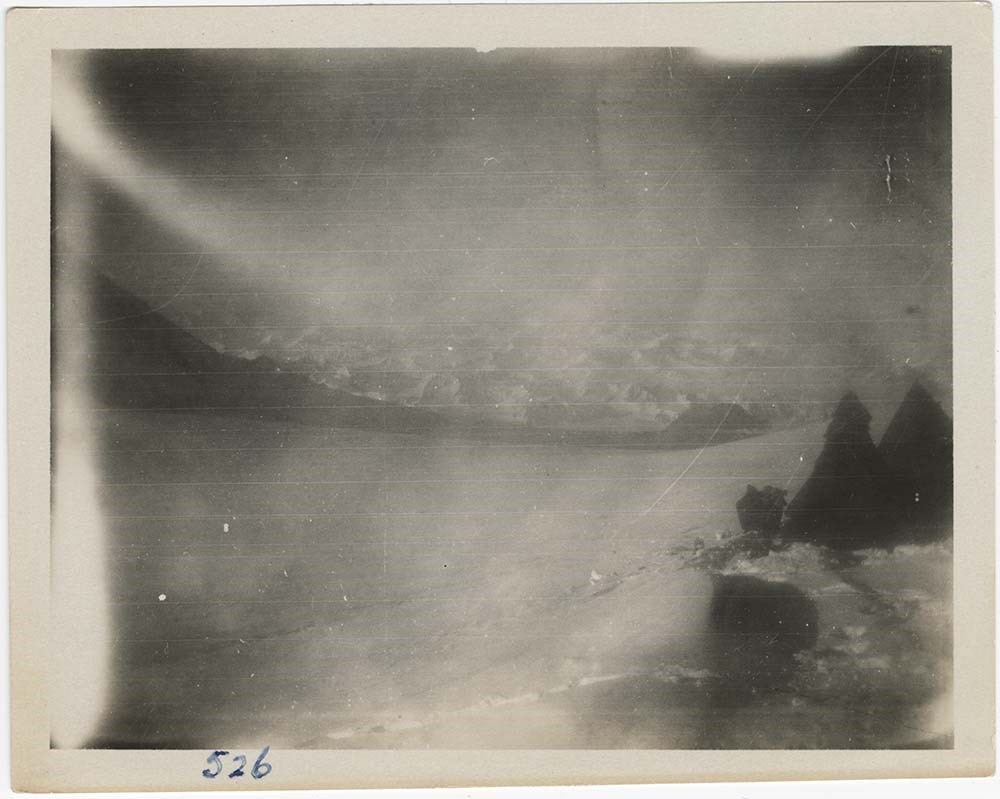
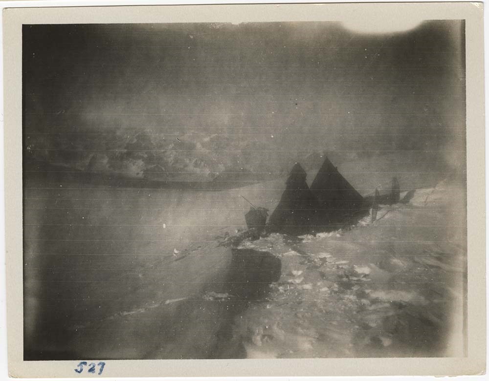
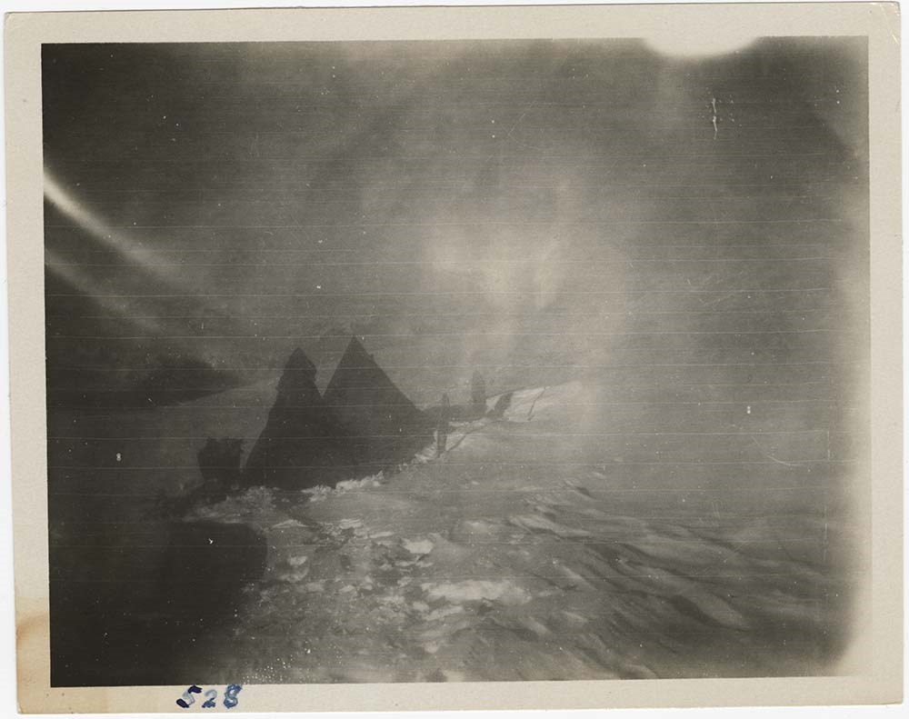
File pertains to photographs - mostly prints, also negatives and one glass slide - of the Mount Logan Expedition of 1925. Photographs of the Mount Logan Expedition were mainly produced by H. F. Lambart; also some by A. H. MacCarthy. All images are housed in the original brown envelopes used by the …
190 photographs (123 prints : b&w ; 12 x 7.5 cm - 66 negatives : b&w nitrate negatives ; 12 x 7.5 cm - 1 slides : b&w slides ; large format)
Scope & Content
File pertains to photographs - mostly prints, also negatives and one glass slide - of the Mount Logan Expedition of 1925. Photographs of the Mount Logan Expedition were mainly produced by H. F. Lambart; also some by A. H. MacCarthy. All images are housed in the original brown envelopes used by the ACC and contain typed notes on the exteriors.
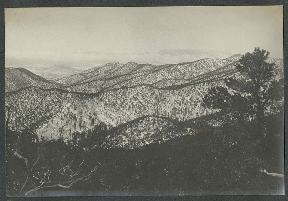
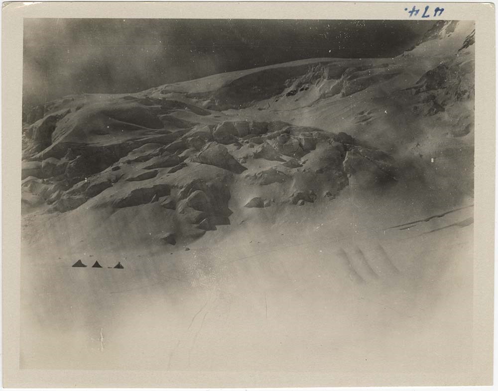
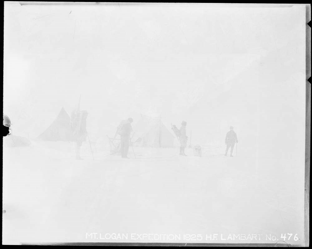
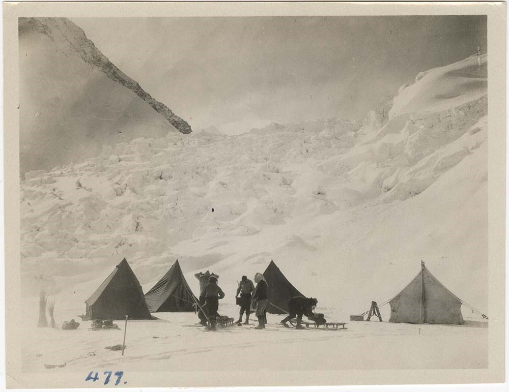
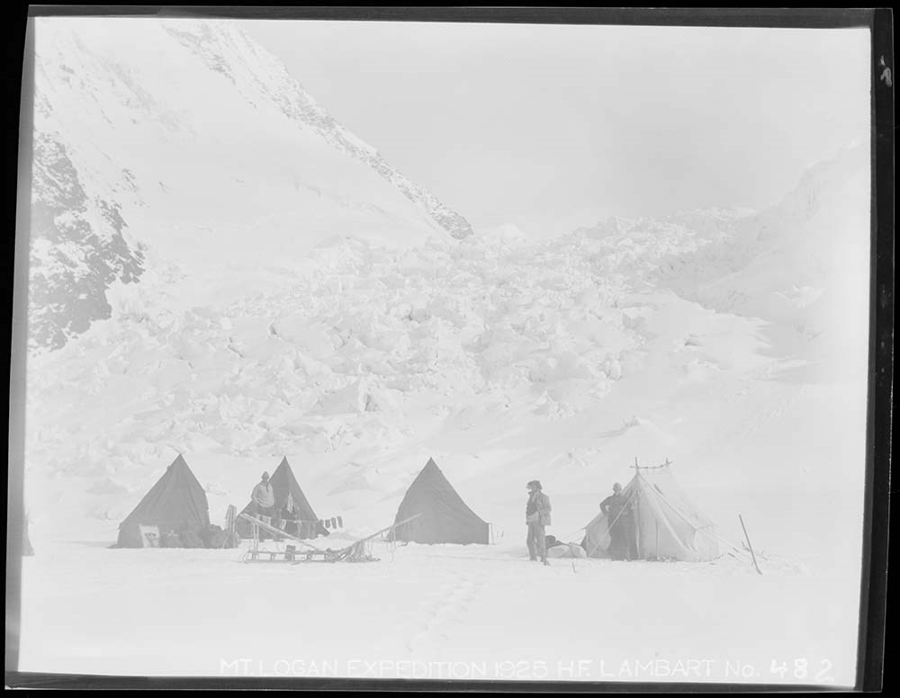
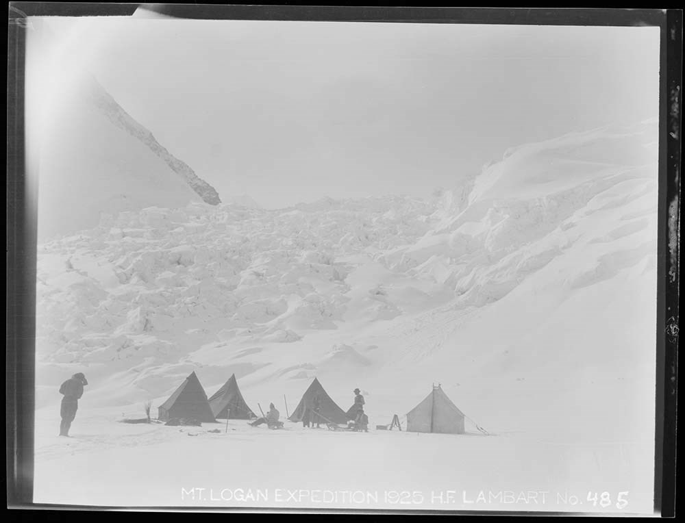
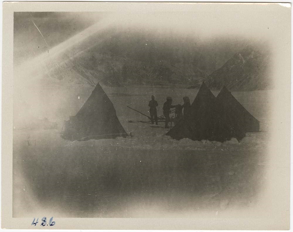
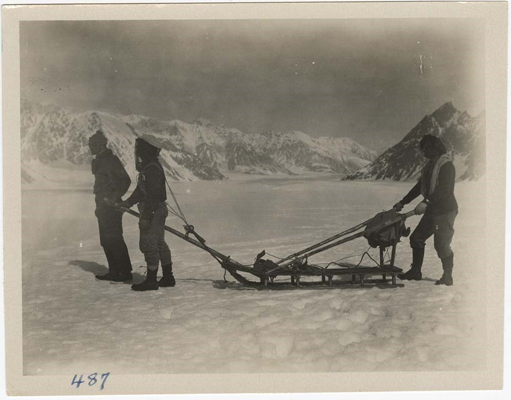
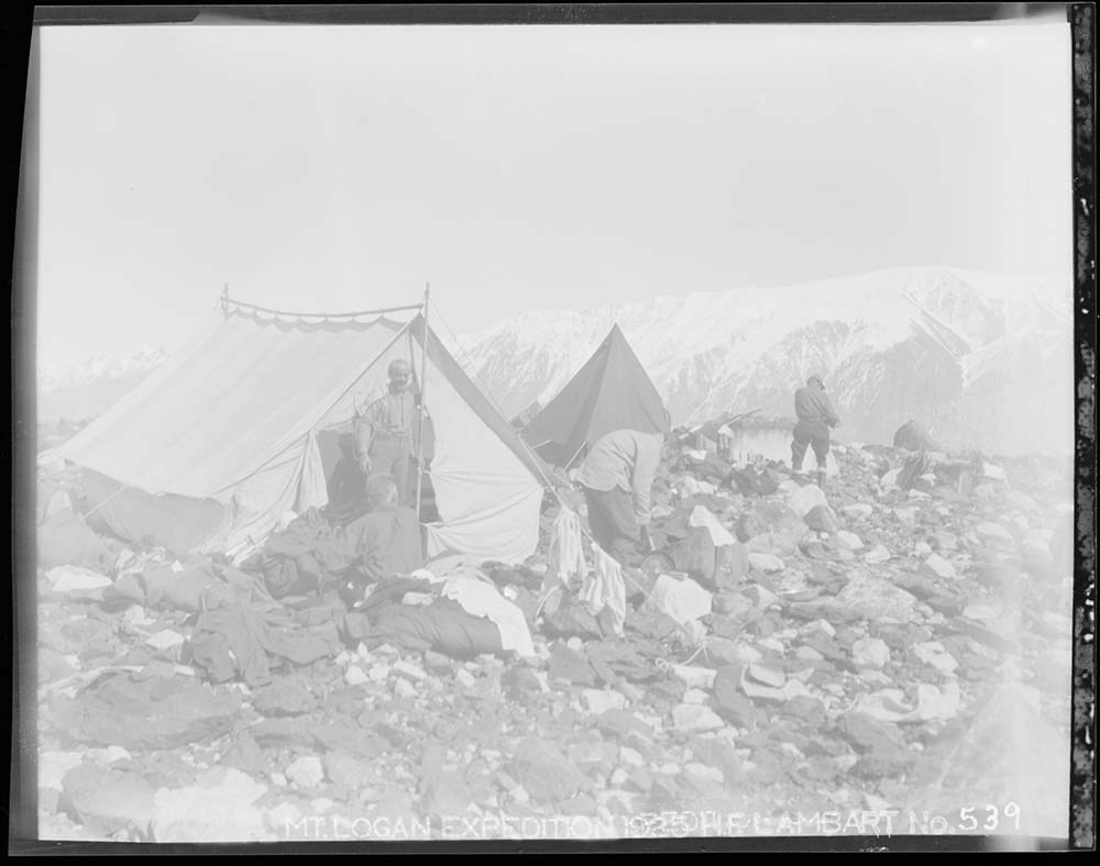
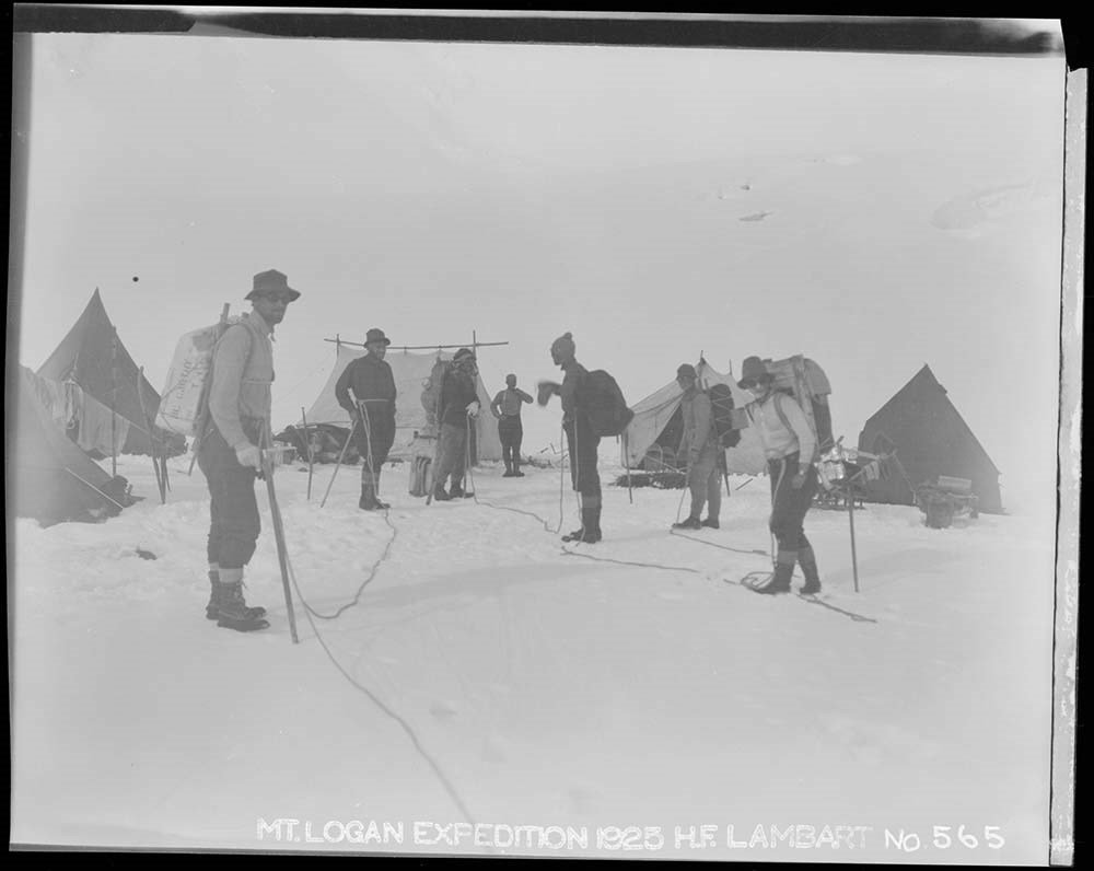
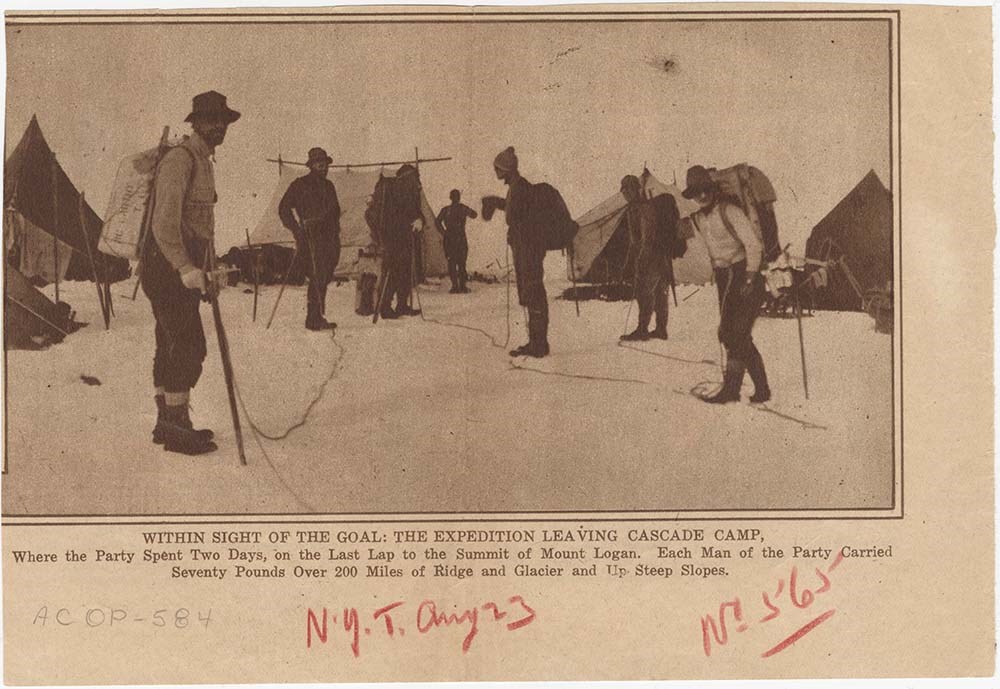
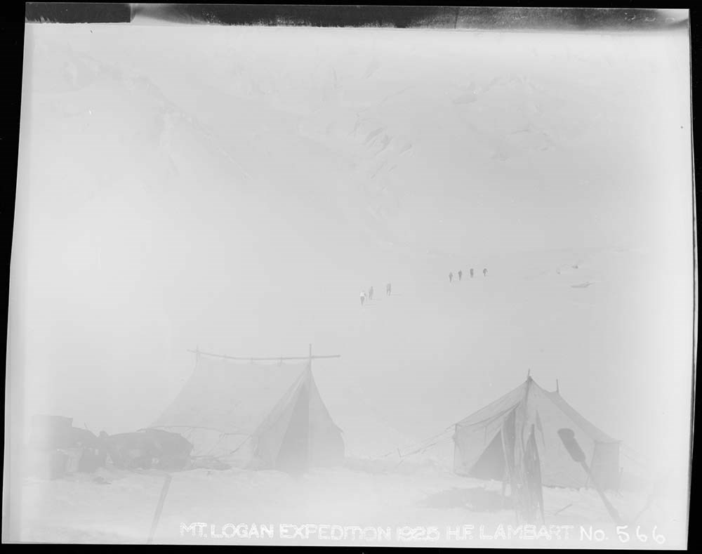
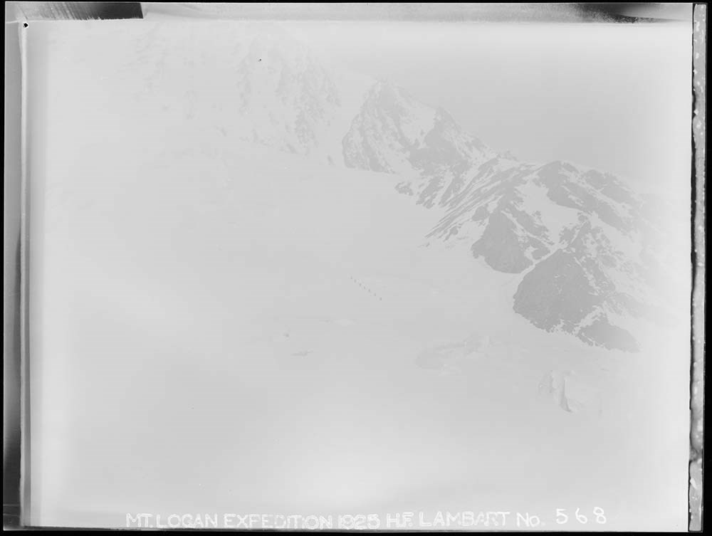
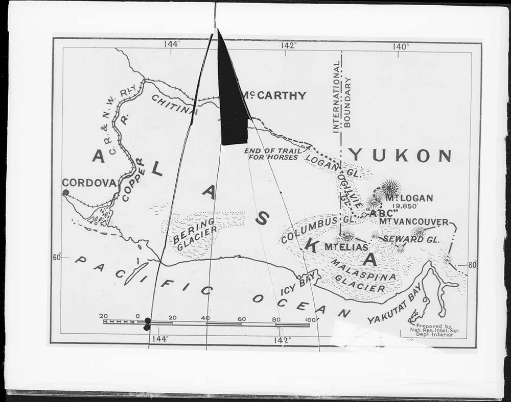
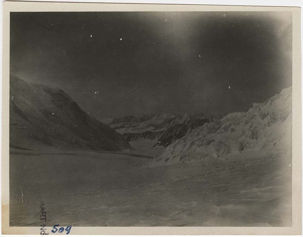
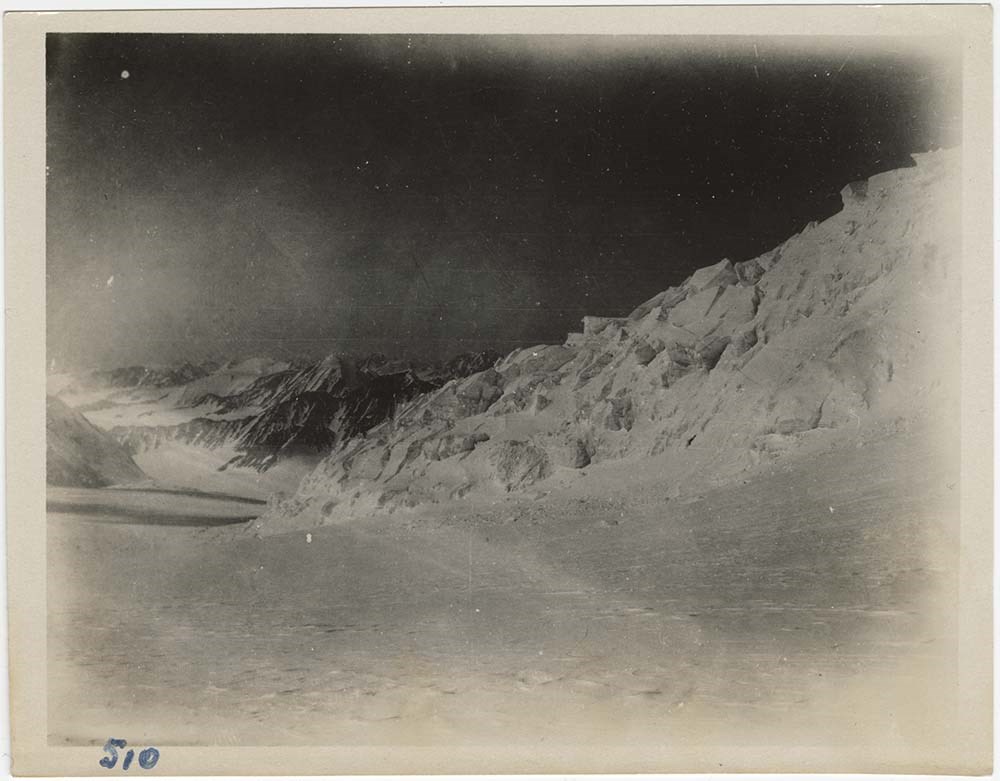
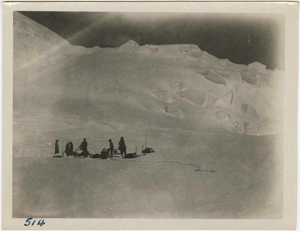
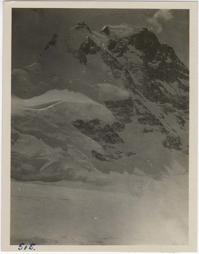
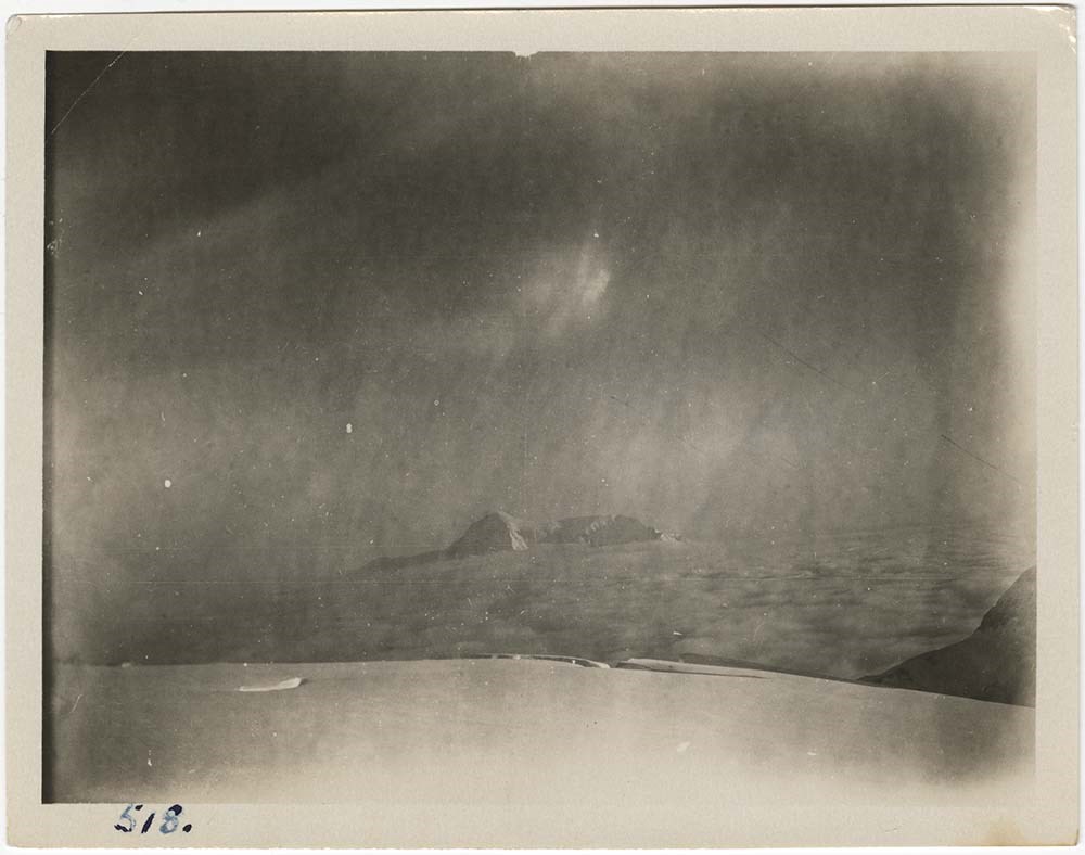
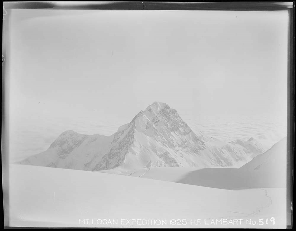
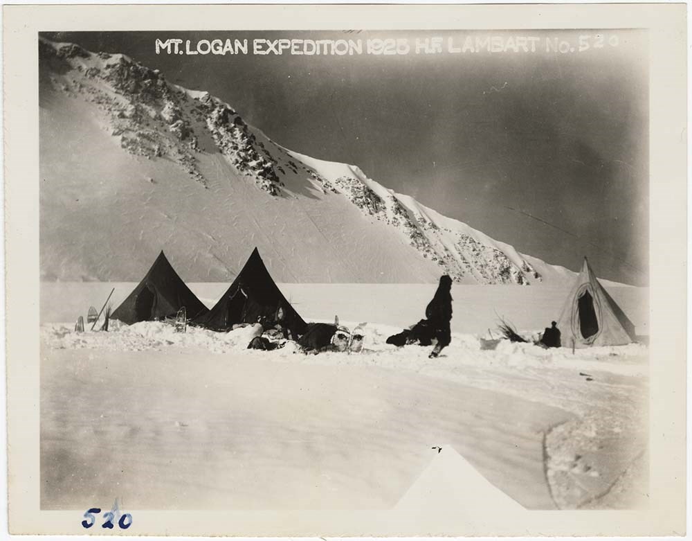
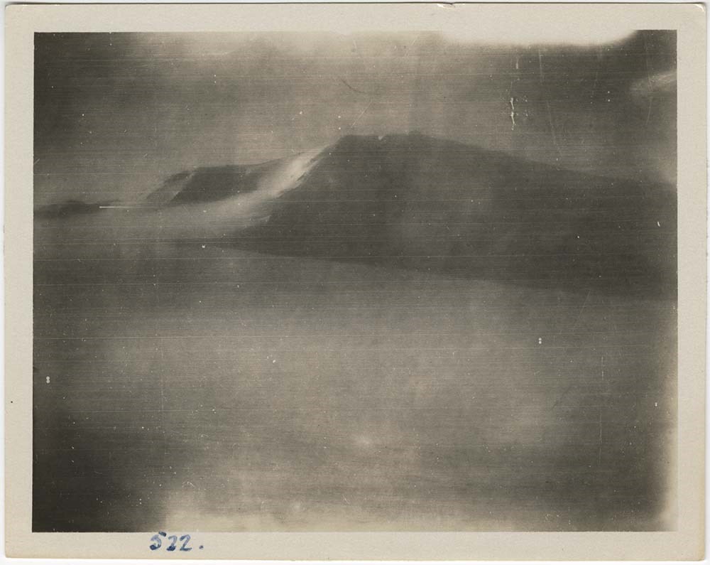
Topics include: Snow fields of the Ogilvie Glacier in foreground distant view of the ice fall coming down from the King Glacier above ; Showing the cascade at the head of the Ogilvie Gl. and camp ; Leaving Cascade for the first reconnaisance party up to the Observation Pt. Plateau. Read Carpe Foster MacCarthy ; Looking up the cascades, camp in the foreground ; The right hand side of the Cascades showing part of route taken up. Camp in foreground ; Looking up the cascades from the Cascades Camp ; Ice fileds, sled in distance, distant view of the ice cataract from the King Ice fields 2000 feet above ; About the best I have of this camp at the head of the Logan Glacier at the foot of the King Cascade, this latter showing in the background ; Pictures of the Cascades camp which has an elevation of 7800 feet and from which camp the real climbing operations commenced, on June 1st. 1925 ; Group of (close up) MacCarthy Carpe Foster and MacCarthy Lambart Foster ; A group "sledders of the Ogilvie" ; Snow dome at about 9700 half way between "Observation" and the top of the "Quartz Ridge" looking back over the tributary glaciers of the head of the Ogilvie 2500 feet below ; Lunching on the Dome, after arrival with first load and the drag of the sled up the steep slopes ; The snow dome at about 9700 with the group and looking out on to the Ogilvie Glacier showing the junction with the Logan Glaicer middle distance ; Looking into the hollow of the head of the Ogilvie Gl. showing mountains only at its head to eastward from a point a short distance N. of the Observation Camp Site ; From "Observation Camp" northward, distance as far as it can be seen ; North distant mountains of the Walsh and Mt. Lucania.
Notes
Physical description and extent applicable for entire V14 / AC0P / 410 - 599 collection.
Most prints also have their original negatives with them - those negatives were not scanned.
A detailed list is available for a portion of the material.
Related Material
Material is closely related to expedition material in Sous-fonds III. Personal papers and photographs (H. F. Lambart papers and photographs; W. W. Foster photographs). Related oversize display prints can be found in Series I.A.1.j. (AC 00P / 137-147 and AC 00P / 275-280).
V14 / AC 0P / 410 - 435
V14 / AC 0P / 436 - 463
V14 / AC 0P / 464 - 491
V14 / AC 0P / 516 - 548
V14 / AC 0P / 549 - 581
V14 / AC 0P / 582 - 599
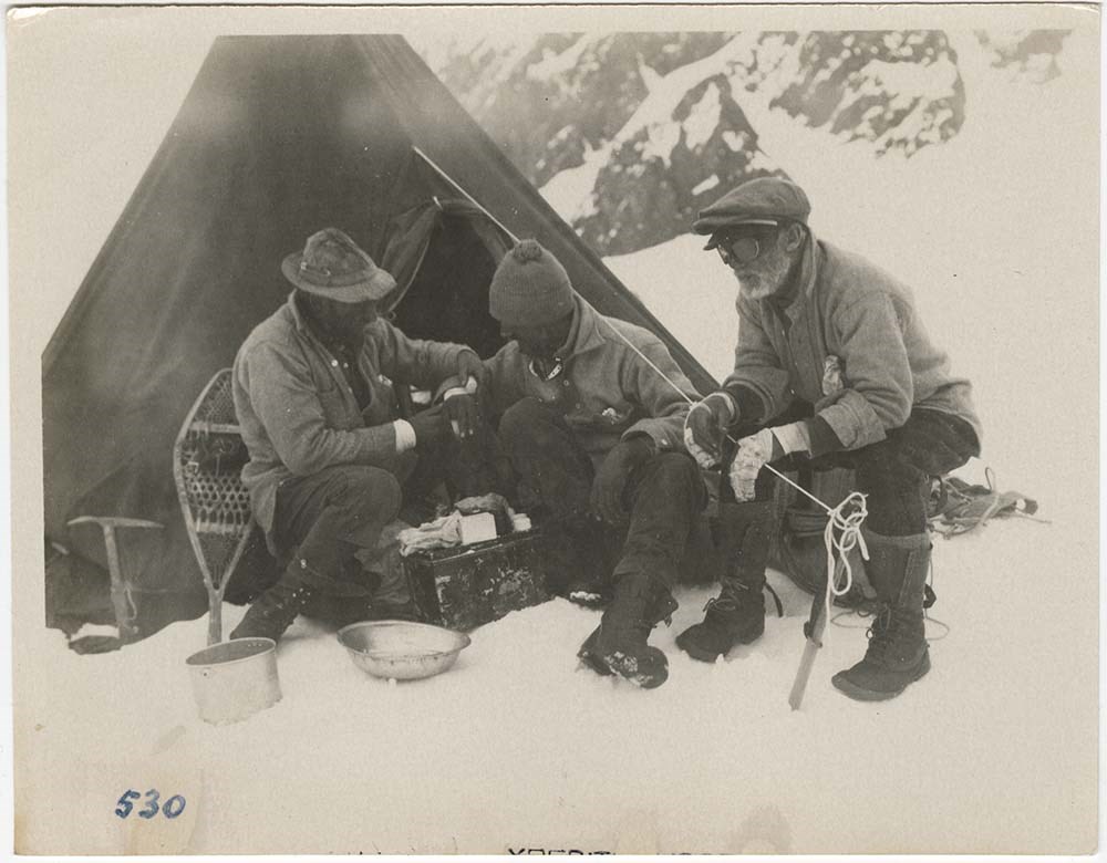
File pertains to photographs - mostly prints, also negatives and one glass slide - of the Mount Logan Expedition of 1925. Photographs of the Mount Logan Expedition were mainly produced by H. F. Lambart; also some by A. H. MacCarthy. All images are housed in the original brown envelopes used by the …
190 photographs (123 prints : b&w ; 12 x 7.5 cm - 66 negatives : b&w nitrate negatives ; 12 x 7.5 cm - 1 slides : b&w slides ; large format)
Scope & Content
File pertains to photographs - mostly prints, also negatives and one glass slide - of the Mount Logan Expedition of 1925. Photographs of the Mount Logan Expedition were mainly produced by H. F. Lambart; also some by A. H. MacCarthy. All images are housed in the original brown envelopes used by the ACC and contain typed notes on the exteriors.
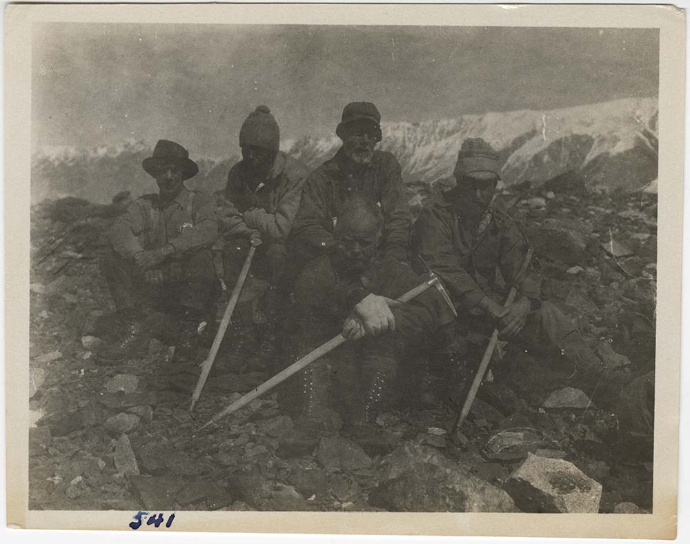
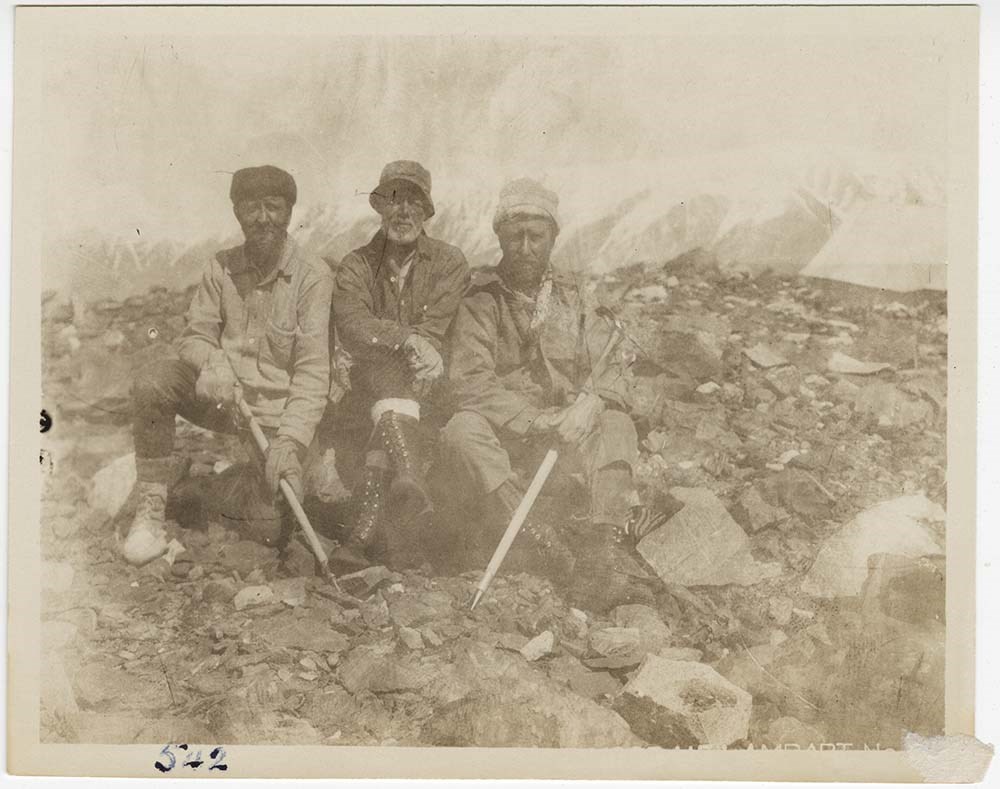
Topics include: Plateua Camp the last camp on the massif of Logan, from which the climb was made, taken from the east side ; Foster dressing frozen fingers after the past weeks ordeal on the summit and the fight to get off the mountain in store. MacCarthy eyes and fingers. Foster wrist toe and finger. Carpe toes and fingers. Lambart toes fingers wrist. Taylor scot free ; Photograph during the day of rest and perfect bliss and Heaven to us all after the weeks of snow & ice. First running water and signs of life, a raven's early morning visit to inspect the "idiots." Three of camp and two looking up the Ogilvie Glacier ; Group on the morains near the camp. A.H. MacCarthy Wilmer B.C. A.M. Taylor McCarthy Alaska. Col. W.W. Foster Vancouver B.C. Allen Carpe New York. H.F.L. N.H. Read ; Close up group on morains near Turn Cache camp. Foster MacCarthy Lambart Carpe. Sitting (always was) N.H. Read ; Standing group in parkas ; After an all night's travel on the Logan Glacier July 2-3 resting out on one of the central morains near the International Boundary Crossing of the Logan Glacier. Here the ice became so bad that the two sleds were left behind, cached a further amount of equipment, including stove and robe etc. & shouldered our loads for the remaining 30 miles into Hubricks Camp ; Portraits of all but Carpe, how he came to be missed unknown. Taken the day after we got into Hubricks before the grand shave & clean up. 1 MacCarthy 2 Foster 1 Andy Taylor 3 H.F.L 1 Read 1 H.M. Laing ; The making of two boats on arrival at Hubrick's camp on the 6th of July having originally been decided upon, now abandoned on acount of the condition of the party and the length of time to build (10 days) rafts in lieu of the boats finally decided upon. Two of these commenced July 8 and completed the 10th. and the journey started down the Chitina River at 1.30 P.M. July 11th. with desastrous results to one (MacCarthur, Foster, Carpe) and reaching Rush Pond with the other (Taylor, Lambart, Read) 12.30 midnight July 12, 60 miles by stream.
Notes
Physical description and extent applicable for entire V14 / AC0P / 410 - 599 collection.
Most prints also have their original negatives with them - those negatives were not scanned.
A detailed list is available for a portion of the material.
Related Material
Material is closely related to expedition material in Sous-fonds III. Personal papers and photographs (H. F. Lambart papers and photographs; W. W. Foster photographs). Related oversize display prints can be found in Series I.A.1.j. (AC 00P / 137-147 and AC 00P / 275-280).
V14 / AC 0P / 410 - 435
V14 / AC 0P / 436 - 463
V14 / AC 0P / 464 - 491
V14 / AC 0P / 492 - 515
V14 / AC 0P / 516 - 548
V14 / AC 0P / 582 - 599
File pertains to photographs - mostly prints, also negatives and one glass slide - of the Mount Logan Expedition of 1925. Photographs of the Mount Logan Expedition were mainly produced by H. F. Lambart; also some by A. H. MacCarthy. All images are housed in the original brown envelopes used by the …
190 photographs (123 prints : b&w ; 12 x 7.5 cm - 66 negatives : b&w nitrate negatives ; 12 x 7.5 cm - 1 slides : b&w slides ; large format)
Scope & Content
File pertains to photographs - mostly prints, also negatives and one glass slide - of the Mount Logan Expedition of 1925. Photographs of the Mount Logan Expedition were mainly produced by H. F. Lambart; also some by A. H. MacCarthy. All images are housed in the original brown envelopes used by the ACC and contain typed notes on the exteriors.
Topics include: Breakfast being prepaired by Andy Taylor in front of the tent at Rush Pond and before starting out on that hectic 32 mile trudge into McCarthy, being the closing act of the field activities of the Mt. Logan Expedition. Rush Pond left with all gear left behind (protem) on July 12 at 10.10 A.M. arriving McCarthy 1.30 A.M. July 13 ; The first negative of close up in camp by H.F.L. other by Taylor of first relays to the top of the Quartz Ridge, 1000 feet above the Cascade camp site ; The process by which, with a 700 foot alpine line we were able to get one of the hand sleds to the summit of the quartz ridge from the Cascades camp below ; Cache and group at the top of the quartz ridge. This point being about 1000 feet above Cascades ; This is a photograph looking straight down the Ogilvie glacier from a point 1000 feet above its head. Its confluence with the Logan is distinctly seen ; A mere spot in a world of ice, cascades camp as viewed from above from the summit of the Quartz Ridge. This photograph shows well the base of the cascades and the character of the glaciers entering the head of the Ogilvie Gl. ; From a rock ridge where Morgan hand enticed me one afternoon we got this of the top of St. Elias appearing through the clouds. Below the surface of the King Glacier, end of the south wall of King Trench on left ; Large scale map of coast showing Cordova, McCarthy and Logan ; H.F.L. Enlargement of photograph taken on the Robson Glacier during the Alpine Club Meet at the Robson Pass July 1924.
Notes
Physical description and extent applicable for entire V14 / AC0P / 410 - 599 collection.
Most prints also have their original negatives with them - those negatives were not scanned.
A detailed list is available for a portion of the material.
Related Material
Material is closely related to expedition material in Sous-fonds III. Personal papers and photographs (H. F. Lambart papers and photographs; W. W. Foster photographs). Related oversize display prints can be found in Series I.A.1.j. (AC 00P / 137-147 and AC 00P / 275-280).
V14 / AC 0P / 410 - 435
V14 / AC 0P / 436 - 463
V14 / AC 0P / 464 - 491
V14 / AC 0P / 492 - 515
V14 / AC 0P / 516 - 548
V14 / AC 0P / 549 - 581
File pertains to photographs - mostly prints, also negatives and one glass slide - of the Mount Logan Expedition of 1925. Photographs of the Mount Logan Expedition were mainly produced by H. F. Lambart; also some by A. H. MacCarthy. All images are housed in the original brown envelopes used by the …
190 photographs (123 prints : b&w ; 12 x 7.5 cm - 66 negatives : b&w nitrate negatives ; 12 x 7.5 cm - 1 slides : b&w slides ; large format)
Scope & Content
File pertains to photographs - mostly prints, also negatives and one glass slide - of the Mount Logan Expedition of 1925. Photographs of the Mount Logan Expedition were mainly produced by H. F. Lambart; also some by A. H. MacCarthy. All images are housed in the original brown envelopes used by the ACC and contain typed notes on the exteriors.
Topics include: Up King Col. "Observation Camp" foreground. Elevation of Camera 10,300 elevation on top of col over 4000 ft. above Camera ; Looking up the King Glacier to the summit of the Col of the same name from Observation Camp. The Camp in the foreground ; The King Glacier looking straight up to the Col Intense light under a blue sky ; The Camp actively engeged in getting away with the sleds up the King Glacier as fas as the ice fall, about 4 miles ; Observation Camp. King Mt. showing the north face, First sled on its way up the King Gl. off to right a few hundred yds. The Col tot he left hidden in fog ; Looking down the King Glacier, distance being the mountains around the head of the Vittorio Sella glacier. The direction is nearly due west ; A panorama of 8 from the King Col around past King mountain itself over 180 degrees to the ice wall on the N. side of the King Glacier trench. Taken from the site of King Col Camp ; Three of the party making camp digging out places for tents on the slopes of the Col. Direction westward down the King Glacier showing the distant ranges of the Quintino Sella Glacier and to the right the immense ice falls on the north side of the Col ; Preparing tent room on the summit of the King Col. behind the walls of ice and snow leading to the upper plateaus, the trail later marked out leading straight back then swinging to the right on the snow bench ; King Mountain from the Col ; Close up of party at work preparing camp ground. Morgan lying down. Taylor extreme left. Hall [extreme] right. centre L to R Carpe, MacCarthy Foster ; These pictures taken towards the south over a sea of clouds obscuring the Seward and Malaspina glaciers and all the surrounding peaks leaving the top of St. Elias alone sticking up. The peak of King Mt. not more than 5 miles distant all showing, the sea of clouds showing beyond. Note the South butress of King and long ridge leading from teh peak to the right being the south wall of the King Glacier. King Col, is just below the ridge facing the picture and decending from the summit in a jagged arete ; This the only photograph I have of "Windy Camp" (16800) taken looking northward up the ice slopes followed on the ascent. Left the S.W. spur of the Logan massif ; Plateau Camp at an elevation of 17500 ft approximately, is the camp from which Mt. Logan was climbed on the 23 of June. These pictures were taken on a clear morning and it is hard to explain the failure in the results obtained. The panorama shows the upper glacier plateau below the high summits of the massif. The photograph sweeps the northern horizon through about a half circle. Distant rangers shown are those of the walsh Glacier and west end of the glacier and mountain system between the base of Logan and Kluane Lake, 60 miles eastward.
Notes
Physical description and extent applicable for entire V14 / AC0P / 410 - 599 collection.
Most prints also have their original negatives with them - those negatives were not scanned.
A detailed list is available for a portion of the material.
Related Material
Material is closely related to expedition material in Sous-fonds III. Personal papers and photographs (H. F. Lambart papers and photographs; W. W. Foster photographs). Related oversize display prints can be found in Series I.A.1.j. (AC 00P / 137-147 and AC 00P / 275-280).
V14 / AC 0P / 410 - 435
V14 / AC 0P / 436 - 463
V14 / AC 0P / 464 - 491
V14 / AC 0P / 492 - 515
V14 / AC 0P / 549 - 581
V14 / AC 0P / 582 - 599