Peter Whyte’s Map Drawing sketchbook, likely an exercise book for school, with a printed cover page and map drawings inside. Cover page reads: MAP DRAWING BOOK [across top]; FOR USE IN THE PUBLIC SCHOOLS/ THE COPP, CLARK CO., LIMITED, TORONTO [across bottom] Inside, pencil drawings include: the Gul…
Peter Whyte’s Map Drawing sketchbook, likely an exercise book for school, with a printed cover page and map drawings inside. Cover page reads: MAP DRAWING BOOK [across top]; FOR USE IN THE PUBLIC SCHOOLS/ THE COPP, CLARK CO., LIMITED, TORONTO [across bottom] Inside, pencil drawings include: the Gulf of St. Lawrence, the Philippine Islands, Asia and the Middle East, and Africa.
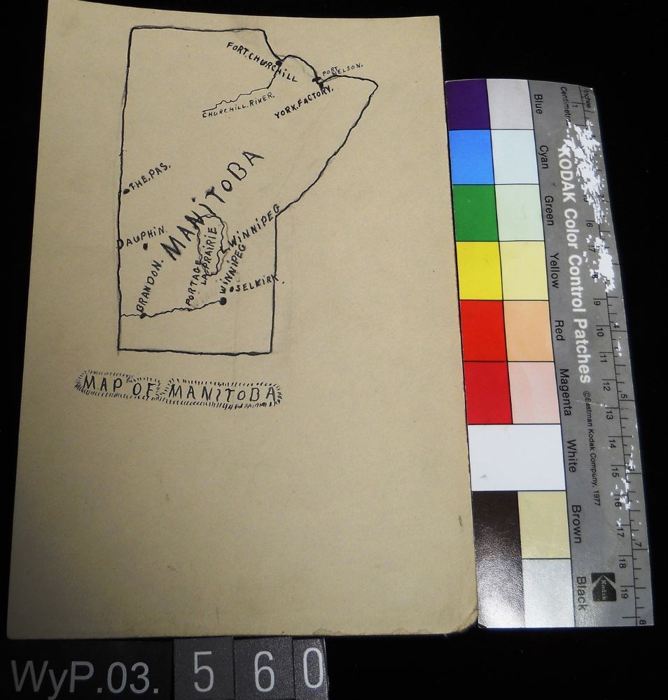
Pencil and ink drawing of a map of Manitoba with rivers, lakes and urban centres labeled. [Below drawing, surrounded by circle of short marks] MAP of MANITOBA
Pencil and ink drawing of a map of Manitoba with rivers, lakes and urban centres labeled. [Below drawing, surrounded by circle of short marks] MAP of MANITOBA
Pencil and ink drawing of Ontario, the Manitoba border, and Great Lakes with rivers and urban centres labeled.title: MAP OF ONTARIO [top left, surrounded by short marks]
Pencil and ink drawing of Ontario, the Manitoba border, and Great Lakes with rivers and urban centres labeled.title: MAP OF ONTARIO [top left, surrounded by short marks]
Drawings on both sides of the paper. Side 1 is a pencil drawing of a map of North America, including CANADA, US and MEXiCO all labeled.Verso is a pencil drawing of two figures in a car, facing left. Dust at tires and streak lines suggest speed. Titled in tlc as TORPEDO CAR
Drawings on both sides of the paper. Side 1 is a pencil drawing of a map of North America, including CANADA, US and MEXiCO all labeled.Verso is a pencil drawing of two figures in a car, facing left. Dust at tires and streak lines suggest speed. Titled in tlc as TORPEDO CAR