Series consists of textual records, including notes, manuscripts and other related materials, pertaining to the creation of the book "Deep Powder and Steep Rock".
Hans Gmoser played a major role in creating Canada’s vibrant mountain community. Although known internationally as the father of heli-skiing, he was much more than that: a talented rock climber, tireless expedition leader, a mountain guide, film maker and organizer.
Deep Powder and Steep Rock presents an intimate portrait of this charismatic man. Much of the story is told in Gmoser’s own words, gleaned from his diaries, expedition journals, film commentaries and personal correspondence. It is a unique tale of adventure, hard work, perseverance and ultimate success.
Scope & Content
Series consists of textual records, including notes, manuscripts and other related materials, pertaining to the creation of the book "Deep Powder and Steep Rock".
Notes
Series consists of five sub-series:
M57 / V / A: Research files
M57 / V / B: Maps
M57 / V / C: Interviews
M57 / V / D: Photograph notes
M57 / V / E: Draft Manuscript
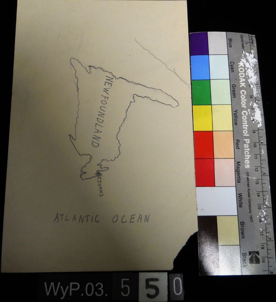
Peter Whyte’s Map Drawing sketchbook, likely an exercise book for school, with a printed cover page and map drawings inside. Cover page reads: MAP DRAWING BOOK [across top]; FOR USE IN THE PUBLIC SCHOOLS/ THE COPP, CLARK CO., LIMITED, TORONTO [across bottom] Inside, pencil drawings include: the Gul…
Peter Whyte’s Map Drawing sketchbook, likely an exercise book for school, with a printed cover page and map drawings inside. Cover page reads: MAP DRAWING BOOK [across top]; FOR USE IN THE PUBLIC SCHOOLS/ THE COPP, CLARK CO., LIMITED, TORONTO [across bottom] Inside, pencil drawings include: the Gulf of St. Lawrence, the Philippine Islands, Asia and the Middle East, and Africa.
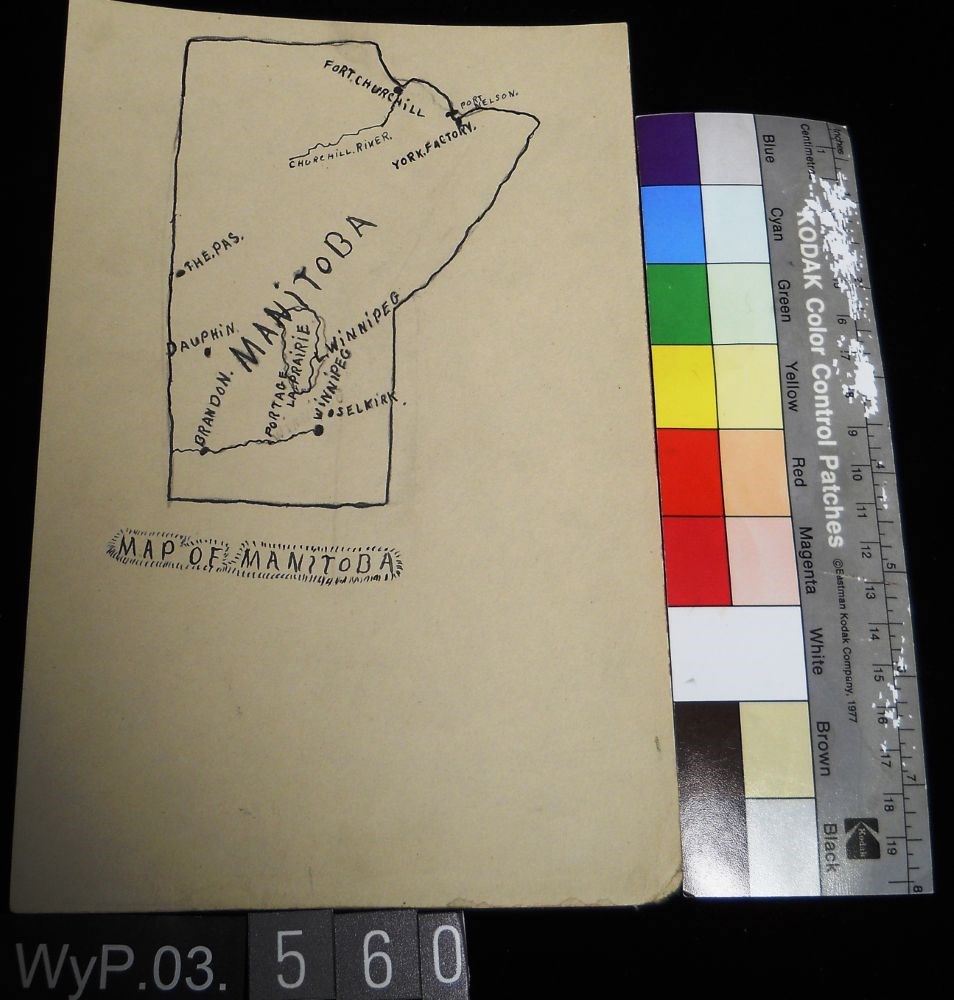
Pencil and ink drawing of a map of Manitoba with rivers, lakes and urban centres labeled. [Below drawing, surrounded by circle of short marks] MAP of MANITOBA
Pencil and ink drawing of a map of Manitoba with rivers, lakes and urban centres labeled. [Below drawing, surrounded by circle of short marks] MAP of MANITOBA
Pencil and ink drawing of Ontario, the Manitoba border, and Great Lakes with rivers and urban centres labeled.title: MAP OF ONTARIO [top left, surrounded by short marks]
Pencil and ink drawing of Ontario, the Manitoba border, and Great Lakes with rivers and urban centres labeled.title: MAP OF ONTARIO [top left, surrounded by short marks]
The classic guidebook to cross country ski trails in Waterton, Banff, Kootenay, Yoho and Jasper National Parks as well as Mount Assiniboine and Mount Robson Provincial Parks and Kananaskis Country, now greatly expanded to includes ski trails in the front ranges of the Rockies, in the Crowsnest Pass and in the Columbia Valley. Jointly authored with Darren Farley.
This book also covers topics such as accommodation, regulations, weather and snow conditions.
Scope & Content
Series consists of research documents, published materials and maps used during the creation of the book Ski Trails in the Canadian Rockies.
Notes
Series consists of three sub-series:
M57 / VI / A: Research Files
The classic guidebook to cross country ski trails in Waterton, Banff, Kootenay, Yoho and Jasper National Parks as well as Mount Assiniboine and Mount Robson Provincial Parks and Kananaskis Country, now greatly expanded to includes ski trails in the front ranges of the Rockies, in the Crowsnest Pass and in the Columbia Valley. Jointly authored with Darren Farley.
This book also covers topics such as accommodation, regulations, weather and snow conditions.
Scope & Content
Series consists of 3 CD's with photo scans pertaining to the creation of Ski Trails of the Canadian Rockies.