Pencil and ink drawing of Ontario, the Manitoba border, and Great Lakes with rivers and urban centres labeled.title: MAP OF ONTARIO [top left, surrounded by short marks]
Pencil and ink drawing of Ontario, the Manitoba border, and Great Lakes with rivers and urban centres labeled.title: MAP OF ONTARIO [top left, surrounded by short marks]
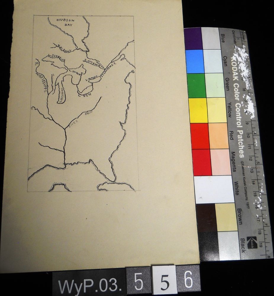
A pencil and ink drawing of a map of Hudson Bay and the river system in eastern Canada and United States. Includes Great Lakes as well. Bodies of water are labeled.
A pencil and ink drawing of a map of Hudson Bay and the river system in eastern Canada and United States. Includes Great Lakes as well. Bodies of water are labeled.
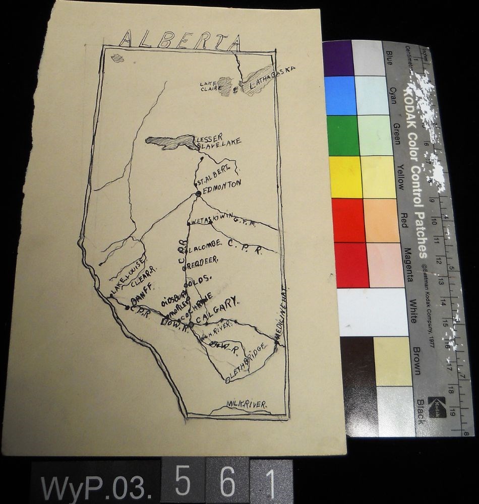
Ink and pencil drawing of a map of Alberta with lakes, rivers, CPR lines and urban centres labeled. the border is delineated by a double line. ALBERTA is written above the northern border in narrow block letters.
Ink and pencil drawing of a map of Alberta with lakes, rivers, CPR lines and urban centres labeled. the border is delineated by a double line. ALBERTA is written above the northern border in narrow block letters.
Left: blue ink map drawing “300 yds” Right: in pencil person sitting on stool wearing hate holding paintbrush facing away from viewer.Verso: drawings of person holding paintbrush facing away from viewer. Math equations. Type written: “Banff Alberta. Sunday Sept. 19, 1954 Dear Dorothy, How awfully”
Left: blue ink map drawing “300 yds” Right: in pencil person sitting on stool wearing hate holding paintbrush facing away from viewer.Verso: drawings of person holding paintbrush facing away from viewer. Math equations. Type written: “Banff Alberta. Sunday Sept. 19, 1954 Dear Dorothy, How awfully”