Narrow Results By
- Luxton family fonds 102
- Nicholas Morant fonds 40
- George McLean fonds 37
- Archives General File Collection 33
- Kidney family fonds 29
- Joe Kootenay fonds 24
- Alpine Club of Canada fonds 23
- Trail Riders of the Canadian Rockies fonds 18
- Eliza Hunter fonds 14
- Peter and Catharine Whyte fonds 12
- Bruno Engler fonds 9
- Dorothy Cranstone fonds 8
Motor roads to the Canadian Rockies
https://archives.whyte.org/en/permalink/catalogue24316
- Medium
- Library - Maps and blueprints (unannotated; published)
- Map
- Published Date
- 1920
- Call Number
- C6-4.3(b)
- Published Date
- 1920
- Scale
- 1 inch - 18 miles
- Subjects
- Motor Roads
- Notes
- Photostatic copu from Public Archives
- Accession Number
- 675
- Call Number
- C6-4.3(b)
- Collection
- Archives Library
This material is presented as originally created; it may contain outdated cultural descriptions and
potentially offensive content.
Read more.
Countries as established by the Peace Conference at Paris
https://archives.whyte.org/en/permalink/catalogue24855
- Medium
- Library - Maps and blueprints (unannotated; published)
- Map
- Published Date
- 1920
- Publisher
- National Geographic Society
- Call Number
- C13-12.2
- Publisher
- National Geographic Society
- Published Date
- 1920
- Scale
- 84 miles to 1 inch
- Subjects
- Europe
- Accession Number
- 400
- Call Number
- C13-12.2
- Collection
- Archives Library
This material is presented as originally created; it may contain outdated cultural descriptions and
potentially offensive content.
Read more.
Countries as established by the Peace Conference at Paris
https://archives.whyte.org/en/permalink/catalogue24856
- Medium
- Library - Maps and blueprints (unannotated; published)
- Map
- Published Date
- 1920
- Publisher
- National Geographic Society
- Call Number
- C13-12.2
- Publisher
- National Geographic Society
- Published Date
- 1920
- Scale
- 84 miles to 1 inch
- Subjects
- Europe
- Accession Number
- 400
- Call Number
- C13-12.2
- Collection
- Archives Library
This material is presented as originally created; it may contain outdated cultural descriptions and
potentially offensive content.
Read more.
Map of the Dominion of Canada indicating natural resources, transportation and trade routes
https://archives.whyte.org/en/permalink/catalogue24883
- Medium
- Library - Maps and blueprints (unannotated; published)
- Map
- Published Date
- 1920
- Publisher
- Ottawa : Dept. of the Interior
- Edition
- Preliminary ed.
- Call Number
- C14-4.4
- Responsibility
- prepared in the Natural Resources Intelligence Branch
- Edition
- Preliminary ed.
- Publisher
- Ottawa : Dept. of the Interior
- Published Date
- 1920
- Physical Description
- 1 map : col
- Scale
- 1 inch = 100 miles (1:6,336,000)
- Accession Number
- 4008
- Call Number
- C14-4.4
- Collection
- Archives Library
This material is presented as originally created; it may contain outdated cultural descriptions and
potentially offensive content.
Read more.
Railway Map of the Dominion of Canada
https://archives.whyte.org/en/permalink/catalogue21430
- Medium
- Library - Maps and blueprints (unannotated; published)
- Map
- Published Date
- 1920
- Call Number
- C11-3.4(a) to 3.4(h)
- Published Date
- 1920
- Subjects
- Canada
- Railway routes
- Notes
- A series of eight maps from Labrador to British Columbia showing railway routes.
- See: Title map C11-3.4(a), Legend C11-3.4(d), Index C11-3.4(e)
- Accession Number
- 400
- Call Number
- C11-3.4(a) to 3.4(h)
- Collection
- Archives Library
This material is presented as originally created; it may contain outdated cultural descriptions and
potentially offensive content.
Read more.
Sketch map on blueprint of Kootenay Park
https://archives.whyte.org/en/permalink/catalogue23205
- Medium
- Library - Maps and blueprints (unannotated; published)
- Map
- Published Date
- 1920
- Publisher
- Dominion Park Branch
- Call Number
- C2-5.1
- Publisher
- Dominion Park Branch
- Published Date
- 1920
- Scale
- Scale: 3 miles = 1 inch
- Relief: Spot Heights
- Subjects
- Kootenay Park B.C.
- Accession Number
- 400
- Call Number
- C2-5.1
- Collection
- Archives Library
This material is presented as originally created; it may contain outdated cultural descriptions and
potentially offensive content.
Read more.
Athabaska Forest
https://archives.whyte.org/en/permalink/catalogue23248
- Medium
- Library - Maps and blueprints (unannotated; published)
- Map
- Published Date
- 1920 (signed Dec. 1919. Calgary/R.D.M)
- Publisher
- 1920 Forestry Branch
- Call Number
- C2-11.8
- Responsibility
- R.H. Campbell
- Publisher
- 1920 Forestry Branch
- Published Date
- 1920 (signed Dec. 1919. Calgary/R.D.M)
- Scale
- Scale: 3 miles to an inch
- Subjects
- Rocky Mountains Forest Reserve
- Notes
- Prepared under direction of R.H. Campbell Director of Forestry
- Call Number
- C2-11.8
- Collection
- Archives Library
This material is presented as originally created; it may contain outdated cultural descriptions and
potentially offensive content.
Read more.
Motor roads to the Canadian Rockies
https://archives.whyte.org/en/permalink/catalogue23383
- Medium
- Library - Maps and blueprints (unannotated; published)
- Map
- Published Date
- 1920
- Call Number
- C6-4.3(b)
- Published Date
- 1920
- Scale
- 1 inch - 18 miles
- Subjects
- Motor Roads
- Notes
- Photostatic copu from Public Archives
- Accession Number
- 675
- Call Number
- C6-4.3(b)
- Collection
- Archives Library
This material is presented as originally created; it may contain outdated cultural descriptions and
potentially offensive content.
Read more.
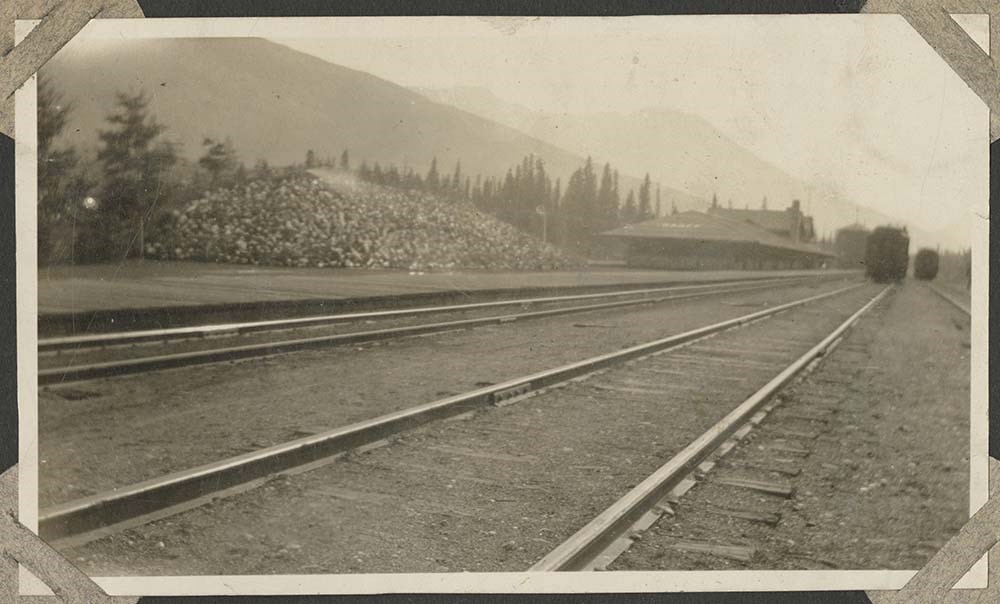
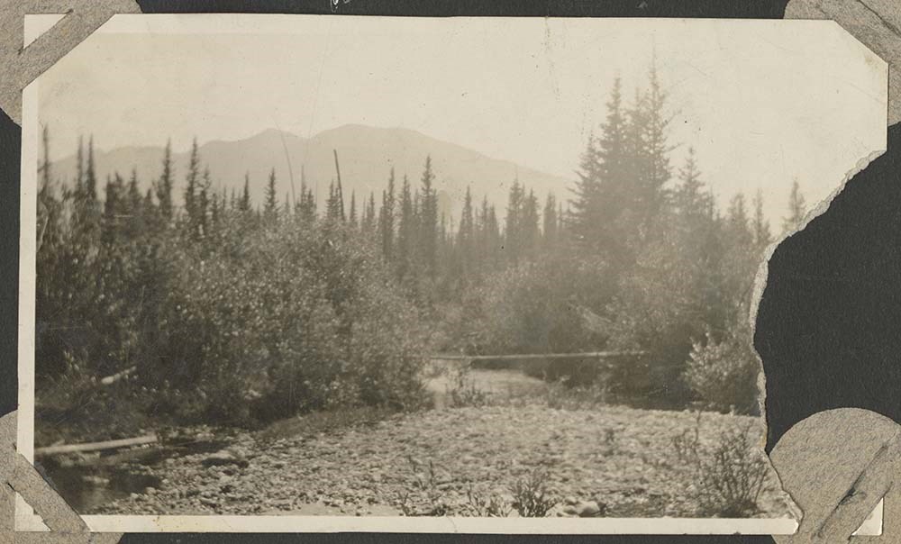
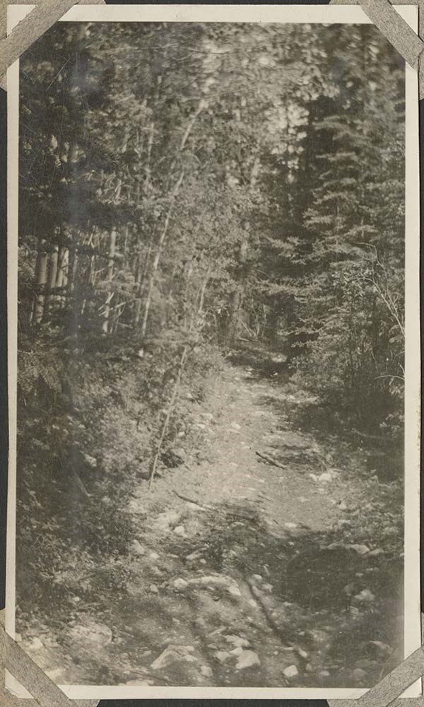
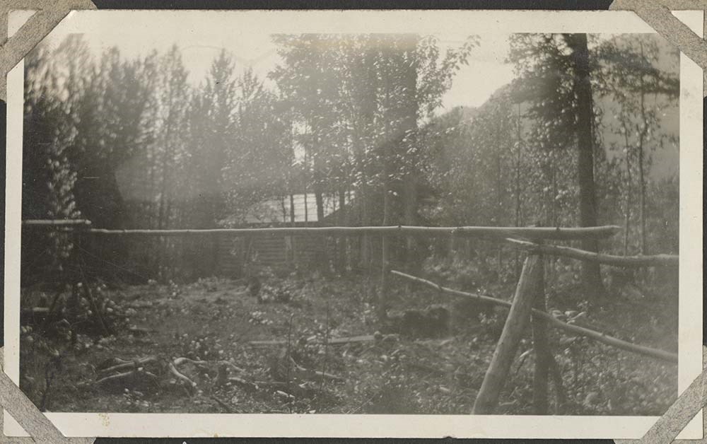
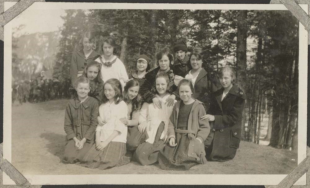
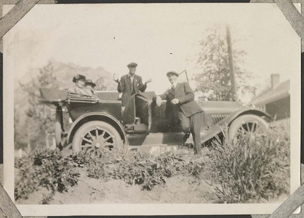
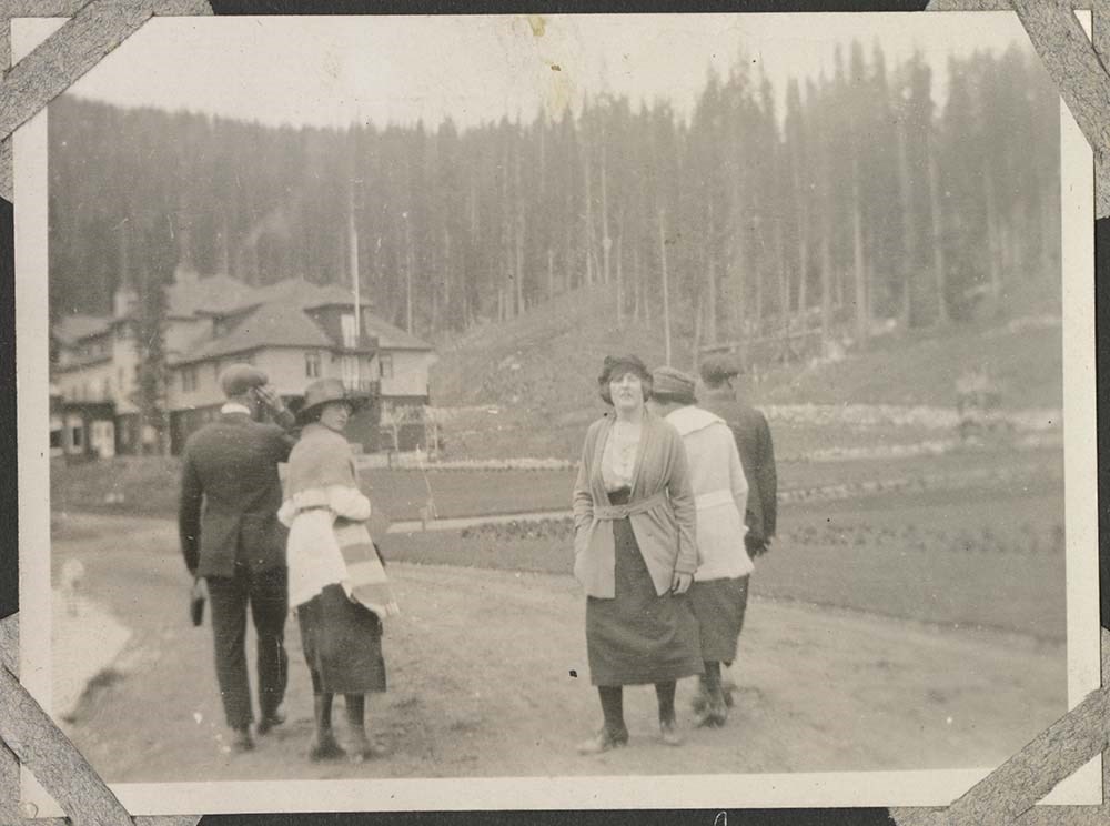
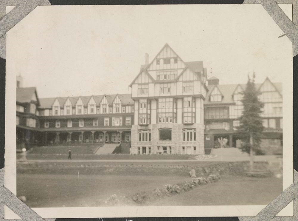
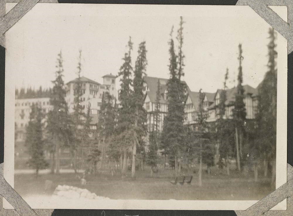
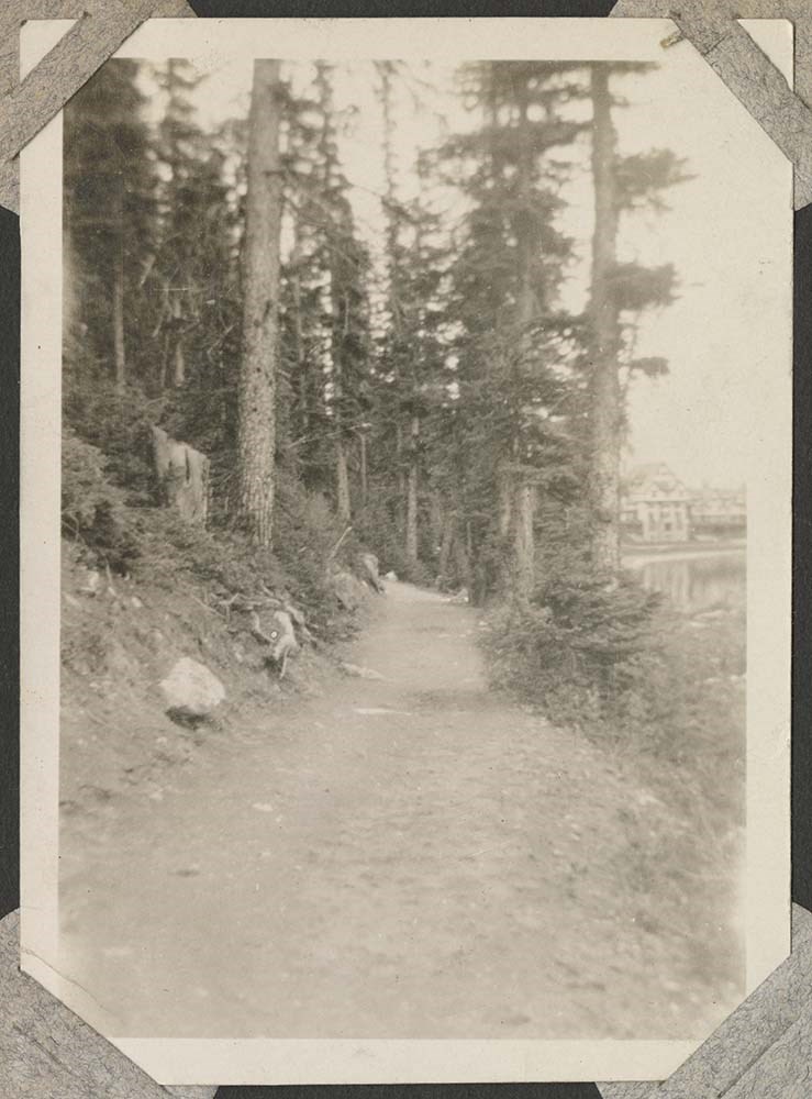
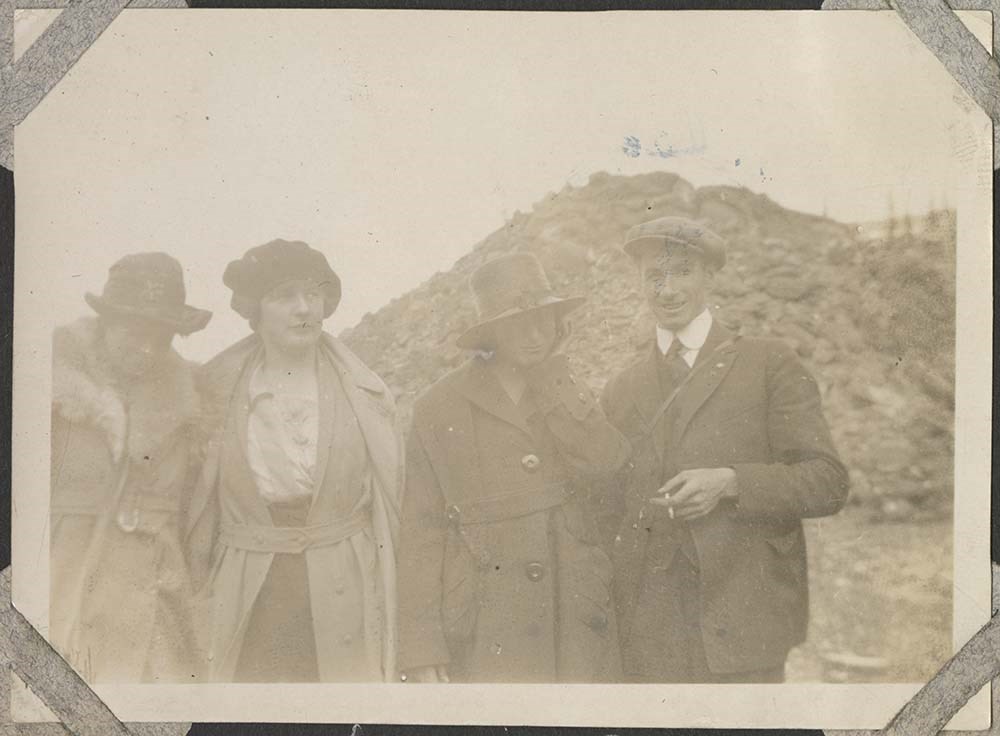
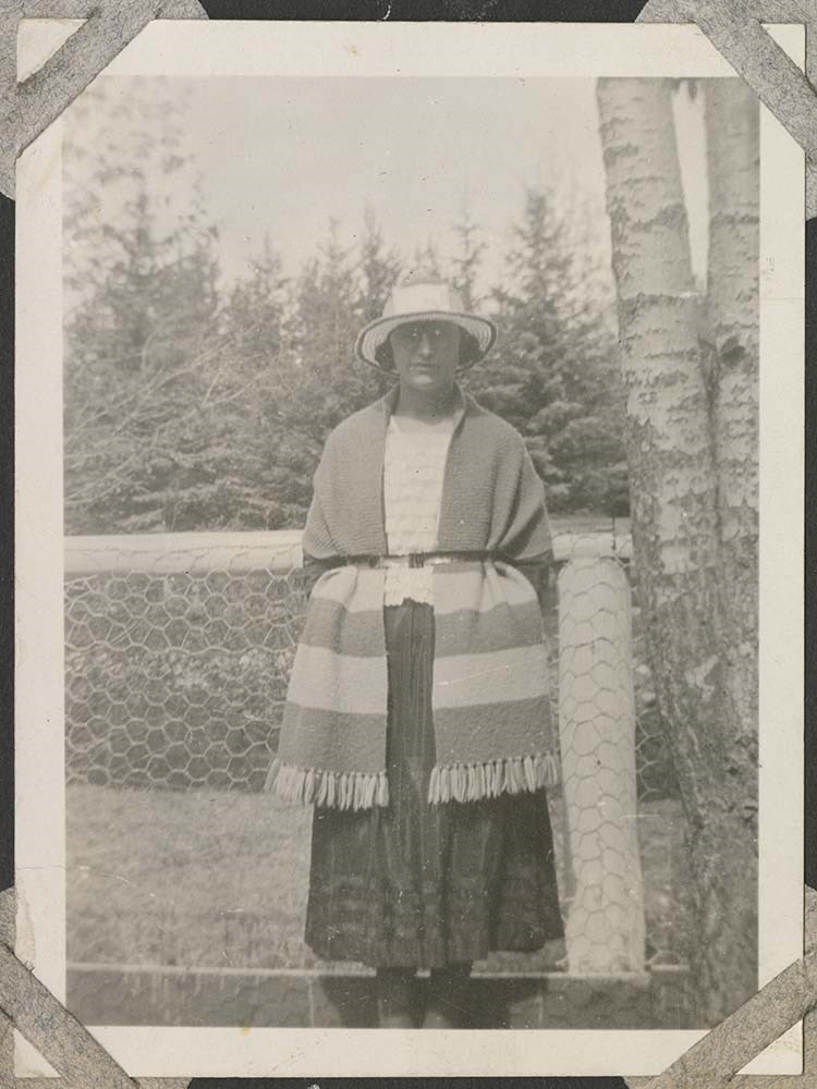
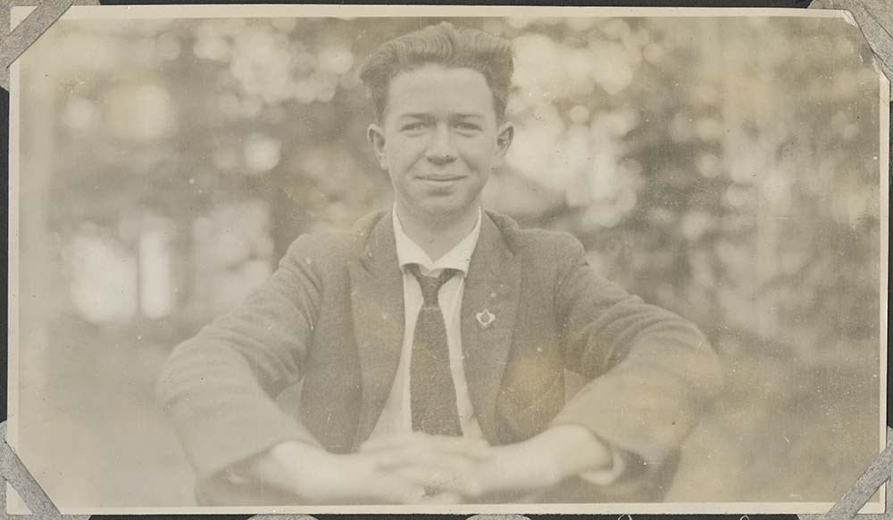
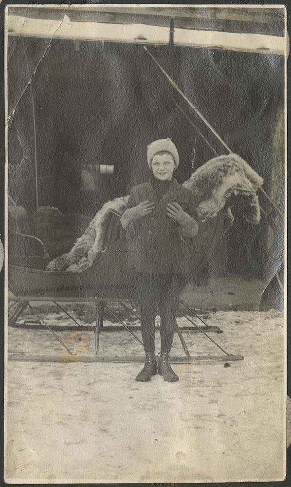
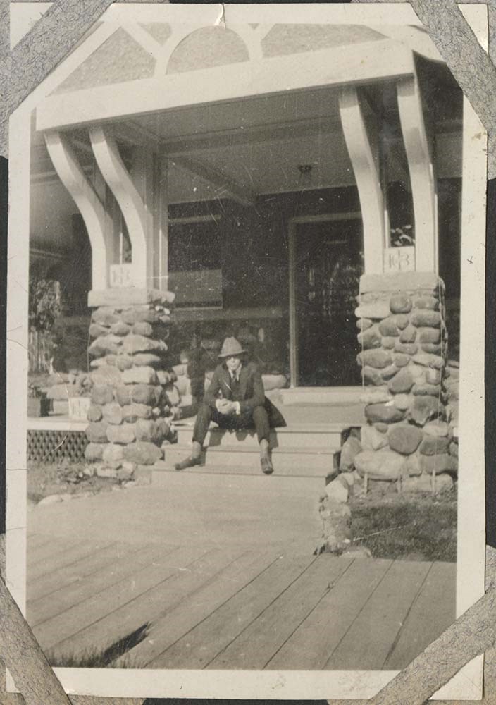
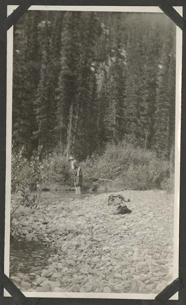
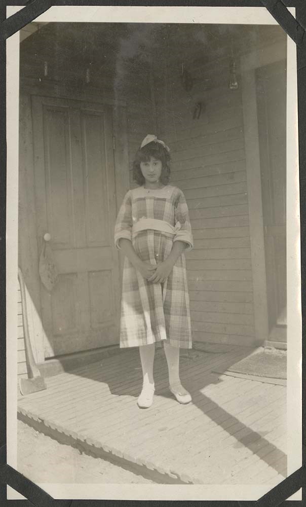
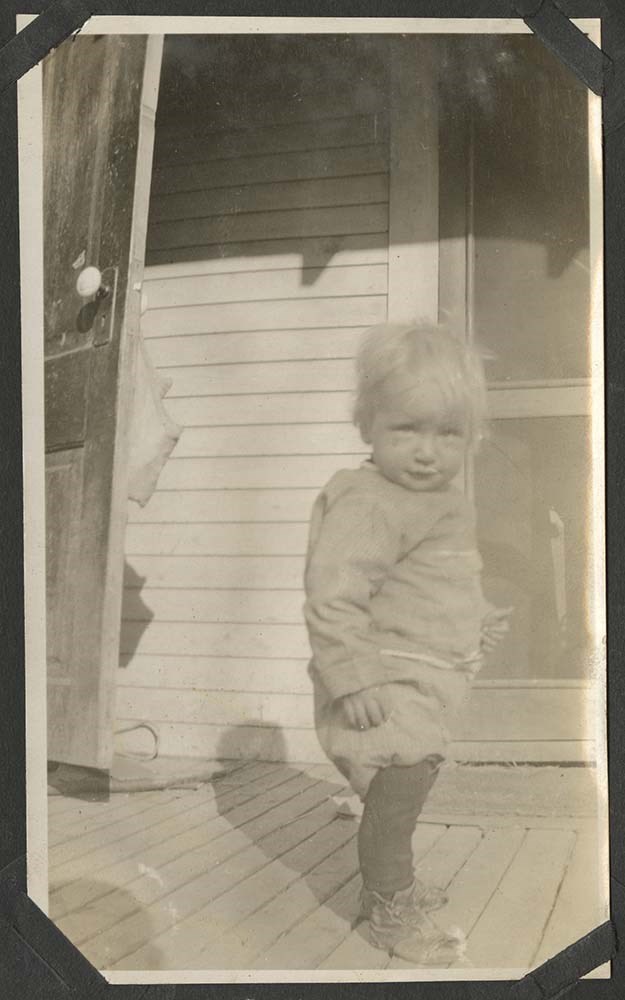
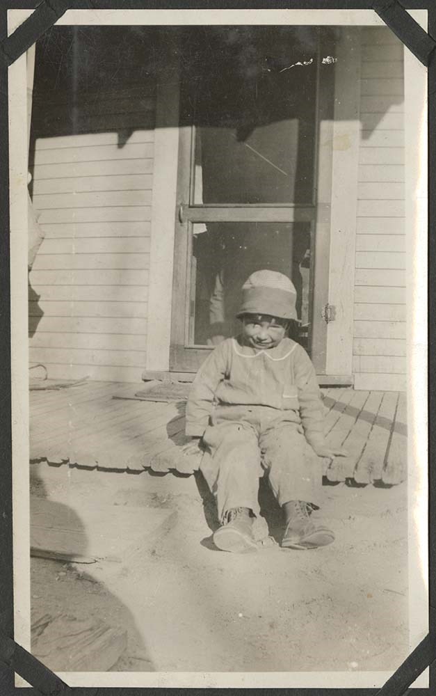
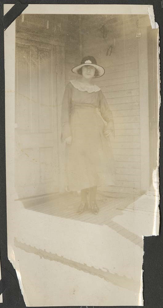
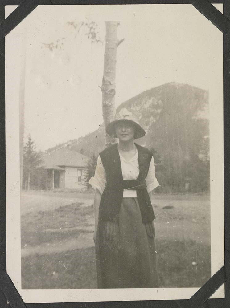
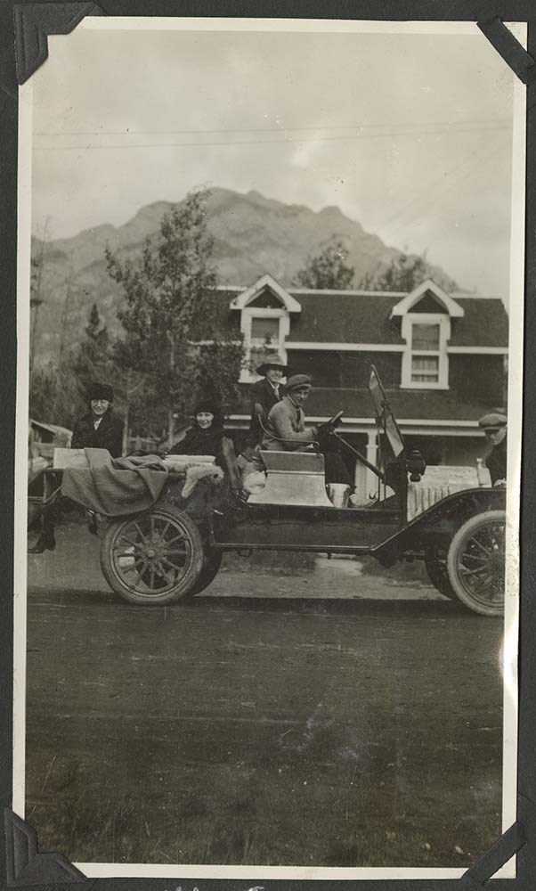
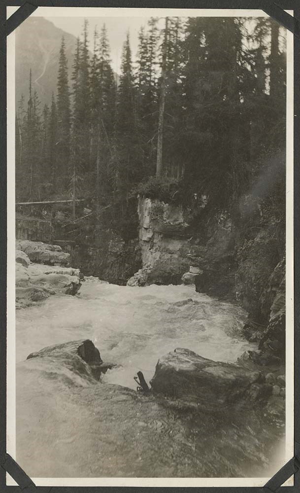
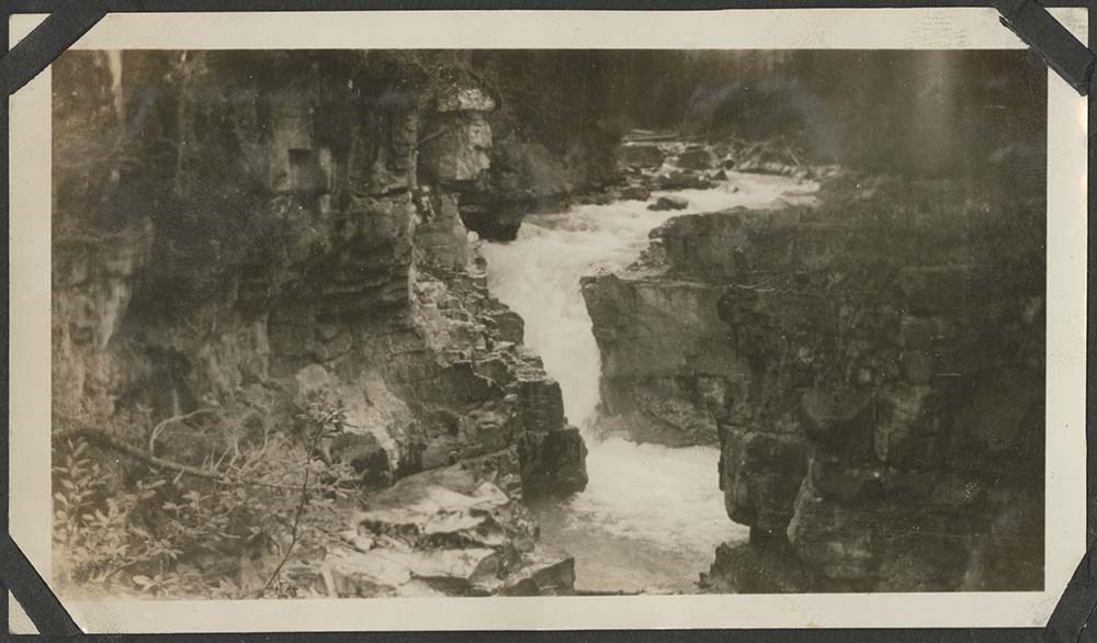
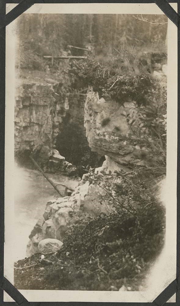
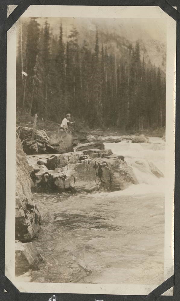
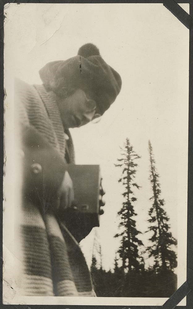
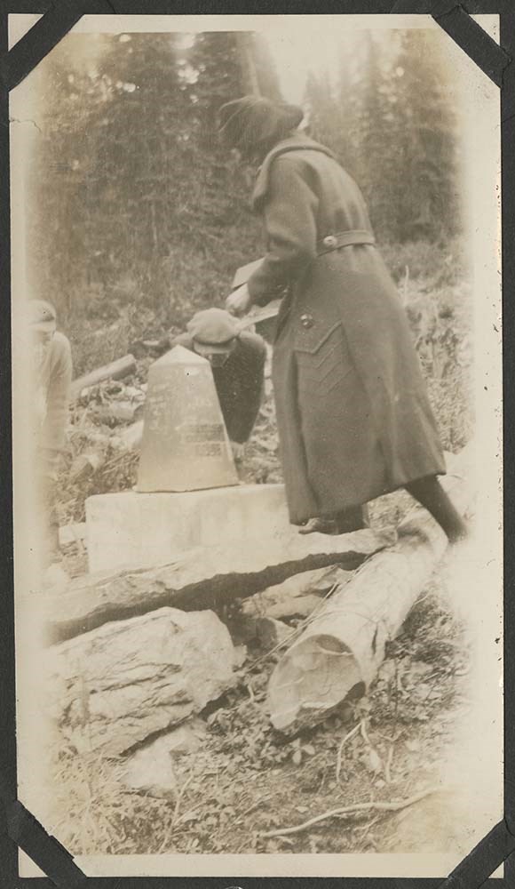
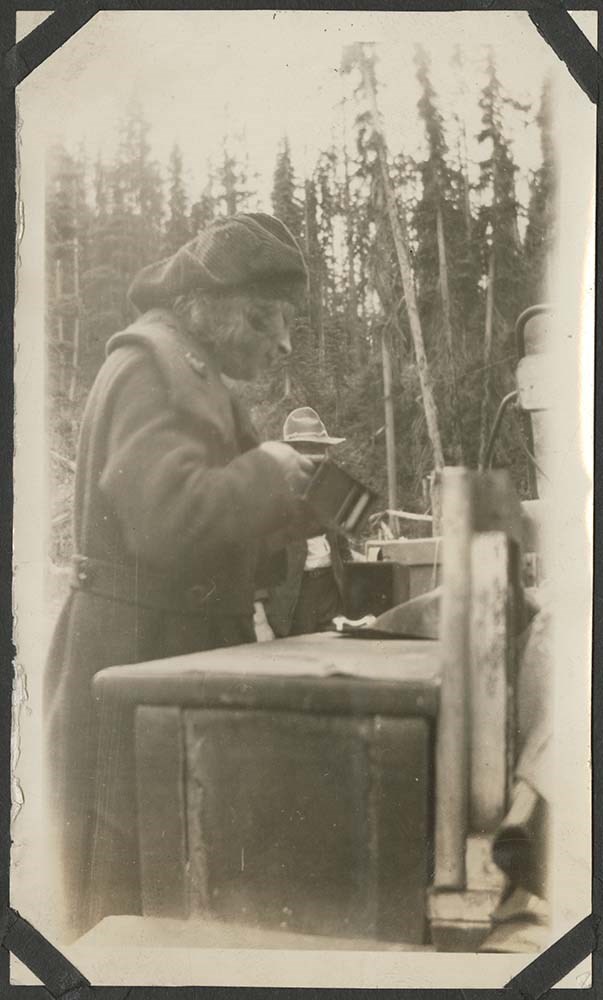
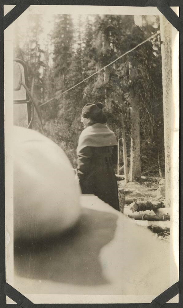
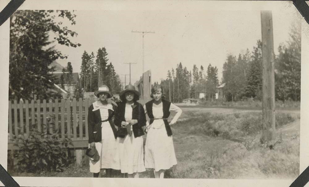
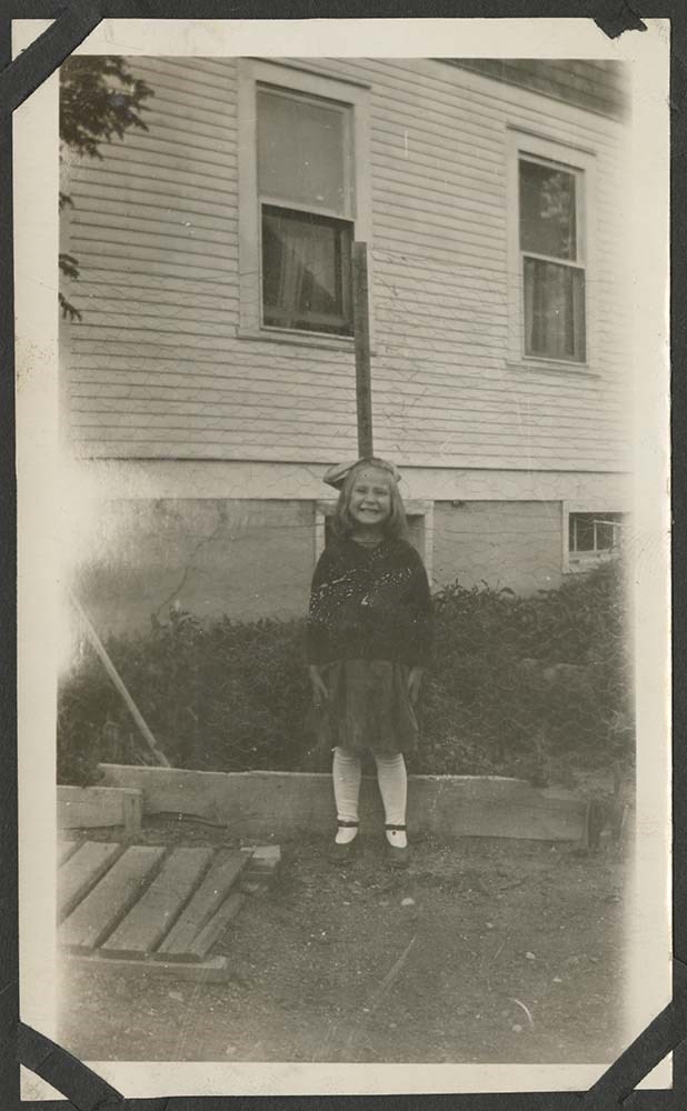
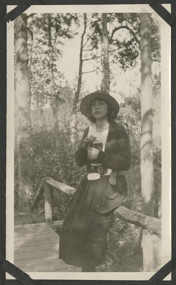
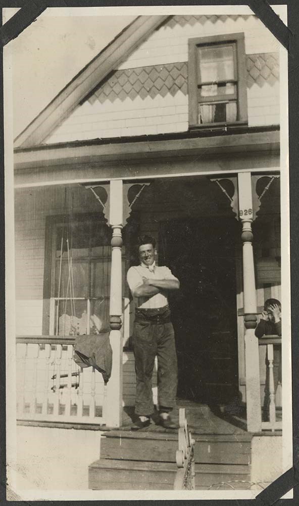
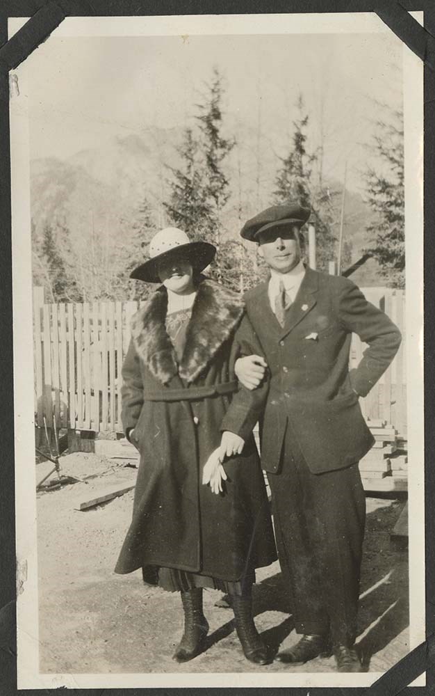
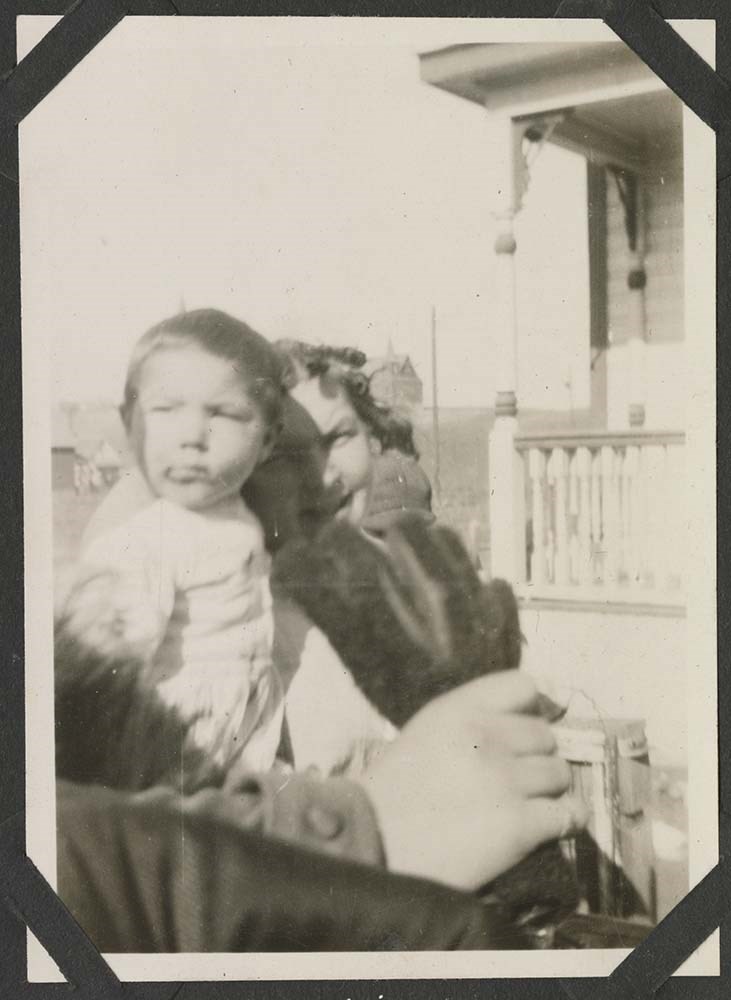
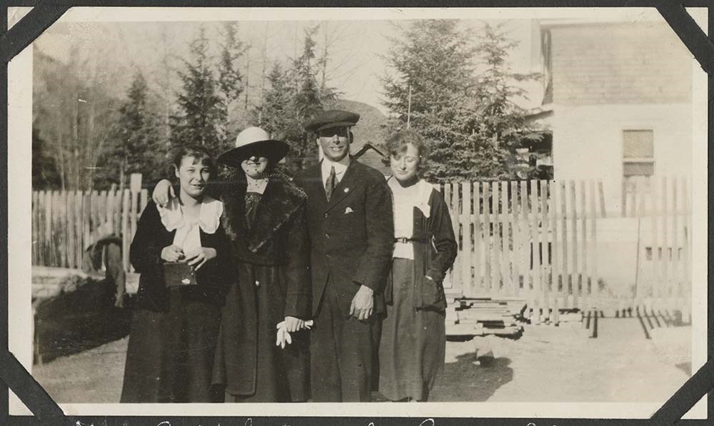
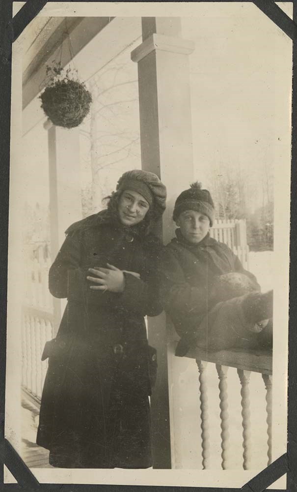
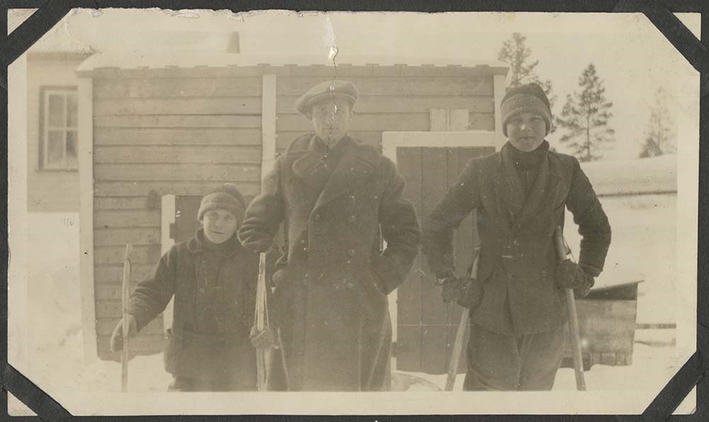
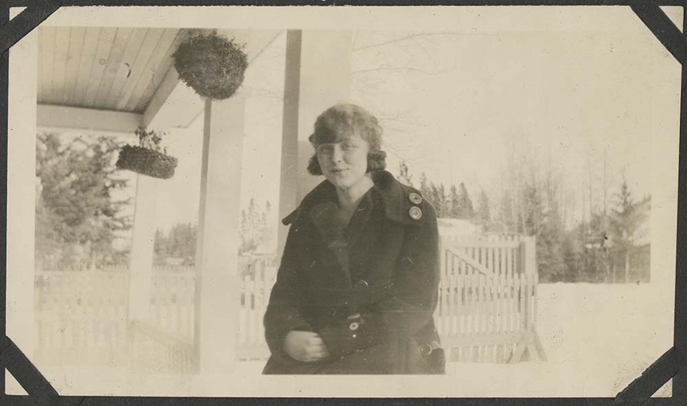
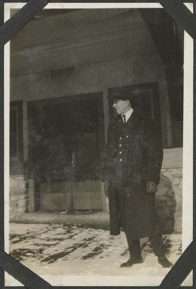
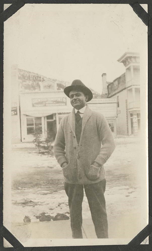
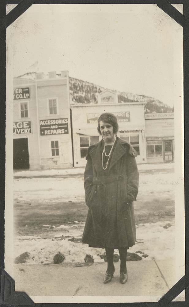
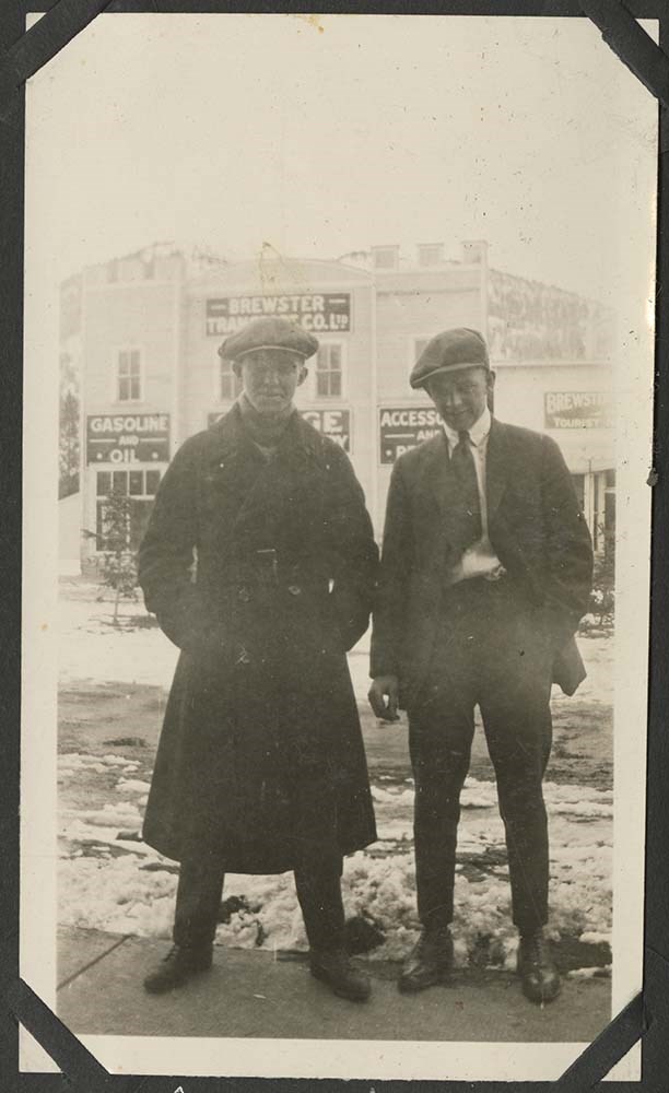
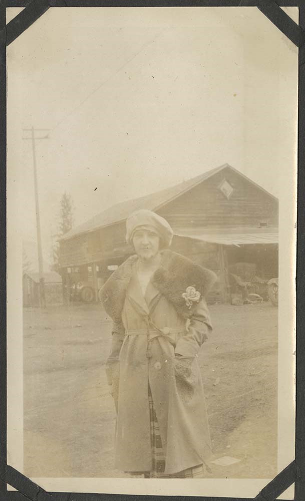
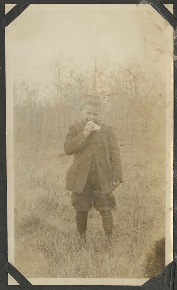
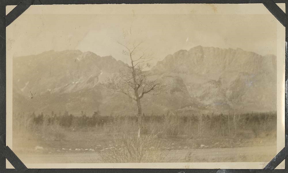
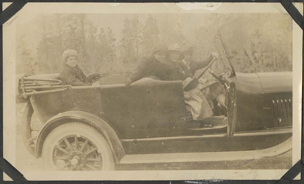
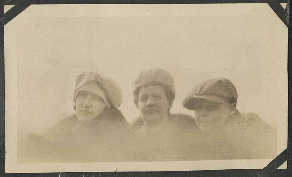
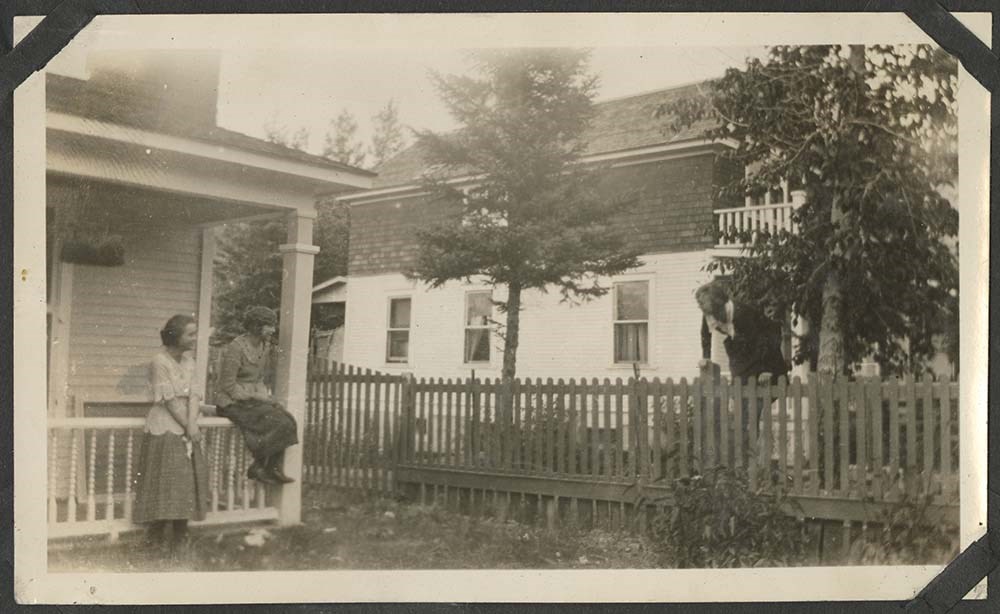
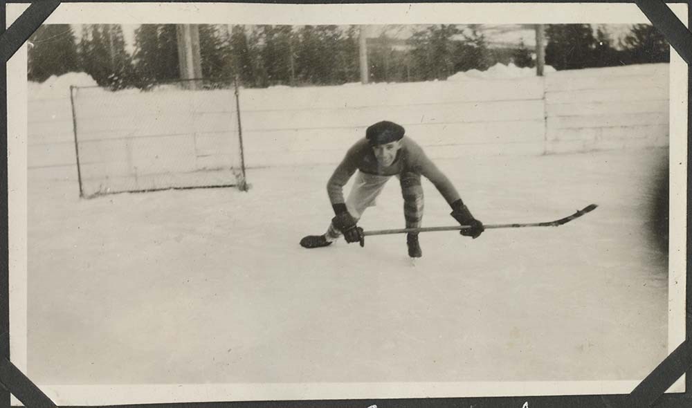
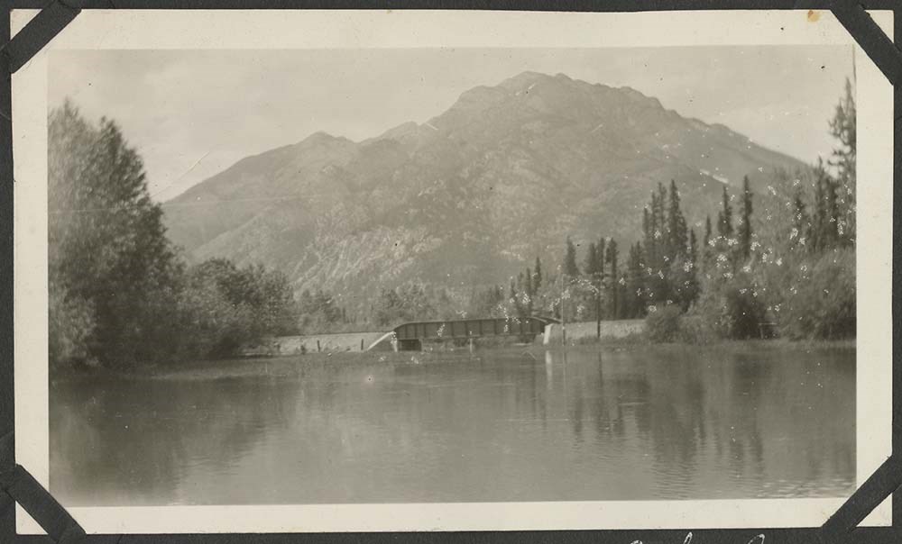
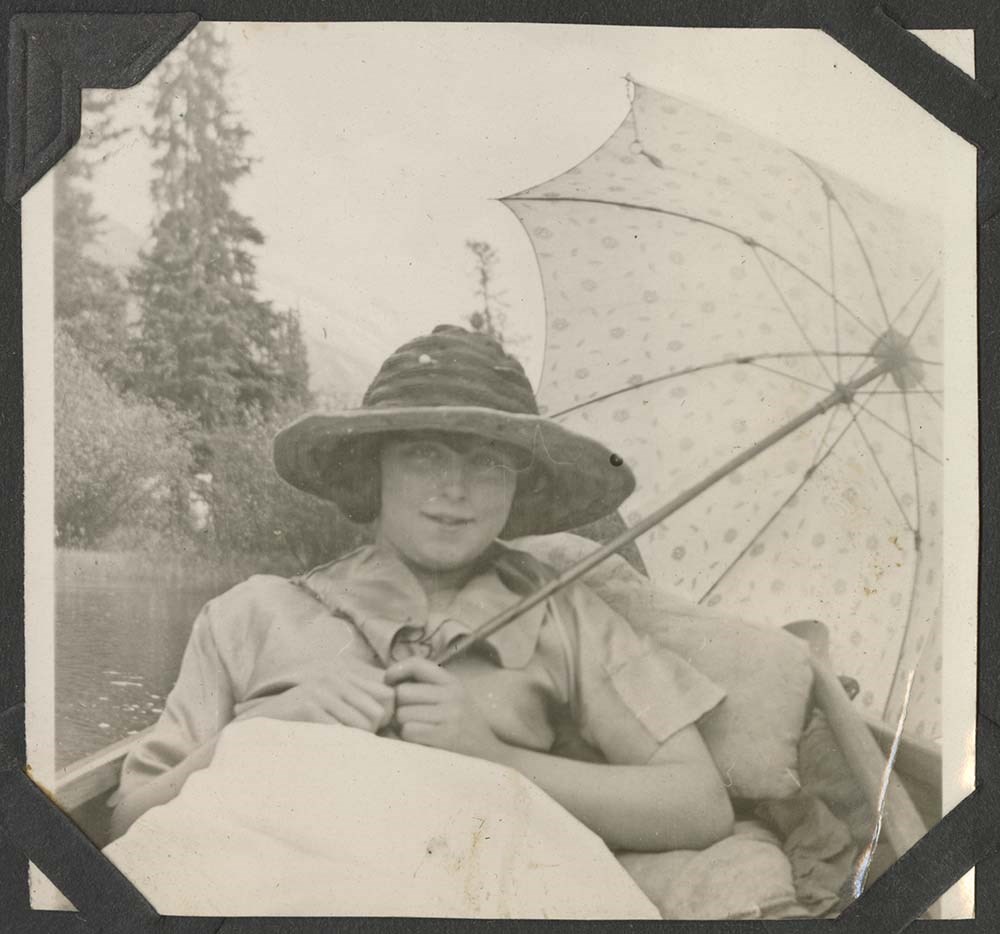
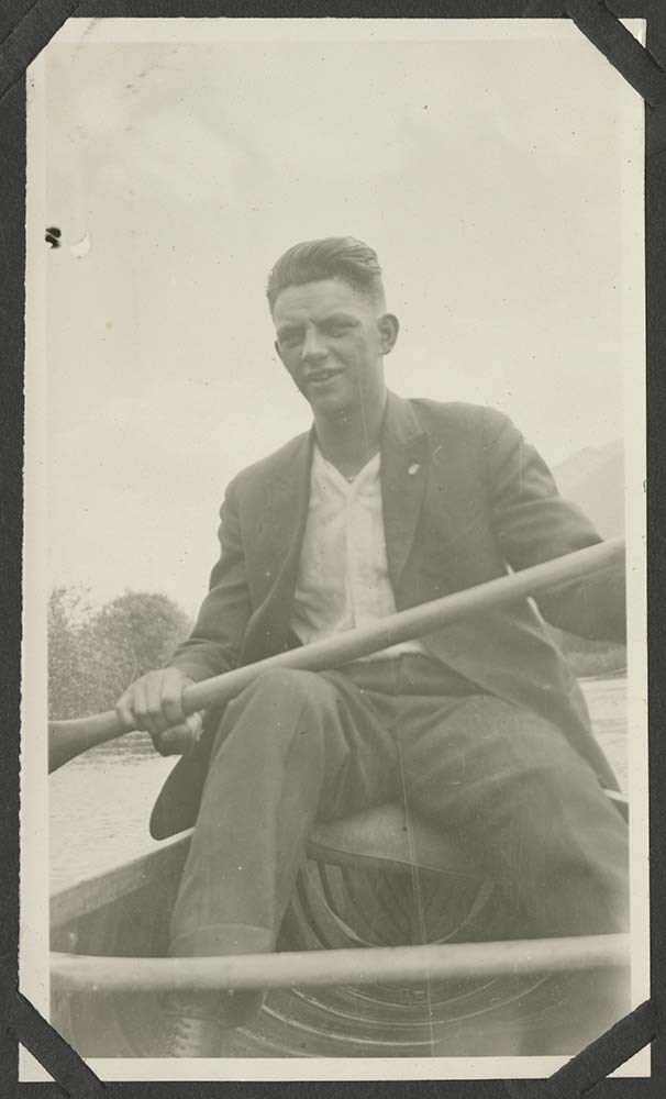
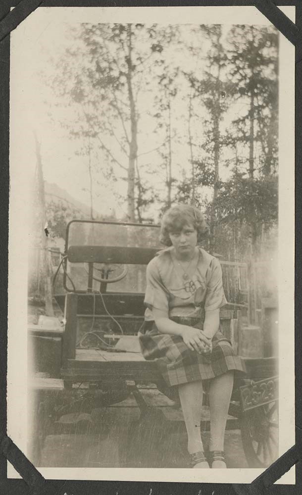
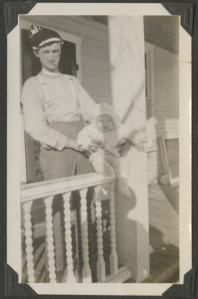
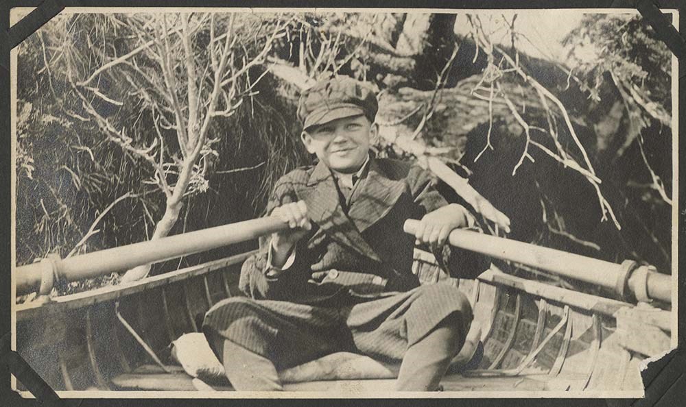
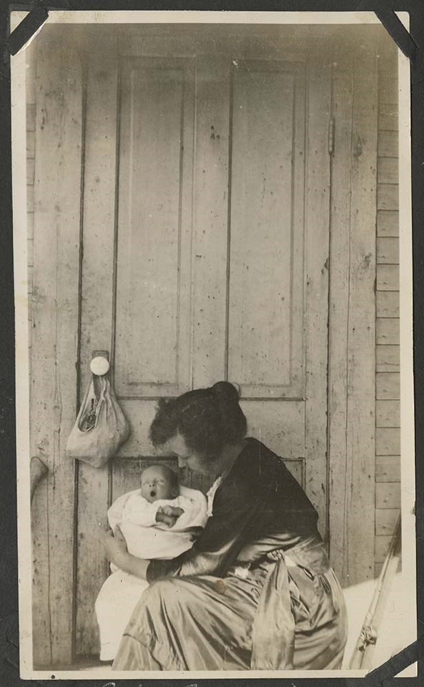
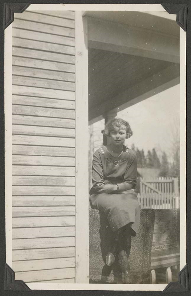
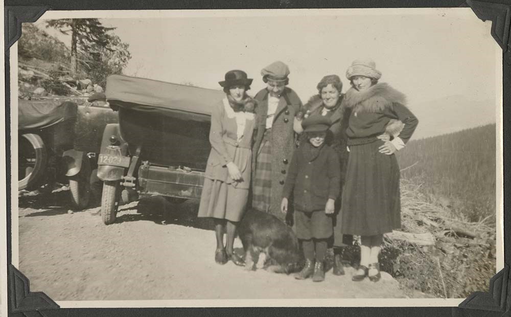
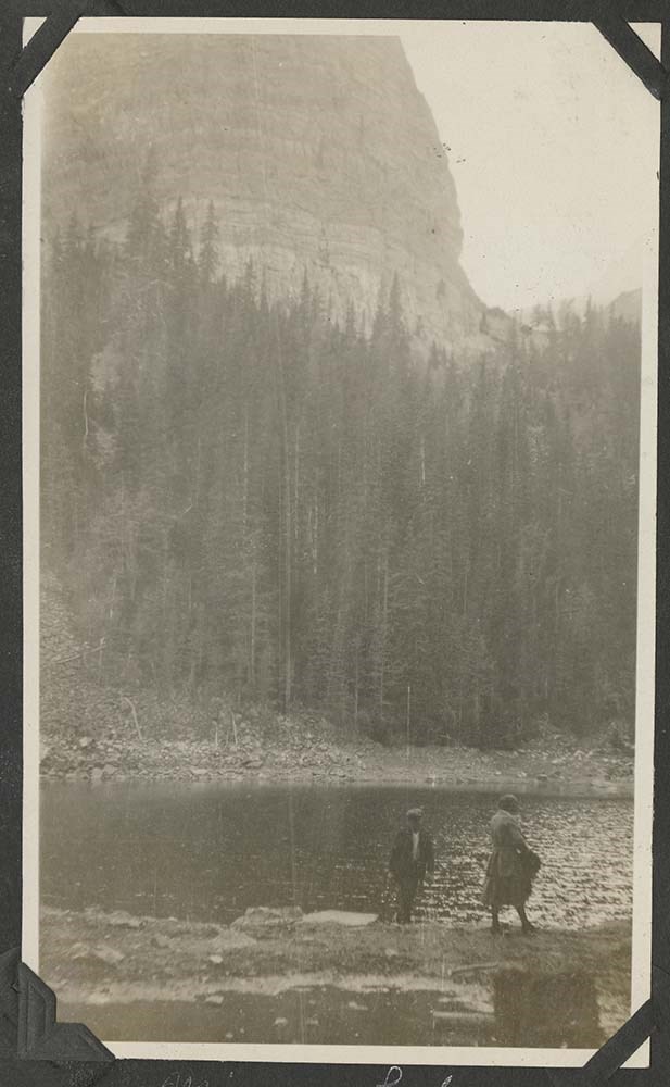
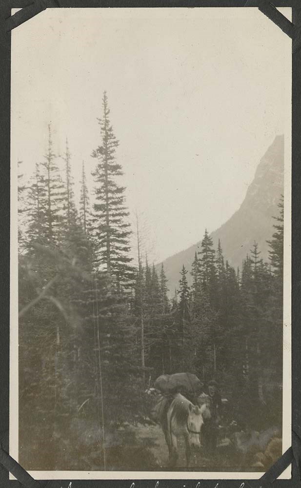
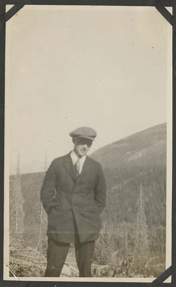
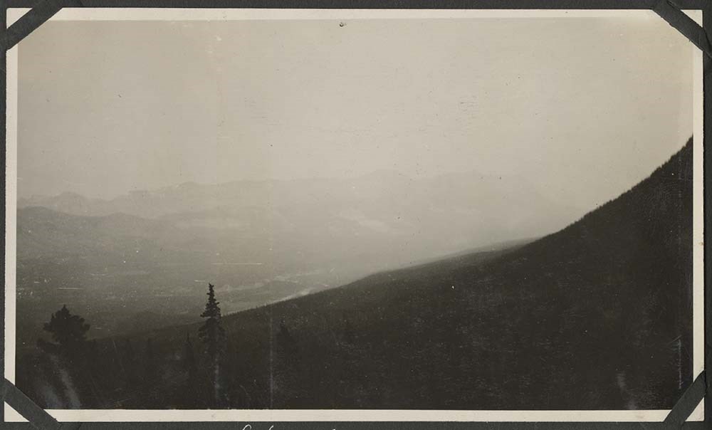
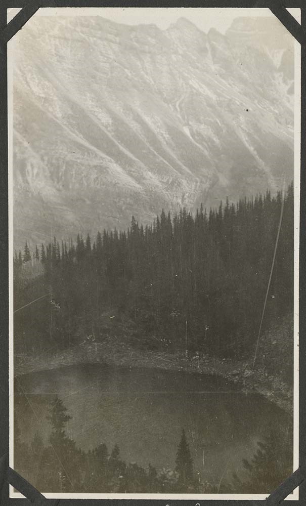
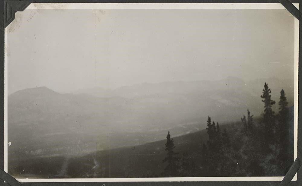
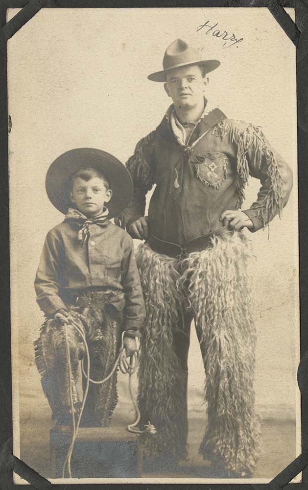
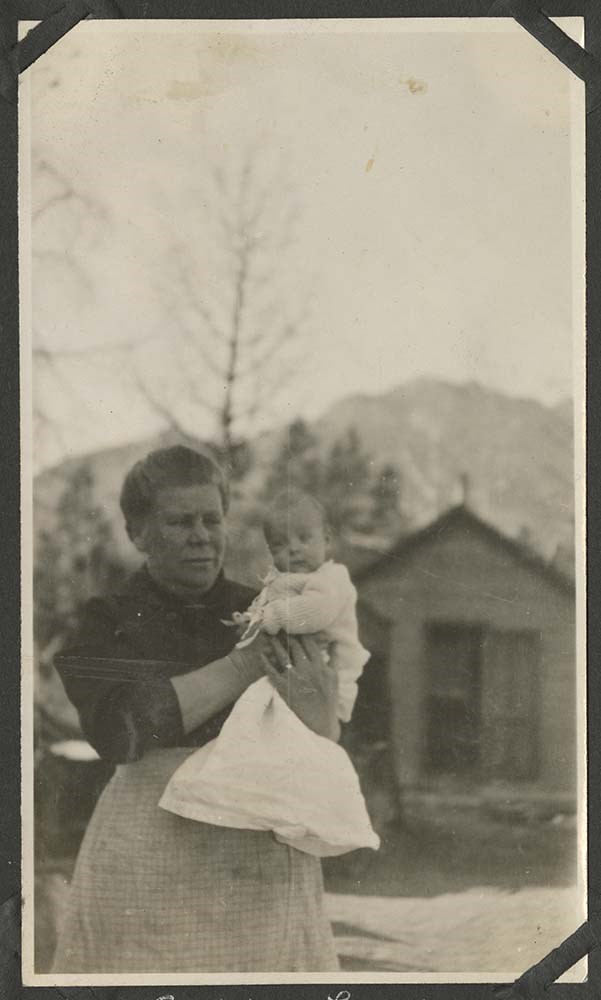
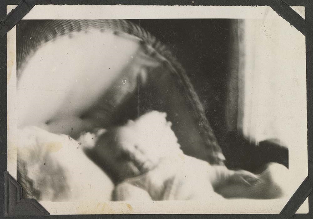
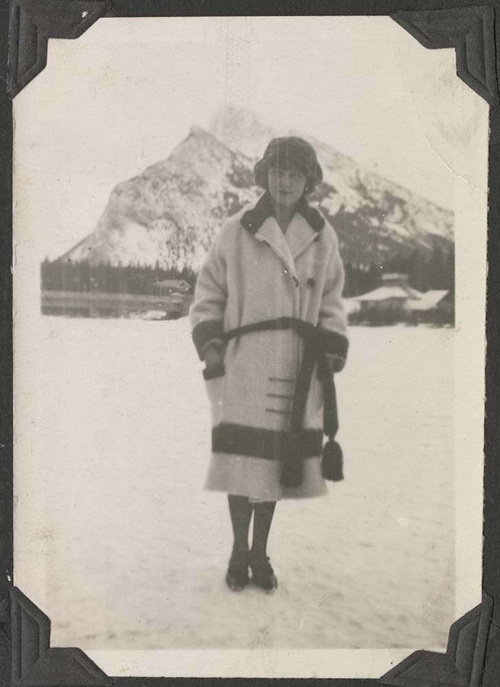
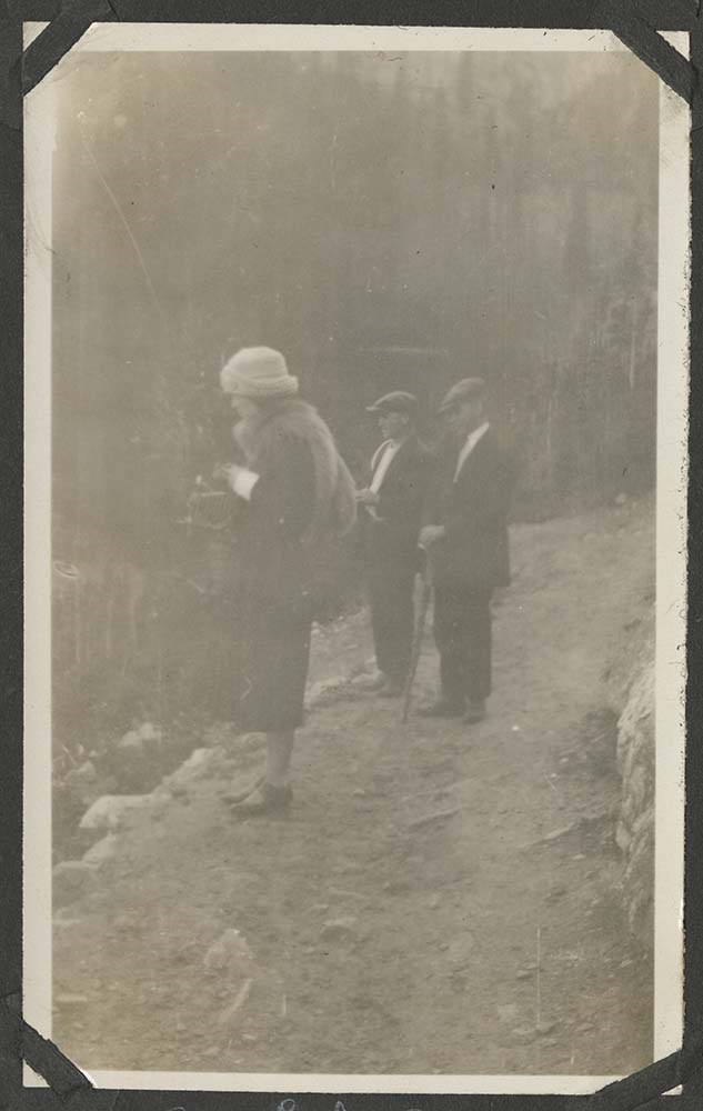
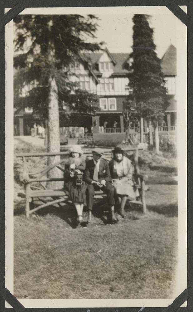
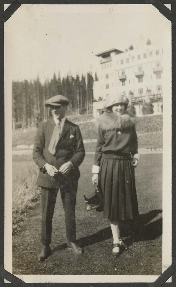
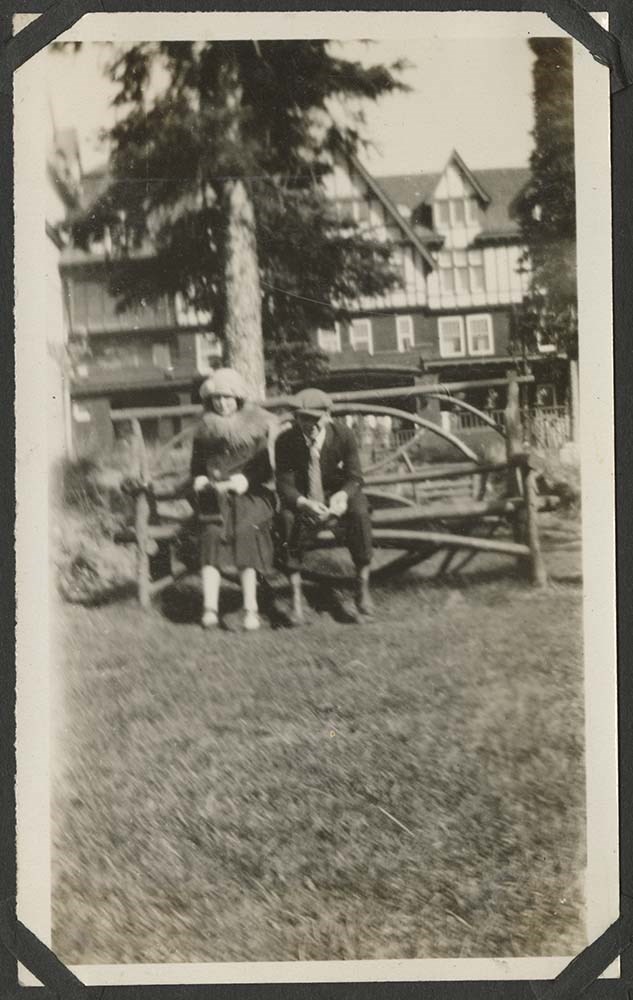
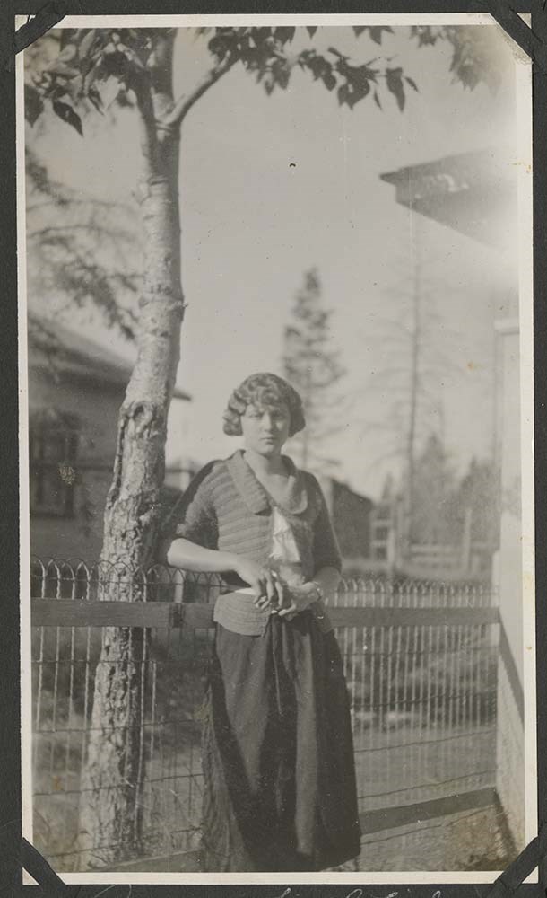
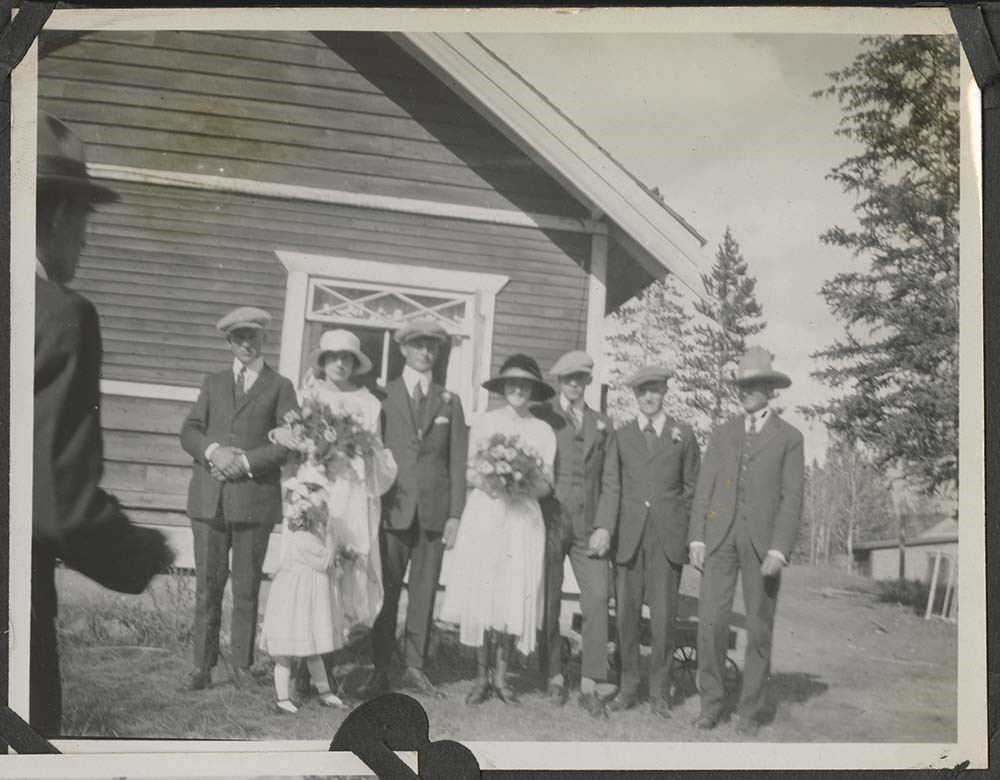
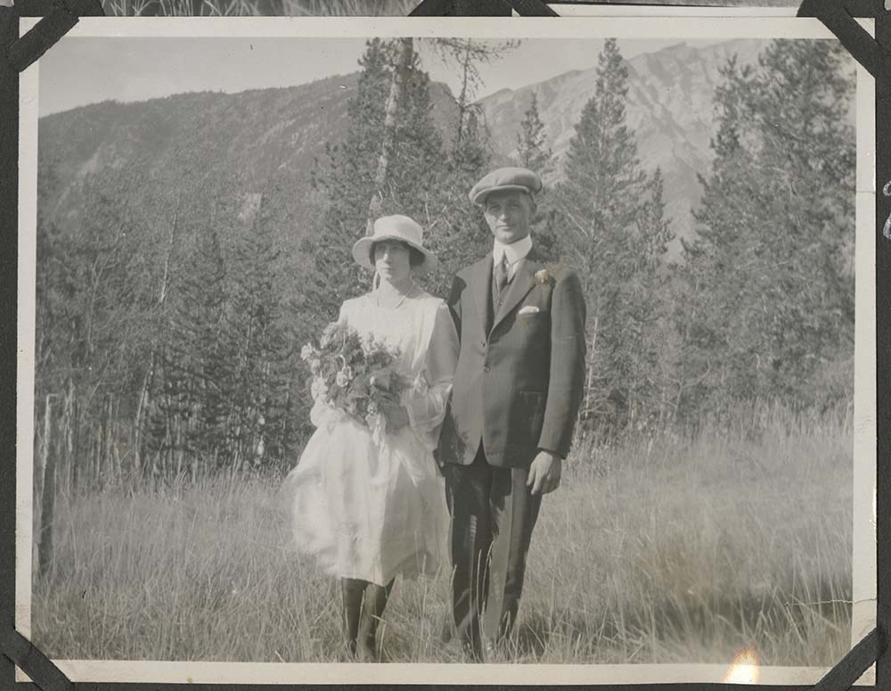
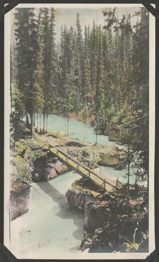
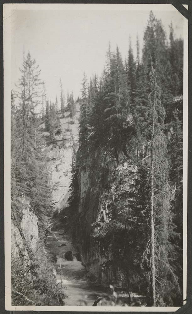
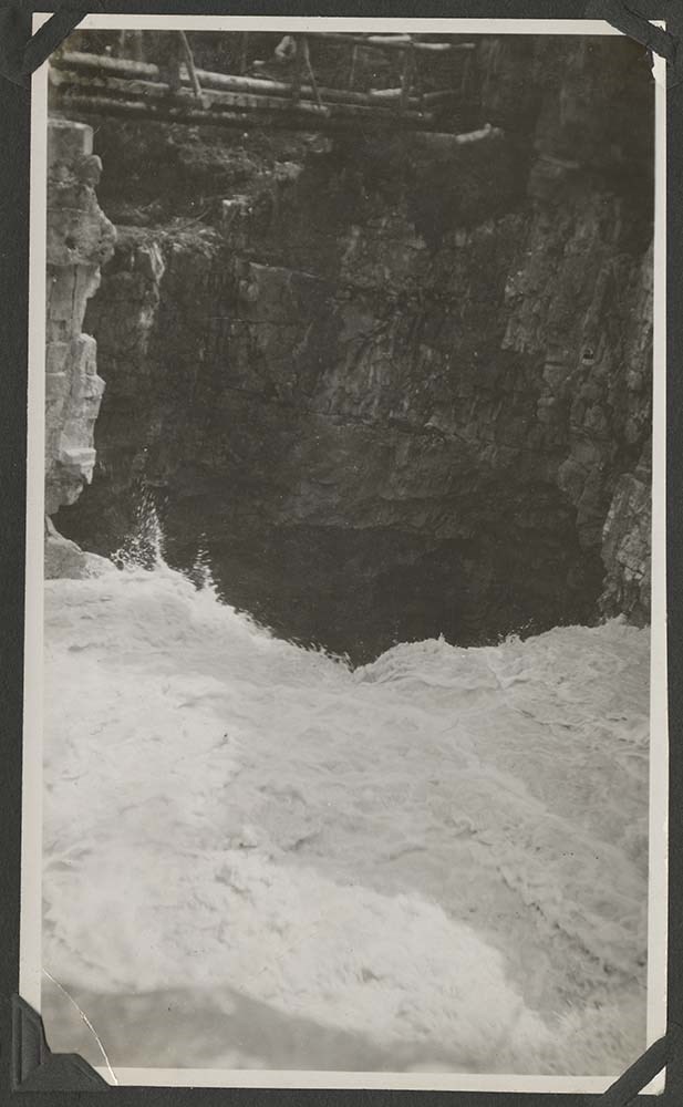
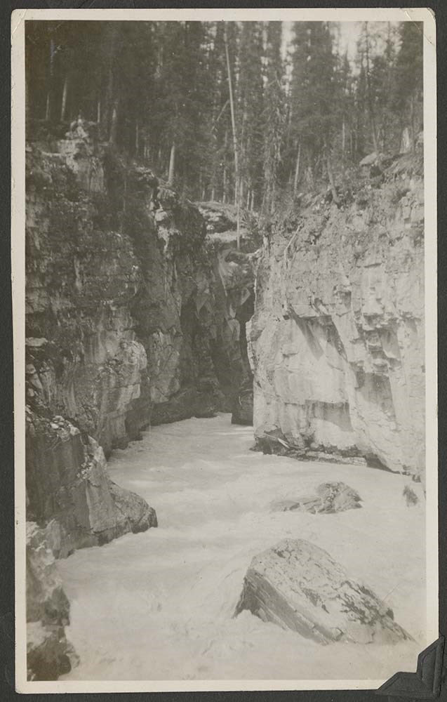
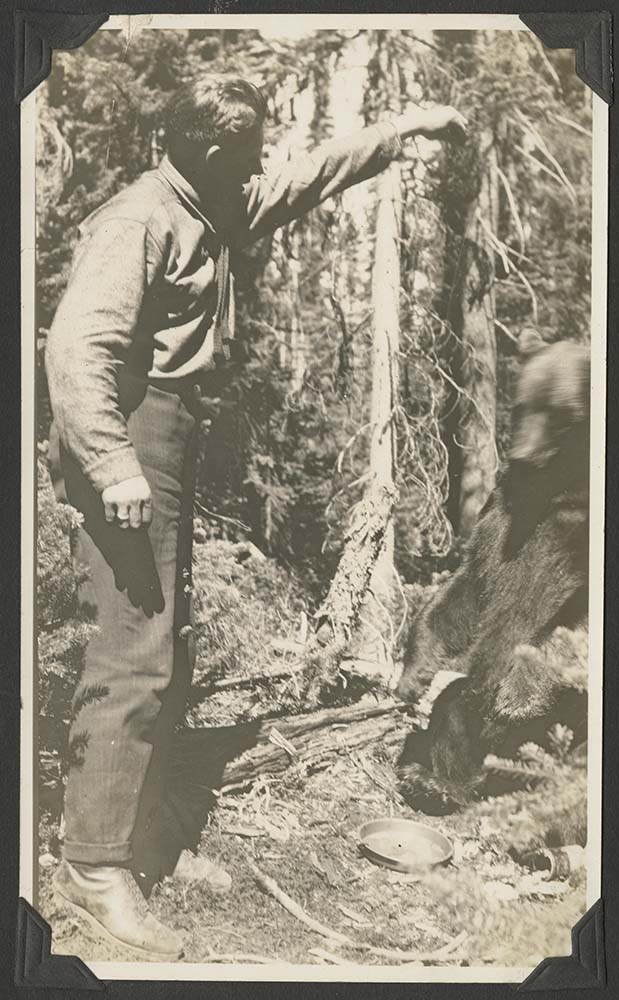
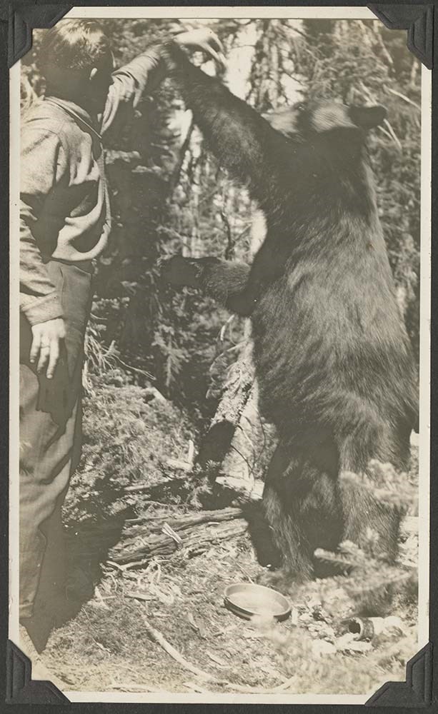
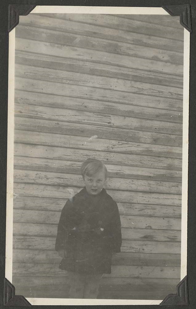
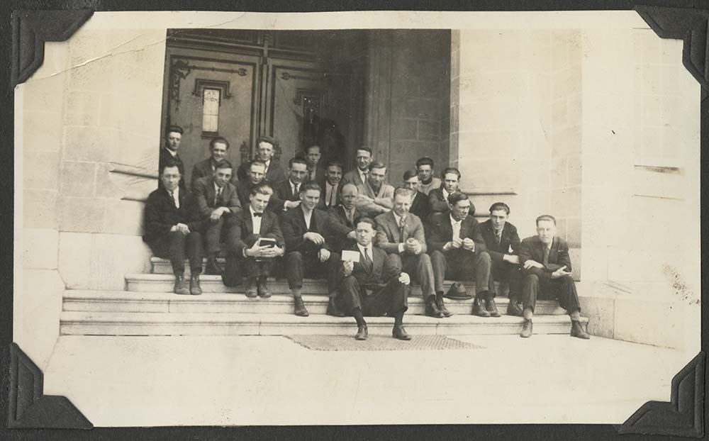
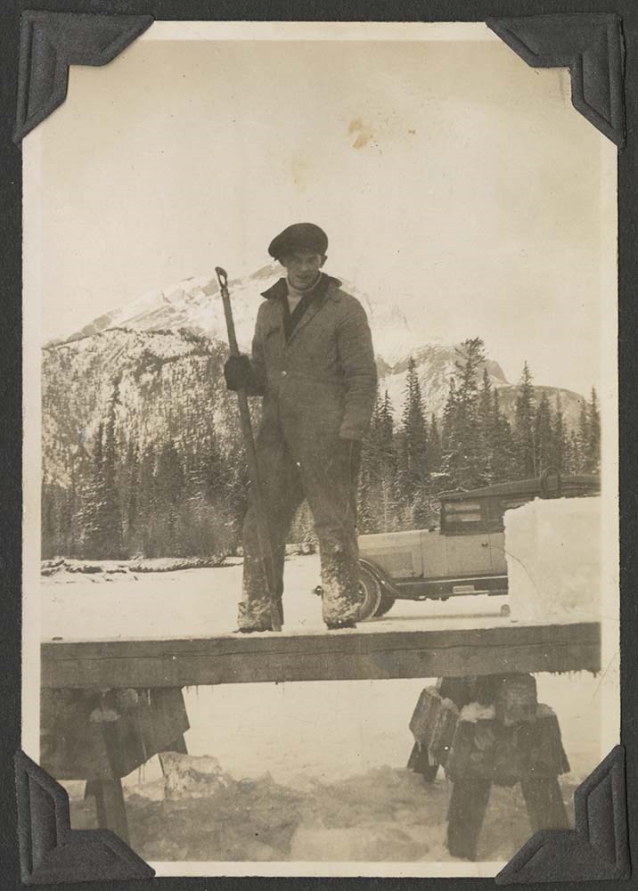
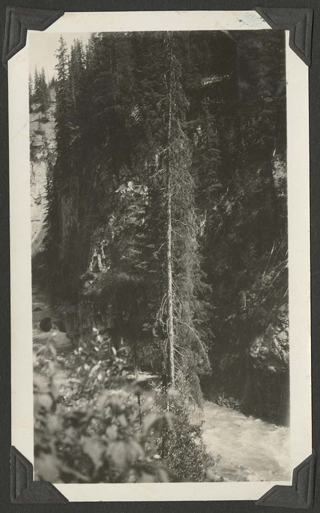
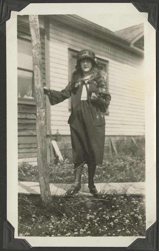
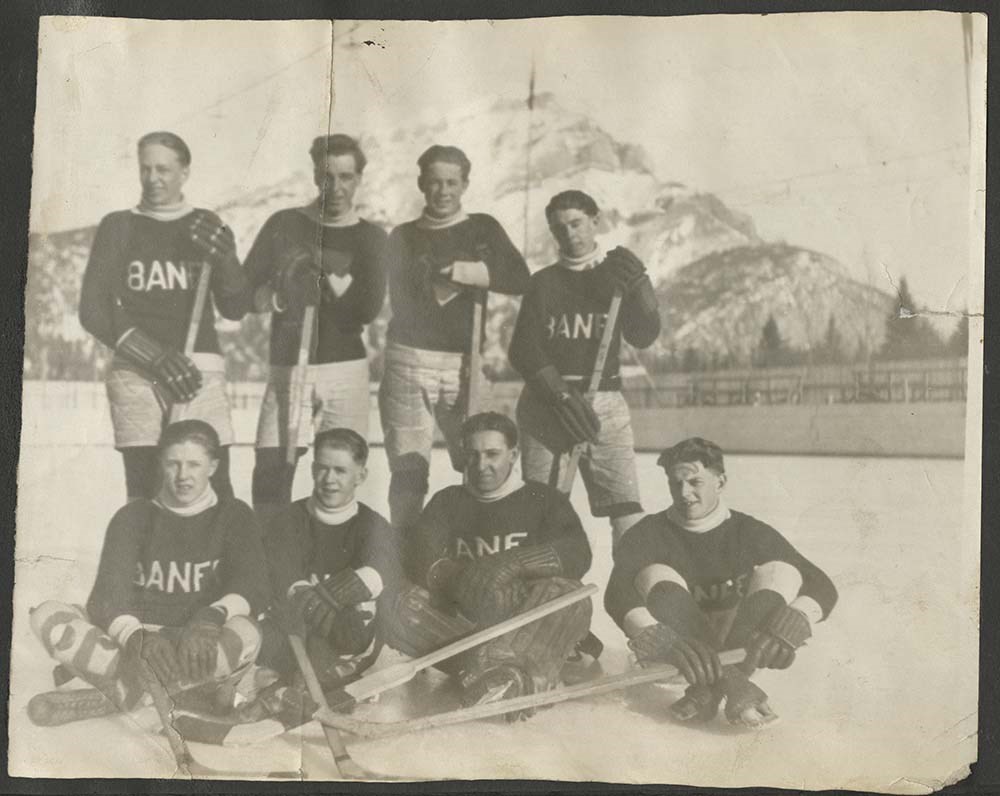
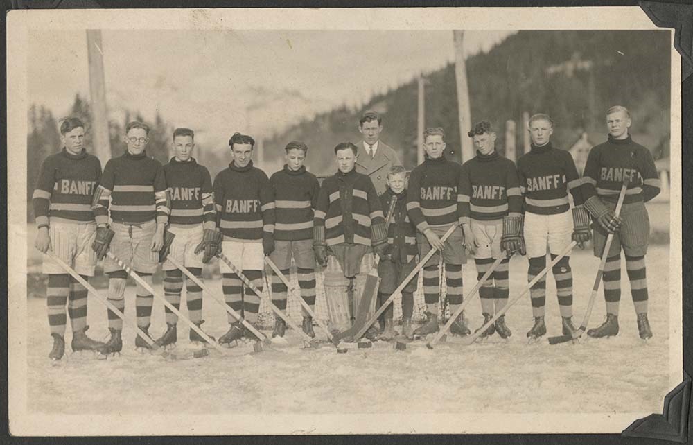
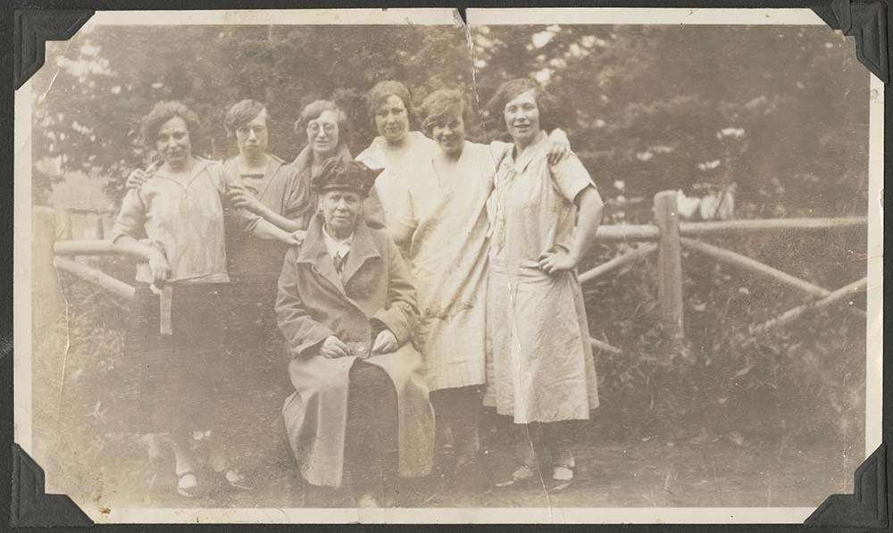
Portrait of unidentified men
https://archives.whyte.org/en/permalink/descriptions57274
- Part Of
- Archives General File Collection
- Scope & Content
- 1 album containing ca. 33 black and white prints pertaining to family trip to Banff
- Date Range
- 1920
- Reference Code
- V8 / 2014.8309
- Description Level
- 5 / File
- GMD
- Photograph
- Photograph print
- Album
- Part Of
- Archives General File Collection
- Description Level
- 5 / File
- Fonds Number
- M8
- V8
- S8
- Series
- V8 / 2014.8309
- Sous-Fonds
- V8
- Accession Number
- V8 / 2014.8309
- Reference Code
- V8 / 2014.8309
- Date Range
- 1920
- Physical Description
- 1 album (33 photographs : b&w ; 15 x 11 cm)
- Scope & Content
- 1 album containing ca. 33 black and white prints pertaining to family trip to Banff
- Subject Access
- Tourism
- Geographic Access
- Canada
- Alberta
- Banff National Park
- Language
- English
- Category
- Tourism
- Exploration and travel
- Title Source
- Title based on contents of file
- Processing Status
- Processed
This material is presented as originally created; it may contain outdated cultural descriptions and
potentially offensive content.
Read more.
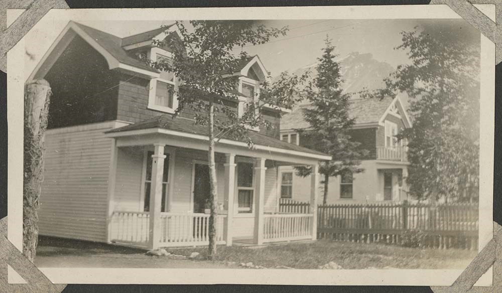
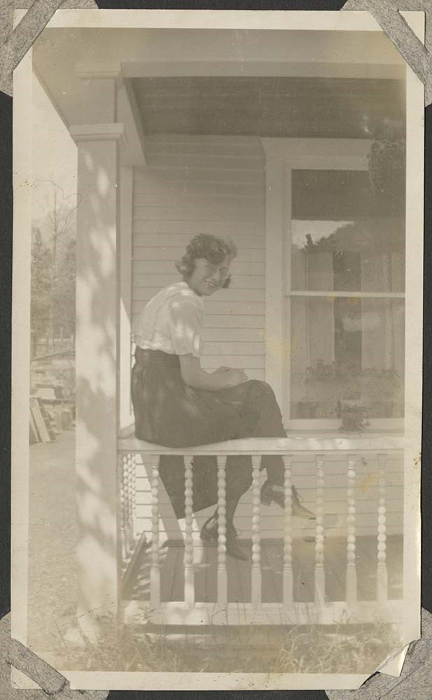
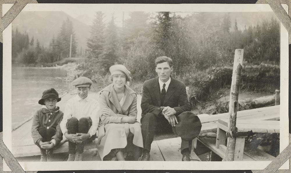
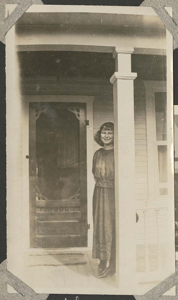
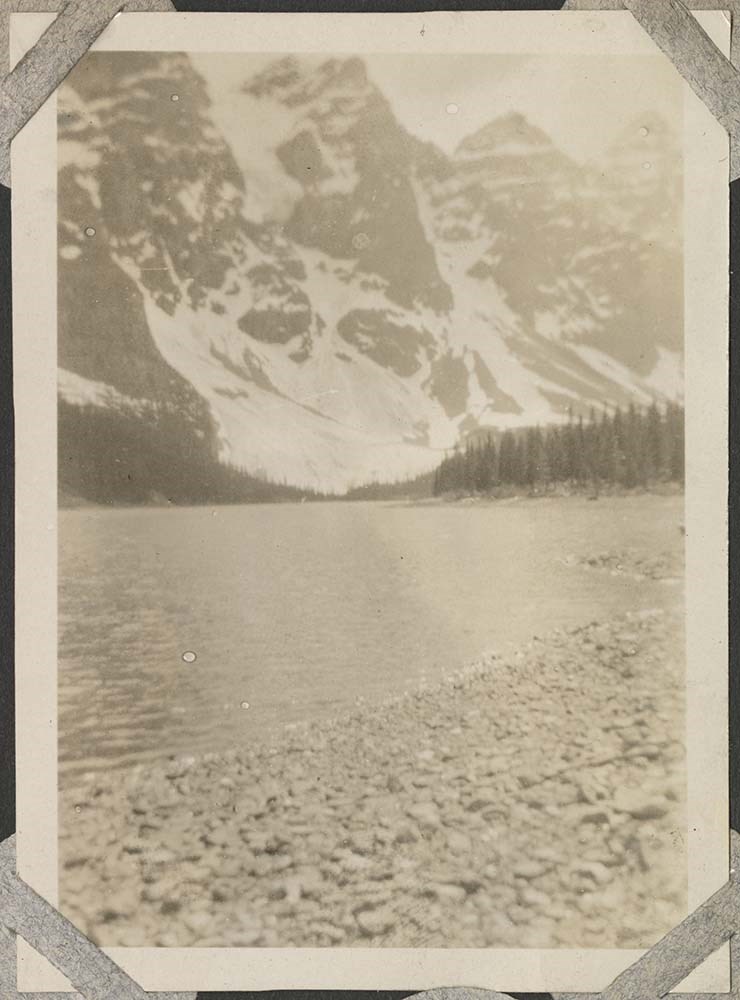
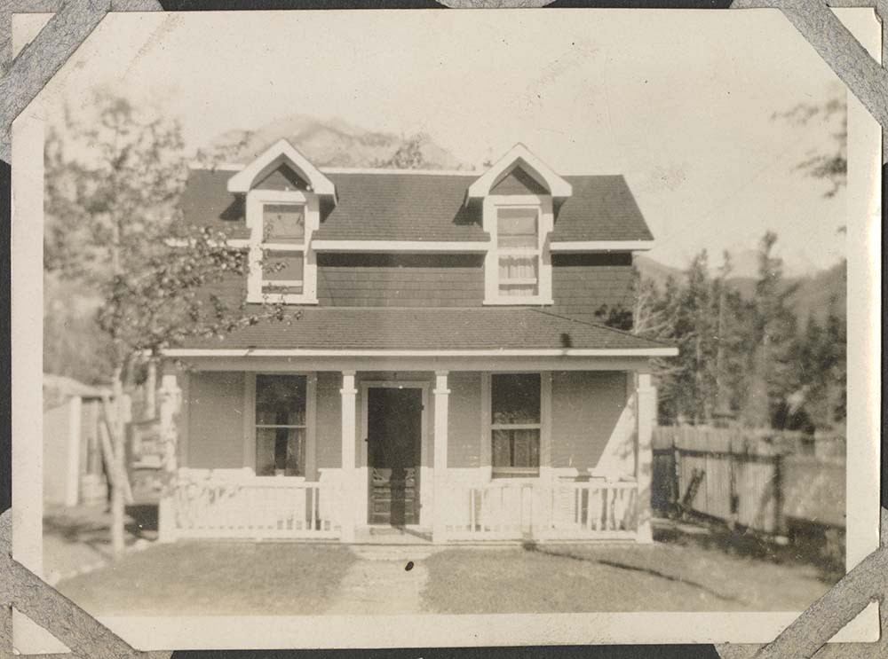
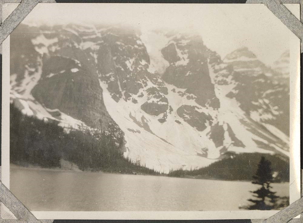
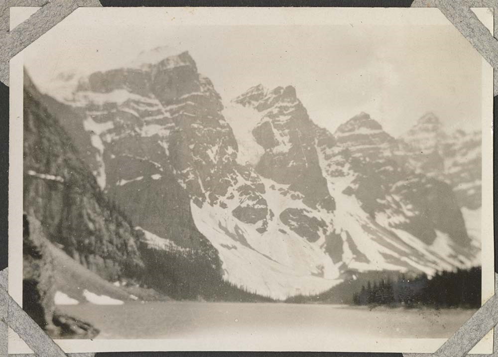
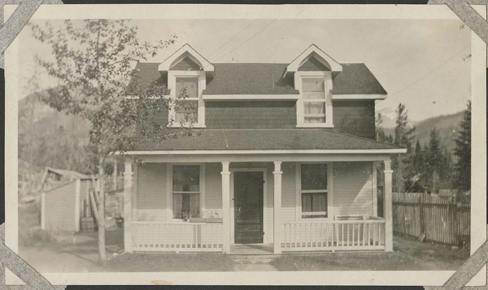
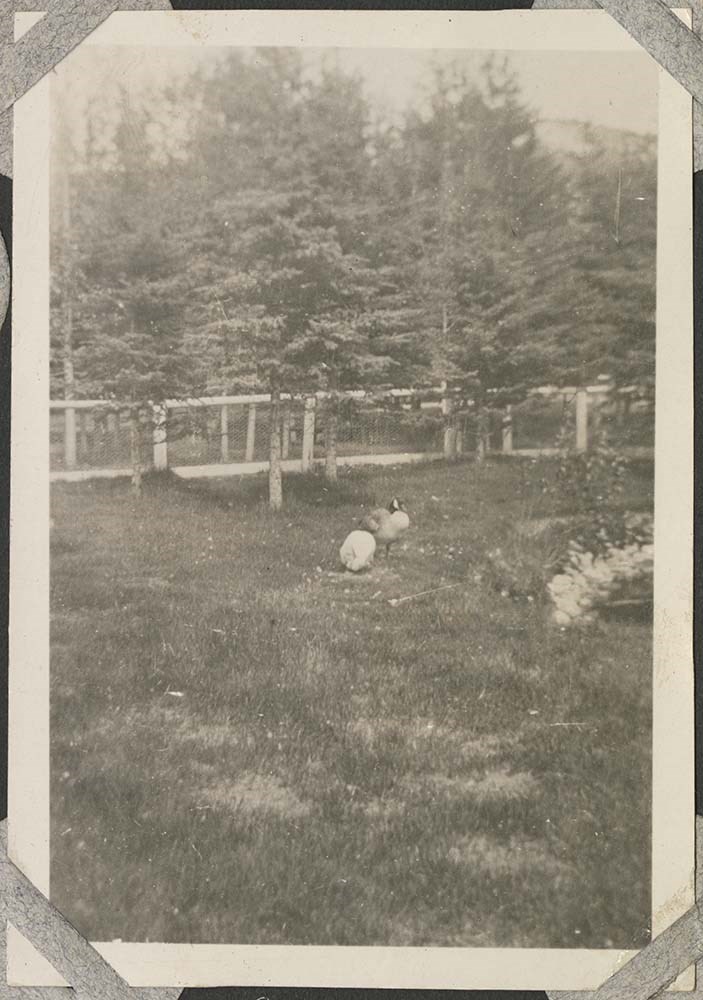
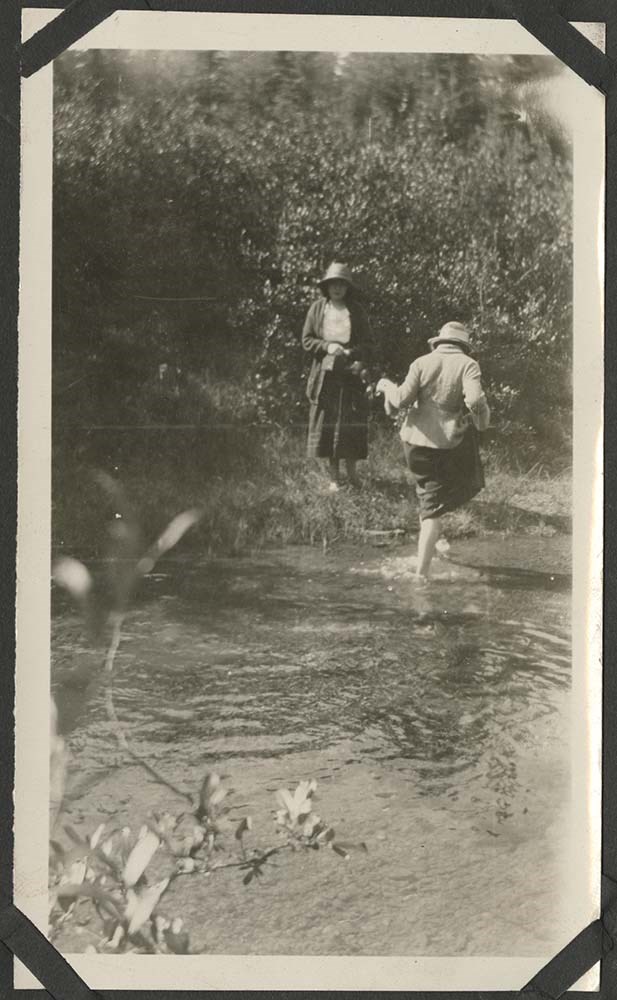
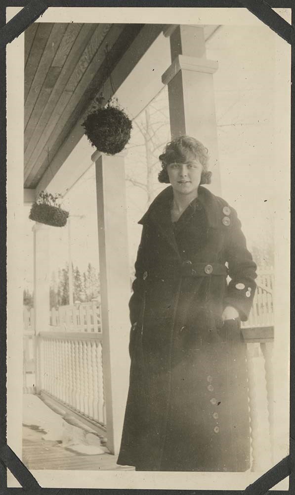
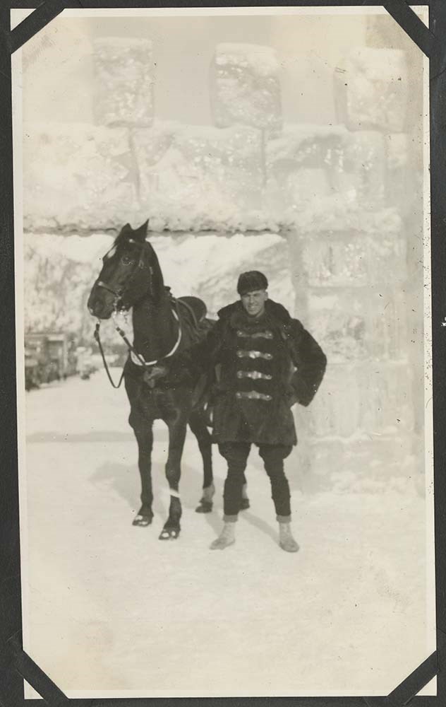
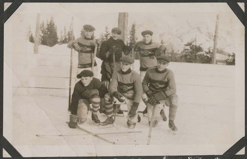
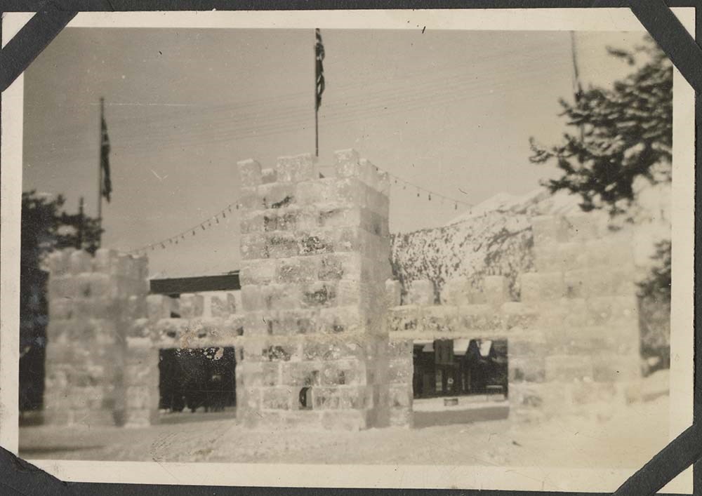
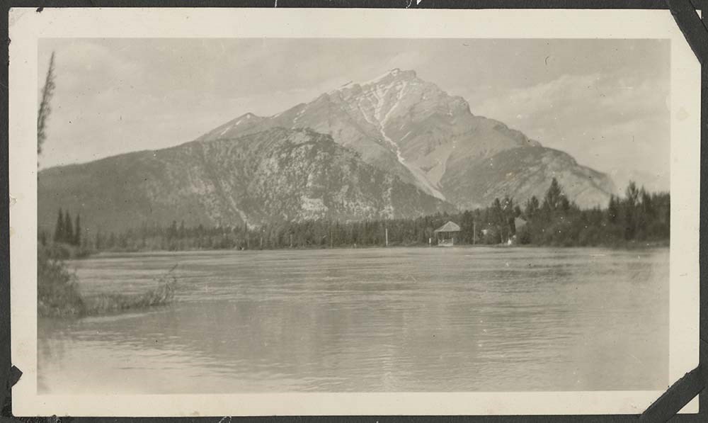
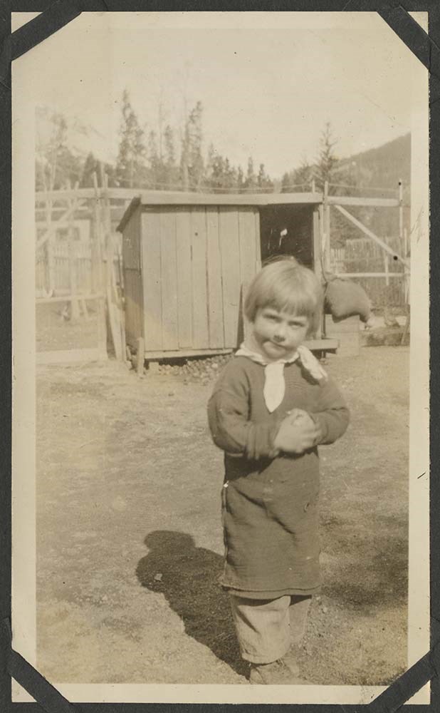
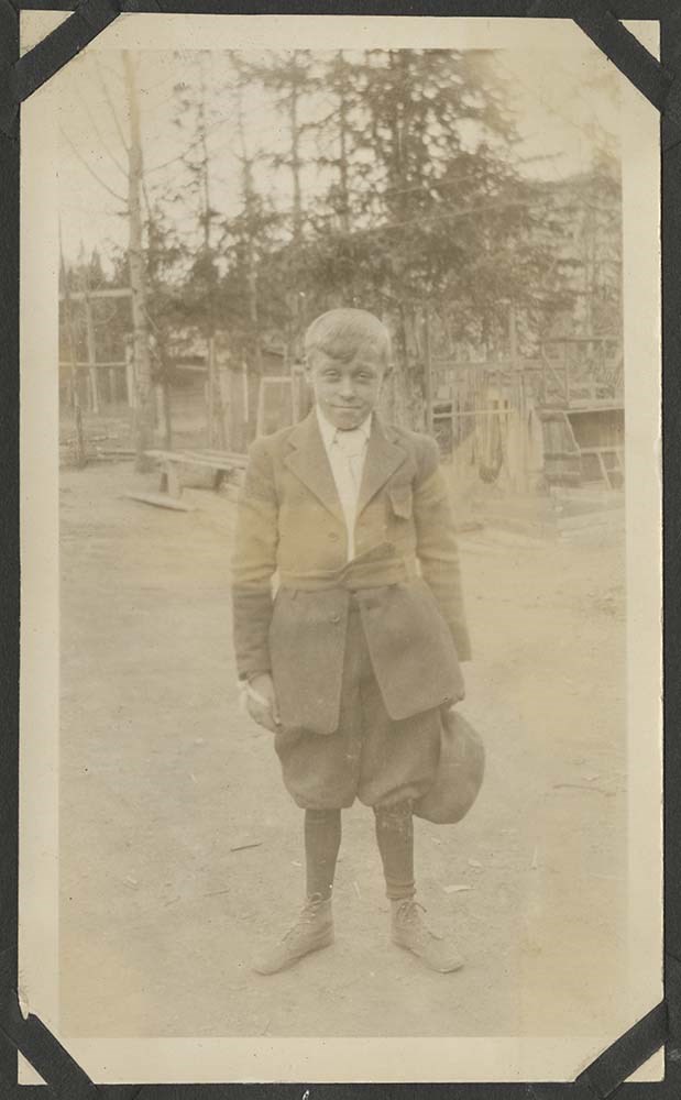
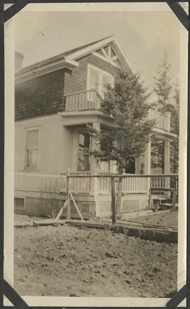
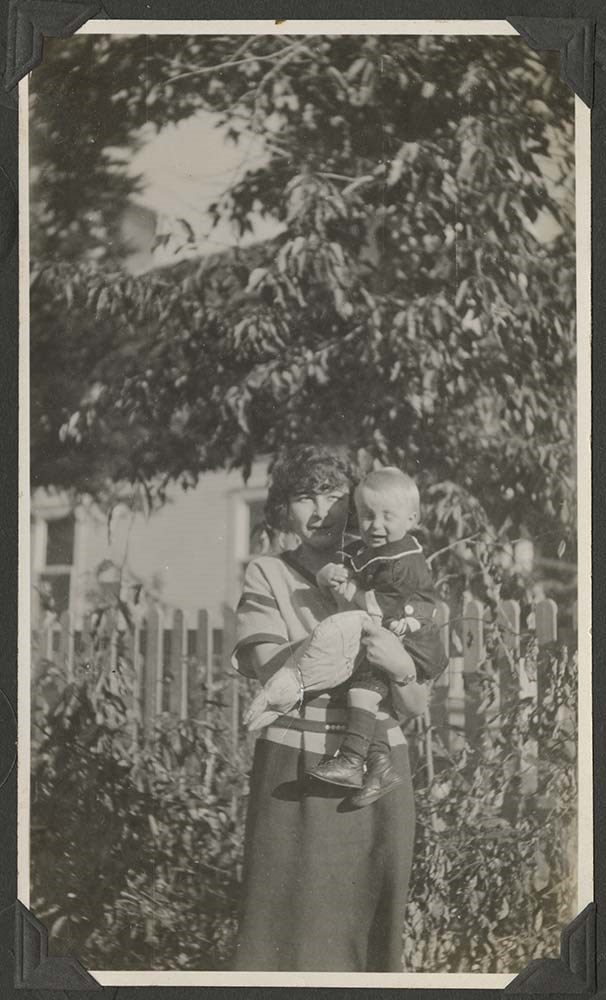
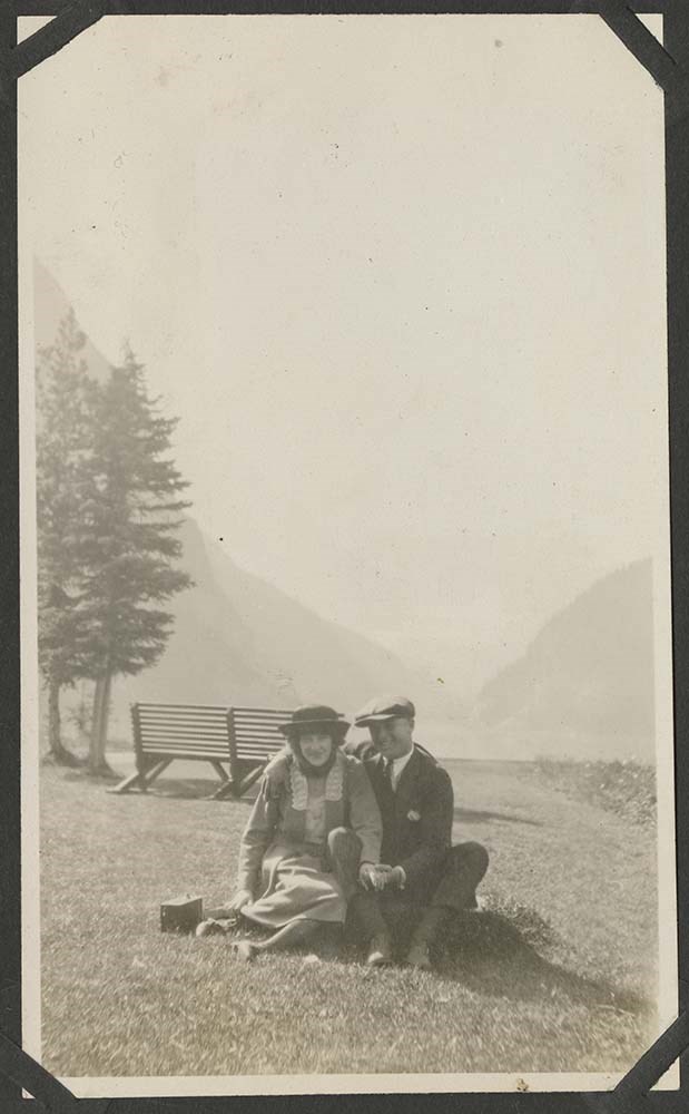
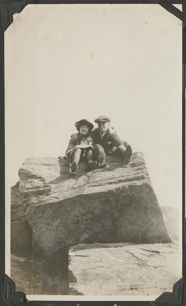
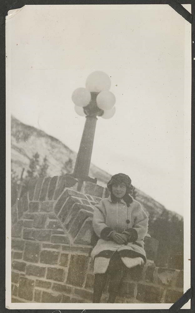
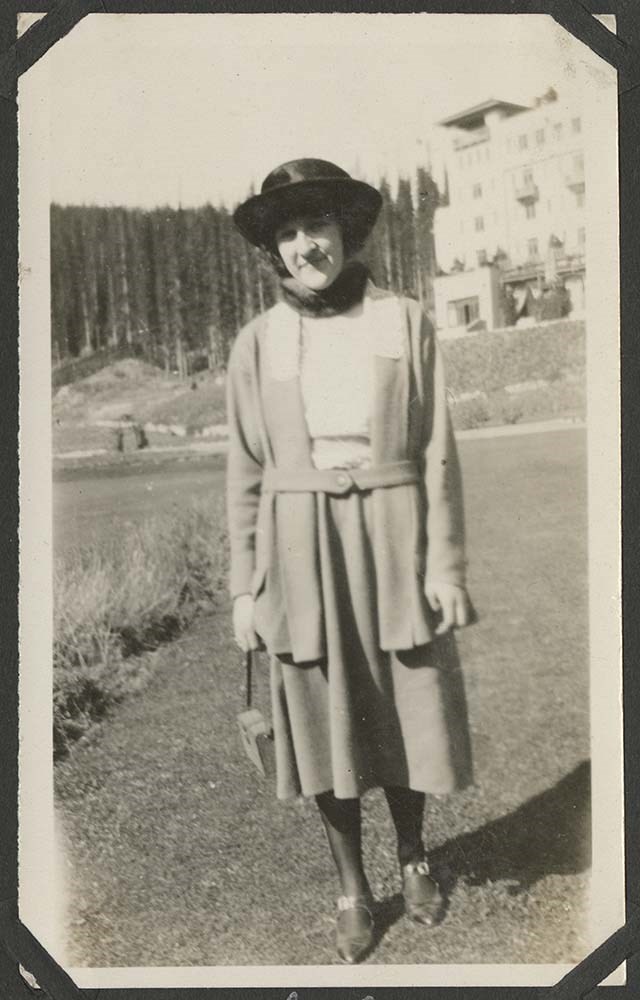
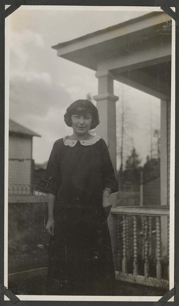
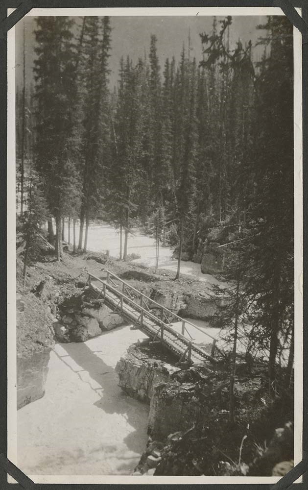
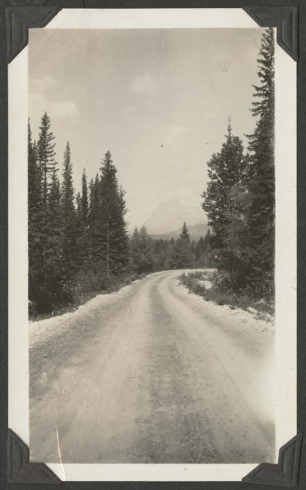
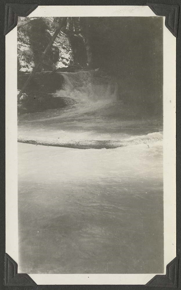
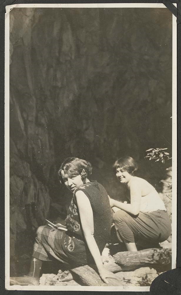
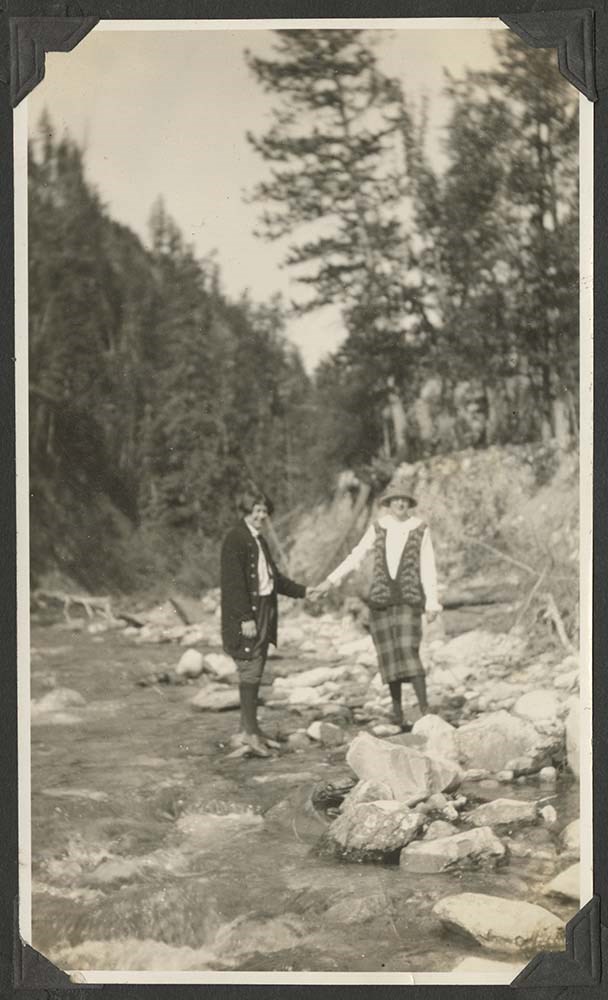
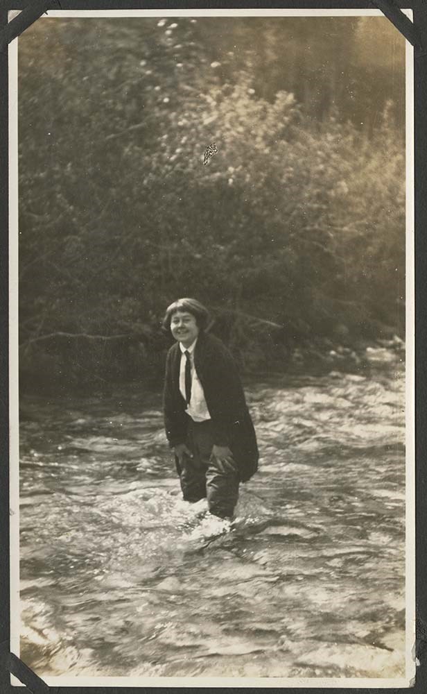
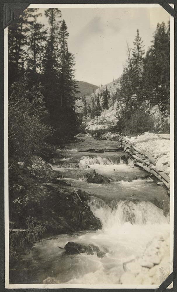
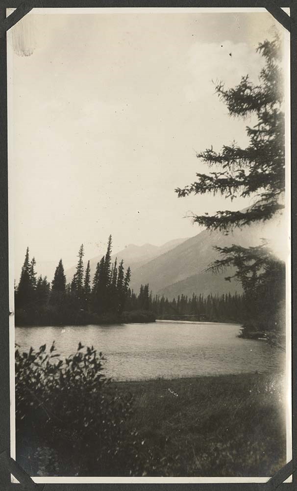
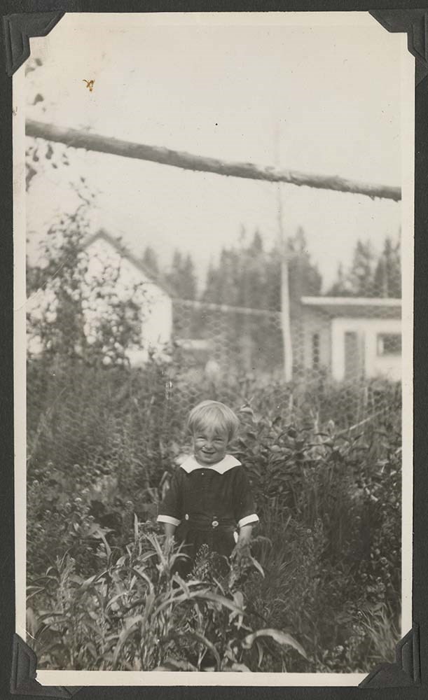
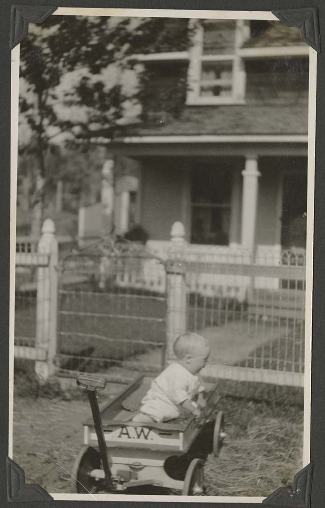
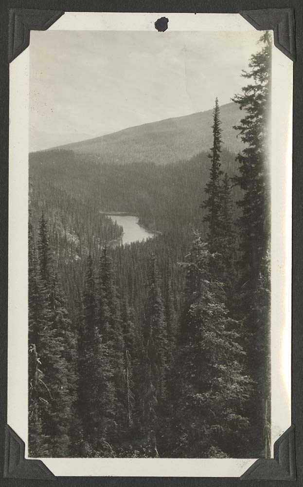
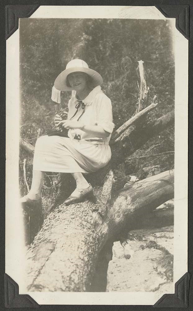
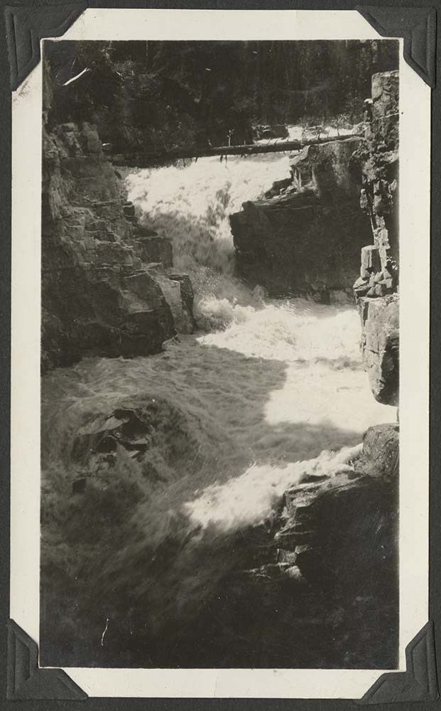
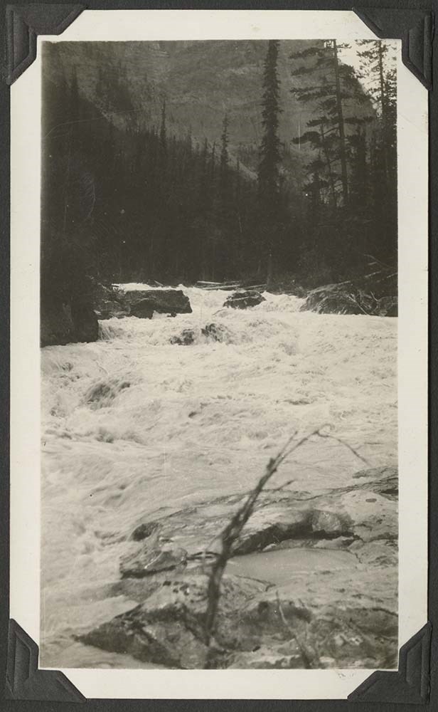
Family Album of Trip to Banff
https://archives.whyte.org/en/permalink/descriptions57275
- Part Of
- Archives General File Collection
- Scope & Content
- 1 album containing ca. 33 black and white prints pertaining to family trip to Banff
- Date Range
- 1920
- Reference Code
- V8 / 2014.8309
- Description Level
- 5 / File
- GMD
- Photograph
- Photograph print
- Album
- Part Of
- Archives General File Collection
- Description Level
- 5 / File
- Fonds Number
- M8
- V8
- S8
- Series
- V8 / 2014.8309
- Sous-Fonds
- V8
- Accession Number
- V8 / 2014.8309
- Reference Code
- V8 / 2014.8309
- Date Range
- 1920
- Physical Description
- 1 album (33 photographs : b&w ; 15 x 11 cm)
- Scope & Content
- 1 album containing ca. 33 black and white prints pertaining to family trip to Banff
- Subject Access
- Tourism
- Geographic Access
- Canada
- Alberta
- Banff National Park
- Language
- English
- Category
- Tourism
- Exploration and travel
- Title Source
- Title based on contents of file
- Processing Status
- Processed
This material is presented as originally created; it may contain outdated cultural descriptions and
potentially offensive content.
Read more.
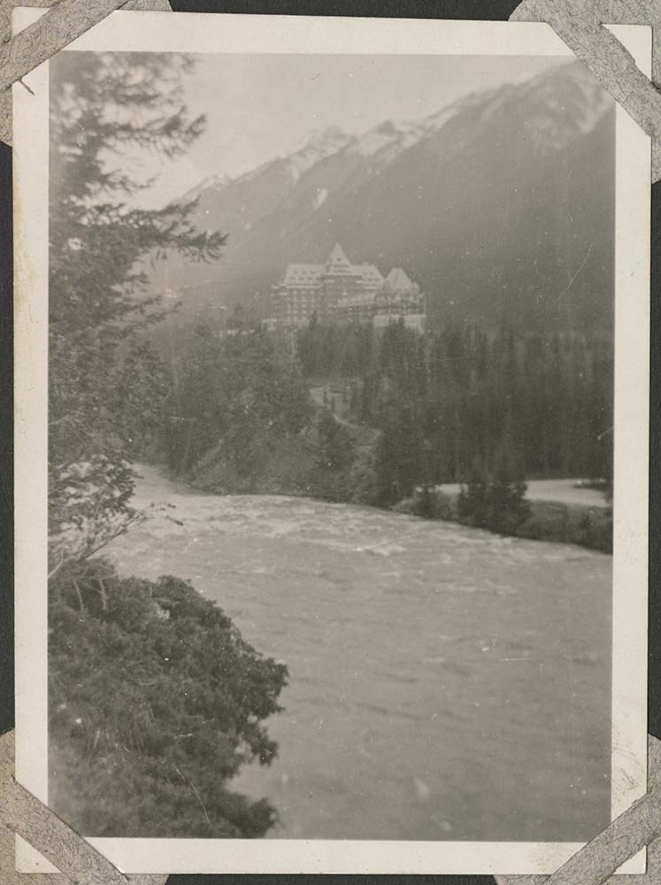
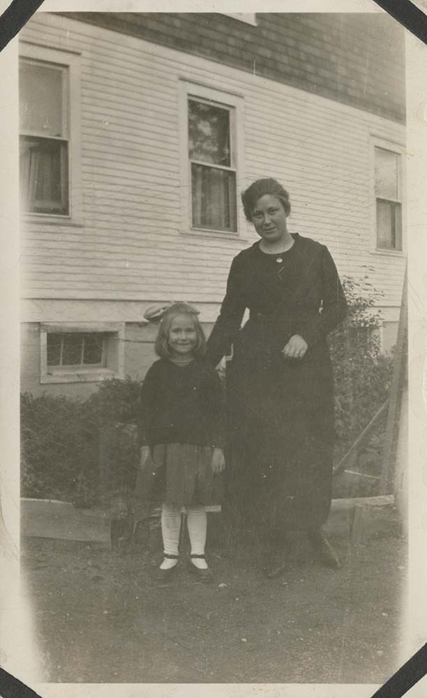
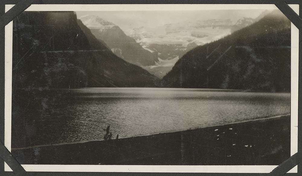
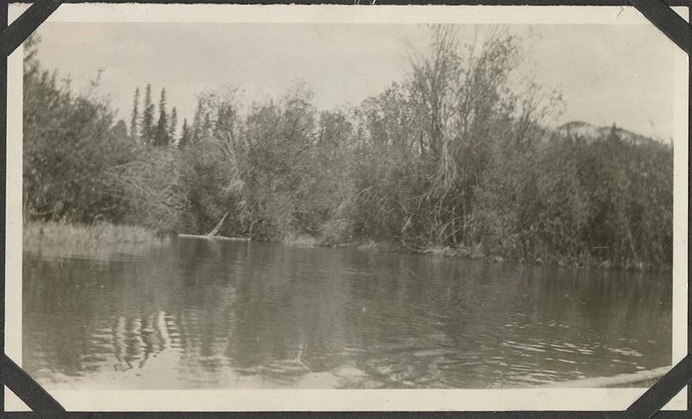
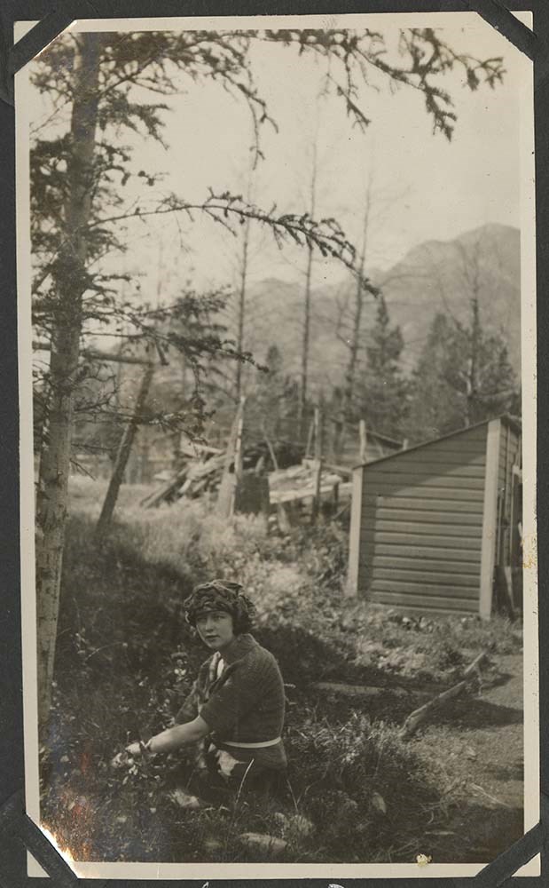
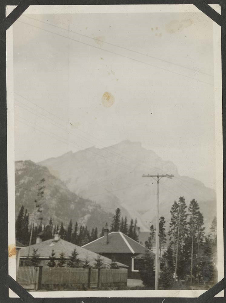
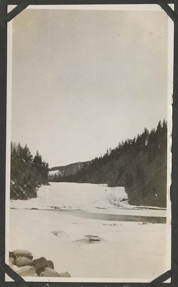
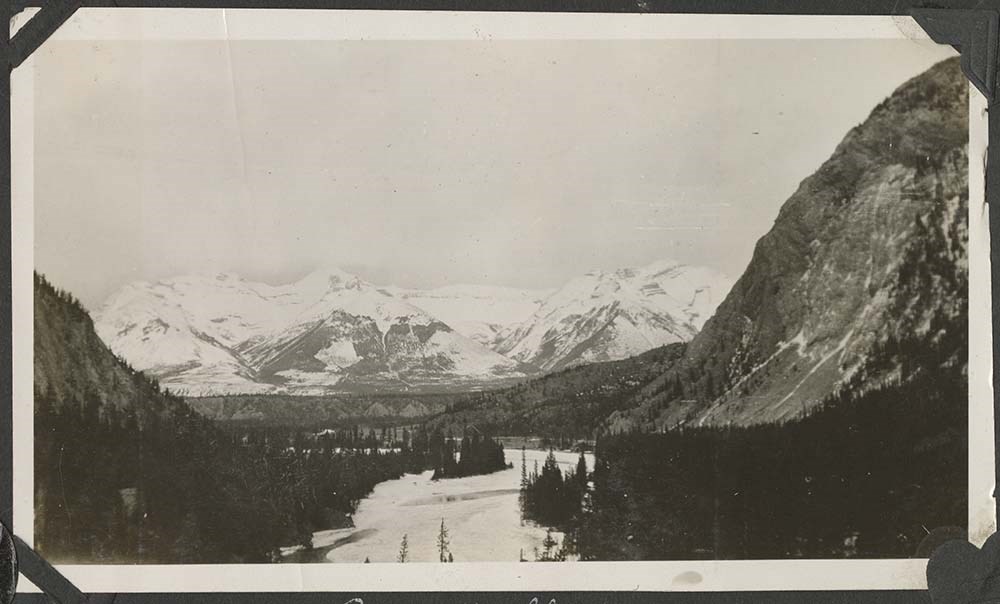
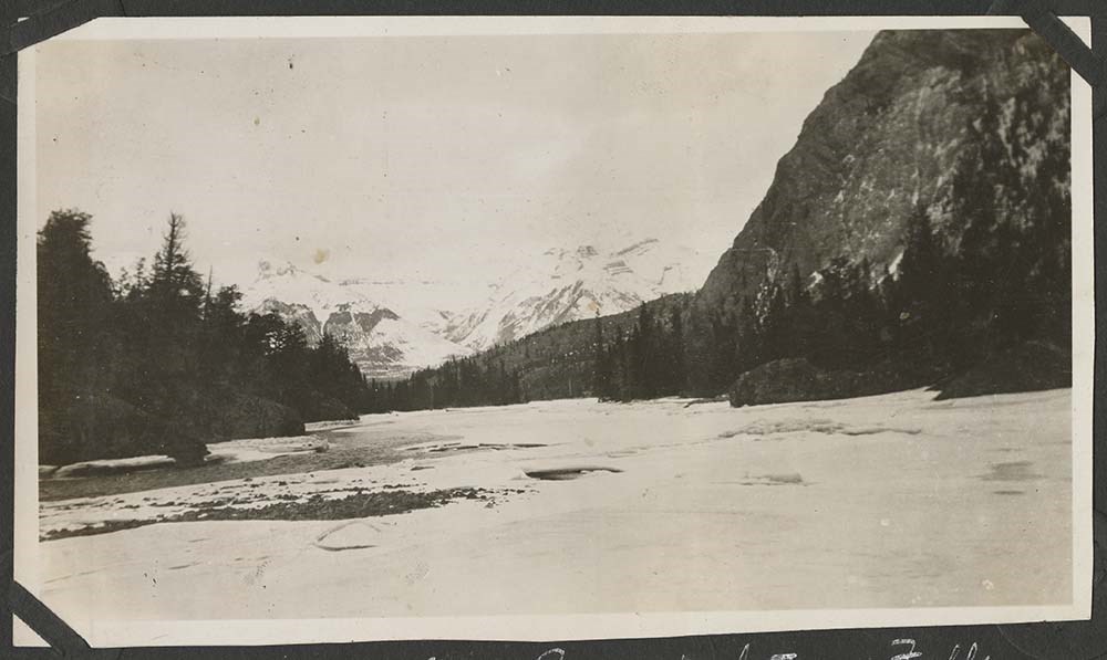
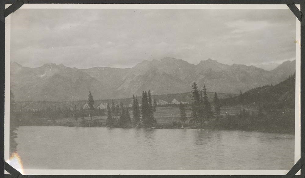
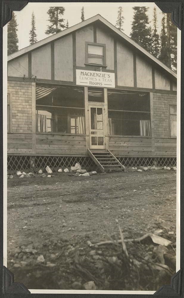
Beatrice E. Shield fonds
https://archives.whyte.org/en/permalink/descriptions552
- Part Of
- Beatrice E. Shield fonds
- Scope & Content
- Fonds consist of snapshot and postcard views of buildings, facilities and scenery in Banff and Lake Louise areas, Alberta
- Date Range
- 1920
- Reference Code
- V607
- Description Level
- 1 / Fonds
- GMD
- Photograph
- Photograph print
- Postcard
- Part Of
- Beatrice E. Shield fonds
- Description Level
- 1 / Fonds
- Fonds Number
- V 607
- Sous-Fonds
- V 607
- Accession Number
- 5331
- Reference Code
- V607
- Date Range
- 1920
- Physical Description
- 75 photographs : prints, postcards
- History / Biographical
- Beatrice E. Allum (Shield), 1899-1984, travelled to the Rocky Mountains, Alberta from Nova Scotia, Canada in 1920. She later taught school in Fort Macleod, Alberta.
- Scope & Content
- Fonds consist of snapshot and postcard views of buildings, facilities and scenery in Banff and Lake Louise areas, Alberta
- Name Access
- Shield, Beatrice E.
- Subject Access
- Exploration, discovery and travel
- Access Restrictions
- No restrictions on access
- Public domain (other restrictions may apply)
- Language
- Language is English
- Finding Aid
- Finding aids and reference tools: basic description
- Creator
- Shield, Beatrice E.
- Category
- Exploration, discovery and travel
- Title Source
- Title based on accession record
- Processing Status
- Processed
This material is presented as originally created; it may contain outdated cultural descriptions and
potentially offensive content.
Read more.
(Chungo Creek area- Bighorn Mountains)
https://archives.whyte.org/en/permalink/catalogue24495
- Medium
- Library - Maps and blueprints (unannotated; published)
- Map
- Published Date
- May 20, 1920
- Publisher
- Department of the Interior
- Call Number
- C9-7.42
- Publisher
- Department of the Interior
- Published Date
- May 20, 1920
- Physical Description
- 1 map : black and white
- Scale
- 40 chains: 1 inch
- Accession Number
- SG7500
- Call Number
- C9-7.42
- Collection
- Archives Library
This material is presented as originally created; it may contain outdated cultural descriptions and
potentially offensive content.
Read more.
(North end of Brule Lake)
https://archives.whyte.org/en/permalink/catalogue24511
- Medium
- Library - Maps and blueprints (unannotated; published)
- Map
- Published Date
- May 20, 1920
- Publisher
- Department of the Interior
- Call Number
- C9-7.50
- Publisher
- Department of the Interior
- Published Date
- May 20, 1920
- Physical Description
- 1 map : black and white
- Scale
- 40 chains: 1 inch
- Accession Number
- SG7500
- Call Number
- C9-7.50
- Collection
- Archives Library
This material is presented as originally created; it may contain outdated cultural descriptions and
potentially offensive content.
Read more.
(Jasper Park Area)
https://archives.whyte.org/en/permalink/catalogue24507
- Medium
- Library - Maps and blueprints (unannotated; published)
- Map
- Published Date
- November 4, 1920
- Publisher
- Department of the Interior
- Call Number
- C9-7.48
- Publisher
- Department of the Interior
- Published Date
- November 4, 1920
- Physical Description
- 1 map : black and white
- Scale
- 40 chains: 1 inch
- Accession Number
- SG7500
- Call Number
- C9-7.48
- Collection
- Archives Library
This material is presented as originally created; it may contain outdated cultural descriptions and
potentially offensive content.
Read more.
(area adjacent to Jasper Park)
https://archives.whyte.org/en/permalink/catalogue24891
- Medium
- Library - Book (including soft-cover and pamphlets)
- Map
- Published Date
- November 4, 1920
- Publisher
- Department of the Interior
- Call Number
- C-7.47
- Publisher
- Department of the Interior
- Published Date
- November 4, 1920
- Physical Description
- 1 map : black and white
- Scale
- 40 chains: 1 inch
- Accession Number
- SG7500
- Call Number
- C-7.47
- Collection
- Archives Library
This material is presented as originally created; it may contain outdated cultural descriptions and
potentially offensive content.
Read more.
[Township #47 Range #25 West of 5th Meridian (area adjacent to Jasper Park)]
https://archives.whyte.org/en/permalink/catalogue15490
- Medium
- Library - Maps and blueprints (unannotated; published)
- Map
- Published Date
- November 4, 1920
- Publisher
- Department of the Interior
- Call Number
- C9-7.47 (25)
- Publisher
- Department of the Interior
- Published Date
- November 4, 1920
- Physical Description
- 1 map : black and white
- Scale
- 40 chains: 1 inch
- Accession Number
- SG7500
- Call Number
- C9-7.47 (25)
- Collection
- Archives Library
This material is presented as originally created; it may contain outdated cultural descriptions and
potentially offensive content.
Read more.
Map of Continent of South America
https://archives.whyte.org/en/permalink/catalogue21519
- Medium
- Library - Maps and blueprints (unannotated; published)
- Map
- Published Date
- 1921
- Publisher
- National Geographic Society
- Call Number
- C13-3.3(a)
- Publisher
- National Geographic Society
- Published Date
- 1921
- Subjects
- South America
- Accession Number
- 576
- Call Number
- C13-3.3(a)
- Collection
- Archives Library
This material is presented as originally created; it may contain outdated cultural descriptions and
potentially offensive content.
Read more.
- Medium
- Library - Maps and blueprints (unannotated; published)
- Map
- Published Date
- 1921
- Publisher
- Dept. of the Interior, Ottawa
- Call Number
- C2-4.3
- Publisher
- Dept. of the Interior, Ottawa
- Published Date
- 1921
- Physical Description
- 1 map : col
- Scale
- Scale: 1:125,000
- Relief: Contour Interval 250'
- Subjects
- Yoho Park
- Notes
- 13 duplicates in map room - Accn. 400
- Accession Number
- 372
- 400 deaccessioned
- Call Number
- C2-4.3
- Collection
- Archives Library
This material is presented as originally created; it may contain outdated cultural descriptions and
potentially offensive content.
Read more.
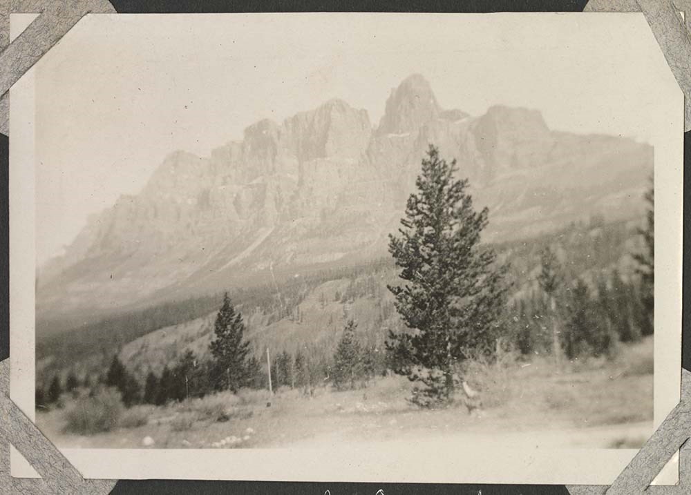
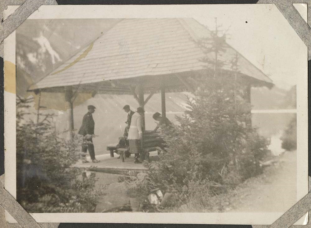
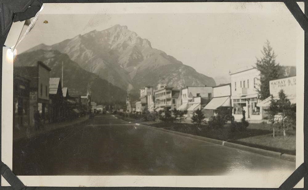
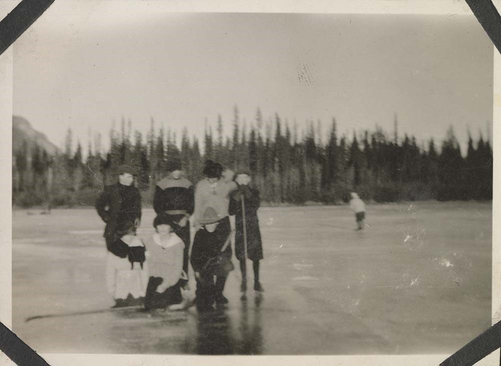
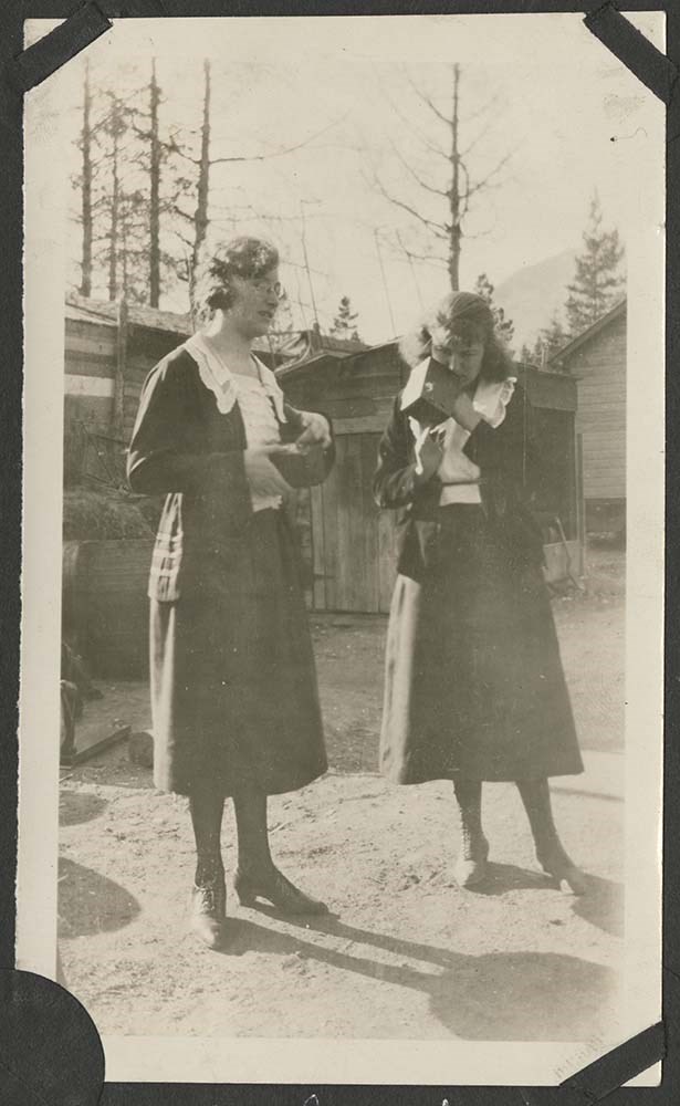
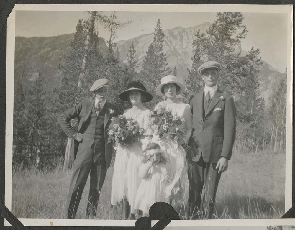
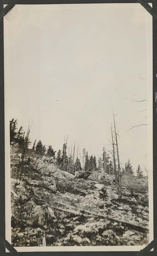
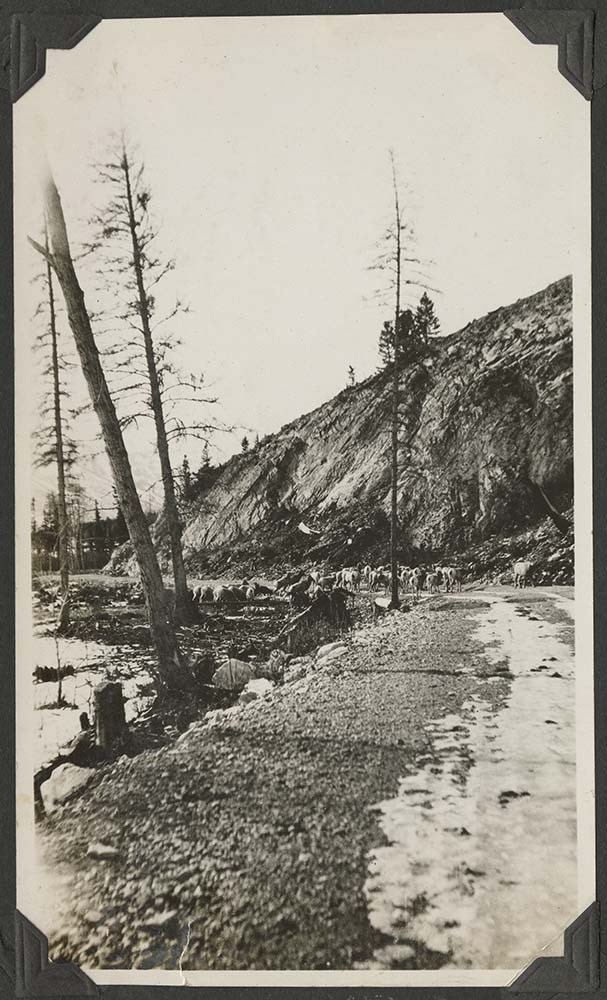
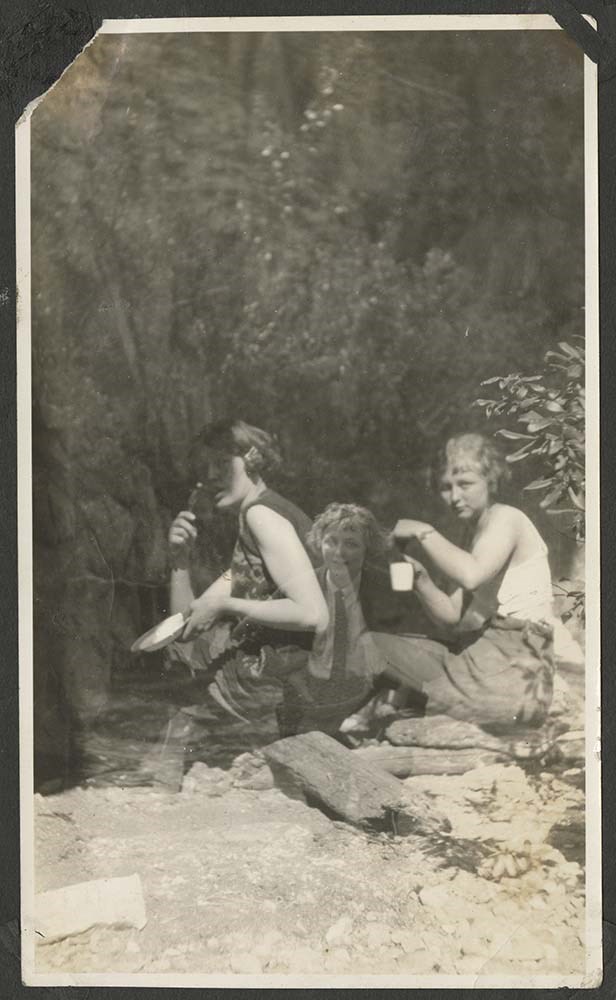
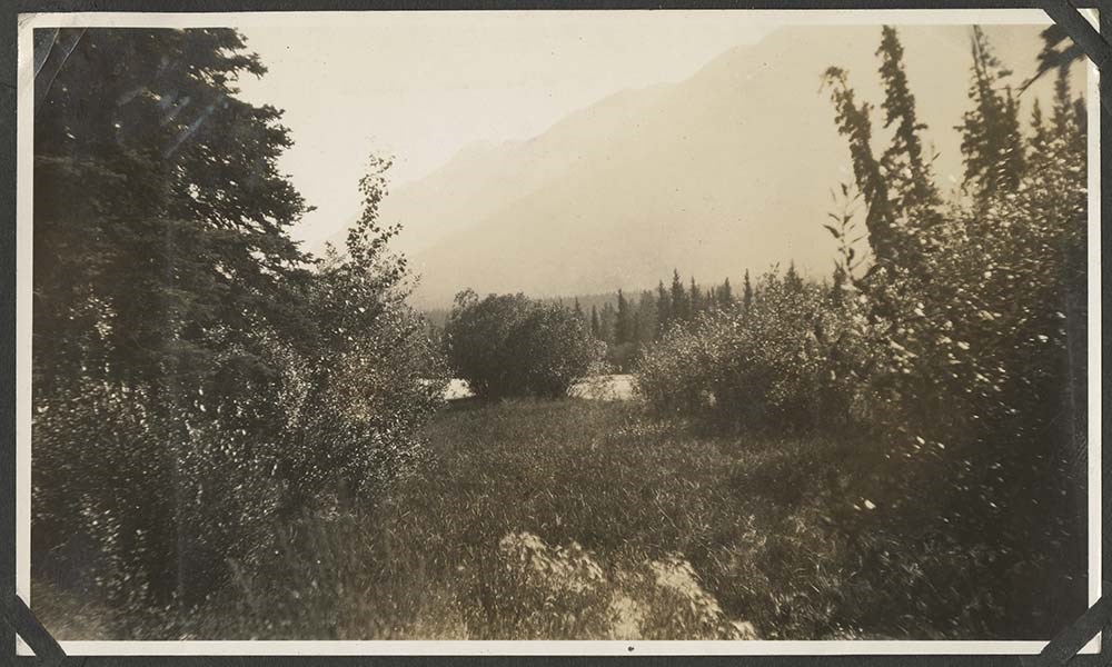
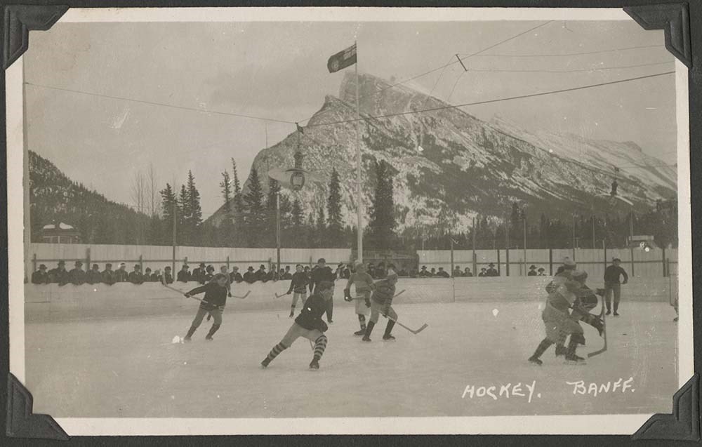
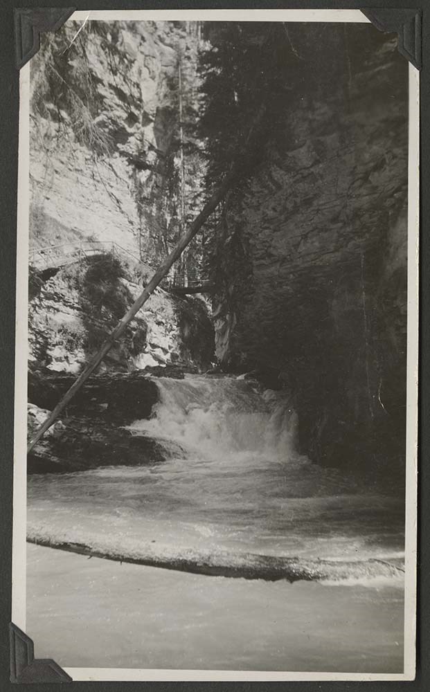
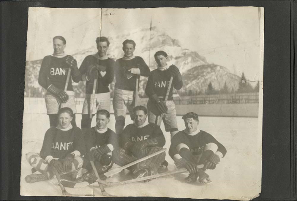
Bow Valley and area
https://archives.whyte.org/en/permalink/descriptions24190
- Part Of
- Archives General File Collection
- Scope & Content
- Album consists of 94 pages of b&w photographs; 1 carte des visites and postcard. Photographs feature locations such as Banff, Bankhead, Lake Louise, Marble Canyon, Vermilion Lakes, and other Rocky Mountain areas. The album has some pictures of the Stanford house in Banff as well as family, friends…
- Date Range
- 1921
- Reference Code
- V8 / 2015.8557 PD-1
- Description Level
- 5 / File
- GMD
- Album
- Photograph
- Photograph print
230 images
1 Electronic Resource
- Part Of
- Archives General File Collection
- Description Level
- 5 / File
- Fonds Number
- M8 / V8 / S8
- Series
- V8 / 2015.8557
- Sous-Fonds
- V8
- Accession Number
- 2015.8557
- Reference Code
- V8 / 2015.8557 PD-1
- Date Range
- 1921
- Physical Description
- 1 photograph album: b&w
- History / Biographical
- Edith Berenice Dunsworth (nee Stenton) was born in Banff on May 20, 1927. Berenice is the daughter of Joseph Alexander Stenton and Elizabeth Florence Stenton (nee Williams). Berenice had one sister, Marguerite Flora Lineker (nee Stenton). Berenice was married to Dr. Brian Dunsworth (19??-2014). Berenice's grandparents were George and Flora McKenzie and George was likely a son of the Stanford family. Berenice remembers her grandparent's house was next door to the Stanford house. Berenice's other grandparents were Percy and Elizabeth Williams who settled in Bankhead, near Banff, when they arrived from England ca.1910.
- Scope & Content
- Album consists of 94 pages of b&w photographs; 1 carte des visites and postcard. Photographs feature locations such as Banff, Bankhead, Lake Louise, Marble Canyon, Vermilion Lakes, and other Rocky Mountain areas. The album has some pictures of the Stanford house in Banff as well as family, friends, and events. Of note are photographs of "Peter White" and "The Artists' Cottage Mrs. Drummond." Photographs are mostly annotated and tipped into album pages with photo corners. The inside cover of first page is inscribed: "To Beth from Rose Aug 20/21. Some photographs are missing from some pages and a few loose photographs are tucked in behind others.
- Name Access
- White, Peter
- Whyte, Peter
- Geographic Access
- Banff
- Lake Louise
- Language
- English
- Title Source
- Title based on contents of file
- Processing Status
- Processed
Electronic Resources
Images


This material is presented as originally created; it may contain outdated cultural descriptions and
potentially offensive content.
Read more.
Sotvel's map of Alberta
https://archives.whyte.org/en/permalink/catalogue24412
- Medium
- Library - Maps and blueprints (unannotated; published)
- Map
- Published Date
- 1922
- Publisher
- Winnipeg : Stovel
- Call Number
- C9-1.22
- Publisher
- Winnipeg : Stovel
- Published Date
- 1922
- Physical Description
- 1 map : col
- Scale
- Scale: 2 3/4 inches = 40 miles
- Subjects
- Alberta
- Notes
- Shows Alberta from U.S. border to north of Lesser Slave Lake
- Accession Number
- 7687
- Call Number
- C9-1.22
- Collection
- Archives Library
This material is presented as originally created; it may contain outdated cultural descriptions and
potentially offensive content.
Read more.