Narrow Results By
[Waterton Lakes Park]
https://archives.whyte.org/en/permalink/catalogue23214
- Medium
- Library - Maps and blueprints (unannotated; published)
- Map
- Published Date
- 1945
- Publisher
- Dept. of Mines and Resources
- Call Number
- C2-6.4
- Publisher
- Dept. of Mines and Resources
- Published Date
- 1945
- Physical Description
- 1 map : col
- Scale
- Scale: 1 inch : 1 mile
- Contour Interval 100 ft.
- Subjects
- Waterton Lakes National Park
- Notes
- 1 duplicate - Accn. 2781
- Accession Number
- 718
- 2781
- Call Number
- C2-6.4
- Collection
- Archives Library
This material is presented as originally created; it may contain outdated cultural descriptions and
potentially offensive content.
Read more.
1945 Summer Canadian Rockies Trip
https://archives.whyte.org/en/permalink/descriptions55320
- Part Of
- Lillian Gest fonds
- Scope & Content
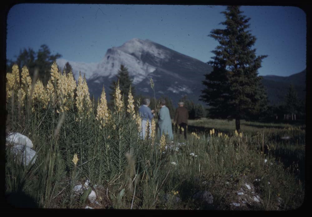
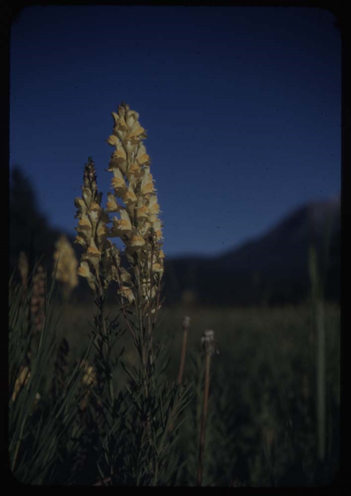
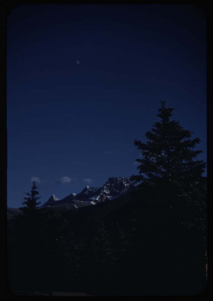
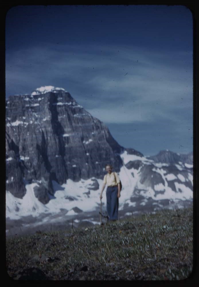
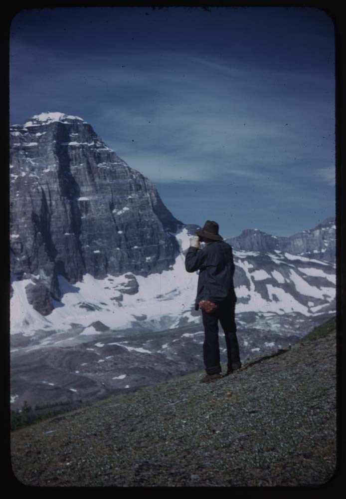
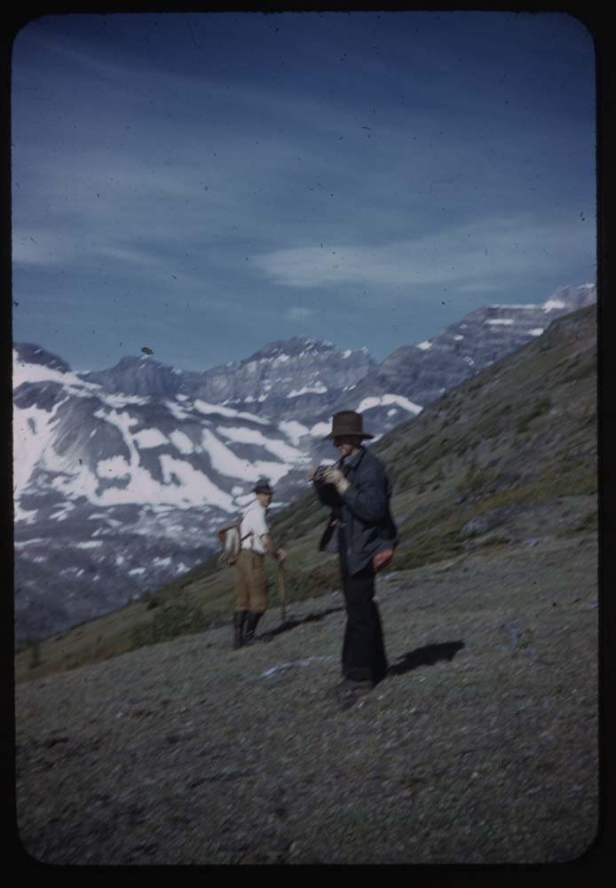
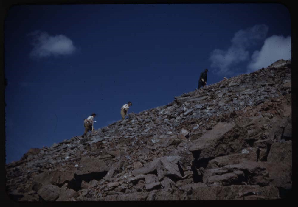
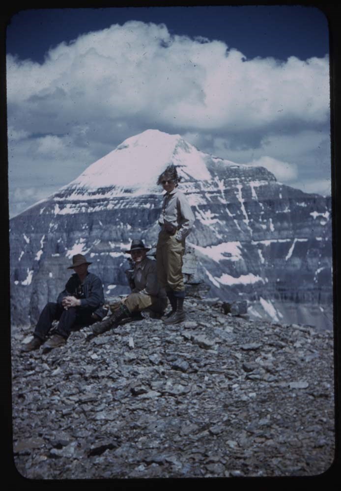
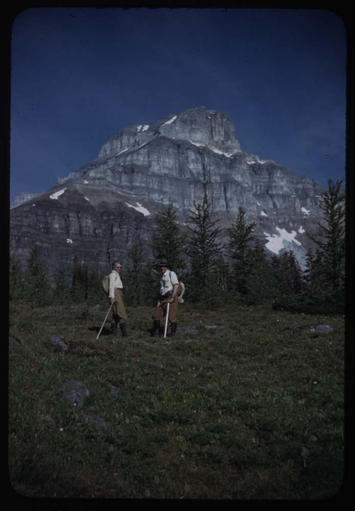
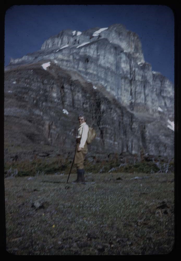
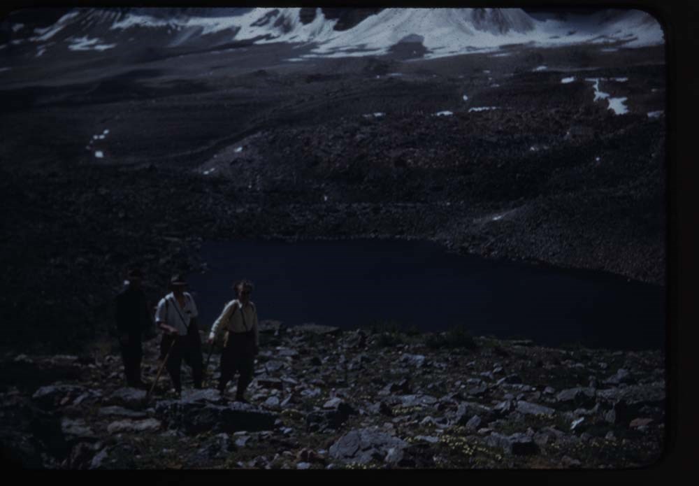
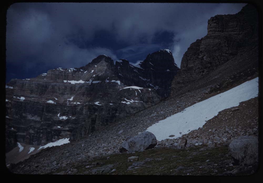
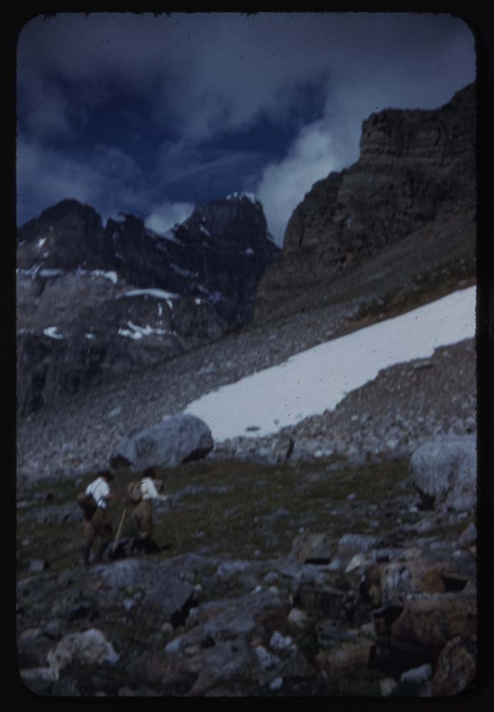
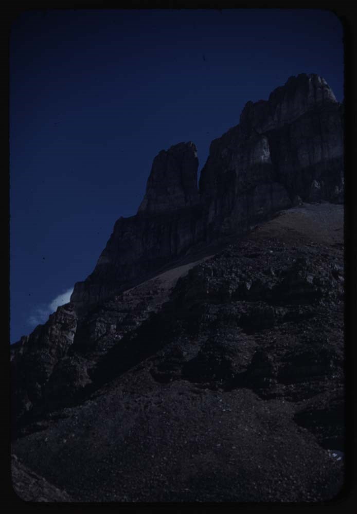
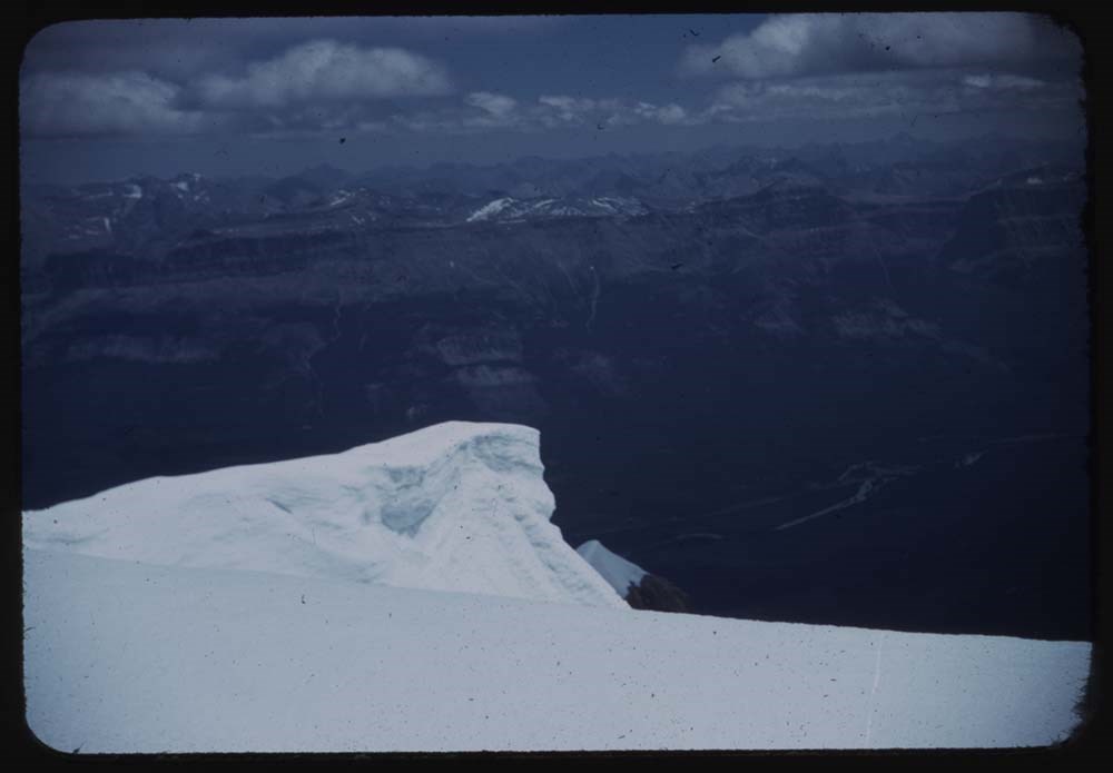
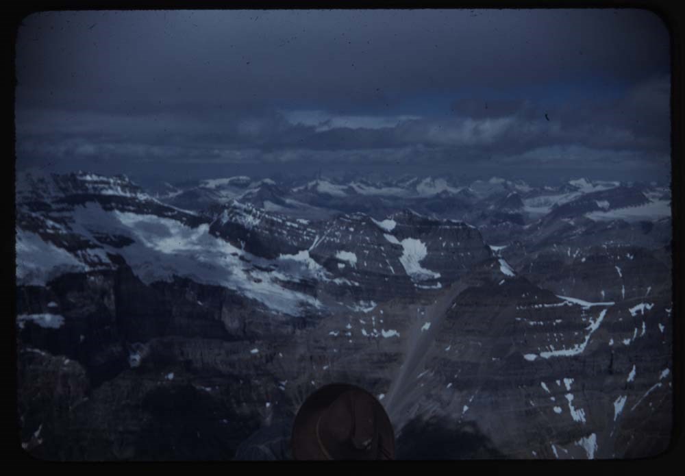
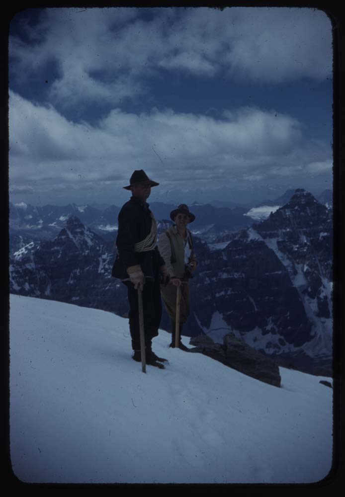
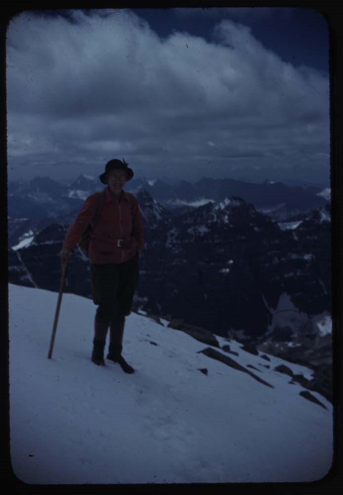
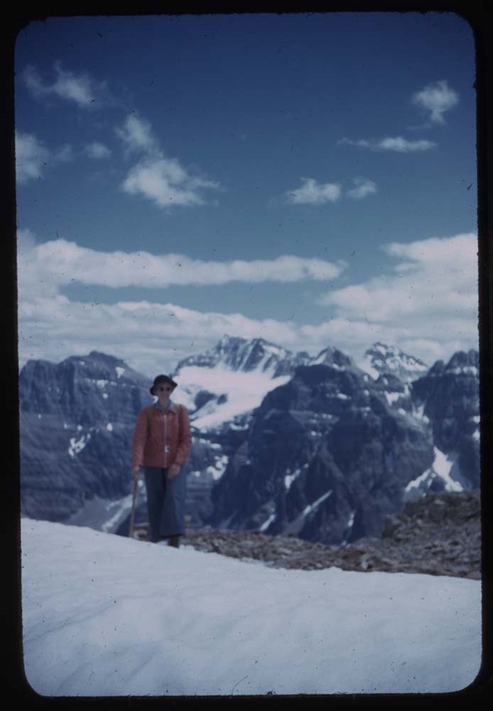
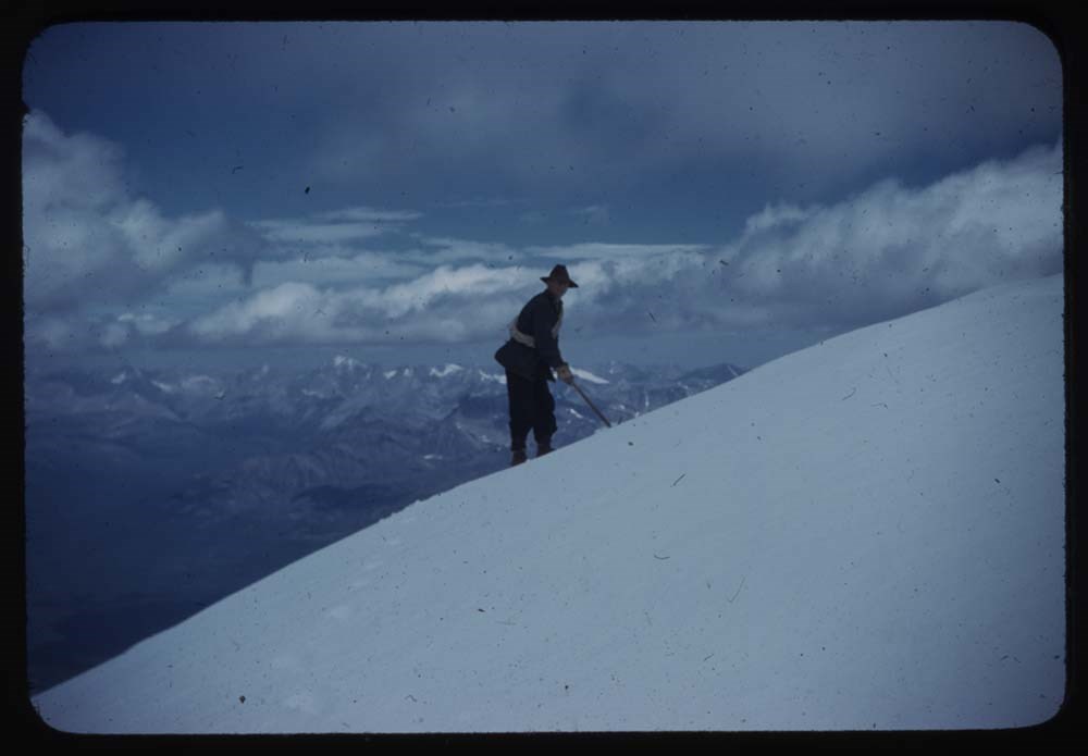
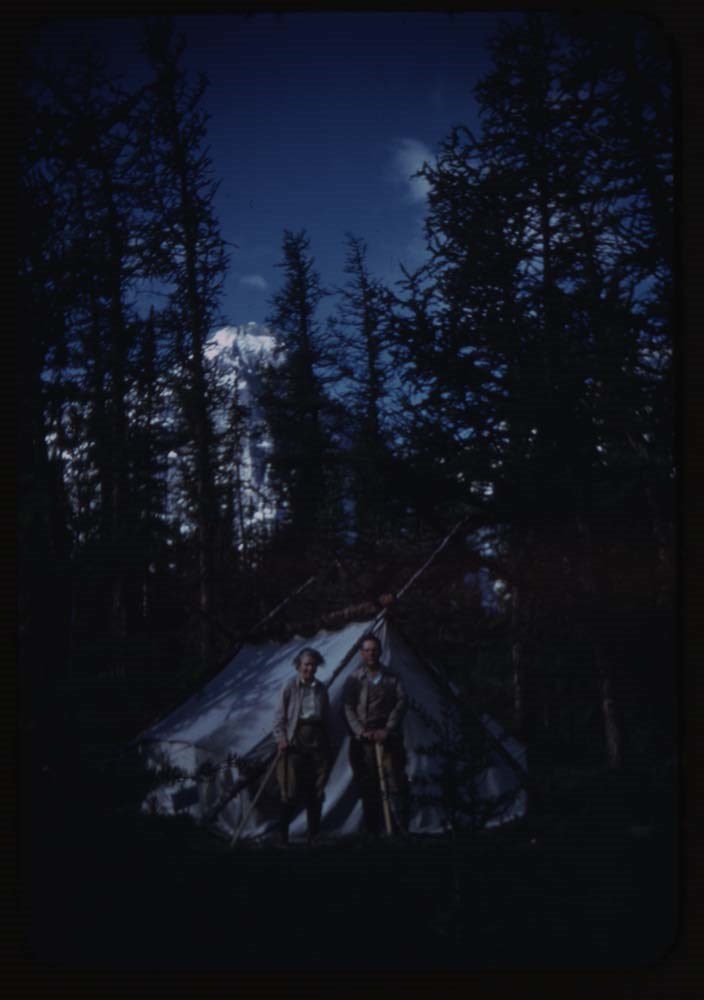
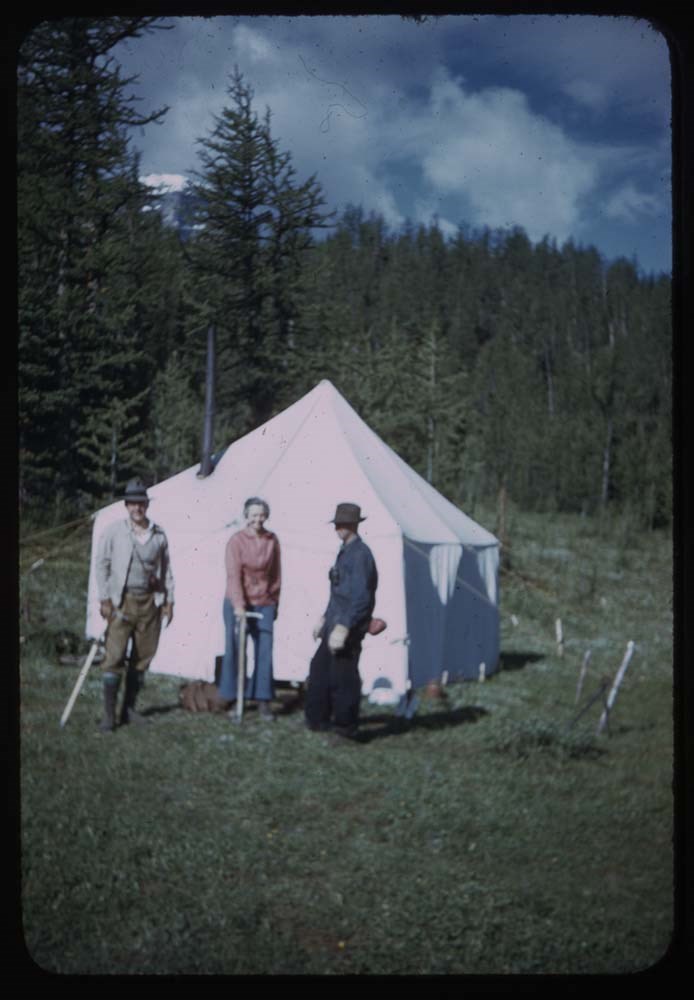
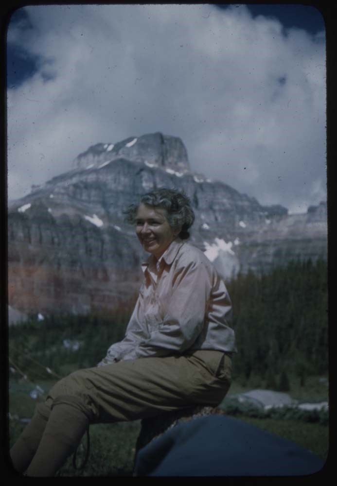
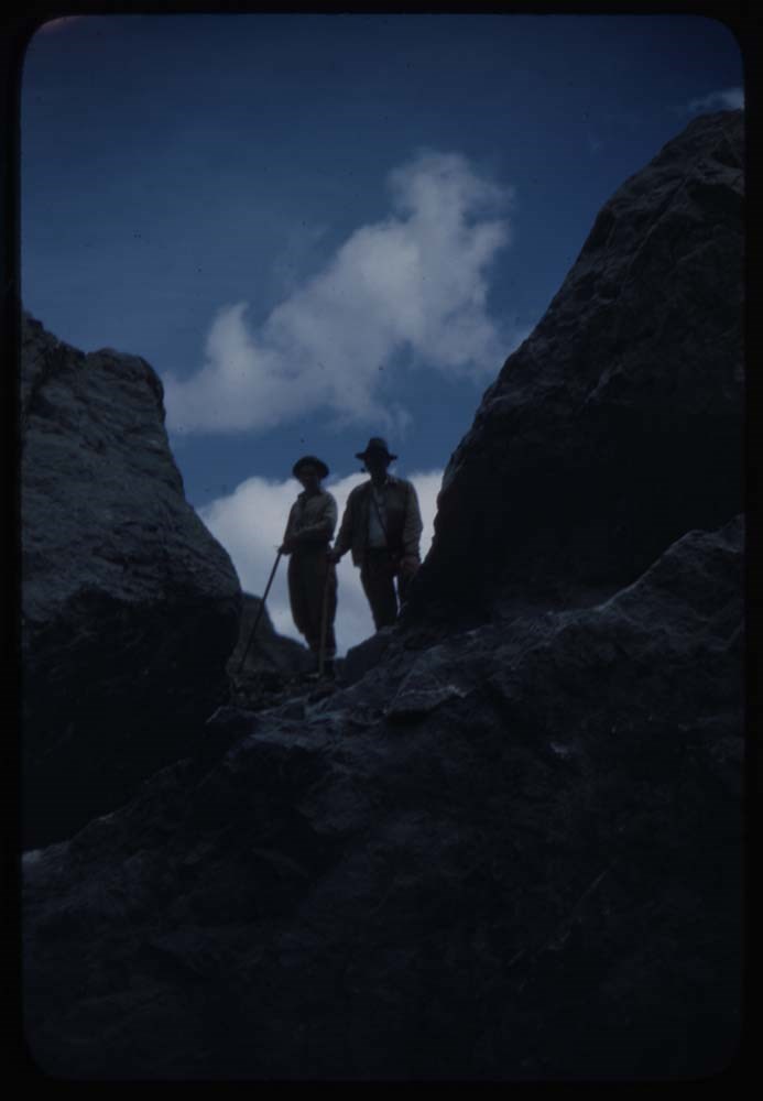
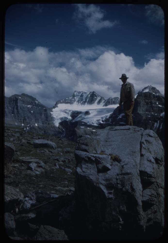
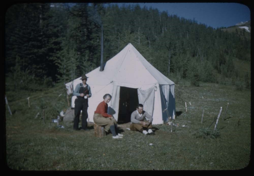
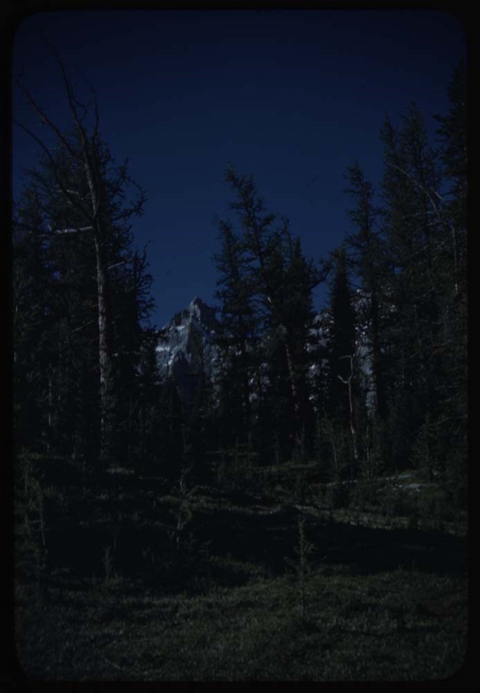
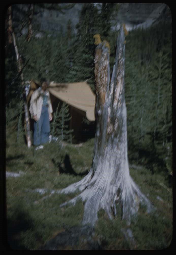
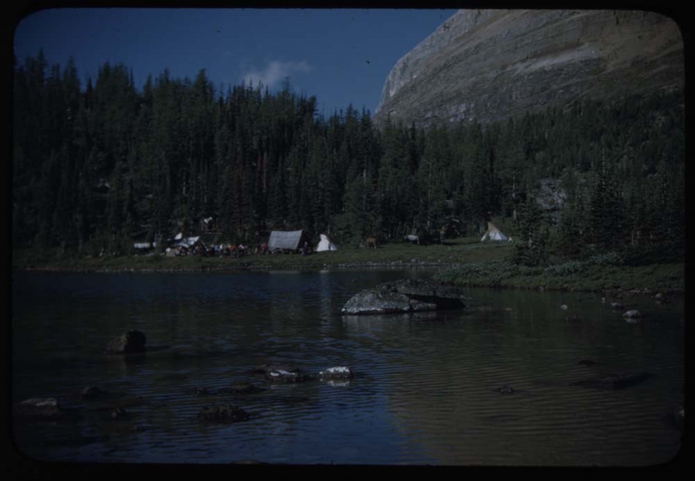
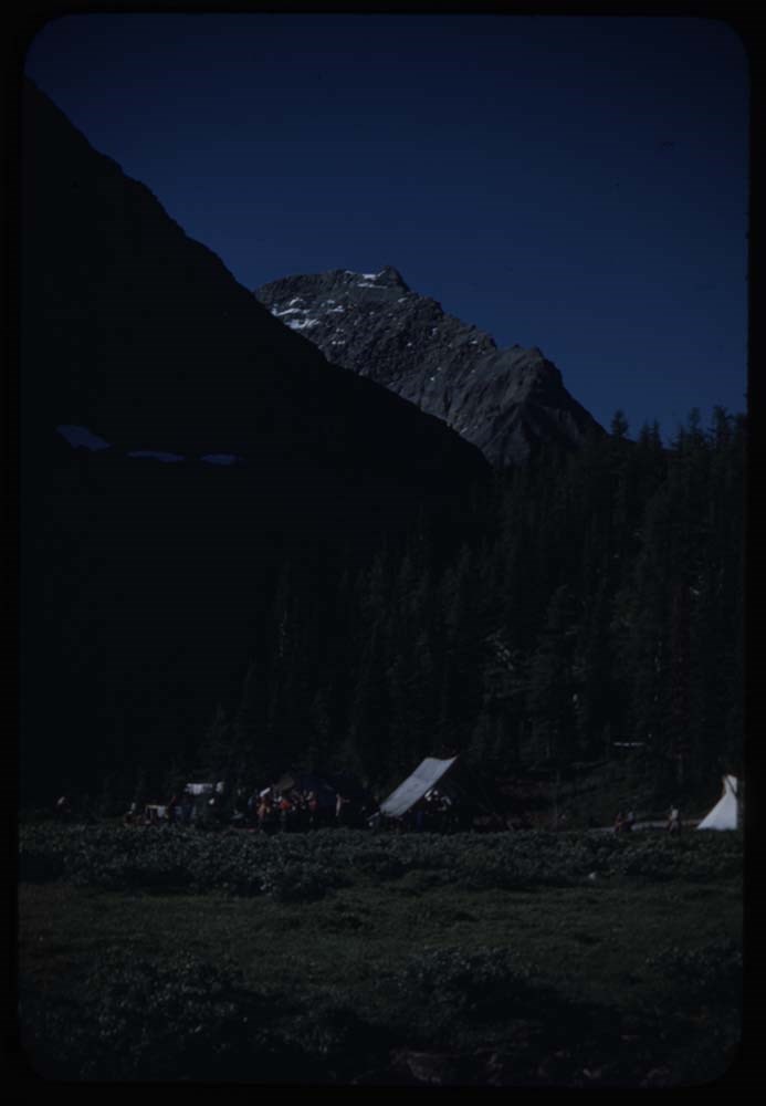
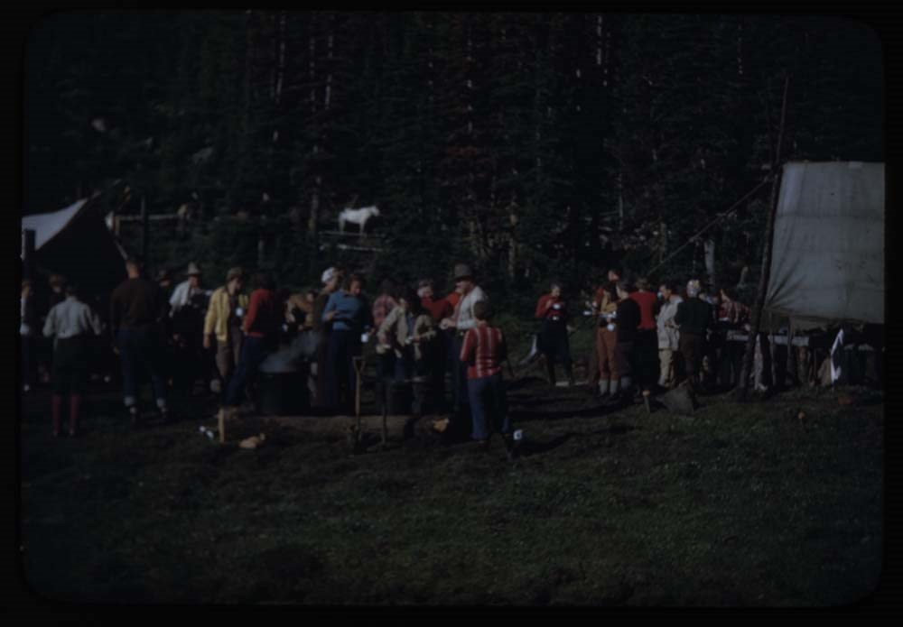
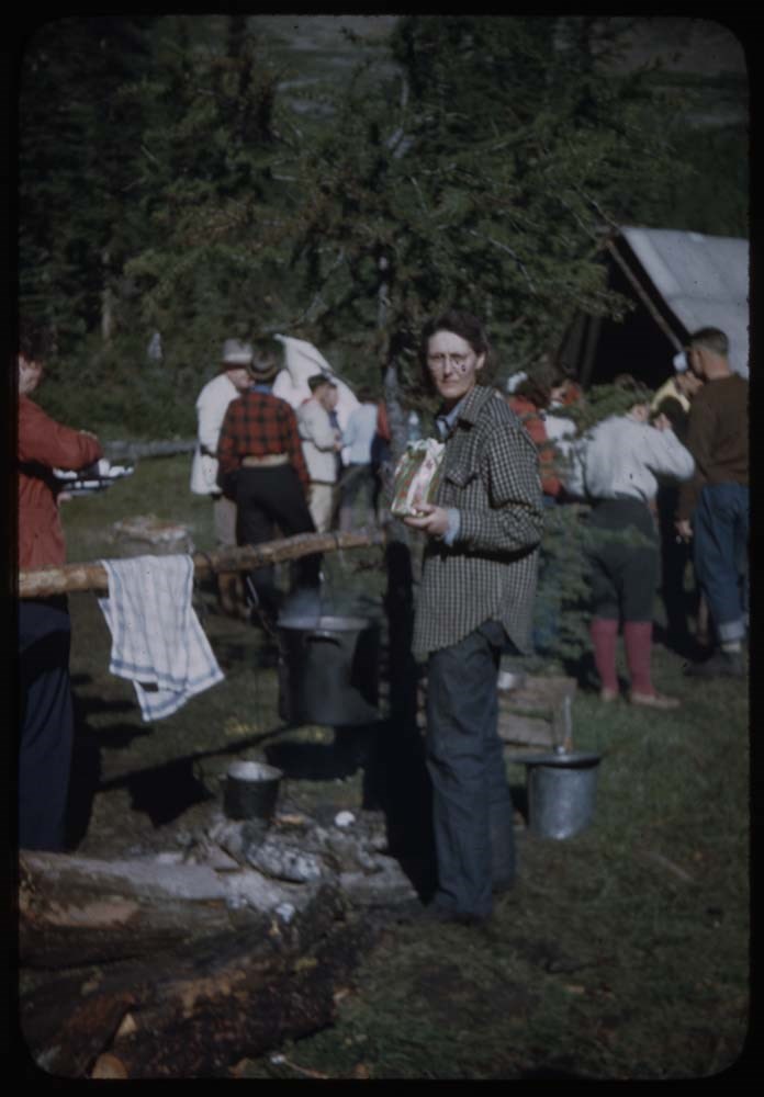
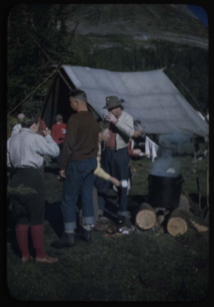
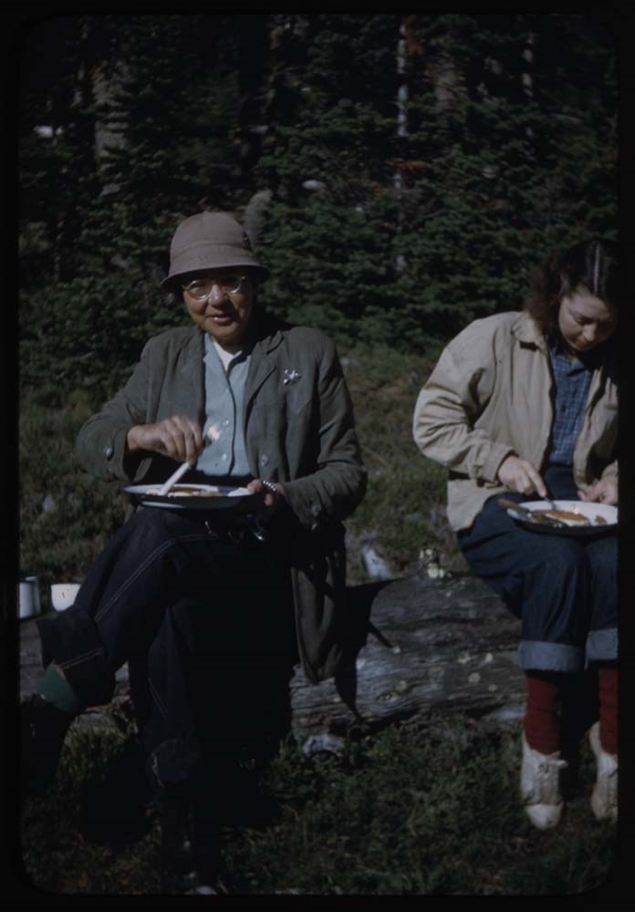
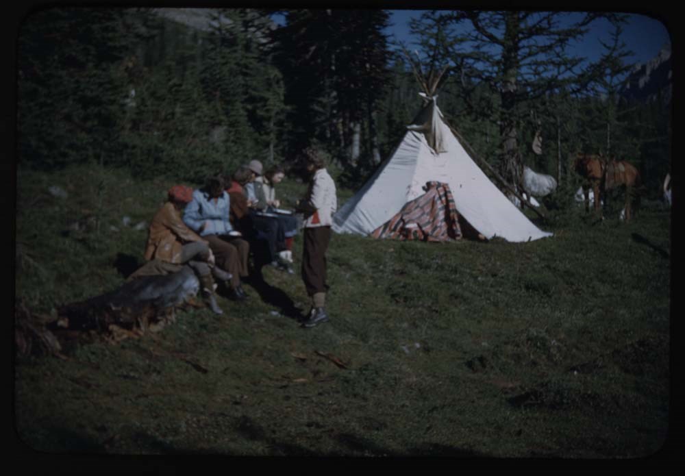
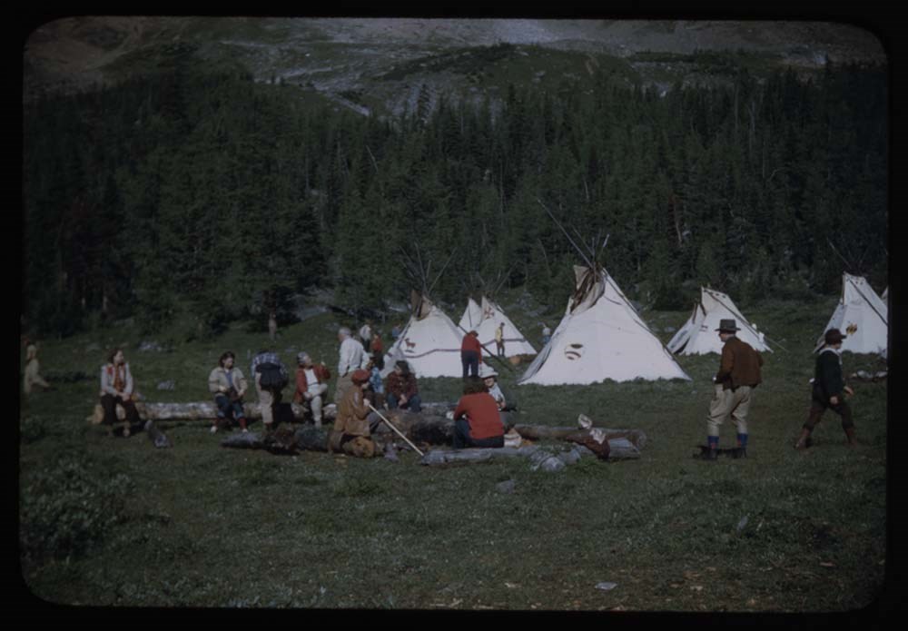
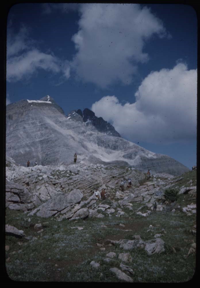
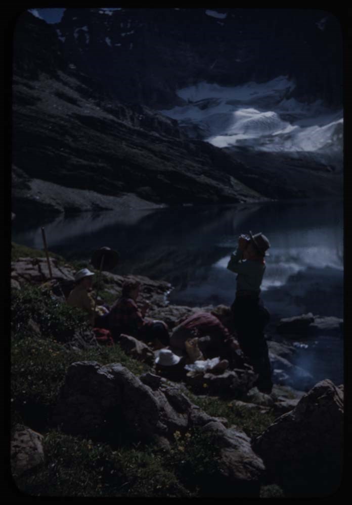
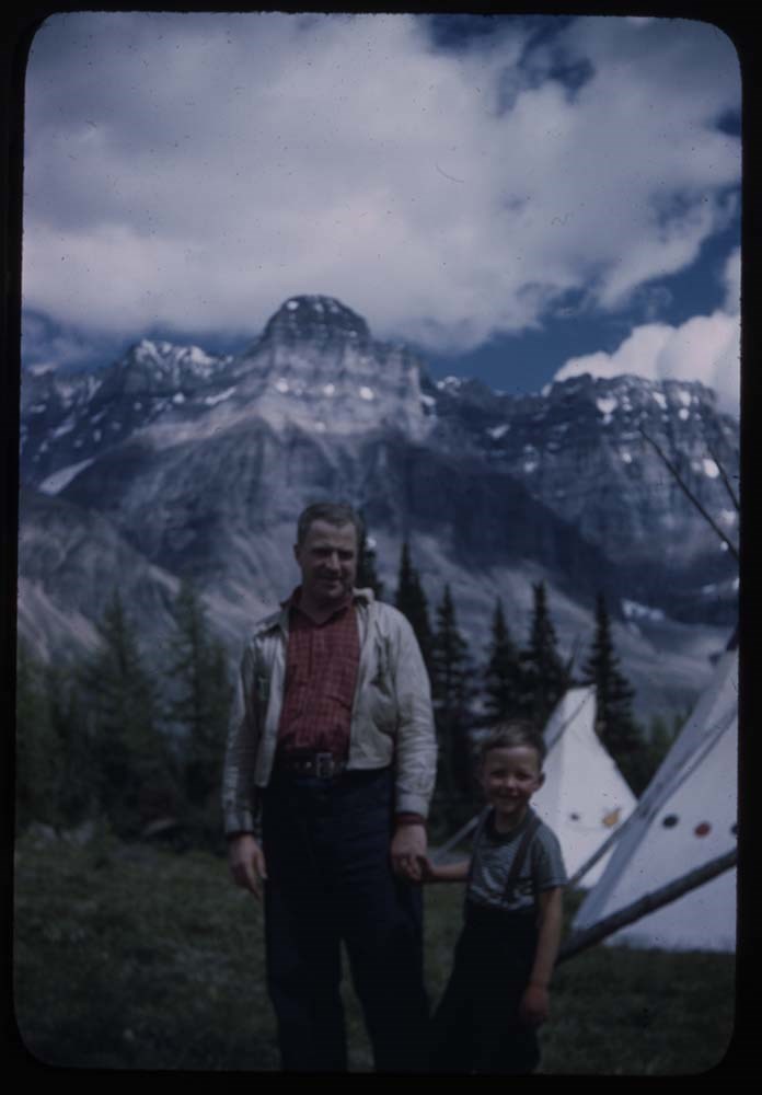
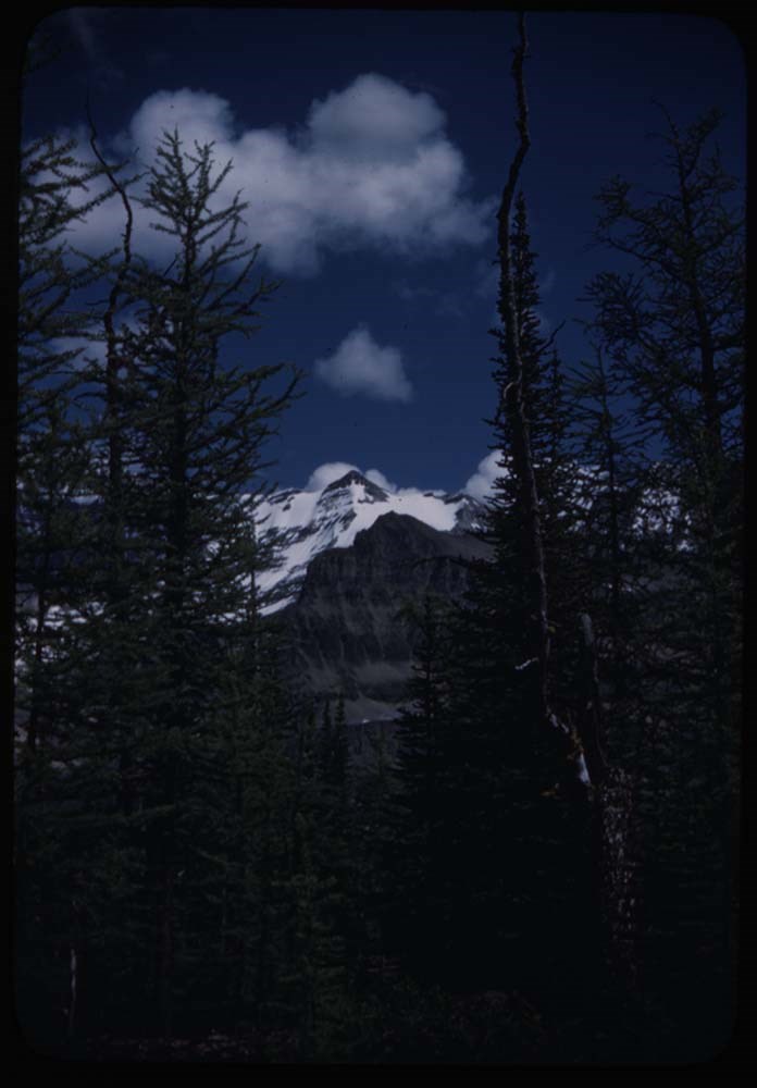
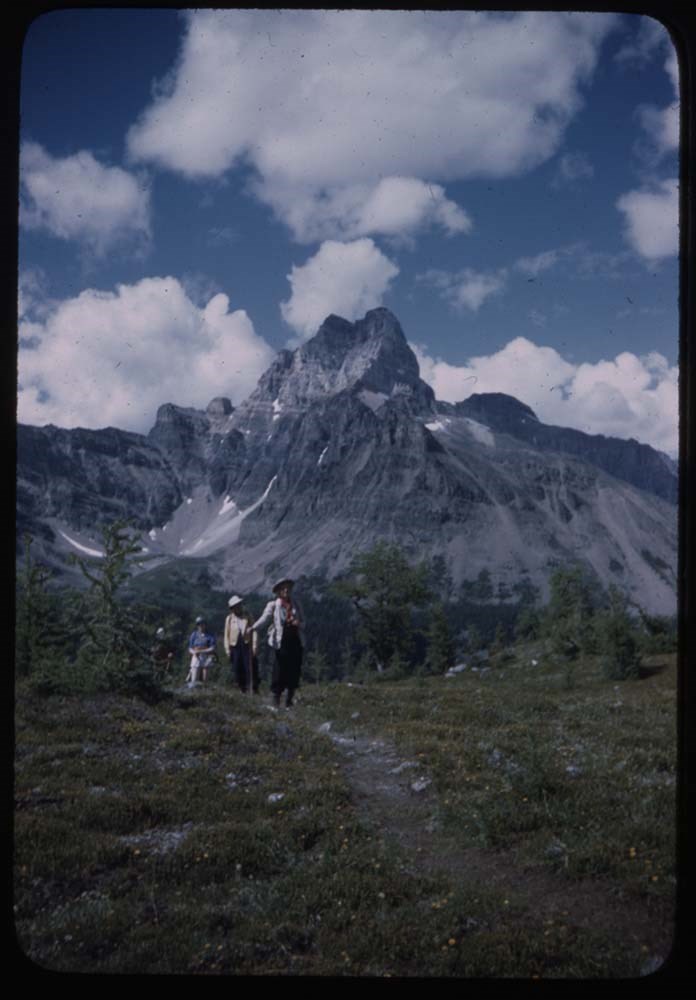
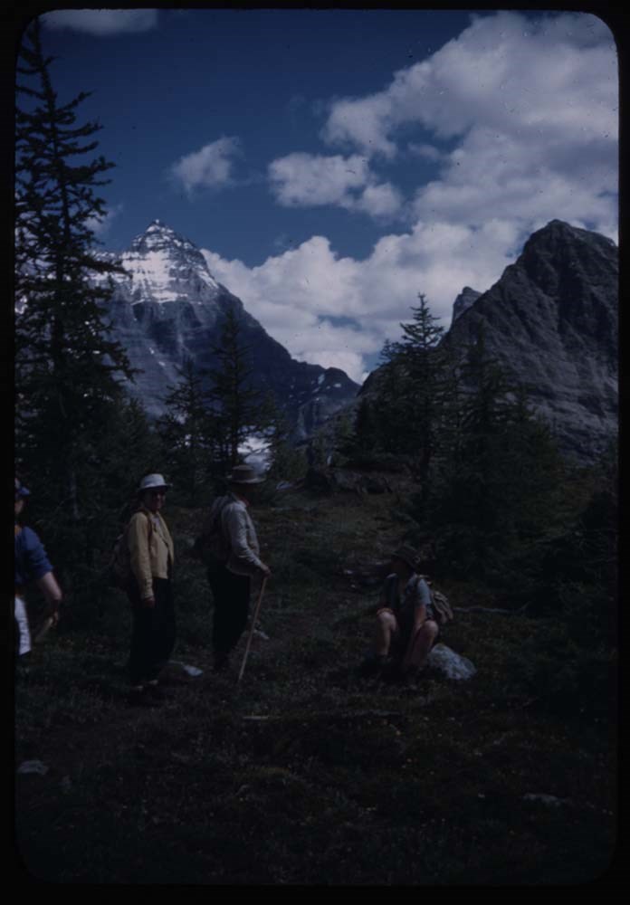
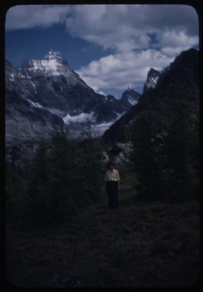
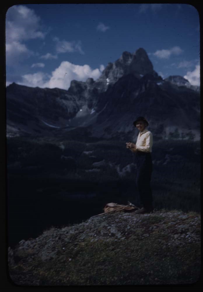
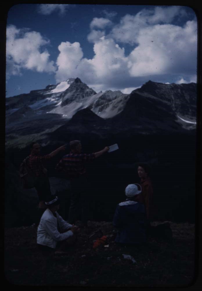
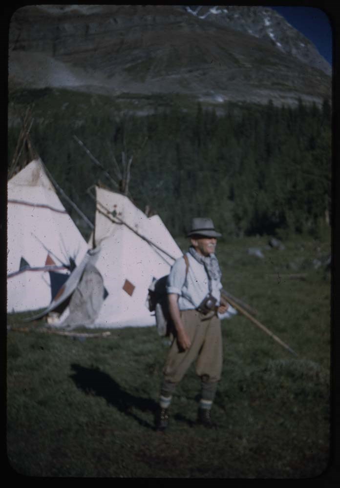
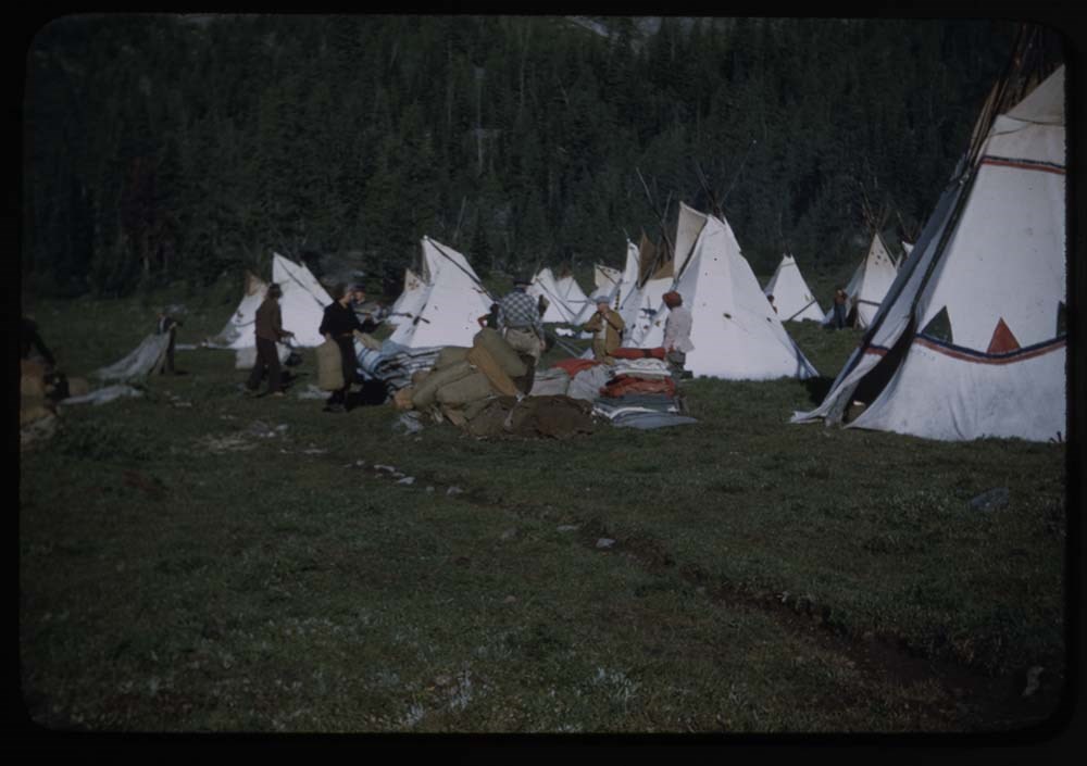
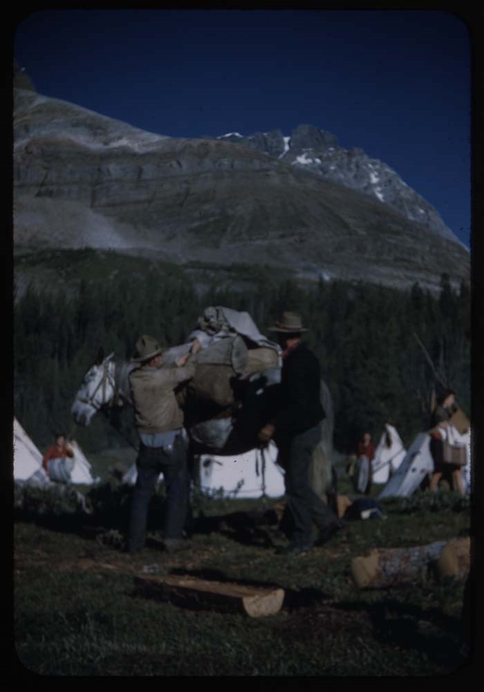
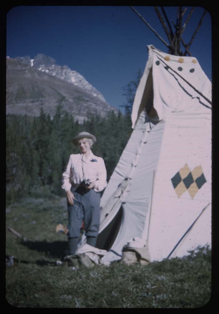
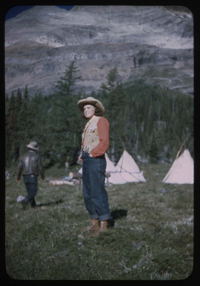
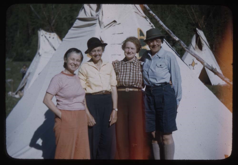
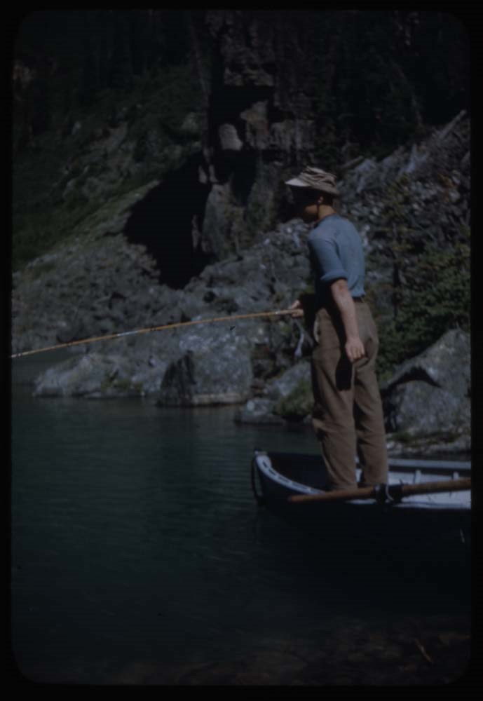
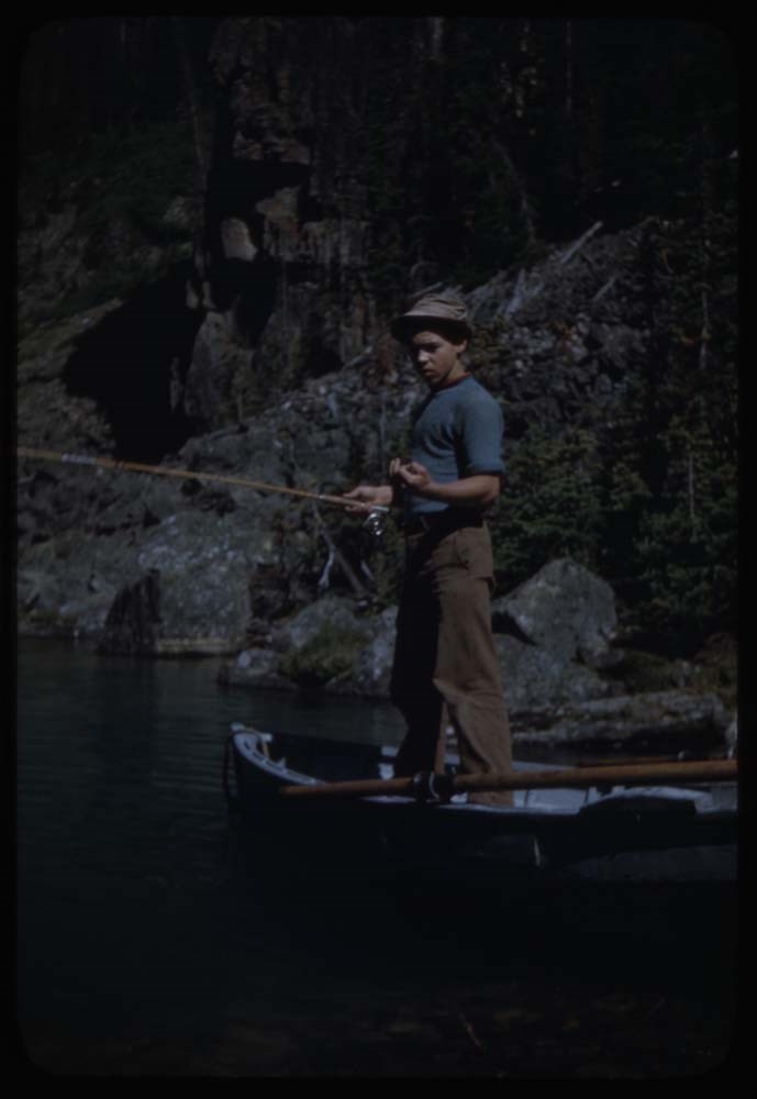
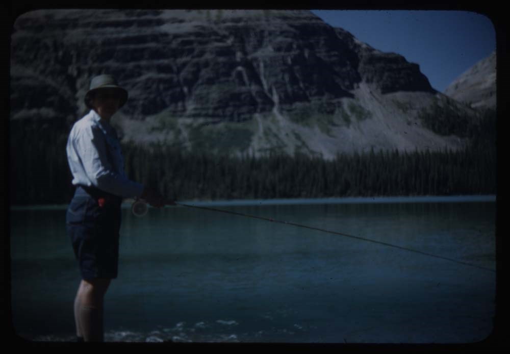
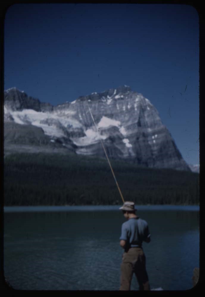
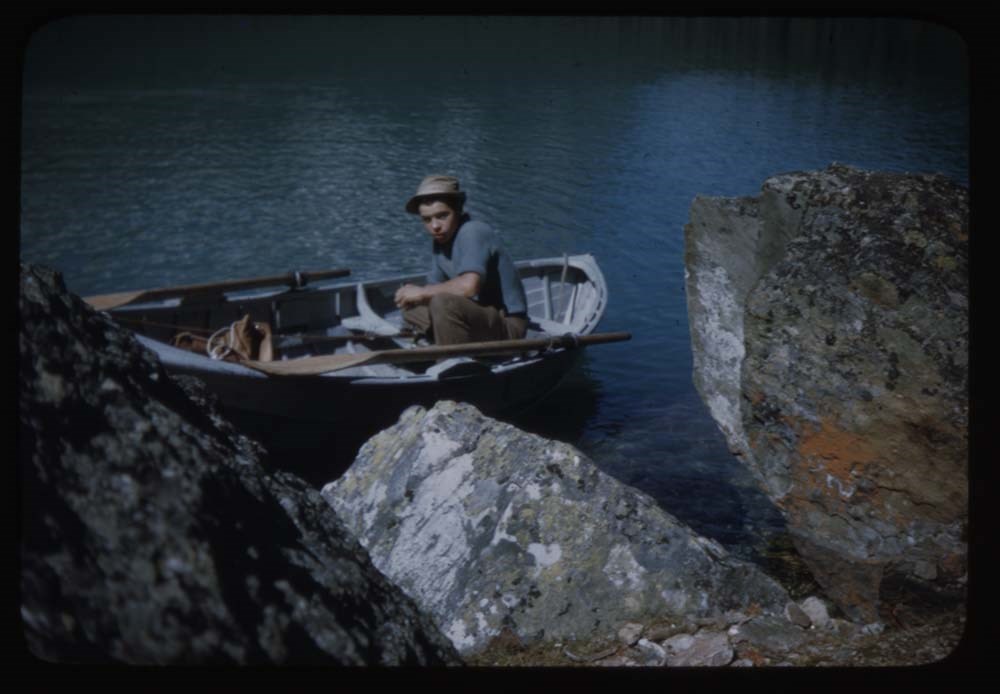
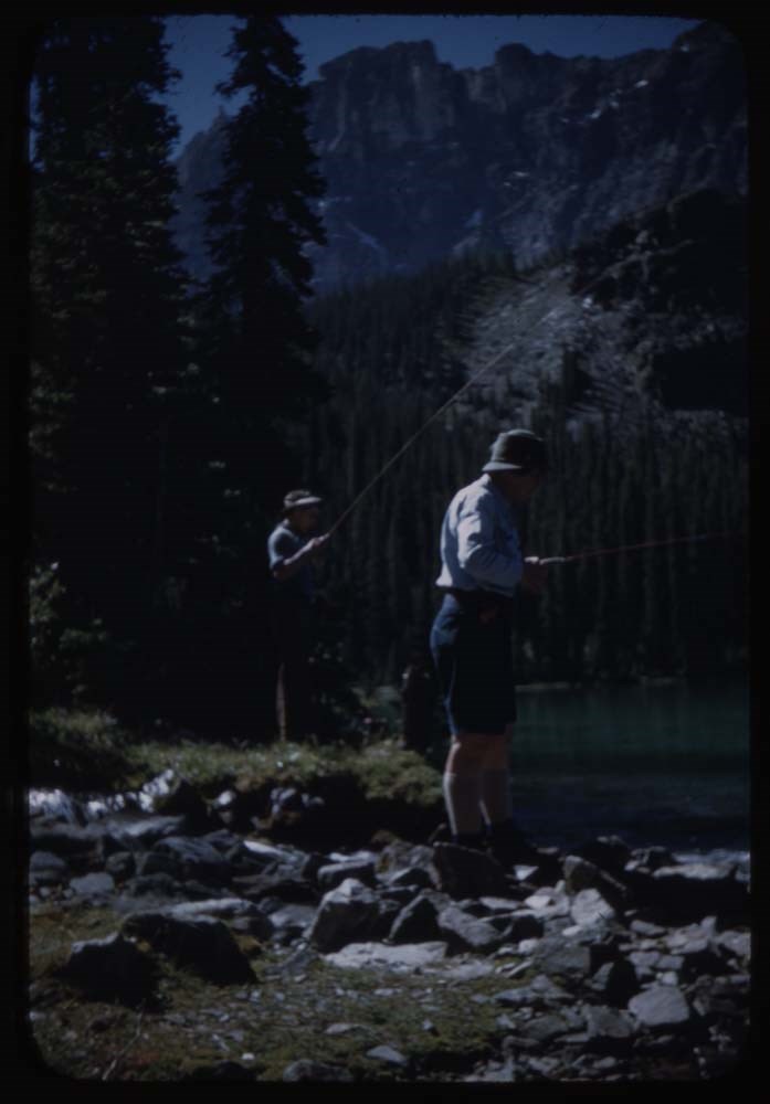
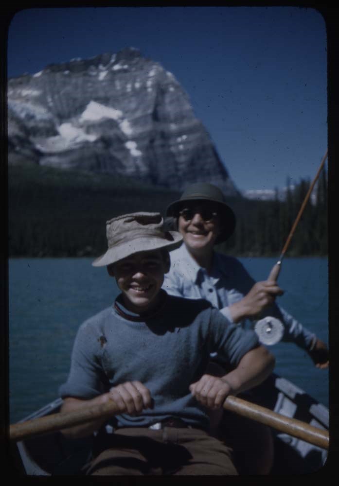
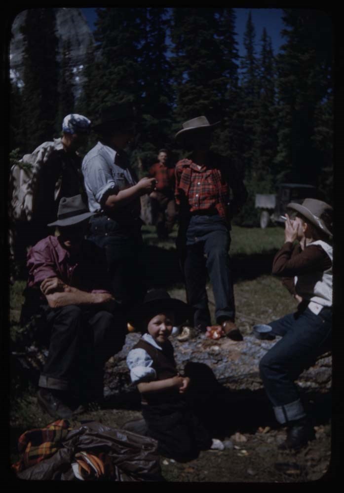
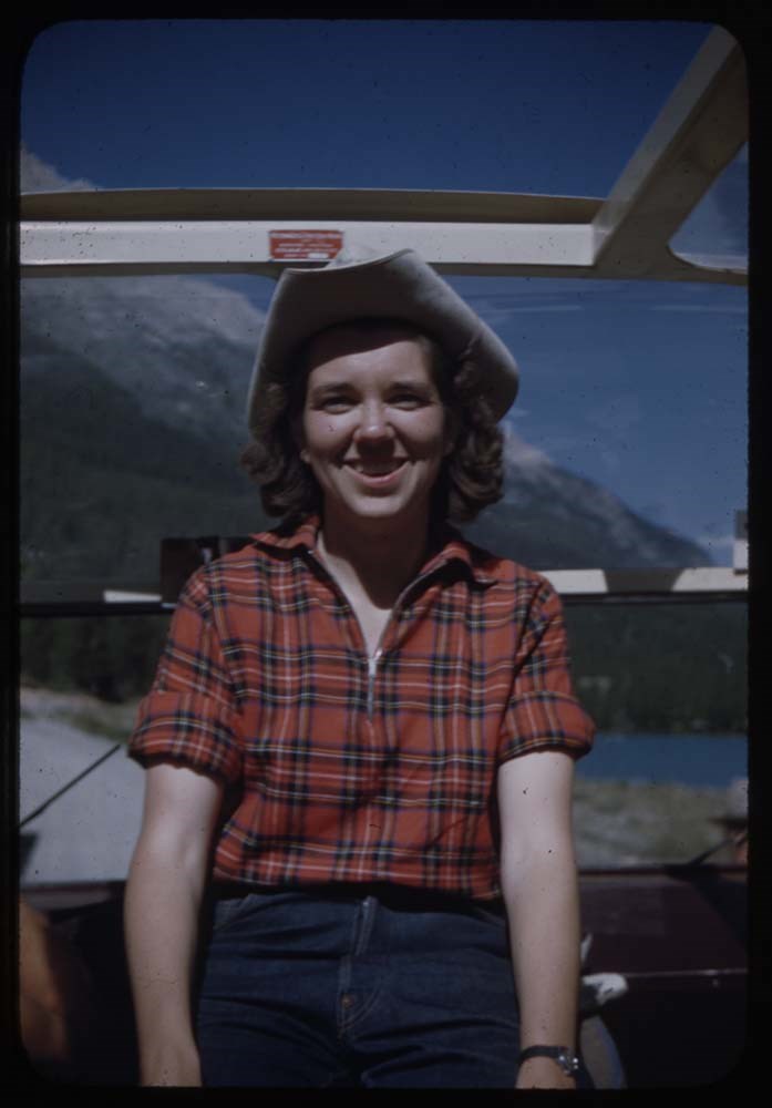
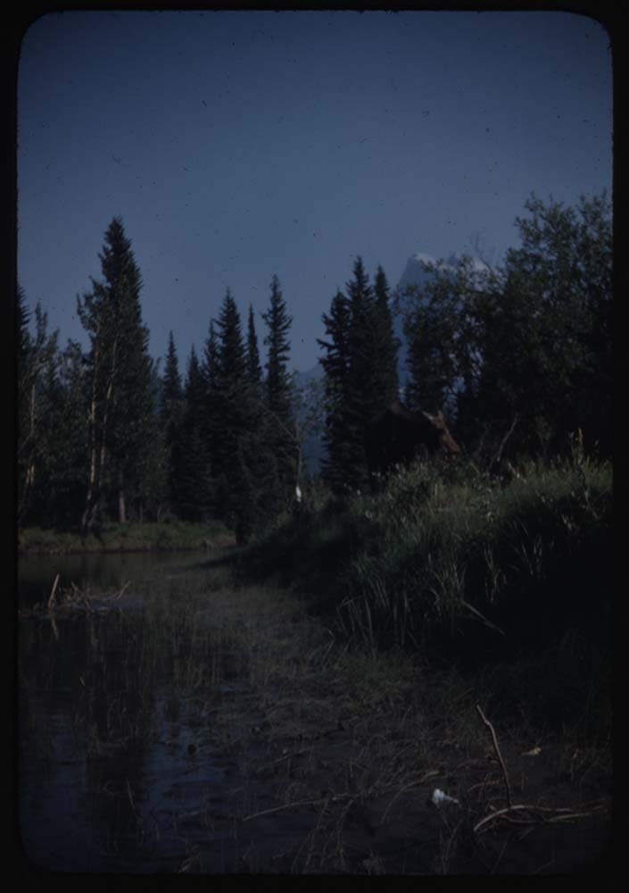
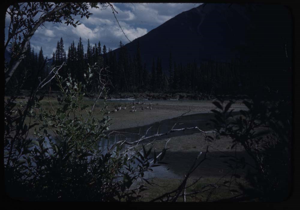
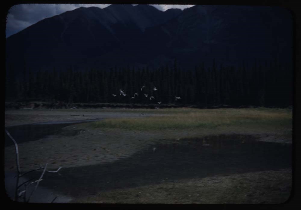
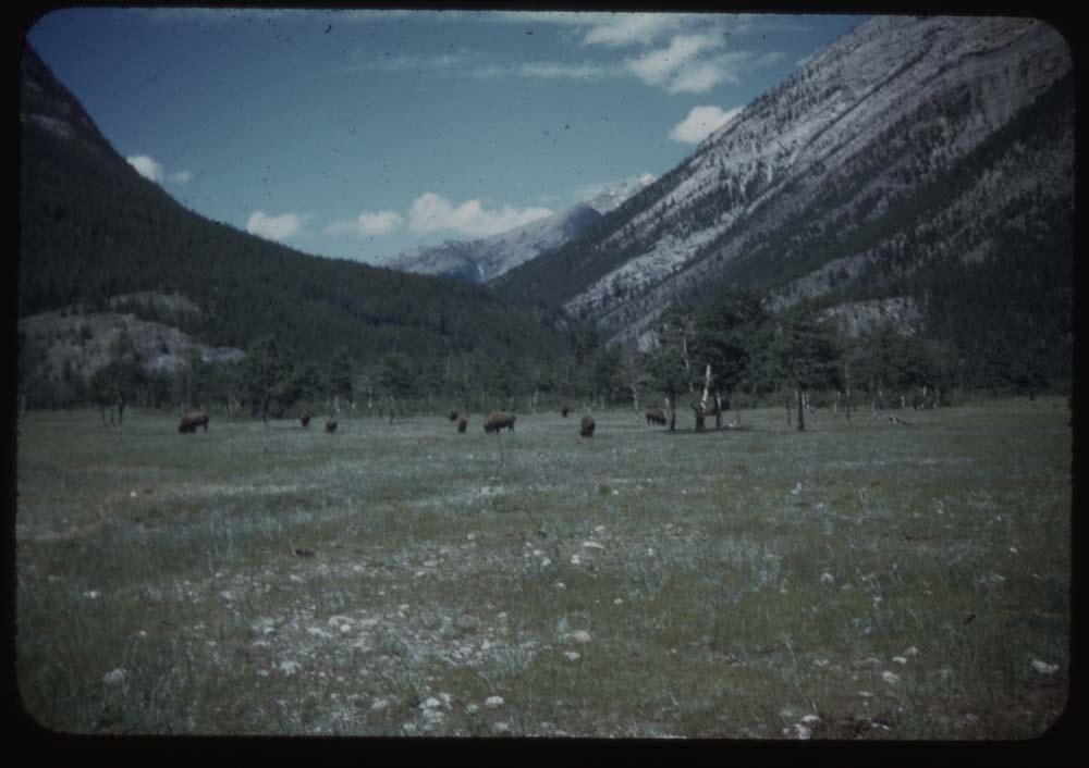
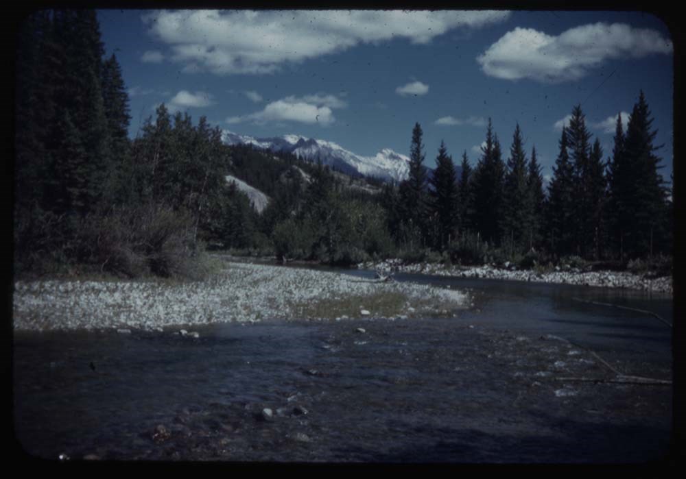
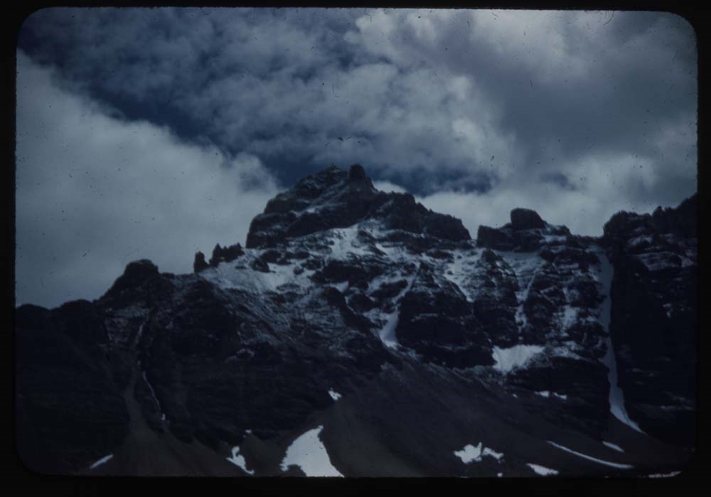
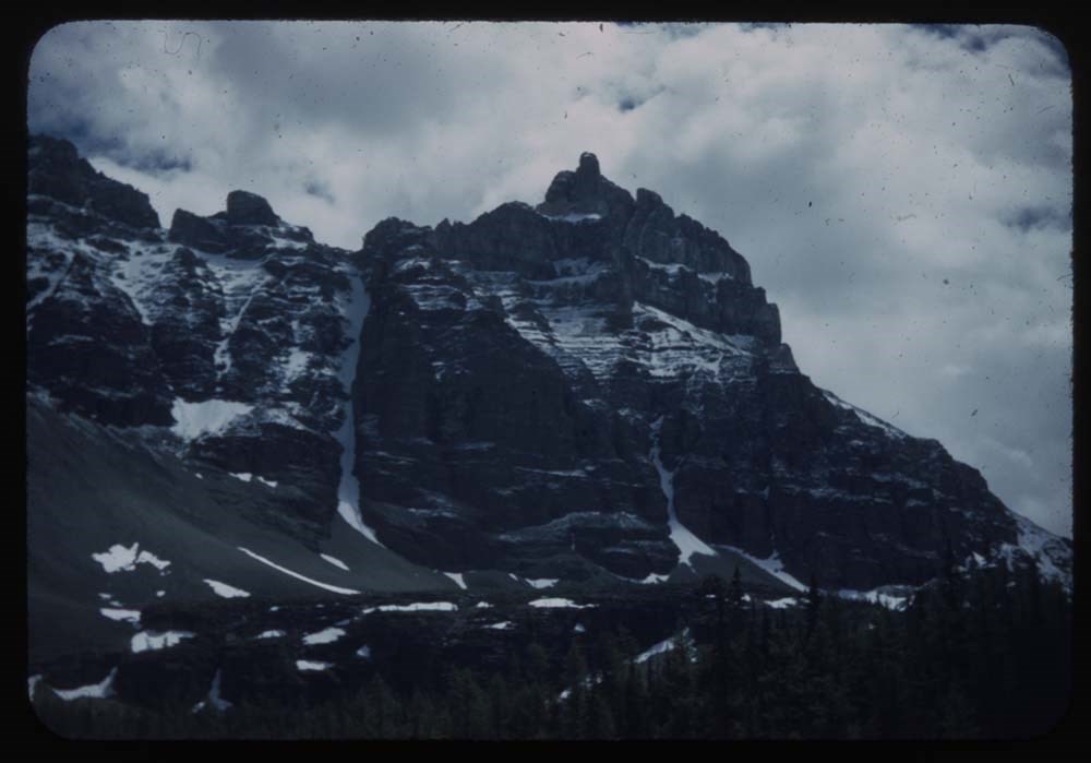
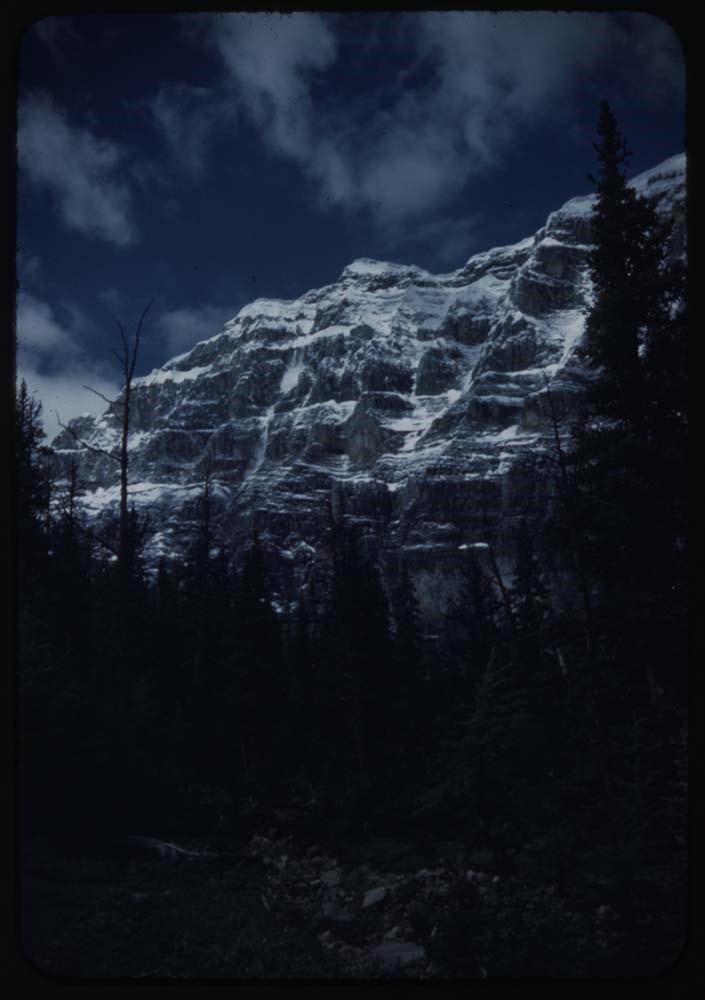
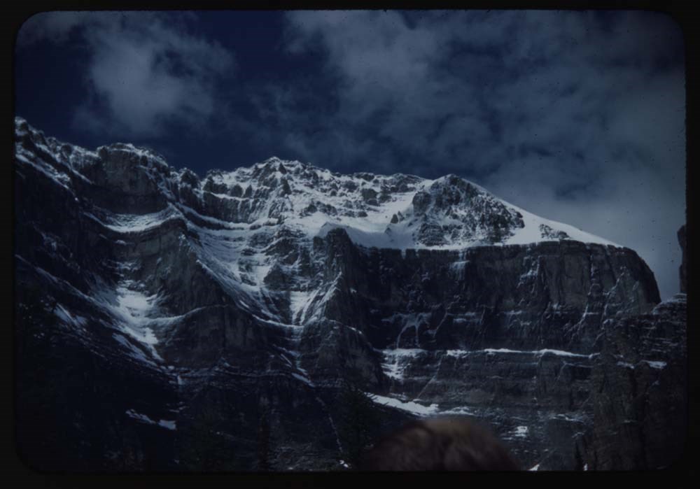
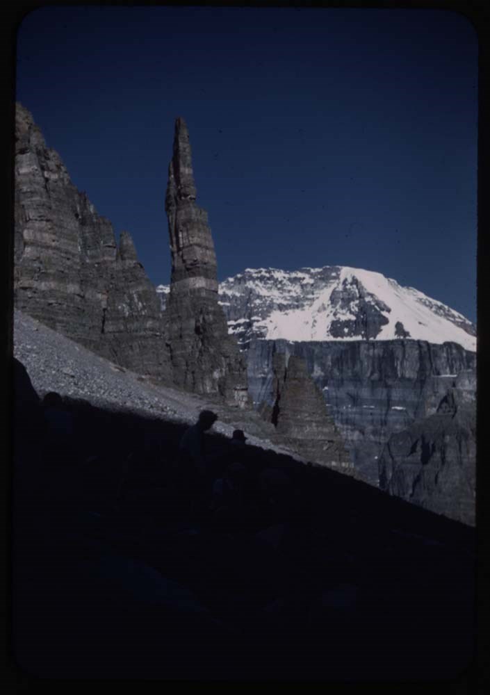
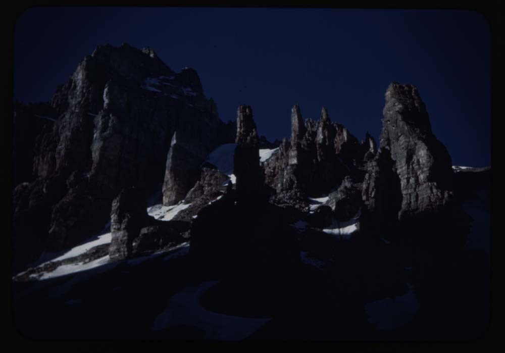
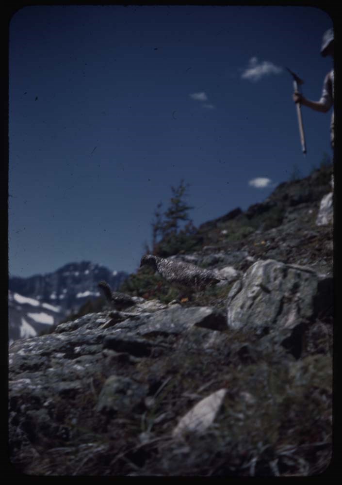
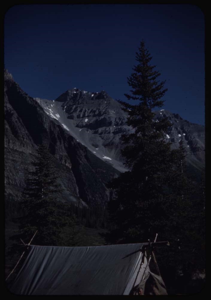
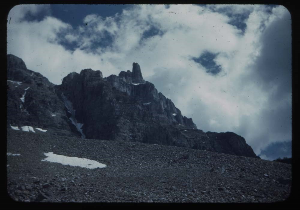
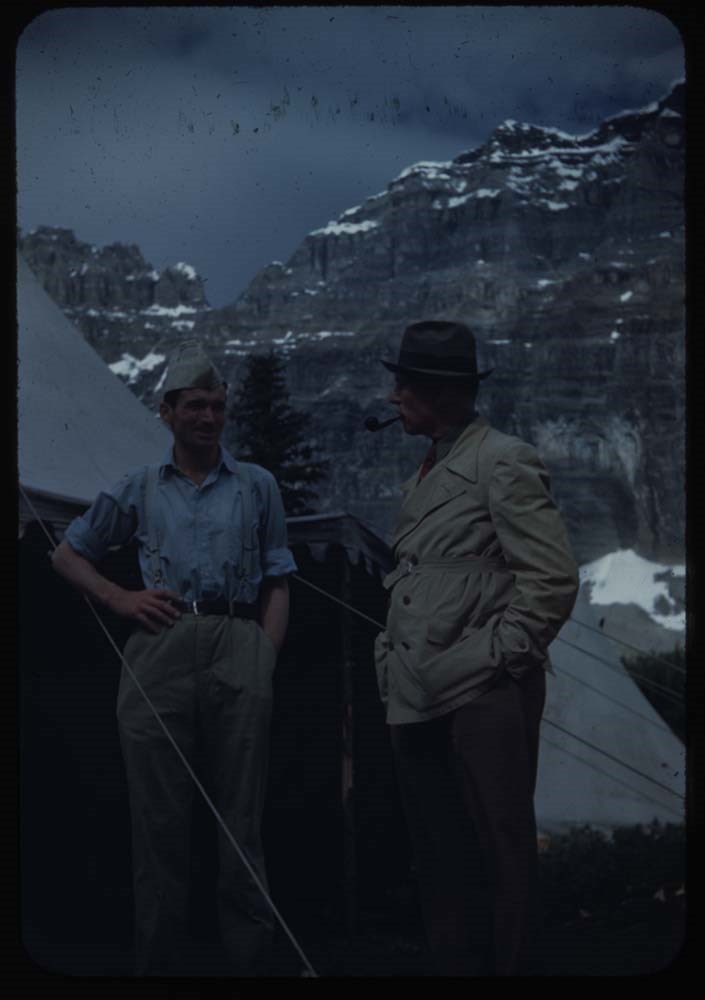
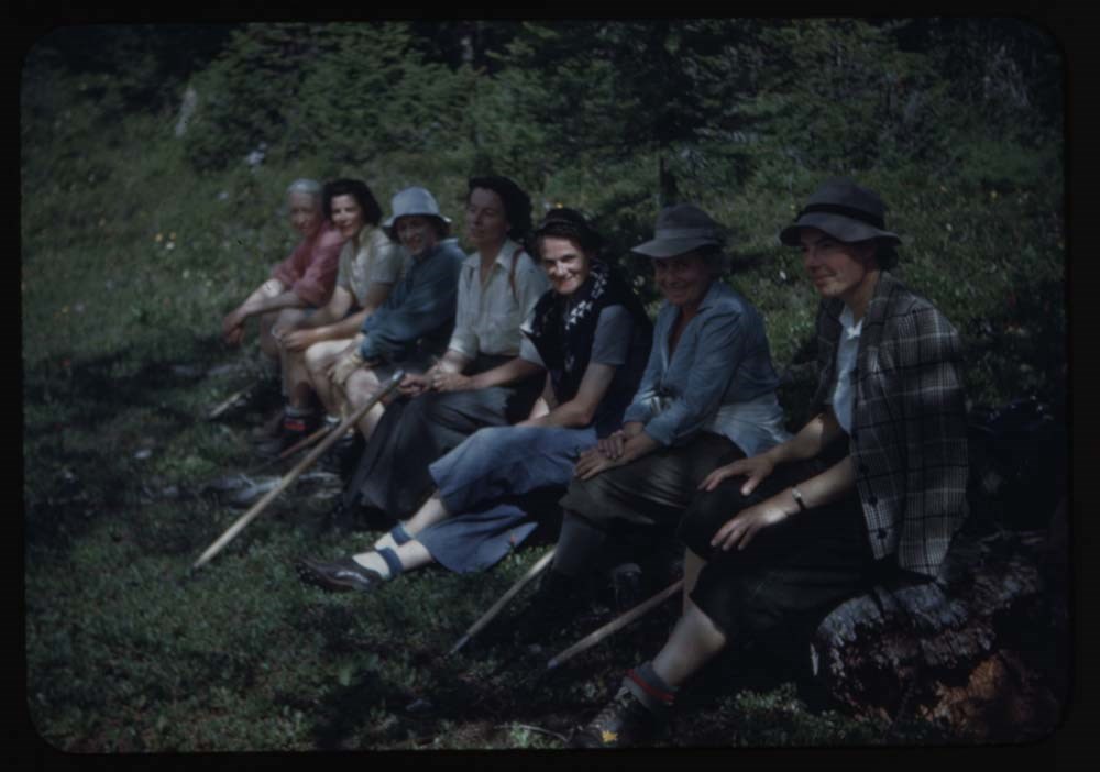
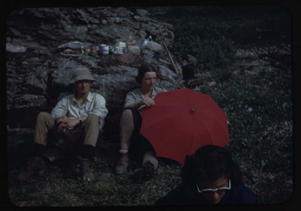
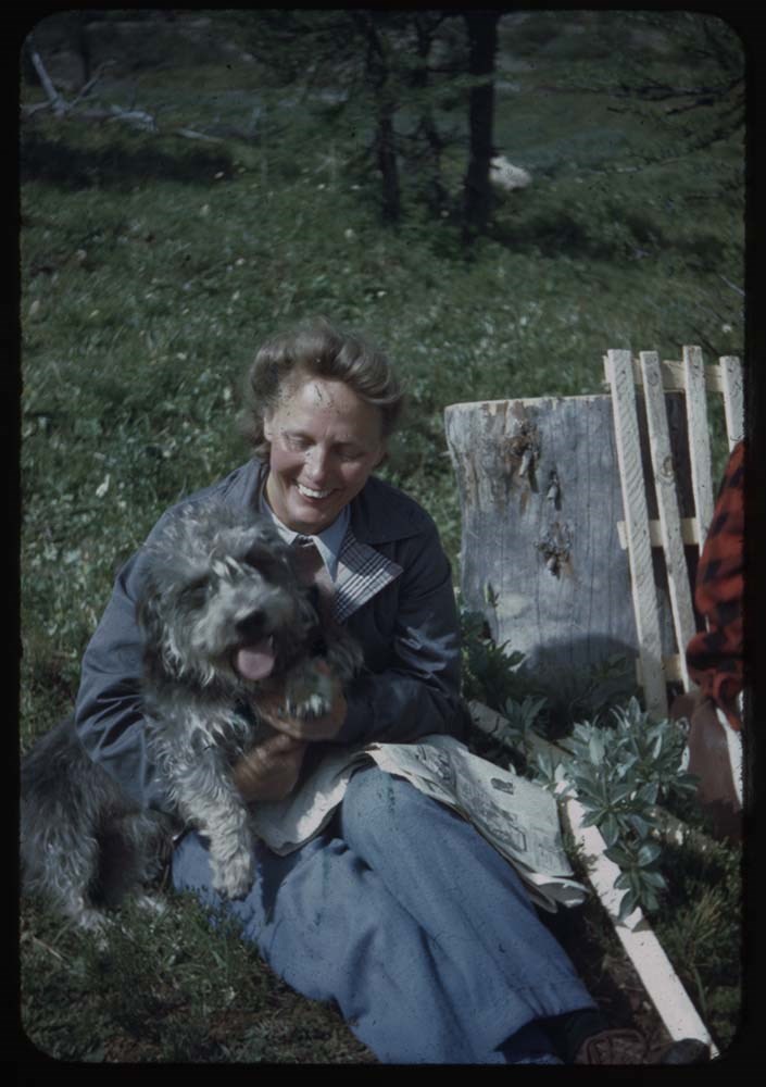
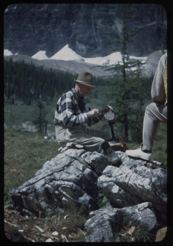
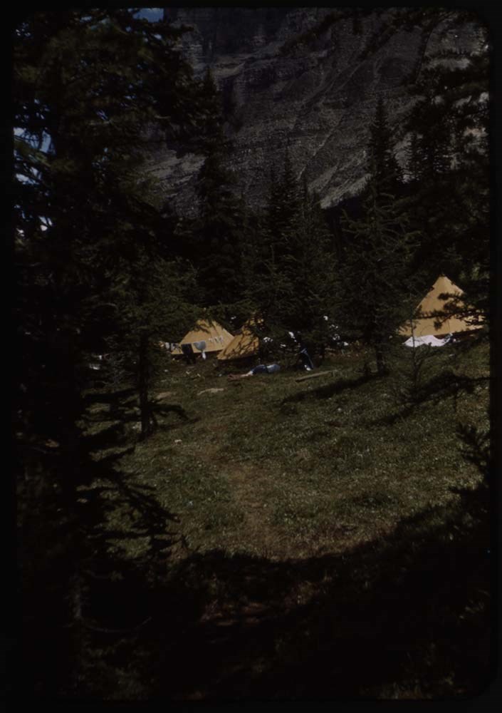
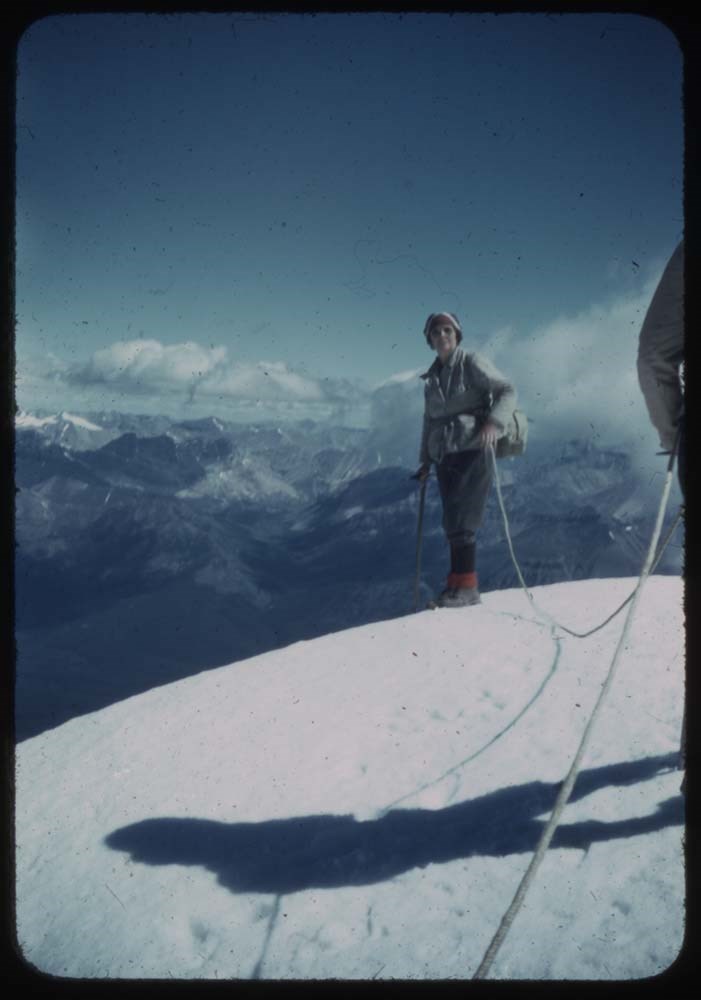
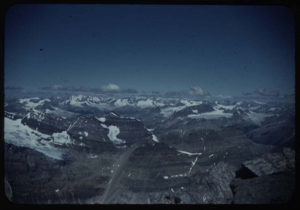
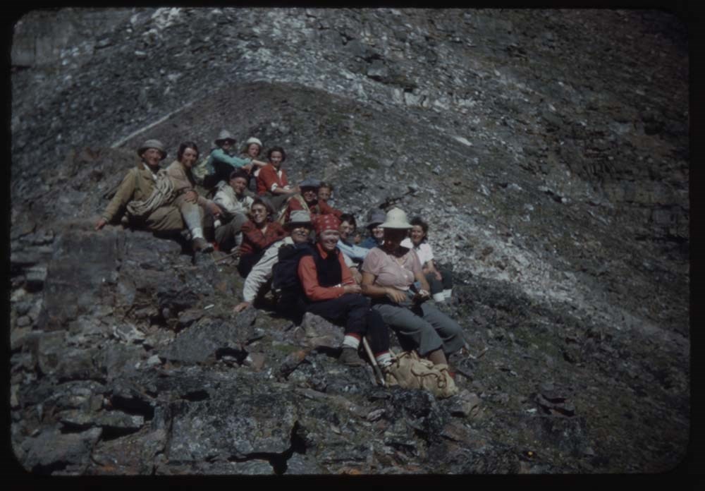
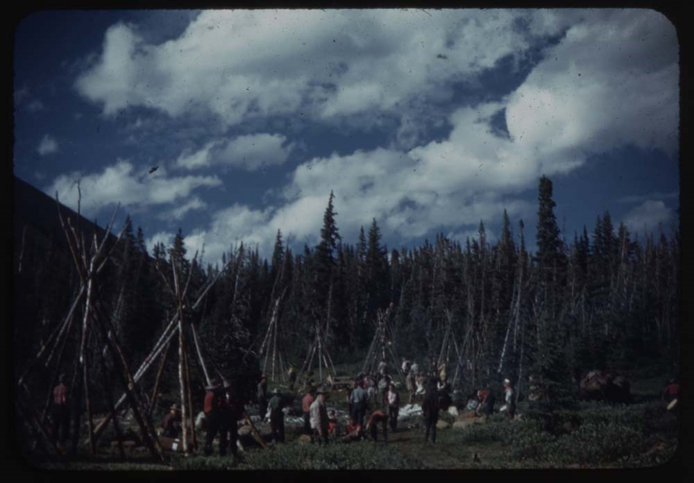
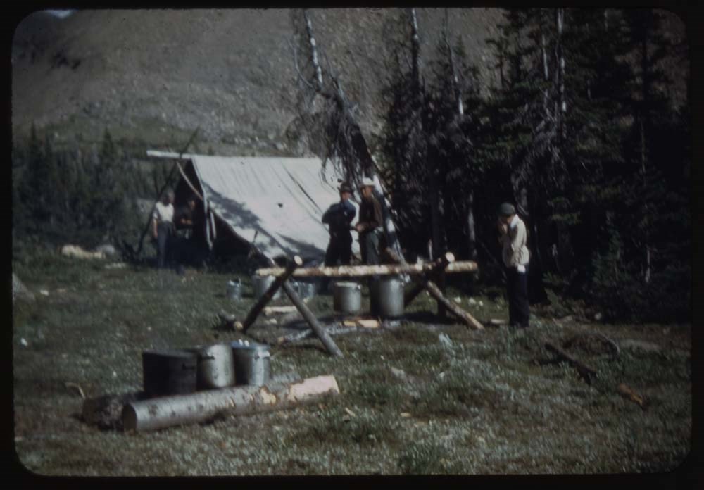
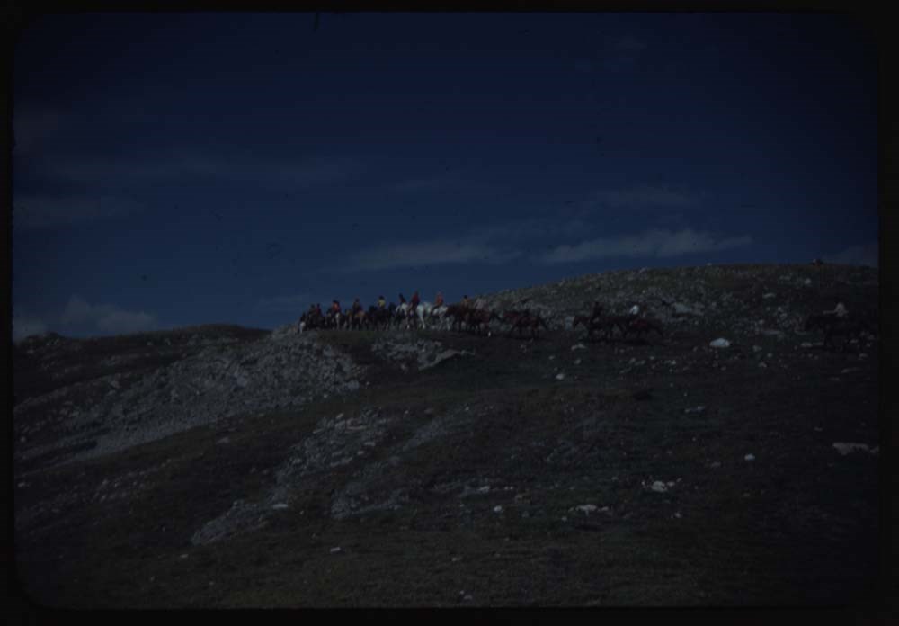
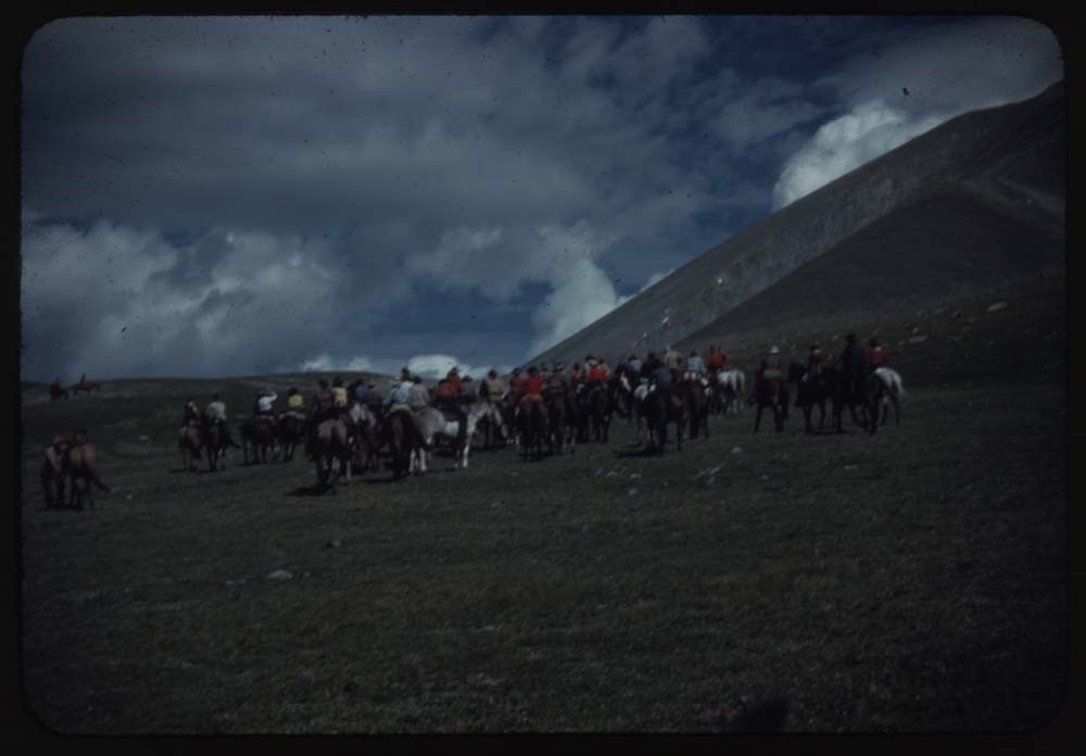
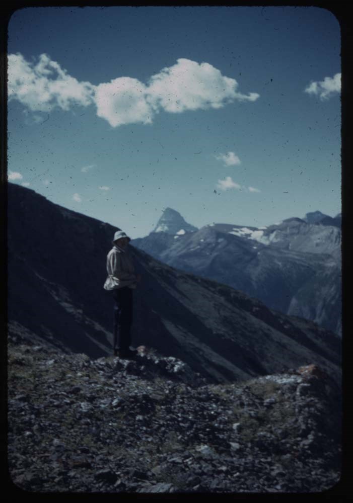
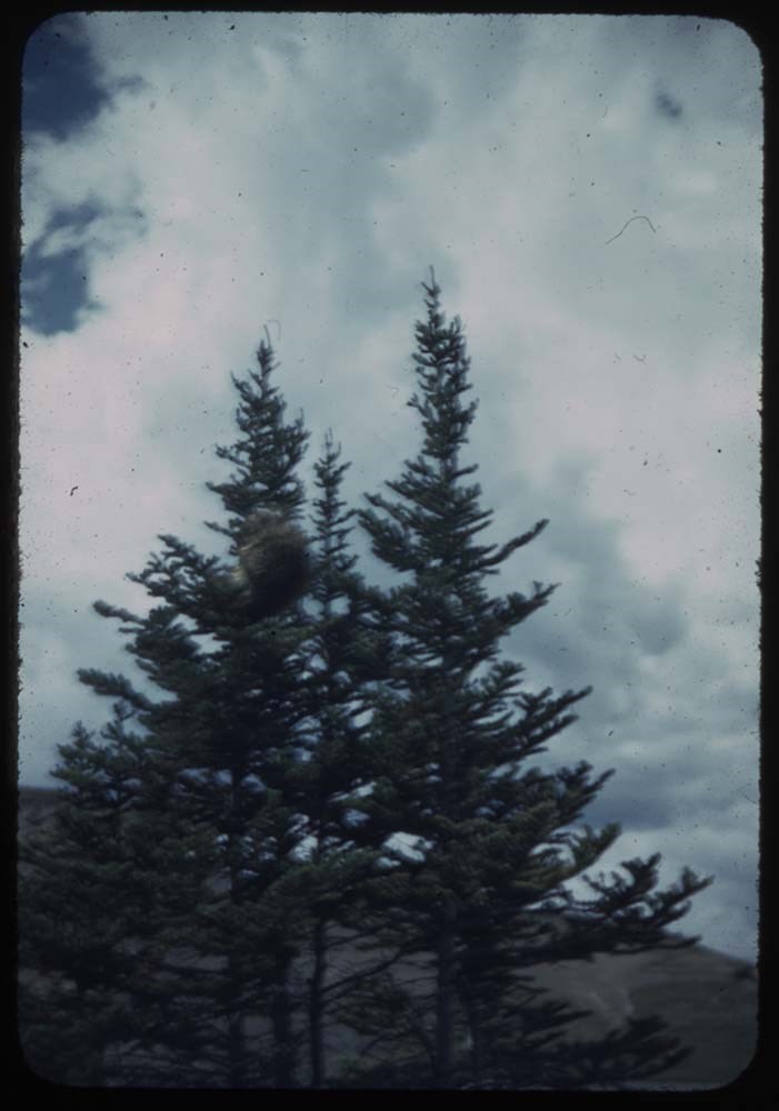
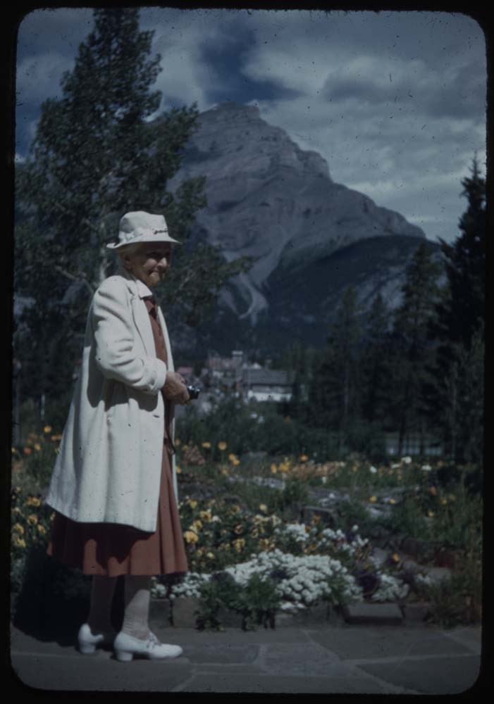
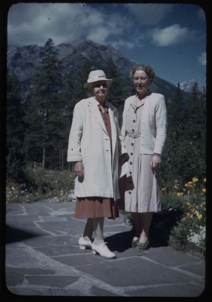
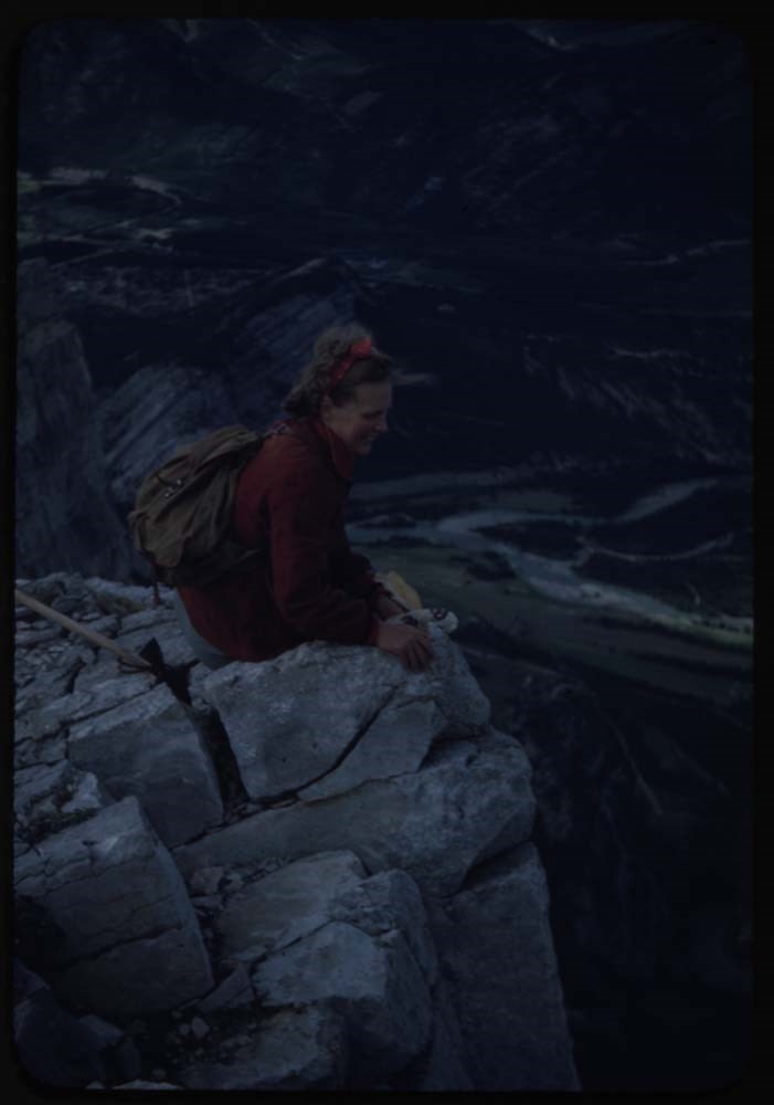
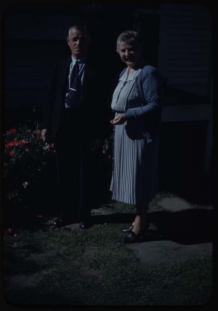
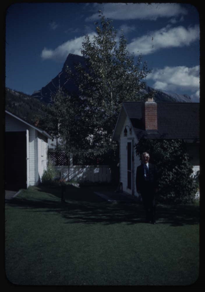
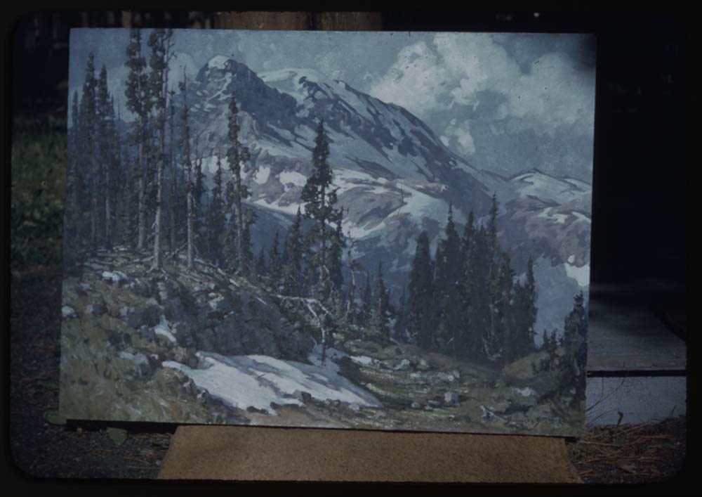
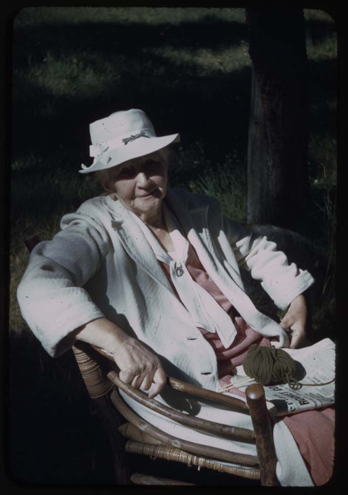
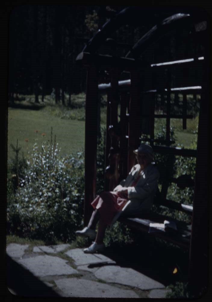
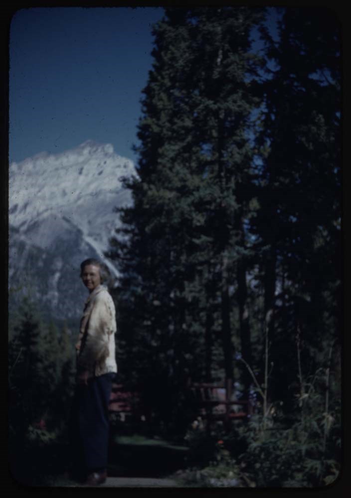
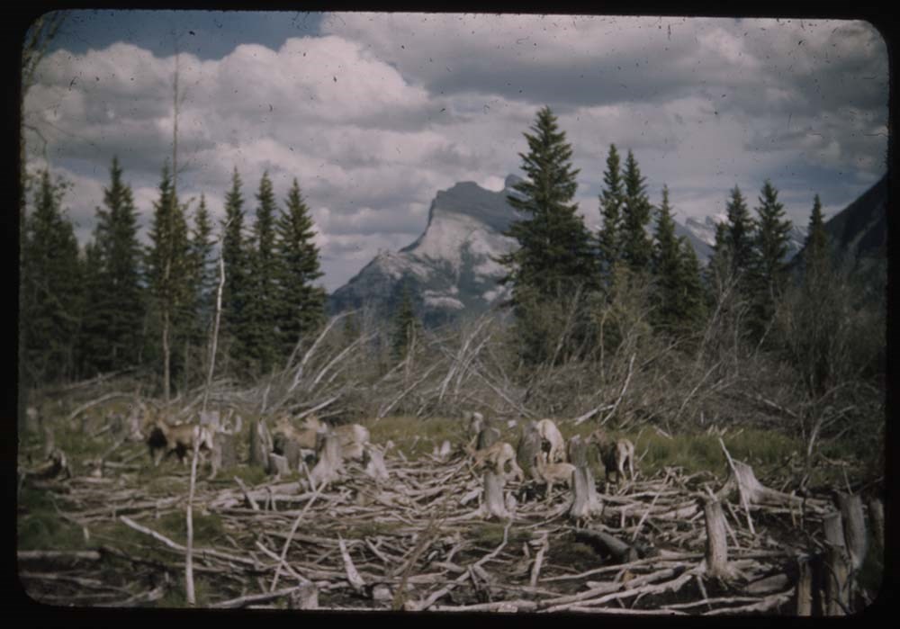
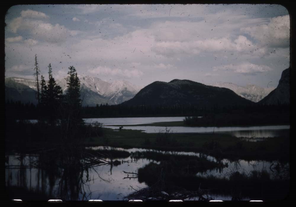
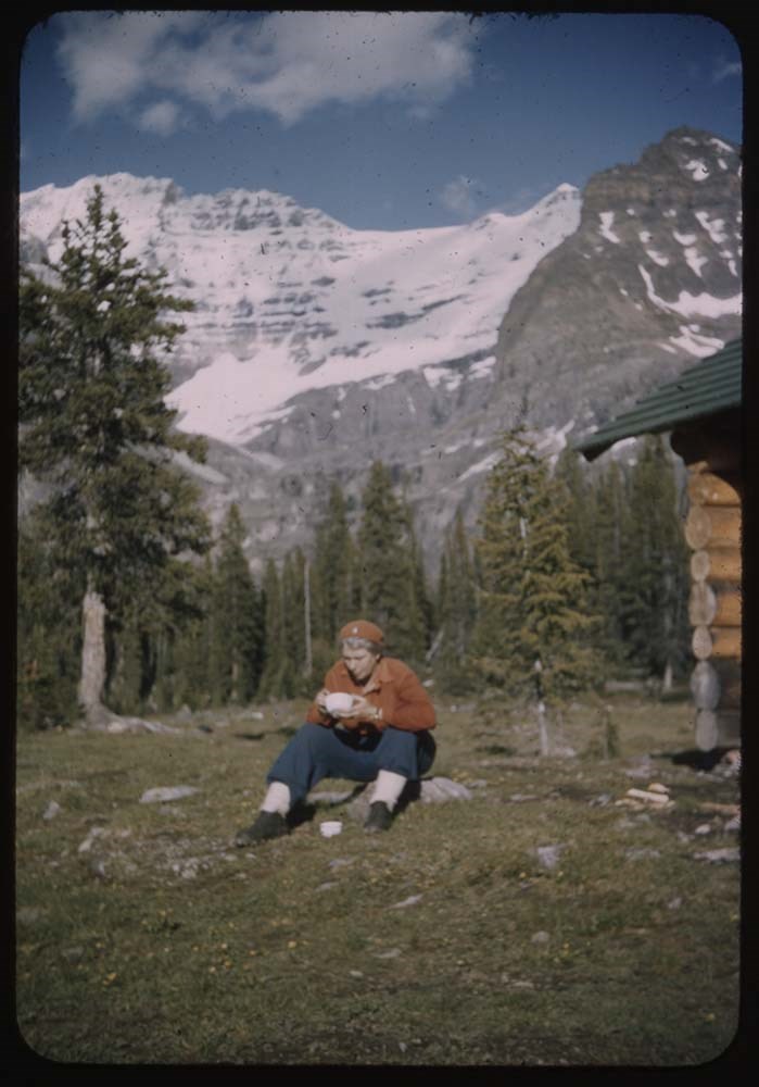
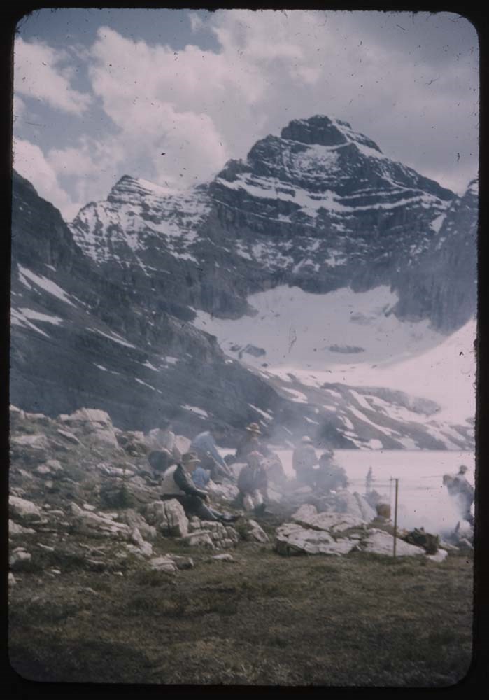
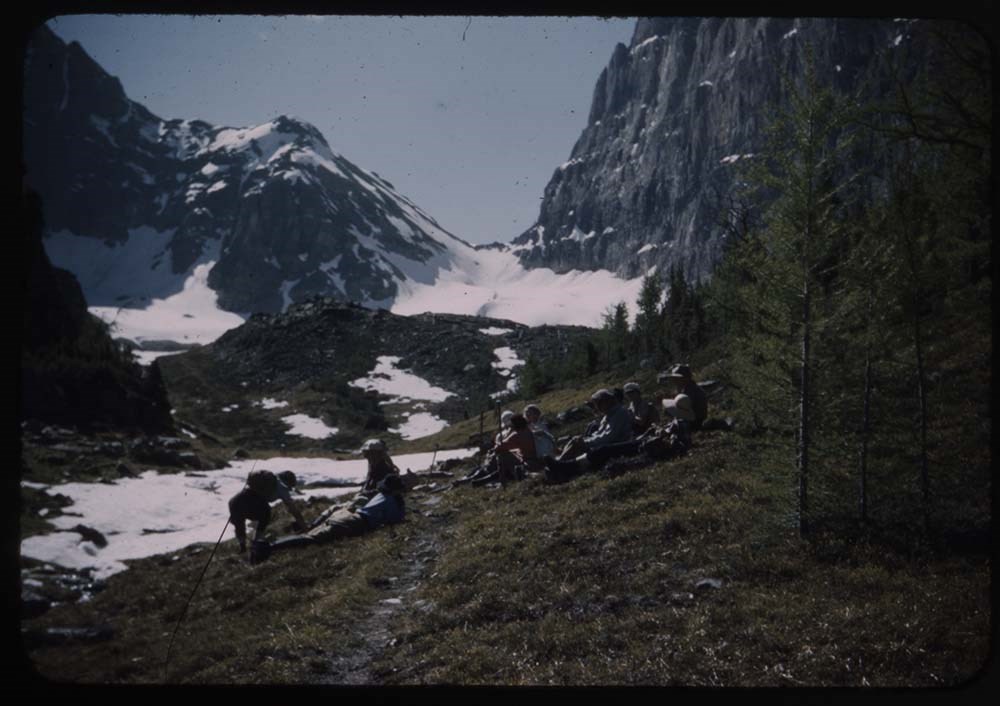
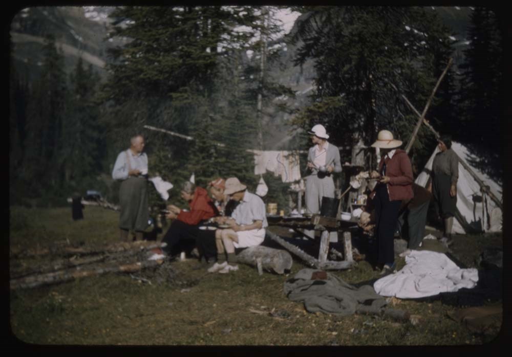
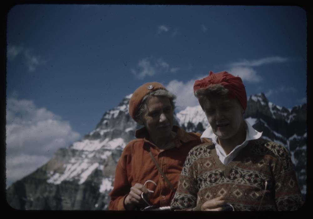
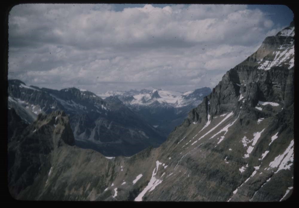
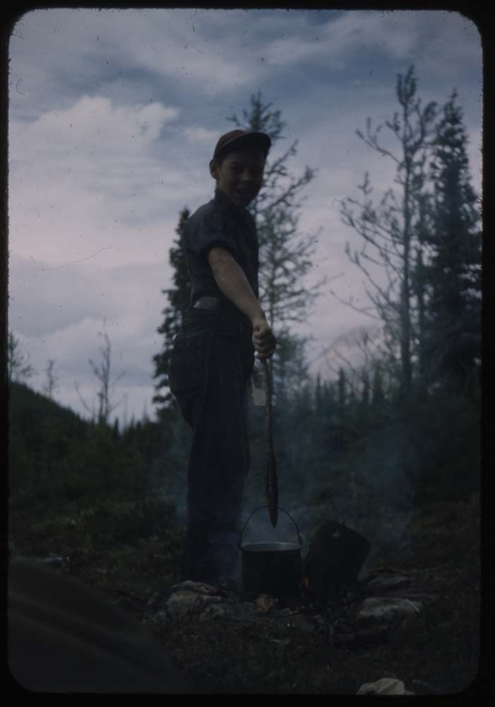
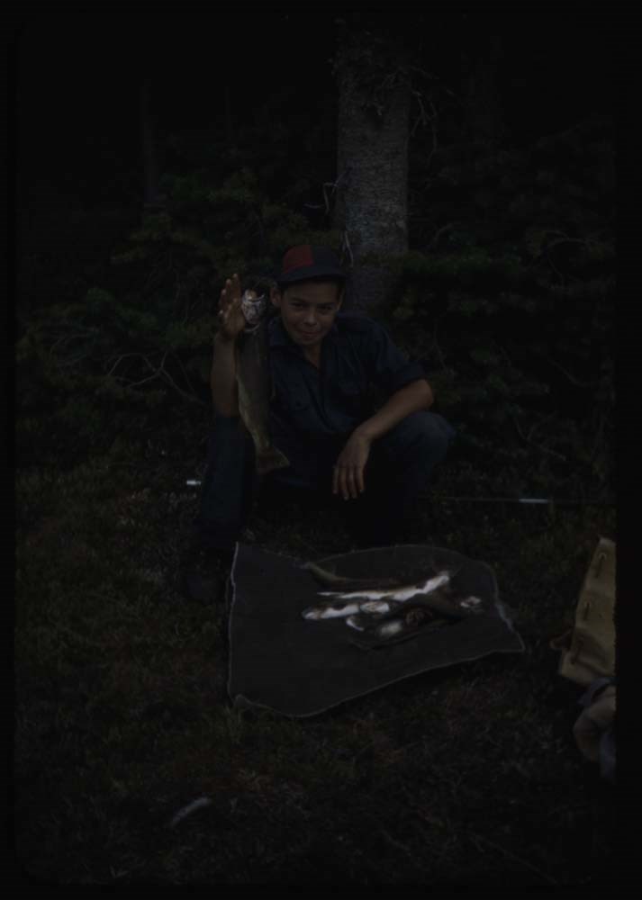
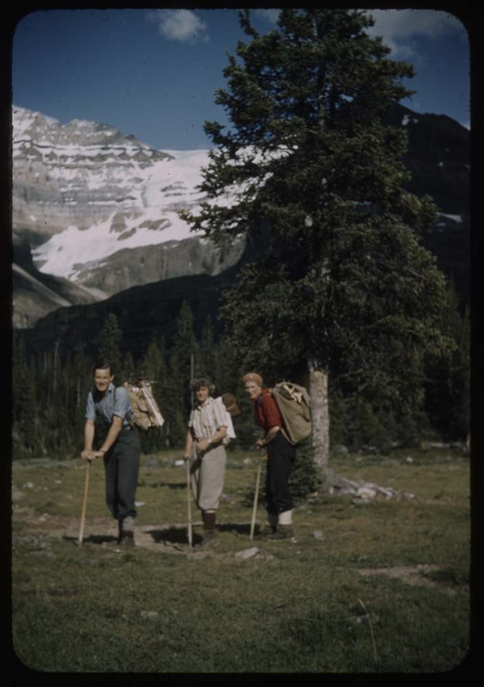
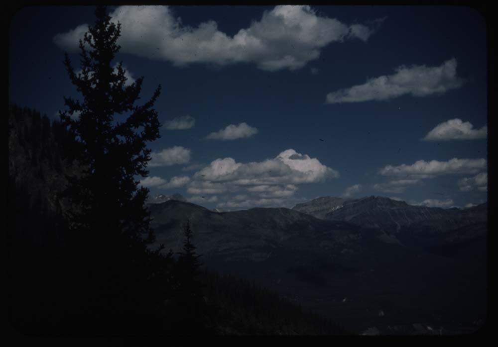
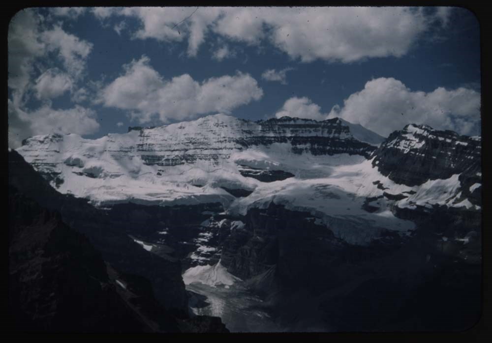
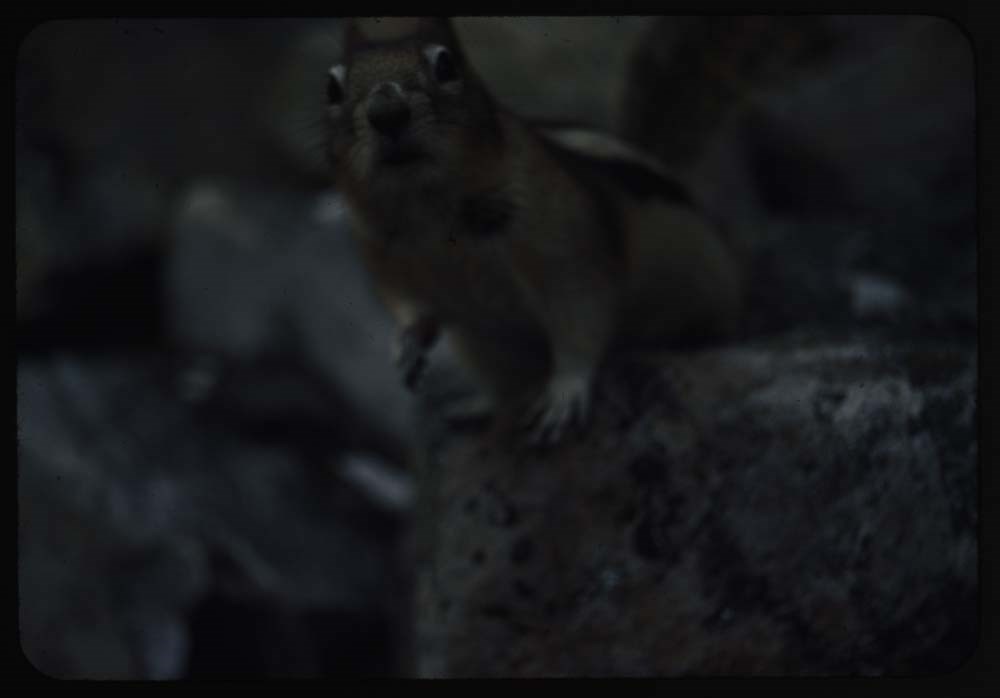
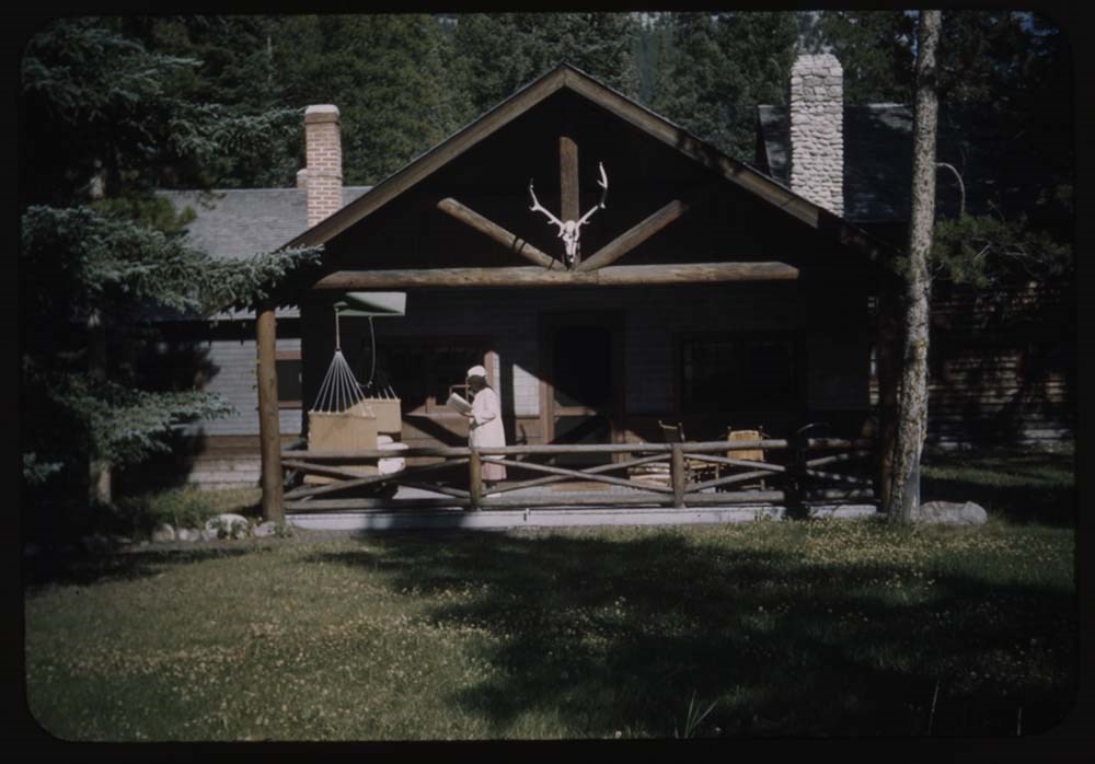
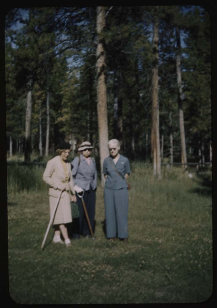
- File pertains to 100 35mm colour transparency slides mounted in cardboard sleeves. Includes photographs taken during the summer and autumn of 1945 in and around the Banff townsite, Lake O'Hara, and the Yoho Valley. Subjects include mountains, landscapes, the Bow River, lakes, people, horses, variou…
- Date Range
- 1945
- Reference Code
- V225 / II / C / ii / a / i / NS - 93 to 100
- Description Level
- 5 / File
- GMD
- Film
- Photograph
- Transparency
95 images
1 Electronic Resource
- Part Of
- Lillian Gest fonds
- Description Level
- 5 / File
- Fonds Number
- M67 / S36 / V225
- Series
- II.C. Activities / photography
- Sous-Fonds
- V225
- Sub-Series
- ii.a.i Photographic material / transparencies / boxes
- Accession Number
- 5142
- Reference Code
- V225 / II / C / ii / a / i / NS - 93 to 100
- Parallel Title
- R79-1 to R124-15. -- 1943-1947 V225 / NS - 4
- Date Range
- 1945
- Physical Description
- 100 photographs : col. slides ; 35 mm
- History / Biographical
- See fonds level description
- Scope & Content
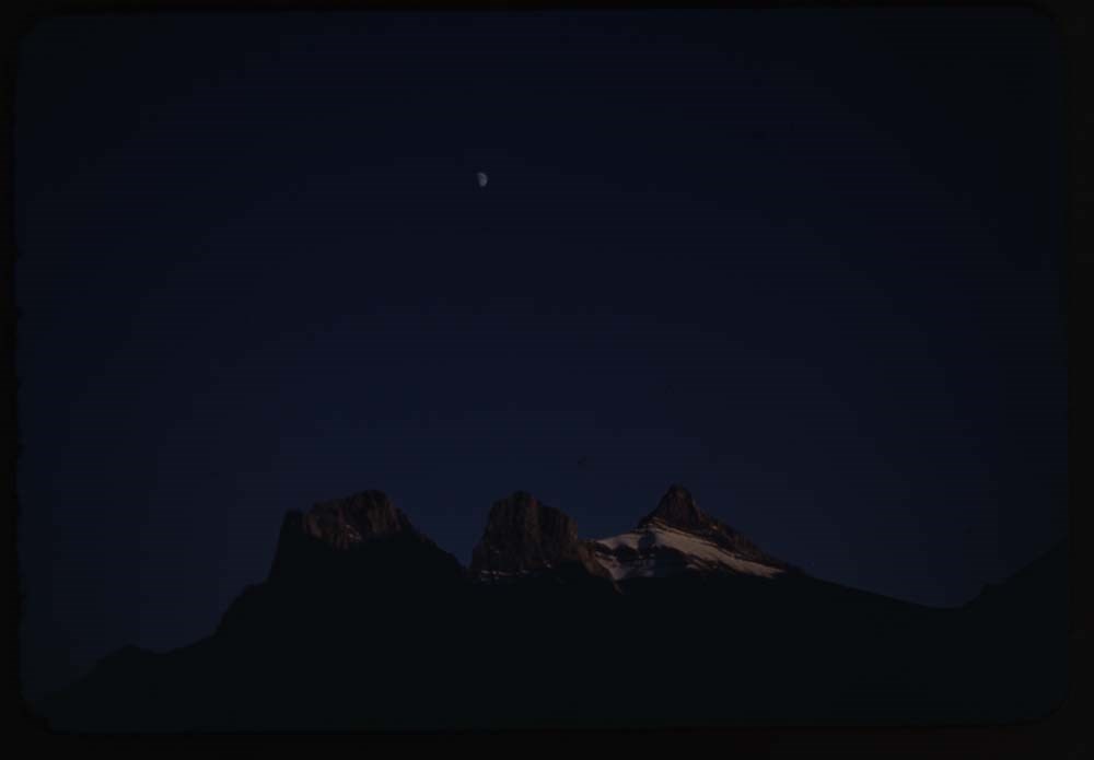
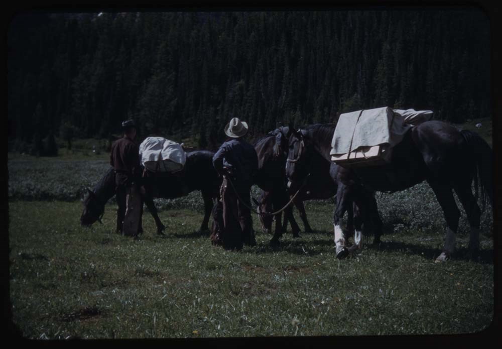
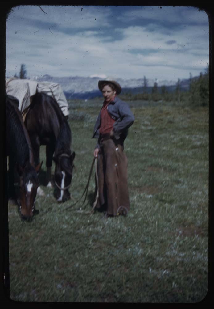
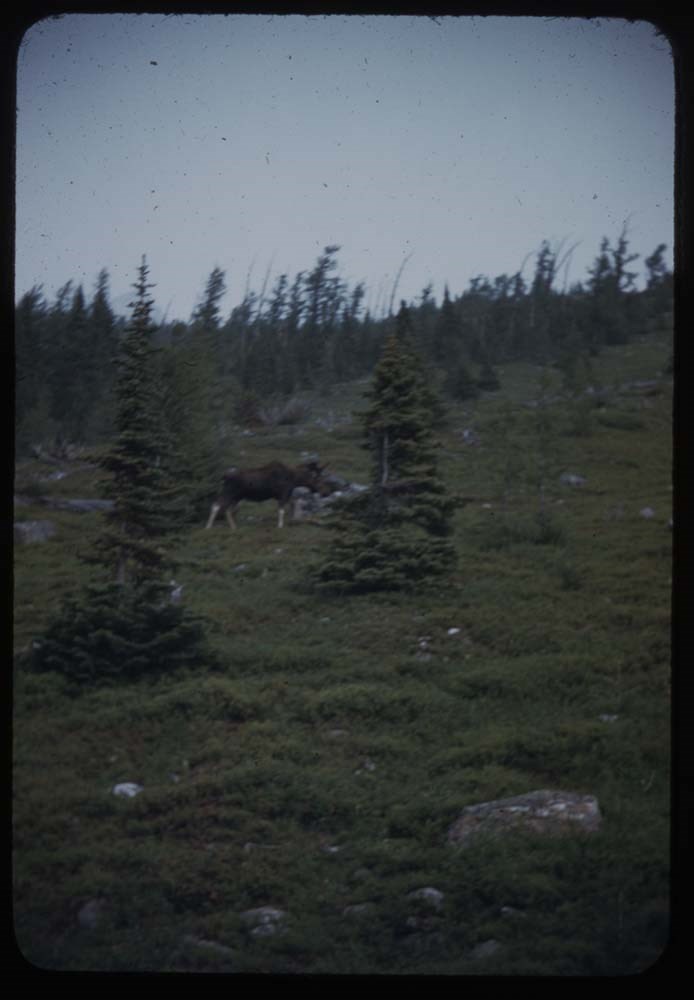
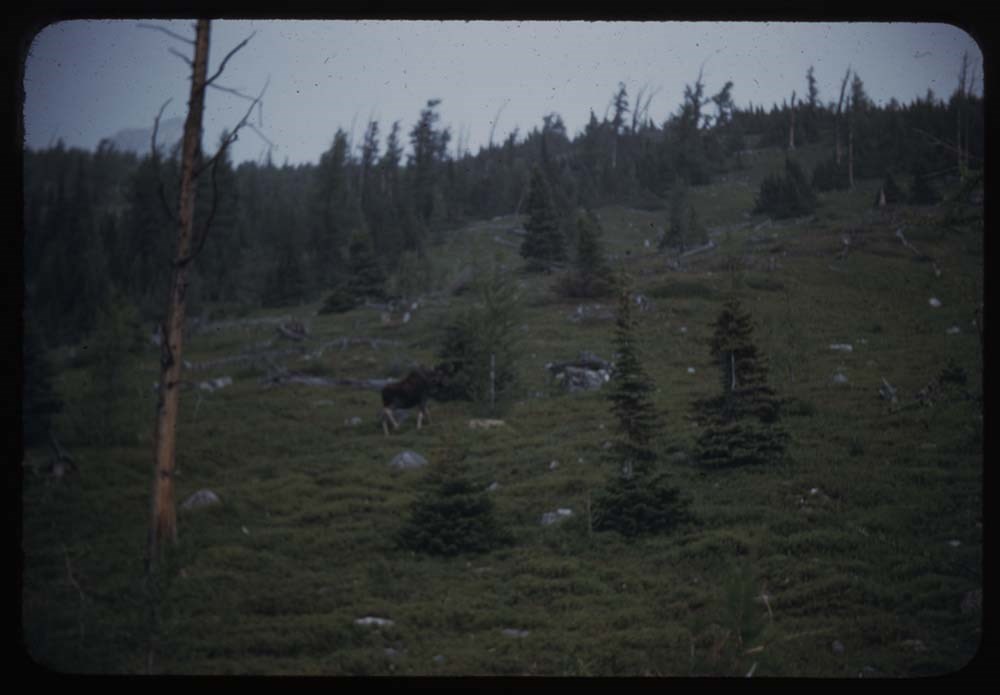
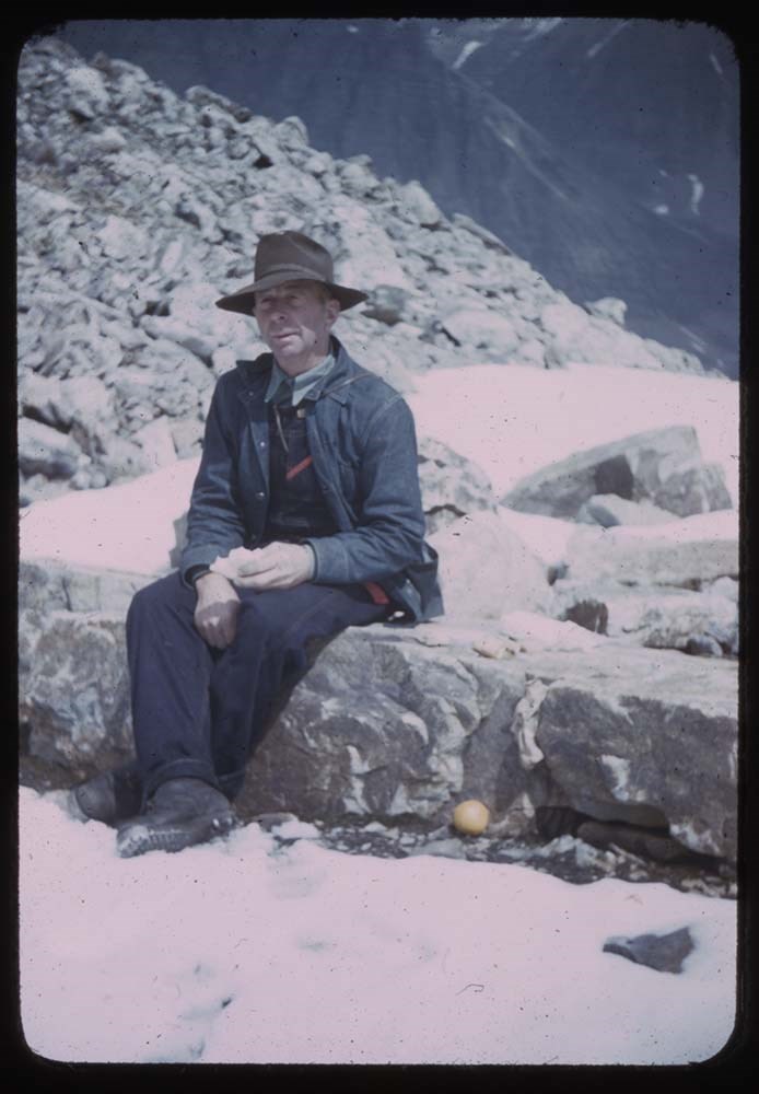
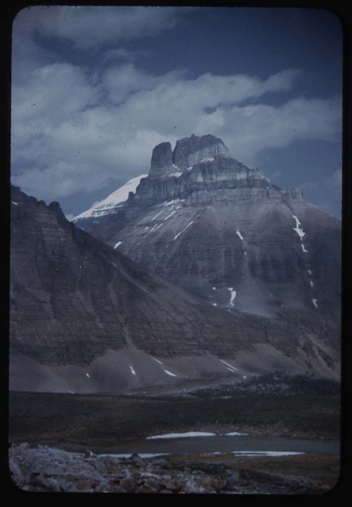
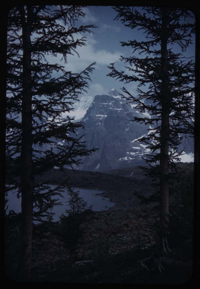
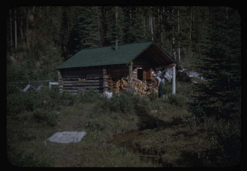
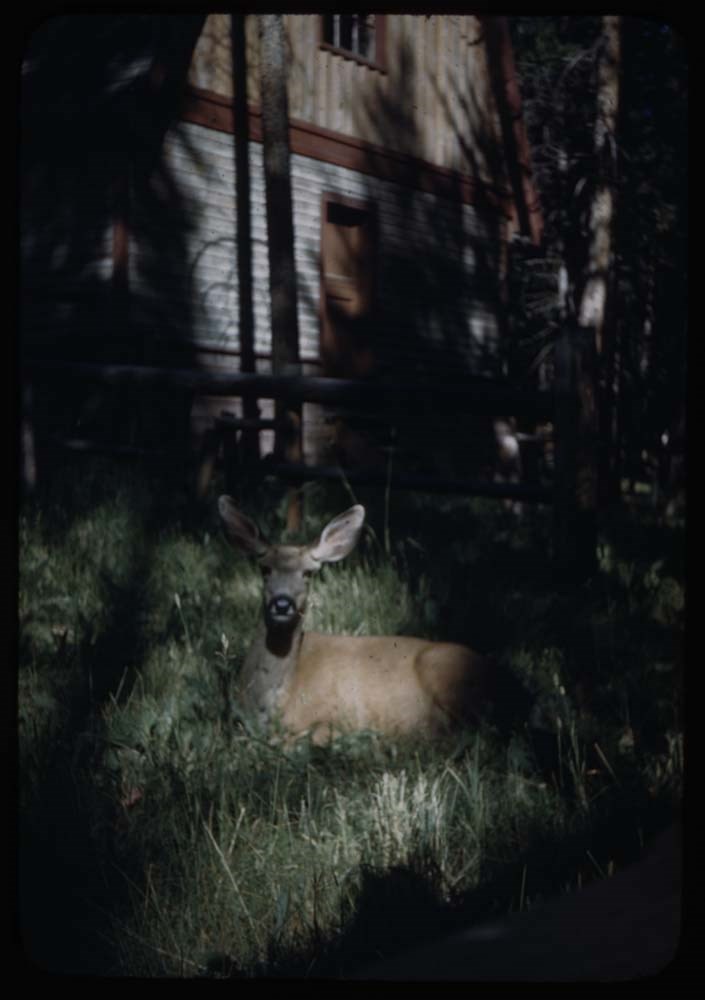
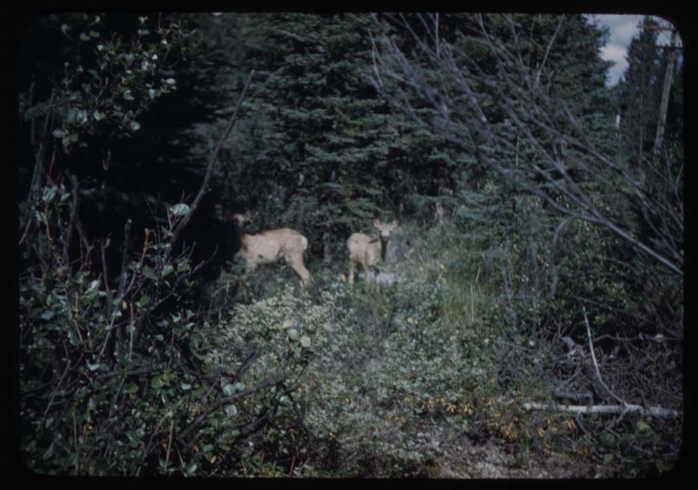
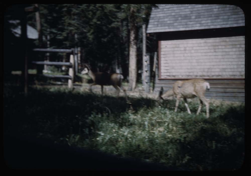
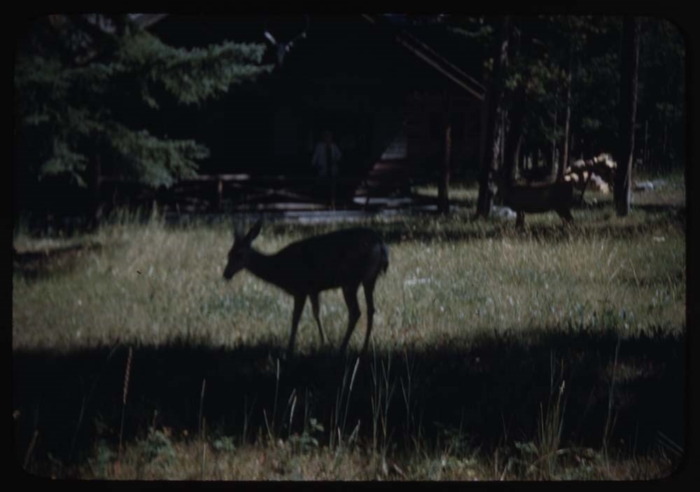
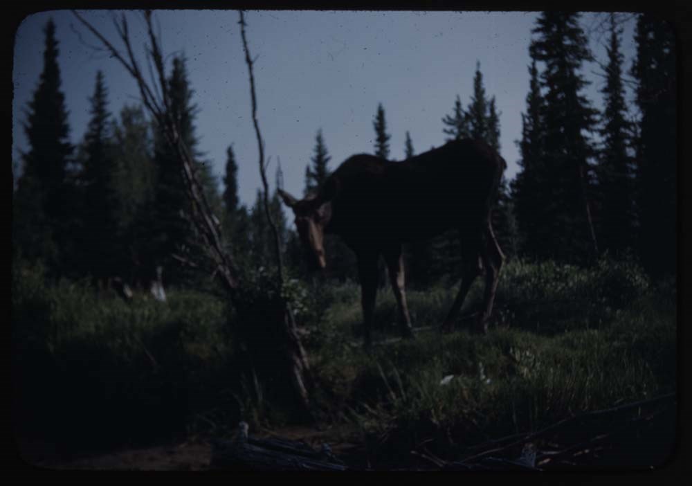
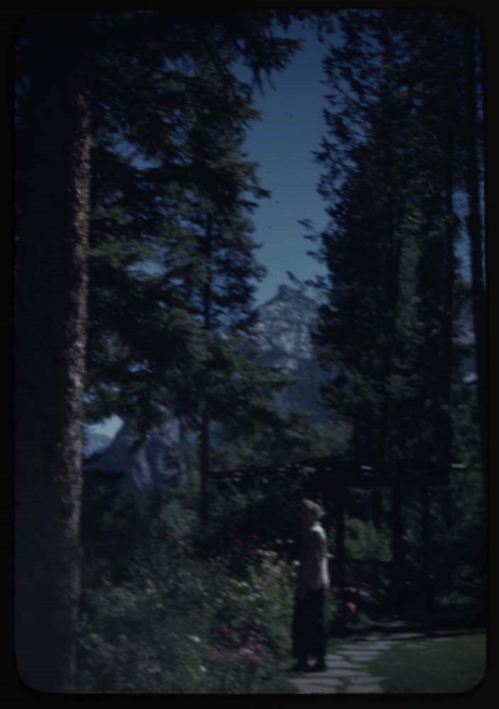
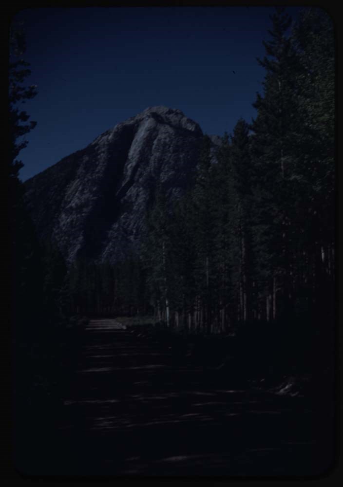
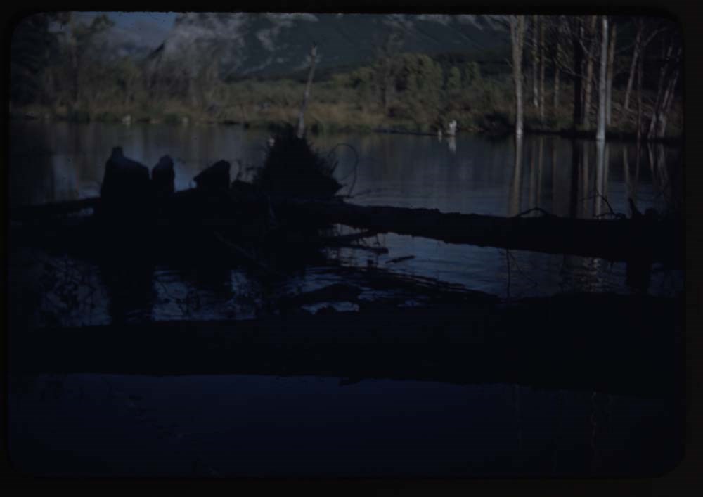
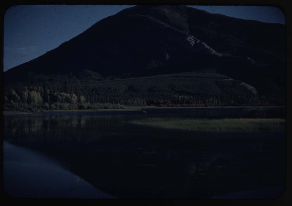
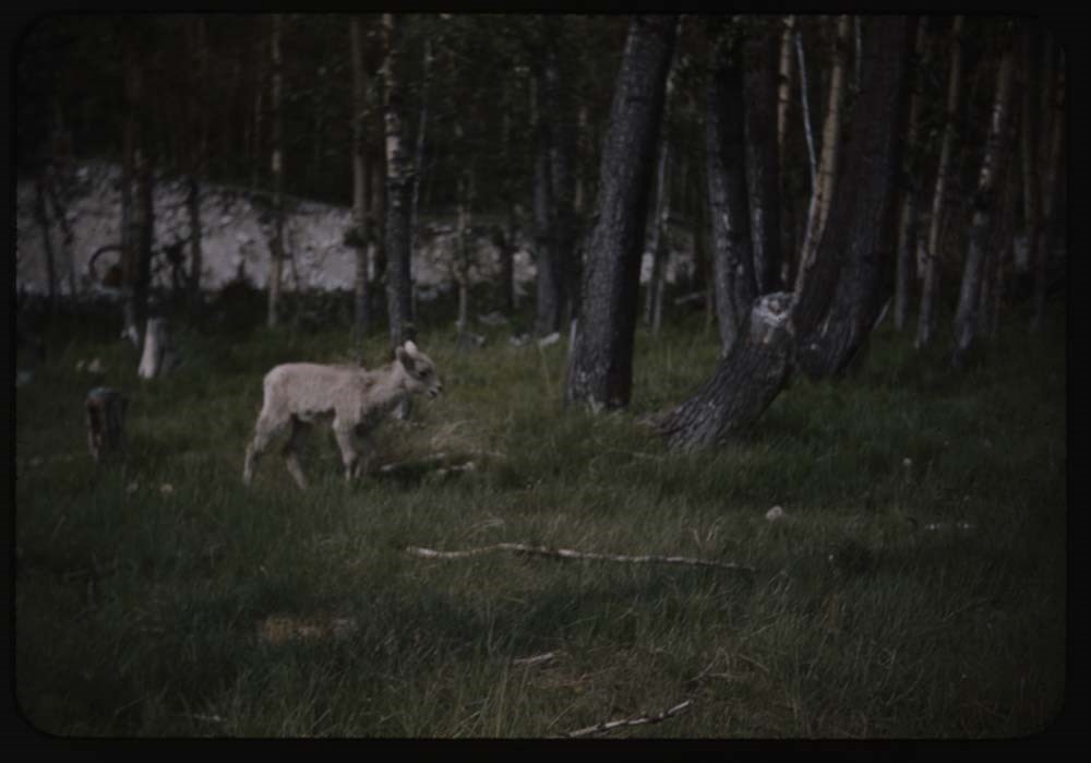
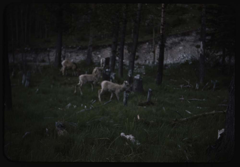
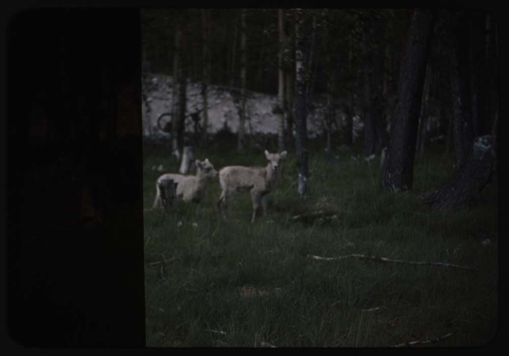
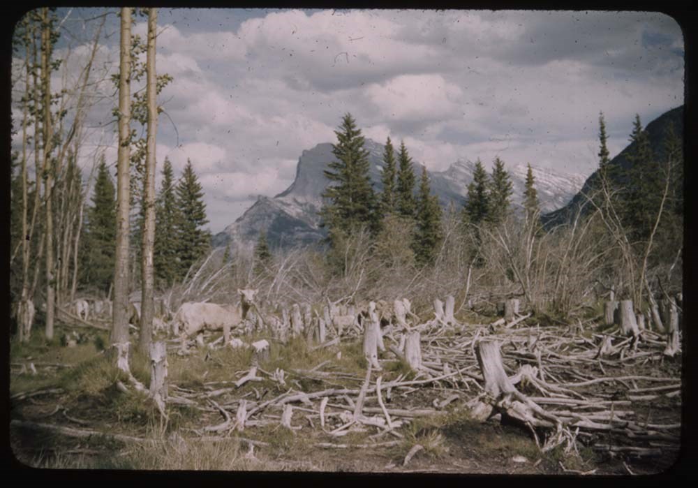
- File pertains to 100 35mm colour transparency slides mounted in cardboard sleeves. Includes photographs taken during the summer and autumn of 1945 in and around the Banff townsite, Lake O'Hara, and the Yoho Valley. Subjects include mountains, landscapes, the Bow River, lakes, people, horses, various camps [mostly Alpine Club of Canada camps], hiking, fishing, and wildlife. Some slides missing; most explained in notebook. Titles: Reel 93 Aug 21-1945 5. Clay bank and swallow holes 6. Butter and eggs ; 3 people (dans and Sig) ; Rundle 8. [Butter and eggs] single stalk 9. Peaks beyond 3 Sisters and moon 10. 3 Sisters, alpine glow and moon 11. Jim, gordon and packs - backs to us 12. Same, faces towards us - towards Bow 13. Gordon and 2 packs - looking towards Bow 14. Moose - better 15. [Moose - better] 16. Phacelia and arnica 20. Charlie Whenchemna Pass Reel 94 Aug 21 - 1945 3. [Ice scaned peaks fr. Winchemna P. trail] 4. Eiffel and Tower fr. Winchemna Pass Trail 5. Fay and Little? thru tree across lake 6. LG on aeplands - Neptuark[?] in b.g. 7. C.S.H. on [aeplands]looking across valley 8. C.S.H. and Dave on aeplands 11. Measurocles[?] and C.S.H. on skyline 12. M's and CSH on top Eiffel close 14. Goodsirs across Wenchemna Pass 15. Hungabee from Eiffel 18. [Helen and Dave] ditto for them 19. Helen on aeplands Eiffel in b.g. Reel 95 Aug 21-1945 1. Three on trail lake below 2. Hungabee fr. slopes of Paradise 3. Same Dave and Helen in fore 6. Eiffel and Tower 7. Helen on trail - Fay in b.g. 9. Jane Nearmello[?] 10. Conner on Temple and view towards Bow[?] 11. View over Popes to Habel etc 12. C.H. and Dave on snow on Temple 13. L.G. on Temple Saller[?] in b.g. 14. L.G. [on Temple] Fay in b.g. 16. Measurolls[?] in front of tent 17. C.H., Dave and LG in front of cook tent Reel 96 Sept 10-1945 2. Helen on stumps near tent 3. Helen and Dave bet. boulders above camp 4. Dave on top of boulder 8. Avalanche on quadra fr. Cres. Lake 10. C.H. Helen and Dave in front cooktent 11. C.H. L.S. [and Dave in front cooktent] 12. Mt Allen through trees 13. L.S. in front of her tent. no good Reel 97 Sept 10-1945 5. [Camp across lake] brighter sun 6. Cooktent and crowd across meadow. Pack in b.g. 7. Crowd at breakfast 8. [Crowd at breakfast] closer, Ruth near fire 9. Ruth Brewster at cooktent 10. Crowd at breakfast. Fred L. in fore 12. Helen at breakfast on lg 13. Crowd on log at breakfast 16. Crowd at campfire and tepees in rear 17. Crowd approaching MacArthur 18. Jimmie's gang at MacArthur 19. [Jimmie's gang] looking for goat w. glacier 20. Blue MacArthur and Cliff on lake shore Reel 98 Sept 10 - 45 1. Mr. Gibbon leaving camp 2. Trav. Coleman and Michael 3. Glacier Peak fr. Odaray Plateau thru trees 5. Jimmie Hendrie and party [Odaray Plateau] 6. Hickens on Odaray Plateau 7. L.S. on Odaray P. Delta and Hung. in b.g 8. L.S. on edge pleateau 9. Mrs. Link and Green on edge plateau 10. Hikees[?] on end plateau 12. Mr Sampson leaving camp 13. Tepees at packing time 16. [Packing at O'Hara] 17. Packing at O'Hara, blankets 18. Jimmie Hendrie by tent 19. Jean Stewart 20. Tent mates at O'Hara Reel 99 Sept 10-1945 1. Tentmates at MacArthur camp 5. Ronnie fishing f. boat front view 6. Helen [fishing] 7. Ronnie [fishing] Odaray in b.g 8. [Ronnie] in boat, reflection 10. [Ronnie] and Helen fishing fr. shore 11. [Ronnie and Helen] in boat 12. Soapy, Michail and outfit etc 13. Jane Dwirty[?] on bus 14. Ranger's cabin at graveyard 15. Sae nearer 16. Aileen taking picture fr. Lookout 17. View fr. Lookout towards Mt. Sir Allen[?] 18. Deer and fawn in corral. dark Reel 100 Sept 1945 1. Deer by corral 2. Two fawns in grass beyond road 4. Close-up of same 5. Two does in corral log barn 8. Sillouette of deer on front lawn 10. Sillouette of deer on front lawn 11. Moose on bank Echo River 13. Moose on bank Echo River 14. Wild geese on Bow R. flats 15. Same in flight 18. Sun recorder[?] on lawn 20. Mt Rundle and S[illegible] in gardens
- Notes
- Slide numbering kept as originally organized, see SL I for more information (M67 / II / C / i / a / 51 - 1). Please note: titles listed below are only those located in this box. Some others have been romved from their original order for use in slide shows made by Lillian Gest prior to accession. Please see related material notebook SL I for full title lists.
- Name Access
- Gest, Lillian
- Hinman, Caroline
- Browne, Belmore
- Kingman, Henry S.
- Sampson, Herbert E.
- Hendrie, Jimmie
- Link, Adeline
- Smith, Soapy (Herbert Alonzo)
- Subject Access
- Activities
- Administration
- Alpine Club of Canada
- Animals
- Automobiles
- Backpacking
- Boats
- Buildings
- Cabins
- Cabins and shelters
- Camping
- Camps
- Climbing
- Club
- Environment
- Environment and Nature
- Exploration
- Family and personal life
- Fishing
- Flowers
- Glaciers
- Guides
- Hiking
- Horse packing
- Horses
- Hotels
- Landscapes
- Mountain
- Mountains
- Mountaineering
- National parks and reserves
- Organizations
- Outfitters
- Pack trips
- Personal and Professional Life
- Photography
- Recreation
- Sports and leisure
- Sports and recreation
- Swiss Guides
- Tourism
- Trails
- Travel
- Wildlife
- Geographic Access
- Banff
- Banff National Park
- Lake O'Hara
- Lake MacArthur
- Yoho National Park
- Alberta
- British Columbia
- Canada
- Language
- NA
- Conservation
- Removed from original boxes and rehoused in slide sleeves and acid-free folders.
- Creator
- Gest, Lillian
- Title Source
- Title based on contents of file.
- Processing Status
- Processed
Electronic Resources
Images


This material is presented as originally created; it may contain outdated cultural descriptions and
potentially offensive content.
Read more.
[Gap 82 G/16 West - Alberta]
https://archives.whyte.org/en/permalink/catalogue23623
- Medium
- Library - Maps and blueprints (unannotated; published)
- Map
- Published Date
- 1944
- Publisher
- Dept. of Mines and Technical Surveys
- Call Number
- NTS
- 82G/16W
- Publisher
- Dept. of Mines and Technical Surveys
- Published Date
- 1944
- Physical Description
- Black and White
- Scale
- Scale: 1:50,000
- Relief: Contour interval 100'
- Subjects
- Gap 82 G/16 West - Alberta
- Notes
- National Topographical System
- Call Number
- NTS
- 82G/16W
- Collection
- Archives Library
This material is presented as originally created; it may contain outdated cultural descriptions and
potentially offensive content.
Read more.
[Glenwoodville 82 H/5 East - Alberta]
https://archives.whyte.org/en/permalink/catalogue23630
- Medium
- Library - Maps and blueprints (unannotated; published)
- Map
- Published Date
- 1944
- Publisher
- Dept. of Mines and Technical Surveys
- Call Number
- NTS
- 82H/5E
- Publisher
- Dept. of Mines and Technical Surveys
- Published Date
- 1944
- Physical Description
- Black and white
- Scale
- Scale: 1:50,000
- Relief: Contour interval 100'
- Subjects
- Glenwoodville 82 H/5 East - Alberta
- Notes
- National Topographic System
- Call Number
- NTS
- 82H/5E
- Collection
- Archives Library
This material is presented as originally created; it may contain outdated cultural descriptions and
potentially offensive content.
Read more.
[Mountain View 82 H/4 East - Alberta]
https://archives.whyte.org/en/permalink/catalogue23785
- Medium
- Library - Maps and blueprints (unannotated; published)
- Map
- Published Date
- 1944
- Publisher
- Dept. of Mines and Technical Surveys
- Call Number
- NTS
- 82H/4E
- Publisher
- Dept. of Mines and Technical Surveys
- Published Date
- 1944
- Physical Description
- Black and White
- Scale
- Scale: 1:50,000
- Relief: Contour interval 100'
- Subjects
- Mountain View 82 H/4 East - Alberta
- Notes
- National Topographic System
- Call Number
- NTS
- 82H/4E
- Collection
- Archives Library
This material is presented as originally created; it may contain outdated cultural descriptions and
potentially offensive content.
Read more.
[Pincher Creek 82 H/5 West]
https://archives.whyte.org/en/permalink/catalogue23820
- Medium
- Library - Maps and blueprints (unannotated; published)
- Map
- Published Date
- 1944
- Publisher
- Dept. of the Mines and Technical Surveys
- Call Number
- NTS
- 82H/5W
- Publisher
- Dept. of the Mines and Technical Surveys
- Published Date
- 1944
- Physical Description
- Black and White
- Scale
- Scale: 1:50,000
- Relief: Contour interval 100'
- Subjects
- Pincher Creek 82 H/5 West
- Notes
- National Topographic System
- Call Number
- NTS
- 82H/5W
- Collection
- Archives Library
This material is presented as originally created; it may contain outdated cultural descriptions and
potentially offensive content.
Read more.
[Oil Field Map] Map of Alberta
https://archives.whyte.org/en/permalink/catalogue21404
- Medium
- Library - Maps and blueprints (unannotated; published)
- Map
- Published Date
- 1944
- Publisher
- Western Examiner Oil
- Call Number
- C9-5.6
- Publisher
- Western Examiner Oil
- Published Date
- 1944
- Accession Number
- 400
- Call Number
- C9-5.6
- Collection
- Archives Library
This material is presented as originally created; it may contain outdated cultural descriptions and
potentially offensive content.
Read more.
1944 Summer & Autumn Canadian Rockies Trip
https://archives.whyte.org/en/permalink/descriptions55319
- Part Of
- Lillian Gest fonds
- Scope & Content
- File pertains to 57 35mm colour transparency slides mounted in cardboard sleeves. Includes photographs taken during the summer and autumn of 1944 in and around the Banff townsite, Lake O'Hara, and the Yoho Valley. Subjects include mountains, landscapes, the Bow River, lakes, people, horses, various…
- Date Range
- 1944
- Reference Code
- V225 / II / C / ii / a / i / NS - 84 to 89
- Description Level
- 5 / File
- GMD
- Film
- Photograph
- Transparency
55 images
1 Electronic Resource
- Part Of
- Lillian Gest fonds
- Description Level
- 5 / File
- Fonds Number
- M67 / S36 / V225
- Series
- II.C. Activities / photography
- Sous-Fonds
- V225
- Sub-Series
- ii.a.i Photographic material / transparencies / boxes
- Accession Number
- 5142
- Reference Code
- V225 / II / C / ii / a / i / NS - 84 to 89
- Parallel Title
- R79-1 to R124-15. -- 1943-1947 V225 / NS - 4
- Date Range
- 1944
- Physical Description
- 57 photographs : col. slides ; 35 mm
- History / Biographical
- See fonds level description
- Scope & Content
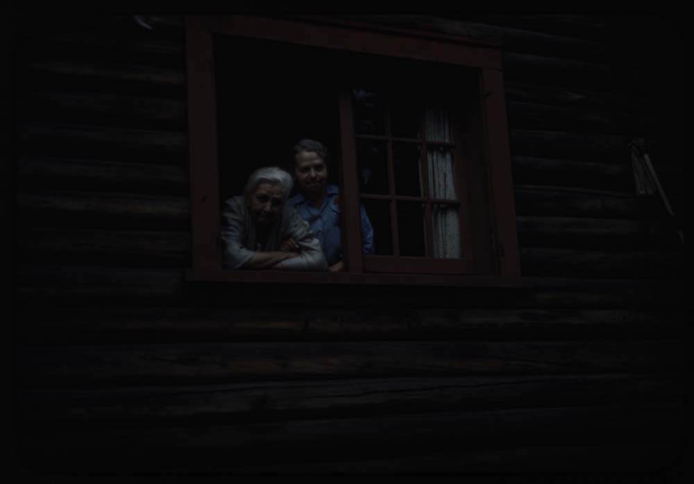
- File pertains to 57 35mm colour transparency slides mounted in cardboard sleeves. Includes photographs taken during the summer and autumn of 1944 in and around the Banff townsite, Lake O'Hara, and the Yoho Valley. Subjects include mountains, landscapes, the Bow River, lakes, people, horses, various camps [mostly Alpine Club of Canada camps], hiking, fishing, and wildlife. Some slides missing; most explained in notebook. Titles: Reel 84 Aug 4 - 1944 1. Diamond pines 2. Lou and Richard in arms 3. Richard on our porch 4. [Richard] in coach 5. Lou and Richard on chair - their barn 6. [Lou and Richard on] lawn 7. [Lou and Richard on lawn] 8. Richard on blanket on lawn 9. Same 10. Nearer of same 11. [Nearer of same] 12. [Nearer of same] 14. Buffaloes in paddock 15. Ewe and lamb 17. Bow R. backwater opp. Hoodoes. Reel 85 Aug 12 - 1944 3. [Cos moose and calf at Sundance Cr. 4. Mt Pinnacle fr. Paradise Valley 5. Mt. Eiffel [fr. Paradise Valley] 6. Part of Hungabee [fr. Paradise Valley] 7. Mt. Lefroy [fr. Paradise Valley] 11. Twin avalanches fr. Lefroy starting 13. Cow elk and baby Louise Road 19. Beaver swimming Reel 86 Aug 21 - '44 1. Sentinel on the pass and Mt. Lefroy 2. Sentinels on pass early am 3. Ptarmigan on slopes of Eiffel 8. Charley and ptarmigan 10. Crowd watching on hillside 14. Mt. Aberdeen above supply tent 18. L.S. same place [Paradise boulder] Reel 87 Aug 22, 1944 3. L.S. [on Paradise Peak] 6. [Canfield and H. Kingman w. Eric] 7. Kingman and Ken Jones 11. [Sunday service] closer, gabeline up. 12. Same - tents in background 15. Girls on log - tea party upper valley 16. The Richards and red paracol 17. Emmie and chips 19. Col. west moreland - nailing boots 22. Polly meniet[?] gift of Mr. Sampson Reel 88 Aug 22 - 1944 2. [On] summit Dorothy Richards 5. [View fr. Temple] Yoho 6. Party on Suentinel Pass 7. Trail Ride - D[?]erty etc at start 9. Tepee poles at first camp - Fatigne Creek 10. Cook tent and pots - first camp 13. Crowd riding over summit 14. Crowd on aeplands 15. Helen Zilmer[?] on pass - Assin in rear 19. Porky in tree at lunch Reel 89 Sept 15 - 1944 1. BHG at gardens - Mt Cascade 2. Helen Harbison and BH.G. Admin gardens 3. Emmie on Rundle ridge 8. Dan and Mary by back door 9. Dan and his cabin - Mt. Rundle 10. B.B. picture "Along the great Divide" 11. Same 12. BH.G. in chair by porch 13. Browne House Mother in chair 14. Same over exposed 15. BH.G. Admin gardens on bench 16. L.S. Admin gardens 17. Same further away 18. [Illegible] in Mt. Norquay fr. Sundance Rd. 19. Beavers at feeding grounds eve 21. Cow and calf Vermilion Lakes - eve
- Notes
- Slide numbering kept as originally organized, see SL I for more information (M67 / II / C / i / a / 51 - 1). Please note: titles listed below are only those located in this box. Some others have been romved from their original order for use in slide shows made by Lillian Gest prior to accession. Please see related material notebook SL I for full title lists.
- Name Access
- Gest, Lillian
- Browne, Belmore
- Kingman, Henry S.
- Sampson, Herbert E.
- Hendrie, Jimmie
- Link, Adeline
- Smith, Soapy (Herbert Alonzo)
- Subject Access
- Activities
- Administration
- Alpine Club of Canada
- Animals
- Automobiles
- Backpacking
- Boats
- Buildings
- Cabins
- Cabins and shelters
- Camping
- Camps
- Climbing
- Club
- Environment
- Environment and Nature
- Exploration
- Family and personal life
- Fishing
- Flowers
- Glaciers
- Guides
- Hiking
- Horse packing
- Horses
- Hotels
- Landscapes
- Mountain
- Mountains
- Mountaineering
- National parks and reserves
- Organizations
- Outfitters
- Pack trips
- Personal and Professional Life
- Photography
- Recreation
- Sports and leisure
- Sports and recreation
- Swiss Guides
- Tourism
- Trails
- Travel
- Wildlife
- Geographic Access
- Banff
- Banff National Park
- Lake O'Hara
- Lake MacArthur
- Yoho National Park
- Alberta
- British Columbia
- Canada
- Language
- NA
- Conservation
- Removed from original boxes and rehoused in slide sleeves and acid-free folders.
- Creator
- Gest, Lillian
- Title Source
- Title based on contents of file.
- Processing Status
- Processed
Electronic Resources
Images


This material is presented as originally created; it may contain outdated cultural descriptions and
potentially offensive content.
Read more.
[Callum Creek 82G/16 East, Alberta]
https://archives.whyte.org/en/permalink/catalogue23528
- Medium
- Library - Maps and blueprints (unannotated; published)
- Map
- Published Date
- 1943
- Publisher
- Dept. of Mines and Technical Surveys
- Call Number
- NTS
- 82G/16E
- Publisher
- Dept. of Mines and Technical Surveys
- Published Date
- 1943
- Physical Description
- 1 map : black and white
- Scale
- Scale: 1:50,000
- Relief: Contour interval 100'
- Subjects
- Callum Creek
- Alberta
- Notes
- National Topographic System
- Call Number
- NTS
- 82G/16E
- Collection
- Archives Library
This material is presented as originally created; it may contain outdated cultural descriptions and
potentially offensive content.
Read more.
[Cowley 82G/9 East, Alberta]
https://archives.whyte.org/en/permalink/catalogue23562
- Medium
- Library - Maps and blueprints (unannotated; published)
- Map
- Published Date
- 1943
- Publisher
- Dept. of Mines and Technical Surveys
- Call Number
- NTS
- 82G/9E
- Publisher
- Dept. of Mines and Technical Surveys
- Published Date
- 1943
- Physical Description
- 1 map : black and white
- Scale
- Scale: 1:50,000
- Relief: Contour interval 100'
- Notes
- National Topographic System
- Call Number
- NTS
- 82G/9E
- Collection
- Archives Library
This material is presented as originally created; it may contain outdated cultural descriptions and
potentially offensive content.
Read more.
AAF aeronautical chart : North Saskatchewan River / compiled for the U.S. Army Air Forces by the U.S. Coast and Geodetic Survey
https://archives.whyte.org/en/permalink/catalogue24364
- Medium
- Library - Maps and blueprints (unannotated; published)
- Map
- Published Date
- 1943
- Publisher
- Washington, D.C.
- Call Number
- C6-12.1
- Publisher
- Washington, D.C.
- Published Date
- 1943
- Physical Description
- 1 map : col
- Scale
- 1 : 1,000,000
- Subjects
- Saskatchewan River, North
- Aviation
- Accession Number
- 4008
- Call Number
- C6-12.1
- Collection
- Archives Library
This material is presented as originally created; it may contain outdated cultural descriptions and
potentially offensive content.
Read more.
1943 Canadian Rockies Summer & Autumn Trip
https://archives.whyte.org/en/permalink/descriptions1832
- Part Of
- Lillian Gest fonds
- Scope & Content
- File pertains to 50 35mm colour transparency slides mounted in cardboard sleeves. Includes photographs taken during the summer and autumn of 1943 in and around the Banff townsite, Lake O'Hara, and the Yoho Valley. Subjects include mountains, landscapes, the Bow River, lakes, people, horses, various…
- Date Range
- 1943
- Reference Code
- V225 / II / C / ii / a / i / NS - 79 to 83
- Description Level
- 5 / File
- GMD
- Film
- Photograph
- Transparency
45 images
1 Electronic Resource
- Part Of
- Lillian Gest fonds
- Description Level
- 5 / File
- Fonds Number
- M67 / S36 / V225
- Series
- II.C. Activities / photography
- Sous-Fonds
- V225
- Sub-Series
- ii.a.i Photographic material / transparencies / boxes
- Accession Number
- 5142
- Reference Code
- V225 / II / C / ii / a / i / NS - 79 to 83
- Parallel Title
- R79-1 to R124-15. -- 1943-1947 V225 / NS - 4
- Date Range
- 1943
- Physical Description
- 50 photographs : col. slides ; 35 mm
- History / Biographical
- See fonds level description
- Scope & Content
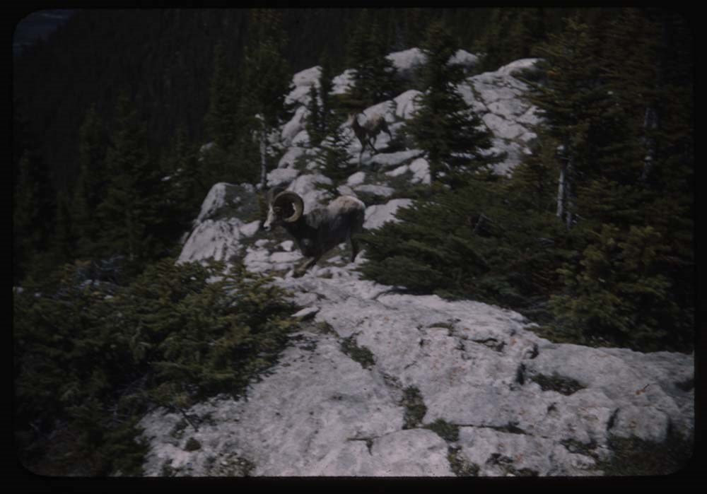
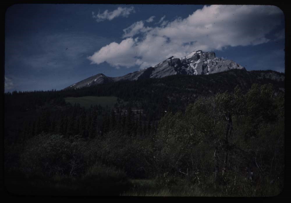
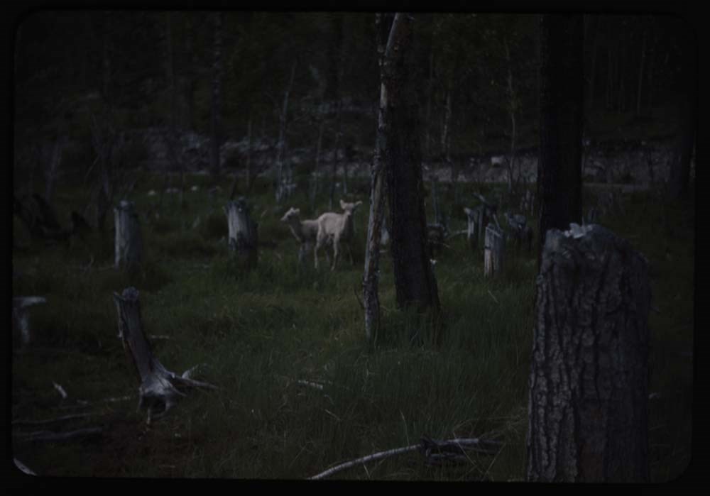
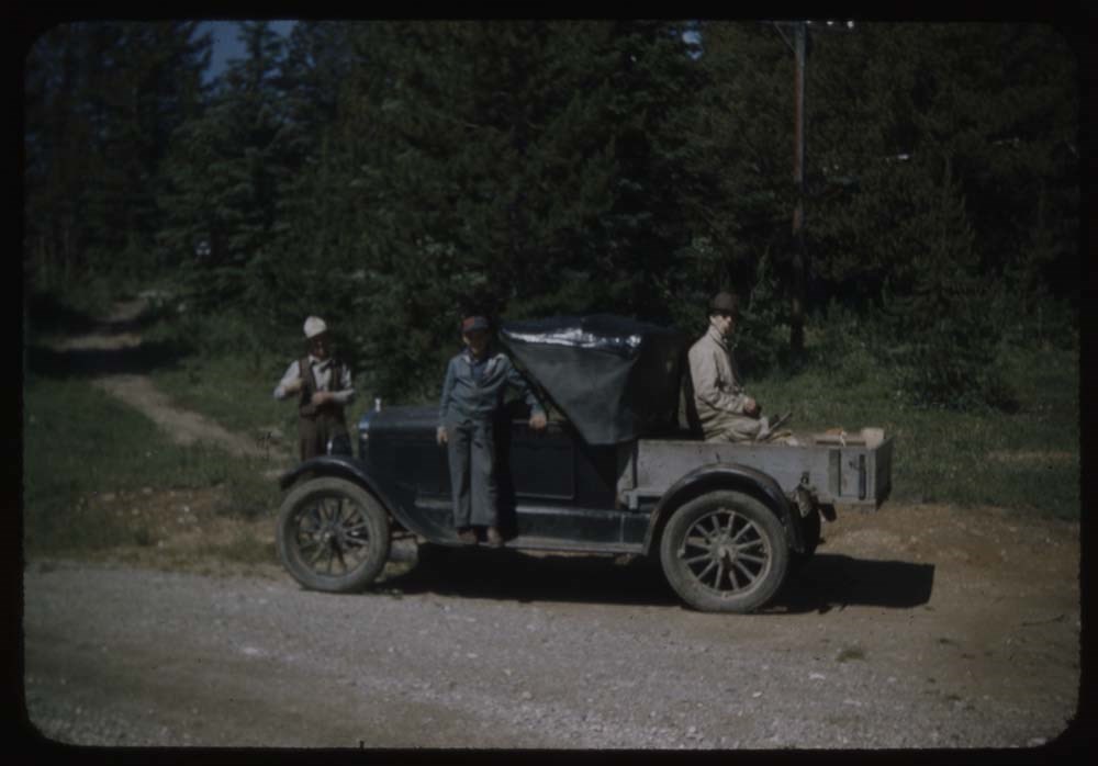
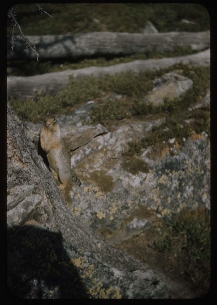
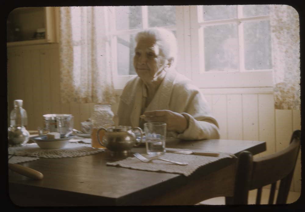
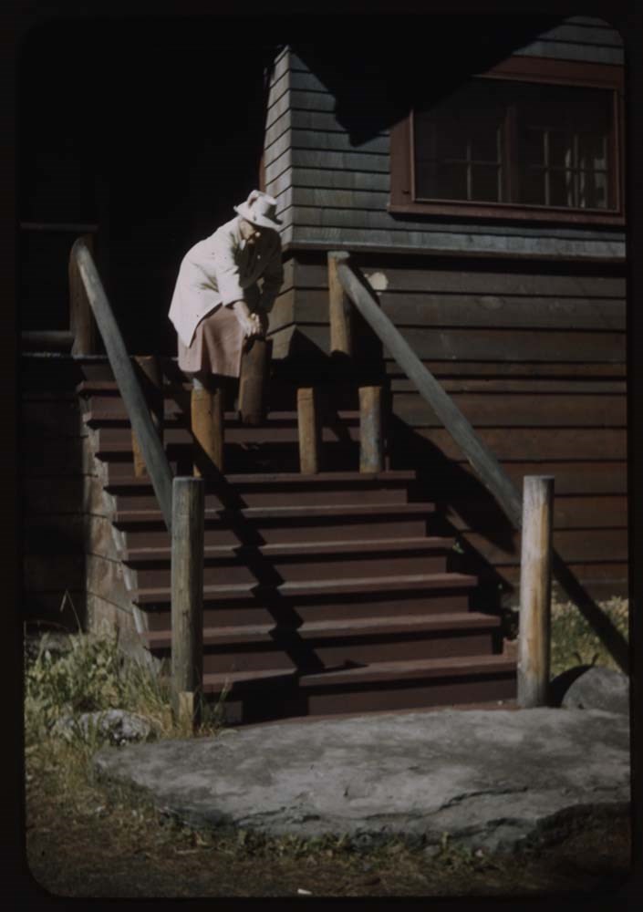
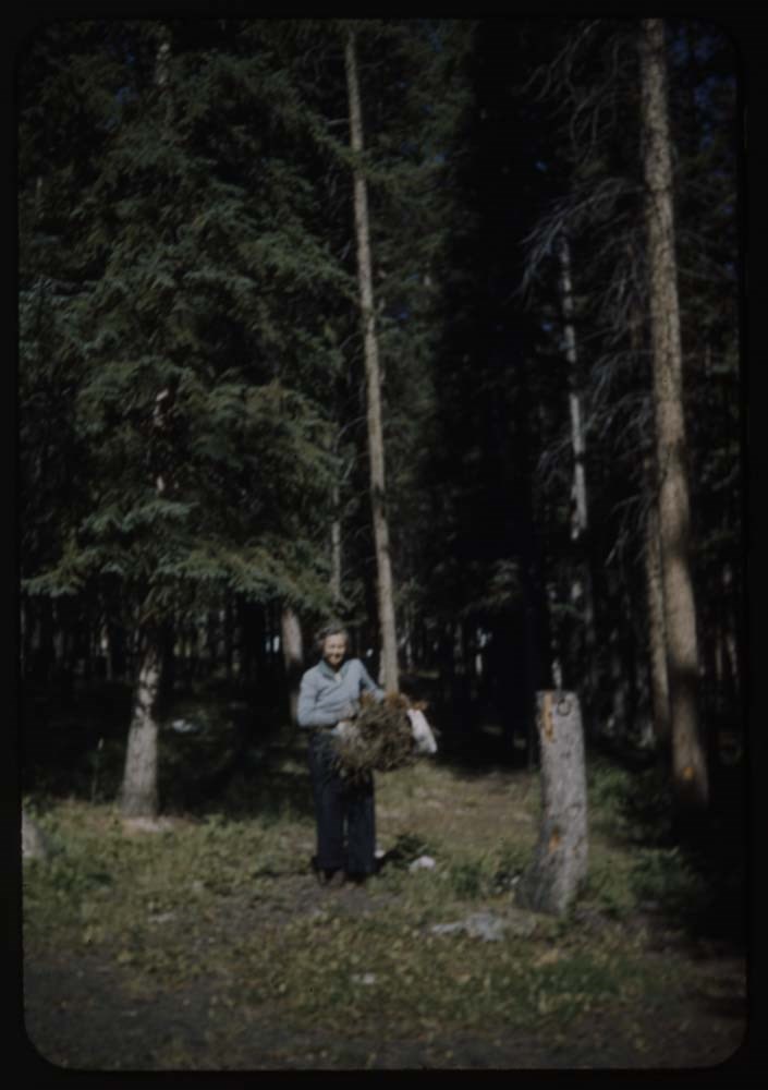
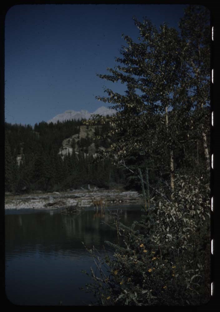
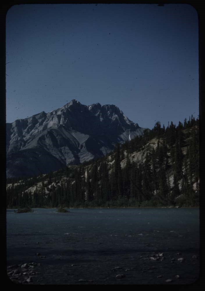
- File pertains to 50 35mm colour transparency slides mounted in cardboard sleeves. Includes photographs taken during the summer and autumn of 1943 in and around the Banff townsite, Lake O'Hara, and the Yoho Valley. Subjects include mountains, landscapes, the Bow River, lakes, people, horses, various camps [mostly Alpine Club of Canada camps], hiking, fishing, and wildlife. Some slides missing; most explained in notebook. Titles: Reel 79 Aug 1 - 1943 1. Rams on cliff morning 8. Mt. Rundle and lake shore 13. Cascade and meadow 14. Sheep in swamp 16. Mama sheep and baby - again 17. one baby sheep 18. 2 baby sheeps 19. 2 baby sheeps flaw in film Reel 80 Aug 15 - 1943 3. Ewe and others [in swamp - Rundle] 4. Ews and lams in swamp [Rundle] 5. Moose in Vermilion sundown 7. Goat at animal paddock 9. Crowd on opabin glacier 10. Crowd at Mac Arthur Lake at lunch 11. Crowd on opabin glacier 13. /Same not so good\ Crowd strung out on glacier 14. Same - end of line of people 16. Emmy[?], Big Tom and Denny near lake 17. Crowd on meadows - opabin Reel 81 Aug 21 - 1943 3. Crowd around the dining table 7. Mt. Biddle from Yukness ridge 12. Phyl and Aletta on Yukness 13. Towards Yoho and Balfour fr. Yukness over Wiwaxy col. 15. Ronny with pot at fire Linda Lake 16. Ronny with fish at Linda Lake 17. Walter's T. Model Ford - W. and Ronny and Mr. Stewart[?] Reel 82 Sept 2 -1943 1. Gopher by tree en route to Linda Lake 2. Ronny w. rucksack 3. Tom, Aletta, Phyl starting for Abbot Pass 4. Mother and Sig[?] looking out window 5. Spray River when I fished - Cascade Mt. 7. Mother at bearspaw table better 12. Mother and bear alarms[?] on step 13. L.G. bringing in faggots [sticks] from yard 14. Fish in pond 15. Fish hatchery fr. viewpoint [illegible] 17. Doe in backwater down Bow R. [illegible] 19. View across BOw to Hoodoos and Cascade Reel 83 Sept 7 - 1943 1. Boe valley fr. Lake Agnes 4. Trail boulders and Lake Agnes 8. Victoria ridge fr. Fairview slopes 10. Same nearer 15. Sig - and Mt. Rundle fr [Admin gardens] 16. Browne porch and BNG reading [illegible] 17. SIg and 2 companions starting fr. Spray V. 19. DH.G. on hammock 20. ALong the Great Divide by B. Browne.
- Notes
- Slide numbering kept as originally organized, see SL I for more information (M67 / II / C / i / a / 51 - 1). Please note: titles listed below are only those located in this box. Some others have been romved from their original order for use in slide shows made by Lillian Gest prior to accession. Please see related material notebook SL I for full title lists.
- Name Access
- Gest, Lillian
- Browne, Belmore
- Kingman, Henry S.
- Sampson, Herbert E.
- Hendrie, Jimmie
- Link, Adeline
- Smith, Soapy (Herbert Alonzo)
- Subject Access
- Activities
- Administration
- Alpine Club of Canada
- Animals
- Automobiles
- Backpacking
- Boats
- Buildings
- Cabins
- Cabins and shelters
- Camping
- Camps
- Climbing
- Club
- Environment
- Environment and Nature
- Exploration
- Family and personal life
- Fishing
- Flowers
- Glaciers
- Guides
- Hiking
- Horse packing
- Horses
- Hotels
- Landscapes
- Mountain
- Mountains
- Mountaineering
- National parks and reserves
- Organizations
- Outfitters
- Pack trips
- Personal and Professional Life
- Photography
- Recreation
- Sports and leisure
- Sports and recreation
- Swiss Guides
- Tourism
- Trails
- Travel
- Wildlife
- Geographic Access
- Banff
- Banff National Park
- Lake O'Hara
- Lake MacArthur
- Yoho National Park
- Alberta
- British Columbia
- Canada
- Language
- NA
- Conservation
- Removed from original boxes and rehoused in slide sleeves and acid-free folders.
- Creator
- Gest, Lillian
- Title Source
- Title based on contents of file.
- Processing Status
- Processed
Electronic Resources
Images


This material is presented as originally created; it may contain outdated cultural descriptions and
potentially offensive content.
Read more.
Alaska as a frontier of defence to Japan
https://archives.whyte.org/en/permalink/catalogue21517
- Medium
- Library - Maps and blueprints (unannotated; published)
- Map
- Published Date
- August 2, 1942
- Publisher
- Victoria newspaper
- Call Number
- C13-1.16
- Publisher
- Victoria newspaper
- Published Date
- August 2, 1942
- Subjects
- Alaska, United States
- Notes
- Article from Victoria newspaper
- Accession Number
- 400
- Call Number
- C13-1.16
- Collection
- Archives Library
This material is presented as originally created; it may contain outdated cultural descriptions and
potentially offensive content.
Read more.
[Dyson Creek 82J/10 East, Alberta]
https://archives.whyte.org/en/permalink/catalogue23597
- Medium
- Library - Maps and blueprints (unannotated; published)
- Map
- Published Date
- 1942
- Publisher
- Dept. of Mines and Technical Surveys
- Call Number
- NTS
- 82J/10E
- Publisher
- Dept. of Mines and Technical Surveys
- Published Date
- 1942
- Physical Description
- 1 map : black and white
- Scale
- Scale: 1:50,000
- Relief: Contour interval 100'
- Subjects
- Dyson Creek
- Alberta
- Notes
- National Topographic System
- Call Number
- NTS
- 82J/10E
- Collection
- Archives Library
This material is presented as originally created; it may contain outdated cultural descriptions and
potentially offensive content.
Read more.
[George Creek 83 C/10 East - Alta.]
https://archives.whyte.org/en/permalink/catalogue23626
- Medium
- Library - Maps and blueprints (unannotated; published)
- Map
- Published Date
- 1942
- Publisher
- Dept. of Mines and Technical Surveys
- Call Number
- NTS
- 83C/10E
- Publisher
- Dept. of Mines and Technical Surveys
- Published Date
- 1942
- Physical Description
- Black and white
- Scale
- Scale: 1:50,000
- Relief: Contour Interval 100 ft.
- Subjects
- George Creek 83 C/10 East - Alta.
- Notes
- National Topographic System
- Call Number
- NTS
- 83C/10E
- Collection
- Archives Library
This material is presented as originally created; it may contain outdated cultural descriptions and
potentially offensive content.
Read more.
[Limestone Mountain 820/14 West, Alberta]
https://archives.whyte.org/en/permalink/catalogue23721
- Medium
- Library - Maps and blueprints (unannotated; published)
- Map
- Published Date
- 1942
- Publisher
- Dept. of Mines and Technical Surveys
- Call Number
- NTS
- 820/14W
- Publisher
- Dept. of Mines and Technical Surveys
- Published Date
- 1942
- Physical Description
- 1 map : black and white
- Scale
- Scale: 1:50,000
- Relief: Contour interval 100'
- Subjects
- Limestone Mountain
- Alberta
- Notes
- National Topographic System
- Call Number
- NTS
- 820/14W
- Collection
- Archives Library
This material is presented as originally created; it may contain outdated cultural descriptions and
potentially offensive content.
Read more.
[Marble Mountain 82 0/14 East - Alberta]
https://archives.whyte.org/en/permalink/catalogue23731
- Medium
- Library - Maps and blueprints (unannotated; published)
- Map
- Published Date
- 1942
- Publisher
- Dept. of Mines and Technical Surveys
- Call Number
- NTS
- 820/14E
- Publisher
- Dept. of Mines and Technical Surveys
- Published Date
- 1942
- Physical Description
- Black and White
- Scale
- Scale: 1:50,000
- Relief: Contour interval 100'
- Notes
- National Topographic System
- Call Number
- NTS
- 820/14E
- Collection
- Archives Library
This material is presented as originally created; it may contain outdated cultural descriptions and
potentially offensive content.
Read more.
Theatre of War map
https://archives.whyte.org/en/permalink/catalogue24857
- Medium
- Library - Maps and blueprints (unannotated; published)
- Map
- Published Date
- 1942
- Publisher
- National Geographic Society
- Call Number
- C13-12.3
- Publisher
- National Geographic Society
- Published Date
- 1942
- Scale
- Scale: 236.7 miles to 1 inch
- Relief: Bench marks
- Subjects
- Europe Africa and Western Asia
- Accession Number
- 400
- Call Number
- C13-12.3
- Collection
- Archives Library
This material is presented as originally created; it may contain outdated cultural descriptions and
potentially offensive content.
Read more.
Canal topography from Lake Minnewanka to the sink.
https://archives.whyte.org/en/permalink/catalogue23362
- Medium
- Library - Maps and blueprints (unannotated; published)
- Map
- Published Date
- July 16, 1941 (revised August 8, 1941)
- Call Number
- C5-6.27(b)
- Published Date
- July 16, 1941 (revised August 8, 1941)
- Scale
- 1" = 100'
- Subjects
- Calgary Power Co. Ltd.
- Hydrology
- Notes
- (rolled on top of map case)
- Accession Number
- 3079
- Call Number
- C5-6.27(b)
- Collection
- Archives Library
This material is presented as originally created; it may contain outdated cultural descriptions and
potentially offensive content.
Read more.
Cascade Development Sketch Plan of the Ghost River Diversion
https://archives.whyte.org/en/permalink/catalogue23361
- Medium
- Library - Maps and blueprints (unannotated; published)
- Map
- Published Date
- March 31, 1941
- Call Number
- C5-6.27(a)
- Published Date
- March 31, 1941
- Scale
- 1" - 1000'
- Subjects
- Calgary Power Co. Ltd.
- Hydrology
- Notes
- A sketch plan showing approximate surface features of country between Ghost River and Lake Minnewanka
- Accession Number
- 3079
- Call Number
- C5-6.27(a)
- Collection
- Archives Library
This material is presented as originally created; it may contain outdated cultural descriptions and
potentially offensive content.
Read more.