Narrow Results By
Ha Ling, Ehagay Nakoda, Miners Peak, and citizen participation in geographical naming
https://archives.whyte.org/en/permalink/catalogue11146
- Author
- Aubrey, Merrily K.
- Physical Description
- p. 8-9 : ill
- Medium
- Library - Periodical
- Subjects
- Chinamans Peak
- Ethnic groups
- Geography
- Mountains
- Notes
- In Canoma, vol. 25, no. 1 (July 1999)
- Call Number
- P
- Collection
- Archives Library
This material is presented as originally created; it may contain outdated cultural descriptions and
potentially offensive content.
Read more.
Photo book with Peter Dettling
https://archives.whyte.org/en/permalink/descriptions56024
- Part Of
- Ben Gadd fonds
- Scope & Content
- File consists of correspondence and other documents pertaining to a proposed photo book project between Ben Gadd and Peter Dettling featuring images of the Canadian Rockies. File includes general information and quotations from various printing and design companies; and a concept proposal compiled …
- Date Range
- 2011
- Reference Code
- M590 / II / B / 35
- Description Level
- 5 / File
- GMD
- Textual record
- Part Of
- Ben Gadd fonds
- Description Level
- 5 / File
- Fonds Number
- M590
- S61
- V810
- Series
- M590 / II : Research and publication records
- Sous-Fonds
- M590
- Sub-Series
- M590 / II / B : Other publications
- Accession Number
- 2021.20
- Reference Code
- M590 / II / B / 35
- GMD
- Textual record
- Responsibility
- Some materials produced by Peter Dettling
- Date Range
- 2011
- Physical Description
- 0.2 cm of textual records
- Scope & Content
- File consists of correspondence and other documents pertaining to a proposed photo book project between Ben Gadd and Peter Dettling featuring images of the Canadian Rockies. File includes general information and quotations from various printing and design companies; and a concept proposal compiled by Peter Dettling, including a list of photographs to include.
- Name Access
- Gadd, Ben
- Dettling, Peter
- Subject Access
- Publication
- Professional and Personal Life
- Correspondence
- Environment
- Commerce
- Geography
- Geology
- Landscape
- Mountains
- Geographic Access
- Canada
- Alberta
- Banff National Park
- Reproduction Restrictions
- Restrictions may apply
- Language
- English
- Category
- Environment
- Commerce and industry
- Title Source
- Original title used
- Processing Status
- Processed
This material is presented as originally created; it may contain outdated cultural descriptions and
potentially offensive content.
Read more.
Select O'Hara Slide Show [Series V]
https://archives.whyte.org/en/permalink/descriptions1853
- Part Of
- Lillian Gest fonds
- Scope & Content
- File pertains to 79 slides assembled by Lillian Gest in 1981 into a show from slides depicting various summer to the Canadian Rockies throughout the late 1950s to 1970s with emphasis on the Lake O'Hara area of Yoho National Park. Topics include mountains and mountain views, wildflowers, wildlife, v…
- Date Range
- [ca. 1971-1981]
- Reference Code
- V225 / II / C / ii / a / ii / NS - V
- Description Level
- 5 / File
- GMD
- Film
- Transparency
79 images
1 Electronic Resource
- Part Of
- Lillian Gest fonds
- Description Level
- 5 / File
- Fonds Number
- M67 / S36 / V225
- Series
- II.C. Activities / photography
- Sous-Fonds
- V225
- Sub-Series
- ii.a.ii Photographic material / transparencies / carousels
- Accession Number
- 5142
- Reference Code
- V225 / II / C / ii / a / ii / NS - V
- GMD
- Film
- Transparency
- Parallel Title
- K38 to K41 Summer '81, latest DVS snowstorm. -- 1981
- Date Range
- [ca. 1971-1981]
- Physical Description
- 79 photographs : col. slides ; 35 mm
- History / Biographical
- See fonds level description.
- Scope & Content
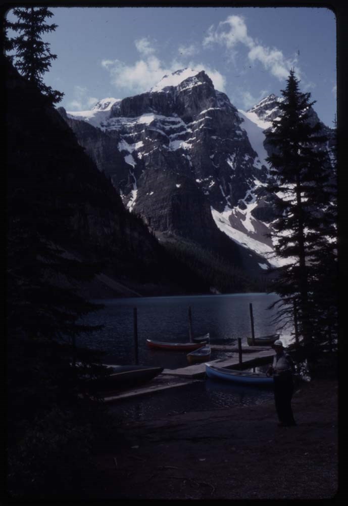
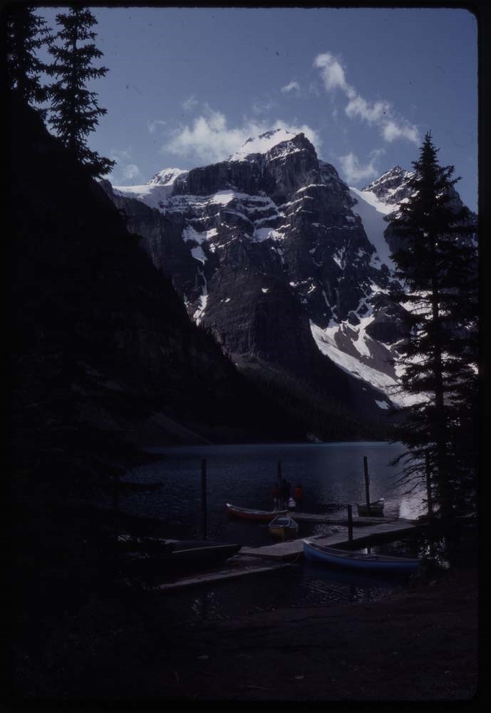
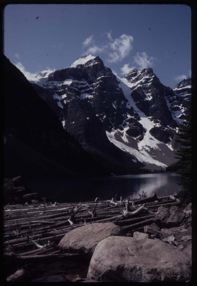
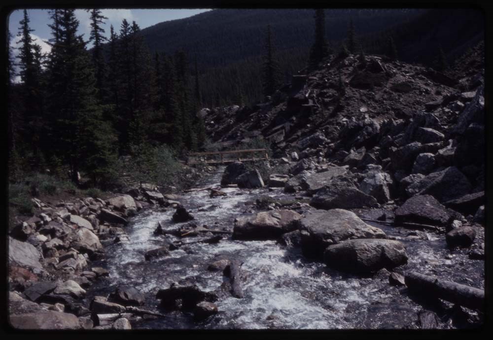
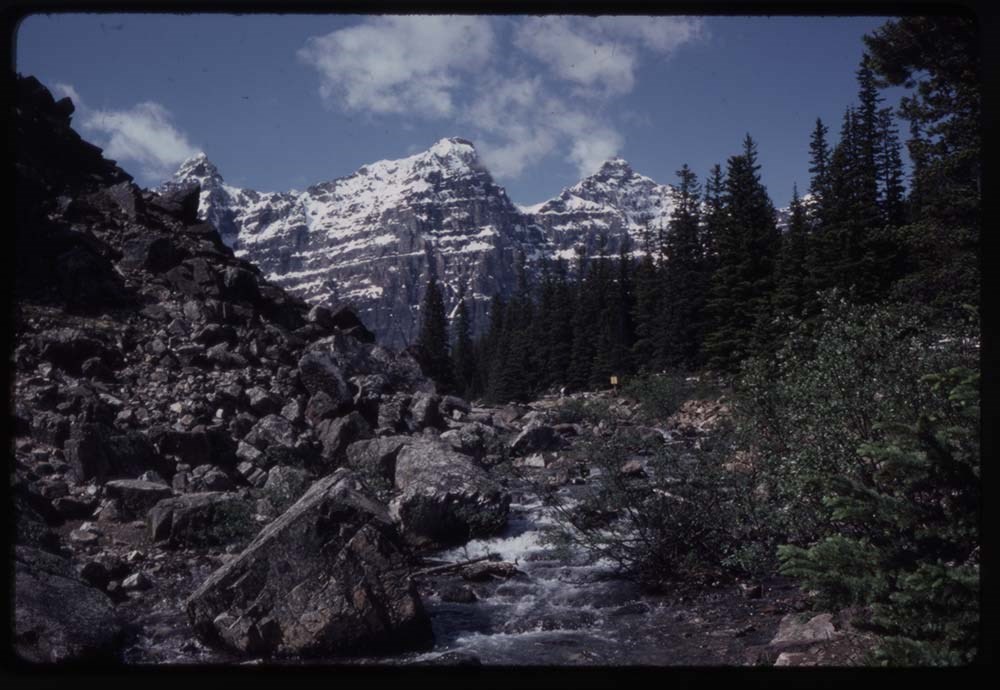
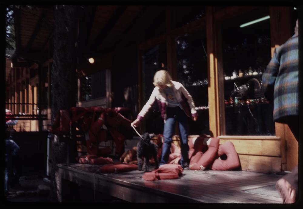
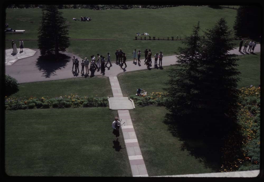
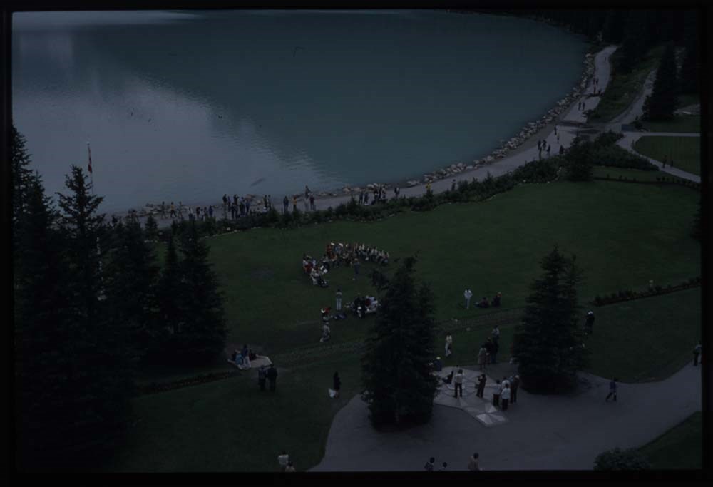
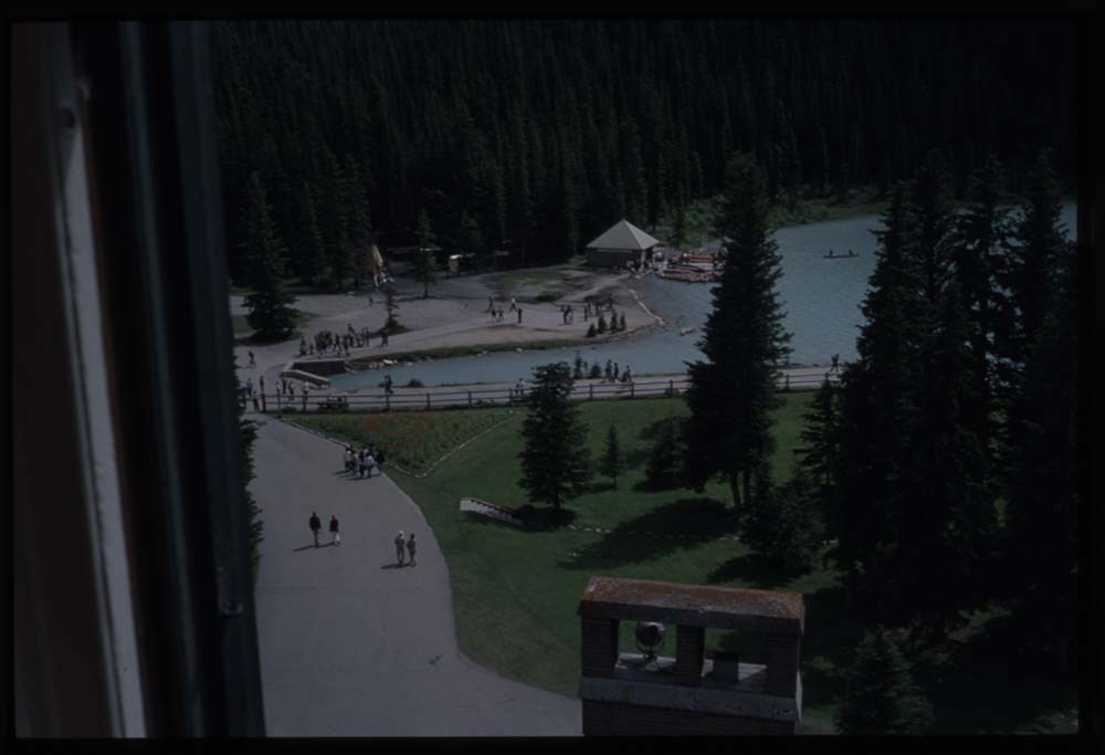
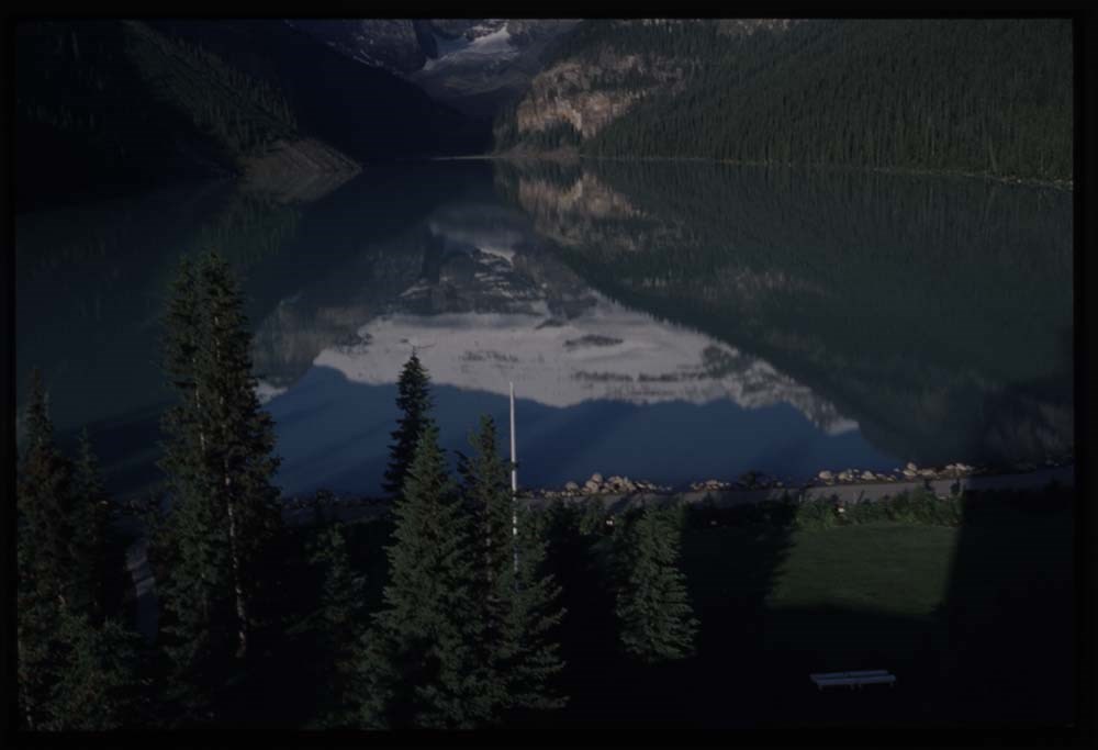
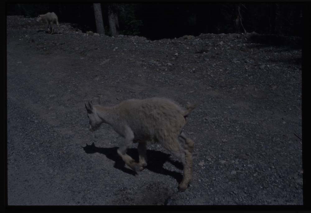
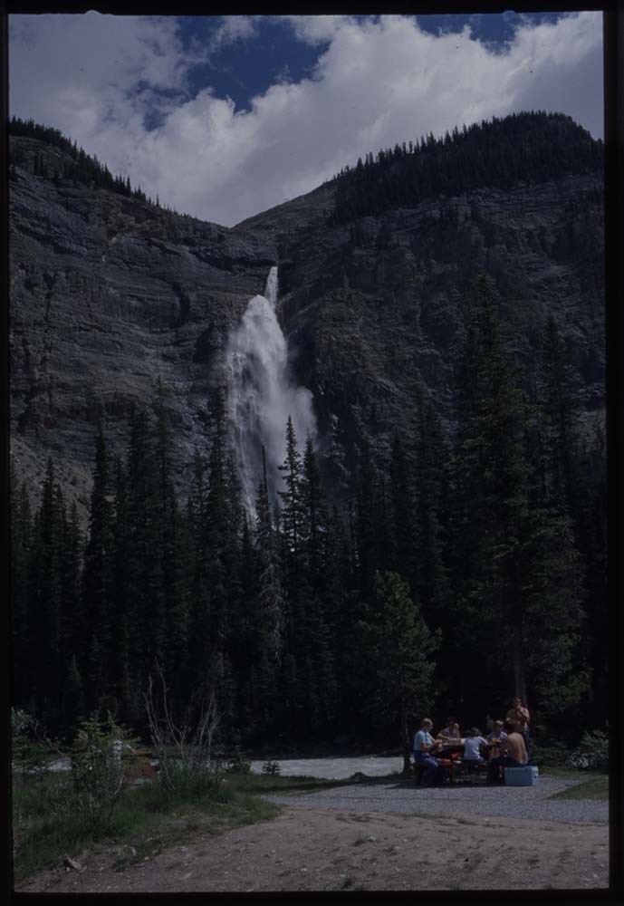
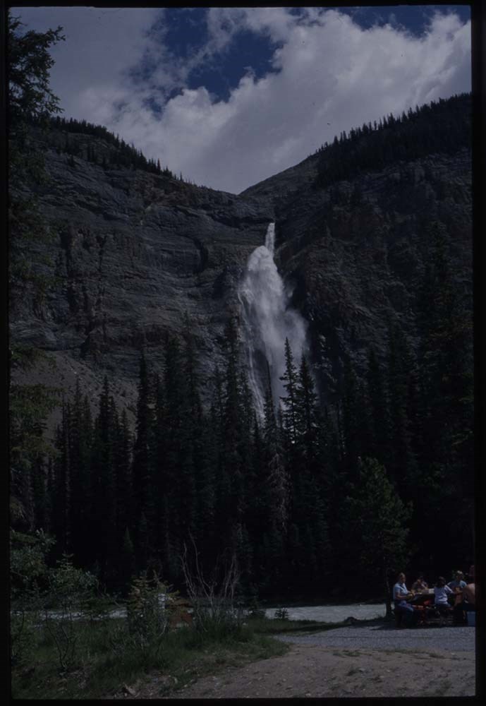
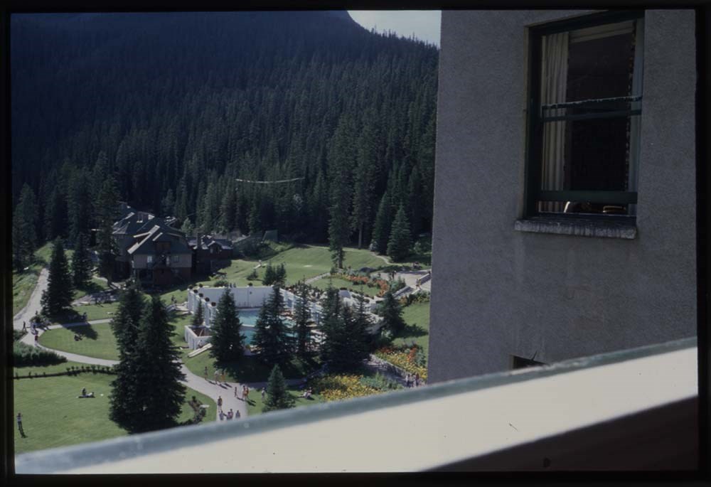
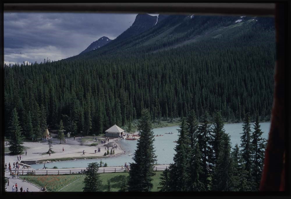
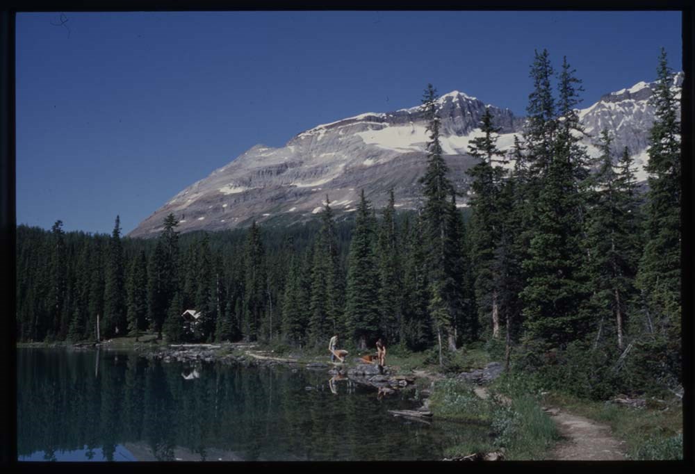
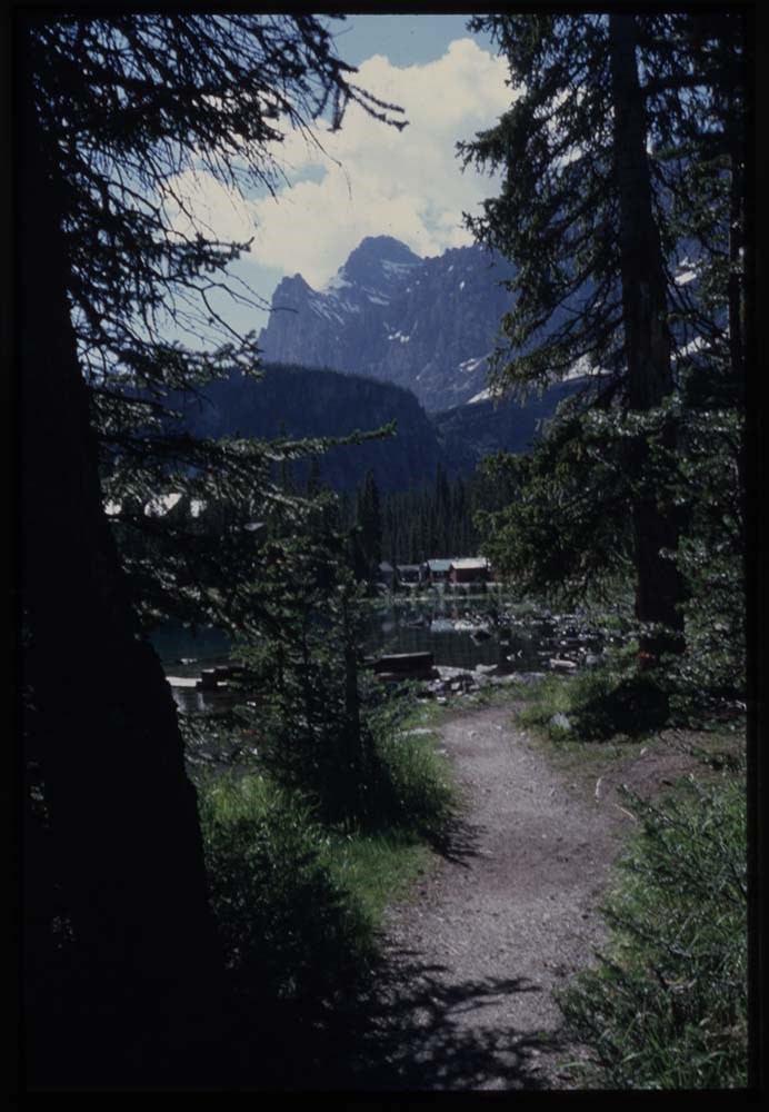
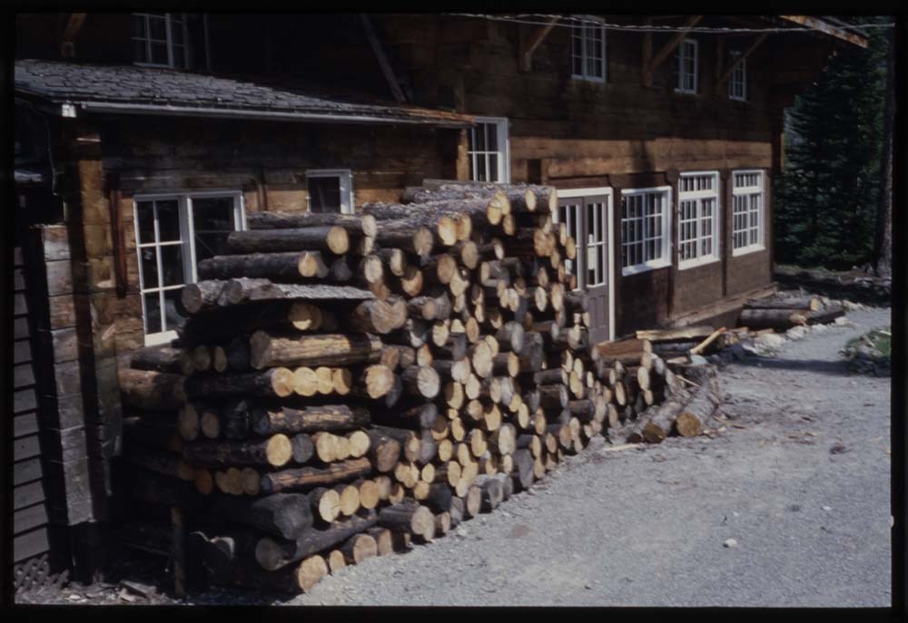
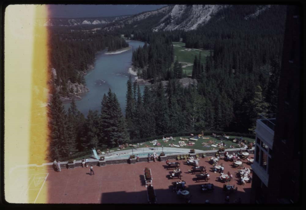
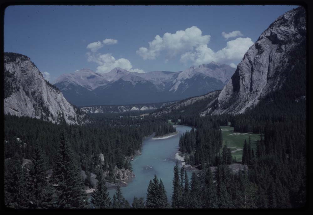
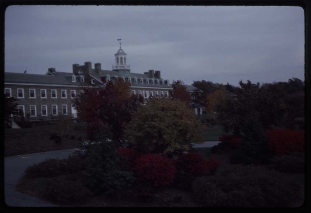
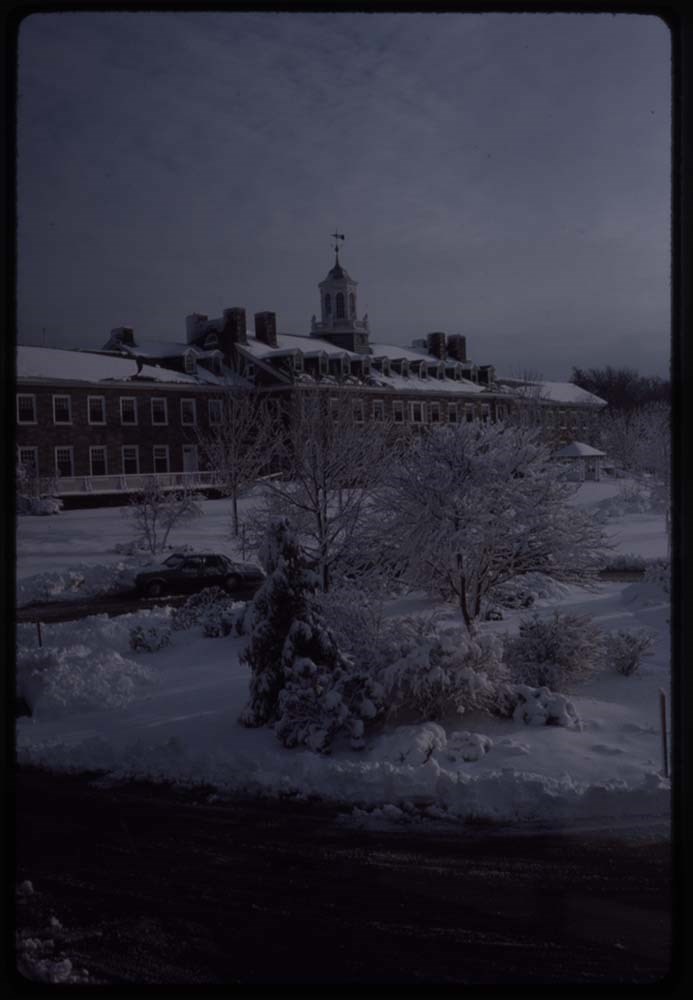
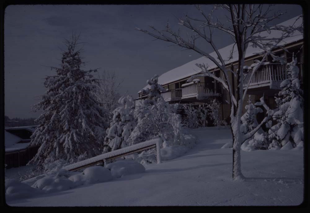
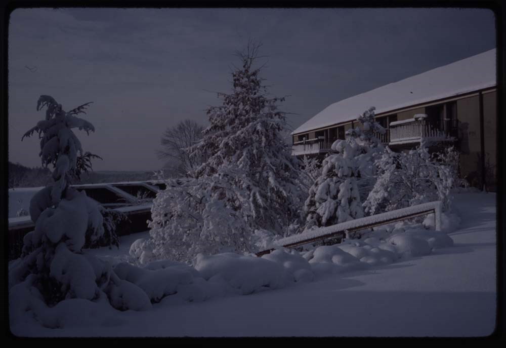
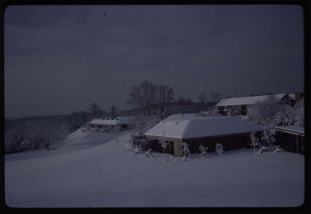
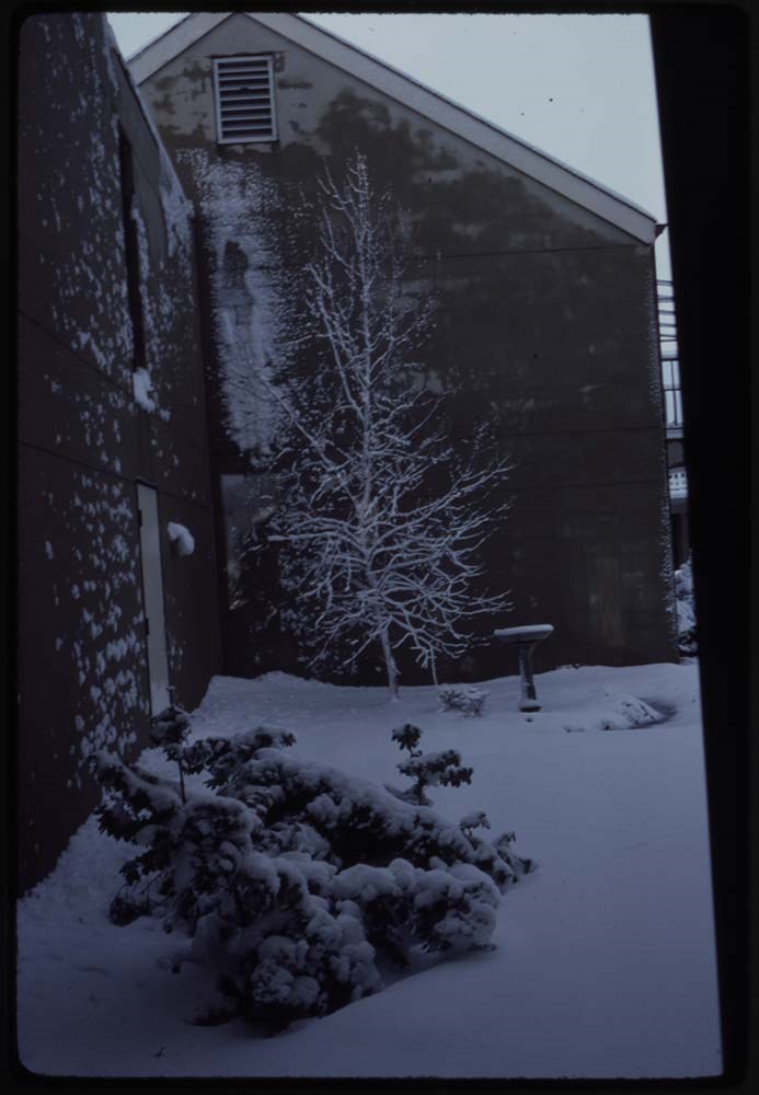
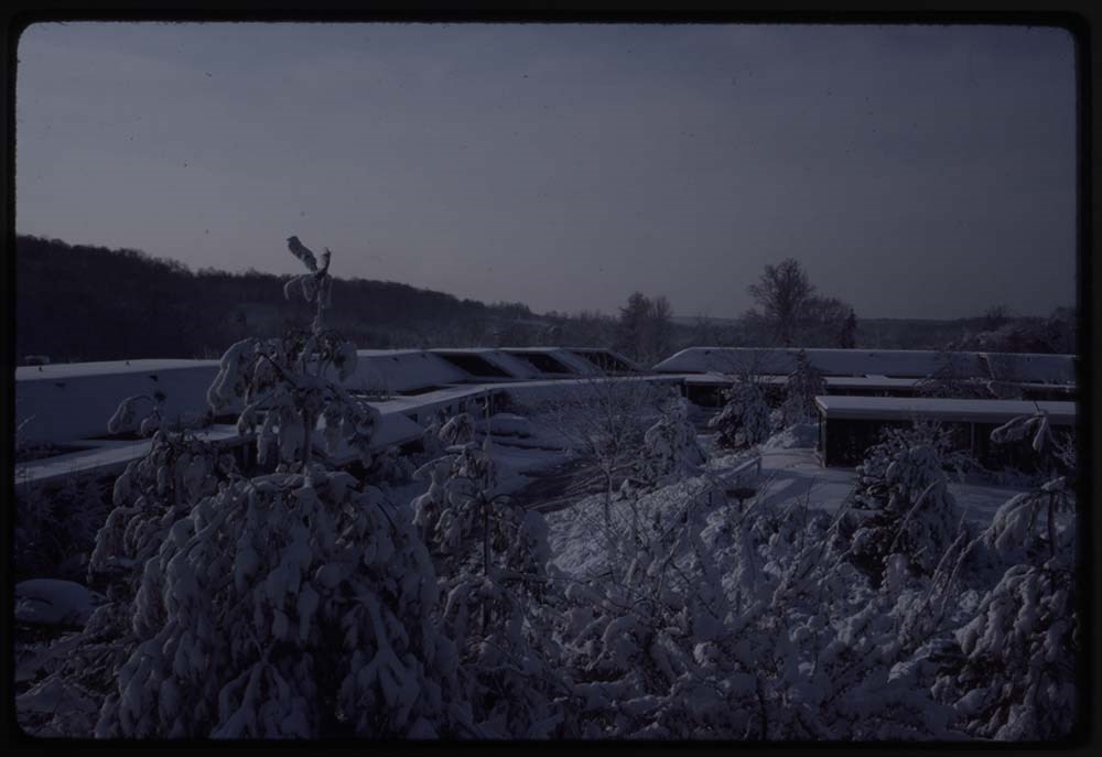
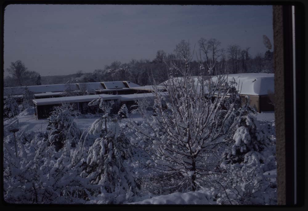
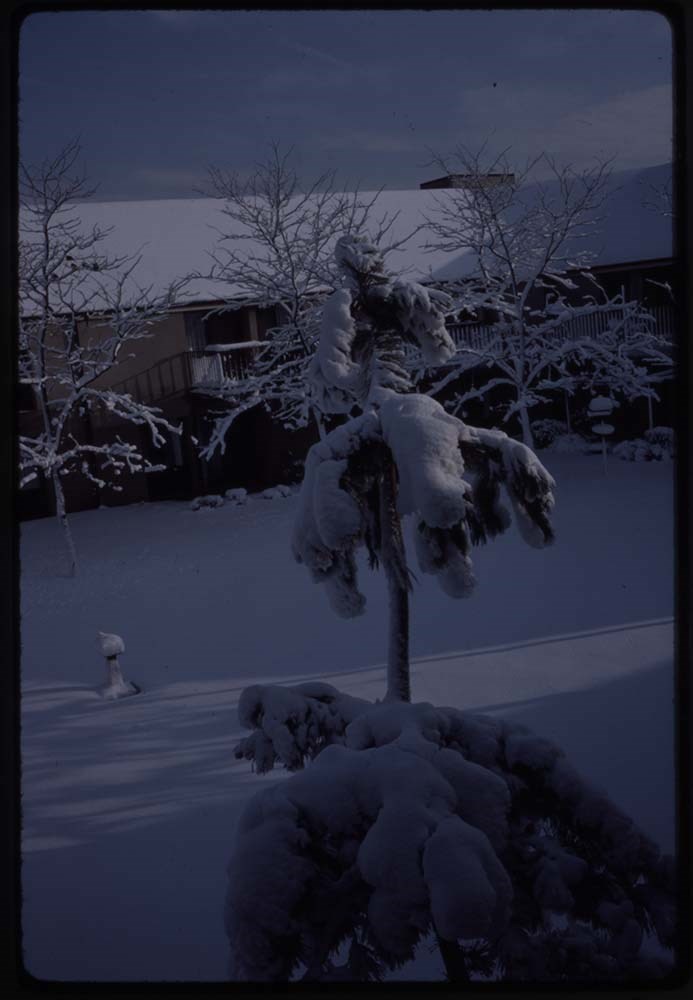
- File pertains to 79 slides assembled by Lillian Gest in 1981 into a show from slides depicting various summer to the Canadian Rockies throughout the late 1950s to 1970s with emphasis on the Lake O'Hara area of Yoho National Park. Topics include mountains and mountain views, wildflowers, wildlife, various camps [mostly Alpine Club of Canada and Trail Riders of the Canadian Rockies], Lillian and her friends, lakes, boats, fishing, hiking, and various other scenic views around Banff, Lake Louise, and Lake O'Hara. Titles: 1. 10 Peaks Moraine Lake K38-3 2. Quadra & Borgeau K38-4 3. Peaks Moraine Lake K38-5 4. Boat landing & peaks K38-6 5. [Boat landing & peaks] K38-7 6. Dead logs in stream K38-8 7. Stream below lake K38-9 8. Boulders stream & peaks K38-10 9. Life preservers – red K38-11 10. Fr. my Chateau window K38-12 11. Fr. Chateau window K38-13 12. Same K38-14 13. Lake & Mt. Vic K38-15 14. From Chateau K38-16 15. Fr. window towards staff house K38-17 16. Towards swim pool K38-18 17. View fr. my window Chateau K39-2 18. Towards Boathouse K39-3 19. View from my window K39-4 20. [View from my window] K39-5 21. [View from my window] K39-6 22. [View from my window] K39-7 23. [View from my window] K39-8 24. [View from my window] K39-9 25. [View from my window] K39-10 26. Toward boathouse K39-11 27. View from hall window – boathouse K39-12 28. AM reflections K39-13 29. Reflections AM K39-14 30. AM fr. window K39-15 31. Baby goat & mother good K39-16 32. Baby goat good K39-17 33. Ewe & baby goat w. car K39-18 34. Mama goat walks away K39-19 35. Takkakaw K39-20 36. [Takkakaw] K39-21 37. Towards swim pool K40-1 38. Towards boathouse K40-2 39. Towards Cath Mt. clouds & autoes K40-3 40. Reflections early AM K40-4 41. [Reflections early AM] K40-5 42. Outlet & stream & mt. White K40-6 43. Boathouse AND People K40-7 44. Lake shore towards staff house nearer K40-8 45. Lake shore towards staff house further K40-9 46. Hotel flower beds & people K40-10 47. Tim’s house nearer shadow on roof K40-11 48. Tim’s house further shadows on roof K40-12 49. Door to Tim’s house K40-13 50. O’Hara & Mt Cath K40-14 51. Stream O’Hara & Mt Cath K40-15 52. Little Odaray & 2 workers on trail K40-16 53. Reflections of Mt Odaray K40-17 54. Log over stream Cataract K40-18 55. From trail to Bridge K40-19 56. Mt & clouds K40-20 57. The wood pile K40-21 58. View from Banff Springs & porch K41-1 59. Same view fr. BSH & porch K41-2 60. View from BSH golf course & river K41-3 61. Dunwoody Home K41-4 62. [Dunwoody Home] flower bed in front K41-5 63. Big snow storm K41-6 64. [Big snow storm] K41-7 65. [Big snow storm] K41-8 66. [Big snow storm] K41-9 67. [Big snow storm] K41-10 68. [Big snow storm] K41-11 69. [Big snow storm] K41-12 70. [Big snow storm] K41-13 71. [Big snow storm] K41-14 72. [Big snow storm] K41-15 73. [Big snow storm] K41-16 74. [Big snow storm] K41-17 75. [Big snow storm] K41-18 76. [Big snow storm] K41-19 77. [Big snow storm] K41-20 78. [Big snow storm] K41-21 79. [Big snow storm] K41-22
- Notes
- This material is presented as originally created, it contains outdated cultural descriptions and potentially offensive content. Materials in historical collections reflect the attitudes, ideas, and norms of the era and culture in which they were created or collected. Offensive or harmful terms are retained for historical accuracy or to document the issues and social context of a specific time and the attitudes and opinions of the people who created the material. Please note: Behavior towards wildlife, primarily human proximity and feeding, is outdated and no longer tolerated throughout all National Parks - do not feed or approach wildlife. Slides originally in Kodak Carousel 80 slide tray. One slide is missing.
- Name Access
- Gest, Lillian
- Subject Access
- Activities
- Alpine Club of Canada
- Animals
- Avalanches
- Backpacking
- Banff
- Banff Indian Days
- Banff Springs Hotel
- Birds
- Boats
- Cabins and shelters
- Camps
- Camping
- Canoes and canoeing
- Chateau Lake Louise
- Climbing
- Club
- Elk
- Entertainment
- Environment
- Environment and Nature
- Flowers
- Geography
- Glaciers
- Guides
- Guiding
- Hiking
- Holidays
- Horses
- Horseback riding
- Horse packing
- Huts
- Lake O'Hara region
- Landscapes
- Leisure
- Mountain
- Mountain Goat
- Mountaineering
- Mountains
- National parks and reserves
- Outfitters, trail guides and packers
- Pack trains
- Pack trips
- Personal and Family Life
- Photography
- Portrait
- Recreation
- Scenery
- Snow
- Storm
- Tavel
- Trails
- Trains
- Travel
- Wildlife
- Winter
- Women
- Geographic Access
- Banff
- Lake Louise
- Moraine Lake
- Banff National Park
- Lake O'Hara
- Yoho National Park
- British Columbia
- Alberta
- Canada
- Language
- English
- Conservation
- Slides rehoused into protective sleeves and acid-free folders after scanning.
- Creator
- Gest, Lillian
- Title Source
- Title based on contents of file
- Processing Status
- Processed
Electronic Resources
Images


This material is presented as originally created; it may contain outdated cultural descriptions and
potentially offensive content.
Read more.
The Selkirk Range Text and Maps
https://archives.whyte.org/en/permalink/descriptions54163
- Part Of
- Nicholas Morant fonds
- Scope & Content
- File consists of 2 volumes, 1 textual and 1 cartographic, from 'The Selkirk Range British Columbia'. Volume 1 pertains to a textual account of the Selkirk region; volume 2 pertains to a collection of various topographical maps of the Selkirk region. Volume 1 is signed by Emmeline Wheeler.
- Date Range
- 1951
- Reference Code
- M300 / III / D / 5 / 52 to 53
- Description Level
- 5 / File
- GMD
- Textual record
- Private record
- Map
- Part Of
- Nicholas Morant fonds
- Description Level
- 5 / File
- Fonds Number
- M300 / S20 / V500
- Sous-Fonds
- M300
- Sub-Series
- M300 / III / D / 5 : Personal Interest and Gifts
- Accession Number
- 7784
- Reference Code
- M300 / III / D / 5 / 52 to 53
- Responsibility
- Produced by A.O. Wheeler
- Date Range
- 1951
- Physical Description
- Textual record: book & Cartographic records: maps
- Scope & Content
- File consists of 2 volumes, 1 textual and 1 cartographic, from 'The Selkirk Range British Columbia'. Volume 1 pertains to a textual account of the Selkirk region; volume 2 pertains to a collection of various topographical maps of the Selkirk region. Volume 1 is signed by Emmeline Wheeler.
- Storage Range
- In file box M300 / III / D / 5 / 52 to M300 / III / D / 5 / 53.
- Name Access
- Wheeler, A.O.
- Geographic Access
- Canada
- Canadian Rocky Mountains
- Selkirks
- Access Restrictions
- Items in this file are not to be accessed or distributed without the explicit permission of their identified copyright owners.
- Reproduction Restrictions
- Items in this file are not to be reproduced without the explicit permission of their identified copyright owners.
- Language
- English
- Creator
- A.O. Wheeler
- Title Source
- Title based on contents of file
- Processing Status
- Processed
This material is presented as originally created; it may contain outdated cultural descriptions and
potentially offensive content.
Read more.
Ski Trails in the Canadian Rockies - textual
https://archives.whyte.org/en/permalink/descriptions55078
- Part Of
- Chic Scott fonds
- Scope & Content
- Series consists of research documents, published materials and maps used during the creation of the book Ski Trails in the Canadian Rockies.
- Date Range
- 1999 - 2015
- Reference Code
- M57 / VI
- Description Level
- 3 / Series
- GMD
- Textual record
- Part Of
- Chic Scott fonds
- Description Level
- 3 / Series
- Fonds Number
- M57 / V40 / S47
- Series
- M57 / VI: Ski Trails in the Canadian Rockies
- Sous-Fonds
- M57
- Sub-Series
- M57 / VI / A: Research Files
- M57 / VI / B: Collected publications
- M57 / VI / C: Maps
- Accession Number
- .
- Reference Code
- M57 / VI
- GMD
- Textual record
- Date Range
- 1999 - 2015
- Physical Description
- 18 cm of textual records
- History / Biographical
- The classic guidebook to cross country ski trails in Waterton, Banff, Kootenay, Yoho and Jasper National Parks as well as Mount Assiniboine and Mount Robson Provincial Parks and Kananaskis Country, now greatly expanded to includes ski trails in the front ranges of the Rockies, in the Crowsnest Pass and in the Columbia Valley. Jointly authored with Darren Farley. This book also covers topics such as accommodation, regulations, weather and snow conditions.
- Scope & Content
- Series consists of research documents, published materials and maps used during the creation of the book Ski Trails in the Canadian Rockies.
- Notes
- Series consists of three sub-series: M57 / VI / A: Research Files
- M57 / VI / B: Collected publications
- M57 / VI / C: Maps
- Name Access
- Scott, Chic
- Subject Access
- Activities
- Environment
- Exploration
- Geography
- Guide
- Map
- Mountaineering
- Mountains
- National parks and reserves
- Publication
- Recreation
- Ski areas
- Ski Maps
- Ski mountaineering
- Ski lodges and cabins
- Skiing
- Sports and recreation
- Sports
- Tourism
- Tourist information
- Trail guides
- Trails
- Travel
- Winter sports
- Geographic Access
- Canada
- Alberta
- British Columbia
- Canadian Rocky Mountains
- Banff National Park
- Yoho National Park
- Jasper National Park
- Waterton
- Kootenay National Park
- Rogers Pass
- Columbia Valley
- Crowsnest Pass
- Language
- English
- Related Material
- S47 / VI
- V40 / VI
- Title Source
- Title based on contents of file
- Processing Status
- Processed
This material is presented as originally created; it may contain outdated cultural descriptions and
potentially offensive content.
Read more.
The Yam - textual
https://archives.whyte.org/en/permalink/descriptions55064
- Part Of
- Chic Scott fonds
- Scope & Content
- Series consists of research records pertaining to the book The Yam.
- Date Range
- 2002 - 2009
- Reference Code
- M57 / XI
- Description Level
- 3 / Series
- GMD
- Textual record
- Part Of
- Chic Scott fonds
- Description Level
- 3 / Series
- Fonds Number
- M57 / V40 / S47
- Series
- M57 / XI: The Yam
- Sous-Fonds
- M57
- Sub-Series
- M57 / XI / A: Research records
- Accession Number
- .
- Reference Code
- M57 / XI
- GMD
- Textual record
- Date Range
- 2002 - 2009
- Physical Description
- 7 cm of textual records
- History / Biographical
- This is the story of climbing on Yamnuska, the prominent wall of yellow limestone rising above the Trans Canada Highway between Calgary and Banff. All the tales of adventure are here, from the first pioneering climbs by Hans Gmoser and his companions in the early 1950s to the new routes of today. Over the years many of the great climbers of the Rockies have been associated with this cliff: Brian Greenwood, Don Vockeroth, Lloyd MacKay, Billy Davidson, Urs Kallen, John Lauchlan, Dave Cheesmond, Jeff Marshall, Steve DeMaio and Andy Genereux. Also included in the book is a guide to the hike up the back side trail to the summit, detailing the flora and fauna you will see along the way.
- Scope & Content
- Series consists of research records pertaining to the book The Yam.
- Notes
- Series consists of one sub-series: M57 / XI / A: Research records
- Name Access
- Scott, Chic
- Gadd, Ben
- Dornian, Dave
- Subject Access
- Climbing
- Environment
- Exploration
- Flowers
- Geography
- History
- Mountaineering
- Mountains
- Publication
- Recreation
- Research
- Sports
- Sports and recreation
- Geographic Access
- Canada
- Alberta
- Kananaskis
- Mount Yamnuska
- Language
- English
- Biographical Source Notes
- https://www.chicscott.com/books.htm
- Title Source
- Title based on contents of file
- Processing Status
- Processed
This material is presented as originally created; it may contain outdated cultural descriptions and
potentially offensive content.
Read more.