Narrow Results By
- Date
- 1917 – 1966
- Medium
- graphite; ink on paper
- Catalogue Number
- WyP.03.516
- Description
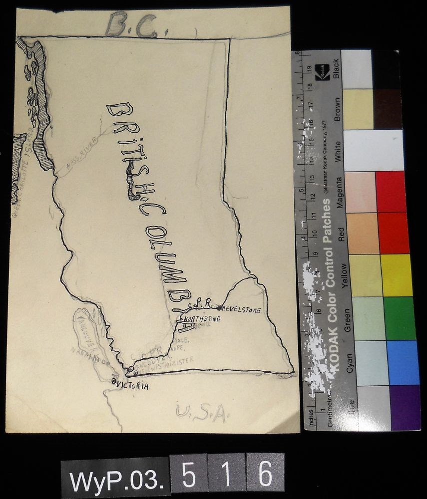
- A pencil and ink drawing of a map of British Columbia. Notable is Highway 1 and the significant places through which it passes.
1 image
- Title
- B.C.
- Date
- 1917 – 1966
- Medium
- graphite; ink on paper
- Dimensions
- 22.5 x 15.1 cm
- Description
- A pencil and ink drawing of a map of British Columbia. Notable is Highway 1 and the significant places through which it passes.
- Credit
- Gift of Catharine Robb Whyte, O. C., Banff, 1975
- Catalogue Number
- WyP.03.516
Images
This material is presented as originally created; it may contain outdated cultural descriptions and
potentially offensive content.
Read more.
The Future way of Teaching Geography
https://archives.whyte.org/en/permalink/artifactwyp.03.928
- Date
- 1925 – 1966
- Medium
- graphite; ink on paper
- Catalogue Number
- WyP.03.928
- Description
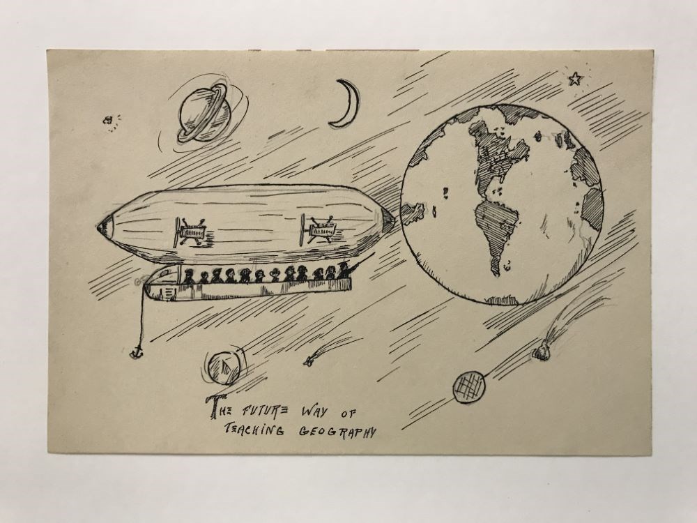
- An blimp/Zeppelin carries a group of people in space where they are looking at the different planets and stars, though Earth is the most prominent in the sky. Below the drawing it says “THE FUTURE WAY OF TEACHING GEOGRAPHY”
1 image
- Title
- The Future way of Teaching Geography
- Date
- 1925 – 1966
- Medium
- graphite; ink on paper
- Dimensions
- 15.0 x 22.5 cm
- Description
- An blimp/Zeppelin carries a group of people in space where they are looking at the different planets and stars, though Earth is the most prominent in the sky. Below the drawing it says “THE FUTURE WAY OF TEACHING GEOGRAPHY”
- Subject
- airship
- blimp
- Zeppelin
- aircraft
- flying
- space
- travel
- people
- passengers
- education
- star
- planet
- Earth
- geography
- Credit
- Gift of Catharine Robb Whyte, O. C., Banff, 1979
- Catalogue Number
- WyP.03.928
Images
This material is presented as originally created; it may contain outdated cultural descriptions and
potentially offensive content.
Read more.